Open Space Web-Map builder Codehttps://openspace.ordnancesurvey.co.uk/osmapapi/openspace.js?key=3119F72552FD5C22E0530C6CA40A5A92https://openspace.ordnancesurvey.co.uk/osmapapi/script/mapbuilder/basicmap.jshttps://openspace.ordnancesurvey.co.uk/osmapapi/script/mapbuilder/searchbox.js//variables for routes var linesLayer, points, lineFeature, lineString, routeMarkersLayer, routepos, routesize, routeoffset, routeicon; var style_blue = {strokeColor: “#0000CD”, strokeOpacity: 0.5, strokeWidth: 4.5}; function initmapbuilder() { //initiate the map var options = {resolutions: [2500, 1000, 500, 200, 100, 50, 25, 10, 5, 4, 2.5, 2, 1]}; osMap = new OpenSpace.Map(‘map’, options); //configure map options (basicmap.js) setglobaloptions(); //set the center of the map and the zoom level osMap.setCenter(new OpenSpace.MapPoint(328110.5,524599),8); linesLayer = osMap.getVectorLayer(); // Set up layer for route markers routeMarkersLayer = new OpenLayers.Layer.Markers(“Route Markers”); //make a route points = new Array(); points.push(new OpenLayers.Geometry.Point(326752,524129.5)); points.push(new OpenLayers.Geometry.Point(327032,524385.5)); points.push(new OpenLayers.Geometry.Point(327192,524505.5)); points.push(new OpenLayers.Geometry.Point(327292,524765.5)); points.push(new OpenLayers.Geometry.Point(327502,525015.5)); points.push(new OpenLayers.Geometry.Point(327462,525110.5)); points.push(new OpenLayers.Geometry.Point(327552,525270.5)); points.push(new OpenLayers.Geometry.Point(327752,525370.5)); points.push(new OpenLayers.Geometry.Point(327922,525395.5)); points.push(new OpenLayers.Geometry.Point(327632,525230.5)); points.push(new OpenLayers.Geometry.Point(327702,525245.5)); points.push(new OpenLayers.Geometry.Point(327647,525160.5)); points.push(new OpenLayers.Geometry.Point(327672,525100.5)); points.push(new OpenLayers.Geometry.Point(327752,525060.5)); points.push(new OpenLayers.Geometry.Point(327712,524815.5)); points.push(new OpenLayers.Geometry.Point(327672,524650.5)); points.push(new OpenLayers.Geometry.Point(327787,524660.5)); points.push(new OpenLayers.Geometry.Point(327942,524690.5)); points.push(new OpenLayers.Geometry.Point(328062,524805.5)); points.push(new OpenLayers.Geometry.Point(328232,524920.5)); points.push(new OpenLayers.Geometry.Point(328727,525065.5)); points.push(new OpenLayers.Geometry.Point(329117,525120.5)); points.push(new OpenLayers.Geometry.Point(329427,525165.5)); points.push(new OpenLayers.Geometry.Point(329557,525120.5)); points.push(new OpenLayers.Geometry.Point(329427,525090.5)); points.push(new OpenLayers.Geometry.Point(329122,525015.5)); points.push(new OpenLayers.Geometry.Point(328817,524880.5)); points.push(new OpenLayers.Geometry.Point(328727,524815.5)); points.push(new OpenLayers.Geometry.Point(328627,524568)); points.push(new OpenLayers.Geometry.Point(328524.5,524453)); points.push(new OpenLayers.Geometry.Point(328489.5,524320.5)); points.push(new OpenLayers.Geometry.Point(328417,524305.5)); points.push(new OpenLayers.Geometry.Point(328362,524313)); points.push(new OpenLayers.Geometry.Point(328147,524268)); points.push(new OpenLayers.Geometry.Point(328082,524200.5)); points.push(new OpenLayers.Geometry.Point(327919.5,524148)); points.push(new OpenLayers.Geometry.Point(327847,524053)); points.push(new OpenLayers.Geometry.Point(327645,524049.5)); points.push(new OpenLayers.Geometry.Point(327525,524074.5)); points.push(new OpenLayers.Geometry.Point(327407.5,523999.5)); points.push(new OpenLayers.Geometry.Point(327270,523992)); points.push(new OpenLayers.Geometry.Point(326967.5,523969.5)); points.push(new OpenLayers.Geometry.Point(326937.5,524007)); points.push(new OpenLayers.Geometry.Point(326752,524129.5)); // create a polyline feature from the array of points lineString = new OpenLayers.Geometry.LineString(points); lineFeature = new OpenLayers.Feature.Vector(lineString, null, style_blue); linesLayer.addFeatures([lineFeature]); //crate a route start/end marker routepos = new OpenSpace.MapPoint(326752,524129.5); routesize = new OpenLayers.Size(33,45); routeoffset = new OpenLayers.Pixel(-5,-37); routeicon = new OpenSpace.Icon(‘https://openspace.ordnancesurvey.co.uk/osmapapi/img_versions/img_1.1/mapbuilder/routemarker-startend.png’, routesize, routeoffset, null, null); routeMarkersLayer.addMarker(new OpenLayers.Marker(routepos, routeicon)); osMap.addLayer(routeMarkersLayer);}
Route: Spooney Green Lane, Mallen Dodd, Latrigg, Brundholme Wood, Whinny Brow
Date: 04/03/2018
From: Keswick
Parking: Keswick
Start Point: Keswick
Region: Northern Fells
Route length: 5.1 miles (8.2 km)
Time taken: 02:24
Average speed: 2.12 mph
Ascent: 388m
Descent: 384m
Wainwrights on this walk:
Latrigg (368m)
Other Summits: None
I’ve been to Latrigg’s summit numerous times though I’d be reluctant to say I’d truly climbed the fell as each of my visits has been from the Gale Lane car park to the rear of the fell, which allows you to practically drive to the top. In order to put things right, I decided to make the most of a dreary, cold, wintery morning to climb Latrigg properly, from Keswick.
Despite the generosity of the Cumbrian parking disk scheme, I was worried that 2 hours may not be enough so I parked on Brundholme Road towards the north of the town, however, this walk can be started from anywhere in Keswick.
 |
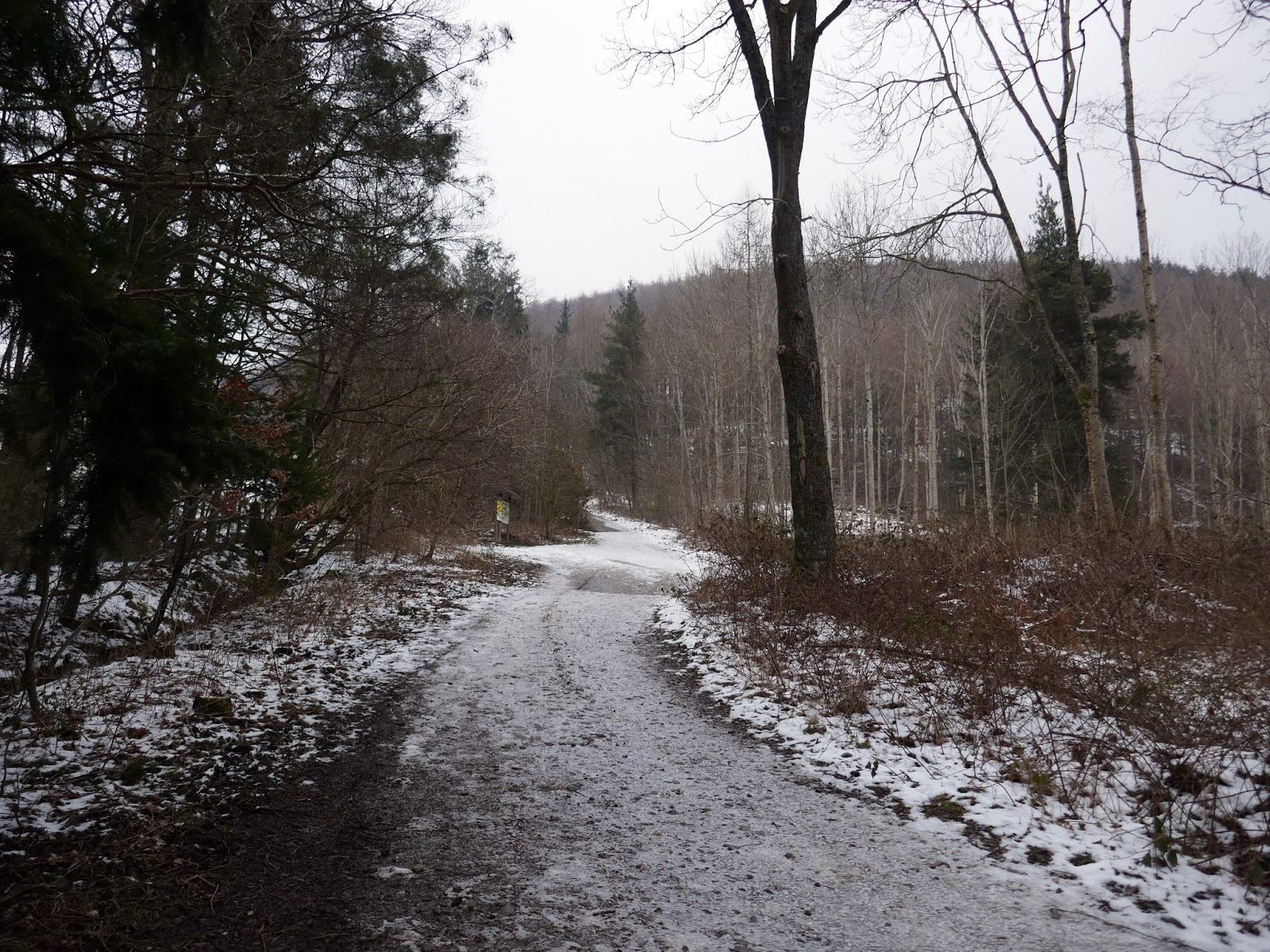
| Spooney Green Lane |
There are no real navigational difficulties as the walk sets off along the Cumbria Way which crosses the A66 via Spooney Green Lane, a public bridleway signposted Skiddaw.
 |
| Cumbria Way |
 |
| Cumbria Way |
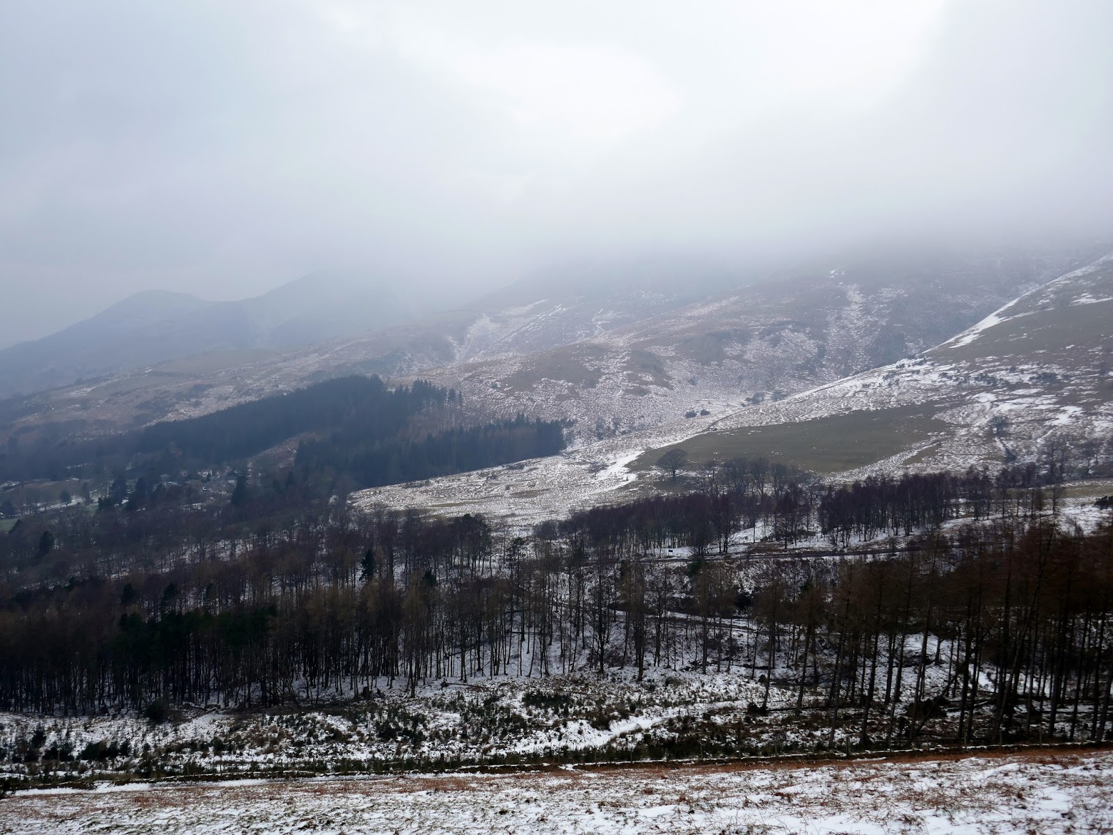
Once across the A66, the path rises more steeply which made things a little tricky as it was covered in a layer of slippery, compressed snow. This is the steepest part of the walk though doesn’t last too long and, soon enough, the views open out to your left, though it was very hazy today and low cloud hugged the tops of the high fells.
 |
| Looking along the Vale of Keswick towards Bassenthwaite |
 |
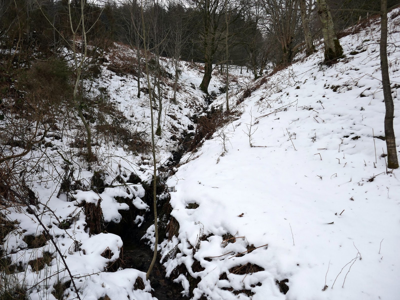
| Lair Beck |
 |
| Birkett Wood |
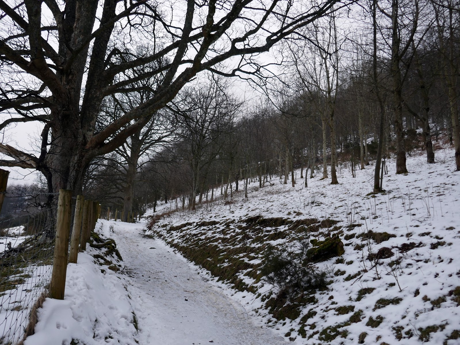
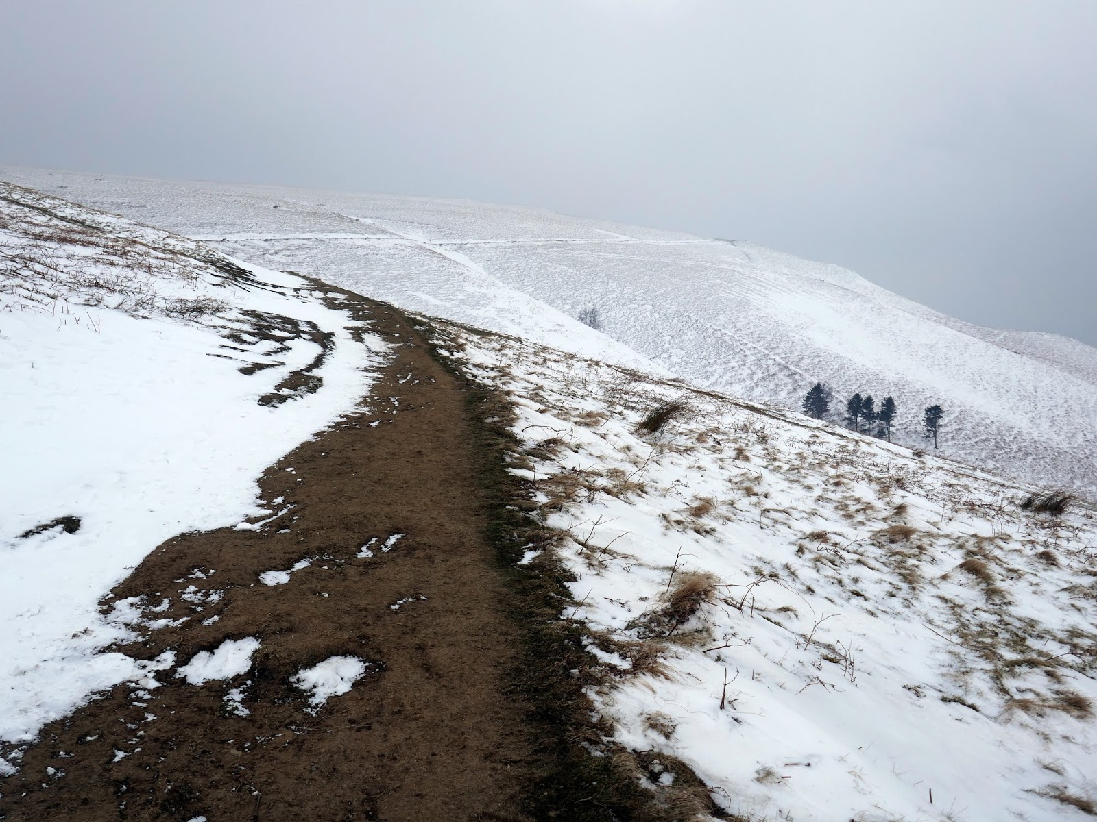
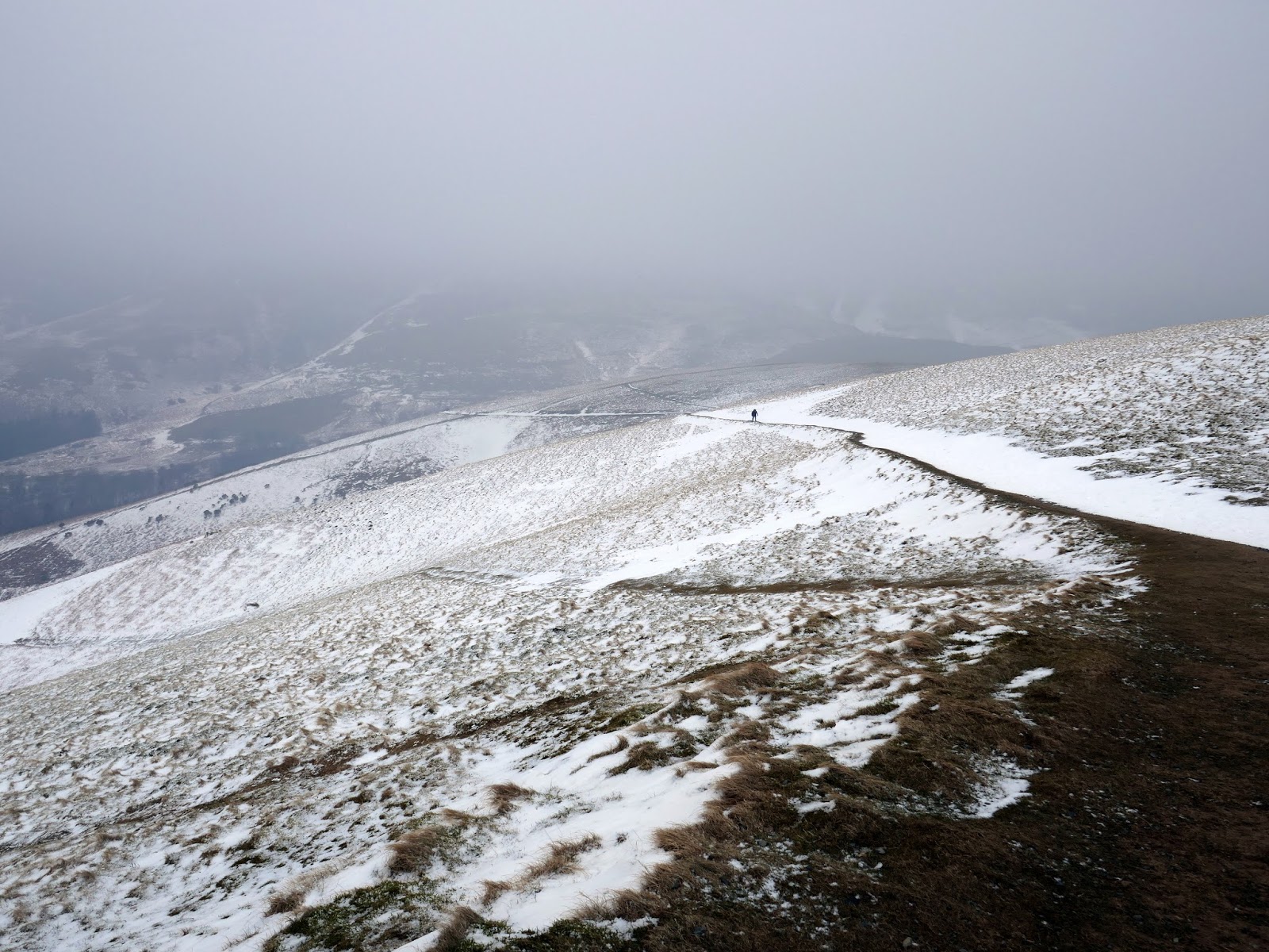
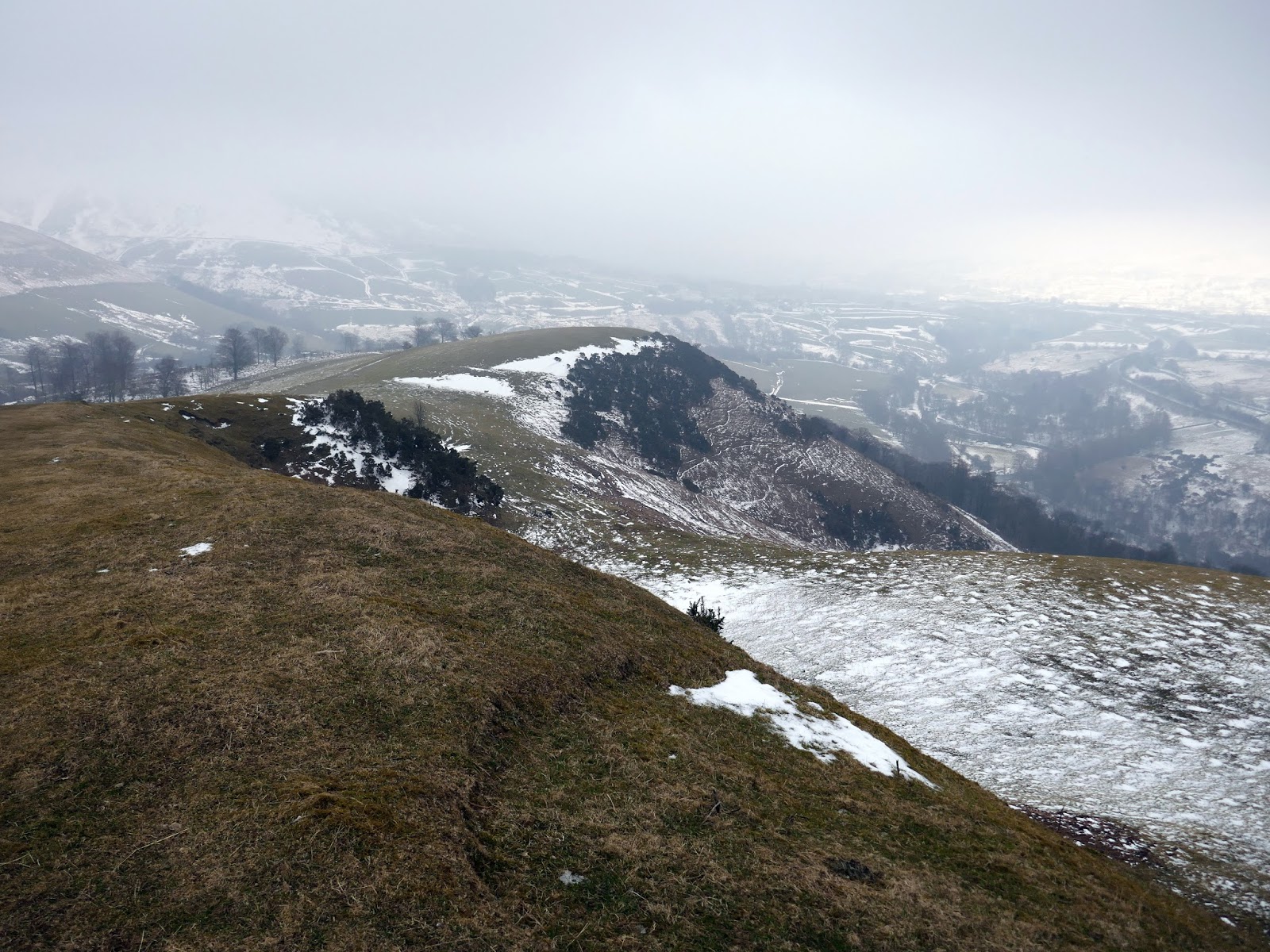
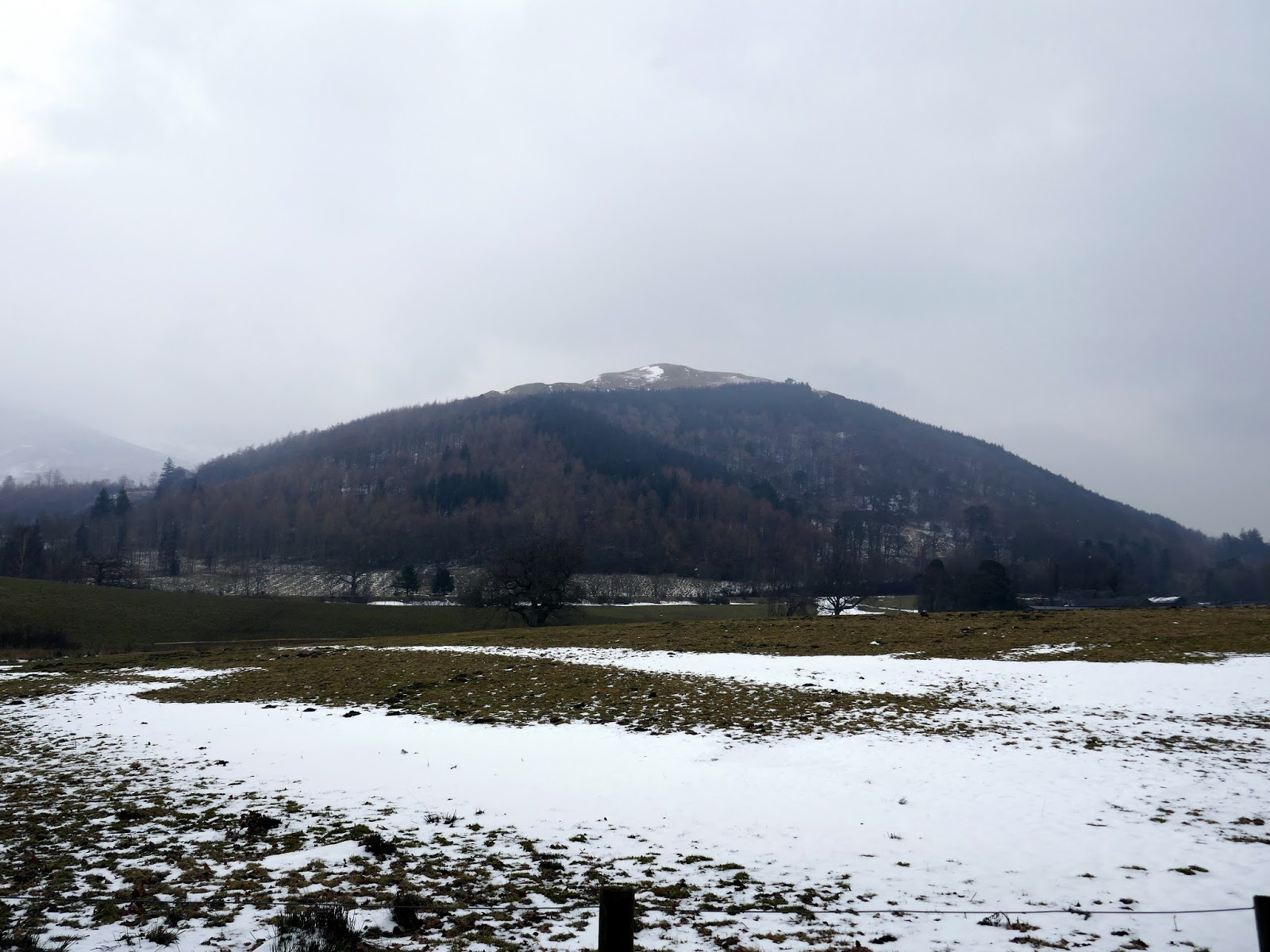
The path crosses Lair Beck and around to the north side of the fell where it abruptly cuts back on itself to zig zag that little bit higher. At Mallen Dodd the summit is approximately 1km away.
 |
| Latrigg |
 |
| The path at Mallen Dodd |
 |
| Skiddaw |
 |
| Latrigg |
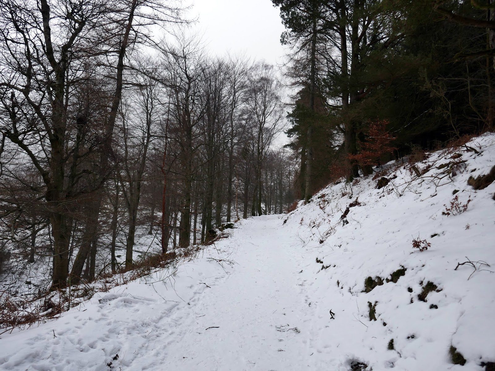
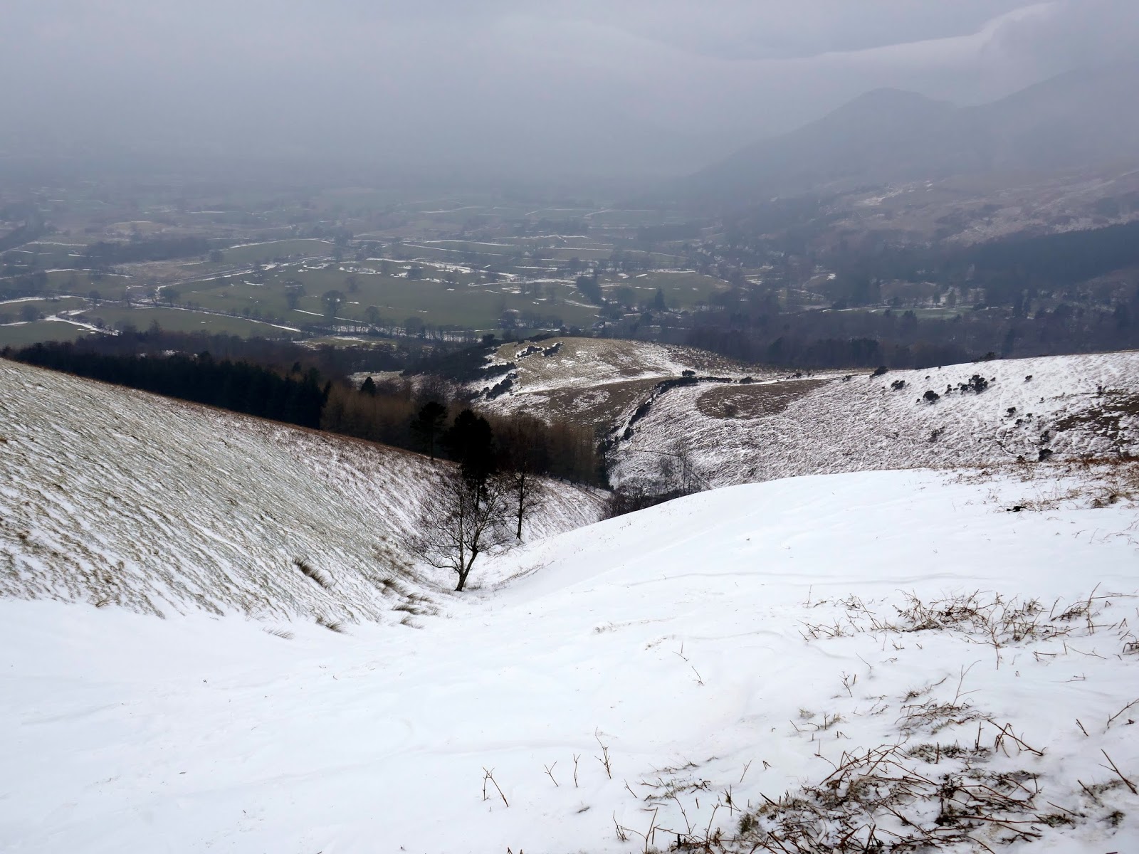
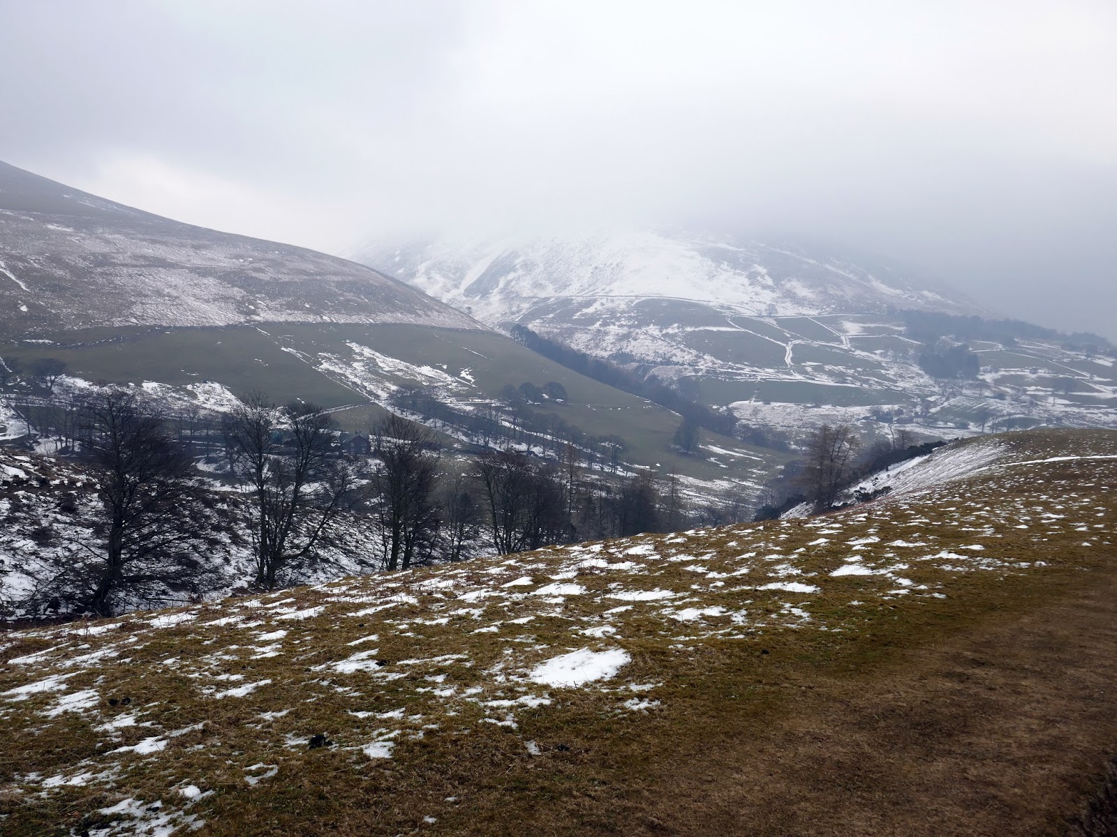
The crosses Lair Beck once again, though now some 90m higher than the previous visit. Here lay a tricky looking bank of snow which was negotiated without incident.
 |
| Looking down Lair Beck |
 |
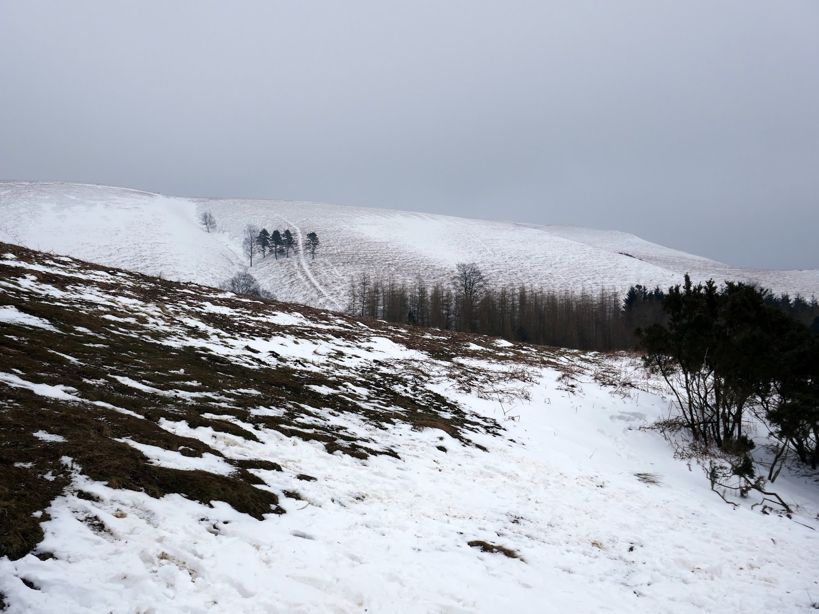
| Mallen Dodd |
 |
| Looking down to Mallen Dodd |
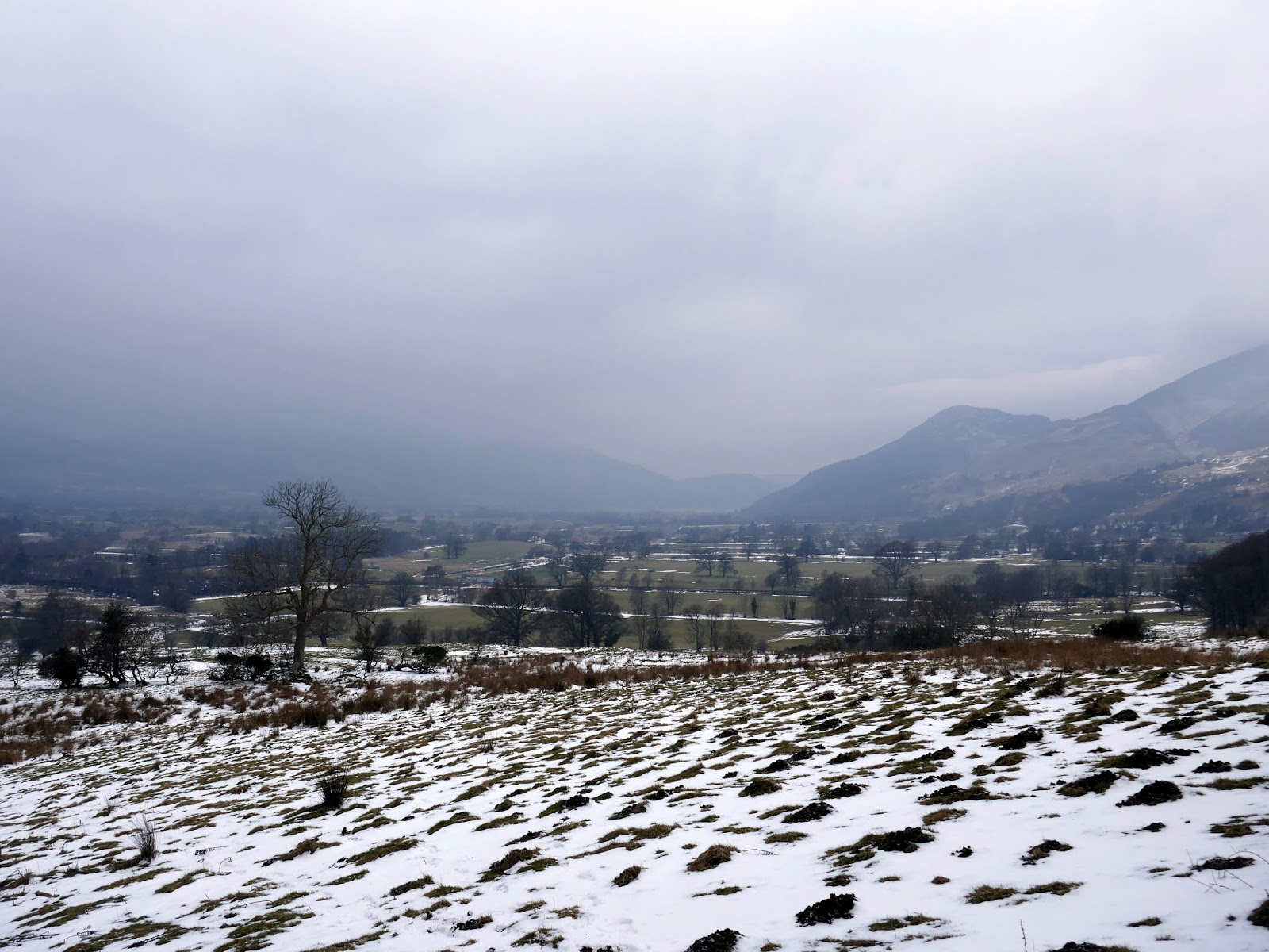
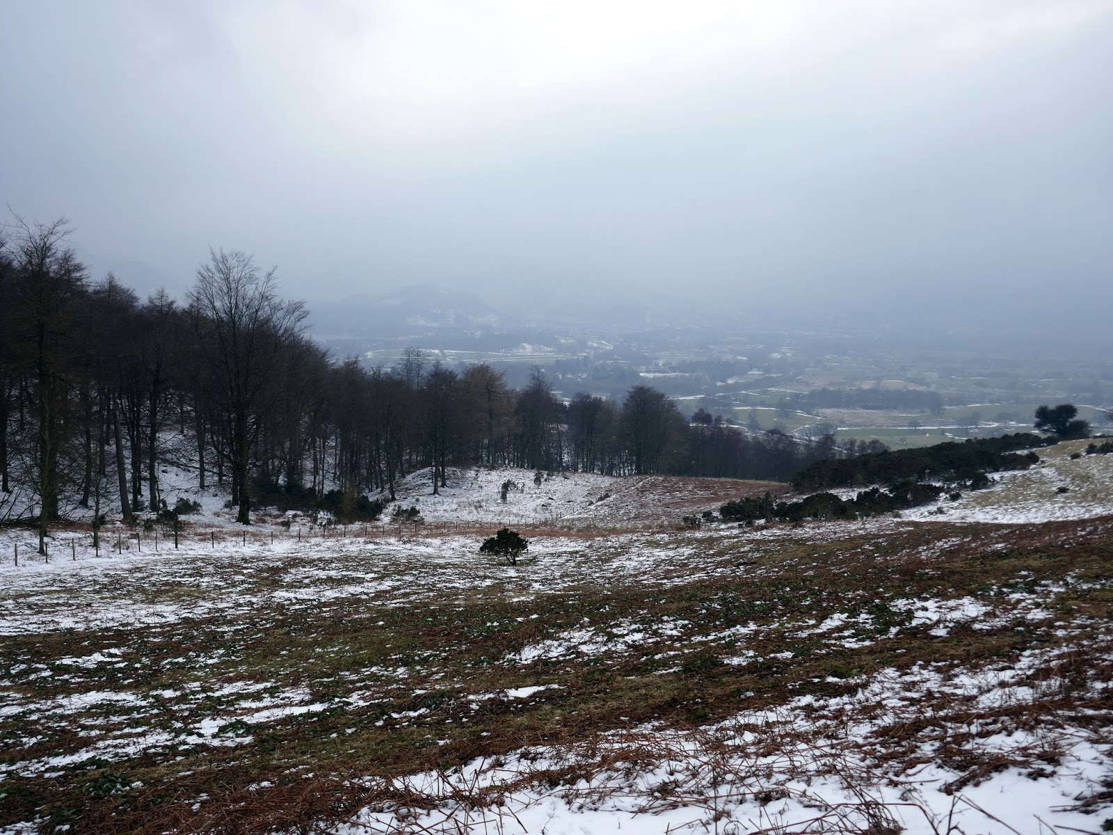
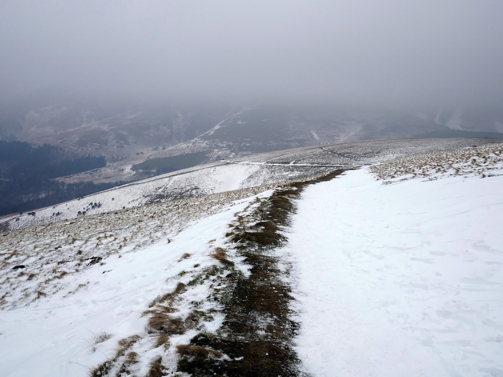
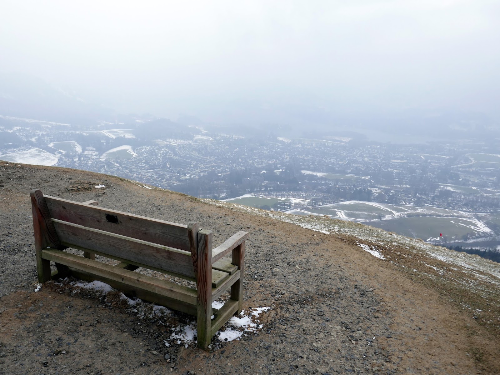
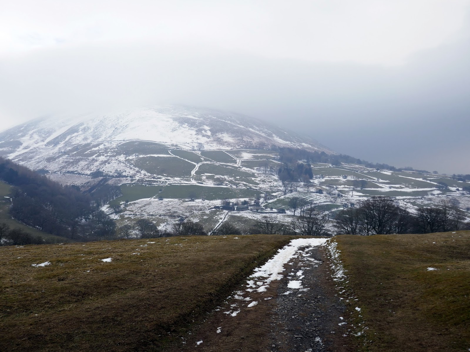
The bench which overlooks Keswick was now in sight though, sadly, the views were not. For such minimal effort (especially from Gale Lane) Latrigg has some wonderful views of Keswick, Derwentwater and the fells beyond. It’s a perfect place to catch the sunset if you can arrive at the right time.
 |
| No much in the way of a view today |
 |
| Latrigg |
 |
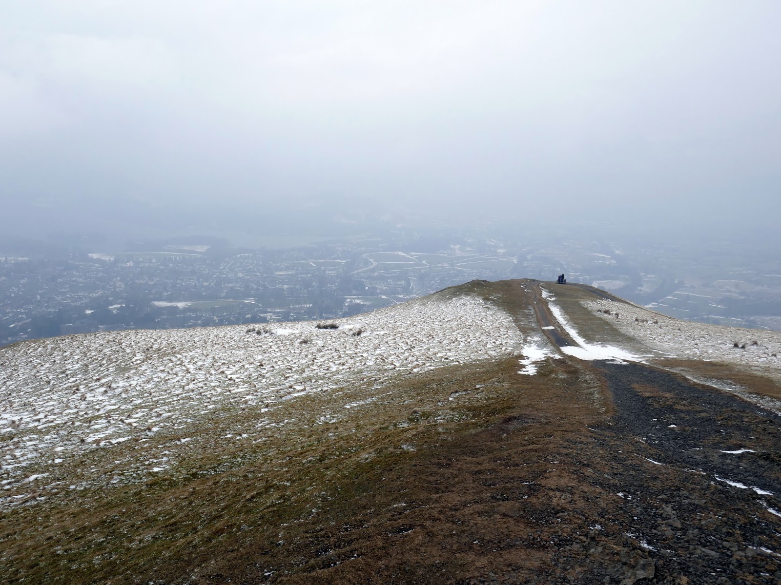
| Latrigg’s summit |
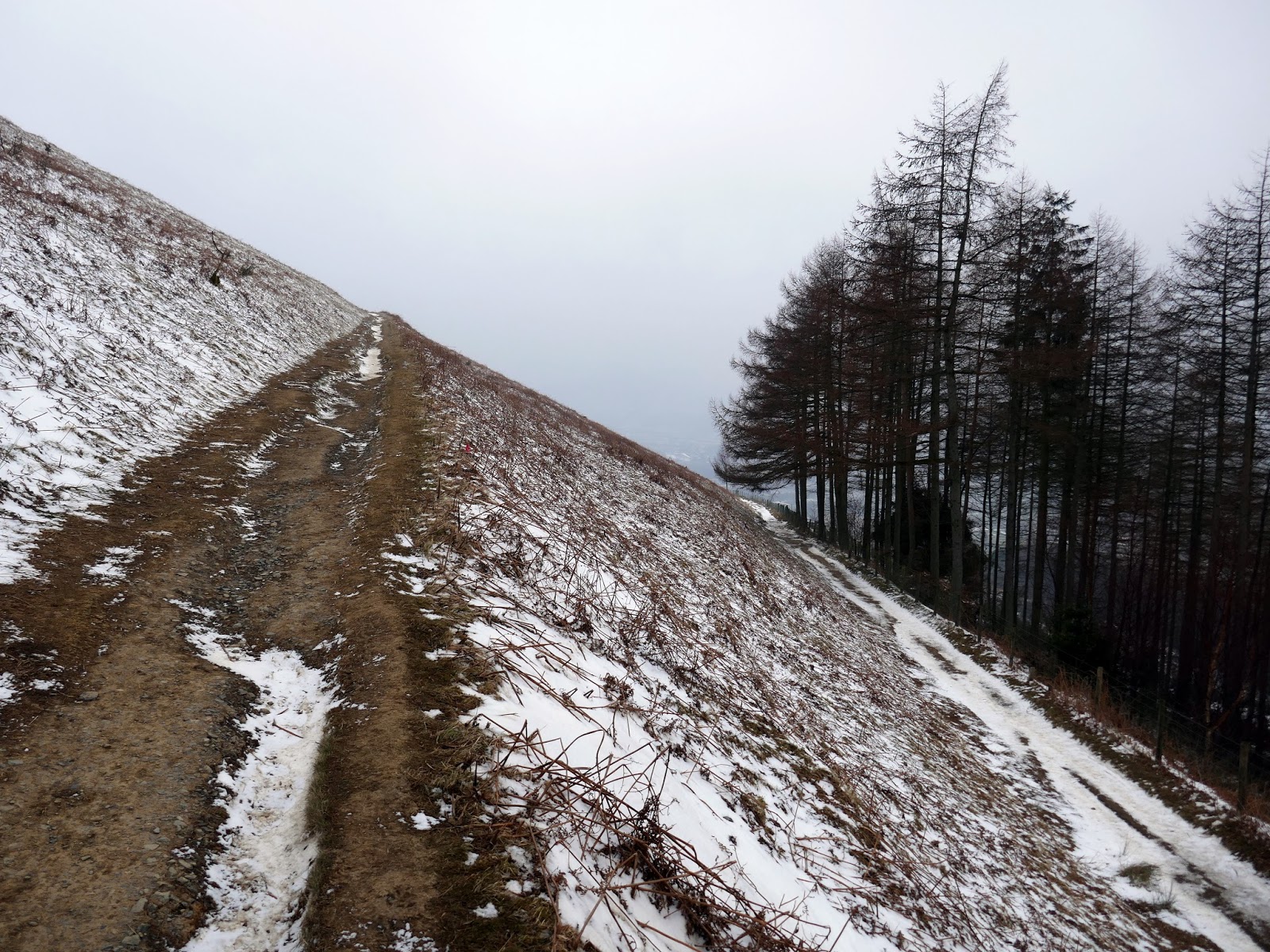
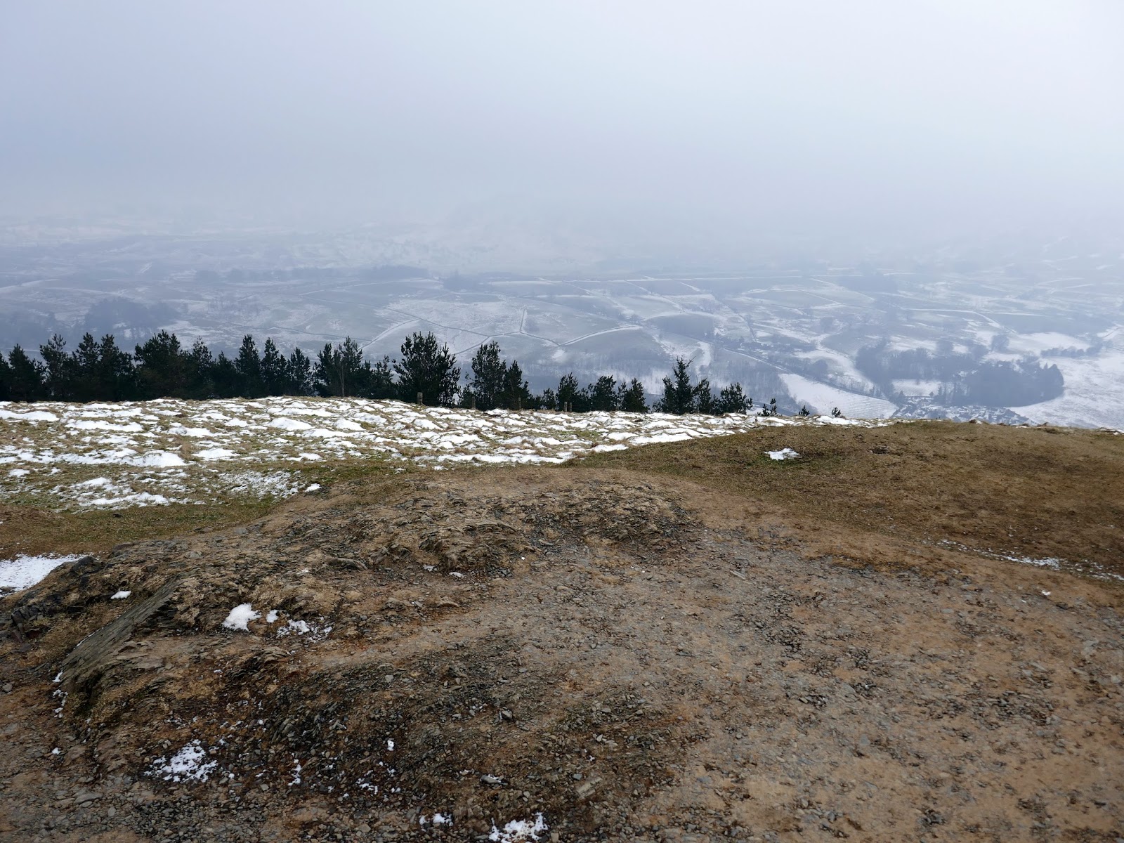
In order to extend the outing a bit, instead of returning back to Keswick through the wooded southern slopes, we continued east along the crest of the fell as it gently falls towards the hamlet of Wescoe.
 |
| Brundholme Wood |
 |
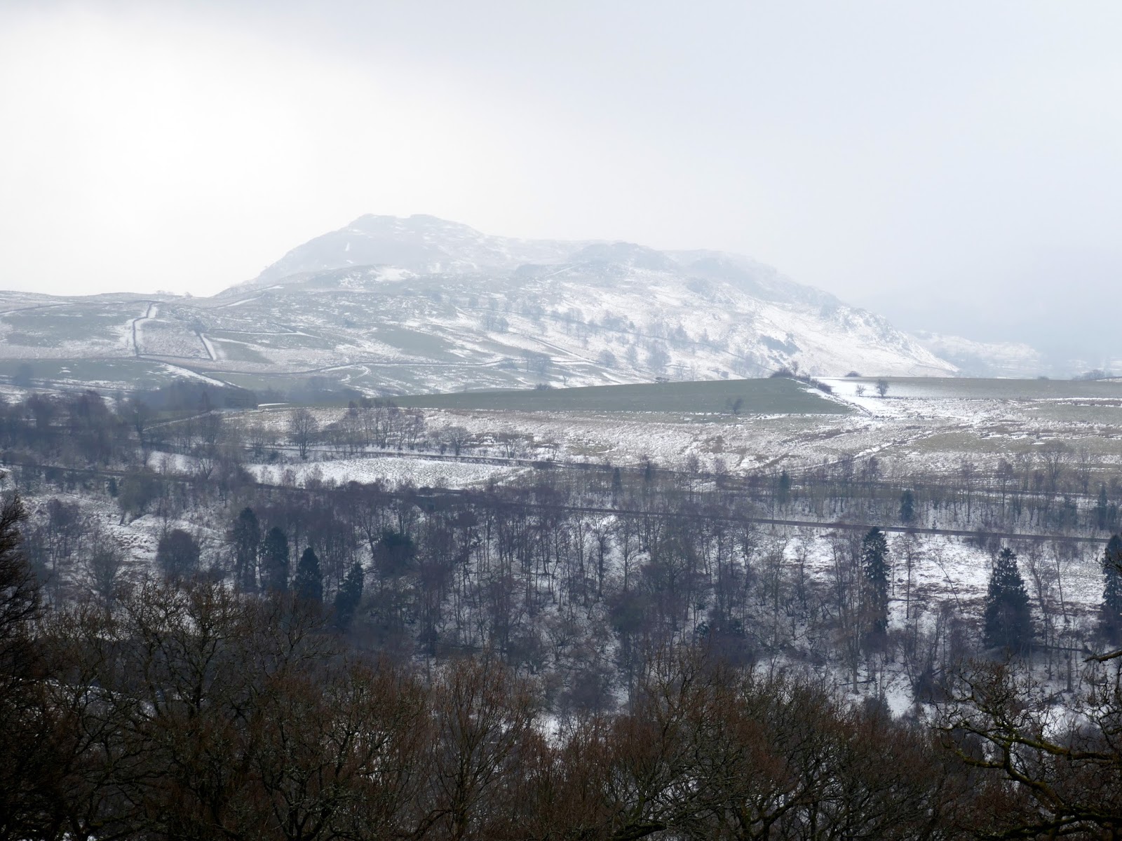
| Lonscale and Derwentfolds |
 |
| Blencathra |
 |
| High Rigg |
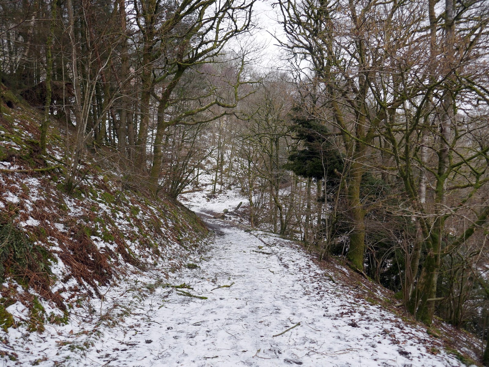
A bitter wind was blowing and, by the time we reached the woods, it had started to drizzle slightly. The return to Keswick is along a permissive footpath through Brundholme Wood, though some recent tree felling work and apparent landslips ultimately led us down onto the road where it is an easy walk back to the car.
 |
| Brundholme Wood |
 |
| Latrigg |
