Open Space Web-Map builder Codehttps://openspace.ordnancesurvey.co.uk/osmapapi/openspace.js?key=3119F72552FD5C22E0530C6CA40A5A92https://openspace.ordnancesurvey.co.uk/osmapapi/script/mapbuilder/basicmap.jshttps://openspace.ordnancesurvey.co.uk/osmapapi/script/mapbuilder/searchbox.js//variables for routes var linesLayer, points, lineFeature, lineString, routeMarkersLayer, routepos, routesize, routeoffset, routeicon; var style_blue = {strokeColor: “#0000CD”, strokeOpacity: 0.5, strokeWidth: 4.5}; function initmapbuilder() { //initiate the map var options = {resolutions: [2500, 1000, 500, 200, 100, 50, 25, 10, 5, 4, 2.5, 2, 1]}; osMap = new OpenSpace.Map(‘map’, options); //configure map options (basicmap.js) setglobaloptions(); //set the center of the map and the zoom level osMap.setCenter(new OpenSpace.MapPoint(324306,517225.5),7); linesLayer = osMap.getVectorLayer(); // Set up layer for route markers routeMarkersLayer = new OpenLayers.Layer.Markers(“Route Markers”); //make a route points = new Array(); points.push(new OpenLayers.Geometry.Point(325295,517485)); points.push(new OpenLayers.Geometry.Point(325138,517505)); points.push(new OpenLayers.Geometry.Point(325095,517545)); points.push(new OpenLayers.Geometry.Point(325094,517594)); points.push(new OpenLayers.Geometry.Point(325065,517713)); points.push(new OpenLayers.Geometry.Point(325061,517859)); points.push(new OpenLayers.Geometry.Point(325019,517937)); points.push(new OpenLayers.Geometry.Point(325033,517983)); points.push(new OpenLayers.Geometry.Point(325103,518073)); points.push(new OpenLayers.Geometry.Point(325129,518203)); points.push(new OpenLayers.Geometry.Point(325057,518429)); points.push(new OpenLayers.Geometry.Point(325055,518493)); points.push(new OpenLayers.Geometry.Point(325057.5,518548)); points.push(new OpenLayers.Geometry.Point(325052.5,518613)); points.push(new OpenLayers.Geometry.Point(324842.5,518683)); points.push(new OpenLayers.Geometry.Point(324792.5,518893)); points.push(new OpenLayers.Geometry.Point(324812.5,519078)); points.push(new OpenLayers.Geometry.Point(324767.5,519268)); points.push(new OpenLayers.Geometry.Point(324842.5,519378)); points.push(new OpenLayers.Geometry.Point(324882.5,519753)); points.push(new OpenLayers.Geometry.Point(324842.5,520013)); points.push(new OpenLayers.Geometry.Point(324722.5,520223)); points.push(new OpenLayers.Geometry.Point(324707.5,520433)); points.push(new OpenLayers.Geometry.Point(324807.5,520718)); points.push(new OpenLayers.Geometry.Point(324832.5,520998)); points.push(new OpenLayers.Geometry.Point(324832.5,521163)); points.push(new OpenLayers.Geometry.Point(324802.5,521158)); points.push(new OpenLayers.Geometry.Point(324757.5,521033)); points.push(new OpenLayers.Geometry.Point(324602.5,520828)); points.push(new OpenLayers.Geometry.Point(324482.5,520578)); points.push(new OpenLayers.Geometry.Point(324422.5,520323)); points.push(new OpenLayers.Geometry.Point(324422.5,519968)); points.push(new OpenLayers.Geometry.Point(324402.5,519818)); points.push(new OpenLayers.Geometry.Point(324357.5,519543)); points.push(new OpenLayers.Geometry.Point(324387.5,519273)); points.push(new OpenLayers.Geometry.Point(324472.5,519163)); points.push(new OpenLayers.Geometry.Point(324487.5,519008)); points.push(new OpenLayers.Geometry.Point(324397.5,518793)); points.push(new OpenLayers.Geometry.Point(324167.5,518503)); points.push(new OpenLayers.Geometry.Point(323937.5,518333)); points.push(new OpenLayers.Geometry.Point(323827.5,518343)); points.push(new OpenLayers.Geometry.Point(323682.5,518203)); points.push(new OpenLayers.Geometry.Point(323677.5,517888)); points.push(new OpenLayers.Geometry.Point(323637.5,517443)); points.push(new OpenLayers.Geometry.Point(323572.5,517208)); points.push(new OpenLayers.Geometry.Point(323627.5,517073)); points.push(new OpenLayers.Geometry.Point(323537.5,516893)); points.push(new OpenLayers.Geometry.Point(323477.5,516578)); points.push(new OpenLayers.Geometry.Point(323492.5,516373)); points.push(new OpenLayers.Geometry.Point(323487.5,516258)); points.push(new OpenLayers.Geometry.Point(323417.5,516108)); points.push(new OpenLayers.Geometry.Point(323307.5,515783)); points.push(new OpenLayers.Geometry.Point(323267.5,515603)); points.push(new OpenLayers.Geometry.Point(323227.5,515493)); points.push(new OpenLayers.Geometry.Point(323292.5,515378)); points.push(new OpenLayers.Geometry.Point(323382.5,515308)); points.push(new OpenLayers.Geometry.Point(323807.5,515308)); points.push(new OpenLayers.Geometry.Point(323912.5,515368)); points.push(new OpenLayers.Geometry.Point(324382.5,515308)); points.push(new OpenLayers.Geometry.Point(324542.5,515353)); points.push(new OpenLayers.Geometry.Point(324607.5,515453)); points.push(new OpenLayers.Geometry.Point(324697.5,515638)); points.push(new OpenLayers.Geometry.Point(324742.5,515763)); points.push(new OpenLayers.Geometry.Point(324867.5,515863)); points.push(new OpenLayers.Geometry.Point(324927.5,515863)); points.push(new OpenLayers.Geometry.Point(324952.5,515928)); points.push(new OpenLayers.Geometry.Point(324952.5,515843)); points.push(new OpenLayers.Geometry.Point(324922.5,515763)); points.push(new OpenLayers.Geometry.Point(325102.5,515723)); points.push(new OpenLayers.Geometry.Point(325167.5,515488)); points.push(new OpenLayers.Geometry.Point(325247.5,515408)); points.push(new OpenLayers.Geometry.Point(325267.5,515553)); points.push(new OpenLayers.Geometry.Point(325397.5,515788)); points.push(new OpenLayers.Geometry.Point(325382.5,515918)); points.push(new OpenLayers.Geometry.Point(325192.5,516038)); points.push(new OpenLayers.Geometry.Point(325227.5,516188)); points.push(new OpenLayers.Geometry.Point(325192.5,516228)); points.push(new OpenLayers.Geometry.Point(325247.5,516343)); points.push(new OpenLayers.Geometry.Point(325262.5,516453)); points.push(new OpenLayers.Geometry.Point(325092.5,516508)); points.push(new OpenLayers.Geometry.Point(325017.5,516588)); points.push(new OpenLayers.Geometry.Point(324997.5,516708)); points.push(new OpenLayers.Geometry.Point(324962.5,516978)); points.push(new OpenLayers.Geometry.Point(324971,517155.5)); points.push(new OpenLayers.Geometry.Point(325111,517285.5)); points.push(new OpenLayers.Geometry.Point(325276,517375.5)); points.push(new OpenLayers.Geometry.Point(325295,517485)); // create a polyline feature from the array of points lineString = new OpenLayers.Geometry.LineString(points); lineFeature = new OpenLayers.Feature.Vector(lineString, null, style_blue); linesLayer.addFeatures([lineFeature]); //crate a route start/end marker routepos = new OpenSpace.MapPoint(325295,517485); routesize = new OpenLayers.Size(33,45); routeoffset = new OpenLayers.Pixel(-5,-37); routeicon = new OpenSpace.Icon(‘https://openspace.ordnancesurvey.co.uk/osmapapi/img_versions/img_1.1/mapbuilder/routemarker-startend.png’, routesize, routeoffset, null, null); routeMarkersLayer.addMarker(new OpenLayers.Marker(routepos, routeicon)); osMap.addLayer(routeMarkersLayer);}
Route: Grange, Manesty, Hause End, Brandelhow, Skegill Bank, Cat Bells, Mart Bield, Hause Gate, Trap Knotts, Bull Crag, Maiden Moor, Narrow Moor, Minum Crag, High Spy, Wilson’s Bield, Tongue Gill, Rigghead Quarries, Castle Crag, High Hows Wood, Borrowdale, Grange
Date: 03/03/2018
From: Grange
Parking: Grange
Start Point: Grange
Region: North Western Fells
Route length: 10.6 miles (17.0 km)
Time taken: 05:15
Average speed: 2.02 mph
Ascent: 1,065m
Descent: 1,072m
Wainwrights on this walk:
Cat Bells (451m), Maiden Moor (576m), High Spy (653m), Castle Crag (290m)
Other Summits: Brandelhow (338m), High Spy North Top (630m)
Other Points of Interest: Terrace path, Cumbria Way
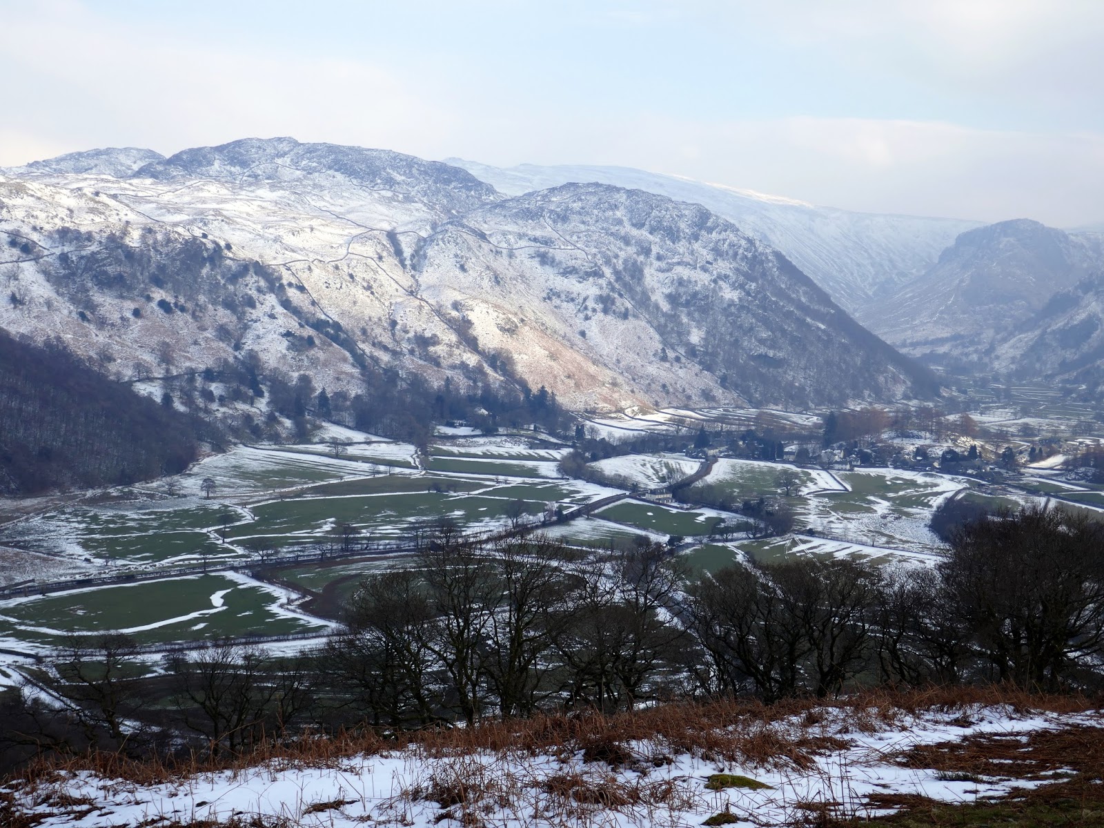
We’ve been away getting some winter sun recently, hence why you may have noticed a brief lull in my usual exploits. That said, we arrived back in time for a final blast of winter as the so-called ‘beast from the east’ (a sizeable weather system originating in Siberia), brought the coldest March day on record and more significant snowfall to the majority of the UK.
I had originally planned to get over to North Wales this weekend but the closure of all trans-Pennine routes scuppered those plans. Instead, the low-level route through Skipton to the Lake District remained clear so I packed my bags and winter kit, hopped in the car and drove up to Keswick after work.
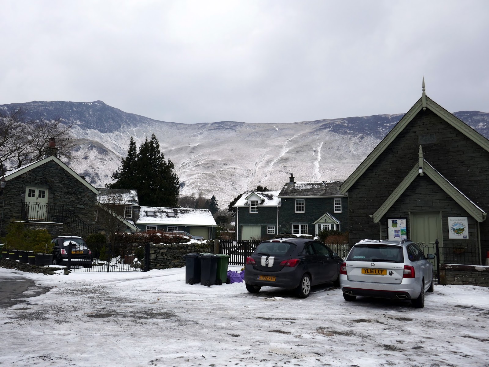
My plan was to do a walk I’ve had in mind for a while – the Cat Bells to High Spy ridge, returning along the Cumbria Way in Borrowdale with the added bonus of an ascent of Castle Crag. After a restless night in Keswick YHA listening to some serious snoring, I arrived in Grange ready for the day ahead.
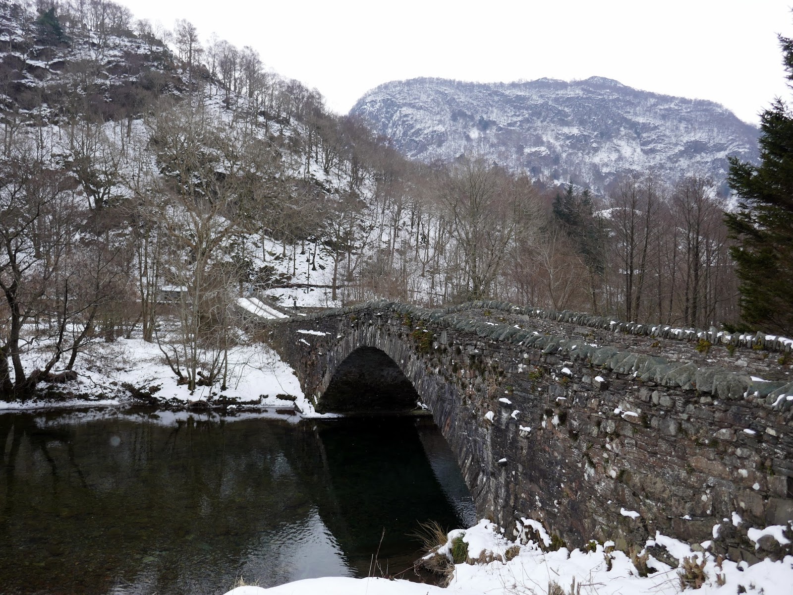
 |
| The River Derwent at Grange |
 |
| Grange |
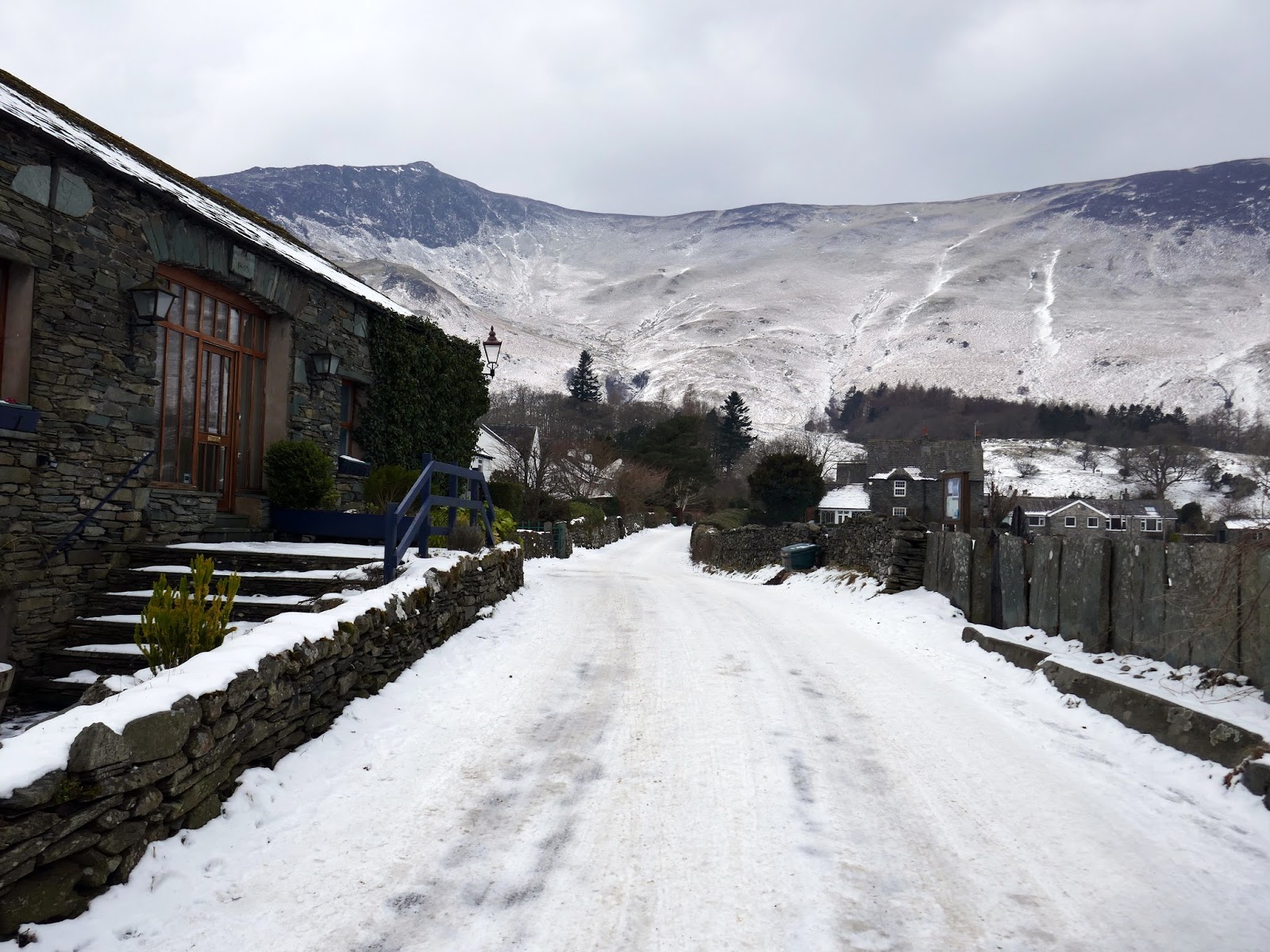
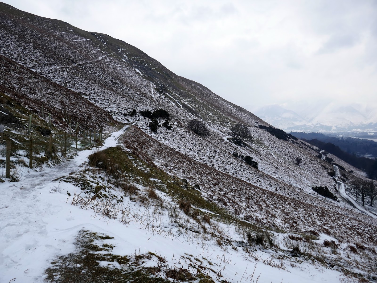
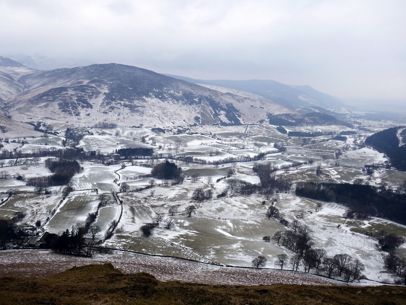
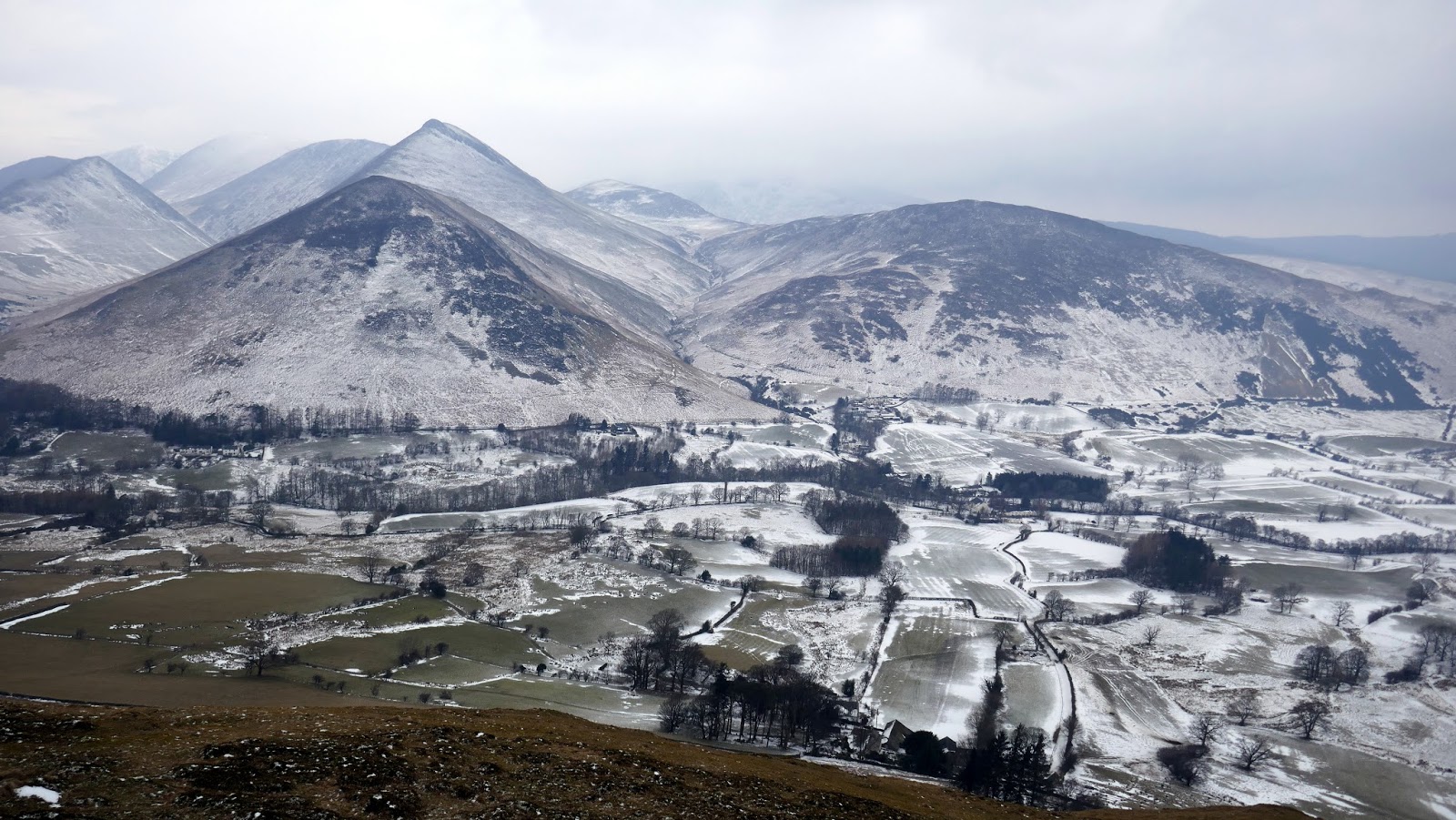
Having not been walking for a number of weeks I was grateful that the first part of the walk involved a fairly level stroll along the lanes to Manesty and then up onto the terrace path that traverses below Cat Bells’ summit. It was cold and very hazy but the majority of snow that had fallen in the days previous seemed to have blown away. In fact, it was only the icy roads that needed any real care and attention.
 |
| The Manesty road |
 |
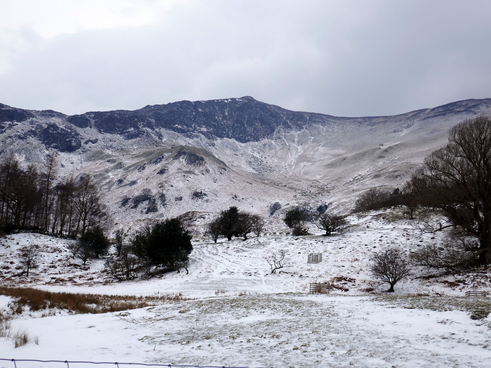
| Blea Crag – part of High Spy |
 |
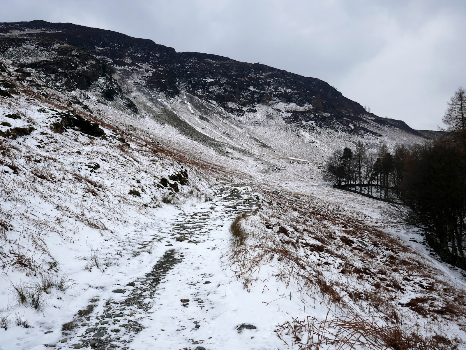
| Climbing up to the terrace path |
 |
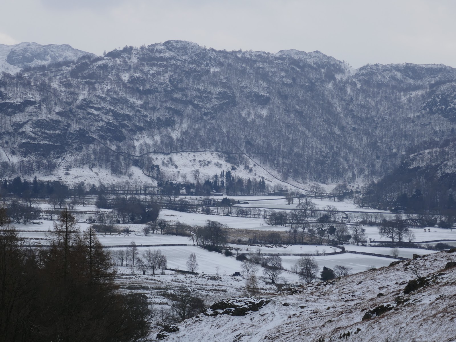
| Looking across to Grange Fell |
 |
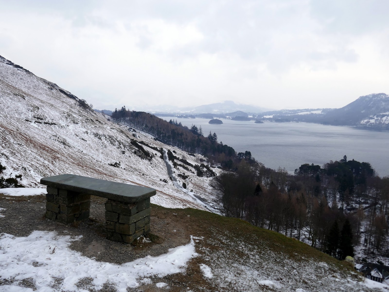
| A seat with a view |
 |
| The terrace path |
 |
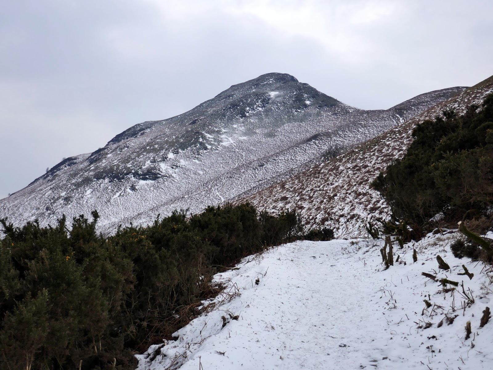
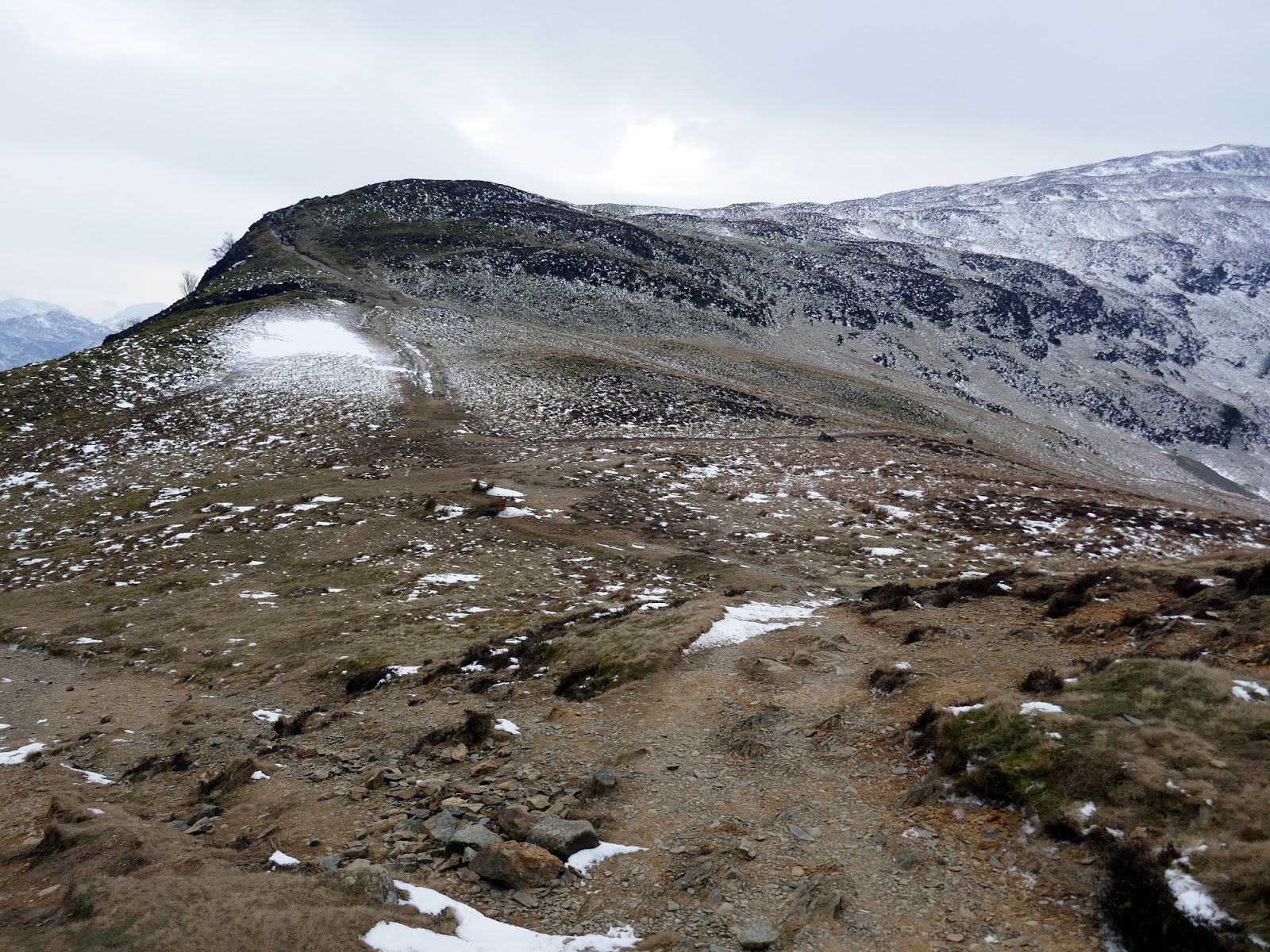
| Cat Bells |
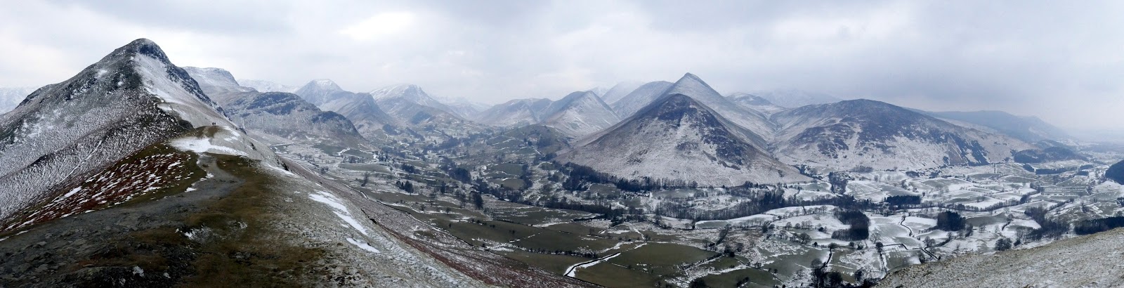
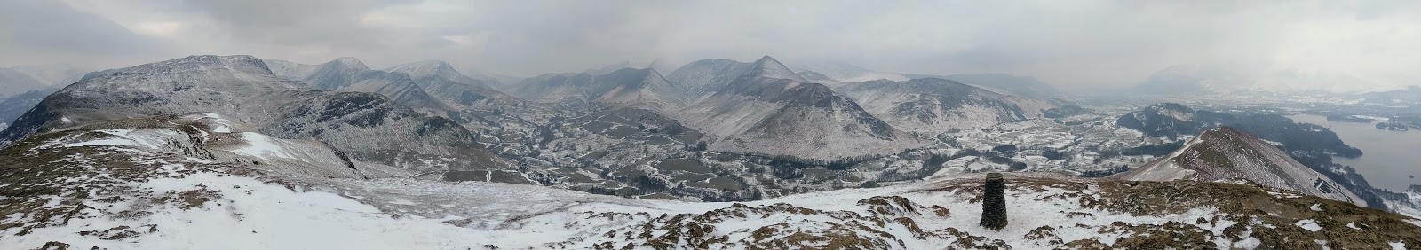
I made my way to the north end of the ridge at Hause End and proceeded to start climbing the fell. Despite its diminutive size, Cat Bells does have some steep sections, the final push to the summit requiring the use of my ice axe for some much-needed assistance. A new memorial pillar now adorns the summit of Cat Bells, a nod to the man that seemingly made these fells famous – Alfred Wainwright. The views from the ridge and summit are nothing short of spectacular.
 |
| Bleaberry Fell |
 |
| Starting the climb up Skegill Bank |
 |
| Looking down to Hawse End |
 |
| Stair and Uzzicar below Barrow |
 |
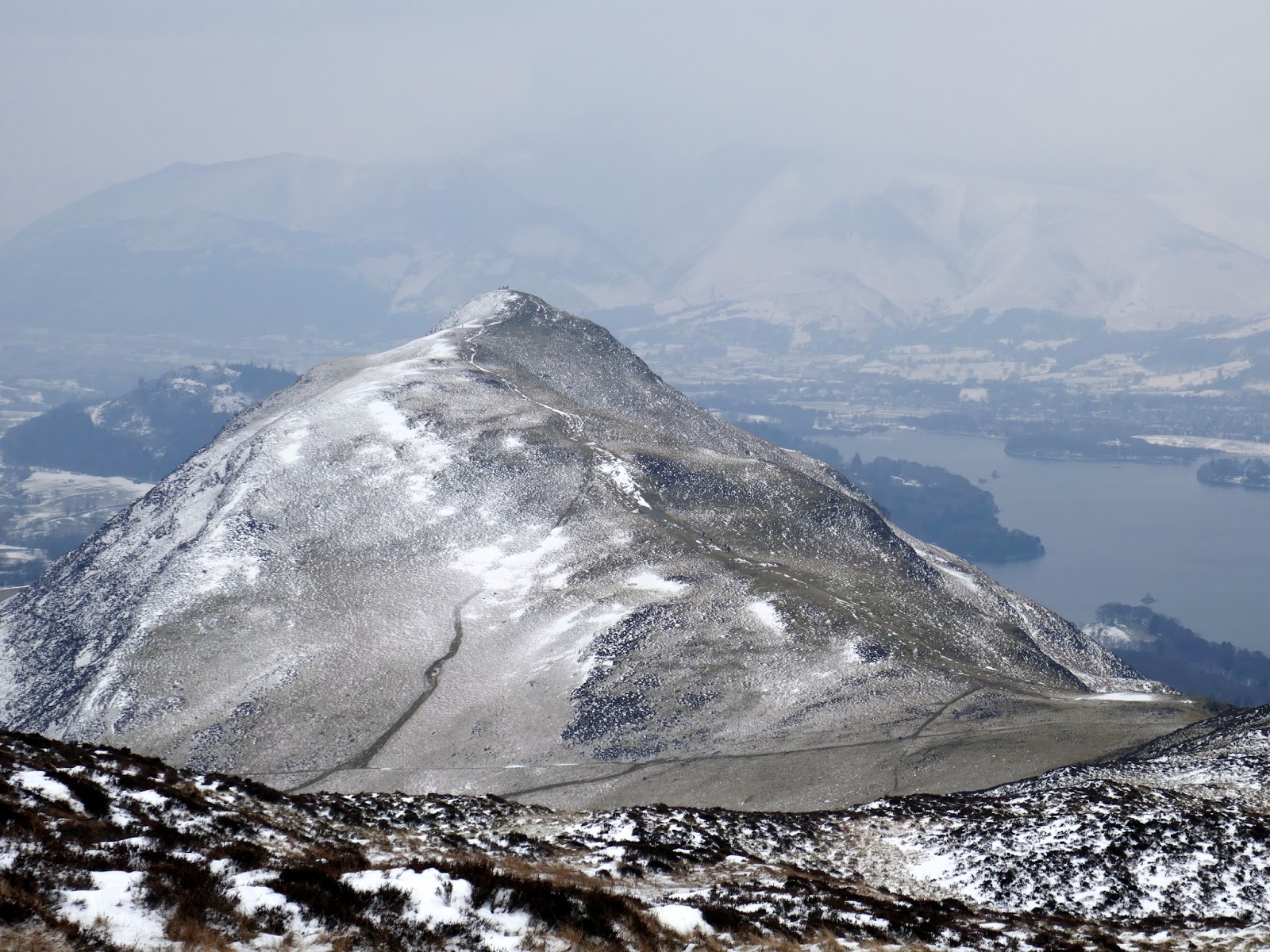
| Cat Bells and Brandelhow |
 |
| The Newlands Valley |
 |
| Cat Bells from Skegill Bank |
 |
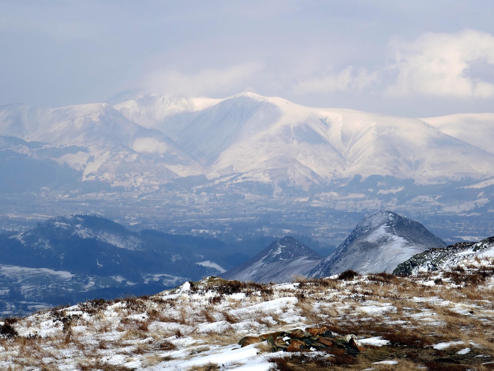
| Newlands panorama |
 |
| Brandelhow |
 |
| Causey Pike and Rowling End |
 |
| A toposcope now stands atop Cat Bells |
 |
| A panorama at Cat Bells’ summit |
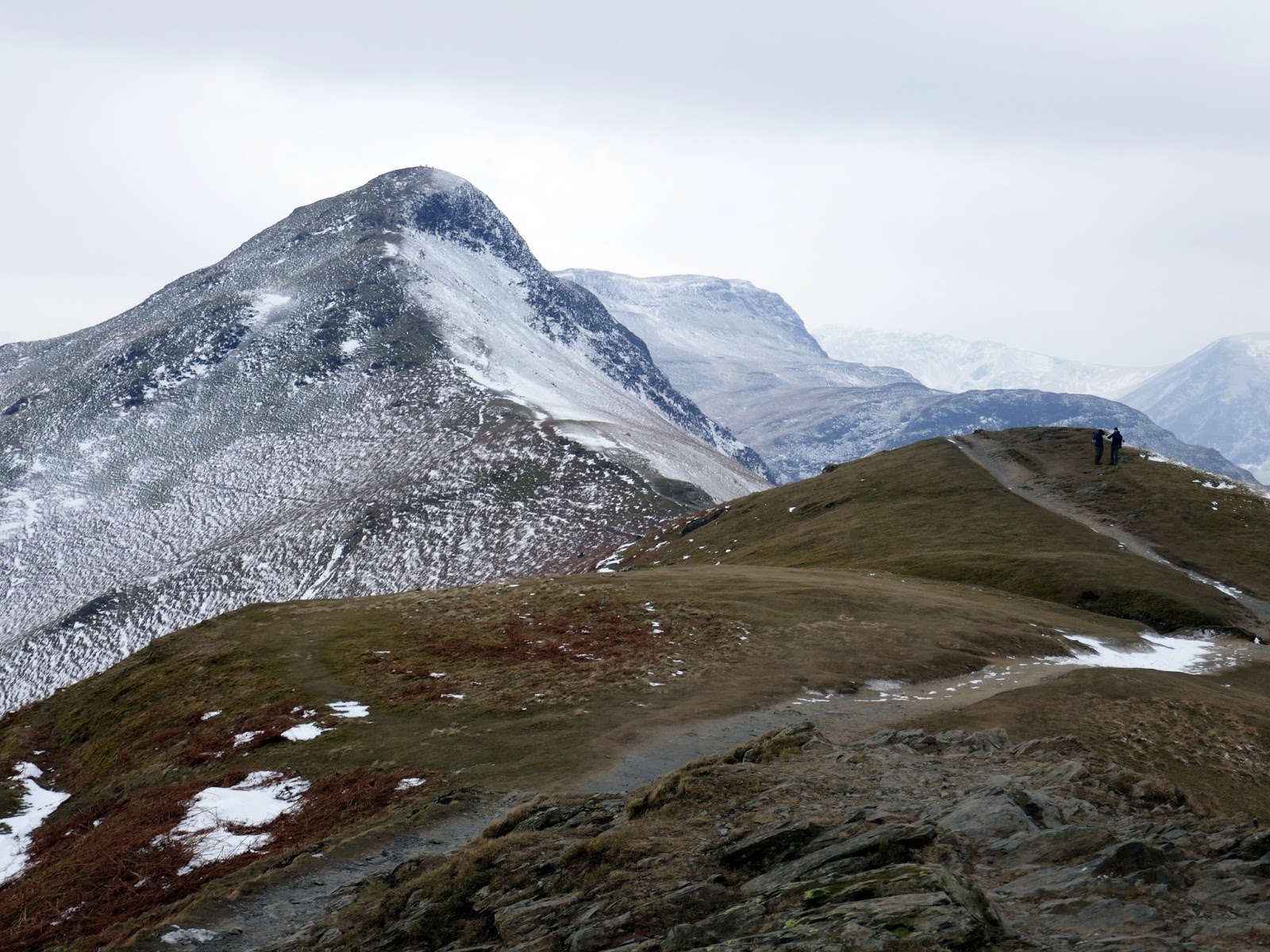
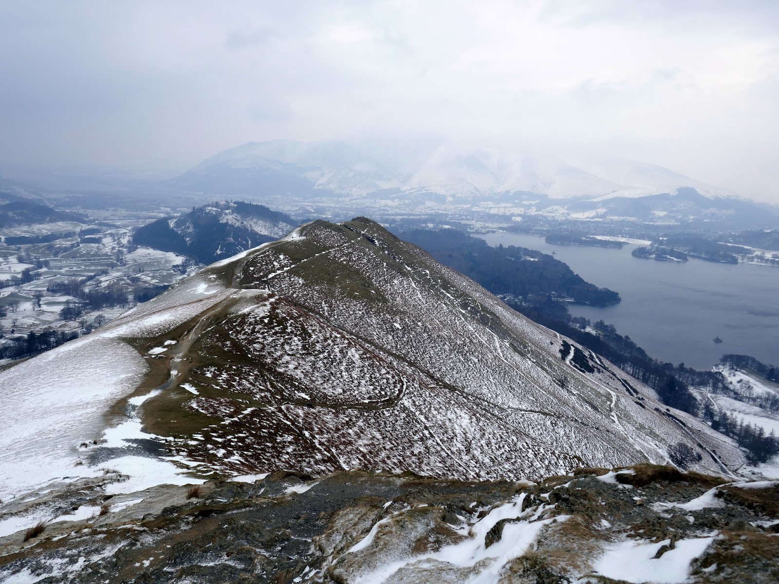
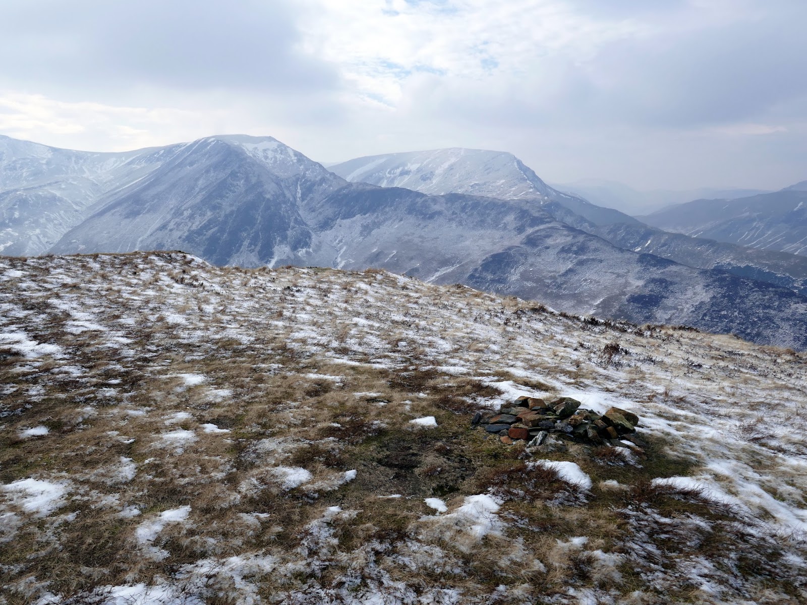
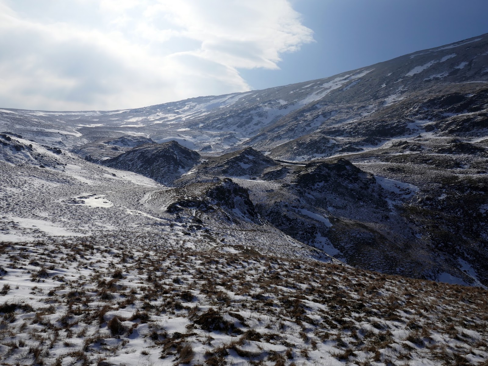
A tiny scramble leads off the summit into the depression of Hause Gate before starting a slow and steady climb up towards the wide summit of Maiden Moor. The views across the valley are still a sight to behold, ever-changing as we continued the climb. A fork in the path leads to a slight dilemma for the unaware, the main path bypasses the summit of Maiden Moor whereas the slightly shabbier looking path leads right to the top as well as passing above the impressive Bull Crag which falls to the valley floor with as much drama as can be found in Lakeland Fells.
 |
| The Newlands Valley |
 |
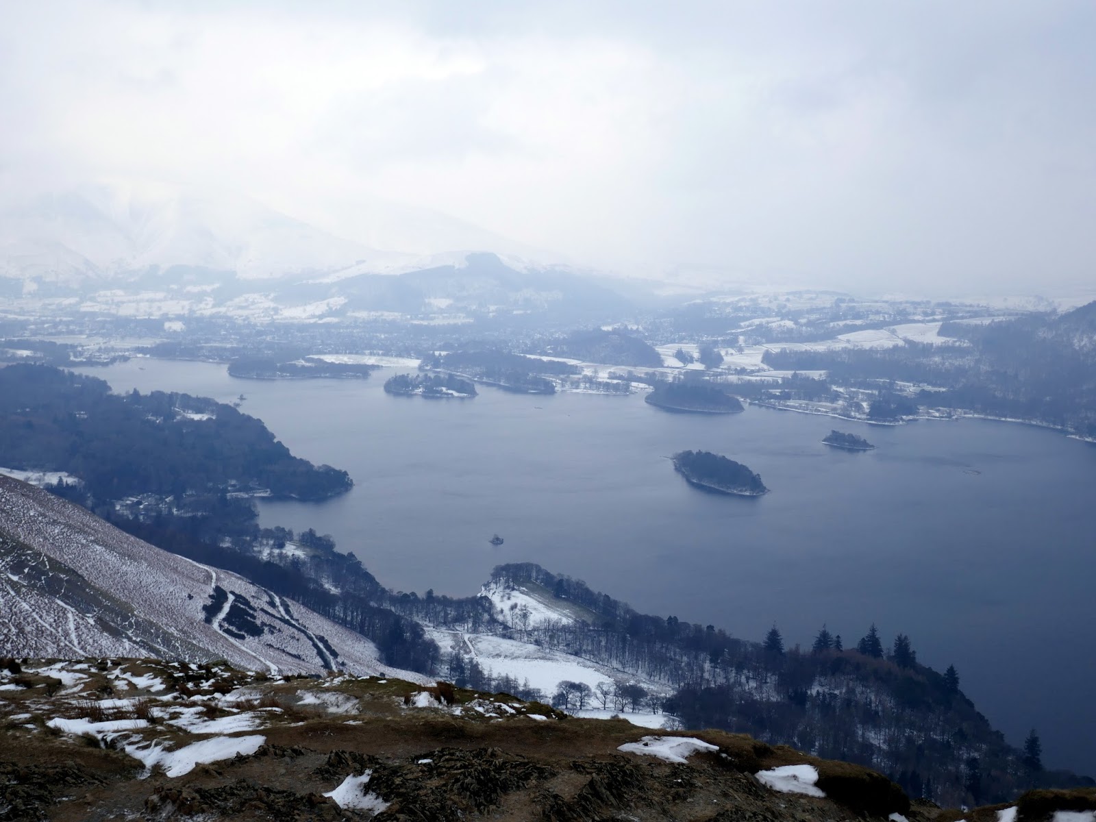
| Derwentwater |
 |
| Maiden Moor above Hause Gate |
 |
| Hause Gate |
 |
| Looking back to Cat Bells |
 |
| Sun starts to pick out the drifts |
 |
| Above Bull Crag |
 |
| Maiden Moor’s summit |
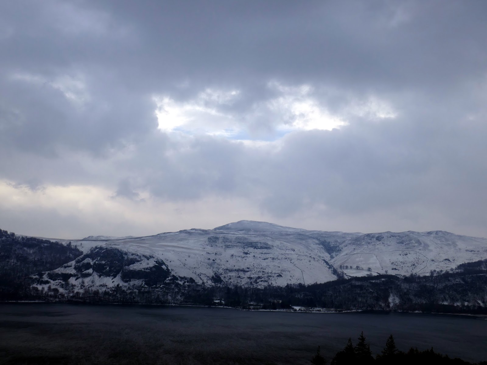
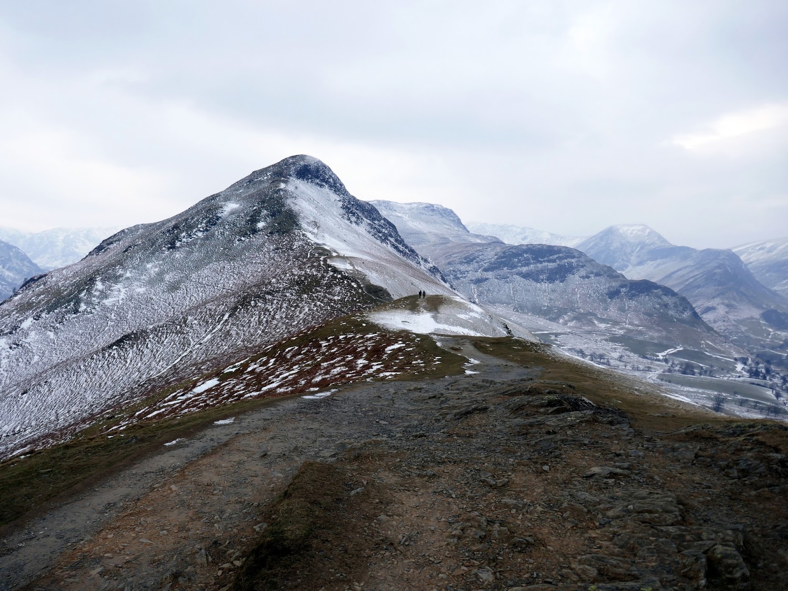
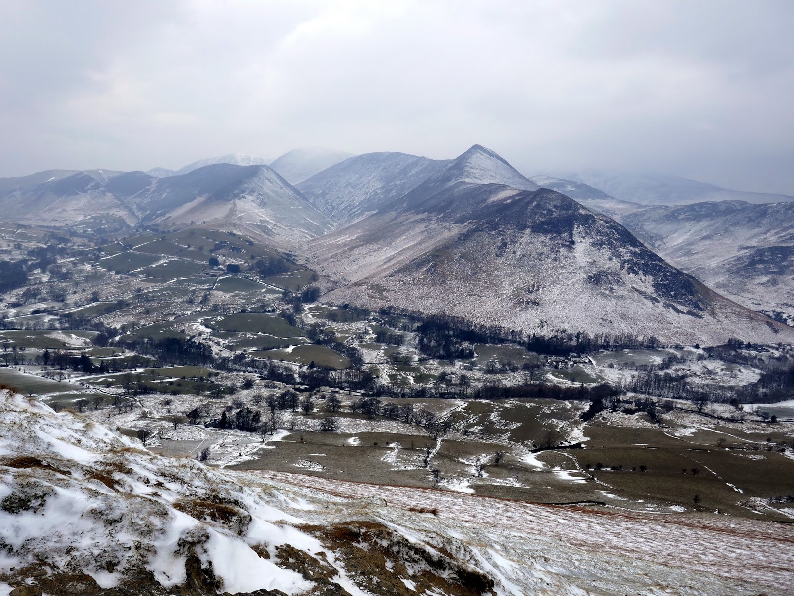
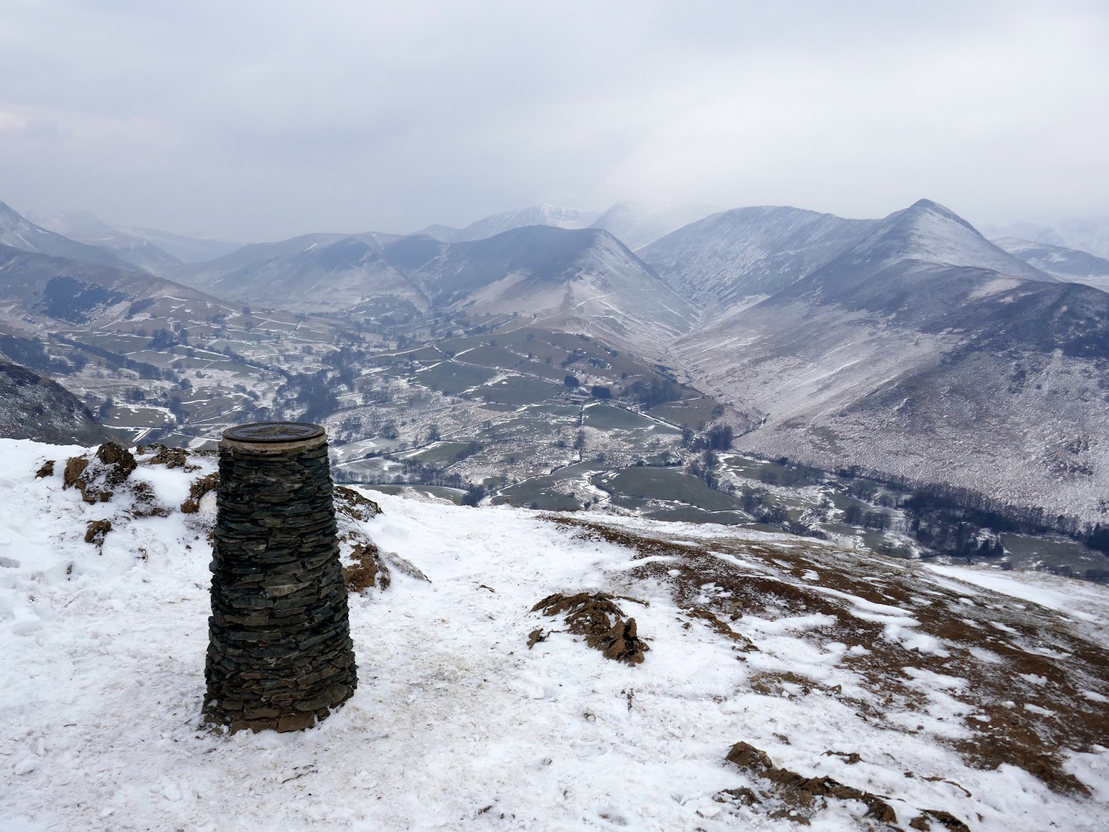
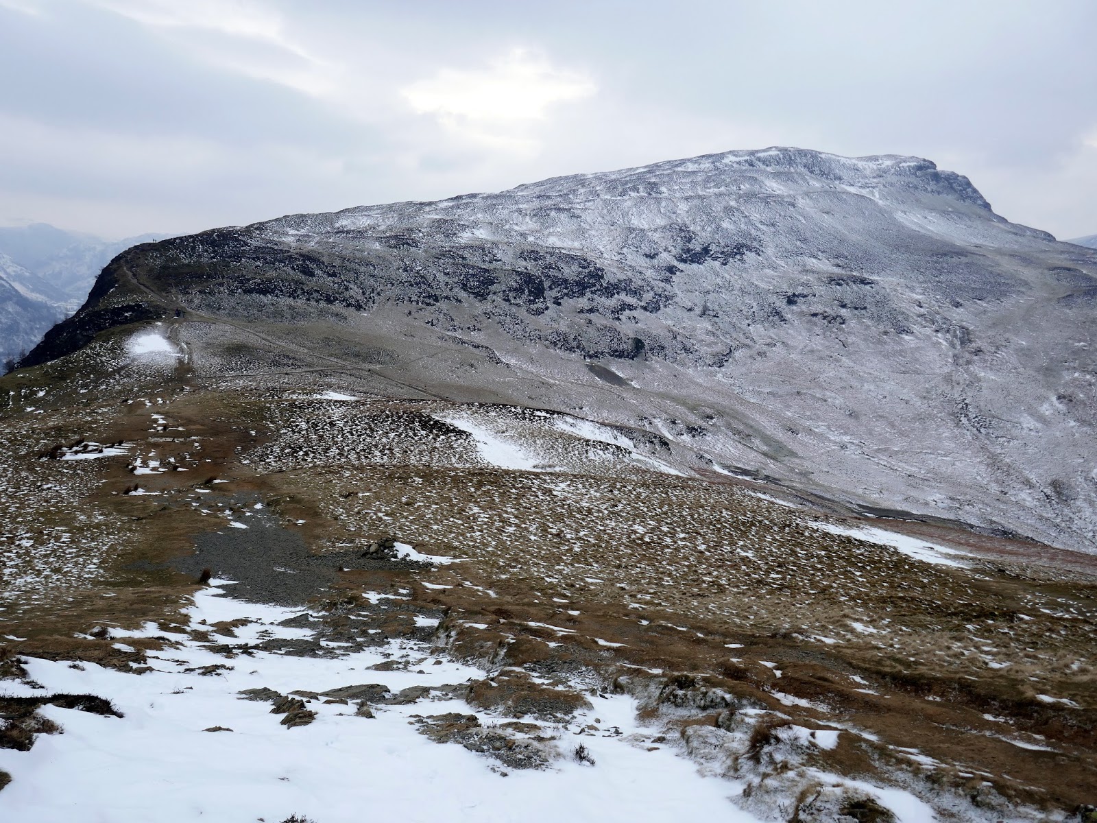
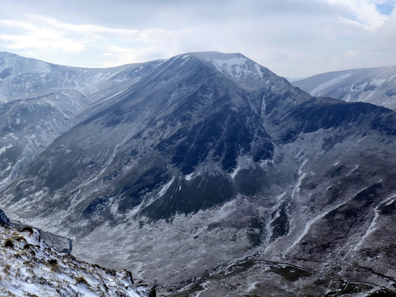
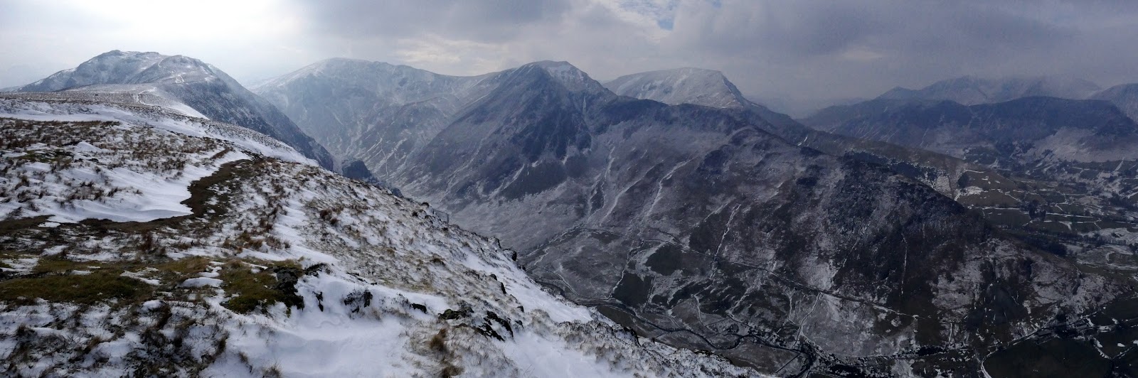
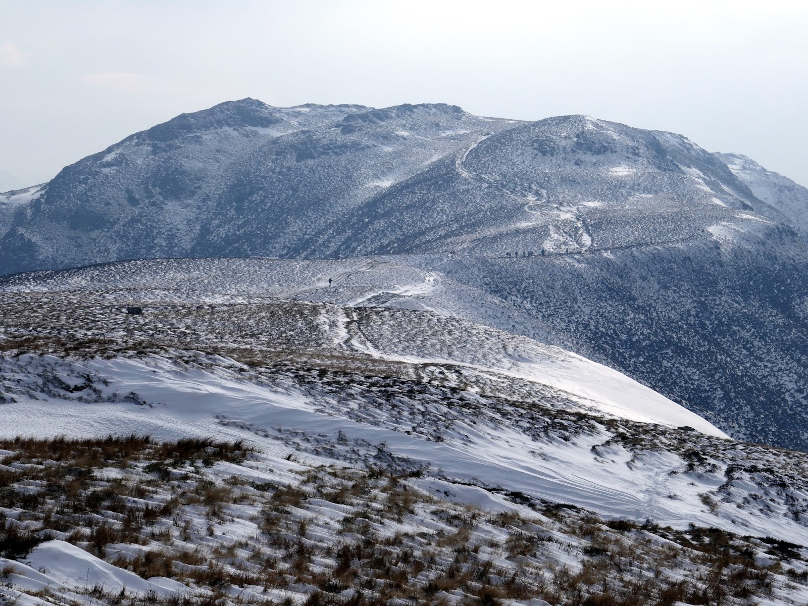
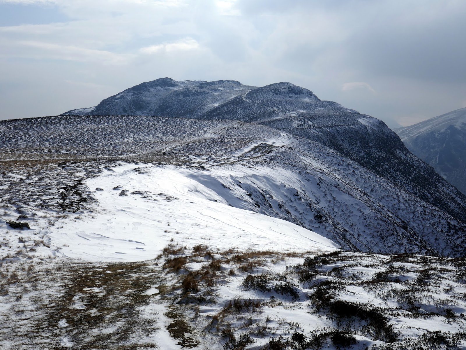
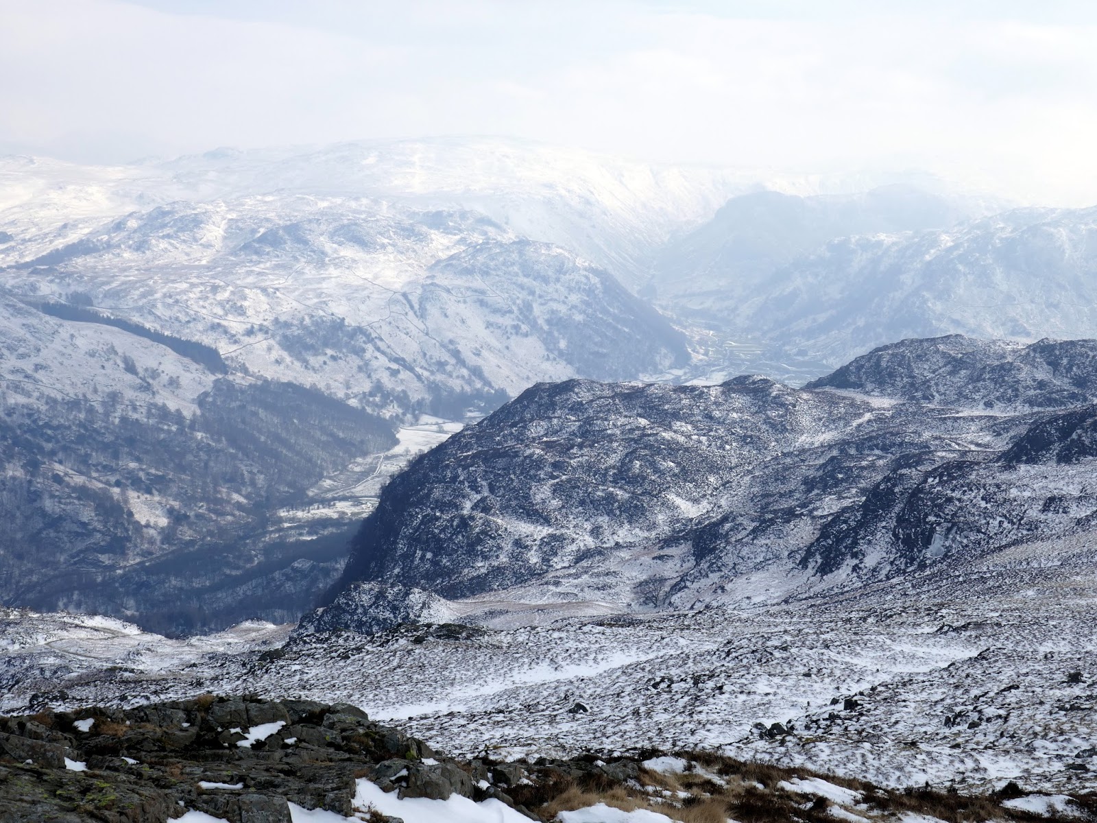
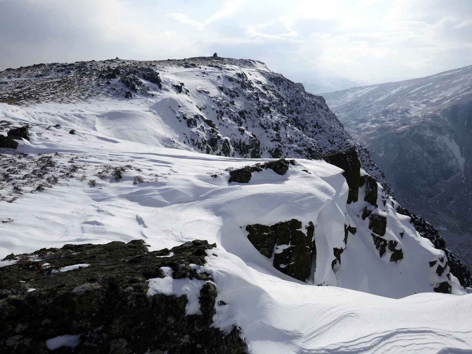
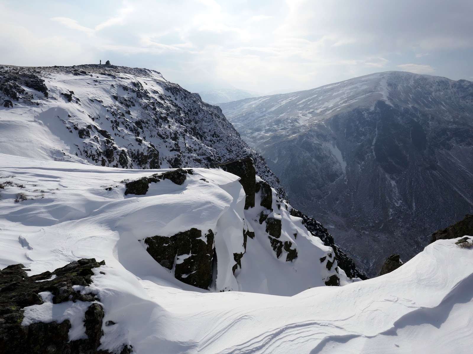
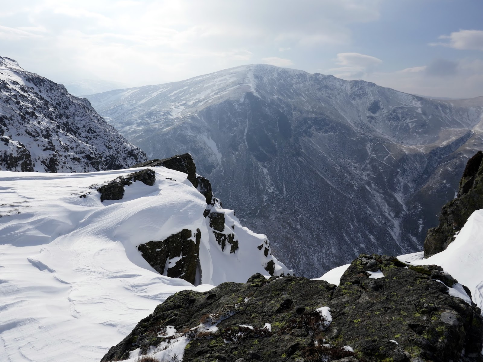
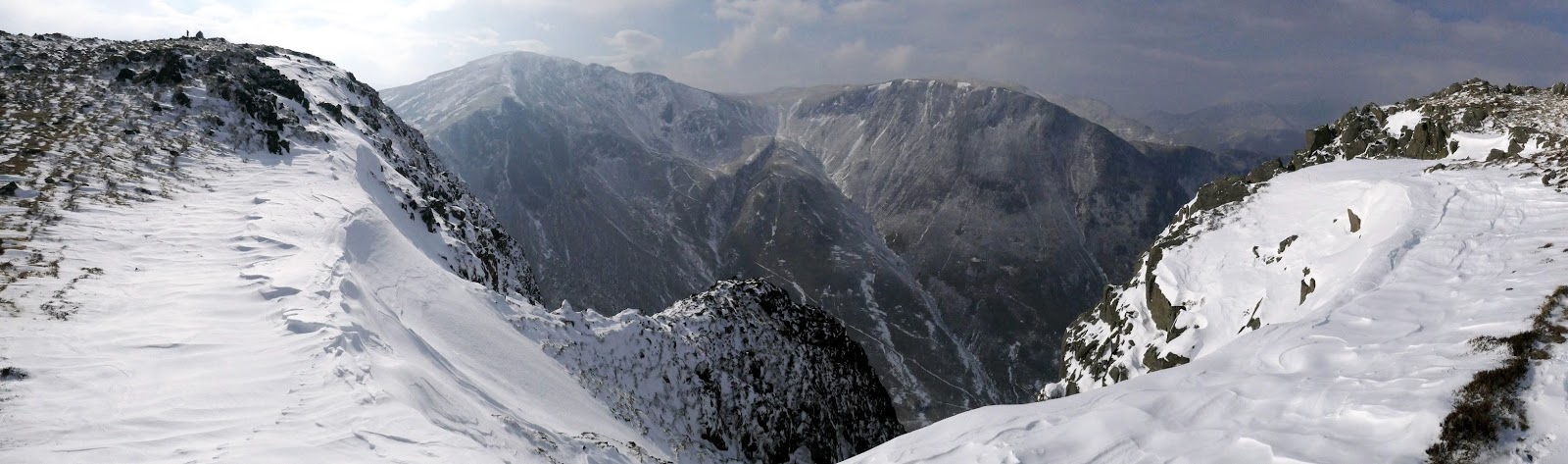
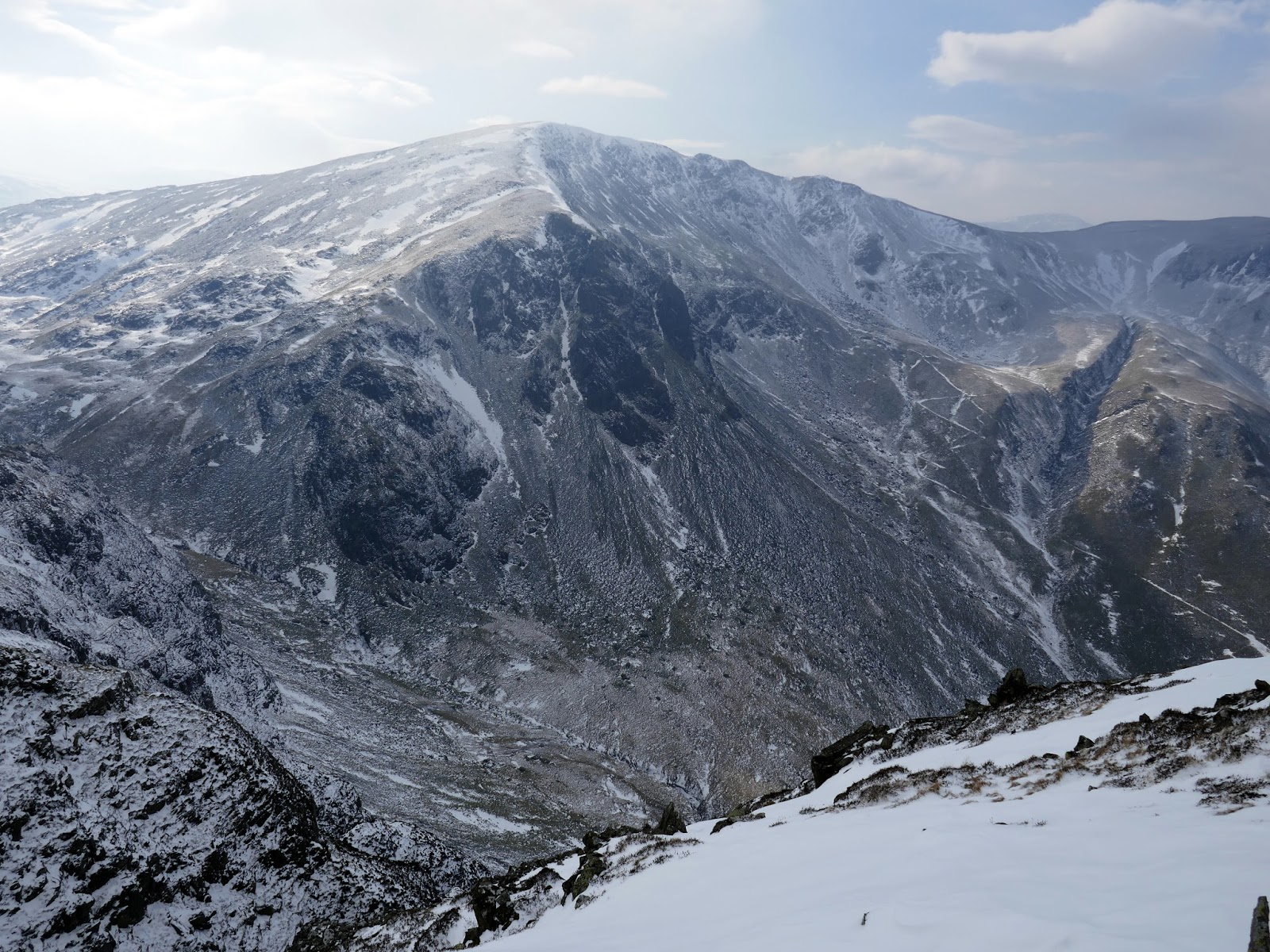
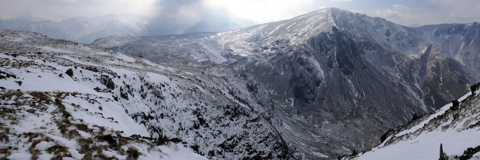
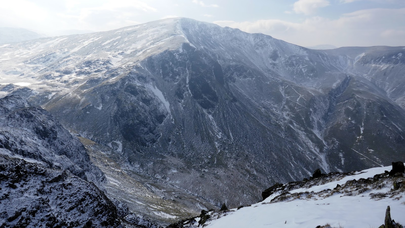
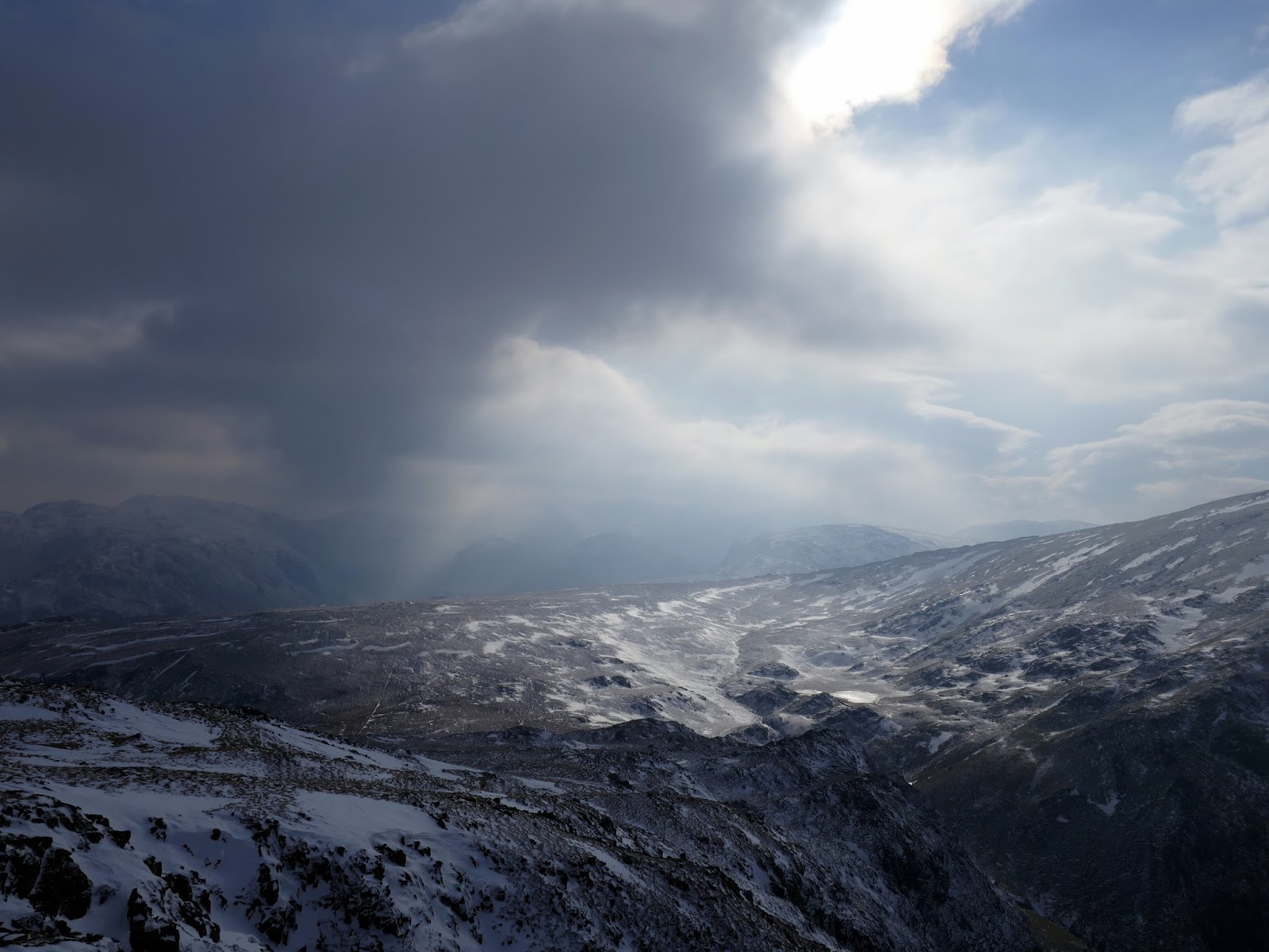
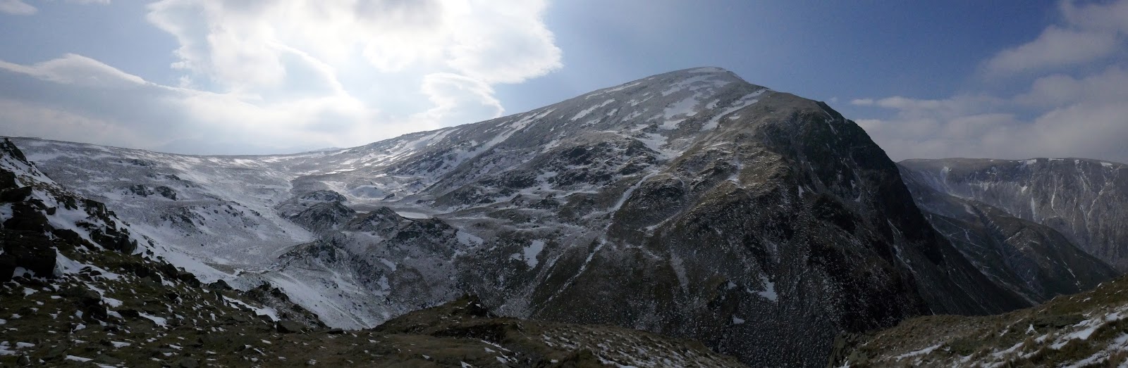
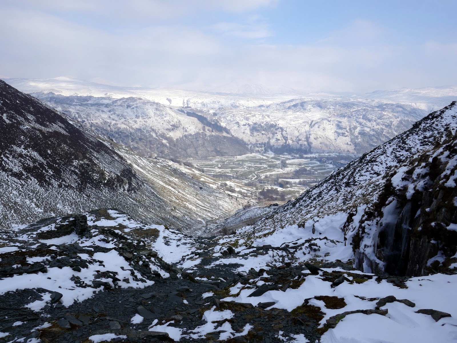
From Maiden Moor it’s a long but easy walk over Narrow Moor towards High Spy – the highest fell on the ridge. The sun had started to poke through as I deliberately made my way over to High Spy’s northern summit before crossing the snow to reach the main summit perched above Red Crag. Once again, the views are pretty amazing, this time taking in the full aspect of Dale Head.
 |
| Hindscarth |
 |
| Panorama from Maiden Moor |
 |
| The long route to High Spy |
 |
| Skiddaw makes an appearance |
 |
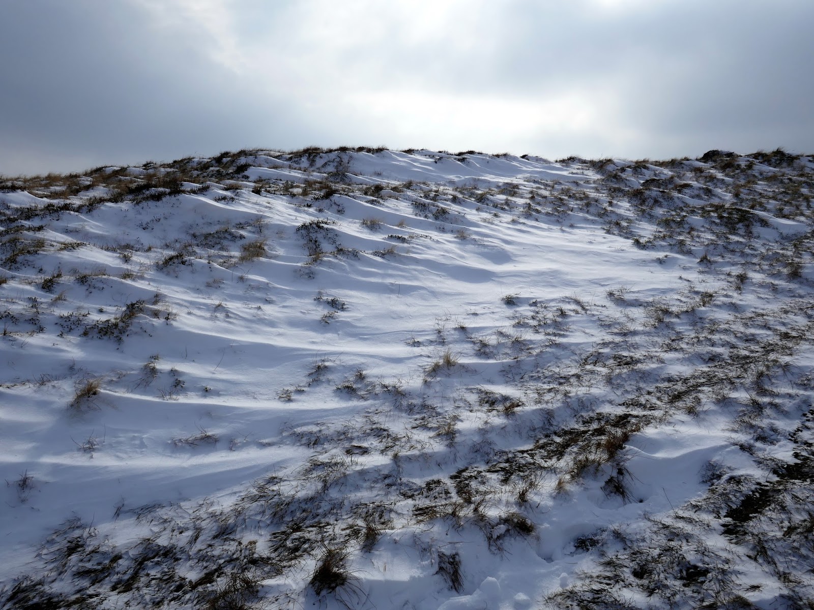
| Drifts at Narrow Moor |
 |
| High Spy’s north top |
 |
| North top summit |
 |
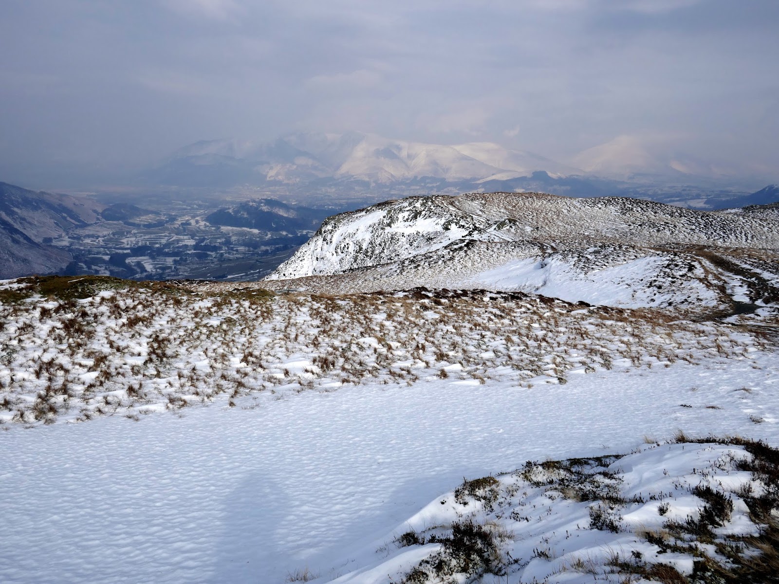
| Goat Crag above Borrowdale |
 |
| Looking a little Alpine at Eel Crags |
 |
| Eel Crags |
 |
| Dale Head |
 |
| Panorama above Eel Crags |
 |
| High Spy’s summit |
 |
| Dale Head |
 |
| High Scawdel and Dale Head |
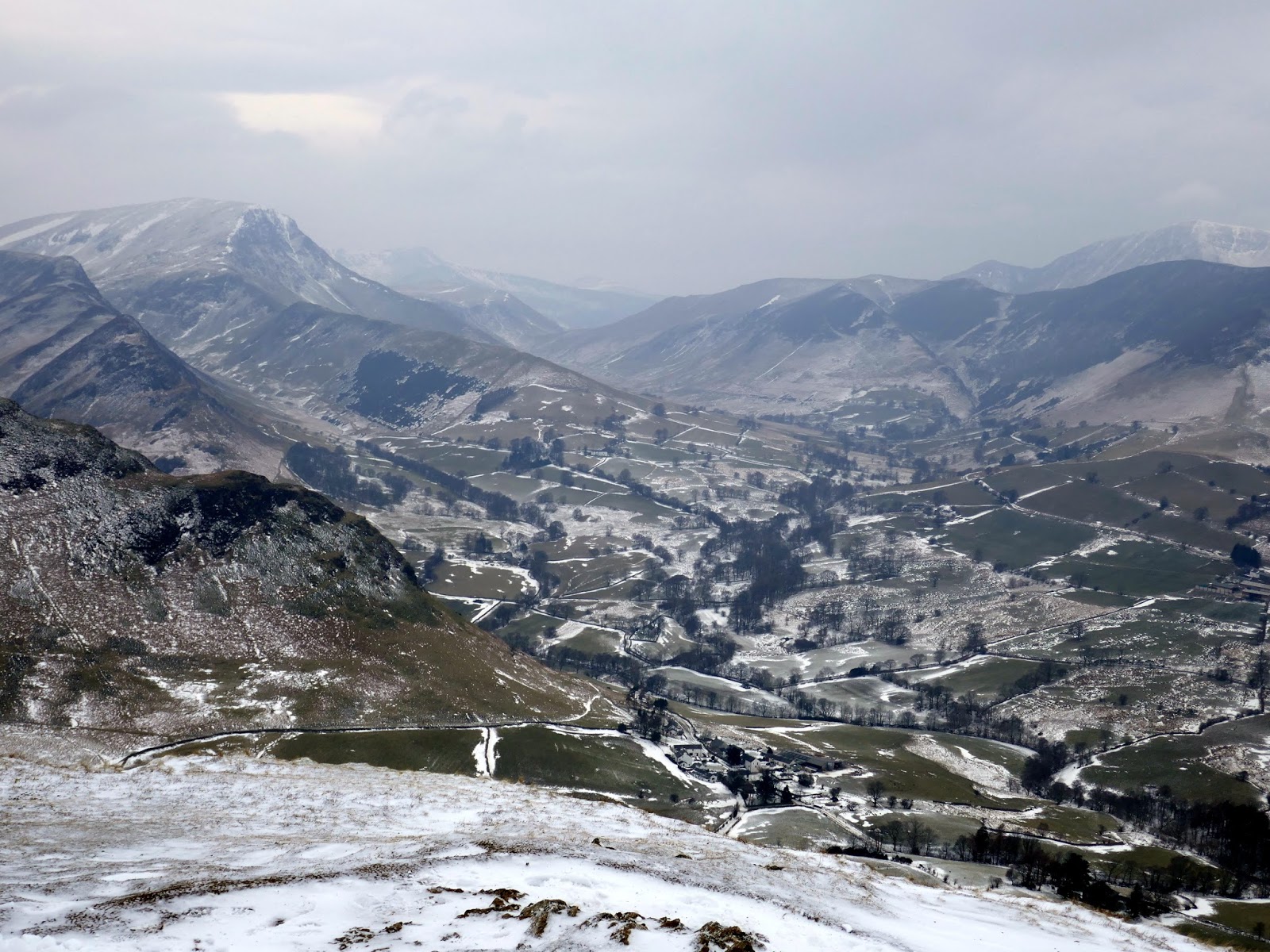
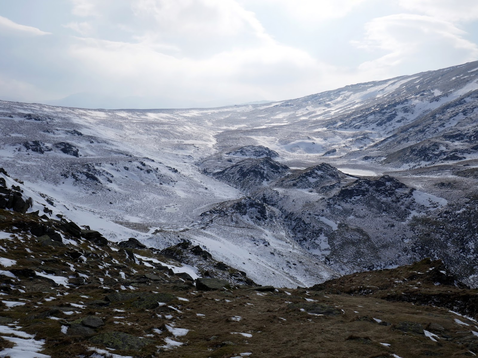
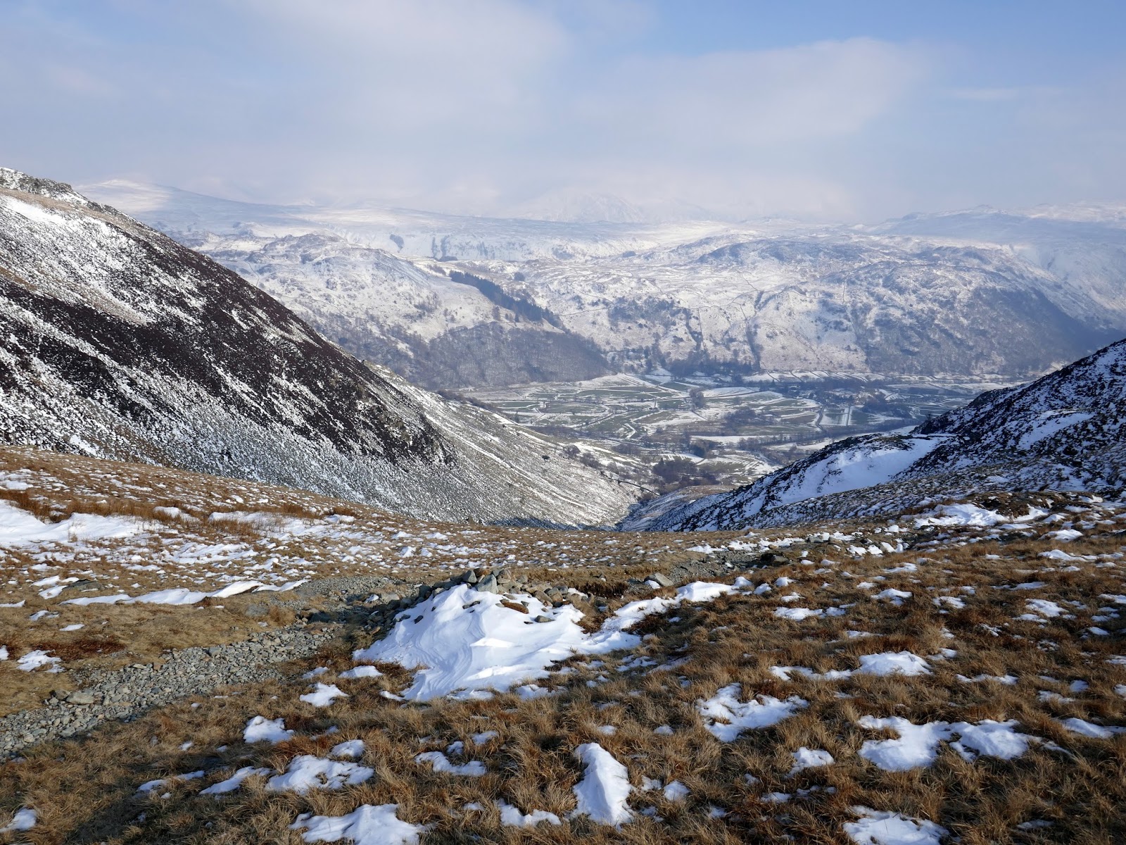
From High Spy, an easy descent drops to Wilson’s Bield. You can continue back up Dale Head from here to complete the classic Newlands Round though I was bound for Tongue Gill and the valley down into Borrowdale.
 |
| Dale Head |
 |
| Clouds above High Scawdel |
 |
| Dale Head |
 |
| Wilson’s Bield |
 |
| Wilson’s Bield |
 |
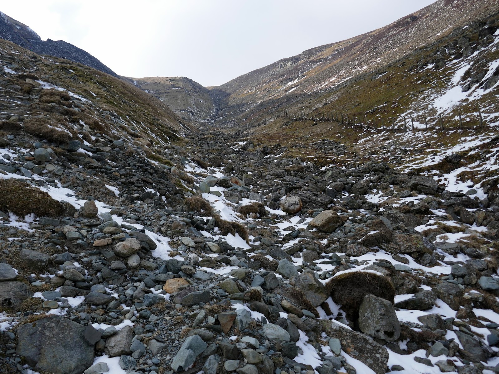
| Looking down Tongue Gill |
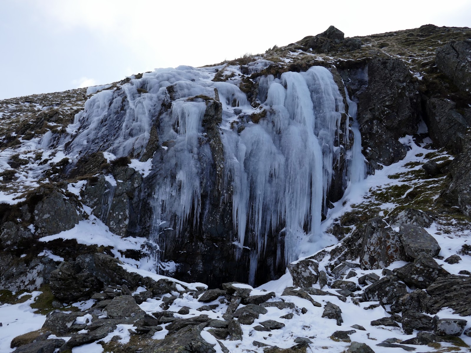
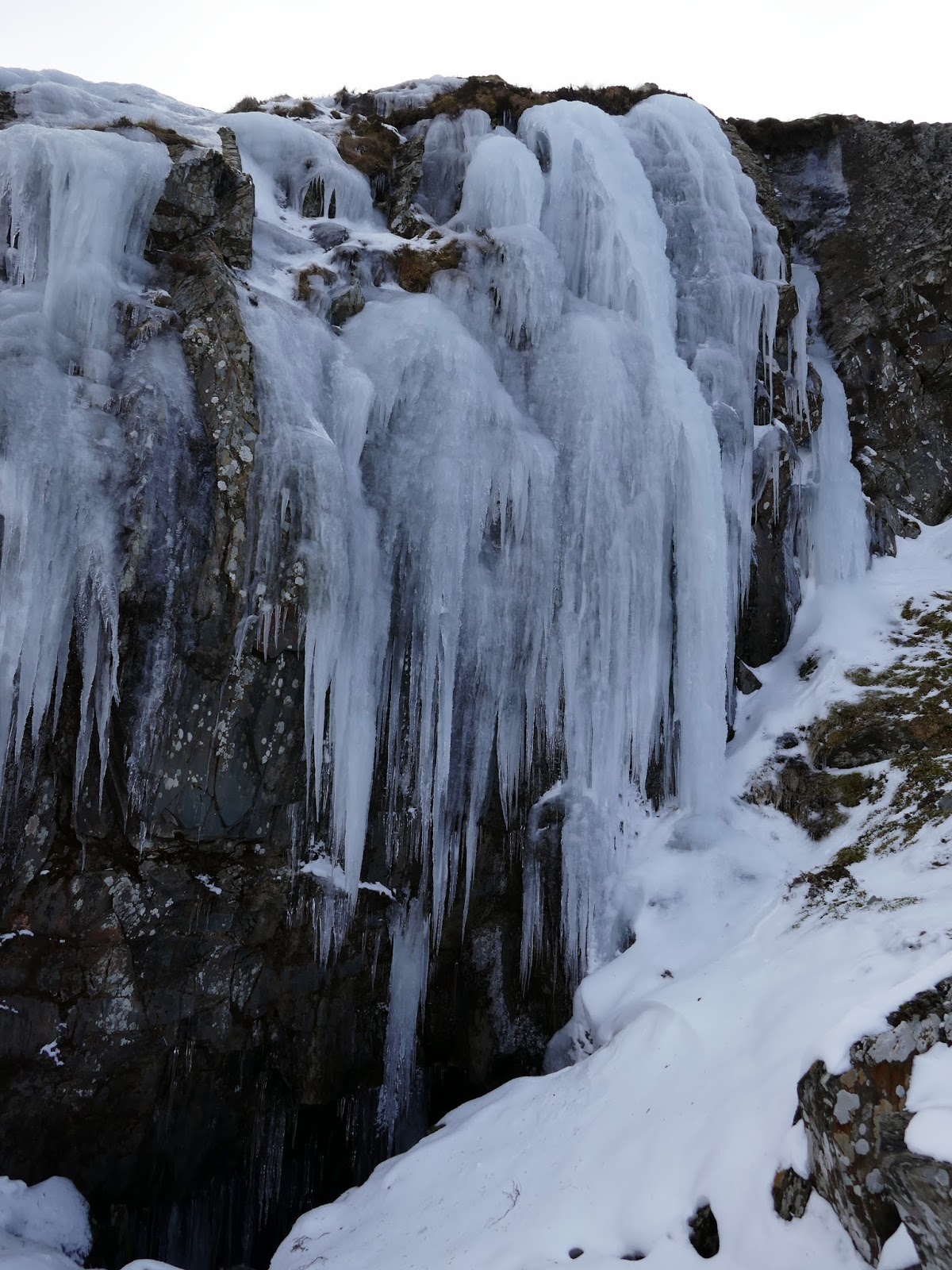
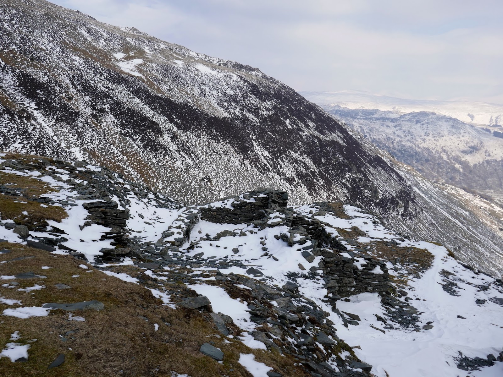
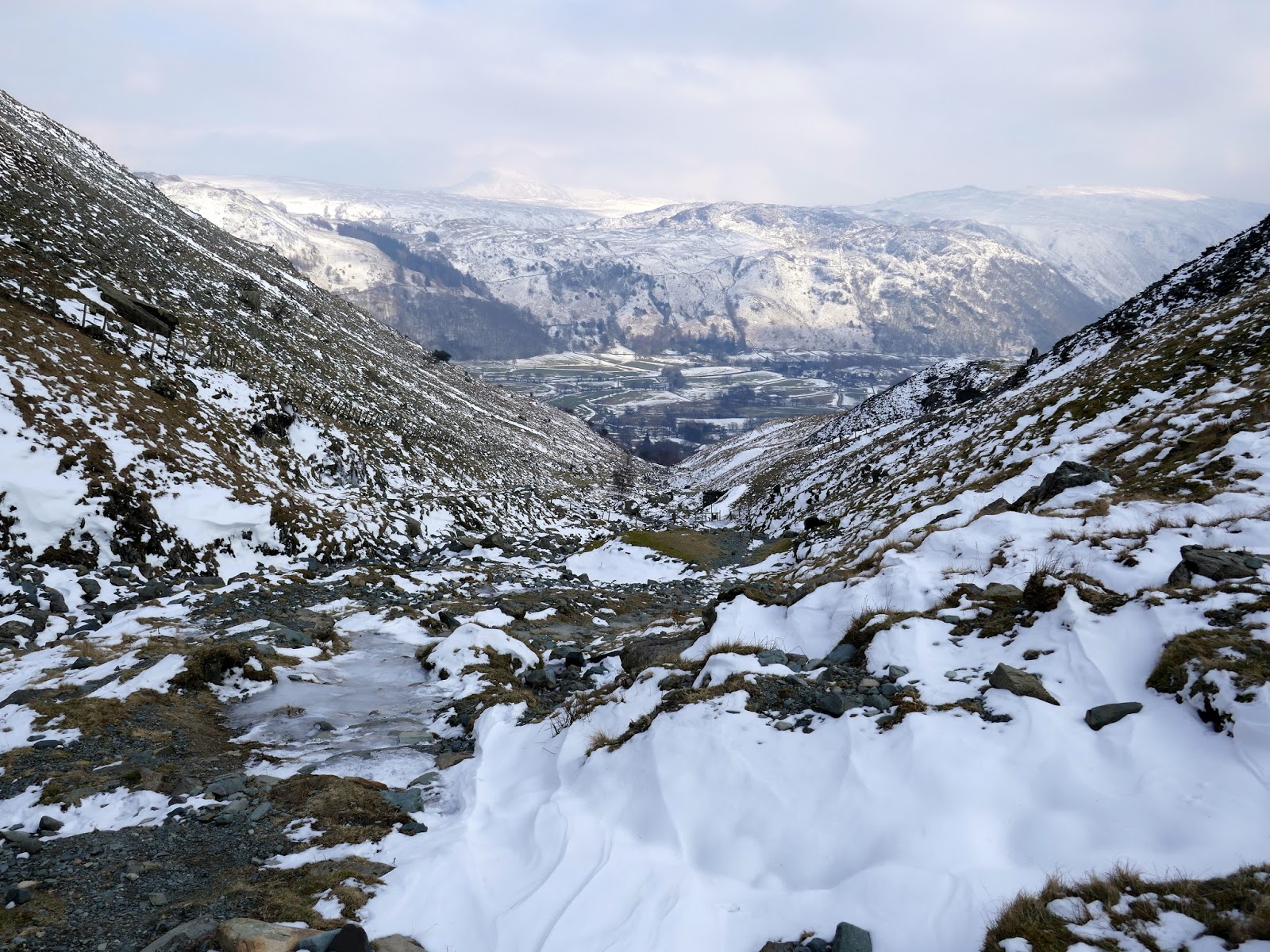
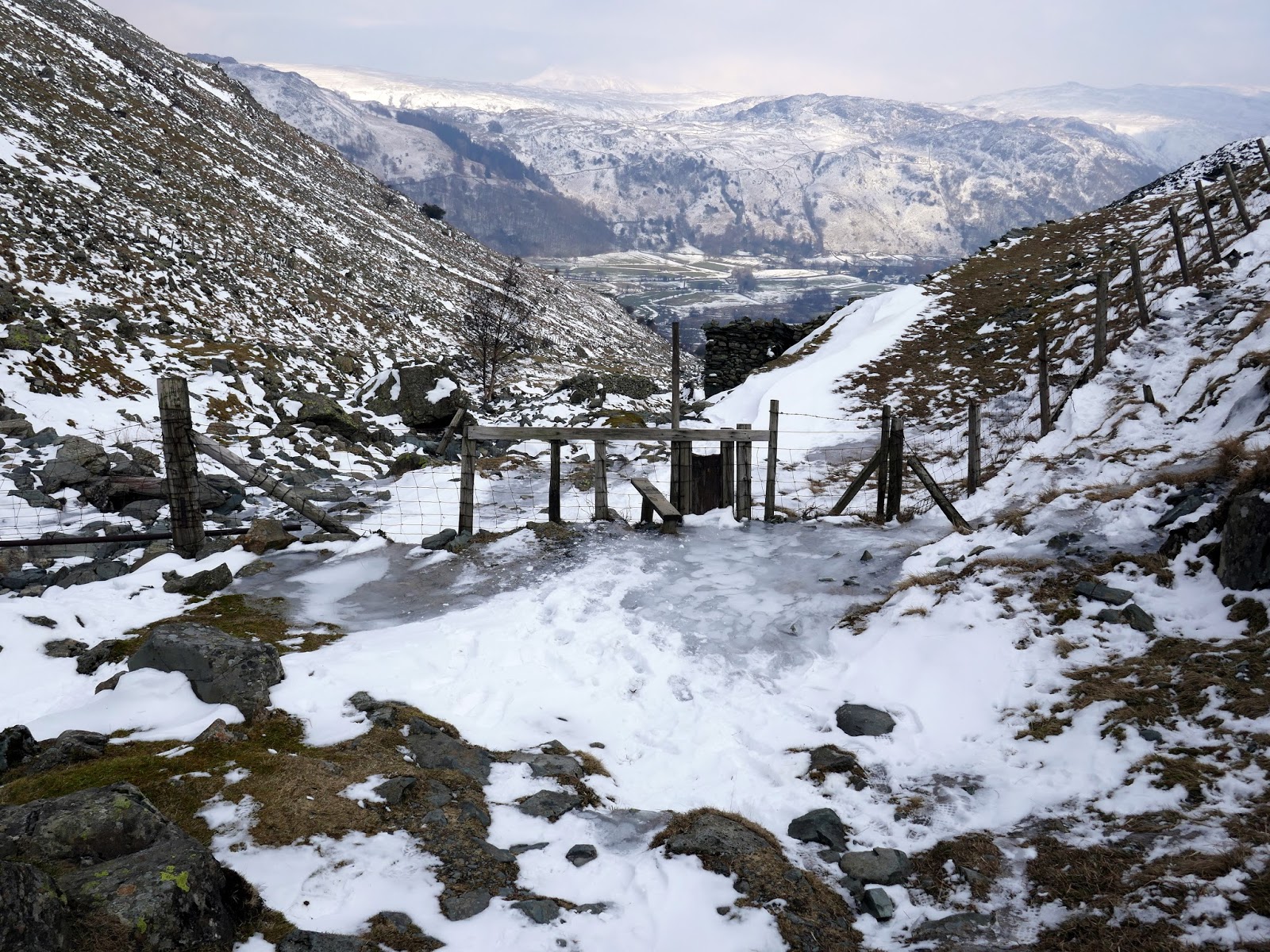
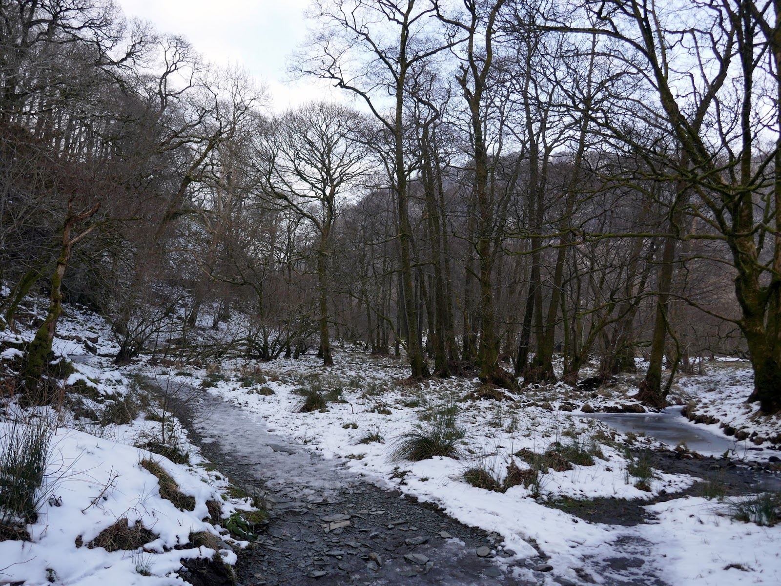
The Tongue Gill path passes the old Rigghead Quarries – you might have thought the workings would have been on the surface, but not here – although plenty of spoil has been left behind. As you can see, Rigghead Quarries were really mines. There were some impressive, icy waterfalls on the route down – one of the great things about winter walking. You wouldn’t find these in the summer.
 |
| Frozen waterfalls |
 |
| Frozen waterfalls |
 |
| Tongue Gill |
 |
| Rigghead Quarries |
 |
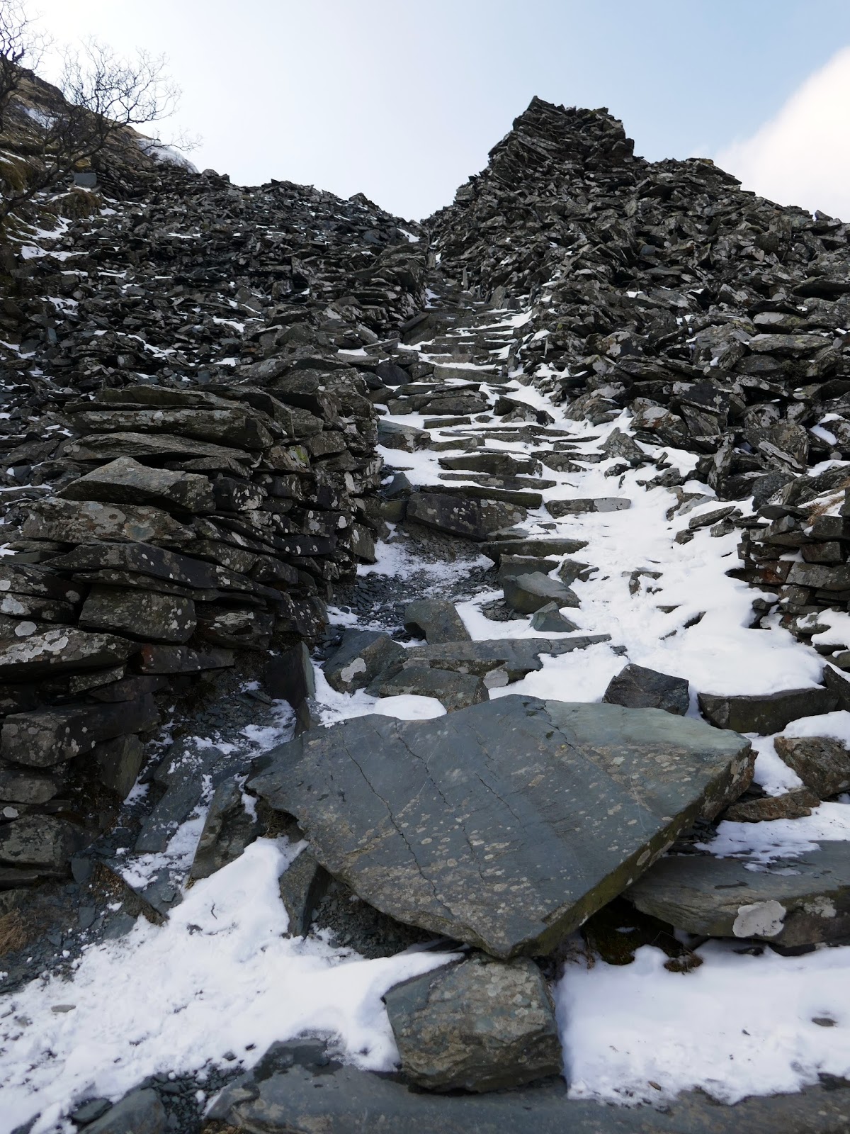
| A stairway from the old mine workings |
 |
| Looking up Tongue Gill |
 |
| Tongue Gill |
 |
| Tongue Gill |
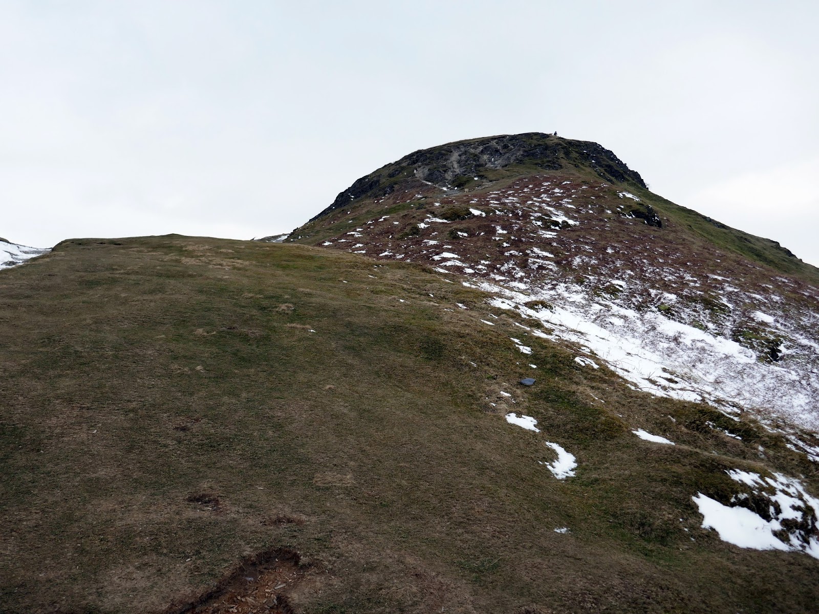
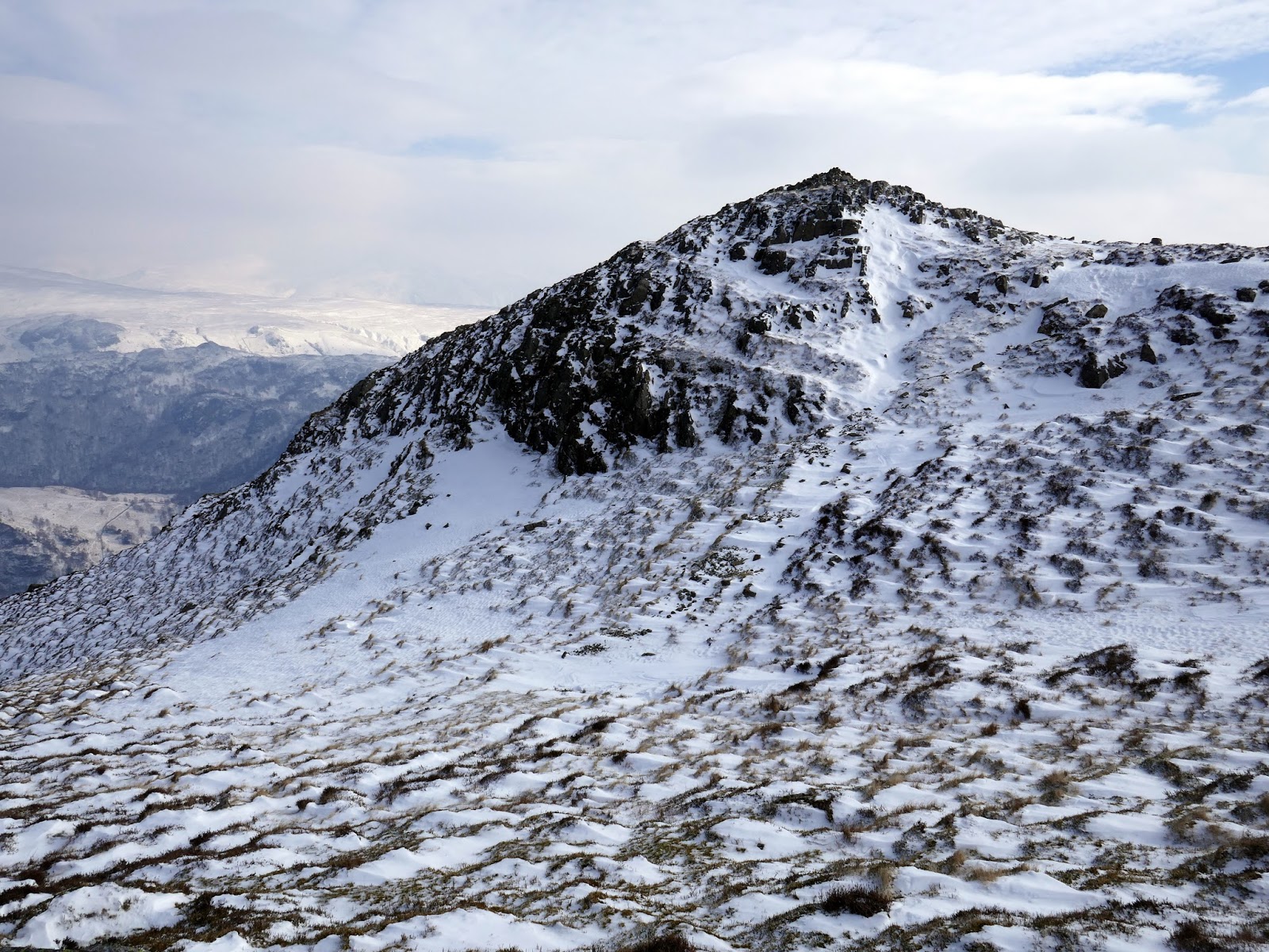
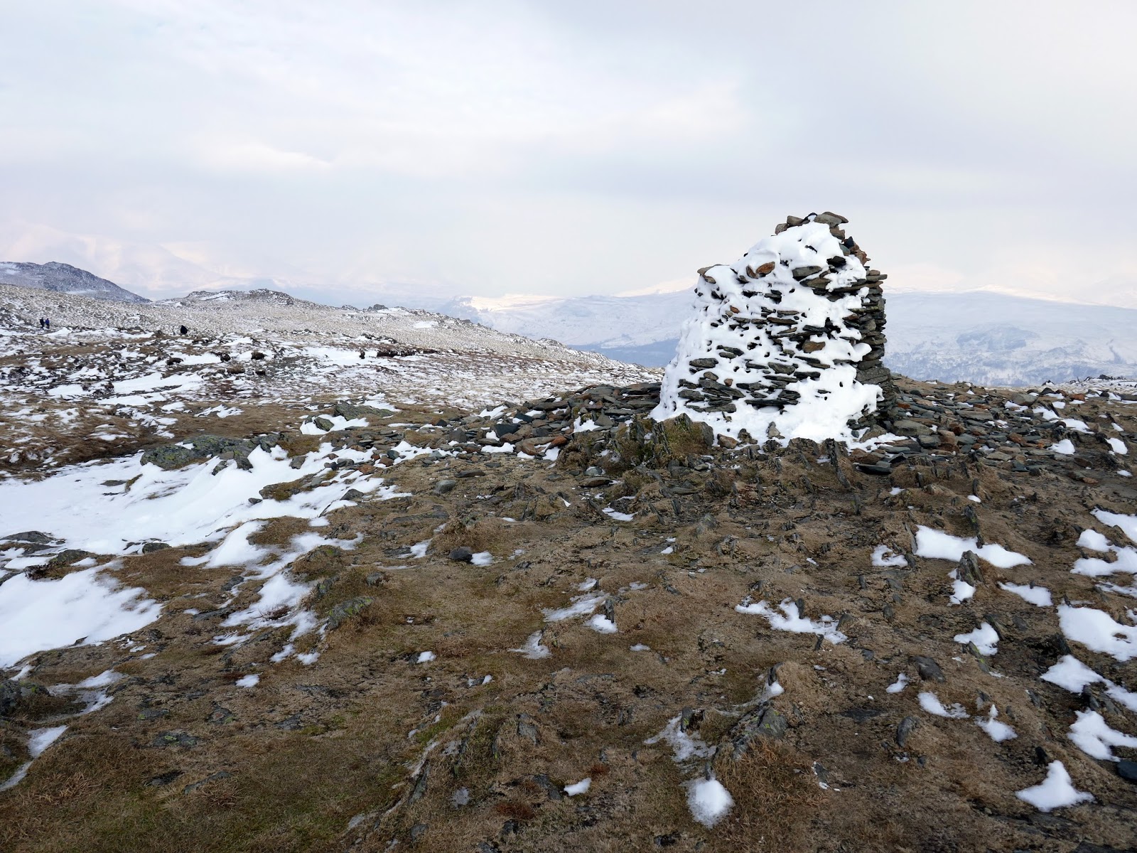
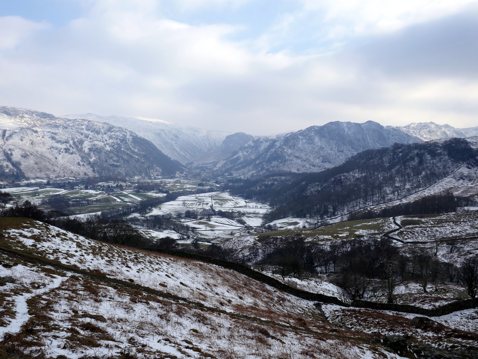
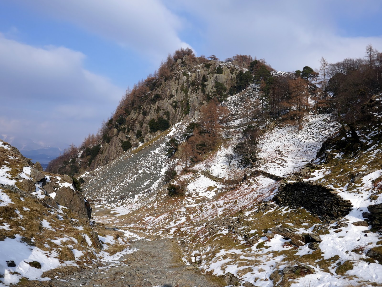
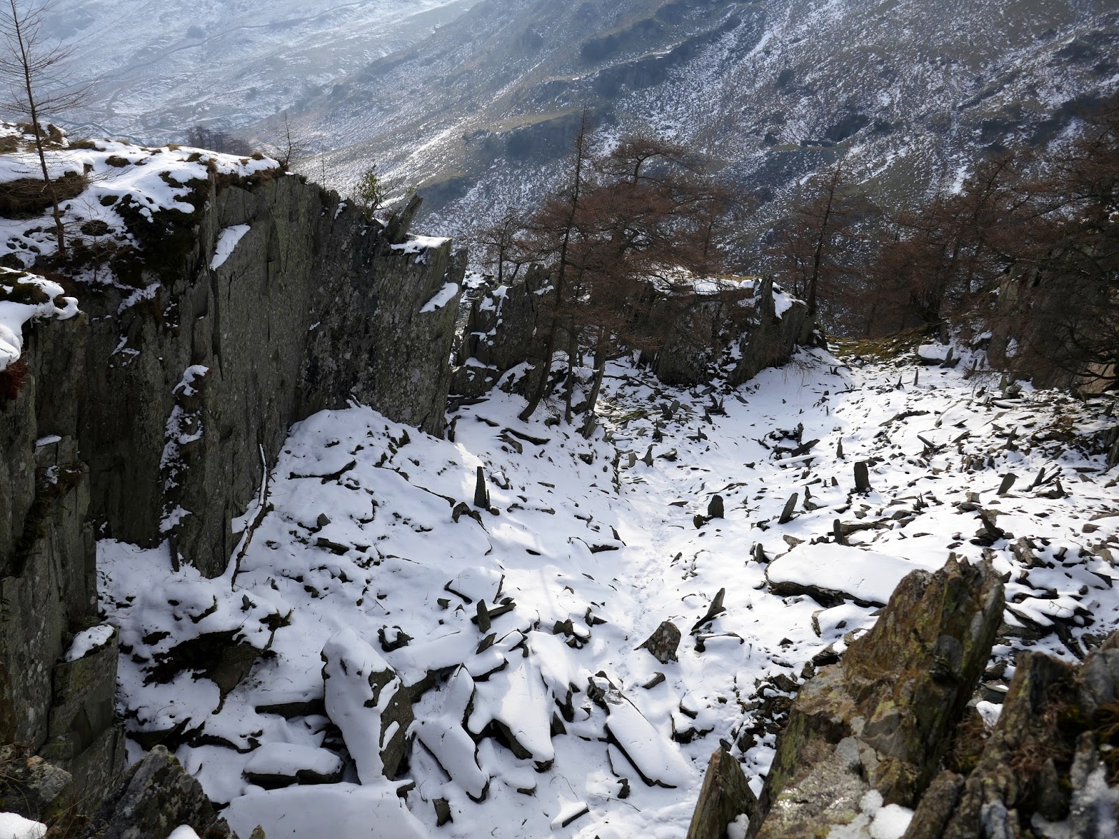
Picking up the Grange – Seatoller bridleway, Castle Crag appears around the corner, illuminated in the afternoon sun. Castle Crag, though the smallest of all the Wainwrights and often not classified due to its height, is too good to miss, despite the steepness of the ascent.
 |
| Rosthwaite and Stonethwaite |
 |
| Glaramara |
 |
| Castle Crag |
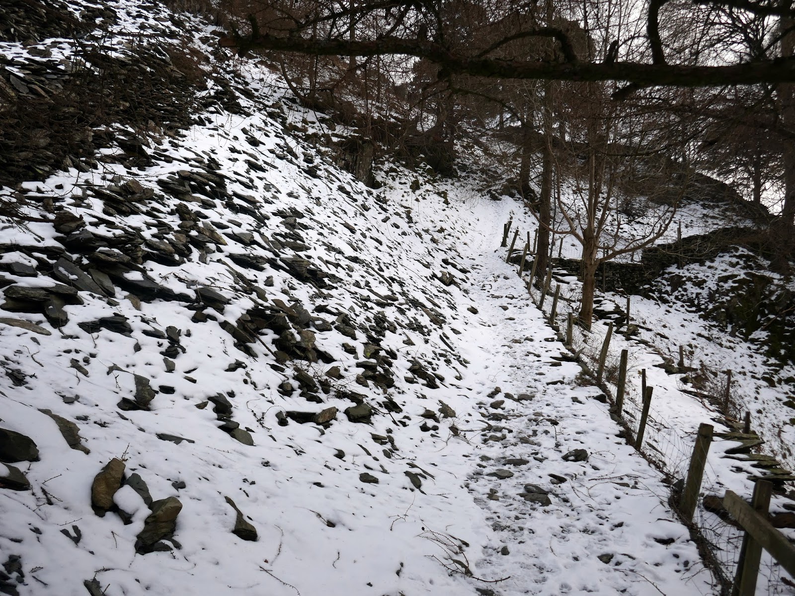
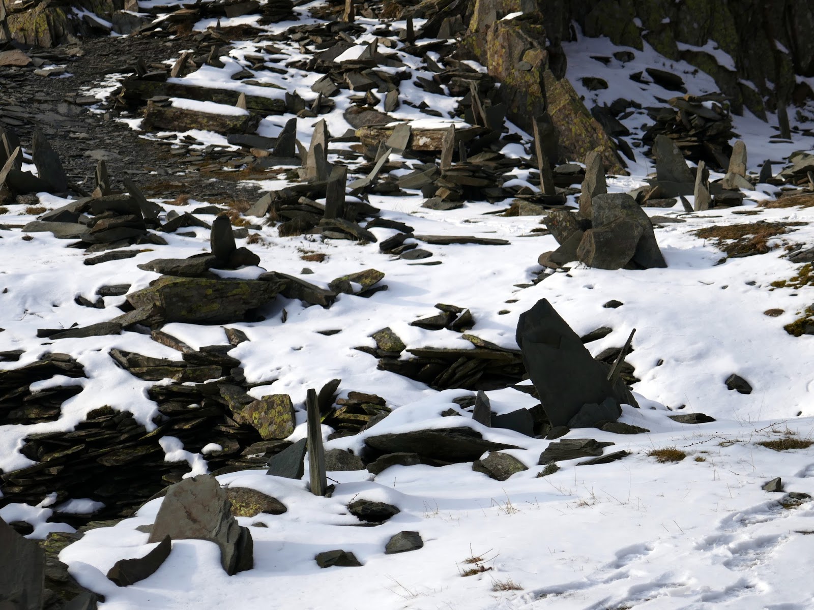
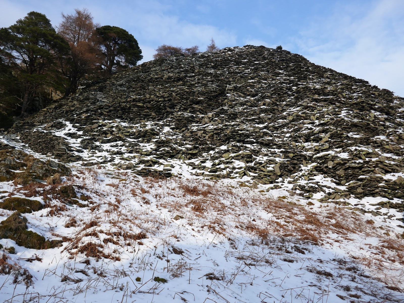
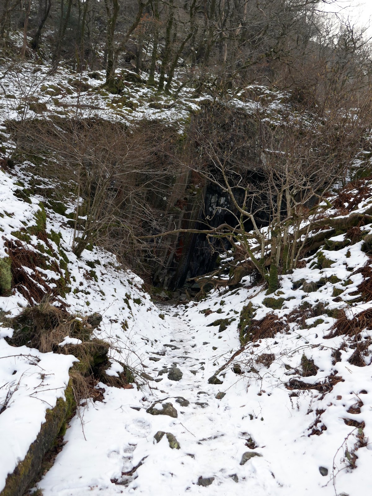
After clambering through some trees, the path begins a zig-zag up a loose slate pile, the result of years of slate quarrying on the fell. Close to the summit is High Hows Quarry, an obvious yet impressive scar, surrounded by a series of curiously placed, upright slates. It seems that it’s the tradition but no one seems to know why or when it started. It’s certainly different, and quite a surprise for the first time. Above High Hows stands the summit.
 |
| The slippery path up Castle Crag |
 |
| Rosthwaite |
 |
| Rosthwaite and Stonethwaite |
 |
| Upright slate stones in High Hows |
 |
| High Hows quarry |
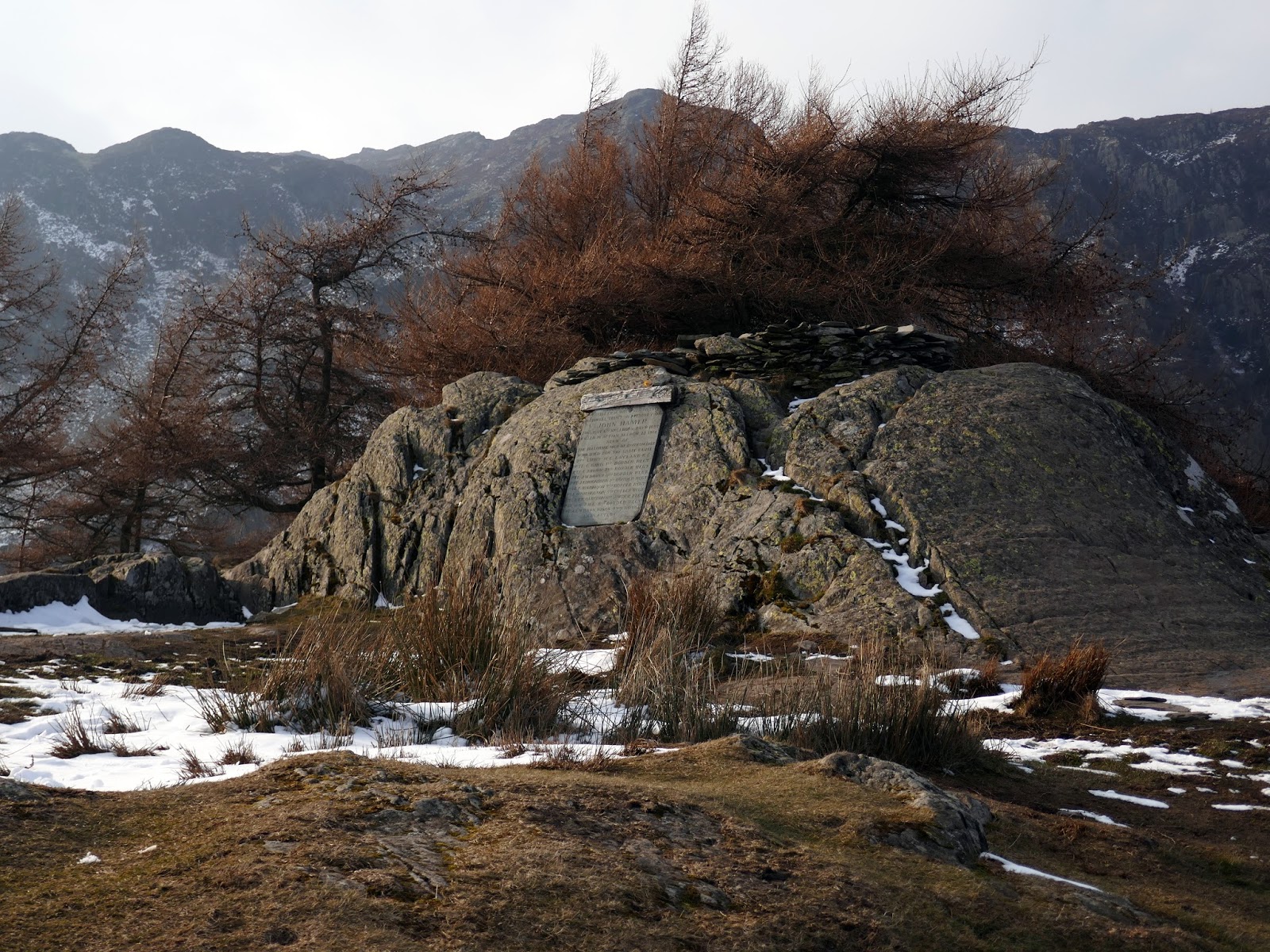
 |
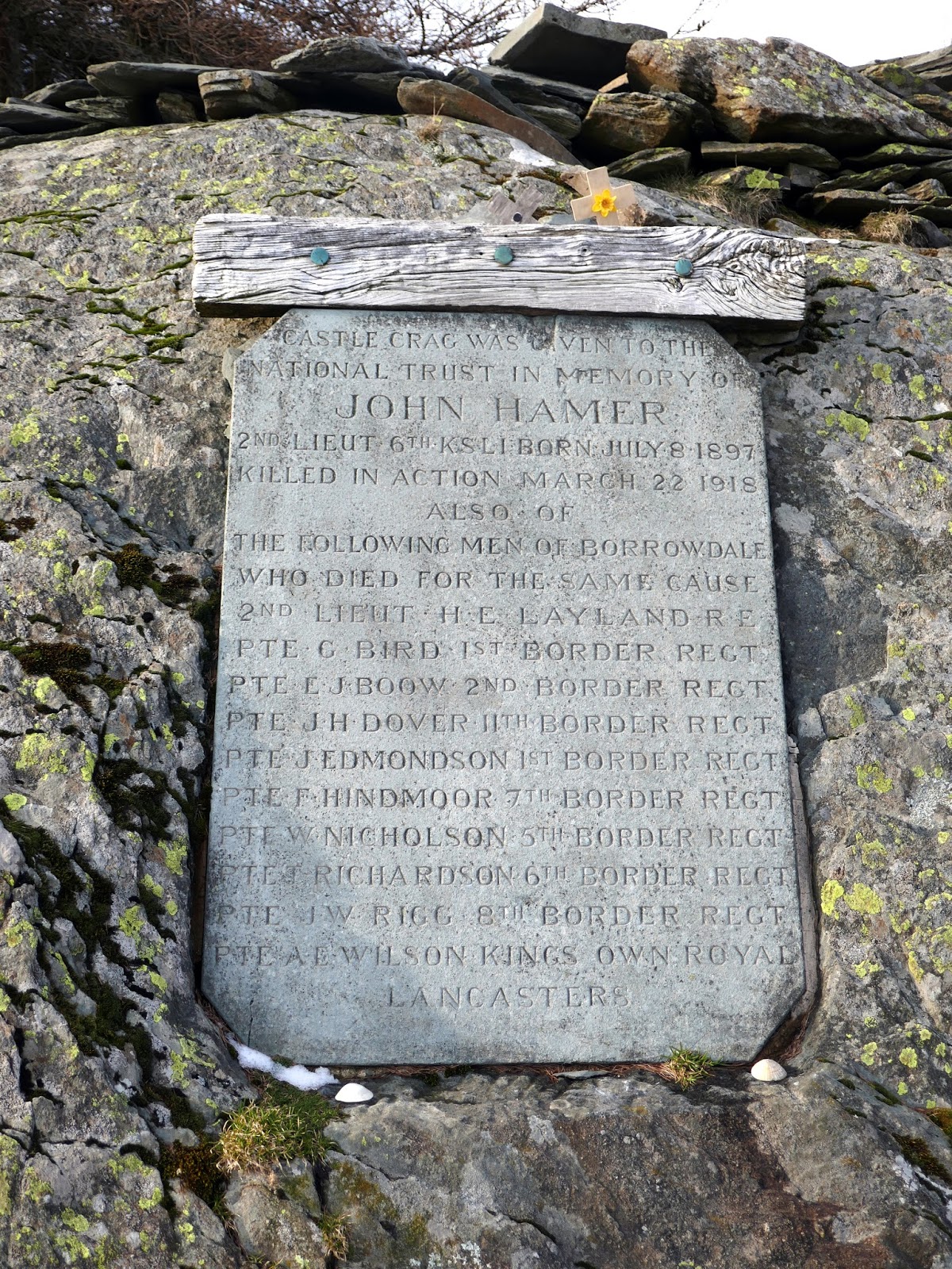
| memorial on Castle Crag’s summit |
 |
| Castle Crag’s summit area |
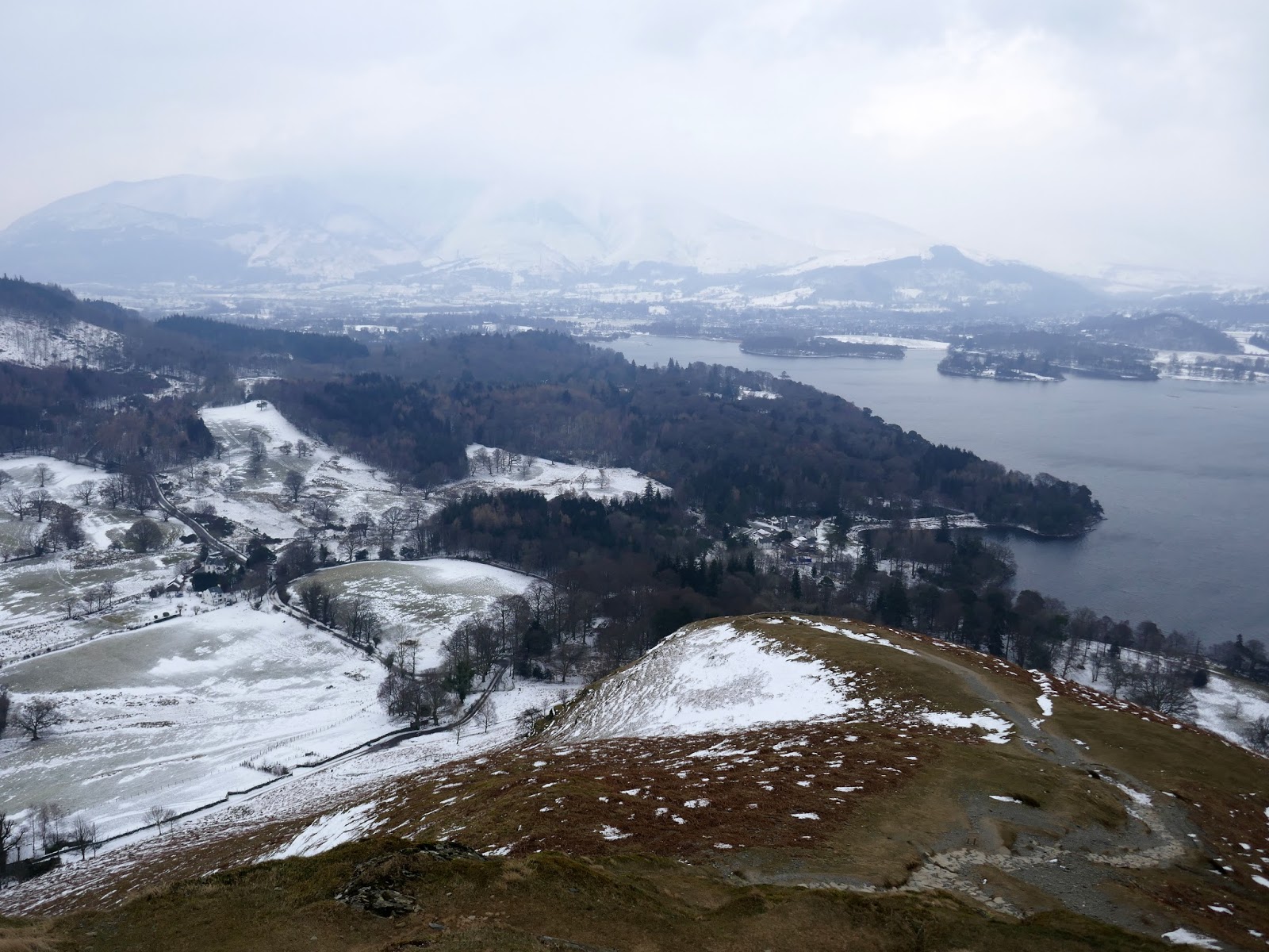
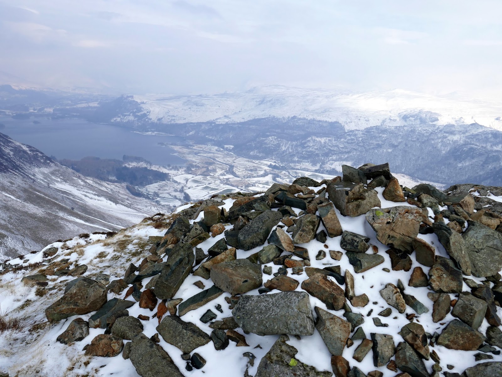
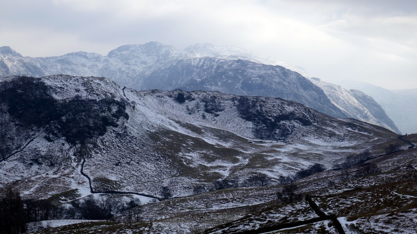
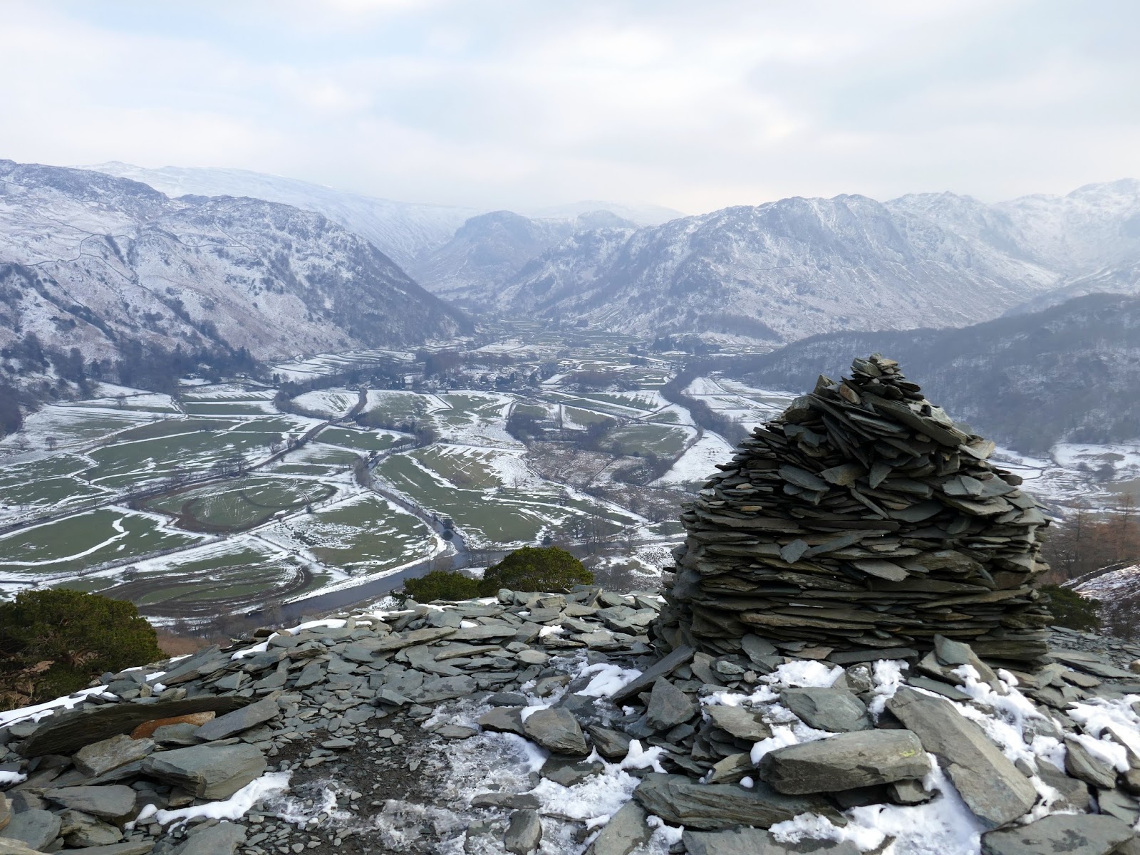
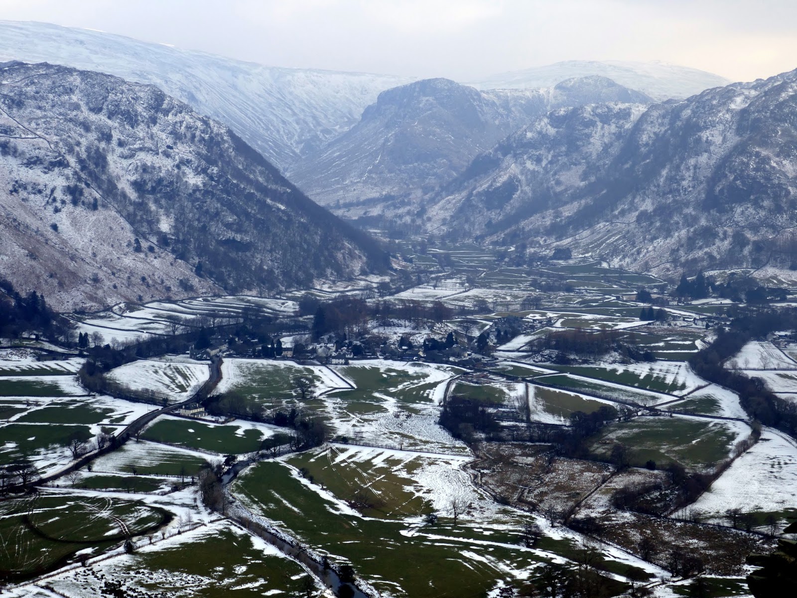
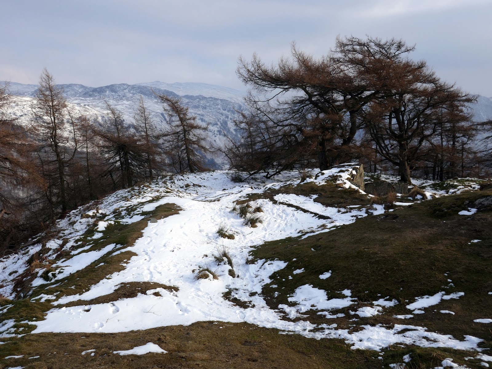
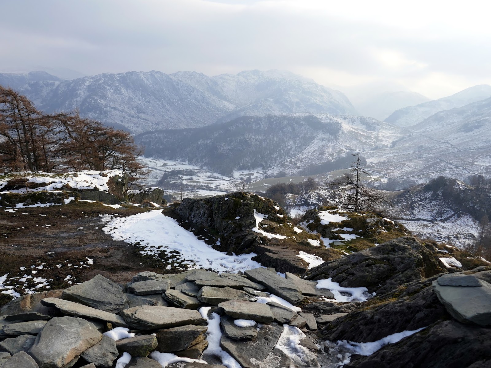
Despite its height, Castle Crag has extensive views to the north and to the south, as if you had been suspended high above Borrowdale. To the north is Derwentwater framing Skiddaw and to the south is the entire Scafell range. There are much higher fells that simply cannot compete with this one – it’s obvious why Wainwright included it as a separate chapter.
 |
| Castle Crag’s summit rocks |
 |
| Looking towards Glaramare |
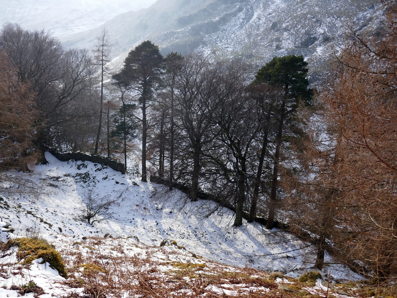
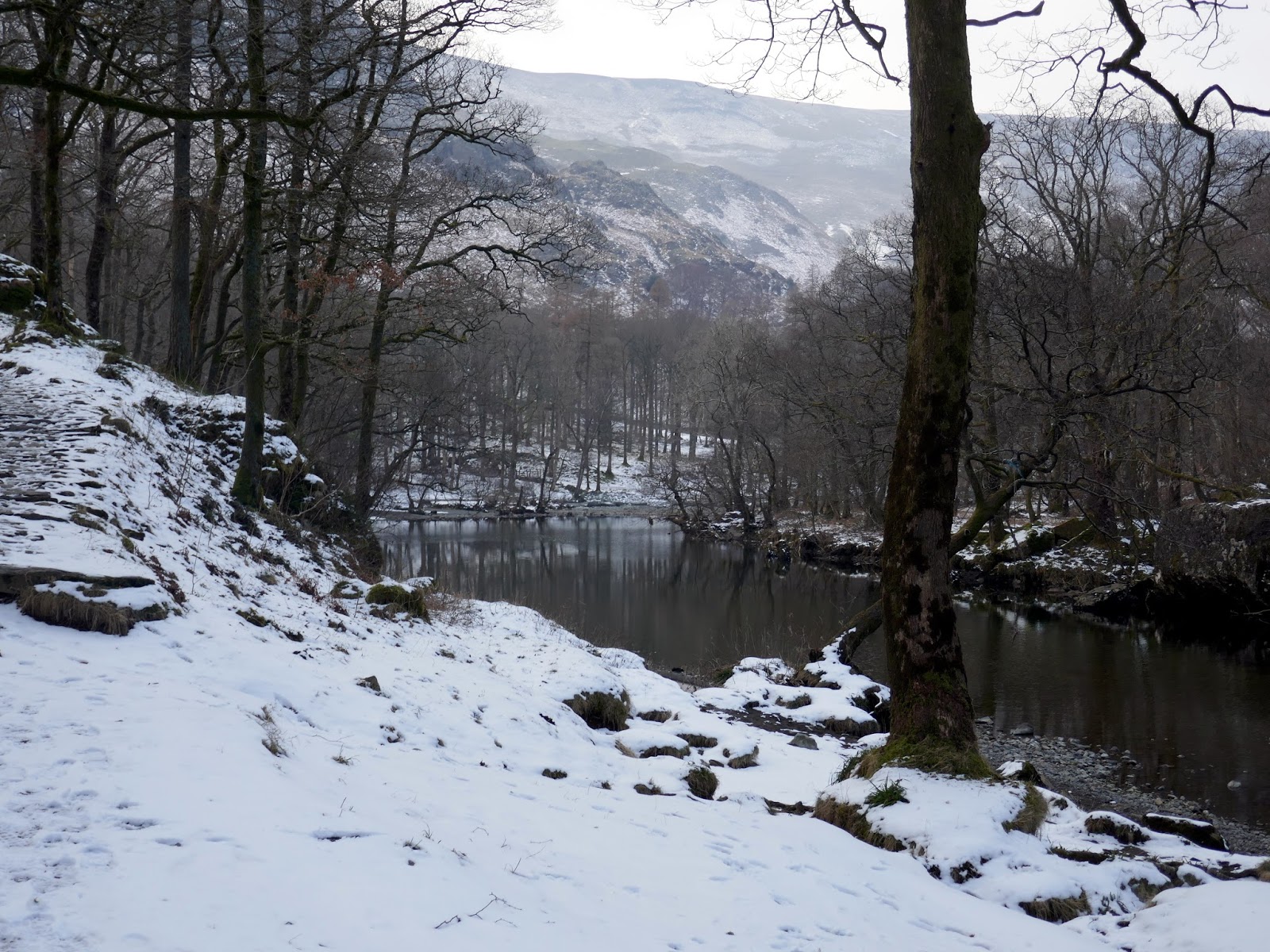
Having enjoyed the summit, I retraced my steps back to the base of the slate pile, this time making the descent through the woods to the River Derwent. I intended to try and find Millican’s Cave – a famed spot in Borrowdale but one I had yet to visit.
 |
| Trees atop Castle Crag |
 |
| Castle Crag’s slate fortification |
 |
| Great Crag |
 |
| Cumbria Way |
 |
| Millican’s Cave? |
Millican Dalton’s cave, as it is locally known, is on the eastern flank of Castle Crag and consists of two inter-connected split-levelled caves formed by the slate quarrying process. This cave was inhabited for nigh-on fifty years by Millican Dalton, the self-styled ‘Professor of Adventure. To this day, Dalton’s legacy can be seen in the upper chamber of the cave, where he carved his own epitaph into the wall above where he slept. It reads: “Don’t Waste Words, Jump to Conclusions”.
Alas, I did not manage to find the cave for three reasons; 1) I only had a vague idea of where it was, 2) I was tired and 3) as I tentatively inspected one of the quarries, a car-sized block of ice fell from the ceiling and smashed not 10m in front of me. This was best saved for another day.
 |
| The River Derwent |
 |
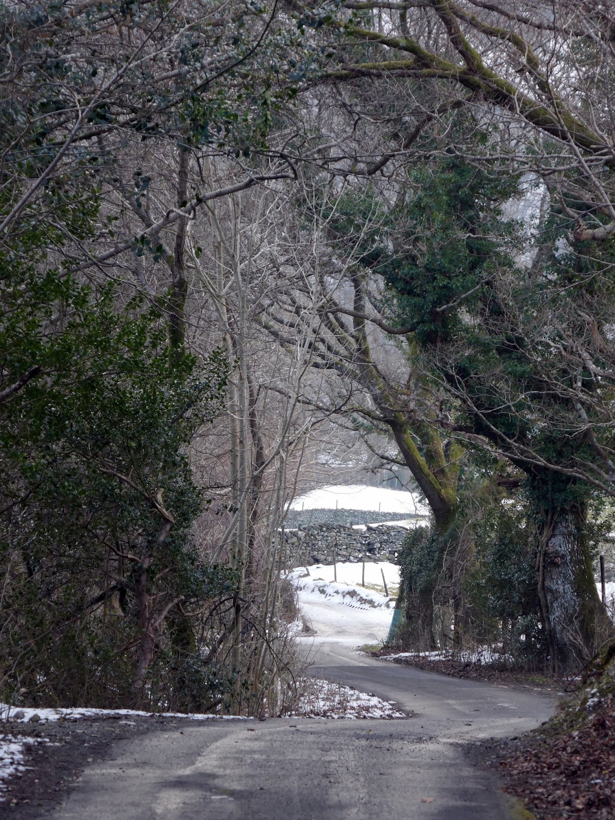
| Tree lined lanes on the way back to Grange |
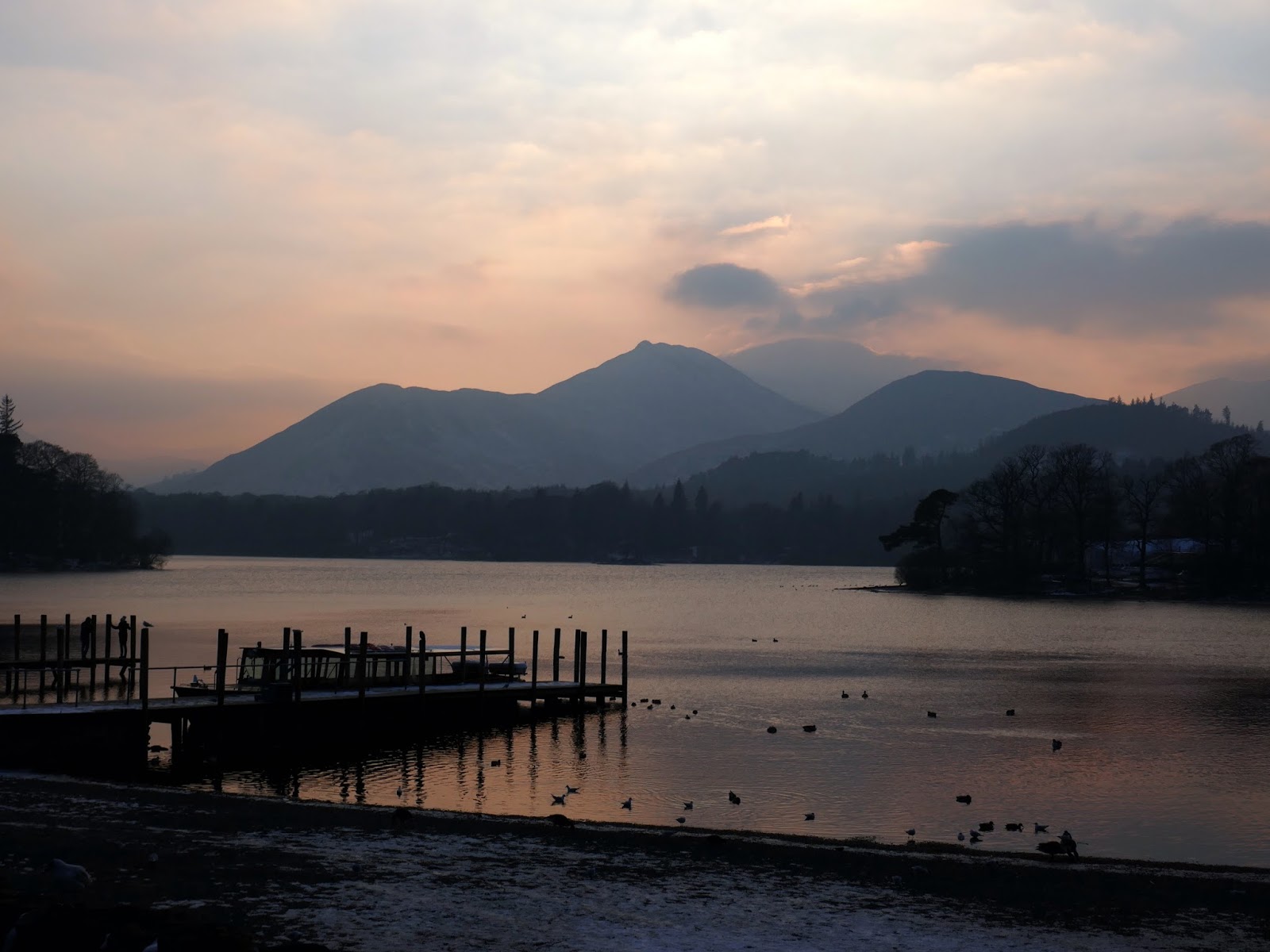
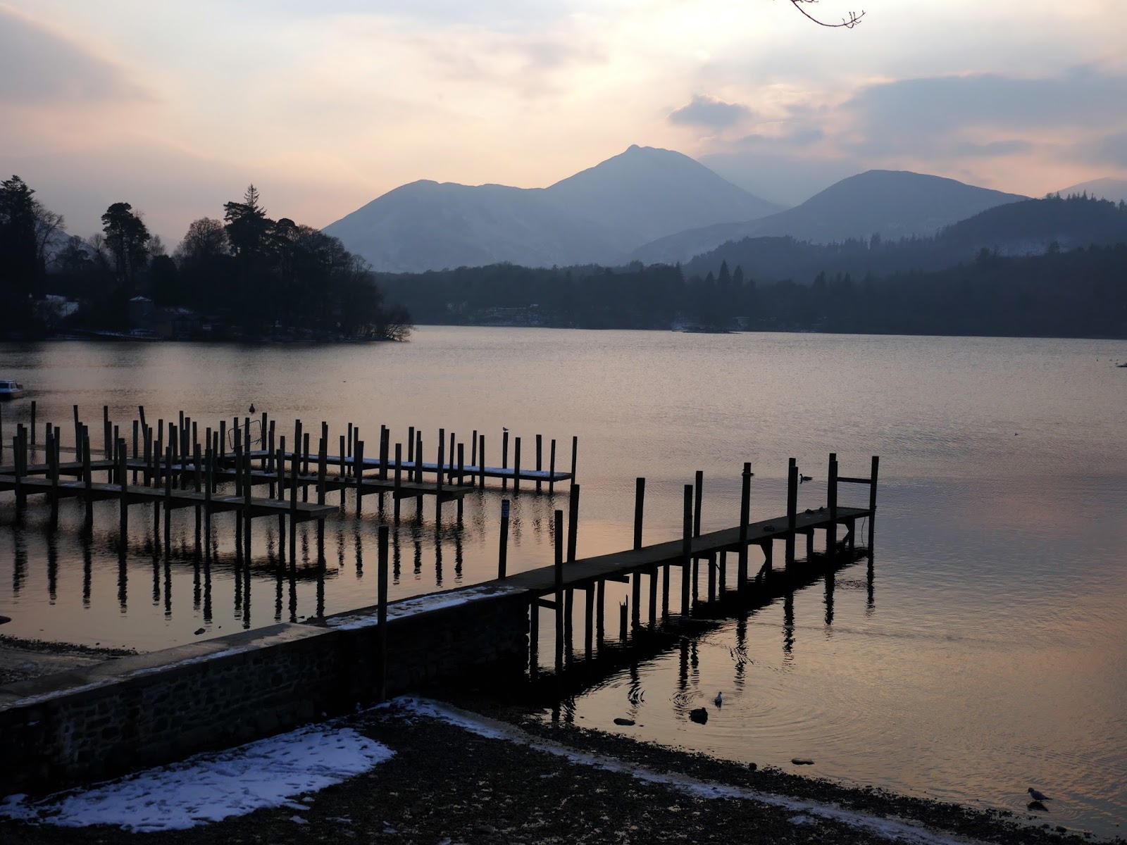
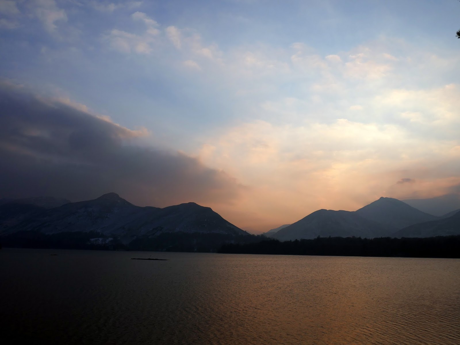
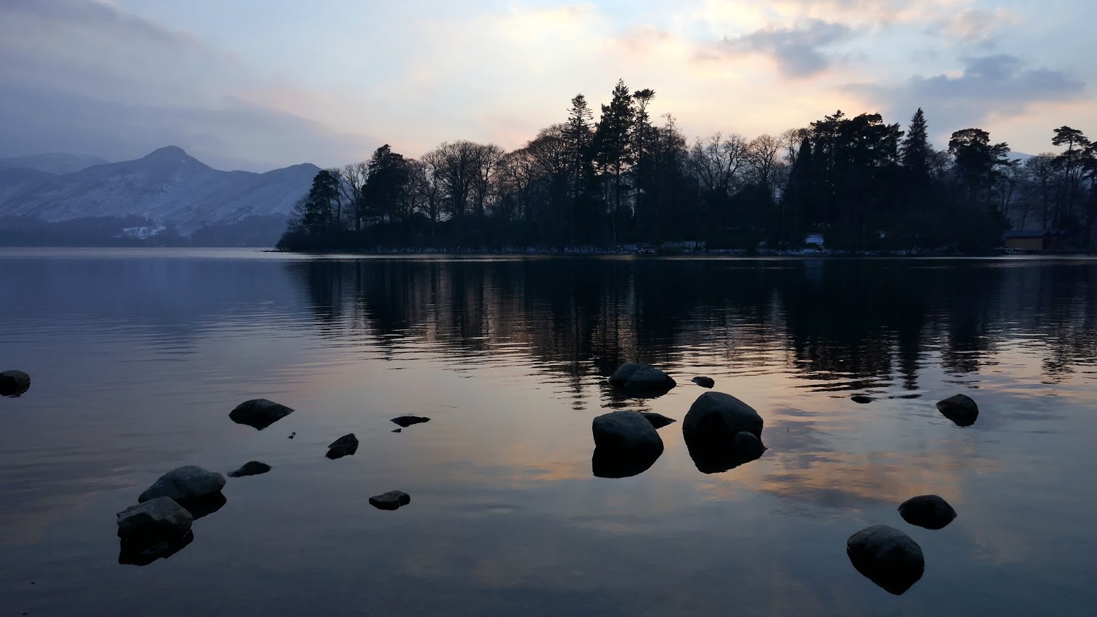
It’s a further mile back to the Grange from the quarries along the River Derwent – it was a fine way to end the day. Having not walked for around a month the combination of the 11 miles and a heavy, winter pack had taken its toll but I still mustered the effort to stop at Friar’s Crag on the way back to Keswick to catch the colours of sunset.
 |
| Derwentwater |
 |
| Keswick launch jetties |
 |
| Cat Bells from Friar’s Crag |
 |
| Derwent Isle |
