Open Space Web-Map builder Codehttps://openspace.ordnancesurvey.co.uk/osmapapi/openspace.js?key=3119F72552FD5C22E0530C6CA40A5A92https://openspace.ordnancesurvey.co.uk/osmapapi/script/mapbuilder/basicmap.jshttps://openspace.ordnancesurvey.co.uk/osmapapi/script/mapbuilder/searchbox.js//variables for routes var linesLayer, points, lineFeature, lineString, routeMarkersLayer, routepos, routesize, routeoffset, routeicon; var style_blue = {strokeColor: “#0000CD”, strokeOpacity: 0.5, strokeWidth: 4.5}; function initmapbuilder() { //initiate the map var options = {resolutions: [2500, 1000, 500, 200, 100, 50, 25, 10, 5, 4, 2.5, 2, 1]}; osMap = new OpenSpace.Map(‘map’, options); //configure map options (basicmap.js) setglobaloptions(); //set the center of the map and the zoom level osMap.setCenter(new OpenSpace.MapPoint(335092,517474.5),7); linesLayer = osMap.getVectorLayer(); // Set up layer for route markers routeMarkersLayer = new OpenLayers.Layer.Markers(“Route Markers”); //make a route points = new Array(); points.push(new OpenLayers.Geometry.Point(336557,517419.5)); points.push(new OpenLayers.Geometry.Point(336367,517369.5)); points.push(new OpenLayers.Geometry.Point(336227,517369.5)); points.push(new OpenLayers.Geometry.Point(336247,517459.5)); points.push(new OpenLayers.Geometry.Point(336107,517399.5)); points.push(new OpenLayers.Geometry.Point(336092,517489.5)); points.push(new OpenLayers.Geometry.Point(336202,517724.5)); points.push(new OpenLayers.Geometry.Point(336142,517844.5)); points.push(new OpenLayers.Geometry.Point(335882,517924.5)); points.push(new OpenLayers.Geometry.Point(335922,518074.5)); points.push(new OpenLayers.Geometry.Point(335672,518384.5)); points.push(new OpenLayers.Geometry.Point(335407,518279.5)); points.push(new OpenLayers.Geometry.Point(334957,518194.5)); points.push(new OpenLayers.Geometry.Point(334617,518204.5)); points.push(new OpenLayers.Geometry.Point(334407,518474.5)); points.push(new OpenLayers.Geometry.Point(334147,518194.5)); points.push(new OpenLayers.Geometry.Point(334162,517979.5)); points.push(new OpenLayers.Geometry.Point(334112,517829.5)); points.push(new OpenLayers.Geometry.Point(334292,517444.5)); points.push(new OpenLayers.Geometry.Point(334067,517134.5)); points.push(new OpenLayers.Geometry.Point(333927,516894.5)); points.push(new OpenLayers.Geometry.Point(333777,516684.5)); points.push(new OpenLayers.Geometry.Point(334012,516939.5)); points.push(new OpenLayers.Geometry.Point(334342,517044.5)); points.push(new OpenLayers.Geometry.Point(334712,517034.5)); points.push(new OpenLayers.Geometry.Point(334737,516979.5)); points.push(new OpenLayers.Geometry.Point(334667,516914.5)); points.push(new OpenLayers.Geometry.Point(334752,516879.5)); points.push(new OpenLayers.Geometry.Point(334692,516709.5)); points.push(new OpenLayers.Geometry.Point(334972,516709.5)); points.push(new OpenLayers.Geometry.Point(335157,516564.5)); points.push(new OpenLayers.Geometry.Point(335317,516699.5)); points.push(new OpenLayers.Geometry.Point(335632,516909.5)); points.push(new OpenLayers.Geometry.Point(335932,517174.5)); points.push(new OpenLayers.Geometry.Point(336292,517349.5)); points.push(new OpenLayers.Geometry.Point(336487,517404.5)); points.push(new OpenLayers.Geometry.Point(336557,517419.5)); // create a polyline feature from the array of points lineString = new OpenLayers.Geometry.LineString(points); lineFeature = new OpenLayers.Feature.Vector(lineString, null, style_blue); linesLayer.addFeatures([lineFeature]); //crate a route start/end marker routepos = new OpenSpace.MapPoint(336557,517419.5); routesize = new OpenLayers.Size(33,45); routeoffset = new OpenLayers.Pixel(-5,-37); routeicon = new OpenSpace.Icon(‘https://openspace.ordnancesurvey.co.uk/osmapapi/img_versions/img_1.1/mapbuilder/routemarker-startend.png’, routesize, routeoffset, null, null); routeMarkersLayer.addMarker(new OpenLayers.Marker(routepos, routeicon)); osMap.addLayer(routeMarkersLayer);}
Route: Glenridding, Stang End, Sticks Gill, Sticks Pass, Raise, White Side, Glenridding Common, Glenridding
Date: 20/01/2018
From: Glenridding
Parking: Glenridding / Bury Mountaineering Hut
Start Point: Bury Mountaineering Hut
Region: Eastern Fells
Route length: 5.8 miles (9.3 km)
Time taken: 03:52
Average speed: 1.5 mph
Ascent: 694m
Descent: 677m
Wainwrights on this walk:
Raise (883m), White Side (863m)
Other Summits: None
Other Points of Interest: Kepple Cove
We’d be in for a treat today as a weekend arranged in the Lakes coincided with a substantial amount of snow and the possibility of a sunny day – perfect winter conditions.
The accommodation in question, the Bury Mountaineering Club’s hut, is located at the end of the long Greenside Lane, high up above Glenridding – a fact I only established on the day I was supposed to travel up after work requiring the urgent purchase of a pair of ‘snow socks’ for the car. These are exactly as described and worked surprisingly well on the snow-covered lane.
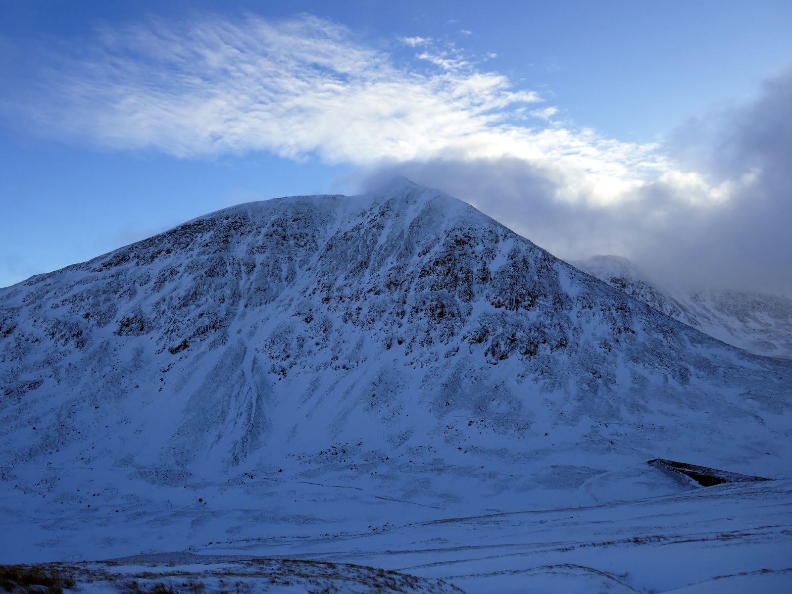
I had hoped to do the classic Striding Edge – Swirral Edge circuit of Helvellyn but the local fell top assessors had particular concerns about the risk of avalanches on east-facing routes so, instead, we opted for the neighbouring Raise and Whiteside instead, a choice made easier by the fact a group of climbers had been avalanched the day before (no major injuries, fortunately).
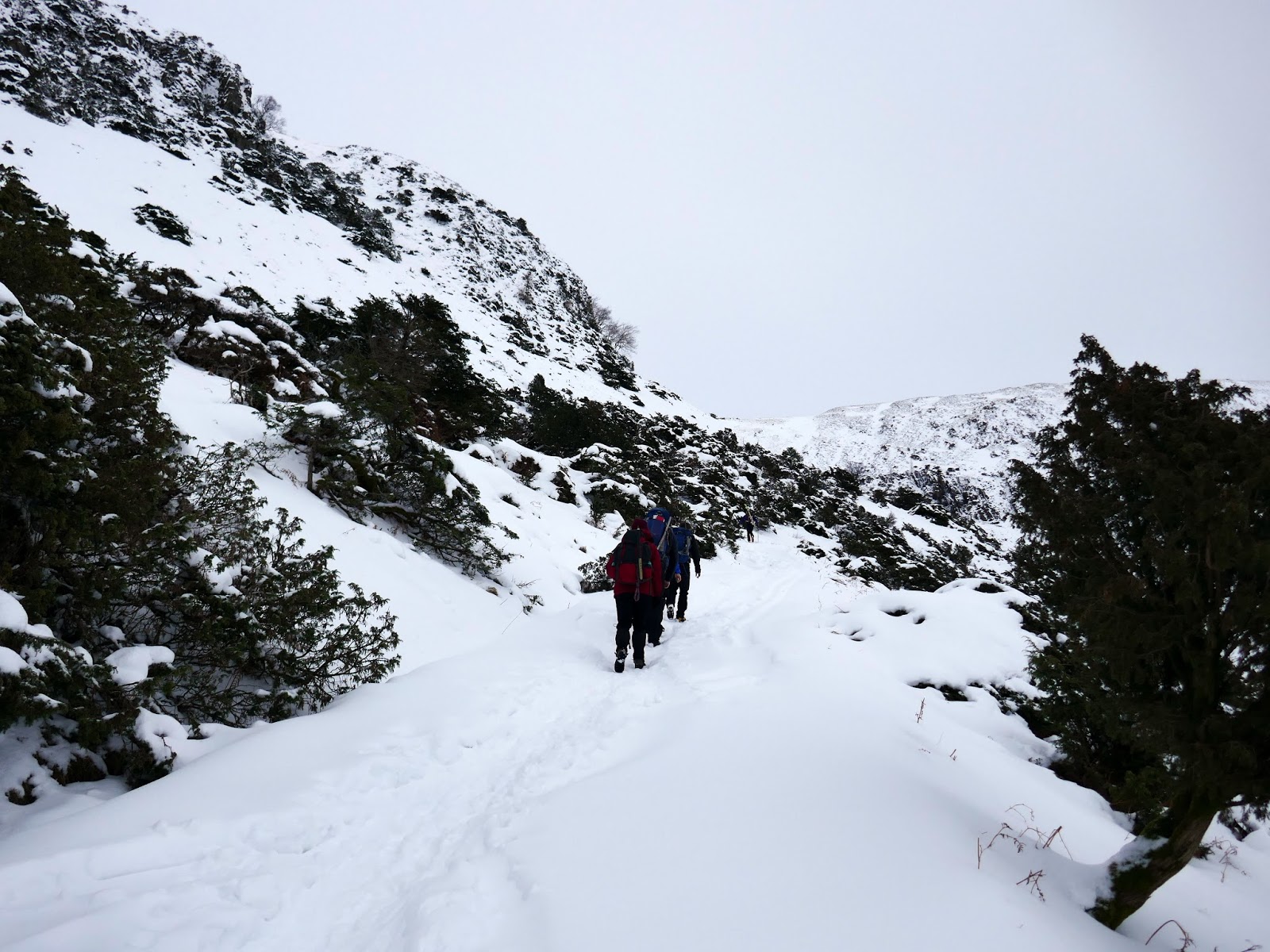
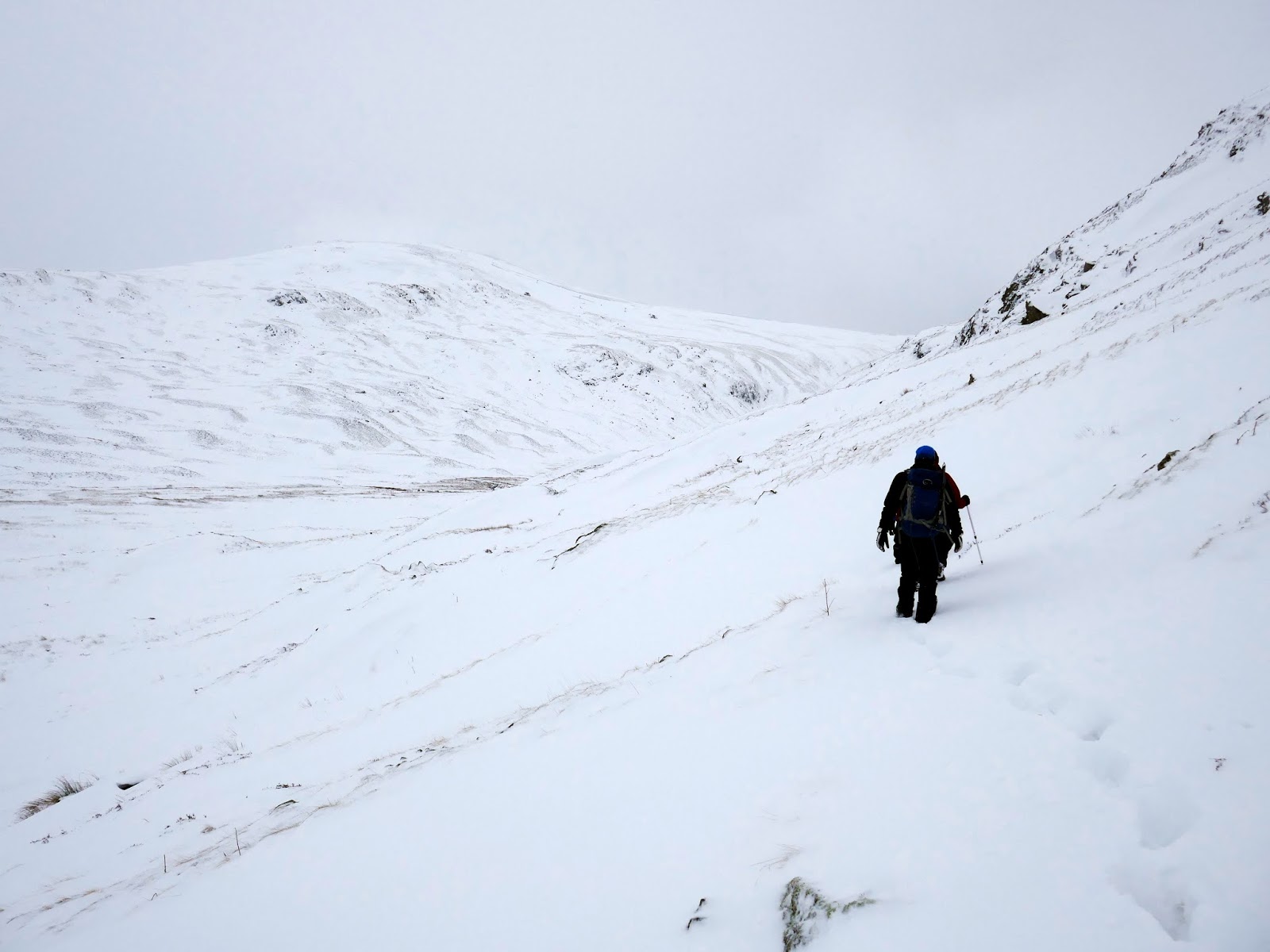
Our route would take us into the depths of the hanging valley of Sticks Gill, up to Sticks Pass and on towards the two summits. We began with a steep climb almost straight from the hut, enough the ward off the early morning chill. We knew it would be a tough walk to begin with thanks to the significant accumulations of snow.
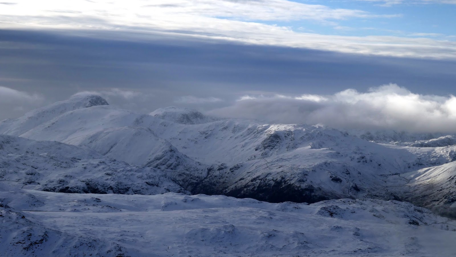
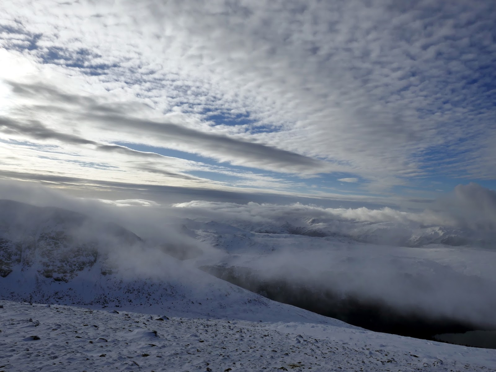
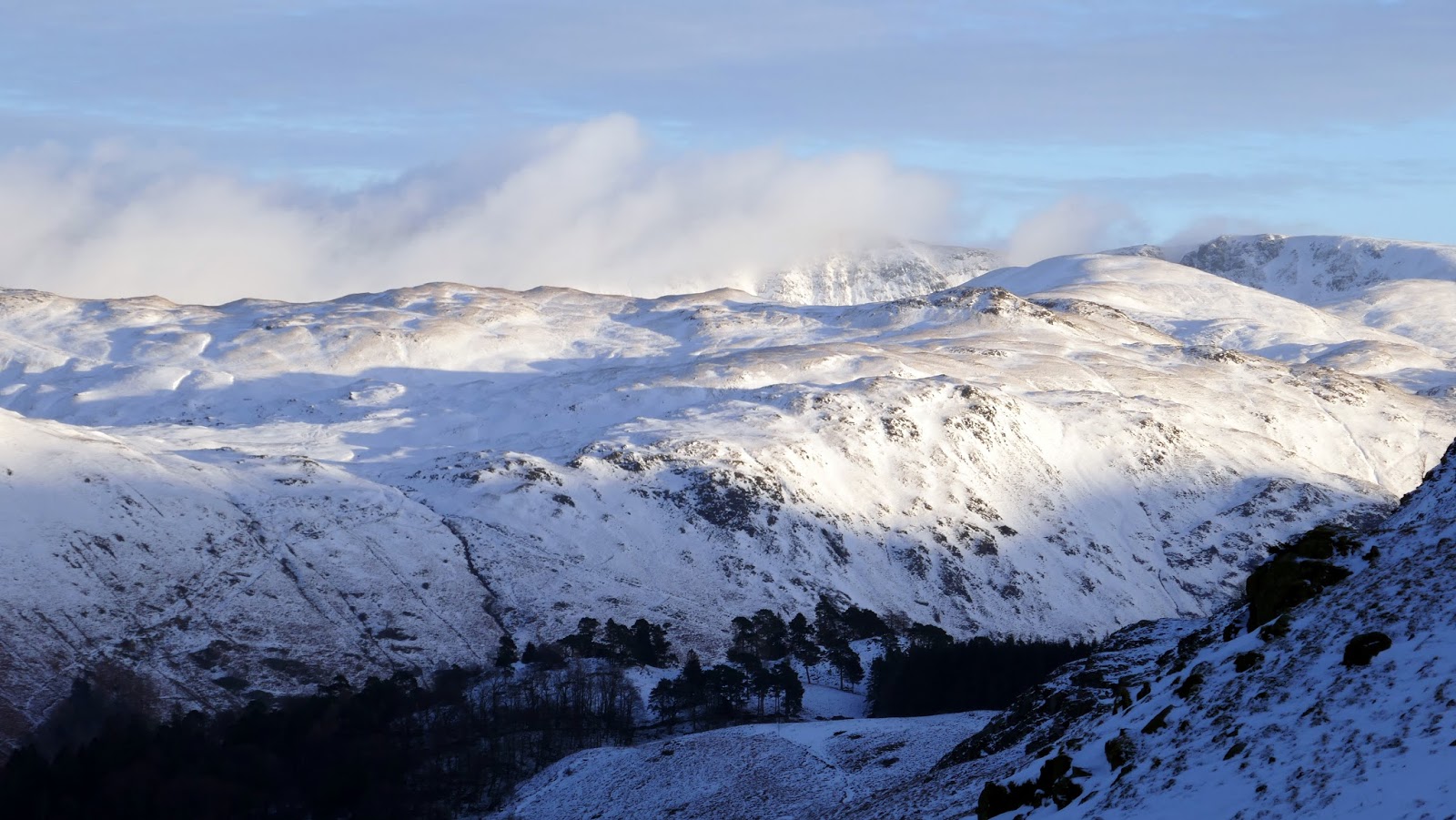
 |
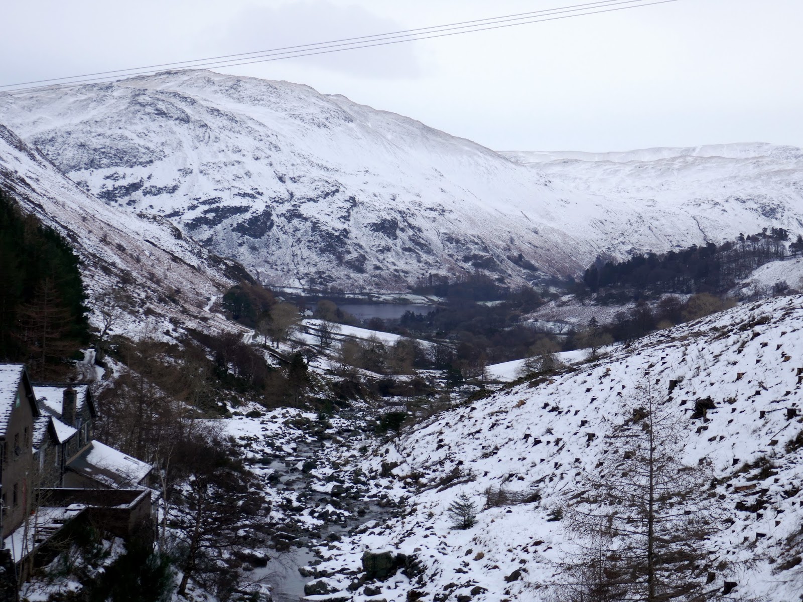
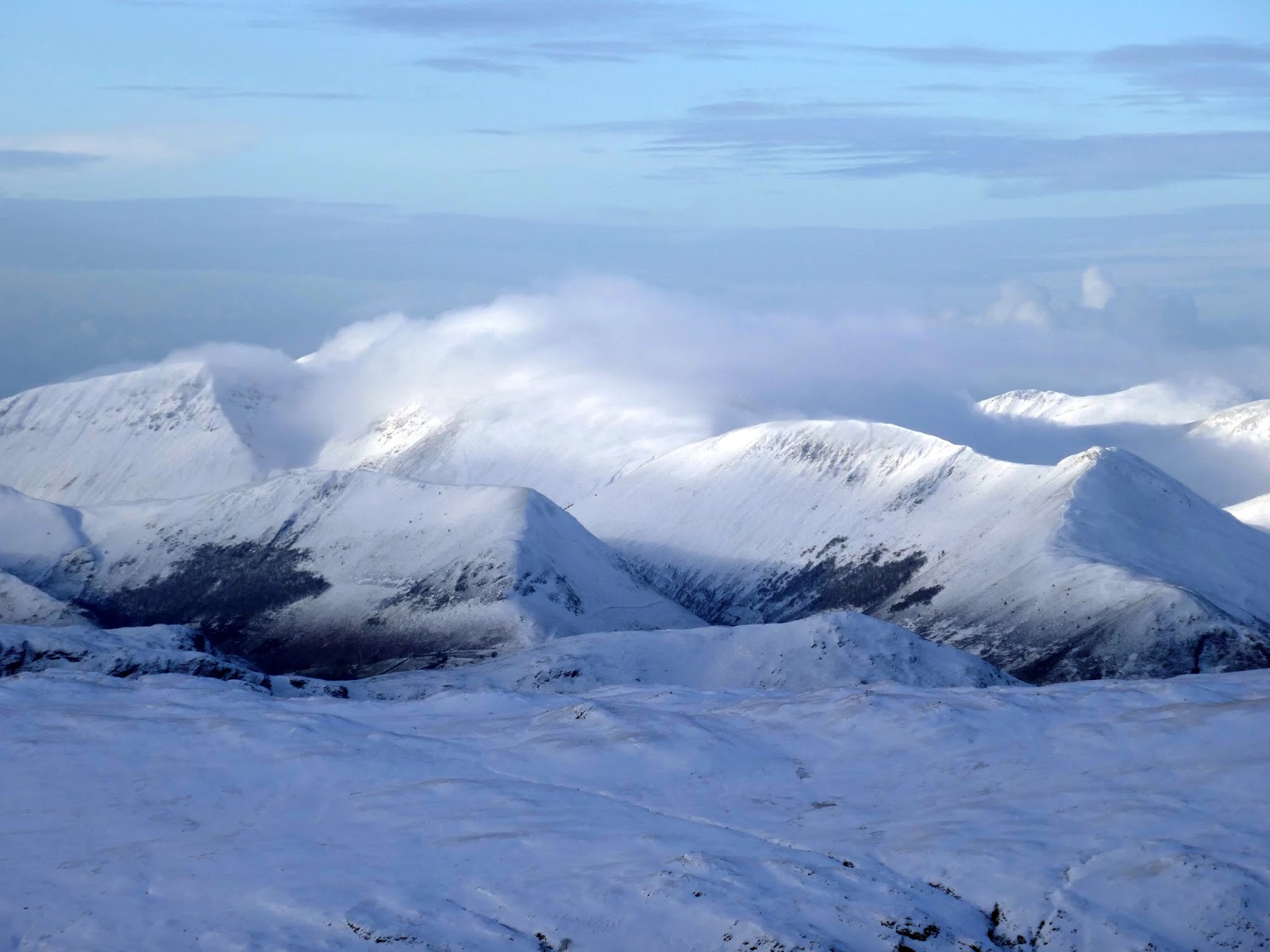
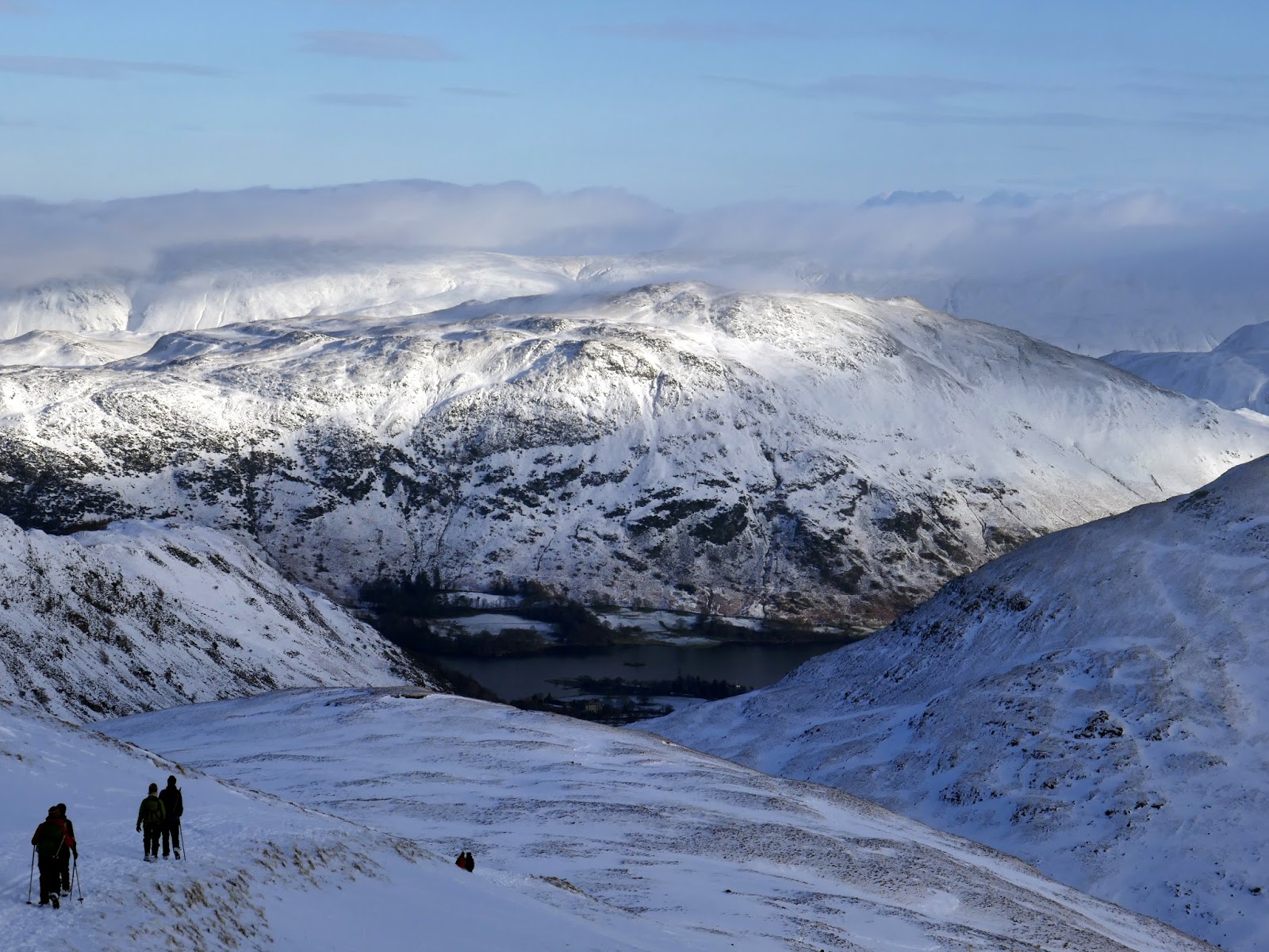
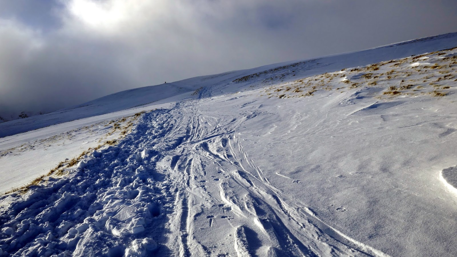
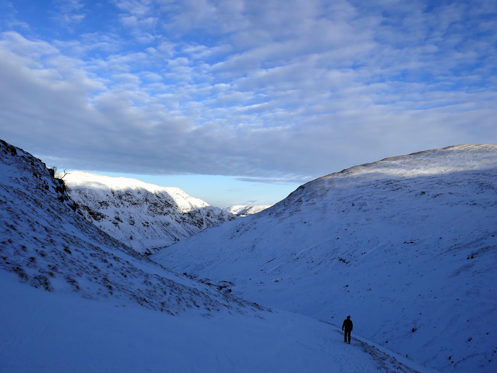
| Early morning over Glenridding |
It was a dull, cloudy and a rather benign start to the day though it was ultimately dry and due to brighten up. The path up to the hanging valley was hard work at times thanks to drifts of deep snow – luckily the five of us could take turns battering our way through the drifts.
 |
| Sticks Gill and the old Lucy’s Tongue mine |
 |
| Catstye Cam |
 |
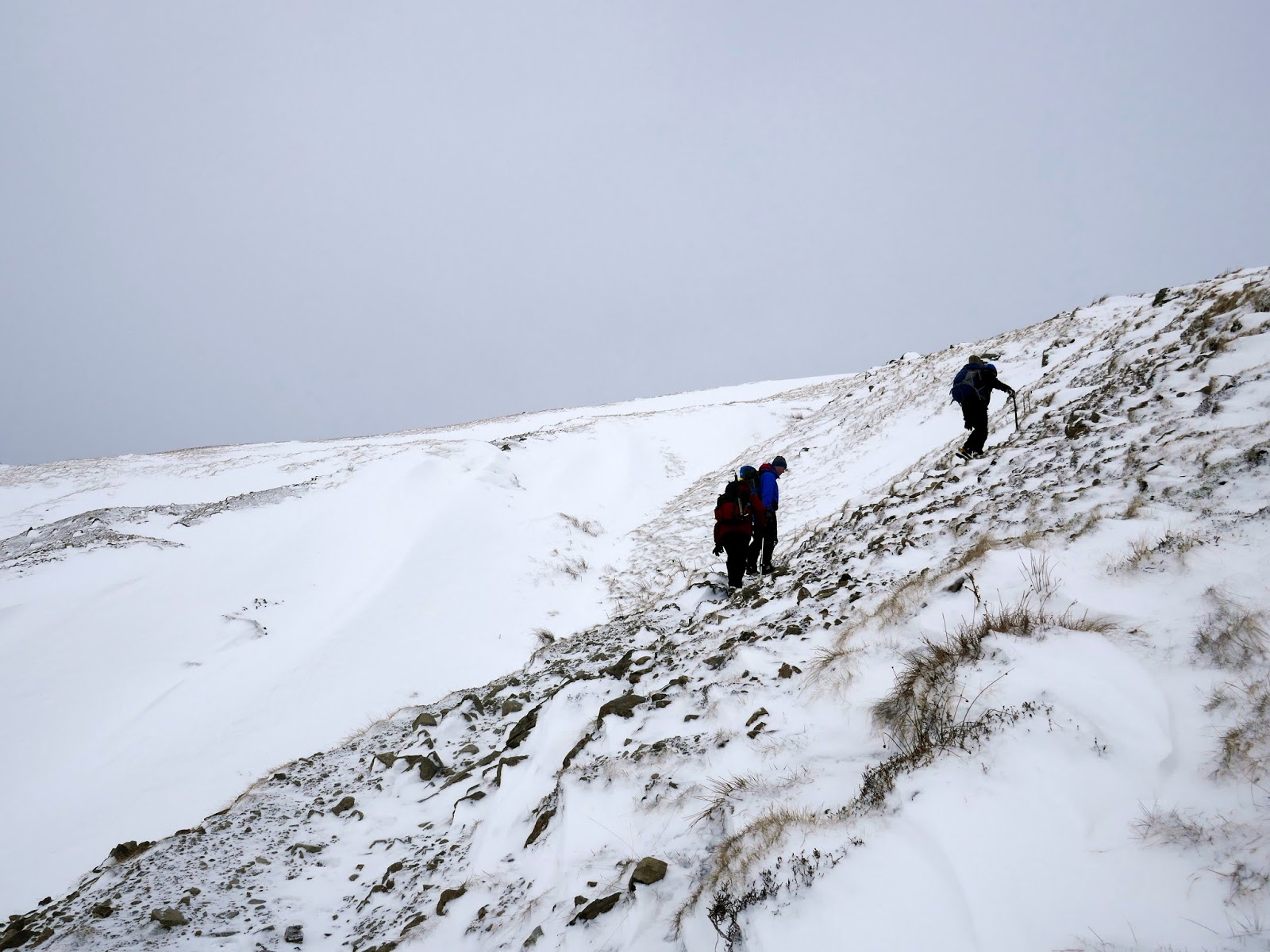
| Starting up towards the crags of Stang End |
 |
| Birkhouse Moor on the opposite side of the valley |
 |
| Below Stang End |
 |
| Glenridding Common and Catstye Cam |
 |
| The view back to Glenridding |
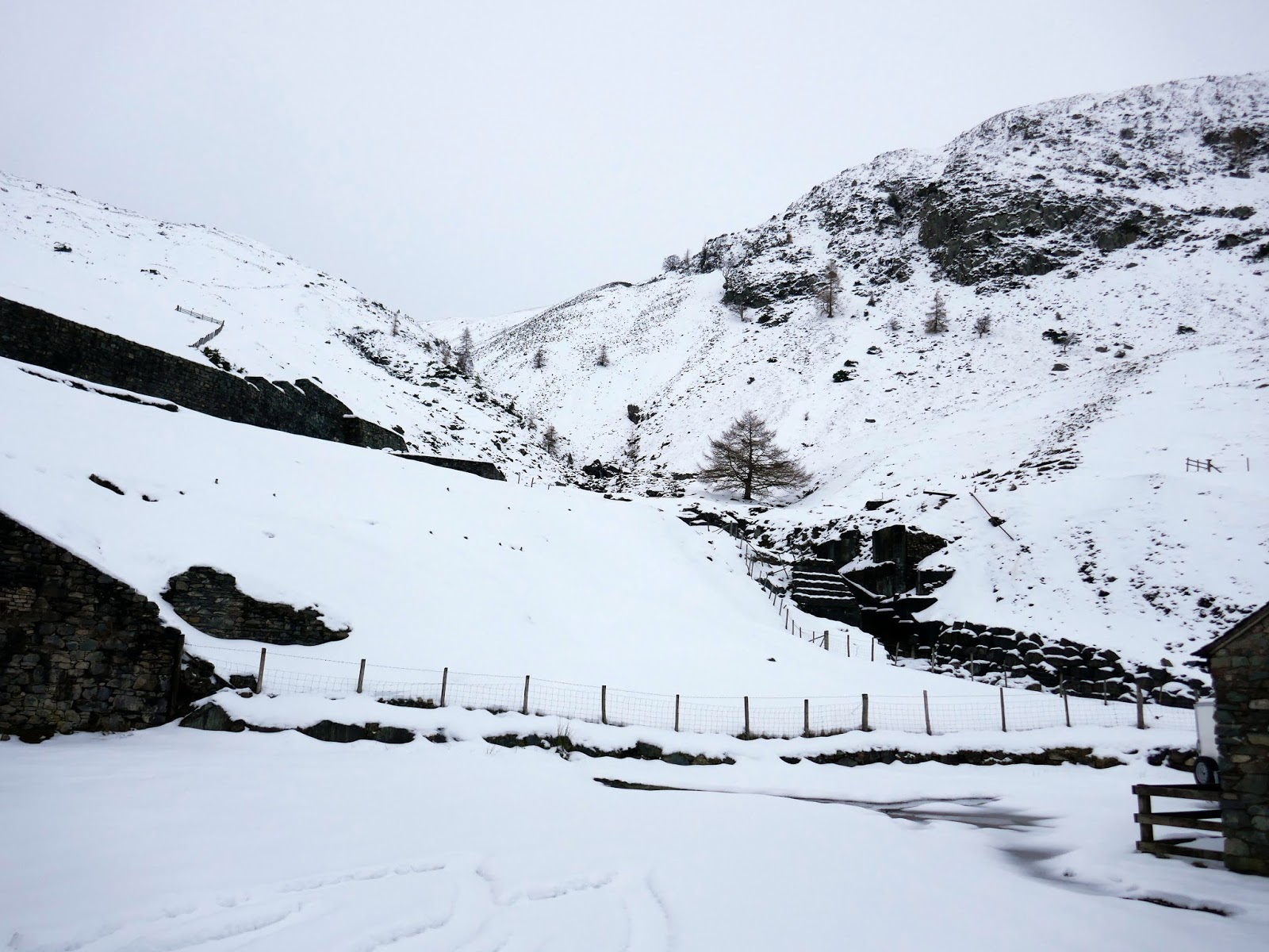
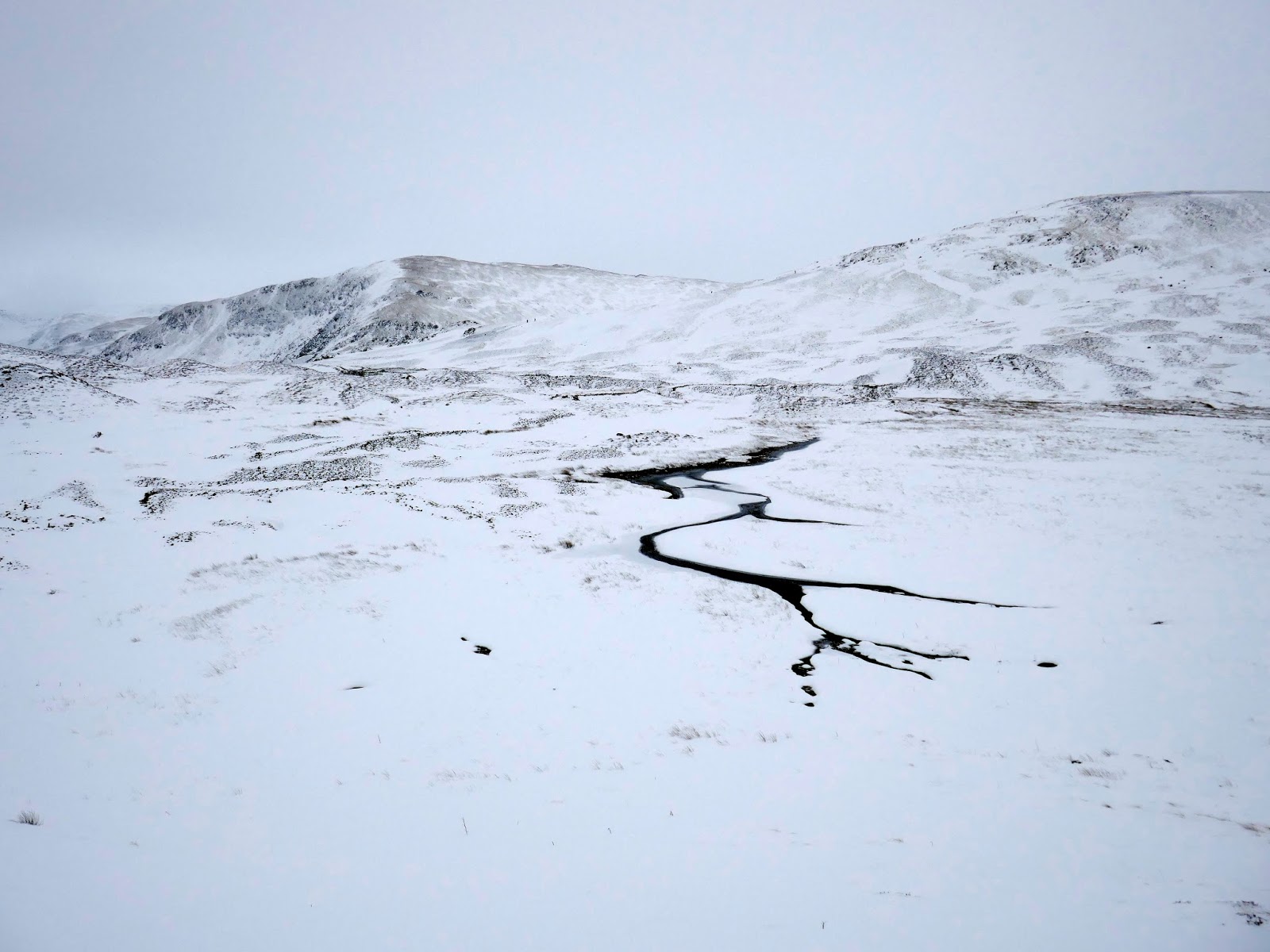
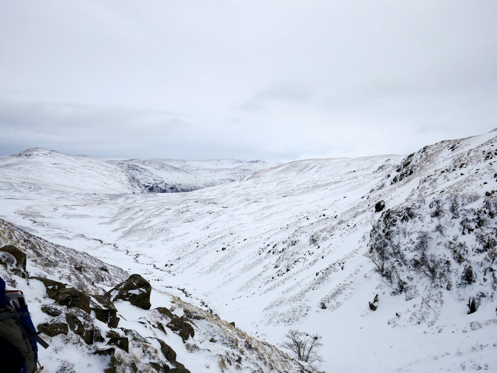
We reached the valley and paused on the spoil heaps from the disused Greenside mine, plotting our next course of action. The mines have an interesting history, particularly in the 1950s where the Atomic Weapon Research Establishment wanted to use the lower levels to test their seismic instruments using large explosions. The experiments were short-lived. You can read all about them here.
 |
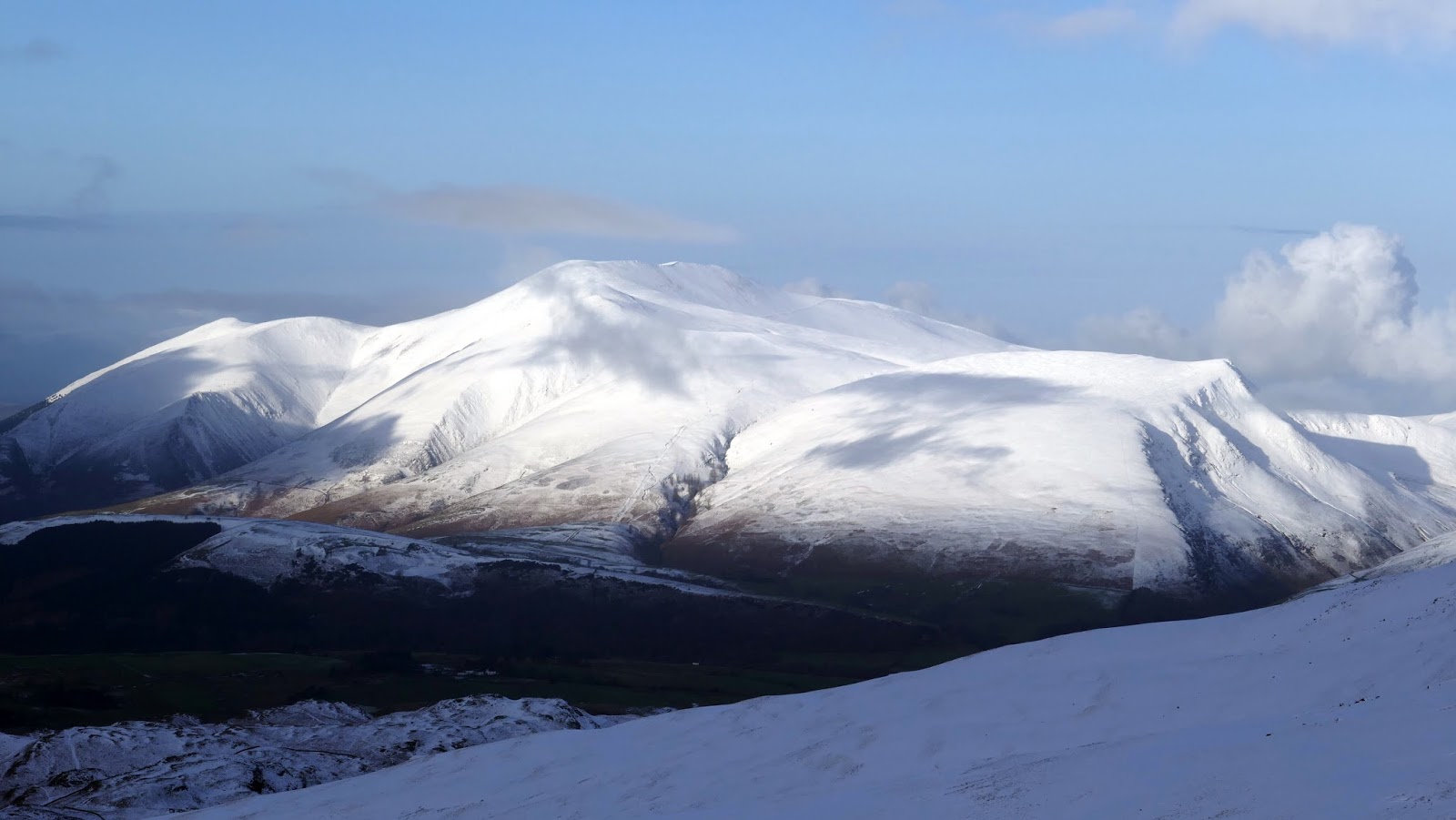
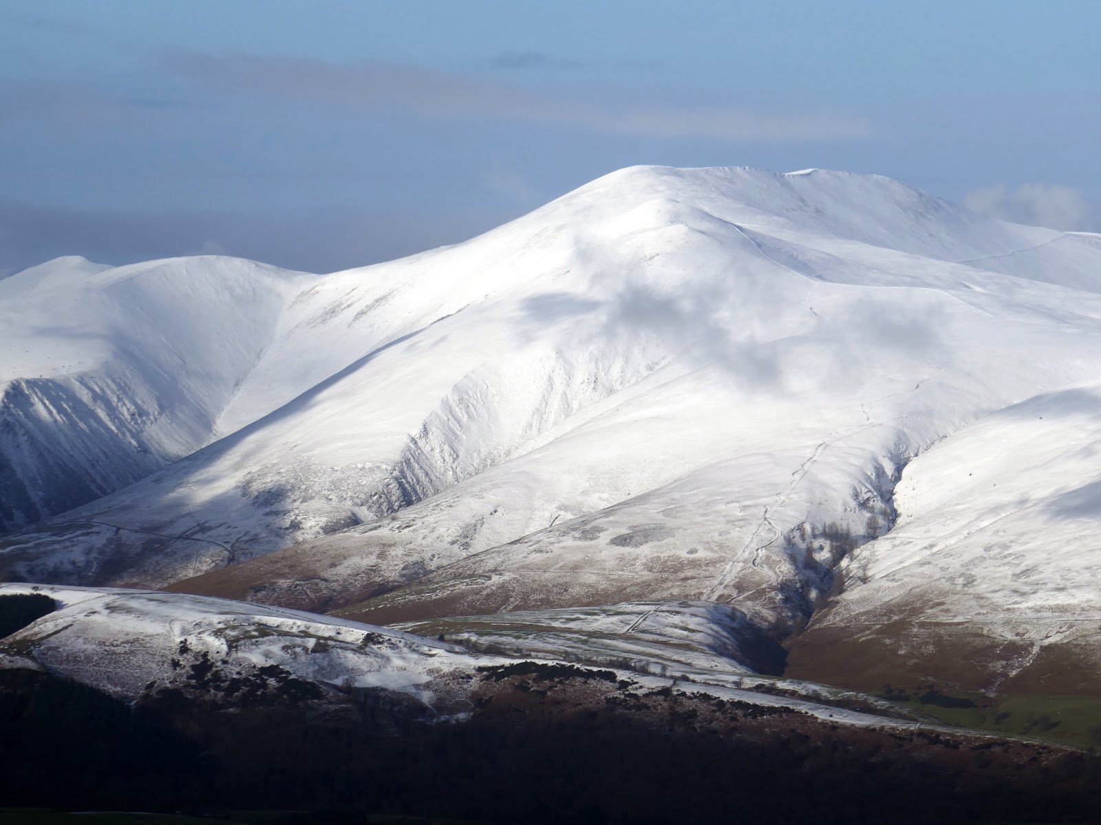
| Brock Crags, Gray Crag and High Street |
 |
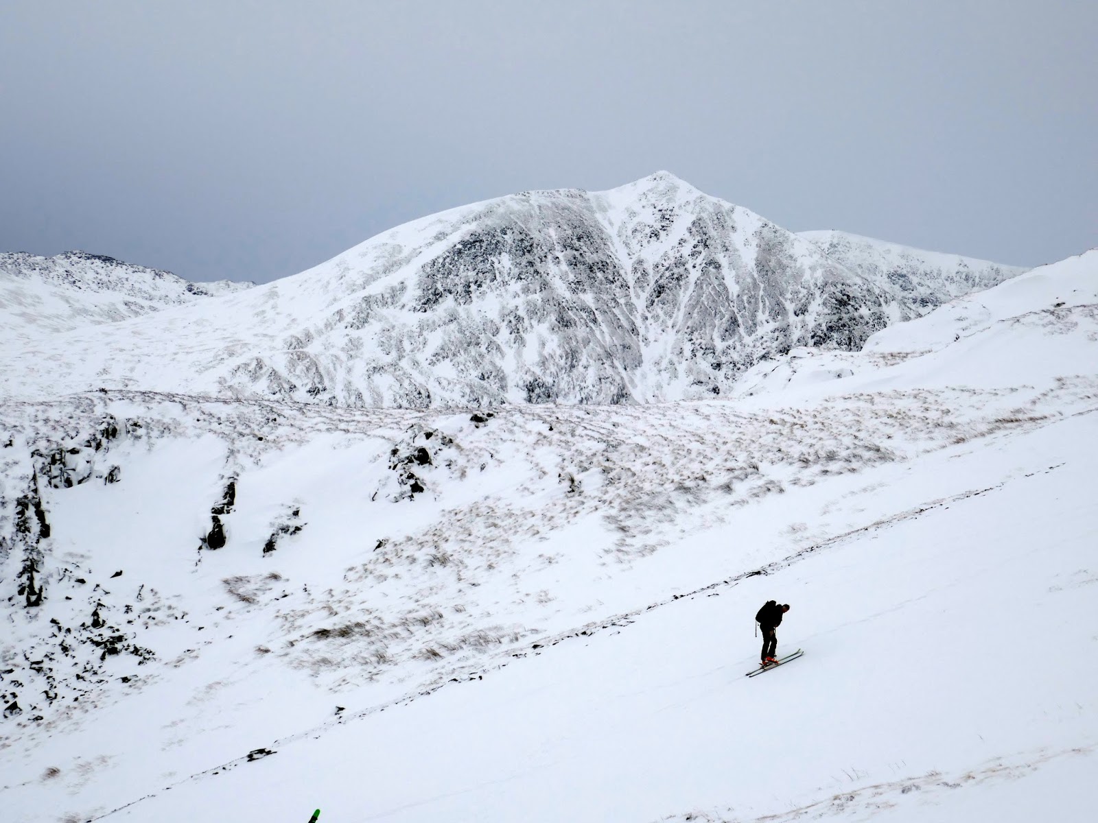
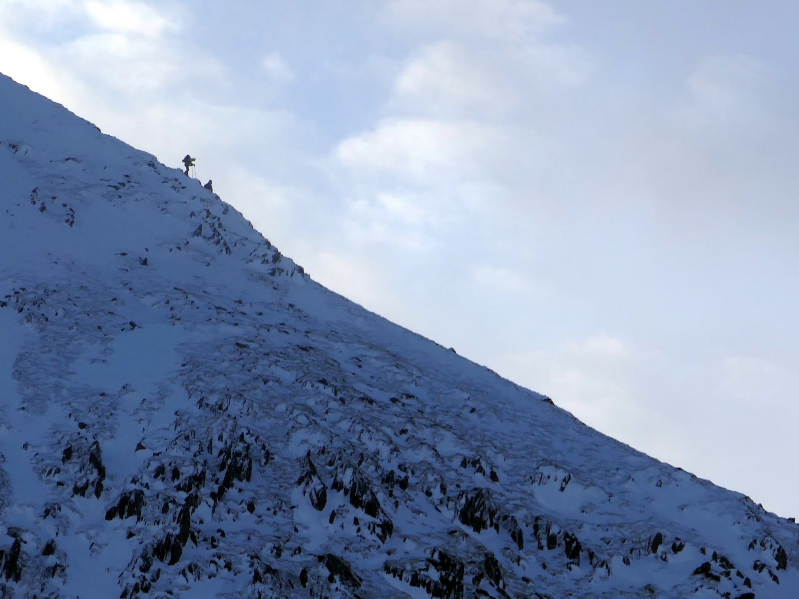
| A skier makes their way up the slopes above Stang End |
 |
| Green Side and White Stones |
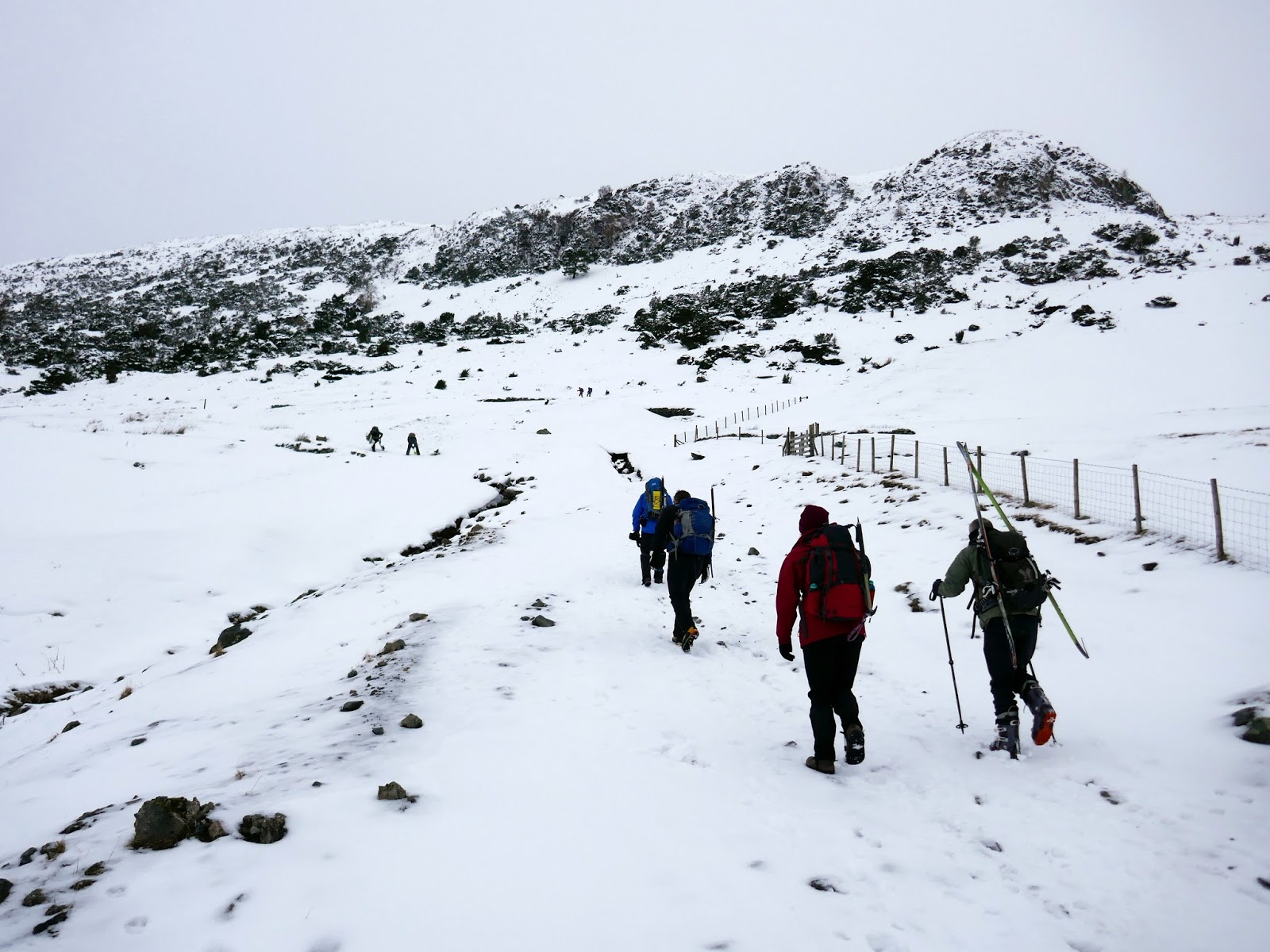
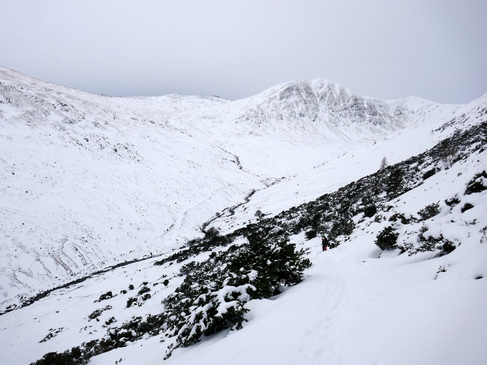
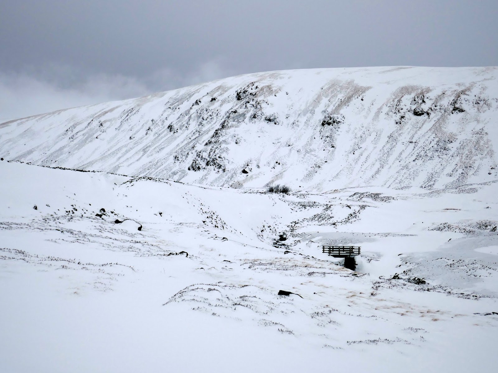
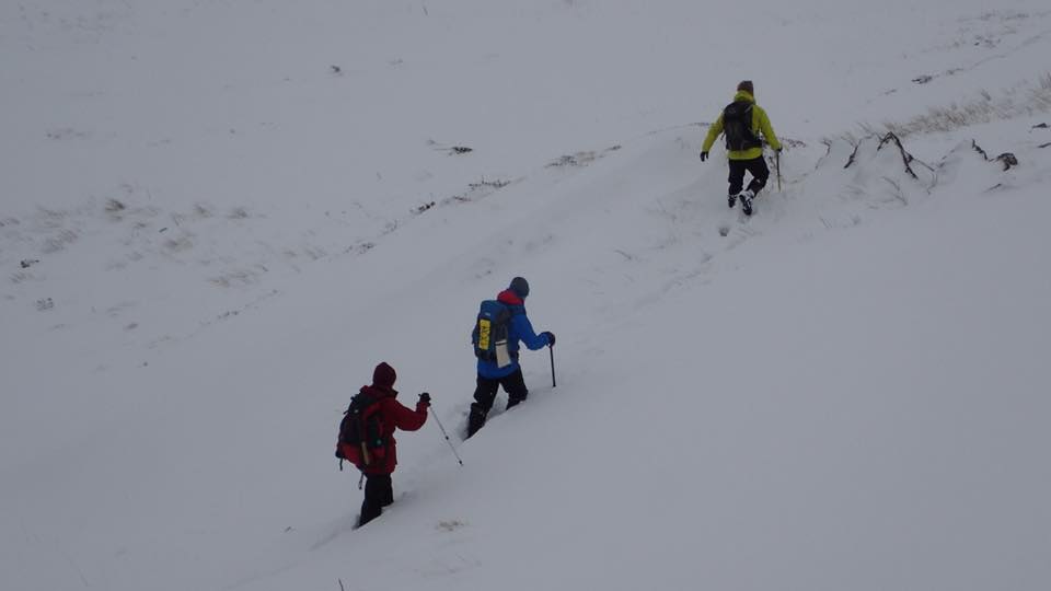
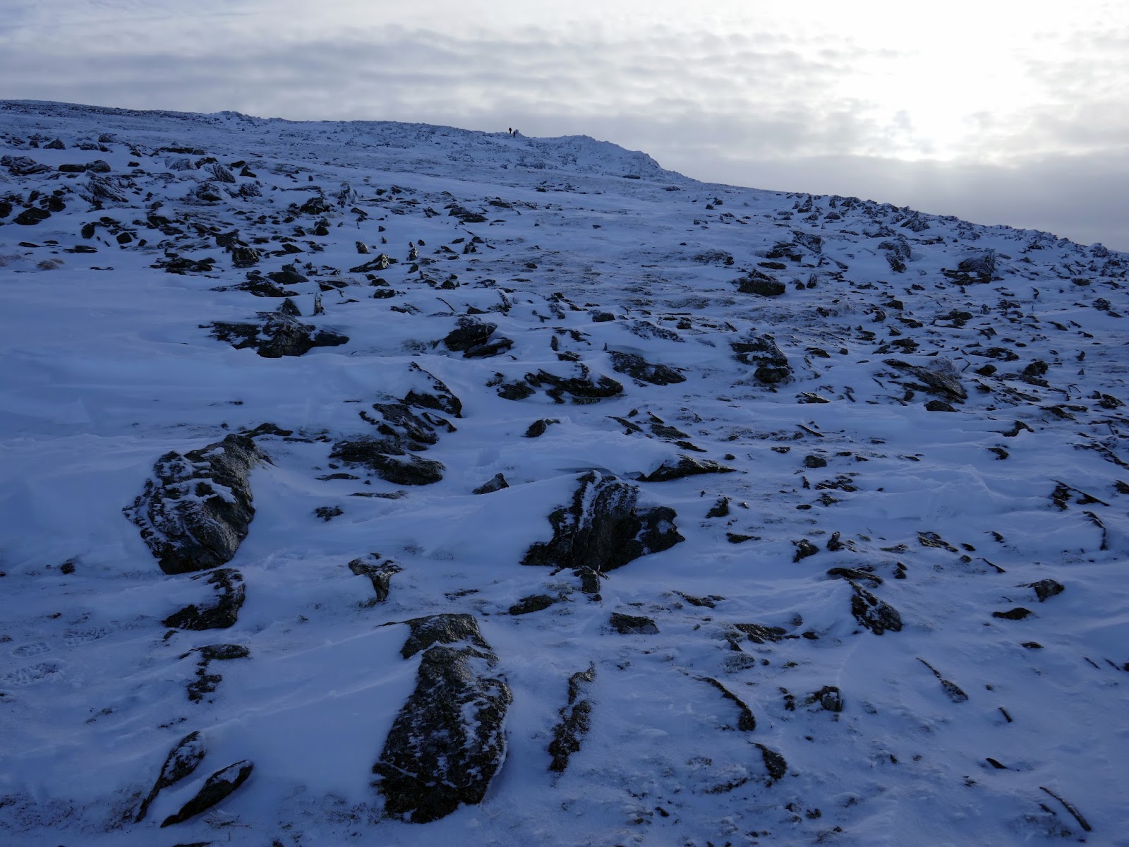
The path, largely buried by snow, skirts the north side of the valley and we followed it as best we could, often having to wade or crawl through waist-deep drifts of snow. It was tiring work. Ultimately we decided to deviate from the path and climb up the slope to reach the ridge line which we hoped would provide an easier alternative.
 |
| Sticks Gill |
 |
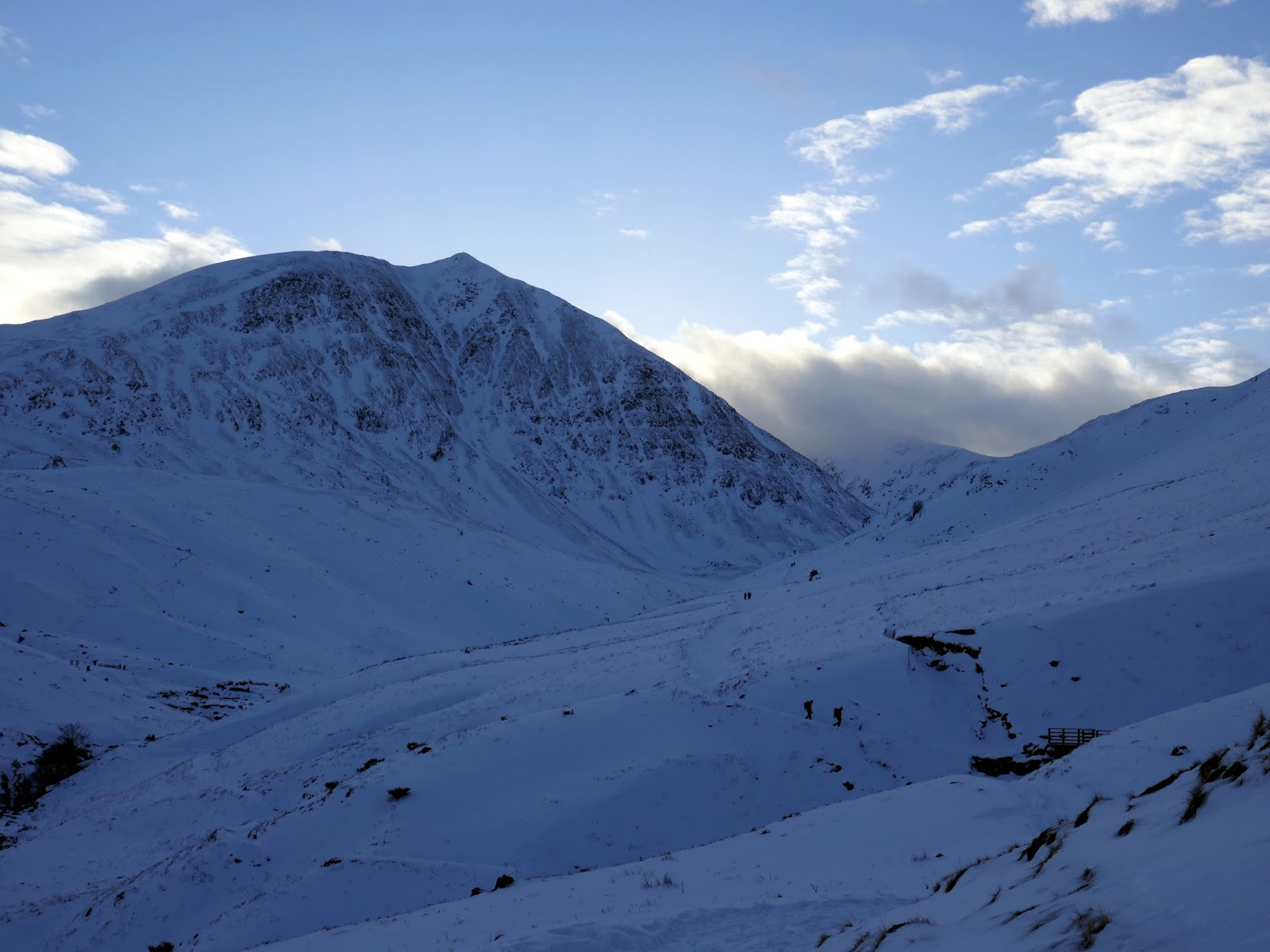
| Raise |
 |
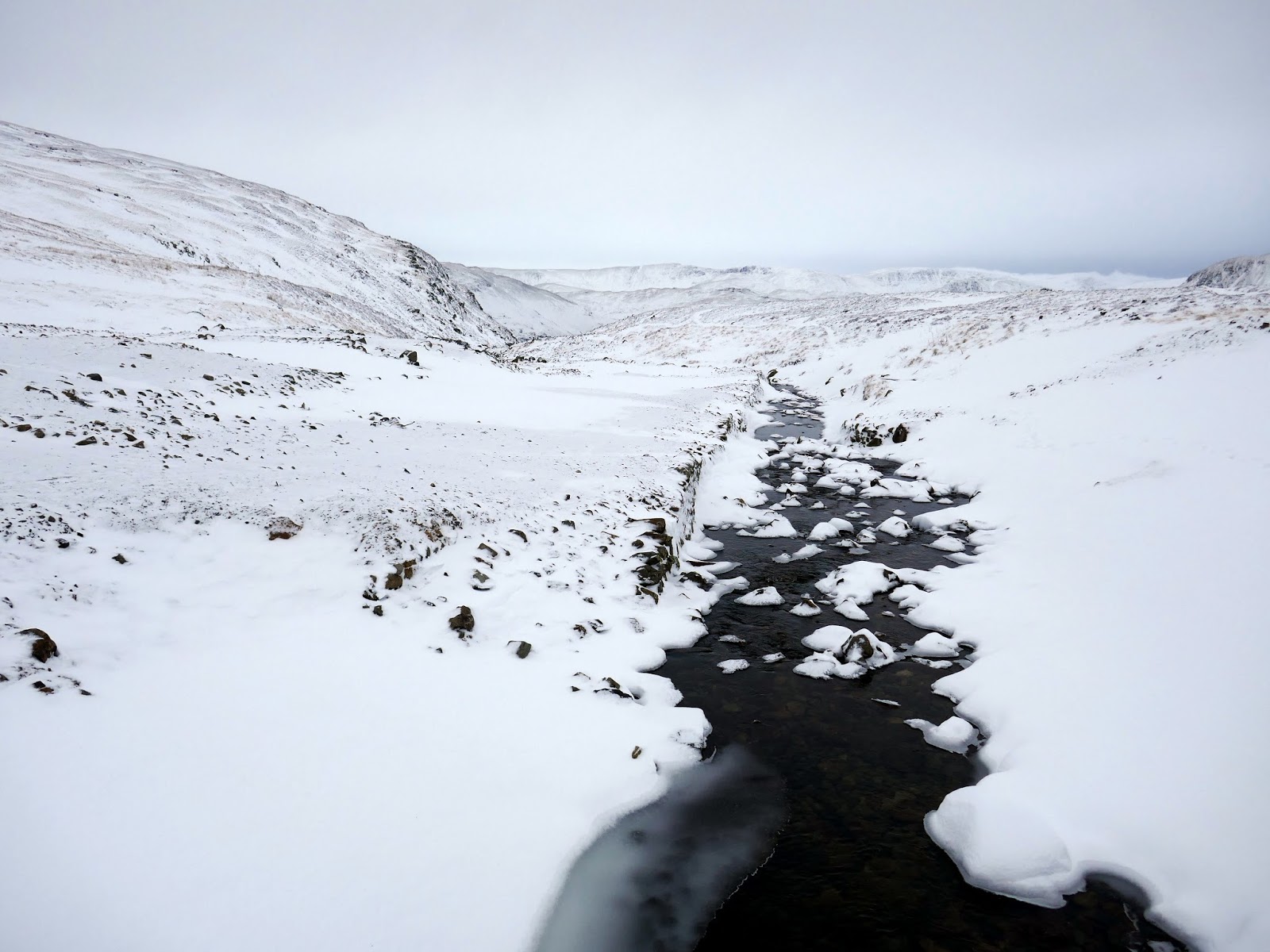
| The path alongside Sticks Gill |
 |
| Sticks Gill |
 |
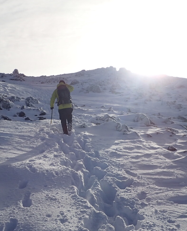
| I take my turn to lead – that’s me in yellow |
 |
| Sheffield Pike and Stang End |
 |
| Climbing out of the valley |
 |
| Above Sticks Gill |
 |
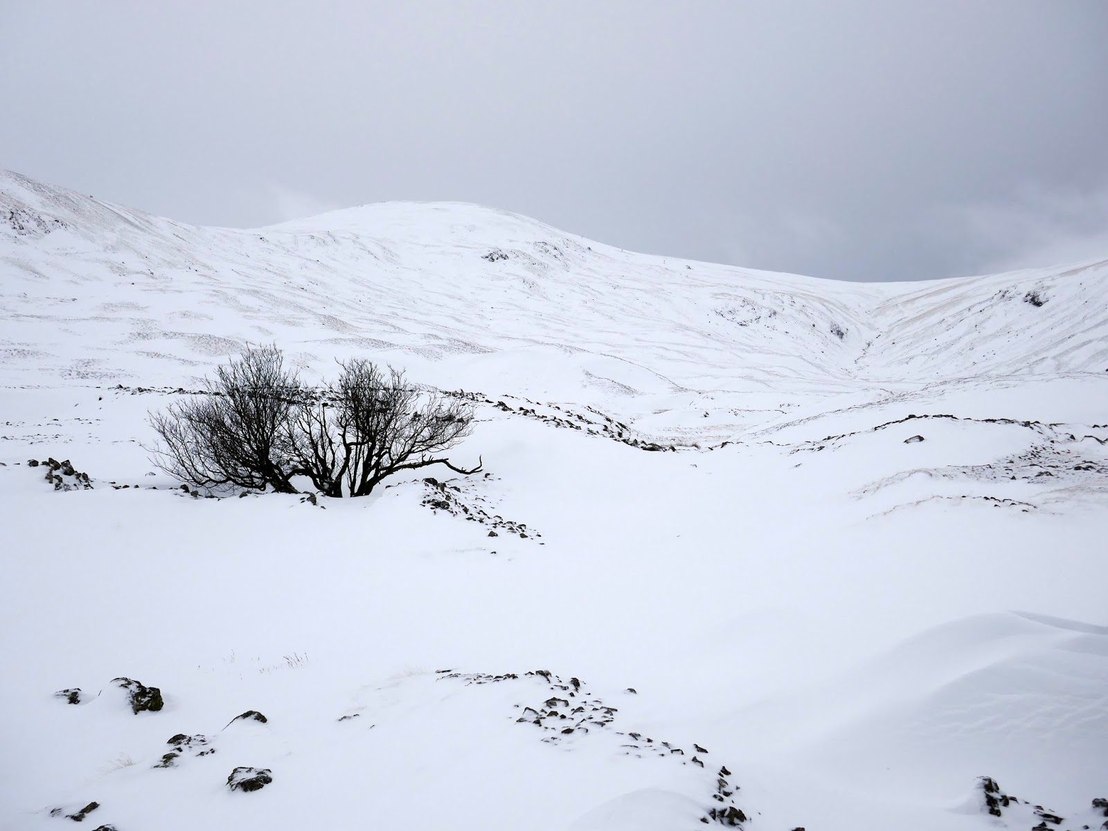
| Sun starts to poke out over White Stones |
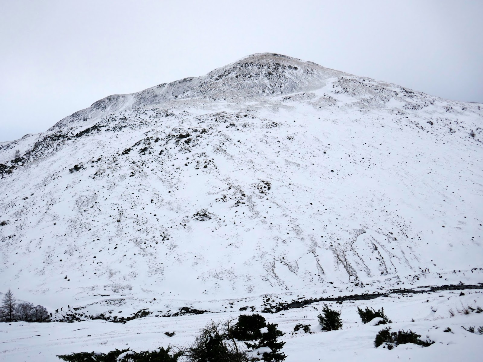
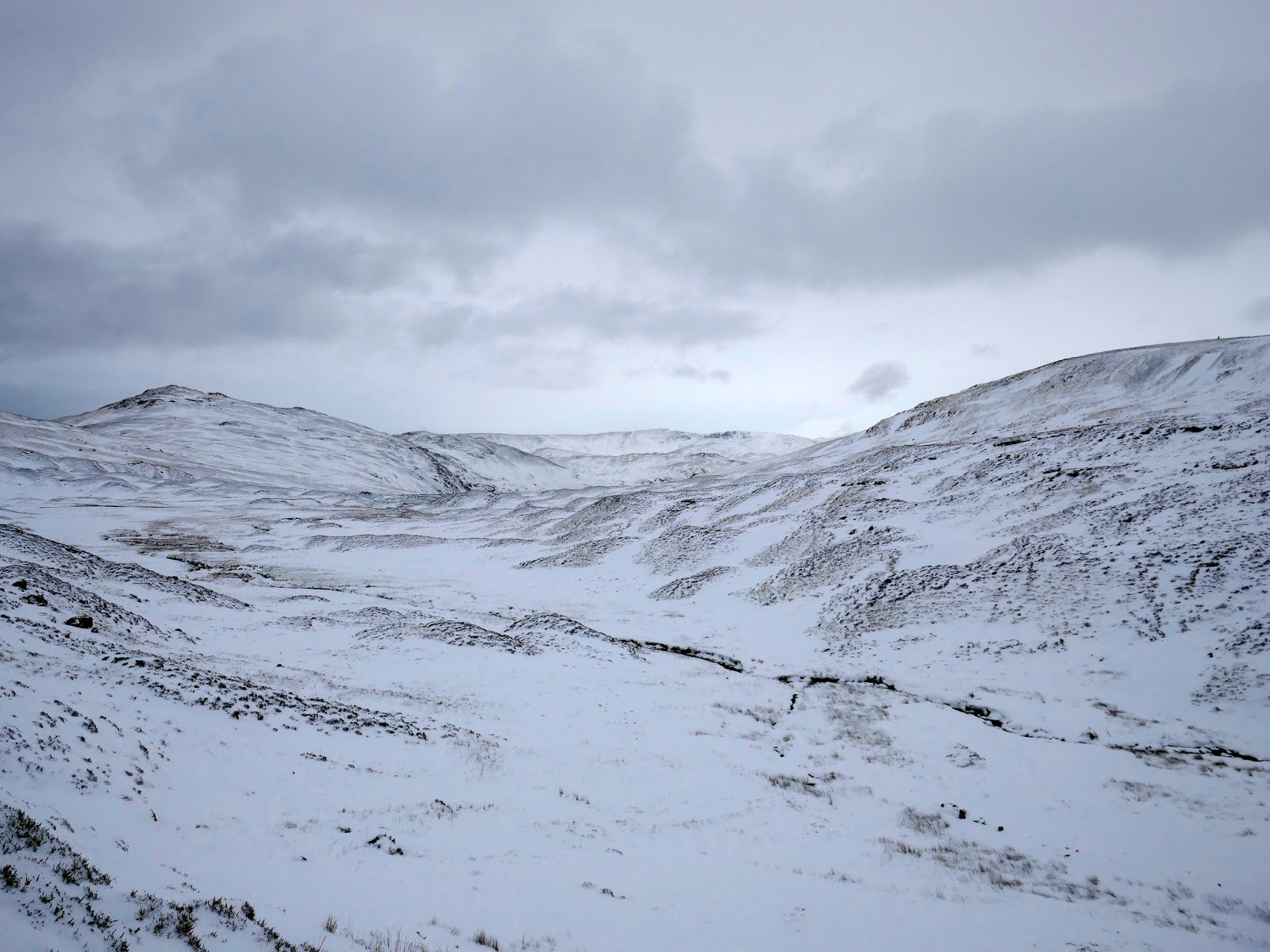
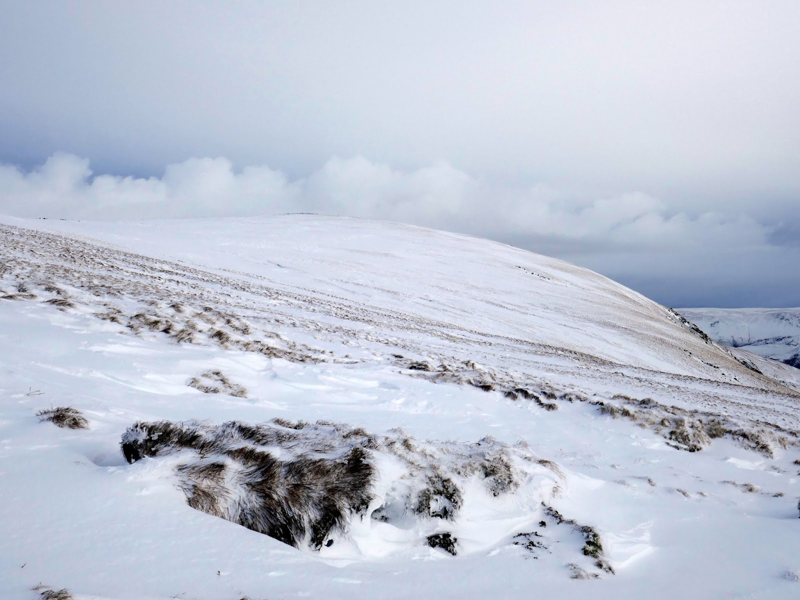
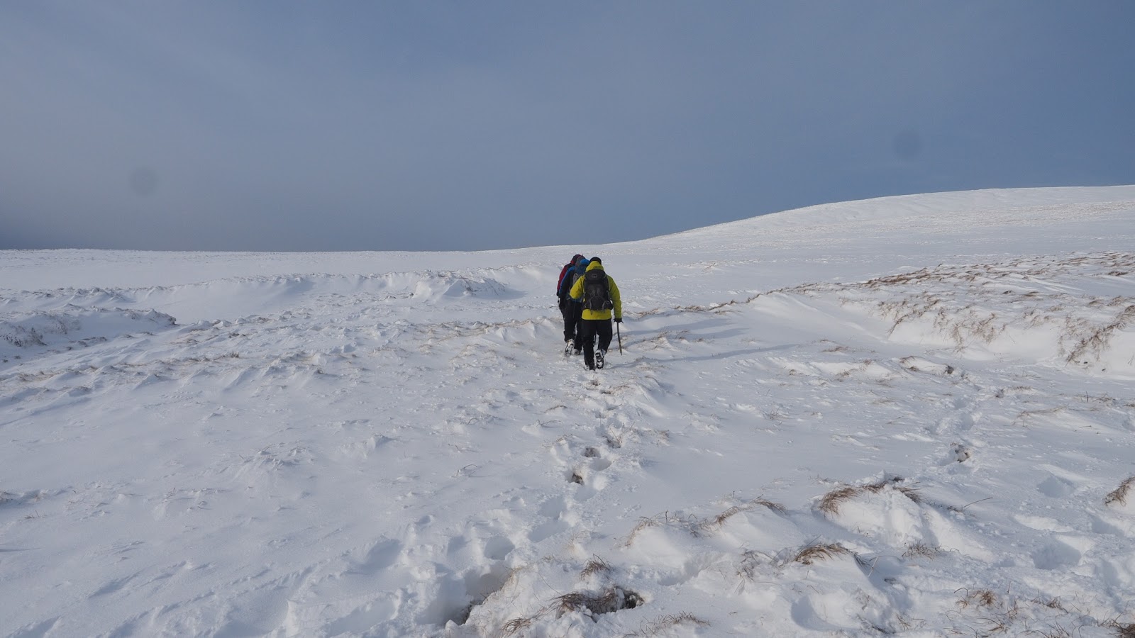
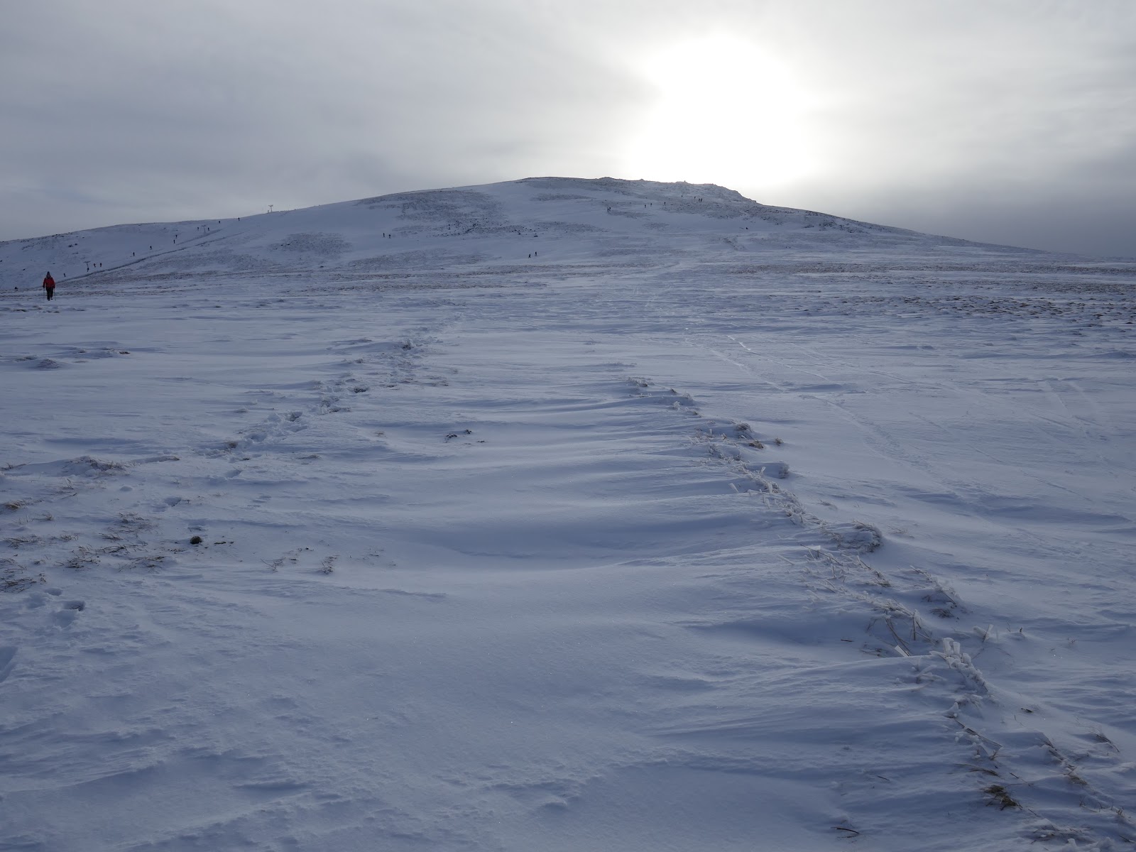
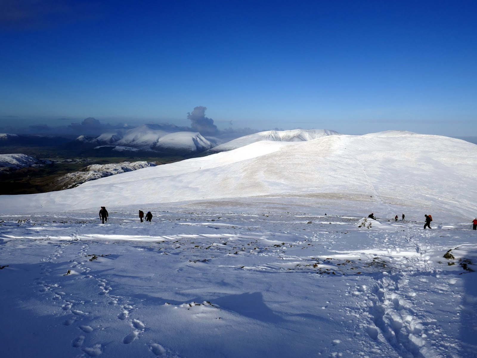
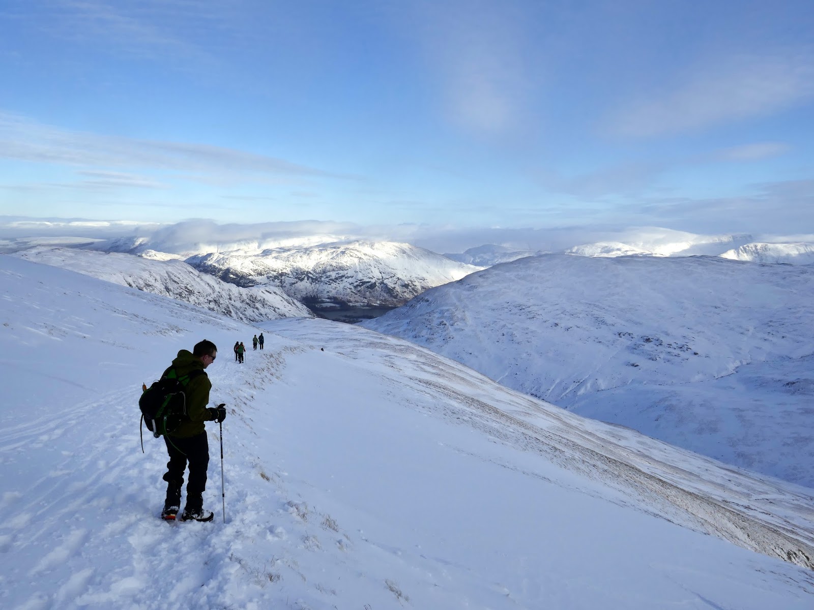
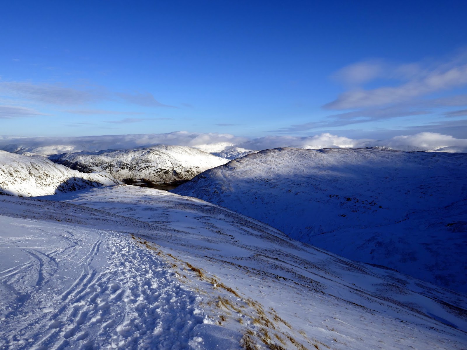
By the time we reached the saddle between Green Side and Raise the sun had started to poke through, illuminating the fells all around. Thankfully, the ridge did provide easier walking and it was not long before we were at Stick Pass, one of the highest foot passes in the Lake District.
 |
| Heading for Stick Pass |
 |
| Sun breaks through over Raise |
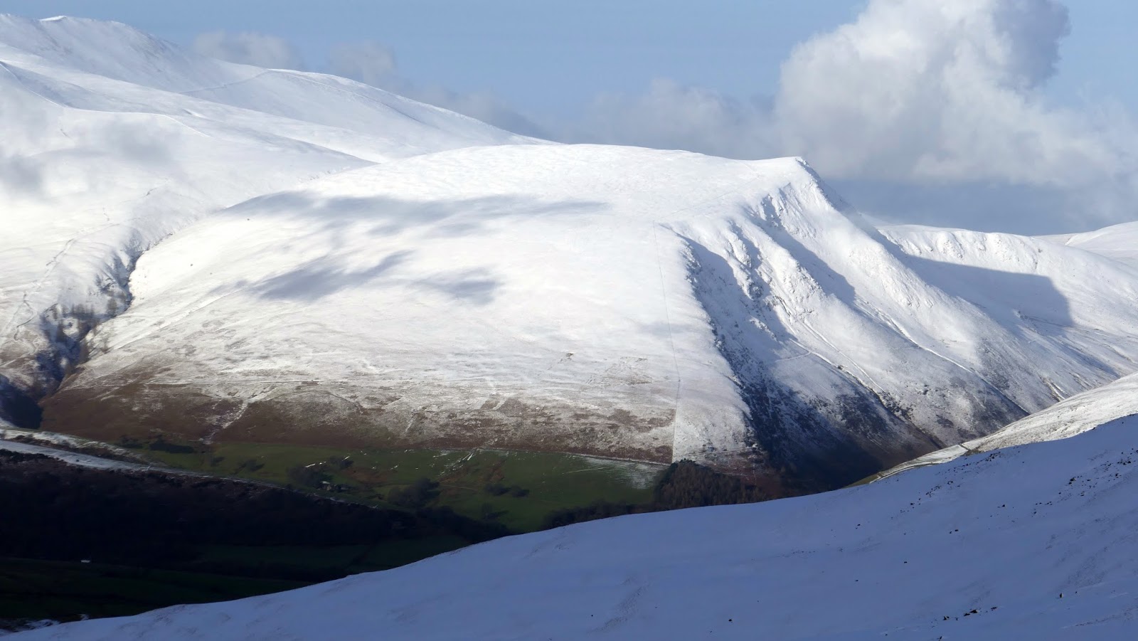
 |
| Layered fells – Birkhouse Moor, Brock Crags, Gray Crag and High Street |
 |
| Raise |
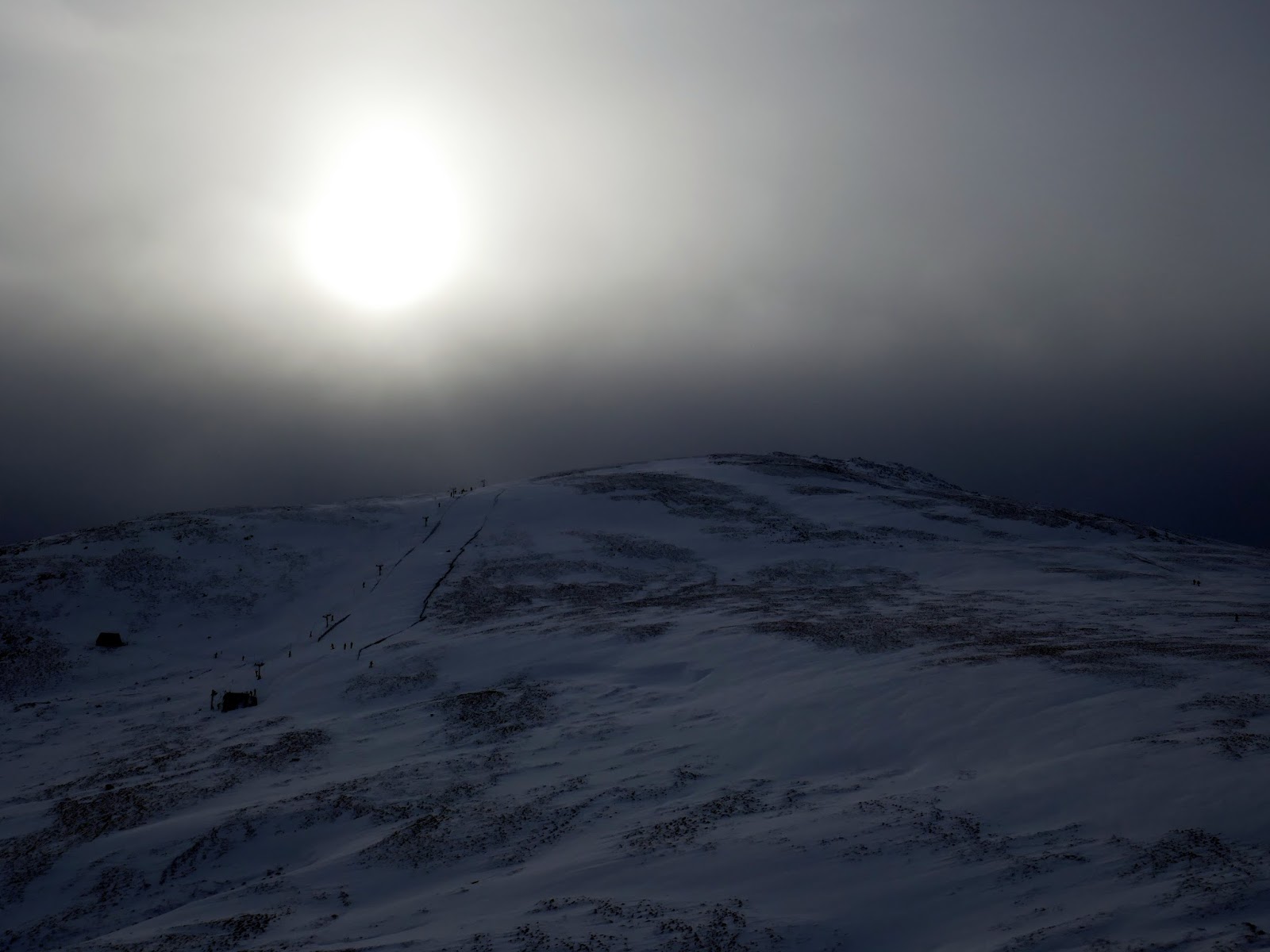
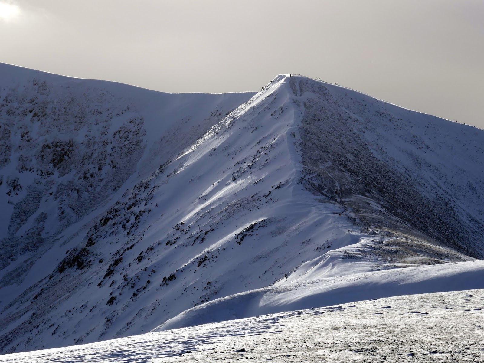
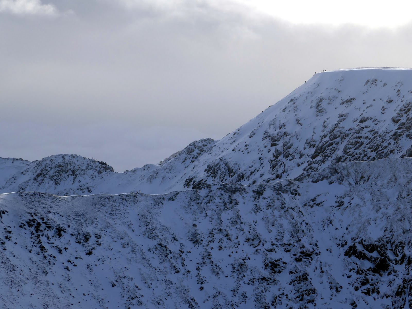
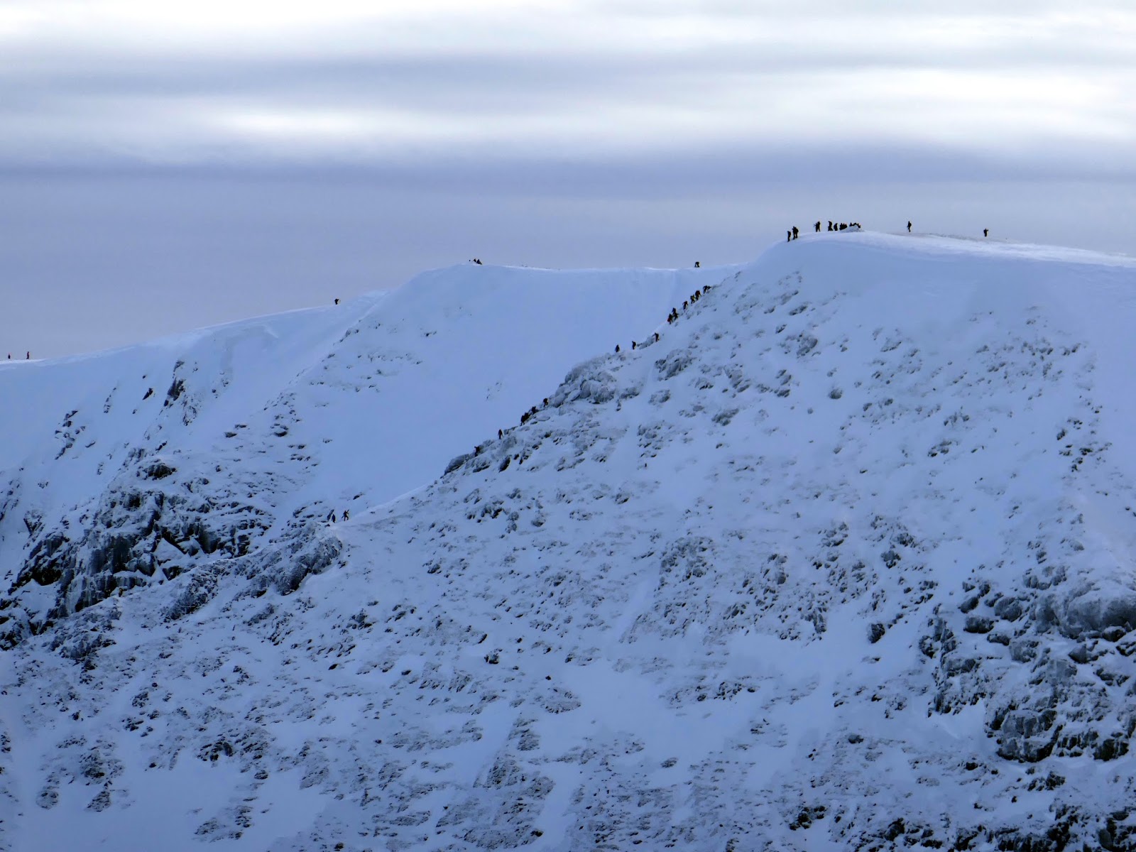
Clearly, we weren’t the only ones who had banked on fine weather – hundreds of people were out in force, including a large number of skiers enjoying the Lake District’s only ski-tow on Raise. Unsurprisingly, Helvellyn was swarming with people.
 |
| Sticks Pass |
 |
| Skiddaw and Lonscale Fell |
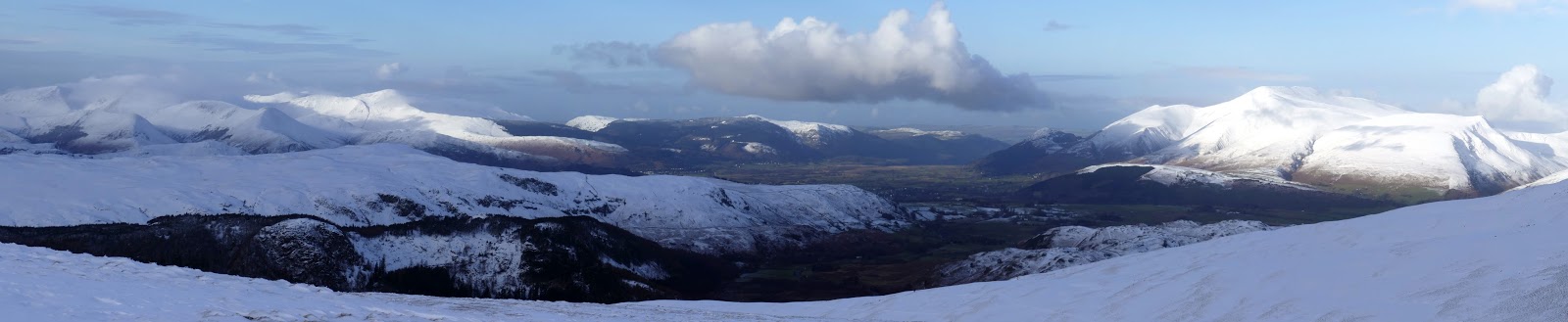
 |
| Panorama from Sticks Pass – St. John’s in the Vale |
 |
| Lonscale Fell |
 |
| Skiddaw |
 |
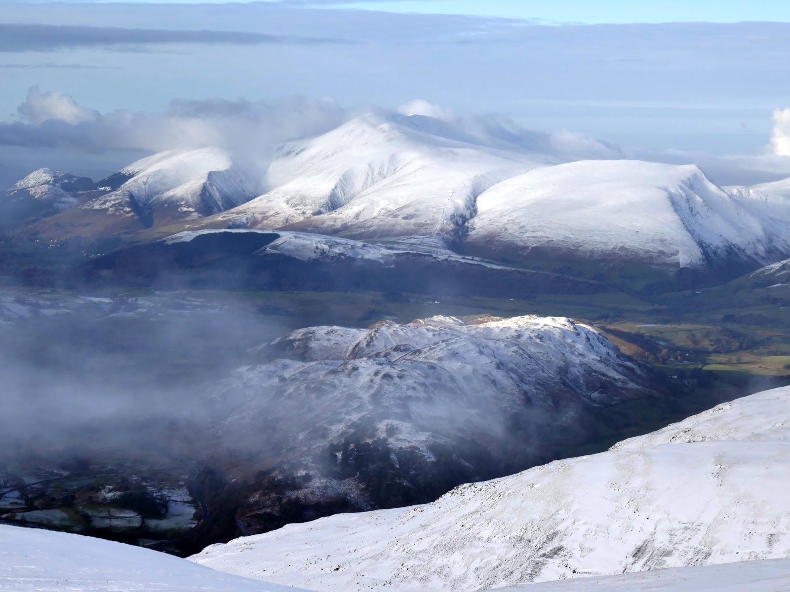
| Ard Crags, Causey Pike and Scar Crags |
 |
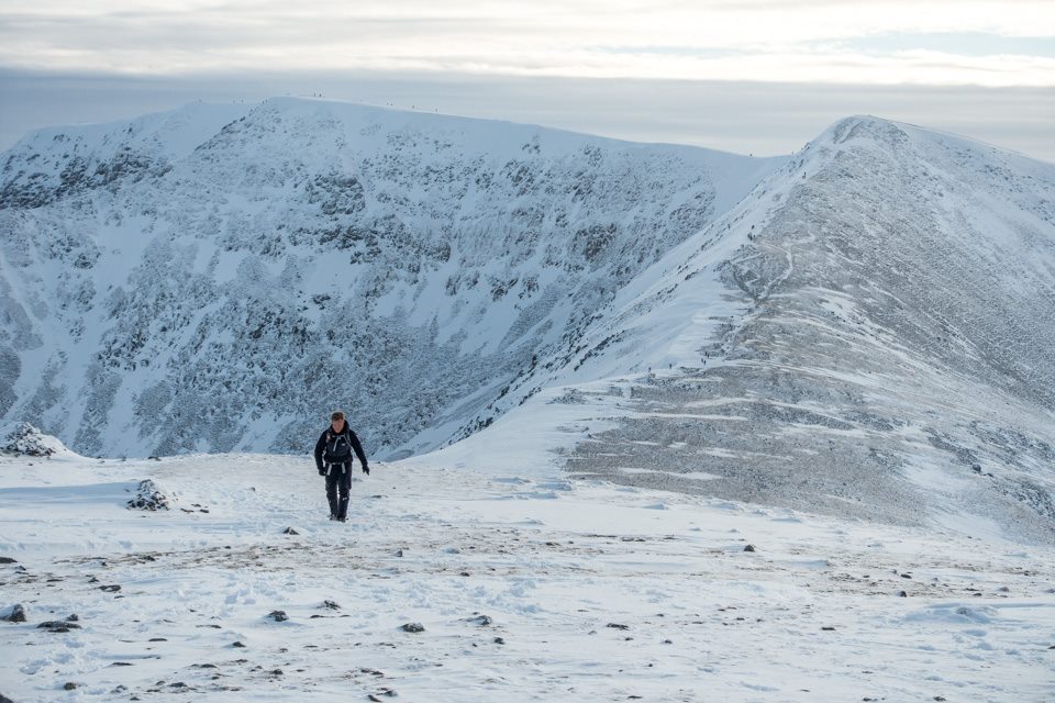
| Raise |
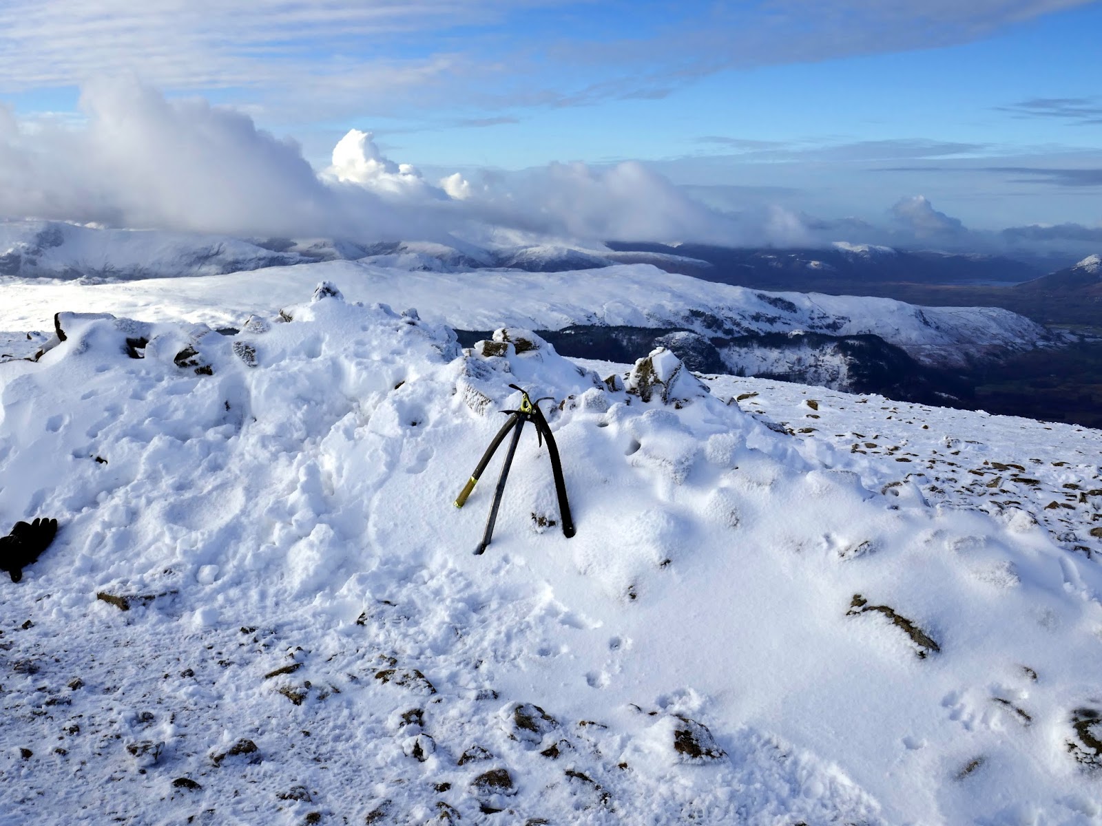
The climb up to Raise gave us the opportunity to don our crampons, more so to get a feel for using them again but also to make climbing the odd icy section much easier.
 |
| Climbing to Raise’s summit |
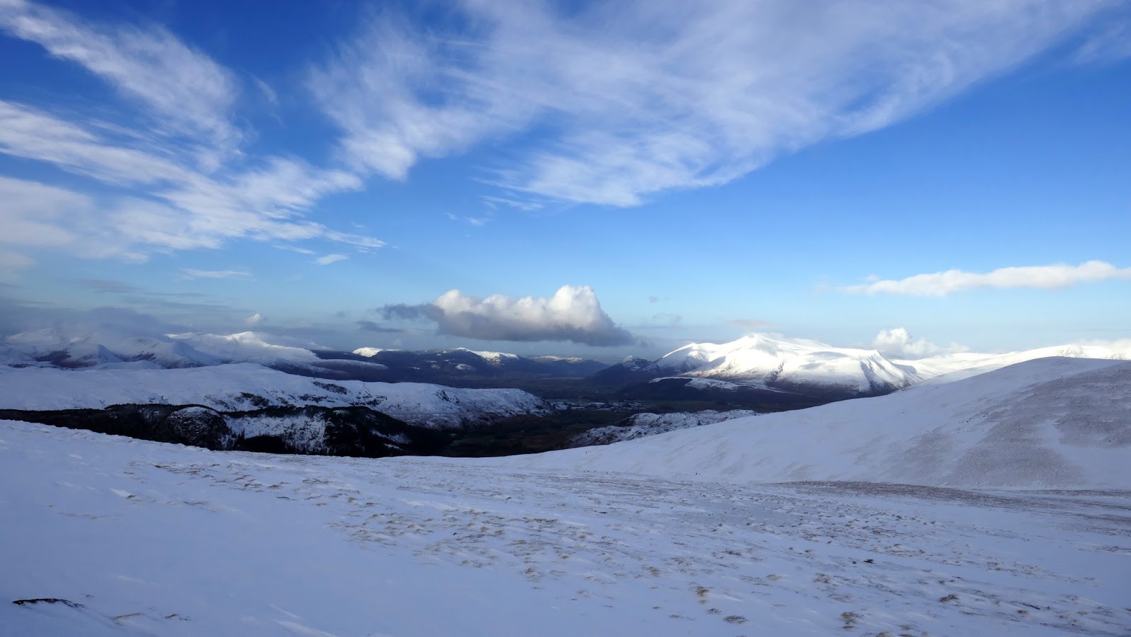
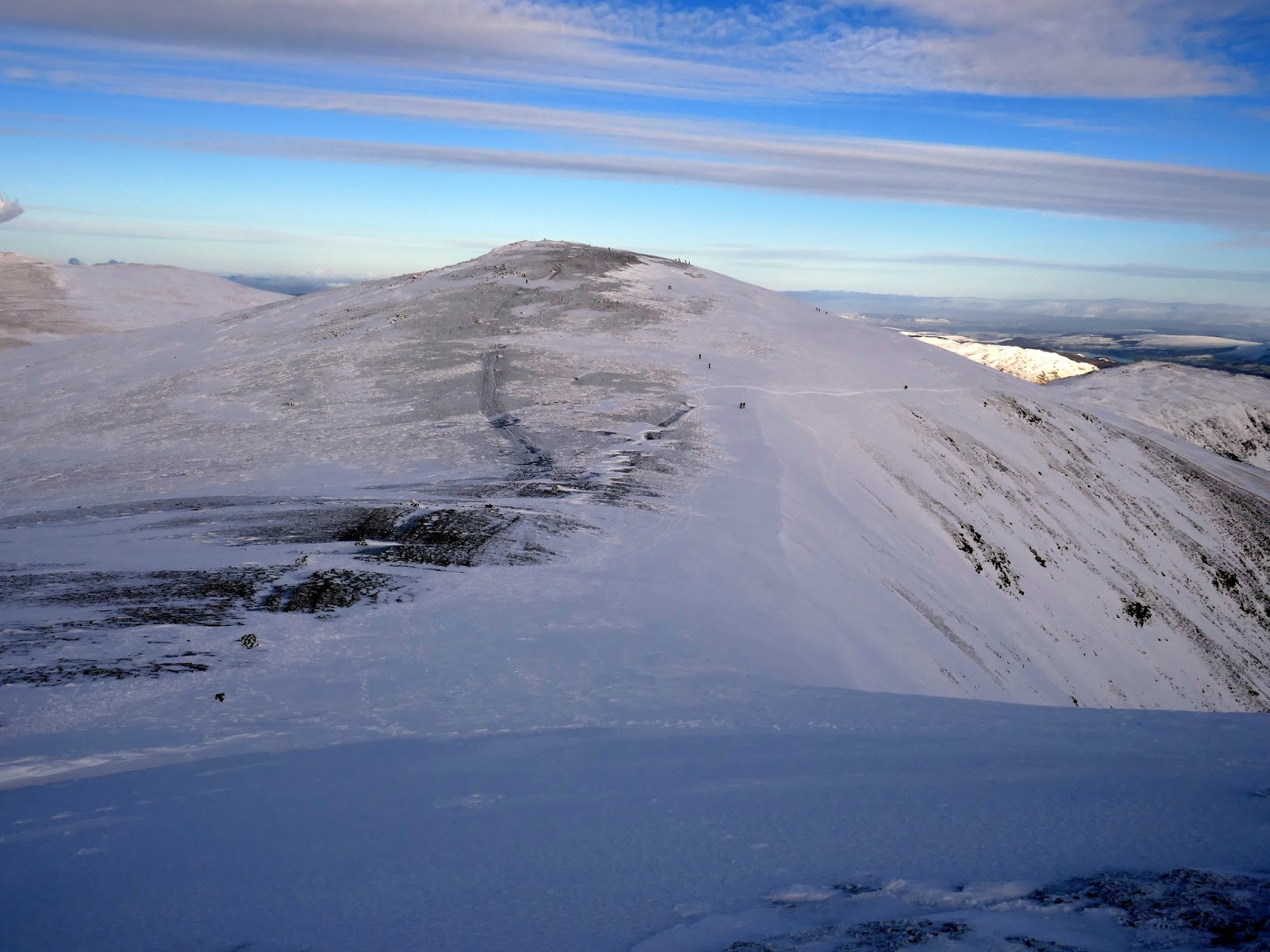
The views from Raise were sublime, especially now that the majority of the cloud had broken up. It was easy to forget the deep drifts and hard work we experienced earlier in the day.
 |
| Sticks Pass and Stybarrow Dodd |
 |
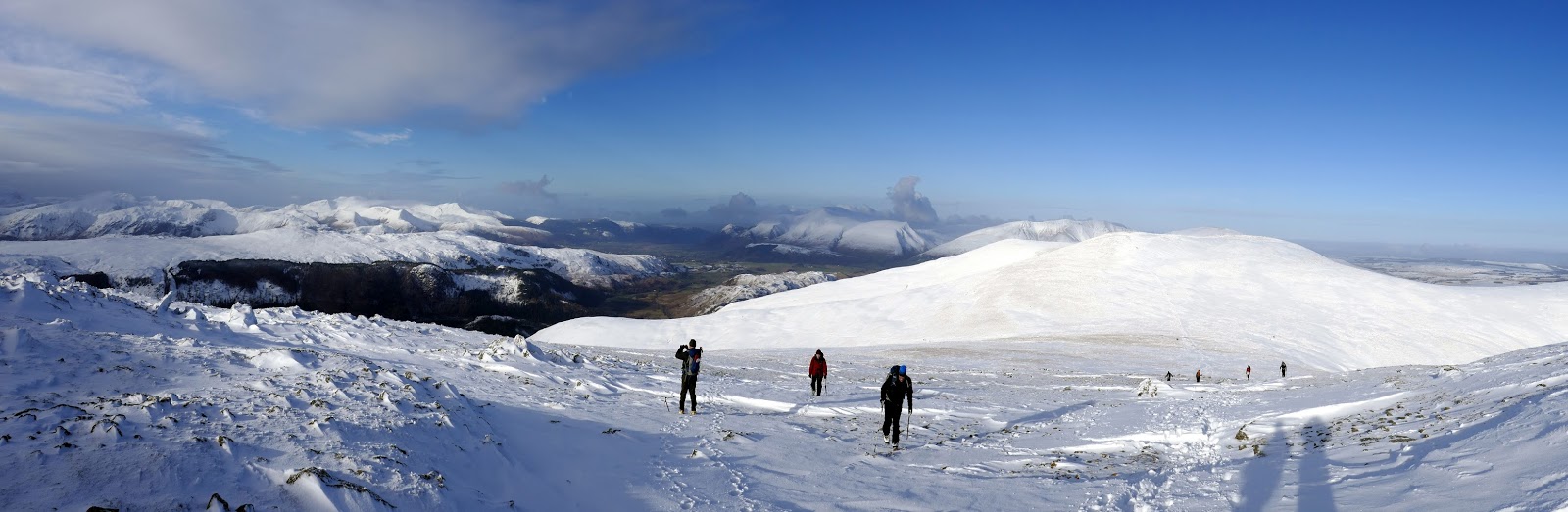
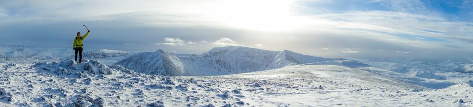
| Panorama from Raise |
 |
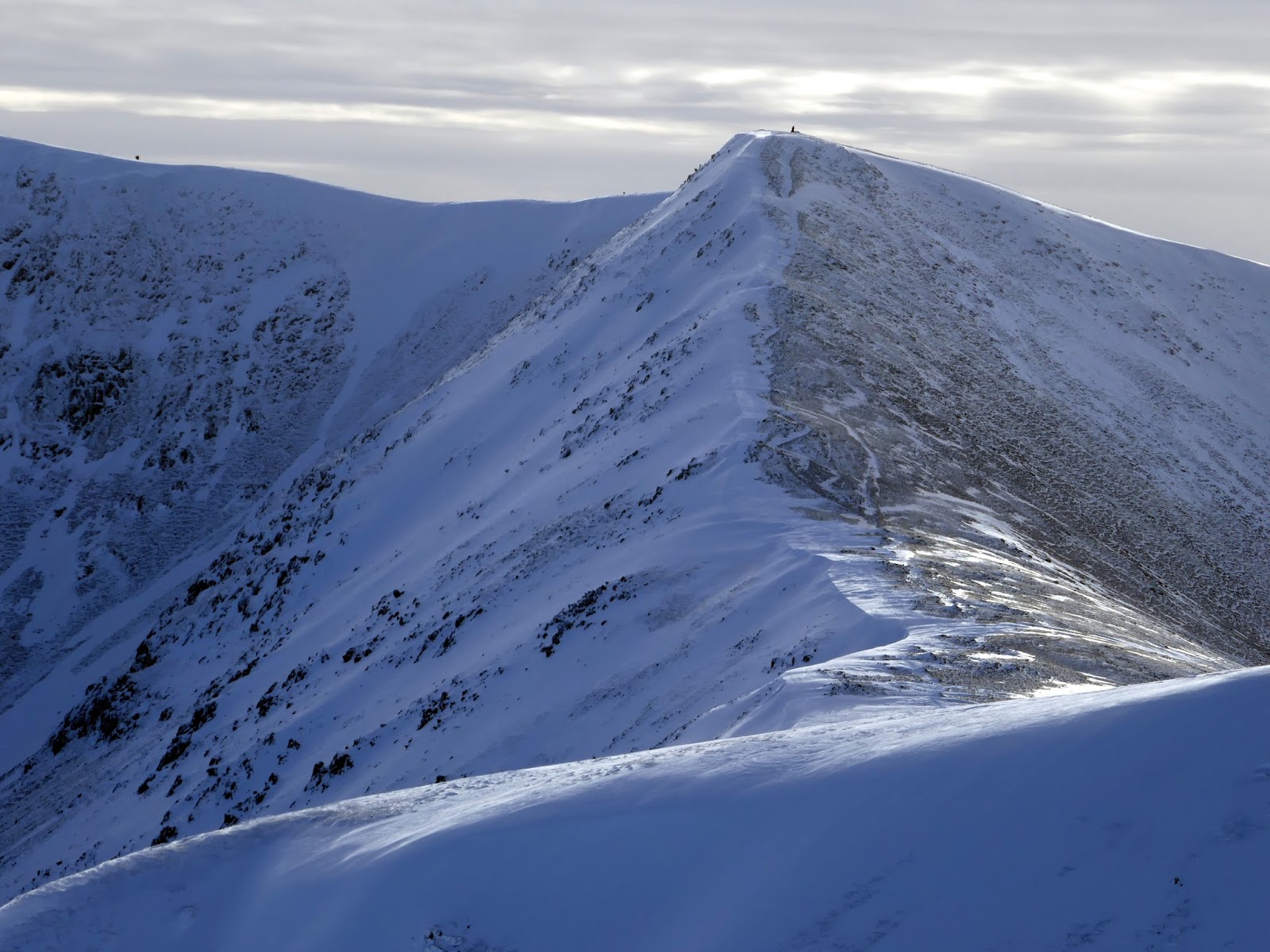
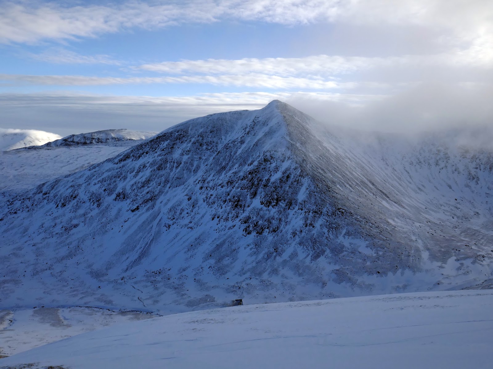
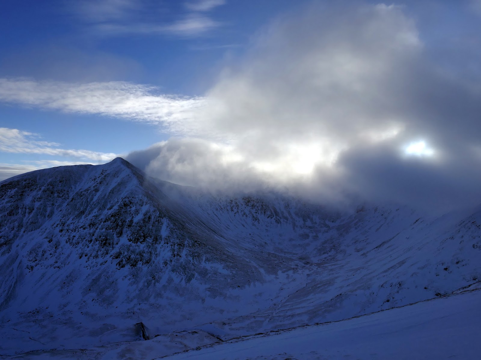
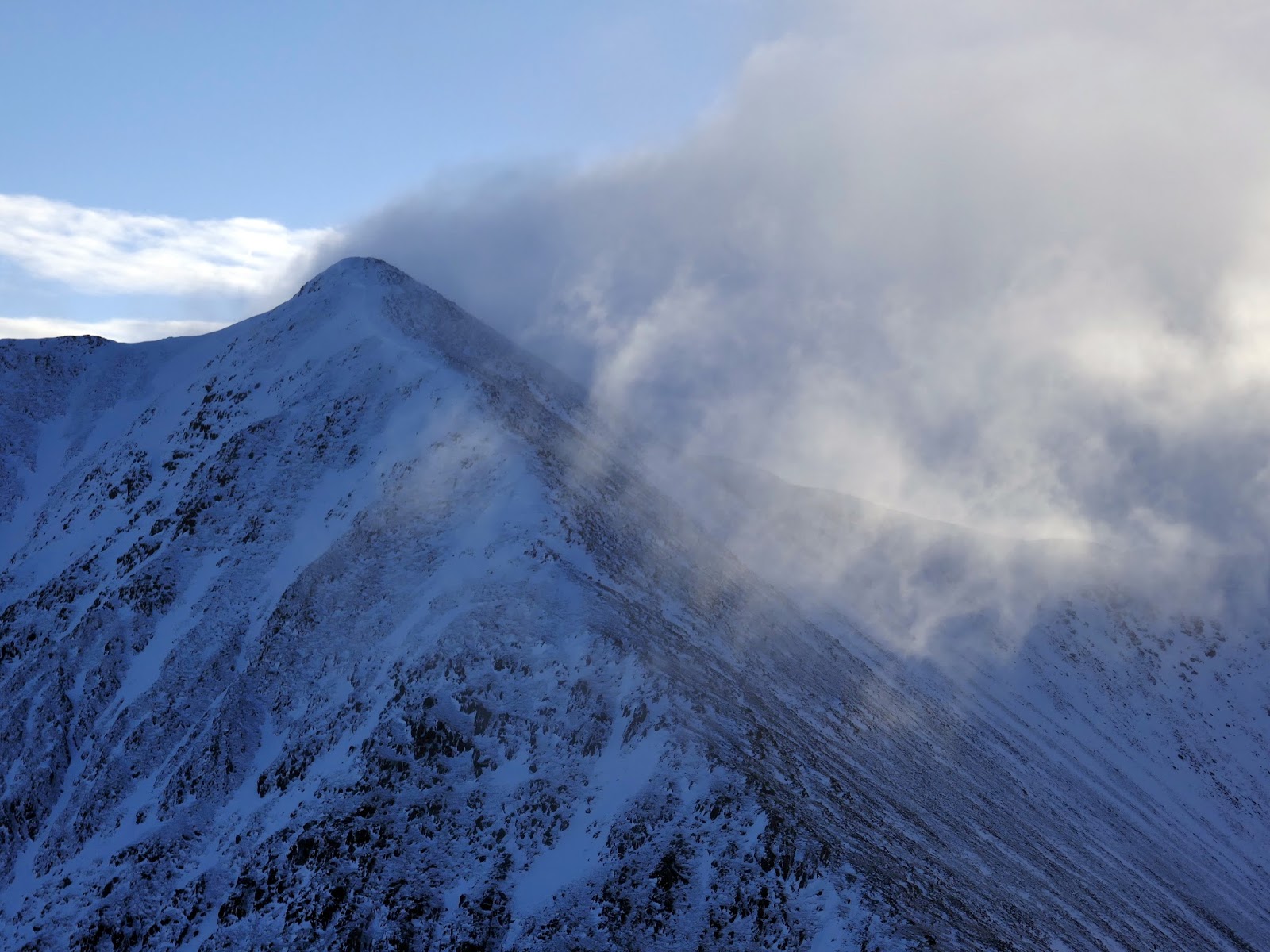
| Catstye Cam and Helvellyn from Raise |
 |
| Helvellyn Lower Man |
 |
| Striding Edge and Swirral Edge |
 |
| Atop Raise |
 |
| Fun on Raise |
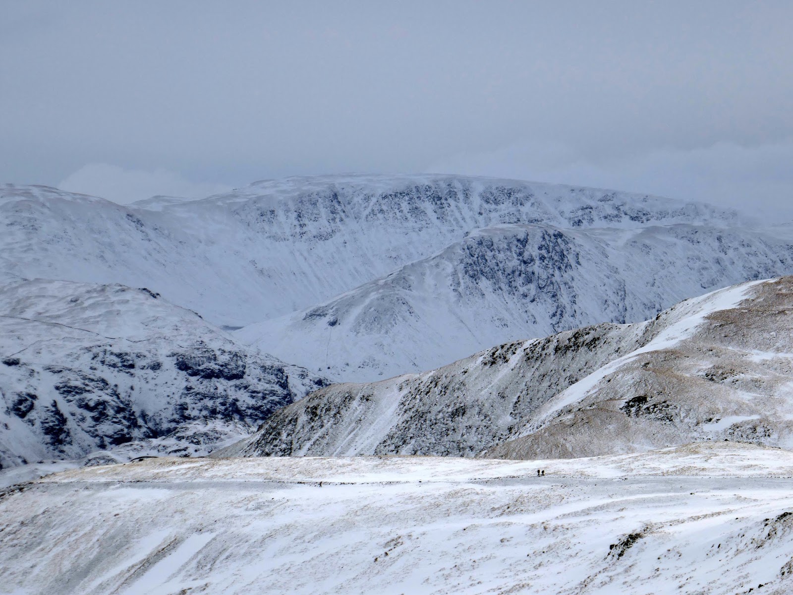
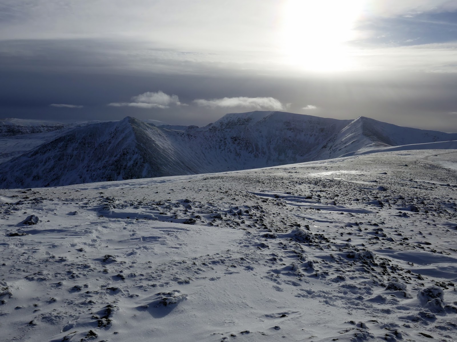
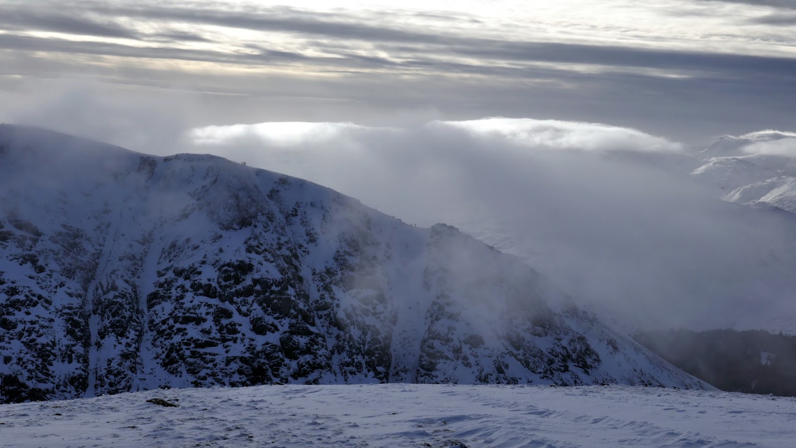
White Side, only a short distance away, provides a superb viewpoint for Catstye Cam. It also peers ominously down into Keppel Cove below. It’s easy to forget just how high you are on these fells due to the easy nature of the approach. It also provides a fine platform to inspect the central and southern fells which form the view to the west.
 |
| White Side and Helvellyn Lower Man |
 |
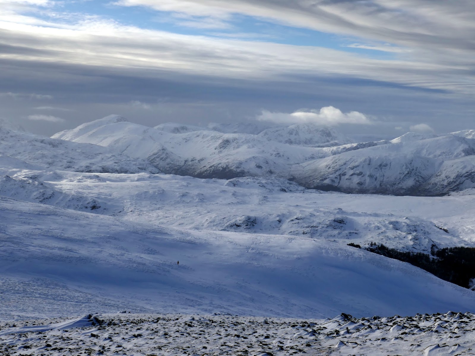
| Looking towards the Western Fells |
 |
| Helvellyn Lower Man |
 |
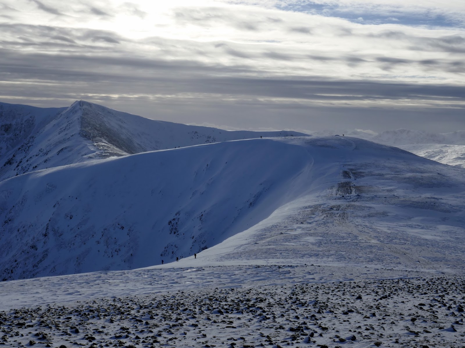
| Raise from White Side |
 |
| Hordes of people on Helvellyn |
 |
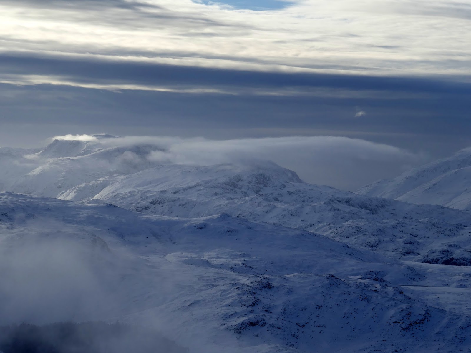
| Clouds swirl over the distant fells |
 |
| Base Brown, Brandreth and Great Gable |
 |
| Clouds building over Browncove Crags |
 |
| White Side’s summit |
 |
| High Rigg and the Skiddaw range |
 |
| Clouds sweep up the valley |
 |
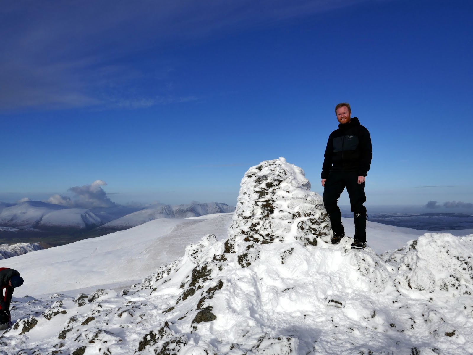
| Yours truly returning from a photography session |
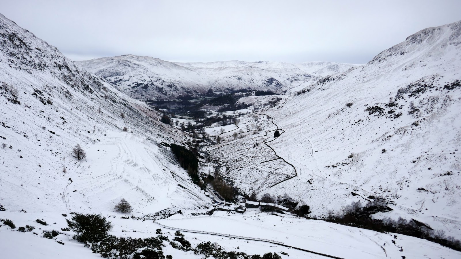
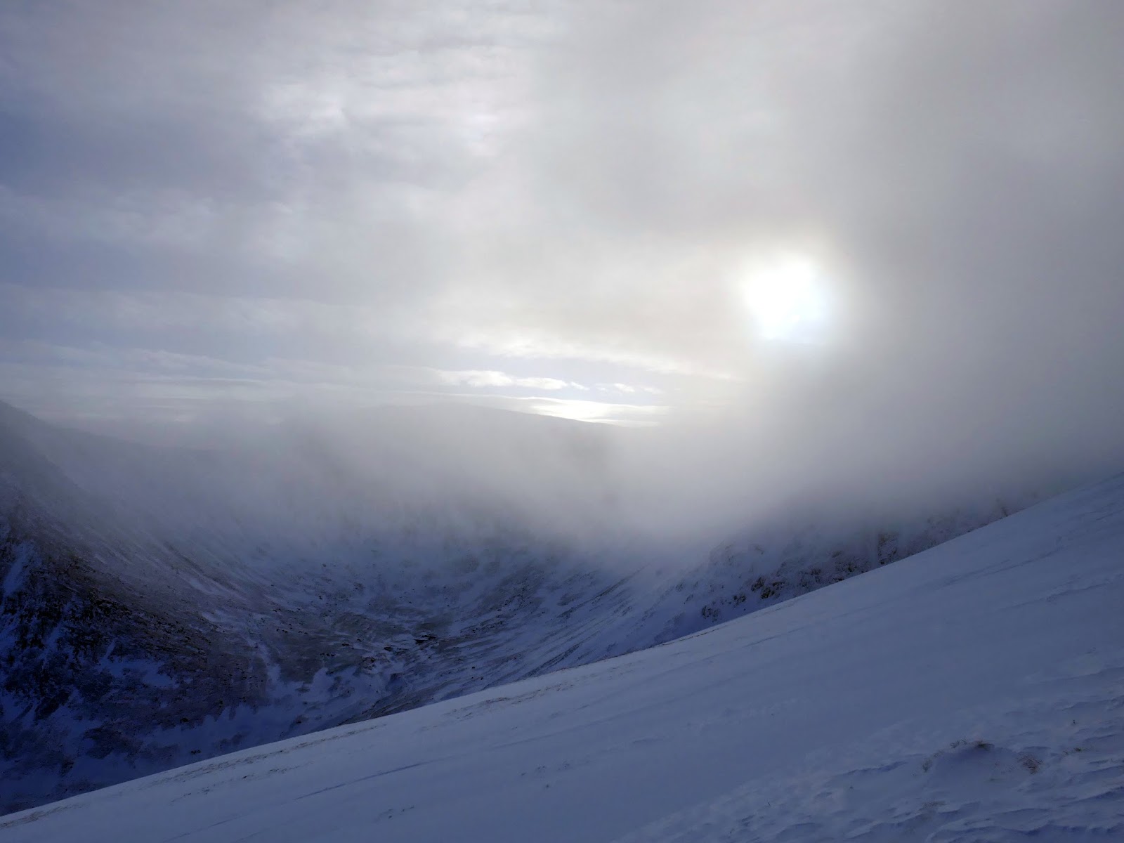
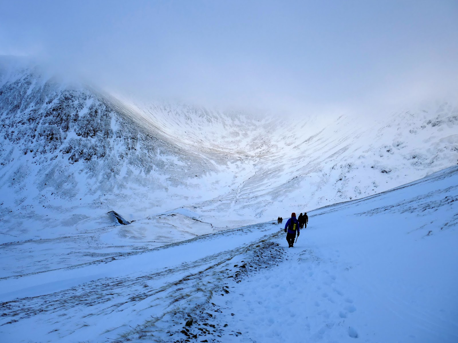
We could have stayed in the area all day though, as quickly as the clouds had parted, they rolled back onto the high summits, sweeping up from the valley below, prompting the beginning of our descent. We made our way down the path which zig-zags its way down the north side of Kepple Cove and back to the old mine track.
 |
| Brown Cove |
 |
| Add caption |
 |
| Ullswater and Place Fell |
 |
| Catstye Cam |
 |
| Brown Cove |
 |
| Catstye Cam |
 |
| Looking back up along the path |
 |
| Brown Dodd and Birkhouse Moor |
 |
| Keppel Cove and the breached dam |
 |
| Catstye Cam |
 |
| Walkers descend Catstye Cam’s north-west ridge |
Kepple Cove once contained an artificial tarn. The water from the tarn was used in a hydroelectric scheme to drive electric winding gear at Greenside Mine. Commissioned in 1891, this was the first such system in the country. It continued in use until the night of 29 October 1927 when the Kepple Cove dam burst during a heavy storm. The resulting wave passed down the valley and through Glenridding village, flooding buildings and causing extensive damage. The breached dam can still be seen today.
 |
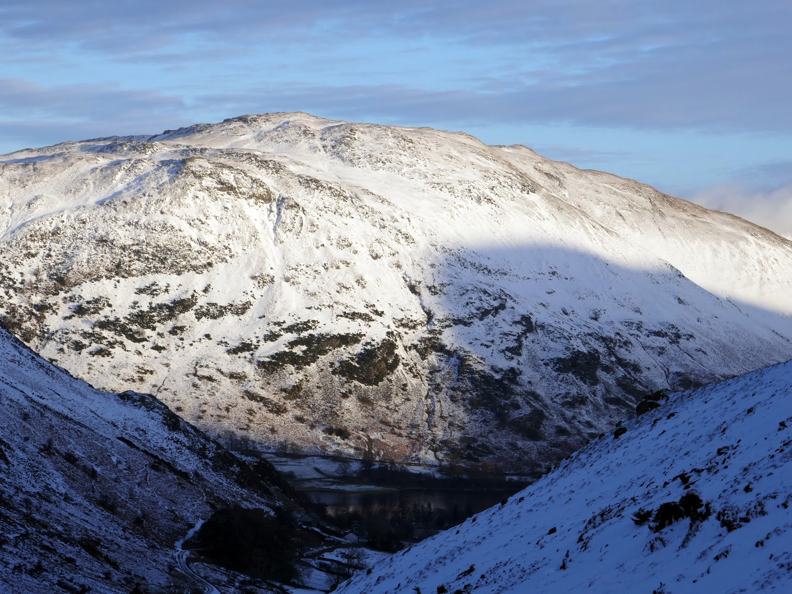
| Glenridding Common |
 |
| Catstye Cam |
 |
| Place Fell |
 |
| Angletarn Pikes |
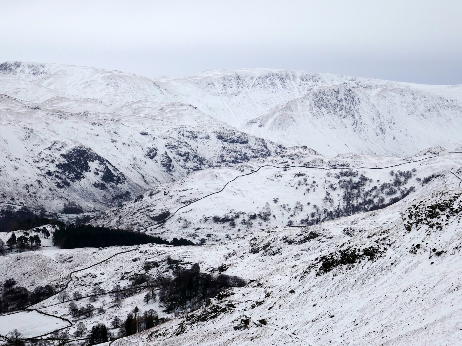
It’s a steady walk back downhill to the hut which would be our ending point, eliminating the long, tedious walk back to Glenridding. This was a super day, made all the more satisfying by the fact I almost didn’t turn up at all. The ‘snow socks’ really were a last minute purchase and I wouldn’t have travelled had I not ended up buying them – another, unusual piece of gear added to the inventory. It was disappointing not to do Striding Edge but it’ll be there next winter and for many after that, I just need to be patient.
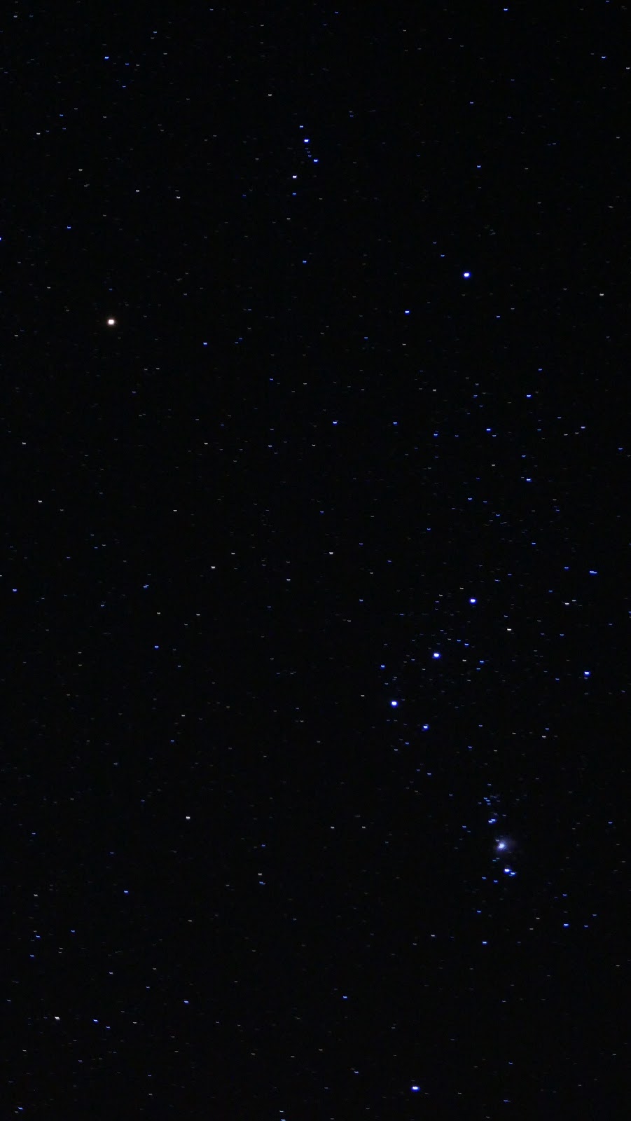
 |
| The Orion Constellation |
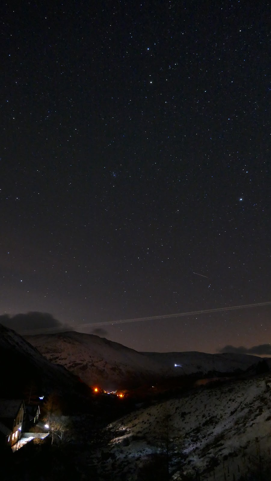
 |
| Glenridding |

