Open Space Web-Map builder Codehttps://openspace.ordnancesurvey.co.uk/osmapapi/openspace.js?key=3119F72552FD5C22E0530C6CA40A5A92https://openspace.ordnancesurvey.co.uk/osmapapi/script/mapbuilder/basicmap.jshttps://openspace.ordnancesurvey.co.uk/osmapapi/script/mapbuilder/searchbox.js//variables for routes var linesLayer, points, lineFeature, lineString, routeMarkersLayer, routepos, routesize, routeoffset, routeicon; var style_blue = {strokeColor: “#0000CD”, strokeOpacity: 0.5, strokeWidth: 4.5}; function initmapbuilder() { //initiate the map var options = {resolutions: [2500, 1000, 500, 200, 100, 50, 25, 10, 5, 4, 2.5, 2, 1]}; osMap = new OpenSpace.Map(‘map’, options); //configure map options (basicmap.js) setglobaloptions(); //set the center of the map and the zoom level osMap.setCenter(new OpenSpace.MapPoint(265076,325944),7); linesLayer = osMap.getVectorLayer(); // Set up layer for route markers routeMarkersLayer = new OpenLayers.Layer.Markers(“Route Markers”); //make a route points = new Array(); points.push(new OpenLayers.Geometry.Point(264155,326969)); points.push(new OpenLayers.Geometry.Point(264125,327084)); points.push(new OpenLayers.Geometry.Point(264035,327189)); points.push(new OpenLayers.Geometry.Point(264030,327254)); points.push(new OpenLayers.Geometry.Point(264230,327609)); points.push(new OpenLayers.Geometry.Point(264300,327754)); points.push(new OpenLayers.Geometry.Point(264435,328094)); points.push(new OpenLayers.Geometry.Point(264535,328279)); points.push(new OpenLayers.Geometry.Point(264735,328449)); points.push(new OpenLayers.Geometry.Point(264935,328469)); points.push(new OpenLayers.Geometry.Point(265180,328574)); points.push(new OpenLayers.Geometry.Point(265440,328829)); points.push(new OpenLayers.Geometry.Point(265660,328994)); points.push(new OpenLayers.Geometry.Point(265810,328999)); points.push(new OpenLayers.Geometry.Point(265925,328839)); points.push(new OpenLayers.Geometry.Point(266055,328794)); points.push(new OpenLayers.Geometry.Point(266125,328704)); points.push(new OpenLayers.Geometry.Point(266030,328584)); points.push(new OpenLayers.Geometry.Point(265980,328479)); points.push(new OpenLayers.Geometry.Point(266005,328329)); points.push(new OpenLayers.Geometry.Point(266005,328129)); points.push(new OpenLayers.Geometry.Point(265985,327939)); points.push(new OpenLayers.Geometry.Point(265990,327784)); points.push(new OpenLayers.Geometry.Point(265895,327564)); points.push(new OpenLayers.Geometry.Point(265940,327409)); points.push(new OpenLayers.Geometry.Point(265965,327289)); points.push(new OpenLayers.Geometry.Point(265985,327189)); points.push(new OpenLayers.Geometry.Point(266030,327094)); points.push(new OpenLayers.Geometry.Point(266135,326999)); points.push(new OpenLayers.Geometry.Point(266285,327234)); points.push(new OpenLayers.Geometry.Point(266355,327424)); points.push(new OpenLayers.Geometry.Point(266410,327489)); points.push(new OpenLayers.Geometry.Point(266515,327469)); points.push(new OpenLayers.Geometry.Point(266585,327234)); points.push(new OpenLayers.Geometry.Point(266455,326984)); points.push(new OpenLayers.Geometry.Point(266565,327079)); points.push(new OpenLayers.Geometry.Point(266635,327034)); points.push(new OpenLayers.Geometry.Point(266680,326939)); points.push(new OpenLayers.Geometry.Point(266595,326759)); points.push(new OpenLayers.Geometry.Point(266585,326649)); points.push(new OpenLayers.Geometry.Point(266565,326539)); points.push(new OpenLayers.Geometry.Point(266545,326419)); points.push(new OpenLayers.Geometry.Point(266495,326329)); points.push(new OpenLayers.Geometry.Point(266425,326279)); points.push(new OpenLayers.Geometry.Point(266400,326209)); points.push(new OpenLayers.Geometry.Point(266450,326174)); points.push(new OpenLayers.Geometry.Point(266480,326119)); points.push(new OpenLayers.Geometry.Point(266405,326059)); points.push(new OpenLayers.Geometry.Point(266240,325974)); points.push(new OpenLayers.Geometry.Point(266140,325809)); points.push(new OpenLayers.Geometry.Point(266055,325619)); points.push(new OpenLayers.Geometry.Point(266015,325434)); points.push(new OpenLayers.Geometry.Point(266100,325259)); points.push(new OpenLayers.Geometry.Point(266210,325129)); points.push(new OpenLayers.Geometry.Point(266295,324974)); points.push(new OpenLayers.Geometry.Point(266440,324824)); points.push(new OpenLayers.Geometry.Point(266575,324519)); points.push(new OpenLayers.Geometry.Point(266630,324234)); points.push(new OpenLayers.Geometry.Point(266660,324059)); points.push(new OpenLayers.Geometry.Point(266655,323909)); points.push(new OpenLayers.Geometry.Point(266435,323814)); points.push(new OpenLayers.Geometry.Point(266225,323644)); points.push(new OpenLayers.Geometry.Point(266120,323369)); points.push(new OpenLayers.Geometry.Point(266035,323184)); points.push(new OpenLayers.Geometry.Point(265905,323059)); points.push(new OpenLayers.Geometry.Point(265510,322994)); points.push(new OpenLayers.Geometry.Point(265065,322934)); points.push(new OpenLayers.Geometry.Point(264840,322904)); points.push(new OpenLayers.Geometry.Point(264670,323059)); points.push(new OpenLayers.Geometry.Point(264705,323244)); points.push(new OpenLayers.Geometry.Point(264650,323309)); points.push(new OpenLayers.Geometry.Point(264420,323419)); points.push(new OpenLayers.Geometry.Point(264395,323499)); points.push(new OpenLayers.Geometry.Point(264505,323634)); points.push(new OpenLayers.Geometry.Point(264655,323724)); points.push(new OpenLayers.Geometry.Point(264625,323784)); points.push(new OpenLayers.Geometry.Point(264585,323814)); points.push(new OpenLayers.Geometry.Point(264580,323919)); points.push(new OpenLayers.Geometry.Point(264635,323984)); points.push(new OpenLayers.Geometry.Point(264645,324094)); points.push(new OpenLayers.Geometry.Point(264570,324274)); points.push(new OpenLayers.Geometry.Point(264605,324384)); points.push(new OpenLayers.Geometry.Point(264450,324354)); points.push(new OpenLayers.Geometry.Point(264370,324389)); points.push(new OpenLayers.Geometry.Point(264075,324449)); points.push(new OpenLayers.Geometry.Point(263800,324579)); points.push(new OpenLayers.Geometry.Point(263520,324884)); points.push(new OpenLayers.Geometry.Point(263310,324989)); points.push(new OpenLayers.Geometry.Point(263150,325194)); points.push(new OpenLayers.Geometry.Point(263195,325419)); points.push(new OpenLayers.Geometry.Point(263060,325539)); points.push(new OpenLayers.Geometry.Point(263070,325719)); points.push(new OpenLayers.Geometry.Point(263020,325754)); points.push(new OpenLayers.Geometry.Point(263225,325874)); points.push(new OpenLayers.Geometry.Point(263363,325897)); points.push(new OpenLayers.Geometry.Point(263447,326005)); points.push(new OpenLayers.Geometry.Point(263394,326152)); points.push(new OpenLayers.Geometry.Point(263410,326244)); points.push(new OpenLayers.Geometry.Point(263510,326376)); points.push(new OpenLayers.Geometry.Point(263562,326404)); points.push(new OpenLayers.Geometry.Point(263666,326556)); points.push(new OpenLayers.Geometry.Point(263886,326724)); points.push(new OpenLayers.Geometry.Point(263938,326708)); points.push(new OpenLayers.Geometry.Point(264074,326868)); points.push(new OpenLayers.Geometry.Point(264155,326969)); // create a polyline feature from the array of points lineString = new OpenLayers.Geometry.LineString(points); lineFeature = new OpenLayers.Feature.Vector(lineString, null, style_blue); linesLayer.addFeatures([lineFeature]); //crate a route start/end marker routepos = new OpenSpace.MapPoint(264155,326969); routesize = new OpenLayers.Size(33,45); routeoffset = new OpenLayers.Pixel(-5,-37); routeicon = new OpenSpace.Icon(‘https://openspace.ordnancesurvey.co.uk/osmapapi/img_versions/img_1.1/mapbuilder/routemarker-startend.png’, routesize, routeoffset, null, null); routeMarkersLayer.addMarker(new OpenLayers.Marker(routepos, routeicon)); osMap.addLayer(routeMarkersLayer);}
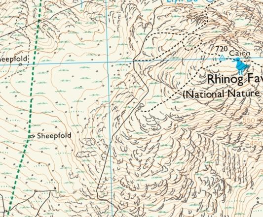
Route: Maes-y-garnedd, Nantcol, Rhinog Fawr, Bwlch Drws-Ardudwy, Llyn Cwmhosan, Rhinog Fach, Llyn Hywel, Y Llethr, Crib-y-rhiw, Diffwys, Diffwys Far West Top, Llyn Bodlyn, Cil-cychwyn, Maes-y-garnedd
Date: 19/09/2017
From: Cwm Nantcol
Parking: Maes-y-garnedd
Start Point: Maes-y-garnedd
Region: Snowdonia – The Rhinogs
Route length: 11.7 miles (18.9 km)
Time taken: 06:35
Average speed: 1.7 mph
Ascent: 1,452m
Descent: 1,458m
Summits: Rhinog Fawr (720m), Rhinog Fach (712m), Y Llethr (756m), Crib-y-rhiw (681m), Diffwys (750m), Diffwys West Top (642m)
Other points of interest: Bwlch Drws-Ardudwy, Llyn Cwmhosan, Llyn Hywel, Llyn Bodlyn
A mere mention of the Rhinogs is often accompanied by warnings to anyone who is thinking of tackling them. They are reputed to be some of the roughest, wildest and remote mountains in Wales. What they lack in overall height, they make up for with an abundance of rocks, heather and bogs, often all three at once. This is one of Snowdonia’s quietest yet most exciting areas and I was lucky to have some superb weather accompanying me – a day in the cloud on these mountains would be a different prospect altogether.
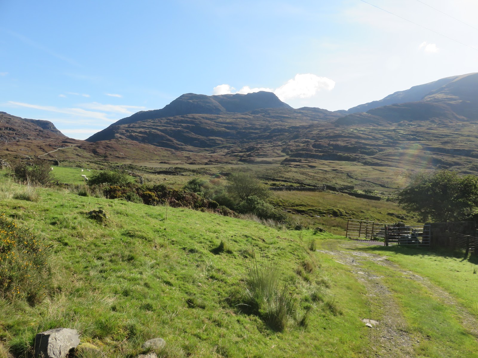
I started this walk from the lonely farm at Maes-y-garnedd which stands at the end of a long lane entering Cwm Nantcol. A modest sum of £2 is all that’s required to leave the car there for the day. In the warm morning sun, the Rhinogs didn’t appear all too daunting but I had read up extensively about them so knew what to expect. My route would take me up Rhinog Fawr and Rhinog Fach before crossing the remaining hills to the south; Y Llethr, Crib-y-rhiw and Diffwys.
So, a long day on the cards, not to be made any easier thanks to a large bruise above my knee picked up while walking into a rock on Snowdon – as you do.
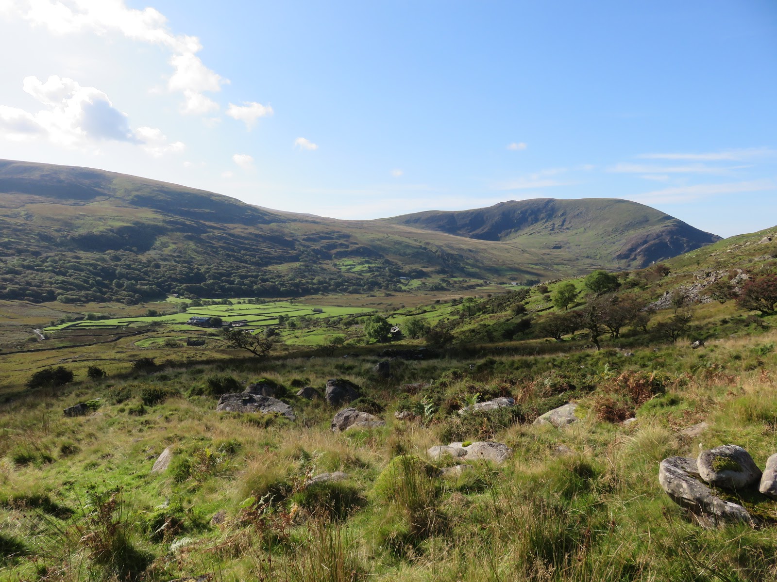
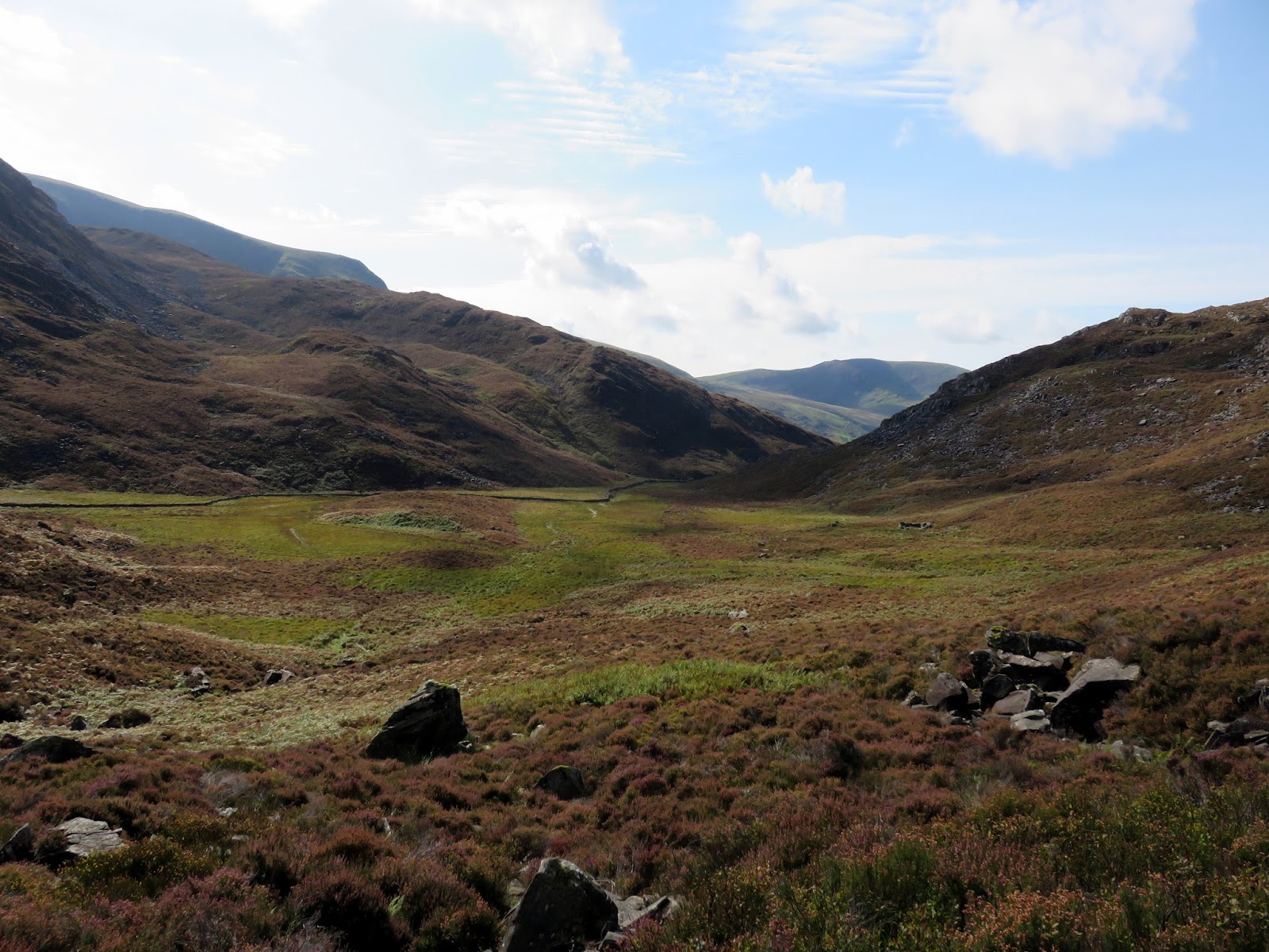
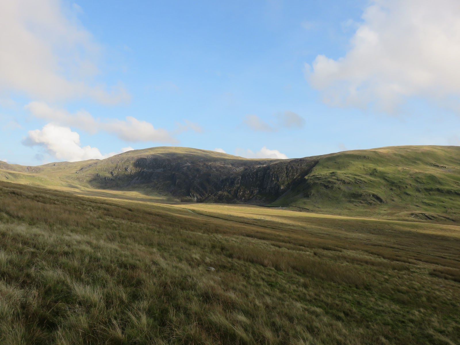
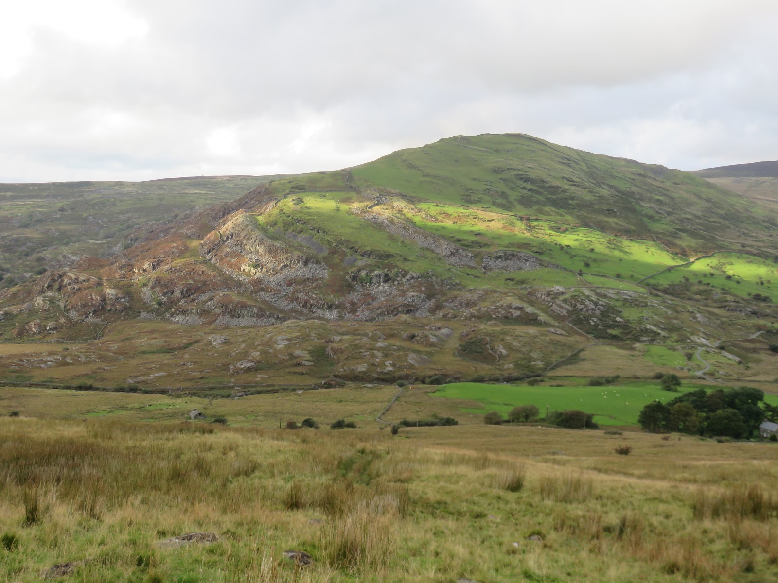
From the farm, the route begins easy enough, following a track and then skirting around the back of the cottage at Nantcol. Almost immediately though, things get a little trickier.
 |
| Looking across to Rhinog Fach from the Nantcol cottage track |
 |
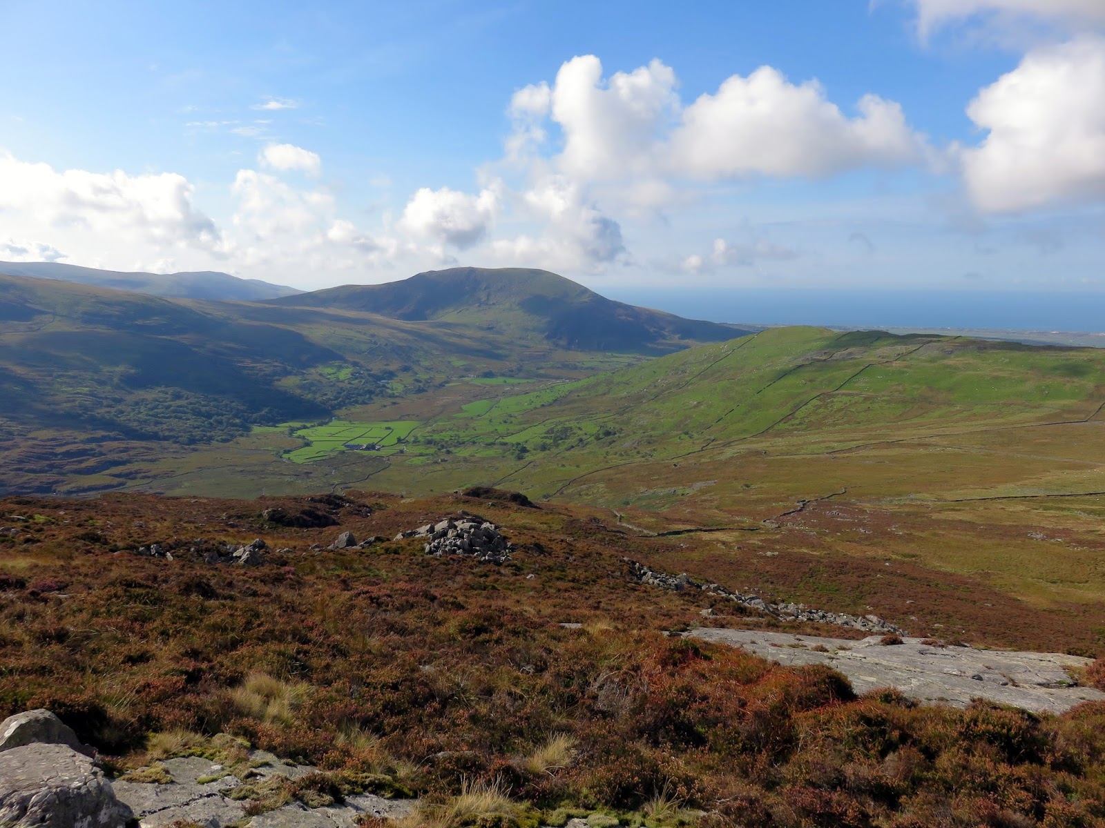
| Cwm Nantcol |
From the cottage, there is no path across the marshy ground so, following advice in a book I was carrying, it’s best to head in a northeasterly direction, following the general direction of a Right of Way marked on the OS maps. The west ridge of Rhinog Fawr is key to the ascent as it offers by far the easiest route to the summit.
 |
| Cwm Nantcol |
 |
| The marshes give way to heather and rocks |
 |
| Foel Ddu |
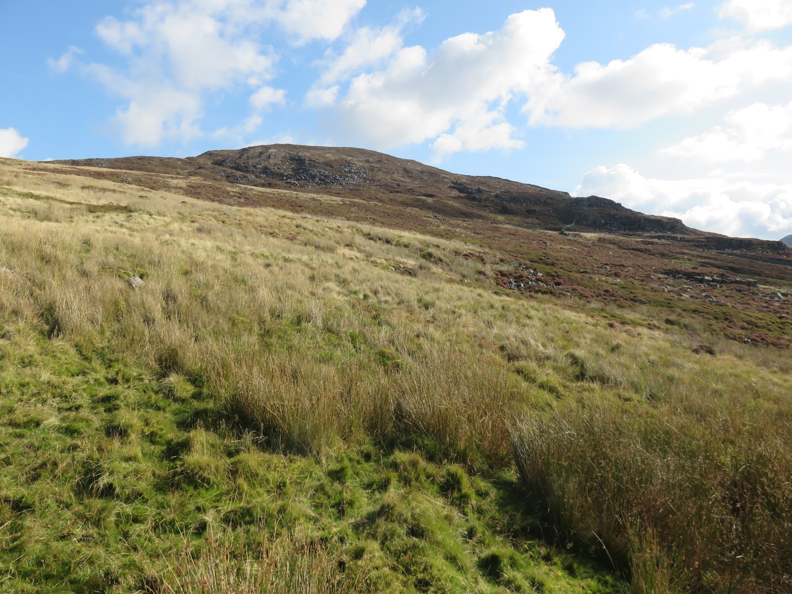
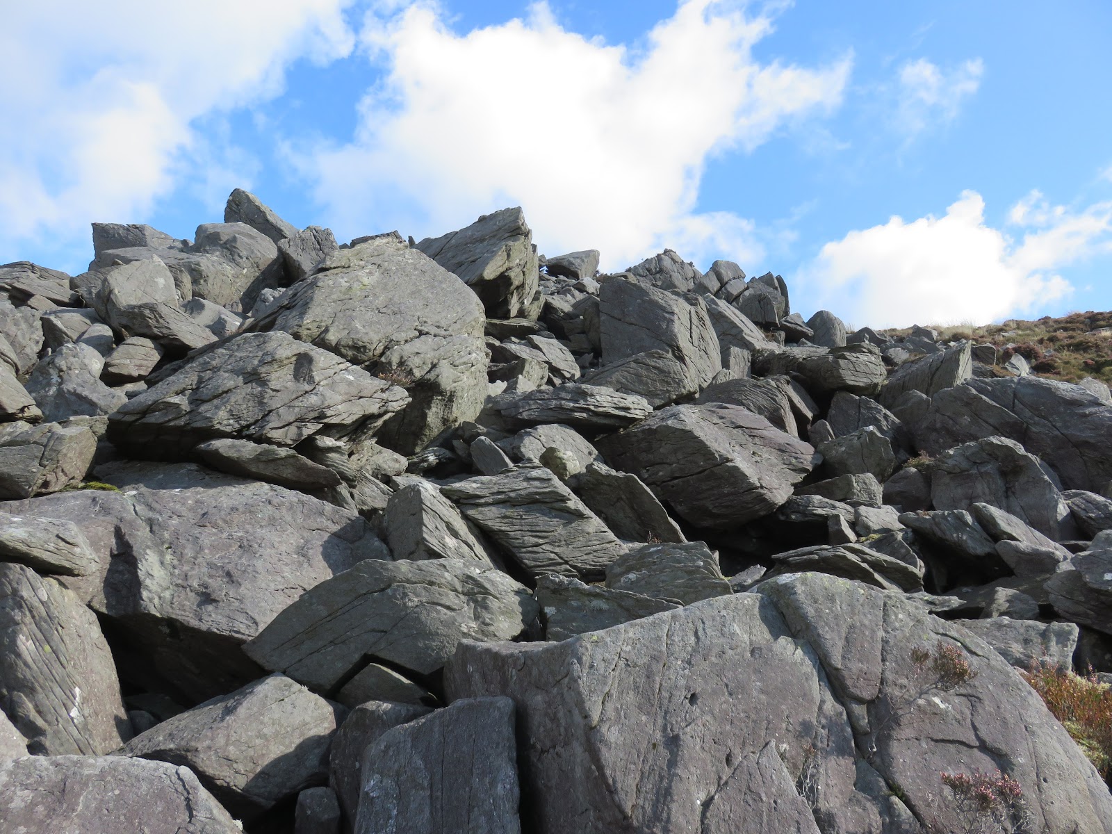
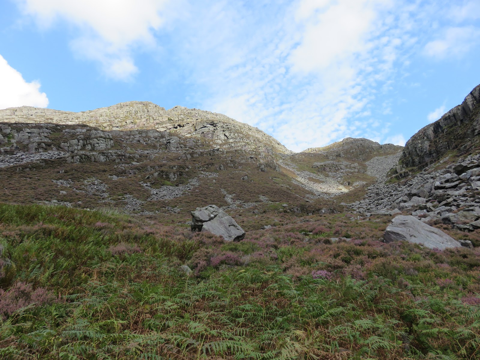
After crossing a ladder stile, the reeds give way to the heather, mostly shin deep and eager to hide hidden rocks and holes. There are still no paths to speak of, at least in the direction I chose to go. Rocks that poke out above the heather are definitely your friend and make some areas a little easier going.
 |
| Clambering up the rocks is often easier than ploughing through the heather |
 |
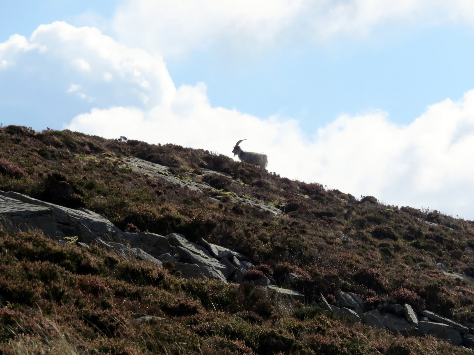
| One of the feral Rhinogydd goats |
 |
| Cwm Nantcol once again |
 |
| Carreg-y-saeth and Gloyw Lyn |
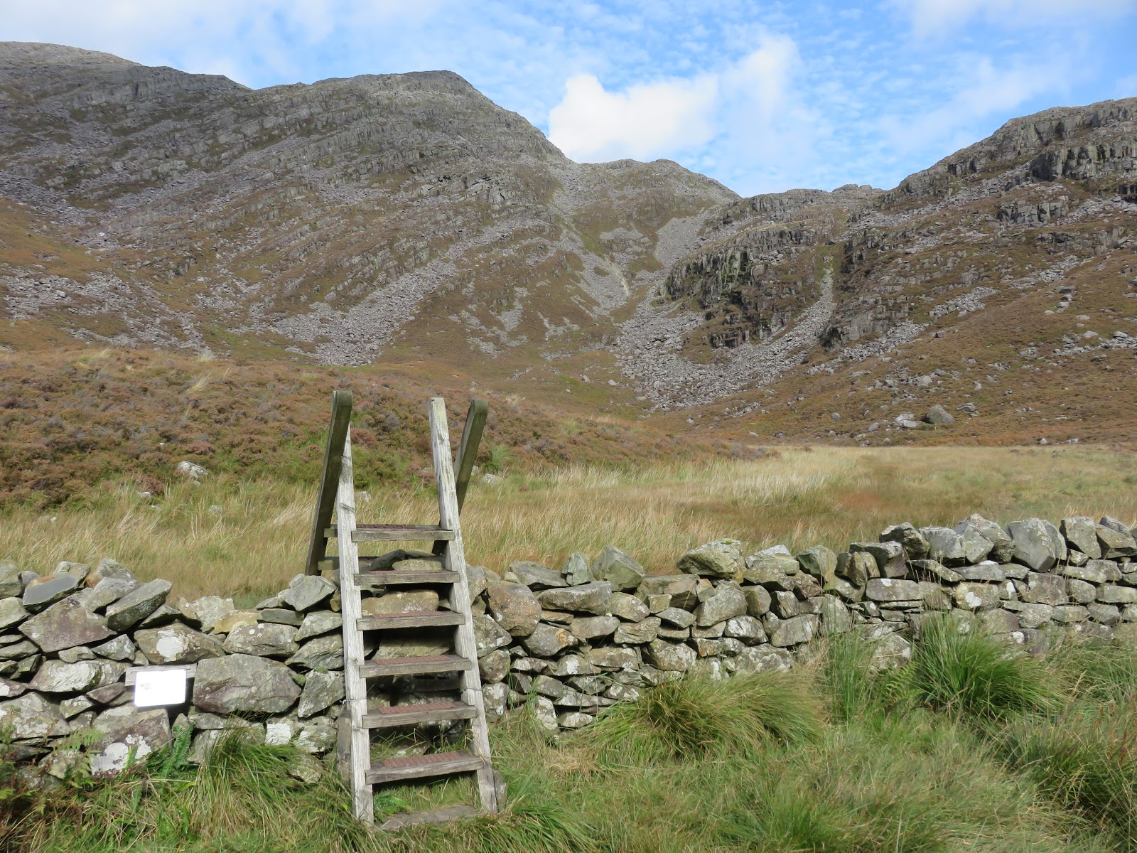
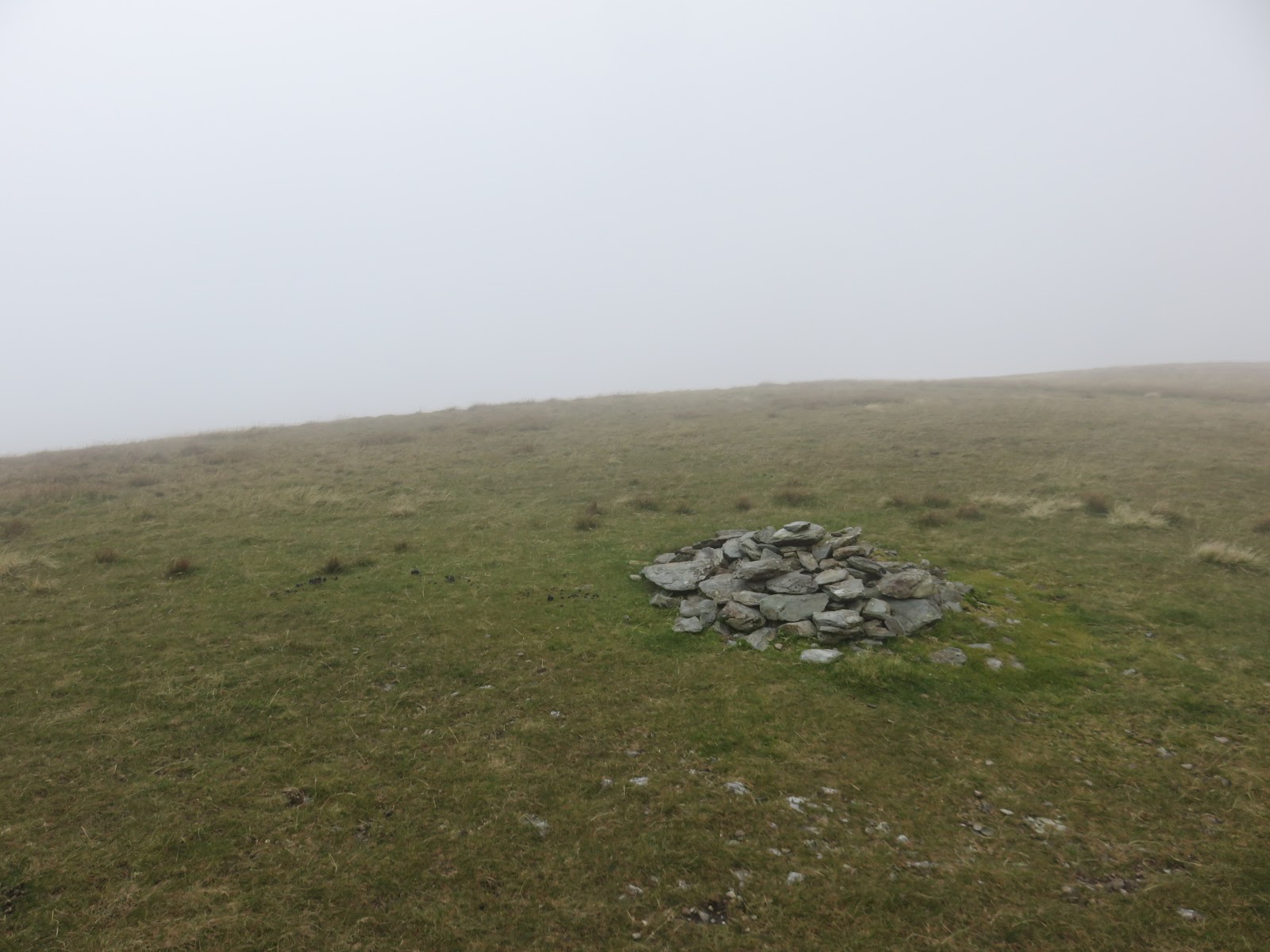
I feel inclined to point out the secret to the success of this walk is reaching this point:
The mysteriously appearing path actually sits on the other side of a ladder stile and there is a path to follow for much of the walk once you reach this point. After fighting through the first round of heather, it was a relief to find a trail blazed all the way to the summit.
 |
| Add caption |
 |
| Add caption |
 |
| Add caption |
 |
| Add caption |
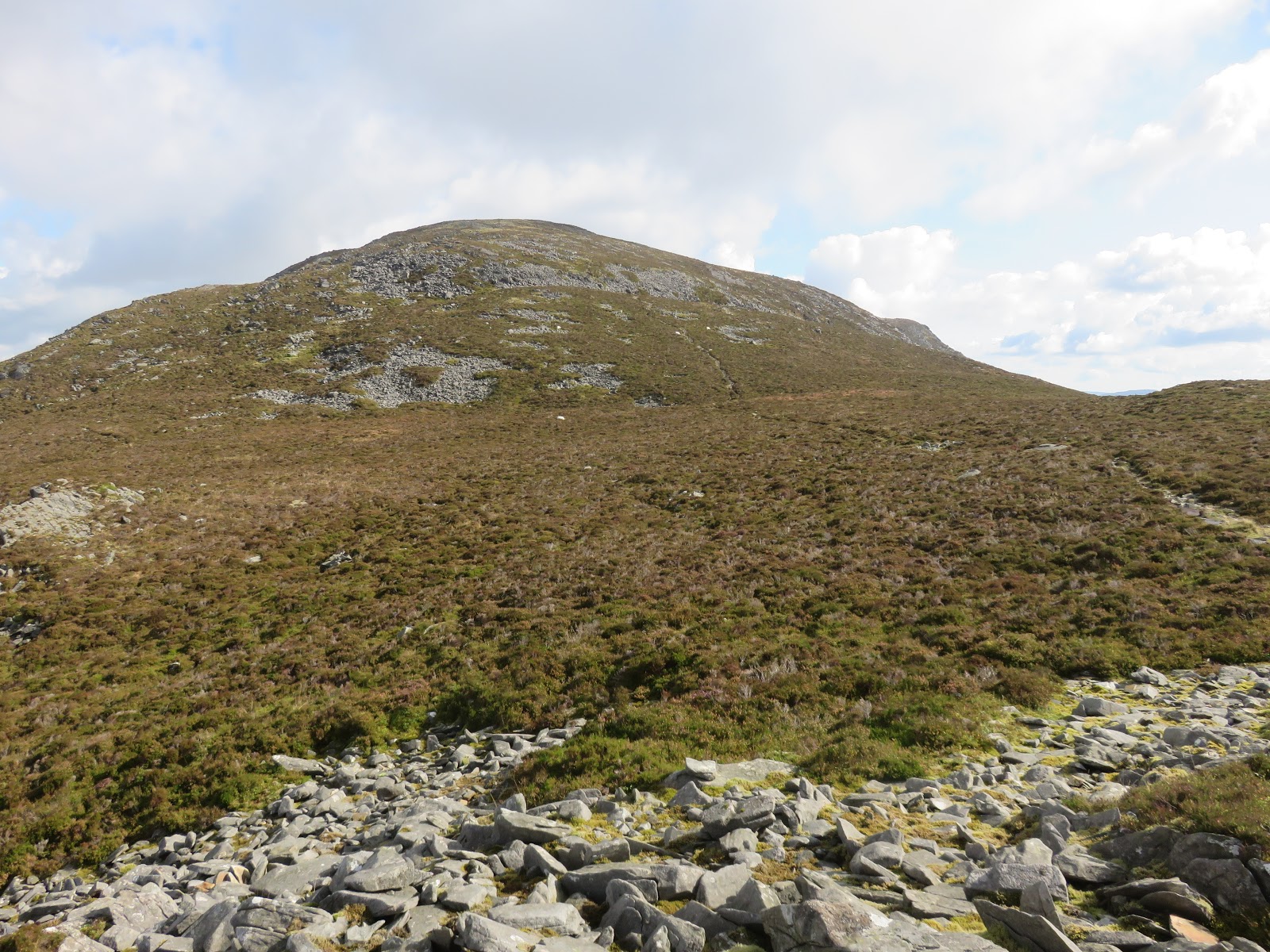
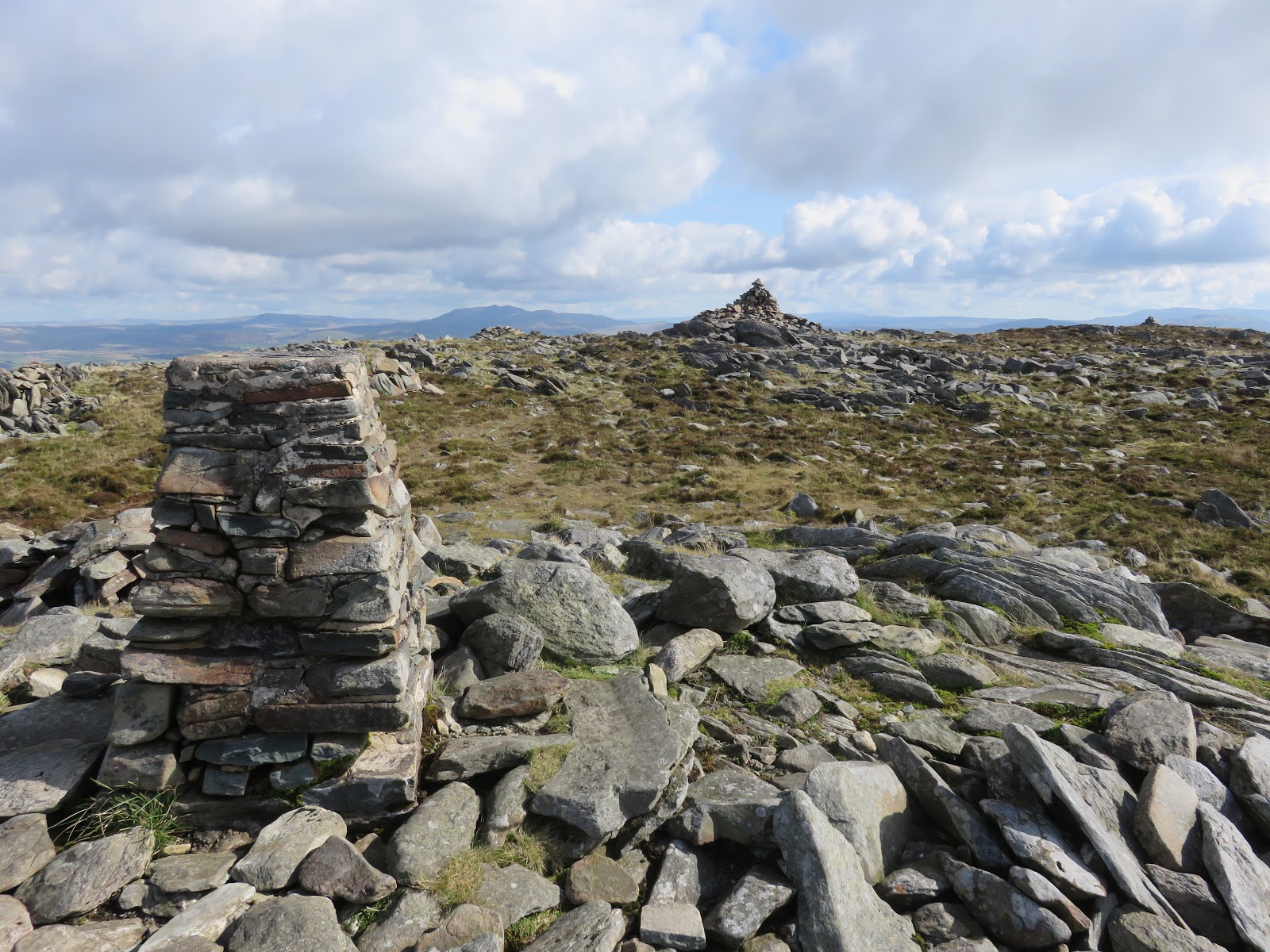
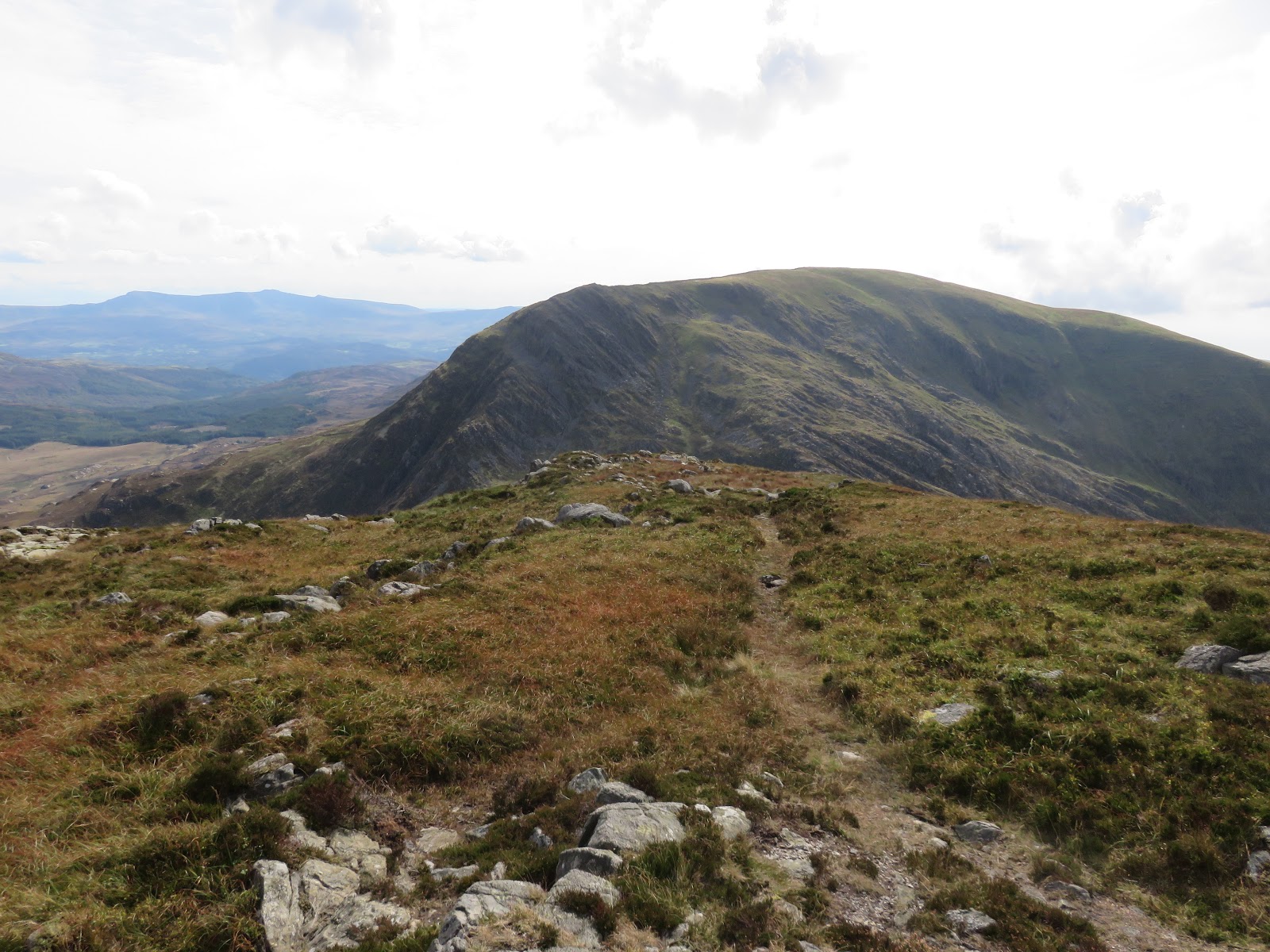
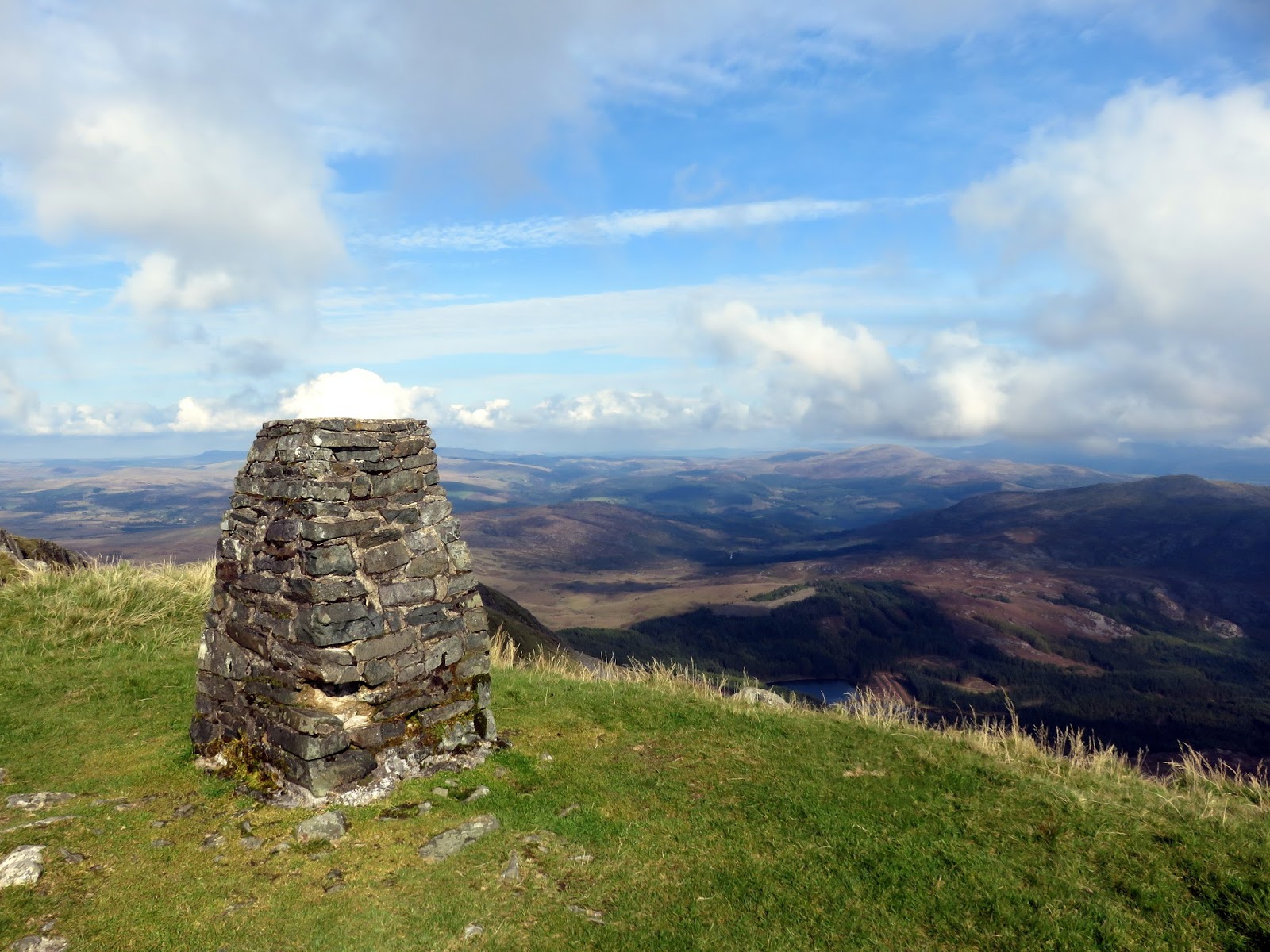
Despite being the first name on most peoples lips when considering the Rhinogs, Rhinog Fawr is actually the third highest of the range, being overlooked by Y Llethr and Diffwys. However, it is much more magnificent and rugged than both of those mountains and worthy of being the poster-boy (or girl!) of the range.
 |
| The northern Rhinogydd |
 |
| Clip and Moel Ysgyfarnogod |
It has a superb view over much of mid-Snowdonia, across the wild Rhinogydd to the north and over Shell Island and the Irish Sea to the west. Rhinog Fawr stands a short distance south and takes up most of the view in that direction, but was shielded by the bright sunshine.
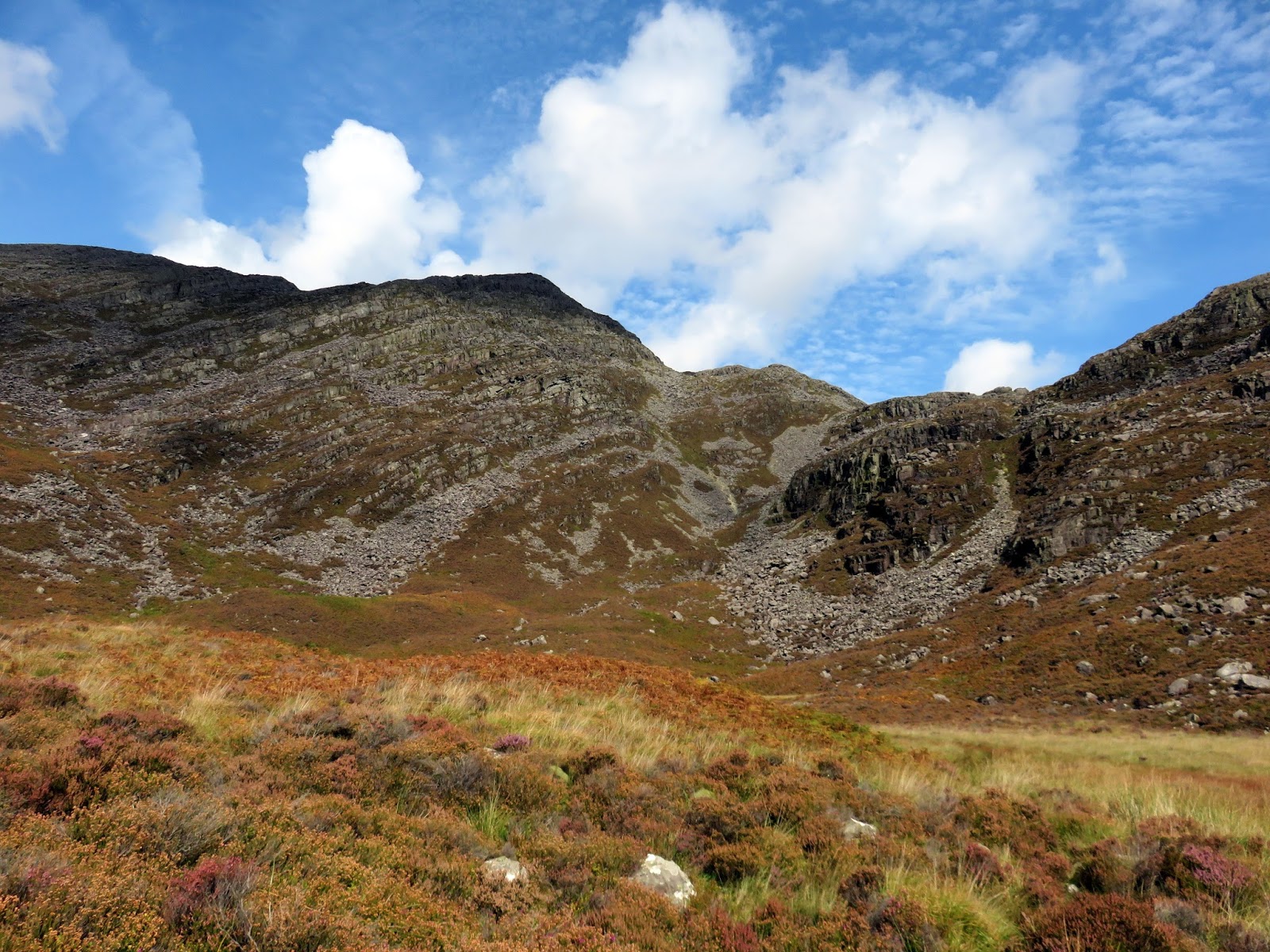
There’s no hiding from the fact that the next leg is a mental as well as a physical challenge, a steep 400m descent followed by exactly the same back up to Rhinog Fawr. Much has been written about descending Rhinog Fawr so I knew what to expect and, in all honesty, other than it being steep and quite slow, it’s not too difficult.
 |
| Heading off the summit |
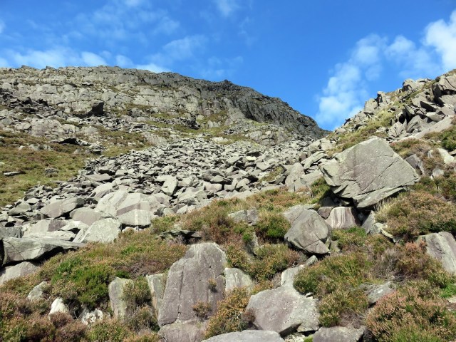
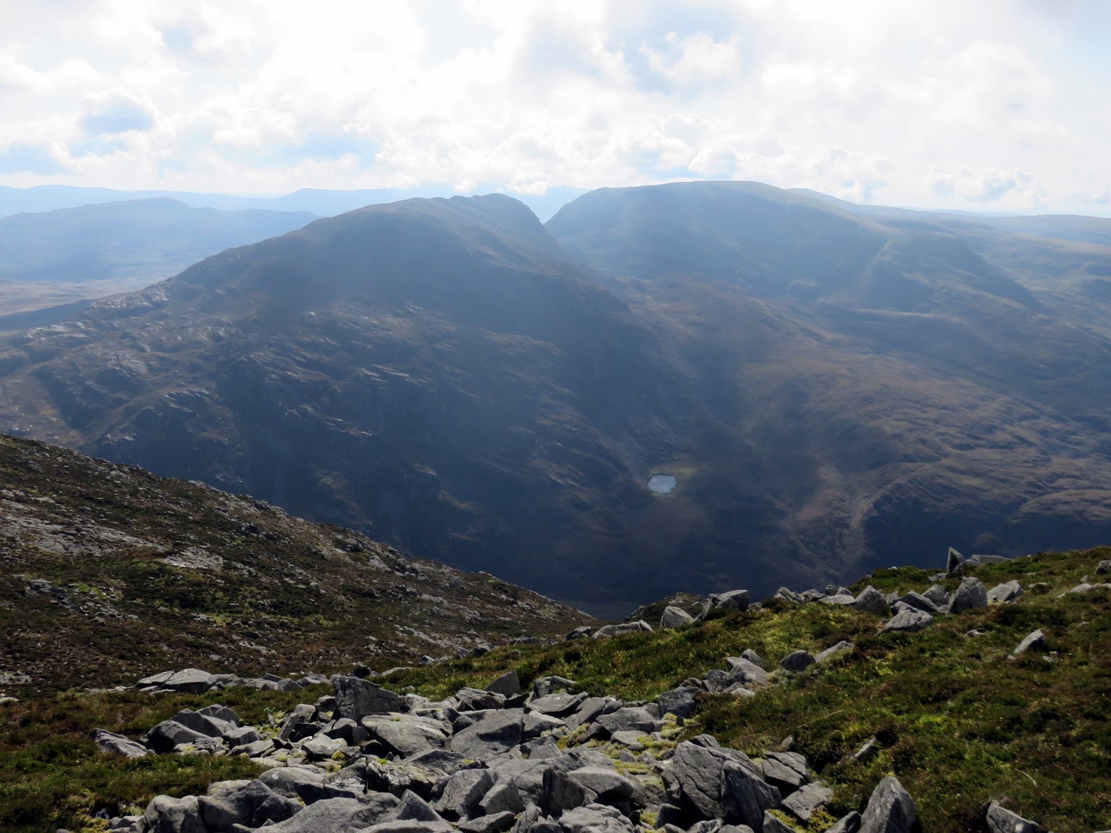
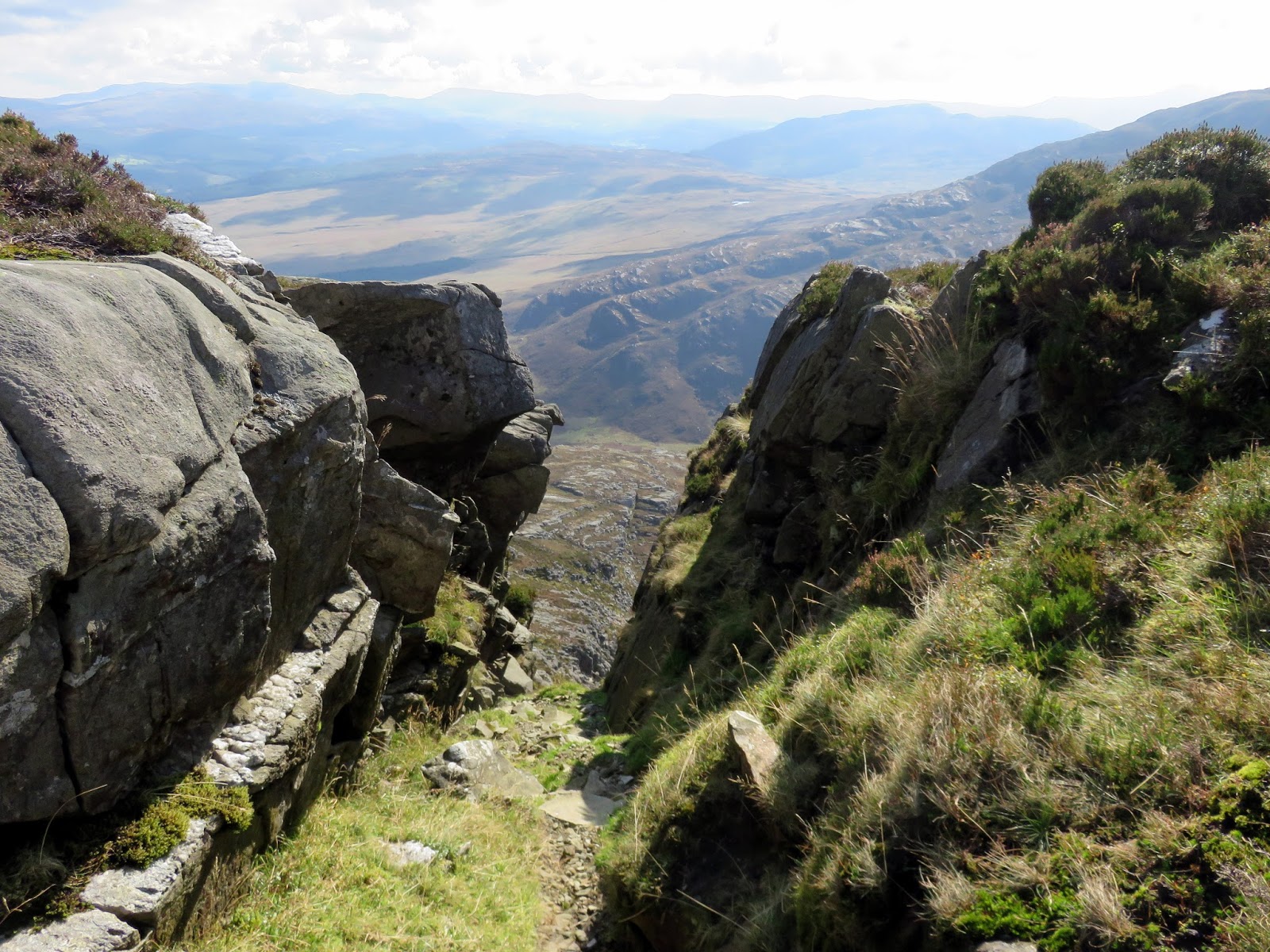
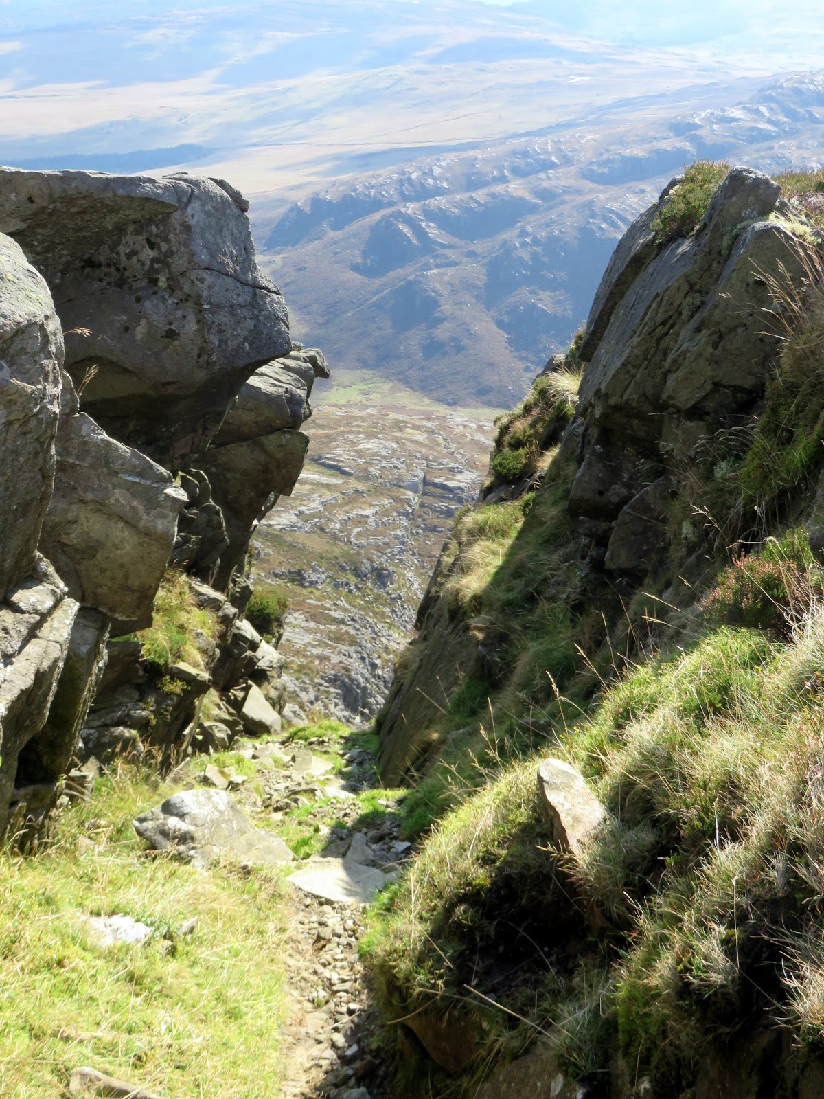
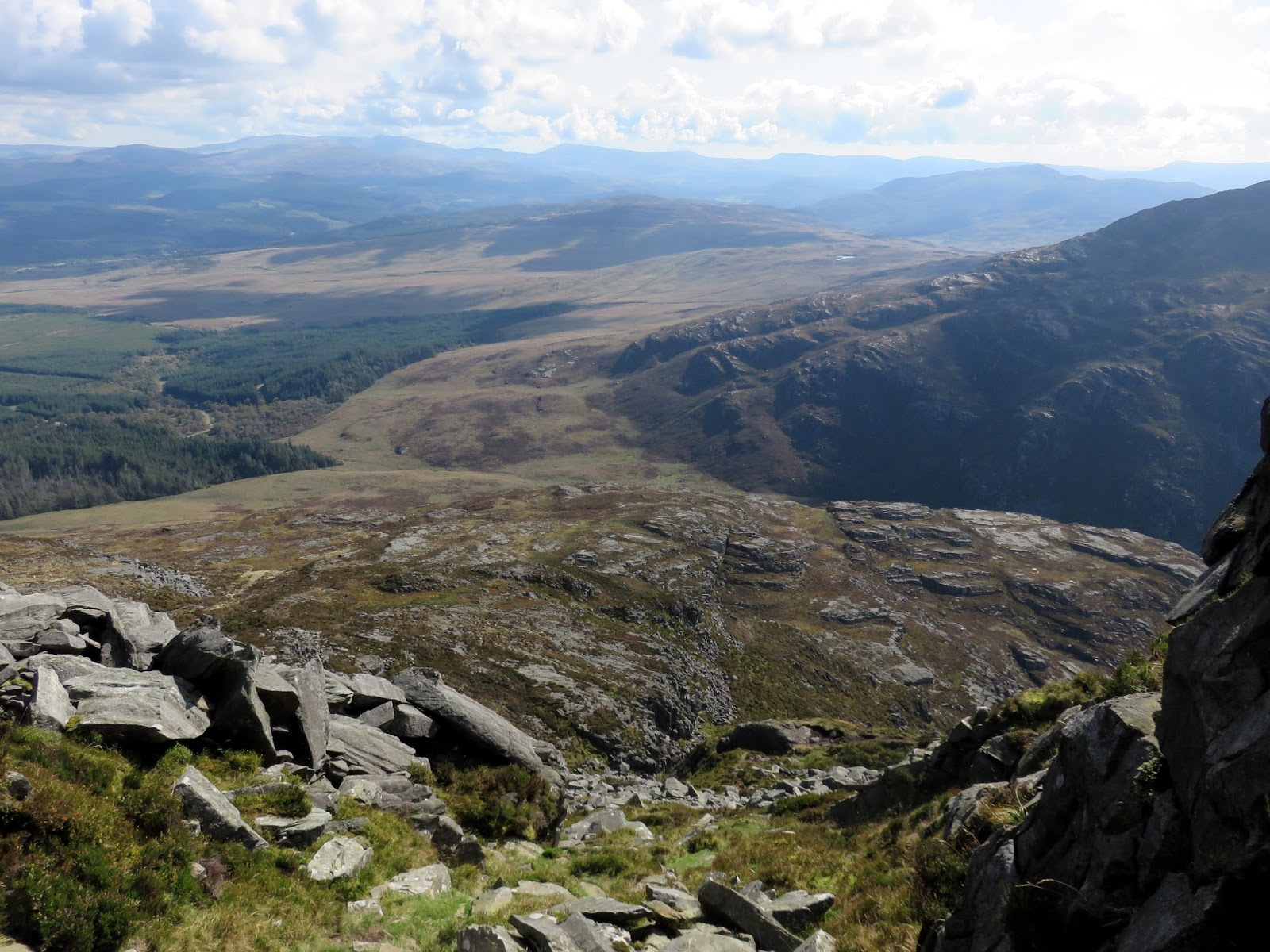
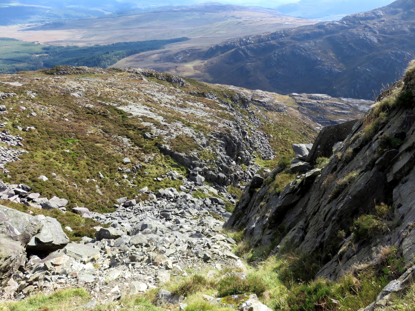
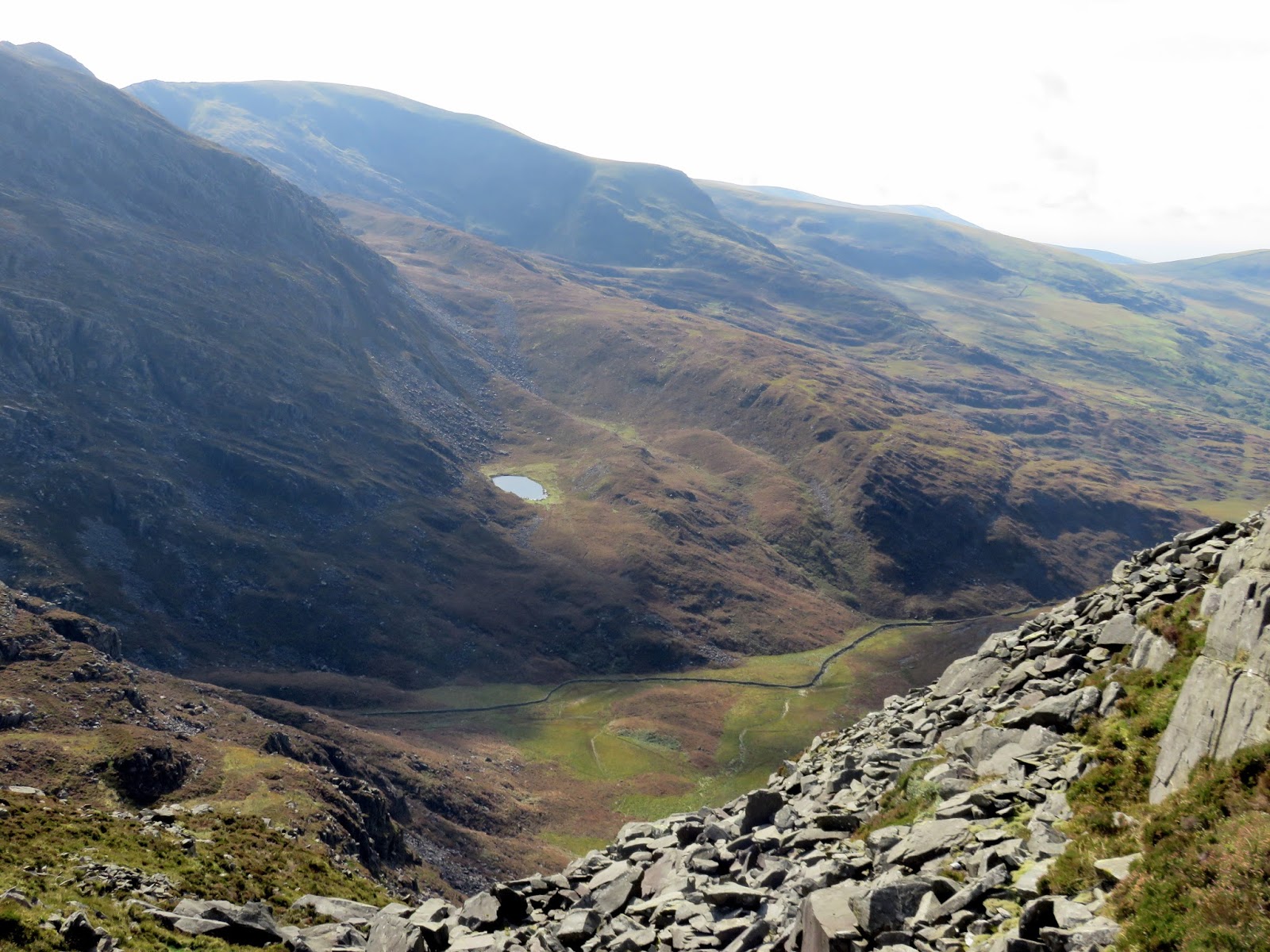
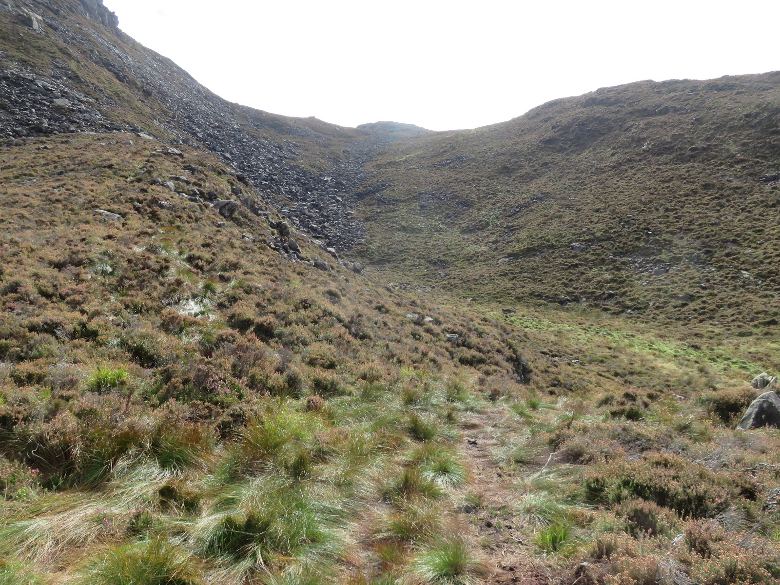
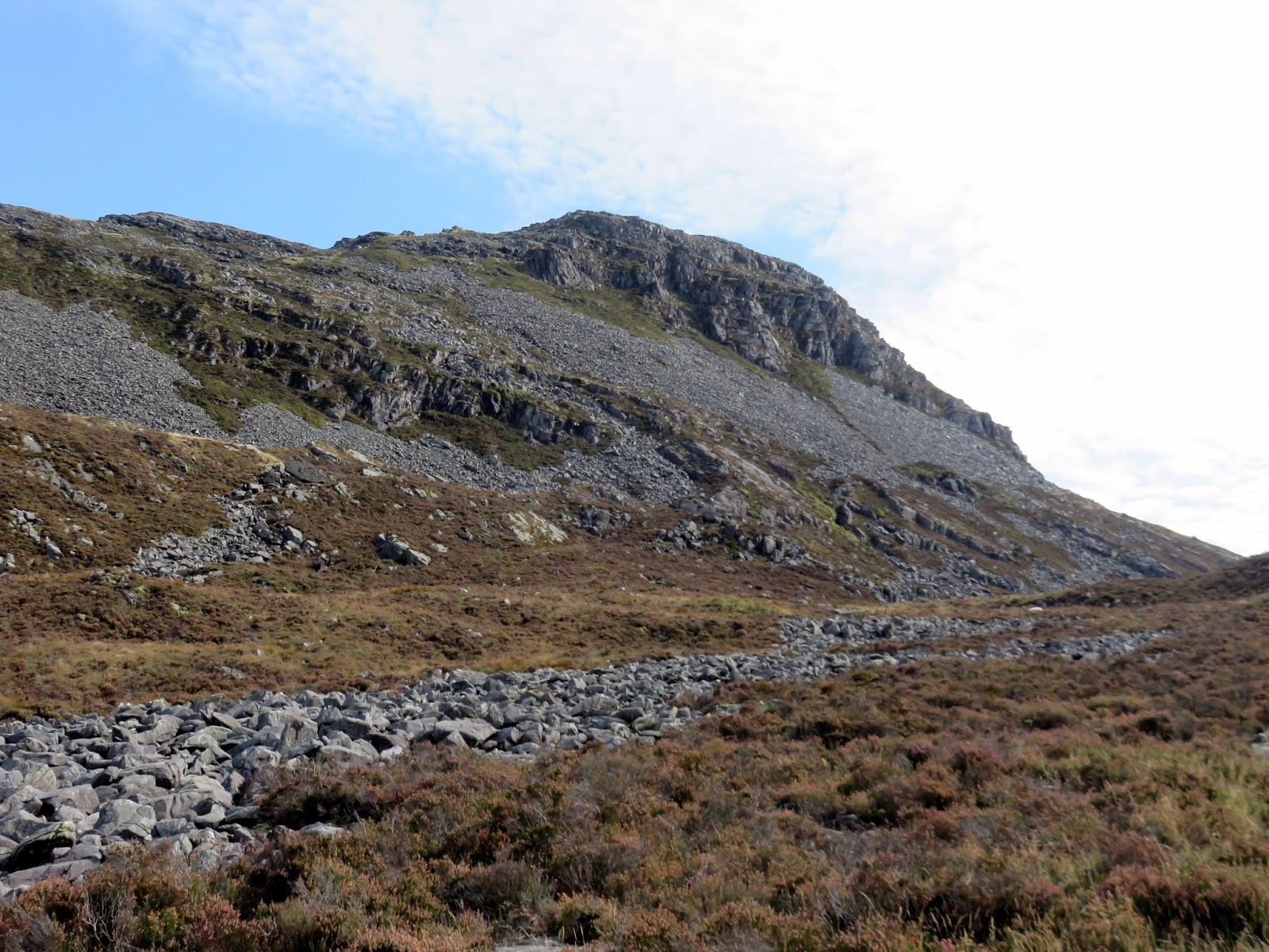
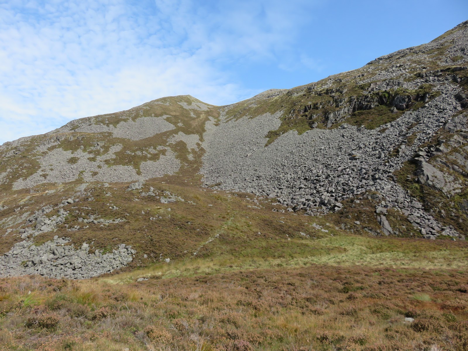
From the trig pillar on Rhinog Fawr, the path heads east and then south to reach an obvious gully. While it appears intimidating at first, venturing in reveals a rocky stone chute that will lead down into Bwlch Drws Ardudwy. There is evidence of a vague path for much of the way down though I imagine that you could do the descent 10 times and take 10 different routes. They will all eventually reach the pass. In all, it took around 45 minutes to make it down the mountainside with my ankles and confidence intact though the troublesome knee was now starting to make itself known.
 |
| Entering the gully |
 |
| The gully a bit further down |
 |
| It opens up at the bottom |
 |
| A route is picked out down the boulders and then round to the right |
 |
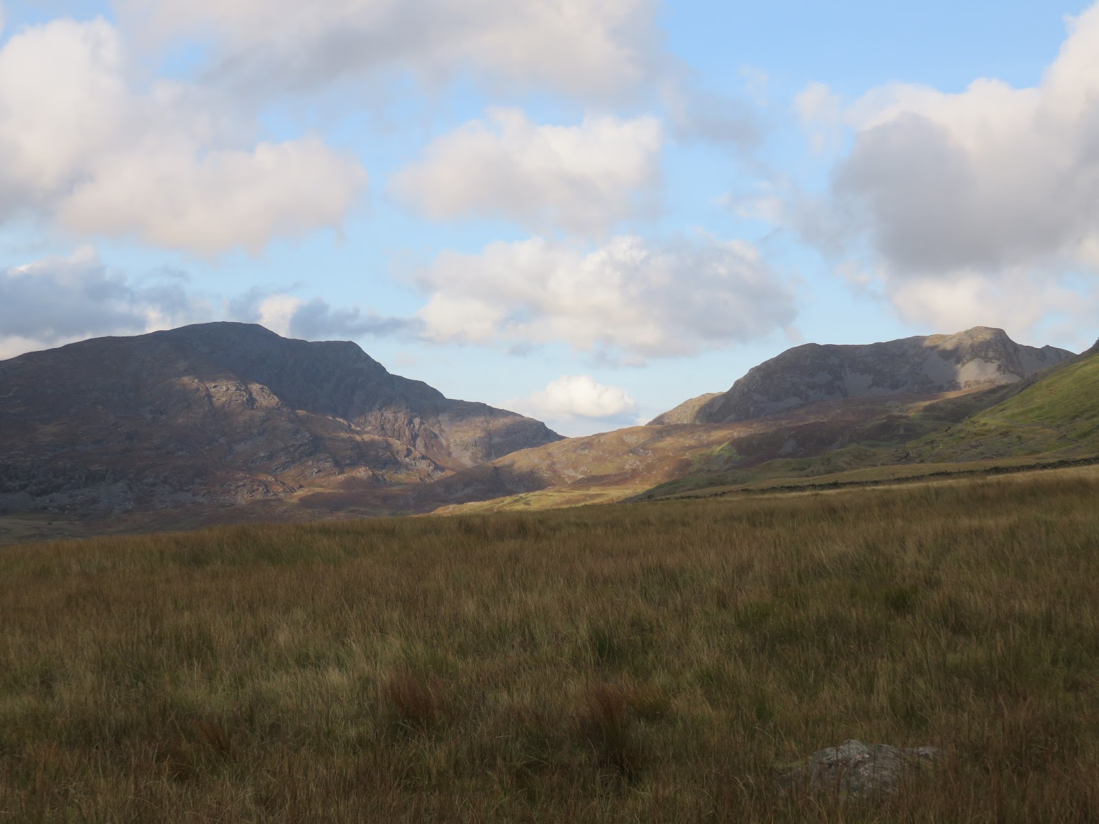
| Bwlch Drws Ardudwy and Llyn Cwmhosen |
 |
| Looking through the pass into Cwm Nantcol |
 |
| Looking back up the boulder field |
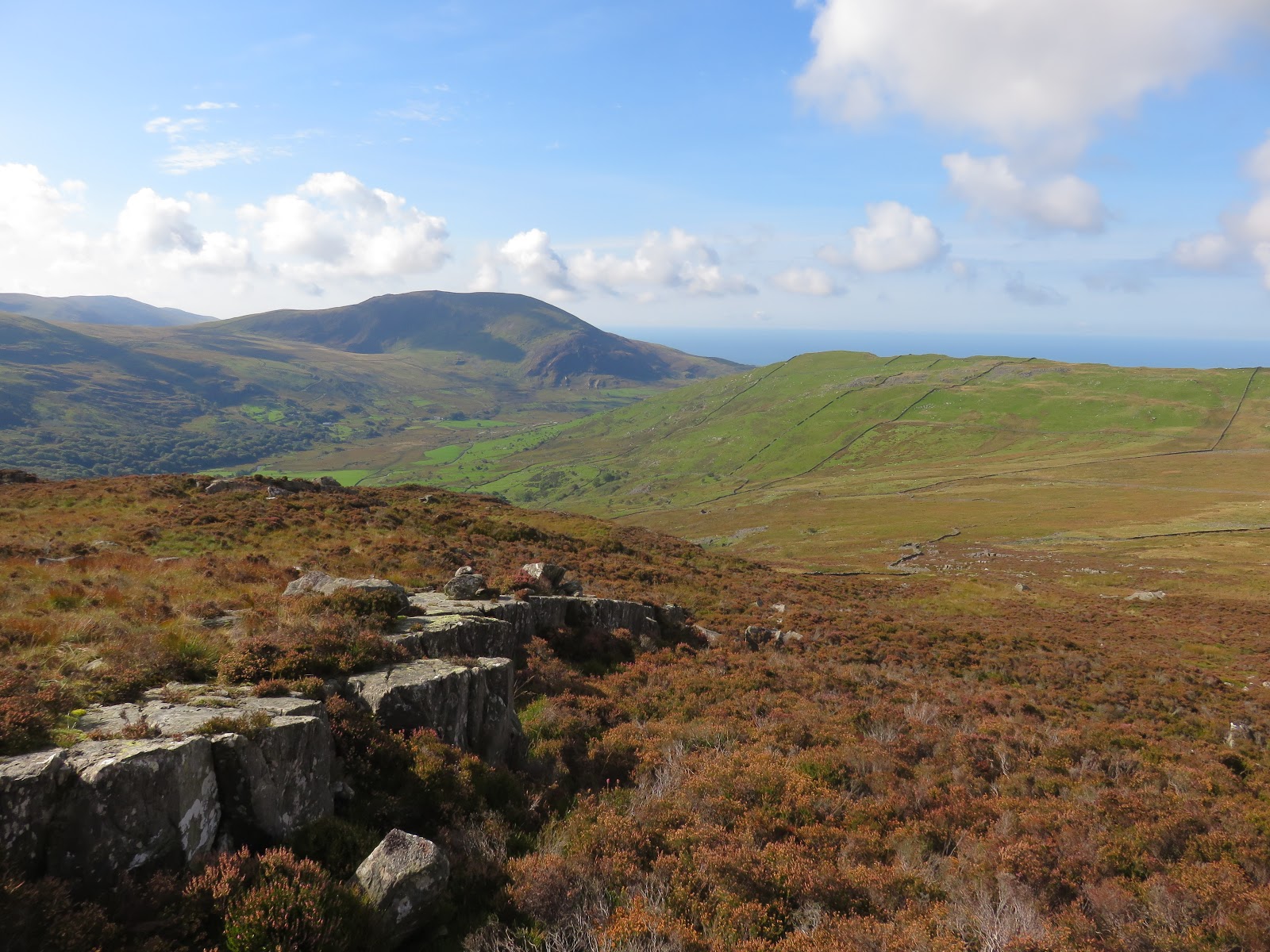
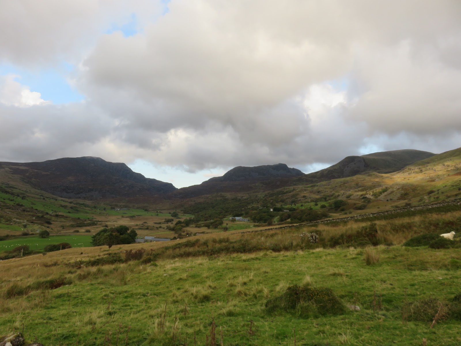
The pass of Bwlch Drws Ardudwy is very wet and I failed in my attempt to keep the water out of my boots. If you are to continue to Rhinog Fach, there are two main choices of ascent. The first is a direct route up from the highest point of the pass which is steep and pretty unrelenting. I, however, had been recommended a slightly easier approach via Llyn Hosan which is longer, more gentle and, perhaps, slightly more scenic.
 |
| Bwlch Drws Ardudwy |
 |
| Ladder stile in Bwlch Drws Ardudwy |
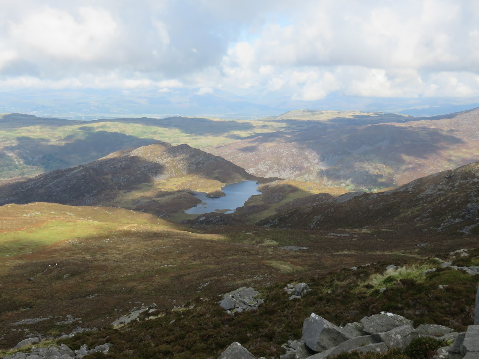
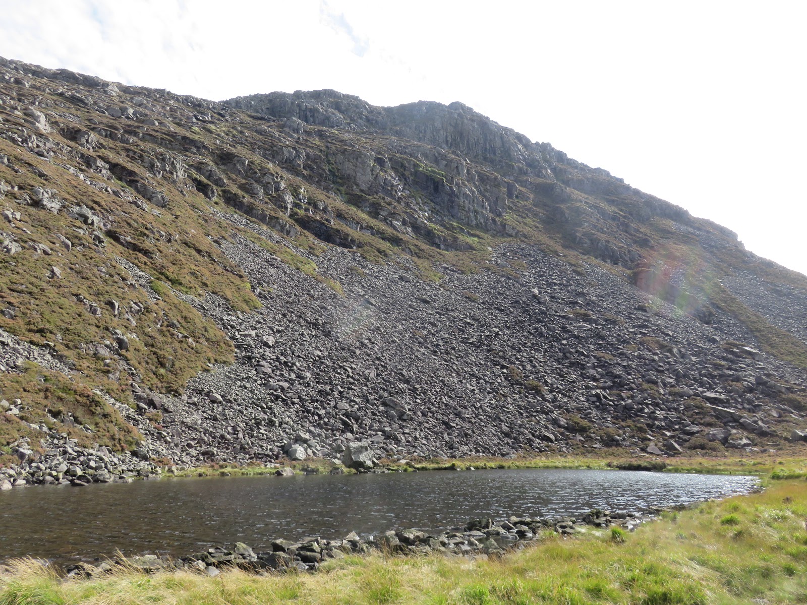
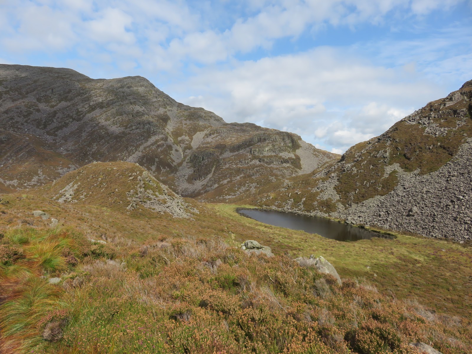
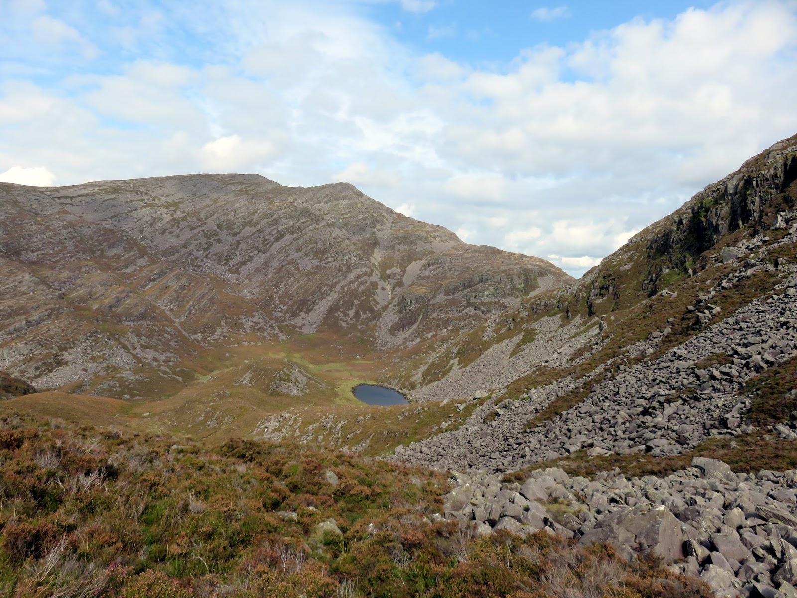
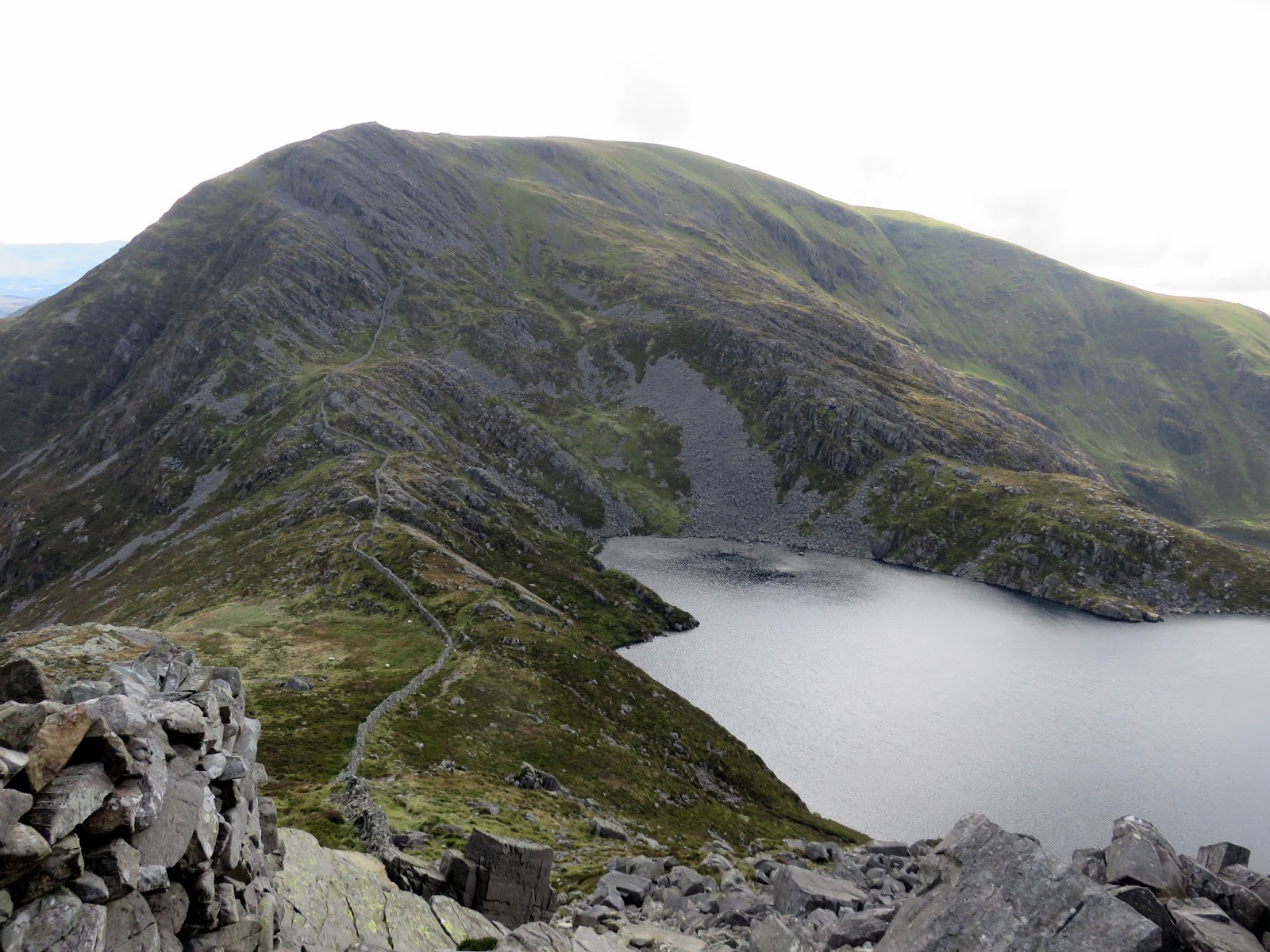
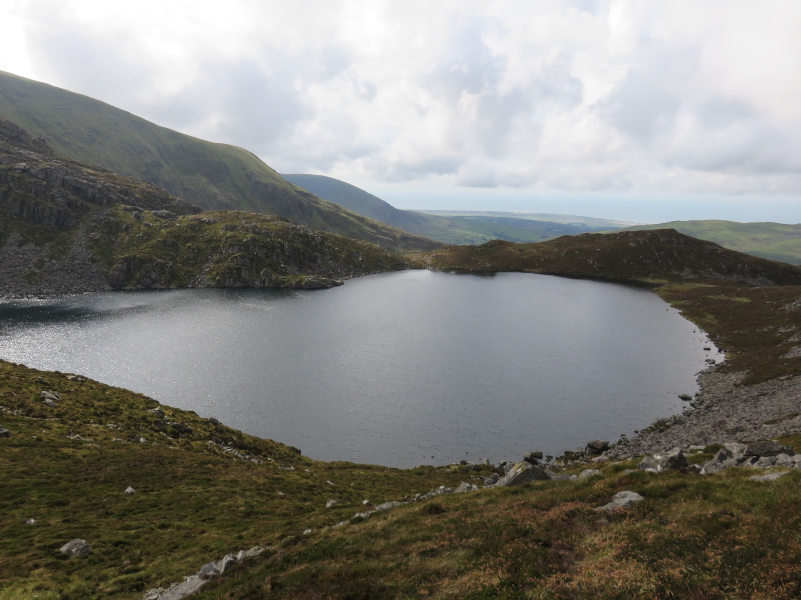
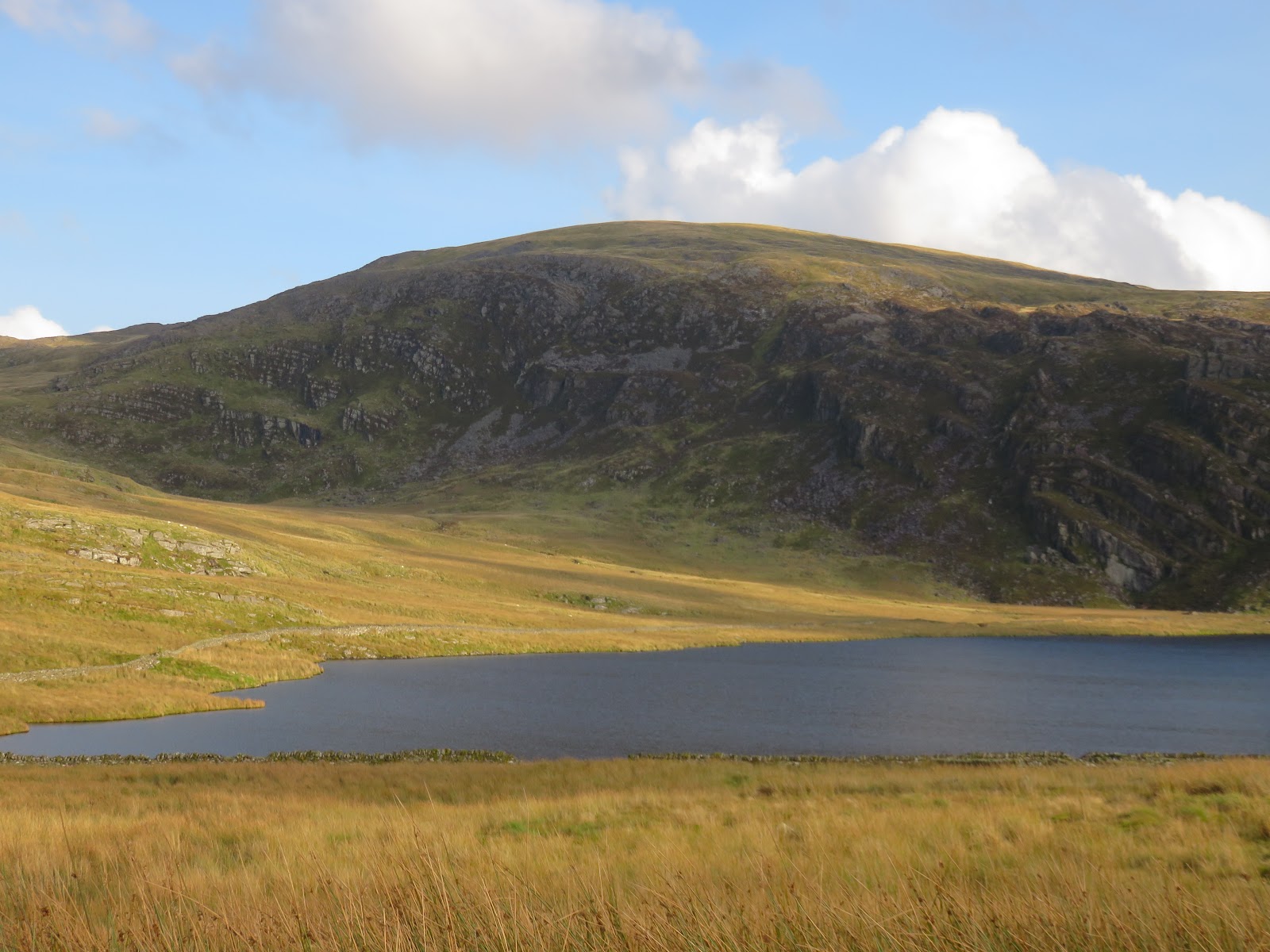
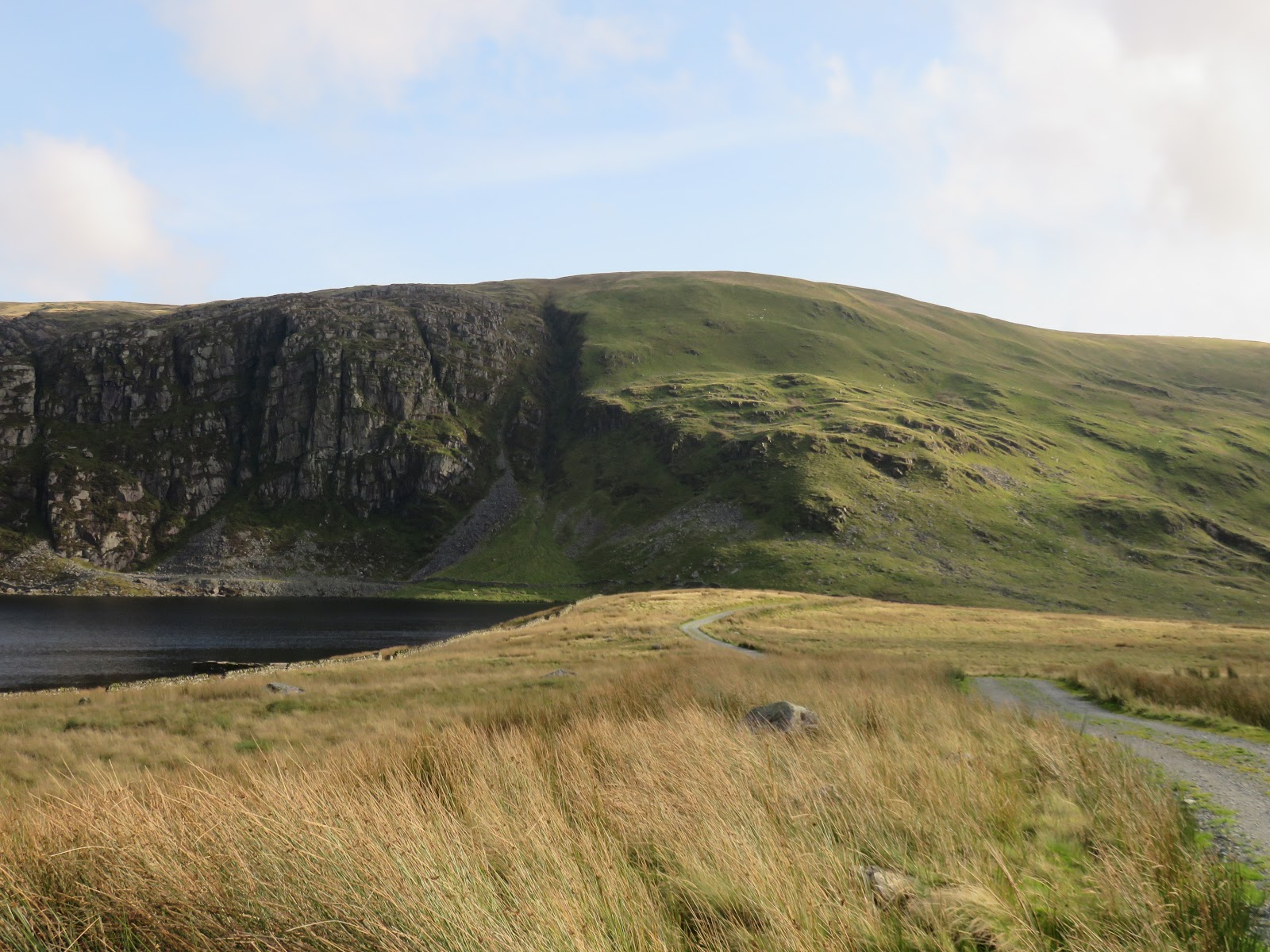
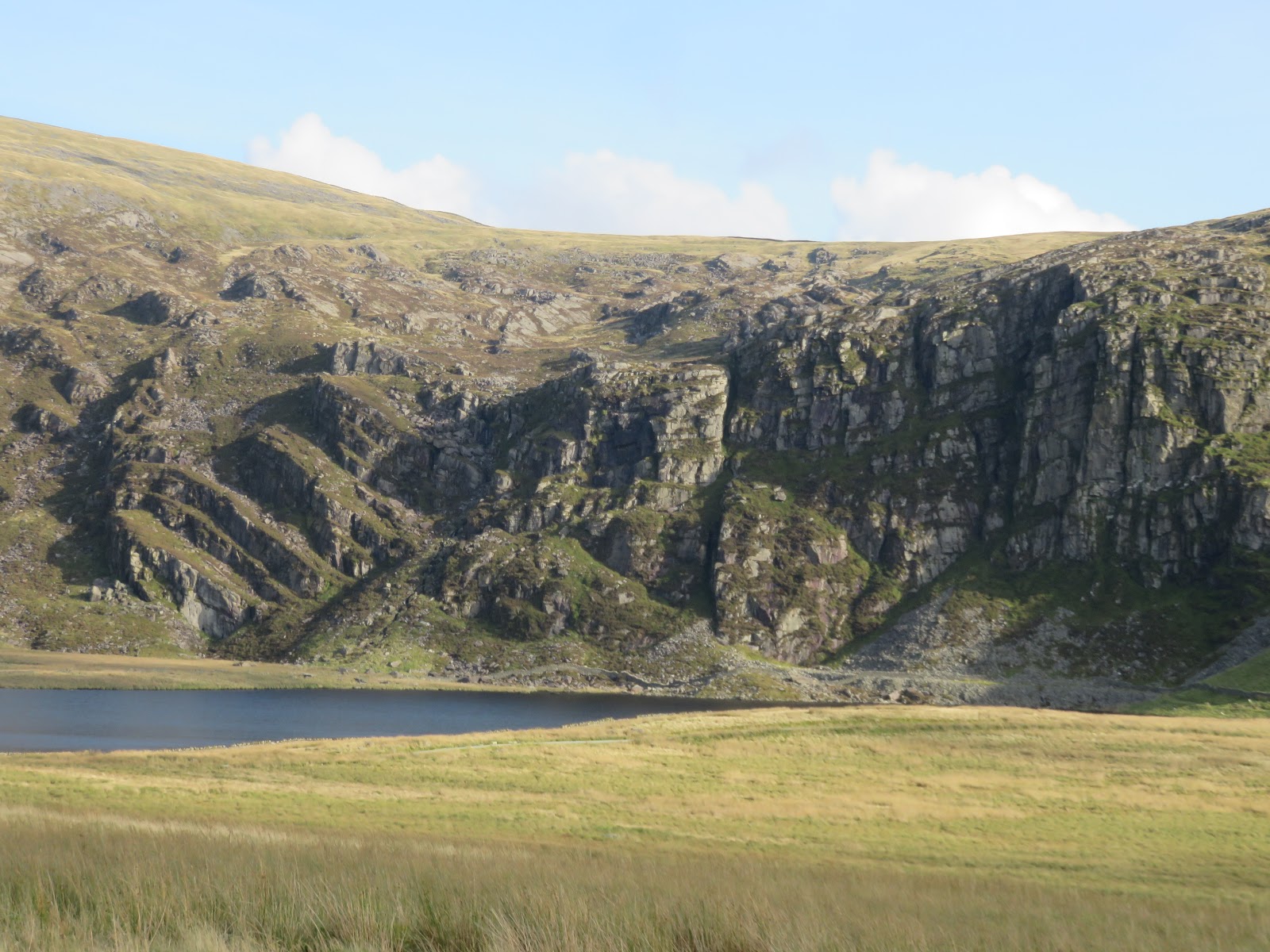
From the pass, a ladder stile crosses a wall and a path makes it was up to the small Llyn Hosan, nestled beneath the cliffs of Rhinog Fach. After passing the tarn, the path climbs once more to reach the valley below Llyn Hywel.
 |
| Llyn Cwmhosen |
 |
| Climbing up towards Llyn Hywel |
Before reaching Llyn Hywel, I turned back on myself to climb up to the main summit ridge via a broad grassy gully. While this is steep an eroded path leads all the way up. A short walk along the ridge leads to the summit.
 |
| A path runs up alongside the scree to the depression in the skyline |
 |
| Moelfre and Cwm Nantcol |
 |
| Add caption |
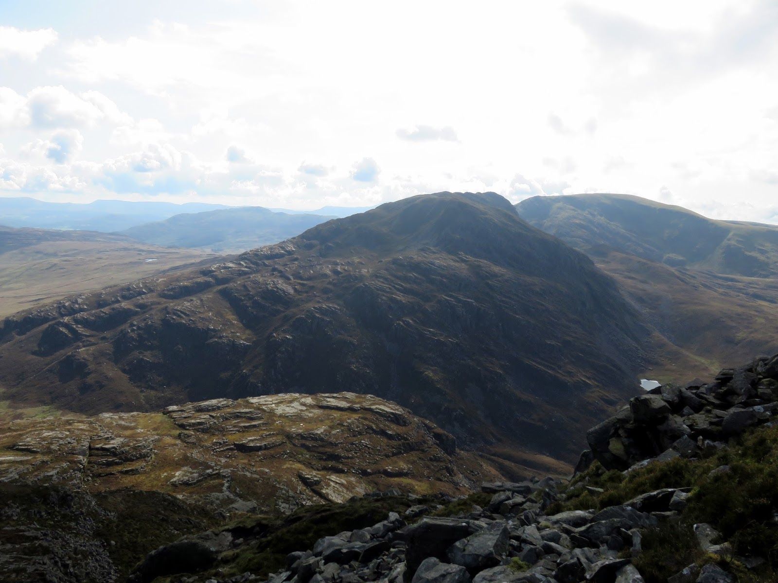
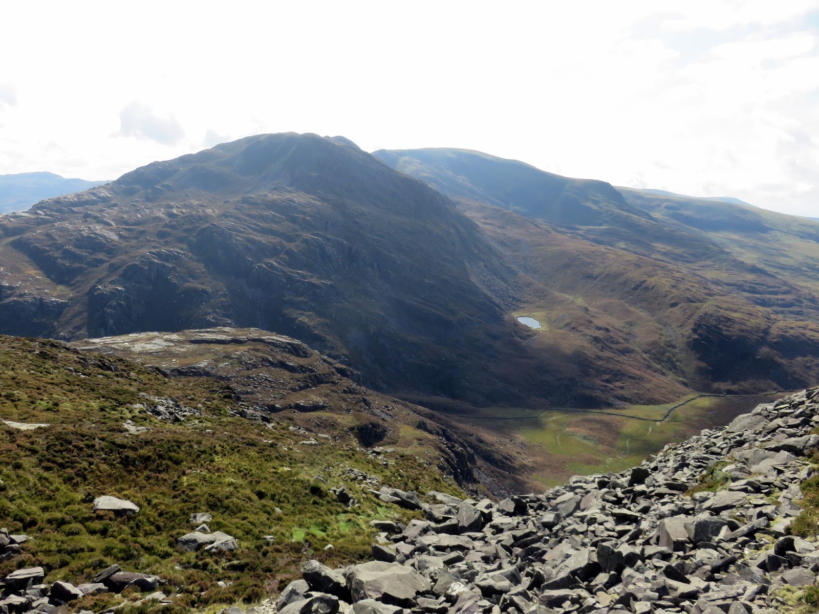
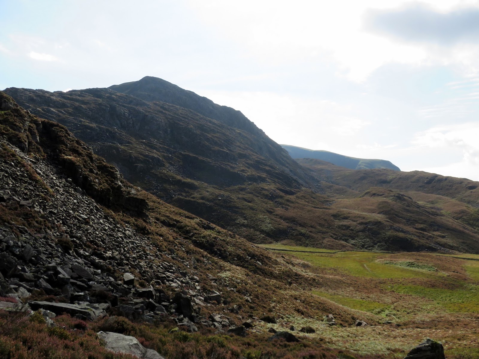
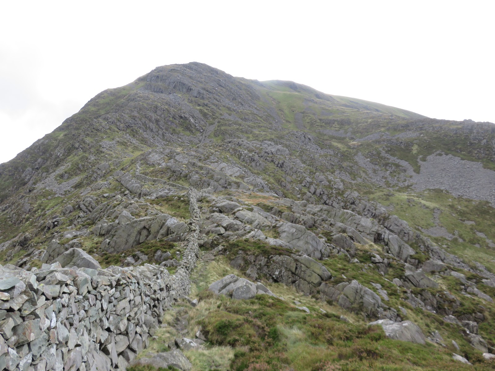
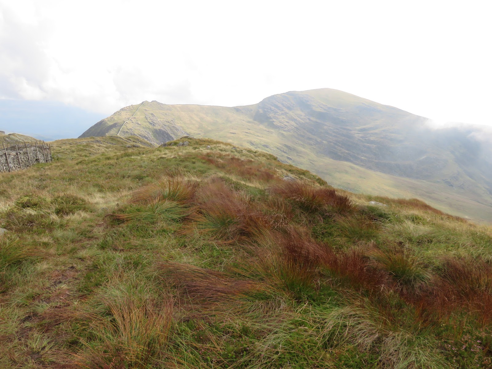
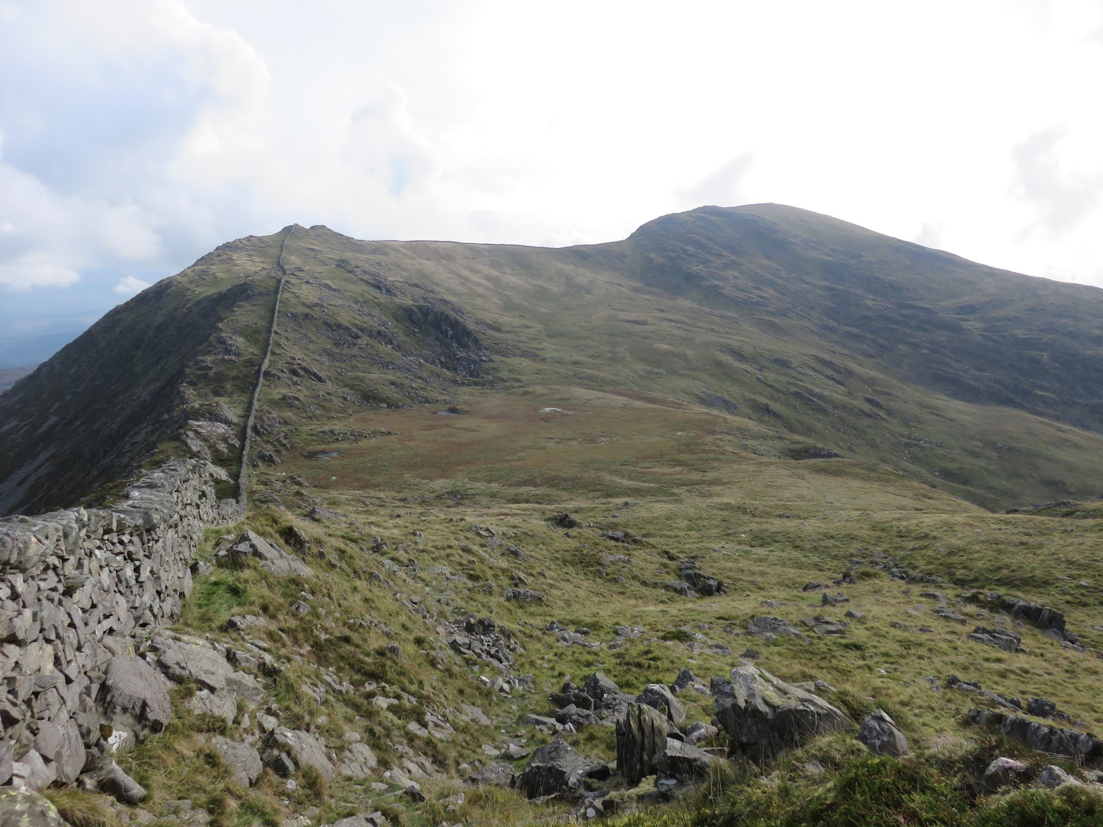
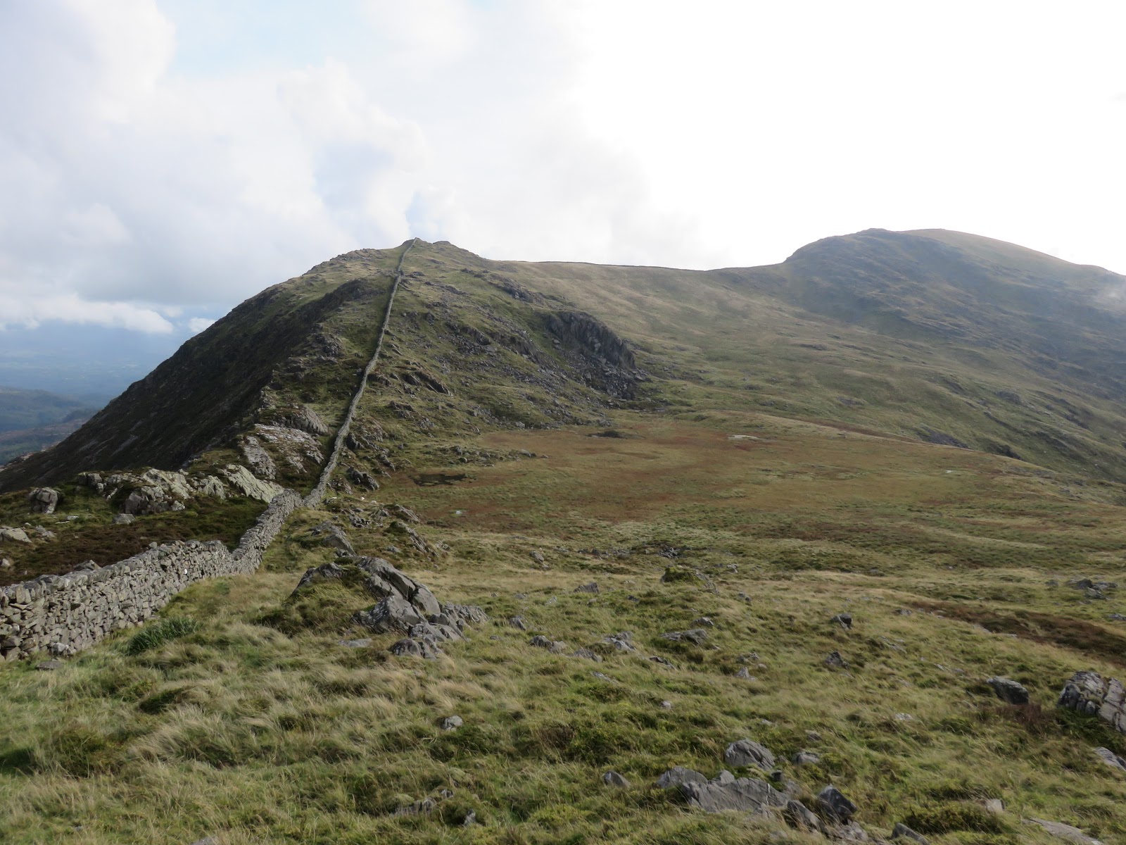
After leaving the summit, I made the mistake of heading straight towards Y Llethr where a line of crag bars the way as the fall into Llyn Hywell. Instead, the drystone wall to the east of the summit offers a route of descent. My knee was really starting to hurt now, particularly descending and, in hindsight, I should probably have called it a day here and made my way back to Maes-y-garnedd. However, I tend to be a determined soul instead opting to carry on, despite the distance remaining.
 |
| This path off the summit is a bit misleading |
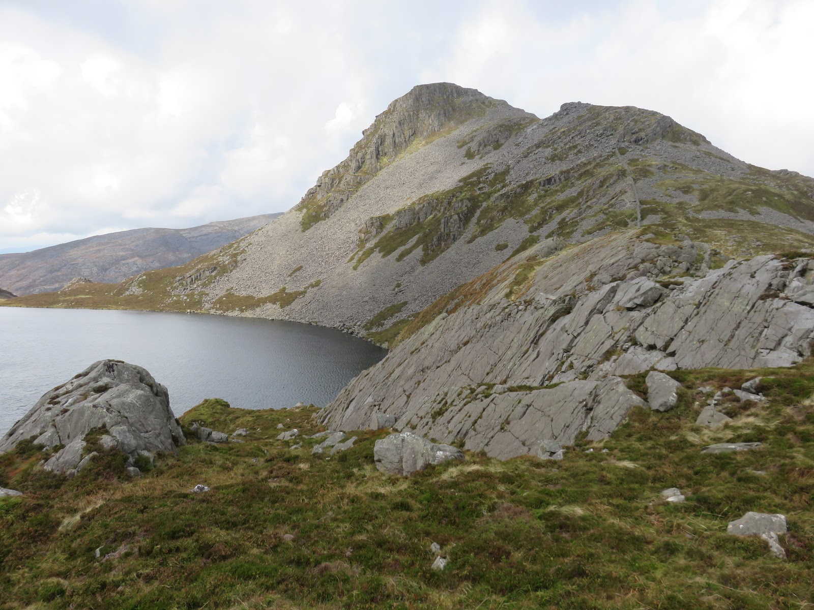
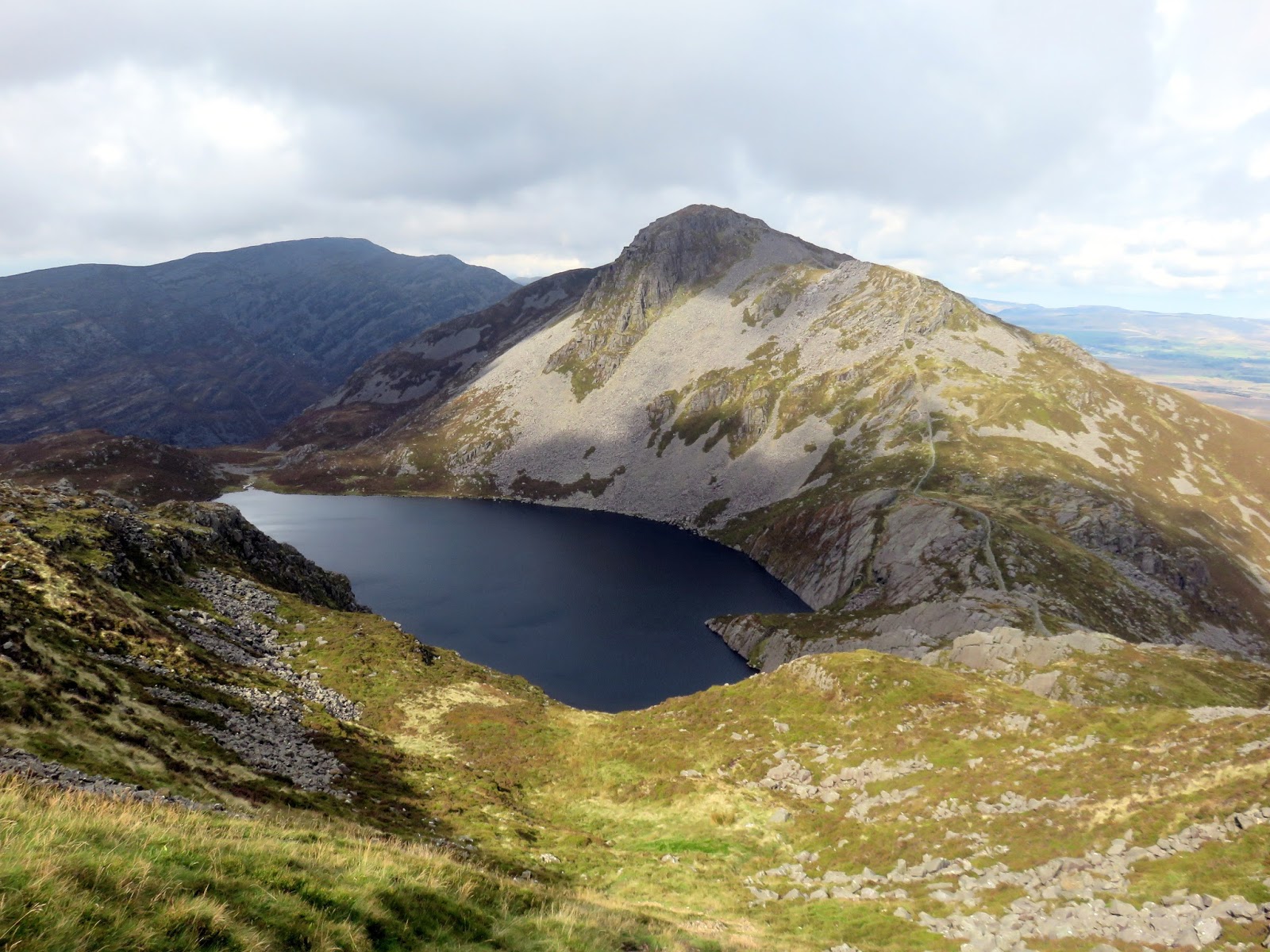
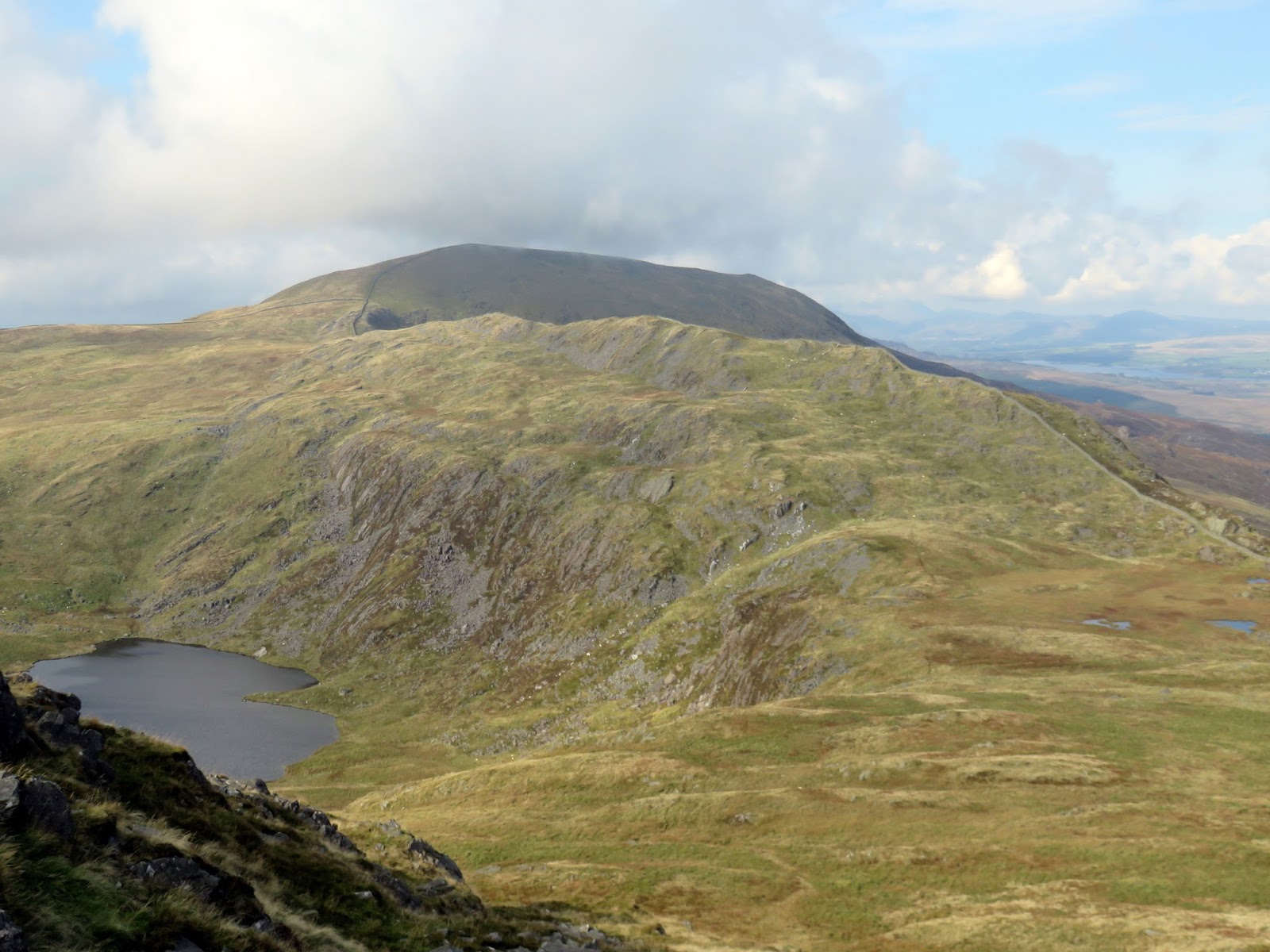
Ahead is the looming presence of Y Llethr where a very steep path (a bit of a theme for the day) leads up onto the summit plateau. Though steep, the view back to Rhinog Fach is one of the iconic scenes of Rhinogs and one that shouldn’t be missed.
 |
| Llyn Hywel |
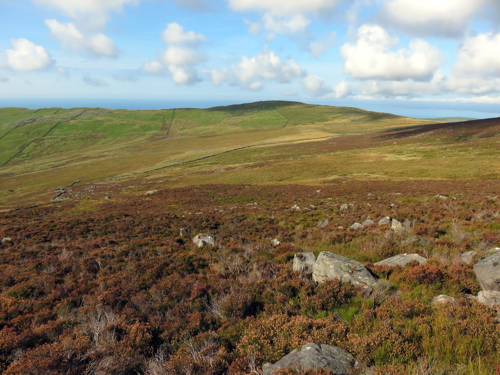
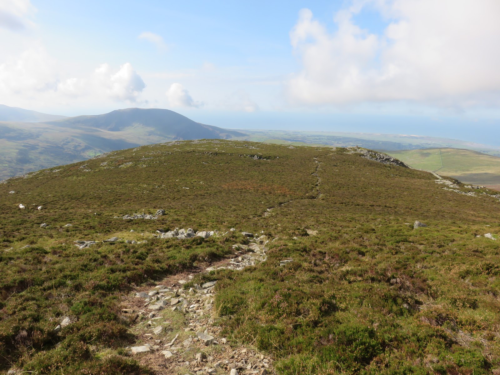
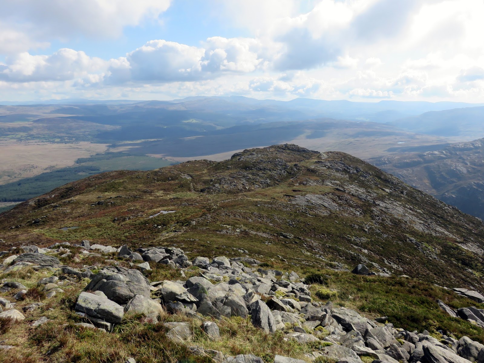
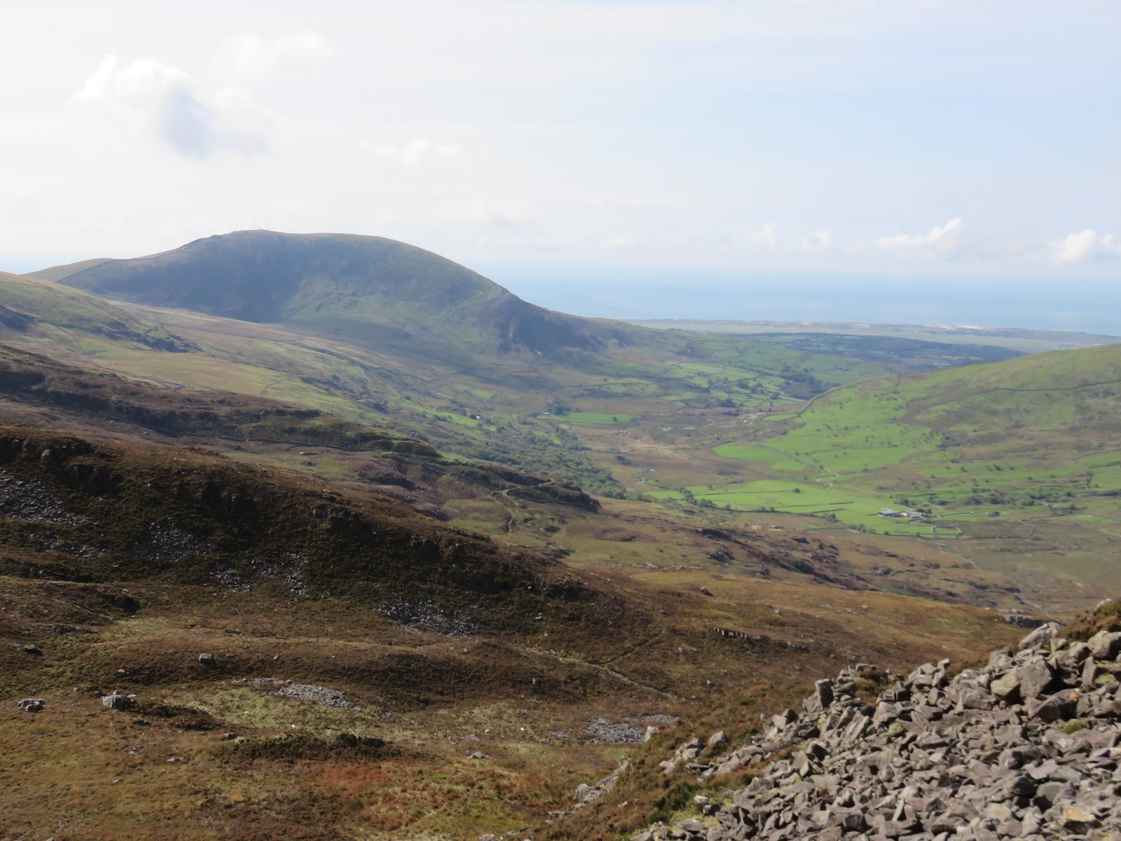
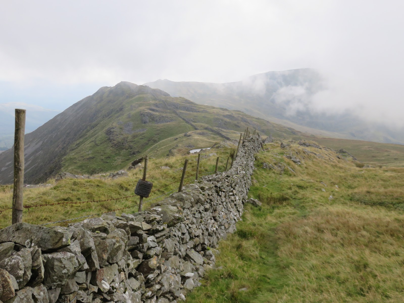
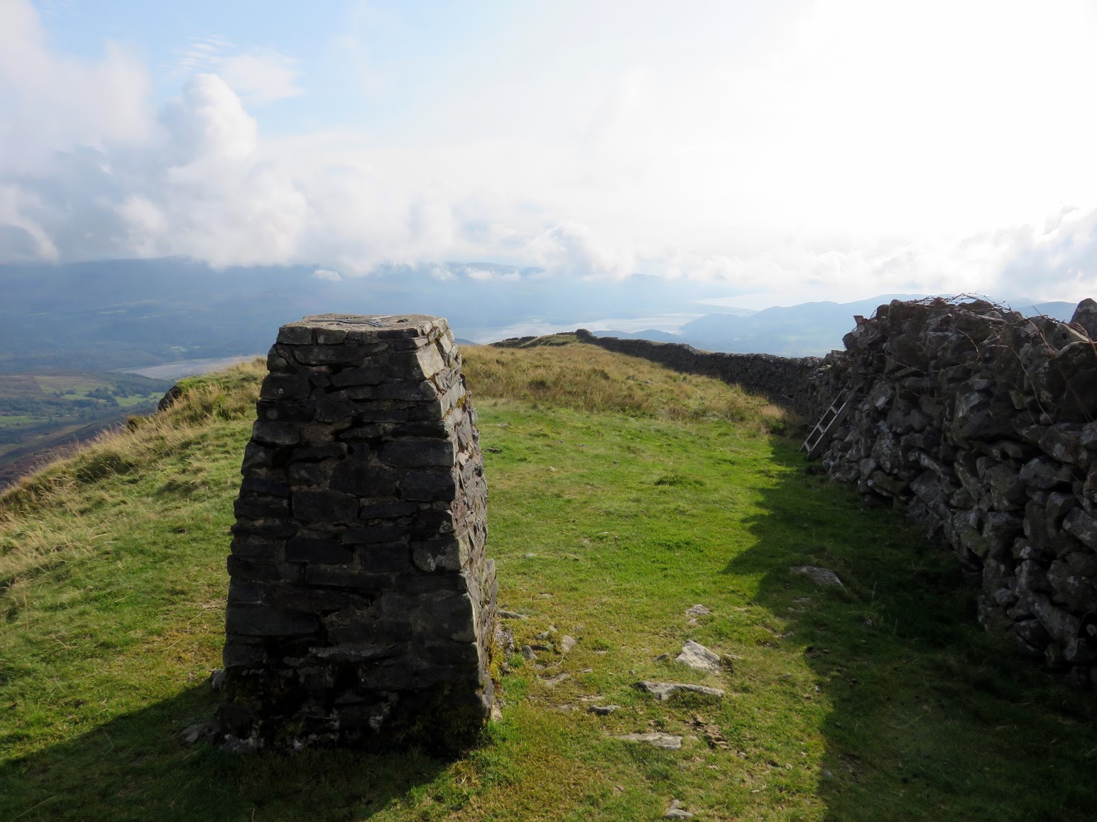
The skies were starting to fill with cloud and they had descended onto Y Llethr’s summit by the time I reached it. The mountain presents a distinct change in character for the Rhinogs as the rocks and heather are replaced by grass. From here the walking and navigation is much more straightforward.
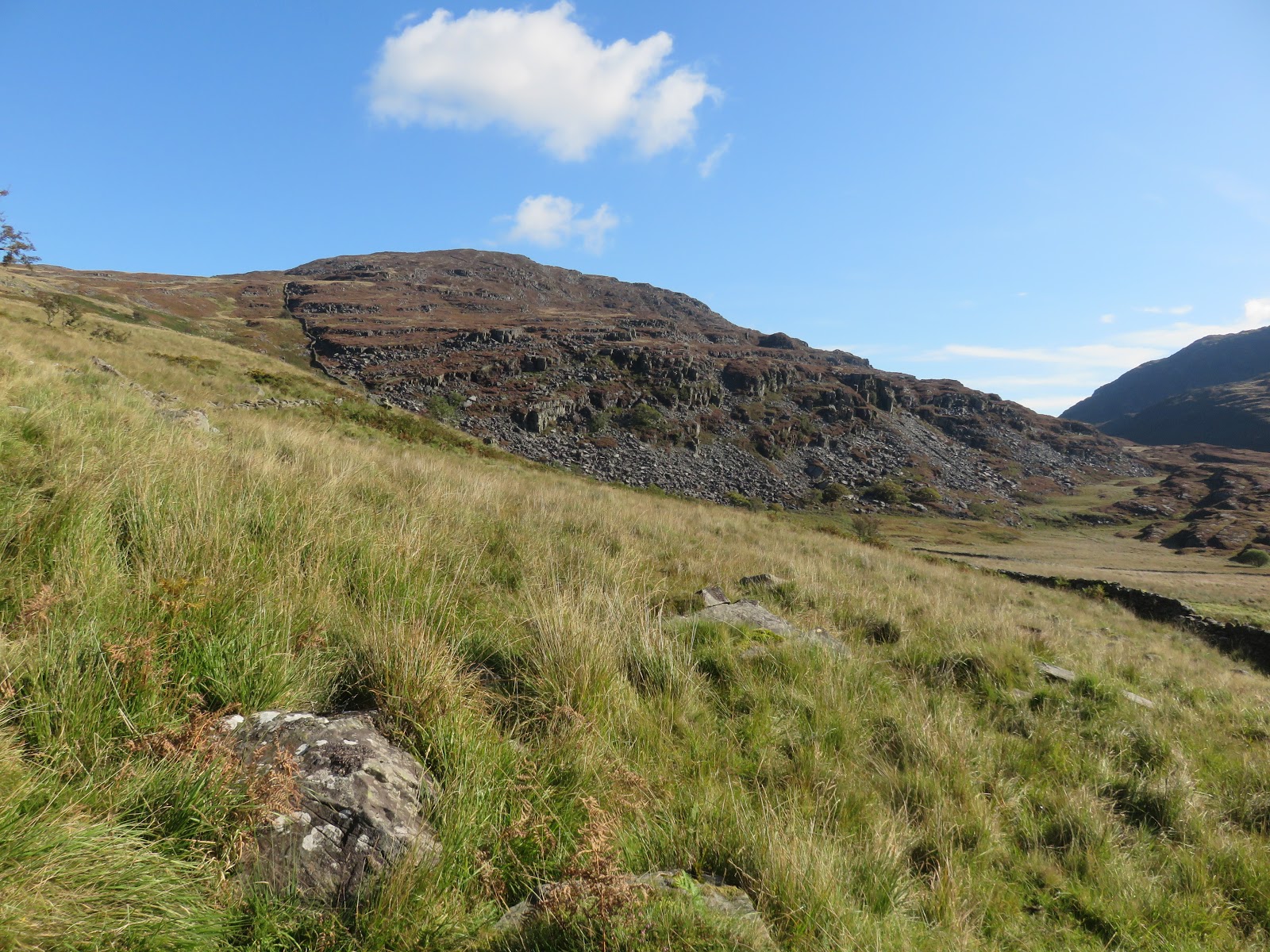
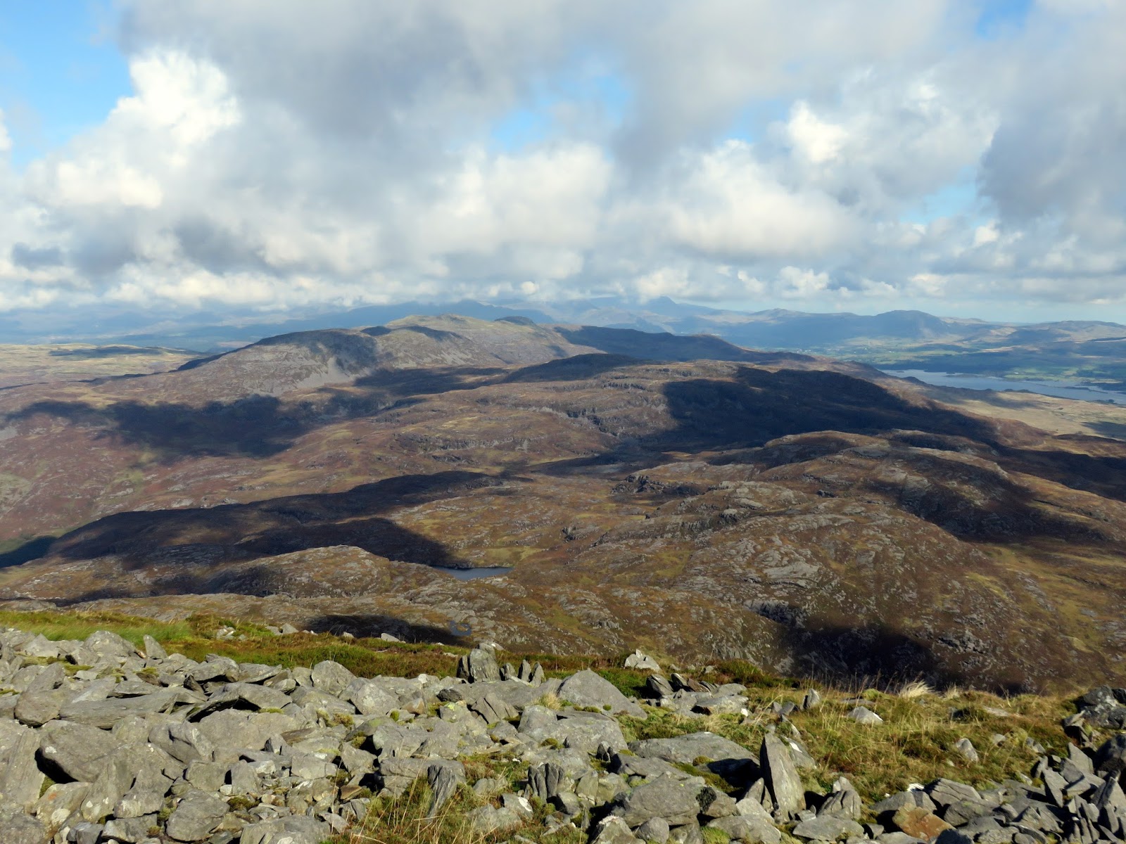
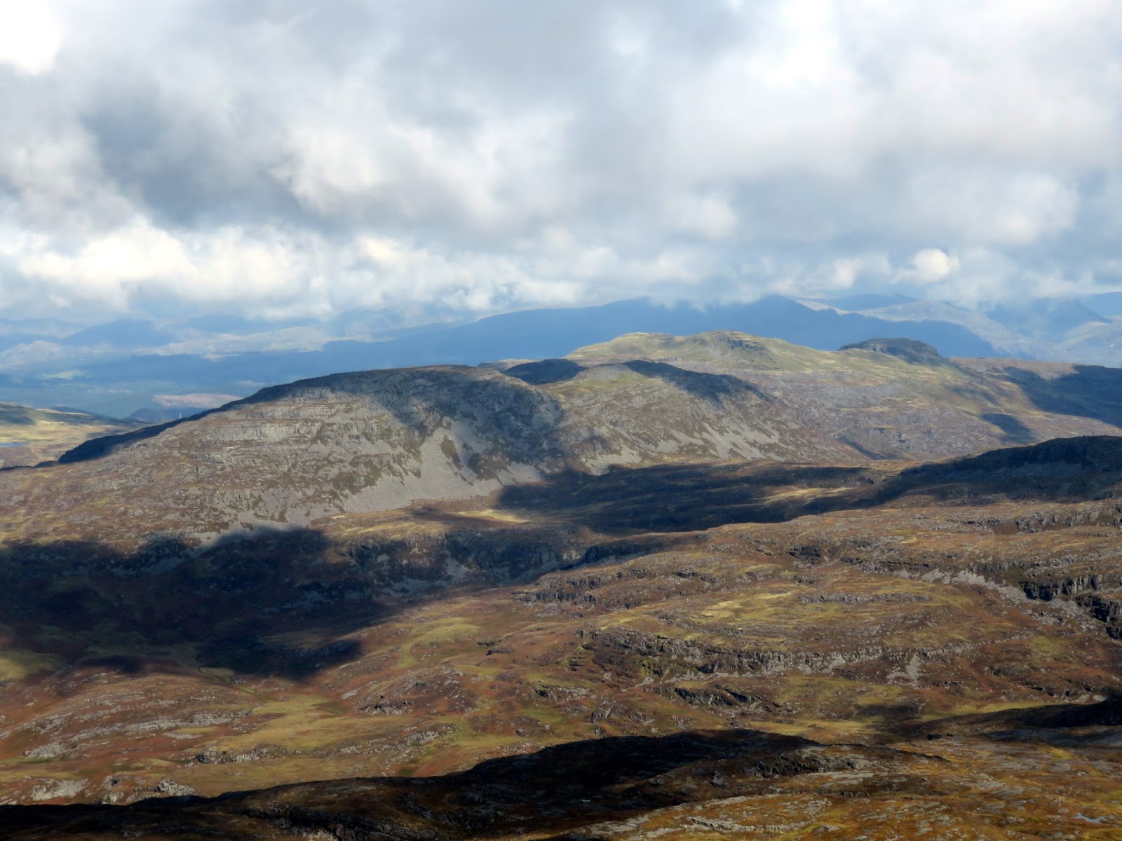
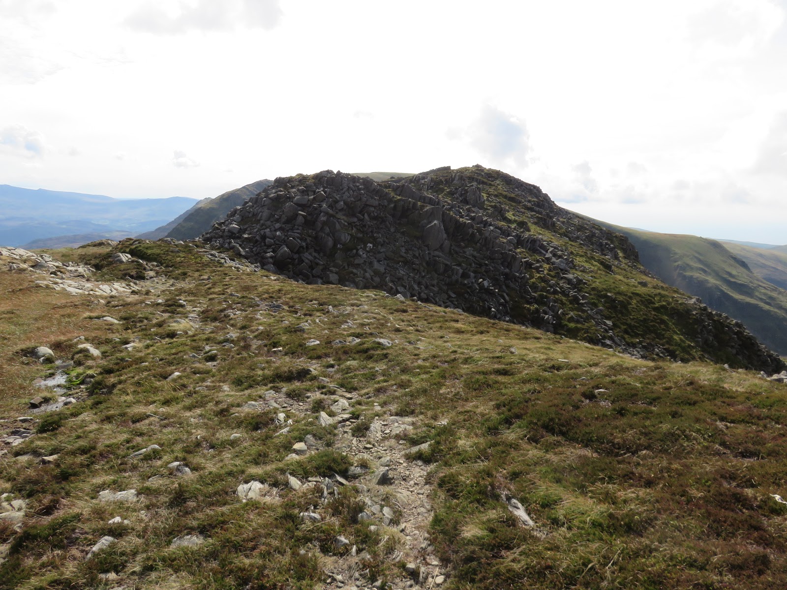
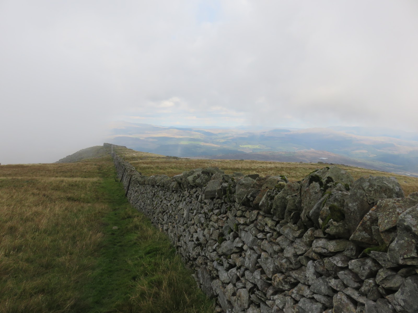
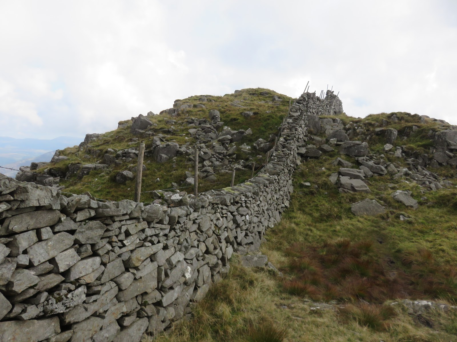
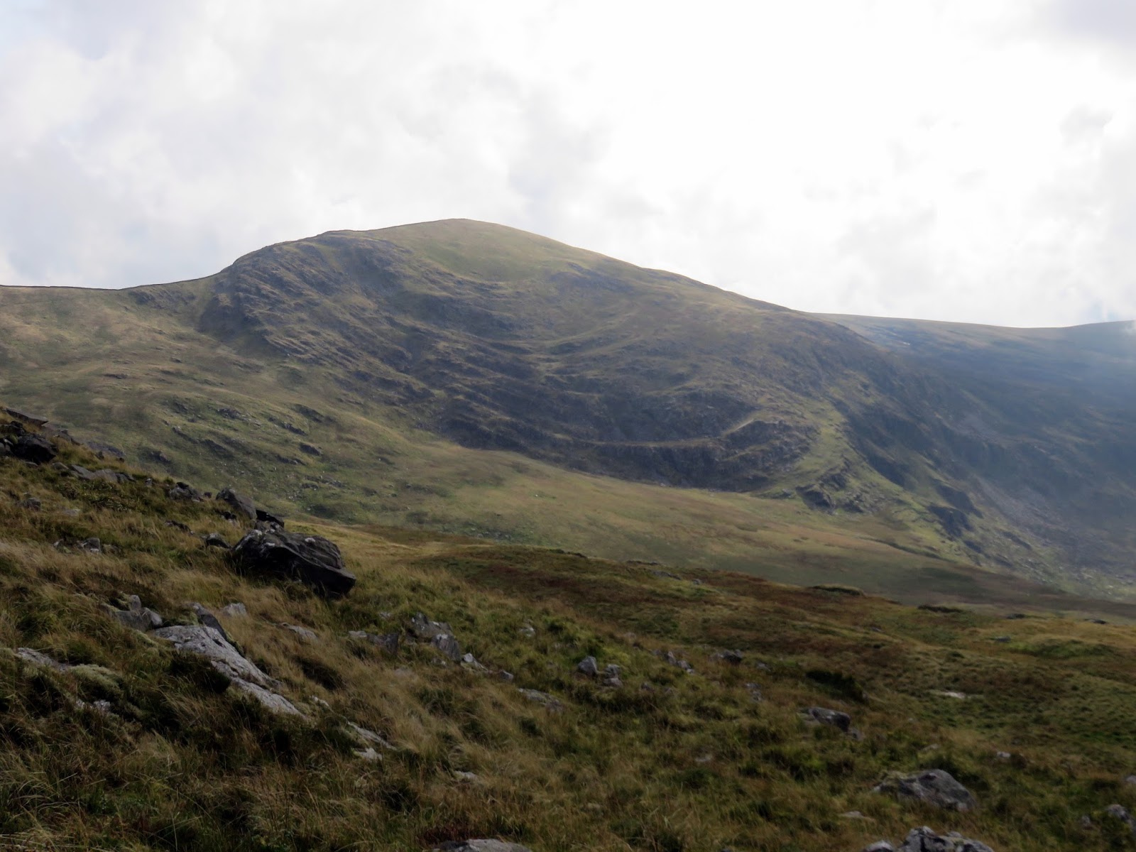
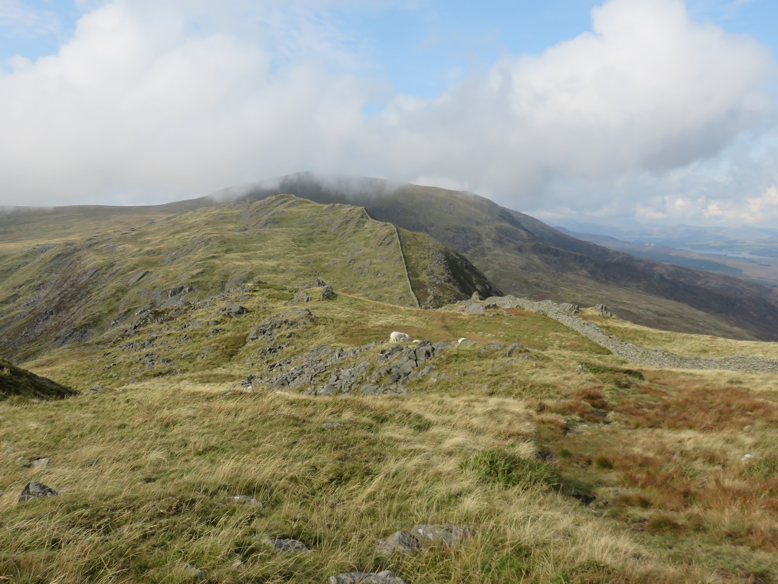
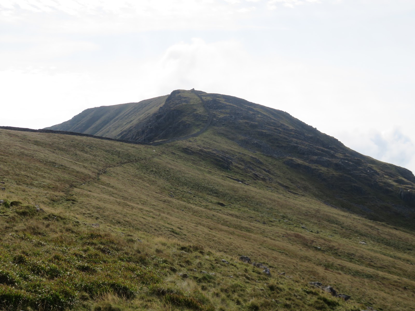
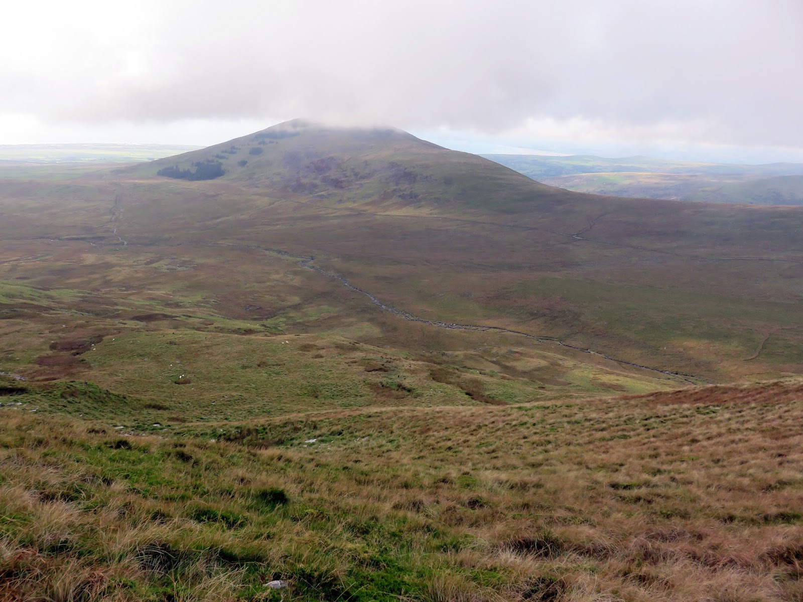
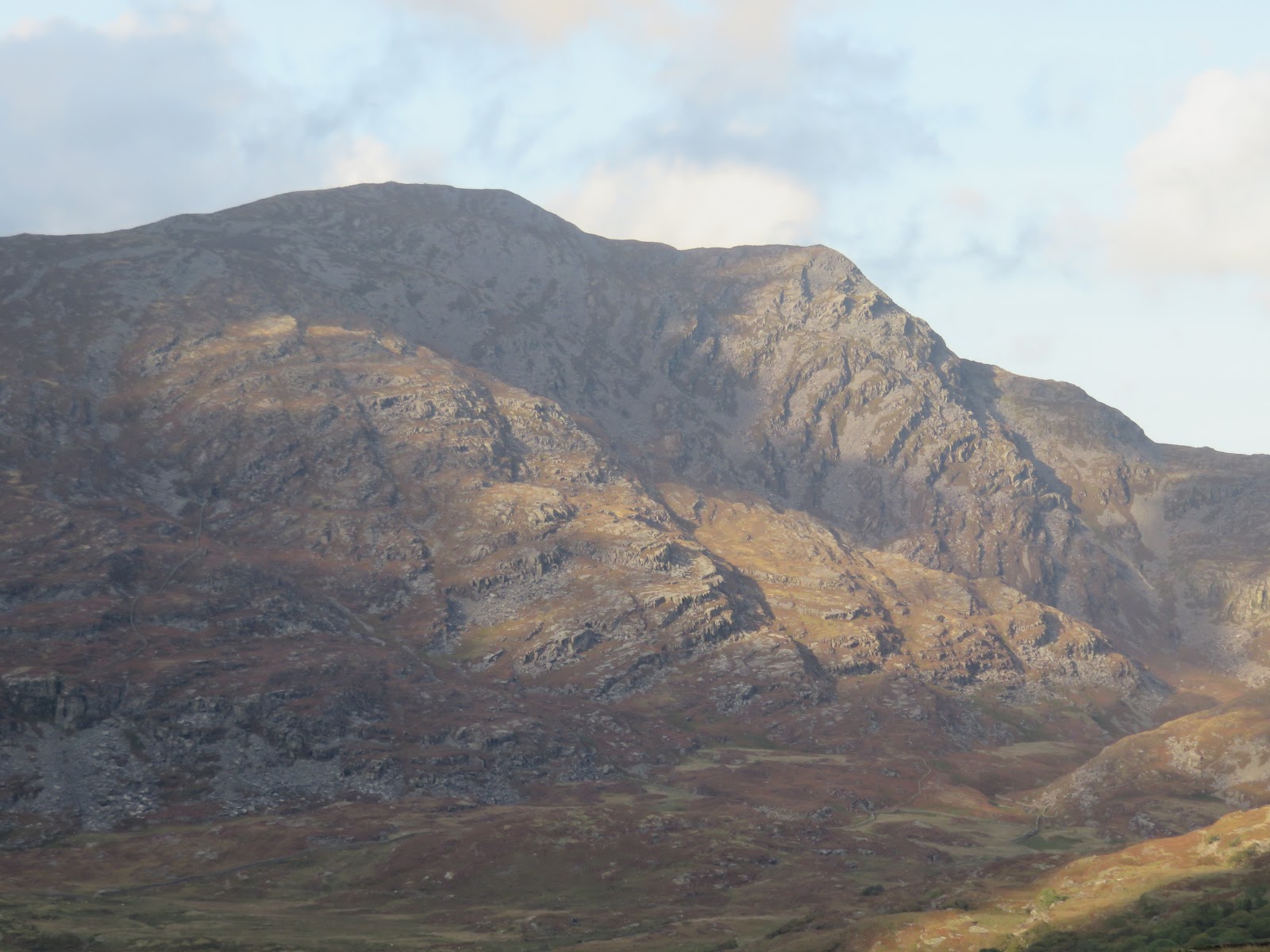
A wall runs along much of the ridge, leading roughly south over the top of Crib-y-rhiw where steep crags plunge to the wide valley below. The undulating path meanders through pleasant rocky outcrops before climbing more seriously to the summit of Diffwys.
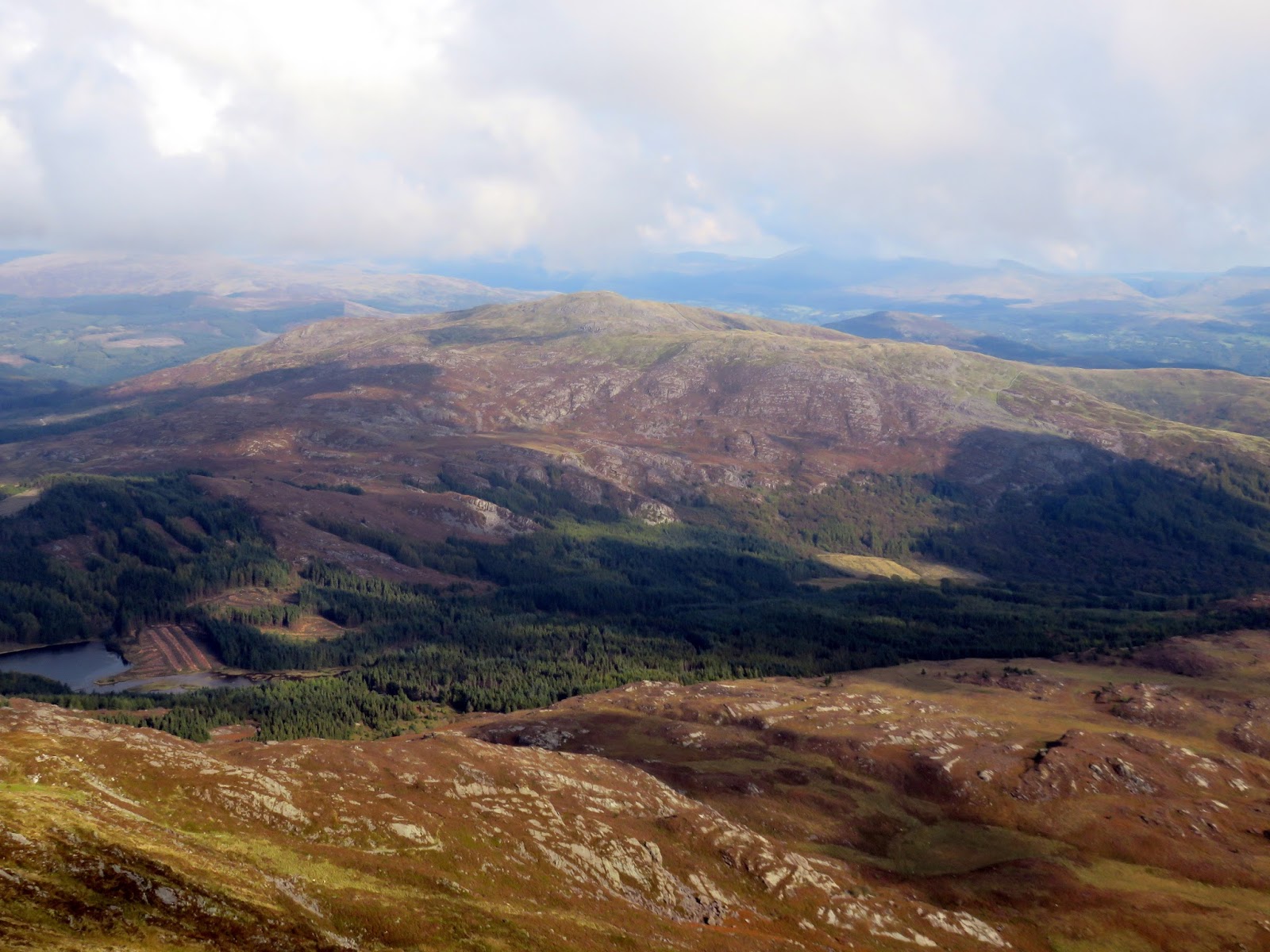
Diffwys is one of the geologists – seen from Crib-y-rhiw, the strange, curved shape of the northern slope are the exposed Caerdeon Syncline – a huge geological fold. For the walker, Diffwys has a superb vantage point which brings the Mawddach Estuary into view, as well as Cader Idris and the oft-ignored Y Garn.
 |
| Y Garn |
 |
| Diffwys‘ summit looking towards Barmouth |
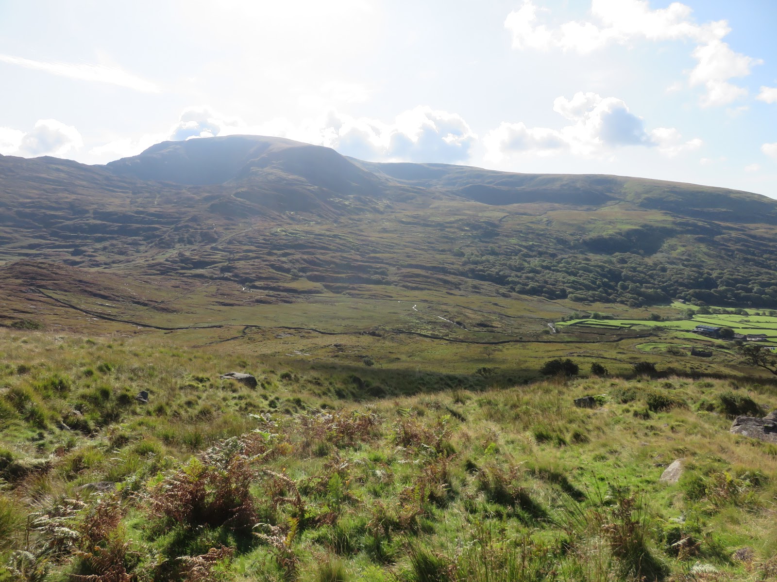
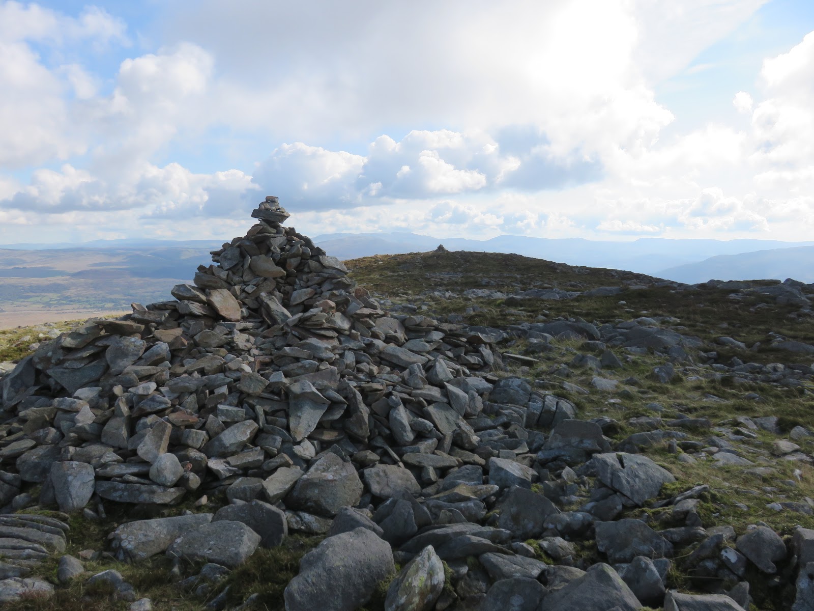
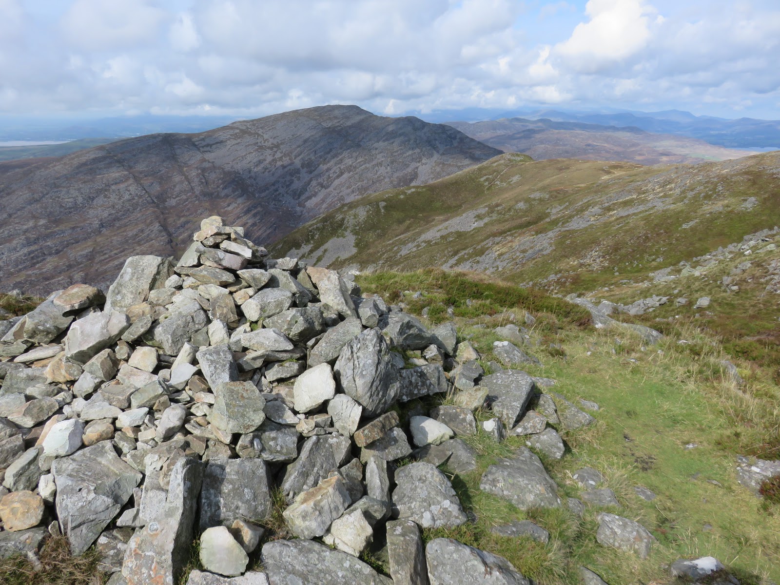
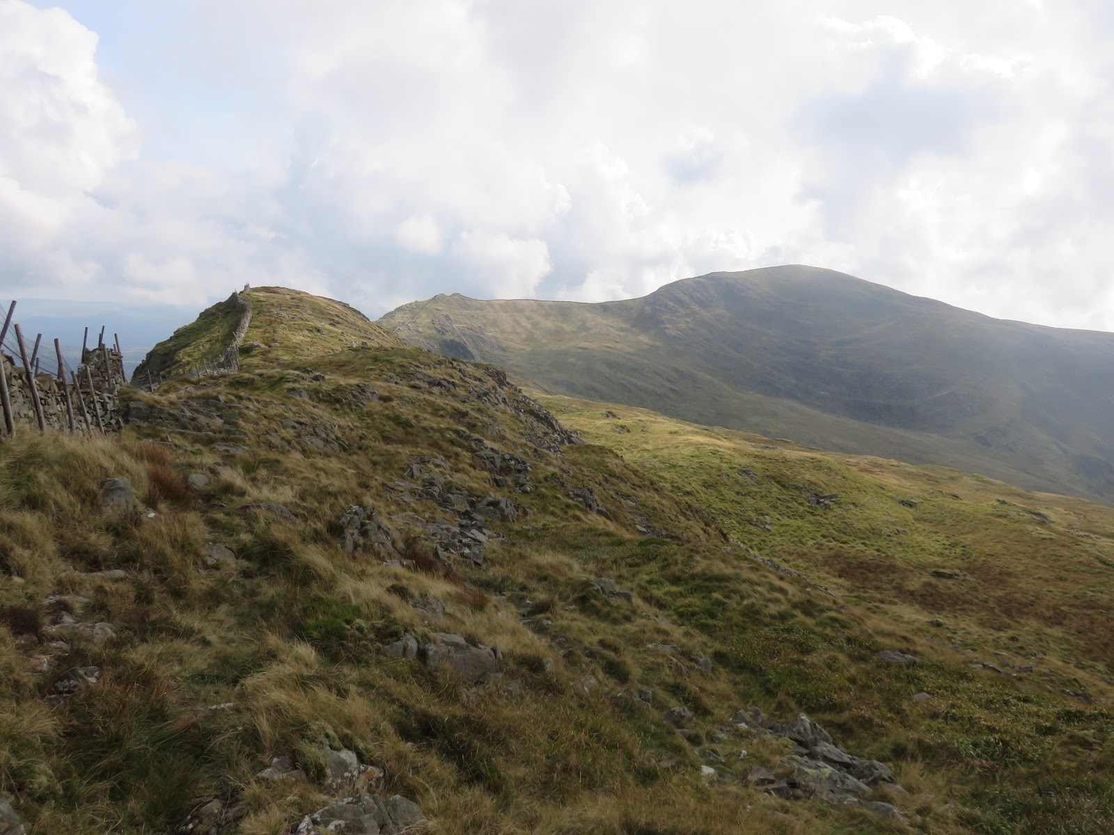
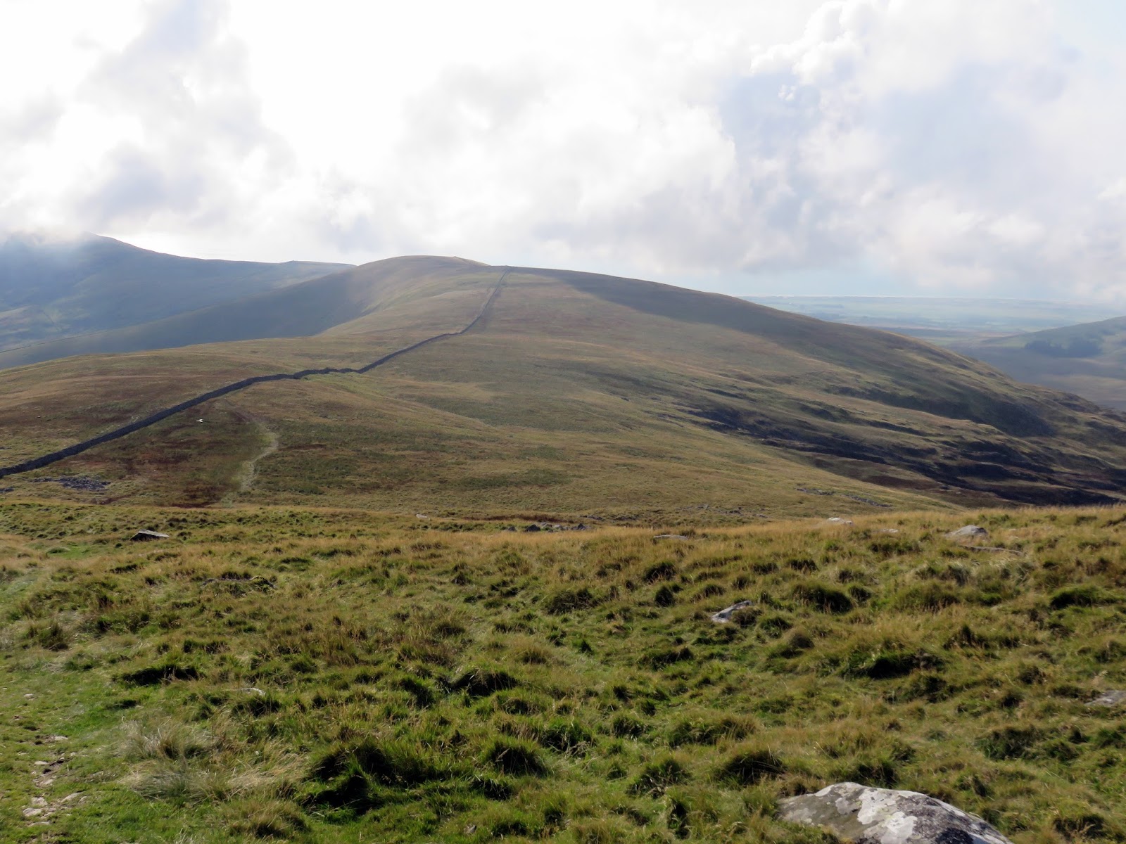
There’s a fair old trek to get back to Maes-y-garnedd from Diffwys, crossing the uninteresting West Top on the way. From here, a pathless descent of steep grass is required which, given the increasing difficulties caused by my knee, was a tedious and painful affair. I spent some of the descent deliberately sliding down on my backside as it was easier and less painful than walking down.
 |
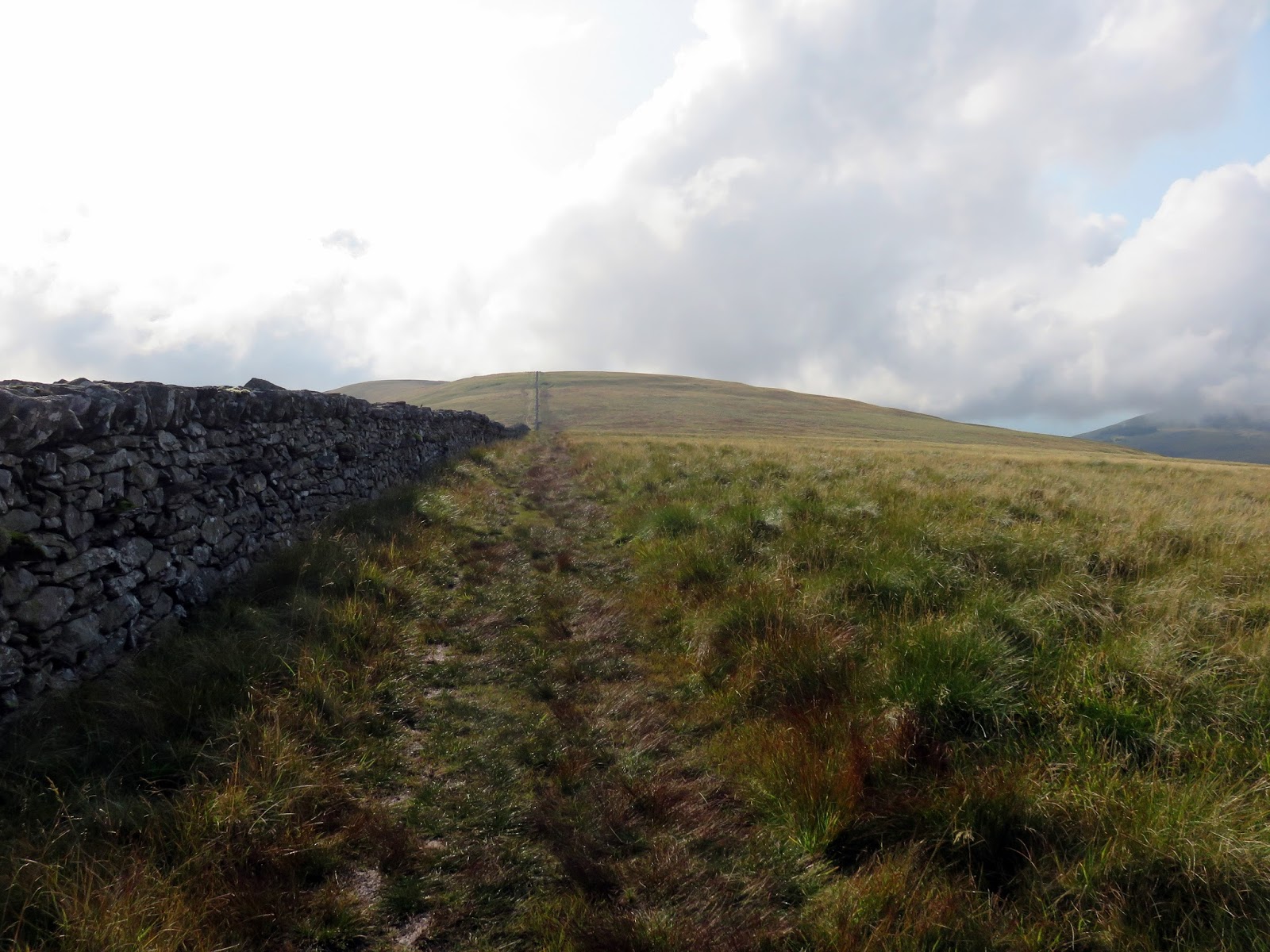
| The wall leads right to the summit of the West Top |
 |
| Moelfre |
 |
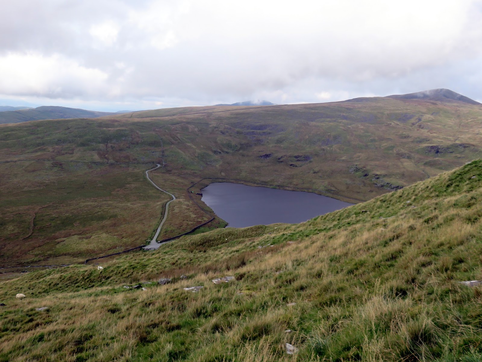
| Llyn Bodlyn |
 |
| Moelfre |
 |
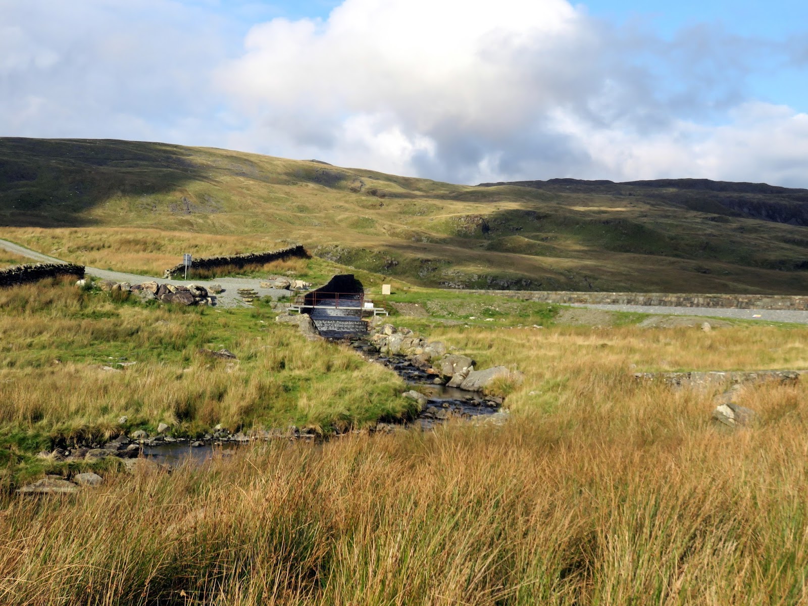
| The outlet of Llyn Bodlyn |
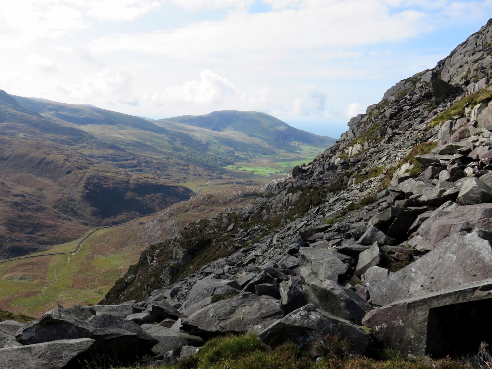
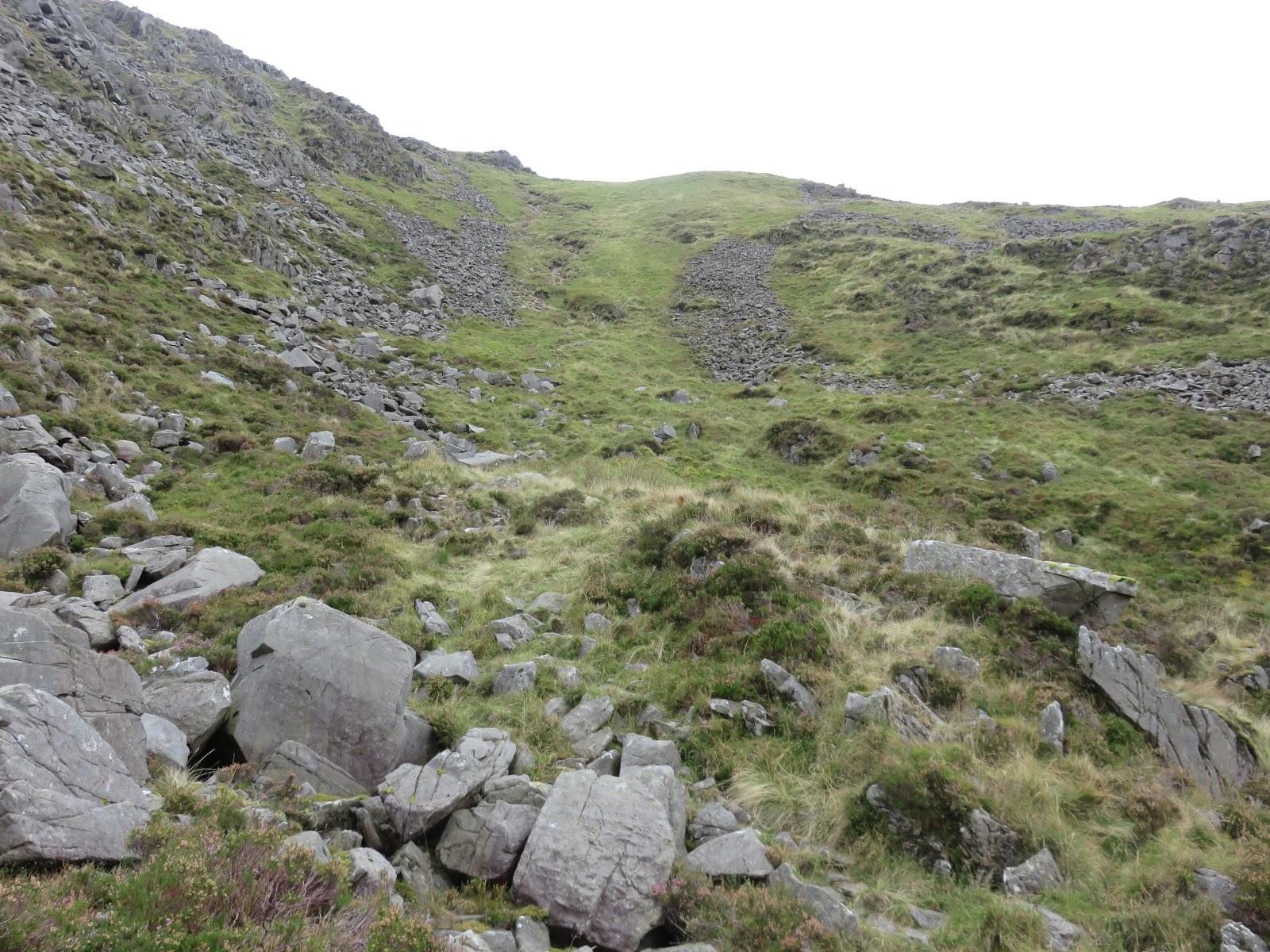
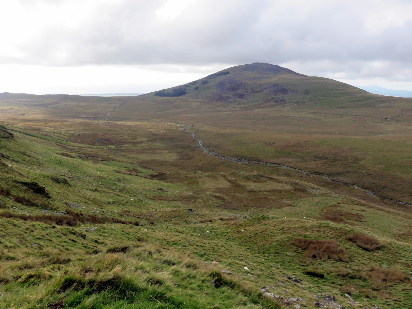
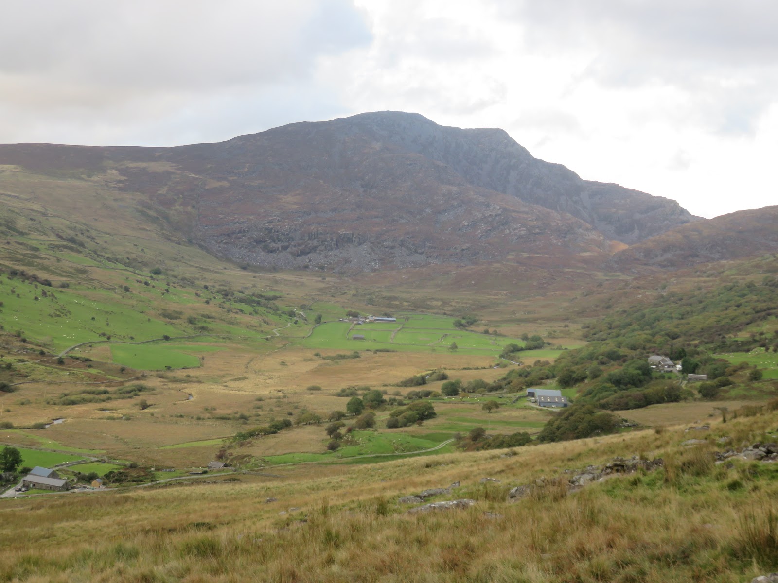
Eventually, I reached the bottom of the slope and the river which emanates from the outlet of Llyn Bodlyn, nestled beneath the dark crags of Diffwys. Crossing the outlet of the reservoir is easy thanks to a footbridge which forms part of the reservoirs access road. The road came as a welcome respite to the roughness of the days walking but doesn’t last long as Y Llethr’s west ridge bars the route to Cwm Nantcol.
A short climb crosses the ridge in the depression that separates Y Llethr from Moelfre and then a long, shallow descent leads down to the far buildings at Cil-cychwyn. From here it’s a mile along the road back to Maes-y-garnedd.
 |
| Foel Wen |
 |
| The Rhinogs over Cwm Nantcol |
So, what’s my opinion of the Rhinogs? In honesty, not too bad – certainty by the route I took. The main difficulty was reaching the stile on Rhinog Fawr’s west ridge. From here, there are paths of sorts to follow and the main challenge is the rollercoaster of ascent and descent. I think the reputation of the Rhinogs precedes them and those who decide to take them on will be pleasantly surprised.


