Open Space Web-Map builder Codehttps://openspace.ordnancesurvey.co.uk/osmapapi/openspace.js?key=3119F72552FD5C22E0530C6CA40A5A92https://openspace.ordnancesurvey.co.uk/osmapapi/script/mapbuilder/basicmap.jshttps://openspace.ordnancesurvey.co.uk/osmapapi/script/mapbuilder/searchbox.js//variables for routes var linesLayer, points, lineFeature, lineString, routeMarkersLayer, routepos, routesize, routeoffset, routeicon; var style_blue = {strokeColor: “#0000CD”, strokeOpacity: 0.5, strokeWidth: 4.5}; function initmapbuilder() { //initiate the map var options = {resolutions: [2500, 1000, 500, 200, 100, 50, 25, 10, 5, 4, 2.5, 2, 1]}; osMap = new OpenSpace.Map(‘map’, options); //configure map options (basicmap.js) setglobaloptions(); //set the center of the map and the zoom level osMap.setCenter(new OpenSpace.MapPoint(264851,345621),7); linesLayer = osMap.getVectorLayer(); // Set up layer for route markers routeMarkersLayer = new OpenLayers.Layer.Markers(“Route Markers”); //make a route points = new Array(); points.push(new OpenLayers.Geometry.Point(263195,344620)); points.push(new OpenLayers.Geometry.Point(263000,344740)); points.push(new OpenLayers.Geometry.Point(262960,344765)); points.push(new OpenLayers.Geometry.Point(262910,344925)); points.push(new OpenLayers.Geometry.Point(262775,345080)); points.push(new OpenLayers.Geometry.Point(263055,345355)); points.push(new OpenLayers.Geometry.Point(263250,345515)); points.push(new OpenLayers.Geometry.Point(263445,345690)); points.push(new OpenLayers.Geometry.Point(263635,345795)); points.push(new OpenLayers.Geometry.Point(263835,345850)); points.push(new OpenLayers.Geometry.Point(263940,345945)); points.push(new OpenLayers.Geometry.Point(264140,346180)); points.push(new OpenLayers.Geometry.Point(264310,346420)); points.push(new OpenLayers.Geometry.Point(264475,346595)); points.push(new OpenLayers.Geometry.Point(264545,346640)); points.push(new OpenLayers.Geometry.Point(264770,346860)); points.push(new OpenLayers.Geometry.Point(265035,347015)); points.push(new OpenLayers.Geometry.Point(265220,347245)); points.push(new OpenLayers.Geometry.Point(265355,347455)); points.push(new OpenLayers.Geometry.Point(265460,347585)); points.push(new OpenLayers.Geometry.Point(265550,347685)); points.push(new OpenLayers.Geometry.Point(265690,347730)); points.push(new OpenLayers.Geometry.Point(265800,347700)); points.push(new OpenLayers.Geometry.Point(265875,347585)); points.push(new OpenLayers.Geometry.Point(265980,347510)); points.push(new OpenLayers.Geometry.Point(266045,347435)); points.push(new OpenLayers.Geometry.Point(266170,347300)); points.push(new OpenLayers.Geometry.Point(266260,347070)); points.push(new OpenLayers.Geometry.Point(266275,346870)); points.push(new OpenLayers.Geometry.Point(266335,346650)); points.push(new OpenLayers.Geometry.Point(266435,346555)); points.push(new OpenLayers.Geometry.Point(266545,346380)); points.push(new OpenLayers.Geometry.Point(266530,346305)); points.push(new OpenLayers.Geometry.Point(266560,346215)); points.push(new OpenLayers.Geometry.Point(266605,346100)); points.push(new OpenLayers.Geometry.Point(266725,345915)); points.push(new OpenLayers.Geometry.Point(266865,345765)); points.push(new OpenLayers.Geometry.Point(266975,345605)); points.push(new OpenLayers.Geometry.Point(267065,345525)); points.push(new OpenLayers.Geometry.Point(267185,345435)); points.push(new OpenLayers.Geometry.Point(266845,345360)); points.push(new OpenLayers.Geometry.Point(266745,345265)); points.push(new OpenLayers.Geometry.Point(266495,344980)); points.push(new OpenLayers.Geometry.Point(266265,344850)); points.push(new OpenLayers.Geometry.Point(266095,344815)); points.push(new OpenLayers.Geometry.Point(265810,344850)); points.push(new OpenLayers.Geometry.Point(265990,344775)); points.push(new OpenLayers.Geometry.Point(265965,344535)); points.push(new OpenLayers.Geometry.Point(266000,344250)); points.push(new OpenLayers.Geometry.Point(266040,344115)); points.push(new OpenLayers.Geometry.Point(266100,343910)); points.push(new OpenLayers.Geometry.Point(266185,343830)); points.push(new OpenLayers.Geometry.Point(266115,343760)); points.push(new OpenLayers.Geometry.Point(265995,343745)); points.push(new OpenLayers.Geometry.Point(265850,343665)); points.push(new OpenLayers.Geometry.Point(265505,343625)); points.push(new OpenLayers.Geometry.Point(264620,343660)); points.push(new OpenLayers.Geometry.Point(264390,343710)); points.push(new OpenLayers.Geometry.Point(263980,343715)); points.push(new OpenLayers.Geometry.Point(263630,343590)); points.push(new OpenLayers.Geometry.Point(263534,343575)); points.push(new OpenLayers.Geometry.Point(263522,343575)); points.push(new OpenLayers.Geometry.Point(263578,343803)); points.push(new OpenLayers.Geometry.Point(263542,343955)); points.push(new OpenLayers.Geometry.Point(263478,343987)); points.push(new OpenLayers.Geometry.Point(263330,344171)); points.push(new OpenLayers.Geometry.Point(263342,344231)); points.push(new OpenLayers.Geometry.Point(263330,344279)); points.push(new OpenLayers.Geometry.Point(263342,344387)); points.push(new OpenLayers.Geometry.Point(263238,344515)); points.push(new OpenLayers.Geometry.Point(263195,344620)); // create a polyline feature from the array of points lineString = new OpenLayers.Geometry.LineString(points); lineFeature = new OpenLayers.Feature.Vector(lineString, null, style_blue); linesLayer.addFeatures([lineFeature]); //crate a route start/end marker routepos = new OpenSpace.MapPoint(263195,344620); routesize = new OpenLayers.Size(33,45); routeoffset = new OpenLayers.Pixel(-5,-37); routeicon = new OpenSpace.Icon(‘https://openspace.ordnancesurvey.co.uk/osmapapi/img_versions/img_1.1/mapbuilder/routemarker-startend.png’, routesize, routeoffset, null, null); routeMarkersLayer.addMarker(new OpenLayers.Marker(routepos, routeicon)); osMap.addLayer(routeMarkersLayer);}
Route: Croesor, Cnicht, Cnicht North Top, Llyn yr Adar, Cwm Corsiog, Clogwyn Brith, Bwlch y Rhosydd, Rhosydd Quarry, Moel-yr-hydd, Moelwyn Mawr, Craigysgafn, Moelwyn Bach, Caw Uchaf, Croesor
Date: 18/09/2017
From: Croesor
Parking: Croesor
Start Point: Croesor
Region: Snowdonia – The Moelwyns
Route length: 9.6 miles (15.45 km)
Time taken: 04:49
Average speed: 1.9 mph
Ascent: 1,215,m
Descent: 1,176m
Summits: Cnicht (689m), Cnicht North Top (688m), Moel-yr-hydd (648m), Moelwyn Mawr (770m), Craigysgafn (689m), Moelwyn Bach (710m)
Other points of interest: Cwm Croesor, Rhosydd Quarry
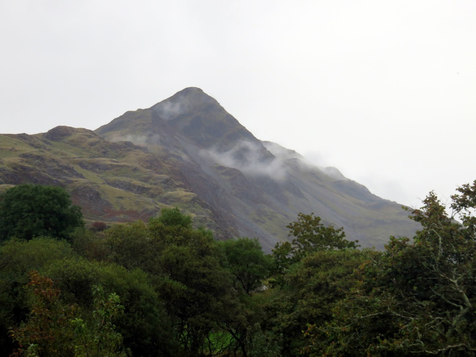
Cnicht looms high over Croesor and its classic pyramidal shape has earnt it the nickname ‘the Welsh Matterhorn’ though it stands some 3,700m lower than its illustrious Swiss counterpart and is a damn sight easier to climb.
This walk starts from the aforementioned village of Croesor and makes a high circuit around the long valley that stretches northeast from the village and contains the remains of the extensive Rhosydd slate quarries. A Cwm Croesor round if you will.
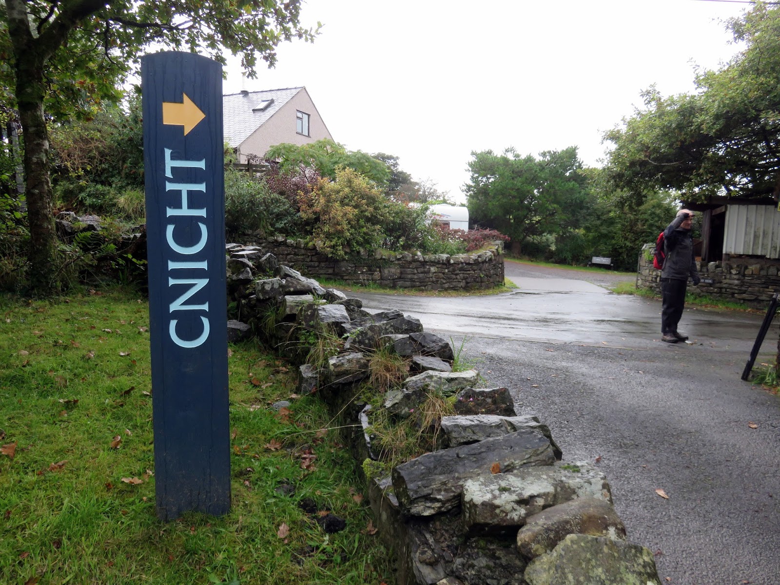
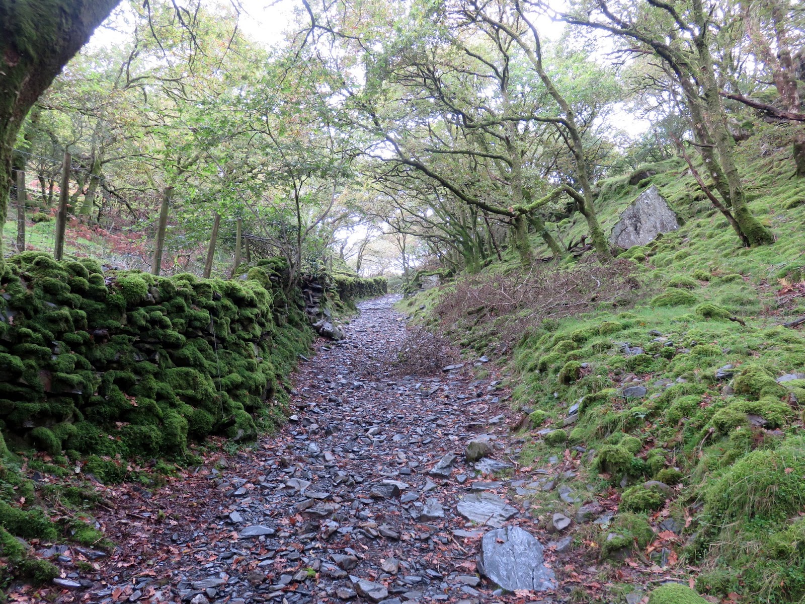
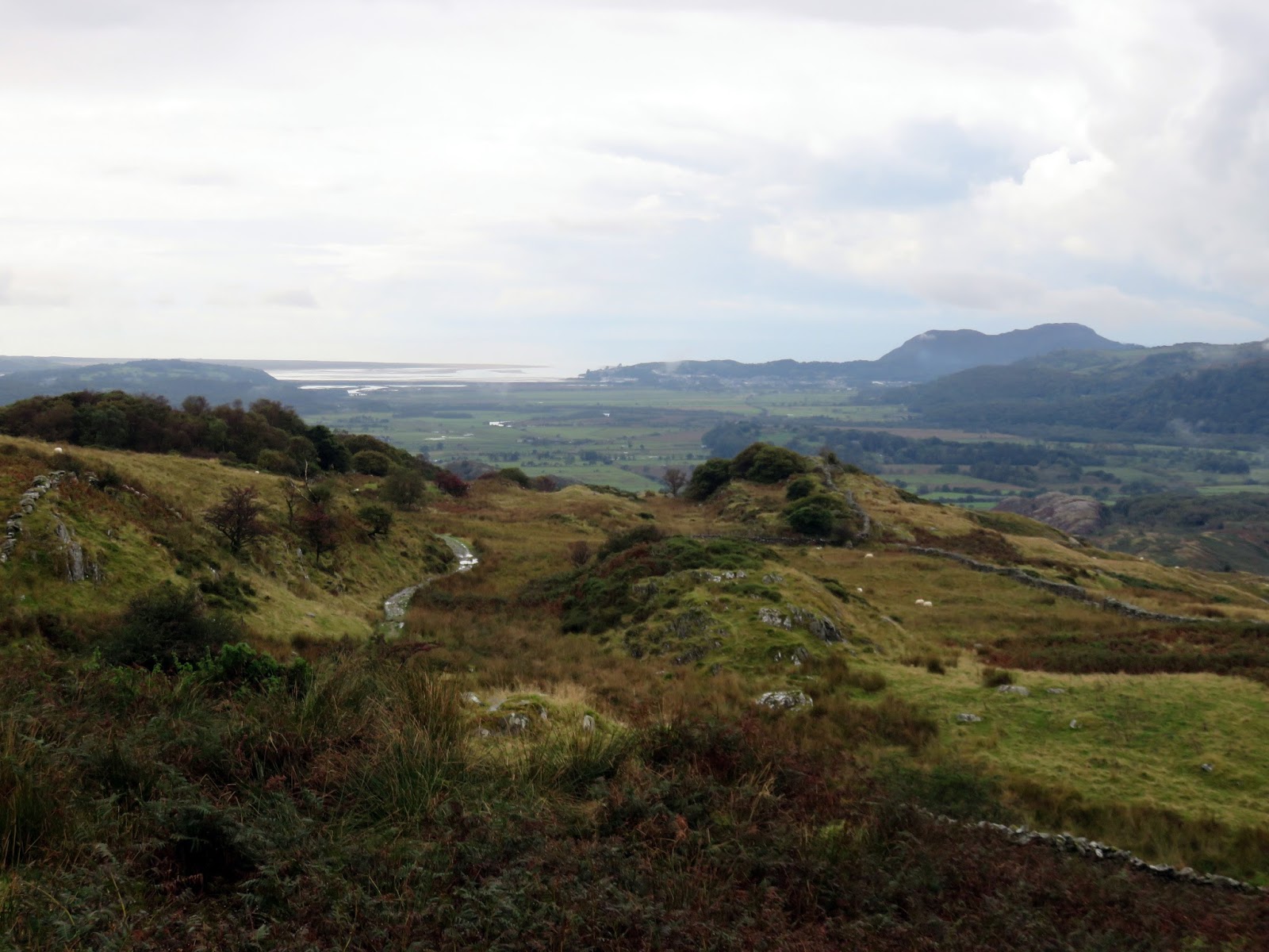
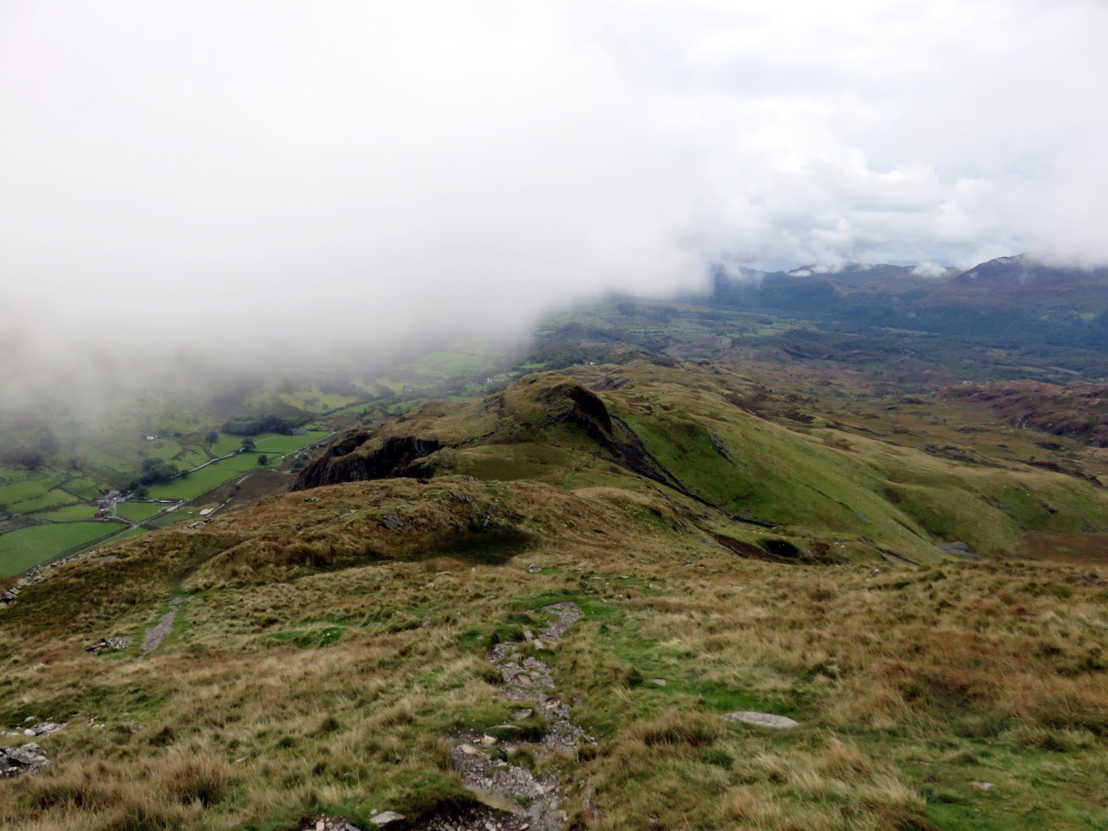
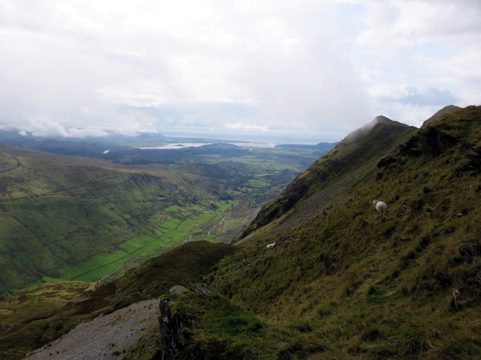
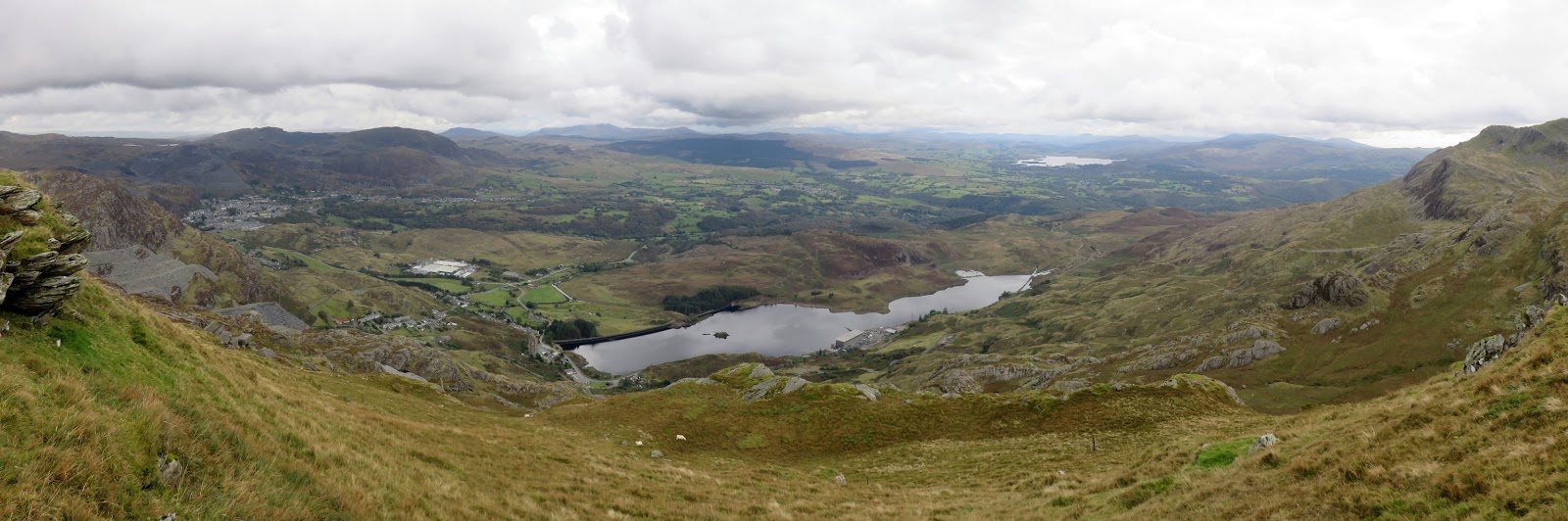
After a bout of rain, we set off from the free car park in Croesor, passing through the village to a surfaced lane. Despite what is suggested by the map, a path runs all the way to the summit and is handily signposted in a couple of locations. The clouds were lingering in the valleys, occasionally sweeping across Cnicht’s south ridge as we climbed higher.
 |
| A handy marker in the car park |
 |
| Track leading up out of Croesor |
 |
| Yr Arddu in the distance |
 |
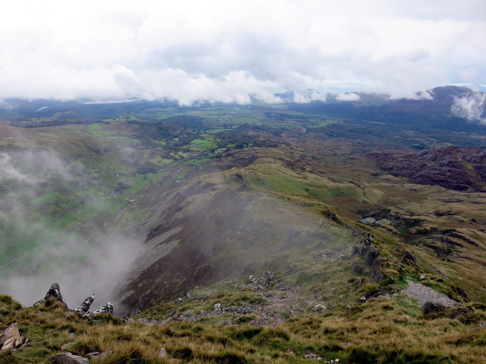
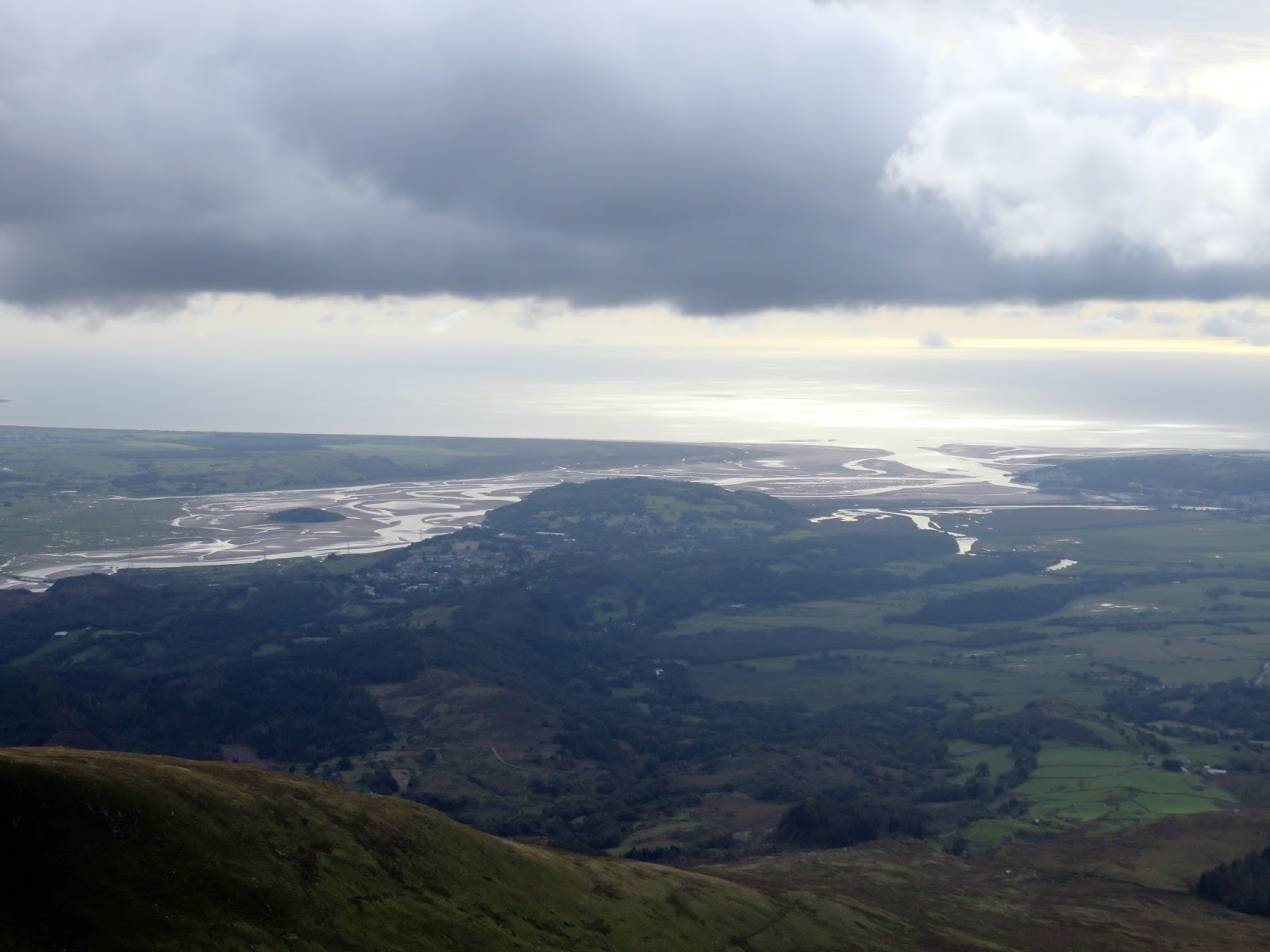
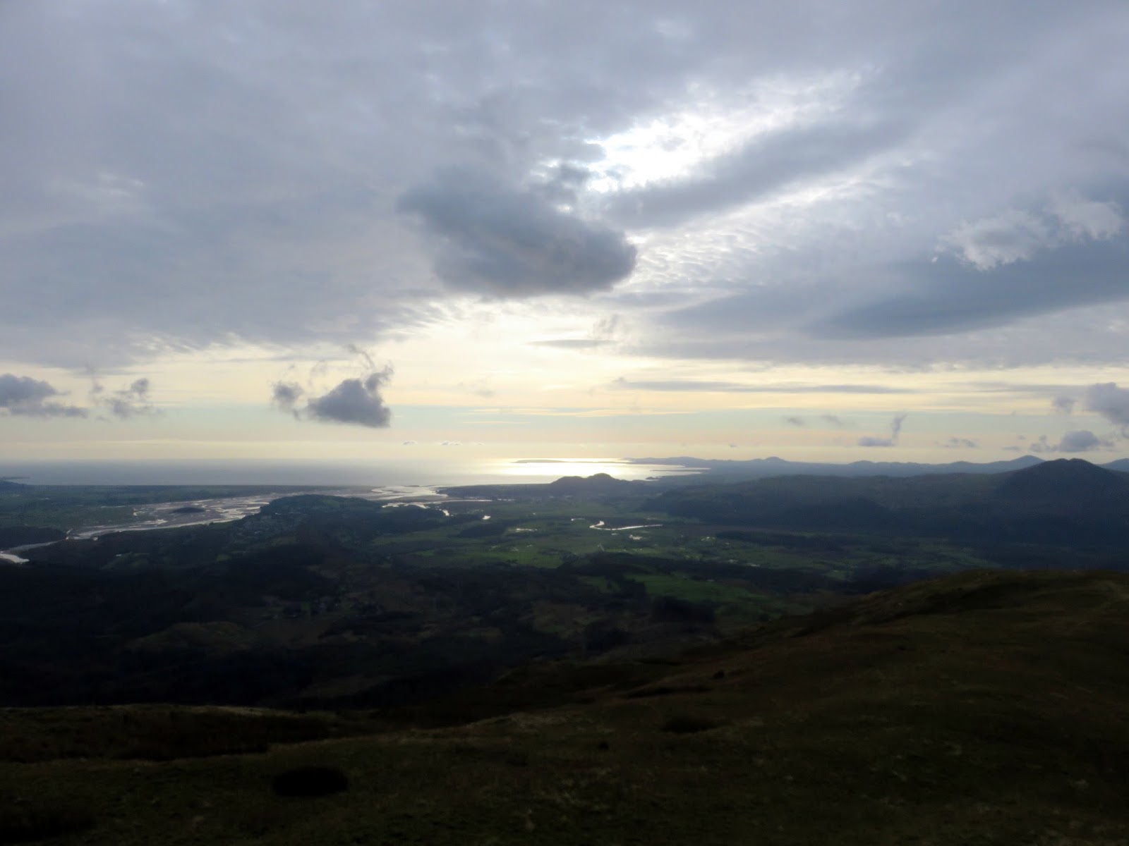
| Looking back towards Porthmadog |
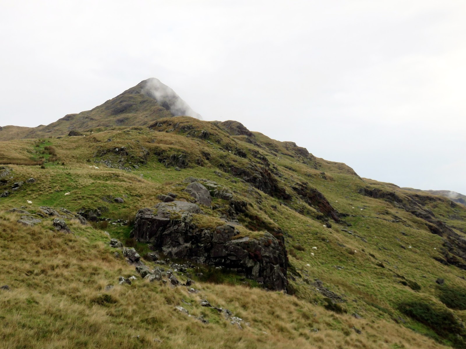
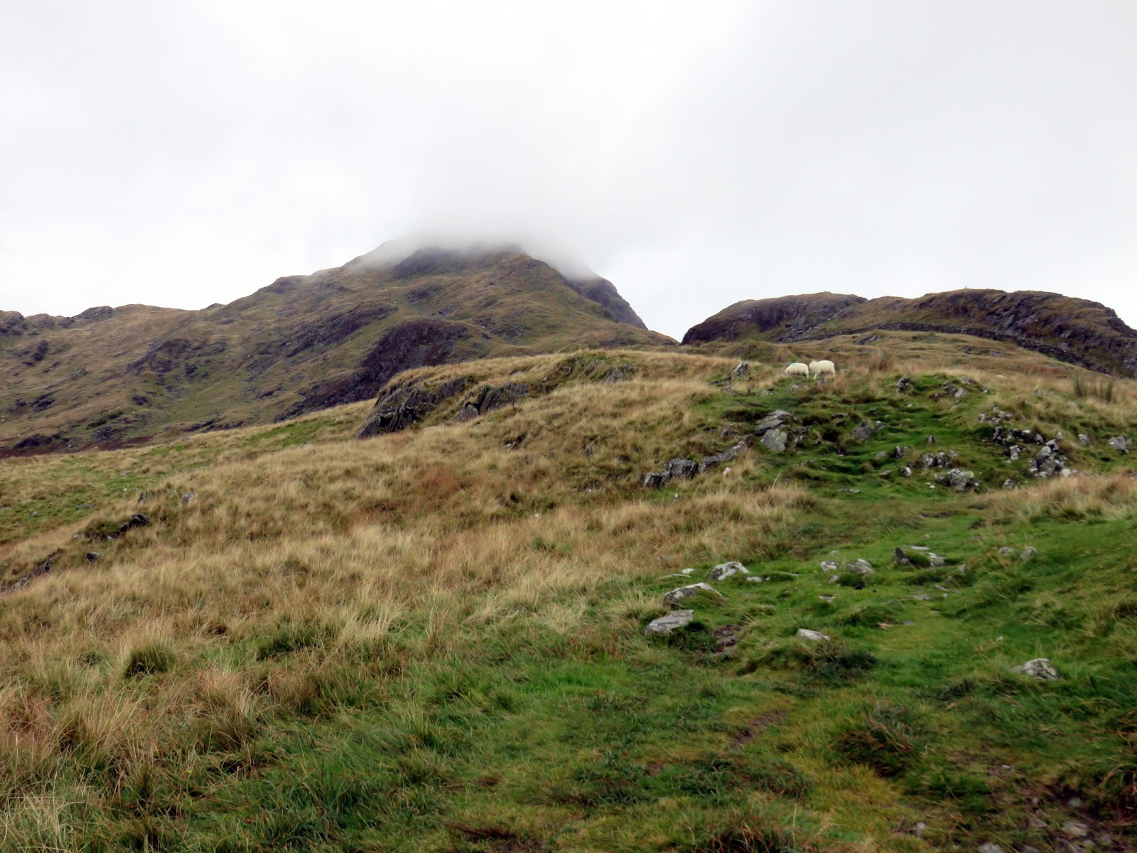
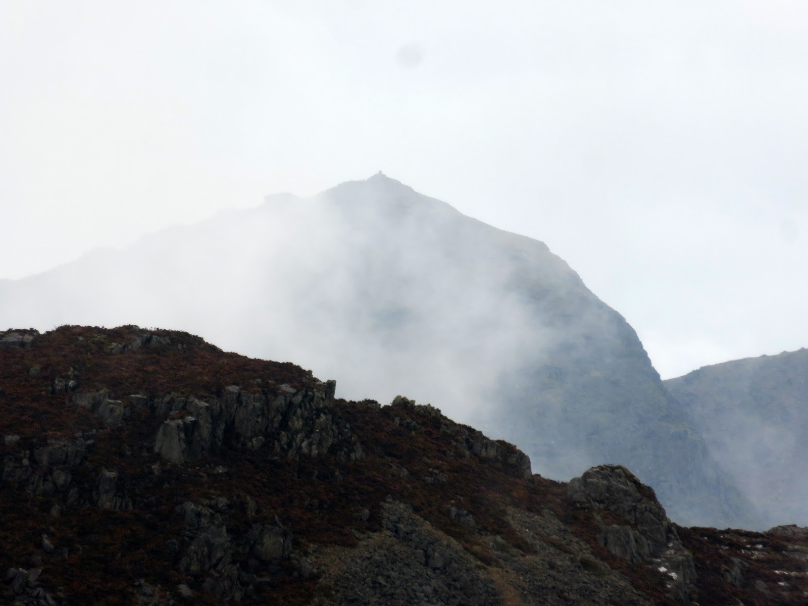
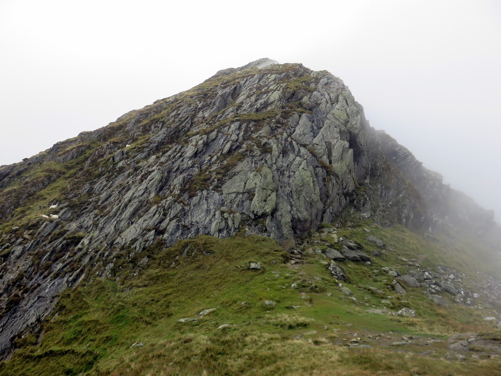
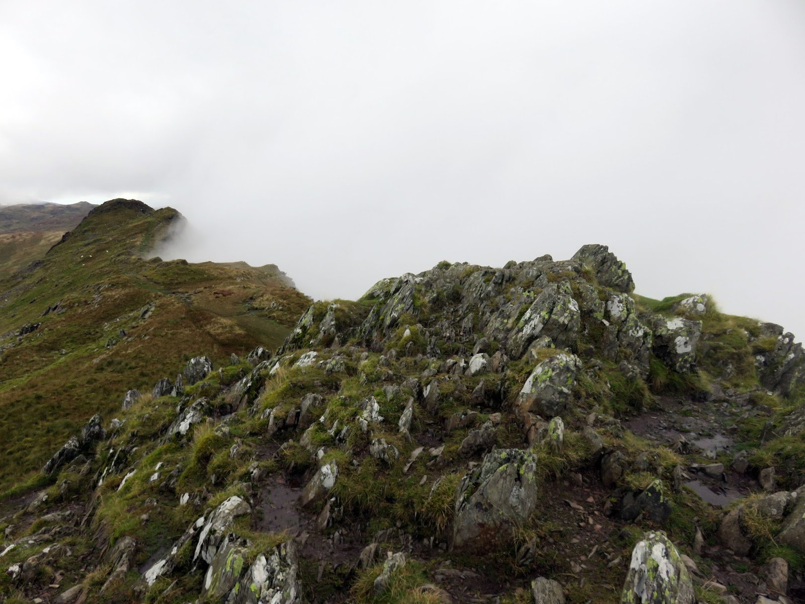
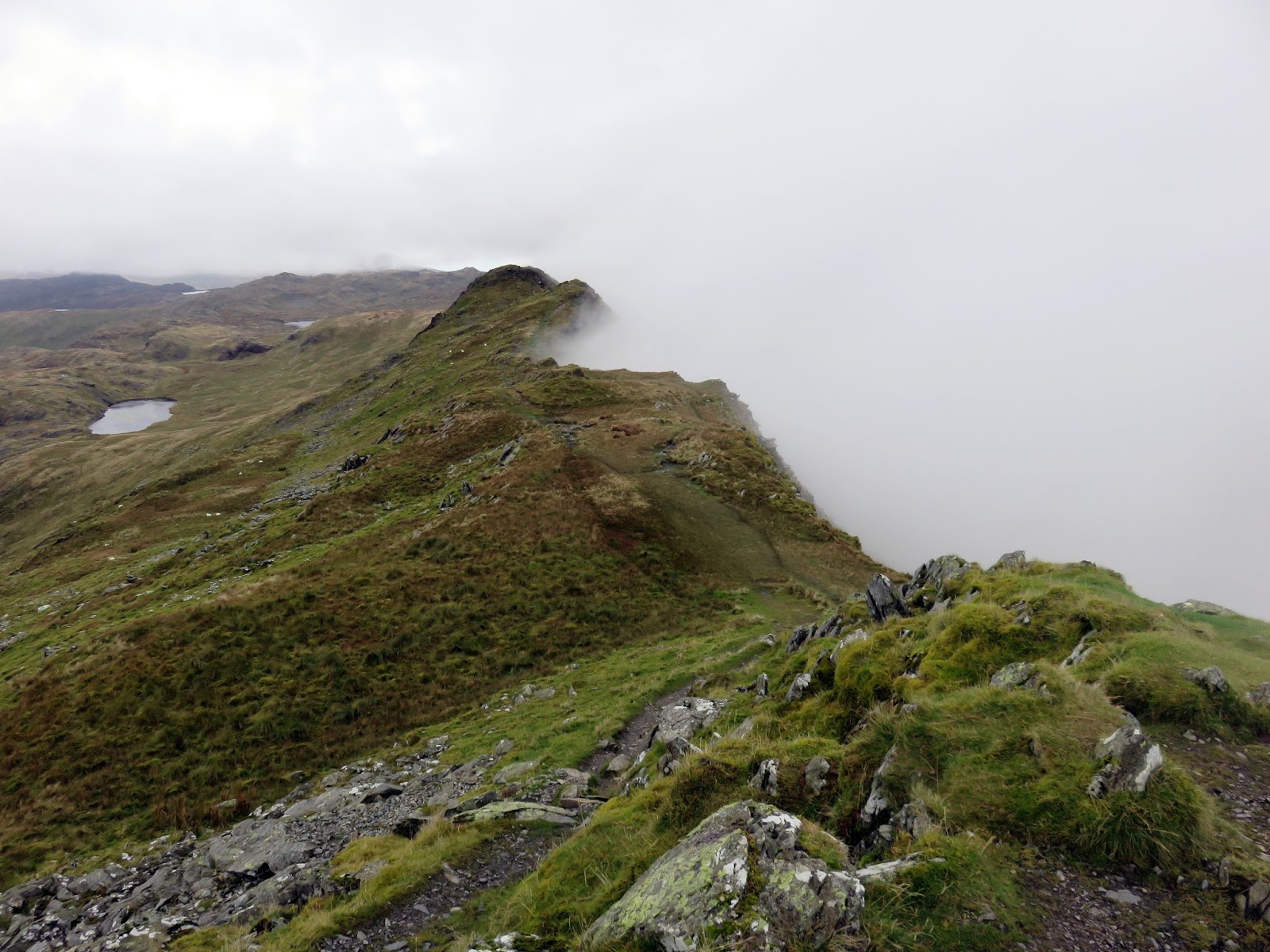
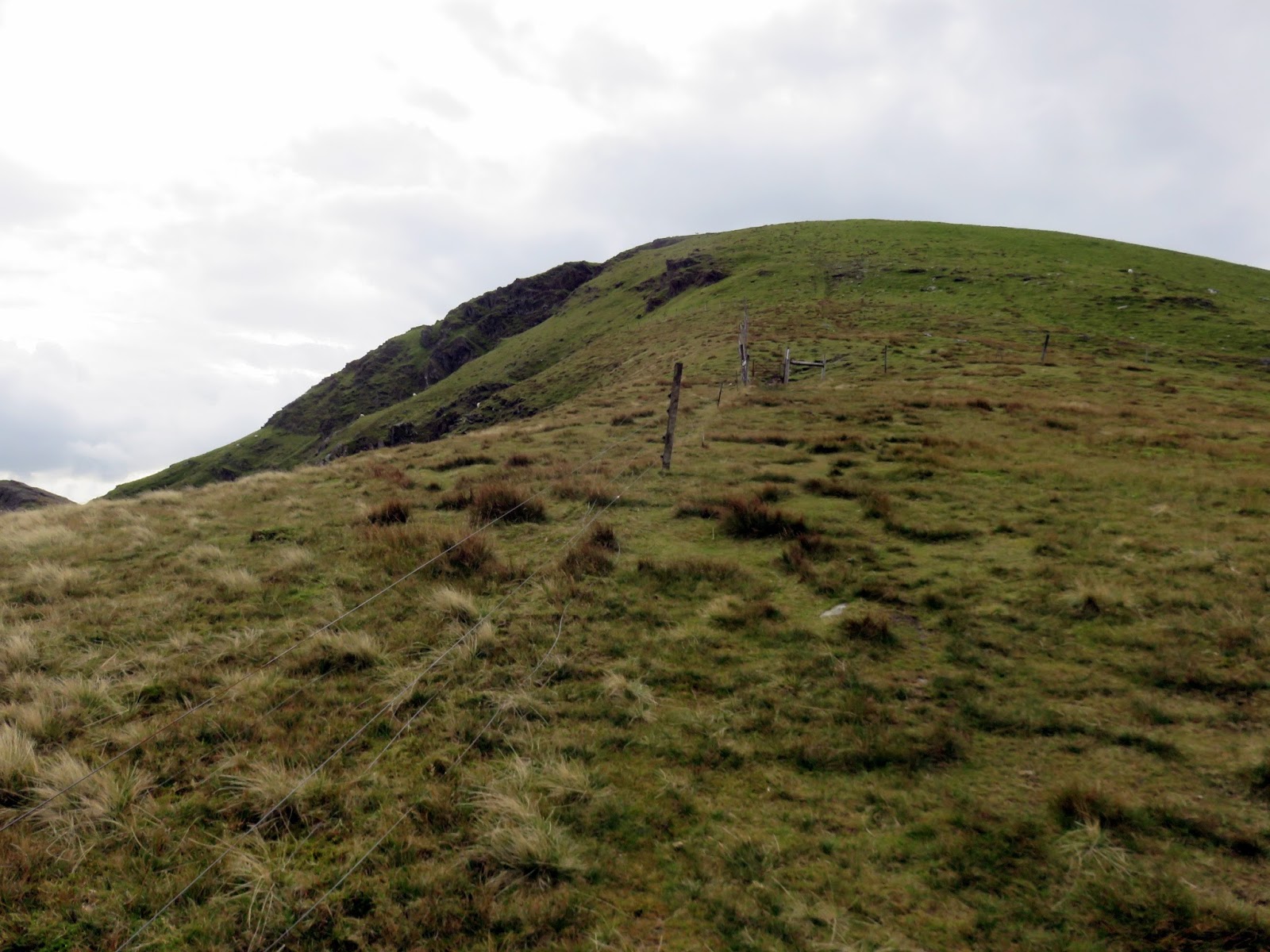
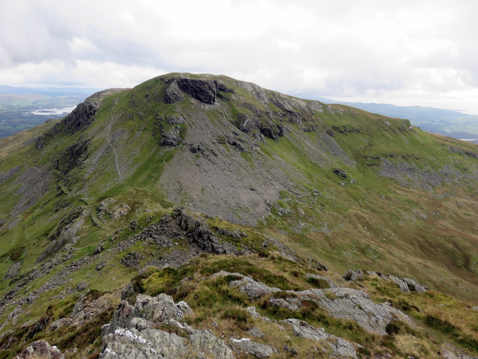
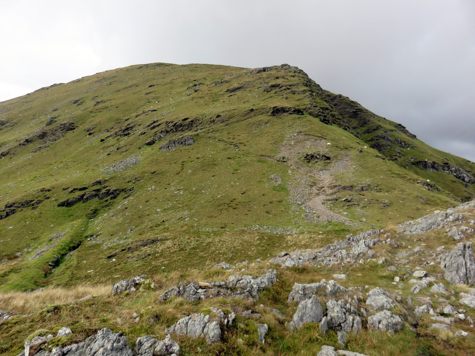
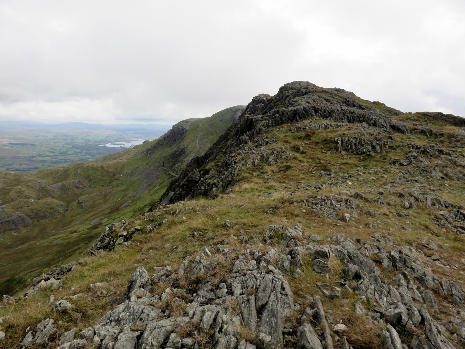
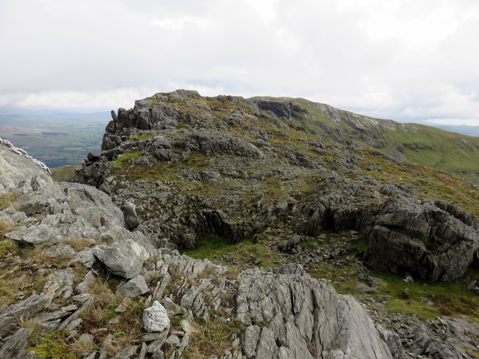
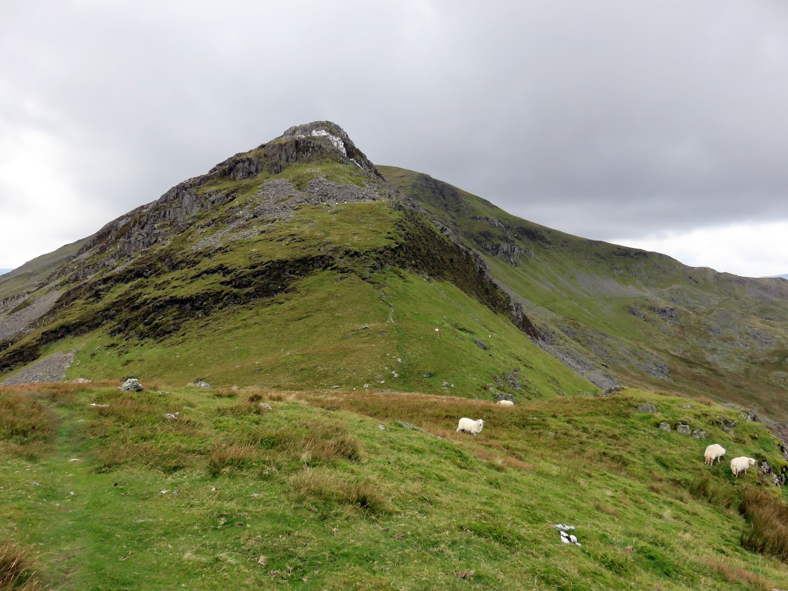
The climb up Cnicht presents no real problems other than some rockiness towards the end, nothing that would trouble even the most timid hill walkers. The summit has a fine prospect, though was shrouded in cloud by the time we arrived as another shower drifted by.
 |
| Looking down the south ridge |
 |
| The final obstacle before the summit |
 |
| Clouds in the lee of the south ridge |
 |
| Yr Arddu |
 |
| The south ridge |
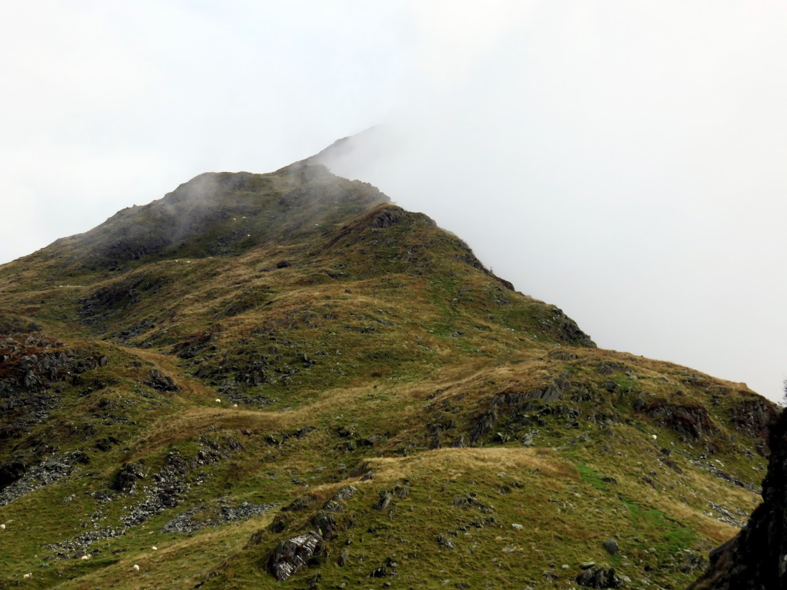
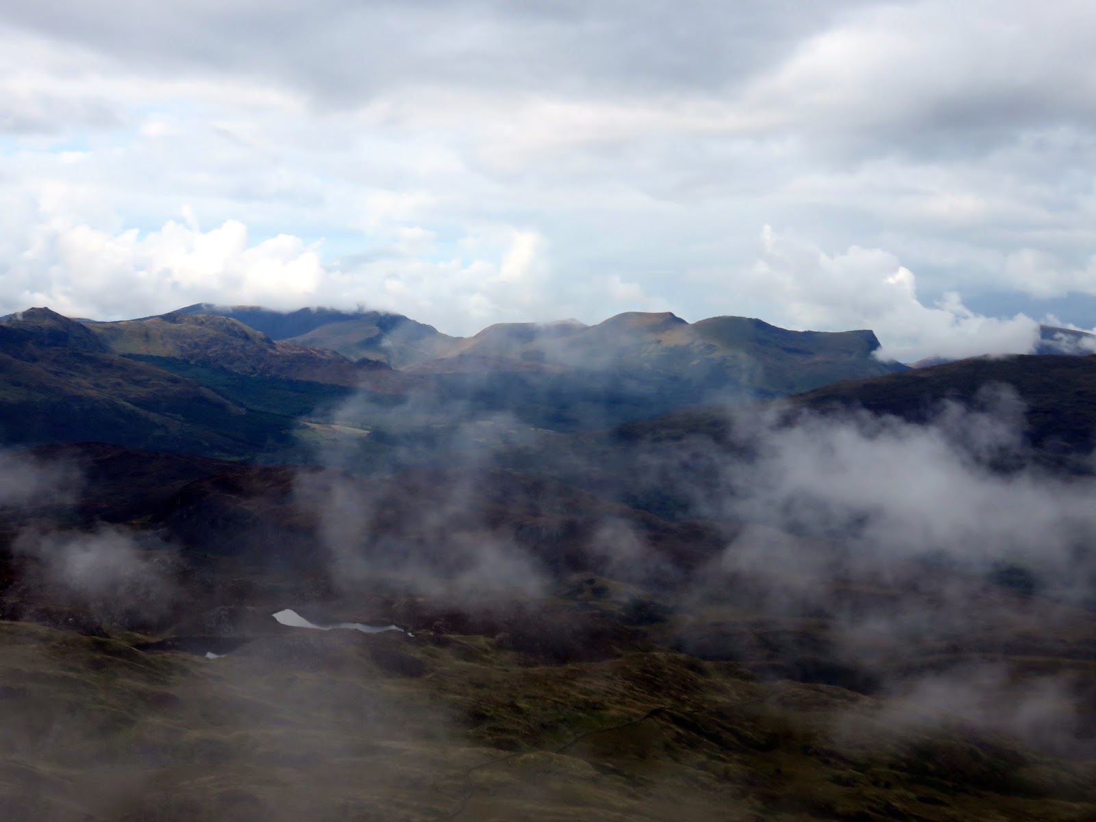
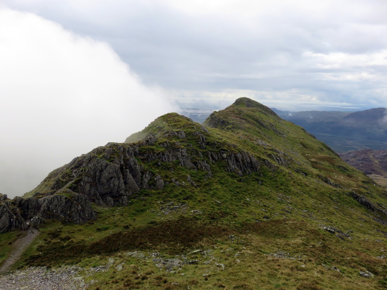
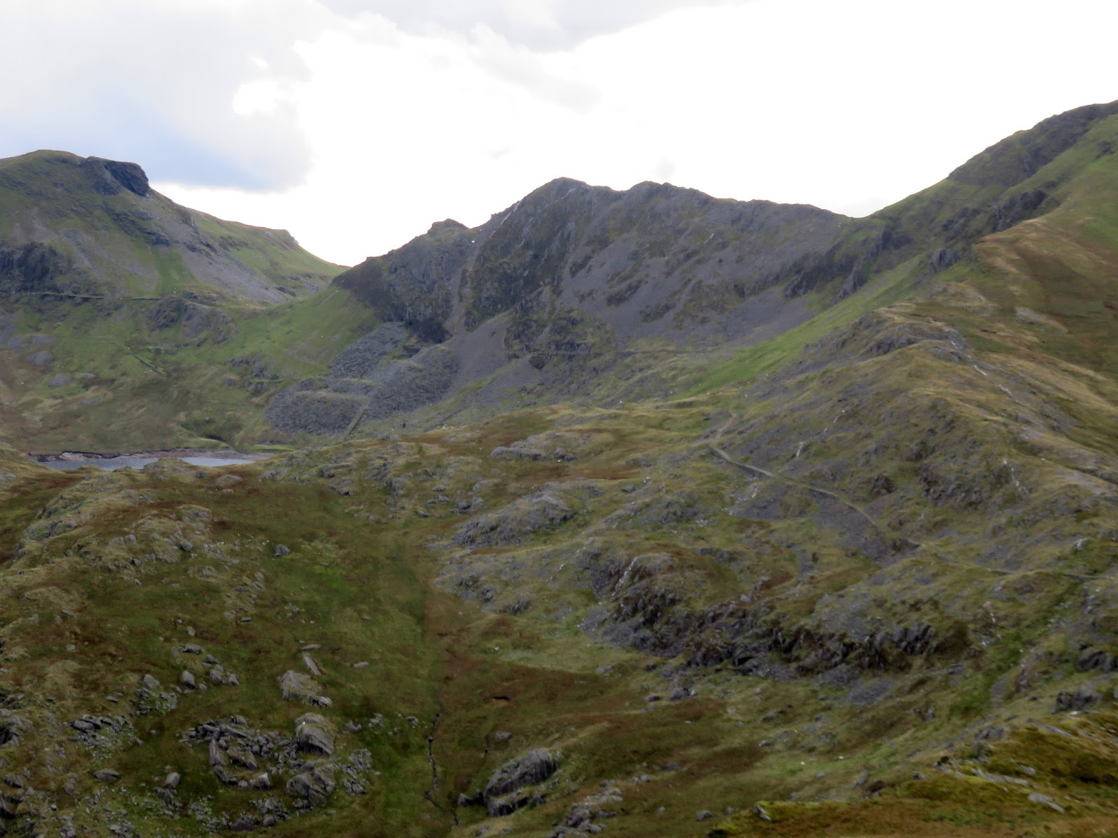
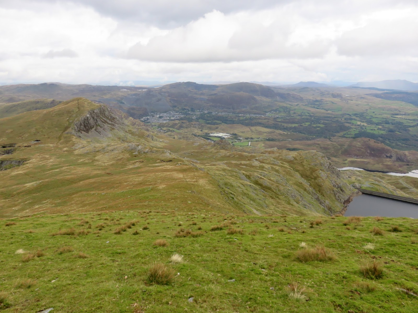
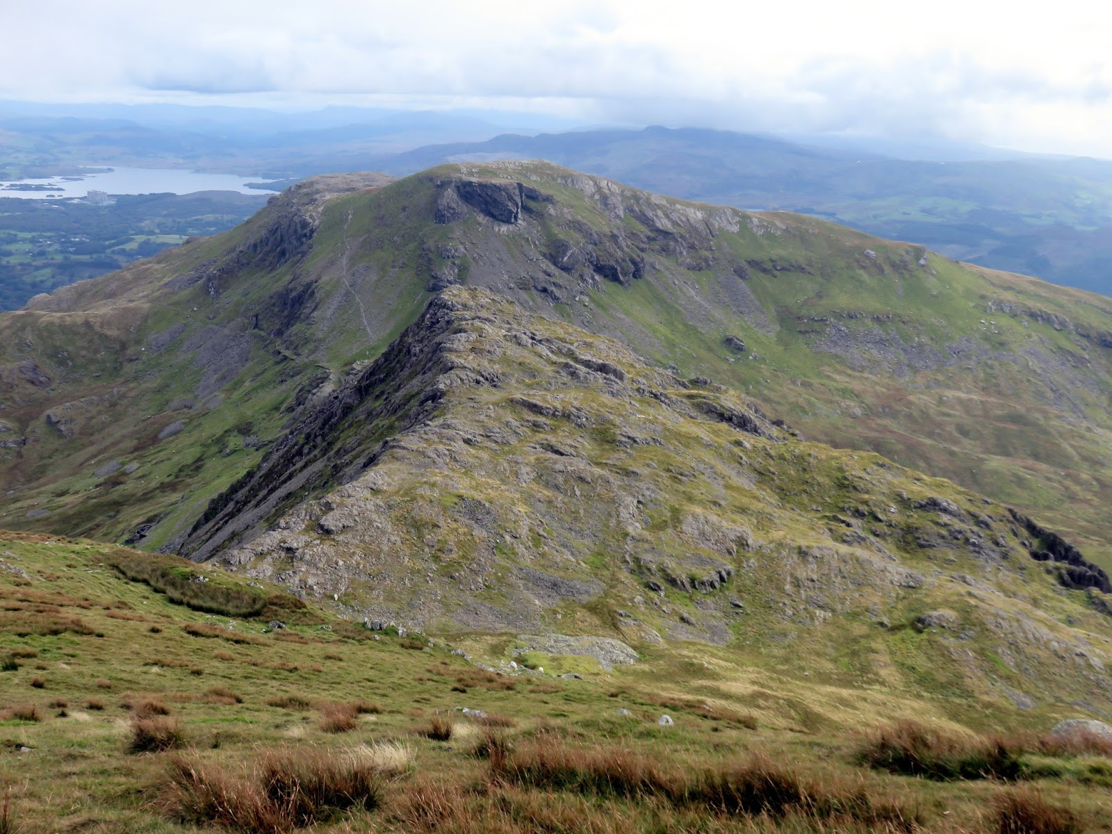
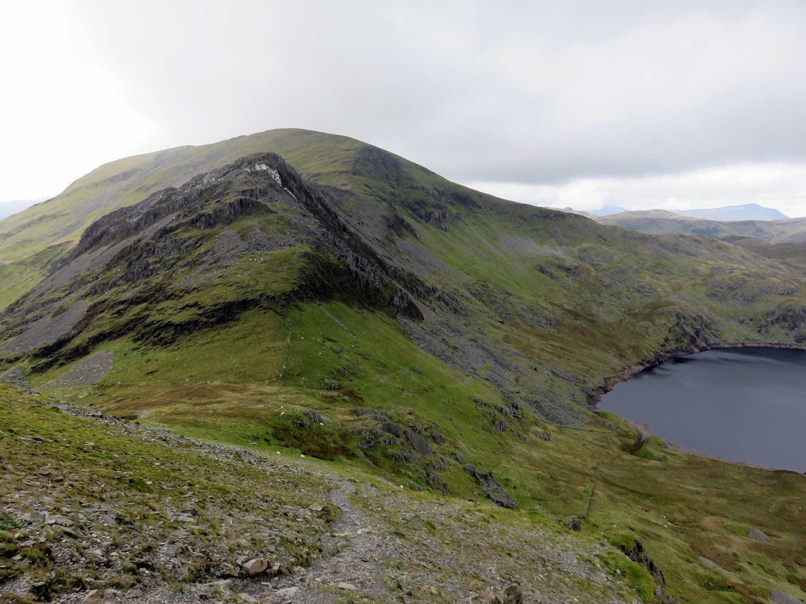
Cnicht has two summits, both prominent enough to be classed as Nuttalls and they stand only a few hundred metres apart. While we were visiting the North Top, the clouds lifted once again, revealing a superb view towards Snowdon, though remained stubbornly formed on the leeward side of the ridge, which is no bad thing when you have a camera in your hand.
 |
| A distant Nantlle Ridge |
 |
| Llyn y Biswail and Nantgwynant |
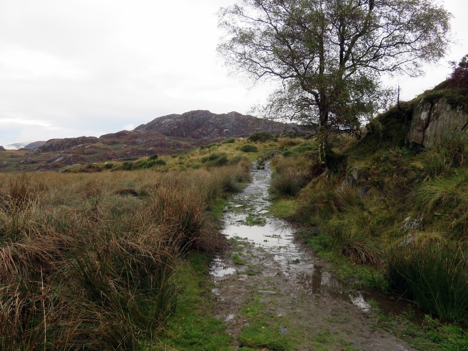
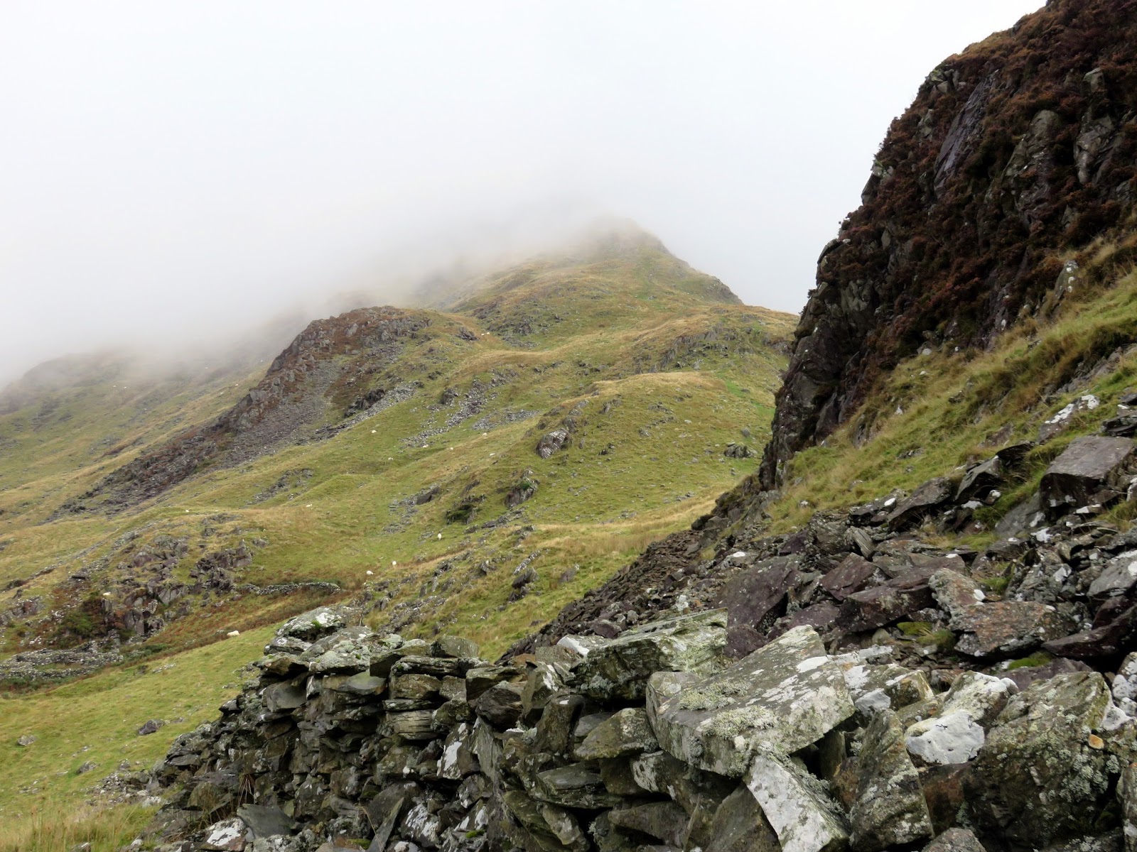
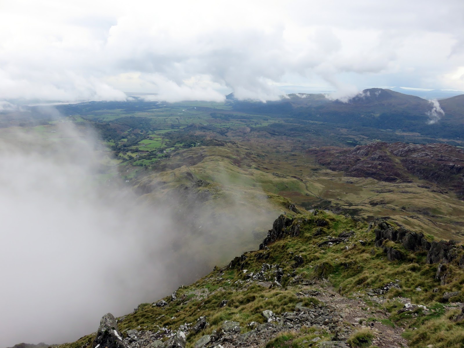
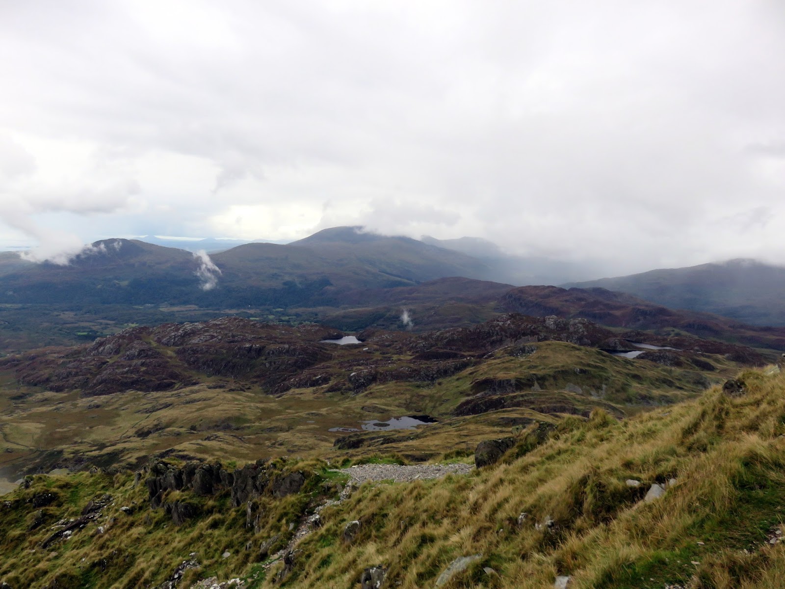
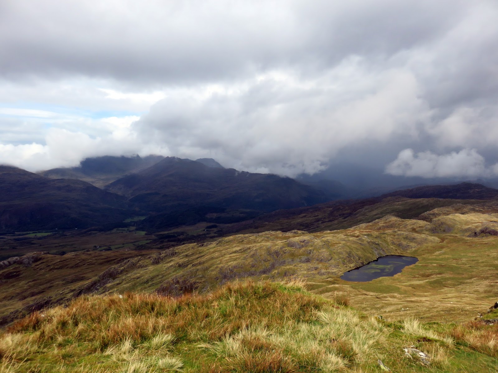
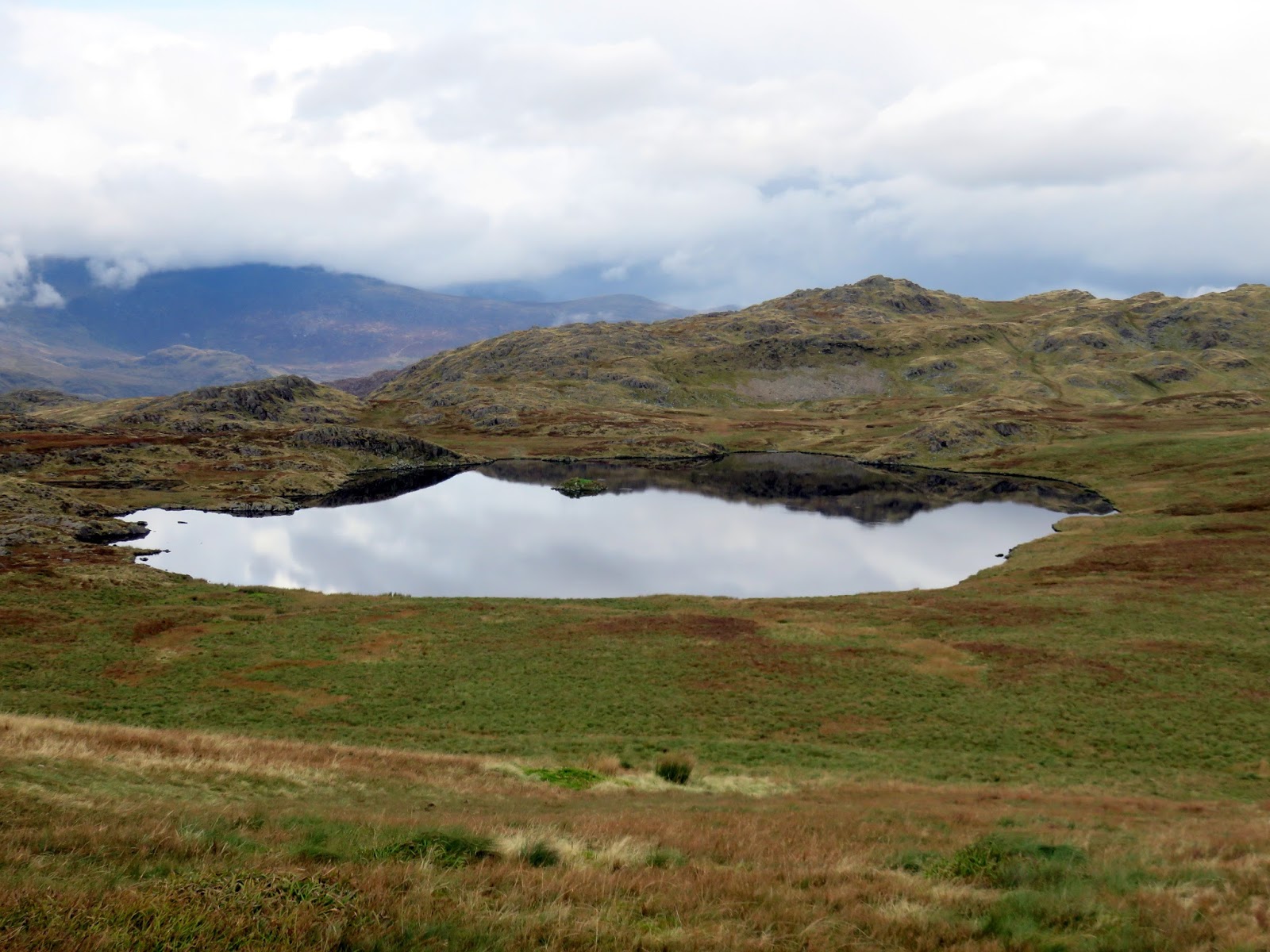
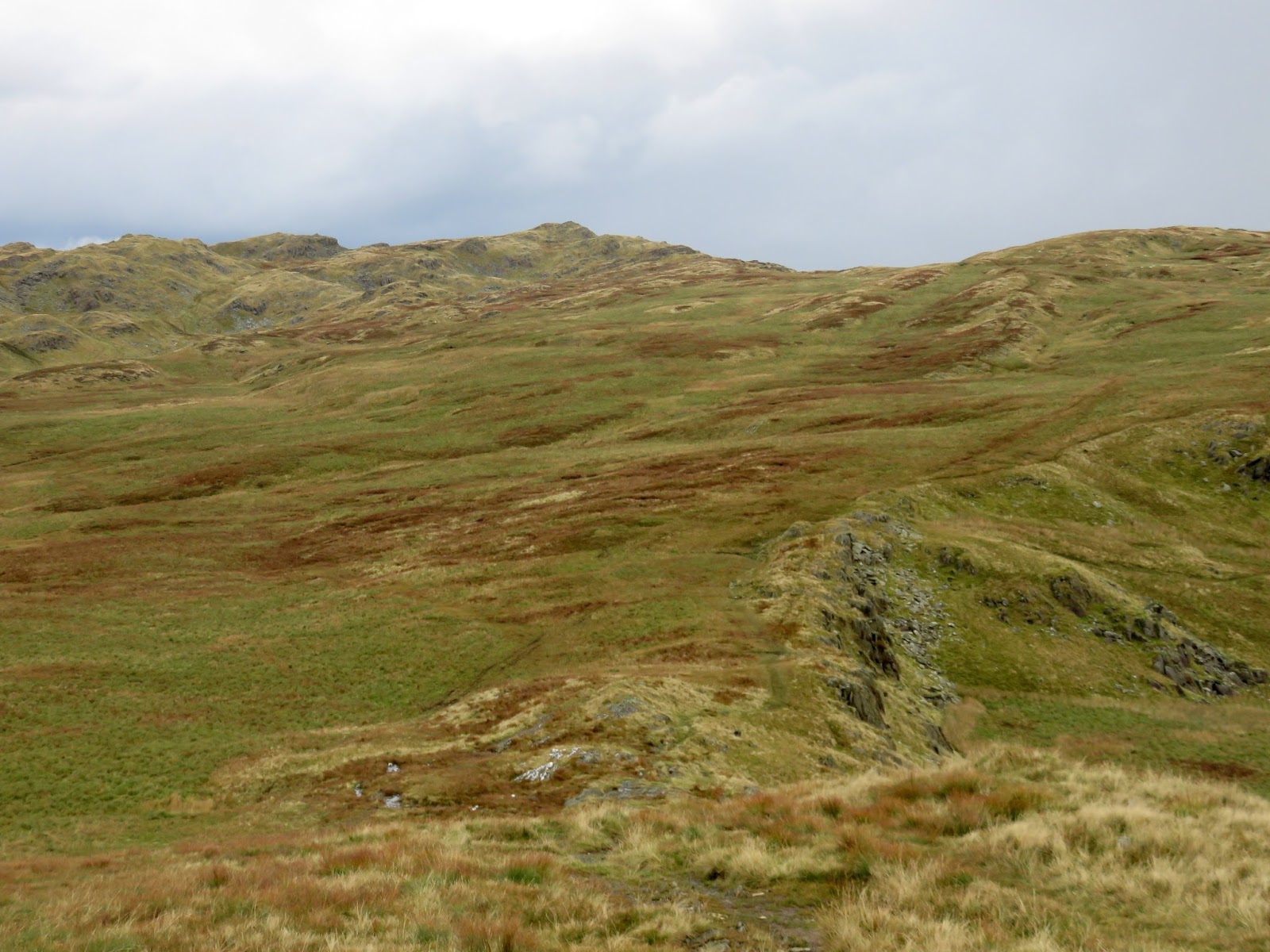
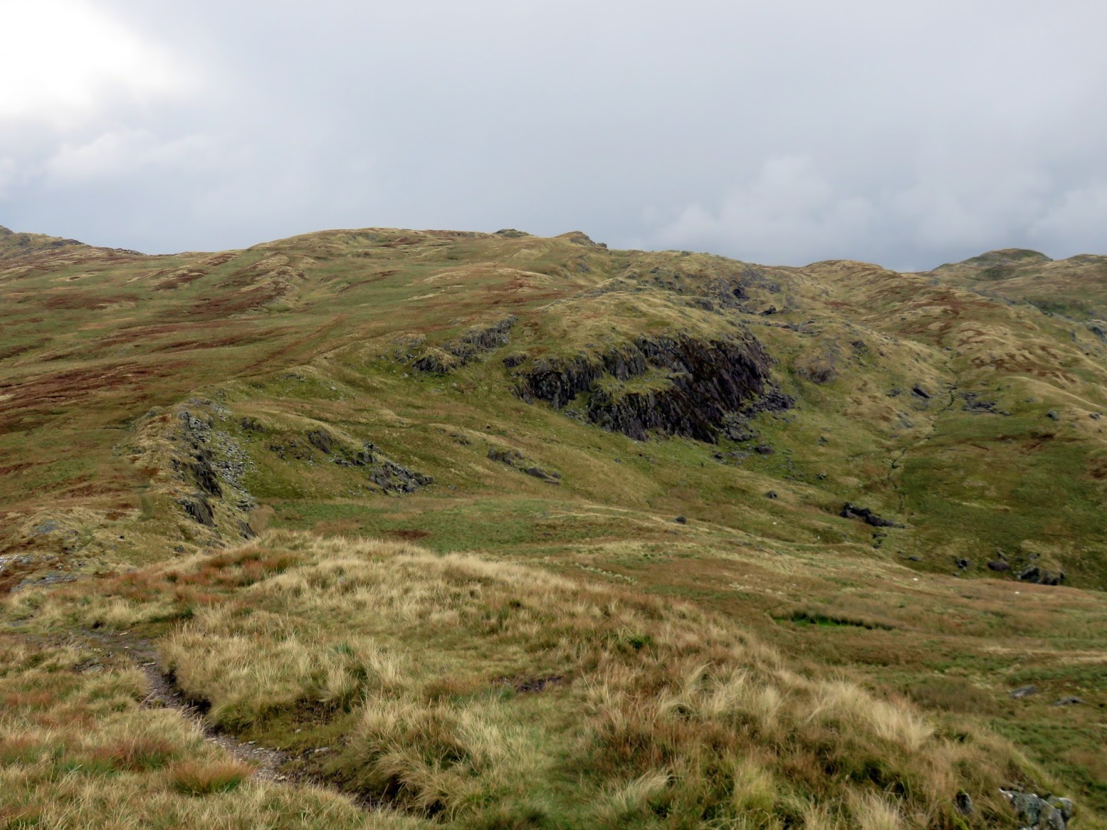
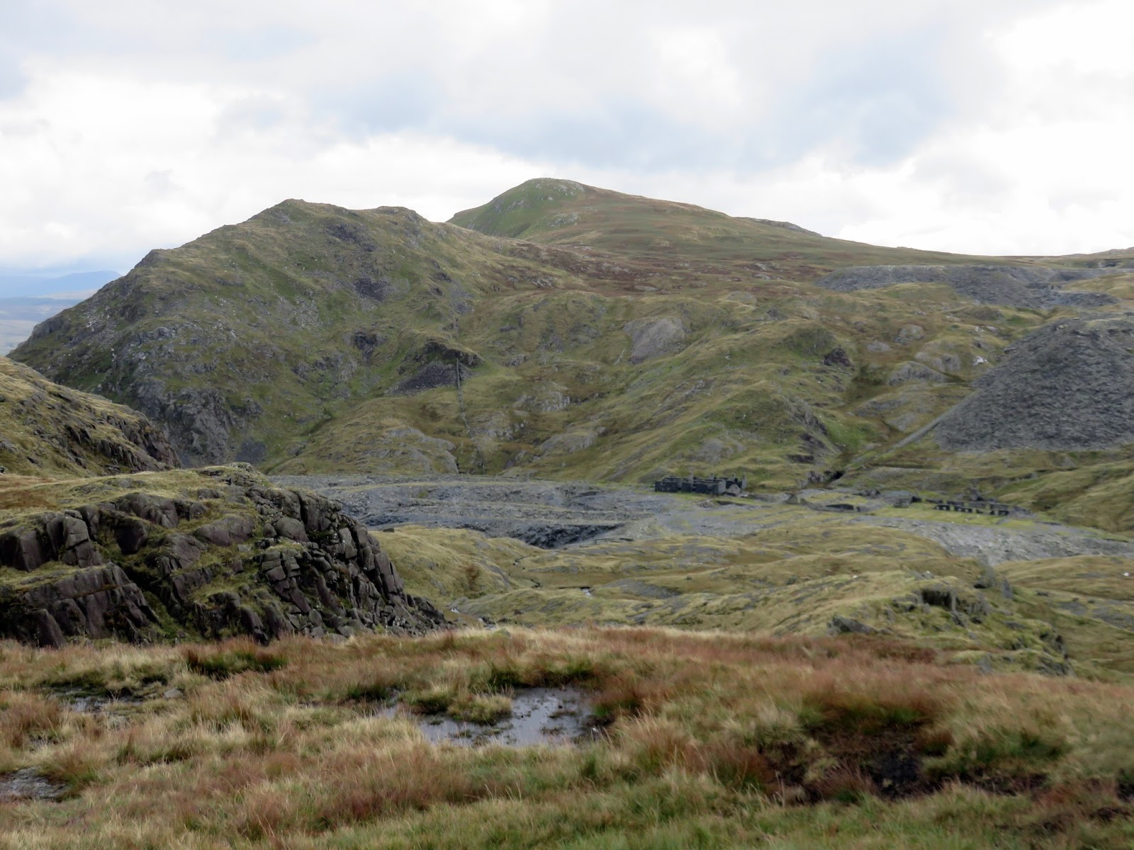
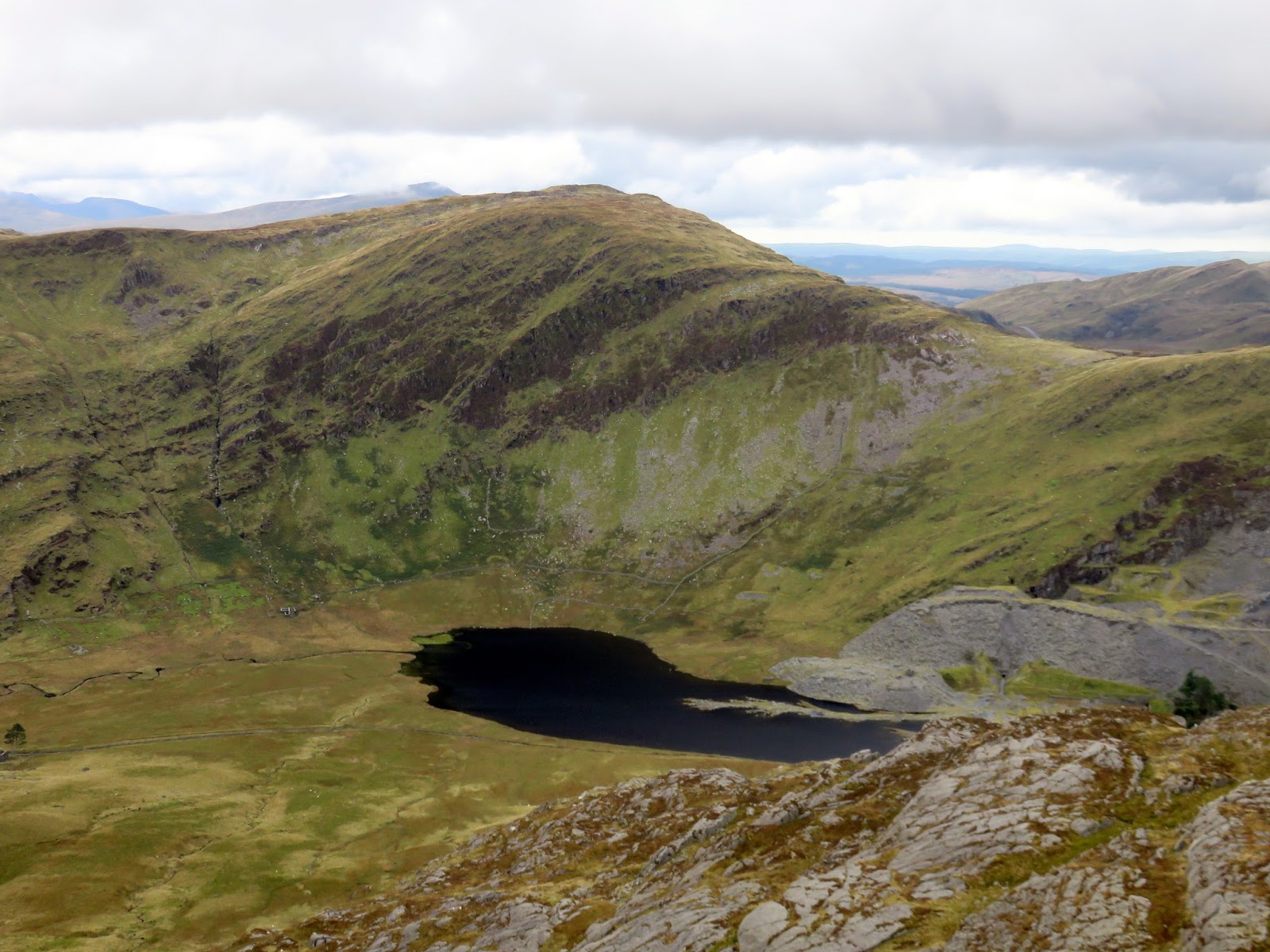
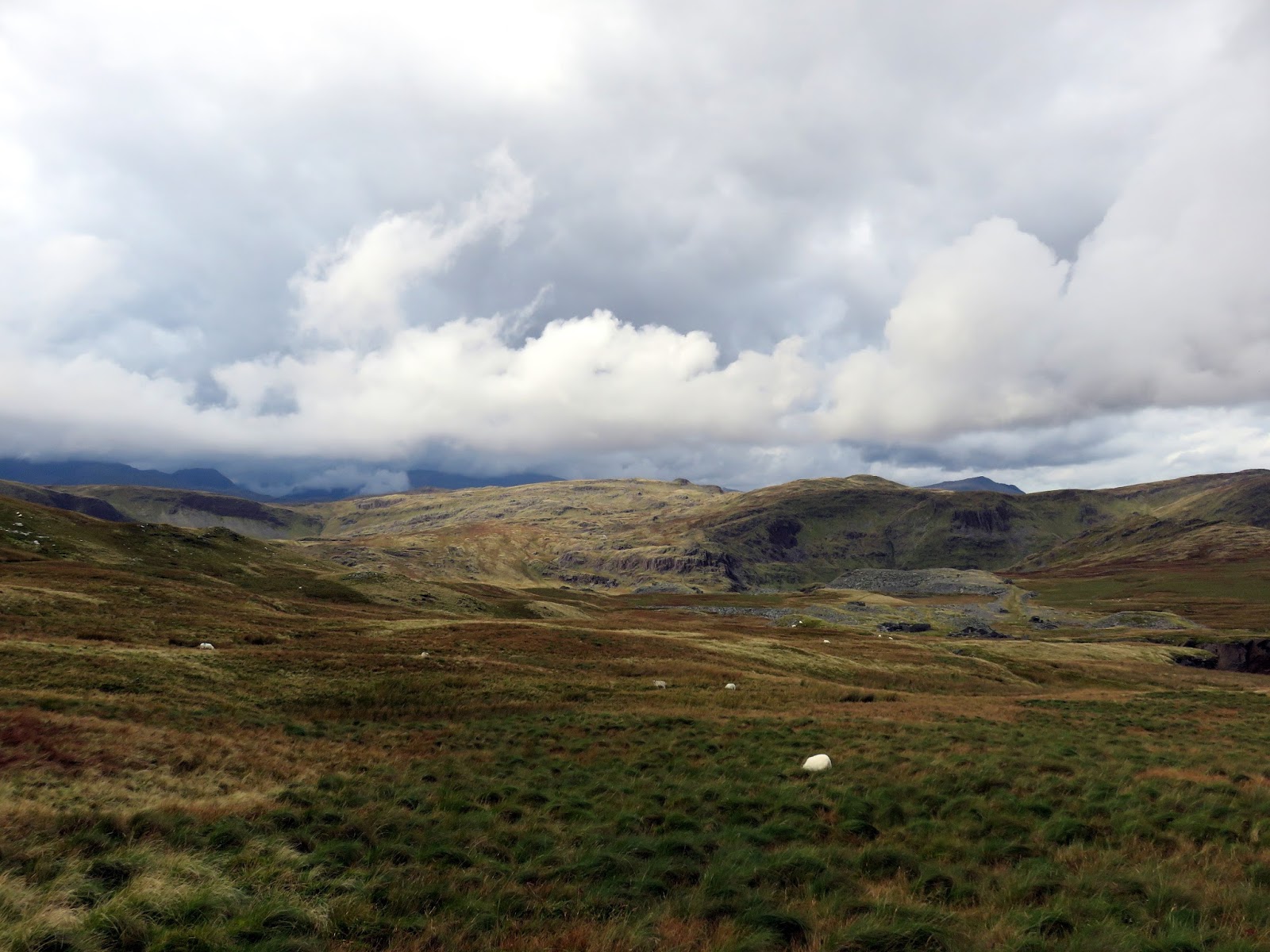
With view opening up now, we followed the ridge down to Llyn yr Adar and the further still into Cwm Corsiog. By now the way ahead was visible, across a marshy upland to the expanse of the disused Rhosydd quarry. This is wild territory though the route through Cwm Corsiog to the quarry is not particularly interesting. That said, a look at the artificial Llyn Cwm-corsiog is worth it.
 |
| Llyn yr Adar and Y Cyrniau |
 |
| Ysgafell Wen |
 |
| Ysgafell Wen and Moel Druman |
 |
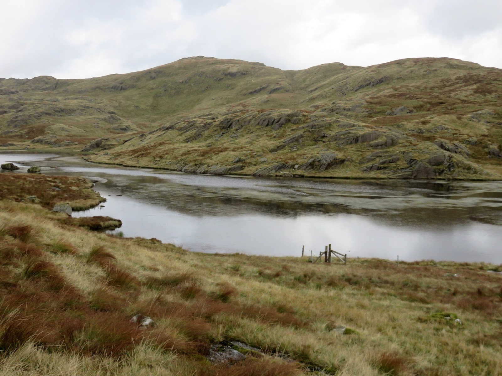
| Llyn Cwm-corsiog |
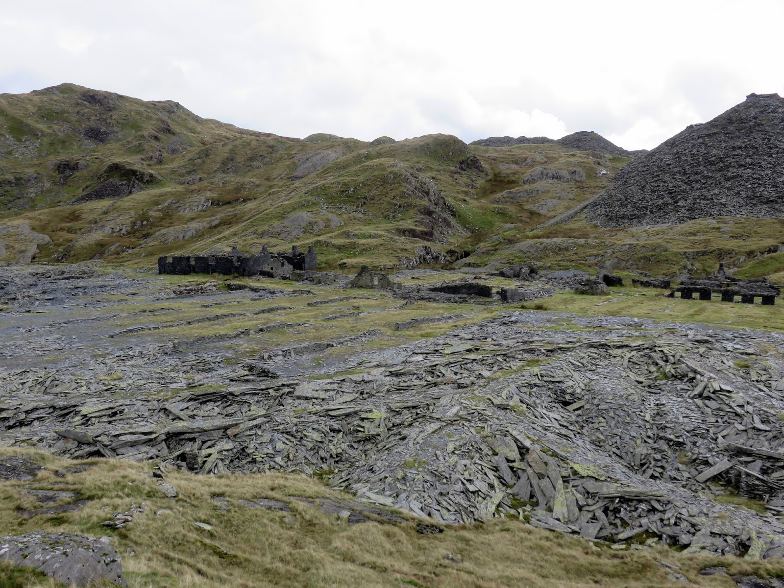
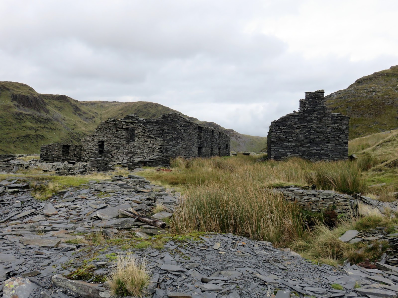
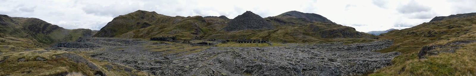
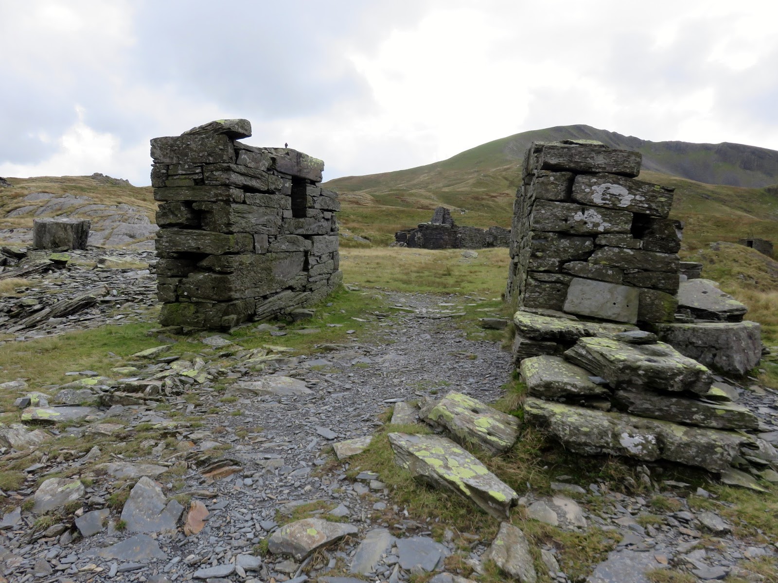
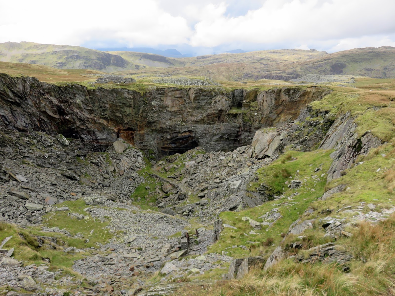
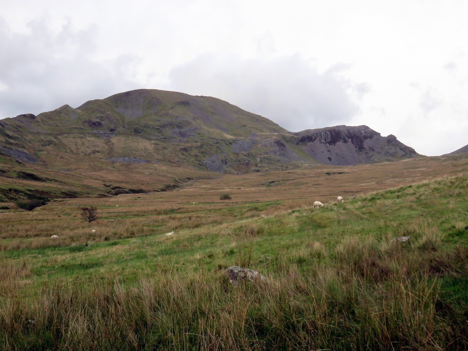
Slate was first discovered at Rhysodd in the 1830’s when quarrying commenced on a very small scale. As the easier won slate became exhausted, the quarry developed into an underground working following the vein of slate northwards and downwards.
 |
| Rhosydd Quarry |
 |
| Rhosydd Quarry |
 |
| Rhosydd Quarry |
 |
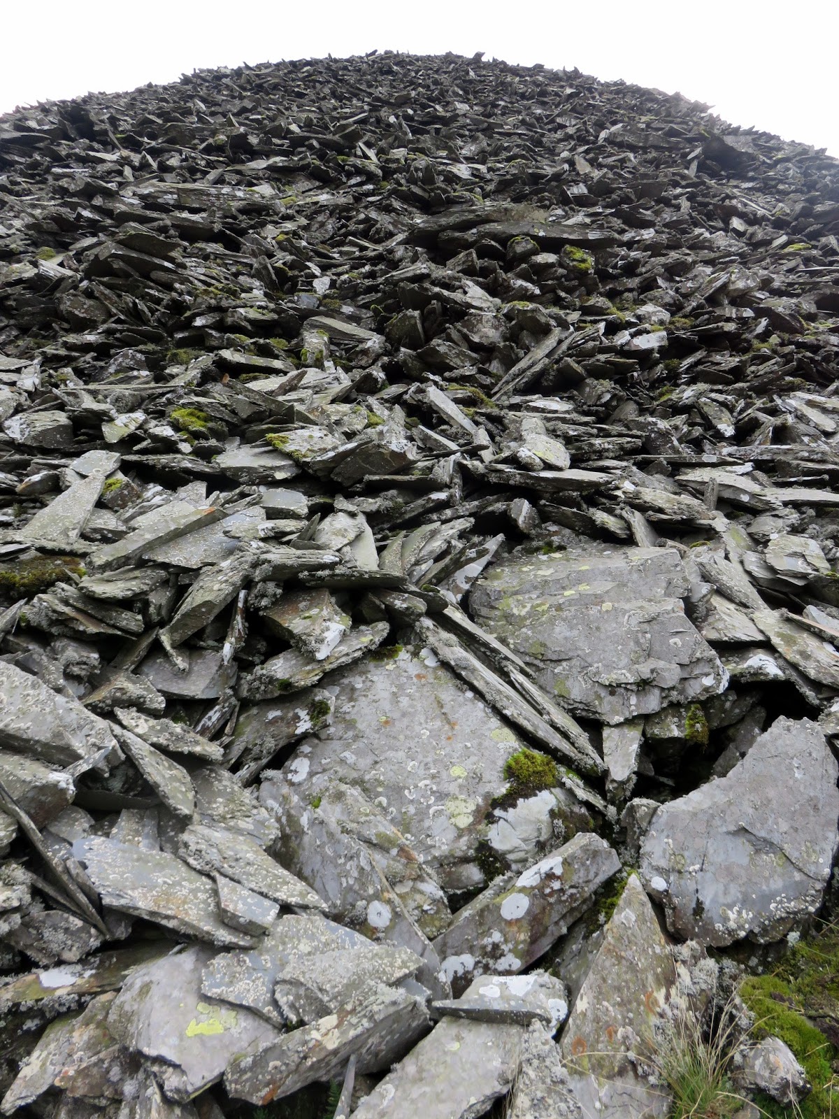
| Spoil heap |
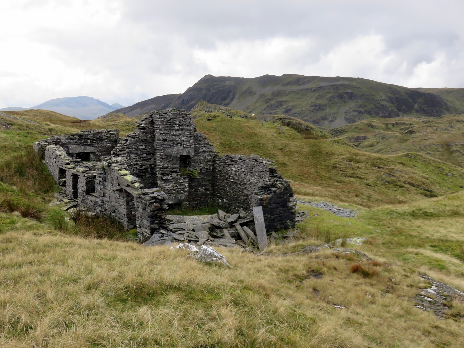
Peak output occurred in the 1880’s when over 6,000 tons per year of saleable slate was mined. A major blow to the quarry occurred in 1900 when the “Great Fall” occurred underground, in the southeastern section of the workings, destroying a large part of the most profitable reserves. The quarry never fully recovered.
 |
| Rhosydd Quarry |
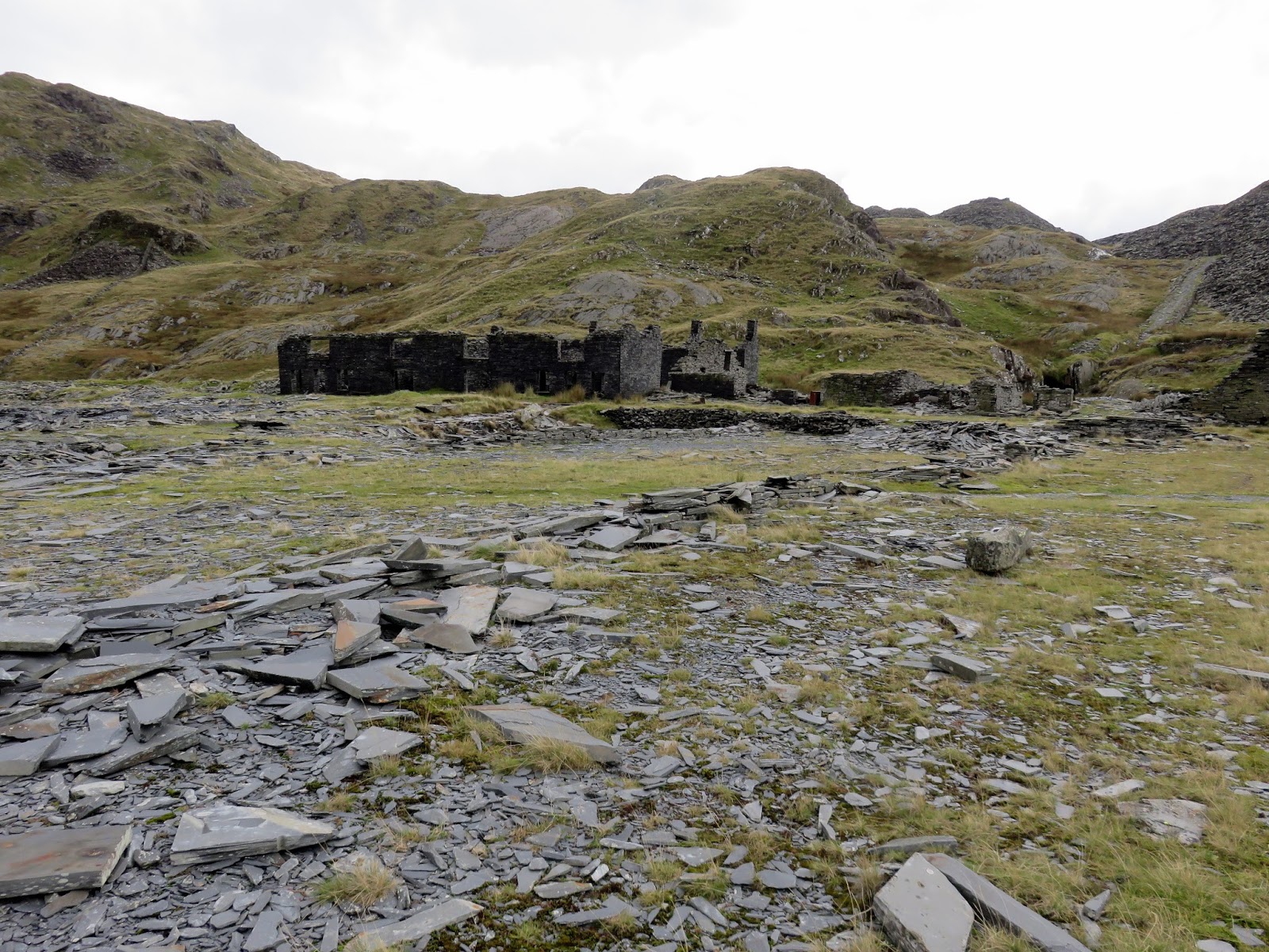
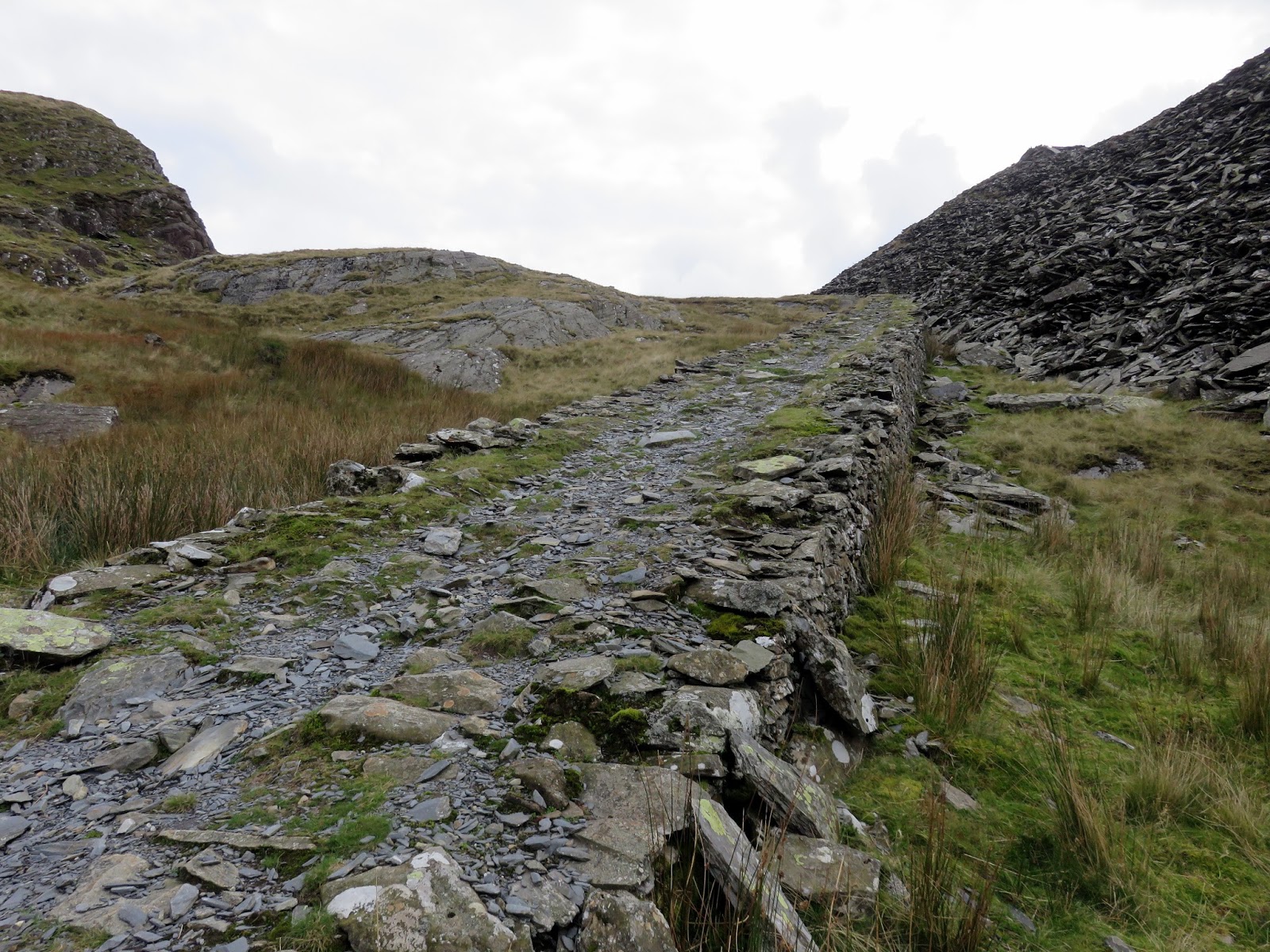
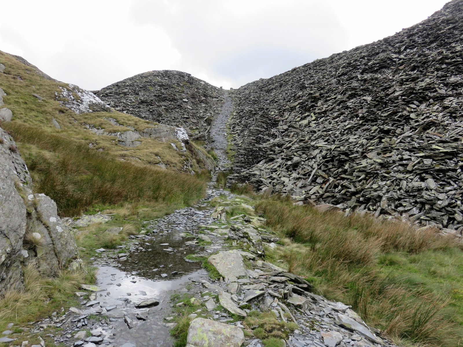
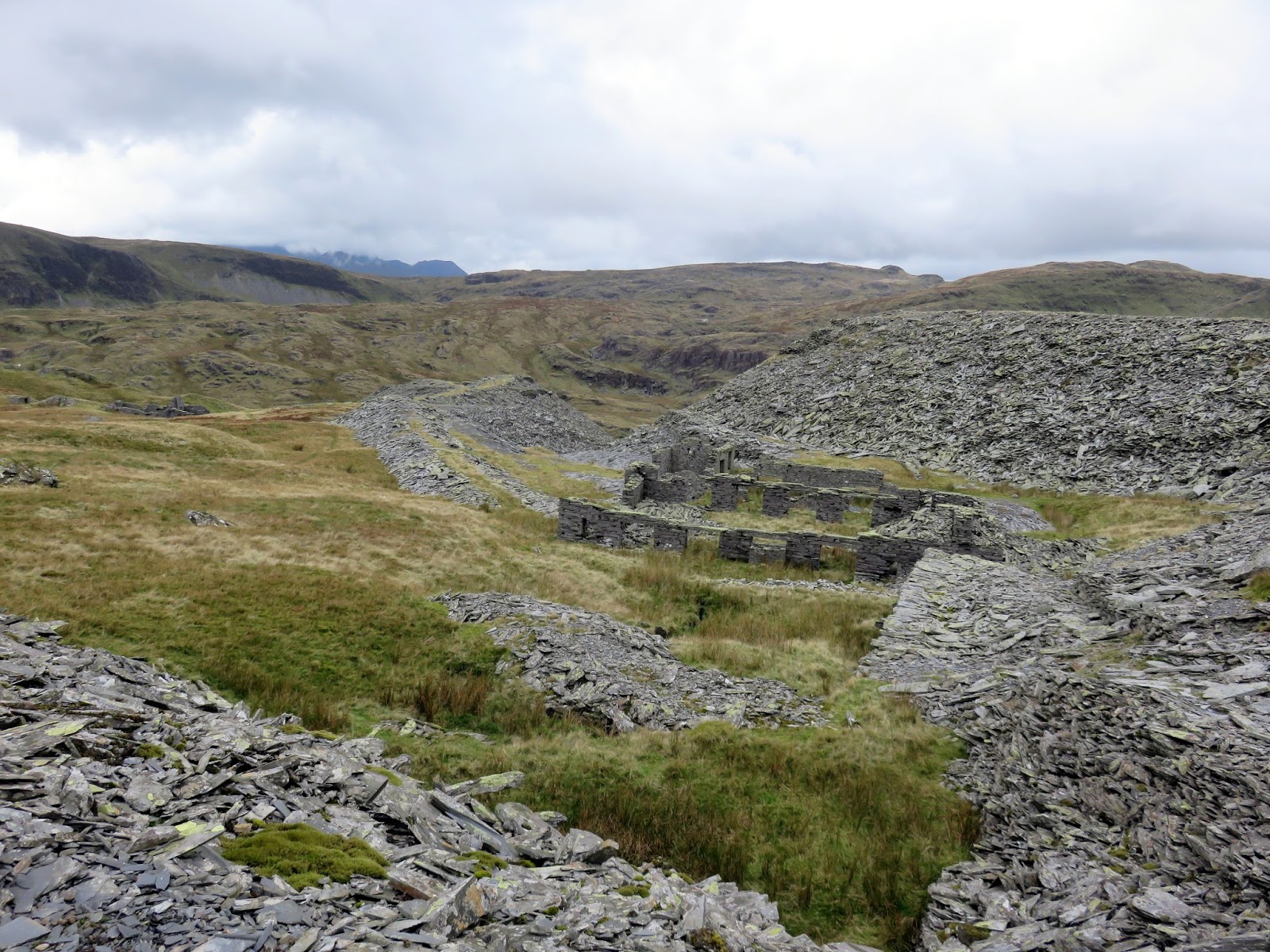
As the path passes through the quarry, be aware of the main adit entrance which is a danger, though had a considerable amount of water flowing out of it when I passed – a suitable deterrent for any subterranean adventures. I passed beneath a huge pile of spoil, using one of the inclines to get above the main working area. I hadn’t realised that nearly 90% of quarried slate is wasted, hence the huge piles that remain.
 |
| Incline in Rhosydd Quarry |
 |
| Rhosydd Quarry |
 |
| Buildings above the main workings |
 |
| Rhosydd Quarry |
 |
| Rhosydd Quarry |
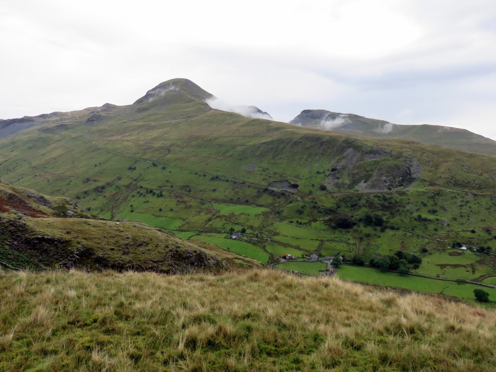
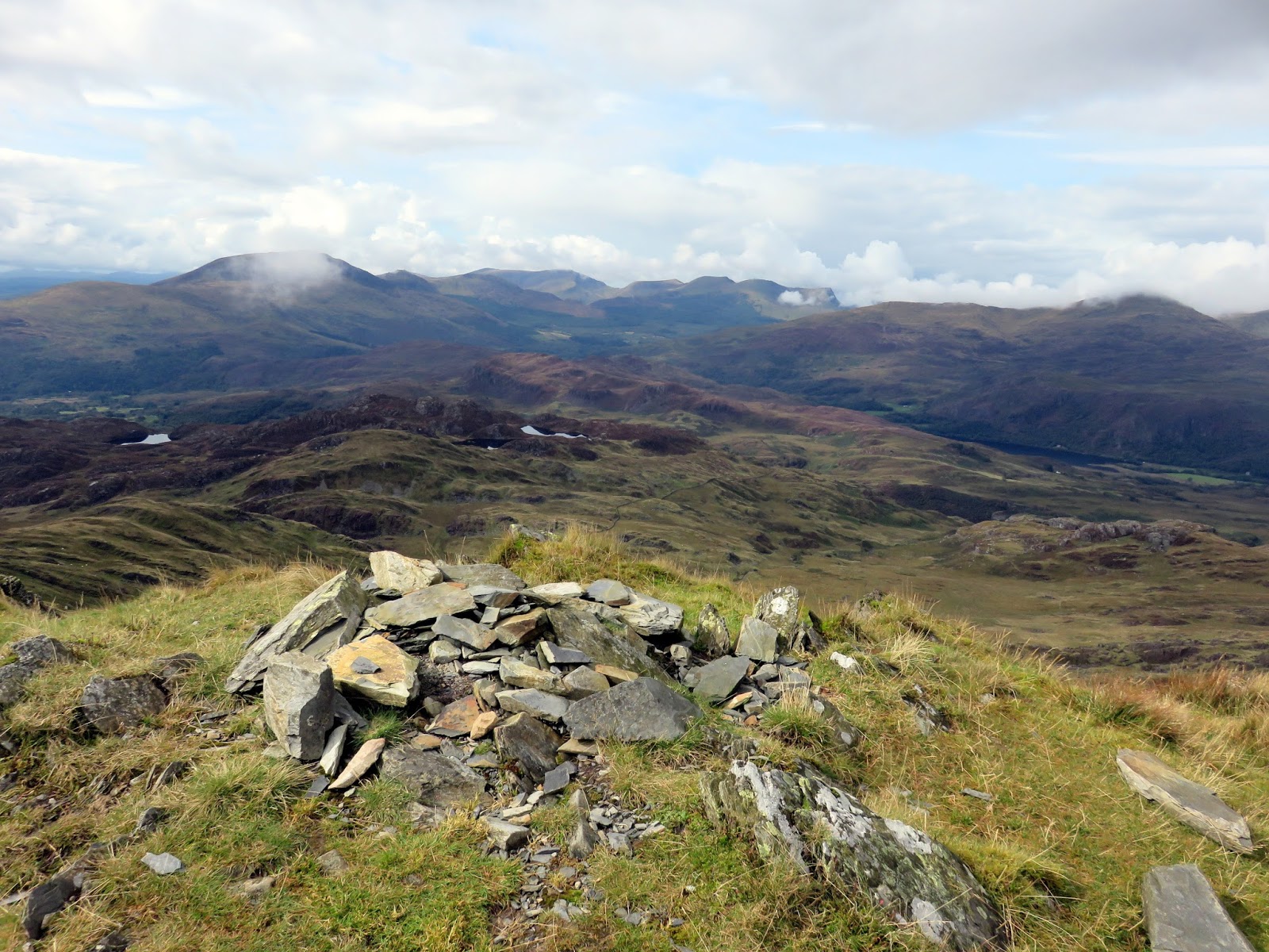
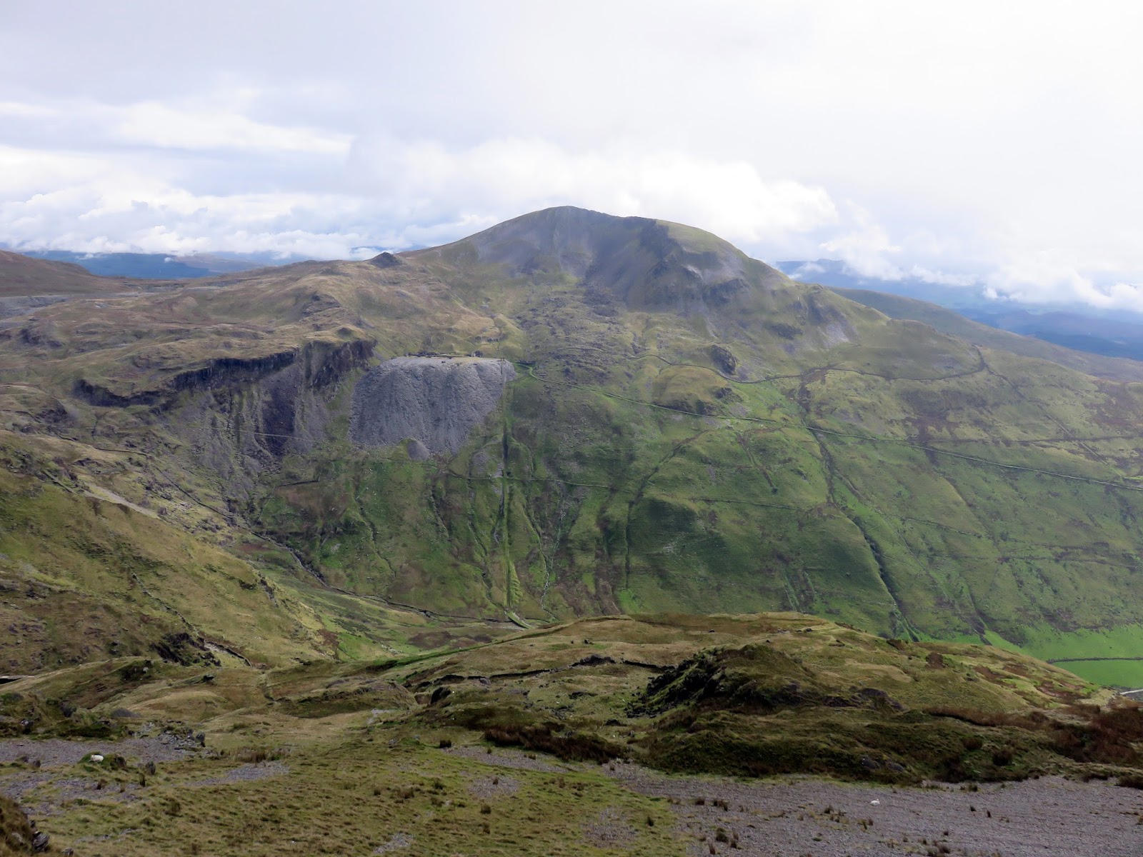
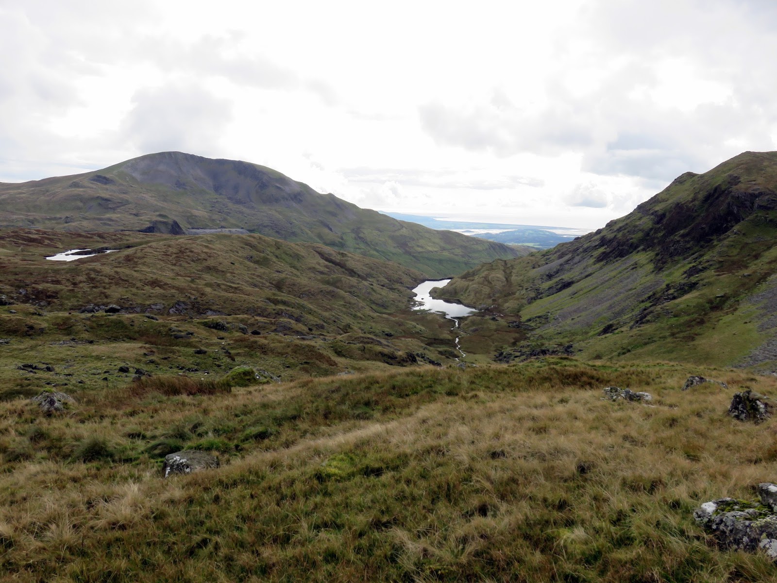
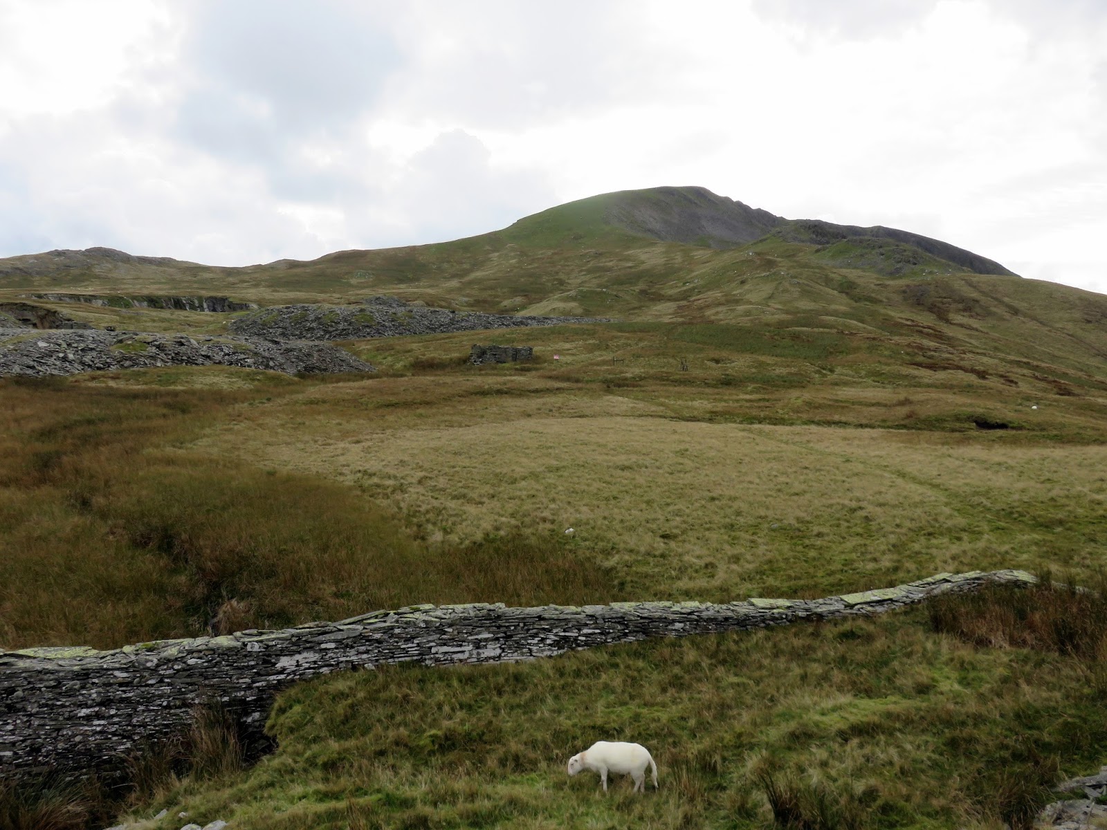
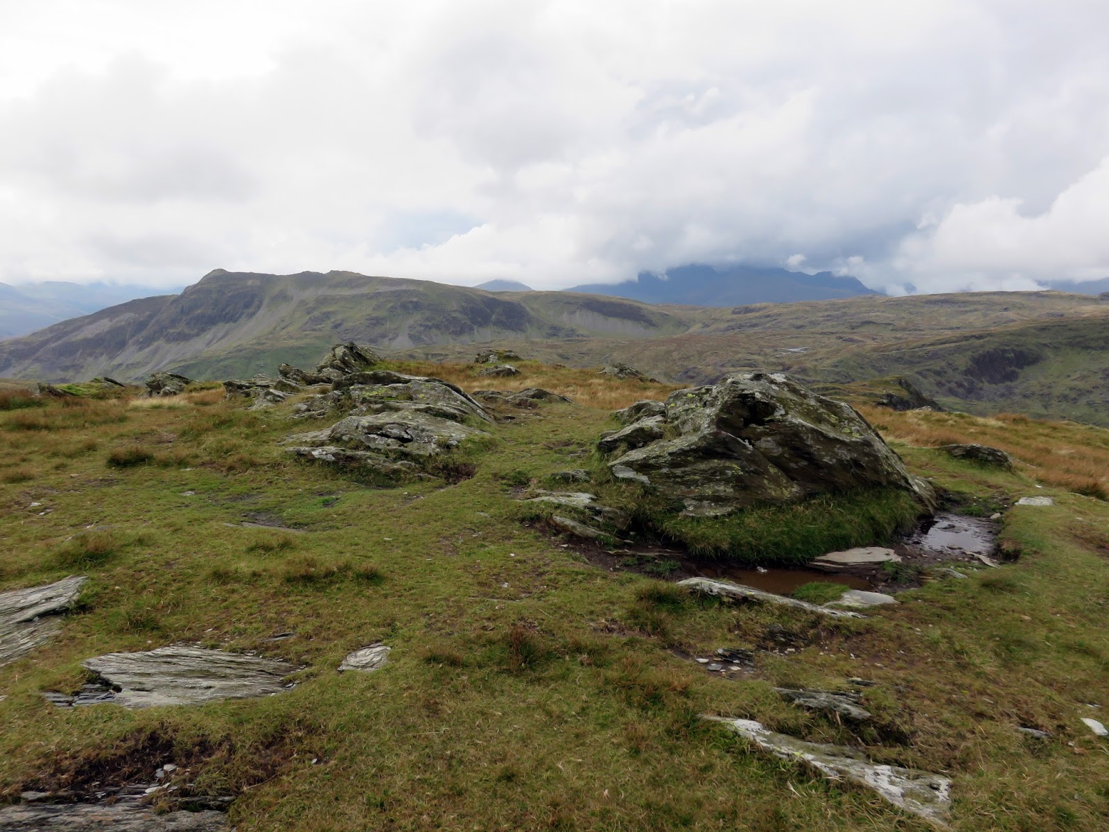
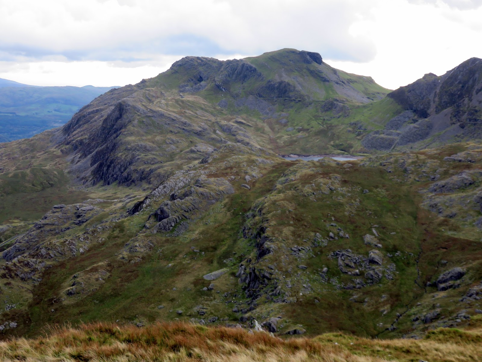
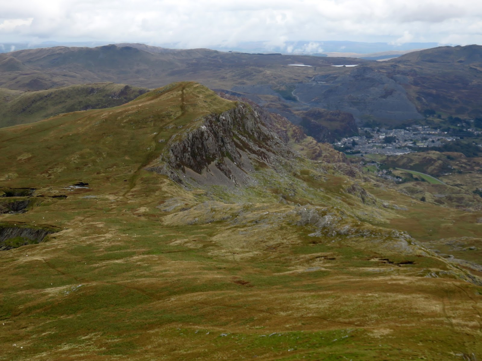
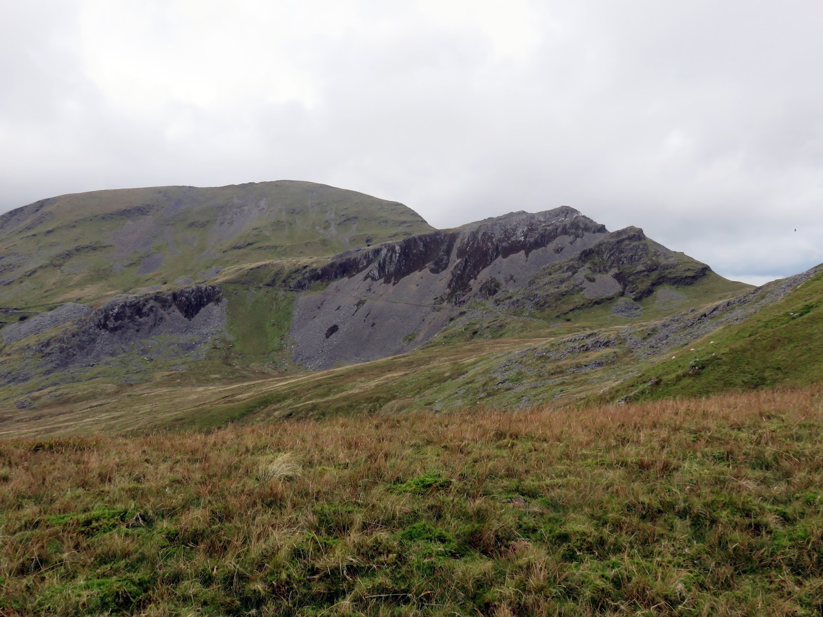
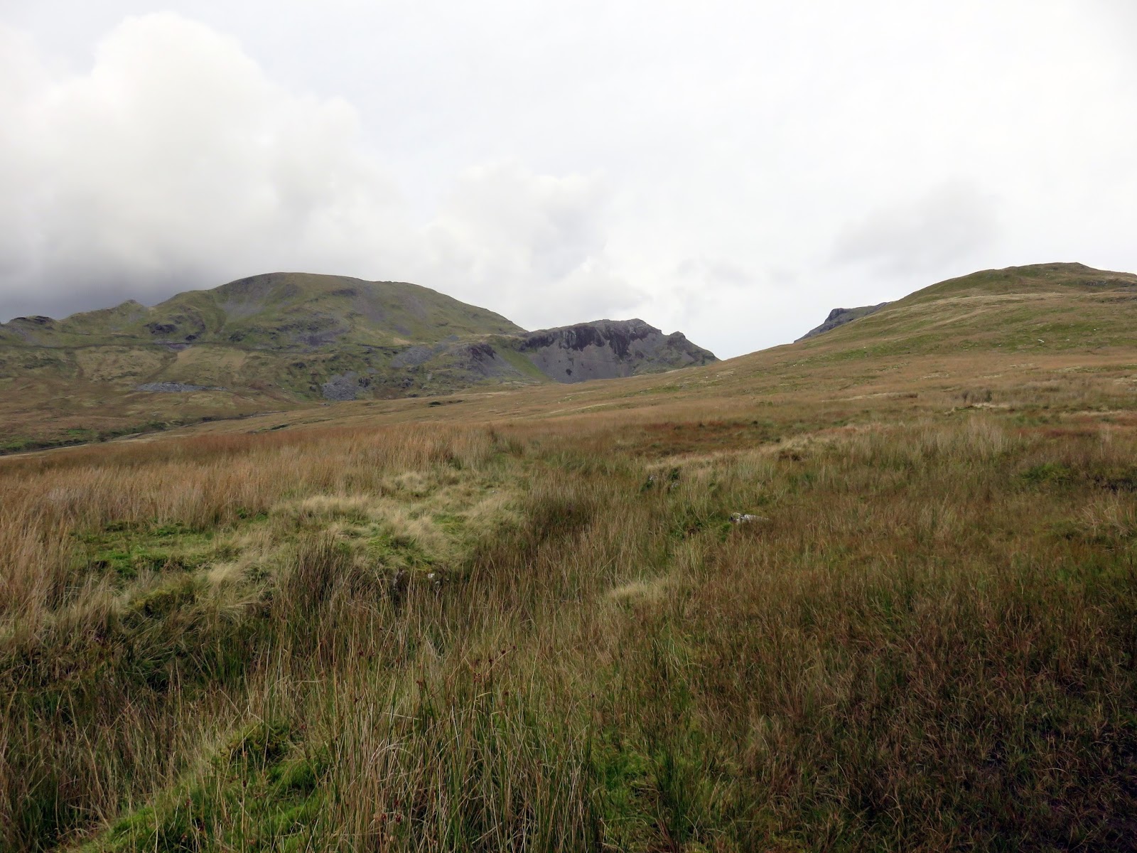
Out of the main quarry working, the path returns to marshy upland as it climbs steadily up to Moel-yr-hydd, a modest summit that commands an expansive view across Blaenau Ffestiniog and its surrounds. Also in view for the first time are Craigysgafyn and Moelwyn Bach which, until now, had been hidden behind the larger Moelwyn Mawr.
 |
| Blaenau Ffestiniog and Tanygrisiau Reservoir |
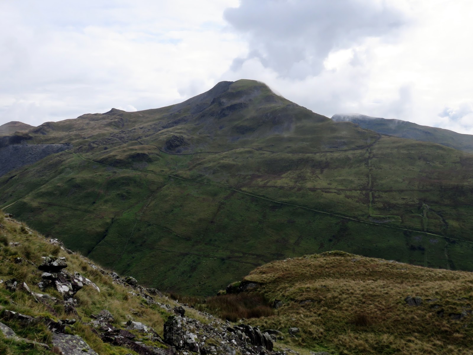
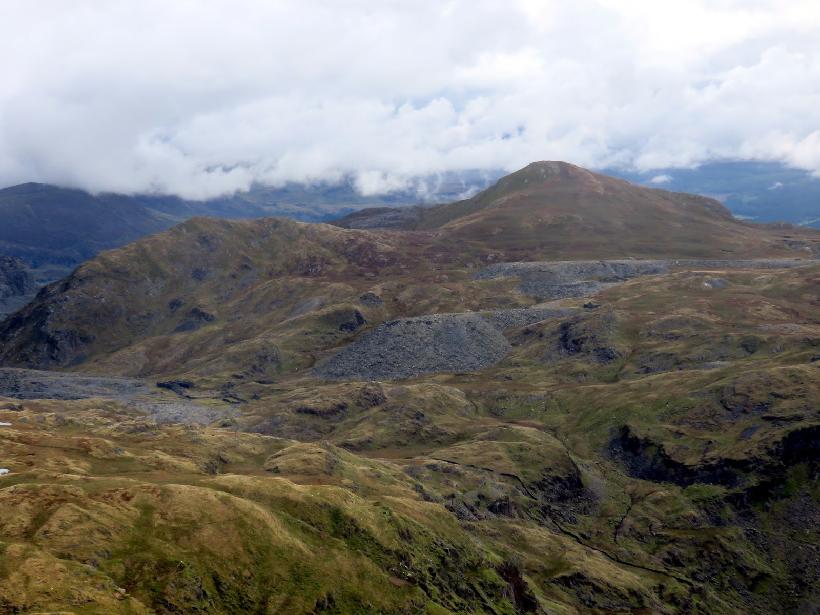
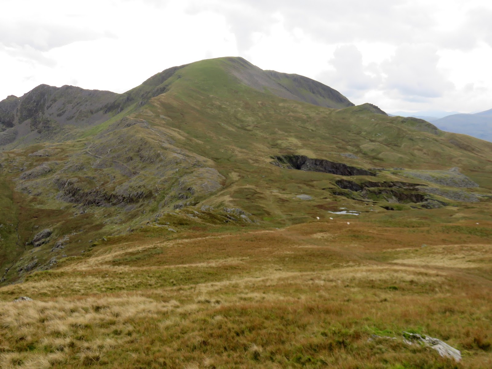
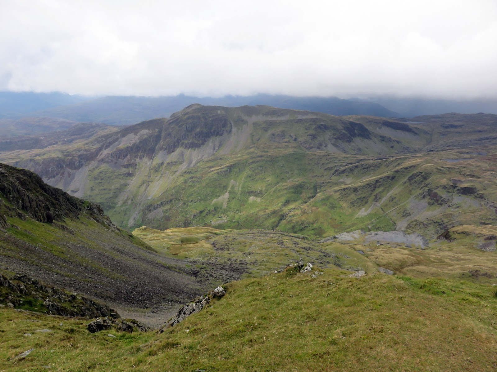
From Moel-yr-hydd, Moelwyn Mawr is the next major summit – the highest of the day. It stands across another marshy depression, above the earliest workings of the Rhosydd Quarry – an enormous hole in the ground. Here you can also find evidence of the ‘Great Fall’. The vague path passes a few faded warning signs before it begins climbing Moelwyn Mawr’s east ridge, culminating in a very steep, grassy push to the summit.
 |
| The early Rhosydd Quarry |
 |
| Lookin across towards Cnicht and Foel Boethwel |
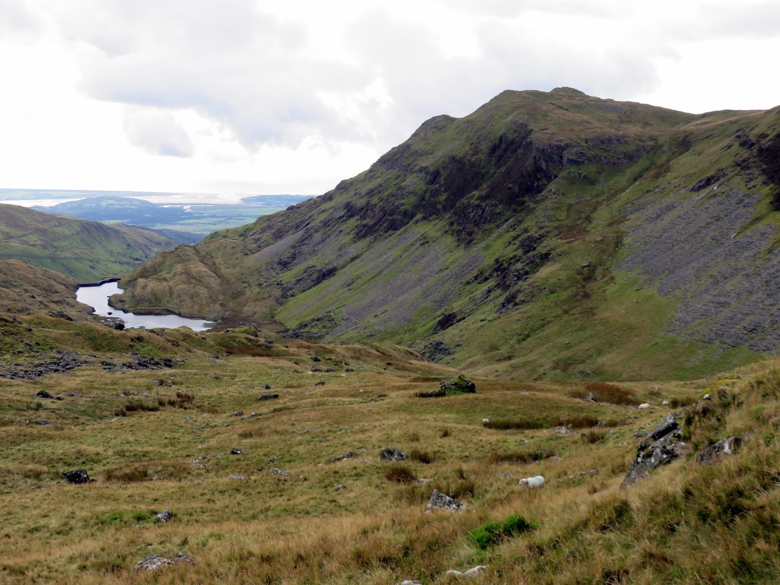
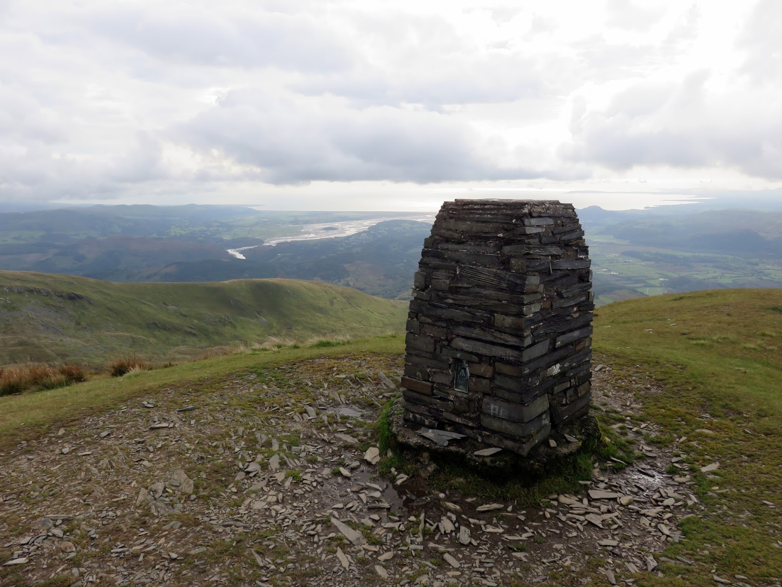
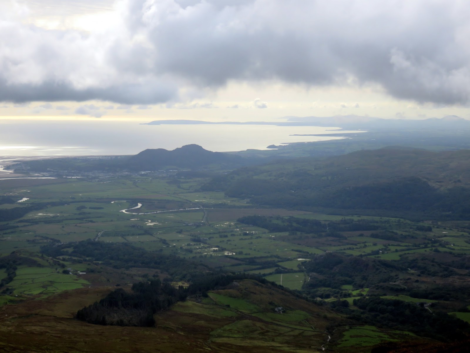
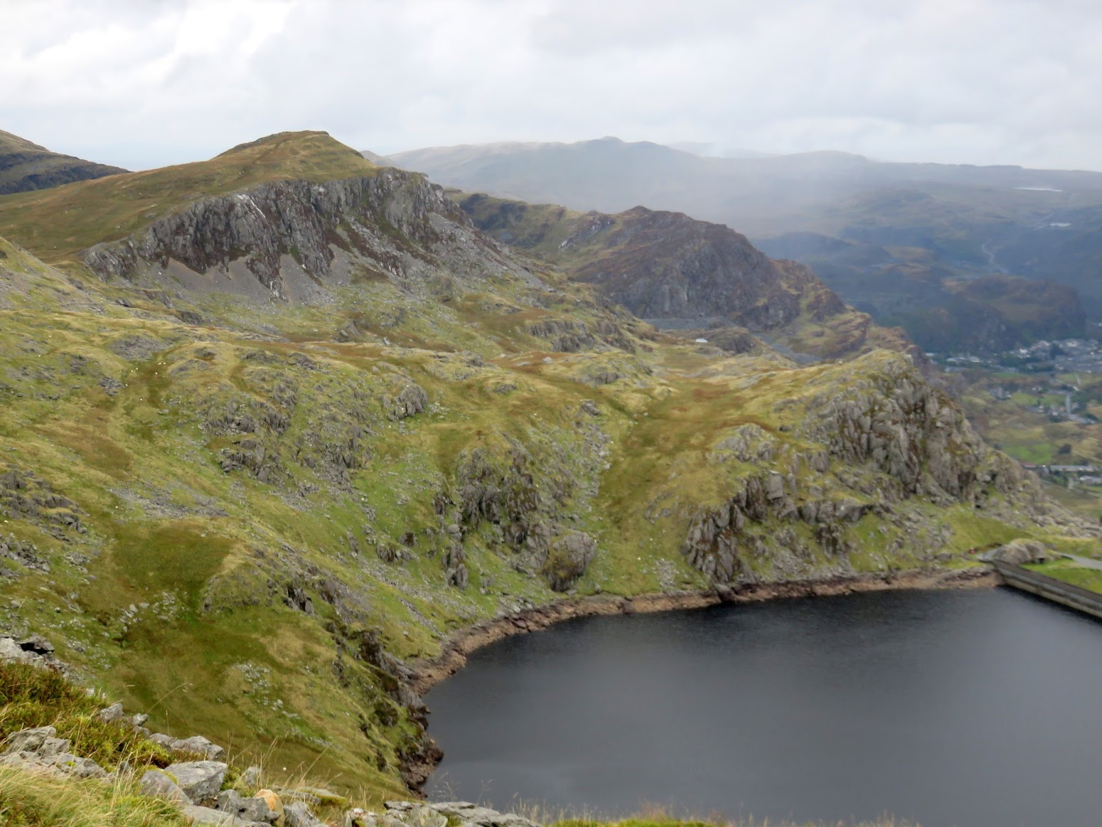
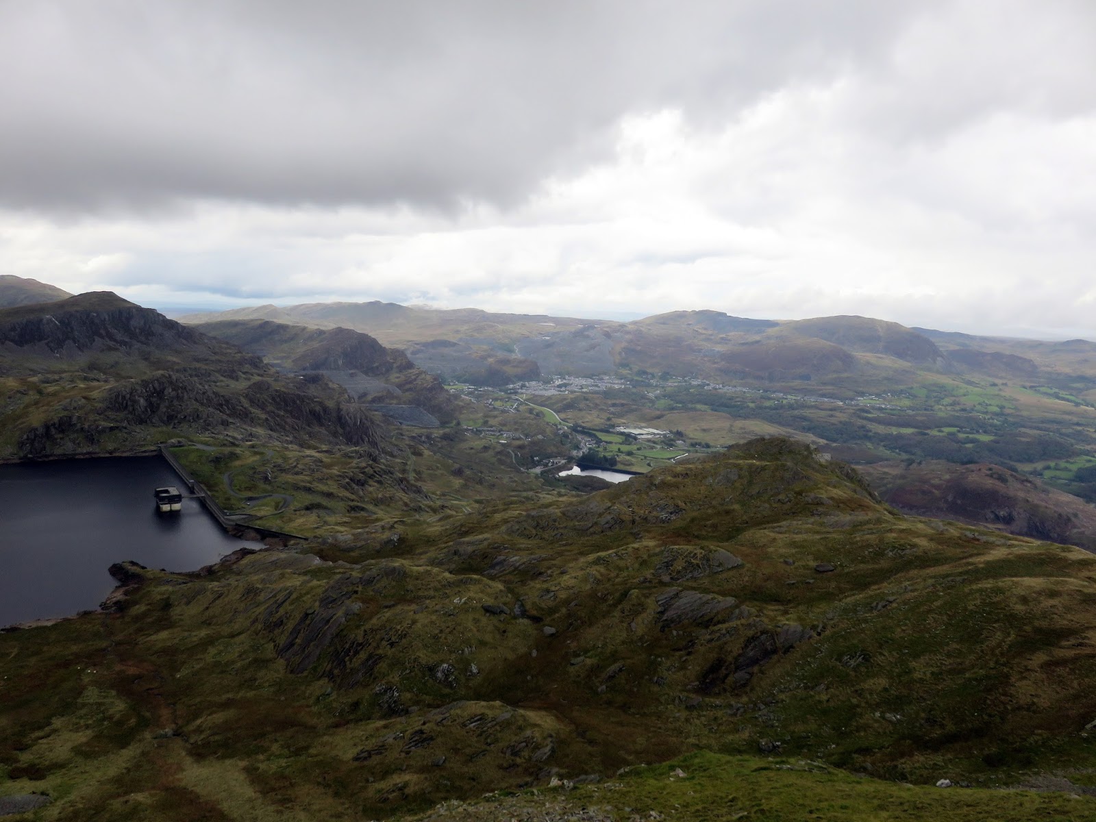
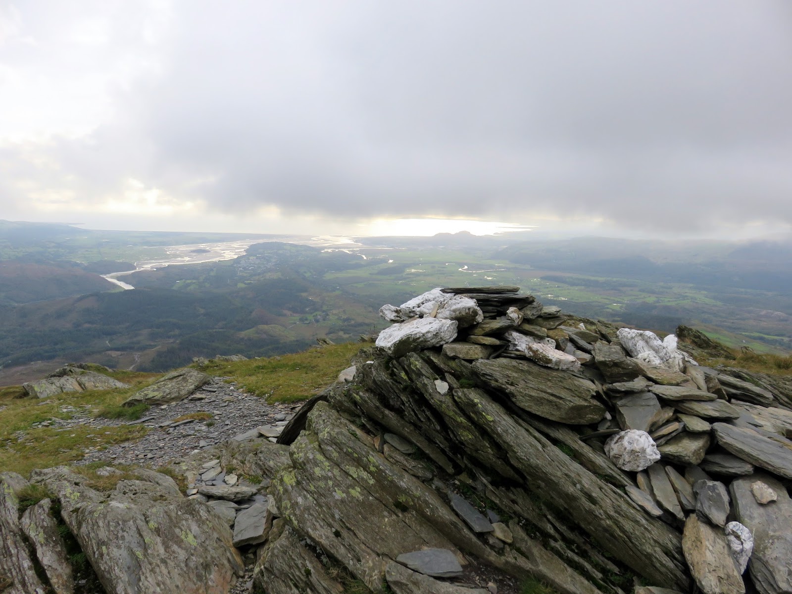
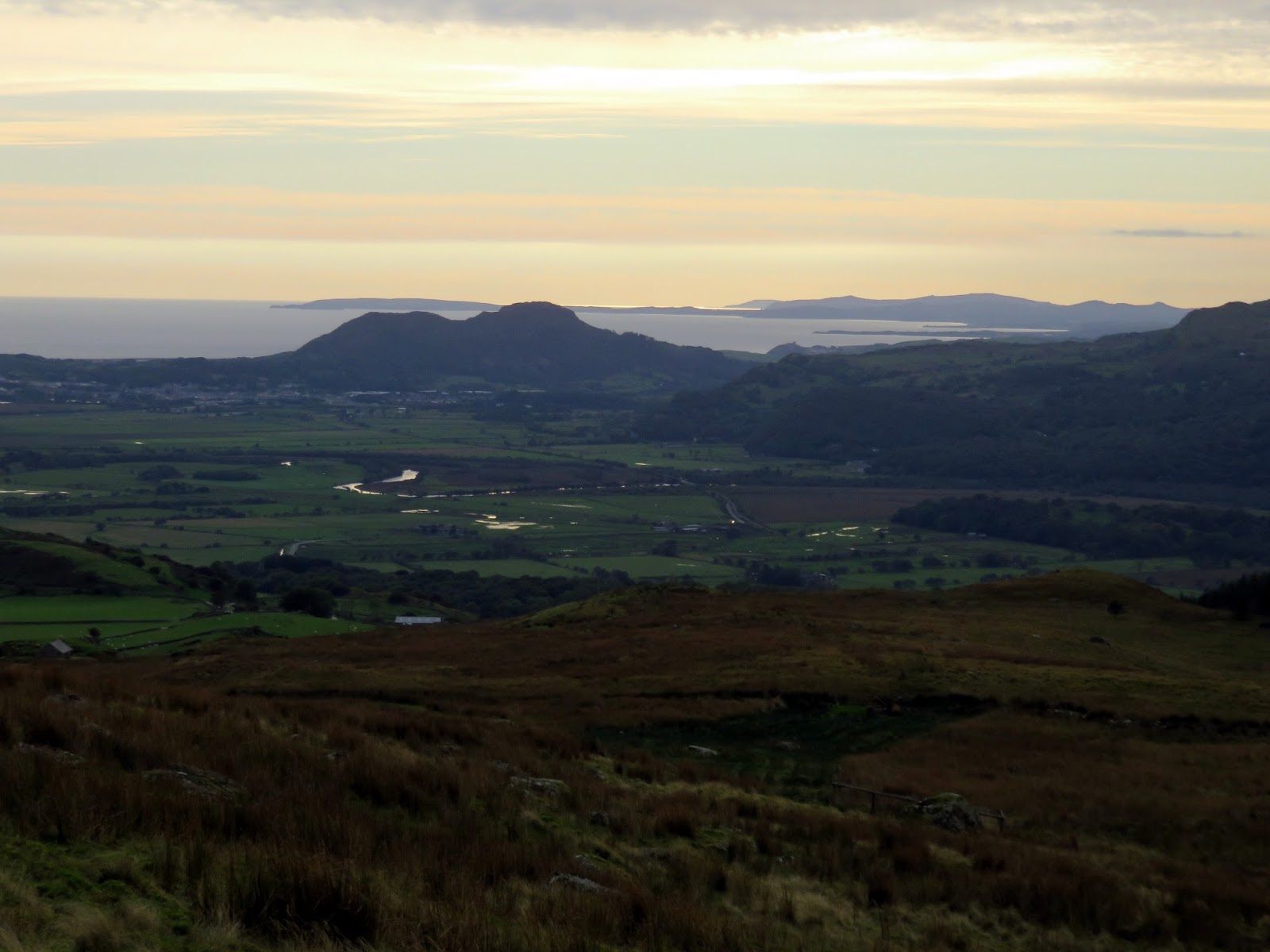
Benefitting its height and isolation, Moelwyn Mawr has fabulous views over Porthmadog and along the Lleyn Peninsula. A high reservoir sits on the eastern side of the mountain, Llyn Stwlan, which forms part of the pumped-hydro scheme of the Ffestiniog Power Station.
 |
| The plains of Morfa Gwyllt |
 |
| Afon Glaslyn |
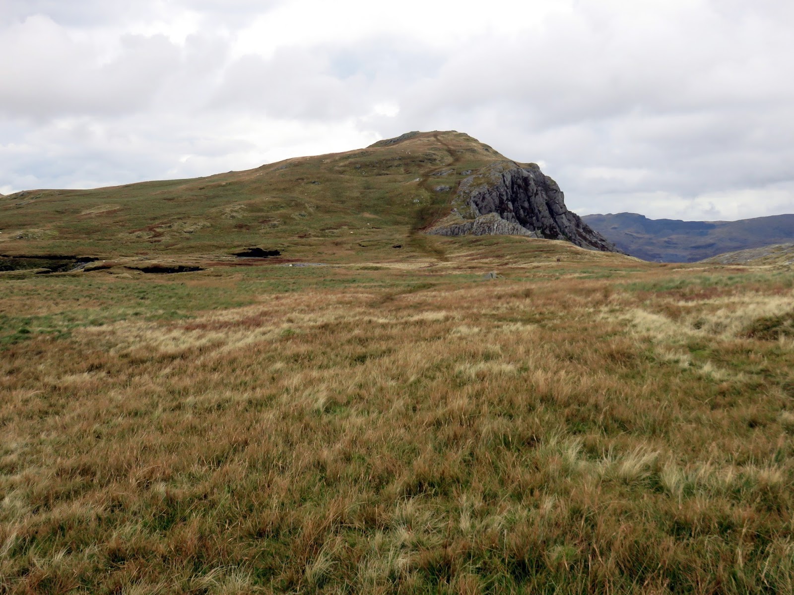
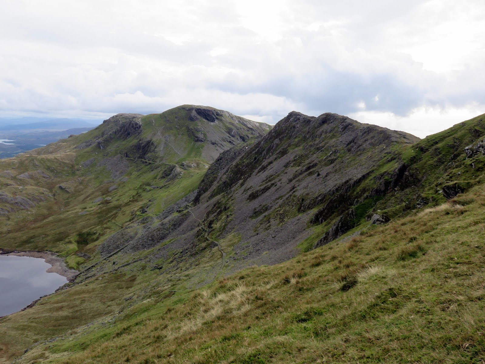
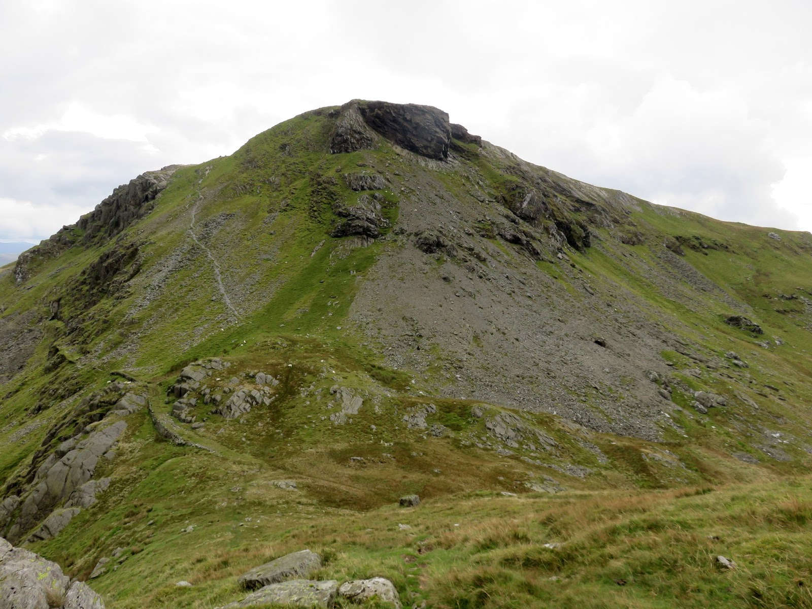
Time was starting to creep away from me and there was still plenty of walking to be done, first a rocky descent south from Moelwyn Mawr to the sub-summit of Craigsygafn, the ridge joining the two Moelwyns but prominent enough to feature in its own right. It’s rocky and moderately entertaining but over sooner rather than later.
Moelwyn Bach is next up, via another steep ascent of around 100m. Above is an ominous looking overhang which I believe to be the result of further quarrying rather than the forces of nature. Atop the summit, by the cairn, are similar views to Moelwyn Mawr.
 |
| Carreg Blaen-Llyn looking towards Blaenau Ffestiniog |
Returning to Croesor is easy enough though entails a long descent down Moelwyn Bach’s grassy west ridge which falls to the valley at an easy gradient. Though marshy in places, the worst of any bogginess is actually in the wooded area close to Cae Uchaf. As this is outside of the Access Land, you have no choice but to make your way along the fringes of the woods. A further 1km along a forestry road is required to reach the car park in Croesor.
 |
| Porthmadog |
 |
| Craigsygafn |
 |
| Moel-y-Gest |
