Open Space Web-Map builder Codehttps://openspace.ordnancesurvey.co.uk/osmapapi/openspace.js?key=3119F72552FD5C22E0530C6CA40A5A92https://openspace.ordnancesurvey.co.uk/osmapapi/script/mapbuilder/basicmap.jshttps://openspace.ordnancesurvey.co.uk/osmapapi/script/mapbuilder/searchbox.js//variables for routes var linesLayer, points, lineFeature, lineString, routeMarkersLayer, routepos, routesize, routeoffset, routeicon; var style_blue = {strokeColor: “#0000CD”, strokeOpacity: 0.5, strokeWidth: 4.5}; function initmapbuilder() { //initiate the map var options = {resolutions: [2500, 1000, 500, 200, 100, 50, 25, 10, 5, 4, 2.5, 2, 1]}; osMap = new OpenSpace.Map(‘map’, options); //configure map options (basicmap.js) setglobaloptions(); //set the center of the map and the zoom level osMap.setCenter(new OpenSpace.MapPoint(407174.6825,401655.00125885),7); linesLayer = osMap.getVectorLayer(); // Set up layer for route markers routeMarkersLayer = new OpenLayers.Layer.Markers(“Route Markers”); //make a route points = new Array(); points.push(new OpenLayers.Geometry.Point(407250,399251.66793823)); points.push(new OpenLayers.Geometry.Point(407190,399171.66793823)); points.push(new OpenLayers.Geometry.Point(407135,399271.66793823)); points.push(new OpenLayers.Geometry.Point(407145,399351.66793823)); points.push(new OpenLayers.Geometry.Point(407120,399396.66793823)); points.push(new OpenLayers.Geometry.Point(407060,399291.66793823)); points.push(new OpenLayers.Geometry.Point(407040,399196.66793823)); points.push(new OpenLayers.Geometry.Point(406850,399081.66793823)); points.push(new OpenLayers.Geometry.Point(406775,399216.66793823)); points.push(new OpenLayers.Geometry.Point(406690,399701.66793823)); points.push(new OpenLayers.Geometry.Point(406550,400106.66793823)); points.push(new OpenLayers.Geometry.Point(406310,400346.66793823)); points.push(new OpenLayers.Geometry.Point(406250,400526.66793823)); points.push(new OpenLayers.Geometry.Point(406080,400771.66793823)); points.push(new OpenLayers.Geometry.Point(405880,400931.66793823)); points.push(new OpenLayers.Geometry.Point(405665,401186.66793823)); points.push(new OpenLayers.Geometry.Point(405600,401316.66793823)); points.push(new OpenLayers.Geometry.Point(405740,401656.66793823)); points.push(new OpenLayers.Geometry.Point(405930,401976.66793823)); points.push(new OpenLayers.Geometry.Point(406070,402246.66793823)); points.push(new OpenLayers.Geometry.Point(406105,402811.66793823)); points.push(new OpenLayers.Geometry.Point(406225,403231.66793823)); points.push(new OpenLayers.Geometry.Point(406470,403691.66793823)); points.push(new OpenLayers.Geometry.Point(406915,404006.66793823)); points.push(new OpenLayers.Geometry.Point(407070,404066.66793823)); points.push(new OpenLayers.Geometry.Point(407155,404206.66793823)); points.push(new OpenLayers.Geometry.Point(407785,404676.66793823)); points.push(new OpenLayers.Geometry.Point(408195,404246.66793823)); points.push(new OpenLayers.Geometry.Point(408415,403911.66793823)); points.push(new OpenLayers.Geometry.Point(408490,403616.66793823)); points.push(new OpenLayers.Geometry.Point(408515,403076.66793823)); points.push(new OpenLayers.Geometry.Point(408585,402696.66793823)); points.push(new OpenLayers.Geometry.Point(408510,402311.66793823)); points.push(new OpenLayers.Geometry.Point(408230,402131.66793823)); points.push(new OpenLayers.Geometry.Point(408150,402081.66793823)); points.push(new OpenLayers.Geometry.Point(408140,401821.66793823)); points.push(new OpenLayers.Geometry.Point(408045,401406.66793823)); points.push(new OpenLayers.Geometry.Point(408000,401111.66793823)); points.push(new OpenLayers.Geometry.Point(408080,400806.66793823)); points.push(new OpenLayers.Geometry.Point(408090,400571.66793823)); points.push(new OpenLayers.Geometry.Point(408105,400376.66793823)); points.push(new OpenLayers.Geometry.Point(407890,400151.66793823)); points.push(new OpenLayers.Geometry.Point(407785,399941.66793823)); points.push(new OpenLayers.Geometry.Point(407640,399931.66793823)); points.push(new OpenLayers.Geometry.Point(407470,399961.66793823)); points.push(new OpenLayers.Geometry.Point(407400,399946.66793823)); points.push(new OpenLayers.Geometry.Point(407340,399726.66793823)); points.push(new OpenLayers.Geometry.Point(407230,399531.66793823)); points.push(new OpenLayers.Geometry.Point(407140,399561.66793823)); points.push(new OpenLayers.Geometry.Point(407150,399486.66793823)); points.push(new OpenLayers.Geometry.Point(407175,399411.66793823)); points.push(new OpenLayers.Geometry.Point(407155,399291.66793823)); points.push(new OpenLayers.Geometry.Point(407250,399251.66793823)); // create a polyline feature from the array of points lineString = new OpenLayers.Geometry.LineString(points); lineFeature = new OpenLayers.Feature.Vector(lineString, null, style_blue); linesLayer.addFeatures([lineFeature]); //crate a route start/end marker routepos = new OpenSpace.MapPoint(407250,399251.66793823); routesize = new OpenLayers.Size(33,45); routeoffset = new OpenLayers.Pixel(-5,-37); routeicon = new OpenSpace.Icon(‘https://openspace.ordnancesurvey.co.uk/osmapapi/img_versions/img_1.1/mapbuilder/routemarker-startend.png’, routesize, routeoffset, null, null); routeMarkersLayer.addMarker(new OpenLayers.Marker(routepos, routeicon)); osMap.addLayer(routeMarkersLayer);}
Route: Crowden, Pennine Way, Span Gutter, Oakenclough Brook, Laddow Rocks, Grains Moss, Dun Hill, Black Hill, Tooleyshaw Moss, Tooleyshaw Moor, White Low, Westend Moss, Hey Edge, Loftend Quarry, Crowden
Date: 02/10/2016
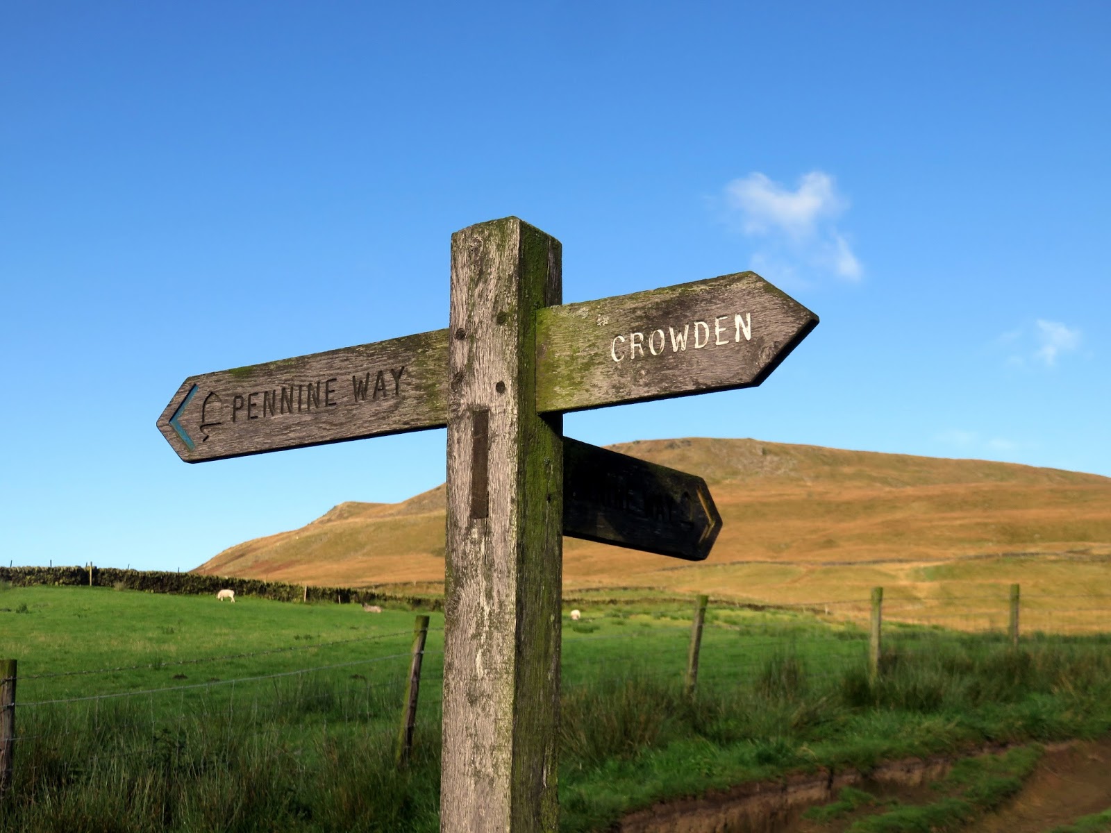
From: Crowden
Parking: Free parking in Crowden
Start Point: Crowden
Region: Peak District Dark Peak
Route length: 9.2 miles (14.8 km)
Time taken: 04:19
Average speed: 2.1 mph
Ascent: 583m
Descent: 595m
Summits: Black Hill (582m)
Other points of interest: Laddow Rocks
The Dark Peak area of the Peak District is a fairly unique environment in the UK and is dominated by the famous Kinder Scout and Bleaklow gritstone moors. Less popular, though no less impressive, is Black Hill, the most northerly of the major gritstone peaks. Though it may lack some of the dramatic gritstone edges that are famed in the Dark Peak, it has bogs which are a match for those found on either of its larger neighbours to the south.
We were treated to a superb Autumn day with plenty of sun and blue skies showing off the moorland at their most colourful. There is a free car park in Crowden that forms the starting point for this walk, a wild circular up the Pennine Way and down Tooleyshaw Moss, visiting the summit of Black Hill almost exactly halfway around.
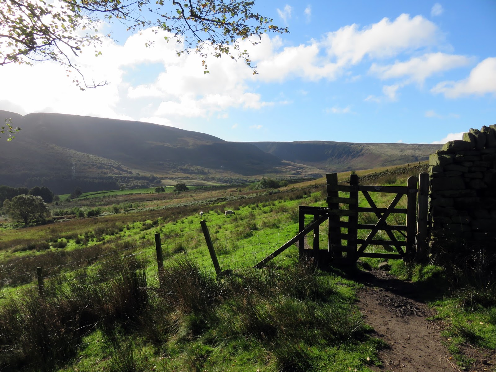
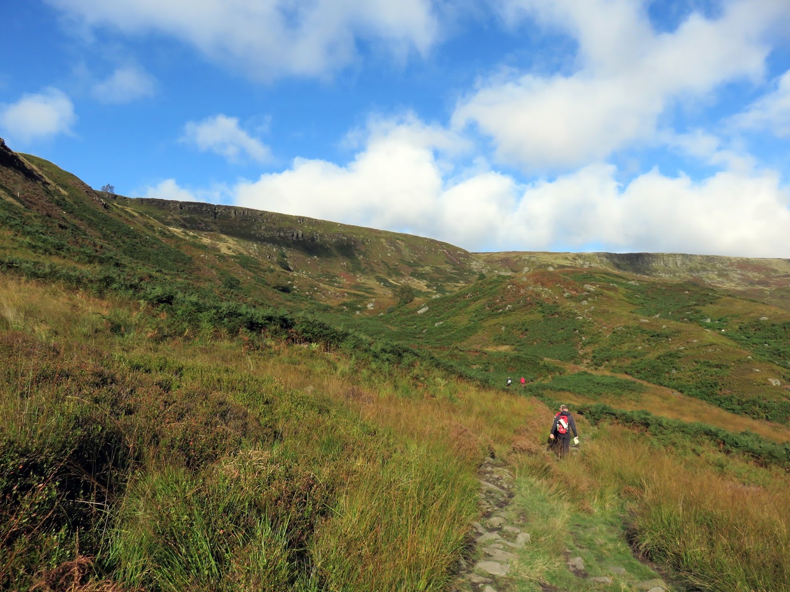
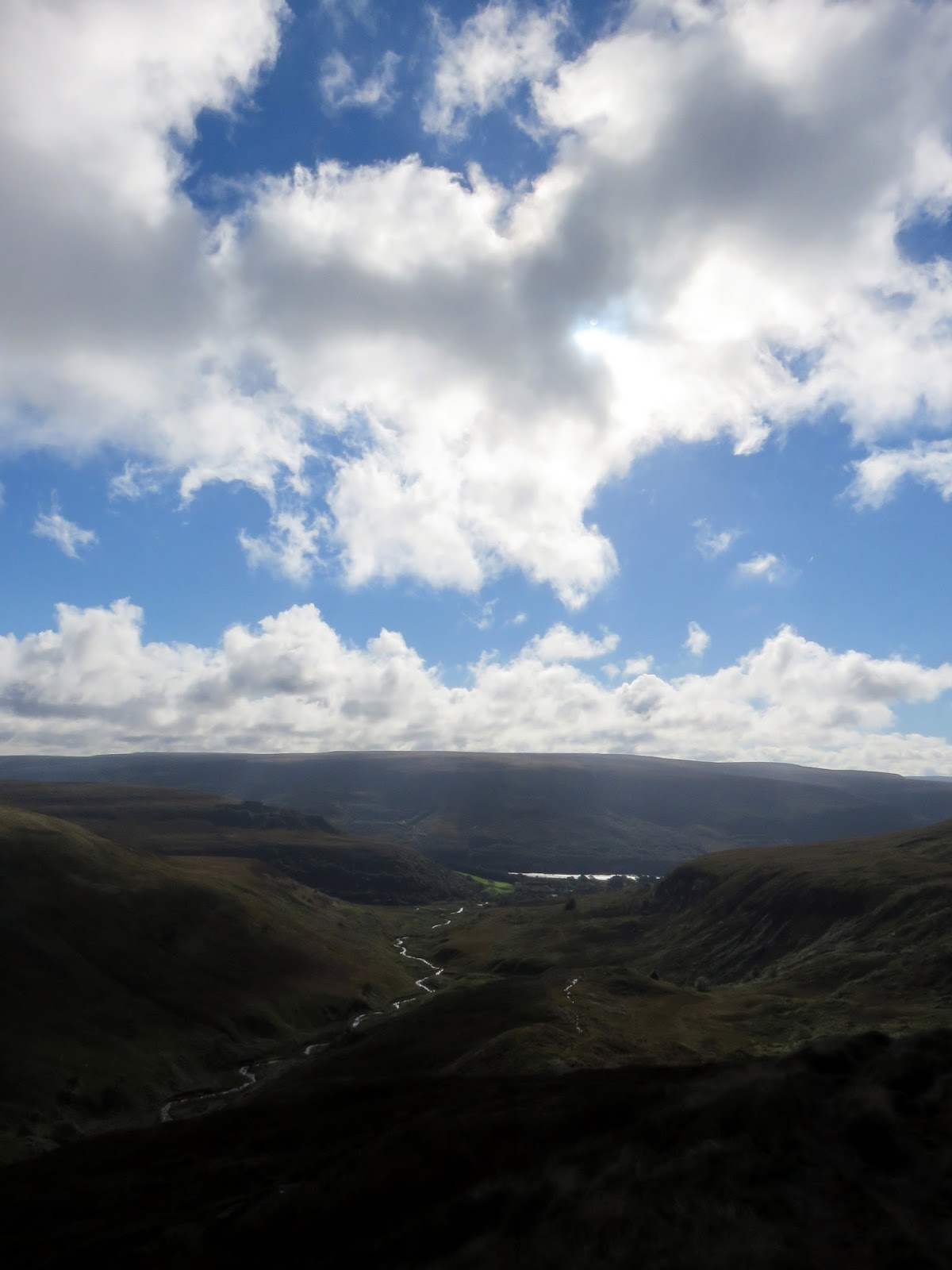
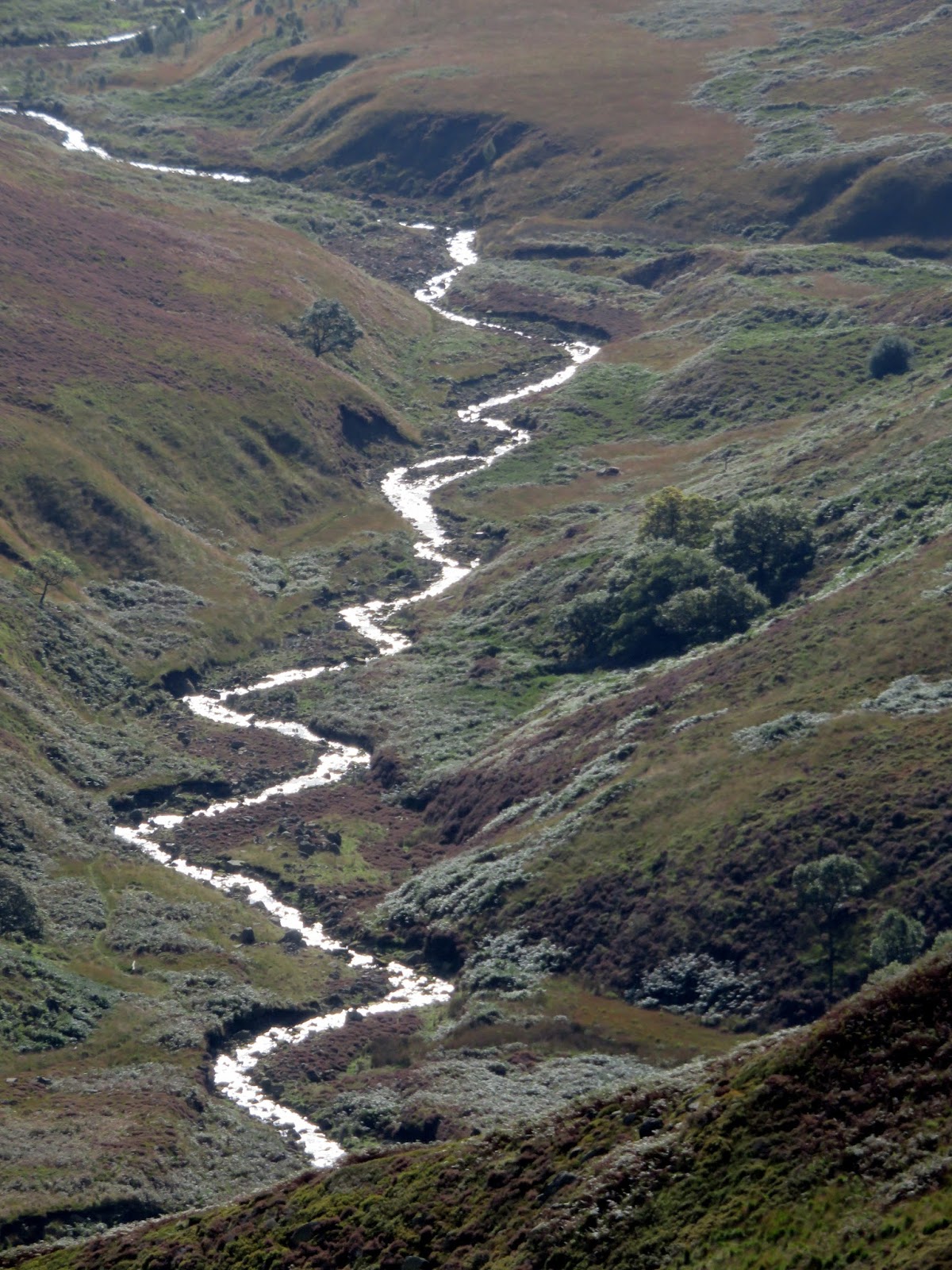
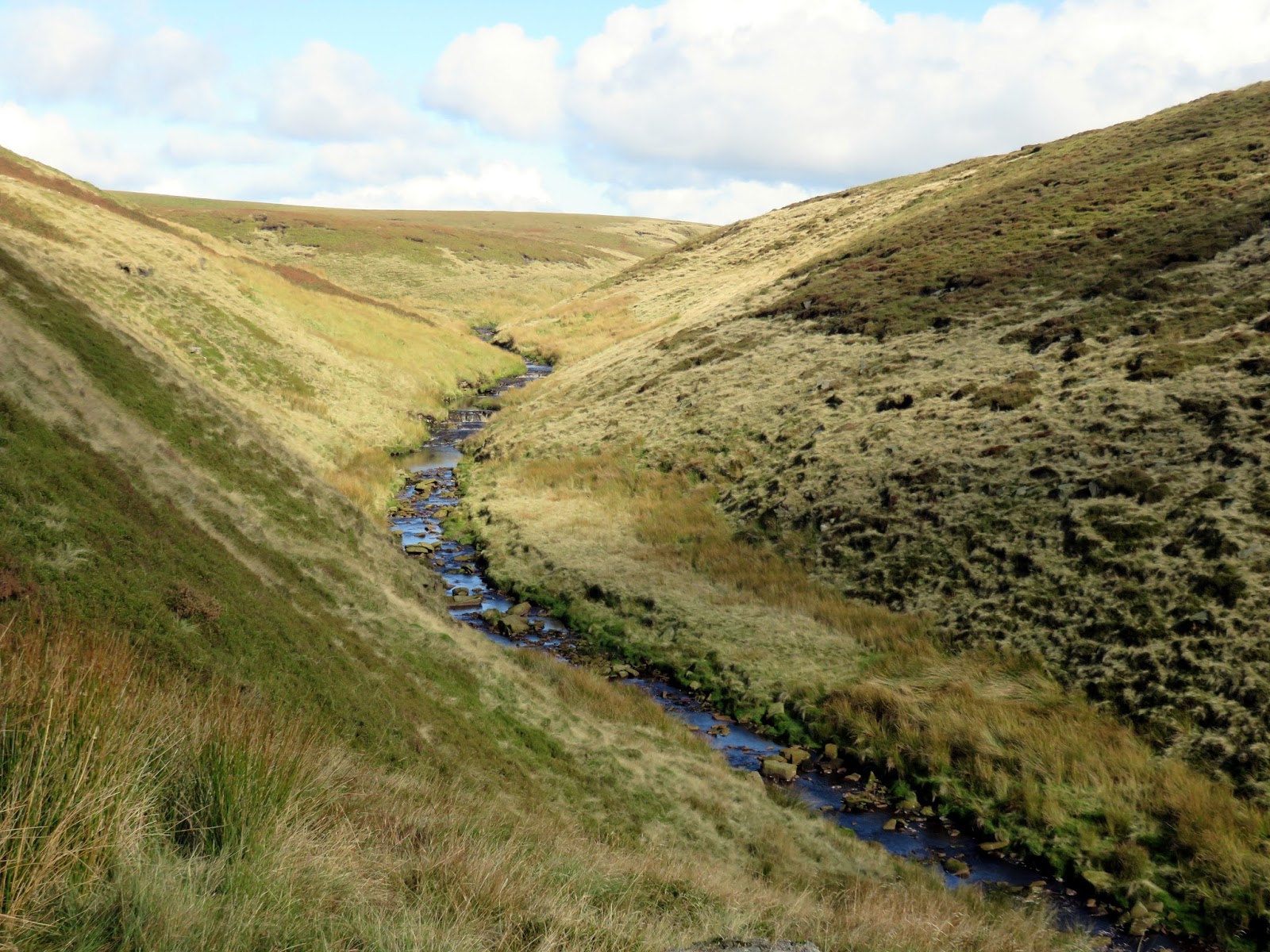
We set off from Crowden car park and met the Pennine Way almost immediately as it descends from Bleaklow. The route turns into Crowden Great Brook, following the stream for a short while before it begins a slow climb up the valley side.
 |
| The familiar Pennine Way marker posts |
 |
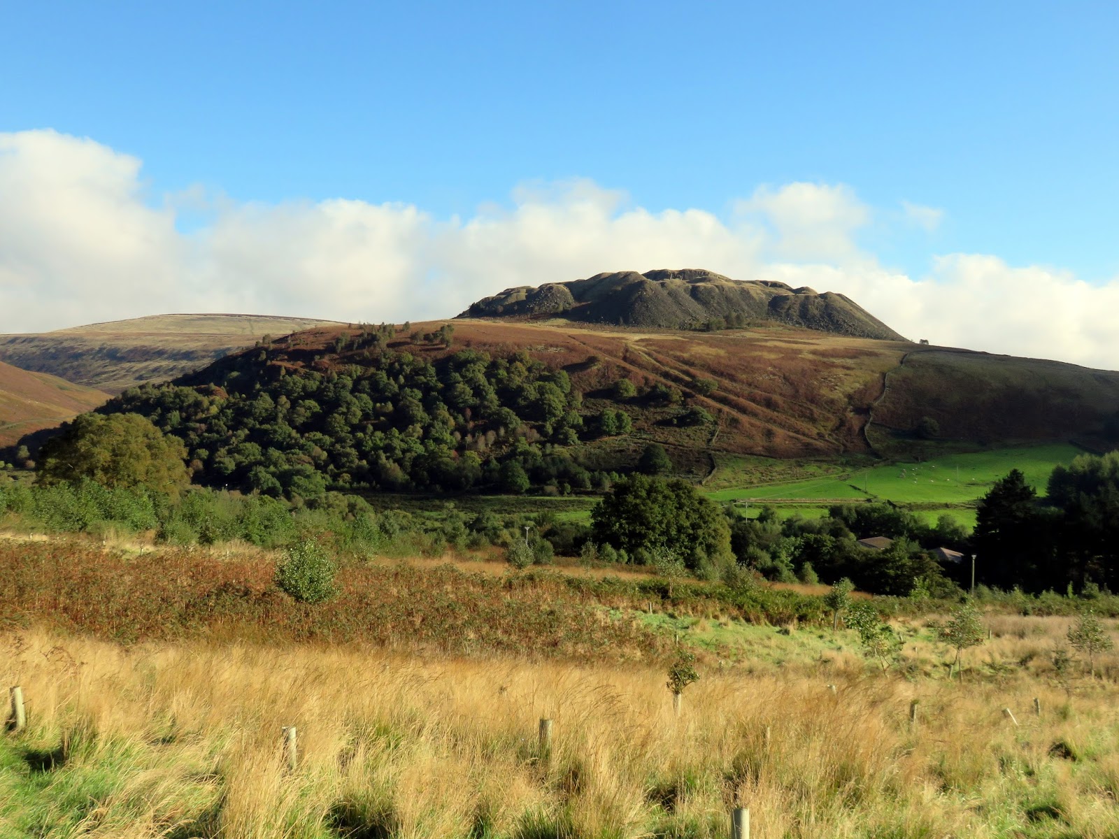
| Spoil heaps from Loftend Quarry |
 |
| A spectacular day in the Peak District |
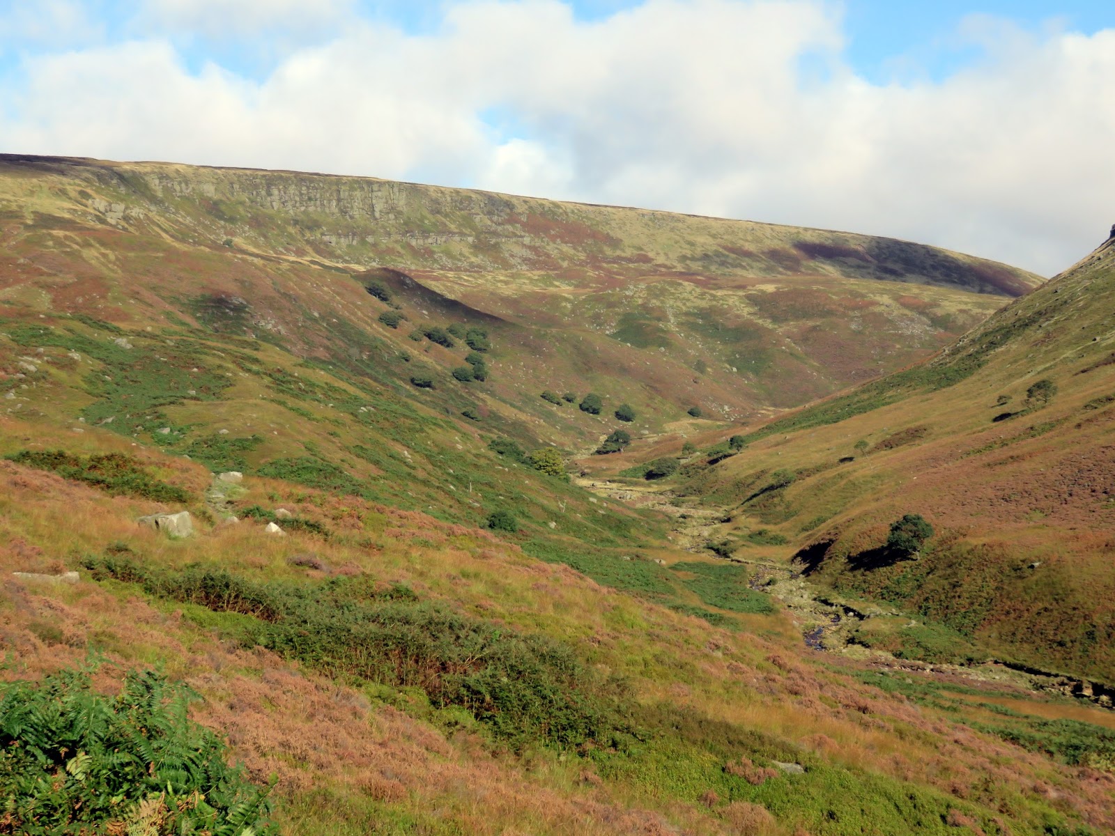
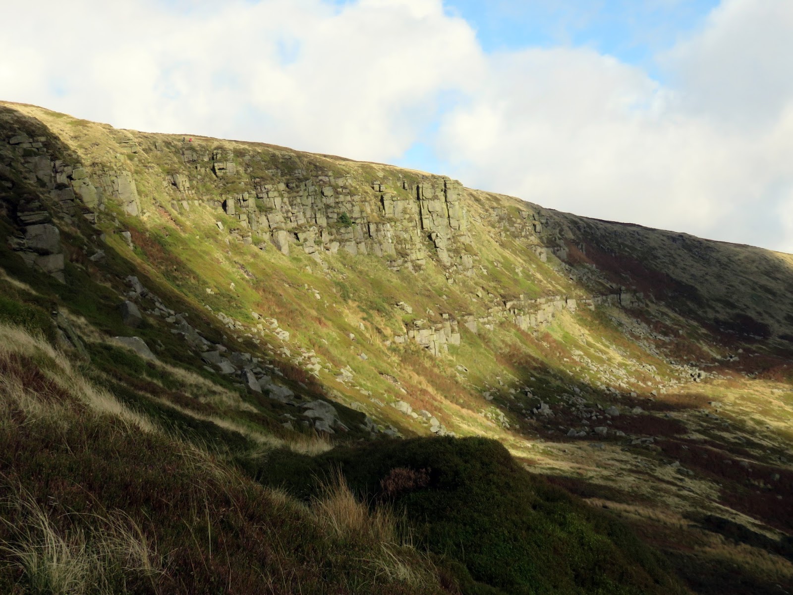
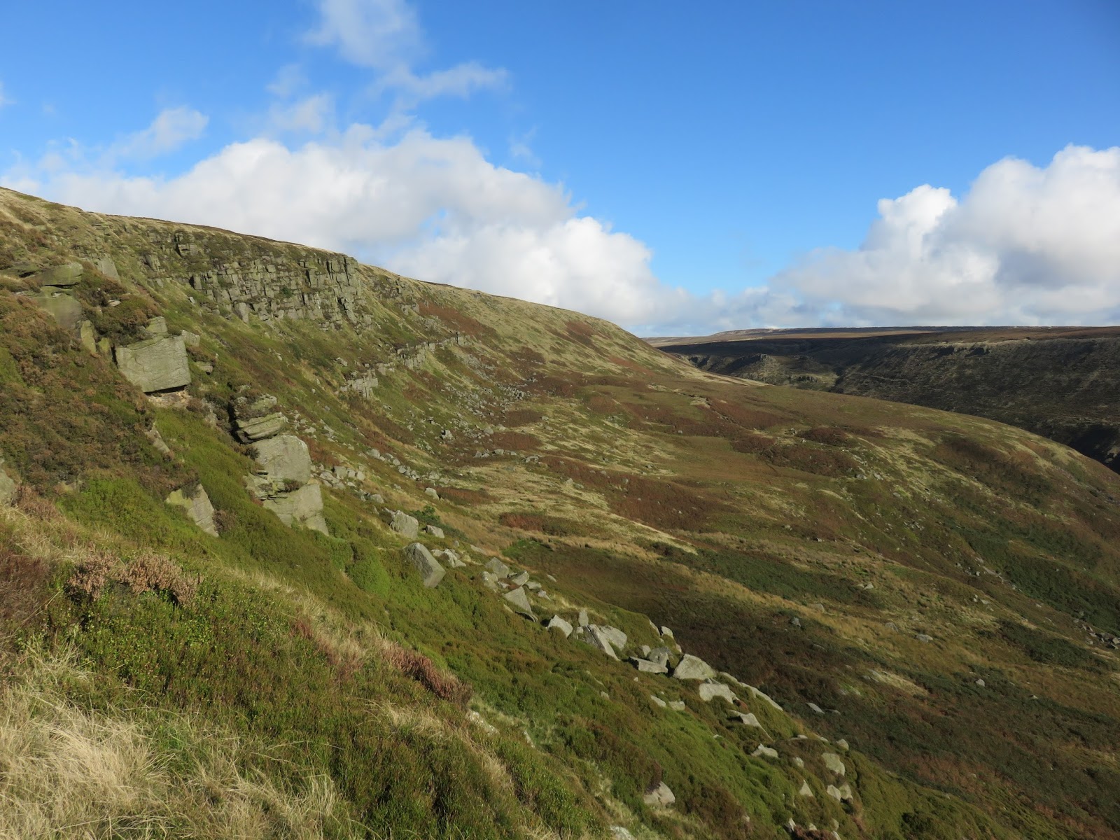
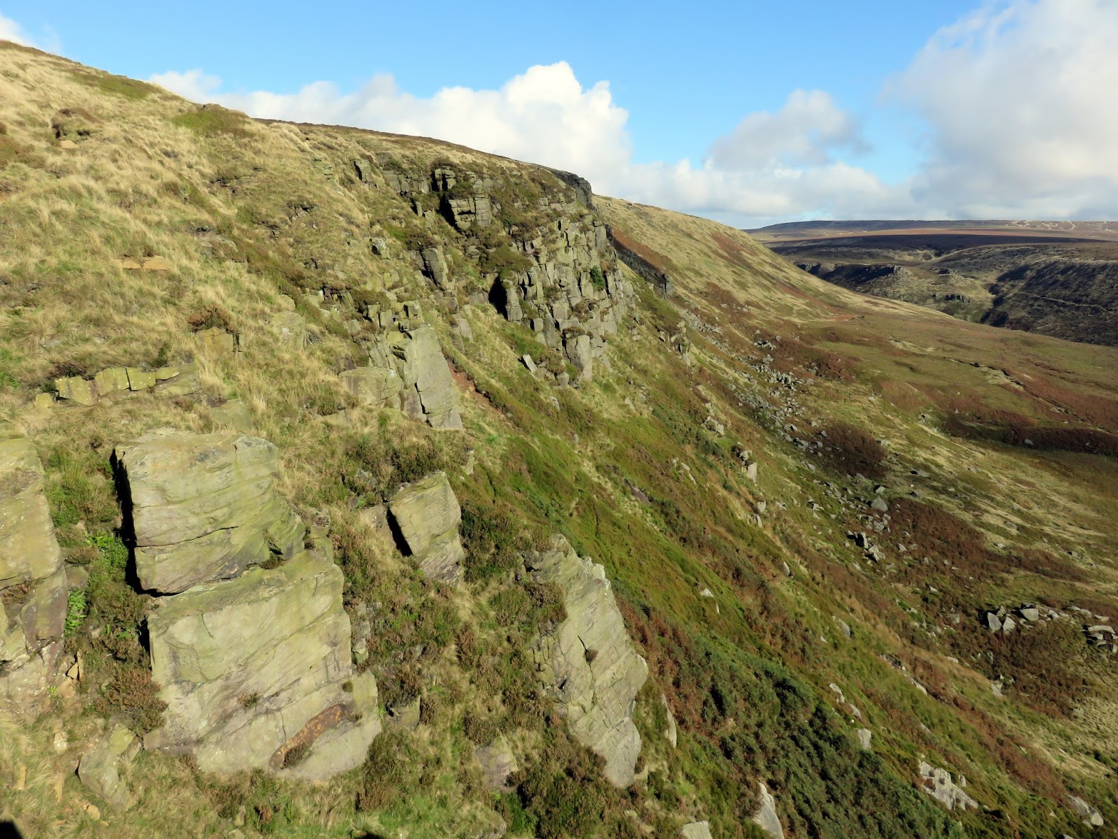
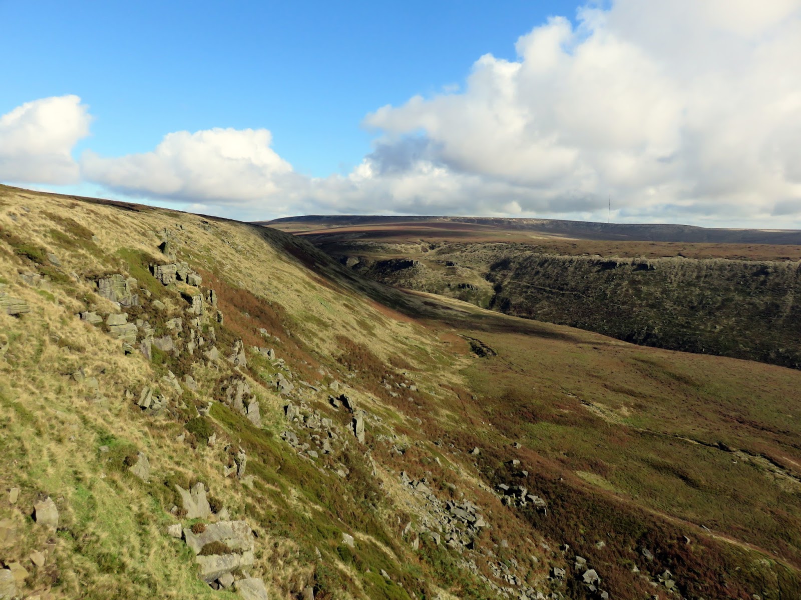
At Oakenclough Brook, the Pennine Way steepens briefly to bring you up onto Laddow Rocks, a prominent rock formation that has formed the backdrop to much of the walk thus far. This was one of the places where Peak District rock-climbing was born – this edge was popular in the early days because it was in an area which was not gamekeepered.
 |
| Oakenshaw Great Brook |
 |
| Add caption |
 |
| Bareholme Moss |
 |
| Oakenclough Brook |
 |
| Laddow Rocks |
Laddow also saw the start of the mountain rescue service in the Peak District. Following a serious accident on the rocks in 1928, a climber was carried off and down to Crowden using a pair of “No Trespassers” signposts as a make-shift stretcher. This incident led to the formation of the “Joint Stretcher Committee” in 1933, which was the predecessor of the modern Peak District Mountain Rescue Organisation.
 |
| Laddow Rocks |
 |
| Laddow Rocks |
 |
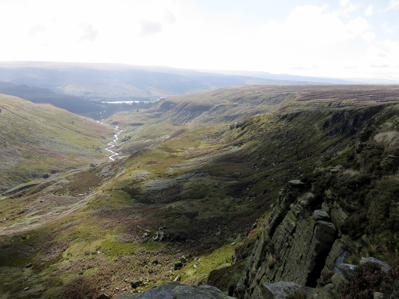
| Looking down the valley from Laddow Rocks |
 |
| Crowden Great Brook |
 |
| Crowden Great Brook |
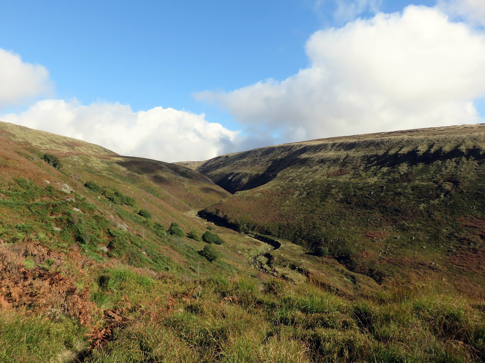
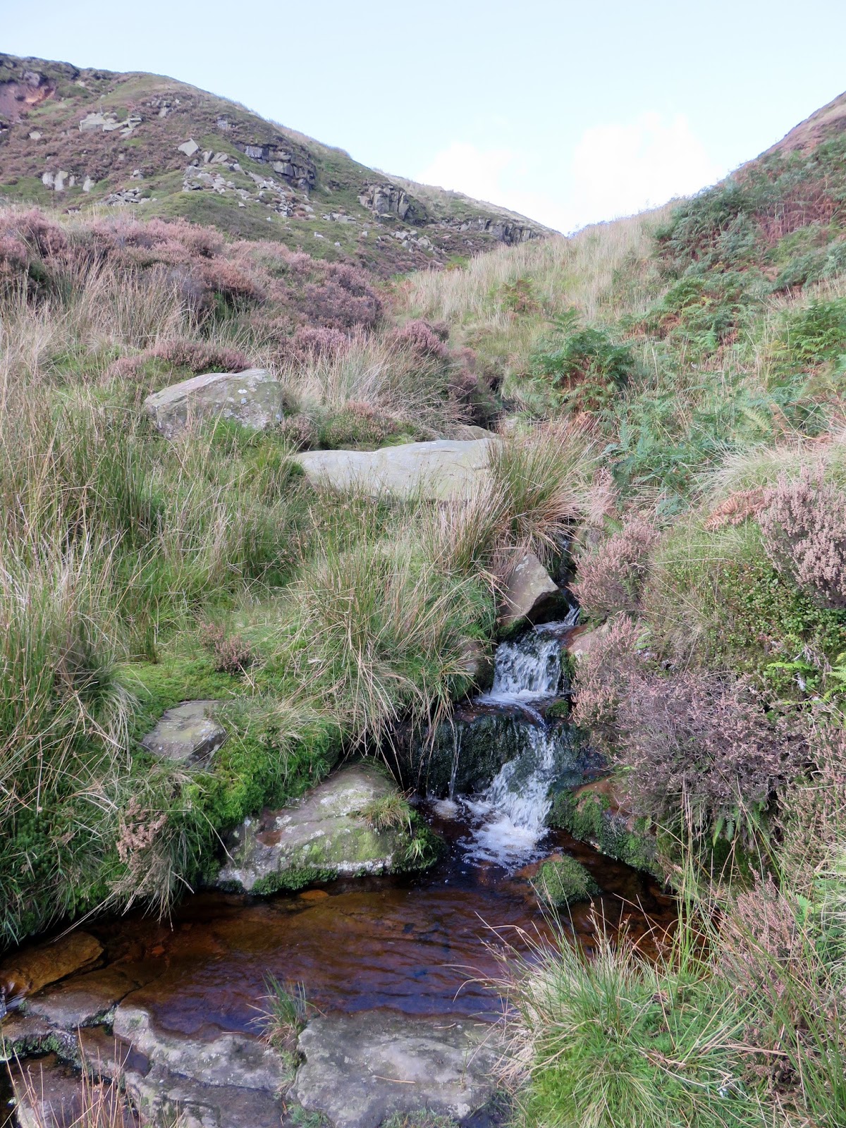
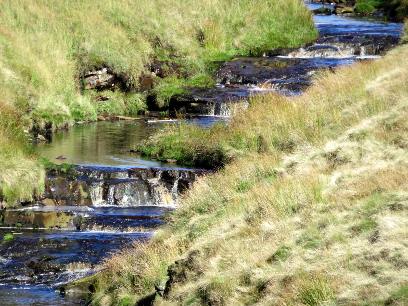
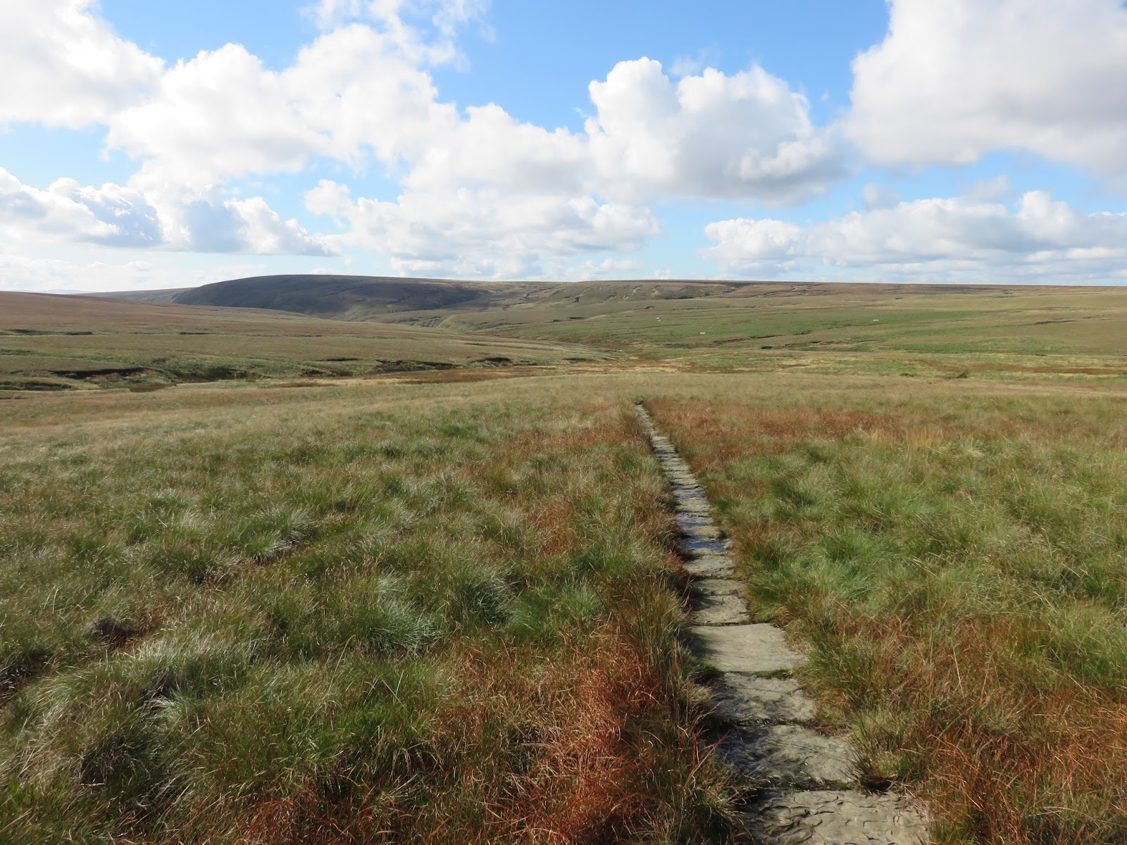
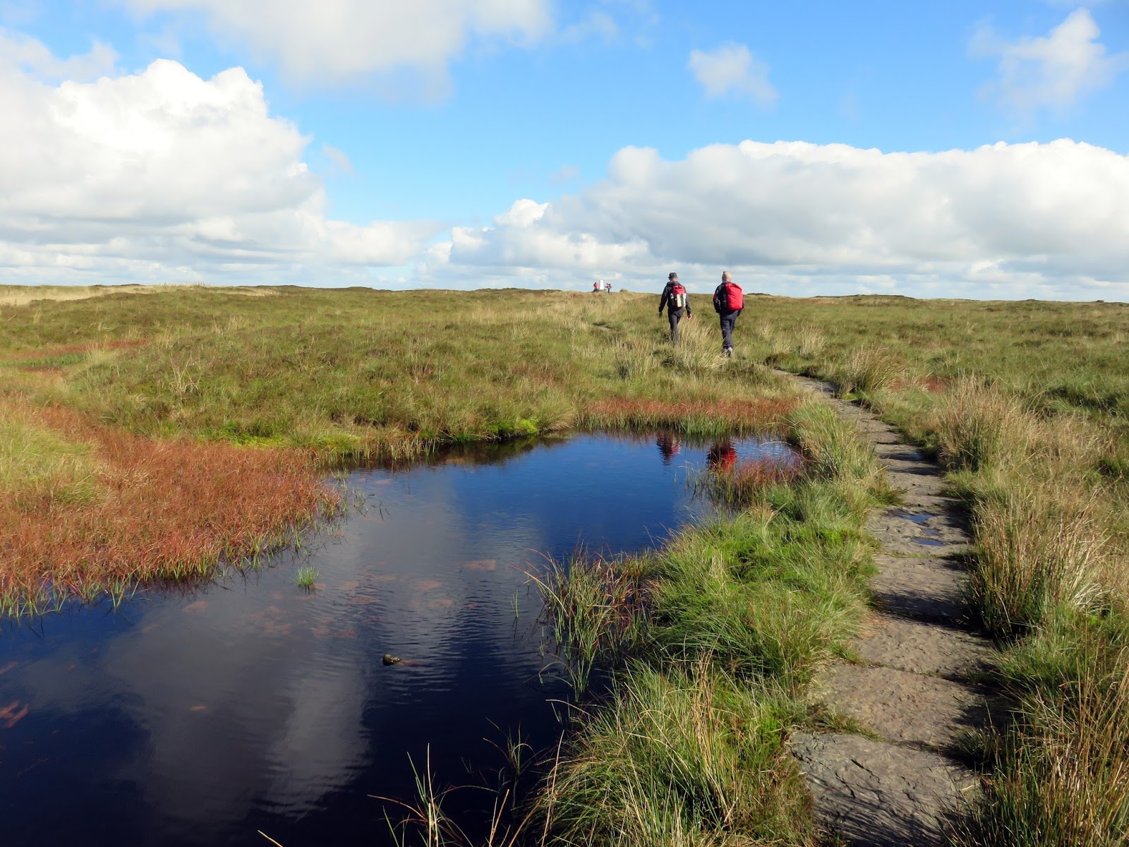
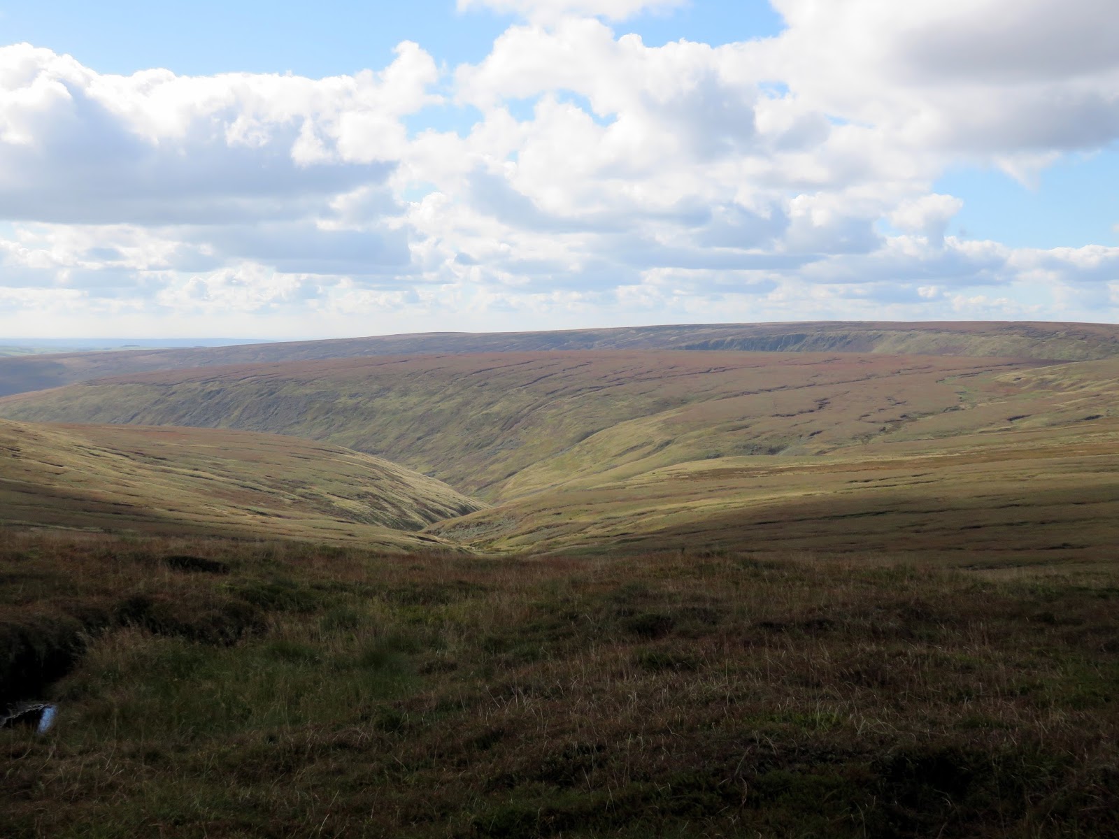
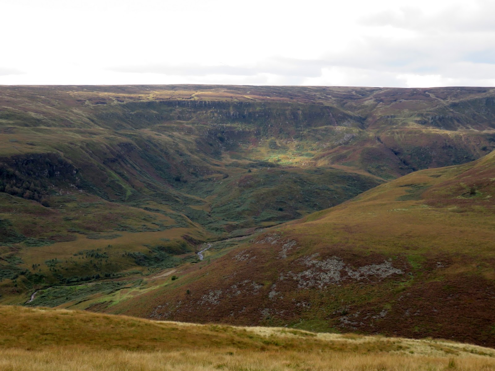
From Laddow Rocks, the Pennine Way falls gradually down to the head of Crowden Great Brook where the stream is crossed a couple of times. At Grains Moss, the path once again begins to climb gradually, this time supported by the large quarried blacks that are so familiar along many parts of the Pennine Way. The route climbs easily all the way to the summit of Black Hill.
 |
| Crowden Great Brook |
 |
| Crowden Great Brook |
 |
| The Pennine Way |
 |
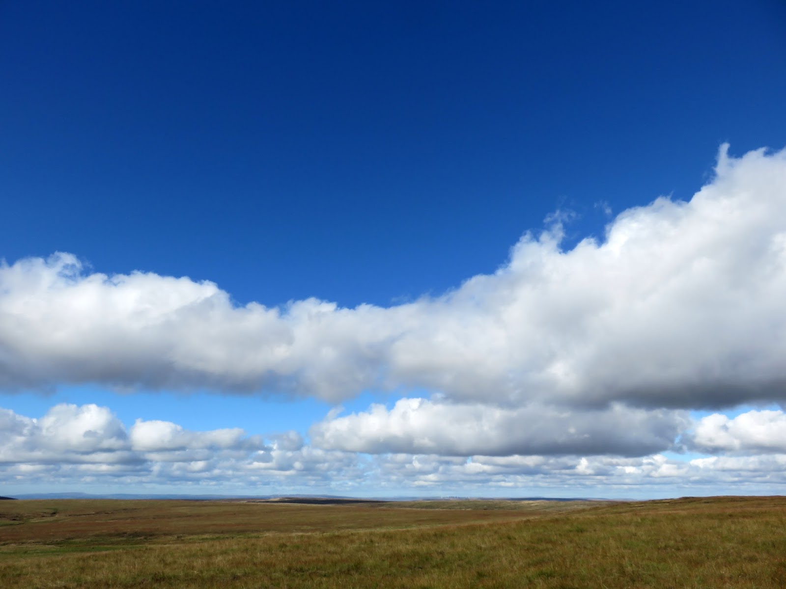
| Big skies over Middle Edge Moss |
 |
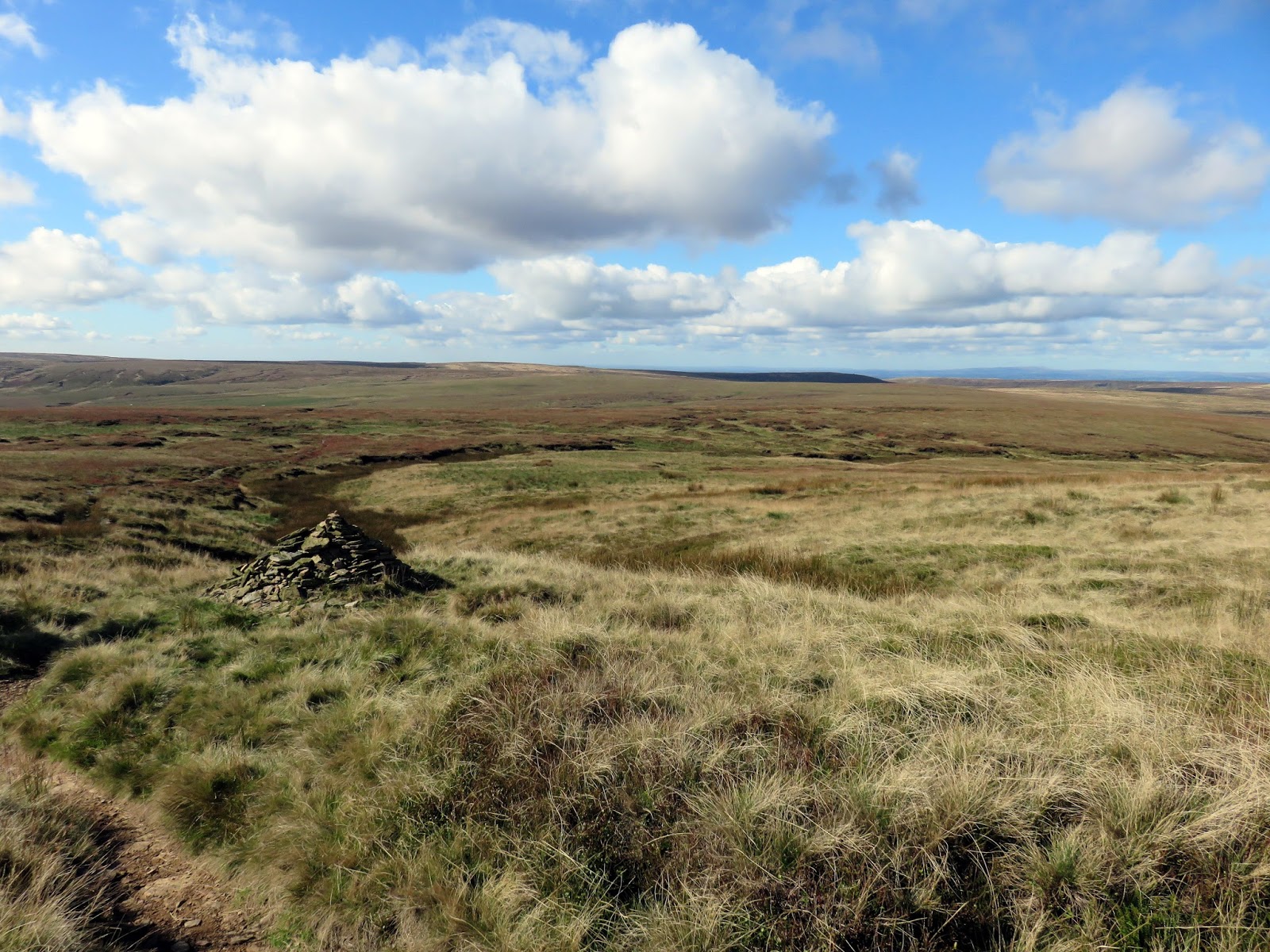
| The view from Dun Hill |
 |
| The Pennine Way approaching the summit |
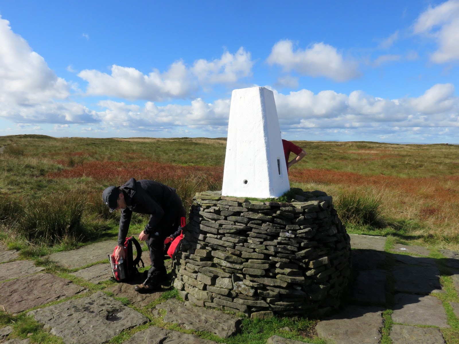
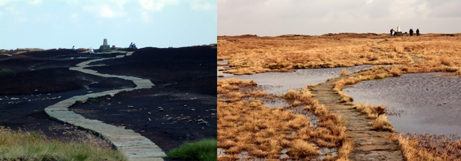
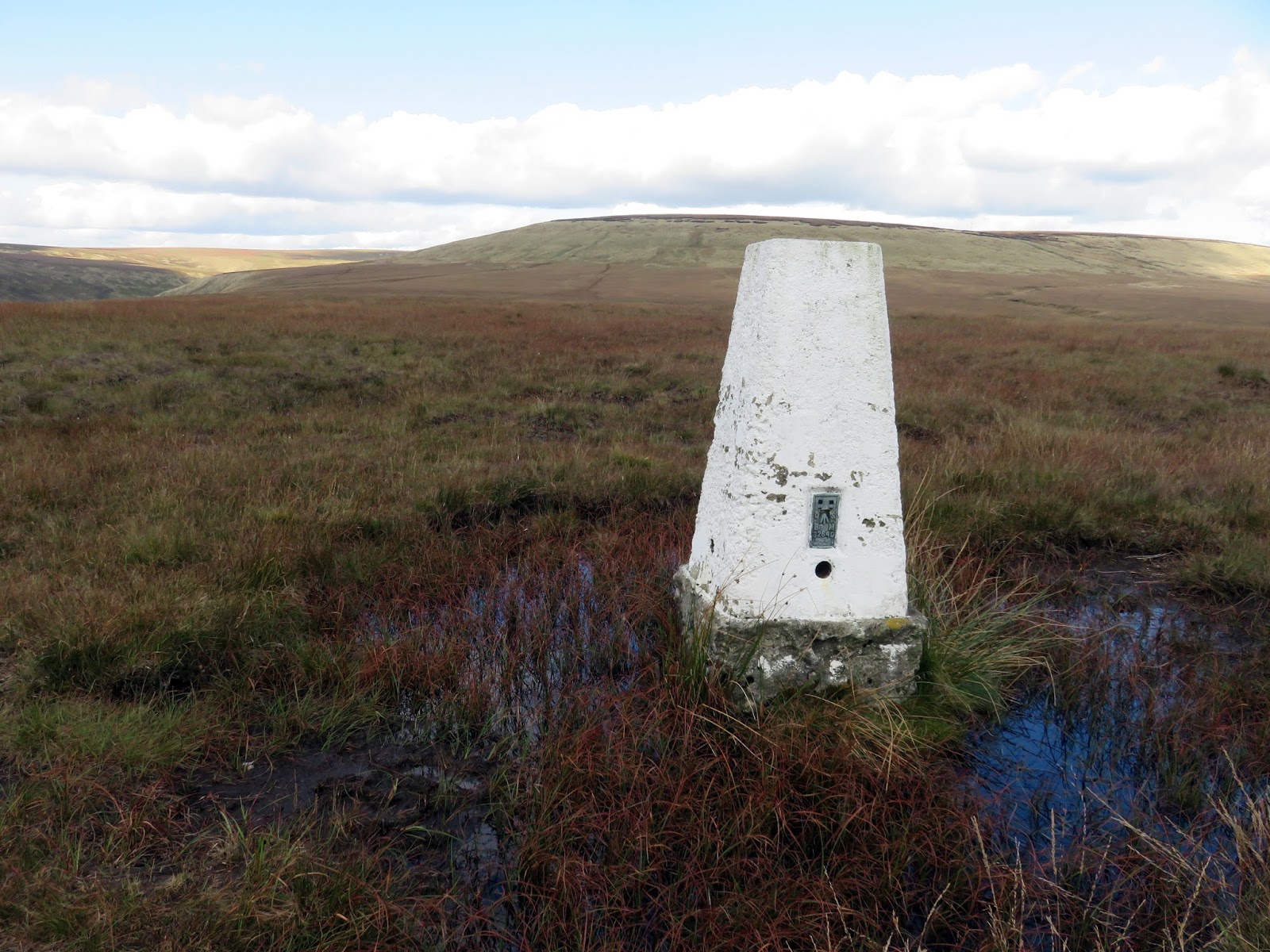
Wainwright wrote of Black Hill: “It is not the only fell with a summit of peat, but no other shows such a desolate and hopeless quagmire to the sky“. This was a reference to the desperate state the hill used to reside in, worn of all vegetation by the acidic rains from the industrial revolution, leaving the trig pillar swimming in a peat bog.
Fortunately, Moors for the Future began conservation work on the hill in 2003, bringing back the Sphagnum Moss that is so vital to a healthy peat habitat. Today it is a triumph of landscape restoration, just compare the two photos below:
The official name of the summit is “Soldier’s Lump” which is a reference to the eighteenth-century visits of the Royal Engineer surveyors who first used it as a triangulation point. An examination of the mound in 1841 revealed the timber framework for the theodolite which was used for the survey which began in 1784. The original instrument is now in the Science Museum.
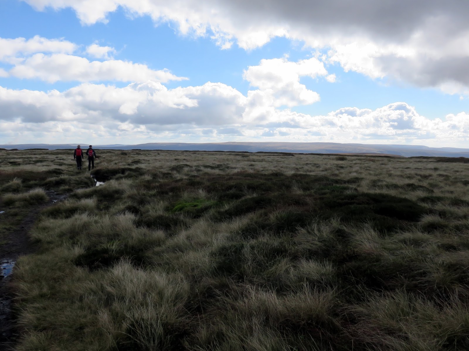
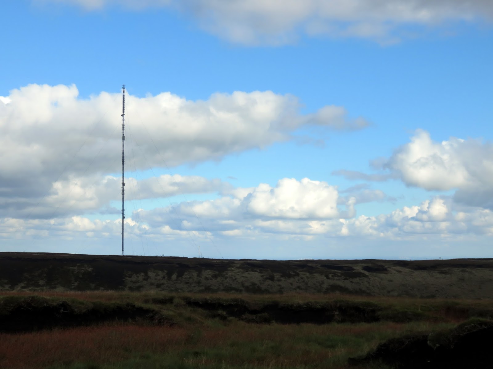
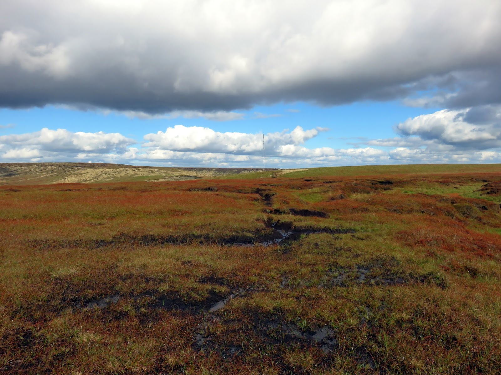
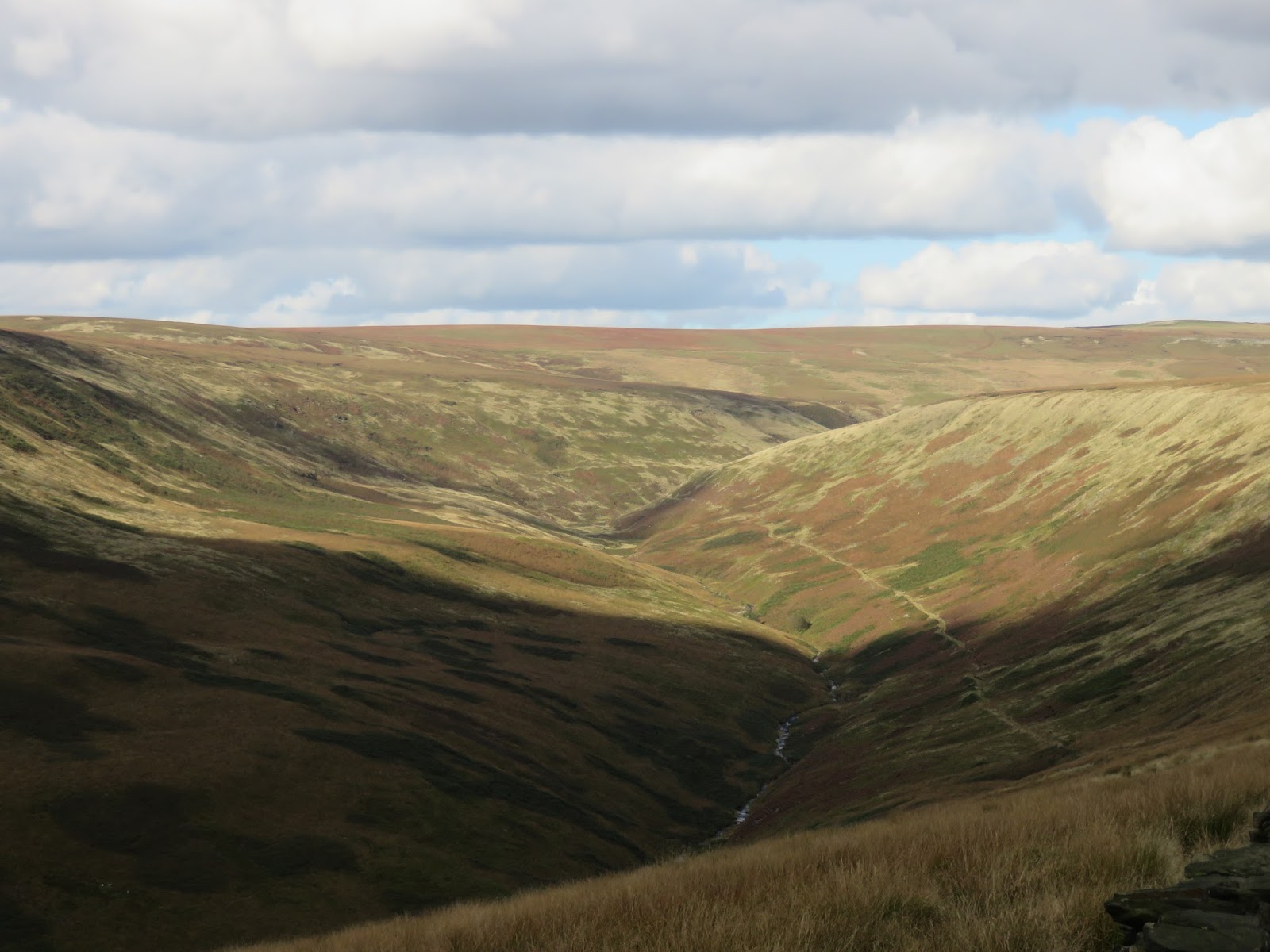
The trickiest part of the walk is picking up the path back towards Tooleyshaw Moss. Don’t be tempted to follow the Pennine Way any further or the noticeable path towards the Holme Moss transmitter mast as these will lead you astray. Instead, a southeasterly bearing from the summit is required and a brief stride out across the bogs until a very faint path is revealed heading across the featureless plateau. I imagine this part is particularly challenging when the weather is down.
 |
| Featurelessness awaits |
 |
| Tooleyshaw Moss |
 |
| The Holme Moss transmitter |
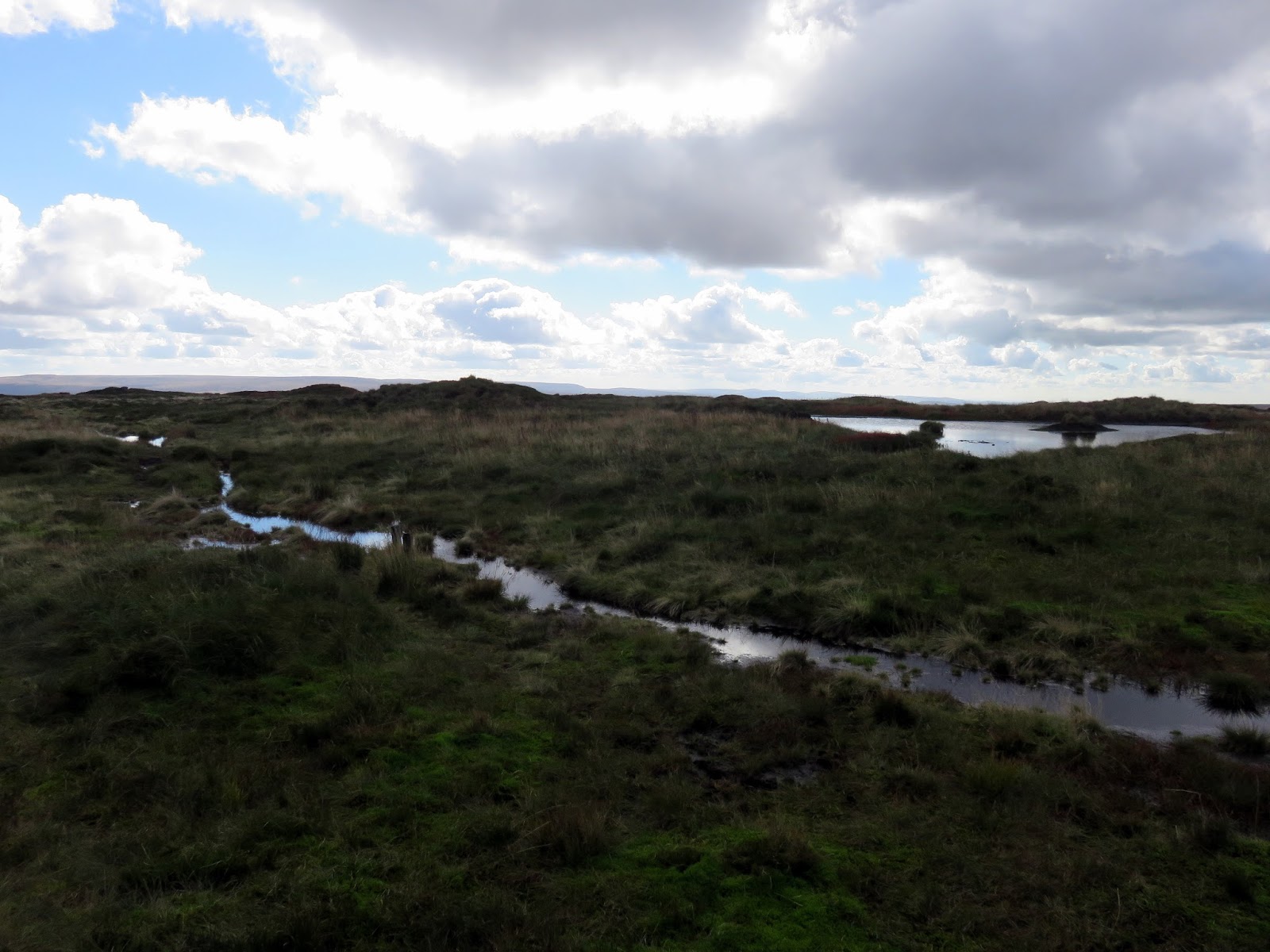
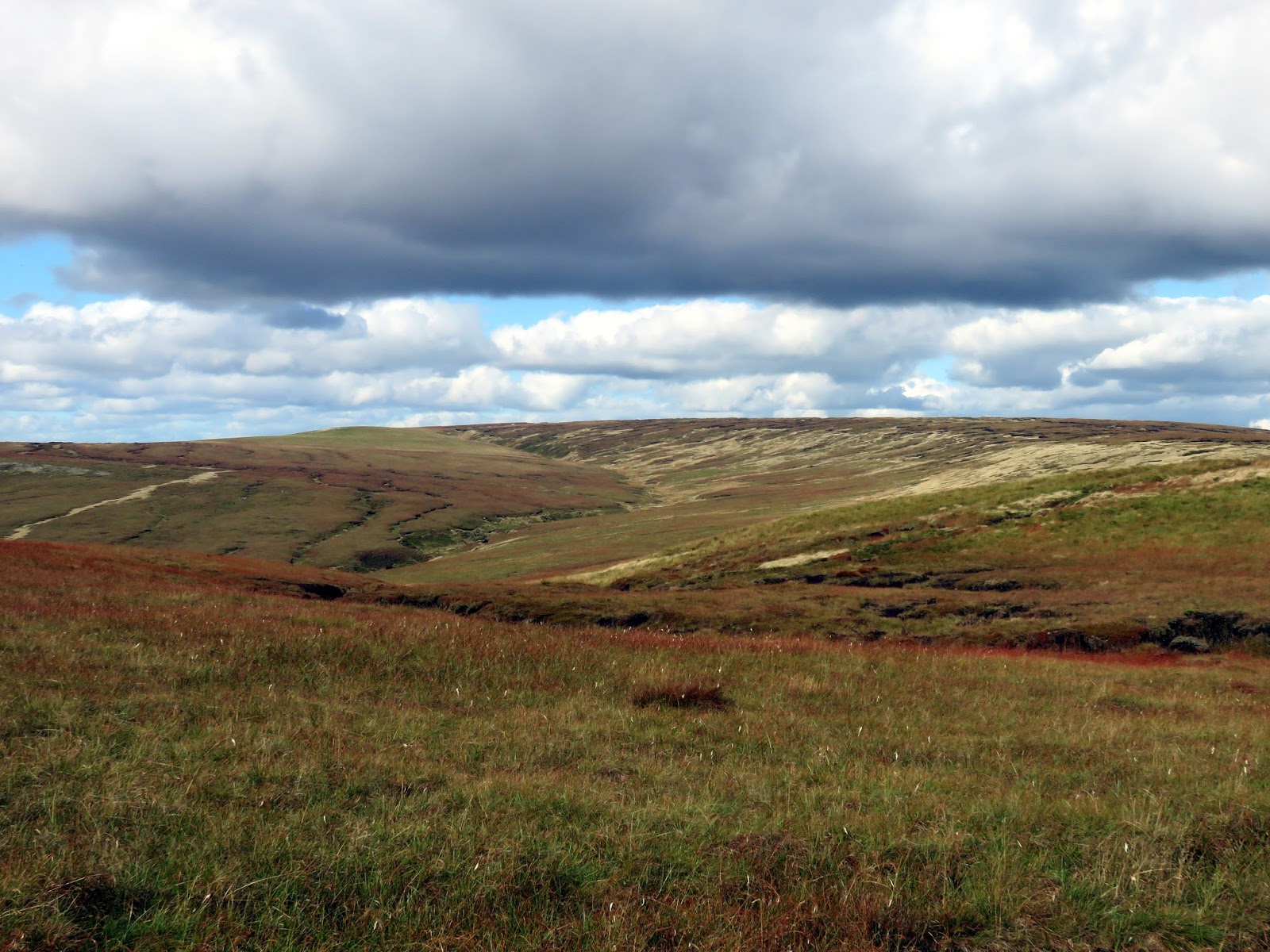
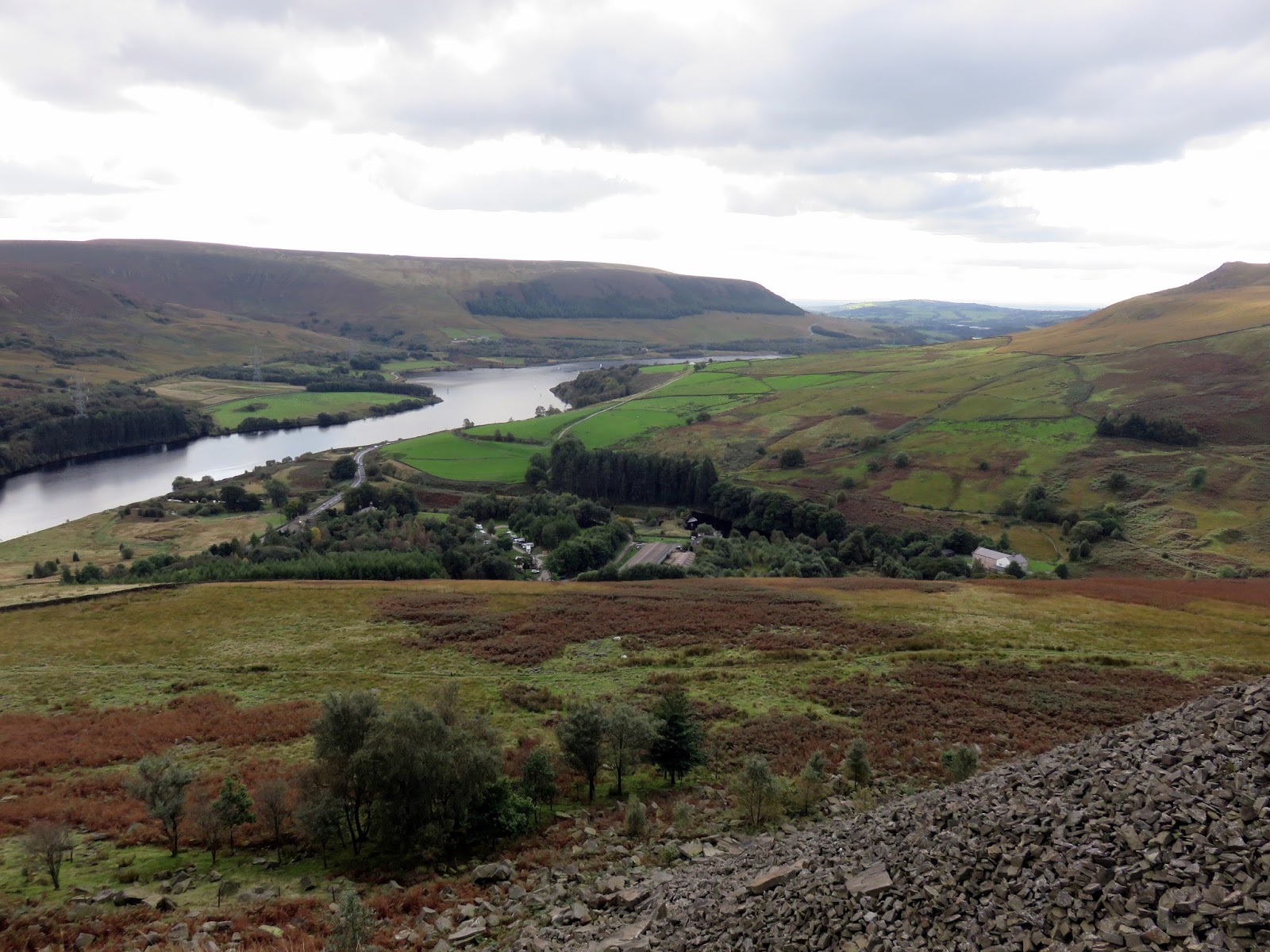
From here, the route descends gradually over Tooleyshaw Moor to White Low where it passes over swelling mass of Westend Moss. This area really is peat moorland at its finest. Falling further over boggy ground, our route eventually took us to the trig pillar at Hey Edge which sits looking down the Woodhead valley.
 |
| Bareholme Moss |
 |
| Westend Moss |
 |
| The trig pillar at Hey Edge |
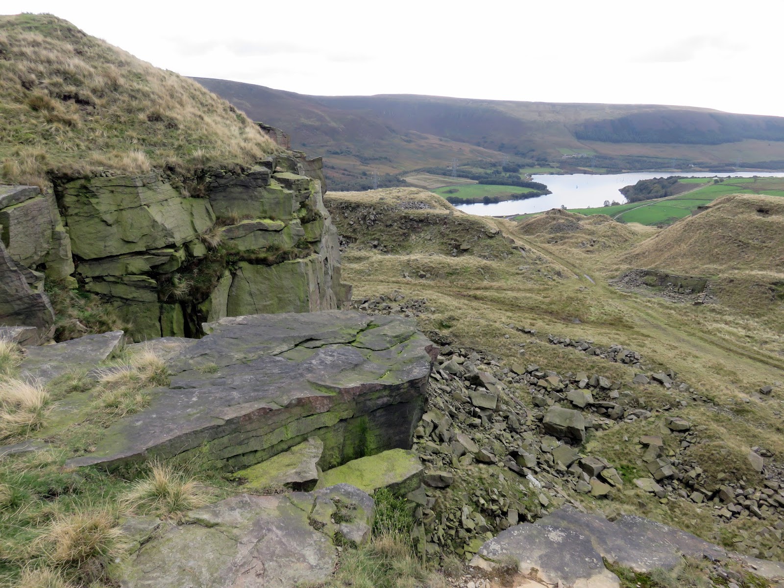
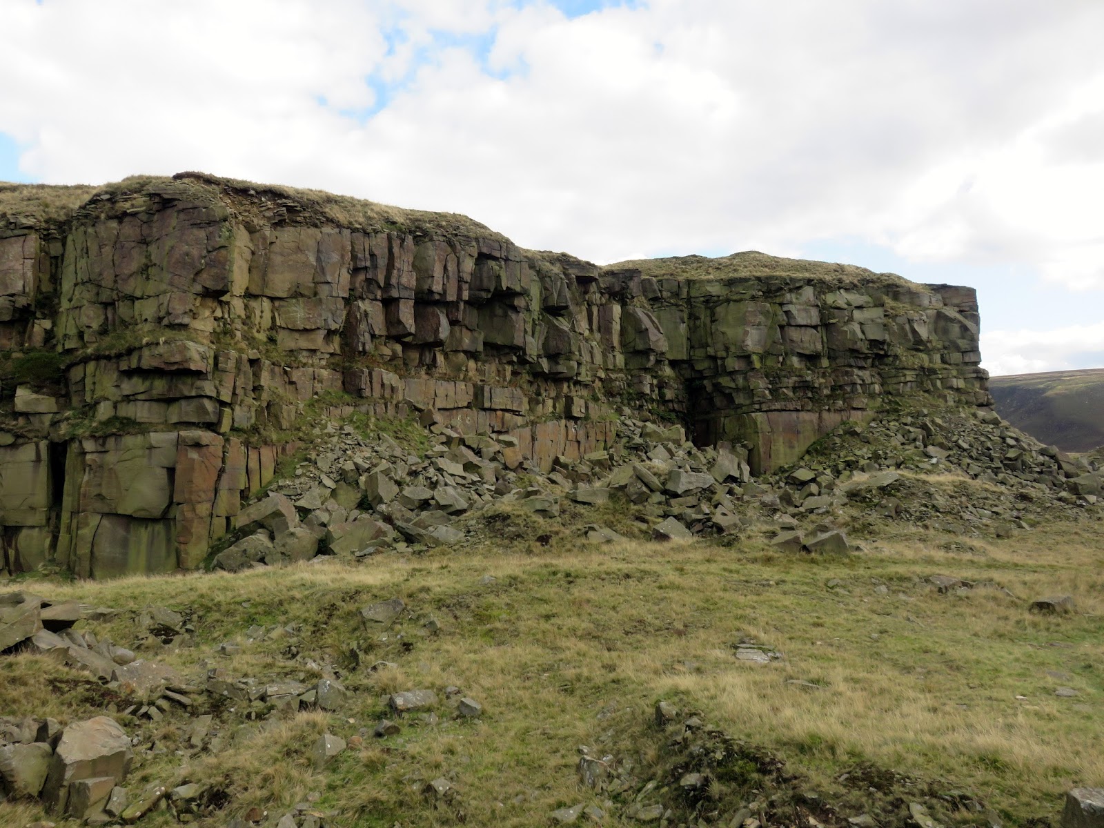
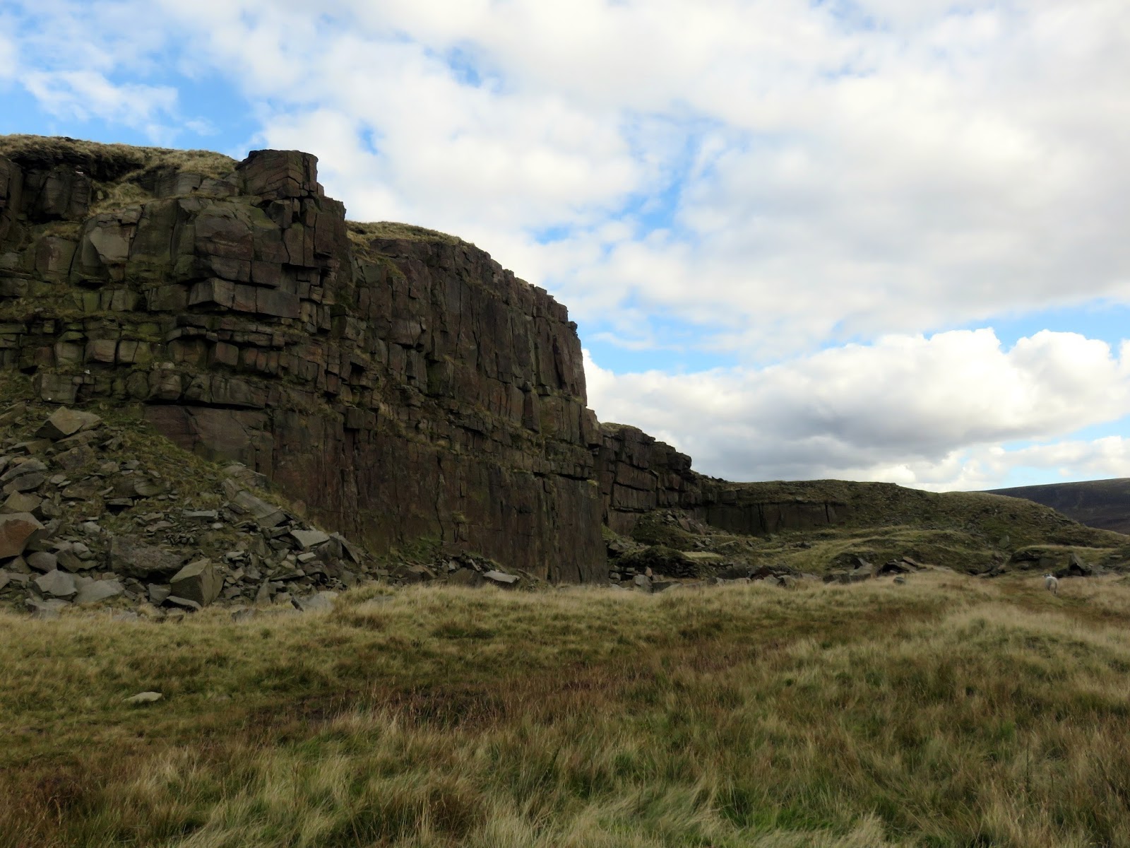
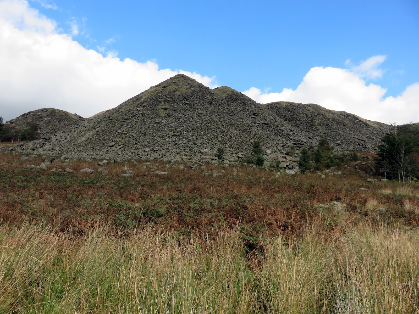
Over the crest of Hey Edge, the route falls slightly before reaching the abrupt cliffs of the old Loftend Quarry. The quarry (locally known as Moses Quarry) employed 100 men at its peak, producing kerbstones for the city of Sheffield. Standing on the edge of some of the overhanging rocks is as exciting as it is unnerving – some of them look ready to go at any point!
 |
| The Woodhead valley |
 |
| Laddow Rocks from Hey Edge |
 |
| Crowden Little Brook |
 |
| Loftend Quarry |
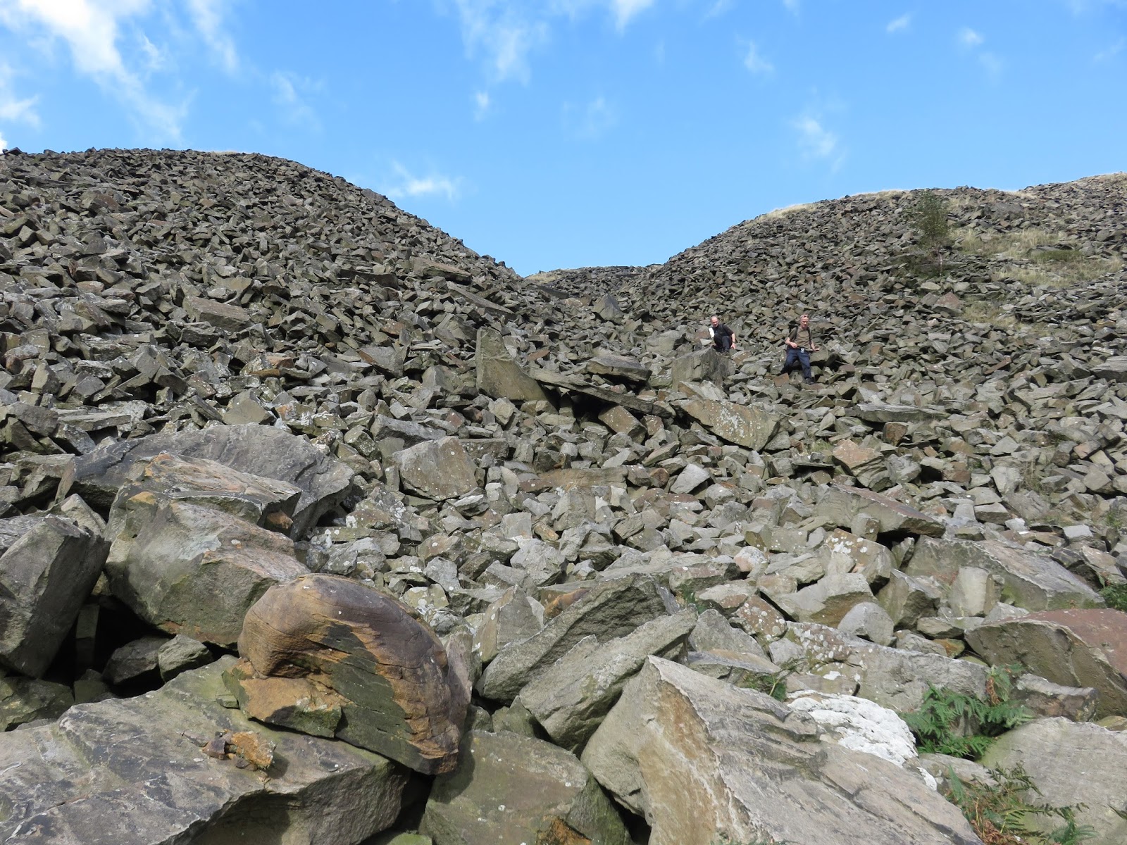
We made our way down into the quarry, using the huge spoil heaps as a quick route back to the path to Crowden, ending our walk a short distance further in the café next to the caravan site. A cup of tea and a debrief was quickly ended by the irritating midges that were loitering around the picnic benches.
 |
| Loftend Quarry |
 |
| Loftend Quarry |
 |
| Crowden |
 |
| Spoil heaps from Loftend Quarry |
 |
| Spoil heaps |
As I mentioned at the start, the gritstone moorland is a unique landscape in the UK and it’s pleasing to see the rewards of the restoration work that has been completed on Black Hill. Long may it thrive.

