Open Space Web-Map builder Codehttps://openspace.ordnancesurvey.co.uk/osmapapi/openspace.js?key=3119F72552FD5C22E0530C6CA40A5A92https://openspace.ordnancesurvey.co.uk/osmapapi/script/mapbuilder/basicmap.jshttps://openspace.ordnancesurvey.co.uk/osmapapi/script/mapbuilder/searchbox.js//variables for routes var linesLayer, points, lineFeature, lineString, routeMarkersLayer, routepos, routesize, routeoffset, routeicon; var style_blue = {strokeColor: “#0000CD”, strokeOpacity: 0.5, strokeWidth: 4.5}; function initmapbuilder() { //initiate the map var options = {resolutions: [2500, 1000, 500, 200, 100, 50, 25, 10, 5, 4, 2.5, 2, 1]}; osMap = new OpenSpace.Map(‘map’, options); //configure map options (basicmap.js) setglobaloptions(); //set the center of the map and the zoom level osMap.setCenter(new OpenSpace.MapPoint(341365.00003815,508186.99998092),6); linesLayer = osMap.getVectorLayer(); // Set up layer for route markers routeMarkersLayer = new OpenLayers.Layer.Markers(“Route Markers”); //make a route points = new Array(); points.push(new OpenLayers.Geometry.Point(341376.66664124,503013.66667938)); points.push(new OpenLayers.Geometry.Point(341476.66664124,503138.66667938)); points.push(new OpenLayers.Geometry.Point(341701.66664124,503053.66667938)); points.push(new OpenLayers.Geometry.Point(341816.66664124,503113.66667938)); points.push(new OpenLayers.Geometry.Point(342036.66664124,503233.66667938)); points.push(new OpenLayers.Geometry.Point(342151.66664124,503318.66667938)); points.push(new OpenLayers.Geometry.Point(342321.66664124,503608.66667938)); points.push(new OpenLayers.Geometry.Point(342451.66664124,503778.66667938)); points.push(new OpenLayers.Geometry.Point(342586.66664124,503848.66667938)); points.push(new OpenLayers.Geometry.Point(342741.66664124,504063.66667938)); points.push(new OpenLayers.Geometry.Point(342931.66664124,504178.66667938)); points.push(new OpenLayers.Geometry.Point(343251.66664124,504318.66667938)); points.push(new OpenLayers.Geometry.Point(343391.66664124,504343.66667938)); points.push(new OpenLayers.Geometry.Point(343451.66664124,504448.66667938)); points.push(new OpenLayers.Geometry.Point(343441.66664124,504483.66667938)); points.push(new OpenLayers.Geometry.Point(343586.66664124,504643.66667938)); points.push(new OpenLayers.Geometry.Point(343601.66664124,504743.66667938)); points.push(new OpenLayers.Geometry.Point(343566.66664124,504923.66667938)); points.push(new OpenLayers.Geometry.Point(343611.66664124,505008.66667938)); points.push(new OpenLayers.Geometry.Point(343626.66664124,505148.66667938)); points.push(new OpenLayers.Geometry.Point(343616.66664124,505343.66667938)); points.push(new OpenLayers.Geometry.Point(343581.66664124,505443.66667938)); points.push(new OpenLayers.Geometry.Point(343606.66664124,505573.66667938)); points.push(new OpenLayers.Geometry.Point(343686.66664124,505668.66667938)); points.push(new OpenLayers.Geometry.Point(343686.66664124,505788.66667938)); points.push(new OpenLayers.Geometry.Point(343656.66664124,506003.66667938)); points.push(new OpenLayers.Geometry.Point(343621.66664124,506243.66667938)); points.push(new OpenLayers.Geometry.Point(343611.66664124,506303.66667938)); points.push(new OpenLayers.Geometry.Point(343671.66664124,506478.66667938)); points.push(new OpenLayers.Geometry.Point(343751.66664124,506673.66667938)); points.push(new OpenLayers.Geometry.Point(343771.66664124,506783.66667938)); points.push(new OpenLayers.Geometry.Point(343791.66664124,506913.66667938)); points.push(new OpenLayers.Geometry.Point(343731.66664124,507083.66667938)); points.push(new OpenLayers.Geometry.Point(343651.66664124,507283.66667938)); points.push(new OpenLayers.Geometry.Point(343626.66664124,507448.66667938)); points.push(new OpenLayers.Geometry.Point(343626.66664124,507543.66667938)); points.push(new OpenLayers.Geometry.Point(343626.66664124,507633.66667938)); points.push(new OpenLayers.Geometry.Point(343631.66664124,507713.66667938)); points.push(new OpenLayers.Geometry.Point(343651.66664124,507753.66667938)); points.push(new OpenLayers.Geometry.Point(343651.66664124,507803.66667938)); points.push(new OpenLayers.Geometry.Point(343516.66664124,507838.66667938)); points.push(new OpenLayers.Geometry.Point(343501.66664124,507898.66667938)); points.push(new OpenLayers.Geometry.Point(343461.66664124,507973.66667938)); points.push(new OpenLayers.Geometry.Point(343456.66664124,508098.66667938)); points.push(new OpenLayers.Geometry.Point(343501.66664124,508238.66667938)); points.push(new OpenLayers.Geometry.Point(343501.66664124,508358.66667938)); points.push(new OpenLayers.Geometry.Point(343506.66664124,508533.66667938)); points.push(new OpenLayers.Geometry.Point(343476.66664124,508613.66667938)); points.push(new OpenLayers.Geometry.Point(343346.66664124,508678.66667938)); points.push(new OpenLayers.Geometry.Point(343301.66664124,508863.66667938)); points.push(new OpenLayers.Geometry.Point(343276.66664124,509103.66667938)); points.push(new OpenLayers.Geometry.Point(343276.66664124,509308.66667938)); points.push(new OpenLayers.Geometry.Point(343296.66664124,509473.66667938)); points.push(new OpenLayers.Geometry.Point(343316.66664124,509588.66667938)); points.push(new OpenLayers.Geometry.Point(343321.66664124,509733.66667938)); points.push(new OpenLayers.Geometry.Point(343256.66664124,509908.66667938)); points.push(new OpenLayers.Geometry.Point(343166.66664124,510008.66667938)); points.push(new OpenLayers.Geometry.Point(343081.66664124,510113.66667938)); points.push(new OpenLayers.Geometry.Point(342981.66664124,510238.66667938)); points.push(new OpenLayers.Geometry.Point(342881.66664124,510283.66667938)); points.push(new OpenLayers.Geometry.Point(342781.66664124,510293.66667938)); points.push(new OpenLayers.Geometry.Point(342681.66664124,510278.66667938)); points.push(new OpenLayers.Geometry.Point(342506.66664124,510233.66667938)); points.push(new OpenLayers.Geometry.Point(342386.66664124,510198.66667938)); points.push(new OpenLayers.Geometry.Point(342296.66664124,510198.66667938)); points.push(new OpenLayers.Geometry.Point(342146.66664124,510158.66667938)); points.push(new OpenLayers.Geometry.Point(342036.66664124,510118.66667938)); points.push(new OpenLayers.Geometry.Point(341796.66664124,509998.66667938)); points.push(new OpenLayers.Geometry.Point(341581.66664124,509953.66667938)); points.push(new OpenLayers.Geometry.Point(341396.66664124,509938.66667938)); points.push(new OpenLayers.Geometry.Point(341316.66664124,509878.66667938)); points.push(new OpenLayers.Geometry.Point(341256.66664124,509828.66667938)); points.push(new OpenLayers.Geometry.Point(341116.66664124,510048.66667938)); points.push(new OpenLayers.Geometry.Point(341036.66664124,510173.66667938)); points.push(new OpenLayers.Geometry.Point(340906.66664124,510418.66667938)); points.push(new OpenLayers.Geometry.Point(340831.66664124,510508.66667938)); points.push(new OpenLayers.Geometry.Point(340811.66664124,510603.66667938)); points.push(new OpenLayers.Geometry.Point(340891.66664124,510758.66667938)); points.push(new OpenLayers.Geometry.Point(340861.66664124,510948.66667938)); points.push(new OpenLayers.Geometry.Point(340821.66664124,510988.66667938)); points.push(new OpenLayers.Geometry.Point(340751.66664124,511018.66667938)); points.push(new OpenLayers.Geometry.Point(340706.66664124,511108.66667938)); points.push(new OpenLayers.Geometry.Point(340661.66664124,511278.66667938)); points.push(new OpenLayers.Geometry.Point(340611.66664124,511398.66667938)); points.push(new OpenLayers.Geometry.Point(340566.66664124,511408.66667938)); points.push(new OpenLayers.Geometry.Point(340521.66664124,511408.66667938)); points.push(new OpenLayers.Geometry.Point(340481.66664124,511468.66667938)); points.push(new OpenLayers.Geometry.Point(340426.66664124,511488.66667938)); points.push(new OpenLayers.Geometry.Point(340421.66664124,511543.66667938)); points.push(new OpenLayers.Geometry.Point(340266.66664124,511658.66667938)); points.push(new OpenLayers.Geometry.Point(340346.66664124,511818.66667938)); points.push(new OpenLayers.Geometry.Point(340391.66664124,512008.66667938)); points.push(new OpenLayers.Geometry.Point(340306.66664124,511913.66667938)); points.push(new OpenLayers.Geometry.Point(340191.66664124,511878.66667938)); points.push(new OpenLayers.Geometry.Point(340081.66664124,511878.66667938)); points.push(new OpenLayers.Geometry.Point(339941.66664124,511928.66667938)); points.push(new OpenLayers.Geometry.Point(339786.66664124,512028.66667938)); points.push(new OpenLayers.Geometry.Point(339841.66664124,512088.66667938)); points.push(new OpenLayers.Geometry.Point(339921.66664124,512308.66667938)); points.push(new OpenLayers.Geometry.Point(340031.66664124,512698.66667938)); points.push(new OpenLayers.Geometry.Point(340101.66664124,512888.66667938)); points.push(new OpenLayers.Geometry.Point(340171.66664124,513108.66667938)); points.push(new OpenLayers.Geometry.Point(340231.66664124,513328.66667938)); points.push(new OpenLayers.Geometry.Point(340231.66664124,513403.66667938)); // create a polyline feature from the array of points lineString = new OpenLayers.Geometry.LineString(points); lineFeature = new OpenLayers.Feature.Vector(lineString, null, style_blue); linesLayer.addFeatures([lineFeature]); //crate a route start/end marker routepos = new OpenSpace.MapPoint(341376.66664124,503013.66667938); routesize = new OpenLayers.Size(33,45); routeoffset = new OpenLayers.Pixel(-5,-37); routeicon = new OpenSpace.Icon(‘https://openspace.ordnancesurvey.co.uk/osmapapi/img_versions/img_1.1/mapbuilder/routemarker-start.png’, routesize, routeoffset, null, null); routeMarkersLayer.addMarker(new OpenLayers.Marker(routepos, routeicon)); //crate a route start/end marker routepos = new OpenSpace.MapPoint(340231.66664124,513403.66667938); routesize = new OpenLayers.Size(33,45); routeoffset = new OpenLayers.Pixel(-5,-37); routeicon = new OpenSpace.Icon(‘https://openspace.ordnancesurvey.co.uk/osmapapi/img_versions/img_1.1/mapbuilder/routemarker-end.png’, routesize, routeoffset, null, null); routeMarkersLayer.addMarker(new OpenLayers.Marker(routepos, routeicon)); osMap.addLayer(routeMarkersLayer);}
Route: Limefitt Park, Garburn Road, Garburn Nook, Buck Crag, Yoke, Ill Bell, Froswick, Thornthwaite Crag, Threshthwaite Mouth, Stony Cove Pike, Caudale Moor, Rough Edge, Caudale Quarry, Caudale Bridge, Sykeside, Hartsop Hall, Cow Bridge
Date: 11/10/2015
From: Troutbeck
Parking: Roadside Parking
Start Point: Limefitt Caravan Park
Region: Far Eastern Fells
Route length: 10 miles (16.1 km)
Time taken: 05:08
Average speed: 2 mph
Ascent: 1,135m
Descent: 1,114m
Wainwrights on this walk:
Yoke (706m), Ill Bell (757m), Froswick (720m), Thorthwaite Crag (784m), Stony Cove Pike (763m)
Other Summits: Caudale Moor (755m)
Other points of interest: Thornthwaite Beacon, Threshthwaite Mouth, Caudale Quarry
After an extended period exploring the Northern and Western fells it was time to pay a visit to the Far Eastern Fells once again. I spent a number of weekends around here last year using a convenient base in Martindale to explore the fells around Bannerdale and Boredale. In the south of the area is one of the stars of the Lake District; the Kentmere valley and the rollercoaster of fells that embrace it.
It was a slightly disappointing day weather-wise – a low cloud draped itself across the very highest peaks. We were all set to use two cars to complete this walk; one stationed at Brother’s Water at the end and one in Kentmere to begin with – a 40 minute drive away. We were aiming for the Garburn Pass which links Kentmere and Troutbeck and it wasn’t until a spark of common sense urged us to start at Troutbeck instead, thus saving us a half hour drive round to Kentmere. It’s funny how one idea sticks in your head and seemingly blinds you to the obvious. Now earlier than planned, we headed off.
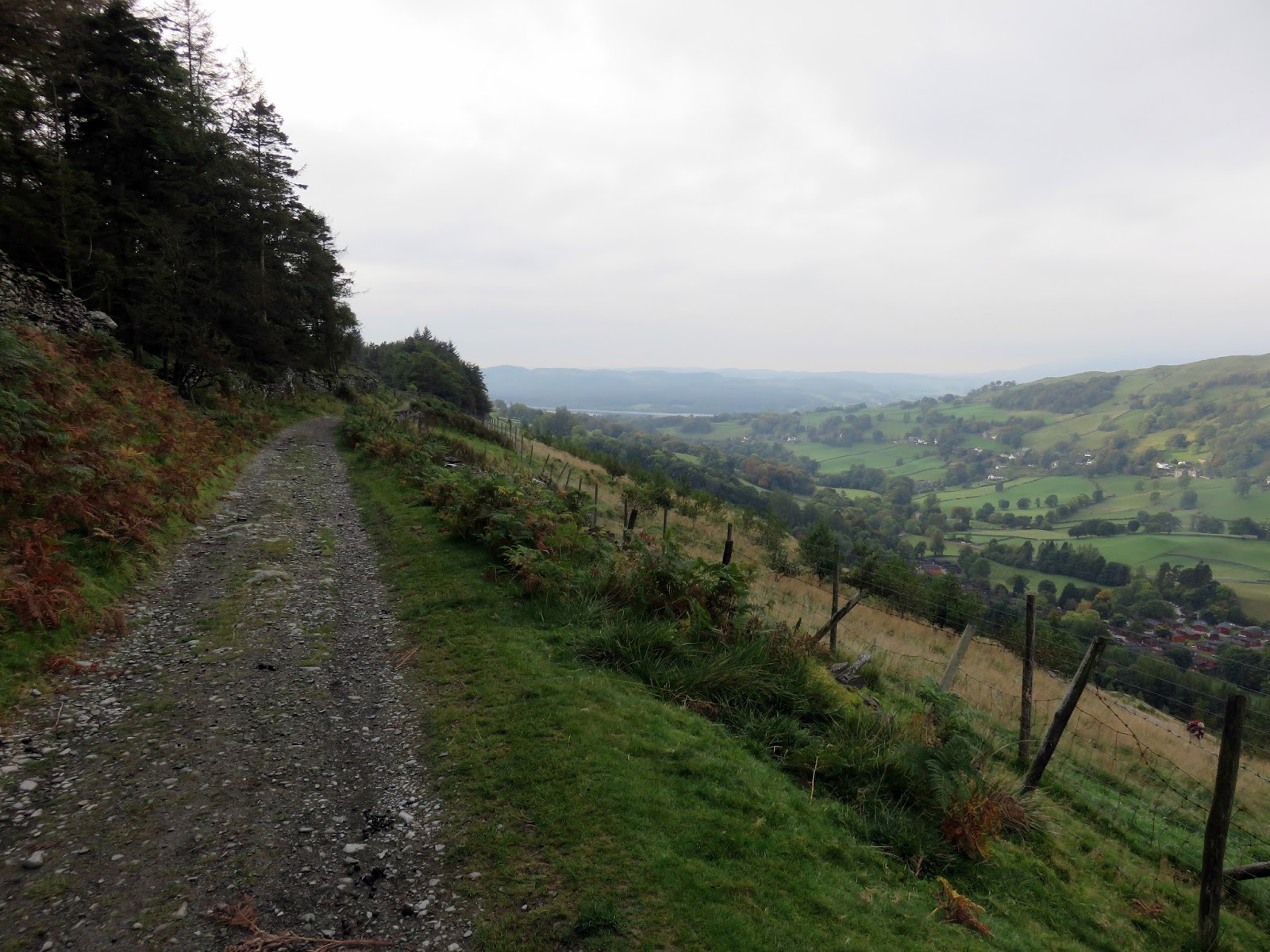
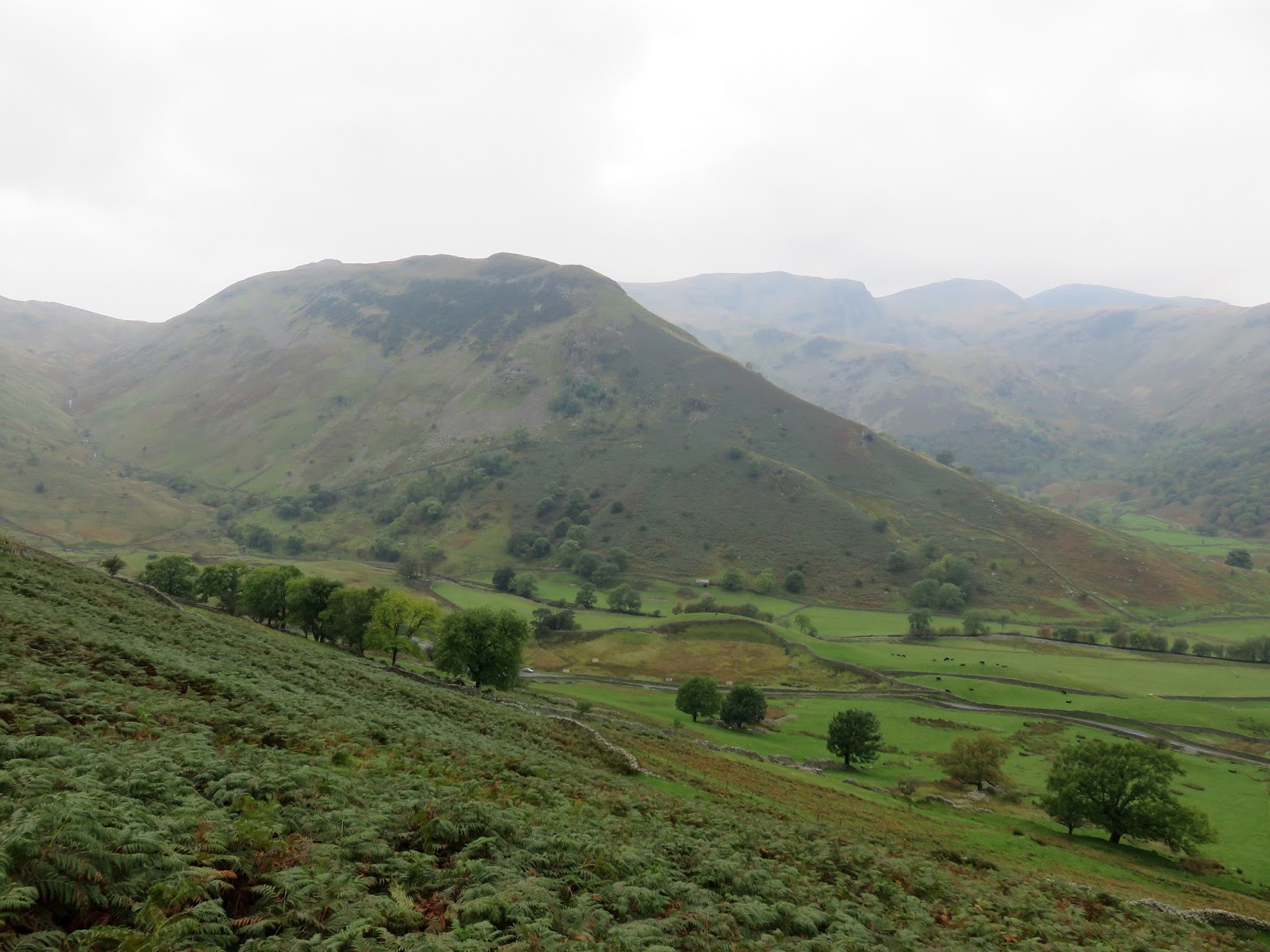
As I mentioned, the Garburn Pass joins Troutbeck and Kentmere via the depression between Sallows and Yoke and would provide us access to the open fells above Kentmere. We saved ourselves a few hundred metres of walking by climbing the steep slopes above the Limefitt Park caravan site where we joined the rough track up the pass. Despite the initial steepness of our detour, the track has a shallow gradient and is easy to follow, even in the worst weather.
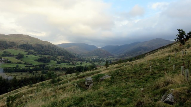 |
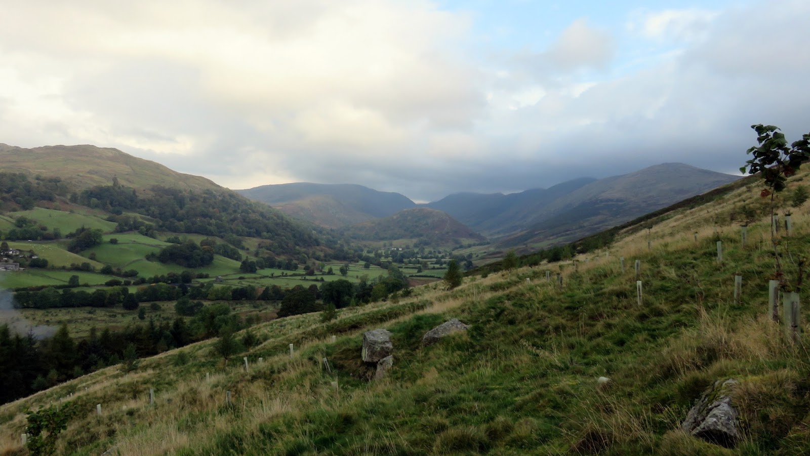
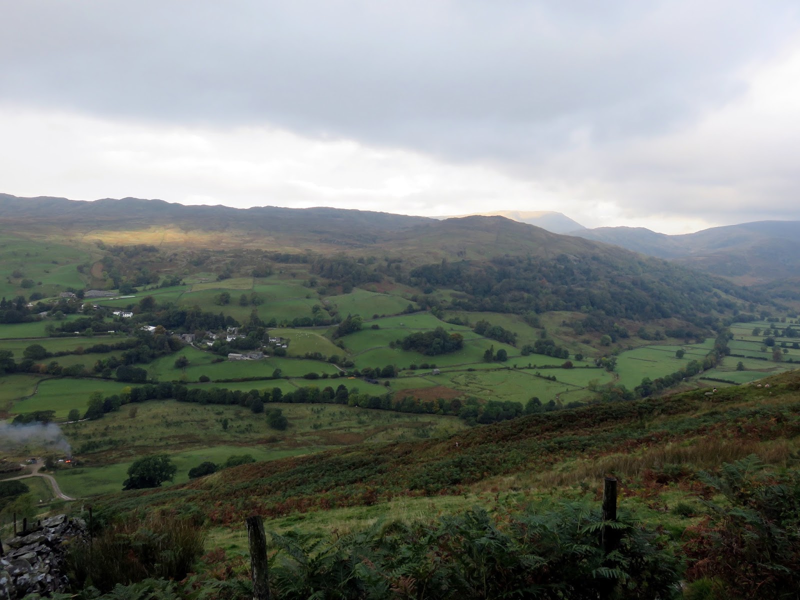
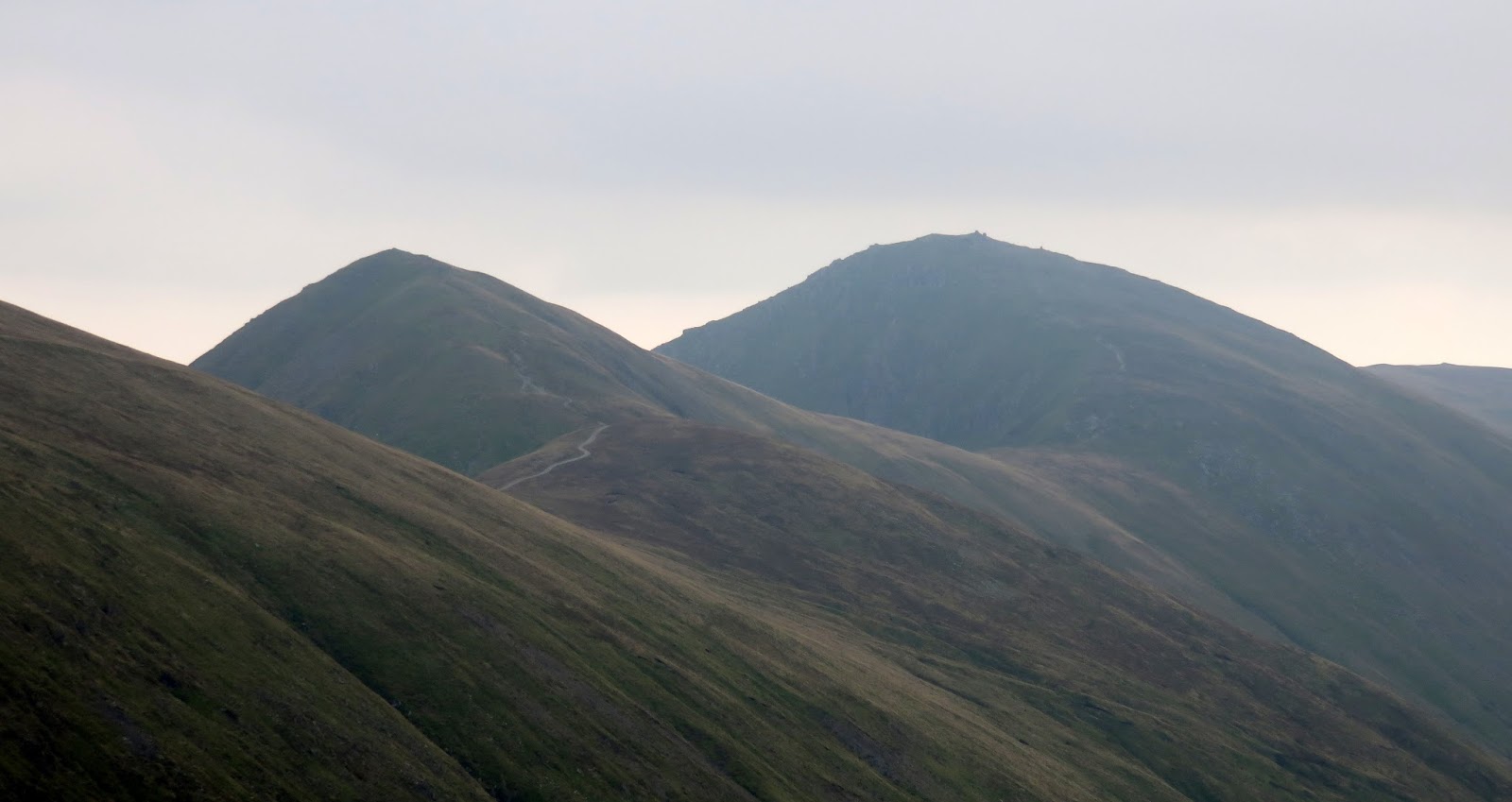
| Troutbeck and the route for the day, along the skyline in the centre |
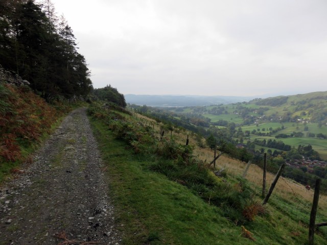 |
| The track that runs across the Garburn Pass |
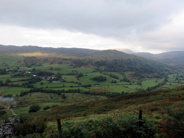 |
| Wansfell on the opposite side of the valley |
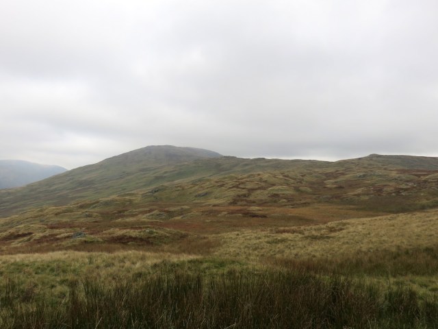 |
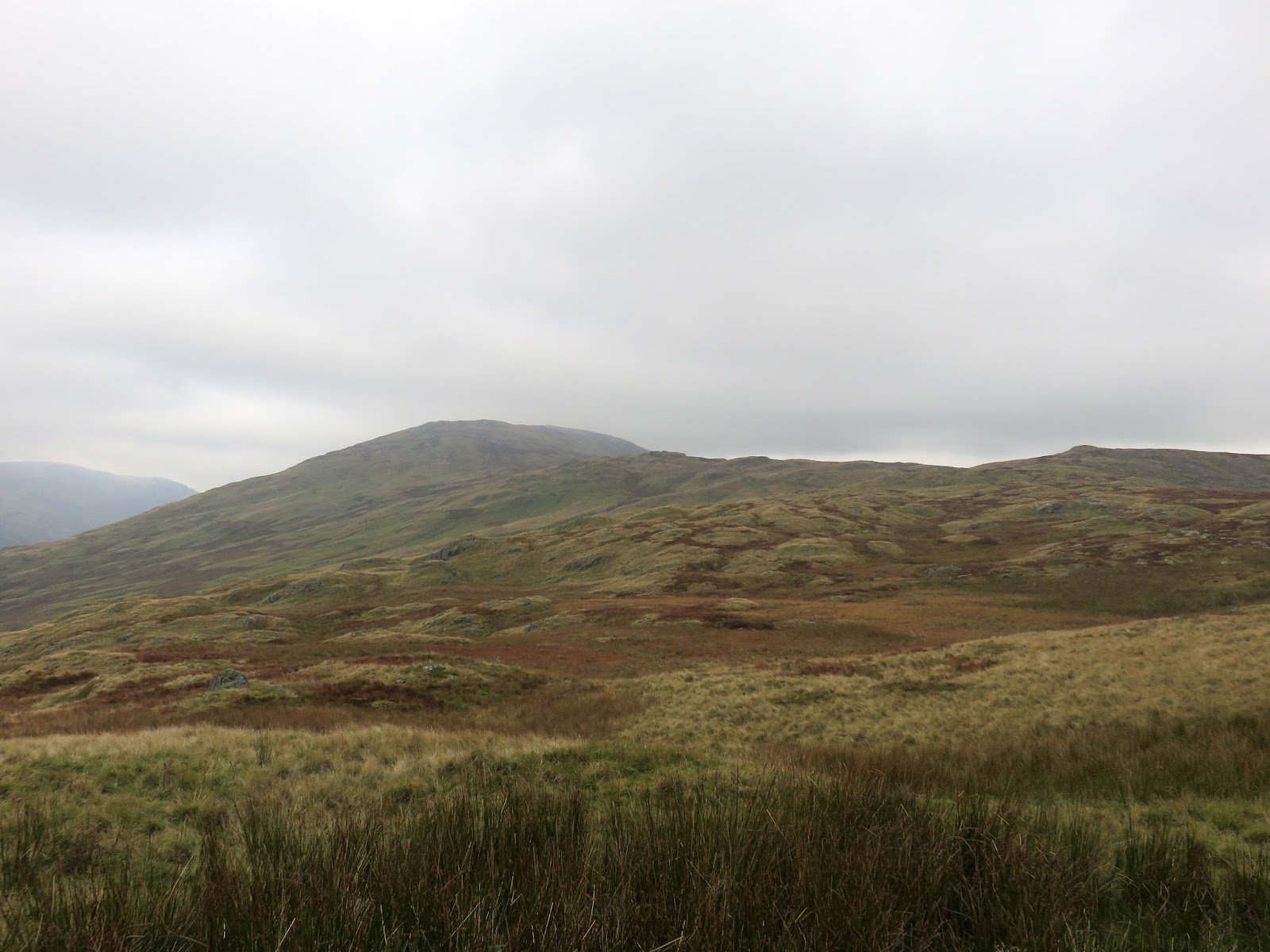
| The grass covered slopes of Yoke |
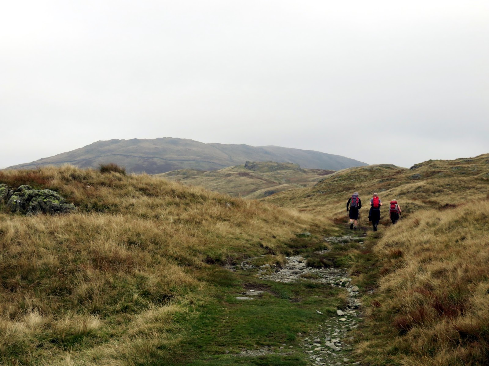
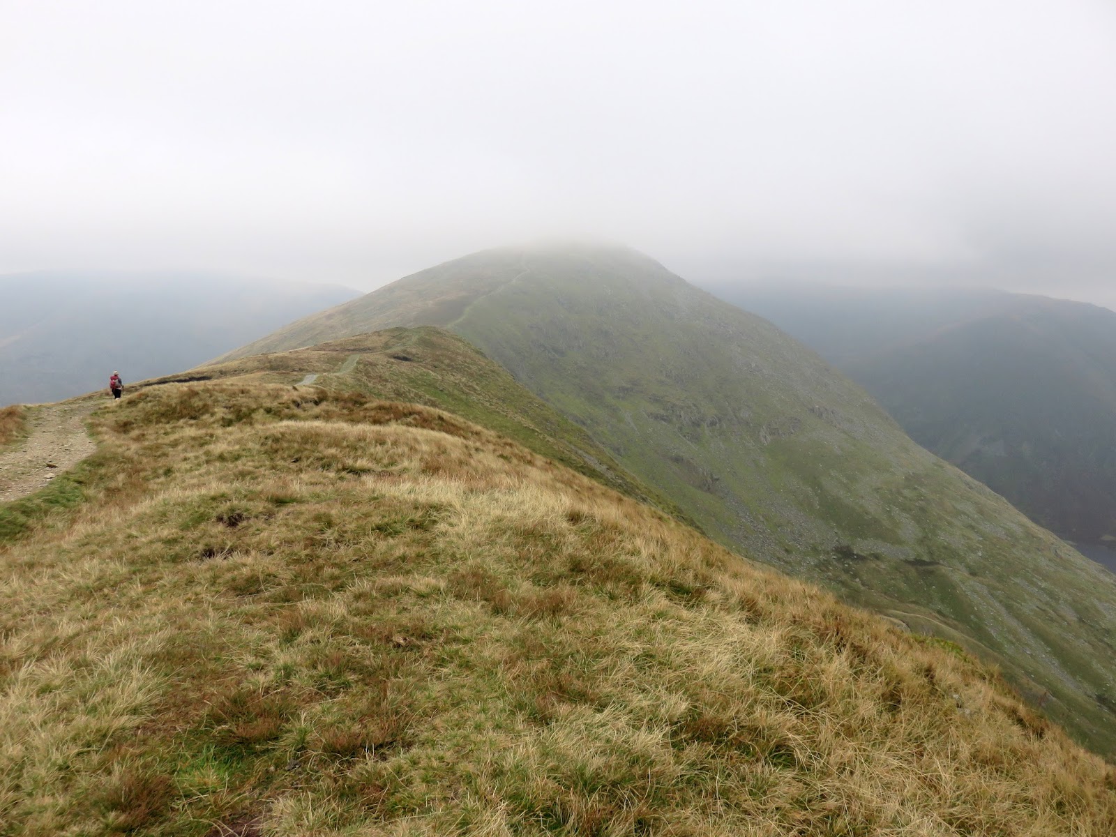
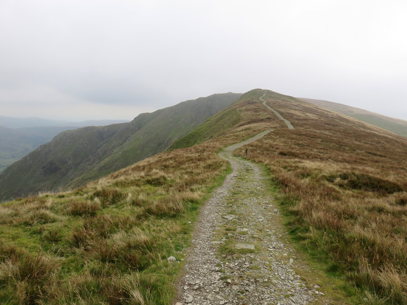
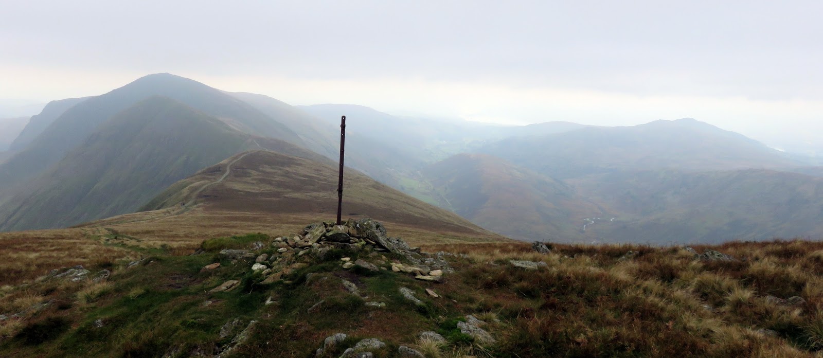
We left the Garburn road at the summit, now heading for Yoke; the first of a trio of fells along this particular ridge. Once again, the route has a very well laid path that provides a reassuring aid to crossing these fells. After a short visit to Buck Crag, the path steepens as it climbs the last 100m of Yoke, ultimately reaching a height of over 700m. Up until now, the scenery largely comprises of rolling upland and grassy hills but all that was about to change.
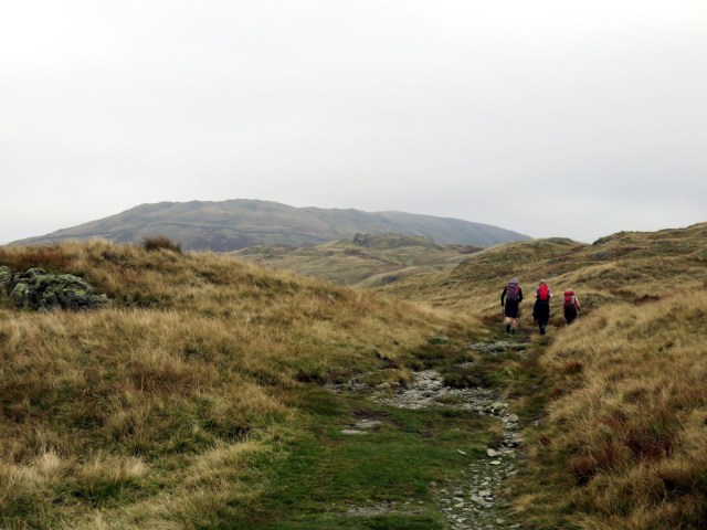 |
| The Garburn Pass gives way to a more traditional path |
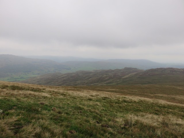 |
| Kentmere Park |
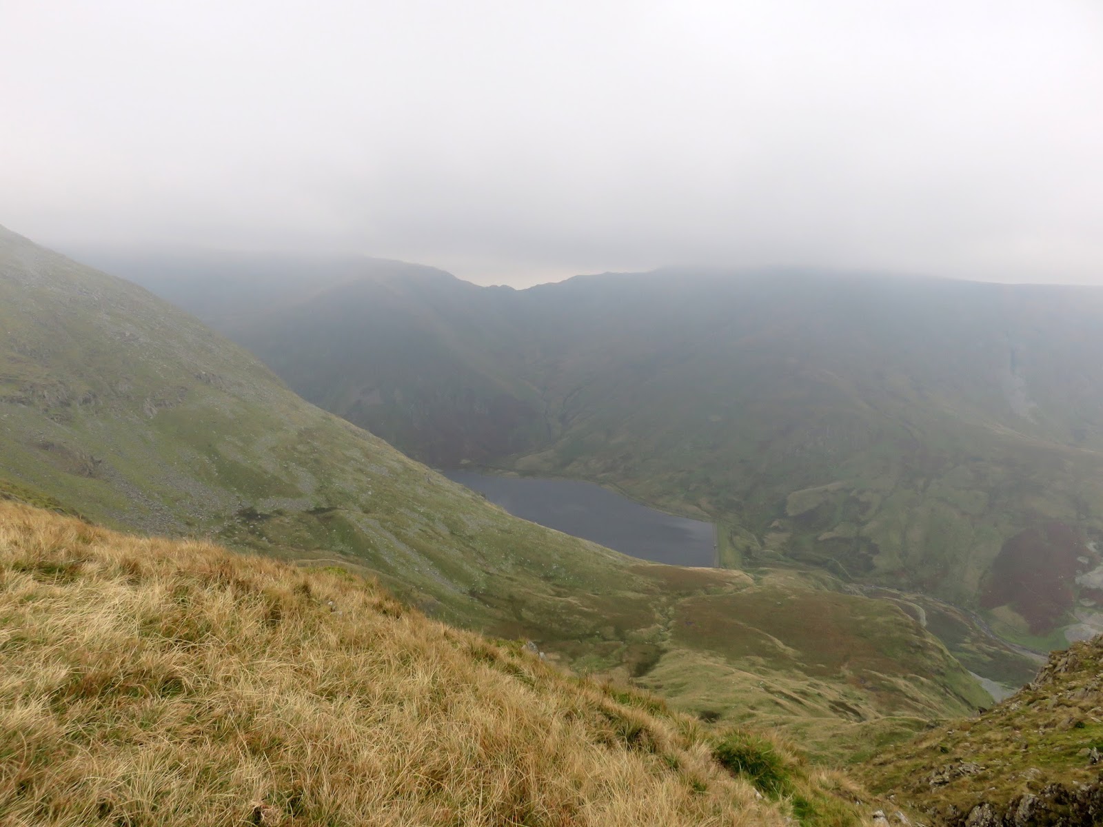
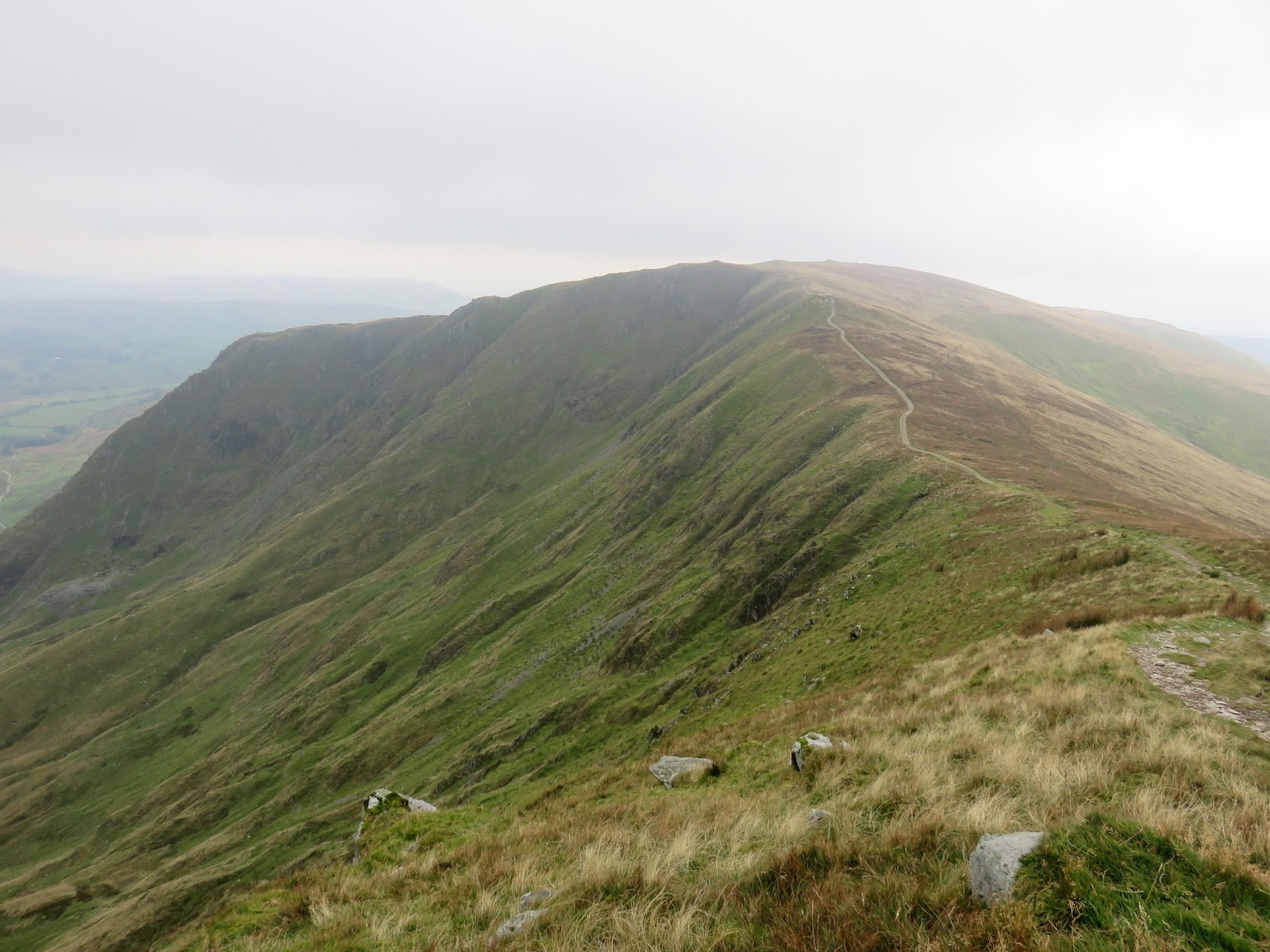
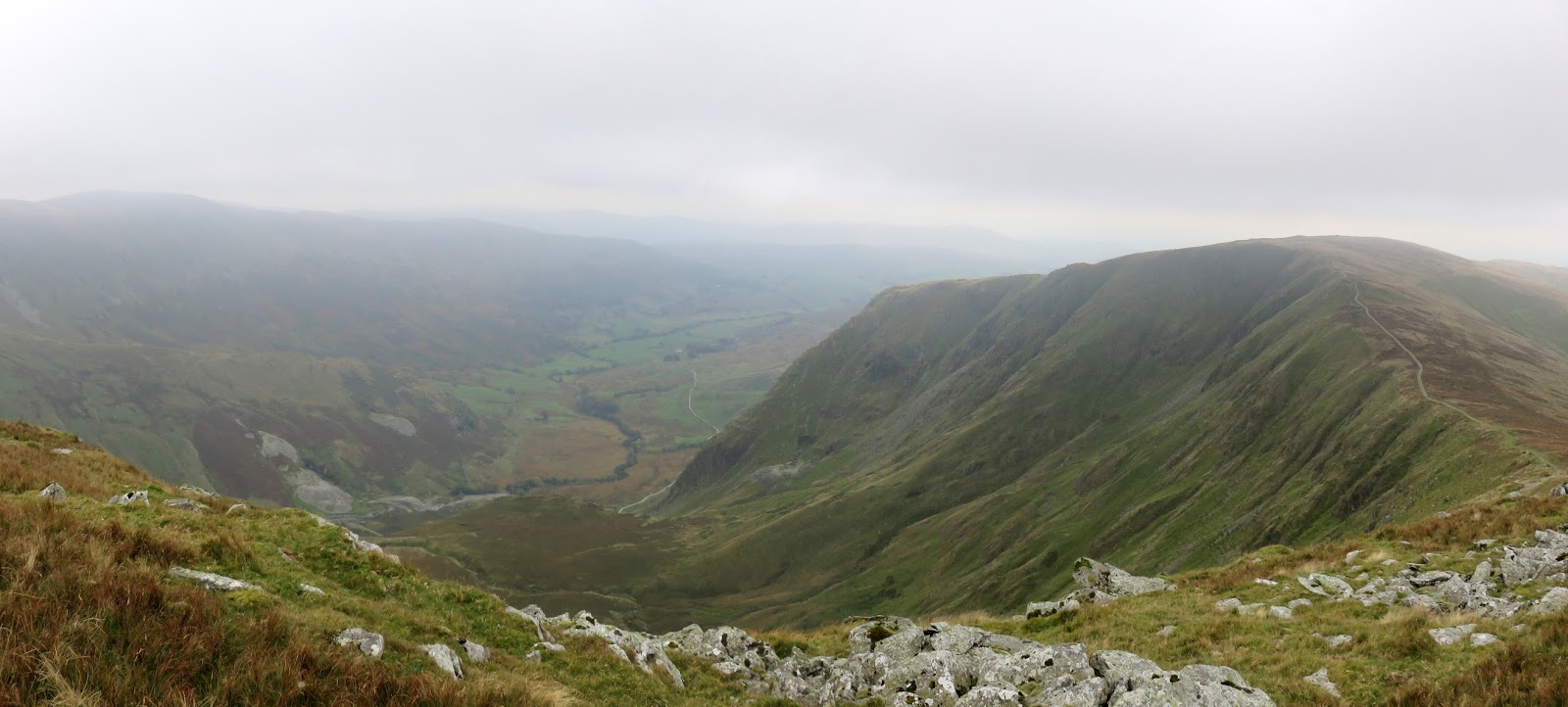
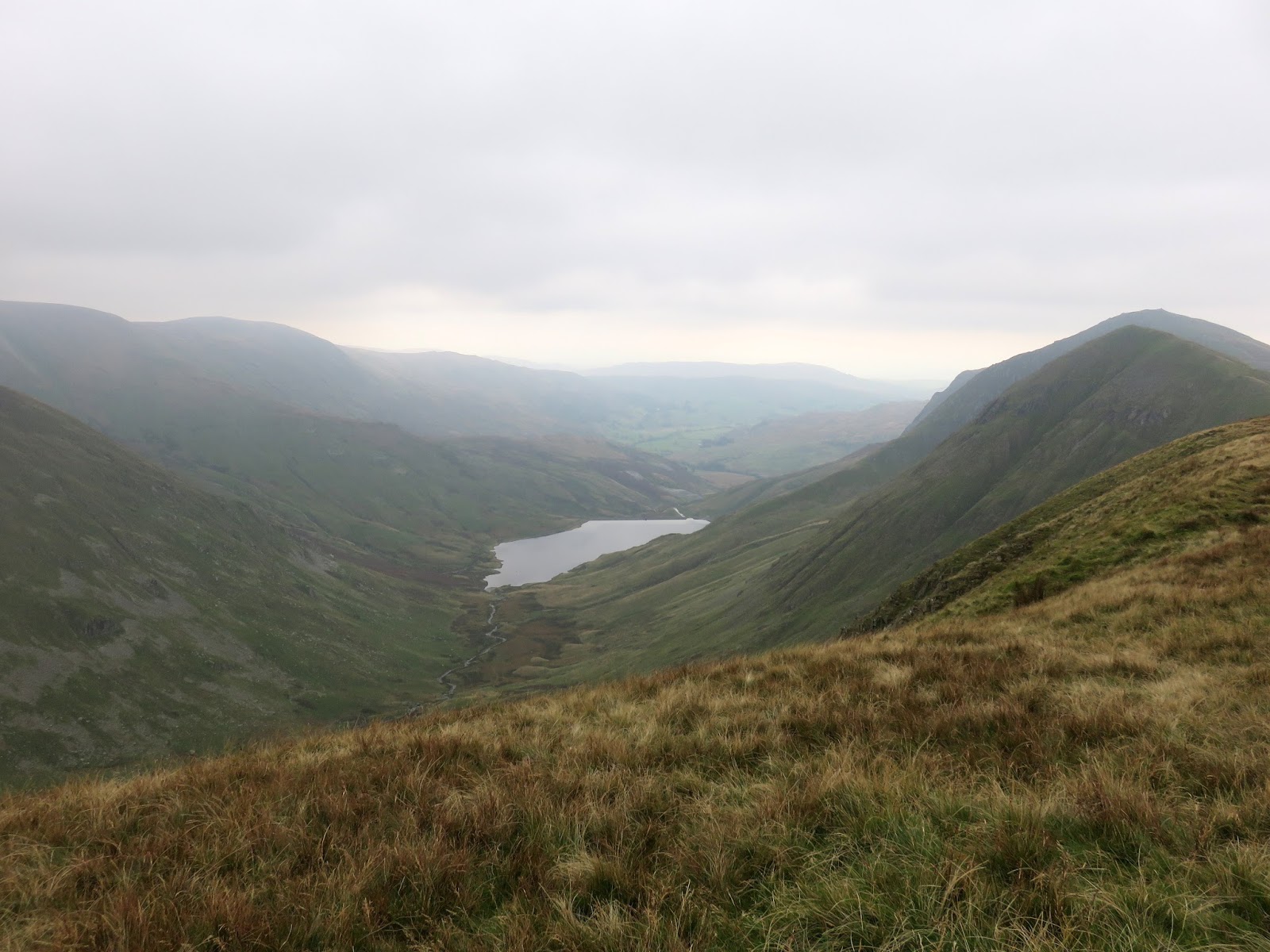
The bulk of Yoke hides the magnificent view across the crags above the Kentmere Reservoir; it is a fell with two distinct characters – grassy to the south and craggy to the north. Star Crag and Rainsborrow Cove separate Yoke from its neighbour Ill Bell.
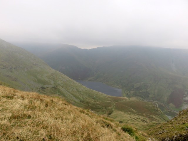 |
| Kentmere reservoir |
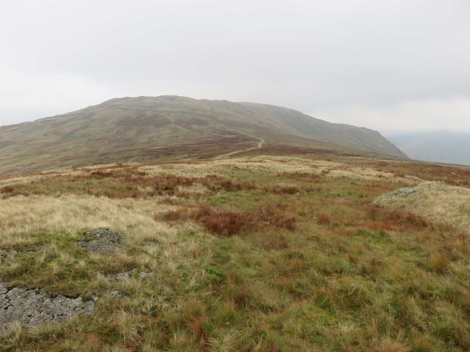
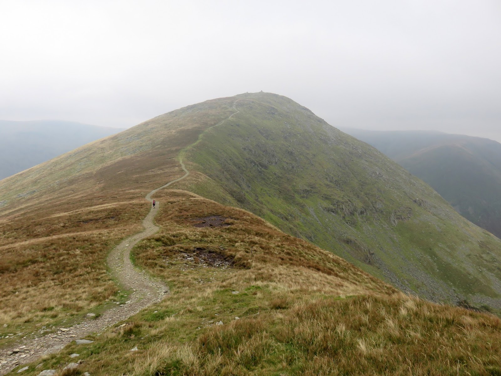
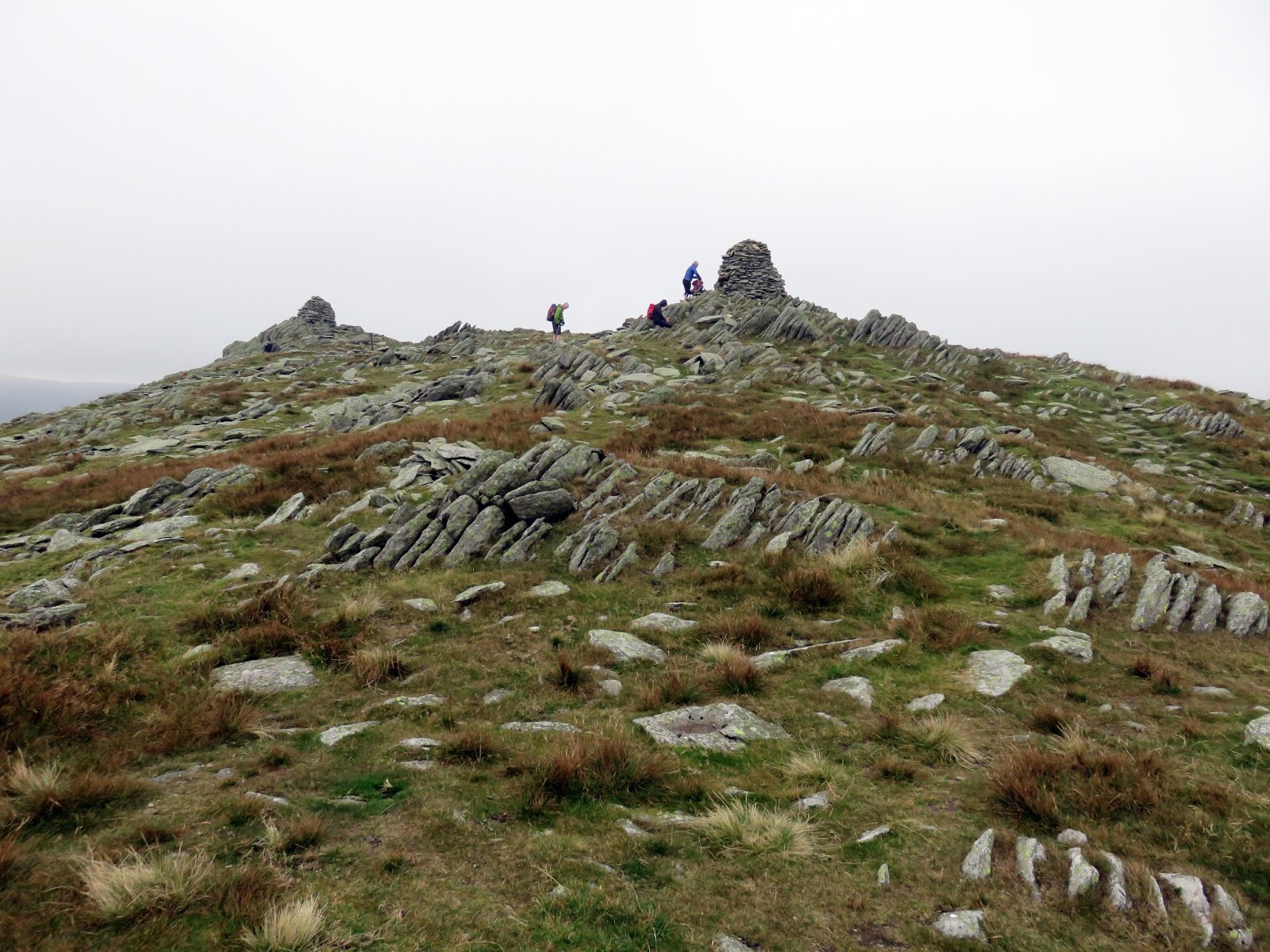
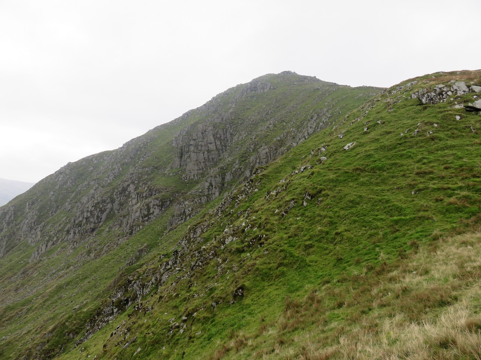
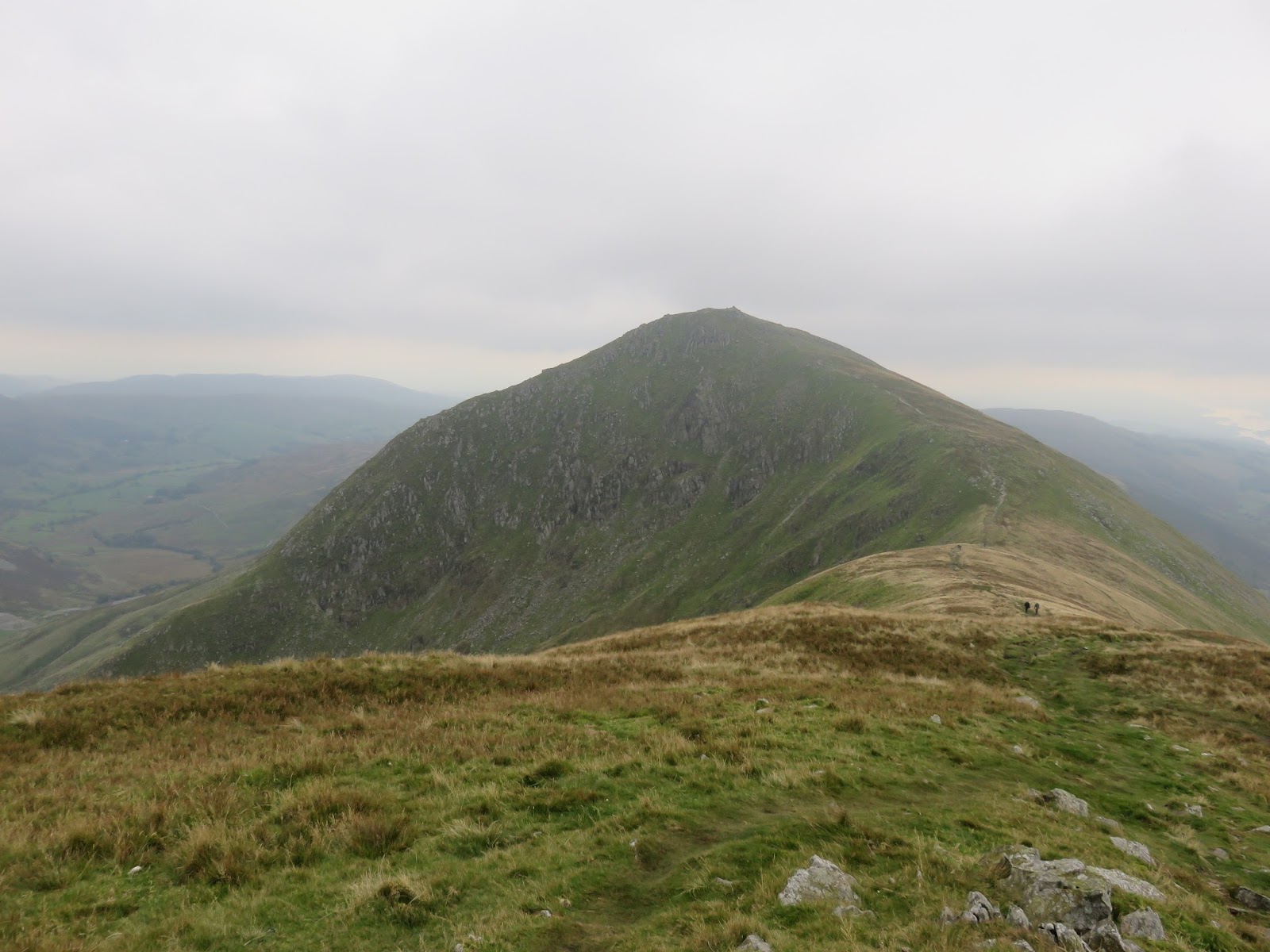
The path descends a short distance before it begins another climb, this time to the highest of the trio; Ill Bell. The climb is steeper than the previous one up Yoke but is much shorter. Ill Bell has a fine view back to the craggy side of Yoke and peers down into Over Cove and the River Kent. A series of fine cairns mark the top.
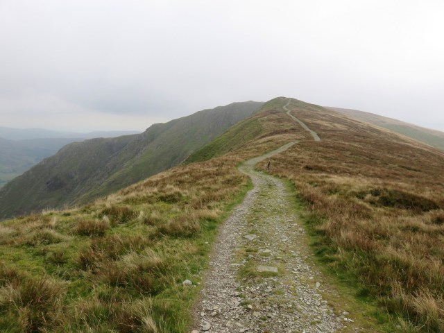 |
| Looking back along the path to Yoke |
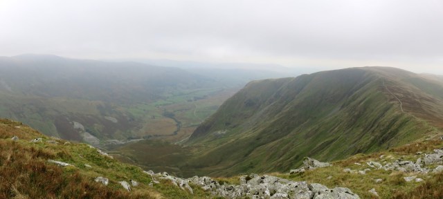 |
| Panorama from Rainsborrow Cove |
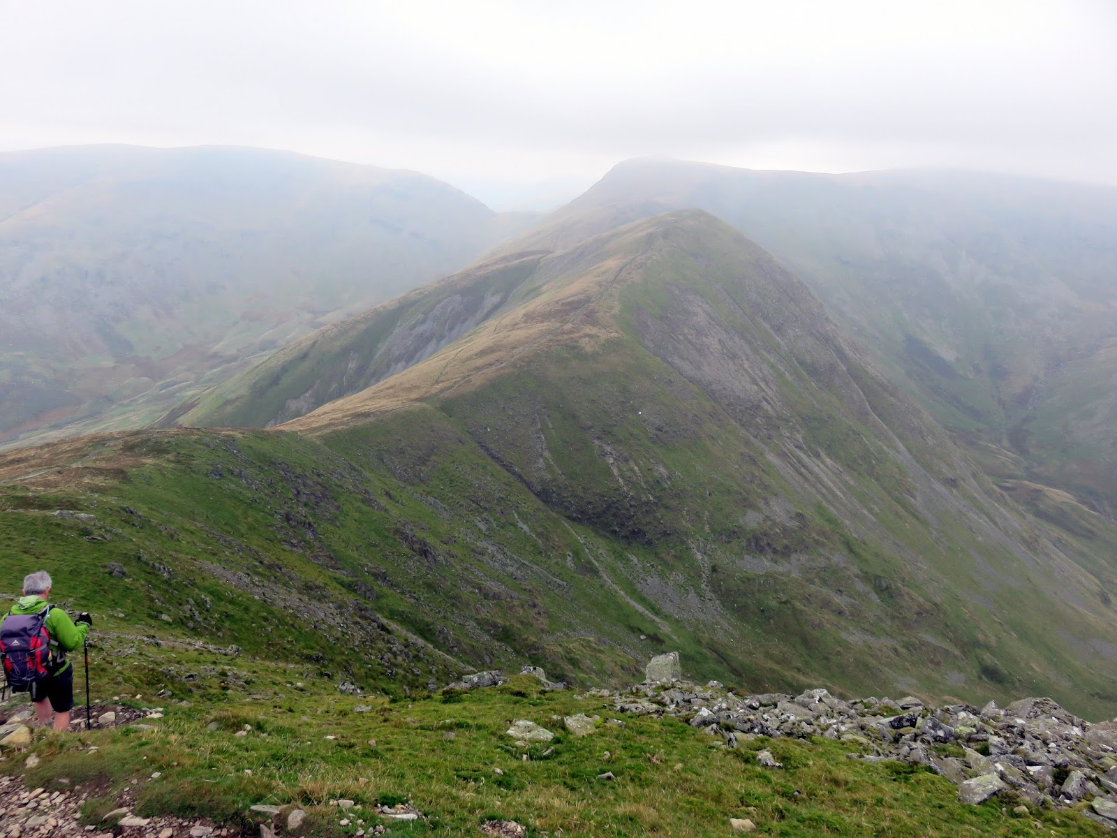
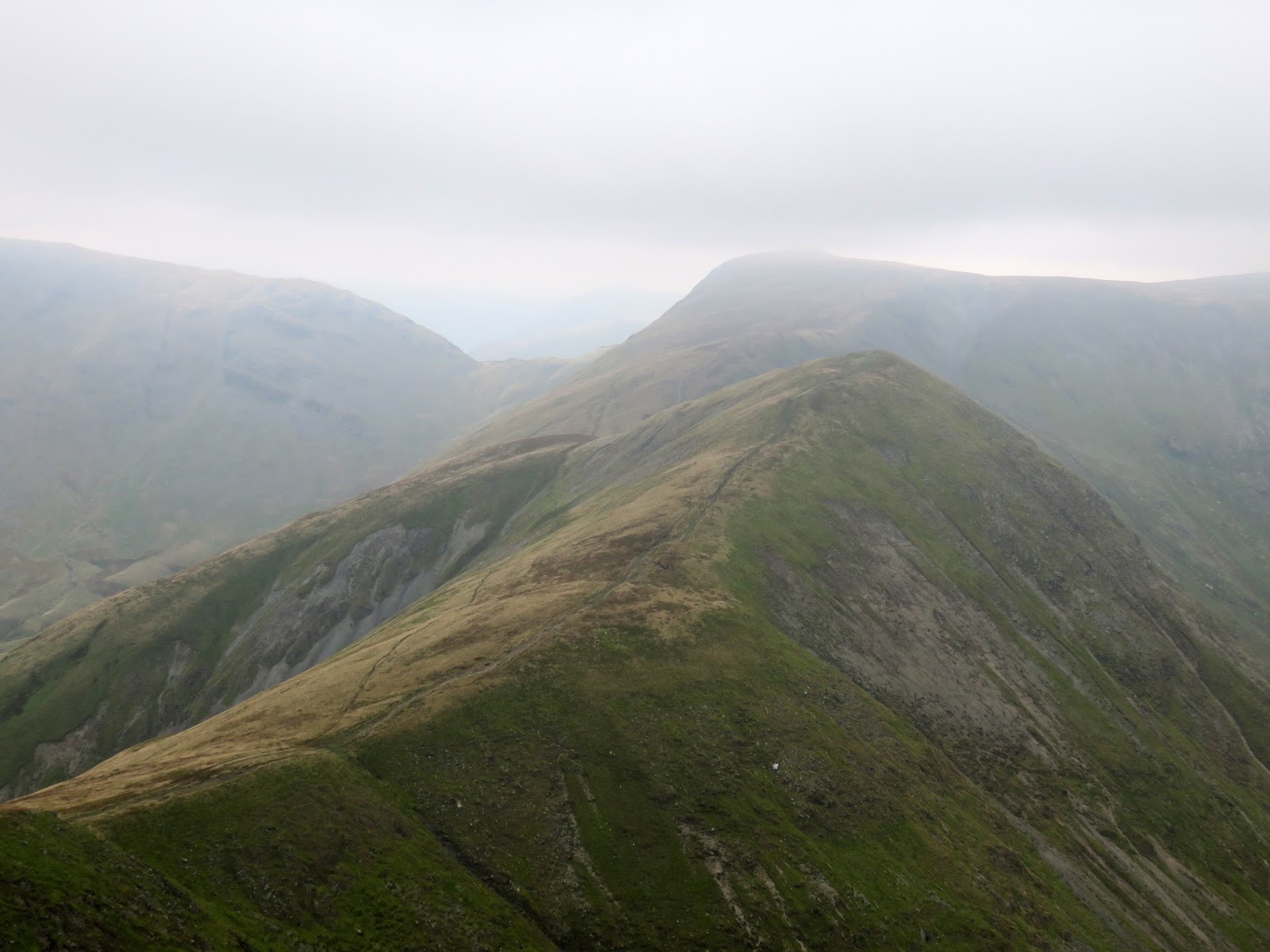
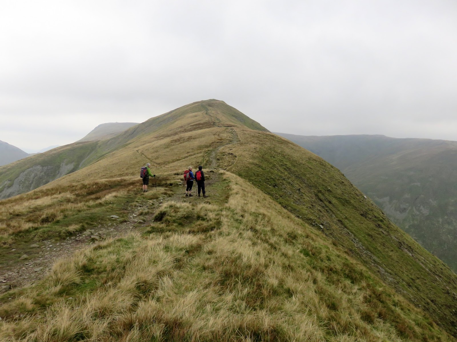
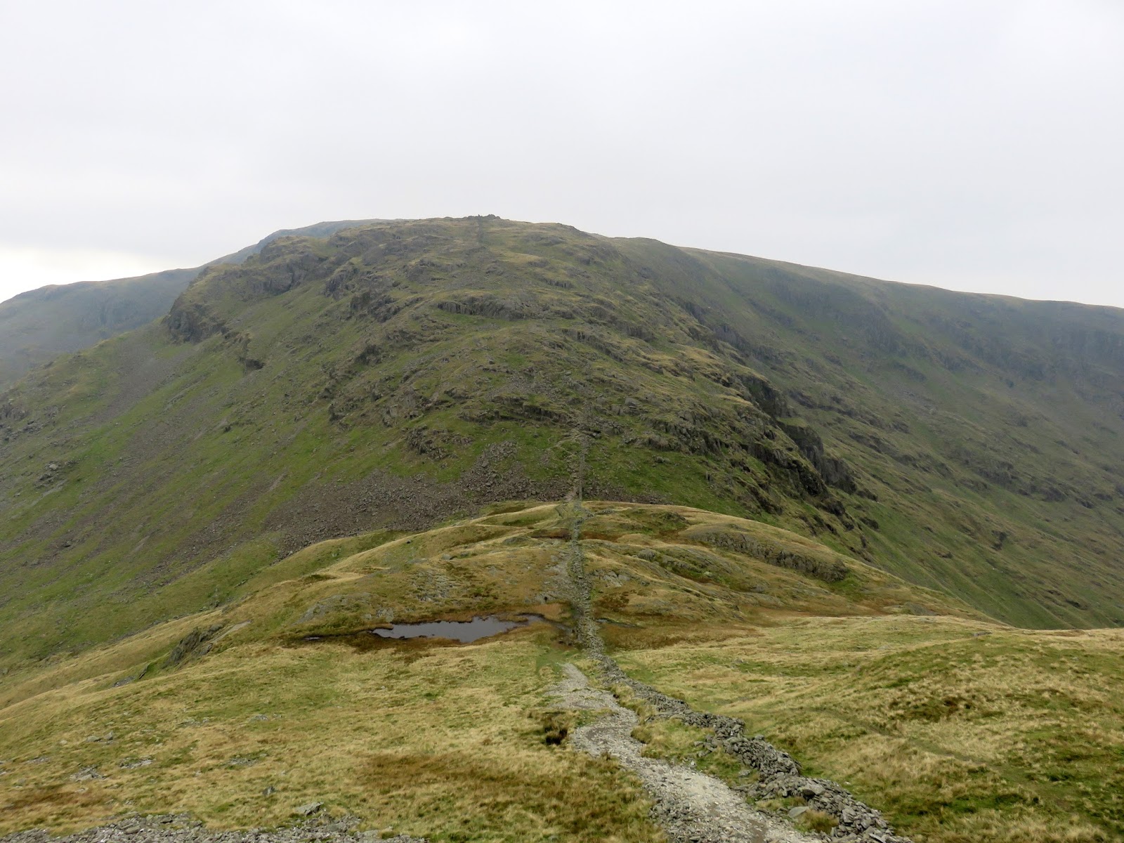
In a repeat of route between Yoke and Ill Bell, the path descends once again only to regain the same height on Froswick which is near identical twin to Ill Bell. Ahead is the great bulk of Thornthwaite Crag, the watershed to rivers flowing either south to Morecambe bay or north to the Solway Firth. The tall beacon can clearly be seen, even on a gloomy day like today.
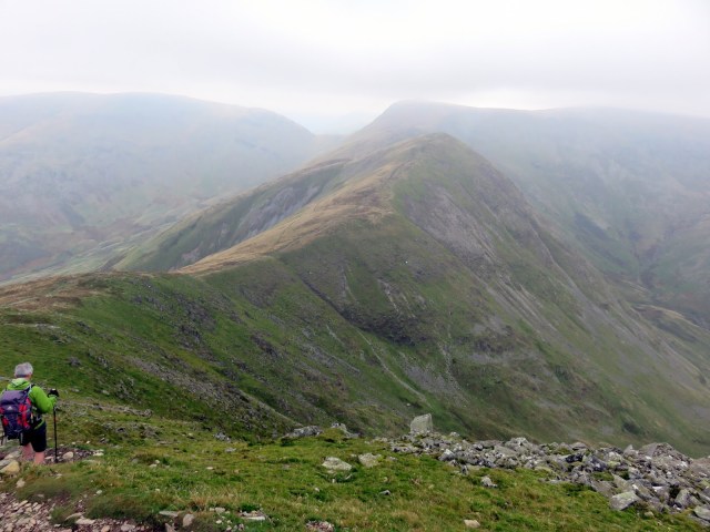 |
| Froswick with just a glint of sunlight shining upon it |
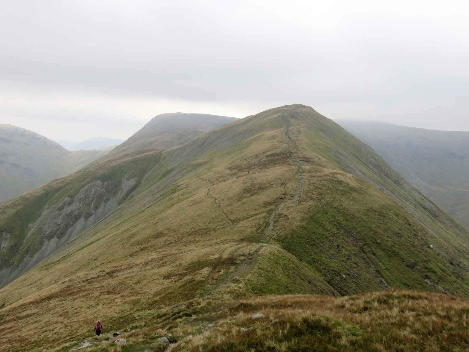
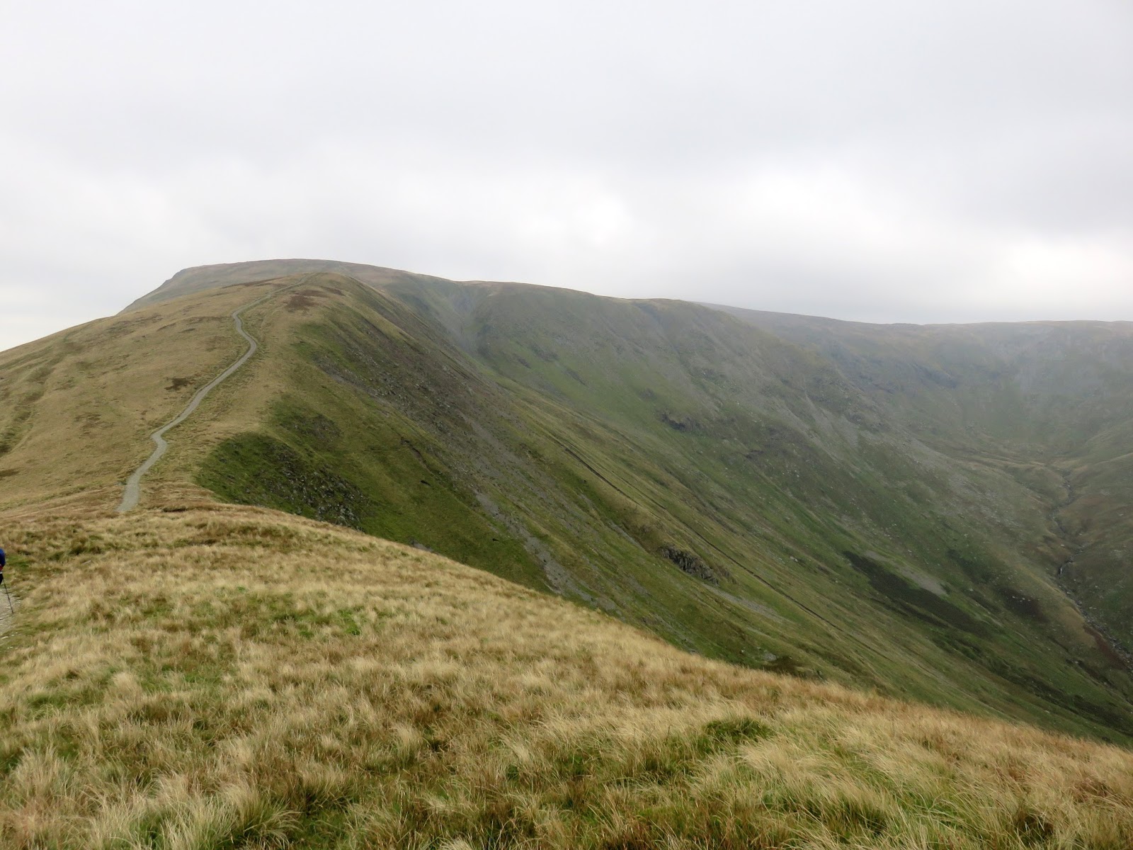
It’s around a mile to walk between Froswick and Thornthwaite Crag, the path climbing slowly the whole way until it reaches Thornthwaite Crag, the meeting point of a number of ridges. We stopped for a quick lunch in the shadow of the immense cairn and continued on in a similar up-and-down fashion as earlier in the day. Ahead of us was the low pass of Threshthwaite Mouth. I’m reliably informed that it’s actually pronounced ‘Thresh-et’.
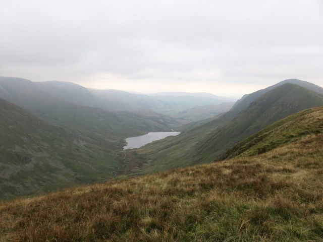 |
| Looking back into Kentmere |
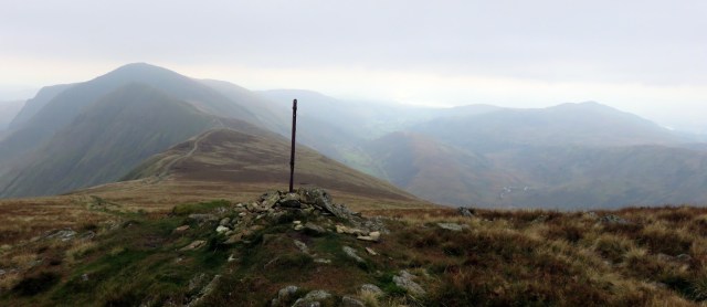 |
| Looking towards Troutbeck |
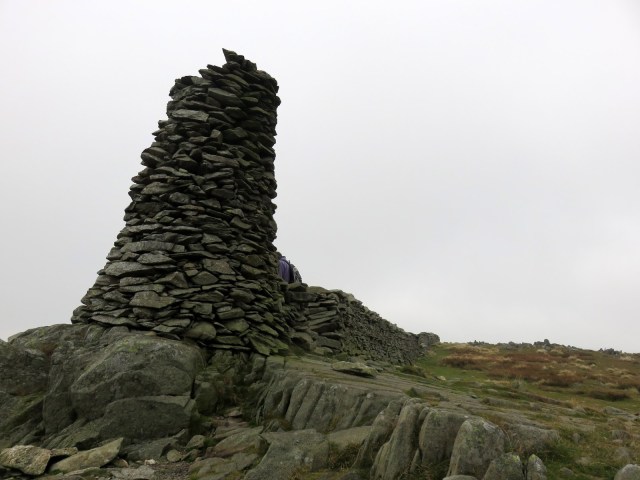 |
| Thornthwaite Beacon |
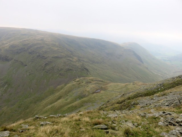 |
| Threshthwaite Mouth |
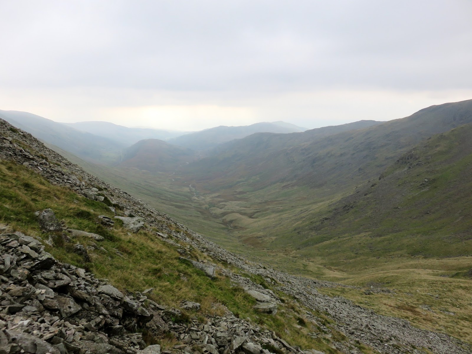
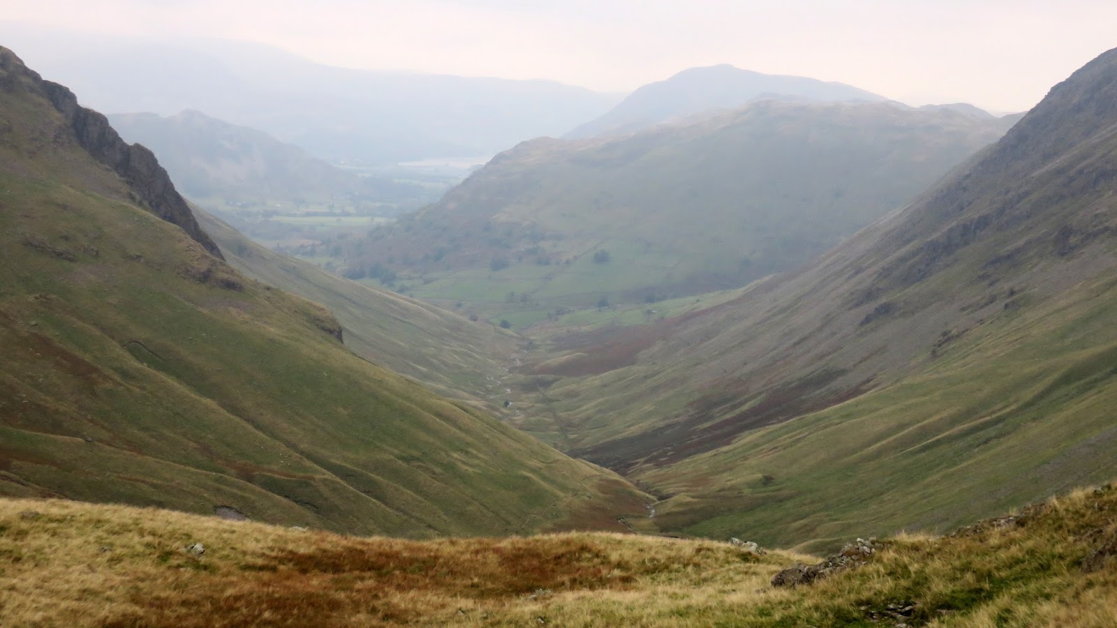
A steep, lose path falls from Thornthwaite Crag into the pass which separates Troutbeck from Pasture Bottom and Hartsop. Both valleys display the quintessential characteristics of past glacial activities. I spent a few moments to consider this, casting my mind back to my university days. It was as a less-than-obvious attempt to avoid the nagging fact that a steep climb beckoned. A steep climb back up to an elevation we had just left. A steep climb up Stony Cove Pike.
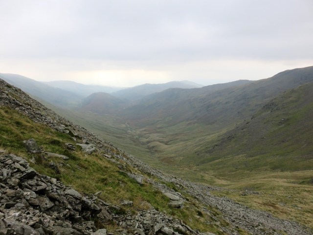 |
| The top of the Troutbeck Valley |
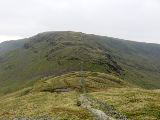 |
| Caudale Moor over Threshthwaite Mouth |
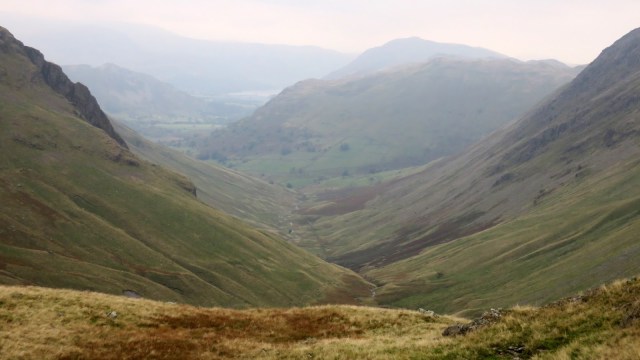 |
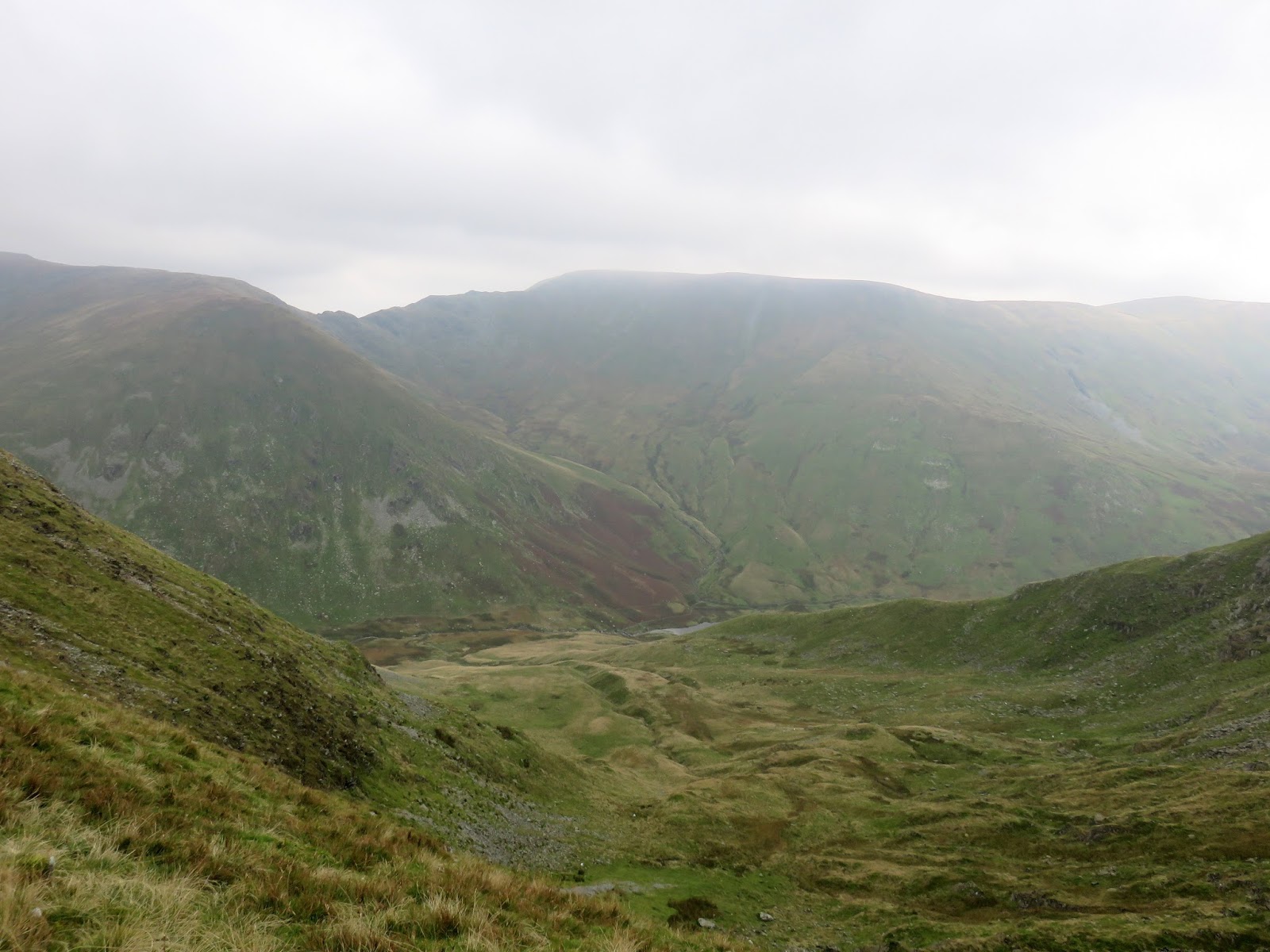
| Thresthwaite Cove and Pasture Bottom |
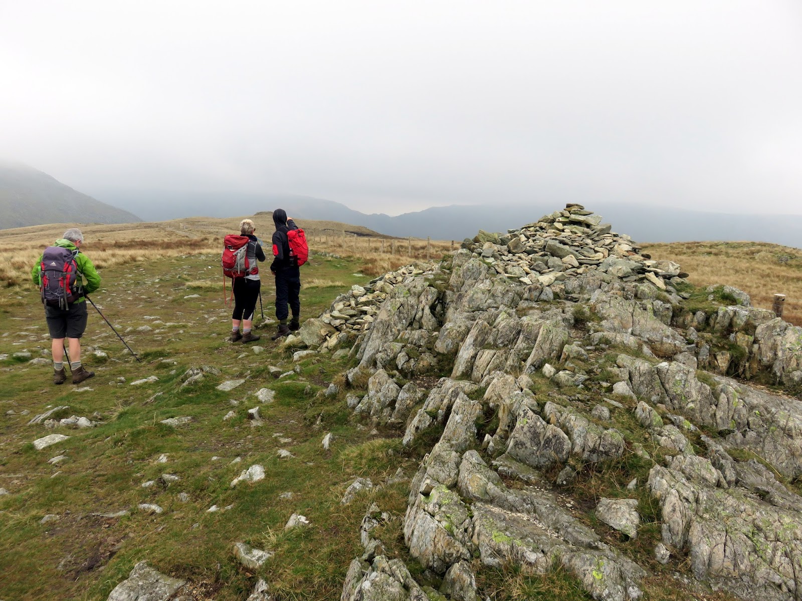
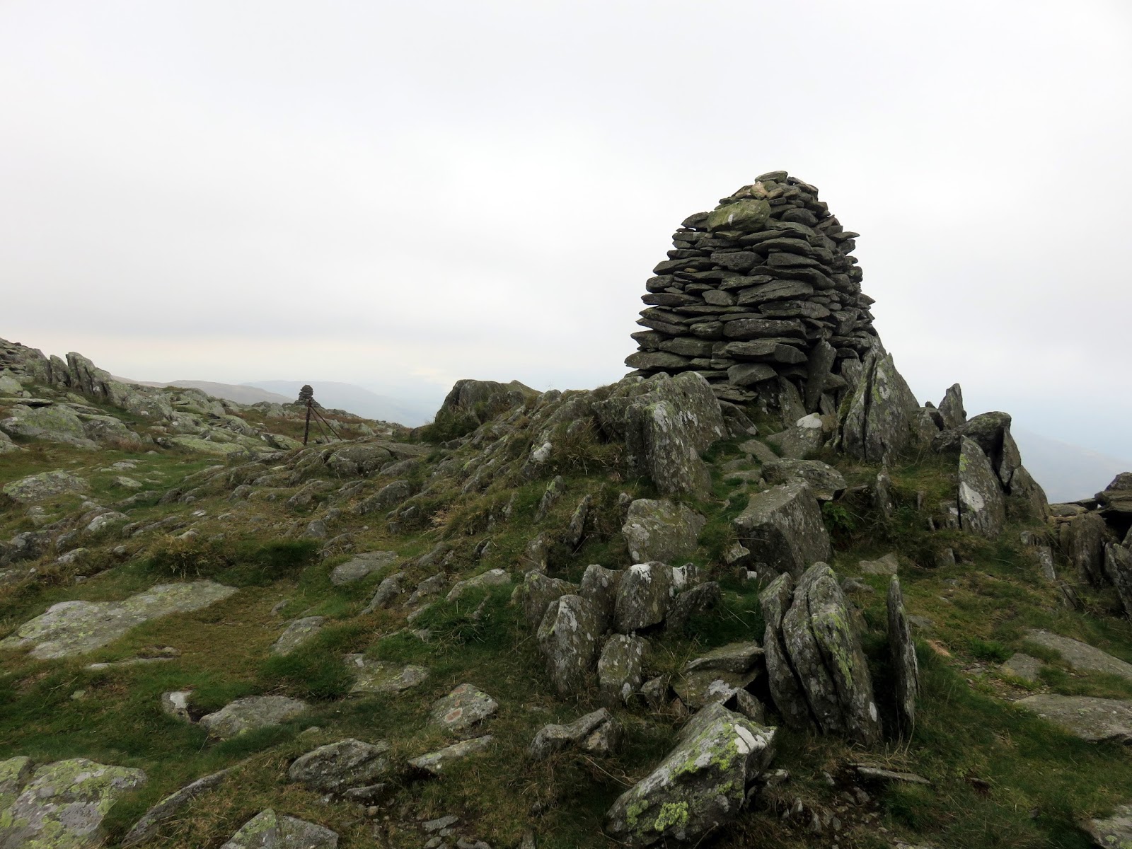
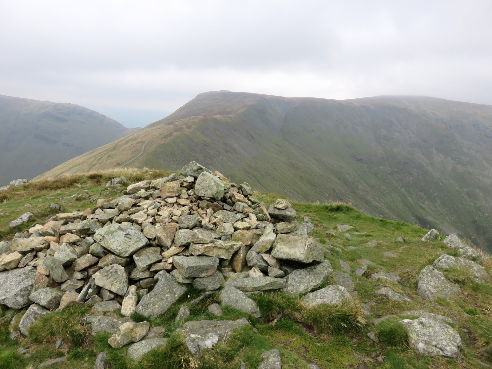
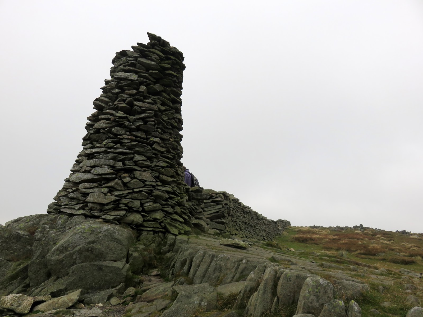
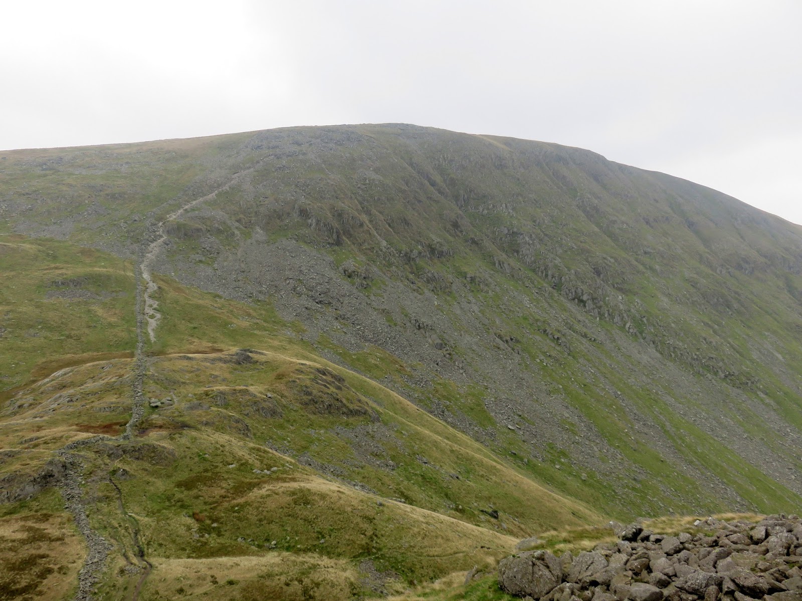
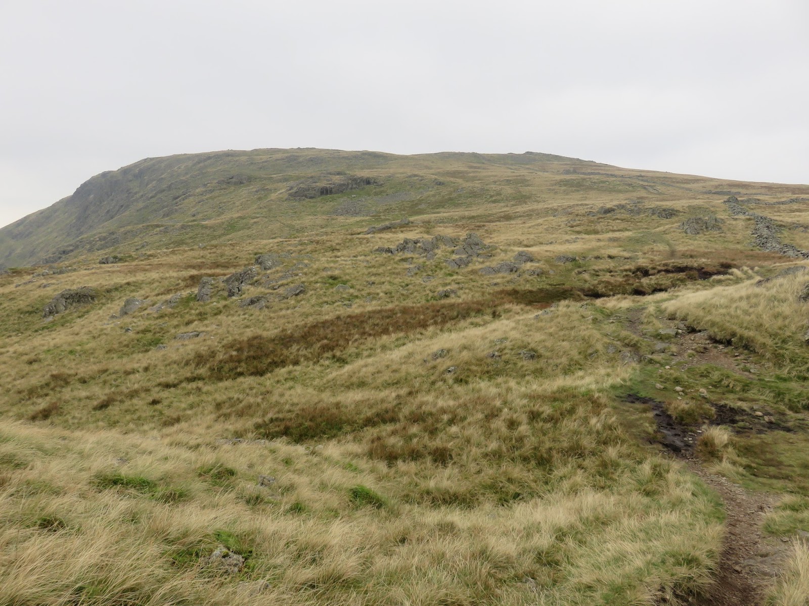
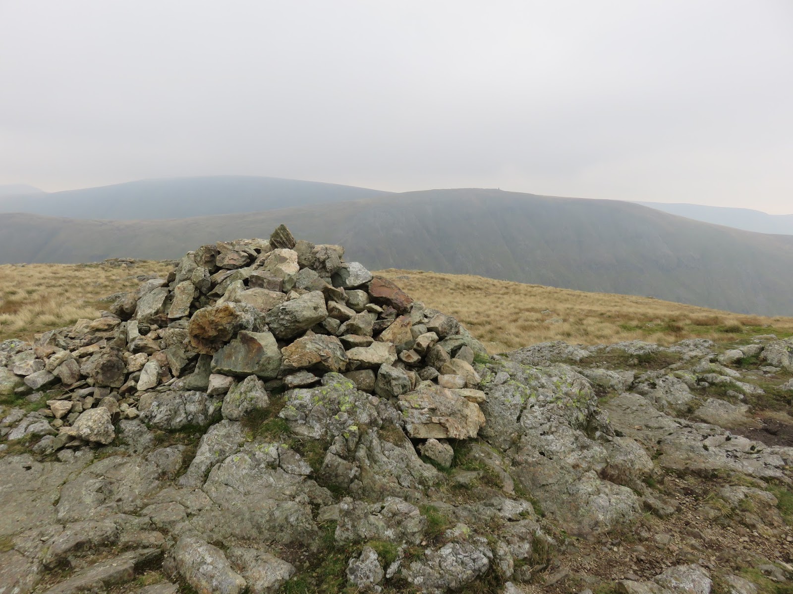
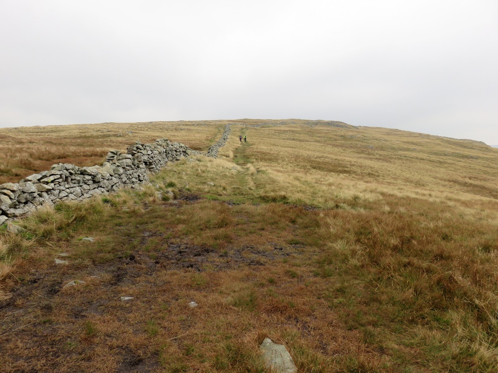
Despite what I have just written, the climb isn’t all that bad. In fact, it’s more scramble than walk which always makes a climb that much easier. Before long we’d made it to the flat top of Caudale Moor. It’s a pretty featureless place with a drystone wall crossing the top, stones from which form the large cairn at Stony Cove Pike – Caudale Moor’s summit.
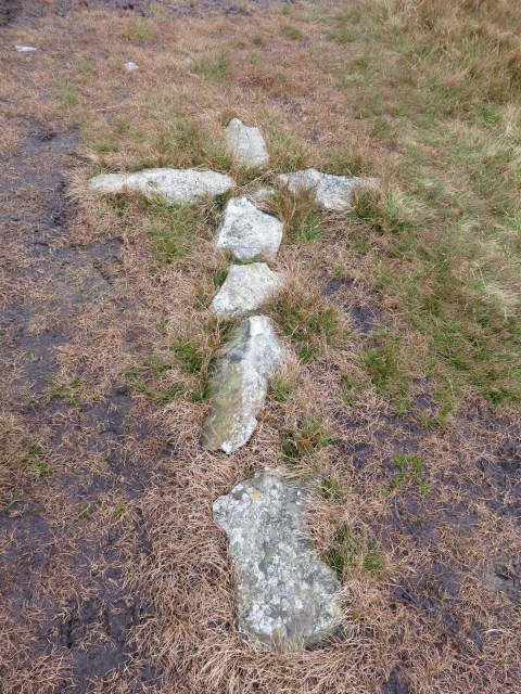 |
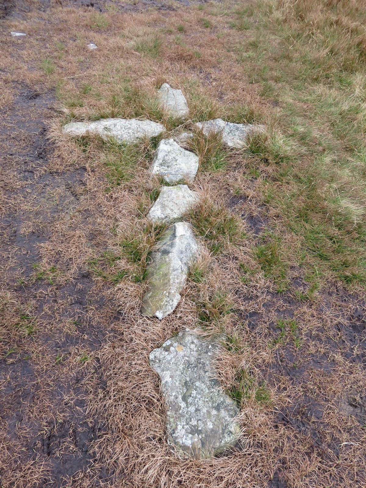
| A cross we stumbled across on the ground |
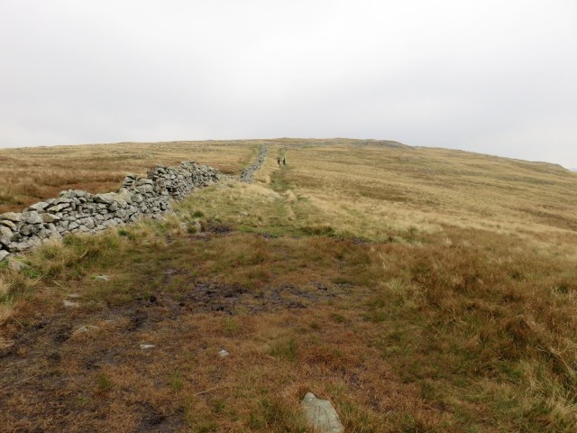 |
| The flat expanse of Caudale Moor |
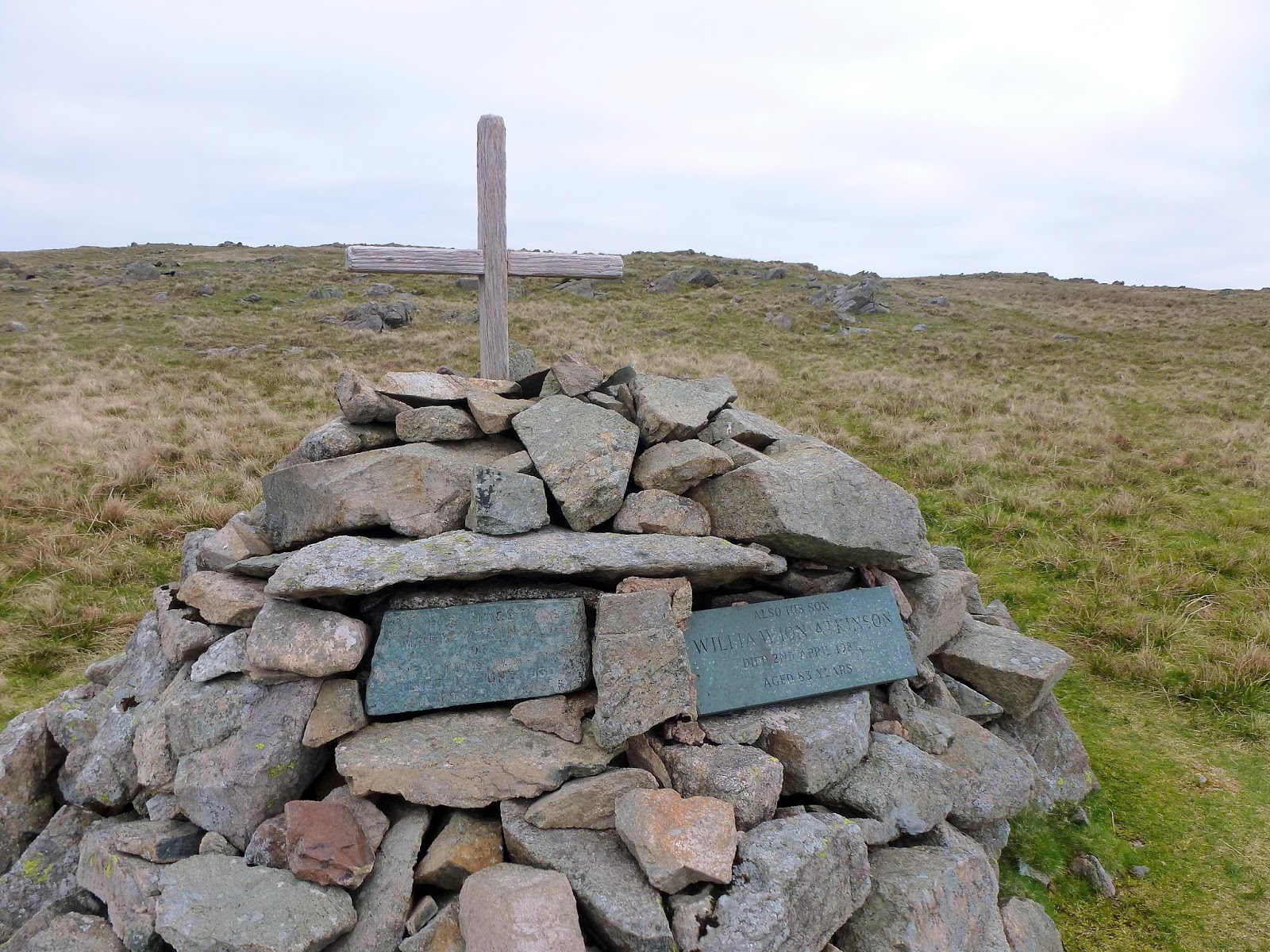
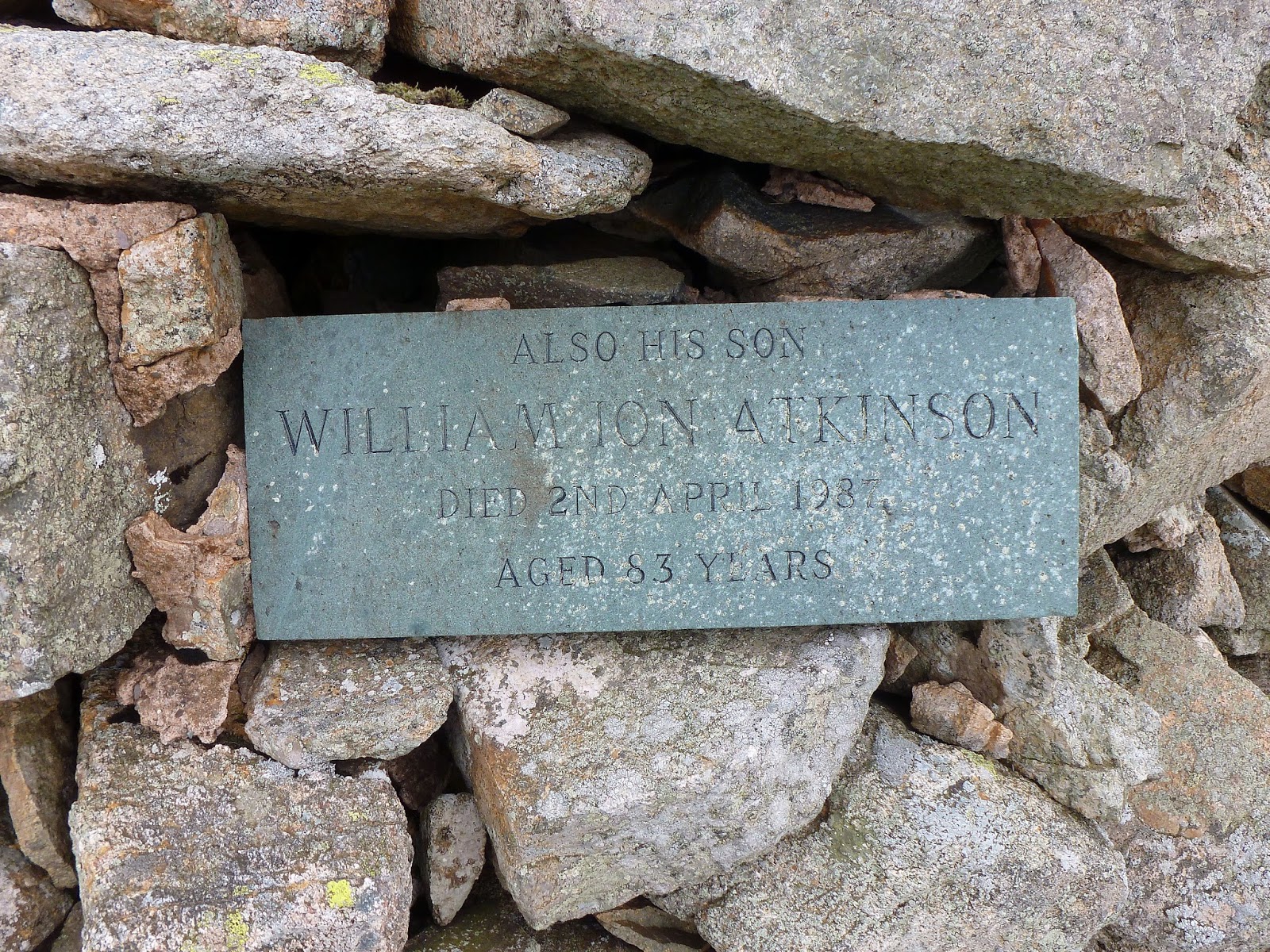
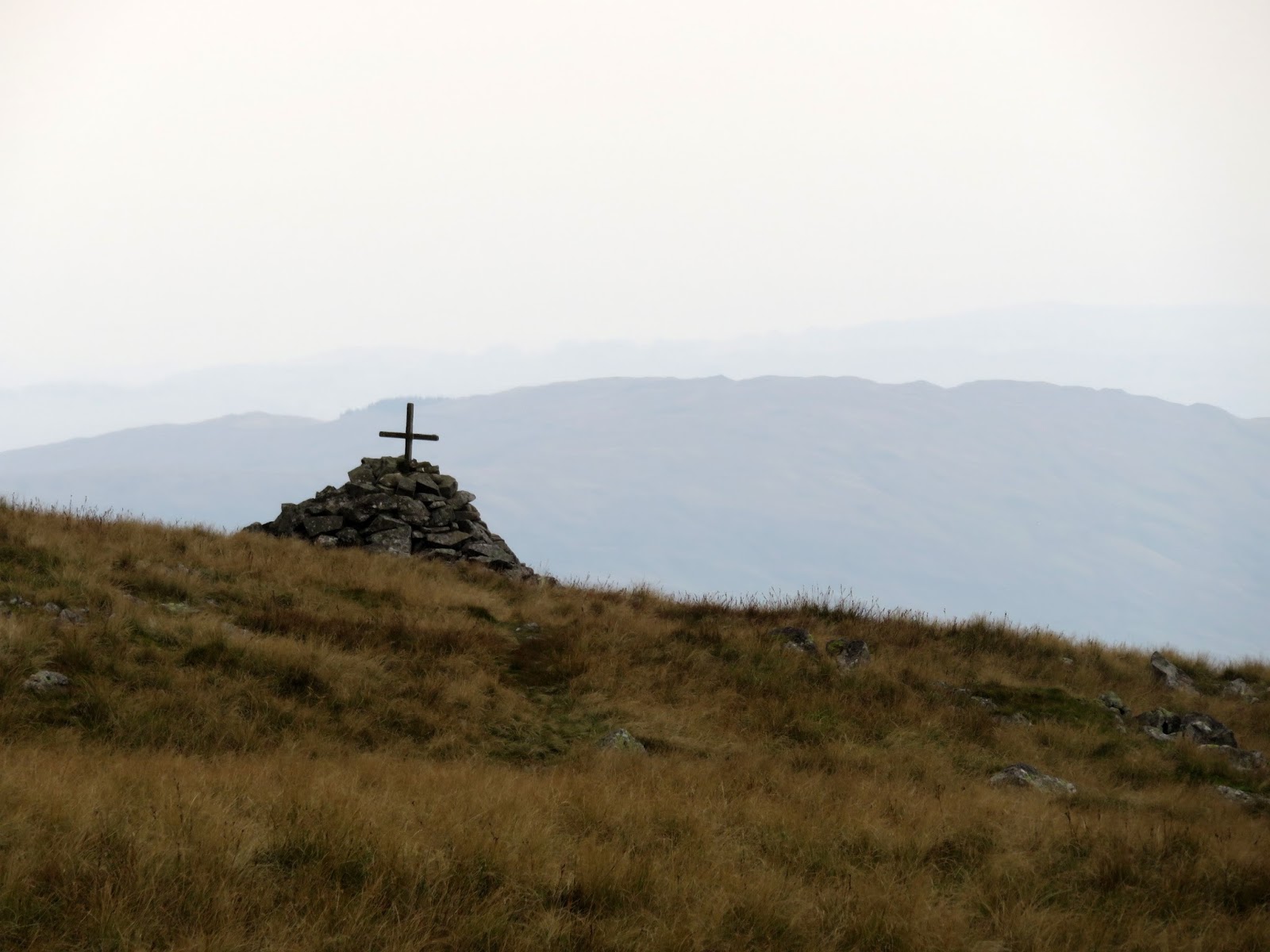
We wandered around for a bit and had a quick look at Mark Atkinson’s memorial; a tall cairn that commemorates the previous owner of the Kirkstone Pass Inn. Two plaques are laid in the cairn, one to Mark and one to his son William. The Atkinson family owned and ran the Inn for many years having purchased it in 1914.
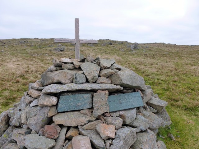 |
| Mark Atkinson’s Memorial |
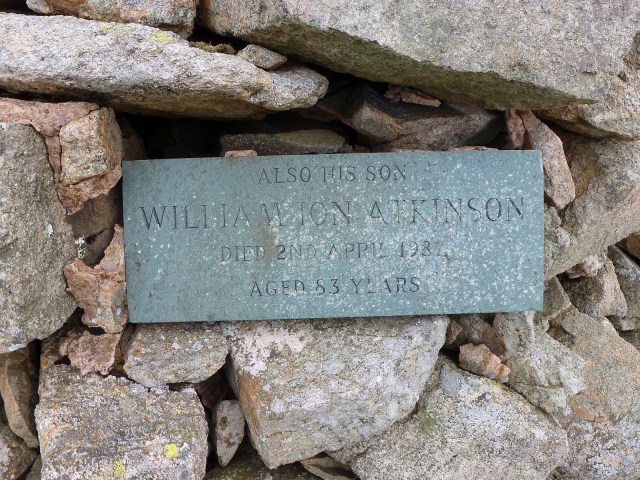 |
| Plaque dedicated to William Atkinson |
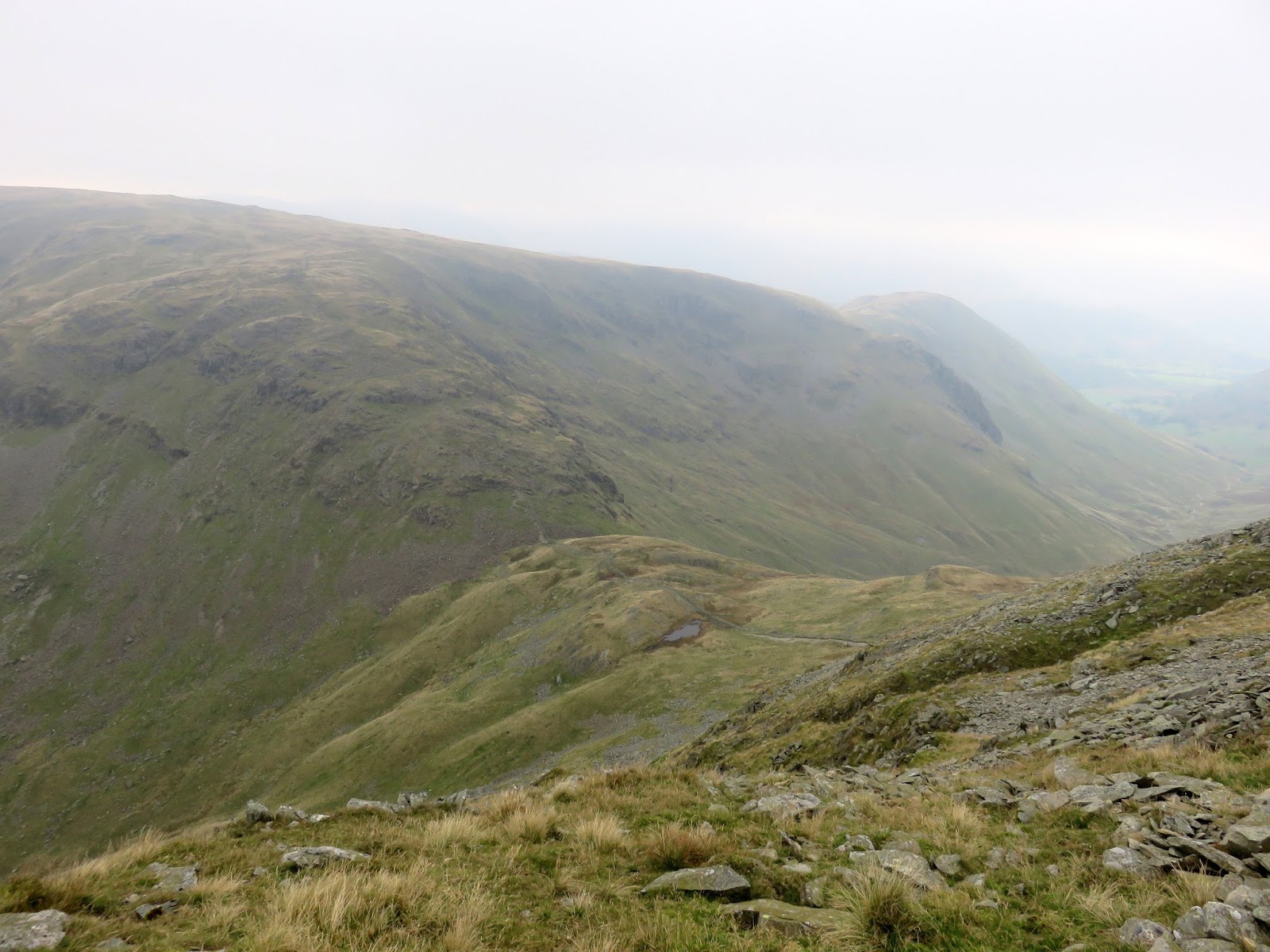
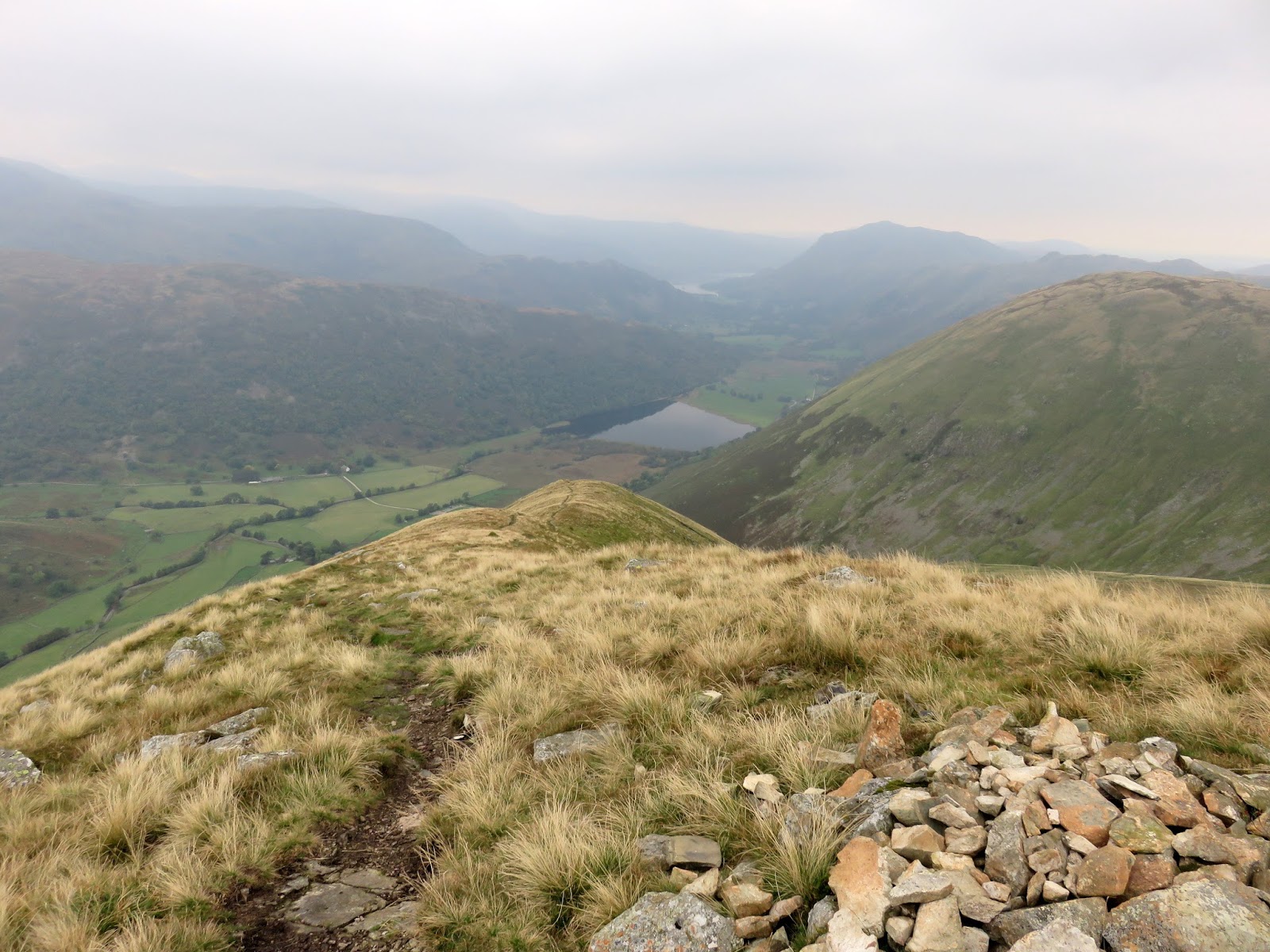
We went our separate ways at this point with a couple heading towards Hartsop Dodd, leaving me to have a look at Rough Edge, a steep ridge that falls parallel the Kirkstone Pass. It’s not somewhere I’ve been before so I was keen to check it out.
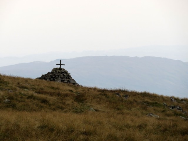 |
| Mark Atkinson’s Memorial |
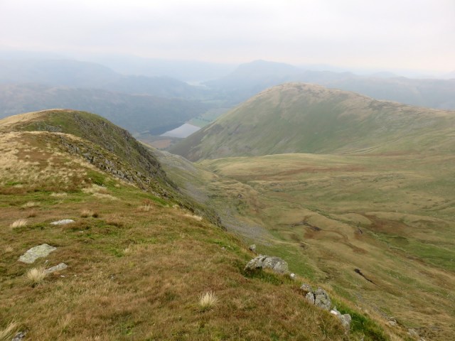 |
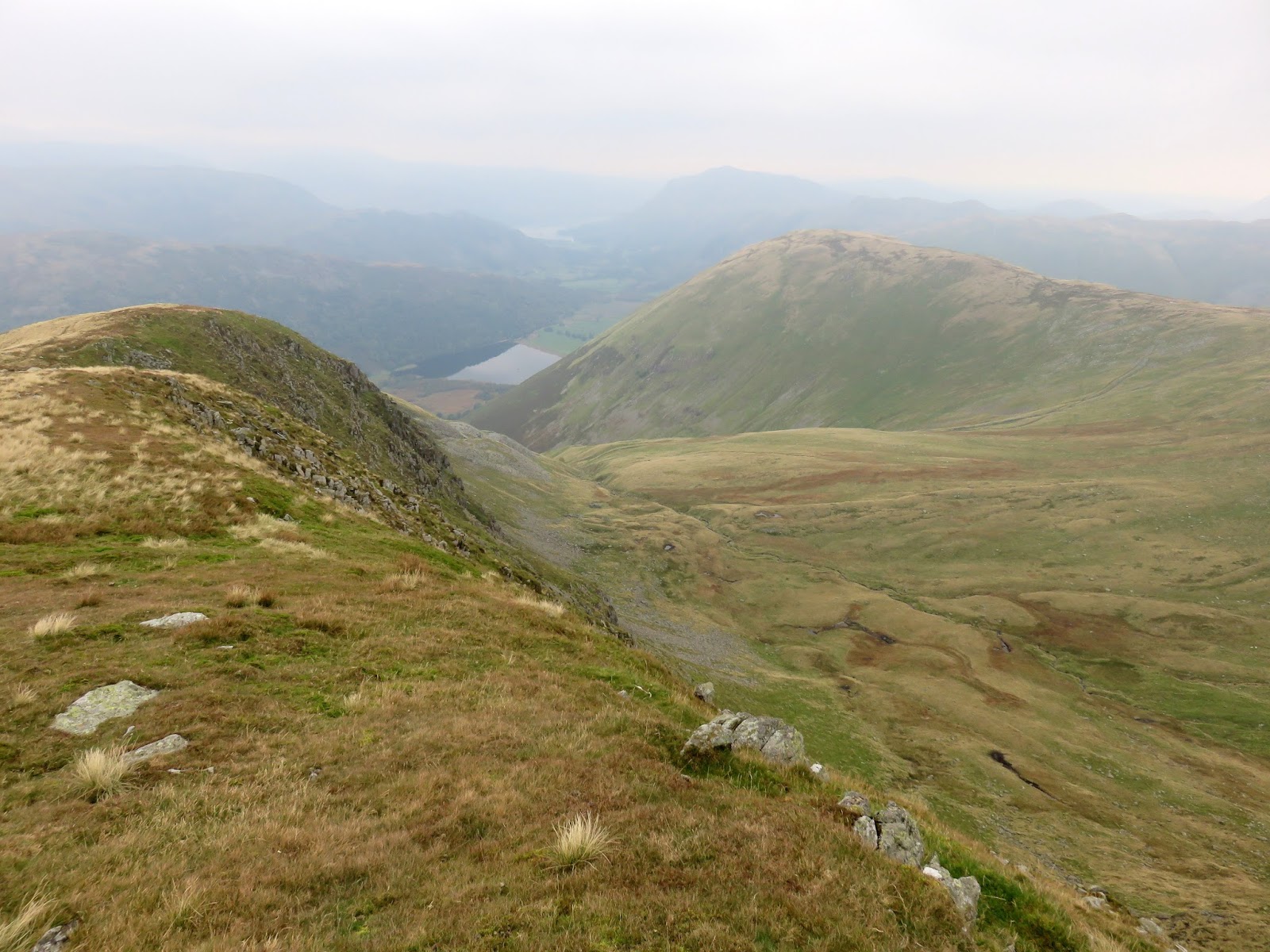
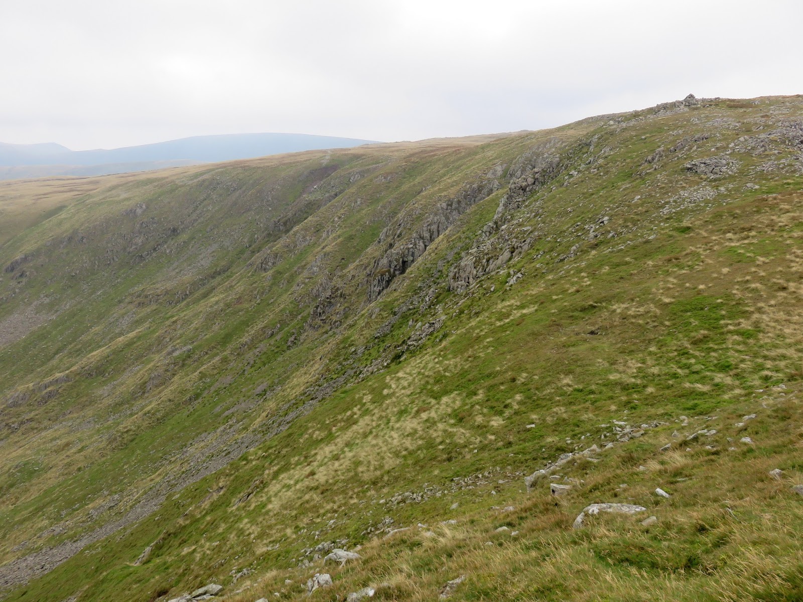
| Looking down Rough Edge |
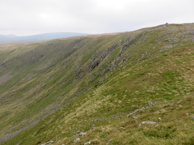 |
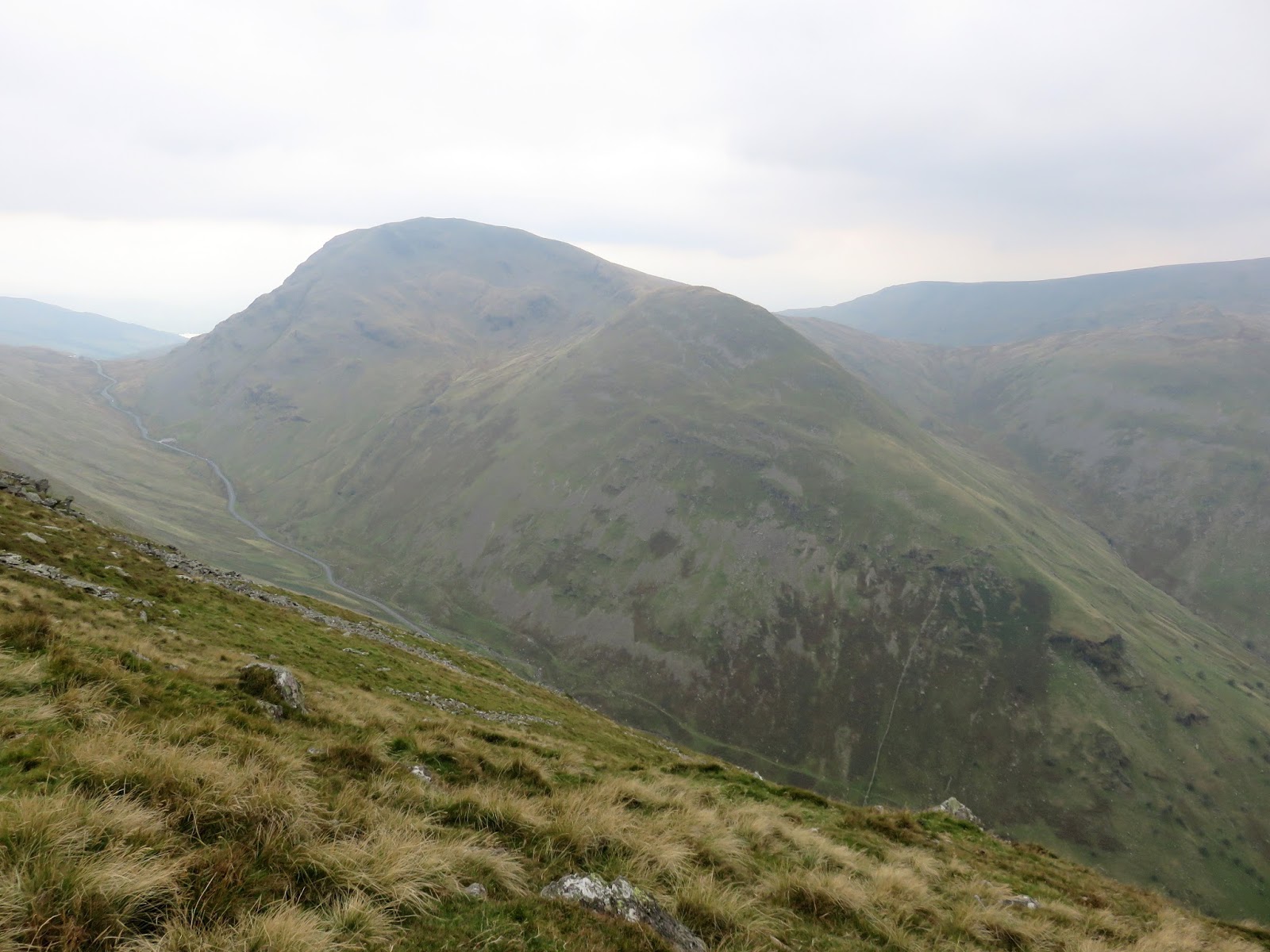
| Caudale Head |
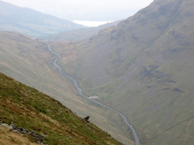 |
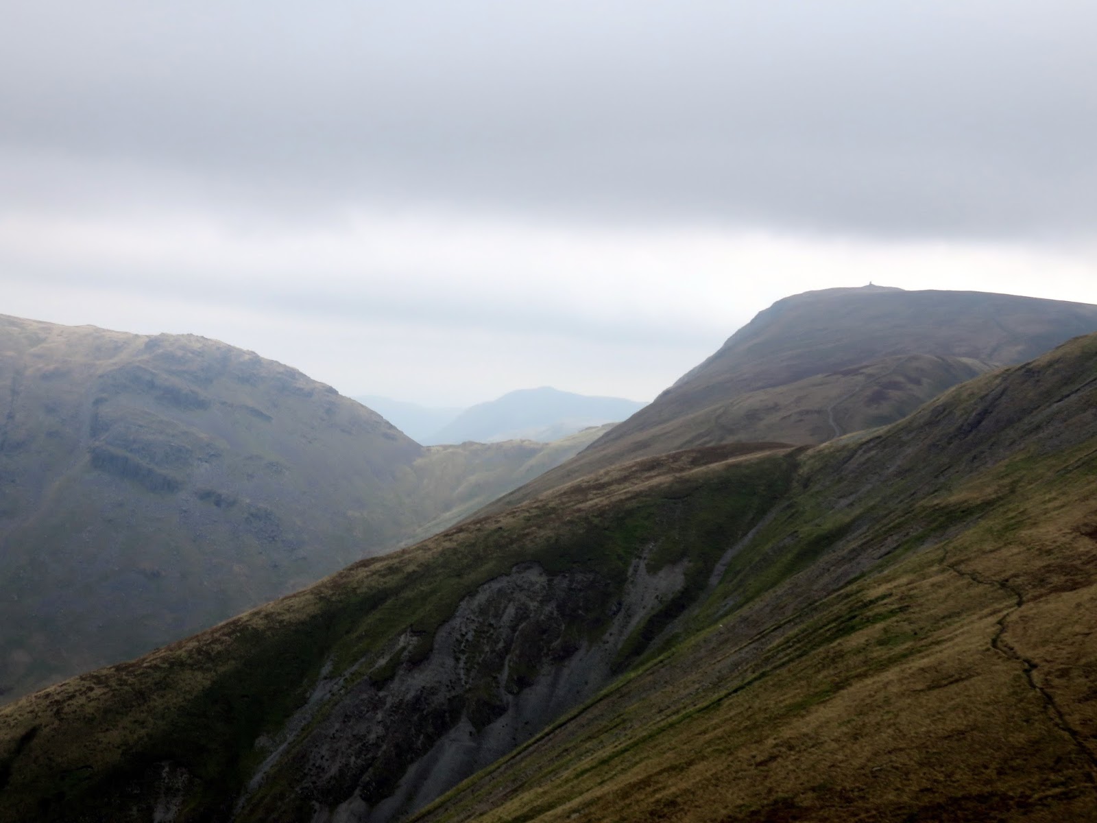
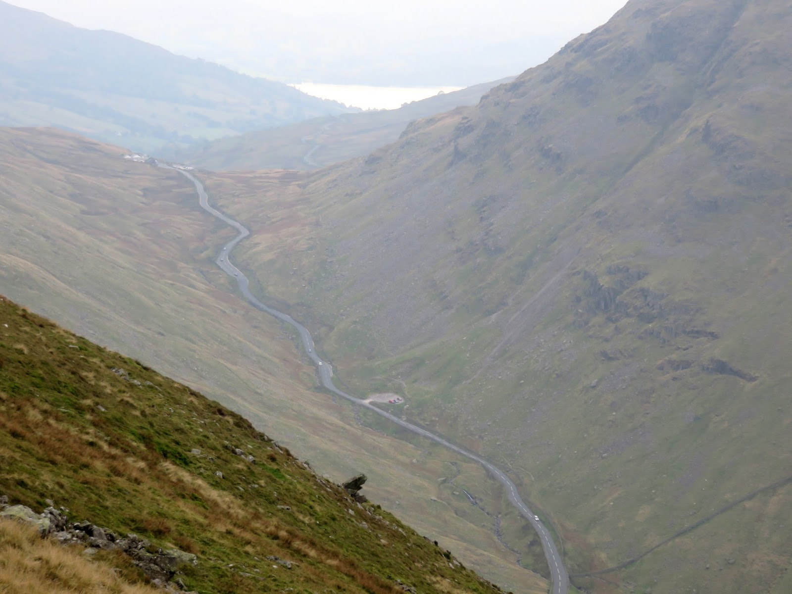
| The Kirkstone Pass |
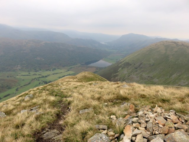 |
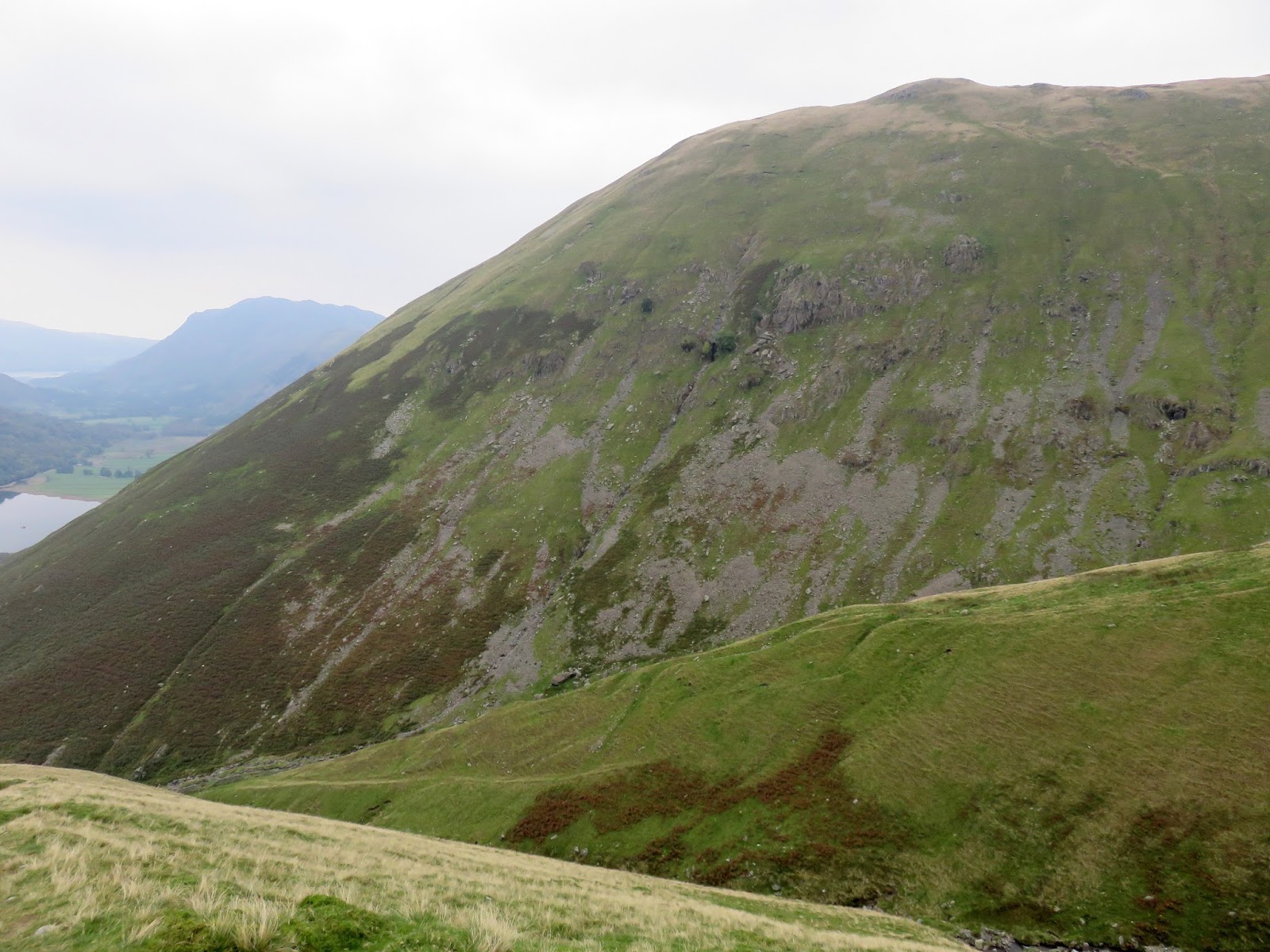
| Rough Edge looking to Patterdale |
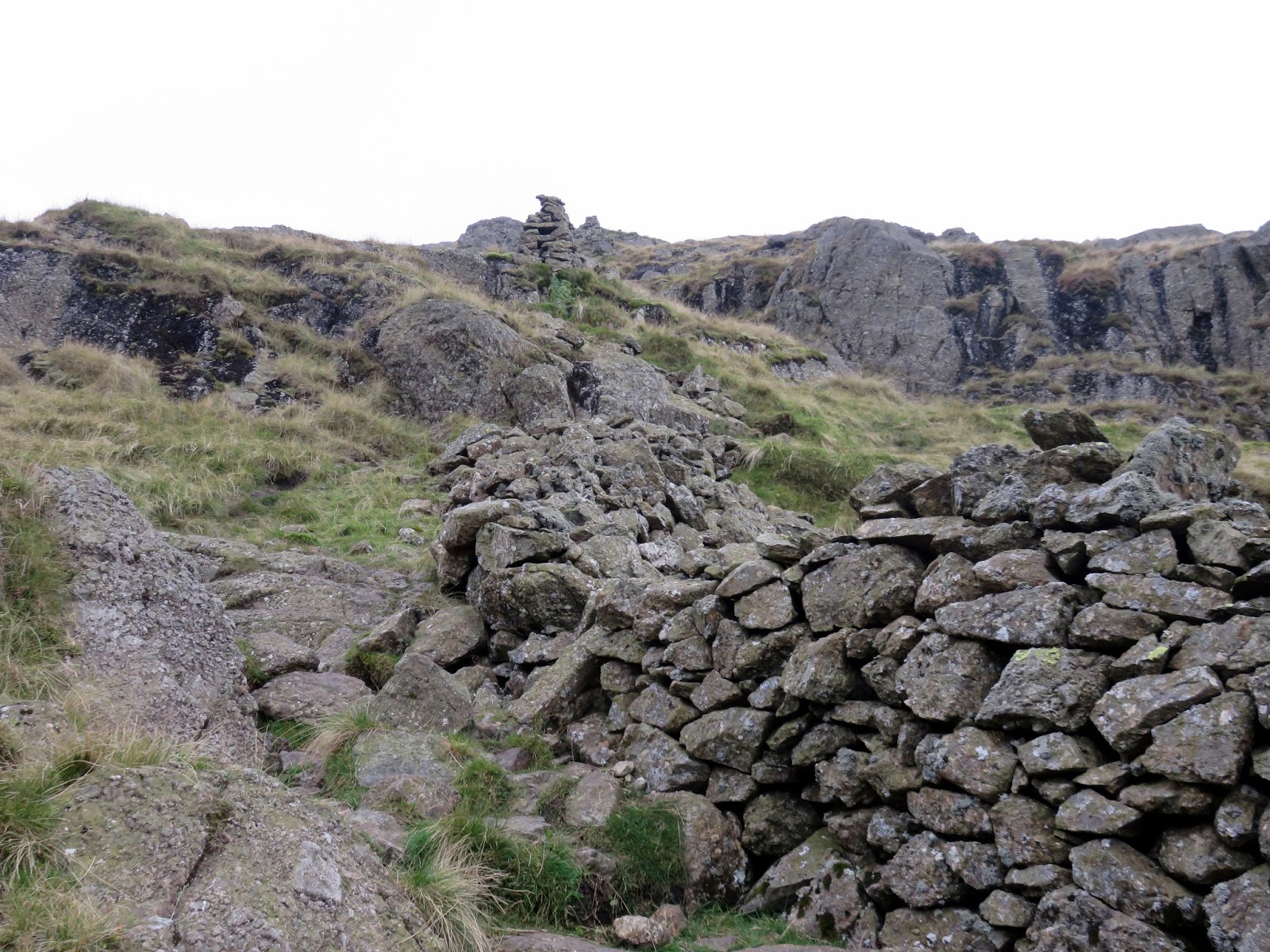
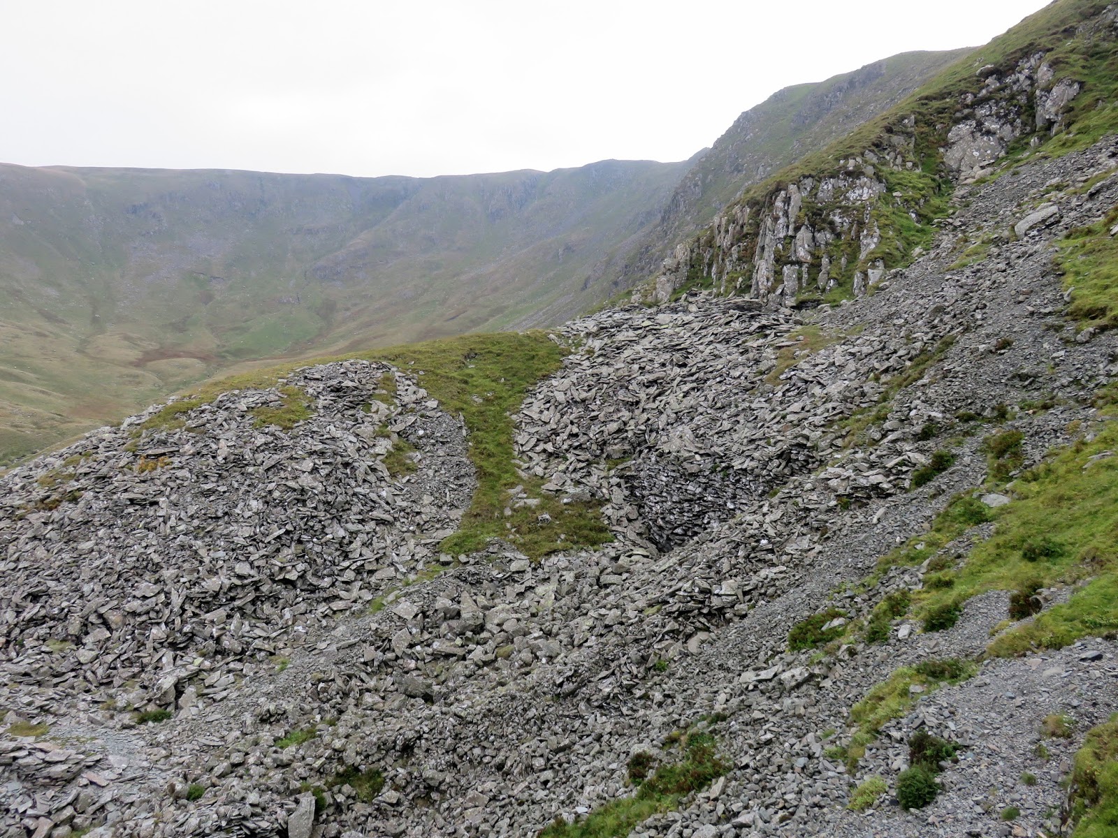
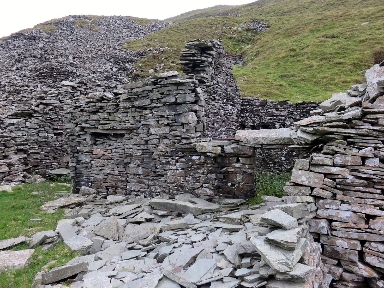
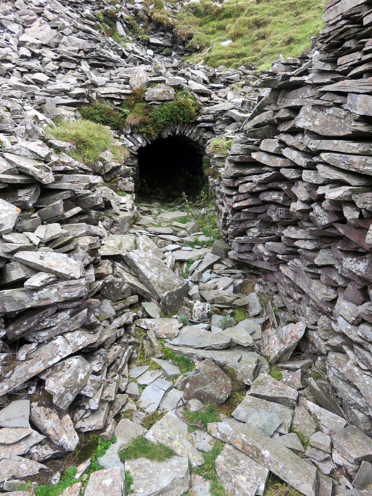
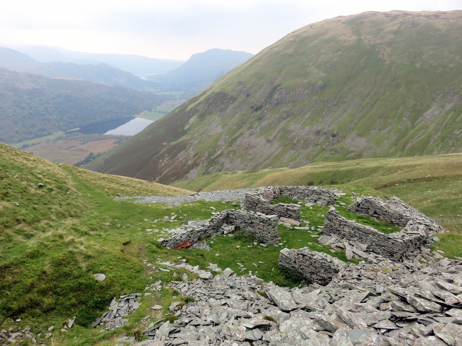
Nestled high on the slopes of Rough Edge are the remains of the Caudale Quarry, once a source of green slate used for roofing tiles. Last worked in the 1930s, the ruined huts and collapsed levels are a sad reminder of a time long past and unlikely ever to return to Lakeland. The old sled run that used to ferry slate down to the valley below would serve its purpose once again, ferrying me rather than stone this time.
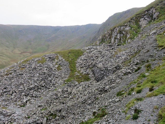 |
| Caudale Quarry |
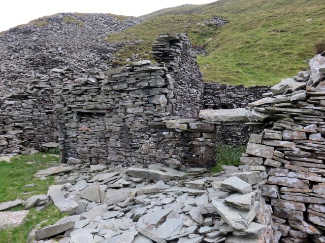 |
| Abandoned building in Caudale Quarry |
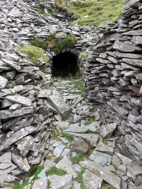 |
| An ominous looking entrance |
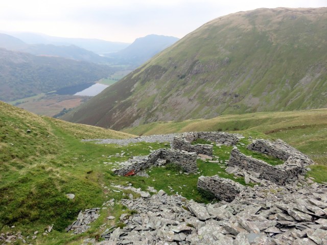 |
| Caudale Quarry |
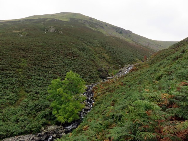 |
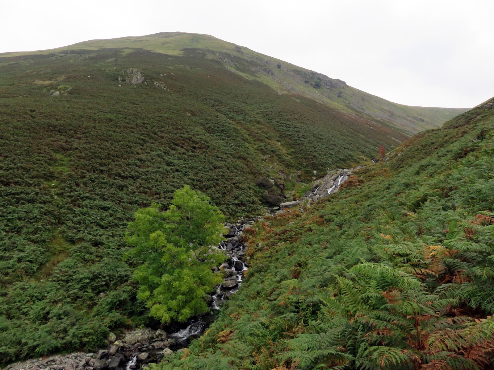
| Hayeswater Gill draining the reservoir of the same name |
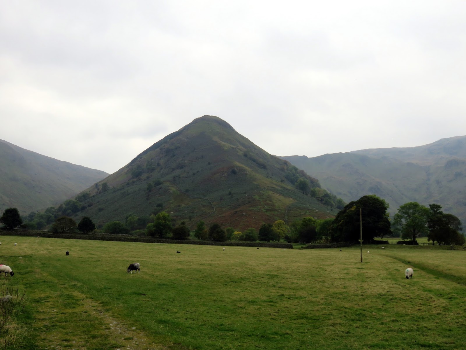
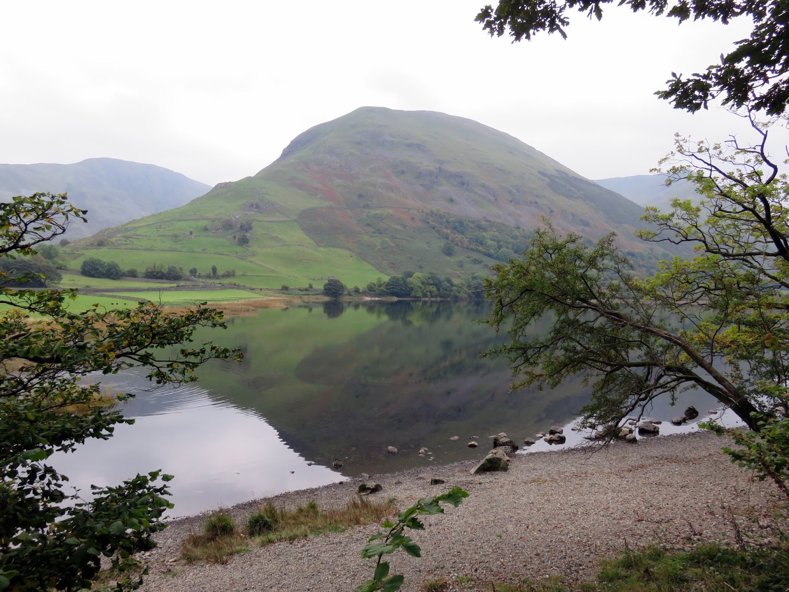
A mile-long stroll alongside Brother’s Water completed the walk with plenty of time to swap war stories in a cafe in Ambleside late in the afternoon – the perfect end to another great day of walking in the Lake District.
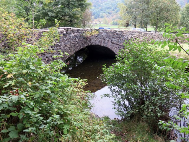 |
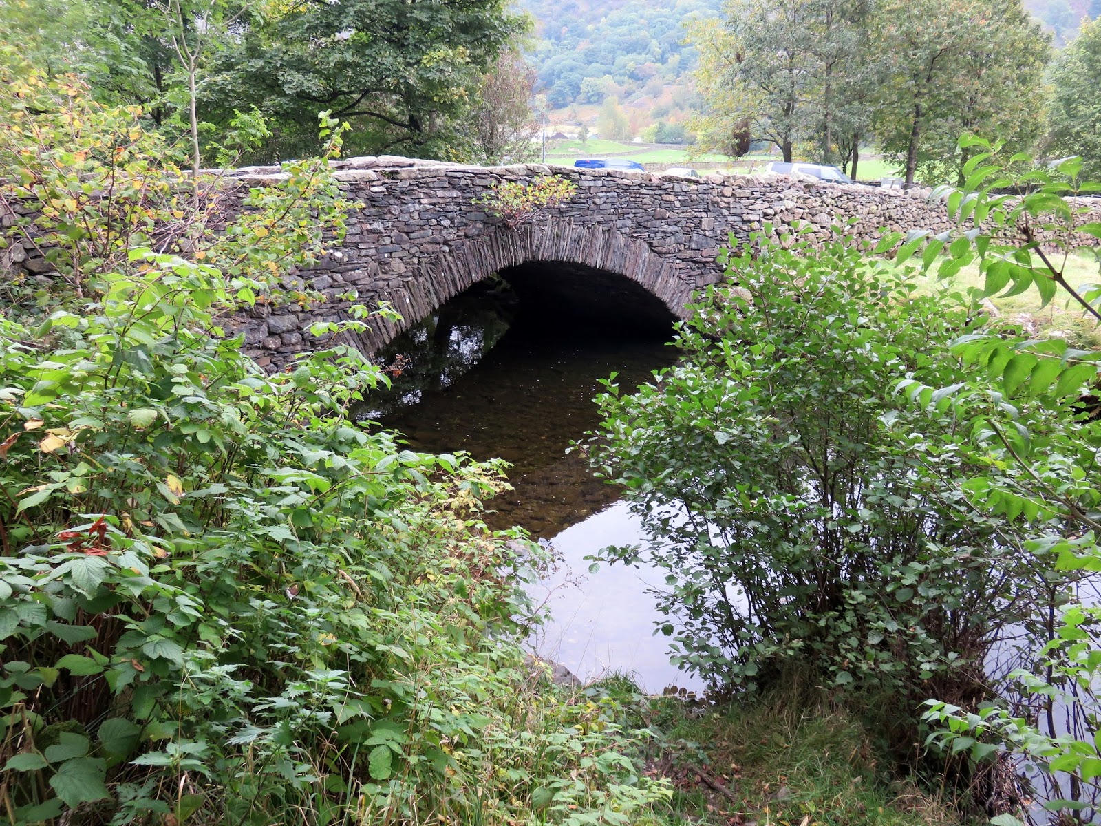
| Cow Bridge |

 All the Gear, No Idea

