Open Space Web-Map builder Codehttps://openspace.ordnancesurvey.co.uk/osmapapi/openspace.js?key=3119F72552FD5C22E0530C6CA40A5A92https://openspace.ordnancesurvey.co.uk/osmapapi/script/mapbuilder/basicmap.jshttps://openspace.ordnancesurvey.co.uk/osmapapi/script/mapbuilder/searchbox.js//variables for routes var linesLayer, points, lineFeature, lineString, routeMarkersLayer, routepos, routesize, routeoffset, routeicon; var style_blue = {strokeColor: “#0000CD”, strokeOpacity: 0.5, strokeWidth: 4.5}; function initmapbuilder() { //initiate the map var options = {resolutions: [2500, 1000, 500, 200, 100, 50, 25, 10, 5, 4, 2.5, 2, 1]}; osMap = new OpenSpace.Map(‘map’, options); //configure map options (basicmap.js) setglobaloptions(); //set the center of the map and the zoom level osMap.setCenter(new OpenSpace.MapPoint(332963.00667938,501016.95638253),7); linesLayer = osMap.getVectorLayer(); // Set up layer for route markers routeMarkersLayer = new OpenLayers.Layer.Markers(“Route Markers”); //make a route points = new Array(); points.push(new OpenLayers.Geometry.Point(332146.67332062,499921.67333969)); points.push(new OpenLayers.Geometry.Point(332211.67332062,499861.67333969)); points.push(new OpenLayers.Geometry.Point(332266.67332062,499856.67333969)); points.push(new OpenLayers.Geometry.Point(332316.67332062,499921.67333969)); points.push(new OpenLayers.Geometry.Point(332426.67332062,499926.67333969)); points.push(new OpenLayers.Geometry.Point(332506.67332062,499961.67333969)); points.push(new OpenLayers.Geometry.Point(332611.67332062,499916.67333969)); points.push(new OpenLayers.Geometry.Point(332691.67332062,499866.67333969)); points.push(new OpenLayers.Geometry.Point(332666.67332062,499756.67333969)); points.push(new OpenLayers.Geometry.Point(332691.67332062,499661.67333969)); points.push(new OpenLayers.Geometry.Point(332876.67332062,499626.67333969)); points.push(new OpenLayers.Geometry.Point(332991.67332062,499681.67333969)); points.push(new OpenLayers.Geometry.Point(333071.67332062,499796.67333969)); points.push(new OpenLayers.Geometry.Point(333226.67332062,499861.67333969)); points.push(new OpenLayers.Geometry.Point(333336.67332062,499961.67333969)); points.push(new OpenLayers.Geometry.Point(333431.67332062,500081.67333969)); points.push(new OpenLayers.Geometry.Point(333486.67332062,500141.67333969)); points.push(new OpenLayers.Geometry.Point(333626.67332062,500201.67333969)); points.push(new OpenLayers.Geometry.Point(333711.67332062,500246.67333969)); points.push(new OpenLayers.Geometry.Point(333771.67332062,500446.67333969)); points.push(new OpenLayers.Geometry.Point(333751.67332062,500506.67333969)); points.push(new OpenLayers.Geometry.Point(333951.67332062,500741.67333969)); points.push(new OpenLayers.Geometry.Point(333831.67332062,501031.67333969)); points.push(new OpenLayers.Geometry.Point(333736.67332062,501131.67333969)); points.push(new OpenLayers.Geometry.Point(333866.67332062,501376.67333969)); points.push(new OpenLayers.Geometry.Point(334031.67332062,501601.67333969)); points.push(new OpenLayers.Geometry.Point(333916.67332062,501601.67333969)); points.push(new OpenLayers.Geometry.Point(333736.67332062,501601.67333969)); points.push(new OpenLayers.Geometry.Point(333559.67332062,501711.67333969)); points.push(new OpenLayers.Geometry.Point(333410.67332062,501841.17333969)); points.push(new OpenLayers.Geometry.Point(333341.67332062,502066.67333969)); points.push(new OpenLayers.Geometry.Point(333341.67332062,502071.67333969)); points.push(new OpenLayers.Geometry.Point(333221.67332062,502301.67333969)); points.push(new OpenLayers.Geometry.Point(333055.17332062,502388.17333969)); points.push(new OpenLayers.Geometry.Point(332976.67332062,502266.67333969)); points.push(new OpenLayers.Geometry.Point(332911.67332062,502111.67333969)); points.push(new OpenLayers.Geometry.Point(332736.67332062,501641.67333969)); points.push(new OpenLayers.Geometry.Point(332631.67332062,501391.67333969)); points.push(new OpenLayers.Geometry.Point(332511.67332062,501136.67333969)); points.push(new OpenLayers.Geometry.Point(332336.67332062,500876.67333969)); points.push(new OpenLayers.Geometry.Point(332471.67332062,500916.67333969)); points.push(new OpenLayers.Geometry.Point(332451.67332062,500811.67333969)); points.push(new OpenLayers.Geometry.Point(332356.67332062,500646.67333969)); points.push(new OpenLayers.Geometry.Point(332291.67332062,500456.67333969)); points.push(new OpenLayers.Geometry.Point(332231.67332062,500216.67333969)); points.push(new OpenLayers.Geometry.Point(332216.67332062,499926.67333969)); points.push(new OpenLayers.Geometry.Point(332146.67332062,499921.67333969)); // create a polyline feature from the array of points lineString = new OpenLayers.Geometry.LineString(points); lineFeature = new OpenLayers.Feature.Vector(lineString, null, style_blue); linesLayer.addFeatures([lineFeature]); //crate a route start/end marker routepos = new OpenSpace.MapPoint(332146.67332062,499921.67333969); routesize = new OpenLayers.Size(33,45); routeoffset = new OpenLayers.Pixel(-5,-37); routeicon = new OpenSpace.Icon(‘https://openspace.ordnancesurvey.co.uk/osmapapi/img_versions/img_1.1/mapbuilder/routemarker-startend.png’, routesize, routeoffset, null, null); routeMarkersLayer.addMarker(new OpenLayers.Marker(routepos, routeicon)); osMap.addLayer(routeMarkersLayer);}
Route: Glen Mary Bridge, Tom Gill Beck, Tarn Hows, Torver Intake, Iron Keld, Black Fell, Black Crag, Low Arnside, Oxen Fell High Cross, Griddle How, Old Close, Glen Mary Bridge
Date: 06/06/2015
From: Glen Mary
Parking: Glen Mary Bridge
Start Point: Glen Mary Bridge
Region: Southern Fells
Route length: 5.4 miles (8.7 km)
Time taken: 02:11
Average speed: 2.5 mph
Ascent: 419m
Descent: 452m
Wainwrights on this walk:
Black Fell (323m)
Other Summits: None
Other points of interest: Tom Gill Beck, Tarn Hows
On account of an unseasonable forecast (70mph wind and -11C wind-chill – need I remind you that it is supposed to be June?) we had to make a last minute decision on our plans for the day. We had intended to hike around the head of Great Langdale, from the famous Pikes to the swashbuckling Pike O’Blisco but I don’t need to tell you that would have been no fun whatsoever. Instead, we had a more modest fell in mind; the diminutive Black Fell.
I’ve climbed Black Fell on a previous occasion, combining it with the equally unassuming Holme Fell to create a simple circuit of two often overlooked fells. This walk would be a bit shorter, missing out Holme Fell this time but focusing on the delightful Tarn Hows instead.
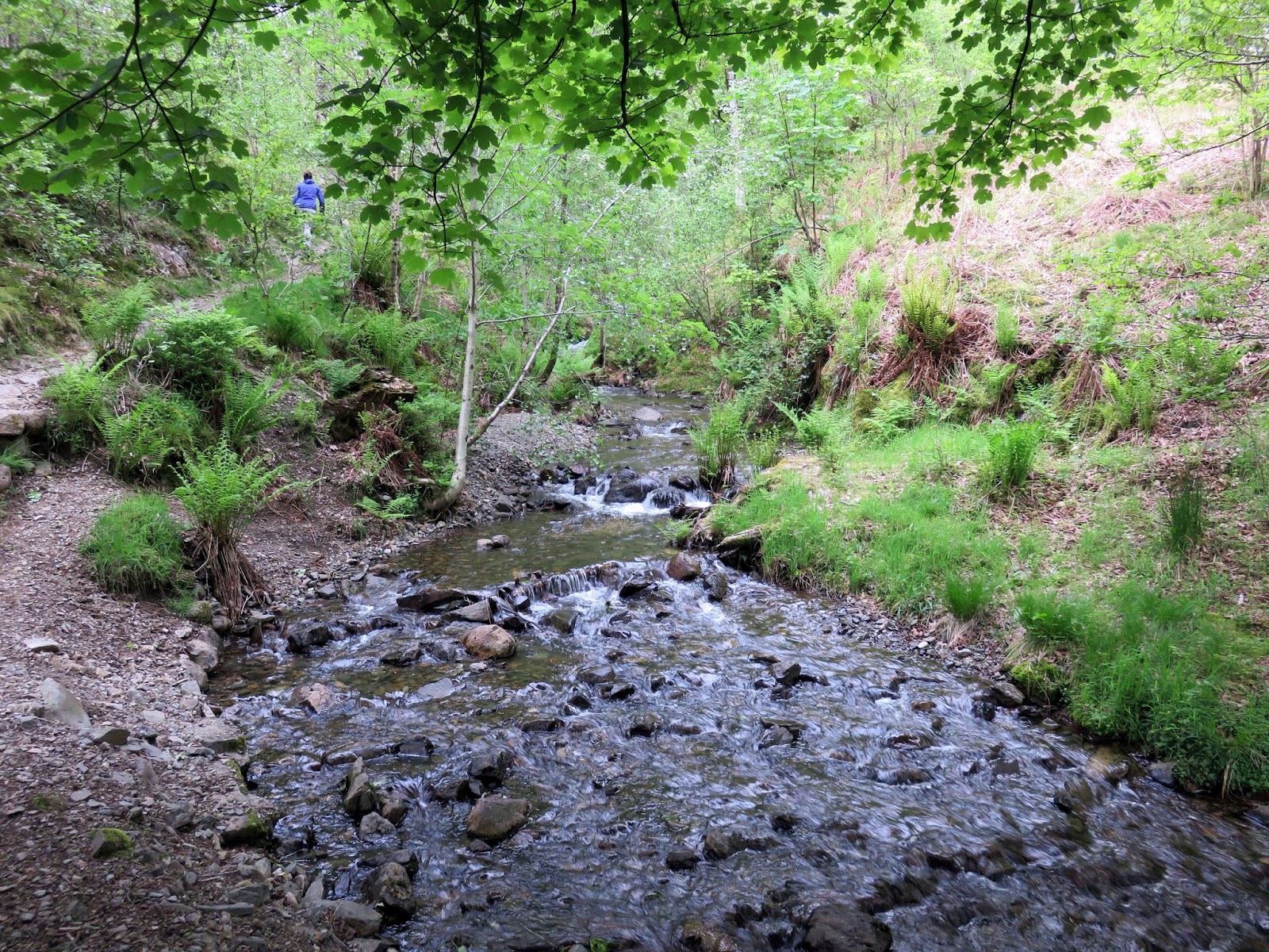
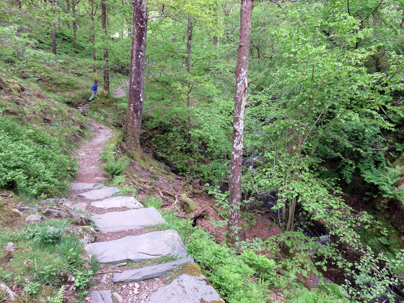
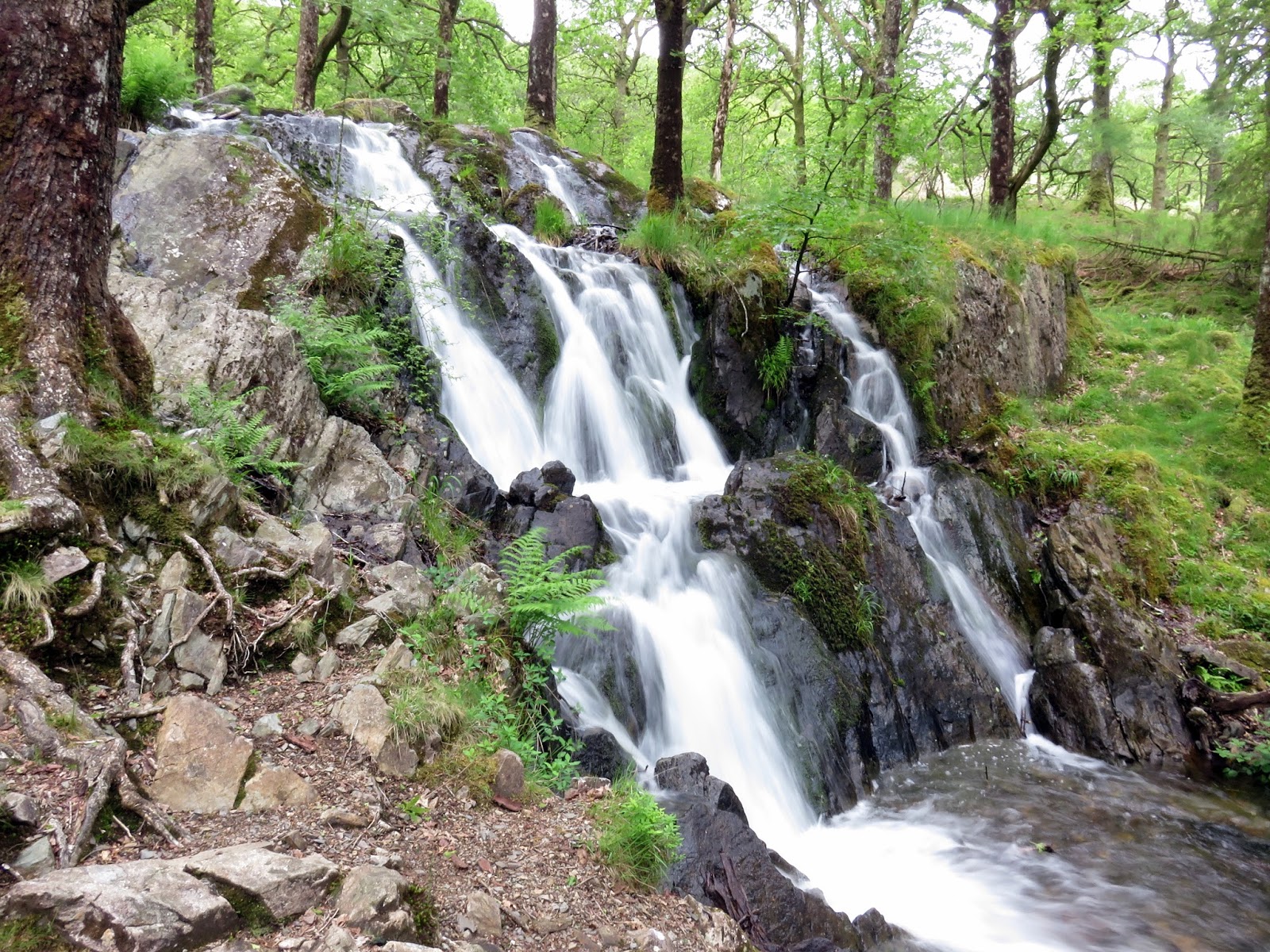
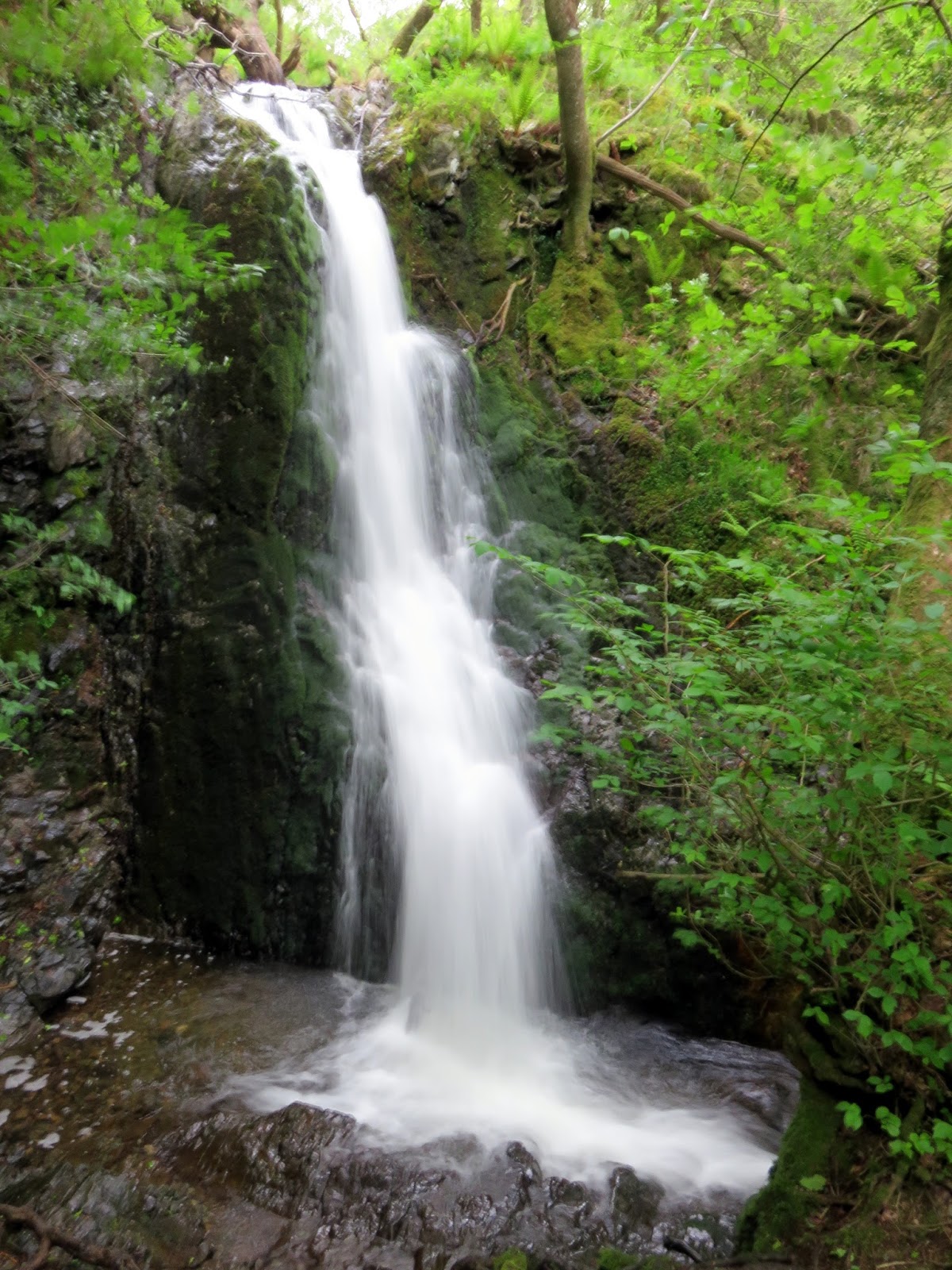
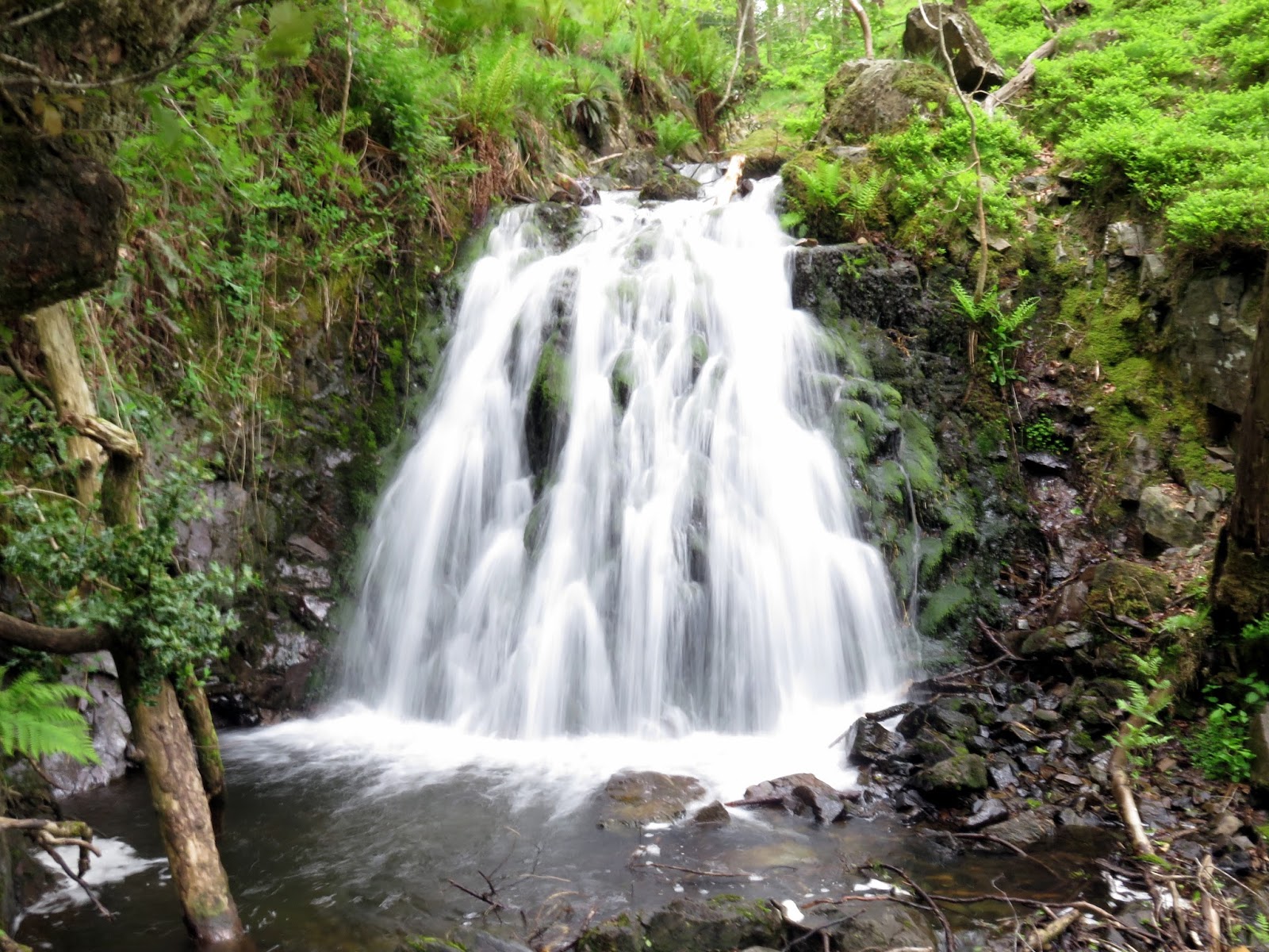
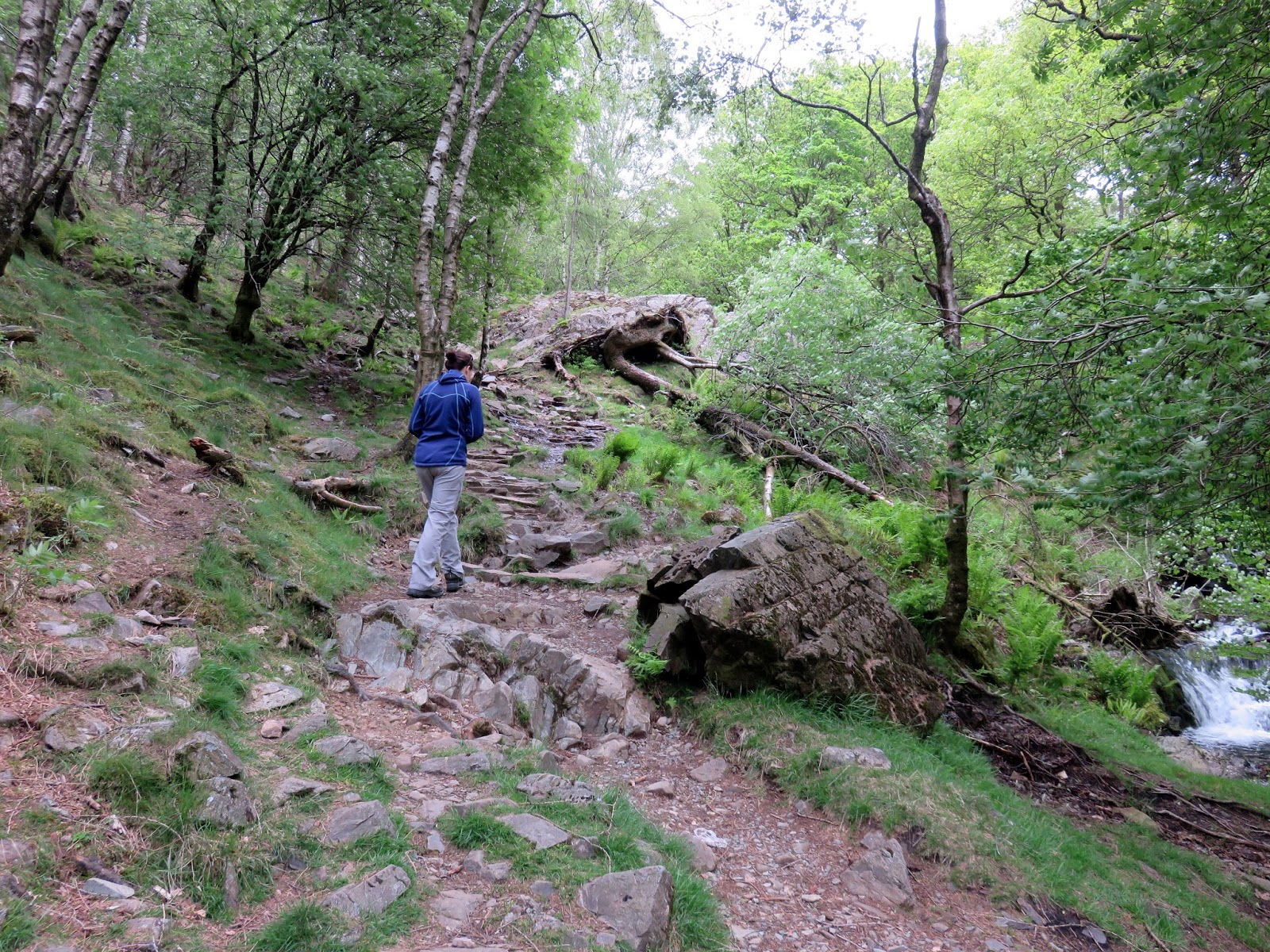
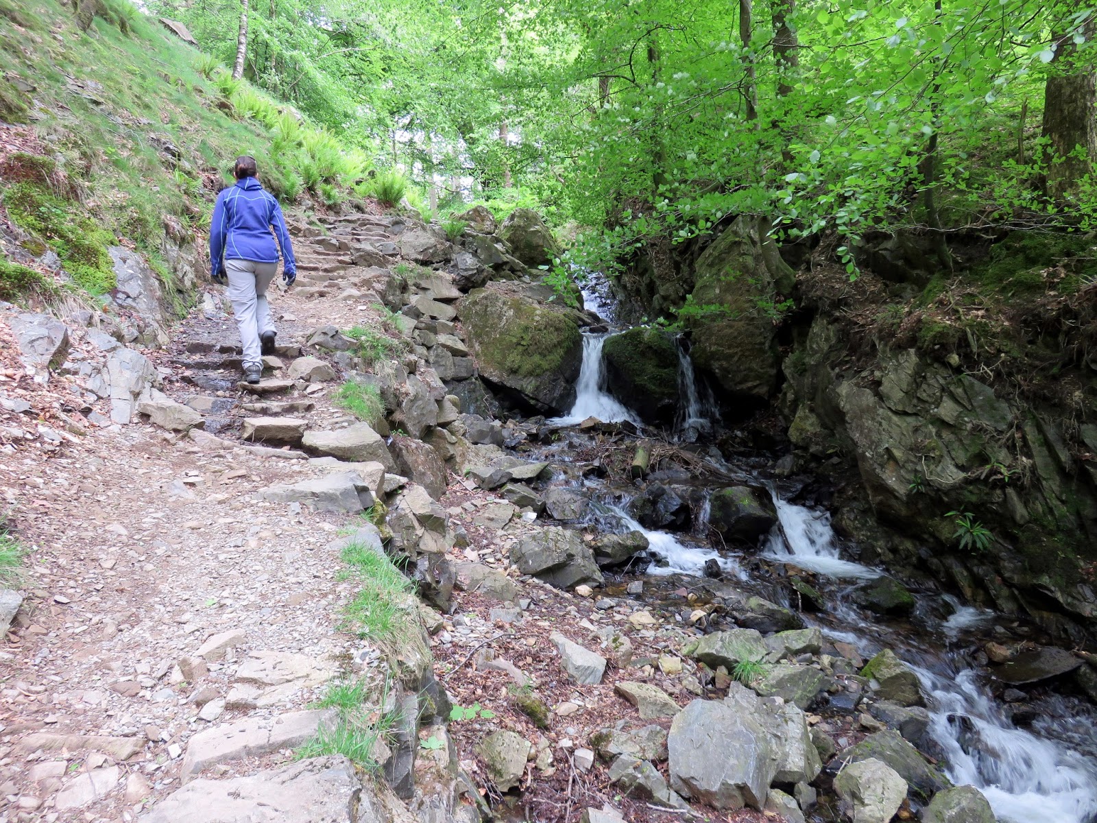
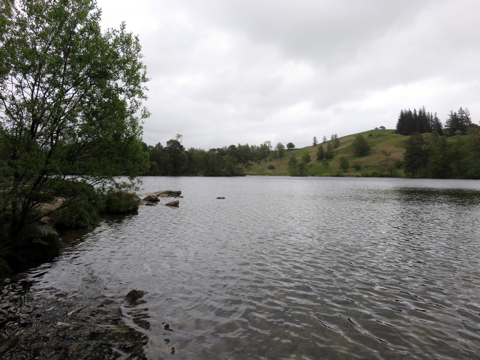
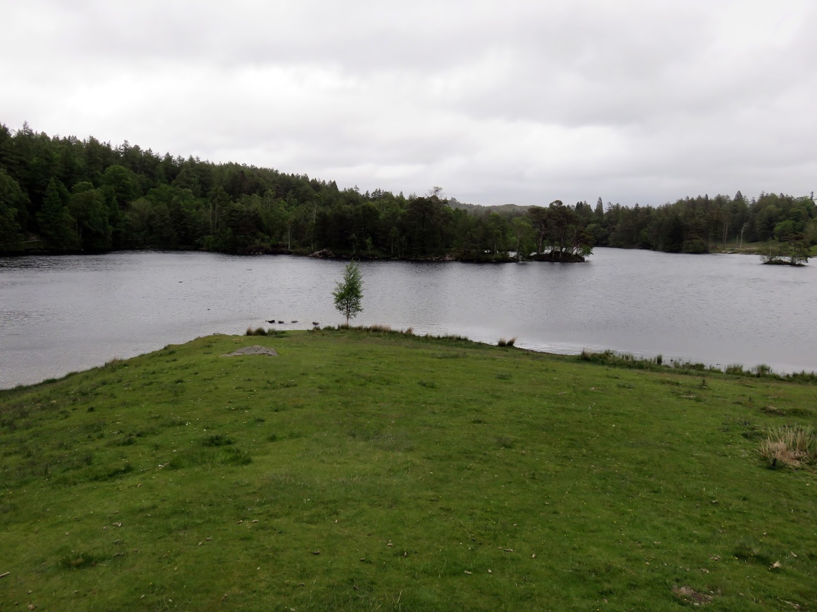
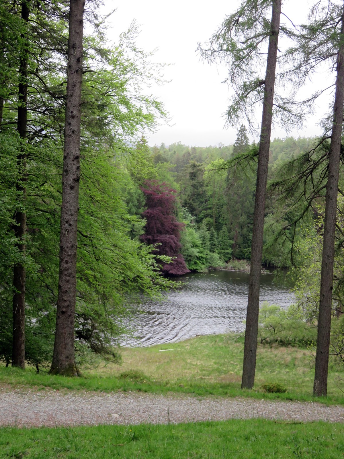
Tarn Hows is owned and looked after by the National Trust and it was their car park and Glen Mary we used as our starting point. Here, a number of paths make their way up to the tarn but the most interesting follows the tumbling waters of Tom Gill Beck, the outlet stream of Tarn Hows. As you might imagine for a popular Lakeland attraction, the path is well built and easy to follow.
 |
| Tarn Hows |
 |
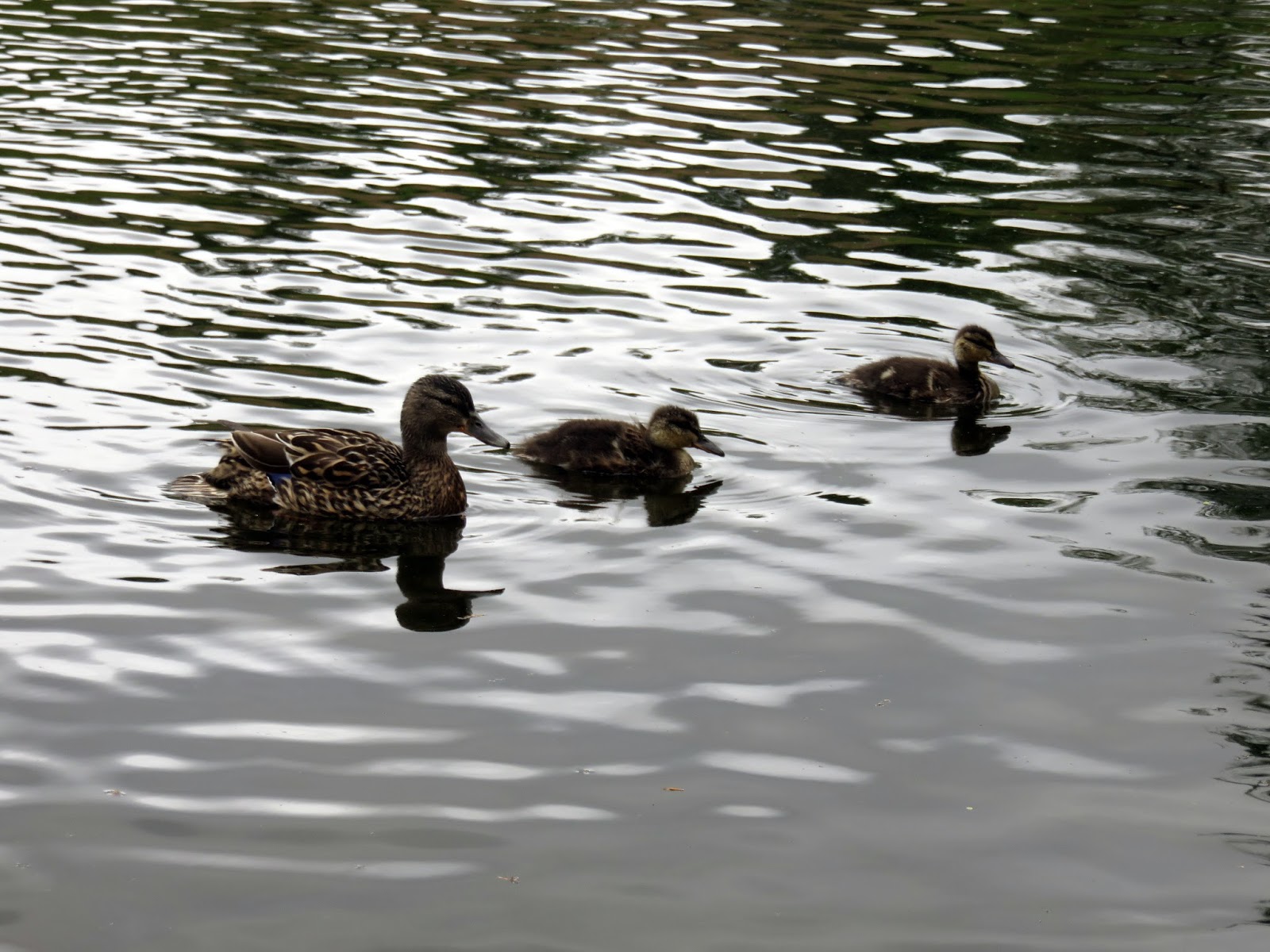
| Ducks on Tarn Hows |
The Tarn Hows area originally contained three much smaller tarns, Low Tarn, Middle Tarn and High Tarn. In 1862 James Garth Marshall, third son of the industrialist John Marshall, gained full possession of the land and embarked on a series of landscape improvements including expanding the spruce, larch and pine plantations that now form Tarn Hows.
 |
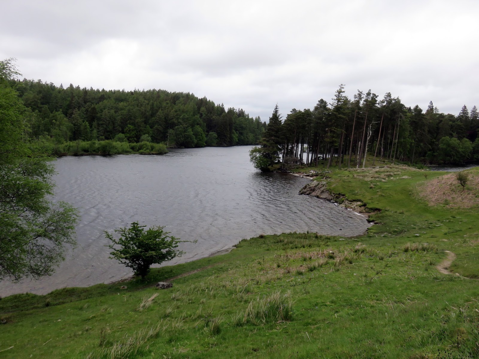
| Tarn Hows |
In 1930 the Marshall family sold 4,000 acres of their land to Beatrix Potter who subsequently sold half of this land containing the tarn to the National Trust and bequeathed the other half to them in her will. Tarn Hows was designated a Site of Special Scientific Interest in 1965.
 |
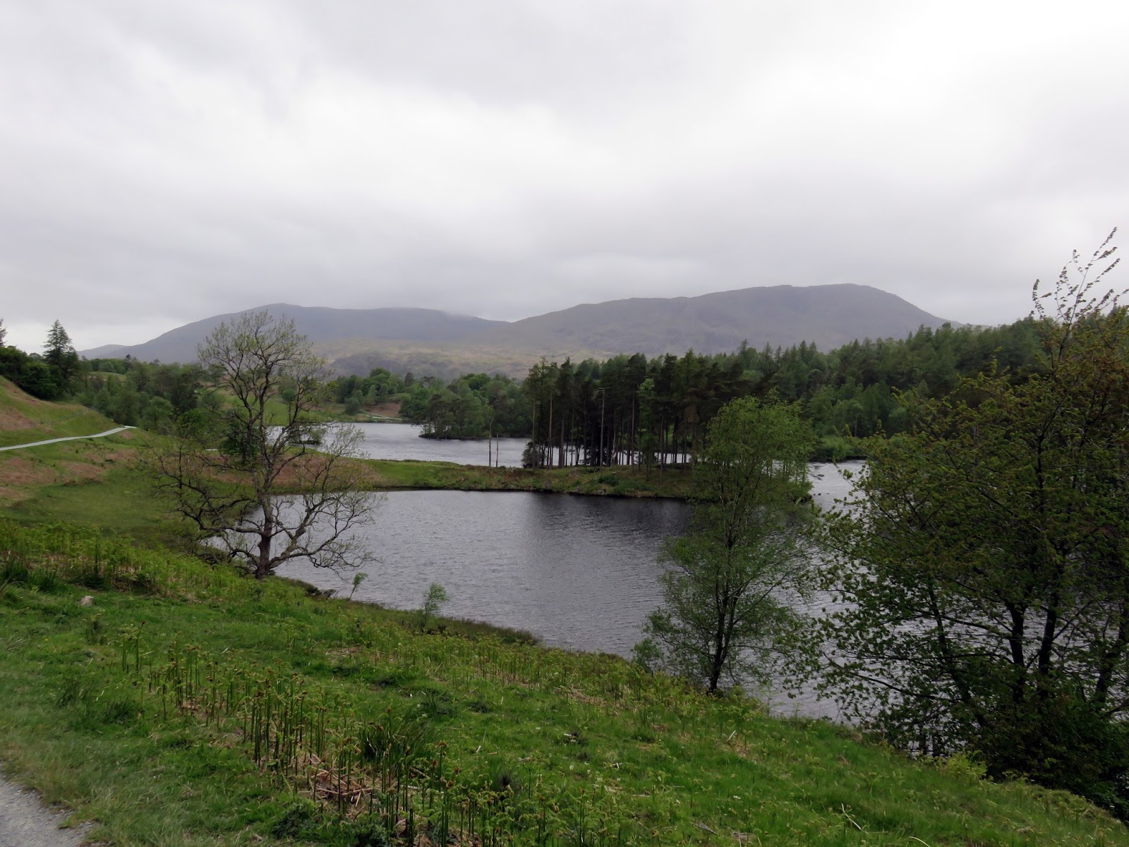
| Tarn Hows |
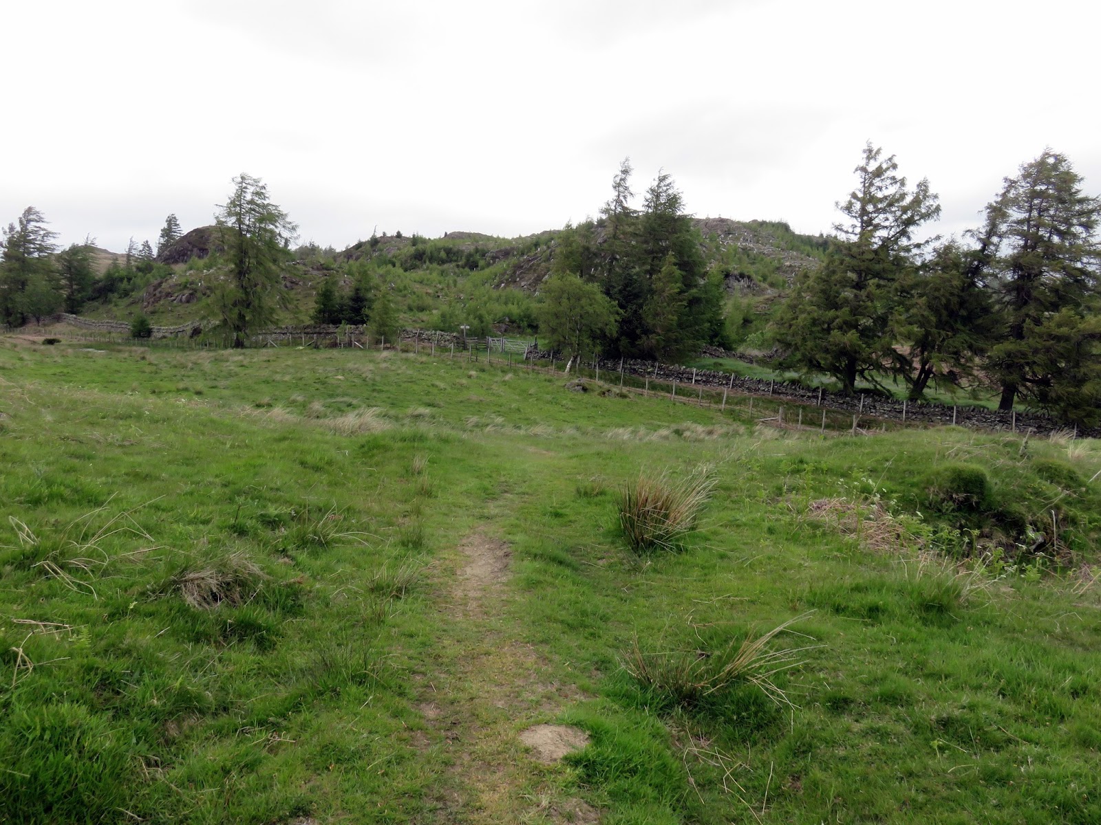
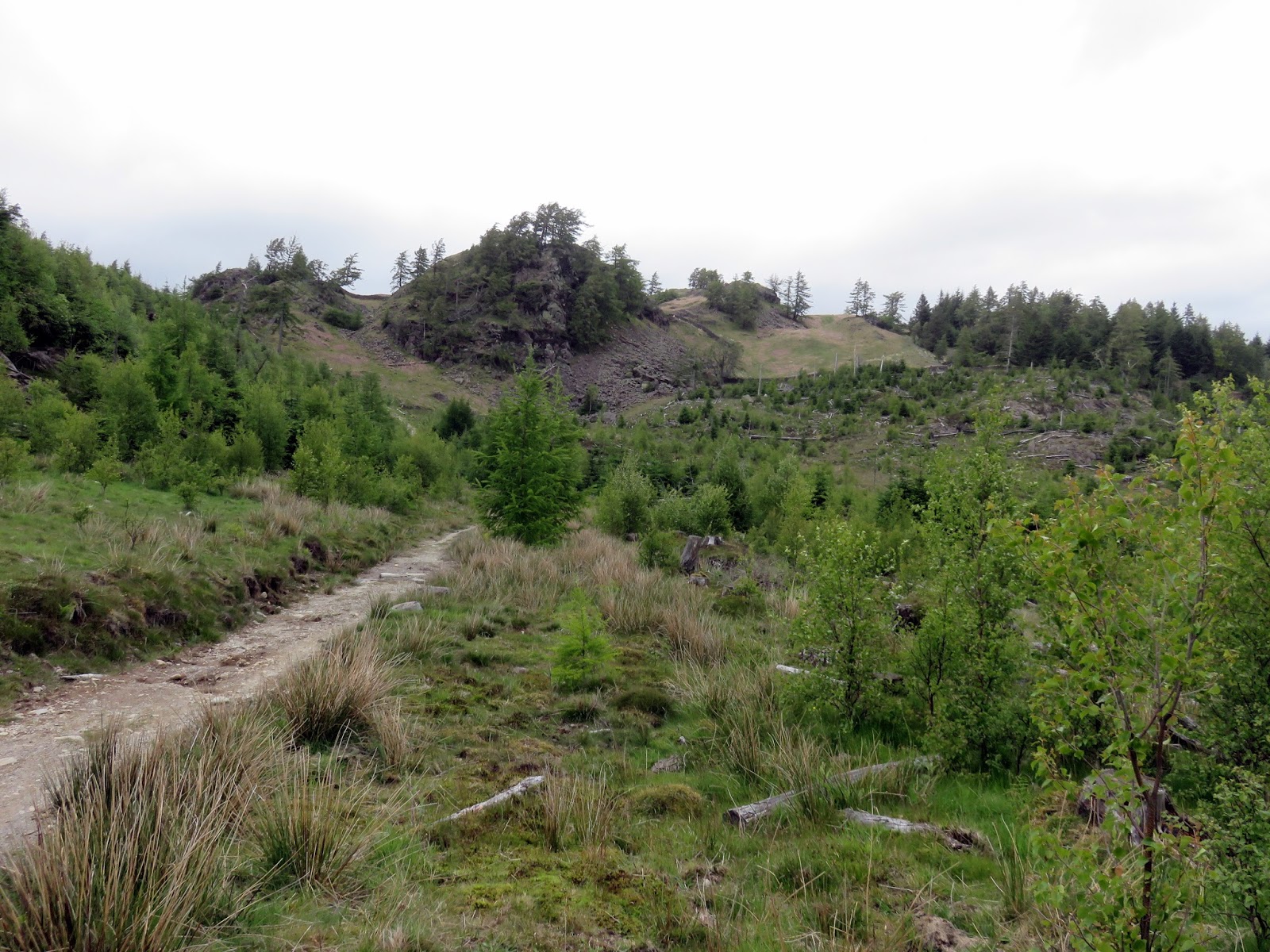
We skirted around the edge of Tarn How before reaching the plantation of Iron Keld which is (or more correctly was) a conifer plantation before it was unceremoniously chopped down but is now starting to regrow with native species.
 |
| Rose Castle Plantation |
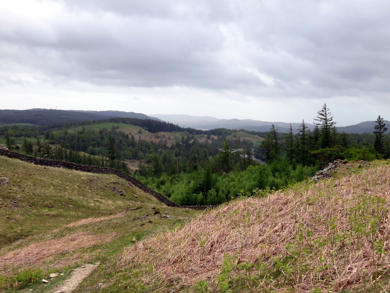
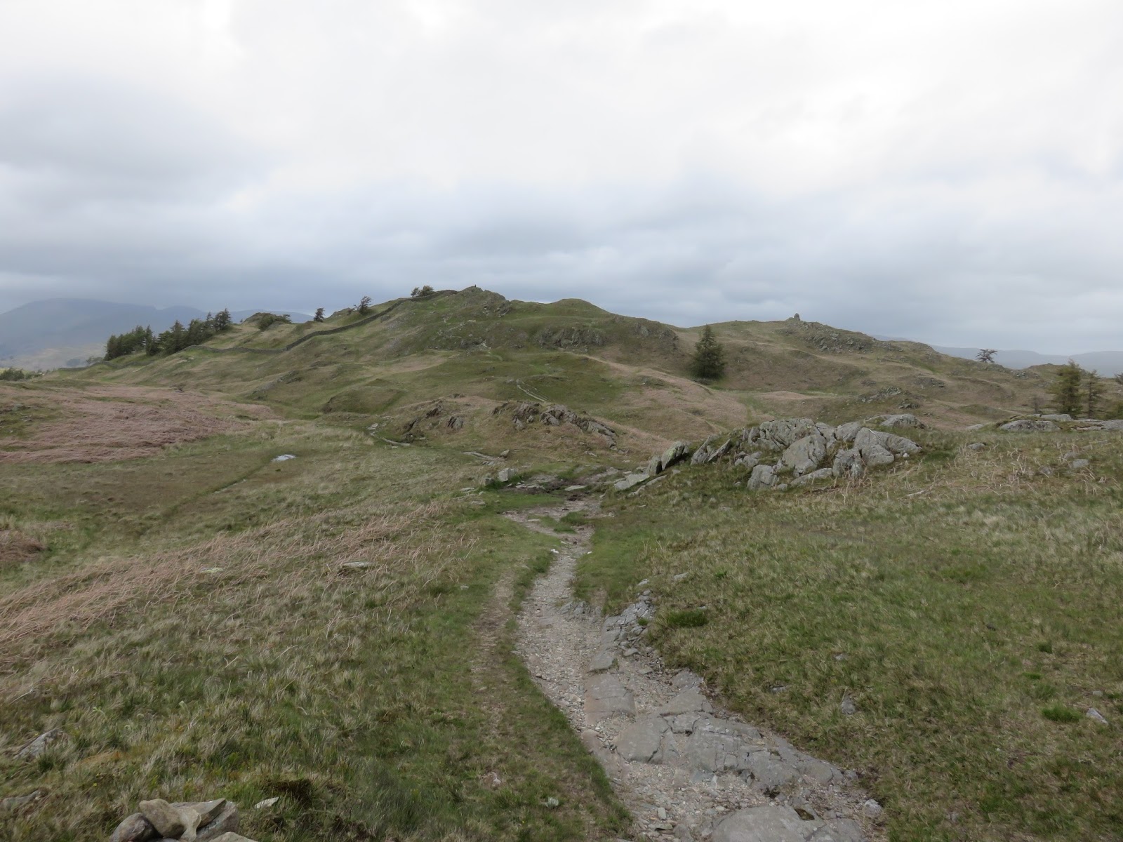
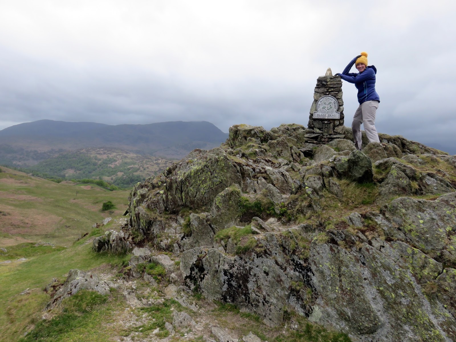
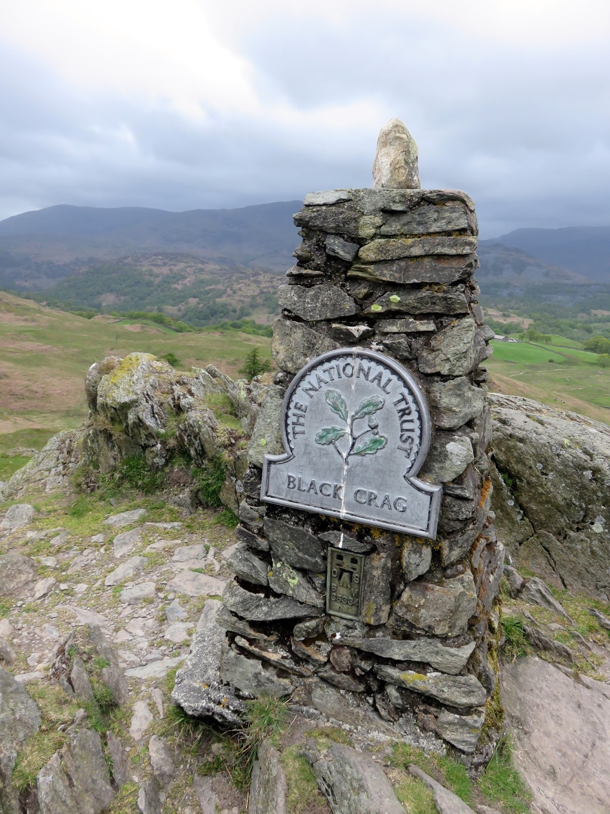
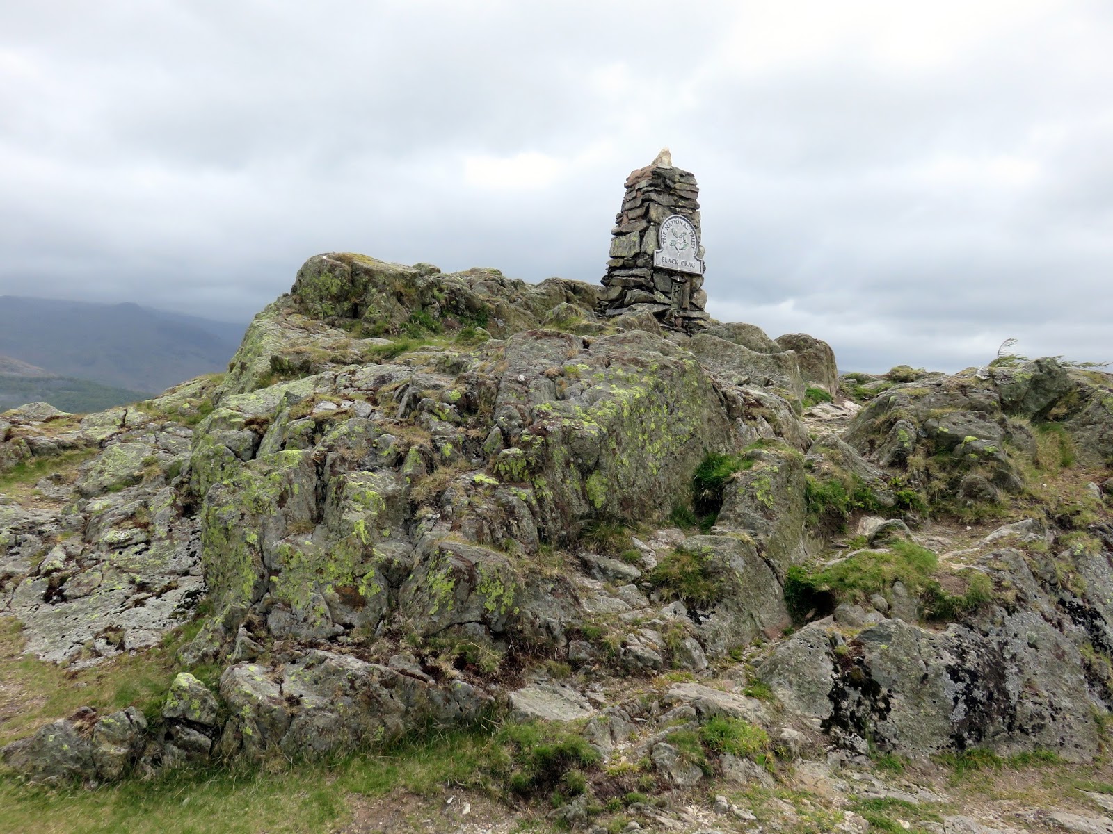
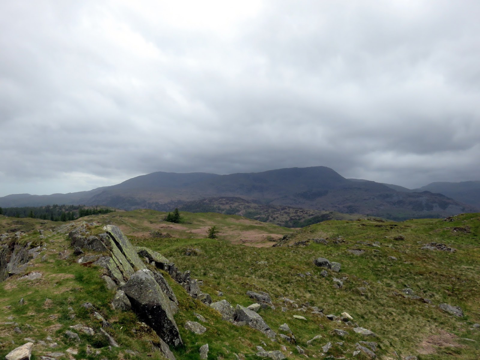
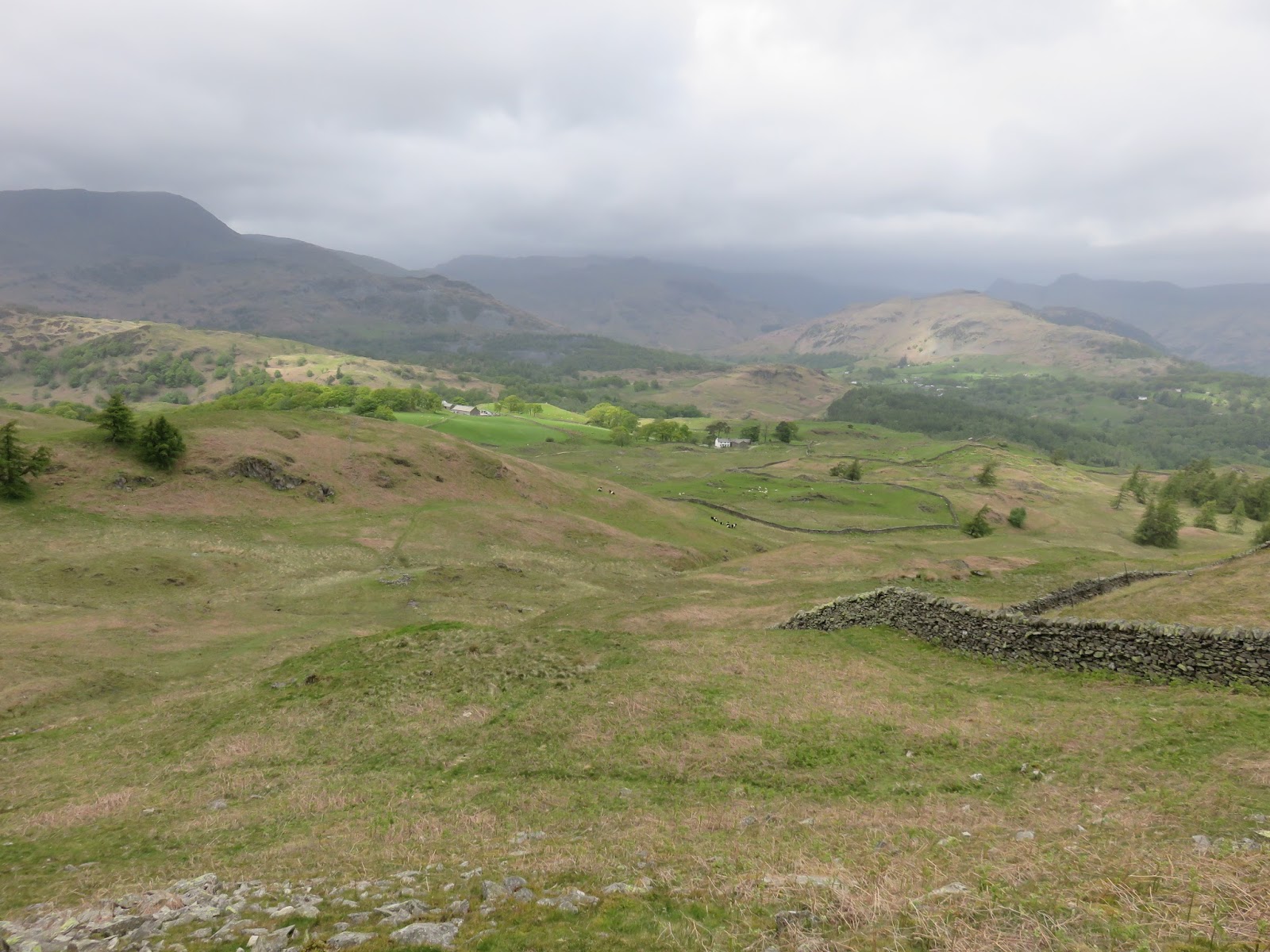
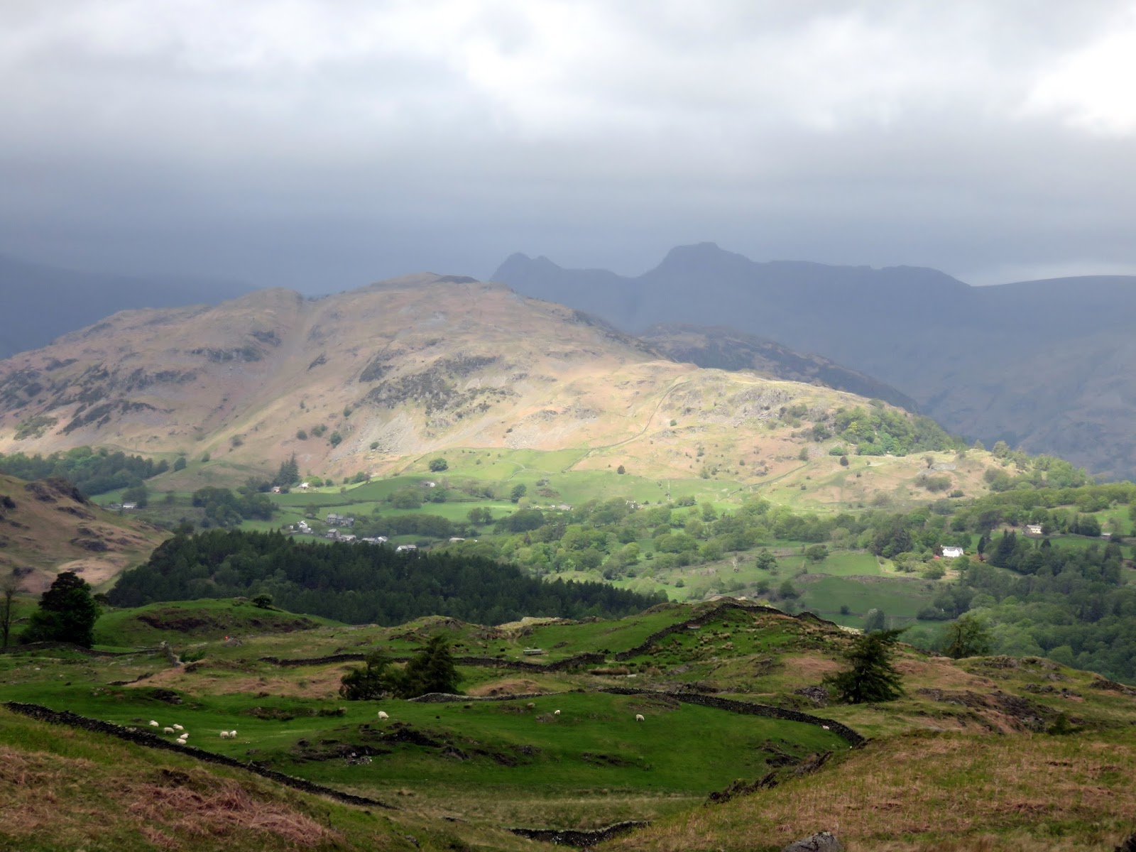
After passing through the plantation the path makes for the open fellside of Black Fell and a short easy climb reaches the summit. A trig pillar with National Trust branding marks the top whereas a notable cairn sits a number of metres to the south east. For a small fell it has some fine views with Wetherlam and Coniston Old Man drawing the attention. On a clear day Bowfell makes a dominant appearance at the head of Great Langdale. Despite its modest stature the wind was pretty fierce on top of Black Fell, enough to make standing on the summit somewhat challenging. I imagine things were much more challenging on the higher fells.
 |
| Iron Keld |
 |
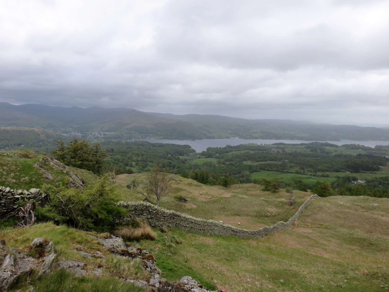
| Windermere |
 |
| Sara braves the wind on the summit |
 |
| The trig pillar on Black Fell – Black Crag is the high point of the entire fell |
 |
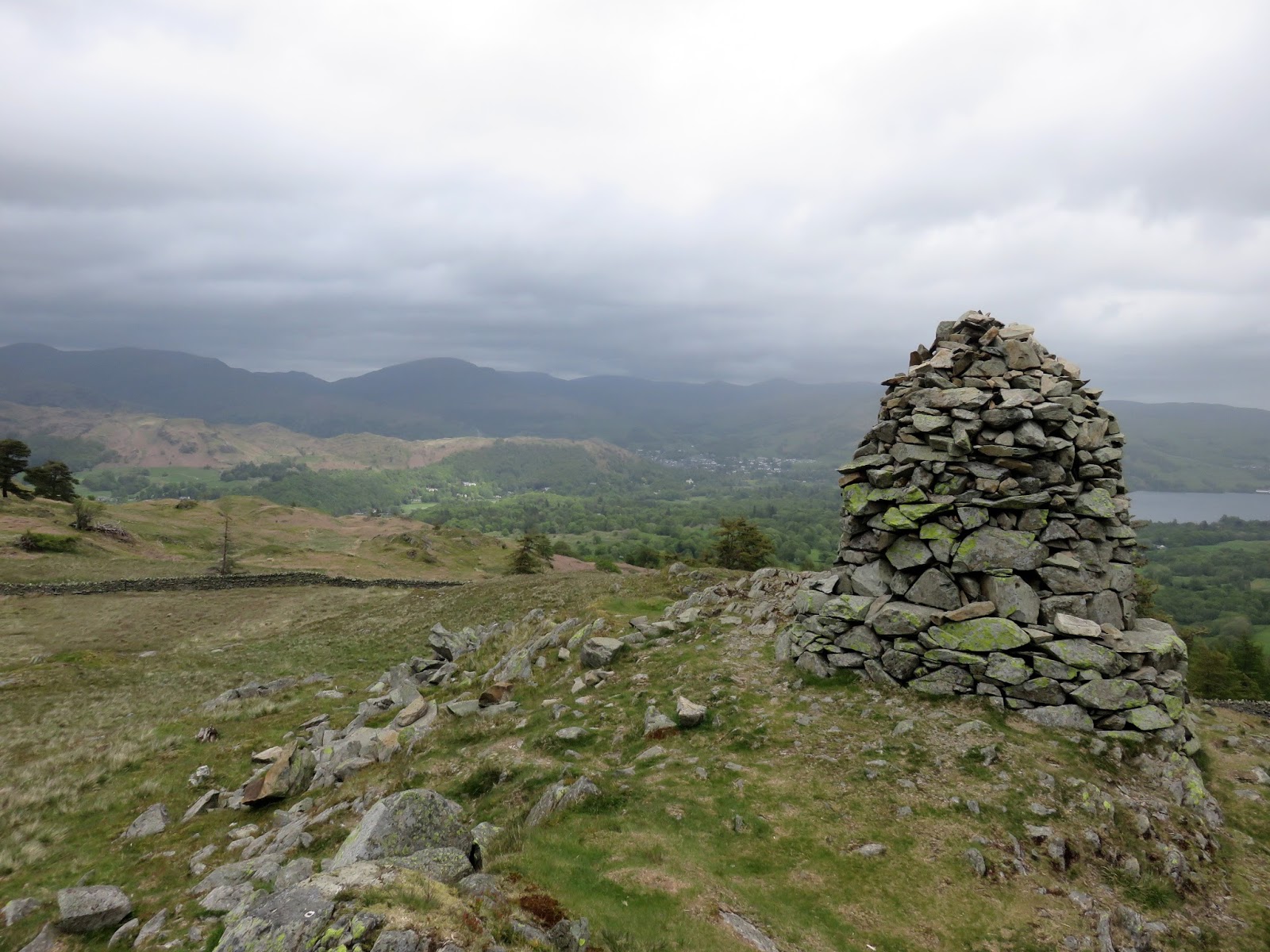
| The second cairn with Ambleside in the distance |
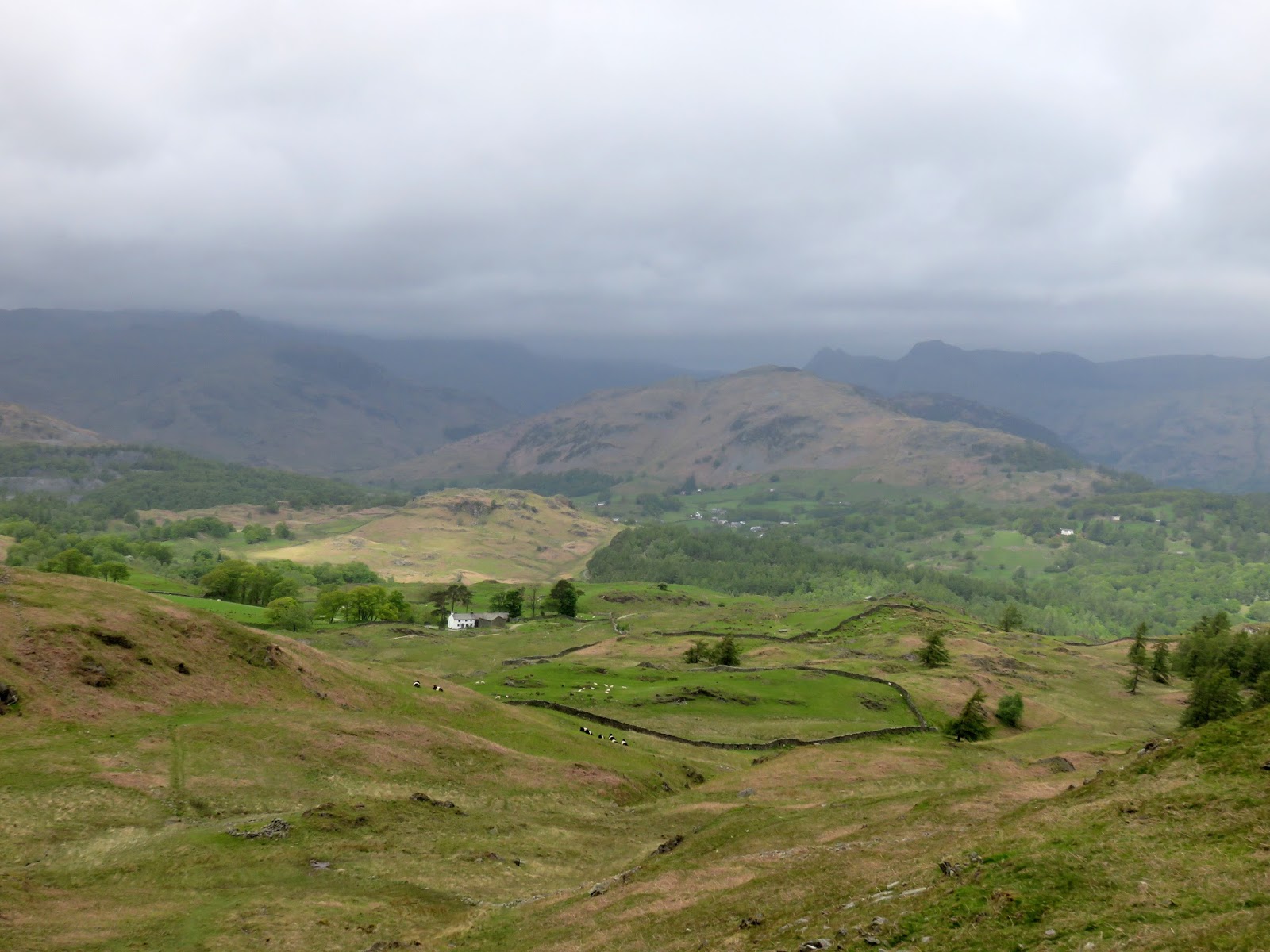
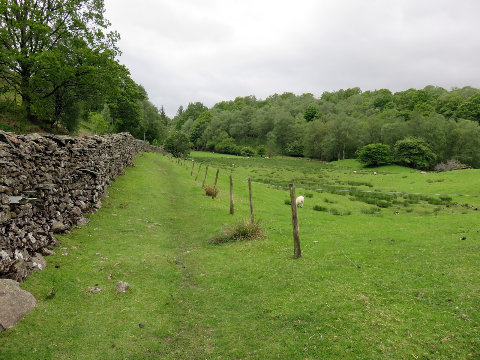
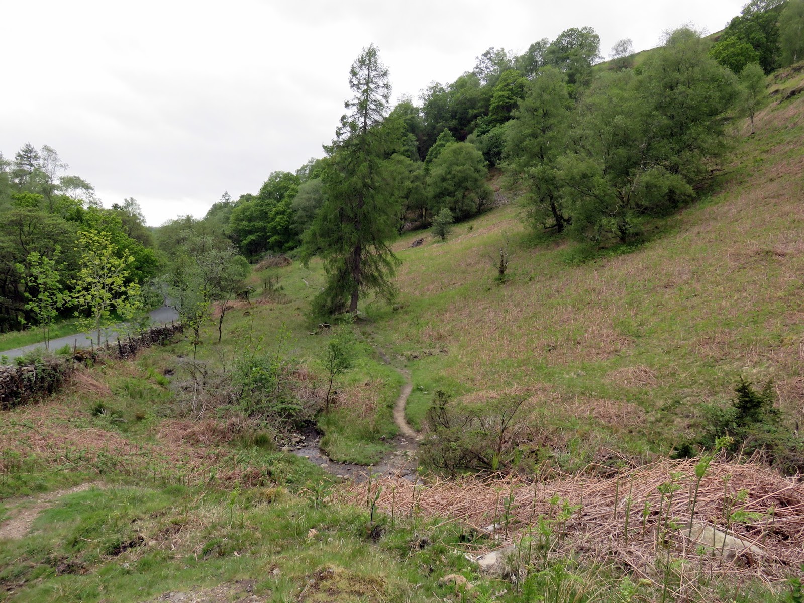
We left Black Fell heading west down the grassy slopes to the main road that runs between Ambleside and Coniston. Here you can opt to start the climb up Holme Fell via the impressive hole in the ground that is Hodge Close but we decided to follow the road back to the car park at Glen Mary Bridge. This may sound like a tedious affair but a path runs parallel to the road behind a high drystone wall, shielding you from the worst of the traffic.
 |
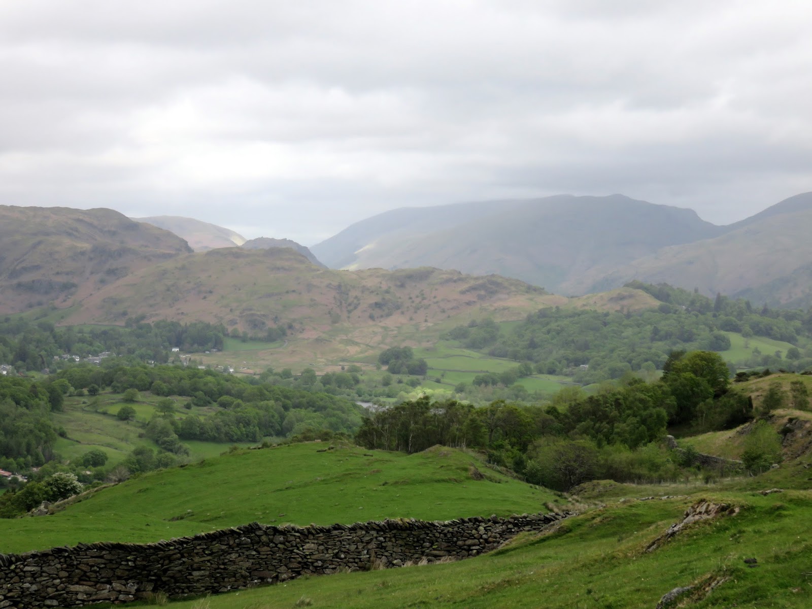
| Looking across the fells towards Grasmere |
 |
| A path follows the route of the road |
 |
| Old Close |
 |
| Bluebells in Old Close |
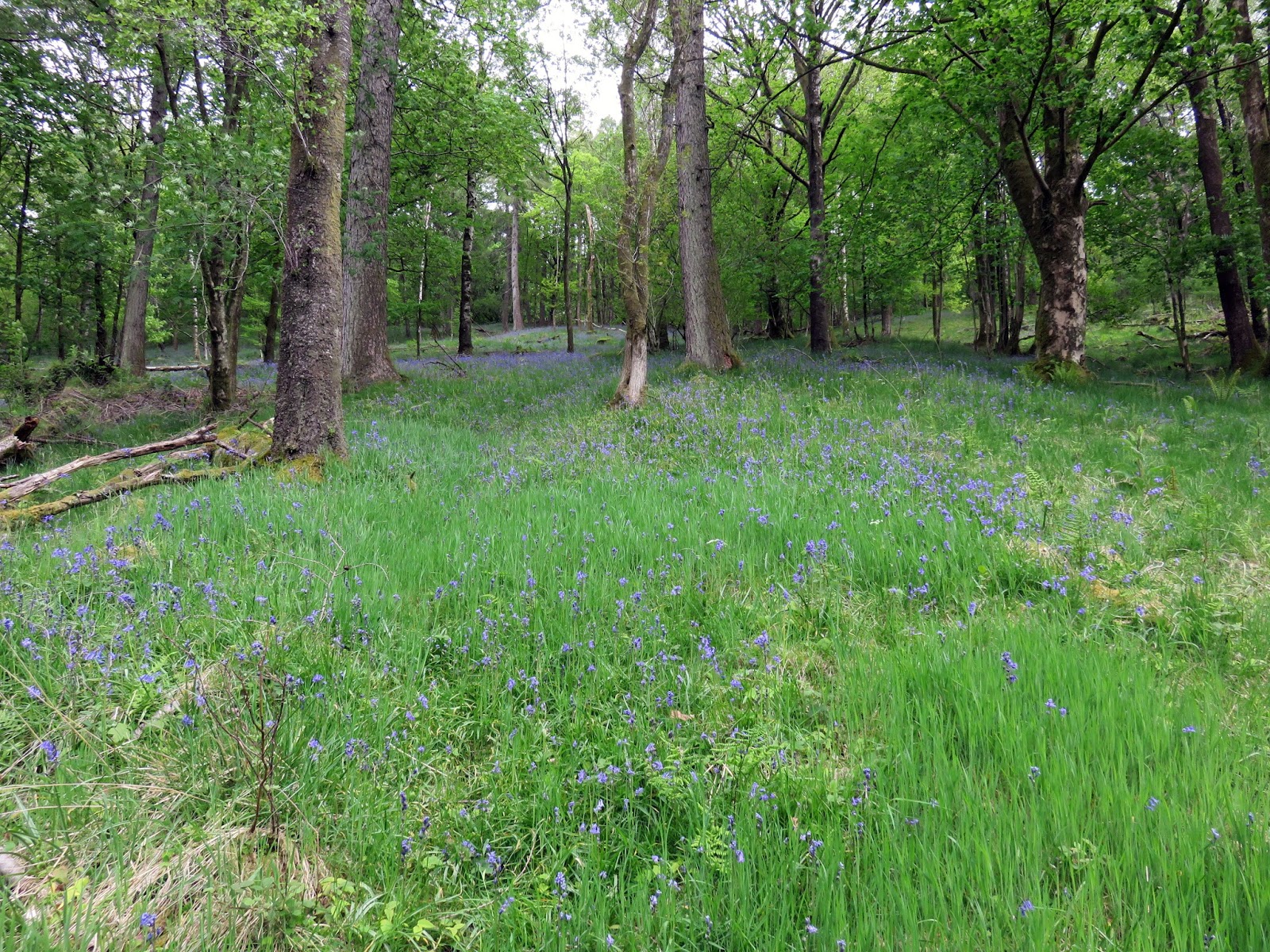
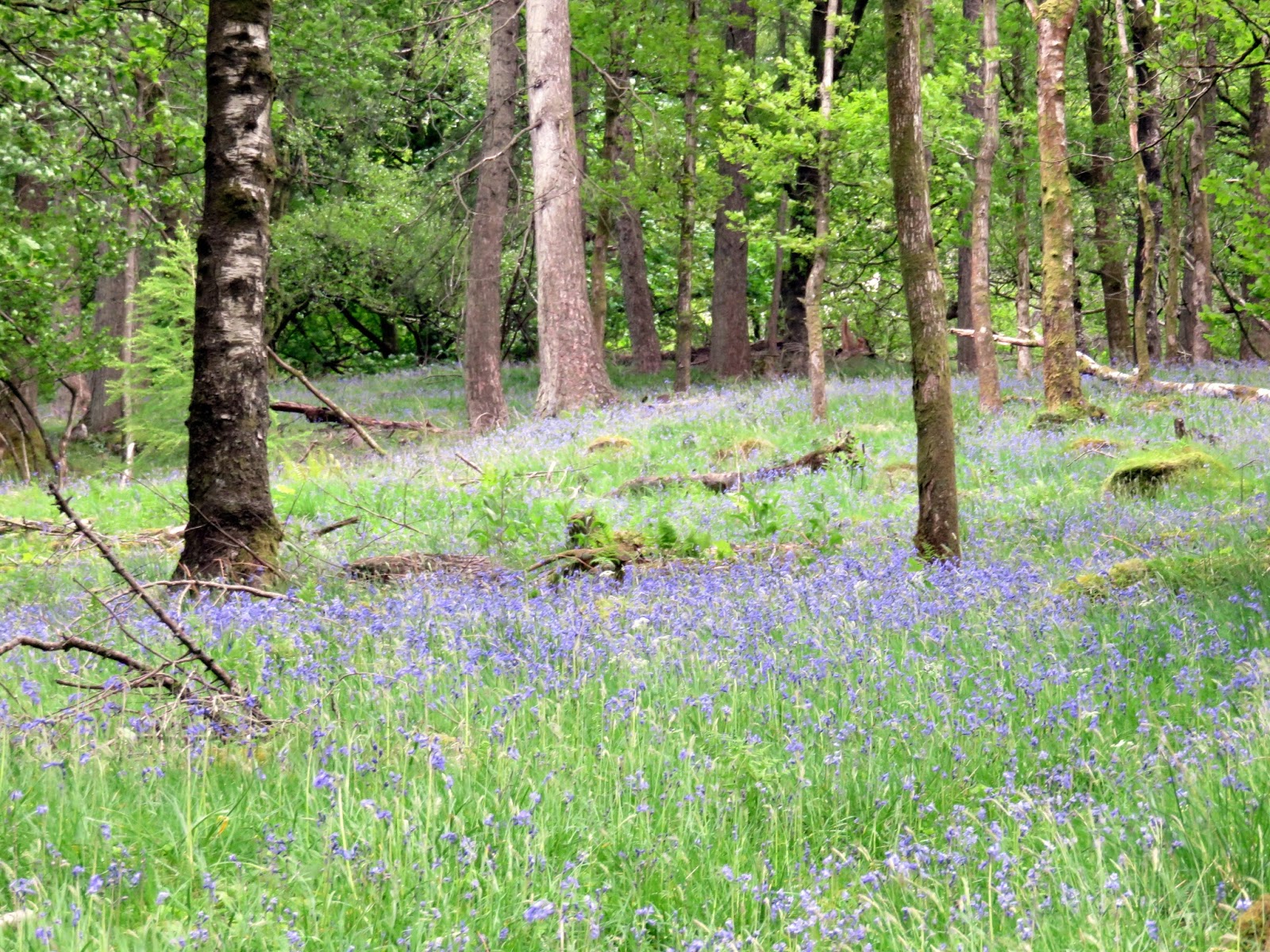
Crossing the road halfway down we entered the woods of Old Close where the path climbs a short way up the hillside and continues in a southerly direction. The bluebells were out in force and the sun decided to make an impromptu appearance making for an overall agreeable experience. We stopped for lunch before waking the final few hundred metres to the car.
In short this is a very pleasant and accessible walk and its understandable why Tarn Hows is a popular spot. The perfect place to while away a few hours almost anytime of the year.
