Open Space Web-Map builder Codehttps://openspace.ordnancesurvey.co.uk/osmapapi/openspace.js?key=3119F72552FD5C22E0530C6CA40A5A92https://openspace.ordnancesurvey.co.uk/osmapapi/script/mapbuilder/basicmap.jshttps://openspace.ordnancesurvey.co.uk/osmapapi/script/mapbuilder/searchbox.js//variables for routes var linesLayer, points, lineFeature, lineString, routeMarkersLayer, routepos, routesize, routeoffset, routeicon; var style_blue = {strokeColor: “#0000CD”, strokeOpacity: 0.5, strokeWidth: 4.5}; function initmapbuilder() { //initiate the map var options = {resolutions: [2500, 1000, 500, 200, 100, 50, 25, 10, 5, 4, 2.5, 2, 1]}; osMap = new OpenSpace.Map(‘map’, options); //configure map options (basicmap.js) setglobaloptions(); //set the center of the map and the zoom level osMap.setCenter(new OpenSpace.MapPoint(331533.5,509457.5),7); linesLayer = osMap.getVectorLayer(); // Set up layer for route markers routeMarkersLayer = new OpenLayers.Layer.Markers(“Route Markers”); //make a route points = new Array(); points.push(new OpenLayers.Geometry.Point(333655,509300)); points.push(new OpenLayers.Geometry.Point(333585,509225)); points.push(new OpenLayers.Geometry.Point(333595,509150)); points.push(new OpenLayers.Geometry.Point(333445,509120)); points.push(new OpenLayers.Geometry.Point(333420,509157.5)); points.push(new OpenLayers.Geometry.Point(333340,509077.5)); points.push(new OpenLayers.Geometry.Point(333370,508887.5)); points.push(new OpenLayers.Geometry.Point(333292.5,508667.5)); points.push(new OpenLayers.Geometry.Point(333267.5,508625)); points.push(new OpenLayers.Geometry.Point(333265,508532.5)); points.push(new OpenLayers.Geometry.Point(333263.5,508439)); points.push(new OpenLayers.Geometry.Point(333103.5,508419)); points.push(new OpenLayers.Geometry.Point(332948.5,508319)); points.push(new OpenLayers.Geometry.Point(332793.5,508381.5)); points.push(new OpenLayers.Geometry.Point(332703.5,508454)); points.push(new OpenLayers.Geometry.Point(332704.5,508412.5)); points.push(new OpenLayers.Geometry.Point(332744.5,508252.5)); points.push(new OpenLayers.Geometry.Point(332544.5,508282.5)); points.push(new OpenLayers.Geometry.Point(332374.5,508382.5)); points.push(new OpenLayers.Geometry.Point(332214.5,508502.5)); points.push(new OpenLayers.Geometry.Point(332114.5,508602.5)); points.push(new OpenLayers.Geometry.Point(332034.5,508572.5)); points.push(new OpenLayers.Geometry.Point(331814.5,508632.5)); points.push(new OpenLayers.Geometry.Point(331814.5,508697.5)); points.push(new OpenLayers.Geometry.Point(331629.5,508902.5)); points.push(new OpenLayers.Geometry.Point(331574.5,508842.5)); points.push(new OpenLayers.Geometry.Point(331454.5,508772.5)); points.push(new OpenLayers.Geometry.Point(331324.5,508712.5)); points.push(new OpenLayers.Geometry.Point(330954.5,508657.5)); points.push(new OpenLayers.Geometry.Point(330874.5,508592.5)); points.push(new OpenLayers.Geometry.Point(330779.5,508542.5)); points.push(new OpenLayers.Geometry.Point(330604.5,508452.5)); points.push(new OpenLayers.Geometry.Point(330404.5,508452.5)); points.push(new OpenLayers.Geometry.Point(330054.5,508382.5)); points.push(new OpenLayers.Geometry.Point(329999.5,508377.5)); points.push(new OpenLayers.Geometry.Point(329834.5,508427.5)); points.push(new OpenLayers.Geometry.Point(329739.5,508457.5)); points.push(new OpenLayers.Geometry.Point(329664.5,508492.5)); points.push(new OpenLayers.Geometry.Point(329599.5,508537.5)); points.push(new OpenLayers.Geometry.Point(329599.5,508657.5)); points.push(new OpenLayers.Geometry.Point(329674.5,508687.5)); points.push(new OpenLayers.Geometry.Point(329819.5,508827.5)); points.push(new OpenLayers.Geometry.Point(329829.5,508962.5)); points.push(new OpenLayers.Geometry.Point(329854.5,509037.5)); points.push(new OpenLayers.Geometry.Point(329929.5,509147.5)); points.push(new OpenLayers.Geometry.Point(330029.5,509147.5)); points.push(new OpenLayers.Geometry.Point(330349.5,509297.5)); points.push(new OpenLayers.Geometry.Point(330289.5,509347.5)); points.push(new OpenLayers.Geometry.Point(330139.5,509382.5)); points.push(new OpenLayers.Geometry.Point(330014.5,509382.5)); points.push(new OpenLayers.Geometry.Point(329884.5,509487.5)); points.push(new OpenLayers.Geometry.Point(329789.5,509567.5)); points.push(new OpenLayers.Geometry.Point(329534.5,509782.5)); points.push(new OpenLayers.Geometry.Point(329464.5,509797.5)); points.push(new OpenLayers.Geometry.Point(329379.5,509802.5)); points.push(new OpenLayers.Geometry.Point(329394.5,509872.5)); points.push(new OpenLayers.Geometry.Point(329379.5,509987.5)); points.push(new OpenLayers.Geometry.Point(329419.5,510152.5)); points.push(new OpenLayers.Geometry.Point(329494.5,510262.5)); points.push(new OpenLayers.Geometry.Point(329599.5,510302.5)); points.push(new OpenLayers.Geometry.Point(329964.5,510452.5)); points.push(new OpenLayers.Geometry.Point(330084.5,510452.5)); points.push(new OpenLayers.Geometry.Point(330164.5,510442.5)); points.push(new OpenLayers.Geometry.Point(330304.5,510457.5)); points.push(new OpenLayers.Geometry.Point(330359.5,510477.5)); points.push(new OpenLayers.Geometry.Point(330419.5,510462.5)); points.push(new OpenLayers.Geometry.Point(330609.5,510362.5)); points.push(new OpenLayers.Geometry.Point(330769.5,510302.5)); points.push(new OpenLayers.Geometry.Point(330969.5,510382.5)); points.push(new OpenLayers.Geometry.Point(331159.5,510372.5)); points.push(new OpenLayers.Geometry.Point(331259.5,510287.5)); points.push(new OpenLayers.Geometry.Point(331454.5,510152.5)); points.push(new OpenLayers.Geometry.Point(331574.5,510087.5)); points.push(new OpenLayers.Geometry.Point(331649.5,510042.5)); points.push(new OpenLayers.Geometry.Point(331684.5,510002.5)); points.push(new OpenLayers.Geometry.Point(331794.5,509957.5)); points.push(new OpenLayers.Geometry.Point(331929.5,509947.5)); points.push(new OpenLayers.Geometry.Point(332054.5,509887.5)); points.push(new OpenLayers.Geometry.Point(332219.5,509742.5)); points.push(new OpenLayers.Geometry.Point(332414.5,509542.5)); points.push(new OpenLayers.Geometry.Point(332484.5,509457.5)); points.push(new OpenLayers.Geometry.Point(332559.5,509397.5)); points.push(new OpenLayers.Geometry.Point(332634.5,509342.5)); points.push(new OpenLayers.Geometry.Point(332809.5,509132.5)); points.push(new OpenLayers.Geometry.Point(332809.5,509097.5)); points.push(new OpenLayers.Geometry.Point(332829.5,508977.5)); points.push(new OpenLayers.Geometry.Point(332594.5,508997.5)); points.push(new OpenLayers.Geometry.Point(332609.5,508937.5)); points.push(new OpenLayers.Geometry.Point(332674.5,508862.5)); points.push(new OpenLayers.Geometry.Point(332639.5,508812.5)); points.push(new OpenLayers.Geometry.Point(332644.5,508802.5)); points.push(new OpenLayers.Geometry.Point(332739.5,508732.5)); points.push(new OpenLayers.Geometry.Point(332704.5,508642.5)); points.push(new OpenLayers.Geometry.Point(332654.5,508617.5)); points.push(new OpenLayers.Geometry.Point(332684.5,508592.5)); points.push(new OpenLayers.Geometry.Point(332714.5,508562.5)); points.push(new OpenLayers.Geometry.Point(332704.5,508447.5)); points.push(new OpenLayers.Geometry.Point(332824.5,508377.5)); points.push(new OpenLayers.Geometry.Point(332944.5,508317.5)); points.push(new OpenLayers.Geometry.Point(333017,508307.5)); points.push(new OpenLayers.Geometry.Point(333054.5,508285)); points.push(new OpenLayers.Geometry.Point(333082,508165)); points.push(new OpenLayers.Geometry.Point(333249.5,508100)); points.push(new OpenLayers.Geometry.Point(333284.5,508135)); points.push(new OpenLayers.Geometry.Point(333259.5,508442.5)); points.push(new OpenLayers.Geometry.Point(333274.5,508625)); points.push(new OpenLayers.Geometry.Point(333302,508705)); points.push(new OpenLayers.Geometry.Point(333372,508900)); points.push(new OpenLayers.Geometry.Point(333339.5,509080)); points.push(new OpenLayers.Geometry.Point(333422,509160)); points.push(new OpenLayers.Geometry.Point(333434.5,509137.5)); points.push(new OpenLayers.Geometry.Point(333587,509162.5)); points.push(new OpenLayers.Geometry.Point(333587,509225)); points.push(new OpenLayers.Geometry.Point(333655,509300)); // create a polyline feature from the array of points lineString = new OpenLayers.Geometry.LineString(points); lineFeature = new OpenLayers.Feature.Vector(lineString, null, style_blue); linesLayer.addFeatures([lineFeature]); //crate a route start/end marker routepos = new OpenSpace.MapPoint(333655,509300); routesize = new OpenLayers.Size(33,45); routeoffset = new OpenLayers.Pixel(-5,-37); routeicon = new OpenSpace.Icon(‘https://openspace.ordnancesurvey.co.uk/osmapapi/img_versions/img_1.1/mapbuilder/routemarker-startend.png’, routesize, routeoffset, null, null); routeMarkersLayer.addMarker(new OpenLayers.Marker(routepos, routeicon)); osMap.addLayer(routeMarkersLayer);}
Route: High Broadrayne, Low MIll Bridge, Thorny How, Easedale, Brinhowe Crag, Easedale Tarn, Belles Knott, Codale Tarn, Tarn Crag, Ferngill Crag, Broadstone Head, Brownrigg Moss, Calf Crag, Gibson Knott, Helm Crag, White Crag, Lancrigg, Goody Bridge, High Broadrayne
Date: 17/03/2019
From: Broadrayne Farm
Parking: N/A
Start Point: Broadrayne Farm
Region: Central Fells
Route length: 10.1 miles (16.2km)
Time taken: 05:45
Average speed: 1.8 mph
Ascent: 820m
Descent: 819m
Wainwrights on this walk:
Tarn Crag (549m), Calf Crag (537m), Gibson Knott (422m), Helm Crag (405m)
Additional summits: None
Other points of interest: Sourmilk Gill. Easedale Tarn, Codale Tarn
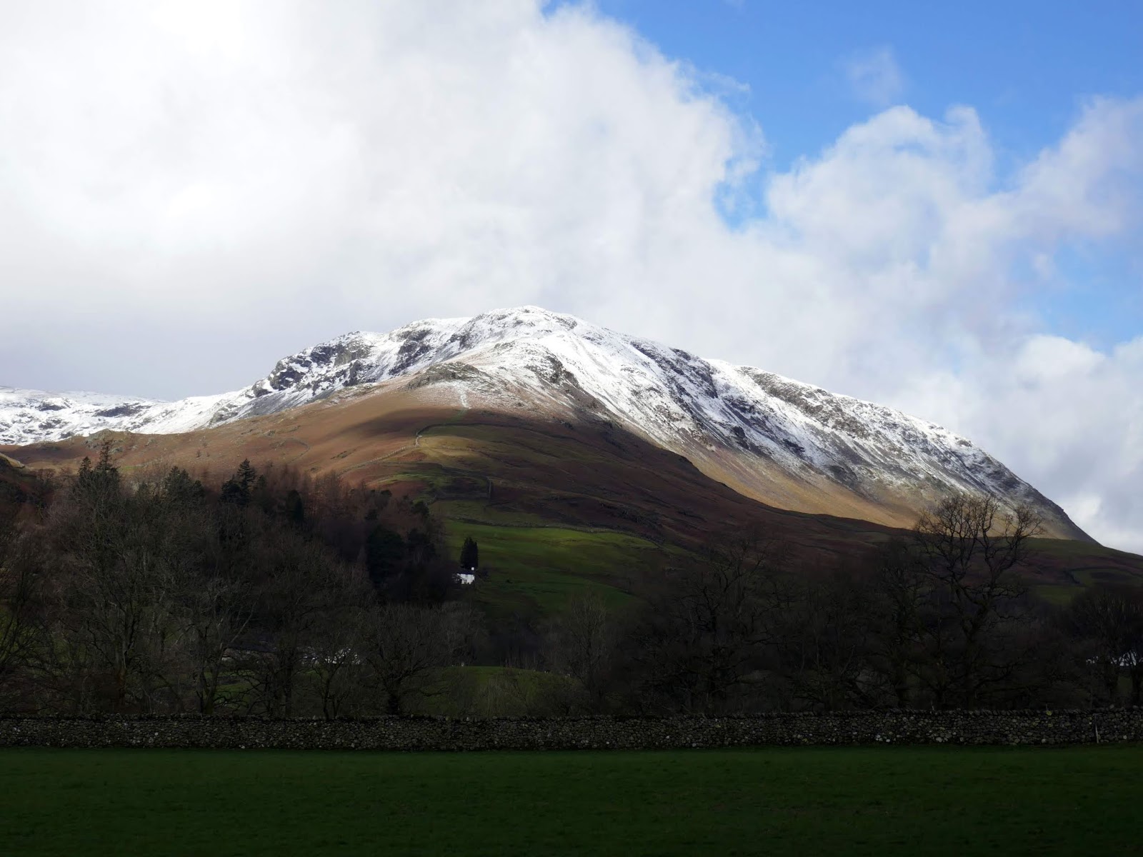
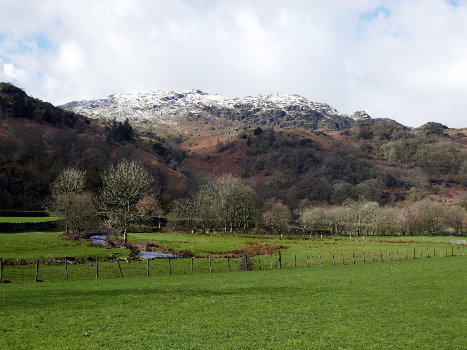
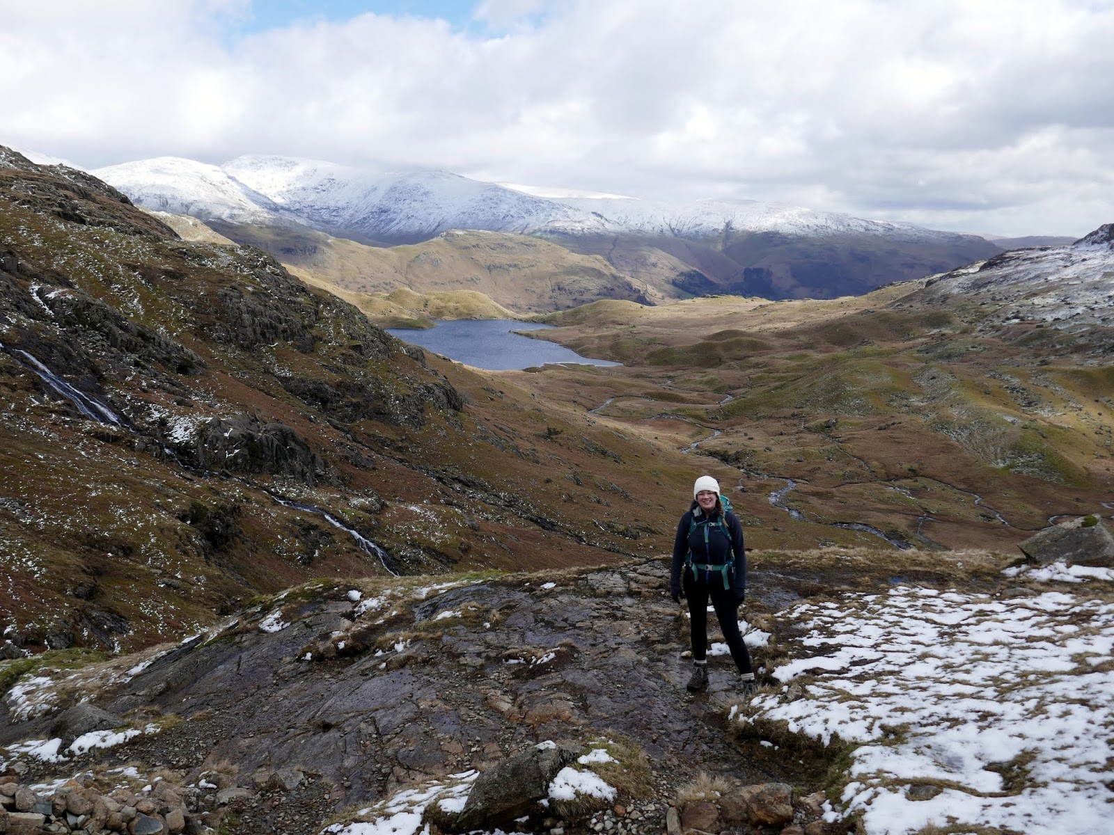
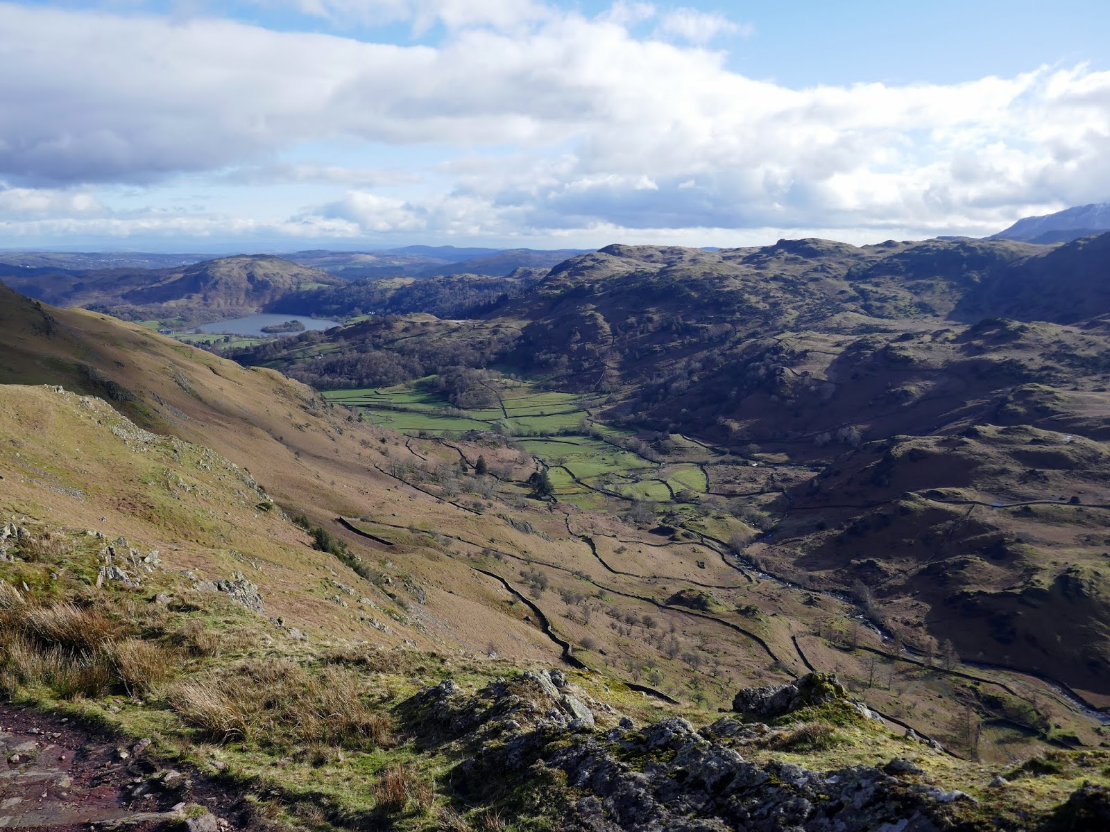
Sara and I spent an extended weekend in the Lake District recently, staying in a cosy apartment at Broadrayne Farm near Grasmere. With the high fells coated in snow and Sara not having axes or crampons, we decided to revisit some familiar territory in the form of Far Easedale – an area that has recently become synonymous with poor weather. Fortunately today, the weather would be on our side.
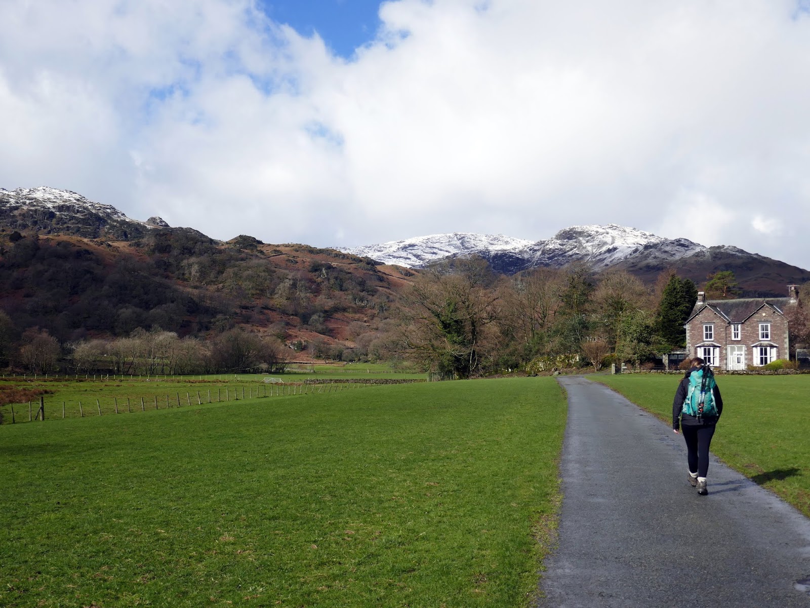
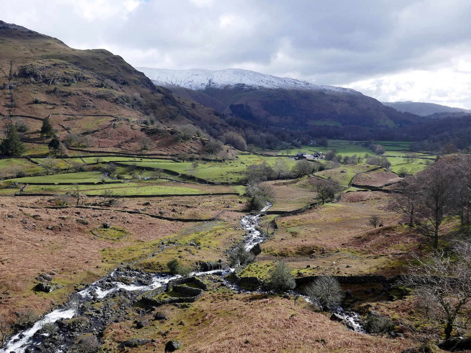
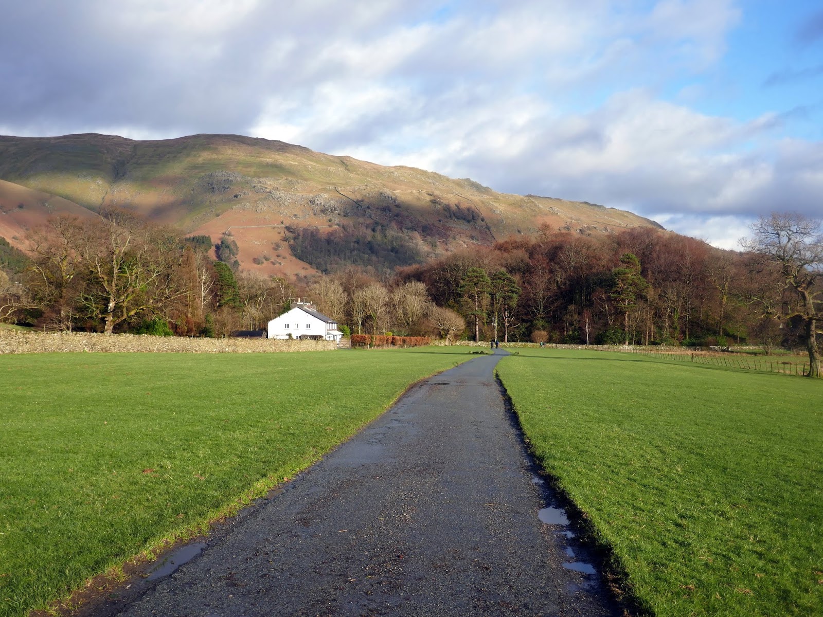
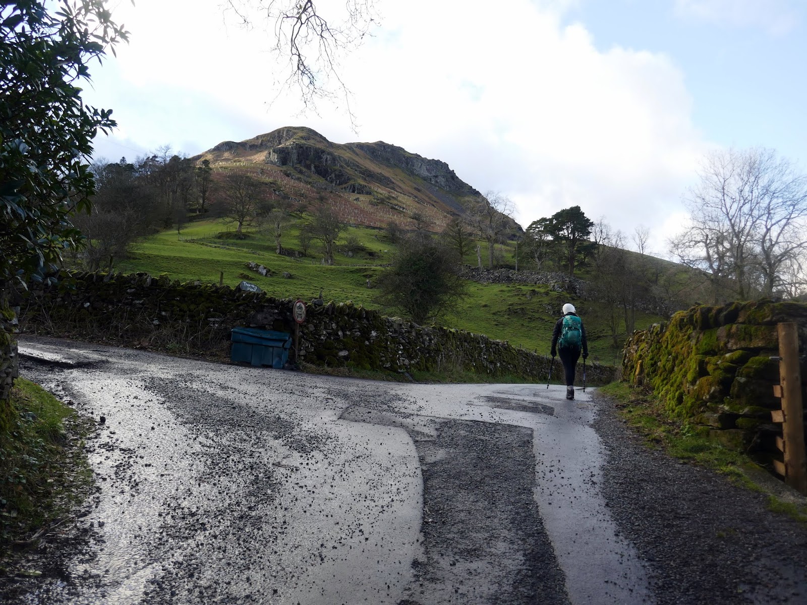
We chose this walk for two reasons. It’s a little lower than most and we could walk straight from the farm. We left the apartment and crossed the road to reach Low Mill Bridge. Here, the lane winds across the fields north of Grasmere until it reaches the Youth Hostel at Thorney Howe. It had been raining very heavily the day before so we had to dodge a few large puddles, utilising a drystone wall at one point to avoid one of the deeper ones.
 |
| Steel Fell with a fine coating of snow |
 |
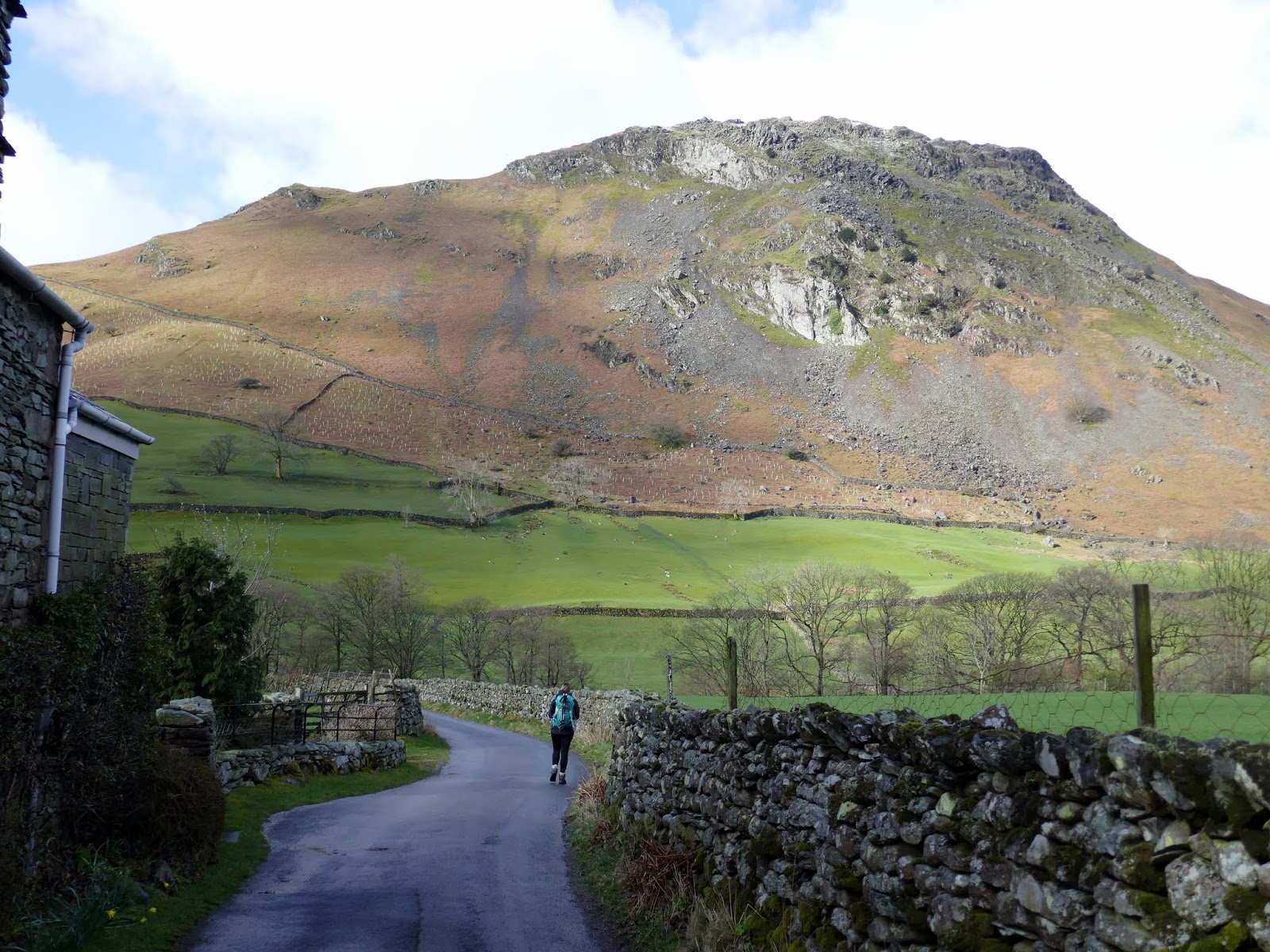
| The watchful Helm Crag |
 |
| Seat Sandal and Fairfield |
 |
| Stone Arthur |
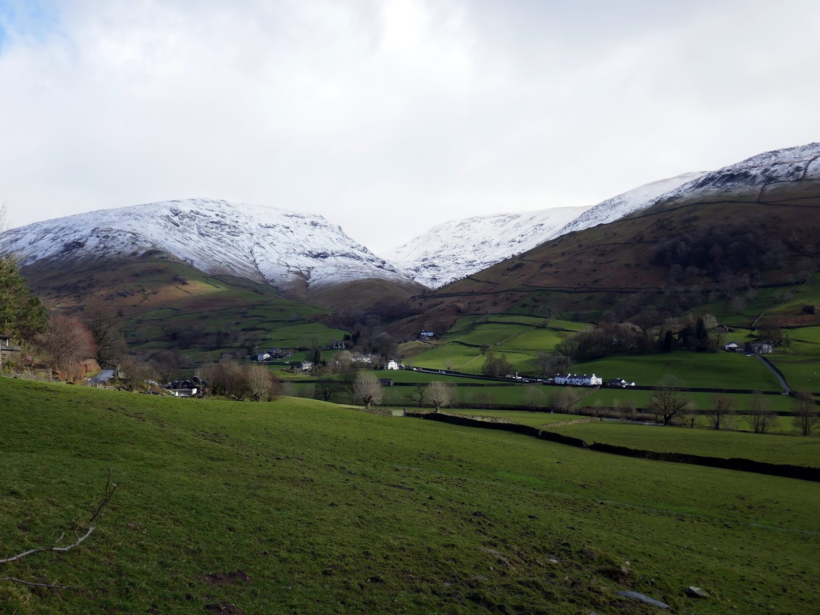
We eventually found our way to Easedale Road where we joined the main path towards Easedale Tarn.
 |
| Blea Rigg and Creat Castle How |
 |
| Easedale Road leading into Easedale |
 |
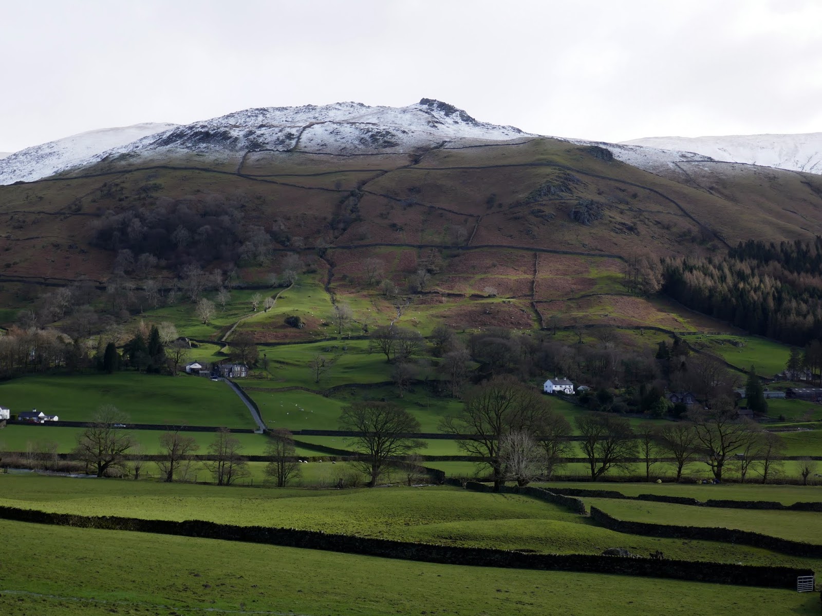
| Tarn Crag |
 |
| It was a beautiful day in Cumbria |
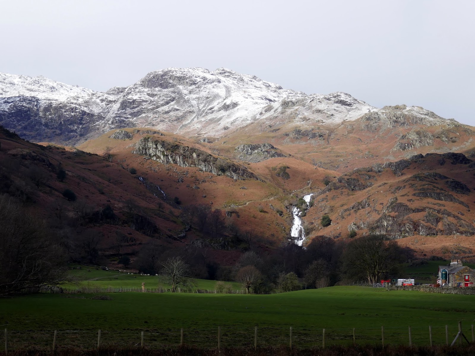
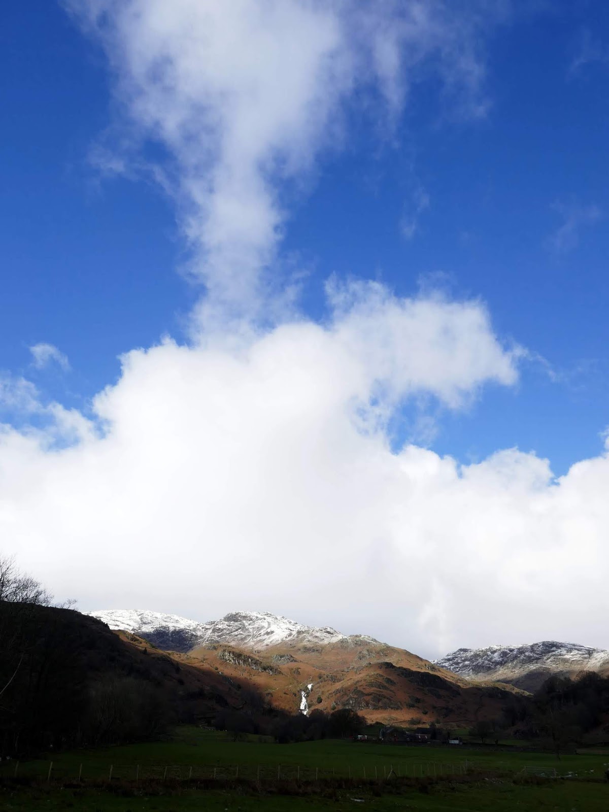
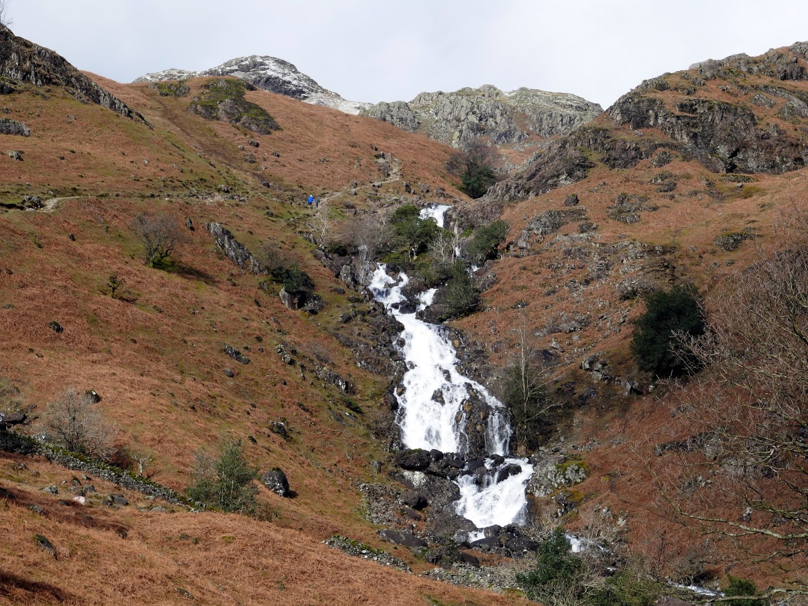
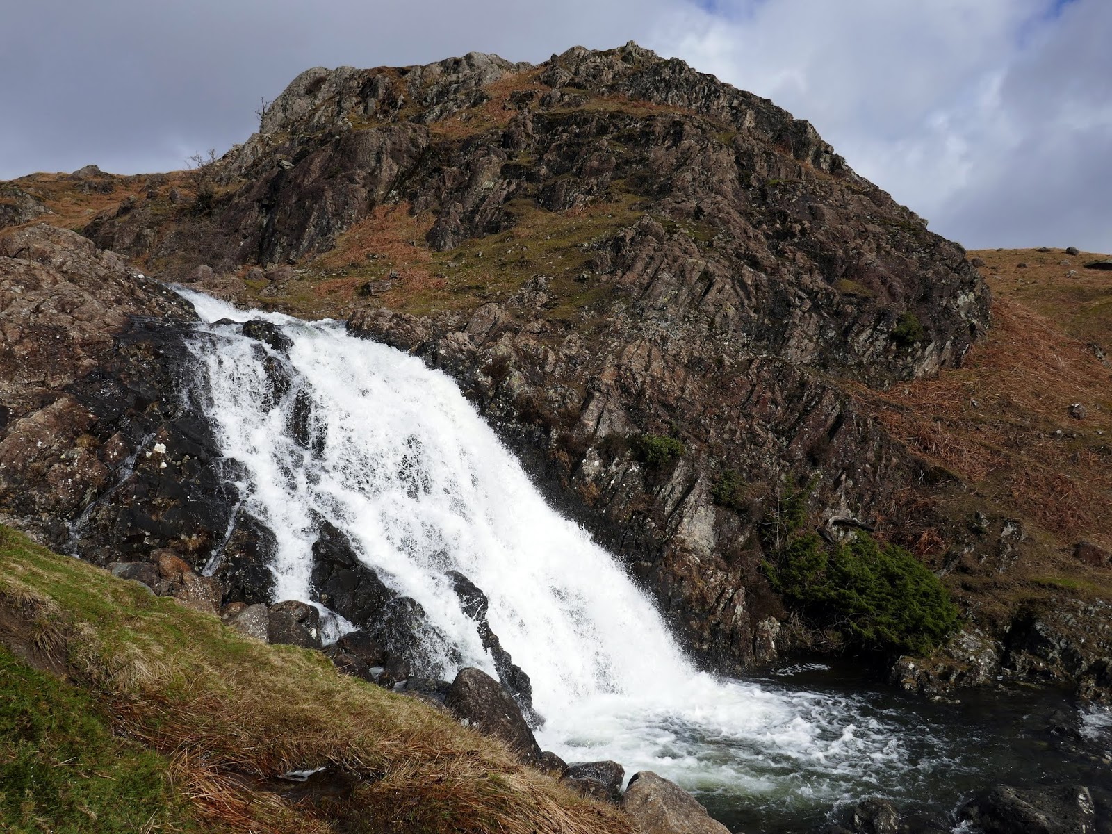
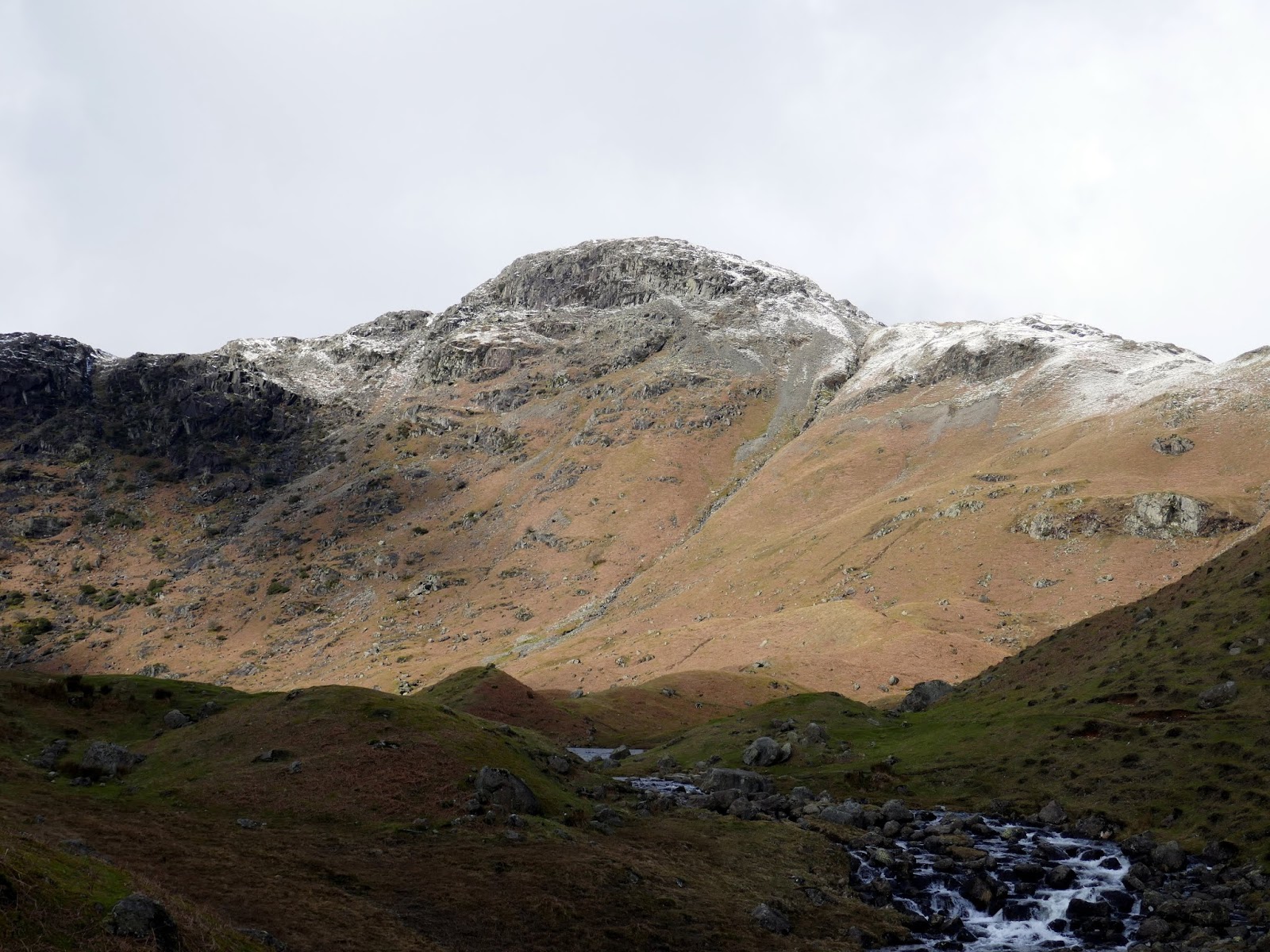
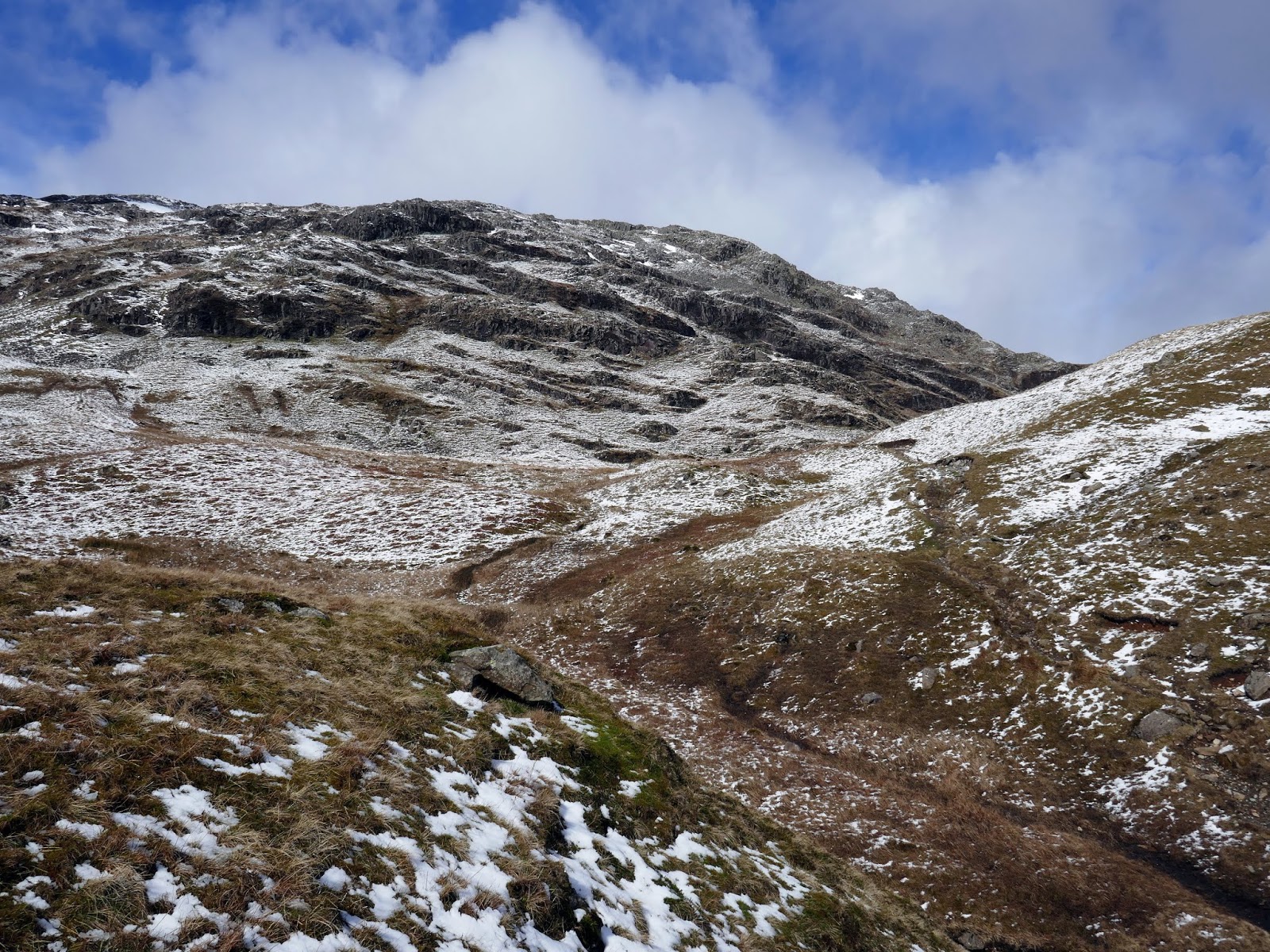
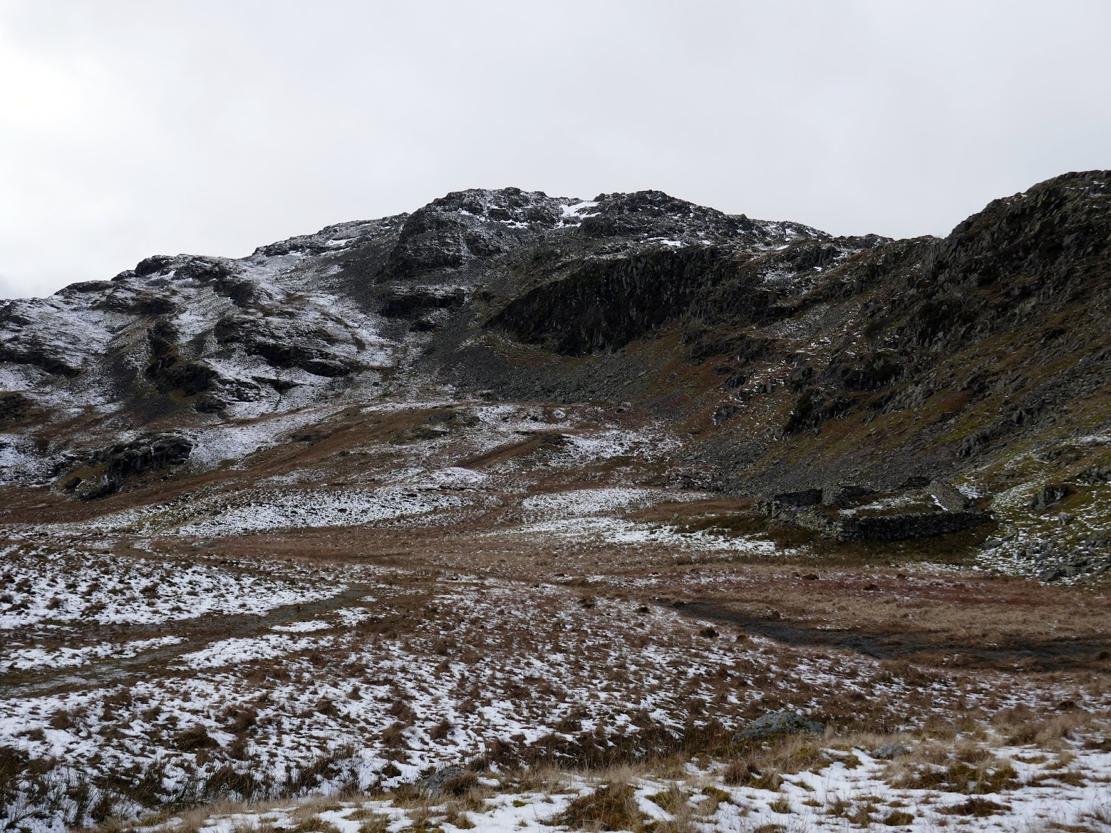
The path is very easy to follow, though a bit difficult to walk on thanks to the uneven stones. After passing beneath Helm Crag, the path starts to climb up between Ecton Crag and Brinhowe Crag. In addition to these two fine rock faces is the ‘impossible to ignore’ Sourmilk Gill, so called due to the milky white colour of the water as it cascades down the valley. It was in fine fettle after the previous days’ rain.
 |
| Sourmilk Gill |
 |
| The sun shines on Easedale |
 |
| Sourmilk Gill at Ecton Crag |
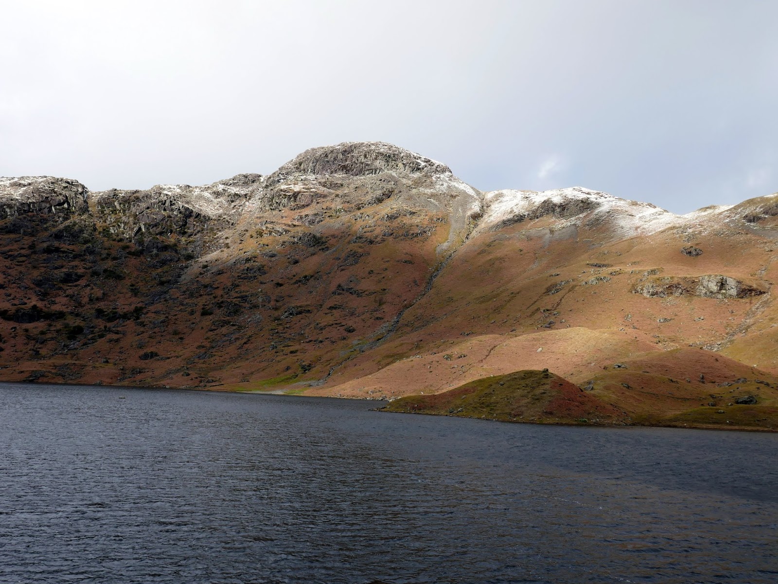
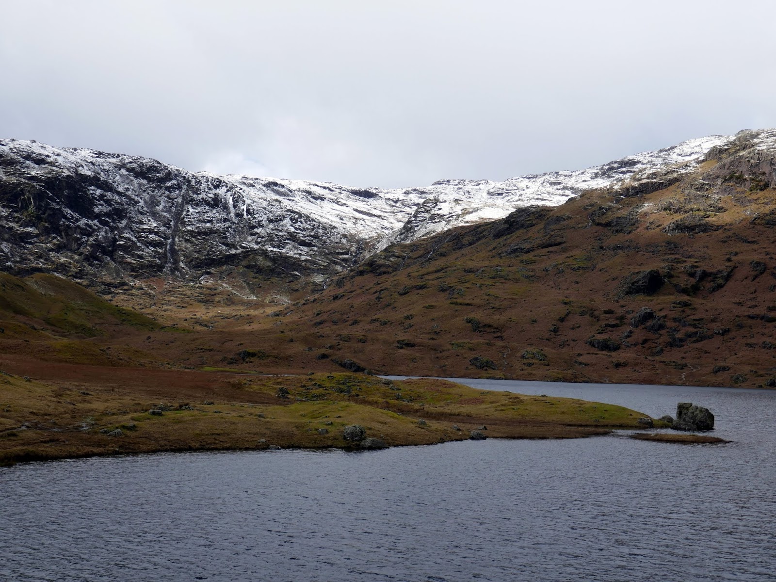
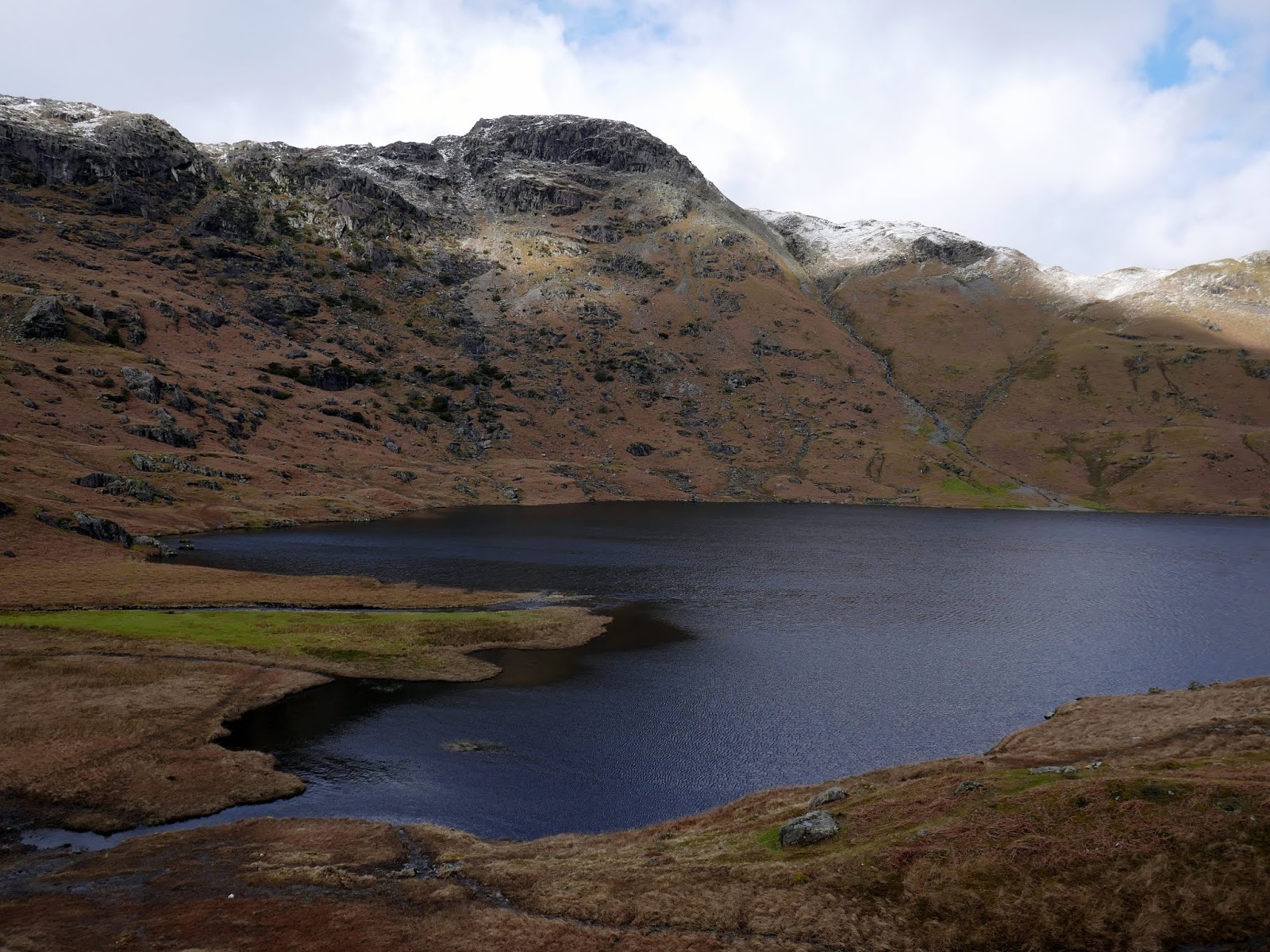
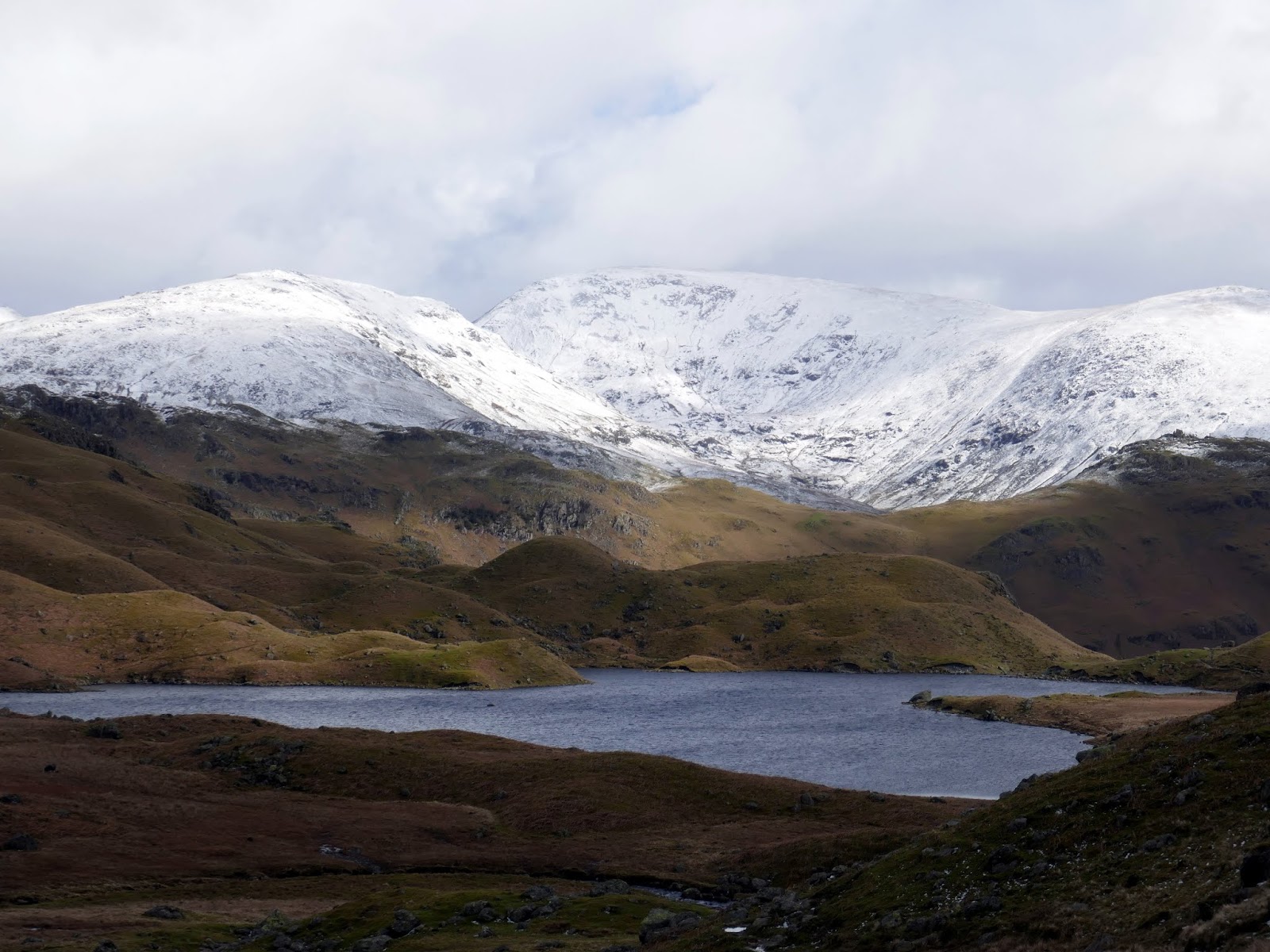
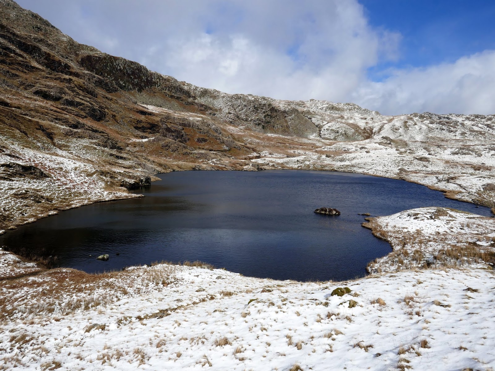
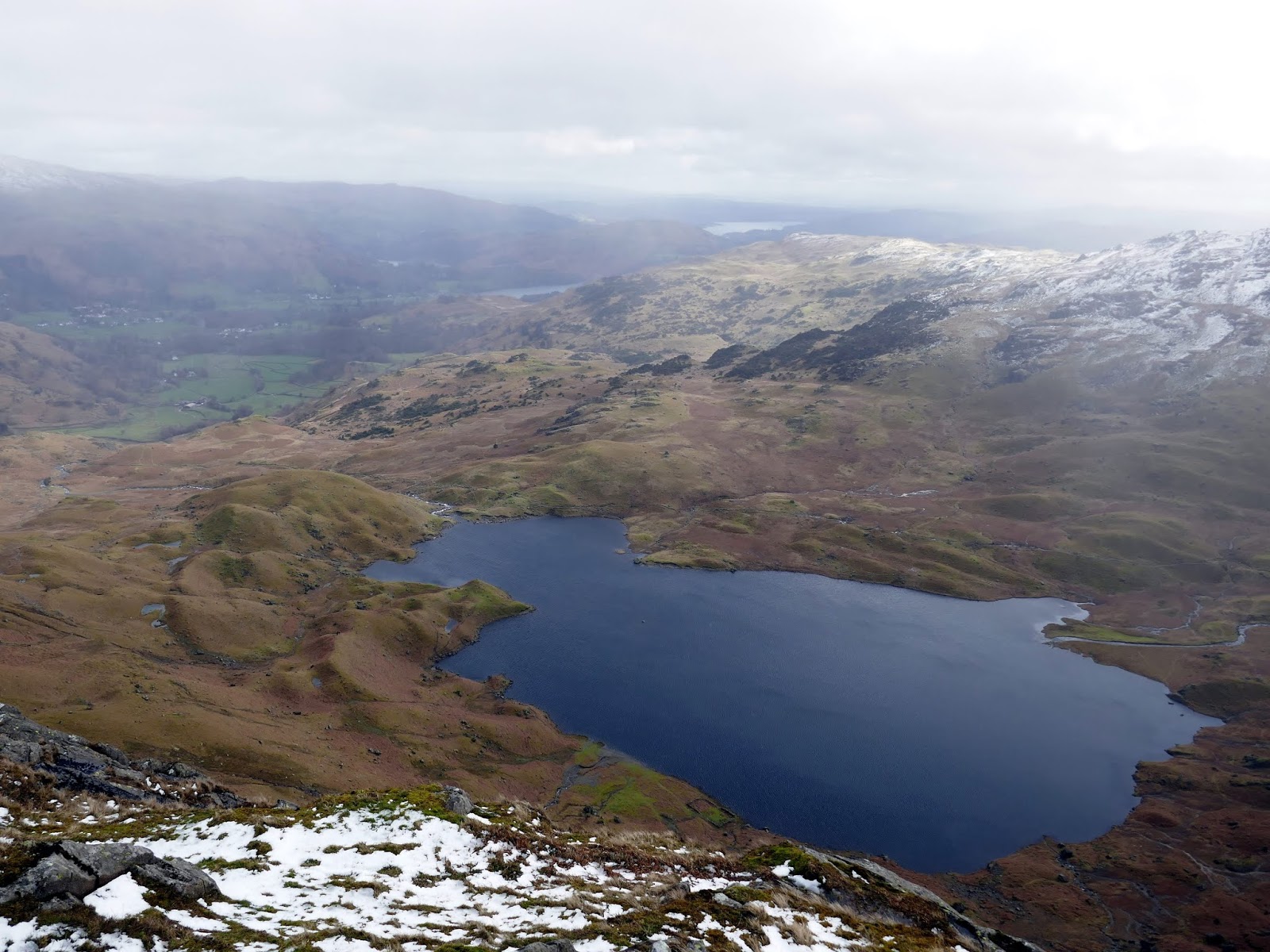
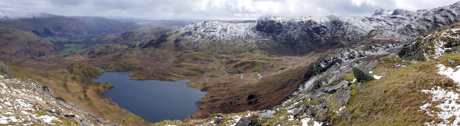
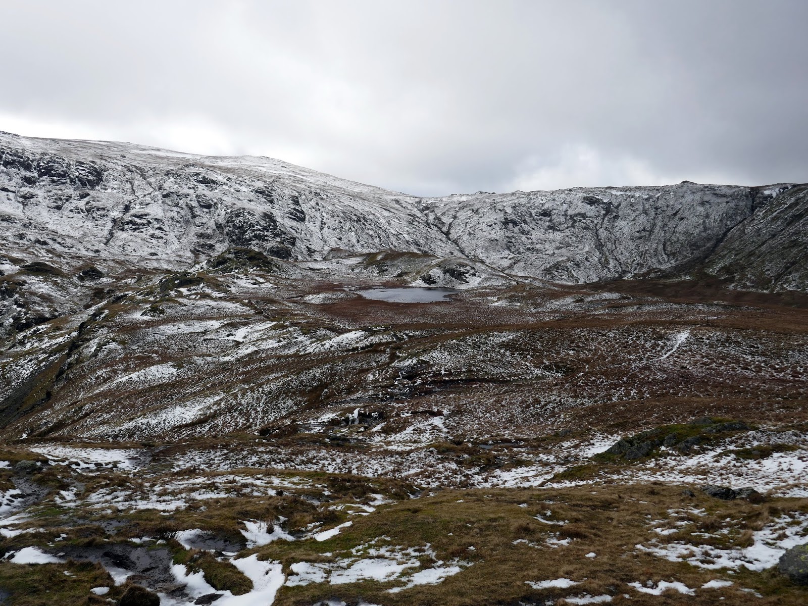
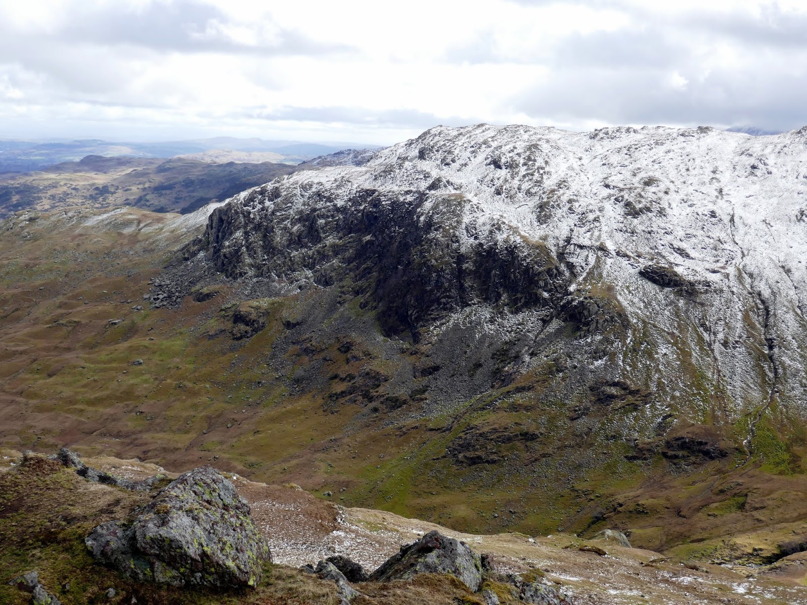
Rounding Brimhowe Crag and climbing further, we were rewarded by reached Easedale Tarn, one of the larger tarns in the Lake District. It’s an impressive sight, surrounded by the imposing crags of Tarn Crag, Blea Crag & Eagle Crag. There’s also a feast of glaciological features such as erratics and moraines. Following the path still, we made our way around the edge of the tarn, avoiding the odd boggy bit before headed towards Belles Knott, another impressive natural feature.
 |
| Belles Knott – Sergeant Man stands on the horizon |
 |
| Seat Sandal and Fairfield |
 |
| Belles Knott |
 |
| The majestic Easedale |
 |
| Easedale Tarn |
 |
| Sara below Belles Knott |
 |
| Lang Crag |
 |
| The Blea Rigg ridge |
 |
| Codale Tarn |
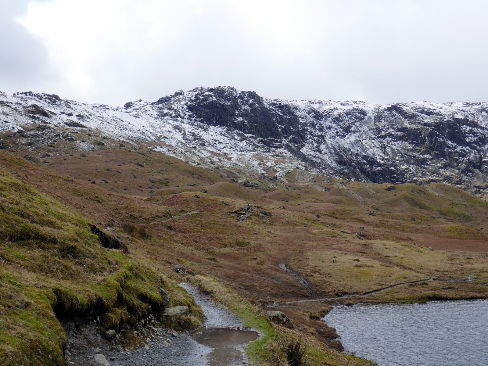
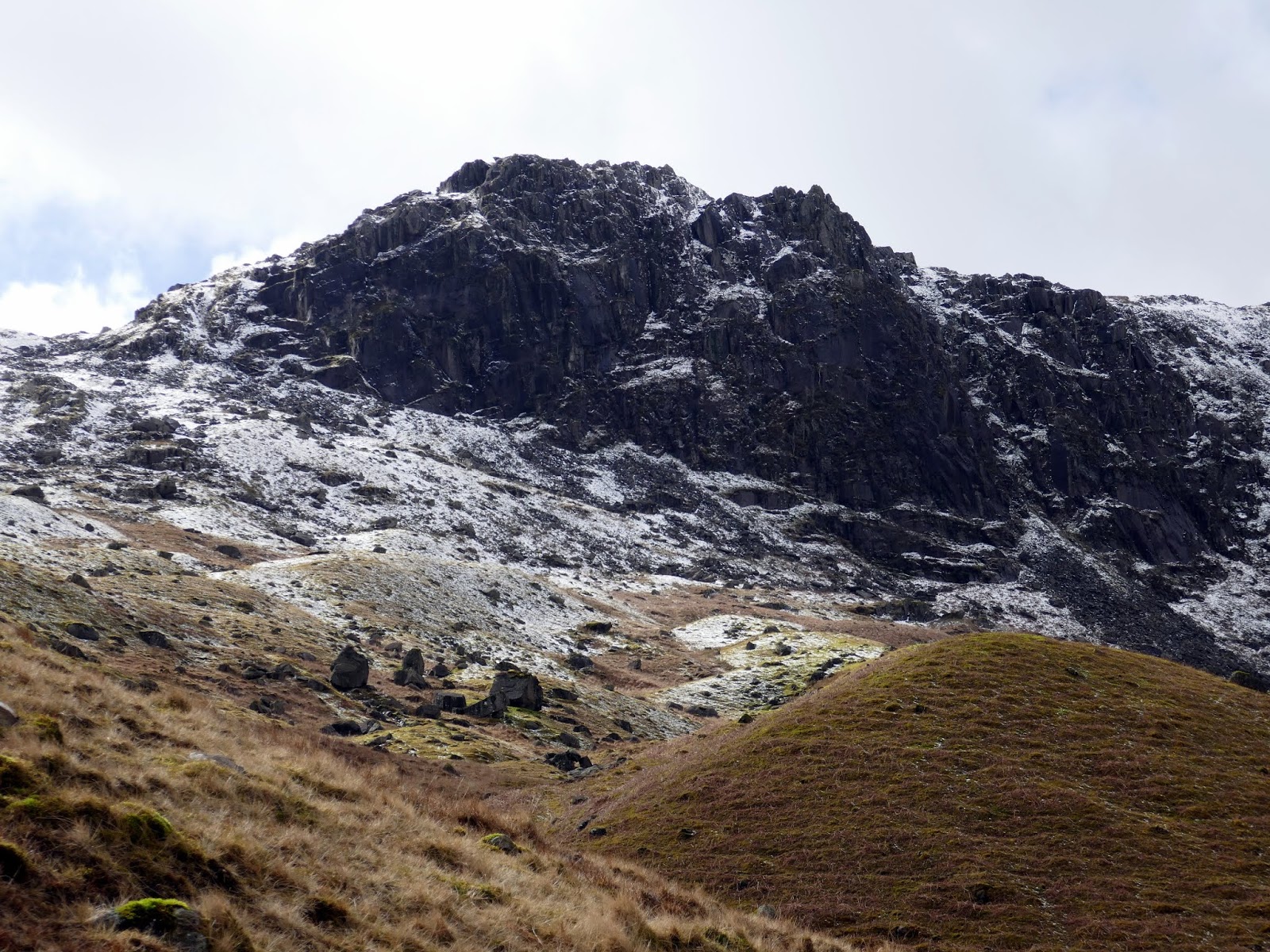
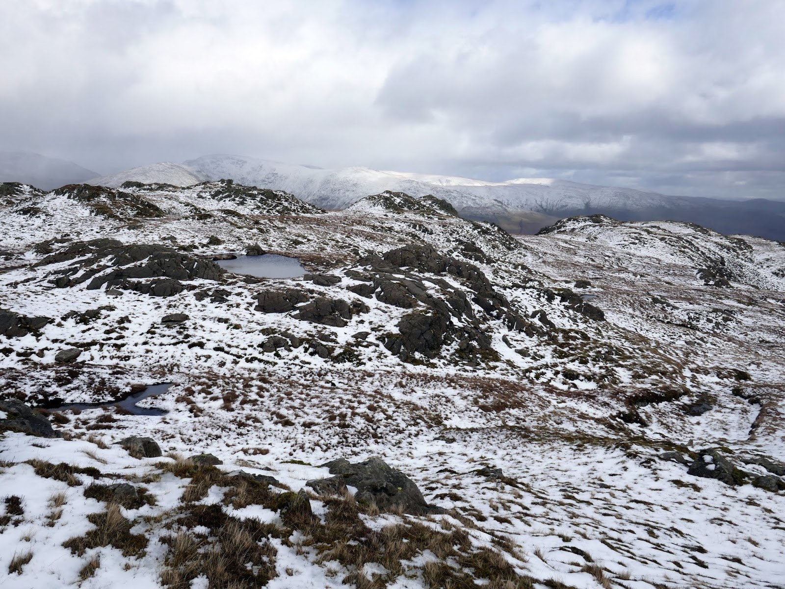
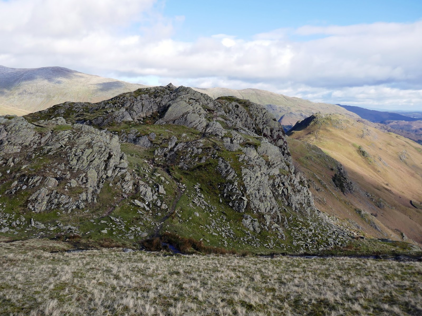
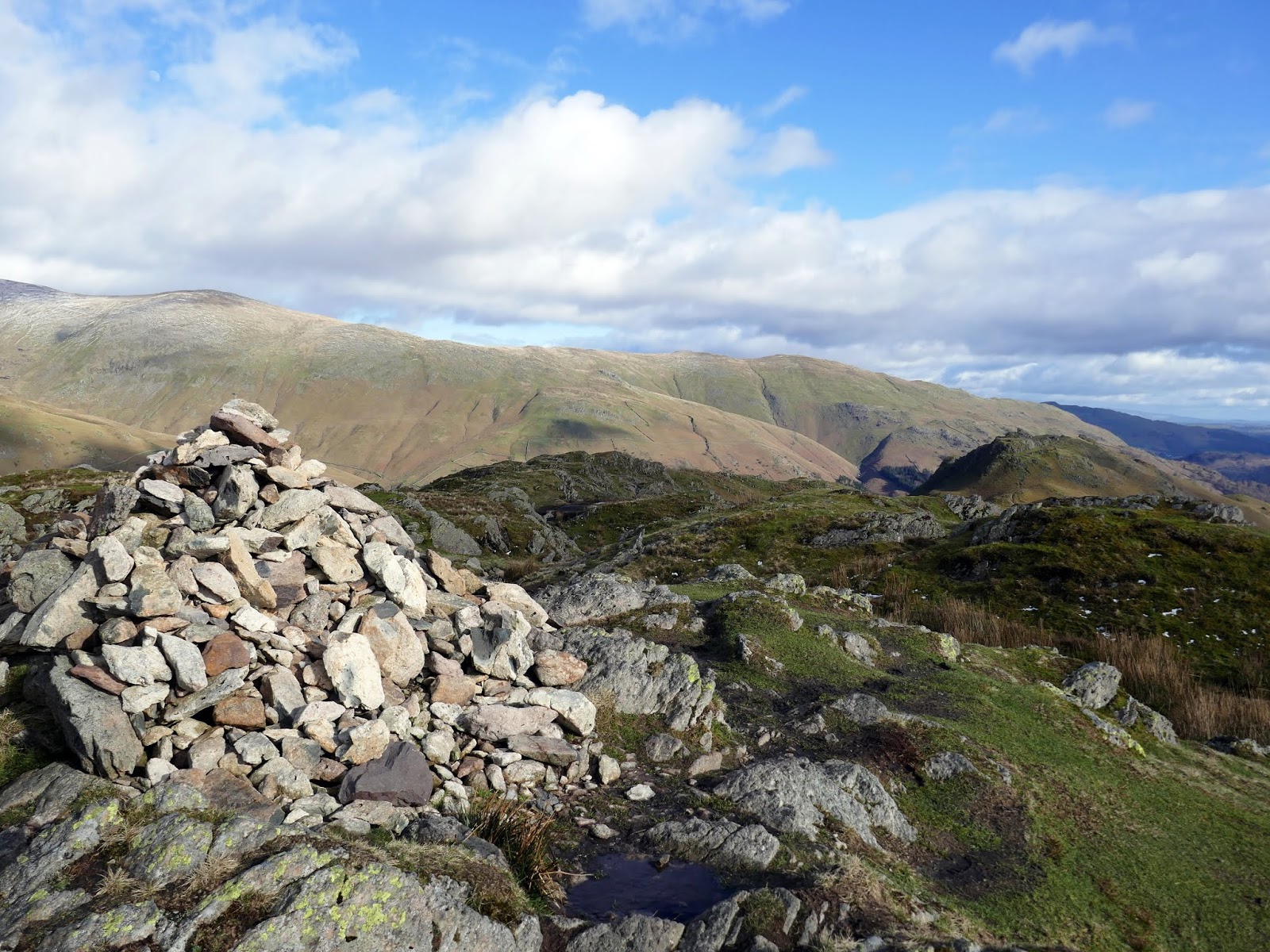
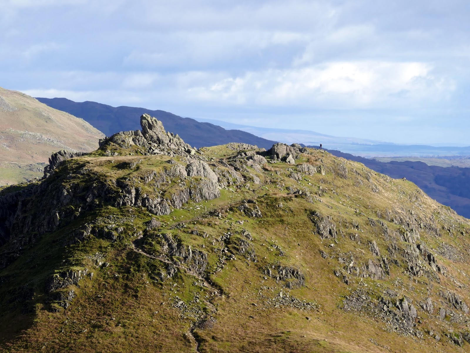
Codale Tarn sits in a pleasant, secluded location that is often bypassed by walkers heading either up or down Easedale. Wainwright described a route up to Sergeant Man via Codale Tarn which looks like a nice way to climb the craggy rocks that stand over it. For us though, the faint on-off path would lead onwards, past an old sheepfold and up on to Tarn Crag. After a brief, steep climb and a quick stroll to the east, we reached the summit, and what a summit it is.
 |
| Blea Rigg and Eagle Crag |
 |
| The bumpy ridge leading to Tarn Crag |
 |
| The Langdale Pikes come into view |
 |
| Tarn Crag as a snow shower passes |
 |
| Easedale Tarn |
 |
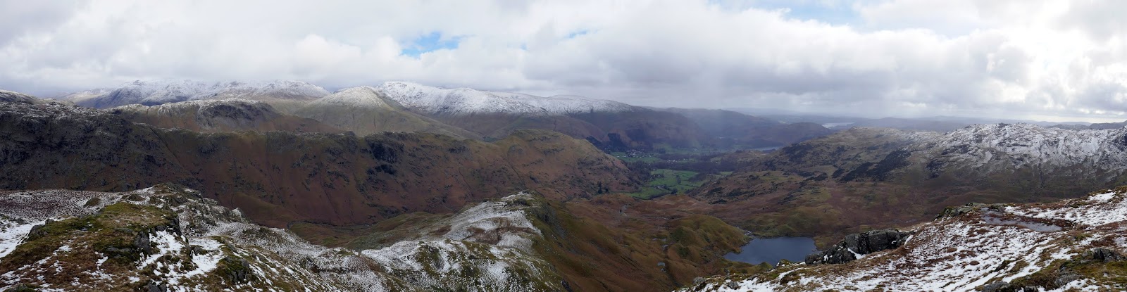
| Panorama from Tarn Crag |
 |
| Easedale Tarn panorama from Tarn Crag |
 |
| Blea Rigg |
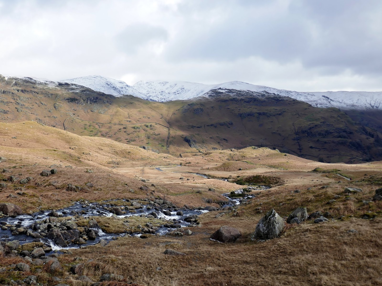
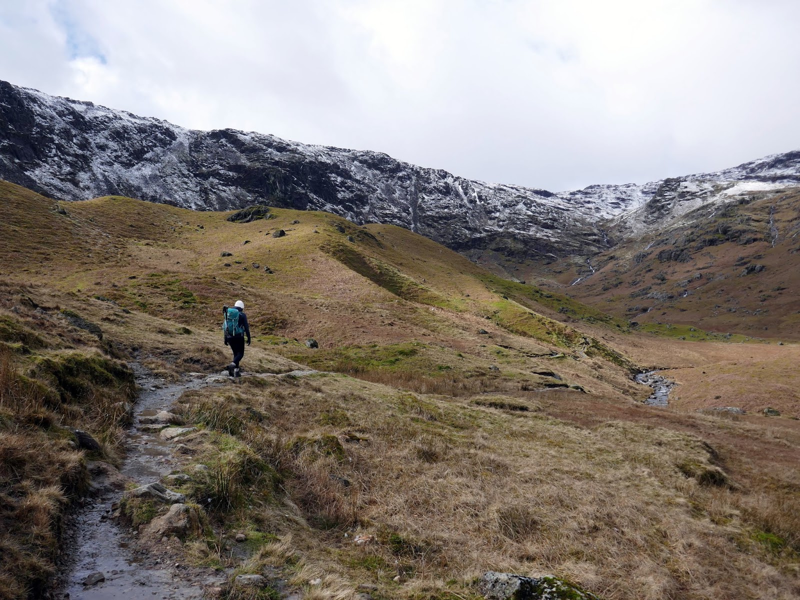
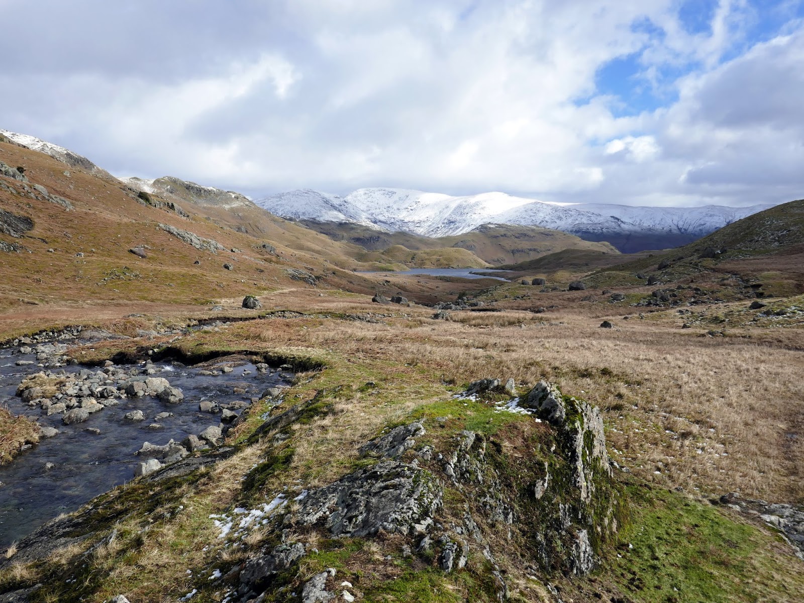
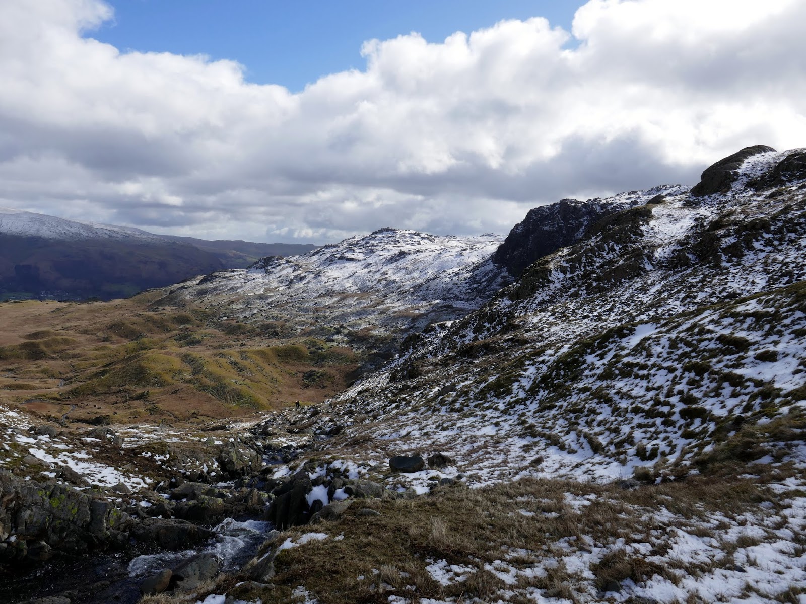
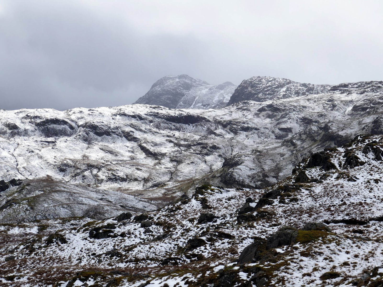
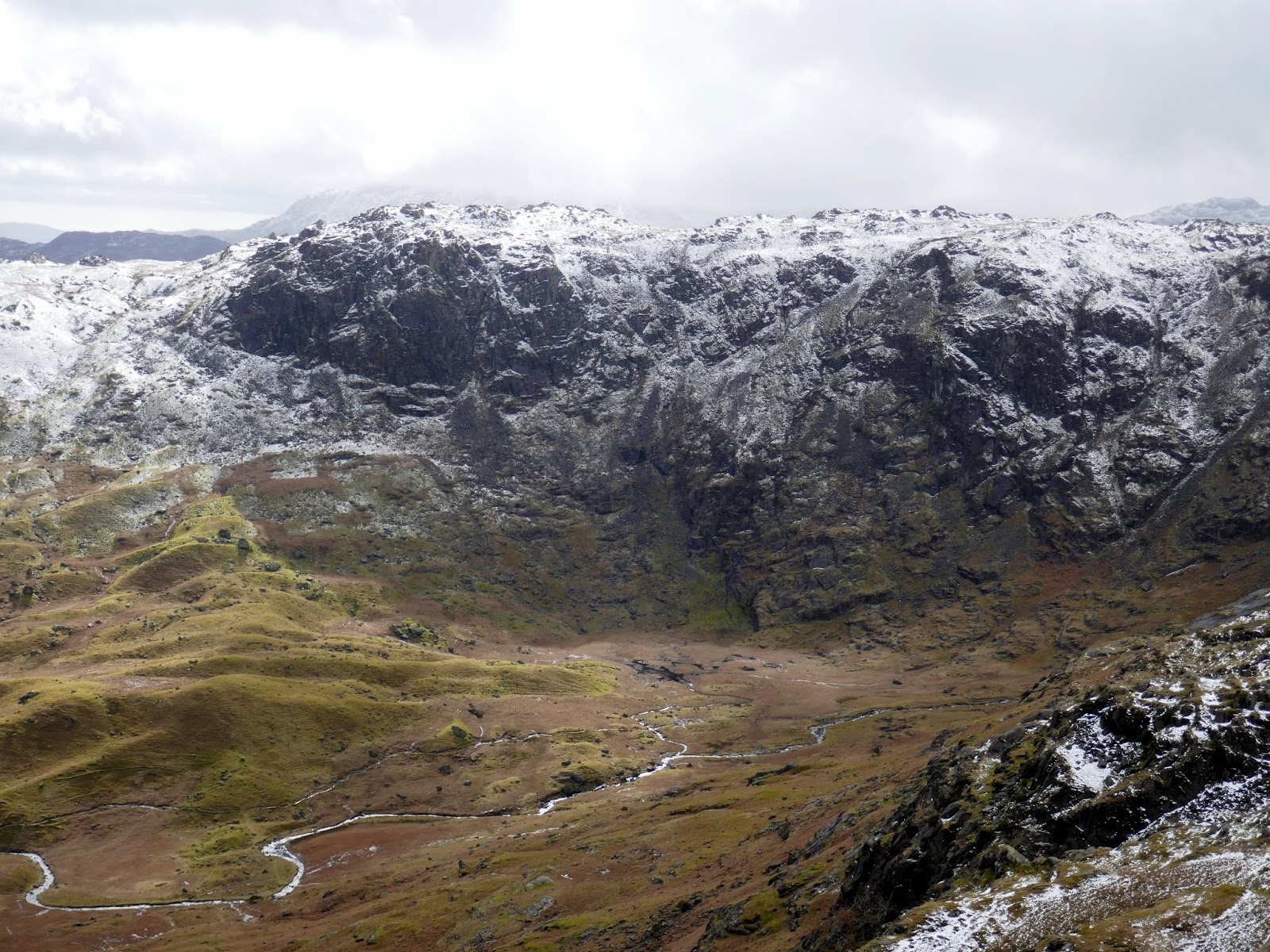
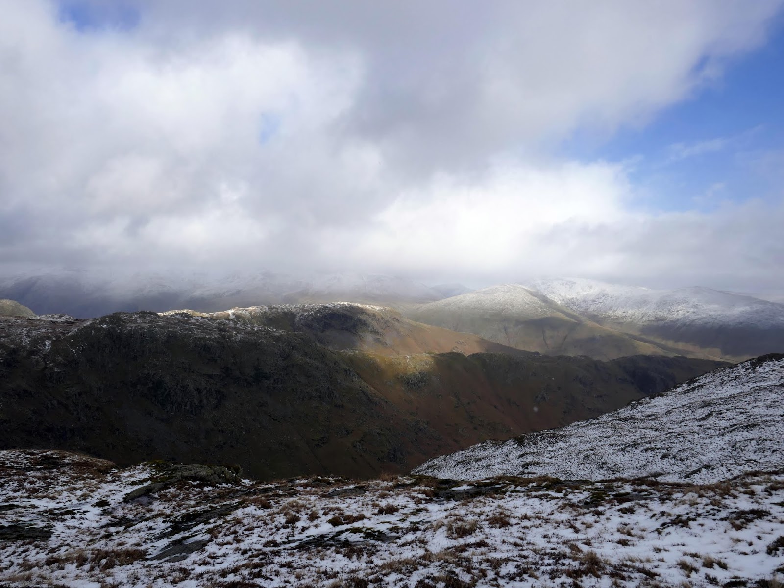
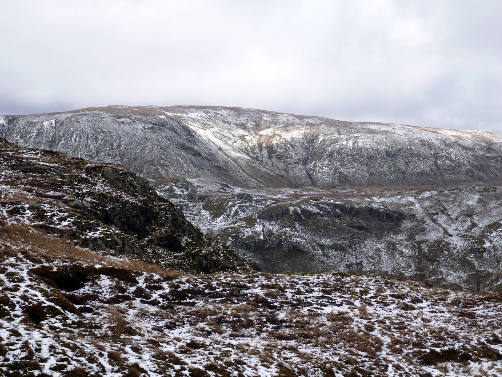
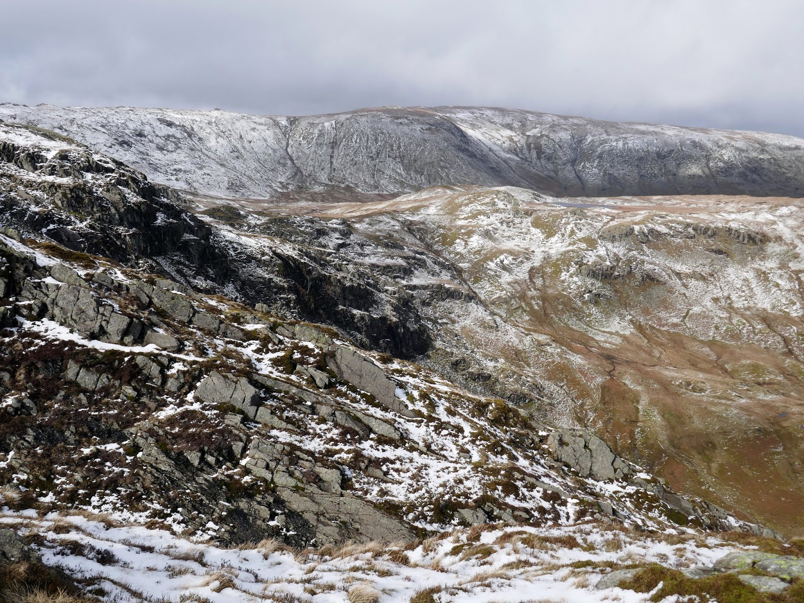
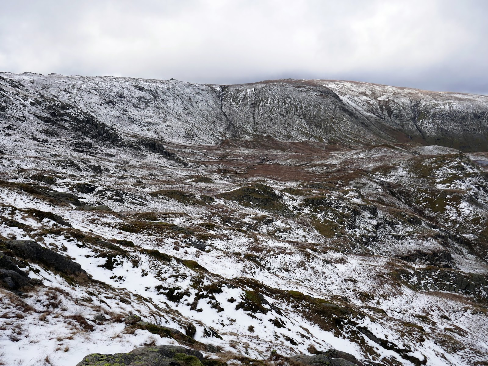
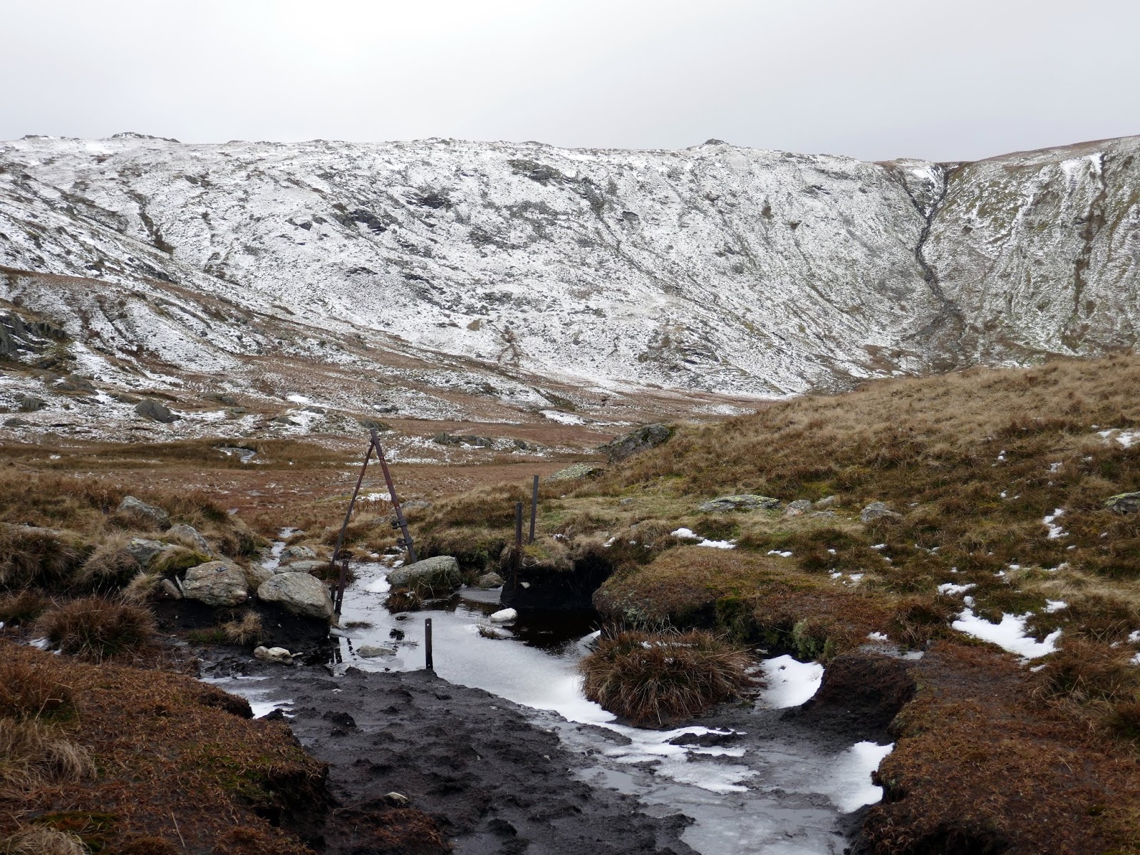
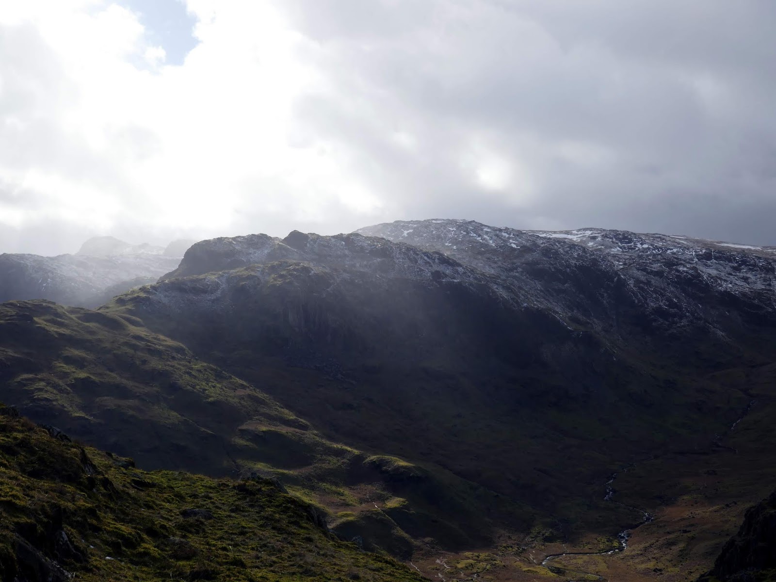
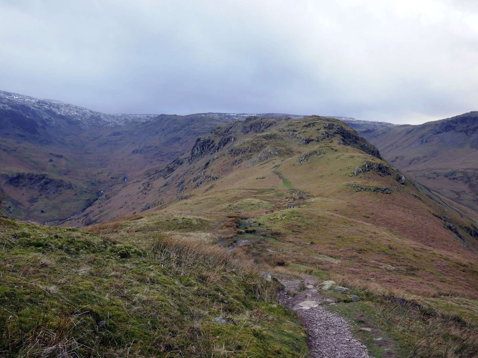
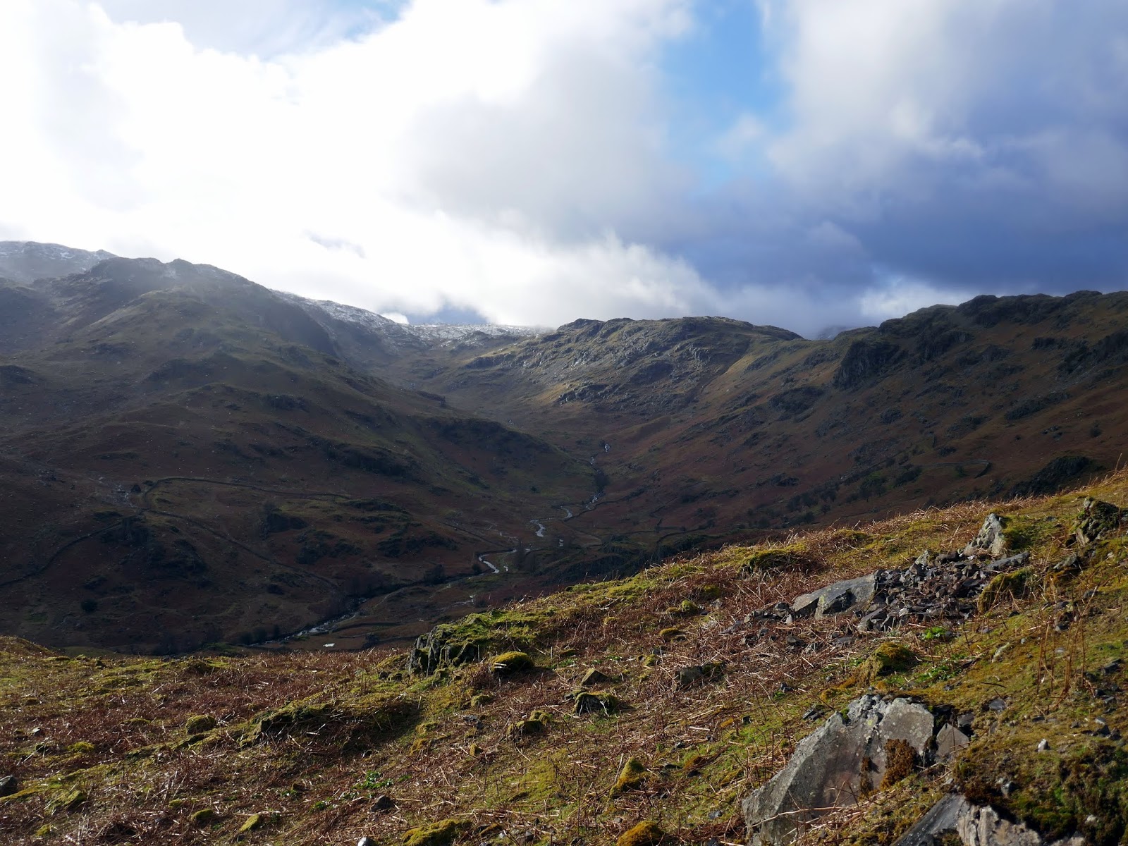
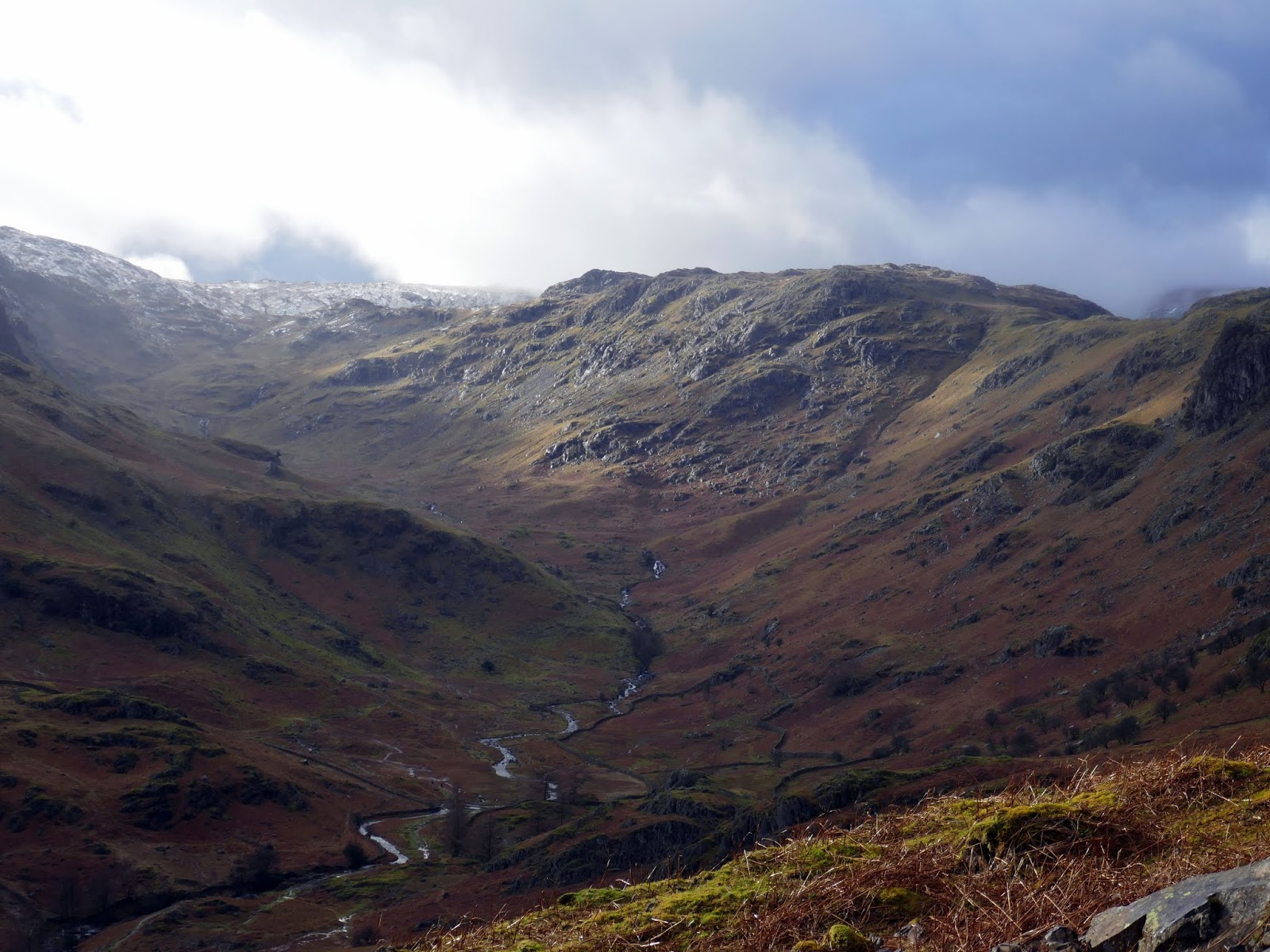
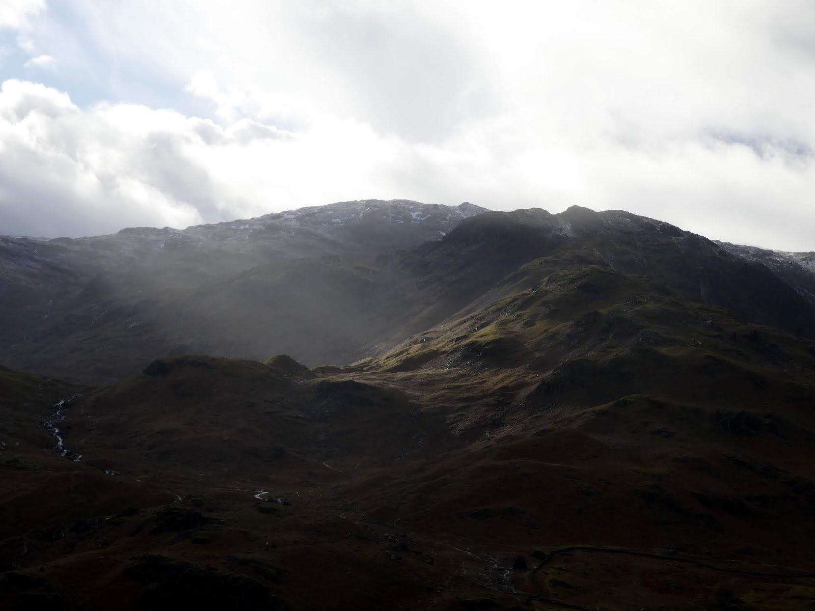
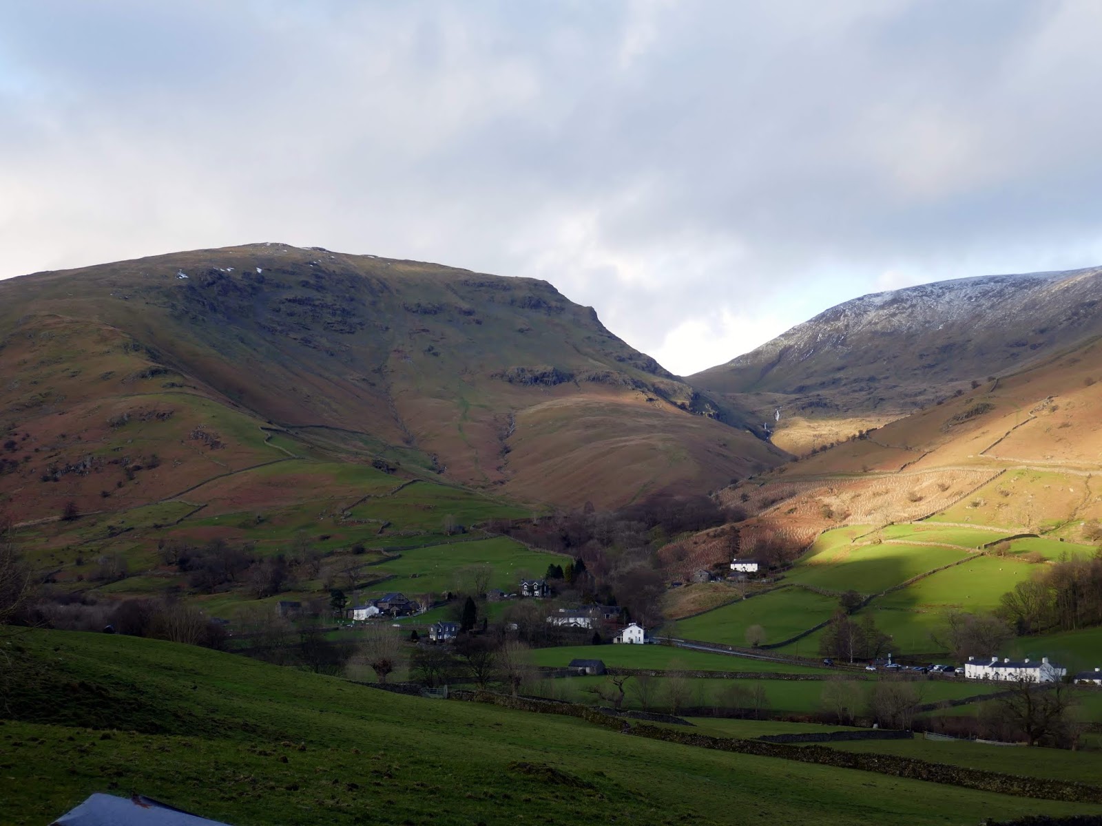
With Tarn Crag ticked off, it was time to turn our attention to reaching the head of Far Easedale Gill, the valley that separates Tarn Crag from the ridge of Gibson Knott and Helm Crag. This involved an interesting, off path route directly from Tarn Crag, around Ferngill Crag to reach the path at Broadstone Head. Once successfully around the head of the valley, we followed the old boundary fence posts towards Brownrigg Moss and Calf Crag.
 |
| Clouds build over Far Easedale |
 |
| Ullscarf |
 |
| Calf Crag |
 |
| Greenup Edge |
 |
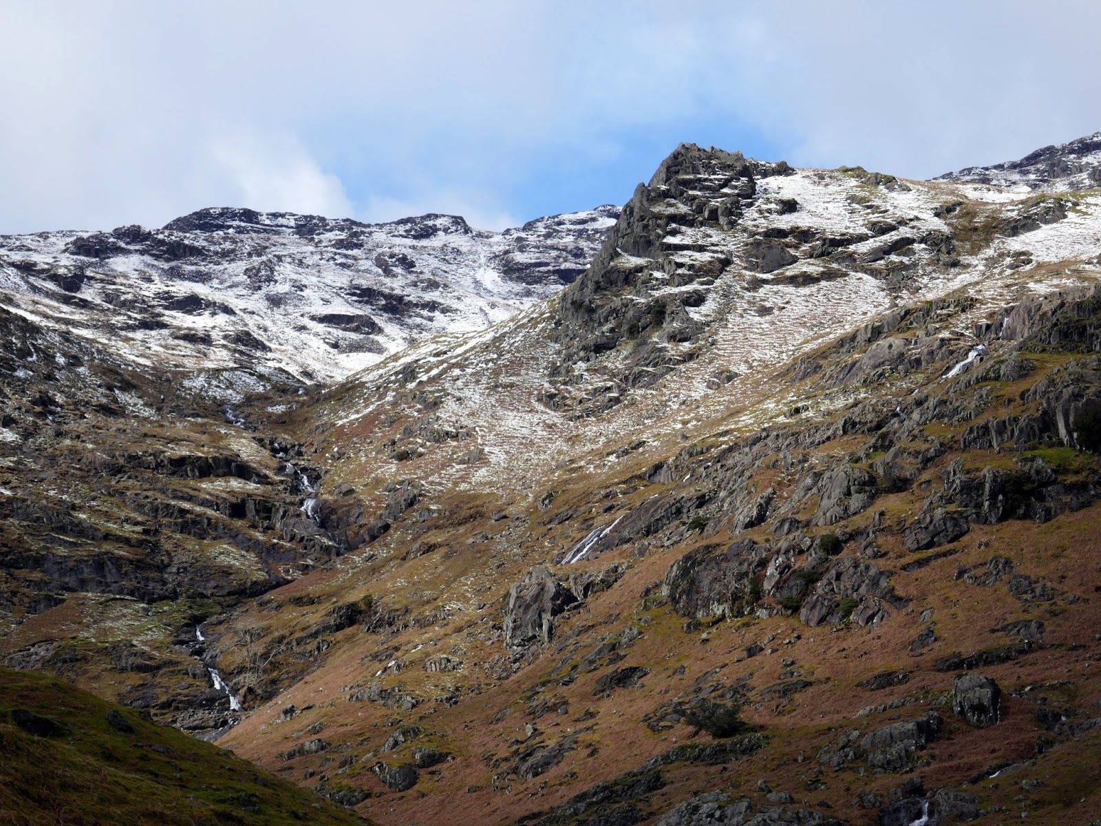
| Ferngill Crag |
 |
| Brownrigg Moss at the head of Far Easedale |
 |
| Helm Crag |
 |
| The boundary fence posts at Brownrigg Moss |
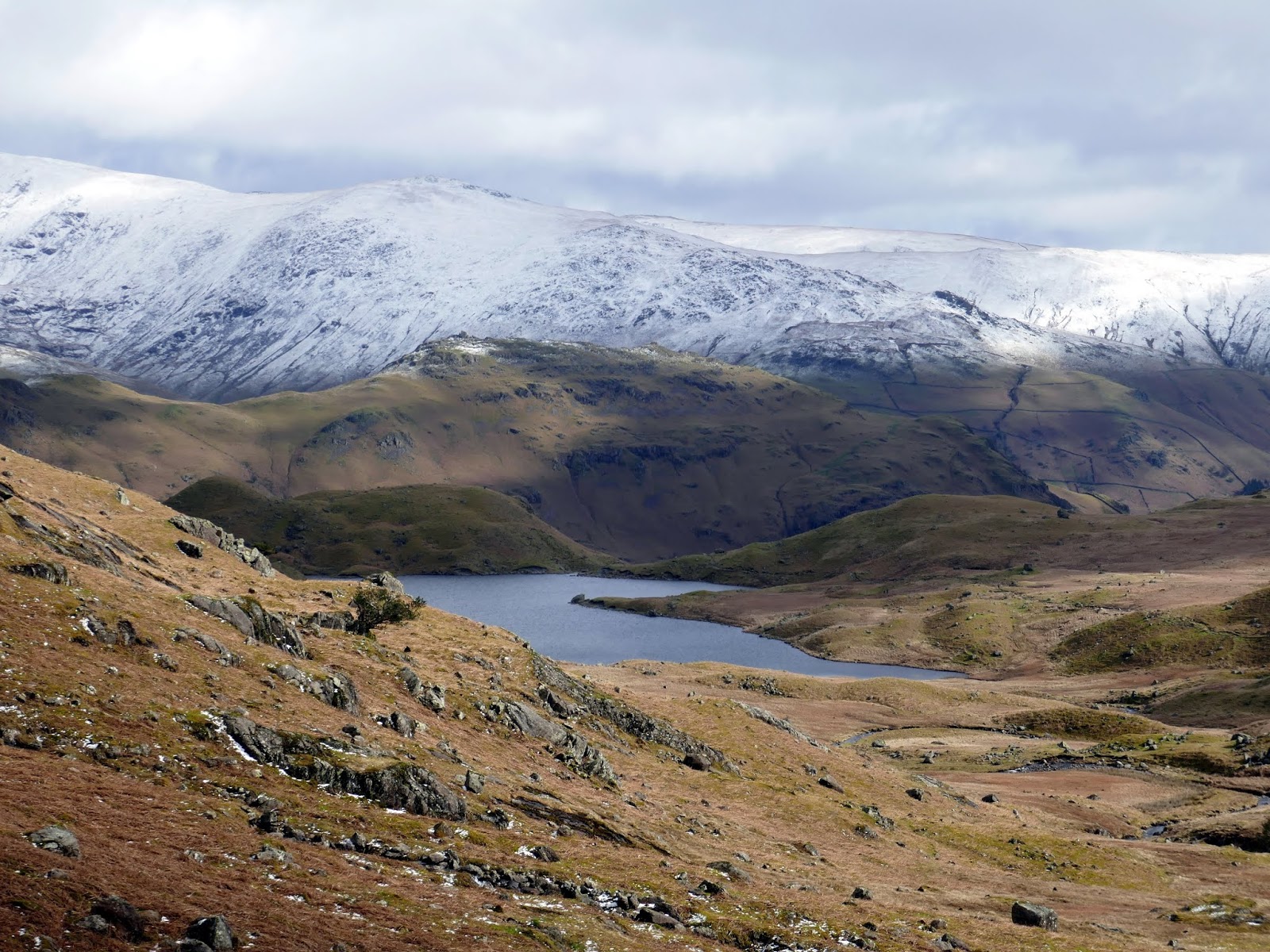
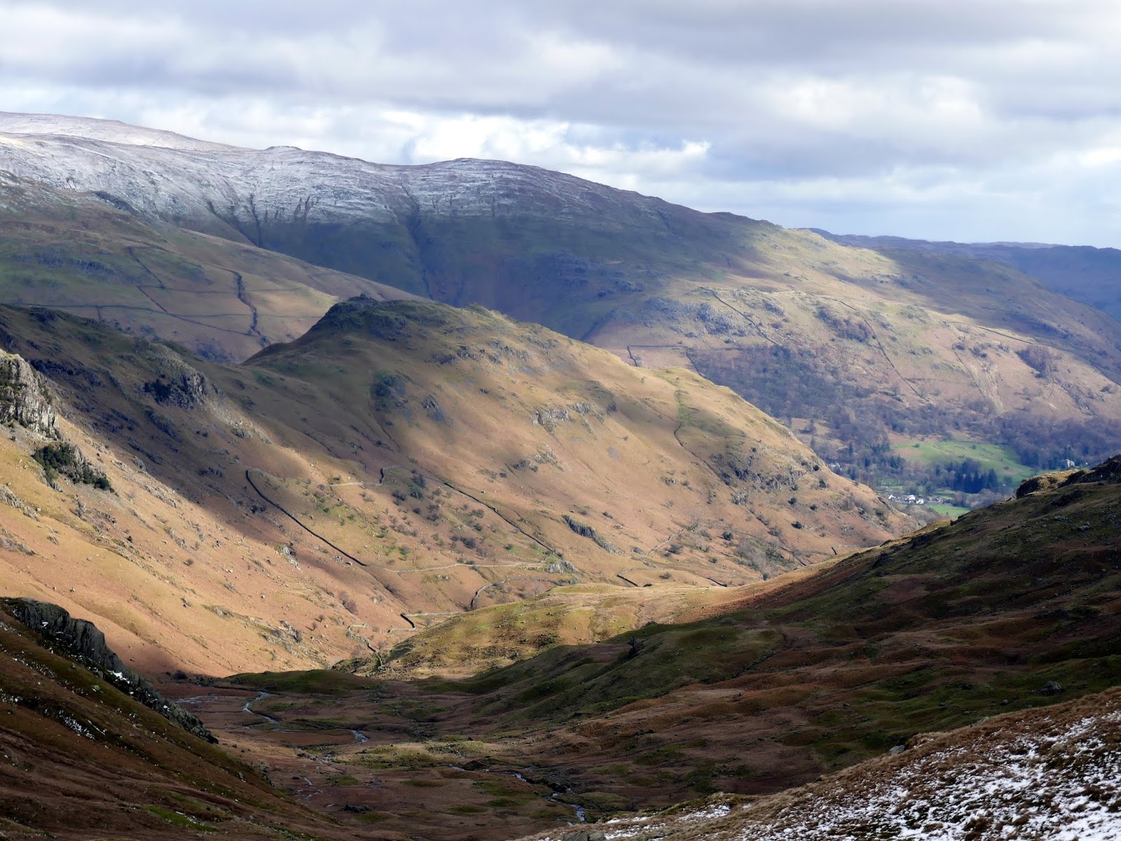
From the head of Far Easedale its a short crossing of Brownrigg Moss to Calf Crag and the beginning of the main Helm Crag ridge. We chose a nice sheltered spot to break for lunch for starting the long return towards Grasmere. It’s a 1km, undulating trek between Calf Crag and Gibson Knott – enough time for the sun to make an appearance in the early afternoon.
 |
| Far Easedale |
 |
| Brownrigg Moss |
 |
| Deer Bields |
 |
| Looking along Far Easedale towards Loughrigg Fell |
 |
| A shower passes Tarn Crag |
 |
| Calf Crag |
 |
| Approaching Gibson Knott |
 |
| Gibson Knott’s summit |
 |
| Far Easedale |
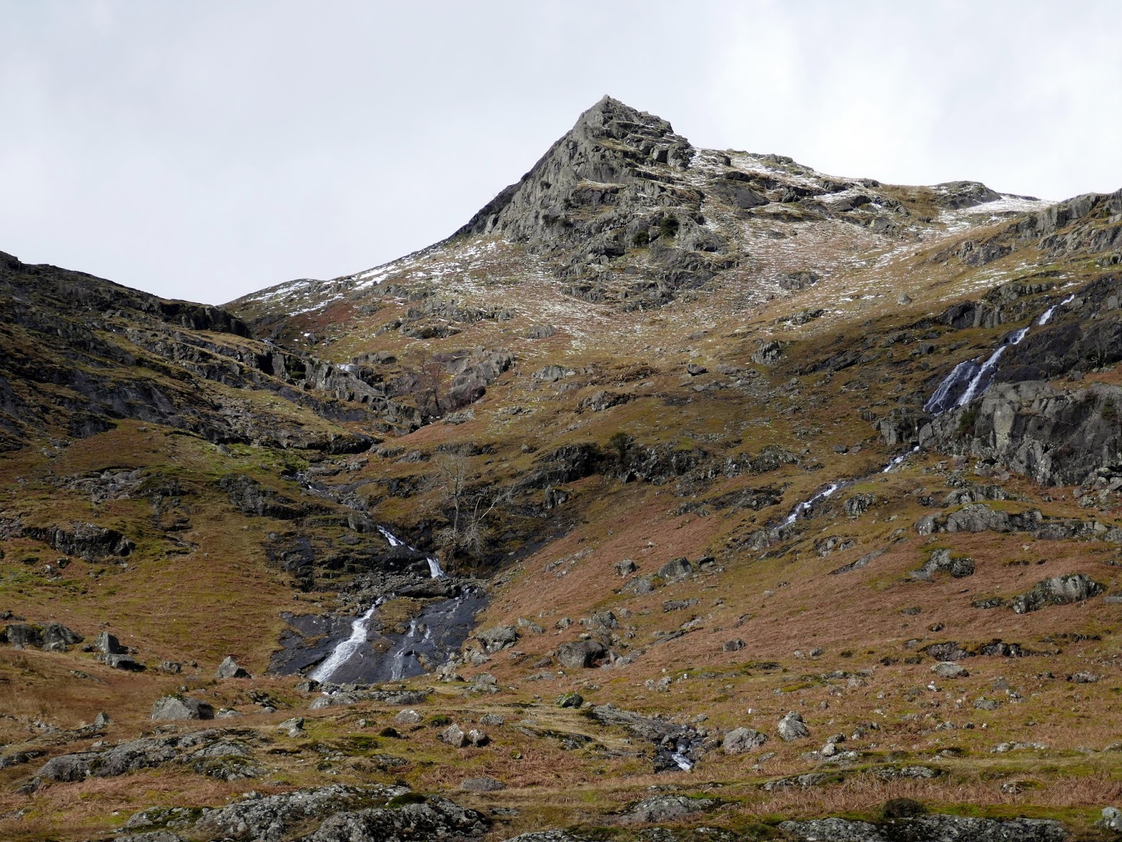
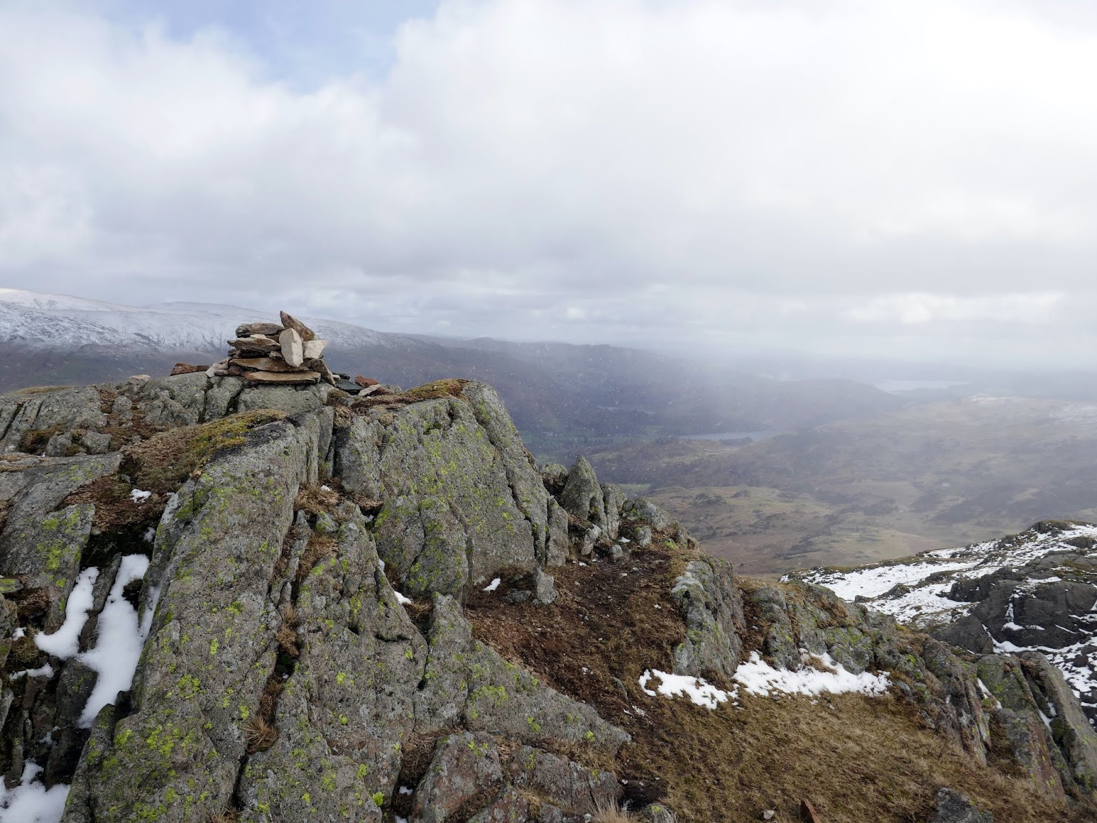
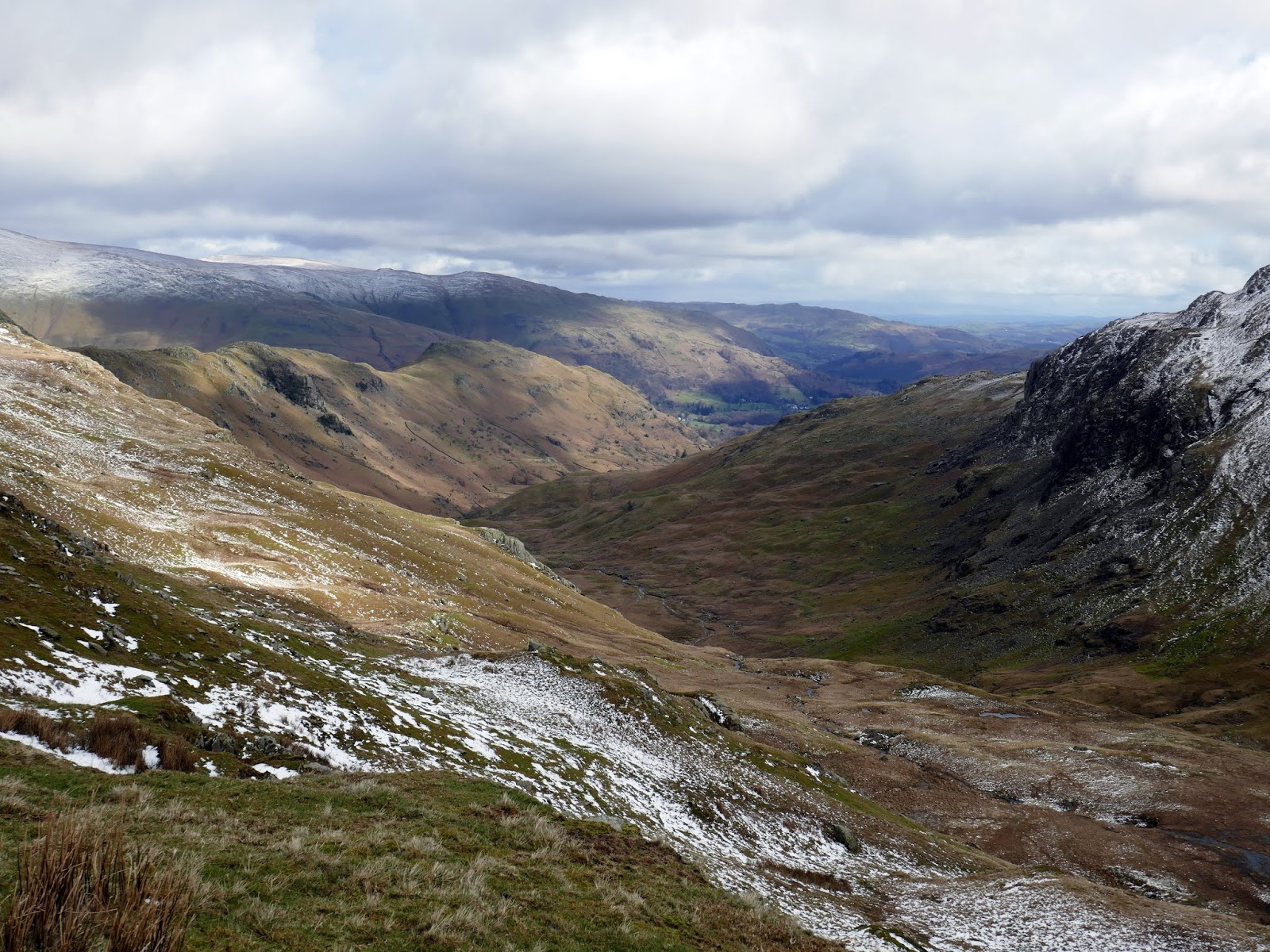
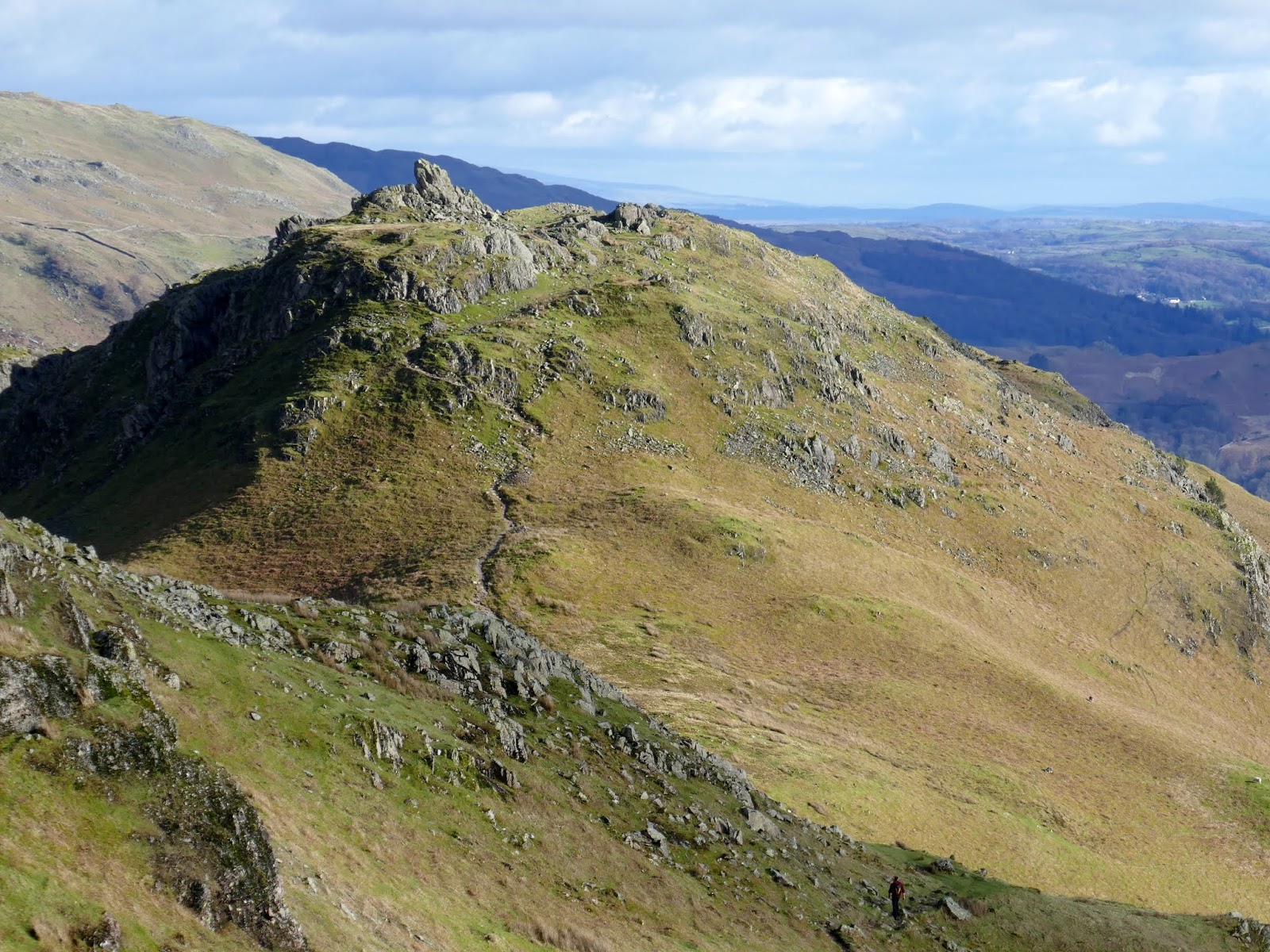
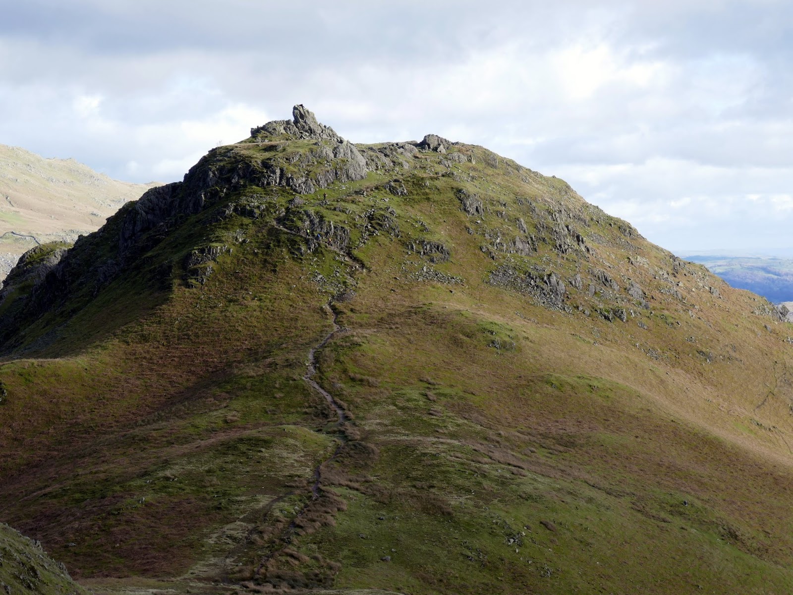
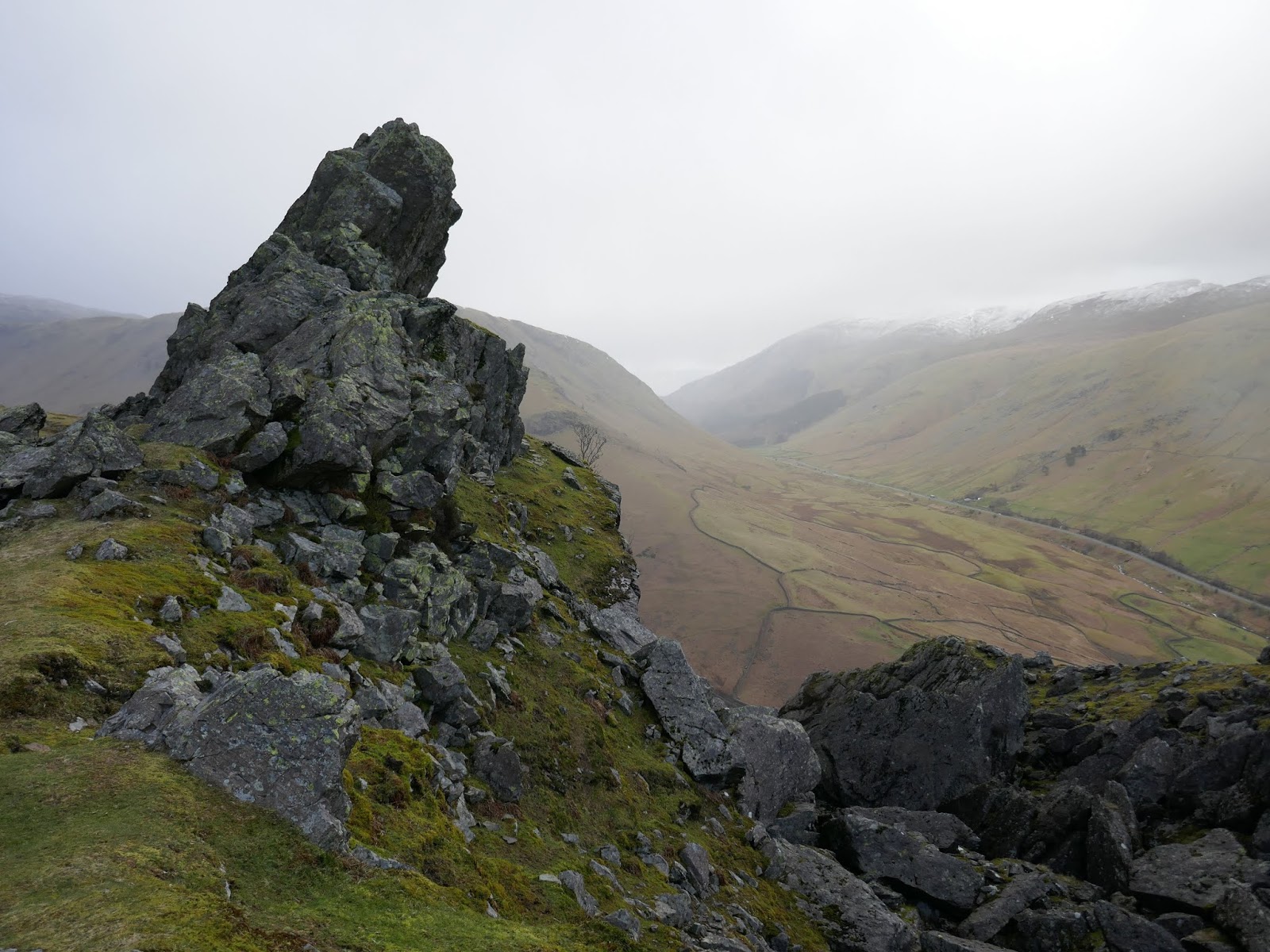
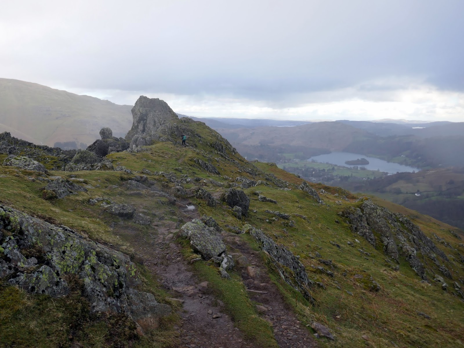
Bracken Hause separates Gibson Knott from the neighbouring Helm Crag and provides a quick way back down to the valley below if required. Up ahead is a short climb up onto Helm Crag, the famed summit overlooking Grasmere. The fell turns more rocky and mountainous as you reach the top and it’s an interesting place for a look around. The rocks that create The Lion and The Lamb loom ahead and appear to be the highest at first glance. However, along the ridge is an equally prominent rock, The Howitzer, that forms the true summit of the fell. It’s climbable but not as straightforward as it initially appears
 |
| Helm Crag |
 |
| Helm Crag’s summit rocks |
 |
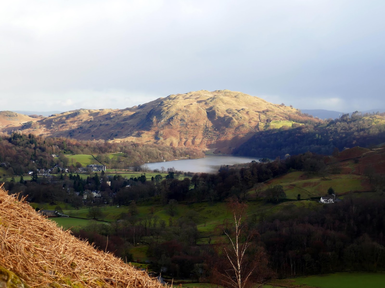
| Grasmere and Loughrigg Fell |
 |
| Helm Crag over Bracken Hause |
 |
| Looking back to Gibson Knott |
 |
| The Howitzer atop Helm Crag |
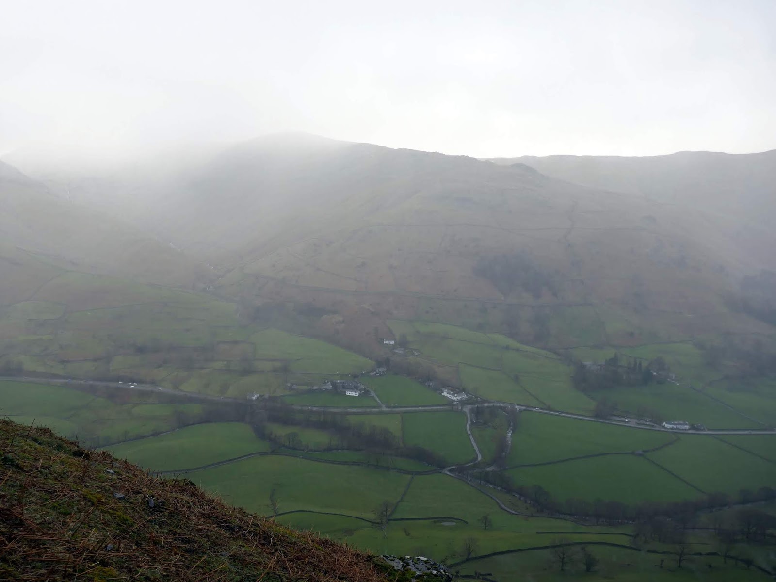
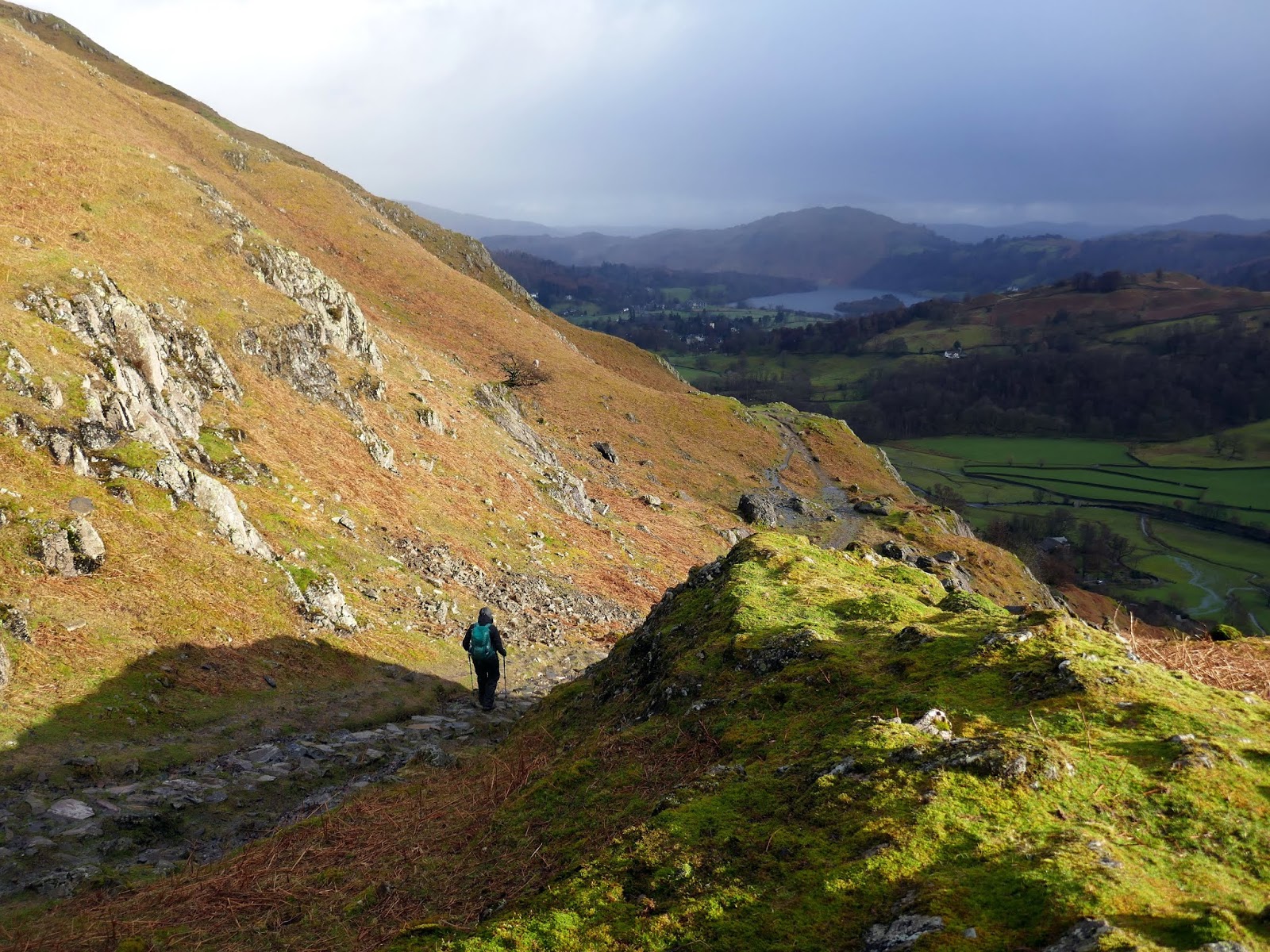
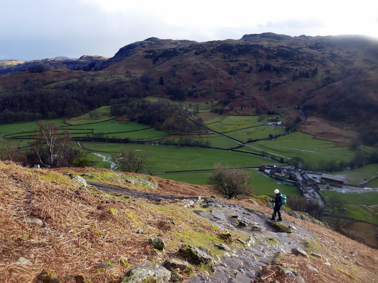
As we pottered around on the summit it was apparent we were about to get wet as the skies darkened and a large shower approached. We quickly put on a full set of waterproofs, just in time for it to start raining quite heavily – certainly a contract to the weather only minutes before. Luckily, the rain finished and the sun had emerged by the time we reached the base of Helm Crag.
 |
| Add caption |
 |
| Stone Arthur lost in the rain |
 |
| The shower passes |
 |
| Gibson Knott |
 |
| Beautiful light over Tarn Crag |
 |
| The path at White Crag |
 |
| Easedale |
 |
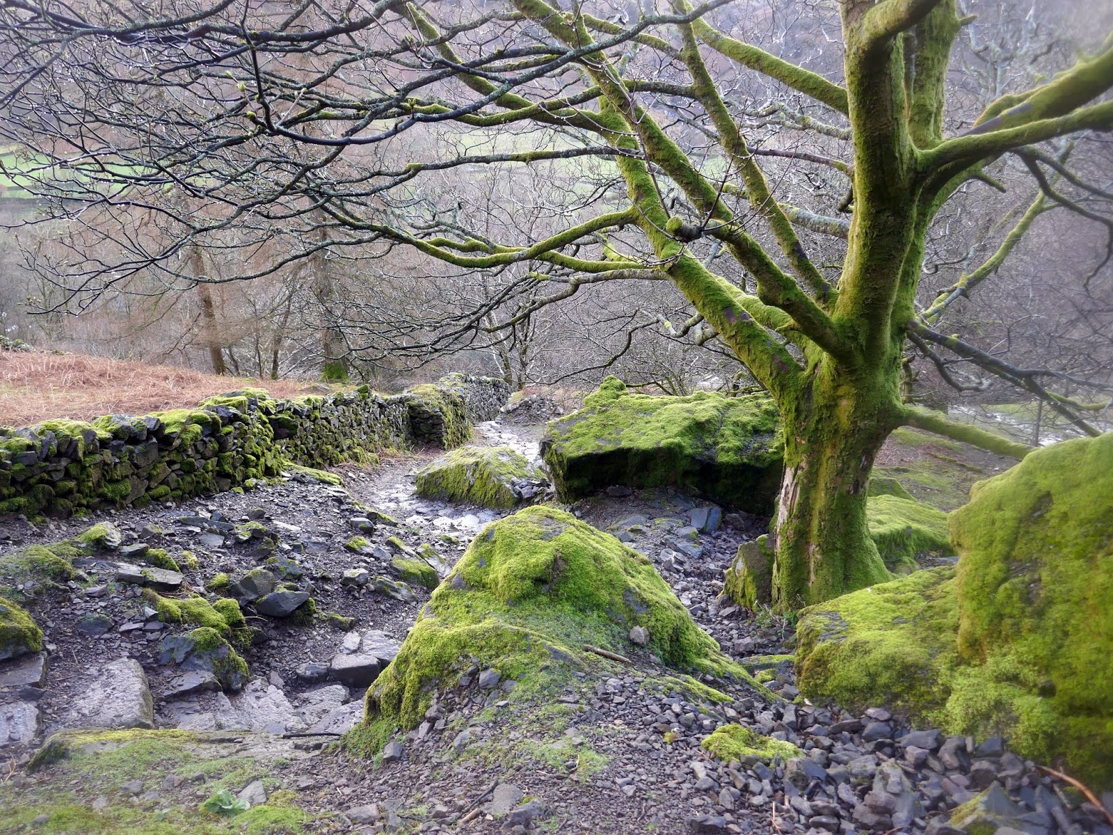
| Woods at Lancrigg |
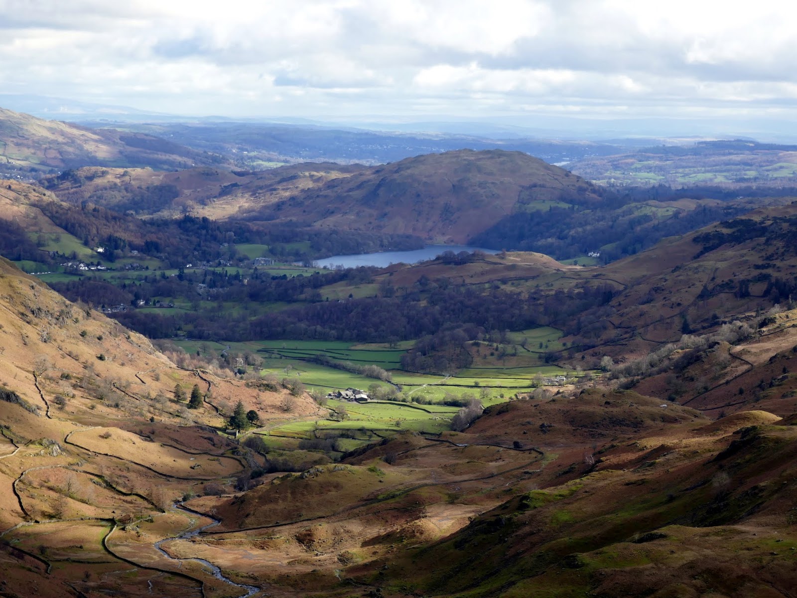
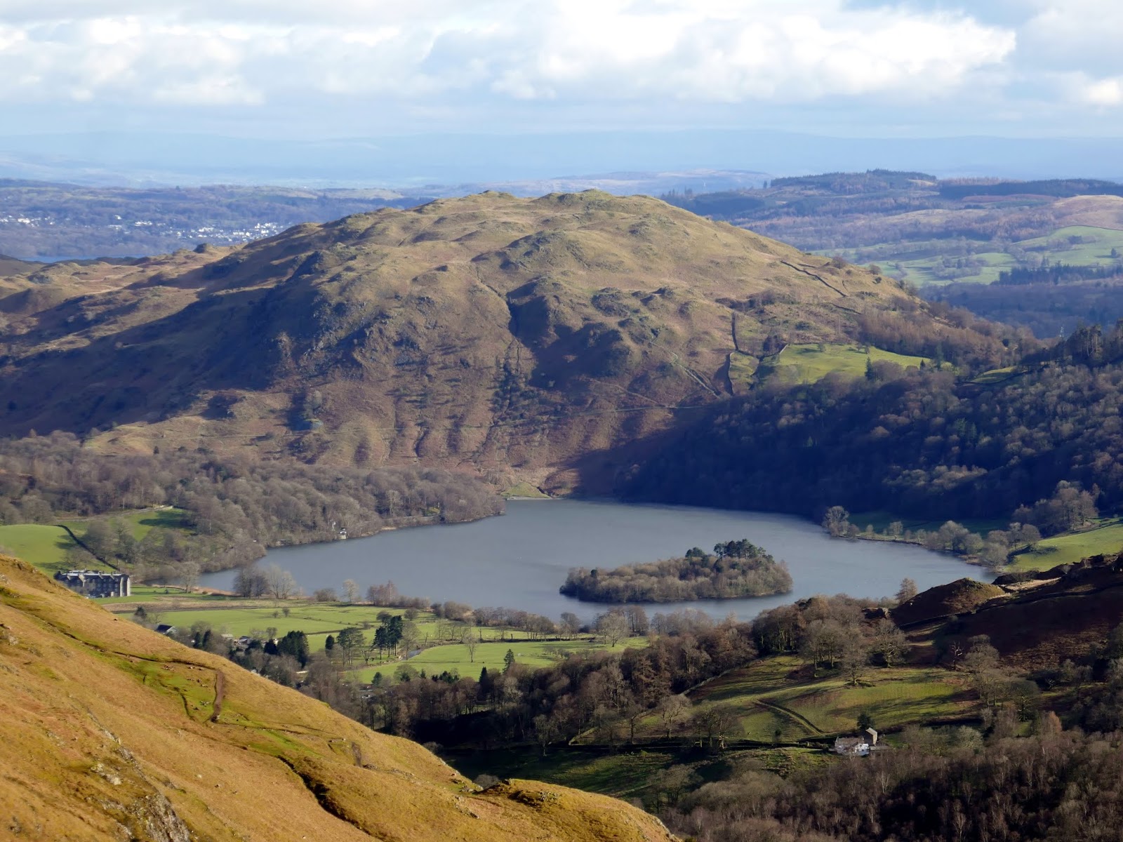
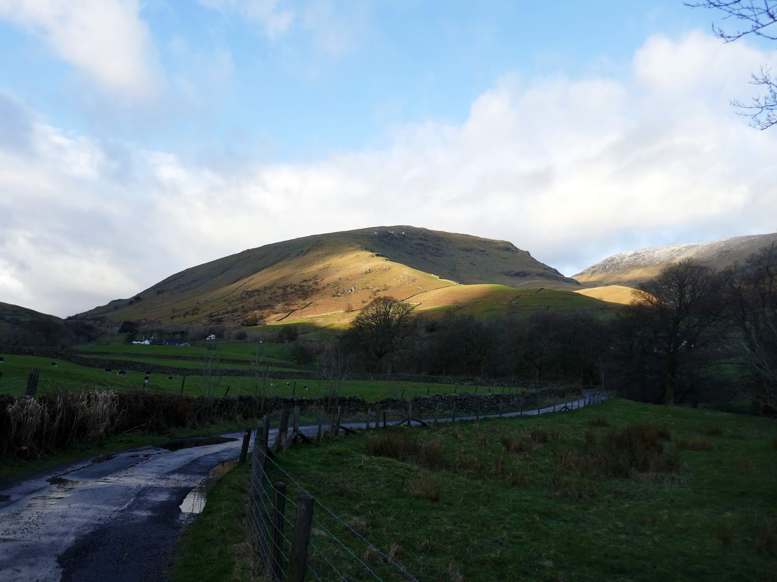
The last thing to do was retrace our route along the lanes back to Broadrayne Farm. As ever, walking around Easedale is superb and, for once, the weather was kind to us. So many times in the past we’ve experienced rain and strong winds but not today. This is superlative walking country.
 |
| Grasmere and Loughrigg Fell |
 |
| Easedale Road |
 |
| Seat Sandal |
 |
| The road at Thorny How |
 |
| Seat Sandal |


