Open Space Web-Map builder Codehttps://openspace.ordnancesurvey.co.uk/osmapapi/openspace.js?key=3119F72552FD5C22E0530C6CA40A5A92https://openspace.ordnancesurvey.co.uk/osmapapi/script/mapbuilder/basicmap.jshttps://openspace.ordnancesurvey.co.uk/osmapapi/script/mapbuilder/searchbox.js//variables for routes var linesLayer, points, lineFeature, lineString, routeMarkersLayer, routepos, routesize, routeoffset, routeicon; var style_blue = {strokeColor: “#0000CD”, strokeOpacity: 0.5, strokeWidth: 4.5}; function initmapbuilder() { //initiate the map var options = {resolutions: [2500, 1000, 500, 200, 100, 50, 25, 10, 5, 4, 2.5, 2, 1]}; osMap = new OpenSpace.Map(‘map’, options); //configure map options (basicmap.js) setglobaloptions(); //set the center of the map and the zoom level osMap.setCenter(new OpenSpace.MapPoint(429814,441852),8); linesLayer = osMap.getVectorLayer(); // Set up layer for route markers routeMarkersLayer = new OpenLayers.Layer.Markers(“Route Markers”); //make a route points = new Array(); points.push(new OpenLayers.Geometry.Point(428781,442048.5)); points.push(new OpenLayers.Geometry.Point(428851,442218.5)); points.push(new OpenLayers.Geometry.Point(428976,442303.5)); points.push(new OpenLayers.Geometry.Point(429056,442368.5)); points.push(new OpenLayers.Geometry.Point(429168.5,442343.5)); points.push(new OpenLayers.Geometry.Point(429557,442411)); points.push(new OpenLayers.Geometry.Point(430622,442196)); points.push(new OpenLayers.Geometry.Point(430662,442176)); points.push(new OpenLayers.Geometry.Point(430677,442136)); points.push(new OpenLayers.Geometry.Point(430677,442066)); points.push(new OpenLayers.Geometry.Point(430667,442006)); points.push(new OpenLayers.Geometry.Point(430807,441756)); points.push(new OpenLayers.Geometry.Point(430902,441696)); points.push(new OpenLayers.Geometry.Point(430902,441646)); points.push(new OpenLayers.Geometry.Point(430877,441581)); points.push(new OpenLayers.Geometry.Point(430717,441521)); points.push(new OpenLayers.Geometry.Point(430677,441361)); points.push(new OpenLayers.Geometry.Point(430727,441246)); points.push(new OpenLayers.Geometry.Point(430697,441196)); points.push(new OpenLayers.Geometry.Point(430647,441306)); points.push(new OpenLayers.Geometry.Point(430587,441376)); points.push(new OpenLayers.Geometry.Point(430587,441441)); points.push(new OpenLayers.Geometry.Point(430327,441506)); points.push(new OpenLayers.Geometry.Point(429977,441471)); points.push(new OpenLayers.Geometry.Point(429937,441436)); points.push(new OpenLayers.Geometry.Point(429967,441311)); points.push(new OpenLayers.Geometry.Point(429797,441346)); points.push(new OpenLayers.Geometry.Point(429647,441306)); points.push(new OpenLayers.Geometry.Point(429597,441321)); points.push(new OpenLayers.Geometry.Point(429552,441366)); points.push(new OpenLayers.Geometry.Point(429557,441456)); points.push(new OpenLayers.Geometry.Point(429412,441501)); points.push(new OpenLayers.Geometry.Point(429277,441561)); points.push(new OpenLayers.Geometry.Point(428952,441516)); points.push(new OpenLayers.Geometry.Point(428867,441681)); points.push(new OpenLayers.Geometry.Point(428781,442048.5)); // create a polyline feature from the array of points lineString = new OpenLayers.Geometry.LineString(points); lineFeature = new OpenLayers.Feature.Vector(lineString, null, style_blue); linesLayer.addFeatures([lineFeature]); //crate a route start/end marker routepos = new OpenSpace.MapPoint(428781,442048.5); routesize = new OpenLayers.Size(33,45); routeoffset = new OpenLayers.Pixel(-5,-37); routeicon = new OpenSpace.Icon(‘https://openspace.ordnancesurvey.co.uk/osmapapi/img_versions/img_1.1/mapbuilder/routemarker-startend.png’, routesize, routeoffset, null, null); routeMarkersLayer.addMarker(new OpenLayers.Marker(routepos, routeicon)); osMap.addLayer(routeMarkersLayer);}
Route: Eccup Moor Road, Rookery Farm, Eccup, Bank House Farm, Owlet Hall, High Wood, Wigton Knowle, Goodrick Plantation, Dales Way
Date: 09/03/2019
From: Eccup
Parking: Eccup Moor Road
Start Point: Eccup
Region: West Yorkshire
Route length: 3.8 miles (6.1km)
Time taken: 01:21
Average speed: 2.9 mph
Ascent: 50m
Descent: 57m
Summits: None
Other points of interest: Eccup Reservoir
This will probably go down as one of the quickest outings on All the Gear but it’s a pleasant route all the same, perfect for blustery March afternoon. With Eccup being close to All the Gear HQ, we can get there in a matter of minutes. We had planned a trip to Lindley Wood and Norwood Edge in the Washburn Valley but the morning weather was appalling so we ended up spending most of the day in Leeds instead. It was mid-afternoon when I was found staring longingly out of the window at the sunny skies and it was suggested a short circuit of Eccup would do the trick.
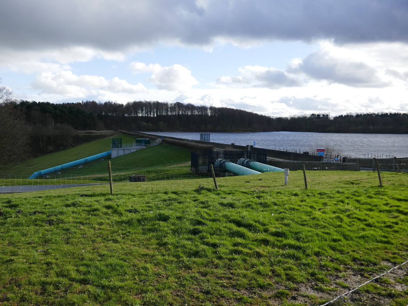
Eccup Reservoir resides on the northern fringes of Leeds, close to the village of Eccup. It was first constructed in 1843 and later expanded to increase supply to the city. Interestingly, it is now the largest area of water in West Yorkshire and the surrounding woodlands are Sites of Special Scientific Interest.
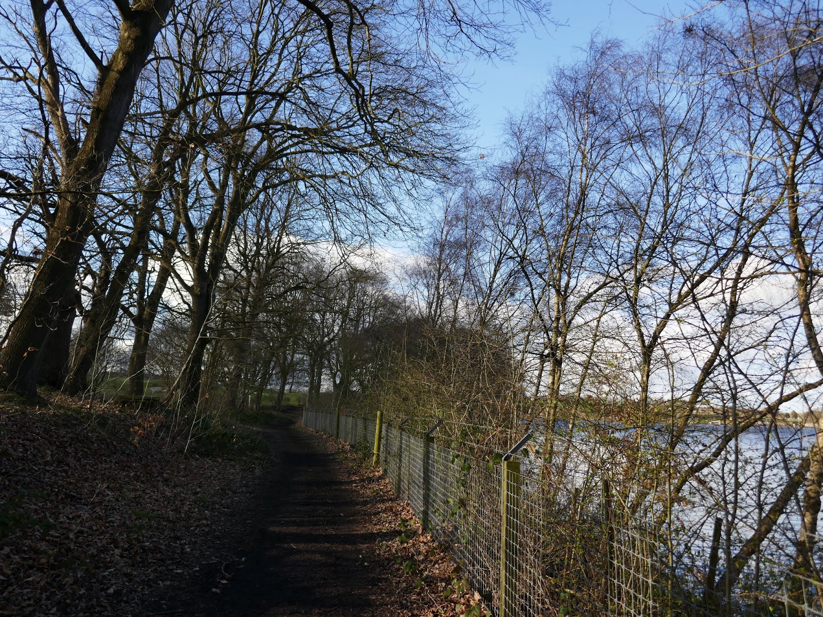
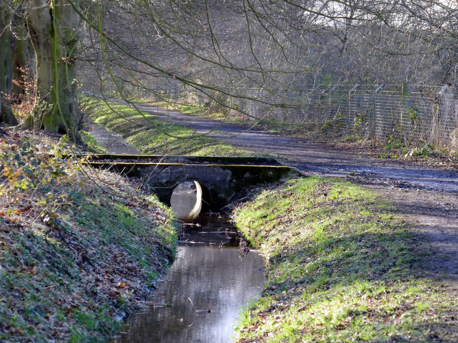
We parked along Eccup Moor Road, close to where a bridleway meets the road at a small stream. The bridleway is, in fact, part of the Dales Way (or more strictly speaking, one of the link routes to the starting point in Ilkley). The Dales Way is an 80-mile long-distance footpath in from Ilkley to Bowness-on-Windermere.
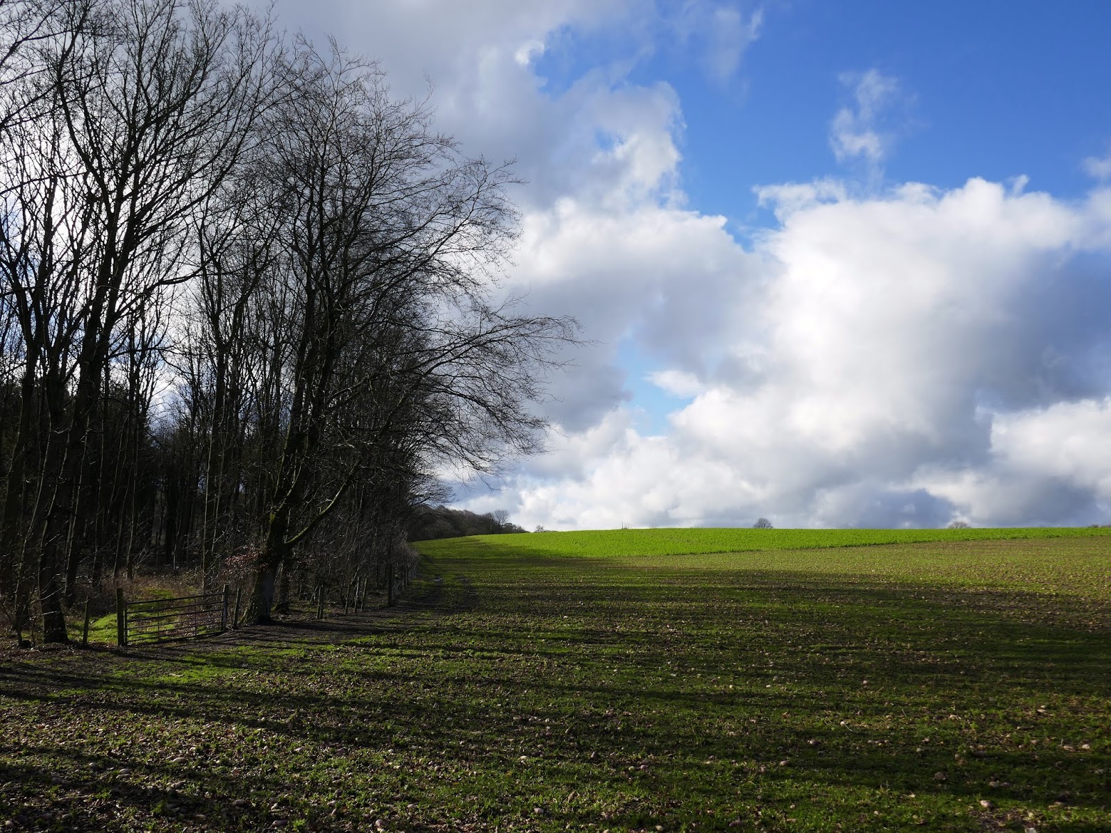
 |
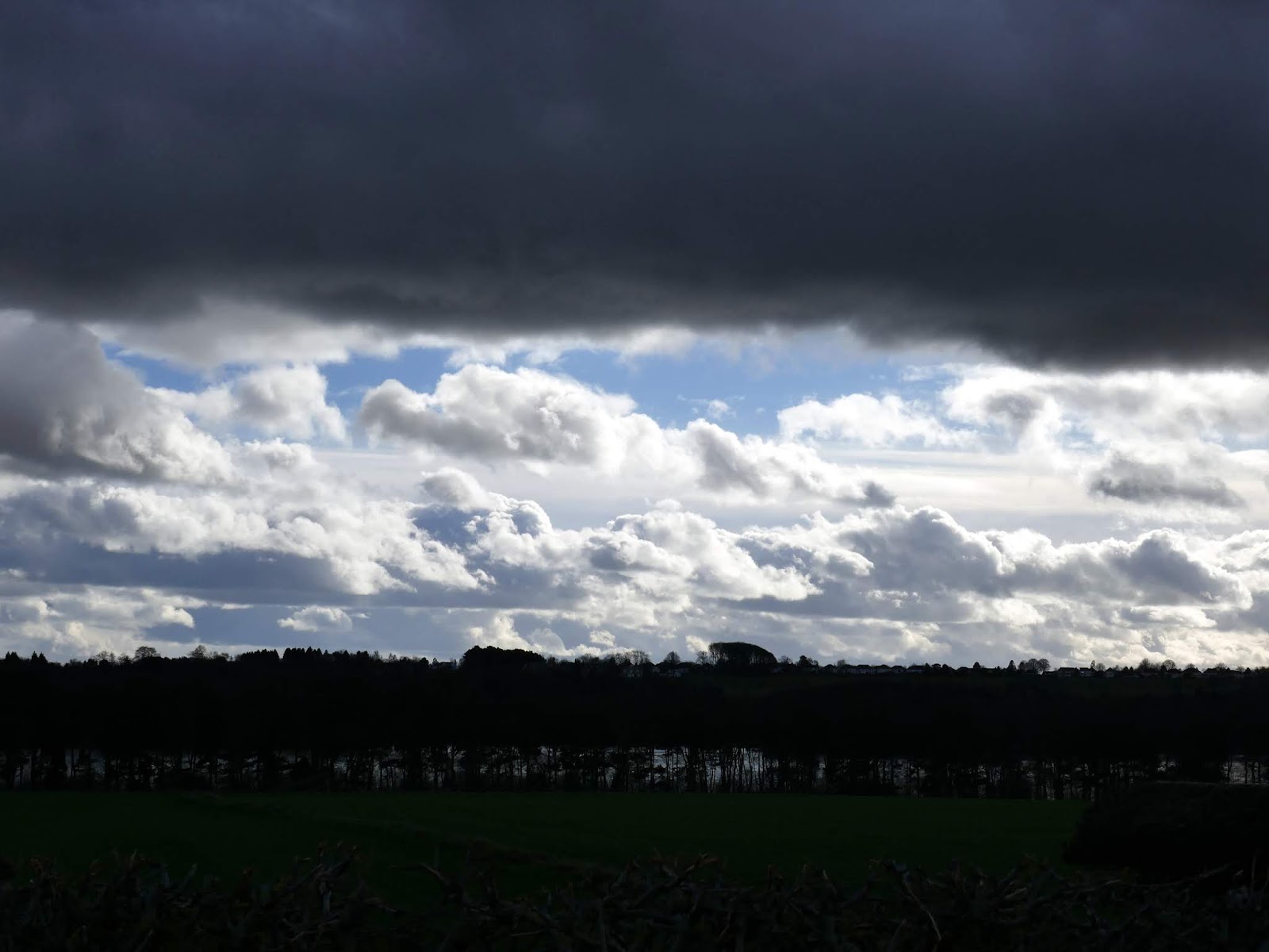
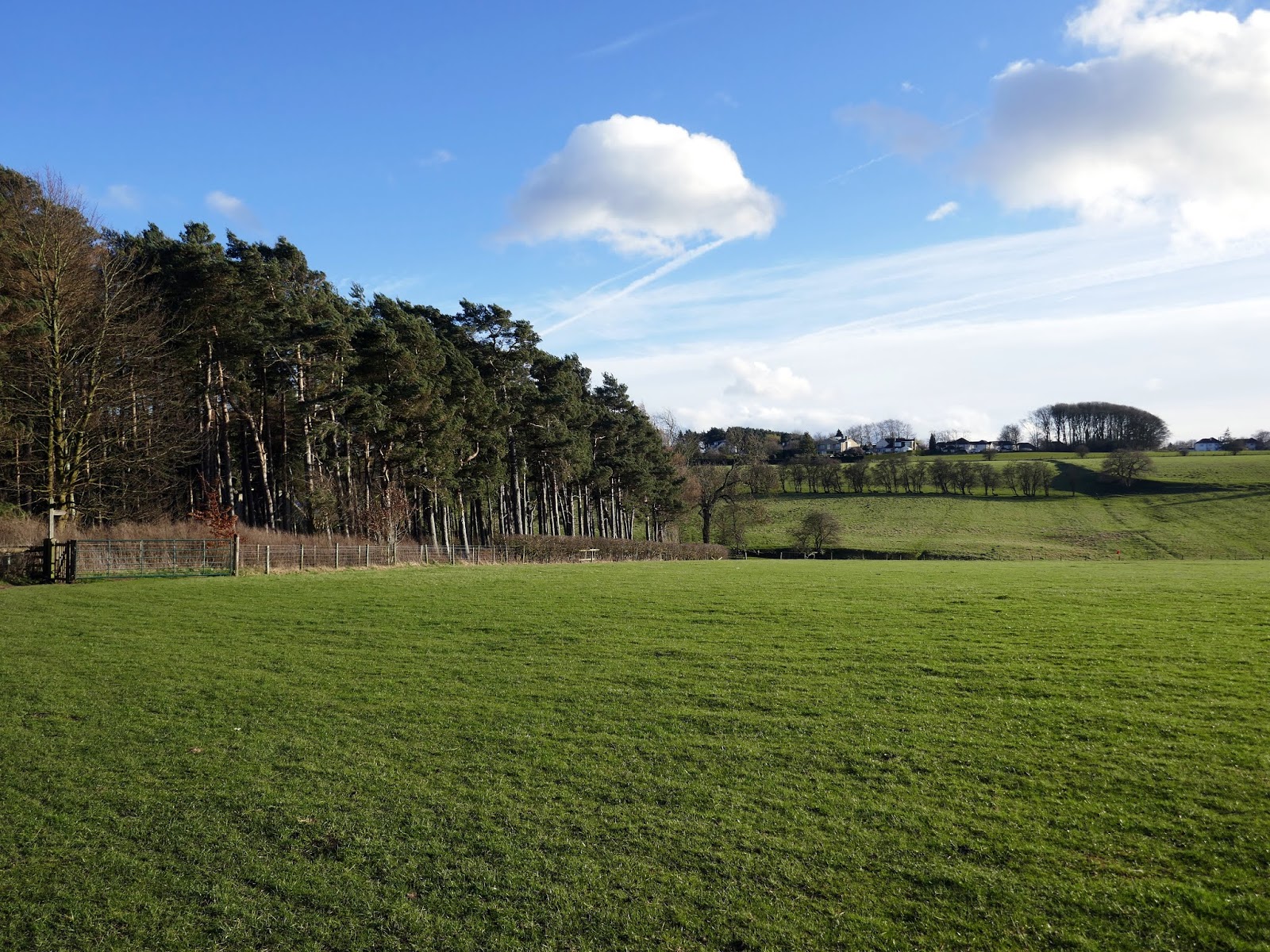
| Green fields and blue skies, only a short distance from the city centre |
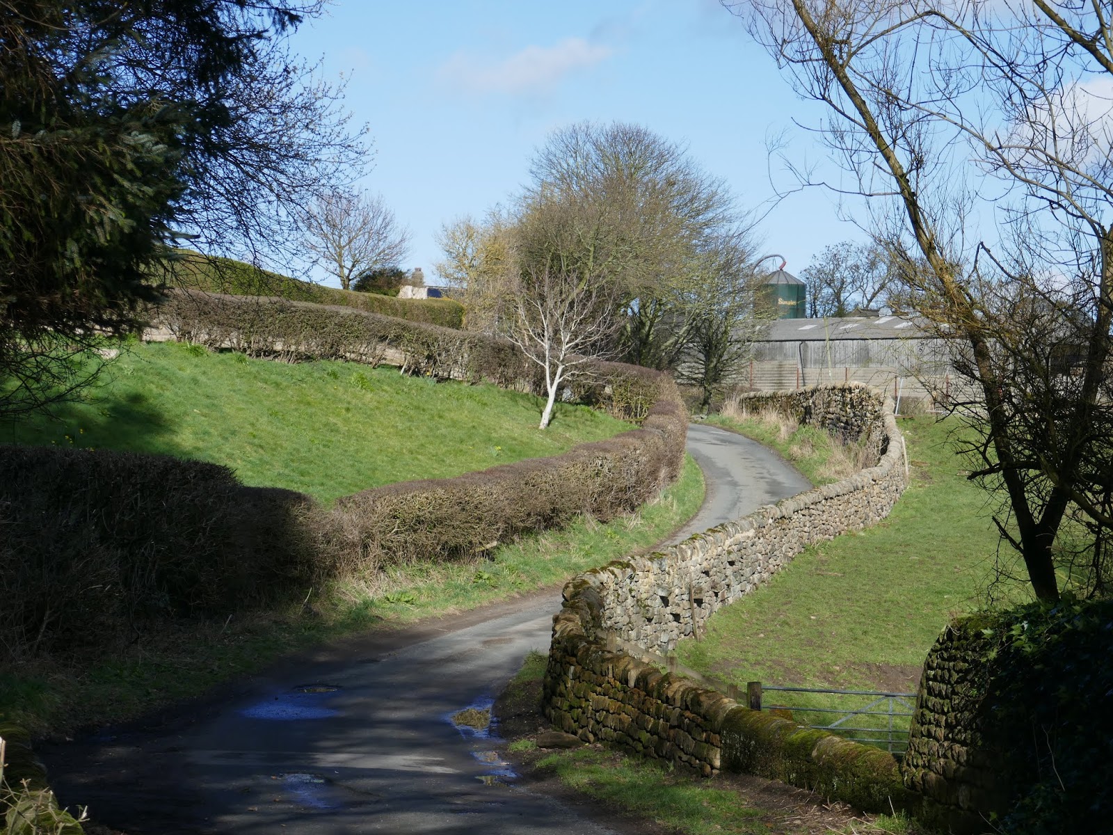
 |
| Eccup Moor Road |
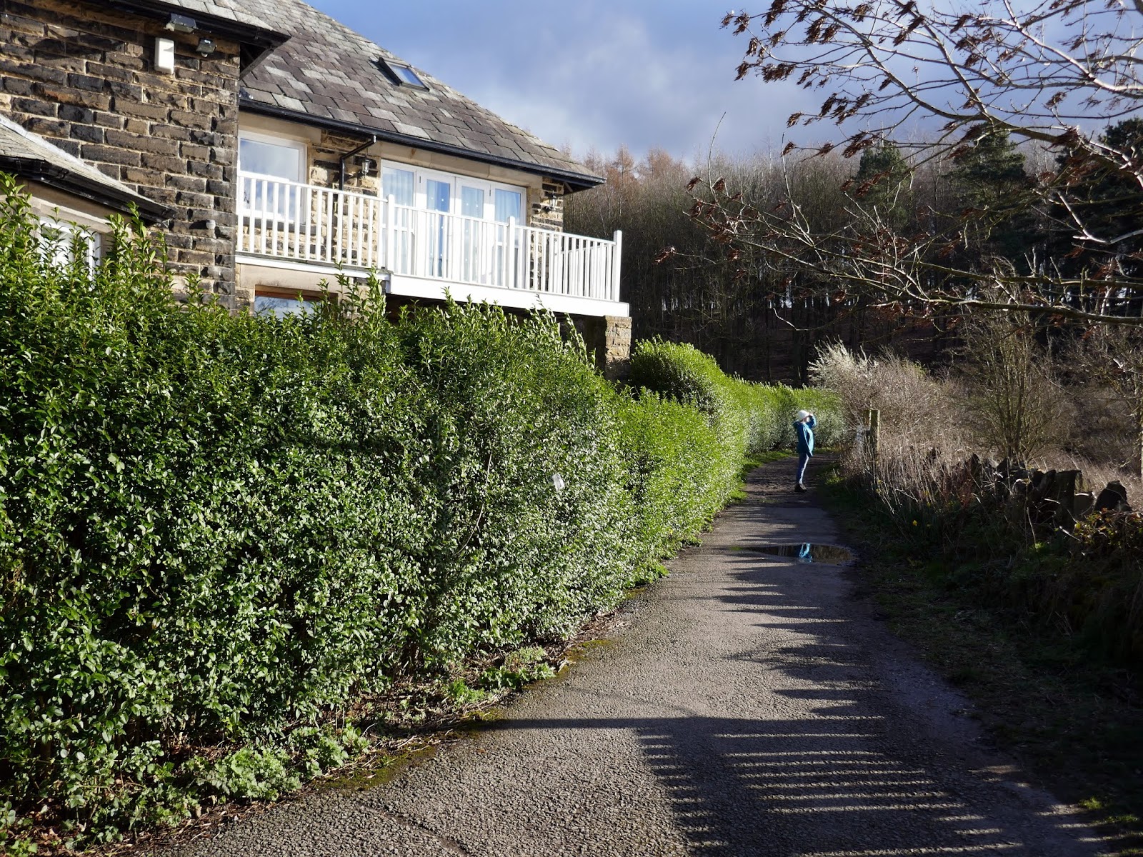
At Eccup village (no more than a small collection of cottages) we joined a long, straight access road which runs parallel to the north side of the reservoir. A screen of trees blocks much of the view of the water itself, however. The lane leads to Owlet Hall and the waterworks which serve the reservoir.
 |
| Lovely colours in the fields around Eccup |
 |
| The lane to Owlet Hall |
 |
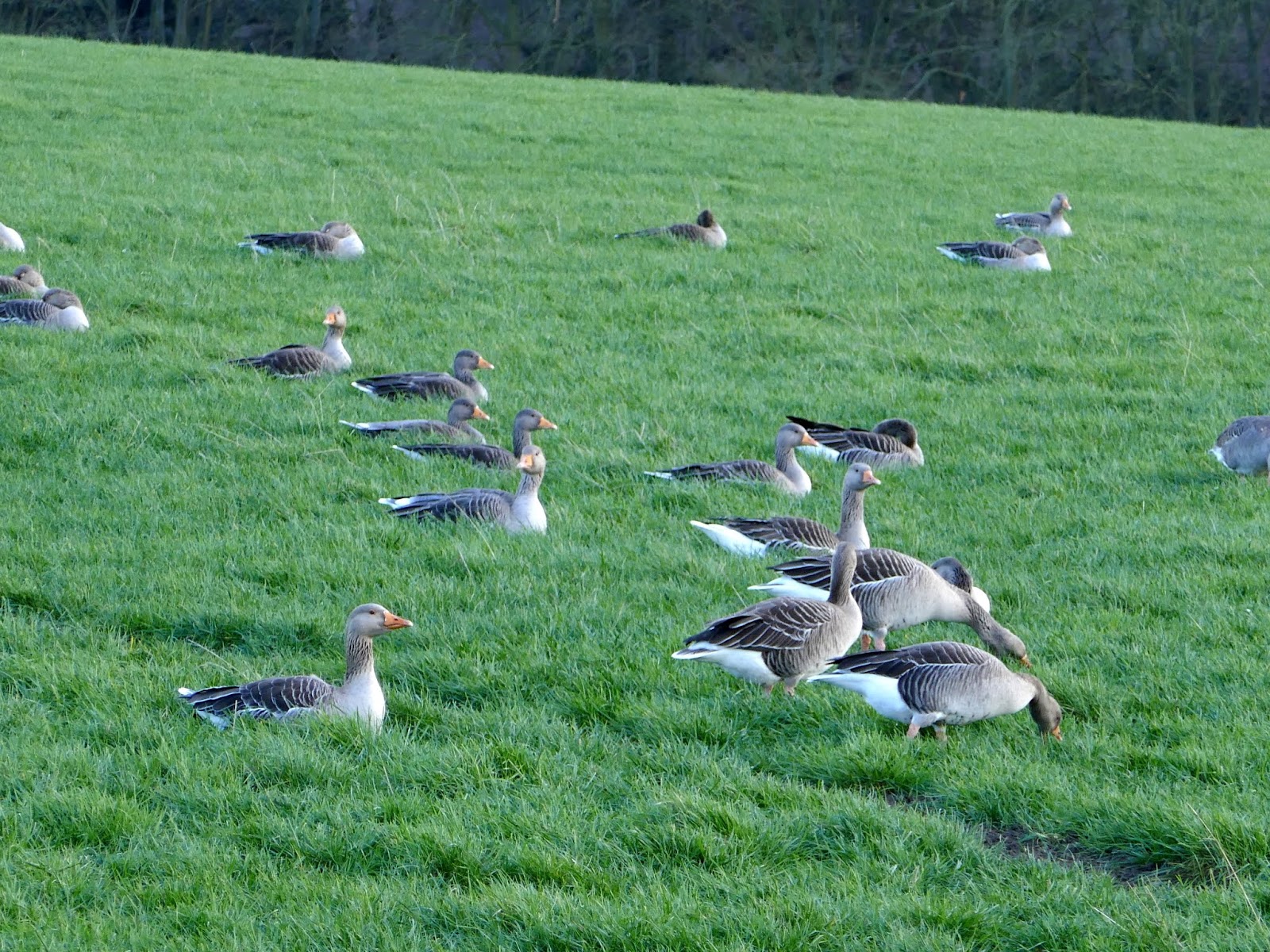
| Toulouse geese in the fields around Eccup |
 |
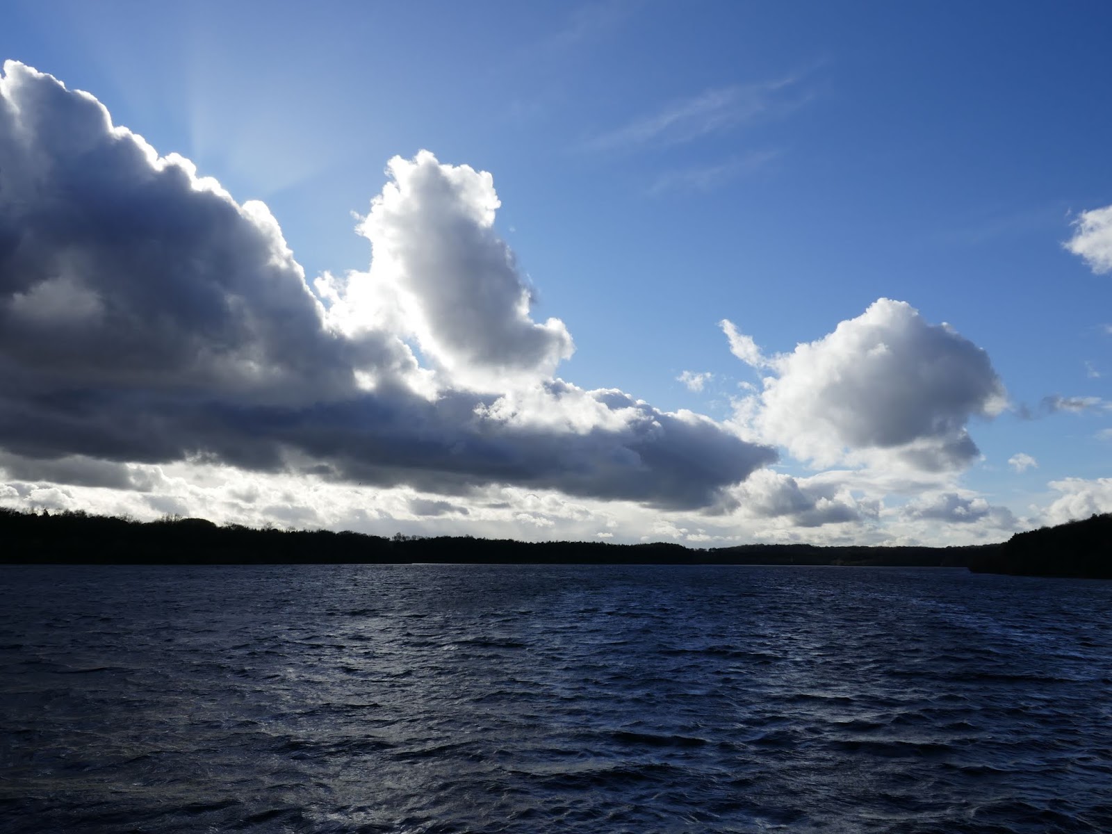
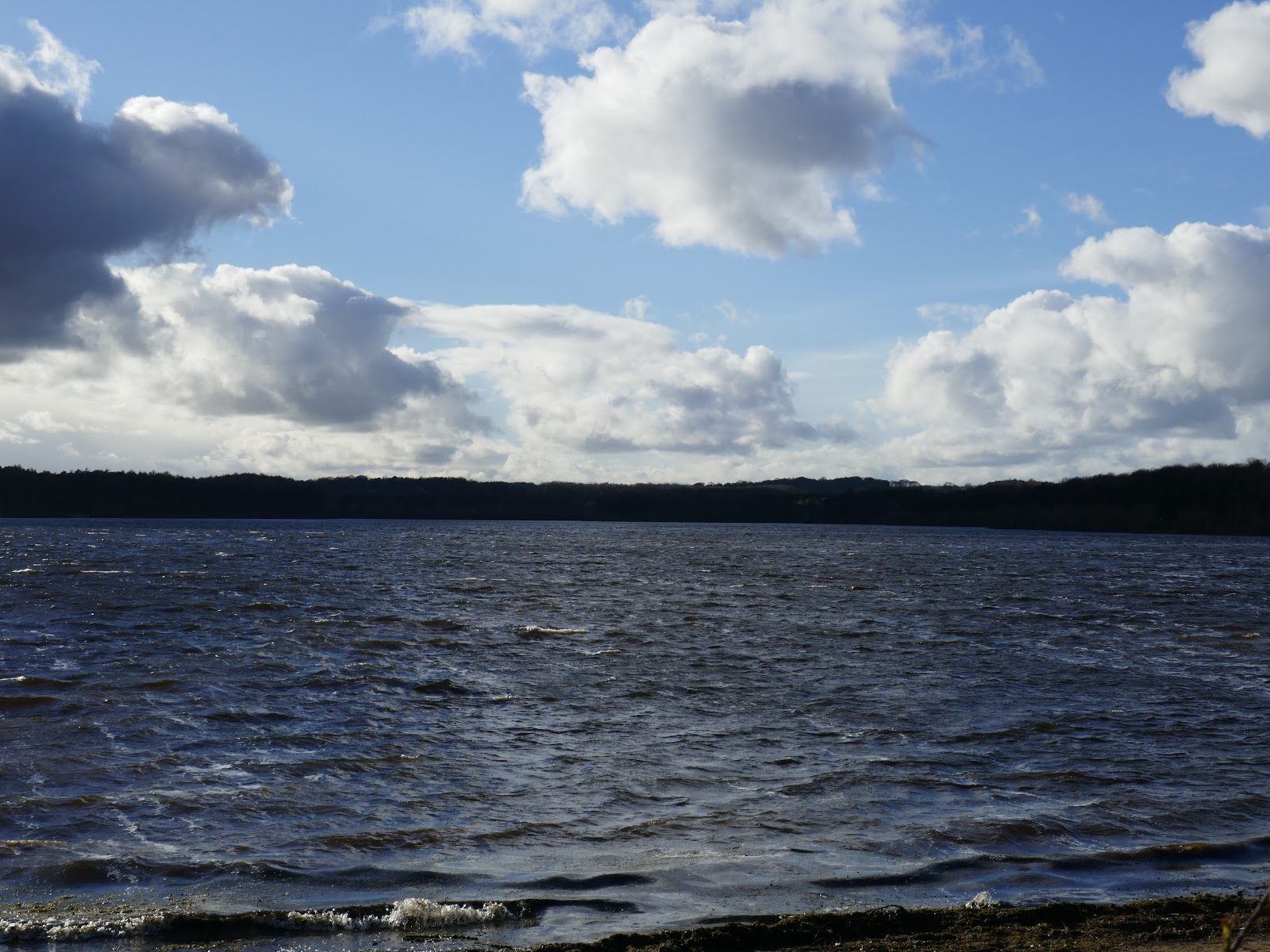
| Looking south across the reservoir |
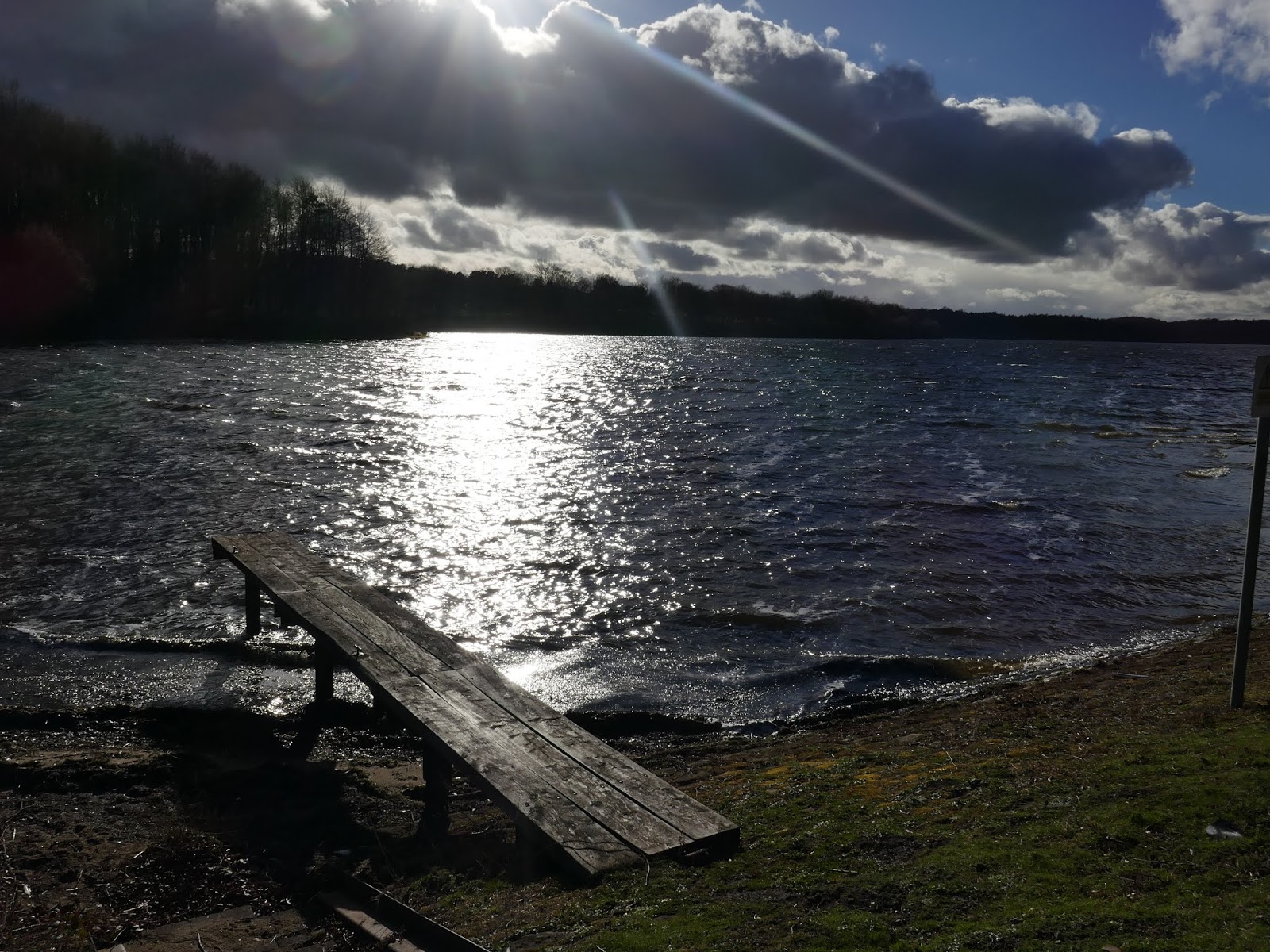
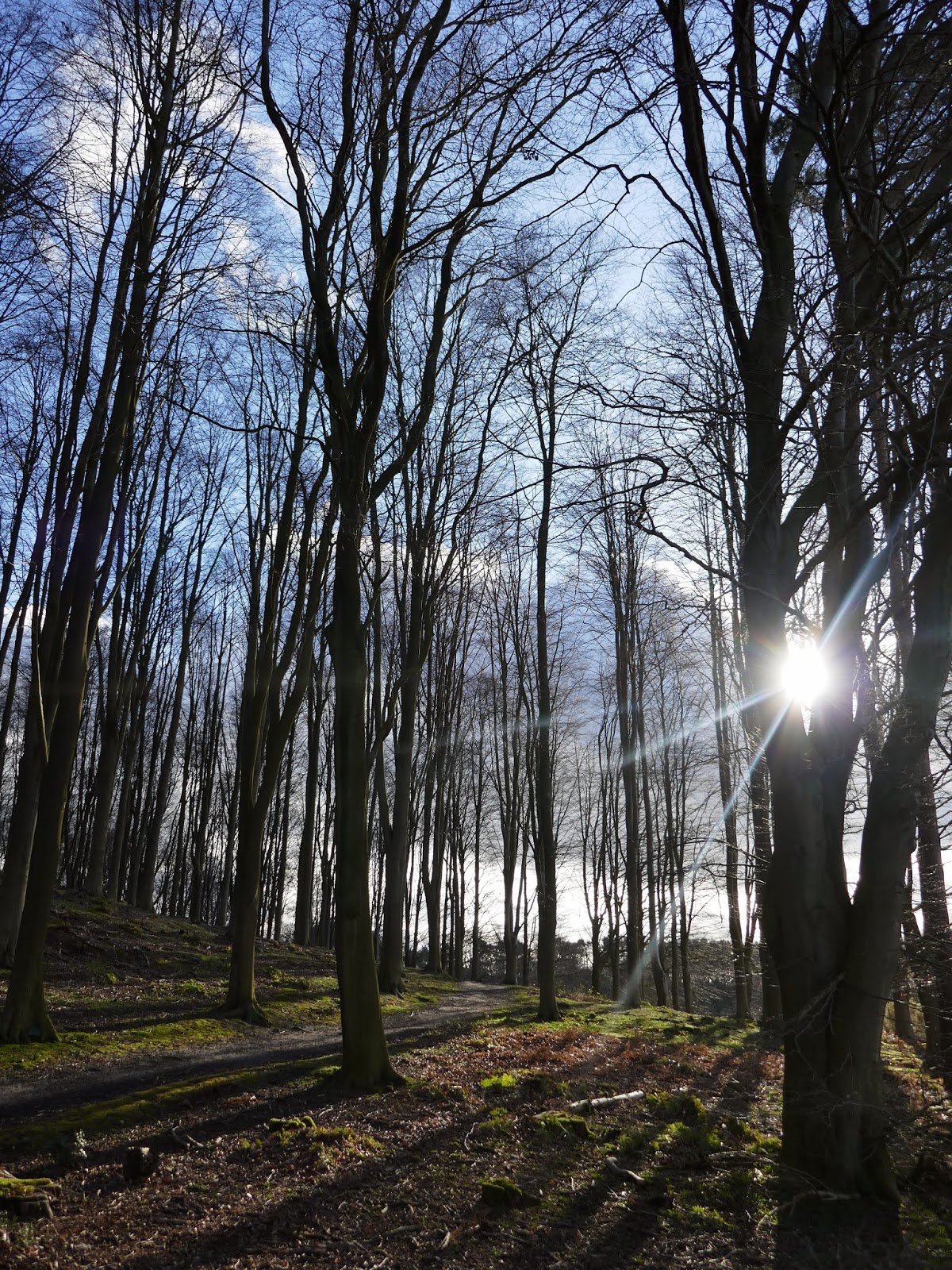
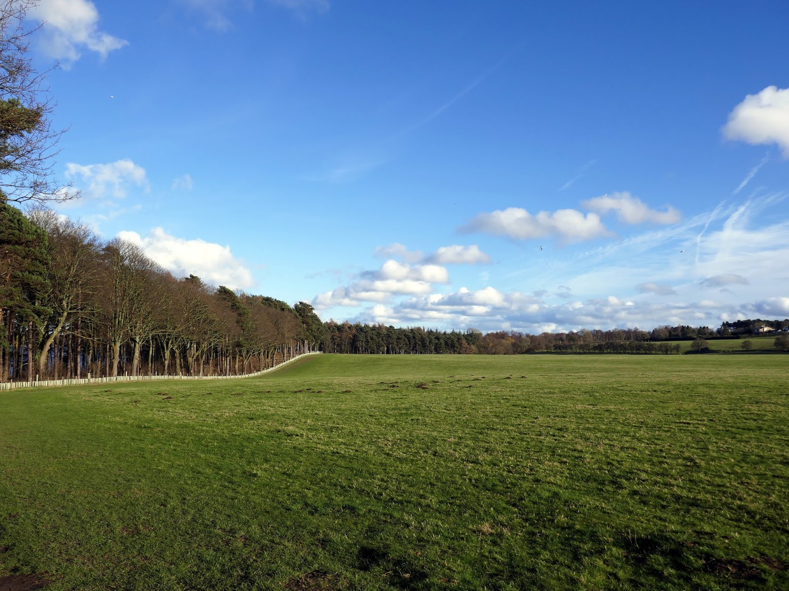
We crossed the top of the dam which holds back the waters of Eccup, entering High Wood which bounds the east side of the reservoir. In the spring you’ll find this area carpeted by bluebells though we were a few weeks early. You will often find Red Kite circling the skies above. Unlike the north shore, a path hugs the southern edge of the water as it passes the grounds of the former Alwoodley Old Hall.
 |
| The Eccup Reservoir dam |
 |
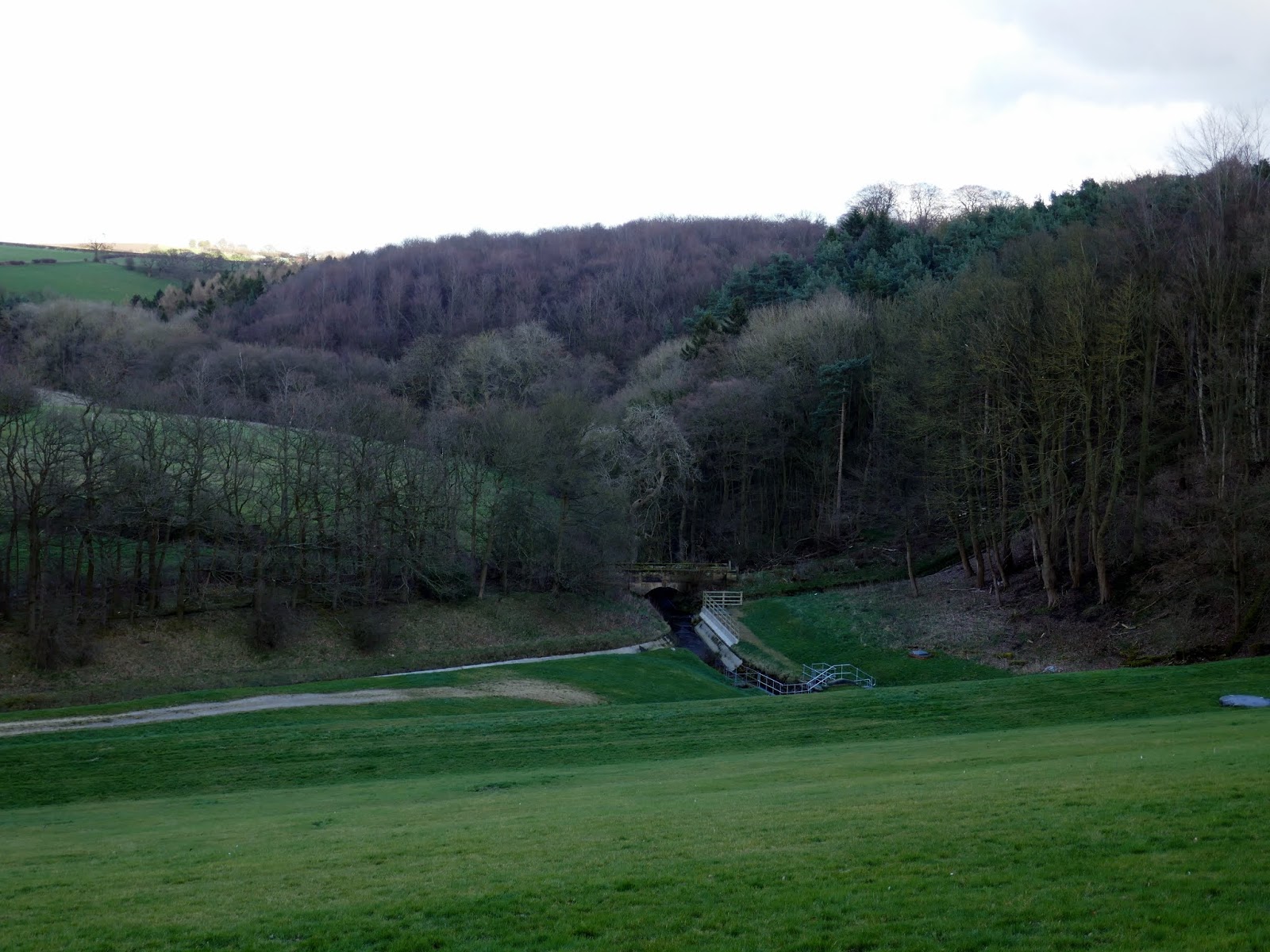
| Eccup Beck |
 |
| Eccup Reservoir |
 |
| Eccup Reservoir |
 |
| The lane shortly after crossing the dam |
 |
| Eccup Reservoir |
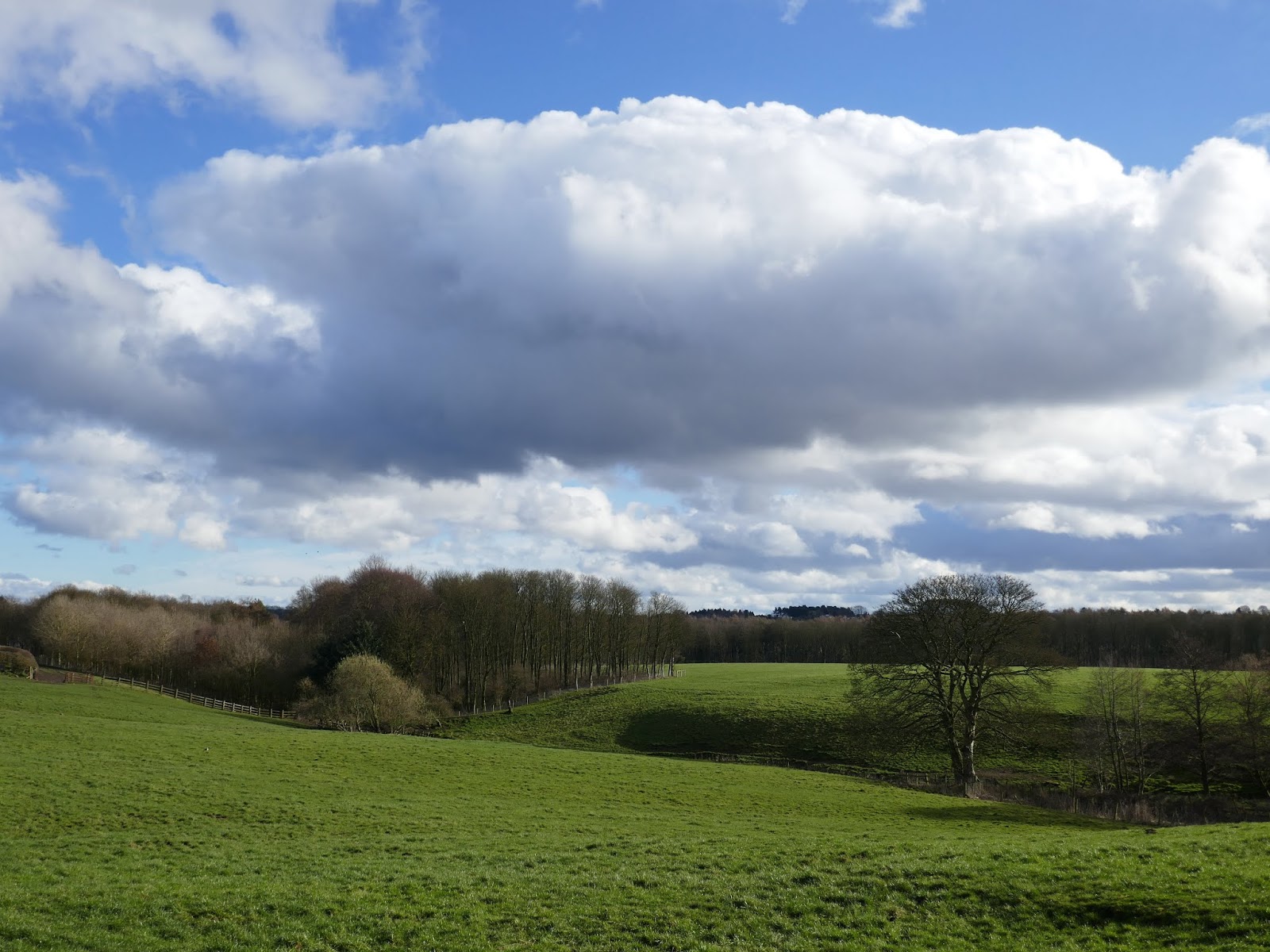
 |
| High Wood |
The hall was once the home of the first Lord Bingley, who bought it in 1729, and it then passed through marriage to the Lane Fox family. The construction of Eccup reservoir was the death knell for the hall – it was realised that the new water supply for Leeds could be contaminated by effluent from the Hall and it fell into decay. It was finally demolished in 1969, all except the one fine window, which was ultimately knocked down in the late 1990s.
 |
| High Wood at Wigton Knowle |
 |
| A small conduit runs alongside the path |
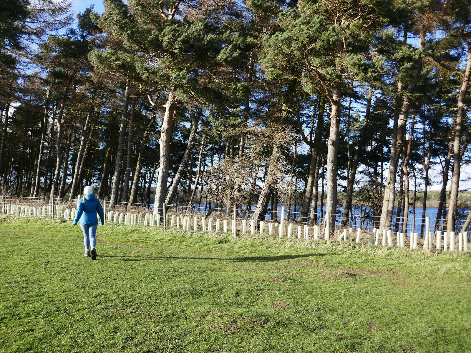
The shoreline path passes the reservoir lodge then leaves the water at Goodrick Plantation, a stand of tall conifer trees to the west of the reservoir. The path follows the edge of the plantation until it reaches the Dales Way – the bridleway I mentioned earlier. The bridleway crosses some open fields, returning us back to the car.
 |
| Goodrick Plantation |
 |
| Goodrick Plantation |
 |
| Goodrick Plantation |
