Open Space Web-Map builder Codehttps://openspace.ordnancesurvey.co.uk/osmapapi/openspace.js?key=3119F72552FD5C22E0530C6CA40A5A92https://openspace.ordnancesurvey.co.uk/osmapapi/script/mapbuilder/basicmap.jshttps://openspace.ordnancesurvey.co.uk/osmapapi/script/mapbuilder/searchbox.js//variables for routes var linesLayer, points, lineFeature, lineString, routeMarkersLayer, routepos, routesize, routeoffset, routeicon; var style_blue = {strokeColor: “#0000CD”, strokeOpacity: 0.5, strokeWidth: 4.5}; function initmapbuilder() { //initiate the map var options = {resolutions: [2500, 1000, 500, 200, 100, 50, 25, 10, 5, 4, 2.5, 2, 1]}; osMap = new OpenSpace.Map(‘map’, options); //configure map options (basicmap.js) setglobaloptions(); //set the center of the map and the zoom level osMap.setCenter(new OpenSpace.MapPoint(413265.99874115,457864),7); linesLayer = osMap.getVectorLayer(); // Set up layer for route markers routeMarkersLayer = new OpenLayers.Layer.Markers(“Route Markers”); //make a route points = new Array(); points.push(new OpenLayers.Geometry.Point(415467.33206177,457437)); points.push(new OpenLayers.Geometry.Point(415522.33206177,457317)); points.push(new OpenLayers.Geometry.Point(415672.33206177,456892)); points.push(new OpenLayers.Geometry.Point(415502.33206177,456897)); points.push(new OpenLayers.Geometry.Point(415437.33206177,456827)); points.push(new OpenLayers.Geometry.Point(415182.33206177,456797)); points.push(new OpenLayers.Geometry.Point(414827.33206177,456777)); points.push(new OpenLayers.Geometry.Point(414332.33206177,456587)); points.push(new OpenLayers.Geometry.Point(414552.33206177,456967)); points.push(new OpenLayers.Geometry.Point(414457.33206177,456997)); points.push(new OpenLayers.Geometry.Point(414147.33206177,456937)); points.push(new OpenLayers.Geometry.Point(413992.33206177,456862)); points.push(new OpenLayers.Geometry.Point(413702.33206177,456837)); points.push(new OpenLayers.Geometry.Point(413677.33206177,456922)); points.push(new OpenLayers.Geometry.Point(413482.33206177,456937)); points.push(new OpenLayers.Geometry.Point(413372.33206177,457007)); points.push(new OpenLayers.Geometry.Point(412942.33206177,457057)); points.push(new OpenLayers.Geometry.Point(412757.33206177,457102)); points.push(new OpenLayers.Geometry.Point(412647.33206177,457187)); points.push(new OpenLayers.Geometry.Point(412482.33206177,457152)); points.push(new OpenLayers.Geometry.Point(412467.33206177,457282)); points.push(new OpenLayers.Geometry.Point(412322.33206177,457242)); points.push(new OpenLayers.Geometry.Point(411997.33206177,457397)); points.push(new OpenLayers.Geometry.Point(411947.33206177,457517)); points.push(new OpenLayers.Geometry.Point(411592.33206177,457542)); points.push(new OpenLayers.Geometry.Point(411392.33206177,457597)); points.push(new OpenLayers.Geometry.Point(411117.33206177,457792)); points.push(new OpenLayers.Geometry.Point(411027.33206177,457877)); points.push(new OpenLayers.Geometry.Point(411092.33206177,458187)); points.push(new OpenLayers.Geometry.Point(411222.33206177,458757)); points.push(new OpenLayers.Geometry.Point(411332.33206177,459072)); points.push(new OpenLayers.Geometry.Point(411582.33206177,459417)); points.push(new OpenLayers.Geometry.Point(412482.33206177,459262)); points.push(new OpenLayers.Geometry.Point(412869.33206177,459309)); points.push(new OpenLayers.Geometry.Point(412982.33206177,459200)); points.push(new OpenLayers.Geometry.Point(413089.33206177,458889)); points.push(new OpenLayers.Geometry.Point(413091.33206177,458811)); points.push(new OpenLayers.Geometry.Point(413281.83206177,458601.5)); points.push(new OpenLayers.Geometry.Point(413696.83206177,458319)); points.push(new OpenLayers.Geometry.Point(413784.33206177,458269)); points.push(new OpenLayers.Geometry.Point(413856.83206177,458159)); points.push(new OpenLayers.Geometry.Point(414066.83206177,458141.5)); points.push(new OpenLayers.Geometry.Point(414196.83206177,458094)); points.push(new OpenLayers.Geometry.Point(414306.83206177,458064)); points.push(new OpenLayers.Geometry.Point(414451.83206177,457994)); points.push(new OpenLayers.Geometry.Point(414426.83206177,457924)); points.push(new OpenLayers.Geometry.Point(414496.83206177,457966.5)); points.push(new OpenLayers.Geometry.Point(414579.33206177,457904)); points.push(new OpenLayers.Geometry.Point(414874.33206177,457786.5)); points.push(new OpenLayers.Geometry.Point(414919.33206177,457771.5)); points.push(new OpenLayers.Geometry.Point(414979.33206177,457709)); points.push(new OpenLayers.Geometry.Point(414956.83206177,457659)); points.push(new OpenLayers.Geometry.Point(415071.83206177,457679)); points.push(new OpenLayers.Geometry.Point(415126.83206177,457661.5)); points.push(new OpenLayers.Geometry.Point(415229.33206177,457651.5)); points.push(new OpenLayers.Geometry.Point(415299.33206177,457586.5)); points.push(new OpenLayers.Geometry.Point(415321.83206177,457549)); points.push(new OpenLayers.Geometry.Point(415329.33206177,457481.5)); points.push(new OpenLayers.Geometry.Point(415401.83206177,457489)); points.push(new OpenLayers.Geometry.Point(415426.83206177,457479)); points.push(new OpenLayers.Geometry.Point(415467.33206177,457437)); // create a polyline feature from the array of points lineString = new OpenLayers.Geometry.LineString(points); lineFeature = new OpenLayers.Feature.Vector(lineString, null, style_blue); linesLayer.addFeatures([lineFeature]); //crate a route start/end marker routepos = new OpenSpace.MapPoint(415467.33206177,457437); routesize = new OpenLayers.Size(33,45); routeoffset = new OpenLayers.Pixel(-5,-37); routeicon = new OpenSpace.Icon(‘https://openspace.ordnancesurvey.co.uk/osmapapi/img_versions/img_1.1/mapbuilder/routemarker-startend.png’, routesize, routeoffset, null, null); routeMarkersLayer.addMarker(new OpenLayers.Marker(routepos, routeicon)); osMap.addLayer(routeMarkersLayer);}
Route: Thruscross Reservoir, Six Dales Trail, Redshaw Hall, Burnt House, Spittle Ings House, Rocking Moor, Rocking Hall, Pan Head, Lowcock Stoop, Foulgate Bank
Date: 06/01/2019
From: Thruscross Reservoir
Parking: Thruscross Reservoir
Start Point: Thruscross Reservoir
Region: Nidderdale AONB
Route length: 7.9 miles (12.7km)
Time taken: 03:40
Average speed: 2.5 mph
Ascent: 346m
Descent: 344m
Summits: None
Other points of interest: Rocking Hall
There are large swaths of North Yorkshire moorland that aren’t included in either the Yorkshire Moors or the Yorkshire Dales National Parks. Much of this can be found in the Nidderdale AONB, just east of the Dales park boundary. The weird sculptured stones at Brimham Rocks are arguably the highlight of these parts though our attention was drawn to some of the quiet moorland west of Harrogate.
A string of moors actually straddles the Dales / AONB boundary. These include Stean Moor, Blubberhouses Moor and Pock Stones Moor. You can find the elusive hill of Meugher in these parts. Our plan was to visit Rocking Moor and its lonely shooting lodge.
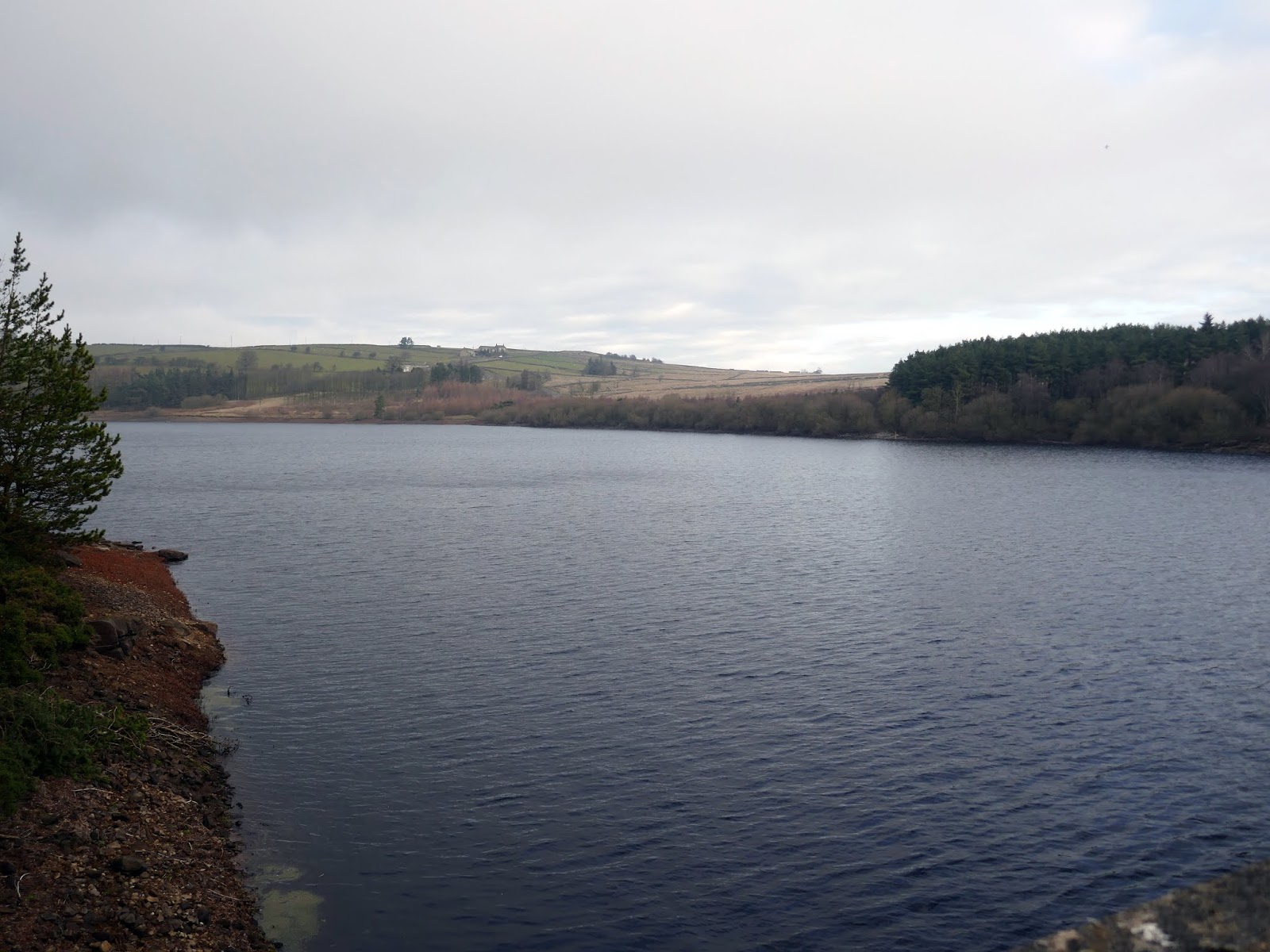
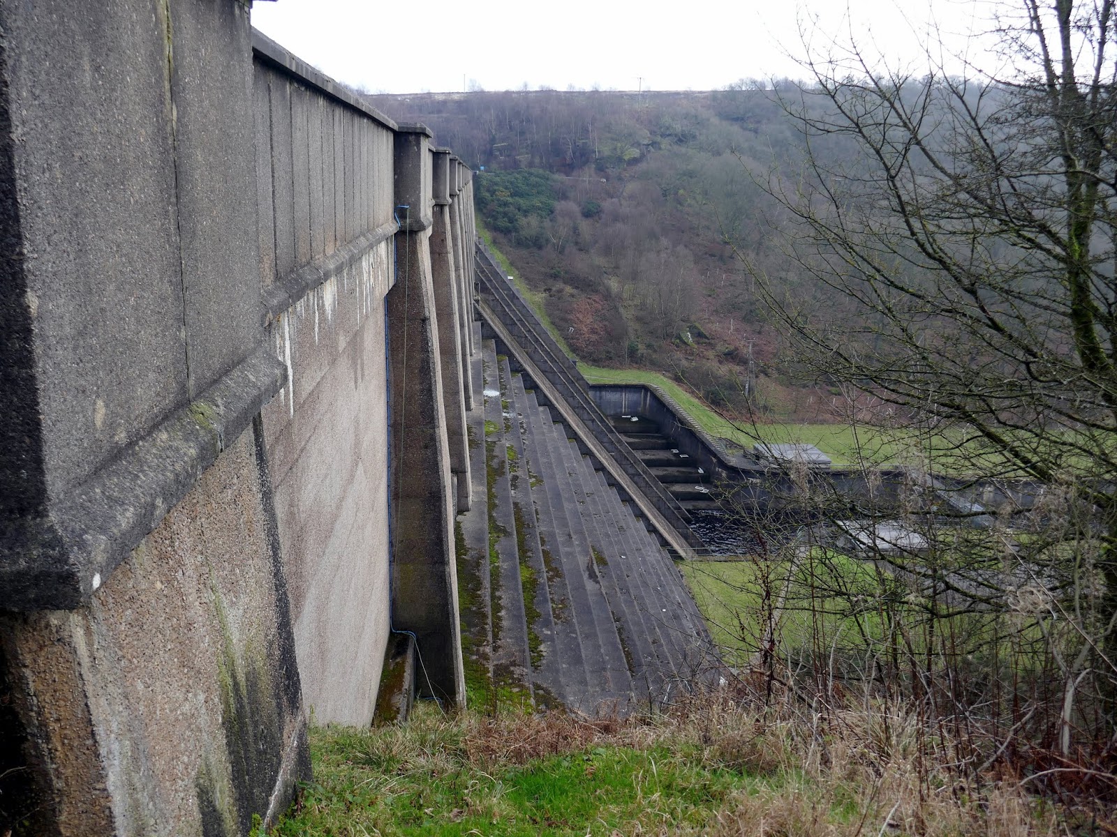
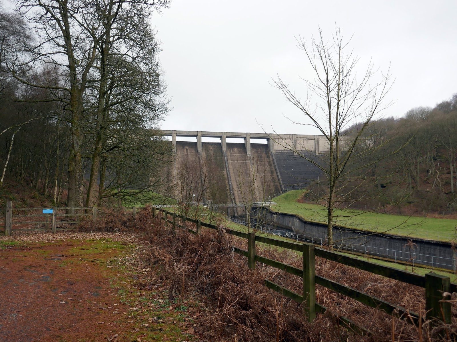
We parked at Thruscross Reservoir close to its impressive concrete dam. Built in 1966, Thruscross is the topmost and newest reservoir of the Washburn Valley. Often referred to as ‘West End’ after the village it flooded. However, West End was largely derelict anyway as a result of the decline in the flax industry.
 |
| Thruscross Reservoir |
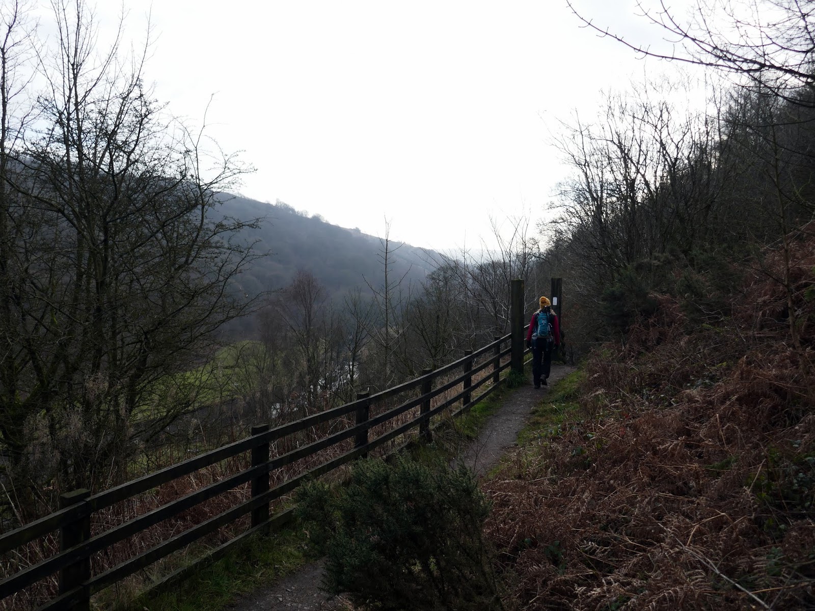
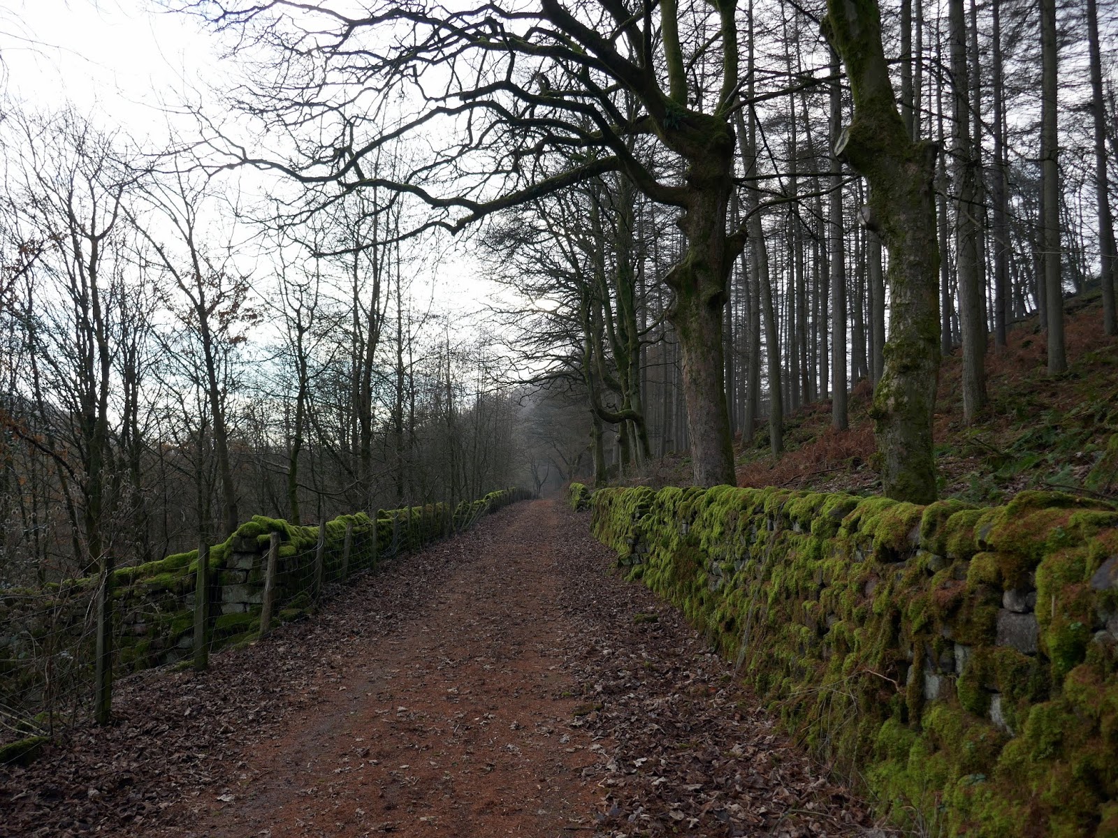
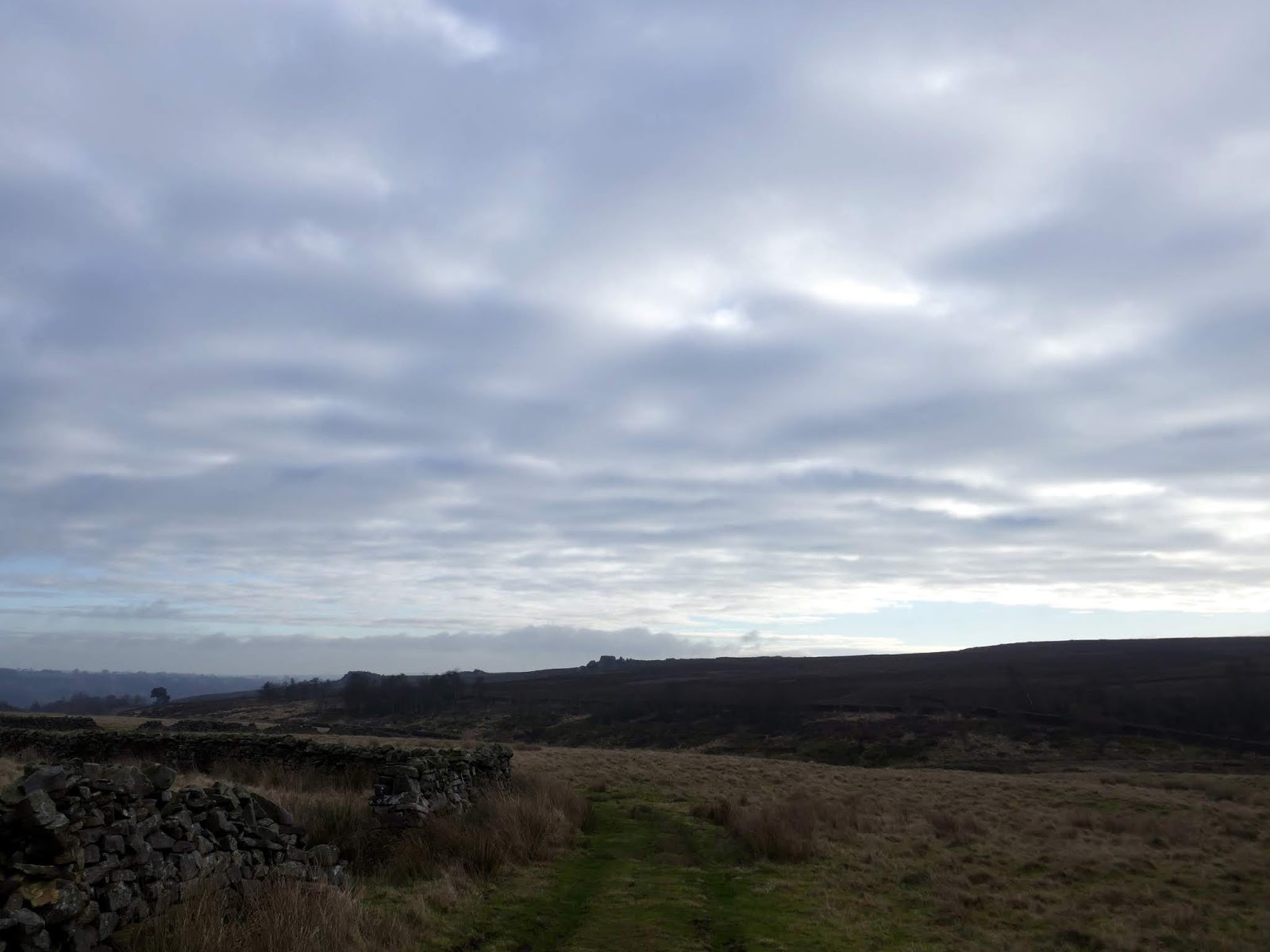
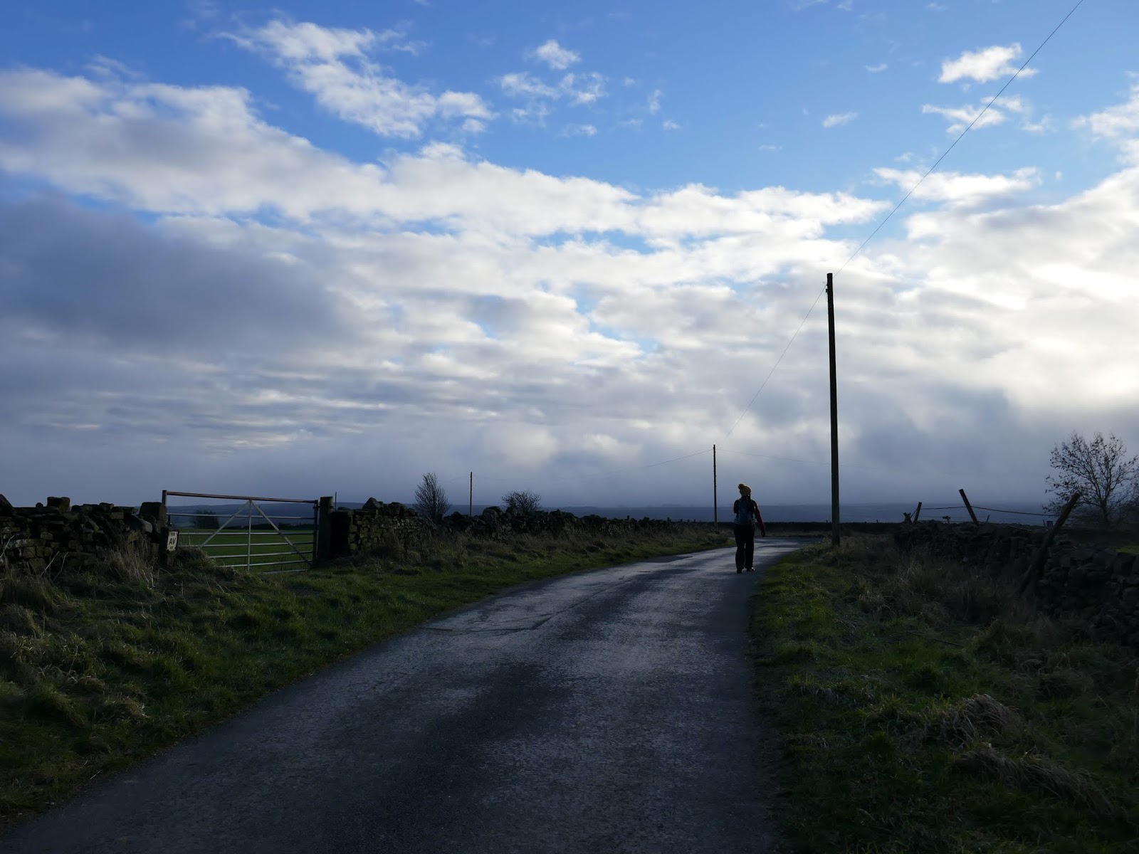
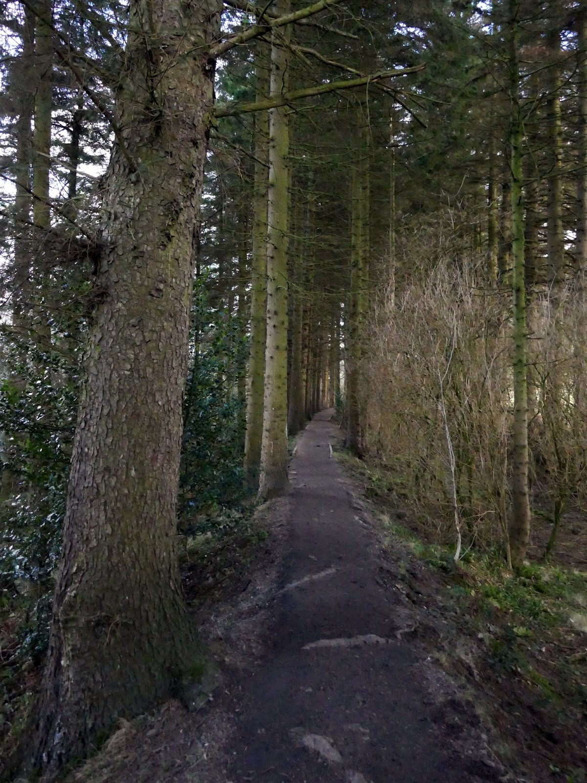
Firstly, we followed the Six Dales Trail as it heads south, away from the reservoir dam. The trail is a long distance route connected Otley to Middleham and passes all but one of the reservoirs in the Washburn Valley though we would be following it for only a short distance. At an old signpost, we climbed steeply out of the valley to a road, crossing it before continuing on.
 |
| The Six Dales Trail |
 |
| Thruscross Reservoir’s concrete dam |
 |
| The dam once again |
 |
| The Six Dales Trail |
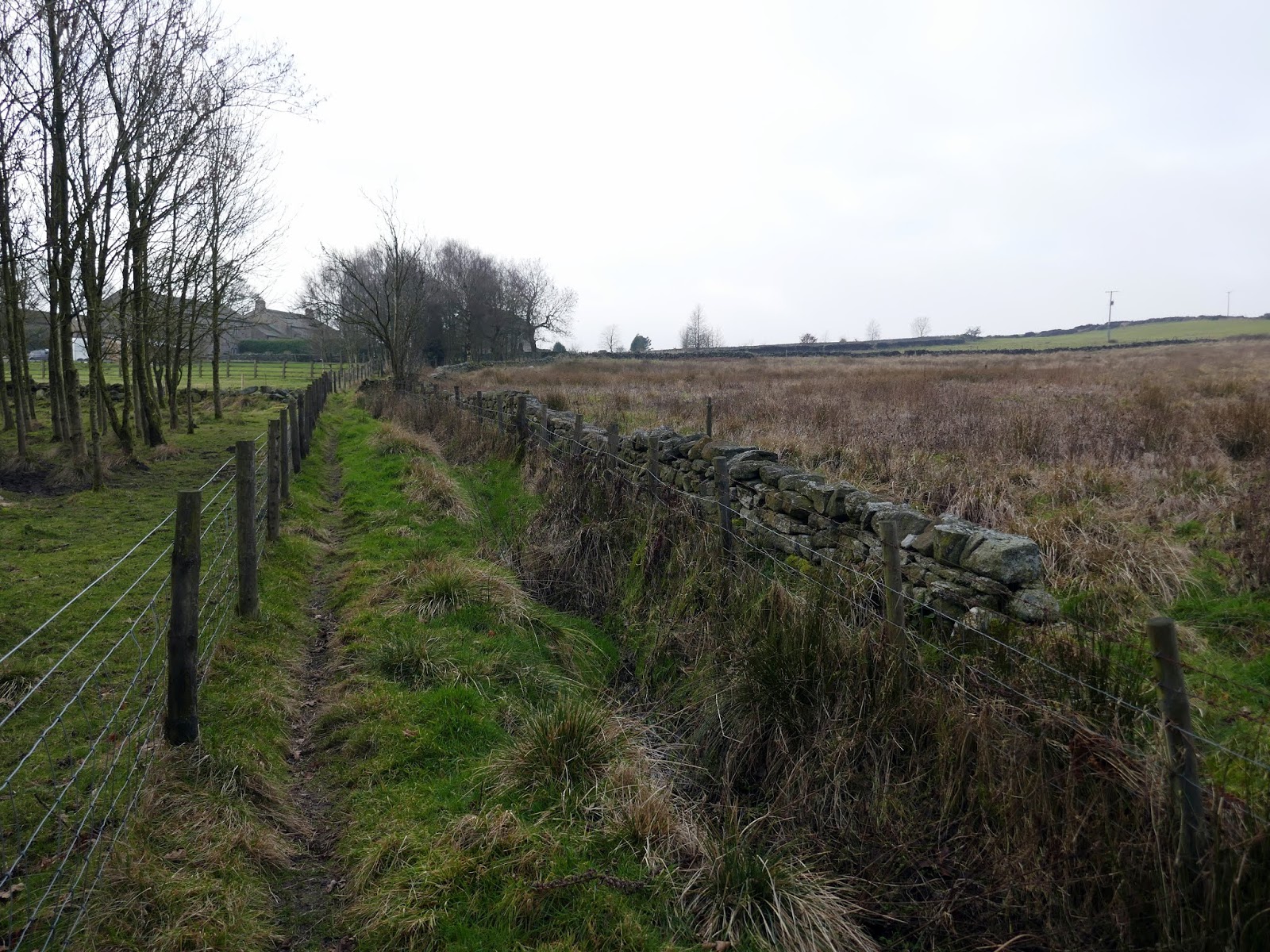
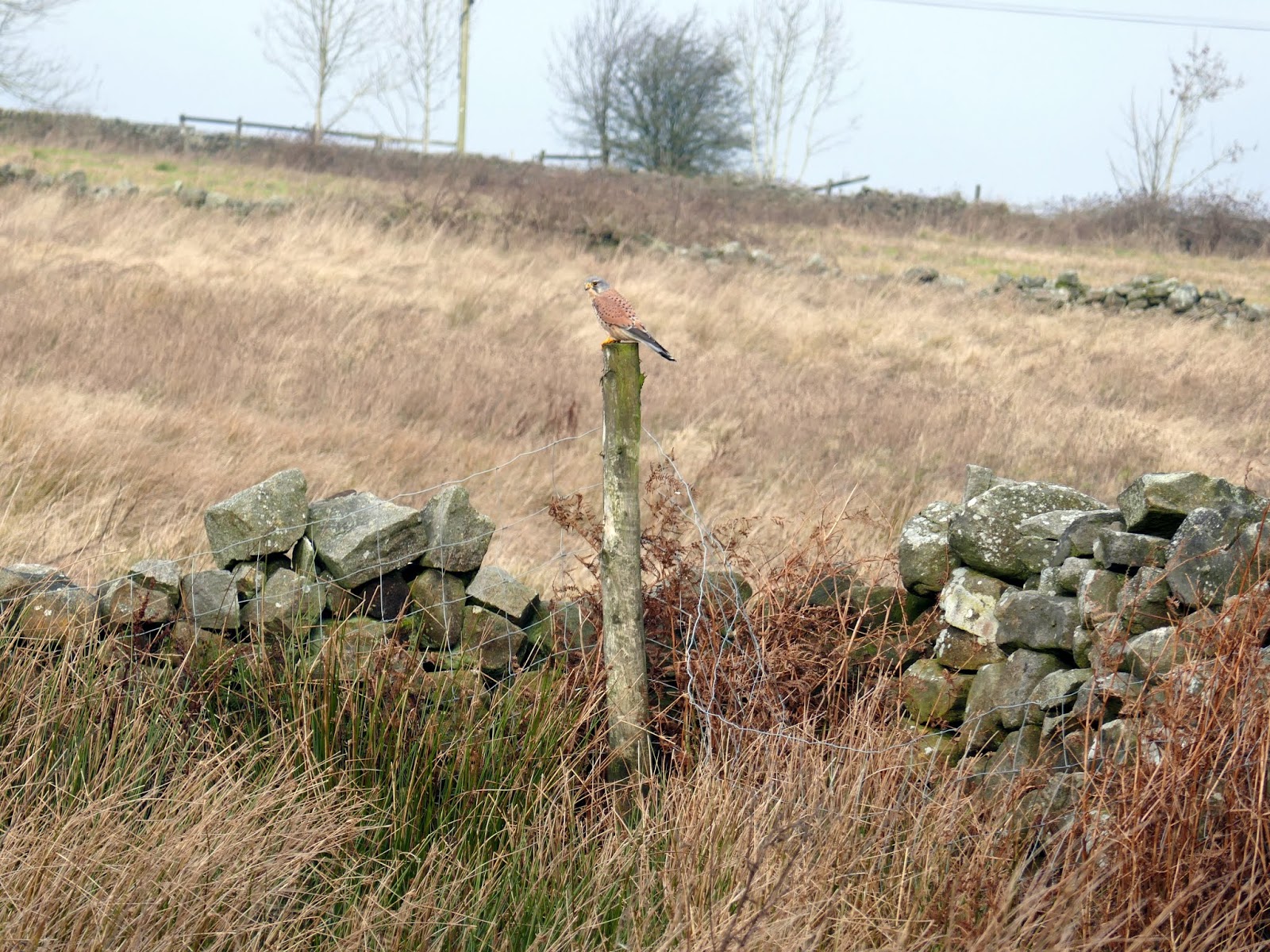
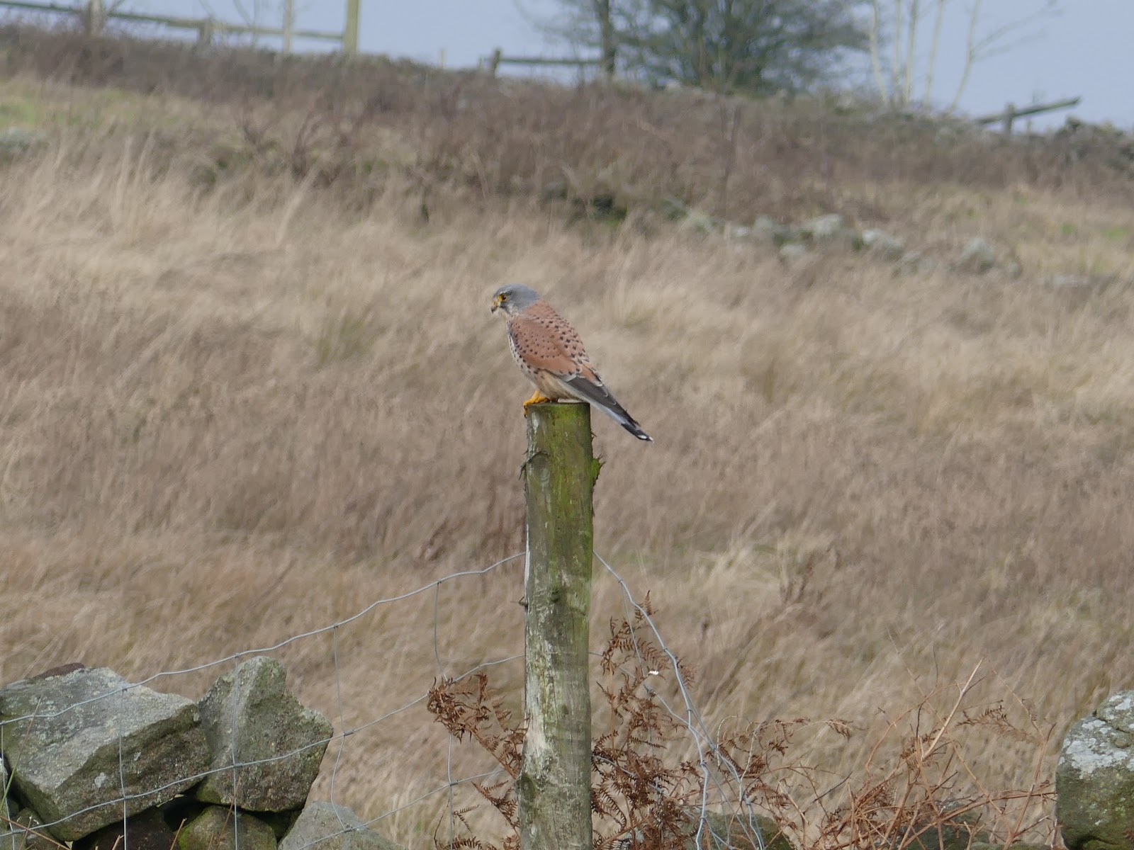
A path leads past Redshaw Hall, a C17 listed farm. We were delighted to see a Peregrine Falcon sat on a fence post. It waited long enough for me to get a couple of photos before swooping off. After negotiating the paths across Burnt Hill, we passed Spittle Ings House, ultimately joining a wide track which stretches out onto the moor.
 |
| Add caption |
 |
| Peregrine Falcon |
 |
| Peregrine Falcon |
 |
| Looking across to Kexgill Moor |
 |
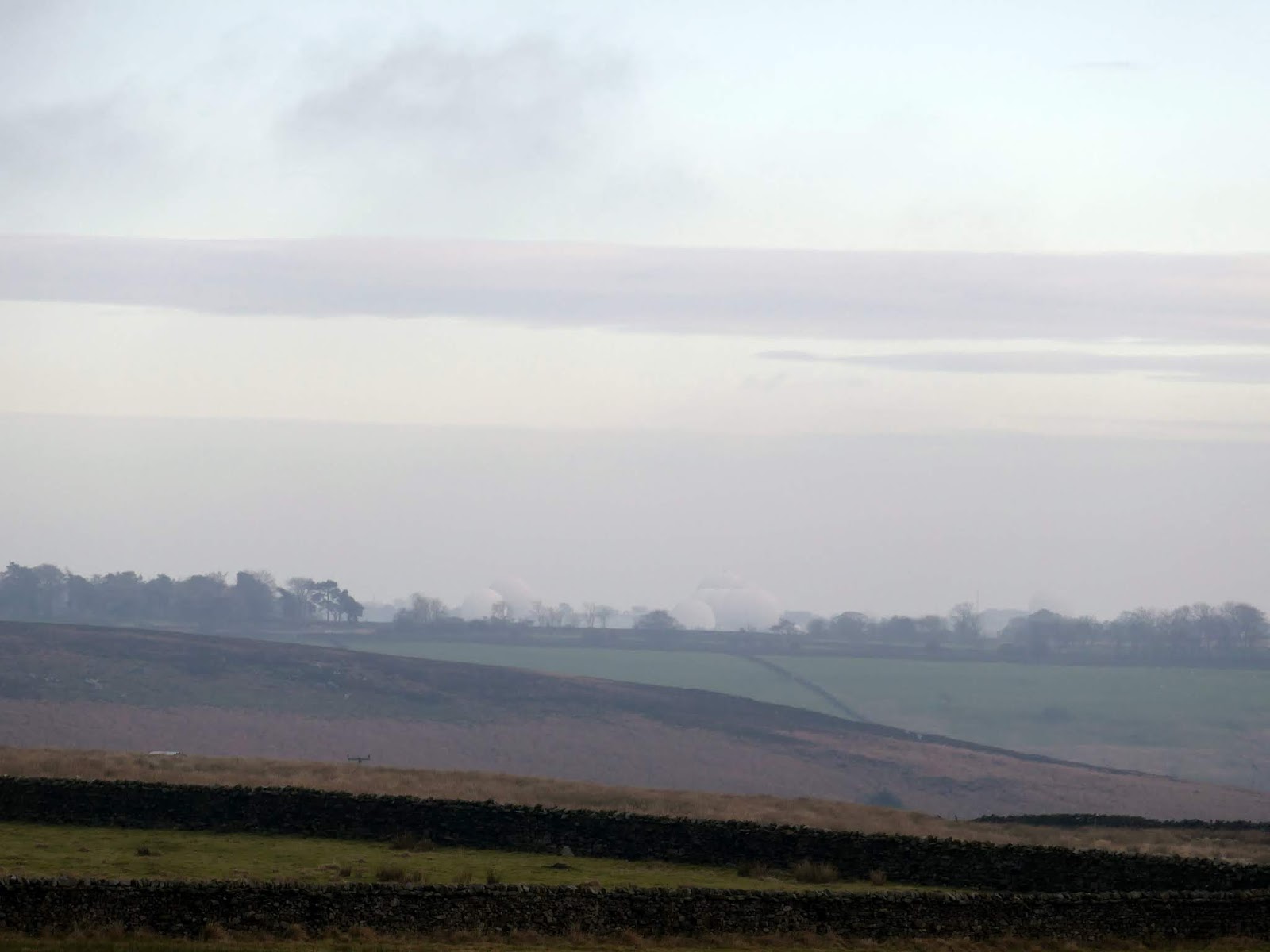
| The distant domes of Menwith Hill |
 |
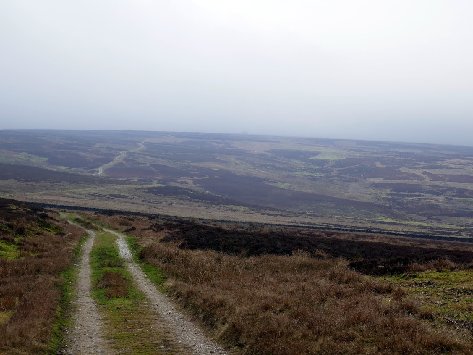
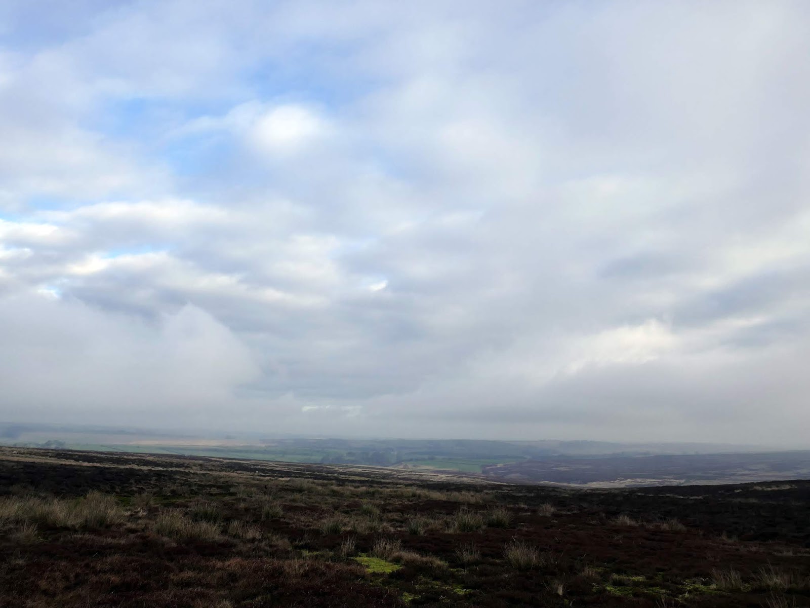
| Rocking Moor |
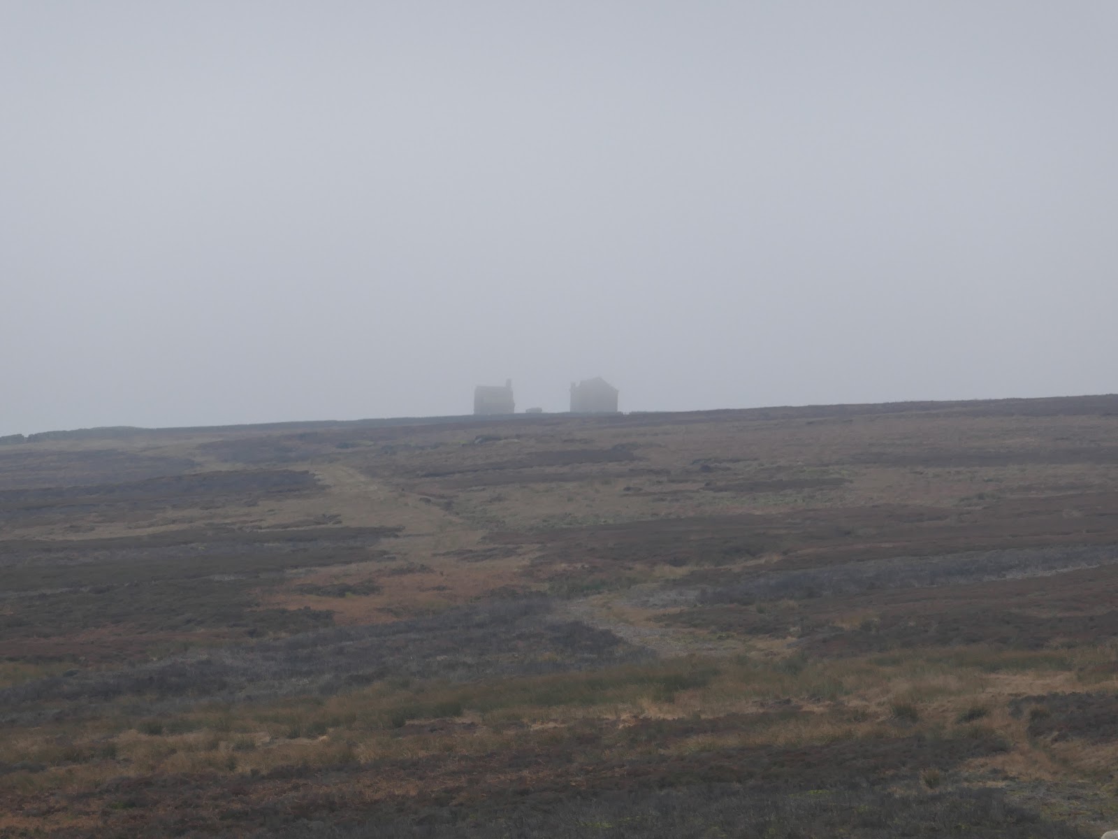
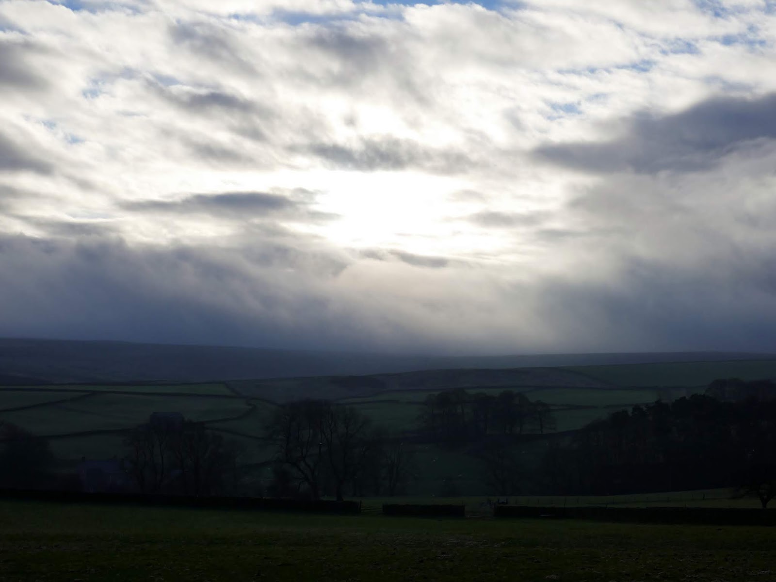
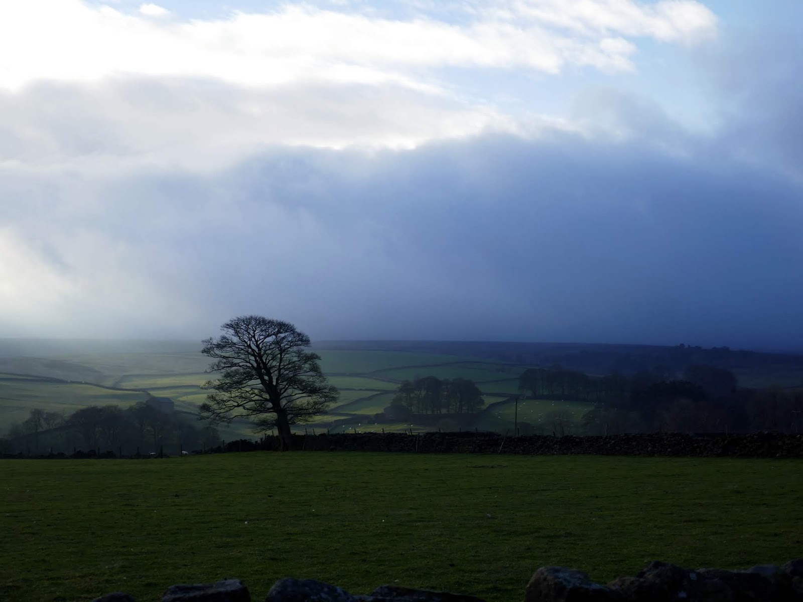
The track climbs gradually over a couple of miles, rising into the mists atop the moor. At the highest point is Rocking Hall, looming out of the mist on this occasion.
 |
| Green Sike on Rocking Moor |
 |
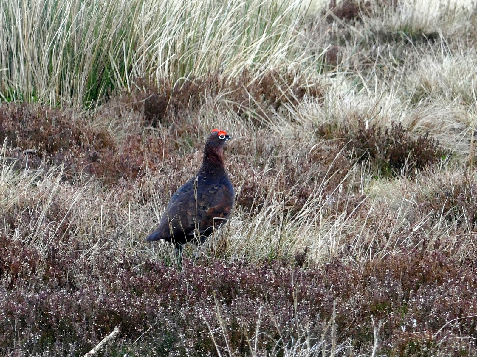
| One of the many grouse on Rocking Moor |
 |
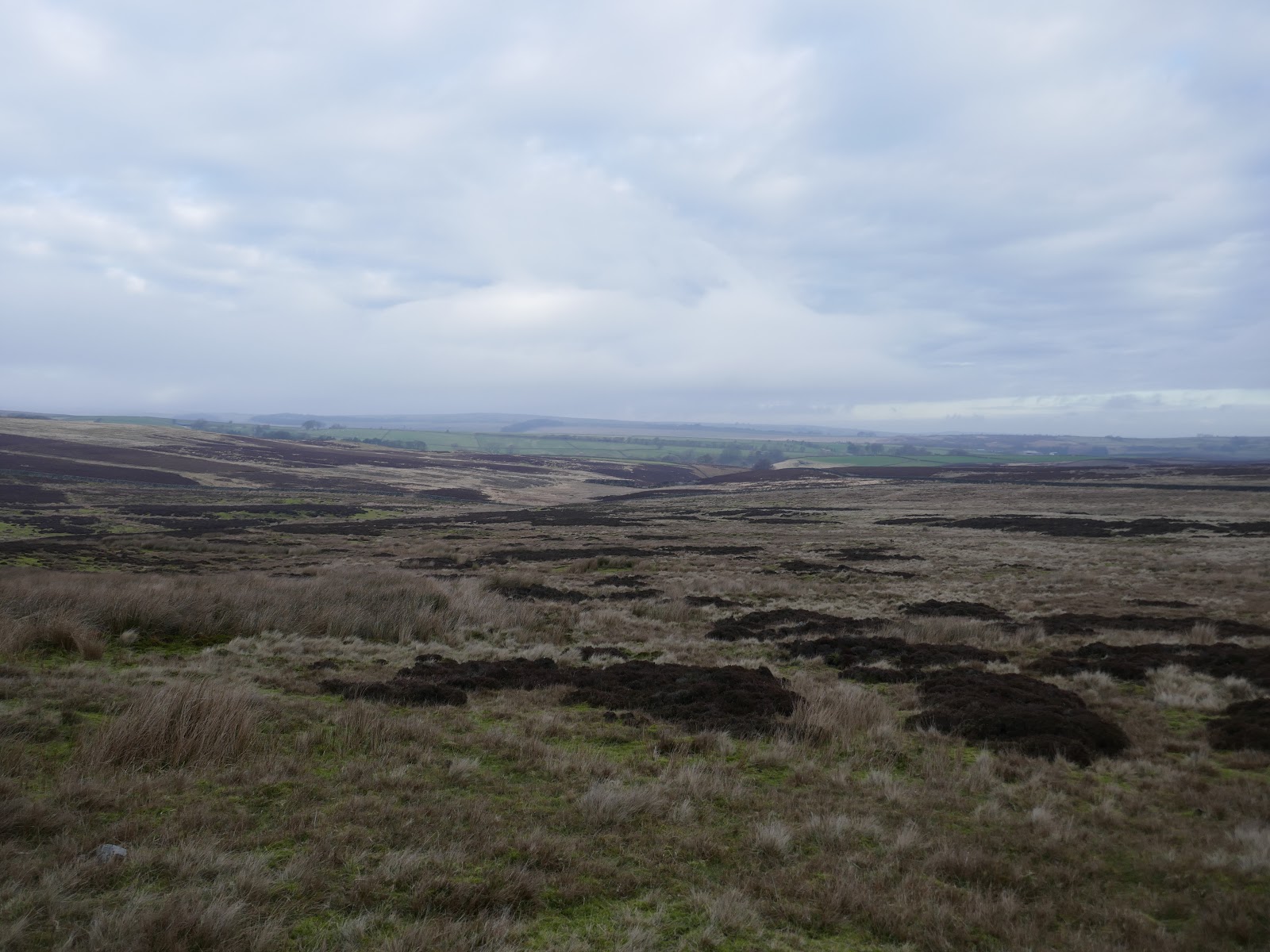
| Rocking Moor |
 |
| Rocking Moor |
 |
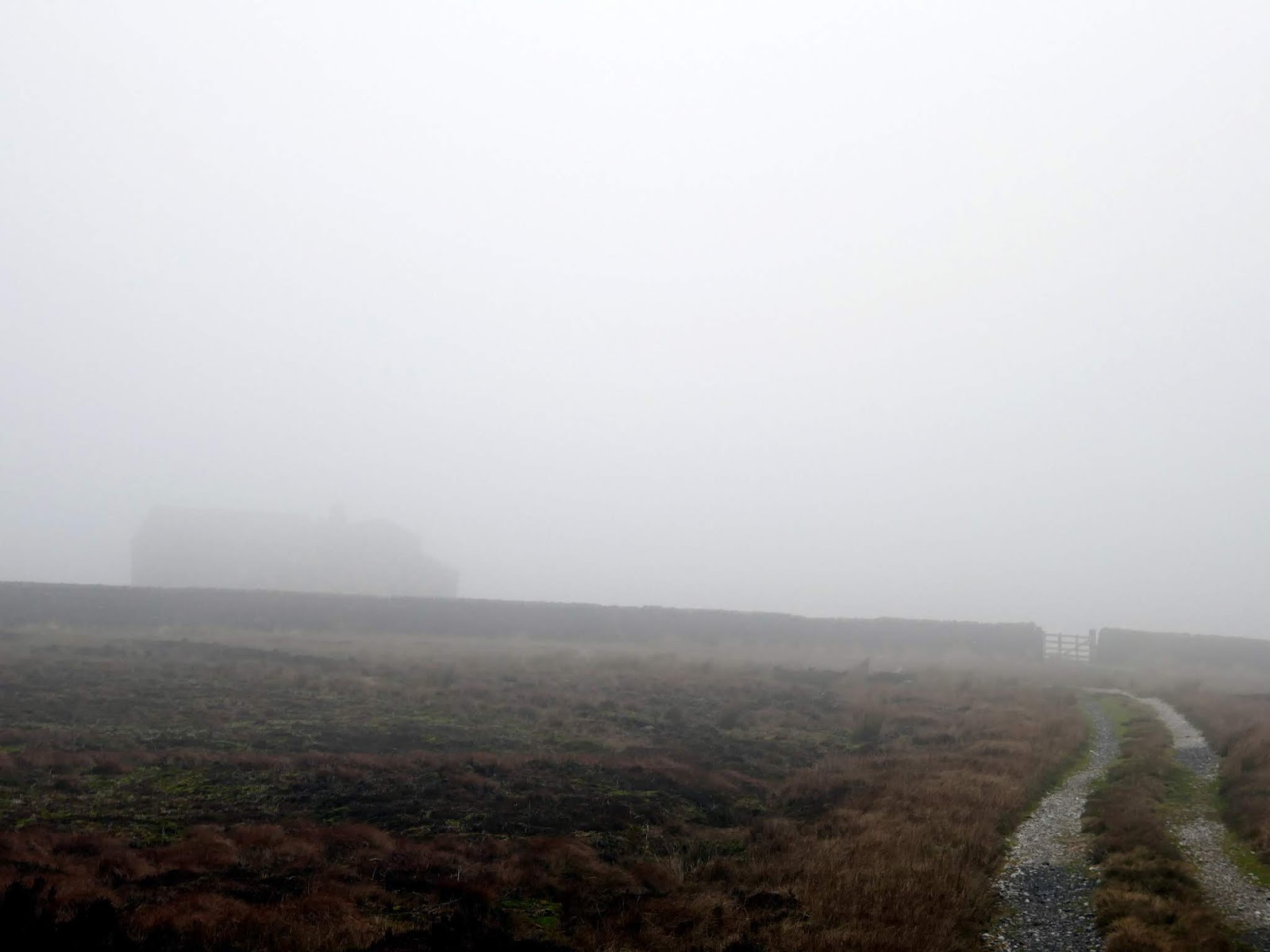
| Rocking Hall emerges from the mist |
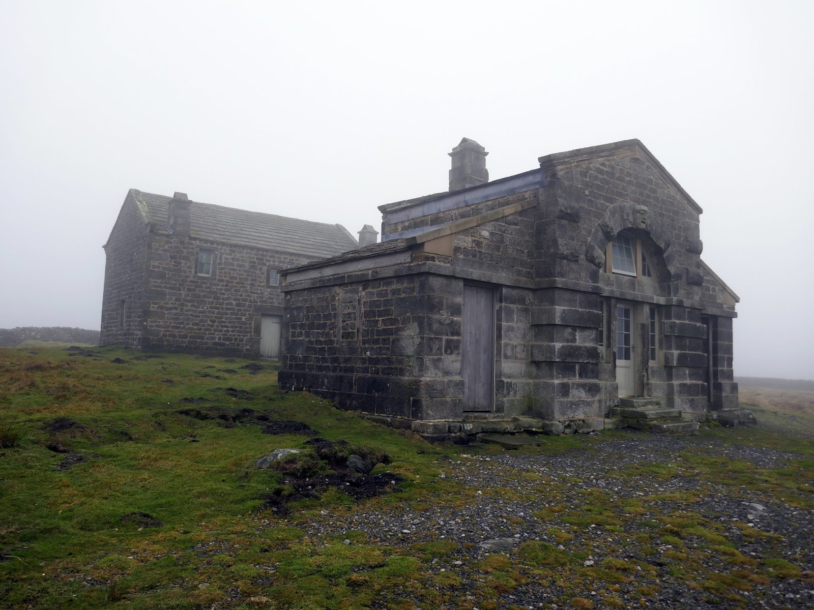
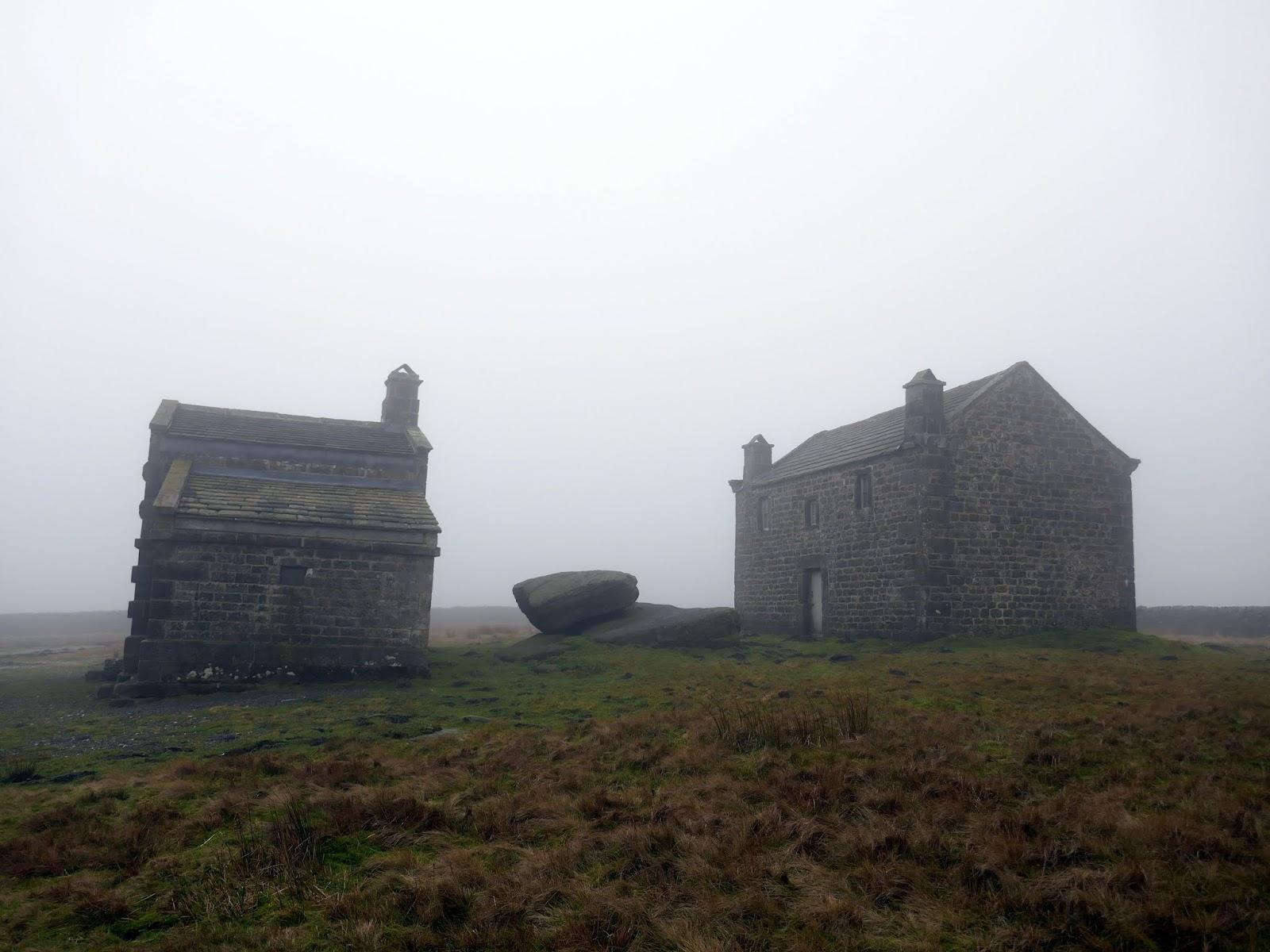
Rocking Hall is an early example of a shooting house, built in 1758 for the Bolton Abbey Estate. It is a substantial stone-built structure and features separate rooms for the shooters and beaters.
 |
| Rocking Hall |
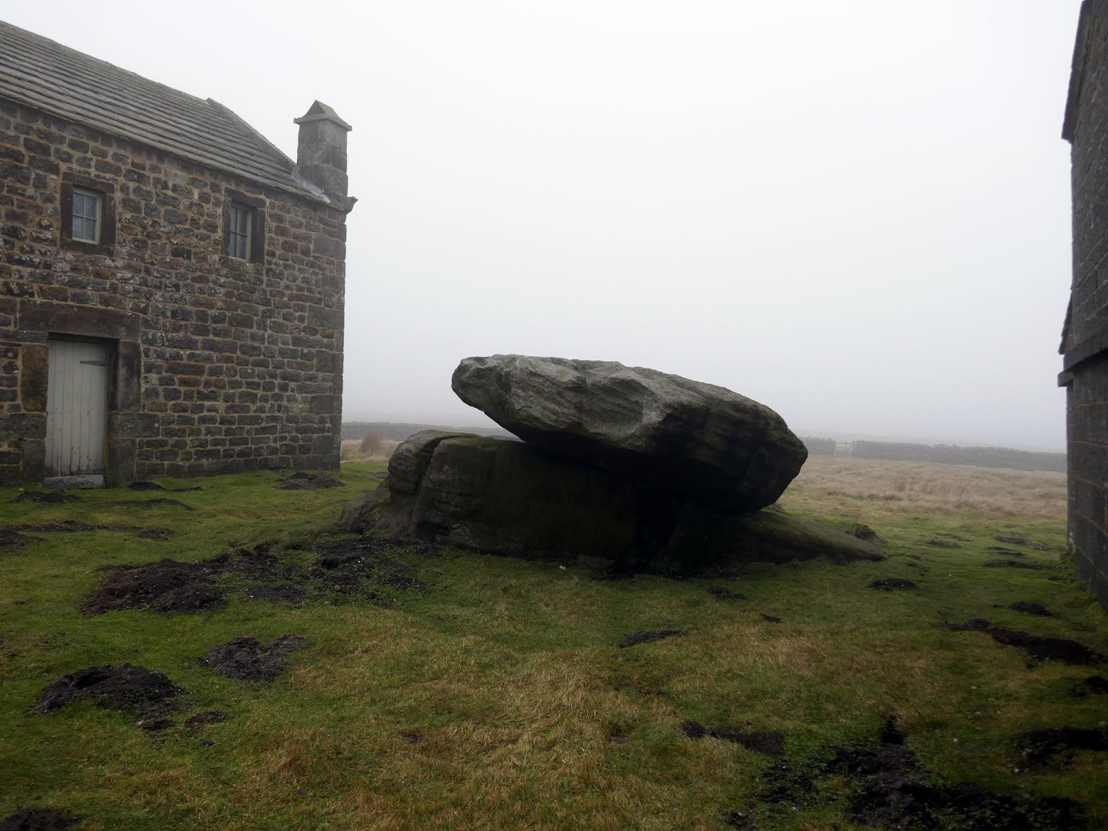
It takes its name from a large ‘rocking stone’ nearby. It lies next to an earlier 17th-century farmhouse. It is still in use (though accessible to the public thanks to the open alcoves either side of the main door) and has been visited by many distinguished guests, including King George V in 1911 and ourselves in 2019.
 |
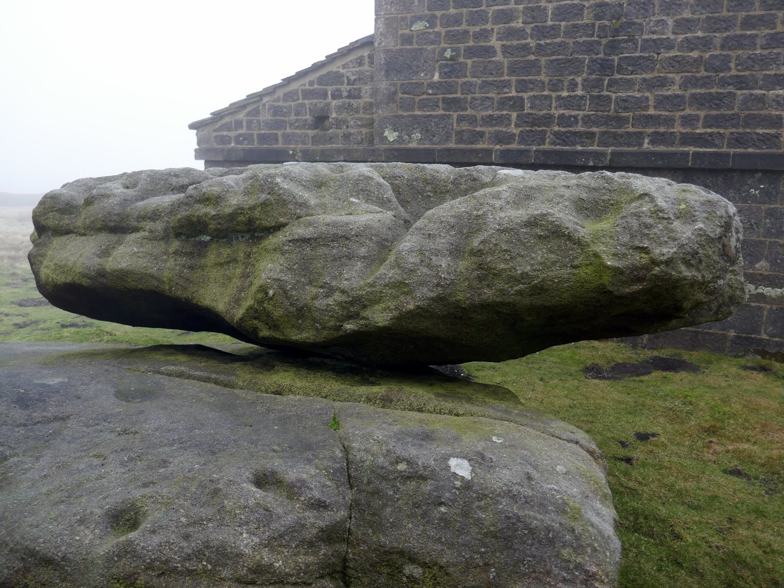
| The rocking stone |
 |
| A close up of the rocking stone |
 |
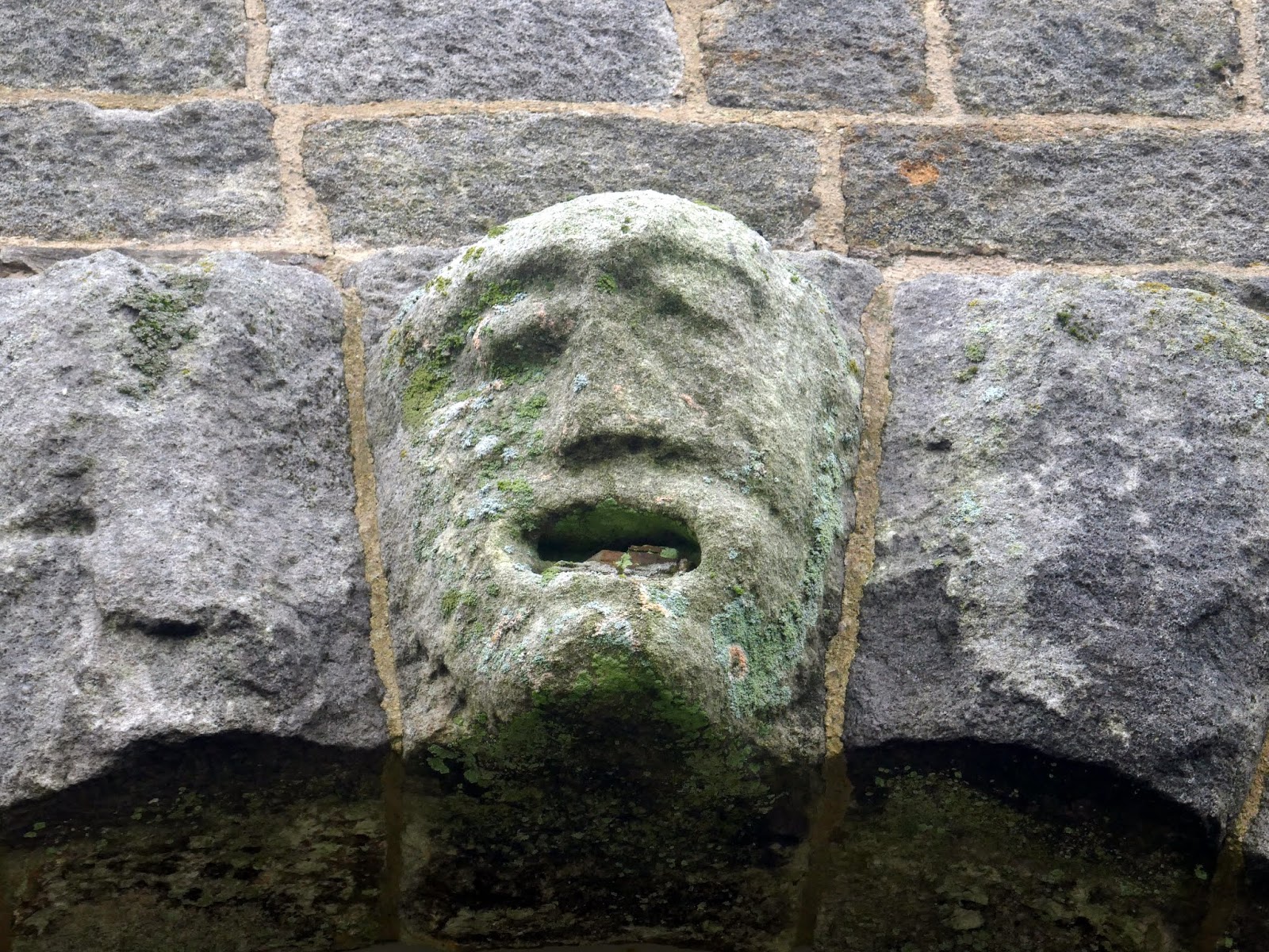
| An unusual figure above the Rocking Hall doorway |
 |
| Rocking Hall |
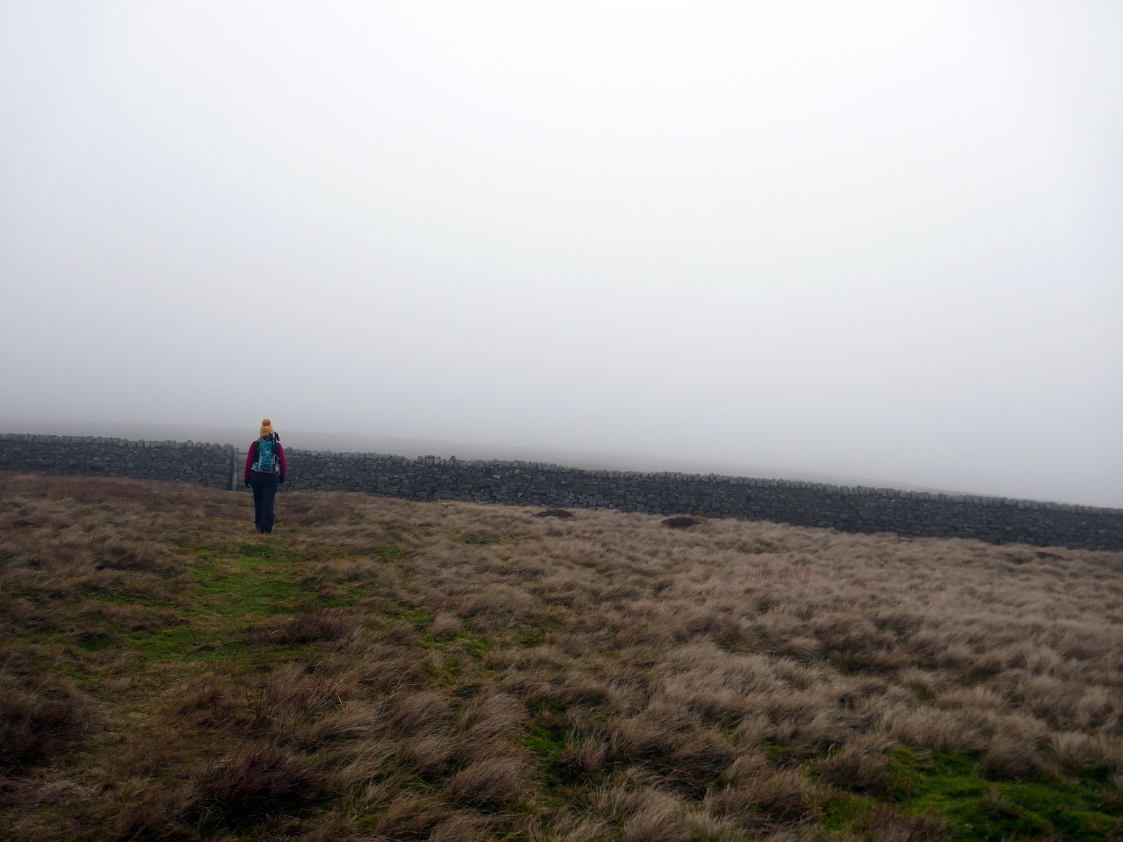
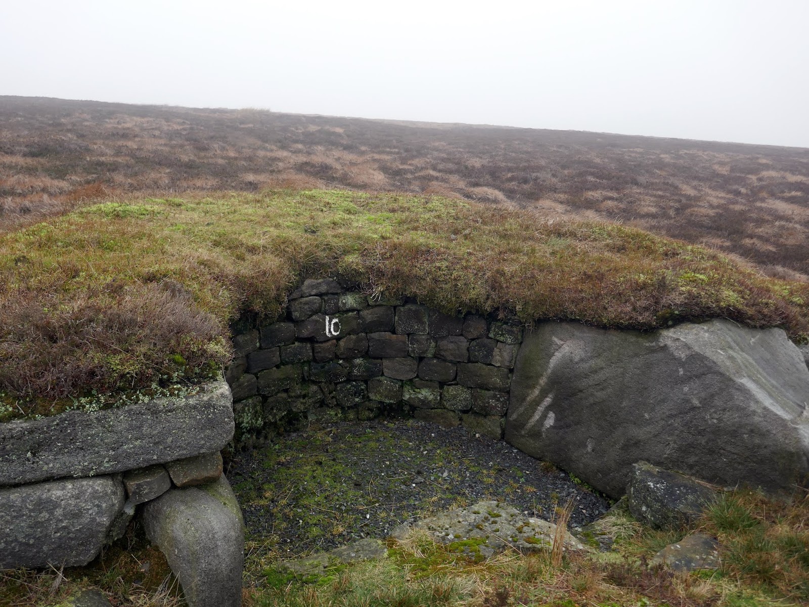
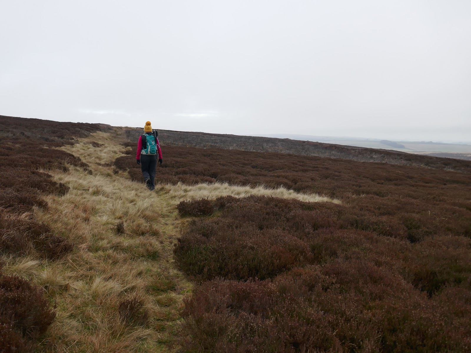
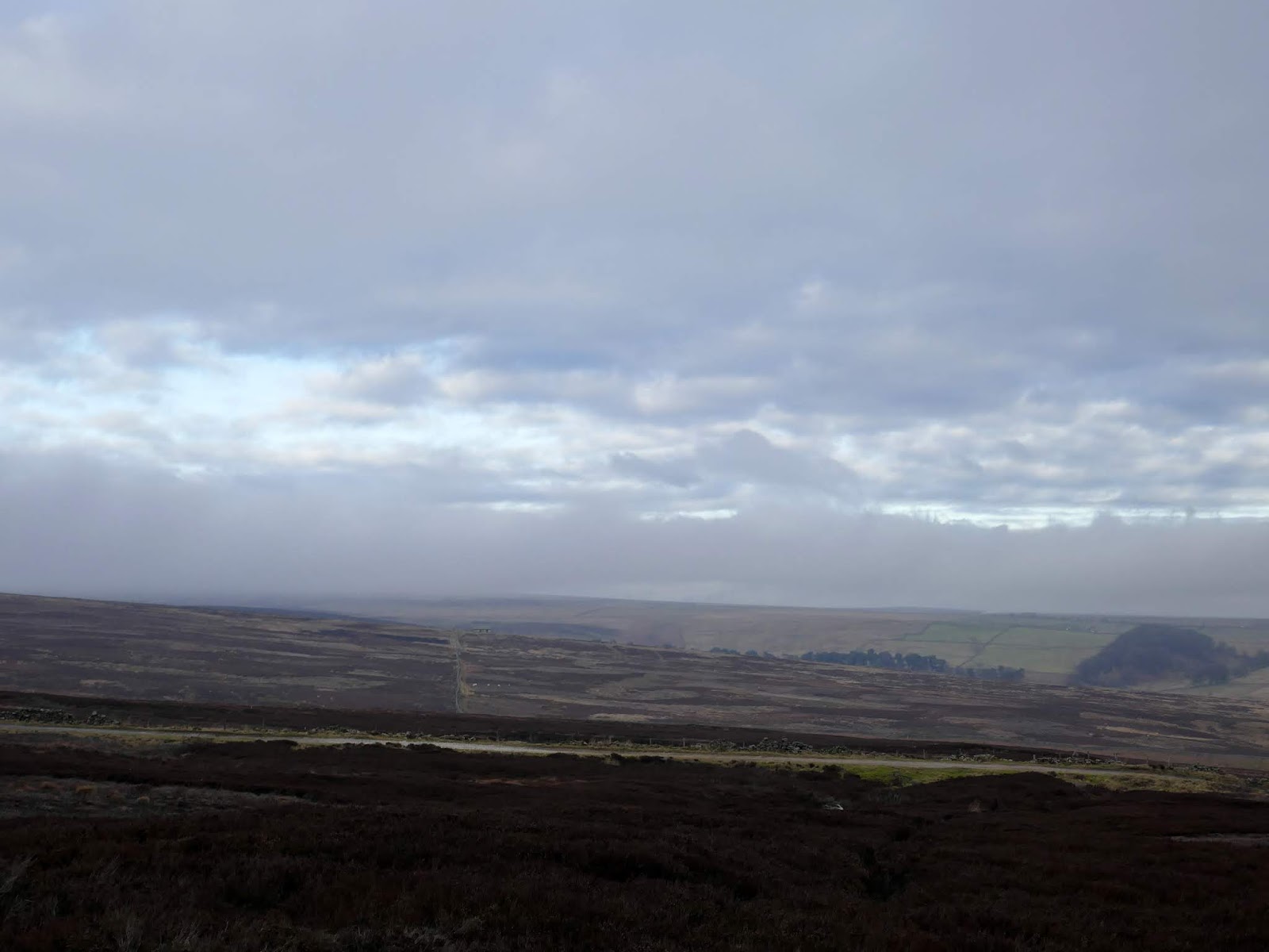
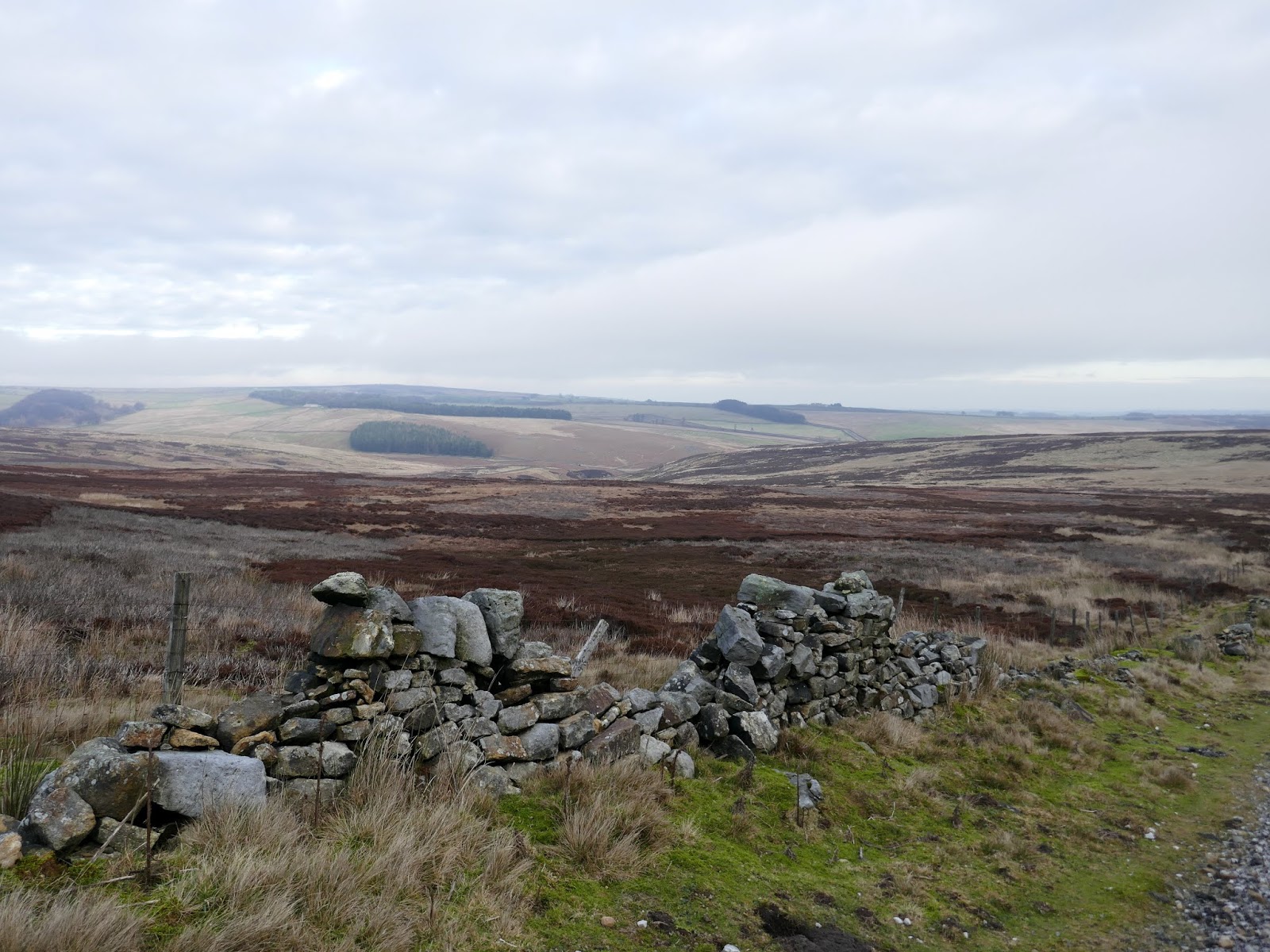
From the shooting house, we headed north back out onto open moor. A narrow path winds through the heather following a line of grouse butts set out around Rocking Hall. The path passes along the top of Bank Edge, descending Foulgate Bank to meet a bridleway. The bridleway crosses the moor to meet the road at Red Gate.
 |
| Sara heads out onto the moor |
 |
| Rocking Hall grouse butt |
 |
| The Great Stray |
 |
| Rocking Hall disappears into the mist |
 |
| Looking to Pockstones Moor |
 |
| Bridleway at Fox Holes |
 |
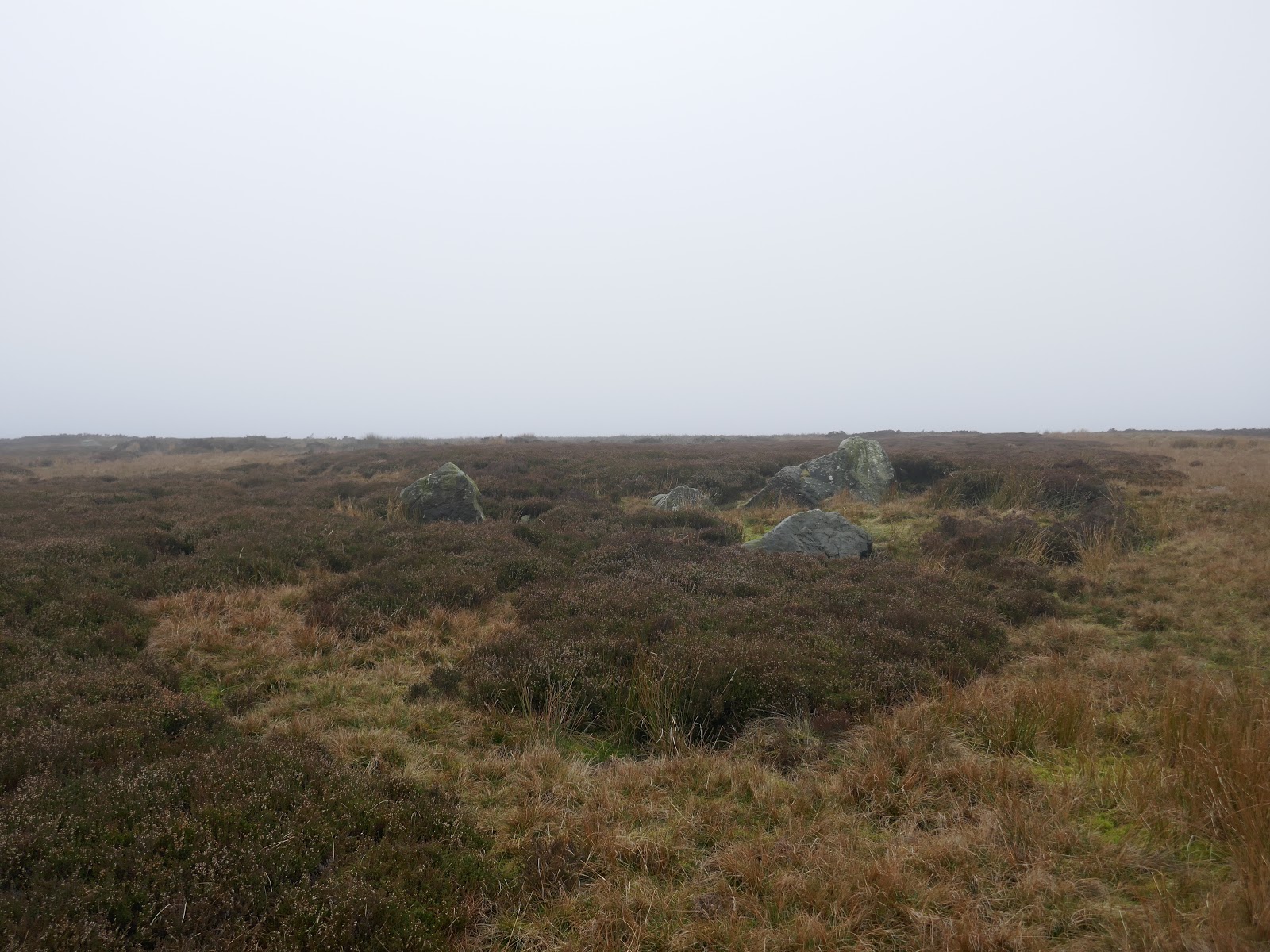
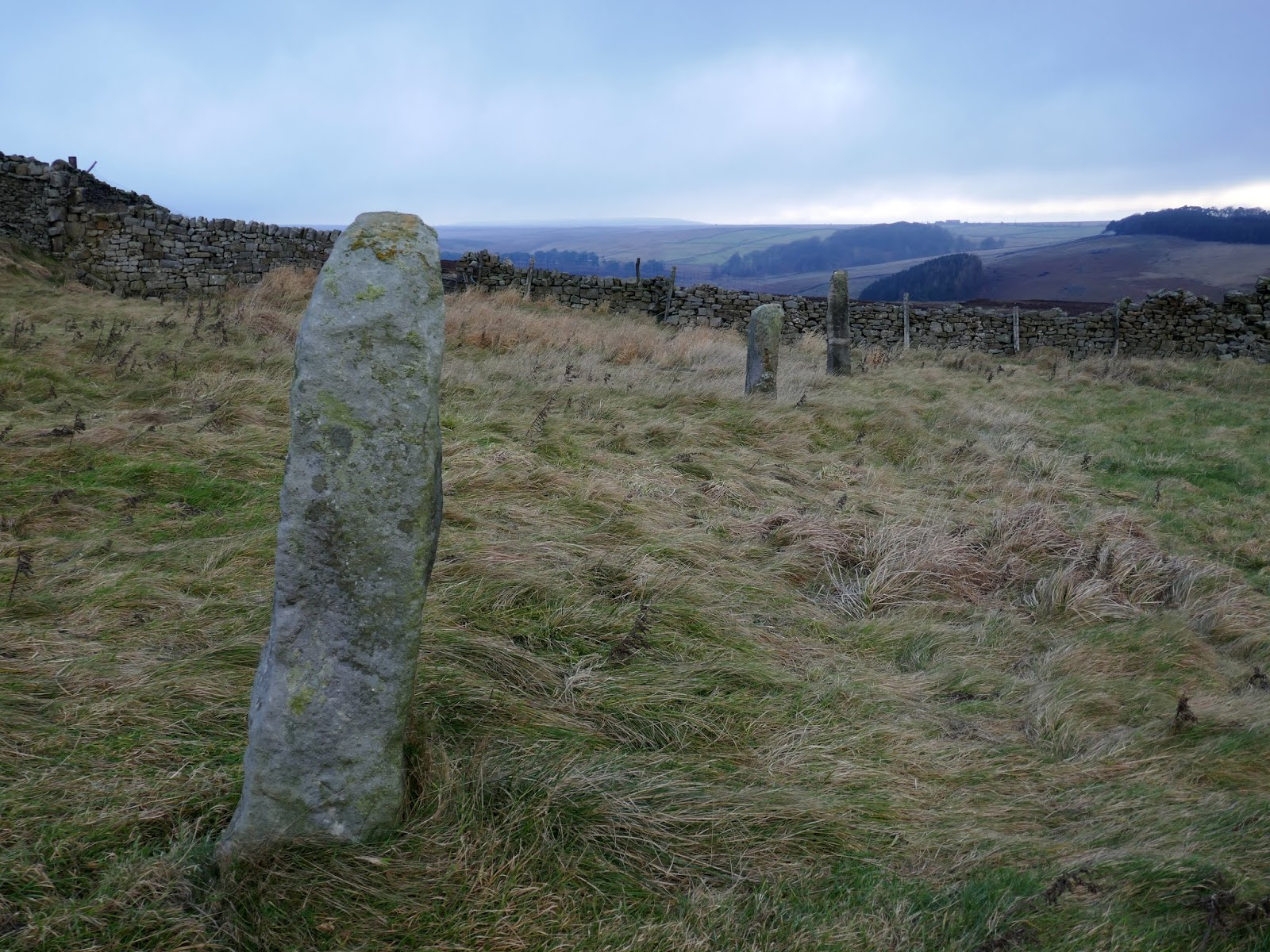
| Boundary stones at Red Gate |
 |
| Whit Moor Road |
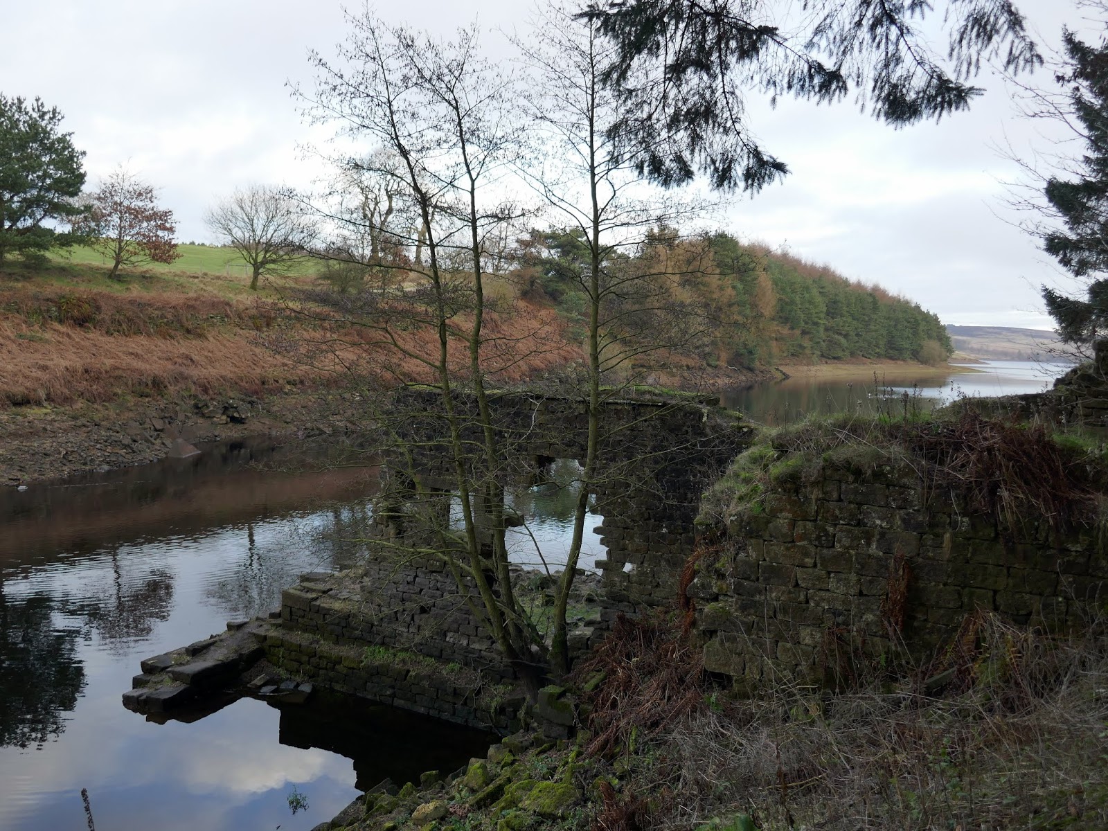
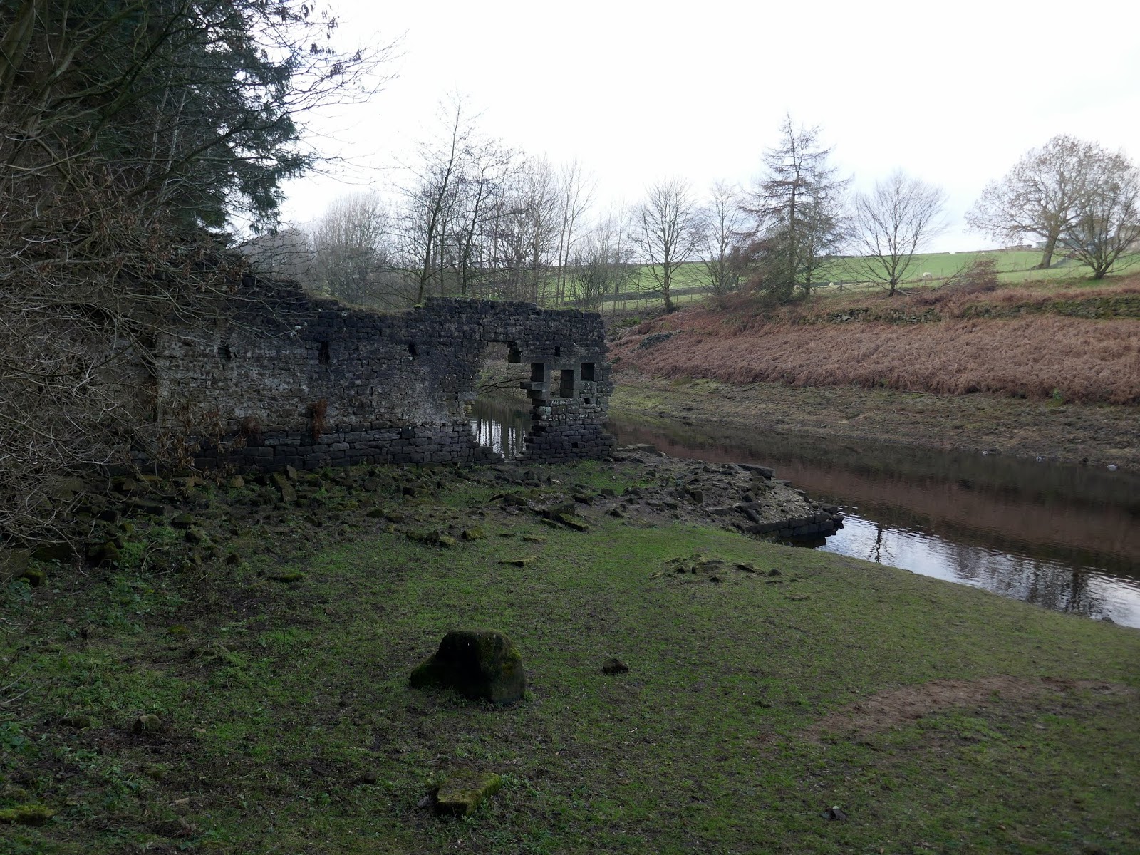
We followed the road downhill to a bridge crossing Capelshaw Beck, a small stream which flows into Thruscross Reservoir. It is possible to follow the reservoir shore from here though it’s not clear from the map. On the shoreline are the remains of the flax mill at West End, the flooded village I mentioned previously. In particularly dry weather the foundations of some of the cottages appear. It’s rumoured that the old river bridge is hidden in the depths too.
 |
| Interesting light over Rocking Moor |
 |
| Add caption |
 |
| The path to Thruscross Reservoir |
 |
| West End flax mill |
 |
| West End flax mill |
 |
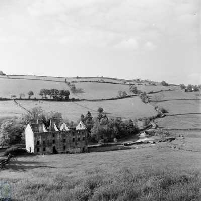
| The flax mill prior to the construction of the reservoir |
After the remains of the mill, the path follows the shore of the reservoir for a couple of miles, taking us back to the dam and the car park where we started. I find it interesting that this area of moorland is not part of the Yorkshire Dales (for whatever reason). However, with shifting boundaries, I’m sure it’s only a matter of time.
