Open Space Web-Map builder Codehttps://openspace.ordnancesurvey.co.uk/osmapapi/openspace.js?key=3119F72552FD5C22E0530C6CA40A5A92https://openspace.ordnancesurvey.co.uk/osmapapi/script/mapbuilder/basicmap.jshttps://openspace.ordnancesurvey.co.uk/osmapapi/script/mapbuilder/searchbox.js//variables for routes var linesLayer, points, lineFeature, lineString, routeMarkersLayer, routepos, routesize, routeoffset, routeicon; var style_blue = {strokeColor: “#0000CD”, strokeOpacity: 0.5, strokeWidth: 4.5}; function initmapbuilder() { //initiate the map var options = {resolutions: [2500, 1000, 500, 200, 100, 50, 25, 10, 5, 4, 2.5, 2, 1]}; osMap = new OpenSpace.Map(‘map’, options); //configure map options (basicmap.js) setglobaloptions(); //set the center of the map and the zoom level osMap.setCenter(new OpenSpace.MapPoint(319292,514316),7); linesLayer = osMap.getVectorLayer(); // Set up layer for route markers routeMarkersLayer = new OpenLayers.Layer.Markers(“Route Markers”); //make a route points = new Array(); points.push(new OpenLayers.Geometry.Point(317288,517265)); points.push(new OpenLayers.Geometry.Point(317448,517080)); points.push(new OpenLayers.Geometry.Point(317508,516995)); points.push(new OpenLayers.Geometry.Point(317568,516980)); points.push(new OpenLayers.Geometry.Point(317638,516850)); points.push(new OpenLayers.Geometry.Point(317808,516480)); points.push(new OpenLayers.Geometry.Point(318198,516285)); points.push(new OpenLayers.Geometry.Point(318318,516175)); points.push(new OpenLayers.Geometry.Point(318413,516000)); points.push(new OpenLayers.Geometry.Point(318588,515860)); points.push(new OpenLayers.Geometry.Point(318668,515620)); points.push(new OpenLayers.Geometry.Point(318883,515620)); points.push(new OpenLayers.Geometry.Point(318978,515545)); points.push(new OpenLayers.Geometry.Point(319108,515490)); points.push(new OpenLayers.Geometry.Point(319128,515285)); points.push(new OpenLayers.Geometry.Point(319238,515215)); points.push(new OpenLayers.Geometry.Point(319353,515155)); points.push(new OpenLayers.Geometry.Point(319418,515012.5)); points.push(new OpenLayers.Geometry.Point(319667,514863)); points.push(new OpenLayers.Geometry.Point(319762,514758)); points.push(new OpenLayers.Geometry.Point(319887,514578)); points.push(new OpenLayers.Geometry.Point(320517,514223)); points.push(new OpenLayers.Geometry.Point(320862,514158)); points.push(new OpenLayers.Geometry.Point(321092,514123)); points.push(new OpenLayers.Geometry.Point(321272,514073)); points.push(new OpenLayers.Geometry.Point(321487,513978)); points.push(new OpenLayers.Geometry.Point(321722,513798)); points.push(new OpenLayers.Geometry.Point(321812,513718)); points.push(new OpenLayers.Geometry.Point(321607,513478)); points.push(new OpenLayers.Geometry.Point(321577,513273)); points.push(new OpenLayers.Geometry.Point(321557,513018)); points.push(new OpenLayers.Geometry.Point(321537,512888)); points.push(new OpenLayers.Geometry.Point(321847,512673)); points.push(new OpenLayers.Geometry.Point(321777,512483)); points.push(new OpenLayers.Geometry.Point(321702,512348)); points.push(new OpenLayers.Geometry.Point(321592,512113)); points.push(new OpenLayers.Geometry.Point(321487,511933)); points.push(new OpenLayers.Geometry.Point(321372,511923)); points.push(new OpenLayers.Geometry.Point(321222,512023)); points.push(new OpenLayers.Geometry.Point(321067,512198)); points.push(new OpenLayers.Geometry.Point(320767,512578)); points.push(new OpenLayers.Geometry.Point(320462,512518)); points.push(new OpenLayers.Geometry.Point(320322,512373)); points.push(new OpenLayers.Geometry.Point(320124.5,512428)); points.push(new OpenLayers.Geometry.Point(320092,512531)); points.push(new OpenLayers.Geometry.Point(319632,512861)); points.push(new OpenLayers.Geometry.Point(319527,512976)); points.push(new OpenLayers.Geometry.Point(319322,513181)); points.push(new OpenLayers.Geometry.Point(318917,513336)); points.push(new OpenLayers.Geometry.Point(318787,513556)); points.push(new OpenLayers.Geometry.Point(318717,513721)); points.push(new OpenLayers.Geometry.Point(318772,513916)); points.push(new OpenLayers.Geometry.Point(318697,514136)); points.push(new OpenLayers.Geometry.Point(318767,514301)); points.push(new OpenLayers.Geometry.Point(318782,514771)); points.push(new OpenLayers.Geometry.Point(318667,515001)); points.push(new OpenLayers.Geometry.Point(318227,515556)); points.push(new OpenLayers.Geometry.Point(318087,515656)); points.push(new OpenLayers.Geometry.Point(317987,515696)); points.push(new OpenLayers.Geometry.Point(317862,515846)); points.push(new OpenLayers.Geometry.Point(317642,515991)); points.push(new OpenLayers.Geometry.Point(317262,516296)); points.push(new OpenLayers.Geometry.Point(317152,516356)); points.push(new OpenLayers.Geometry.Point(317007,516386)); points.push(new OpenLayers.Geometry.Point(316782,516556)); points.push(new OpenLayers.Geometry.Point(316817,516626)); points.push(new OpenLayers.Geometry.Point(316912,516561)); points.push(new OpenLayers.Geometry.Point(317442,516776)); points.push(new OpenLayers.Geometry.Point(317392,516891)); points.push(new OpenLayers.Geometry.Point(317542,516976)); points.push(new OpenLayers.Geometry.Point(317412,517131)); points.push(new OpenLayers.Geometry.Point(317288,517265)); // create a polyline feature from the array of points lineString = new OpenLayers.Geometry.LineString(points); lineFeature = new OpenLayers.Feature.Vector(lineString, null, style_blue); linesLayer.addFeatures([lineFeature]); //crate a route start/end marker routepos = new OpenSpace.MapPoint(317288,517265); routesize = new OpenLayers.Size(33,45); routeoffset = new OpenLayers.Pixel(-5,-37); routeicon = new OpenSpace.Icon(‘https://openspace.ordnancesurvey.co.uk/osmapapi/img_versions/img_1.1/mapbuilder/routemarker-startend.png’, routesize, routeoffset, null, null); routeMarkersLayer.addMarker(new OpenLayers.Marker(routepos, routeicon)); osMap.addLayer(routeMarkersLayer);}
Route: Crag Houses, Buttermere, Pike Rigg, Hassness, Crag Wood, Gatesgarth Farm, Fleetwith Edge, Fleetwith Pike, Honister Crag, Hopper Quarry, Moses’ Trod, Fleetwith, Grey Knotts, Brandreth, Loft Beck, Haystacks, Scarth Gap, High Wax Knott, Horse Close, Burtness Wood, Scale Bridge, Buttermere
Date: 05/01/2019
From: Buttermere
Parking: National Trust Car Park
Start Point: Buttermere
Region: Western Fells
Route length: 11.0 miles (17.7km)
Time taken: 05:47
Average speed: 2.1 mph
Ascent: 1025m
Descent: 1042m
Wainwrights on this walk:
Fleetwith Pike (648m), Grey Knotts (697m), Brandreth (715m), Haystacks (597m)
Additional summits: Honister Crag (634m)
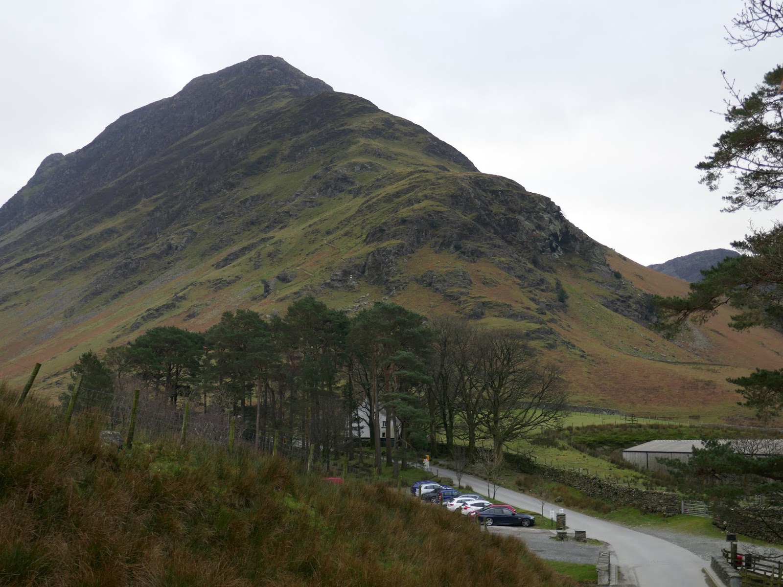
While Buttermere is well known to me, a few of its famed routes have thus far eluded me – namely Fleetwith Edge. While I have used it in descent, I’ve never used it as a way up to the fells so set my sights on it on a cool, cloudy January day.
I parked at the north-west end of Buttermere lake, in the National Trust car park near the village. I had originally planned to park at Gatesgarth but made a last minute decision to park further away for two reasons. The NT car park would make for a longer walk and, importantly, it’s free.
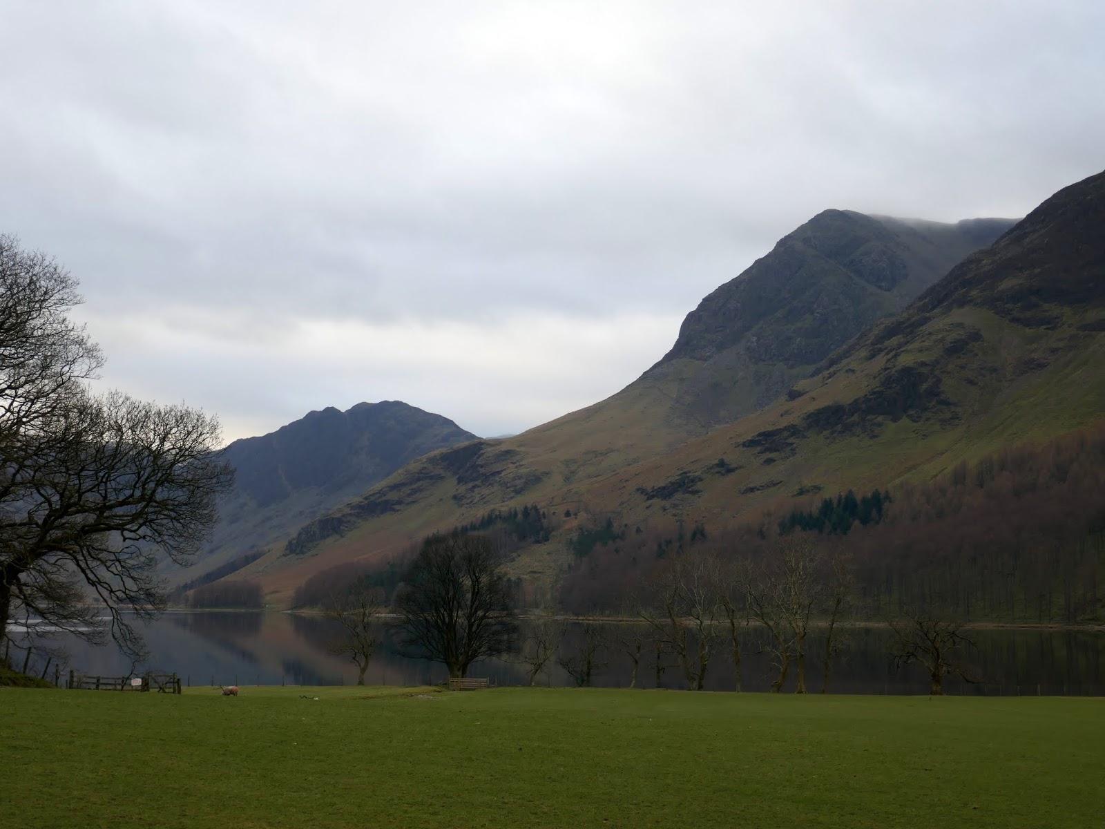
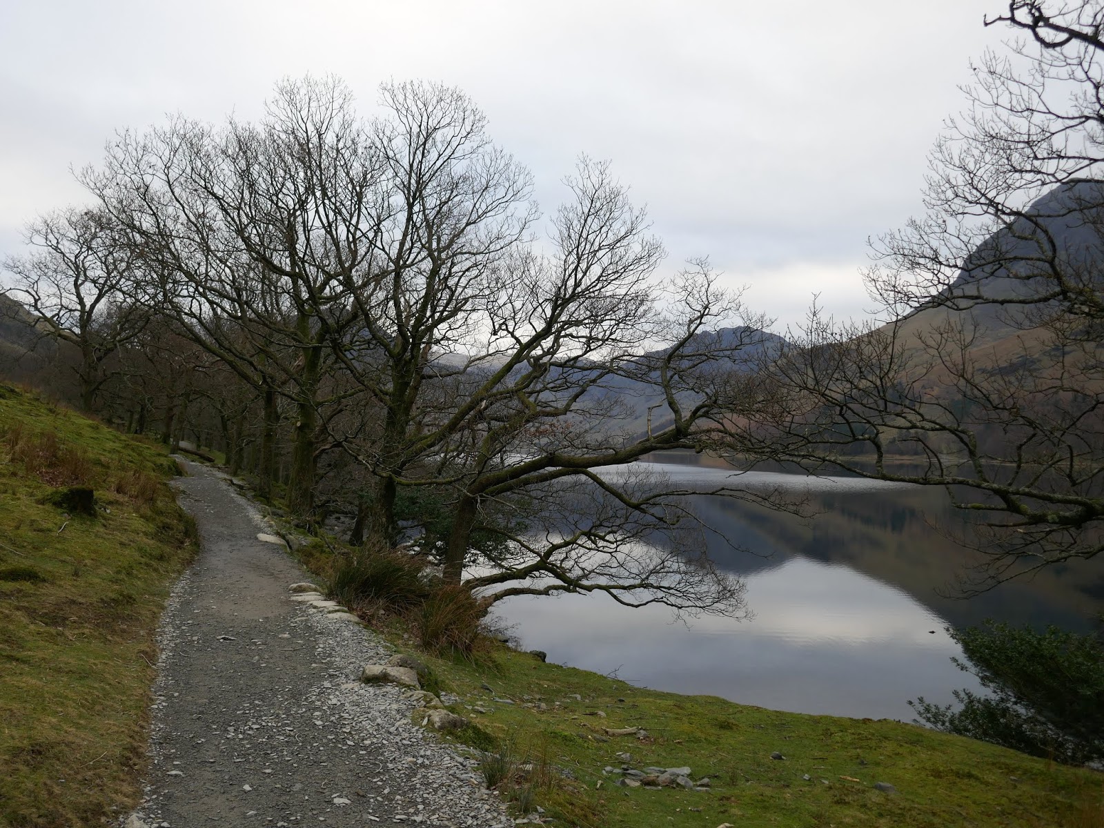
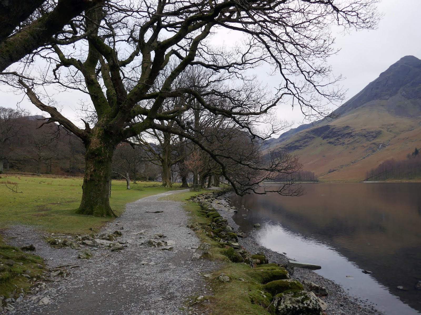
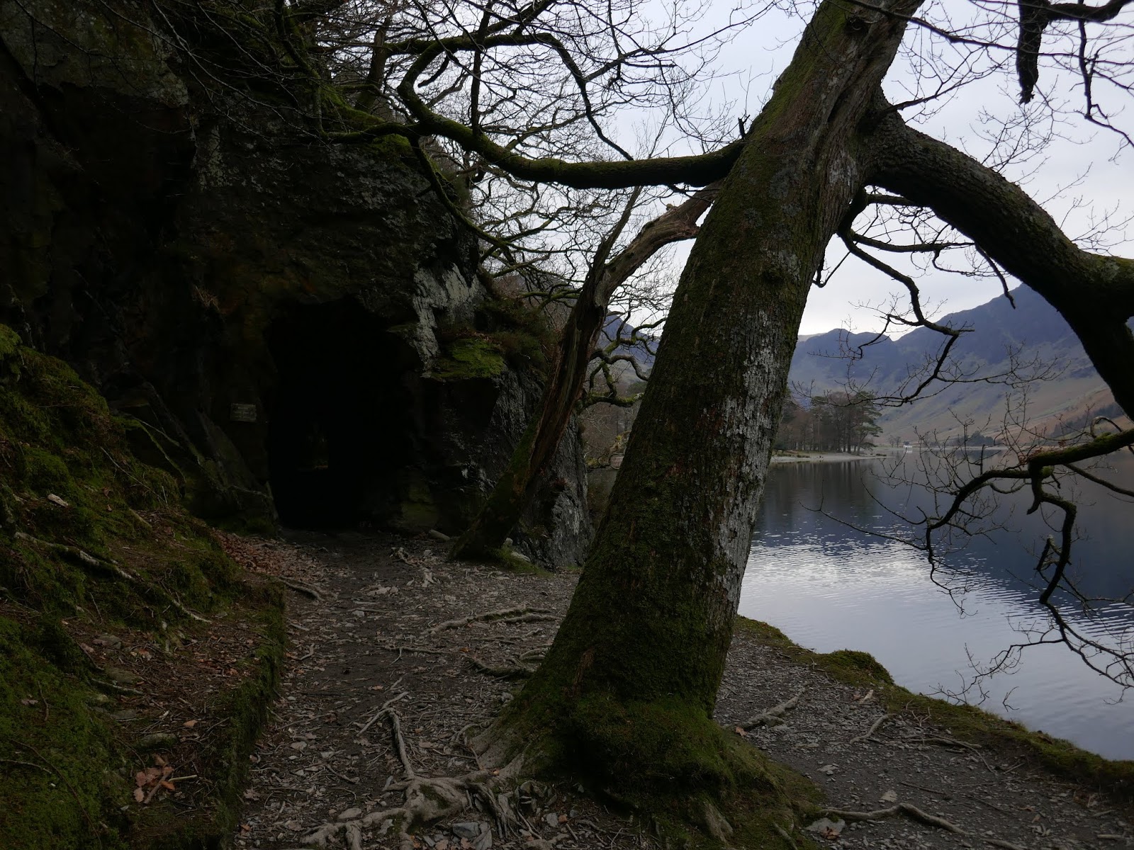
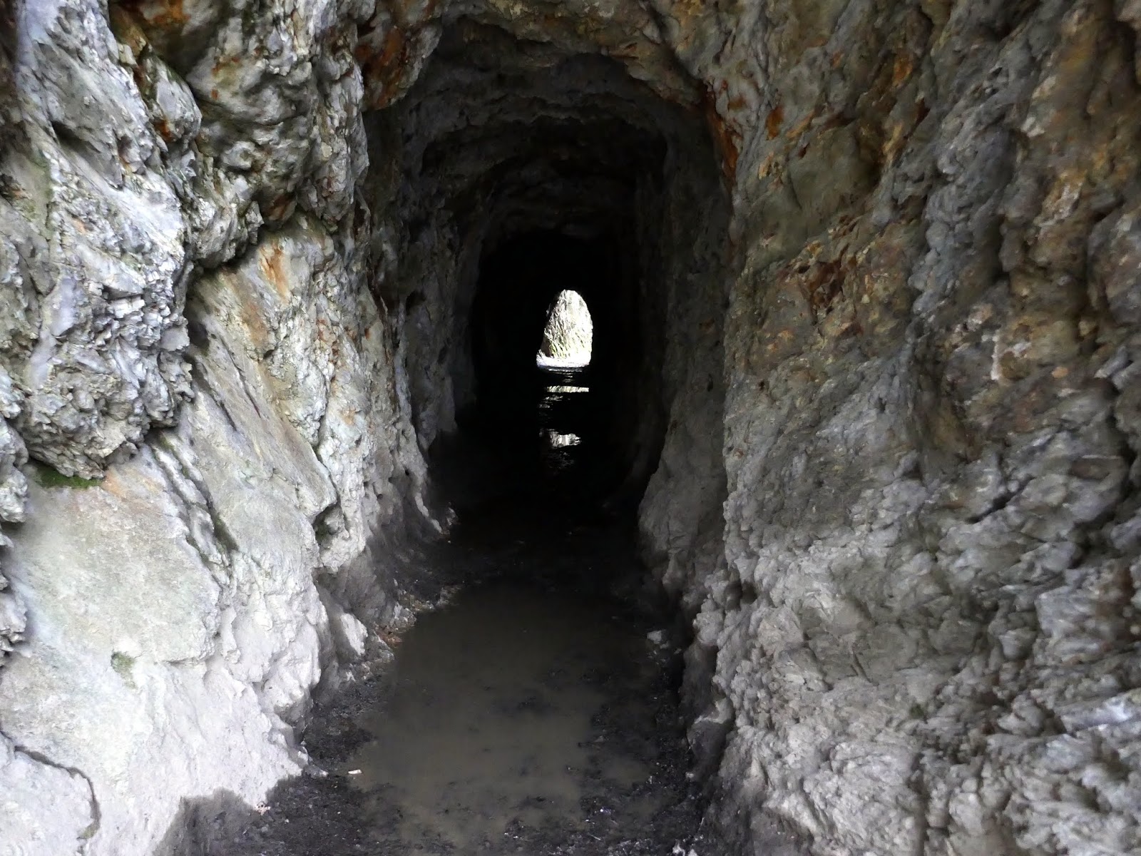
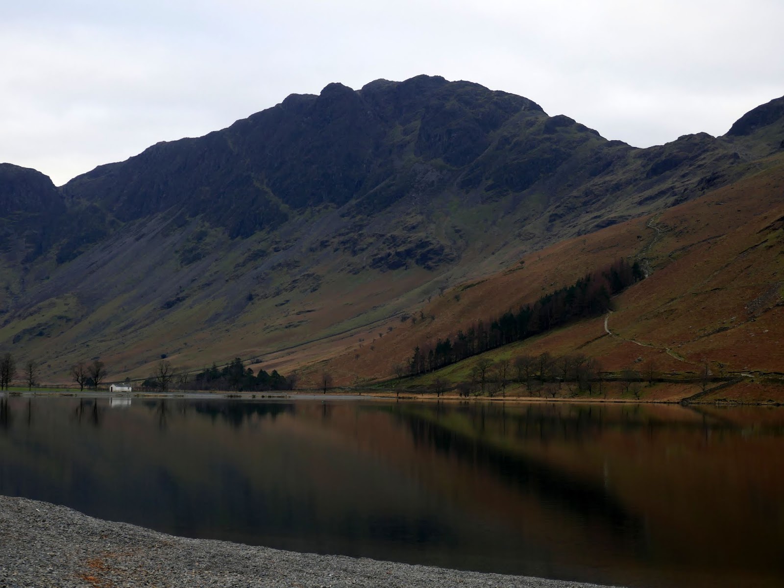
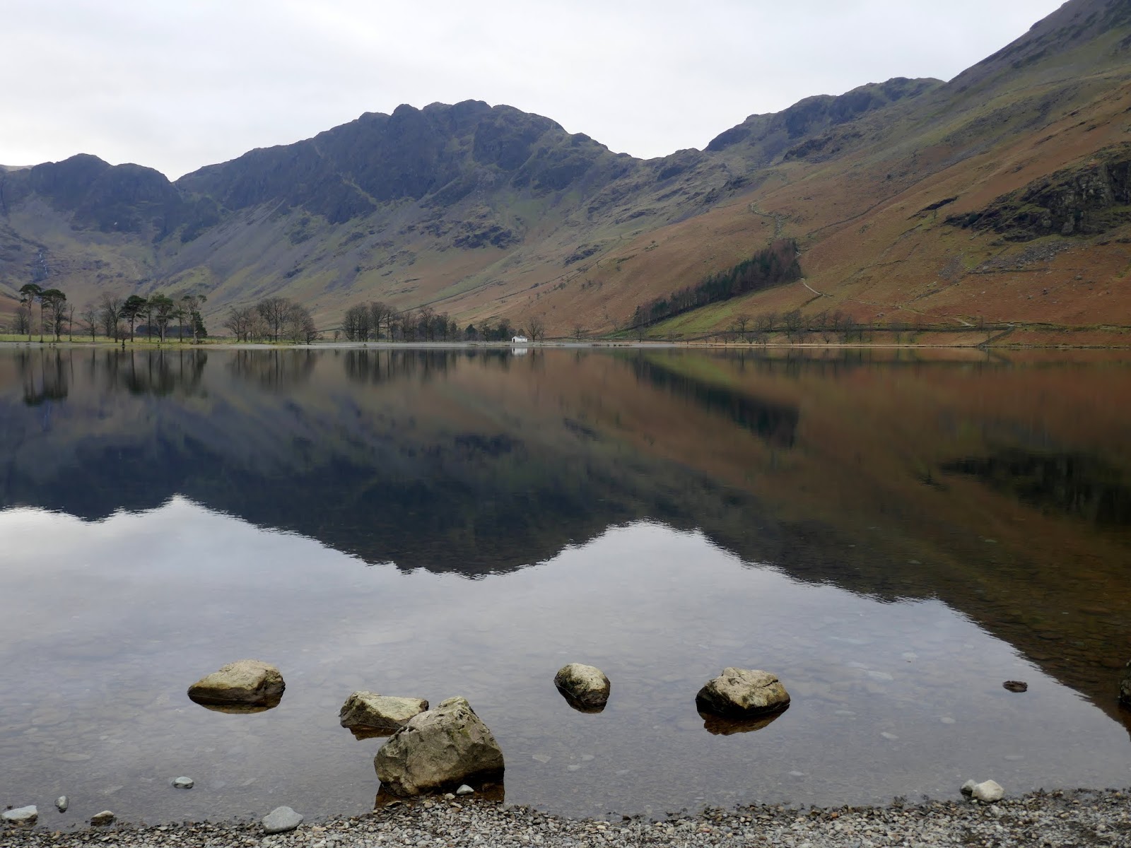
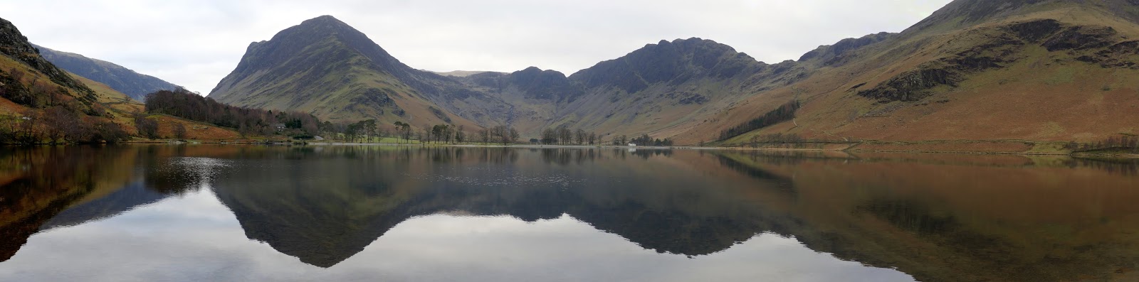
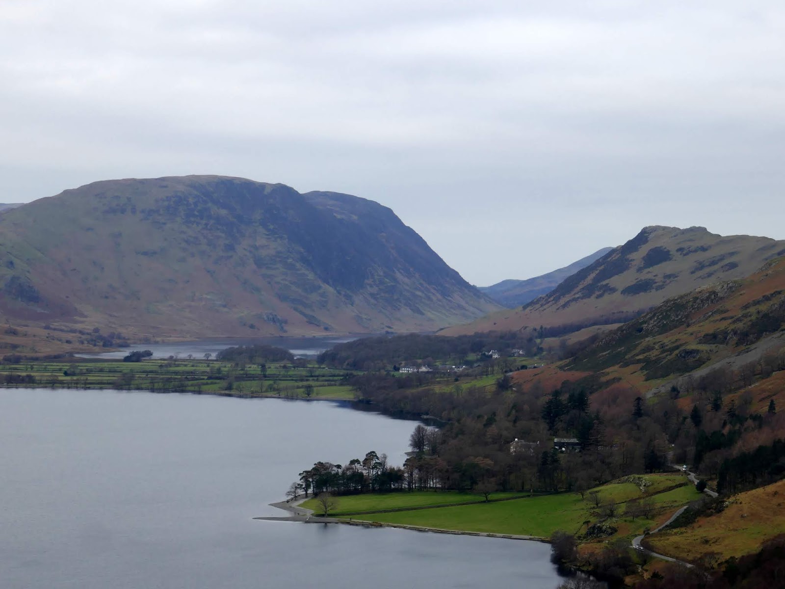
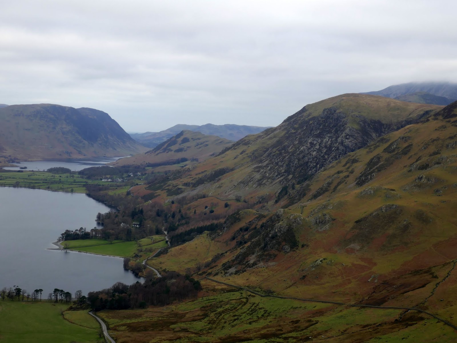
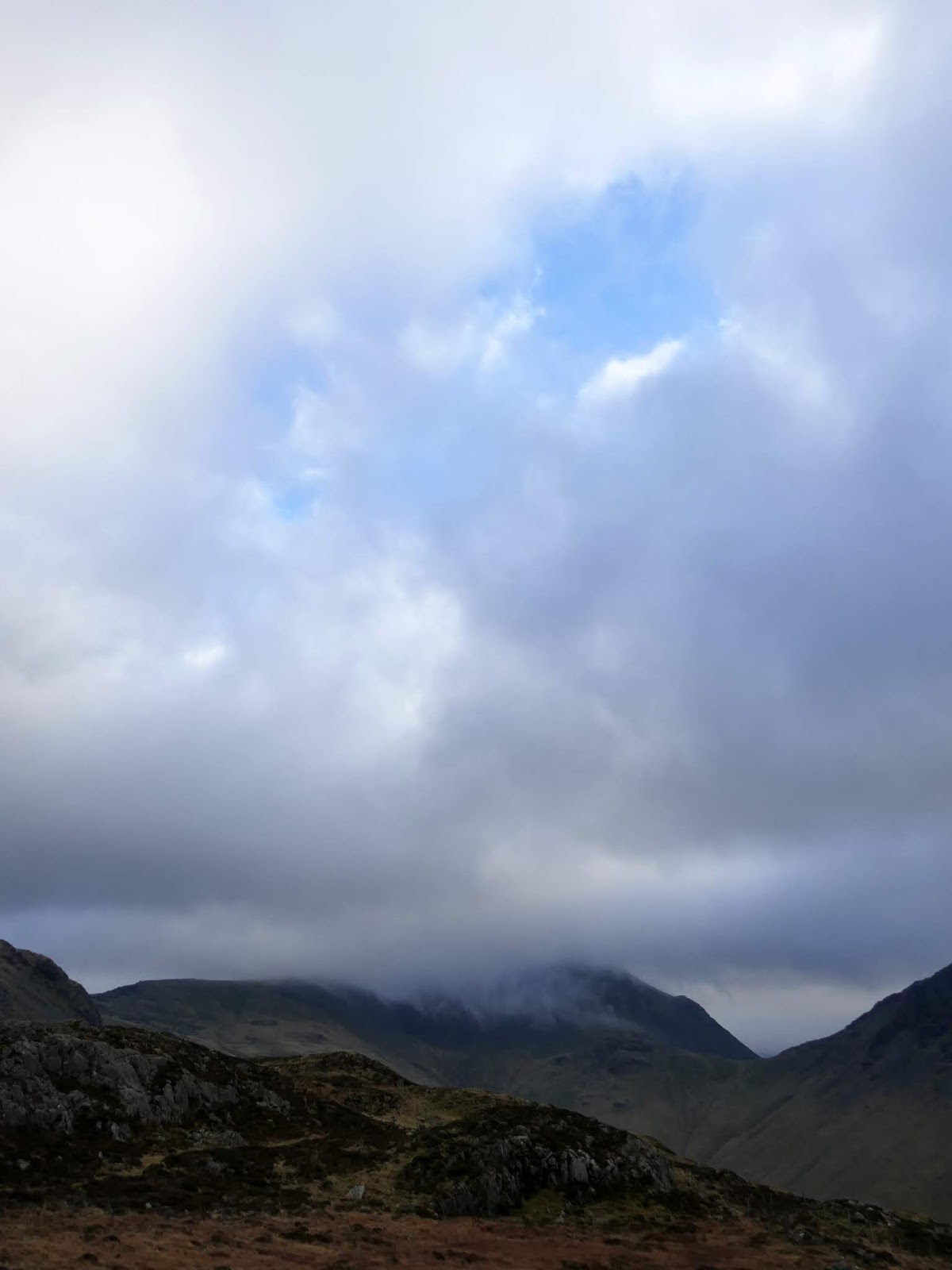
After getting suited and booted, I headed out to the village, picking up the shoreline path which would take me along the north side of the lake. A circuit of the lake is a short, popular outing – clocking in at just under 5 miles. The Victorians were big fans, so much so, that a local mill owner drove a short tunnel through the crags beneath Hassness to facilitate a full circuit. This side of the lake probably has the better views as it looks to the crags and coves of the High Stile range, the tops of which were shrouded in mist.
 |
| A grey morning in Buttermere |
 |
| The Buttermere lakeshore path |
 |
| High Stile |
 |
| The path at Pike Rigg |
 |
| The entrance to the lakeside tunnel |
 |
| Looking through the tunnel |
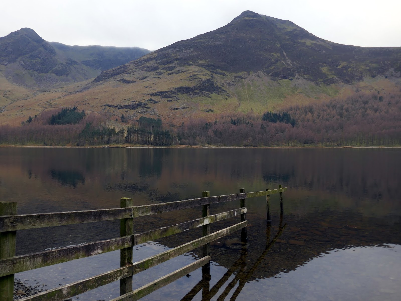
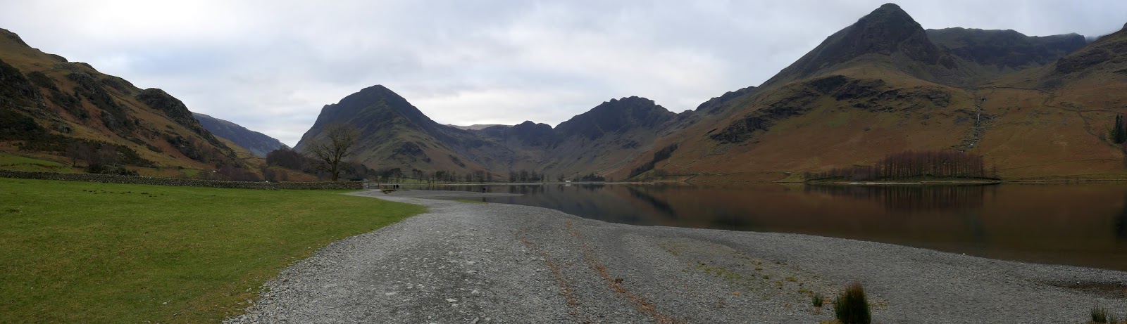
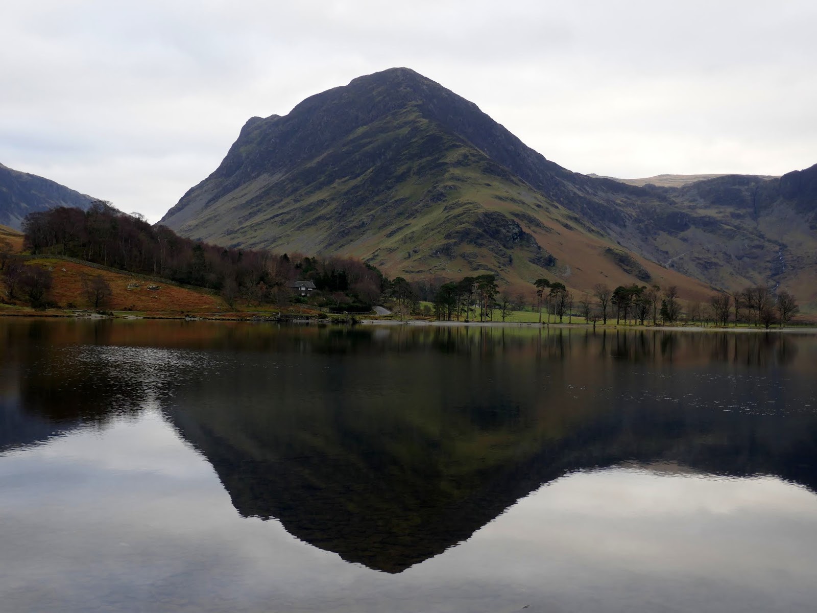
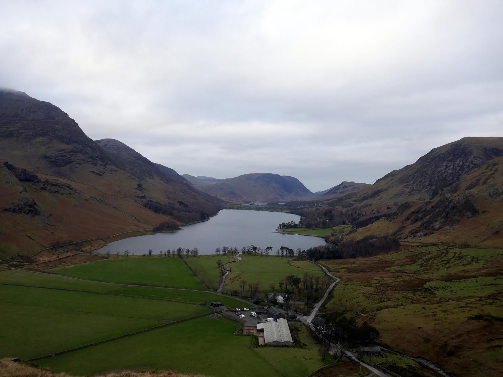
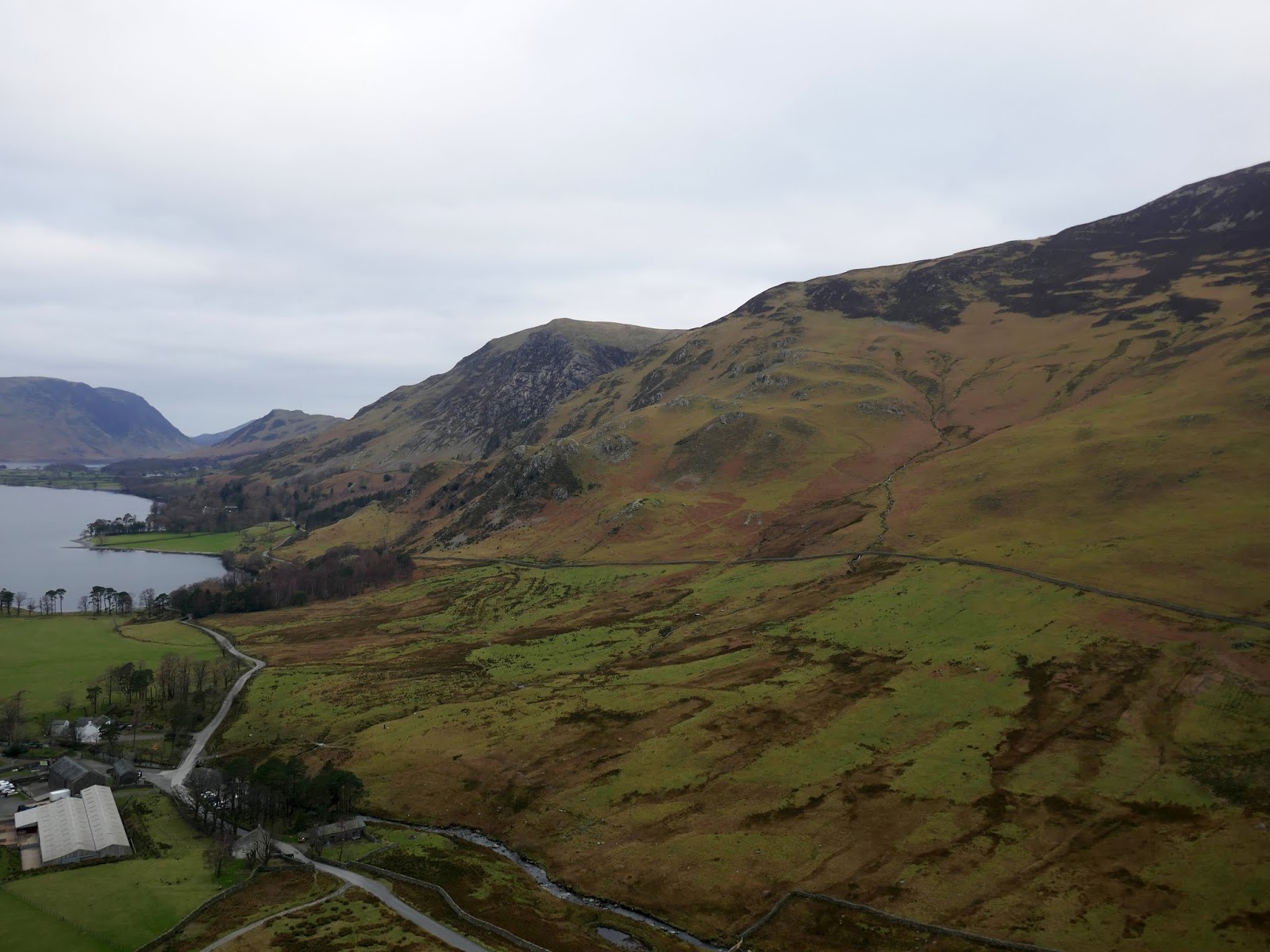
Emerging from the woodland, the path crosses the pebbly shores of the lake, offering a fine view of Fleetwith Pike and Fleetwith Edge rising from the valley. Here you will also find the best view of Haystacks, where I would be ending my adventure in the fells. But, first things first. Time for the edge.
 |
| Hassness |
 |
| Haystacks |
 |
| Fleetwith Pike reflected in Buttermere |
 |
| Haystacks and Seat |
 |
| Fleetwith Pike and Haystacks |
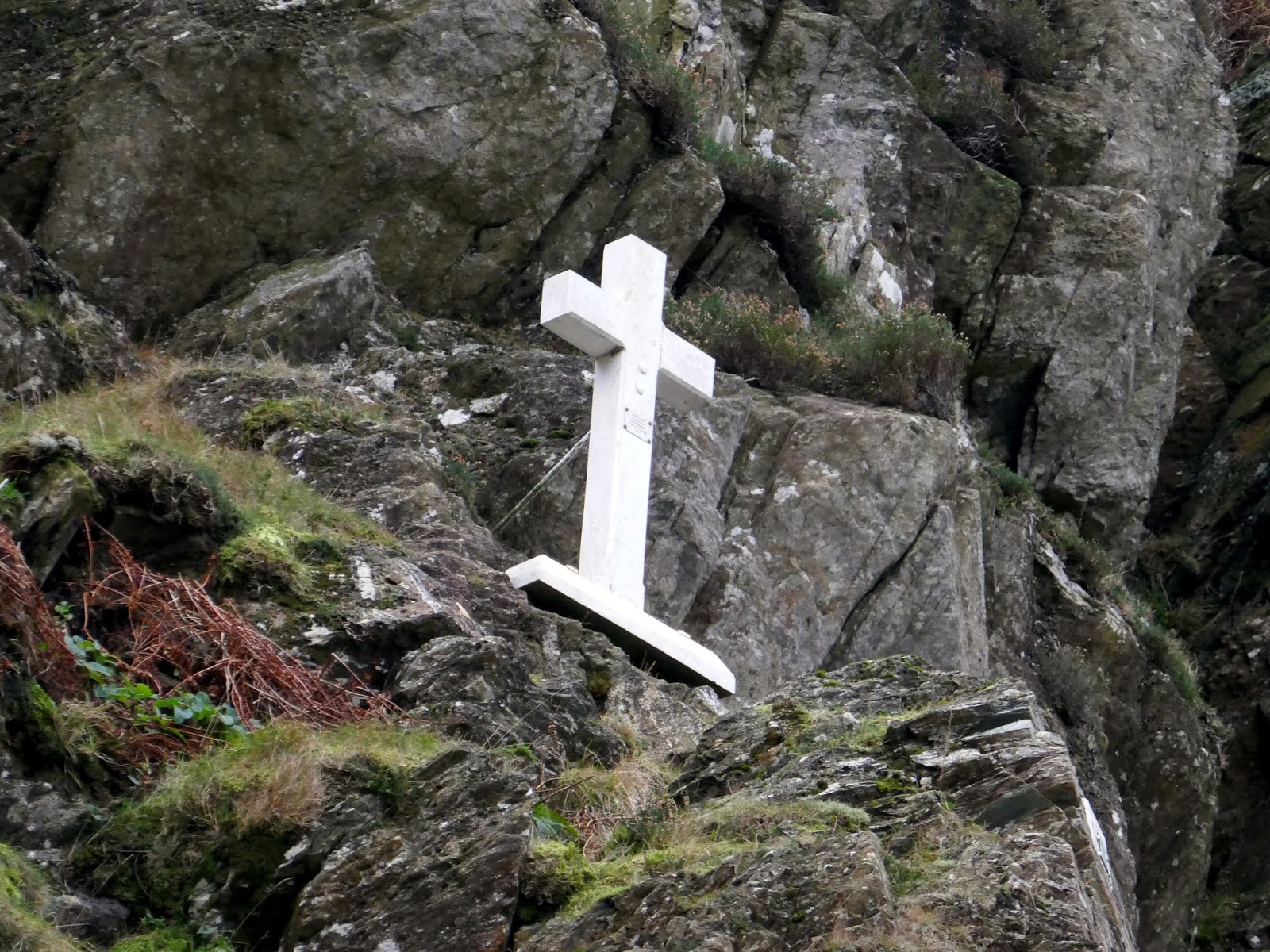
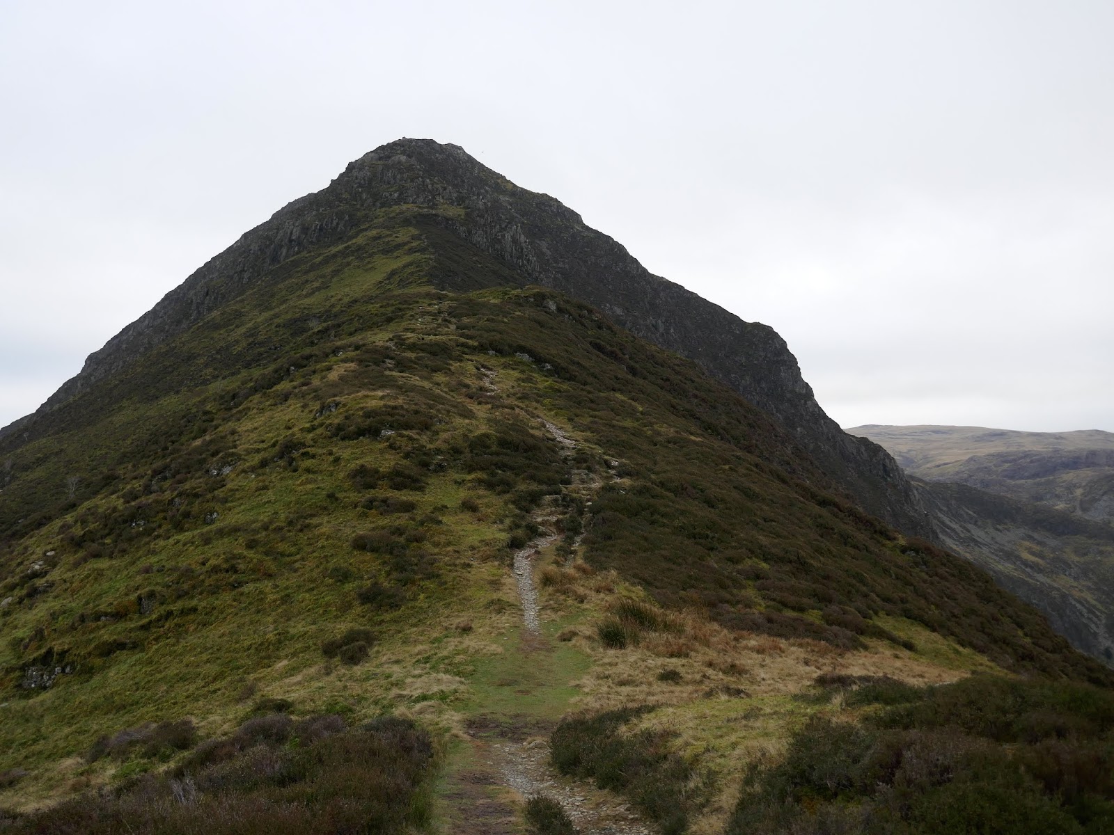
Though steep, the edge is broken by three flatter sections, which proceed a couple of false summits. The first third is a fairly uninspiring slog though it does pass below a memorial to Fanny Mercer, a young girl who slipped and fell from the ridge in 1887.
 |
| Fleetwith Edge seen over Gatesgarth |
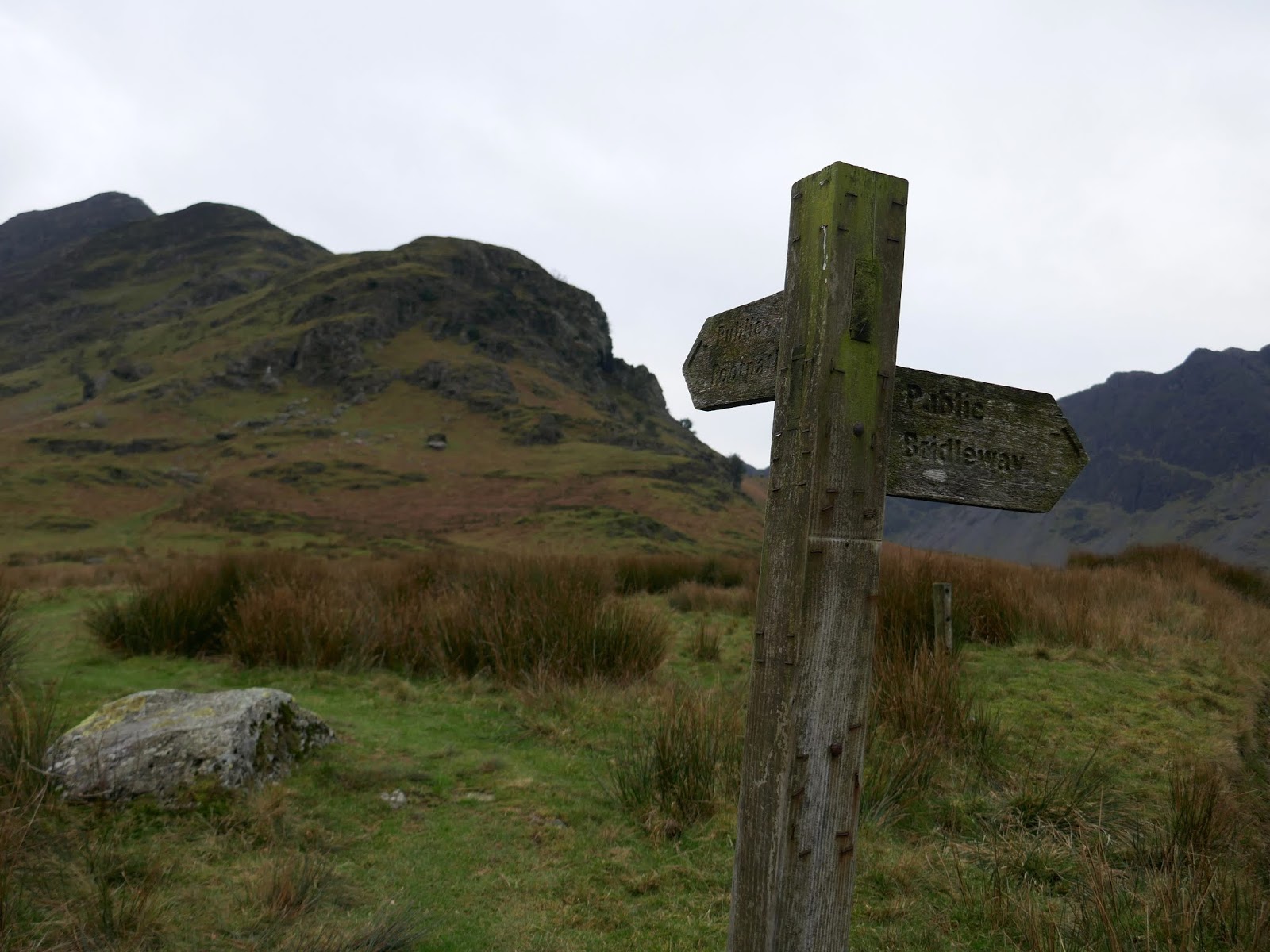
 |
| A finger post points the way |
 |
| Fanny Mercer memorial |
A zig-zag path climbs up the steeper sections of the lower ridge before it meets the crest. From there, it climbs steadily over the first false summit and then steepens, becoming a more interesting semi-scramble to the next false summit. After that, the steepness subsides as the path climbs to the top of Fleetwith Pike.
 |
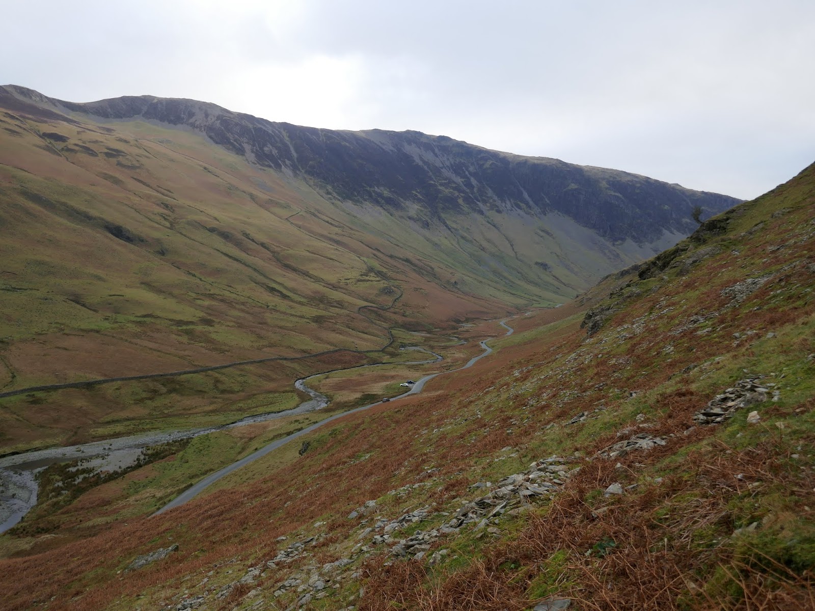
| Honister Pass |
 |
| Gatesgarth Farm and Buttermere |
 |
| Robinson |
 |
| Melbreak and Rannerdale Knotts |
 |
| Haystacks over Warnscale Bottom |
 |
| A view along Buttermere |
 |
| Fleetwith Edge |
 |
| The crags of Haystacks |
 |
| Robinson |
 |
| Fleetwith Pike’s summit |
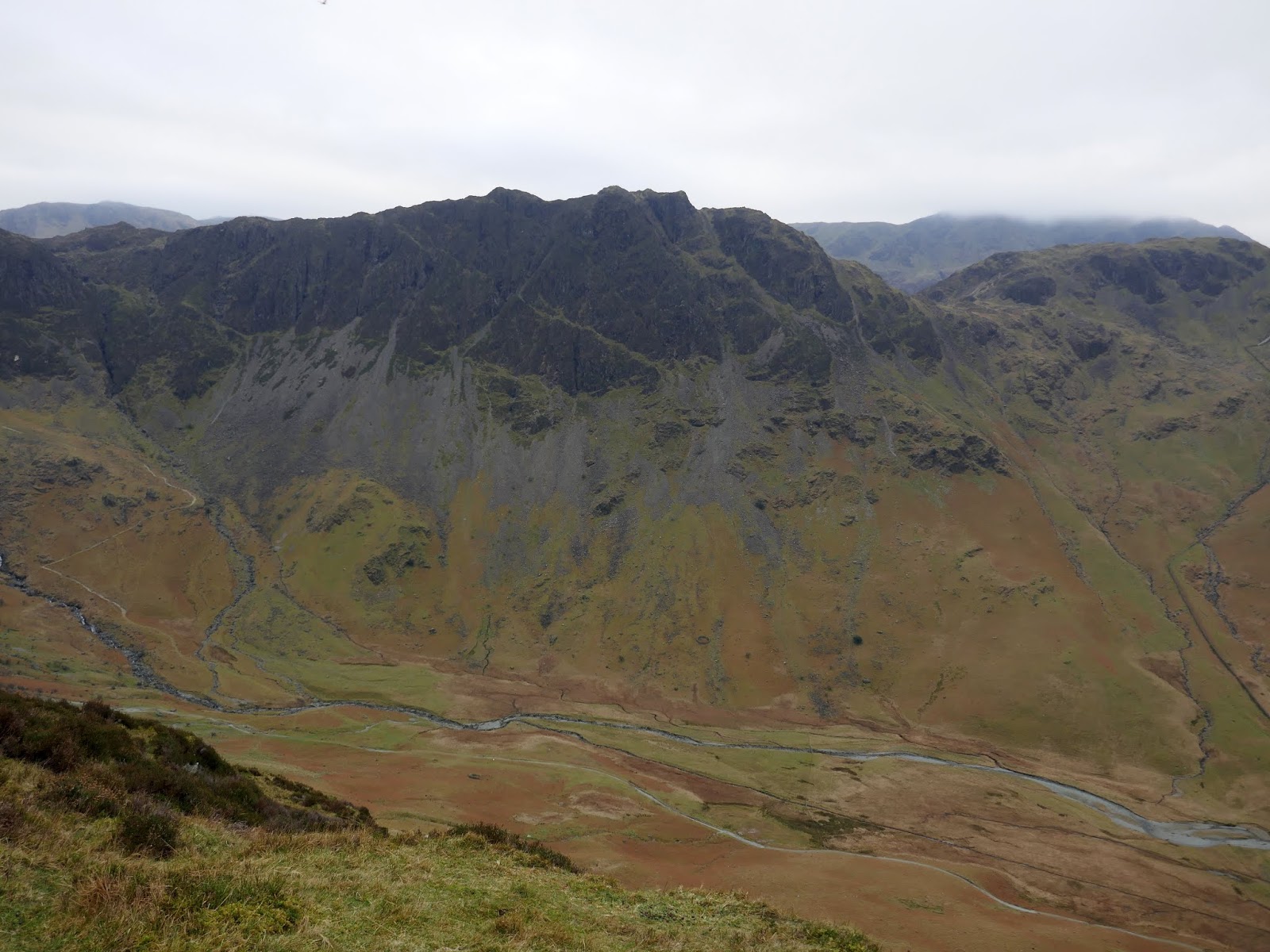
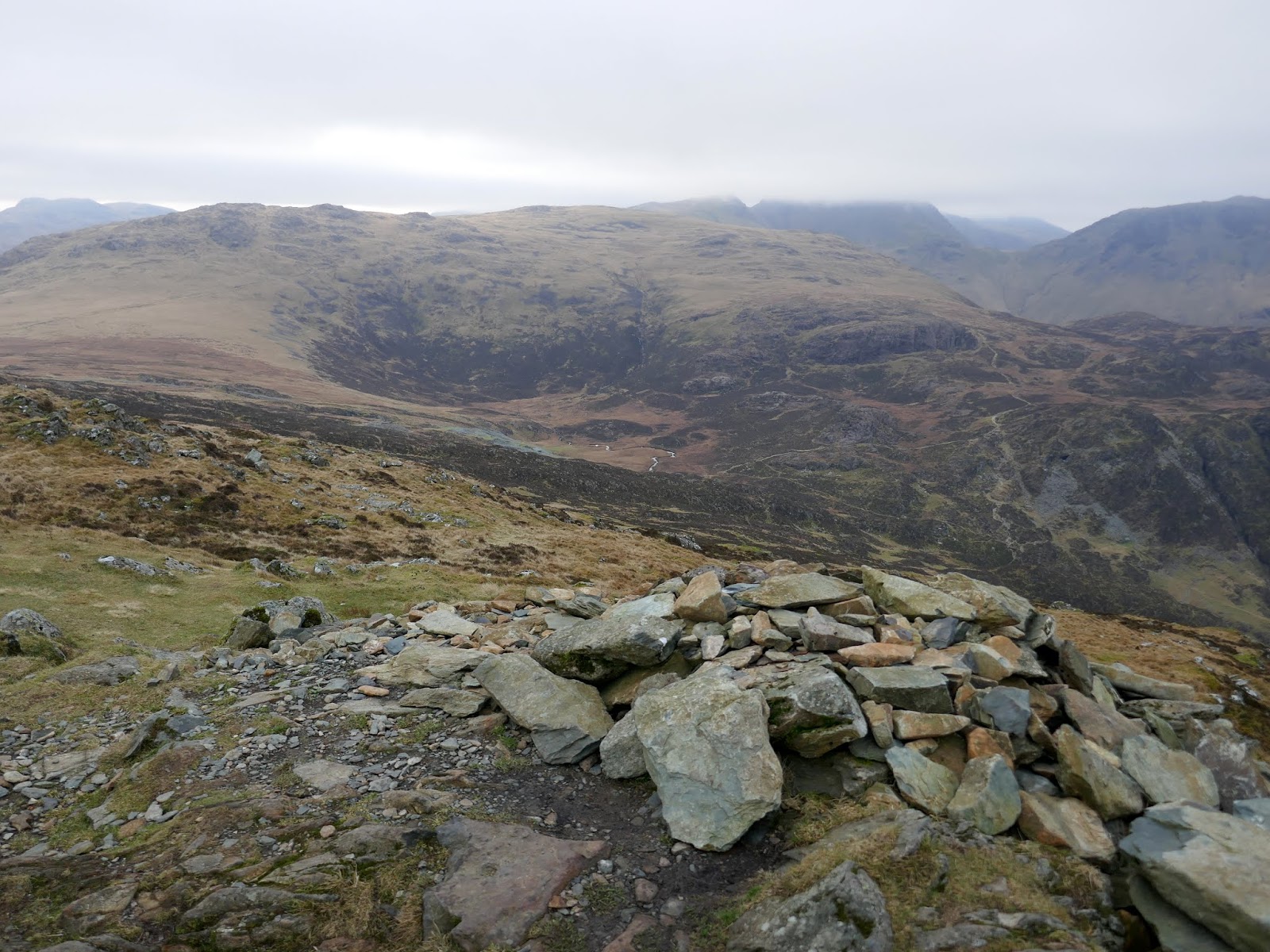
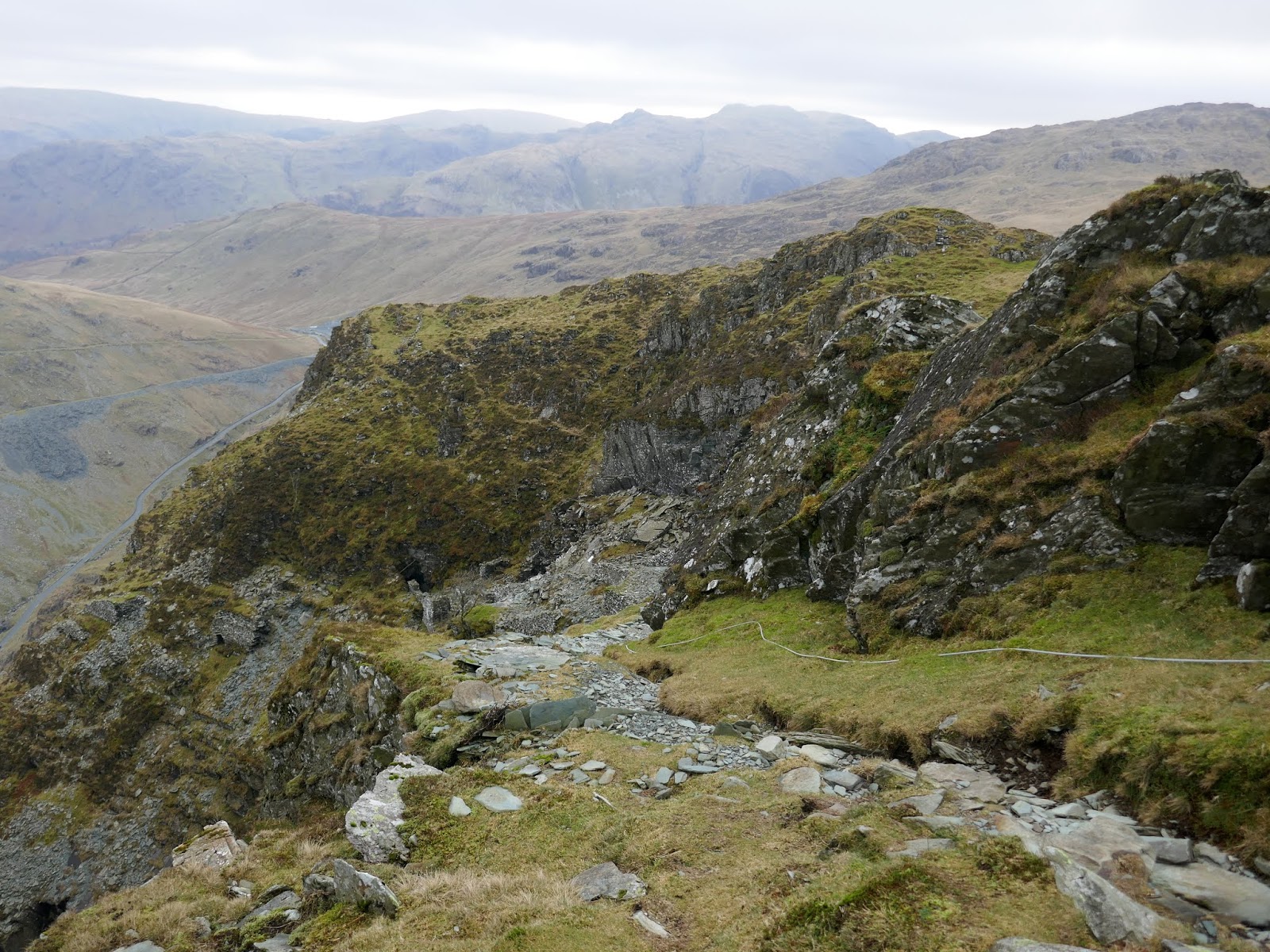
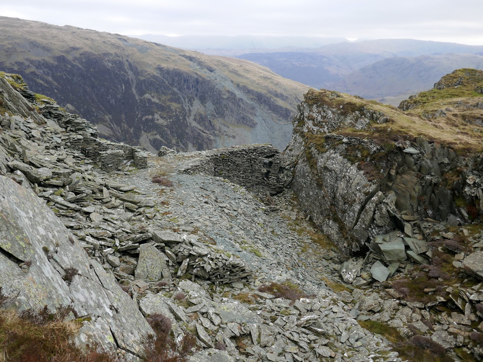
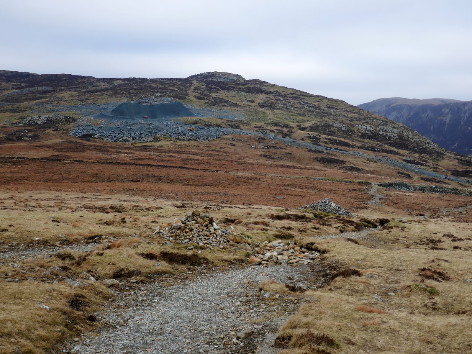
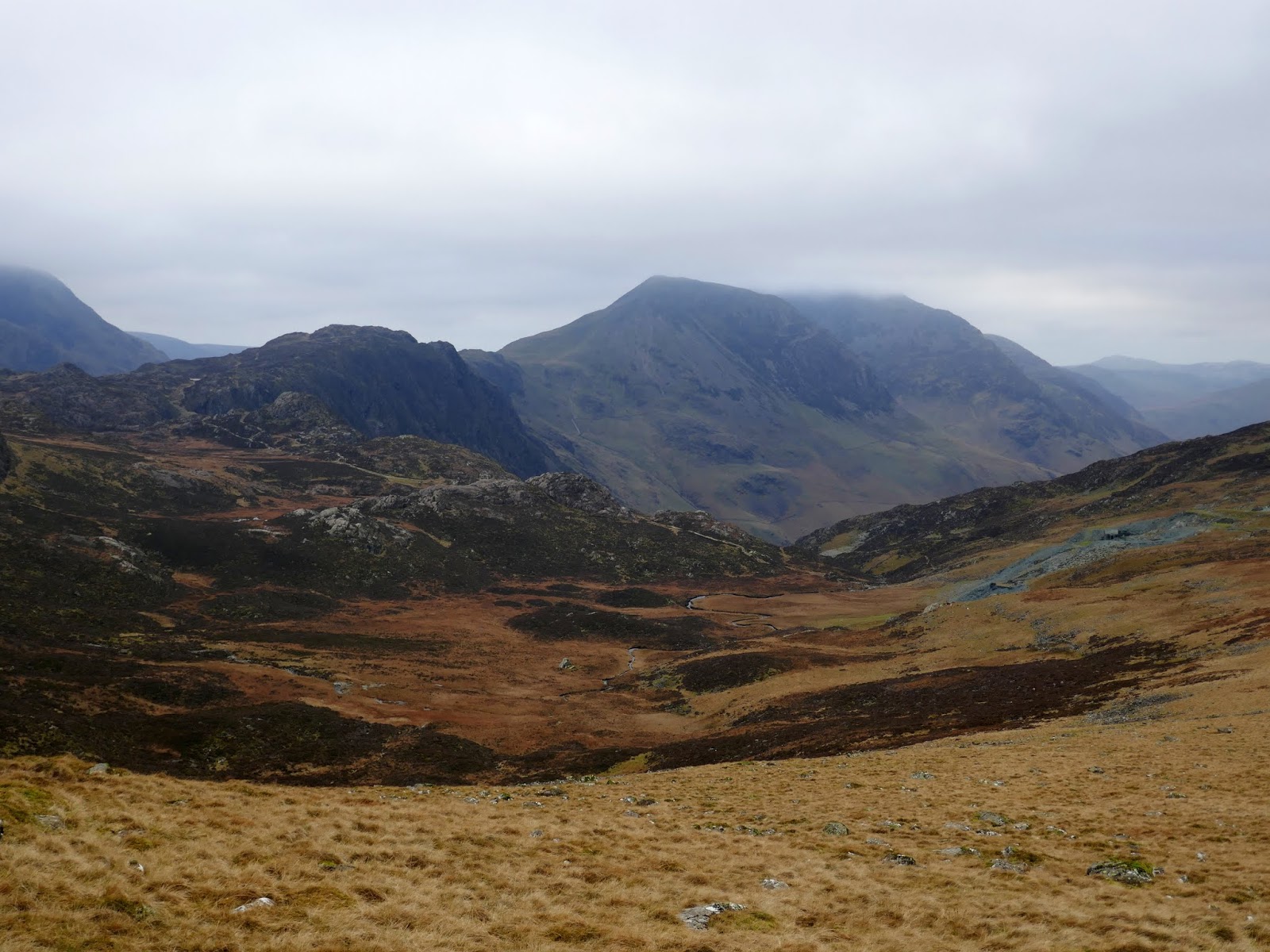
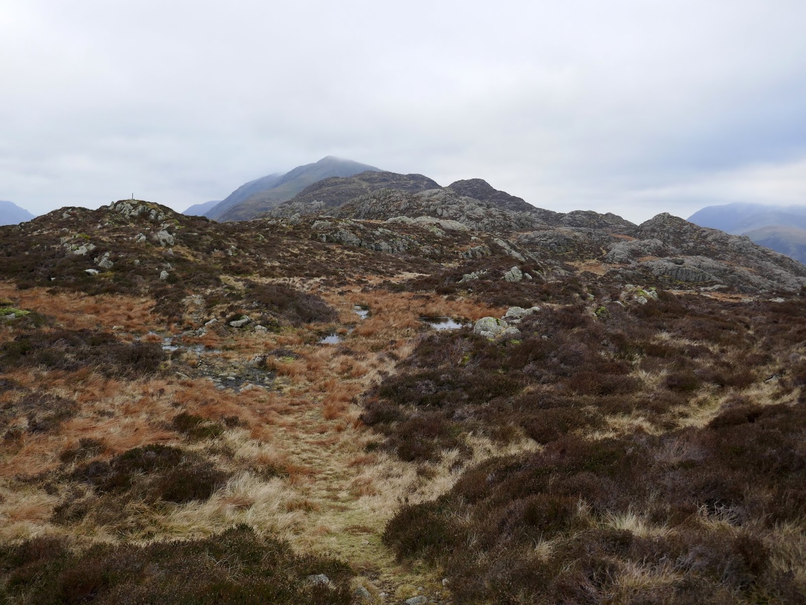
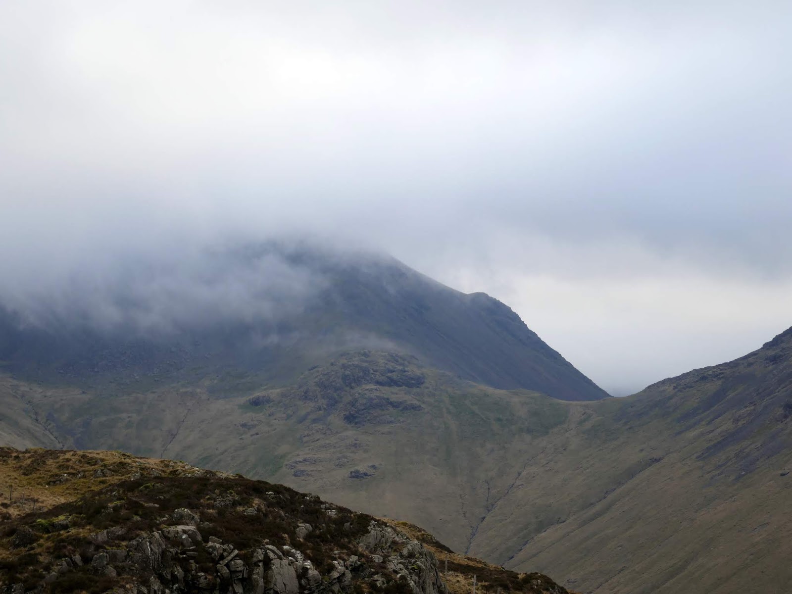
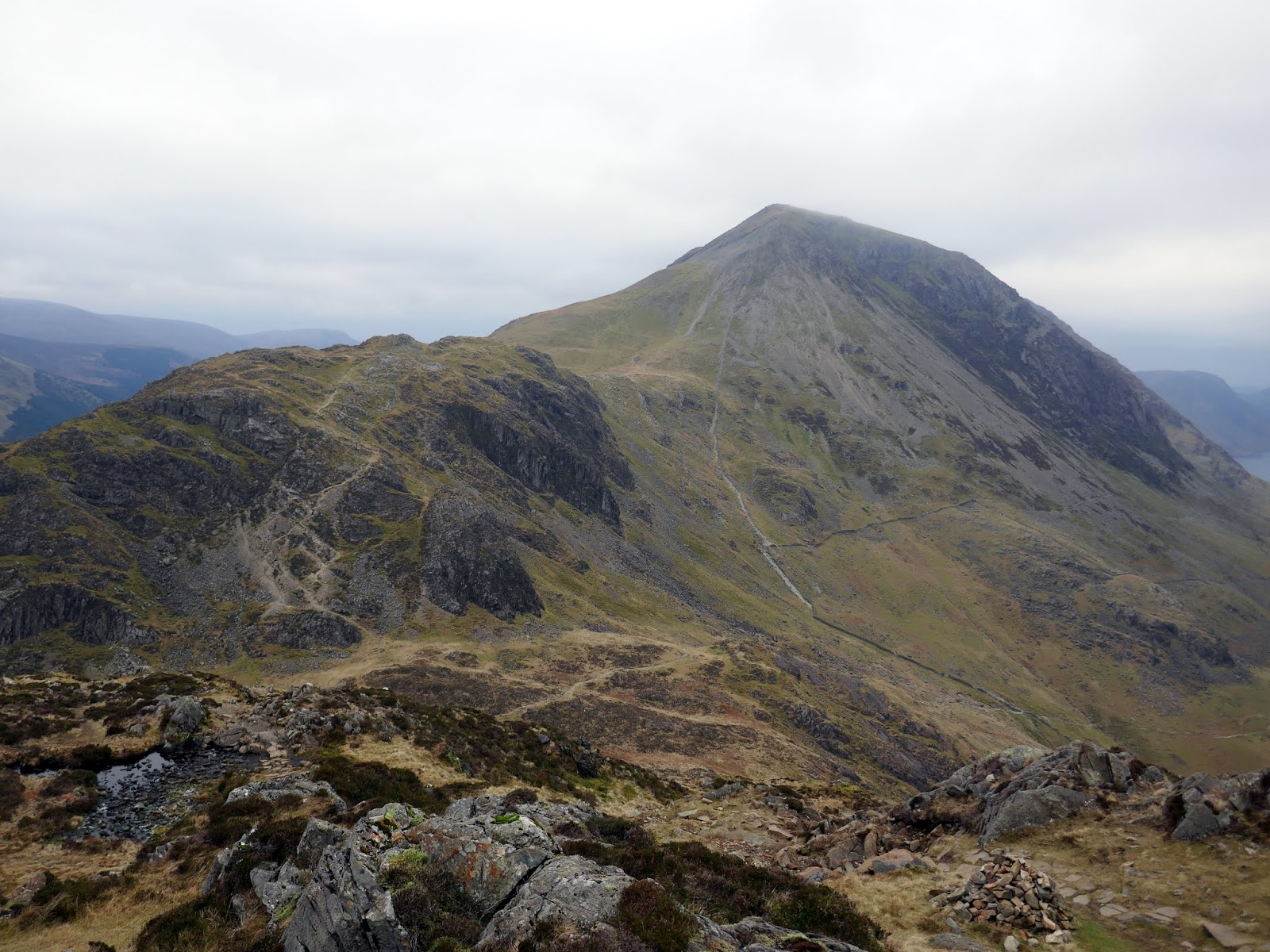
Fleetwith Pike has a tremendous view of Buttermere, though it was slightly disappointing today thanks to the low cloud and the flat light. I followed the path along the crest of Fleetwith, first heading to Black Crag and then past the Hooper Quarry. I crossed the quarry road, joining Moses’ Trod which heads towards Great Gable.
 |
| Grey Knotts and Brandreth from Fleetwith Pike |
 |
| Grey Knotts |
 |
| Looking along Fleetwith Pike’s ridge |
 |
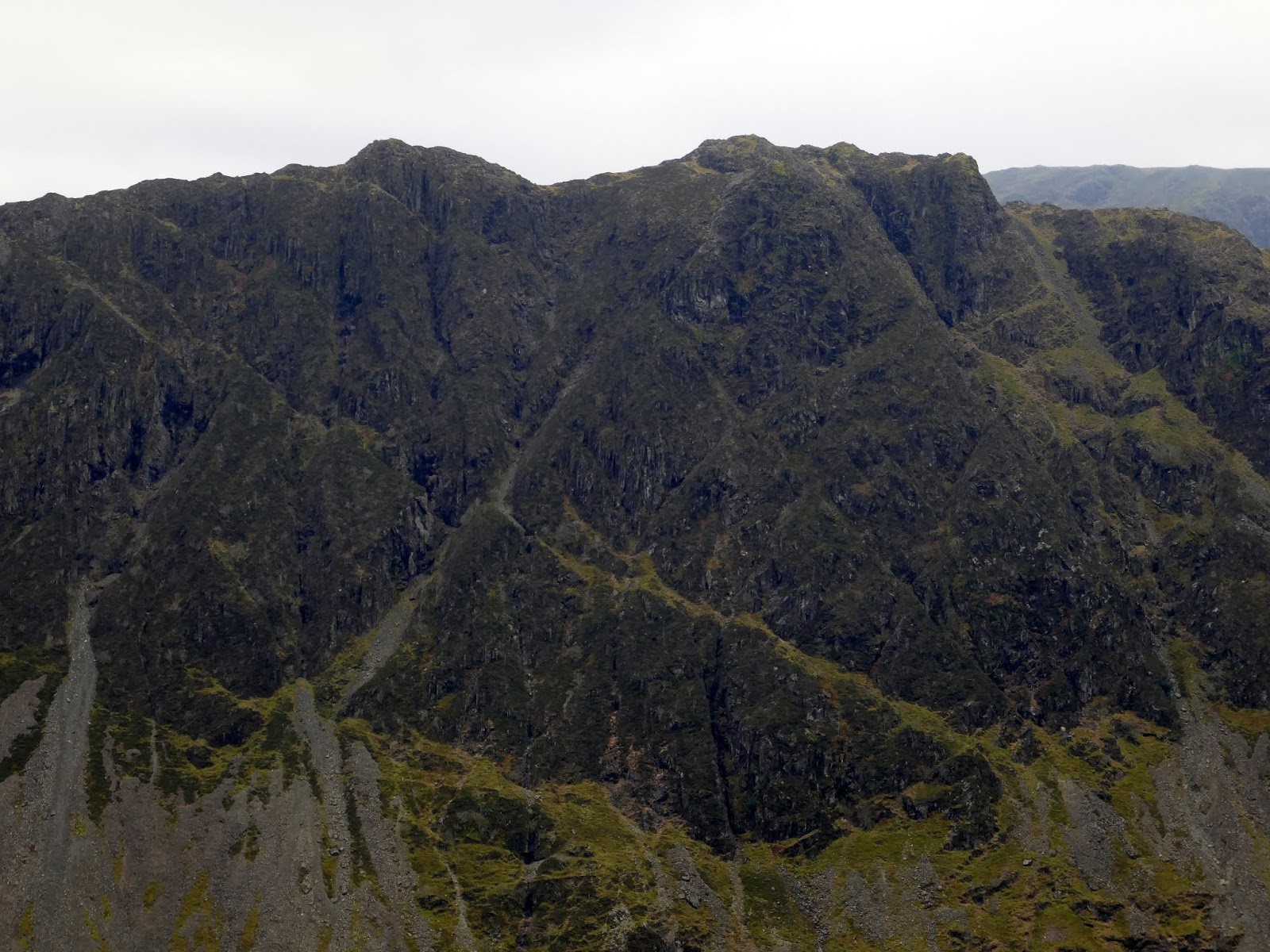
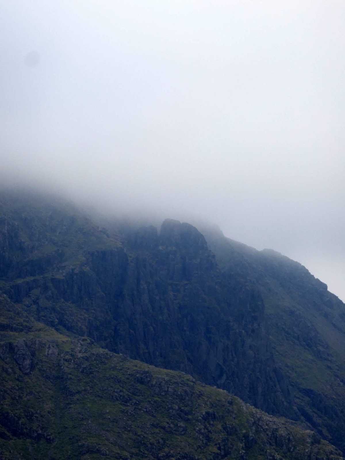
| Honister Crag’s summit |
 |
| The top of Honister’s via ferrata course |
 |
| One of the disused quarries on Fleetwith Pike |
 |
| Grey Knotts over the dismantled tramway |
 |
| Looking back at Hopper Quarry |
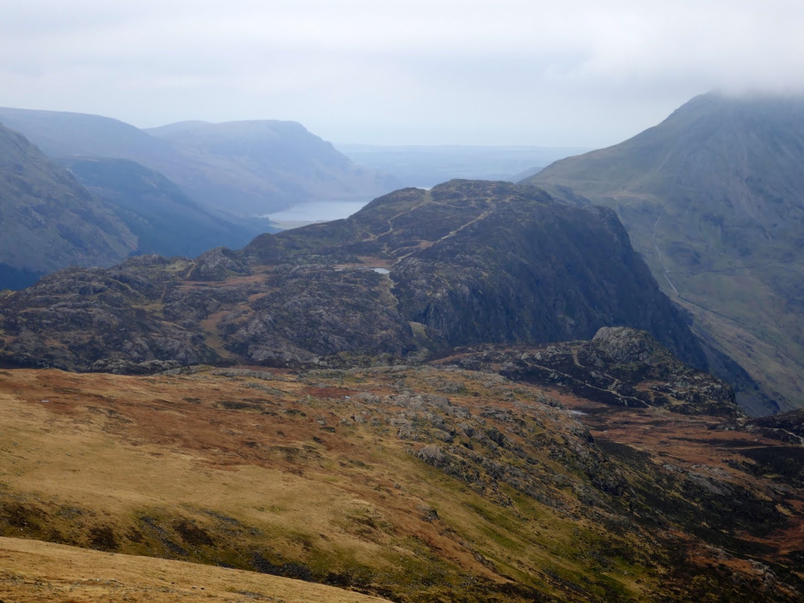
The path is a well-known route, an old packhorse track that was used to transport slate from Honister quarry to the ports on the coast. One quarryman who used this route was Moses Rigg, for whom the route is named, and who is said to have exported illicit whisky distilled at the Dubs.
 |
| Dubs Bottom |
 |
| Dubs Bottom and Fleetwith Pike |
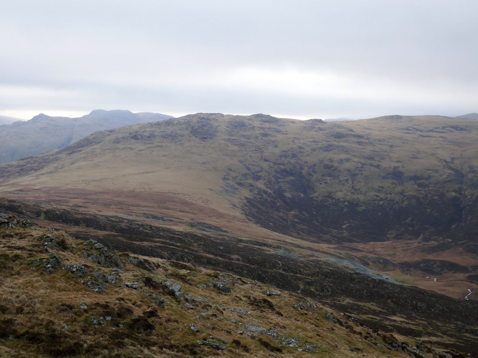
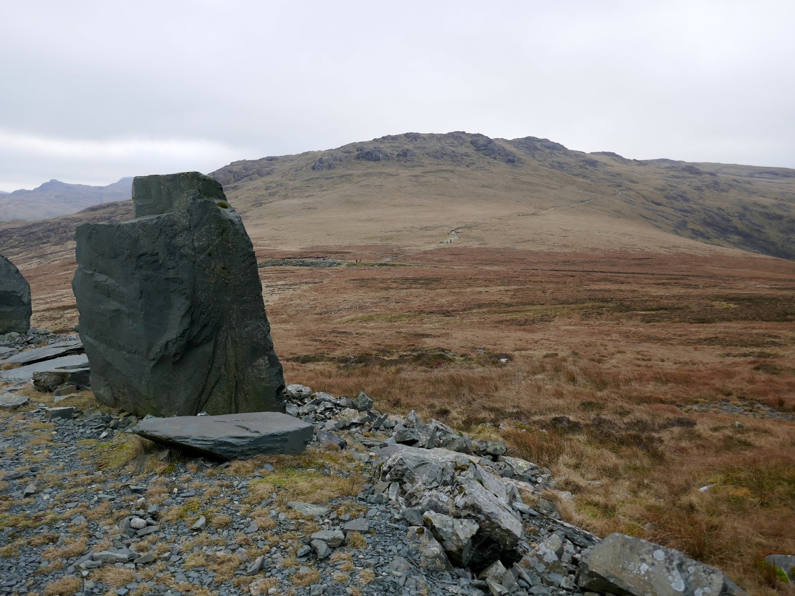
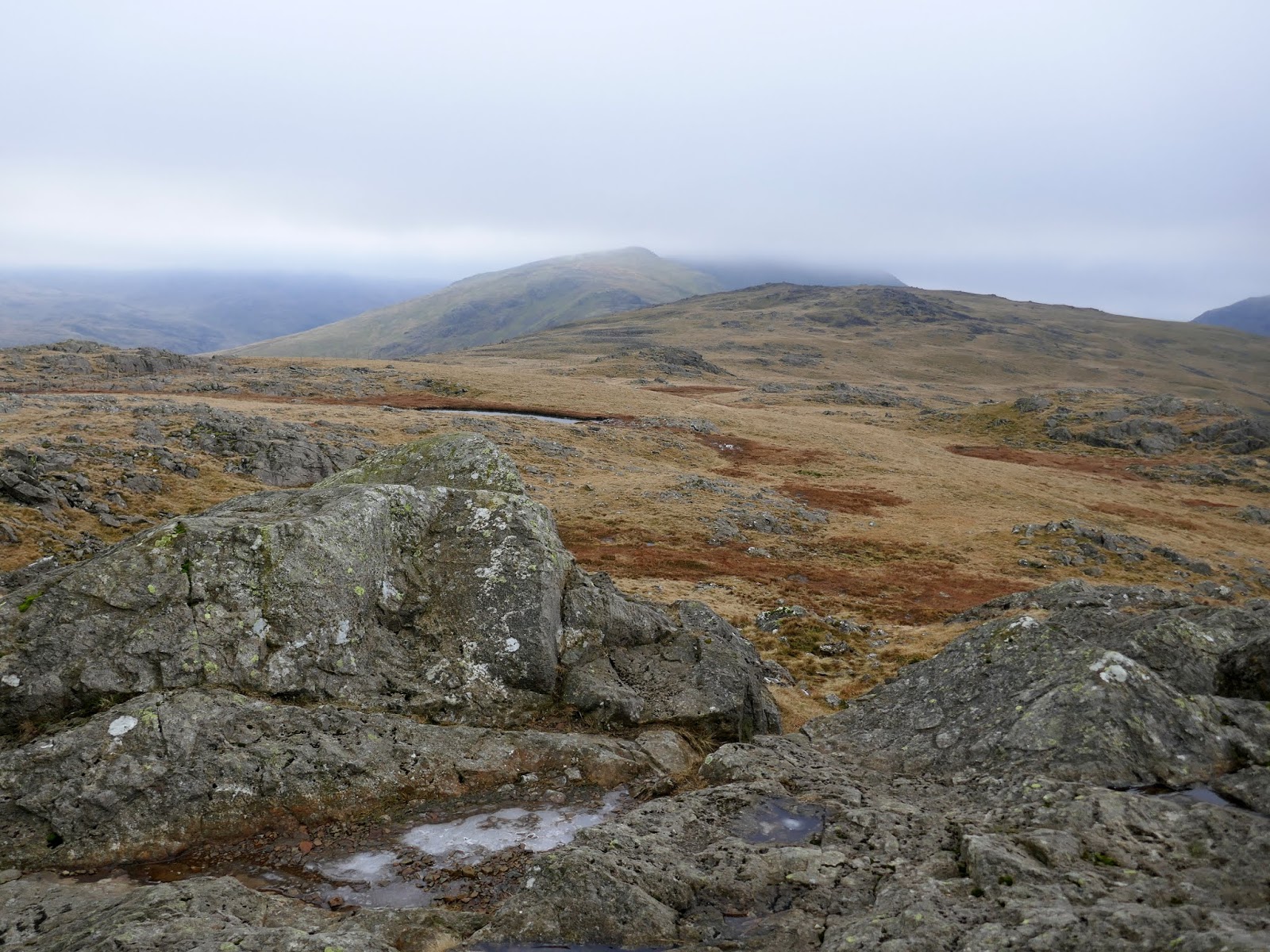
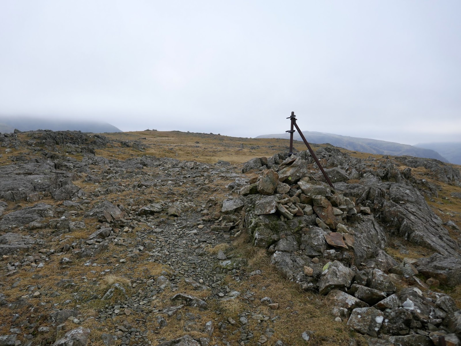
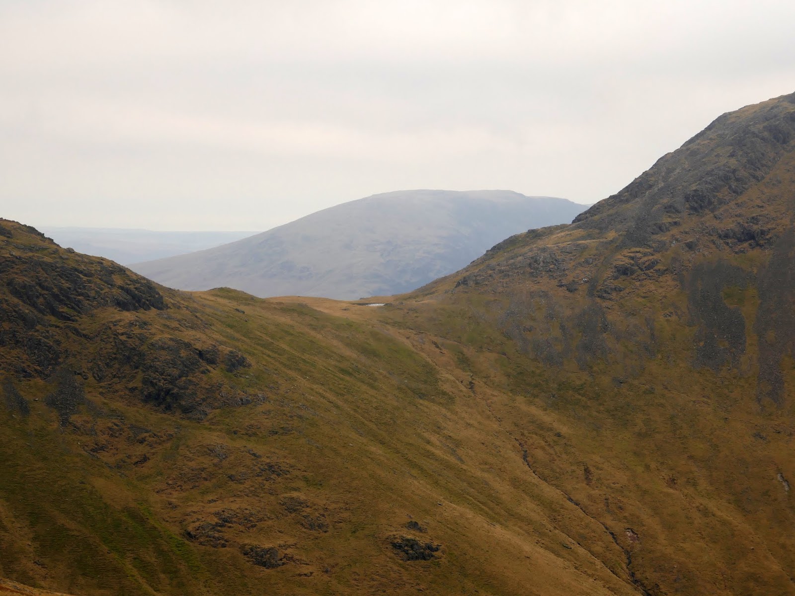
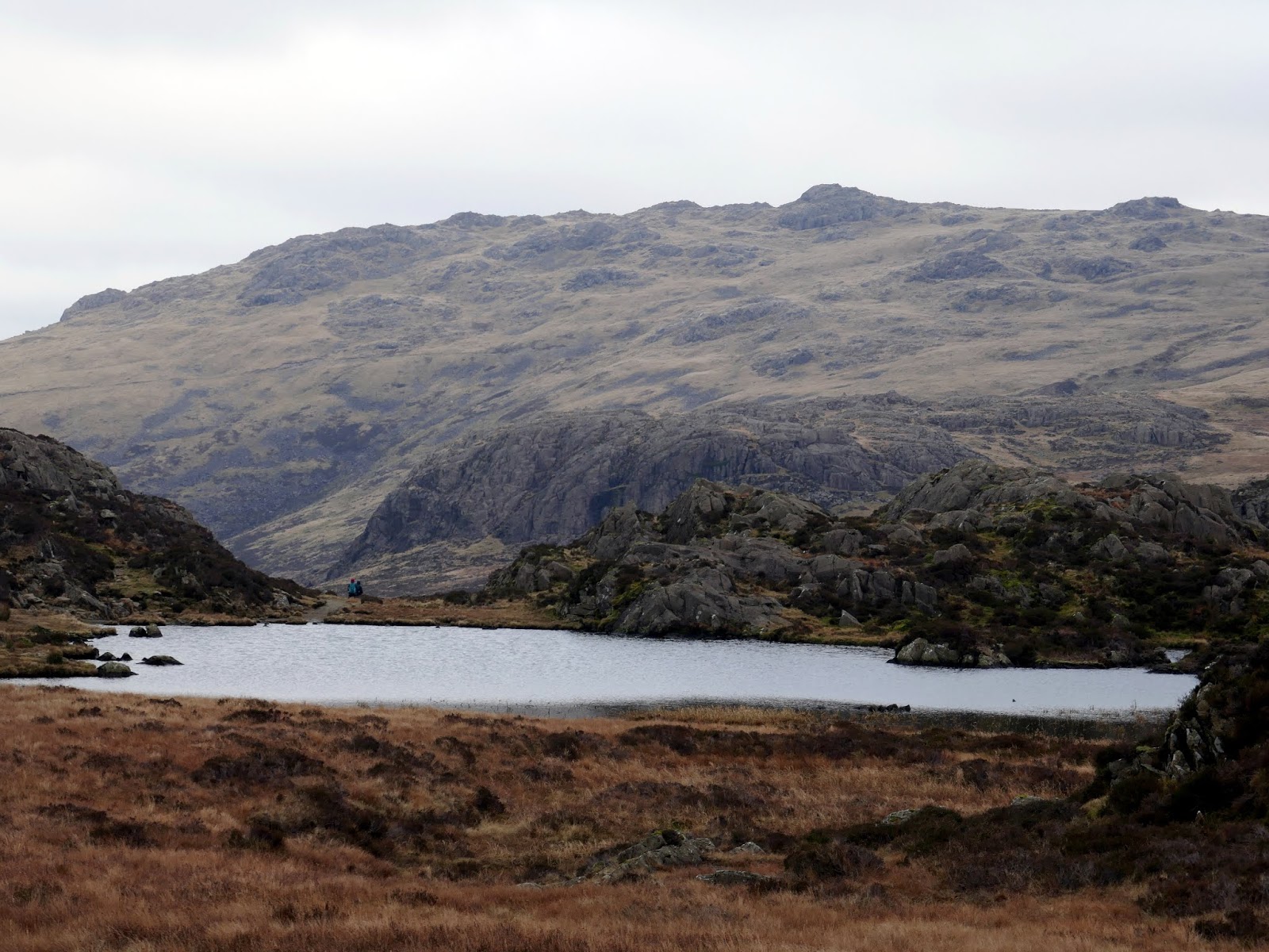
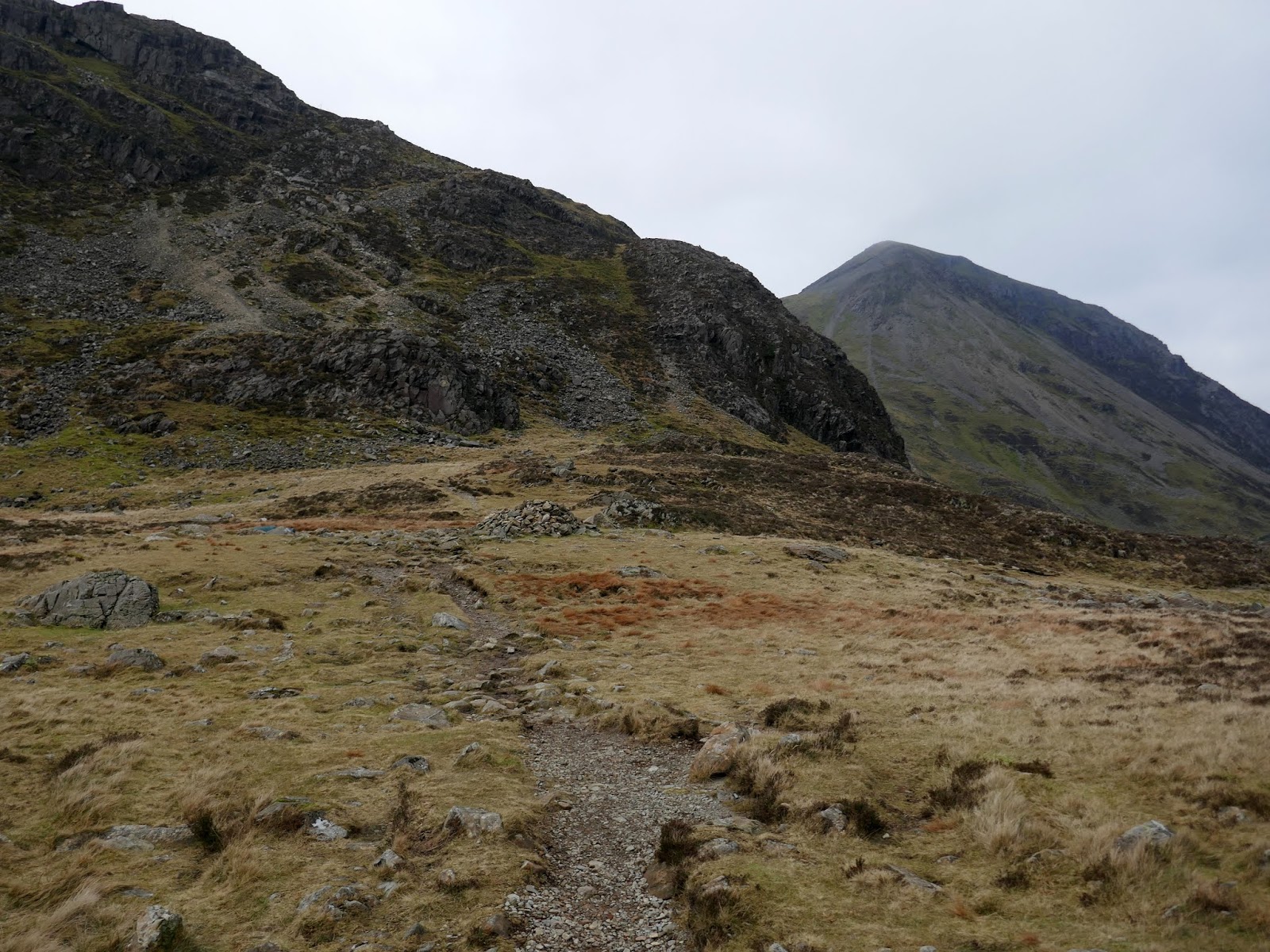
I followed the path a short distance until I was below the summit of Grey Knotts. From here a short, pathless climb brings you to the outcrop on top of the fell. In the shelter of the rocks, I had a quick break for lunch while surveying the scenery. Grey Knotts is not a popular fell and I saw no one while I was hanging around.
 |
| The summit of Grey Knotts looking to Brandreth |
 |
| Haystacks |
 |
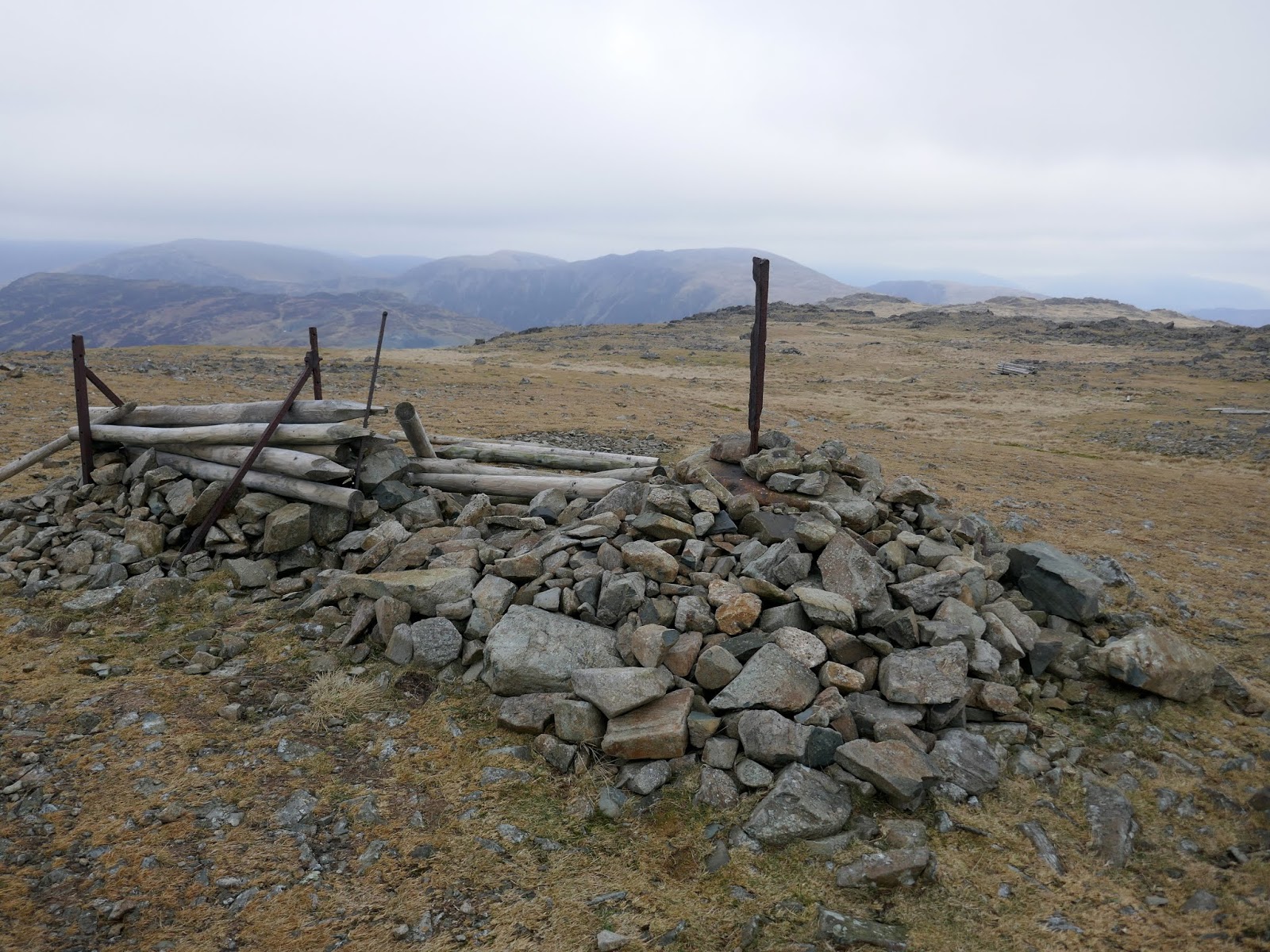
| The remains of the Ennerdale fence |
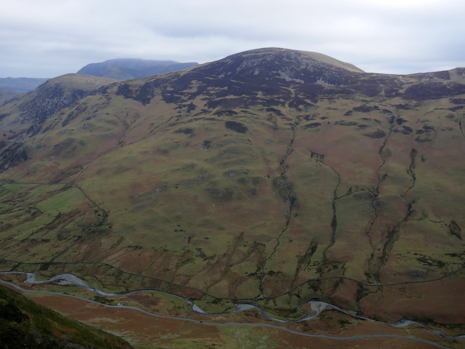
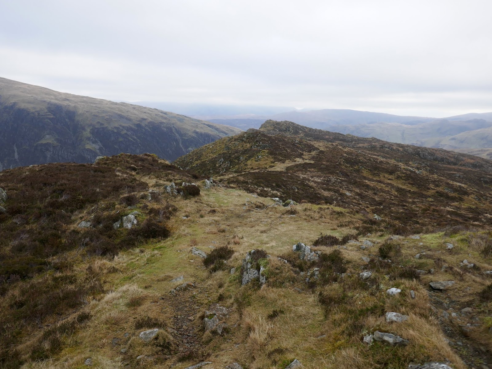
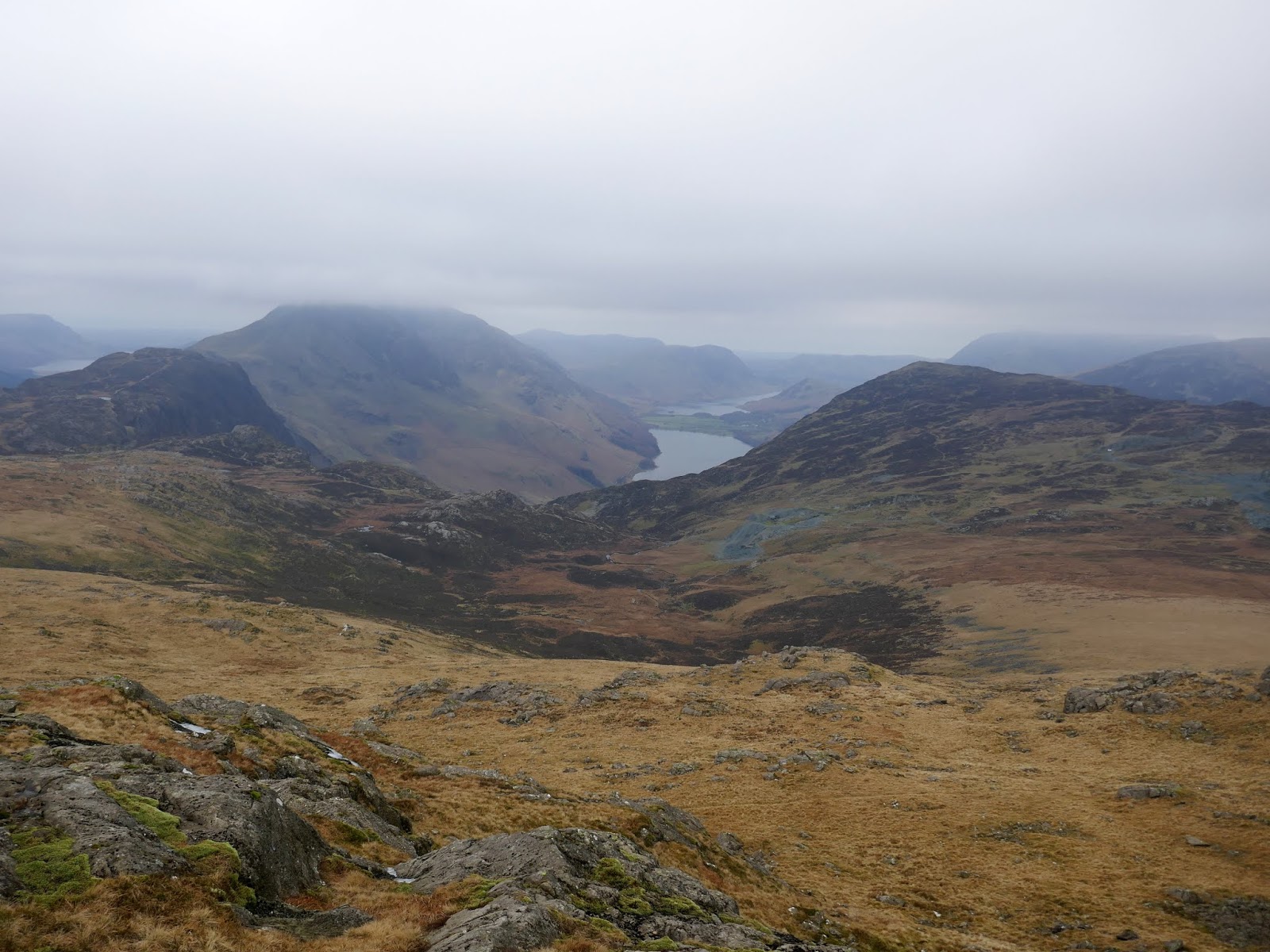
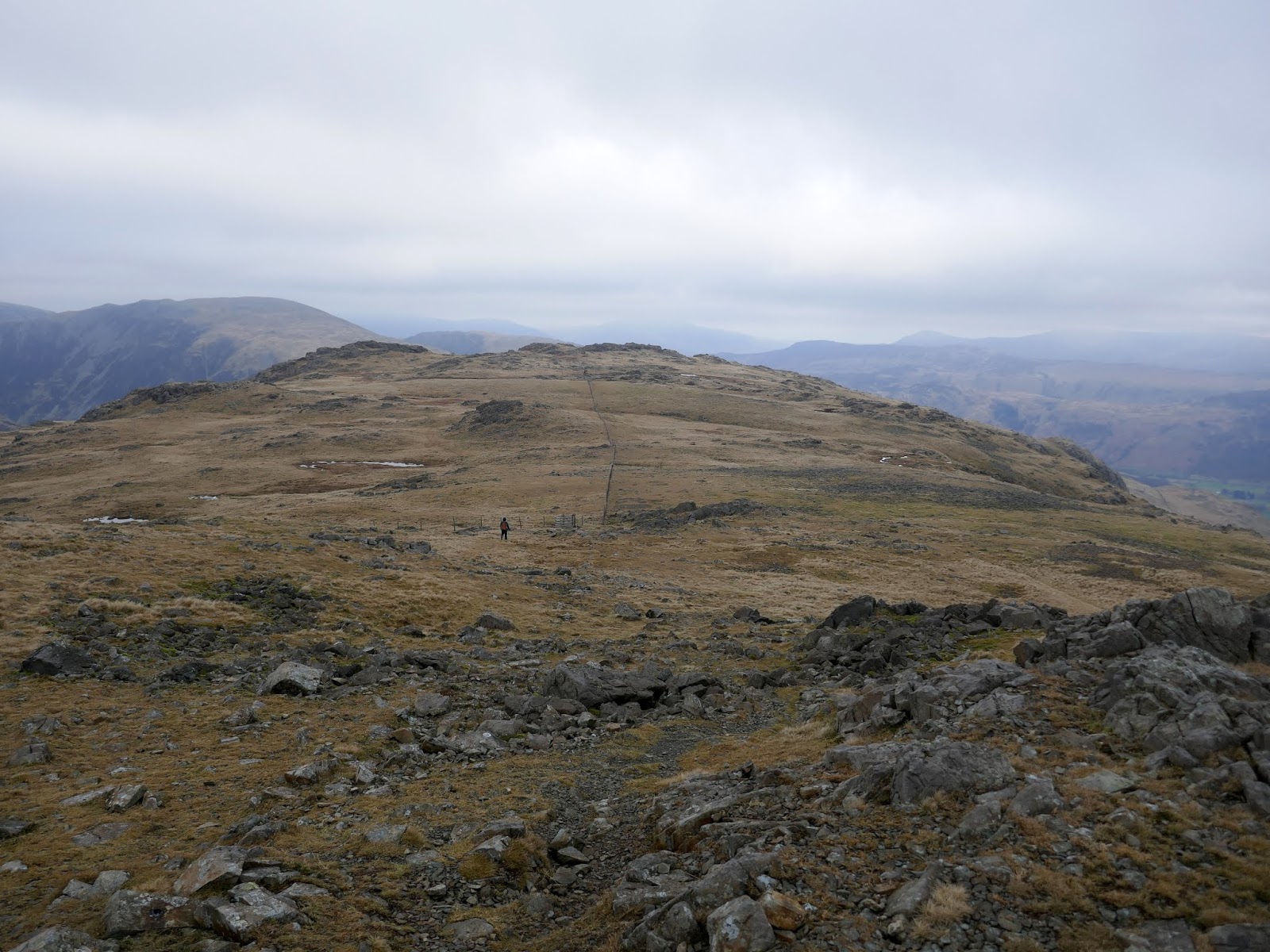
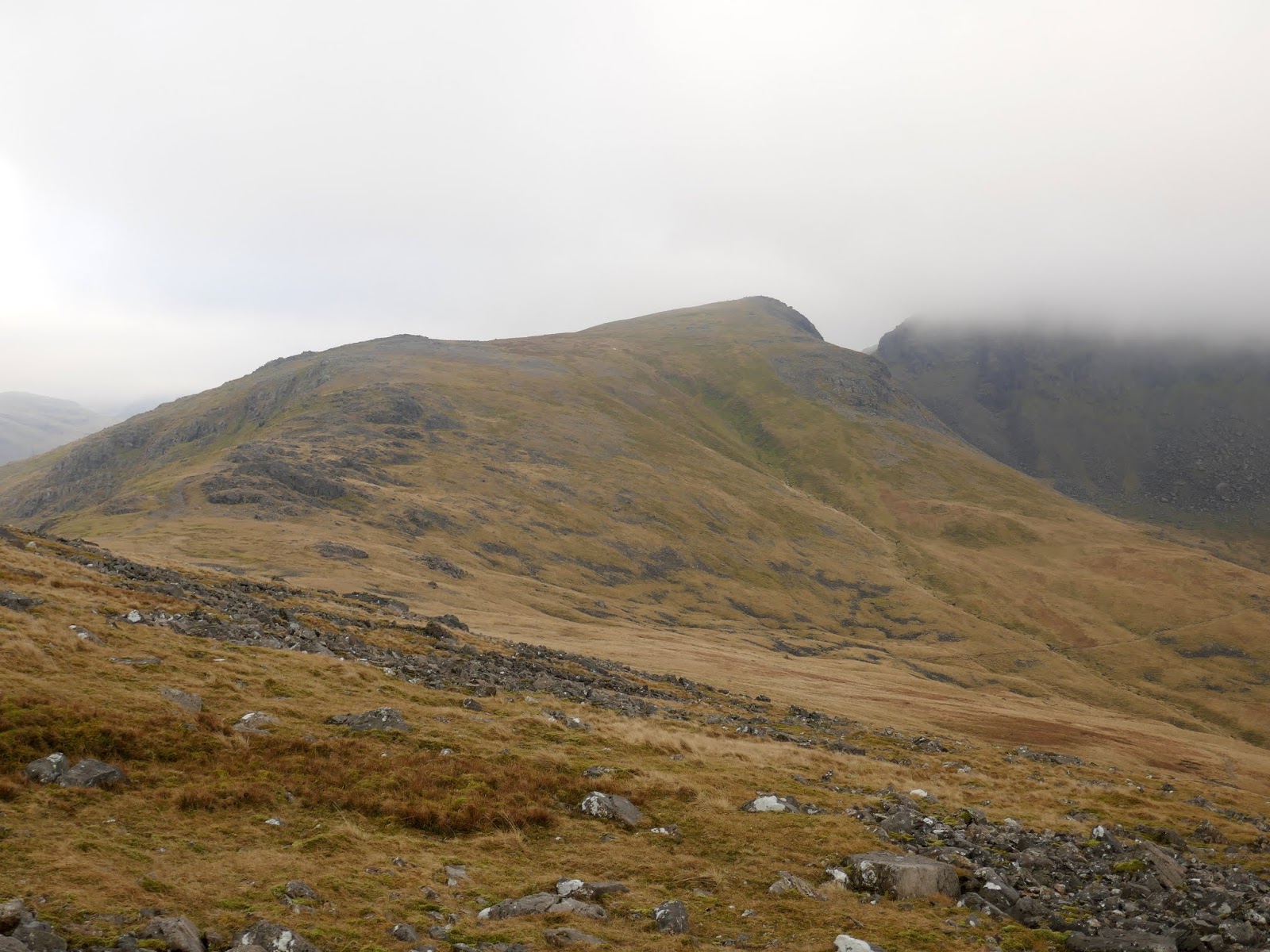
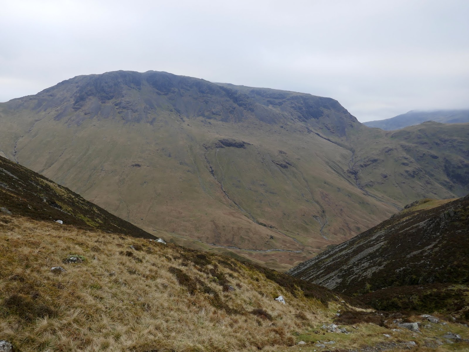
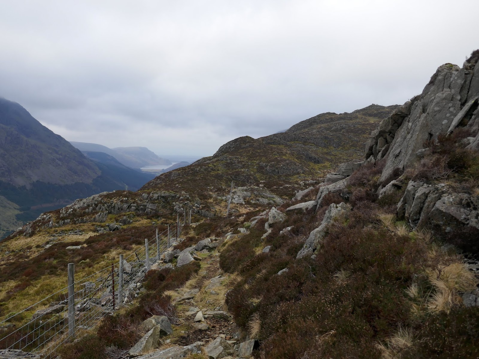
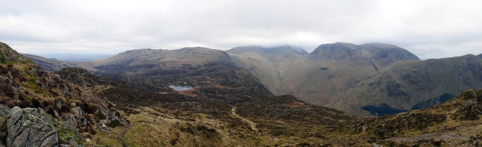
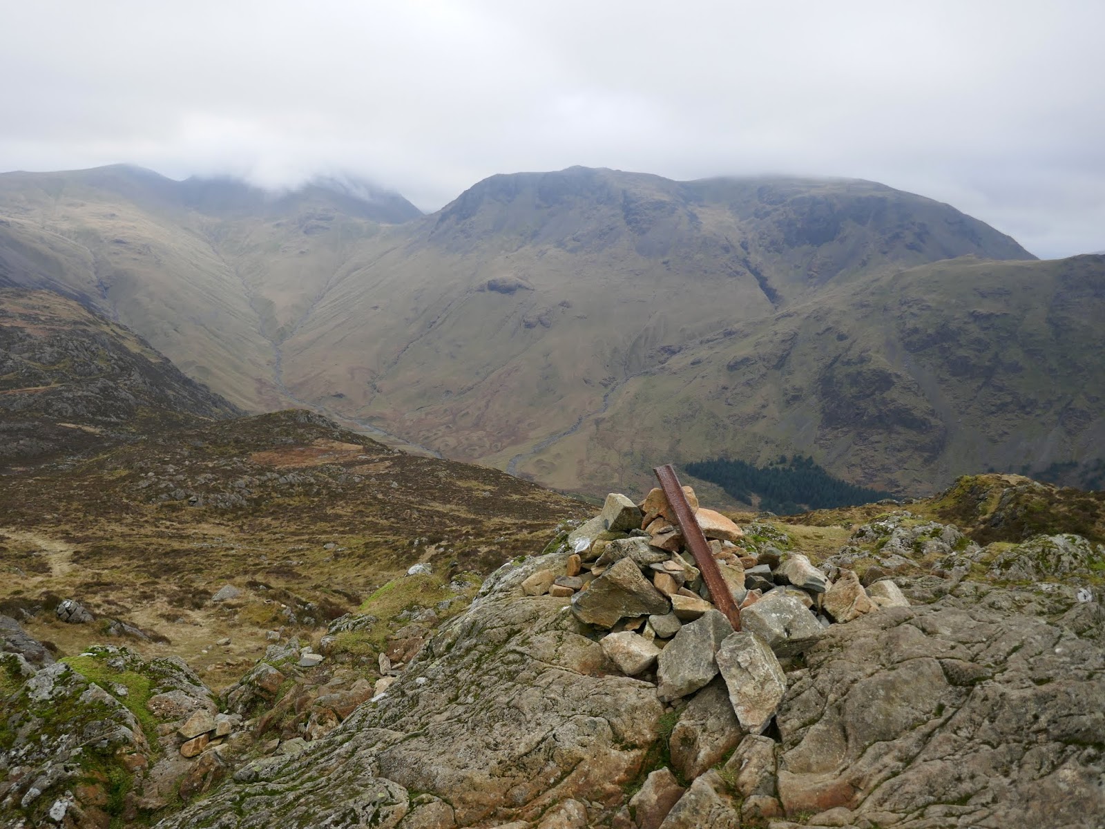
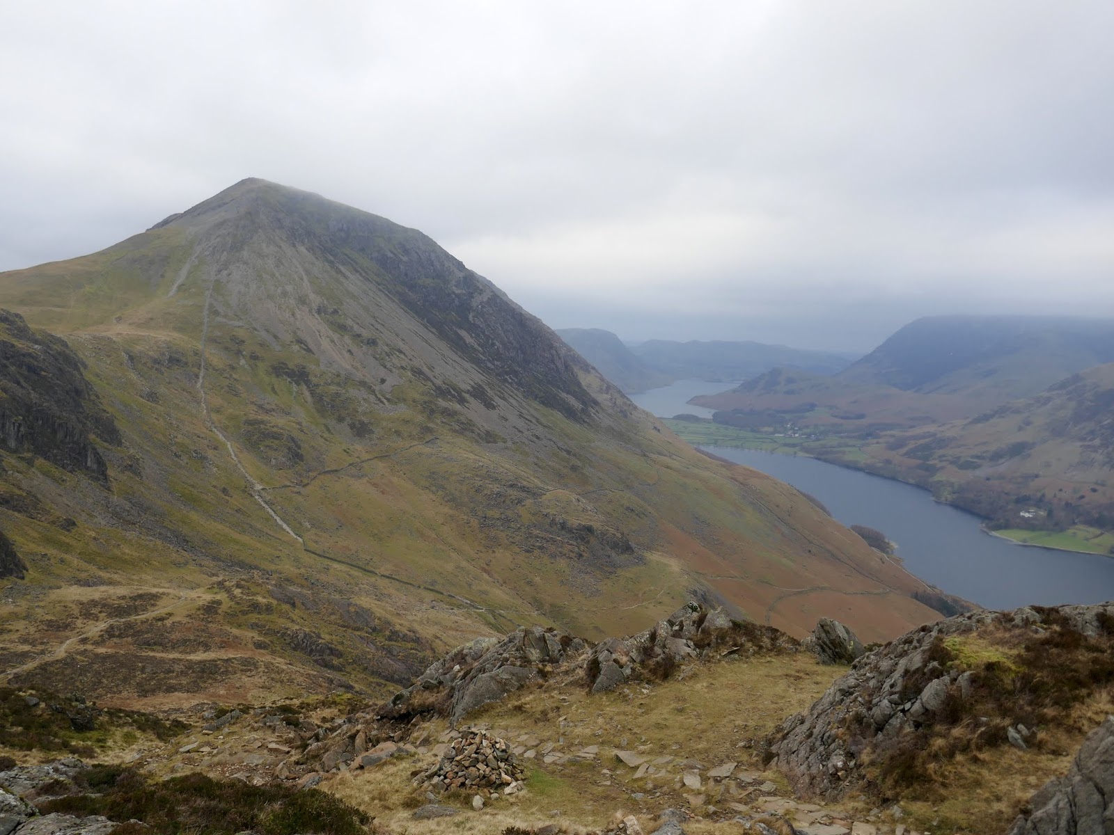
The weather appeared to be holding – at least on the mid-sized fells. Great Gable and the other high fells were stuck in the cloud, as they had been all day. It’s an easy stroll along the broad ridge between Grey Knotts and Brandreth, following a line of old boundary posts. At Brandreth, I turned into uncharted territory (for me at least), following the posts as they descend to Seavy Knotts and the top of Loft Beck, marking the beginning of Haystacks.
 |
| Grey Knotts from Brandreth |
 |
| Brandreth’s summit |
 |
| Green Gable seen from Brandreth |
 |
| Looking over Beck Head |
 |
| Haystacks |
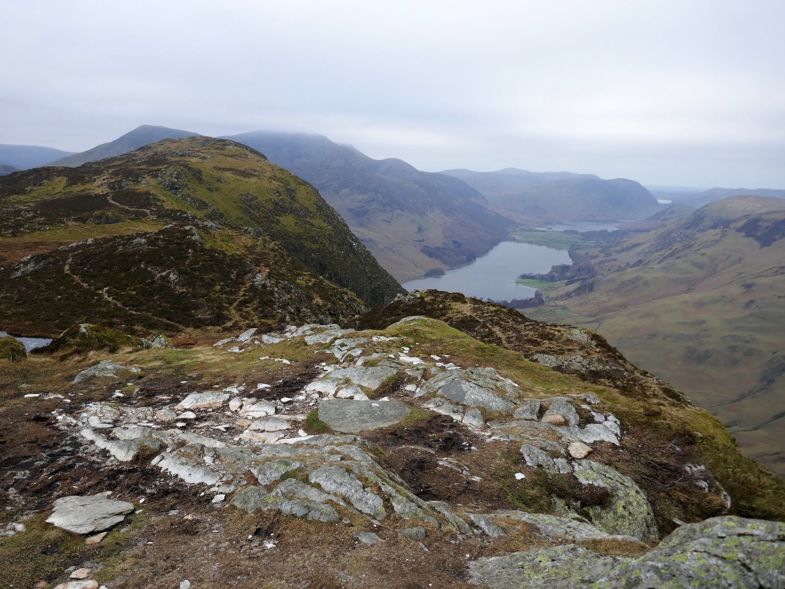
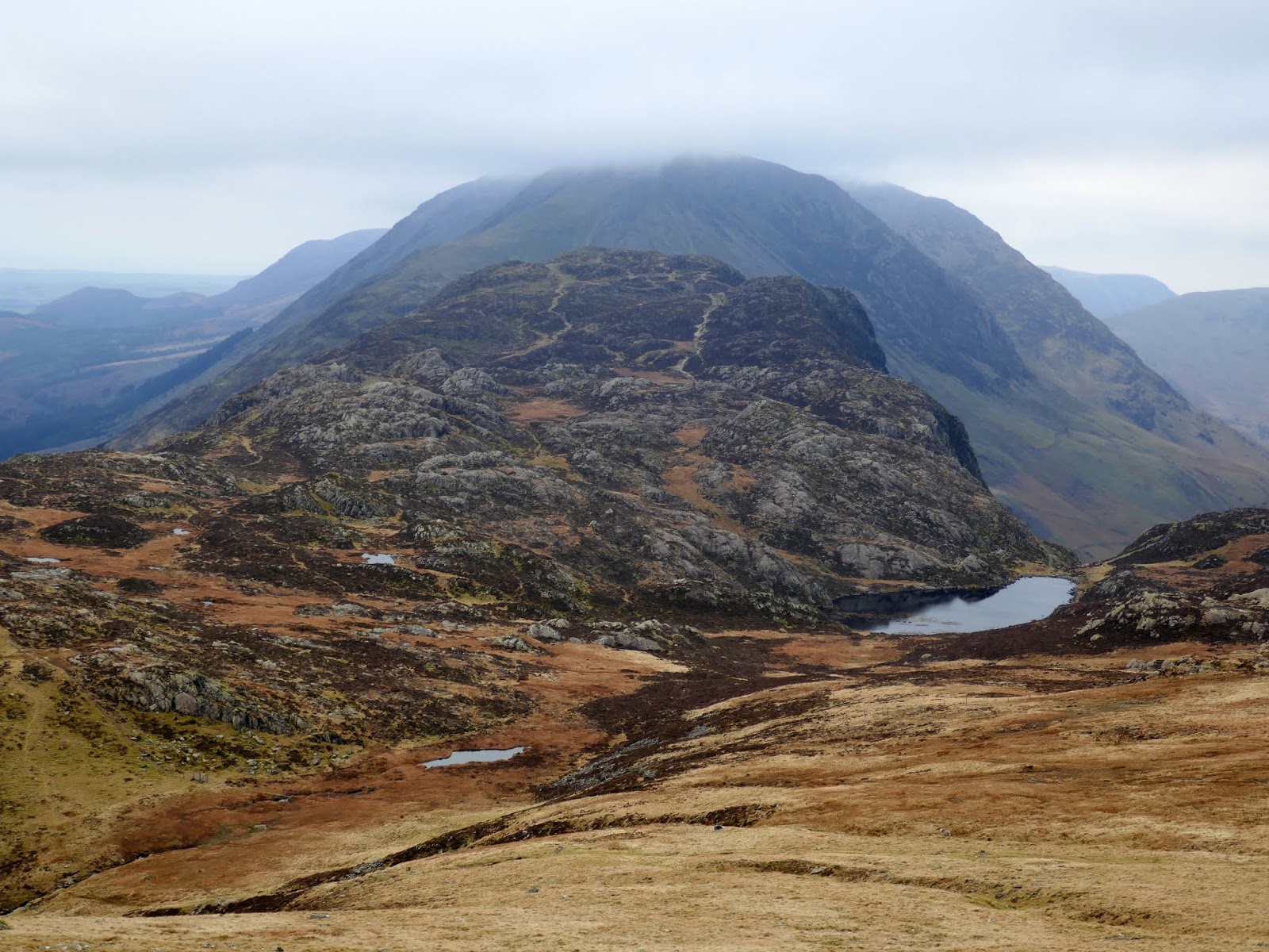
Haystacks is full of interest with numerous rocky knolls and a number of small tarns littering the fell. The path I chose hugs the western side of the fell, overlooking Ennerdale. After passing a large group coming in the opposite direction, I made the short climb to the summit.
 |
| Kirk Fell |
 |
| Haystacks |
 |
| The only glimpse of blue sky all day |
 |
| Great Gable and Beck Head |
 |
| Pillar Rock in the gloom |
 |
| Traversing the south side of Haystacks |
 |
| Innominate Tarn |
 |
| Looking back towards Great Gable and Ennerdale |
 |
| The summit of haystacks |
The name Haystacks derives from the appearance of the summit cliffs. According to Wainwright, the name comes from the Icelandic stack meaning ‘a columnar rock’ and the correct translation of this should be High Rocks. It was the favourite summit of Alfred Wainwright. Wainwright’s ashes were scattered by his wife, Betty, near the shores of Innominate Tarn.
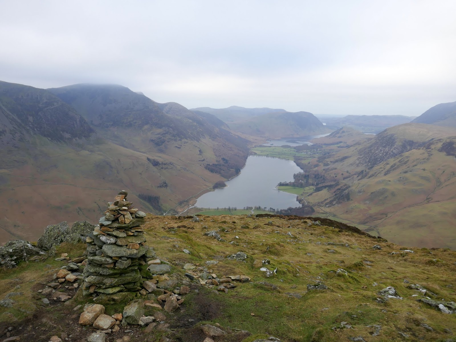
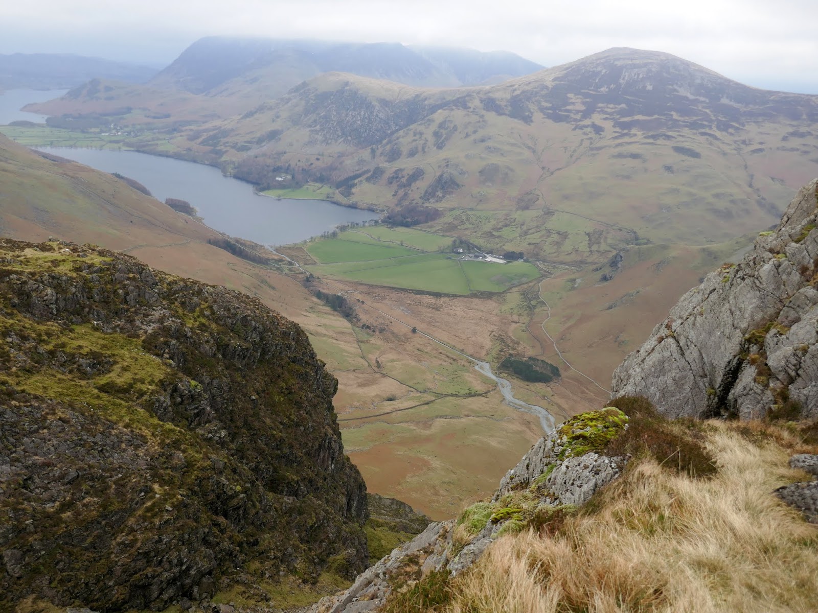
Leading off Haystacks into Scarth Gap is a steep, rocky face. A path wends its way down through the rocks with some occasional scrambling thrown in for good measure. From here it’s an easy descent down the Scarth Gap path to the Buttermere lakeshore.
 |
| Warnscale Bottom and Buttermere |
 |
| A beautiful view of Seat and High Crag |
 |
| High Crag |
 |
| Scarth Gap |
Like the north shore of the lake, a path runs along the southern shore, this time offering views across to Robinson and Hindscarth but lacking in tunnel-based adventures. The only fly in the ointment was the bridge at Dubs which has been removed to be replaced, requiring a lengthy diversion to Scale Bridge in order to safely cross the river. This added an extra half mile or so to the walk, just as it was approaching the end. Either way, I made it back in one piece.
