Open Space Web-Map builder Codehttps://openspace.ordnancesurvey.co.uk/osmapapi/openspace.js?key=3119F72552FD5C22E0530C6CA40A5A92https://openspace.ordnancesurvey.co.uk/osmapapi/script/mapbuilder/basicmap.jshttps://openspace.ordnancesurvey.co.uk/osmapapi/script/mapbuilder/searchbox.js//variables for routes var linesLayer, points, lineFeature, lineString, routeMarkersLayer, routepos, routesize, routeoffset, routeicon; var style_blue = {strokeColor: “#0000CD”, strokeOpacity: 0.5, strokeWidth: 4.5}; function initmapbuilder() { //initiate the map var options = {resolutions: [2500, 1000, 500, 200, 100, 50, 25, 10, 5, 4, 2.5, 2, 1]}; osMap = new OpenSpace.Map(‘map’, options); //configure map options (basicmap.js) setglobaloptions(); //set the center of the map and the zoom level osMap.setCenter(new OpenSpace.MapPoint(456365,501720),7); linesLayer = osMap.getVectorLayer(); // Set up layer for route markers routeMarkersLayer = new OpenLayers.Layer.Markers(“Route Markers”); //make a route points = new Array(); points.push(new OpenLayers.Geometry.Point(455950,499370)); points.push(new OpenLayers.Geometry.Point(455895,499545)); points.push(new OpenLayers.Geometry.Point(455955,499820)); points.push(new OpenLayers.Geometry.Point(455585,500440)); points.push(new OpenLayers.Geometry.Point(455530,500620)); points.push(new OpenLayers.Geometry.Point(455525,500830)); points.push(new OpenLayers.Geometry.Point(455535,501080)); points.push(new OpenLayers.Geometry.Point(455400,501350)); points.push(new OpenLayers.Geometry.Point(455225,501625)); points.push(new OpenLayers.Geometry.Point(455230,501845)); points.push(new OpenLayers.Geometry.Point(455200,502420)); points.push(new OpenLayers.Geometry.Point(455150,502835)); points.push(new OpenLayers.Geometry.Point(455060,503455)); points.push(new OpenLayers.Geometry.Point(455180,503515)); points.push(new OpenLayers.Geometry.Point(455540,503520)); points.push(new OpenLayers.Geometry.Point(455890,503580)); points.push(new OpenLayers.Geometry.Point(456060,503585)); points.push(new OpenLayers.Geometry.Point(456220,503650)); points.push(new OpenLayers.Geometry.Point(456585,503705)); points.push(new OpenLayers.Geometry.Point(456840,503505)); points.push(new OpenLayers.Geometry.Point(456870,503475)); points.push(new OpenLayers.Geometry.Point(457105,503430)); points.push(new OpenLayers.Geometry.Point(457300,503300)); points.push(new OpenLayers.Geometry.Point(457560,503310)); points.push(new OpenLayers.Geometry.Point(457810,503220)); points.push(new OpenLayers.Geometry.Point(457910,502925)); points.push(new OpenLayers.Geometry.Point(457920,502830)); points.push(new OpenLayers.Geometry.Point(458115,502605)); points.push(new OpenLayers.Geometry.Point(458140,502305)); points.push(new OpenLayers.Geometry.Point(458185,502120)); points.push(new OpenLayers.Geometry.Point(457835,502110)); points.push(new OpenLayers.Geometry.Point(457380,501685)); points.push(new OpenLayers.Geometry.Point(457285,501105)); points.push(new OpenLayers.Geometry.Point(457360,500920)); points.push(new OpenLayers.Geometry.Point(457635,500555)); points.push(new OpenLayers.Geometry.Point(457655,500415)); points.push(new OpenLayers.Geometry.Point(457560,500280)); points.push(new OpenLayers.Geometry.Point(457435,500480)); points.push(new OpenLayers.Geometry.Point(457405,500385)); points.push(new OpenLayers.Geometry.Point(457215,500300)); points.push(new OpenLayers.Geometry.Point(457025,500335)); points.push(new OpenLayers.Geometry.Point(456720,500285)); points.push(new OpenLayers.Geometry.Point(456410,500275)); points.push(new OpenLayers.Geometry.Point(456205,500270)); points.push(new OpenLayers.Geometry.Point(456090,500085)); points.push(new OpenLayers.Geometry.Point(456035,499995)); points.push(new OpenLayers.Geometry.Point(455965,499845)); points.push(new OpenLayers.Geometry.Point(455915,499675)); points.push(new OpenLayers.Geometry.Point(455950,499370)); // create a polyline feature from the array of points lineString = new OpenLayers.Geometry.LineString(points); lineFeature = new OpenLayers.Feature.Vector(lineString, null, style_blue); linesLayer.addFeatures([lineFeature]); //crate a route start/end marker routepos = new OpenSpace.MapPoint(455950,499370); routesize = new OpenLayers.Size(33,45); routeoffset = new OpenLayers.Pixel(-5,-37); routeicon = new OpenSpace.Icon(‘https://openspace.ordnancesurvey.co.uk/osmapapi/img_versions/img_1.1/mapbuilder/routemarker-startend.png’, routesize, routeoffset, null, null); routeMarkersLayer.addMarker(new OpenLayers.Marker(routepos, routeicon)); osMap.addLayer(routeMarkersLayer);}
Route: Chop Gate, Cold Morr Lane, Three Howes, Cold Moor, Garfit Gap, Wainstones, Hasty Bank, Clay Bank, Carr Ridge, Urra Moor, Cowkill Well, Medd Crag, East Bank Plantation, Seave Green, Chop Gate
Date: 23/12/2018
From: Chop Gate
Parking: Chap Gate Village Hall
Start Point: Chop Gate
Region: North York Moors
Route length: 8.6 miles (13.8km)
Time taken: 03:24
Average speed: 2.6 mph
Ascent: 581m
Descent: 579m
Summits: Cold Moor (402m), White Hill (Hasty Bank) (398m)
Other points of interest: Three Howes, Wainstones, Urra Moor
I’ve been overlooking the North York Moors for a few years now, which is certainly to my own personal detriment. It’s one of the largest areas of heather moorland in the UK and is in close proximity to All the Gear HQ – closer in fact than the rocks and moors of the Dark Peak.
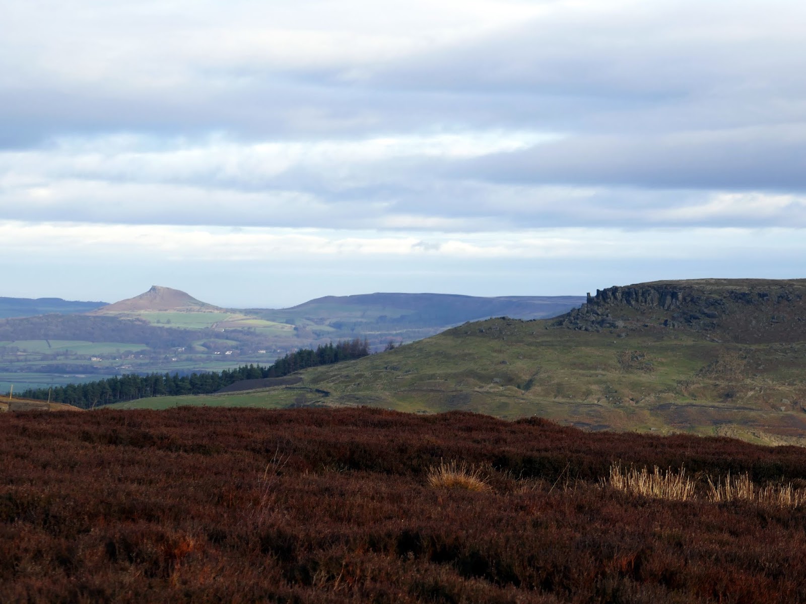
Looking for inspiration, I happened across a route on the North York Moors website that described the Wainstones; an impressive collection of exposed sandstone that encloses the northern end of Bilsdale. The crags are the largest such group in the North York Moors – reason enough for a visit.
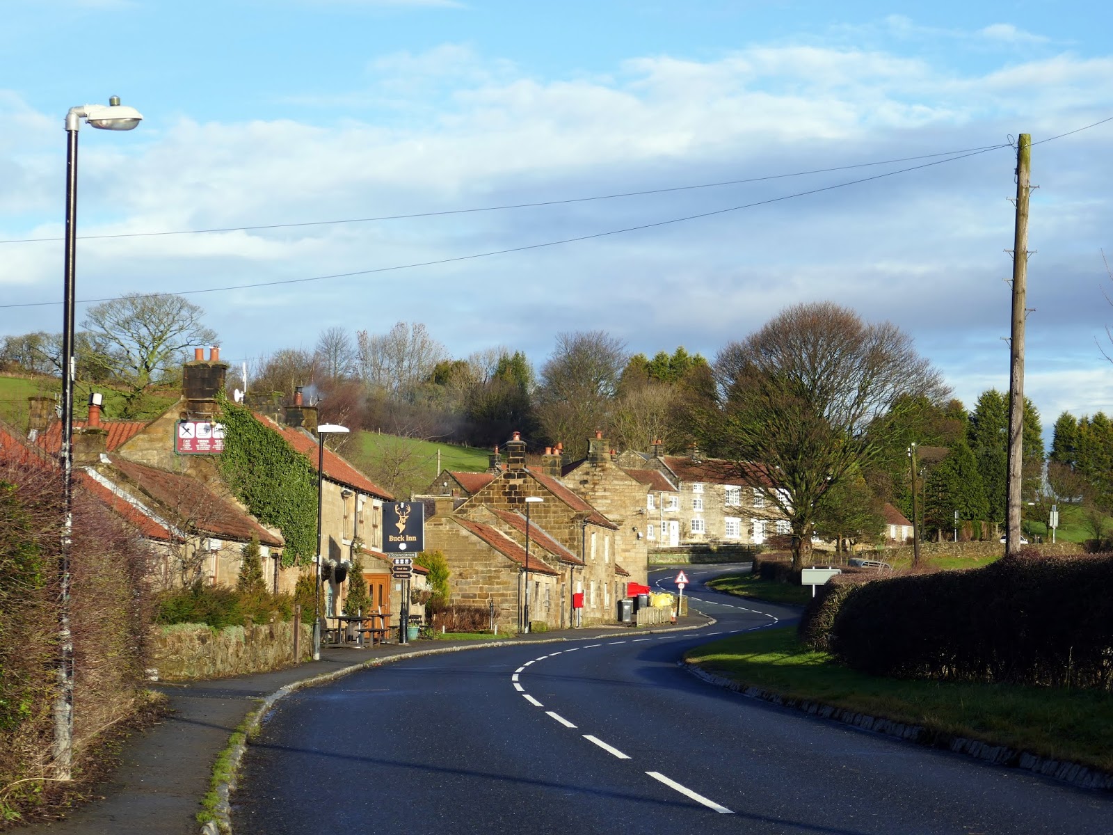
I parked in the small village of Chop Gate where there is ample parking at the local village hall. I’m informed that Chop Gate is actually pronounced ‘Chop Yat’ – though the peculiar name has nothing to do with chopping. It comes from the Old English ‘ceap‘, meaning a pedlar, suggesting that the village was once a centre for trading.
 |
| The village of Chop Gate |
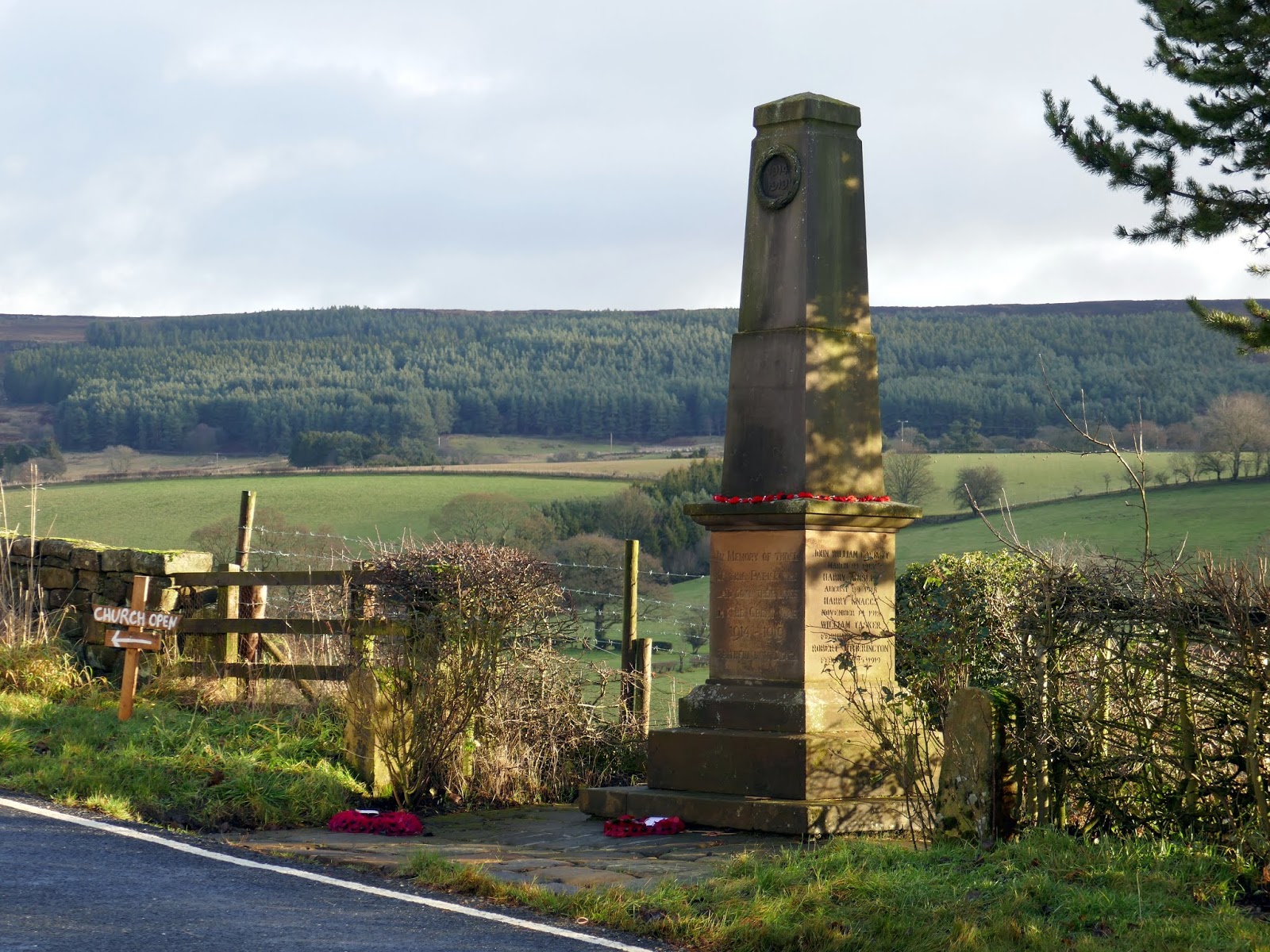
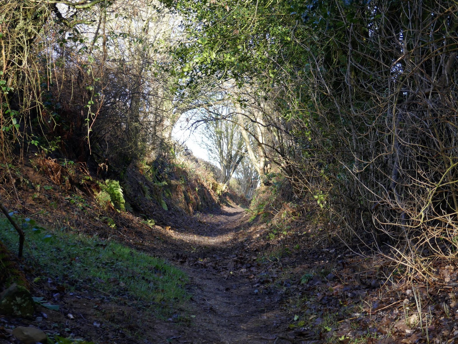
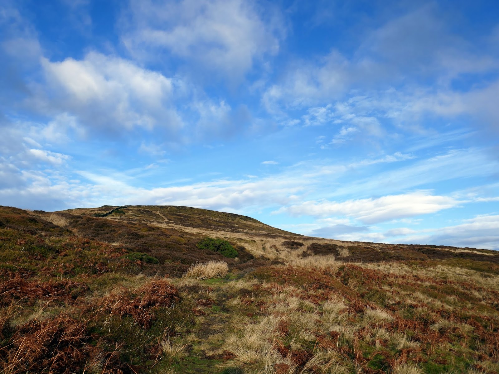
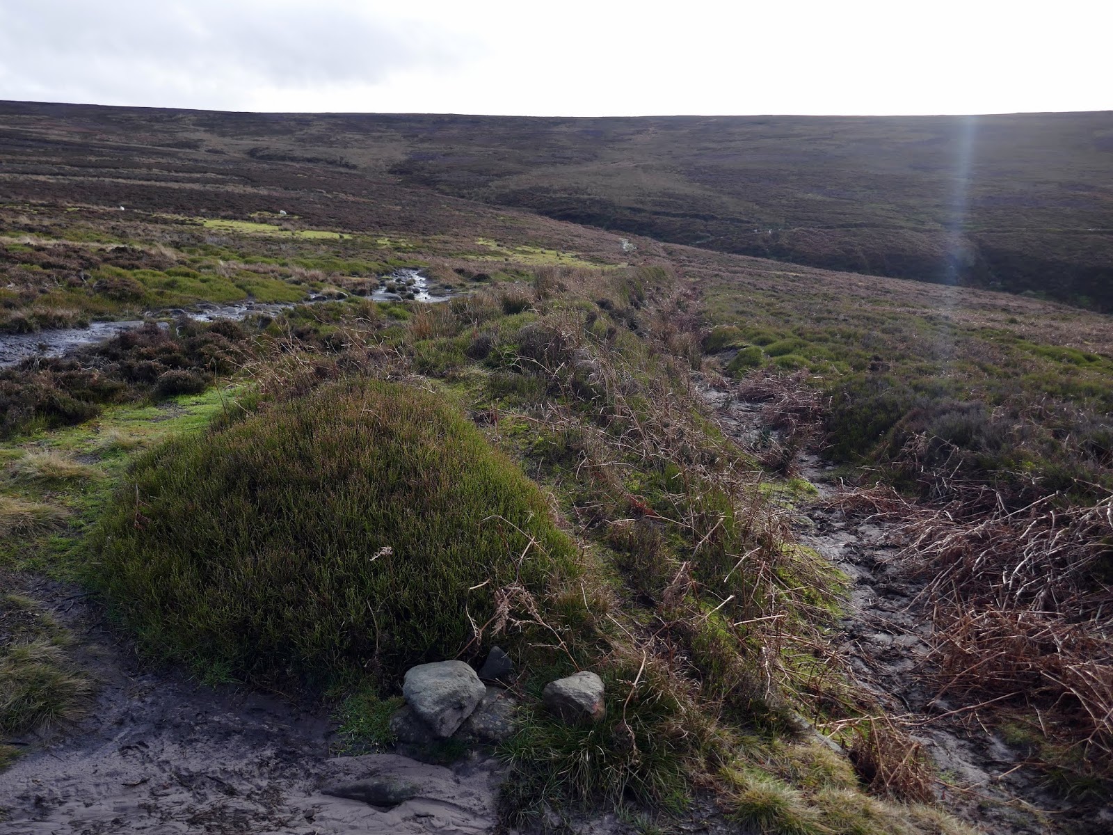
Passing through the village I made my way to a walled lane behind the church which rises slowly towards the moors behind. Cold Moor Lane, as it is called, deteriorates from a decent track to a muddy path as it approaches the ridge crest.
 |
| War memorial in Chop Gate |
 |
| Cold Moor Lane |
 |
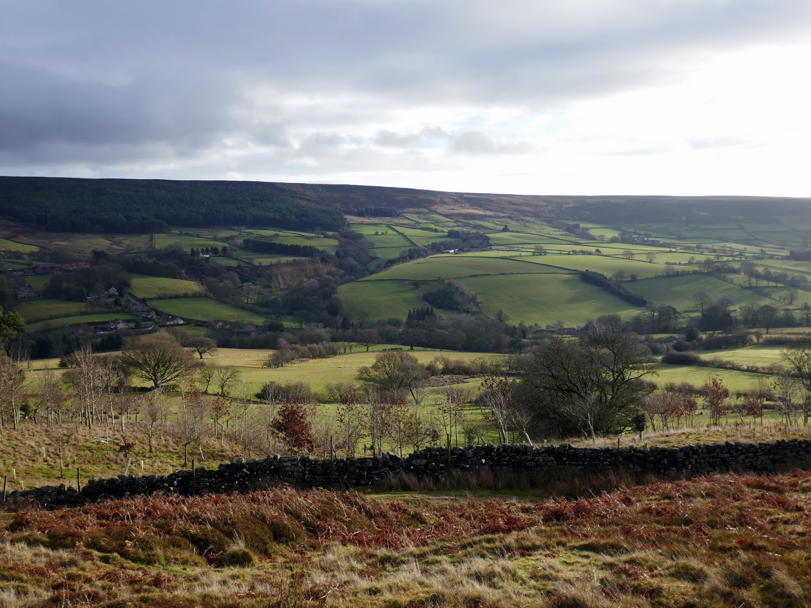
| Looking across to Urra Moor |
 |
| Climbing Cold Moor |
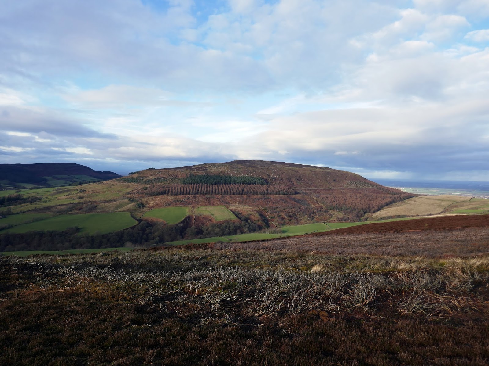
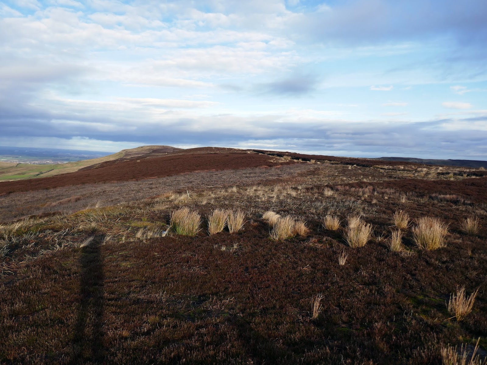
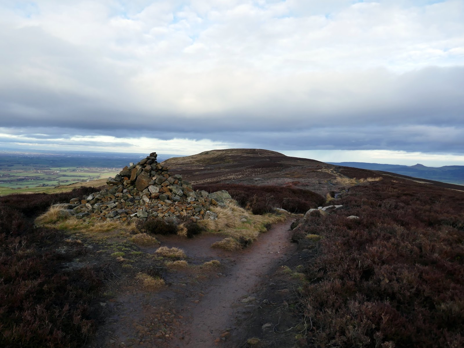
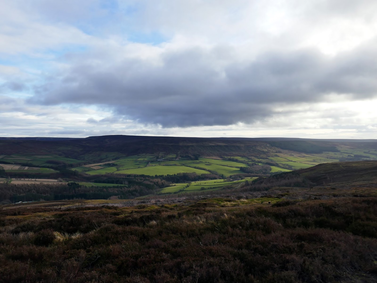
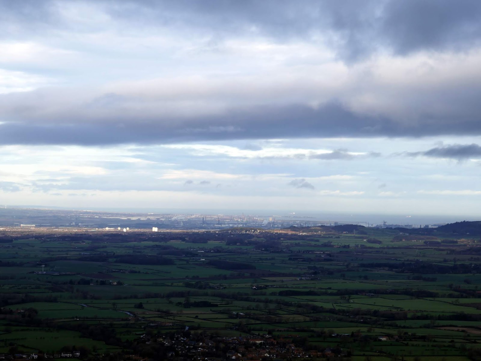
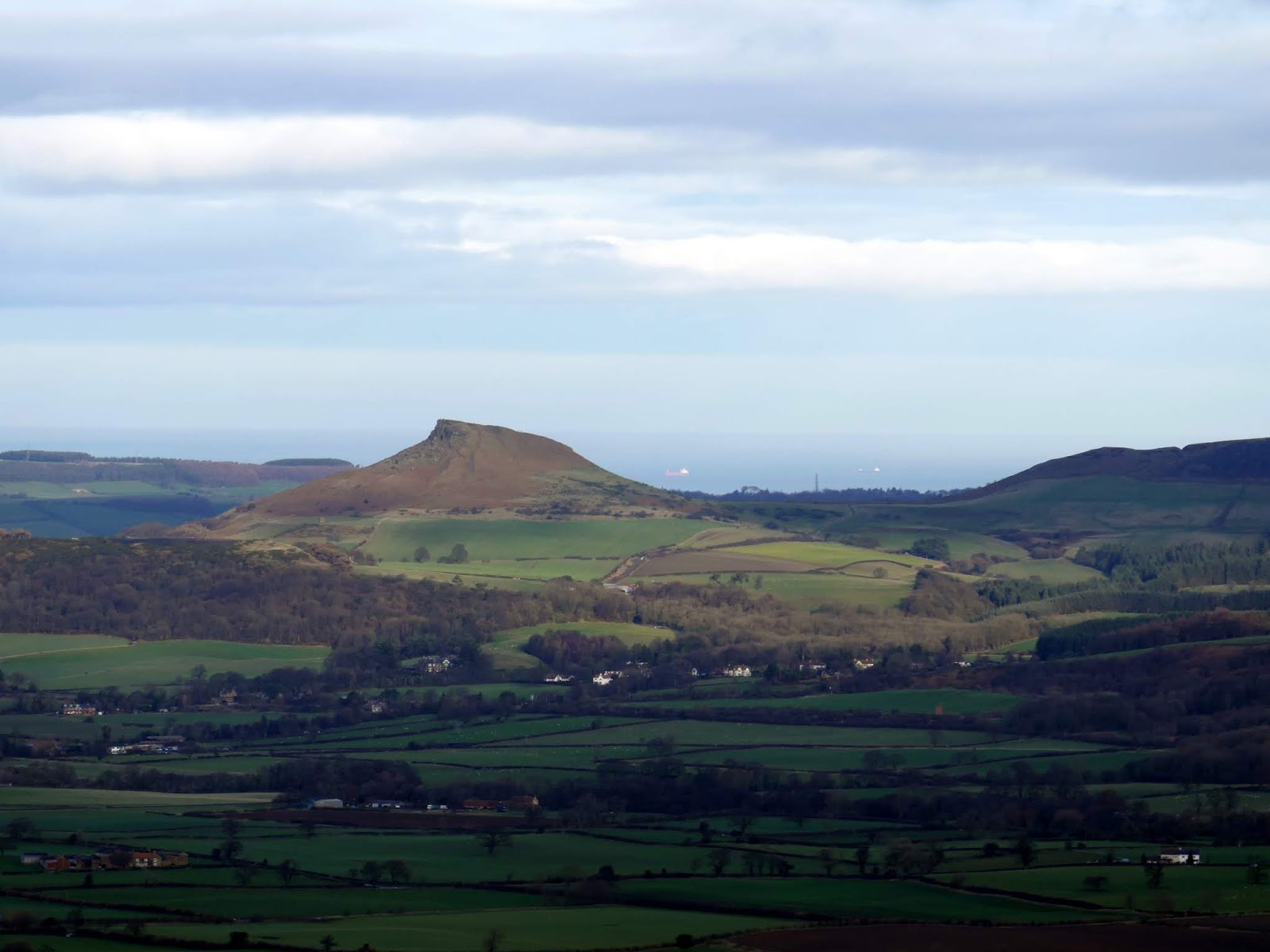
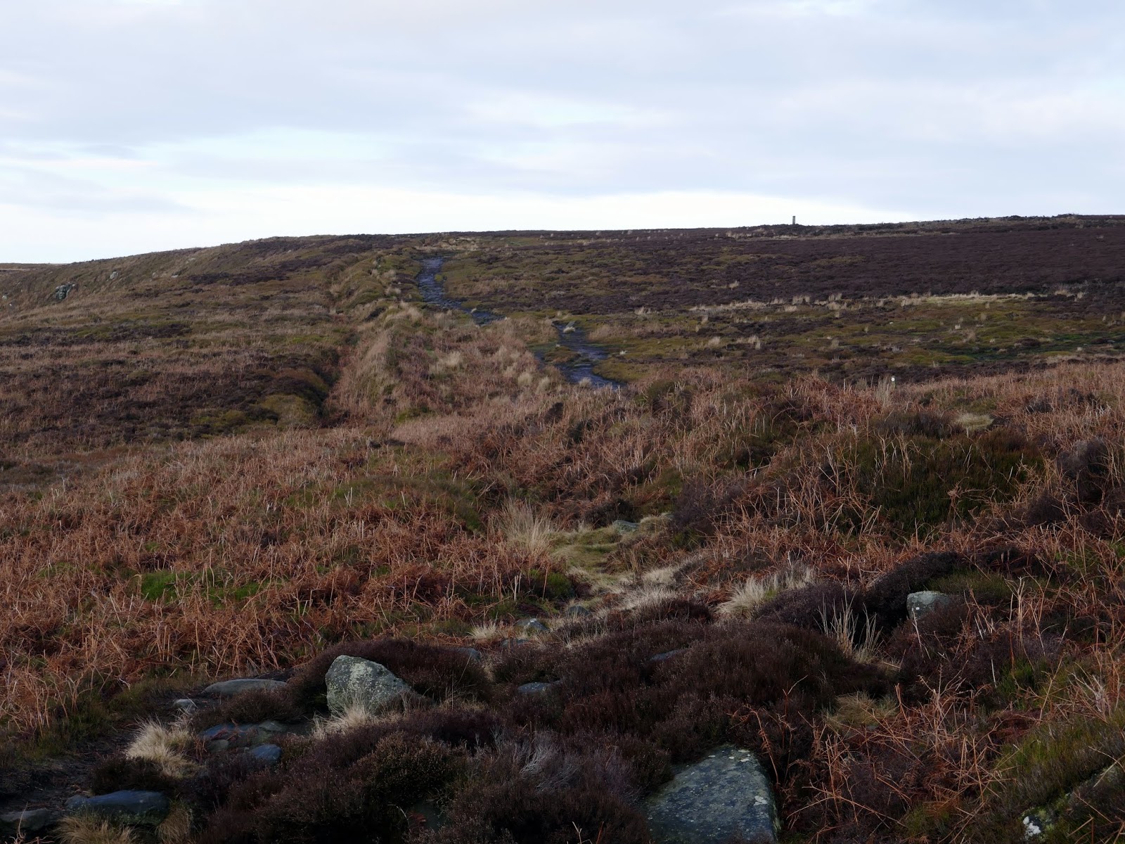
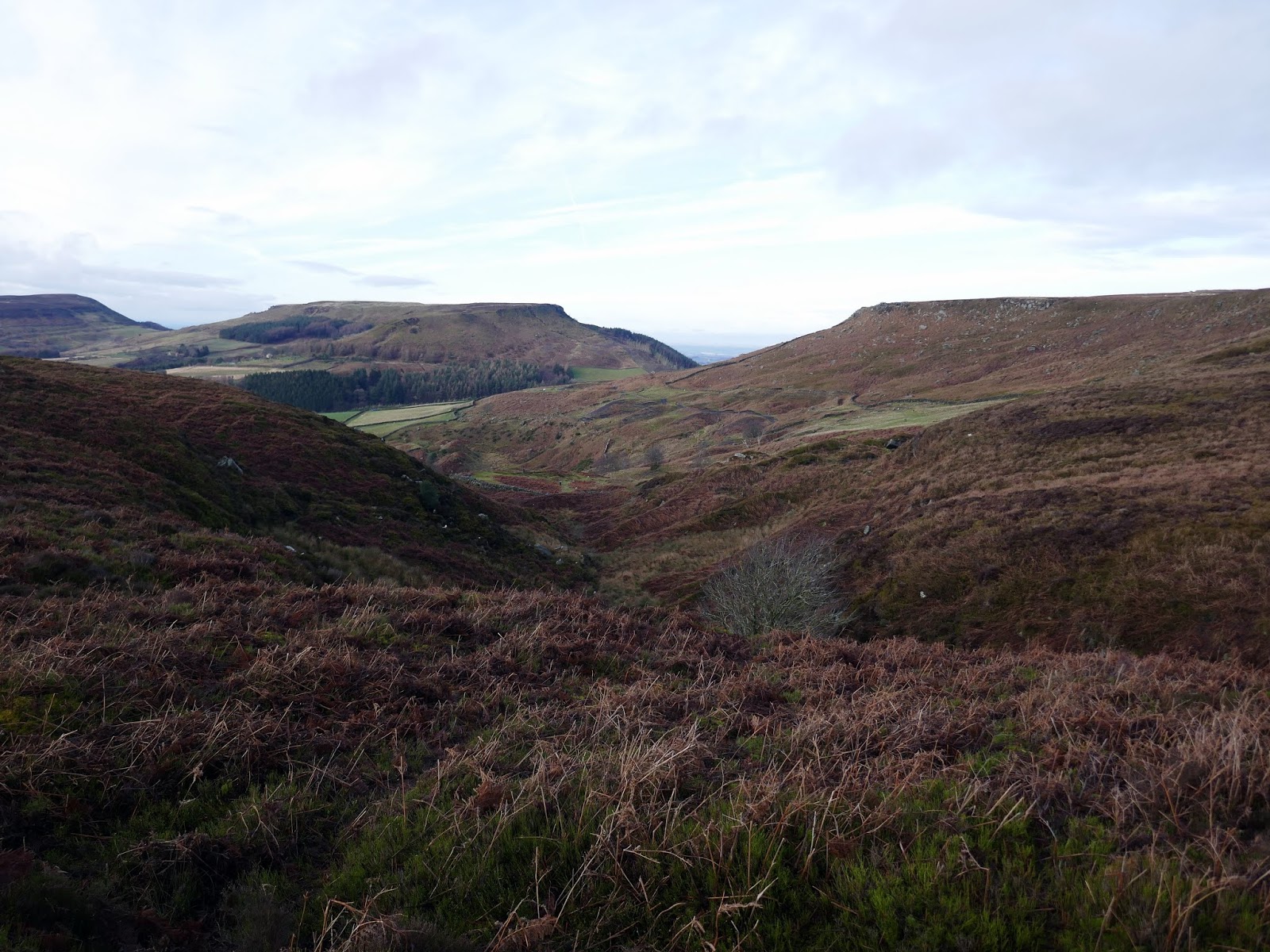
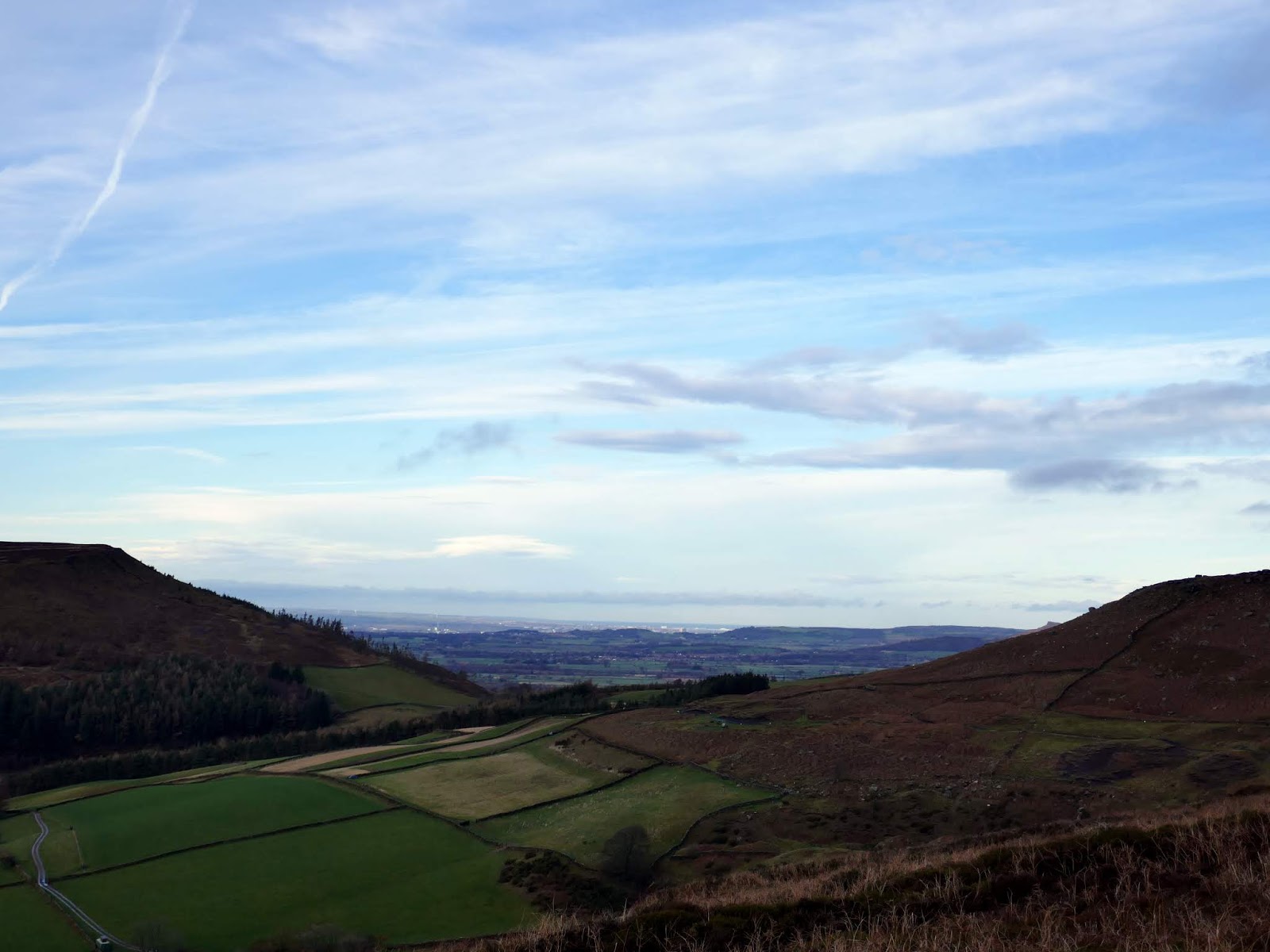
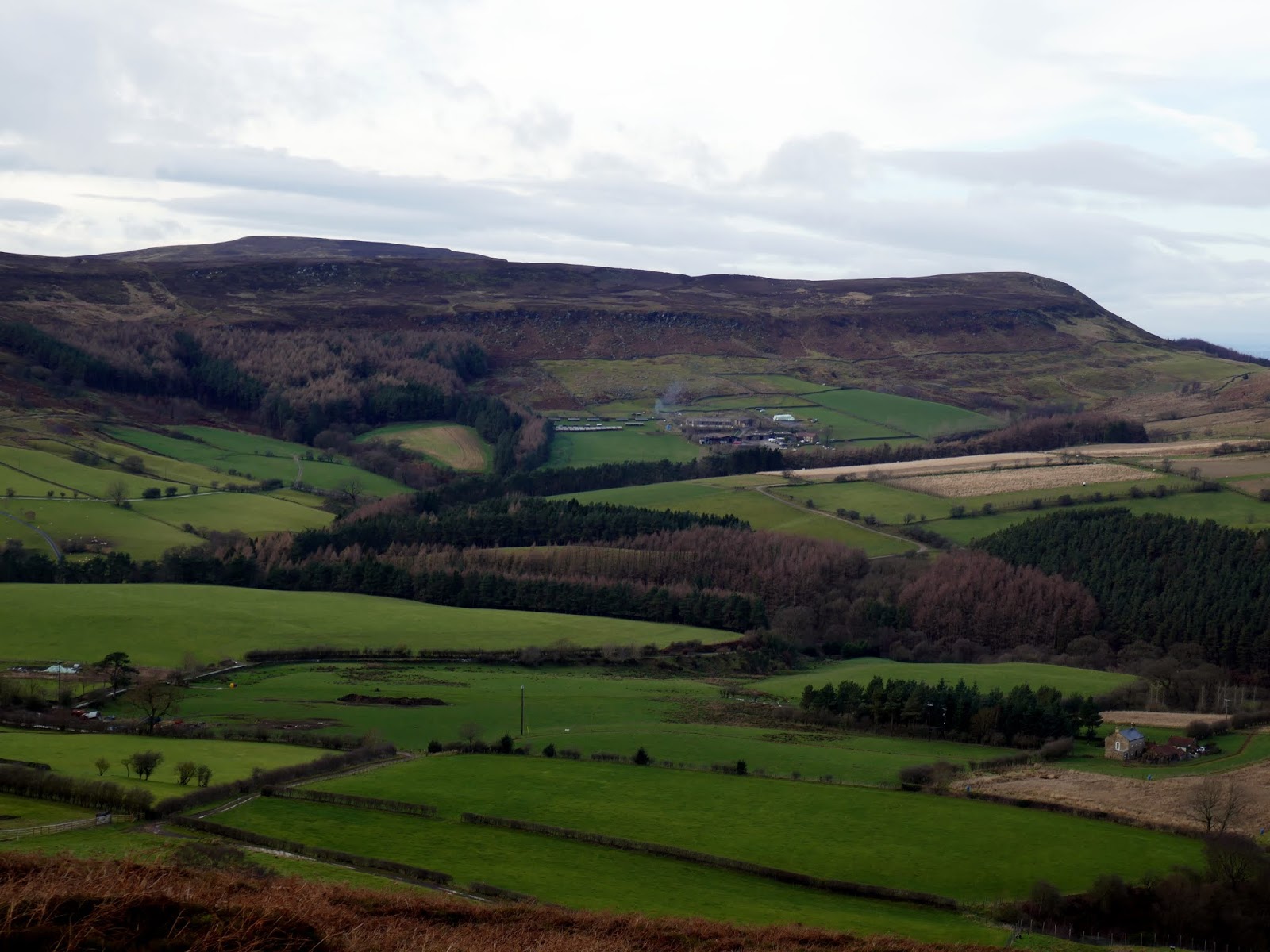
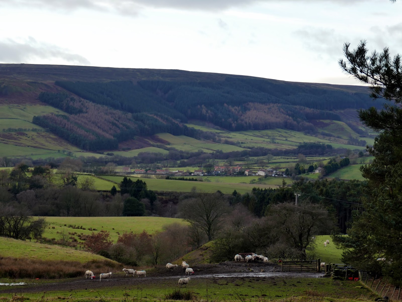
Cold Moor is a narrow strip of moorland, with the valleys of Raisdale to the west and Bilsdale to the east. The route across the top passes the Three Howes – the graves of Bronze Age people who lived here over 3,000 years ago. The moor terminates at its highest point at Broughton Bank where there is a sublime view across Middlesborough and Hartlepool.
 |
| Bilsdale |
 |
| Cold Moor |
 |
| One of the barrows at Three Howes |
 |
| Cringle Moor |
 |
| Cold Moor |
 |
| The track along the spine of Cold Moor |
 |
| Roseberry Topping and the Wainstones |
 |
| Cold Moor |
 |
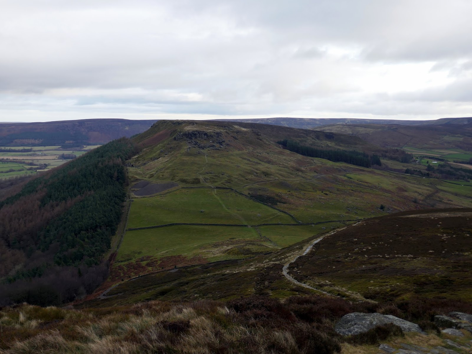
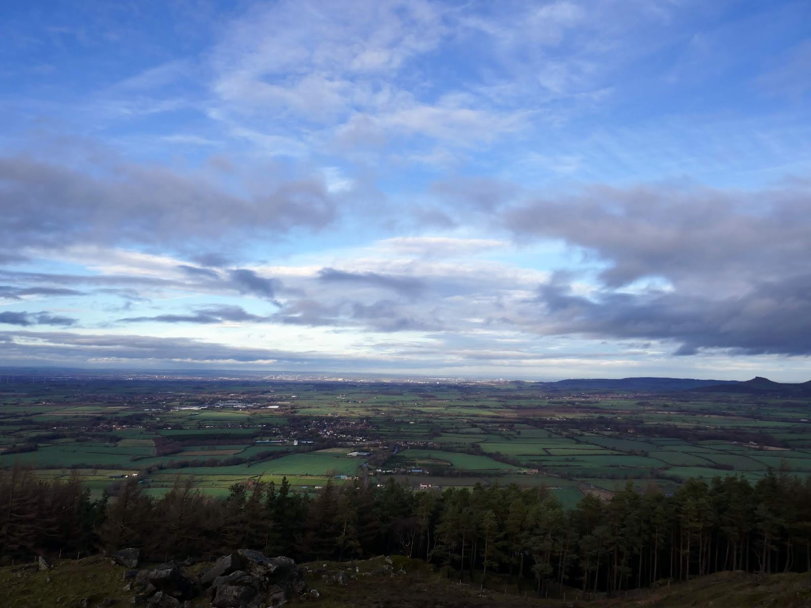
| Urra Moor and Bilsdale |
 |
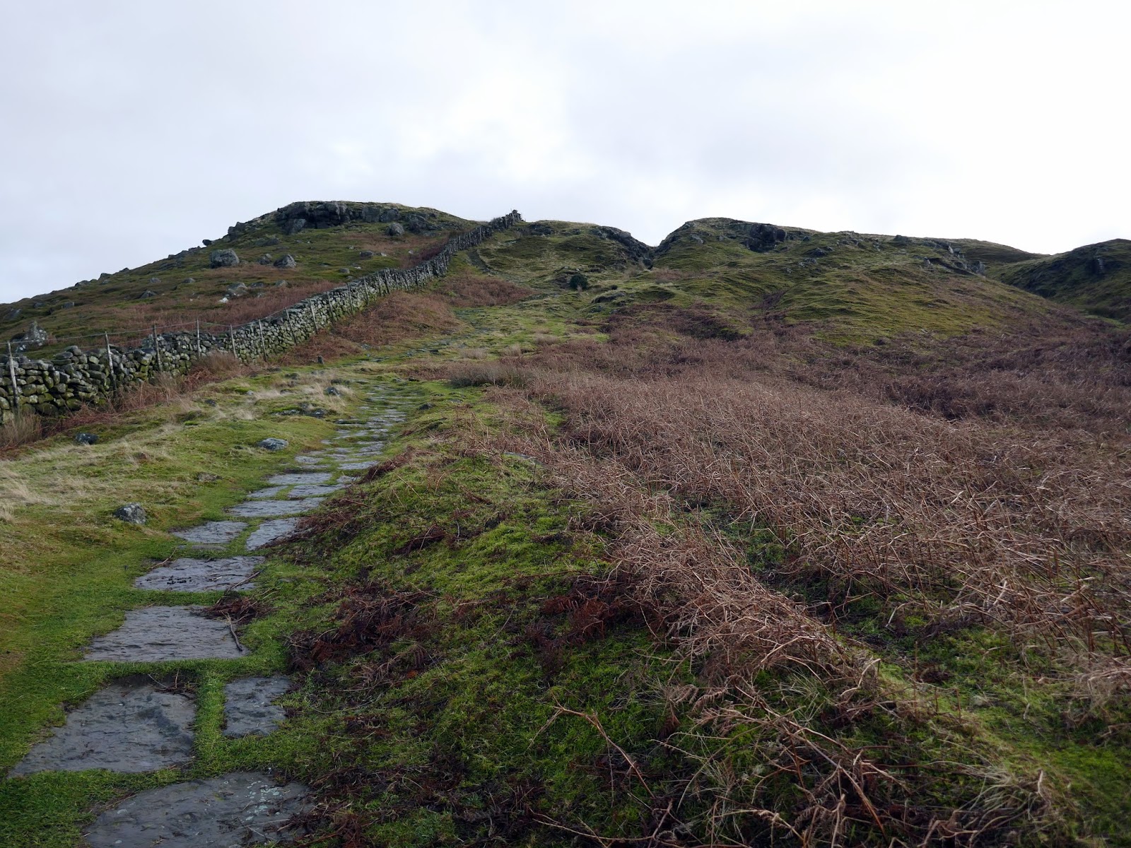
| The Wainstones |
 |
| Middlesborough |
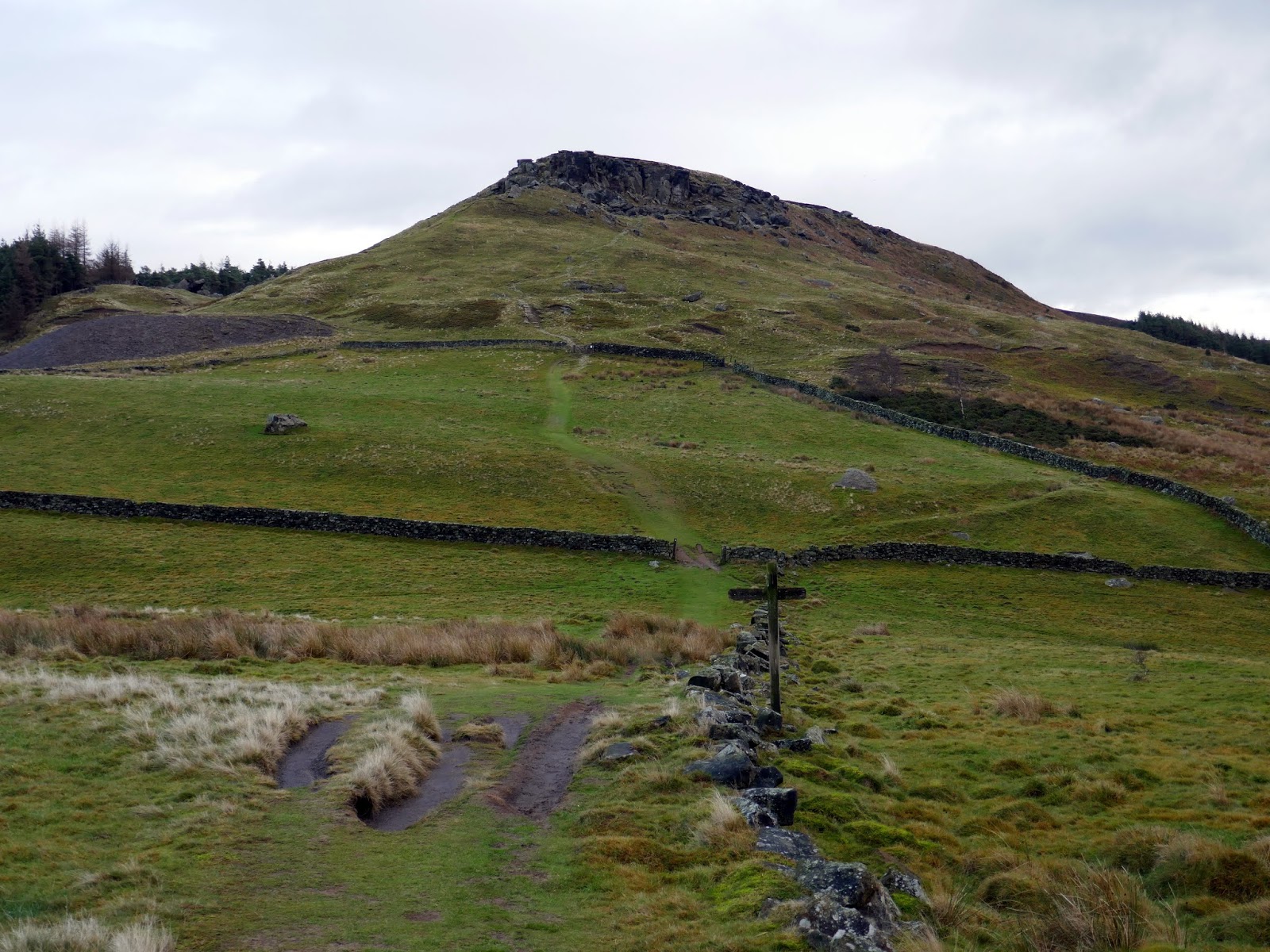
The path turns a right angle as it joins the Cleveland Way, heading east towards the Wainstones. It drops into Garfit Gap before climbing up to the stones themselves.
 |
| Looking across Garfit Gap |
 |
| The Wainstones from Garfit Gap |
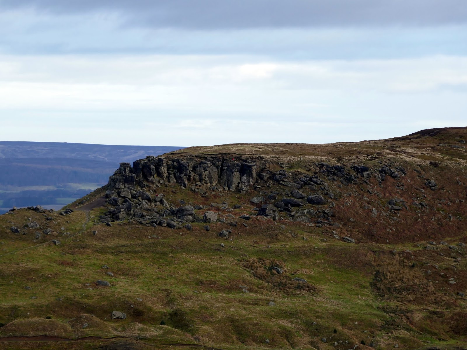
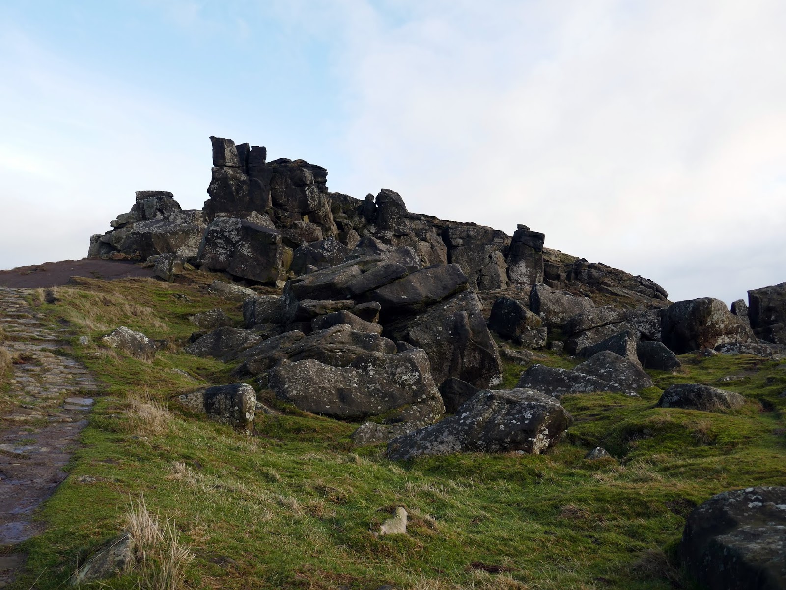
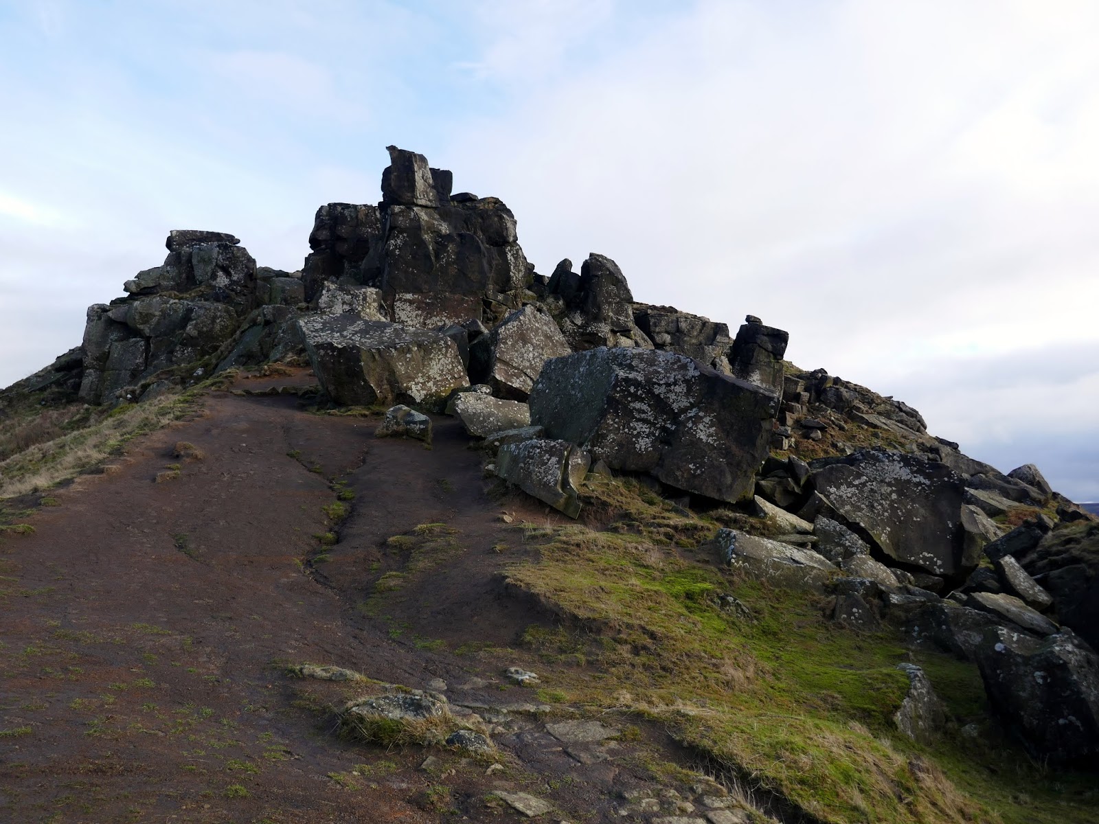
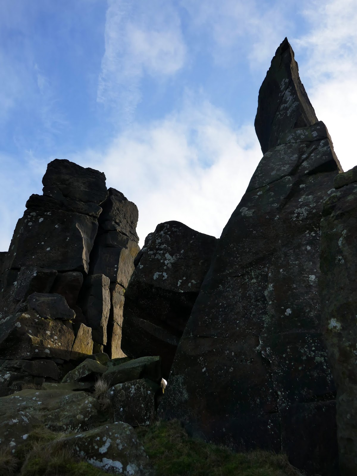
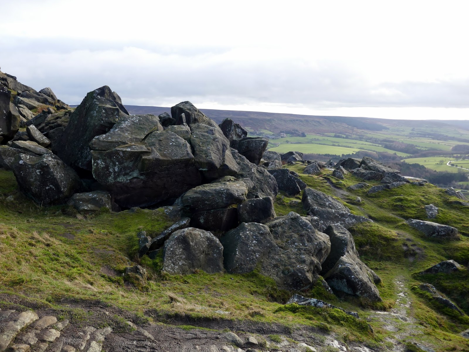
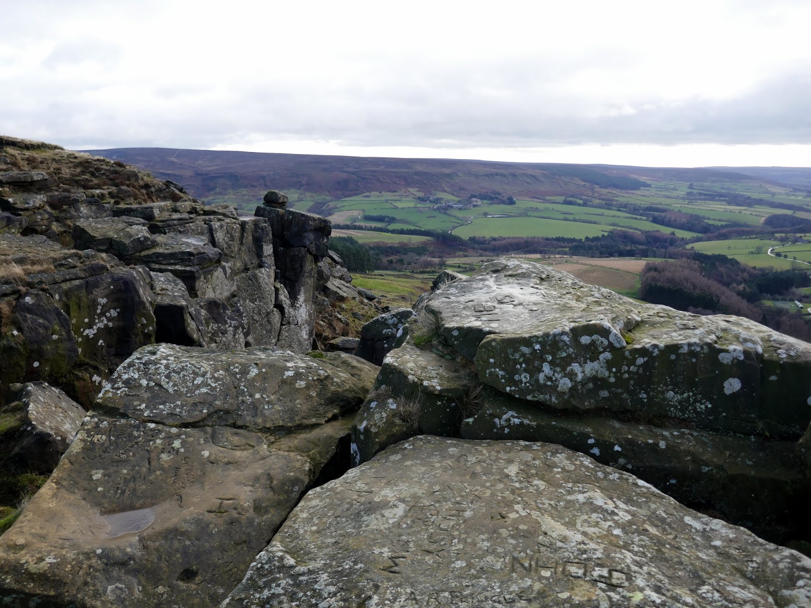
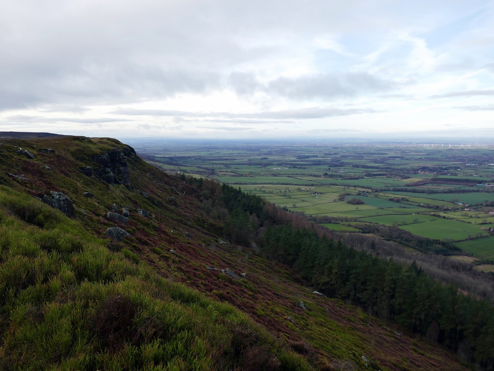
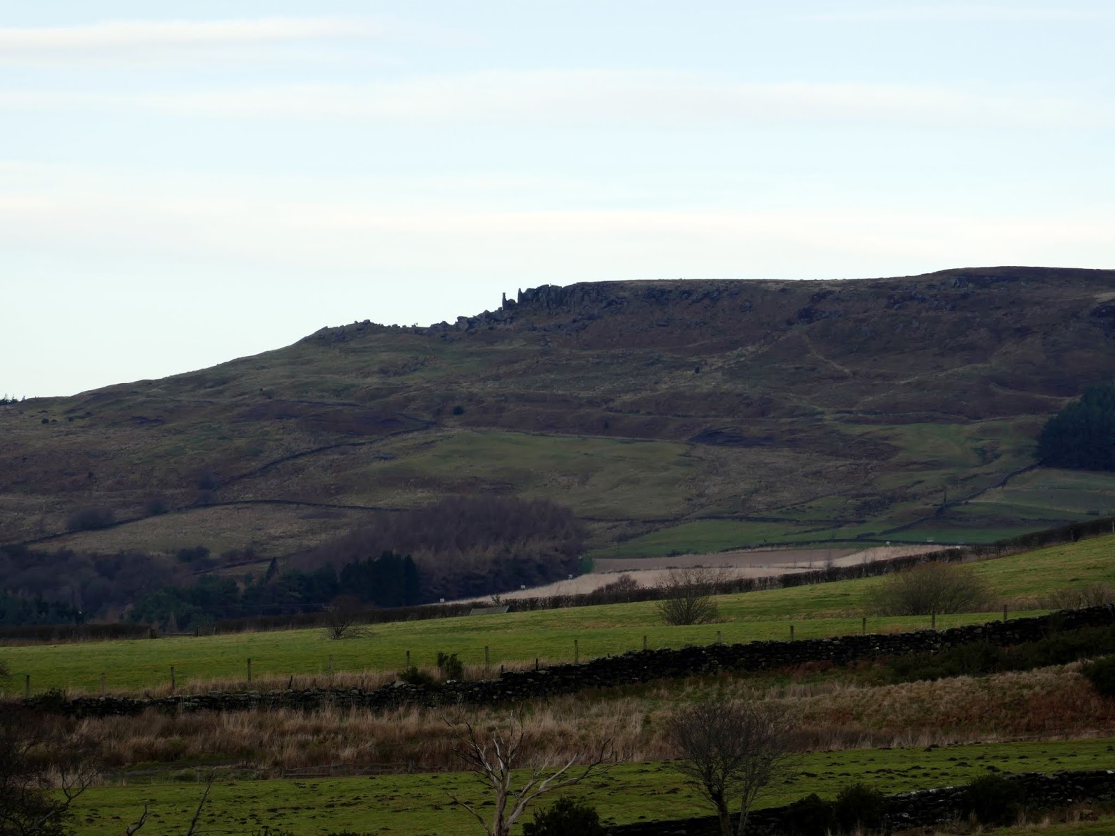
Known locally as ‘The Stones’, this dramatic rock outcrop of weathered sandstone is a prominent feature in the North York Moors. There is a stunning panoramic view of the surrounding heather moorland and fields below the dramatic cliffs, which drop down from Hasty Bank.
 |
| The Wainstones |
 |
| Bilsdale |
 |
| The view towards Middlesborough |
 |
| The Wainstones |
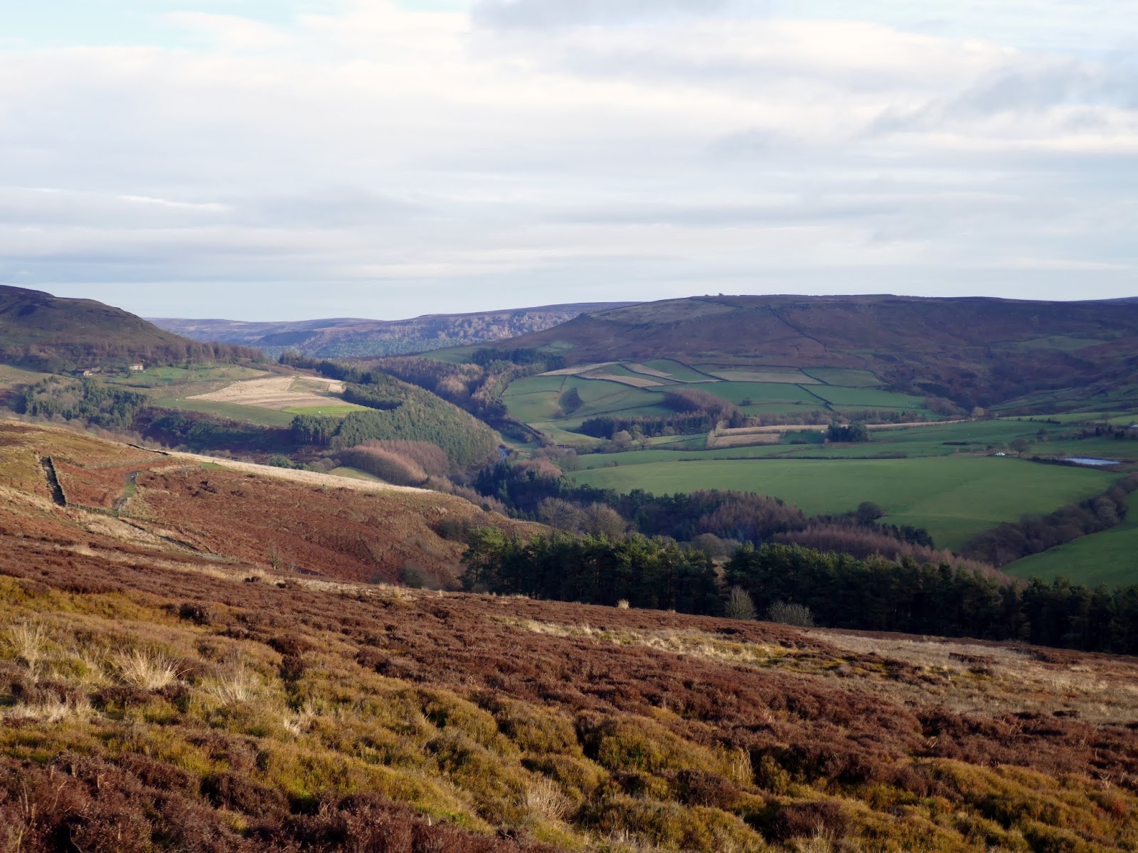
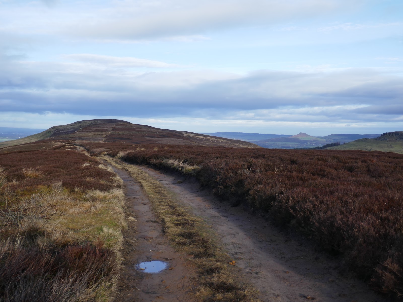
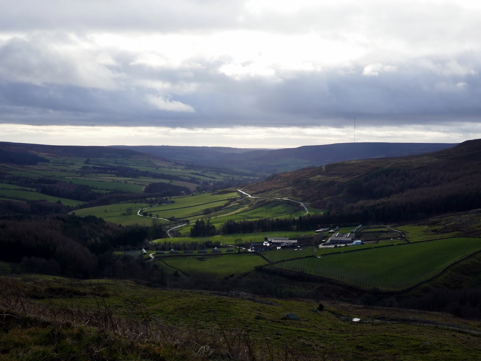
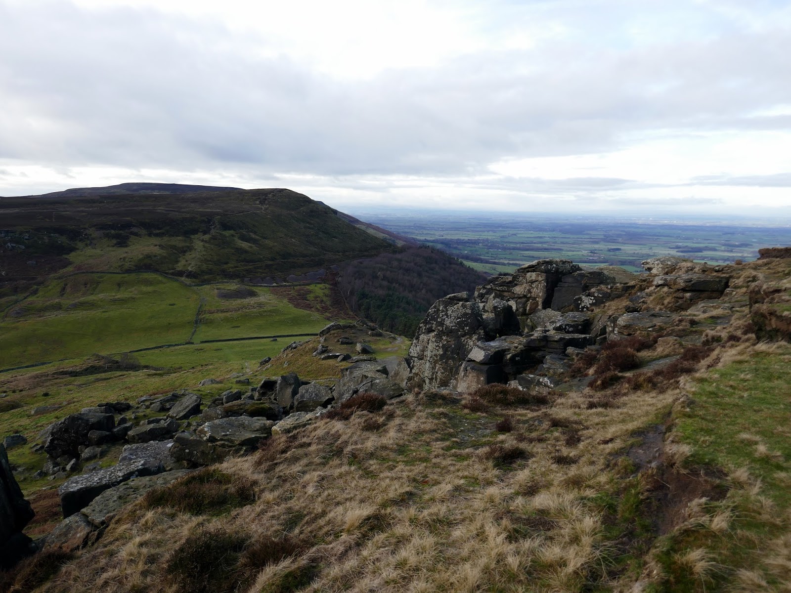
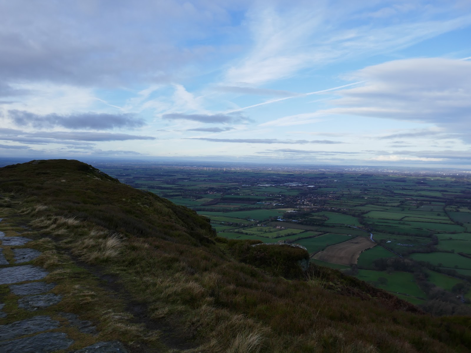
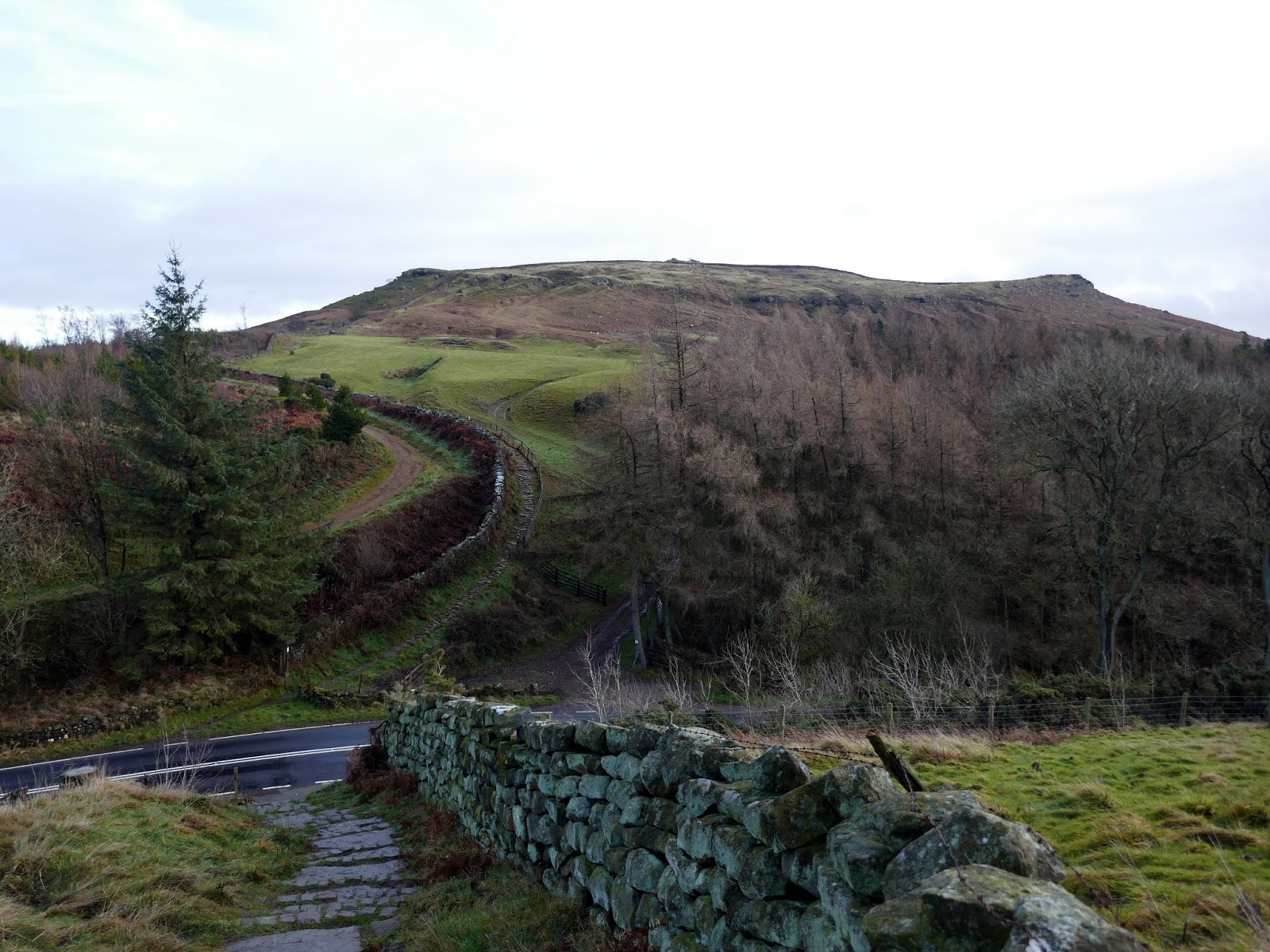
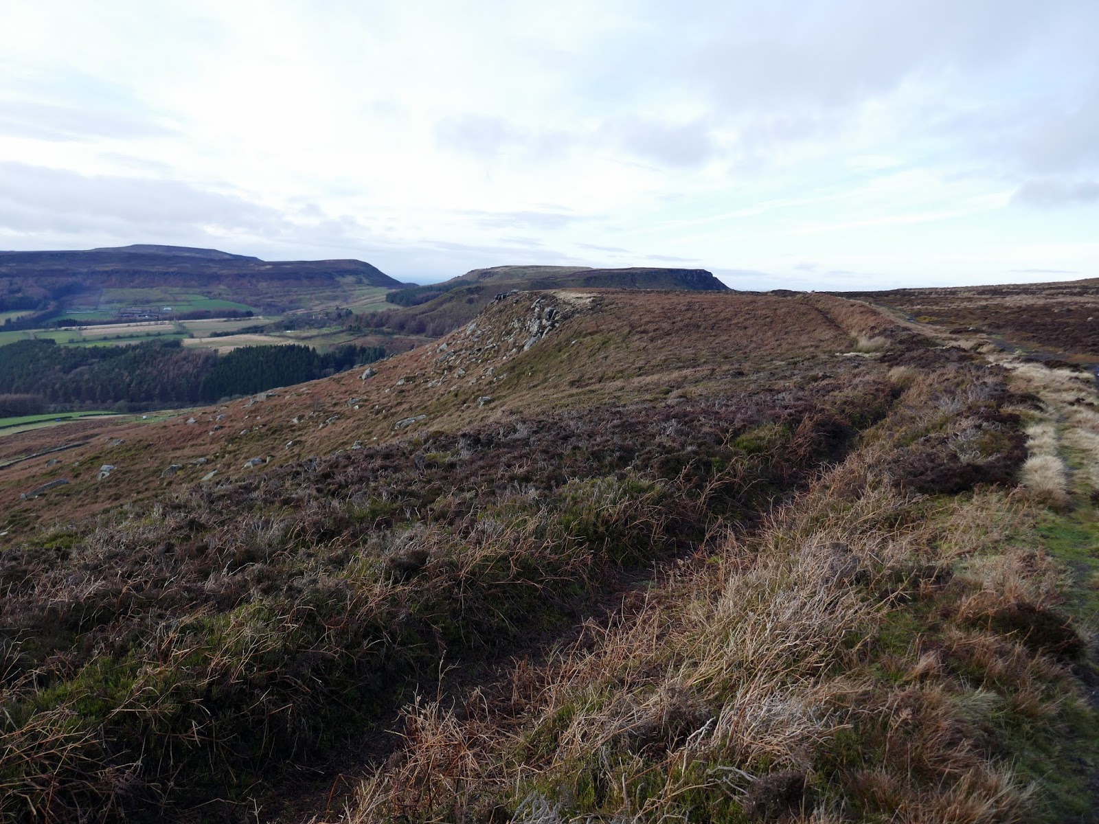
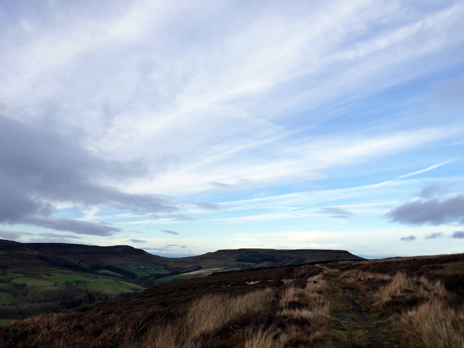
After clambering up through the Wainstones the Cleveland Way crosses the top of Hasty Bank with the highest point being White Hill, at 398m. Here I followed the route down to the B1257 which crosses at Clay Bank. On the other side of the road, a swift climb leads back up Carr Ridge to the moorland of Urra Moor.
 |
| The Wainstones |
 |
| The Wainstones |
 |
| Atop the Wainstones |
 |
| Looking back across Garfit Gap to Cold Moor |
 |
| Roseberry Topping catches the sun |
 |
| The view from Hasty Bank |
 |
| Looking down Bilsdale |
 |
| Broughton Bank |
 |
| Carr Ridge |
 |
| Carr Ridge from the Clay Bank road |
 |
| Starting up Carr Ridge |
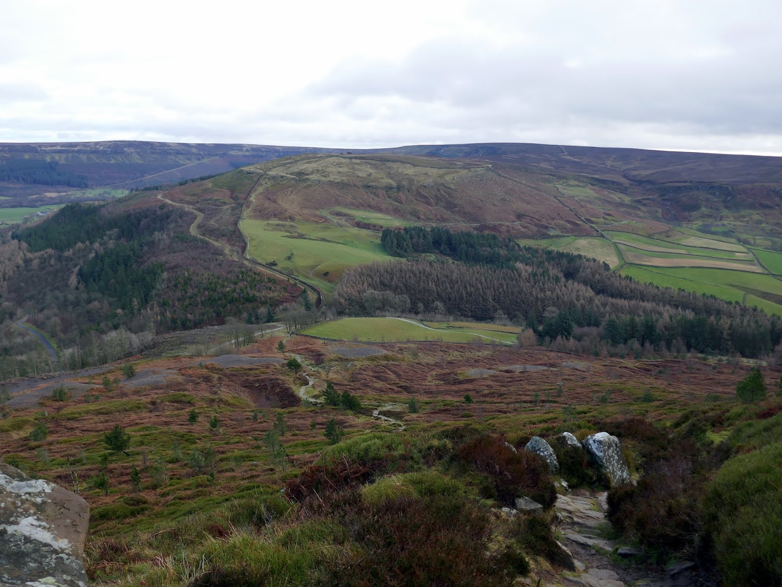
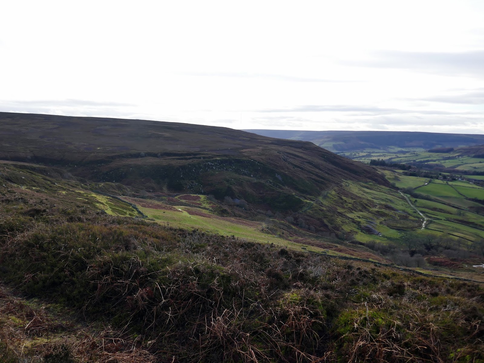
On the whole, Urra Moor is the highest in the Yorkshire Moors – the summit at Round Hill being 454m high. That’s for a different walk, however. I was bound to follow the rim of the valley as it leads south back towards Chop Gate.
 |
| Urra Moor |
 |
| Urra Moor |
 |
| Bilsdale looking to Cold Moor |
 |
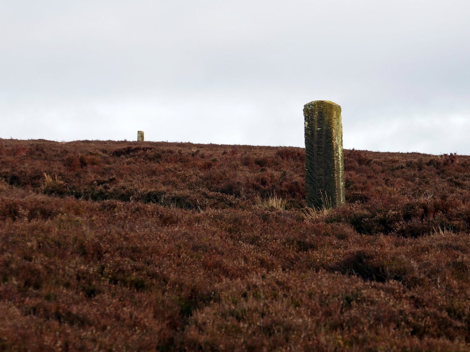
| Boundary posts on Urra Moor |
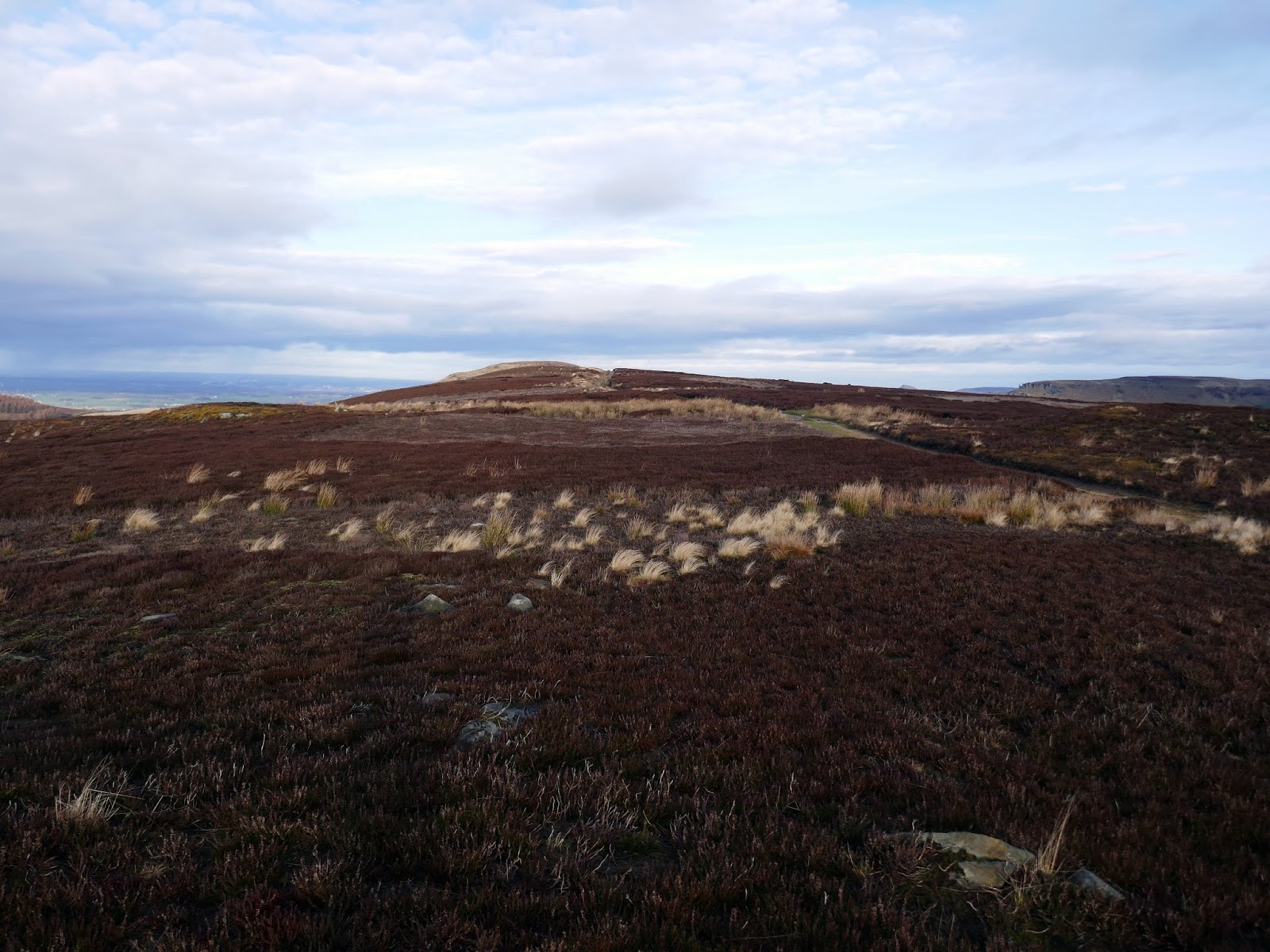
The name is a mix of Old English and Old Norse (horh and haugr) which means The Dirty Hill. Urra Moor is noted for its prehistoric remains, including one I would be following back to Chop Gate. In addition to numerous barrows and carved rocks, a ditch and embankment run along the west side of the moor, likely to be a linear boundary.
 |
| The ditch and embankment on Urra Moor |
Linear boundaries are substantial earthwork features comprising single or multiple ditches and banks which may extend over distances varying between less than 1km to over 10km. They survive as earthworks or as linear features visible as cropmarks on aerial photographs or as a combination of both. The dyke on Urra Moor is part of a wider system of prehistoric boundaries in the North York Moors which divided the landscape into large territorial blocks.
 |
| Looking back along the earthwork |
 |
| Cowkill Well |
 |
| Looking through the gap at Clay Bank |
 |
| Cold Moor |
 |
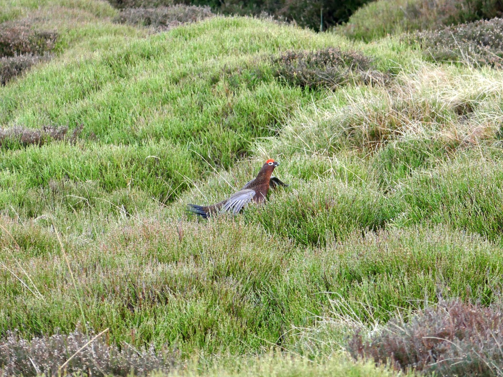
| One of the many grouse on Urra Moor |
 |
| Cold Moor, Garfit Gap and Hasty Bank |
 |
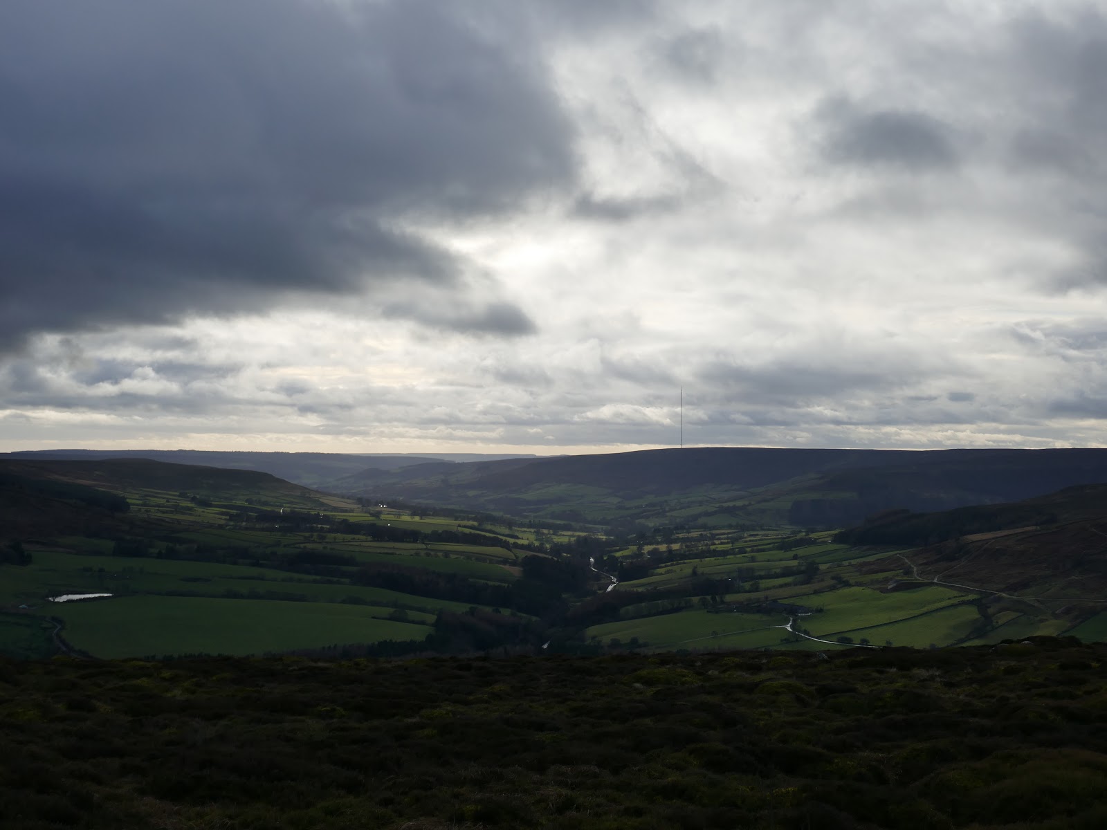
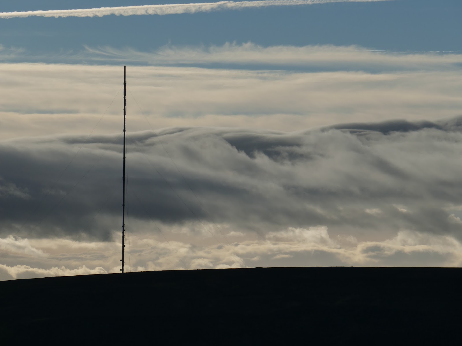
| Bilsdale Transmitting Station on Bilsdale West Moor |
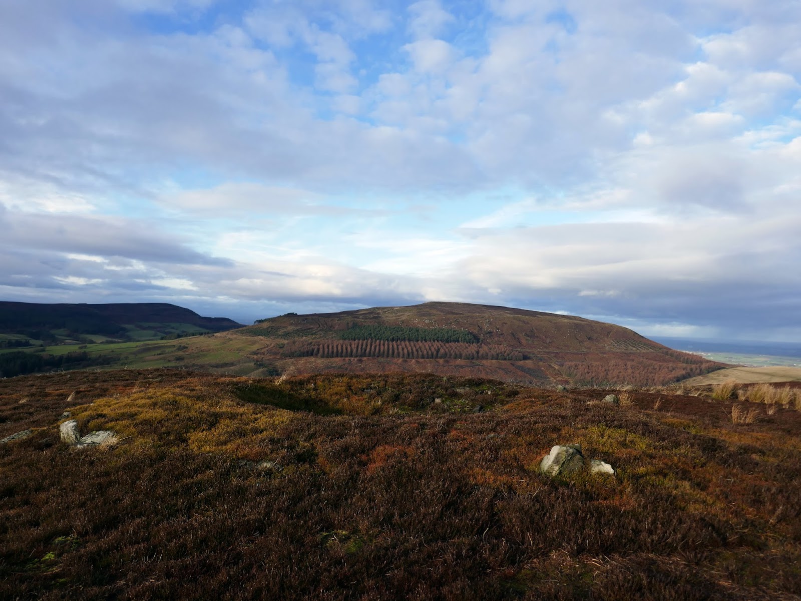
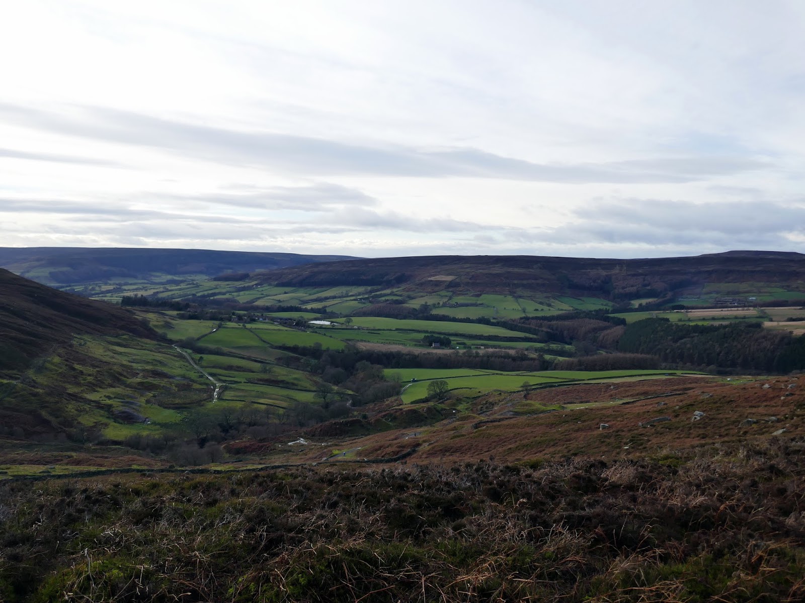
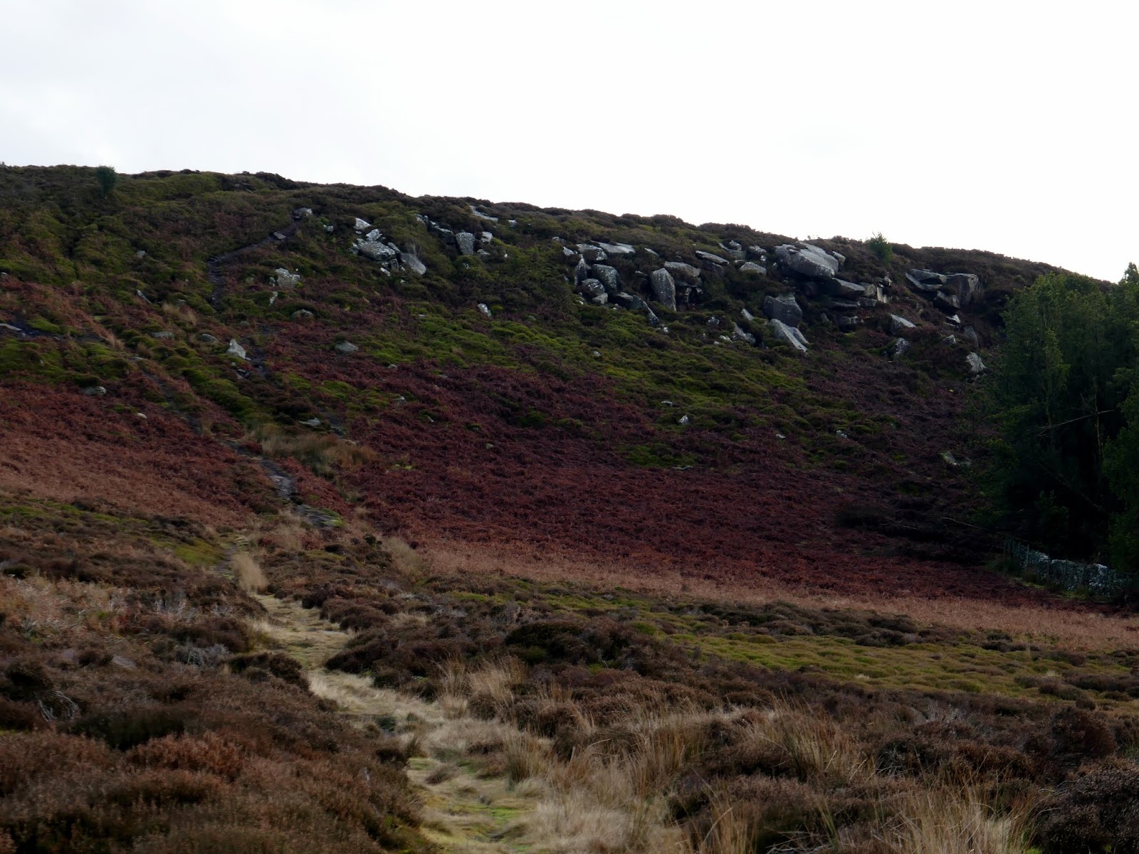
The prehistoric boundary leads all the way towards Chop Gate, albeit high up on the moorside. After crossing the stream of Cowkill Well it passes high above Urra Farm, southwards to Medd Crag, a jumbled collection of stones on the edge of the moor.
 |
| Medd Crag |
 |
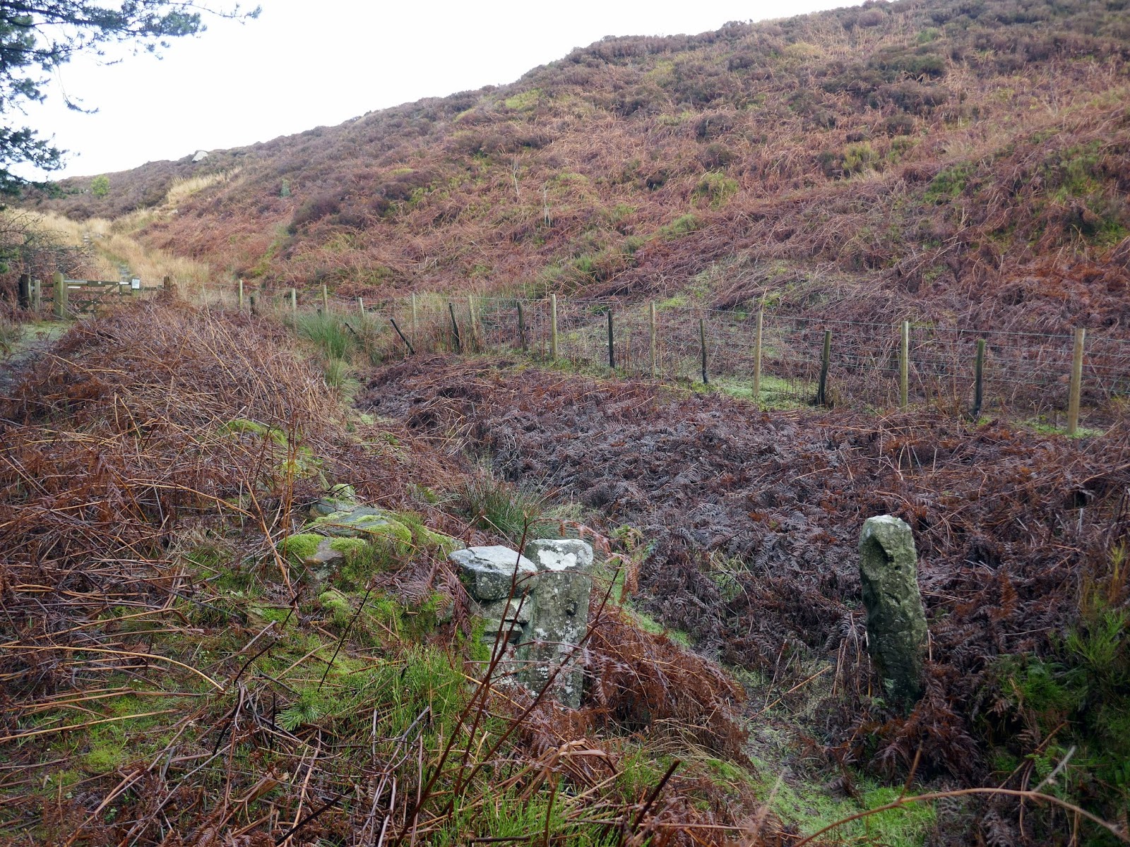
| AAn old fence post in East Bank Plantation |
 |
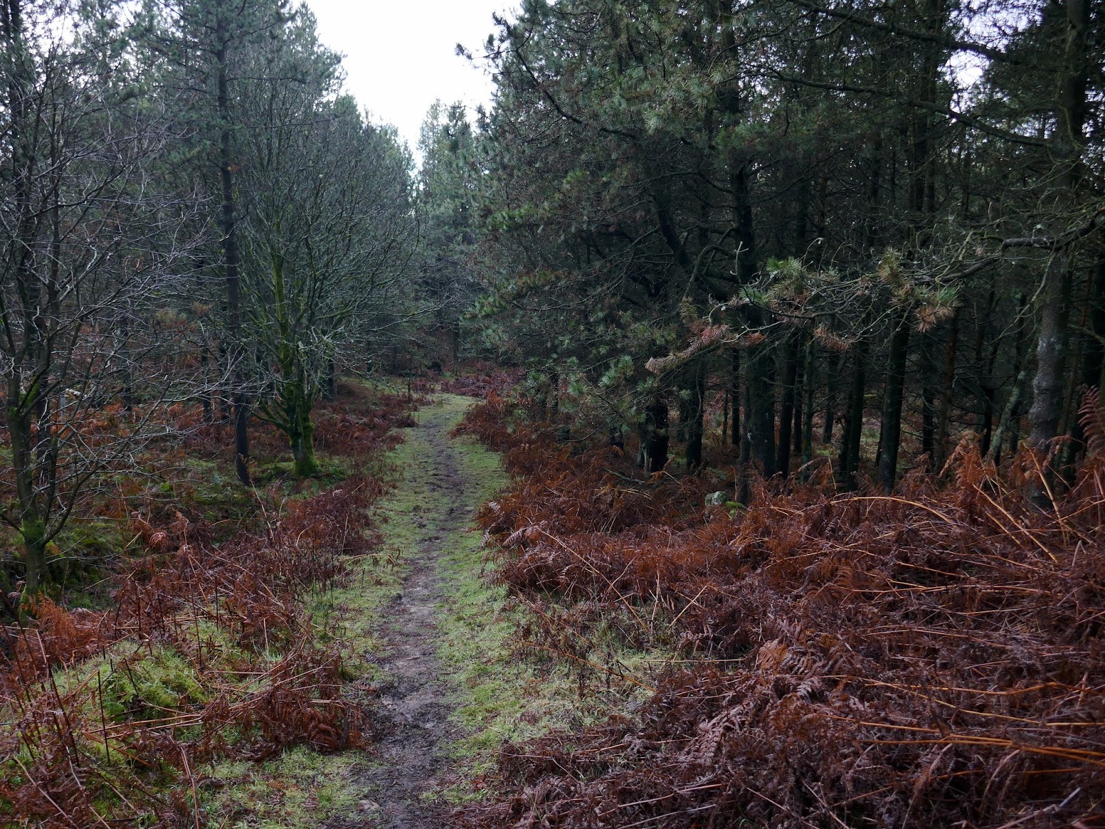
| Entering East Bank Plantation |
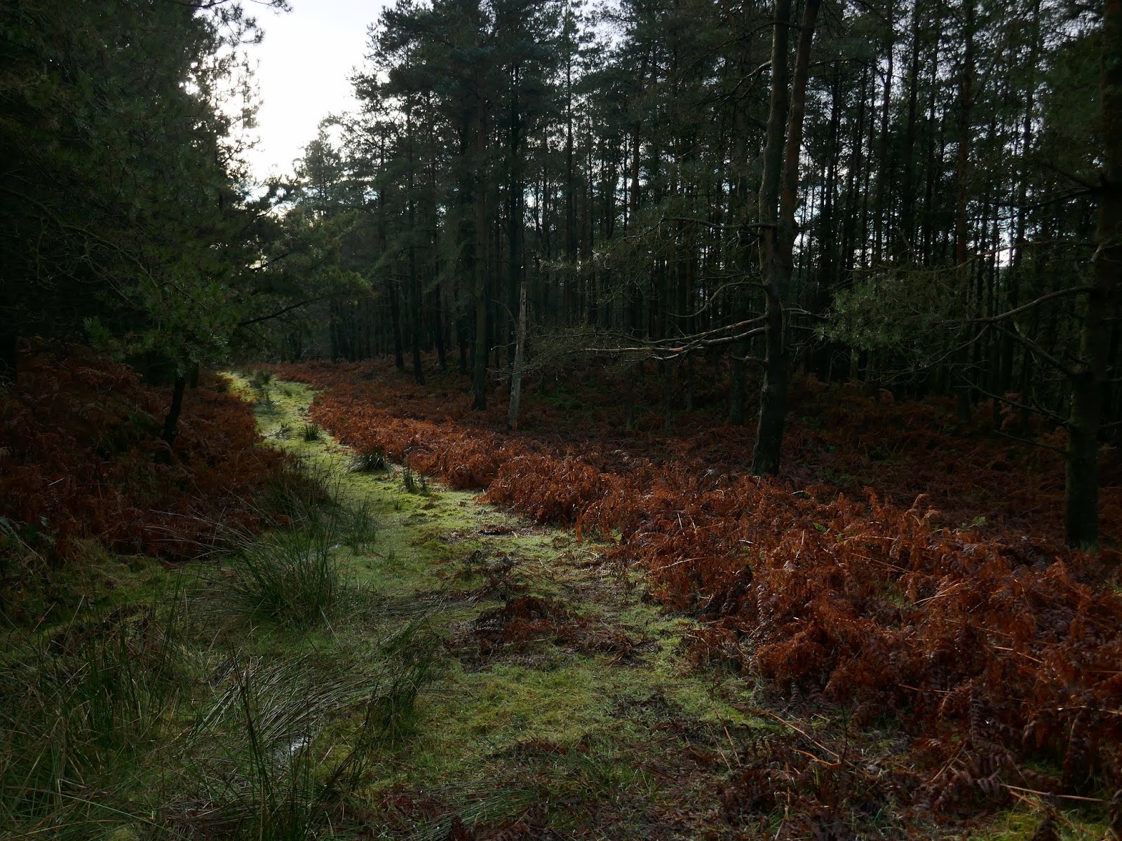
Above Medd Crag, I joined a track – no doubt to facilitate the grouse shooting that regularly takes place on these moors. After a short distance along the track, I veered off, entering East Bank Plantation where a muddy path heads down through the woods into the hamlet of Seave Green. From here it was a short romp along the road back to Chop Gate.
 |
| East Bank Plantation |
 |
| Raisdale and Whorlton Moor |
 |
| A distant Wainstones |
