Open Space Web-Map builder Codehttps://openspace.ordnancesurvey.co.uk/osmapapi/openspace.js?key=3119F72552FD5C22E0530C6CA40A5A92https://openspace.ordnancesurvey.co.uk/osmapapi/script/mapbuilder/basicmap.jshttps://openspace.ordnancesurvey.co.uk/osmapapi/script/mapbuilder/searchbox.js//variables for routes var linesLayer, points, lineFeature, lineString, routeMarkersLayer, routepos, routesize, routeoffset, routeicon; var style_blue = {strokeColor: “#0000CD”, strokeOpacity: 0.5, strokeWidth: 4.5}; function initmapbuilder() { //initiate the map var options = {resolutions: [2500, 1000, 500, 200, 100, 50, 25, 10, 5, 4, 2.5, 2, 1]}; osMap = new OpenSpace.Map(‘map’, options); //configure map options (basicmap.js) setglobaloptions(); //set the center of the map and the zoom level osMap.setCenter(new OpenSpace.MapPoint(327773.5,497752),8); linesLayer = osMap.getVectorLayer(); // Set up layer for route markers routeMarkersLayer = new OpenLayers.Layer.Markers(“Route Markers”); //make a route points = new Array(); points.push(new OpenLayers.Geometry.Point(328913.5,497062)); points.push(new OpenLayers.Geometry.Point(328738.5,496927)); points.push(new OpenLayers.Geometry.Point(328538.5,496917)); points.push(new OpenLayers.Geometry.Point(328318.5,496882)); points.push(new OpenLayers.Geometry.Point(328108.5,496667)); points.push(new OpenLayers.Geometry.Point(327878.5,496472)); points.push(new OpenLayers.Geometry.Point(327628.5,496437)); points.push(new OpenLayers.Geometry.Point(327438.5,496457)); points.push(new OpenLayers.Geometry.Point(327318.5,496467)); points.push(new OpenLayers.Geometry.Point(327173.5,496632)); points.push(new OpenLayers.Geometry.Point(327063.5,496812)); points.push(new OpenLayers.Geometry.Point(326923.5,497207)); points.push(new OpenLayers.Geometry.Point(326708.5,497332)); points.push(new OpenLayers.Geometry.Point(326658.5,497457)); points.push(new OpenLayers.Geometry.Point(326563.5,497497)); points.push(new OpenLayers.Geometry.Point(326513.5,497617)); points.push(new OpenLayers.Geometry.Point(326273.5,497477)); points.push(new OpenLayers.Geometry.Point(326238.5,497572)); points.push(new OpenLayers.Geometry.Point(326238.5,497792)); points.push(new OpenLayers.Geometry.Point(326274.5,498112)); points.push(new OpenLayers.Geometry.Point(326414.5,498222)); points.push(new OpenLayers.Geometry.Point(326554.5,498252)); points.push(new OpenLayers.Geometry.Point(326744.5,498342)); points.push(new OpenLayers.Geometry.Point(326954.5,498232)); points.push(new OpenLayers.Geometry.Point(327284.5,497752)); points.push(new OpenLayers.Geometry.Point(327074.5,498462)); points.push(new OpenLayers.Geometry.Point(327034.5,498852)); points.push(new OpenLayers.Geometry.Point(327054.5,499442)); points.push(new OpenLayers.Geometry.Point(327108.5,499607)); points.push(new OpenLayers.Geometry.Point(327103.5,499922)); points.push(new OpenLayers.Geometry.Point(326973.5,500292)); points.push(new OpenLayers.Geometry.Point(326663.5,500722)); points.push(new OpenLayers.Geometry.Point(326518.5,500737)); points.push(new OpenLayers.Geometry.Point(326373.5,500677)); points.push(new OpenLayers.Geometry.Point(325943.5,500402)); points.push(new OpenLayers.Geometry.Point(326503.5,500742)); points.push(new OpenLayers.Geometry.Point(327023.5,500927)); points.push(new OpenLayers.Geometry.Point(326983.5,500767)); points.push(new OpenLayers.Geometry.Point(327088.5,500557)); points.push(new OpenLayers.Geometry.Point(327263.5,500547)); points.push(new OpenLayers.Geometry.Point(327408.5,500547)); points.push(new OpenLayers.Geometry.Point(327623.5,500612)); points.push(new OpenLayers.Geometry.Point(327813.5,500737)); points.push(new OpenLayers.Geometry.Point(328063.5,500577)); points.push(new OpenLayers.Geometry.Point(327988.5,500032)); points.push(new OpenLayers.Geometry.Point(328023.5,499572)); points.push(new OpenLayers.Geometry.Point(328173.5,499347)); points.push(new OpenLayers.Geometry.Point(328183.5,499207)); points.push(new OpenLayers.Geometry.Point(328183.5,499142)); points.push(new OpenLayers.Geometry.Point(328233.5,499122)); points.push(new OpenLayers.Geometry.Point(328328.5,498962)); points.push(new OpenLayers.Geometry.Point(328478.5,498922)); points.push(new OpenLayers.Geometry.Point(328508.5,498872)); points.push(new OpenLayers.Geometry.Point(328423.5,498857)); points.push(new OpenLayers.Geometry.Point(328348.5,498842)); points.push(new OpenLayers.Geometry.Point(328058.5,498492)); points.push(new OpenLayers.Geometry.Point(328083.5,498462)); points.push(new OpenLayers.Geometry.Point(328373.5,498237)); points.push(new OpenLayers.Geometry.Point(328443.5,498142)); points.push(new OpenLayers.Geometry.Point(328468.5,498127)); points.push(new OpenLayers.Geometry.Point(328483.5,498022)); points.push(new OpenLayers.Geometry.Point(328518.5,497702)); points.push(new OpenLayers.Geometry.Point(328718.5,497317)); points.push(new OpenLayers.Geometry.Point(328743.5,497202)); points.push(new OpenLayers.Geometry.Point(328833.5,497157)); points.push(new OpenLayers.Geometry.Point(328868.5,497067)); points.push(new OpenLayers.Geometry.Point(328913.5,497062)); // create a polyline feature from the array of points lineString = new OpenLayers.Geometry.LineString(points); lineFeature = new OpenLayers.Feature.Vector(lineString, null, style_blue); linesLayer.addFeatures([lineFeature]); //crate a route start/end marker routepos = new OpenSpace.MapPoint(328913.5,497062); routesize = new OpenLayers.Size(33,45); routeoffset = new OpenLayers.Pixel(-5,-37); routeicon = new OpenSpace.Icon(‘https://openspace.ordnancesurvey.co.uk/osmapapi/img_versions/img_1.1/mapbuilder/routemarker-startend.png’, routesize, routeoffset, null, null); routeMarkersLayer.addMarker(new OpenLayers.Marker(routepos, routeicon)); osMap.addLayer(routeMarkersLayer);}
Route: Walna Scar Road, The Cove, Goats Water, South Rake, Dow Crag, Goats Hause, The Old Man of Coniston, Brim Fell, Levers Hause, Fairfield, Grey Friar, Great Carrs, Swirl How, Prison Band, Swirl Hause, Levers Water, Paddy End Works, Crowberry Hause, Walna Scar
Date: 09/12/2018
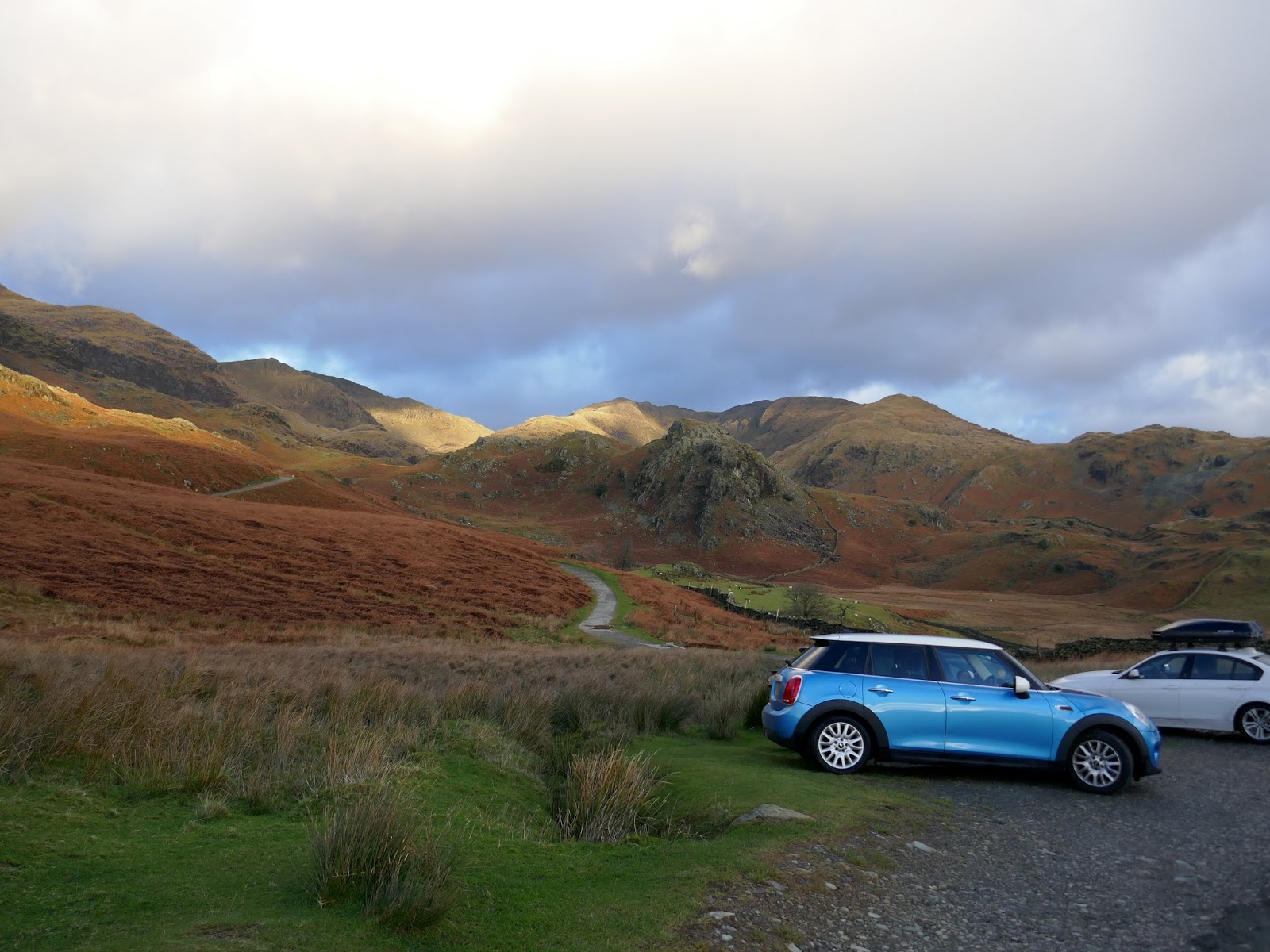
From: Walna Scar
Parking: Walna Scar car park
Start Point: Walna Scar
Region: Southern Fells
Route length: 10.6 miles (17km)
Time taken: 06:15
Average speed: 2.1 mph
Ascent: 1058m
Descent: 1059m
Wainwrights on this walk:
Dow Crag (778m), The Old Man of Coniston (804m), Brim Fell (796m), Grey Friar (770m), Great Carrs (788m), Swirl How (802m)
Additional summits: None
Other points of interest: Moss Force
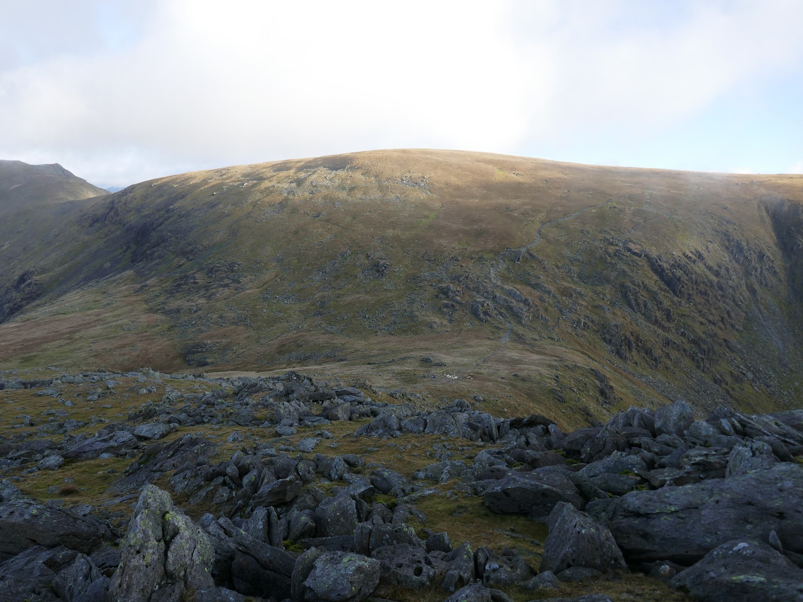
It was Alfred Wainwright who proposed the name ‘South Rake’ in his 1955 edition of the Pictorial Guide to the Southern Fells. The rake, a steeply slanted ribbon of rock and scree on Dow Crag, had been used for many years by climbers seeking a quick way back to the bottom of the buttresses but Wainwright introduced it to the masses as an interesting alternative to the main walker’s paths.
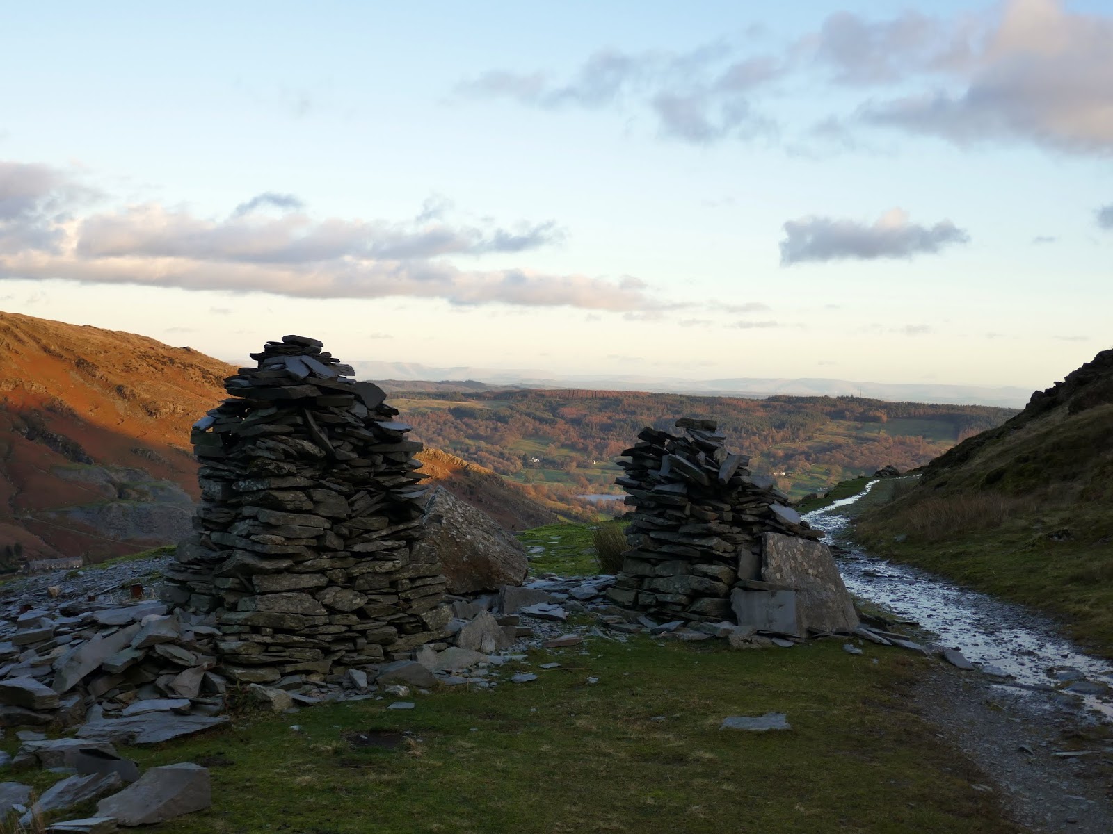
 |
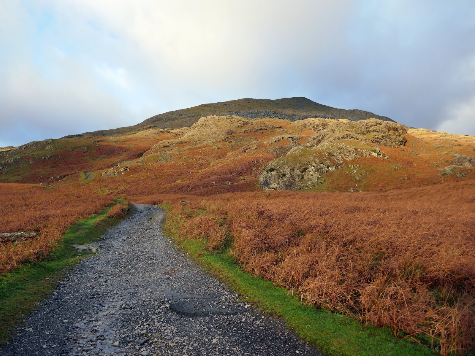
| Walna Scar |
 |
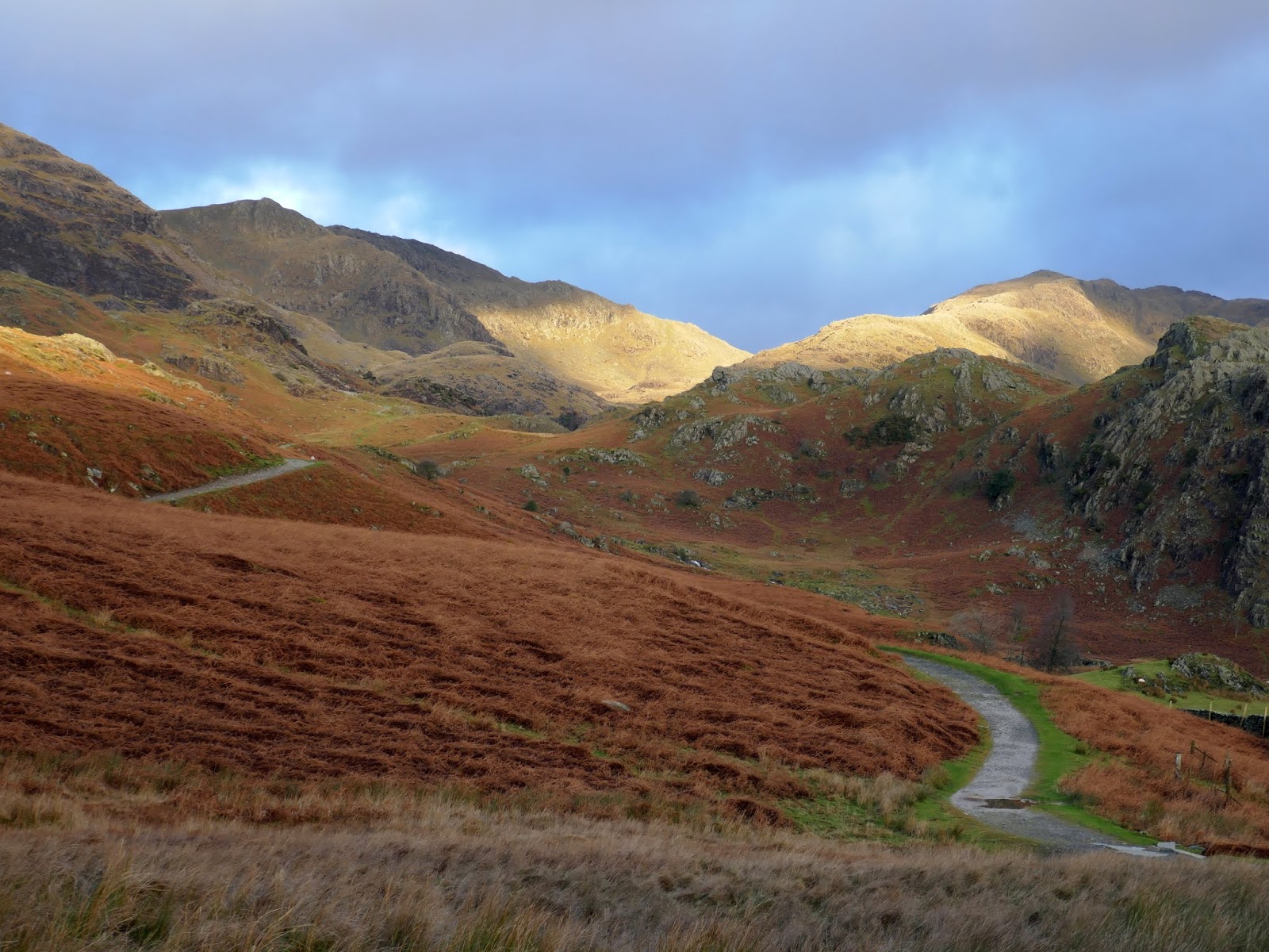
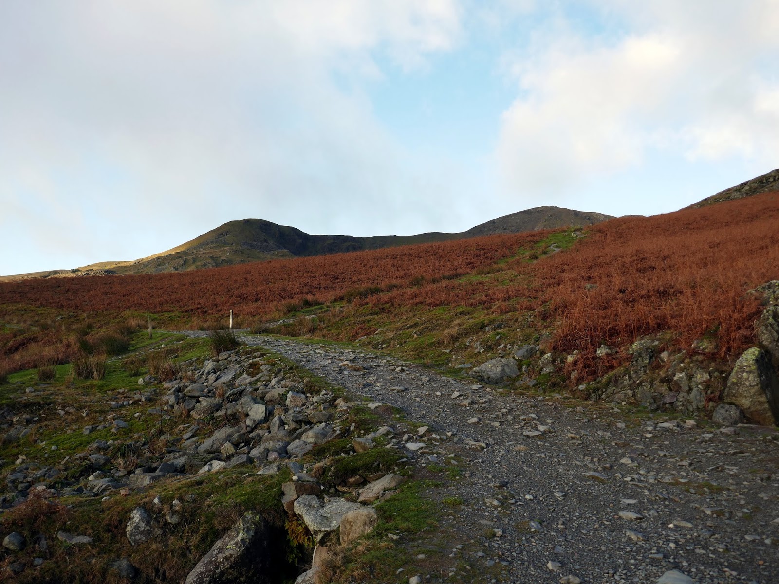
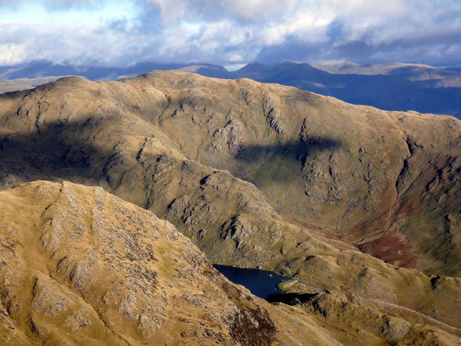
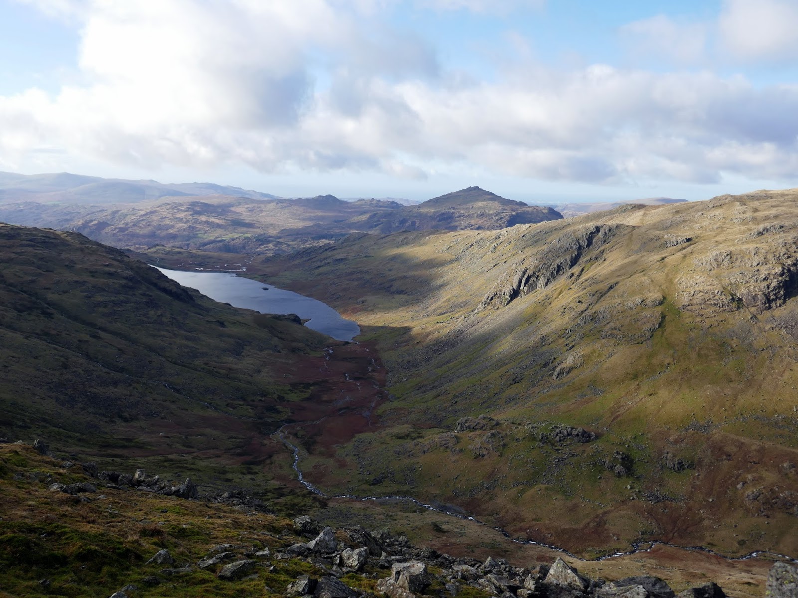
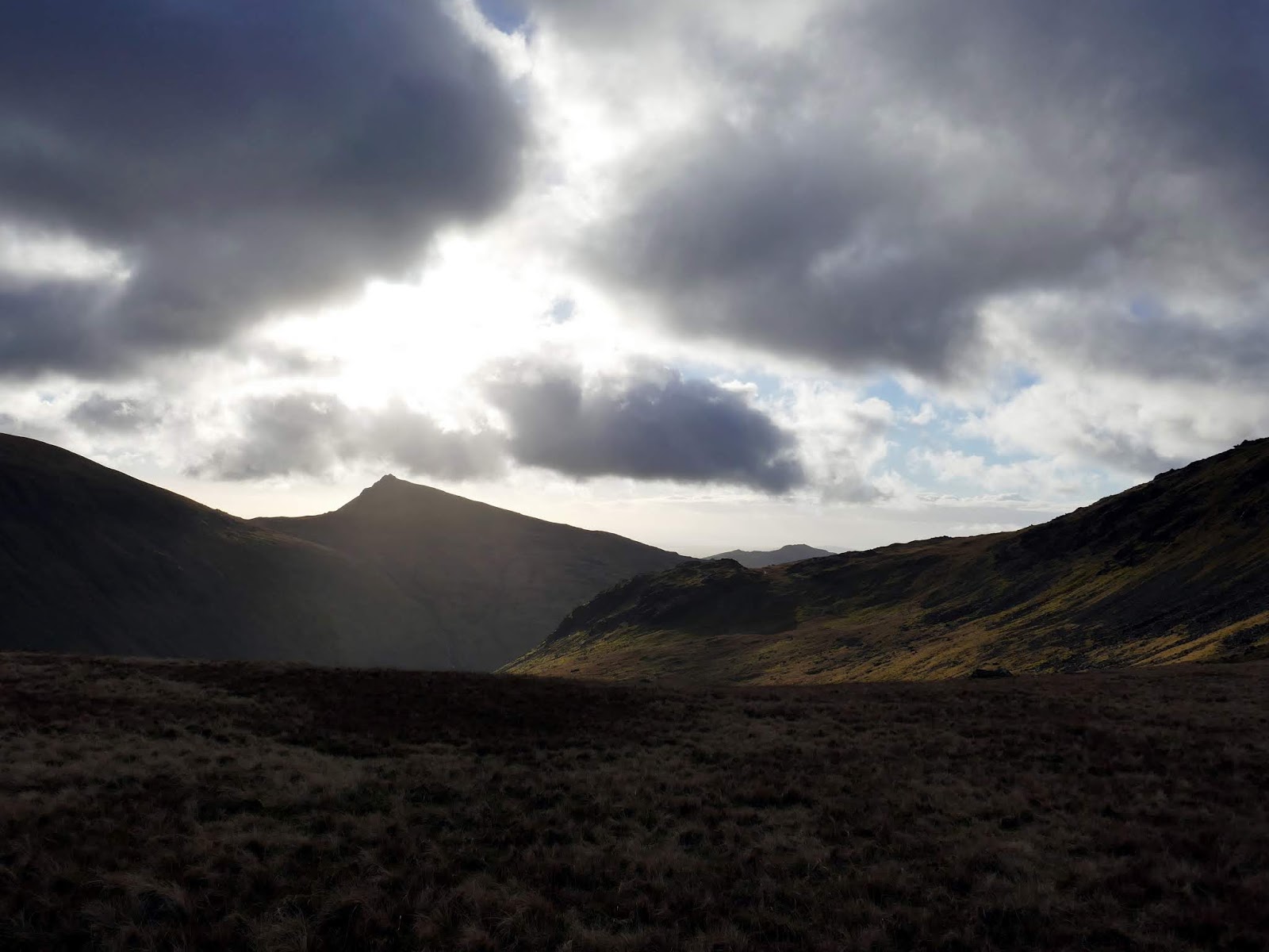
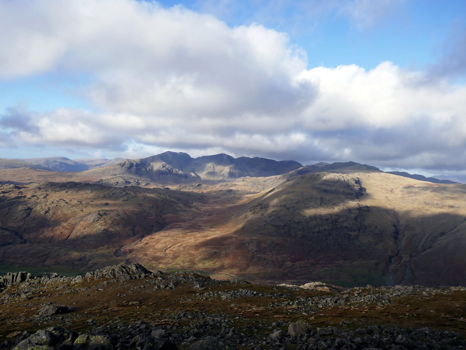
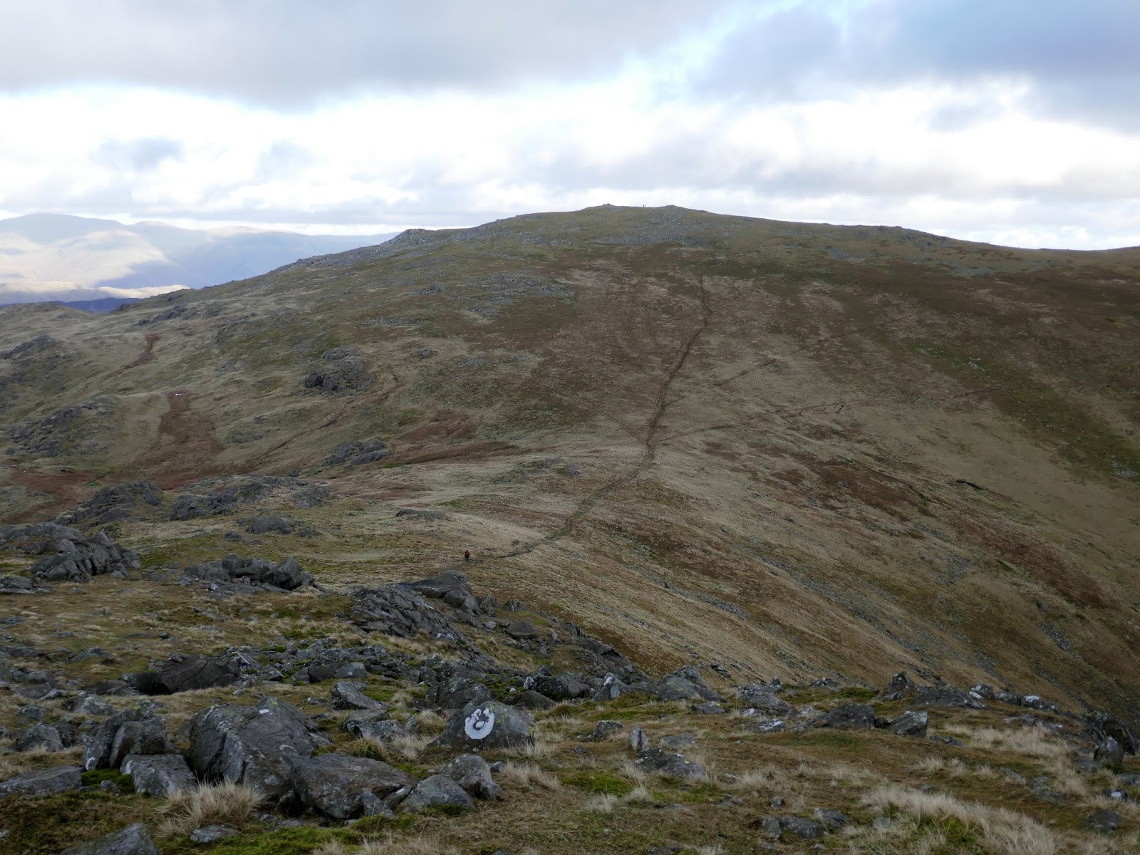
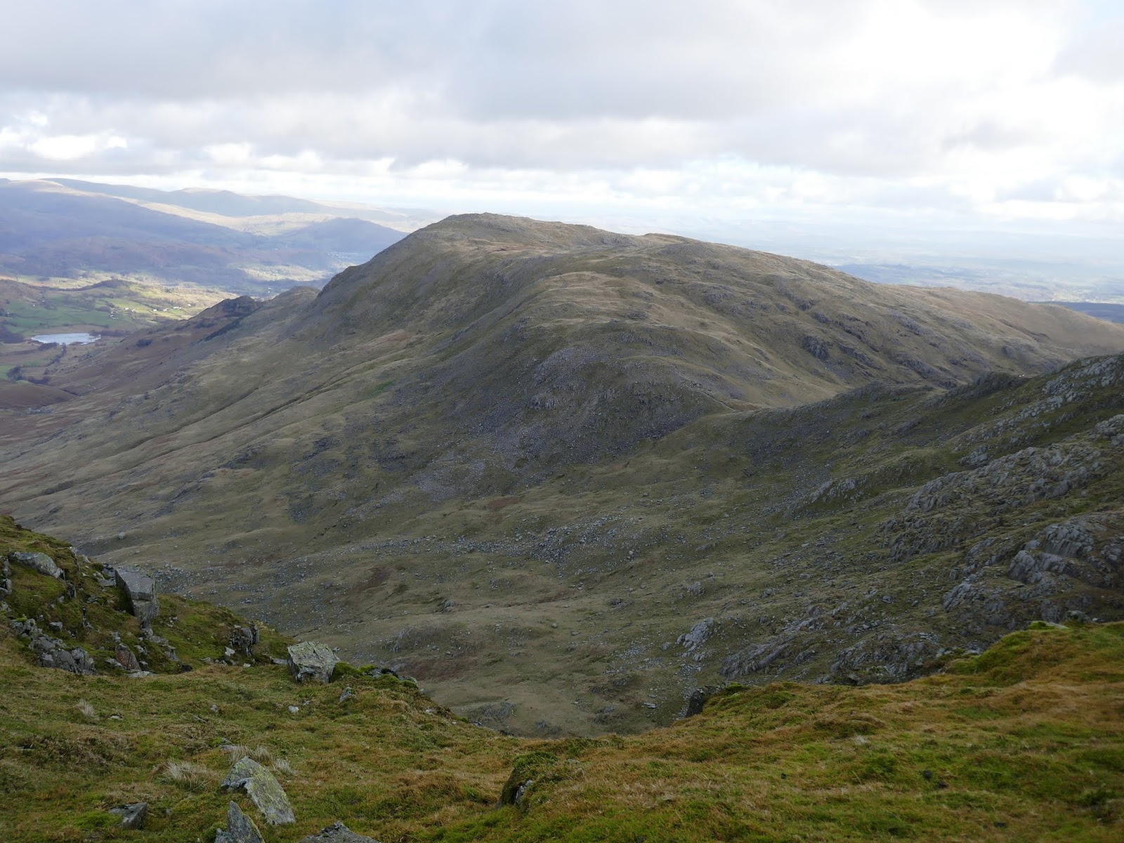
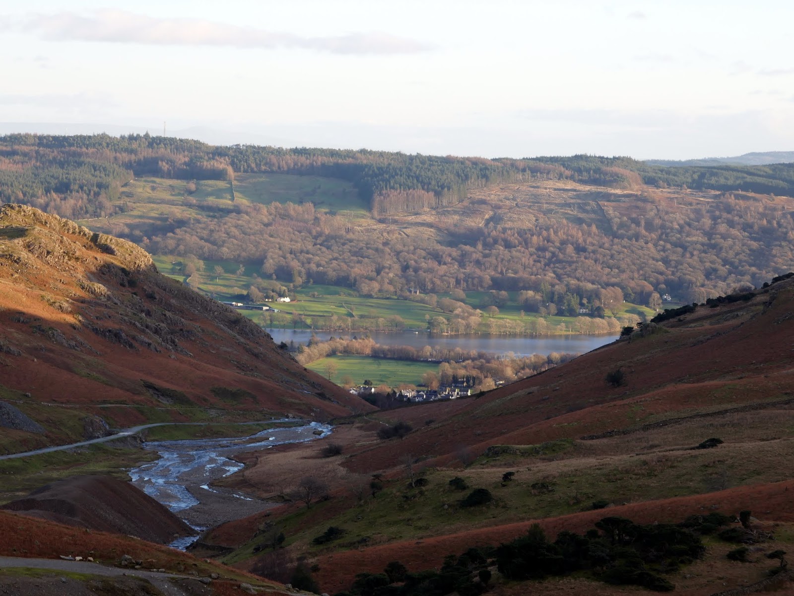
| Crowberry Haws with the Coniston fells beyond |
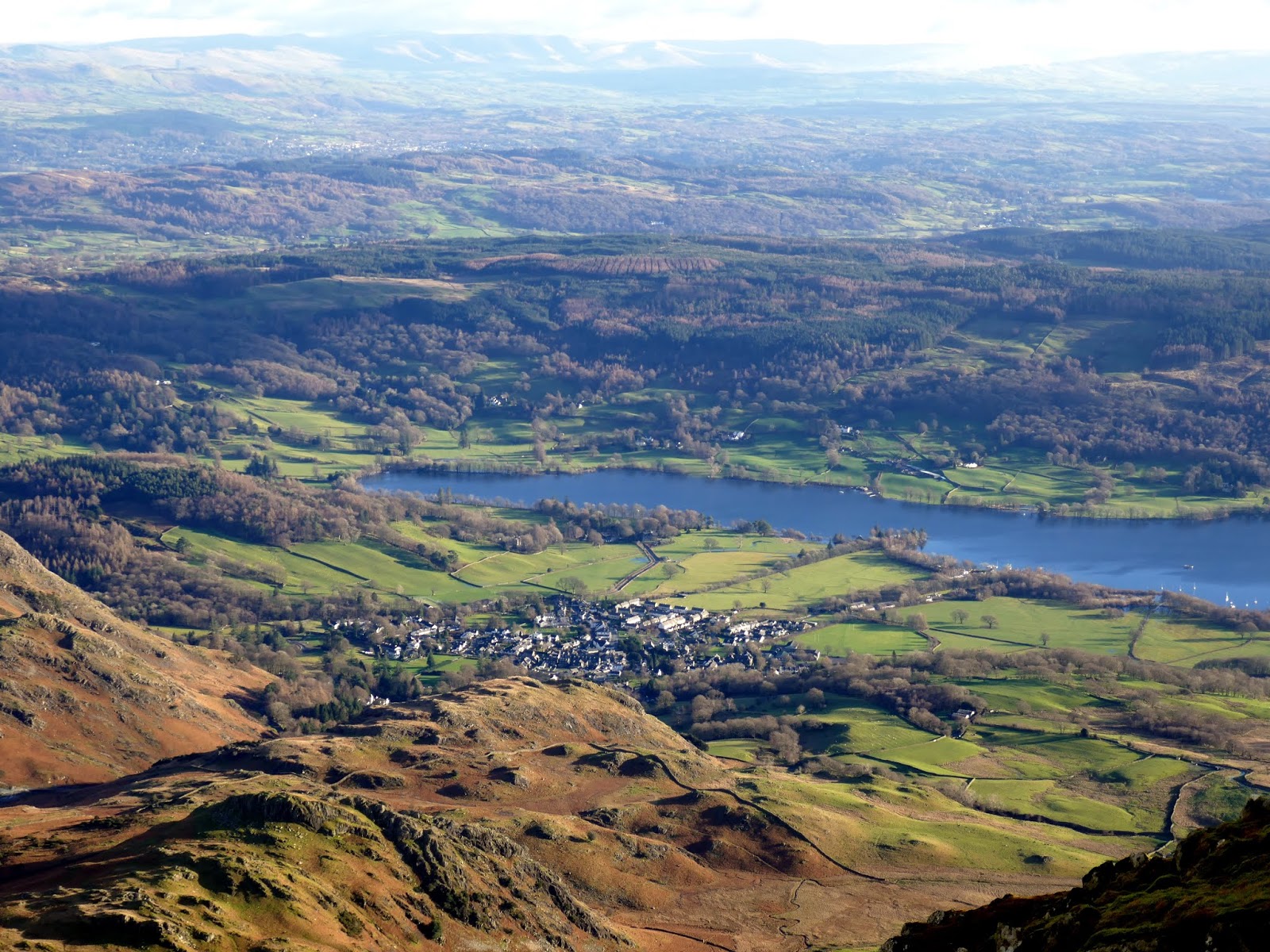
Arguably, the best place to start is at Walna Scar which is exactly what I did. It came as a slight surprise to find quite a few cars parked there already, despite it being before 9am. The Walna Scar car park provides an easy start to a day on the hills.
 |
| The Bursting Stone route to the Old Man of Coniston |
 |
| Morning light over Coniston Water |
 |
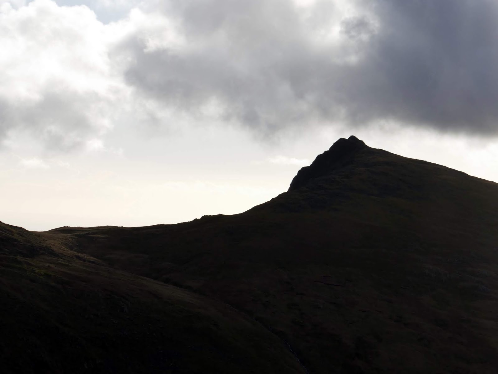
| The Old Man of Coniston |
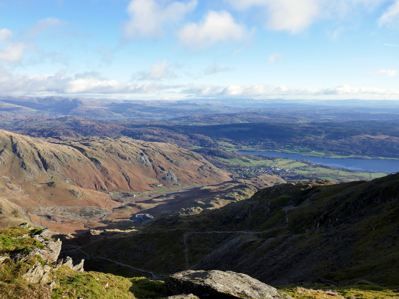
I followed the road as it gently climbs, the views of Coniston becoming increasingly better. I’ve walked the road on a few occasions but I’ve never ventured into The Cove or to Goat’s Water. Part way along the road, a path branches off and climbs towards Dow Crag.
 |
| Departing the Walna Scar road |
 |
| Following the path to The Cove |
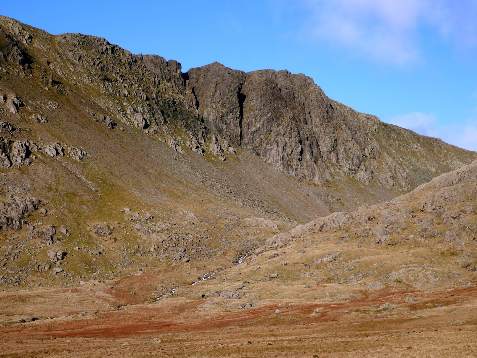
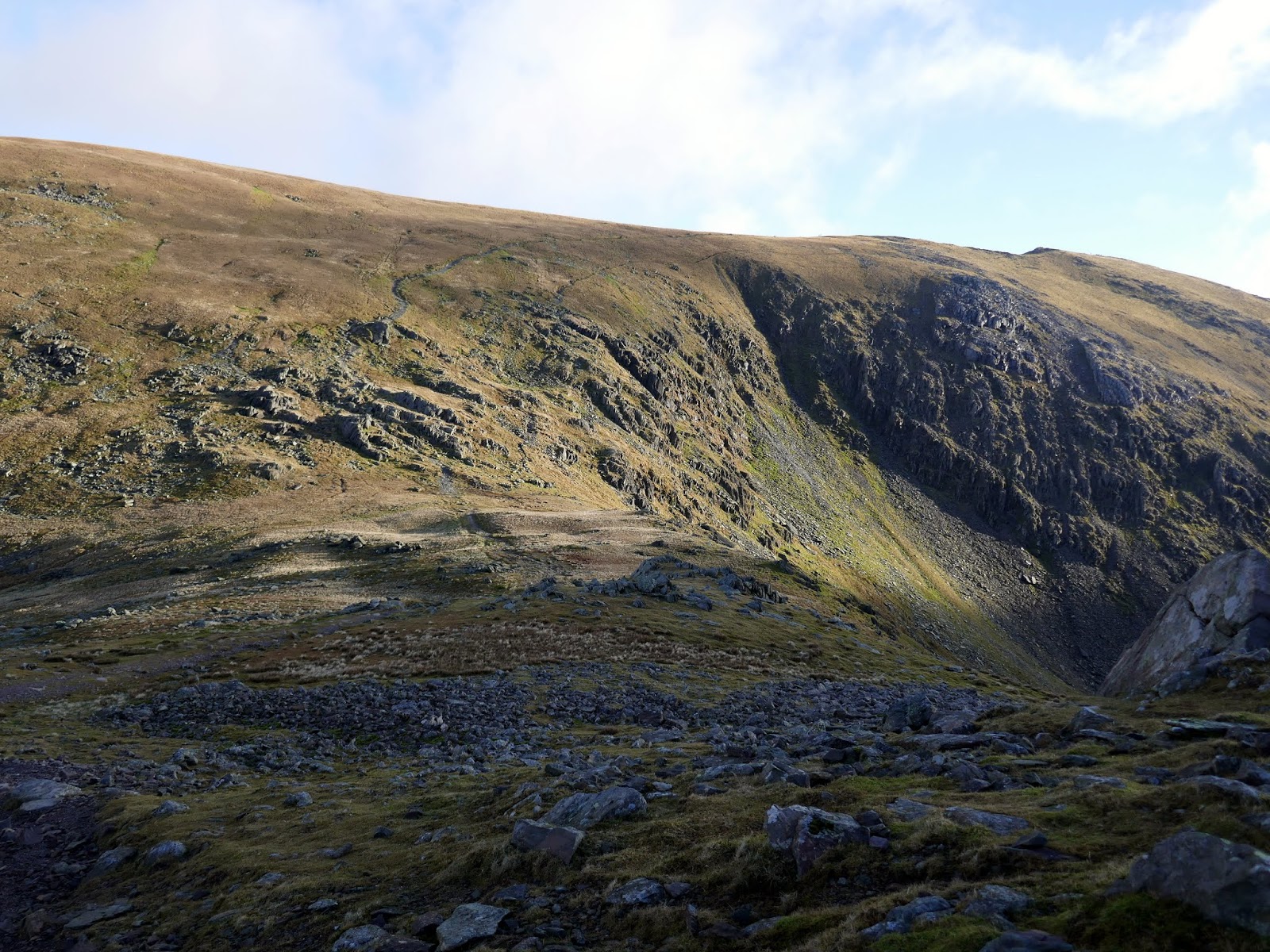
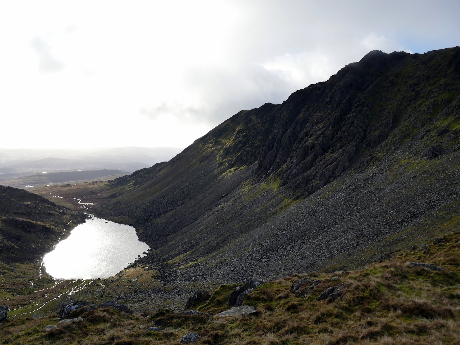
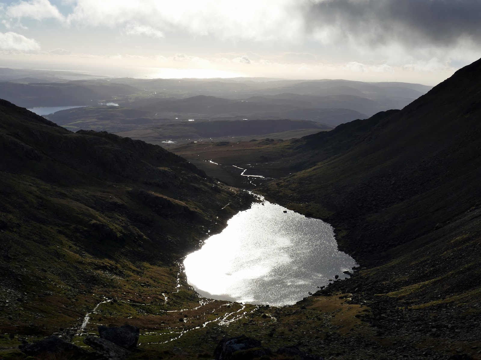
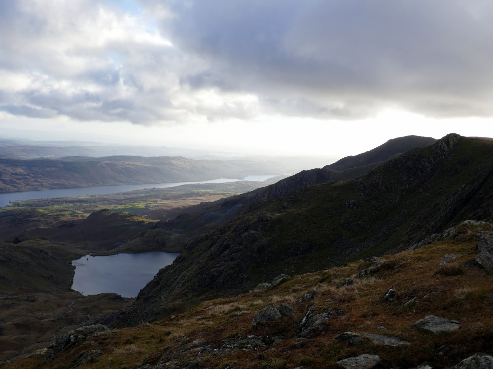
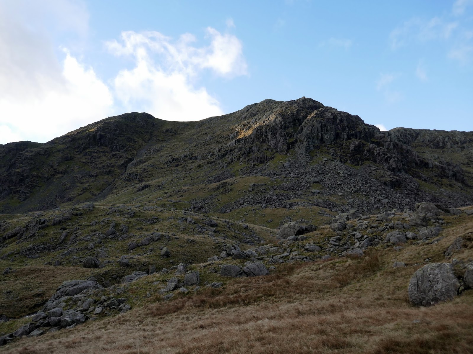
Until now, Dow Crag had been obscured but, skirting around the side of The Cove, the immense buttresses being to emerge. It’s not until you reach the tarns outlet, however, that you get the full view of Dow Crag.
 |
| Buck Pike and Dow Crag over The Cove |
 |
| Dow Crag |
 |
| Easy Gully and Great Gully on Dow Crag |
 |
| Add caption |
 |
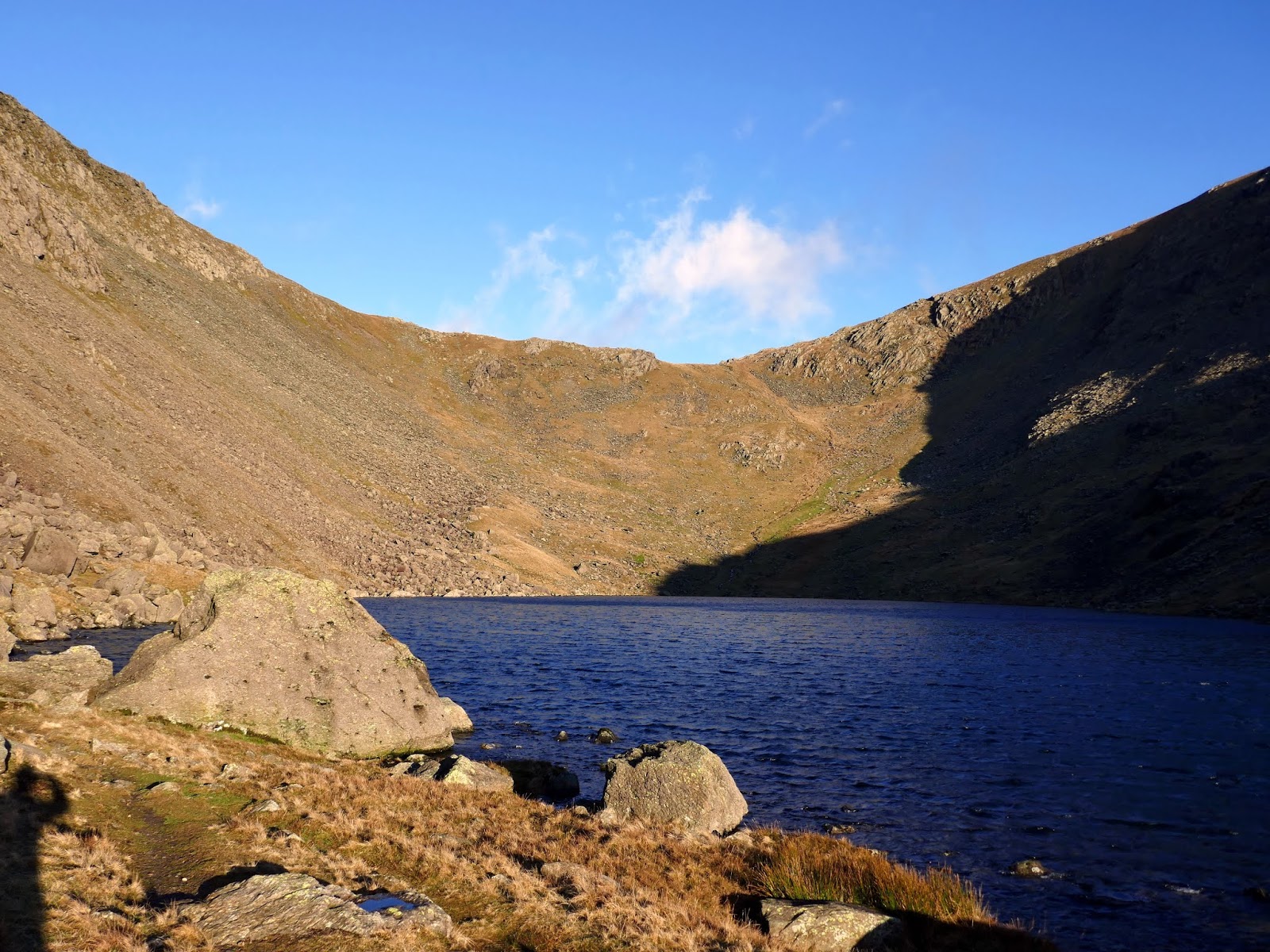
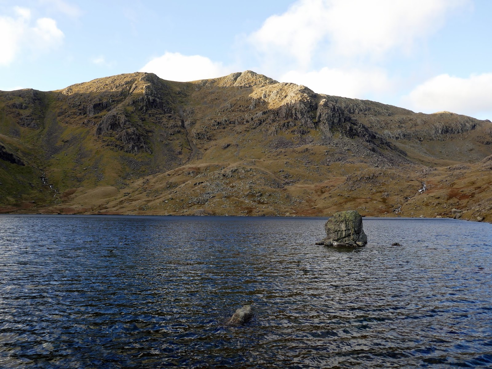
| Dow Crag and Goat’s Water |
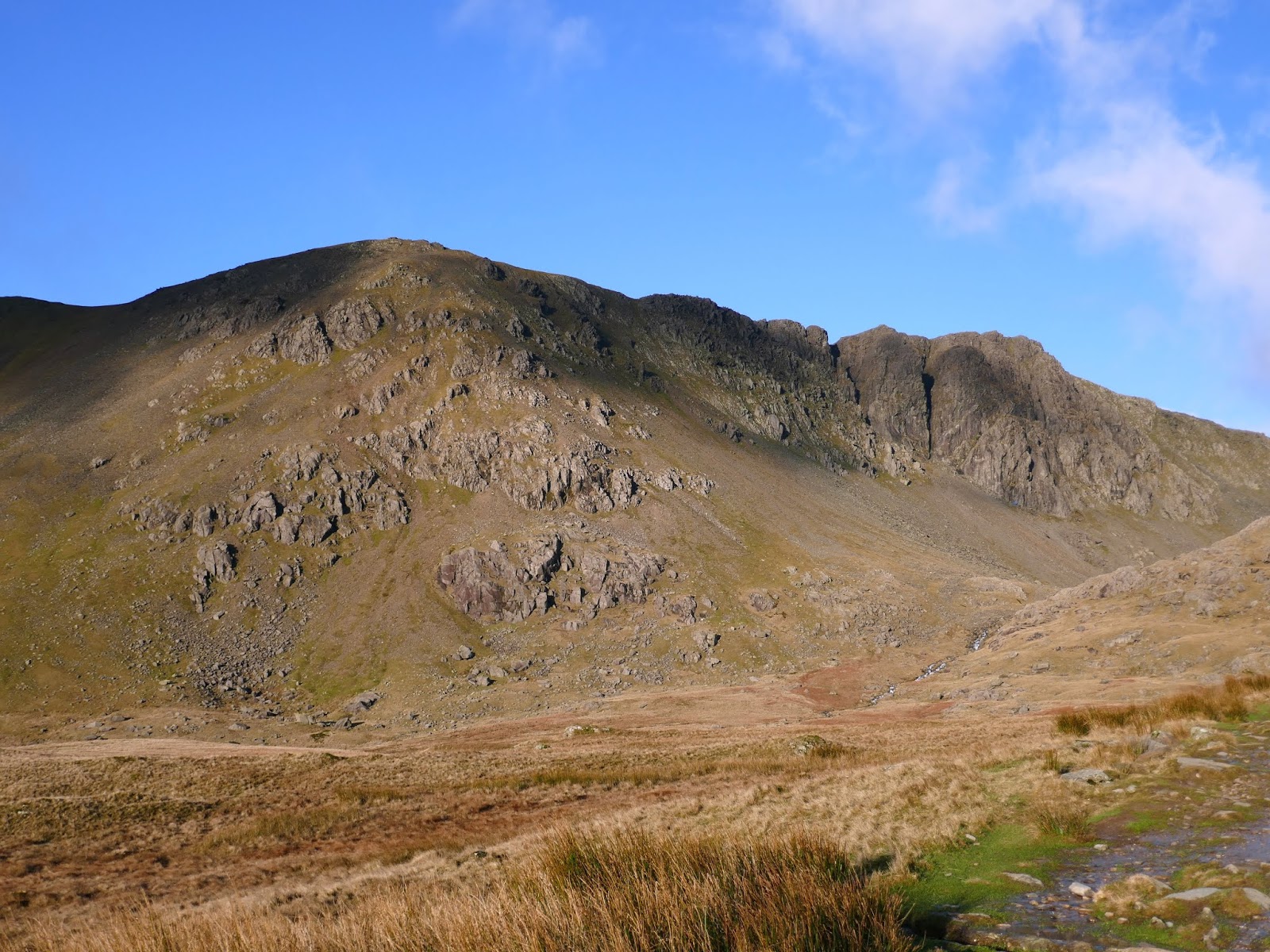
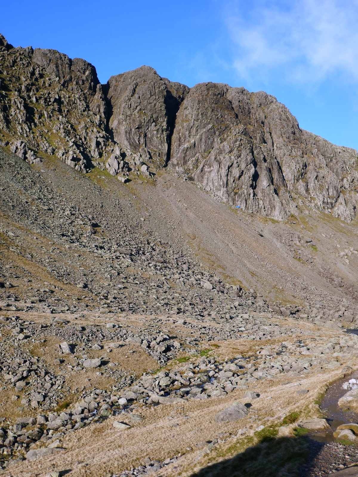
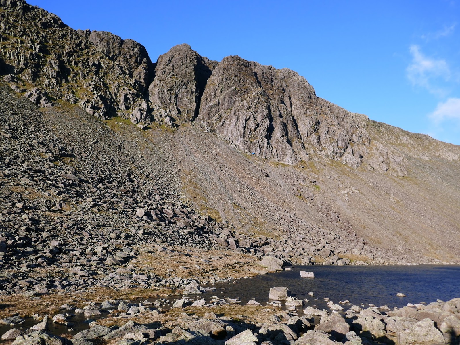
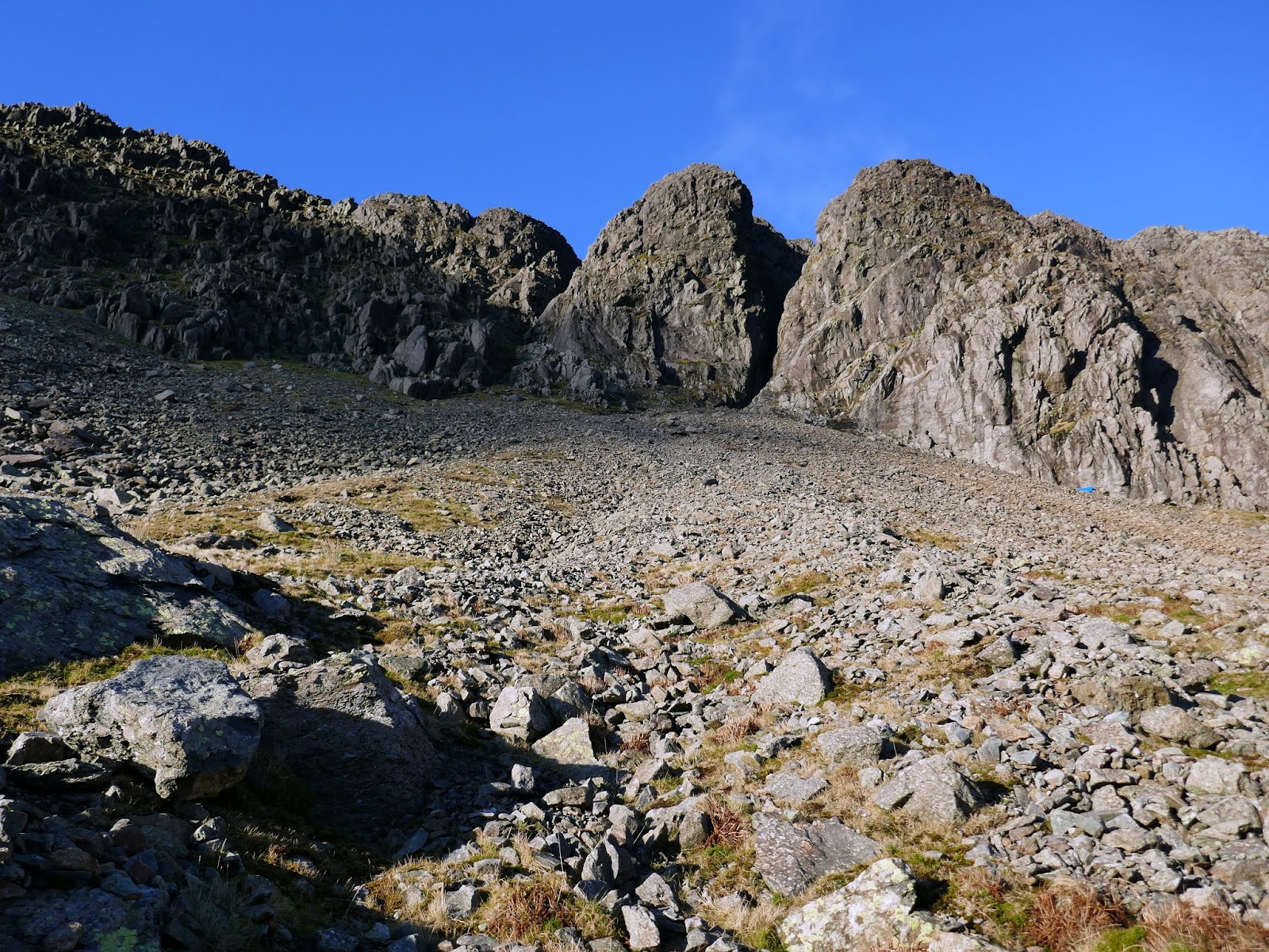
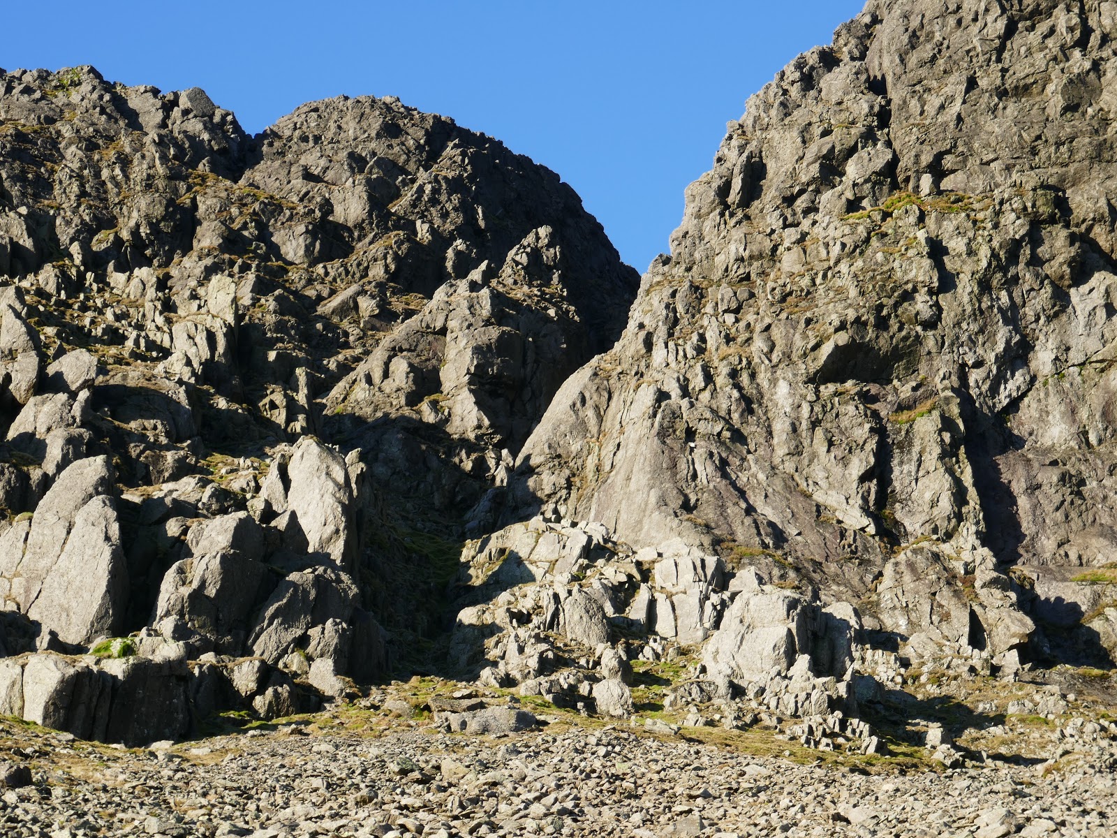
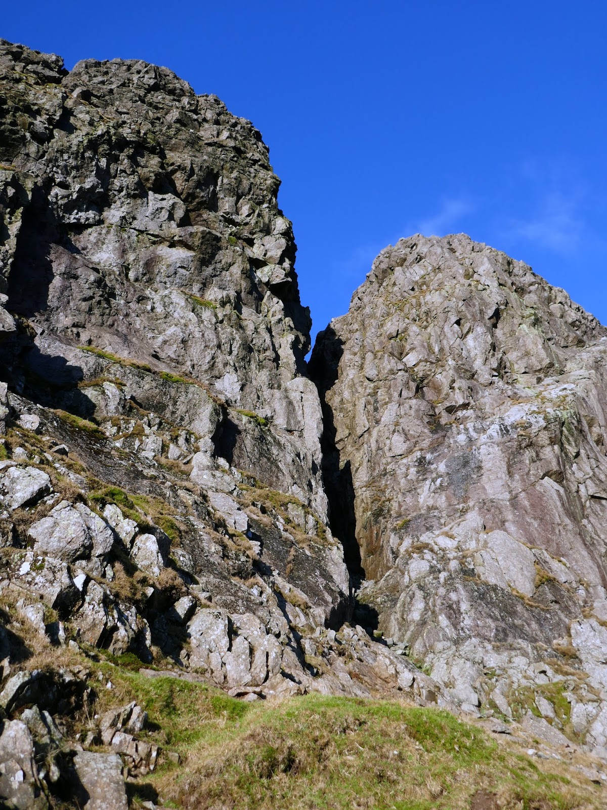
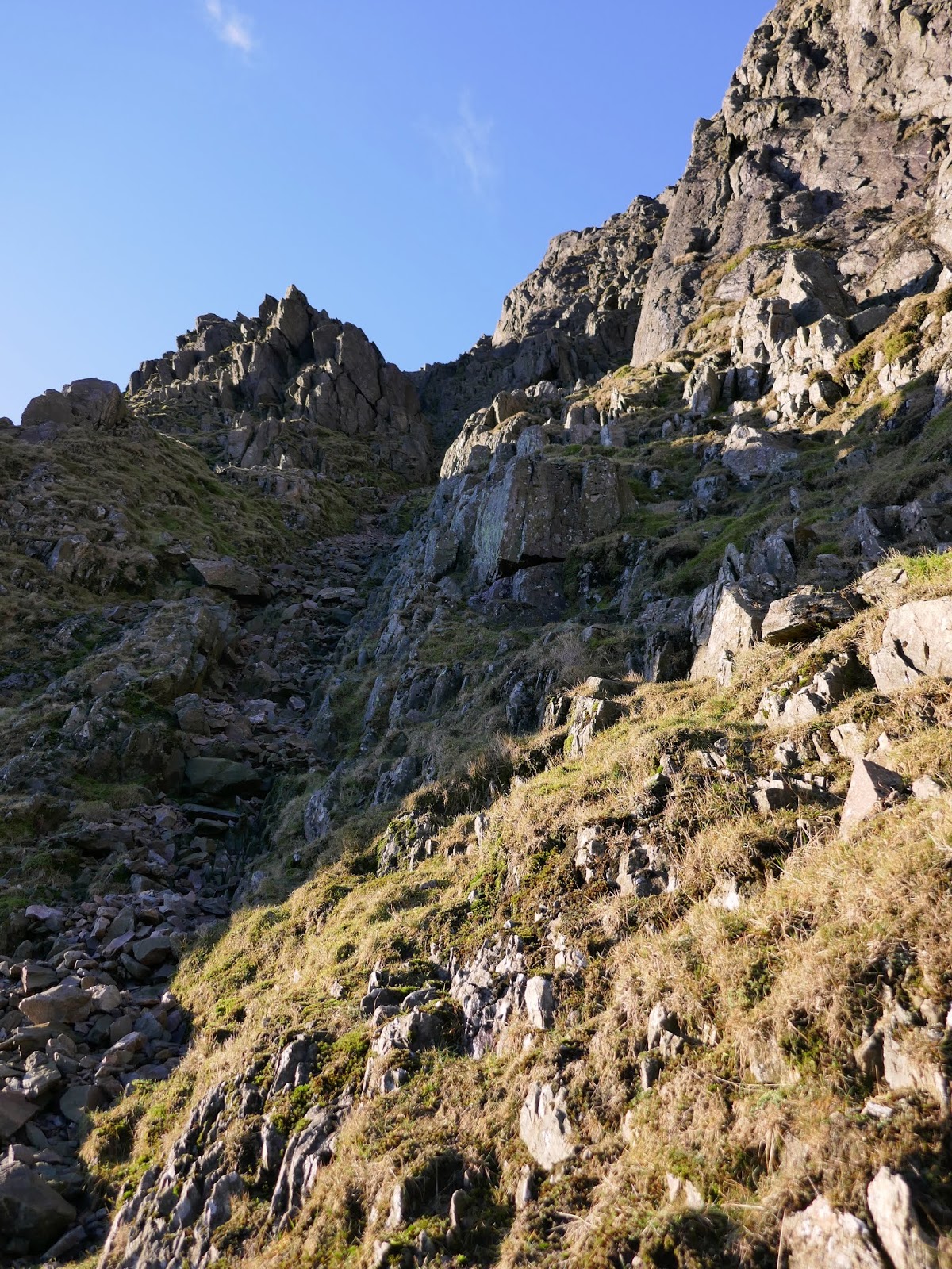
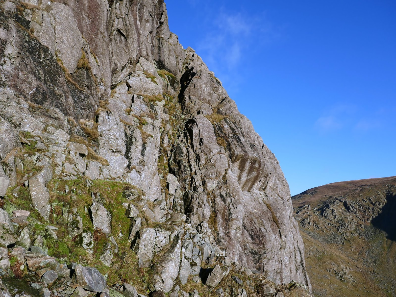
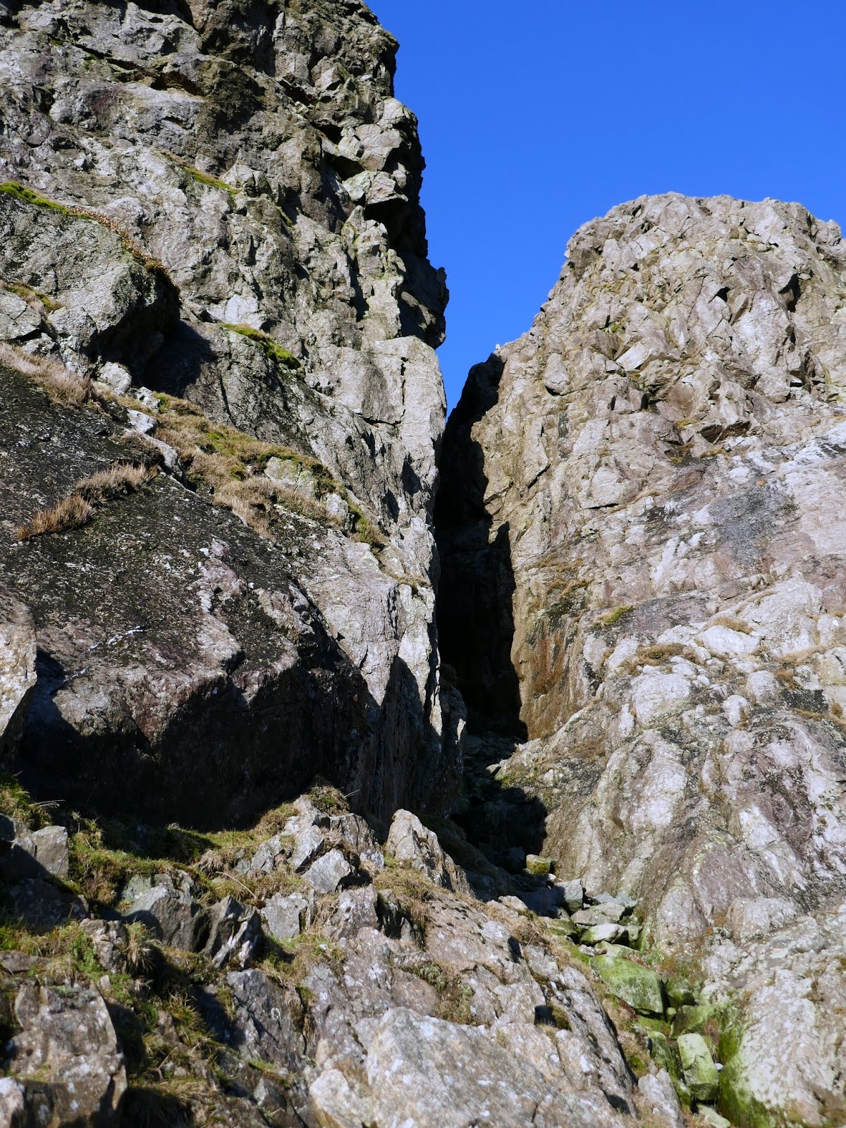
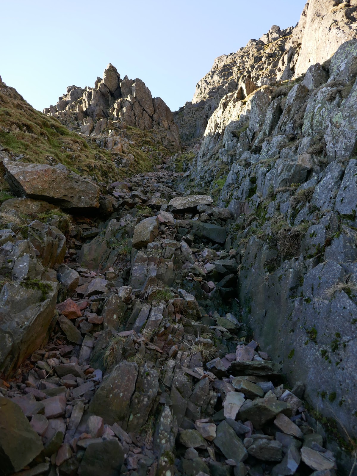
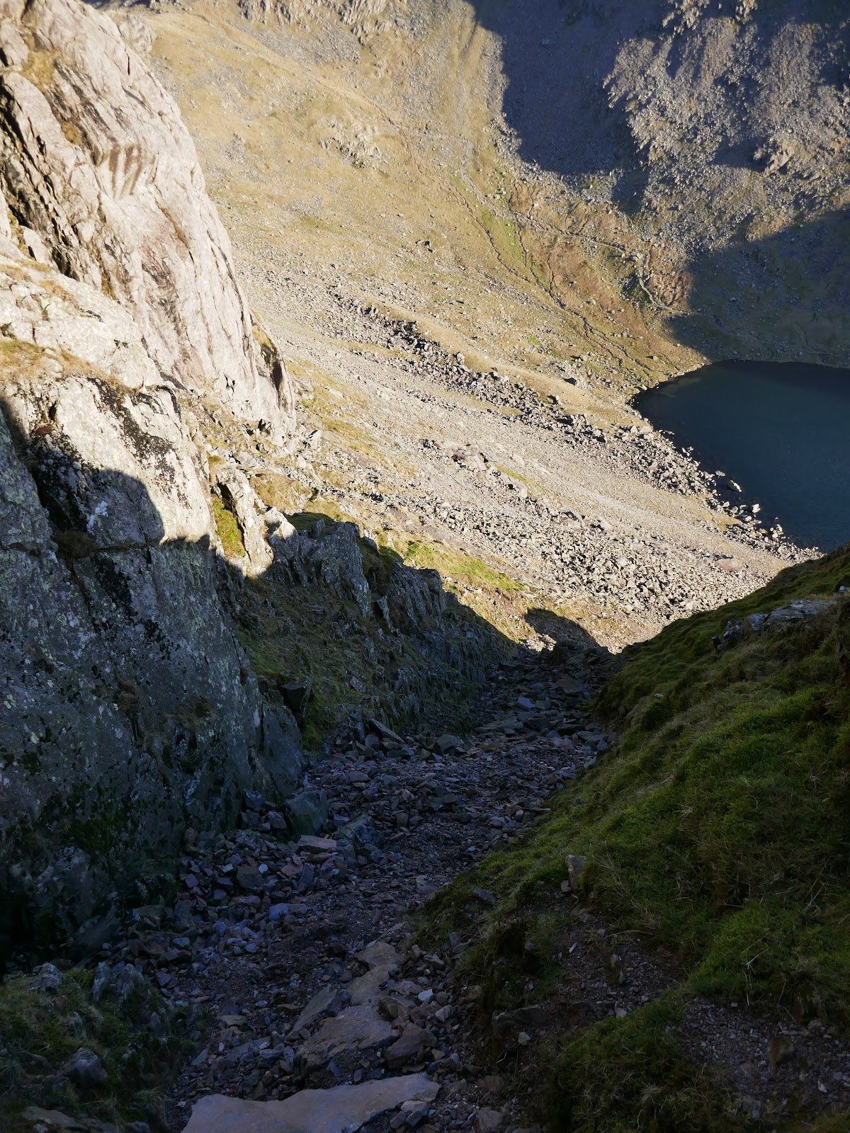
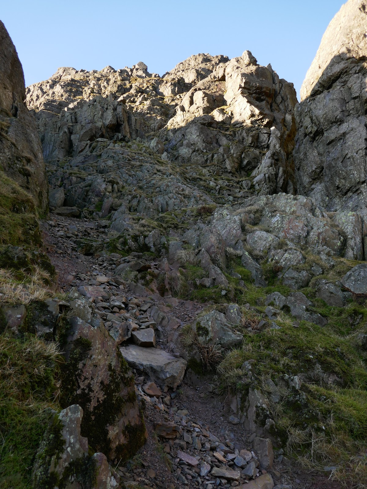
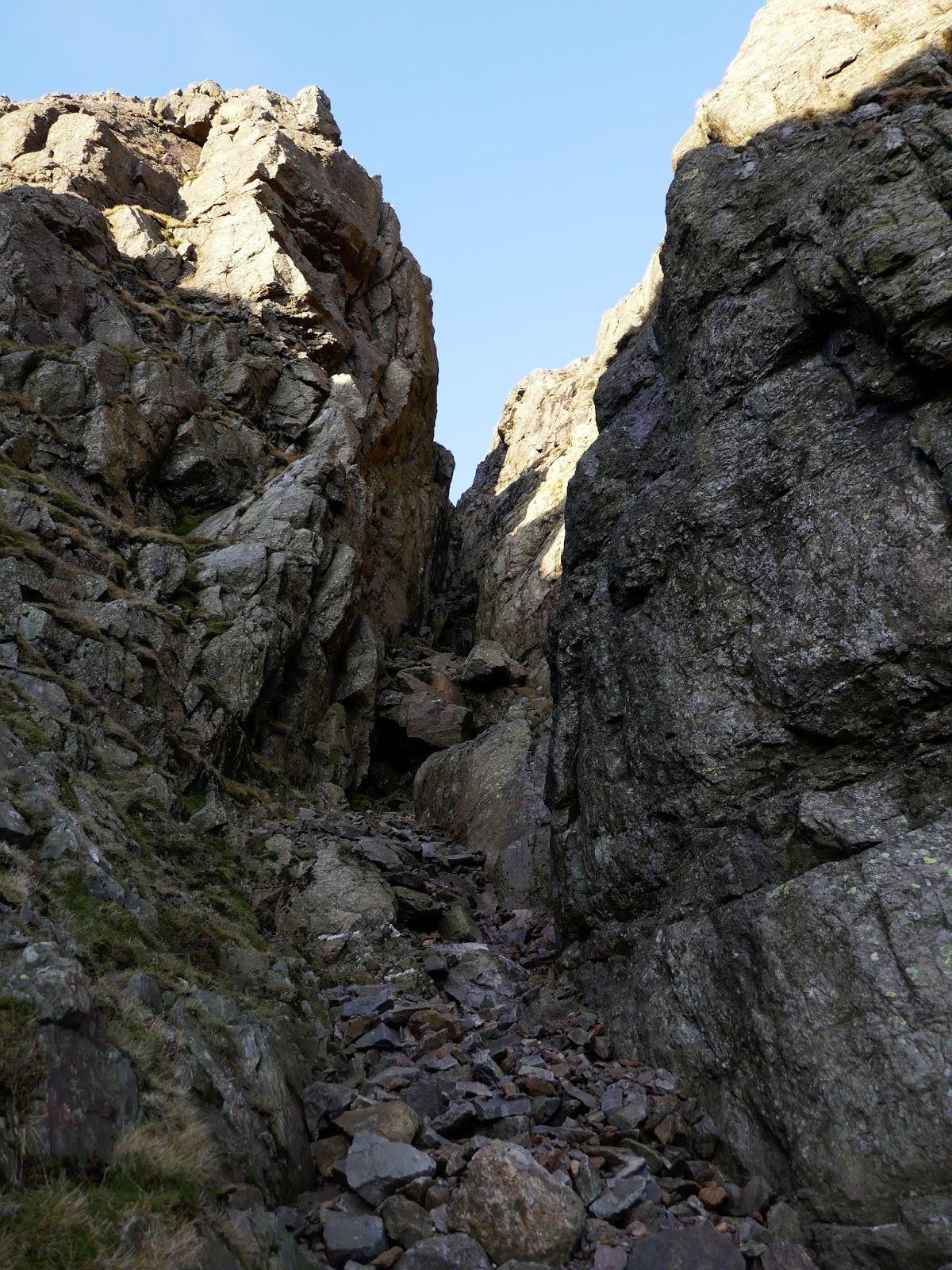
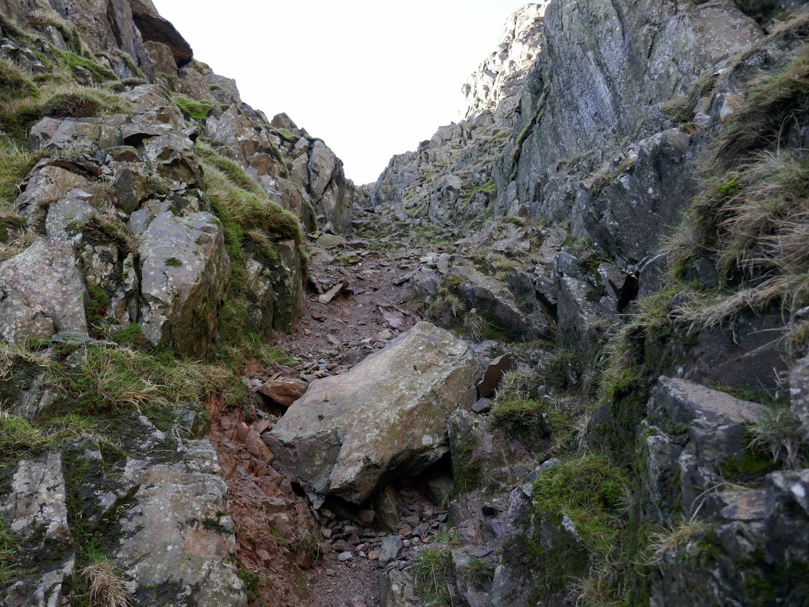
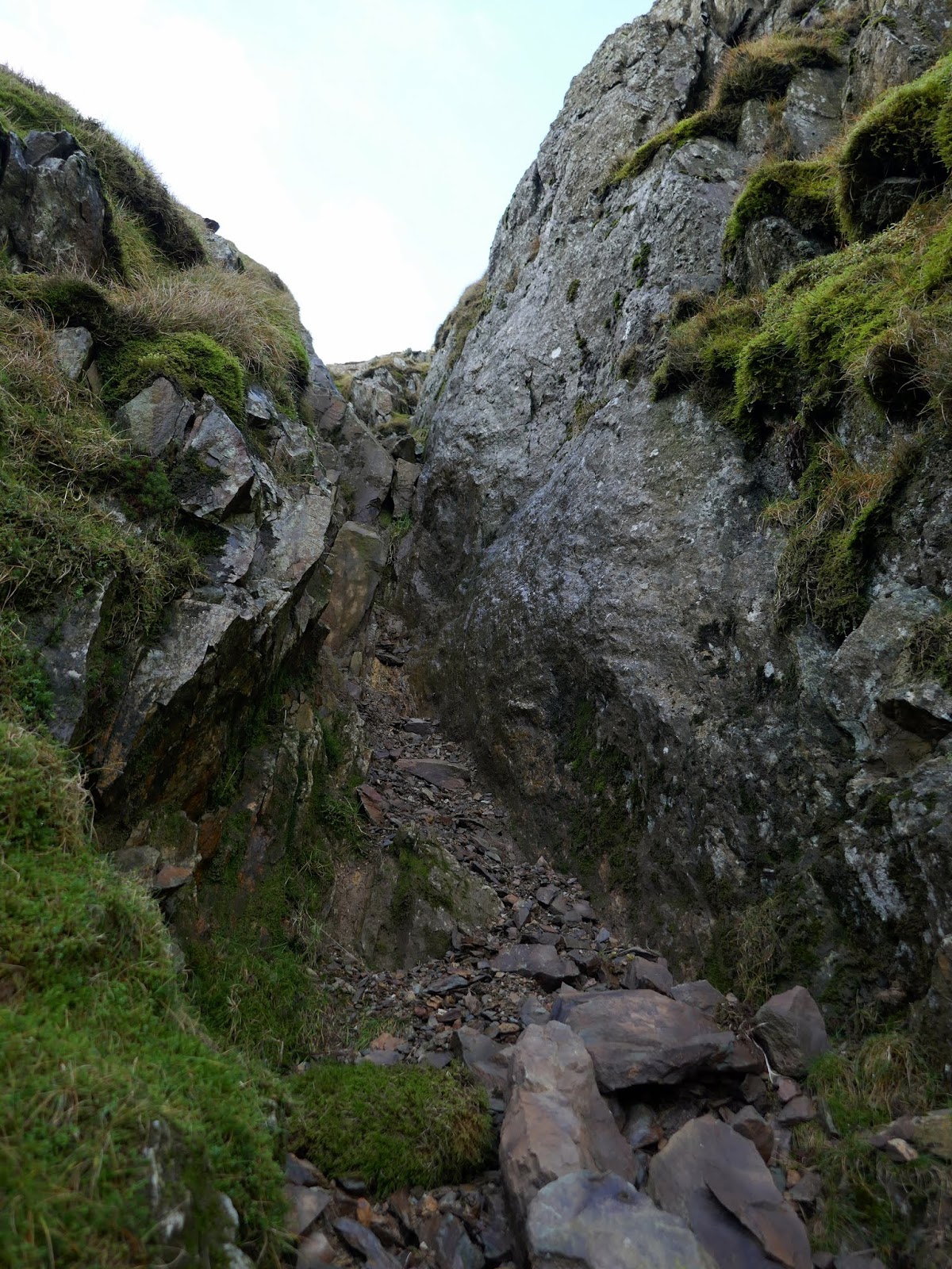
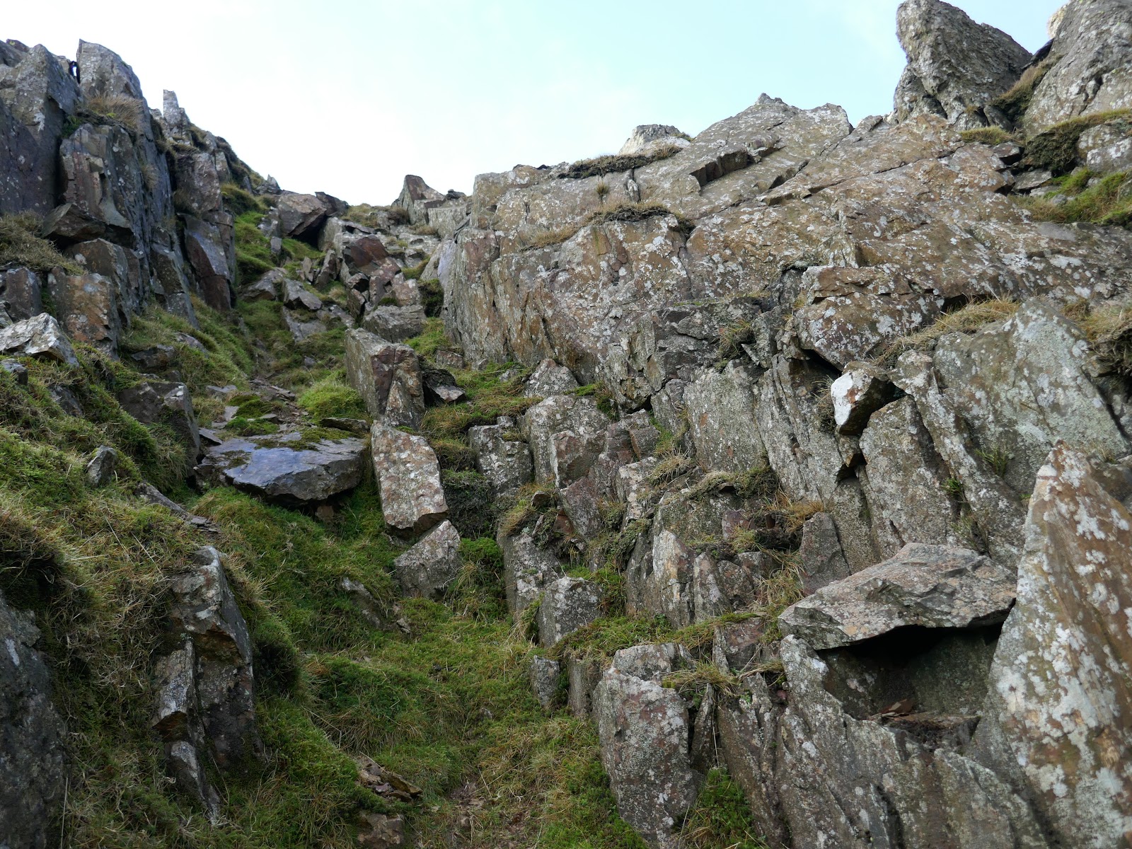
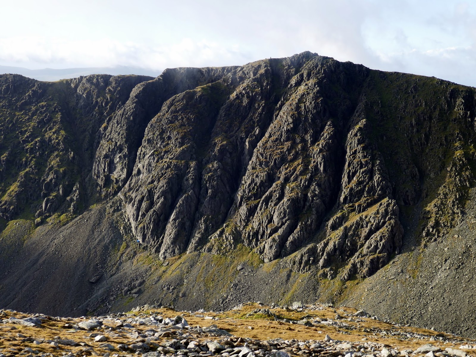
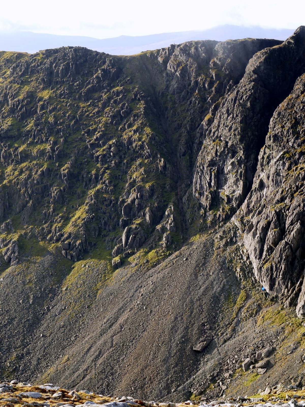
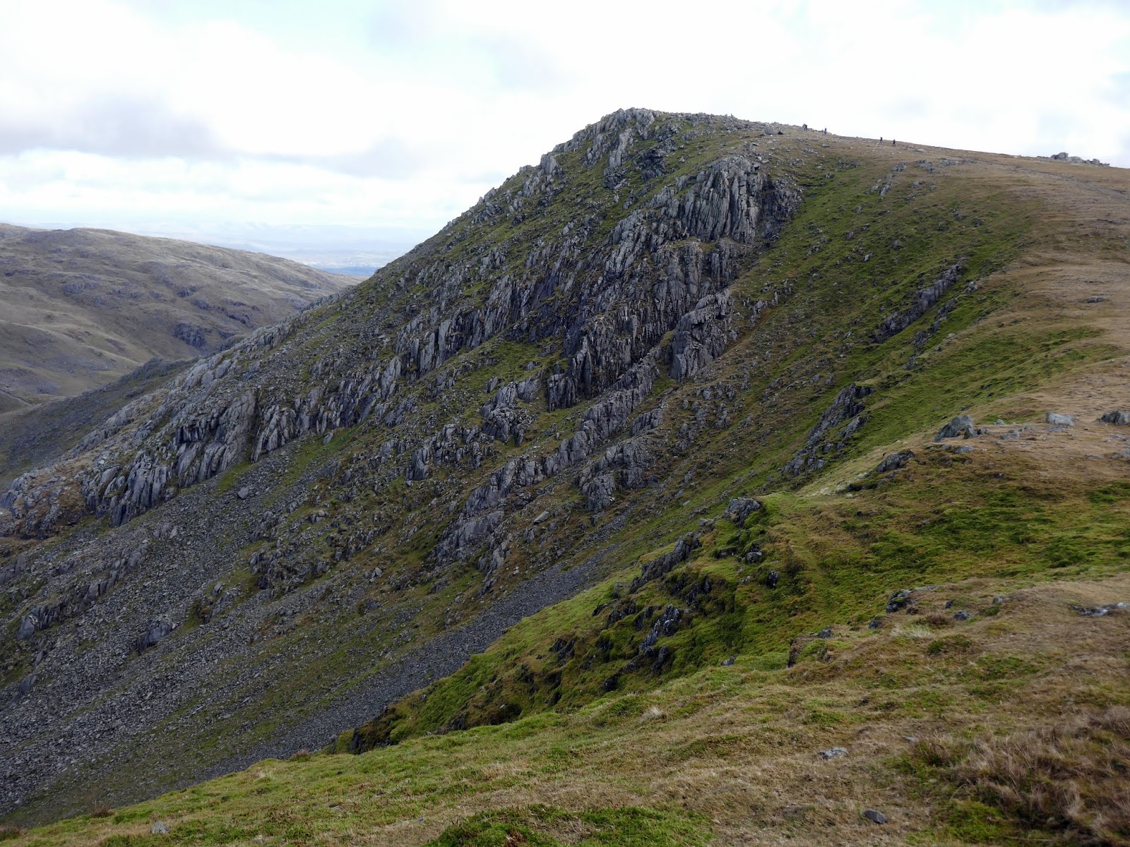
The striking declivities of Great Gully and Easy Gully are what draw your attention first. They separate A, B and C buttresses – Dow Crag’s buttresses are labelled A – F in a south-north direction. The small gully to the left of A buttress is Easy Gully (easy by rock climbing standards). To the left of Easy Gully, hidden up until now, is the South Rake, a ribbon of scree that curves up from the base of A buttress.
To reach the South Rake requires a steep, loose scramble up the scree slope to reach the base of A buttress.
 |
| Goat’s Water |
 |
| At the foot of the scree |
 |
| Easy Gully – identifiable by the pinnacle of rock at its entrance |
 |
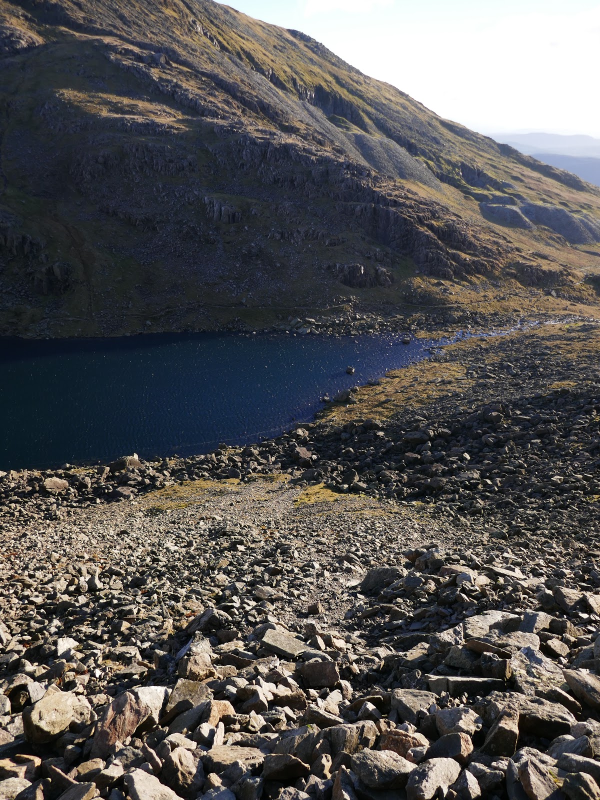
| Looking down the scree to Goat’s Water |
 |
| Great Gully |
 |
| Traversing around to the South Rake |
 |
| Easy Terrace |
 |
| Great Gully |
 |
| The South Rake |
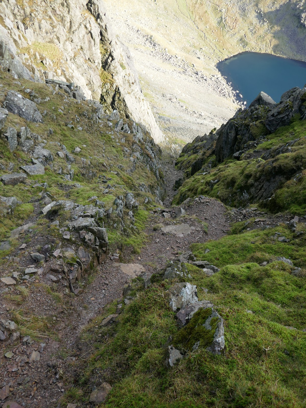
The South Rake offers a similar challenge to Lords Rake on Scafell though I think it’s a superior scramble being longer and marginally steeper. It passes the imposing entrance to Easy Gully as it makes its way up through the rocks of Dow Crag.
 |
| Looking down the South Rake |
 |
| The South Rake below Easy Gully |
 |
| The Old Man of Coniston |
 |
| Easy Gully |
As the rake climbs higher it becomes a little steeper and splits, separated by a grassy spur. Either side is climbable and neither looks more challenging than the other. Eventually, I emerged onto the crest of Dow Crag’s main ridge.
 |
| The South Rake |
 |
| The right-hand gully |
 |
| Looking down the left-hand gully |
 |
| The final climb to the ridge |
 |
| The view into Dunnerdale |
 |
| A brief view of Coniston |
 |
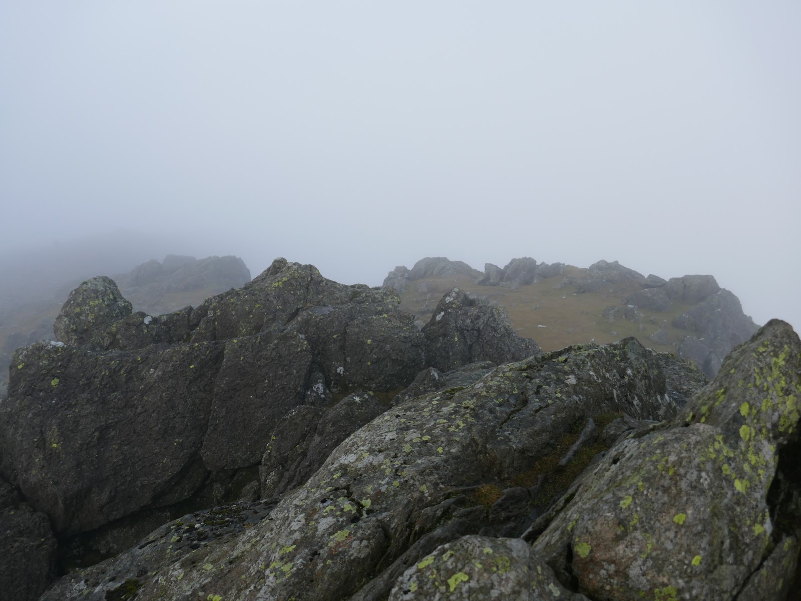
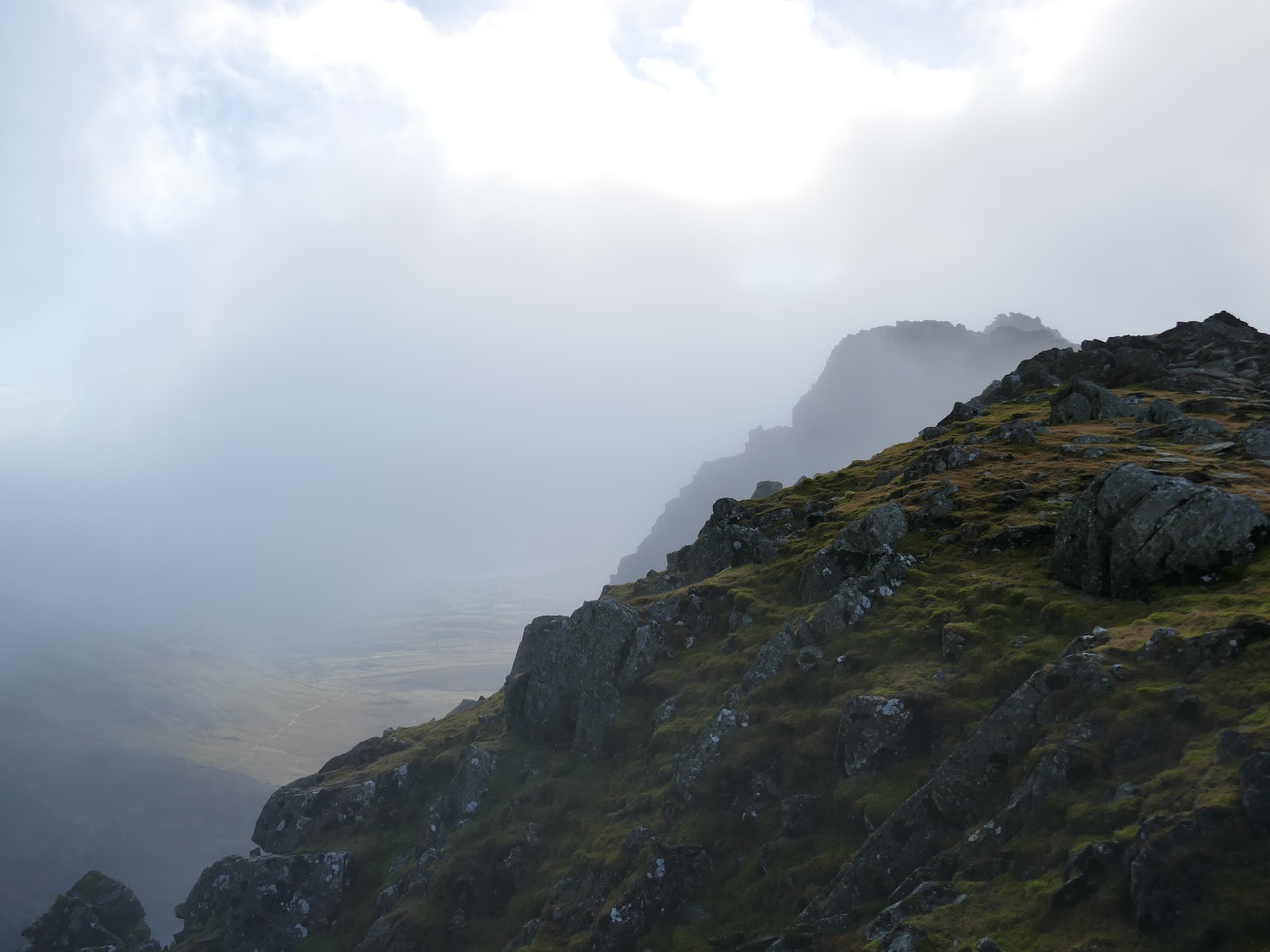
| Dow Crag’s summit ridge |
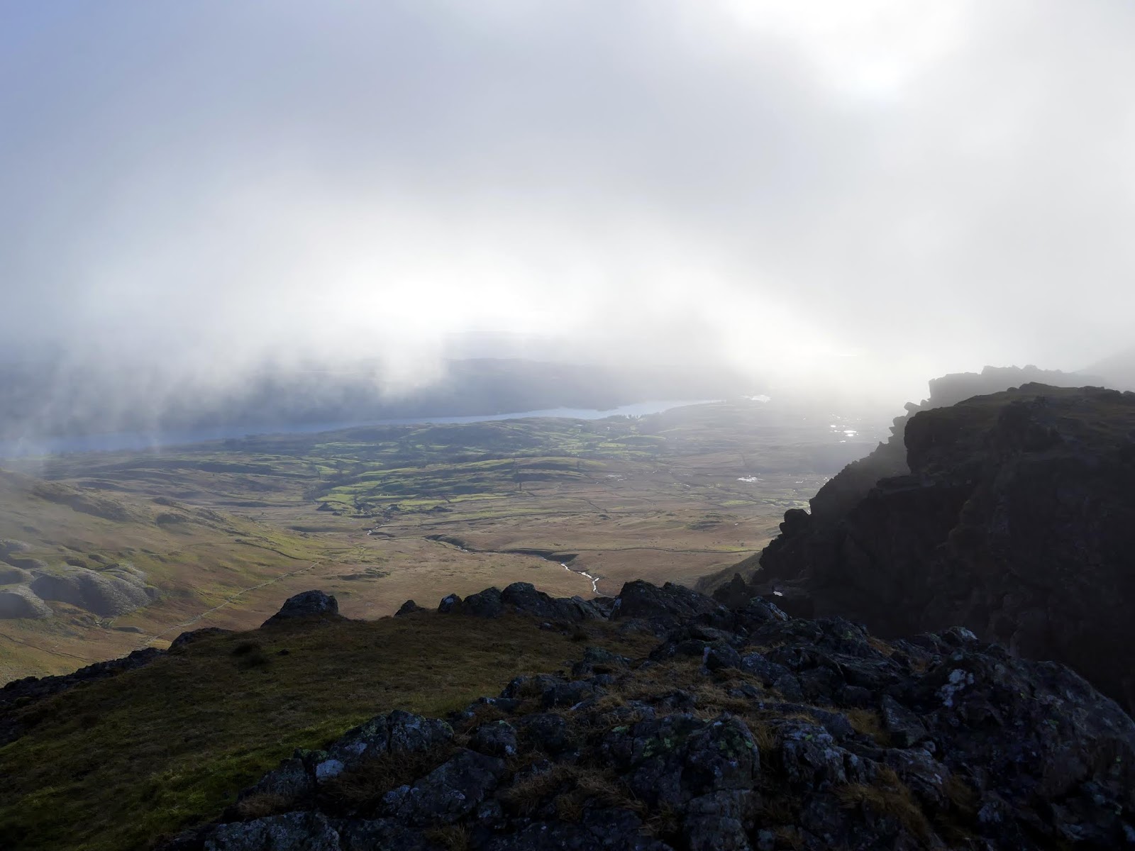
Clouds swept over the ridge while I made my way to the summit, obscuring the view while I was there. Fortunately, they did not hang around for long and cleared by the time I was descending to Goats Hause.
 |
| Dow Crag’s summit |
 |
| Dow Crag |
 |
| A view to Coniston |
 |
| Harter Fell |
 |
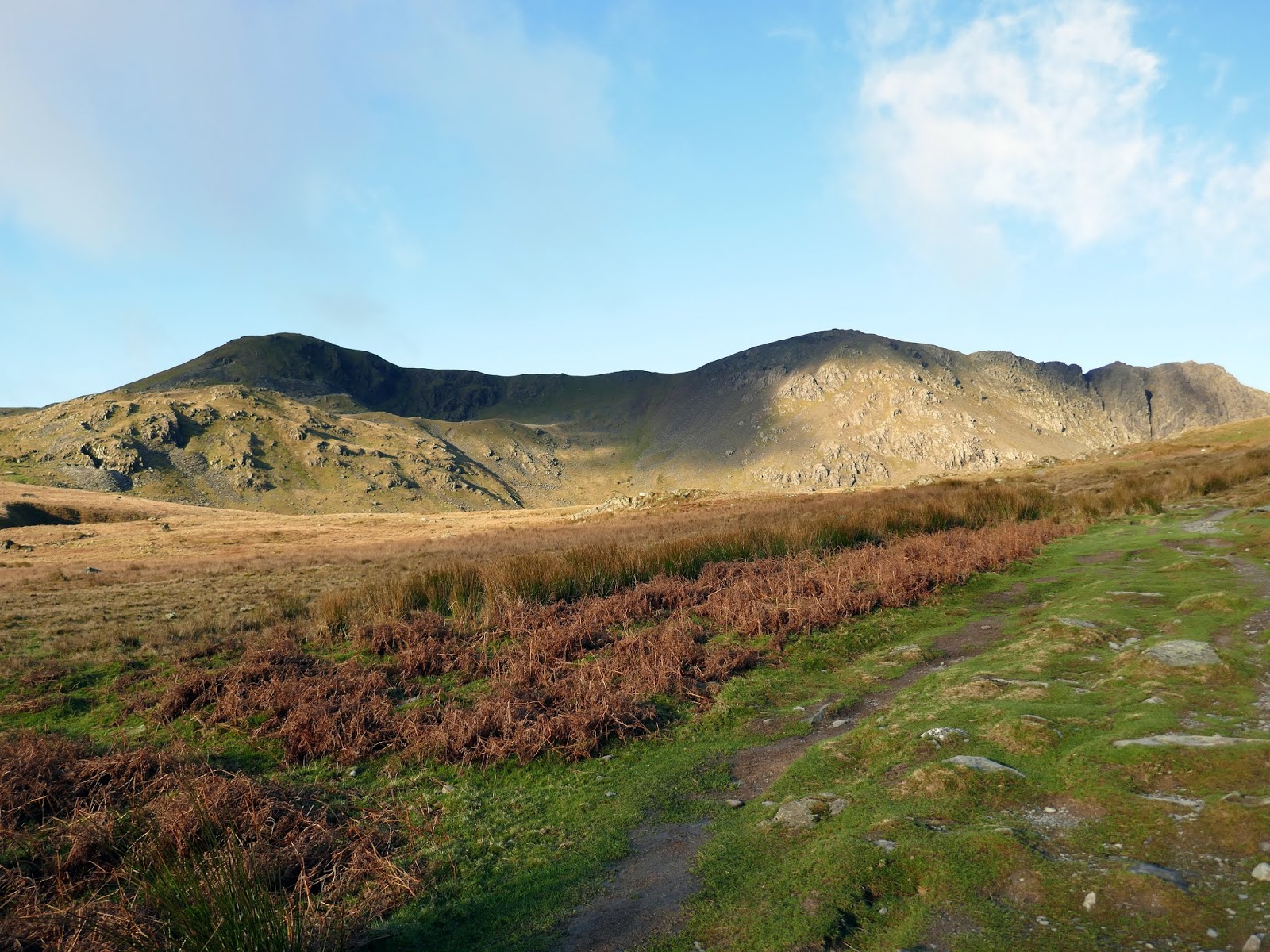
| Brim Fell seen over Goat’s Hause |
 |
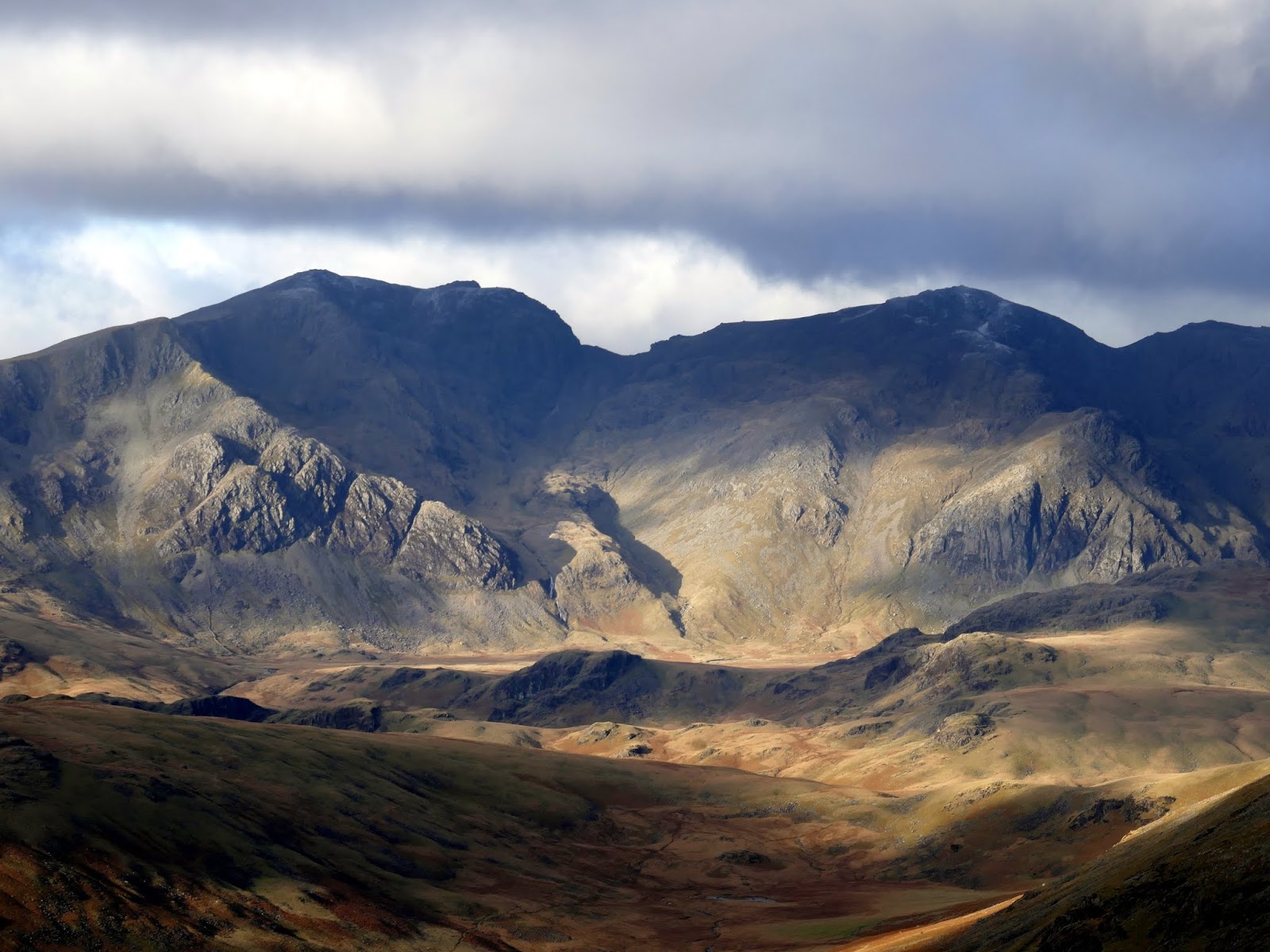
| Grey Friar and Swirl How over Calf Cove |
 |
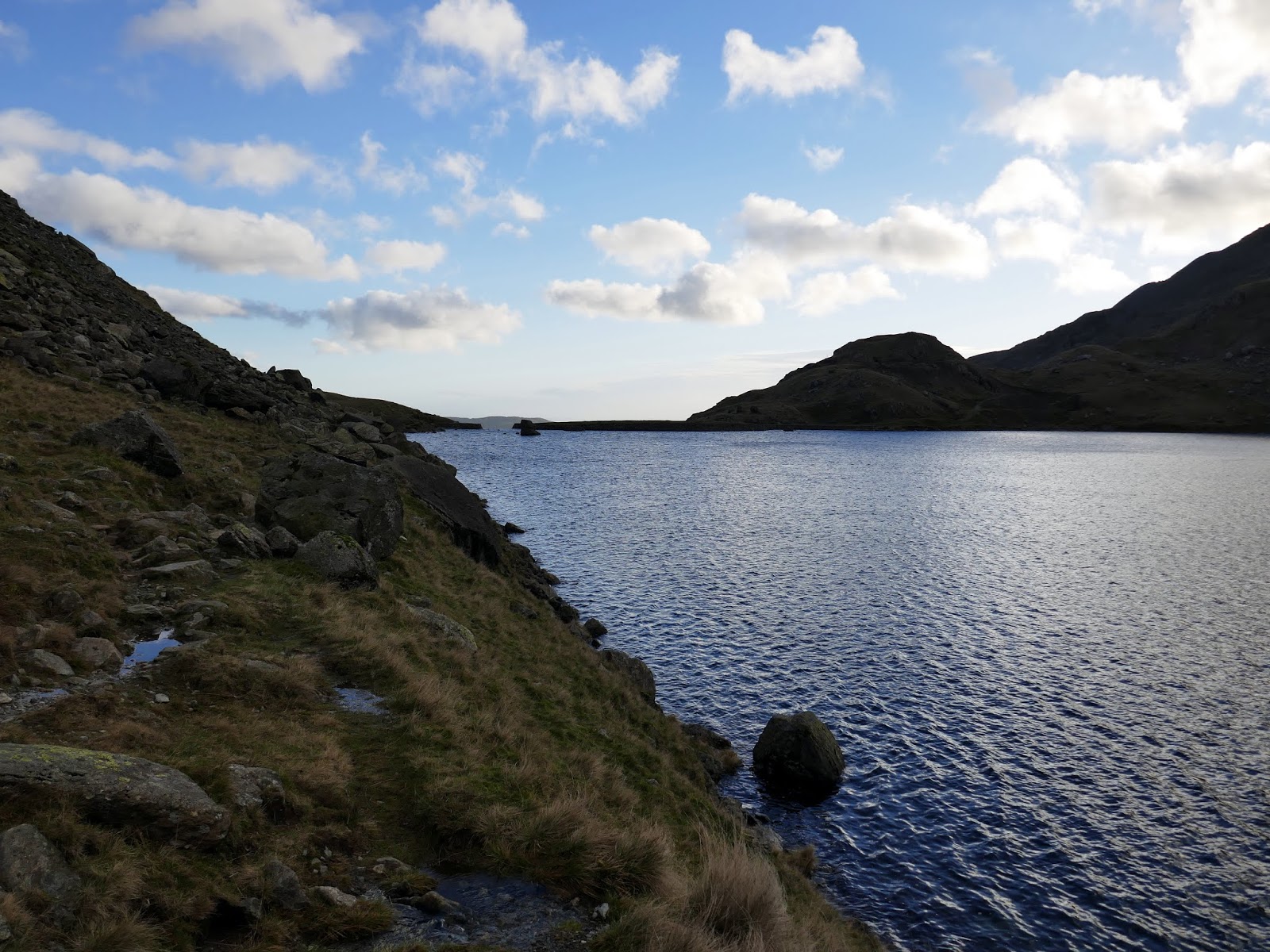
| Goat’s Hause |
 |
| Goat’s Water and Dow Crag |
 |
| Goat’s Water |
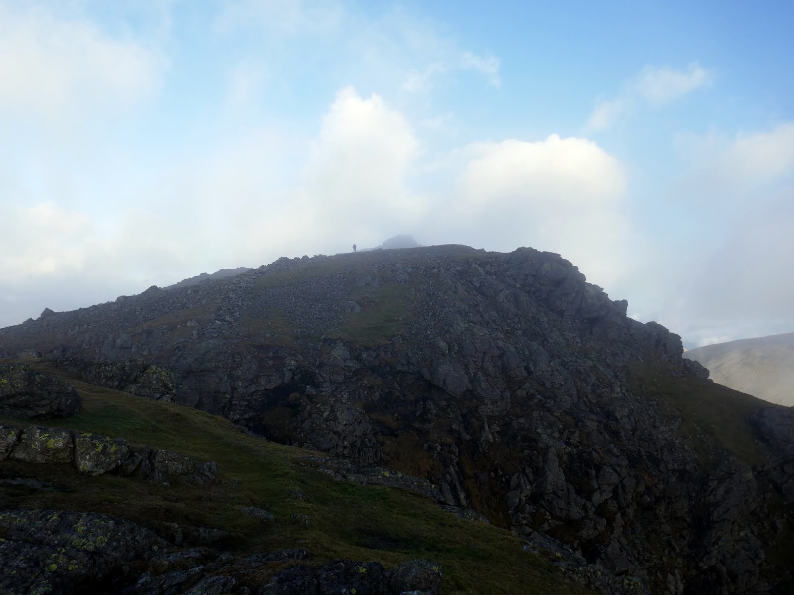
There’s a steep 200m climb from Goat’s Hause up The Old Man. After the climb, you’re greeted by a splendid view of The Old Man as you reach the ridge where it’s a short, almost level, walk to the summit.
 |
| The buttresses of Dow Crag |
 |
| The South Rake |
 |
| Approaching the Old Man |
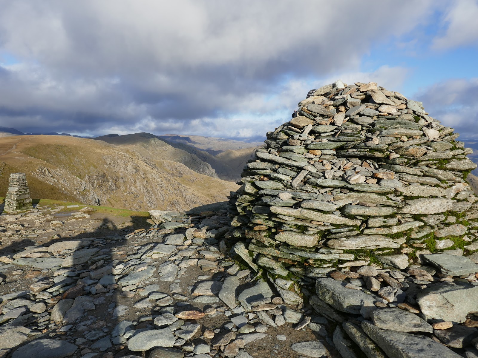
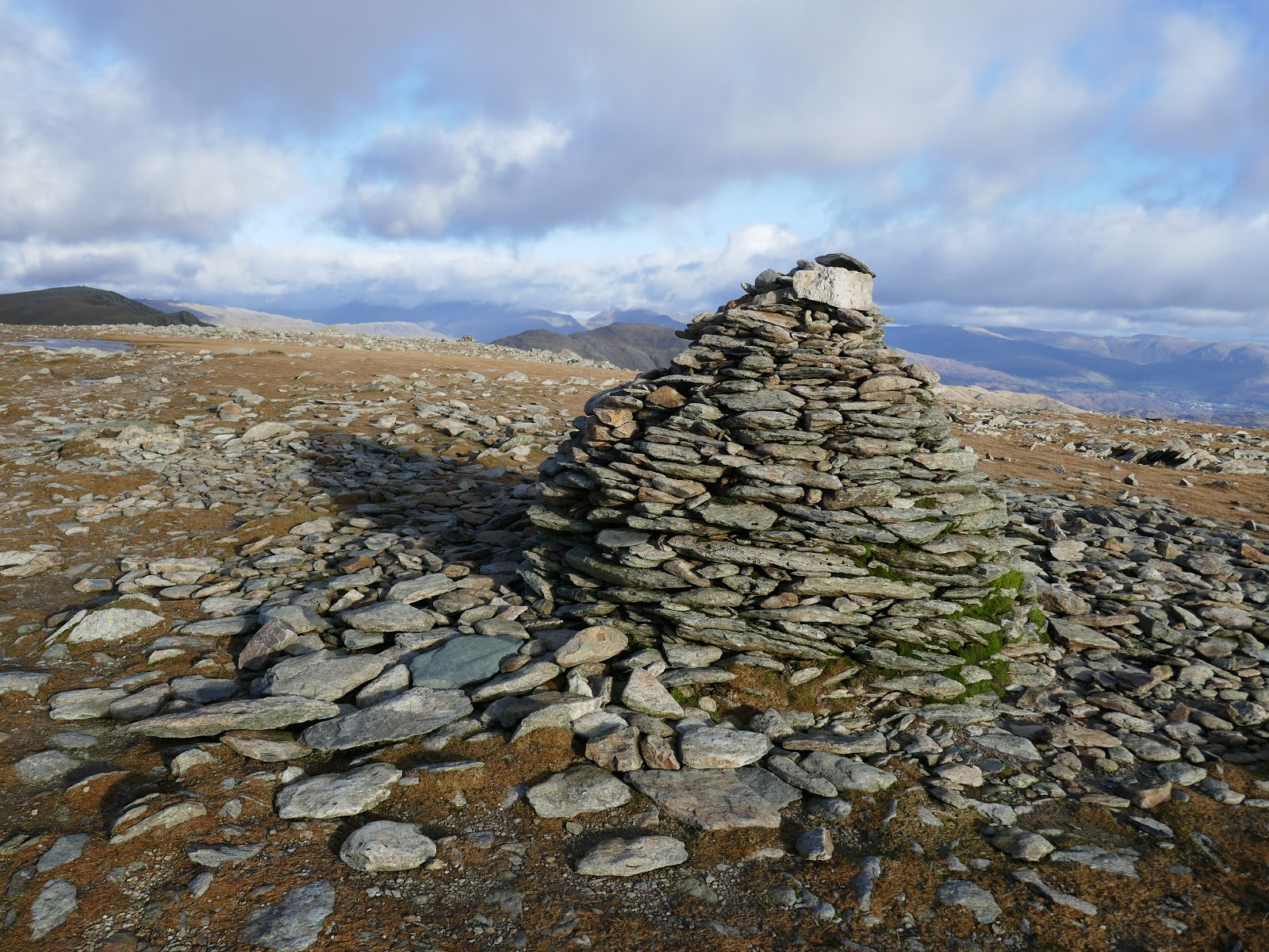
The Old Man is the highest fell of the Coniston group, topped by an odd slate platform/cairn combo – no doubt a result of its slate mining heritage.
 |
| Coppermines Valley and Coniston |
 |
| The trig pillar on the Old Man |
 |
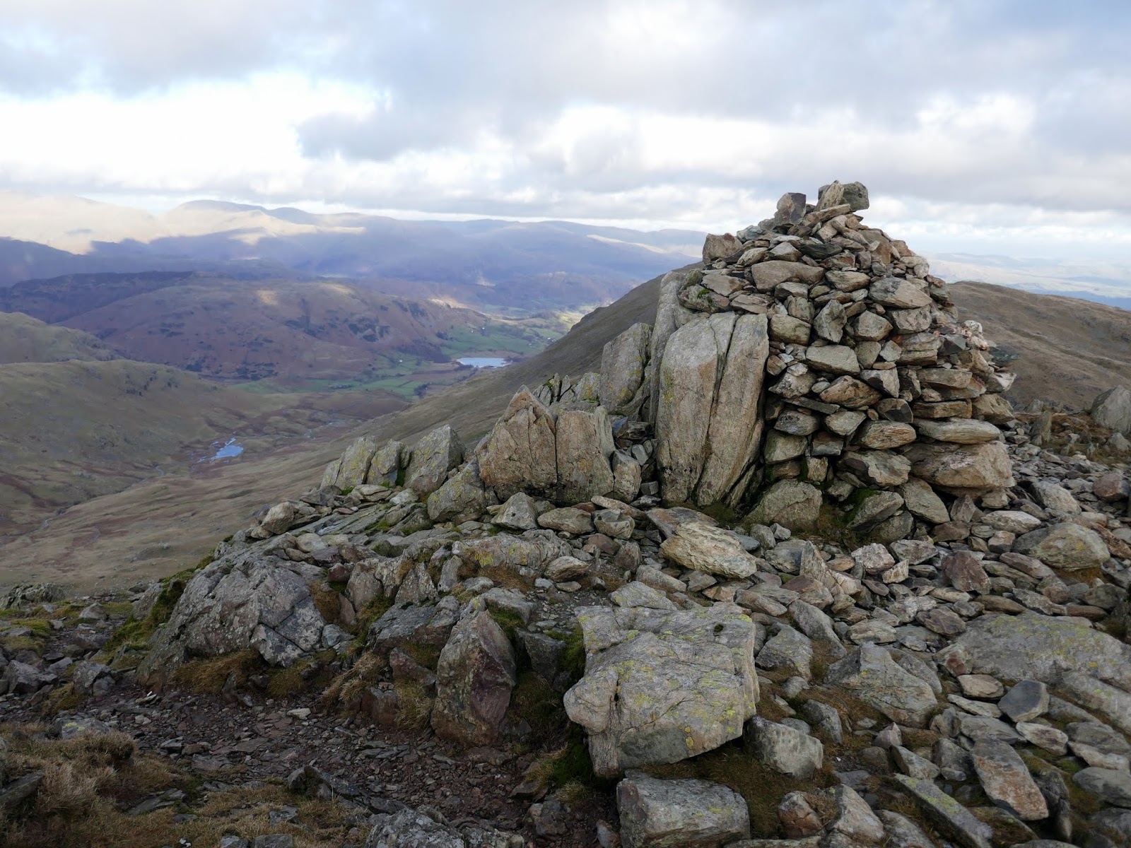
| The large cairn on the summit |
 |
| Coniston |
 |
| Wetherlam |
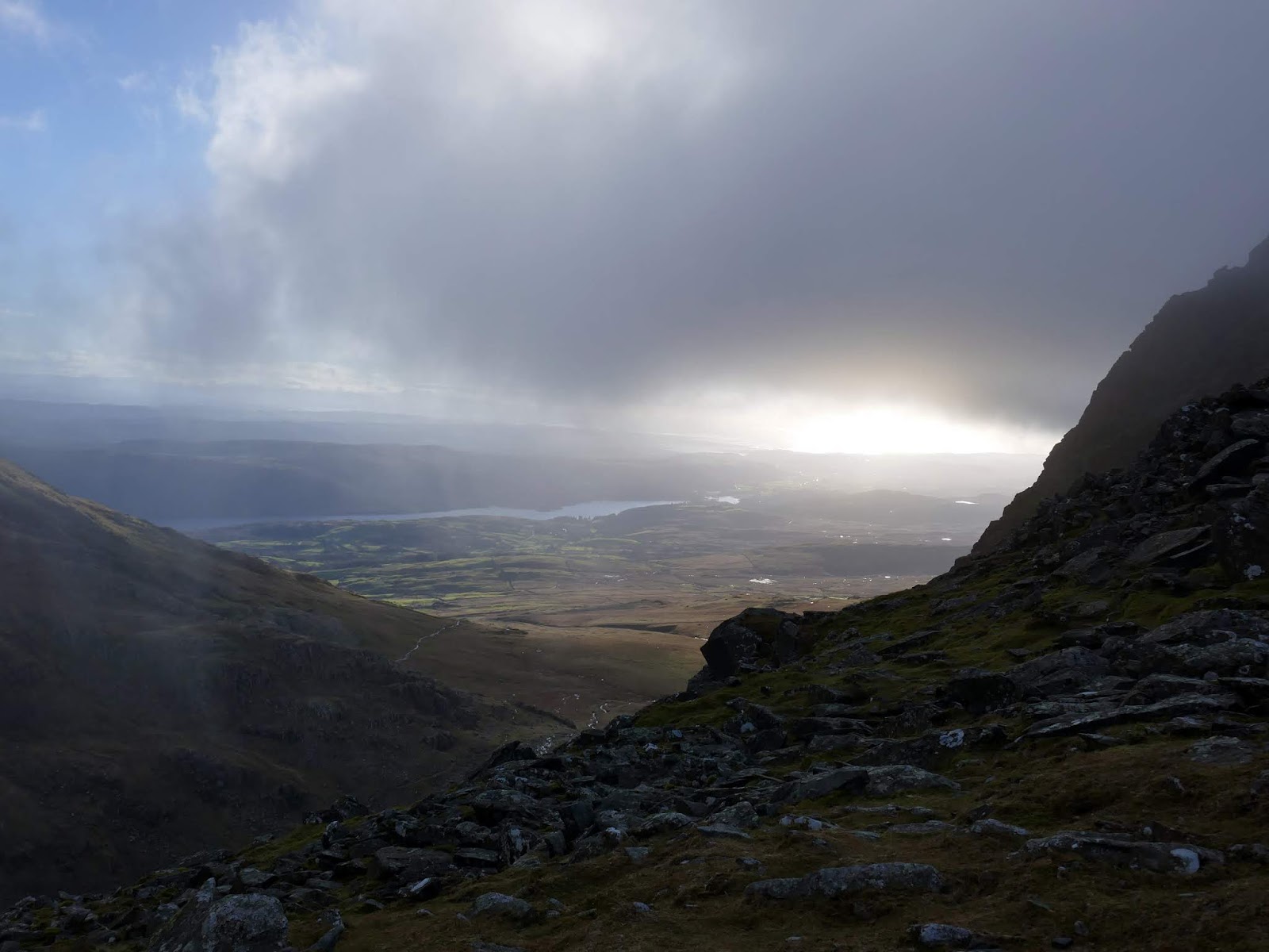
The Old Man has a fine view, down to Low Water and across the bulk of the Coniston fells. The face of Dow Crag is well seen, with the South Rake and gullies now easily identifiable. The light on the fells at this time of the day was magnificent but short-lived – high clouds were starting to roll in.
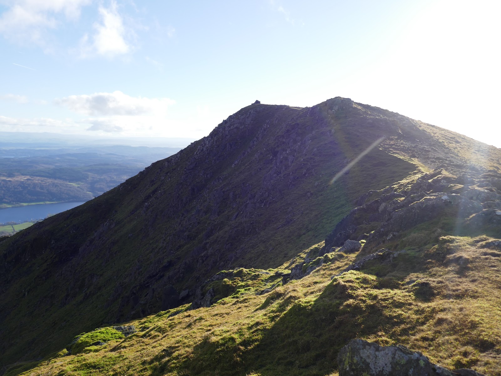
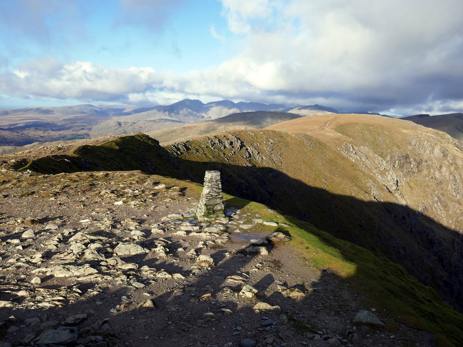
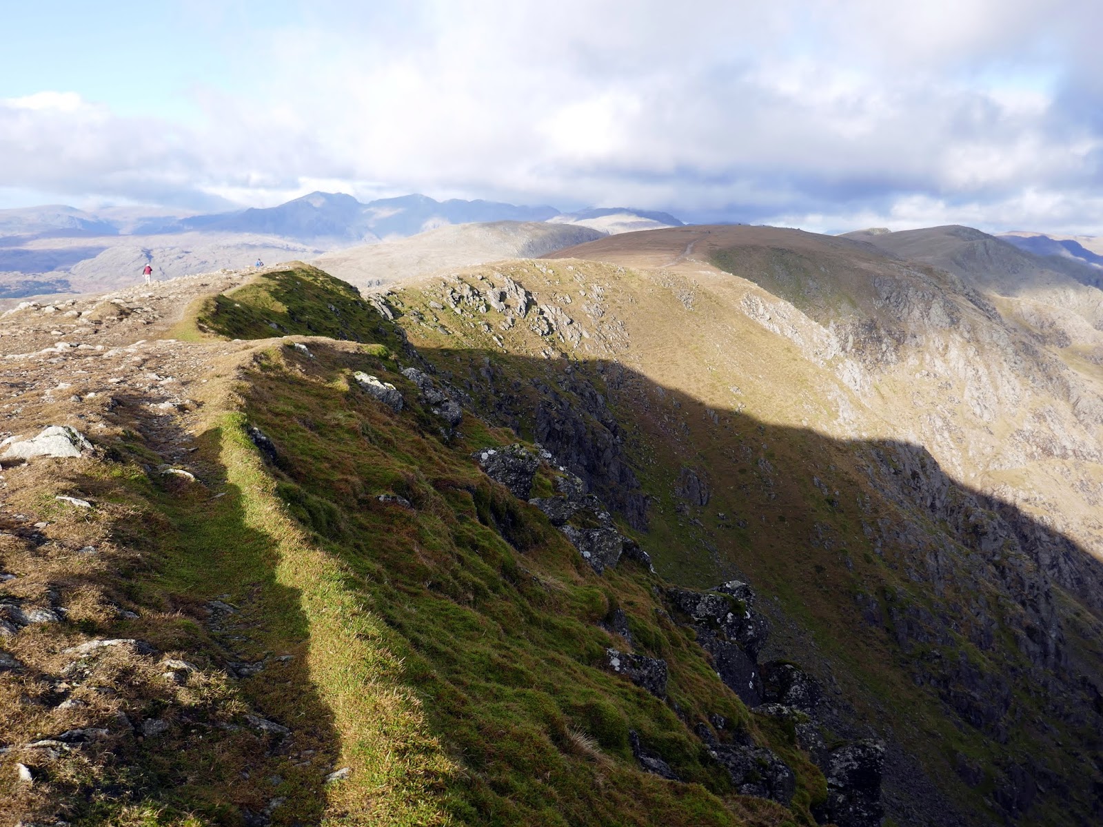
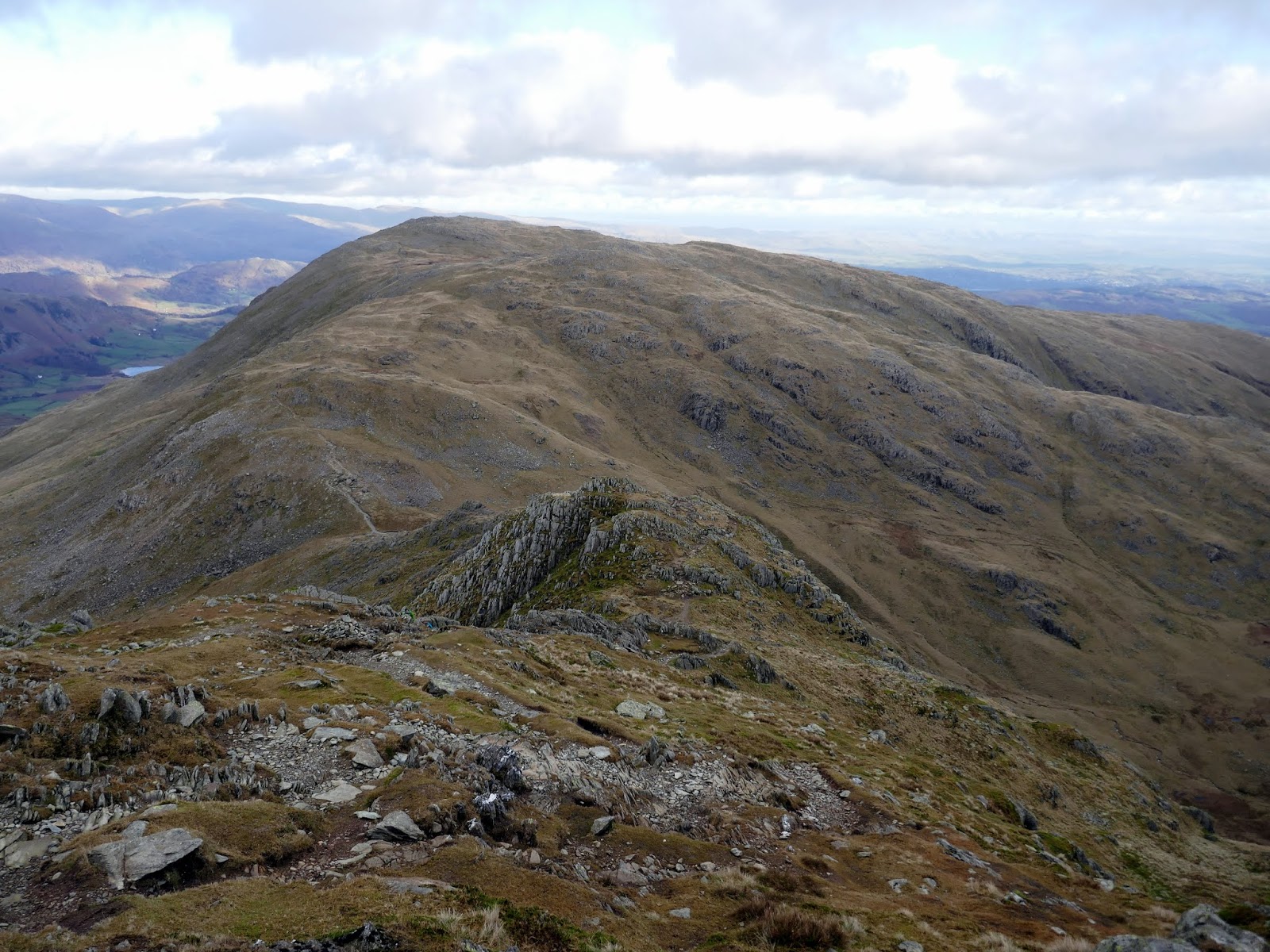
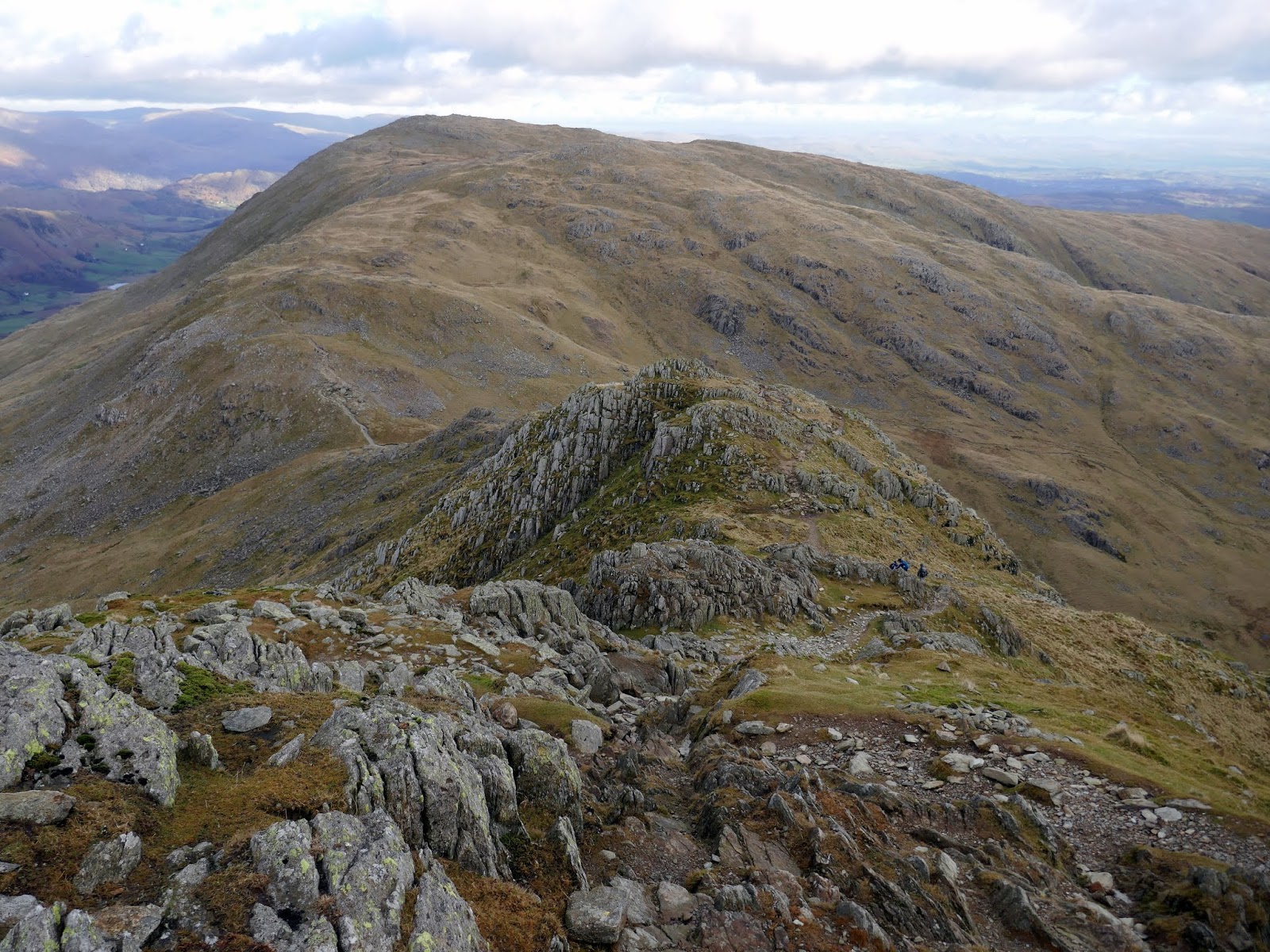
The Old Man of Coniston sits at the most southerly end of the north-south ridge that defines the main Coniston group. Brim Fell stands close-by while Swirl How and Great Carrs guard the northern end. A walk along the ridge is superb, though marred somewhat by the profusion of unnecessary cairns along the way. Brim Fell may appear to be nothing more than a simple bump along the ridge. It’s not until you reach Levers Hause that it becomes apparent that it is a separate fell.
 |
| Add caption |
 |
| Brim Fell |
 |
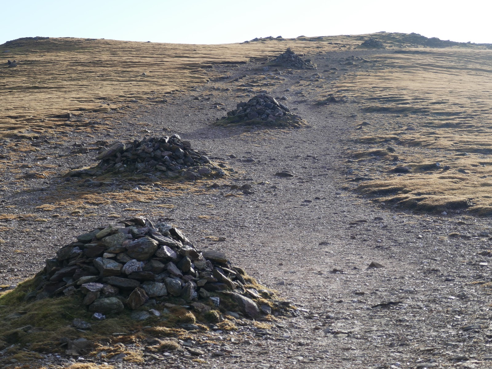
| Cairns guide the way… |
 |
| Brim Fell’s summit cairn |
Brim Fell is unusual in the fact that it has no footing on the valley floor on either side of the ridge. On the east, its boundary streams converge at 800ft and the flanks of Coniston Old Man and Wetherlam continue to the lake. Above the Duddon, Brim Fell is nipped off by Dow Crag and Grey Friar at an even greater altitude. The area of the fell is therefore small, but full of interest.
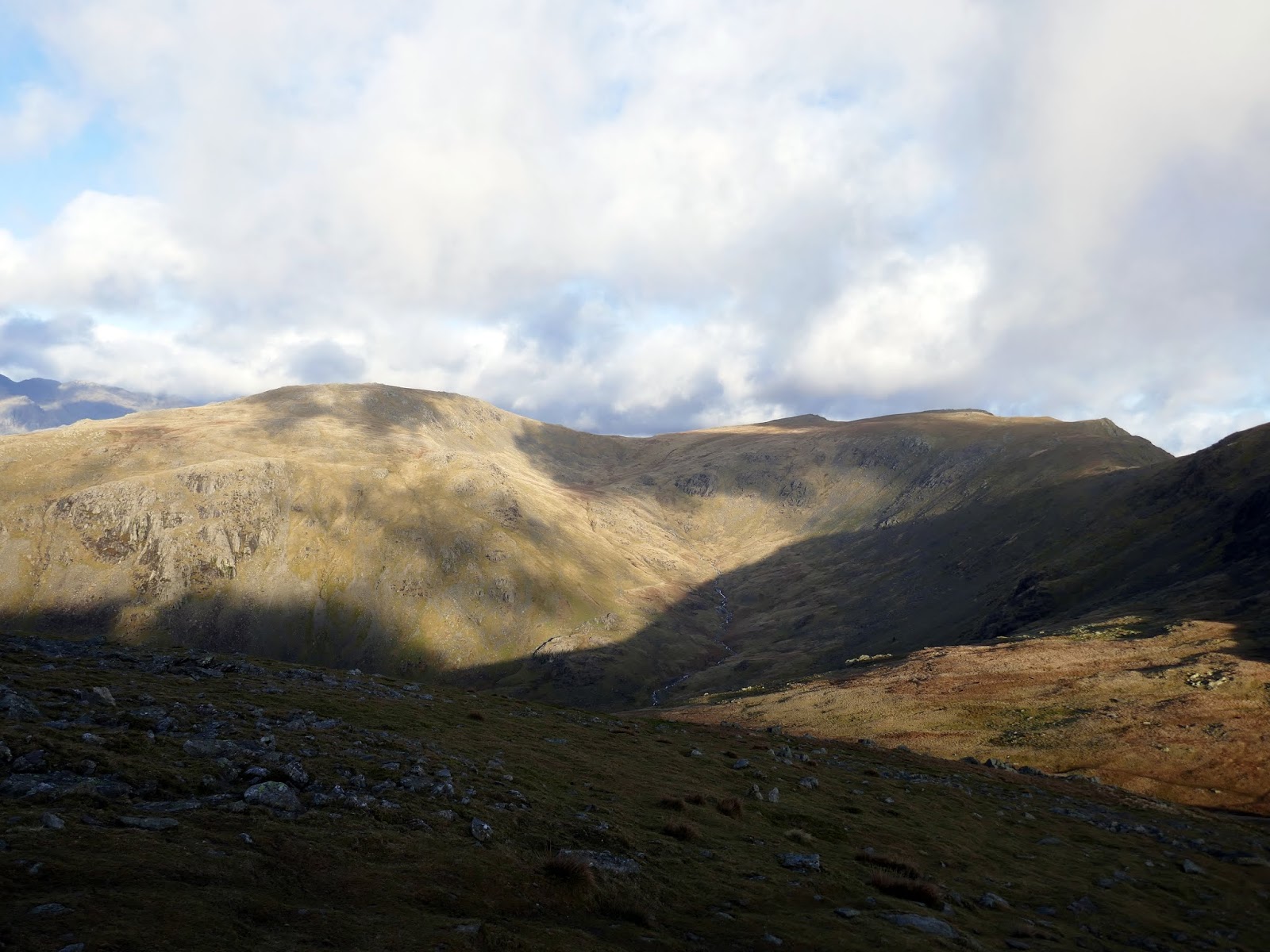
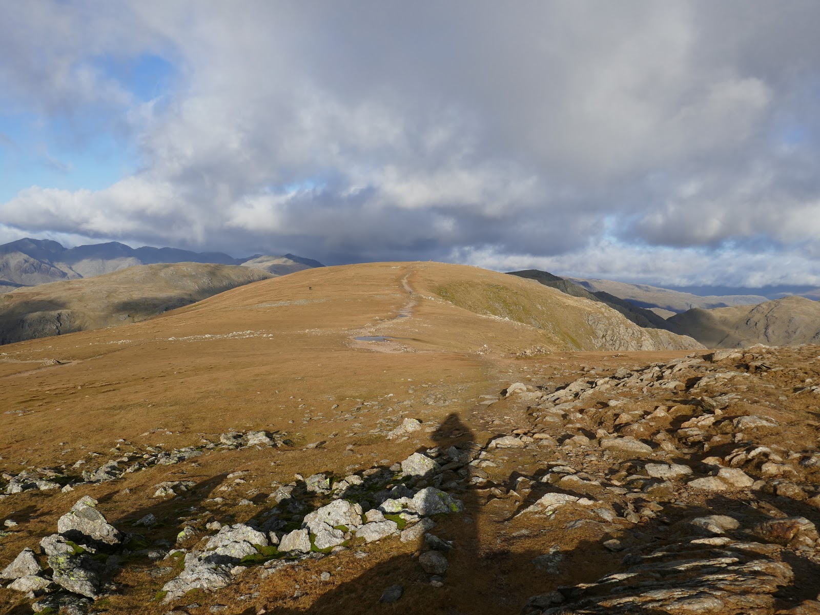
Once I had reached Levers Hause, I followed a faint path which traverses below the main ridge of Swirl How to reach the col at Fairfield.
 |
| Calf Cove below Grey Friar |
 |
| Swirl How |
 |
| Levers Water |
 |
| Seathwaite and Seathwaite Tarn |
 |
| Grey Friar |
 |
| Brim Fell and Dow Crag |
 |
| The traverse to Fairfield |
 |
| Dow Crag |
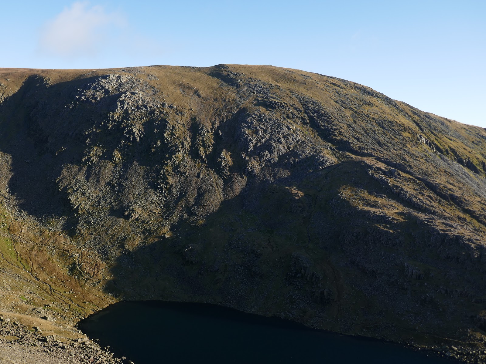
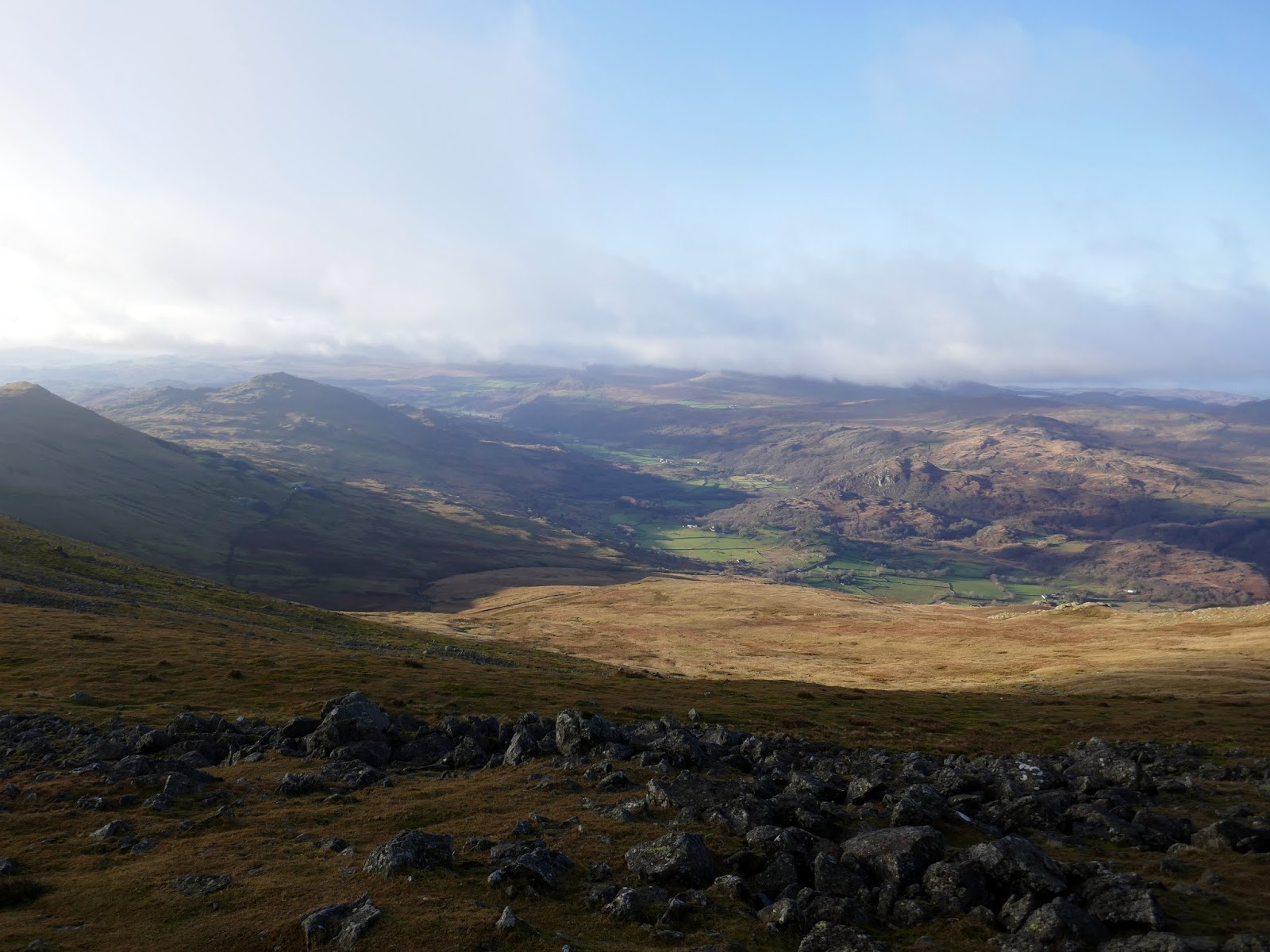
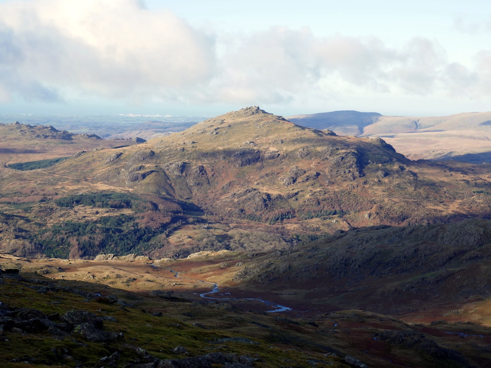
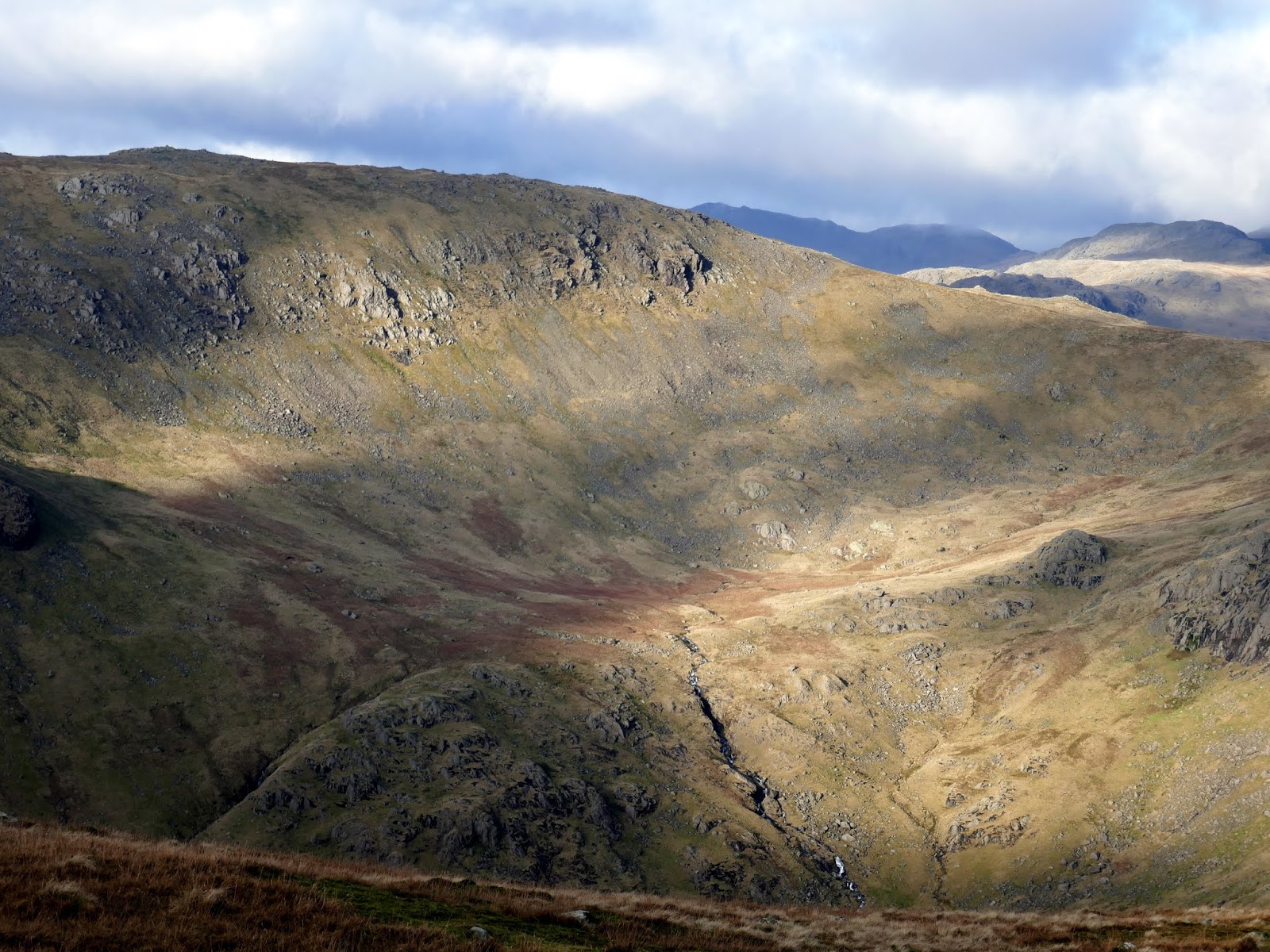
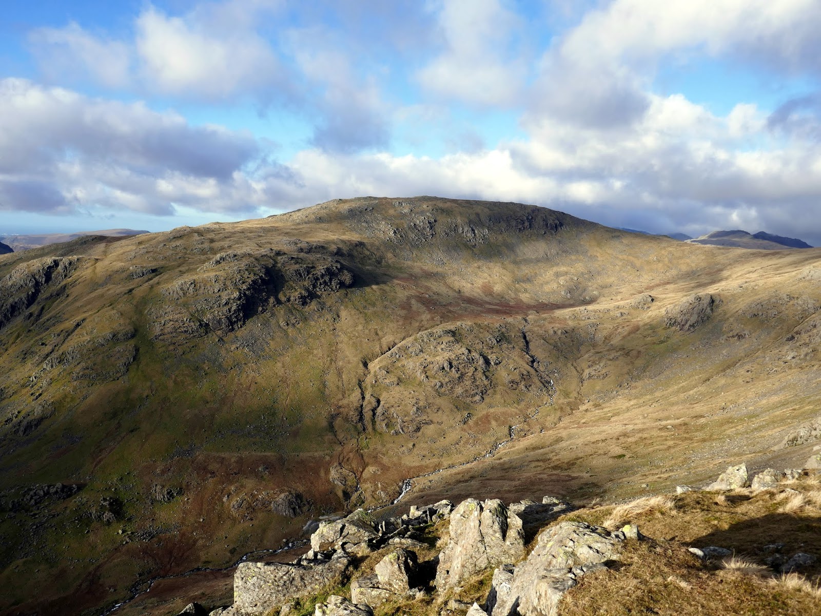
Grey Friar is a real outlier of the group. Despite being a large fell (it forms most of the eastern side of the Duddon Valley, it is the least visited of the group, thanks to its location off the beaten track. It has a very pleasant flat summit with a neat covering of grass, a real joy to stroll along. The summit rocks, capped by the traditional cairn, offer a wonderful view of the dark mass of the Scafells. It’s well worth the visit. In the other direction, Brim Fell appears as a great mass ahead of The Old Man and Dow Crag, across the valley, takes on a wonderfully mountainous profile.
 |
| Dow Crag |
 |
| Scafell and Scafell Pike |
 |
| Grey Frair’s summit |
 |
| The Scafells |
 |
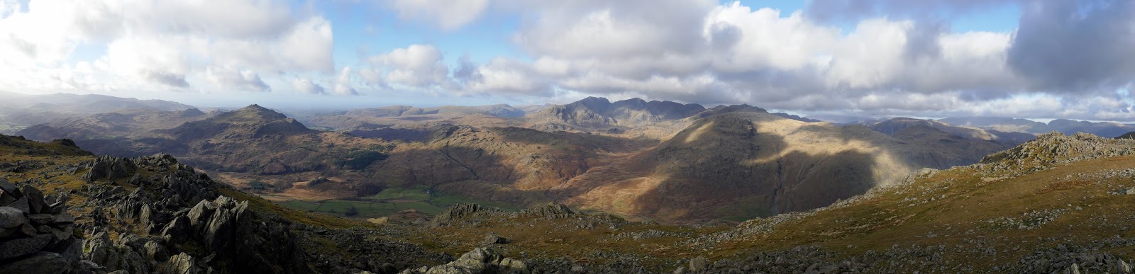
| Panorama from Great Friar |
 |
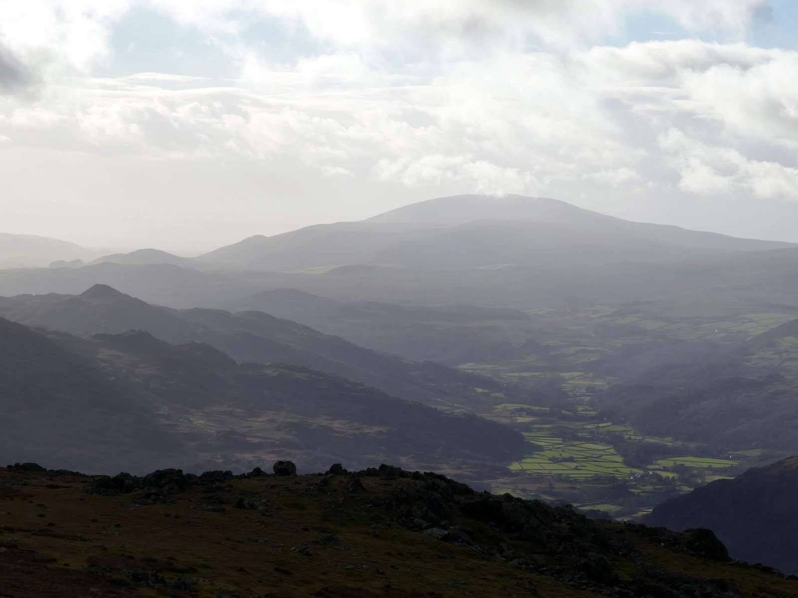
| Black Combe at the end of Dunnerdale |
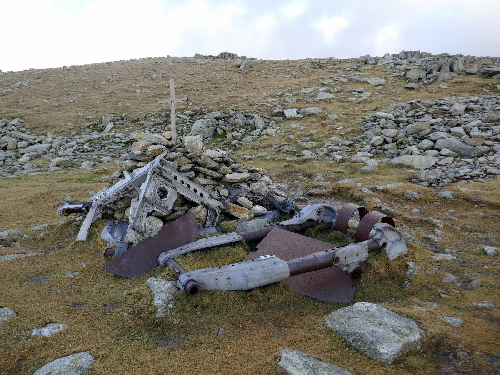
I returned to Fairfield and made the short climb to Great Carrs, passing the war memorial on the way. During a nighttime navigation exercise in 1944, the RCAF Halifax from RAF Topcliffe became lost in thick cloud while over the north-west on England. In an attempt to wait out the blanket of grey, they circled in the hope the cloud would clear, ultimately becoming hopelessly lost. To try and get a visual fix for the navigator, the pilot dropped the bomber out of the cloud base, with no knowledge of what was below him. Unfortunately, for both him, the crew and the aircraft, they were greeted by the great rising fells of Swirl How and Great Carrs. With no time to react, the aircraft hit the mountainside killing all on board.
 |
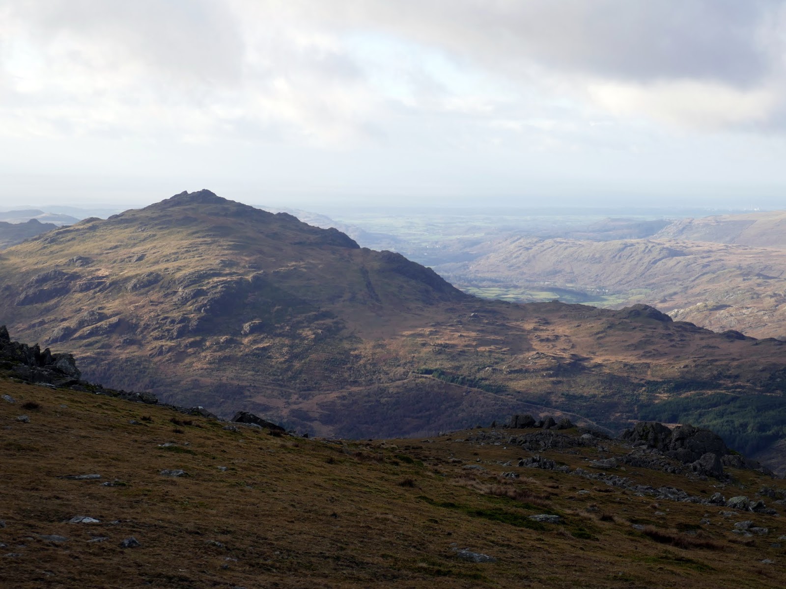
| Harter Fell |
 |
| Fairfield and Great Carrs |
 |
| Remnants of the bomber on Great Carrs |
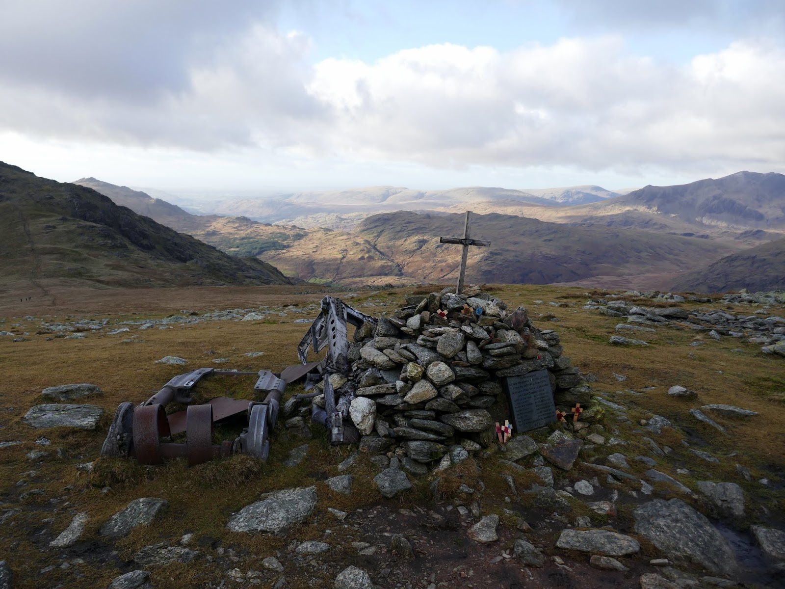
Despite the crew perishing in the impact, the bomber remained largely intact and, to prevent other aircraft from spotting it and reporting it repeatedly, the wreckage was cut into a number of smaller, moveable pieces and discarded down Broad Slack, where parts of it are still visible today. Over the years, two of the four Rolls-Royce engines were recovered from the crash site by an RAF helicopter, one of which is now on display at the Ruskin Museum at nearby Brantwood. The undercarriage, together with a wooden cross and memorial cairn is on the top of the ridge, a sad reminder to us all of those men who never returned from the war.
 |
| Memorial to the crashed bomber |
 |
| Great Carrs’ summit looking to Swirl How |
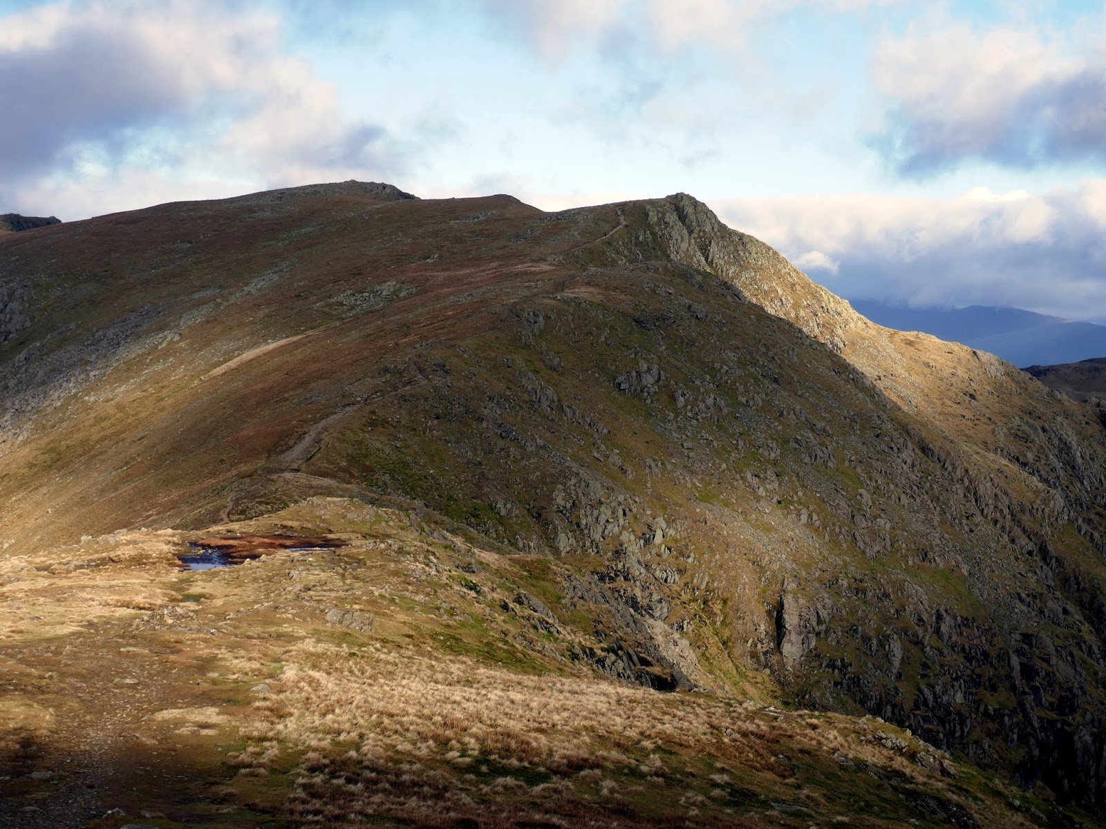
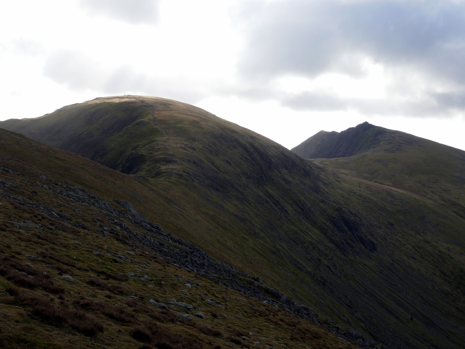
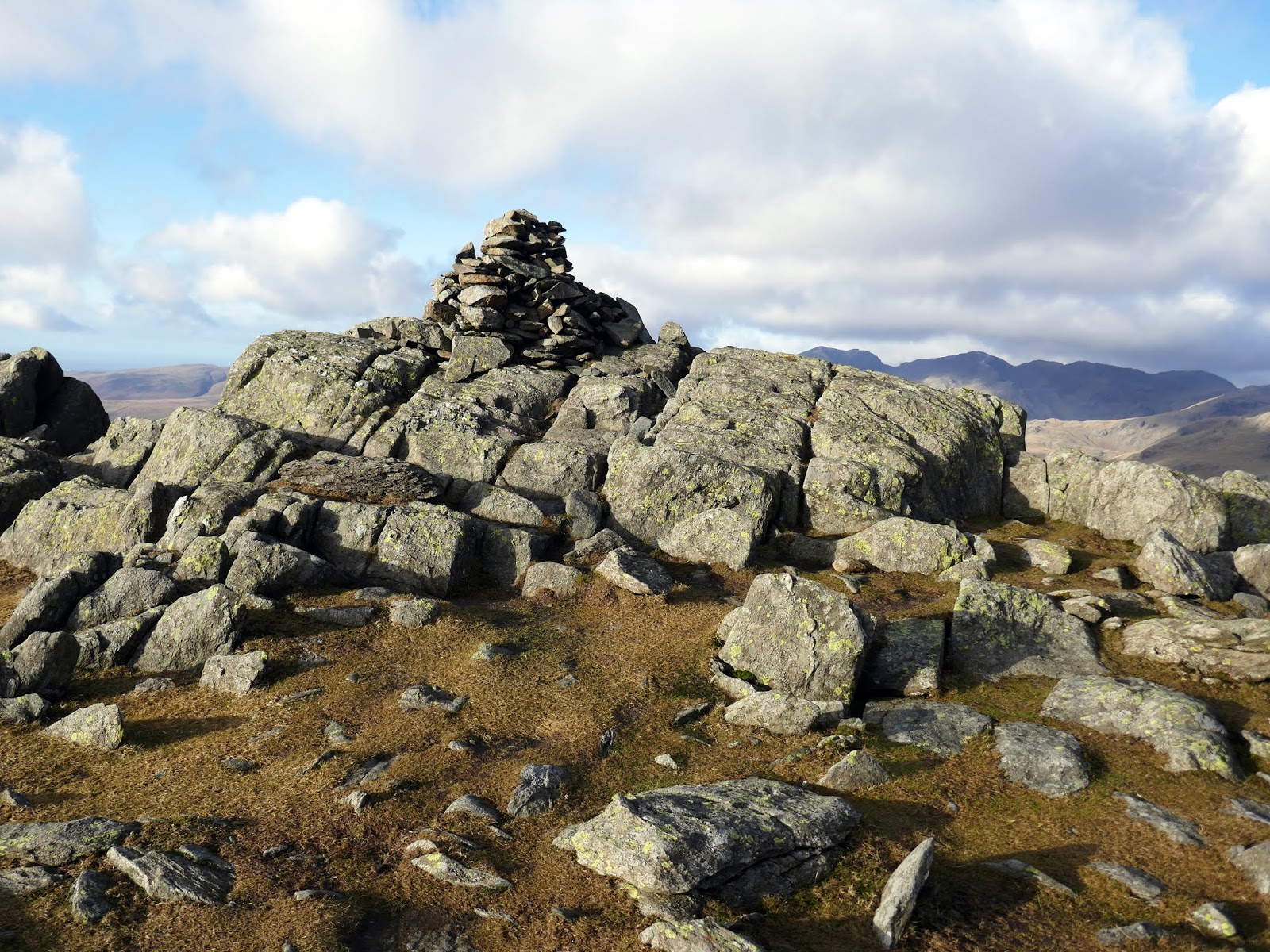
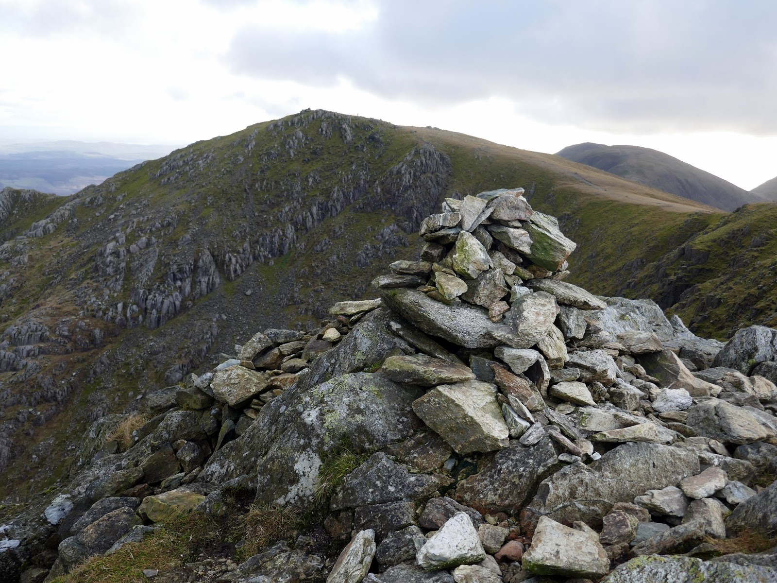
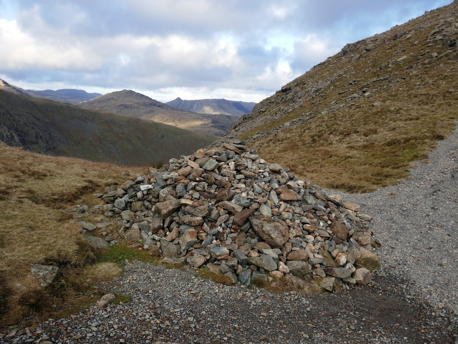
Swirl How would be the next destination – it sits just a short distance away. Despite not being the highest fell, it is the geographical centre of the group, radiating ridges from the summit to all four points of the compass. The summit is marked by a fine cairn on a stony top, built close to the Greenburn edge of the ridge.
 |
| Wetherlam |
 |
| Swirl How |
 |
| Swirl How’s summit |
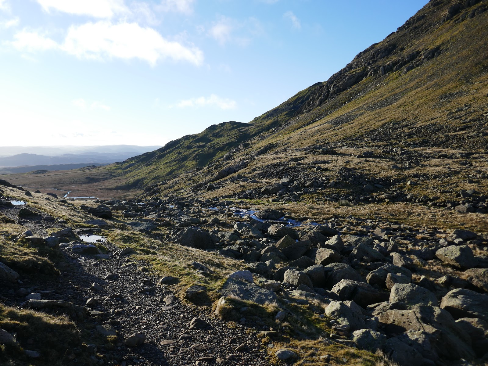
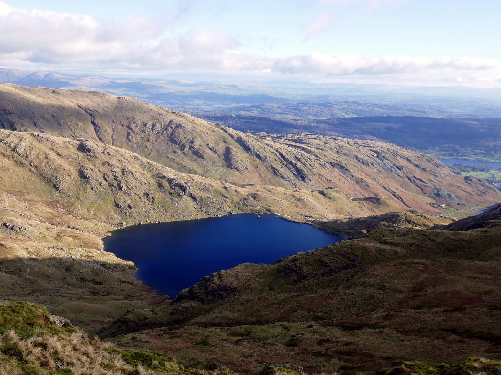
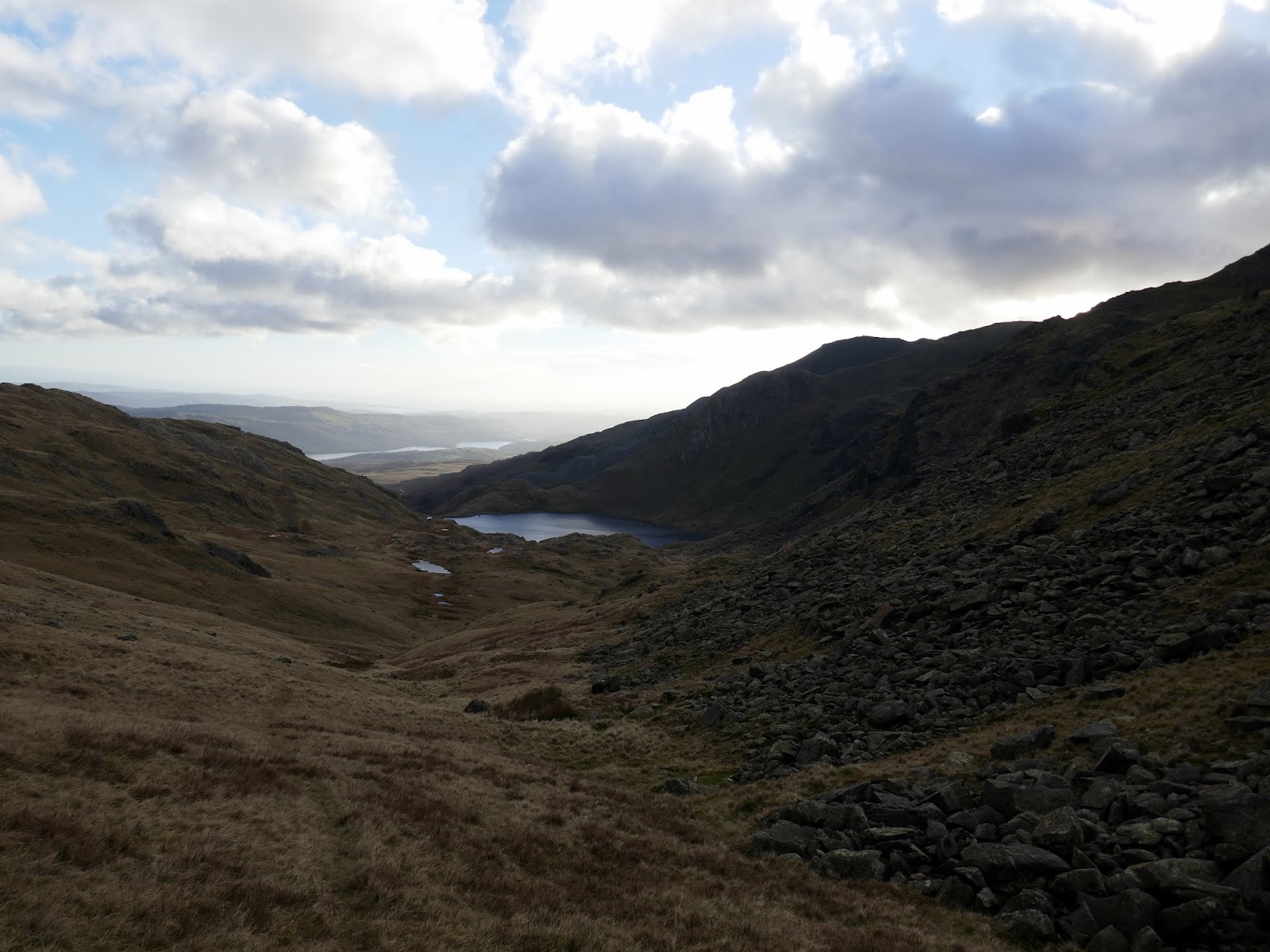
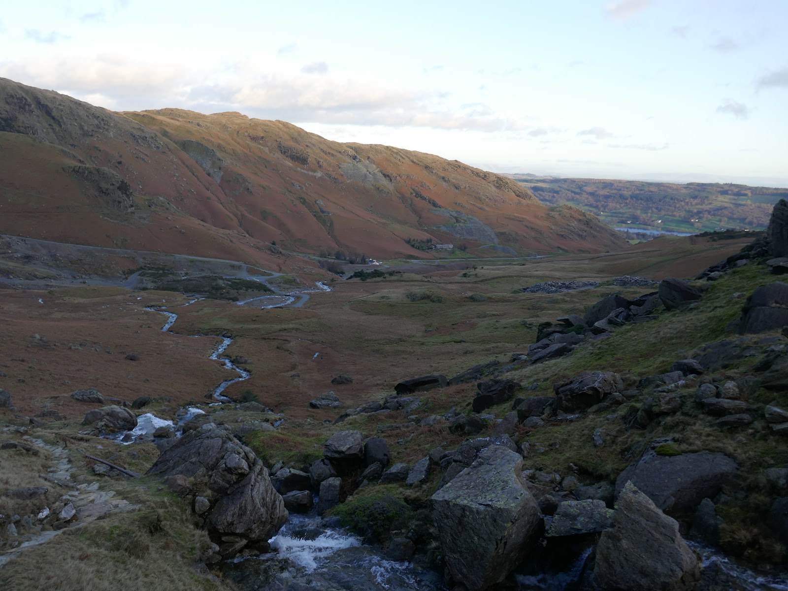
The next leg of the walk requires heading down Prison Band, a steep, stony ridge that falls some 200m down into Swirl Hause. From here I would be treading some new territory by descending to Levers Water and back to the Coppermines Valley.
 |
| Looking down Prison Band to Wetherlam |
 |
| Levers Water |
 |
| Prison Band |
 |
| A large cairn sits in Swirl Hause |
 |
| Looking down to Levers Water |
 |
| Great How Crags |
 |
| The shores of Levers Water |
 |
| Great How Crags and Swirl How |
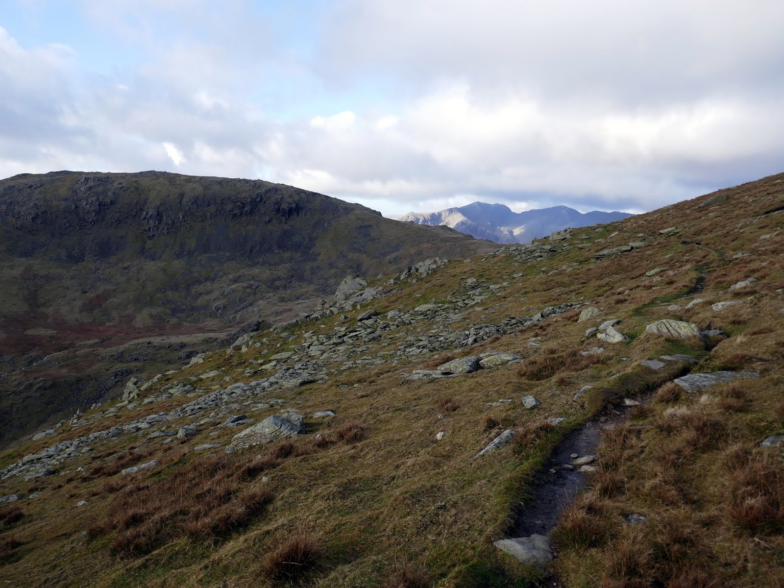
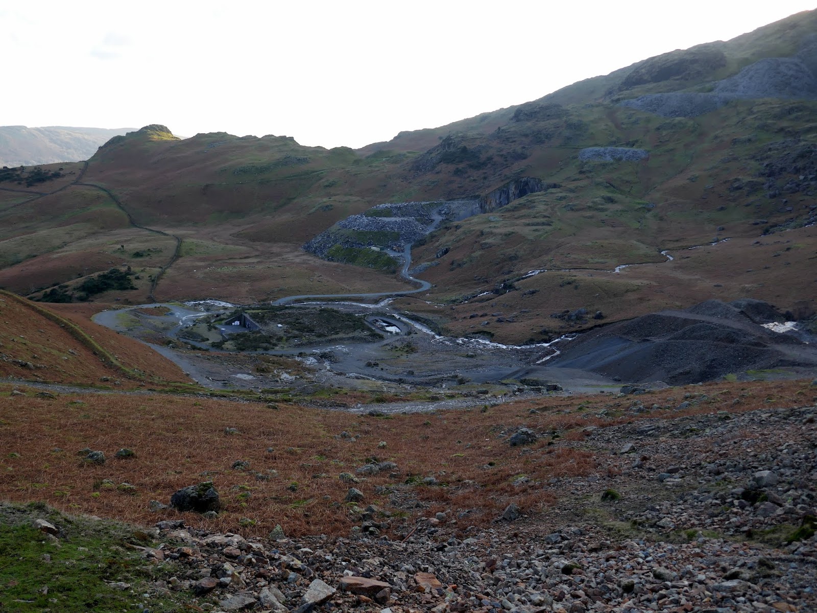
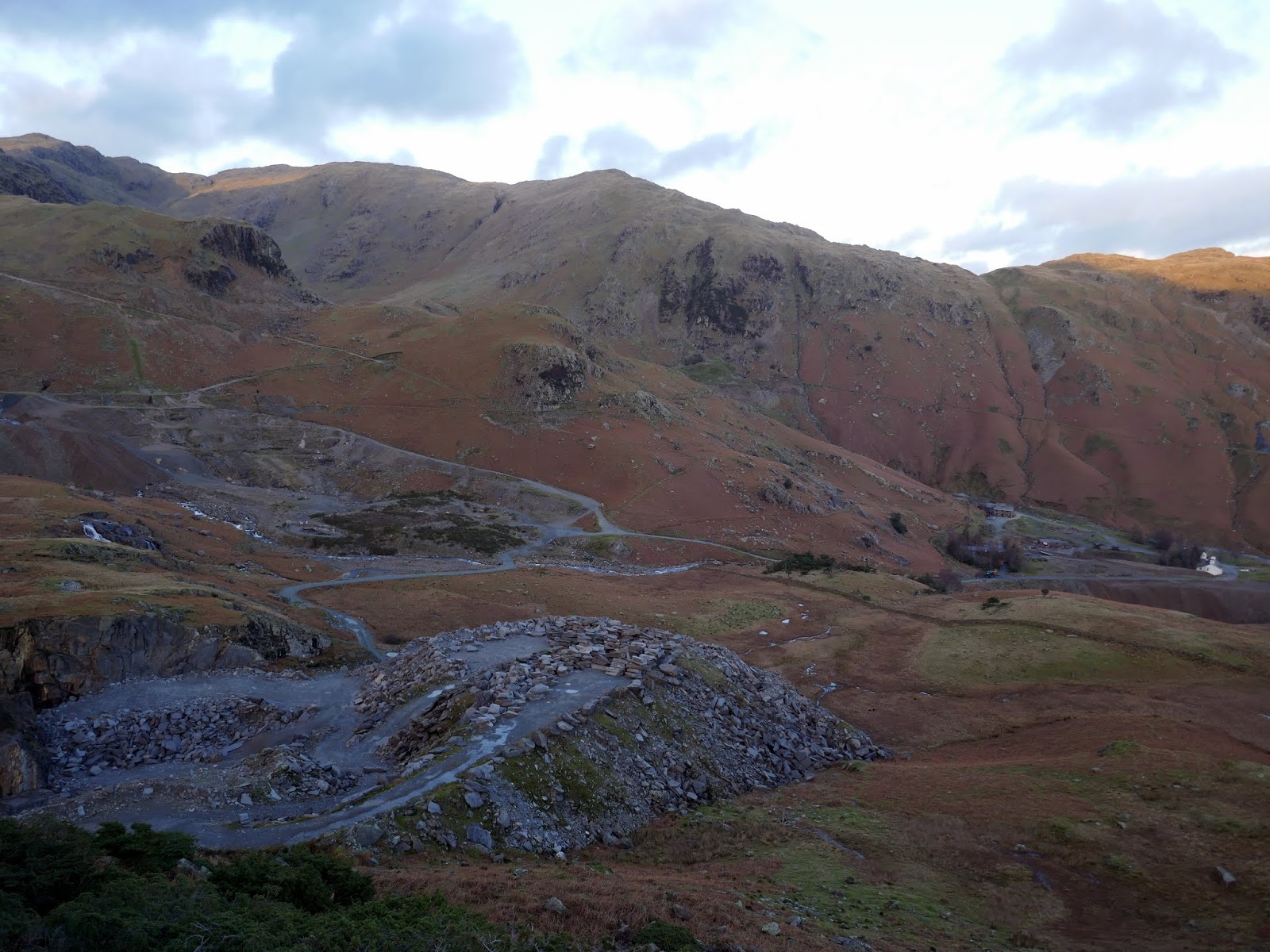
My intention was to cross the outlet to Levers Water and follow the Boulder Valley down towards Low Water Beck and the Pudding Stone. However, crossing the stream was easier said than done. I was unable to find a dry way across so, instead, followed the stony track past Kennel Crag to Tongue Brow before picking up a path with makes a high circuit of the valley, ultimately leading to the Pudding Stone.
 |
| Quarries in the Coppermines Valley |
 |
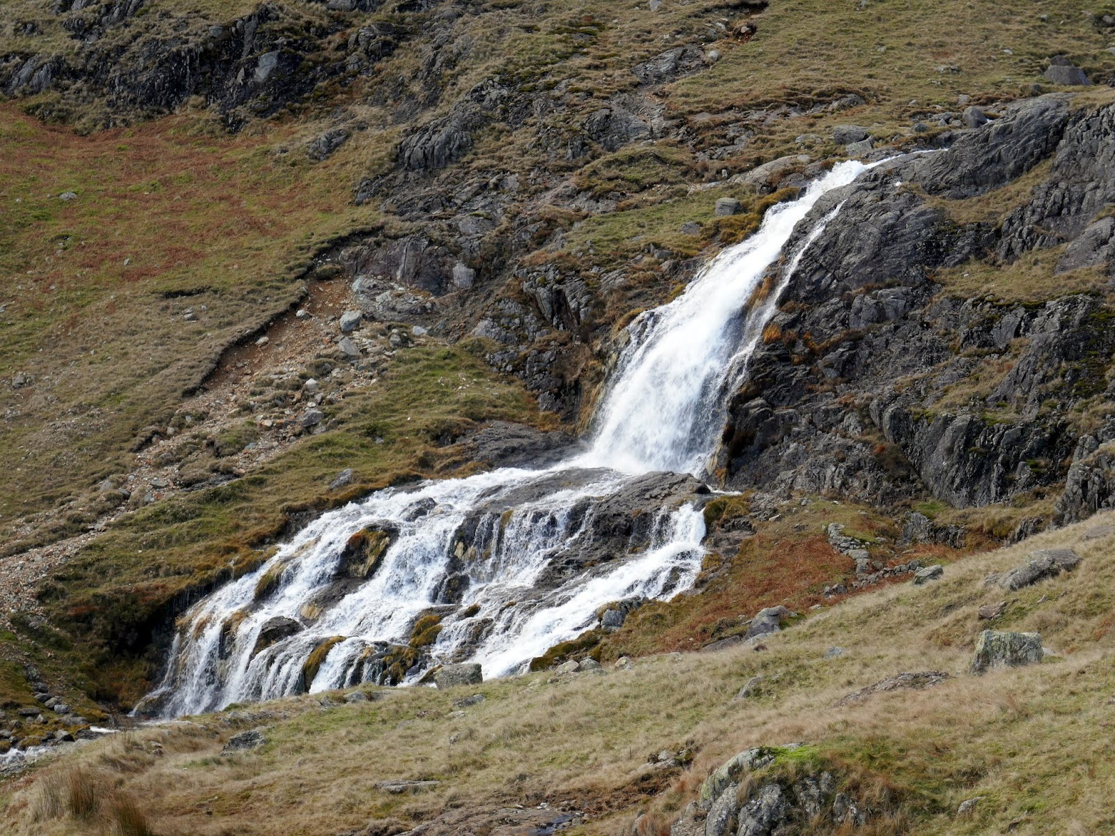
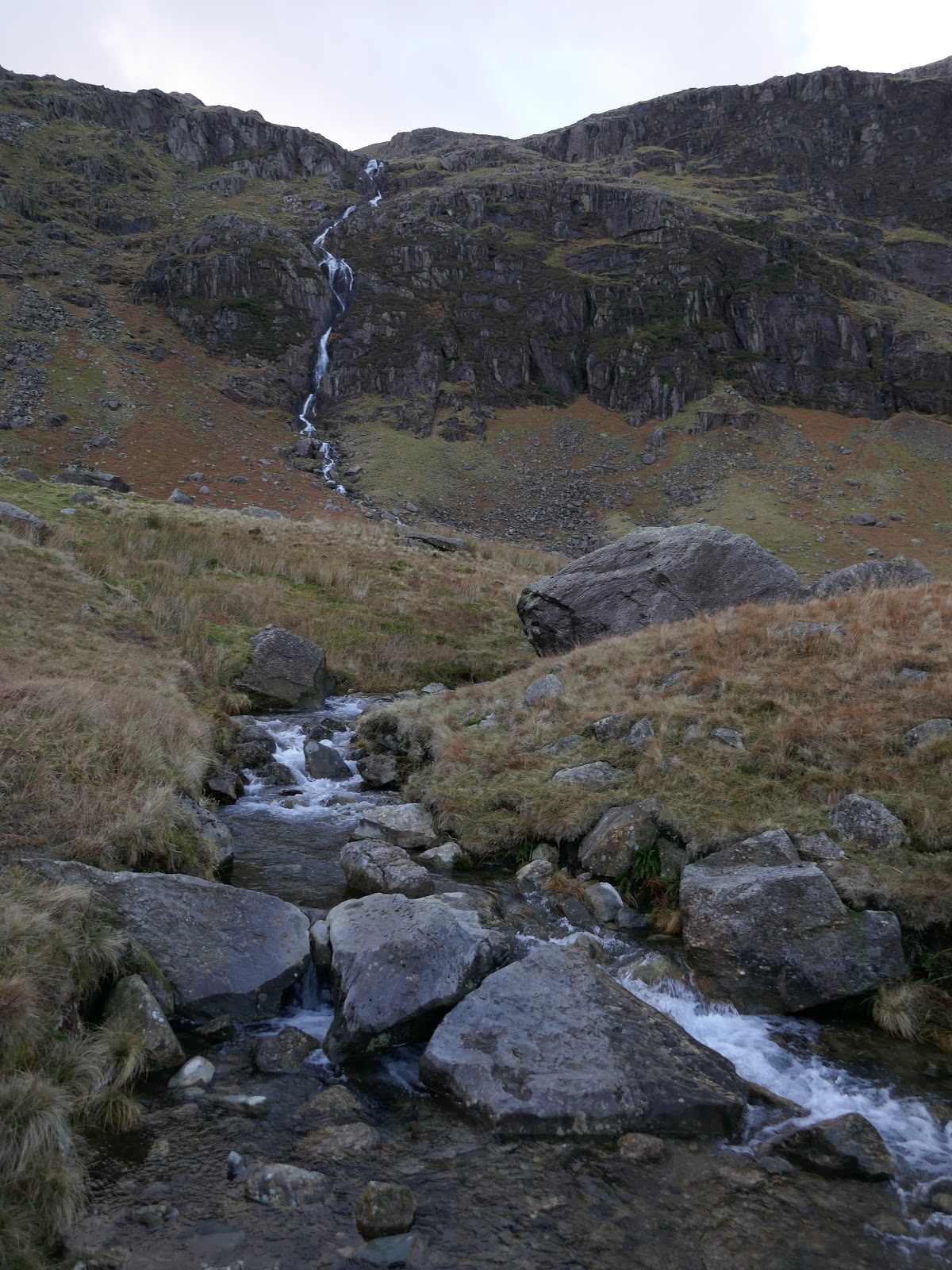
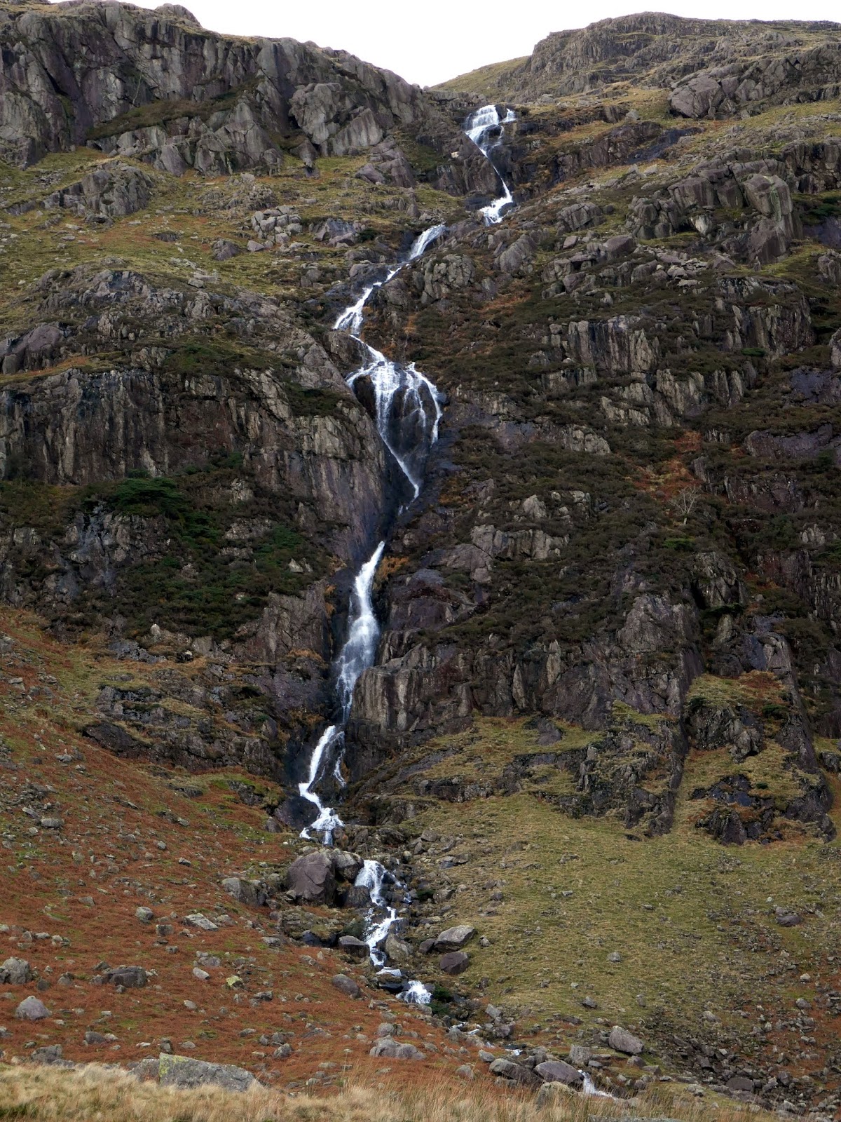
| Levers Waterfall |
 |
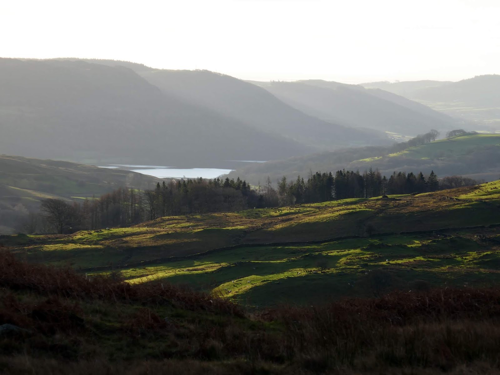
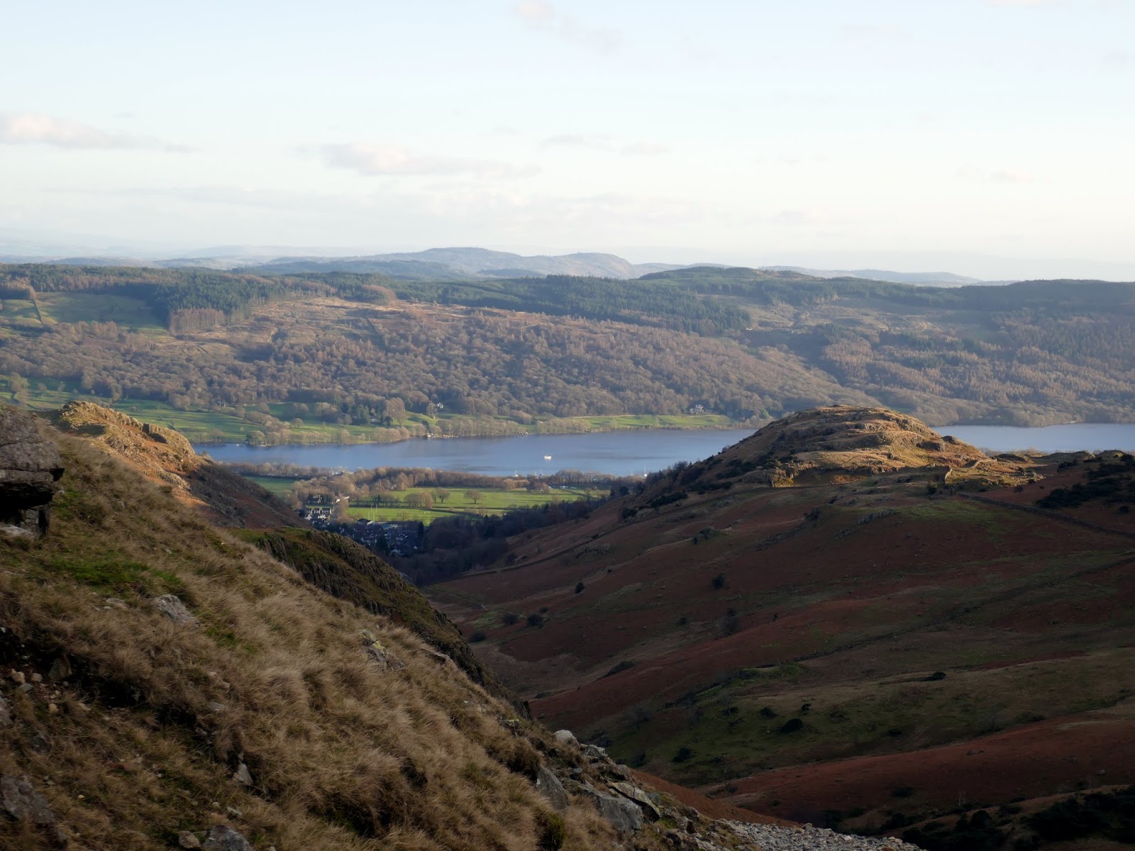
| Coniston Water |
 |
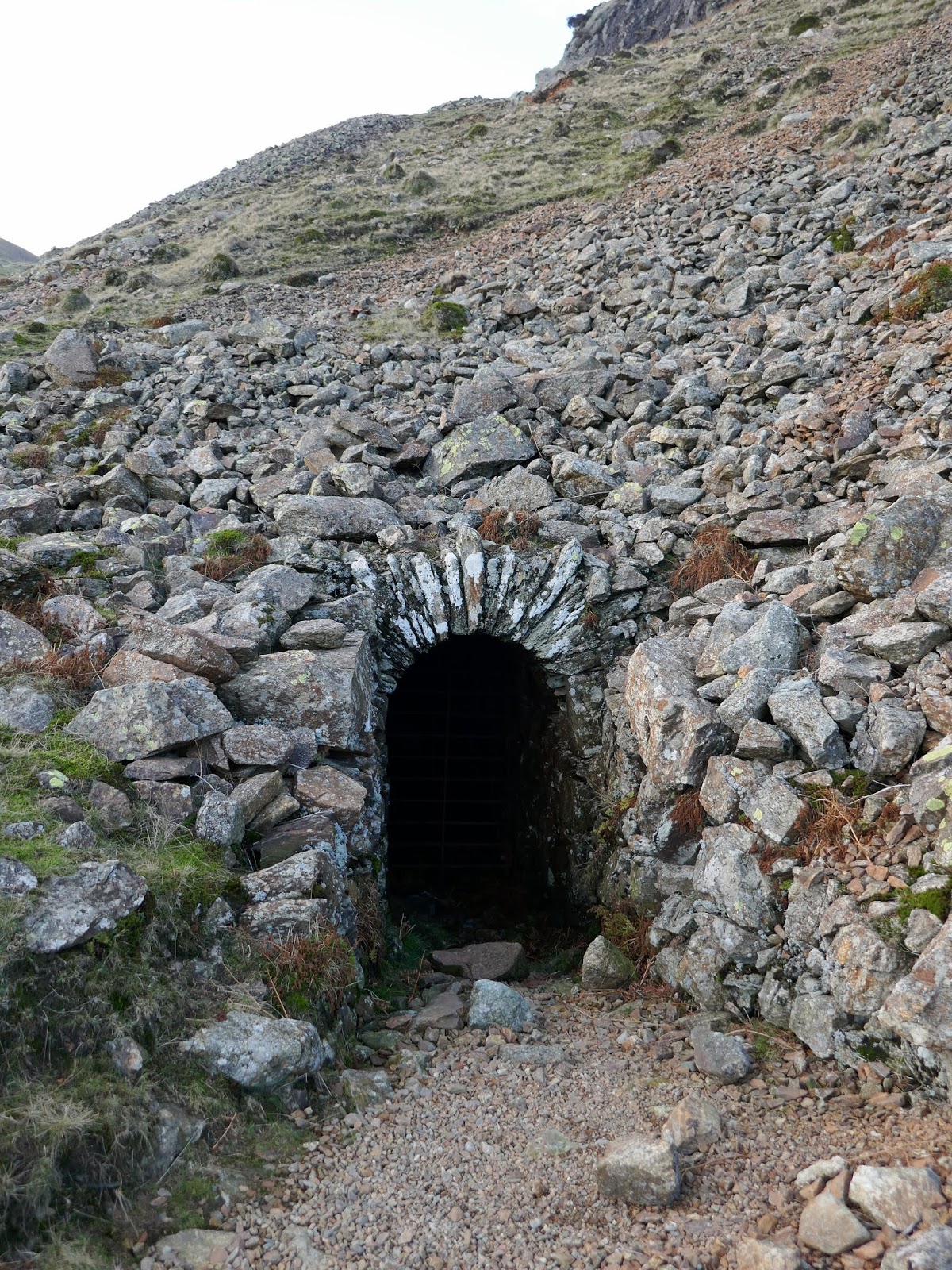
| One of several adits along the route |
 |
| Levers Waterfall |
 |
| Peeking through the Coppermines valley to Coniston |
An old quarry road leads almost directly from the Pudding Stone to the car park at Walna Scar where I found the car, still where I left it (always a relief). This was a superb walk, the highlight being the excellent scramble up the South Rake on Dow Crag. I’m ashamed it’s taken me this long to get round to doing it but I’ve finally scratched that itch. Time to look at some other long-term goals…
 |
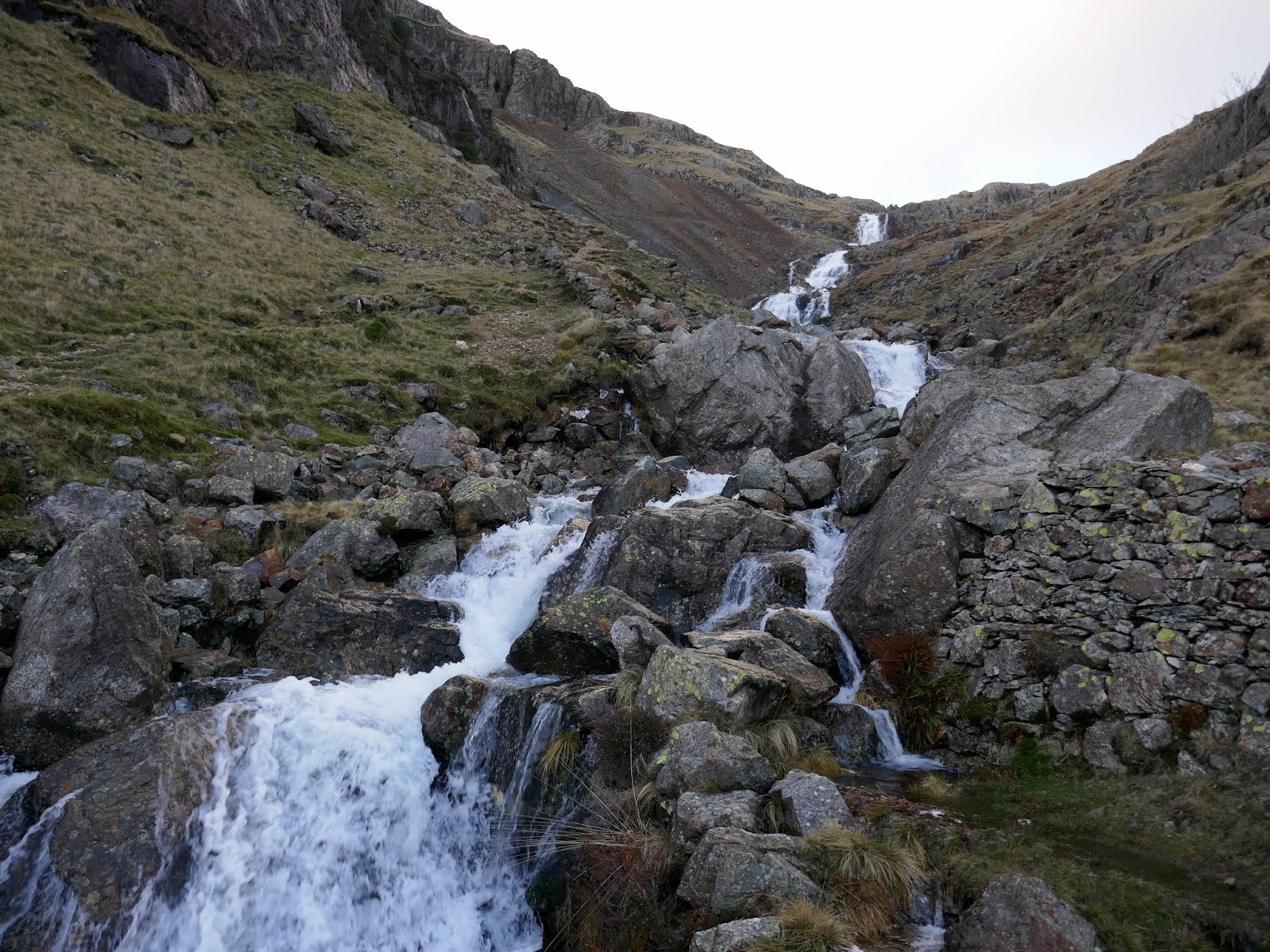
| Low Water Beck flows into the Coppermines Valley |
 |
| Low Water Beck |
 |
| Low Water Beck |
 |
| Remnants of the disused quarries |
 |
| Coppermines Valley |
 |
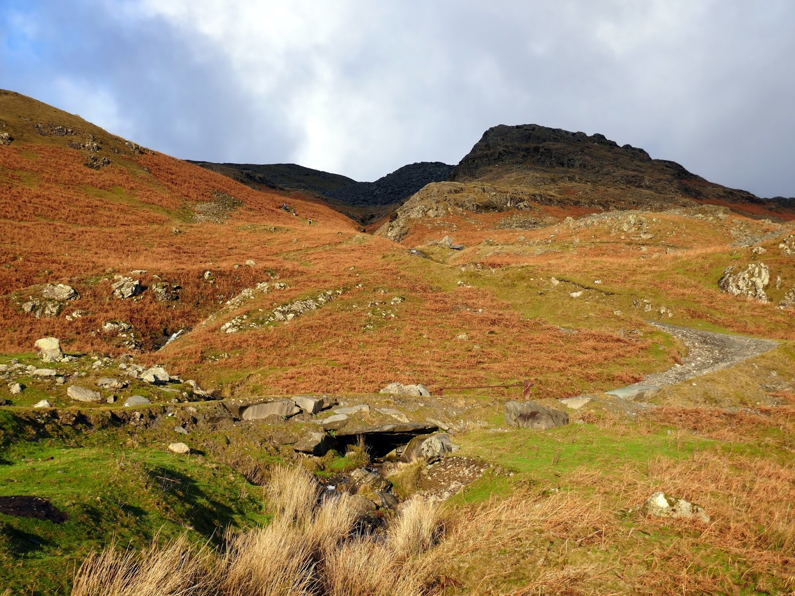
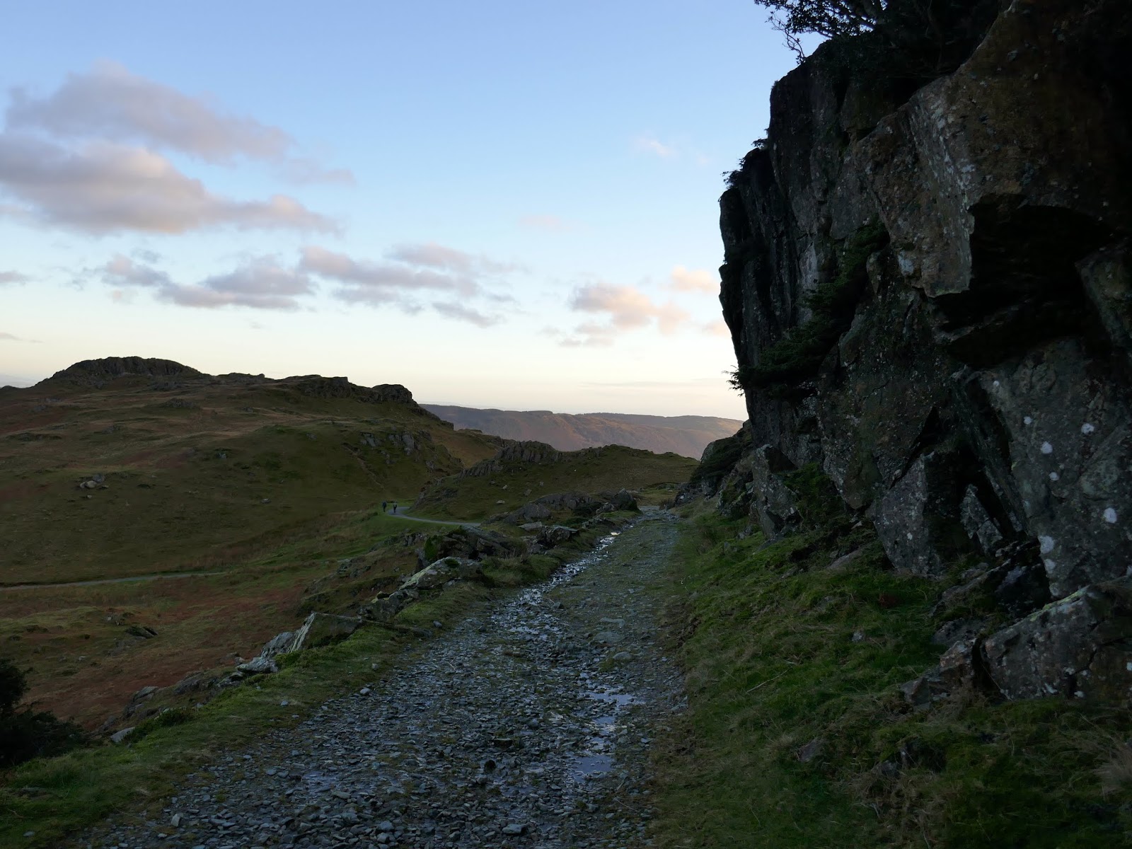
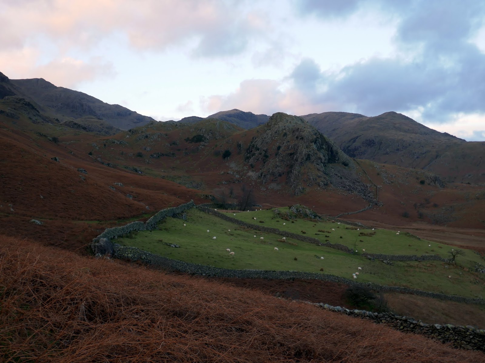
| The path to Crowberry Hause |
 |
| Foul Scrow |
