Open Space Web-Map builder Codehttps://openspace.ordnancesurvey.co.uk/osmapapi/openspace.js?key=3119F72552FD5C22E0530C6CA40A5A92https://openspace.ordnancesurvey.co.uk/osmapapi/script/mapbuilder/basicmap.jshttps://openspace.ordnancesurvey.co.uk/osmapapi/script/mapbuilder/searchbox.js//variables for routes var linesLayer, points, lineFeature, lineString, routeMarkersLayer, routepos, routesize, routeoffset, routeicon; var style_blue = {strokeColor: “#0000CD”, strokeOpacity: 0.5, strokeWidth: 4.5}; function initmapbuilder() { //initiate the map var options = {resolutions: [2500, 1000, 500, 200, 100, 50, 25, 10, 5, 4, 2.5, 2, 1]}; osMap = new OpenSpace.Map(‘map’, options); //configure map options (basicmap.js) setglobaloptions(); //set the center of the map and the zoom level osMap.setCenter(new OpenSpace.MapPoint(330712.5,501807),7); linesLayer = osMap.getVectorLayer(); // Set up layer for route markers routeMarkersLayer = new OpenLayers.Layer.Markers(“Route Markers”); //make a route points = new Array(); points.push(new OpenLayers.Geometry.Point(330597,501057)); points.push(new OpenLayers.Geometry.Point(330554.5,501104.5)); points.push(new OpenLayers.Geometry.Point(330622,501214.5)); points.push(new OpenLayers.Geometry.Point(330687,501299.5)); points.push(new OpenLayers.Geometry.Point(330834,501409)); points.push(new OpenLayers.Geometry.Point(330914,501404)); points.push(new OpenLayers.Geometry.Point(331154,501699)); points.push(new OpenLayers.Geometry.Point(331234,502019)); points.push(new OpenLayers.Geometry.Point(331334,502024)); points.push(new OpenLayers.Geometry.Point(331399,502174)); points.push(new OpenLayers.Geometry.Point(331544,502389)); points.push(new OpenLayers.Geometry.Point(331574,502624)); points.push(new OpenLayers.Geometry.Point(331534,502714)); points.push(new OpenLayers.Geometry.Point(331589,502829)); points.push(new OpenLayers.Geometry.Point(331414,502904)); points.push(new OpenLayers.Geometry.Point(331334,502834)); points.push(new OpenLayers.Geometry.Point(331207.5,502929)); points.push(new OpenLayers.Geometry.Point(331002.5,502904)); points.push(new OpenLayers.Geometry.Point(330937.5,502879)); points.push(new OpenLayers.Geometry.Point(330917.5,502804)); points.push(new OpenLayers.Geometry.Point(330737.5,502769)); points.push(new OpenLayers.Geometry.Point(330587.5,502644)); points.push(new OpenLayers.Geometry.Point(330357.5,502364)); points.push(new OpenLayers.Geometry.Point(330282.5,502164)); points.push(new OpenLayers.Geometry.Point(330362.5,502004)); points.push(new OpenLayers.Geometry.Point(330437.5,501974)); points.push(new OpenLayers.Geometry.Point(330337.5,501869)); points.push(new OpenLayers.Geometry.Point(330012.5,501714)); points.push(new OpenLayers.Geometry.Point(330072.5,501624)); points.push(new OpenLayers.Geometry.Point(330057.5,501419)); points.push(new OpenLayers.Geometry.Point(330087.5,501219)); points.push(new OpenLayers.Geometry.Point(330097.5,500864)); points.push(new OpenLayers.Geometry.Point(330027.5,500809)); points.push(new OpenLayers.Geometry.Point(330157.5,500769)); points.push(new OpenLayers.Geometry.Point(330252.5,500779)); points.push(new OpenLayers.Geometry.Point(330327.5,500879)); points.push(new OpenLayers.Geometry.Point(330337.5,500699)); points.push(new OpenLayers.Geometry.Point(330462.5,500789)); points.push(new OpenLayers.Geometry.Point(330552.5,500909)); points.push(new OpenLayers.Geometry.Point(330652.5,500984)); points.push(new OpenLayers.Geometry.Point(330597,501057)); // create a polyline feature from the array of points lineString = new OpenLayers.Geometry.LineString(points); lineFeature = new OpenLayers.Feature.Vector(lineString, null, style_blue); linesLayer.addFeatures([lineFeature]); //crate a route start/end marker routepos = new OpenSpace.MapPoint(330597,501057); routesize = new OpenLayers.Size(33,45); routeoffset = new OpenLayers.Pixel(-5,-37); routeicon = new OpenSpace.Icon(‘https://openspace.ordnancesurvey.co.uk/osmapapi/img_versions/img_1.1/mapbuilder/routemarker-startend.png’, routesize, routeoffset, null, null); routeMarkersLayer.addMarker(new OpenLayers.Marker(routepos, routeicon)); osMap.addLayer(routeMarkersLayer);}
Route: Low Tilberthwaite, High Tilberthwaite, Moss Rigg Wood, Cathedral Quarry, Slater Bridge, Low Hall Garth, Great Intake, High Fell, Hawk Rigg, Haystacks (Tilberthwaite), Blake Rigg, Tilberthwaite Gill, Horse Crag
Date: 01/12/2018
From: Low Tilberthwaite
Parking: Low Tilberthwaite
Start Point: Low Tilberthwaite
Region: Southern Fells
Route length: 5.2 miles (8.3 km)
Time taken: 2:58
Average speed: 1.7 mph
Ascent: 527m
Descent: 538m
Wainwrights on this walk:
None
Additional summits: Great Intake – Low Fell (408m), High Fell (Hawk Rigg) (428m), Hawk Rigg (441m), Haystacks (Tilberthwaite) (423m), Blake Rigg (Tilberthwaite (423m)
Other points of interest: Cathedral Quarry, Slater Bridge, Tilberthwaite Gill
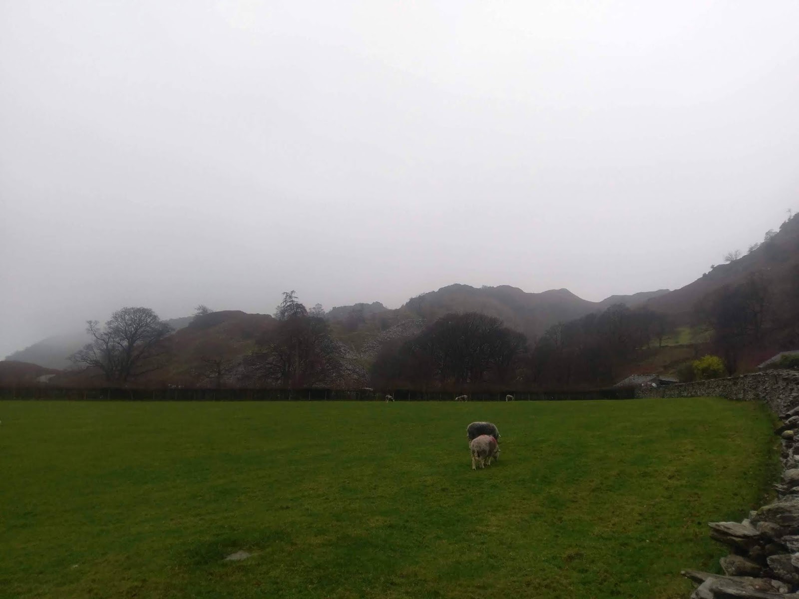
We were in the Lake District for the weekend, hoping for some early winter coldness. Snow-dusted peaks and blue skies. Sadly, this was not to be the case as we were treated the best of ‘late-autumn’ – near-constant rain. We had seen the likelihood of a wet weekend growing as it approached so we made plans accordingly, starting with this walk from Tilberthwaite.
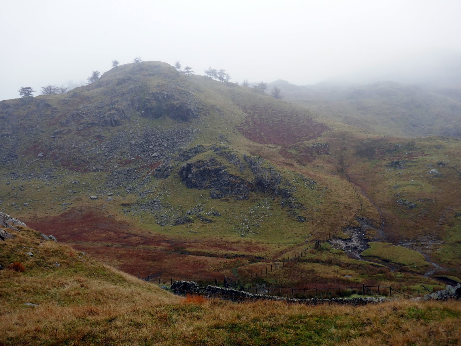
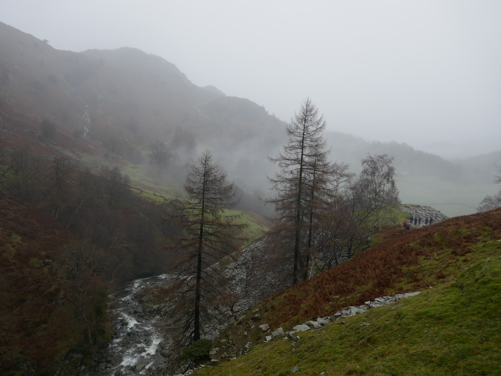
Surprisingly, Tilberthwaite is an area I’ve never visited before. It’s tucked away down a narrow road off the main Coniston-Ambleside route but, it has the rarest of Lake District things, free parking (for now). Tilberthwaite was once a thriving centre for slate quarrying, though the quarries have been idle for decades and nature has pretty much reclaimed them; blanketing them in deciduous woodland.
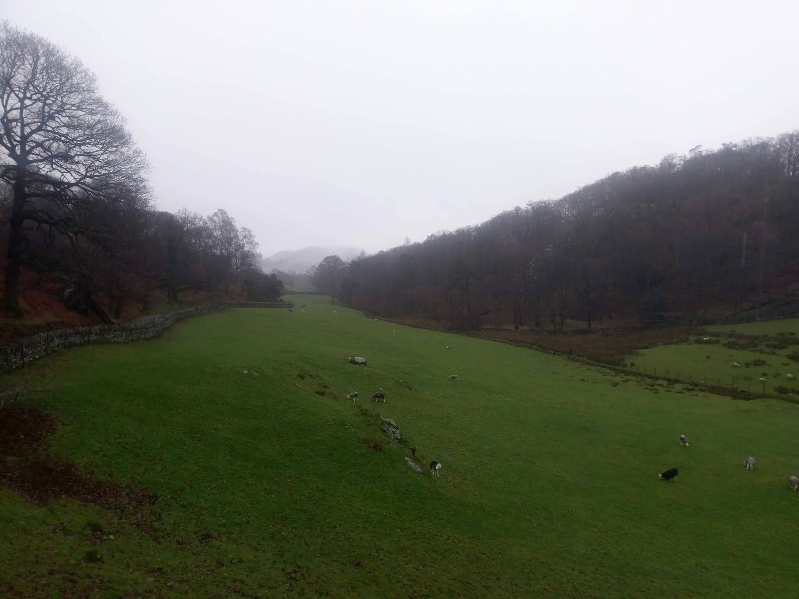
We were expecting a wet morning with the prospect of a drier afternoon so we set off north along the valley towards Little Langdale, hoping to give the weather a chance to improve while exploring some of the quarries of Little Langdale. We followed the road to High Tilberthwaite Farm and its fine collection of Grade II listed buildings.
 |
| The Yewdale Fells beneath the rain |
 |
| High Tilberthwaite and Bakestone Barrow Wood |
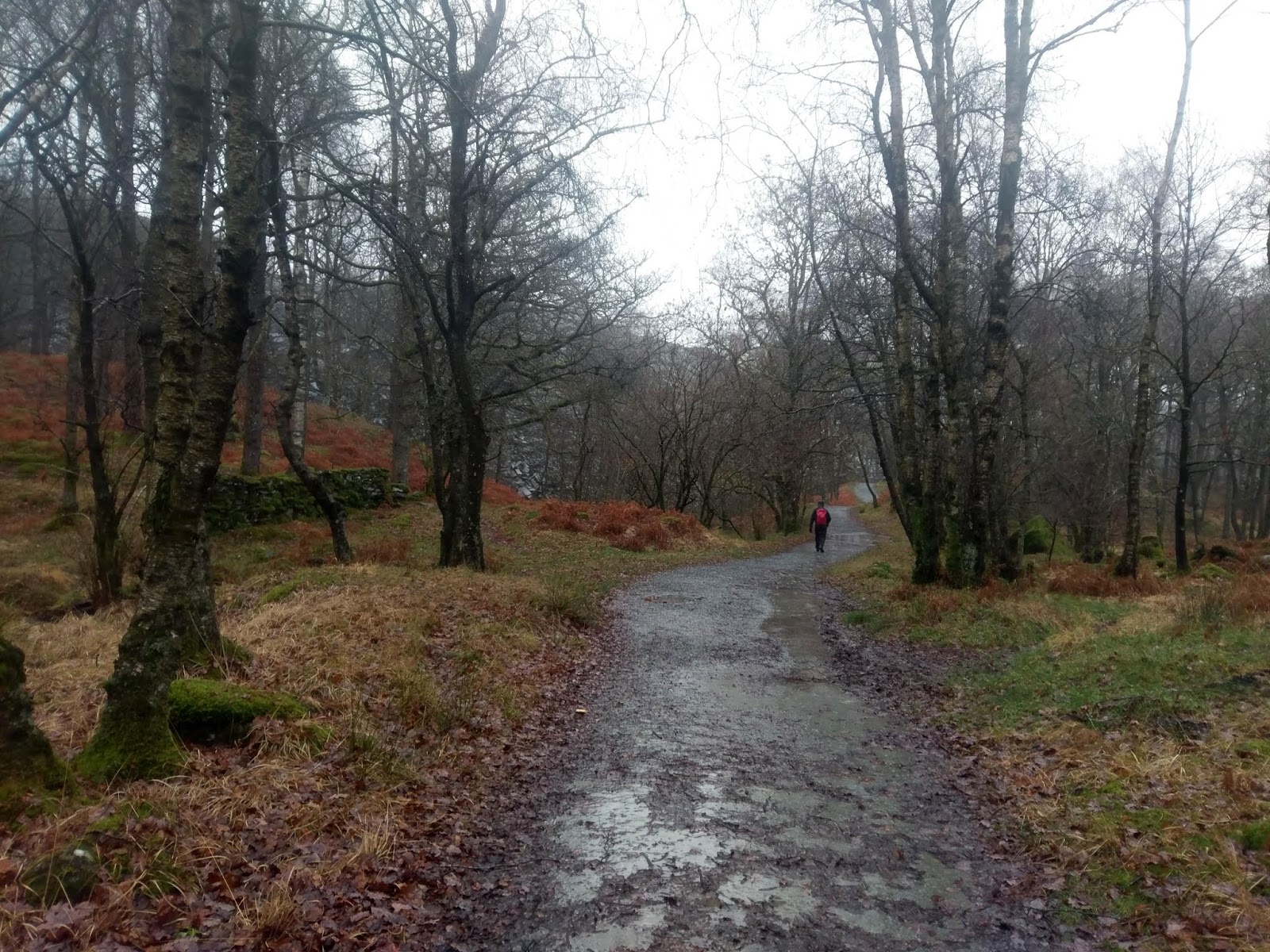
Beyond the farm, the path continues through woodland and huge piles of quarry spoil. It’s amazing to think these piles began life as a single load from cart or wheelbarrow from a newly established quarry. At Moss Rigg Wood, the path descends into Little Langdale.
 |
| Moss Rigg Wood |
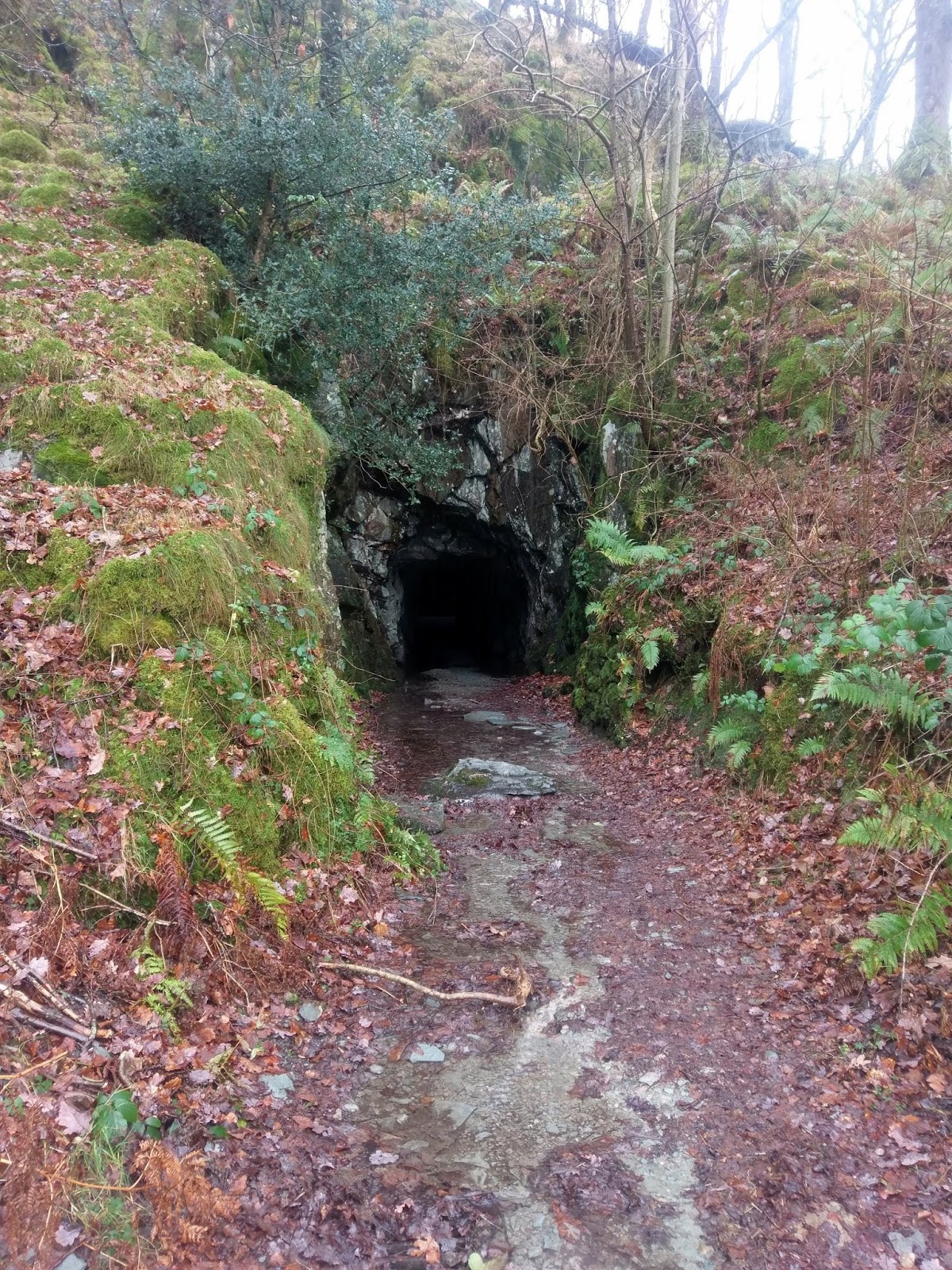
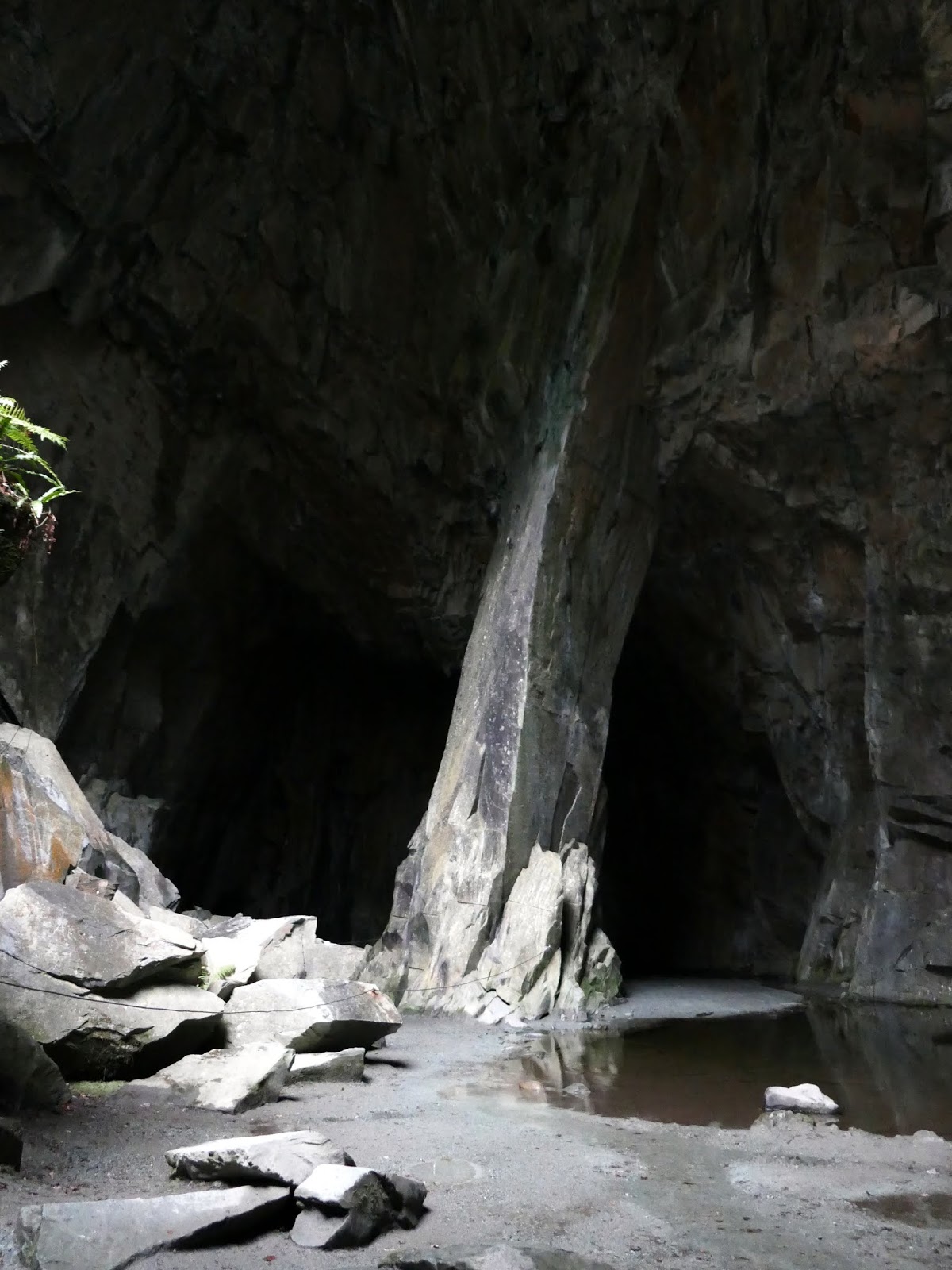
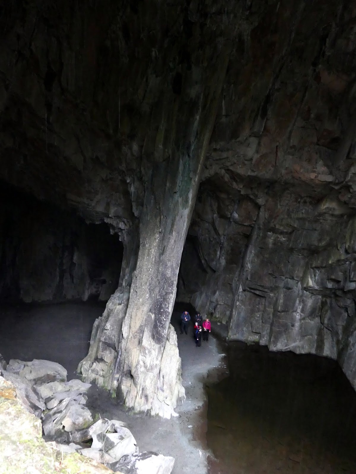
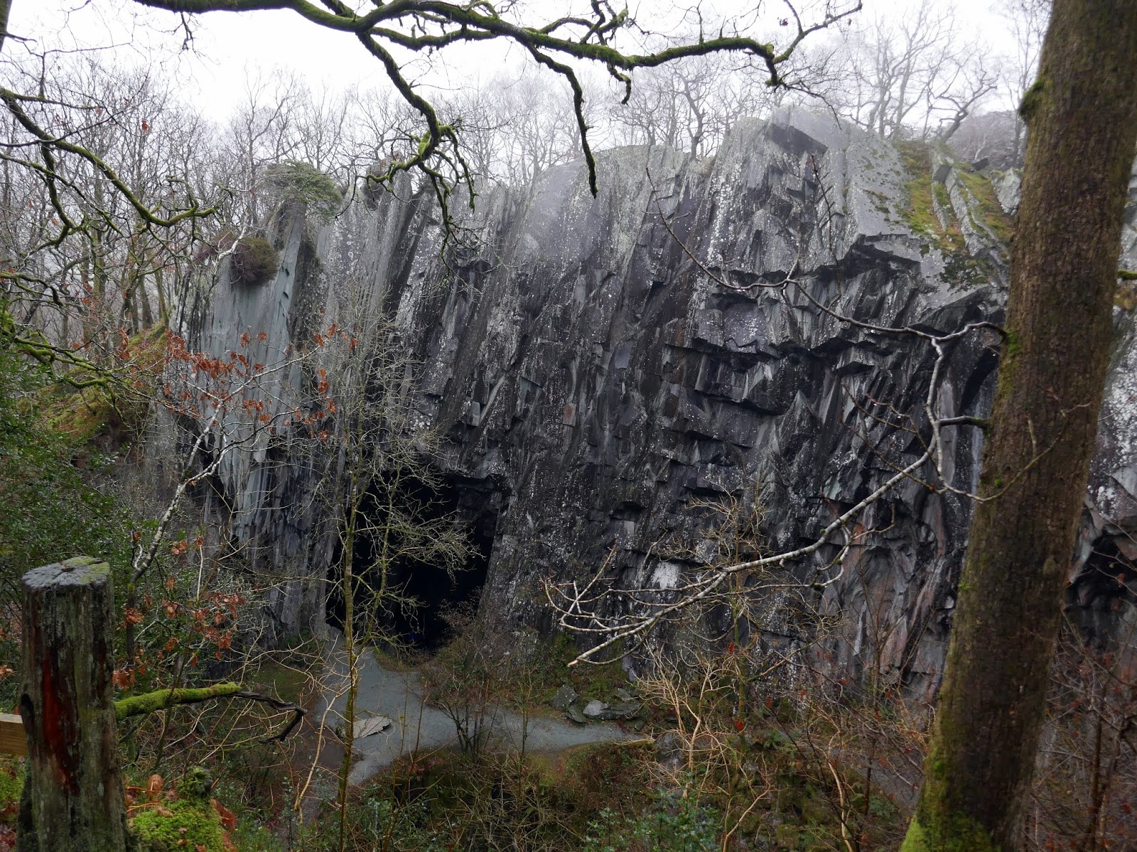
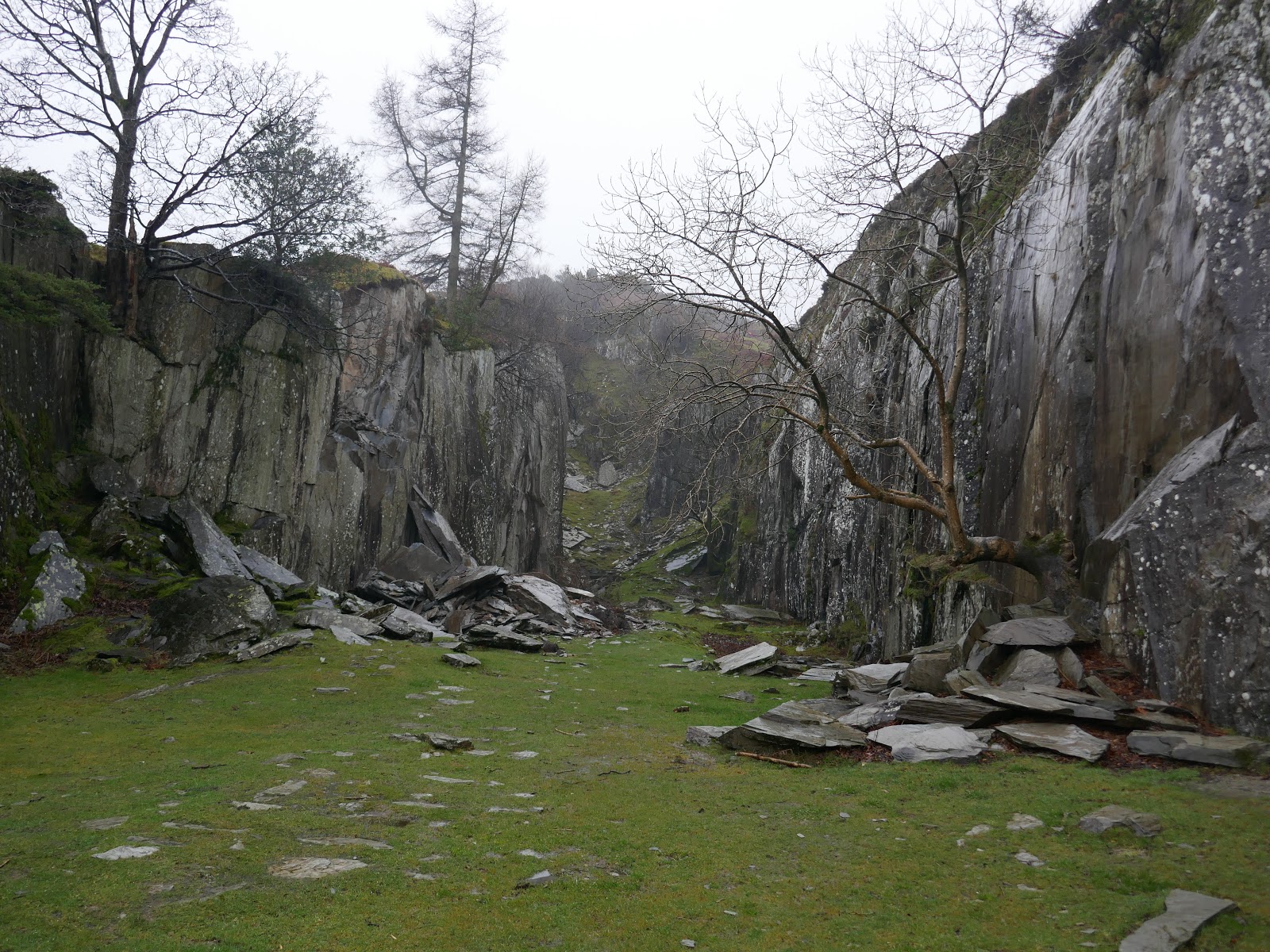
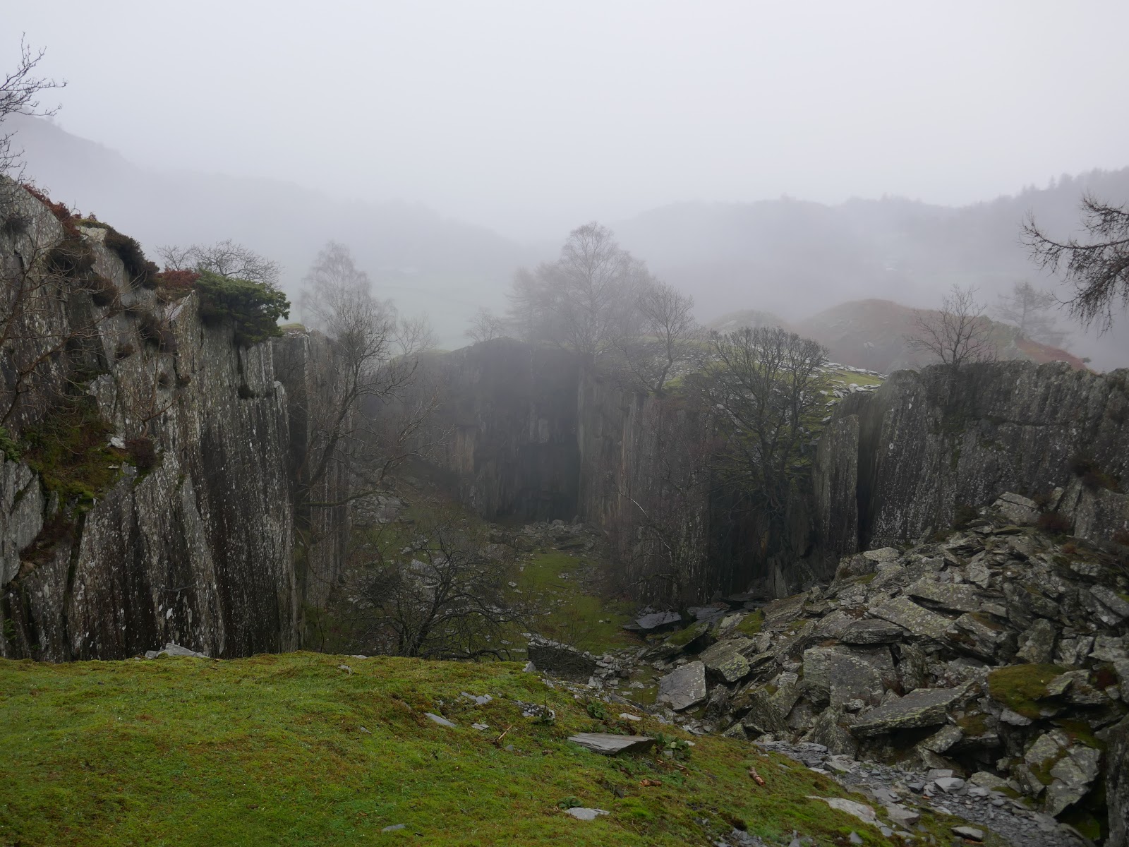
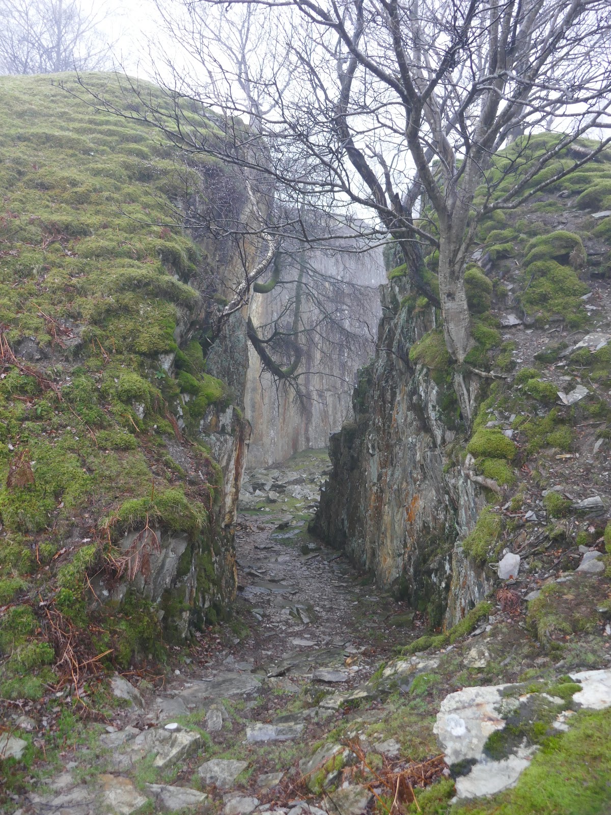
Here, hidden off the main path, is the remarkable Cathedral Quarry.
 |
| The entrance to Cathedral Quarry |
 |
| Cathedral Quarry |
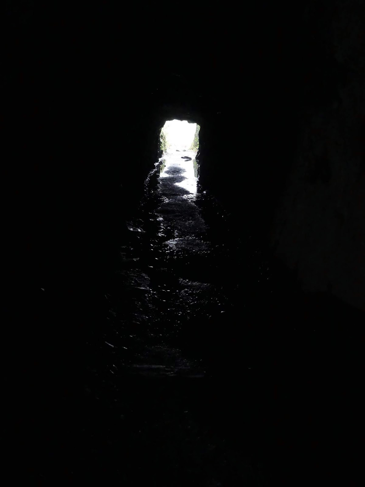
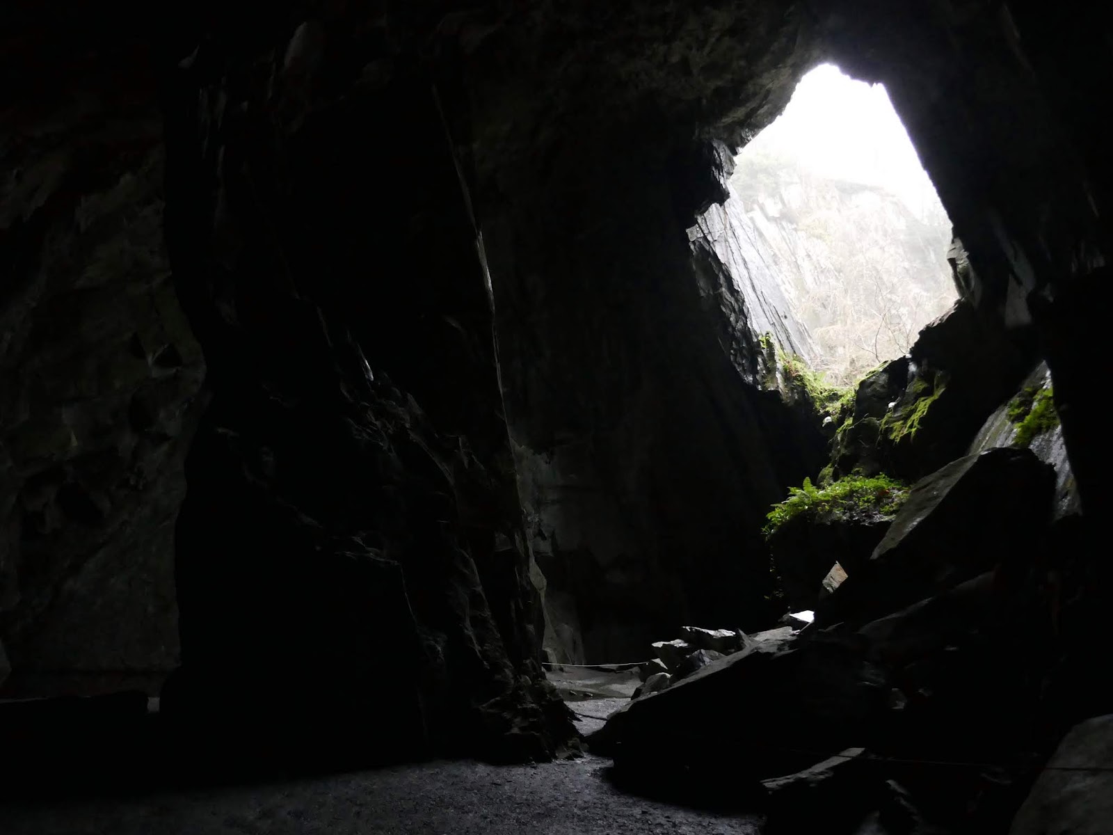
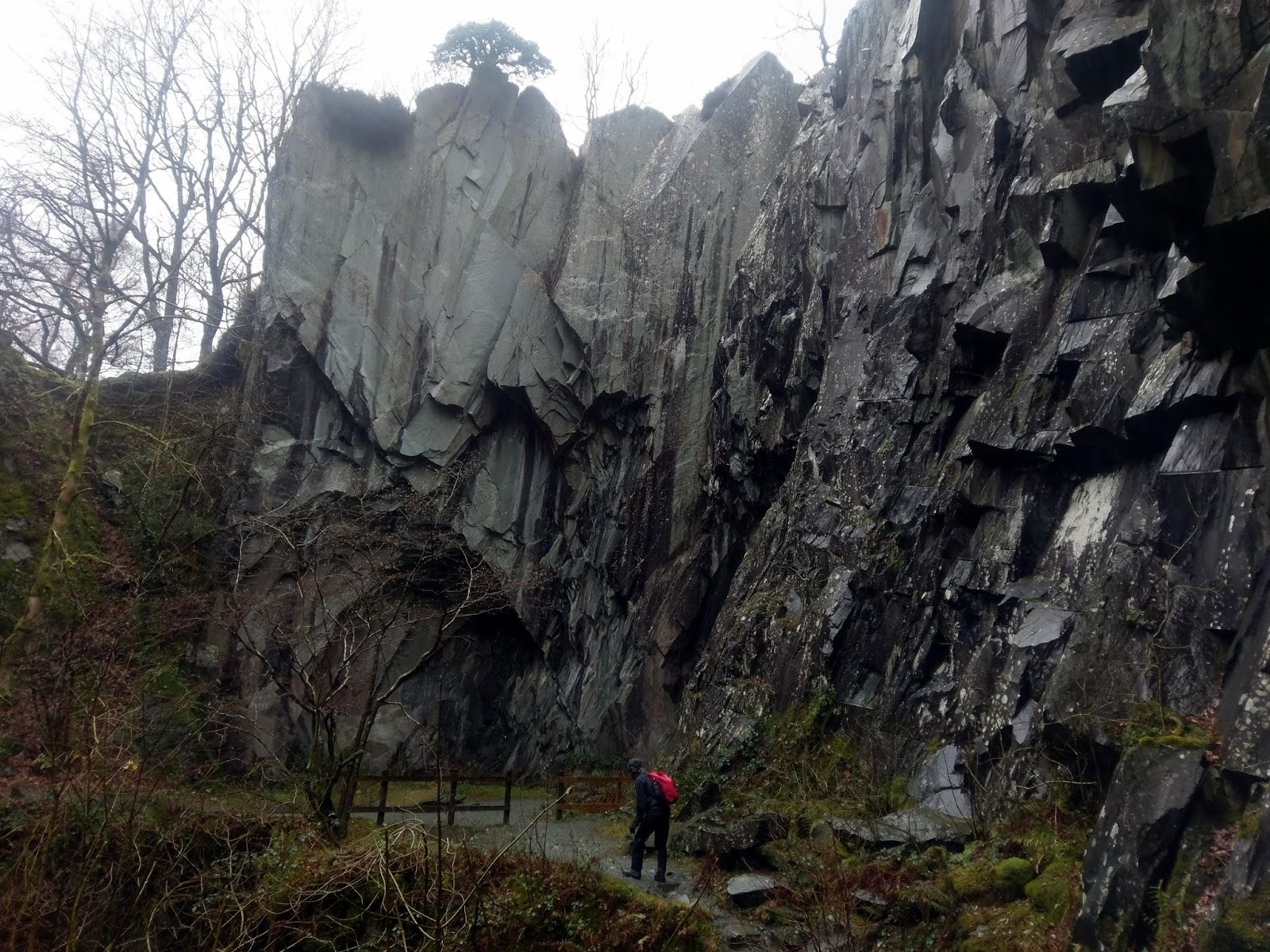
The quarry is in the possession of National Trust, accessed through a 40m tunnel. It’s not until you enter the main chamber that you can really appreciate the scale of the cavern and how it gets its name. Standing proudly in the centre is a dramatic spire of rock, deliberately left to support the roof as the quarrymen worked around it and backlit by a huge opening in the cavern roof. It’s fair to say that the cavern is every bit as impressive as a natural cave. Several other passages can be reached by wandering around the quarry though these all require a torch to explore further.
 |
| Looking back along the tunnel |
 |
| The cavern and the window
|
 |
| The exterior of the quarry |
 |
| Looking down through the window |
 |
| Cathedral Quarry |
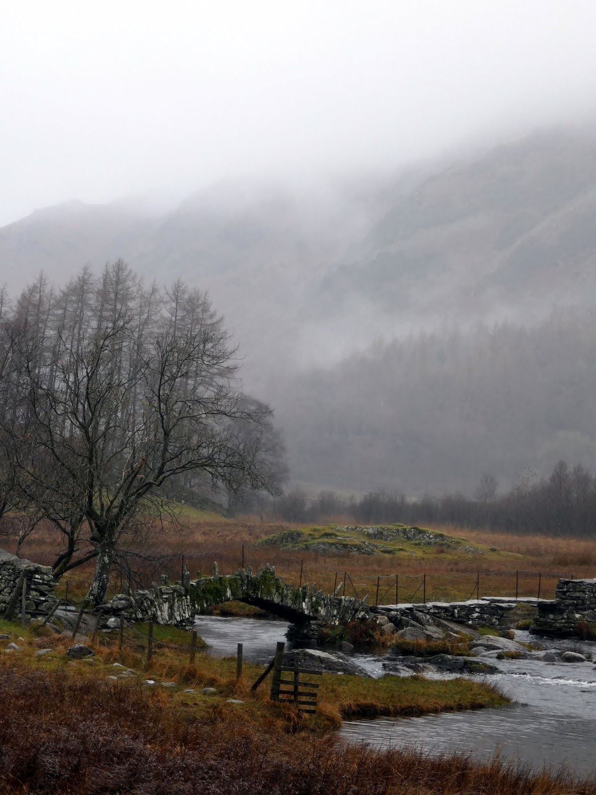
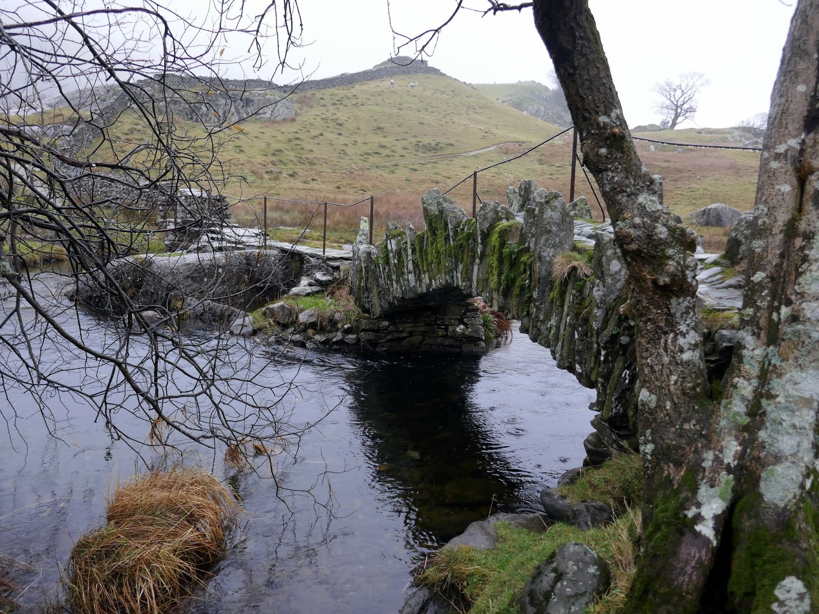
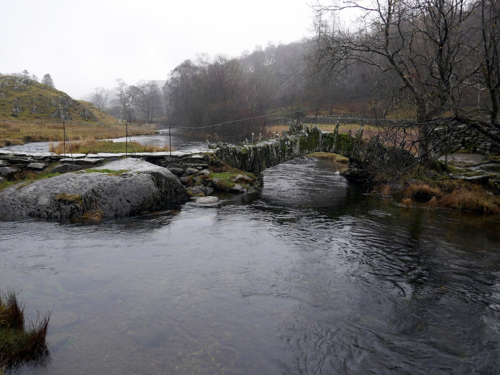
After wandering around the quarry for a bit, we continued our route into the depths of Little Langdale. We passed Slater’s Bridge, an old pedestrian bridge, that connects the hamlet of Little Langdale with the many slate quarries in the Tilberthwaite area, including Cathedral Quarry and the Hodge Close Quarry. The two-part bridge takes advantage of a central large rock and a very long slate slab to cross the river on its way from Little Langdale Tarn to Elterwater. It may well be one of the most photographed bridges in the National Park, perhaps second only to Ashness Bridge (which is accessible by car).
 |
| Little Langdale |
 |
| High Birk Howe in Little Langdale |
 |
| Slater Bridge backed by Wrynose Fell |
 |
| Slater Bridge |
 |
| Slater Bridge |
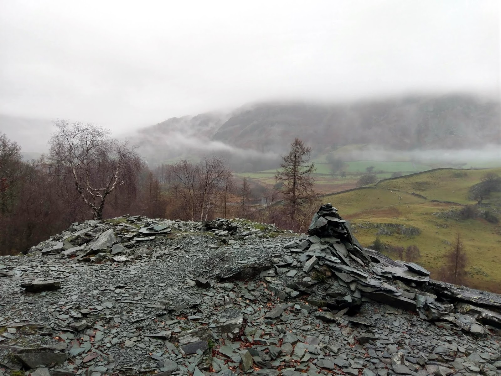
Upon reaching a junction of paths at the foot of Great Intake, we had a decision to make. Abandon the walk and head back to Tilberthwaite, or continue on to the higher ground below Wetherlam. Despite the appearance that the weather was not due to change, we decided to visit some of the minor peaks of the Tilberthwaite group of fells.
This collection of low hills see little in the way of visitors as the main routes into the Coniston fells bypass them. They are an interesting collection of knolls clustered to the north of Dry Cove Bottom (an ironic name on a day like today). The first of these from Little Langdale is Great Intake.
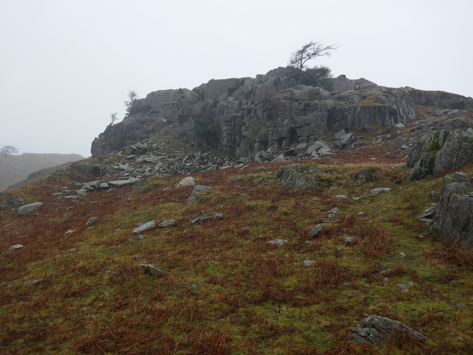
 |
| Climbing Great Intake |
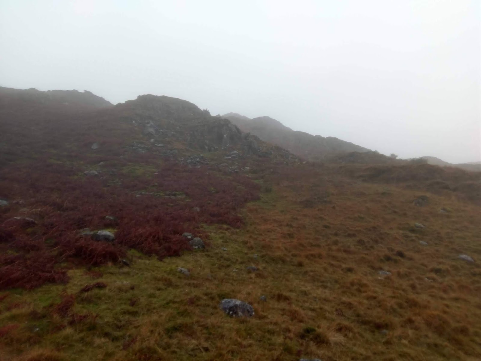
It was a pathless climb up to Great Intake. We did our best to take a direct line but bogs, heather, streams and low crags barred a straightforward route. Eventually, after weaving around many of the obstacles, we arrived at the summit and the beginning of the Tilberthwaite Fells.
 |
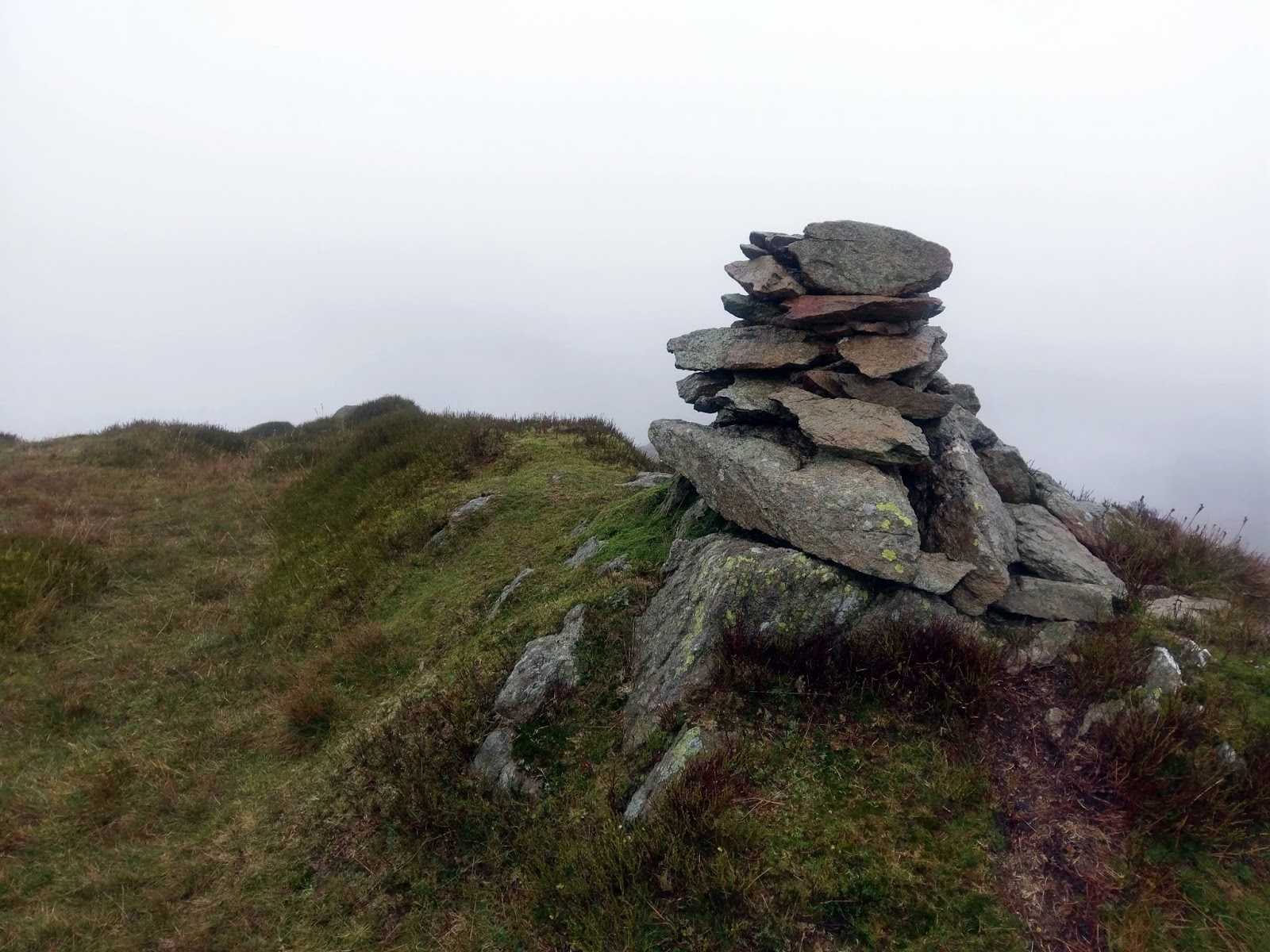
| Great Intake’s summit |
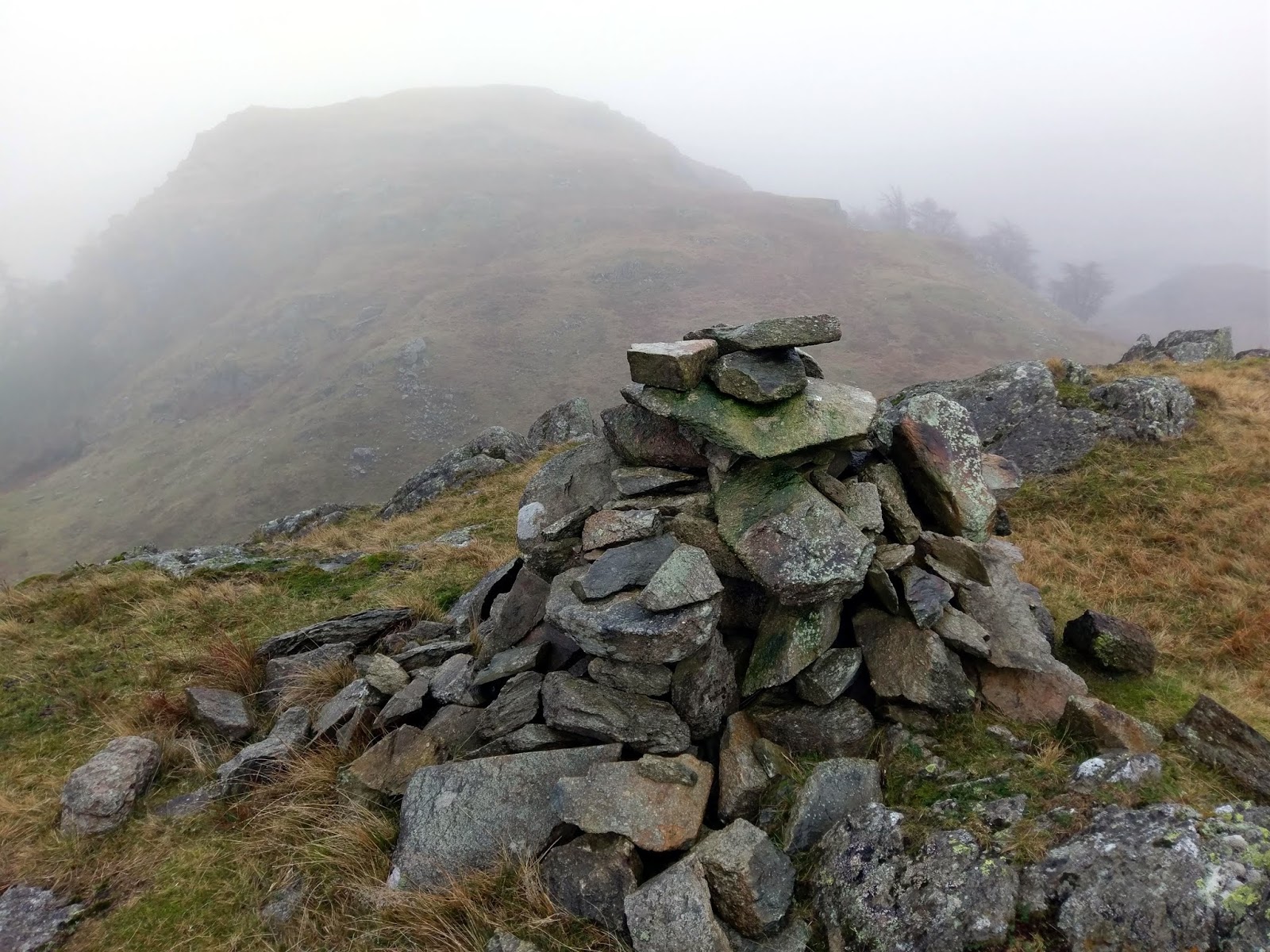
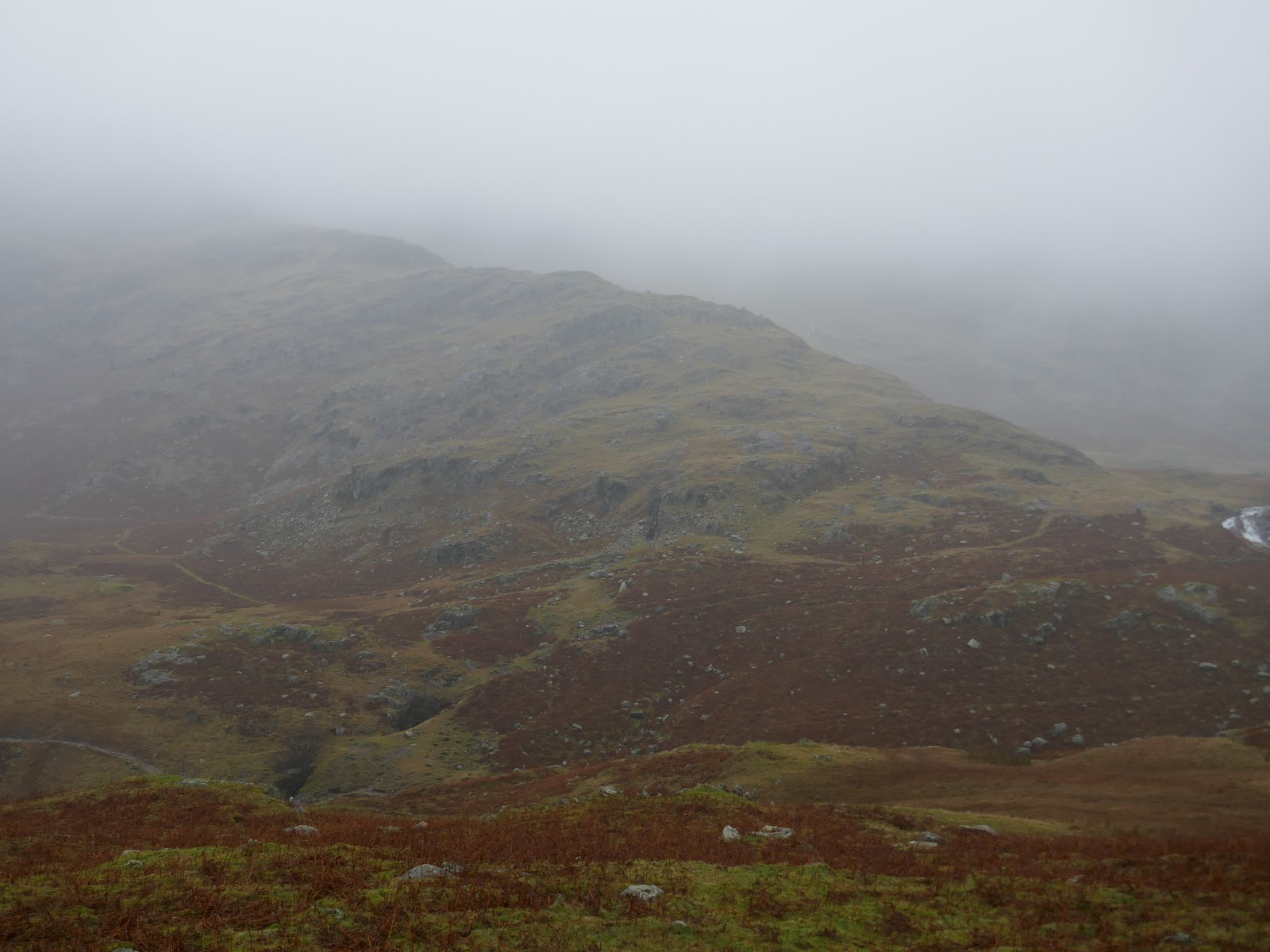
Great Intake is actually quite isolated from its neighbours. A deep trough slices between Greenburn and Tilberthwaite requiring a noticeable loss of height. A steep, though short, climb leads to the ambitiously named High Fell.
 |
| High Fell from the west side of Great Intake |
 |
| Looking back to Great Intake |
 |
| High Fell backed by Hawk Rigg |
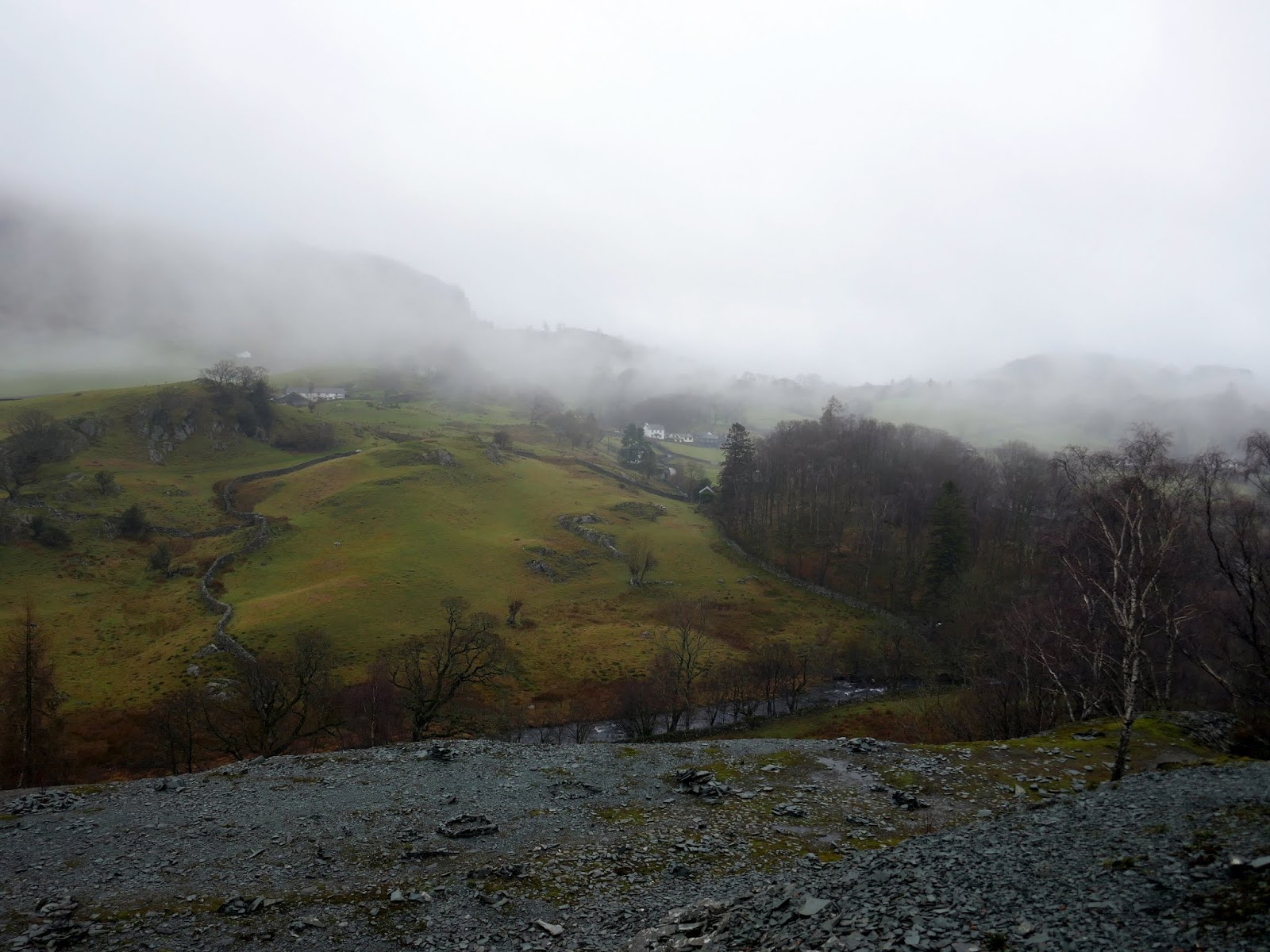
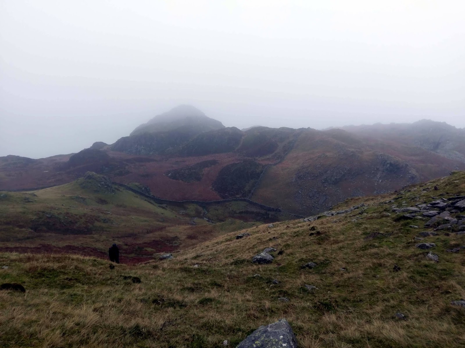
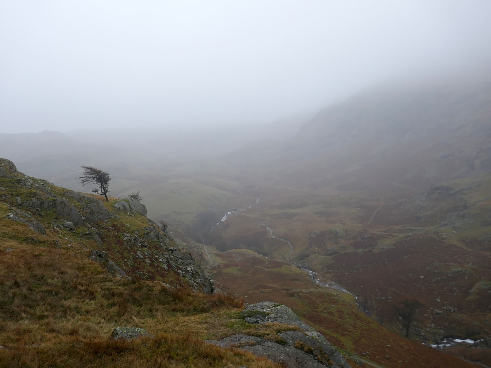
I’d like to comment on the views but, sadly, a grey drizzle had settled upon the Lake District, dashing any hope of a dry afternoon. Fortunately, despite having a few fells to visit, they all sit in a tight huddle above Dry Cove Bottom. The merest of descents and re-ascents took us over Hawk Rigg, Haystacks (not the Haystacks!) and Blake Rigg.
 |
| Henfoot Beck from Blake Rigg |
 |
| Dry Cove Bottom |
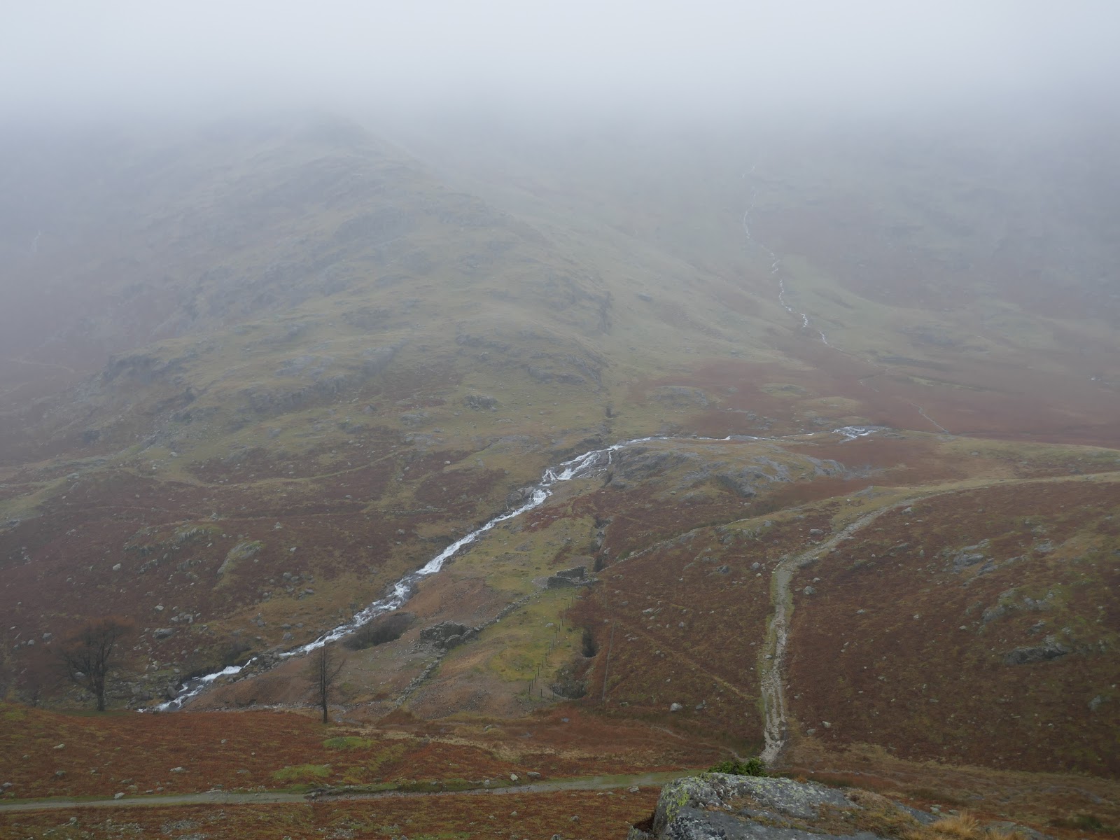
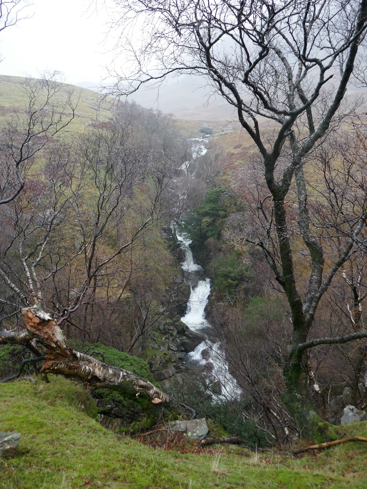
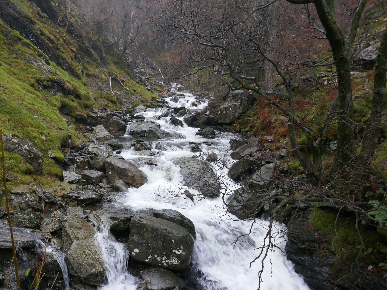
Beyond Blake Rigg is the huge incision of Tilberthwaite Gill, draining the coves east of Wetherlam. We followed the slopes of Blake Rigg’s southern ridge to meet the walkers path at Dry Cove Bottom before following the path which skirts the northern side of Tilberthwaite, giving views down into the waterfalls below. If there’s a silver lining to a rainy day its the spectacular display of waterfalls in spate.
 |
| Birk Fell Man |
 |
| Blake Rigg |
 |
| Tilberthwaite Gill |
 |
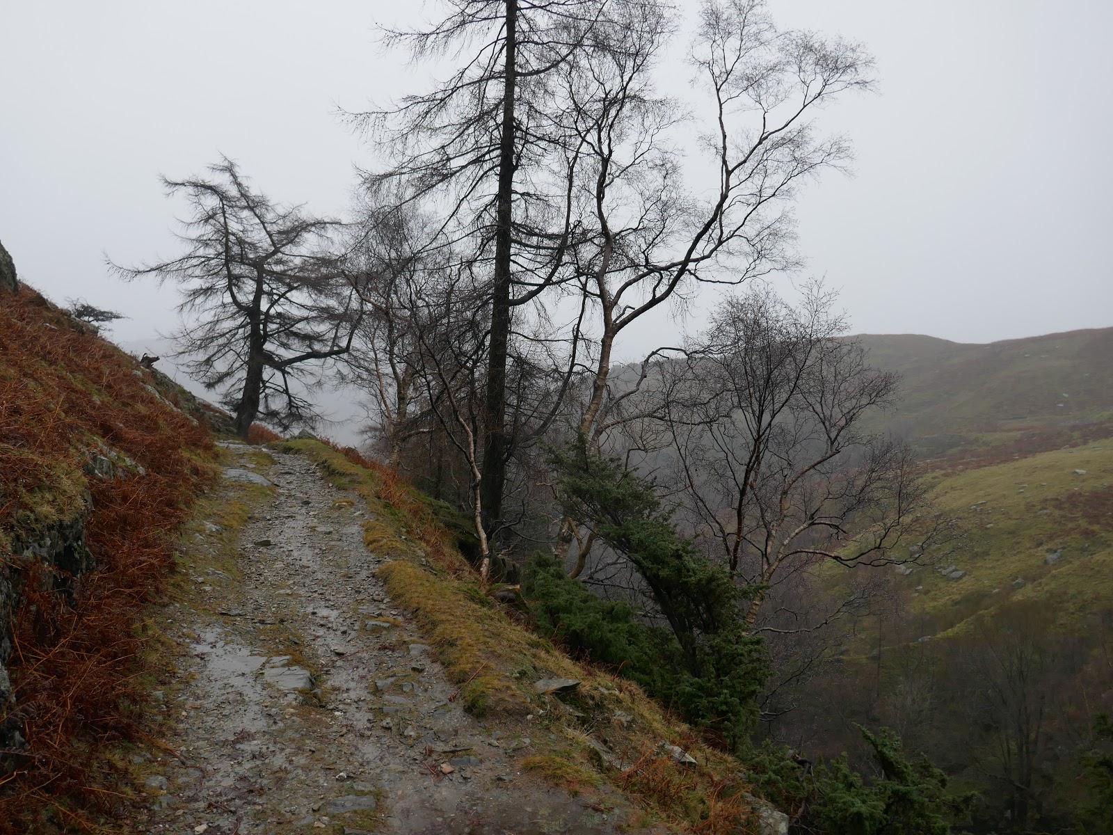
| The path high above the gill |
 |
| Tilberthwaite Gill |
 |
| Tilberthwaite Gill |
 |
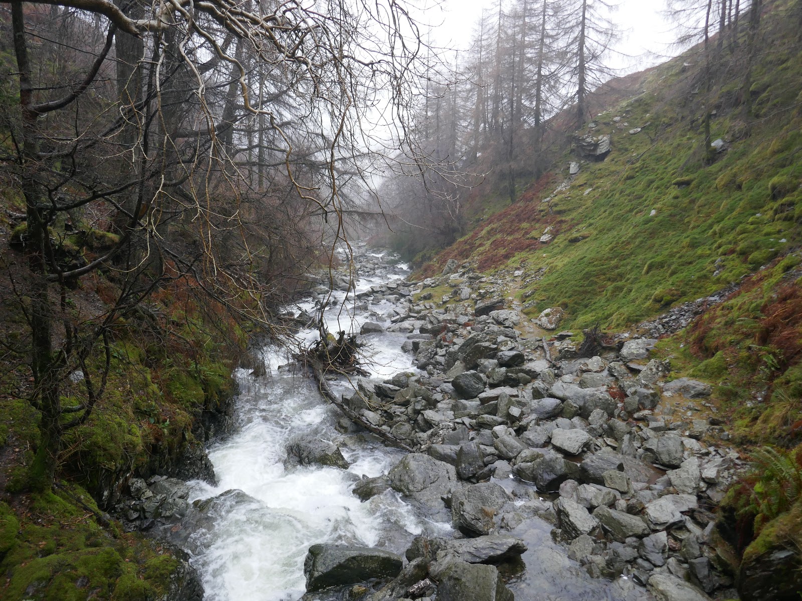
| Yewdale Beck |
The path leads back to Tilberthwaite though we took the opportunity to cross the gill via a footbridge deep in the valley, now descending on the opposite side. This leads directly to the car park but also passes by another huge quarry which itself is interesting. Ultimately we made it back to the car, soaked through but having managed a half decent outing on the fells.
 |
| Horse Crag Quarry |
 |
| Horse Crag Quarry |
 |
| The entrance to Horse Crag Quarry |
