Open Space Web-Map builder Codehttps://openspace.ordnancesurvey.co.uk/osmapapi/openspace.js?key=3119F72552FD5C22E0530C6CA40A5A92https://openspace.ordnancesurvey.co.uk/osmapapi/script/mapbuilder/basicmap.jshttps://openspace.ordnancesurvey.co.uk/osmapapi/script/mapbuilder/searchbox.js//variables for routes var linesLayer, points, lineFeature, lineString, routeMarkersLayer, routepos, routesize, routeoffset, routeicon; var style_blue = {strokeColor: “#0000CD”, strokeOpacity: 0.5, strokeWidth: 4.5}; function initmapbuilder() { //initiate the map var options = {resolutions: [2500, 1000, 500, 200, 100, 50, 25, 10, 5, 4, 2.5, 2, 1]}; osMap = new OpenSpace.Map(‘map’, options); //configure map options (basicmap.js) setglobaloptions(); //set the center of the map and the zoom level osMap.setCenter(new OpenSpace.MapPoint(338037,507171),7); linesLayer = osMap.getVectorLayer(); // Set up layer for route markers routeMarkersLayer = new OpenLayers.Layer.Markers(“Route Markers”); //make a route points = new Array(); points.push(new OpenLayers.Geometry.Point(337632.5,504695)); points.push(new OpenLayers.Geometry.Point(337630,504755)); points.push(new OpenLayers.Geometry.Point(337570,504990)); points.push(new OpenLayers.Geometry.Point(337590,505135)); points.push(new OpenLayers.Geometry.Point(337580,505242.5)); points.push(new OpenLayers.Geometry.Point(337505,505402.5)); points.push(new OpenLayers.Geometry.Point(337465,505550)); points.push(new OpenLayers.Geometry.Point(337595,505655)); points.push(new OpenLayers.Geometry.Point(337505,505690)); points.push(new OpenLayers.Geometry.Point(337555,505830)); points.push(new OpenLayers.Geometry.Point(337650,505930)); points.push(new OpenLayers.Geometry.Point(337640,506080)); points.push(new OpenLayers.Geometry.Point(337645,506170)); points.push(new OpenLayers.Geometry.Point(337600,506250)); points.push(new OpenLayers.Geometry.Point(337660,506350)); points.push(new OpenLayers.Geometry.Point(337670,506535)); points.push(new OpenLayers.Geometry.Point(337660,506640)); points.push(new OpenLayers.Geometry.Point(337585,506845)); points.push(new OpenLayers.Geometry.Point(337570,506975)); points.push(new OpenLayers.Geometry.Point(337520,507140)); points.push(new OpenLayers.Geometry.Point(337450,507245)); points.push(new OpenLayers.Geometry.Point(337455,507425)); points.push(new OpenLayers.Geometry.Point(337335,507780)); points.push(new OpenLayers.Geometry.Point(337325,507935)); points.push(new OpenLayers.Geometry.Point(337350,508070)); points.push(new OpenLayers.Geometry.Point(337380,508240)); points.push(new OpenLayers.Geometry.Point(337380,508450)); points.push(new OpenLayers.Geometry.Point(337370,508620)); points.push(new OpenLayers.Geometry.Point(337390,508810)); points.push(new OpenLayers.Geometry.Point(337400,508945)); points.push(new OpenLayers.Geometry.Point(337390,509195)); points.push(new OpenLayers.Geometry.Point(337365,509365)); points.push(new OpenLayers.Geometry.Point(337345,509585)); points.push(new OpenLayers.Geometry.Point(337365,509785)); points.push(new OpenLayers.Geometry.Point(337450,510075)); points.push(new OpenLayers.Geometry.Point(337425,510470)); points.push(new OpenLayers.Geometry.Point(337545,510300)); points.push(new OpenLayers.Geometry.Point(337755,510150)); points.push(new OpenLayers.Geometry.Point(337815,510135)); points.push(new OpenLayers.Geometry.Point(337980,510195)); points.push(new OpenLayers.Geometry.Point(338170,510295)); points.push(new OpenLayers.Geometry.Point(338235,510295)); points.push(new OpenLayers.Geometry.Point(338485,510095)); points.push(new OpenLayers.Geometry.Point(338740,510065)); points.push(new OpenLayers.Geometry.Point(338645,509985)); points.push(new OpenLayers.Geometry.Point(338680,509815)); points.push(new OpenLayers.Geometry.Point(338780,509605)); points.push(new OpenLayers.Geometry.Point(338880,509375)); points.push(new OpenLayers.Geometry.Point(339040,509190)); points.push(new OpenLayers.Geometry.Point(339240,508950)); points.push(new OpenLayers.Geometry.Point(339350,508850)); points.push(new OpenLayers.Geometry.Point(339635,508775)); points.push(new OpenLayers.Geometry.Point(339580,508685)); points.push(new OpenLayers.Geometry.Point(339475,508610)); points.push(new OpenLayers.Geometry.Point(339385,508435)); points.push(new OpenLayers.Geometry.Point(339185,508095)); points.push(new OpenLayers.Geometry.Point(339065,507845)); points.push(new OpenLayers.Geometry.Point(338990,507500)); points.push(new OpenLayers.Geometry.Point(338830,507045)); points.push(new OpenLayers.Geometry.Point(338615,506980)); points.push(new OpenLayers.Geometry.Point(338640,506690)); points.push(new OpenLayers.Geometry.Point(338590,506535)); points.push(new OpenLayers.Geometry.Point(338485,506160)); points.push(new OpenLayers.Geometry.Point(338380,505820)); points.push(new OpenLayers.Geometry.Point(338450,505640)); points.push(new OpenLayers.Geometry.Point(338440,505515)); points.push(new OpenLayers.Geometry.Point(338555,505400)); points.push(new OpenLayers.Geometry.Point(338580,505330)); points.push(new OpenLayers.Geometry.Point(338475,505247.5)); points.push(new OpenLayers.Geometry.Point(338410,505145)); points.push(new OpenLayers.Geometry.Point(338375,505012.5)); points.push(new OpenLayers.Geometry.Point(338300,504907.5)); points.push(new OpenLayers.Geometry.Point(338260,504902.5)); points.push(new OpenLayers.Geometry.Point(338210,504850)); points.push(new OpenLayers.Geometry.Point(338140,504795)); points.push(new OpenLayers.Geometry.Point(338115,504740)); points.push(new OpenLayers.Geometry.Point(338035,504697.5)); points.push(new OpenLayers.Geometry.Point(337995,504650)); points.push(new OpenLayers.Geometry.Point(337875,504717.5)); points.push(new OpenLayers.Geometry.Point(337730,504697.5)); points.push(new OpenLayers.Geometry.Point(337675,504652.5)); points.push(new OpenLayers.Geometry.Point(337632.5,504695)); // create a polyline feature from the array of points lineString = new OpenLayers.Geometry.LineString(points); lineFeature = new OpenLayers.Feature.Vector(lineString, null, style_blue); linesLayer.addFeatures([lineFeature]); //crate a route start/end marker routepos = new OpenSpace.MapPoint(337632.5,504695); routesize = new OpenLayers.Size(33,45); routeoffset = new OpenLayers.Pixel(-5,-37); routeicon = new OpenSpace.Icon(‘https://openspace.ordnancesurvey.co.uk/osmapapi/img_versions/img_1.1/mapbuilder/routemarker-startend.png’, routesize, routeoffset, null, null); routeMarkersLayer.addMarker(new OpenLayers.Marker(routepos, routeicon)); osMap.addLayer(routeMarkersLayer);}
Route: Ambleside, Cumbria University, Nook End Farm, Low Sweden Bridge, High Sweden Coppice, High Brock Crags, Low Pike, High Pike, Thack Bottom Edge, Dove Crag, Bakestones Moss, Little Hart Crag, Scandale Pass, Red Screes, Snarker Moss, Snarker Pike, Kirkstone Road, Ambleside
Date: 15/09/2018
From: Ambleside
Parking: Ambleside
Start Point: Ambleside
Region: Eastern Fells
Route length: 10 miles (16 km)
Time taken: 04:34
Average speed: 2.2mph
Ascent: 1,082m
Descent: 1,096m
Wainwrights on this walk:
Low Pike (508m), High Pike (656m), Dove Crag (792m), Little Hart Crag (637m), Red Screes (776m)
Additional summits: None
Other points of interest: Scandale Pass
I think today was the day that Autumn well and truly arrived, over the period of a couple of hours. The forecast for the weekend wasn’t amazing but Saturday promised a decent, dry days walking. How wrong it turned out to be.
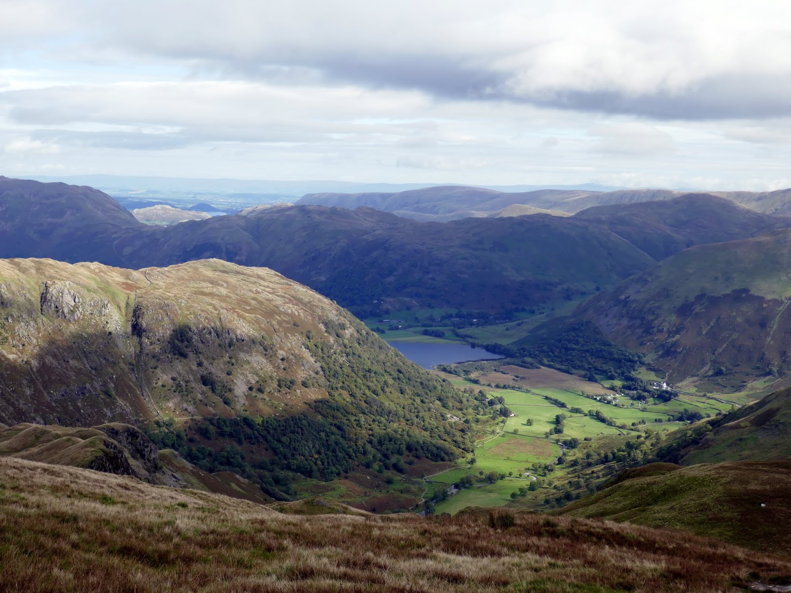
Scandale is the lesser neighbour of Rydal which, if you weren’t aware, is the valley that is enclosed by the legendary Fairfield Horseshoe. While the western side of Scandale is very well trodden (including Low Pike, High Pike and Dove Crag) the eastern arm is much less frequented.
The walk begins from Ambleside where I was lucky enough to bag a parking space at the local school, which kindly offers their parking spaces at the weekends for a small donation. This was after being dismayed to find that my usual spot, along Under Loughrigg, had been unceremoniously double-yellowed since my last visit.
 |
| Bridge House in Ambleside |
If you are familiar with the classic Fairfield Horseshoe, then this walk begins in the opposite direction, winding through Ambleside to Nook Lane and passing the University of Cumbria (their Ambleside operation at least). Nook Lane terminates at Nook End Farm. where the path heads through a gate onto the open fells.
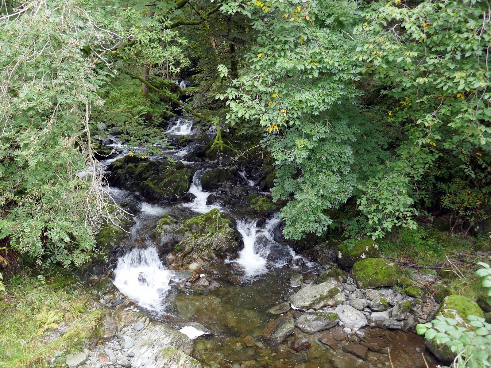
 |
| Scandale Beck at Low Sweden Bridge |
 |
| Rydal and Nab Scar |
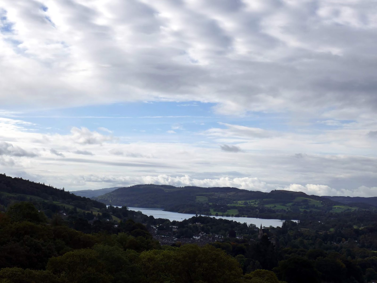
 |
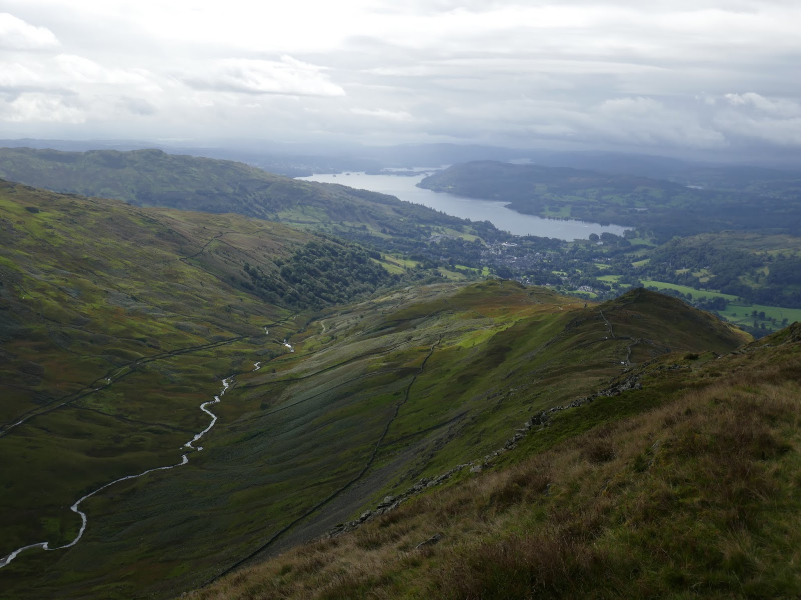
| Blue skies over Windermere |
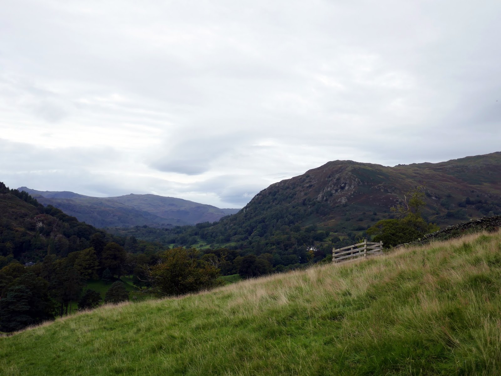
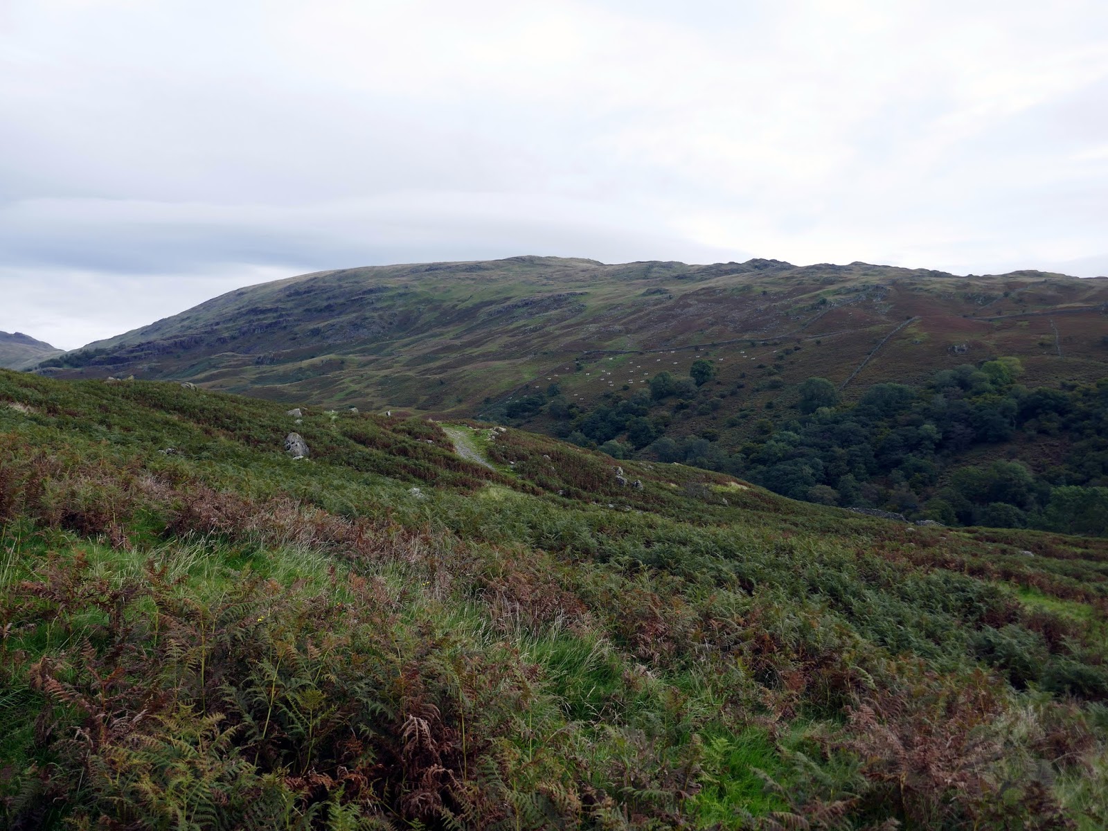
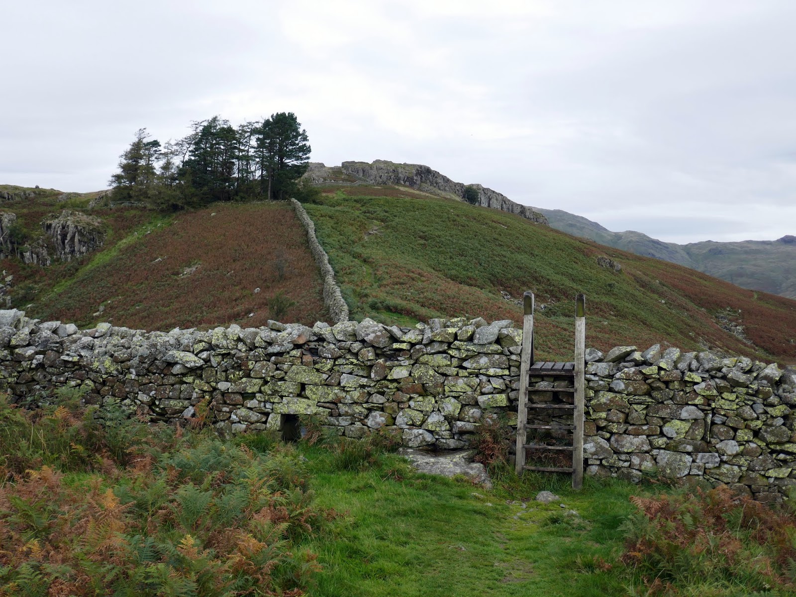
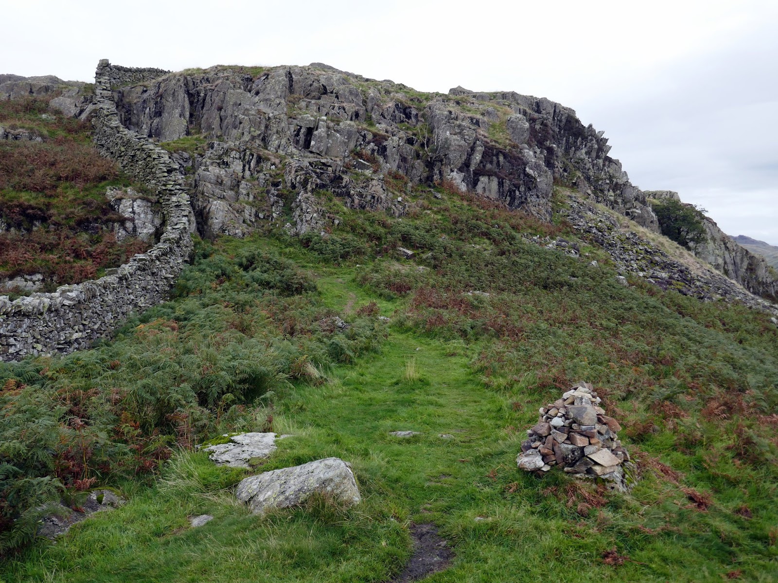
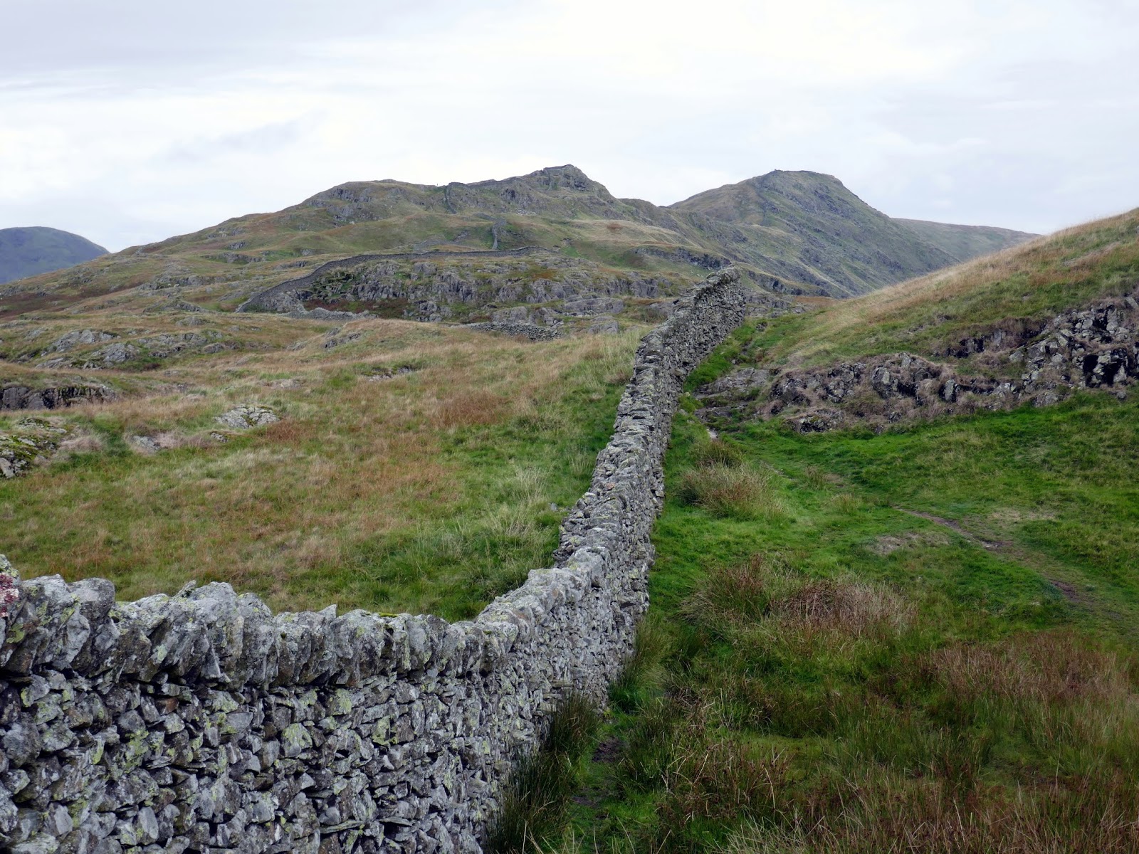
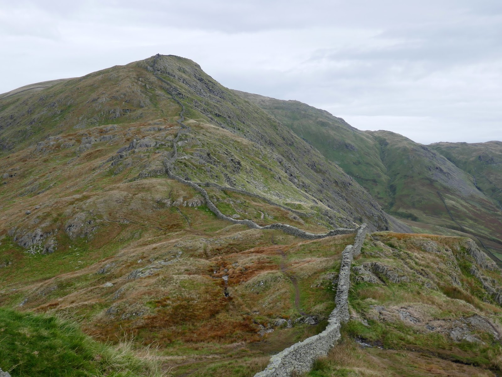
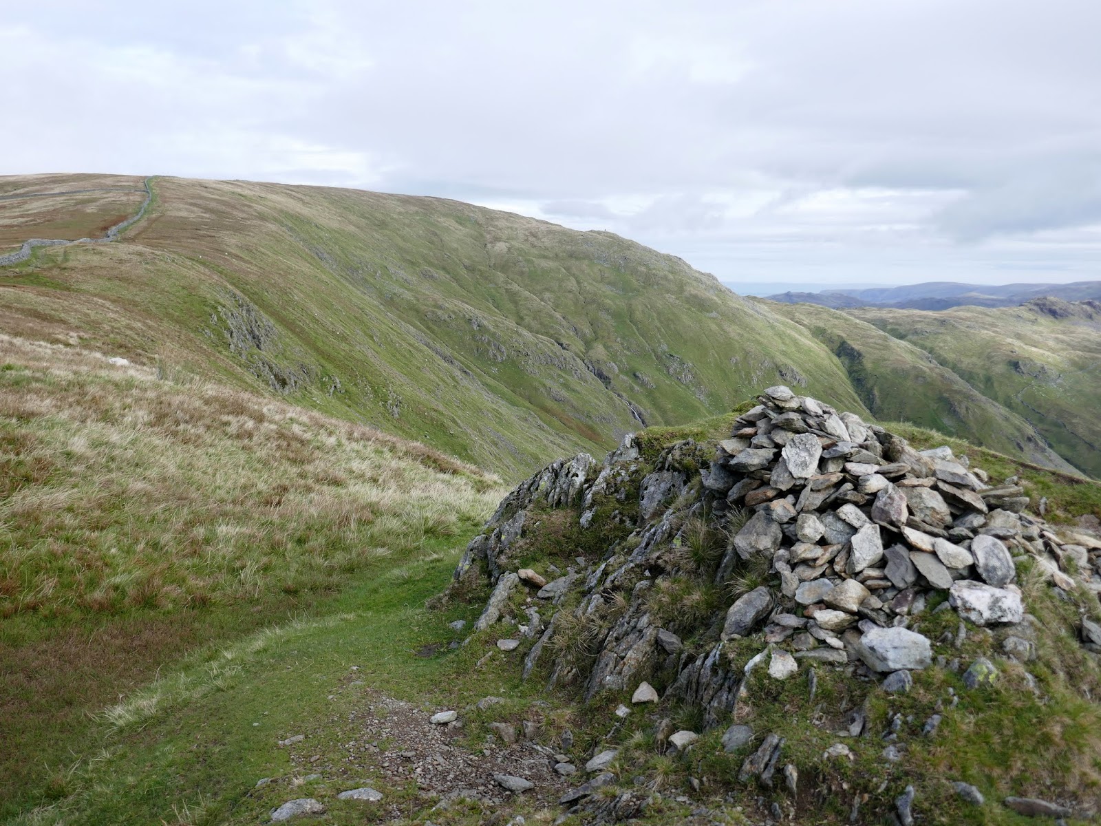
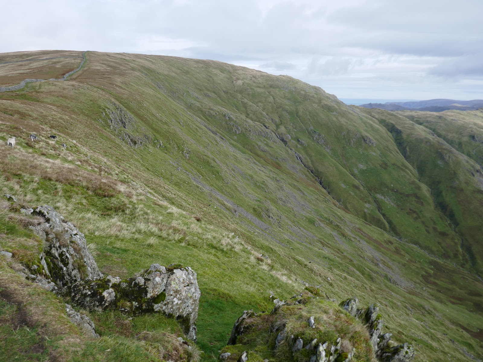
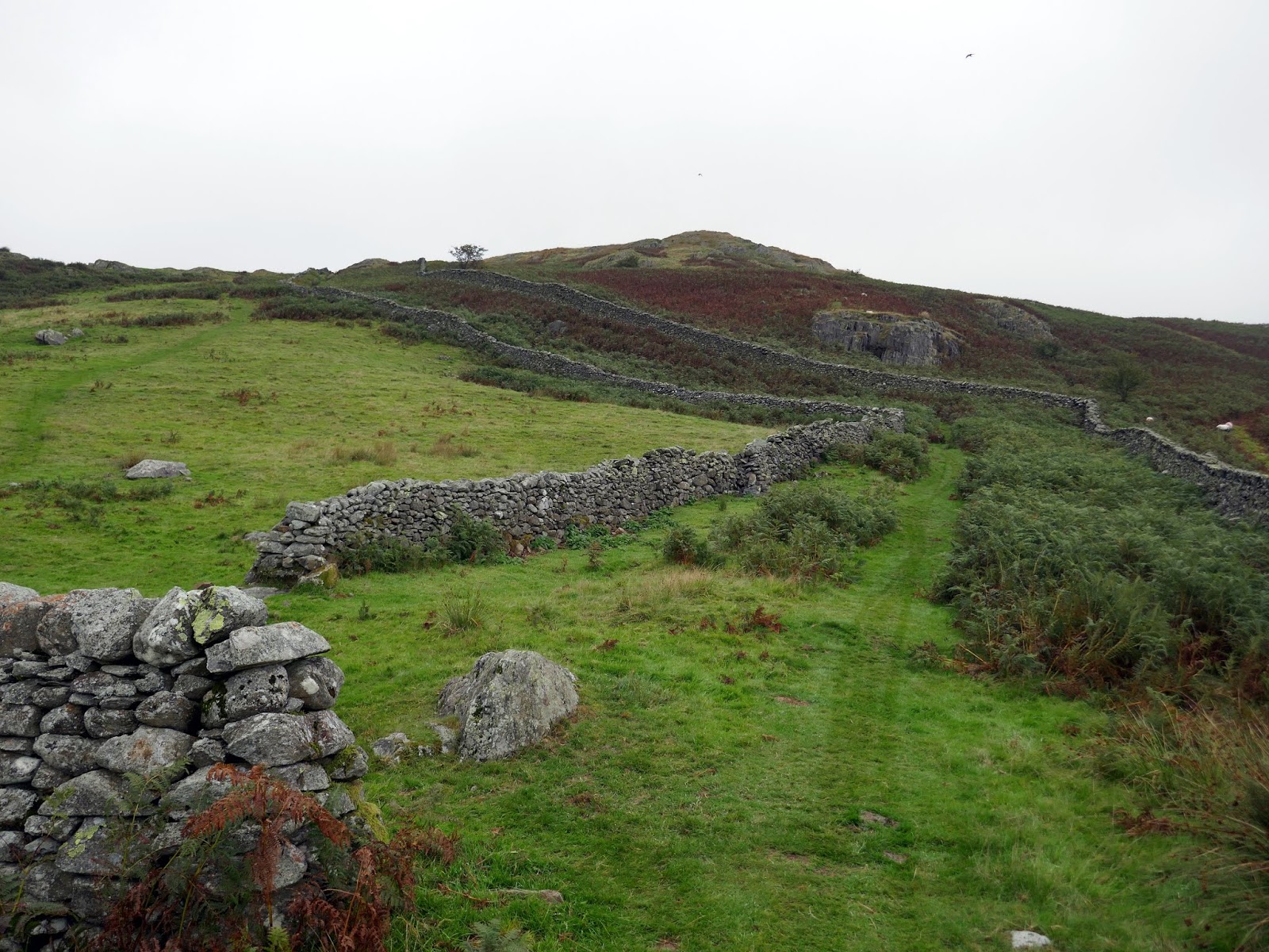
The path climbs along a stony track before I took a deviation to begin climbing Low Pike, following the famous drystone wall which runs along the crest of the ridge all the way to Hart Crag. While it makes navigation easy, it blocks much of the view to the west. Some minor but interesting scrambling is required at Low and High Brock Crags before the final pull up to Low Pike.
 |
| The undulating beginnings of the ridge |
 |
| Add caption |
 |
| Entering the Access Land at High Sweden Coppice |
 |
| Sweden Crag |
 |
| Low Pike and High Pike |
 |
| The famed drystone wall |
 |
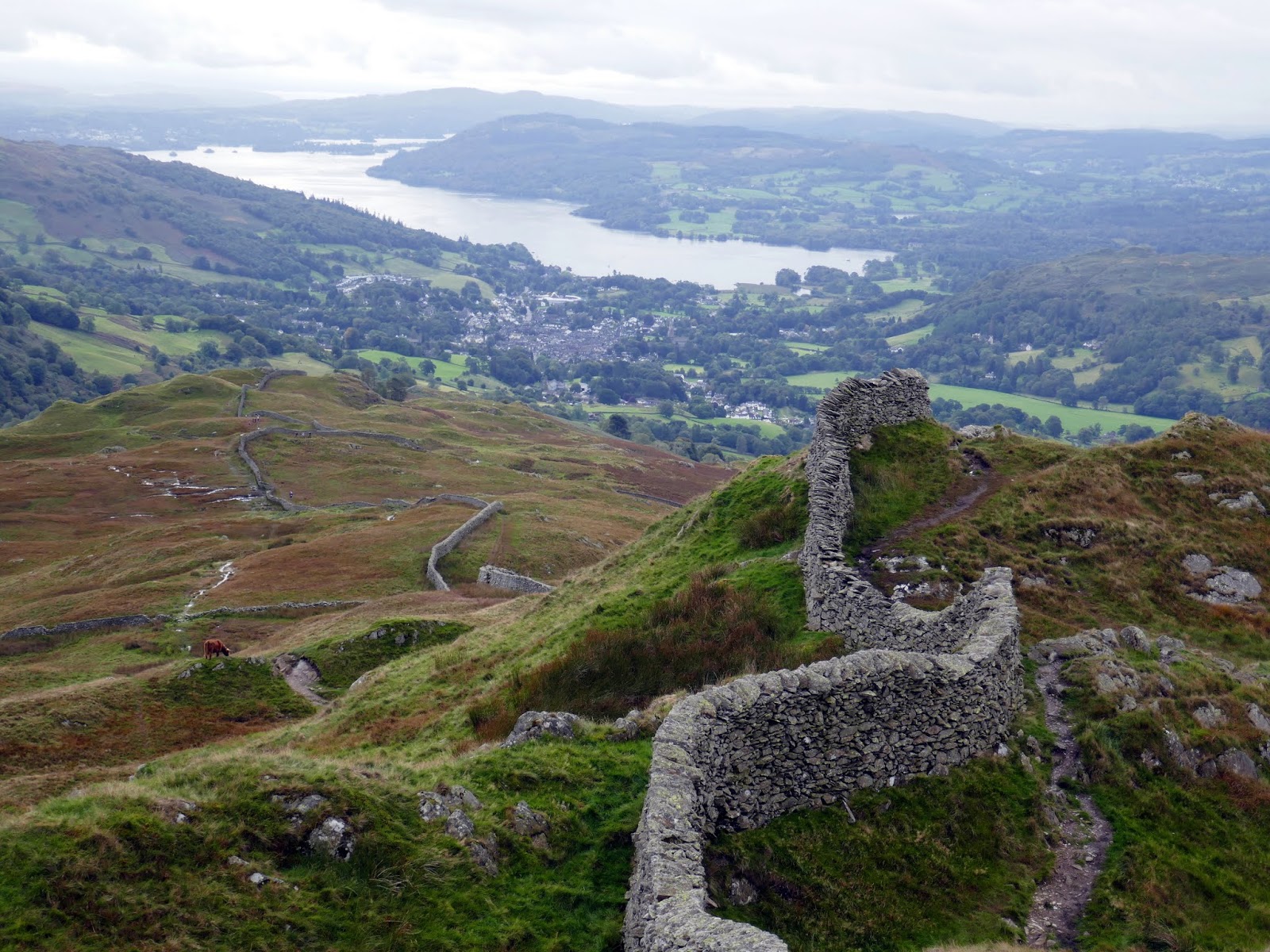
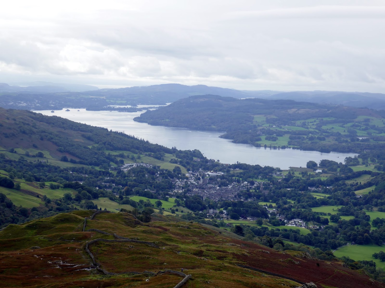
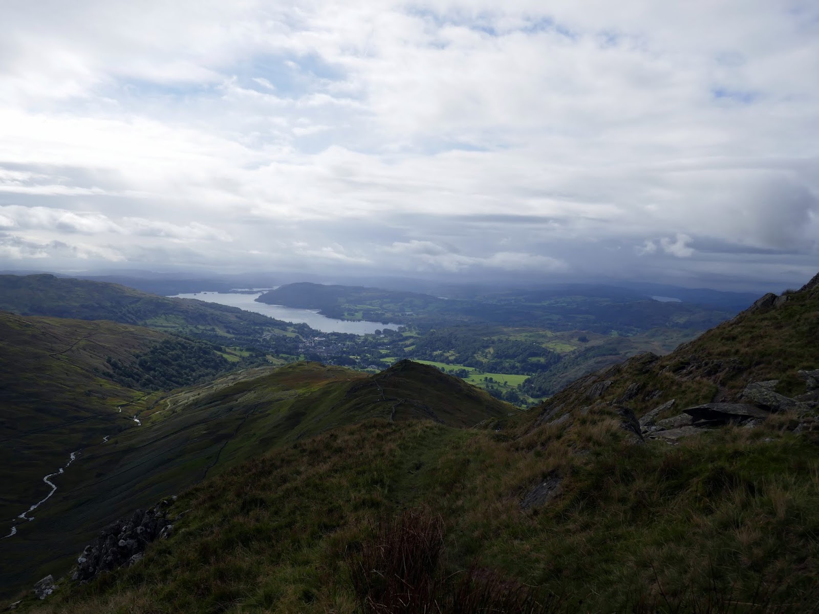
| Ambleside and Windermere |
 |
| Low Pike’s summit |
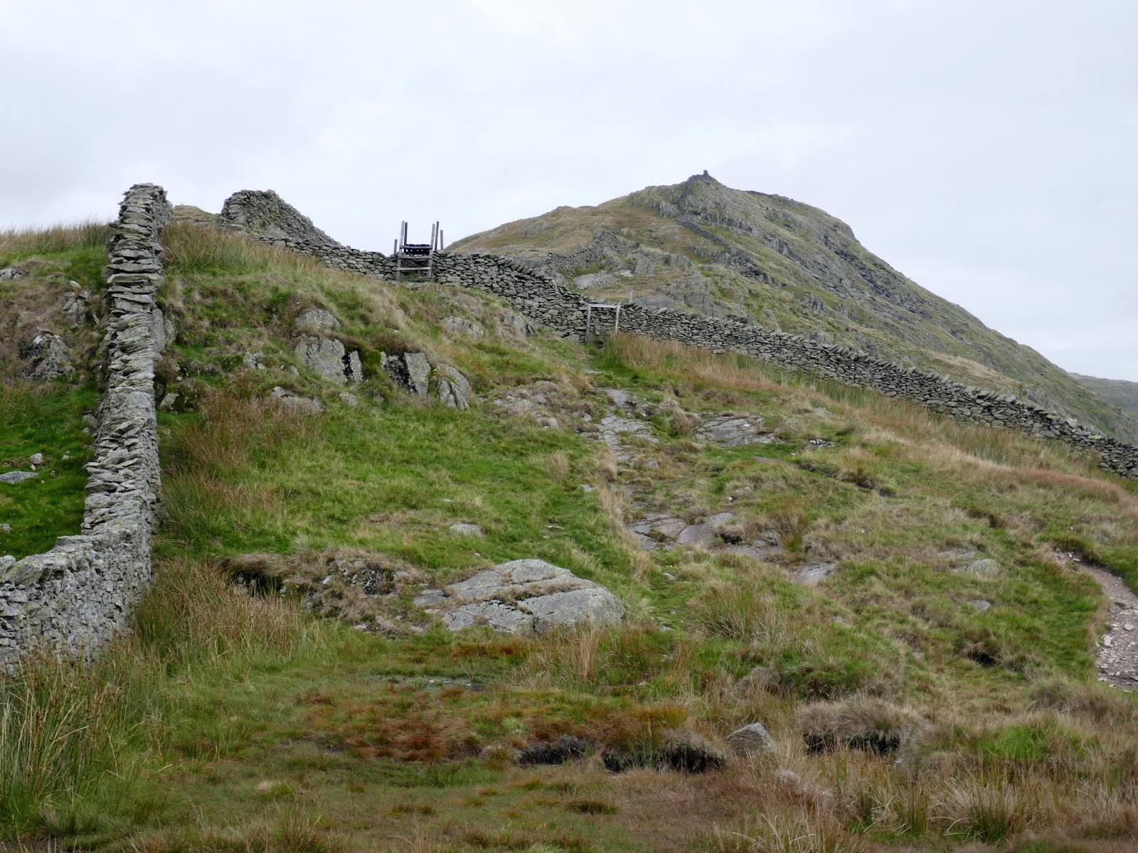
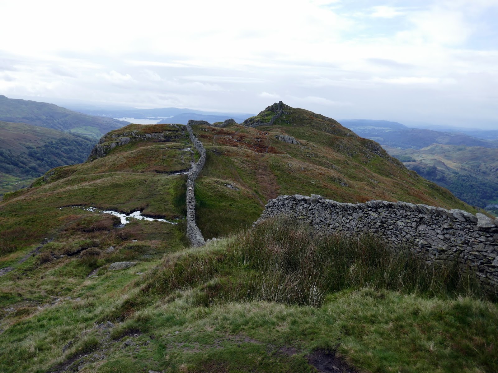
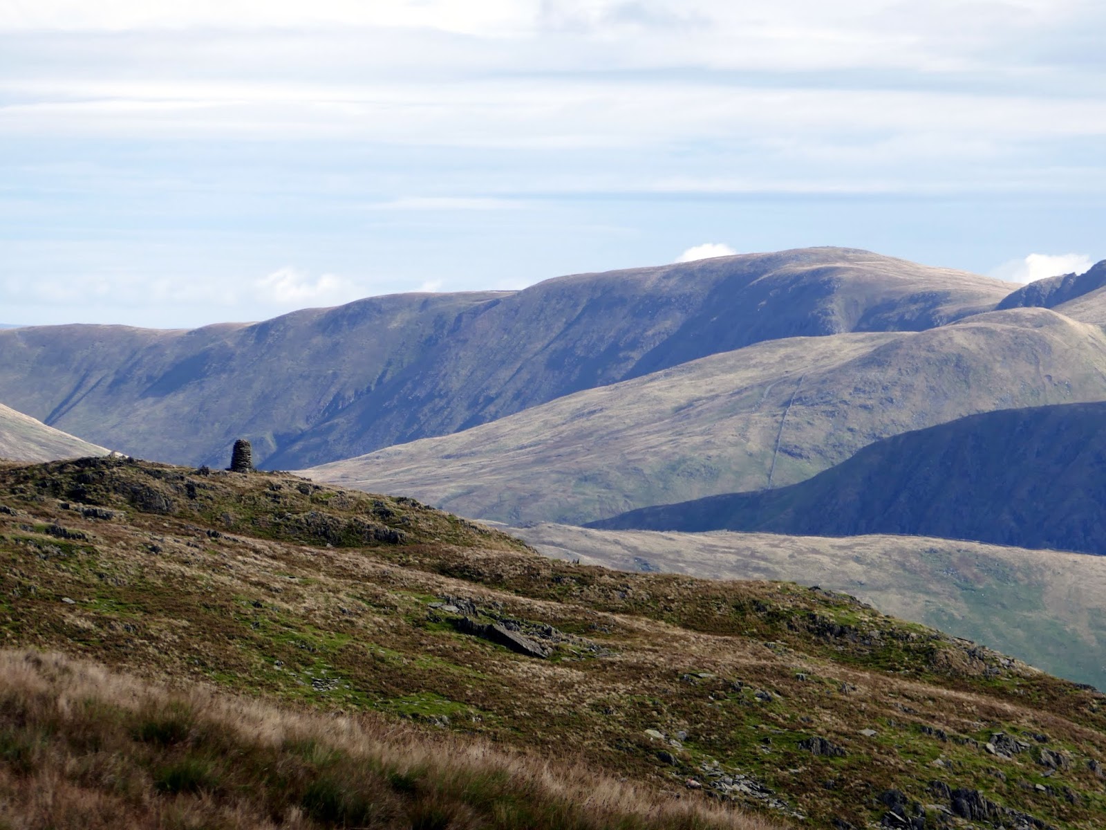
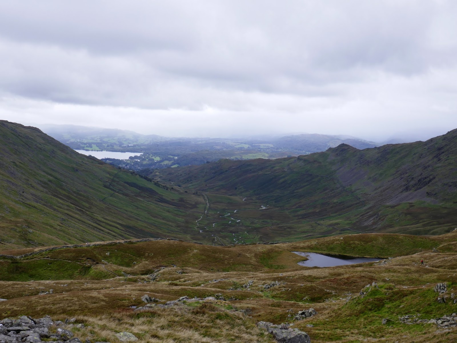
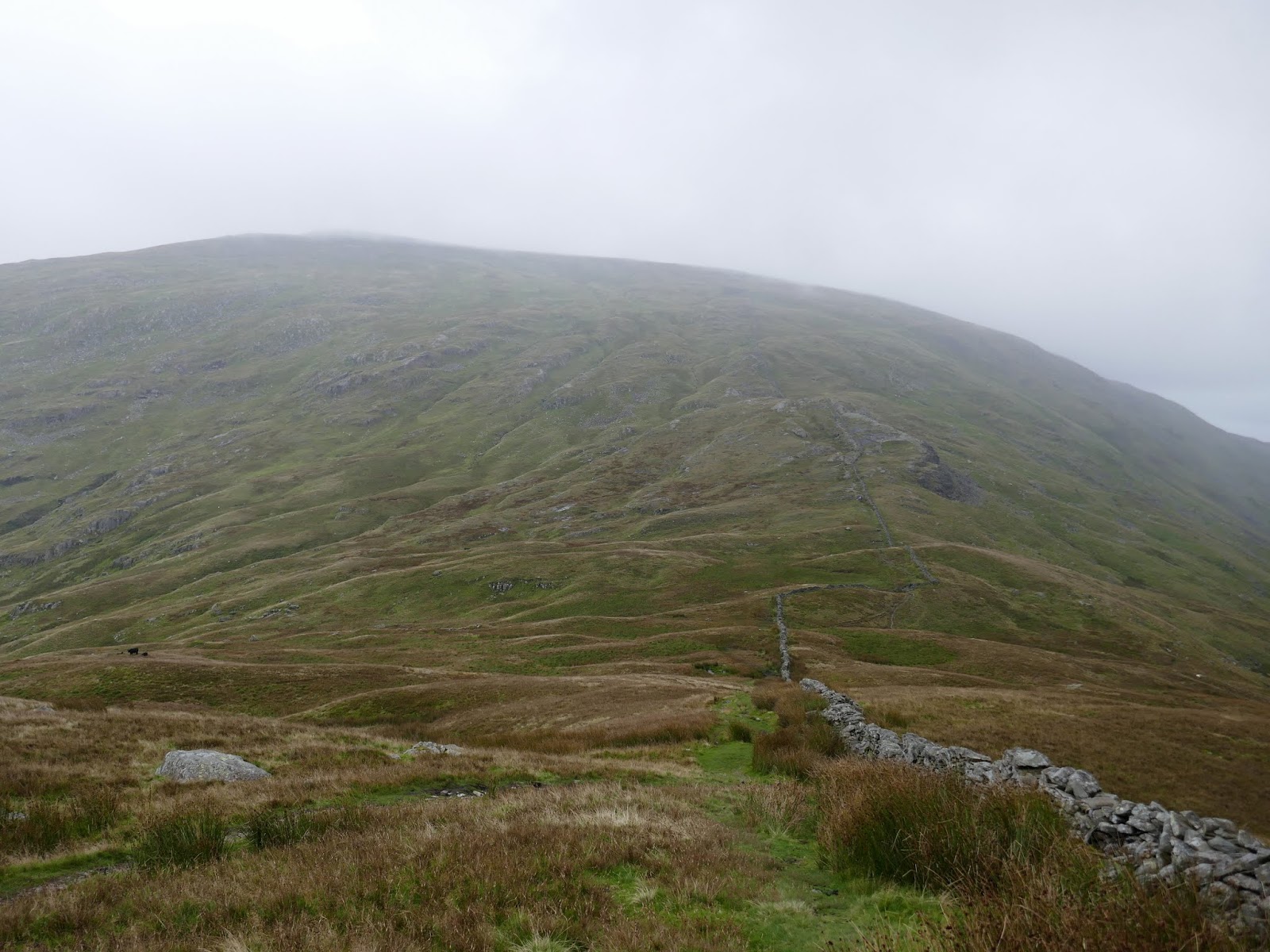
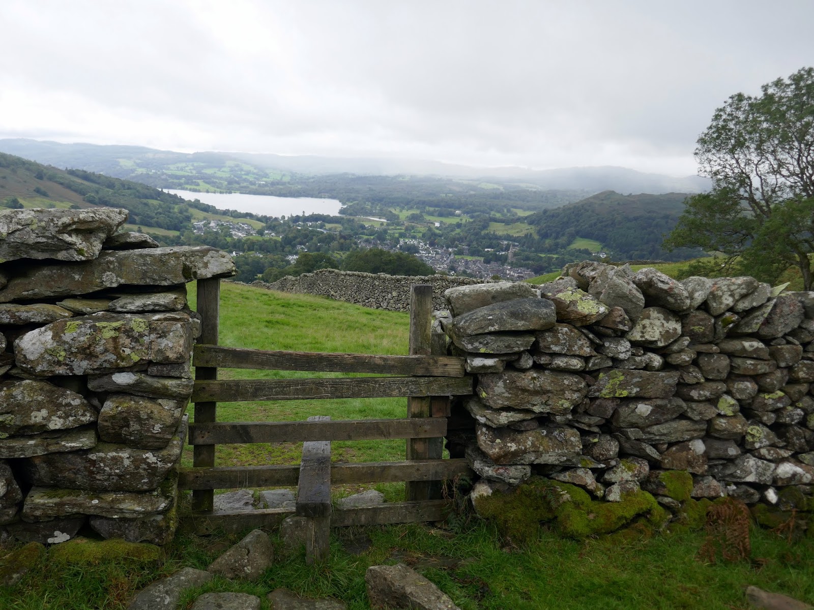
High Pike stands around a kilometre away from Low Pike with a 150m difference in elevation. Once across the shallow depression between them, the path leads directly to the summit. The sun was threatening to come out – always a good sign in the Lake District, however, things were also looking a little grey away to the south. The battle was on.
 |
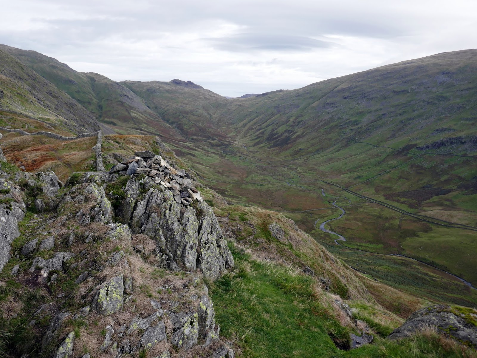
| Scandale |
 |
| The route to High Pike from Low Pike |
 |
| High Pike |
 |
| Looking back to Low Pike |
 |
| High Pike |
 |
| Little Hart Crag |
 |
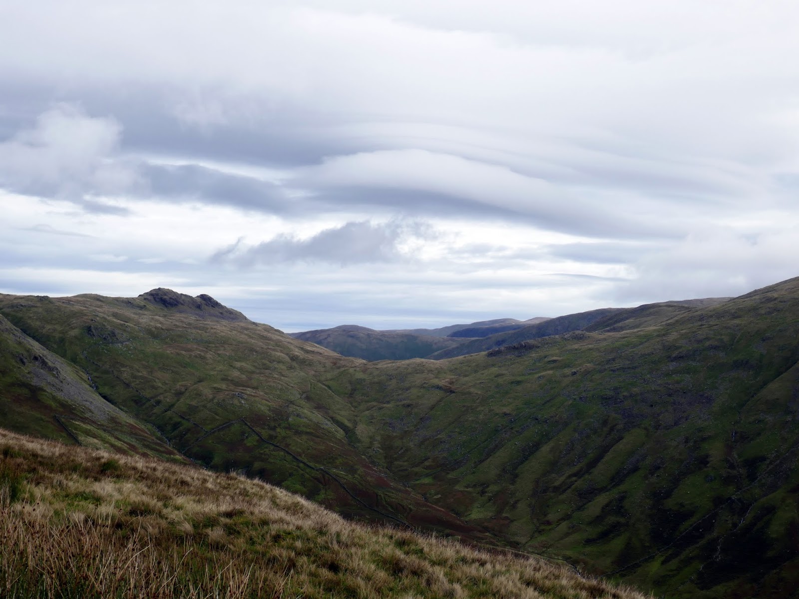
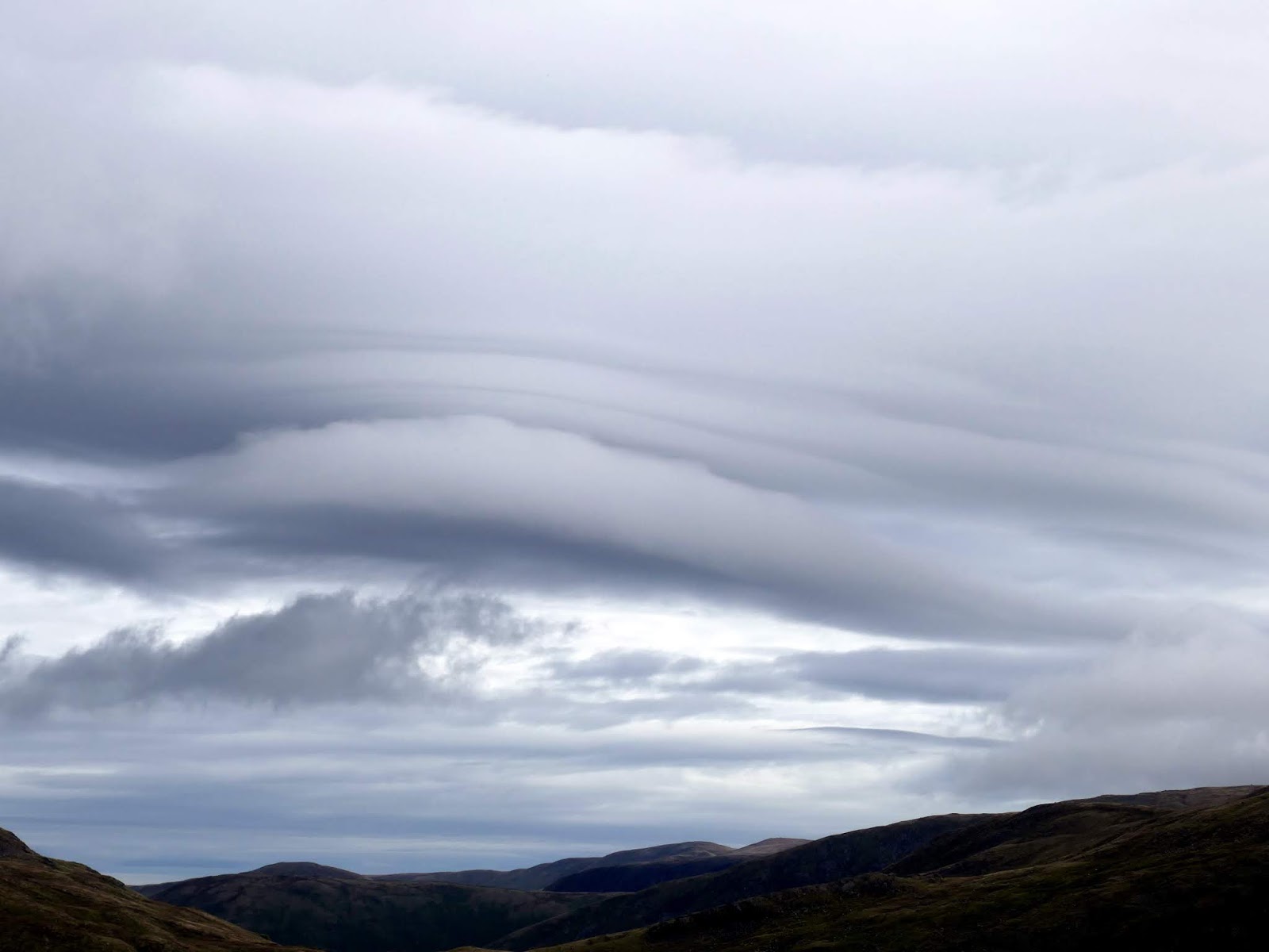
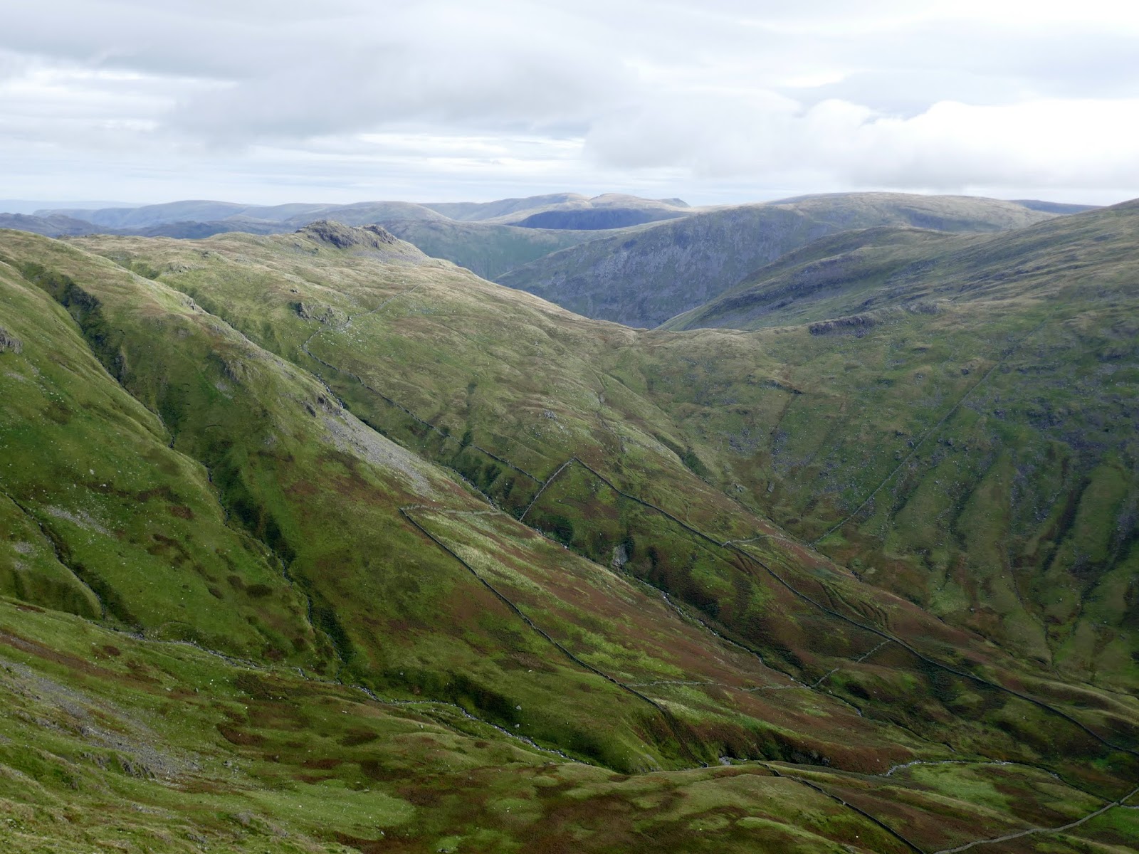
| Cloud forms over the Eastern Fells |
 |
| Ambleside and Windermere over Low Pike |
 |
| The summit of High Pike |
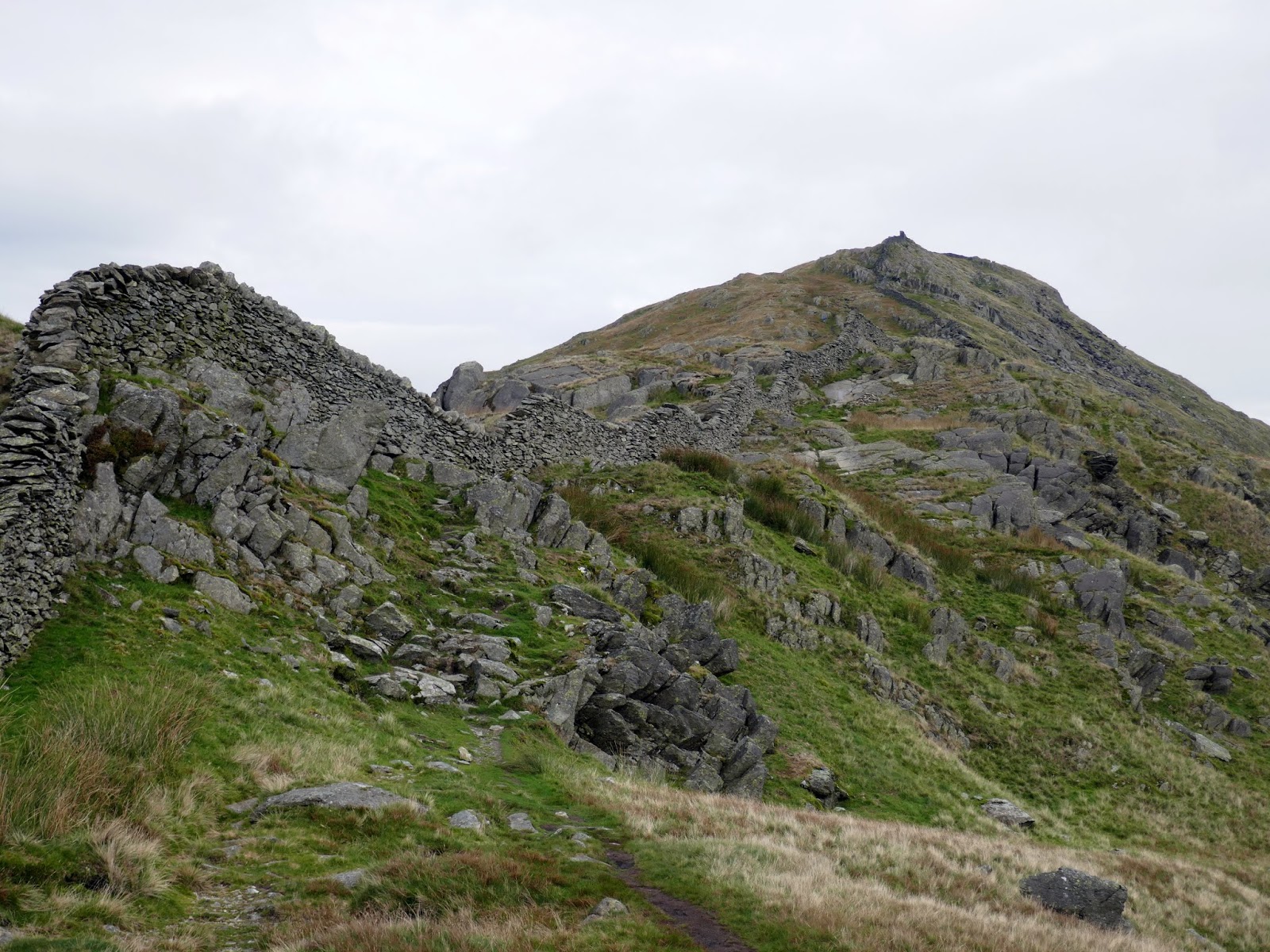
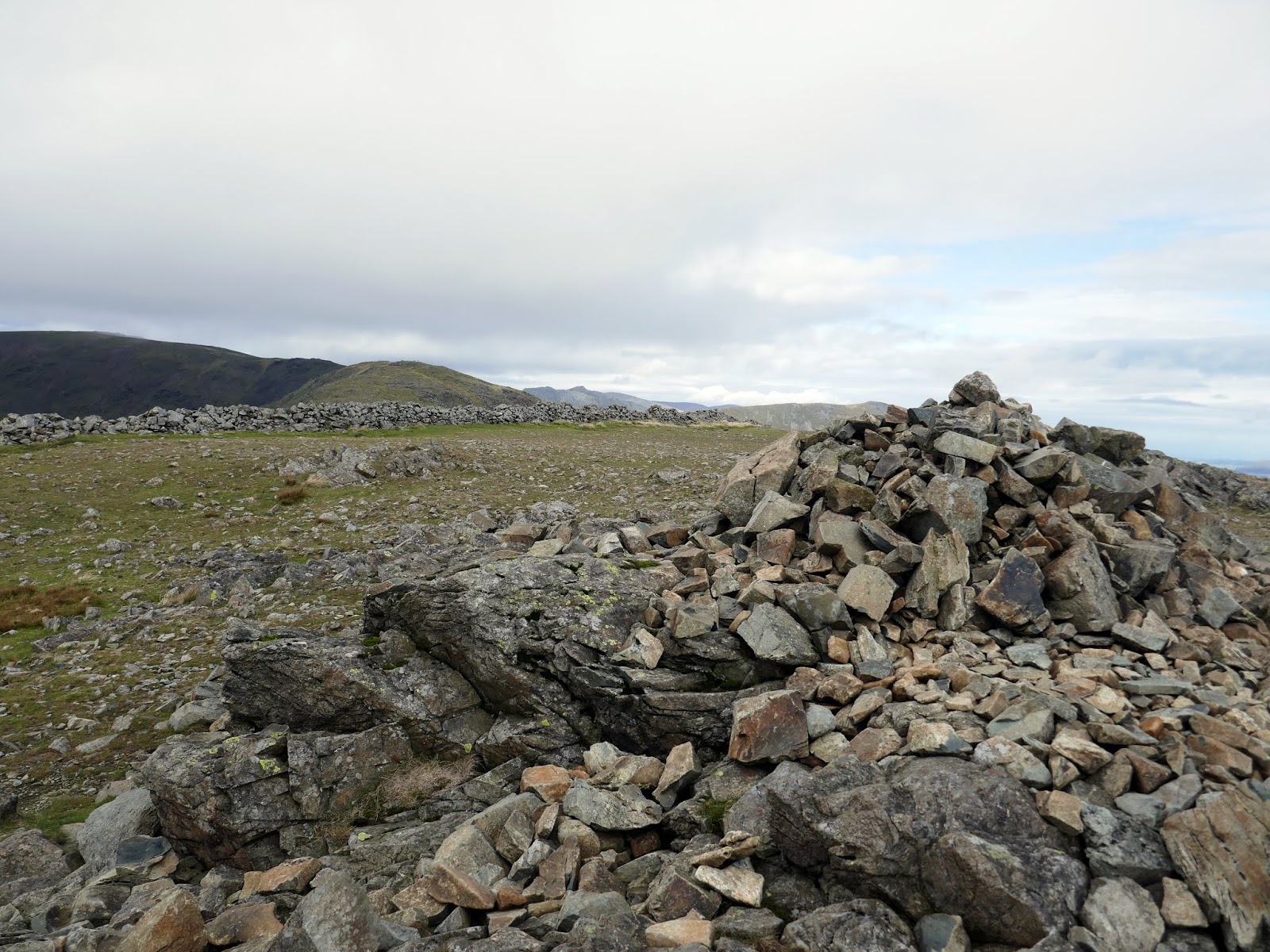
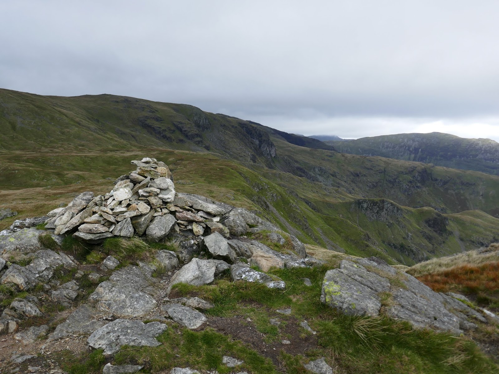
Once across High Pike, the path continues its climb up the easy grassy slopes of Dove Crag, the first fell to documented in Wainwright’s legendary series. While the true horseshoe route bypasses the summit, it would have been rude not to pay it a quick visit.
 |
| Scandale |
 |
| Little Hart Crag |
 |
| Dove Crag |
 |
| The wall continues to Dove Crag’s summit |
 |
| Sunshine in the eastern fells |
 |
| The cairn on Dove Crag |
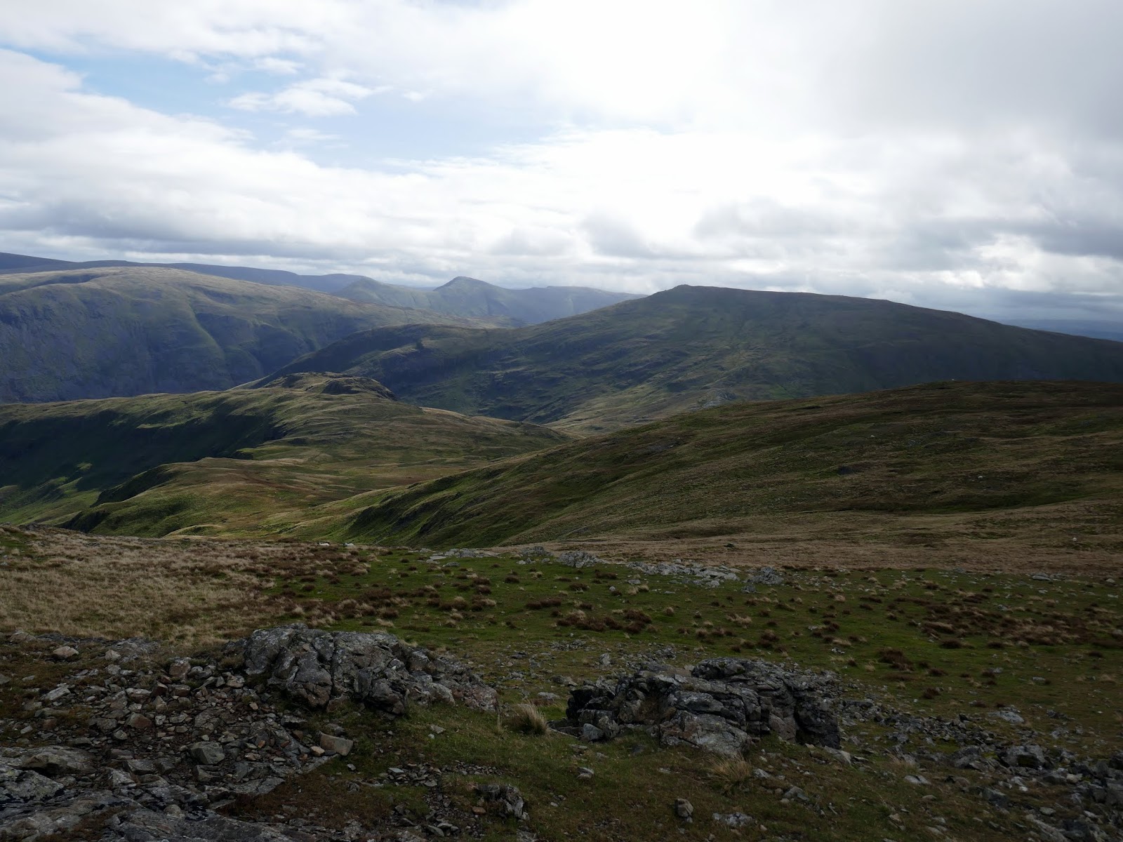
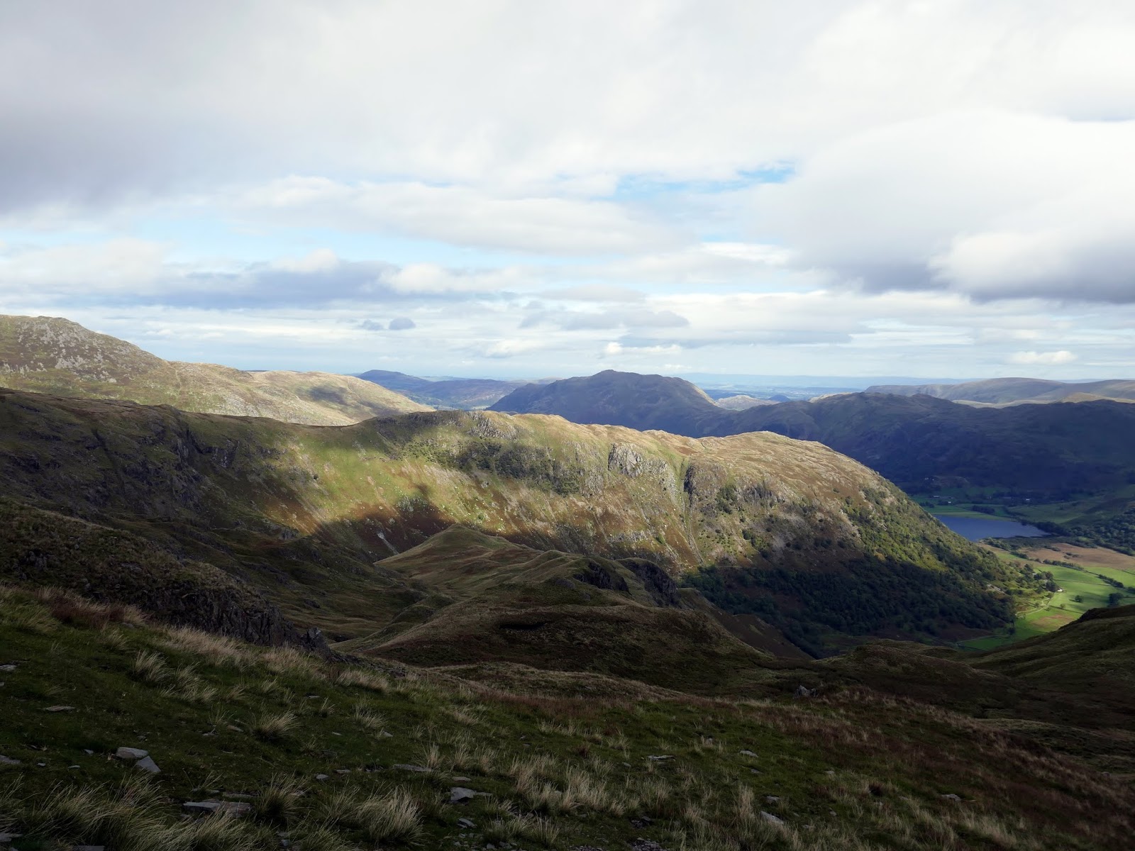
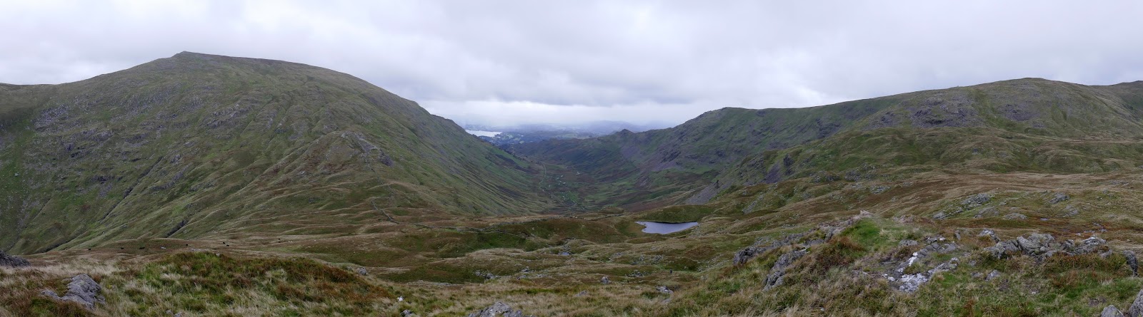
Retracing my steps slightly, a steep descend drops you into Bakestones Moss between Dove Crag and Little Hart Crag at the head of Scandale. The prospect of a sunny afternoon was becoming more and more diminished as the ominous grey skies swept over Coniston and Windermere, heading in my direction. At Little Hart Crag I opted to avoid a prolonged lunch break, instead donning my waterproofs in preparation.
 |
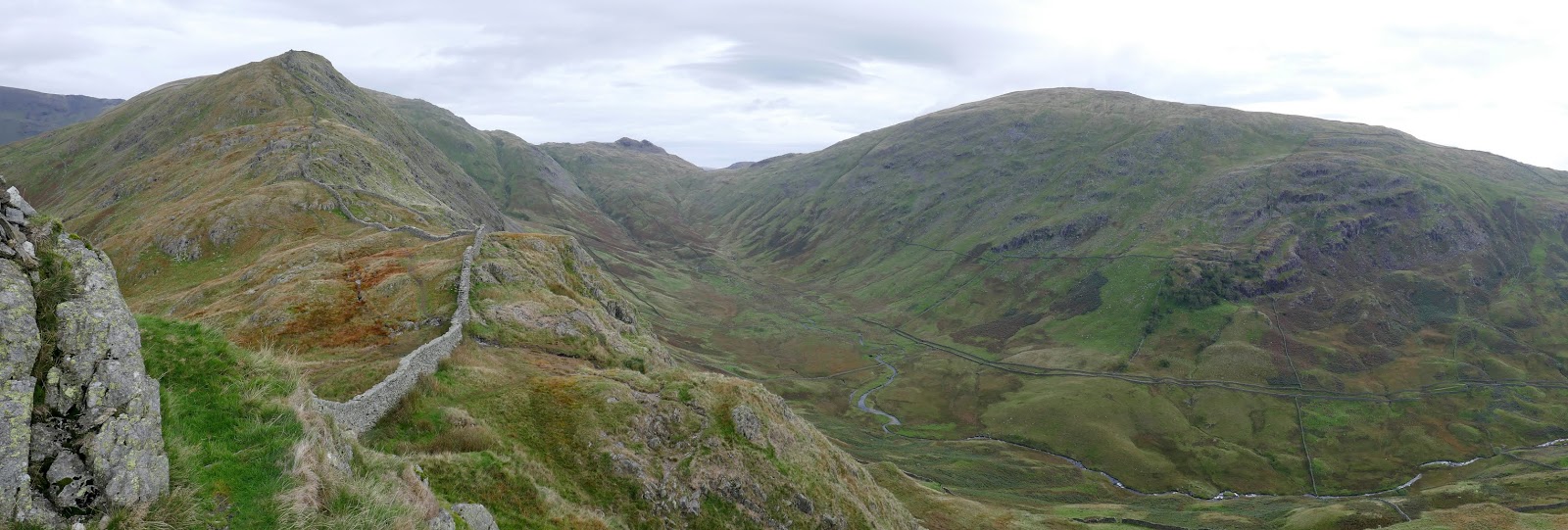
| Little Hart Crag and Red Screes |
 |
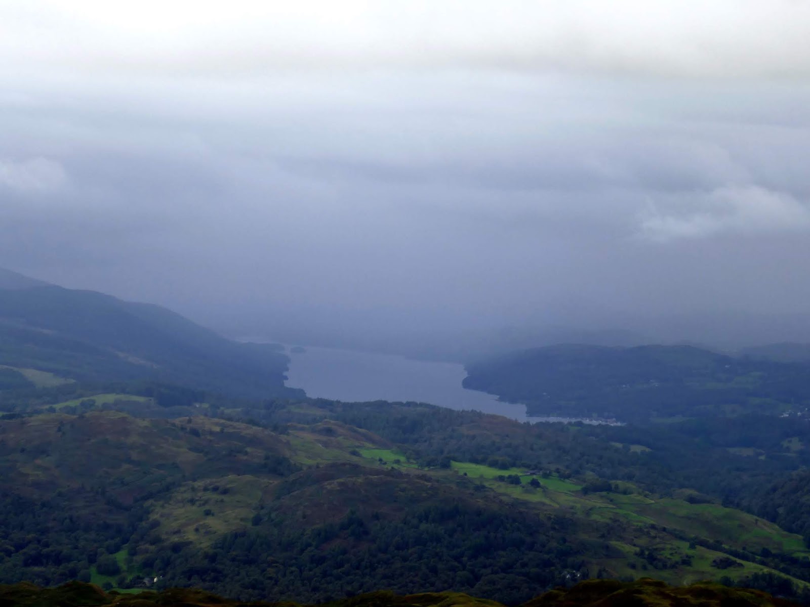
| Cloud and rain over Windermere |
 |
| Hartsop above How and Dovedale |
 |
| Hartsop above How |
 |
| Little Hart Crag over Bakestones Moss |
 |
| Red Screes |
 |
| Scandale |
 |
| Little Hart Crag |
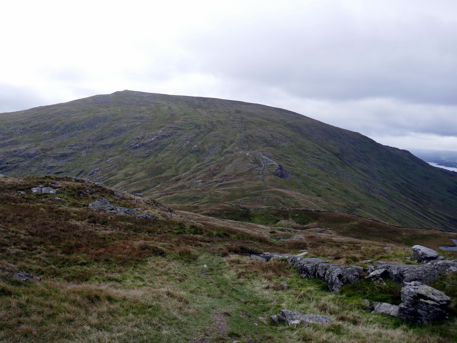
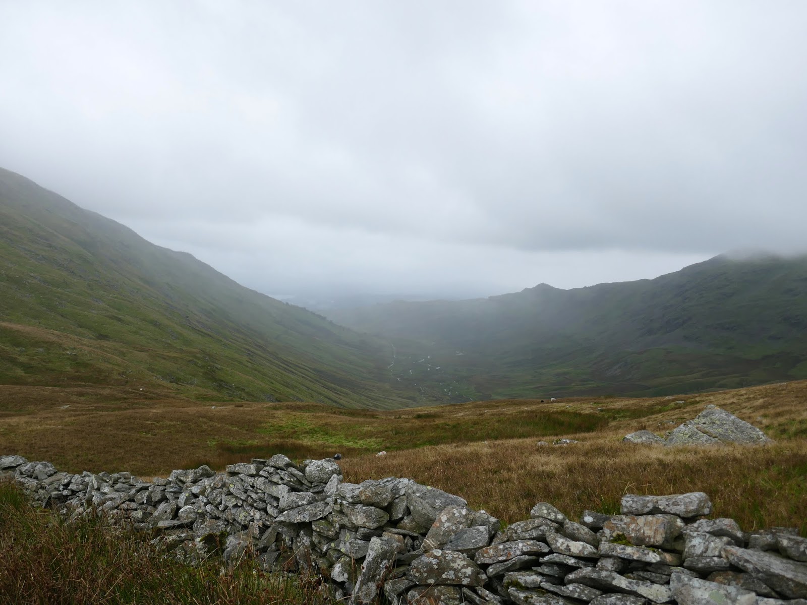
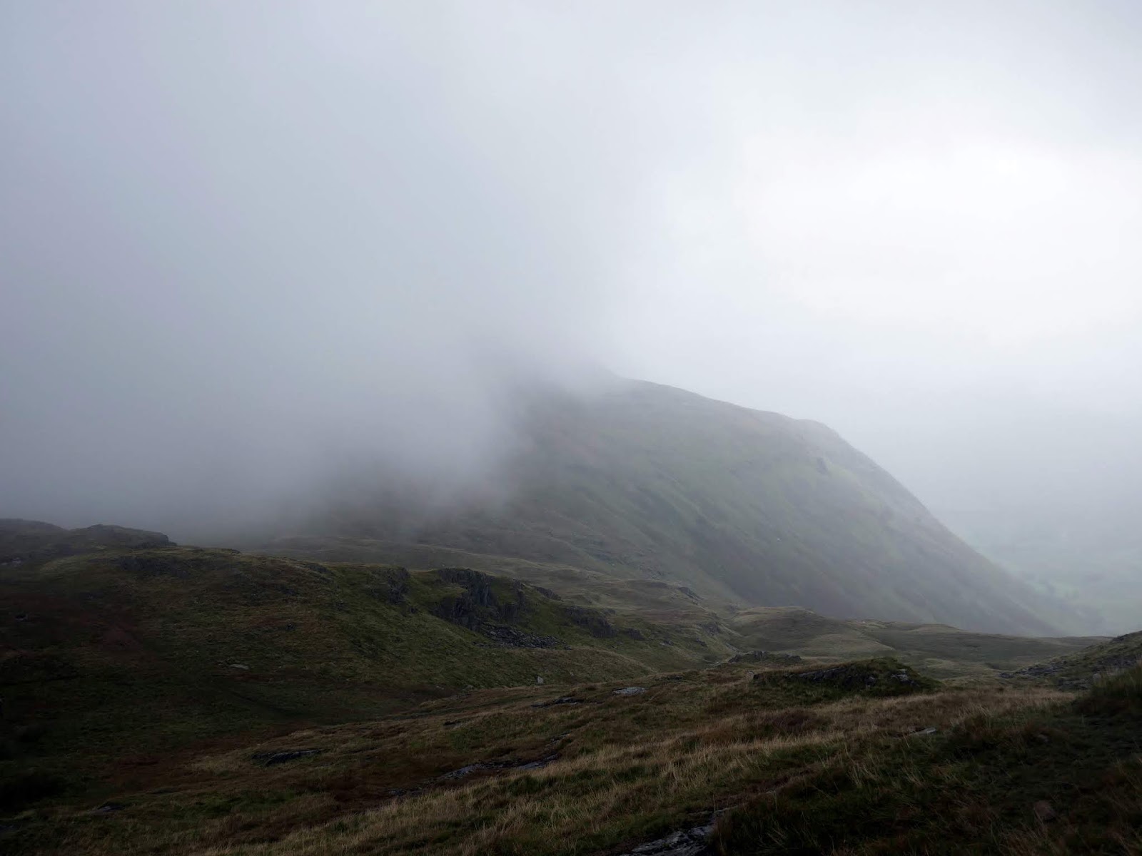
By the time I had crossed Scandale Head the rain had arrived. It had been edging up the valley for a good half-hour which suggested it wasn’t going to be leaving anytime soon. After taking a final couple of photos, I battened down the hatches and got my head down for the climb up Red Screes.
 |
| Red Screes and Scandale |
 |
| Rain approaching |
 |
| One last view of Red Screes |
 |
| Clouds sweep over Scandale Pass |
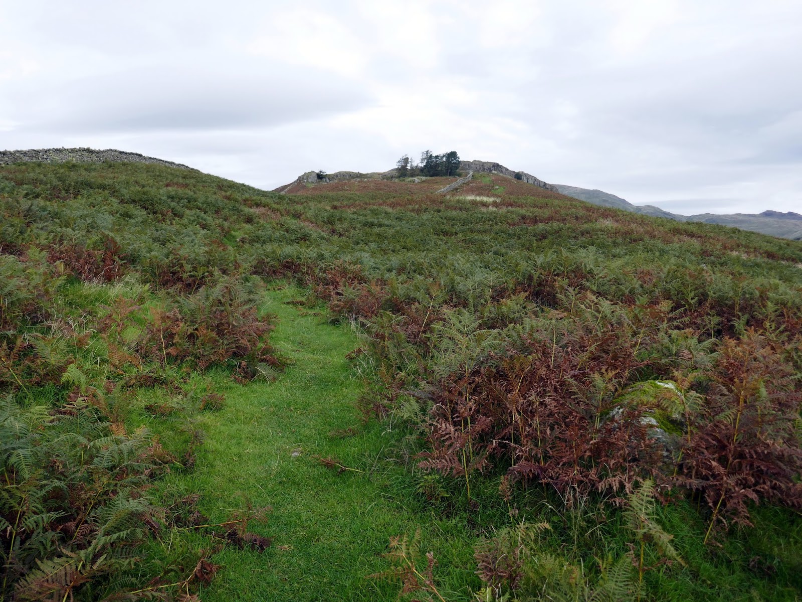
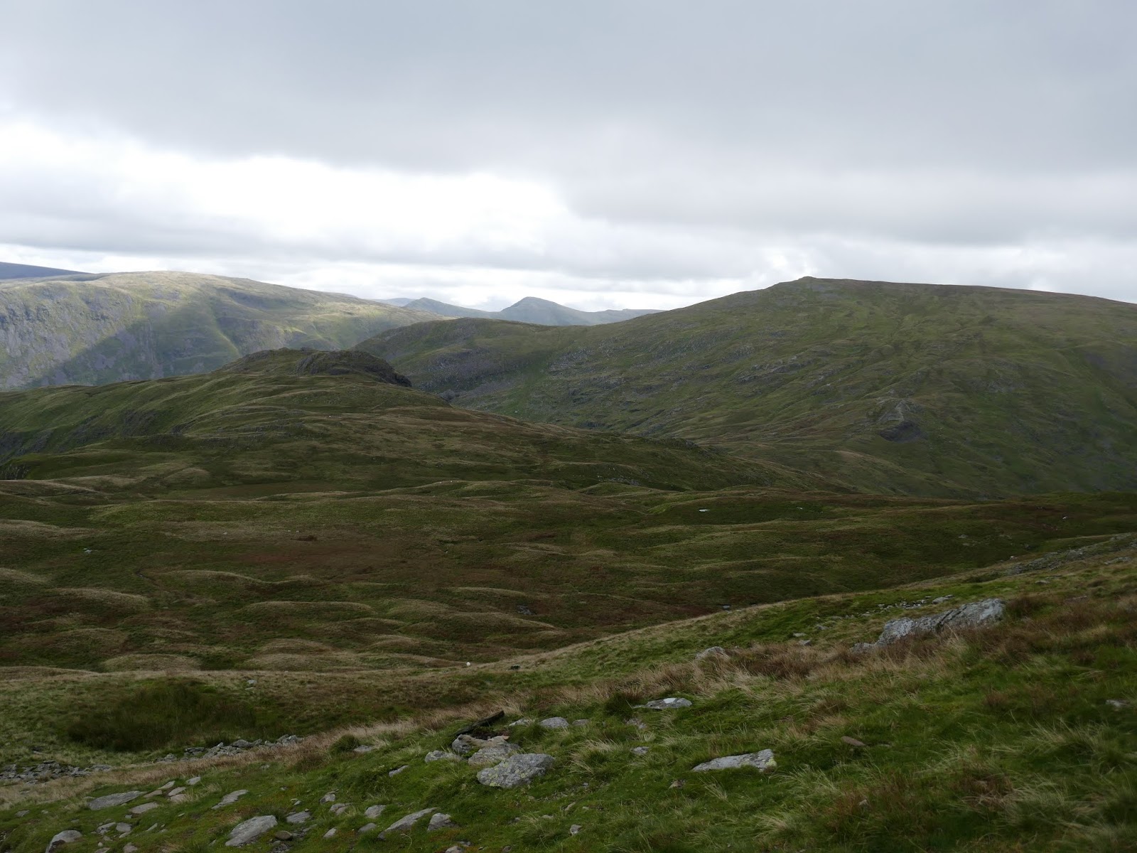
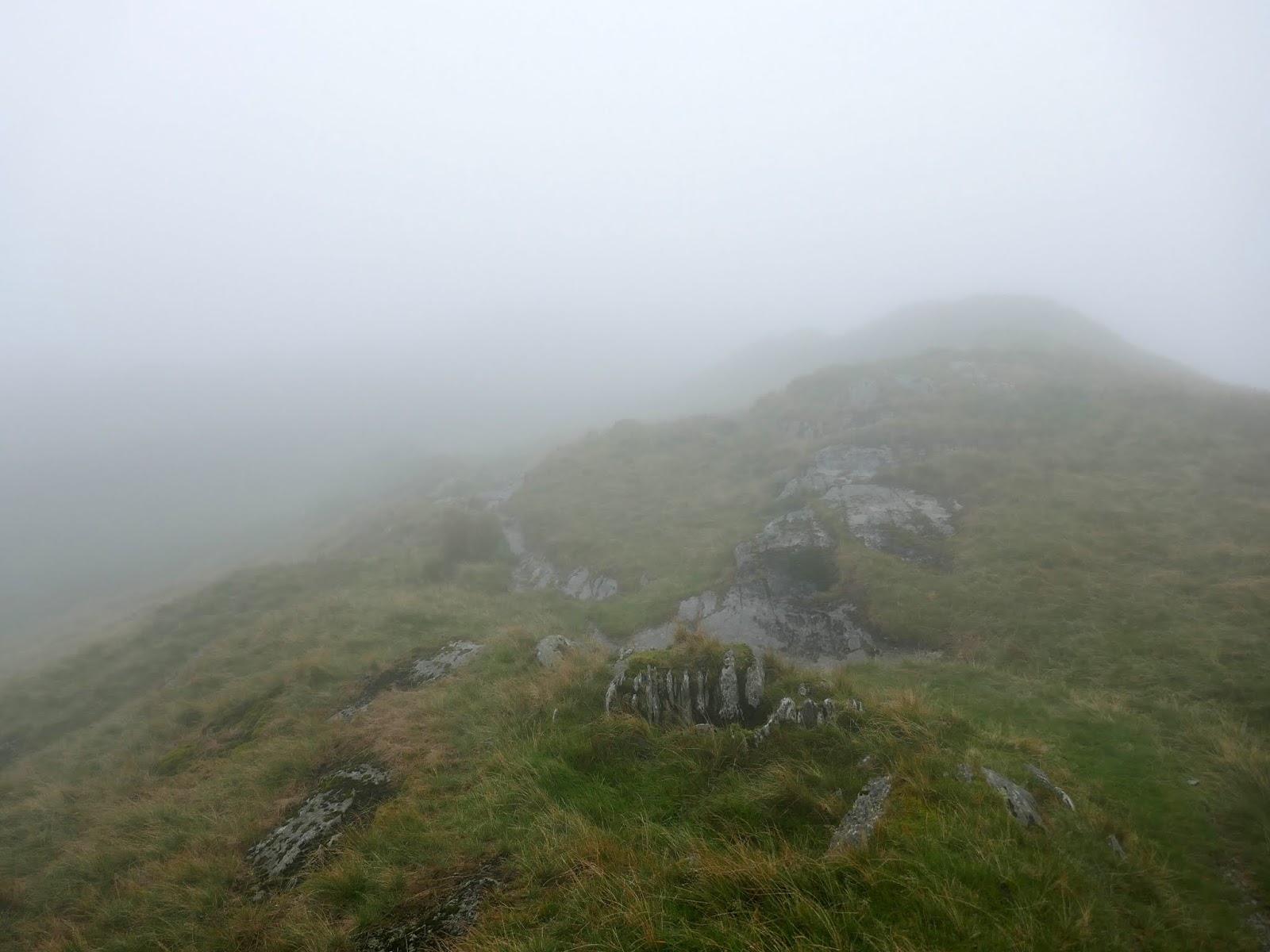
In the cloud and the rain, a long climb is fairly uninspiring. Other than a cursory glance at my GPS, there is no skyline to aim at or objective to look out for. Its a simple task of plodding on until the summit is reached. I was disappointed, primarily because the ridge from Red Screes to Snarker Pike and beyond is one of the few places I have never visited and it was going to covered in cloud.
 |
| Red Screes summit |
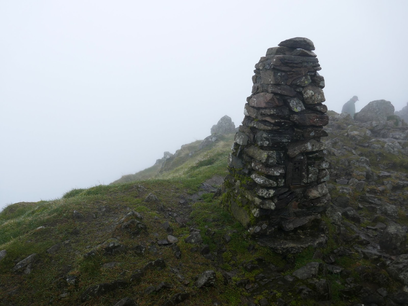
Red Screes is topped by a trig pillar and substantial shelter, which a couple of walkers were taking full advantage of. Slightly dispirited, I turned south to begin the long walk back towards Ambleside.
 |
| Somewhere near Snarker Pike |
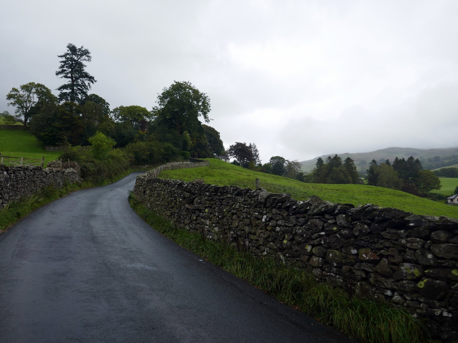
I was almost at the Kirstone Road by the time I had dropped out of the cloud, though that did mean I was approaching the end of the walk. Unfortunately, you have to walk along the road for a distance until the pavements of Ambleside are reached.
 |
| Emerging from the cloud |
 |
| A look back up the ridge |
 |
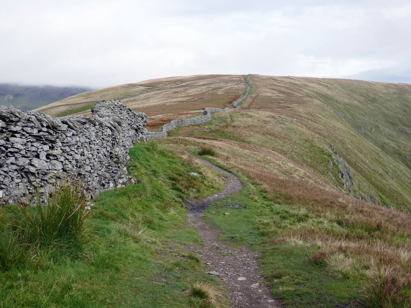
| The intake wall |
 |
| Kirkstone Road |
Having not really stopped at any point during the walk, I made it back to Ambleside in time to enjoy a coffee and cake and have a mooch around the shops – that’s what you’re supposed to do in Ambleside, isn’t it? Memories of the Red Screes soaking quickly diminished, this is the Lake District after all, we’ve just been spoiled by a superb summer.


