Open Space Web-Map builder Codehttps://openspace.ordnancesurvey.co.uk/osmapapi/openspace.js?key=3119F72552FD5C22E0530C6CA40A5A92https://openspace.ordnancesurvey.co.uk/osmapapi/script/mapbuilder/basicmap.jshttps://openspace.ordnancesurvey.co.uk/osmapapi/script/mapbuilder/searchbox.js//variables for routes var linesLayer, points, lineFeature, lineString, routeMarkersLayer, routepos, routesize, routeoffset, routeicon; var style_blue = {strokeColor: “#0000CD”, strokeOpacity: 0.5, strokeWidth: 4.5}; function initmapbuilder() { //initiate the map var options = {resolutions: [2500, 1000, 500, 200, 100, 50, 25, 10, 5, 4, 2.5, 2, 1]}; osMap = new OpenSpace.Map(‘map’, options); //configure map options (basicmap.js) setglobaloptions(); //set the center of the map and the zoom level osMap.setCenter(new OpenSpace.MapPoint(414784.5,369038.5),7); linesLayer = osMap.getVectorLayer(); // Set up layer for route markers routeMarkersLayer = new OpenLayers.Layer.Markers(“Route Markers”); //make a route points = new Array(); points.push(new OpenLayers.Geometry.Point(414727,370941)); points.push(new OpenLayers.Geometry.Point(414727,370861)); points.push(new OpenLayers.Geometry.Point(415072,370741)); points.push(new OpenLayers.Geometry.Point(415087,370591)); points.push(new OpenLayers.Geometry.Point(415377,370511)); points.push(new OpenLayers.Geometry.Point(415412,370406)); points.push(new OpenLayers.Geometry.Point(415489,370217)); points.push(new OpenLayers.Geometry.Point(415541,370009)); points.push(new OpenLayers.Geometry.Point(415560.5,369552)); points.push(new OpenLayers.Geometry.Point(415595.5,369434.5)); points.push(new OpenLayers.Geometry.Point(415720.5,369297)); points.push(new OpenLayers.Geometry.Point(415820.5,369054.5)); points.push(new OpenLayers.Geometry.Point(415803,368884.5)); points.push(new OpenLayers.Geometry.Point(415833,368832)); points.push(new OpenLayers.Geometry.Point(415815.5,368767)); points.push(new OpenLayers.Geometry.Point(415995.5,368767)); points.push(new OpenLayers.Geometry.Point(416255.5,368867)); points.push(new OpenLayers.Geometry.Point(416690.5,368882)); points.push(new OpenLayers.Geometry.Point(416900.5,368862)); points.push(new OpenLayers.Geometry.Point(417083,368762)); points.push(new OpenLayers.Geometry.Point(417221.5,368672)); points.push(new OpenLayers.Geometry.Point(417331.5,368437)); points.push(new OpenLayers.Geometry.Point(417271.5,368167)); points.push(new OpenLayers.Geometry.Point(416976.5,368212)); points.push(new OpenLayers.Geometry.Point(416656.5,368142)); points.push(new OpenLayers.Geometry.Point(416514,368269.5)); points.push(new OpenLayers.Geometry.Point(416398.5,368299)); points.push(new OpenLayers.Geometry.Point(416333.5,368149)); points.push(new OpenLayers.Geometry.Point(416123.5,367949)); points.push(new OpenLayers.Geometry.Point(415933.5,367669)); points.push(new OpenLayers.Geometry.Point(415803.5,367439)); points.push(new OpenLayers.Geometry.Point(415598.5,367319)); points.push(new OpenLayers.Geometry.Point(415603.5,367159)); points.push(new OpenLayers.Geometry.Point(415661,367148.5)); points.push(new OpenLayers.Geometry.Point(415222.5,366911)); points.push(new OpenLayers.Geometry.Point(415018.5,366855)); points.push(new OpenLayers.Geometry.Point(415018.5,366691)); points.push(new OpenLayers.Geometry.Point(414974.5,366551)); points.push(new OpenLayers.Geometry.Point(415025,366856)); points.push(new OpenLayers.Geometry.Point(414962.5,367041)); points.push(new OpenLayers.Geometry.Point(414838,367084)); points.push(new OpenLayers.Geometry.Point(414733,367194)); points.push(new OpenLayers.Geometry.Point(414203,367344)); points.push(new OpenLayers.Geometry.Point(413858,367779)); points.push(new OpenLayers.Geometry.Point(413640.5,368061.5)); points.push(new OpenLayers.Geometry.Point(413548,368256.5)); points.push(new OpenLayers.Geometry.Point(413655.5,368349)); points.push(new OpenLayers.Geometry.Point(413585.5,368376.5)); points.push(new OpenLayers.Geometry.Point(413335.5,368719)); points.push(new OpenLayers.Geometry.Point(413070.5,368924)); points.push(new OpenLayers.Geometry.Point(412970.5,368979)); points.push(new OpenLayers.Geometry.Point(412873,369263.5)); points.push(new OpenLayers.Geometry.Point(412758,369533.5)); points.push(new OpenLayers.Geometry.Point(412679.5,369750)); points.push(new OpenLayers.Geometry.Point(412617,369980)); points.push(new OpenLayers.Geometry.Point(412462,370222.5)); points.push(new OpenLayers.Geometry.Point(412732,370270)); points.push(new OpenLayers.Geometry.Point(412600.5,370470)); points.push(new OpenLayers.Geometry.Point(412730.5,370715)); points.push(new OpenLayers.Geometry.Point(413350.5,370905)); points.push(new OpenLayers.Geometry.Point(413650.5,370960)); points.push(new OpenLayers.Geometry.Point(413860.5,371035)); points.push(new OpenLayers.Geometry.Point(413980.5,371060)); points.push(new OpenLayers.Geometry.Point(414040.5,371075)); points.push(new OpenLayers.Geometry.Point(414185.5,371072.5)); points.push(new OpenLayers.Geometry.Point(414555.5,371032.5)); points.push(new OpenLayers.Geometry.Point(414650.5,370982.5)); points.push(new OpenLayers.Geometry.Point(414727,370941)); // create a polyline feature from the array of points lineString = new OpenLayers.Geometry.LineString(points); lineFeature = new OpenLayers.Feature.Vector(lineString, null, style_blue); linesLayer.addFeatures([lineFeature]); //crate a route start/end marker routepos = new OpenSpace.MapPoint(414727,370941); routesize = new OpenLayers.Size(33,45); routeoffset = new OpenLayers.Pixel(-5,-37); routeicon = new OpenSpace.Icon(‘https://openspace.ordnancesurvey.co.uk/osmapapi/img_versions/img_1.1/mapbuilder/routemarker-startend.png’, routesize, routeoffset, null, null); routeMarkersLayer.addMarker(new OpenLayers.Marker(routepos, routeicon)); osMap.addLayer(routeMarkersLayer);}
Route: Taddington, Wheal Lane, Sheldon, Magpie Mine, Hard Rake Plantations, Horse Lane, Monyash, Blackwell Lane, Mycock Lane, Flagg, Green Lane, Limestone Way, Sough Lane, Sough Top, Taddington
Date: 01/09/2018
From: Taddington
Parking: Taddington
Start Point: Taddington
Region: Peak District – White Peak
Route length: 10.1 miles (16.2 km)
Time taken: 05:00
Average speed: 2.0 mph
Ascent: 382m
Descent: 390m
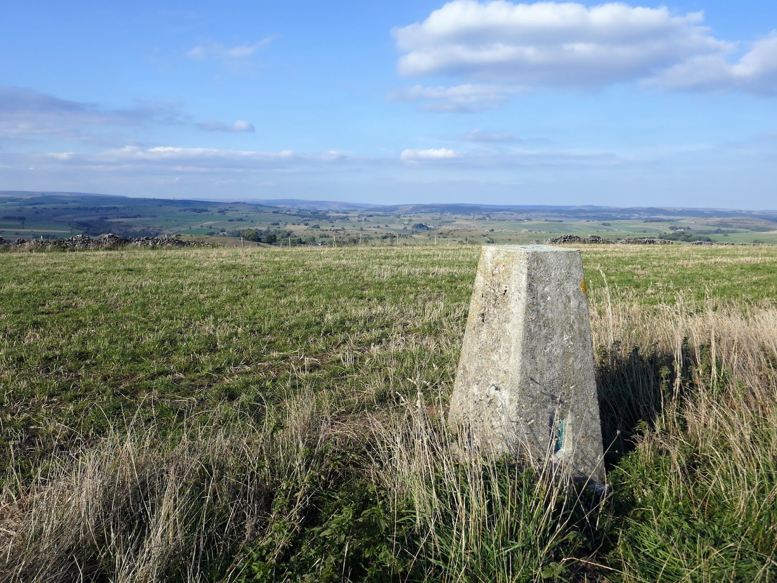
Summits: Sough Top (438m)
Other points of interest: Deep Dale, Magpie Mine, Monyash
Taddington sits high on the central limestone plateau of the White Peak alongside the A6 between Ashford-in-the-Water and Buxton. It is one of England’s highest villages at over 300m.
Taddington is part of a cluster of similar villages within a five-mile radius which includes Flagg, Monyash and Chelmorton which we would be visiting today. Taddington’s landscape is dominated by rocky limestone outcrops and surrounded by wild and windswept moorland, perfect for a sunny September outing.
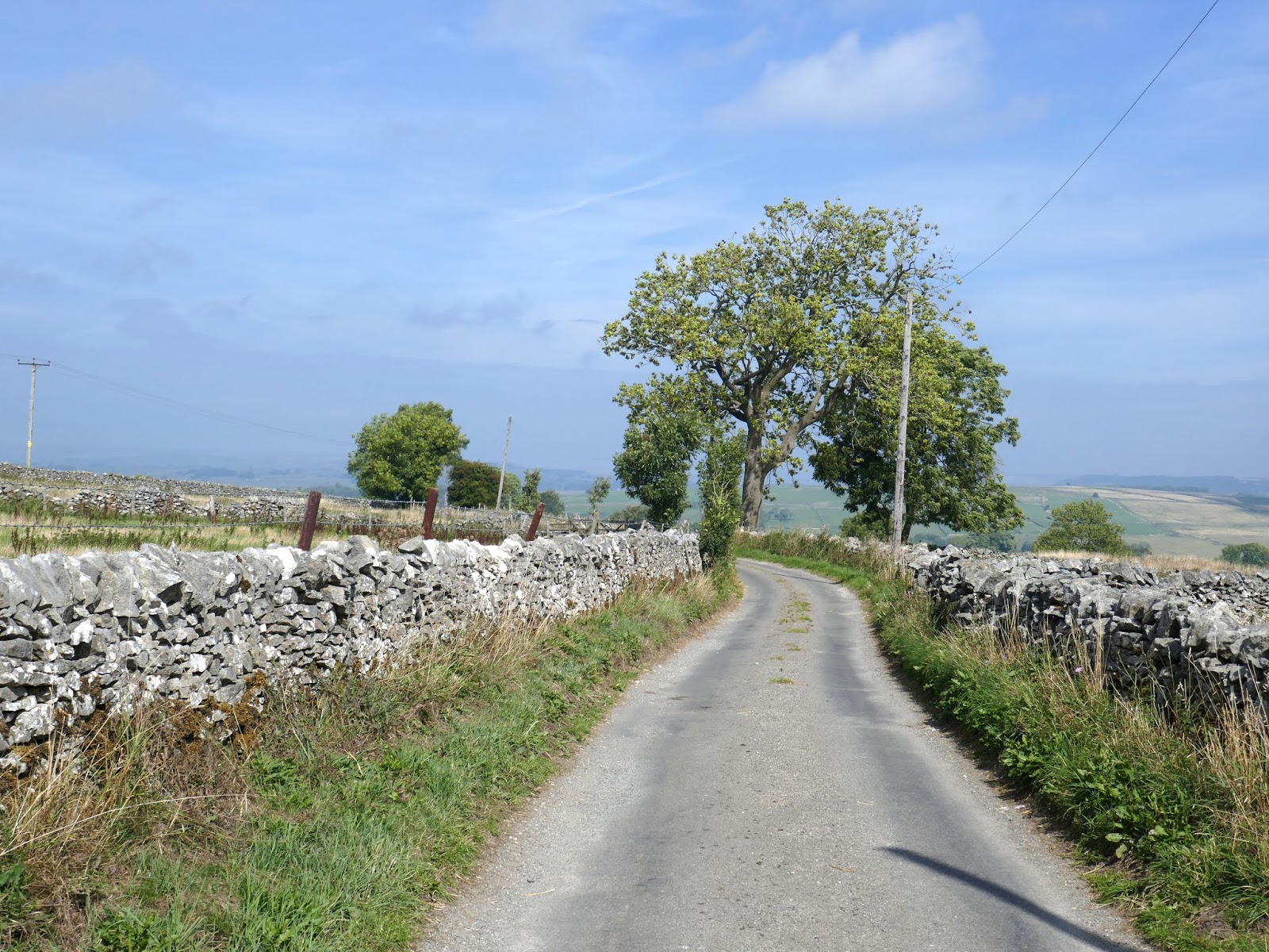
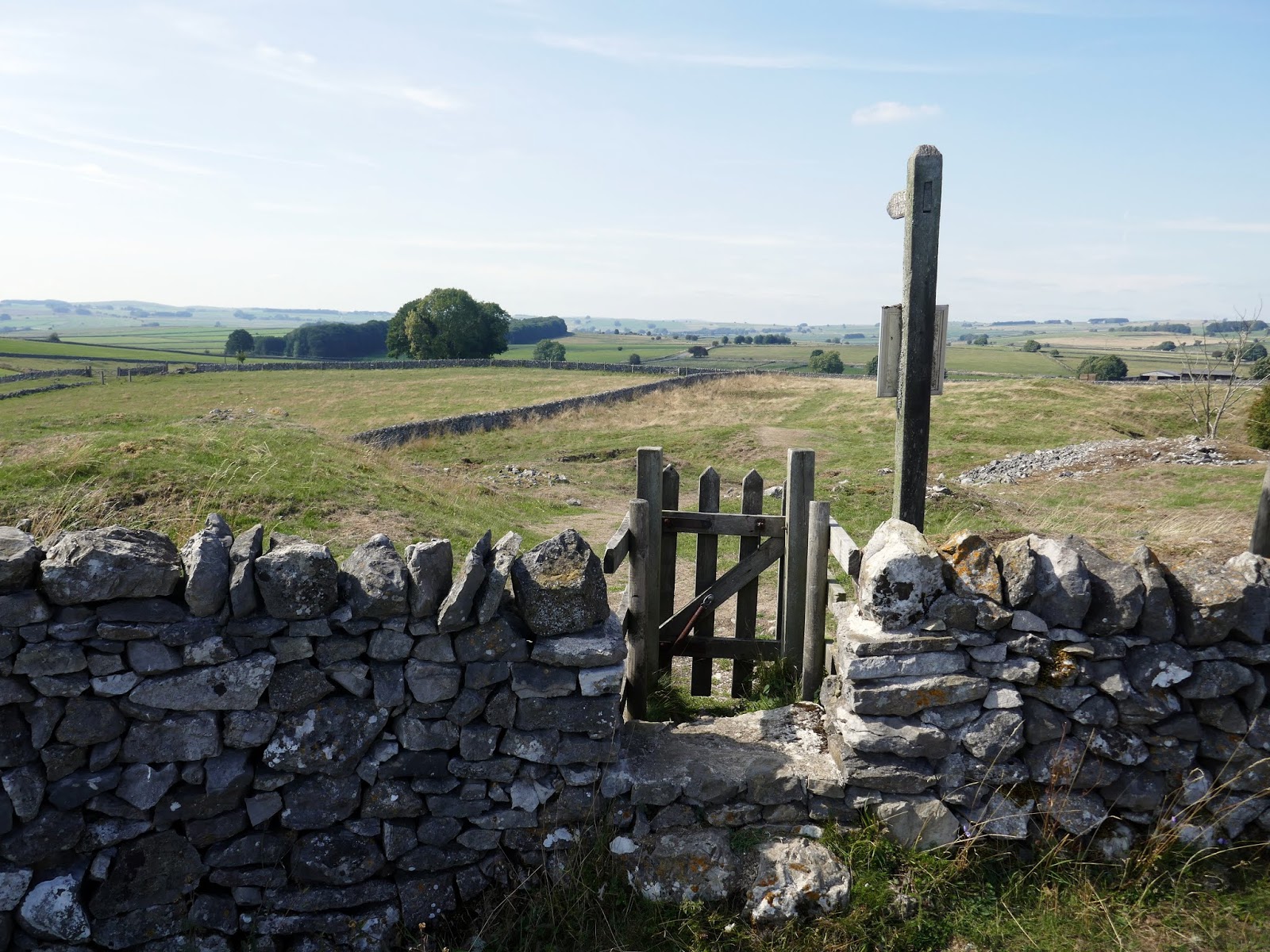
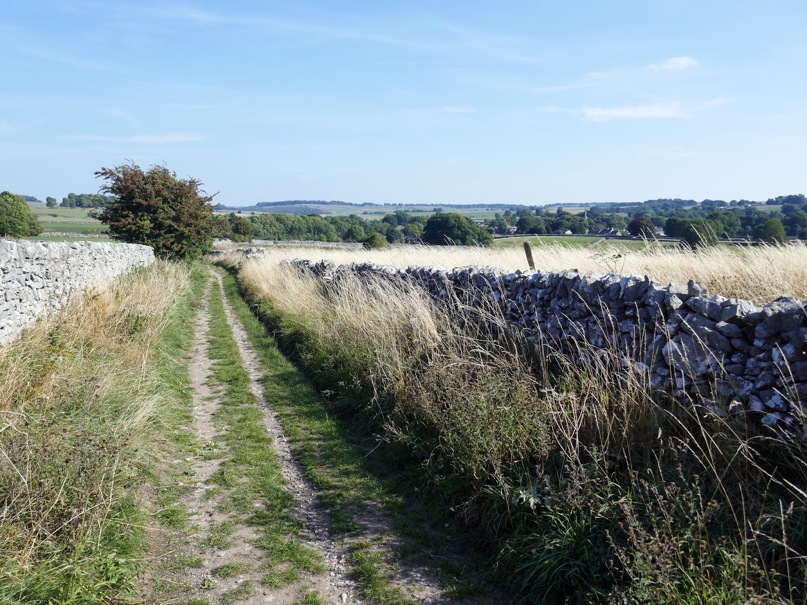
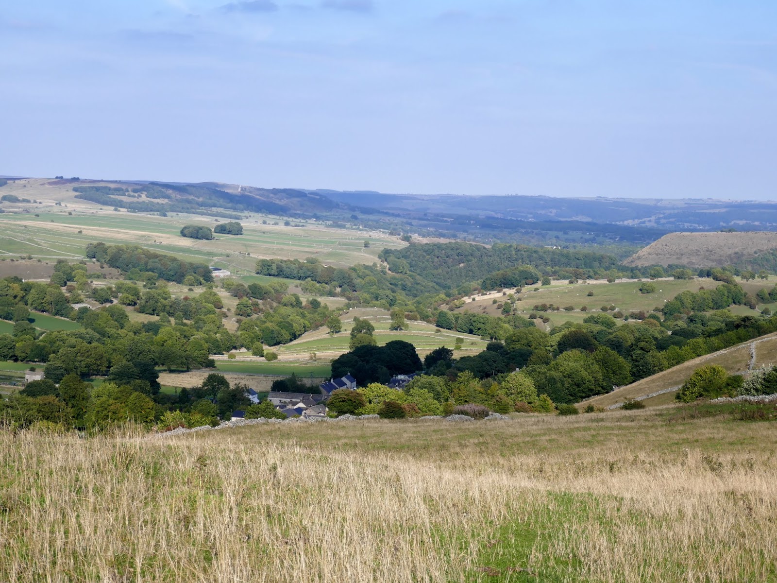
There is a free car park in Taddington, found next to the village hall. From the car park, we immediately began a short, gradual climb out of the village eastwards along a walled lane which has a fine view over Taddington Dale.
 |
| Taddington Dale |
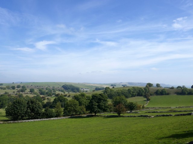 |
| Taddington Dale |
 |
| It was a beautiful late summer day |
 |
| A water collecting dish – one of a number dotted around |
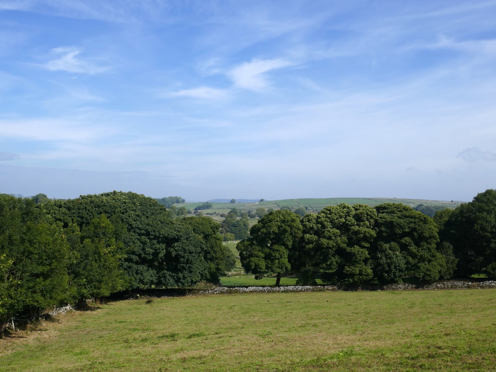
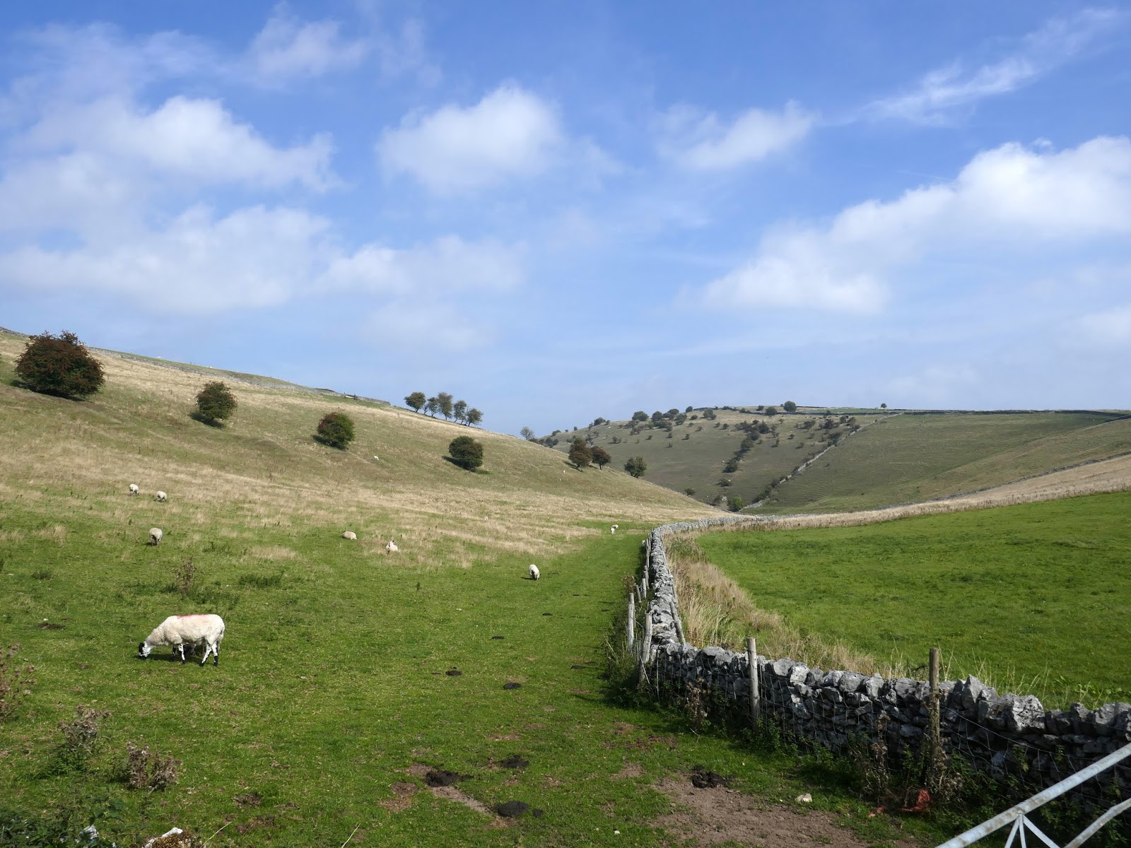
The lane leads to a minor road which took us to the head of Deep Dale, a small, steep-sided dry valley. If you visit the right part at the right time of year, you will see swathes of colour spreading over the hillsides.
 |
| Wheal Lane |
Deep Dale is a Nature Reserve where most of the grassland grows on thin soils over the limestone rock. At the top of the slopes, the soil is more acidic, while at the foot the soil is deeper and more fertile. This leads to each zone has its own unique flora.
 |
| Deep Dale |
For a small area, Deep Dale has a long history. To the North of the reserve, on a steep-sided hill called Fin Cop, archaeologists found possible evidence of an Iron Age massacre – more about that here. Within the reserve are the remains of a settlement dating from Roman times. And further up the dale, there was extensive lead mining – which was to be our next destination.
 |
| Deep Dale |
 |
| Taddington Moor |
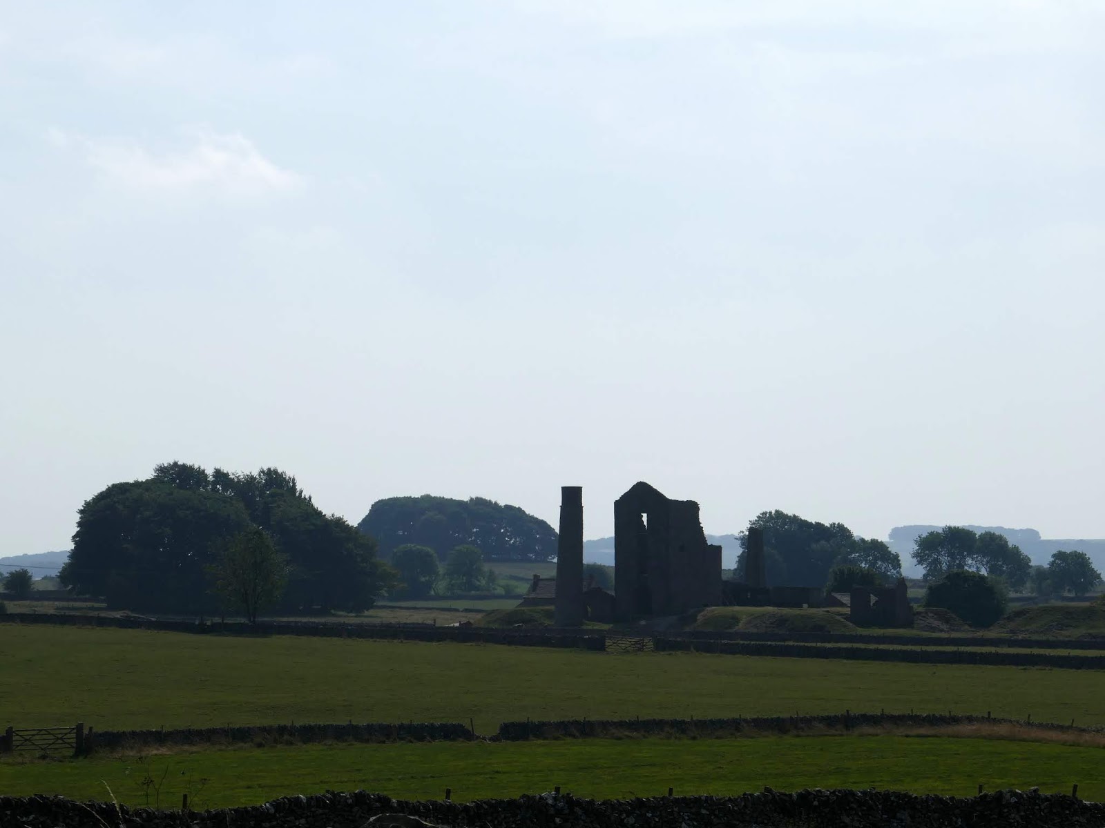
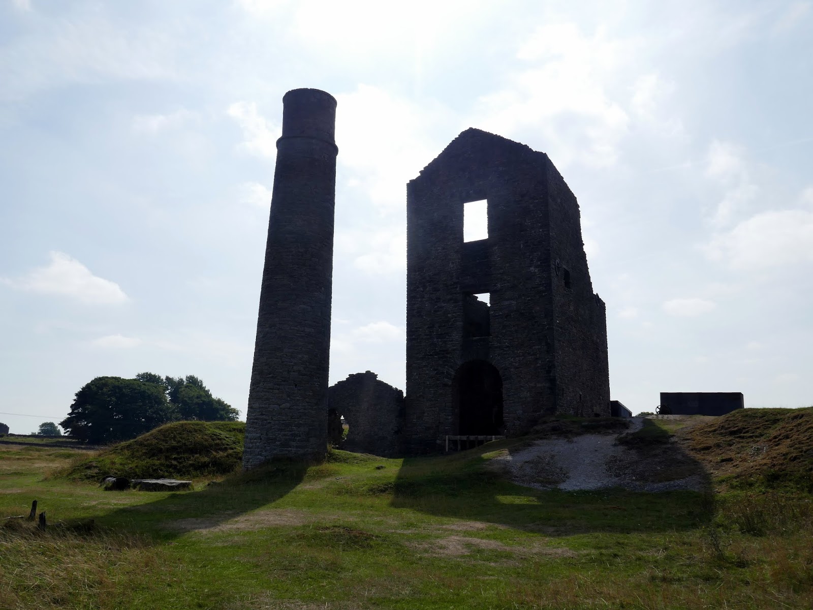
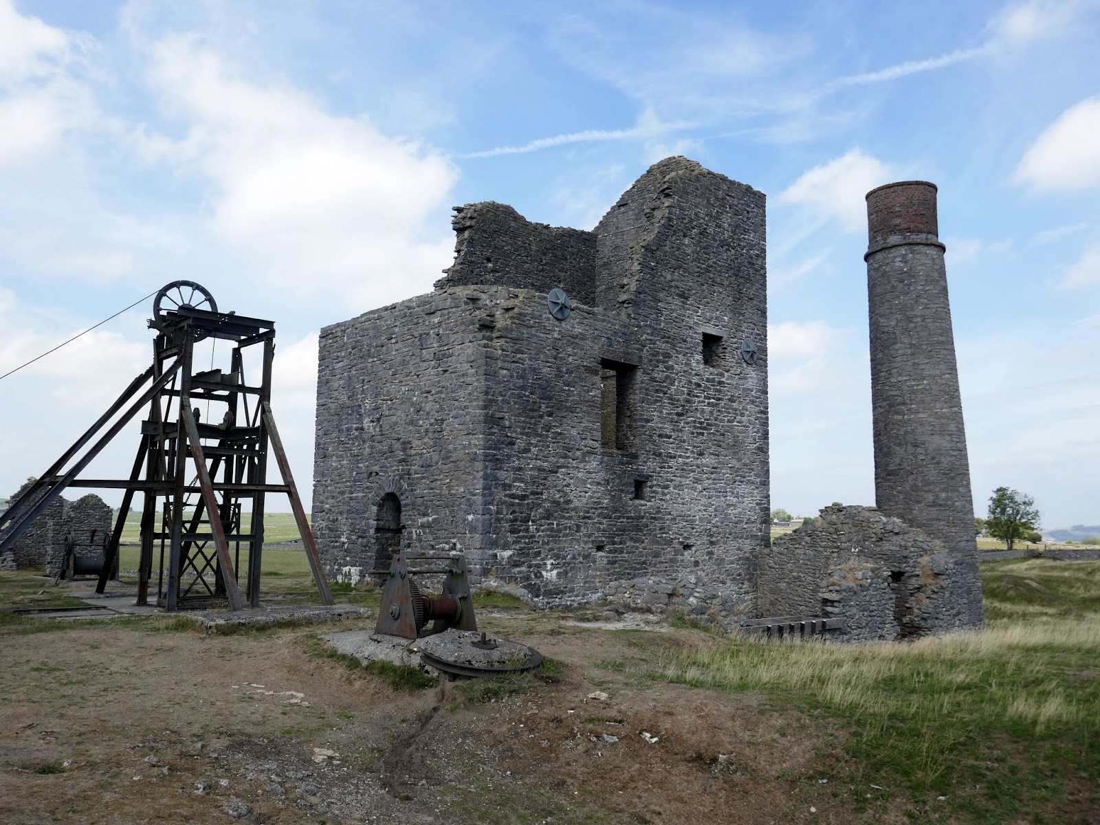
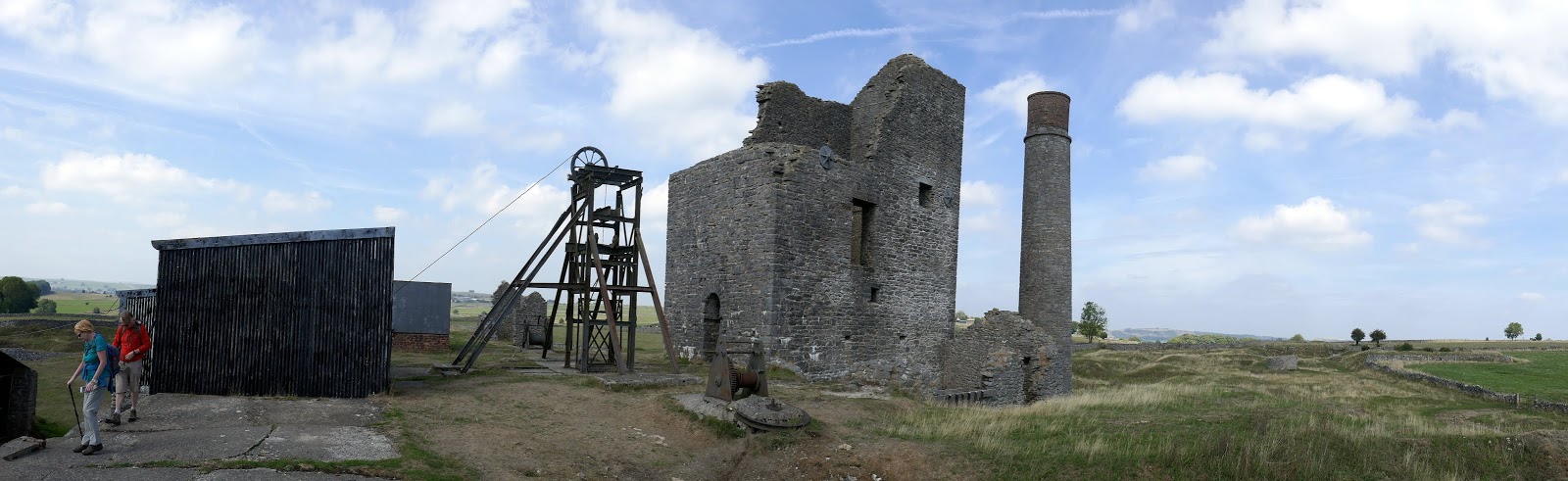
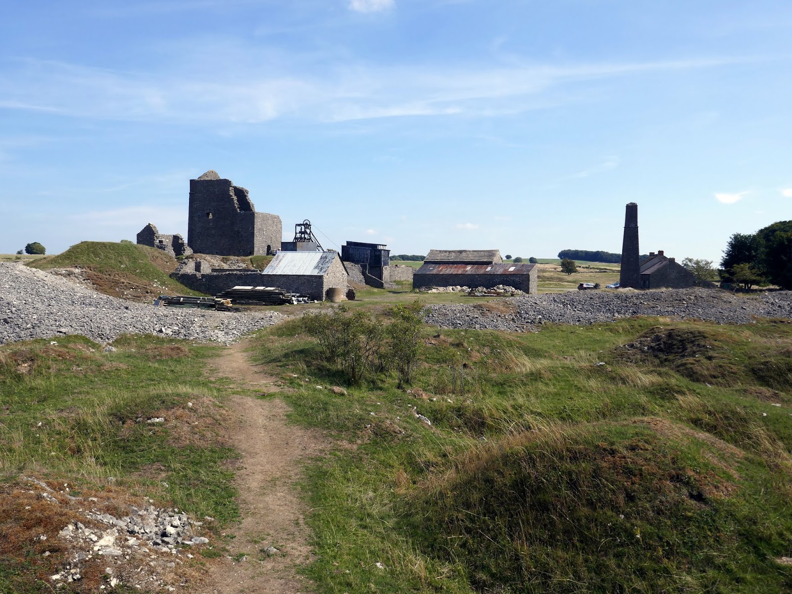
Across the fields and stiles to the east of Deep Dale is the Magpie Mine (or what is left of it). Magpie Mine was the last working lead mine in Derbyshire and is probably the best surviving example anywhere in the UK of a 19th-century lead mine.
 |
| Magpie Mine |
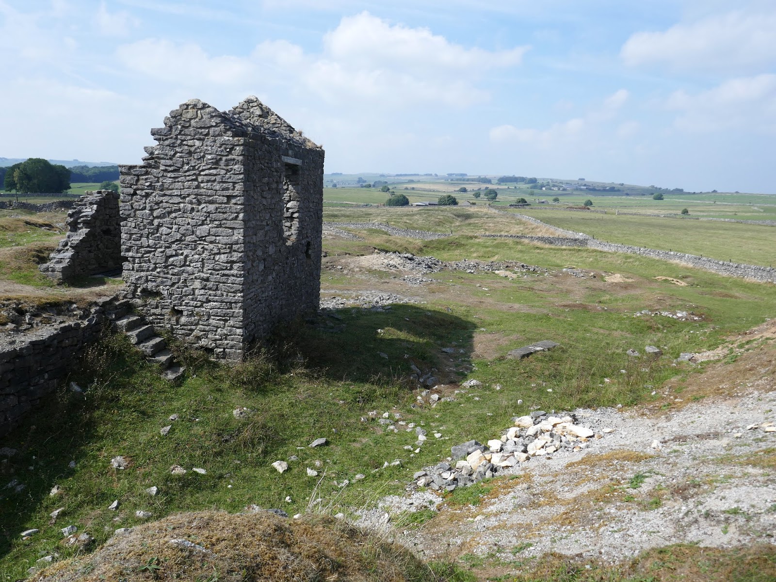
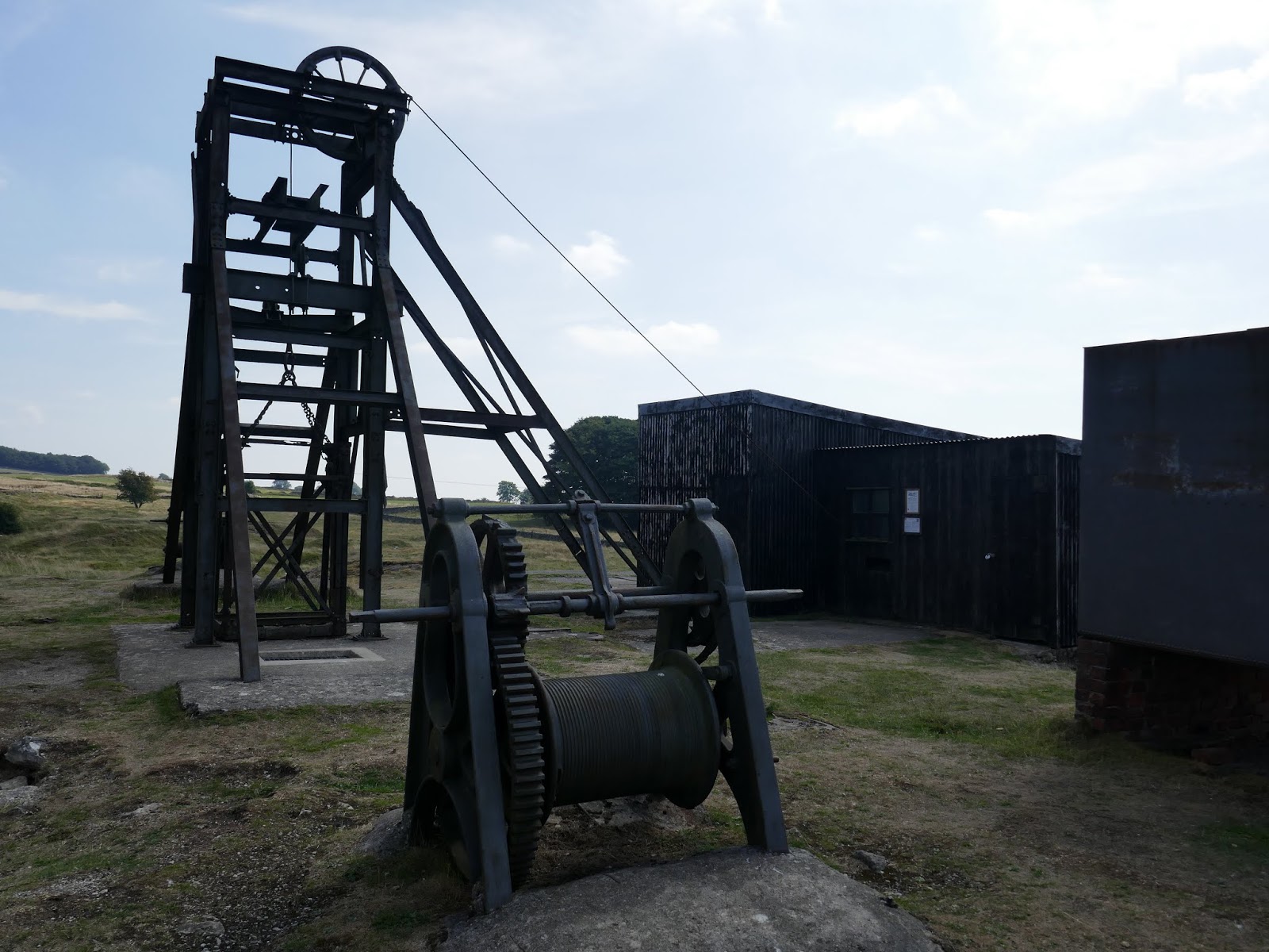
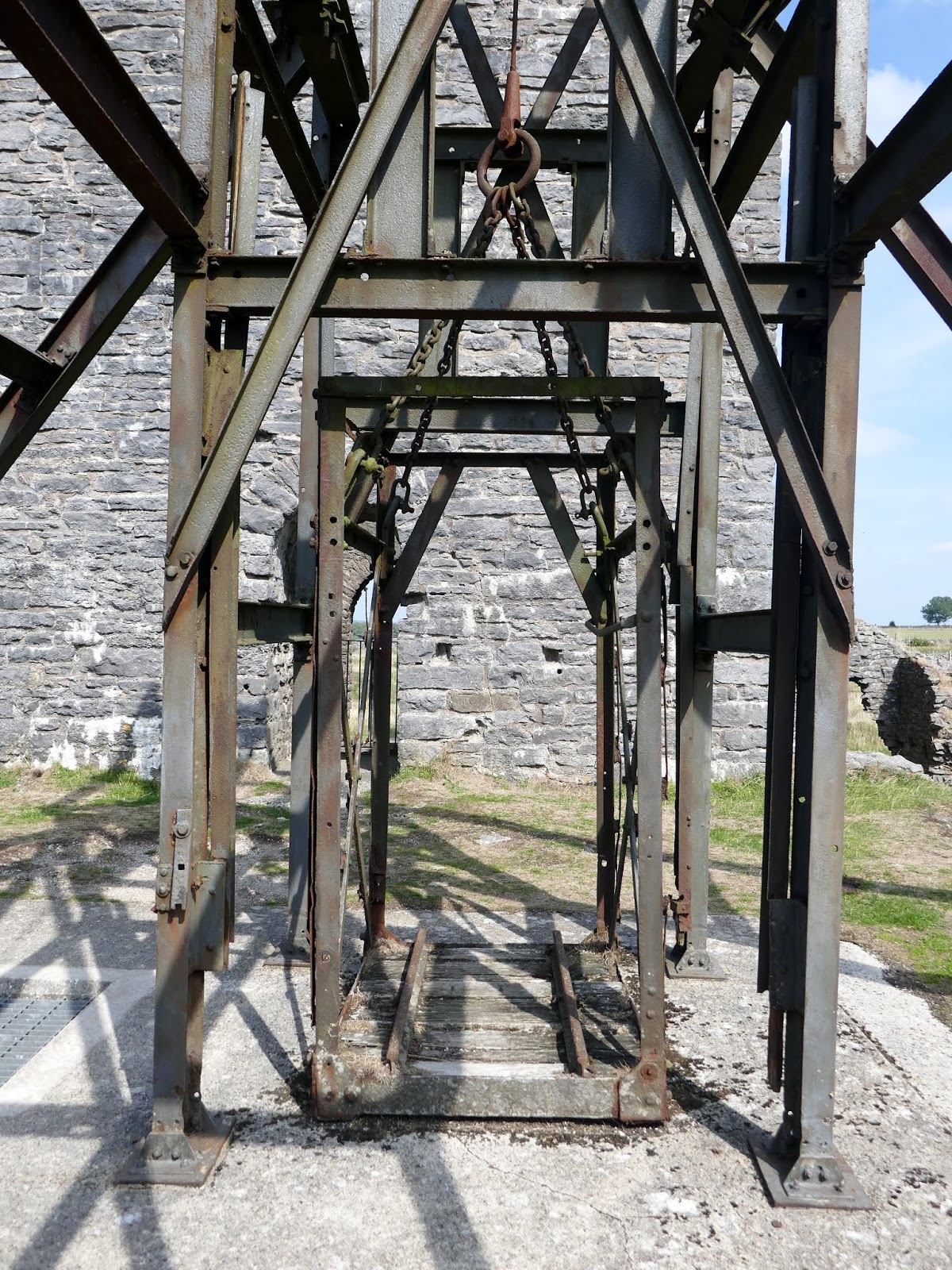
The most impressive features are the Cornish Engine House which dates from 1869, and the adjacent circular chimney (built in 1840 to serve an earlier engine, but then re-used). In front of the Cornish Engine House is the 200m deep Main Shaft, marked by the steel headgear and cage dating from the mine’s last phase of operation in the 1950s. A corrugated iron shed on the site housed the winder and has the distinction of being one of only three corrugated iron buildings in the country to be accorded Scheduled Monument status.
 |
| The Cornish Engine house and chimney |
 |
| Magpie Mine |
 |
| Magpie Mine |
 |
| The Cornish Engine house |
 |
| The cage |
 |
| Magpie Mine |
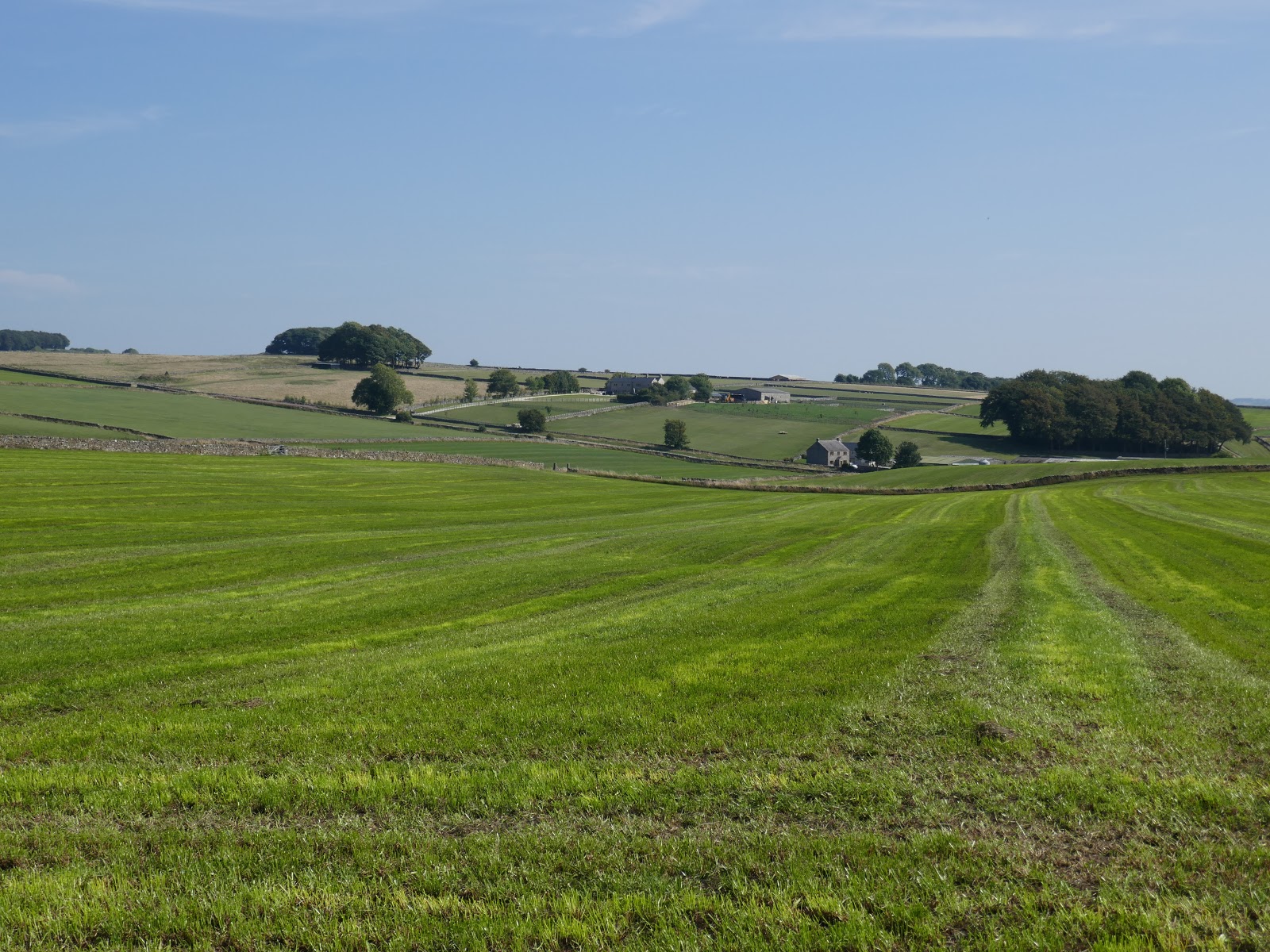
We paused at the mine for lunch before setting off towards Monyash. More paths and stiles lead south-west across the green fields of High Low to reach the village a couple of miles away.
 |
| Leaving the mine |
 |
| AMagpie Mine |
 |
| Farmland of the White Peak |
 |
| Horse Lane |
Monyash stands at the head of Lathkill Dale. The area has been an important meeting place for thousands of years being a watering point for drovers’ animals at the intersection of several trade routes. Additionally, for over 700 years, the busy industrial centre supported the local lead mining industry.
 |
| Monyash |
The village can attribute its existence, and its name, to water. Lying underneath the centre of the village is a narrow band of clay deposited during the Ice Age. This resulted in pools of standing water, a highly unusual feature in a limestone area. Over time meres (ponds) were fashioned into the clay by the villagers that enabled life before piped water. Only one remains today, called Fere Mere, which is situated behind the Primary School.
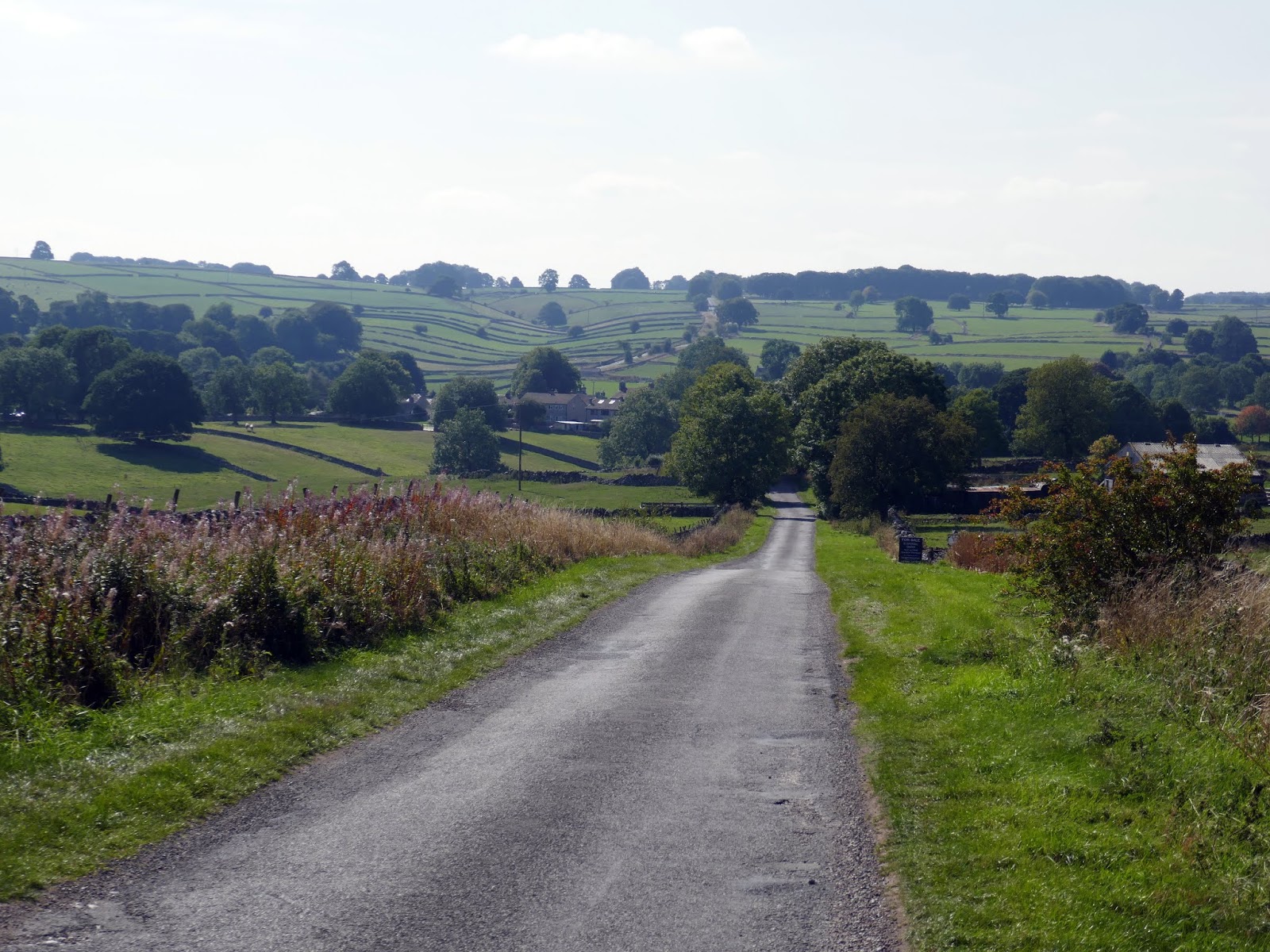
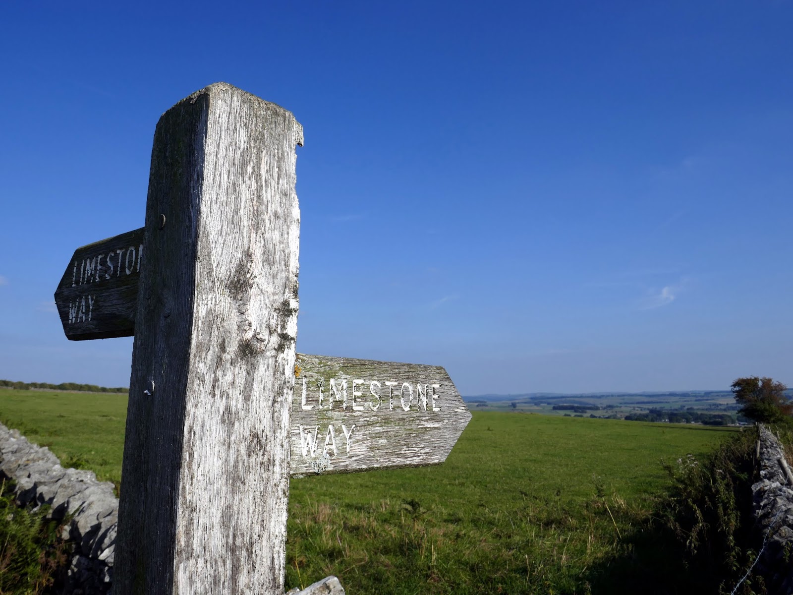
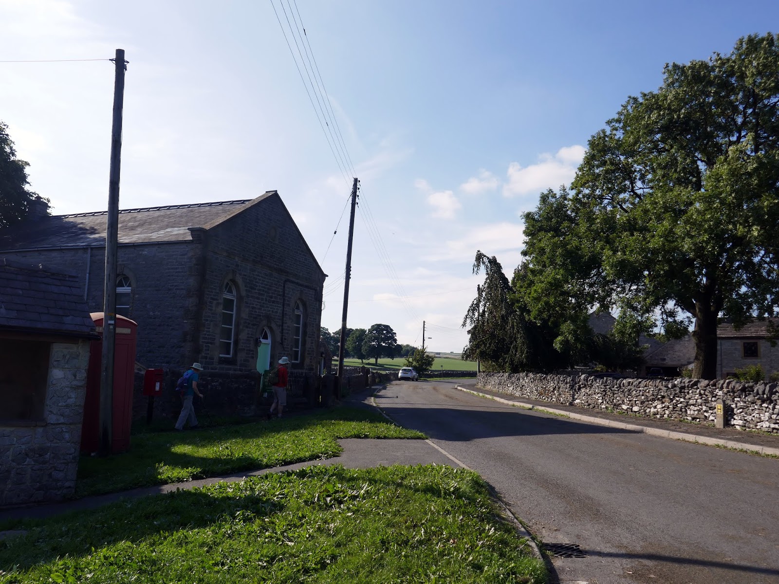
After a swift pint at the local pub, we made tracks towards Flagg, another windswept White Peak village. The Limestone Way follows a walled lane as it passes Knotlow and a number of tumuli until it reaches the village.
 |
| The Limestone Way |
 |
| Blackwell Lane |
It is reputed that Flagg is situated on the site of a Viking settlement, probably established due to the lead ore in the area, the scars of which can still be seen. Turf cutting was another form of occupation, and it is thought that the name Flagg derives from a flag or sod or earth.
 |
| Flagg |
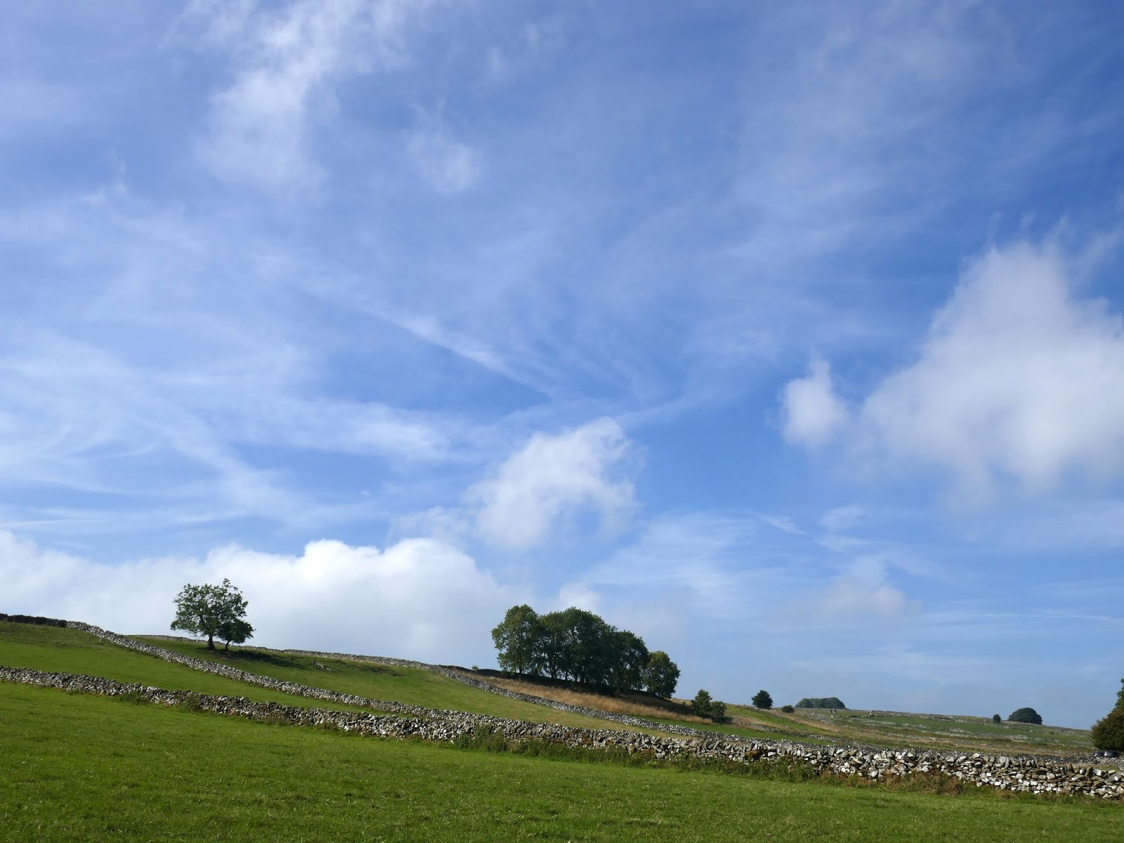
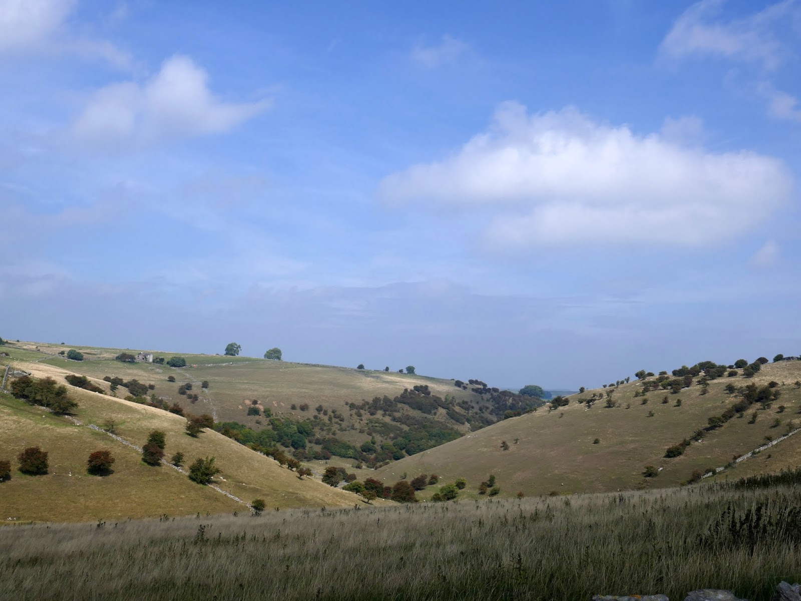
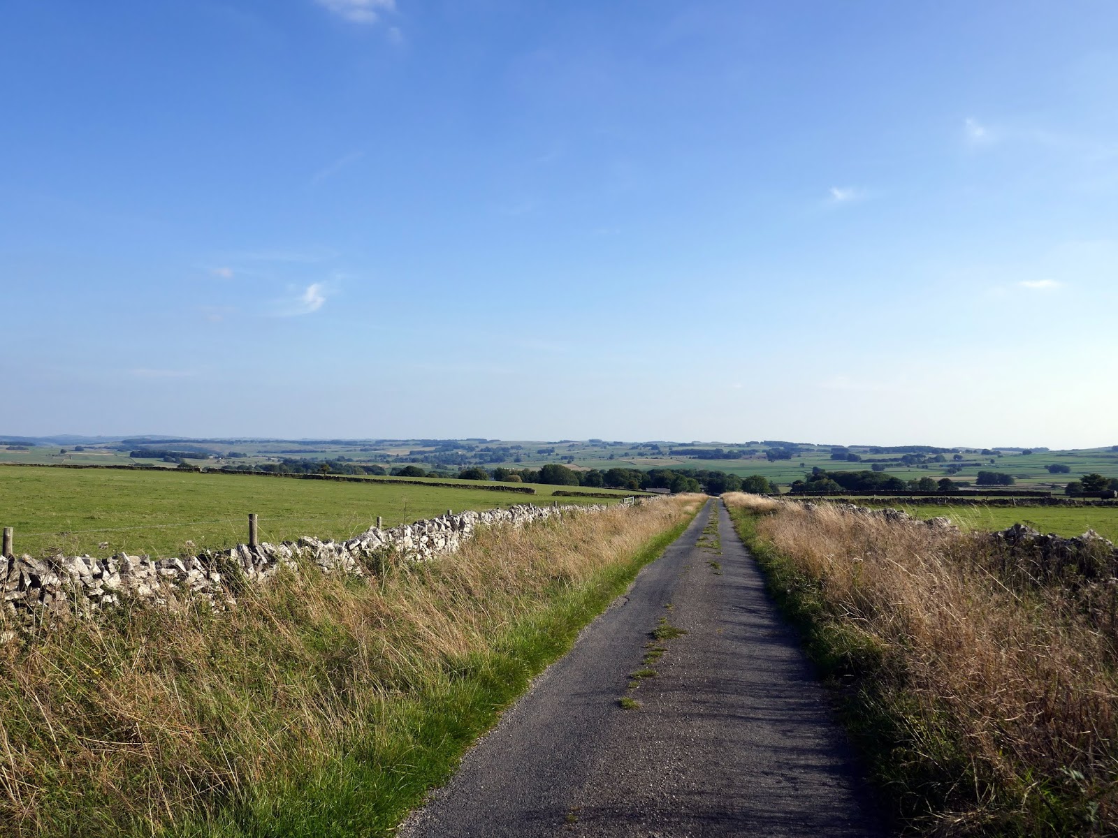
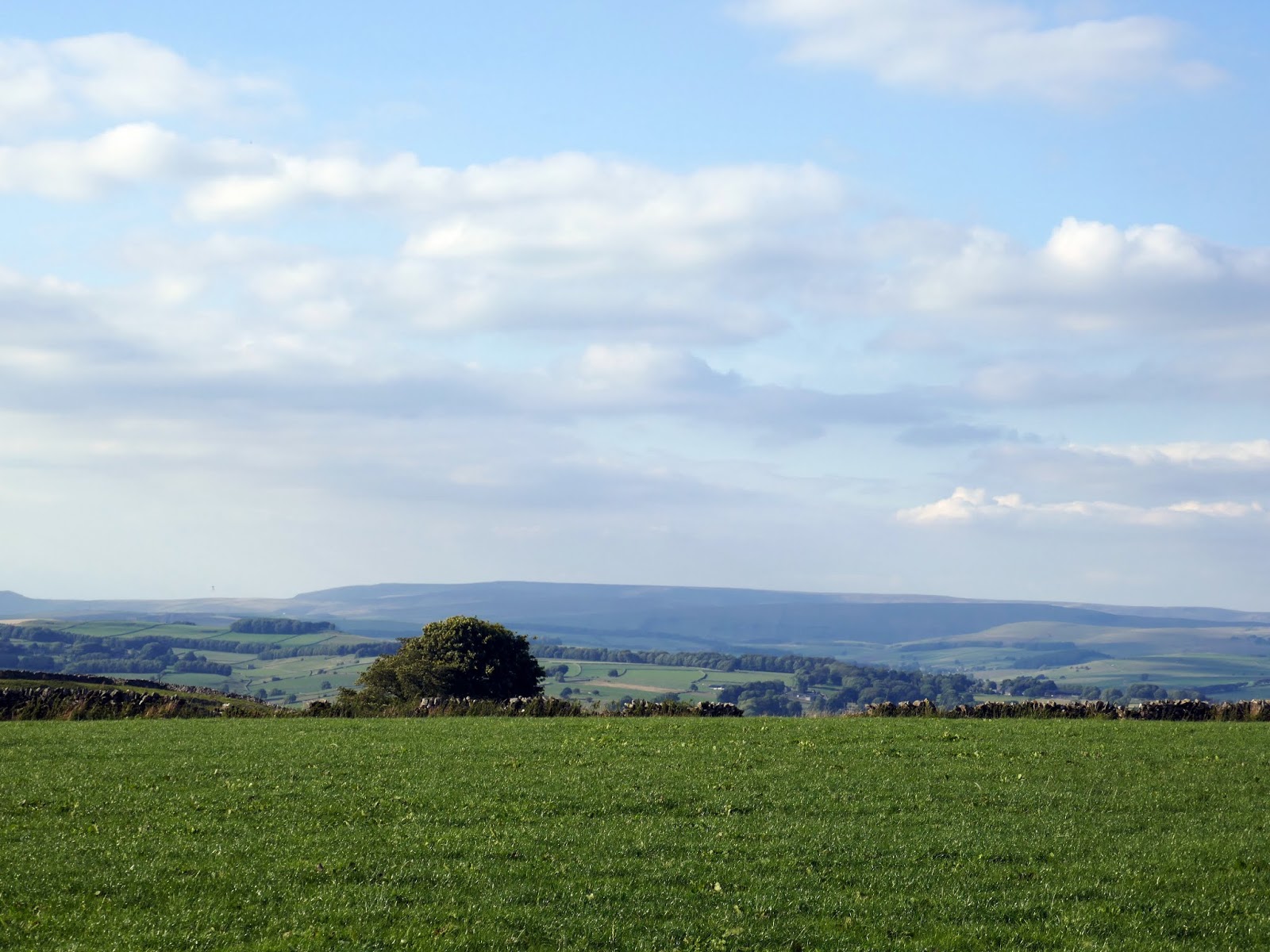
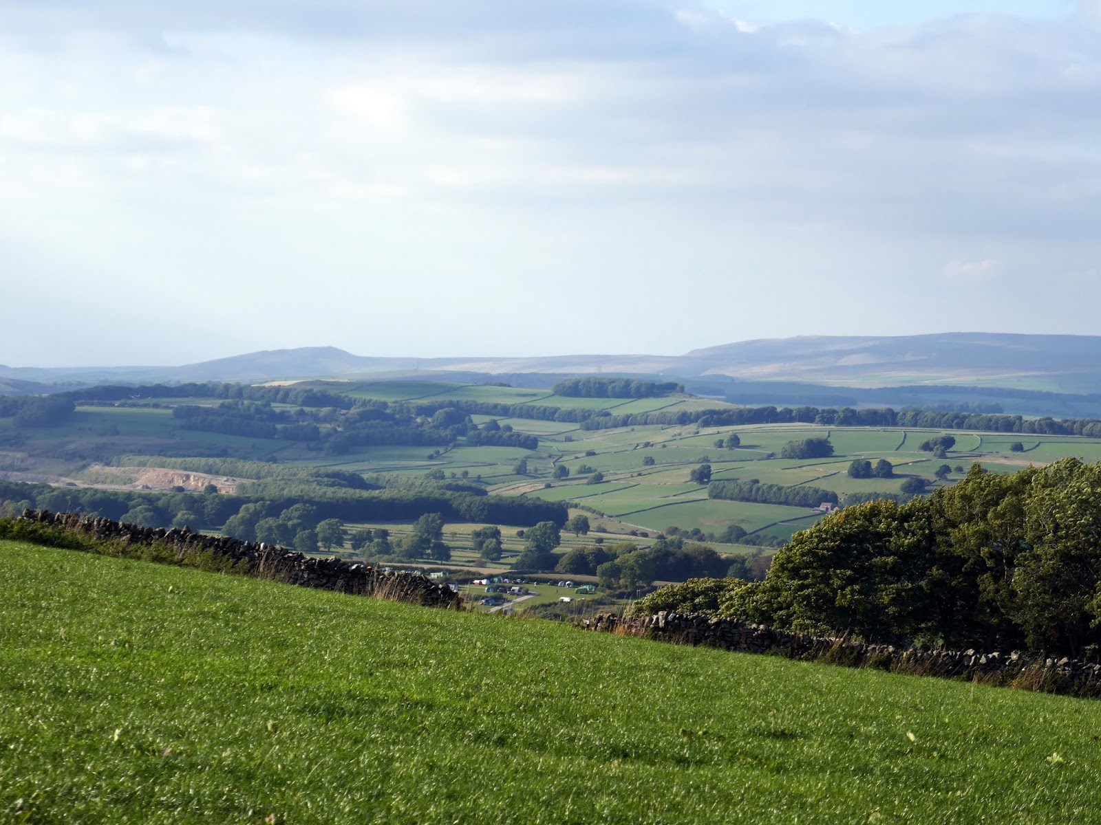
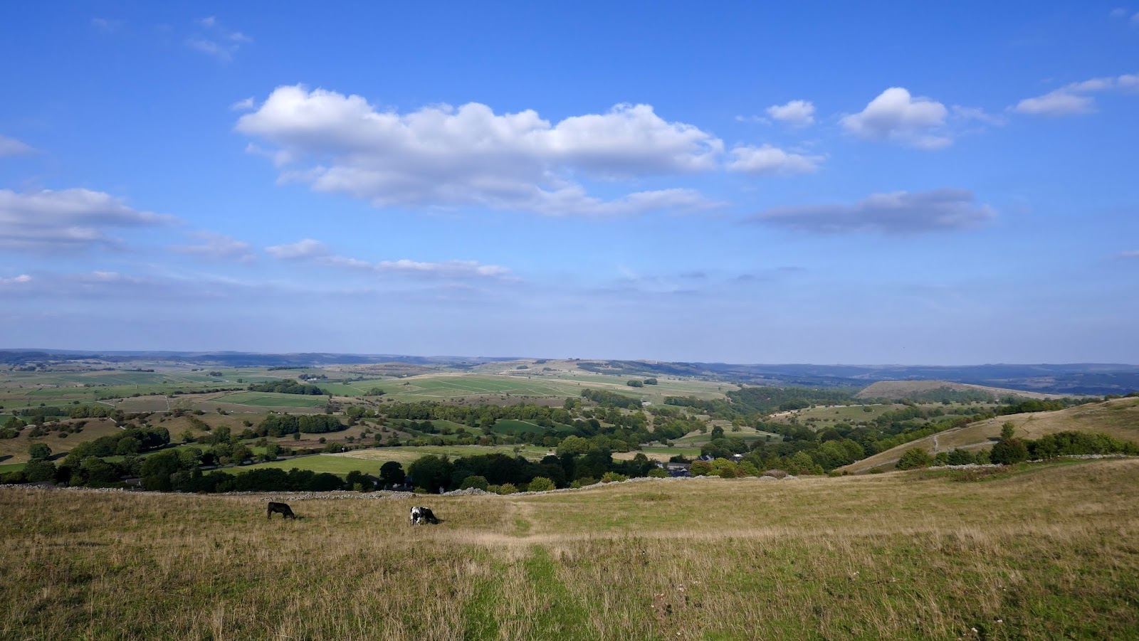
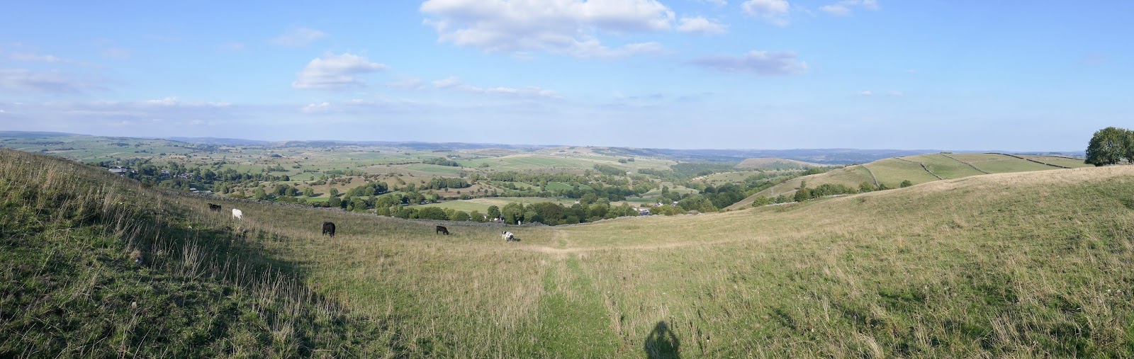
A fairly long walk along the road is required as it climbs up Taddington Moor. This section is a little tedious but is worth the effort when you reach the top. The view across the Dark Peak is magnificent, especially during the late afternoon. While the Limestone Way heads off northwards, we took a right-hand turn to cross more stiles and walls to reach the trig pillar at Sough Top.
 |
| Green Lane |
 |
| Kinder Scout on the horizon |
 |
| Looking towards the Dark Peak |
 |
| Sough Top |
 |
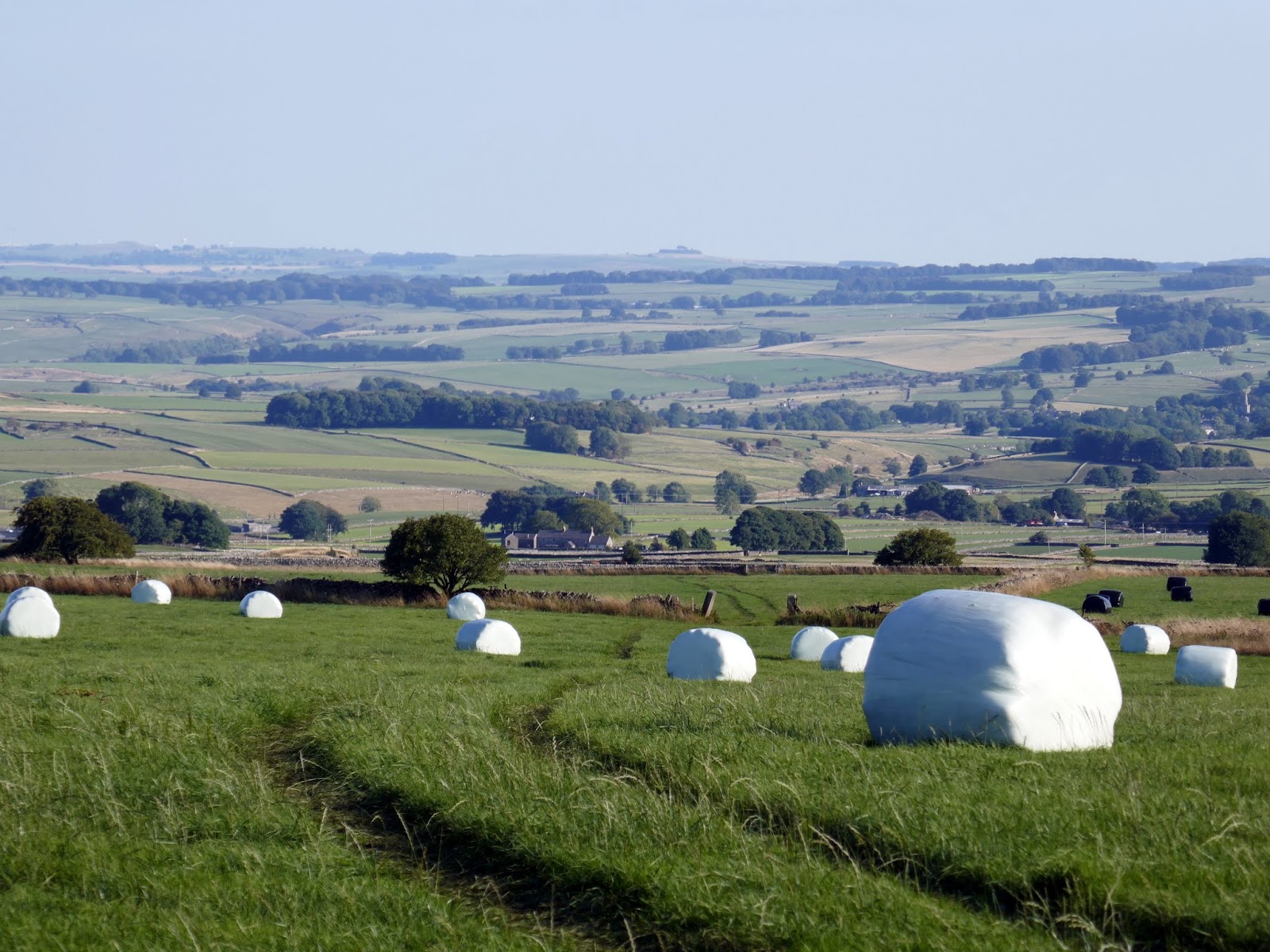
| Taddington Moor |
 |
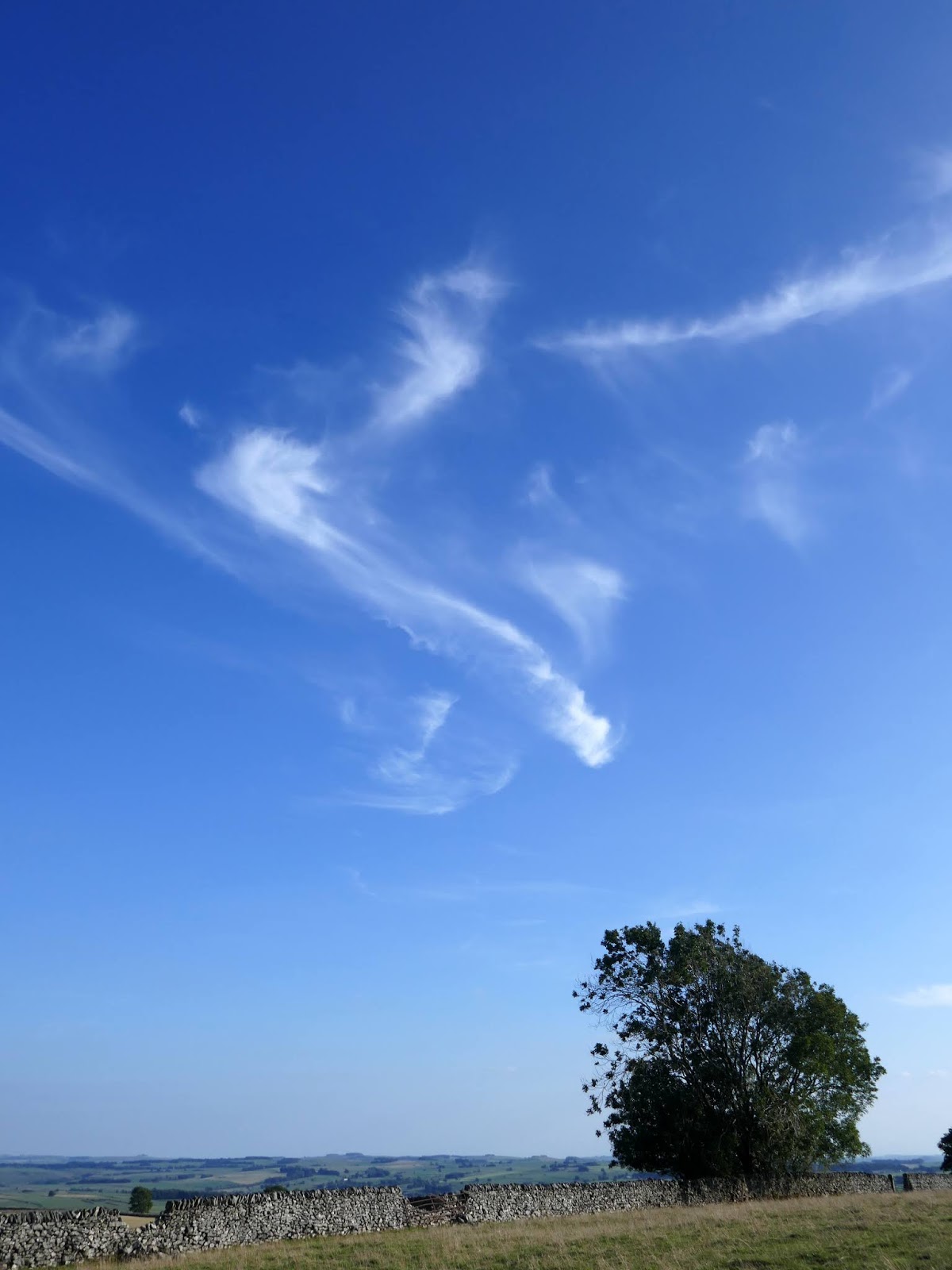
| Some more beautiful clouds in the later afternoon |
 |
| Taddington Dale |
 |
| Taddington Dale |
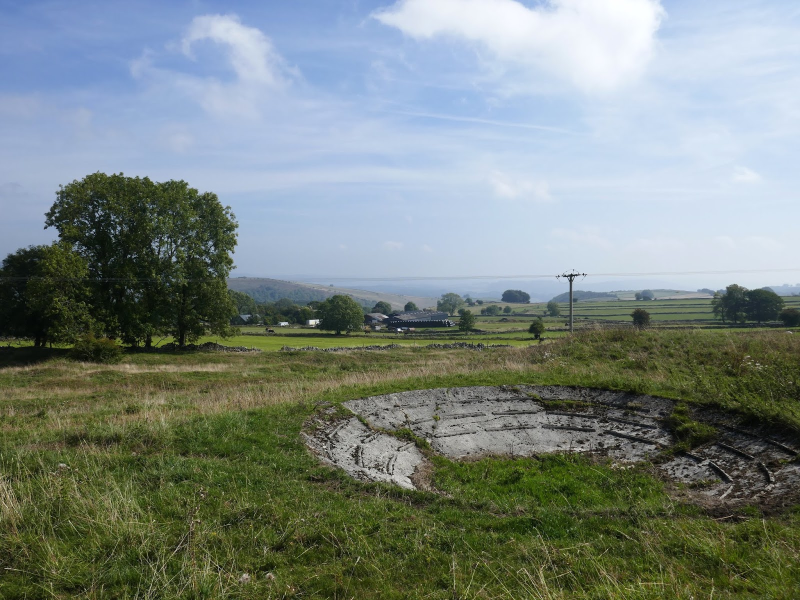
Sough Top, at 438m, may not be the highest hill in Peak District but it has a sweeping panoramic view across the northern end of the national park. If you look closely you’ll be able to make out Mam Tor and the hills of Edale while Kinder Scout and Derwent Edge form the horizon.
 |
| Descending into Taddington |
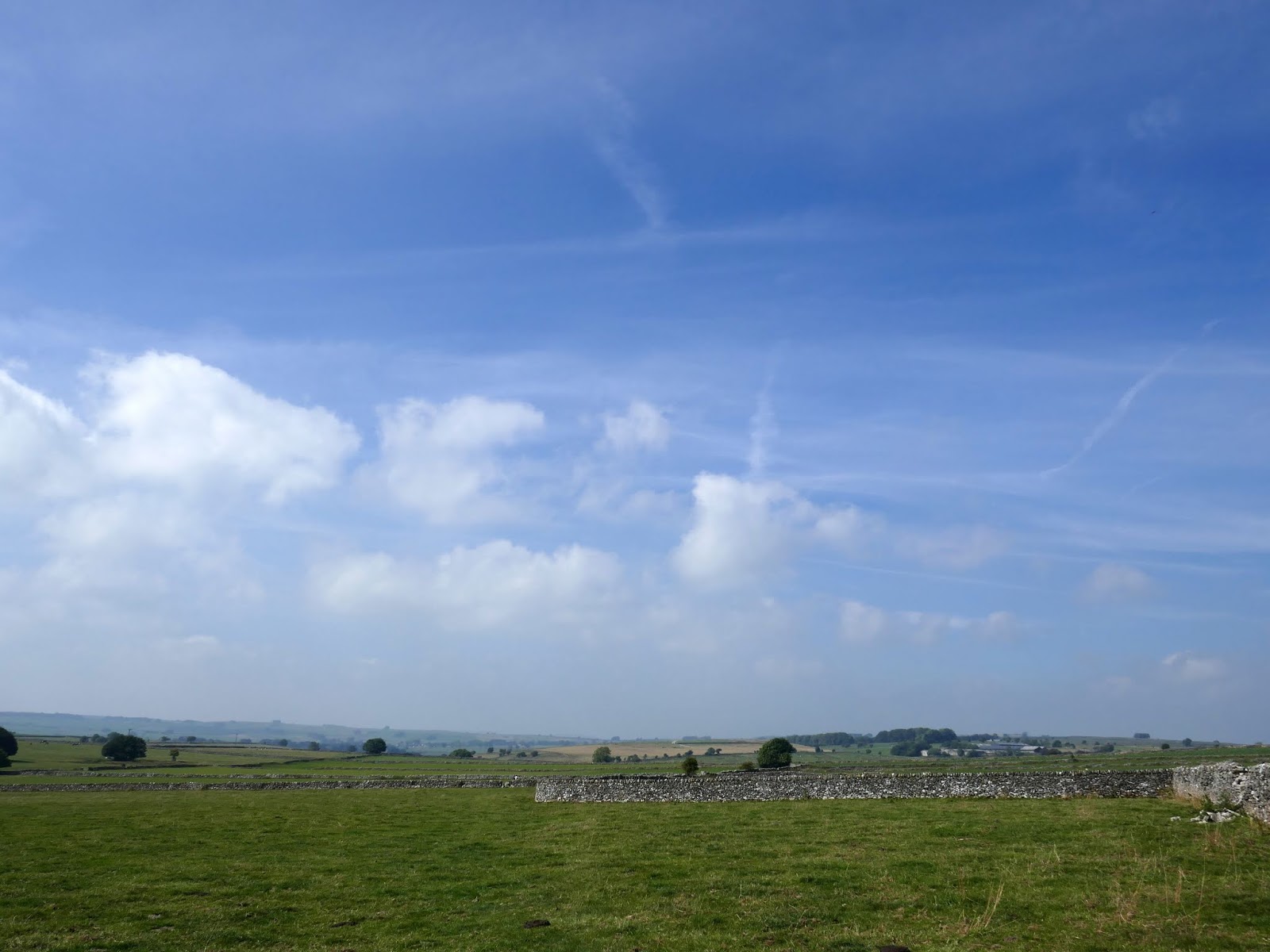
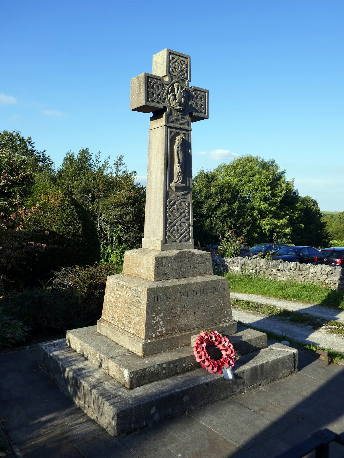
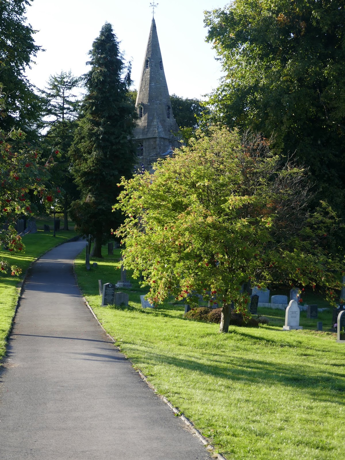
The northern flank of Sough Top drops steeply back into the western end of Taddington. As the car park is to the east, a walk through the village is necessary, passing the attractive church and war memorial. The A6 used to run through the village before it was bypassed and Taddington is all the better for it.
 |
| Taddington war memorial |
 |
| St. Michael’s church in Taddington |


