Open Space Web-Map builder Codehttps://openspace.ordnancesurvey.co.uk/osmapapi/openspace.js?key=3119F72552FD5C22E0530C6CA40A5A92https://openspace.ordnancesurvey.co.uk/osmapapi/script/mapbuilder/basicmap.jshttps://openspace.ordnancesurvey.co.uk/osmapapi/script/mapbuilder/searchbox.js//variables for routes var linesLayer, points, lineFeature, lineString, routeMarkersLayer, routepos, routesize, routeoffset, routeicon; var style_blue = {strokeColor: “#0000CD”, strokeOpacity: 0.5, strokeWidth: 4.5}; function initmapbuilder() { //initiate the map var options = {resolutions: [2500, 1000, 500, 200, 100, 50, 25, 10, 5, 4, 2.5, 2, 1]}; osMap = new OpenSpace.Map(‘map’, options); //configure map options (basicmap.js) setglobaloptions(); //set the center of the map and the zoom level osMap.setCenter(new OpenSpace.MapPoint(285538.5,320550),7); linesLayer = osMap.getVectorLayer(); // Set up layer for route markers routeMarkersLayer = new OpenLayers.Layer.Markers(“Route Markers”); //make a route points = new Array(); points.push(new OpenLayers.Geometry.Point(285269,318650)); points.push(new OpenLayers.Geometry.Point(285344,318520)); points.push(new OpenLayers.Geometry.Point(285364,318465)); points.push(new OpenLayers.Geometry.Point(285298.5,318315)); points.push(new OpenLayers.Geometry.Point(285123.5,318335)); points.push(new OpenLayers.Geometry.Point(285003.5,318355)); points.push(new OpenLayers.Geometry.Point(284923.5,318330)); points.push(new OpenLayers.Geometry.Point(284893.5,318260)); points.push(new OpenLayers.Geometry.Point(284793.5,318260)); points.push(new OpenLayers.Geometry.Point(284733.5,318295)); points.push(new OpenLayers.Geometry.Point(284703.5,318445)); points.push(new OpenLayers.Geometry.Point(284613.5,318430)); points.push(new OpenLayers.Geometry.Point(284593.5,318340)); points.push(new OpenLayers.Geometry.Point(284683.5,318135)); points.push(new OpenLayers.Geometry.Point(284648.5,317870)); points.push(new OpenLayers.Geometry.Point(284508.5,317955)); points.push(new OpenLayers.Geometry.Point(284418.5,318015)); points.push(new OpenLayers.Geometry.Point(284403.5,318110)); points.push(new OpenLayers.Geometry.Point(284363.5,318110)); points.push(new OpenLayers.Geometry.Point(284363.5,317890)); points.push(new OpenLayers.Geometry.Point(284298.5,317960)); points.push(new OpenLayers.Geometry.Point(284123.5,317940)); points.push(new OpenLayers.Geometry.Point(283938.5,318005)); points.push(new OpenLayers.Geometry.Point(283833.5,318270)); points.push(new OpenLayers.Geometry.Point(283778.5,318660)); points.push(new OpenLayers.Geometry.Point(283713.5,319025)); points.push(new OpenLayers.Geometry.Point(283733.5,319250)); points.push(new OpenLayers.Geometry.Point(283758.5,319300)); points.push(new OpenLayers.Geometry.Point(283748.5,319400)); points.push(new OpenLayers.Geometry.Point(283688.5,319460)); points.push(new OpenLayers.Geometry.Point(283748.5,319630)); points.push(new OpenLayers.Geometry.Point(283788.5,319770)); points.push(new OpenLayers.Geometry.Point(283878.5,320040)); points.push(new OpenLayers.Geometry.Point(283958.5,320120)); points.push(new OpenLayers.Geometry.Point(284248.5,320120)); points.push(new OpenLayers.Geometry.Point(284608.5,320515)); points.push(new OpenLayers.Geometry.Point(284803.5,320730)); points.push(new OpenLayers.Geometry.Point(285033.5,320830)); points.push(new OpenLayers.Geometry.Point(285568.5,320570)); points.push(new OpenLayers.Geometry.Point(285548.5,320370)); points.push(new OpenLayers.Geometry.Point(285698.5,320475)); points.push(new OpenLayers.Geometry.Point(285648.5,320865)); points.push(new OpenLayers.Geometry.Point(285718.5,320970)); points.push(new OpenLayers.Geometry.Point(285873.5,321130)); points.push(new OpenLayers.Geometry.Point(286048.5,321265)); points.push(new OpenLayers.Geometry.Point(286193.5,321410)); points.push(new OpenLayers.Geometry.Point(286083.5,321575)); points.push(new OpenLayers.Geometry.Point(286033.5,321670)); points.push(new OpenLayers.Geometry.Point(286008.5,321845)); points.push(new OpenLayers.Geometry.Point(285983.5,321940)); points.push(new OpenLayers.Geometry.Point(285953.5,322035)); points.push(new OpenLayers.Geometry.Point(286108.5,322190)); points.push(new OpenLayers.Geometry.Point(286233.5,322305)); points.push(new OpenLayers.Geometry.Point(286293.5,322395)); points.push(new OpenLayers.Geometry.Point(286158.5,322595)); points.push(new OpenLayers.Geometry.Point(286178.5,322760)); points.push(new OpenLayers.Geometry.Point(286178.5,322990)); points.push(new OpenLayers.Geometry.Point(286233.5,323135)); points.push(new OpenLayers.Geometry.Point(286383.5,323250)); points.push(new OpenLayers.Geometry.Point(286478.5,323410)); points.push(new OpenLayers.Geometry.Point(286463.5,323610)); points.push(new OpenLayers.Geometry.Point(286513.5,324040)); points.push(new OpenLayers.Geometry.Point(286573.5,324165)); points.push(new OpenLayers.Geometry.Point(286723.5,324345)); points.push(new OpenLayers.Geometry.Point(286568.5,324260)); points.push(new OpenLayers.Geometry.Point(286438.5,323895)); points.push(new OpenLayers.Geometry.Point(286323.5,323495)); points.push(new OpenLayers.Geometry.Point(286198.5,323040)); points.push(new OpenLayers.Geometry.Point(286093.5,322505)); points.push(new OpenLayers.Geometry.Point(286058.5,322325)); points.push(new OpenLayers.Geometry.Point(285988.5,322115)); points.push(new OpenLayers.Geometry.Point(285963.5,322025)); points.push(new OpenLayers.Geometry.Point(285988.5,321745)); points.push(new OpenLayers.Geometry.Point(286173.5,321440)); points.push(new OpenLayers.Geometry.Point(286268.5,321310)); points.push(new OpenLayers.Geometry.Point(286523.5,321265)); points.push(new OpenLayers.Geometry.Point(286988.5,321290)); points.push(new OpenLayers.Geometry.Point(287253.5,321270)); points.push(new OpenLayers.Geometry.Point(287448.5,320745)); points.push(new OpenLayers.Geometry.Point(287483.5,320475)); points.push(new OpenLayers.Geometry.Point(287503.5,320235)); points.push(new OpenLayers.Geometry.Point(287418.5,320010)); points.push(new OpenLayers.Geometry.Point(287293.5,319840)); points.push(new OpenLayers.Geometry.Point(286983.5,319595)); points.push(new OpenLayers.Geometry.Point(286803.5,319485)); points.push(new OpenLayers.Geometry.Point(286743.5,319275)); points.push(new OpenLayers.Geometry.Point(286698.5,319130)); points.push(new OpenLayers.Geometry.Point(286413.5,318980)); points.push(new OpenLayers.Geometry.Point(286268.5,318875)); points.push(new OpenLayers.Geometry.Point(285723.5,319215)); points.push(new OpenLayers.Geometry.Point(285578.5,318975)); points.push(new OpenLayers.Geometry.Point(285498.5,318780)); points.push(new OpenLayers.Geometry.Point(285413.5,318745)); points.push(new OpenLayers.Geometry.Point(285248.5,318800)); points.push(new OpenLayers.Geometry.Point(285269,318650)); // create a polyline feature from the array of points lineString = new OpenLayers.Geometry.LineString(points); lineFeature = new OpenLayers.Feature.Vector(lineString, null, style_blue); linesLayer.addFeatures([lineFeature]); //make a route points = new Array(); points.push(new OpenLayers.Geometry.Point(286128.5,319500)); // create a polyline feature from the array of points lineString = new OpenLayers.Geometry.LineString(points); lineFeature = new OpenLayers.Feature.Vector(lineString, null, style_blue); linesLayer.addFeatures([lineFeature]); //crate a route start/end marker routepos = new OpenSpace.MapPoint(285269,318650); routesize = new OpenLayers.Size(33,45); routeoffset = new OpenLayers.Pixel(-5,-37); routeicon = new OpenSpace.Icon(‘https://openspace.ordnancesurvey.co.uk/osmapapi/img_versions/img_1.1/mapbuilder/routemarker-startend.png’, routesize, routeoffset, null, null); routeMarkersLayer.addMarker(new OpenLayers.Marker(routepos, routeicon)); //crate a route start/end marker routepos = new OpenSpace.MapPoint(286128.5,319500); routesize = new OpenLayers.Size(33,45); routeoffset = new OpenLayers.Pixel(-5,-37); routeicon = new OpenSpace.Icon(‘https://openspace.ordnancesurvey.co.uk/osmapapi/img_versions/img_1.1/mapbuilder/routemarker-start.png’, routesize, routeoffset, null, null); routeMarkersLayer.addMarker(new OpenLayers.Marker(routepos, routeicon)); osMap.addLayer(routeMarkersLayer);}
Route: Cwm Cywarch, Gesail, Cwm yr Ychen, Bwlch y Gesail, Glasgwm, Waun Camddwr, Gwaun y Llwyni, Drws Bach, Aran Fawddwy, Erw y Ddafad-ddu, Aran Benllyn, Drws Bach, Drysgol, Waun Goch, Pen yr Allt Uchaf, Allt Uchaf, Cywarch
Date: 21/05/2018
From: Cwm Cywarch
Parking: Car park in Cwm Cywarch
Start Point: Cwm Cywarch
Region: Snowdonia
Route length: 13.5 miles (21.7 km)
Time taken: 06:04
Average speed: 2.2 mph
Ascent: 1,392m
Descent: 1,389m
Summits: Glasgwm (779m), Waun Camddwr (621m), Gwaun y Llwyni (685m), Aran Fawddwy (905m), Erw y Ddafad-ddu (872m), Aran Benllyn (885m), Pen yr Allt Uchaf (630m)
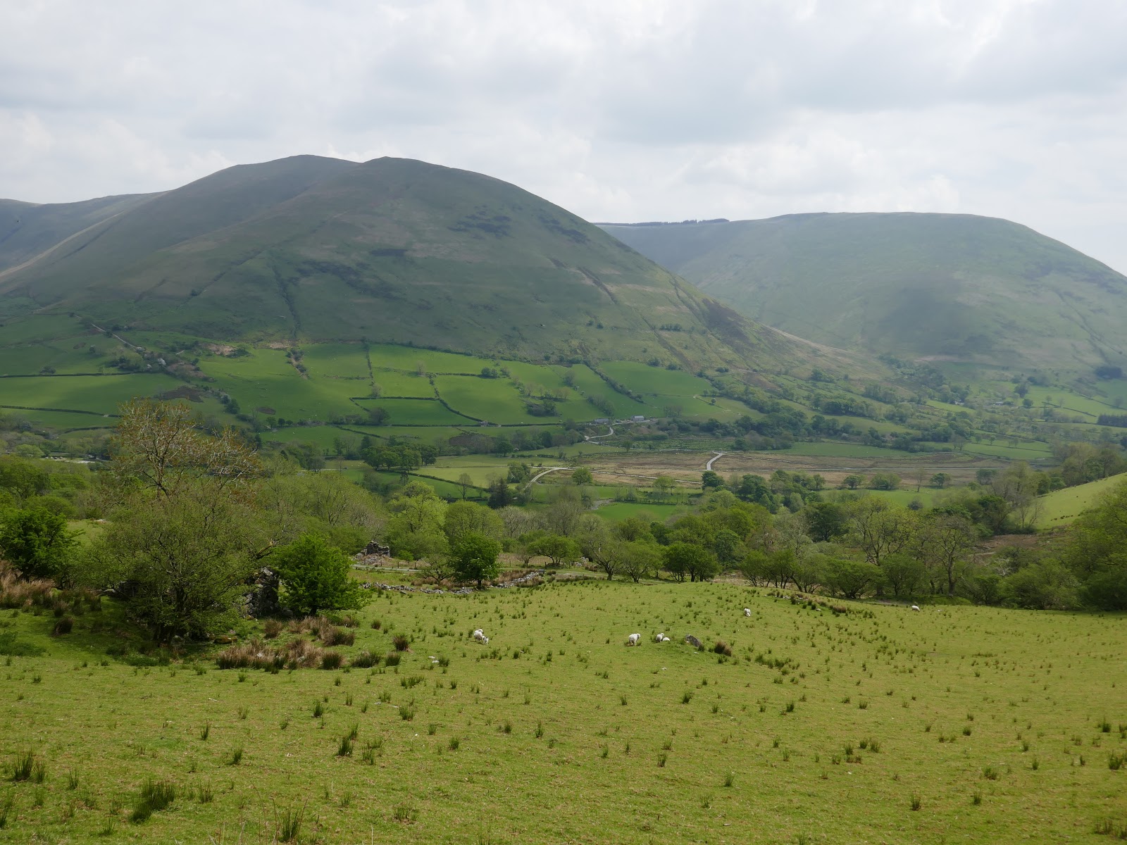
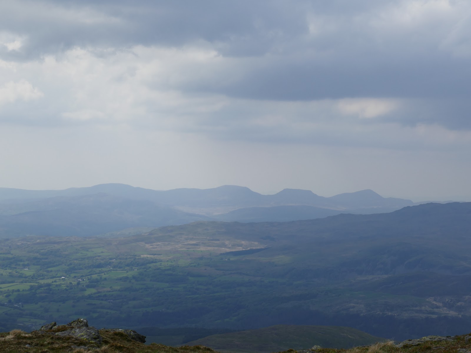
In the south of Snowdonia, away from the crowds of Snowdon and the Glyders, lies a high range of mountains, topped by Aran Fawddwy. At 905m, it’s no small hill but it’s often overlooked in favour of Cader Idris or the main ranges to the north. It would be a different story if it reached the magical 3,000ft mark – it misses out by just 30ft. The lack of crowds, however, certainly works in its favour.
The Arans comprise of a high, broad, grassy ridge with smooth slopes to the north and steep crags to the south. The principal summits are formed of large rocky outcrops, dotted along the ridge. The downside of this is that it is a challenge to form a large circular walk of these peaks, instead and out-and-back approach is necessary unless you have two cars.
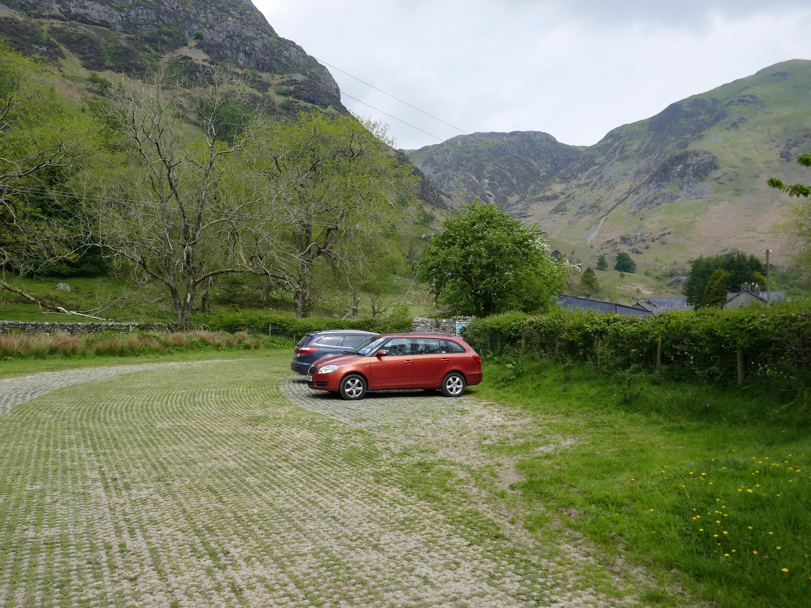
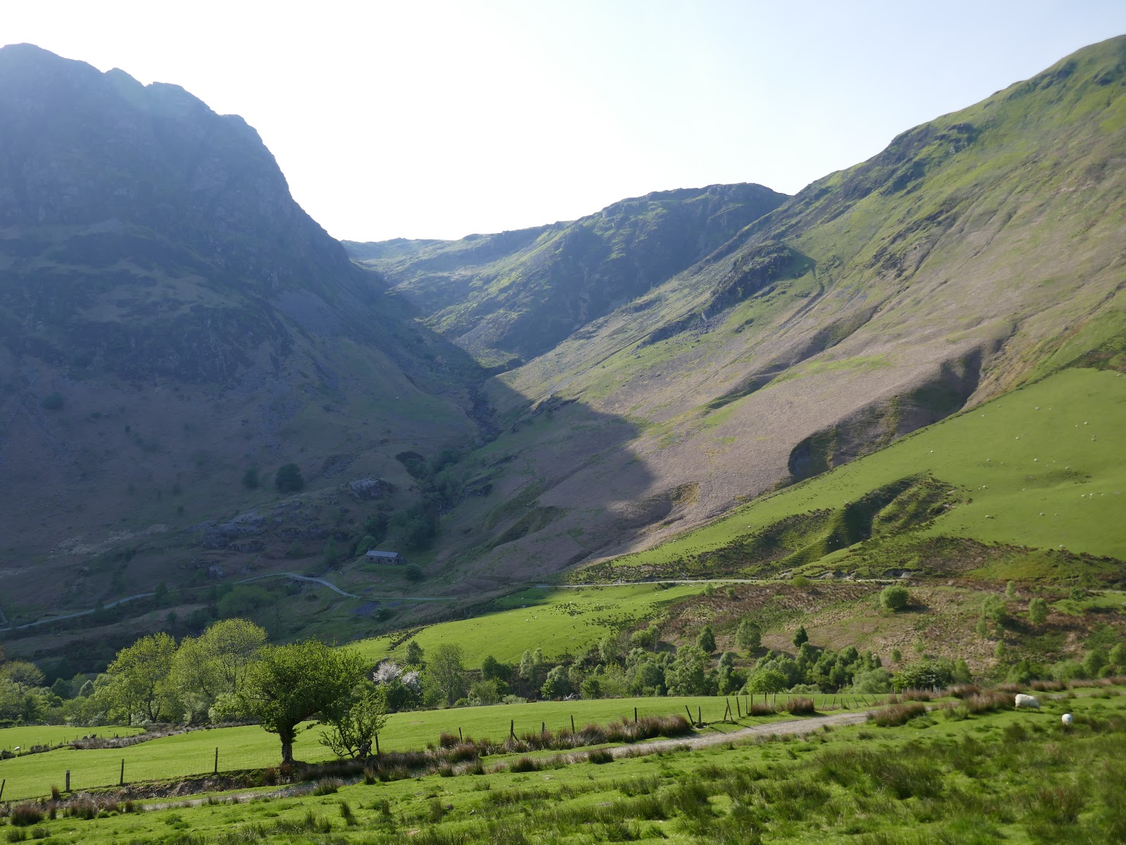
My journey started in the wondrous depths of Cwm Cywarch where, towards the end of a long, narrow lane, there is a free National Park car park, complete with portable toilet.
 |
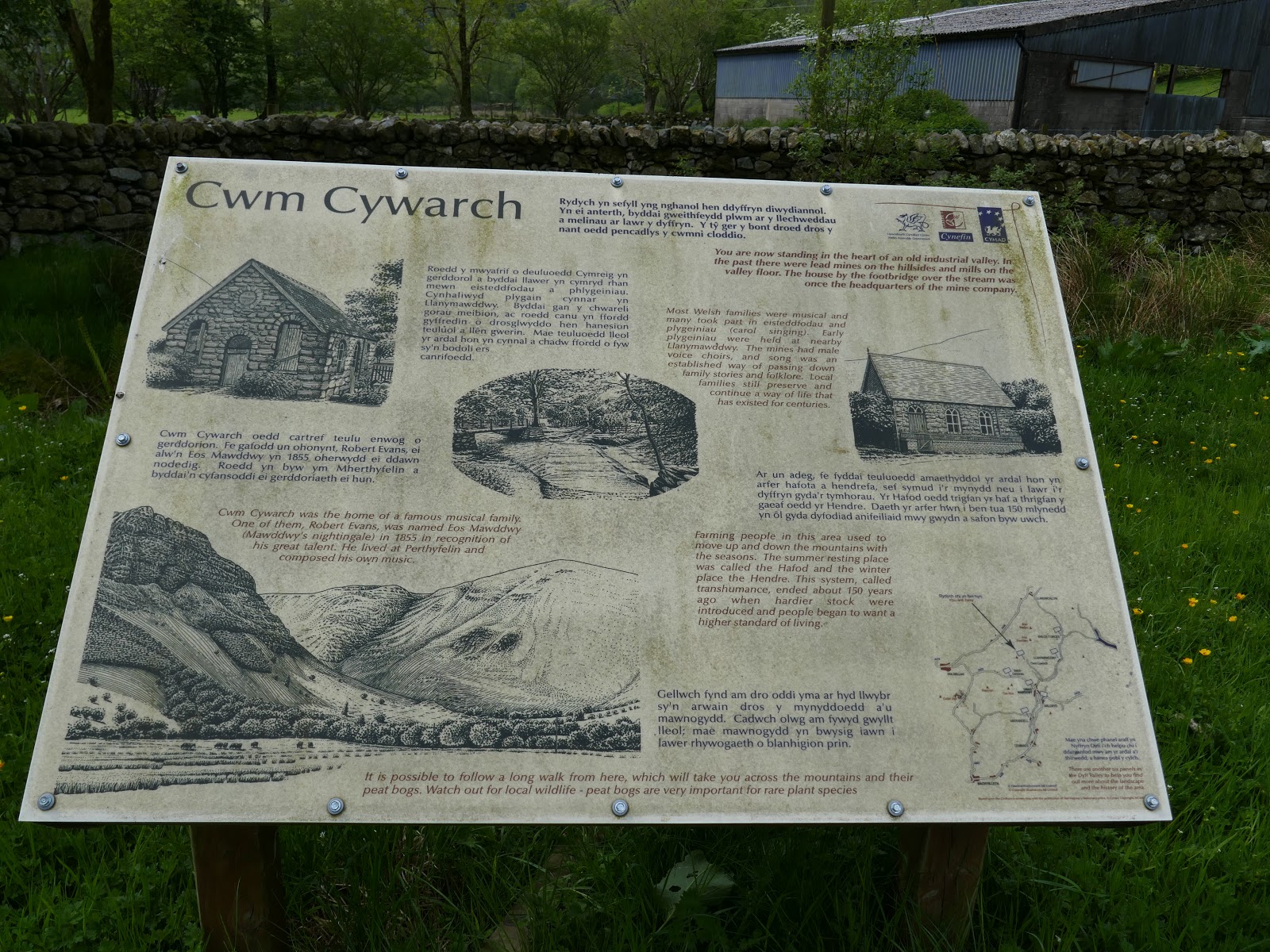
| Information board in Cwm Cywarch |
 |
| The parking area at the end of the valley |
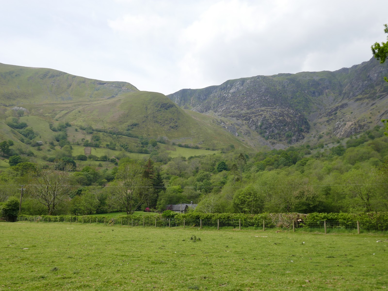
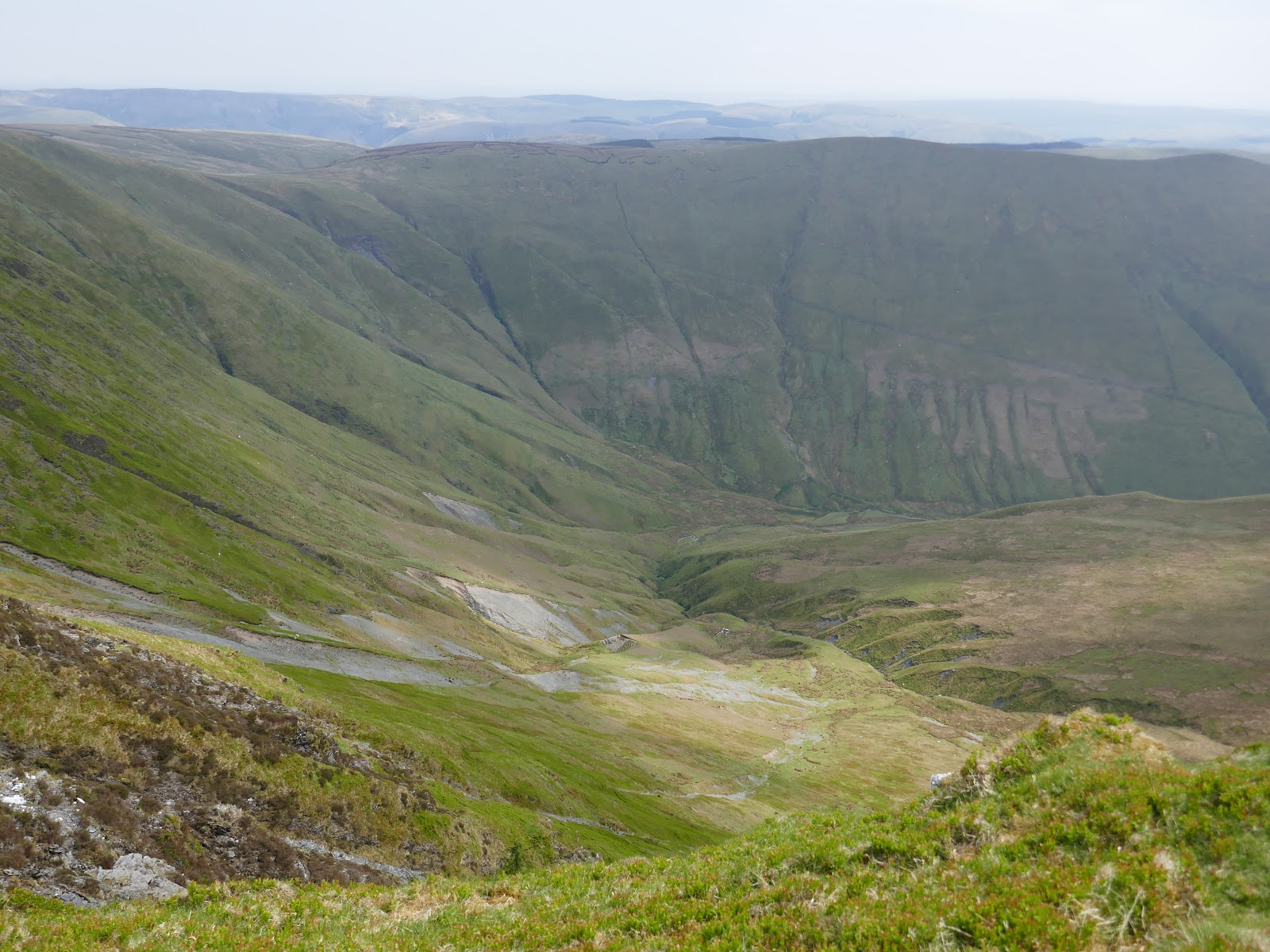
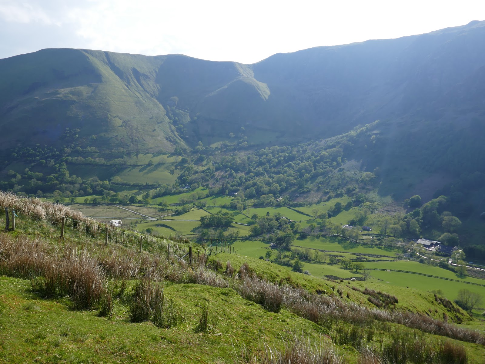
Cwm Cywarch, with its dark, towering crags was home to a lead mining industry until the end of the 19th Century. The lead workings gave rise to a mining village and works. While the mining company office remains, other mining buildings have been incorporated into local farms, while most others, including the village itself, have vanished.
 |
| Cwm Cywarch and the morning’ climb |
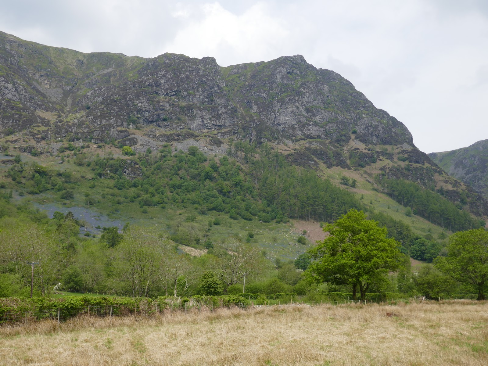
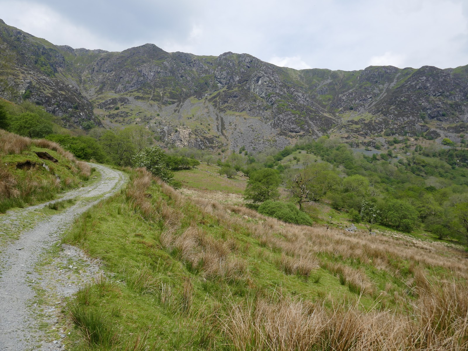
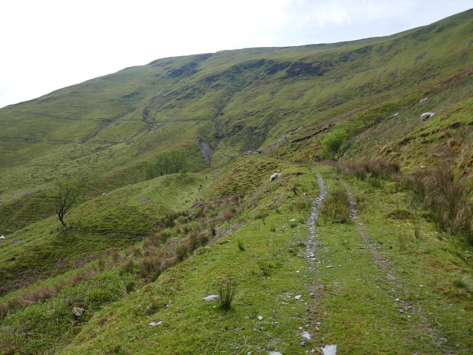
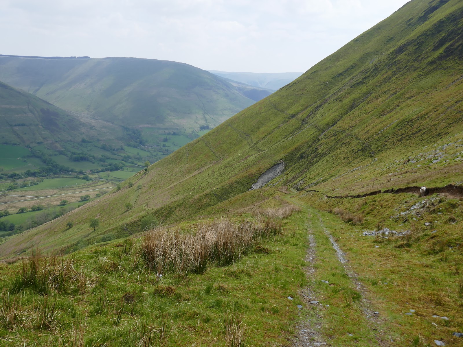
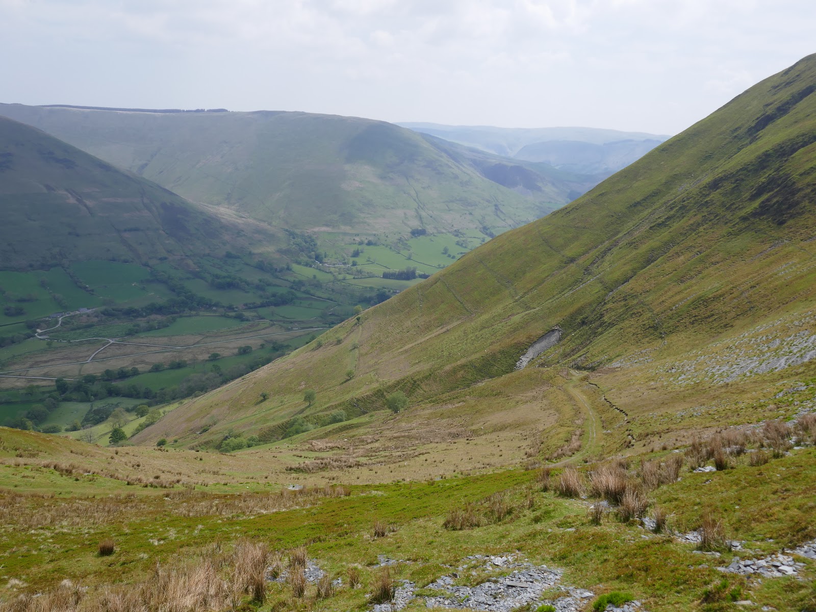
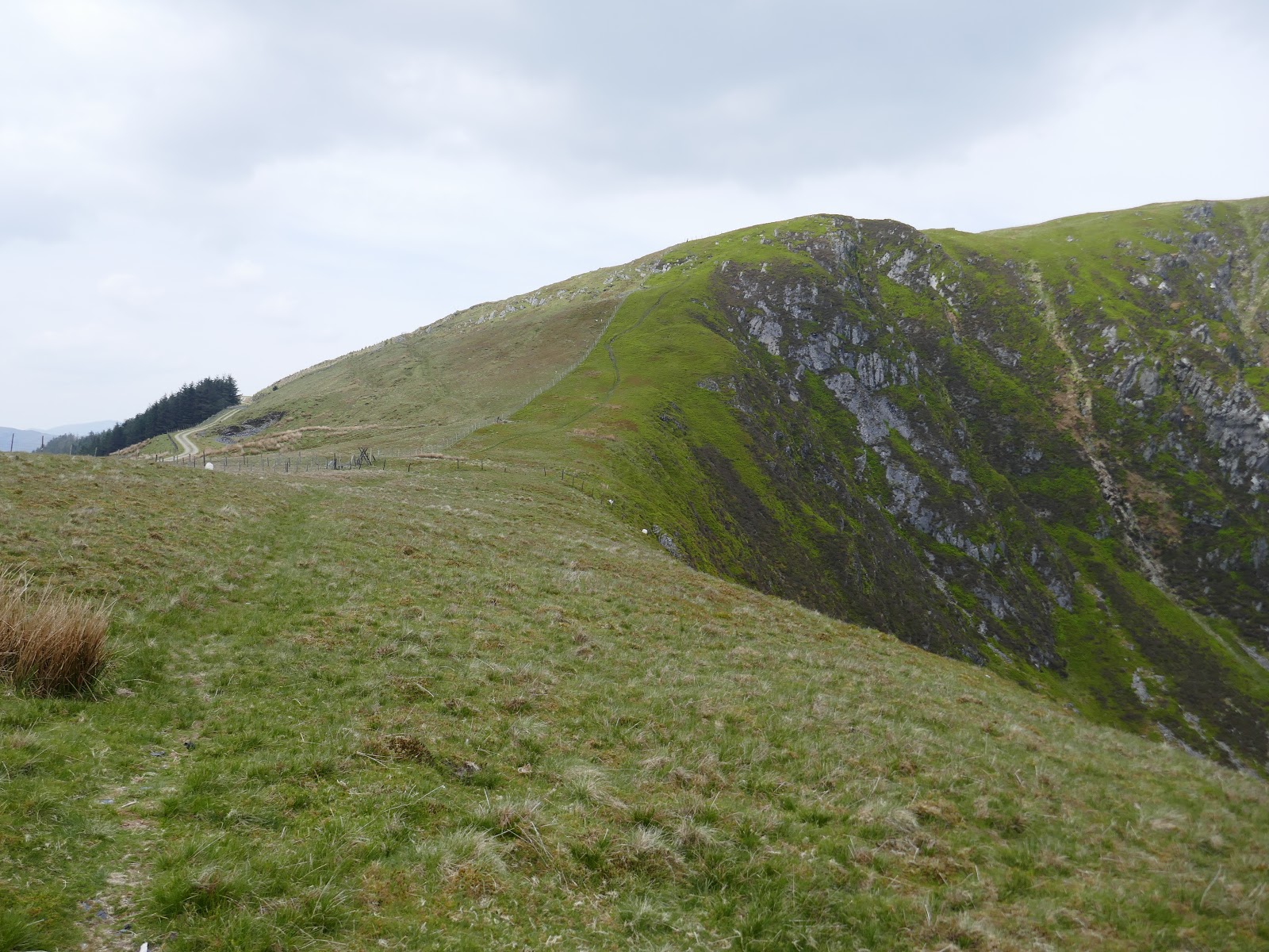
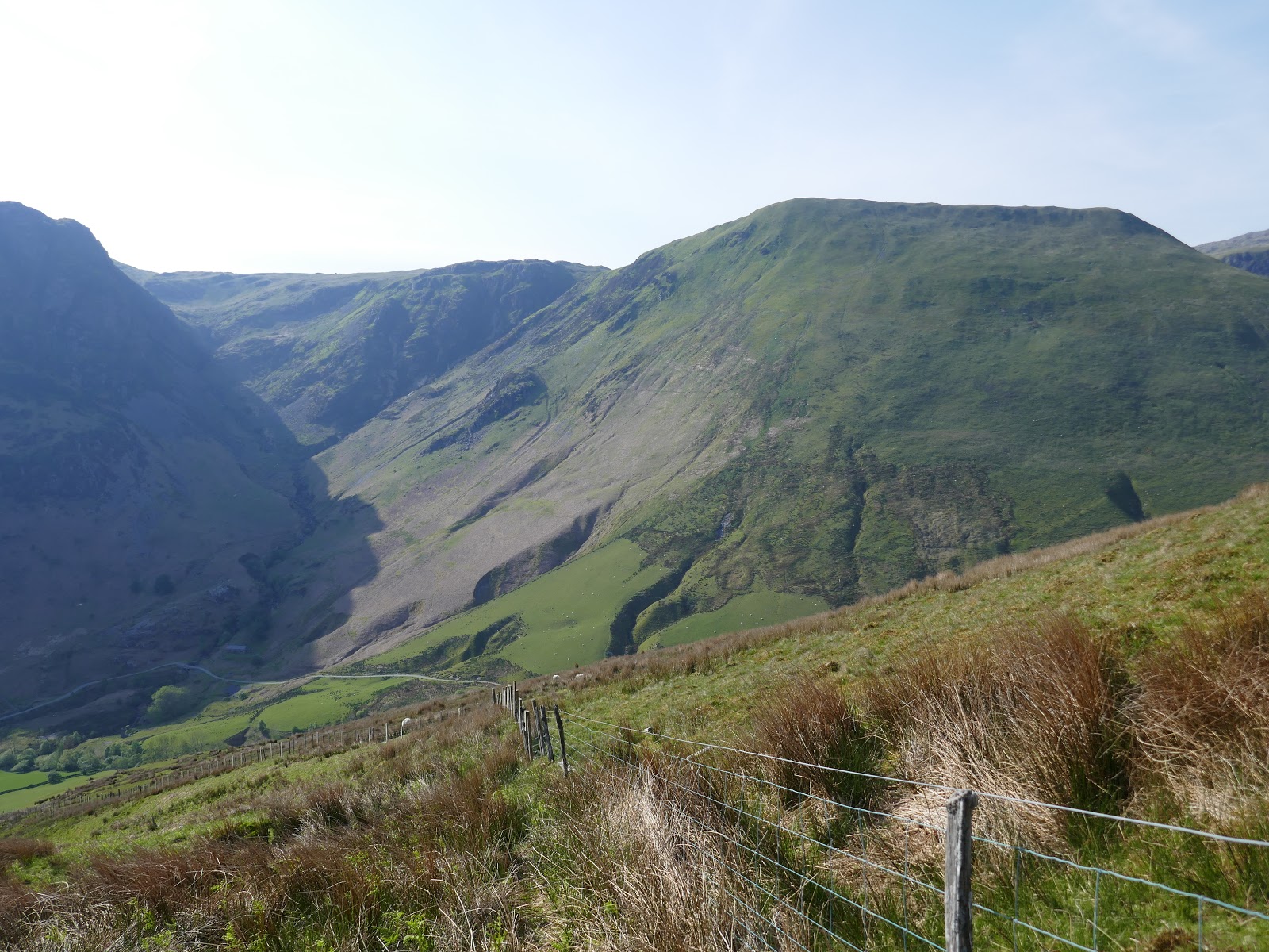
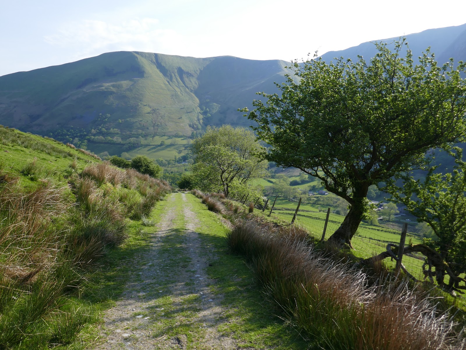
I mention this as my initial ascent would be along a well-engineered track, presumably an old mine road, which snakes its way up the steep slopes of Cwm yr Ychen. Initially, the climb is easy enough but it becomes increasingly steeper as it gains height. It was a hot morning and forecasts were for a very warm day.
 |
| Craig Cywarch |
 |
| The track at Gesail |
 |
| Cwm Cywarch |
 |
| Looking across the valley to Pen yr Allt Uchaf |
 |
| Cwm Cywarch |
 |
| Climbing as the track turns back towards Y Gribin |
 |
| Looking down the track – steeper than it looks! |
 |
| Looking back along the valley |
 |
| The final bend in the track |
 |
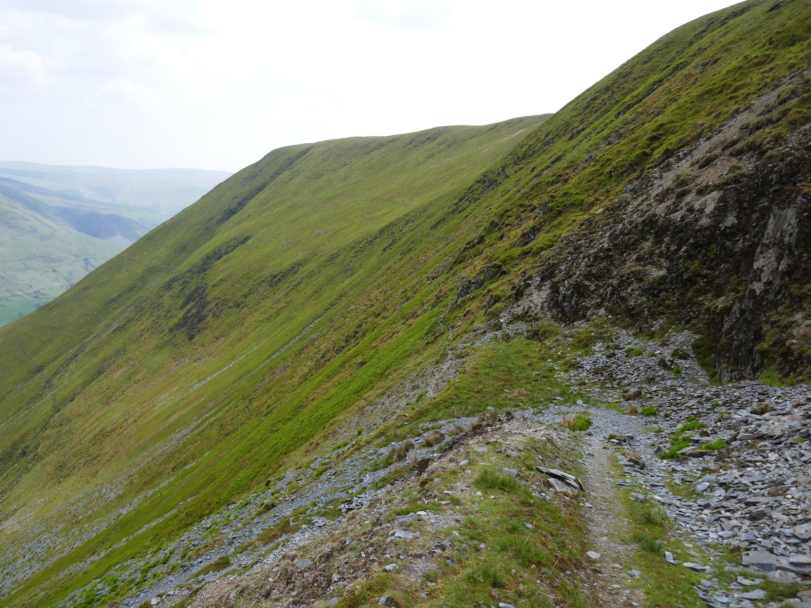
| Onwards up Bwlch y Gesail |
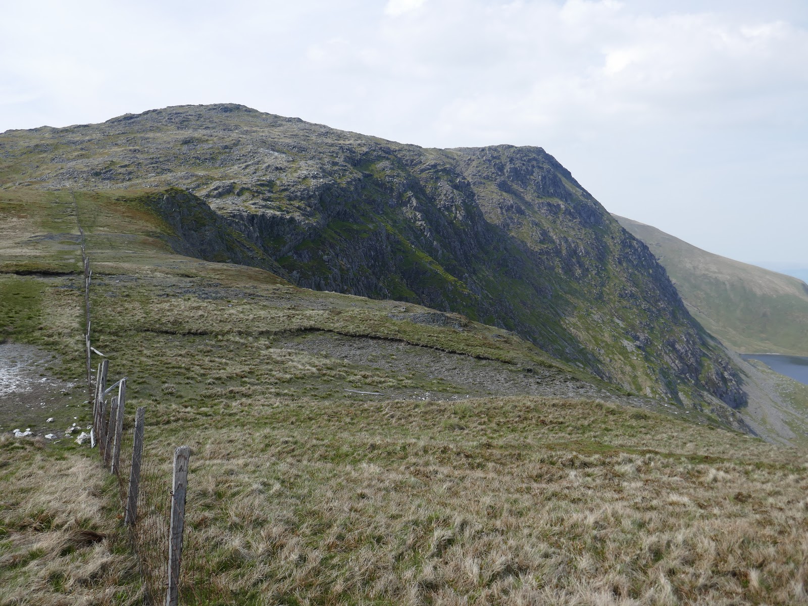
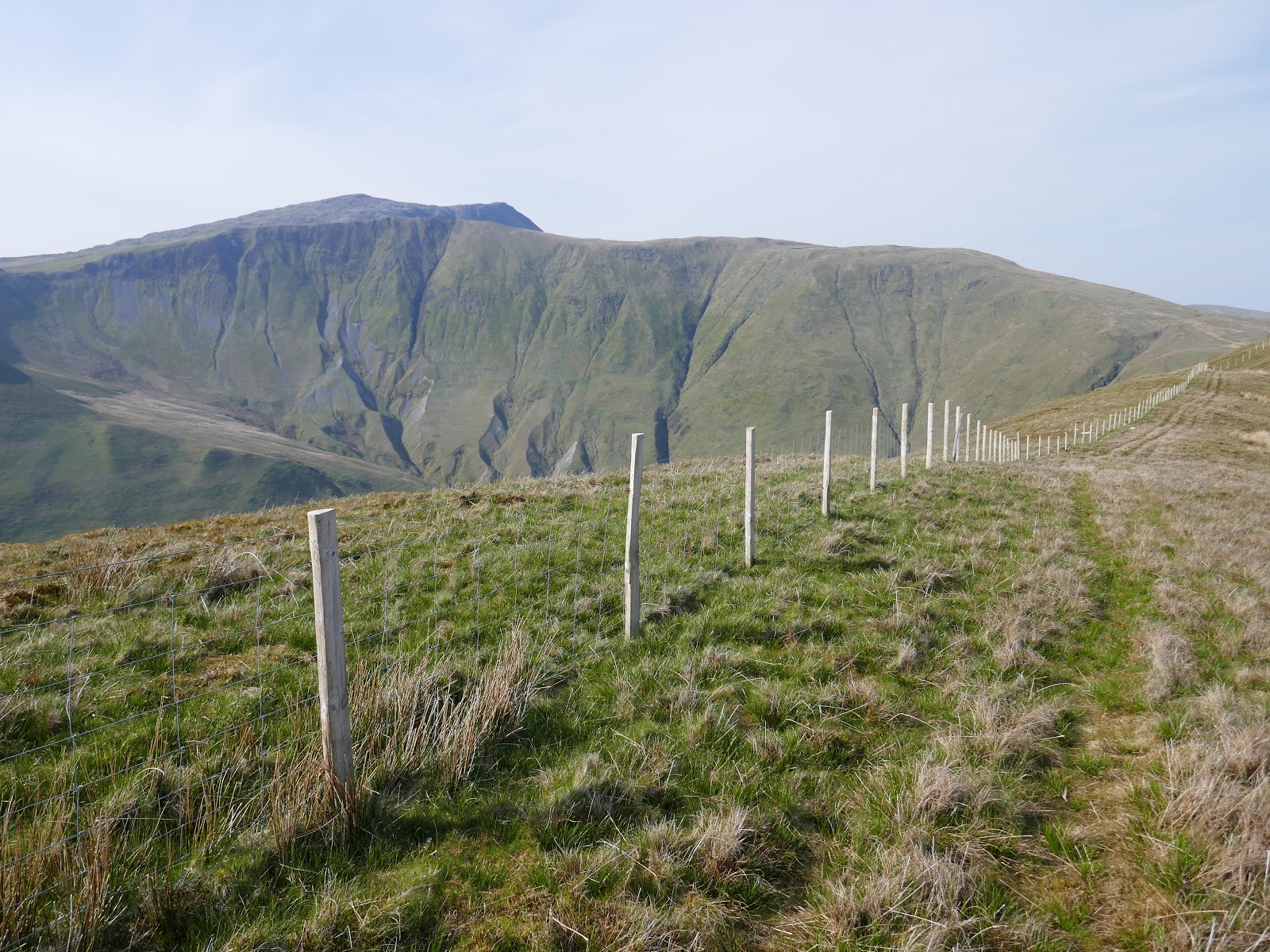
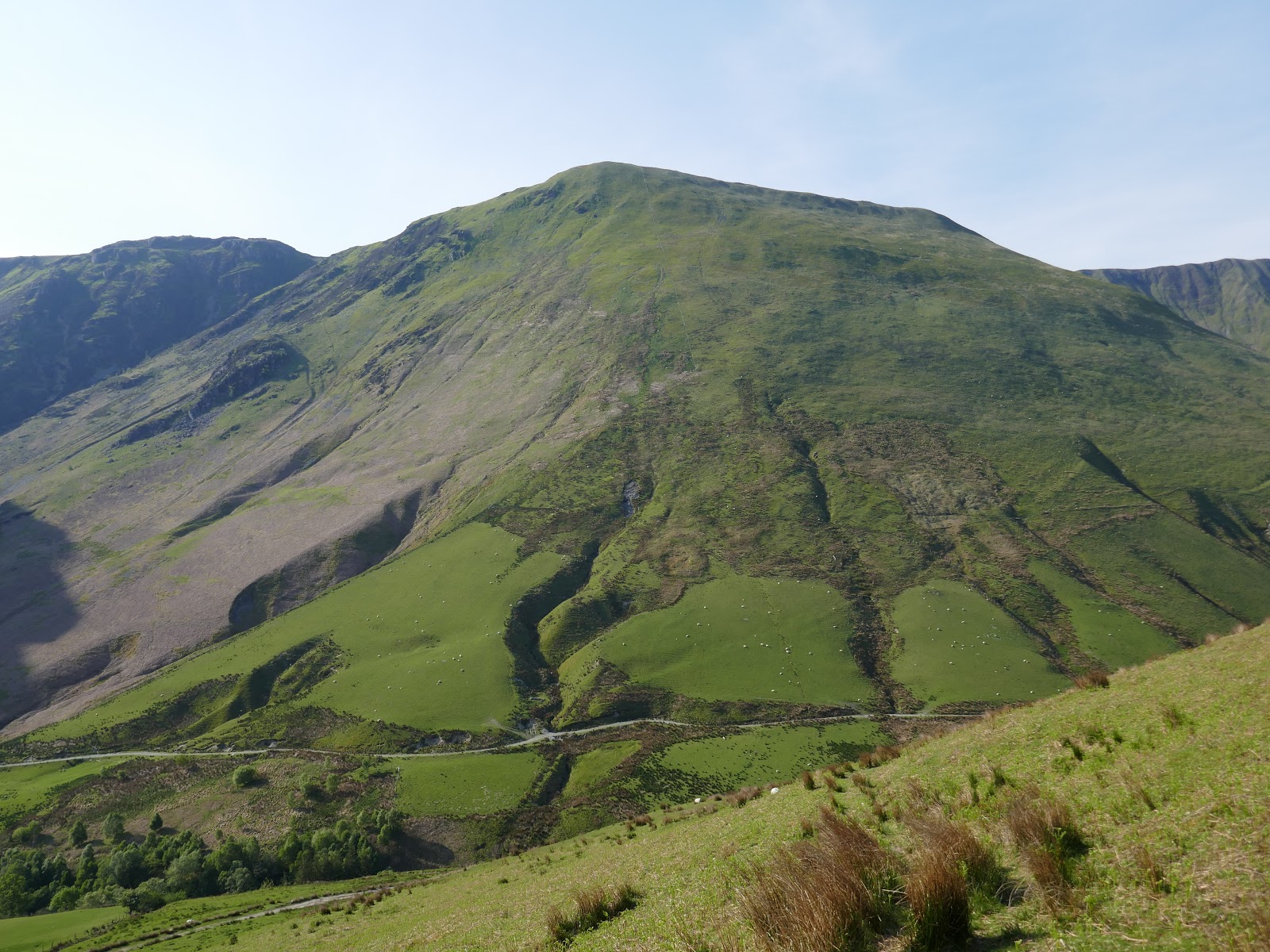
Eventually, I emerged, drenched in sweat, in the shallow col between Glasgwm and Y Gribin – Bwlch y Gesail. Another short, steep climb reaches a large, relatively flat area that forms Glasgwm’s south ridge – the summit lies around a mile away.
 |
| Crossing Bwlch y Gesail |
 |
| A view down to the valley below |
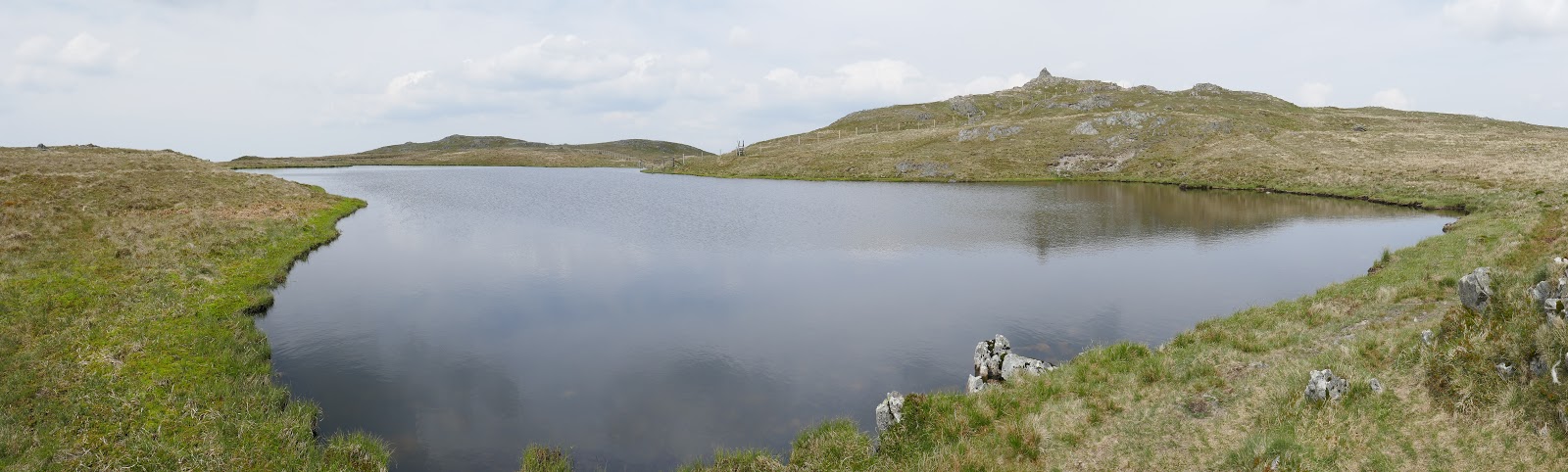
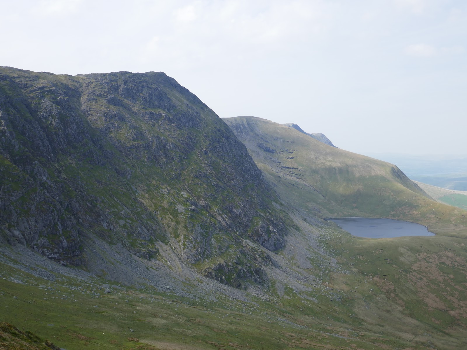
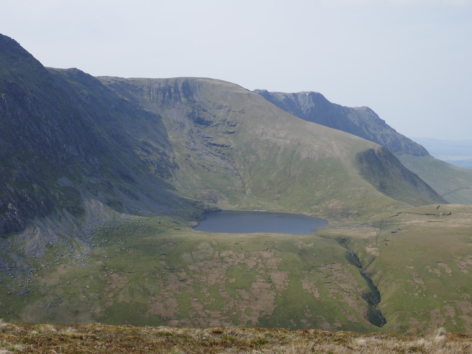
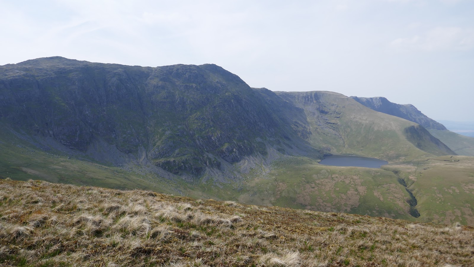
After a pathless crossing of the high moor, the summit comes into sight, sat beyond a delightful tarn – Llyn y Fign. After my late arrival at Cwm Cywarch, it was already lunchtime by the time I managed to reach the summit but plenty of miles still to go.
 |
| Approaching the summit |
 |
| Llyn y Fign |
 |
| Glasgwm’s summit |
 |
| Onwards – the view to Aran Fawddwy |
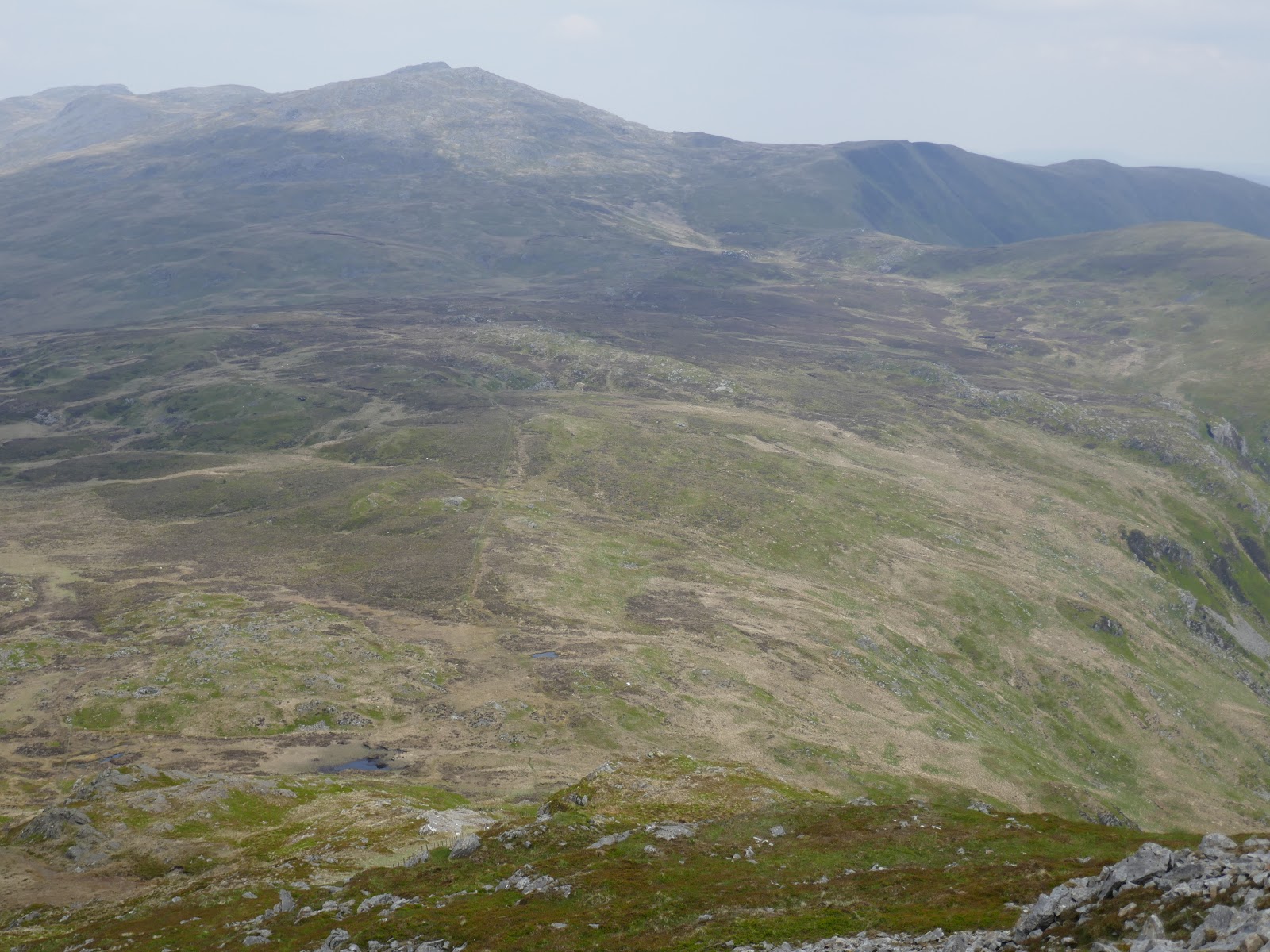
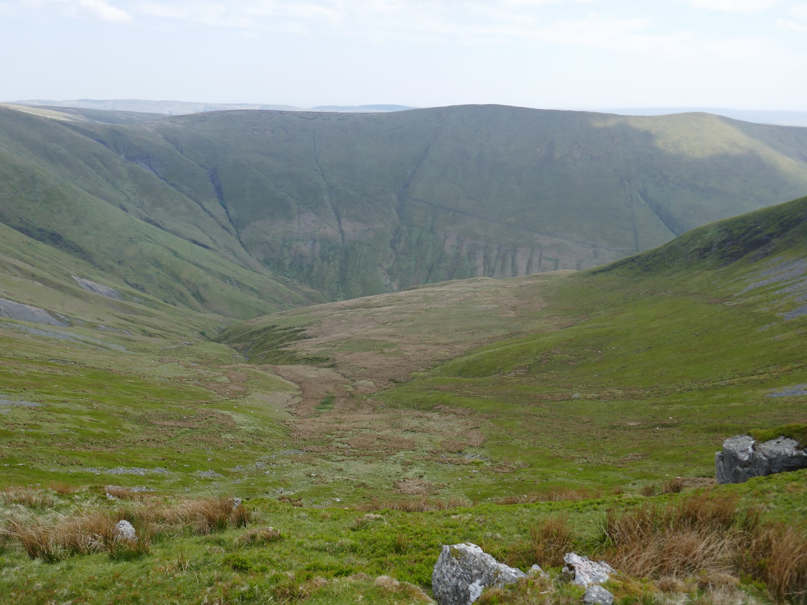
From Glasgwm’s summit, the path heads steeply downhill to a col. Here the ground is quite wet but it was easy enough finding a dry route across given the lack of rain we’ve had recently. In fact, the upcoming stretch between the col and Aran Fawddy is known to be very wet and boggy – the next peak is a testament to it.
 |
| Add caption |
 |
| Waun Camddwr and Aran Fawddwy |
 |
| Waun Camddwr |
 |
| Glasgwm |
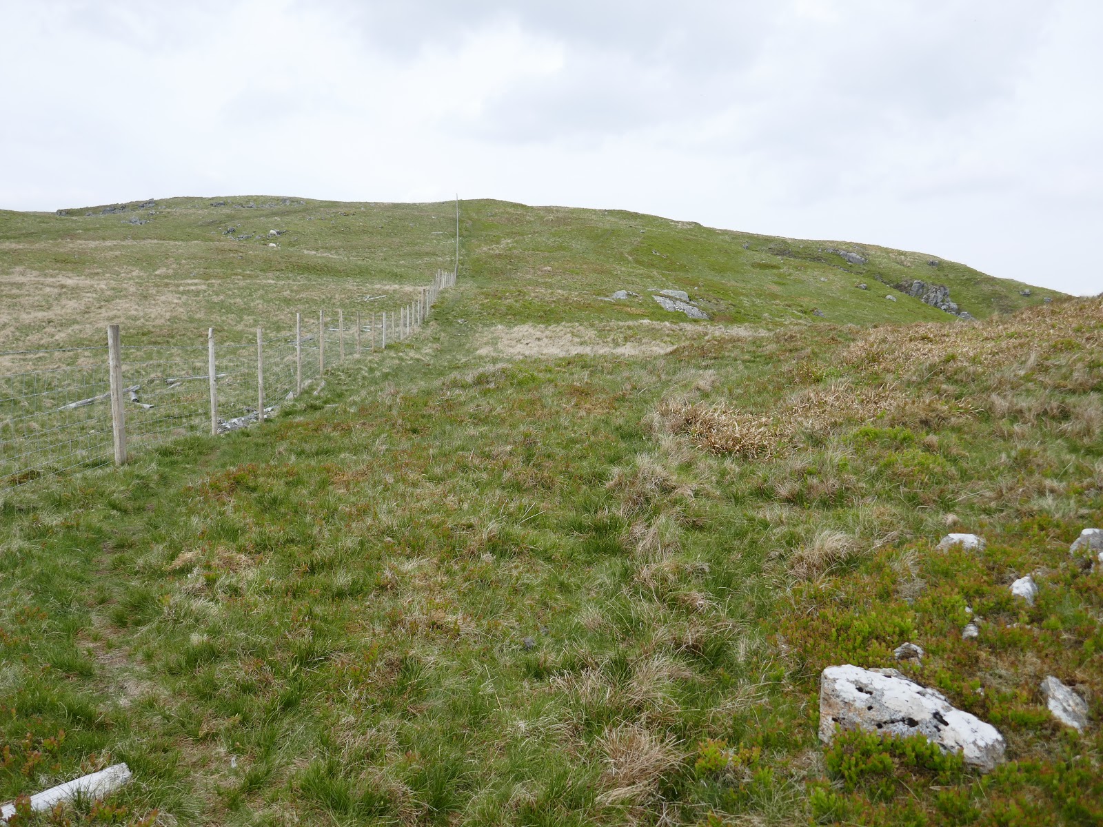
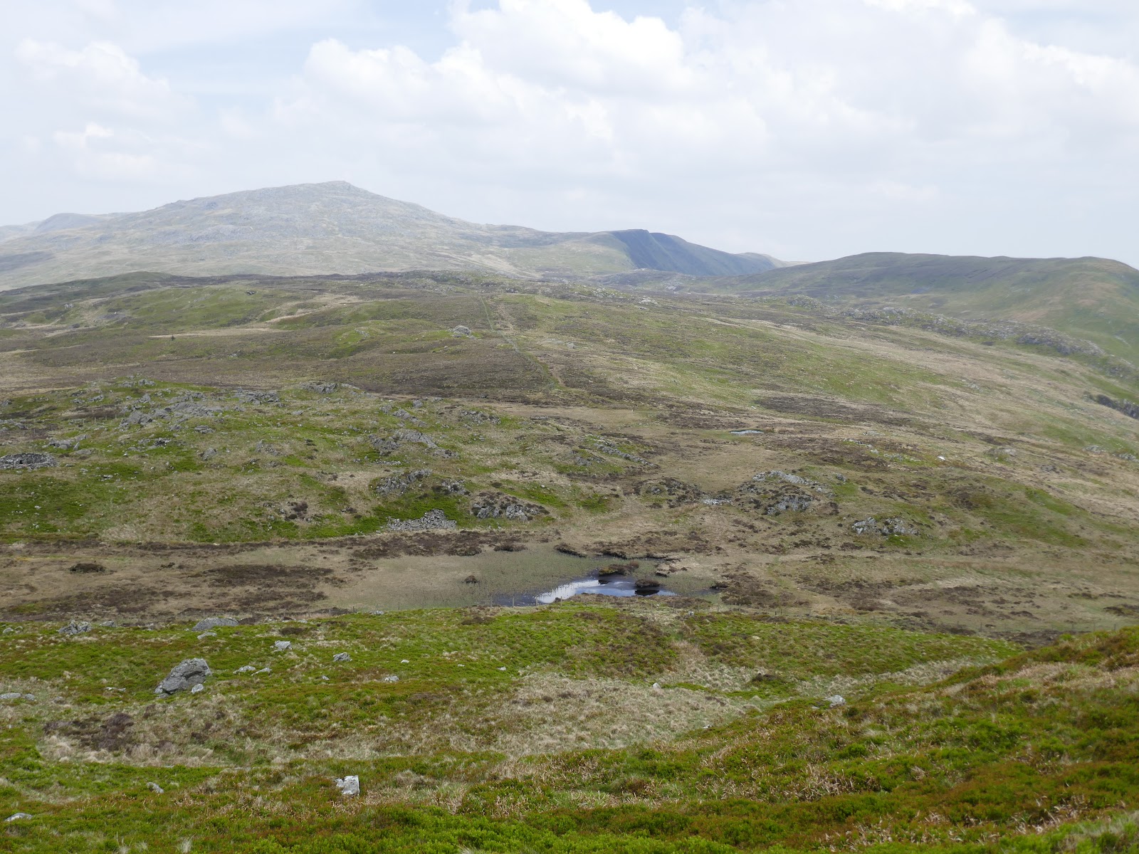
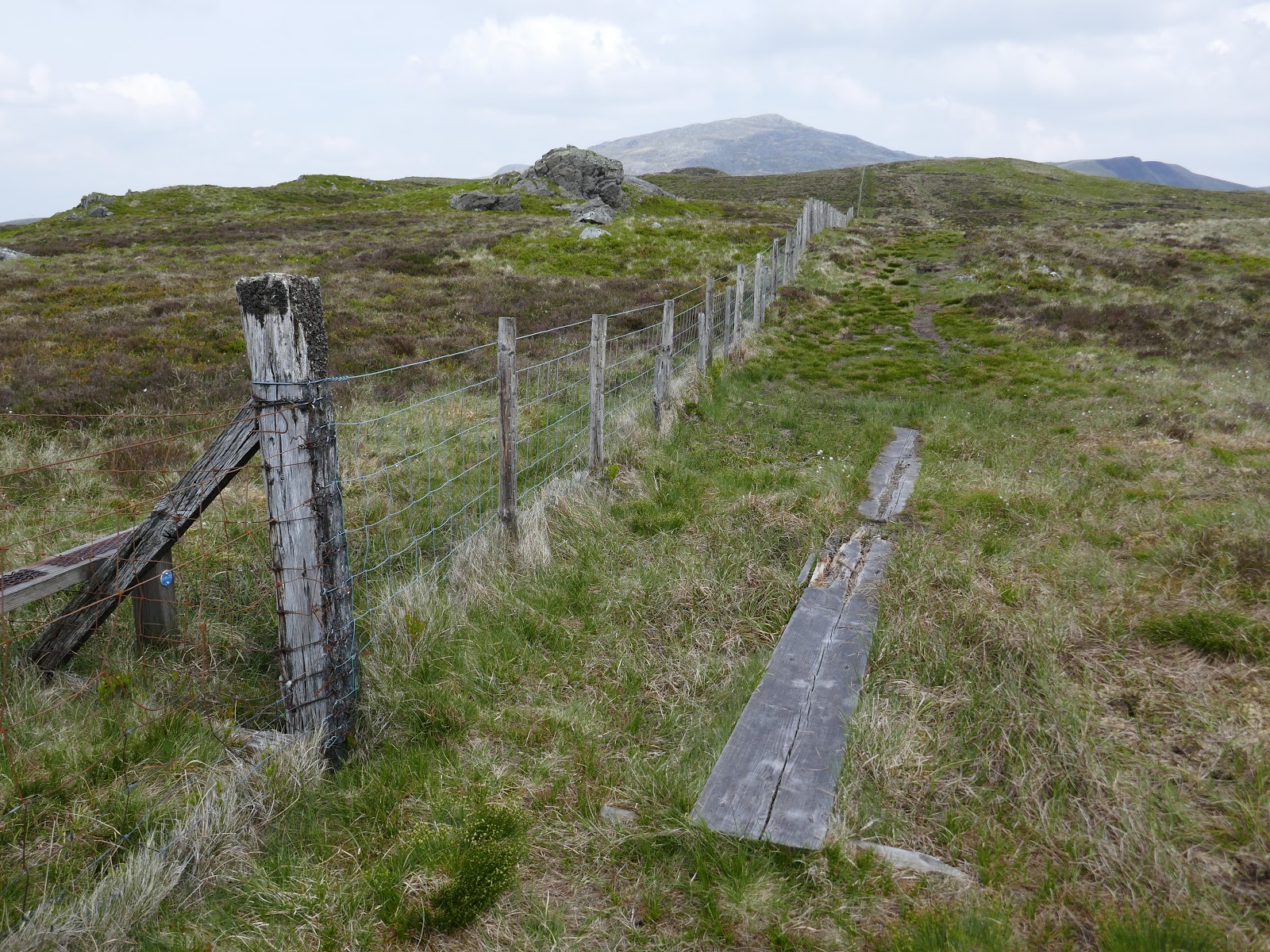
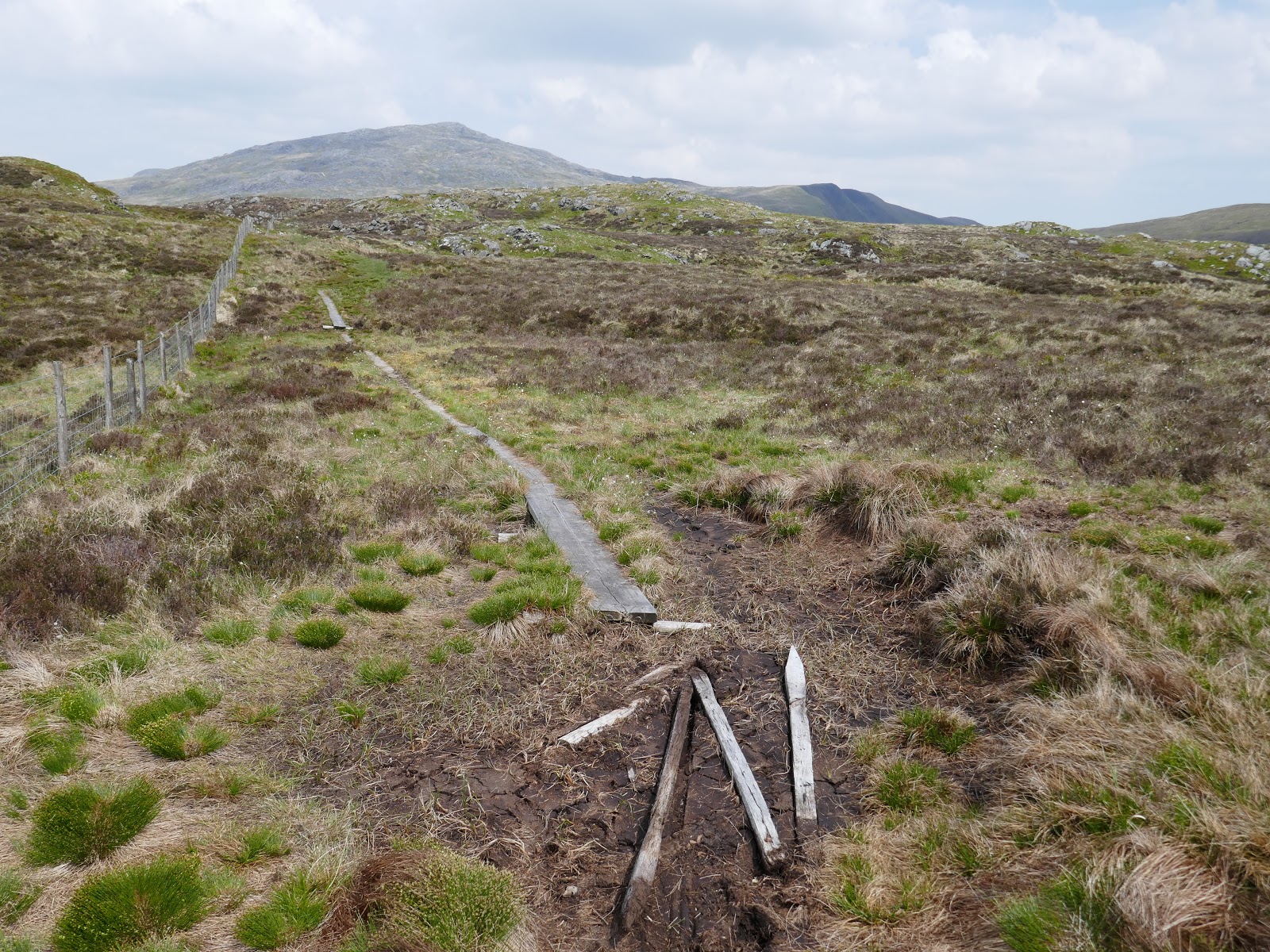
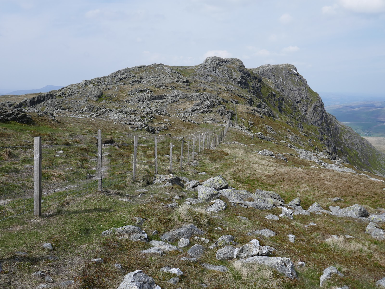
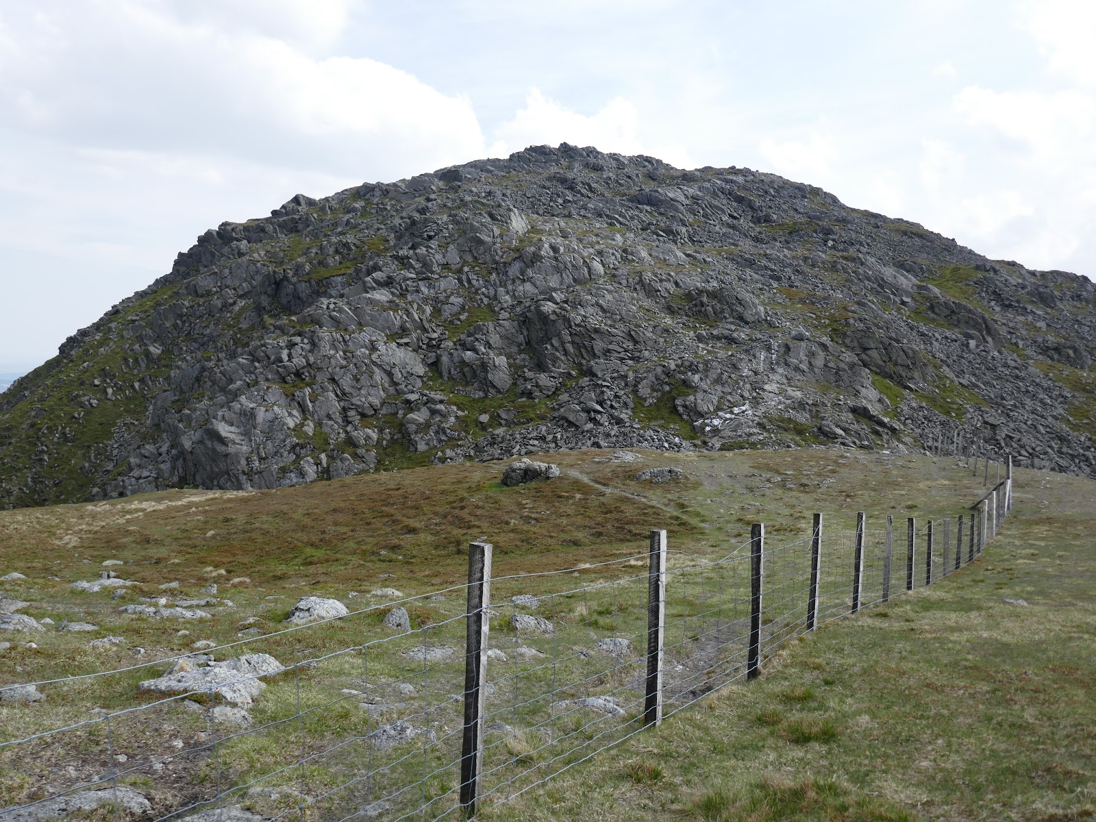
Waun Camddwr translates as ‘Moor of the Crooked Stream‘ and is the source of several streams which make thier way in various directions. Route finding between the col and the summit is easy thanks to a wire fence that links the two. There are numerous long, wooden boards laid down against the fence, an aid in crossing the area when the bogs are present. Fortunately for me, they were largely dry and it was a quick, easy stroll to the top.
 |
| Boards follow the fence |
 |
| Evidence of wetter times |
 |
| Glasgwm from Waun Camddwr |
 |
| Aran Fawddwy |
 |
| Some wetter bits |
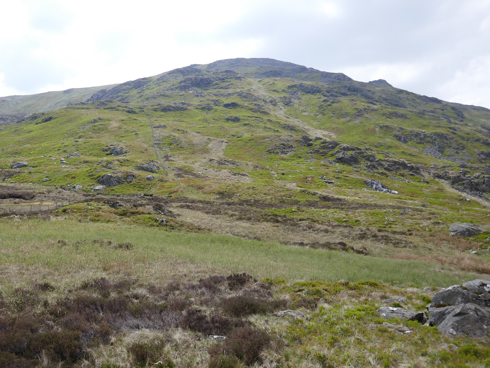
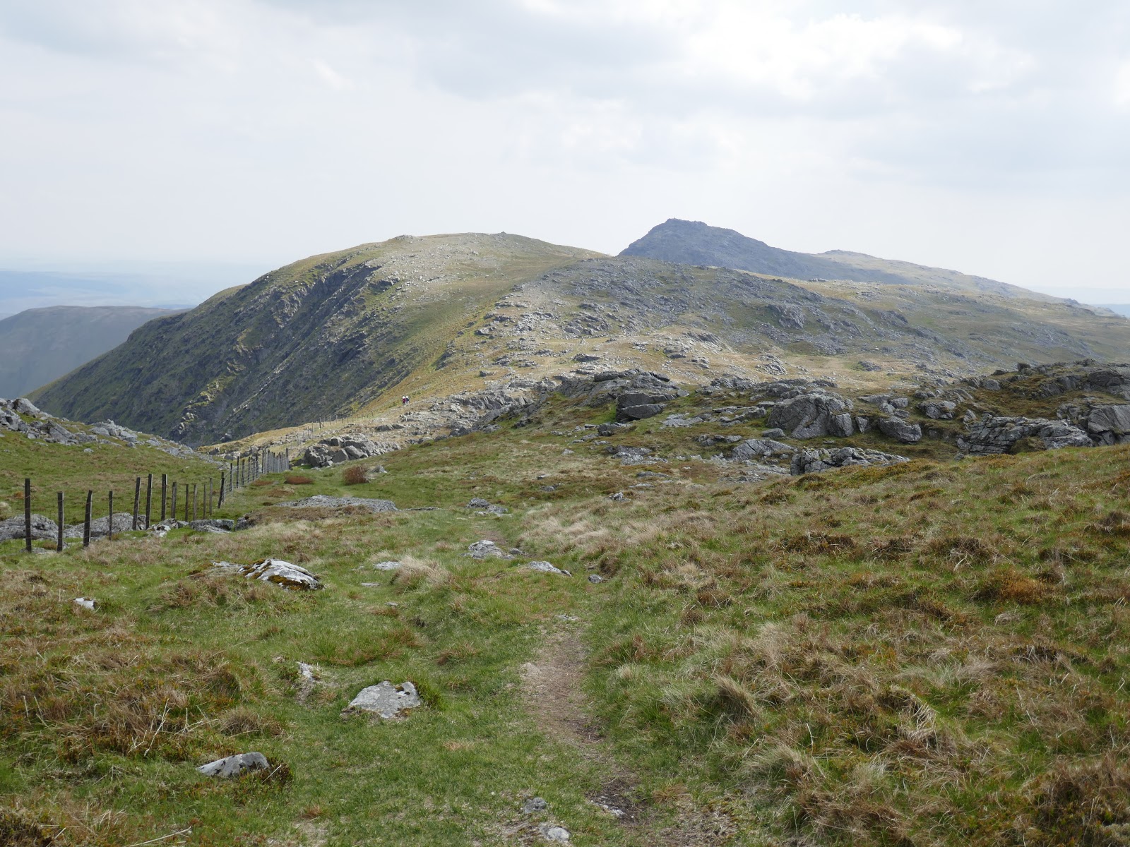
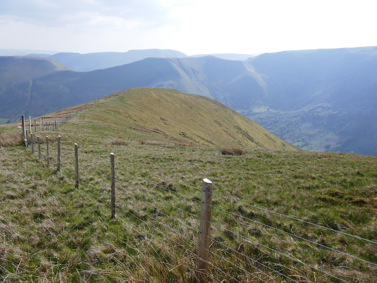
The peaks come thick and fast on this walk – the next is a short but worthwhile detour from Waun Camddwr. You could head straight from Waun Camddwr to Aran Fawddy but that would miss the spectacular valley of Hengwm, best viewed from the summit of Gwaun y Llwyni. To reach it, I followed the fence from Waun Camddwr towards Aran Fawddy before detouring off to the right to follow the line of an old fence which heads straight for the summit.
 |
| A short, sharp climb to Gwaun y Llwyni |
 |
| Drws Bach |
 |
| Gwaun y Llwyni’s summit |
 |
| Hengwm |
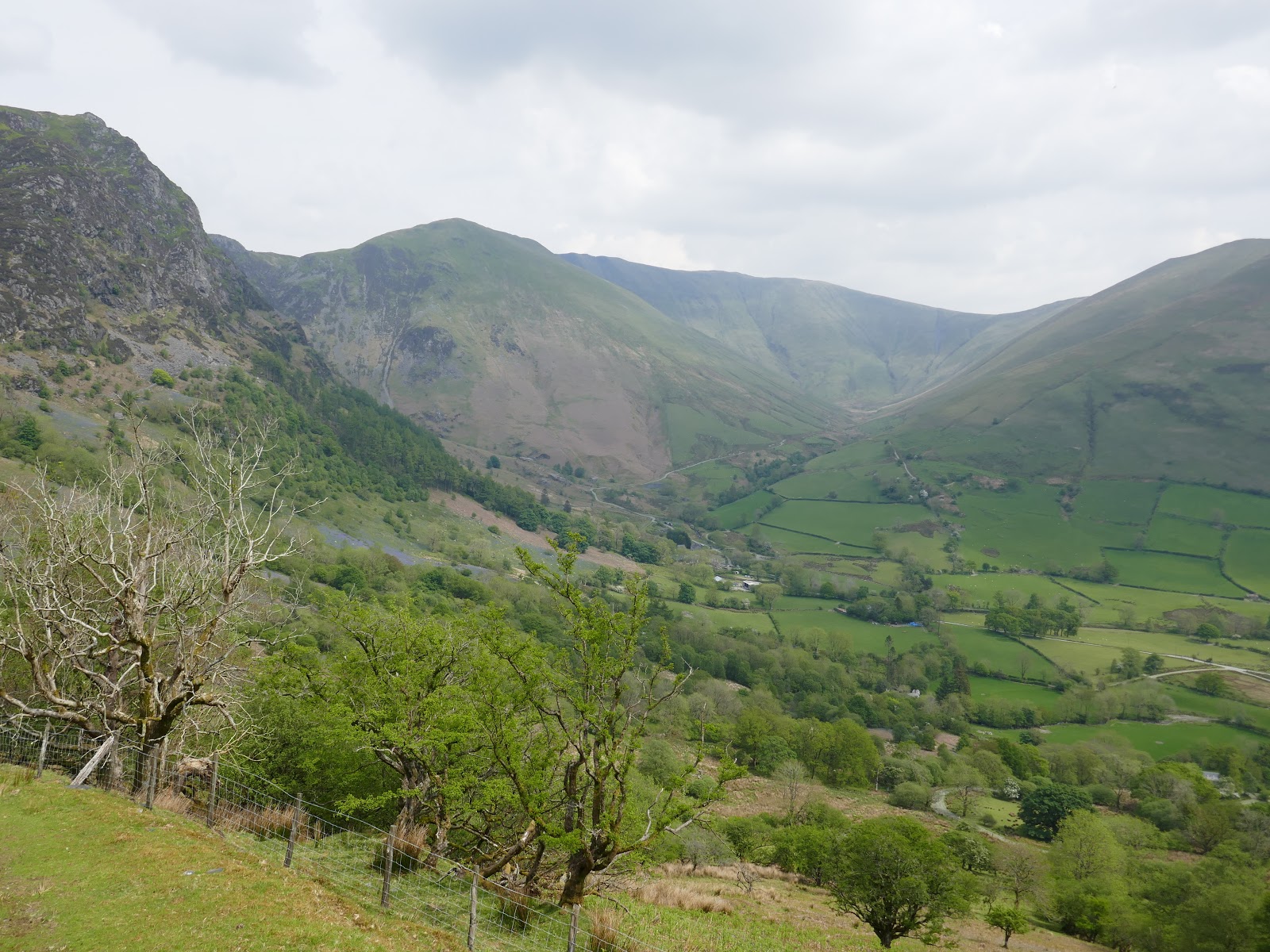
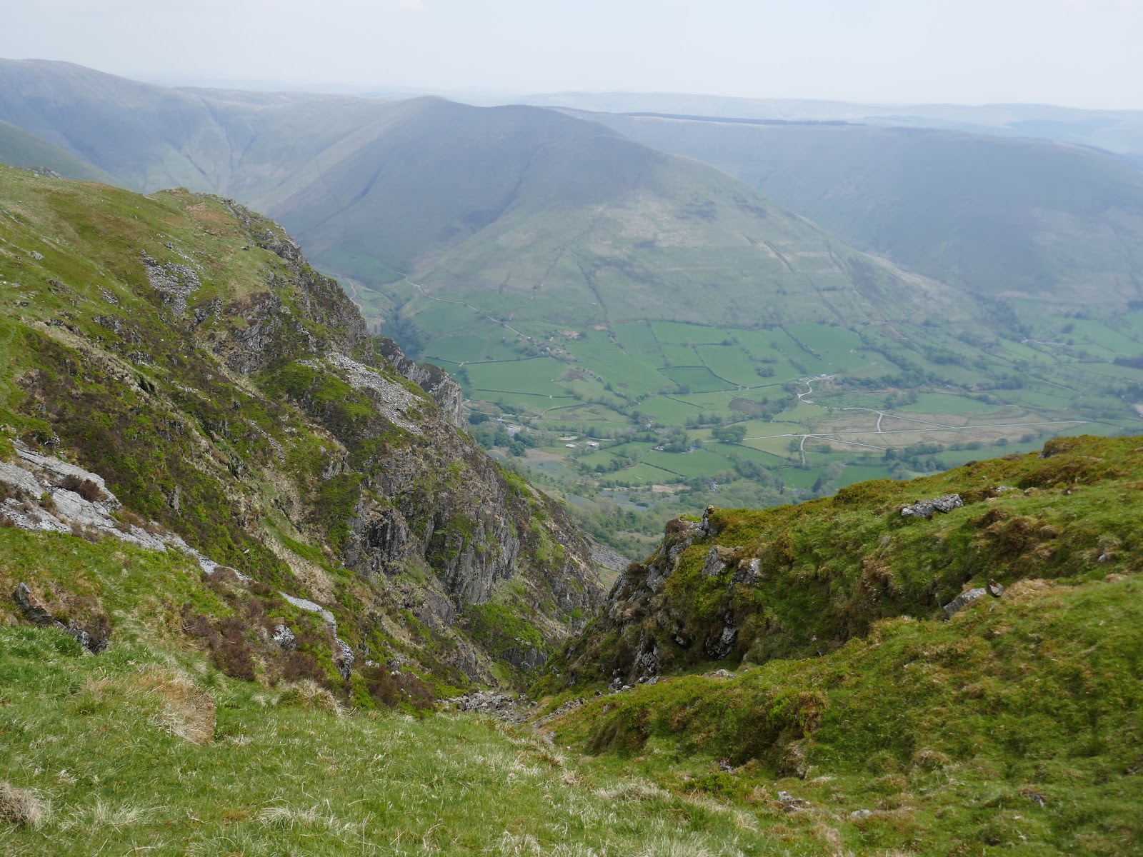
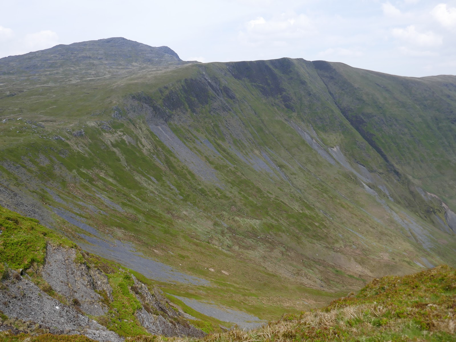
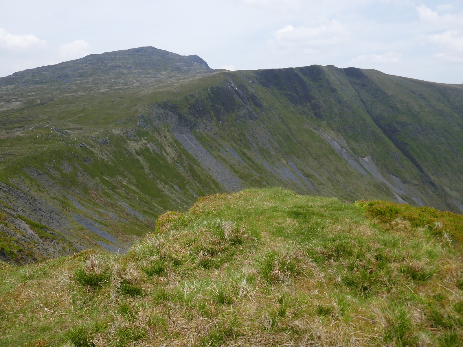
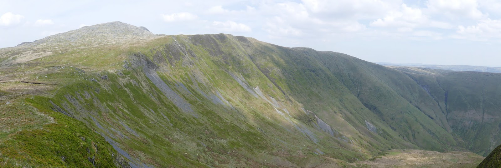
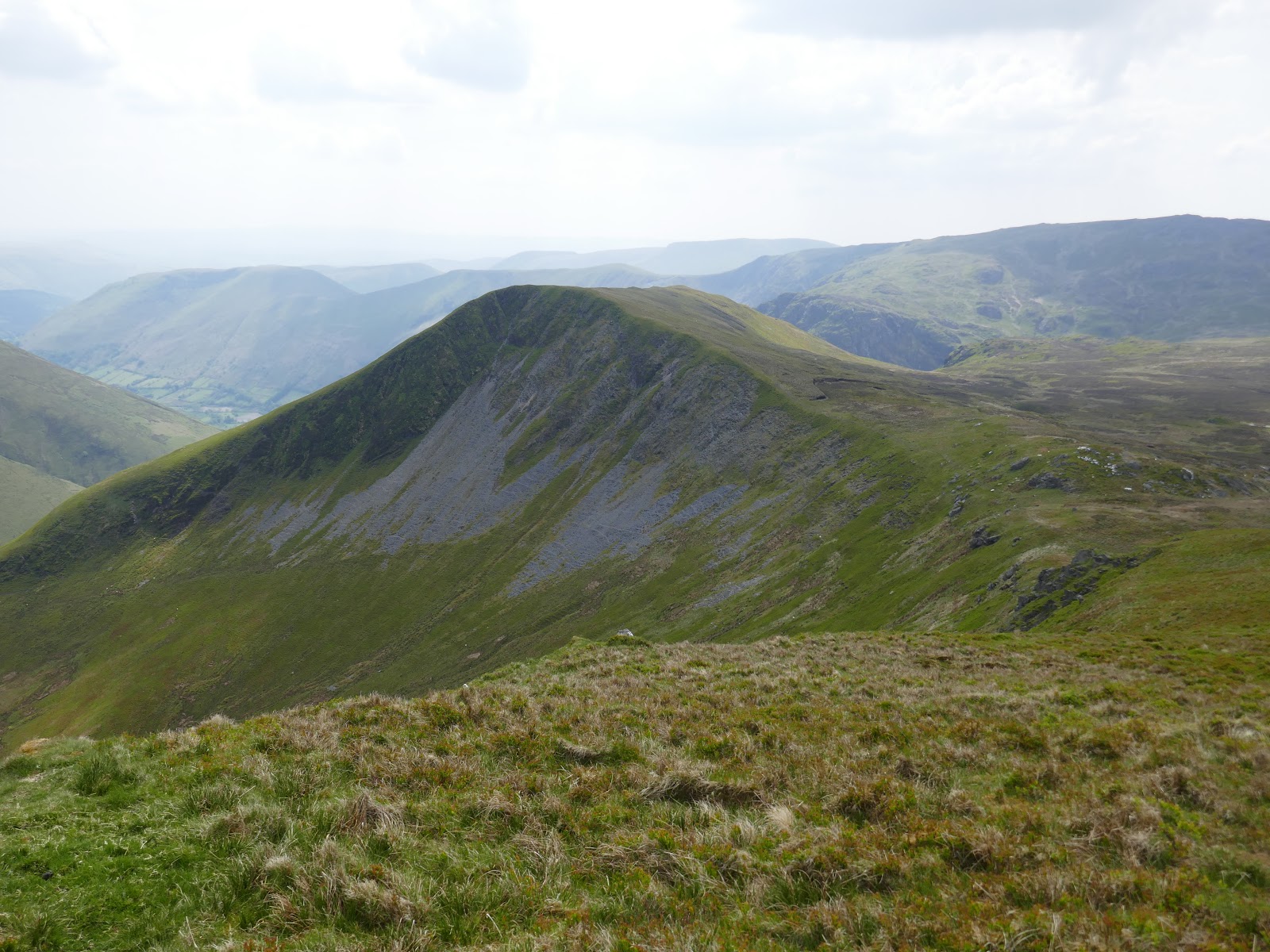
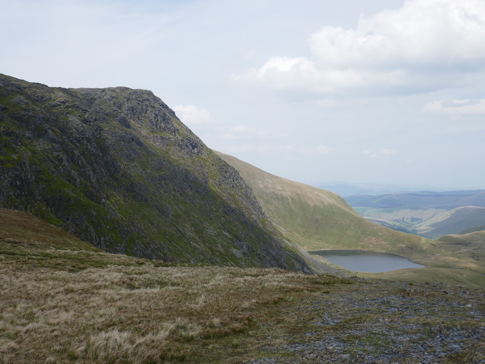
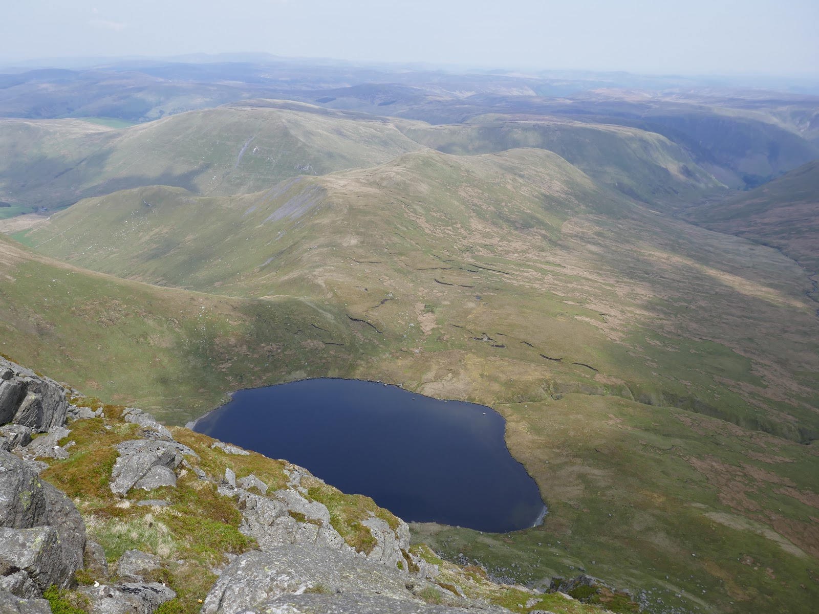
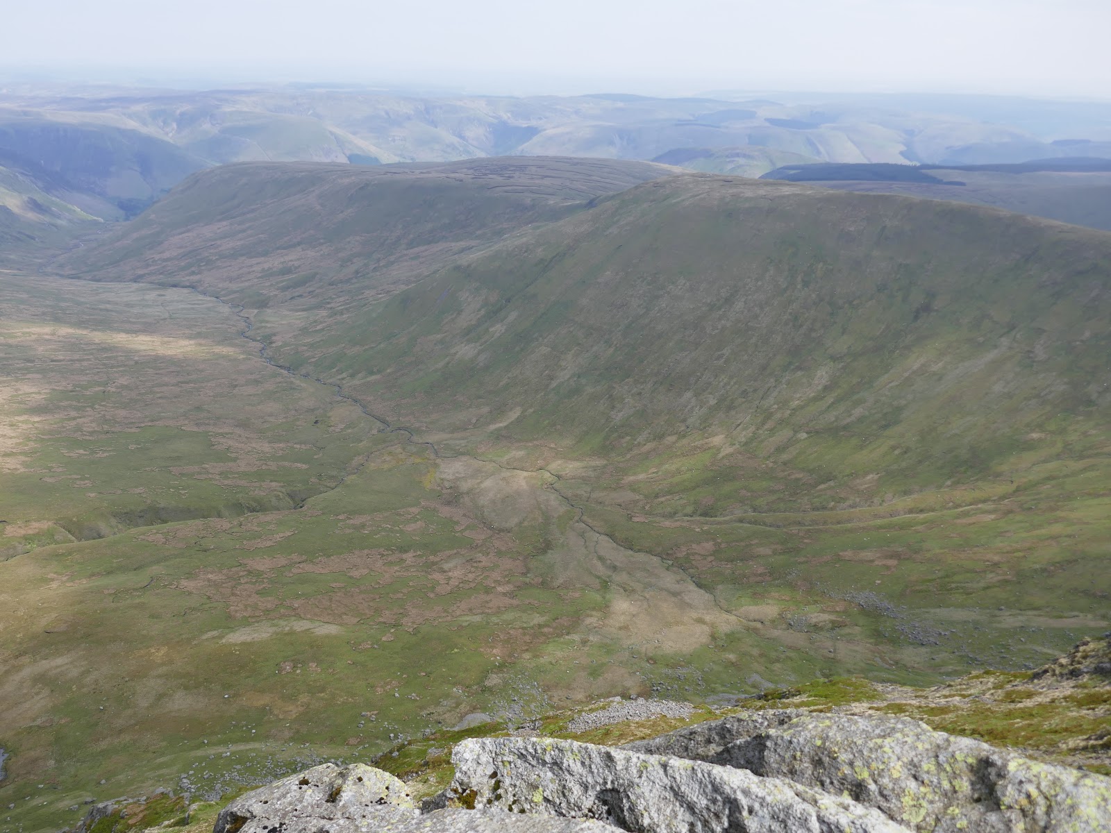
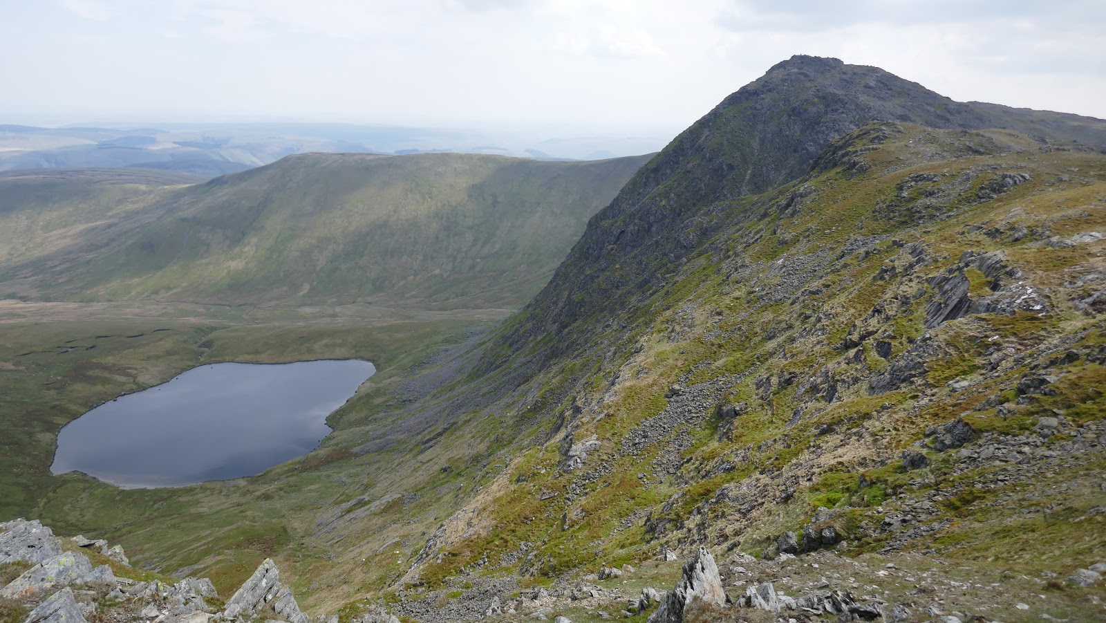
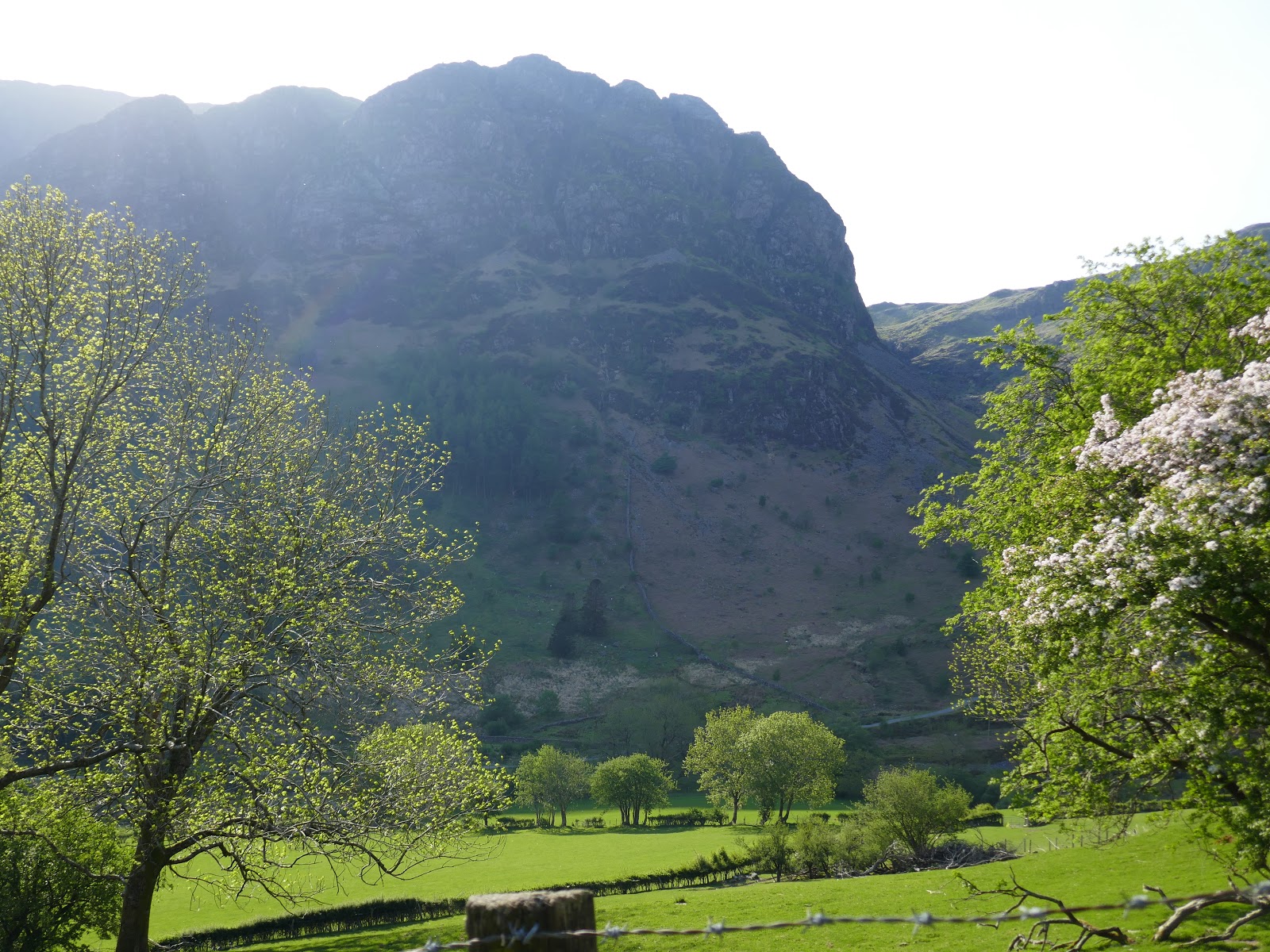
After two previous days walking I was starting to flag a little at this point. Ahead is a short descent before more climbing along the rim of Hengwm towards Drws Bach – a top I’d visit later on. Here, the craggy face of Aran Fawddy finally comes into view with the impressive 1,000ft cliffs falling to the small lake of Creiglyn Dyfi.
 |
| Hengwm |
 |
| Gwaun y Llwyni |
 |
| Hengwm |
 |
| The slopes of Drws Bach |
 |
| Aran Fawddwy |
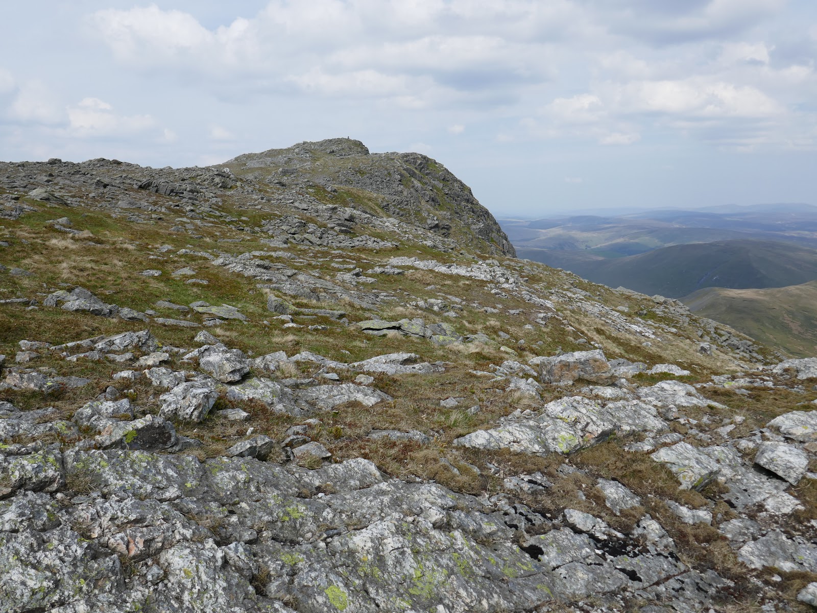
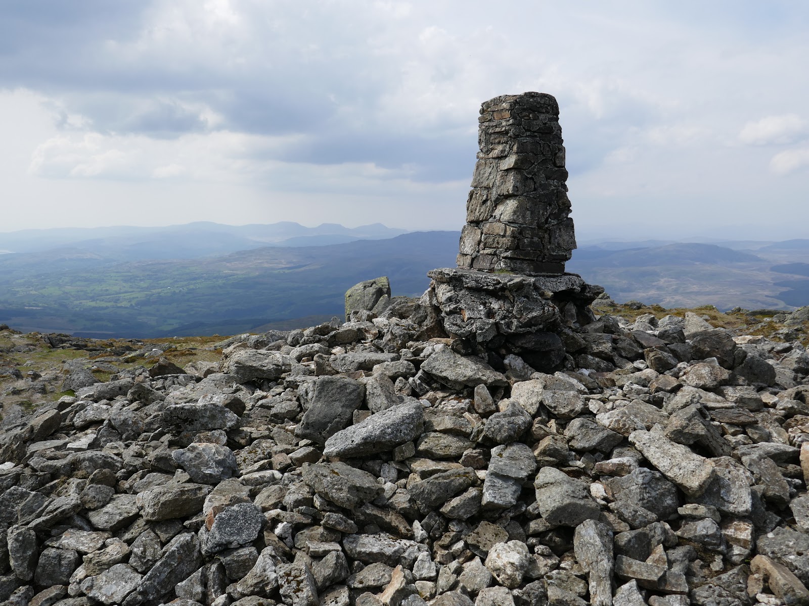
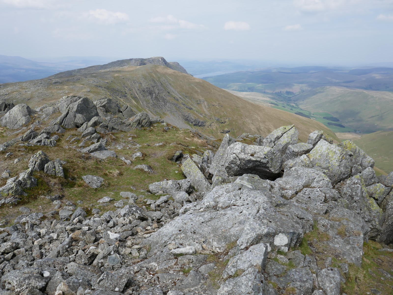
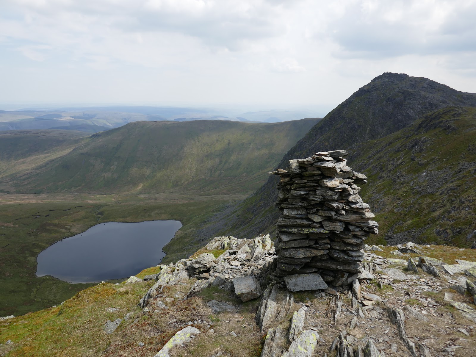
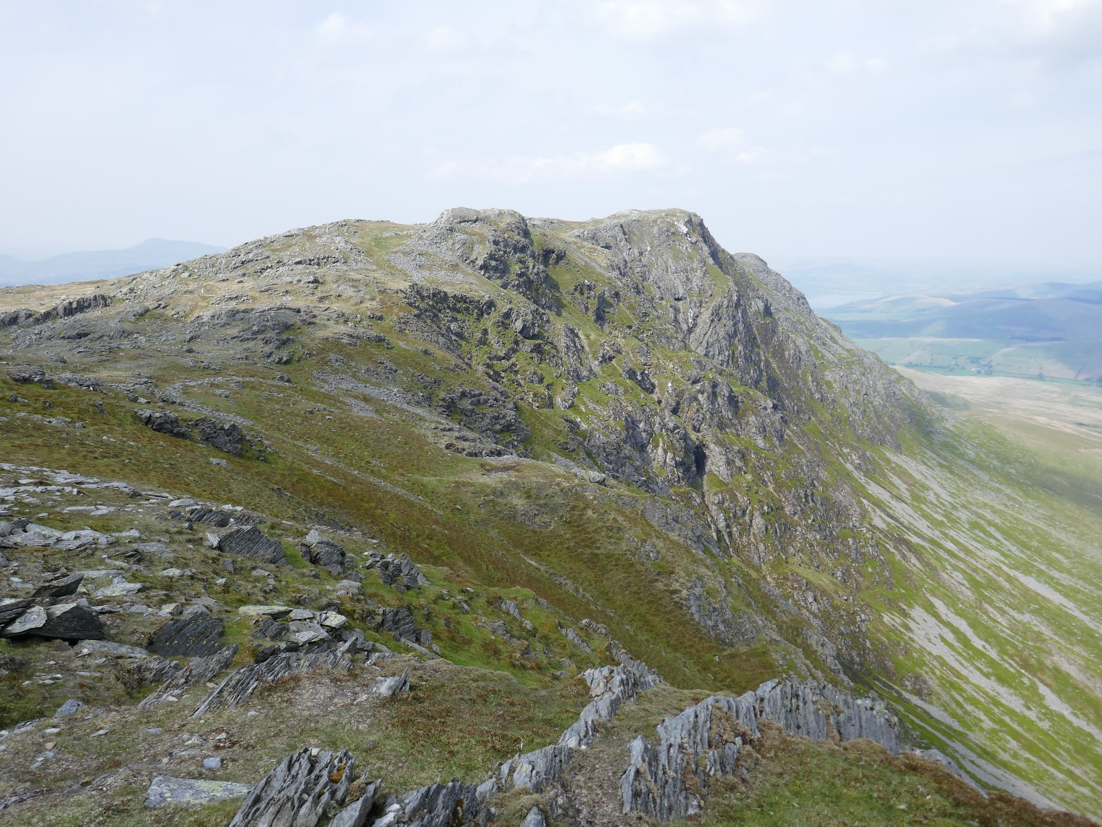
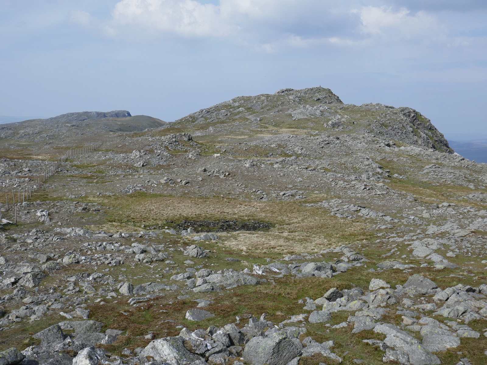
After skirting just below the summit of Drws Bach, I began the final climb to Aran Fawddwy’s summit. Rocky scenery that you would usually associate with a 900m peak finally makes an appearance here. The peak is topped by a trig pillar, stood above the steep cliffs on the southeastern face.
 |
| Looking back to Drws Bach |
 |
| Aran Fawddwy |
 |
| Cadair Idris |
 |
| The Rhinogs |
 |
| Creiglyn Dyfi |
 |
| Llaethnant |
 |
| Aran Fawddwy’s summit |
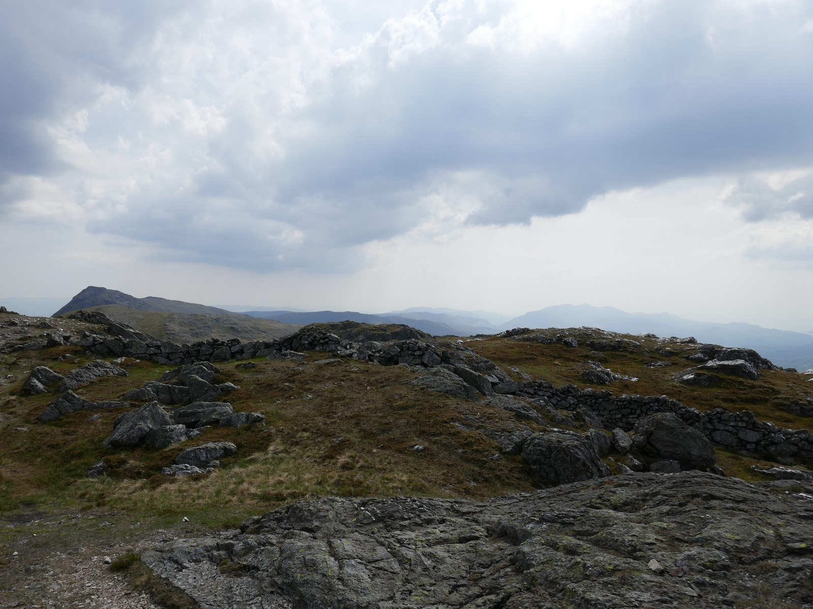
I had originally planned to begin my return to Cwm Cywarch from here however, the weather was good and I had made good time from Glasgwm so I decided that I’d head over to Aran Benllyn to make the most of the day.
 |
| The ridge route to Aran Benllyn |
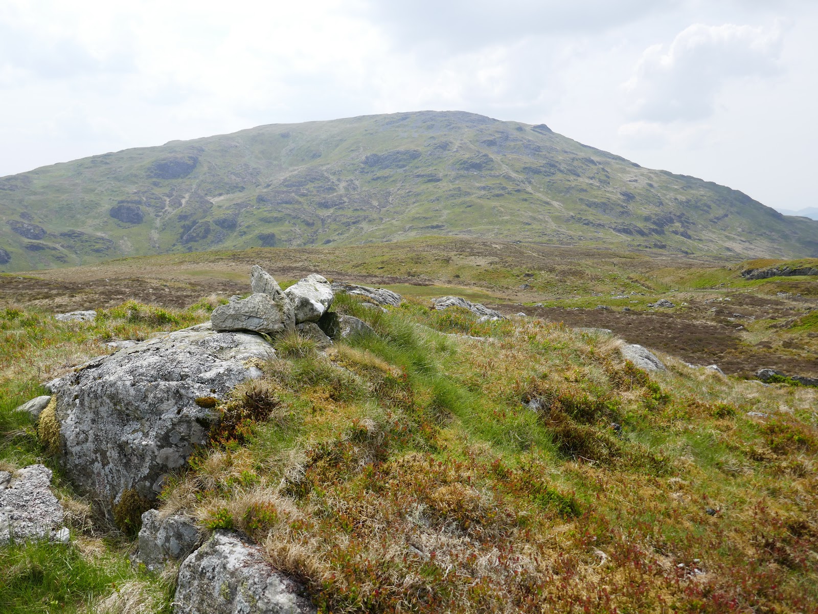
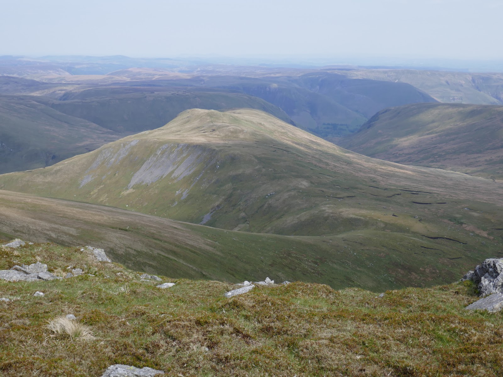
Aside from an initial descent from Aran Fawddy, the ridge is generally undulating and has the bonus of two named summits – the first of which being the phonetically challenging Erw y Ddafad-ddu. While the mountain, in general, is not particularly exciting, it does sport a rectangular cairn on its flank which has a nice view of Aran Fawddy.
 |
| Foel Hafod-fynydd |
 |
| Aran Fawddwy |
 |
| Creiglyn Dyfi and Aran Fawddwy |
 |
| Cairn on Erw y Ddafad-ddu |
 |
| Erw y Ddafad-ddu |
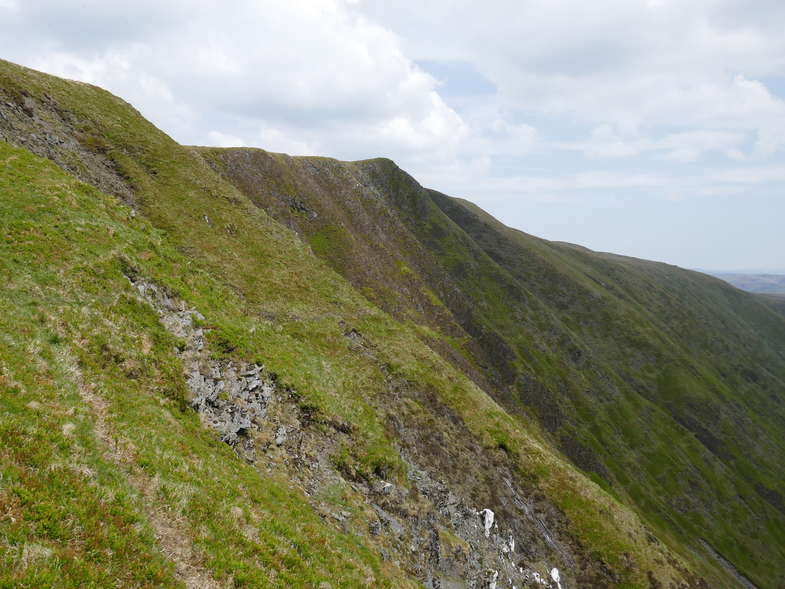
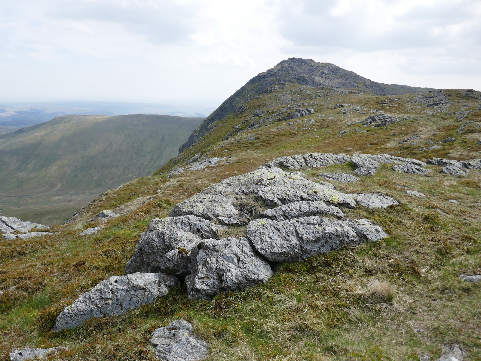
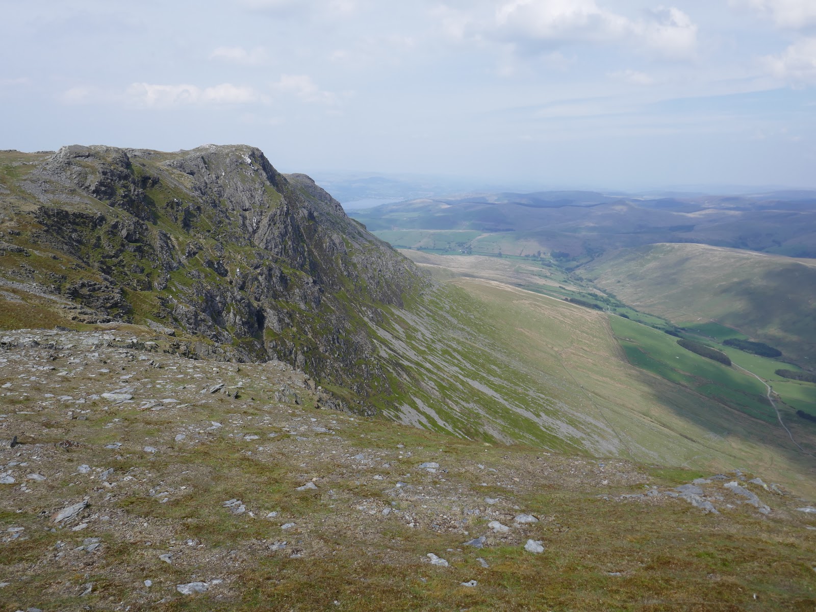
Continuing on, Aran Benllyn is around 1km further along the ridge. The crags above Cwm Llwyd are particularly impressive and its summit is a fine place to linger and enjoy the views.
 |
| Aran Benllyn |
 |
| Cwm Llwydd |
 |
| Aran Benllyn |
 |
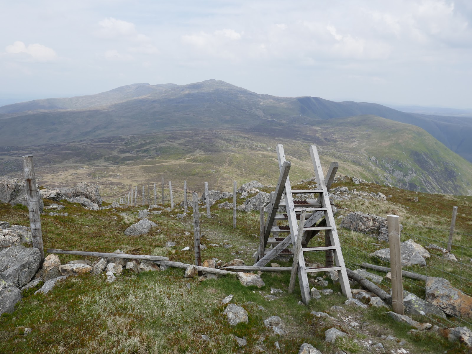
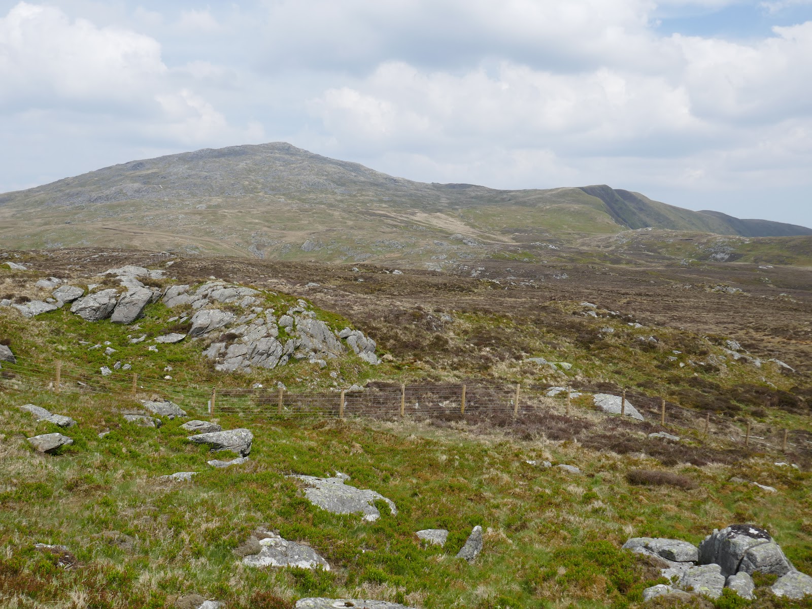
| A fence is present much of the way |
 |
| Looking back towards Aran Fawddwy |
 |
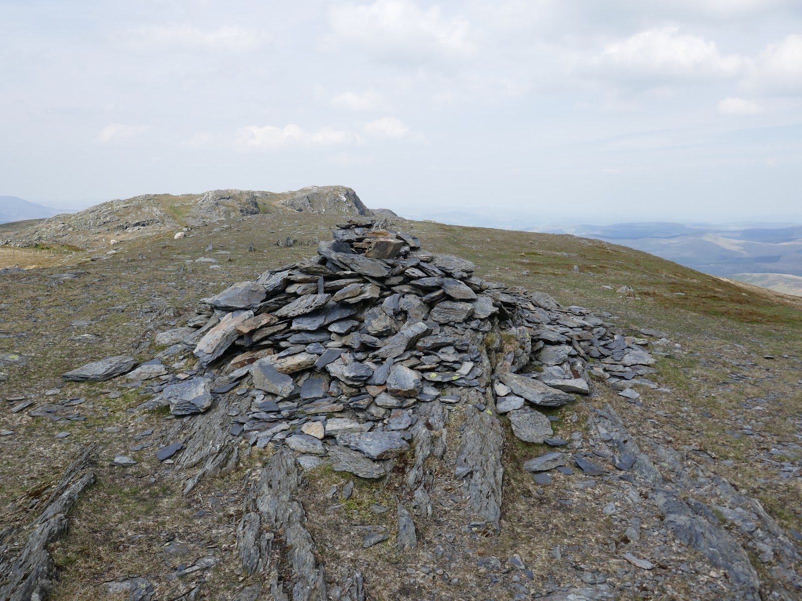
| Aran Benllyn’s summit |
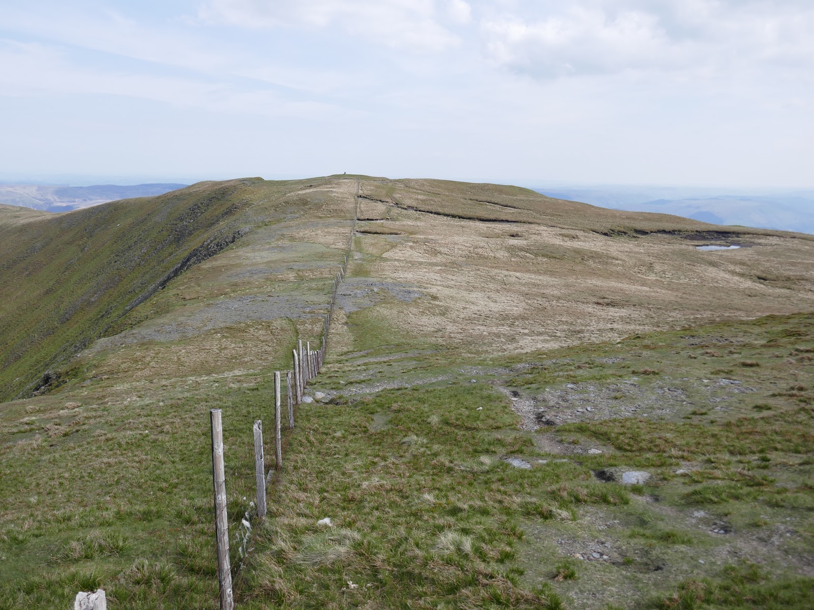
After that bout of ‘bagging fever’ I had to make the long traverse back to Aran Fawddy but this time I kept low, below the crest of the ridge to save any excess climbing. Eventually, I made it back to Drws Bach, making the climb up to its modest summit.
 |
| The route back to Aran Fawddwy |
 |
| Aran Fawddwy |
 |
| Aran Fawddwy and a distant Aran Benllyn |
 |
| Returning to Drws Bach |
 |
| Aran Fawddwy |
 |
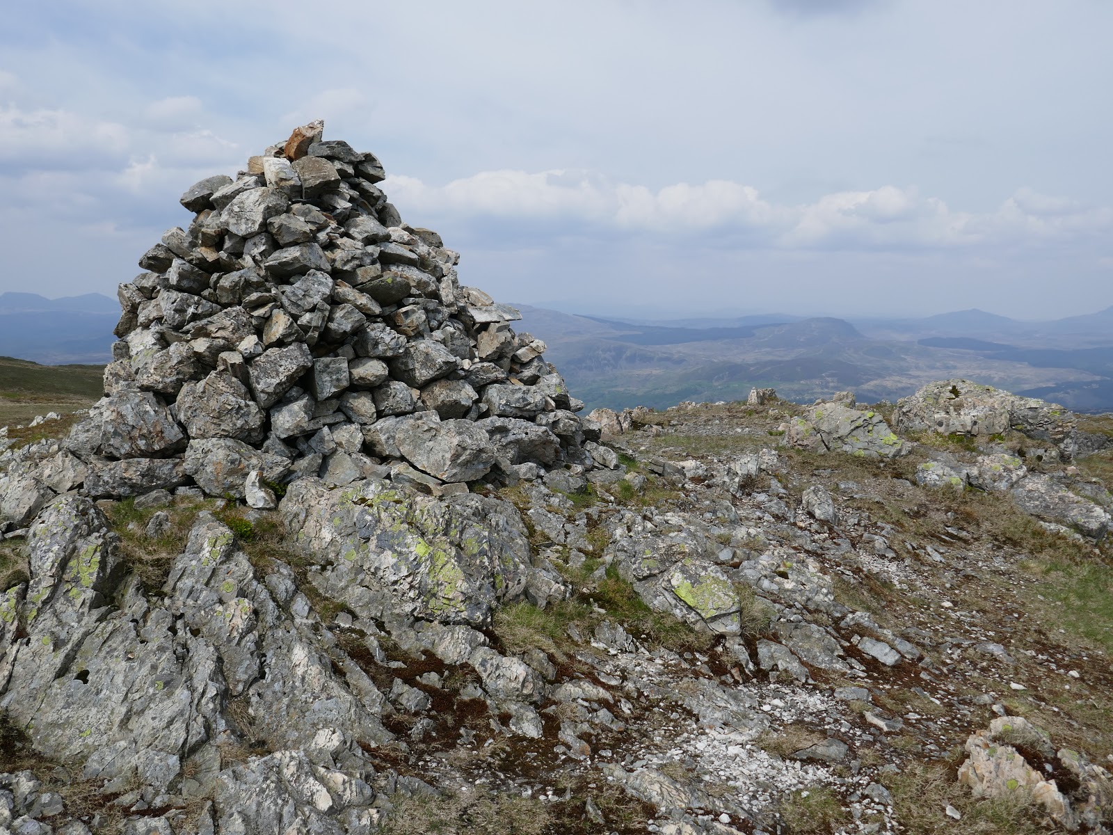
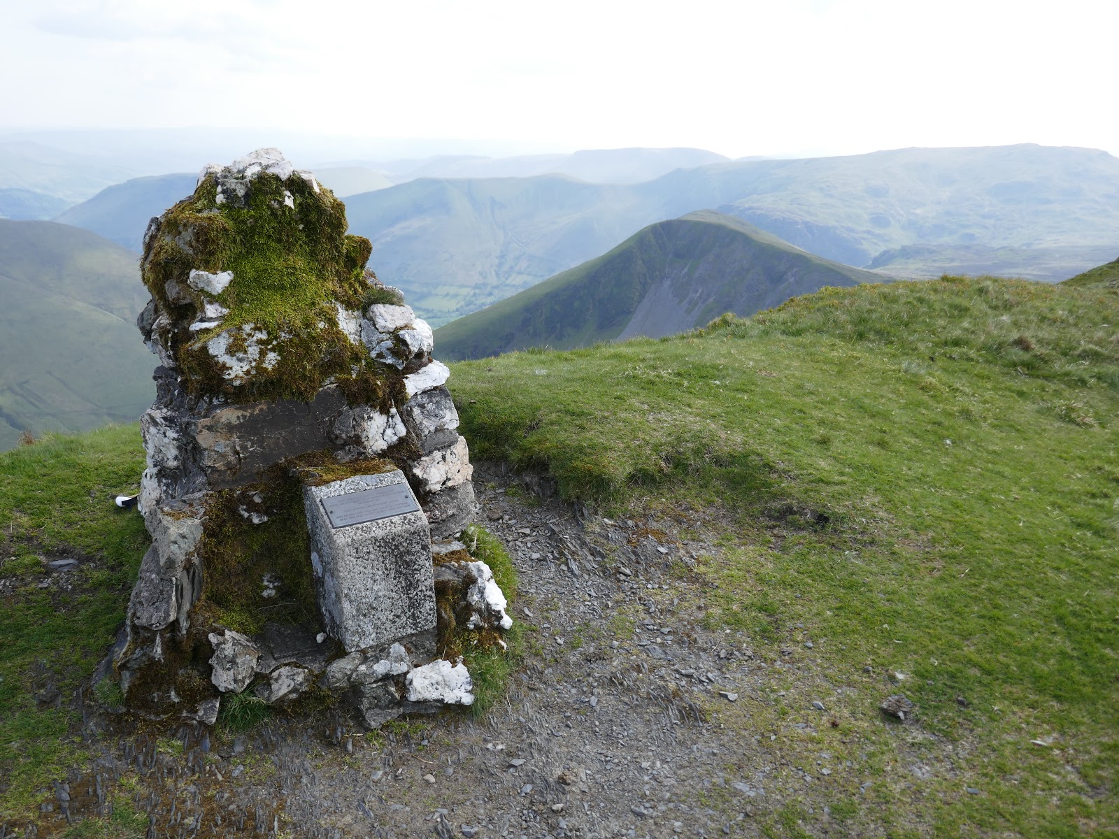
| The MRT cairn on Drws Bach |
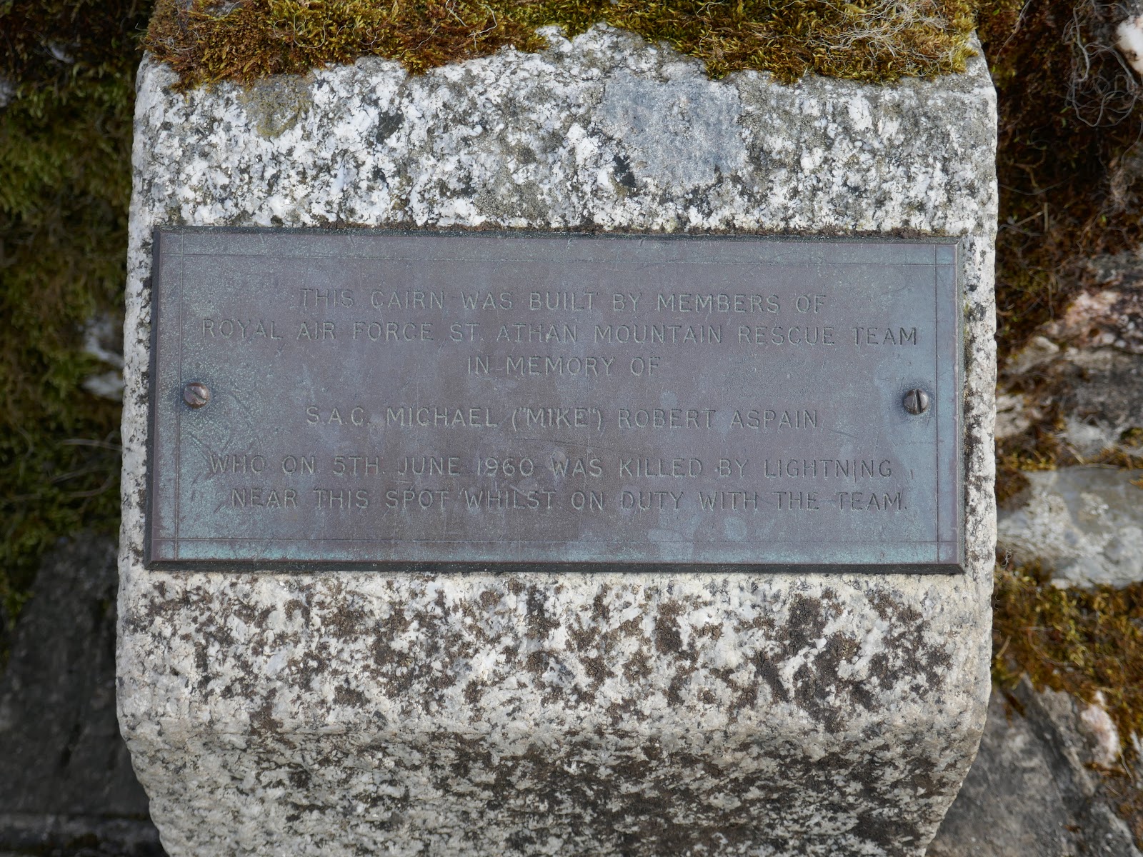
Drws Bach has a cairn atop it with a plaque set among the rocks.
“This cairn was built by members of the Royal Air Force St. Athan mountain rescue team in memory of S.A.C. Michael (“Mike”) Robert Aspain who on 6th June 1960 was killed by lightning near this spot whilst on duty with the team.”
A sombre reminder of the dangers faced by the volunteers of the UK Mountain Rescue teams.
 |
| The plaque commemorating Mike Aspain |
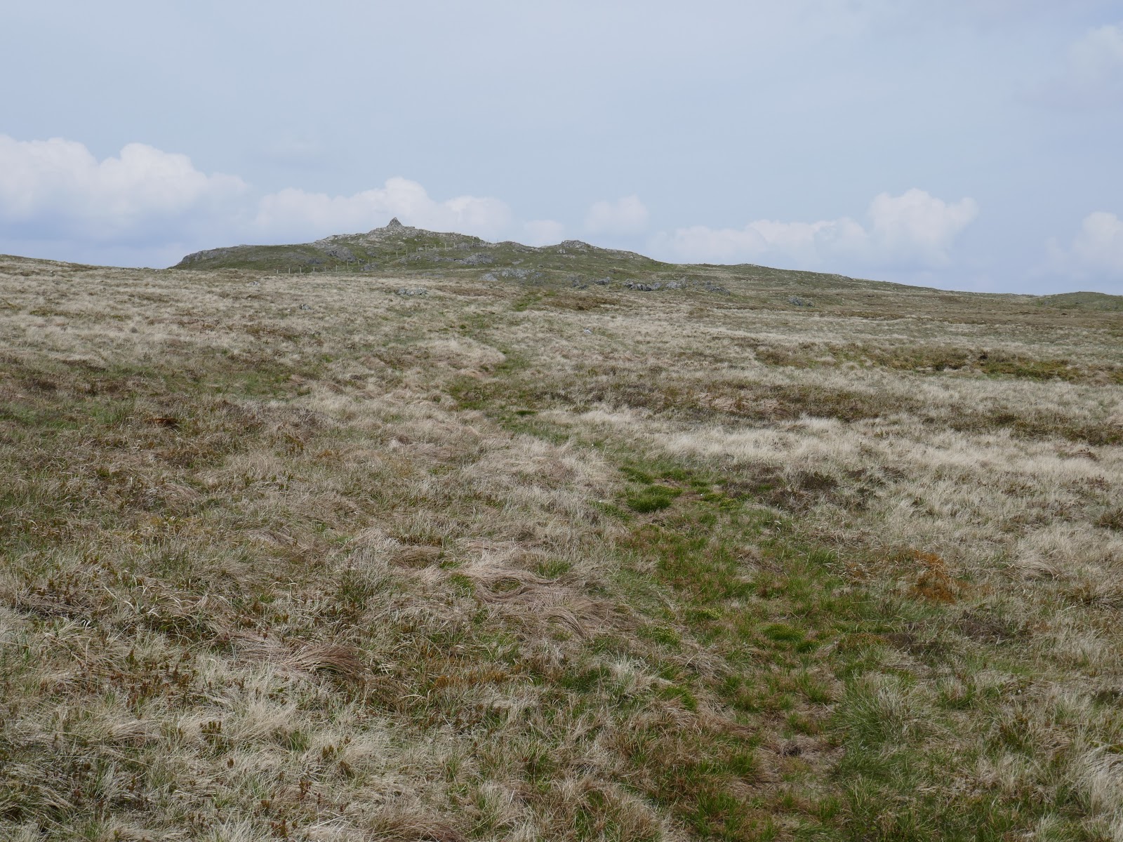
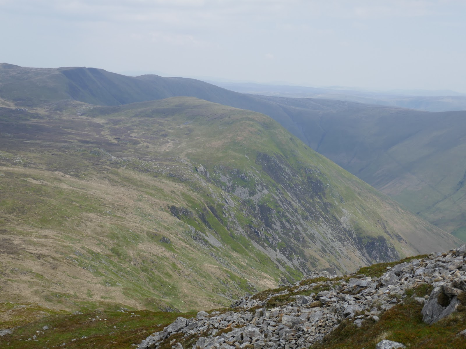
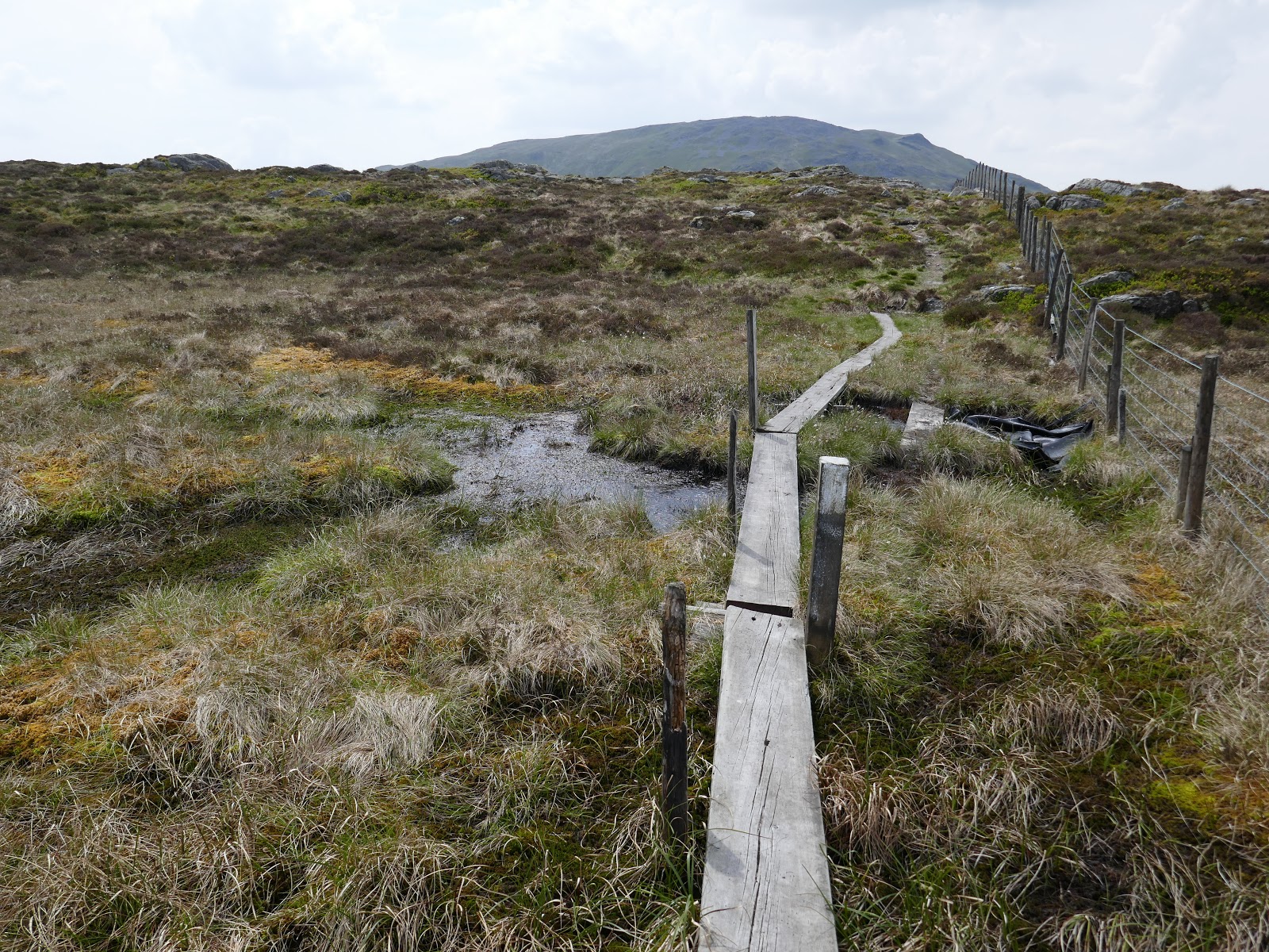
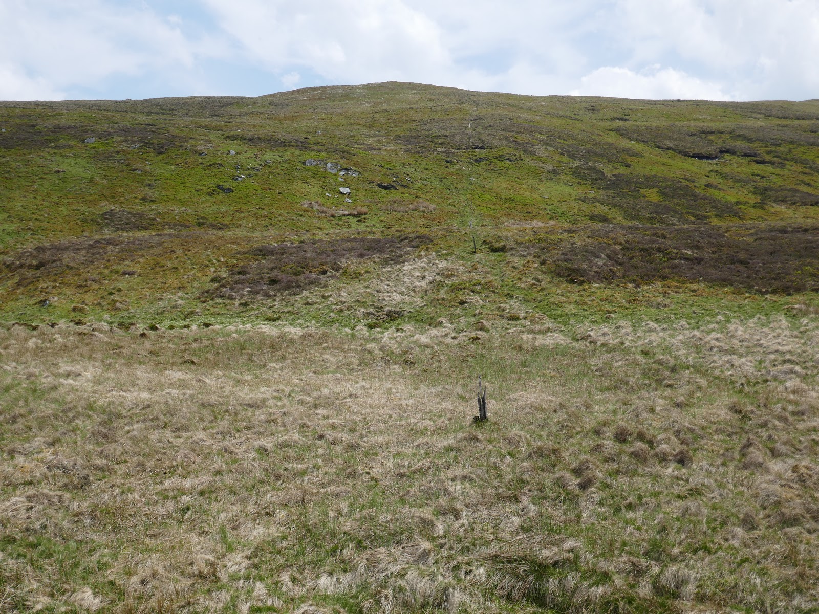
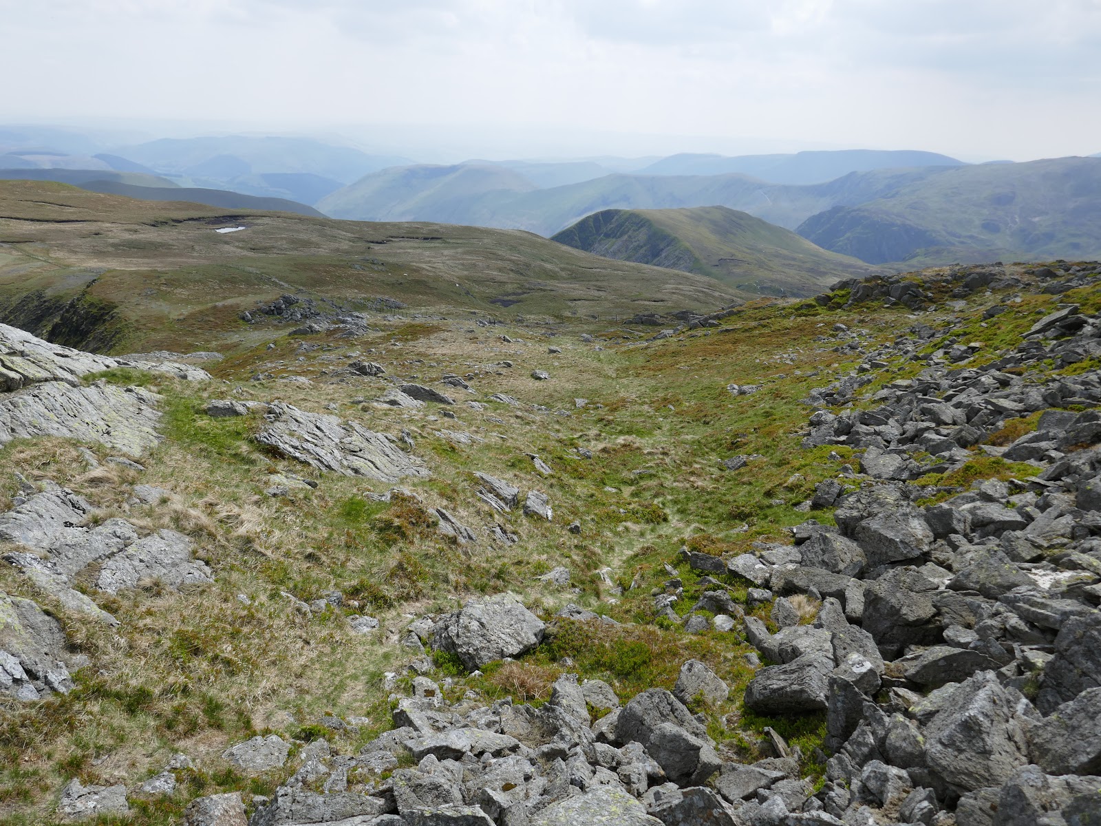
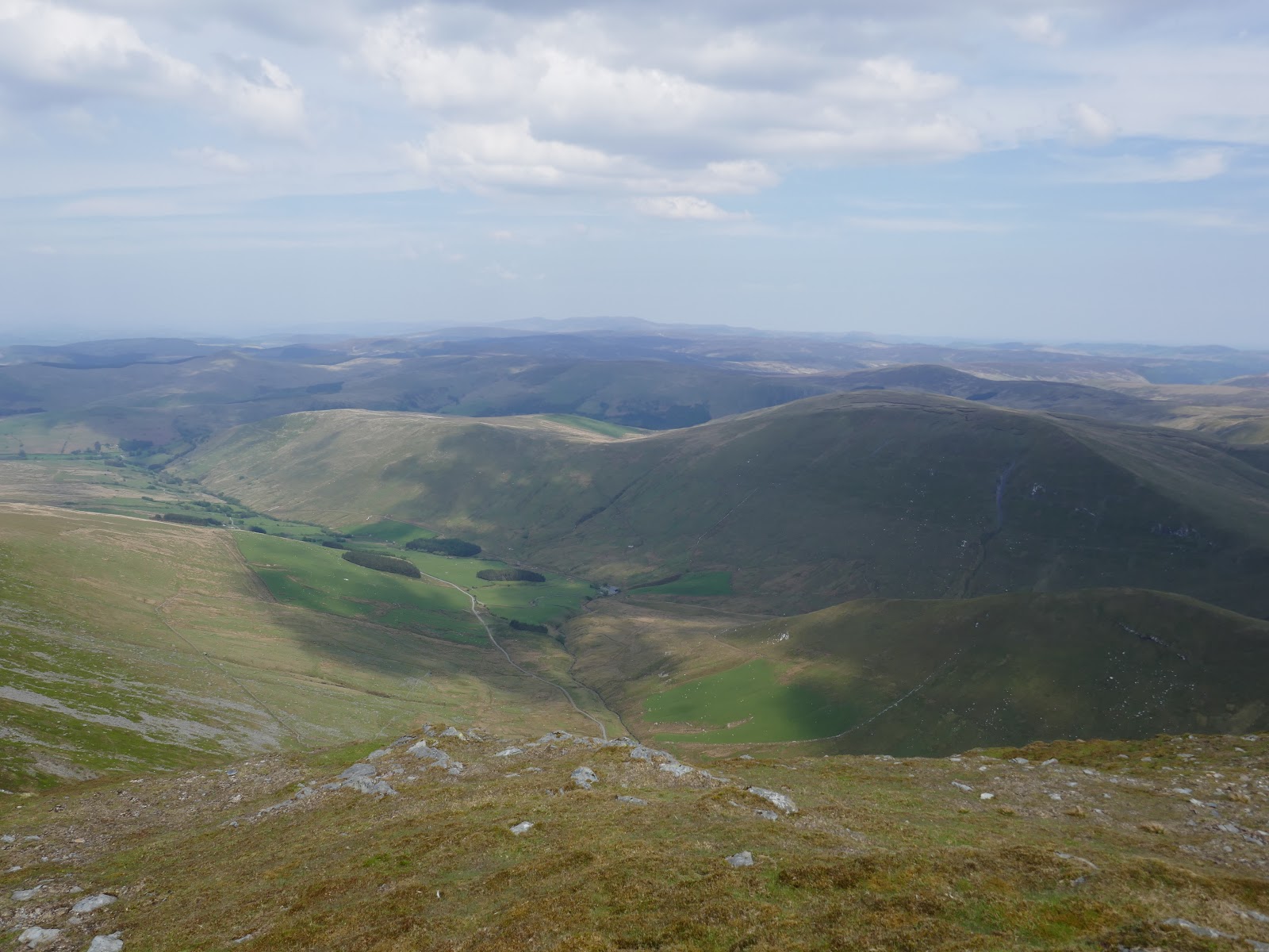
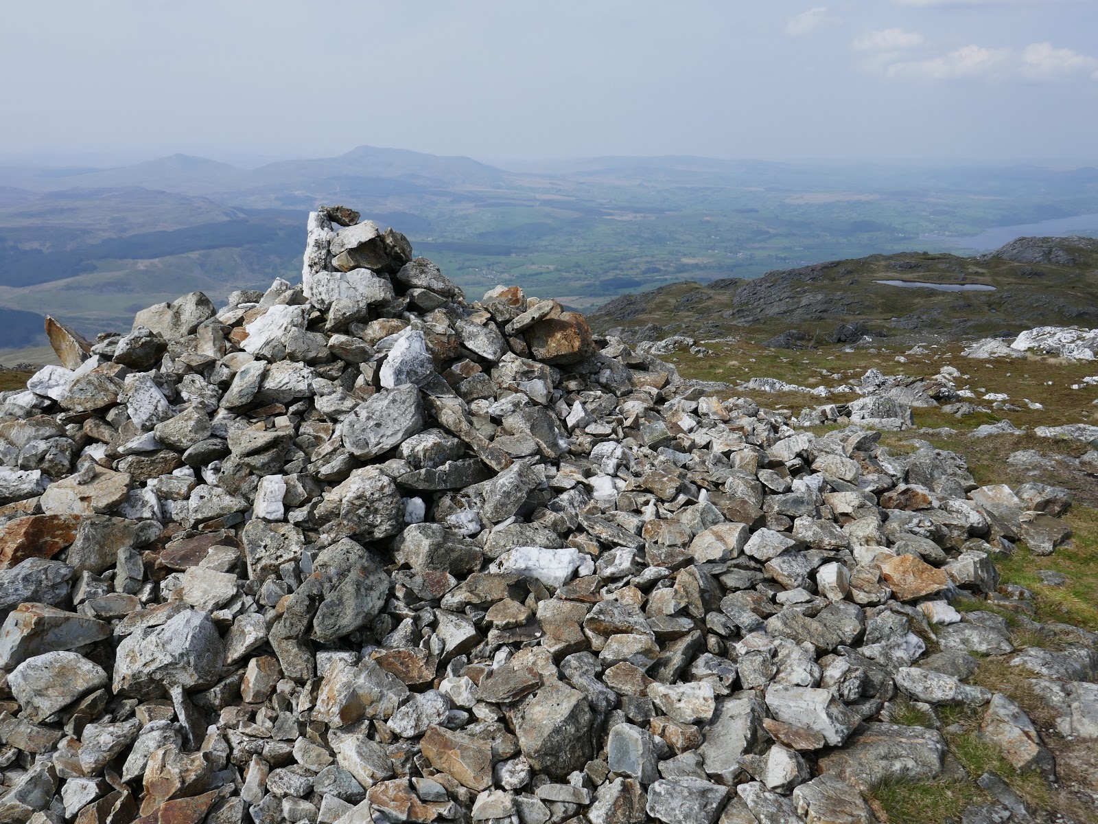
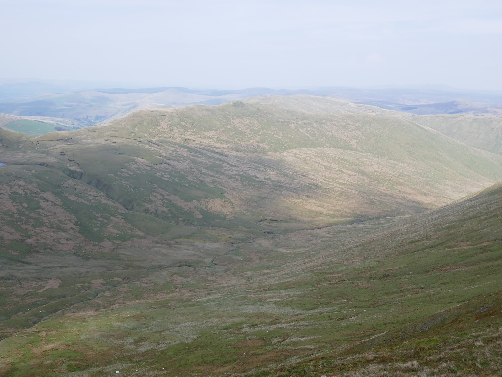
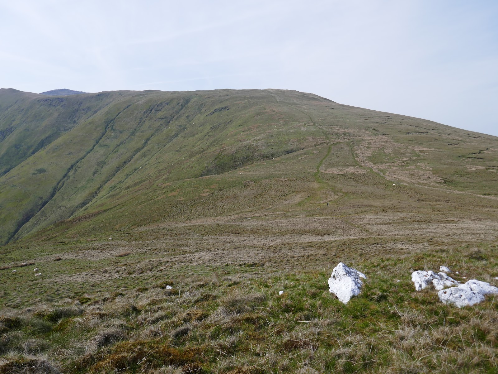
The end was almost in sight now. A long, grassy descent leads off Drws Bach to Drysol before some further descending to another boggy col. The final climb of the day looks easy on paper but after 3 days of tough walking the tussocky ascent to Pen Yr Allt Uchaf was anything but.
 |
| Foel Hafod-fynydd |
 |
| Aran Fawddwy |
 |
| Erw y Ddafad Ddu |
 |
| The Aran ridge |
 |
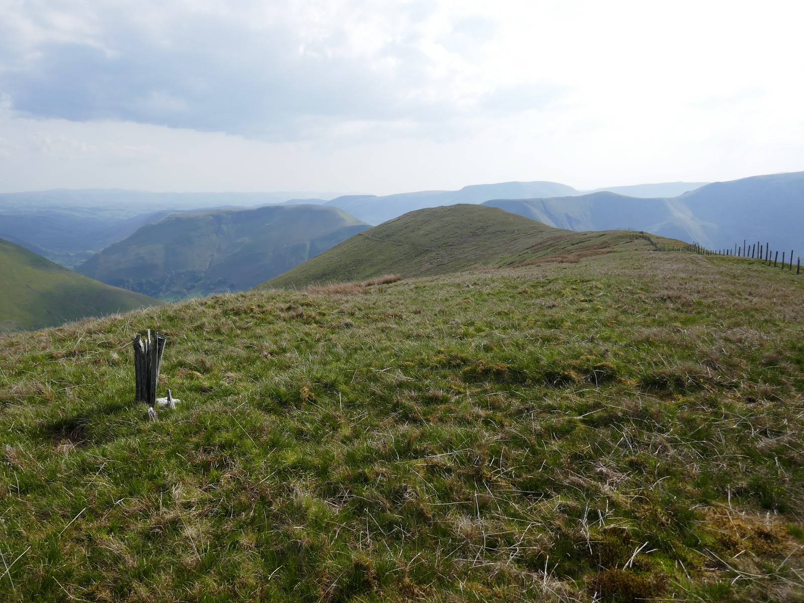
| Descending to Waun Goch |
 |
| Add caption |
 |
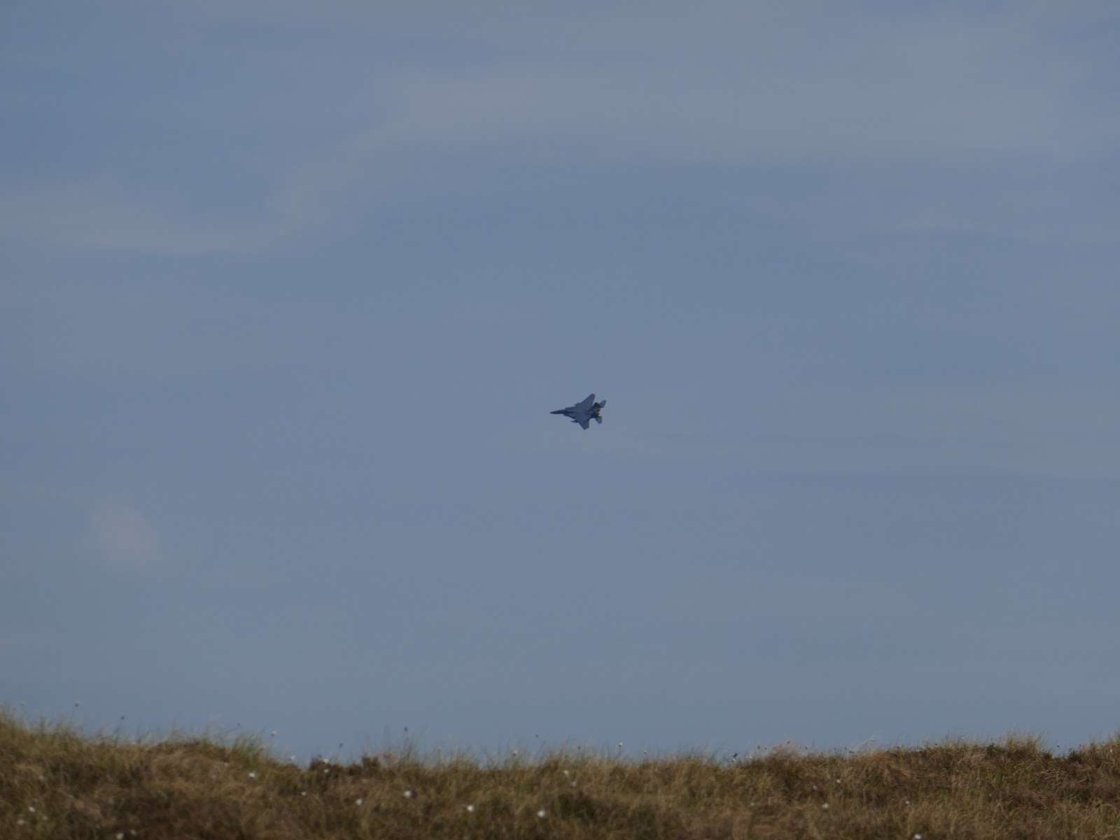
| One of the US jets that had been roaring round all day |
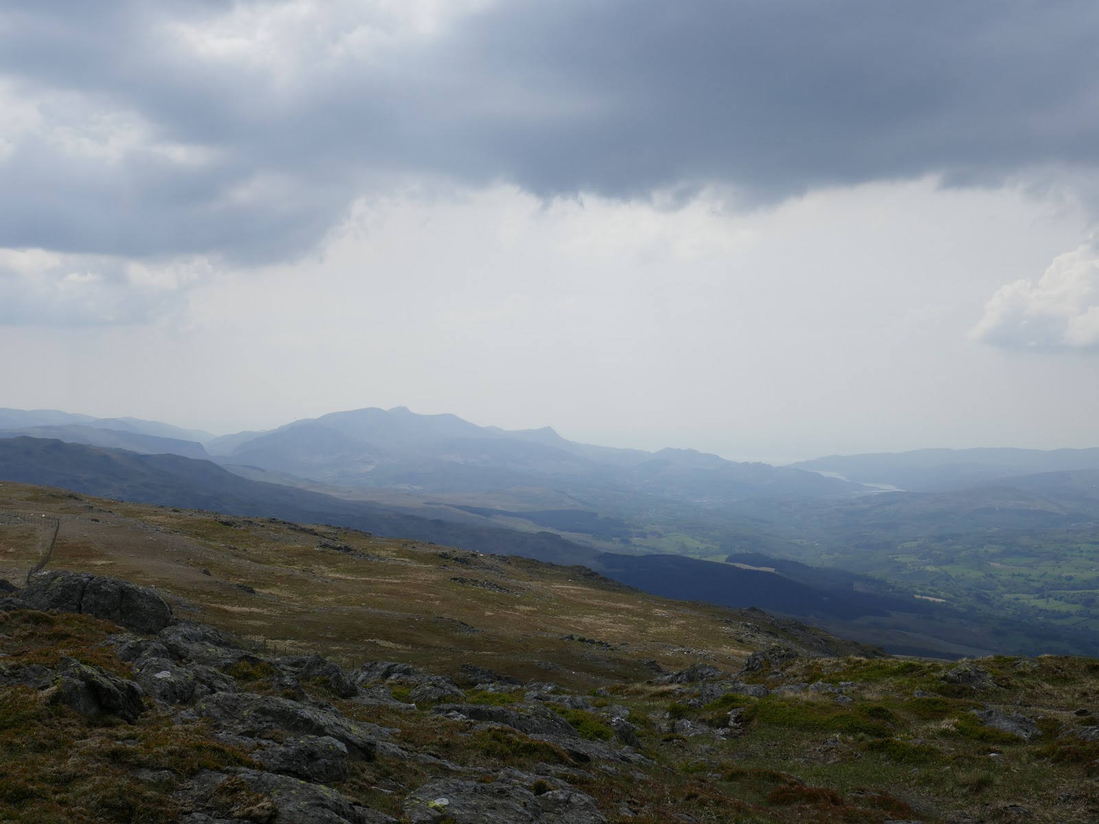
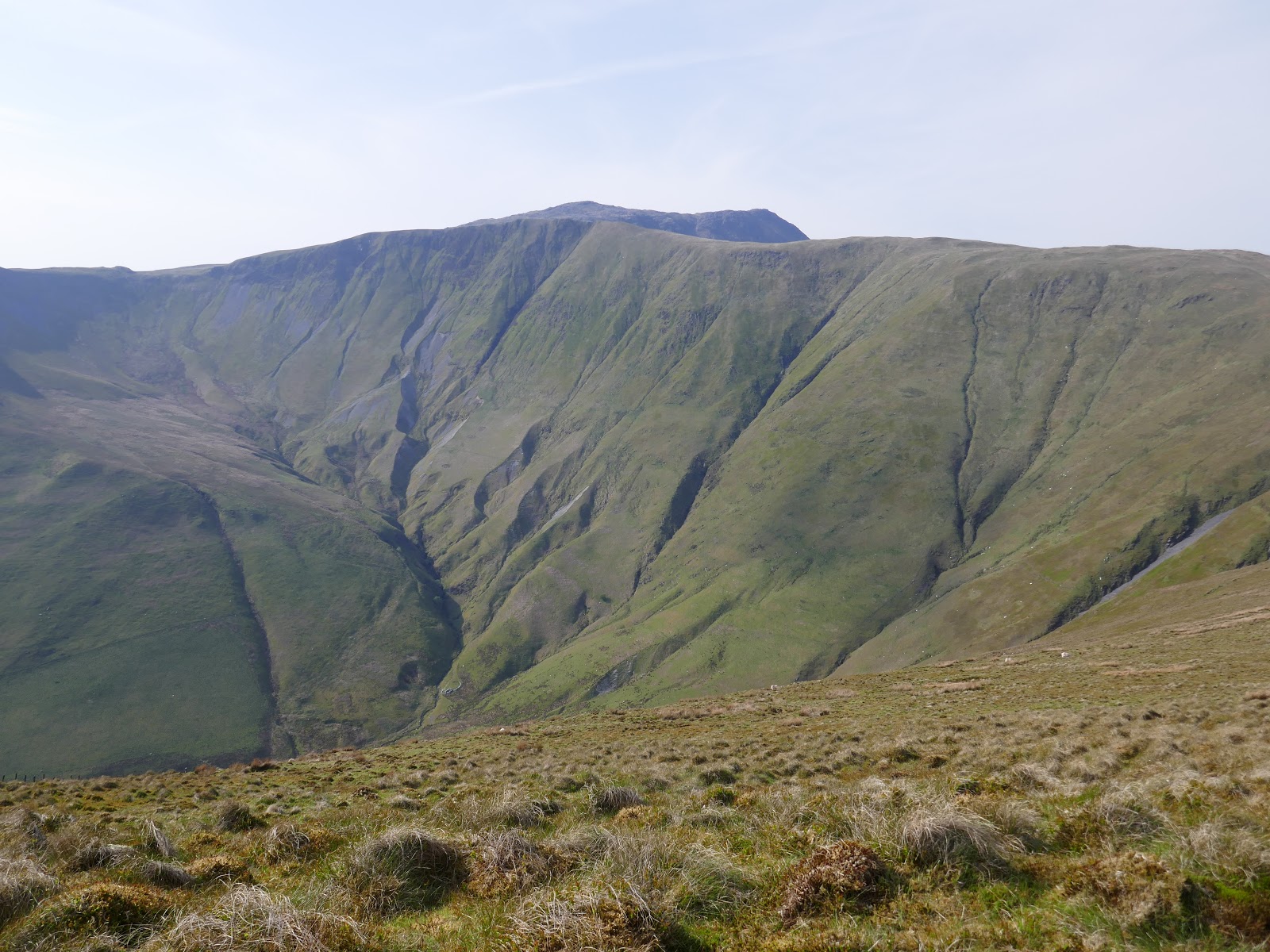
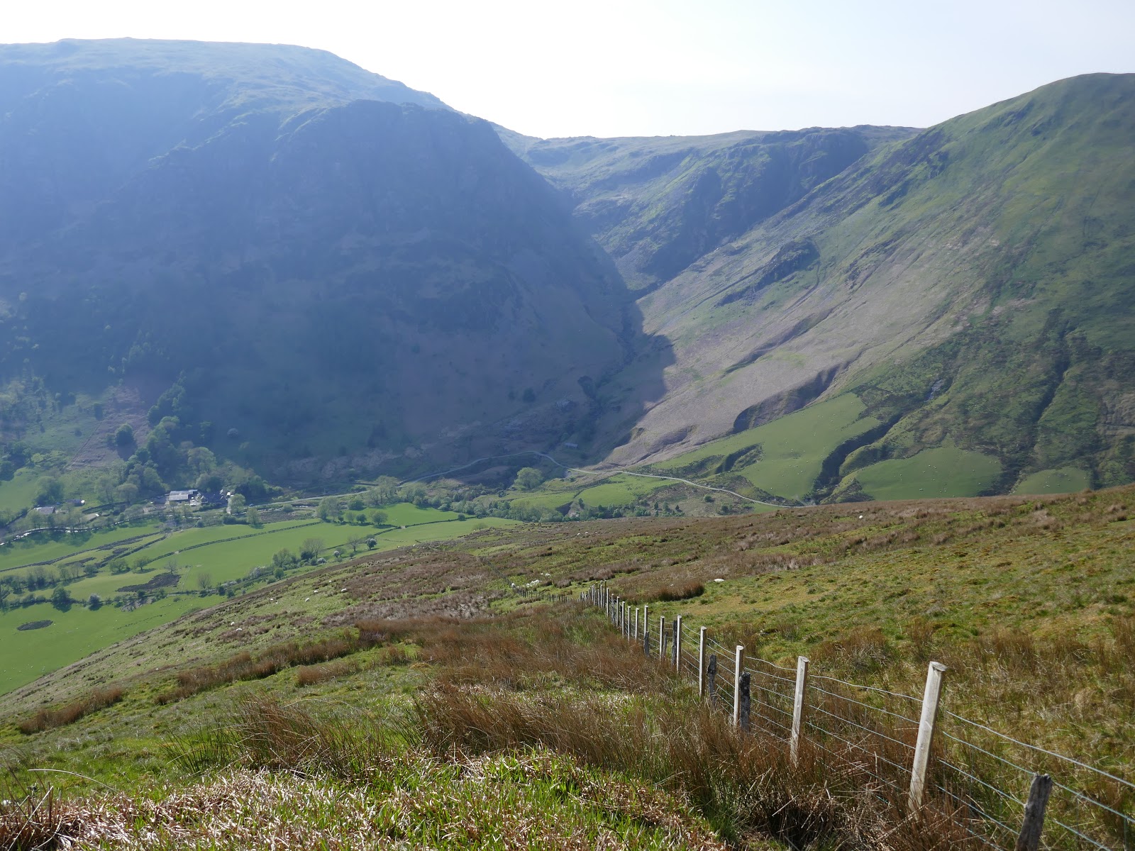
A surprisingly chilly wind was whipping across the top of the hill as I made my way along the ridge, unsure as to exactly how I was to get back to the car in the valley below. In the end, I reached the end of the ridge and followed a fence almost directly down the fantastically steep hillside. The drama of Hengwm was being picked out in the late afternoon sunshine.
 |
| Drws Bach at the head of Hengwm |
 |
| Pen yr Allt Uchaf |
 |
| Looking back towards Aran Fawddwy |
 |
| Add caption |
 |
| The fence runs staright down into the valley |
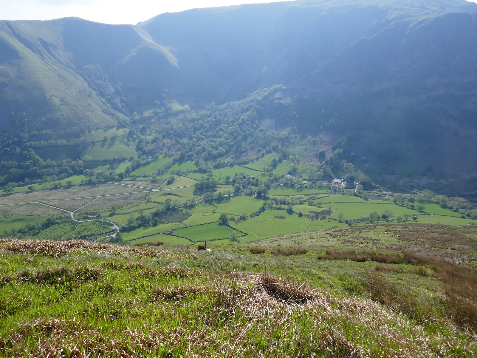
The direct descent was pretty punishing but quickly got me back down to the valley bottom – or close to it at least. Keeping to the Access Land, I managed to negotiate final fence to get onto a path – one that descends from the hills high above. I still managed to take a wrong turn late in the day, ending up in a field with a gathering of curious sheep.
 |
| Cywarch |
 |
| Creigiau Camddwr |
 |
| Cwm Cywarch |
 |
| Creigiau Camddwr |
 |
| Cwm Cywarch |
 |
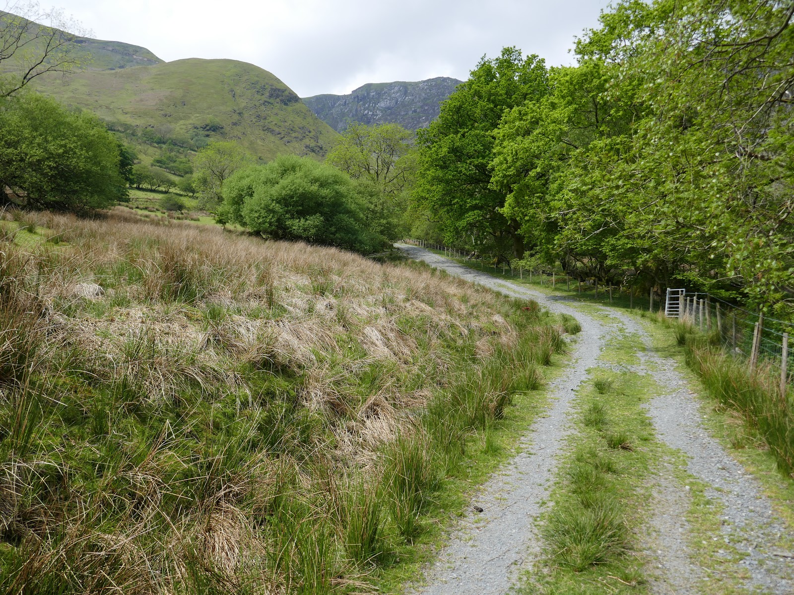
| A broad track leads back towards the car park |
 |
| The crags of Cwm Cywarch |
My car was the only one left in the car park by the time I returned, a sure sign that I had had a long, fulfilling day in the hills.
