Open Space Web-Map builder Codehttps://openspace.ordnancesurvey.co.uk/osmapapi/openspace.js?key=3119F72552FD5C22E0530C6CA40A5A92https://openspace.ordnancesurvey.co.uk/osmapapi/script/mapbuilder/basicmap.jshttps://openspace.ordnancesurvey.co.uk/osmapapi/script/mapbuilder/searchbox.js//variables for routes var linesLayer, points, lineFeature, lineString, routeMarkersLayer, routepos, routesize, routeoffset, routeicon; var style_blue = {strokeColor: “#0000CD”, strokeOpacity: 0.5, strokeWidth: 4.5}; function initmapbuilder() { //initiate the map var options = {resolutions: [2500, 1000, 500, 200, 100, 50, 25, 10, 5, 4, 2.5, 2, 1]}; osMap = new OpenSpace.Map(‘map’, options); //configure map options (basicmap.js) setglobaloptions(); //set the center of the map and the zoom level osMap.setCenter(new OpenSpace.MapPoint(351808,503623),7); linesLayer = osMap.getVectorLayer(); // Set up layer for route markers routeMarkersLayer = new OpenLayers.Layer.Markers(“Route Markers”); //make a route points = new Array(); points.push(new OpenLayers.Geometry.Point(353008,501718)); points.push(new OpenLayers.Geometry.Point(352858,501618)); points.push(new OpenLayers.Geometry.Point(352678,501568)); points.push(new OpenLayers.Geometry.Point(352308,501558)); points.push(new OpenLayers.Geometry.Point(352078,501548)); points.push(new OpenLayers.Geometry.Point(351918,501703)); points.push(new OpenLayers.Geometry.Point(351703,502013)); points.push(new OpenLayers.Geometry.Point(351593,502128)); points.push(new OpenLayers.Geometry.Point(351233,502078)); points.push(new OpenLayers.Geometry.Point(351363,502393)); points.push(new OpenLayers.Geometry.Point(351103,503018)); points.push(new OpenLayers.Geometry.Point(351003,503313)); points.push(new OpenLayers.Geometry.Point(350798,503558)); points.push(new OpenLayers.Geometry.Point(350718,503908)); points.push(new OpenLayers.Geometry.Point(350413,504393)); points.push(new OpenLayers.Geometry.Point(350248,504628)); points.push(new OpenLayers.Geometry.Point(350088,504928)); points.push(new OpenLayers.Geometry.Point(350018,505253)); points.push(new OpenLayers.Geometry.Point(349993,505513)); points.push(new OpenLayers.Geometry.Point(350143,505778)); points.push(new OpenLayers.Geometry.Point(350298,505918)); points.push(new OpenLayers.Geometry.Point(350518,505978)); points.push(new OpenLayers.Geometry.Point(350778,505928)); points.push(new OpenLayers.Geometry.Point(351593,505573)); points.push(new OpenLayers.Geometry.Point(351718,505313)); points.push(new OpenLayers.Geometry.Point(351888,505403)); points.push(new OpenLayers.Geometry.Point(352188,505048)); points.push(new OpenLayers.Geometry.Point(352378,504738)); points.push(new OpenLayers.Geometry.Point(352418,504483)); points.push(new OpenLayers.Geometry.Point(352358,504183)); points.push(new OpenLayers.Geometry.Point(352628,503948)); points.push(new OpenLayers.Geometry.Point(352738,503548)); points.push(new OpenLayers.Geometry.Point(353023,503393)); points.push(new OpenLayers.Geometry.Point(353283,503233)); points.push(new OpenLayers.Geometry.Point(353348,502943)); points.push(new OpenLayers.Geometry.Point(353343,502678)); points.push(new OpenLayers.Geometry.Point(353358,502498)); points.push(new OpenLayers.Geometry.Point(353408,502383)); points.push(new OpenLayers.Geometry.Point(353458,502133)); points.push(new OpenLayers.Geometry.Point(353648,502023)); points.push(new OpenLayers.Geometry.Point(353873,501863)); points.push(new OpenLayers.Geometry.Point(353943,501693)); points.push(new OpenLayers.Geometry.Point(353773,501623)); points.push(new OpenLayers.Geometry.Point(353598,501533)); points.push(new OpenLayers.Geometry.Point(353433,501708)); points.push(new OpenLayers.Geometry.Point(353078,501903)); points.push(new OpenLayers.Geometry.Point(353063,501783)); points.push(new OpenLayers.Geometry.Point(353008,501718)); // create a polyline feature from the array of points lineString = new OpenLayers.Geometry.LineString(points); lineFeature = new OpenLayers.Feature.Vector(lineString, null, style_blue); linesLayer.addFeatures([lineFeature]); //crate a route start/end marker routepos = new OpenSpace.MapPoint(353008,501718); routesize = new OpenLayers.Size(33,45); routeoffset = new OpenLayers.Pixel(-5,-37); routeicon = new OpenSpace.Icon(‘https://openspace.ordnancesurvey.co.uk/osmapapi/img_versions/img_1.1/mapbuilder/routemarker-startend.png’, routesize, routeoffset, null, null); routeMarkersLayer.addMarker(new OpenLayers.Marker(routepos, routeicon)); osMap.addLayer(routeMarkersLayer);}
Route: Dryhowe Bridge, Whiteside Pike, Todd Fell, Capplebarrow, Swinklebank Crag, Ancrow Brow, Borrowdale Moss, Long Crag, White Howe, The Forest, Lamb Pasture, Sryhowe Bridge
Date: 14/01/2017
From: Dryhowe Bridge
Parking: Small laybay at Dryhowe Bridge
Start Point: Dryhowe Bridge
Region: Far Eastern Fells
Route length: 8.8 Miles (14.16 km)
Time taken: 03:54
Average speed: 2.2 mph
Ascent: 657m
Descent: 663m
Outlying Fells on this walk:
Whiteside Pike (397m), Todd Fell (401m), Capplebarrow (512m), Swinklebank Crag (Ancrow Brow) (555m), nameless (Ancrow Brow North) (541m), Long Crag (493m), White Howe (530m), The Forest (Borrowdale Head) (528m), Lamb Pasture (367m)
Additional summits: None
Other Points of Interest: None
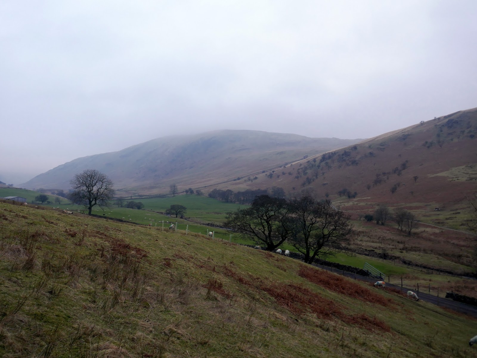
The valley of Bannisdale forms part of the mysterious Shap Fells, encompassed within the Lake District boundary yet wholly Pennine in nature. It’s a large area with numerous nooks and crannies such as Crookdale and Wet Sleddale and is often overlooked by people heading into the national park.
I too had intended to overlook it yet the forecast was for a day of very low cloud so I took a gamble on the fact that the Bannisdale fells only reach around 500m and may have snuck beneath the blanket.
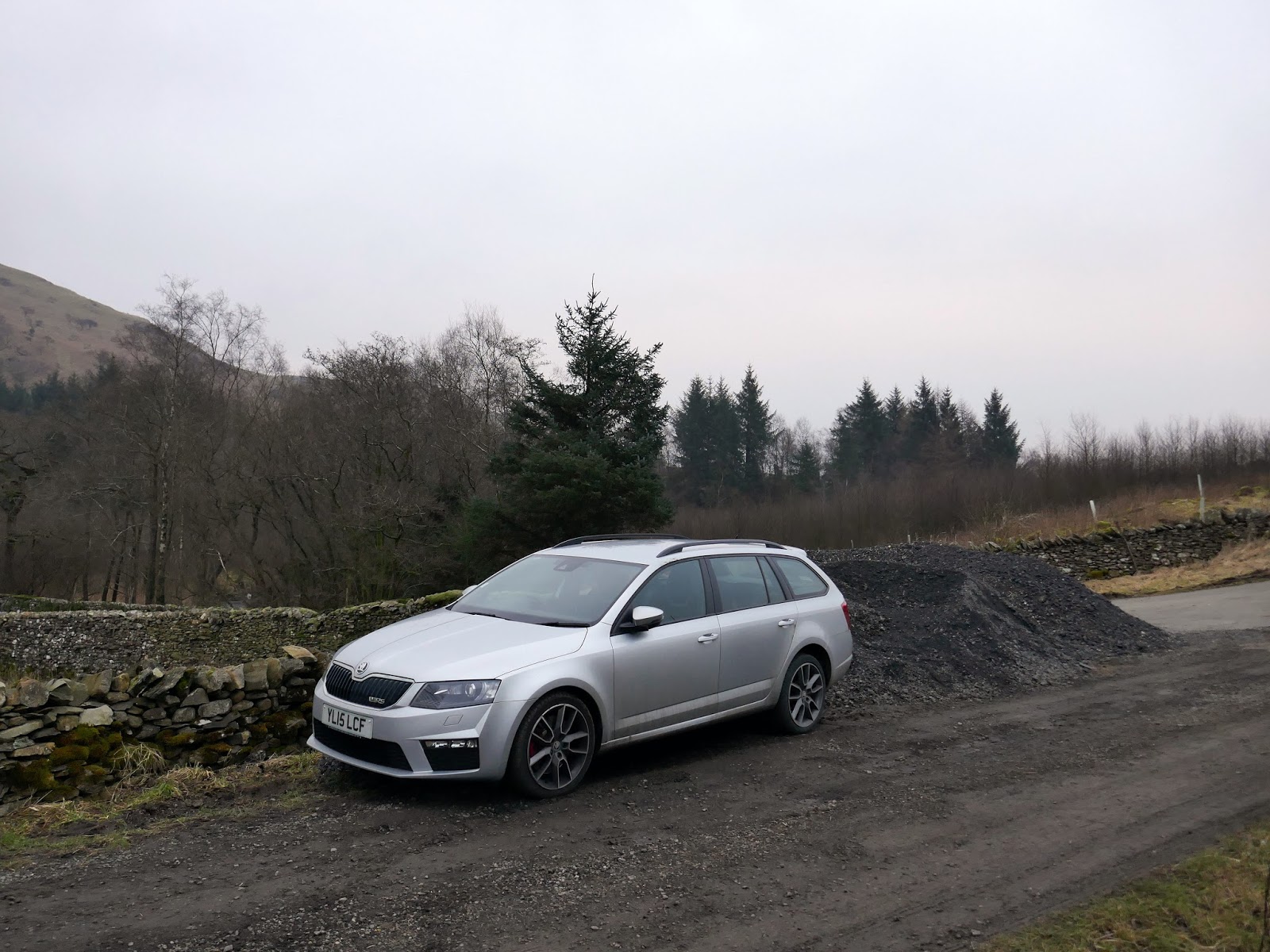
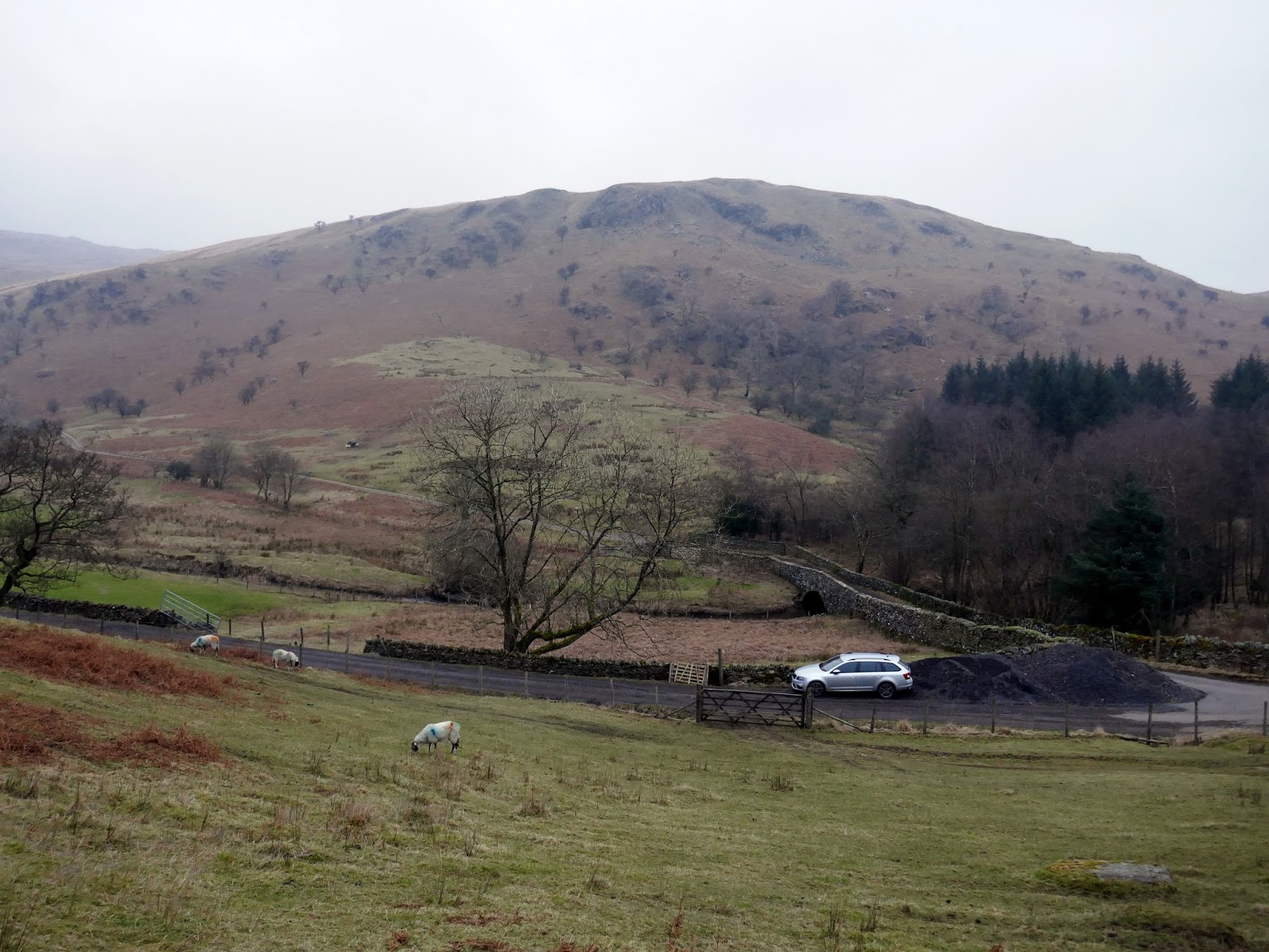
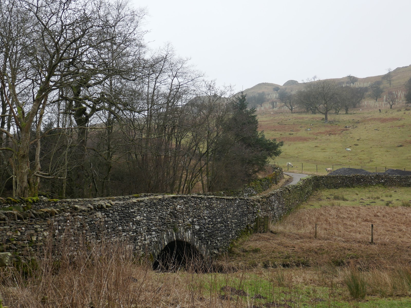
Starting this walk is tricky if you’re arriving by car. There’s a solitary space on the lane at Plough Farm or the other option is at Dryhowe Bridge, as described in Bill Birkett’s book. I have a feeling though that the local farmers object to this, as I have seen various accounts of gravel appearing in the layby and, indeed, when I arrived there was barely room for just one car. I also managed to overlook a small sign that said ‘No Parking’ nailed to the gatepost though I can’t be sure if it meant on the lane or in the gravel-filled layby.
 |
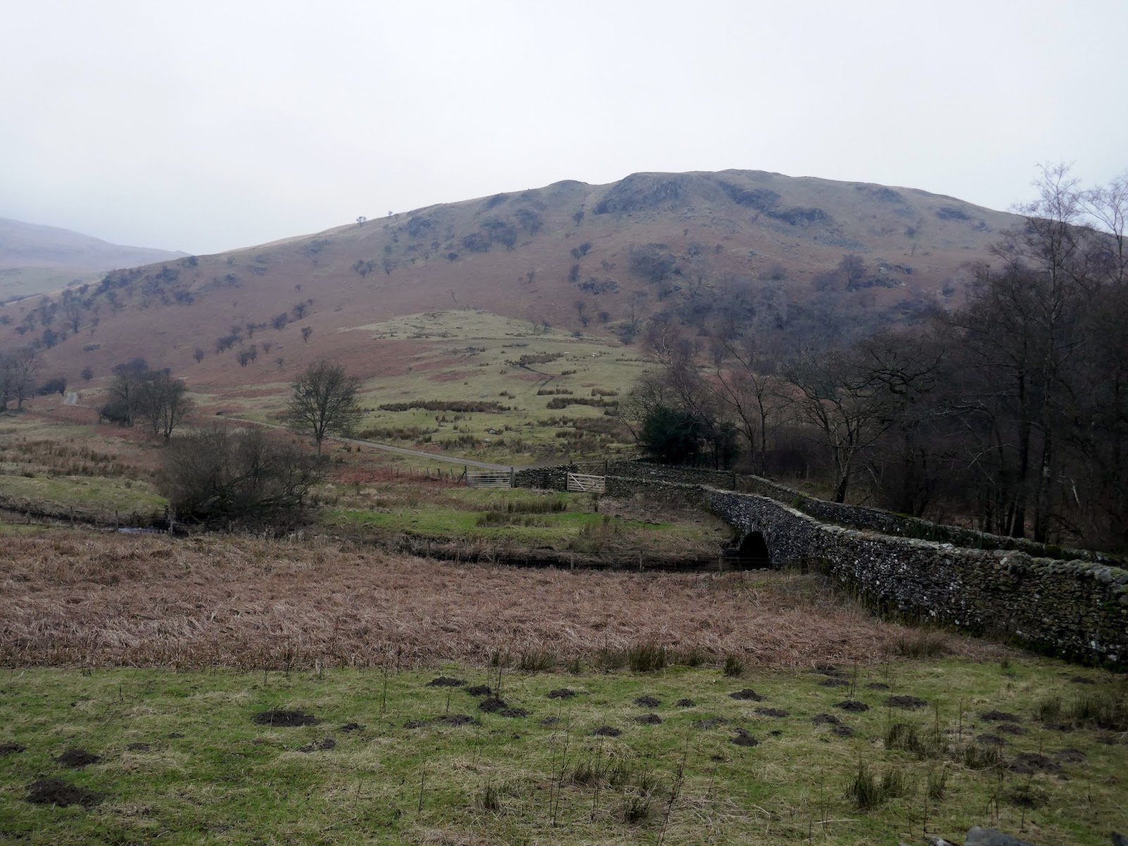
| Dryhowe Bridge with Lamb Pasture beyond |
 |
| The first climb of the day towards Whiteside Pike |
 |
| Limited parking….. |
The other minor concern is the very beginning of the walk which, according to the guidebooks, is through the gate and straight up the hillside. The gate, however, clearly says ‘Private’ though I chose to ignore this as it was early and the safety of the Access Land is a short distance up the hill.
 |
| A better view of the gravel pile at Dryhowe Bridge |
 |
| Bannisdale |
 |
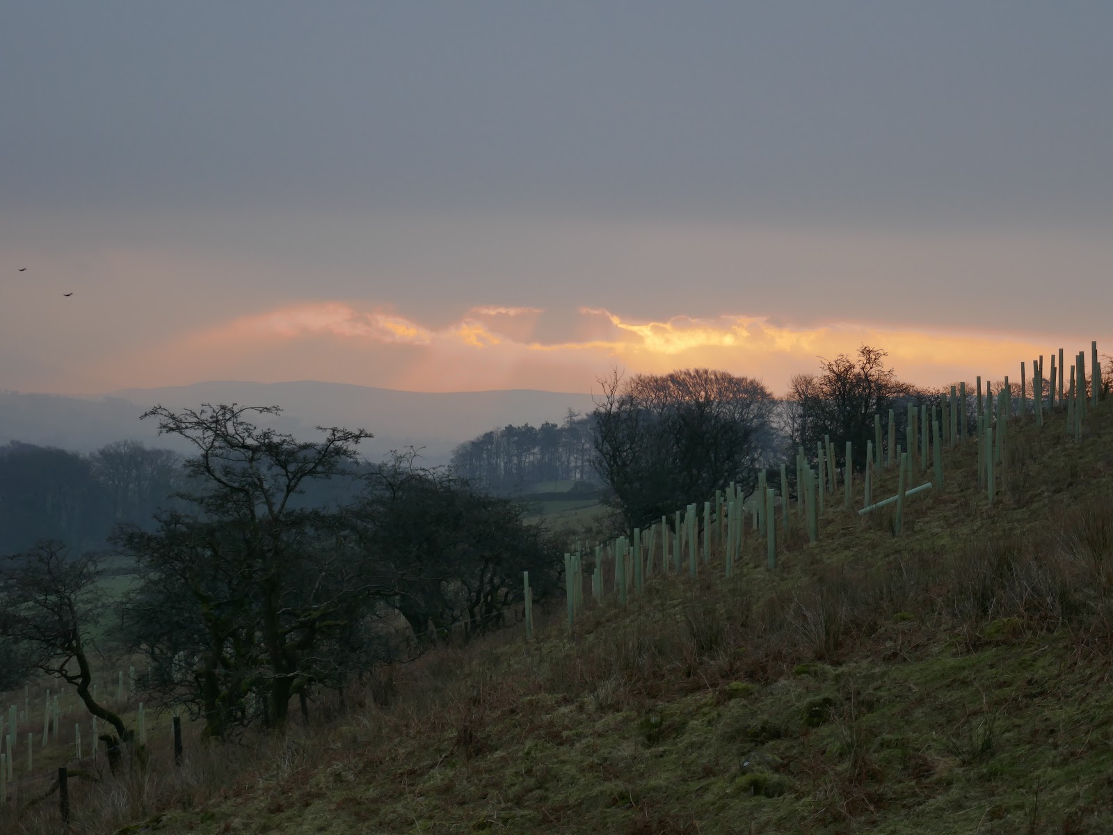
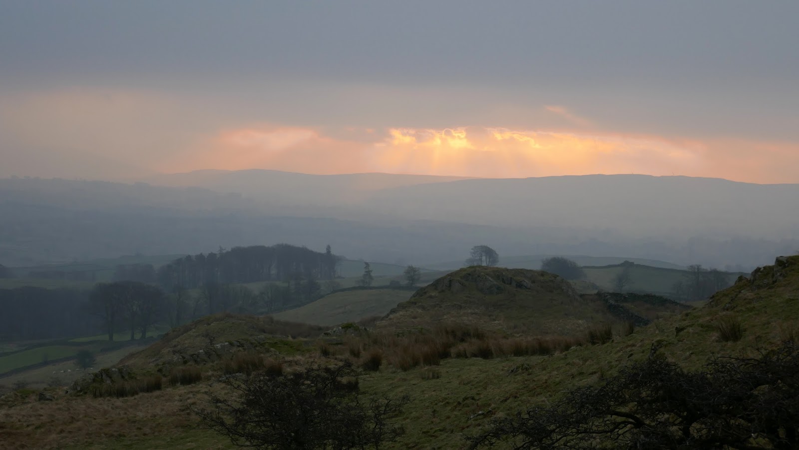
| A hint of brightness early in the morning, the only bit of the day |
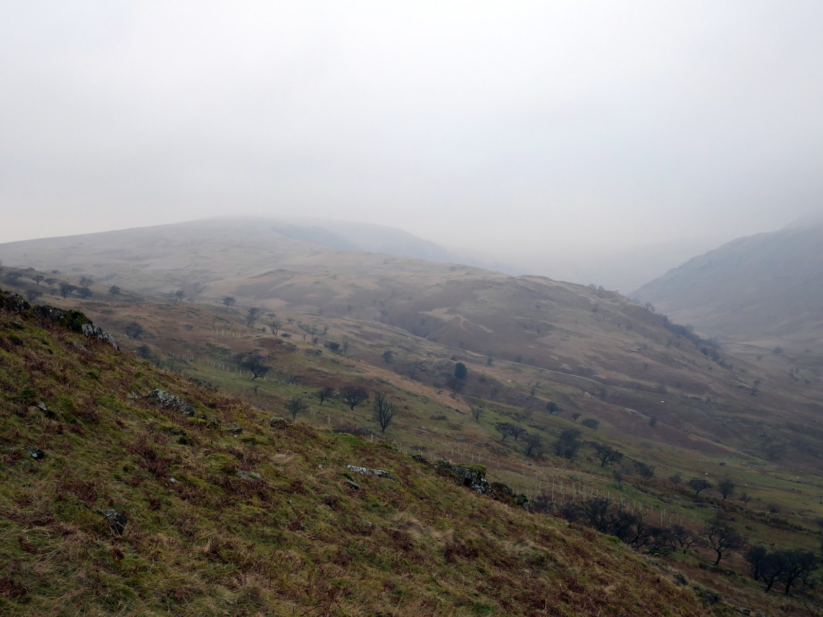
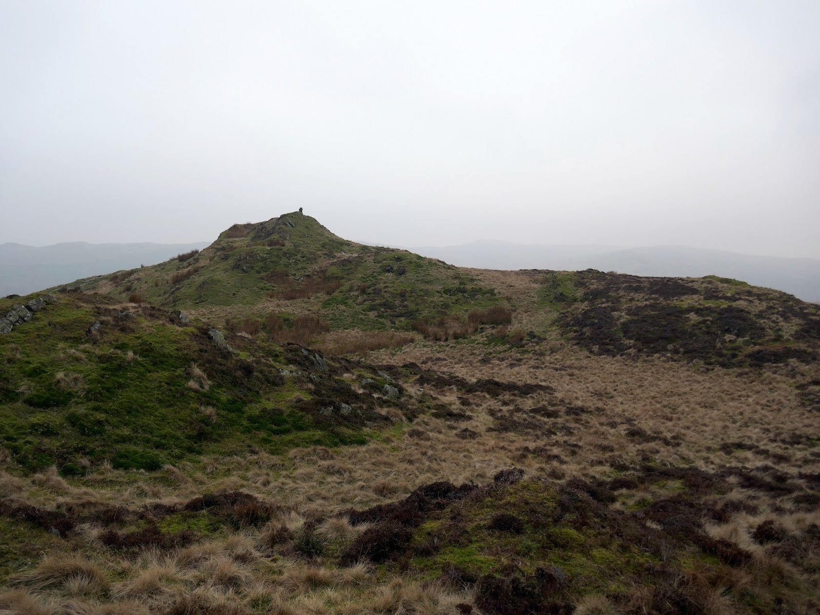
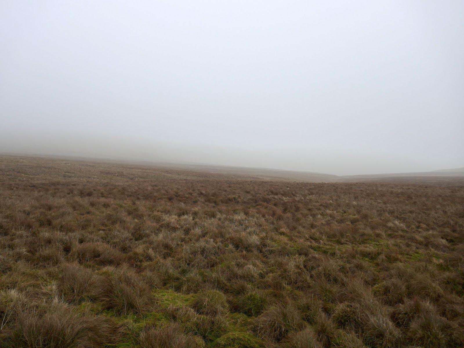
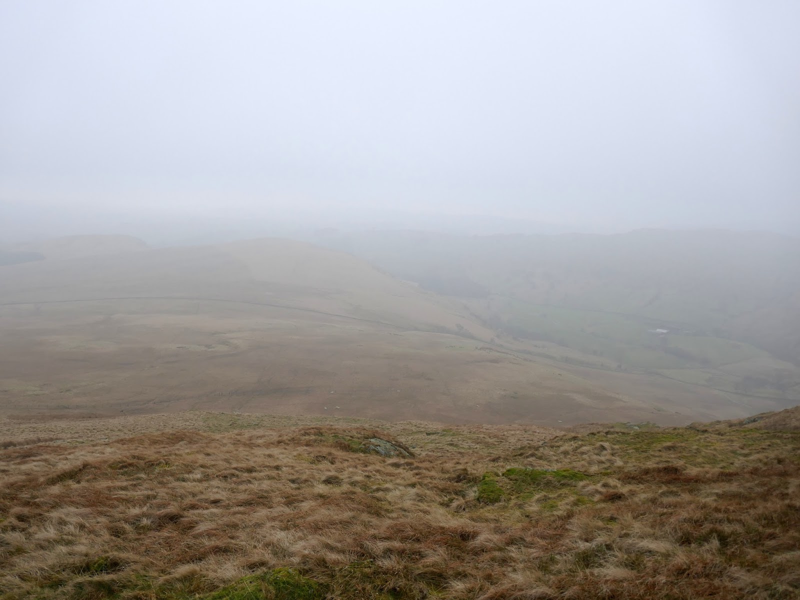
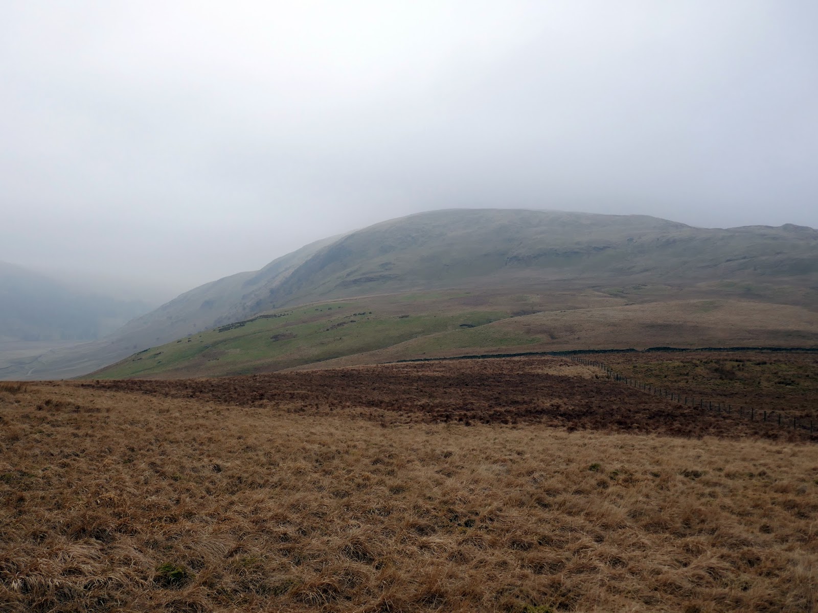
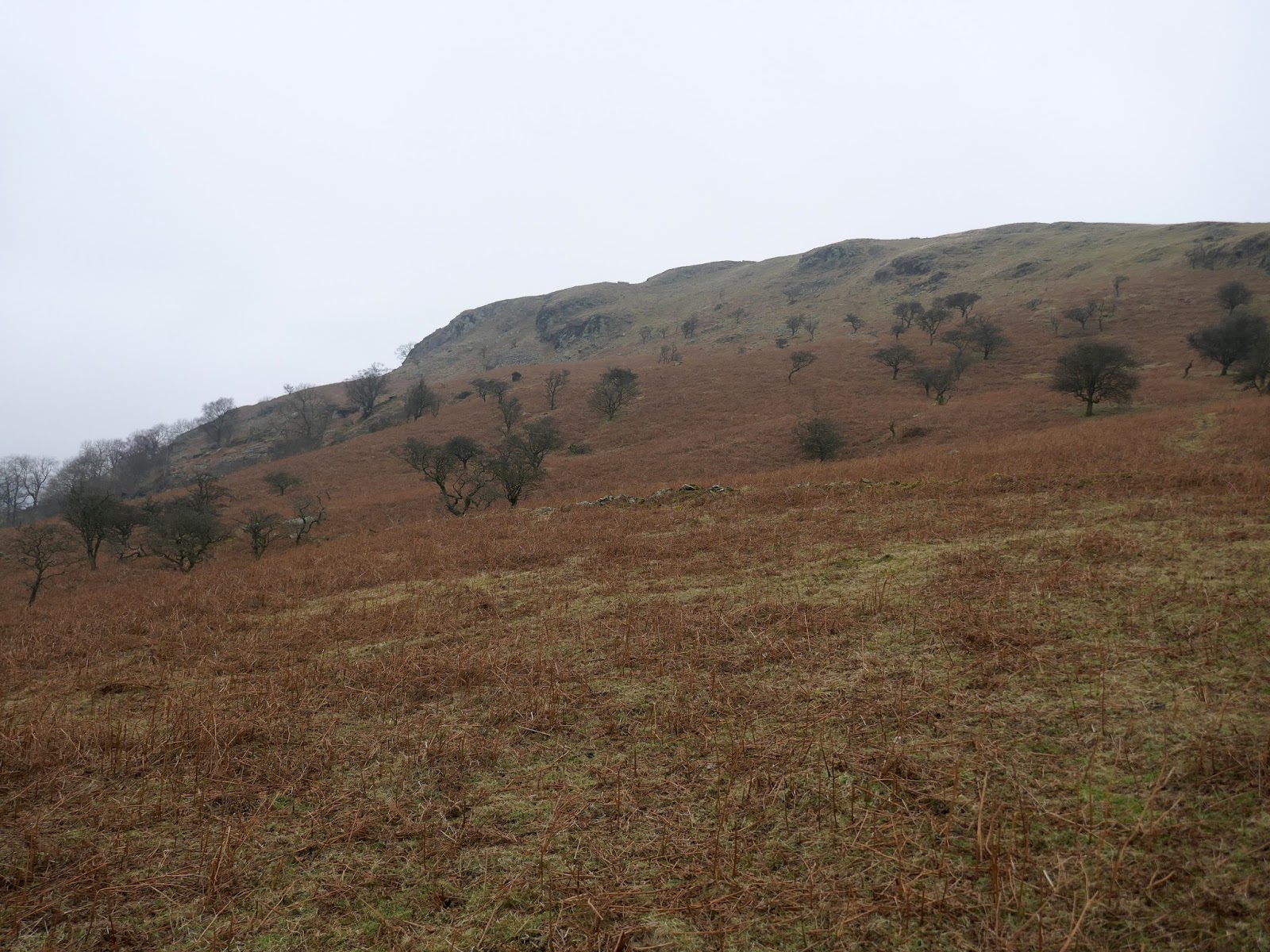
Trespassing complete, it was time to get a move on, climbing through pathless grass to reach the first and shapeliest summit of the day – Whiteside Pike. It was obvious from the climb up that my gamble had not paid off with the higher Bannisdale fells shrouded in the cloud. No views today, unfortunately. If you’re averse to grass, I’d probably stop reading now.
 |
| Bannisdale |
 |
| Dryhowe Pasture and Capplebarrow |
 |
| Sunrise on a murky day |
 |
| Through the wall towards Whiteside Pike |
 |
| Whiteside Pike |
 |
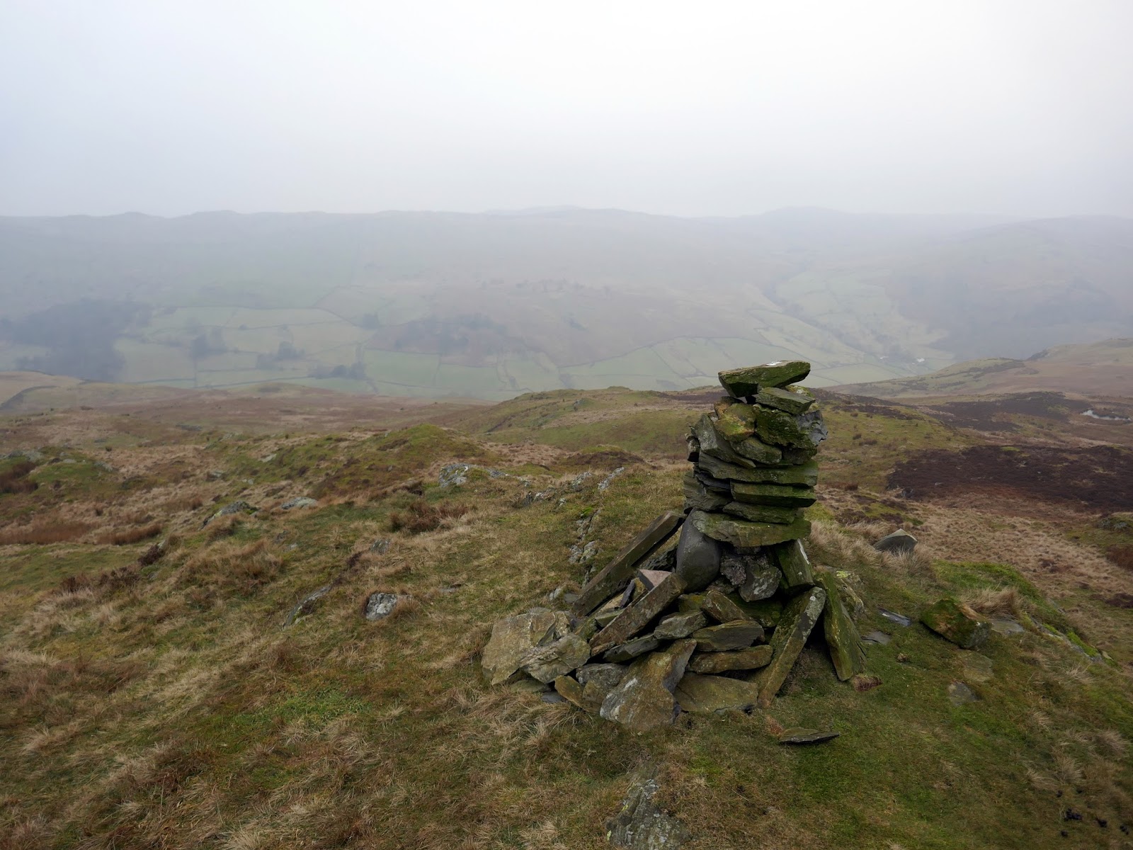
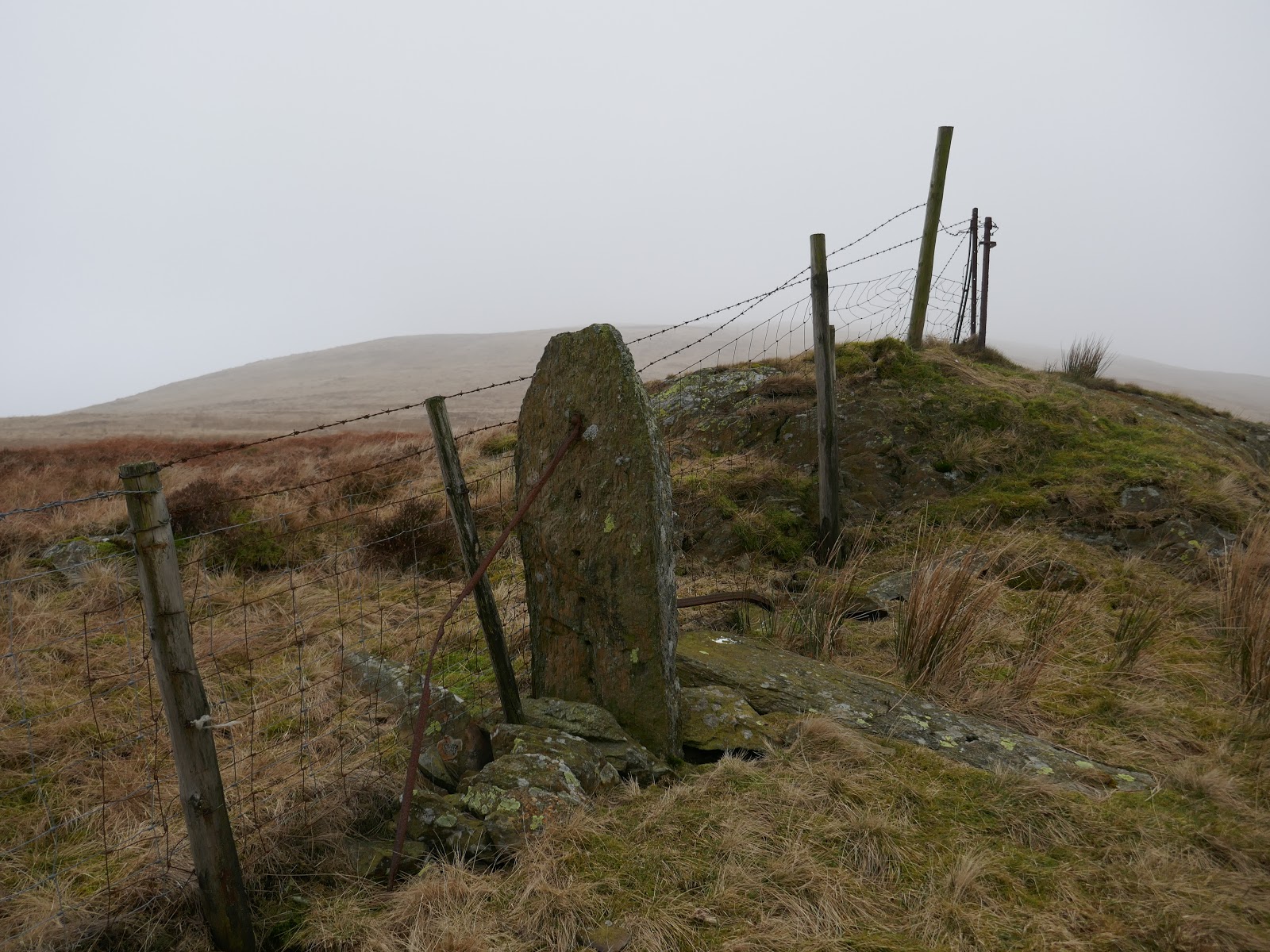
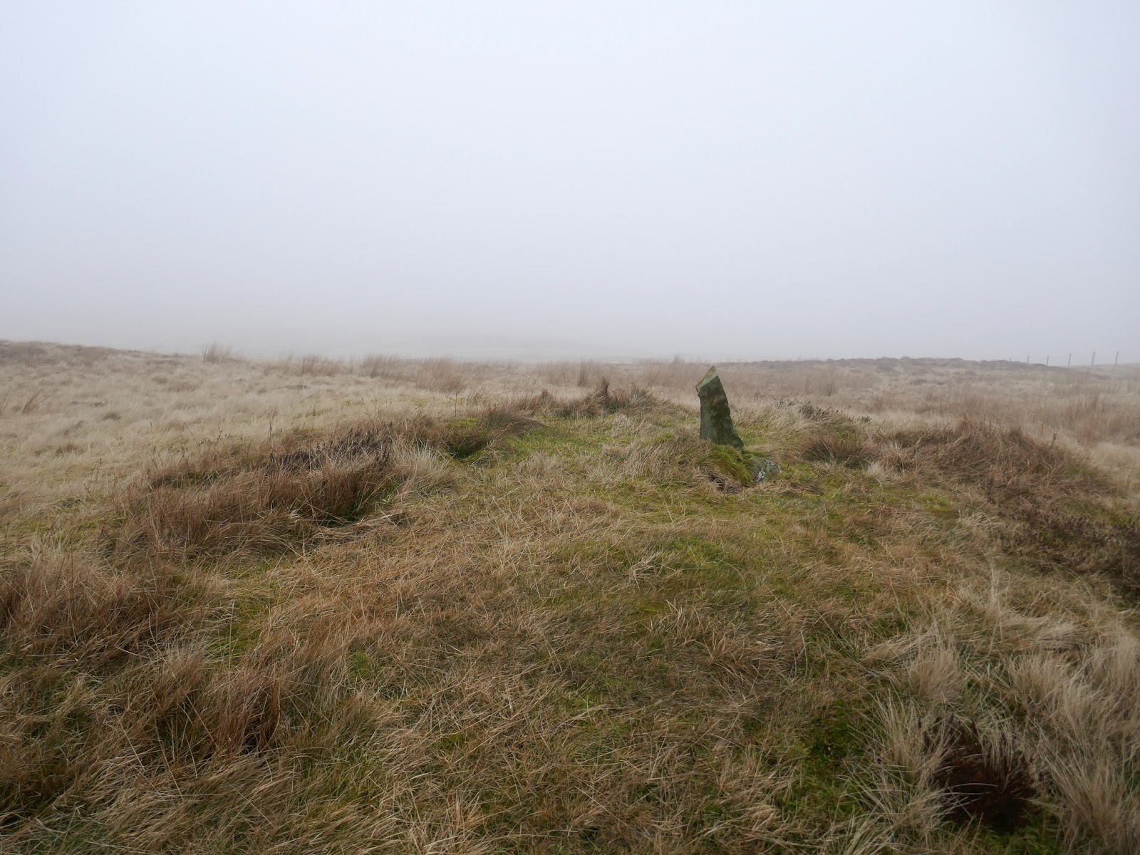
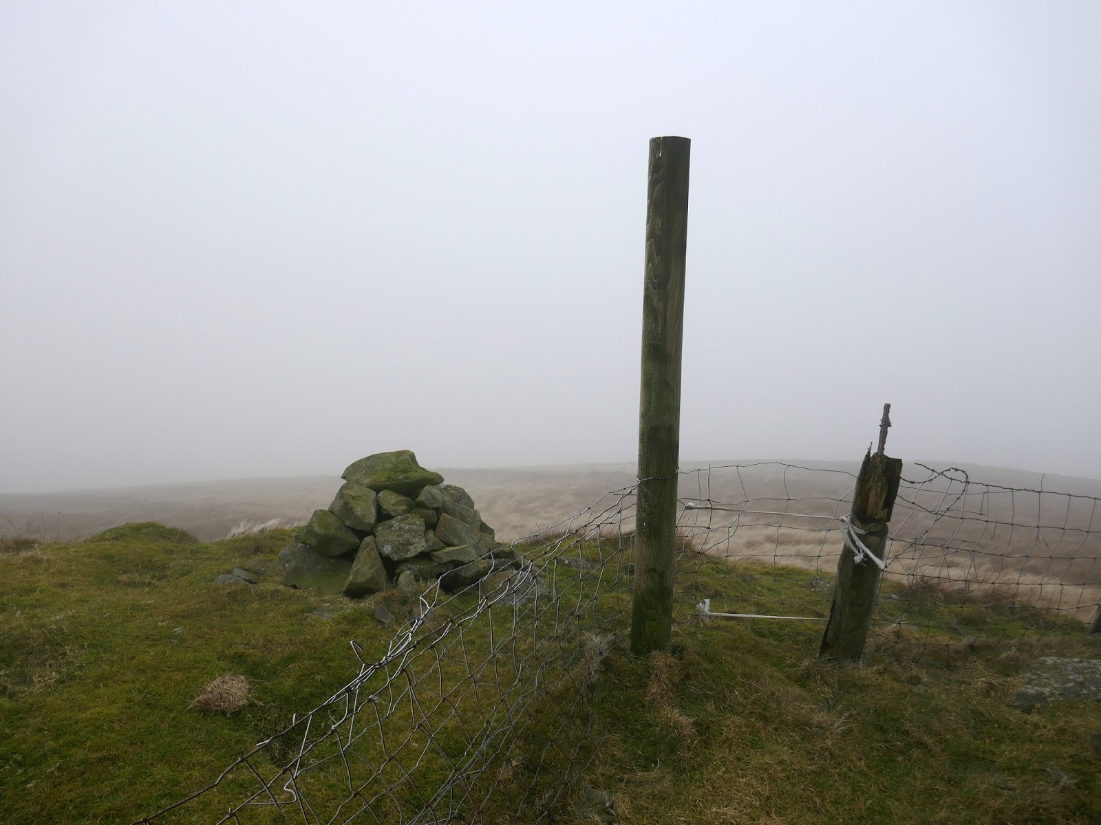
| Whiteside Pike’s summit cairn |
 |
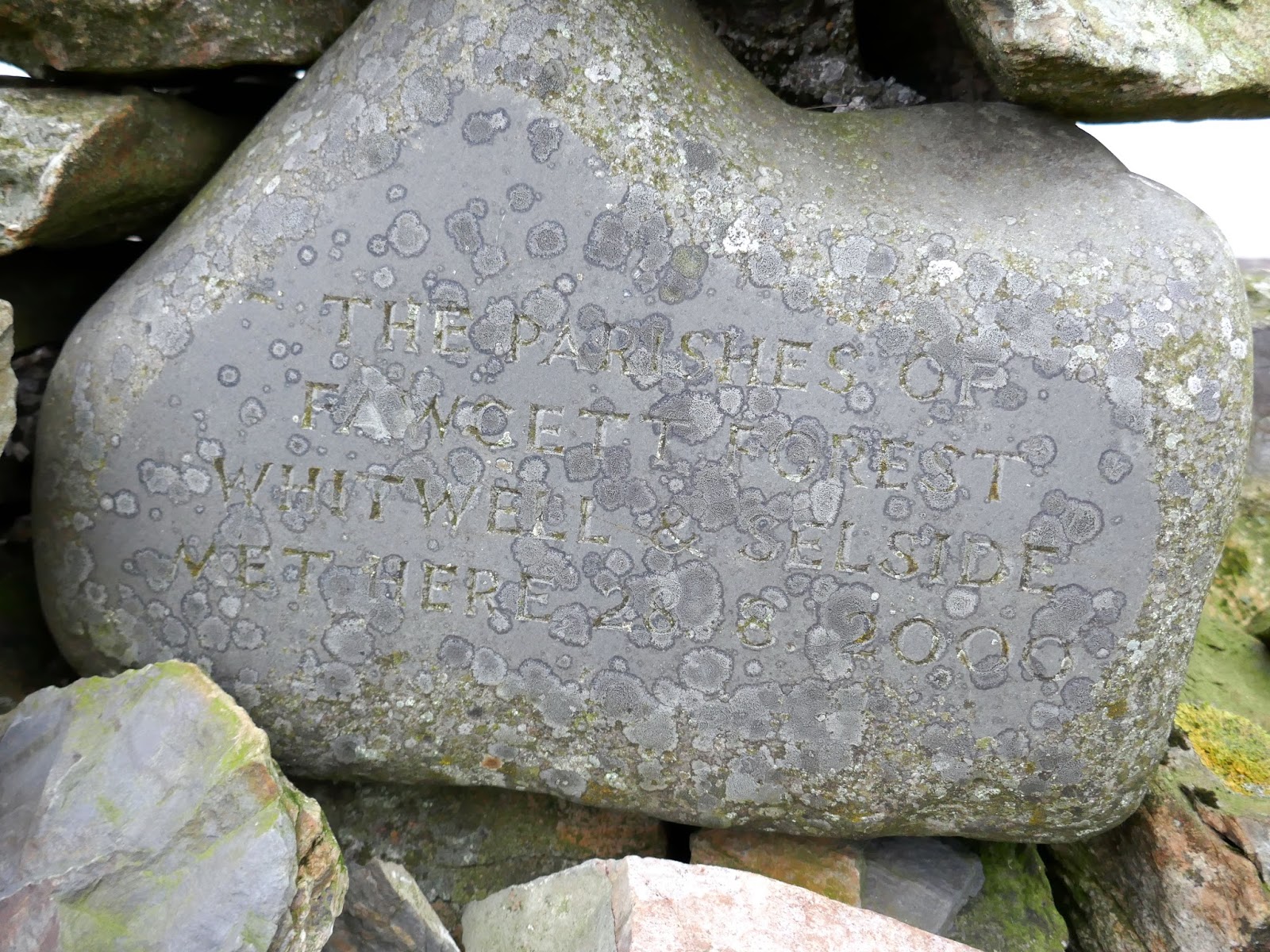
| Inscribed stone set into the cairn |
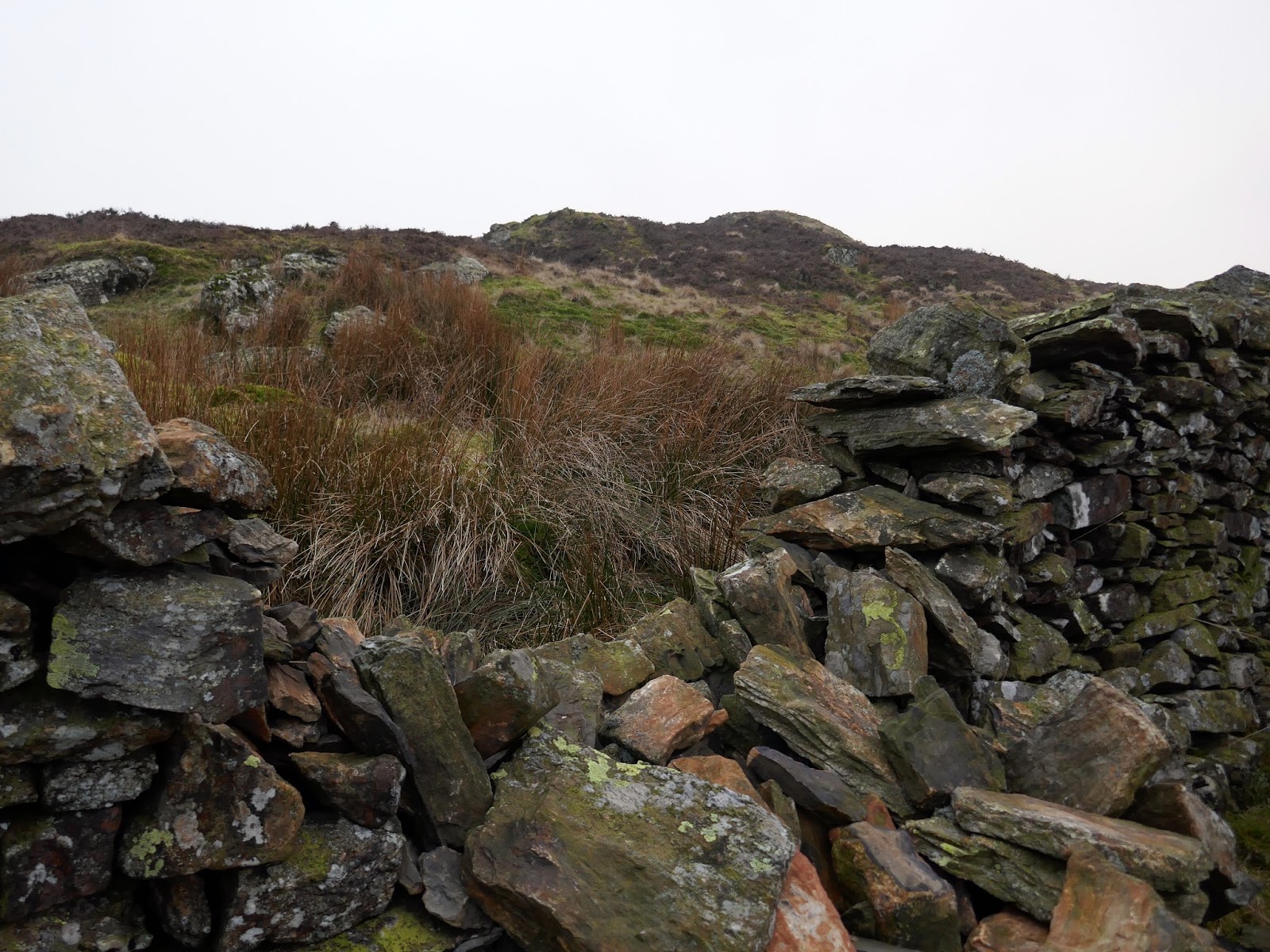
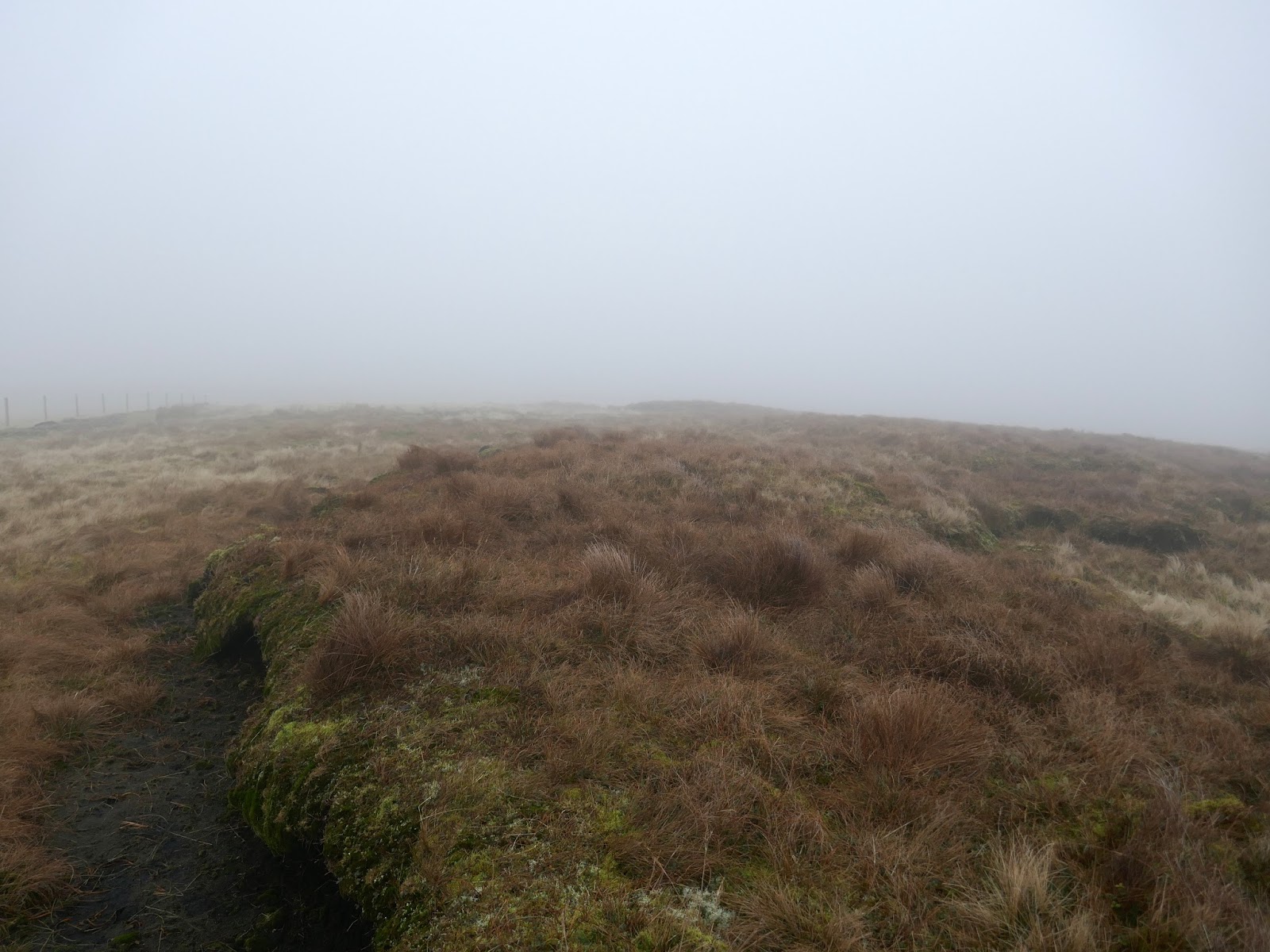
A faint path leaves Whiteside Pike, dropping into a depression before crossing a drystone wall using a ladder stile. Ahead, just visible through the mist, is Todd Fell, a small, grassy dome which favours views into Long Sleddale.
 |
| Todd Fell |
 |
| Through the wall once again. back the the fence which runs along the watershed |
 |
| Looking back to Whiteside Pike |
 |
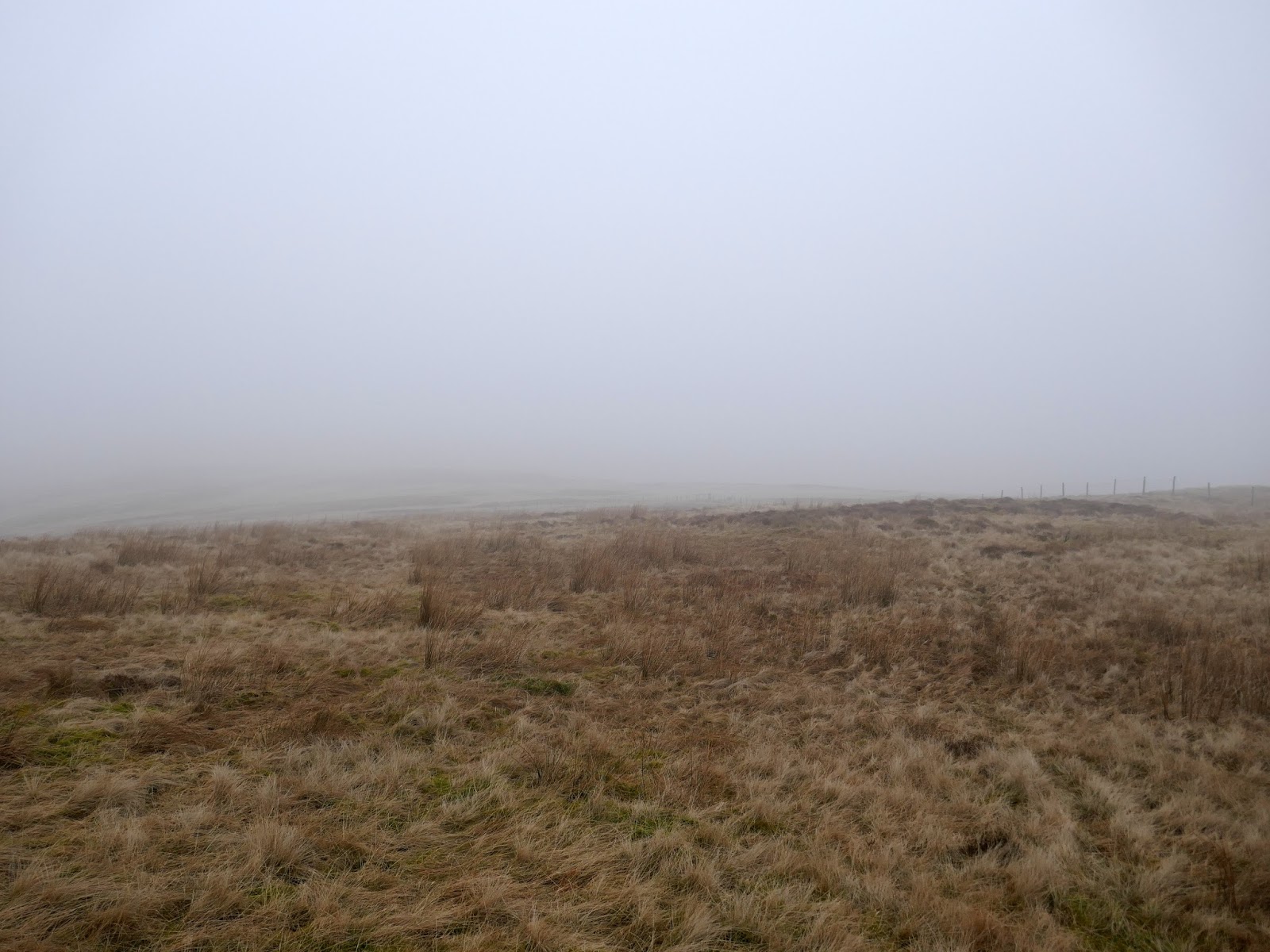
| Todd Fell’s summit – nothing to see here |
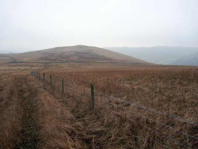
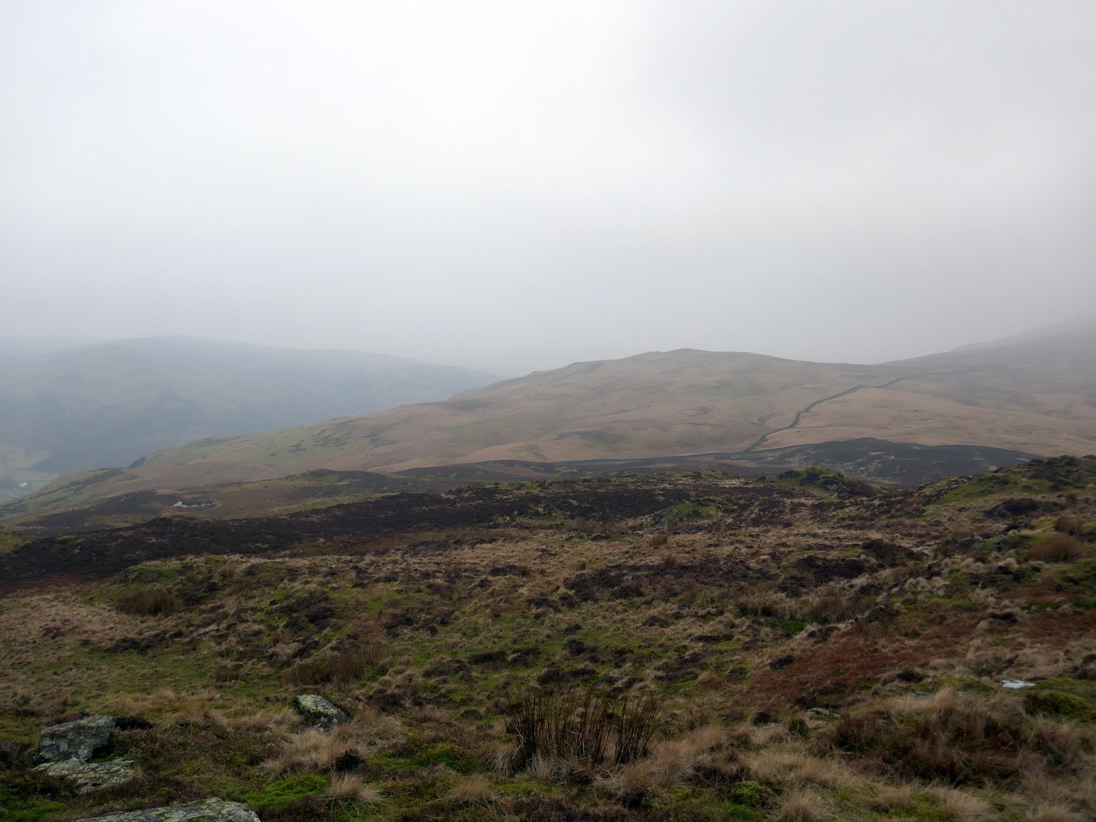
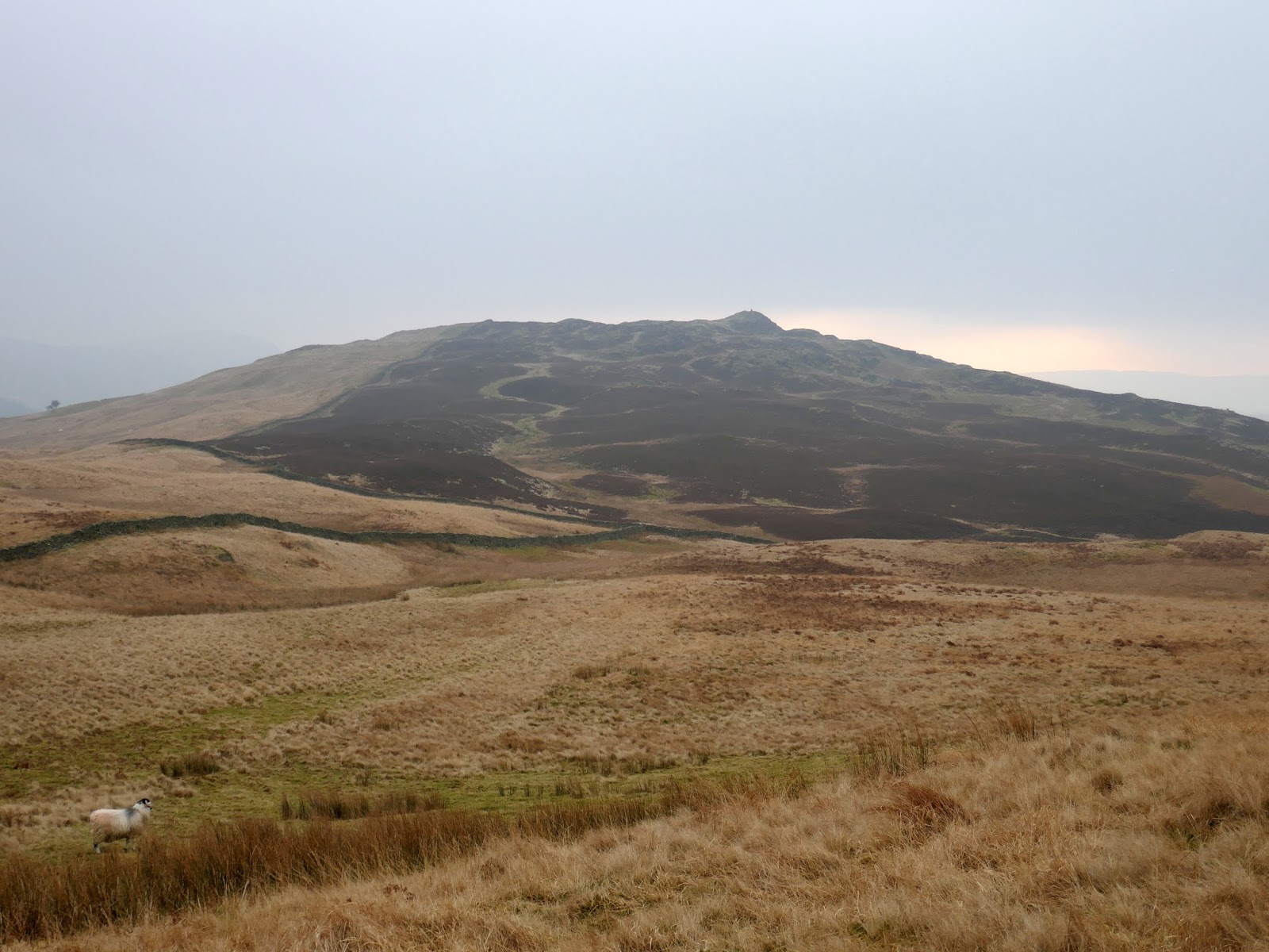
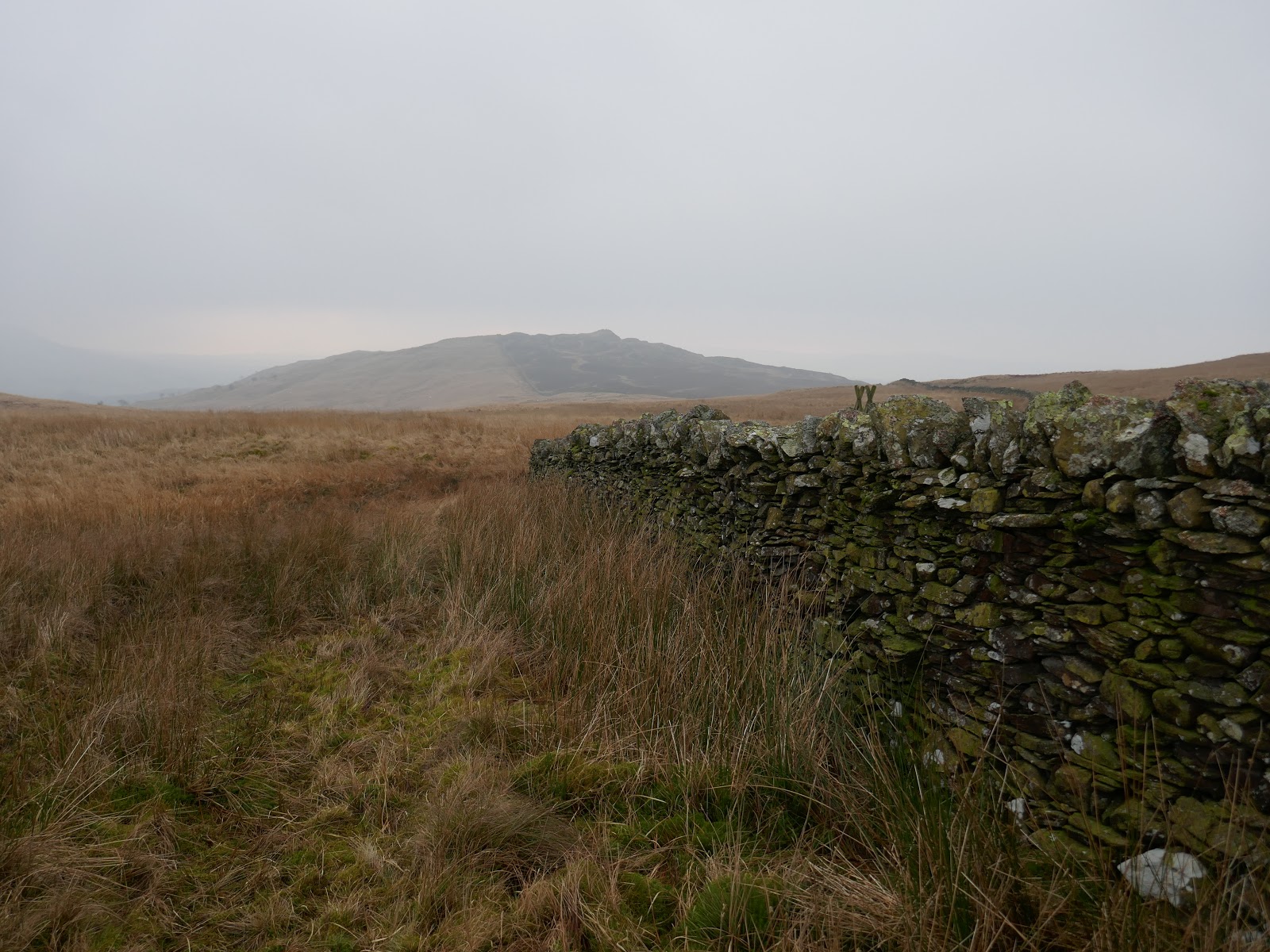
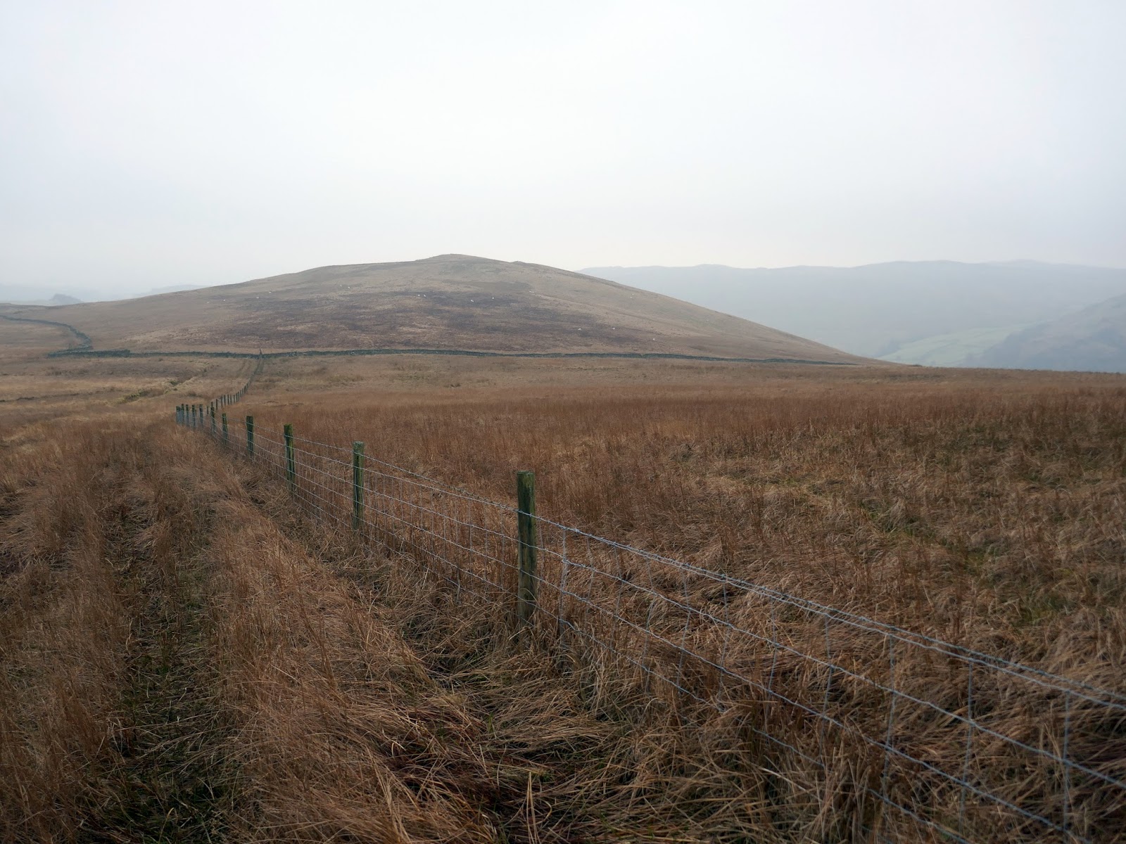
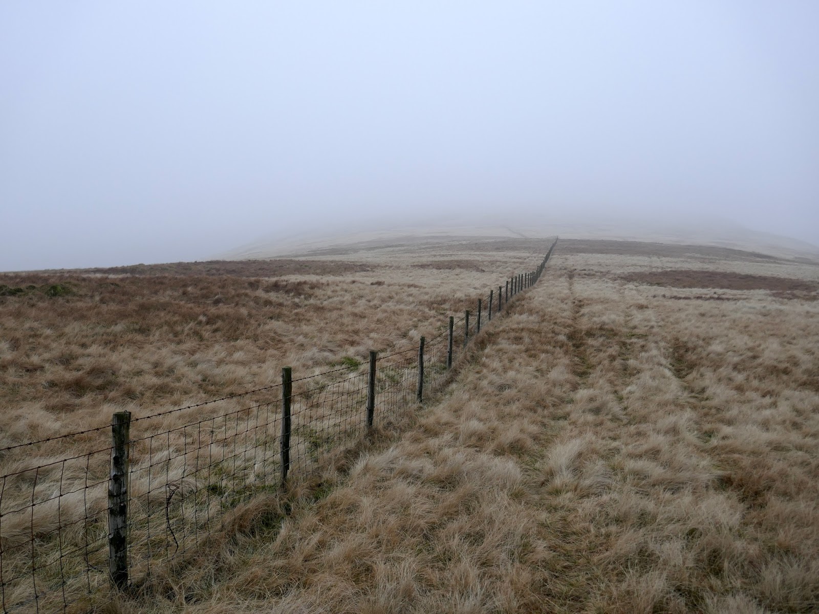
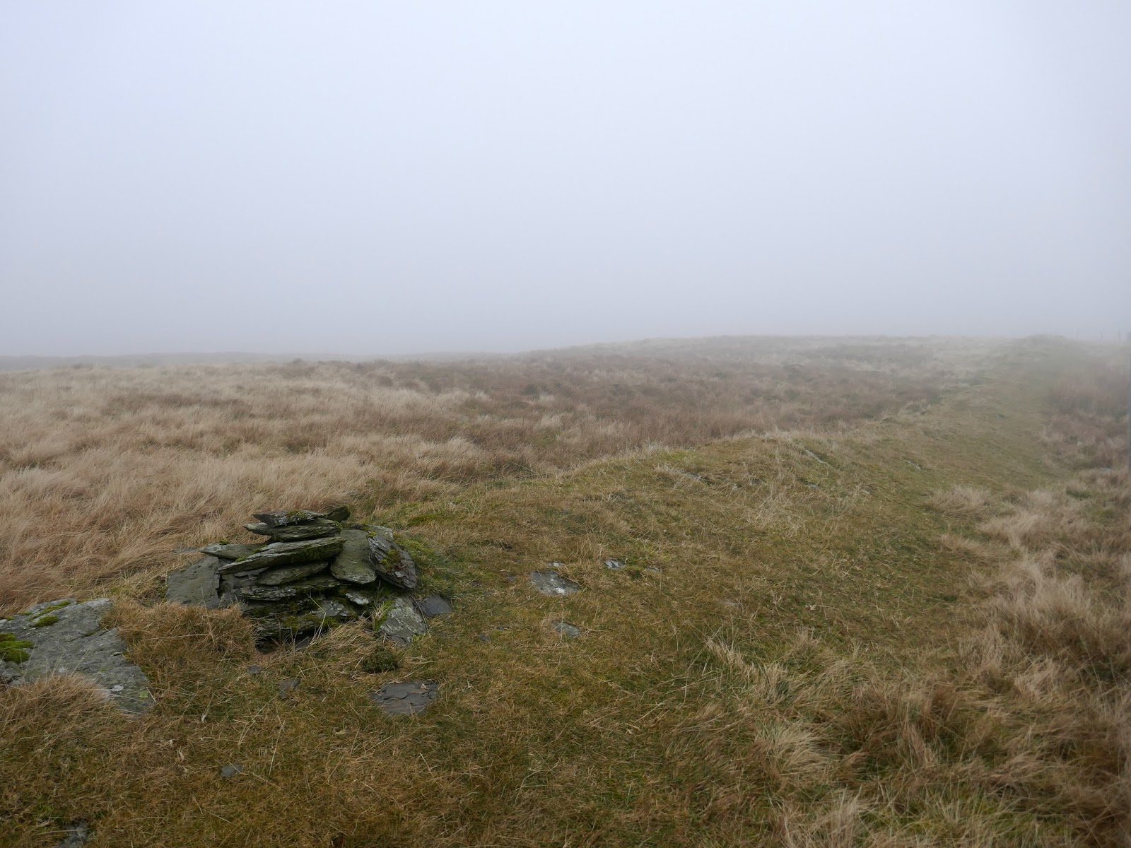
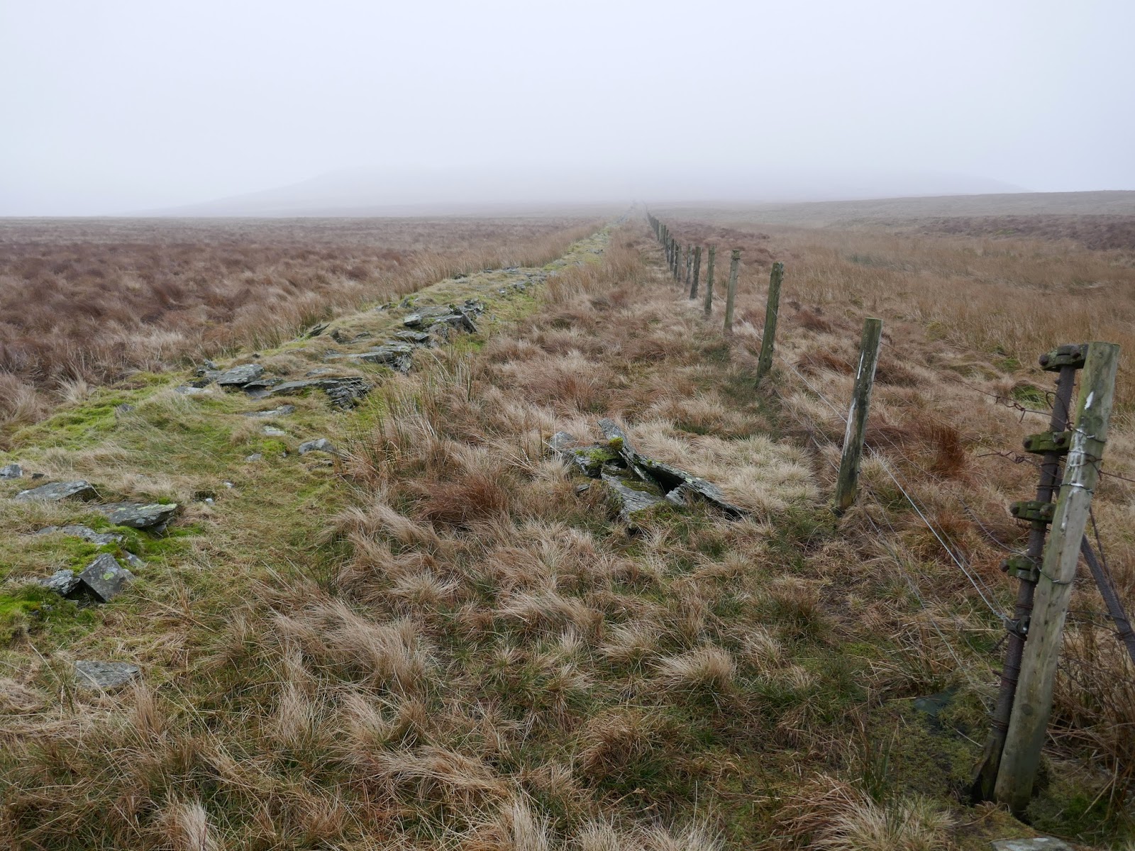
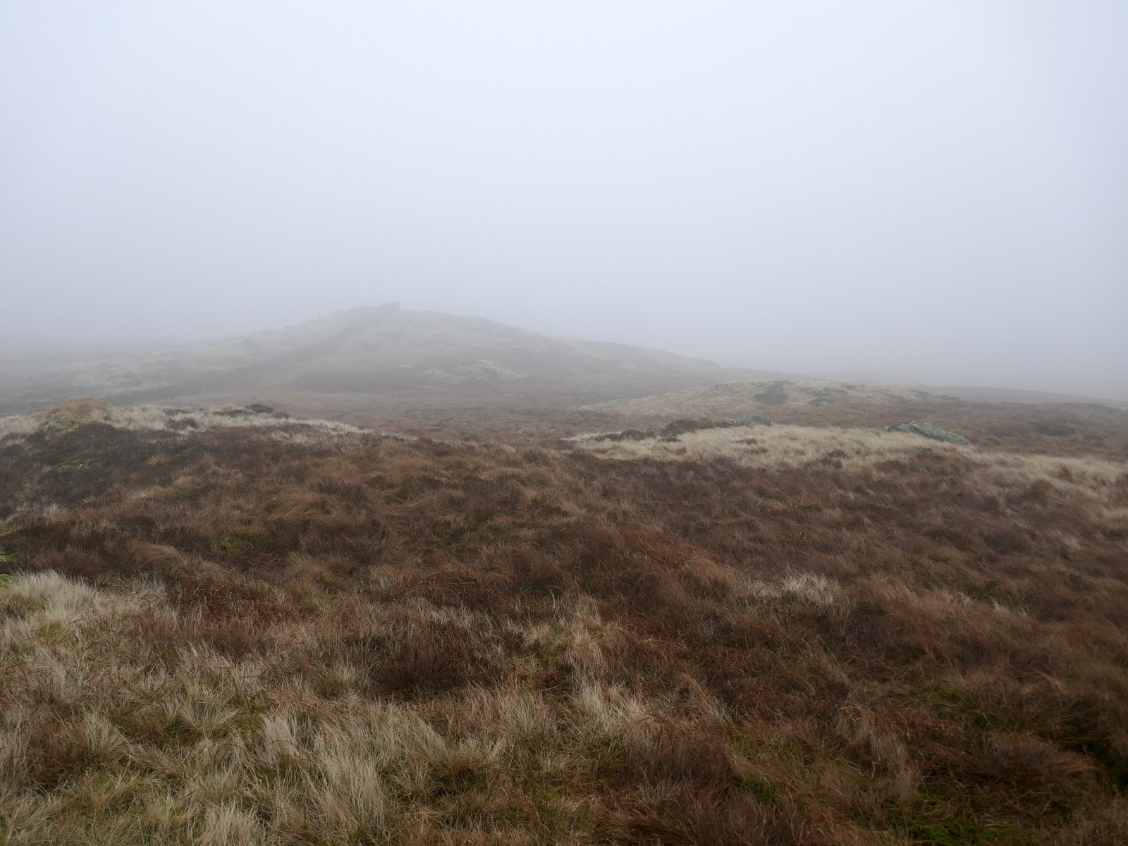
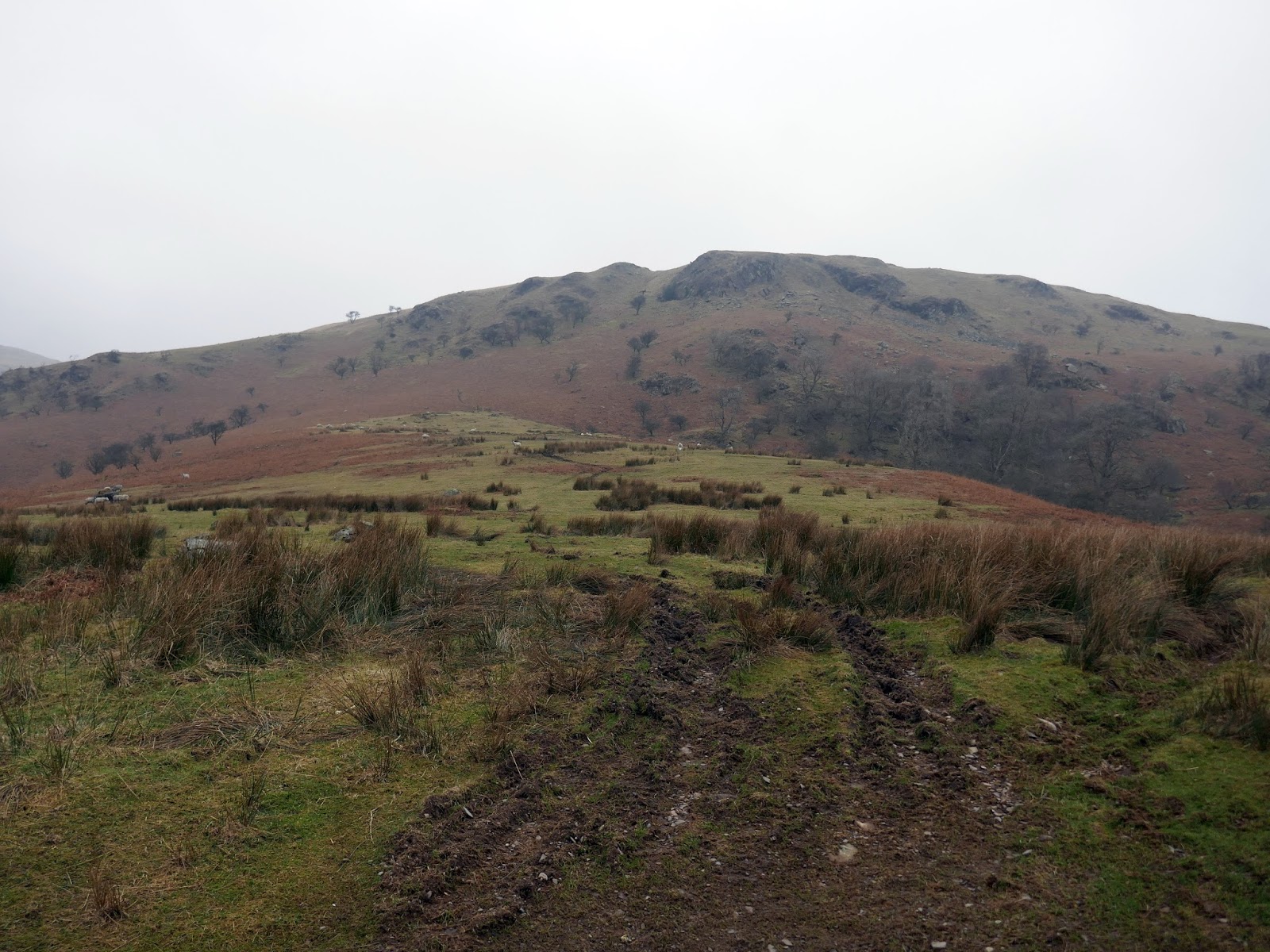
The route from Todd Fell to Capplebarrow (and for much of the rest of the walk) is straightforward enough as a fence or, in some places, drystone wall encircles the valley. A faint path follows the fence, crossing Cappelbarrow before a reaching a trio of small humps along the ridge; Swinklebank Crag, Ancrow Brow and an unnamed height at the head of the valley – confusingly called ‘Ancrow Brow’ in the Outlying Fells.
 |
| Capplebarrow in the mist |
 |
| Whiteside Pike still visible |
 |
| Todd Fell |
 |
| An old fence post |
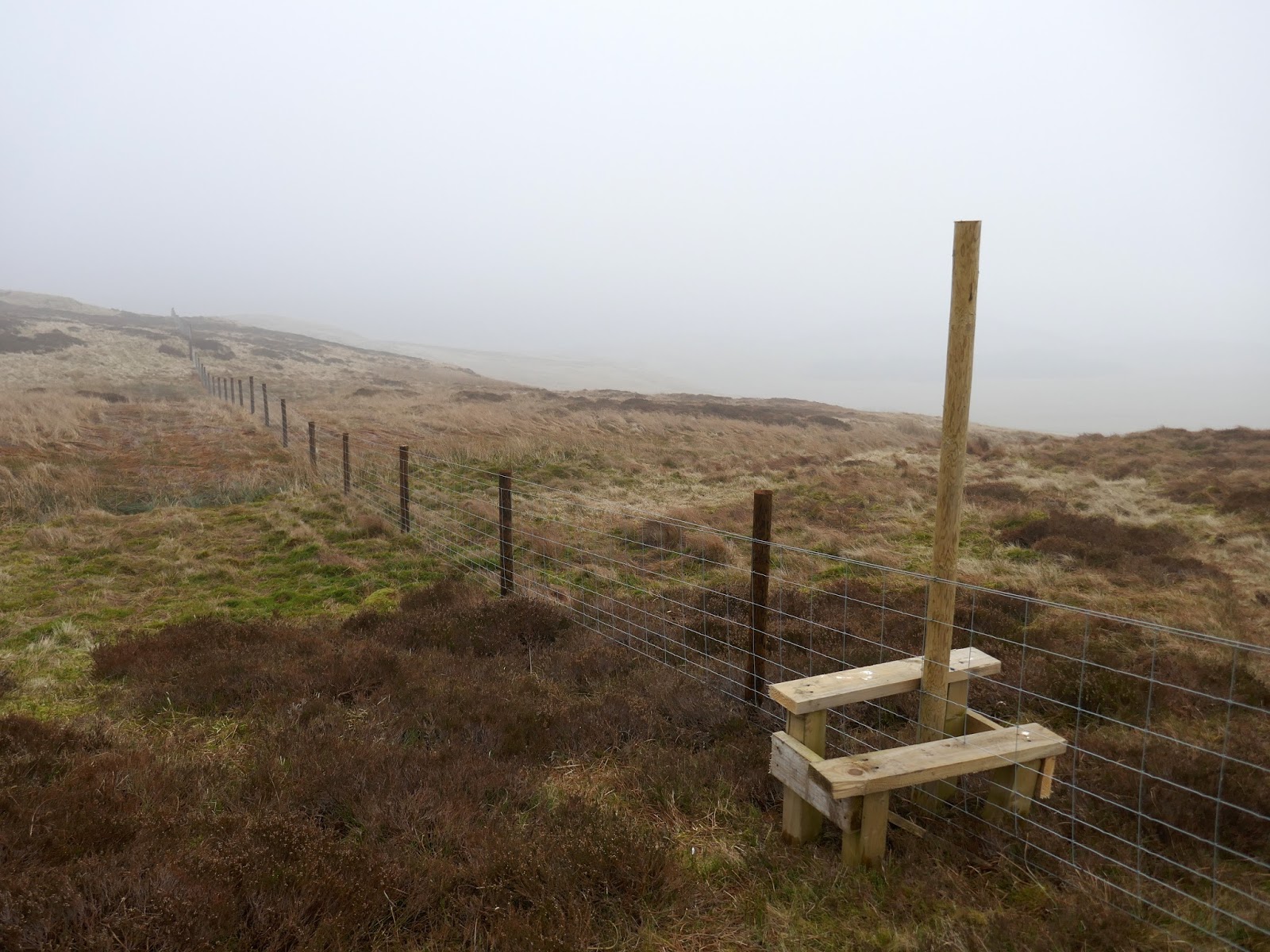
 |
| A newly constructed fence |
 |
| A peek down into Bannisdale |
 |
| Capplebarrow |
 |
| A sea of grass |
 |
| Following the fence |
 |
| Peat hags |
 |
| Swinklebank Crag |
 |
| More grass in the mist |
 |
| Ancrow Brow |
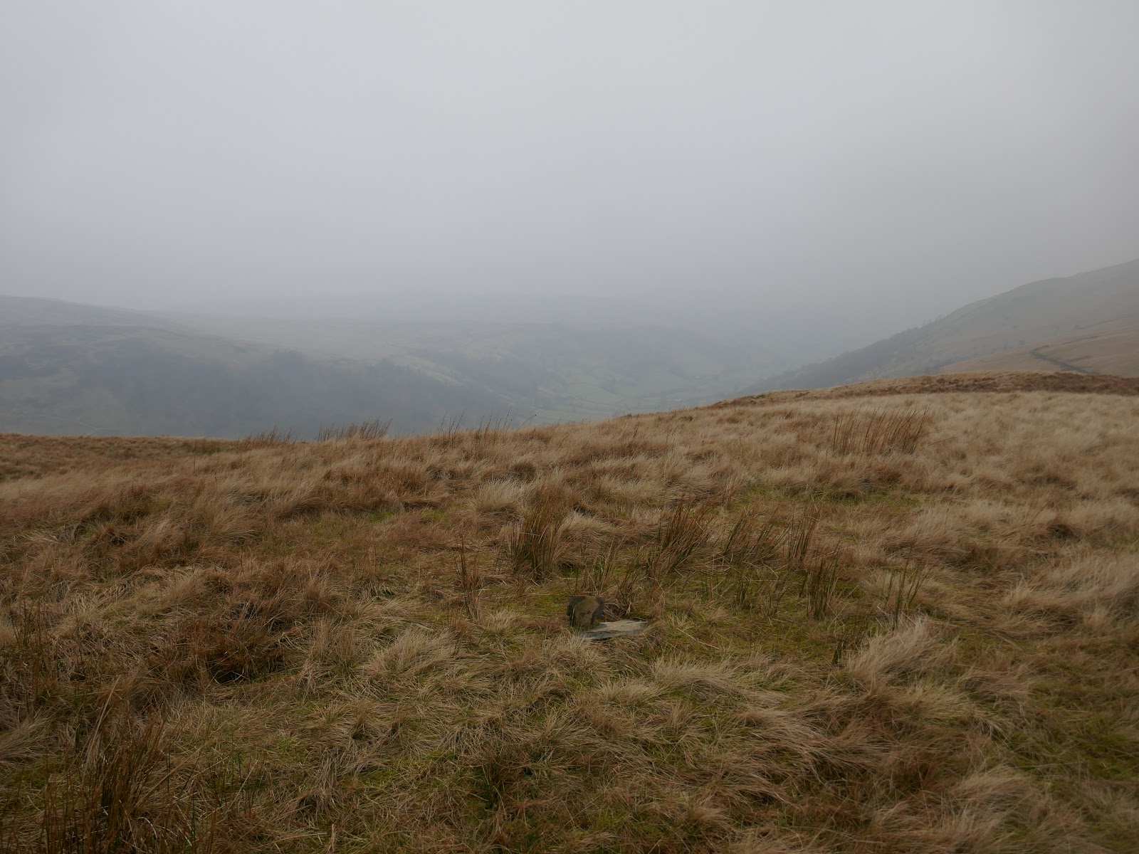
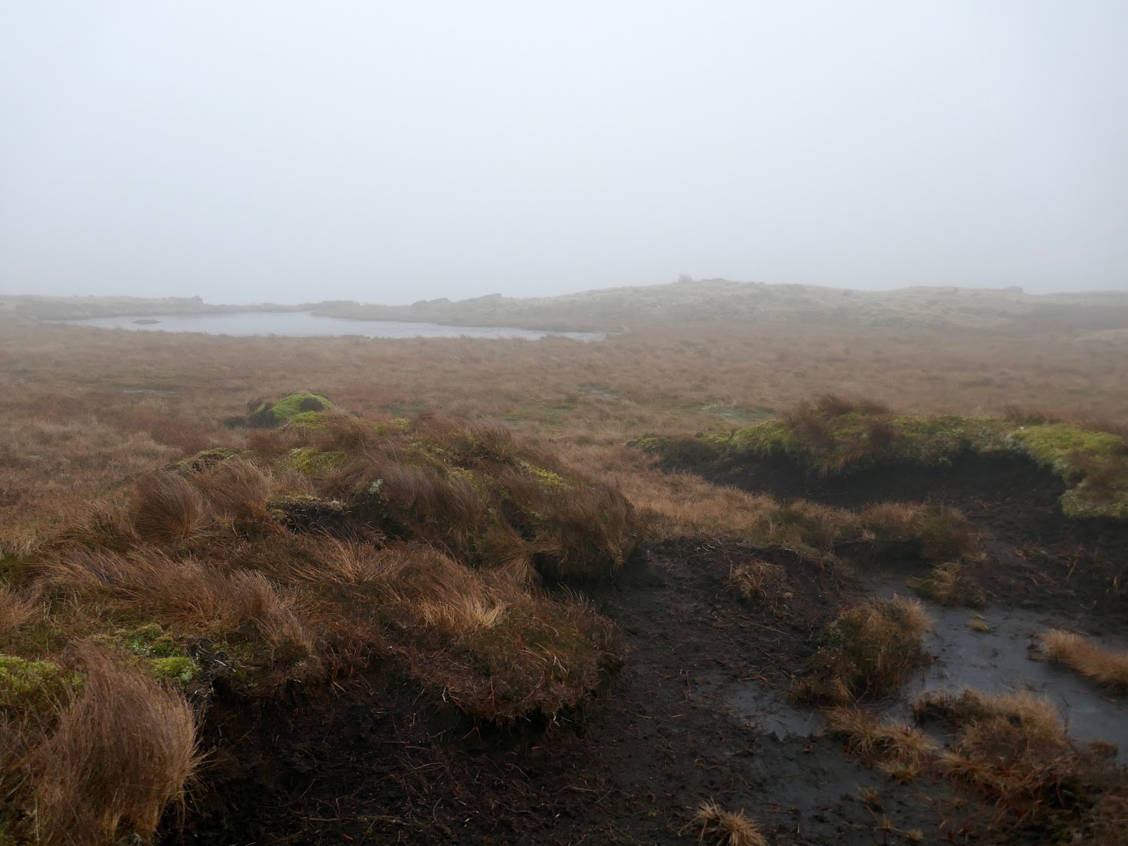
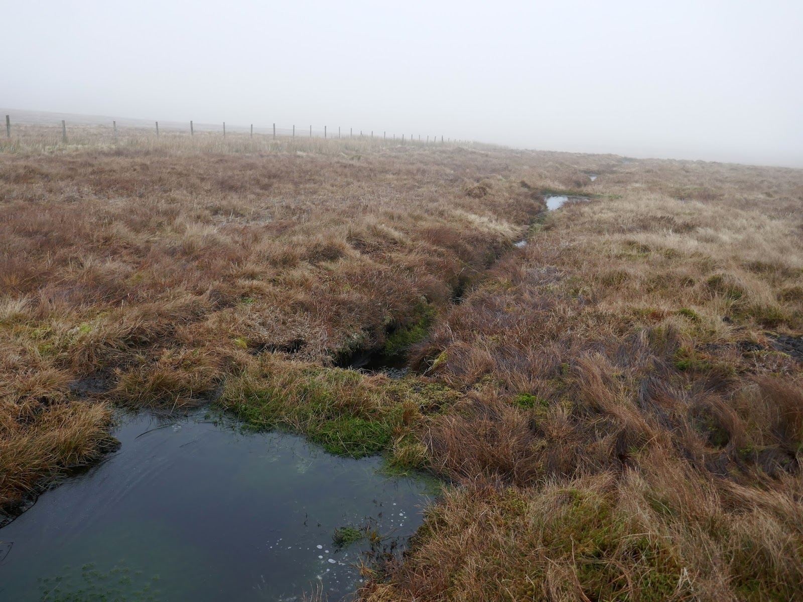
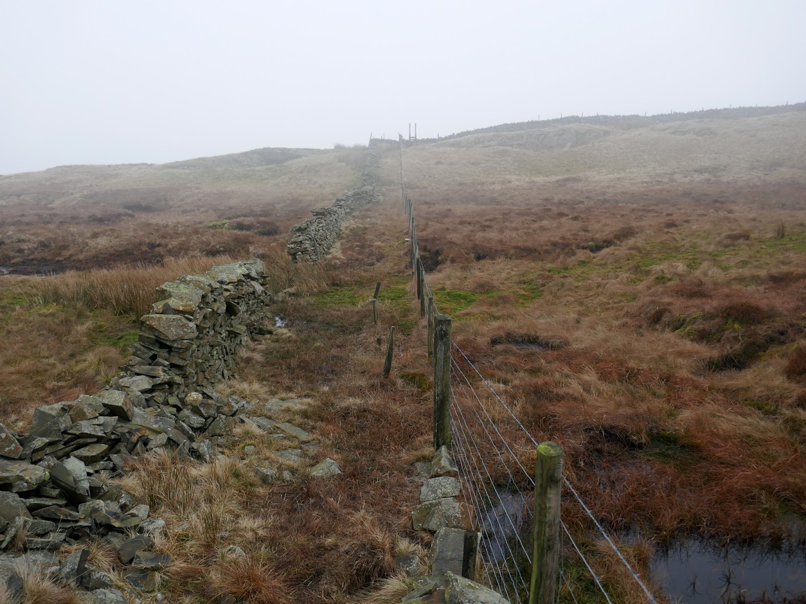
From the head of the valley, following the fence is still advised to avoid any navigational difficulties in Borrowdale Moss, an expansive area of marshy ground. In fact, I found crossing the moss was aided by the foundations of a derelict wall which acts as a dry walkway across the moss, almost as far as Long Crag, the next fell on the walk.
 |
| A curious series of dams following the wall |
 |
| The old wall leads right across Borrowdale Moss |
 |
| The expanse of Borrowdale Moss |
 |
| Approaching Long Crag |
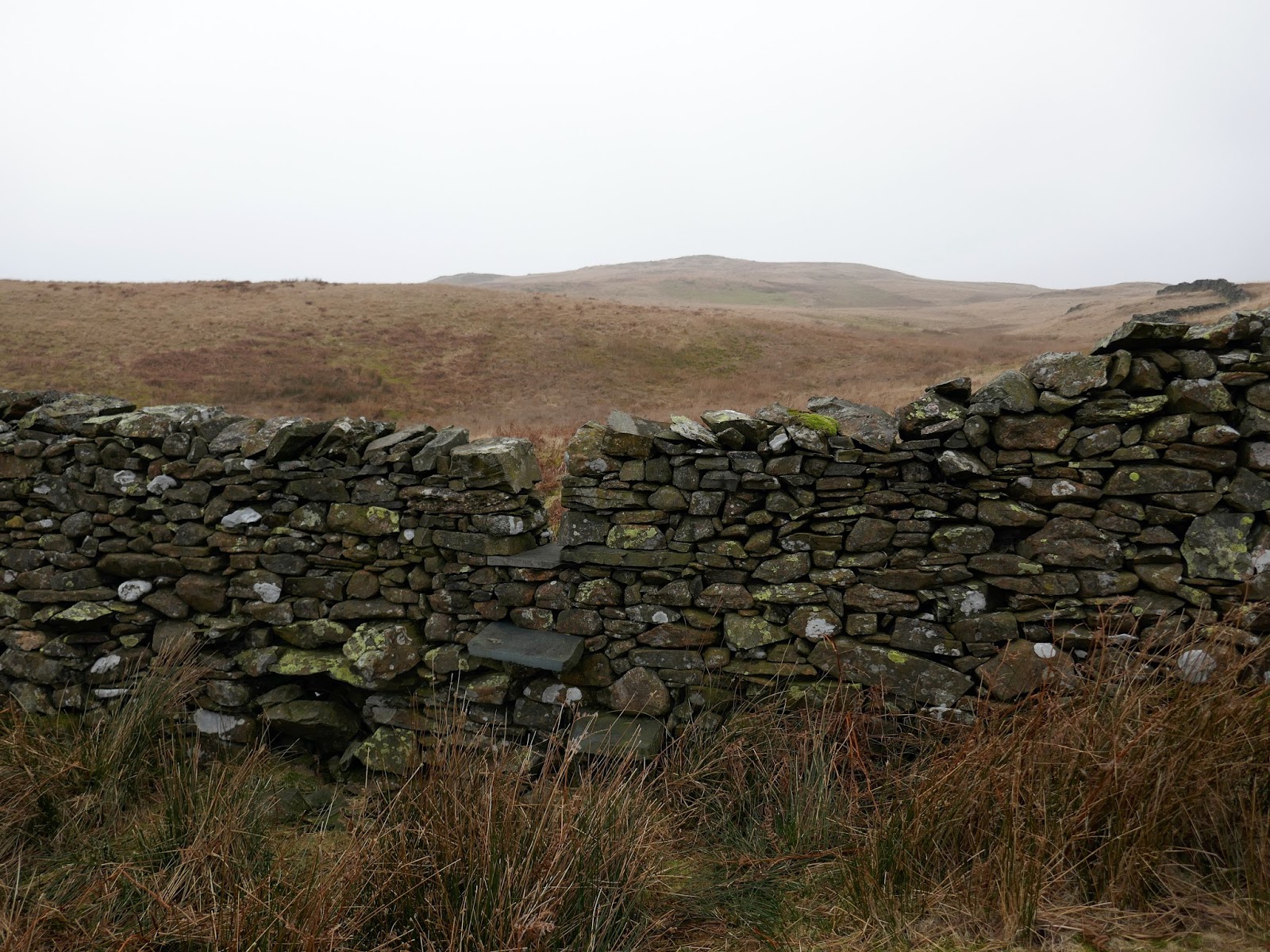
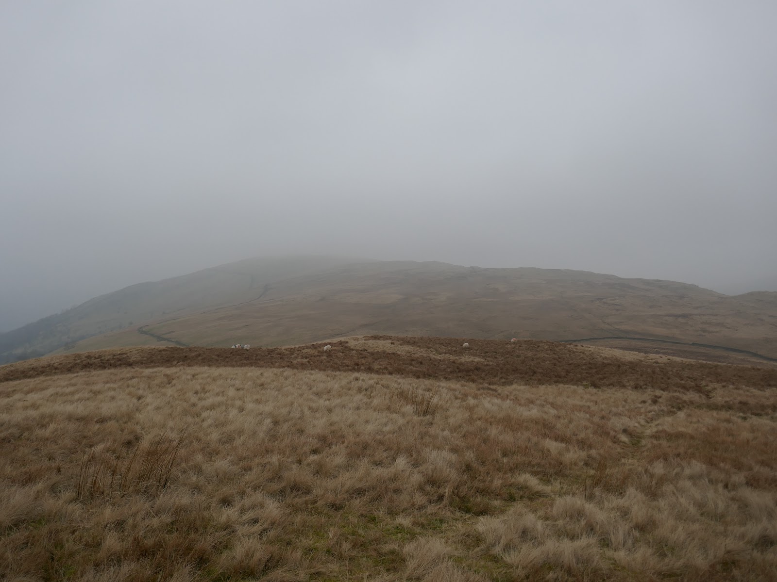
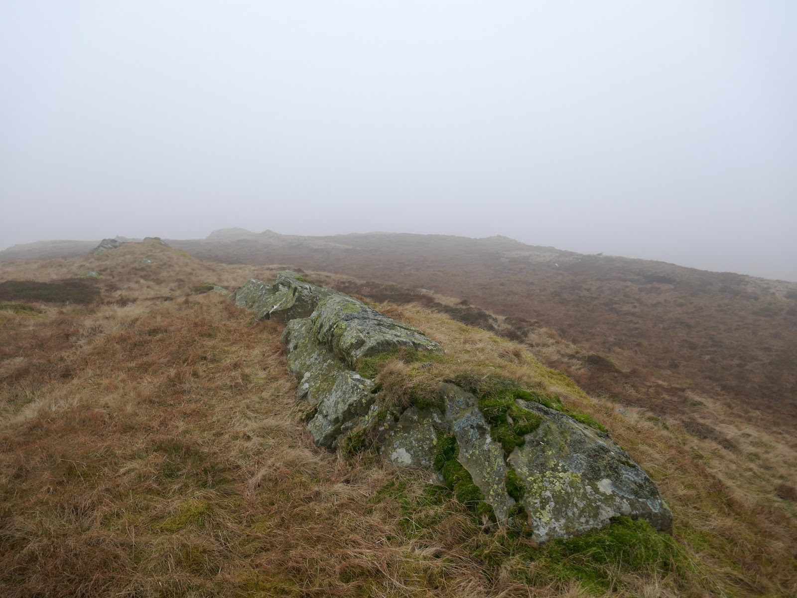
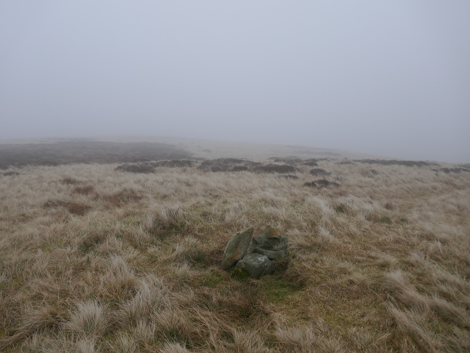
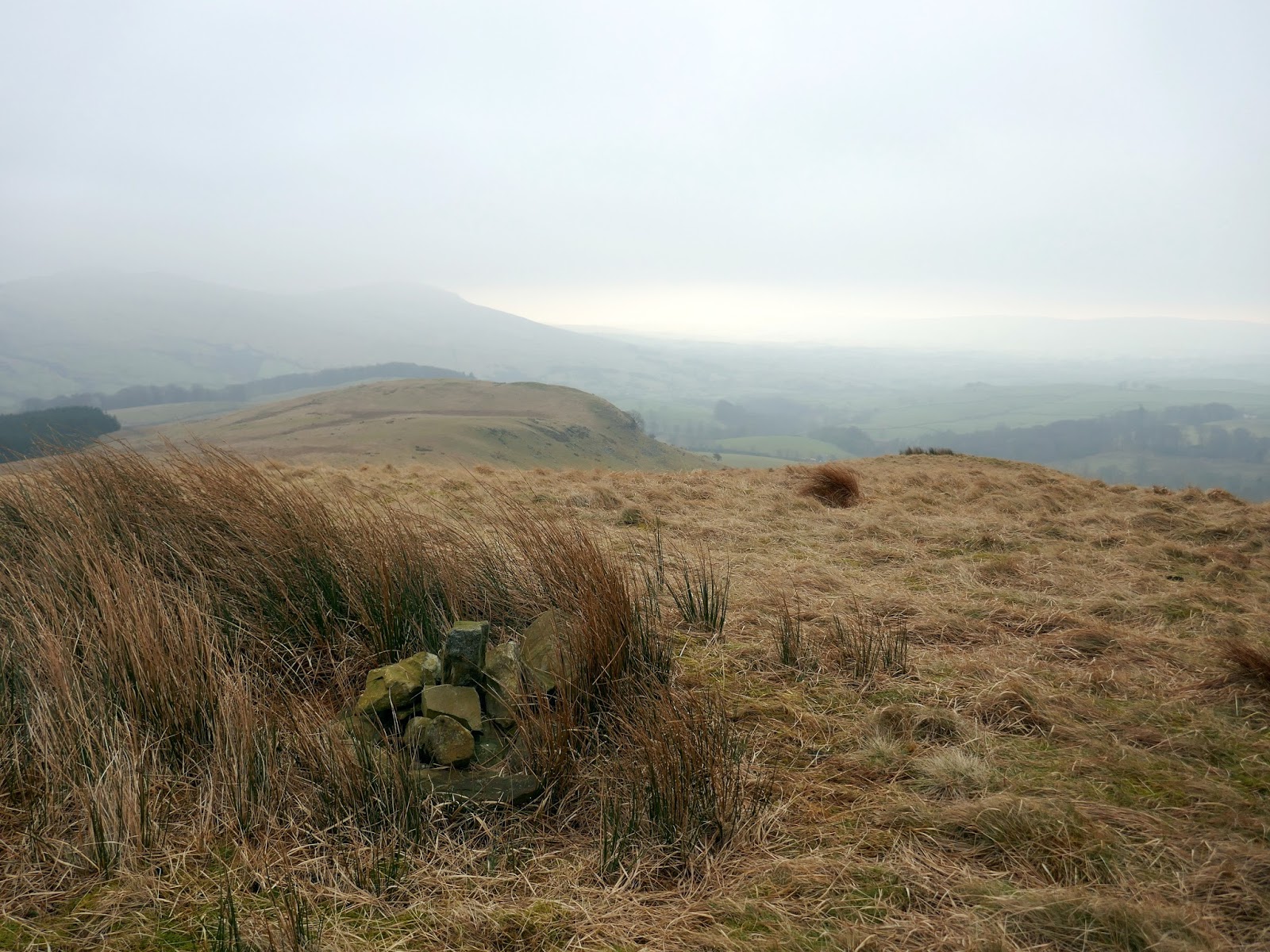
Long Crag has some very minor rocky interest – a brief distraction from the sea of grass that accompanied the walk. From Long Crag, I found it easiest to return to the fence and follow it once again before diverging to make the climb to the summit of White Howe.
 |
| Long Crag |
 |
| Returning towards the wall and White Howe |
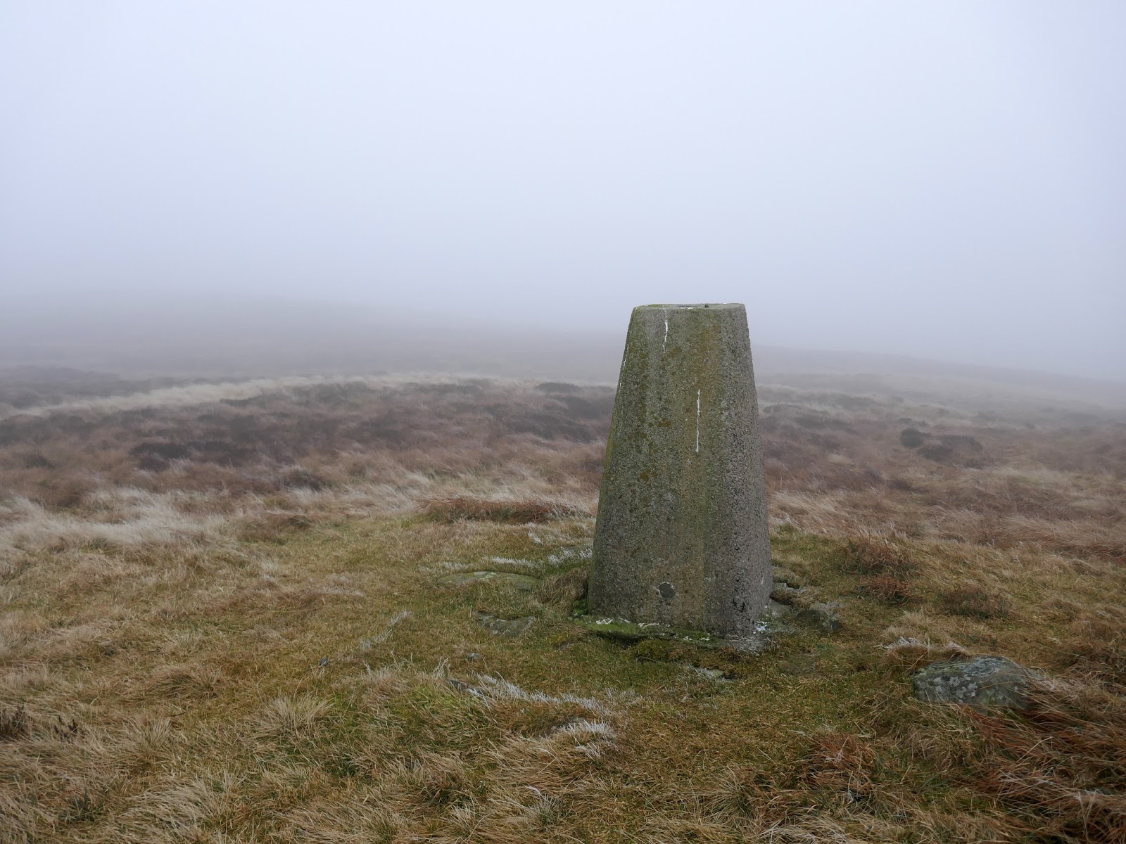
Unlike any of the hills previously, White Howe does have a trig pillar despite not being the highest of the group. On a good day, the Howgills form a prominent part of the view.
 |
| White Howe |
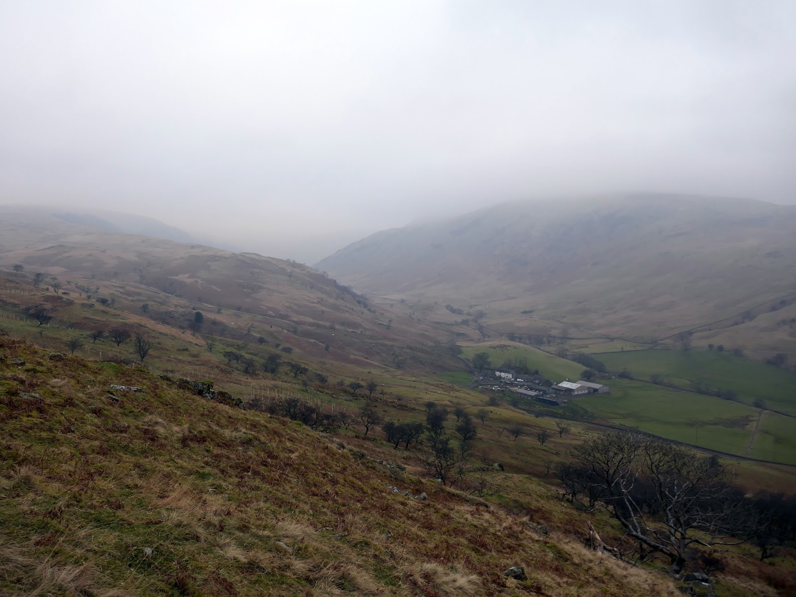
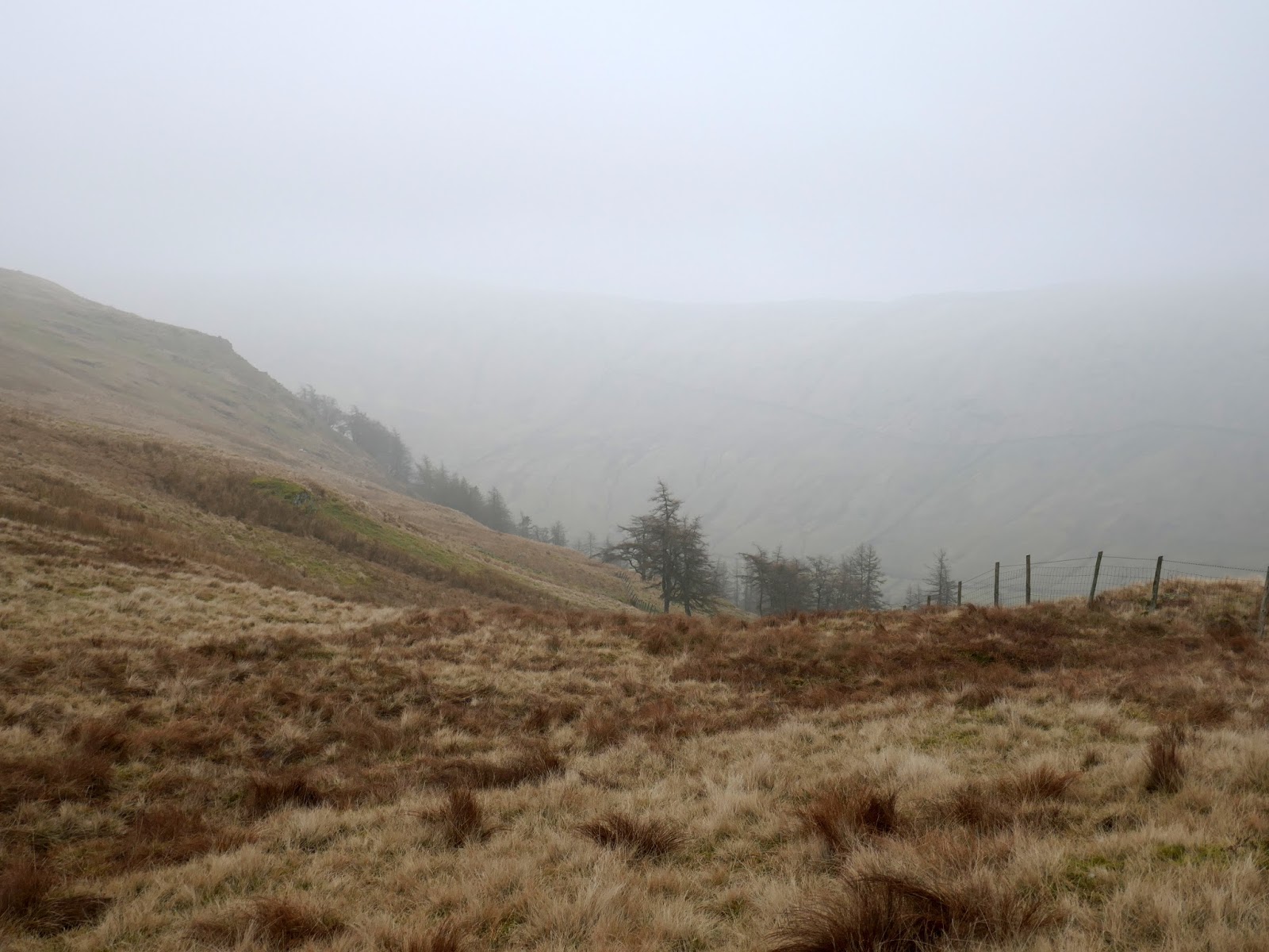
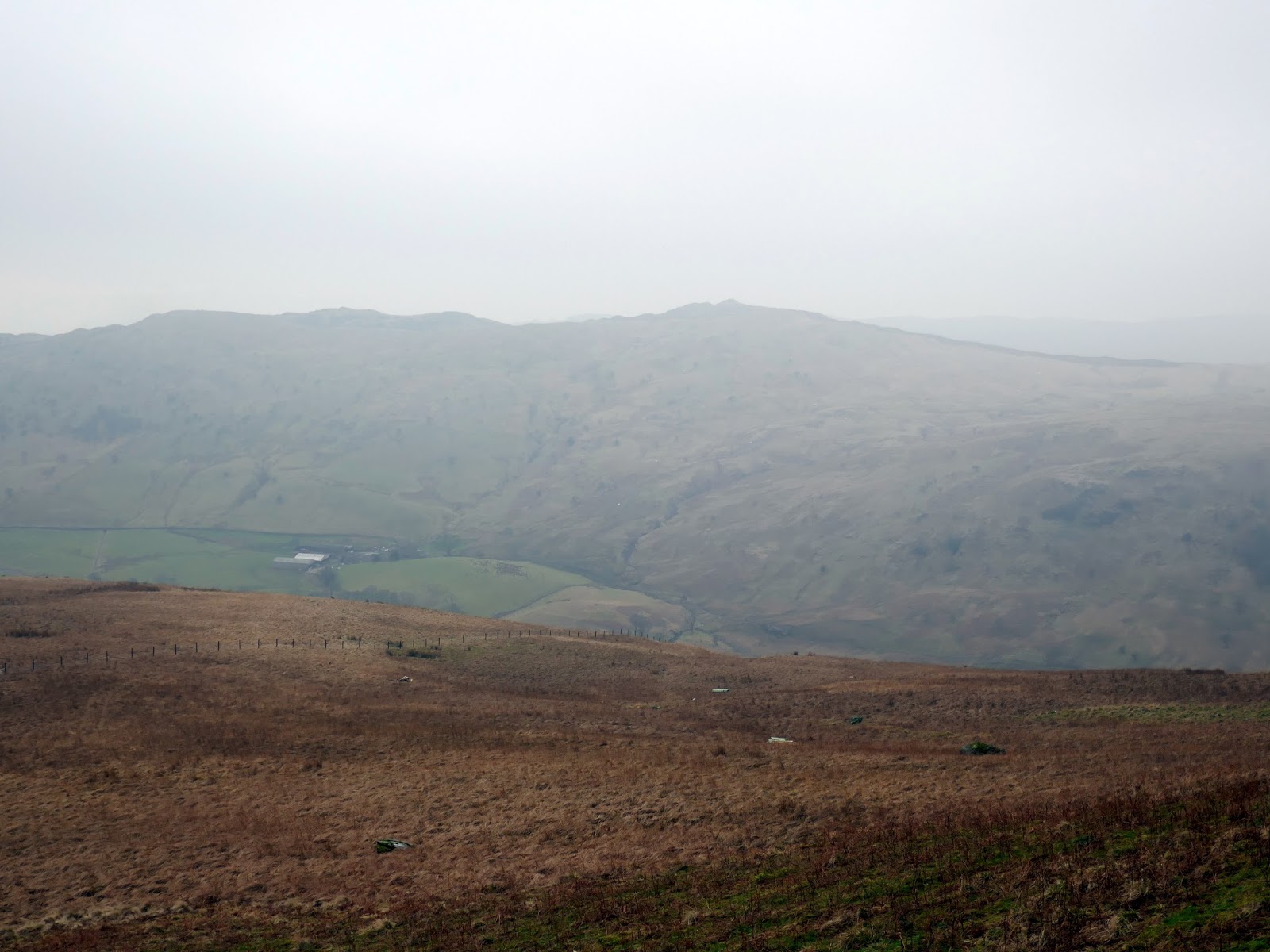
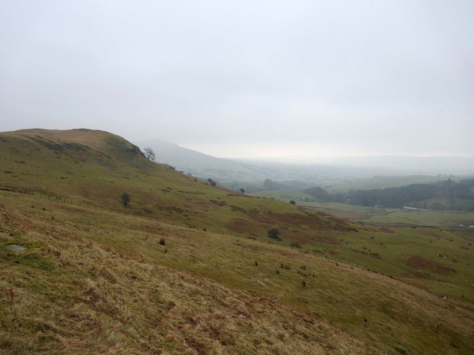
After miles of relatively easy walking a final short climb over The Forest is required before a steep descent towards Priest Gill where things began to get a little boggier though I finally managed to get back below the clouds. The diminutive Lamb Pasture is the final fell on the round and is easily accessed after negotiating a few farm gates.
 |
| A wall separates White Howe from The Forest |
 |
| The Forest |
 |
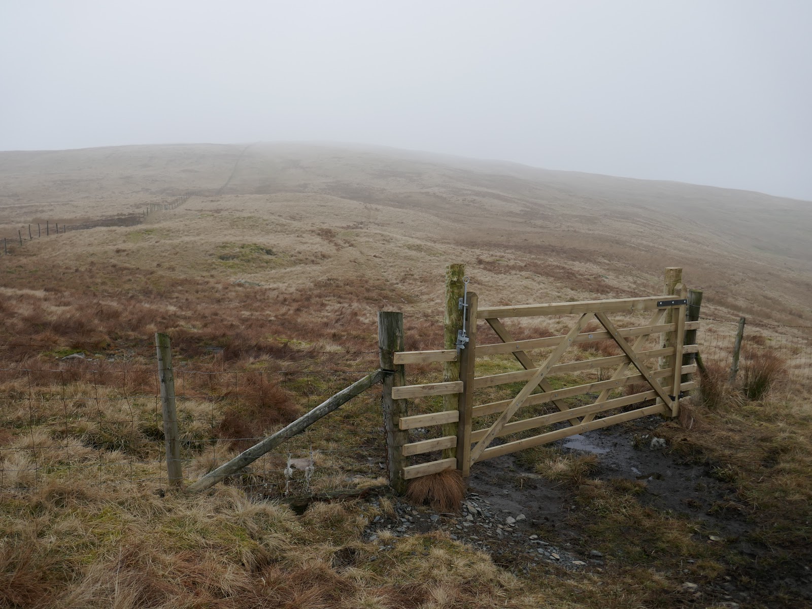
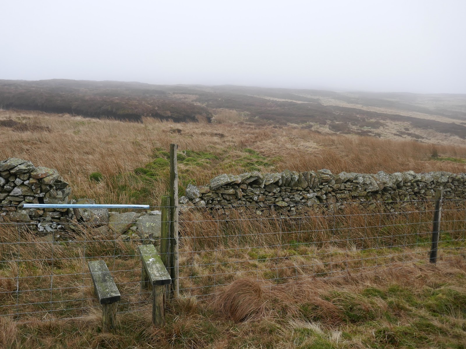
| A new stile allows easy crossing of the fence after The Forest |
 |
| Theview start to emerge once again |
 |
| Whiteside Pike |
 |
| Looking back up to The Forest |
 |
| Bannisdale |
 |
| The Forest |
 |
| Lamb Pasture |
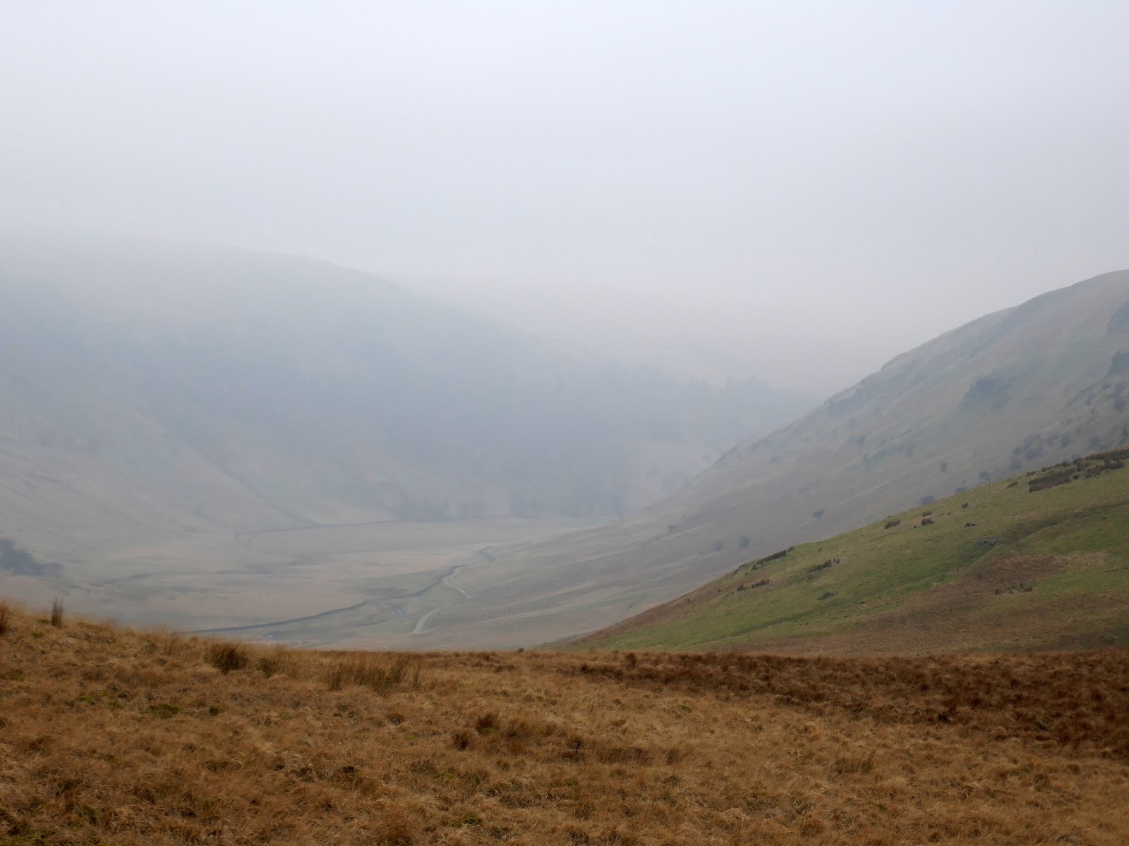
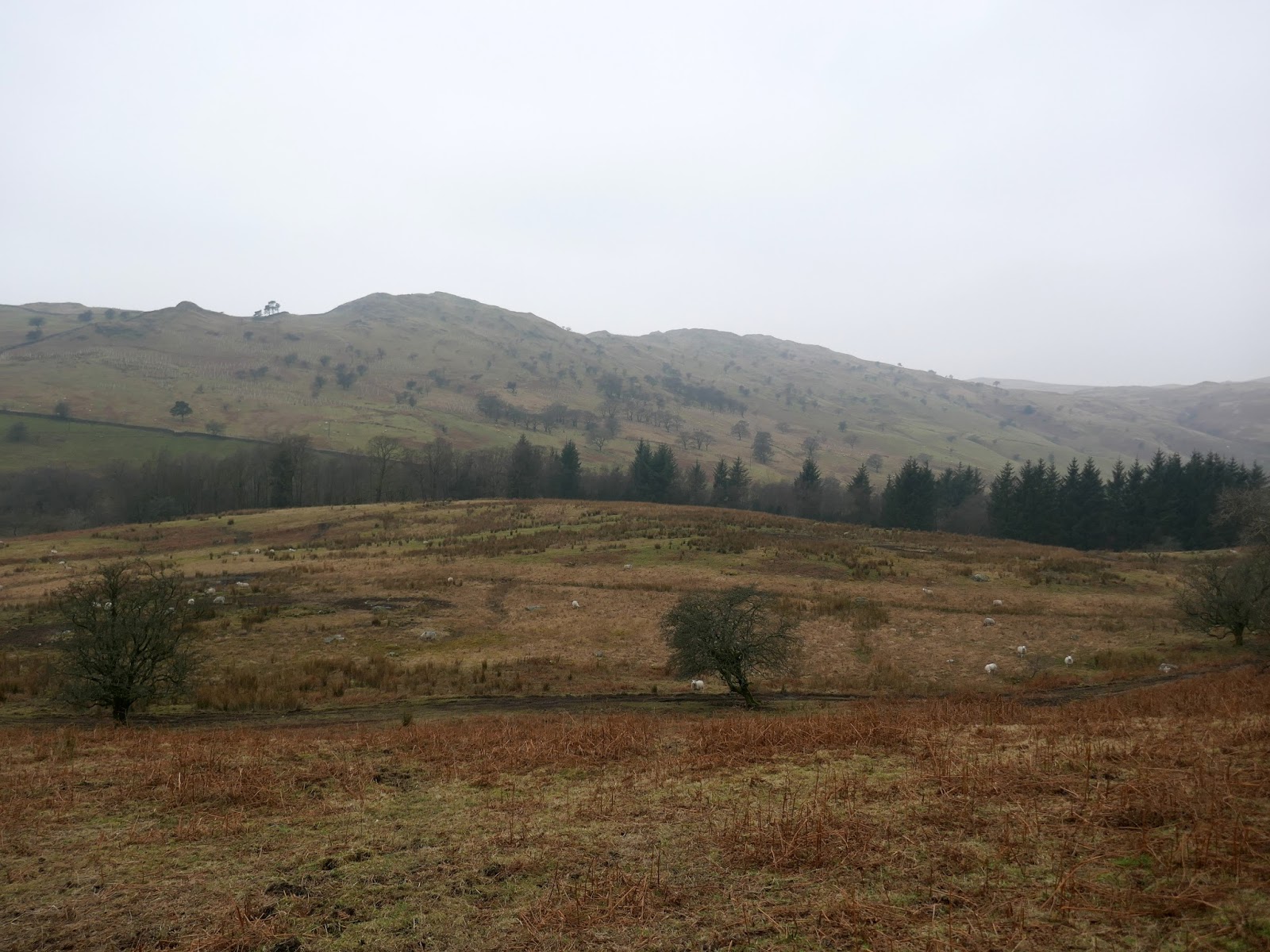
Lamb Pasture stands directly above Dryhowe Bridge through a line of small crags makes a direct descent tricky. Instead, skirting the crags to the south-east leads to easier ground and a descent to a farm track which ultimately leads to the bridge and the car, seemingly undisturbed in its space at the layby.
 |
| Looking out towards the River Mint |
 |
| Whiteside Pike |
 |
| Lamb Pasture |
 |
| Whinfell Common |
 |
| Dryhowe Bridge |
So, there is a brief introduction to the Shap Fells – probably an area that is best explored on a brighter day to add some interest to the miles of grass. I can’t say that this was a particularly memorable walk thanks to the weather but not bad for an early 2018 outing.

