Open Space Web-Map builder Codehttps://openspace.ordnancesurvey.co.uk/osmapapi/openspace.js?key=3119F72552FD5C22E0530C6CA40A5A92https://openspace.ordnancesurvey.co.uk/osmapapi/script/mapbuilder/basicmap.jshttps://openspace.ordnancesurvey.co.uk/osmapapi/script/mapbuilder/searchbox.js//variables for routes var linesLayer, points, lineFeature, lineString, routeMarkersLayer, routepos, routesize, routeoffset, routeicon; var style_blue = {strokeColor: “#0000CD”, strokeOpacity: 0.5, strokeWidth: 4.5}; function initmapbuilder() { //initiate the map var options = {resolutions: [2500, 1000, 500, 200, 100, 50, 25, 10, 5, 4, 2.5, 2, 1]}; osMap = new OpenSpace.Map(‘map’, options); //configure map options (basicmap.js) setglobaloptions(); //set the center of the map and the zoom level osMap.setCenter(new OpenSpace.MapPoint(425129.5,382767.5),7); linesLayer = osMap.getVectorLayer(); // Set up layer for route markers routeMarkersLayer = new OpenLayers.Layer.Markers(“Route Markers”); //make a route points = new Array(); points.push(new OpenLayers.Geometry.Point(423732,383685)); points.push(new OpenLayers.Geometry.Point(423882,383650)); points.push(new OpenLayers.Geometry.Point(423872,383785)); points.push(new OpenLayers.Geometry.Point(423952,383910)); points.push(new OpenLayers.Geometry.Point(423972,384045)); points.push(new OpenLayers.Geometry.Point(423972,384270)); points.push(new OpenLayers.Geometry.Point(423927,384470)); points.push(new OpenLayers.Geometry.Point(424212,384000)); points.push(new OpenLayers.Geometry.Point(424362,383730)); points.push(new OpenLayers.Geometry.Point(424577,383345)); points.push(new OpenLayers.Geometry.Point(425042,383040)); points.push(new OpenLayers.Geometry.Point(425252,383075)); points.push(new OpenLayers.Geometry.Point(425457,383005)); points.push(new OpenLayers.Geometry.Point(425672,382940)); points.push(new OpenLayers.Geometry.Point(425872,382985)); points.push(new OpenLayers.Geometry.Point(426087,382990)); points.push(new OpenLayers.Geometry.Point(426197,382990)); points.push(new OpenLayers.Geometry.Point(426292,382940)); points.push(new OpenLayers.Geometry.Point(426517,382630)); points.push(new OpenLayers.Geometry.Point(426767,382335)); points.push(new OpenLayers.Geometry.Point(426892,382120)); points.push(new OpenLayers.Geometry.Point(426887,381830)); points.push(new OpenLayers.Geometry.Point(426862,381695)); points.push(new OpenLayers.Geometry.Point(427082,381505)); points.push(new OpenLayers.Geometry.Point(426917,381510)); points.push(new OpenLayers.Geometry.Point(426682,381485)); points.push(new OpenLayers.Geometry.Point(426327,381430)); points.push(new OpenLayers.Geometry.Point(426132,381455)); points.push(new OpenLayers.Geometry.Point(425997,381520)); points.push(new OpenLayers.Geometry.Point(425847,381565)); points.push(new OpenLayers.Geometry.Point(425902,381450)); points.push(new OpenLayers.Geometry.Point(425787,381775)); points.push(new OpenLayers.Geometry.Point(425697,381970)); points.push(new OpenLayers.Geometry.Point(425632,382290)); points.push(new OpenLayers.Geometry.Point(425322,382575)); points.push(new OpenLayers.Geometry.Point(425222,382652.5)); points.push(new OpenLayers.Geometry.Point(425097,382807.5)); points.push(new OpenLayers.Geometry.Point(424969.5,382887.5)); points.push(new OpenLayers.Geometry.Point(424782,382932.5)); points.push(new OpenLayers.Geometry.Point(424617,382930)); points.push(new OpenLayers.Geometry.Point(424502,382867.5)); points.push(new OpenLayers.Geometry.Point(424352,383080)); points.push(new OpenLayers.Geometry.Point(424014.5,383552.5)); points.push(new OpenLayers.Geometry.Point(424022,383587.5)); points.push(new OpenLayers.Geometry.Point(423979.5,383627.5)); points.push(new OpenLayers.Geometry.Point(423934.5,383655)); points.push(new OpenLayers.Geometry.Point(423814.5,383672.5)); points.push(new OpenLayers.Geometry.Point(423732,383685)); // create a polyline feature from the array of points lineString = new OpenLayers.Geometry.LineString(points); lineFeature = new OpenLayers.Feature.Vector(lineString, null, style_blue); linesLayer.addFeatures([lineFeature]); //crate a route start/end marker routepos = new OpenSpace.MapPoint(423732,383685); routesize = new OpenLayers.Size(33,45); routeoffset = new OpenLayers.Pixel(-5,-37); routeicon = new OpenSpace.Icon(‘https://openspace.ordnancesurvey.co.uk/osmapapi/img_versions/img_1.1/mapbuilder/routemarker-startend.png’, routesize, routeoffset, null, null); routeMarkersLayer.addMarker(new OpenLayers.Marker(routepos, routeicon)); osMap.addLayer(routeMarkersLayer);}
Route: Stanage Plantation, Sheffield Country Walk, Stanage Edge, Robin Hood’s Cave, White Path Moss, Cowper Stone, Cam Height, Upper Burbage Bridge, Burbage Rocks, Burbage Brook, Carl Wark, Higger Tor, Callow Bank, Overstones Farm, Hook’s Car, Stanage Plantation
Date: 07/01/2018
From: Stanage Plantation
Parking: Stanage Plantation
Start Point: Stanage Plantation
Region: Peak District – Dark Peak
Route length: 6.6 miles (10.6 km)
Time taken: 03:20
Average speed: 1.9 mph
Ascent: 375m
Descent: 379m
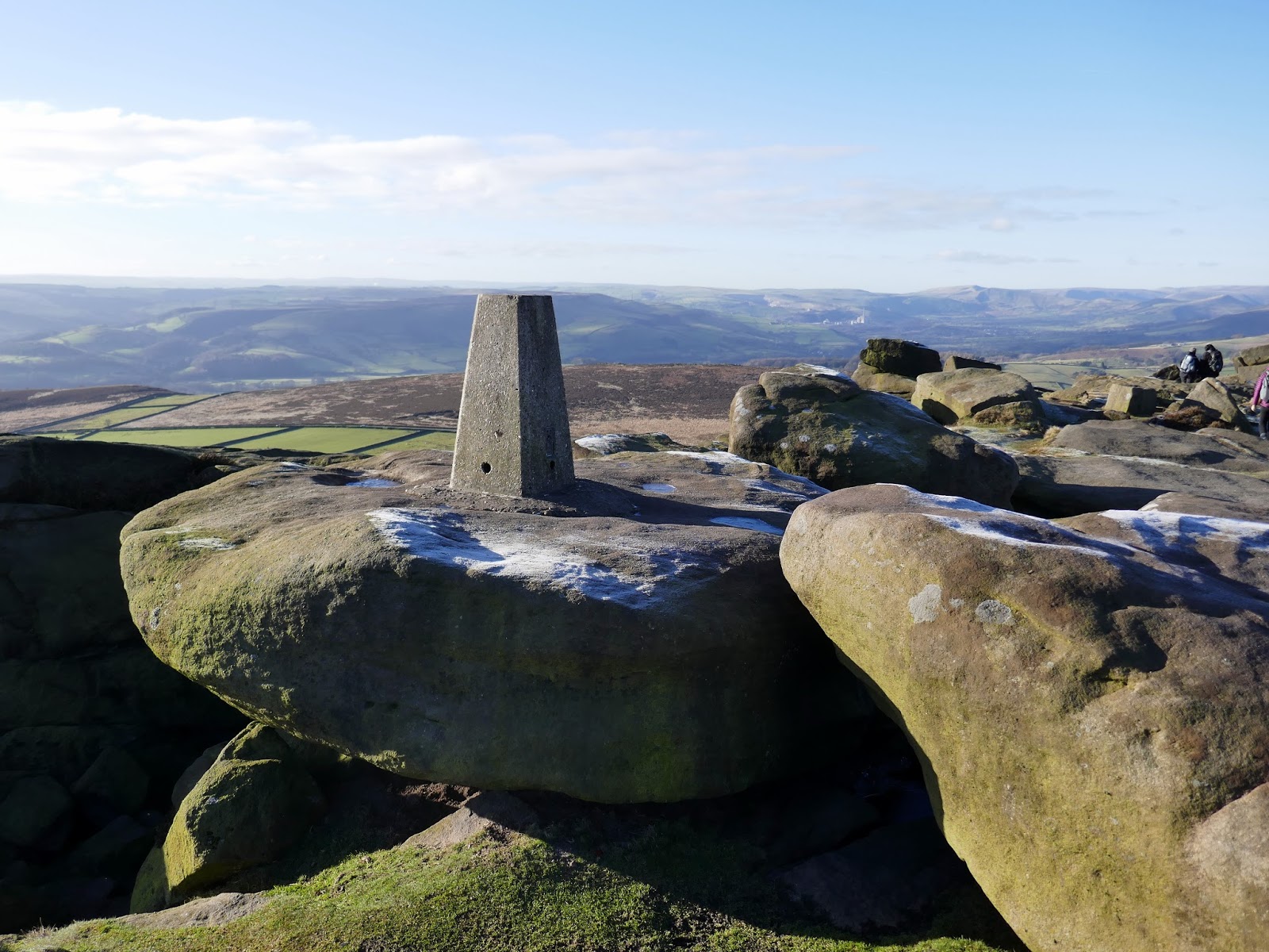
Summits: Stanage Edge (White Path Moss) (457m)
Other points of interest: Stanage Edge, Robin Hood’s Cave, Burbage Rocks, Carl Wark, Higger Tor
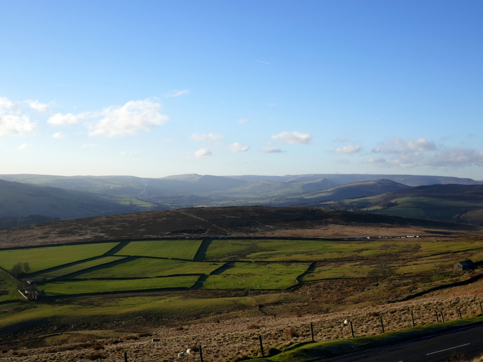
The sun was shining on the Peak District today, the perfect opportunity to get out into the moorland surrounding Hathersage, specifically the splendid edges of Stanage and Burbage. Arriving at the car park, it seemed many others had the same idea as well – likely a result of Christmas and new year excesses combined with the superb weather.
Our chosen route, though not particularly long or taxing, would take us along the southern half of Stanage Edge, along Burbage Edge while visiting the interesting outcrops of Carl Wark and Higger Tor on our return.
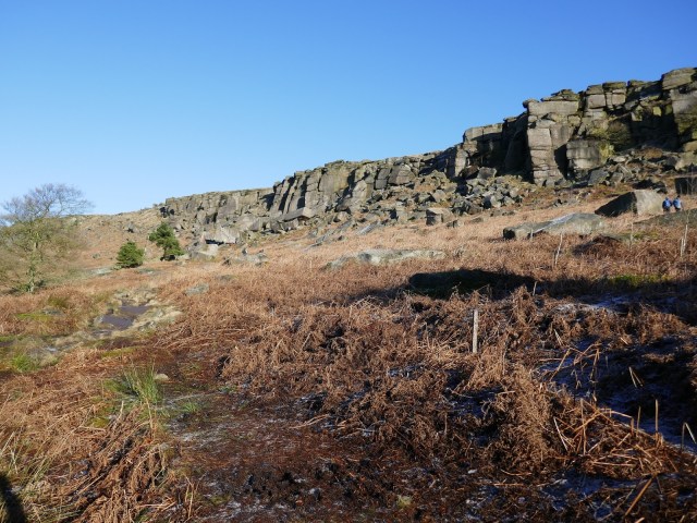
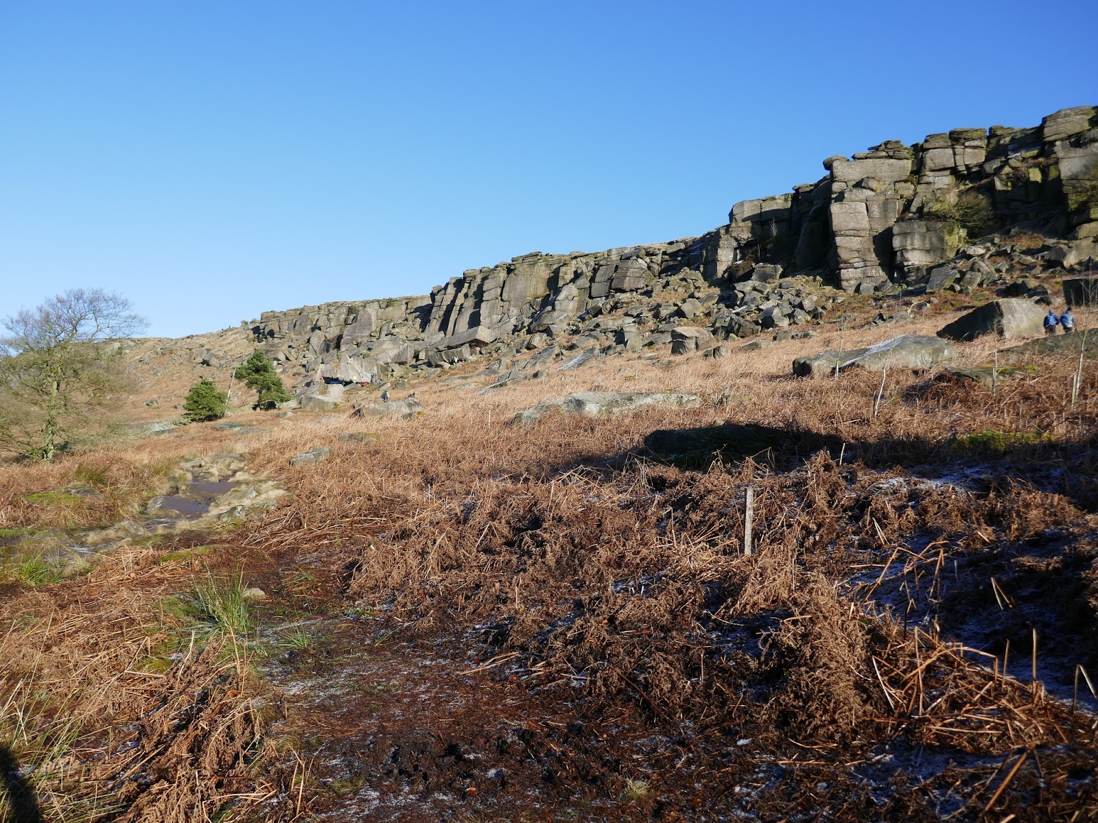
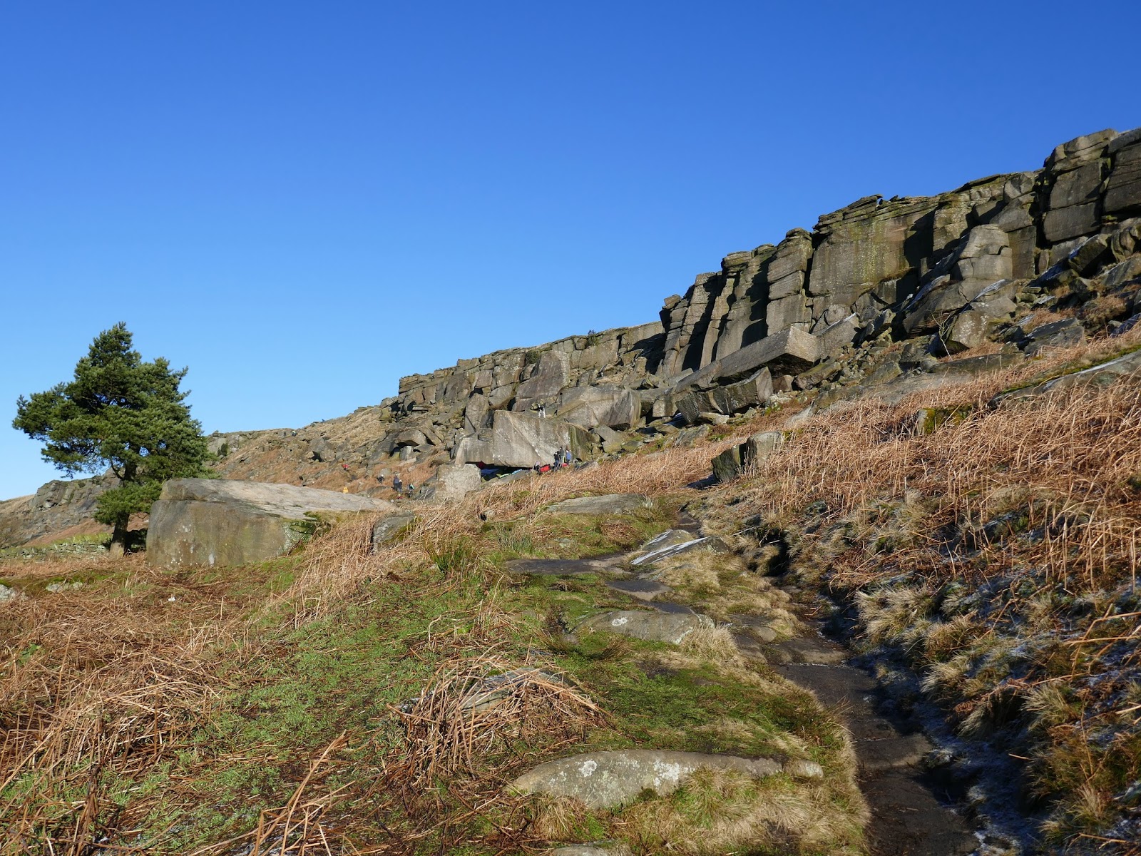
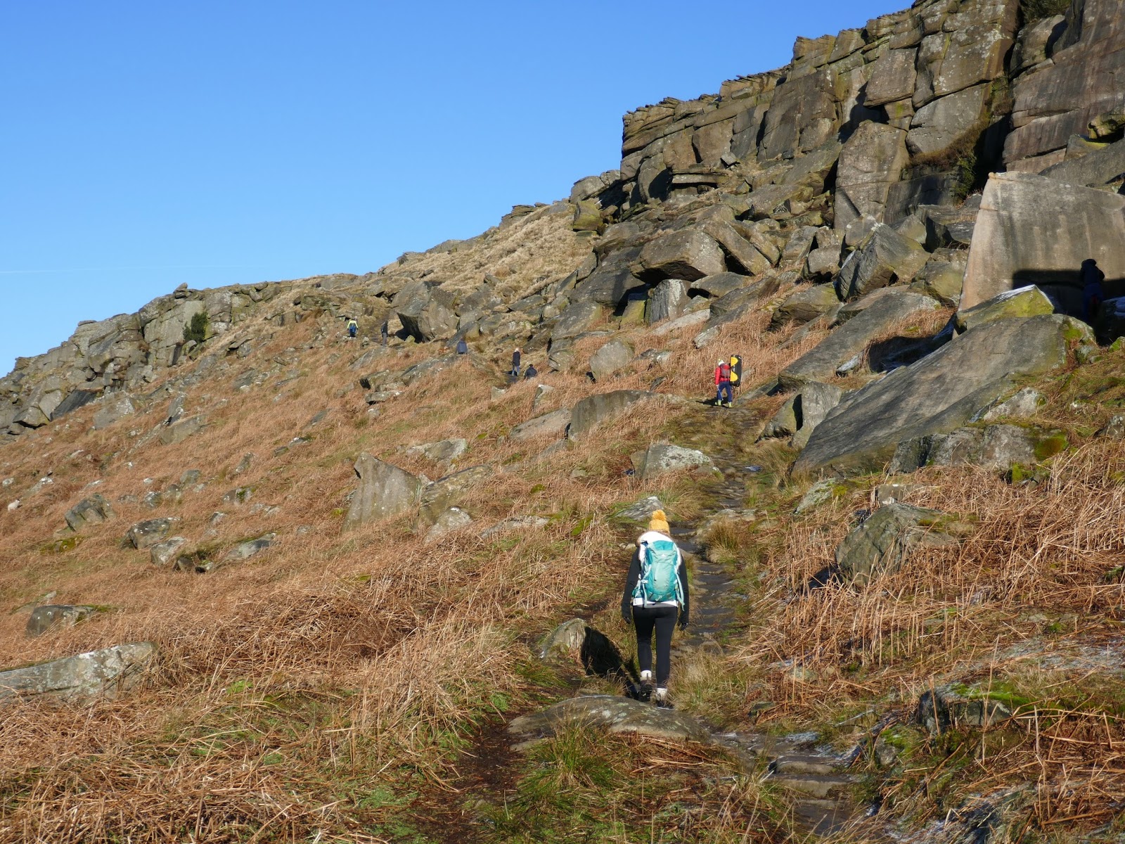
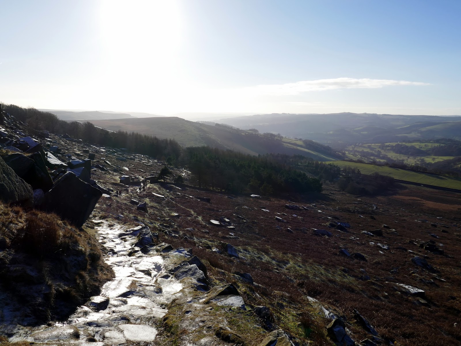
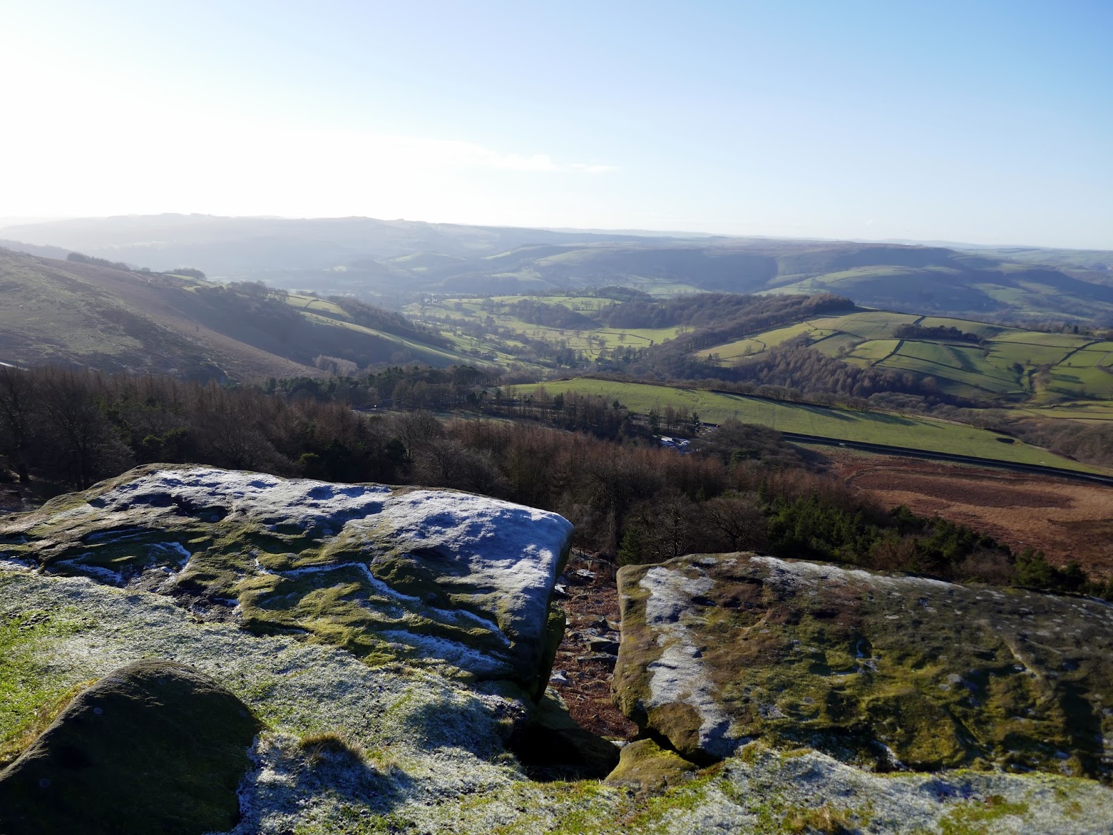
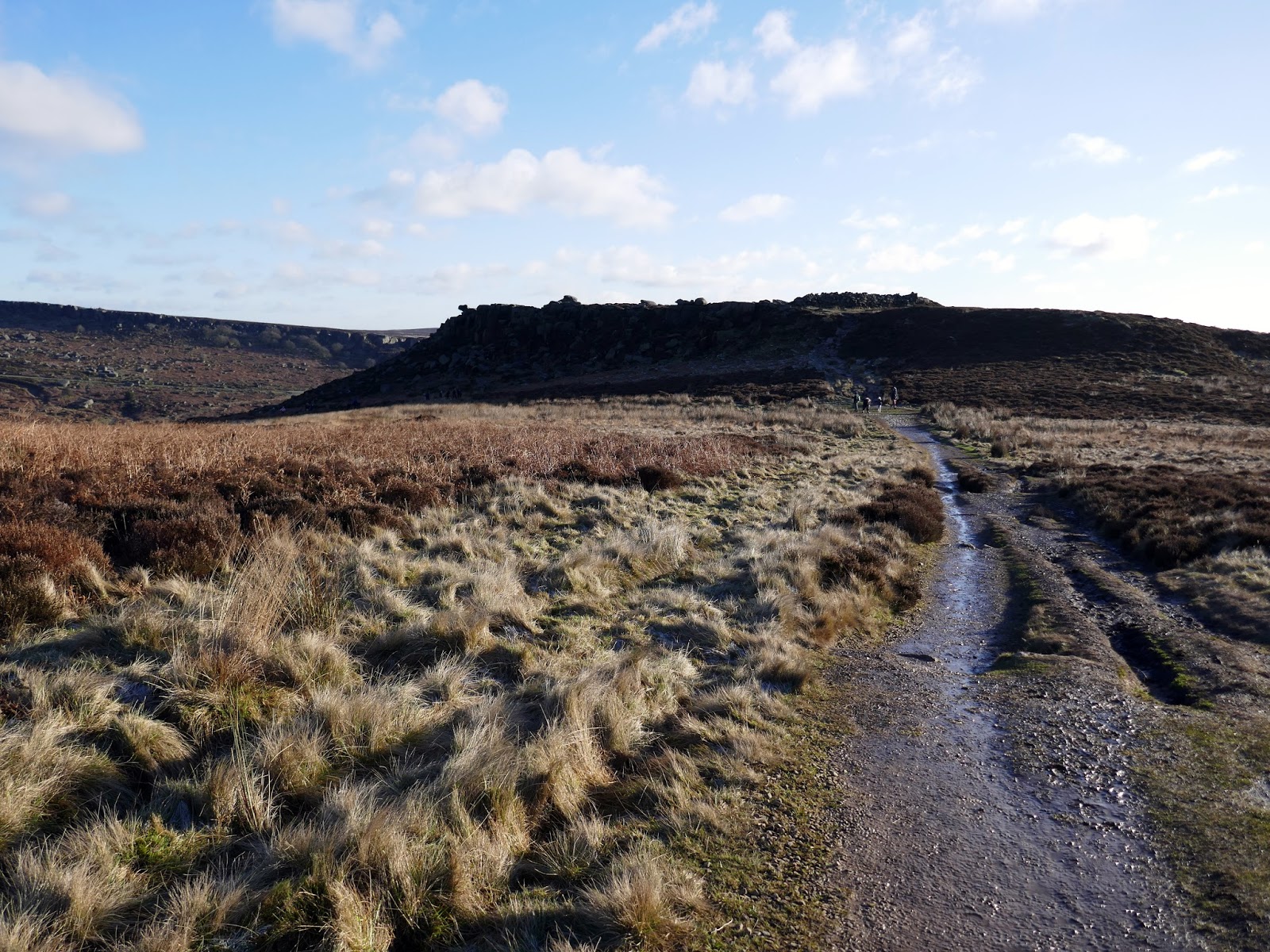
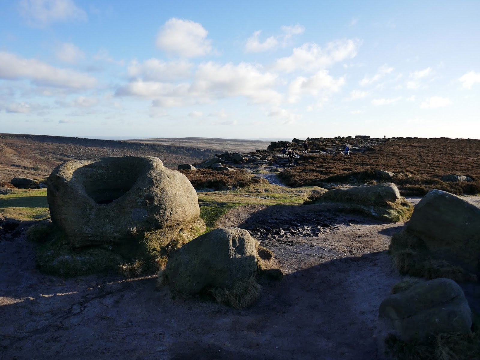
Using the car park at Stanage Plantation, we were immediately faced with a short climb through the woods to reach the bottom of the edge though this provides some fine views of the main rock faces. The path weaves through fallen boulders and clambers up over a depression to reach the crest of the edge.
 |
| Stanage Plantation |
 |
| Below Stanage Edge |
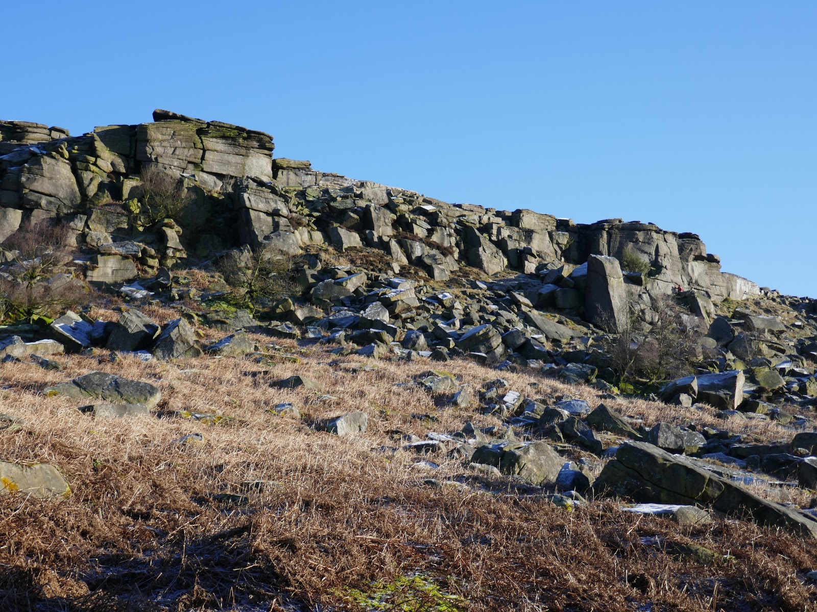
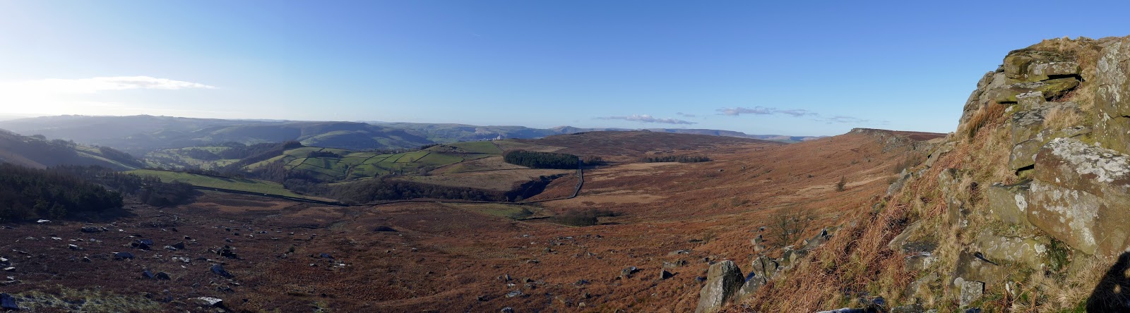
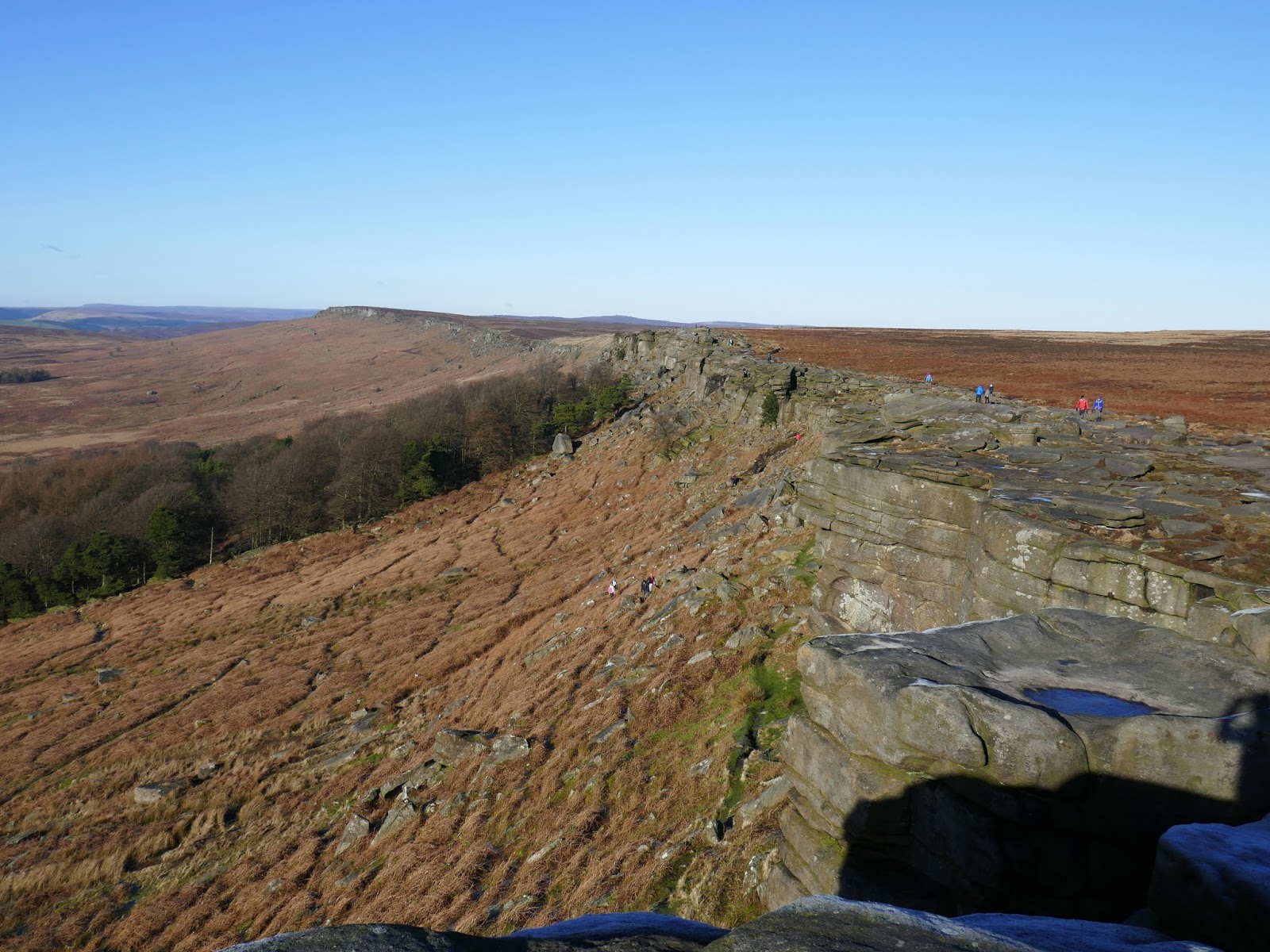
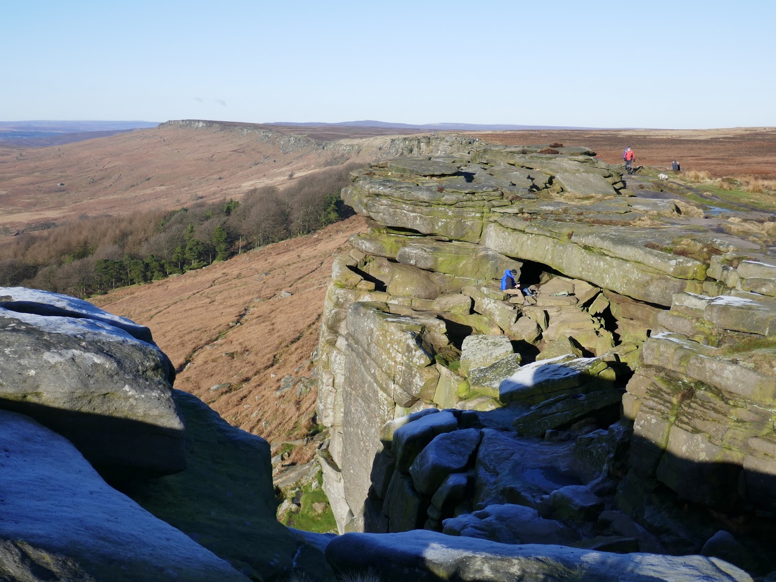
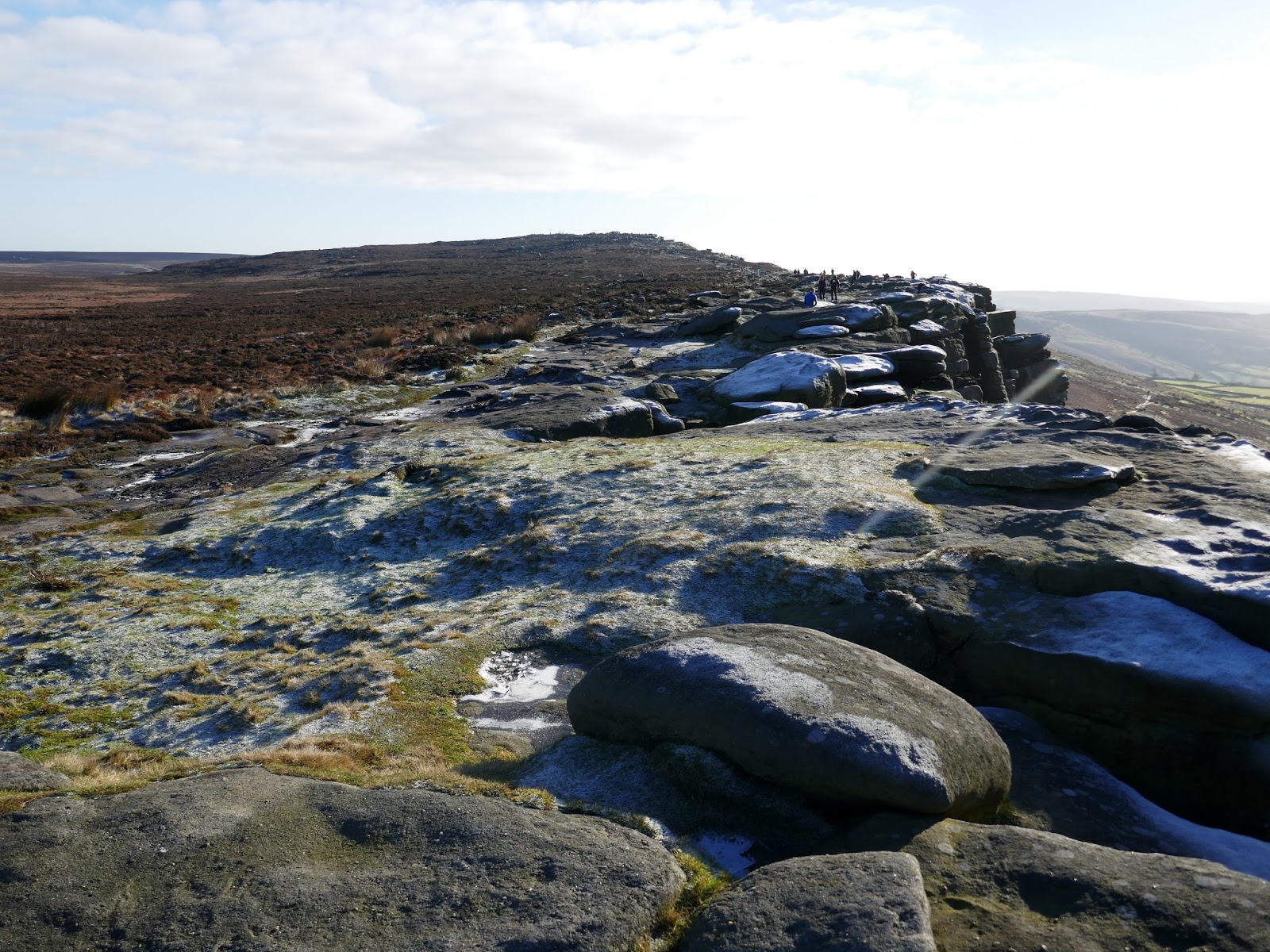
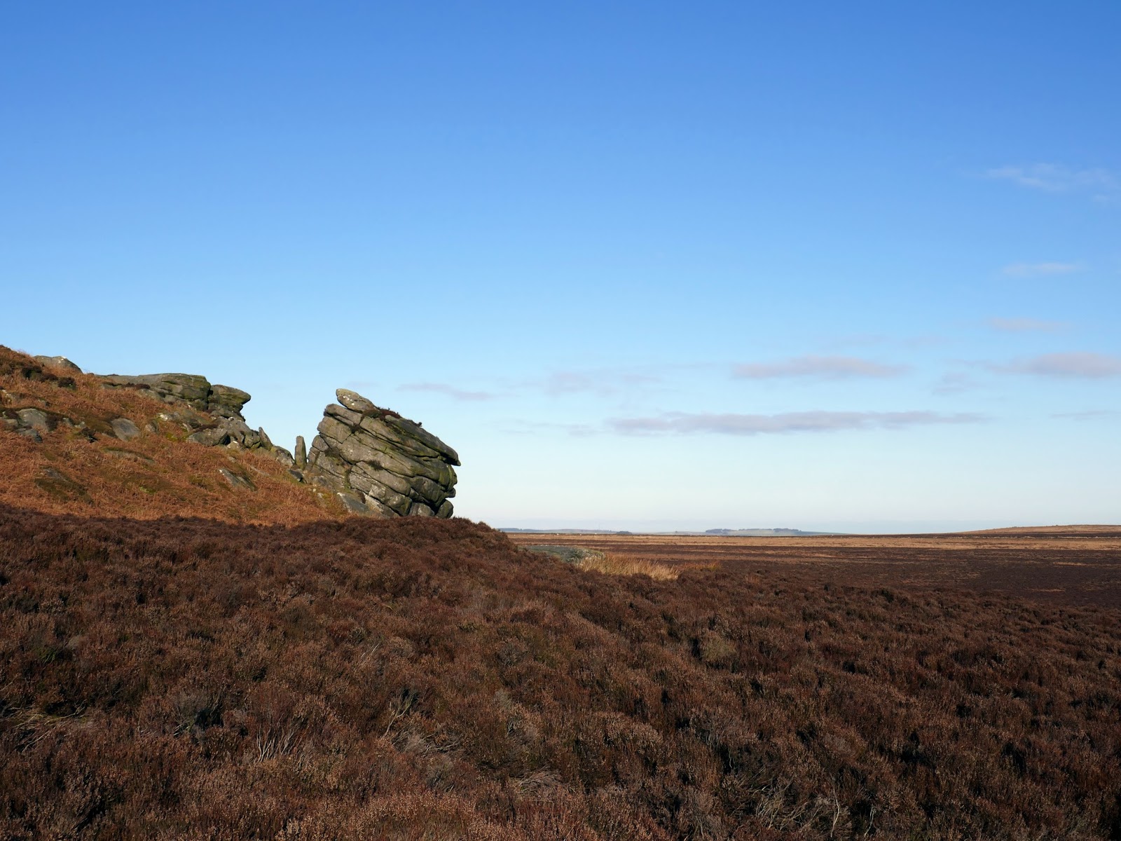
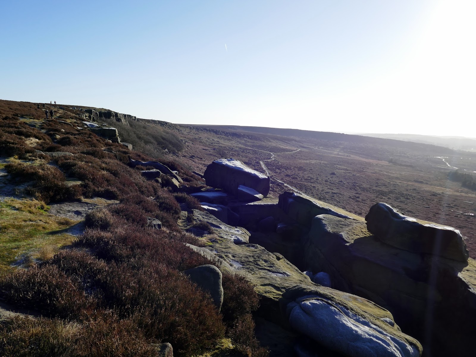
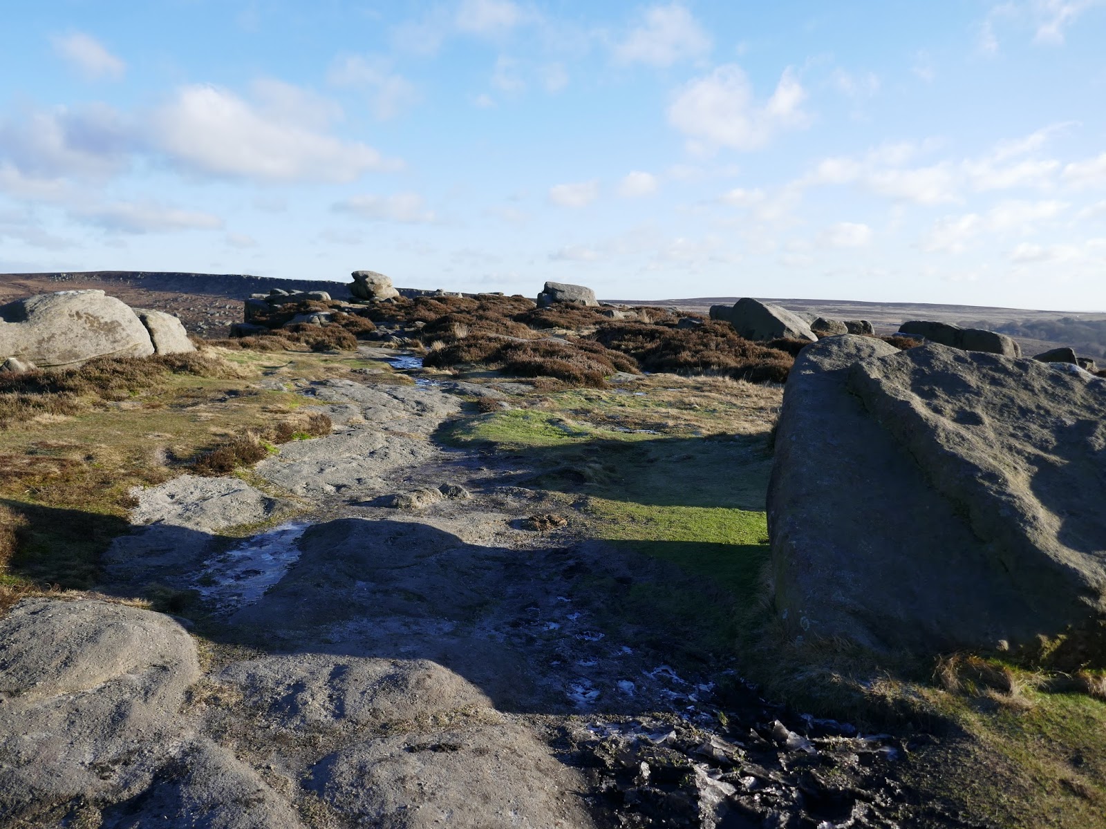
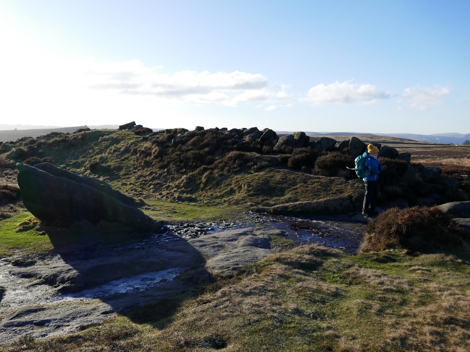
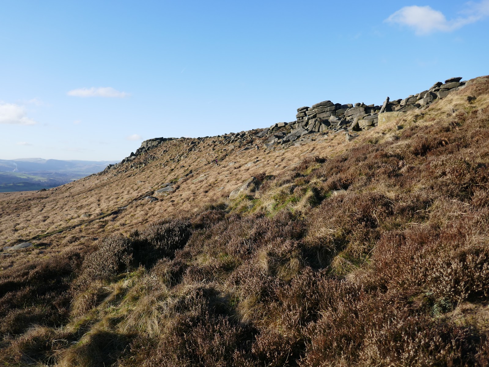
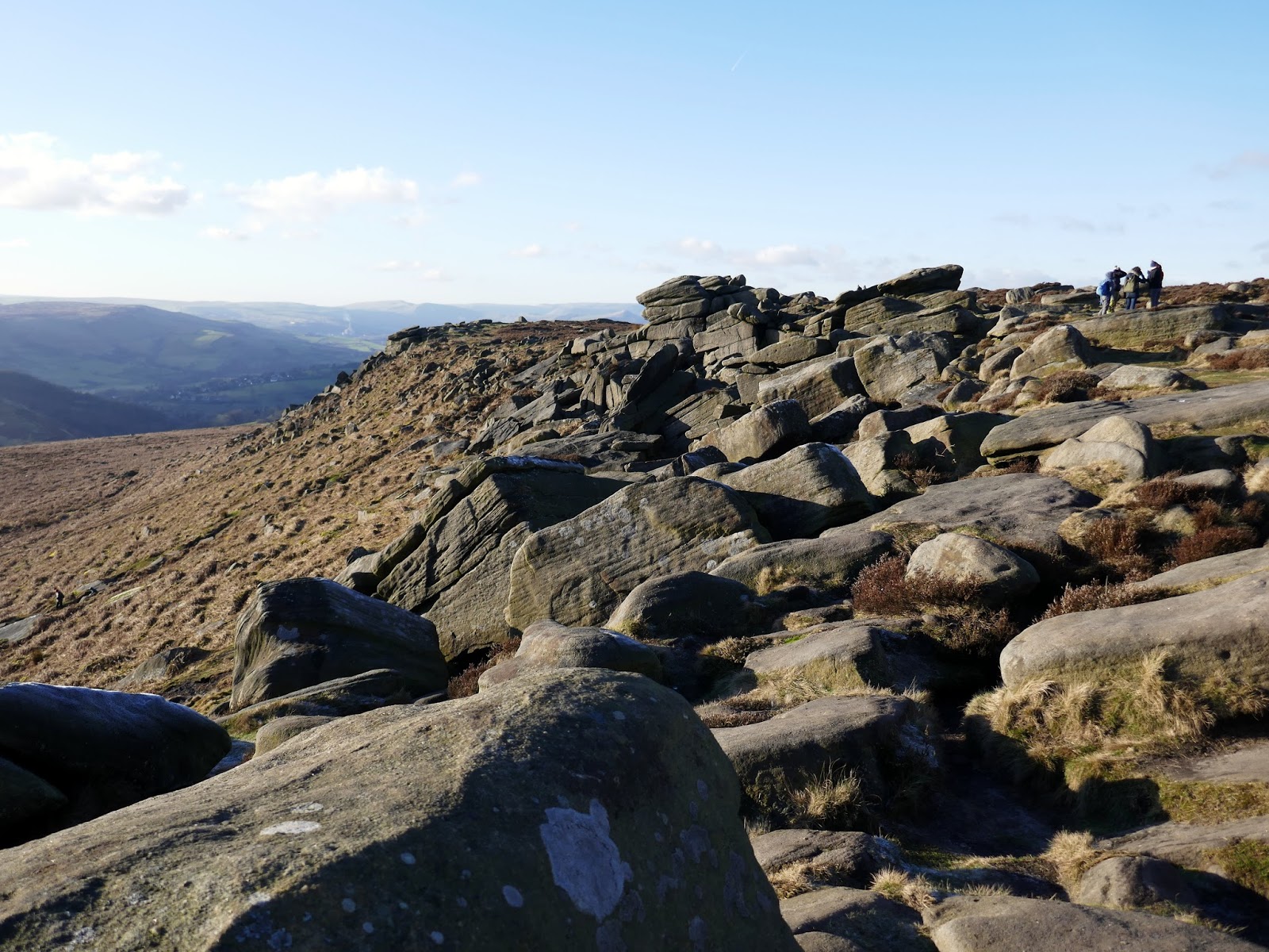
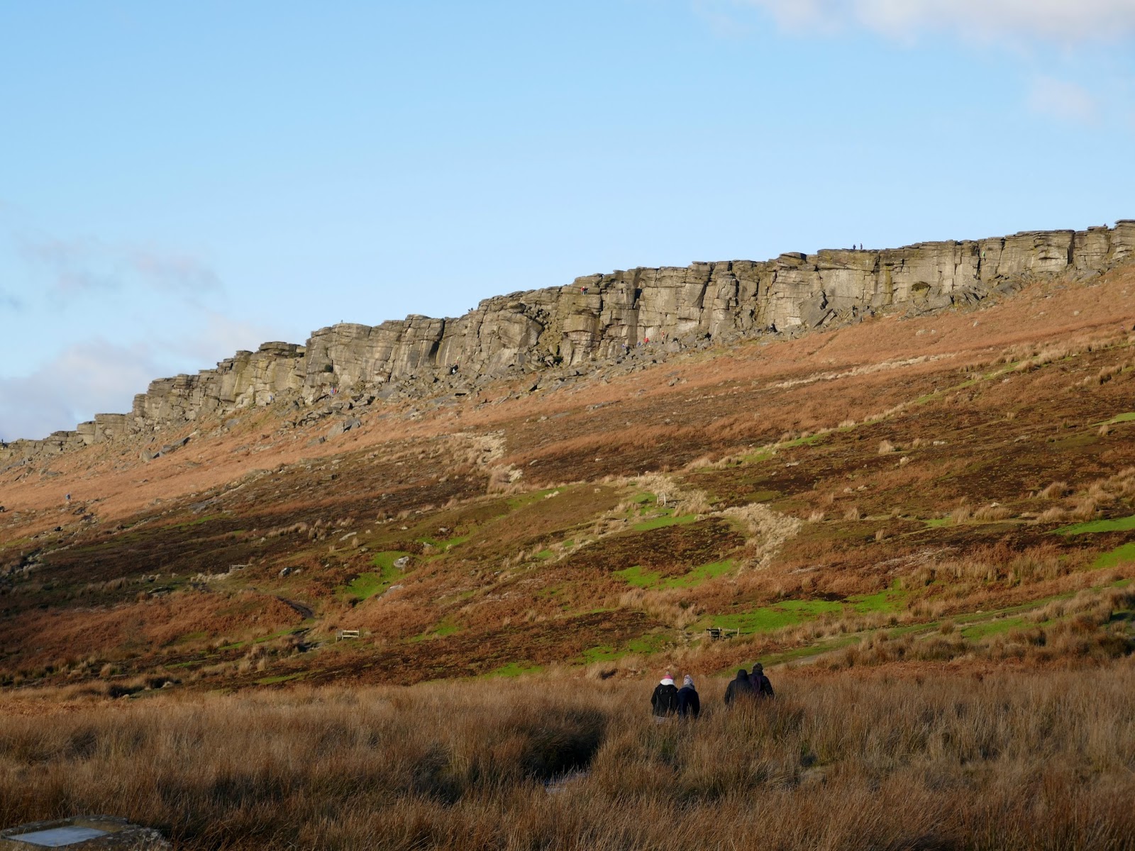
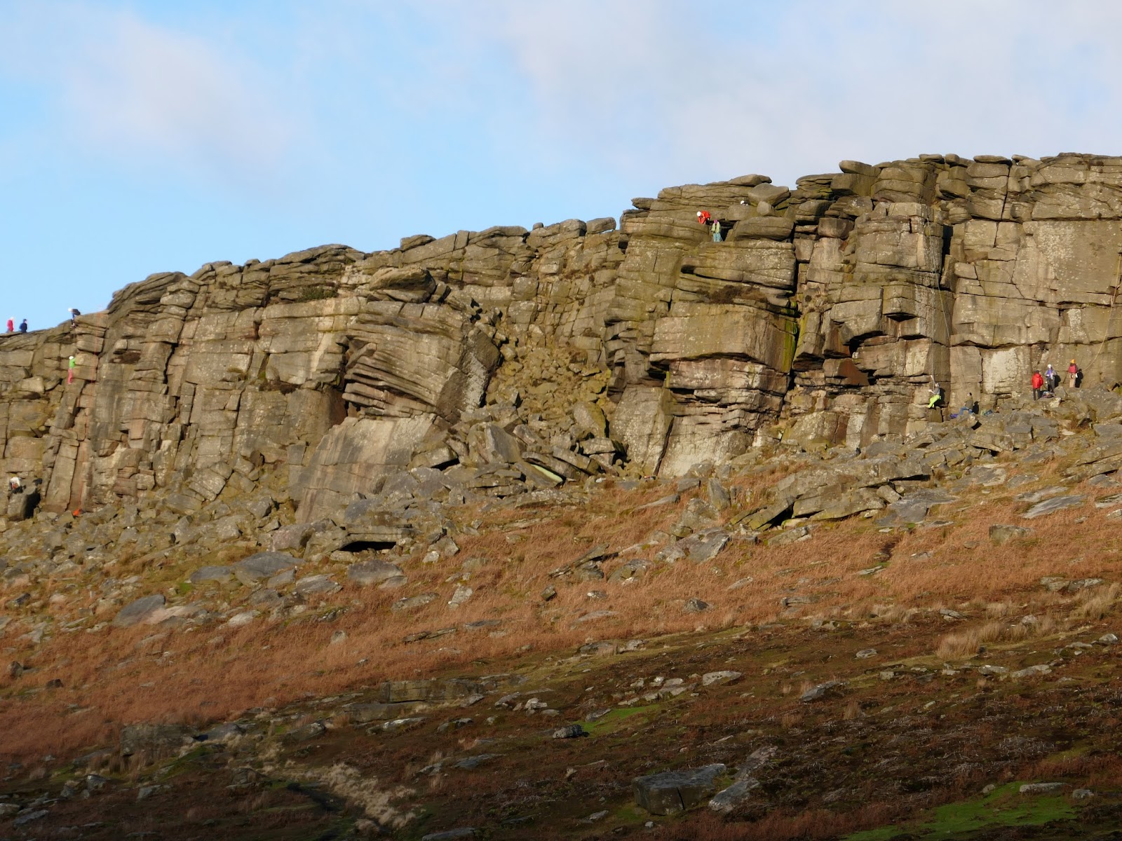
Stanage Edge is a real mecca for just about everyone, particularly climbers and walkers, with over 800 recorded rock climbs with more being invented every year. It is the largest and most impressive of the gritstone edges, stretching for a length of approximately six kilometres (3.5 miles) from its northern tip at Stanage End to the southern point near the Cowper Stone. A walk along it’s entirety is an absolute must.
 |
| The path leading up towards Stanage Edge |
 |
| Stanage Edge |
 |
| Bamford |
 |
| Stanage Edge |
 |
| Stanage Edge |
 |
| The prominent Crow Chin on Stanage Edge |
 |
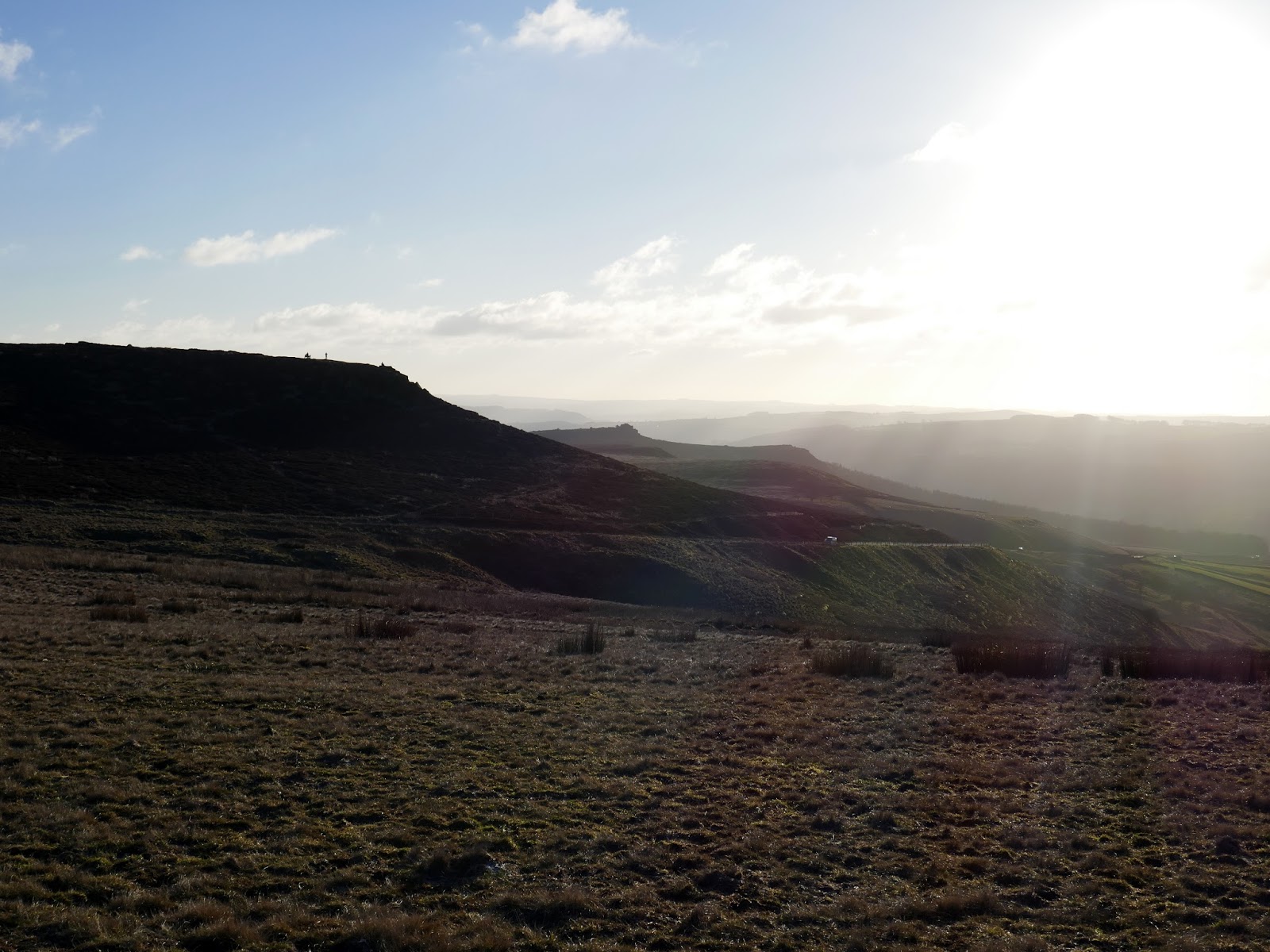
| The Hope Valley |
 |
| Climbing up to the edge |
 |
| Stanage Plantation |
At one time, Stanage Edge was a private grouse moor to which access was forbidden and the early pioneers of rock-climbing were forced to make furtive visits or bribe the gamekeepers with barrels of beer. Thanks to open access, this is now no longer a requirement.
 |
| Hope Valley and Stanage Edge |
 |
| Stanage Edge |
 |
| It was a sparkling day on the moor |
 |
| Hope Valley from Stanage Edge |
 |
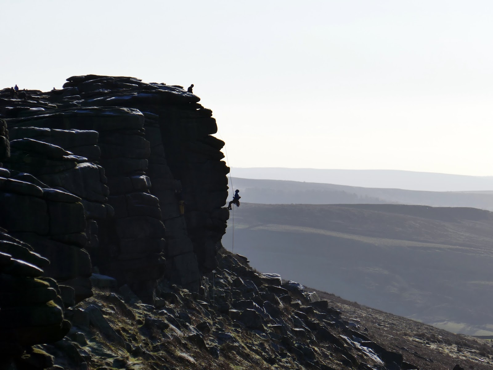
| Climbers enjoying a day out |
 |
| Stanage Edge and Cattis-side Moor |
 |
| Looking along the length of Stanage Edge |
 |
| The Hope Valley |
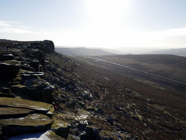
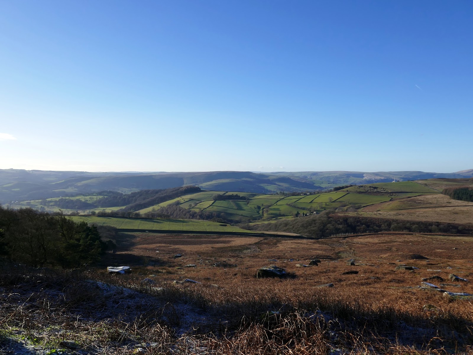
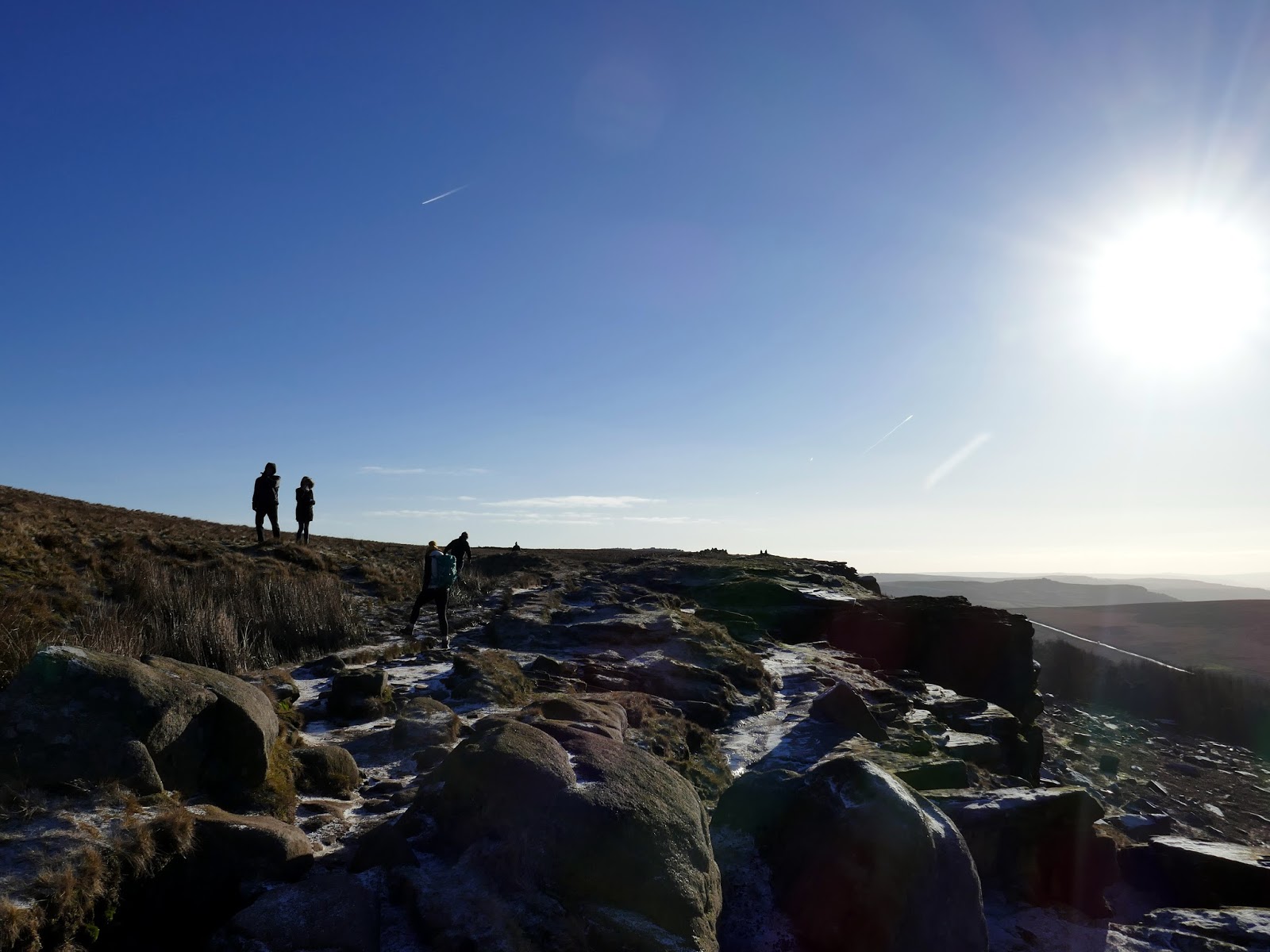
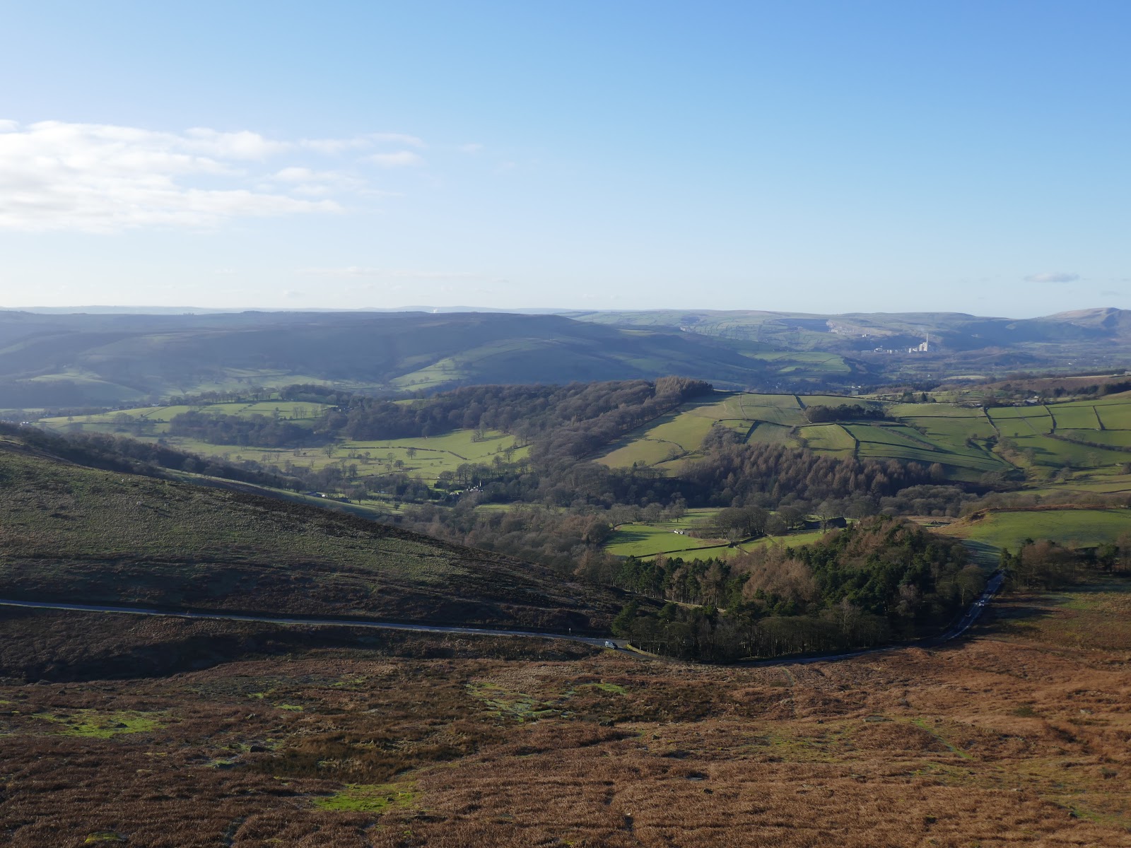
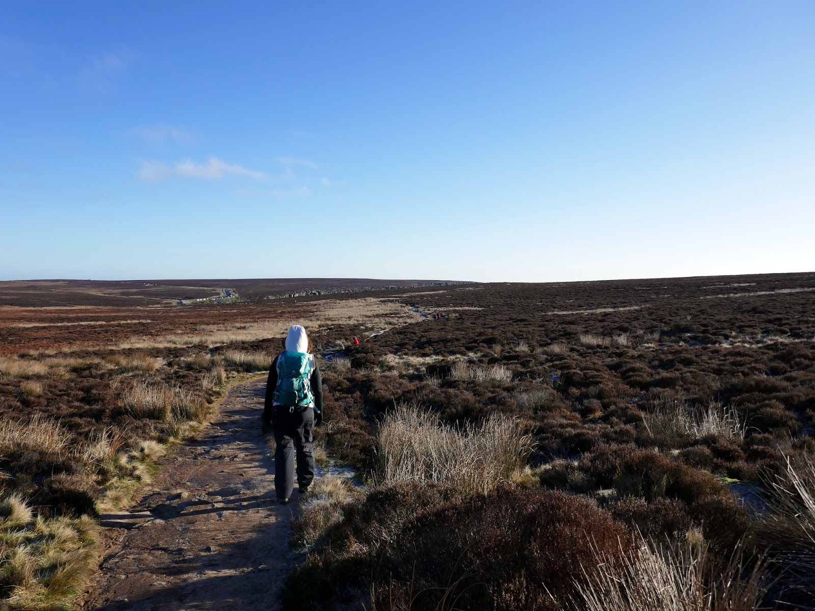
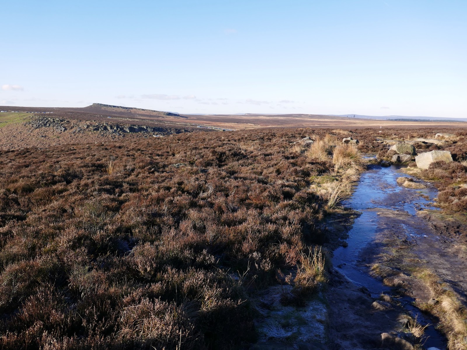
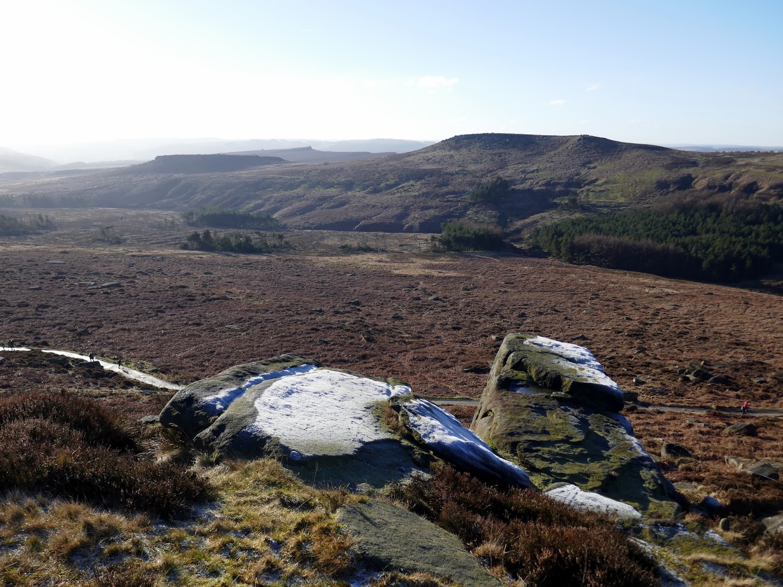
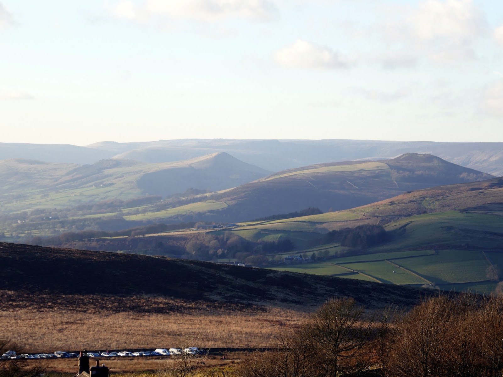
A cold wind was blowing off the moor, requiring us to wrap up warm despite the sun which was shining brightly as we made our way along the top of the edge. Reaching the trig pillar at the southern end, we continued on, passing the Cowper Stone and making our way to Upper Burbage Bridge.
 |
| Robin Hoods Cave on Stanage Edge |
 |
| Heading towards White Path Moss |
 |
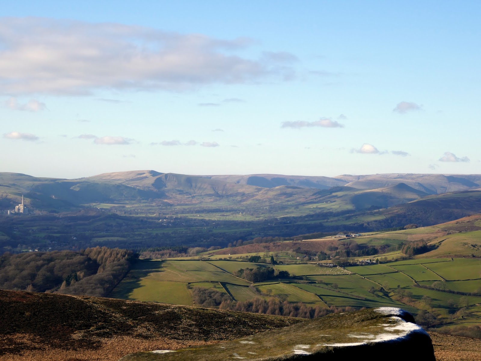
| A distant Mam Tor and Great Ridge |
 |
| Rocks on Stanage Edge |
 |
| Trig pillar at White Path Moss |
 |
| The Cowper Stone |
 |
| Enroute to Upper Burbage Bridge |
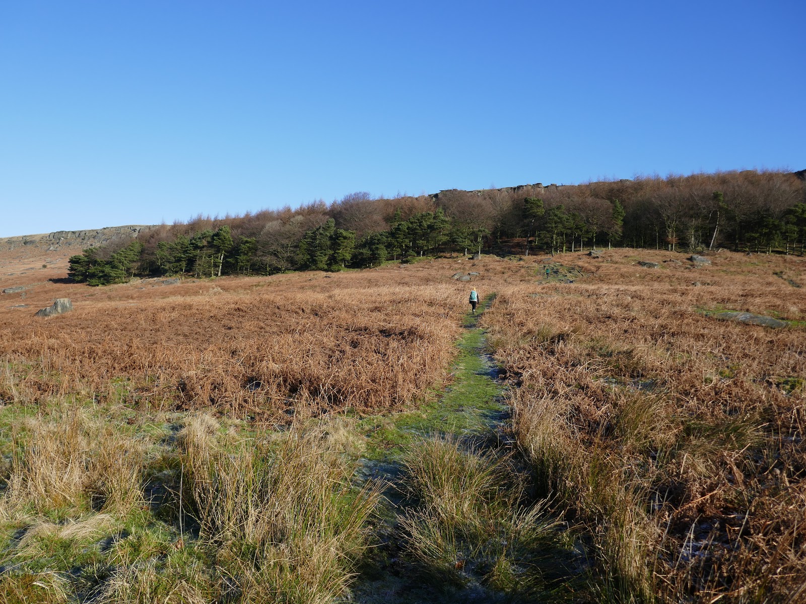
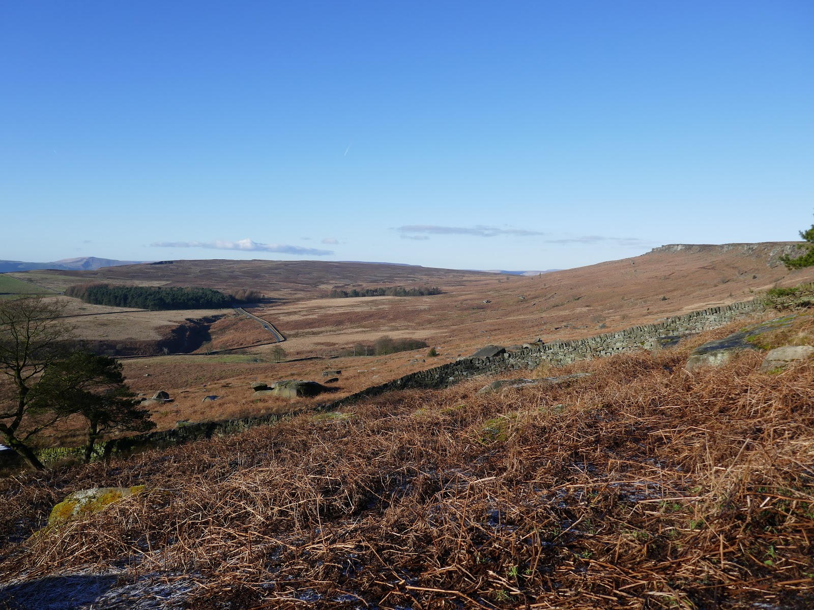
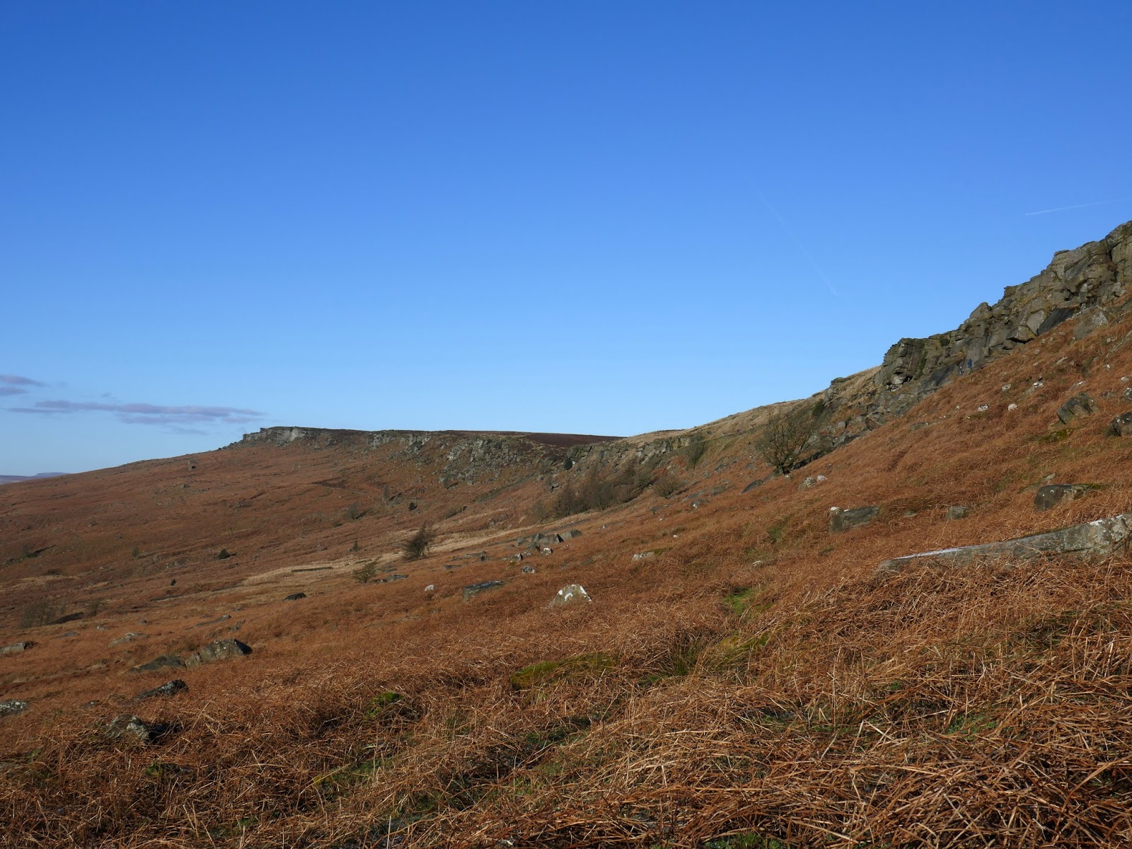
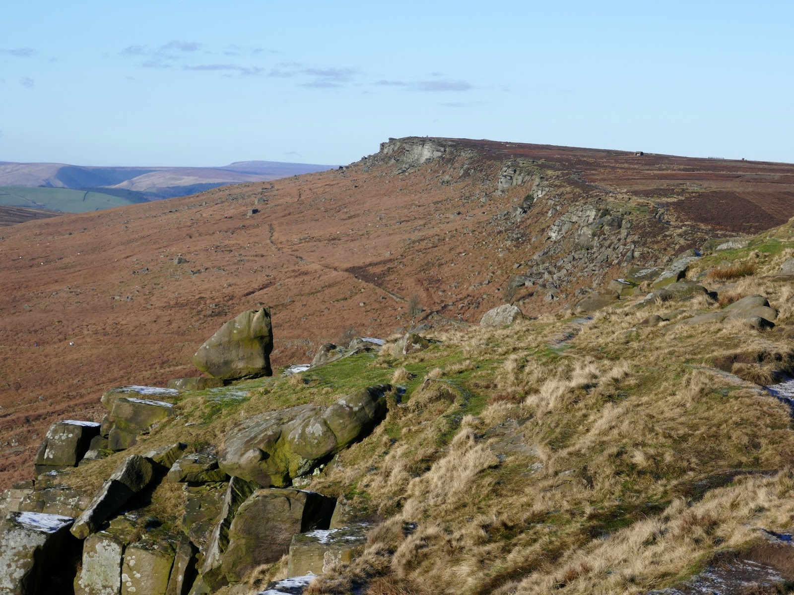
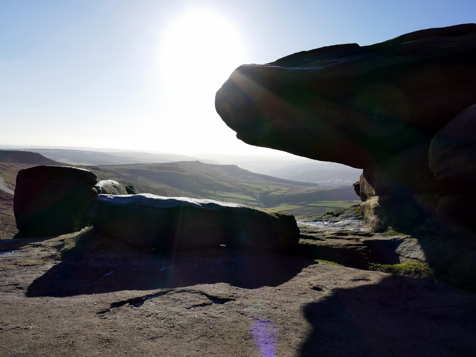
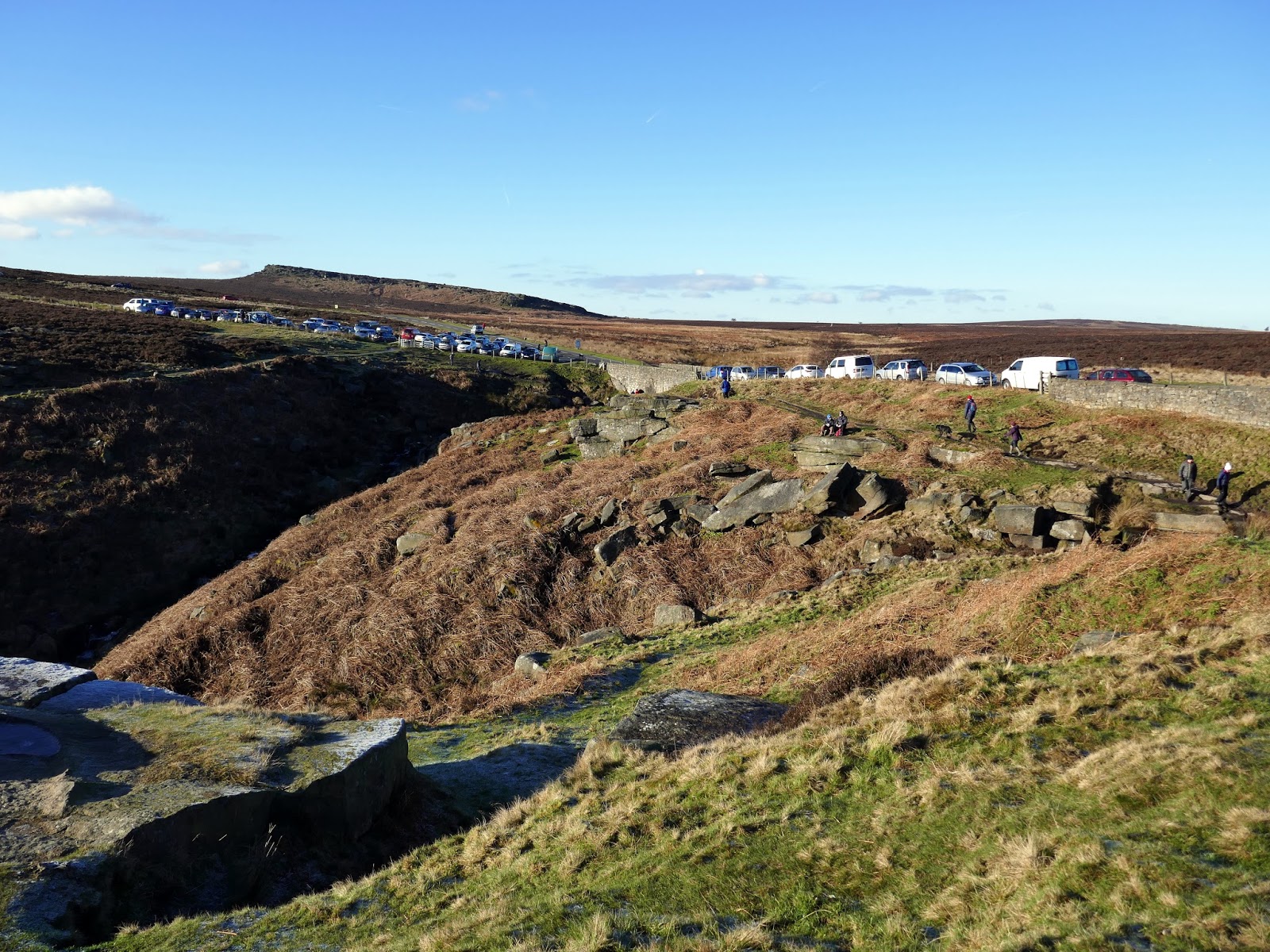
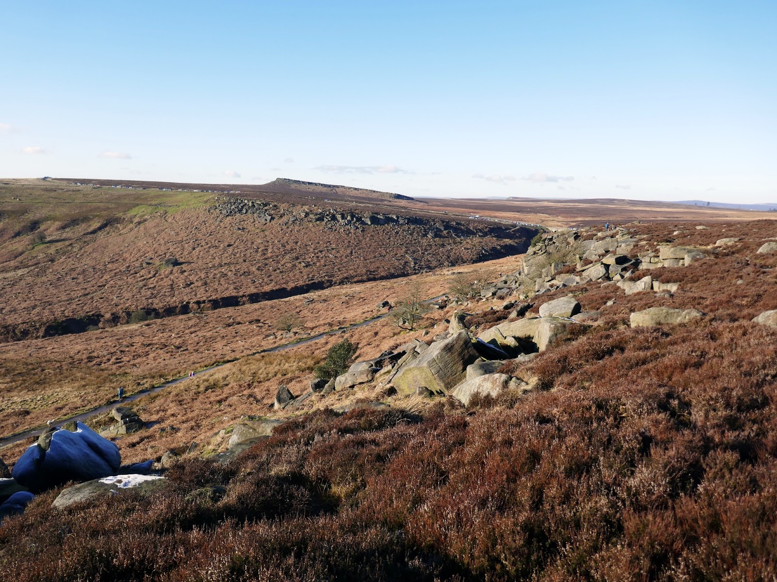
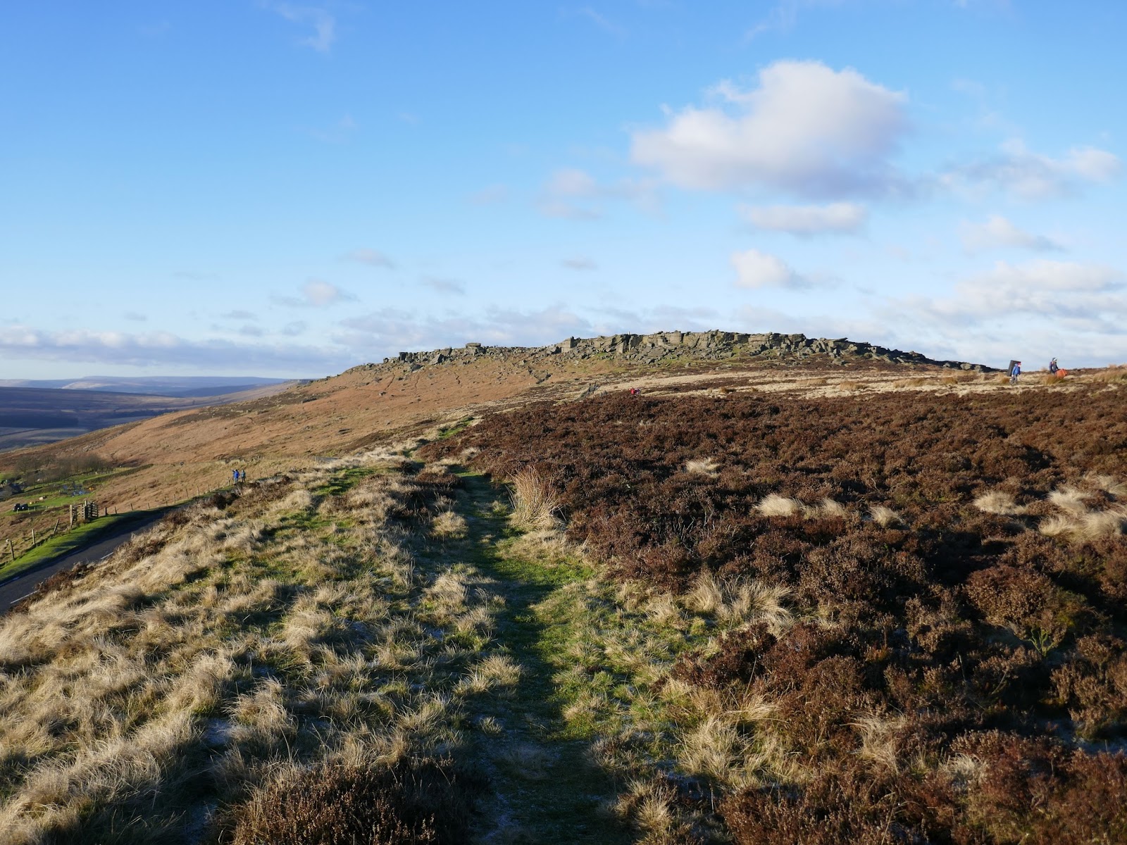
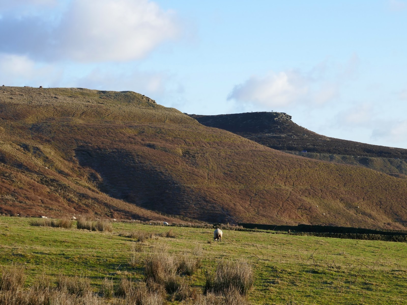
Burbage Rocks, as it is officially known, is next and there is the choice to walk high on the top or below it along the Sheffield Country Walk. The lower path is a bridleway and therefore better surfaced whereas the higher provides sweeping views across the valley. Naturally, we opted for the higher path.
 |
| Looking back to Stanage Edge |
 |
| Burbage Valley |
 |
| Busy in the parking at Upper Burbage Bridge |
 |
| Burbage Moor |
 |
| Burbage Valley with Carl Wark and Higger Tor beyond |
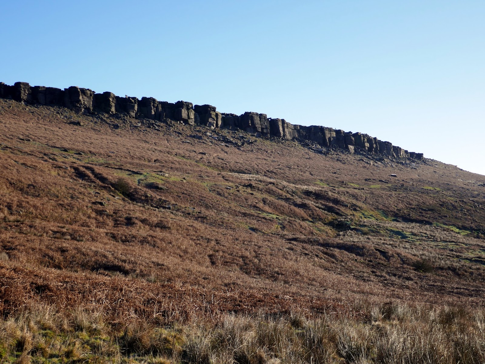
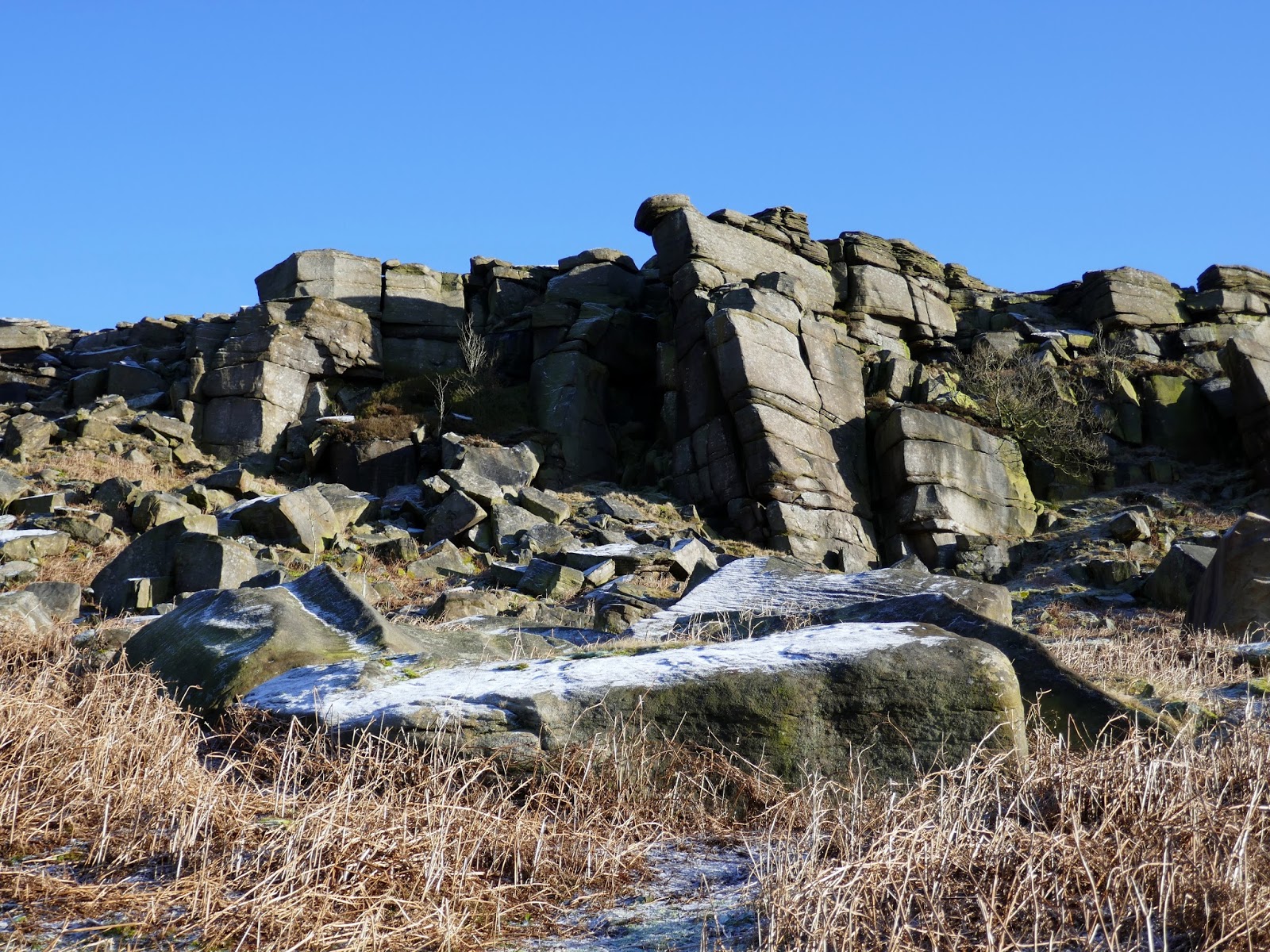
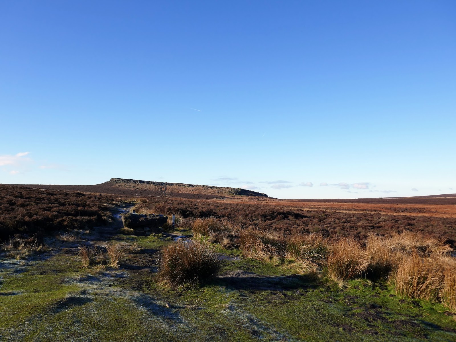
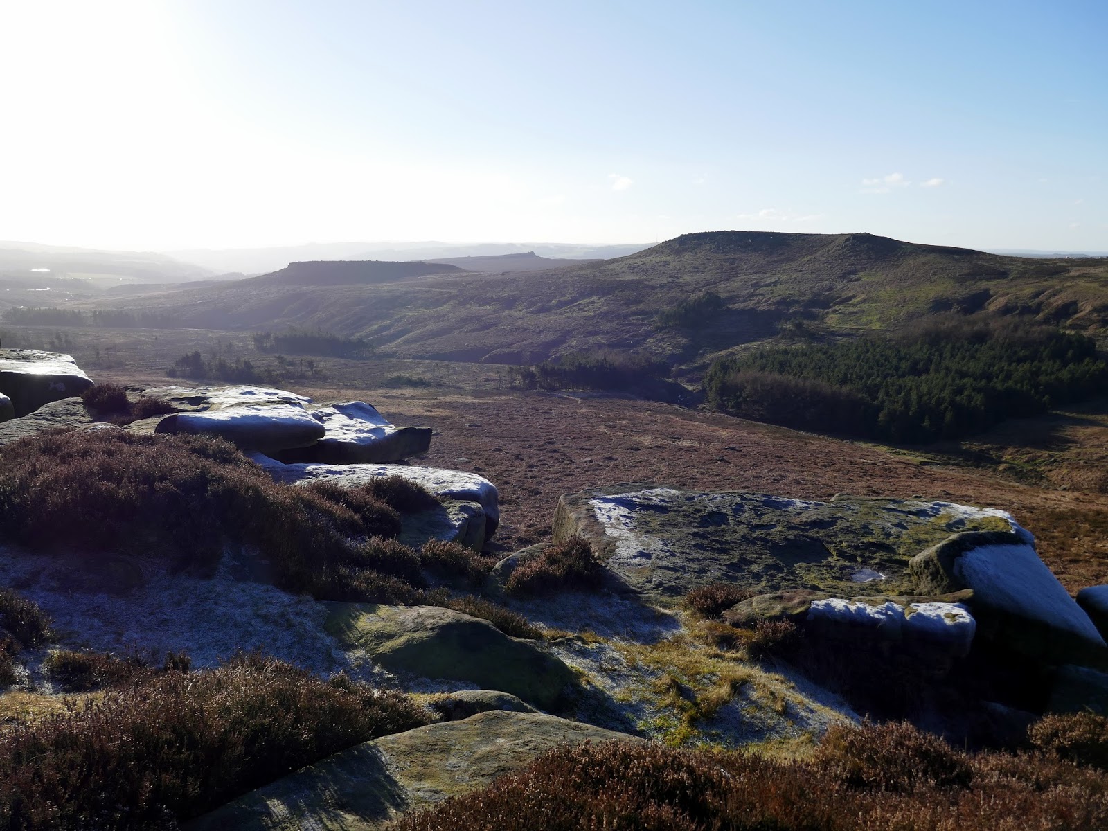
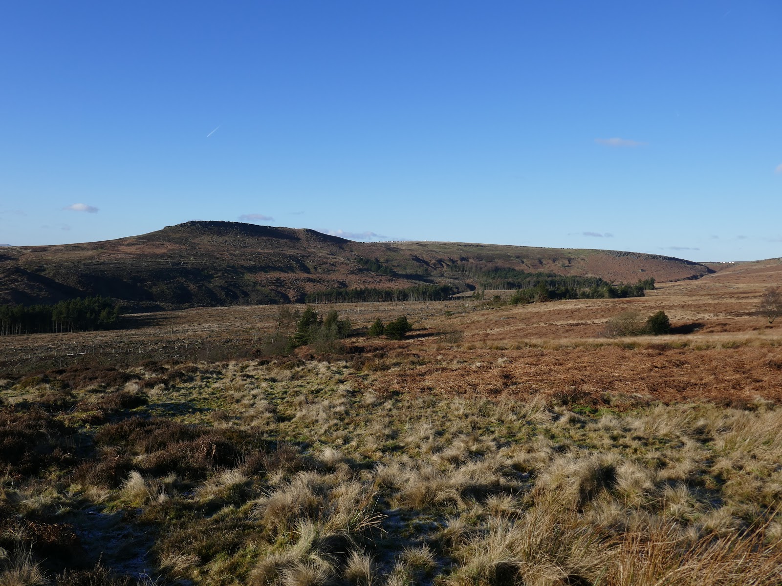
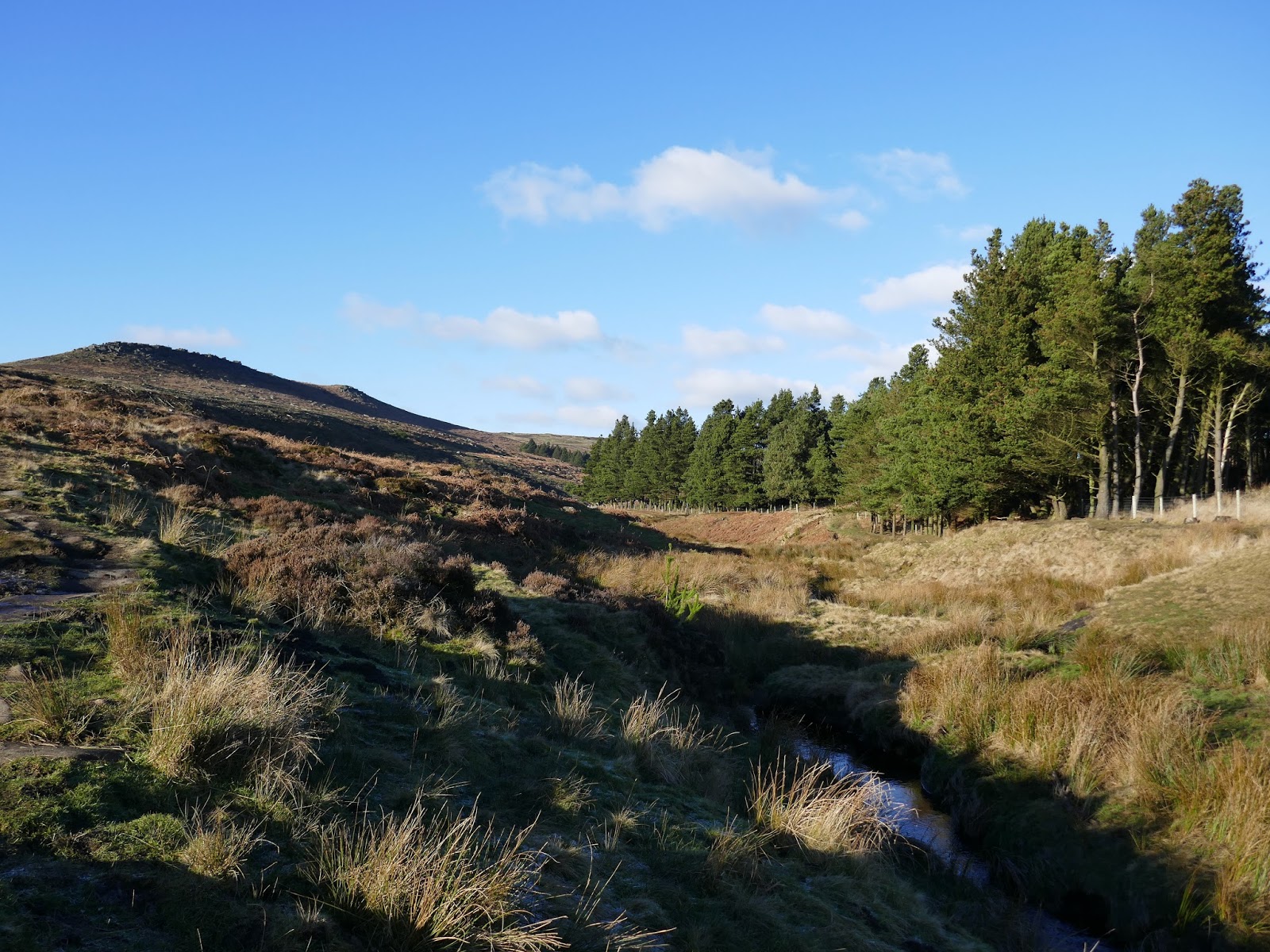
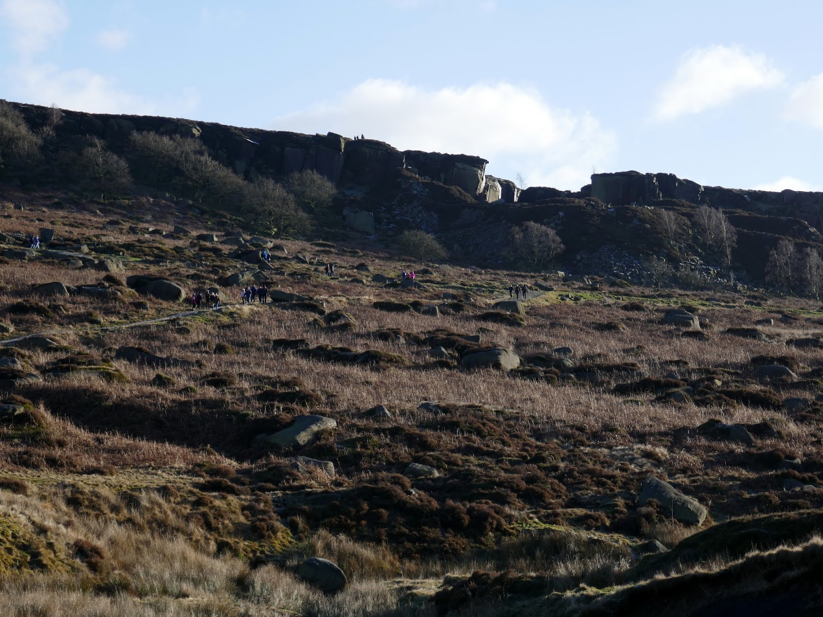
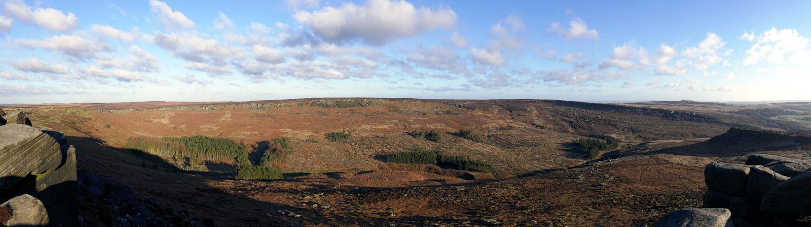
Burbage Rocks enclose the east side of the Burbage Valley, a basin that sits in the shadows of a number of scarps and edges; Burbage Rocks to the east and Carl Wark and Higger Tor to the west. Burbage Rocks, though quieter than Stanage, is still a popular spot for climbers and consists of a two-mile-long gritstone edge, though it lacks some of the drama of its larger neighbour.
 |
| Burbage Rocks |
 |
| Burbage Rocks |
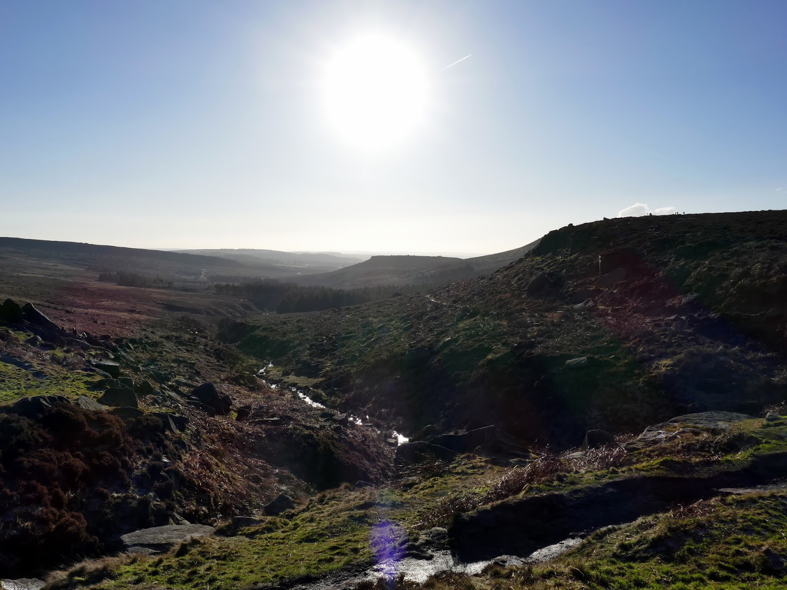
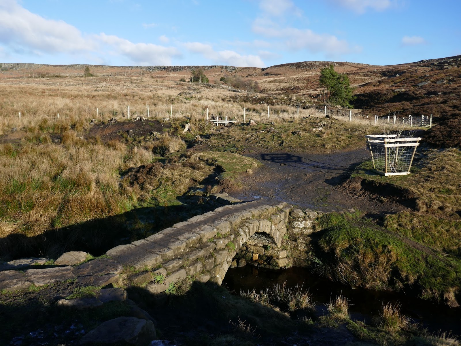
Once again, the paths are easy to follow and relatively flat, apart from a depression around halfway to cross a small stream that drains Burbage Moor.
 |
| Carl War and Higger Tor |
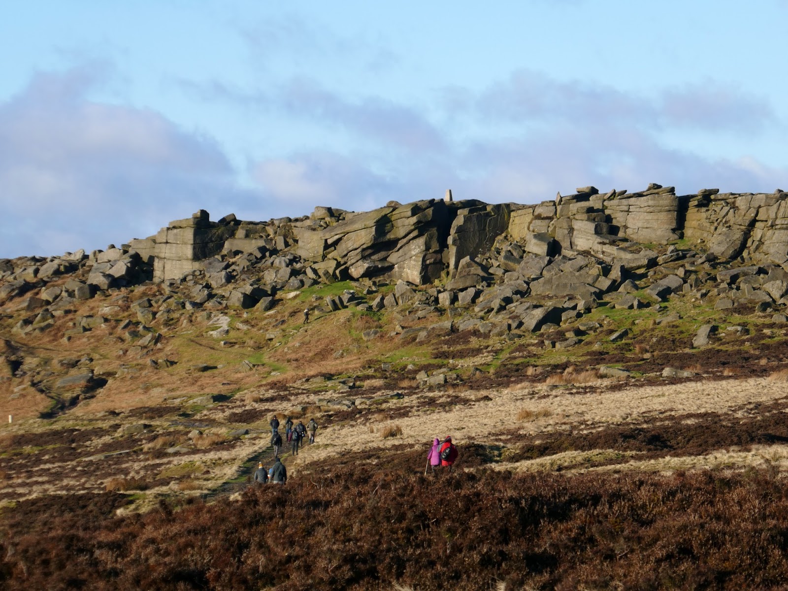
We followed the edge for a while, eventually using a path to cross the valley rather than heading to Burbage Bridge. The path crosses Burbage Brook and climbs up beneath Carl Wark.
 |
| Add caption |
 |
| Add caption |
 |
| Add caption |
 |
| Add caption |
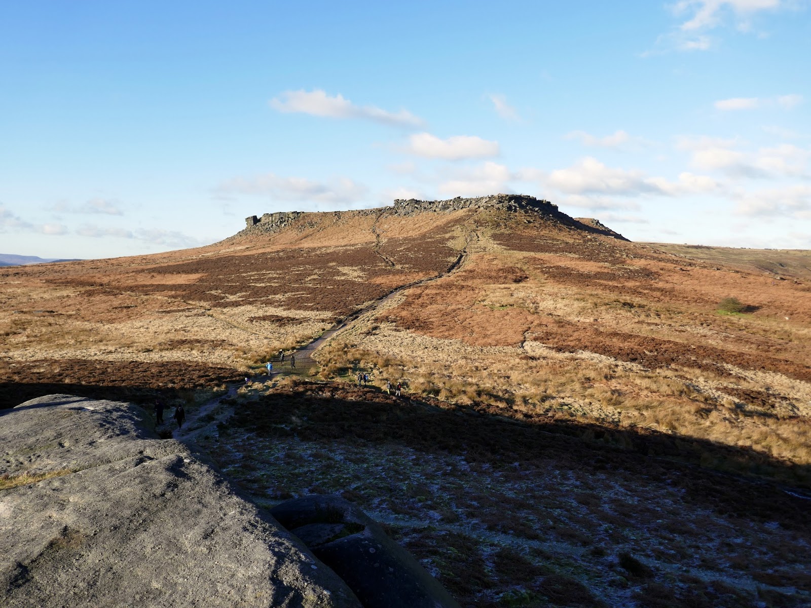
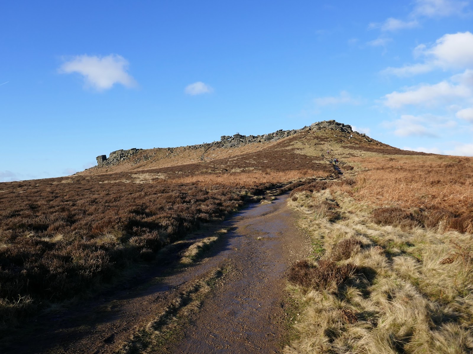
Carl Wark is a rocky promontory, faced by vertical cliffs on all but one side, which is protected by a prehistoric embankment. The cliffs and embankment form an enclosure that has been interpreted as an Iron Age hill fort, though the date of construction and purpose of the fortifications remains unknown. It has been described as being “unlike any other [structure] found in Northern England.”
 |
| Add caption |
 |
| Add caption |
 |
| Add caption |
There is no evidence of settlement within the enclosure so it is unlikely that the site was used for a continuously occupied fort; it may have been used as a place of refuge for a population living in the surrounding area or it may have had some ceremonial purpose.
 |
| Higger Tor from Carl Wark |
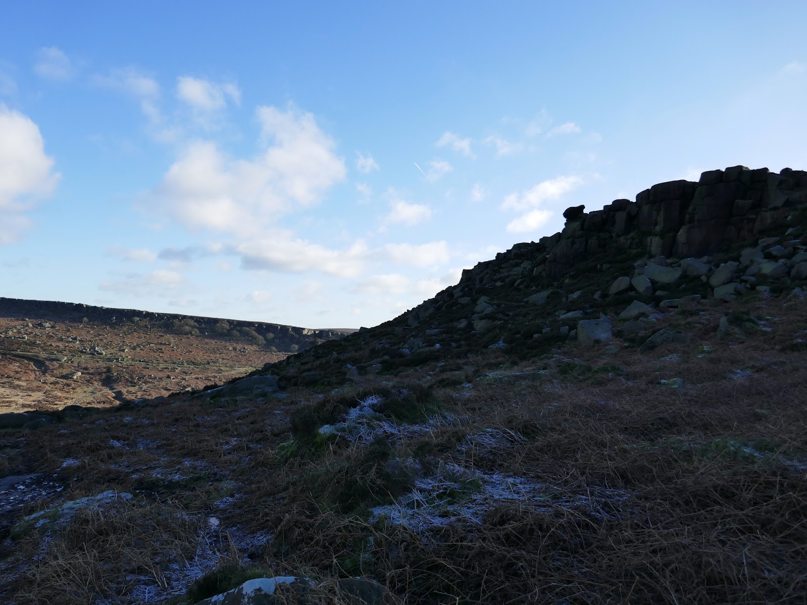
To the north of Carl Wark is Higger Tor, accessed by another eroded path. Higger Tor dominates the local surrounding, rising to over 400m in height and is strewn with rocky interest and can include some mild scrambling if you so wish.
 |
| Higger Tor |
 |
| Carl Wark |
 |
| Higger Tor |
 |
| Higger Tor |
 |
| Burbage Rocks from Higger Tor |
 |
| Atop Higger Tor |
 |
| Millstone Edge |
We crossed the top of Callow Bank to reach the road, following it to Overstones Farm and then down the hill to the car park. As an addition, you may wish to visit Carhead Rocks which appears as an interesting height on the map above Hathersage. Otherwise, a stop off in the cafe in Hathersage is on the cards – as ever.
 |
| Stanage Edge from Higger Tor |
 |
| Stanage Edge |
 |
| The Hope Valley |
 |
| Win Hill and Lose Hill |
 |
| Callow Bank and Higger Tor |
 |
| Stanage Edge |
 |
| Stanage Edge |

