Open Space Web-Map builder Codehttps://openspace.ordnancesurvey.co.uk/osmapapi/openspace.js?key=3119F72552FD5C22E0530C6CA40A5A92https://openspace.ordnancesurvey.co.uk/osmapapi/script/mapbuilder/basicmap.jshttps://openspace.ordnancesurvey.co.uk/osmapapi/script/mapbuilder/searchbox.js//variables for routes var linesLayer, points, lineFeature, lineString, routeMarkersLayer, routepos, routesize, routeoffset, routeicon; var style_blue = {strokeColor: “#0000CD”, strokeOpacity: 0.5, strokeWidth: 4.5}; function initmapbuilder() { //initiate the map var options = {resolutions: [2500, 1000, 500, 200, 100, 50, 25, 10, 5, 4, 2.5, 2, 1]}; osMap = new OpenSpace.Map(‘map’, options); //configure map options (basicmap.js) setglobaloptions(); //set the center of the map and the zoom level osMap.setCenter(new OpenSpace.MapPoint(426016.99874115,375585),7); linesLayer = osMap.getVectorLayer(); // Set up layer for route markers routeMarkersLayer = new OpenLayers.Layer.Markers(“Route Markers”); //make a route points = new Array(); points.push(new OpenLayers.Geometry.Point(426133.33206177,374746)); points.push(new OpenLayers.Geometry.Point(425923.33206177,375006)); points.push(new OpenLayers.Geometry.Point(425813.33206177,375186)); points.push(new OpenLayers.Geometry.Point(425623.33206177,375496)); points.push(new OpenLayers.Geometry.Point(425453.33206177,375676)); points.push(new OpenLayers.Geometry.Point(425323.33206177,375836)); points.push(new OpenLayers.Geometry.Point(425133.33206177,376006)); points.push(new OpenLayers.Geometry.Point(425013.33206177,376256)); points.push(new OpenLayers.Geometry.Point(424853.33206177,376606)); points.push(new OpenLayers.Geometry.Point(424903.33206177,376766)); points.push(new OpenLayers.Geometry.Point(425073.33206177,377026)); points.push(new OpenLayers.Geometry.Point(425163.33206177,377226)); points.push(new OpenLayers.Geometry.Point(425293.33206177,377536)); points.push(new OpenLayers.Geometry.Point(425363.33206177,377636)); points.push(new OpenLayers.Geometry.Point(425493.33206177,377526)); points.push(new OpenLayers.Geometry.Point(425593.33206177,377546)); points.push(new OpenLayers.Geometry.Point(425653.33206177,377606)); points.push(new OpenLayers.Geometry.Point(425793.33206177,377626)); points.push(new OpenLayers.Geometry.Point(426013.33206177,377556)); points.push(new OpenLayers.Geometry.Point(426203.33206177,377466)); points.push(new OpenLayers.Geometry.Point(426353.33206177,377386)); points.push(new OpenLayers.Geometry.Point(426373.33206177,377316)); points.push(new OpenLayers.Geometry.Point(426203.33206177,376996)); points.push(new OpenLayers.Geometry.Point(426053.33206177,376726)); points.push(new OpenLayers.Geometry.Point(425983.33206177,376576)); points.push(new OpenLayers.Geometry.Point(425973.33206177,376486)); points.push(new OpenLayers.Geometry.Point(426043.33206177,376376)); points.push(new OpenLayers.Geometry.Point(426313.33206177,376106)); points.push(new OpenLayers.Geometry.Point(426298.33206177,375976)); points.push(new OpenLayers.Geometry.Point(426498.33206177,375646)); points.push(new OpenLayers.Geometry.Point(426678.33206177,375296)); points.push(new OpenLayers.Geometry.Point(426758.33206177,375156)); points.push(new OpenLayers.Geometry.Point(426943.33206177,374996)); points.push(new OpenLayers.Geometry.Point(427103.33206177,374696)); points.push(new OpenLayers.Geometry.Point(427183.33206177,374536)); points.push(new OpenLayers.Geometry.Point(427563.33206177,374336)); points.push(new OpenLayers.Geometry.Point(427703.33206177,374156)); points.push(new OpenLayers.Geometry.Point(427682.33206177,374051)); points.push(new OpenLayers.Geometry.Point(427360.33206177,374045)); points.push(new OpenLayers.Geometry.Point(427040.33206177,374025)); points.push(new OpenLayers.Geometry.Point(426660.33206177,373845)); points.push(new OpenLayers.Geometry.Point(426320.33206177,373685)); points.push(new OpenLayers.Geometry.Point(426200.33206177,373645)); points.push(new OpenLayers.Geometry.Point(426080.33206177,373845)); points.push(new OpenLayers.Geometry.Point(426040.33206177,374205)); points.push(new OpenLayers.Geometry.Point(426020.33206177,374385)); points.push(new OpenLayers.Geometry.Point(426040.33206177,374625)); points.push(new OpenLayers.Geometry.Point(426133.33206177,374746)); // create a polyline feature from the array of points lineString = new OpenLayers.Geometry.LineString(points); lineFeature = new OpenLayers.Feature.Vector(lineString, null, style_blue); linesLayer.addFeatures([lineFeature]); //crate a route start/end marker routepos = new OpenSpace.MapPoint(426133.33206177,374746); routesize = new OpenLayers.Size(33,45); routeoffset = new OpenLayers.Pixel(-5,-37); routeicon = new OpenSpace.Icon(‘https://openspace.ordnancesurvey.co.uk/osmapapi/img_versions/img_1.1/mapbuilder/routemarker-startend.png’, routesize, routeoffset, null, null); routeMarkersLayer.addMarker(new OpenLayers.Marker(routepos, routeicon)); osMap.addLayer(routeMarkersLayer);}
Route: Curbar Gap, Curbar Edge, Froggatt Edge, Stoke Flat, White Edge, Big Moor, Swine Sty, Bar Brook, Wellington’s Monument, Basloe Edge, Curbar Gap
Date: 30/12/2017
From: Curbar Gap
Parking: Curbar Gap
Start Point: Curbar Gap
Region: Peak District – Dark Peak
Route length: 7.4 miles (11.9 km)
Time taken: 02:59
Average speed: 2.5 mph
Ascent: 254m
Descent: 256m
Summits: White Edge (Big Moor) (366m)
Other points of interest: Curbar Edge, Froggatt Edge, Baslow Edge, Wellington’s Monument
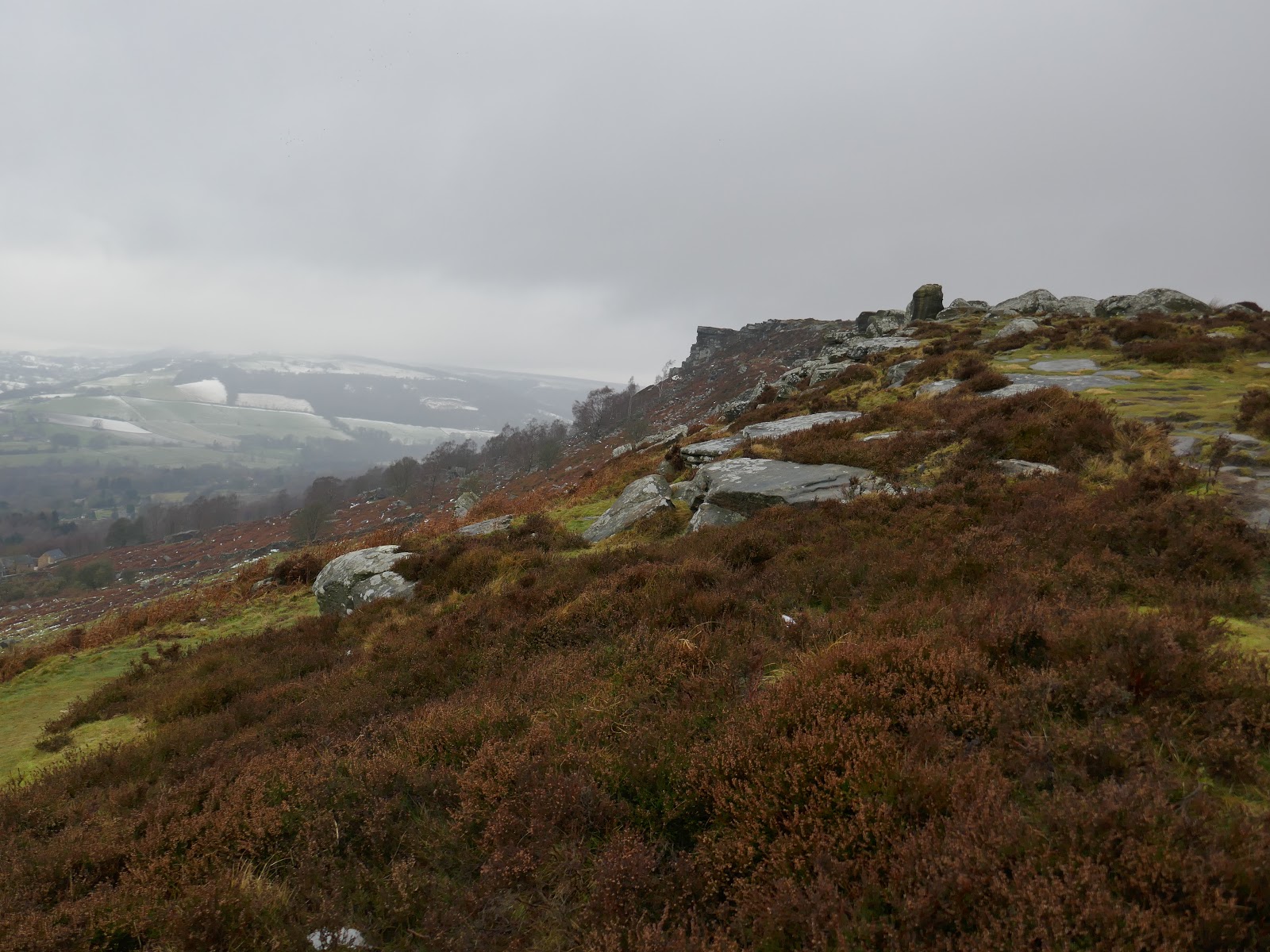
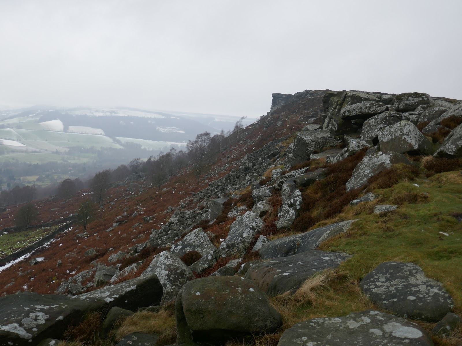
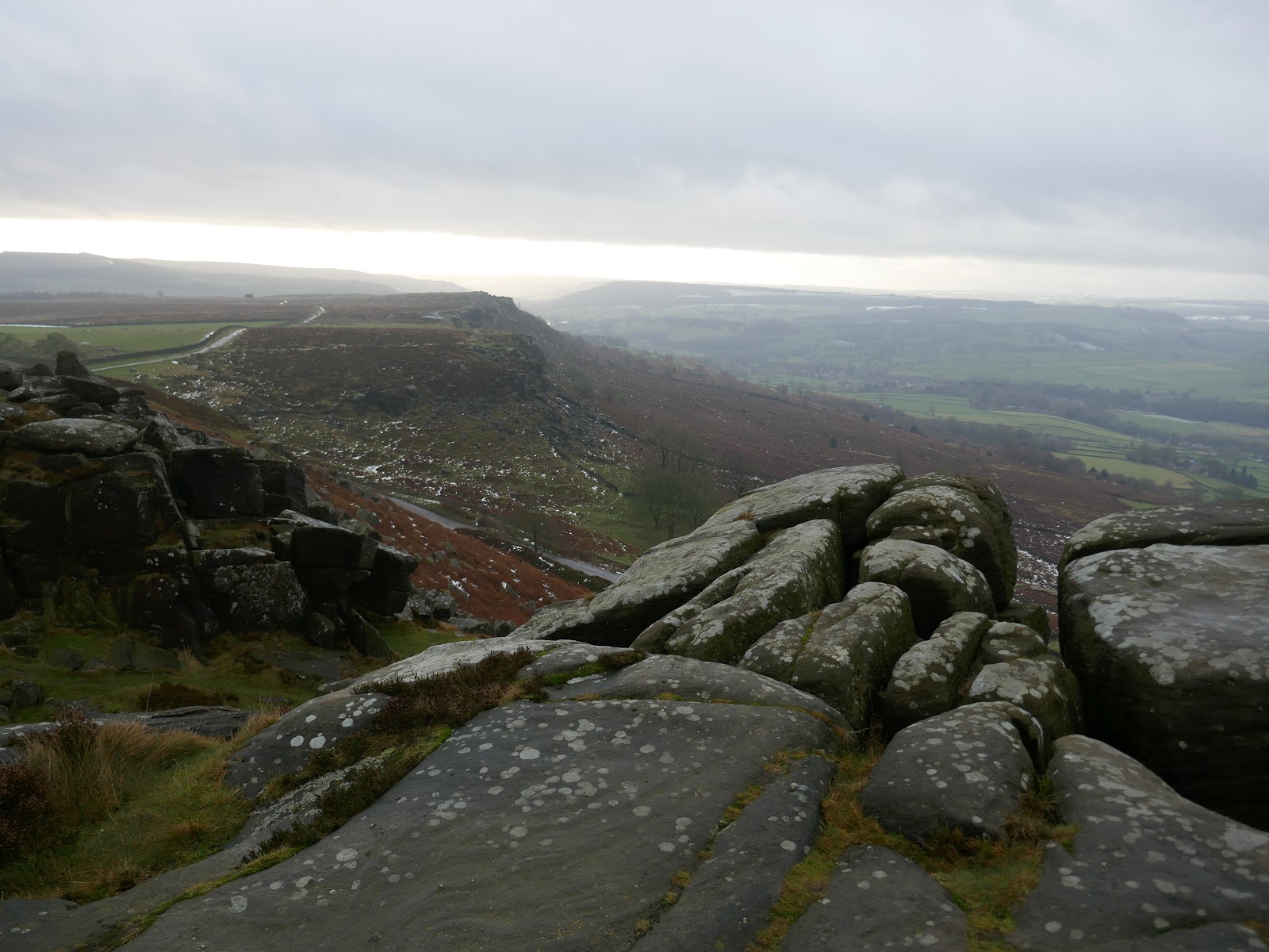
I’ve been spending some more time in the Peak District recently, exploring some new areas in the north of the national park. Today I’d be above the village of Froggatt or Curbar Edge and the neighbouring Froggatt edge. Additionally, the trip would take in White Edge and the small Baslow Edge for an ideal day out in the Dark Peak.
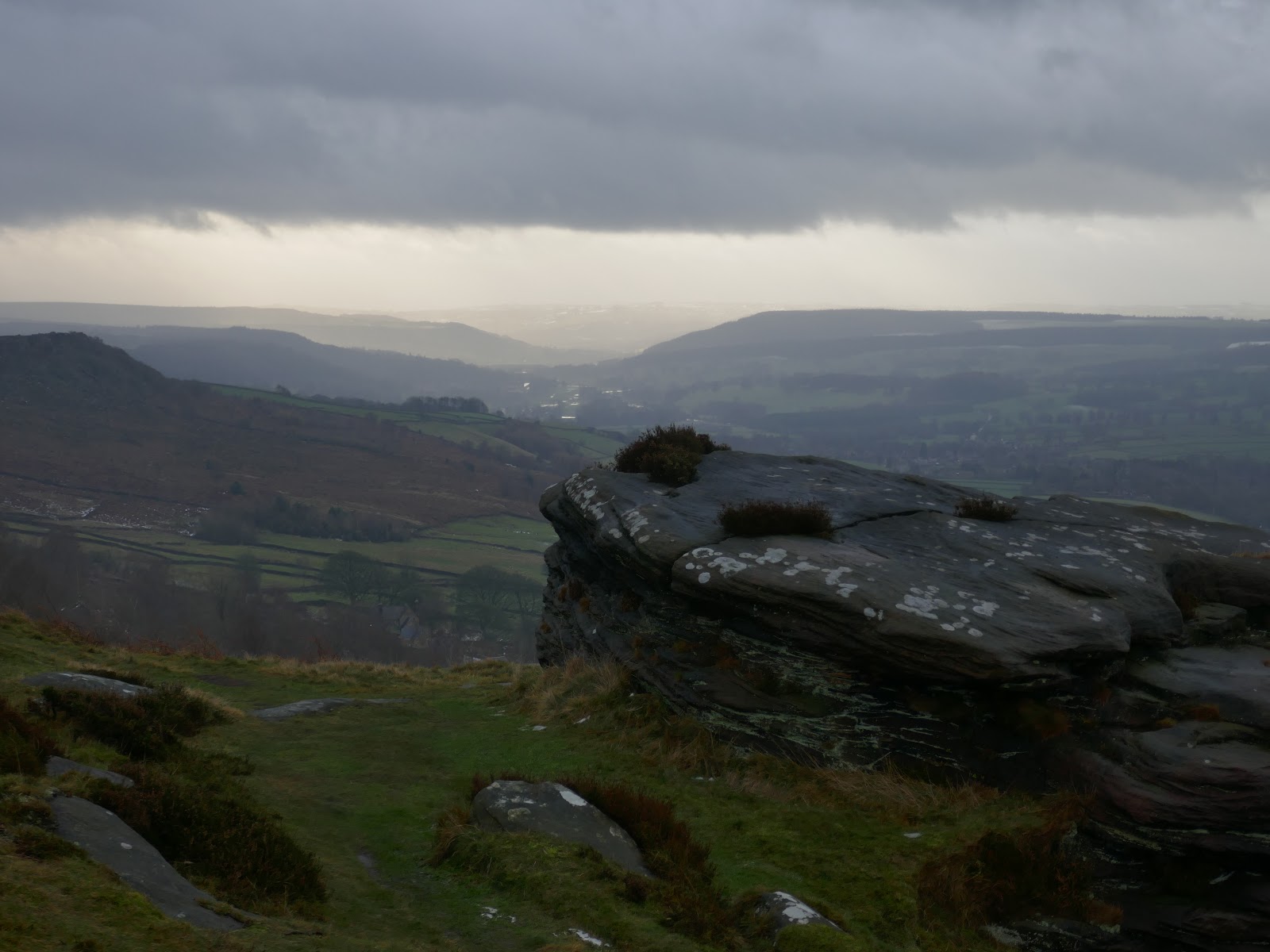
These edges are quieter than the illustrious Stanage Edge but no less spectacular and command fine views over the Hope valley below. The walk begins at the car park at Curbar Gap – arrive early to avoid disappointment.
 |
| The beginnings of Curbar Edge |
 |
| Curbar Gap |
 |
| The magnificent Curbar Edge |
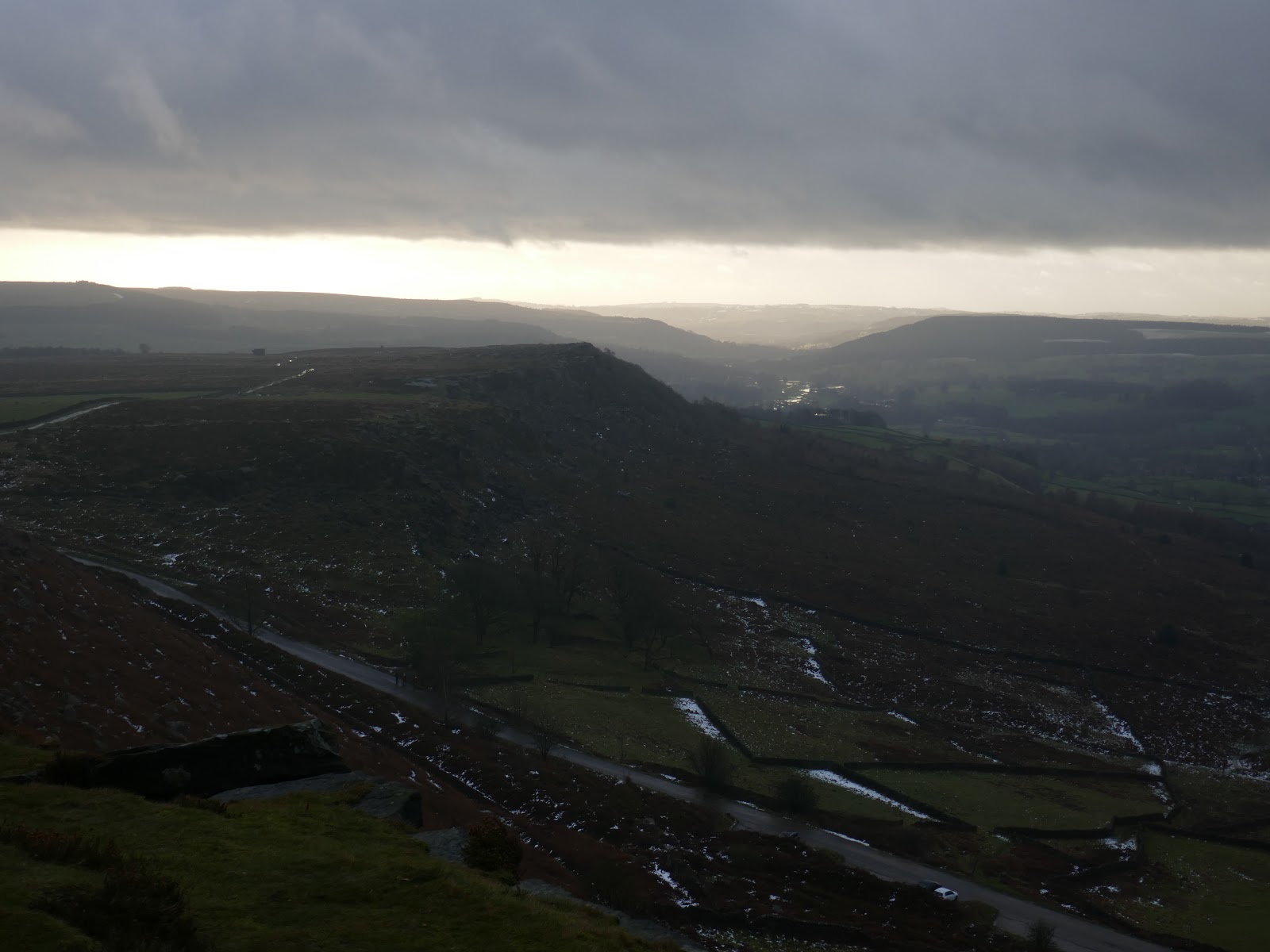
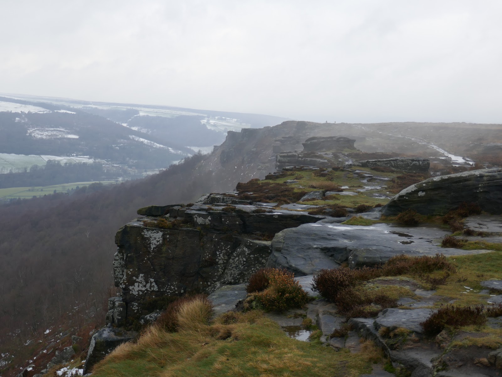
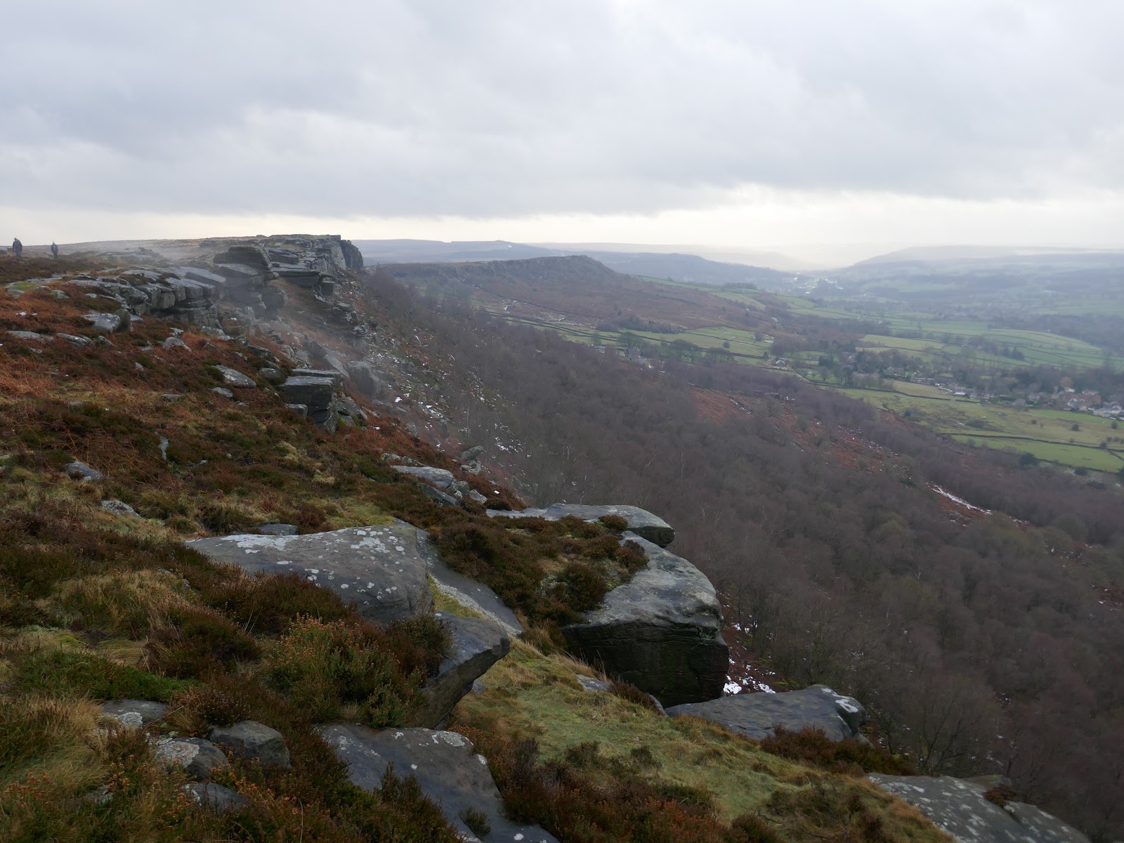
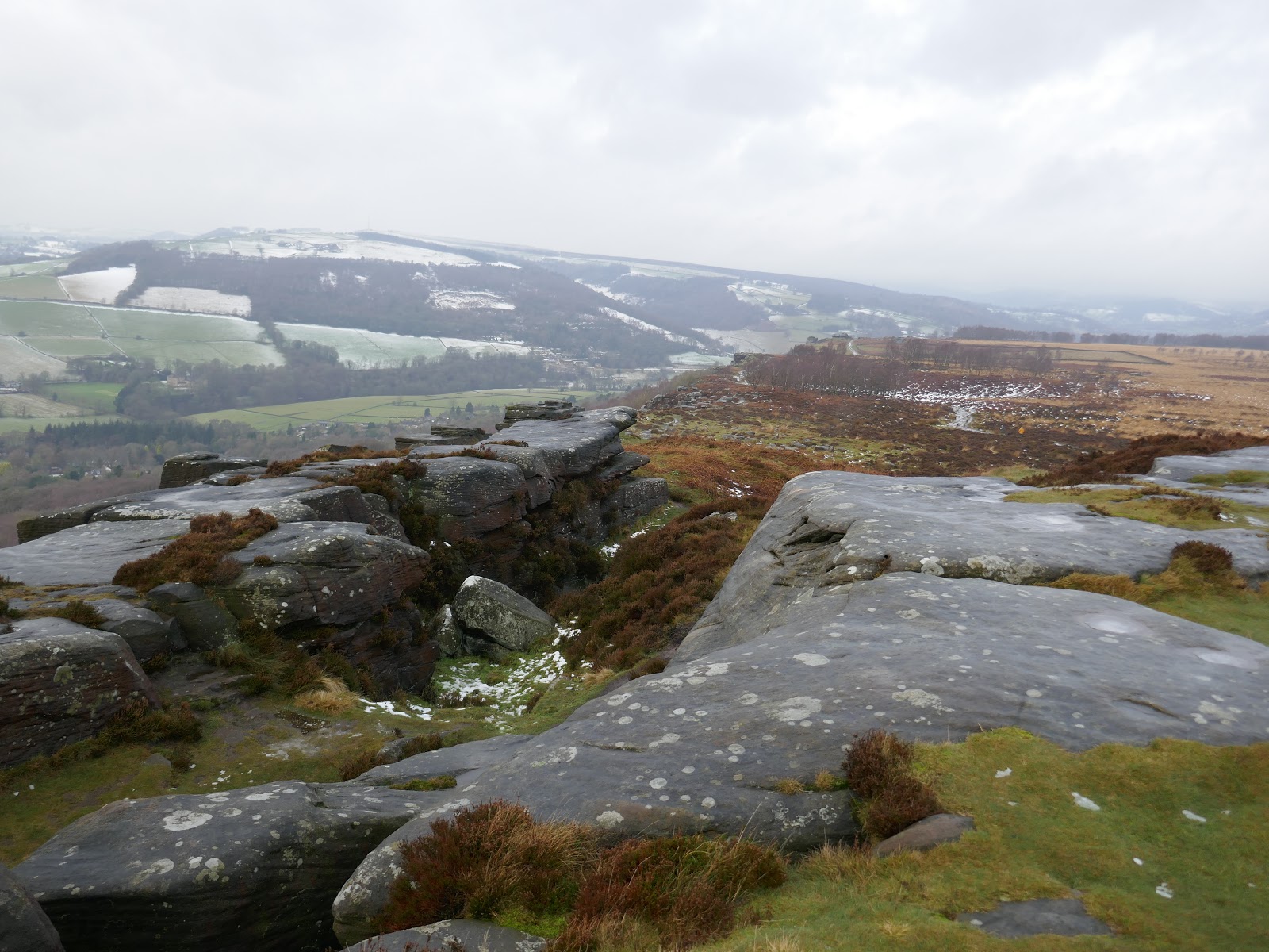
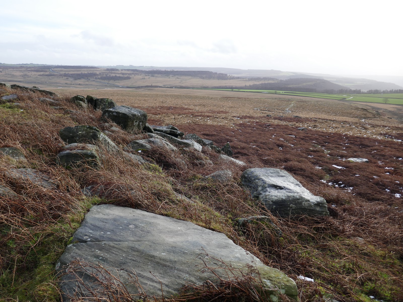
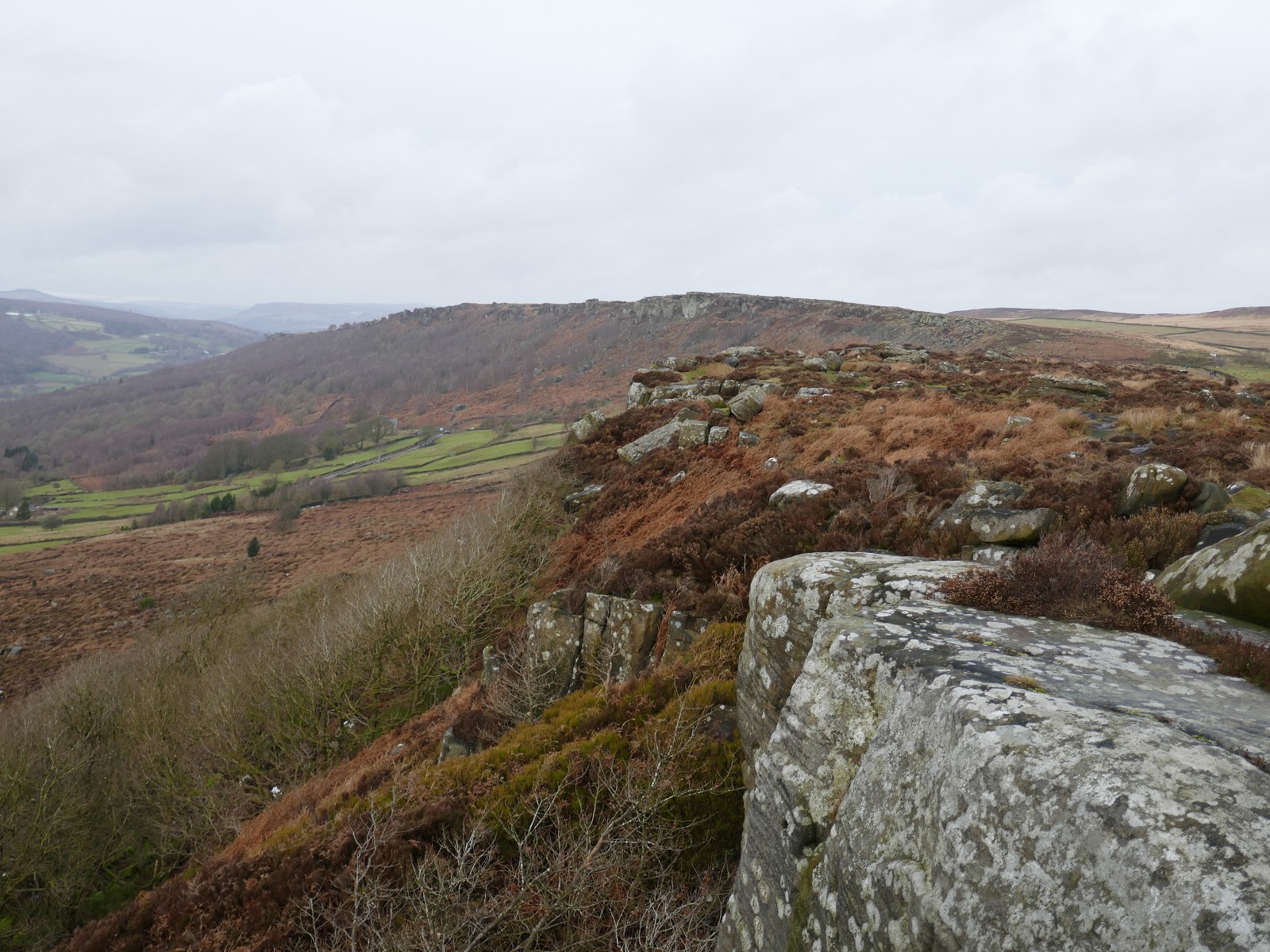
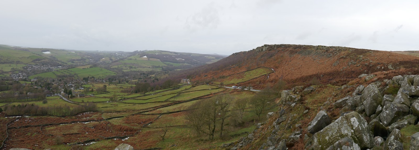
From the car park, the route joins the southern end of Curbar Edge and immediately the ground below the edge begins to fall away. The benefit of the Curbar Gap car park is that it starts almost level with the edge so no need to climb to get up to it.
 |
| Curbar Gap and Baslow Edge from Curbar Edge |
 |
| Baslow Edge |
 |
| Easy walking along the top of Curbar Edge |
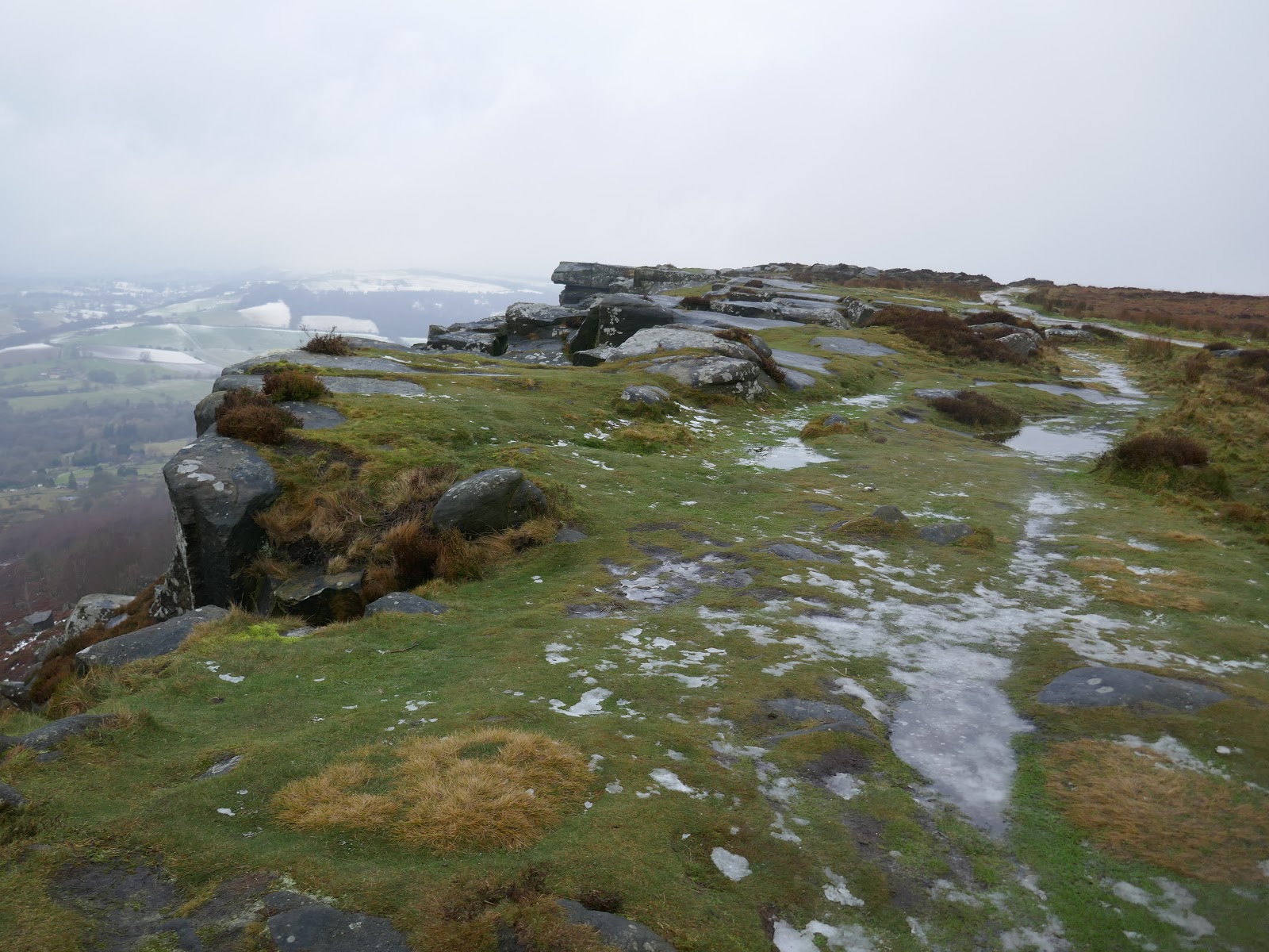
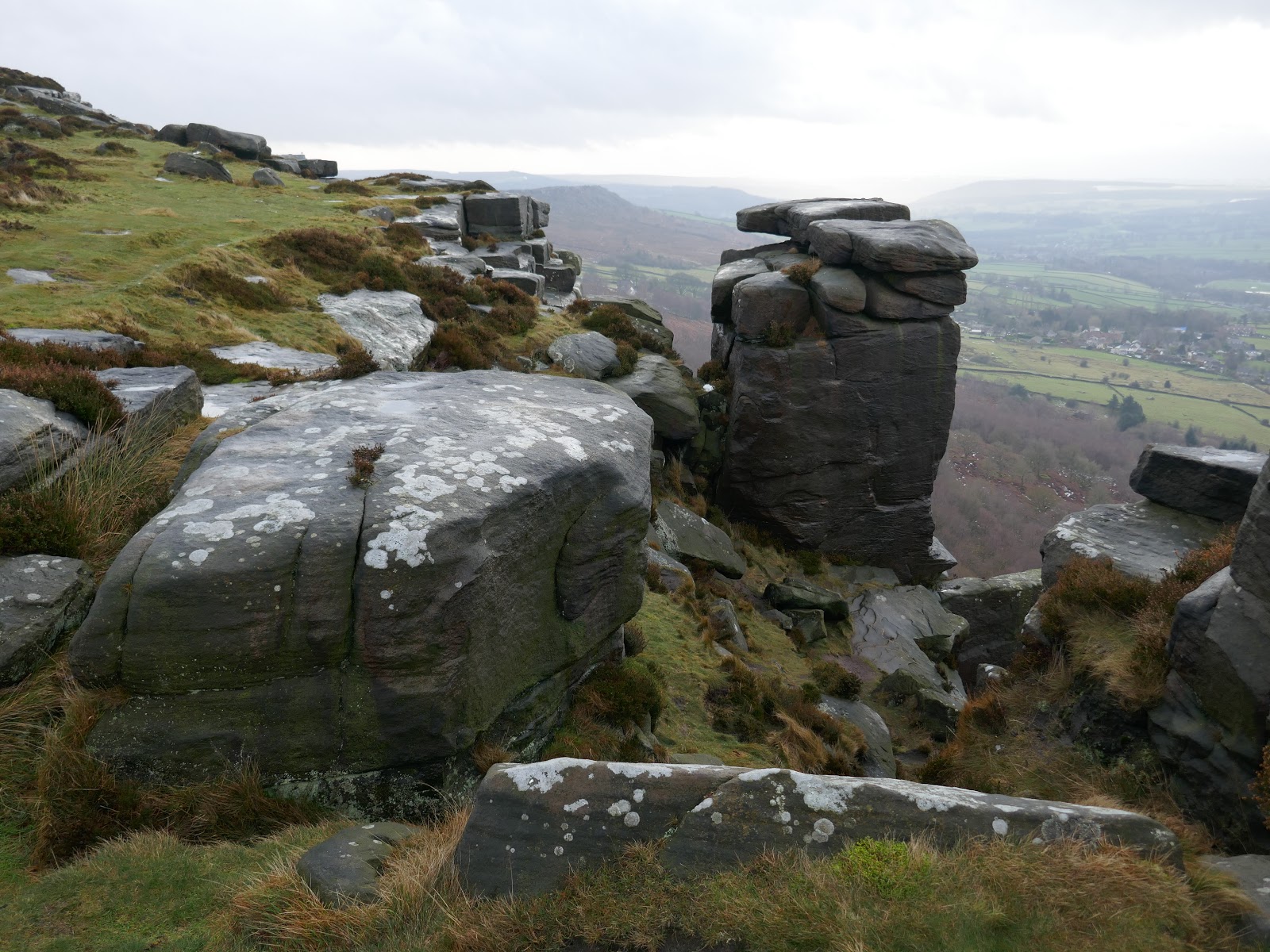
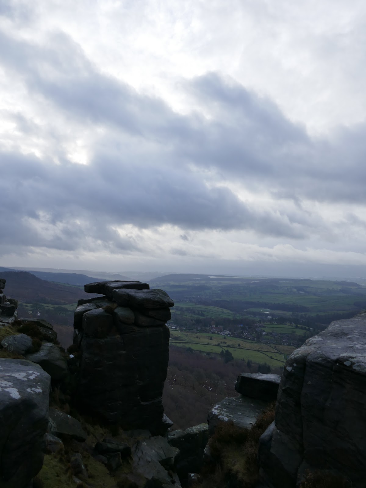
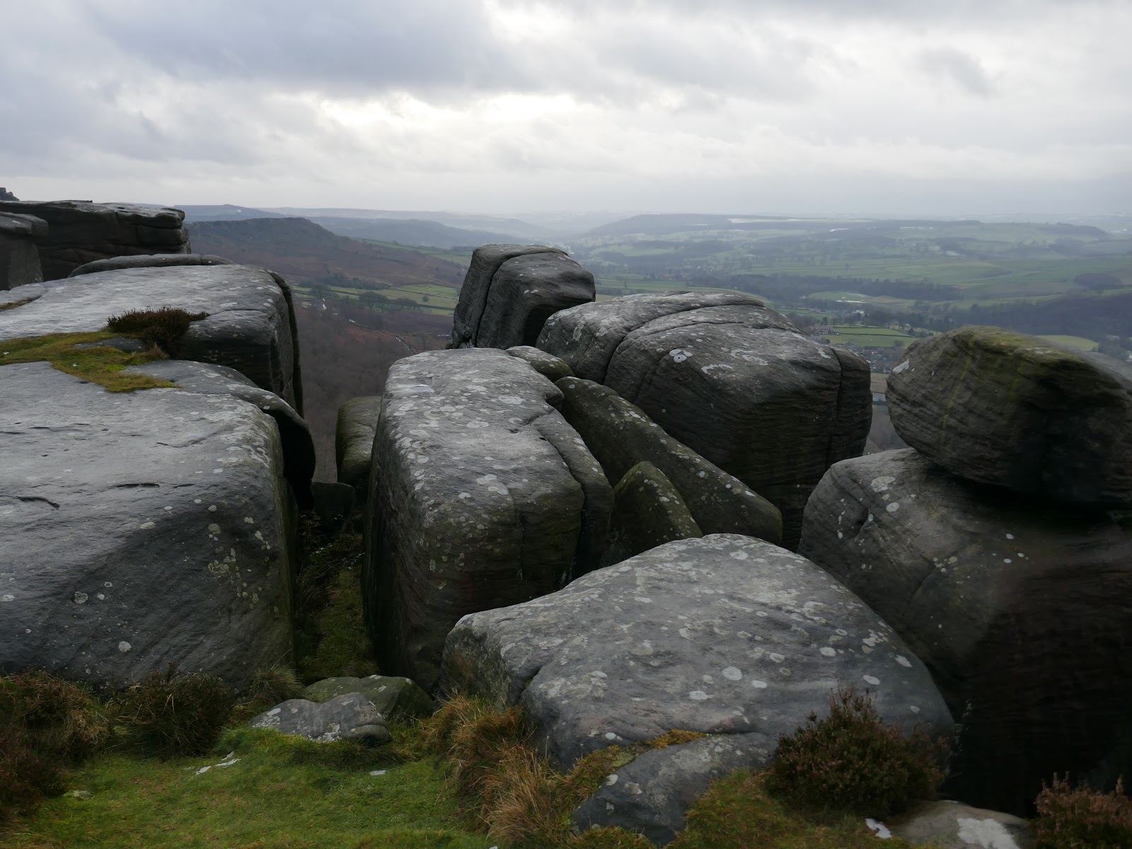
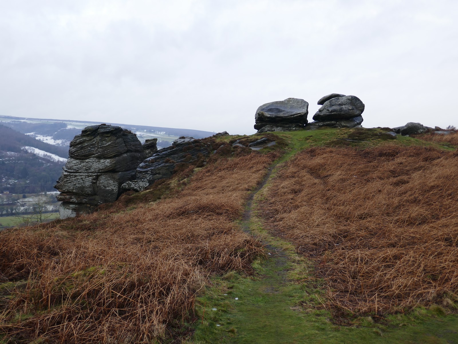
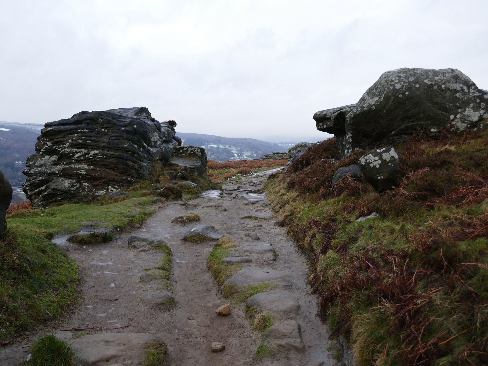
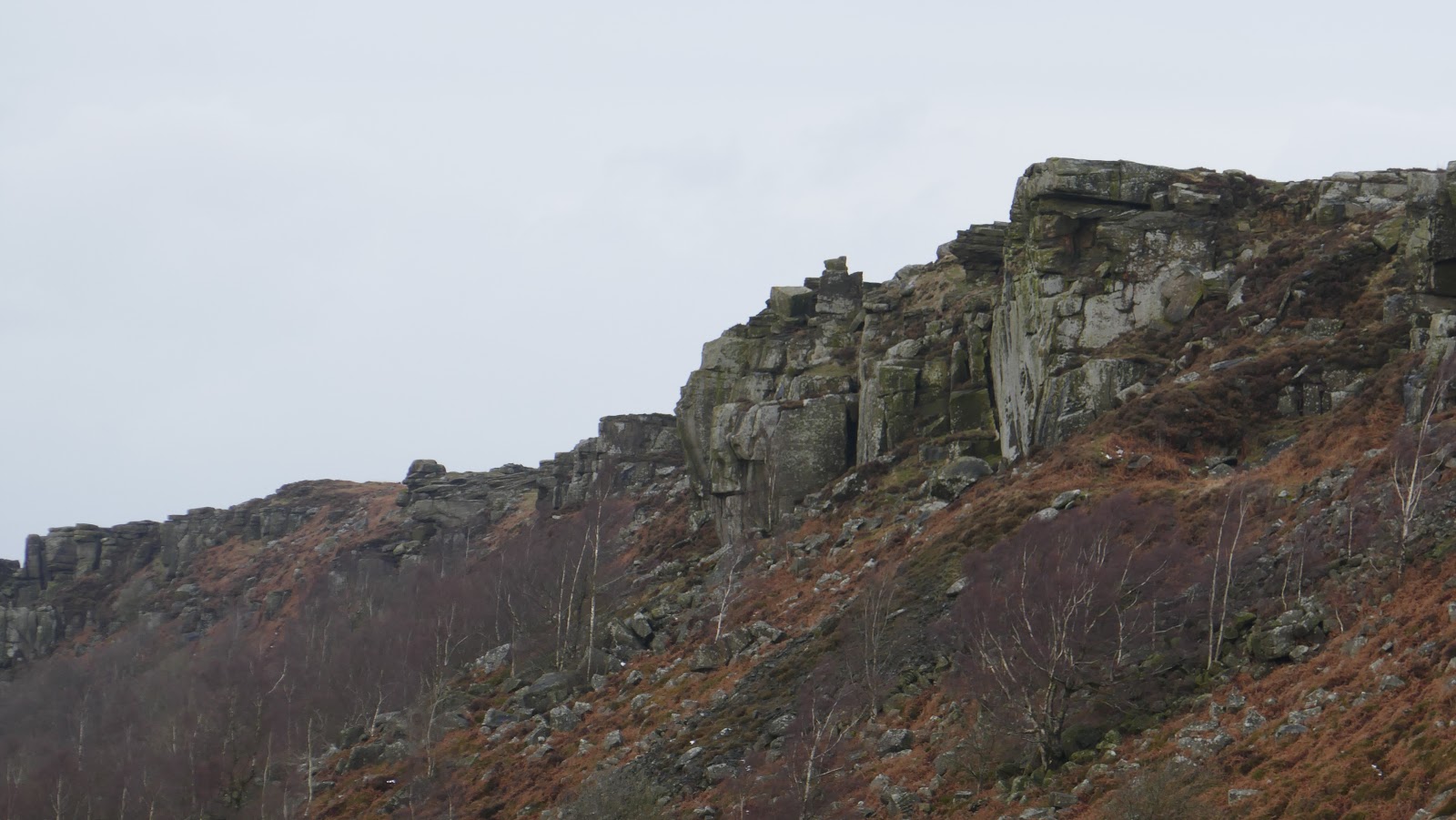
The interest along the edge is immediate with a series of prominent outcrops and pinnacles drawing attention.
 |
| Pinnacles on Curbar Edge |
 |
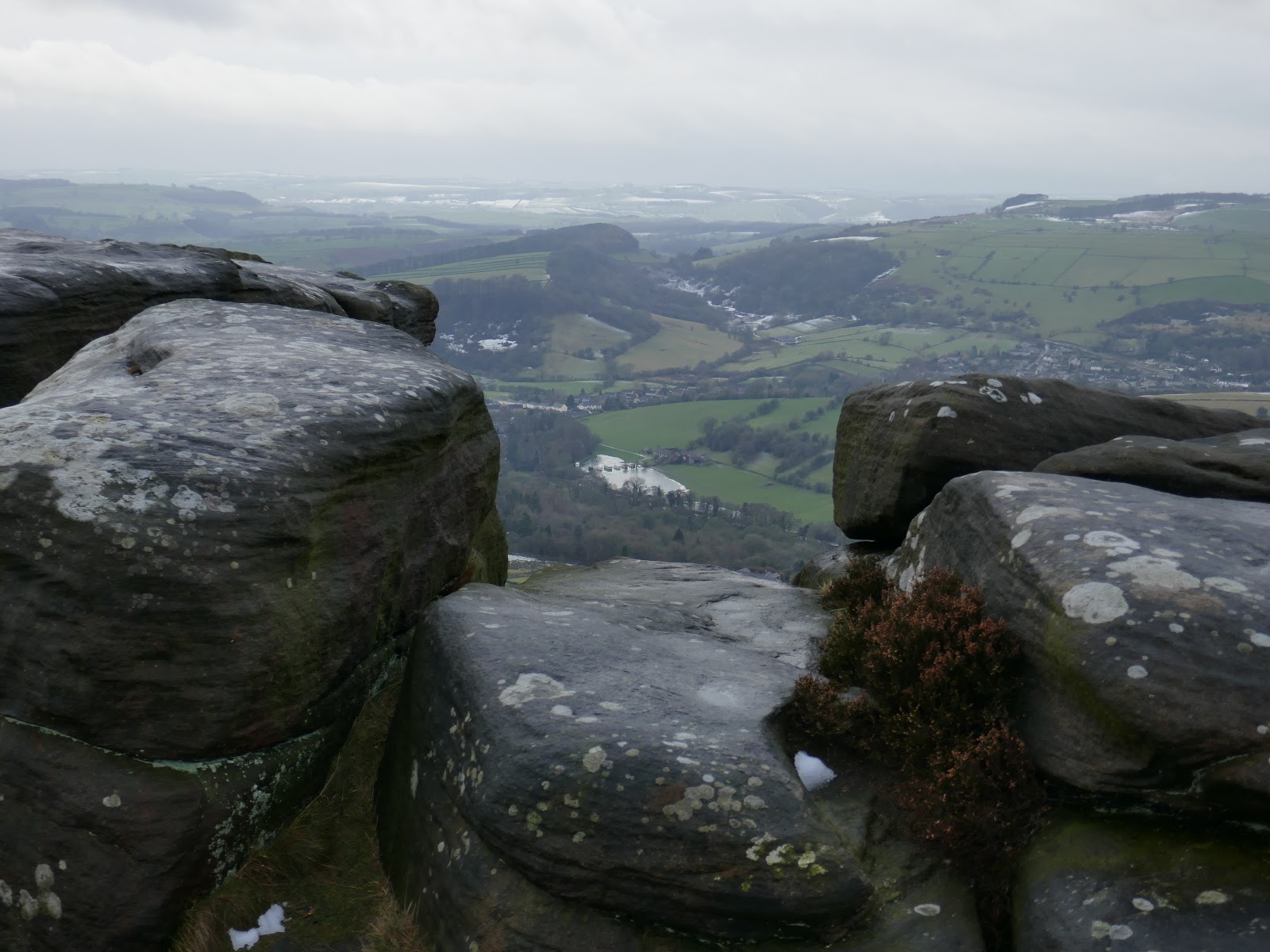
| Curbar Edge and the Derwent Valley |
 |
| Mists swirl over Curbar Edge |
 |
| Curbar Edge |
 |
| Curbar Edge |
 |
| Curbar Edge |
 |
| The Derwent Valley |
 |
| Curbar Edge |
 |
| Curbar Edge |
 |
| Curbar Edge |
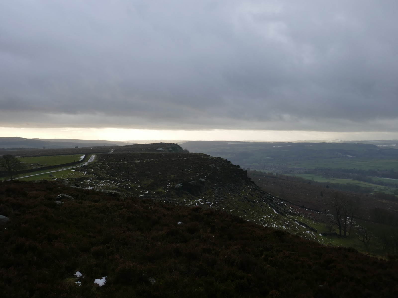
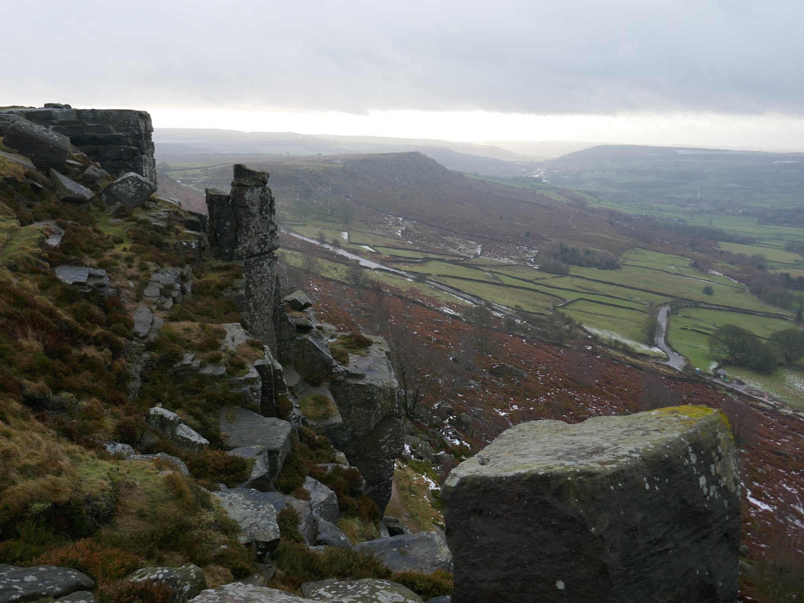
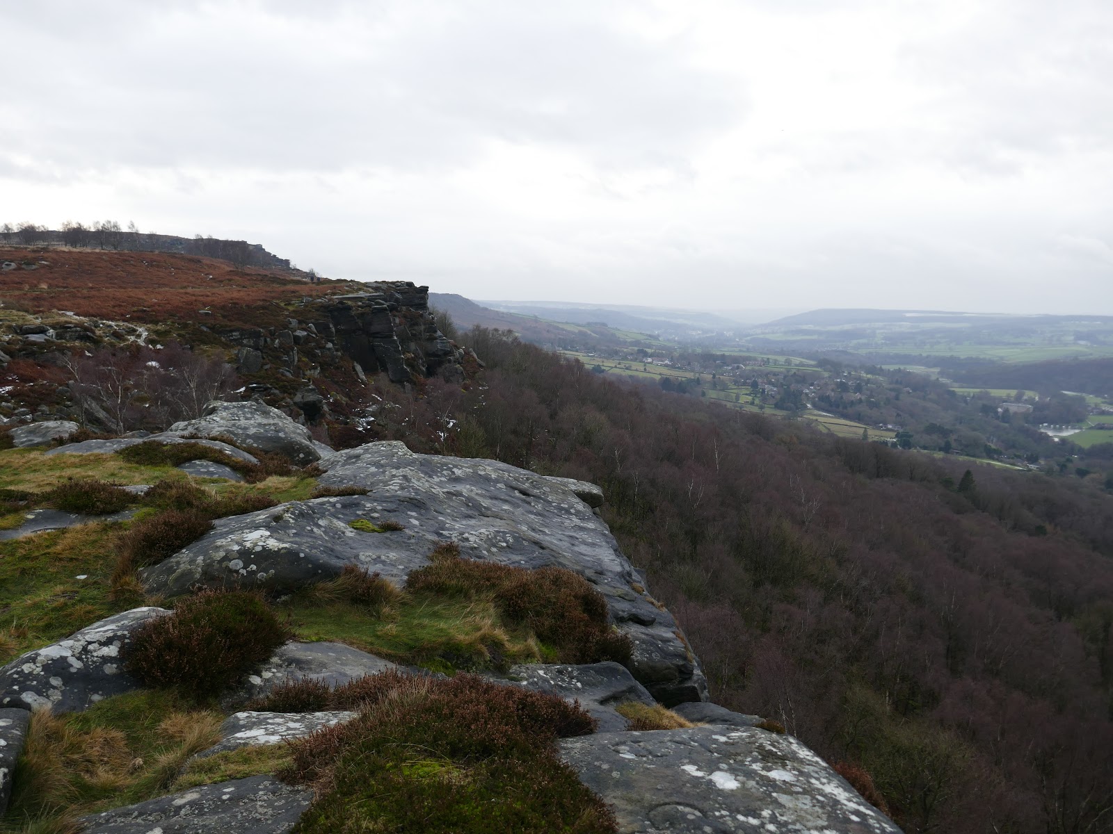
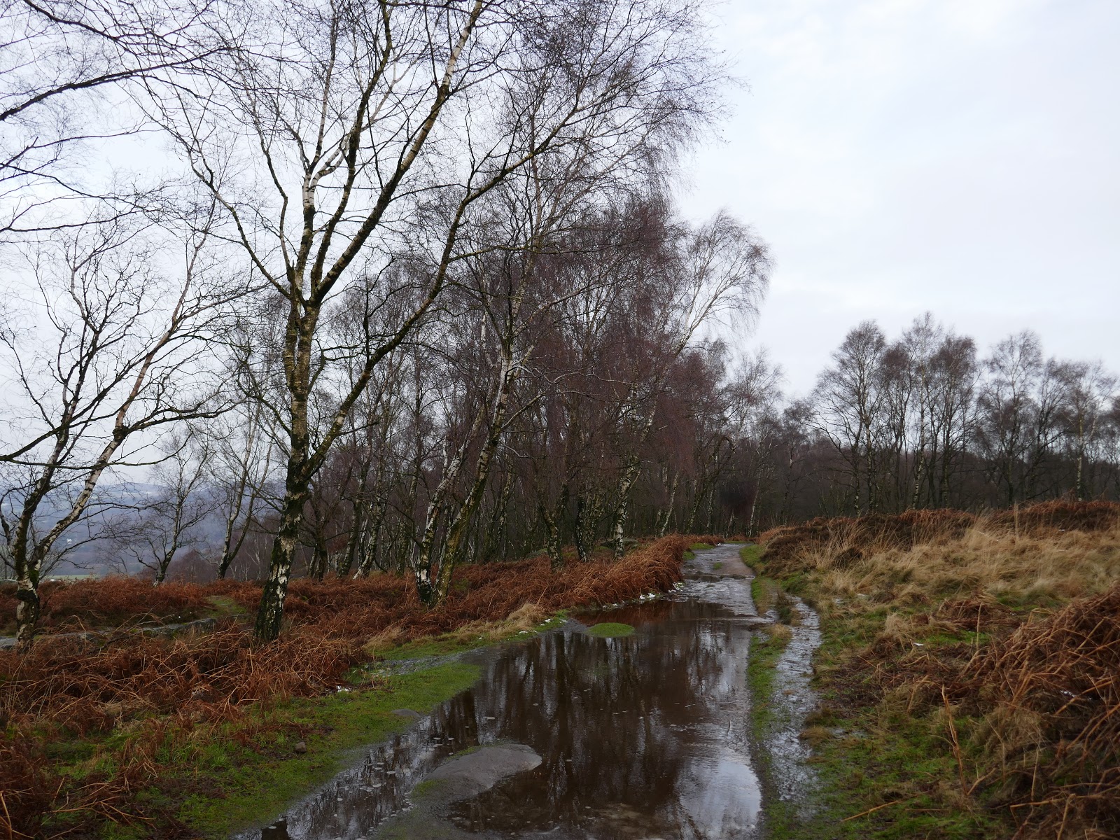
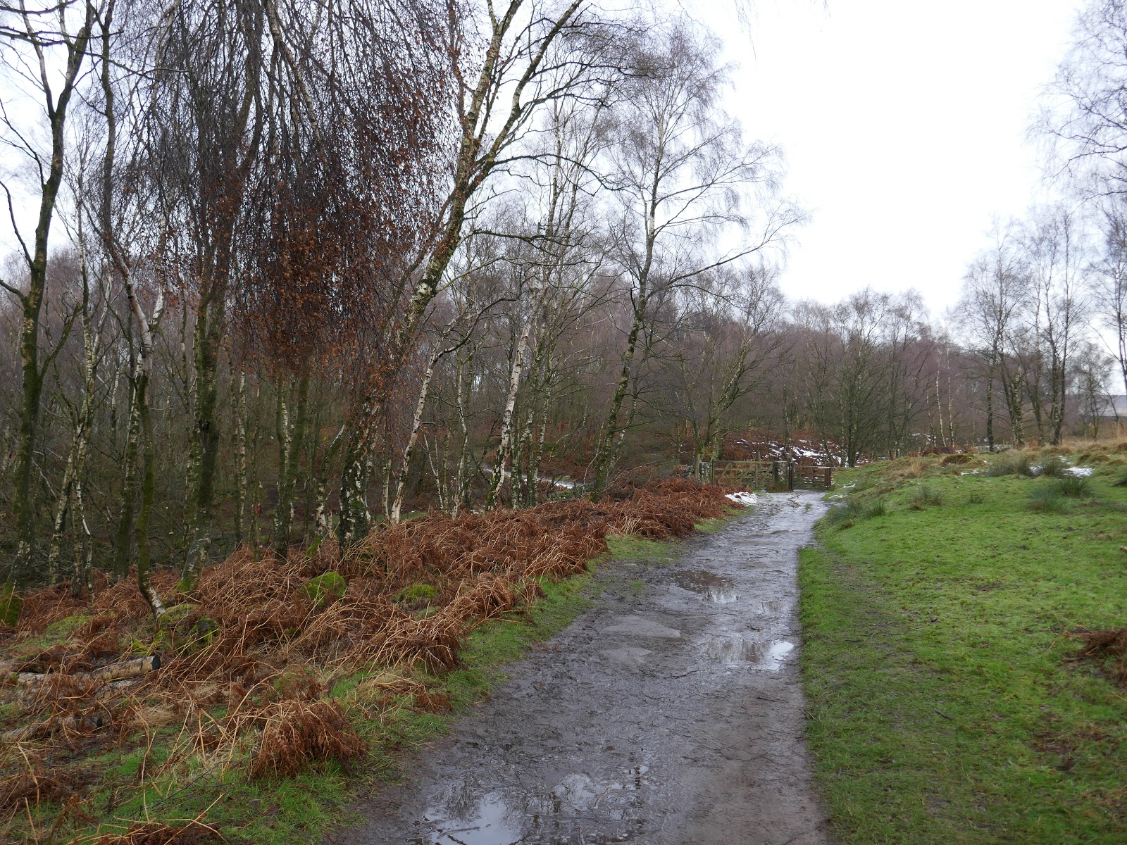
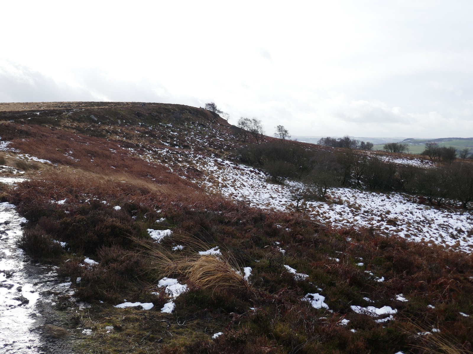
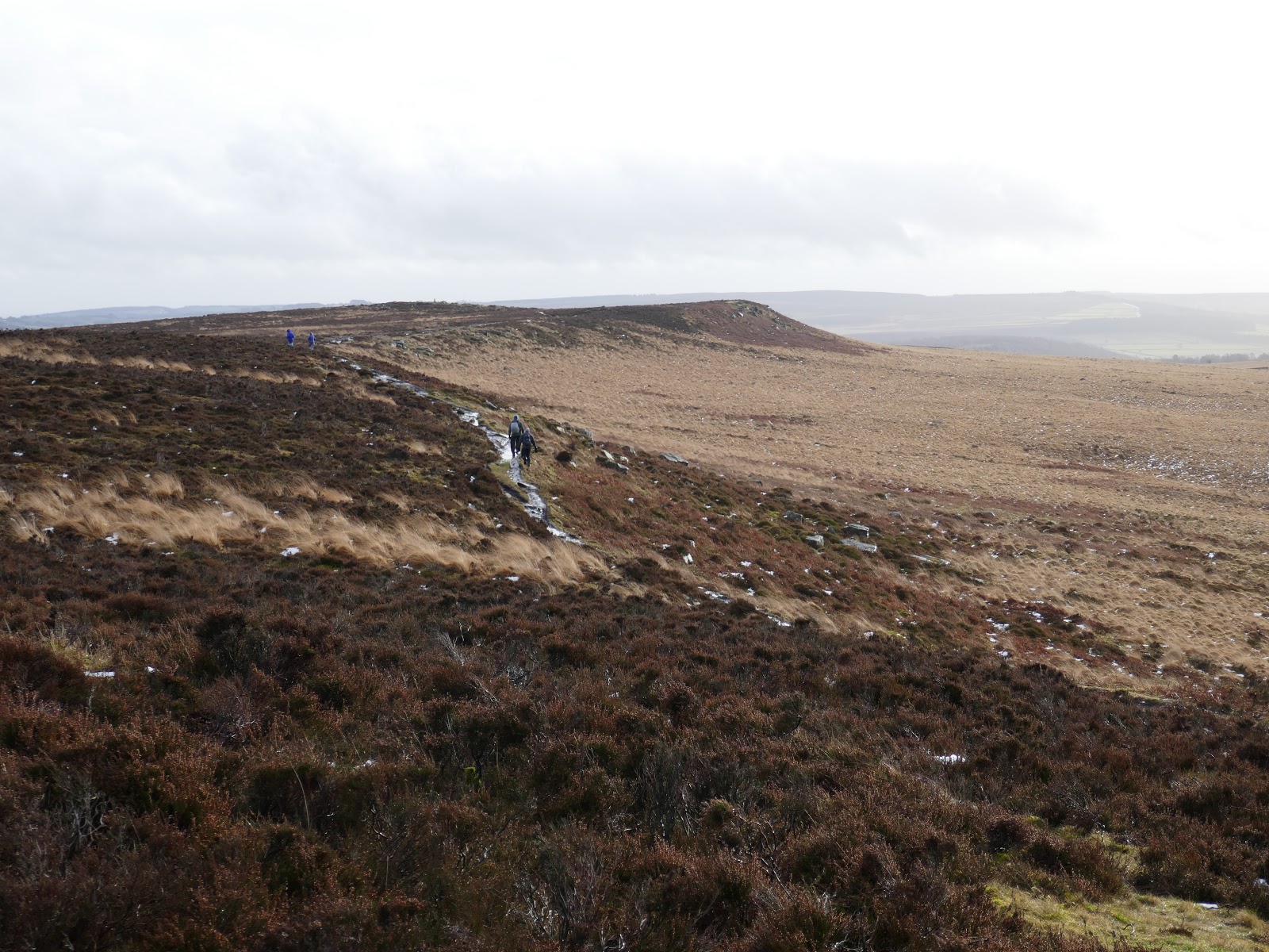
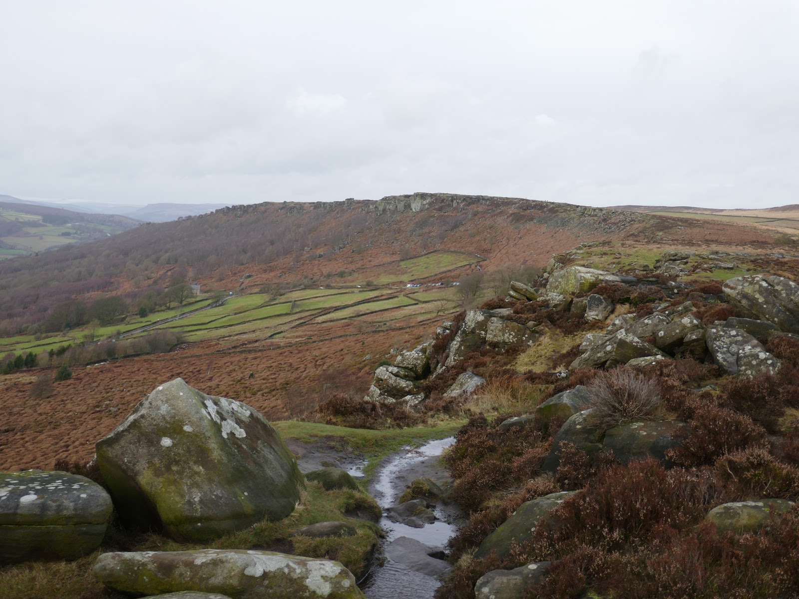
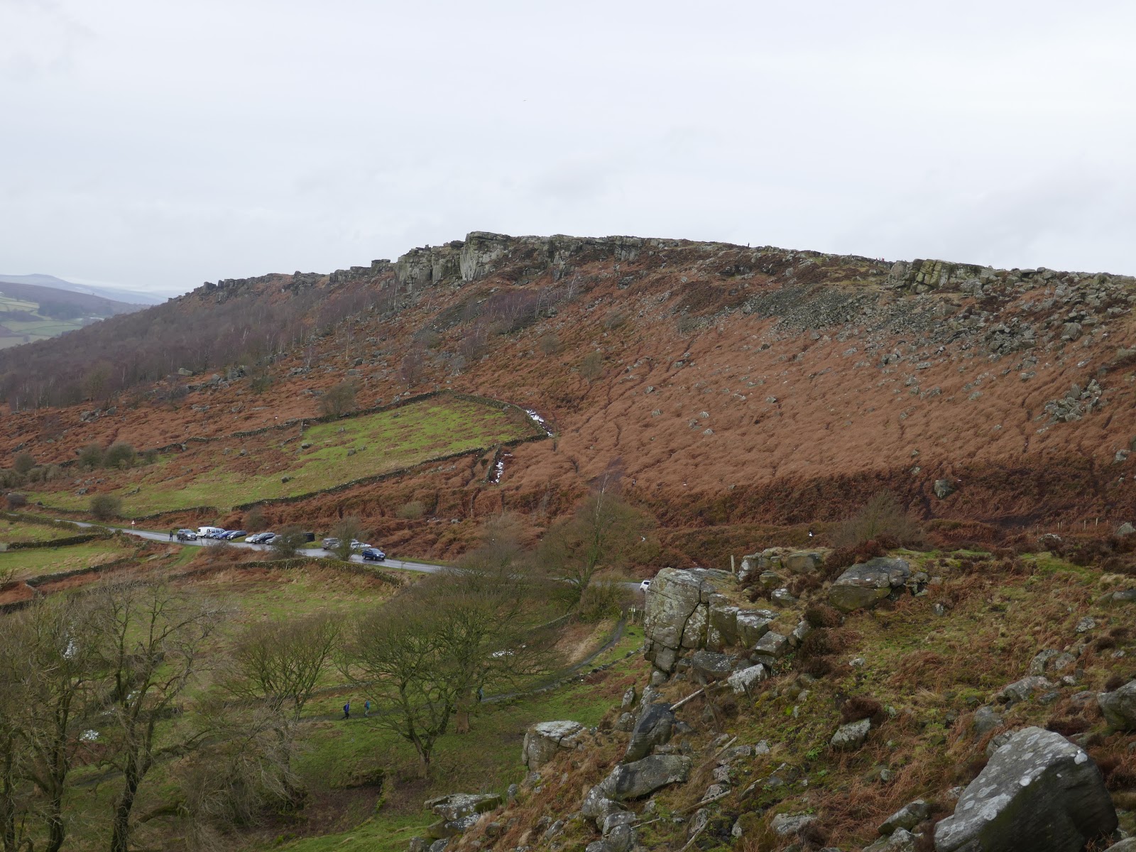
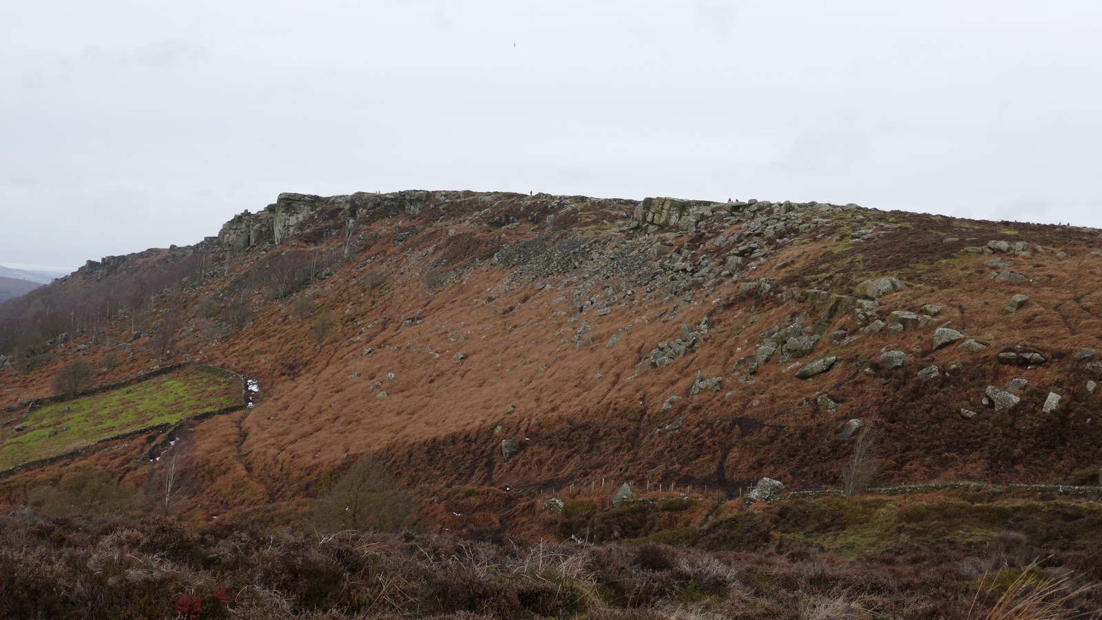
The walking is easy and Curbar Edge becomes Froggatt Edge, which is less dramatic as many parts are heavily wooded. The path descends gently through the woods to reach the A6245, which can be busy. Various unsigned paths link Curbar Edge to the moorland around, one in particular leading to the Grouse Inn. I, however, decided it best to try and cross the open moorland to reach White Edge – this was a mistake.
 |
| Froggatt Edge from Curbar Edge |
 |
| The beginnings of Froggatt Edge |
 |
| The path winds between some interesting rocks |
 |
| Woods on Froggatt Edge |
 |
| Froggatt Edge |
 |
| Grindleford |
 |
| The northern end of Froggatt Edge |
 |
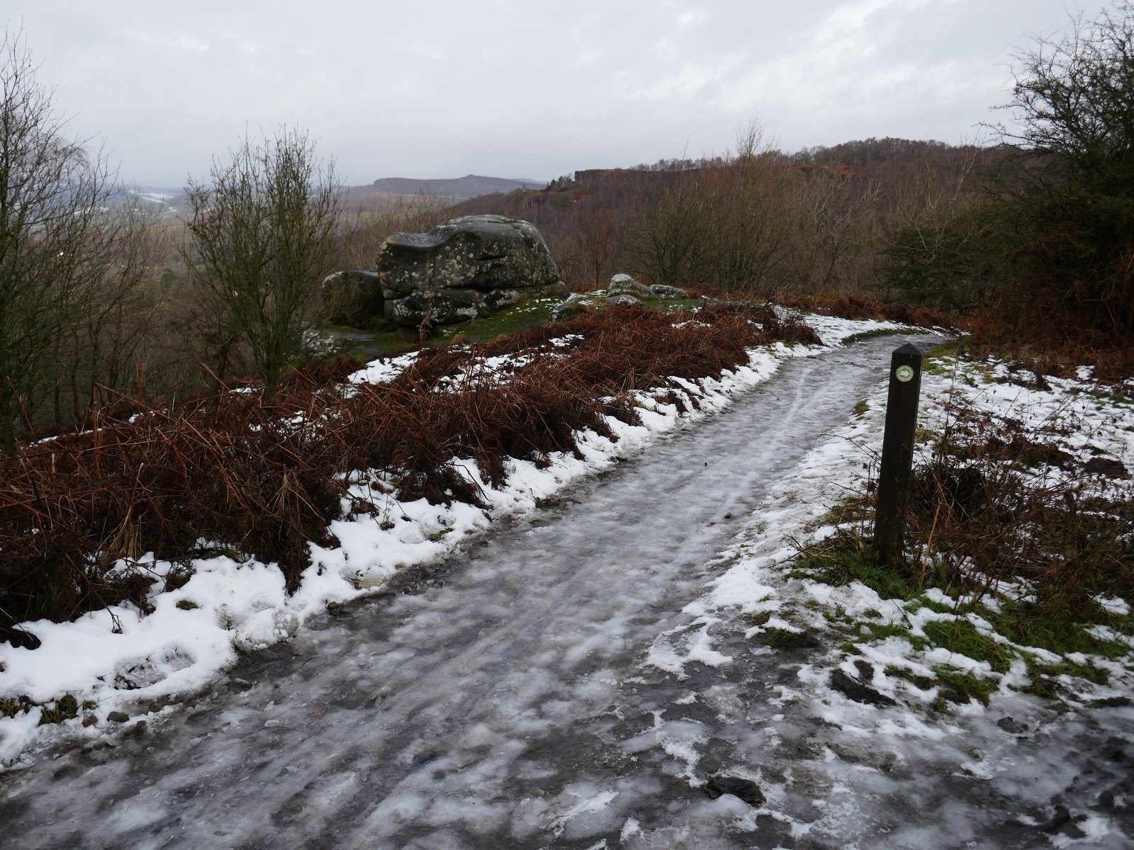
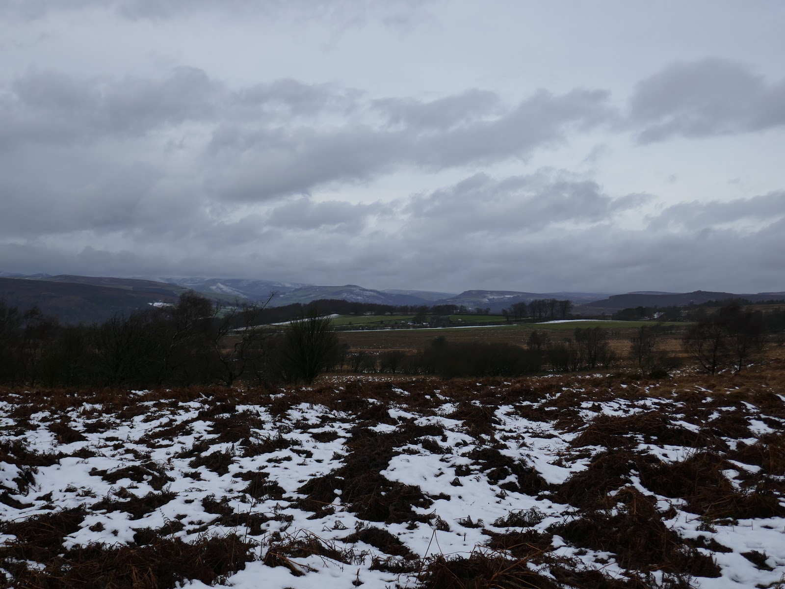
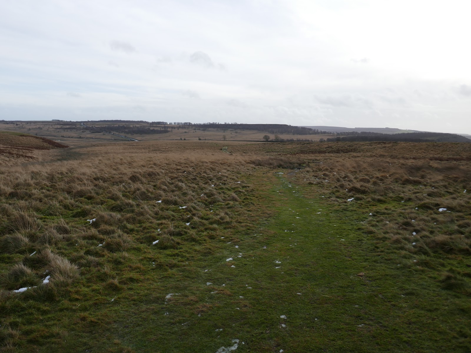
| Stoke Flat leading towards White Edge |
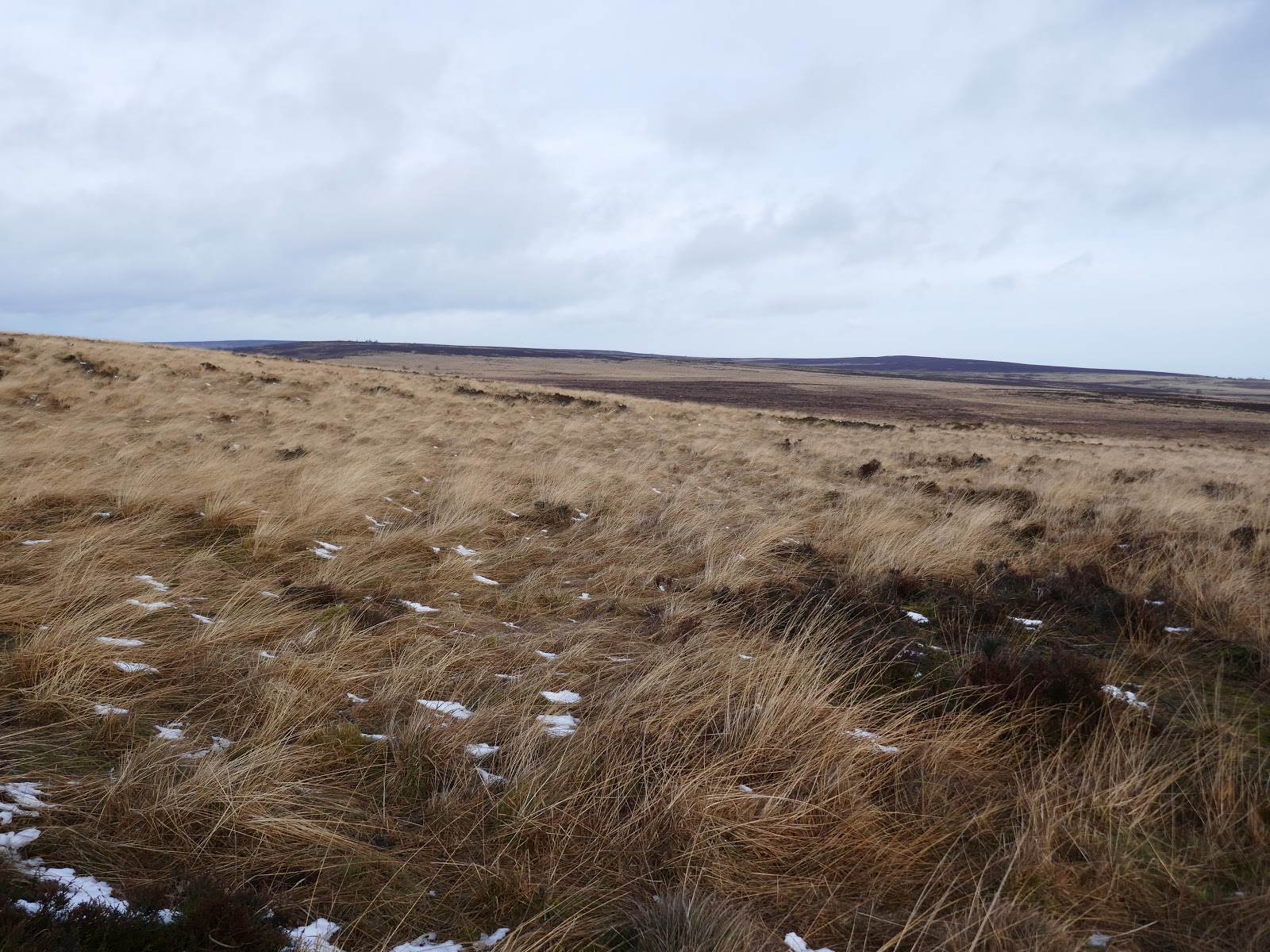
After an encouraging start, the path petered out leaving me to make my own route up. Things were going well until I reached a very wet, marshy section with no obvious way around. I think you can guess what happens next.
I emerged on the other side having ended up waist deep in what can only be described as a small lake. Luckily, other than wet legs and feet no harm was done, particularly to my phone which had been in my trouser pocket. Things could have been much wetter had I not been wearing a pair of gaiters.
 |
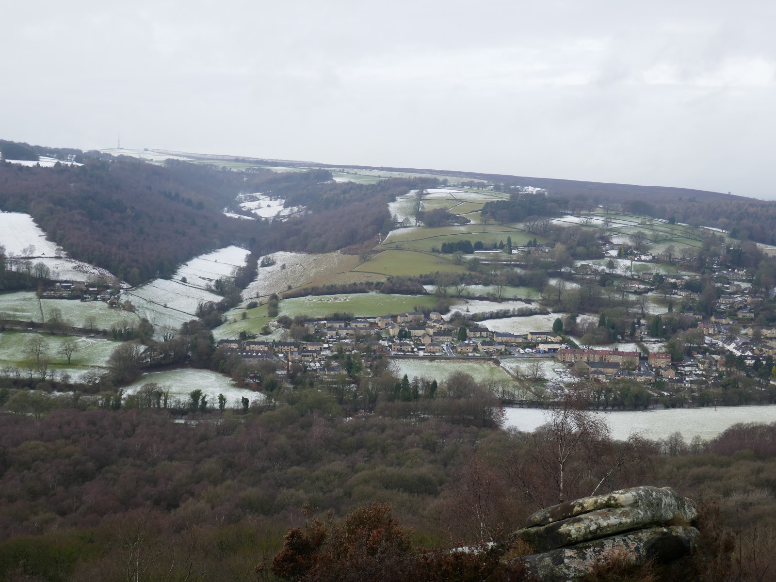
| Views to a distant Hope Valley |
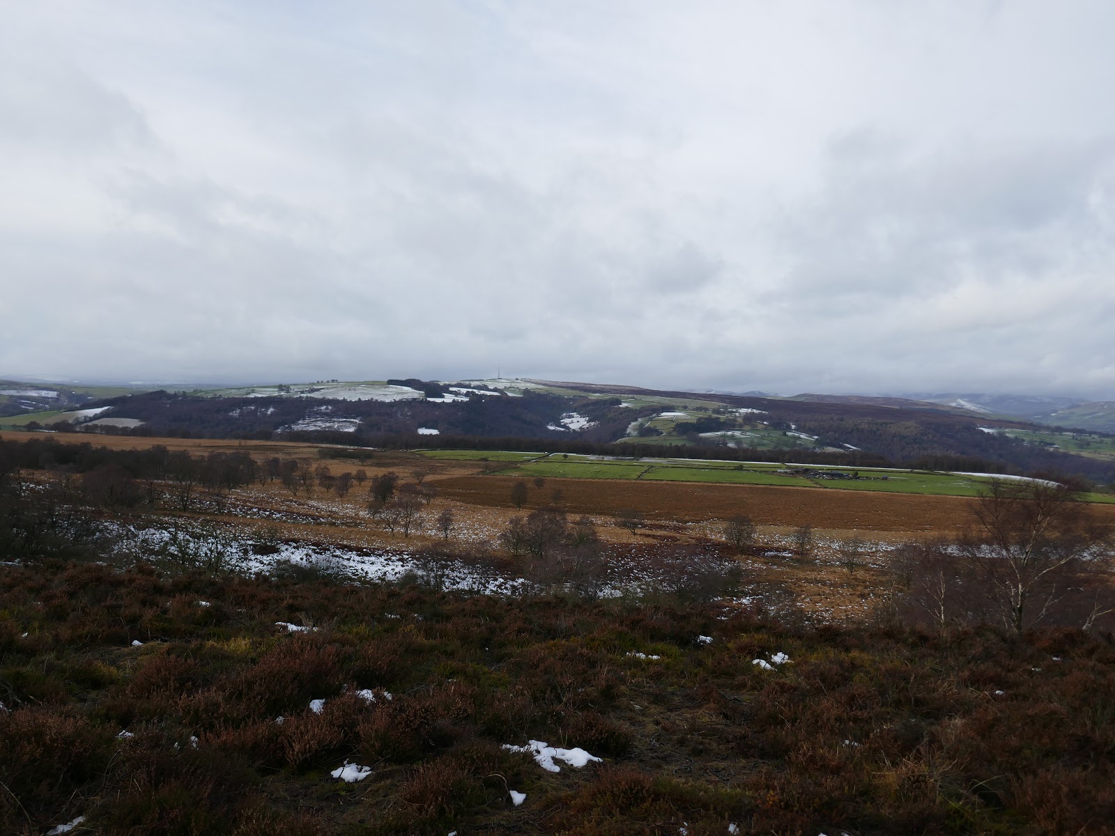
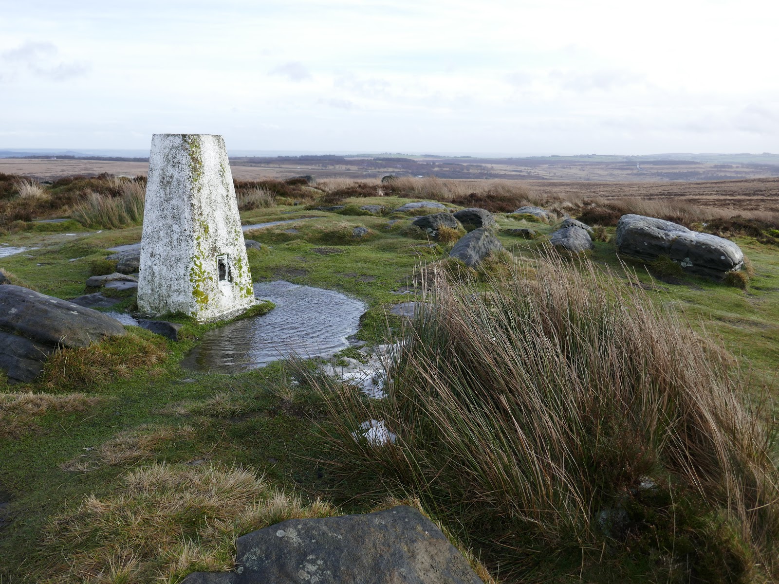
I clambered up onto White Edge, thankful that no one had been watching my off-piste escapades (at least I hope so) and continued on my way. White Edge spans the western side of Big Moor, above the more dramatic Curbar and Froggatt Edges below. While it lacks the sheer cliffs of a traditional Peak District edge, it does have a trig pillar which has to be visited.
 |
| Eyam Moor |
 |
| White Edge |
 |
| White Edge |
 |
| White Edge |
 |
| Big Moor |
 |
| Big Moor trig pillar |
 |
| White Edge above Stoke Flat |
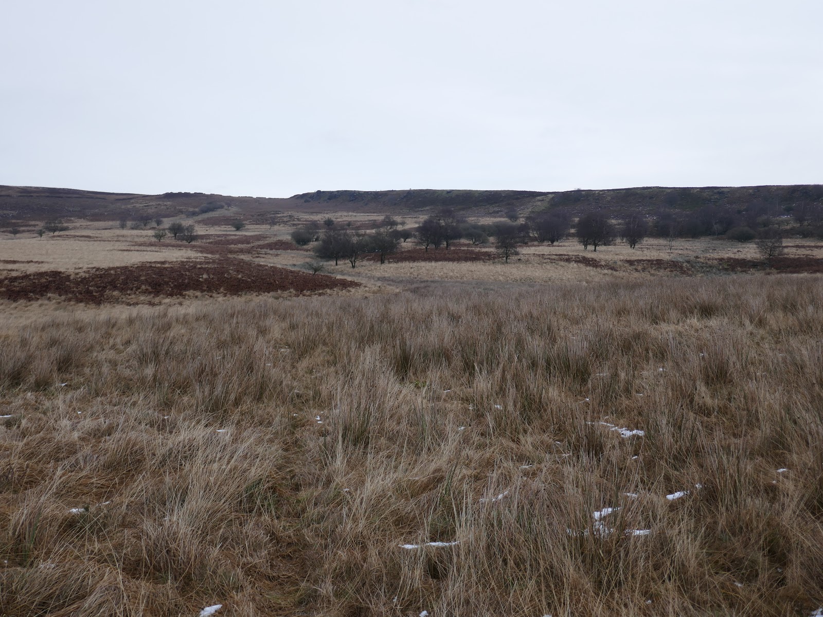
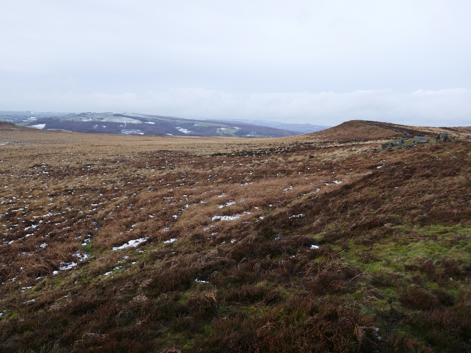
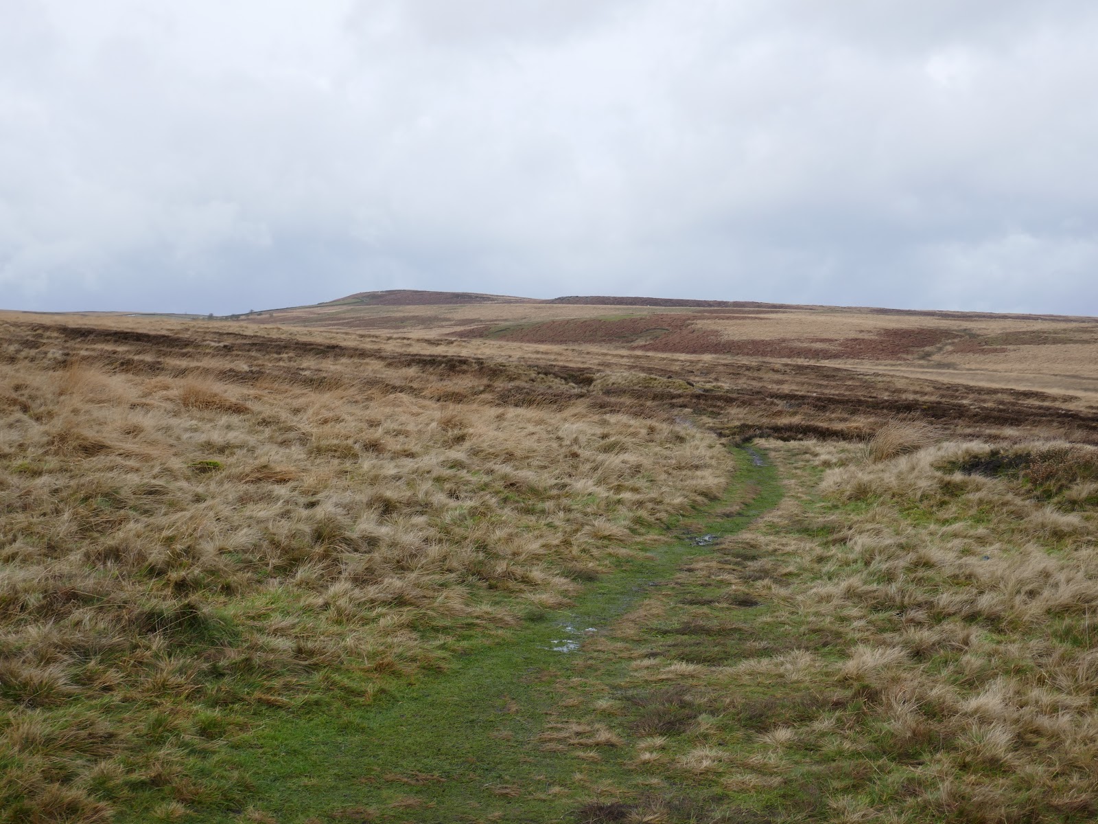
At the end of White Edge you have a choice, return to Curbar Gap following the edge of a small area of private land or head towards Swine Sty to extend the walk, as I did.
 |
| Stones at Swine Sty |
 |
| Path towards Blake Brook |
 |
| Looking back to White Edge |
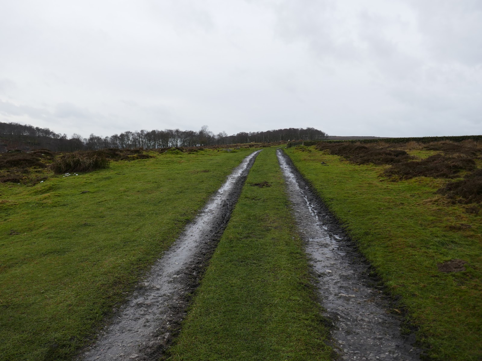
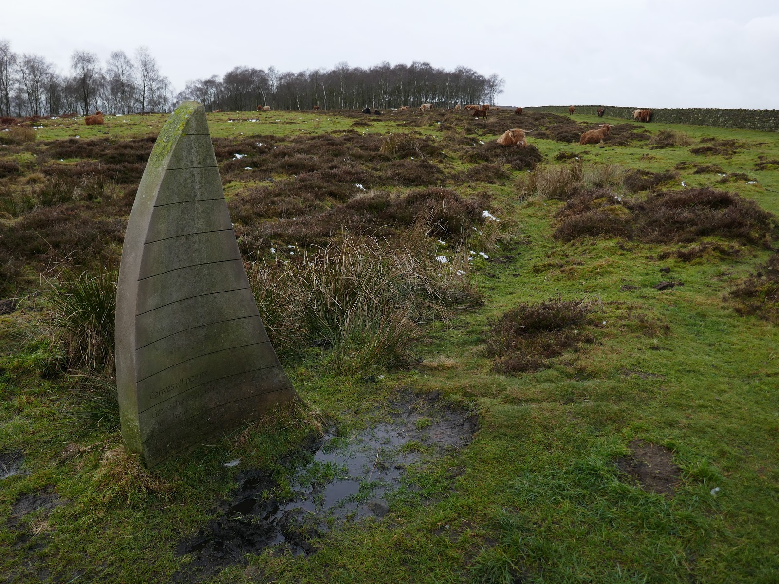
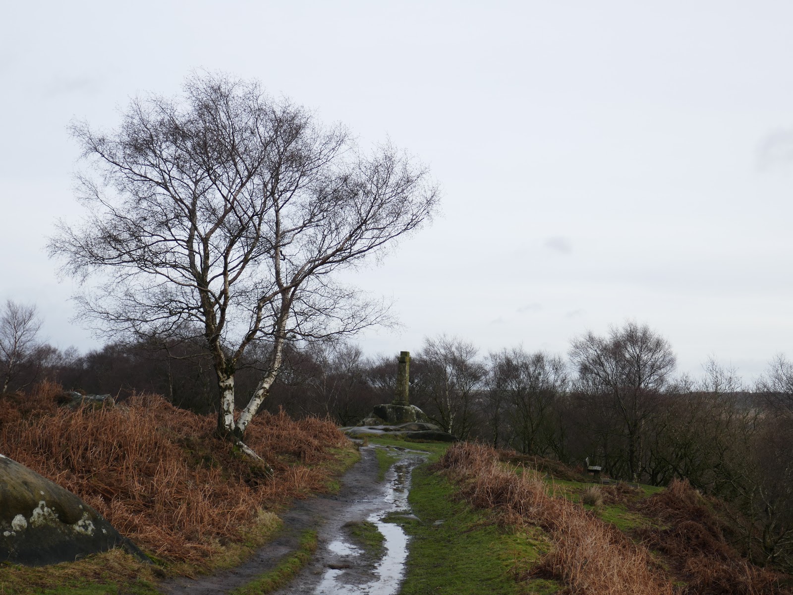
Though not marked, a path does lead to the road at Bar Brook, allowing access to the bridleway above Sheffield Road. This bridleway, with a liberal sprinkling of Highland Cows, leads to Wellington’s Monument.
 |
| Bridleway |
 |
| Field sculpture |
 |
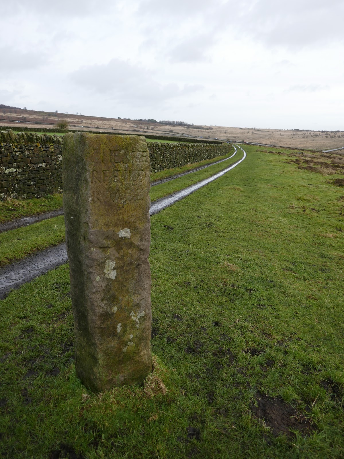
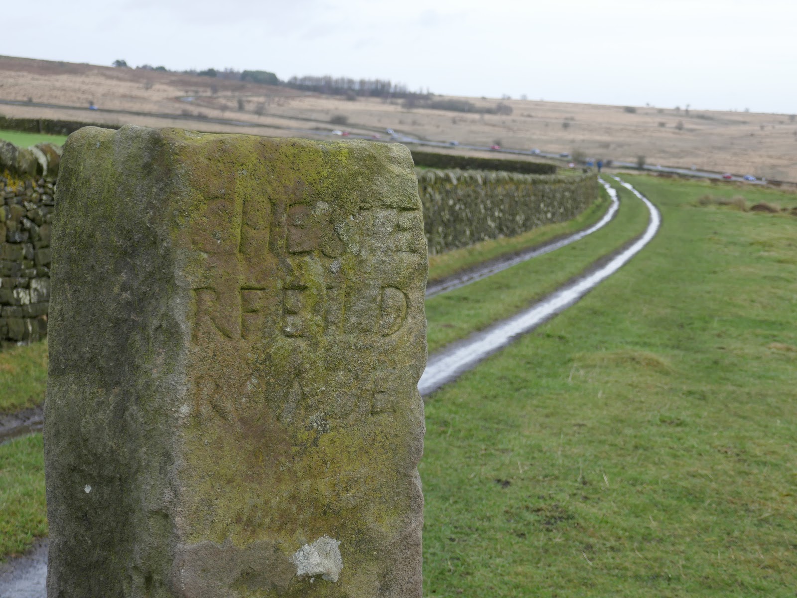
| An old milepost stands on the route |
 |
| Detail of the carving on the milepost |
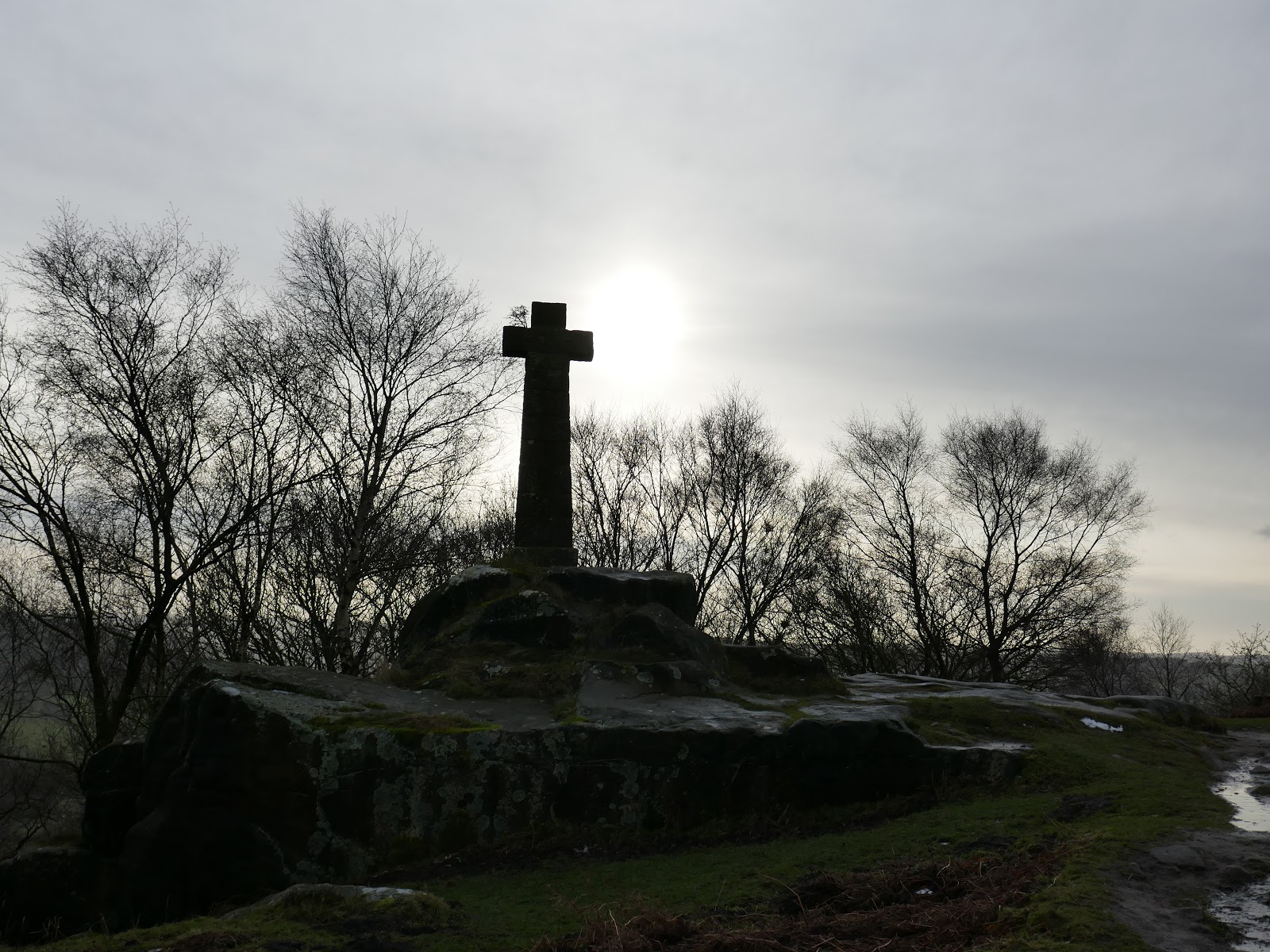
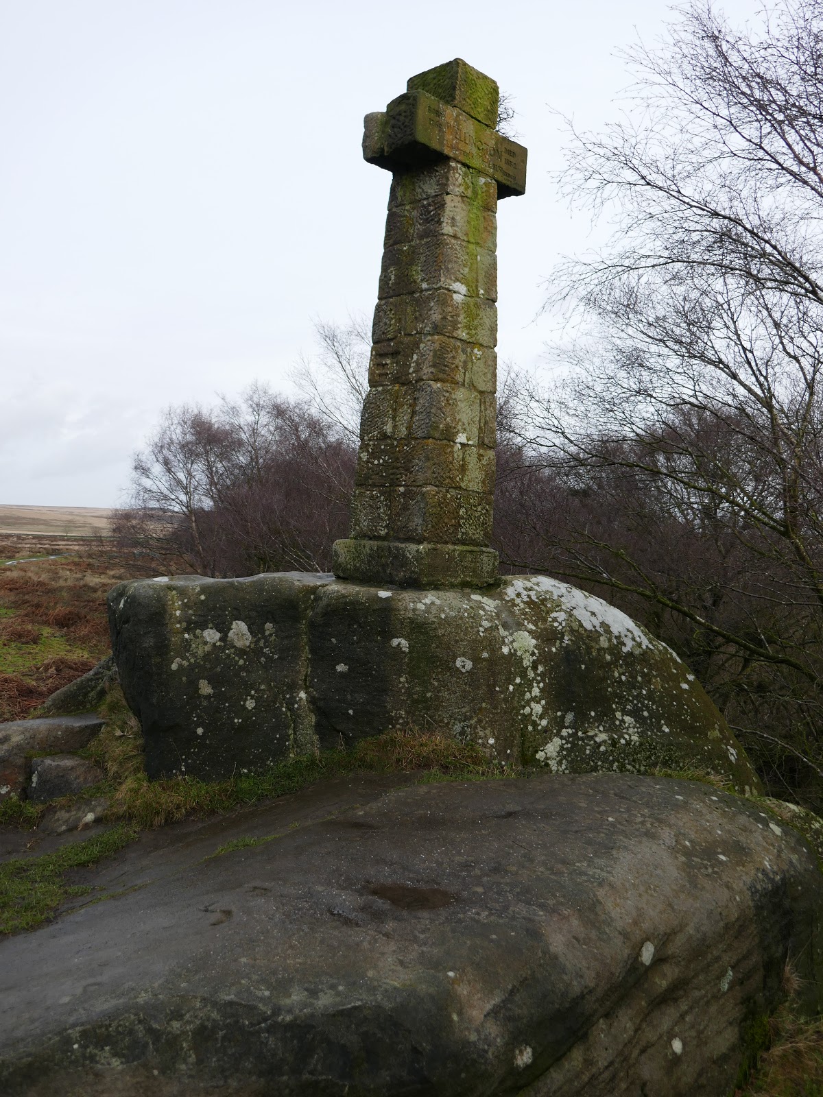
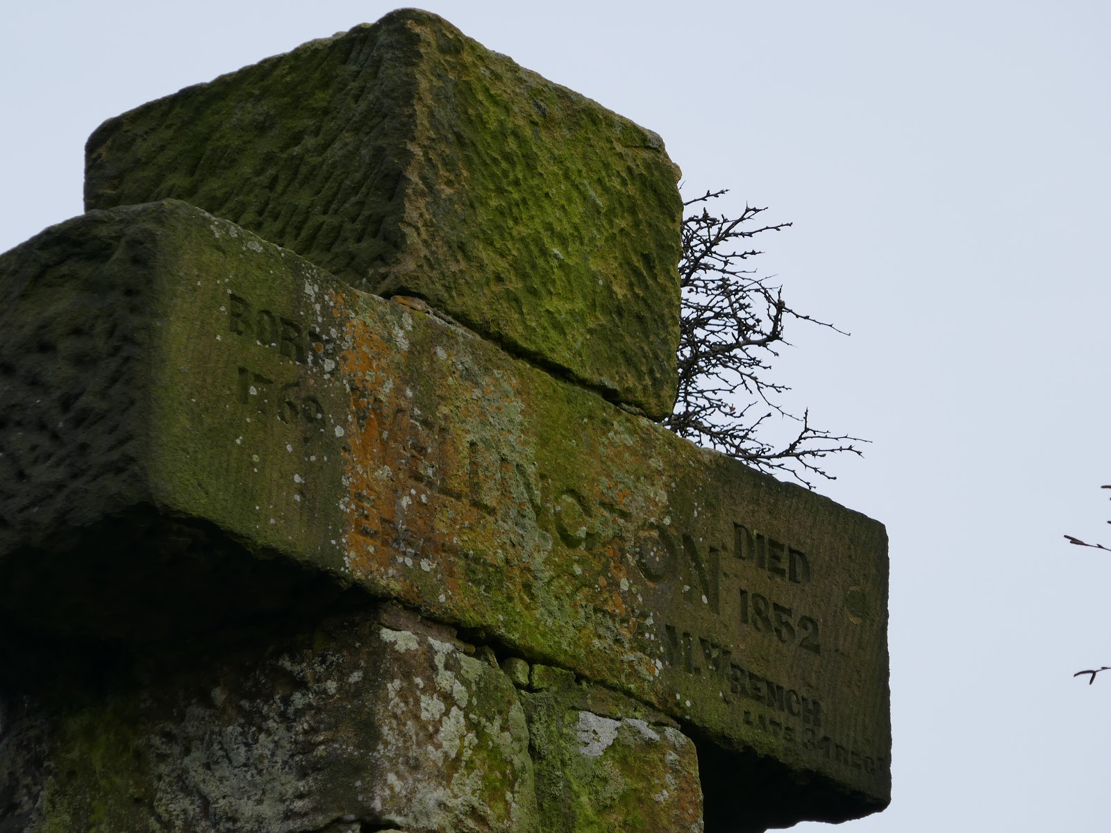
The monument is formed of a cross on a square gritstone pedestal founded on a natural rock outcrop, inscribed on the arms of the cross. It as a war memorial commemorating the life of Arthur Wellesley, 1st Duke of Wellington (of Waterloo fame).
 |
| Wellington’s Monument |
 |
| Wellington’s Monument |
 |
| Wellington’s Monument |
 |
| Wellington’s Monument |
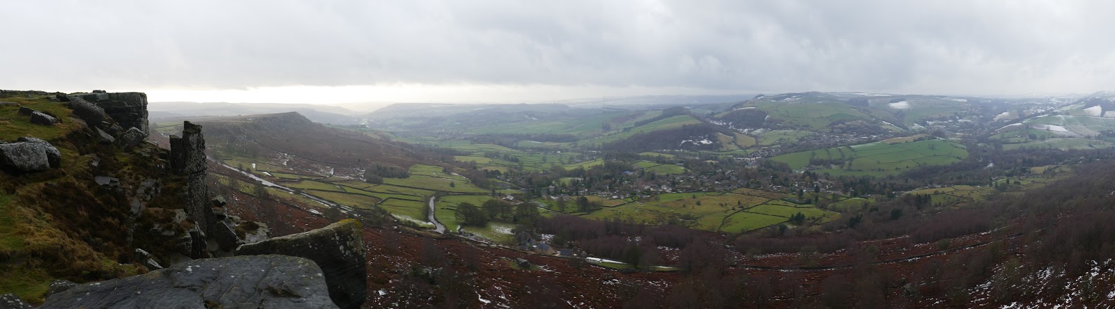
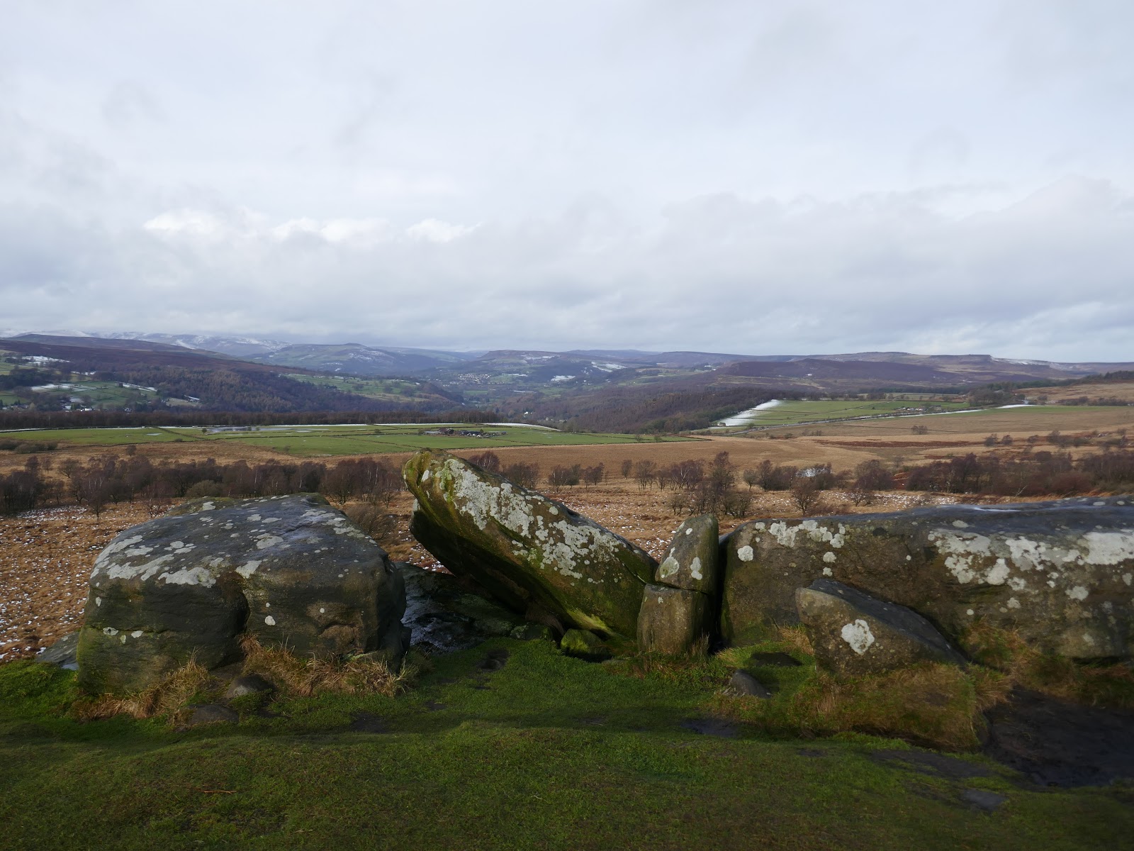
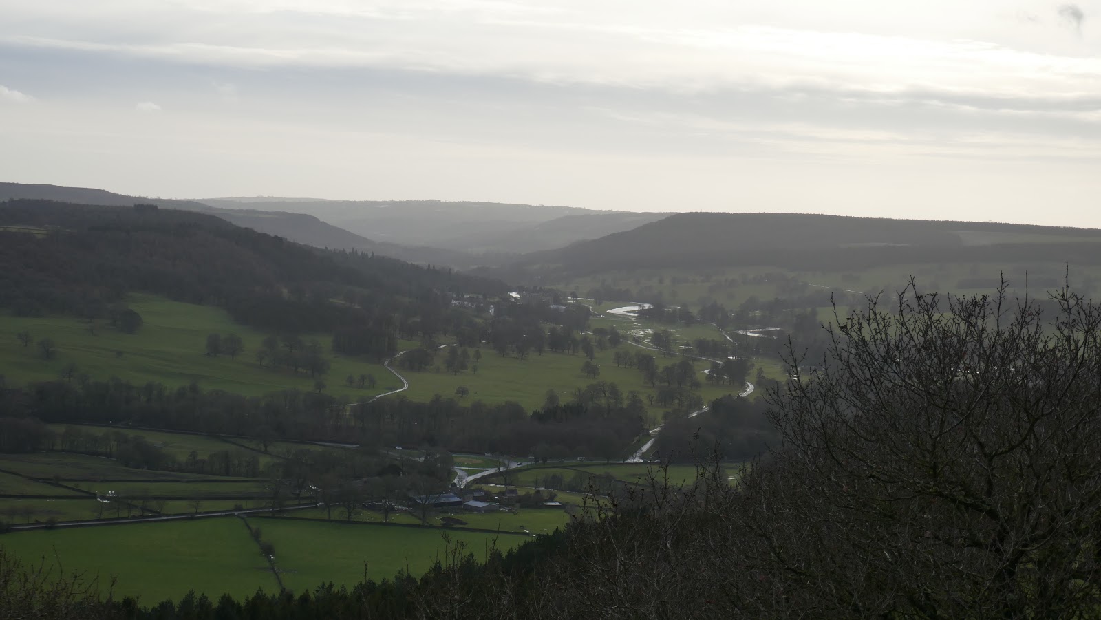
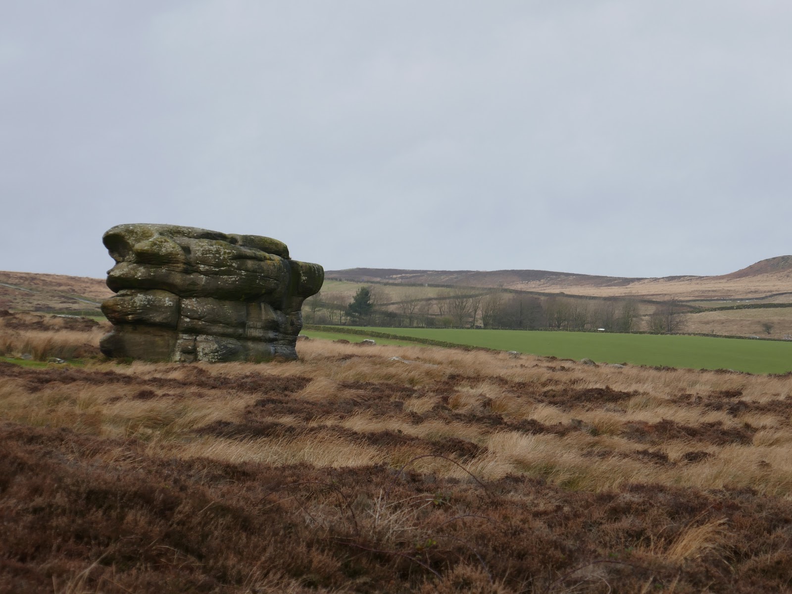
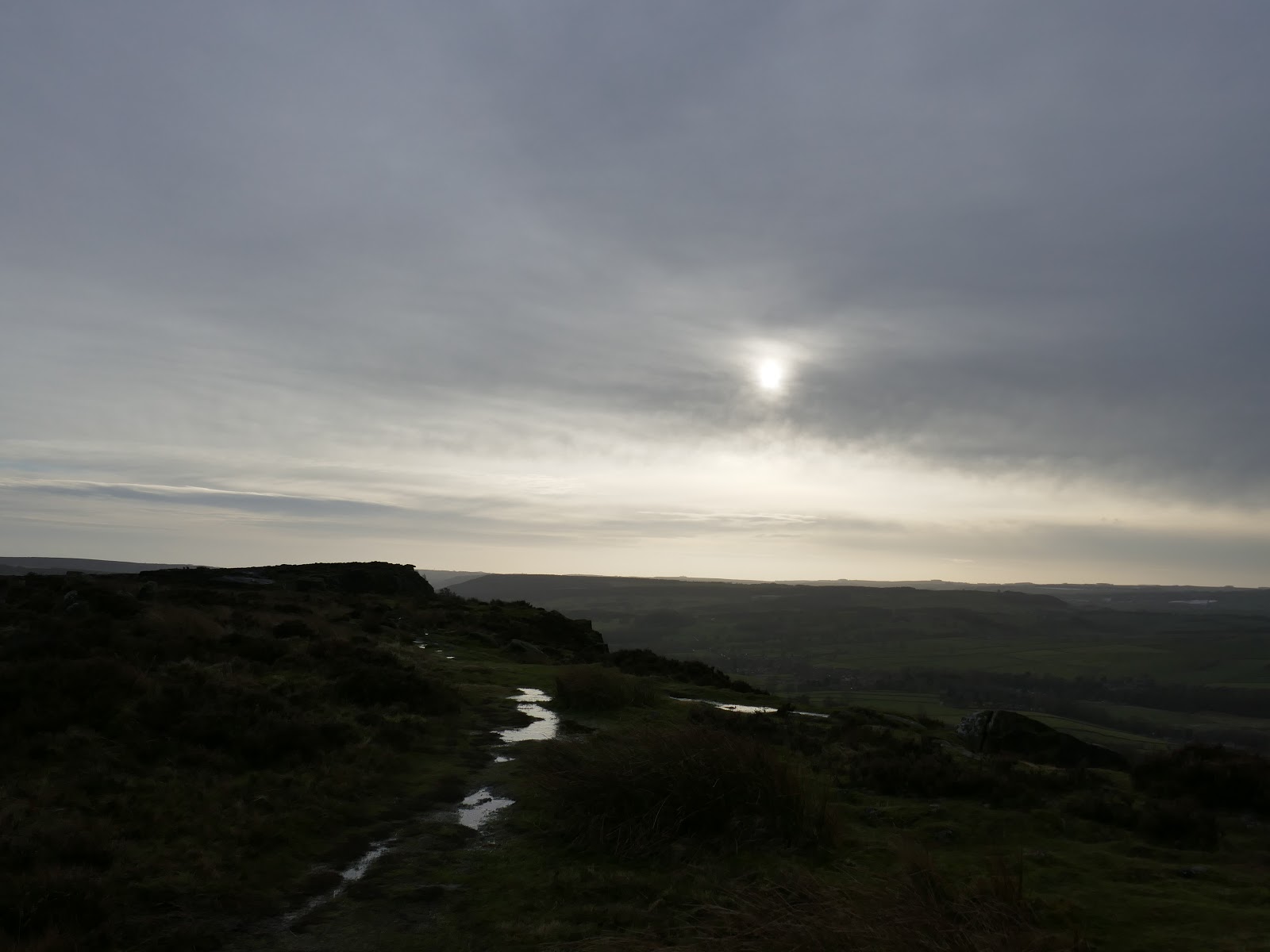
From Wellington’s Monument, the path swings round past the Eagle Stone and joins the southern end of Baslow Edge. The views south from the edge are superb, right along the valley of the River Derwent which was shining in the low sun. That said, the wind had really picked up and taking a steady photo was starting to get tricky.
 |
| Derwent Valley |
 |
| Eagle Stone |
 |
| Baslow Edge |
 |
| Baslow Edge and Curbar Edge |
 |
| Curbar Edge |
 |
| Curbar Edge and the Derwent Valley |
 |
| Baslow Edge |
 |
| Curbar Edge |
The northern end of Baslow Edge has a fine view of Curbar Edge which was now teeming with people. By the time I returned to the car park it was clear that the spaces had filled up quickly and a number of people were trying to get parked with little success. I had planned on having a quick lunch break in the car but felt obliged to relinquish my space for the next adventure seekers.
 |
| Curbar Edge |
