Open Space Web-Map builder Codehttps://openspace.ordnancesurvey.co.uk/osmapapi/openspace.js?key=3119F72552FD5C22E0530C6CA40A5A92https://openspace.ordnancesurvey.co.uk/osmapapi/script/mapbuilder/basicmap.jshttps://openspace.ordnancesurvey.co.uk/osmapapi/script/mapbuilder/searchbox.js//variables for routes var linesLayer, points, lineFeature, lineString, routeMarkersLayer, routepos, routesize, routeoffset, routeicon; var style_blue = {strokeColor: “#0000CD”, strokeOpacity: 0.5, strokeWidth: 4.5}; function initmapbuilder() { //initiate the map var options = {resolutions: [2500, 1000, 500, 200, 100, 50, 25, 10, 5, 4, 2.5, 2, 1]}; osMap = new OpenSpace.Map(‘map’, options); //configure map options (basicmap.js) setglobaloptions(); //set the center of the map and the zoom level osMap.setCenter(new OpenSpace.MapPoint(348555.5,507797.5),7); linesLayer = osMap.getVectorLayer(); // Set up layer for route markers routeMarkersLayer = new OpenLayers.Layer.Markers(“Route Markers”); //make a route points = new Array(); points.push(new OpenLayers.Geometry.Point(348346,505706)); points.push(new OpenLayers.Geometry.Point(348361,505796)); points.push(new OpenLayers.Geometry.Point(348571,505866)); points.push(new OpenLayers.Geometry.Point(348731,505976)); points.push(new OpenLayers.Geometry.Point(348886,506196)); points.push(new OpenLayers.Geometry.Point(348871,506546)); points.push(new OpenLayers.Geometry.Point(349061,506861)); points.push(new OpenLayers.Geometry.Point(349251,507051)); points.push(new OpenLayers.Geometry.Point(349451,507161)); points.push(new OpenLayers.Geometry.Point(349651,507231)); points.push(new OpenLayers.Geometry.Point(349801,507491)); points.push(new OpenLayers.Geometry.Point(350111,507811)); points.push(new OpenLayers.Geometry.Point(349601,507731)); points.push(new OpenLayers.Geometry.Point(349161,507701)); points.push(new OpenLayers.Geometry.Point(348961,507771)); points.push(new OpenLayers.Geometry.Point(348781,507841)); points.push(new OpenLayers.Geometry.Point(348721,508246)); points.push(new OpenLayers.Geometry.Point(348521,508476)); points.push(new OpenLayers.Geometry.Point(348476,508646)); points.push(new OpenLayers.Geometry.Point(348546,508916)); points.push(new OpenLayers.Geometry.Point(348571,509176)); points.push(new OpenLayers.Geometry.Point(348096,509611)); points.push(new OpenLayers.Geometry.Point(347771,510011)); points.push(new OpenLayers.Geometry.Point(347721,509781)); points.push(new OpenLayers.Geometry.Point(347556,509511)); points.push(new OpenLayers.Geometry.Point(347376,509361)); points.push(new OpenLayers.Geometry.Point(347406,509241)); points.push(new OpenLayers.Geometry.Point(347426,509171)); points.push(new OpenLayers.Geometry.Point(347576,509101)); points.push(new OpenLayers.Geometry.Point(347696,508991)); points.push(new OpenLayers.Geometry.Point(347676,508761)); points.push(new OpenLayers.Geometry.Point(347746,508651)); points.push(new OpenLayers.Geometry.Point(347796,508431)); points.push(new OpenLayers.Geometry.Point(347871,508381)); points.push(new OpenLayers.Geometry.Point(347831,508176)); points.push(new OpenLayers.Geometry.Point(347781,507886)); points.push(new OpenLayers.Geometry.Point(347791,507714)); points.push(new OpenLayers.Geometry.Point(347881,507434)); points.push(new OpenLayers.Geometry.Point(347971,507374)); points.push(new OpenLayers.Geometry.Point(348091,507134)); points.push(new OpenLayers.Geometry.Point(348176,506829)); points.push(new OpenLayers.Geometry.Point(348246,506619)); points.push(new OpenLayers.Geometry.Point(348241,506389)); points.push(new OpenLayers.Geometry.Point(348326,506179)); points.push(new OpenLayers.Geometry.Point(348336,506069)); points.push(new OpenLayers.Geometry.Point(348372.5,505949)); points.push(new OpenLayers.Geometry.Point(348383.5,505903)); points.push(new OpenLayers.Geometry.Point(348375.5,505831)); points.push(new OpenLayers.Geometry.Point(348358.5,505769)); points.push(new OpenLayers.Geometry.Point(348346,505706)); // create a polyline feature from the array of points lineString = new OpenLayers.Geometry.LineString(points); lineFeature = new OpenLayers.Feature.Vector(lineString, null, style_blue); linesLayer.addFeatures([lineFeature]); //crate a route start/end marker routepos = new OpenSpace.MapPoint(348346,505706); routesize = new OpenLayers.Size(33,45); routeoffset = new OpenLayers.Pixel(-5,-37); routeicon = new OpenSpace.Icon(‘https://openspace.ordnancesurvey.co.uk/osmapapi/img_versions/img_1.1/mapbuilder/routemarker-startend.png’, routesize, routeoffset, null, null); routeMarkersLayer.addMarker(new OpenLayers.Marker(routepos, routeicon)); osMap.addLayer(routeMarkersLayer);}
Route: Sadgill, Great Howe, Grey Crag, Harrop Pike, Greycrag Tarn, Tarn Crag, Selside Brow, Branstree, Gatesgarth Pass, Brownhowe Bottom, Cleft Ghyll, Sadgill
Date: 25/11/2017
From: Sadgill
Parking: Sadgill
Start Point: Sadgill
Region: Far Eastern Fells
Route length: 7.8 miles (12.55 km)
Time taken: 03:50
Average speed: 2.0 mph
Ascent: 785m
Descent: 785m
Wainwrights on this walk:
Grey Crag (638m), Tarn Crag (664m), Branstree (713m)
Other Summits: Great Howe (494m), Harrop Pike (637m)
Other Points of Interest: Survey column, Gatesgarth Pass
Winter has definitely arrived in the Lake District, temporarily at least. I arrived in Longsleddale to a perfect dusting of the white stuff, right down into the valley, backed up by perfect blue skies. It was cold as well, forecasts were suggesting a wind chill of around -10C.
My plan for the day was to repeat part of a walk I did a few years ago in poor weather and actually get to see some of these quiet eastern fells. Harrop Pike, the one remaining Nuttall in the area, was also a big draw.
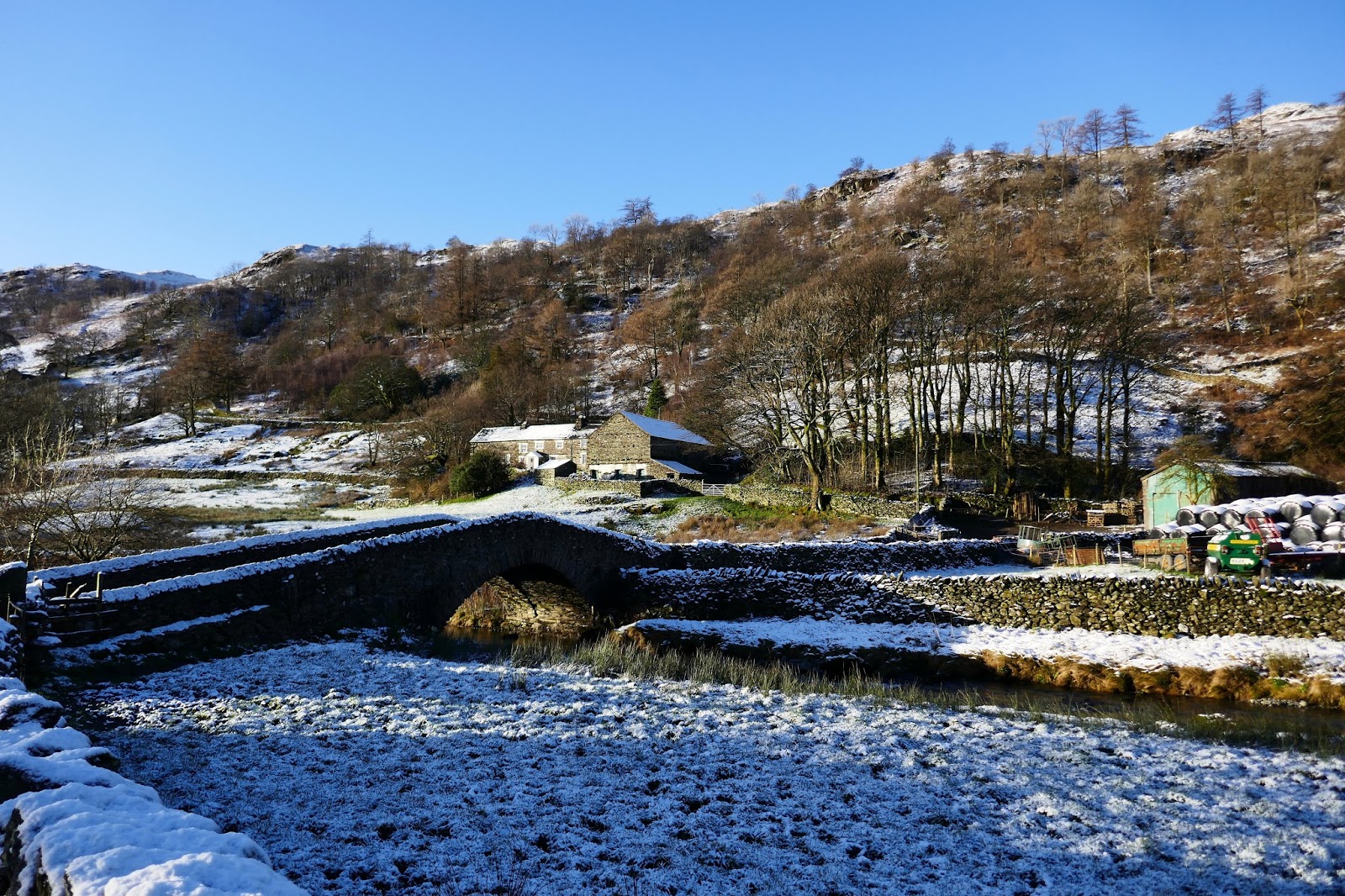
There is a reasonable amount of parking available at the end of the lane at Sadgill and, despite being around 9am, I was the first to arrive having forged a route down the icy roads. As I mentioned, the weather was spectacular in the morning, though the threat of clouds and snow showers would be ever present as the day wore on.
 |
| The farm buildings at Sadgill |
 |
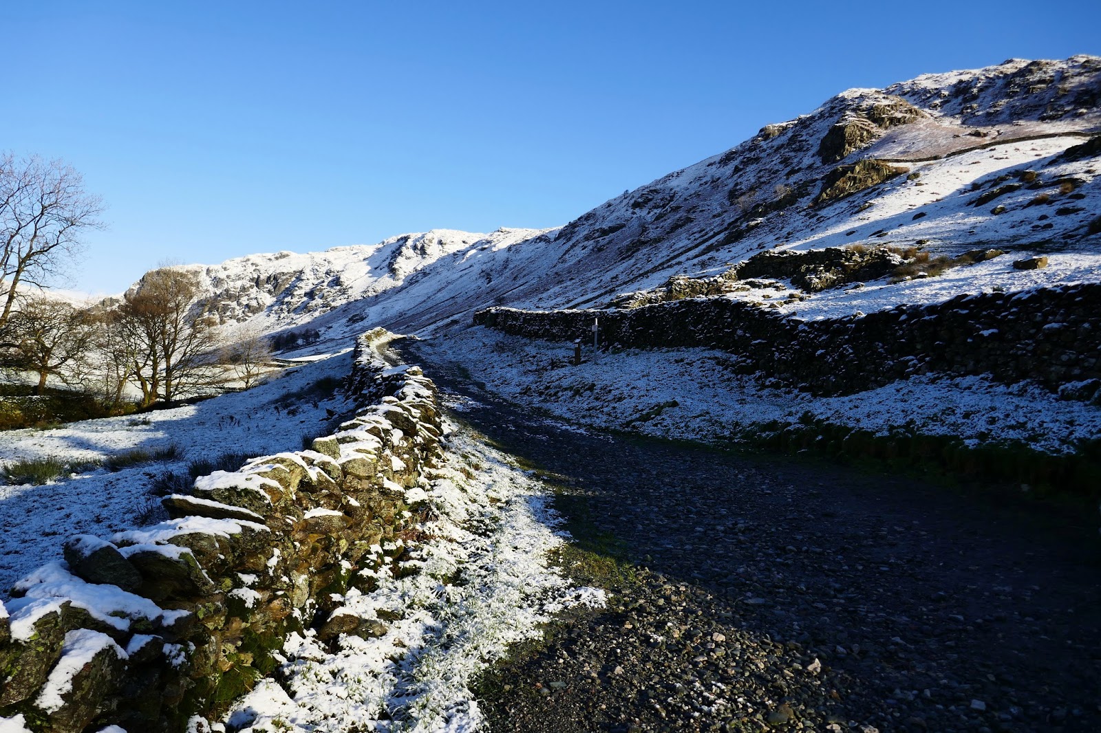
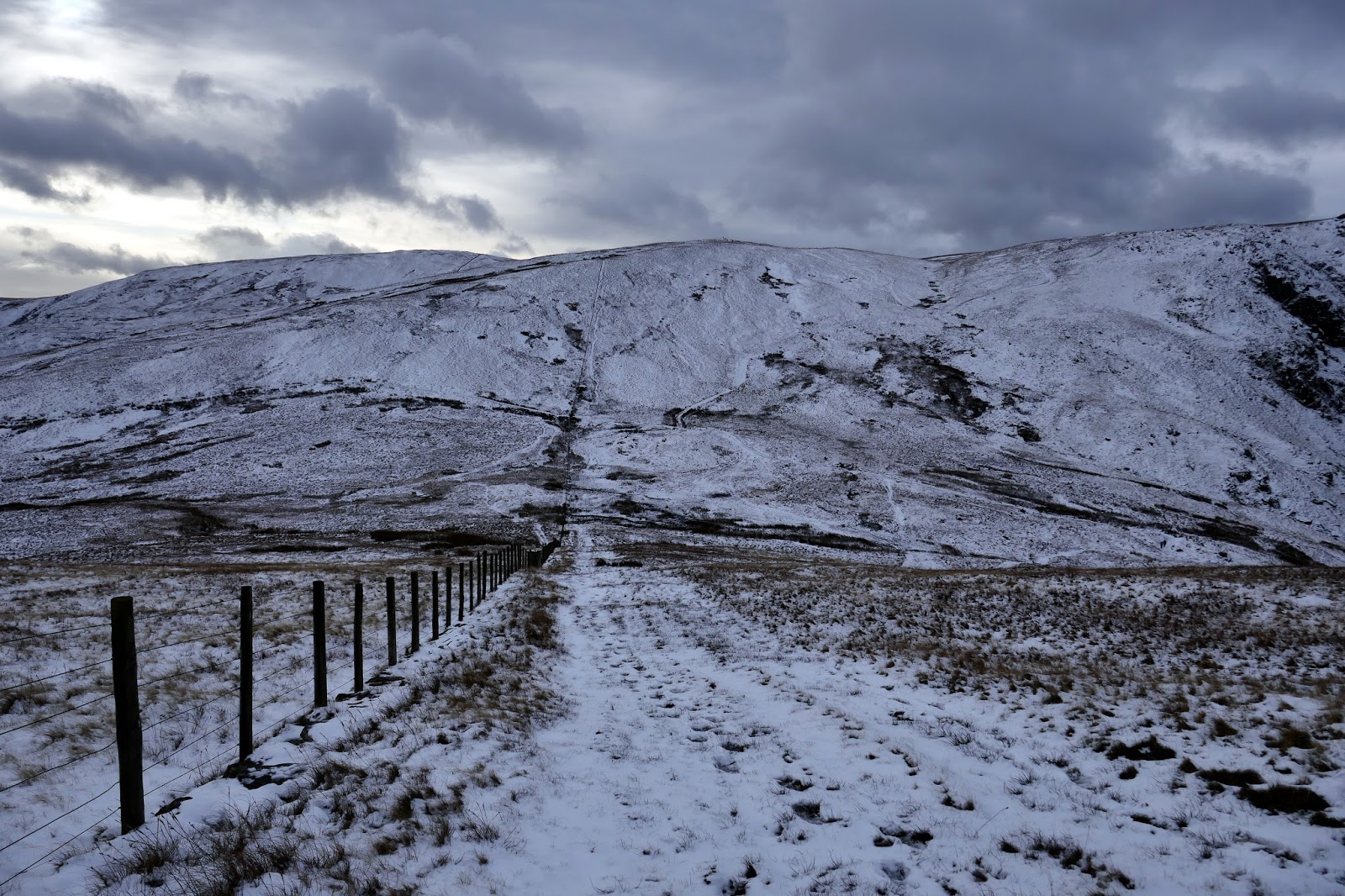
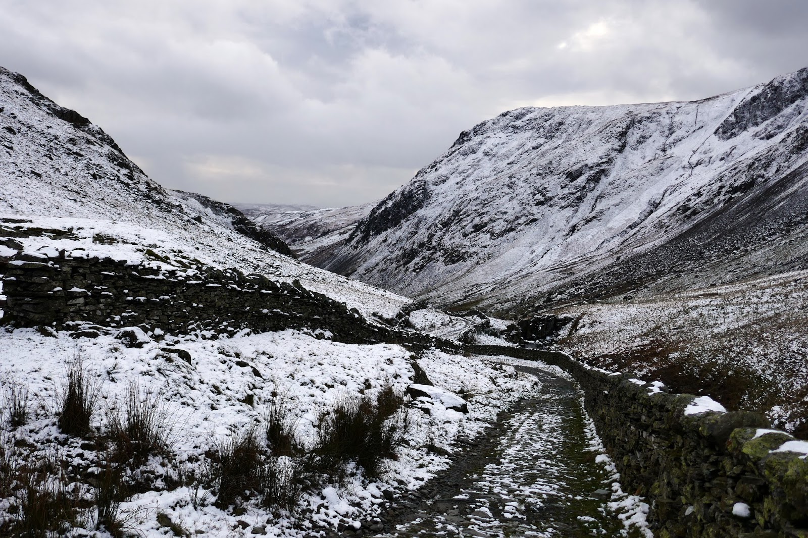
| The lane leading to the Gatesgarth Pass |
 |
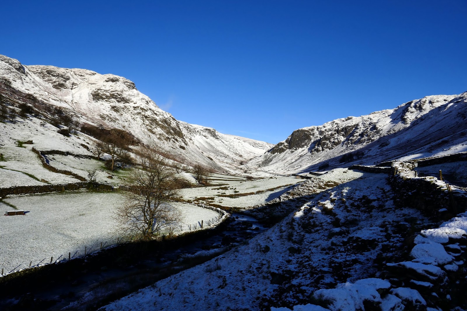
| Longsleddale flanked by Goat Scar and Buckbarrow Crag |
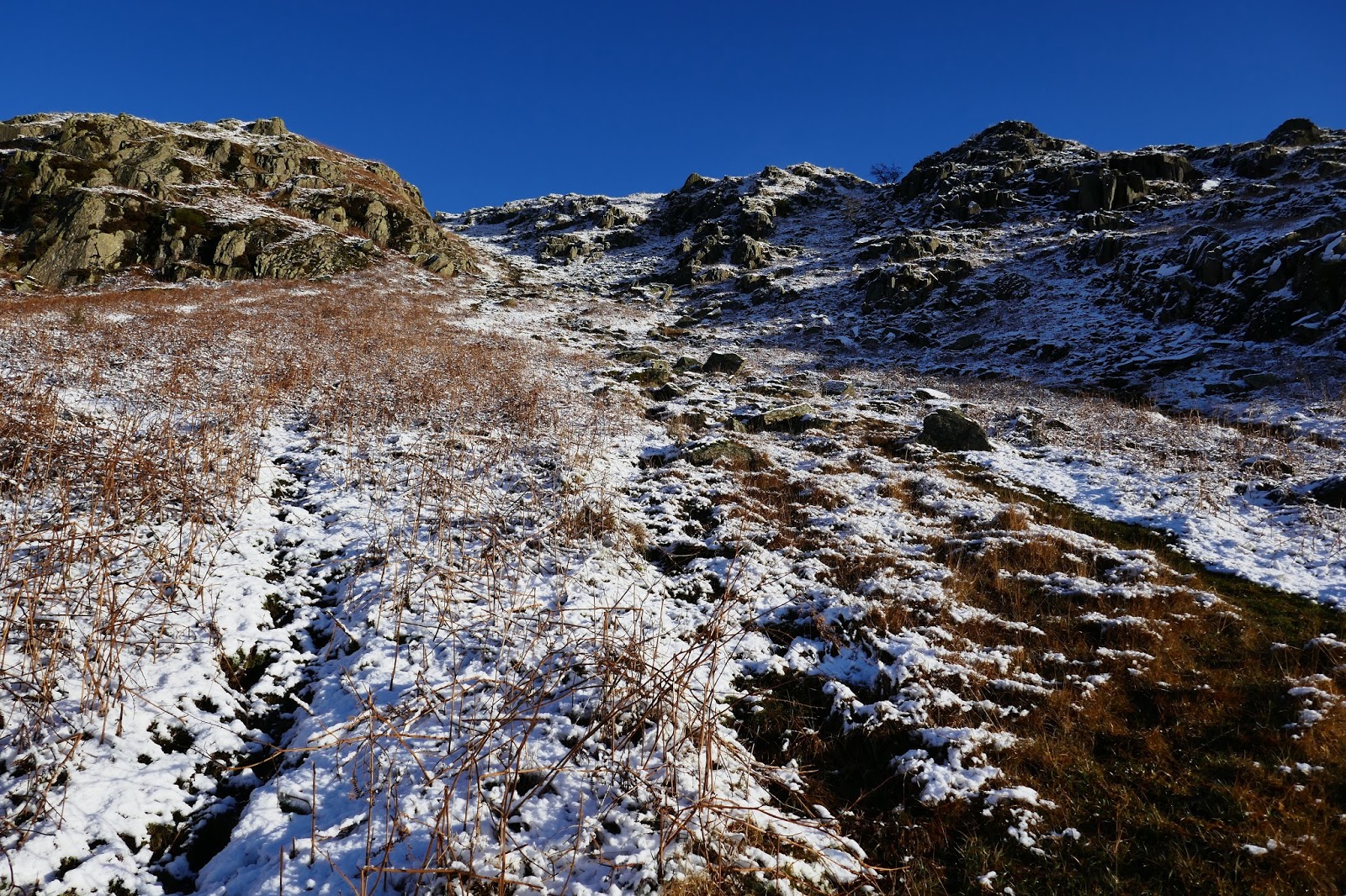
The walk begins by following the stony track into the valley for a short distance to a gate which leads into the Access Land below Great Howe. From here, a steep climb quickly begins to gain height as I made my way towards the broad gully which presents a quick way up through the crags.
 |
| Great Howe |
 |
| Goat Scar over Longsleddale |
 |
| The flowing hills of Sleddale Forest |
 |
| Shipman Knotts and Goat Scar |
 |
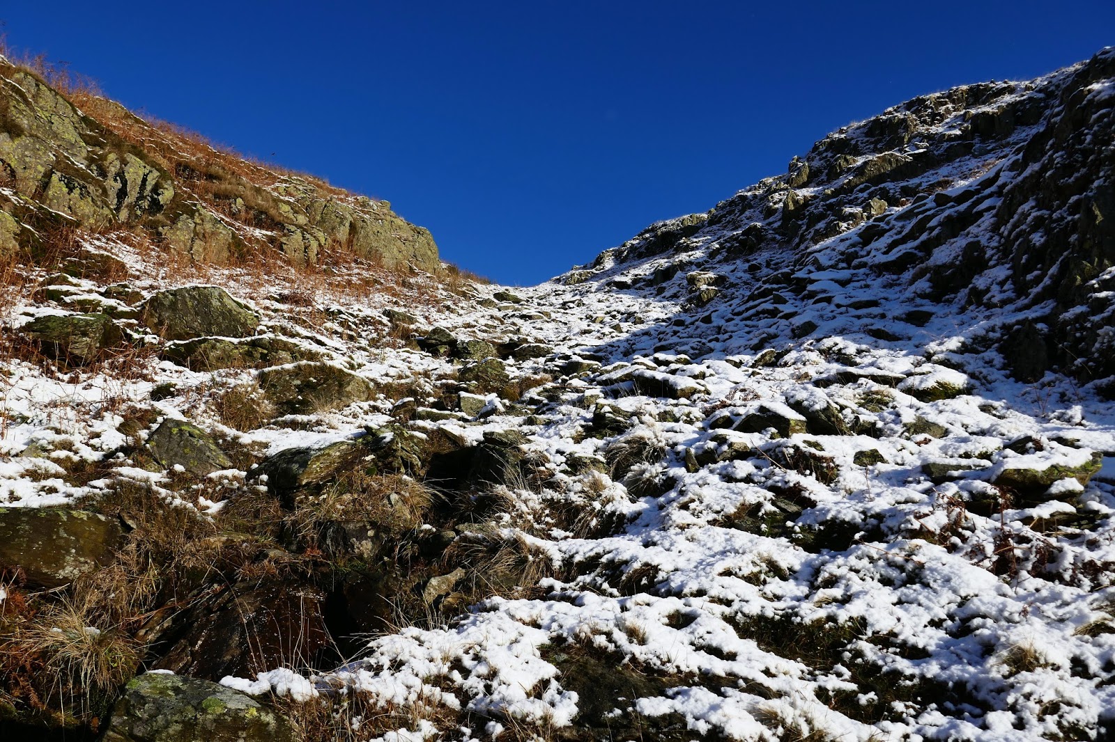
| The gully leading up to Great Howe |
 |
| Further up the gully |
 |
| Longsleddale from the top of the gully |
Great Howe is the first summit of the day, a top listed in Bill Birkett’s extensive guide to the Lake District. I’d like to complete all of those one day by following the guides printed in the book. If you don’t own it I suggest you pick up a copy because it is excellent.
 |
| The sun hiding behind the crags of Great Howe |
 |
| Shipman Knotts, Rough Crags and Goat Scar |
 |
| A frozen Longsleddale |
 |
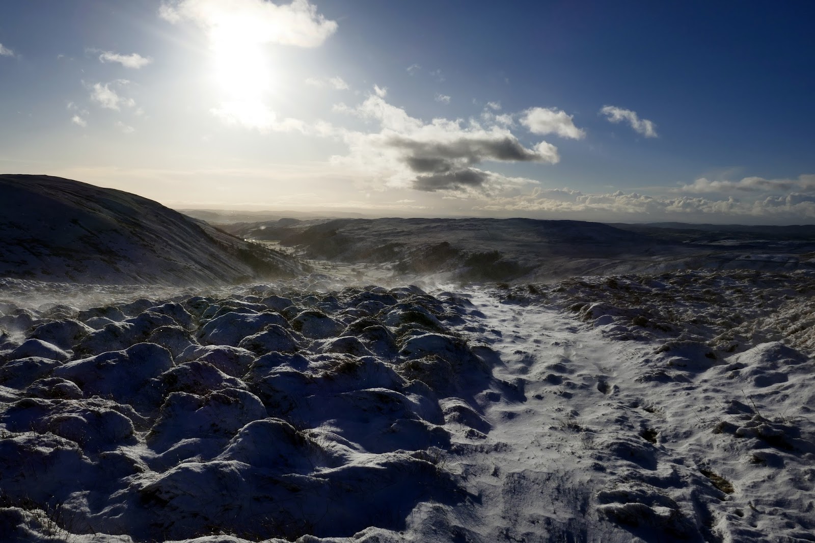
| Spindrift atop Great Howe |
 |
| Tarn Crag |
 |
| Sleddale Fell (Grey Crag) |
 |
| Shipman Knotts, Goat Scar and Kentmere Pike |
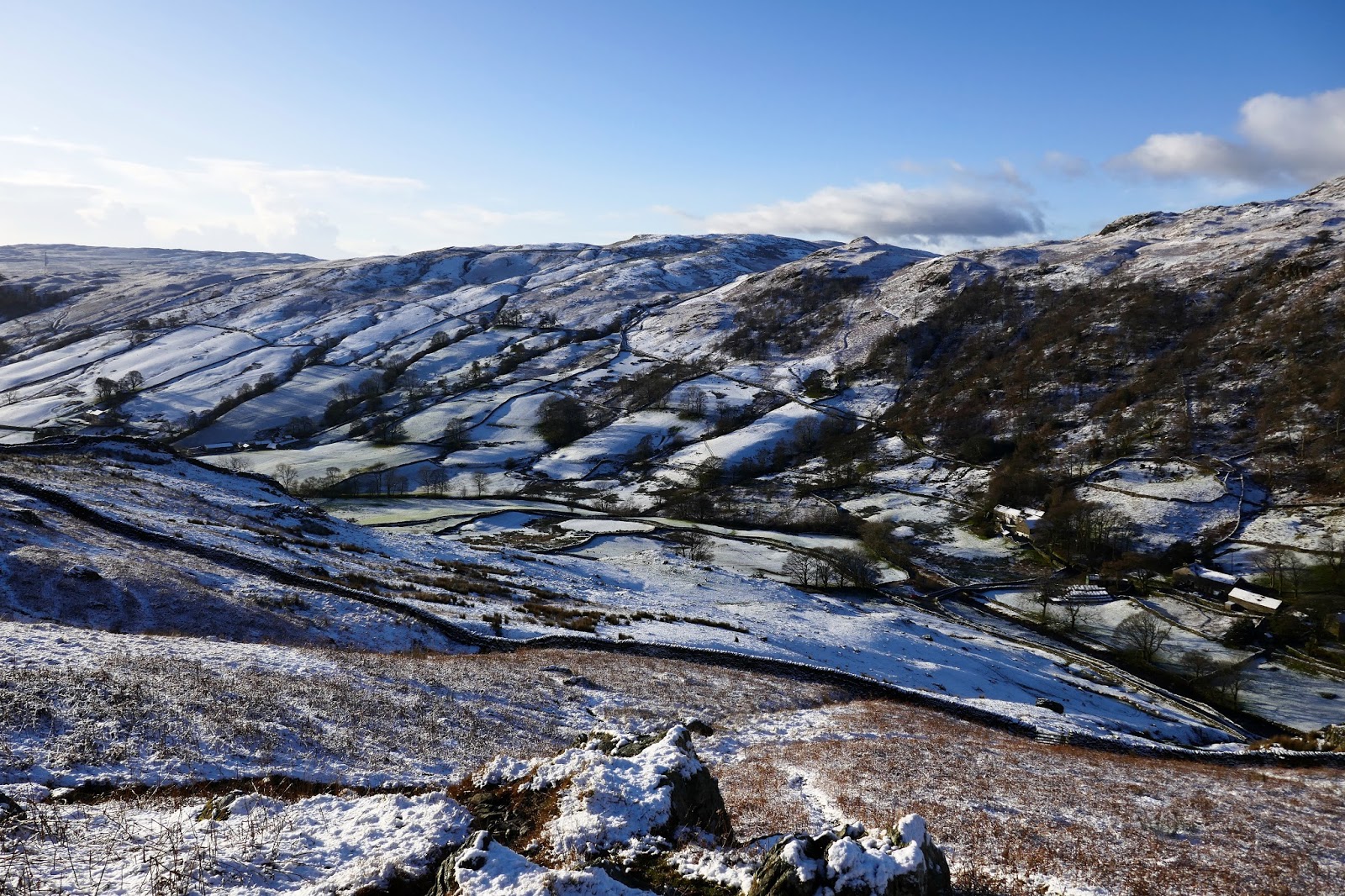
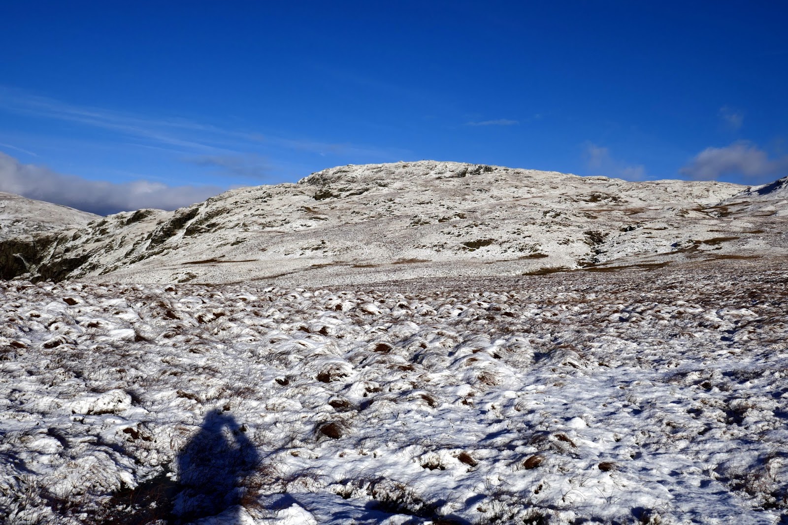
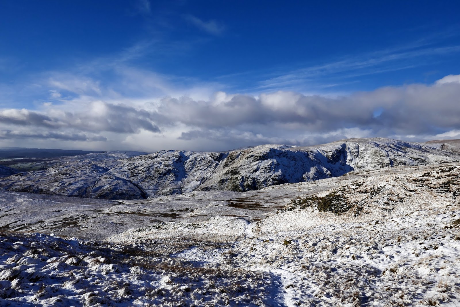
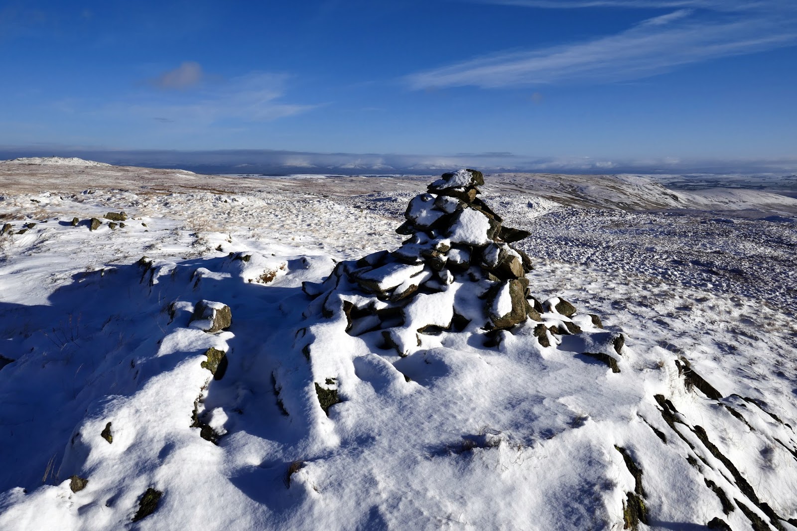
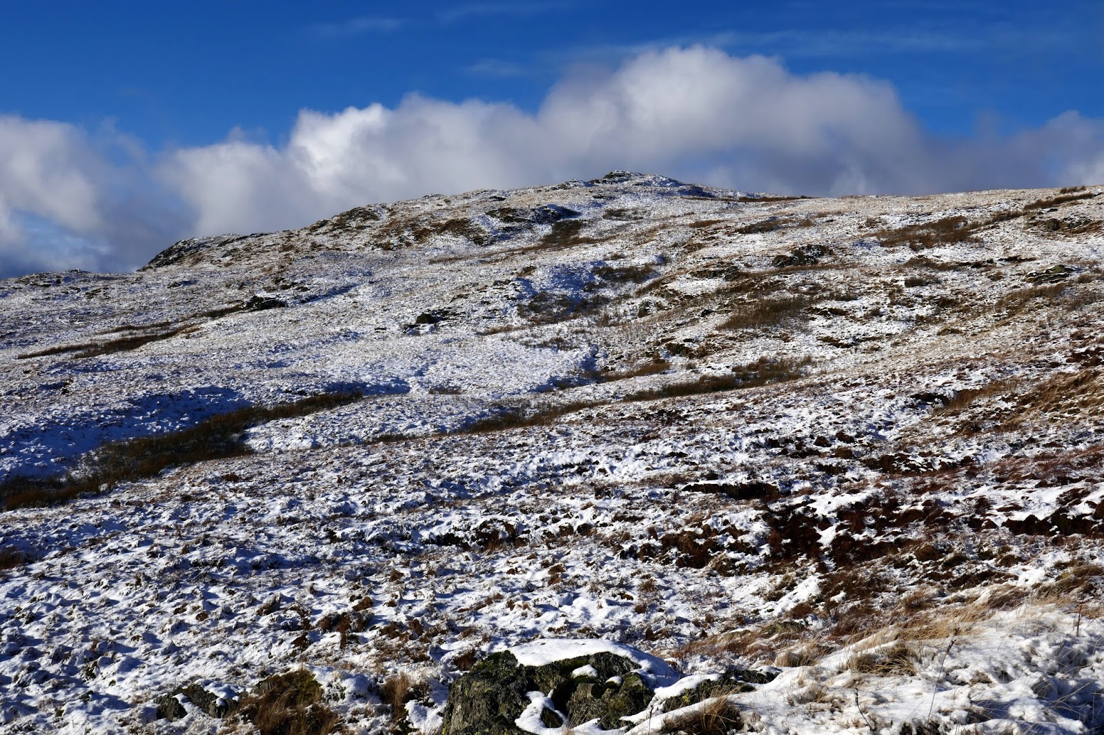
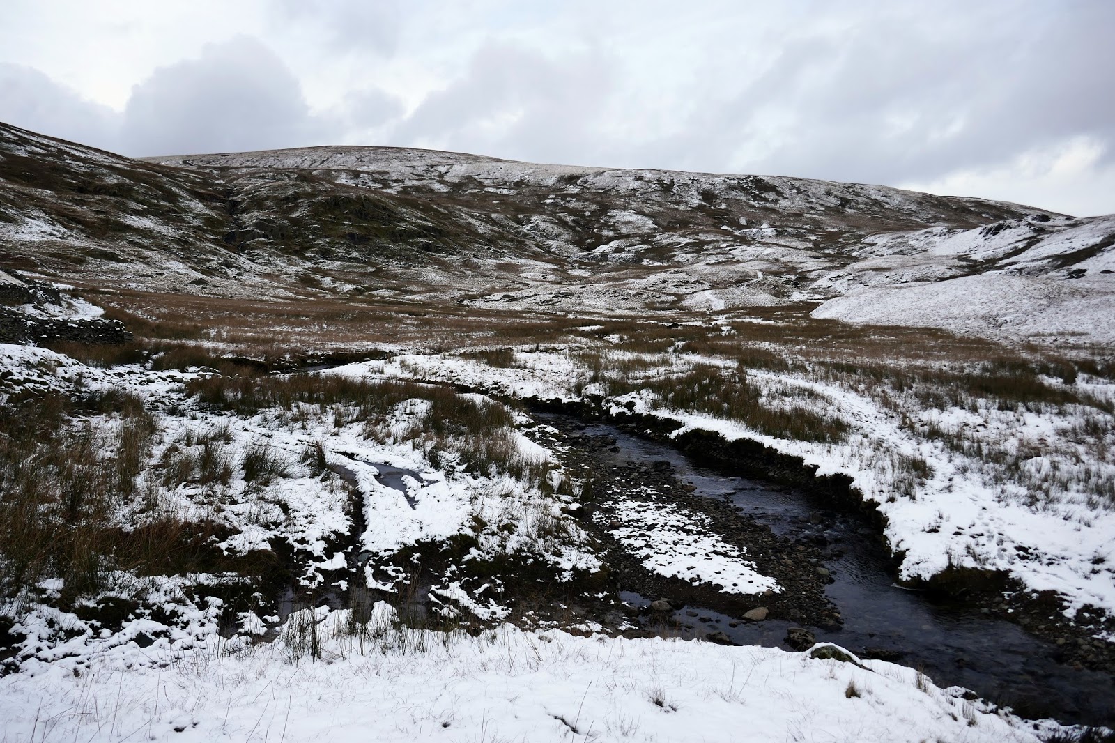
From Great Howe, the going is much easier for a while, crossing a flat area of open ground below the higher tops of Sleddale Fell and Tarn Crag. A vague path, just visible under the snow climbs up to the day’s first Wainwright – Grey Crag.
 |
| Grey Crag’s summit cairn |
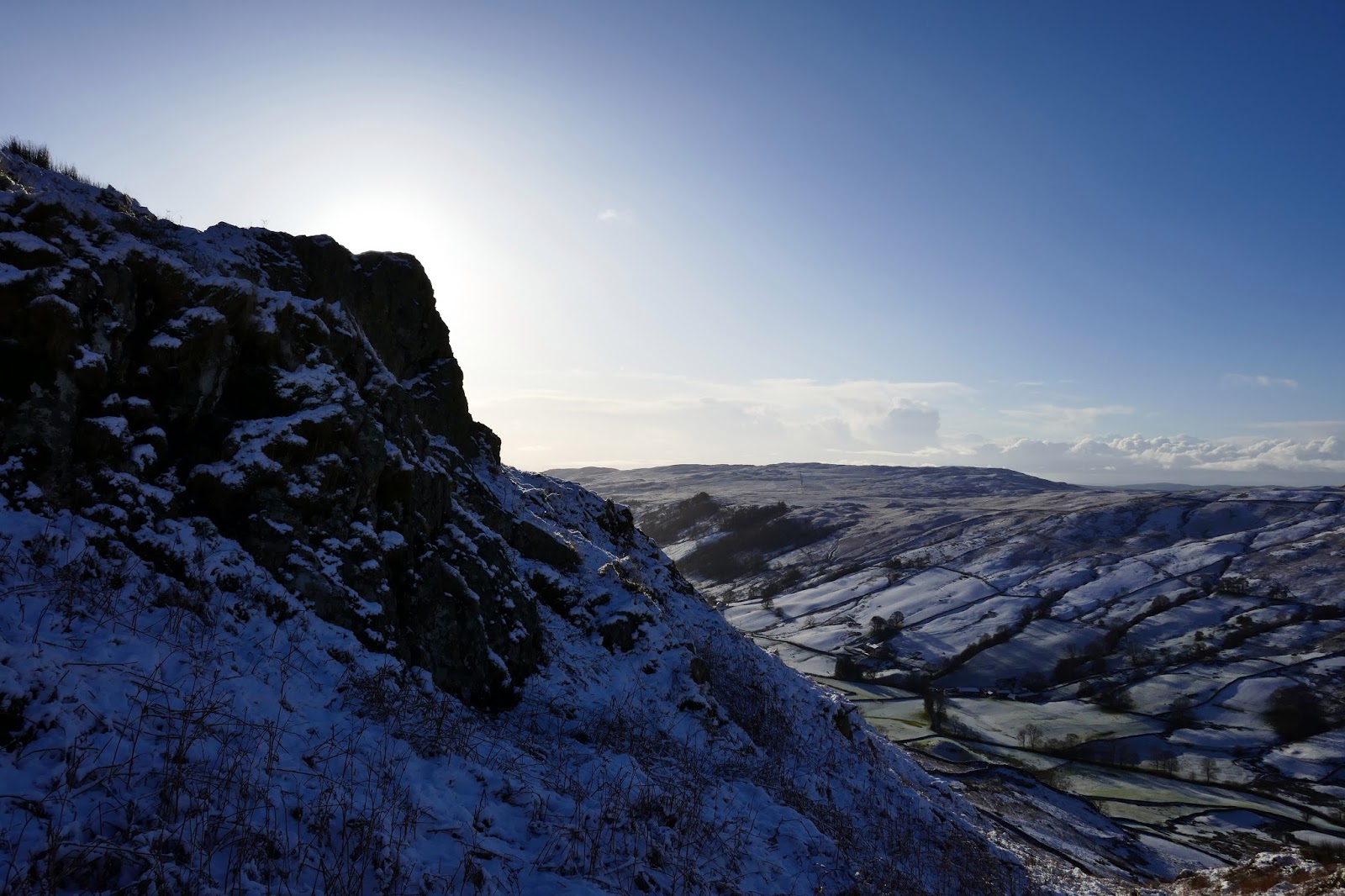
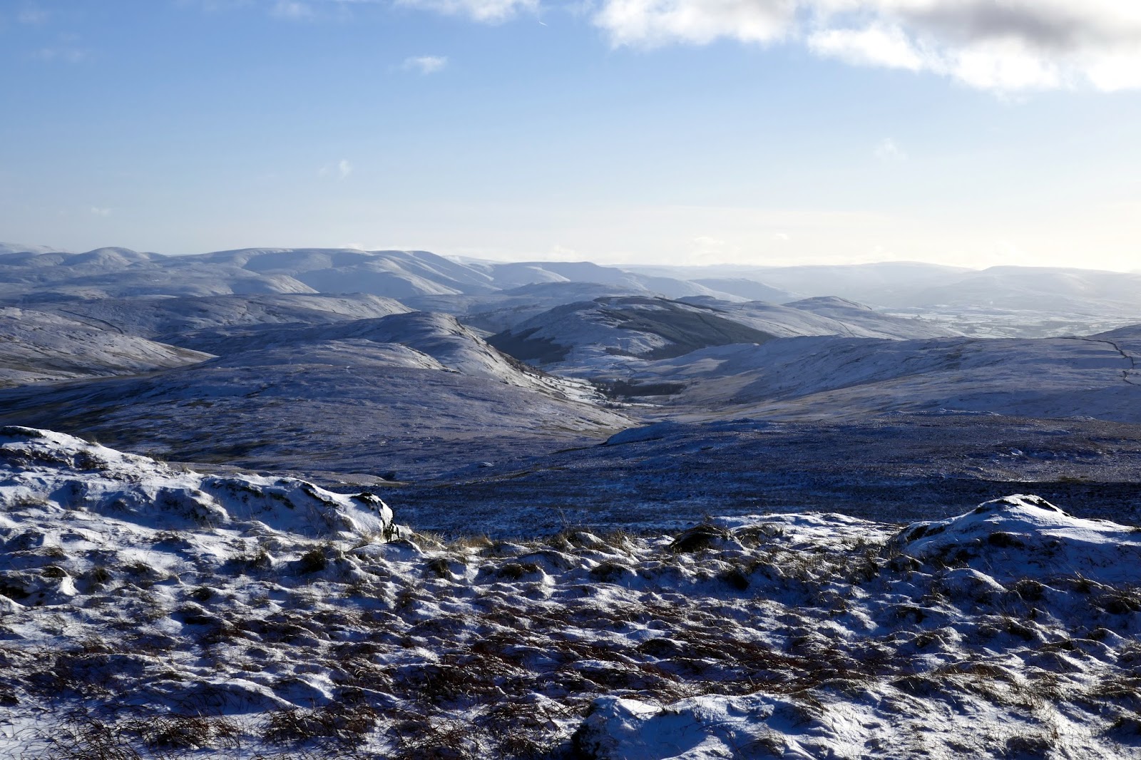
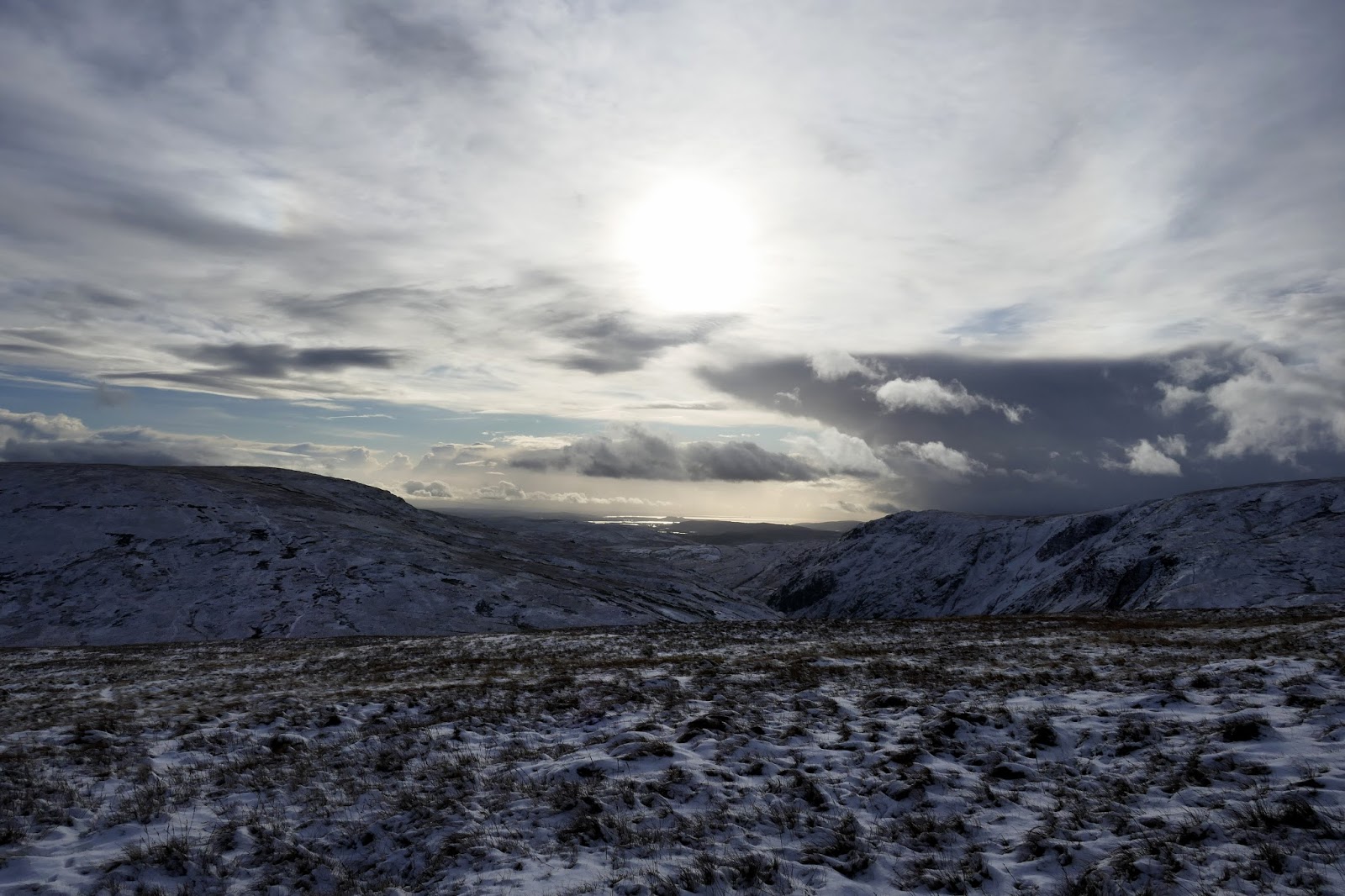
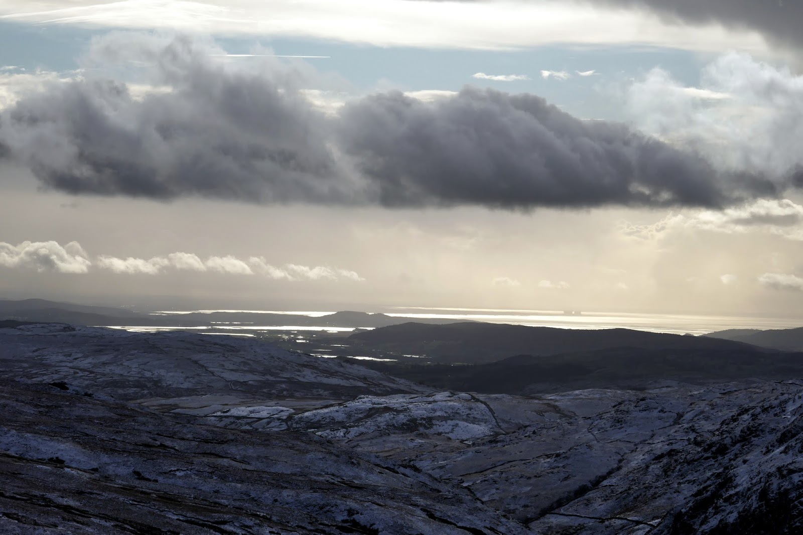
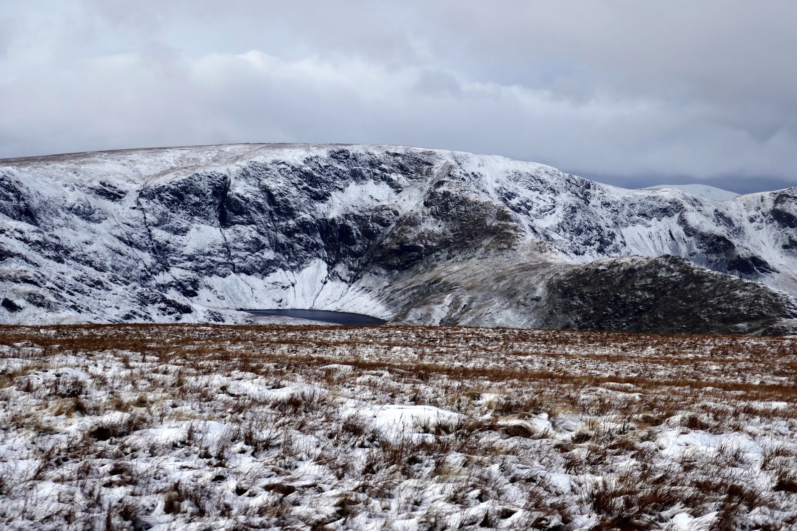
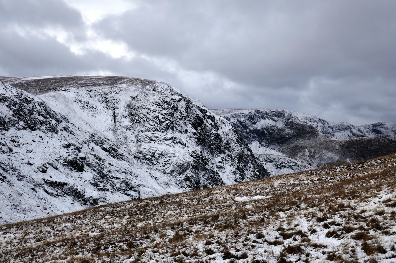
Grey Crag proper is a tier of crags, set back from Great Howe and just below the summit of Sleddale Fell, thus giving its name to the entire fell. It is the focus of an extensive ridge system stretching out eastwards to the distant Lune and Eden Valleys, forming the main watershed of the Cumbrian hills, its runoff reaching the sea at both the Solway Firth and Morecambe Bay.
 |
| The Shap Fells |
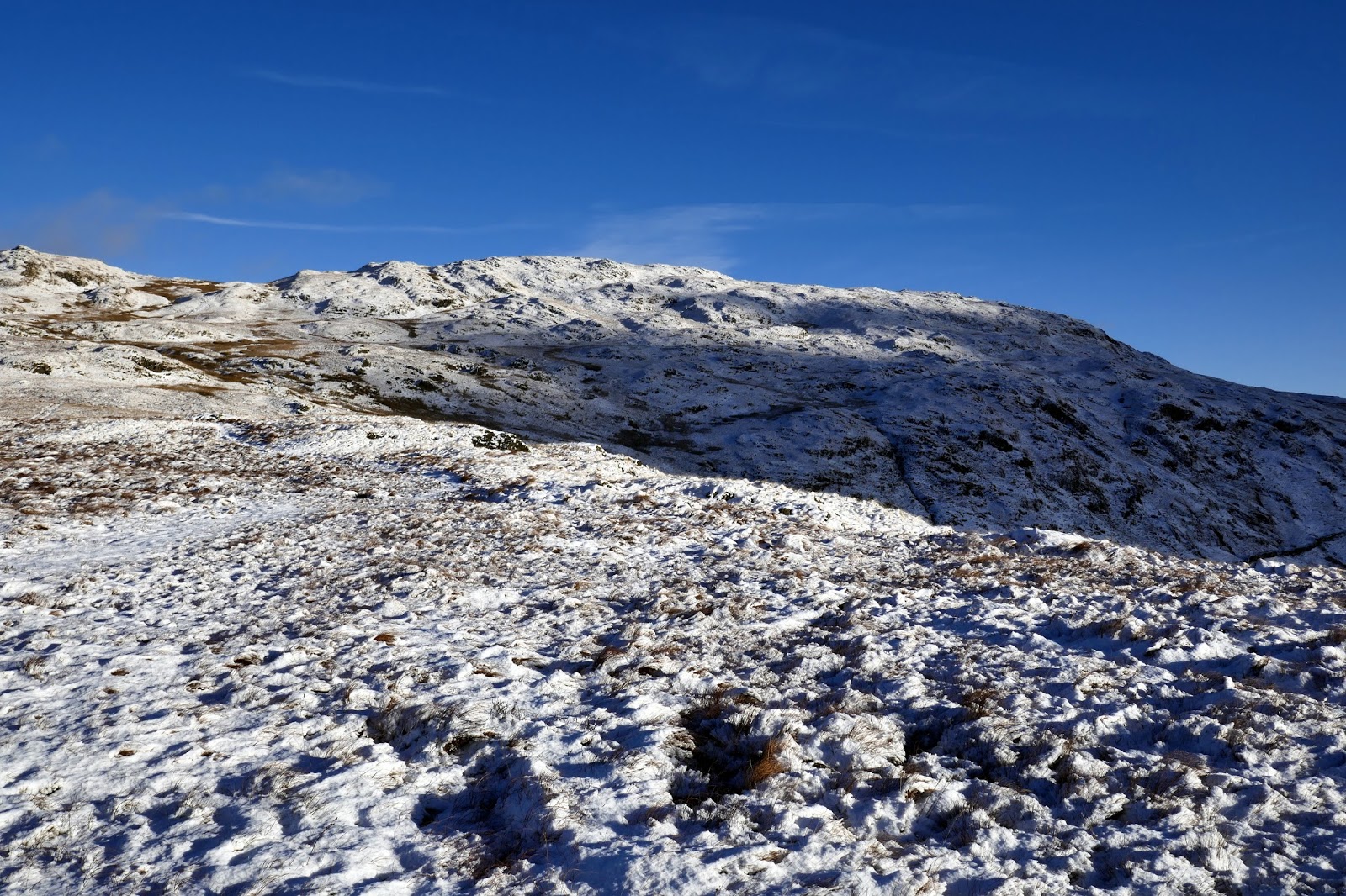
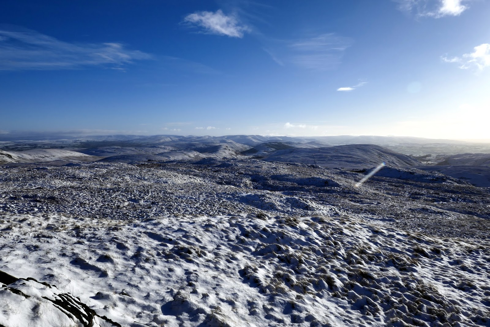
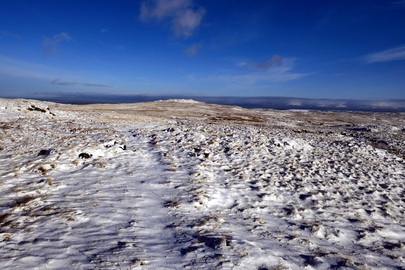
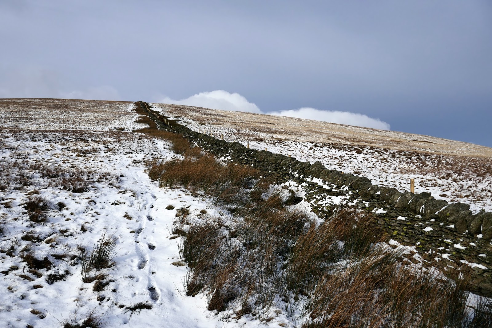
Half a mile to the northeast is a second top, Harrop Pike, only marginally lower than Grey Crag. A fence makes for Harrop Pike from the summit. Despite being slightly lower, Harrop Pike sports a more impressive columnar beacon and boasts expansive views east and south.
 |
| The rise in the landscape is Harrop Pike |
 |
| Harrop Pike’s elegant cairn |
 |
| Looking towards the Pennines |
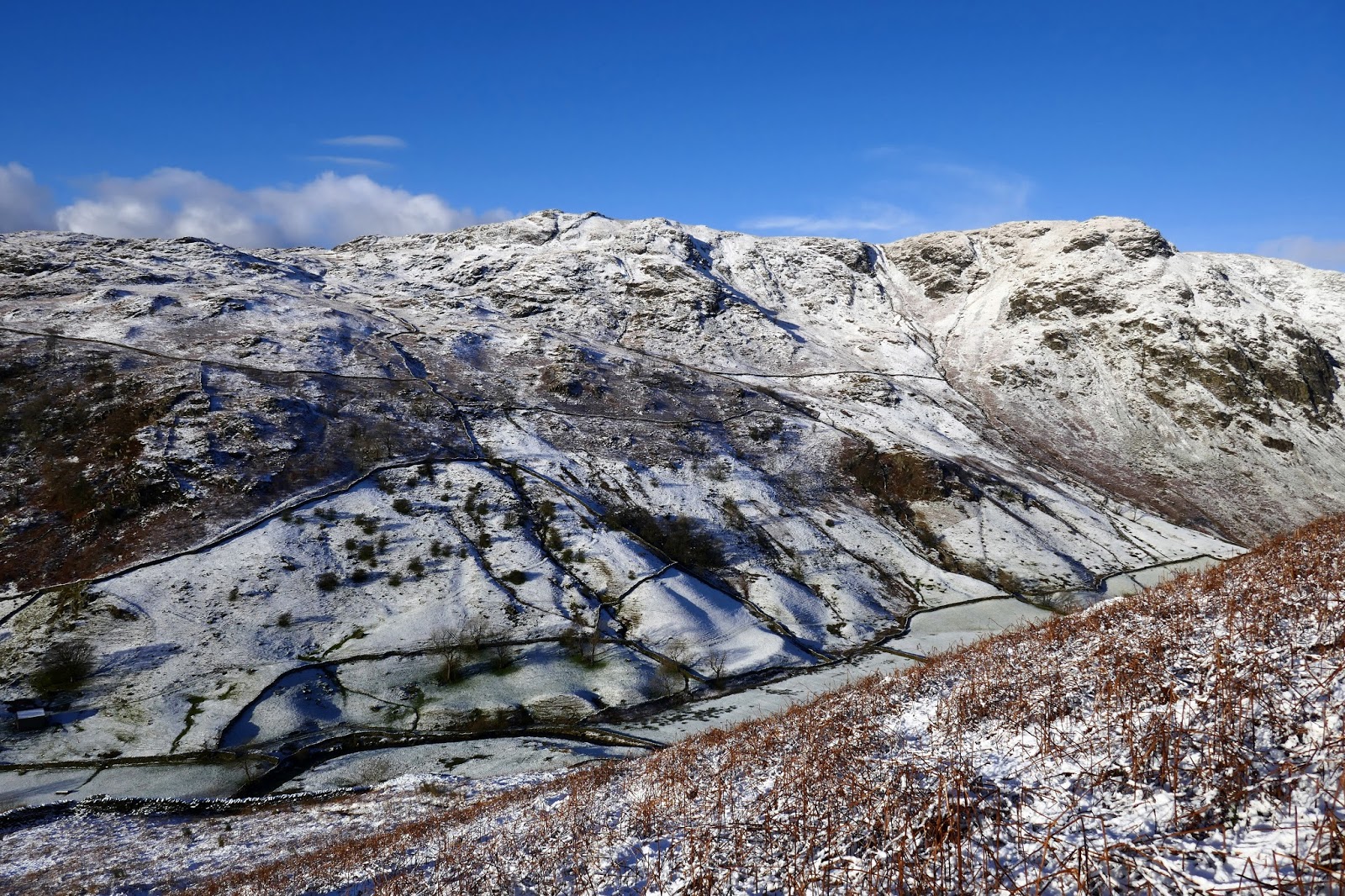
Tarn Crag is also close by, west of Harrop Pike. Separating them is Greycrag Tarn, a series of small pools in the bed of a larger historic waterbody. Fortunately not too boggy on this occasion as I made my way across.
 |
| Grey Crag from Greycrag Tarn |
 |
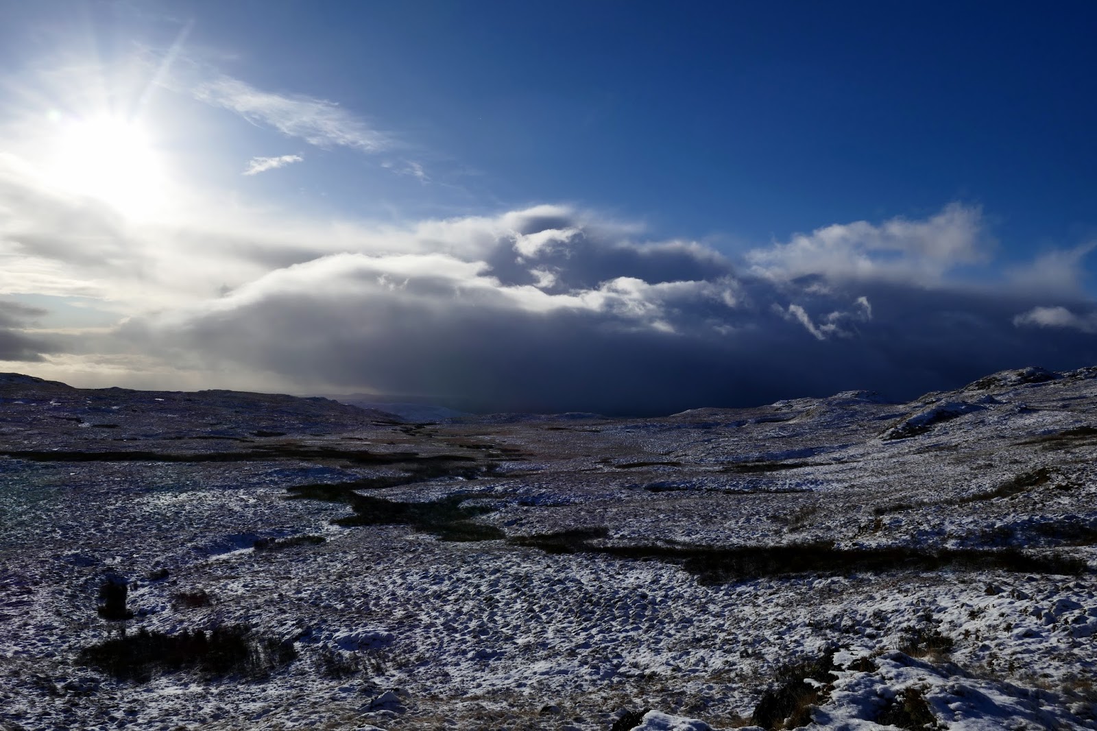
| A snow shower looms over Morecambe Bay |
 |
| Tarn Crag |
 |
| Tarn Crag’s summit |
Tarn Crag is generally held to mark the transition from Lakeland to Pennine country. Away from the fierce craggy western flank, the fell falls in long easy slopes of coarse grass and heather.
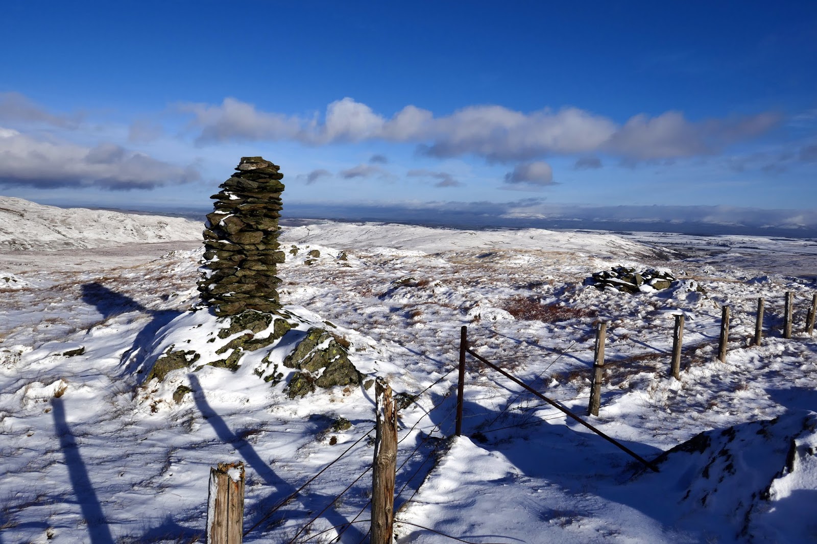
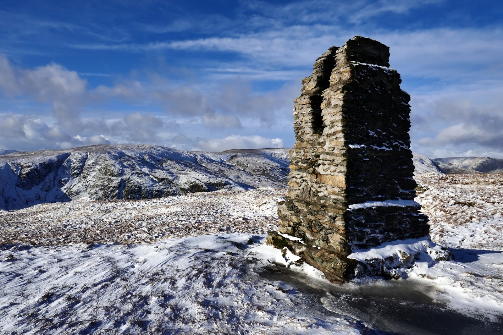
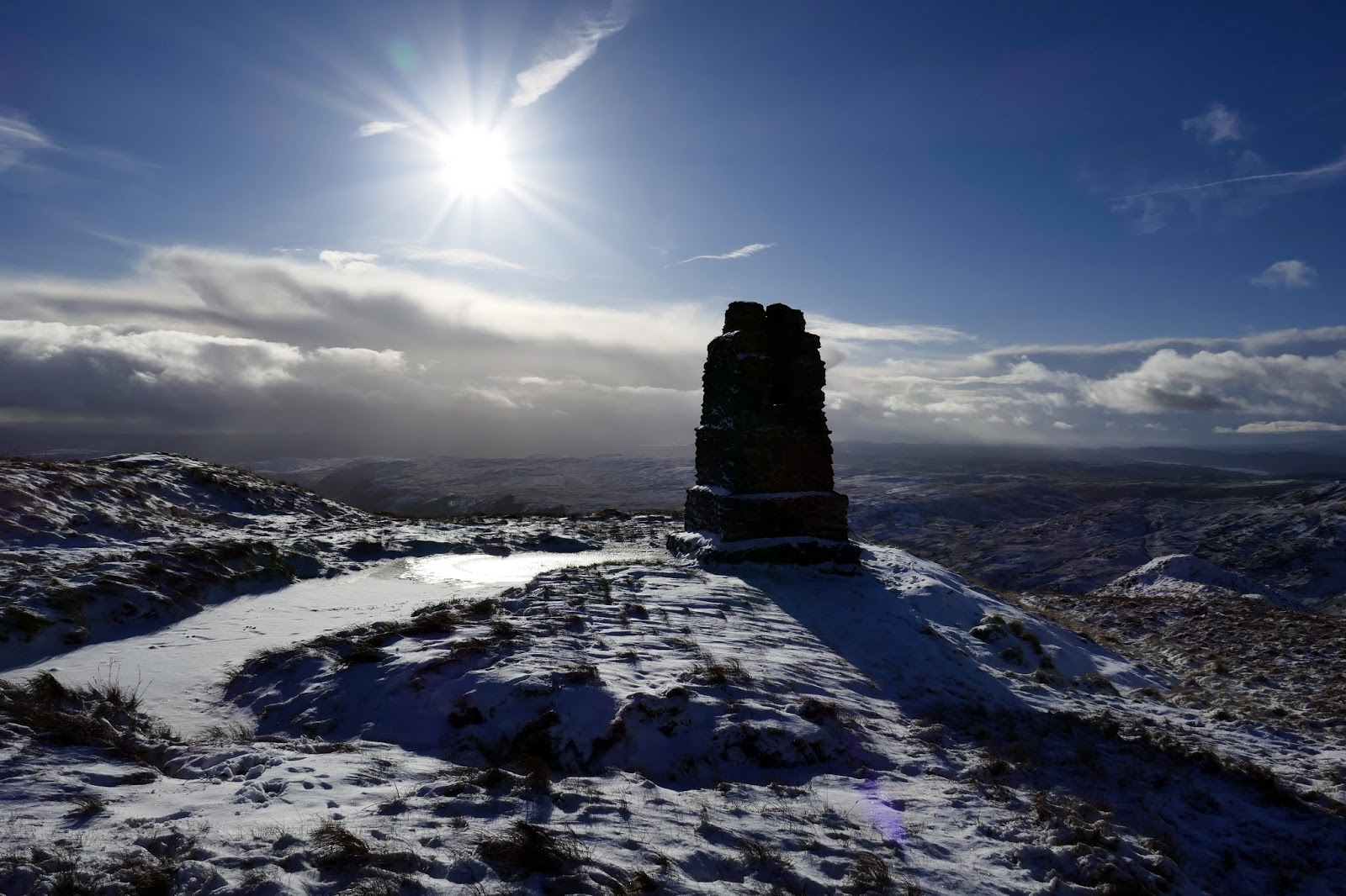
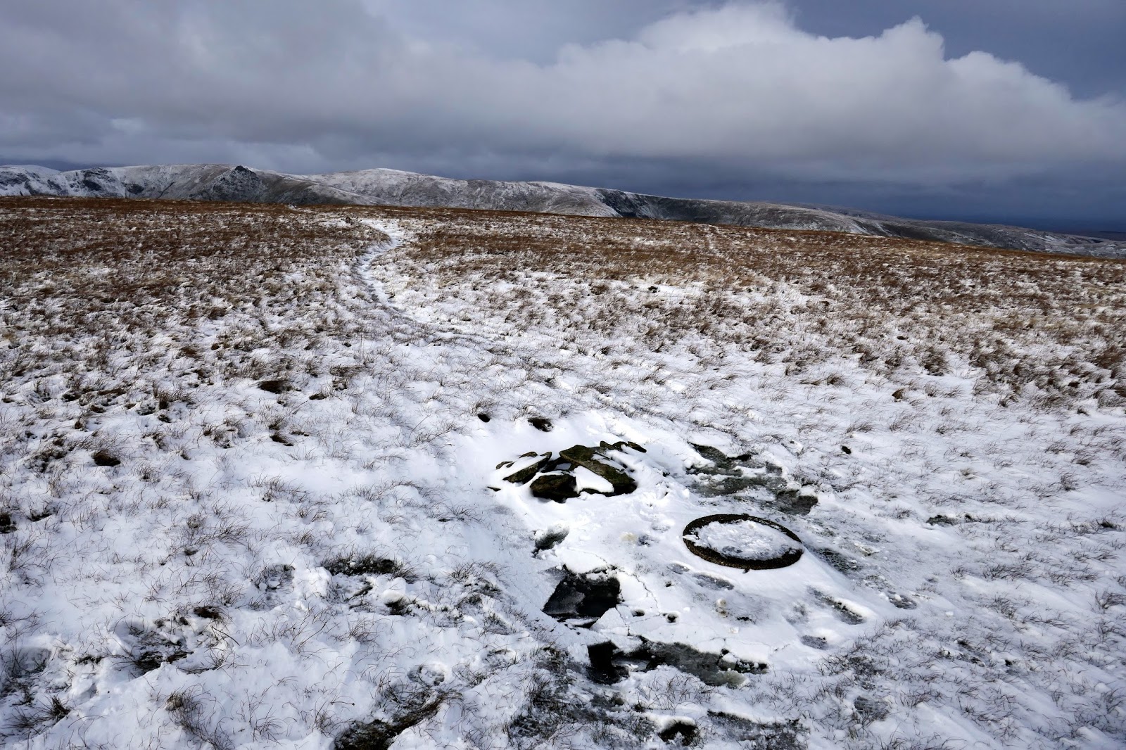
A notable man-made feature near to the summit of Tarn Crag is the remains of a surveying pillar. This unusual stone and concrete construction is cleft at the top to provide a sight line and was originally surrounded by a wooden frame, now decayed. This is one of four such pillars built during the construction of the Haweswater aqueduct.
 |
| The survey pillar stands a few metres from the summit |
 |
| The survey pillar catching the sun |
 |
| The survey pillar commands a view over Longsleddale |
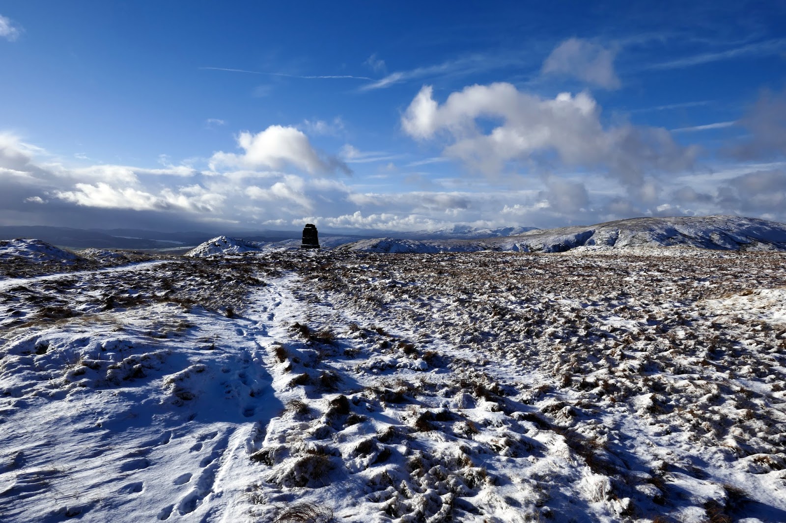
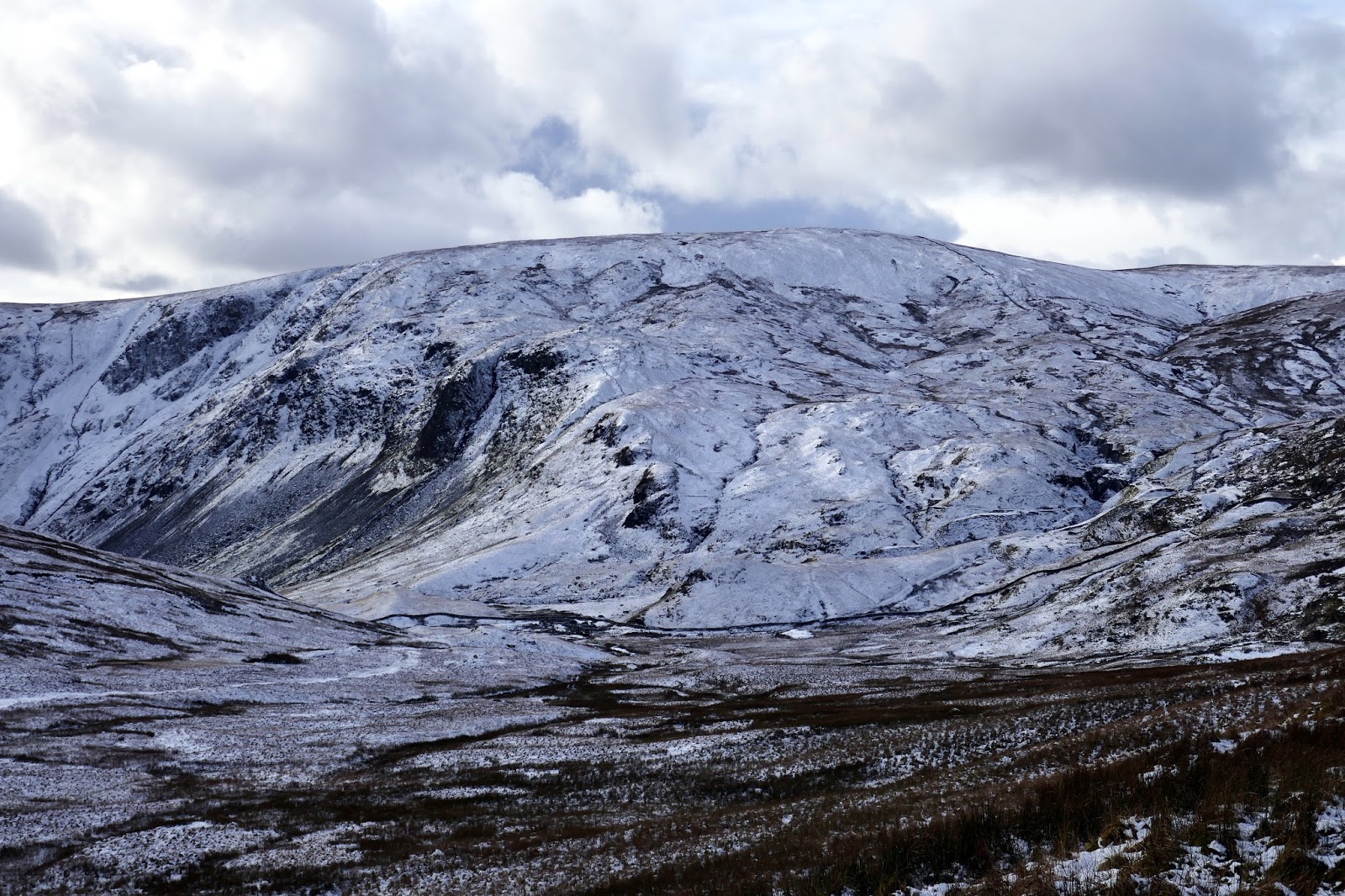
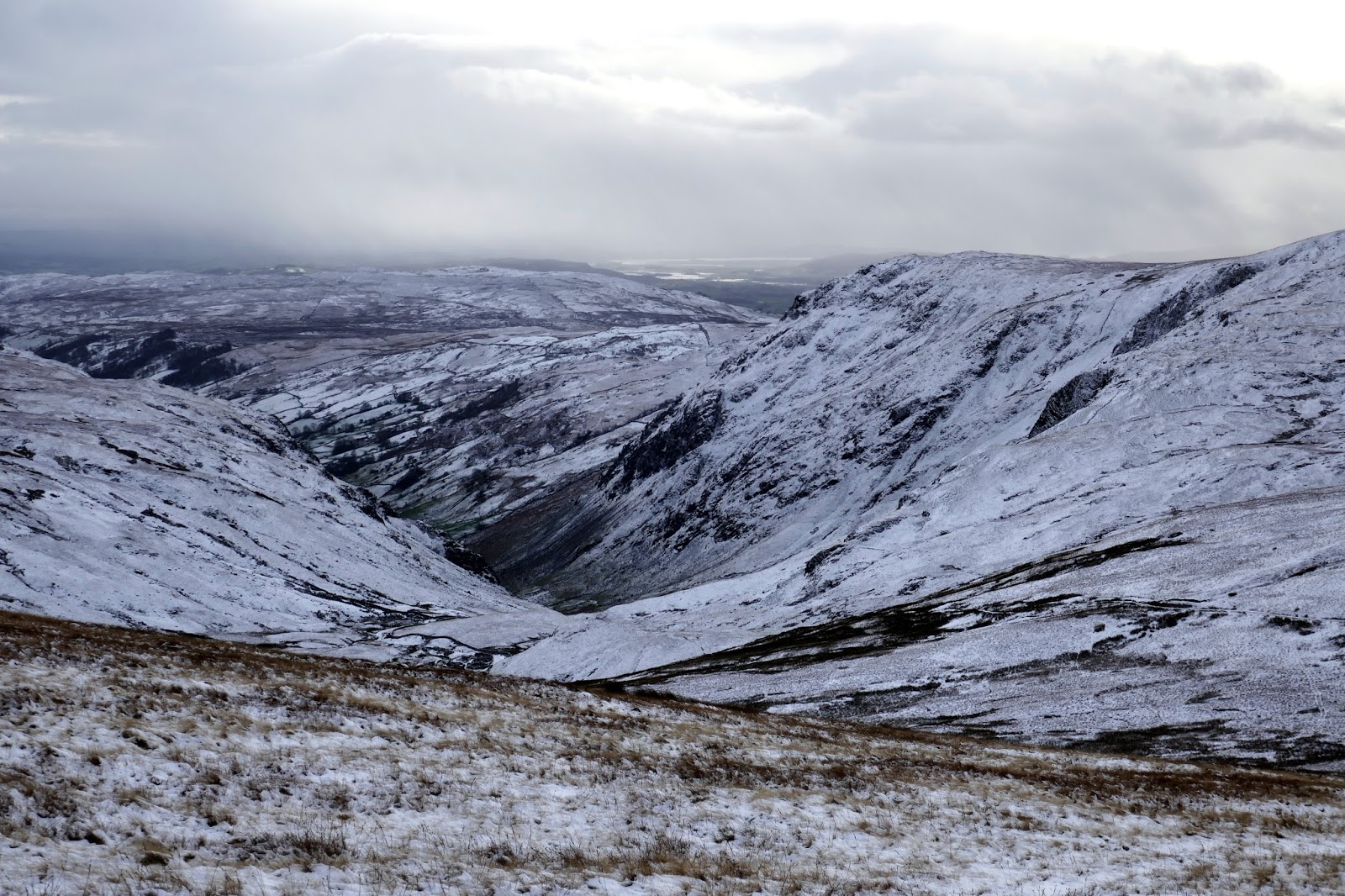
Below Tarn Crag is the first section of the pipeline carrying water from the reservoir toward Manchester. The tunnel, some 400m below the summit, was the longest such pipeline in Britain when it was constructed in the 1930s. It emerges into Longsleddale below Great Howe, where the spoil can still be seen.
 |
| High Street and Kidsty Pike make an appearance over Gatesgarth Pass |
 |
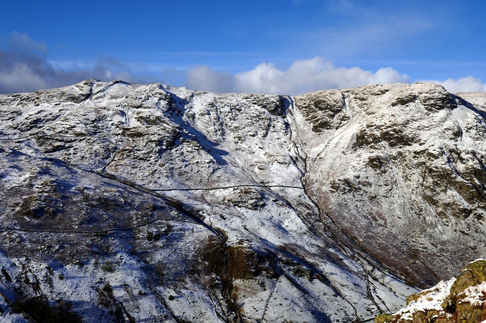
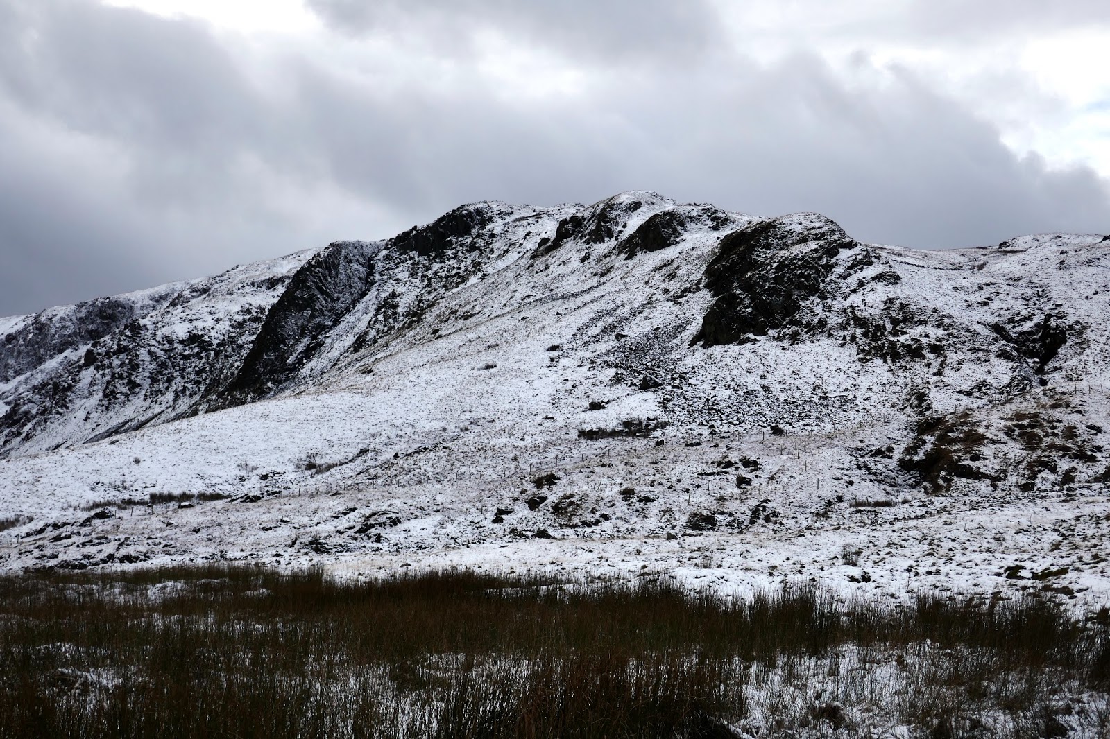
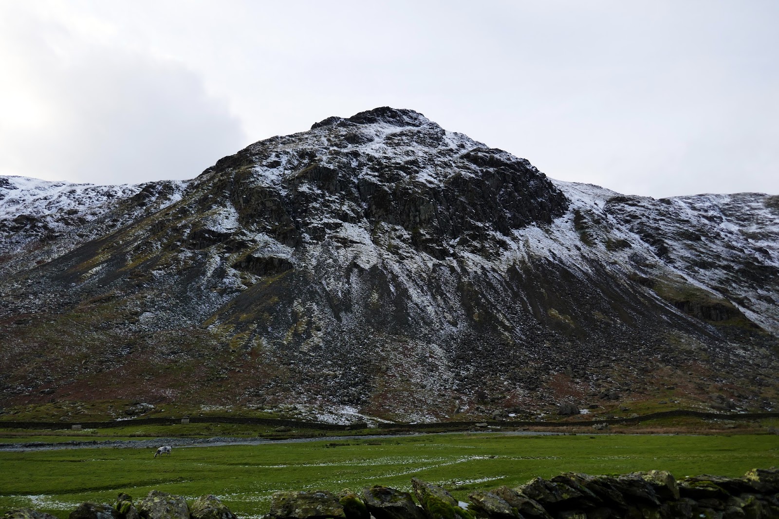
| Harter Fell and Branstree |
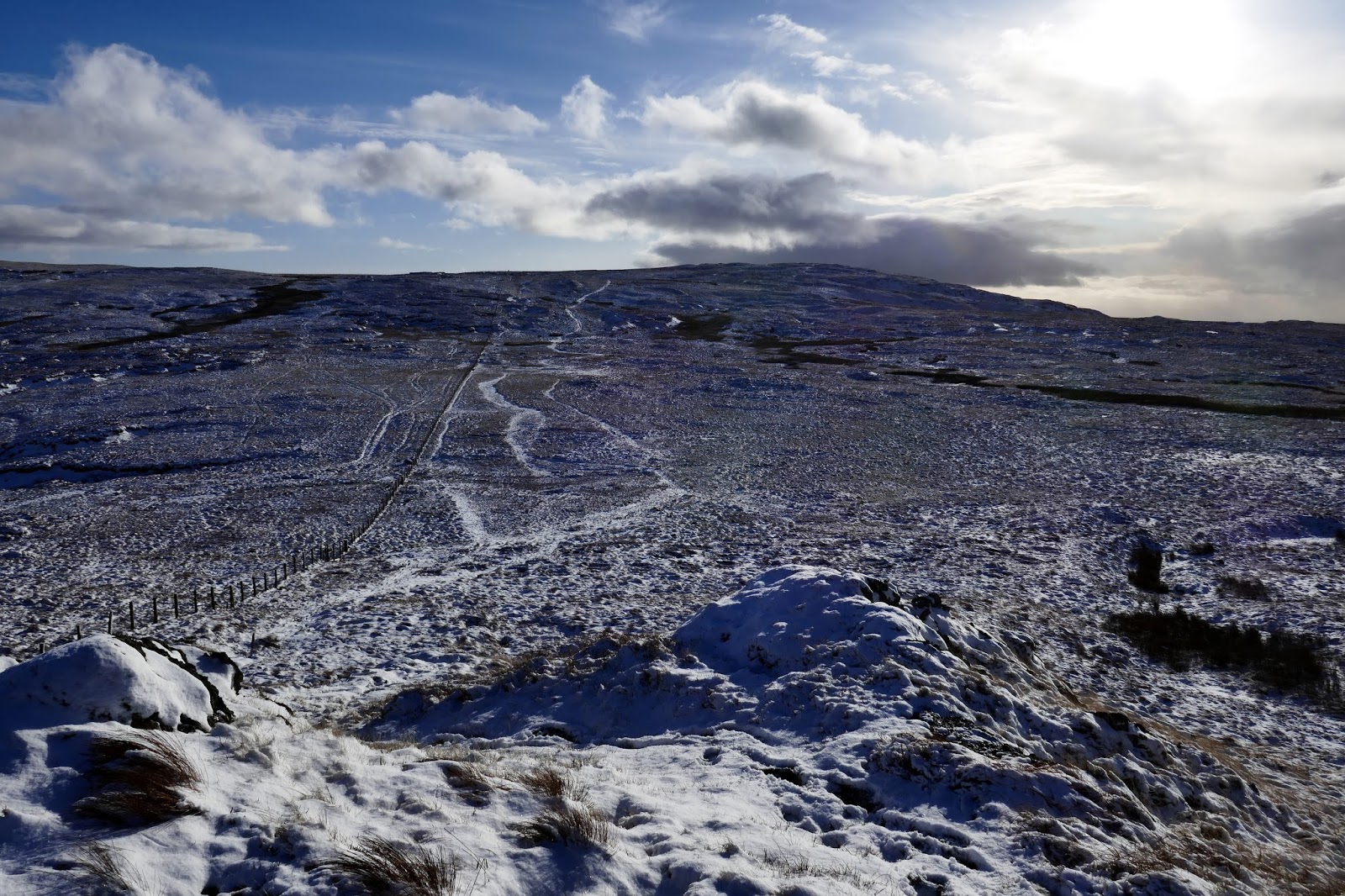
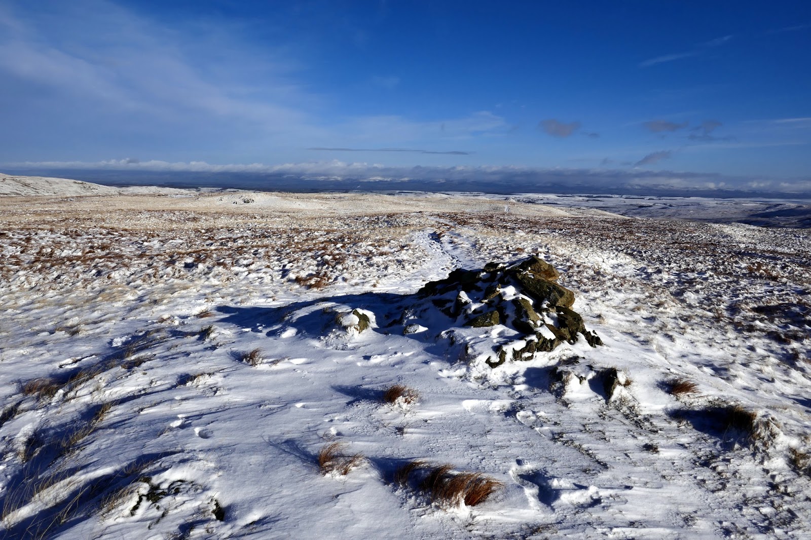
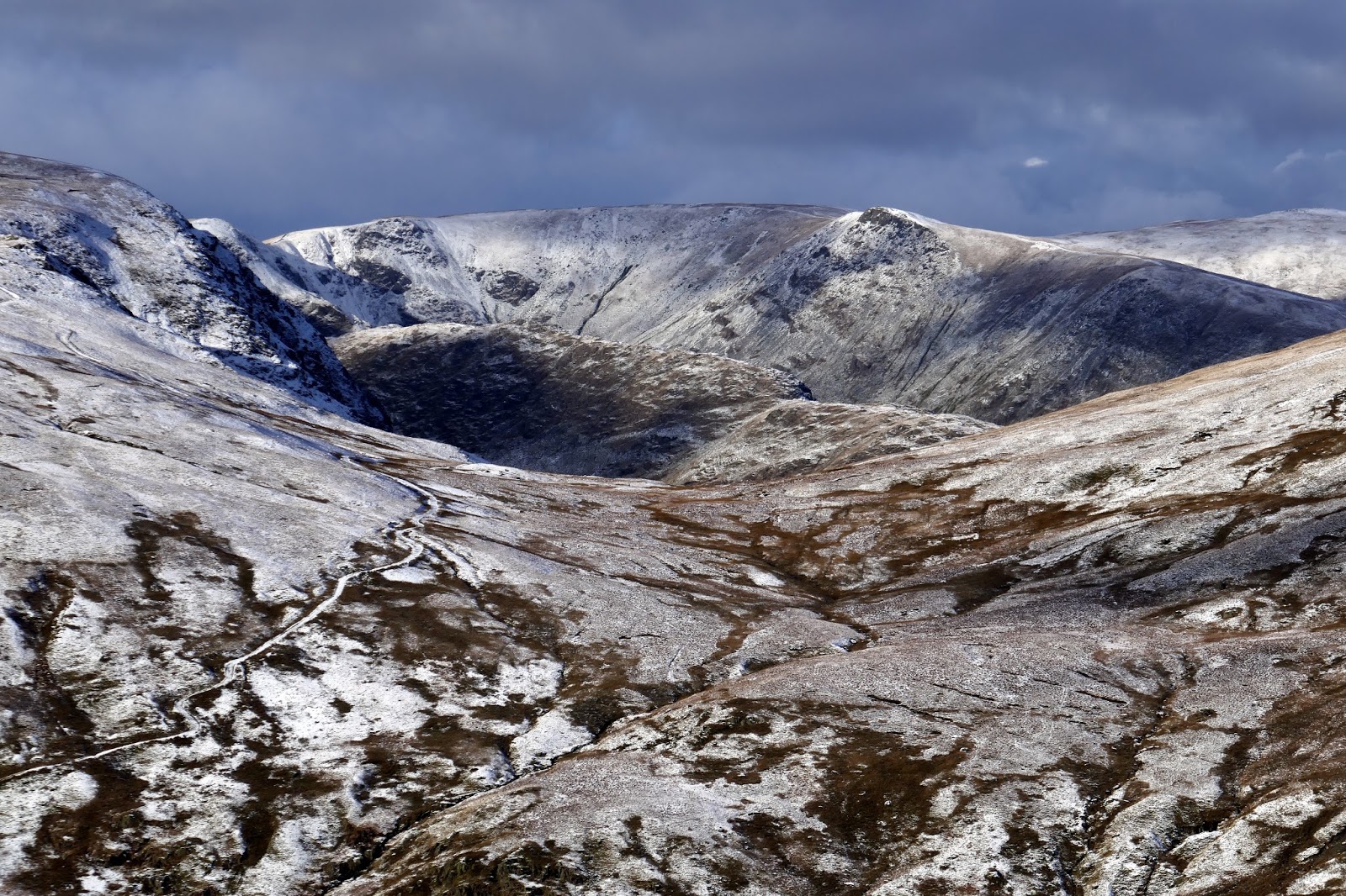
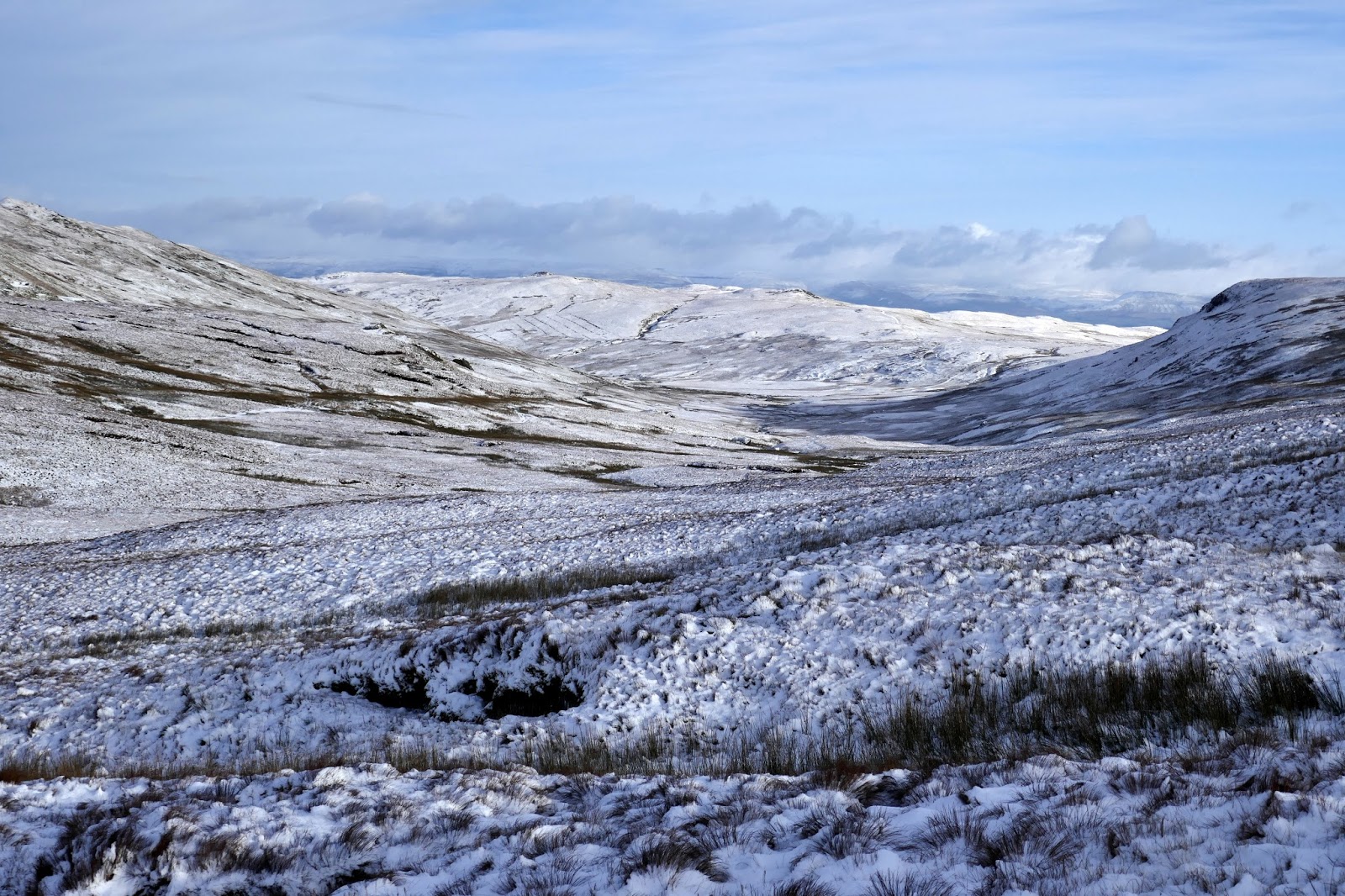
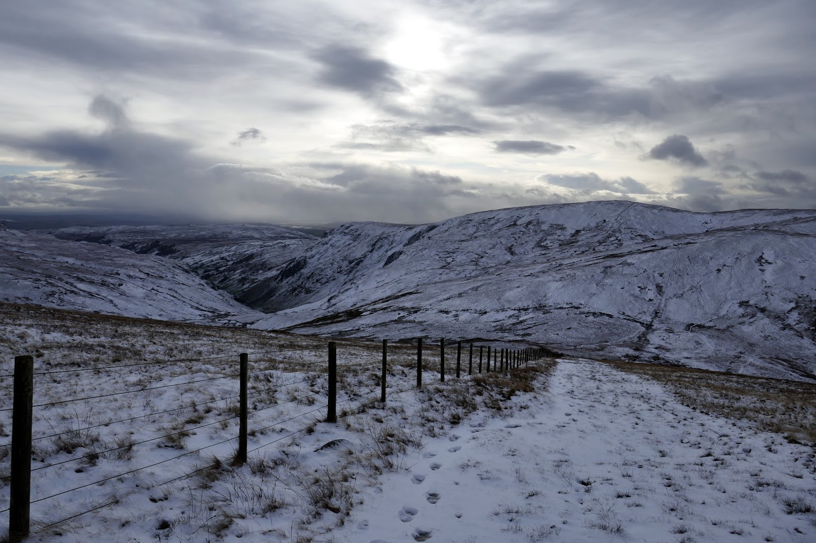
Tarn Crag is separated from the neighbouring Branstree by a boggy col above Brownhowe Bottom and Mosedale. It proved a little tricky to negotiate, particularly as the bogs were covered in a layer of concealing snow. In the end, the fence provided a suitably dry means of crossing.
 |
| Branstree |
 |
| Mosedale |
 |
| Branstree |
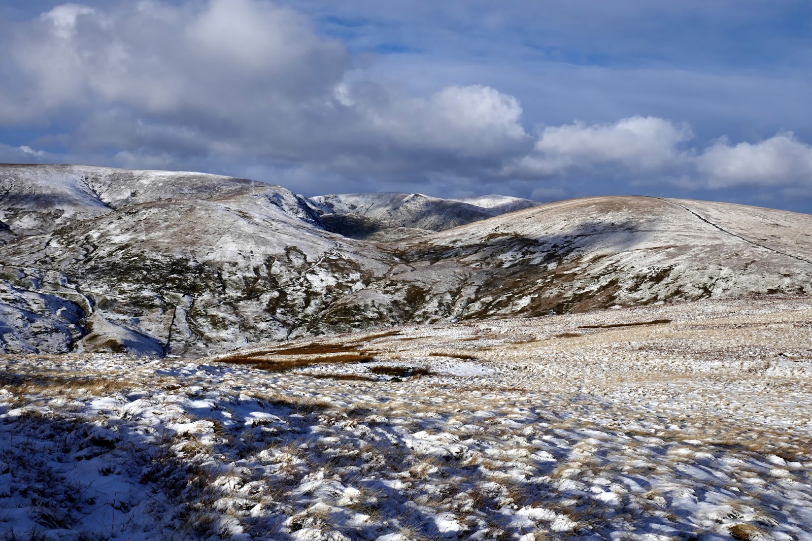
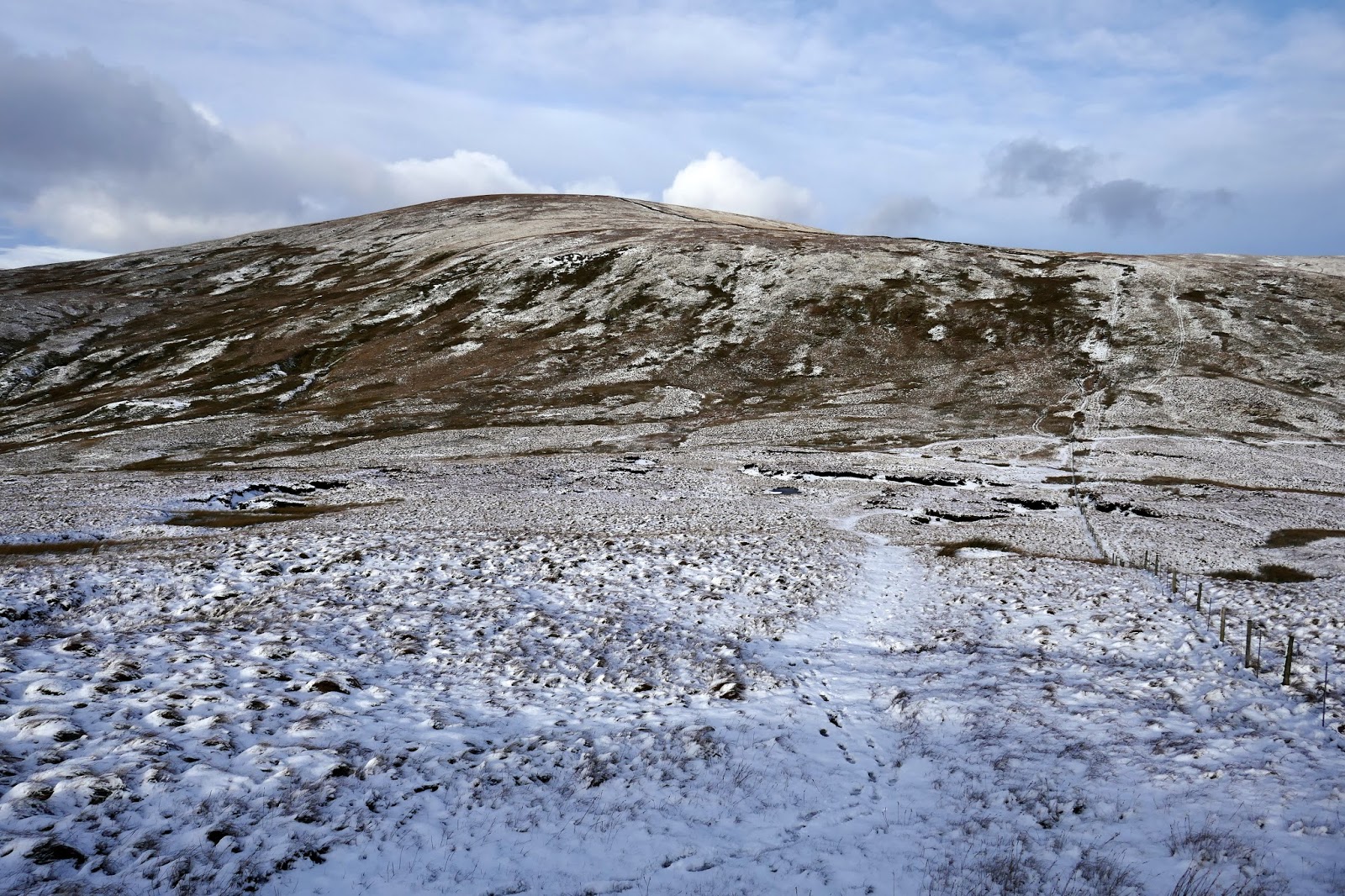
The climb up Branstree is pretty tedious, a 1km slog up featureless grass. After passing over Branstree’s summit, I decided to cut the walk short, having originally intended to carry on over Harter Fell and Kentmere Pike. The weather had become much gloomier and my boots were causing me some discomfort and, in hindsight, the decision was the right one.
 |
| Kentmere Pike |
 |
| Tarn Crag from the slopes of Branstree |
 |
| More snow showers |
 |
| Looking to Morecambe Bay |
 |
| Climbing Branstree |
 |
| Branstree’s summit |
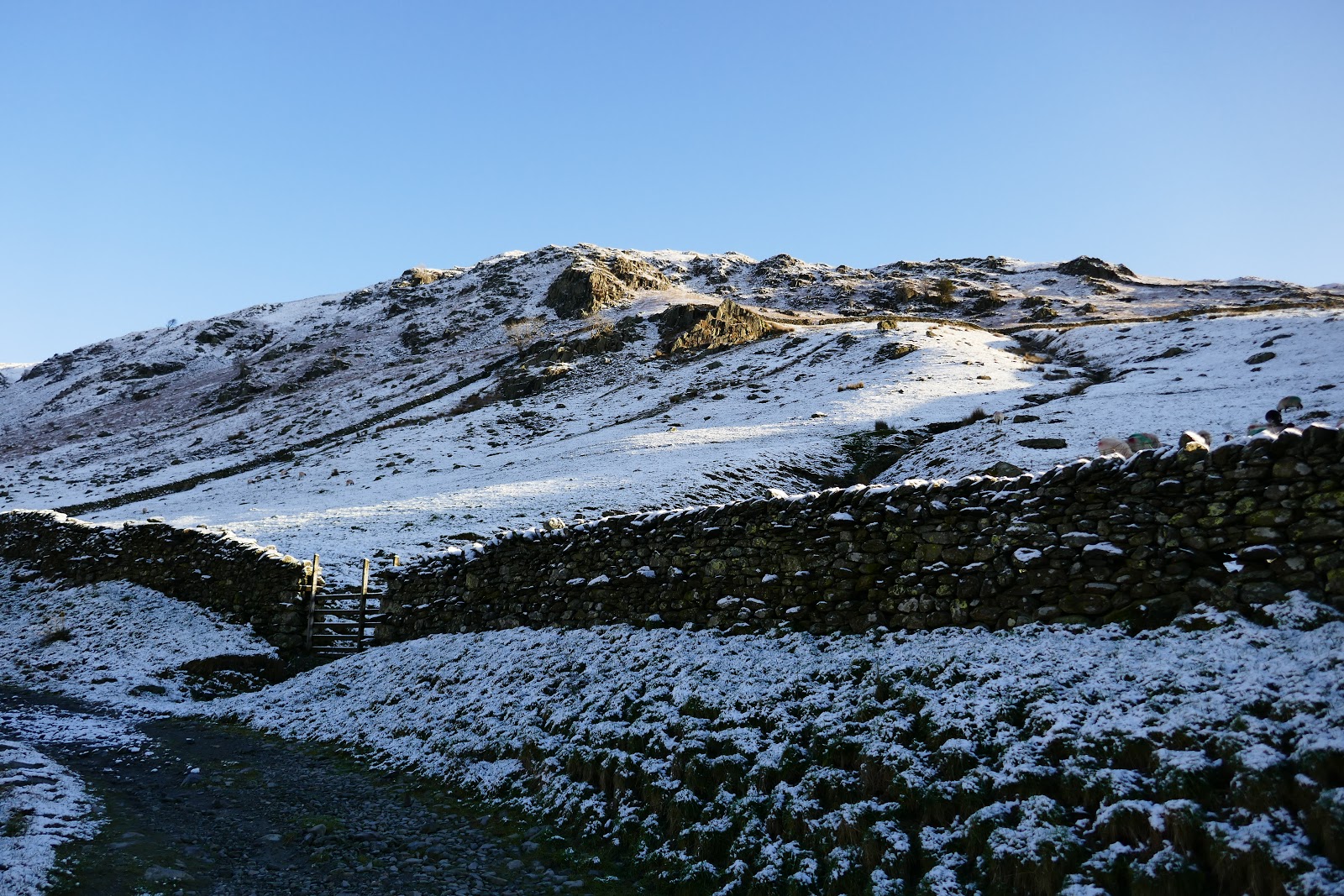
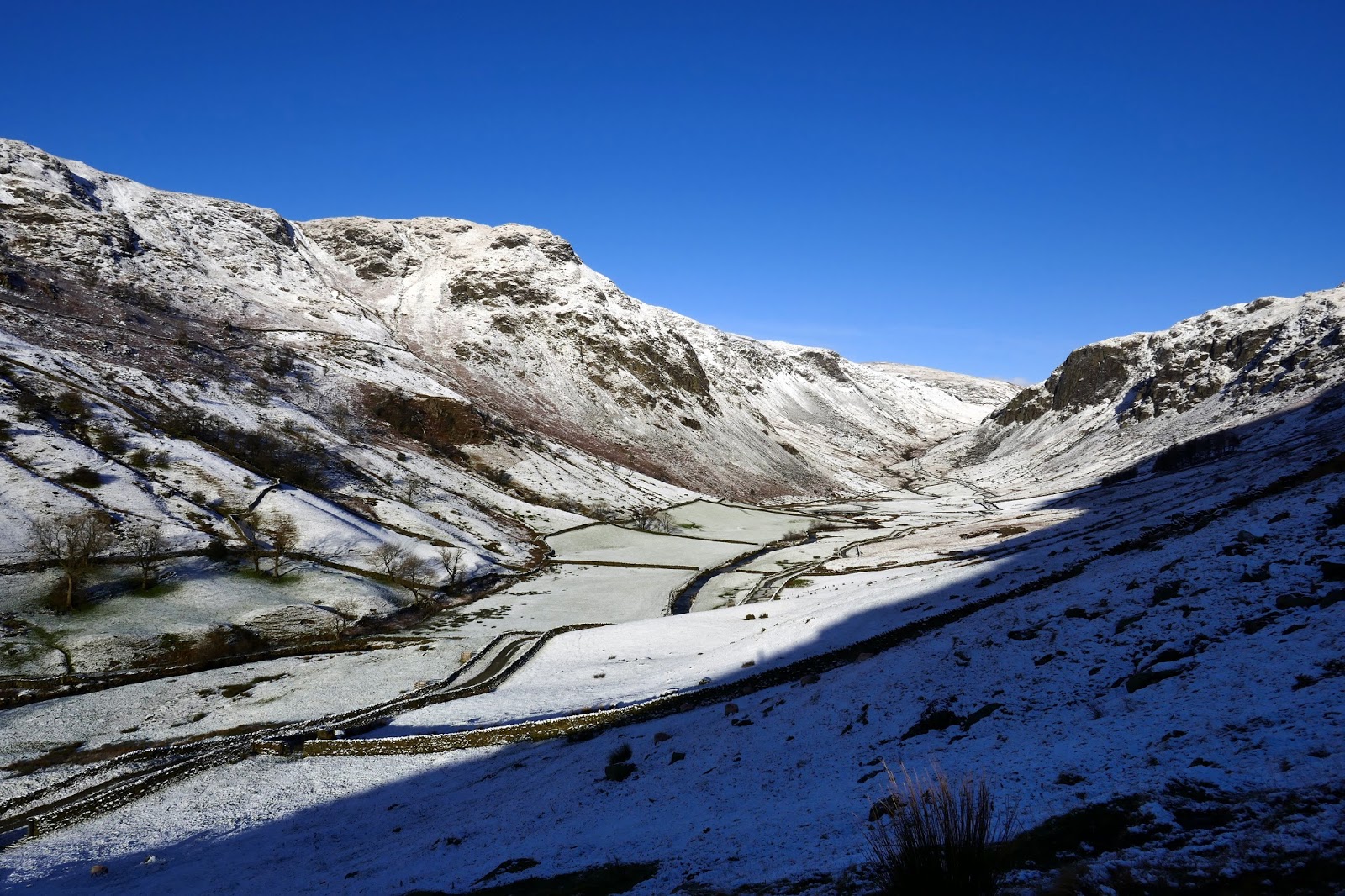
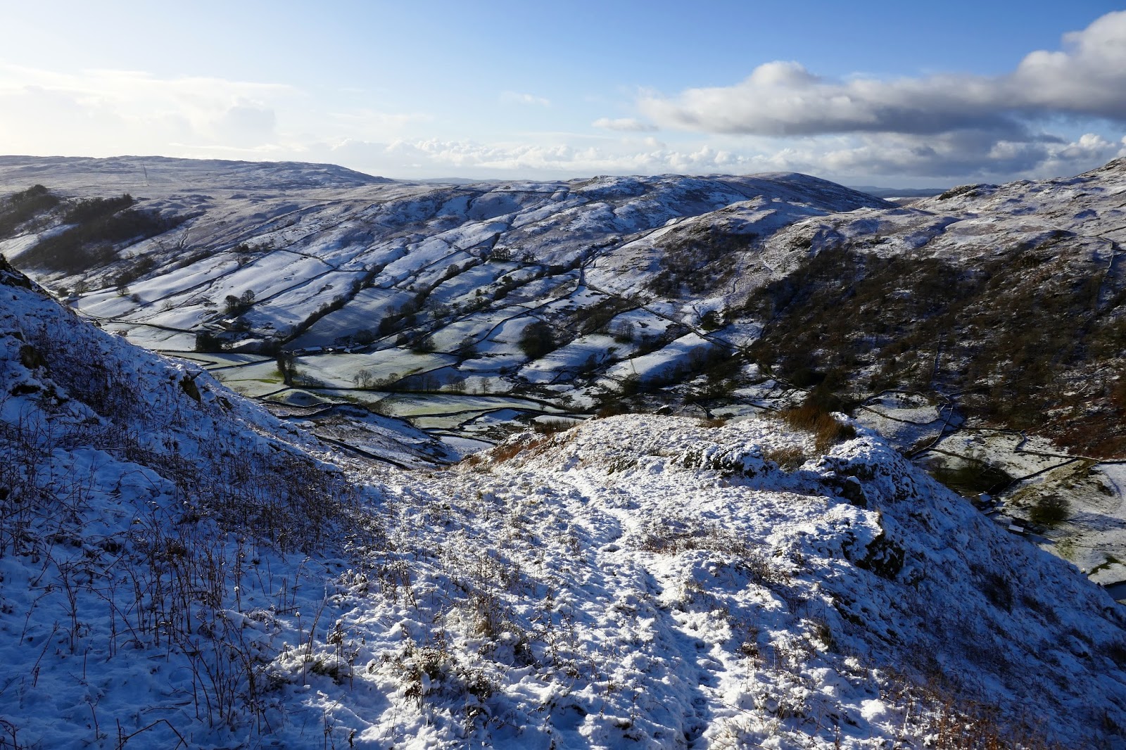
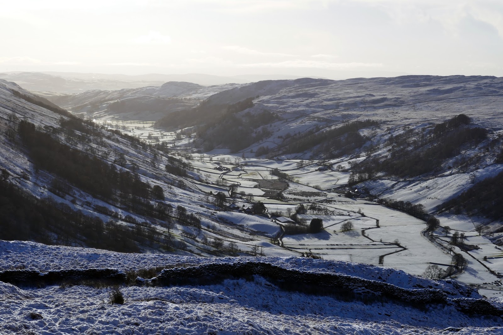
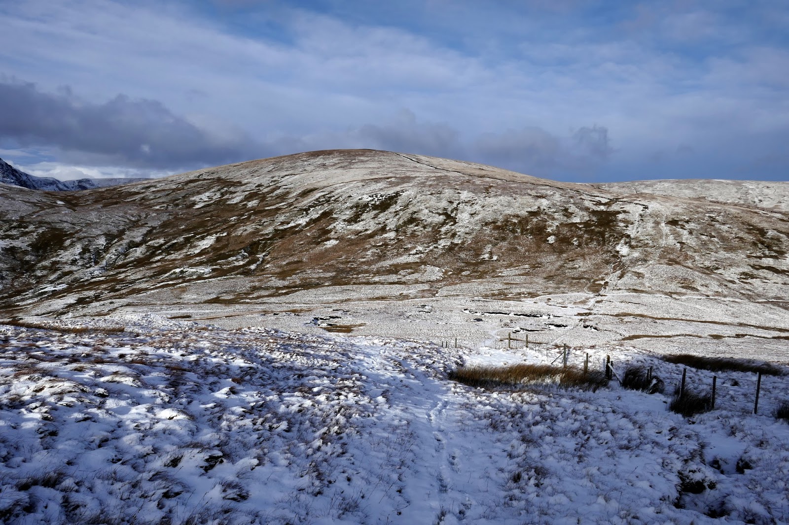
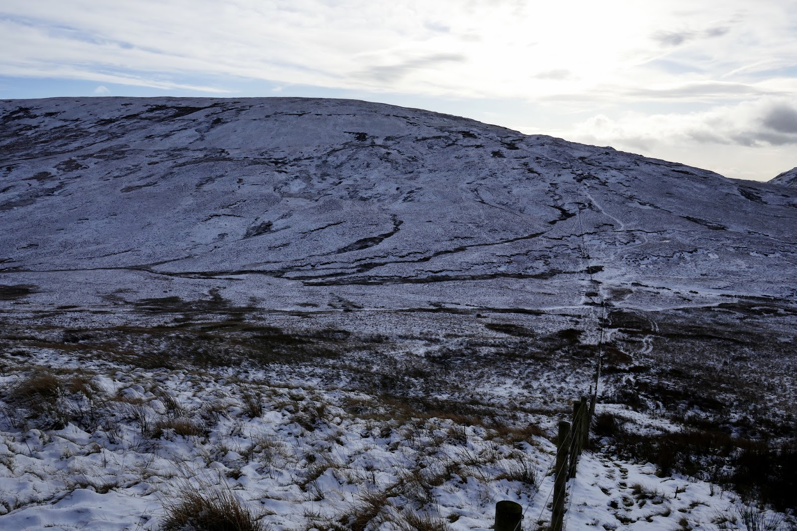
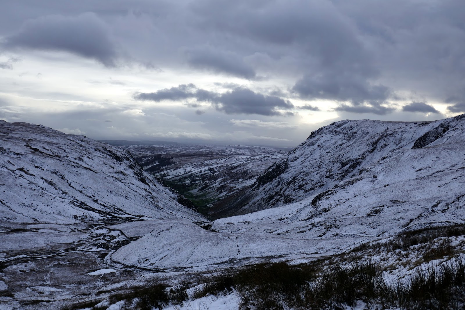
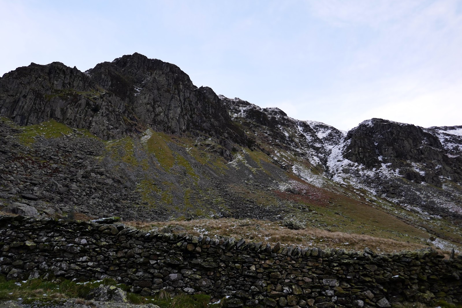
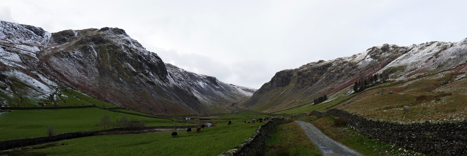
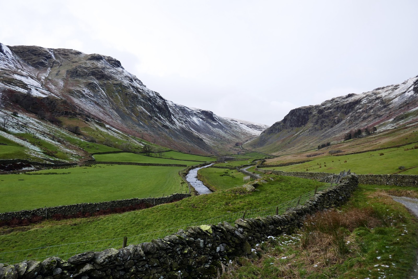
The Gatesgarth Pass would provide an obvious route back into Long Sleddale as it connects the valley to the neighbouring Haweswater. It’s a long trek back to Sadgill but it passes beneath the massive crags that ring the head of the valley. Goat Scar looks especially dominant. The valley level snow had all but gone by now if you compare photos you could be fooled into thinking it was two separate days.
 |
| High Street |
 |
| Descending to Gatesgarth |
 |
| Goat Scar |
 |
| Harter Fell and High Street |
 |
| Gatesgarth pass |
 |
| Longsleddale |
 |
| Kentmere Pike |
 |
| Steel Pike |
 |
| Wren Gill |
 |
| Descending to Longsleddale |
 |
| Buckbarrow Crag |
 |
| Goat Scar |
 |
| Longsleddale |
 |
| Longsleddale |
I eventually made it back to the car, finding much of the parking to have been taken up. It is always a good idea to arrive early at the free parking areas in the Lakes, even in the quietest valleys. What started off looking like a classic walk fizzled out somewhat but it was great to see the summits of a pair of fells which had been shrouded in cloud last time I visited. There’s a number of fells that I have yet to see the view from so still plenty more exploring to do.
