Open Space Web-Map builder Codehttps://openspace.ordnancesurvey.co.uk/osmapapi/openspace.js?key=3119F72552FD5C22E0530C6CA40A5A92https://openspace.ordnancesurvey.co.uk/osmapapi/script/mapbuilder/basicmap.jshttps://openspace.ordnancesurvey.co.uk/osmapapi/script/mapbuilder/searchbox.js//variables for routes var linesLayer, points, lineFeature, lineString, routeMarkersLayer, routepos, routesize, routeoffset, routeicon; var style_blue = {strokeColor: “#0000CD”, strokeOpacity: 0.5, strokeWidth: 4.5}; function initmapbuilder() { //initiate the map var options = {resolutions: [2500, 1000, 500, 200, 100, 50, 25, 10, 5, 4, 2.5, 2, 1]}; osMap = new OpenSpace.Map(‘map’, options); //configure map options (basicmap.js) setglobaloptions(); //set the center of the map and the zoom level osMap.setCenter(new OpenSpace.MapPoint(322505,511215),7); linesLayer = osMap.getVectorLayer(); // Set up layer for route markers routeMarkersLayer = new OpenLayers.Layer.Markers(“Route Markers”); //make a route points = new Array(); points.push(new OpenLayers.Geometry.Point(323740,512520)); points.push(new OpenLayers.Geometry.Point(323625,512435)); points.push(new OpenLayers.Geometry.Point(323520,512140)); points.push(new OpenLayers.Geometry.Point(323405,512170)); points.push(new OpenLayers.Geometry.Point(323315,512220)); points.push(new OpenLayers.Geometry.Point(323310,512175)); points.push(new OpenLayers.Geometry.Point(323075,512190)); points.push(new OpenLayers.Geometry.Point(322880,512190)); points.push(new OpenLayers.Geometry.Point(322695,512125)); points.push(new OpenLayers.Geometry.Point(322490,512025)); points.push(new OpenLayers.Geometry.Point(322355,511860)); points.push(new OpenLayers.Geometry.Point(322210,511750)); points.push(new OpenLayers.Geometry.Point(322120,511655)); points.push(new OpenLayers.Geometry.Point(322075,511340)); points.push(new OpenLayers.Geometry.Point(322050,511195)); points.push(new OpenLayers.Geometry.Point(322000,511065)); points.push(new OpenLayers.Geometry.Point(321790,510860)); points.push(new OpenLayers.Geometry.Point(321490,510720)); points.push(new OpenLayers.Geometry.Point(321490,510615)); points.push(new OpenLayers.Geometry.Point(321430,510530)); points.push(new OpenLayers.Geometry.Point(321295,510460)); points.push(new OpenLayers.Geometry.Point(321160,510410)); points.push(new OpenLayers.Geometry.Point(321100,510330)); points.push(new OpenLayers.Geometry.Point(321010,510220)); points.push(new OpenLayers.Geometry.Point(321185,510425)); points.push(new OpenLayers.Geometry.Point(321430,510540)); points.push(new OpenLayers.Geometry.Point(321605,510355)); points.push(new OpenLayers.Geometry.Point(321800,510195)); points.push(new OpenLayers.Geometry.Point(322005,510070)); points.push(new OpenLayers.Geometry.Point(322140,509995)); points.push(new OpenLayers.Geometry.Point(322325,510350)); points.push(new OpenLayers.Geometry.Point(322465,510560)); points.push(new OpenLayers.Geometry.Point(322670,510765)); points.push(new OpenLayers.Geometry.Point(322845,510940)); points.push(new OpenLayers.Geometry.Point(323075,511080)); points.push(new OpenLayers.Geometry.Point(323300,511210)); points.push(new OpenLayers.Geometry.Point(323450,511620)); points.push(new OpenLayers.Geometry.Point(323360,511840)); points.push(new OpenLayers.Geometry.Point(323280,512075)); points.push(new OpenLayers.Geometry.Point(323300,512155)); points.push(new OpenLayers.Geometry.Point(323310,512215)); points.push(new OpenLayers.Geometry.Point(323500,512145)); points.push(new OpenLayers.Geometry.Point(323600,512415)); points.push(new OpenLayers.Geometry.Point(323740,512520)); // create a polyline feature from the array of points lineString = new OpenLayers.Geometry.LineString(points); lineFeature = new OpenLayers.Feature.Vector(lineString, null, style_blue); linesLayer.addFeatures([lineFeature]); //crate a route start/end marker routepos = new OpenSpace.MapPoint(323740,512520); routesize = new OpenLayers.Size(33,45); routeoffset = new OpenLayers.Pixel(-5,-37); routeicon = new OpenSpace.Icon(‘https://openspace.ordnancesurvey.co.uk/osmapapi/img_versions/img_1.1/mapbuilder/routemarker-startend.png’, routesize, routeoffset, null, null); routeMarkersLayer.addMarker(new OpenLayers.Marker(routepos, routeicon)); osMap.addLayer(routeMarkersLayer);}
Route: Seathwaite, Seathwaite Slabs, Gillercomb, Mitchell Cove, Green Gable, Windy Gap, Great Gable, Westmorland Cairn, Windy Gap, Aaron Slack, Sty Head, Taylorgill Force, Seathwaite
Date: 12/11/2017
From: Seathwaite
Parking: Seathwaite
Start Point: Seathwaite Farm
Region: Western Fells
Route length: 6.1 miles (9.8 km)
Time taken: 03:53
Average speed: 1.6 mph
Ascent: 899m
Descent: 896m
Wainwrights on this walk:
Green Gable (801m), Great Gable (899m)
Other Summits: None
Other Points of Interest: Gillercomb, Westmorland Cairn, Taylorgill Force
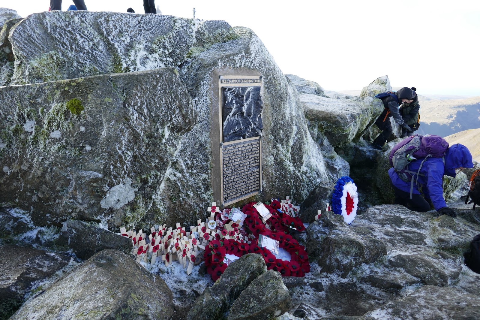
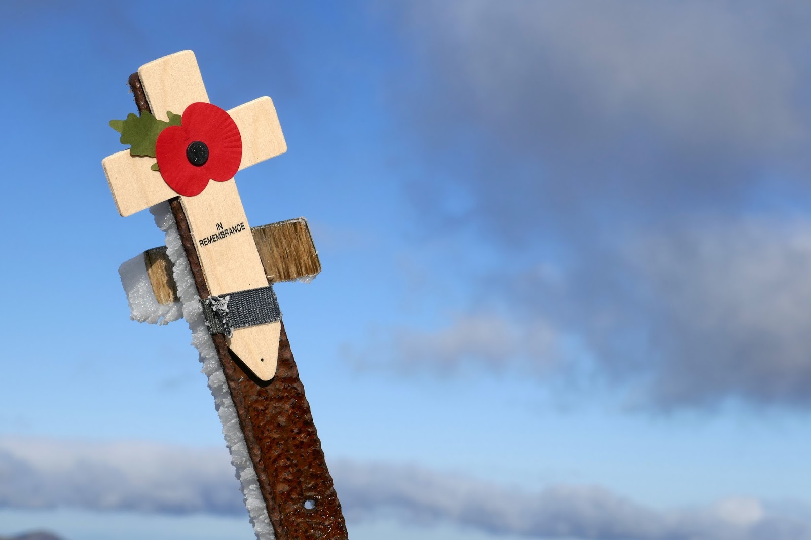
Annually, hundreds of people gather on top of Great Gable to remember the men and women who lost their lives fighting in conflicts around the world.
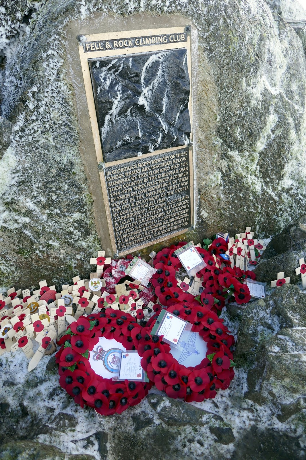
The summit rock bears a recently refurbished plaque commemorating members of the Fell & Rock Climbing Club who died in World War I. The club bought 3,000 acres of land including Great Gable and donated it to the National Trust in memory of these members. The plaque was dedicated on Whit Sunday 1924 by Geoffrey Winthrop Young in front of 500 people and year on year, similar numbers make the journey to the summit to pay their respects and, this year, we’d be joining them.
Having camped at an eerily quiet Stonethwaite Camp Site (i.e. no one else but me), we convened in the morning along the lane to Seathwaite Farm. Such is the popularity of the event, even at 7.30am, we ended up parking around half a mile from the farm. Our chosen route would take us into the depths of Gillercomb, a hanging valley that feeds into Seathwaite.
 |
| No one else about |
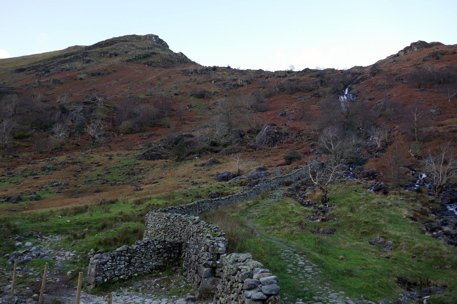
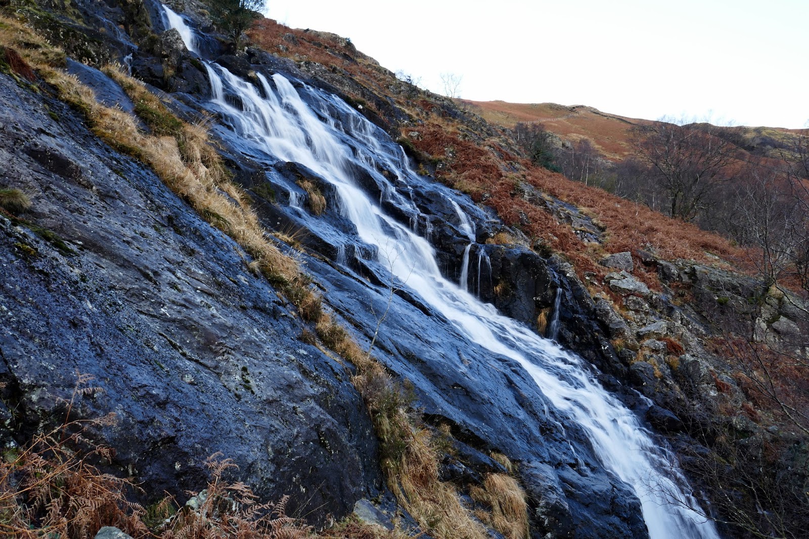
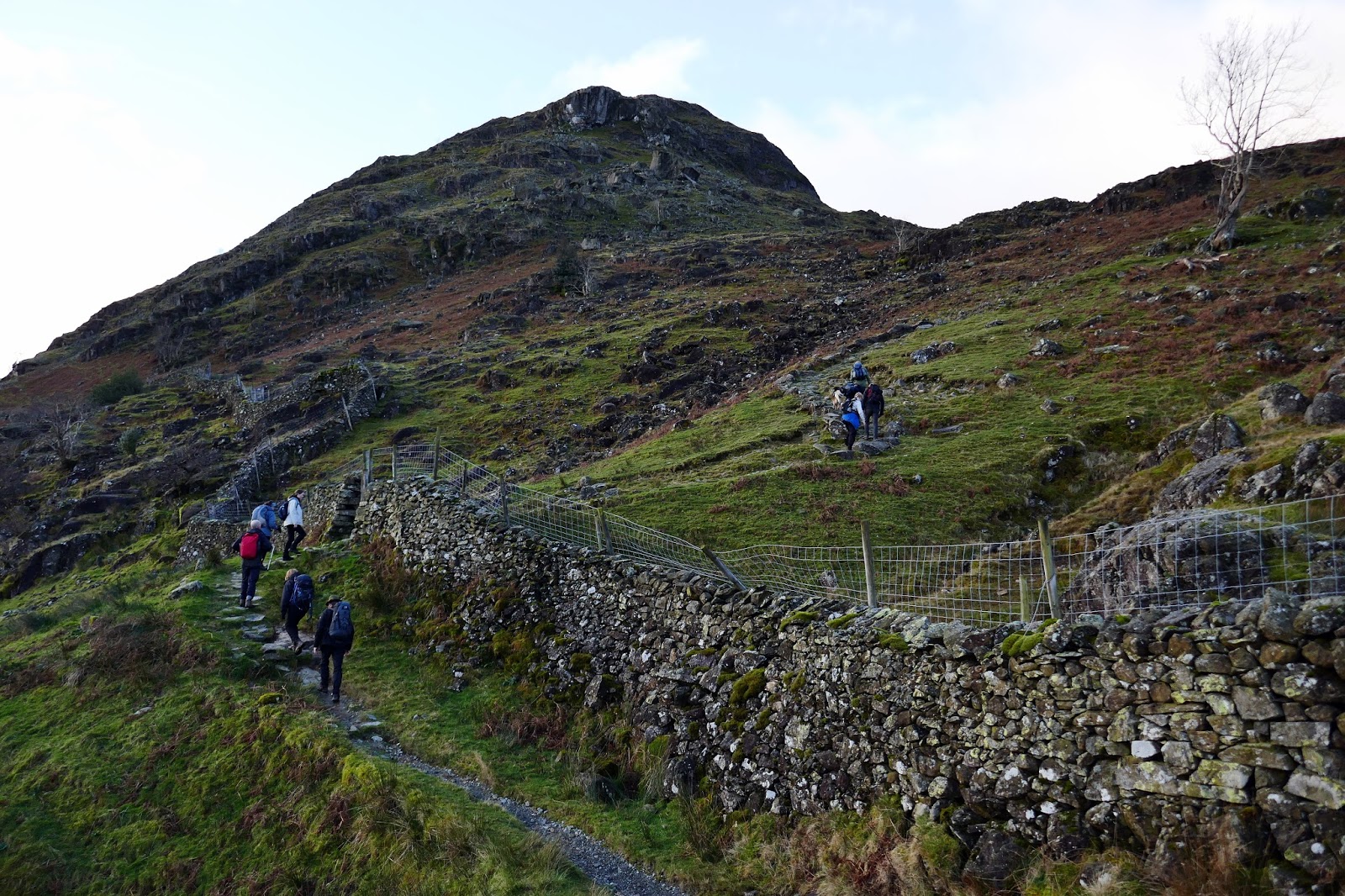
We made our way through the farm gates, to where the path crosses Grains Gill via a tall footbridge and begins to climb up the fellside ahead. Seathwaite Slabs presents the first real obstacle of the day, a semi-scramble up alongside Sour Milk Gill, one of a number of tumbling falls that share this name. The reason behind its name is that the agitated waters take on the appearance of soured milk as they are thrown over the rocks into the valley below.
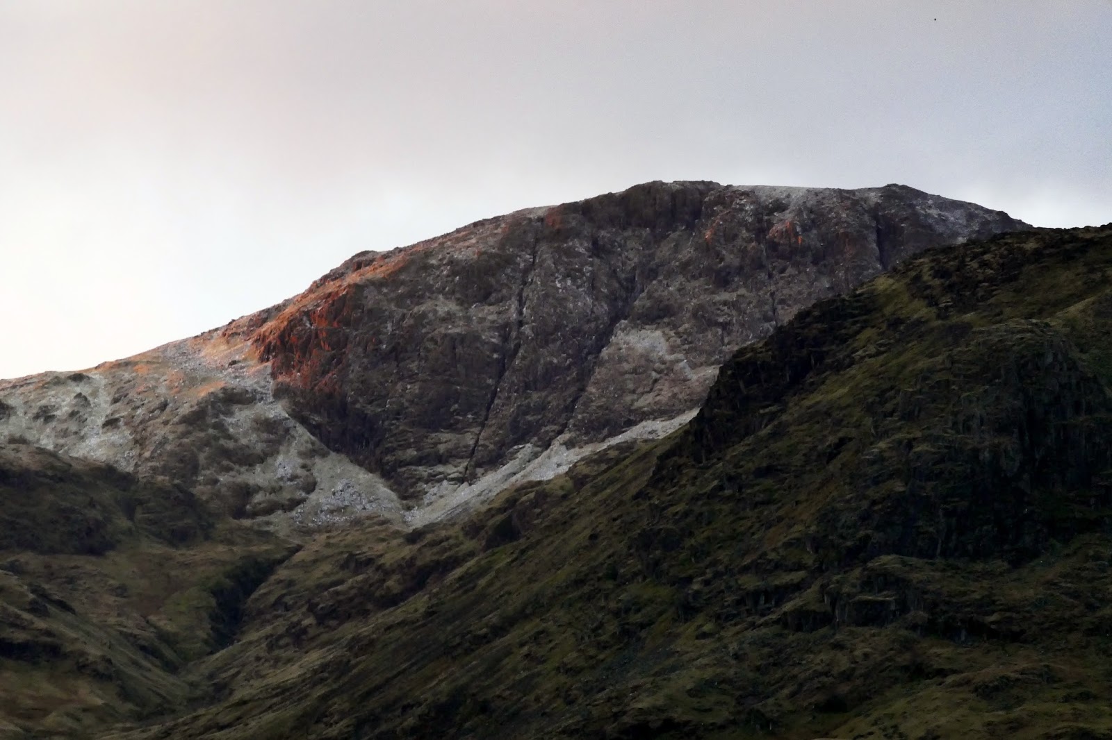
 |
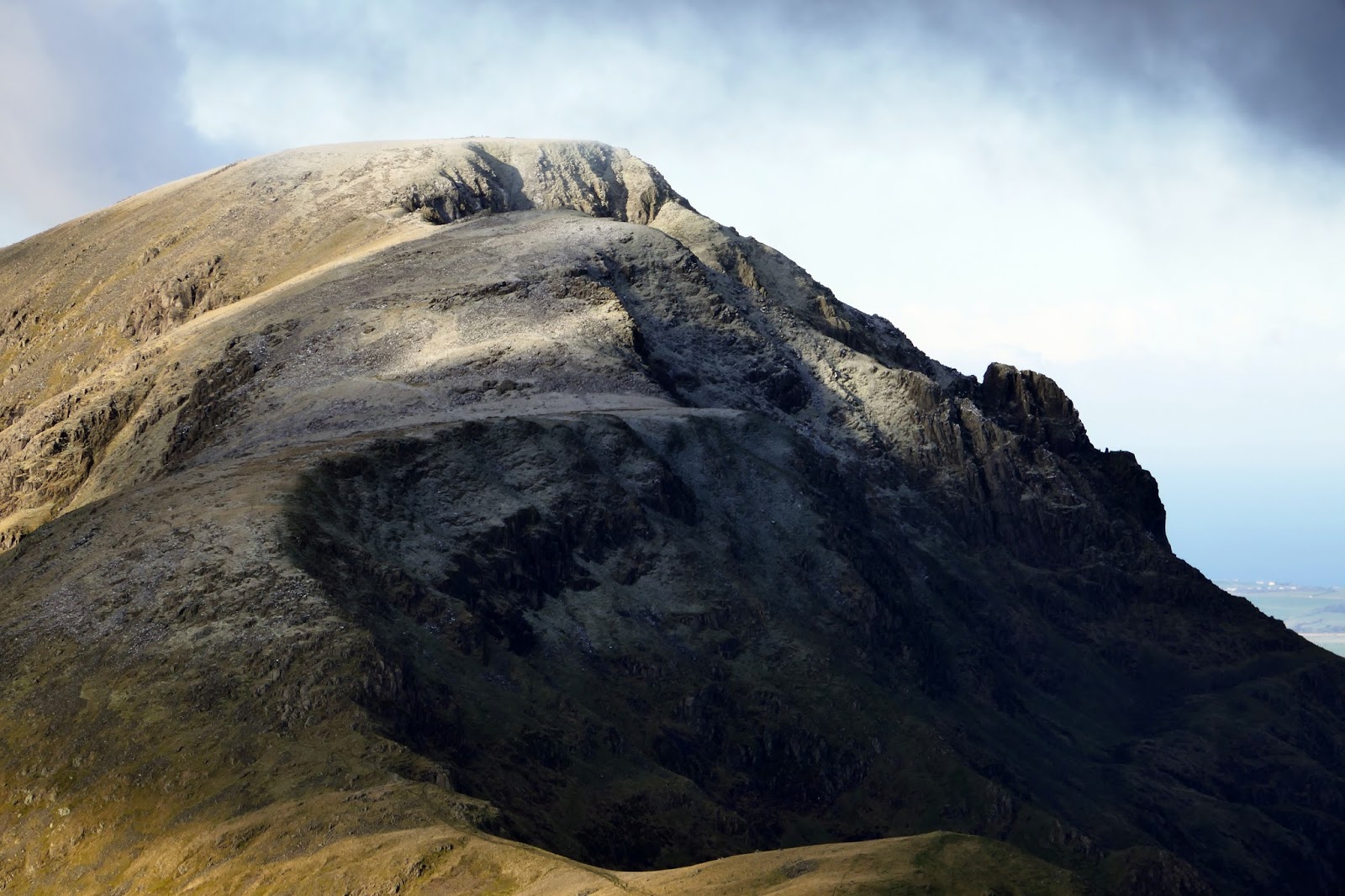
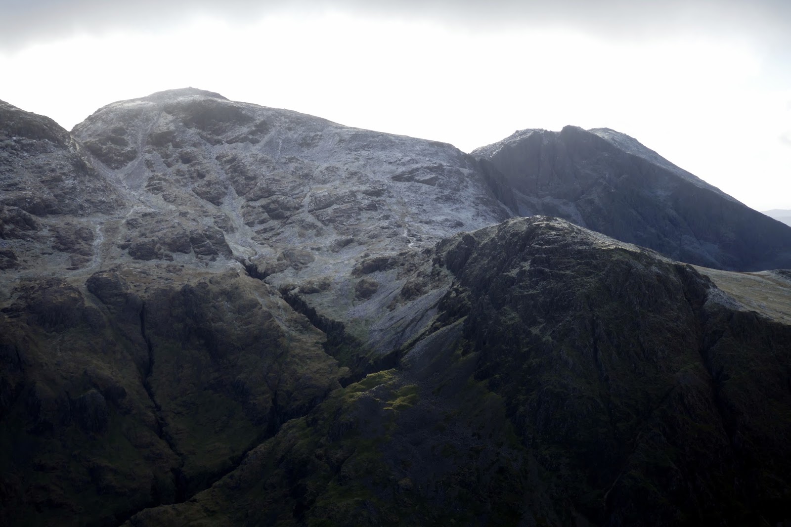
| Early light on Great End |
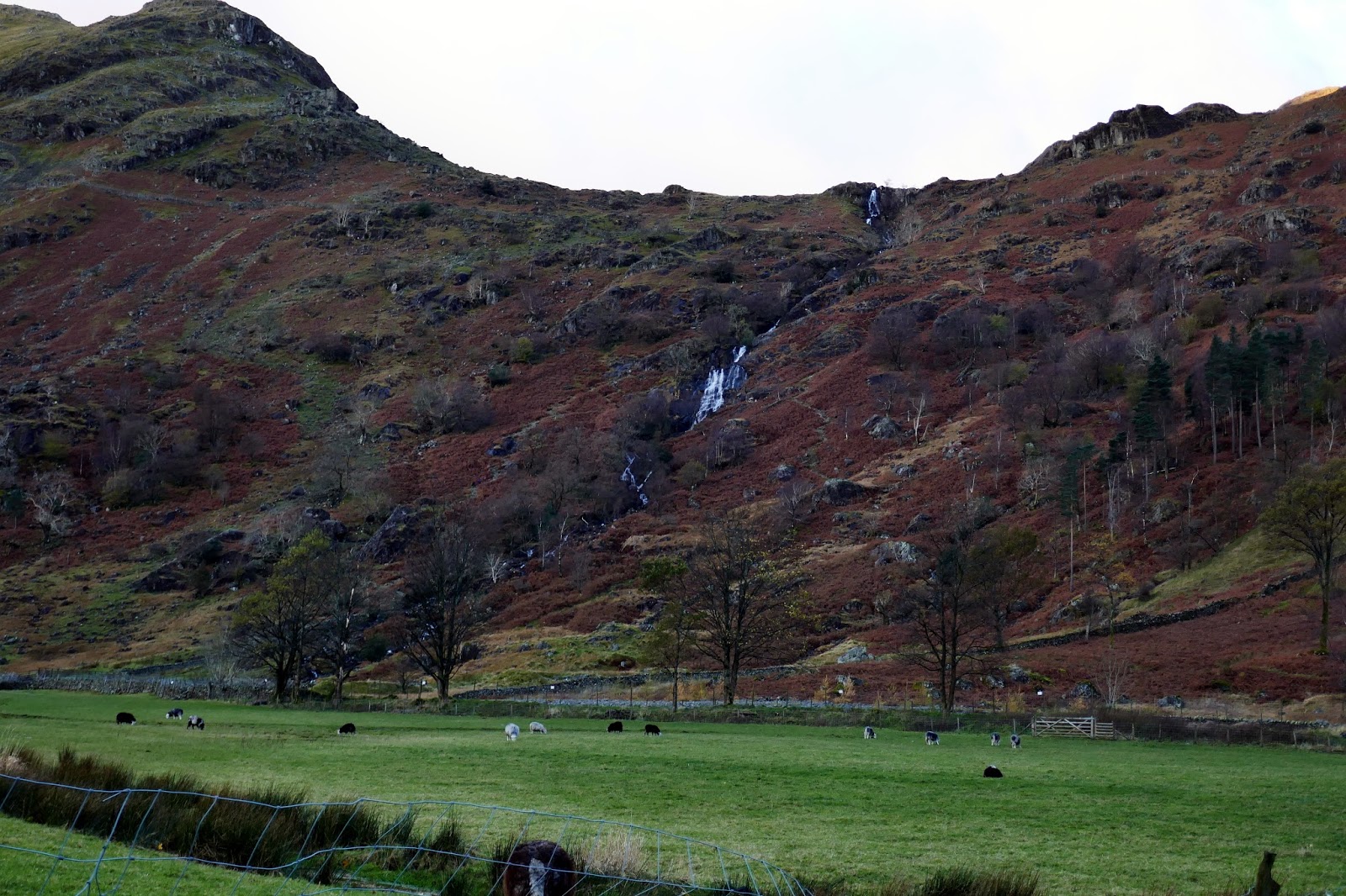
 |
| Sourmilk Gill below Base Brown |
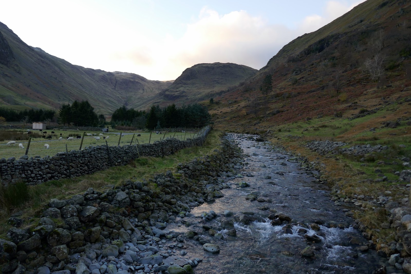
 |
| Grains Gill as it flows out of Seathwaite |
 |
| The path leading to the Seathwaite Slabs |
 |
| Sourmilk Gill at Seathwaite Slabs |
 |
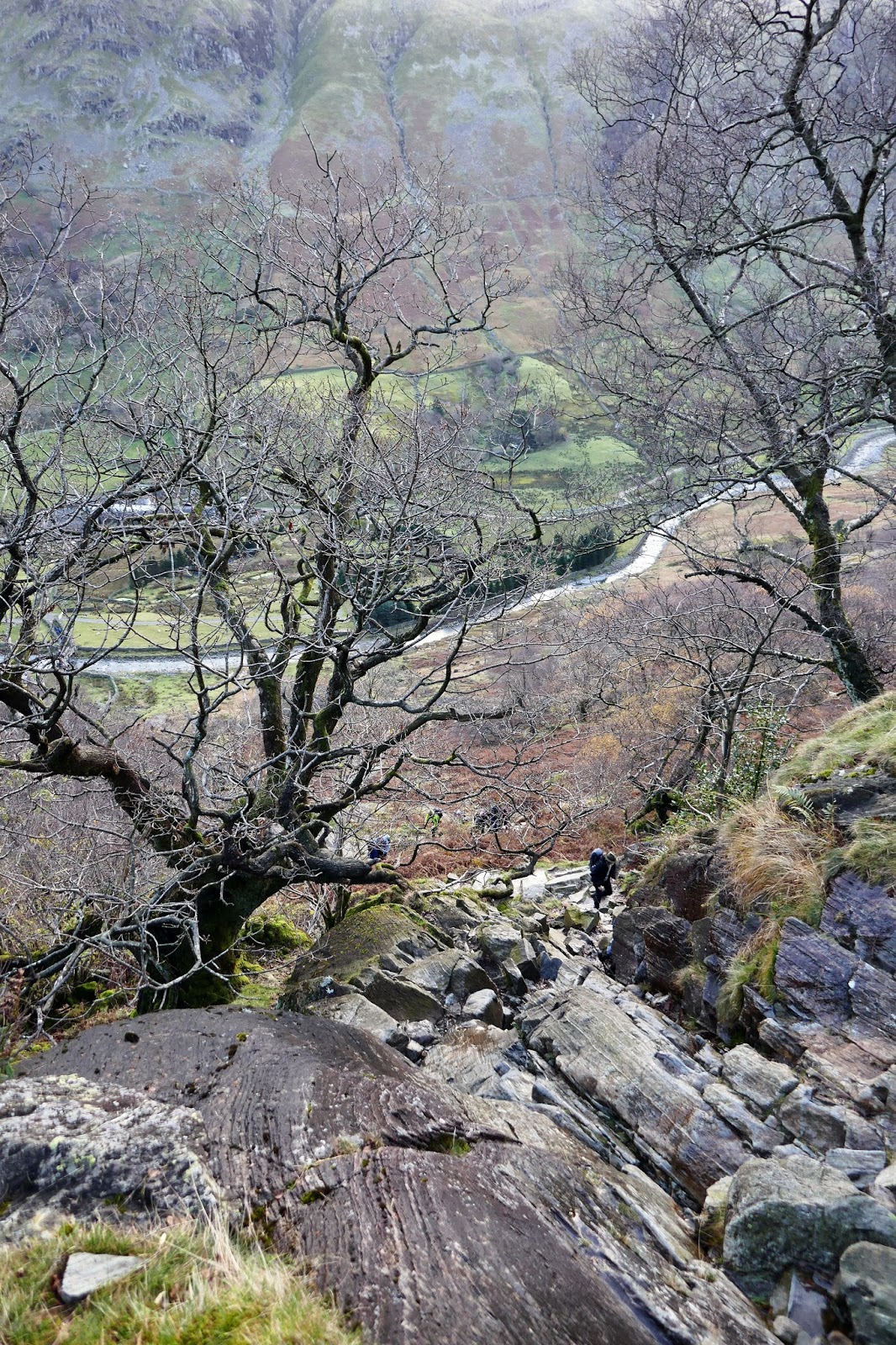
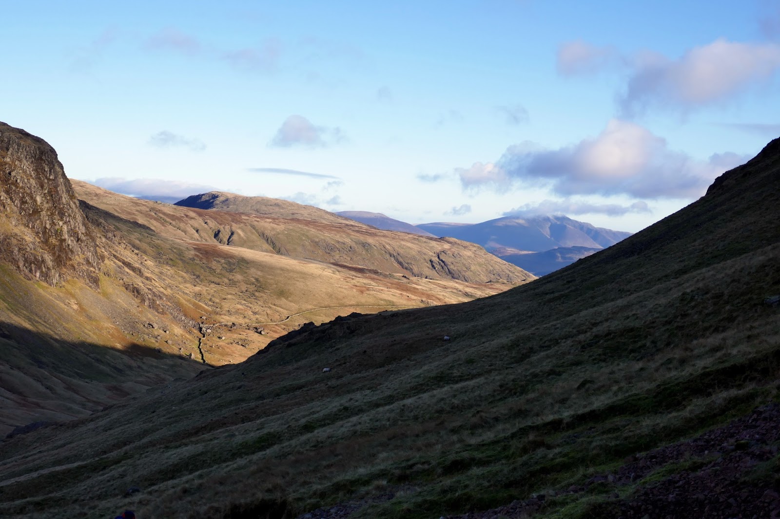
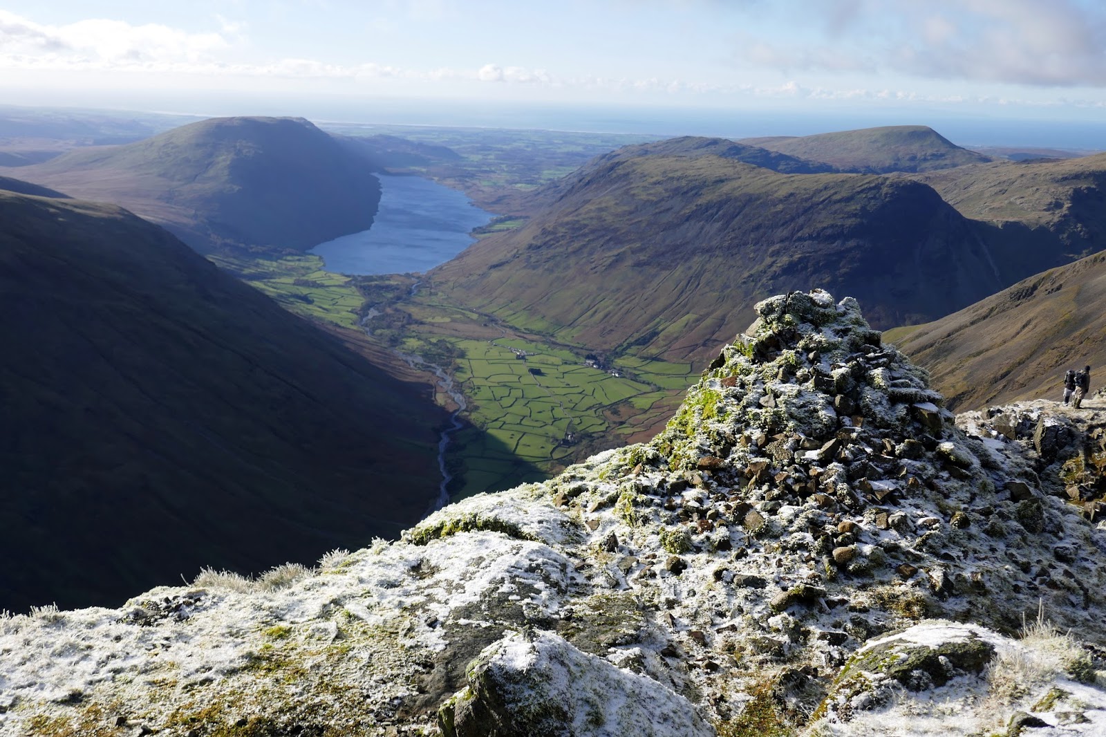
| Looking down into Seathwaite |
 |
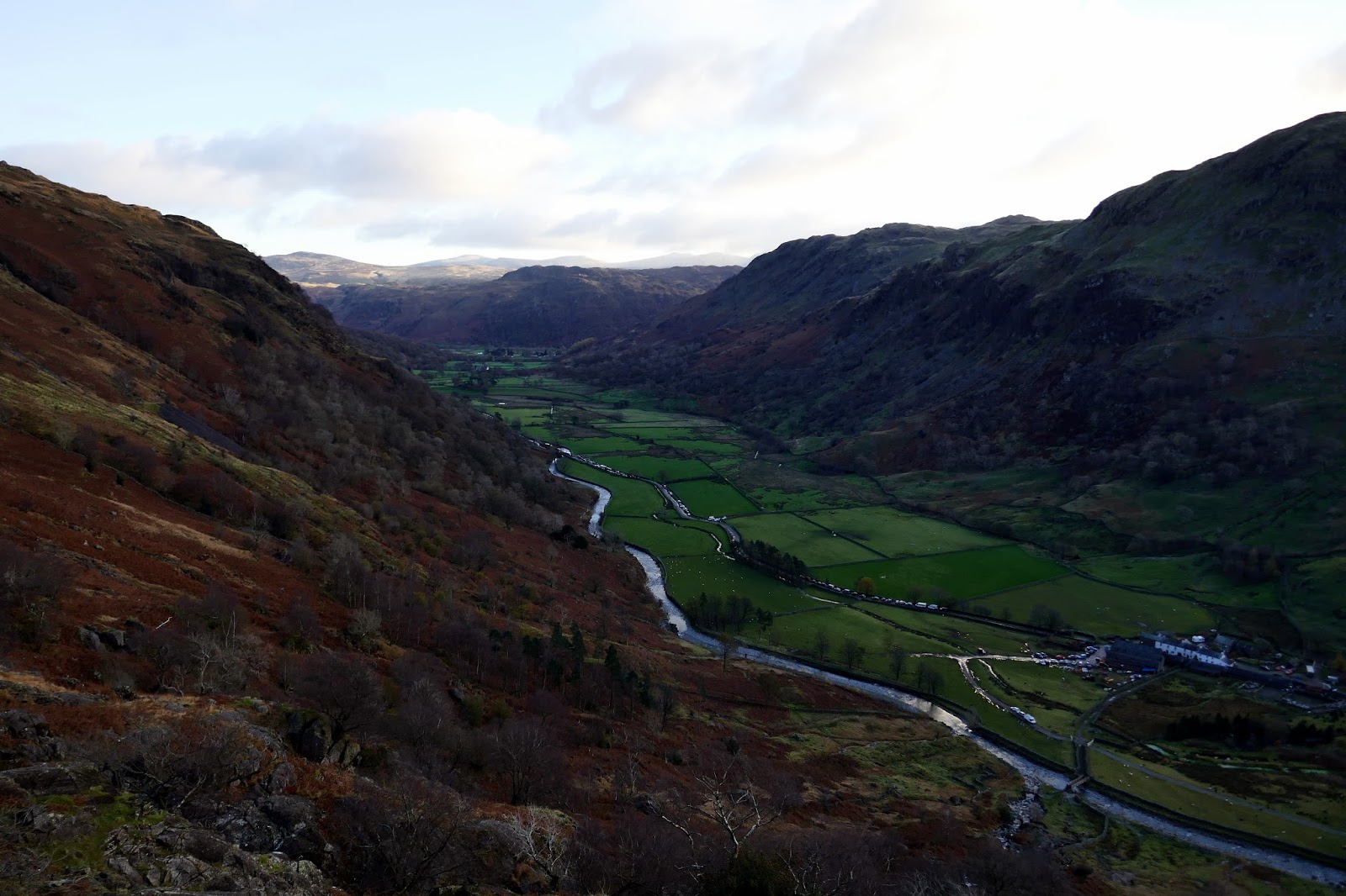
| The line of cars along Seathwaite valley |
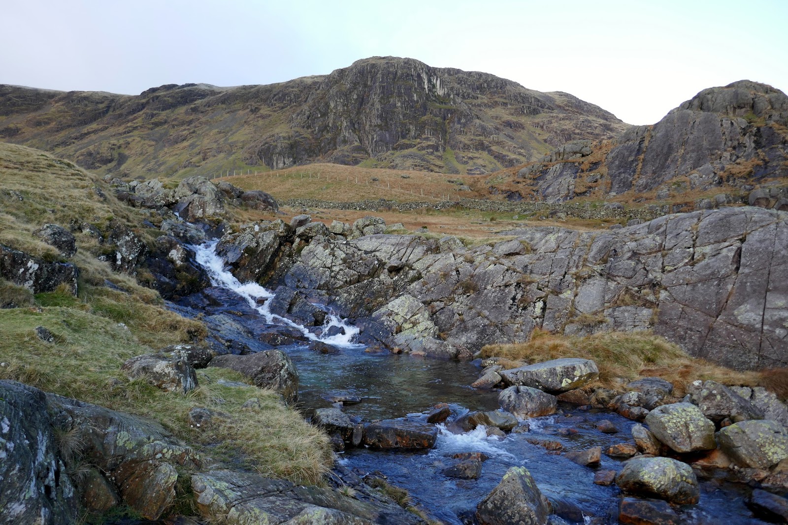
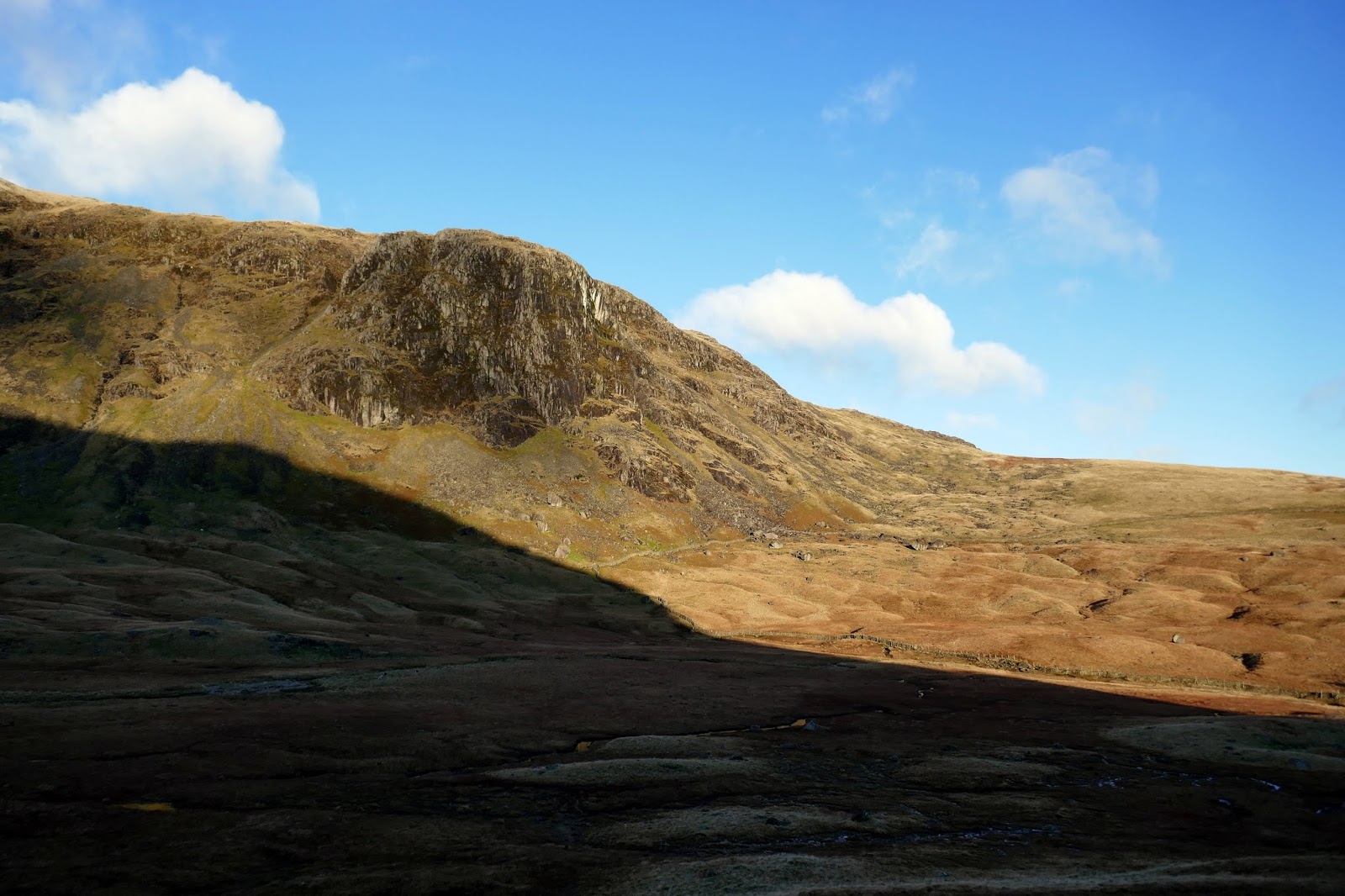
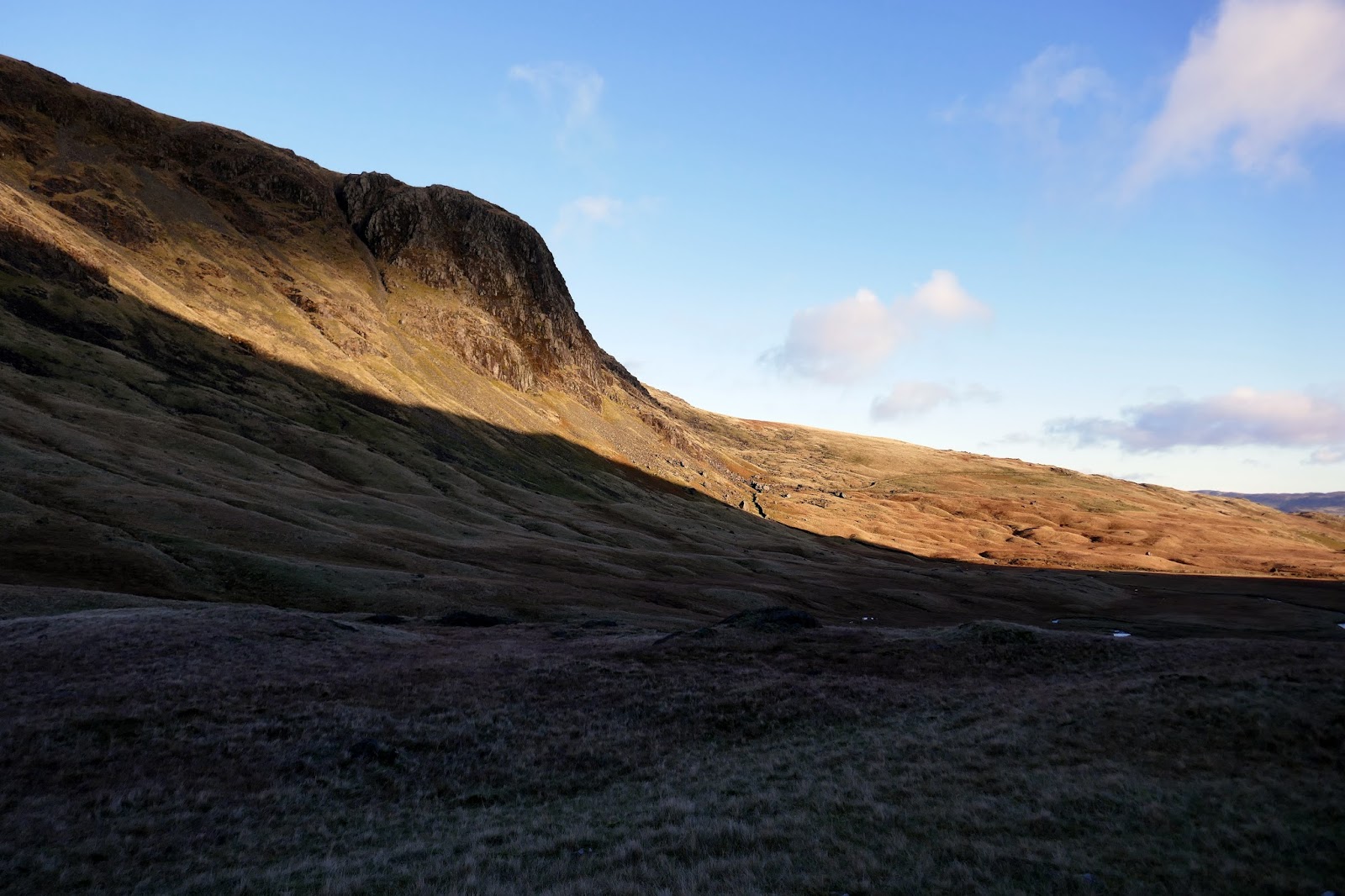
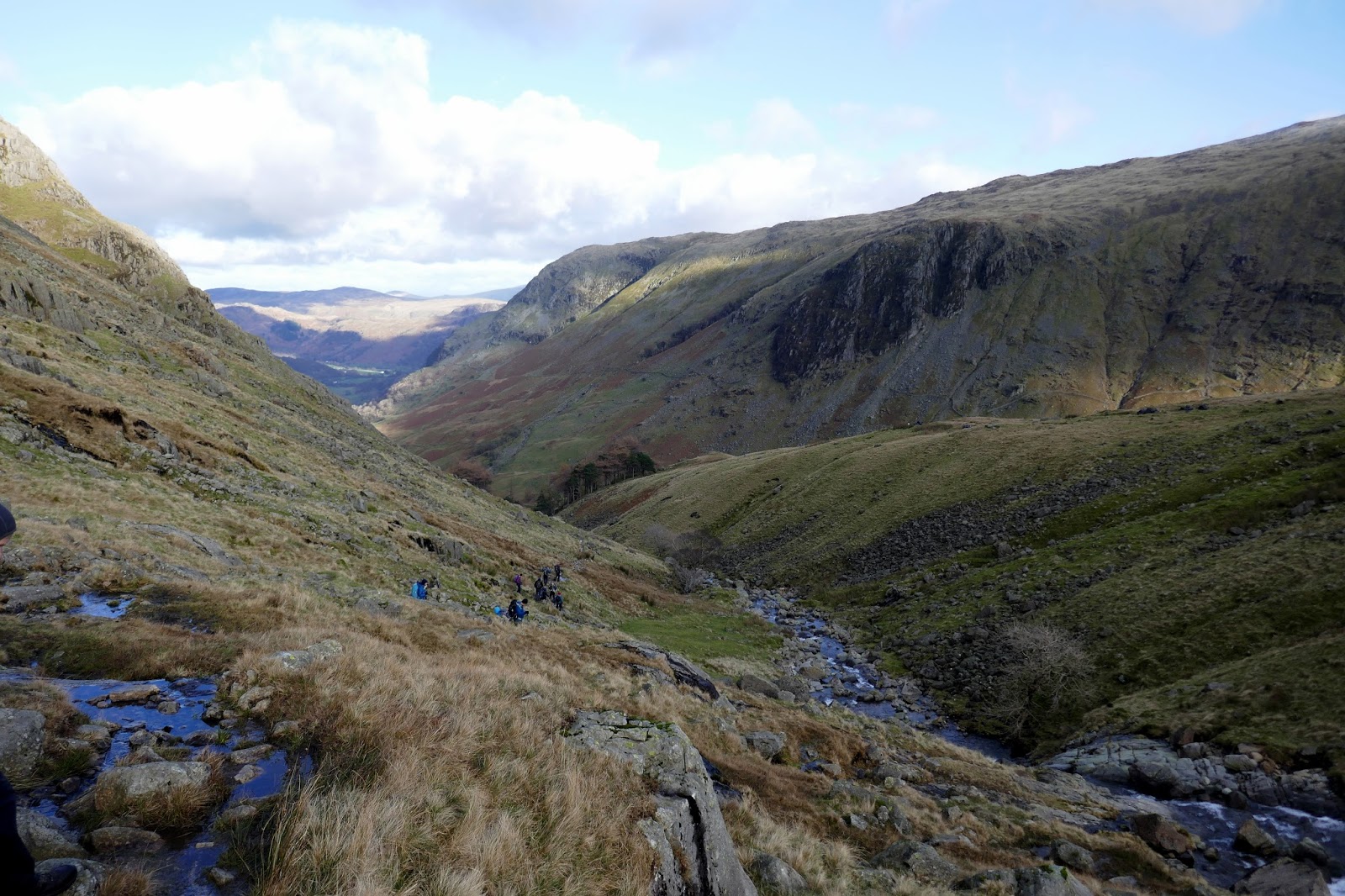
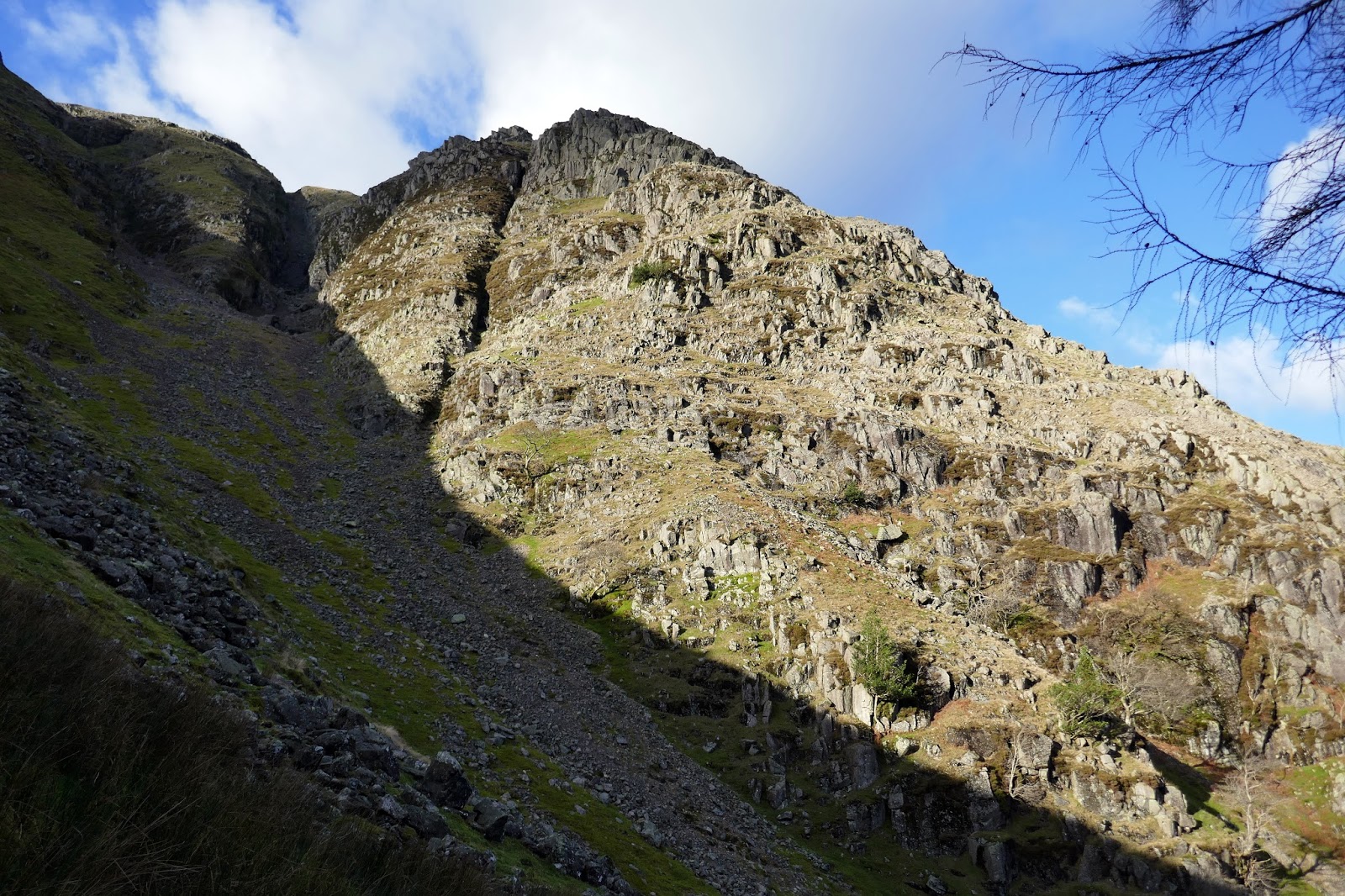
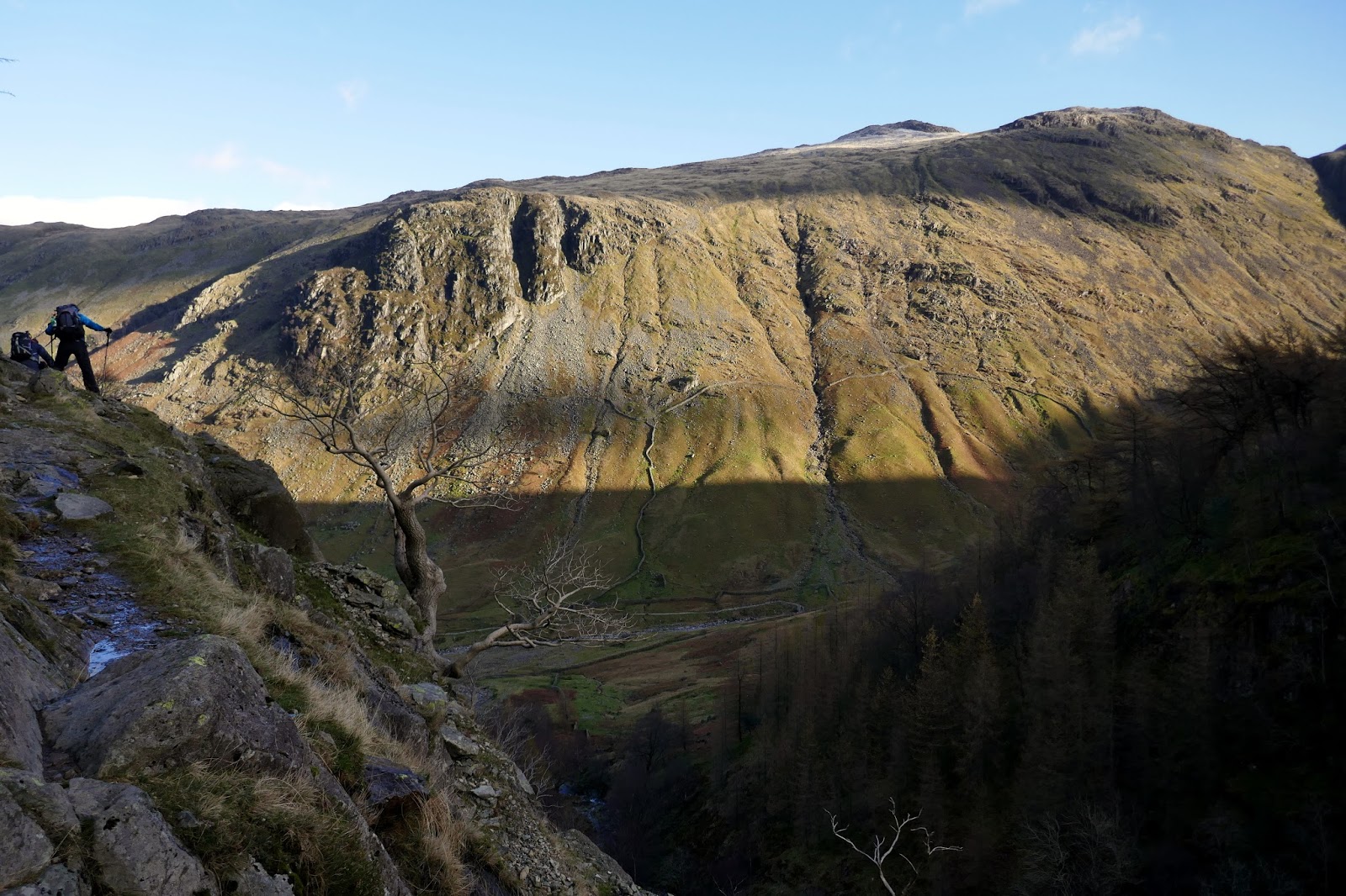
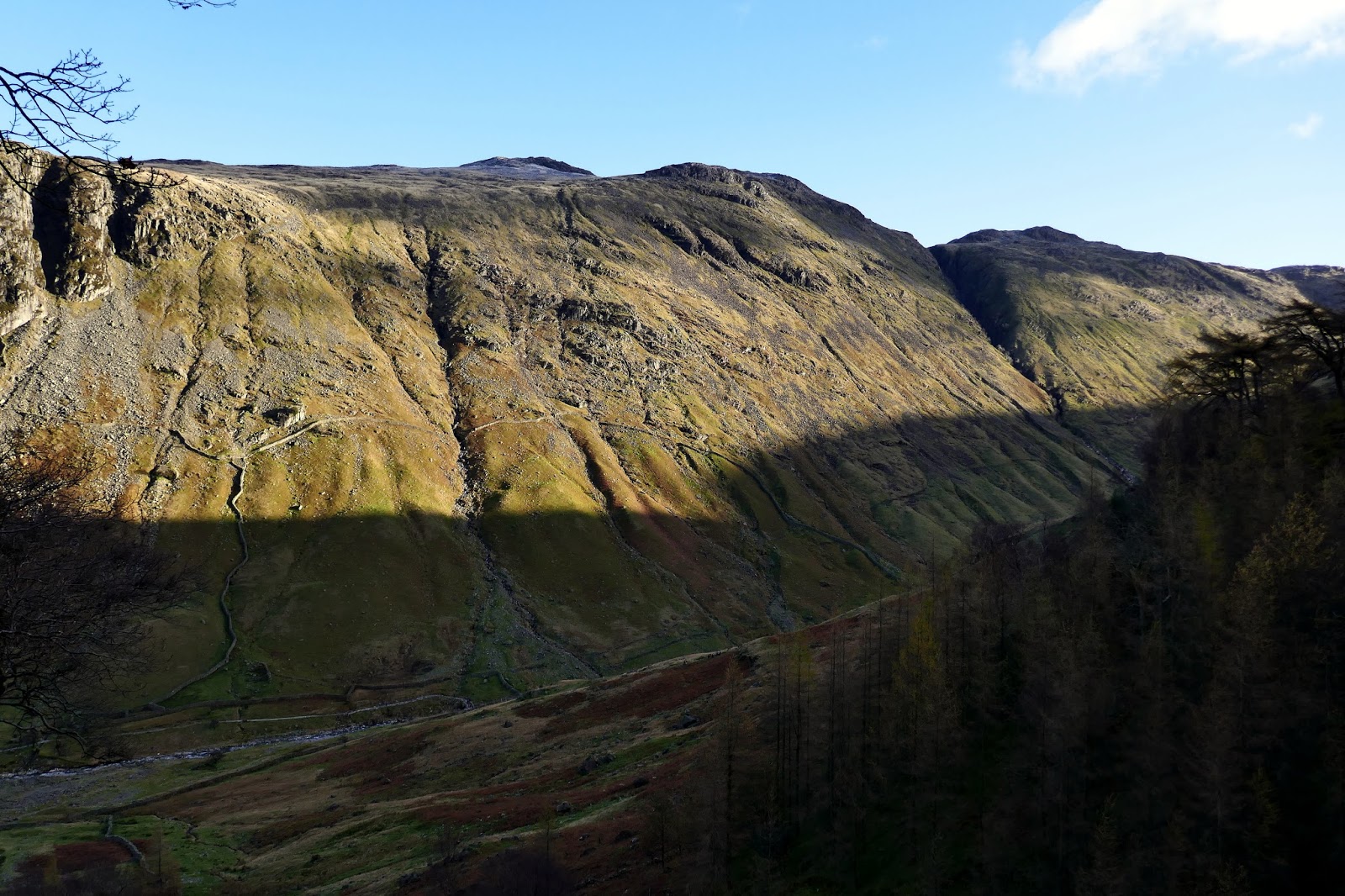
Once above the falls, we were welcomed by the wild Gillercomb, ringed by the rocks of Raven Crag and Gillercomb Head. The sun had yet to rise high enough to cast any light on the south side of the valley, where the path is, but the north side was starting to glow in the morning sunshine. It was shaping up to be a brilliant day.
 |
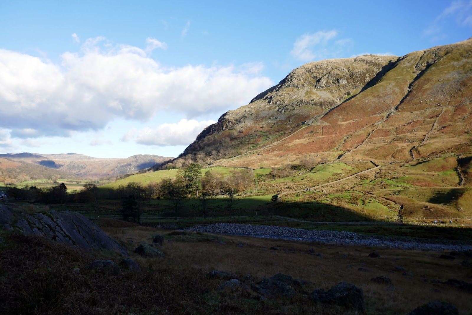
| Base Brown |
 |
| Sourmilk Gill in Gillercomb |
 |
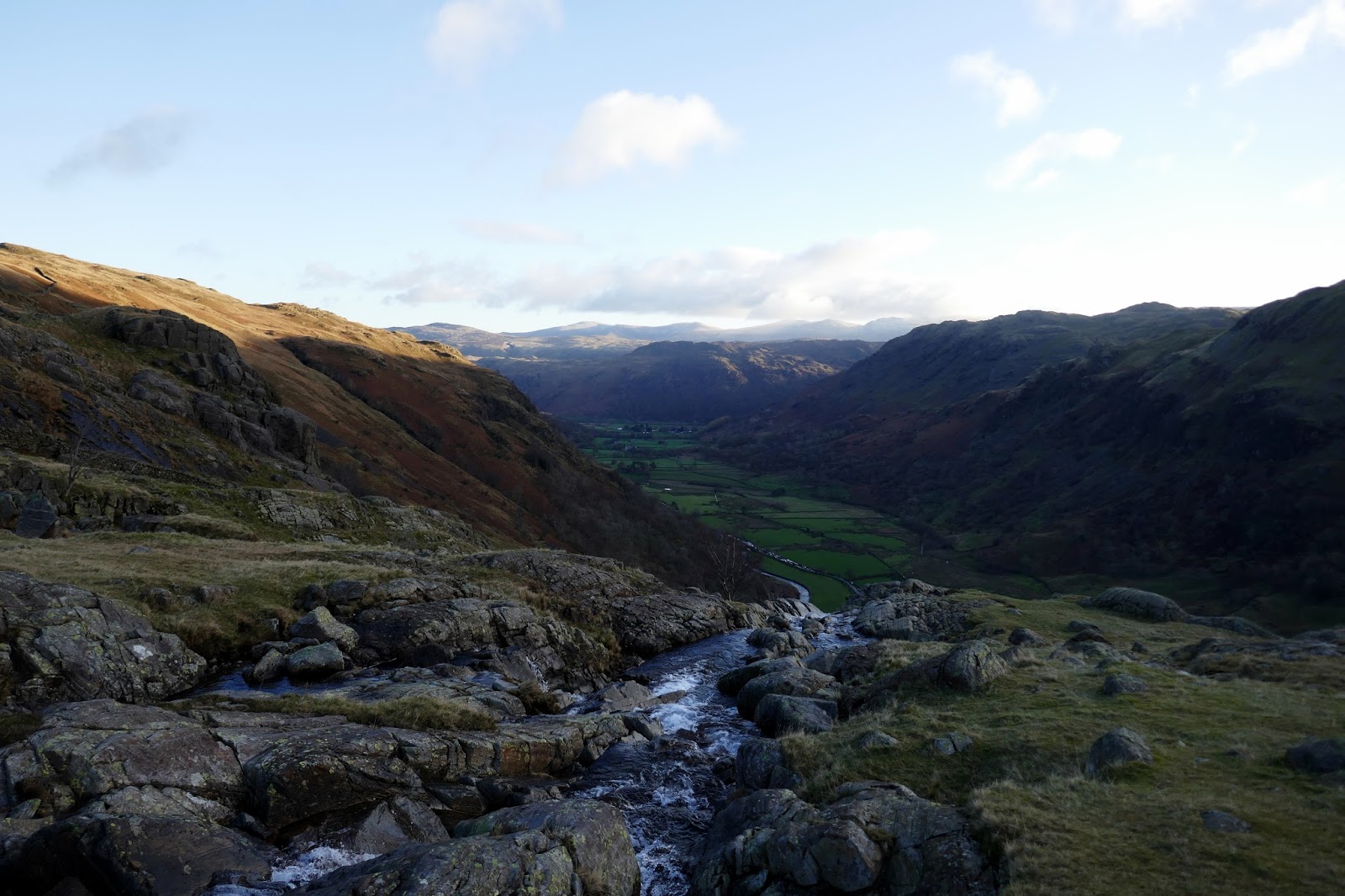
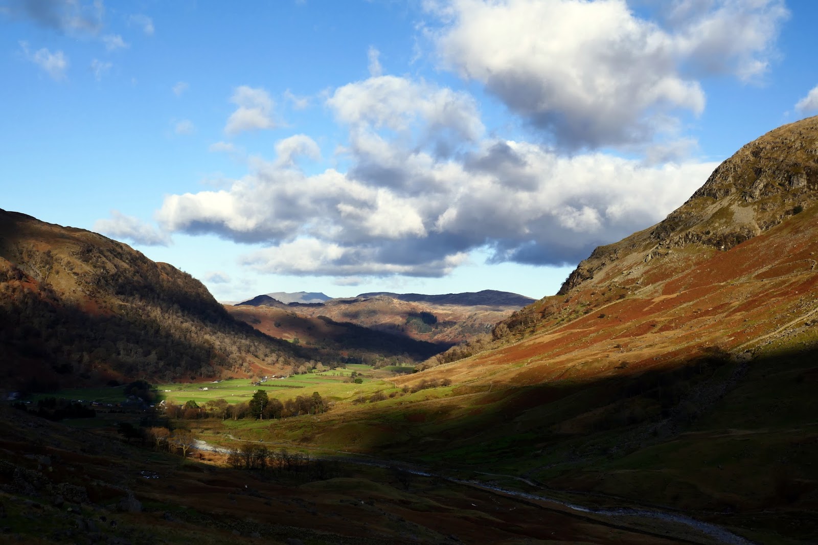
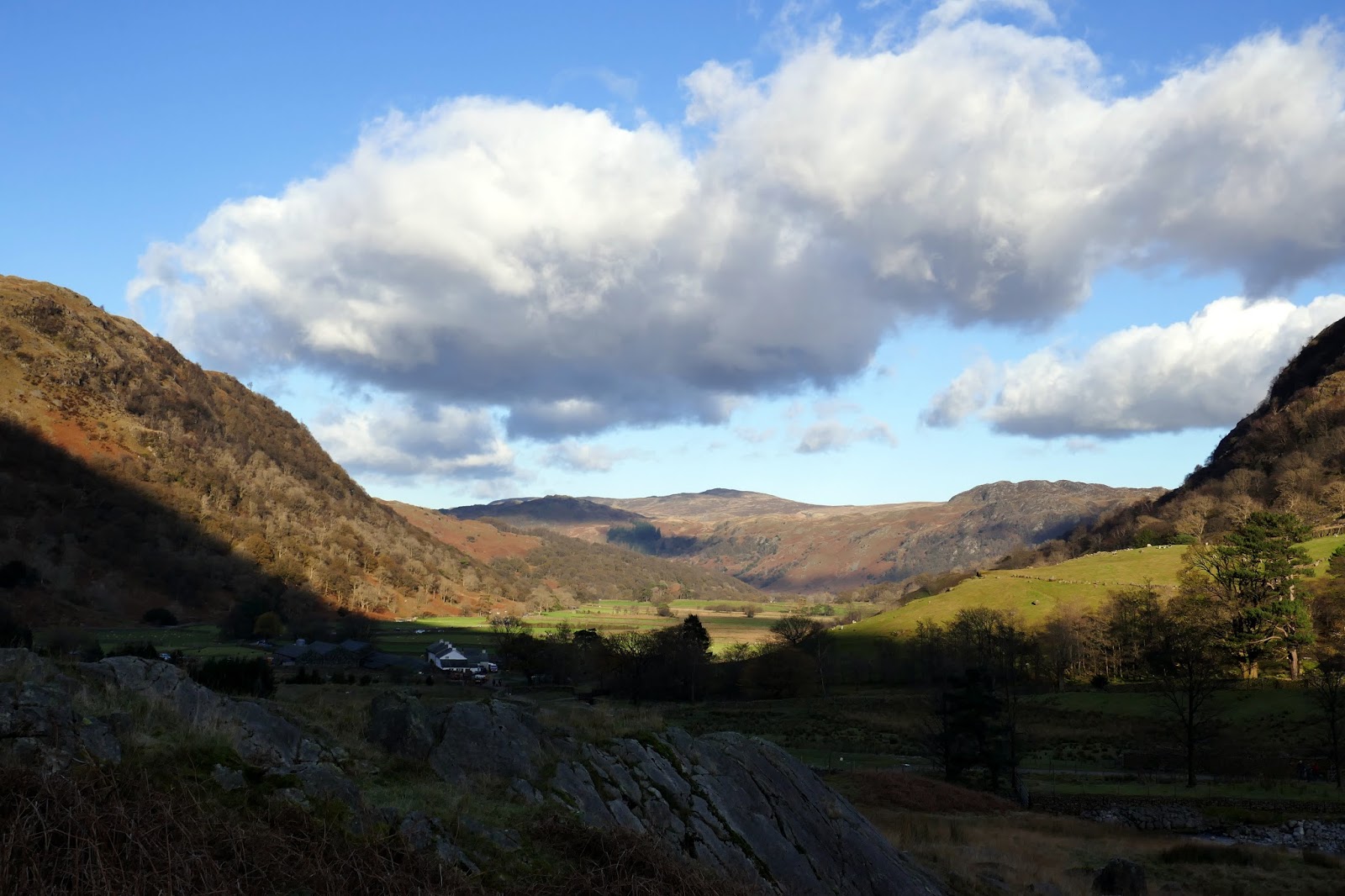
| Borrowdale from Gillercomb |
 |
| Gillercomb |
 |
| The sun begins to catch Raven Crag |
 |
| Gillercomb |
 |
| Raven Crag |
 |
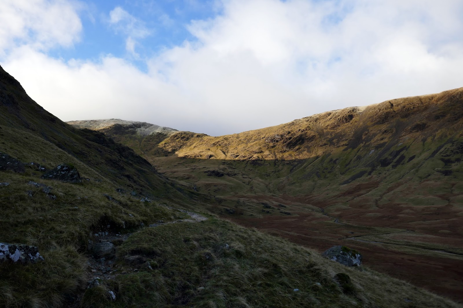
| Gillercomb Head |
 |
| Seatoller Fell |
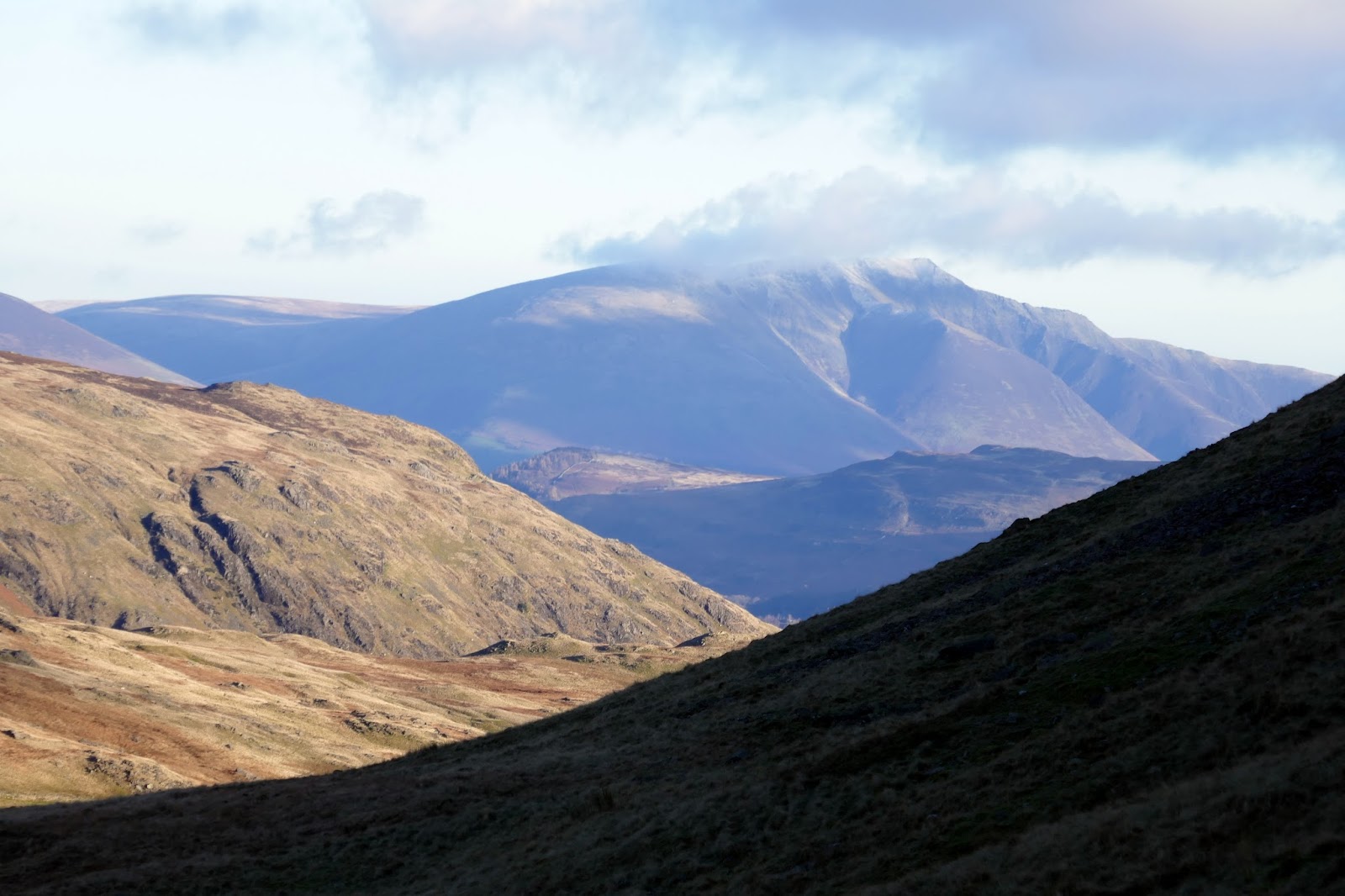
 |
| A distant Blencathra |
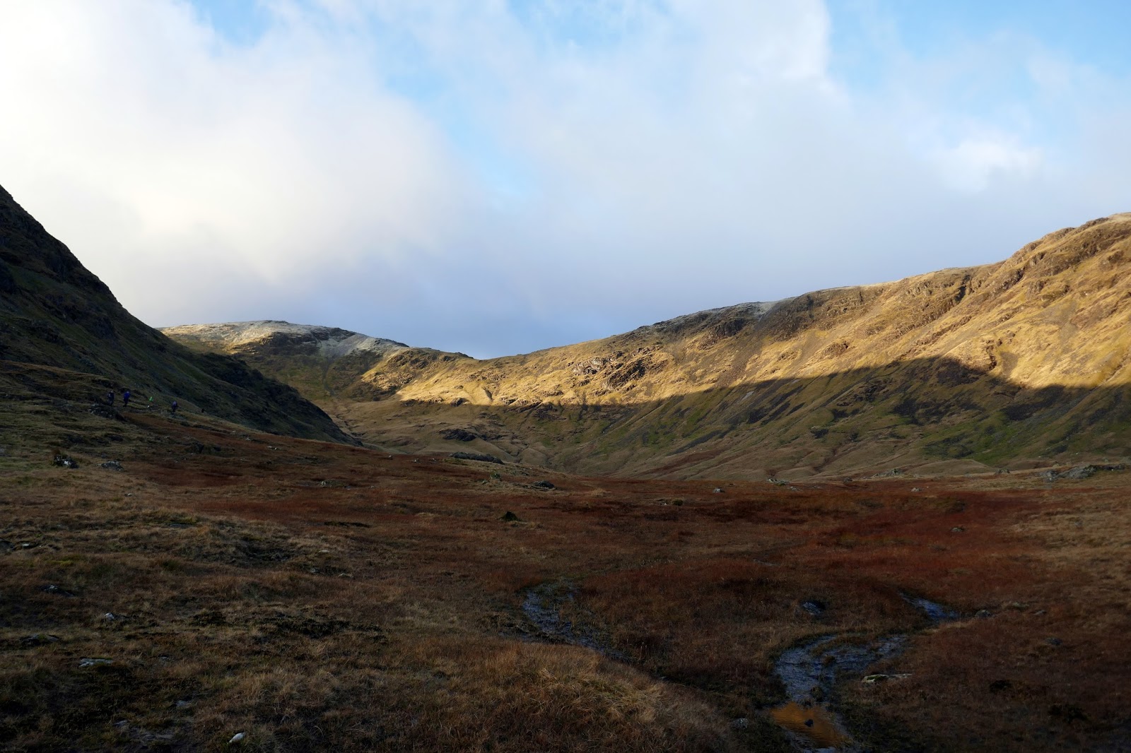
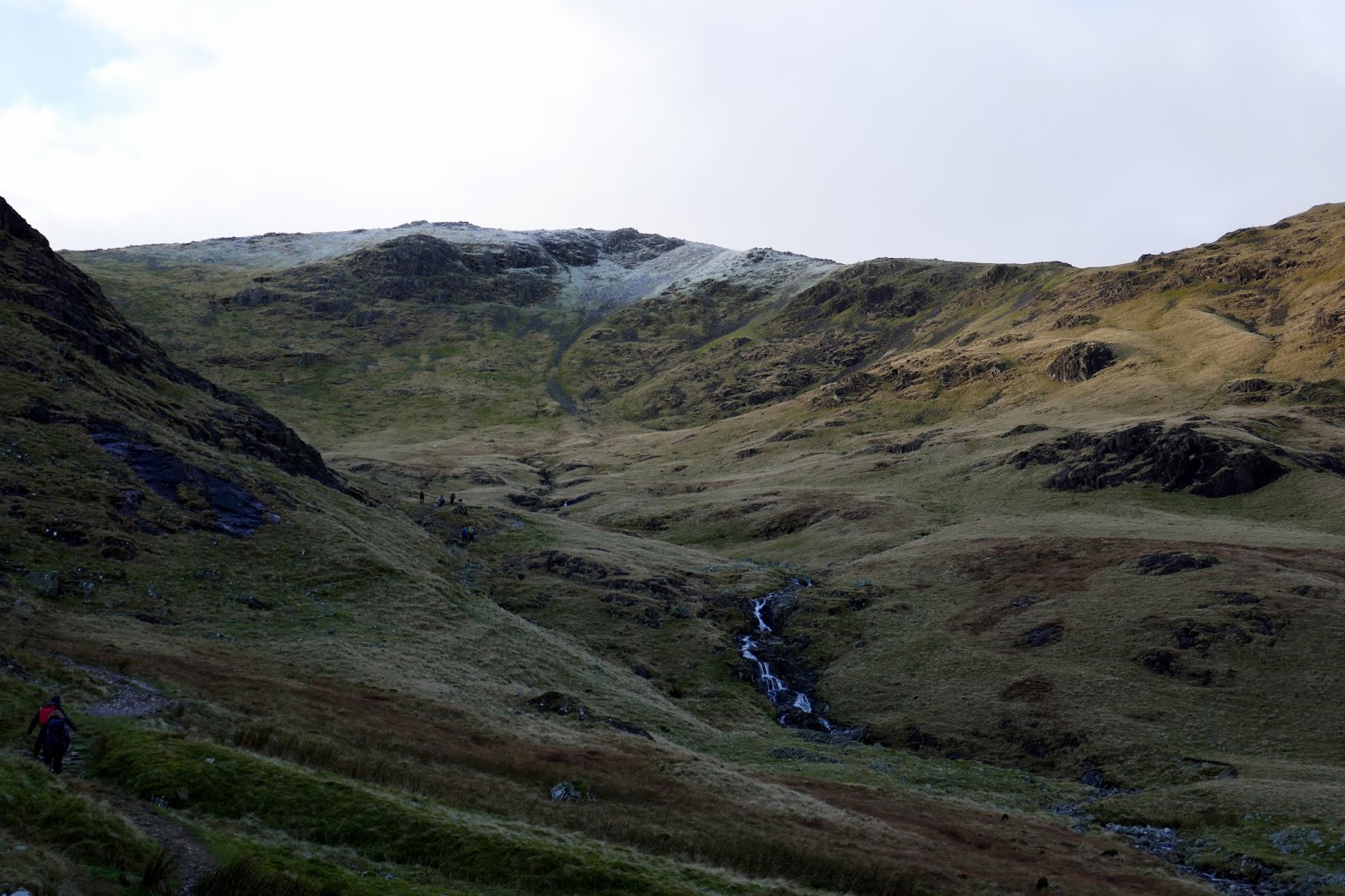
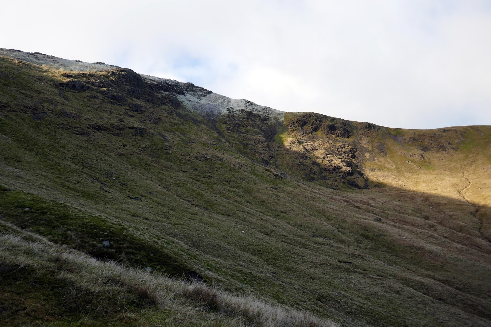
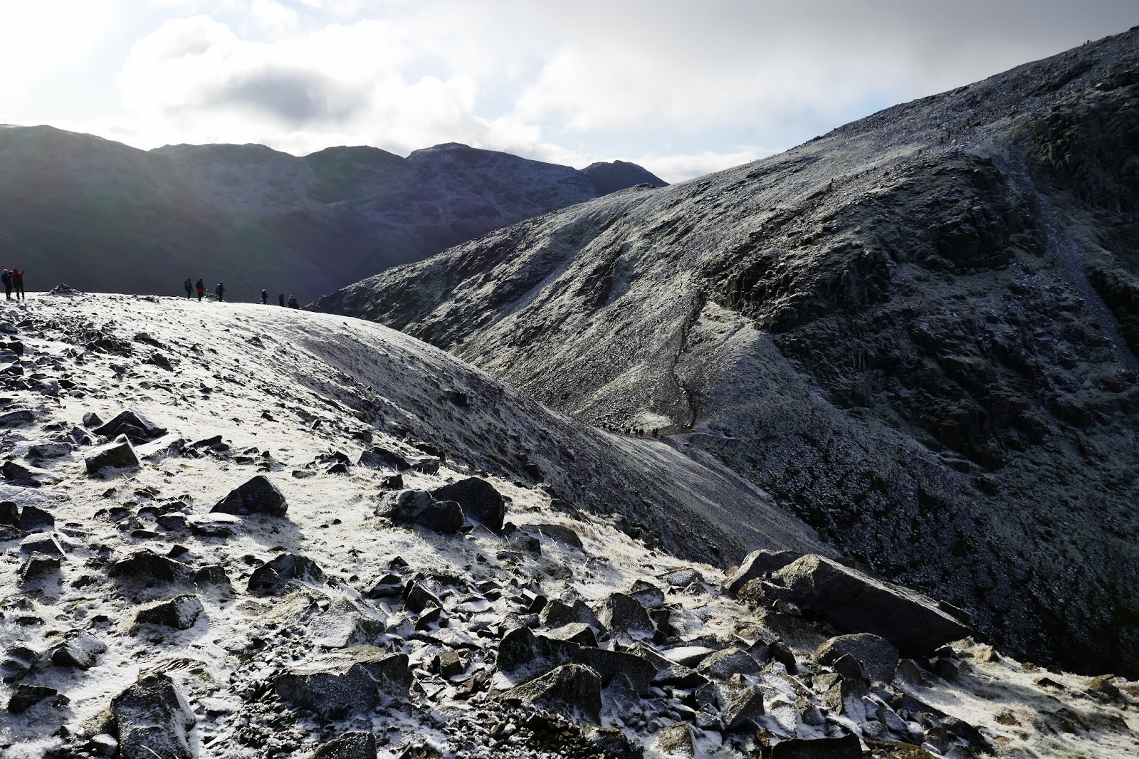
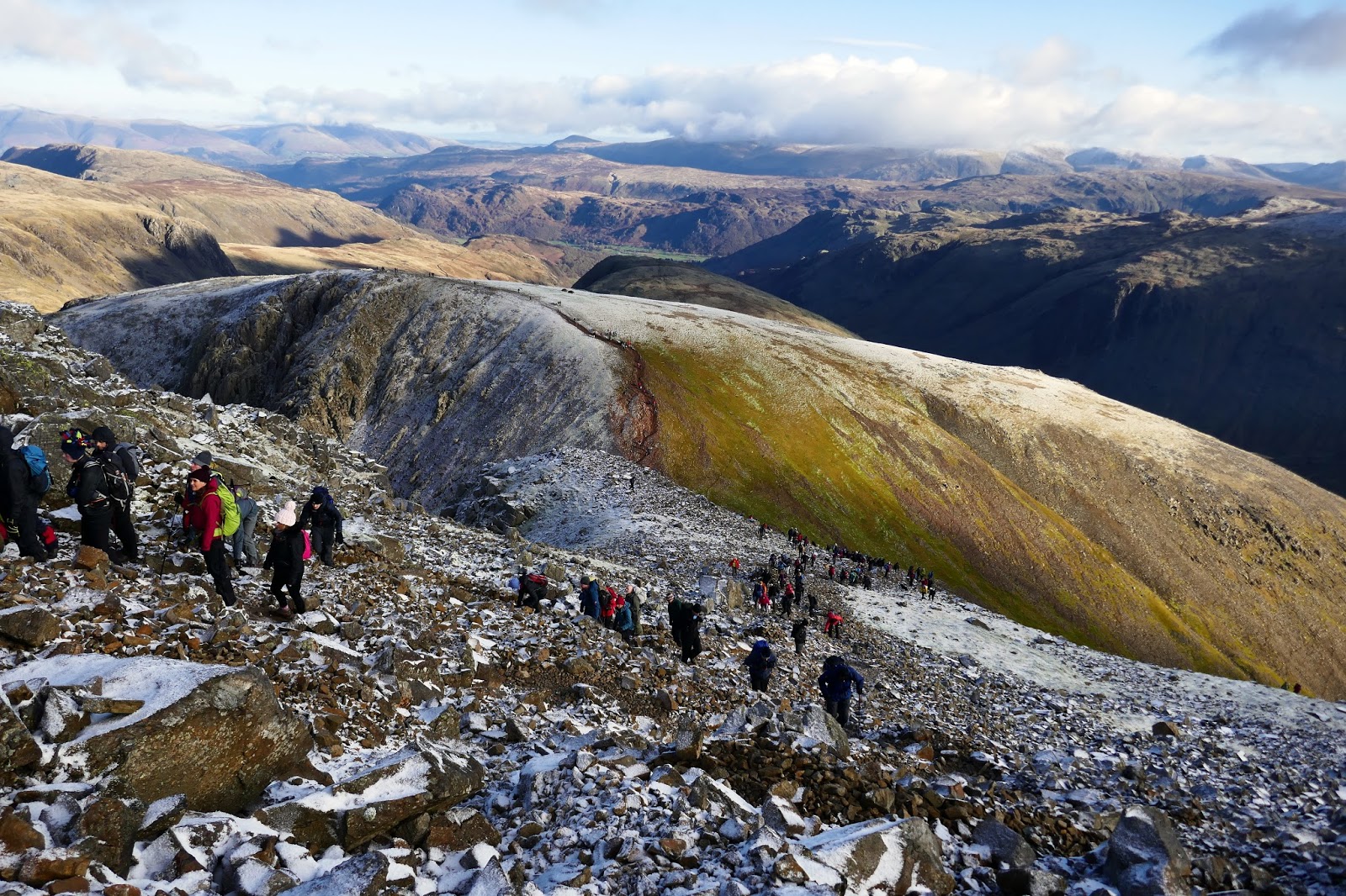
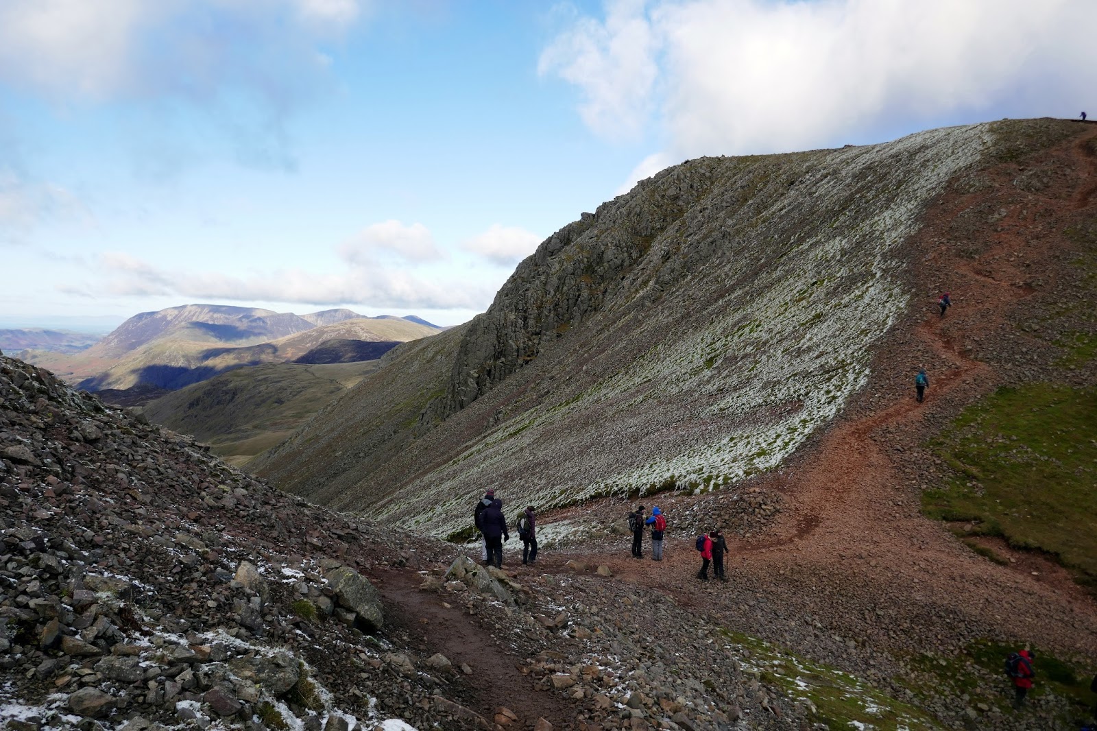
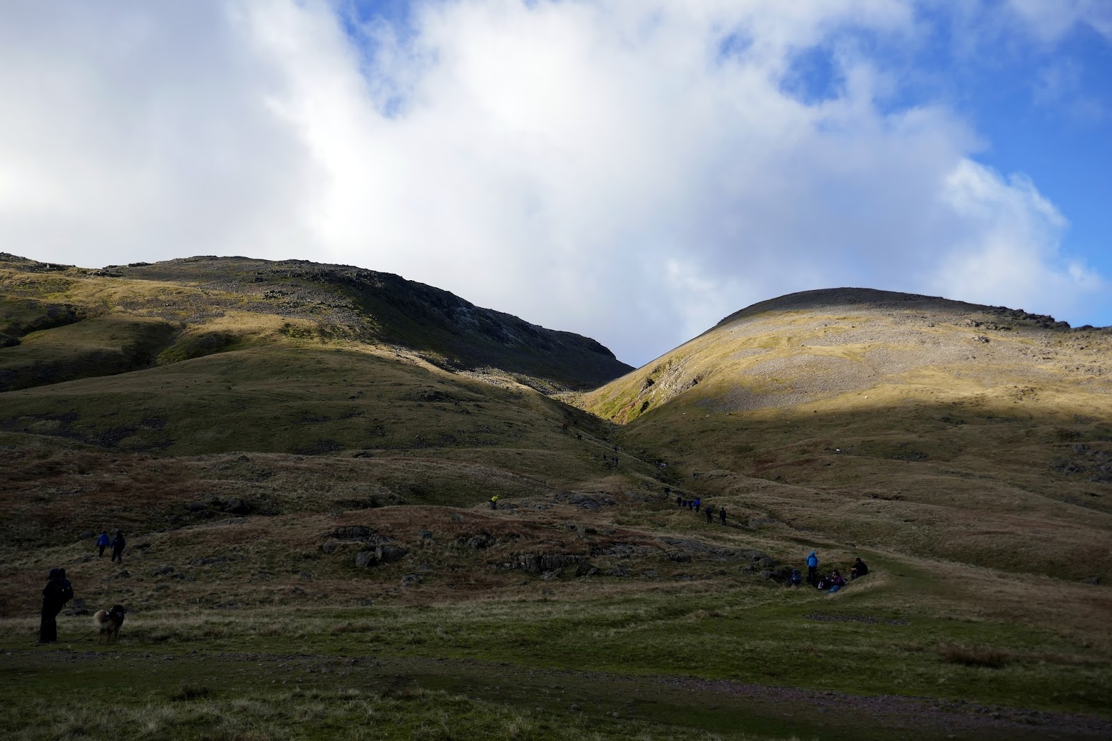
The path skims the southern edge of Gillercomb before climbing up to Blackmor Pols which separates Base Brown from the higher fells above. To counter the bright sun, a cold wind was blowing and the slight dusting of snow was giving a real flavour of winter. Fingers crossed we actually get a decent covering this year.
 |
| Gillercomb Head |
 |
| Gillercomb |
 |
| Brandreth |
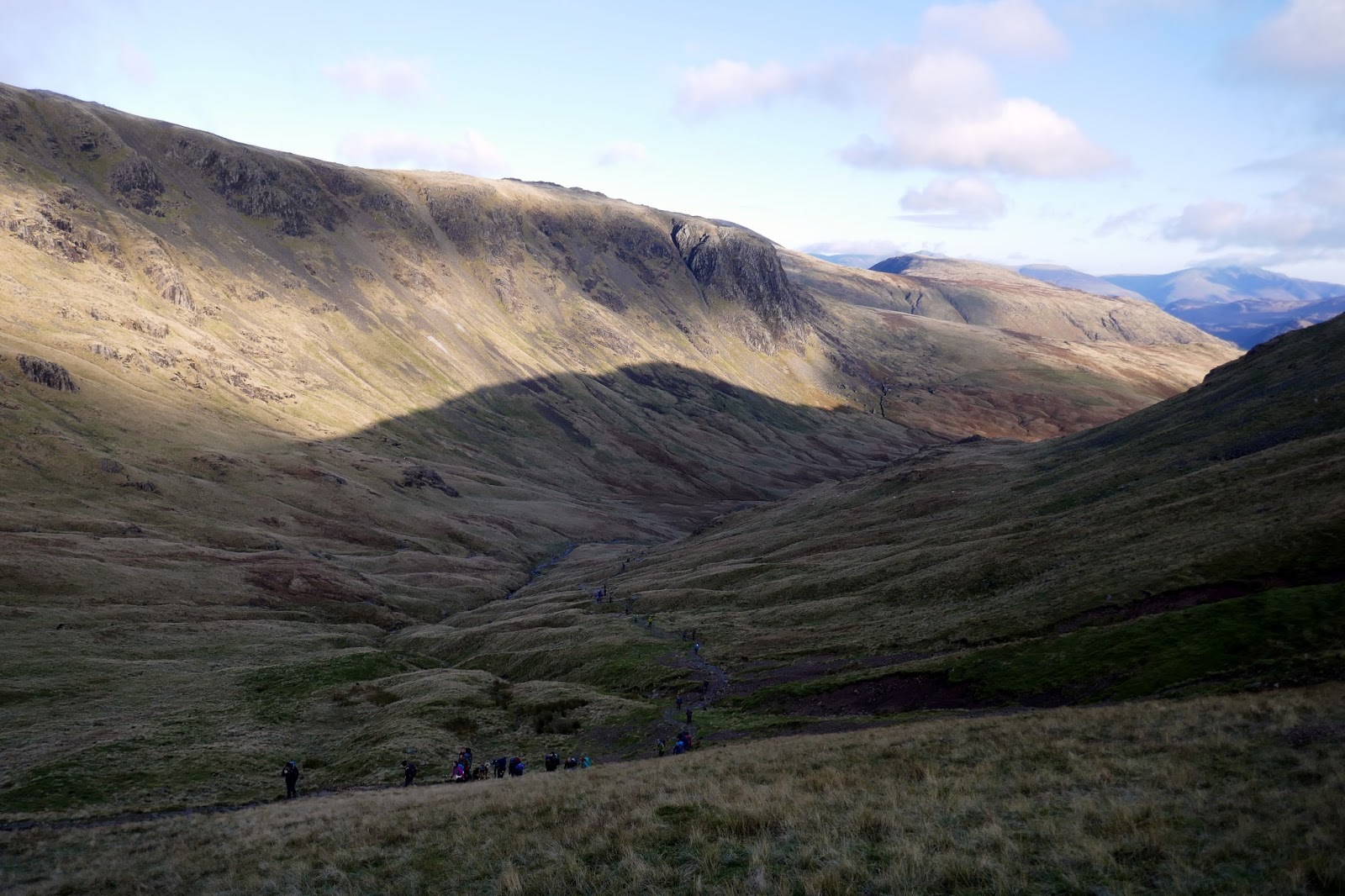
 |
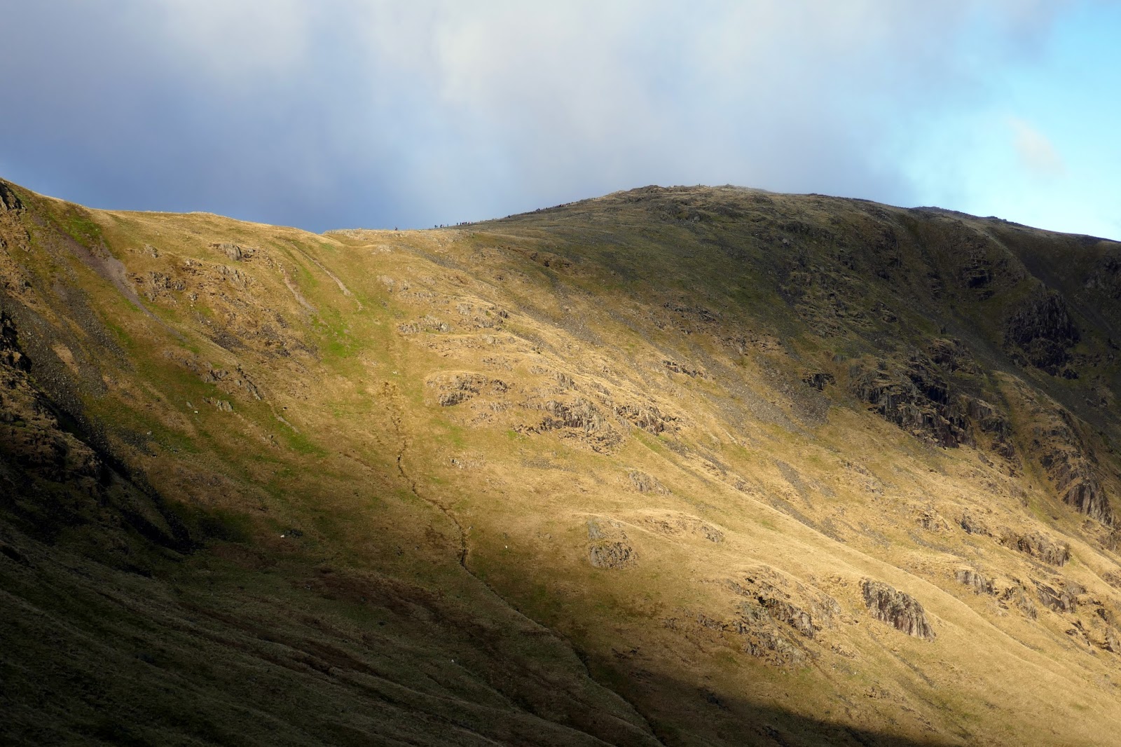
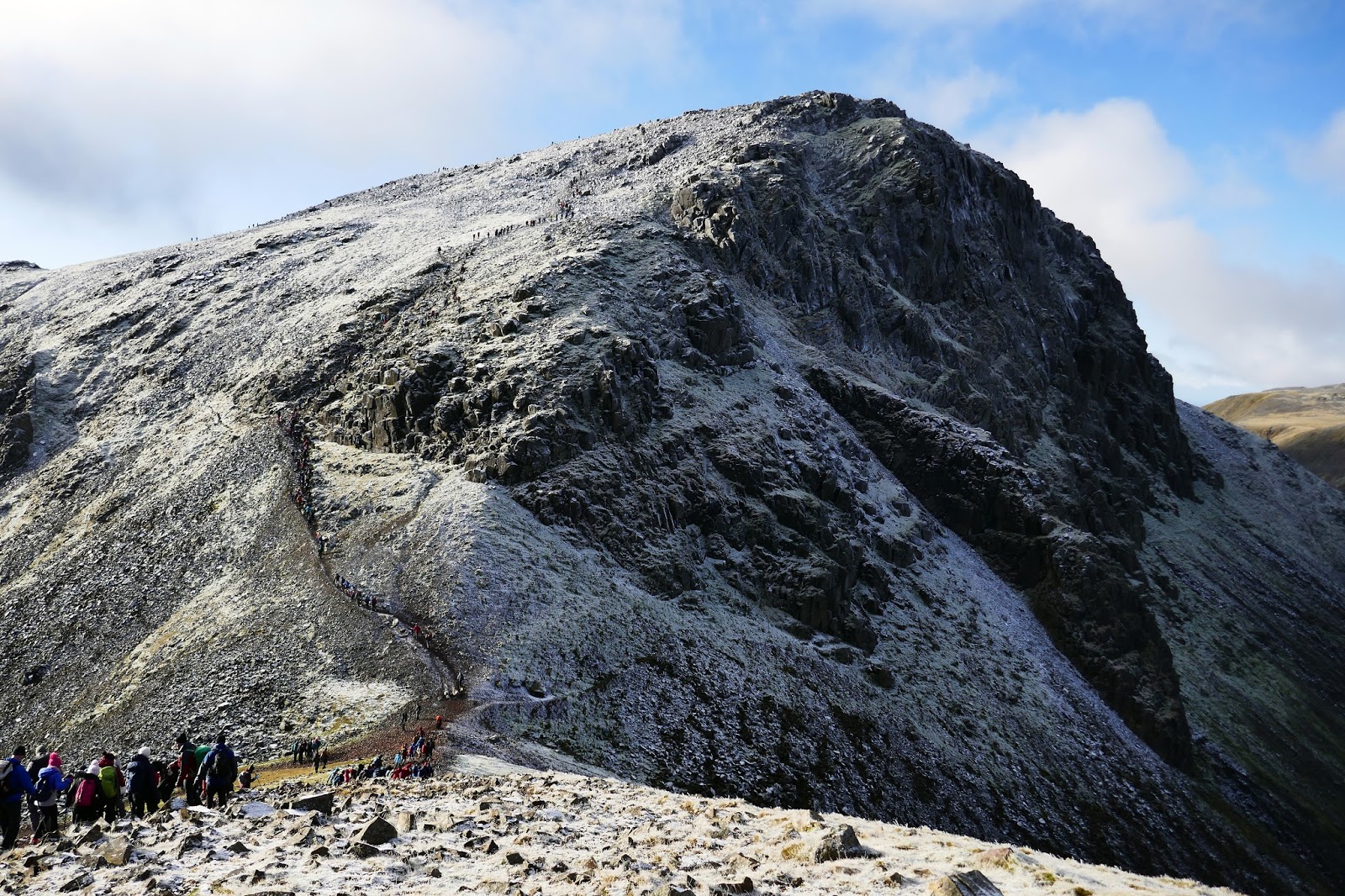
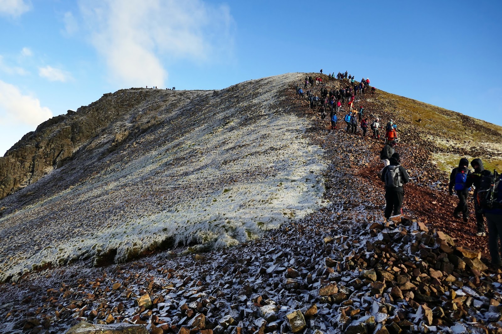
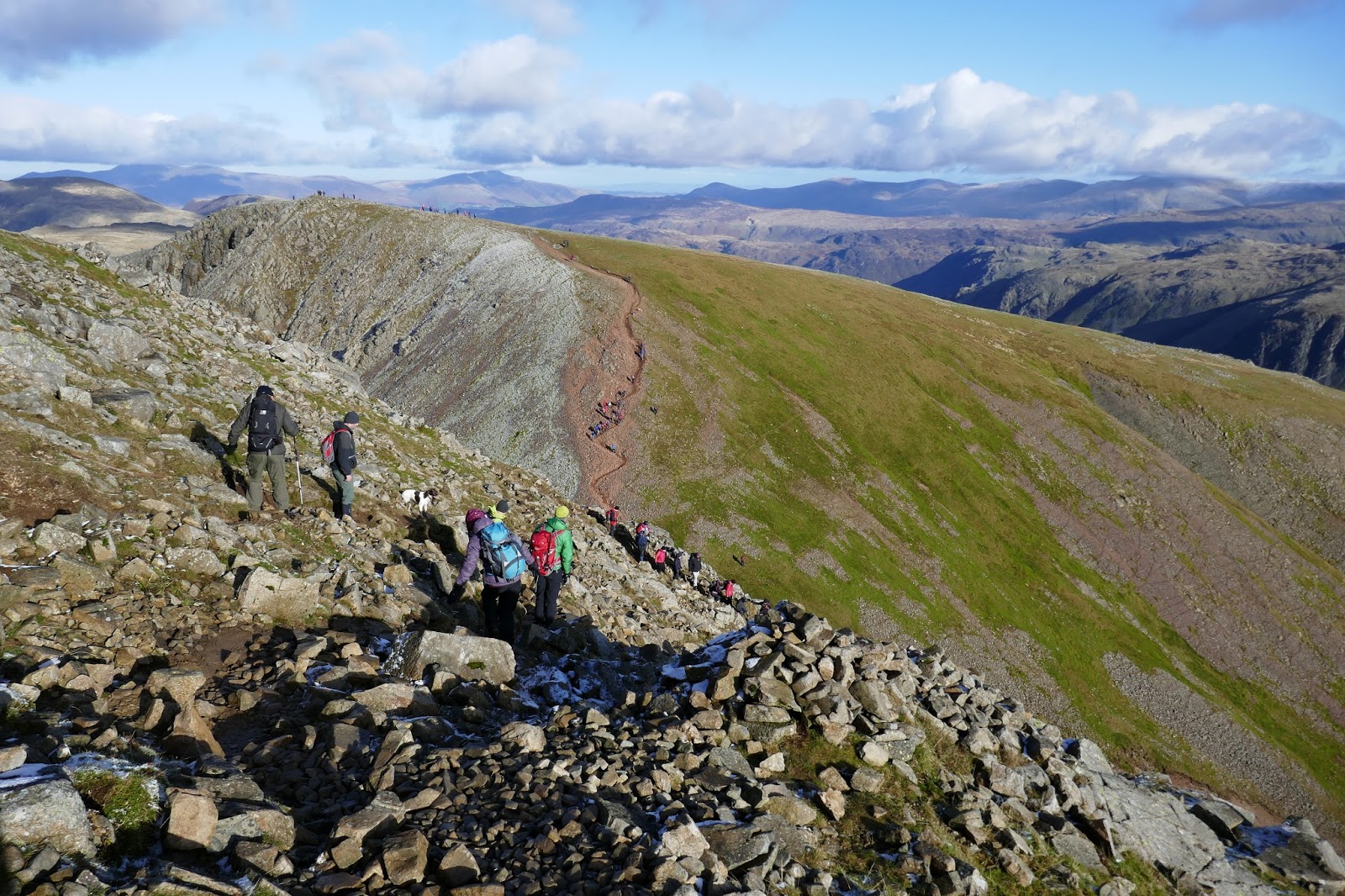
| Lines of walkers above Mitchell Cove |
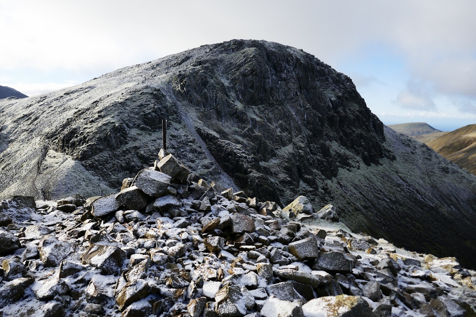
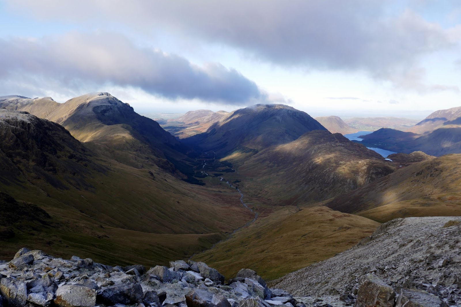
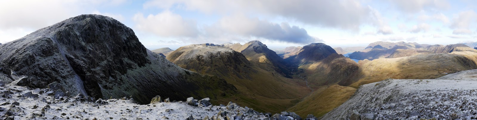
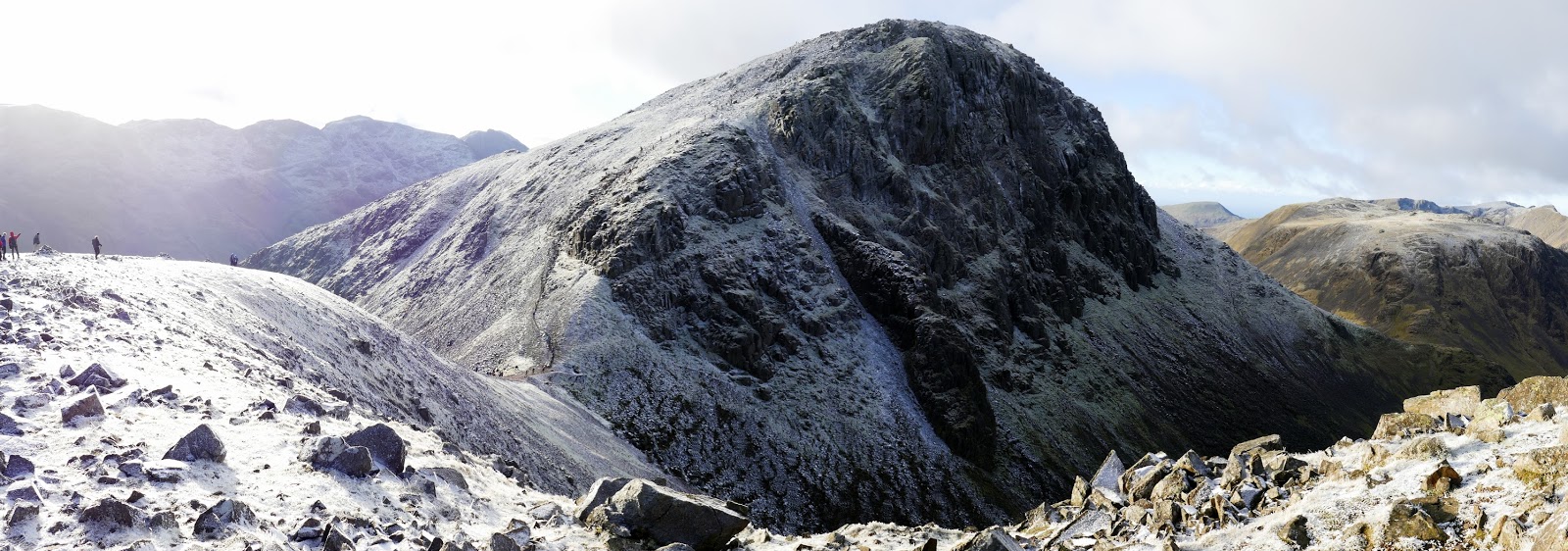
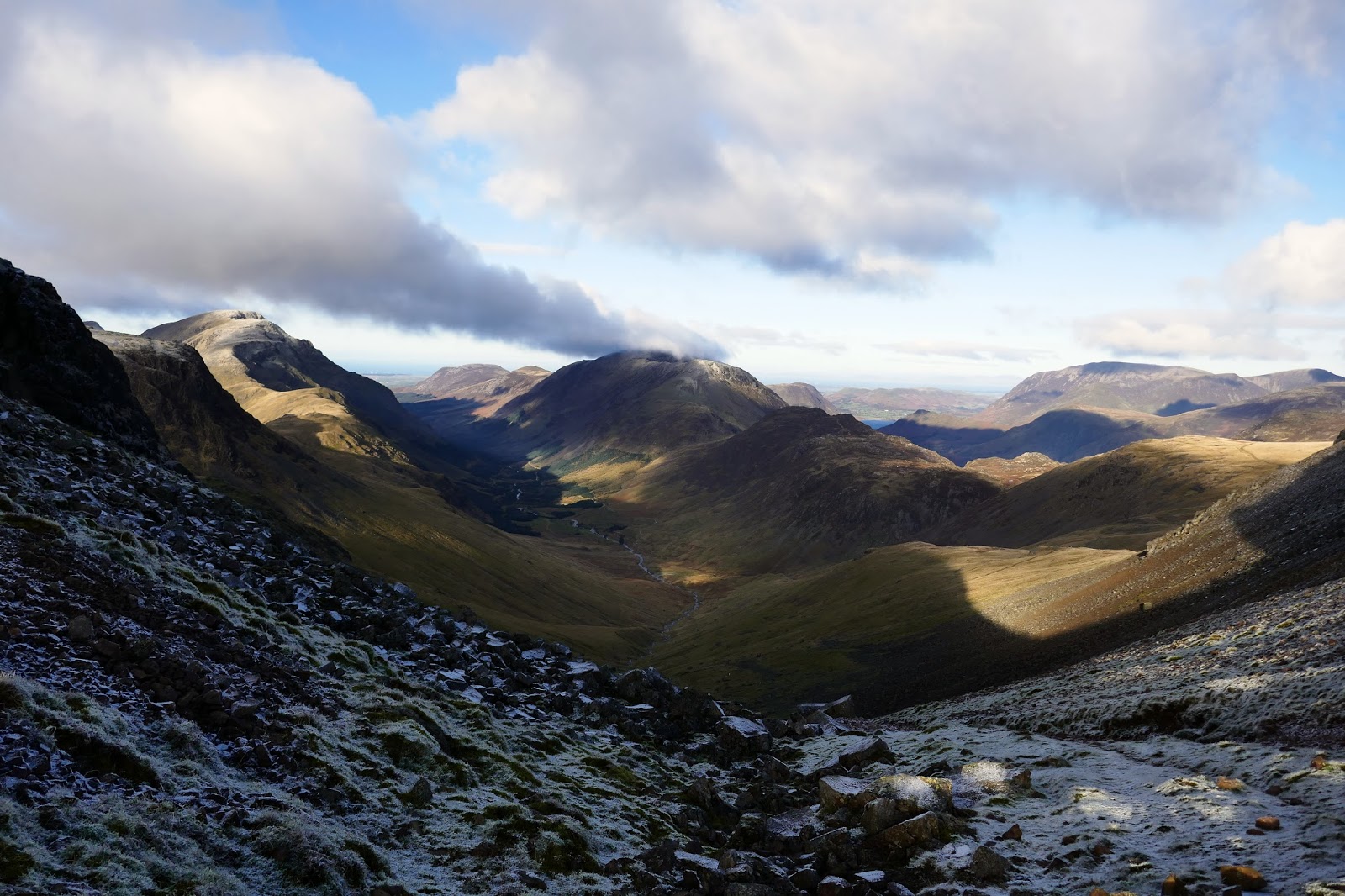
From the col, a further climb up the edge of Mitchell Cove leads to the summit of Green Gable which has a spectacular view down Ennerdale, perhaps one of my all-time favourites. As ever, Pillar was looking particularly appealing. A number of people were milling around on Green Gable, waiting for their moment to cross Windy Gap and make the final ascent of Great Gable which involves some more modest scrambling to begin with.
 |
| Approaching Green Gables’s summit |
 |
| Great Gable from Green Gable |
 |
| Ennerdale |
 |
| Green Gable’s immense view |
 |
| Pillar in detail |
 |
| Windy Gap |
 |
| Windy Gap and Great Gable |
 |
| Windy Gap and Great Gable |
 |
| Ennerdale |
 |
| The path from Green Gable |
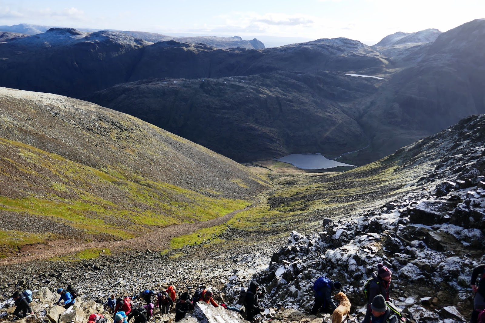
 |
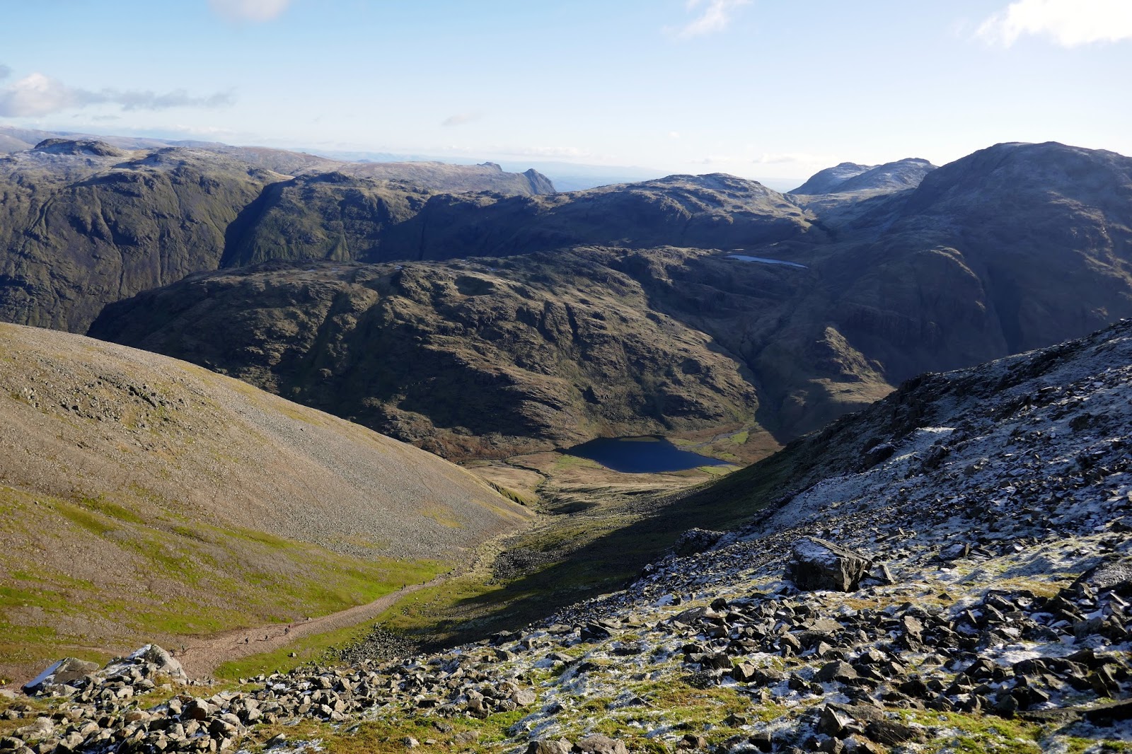
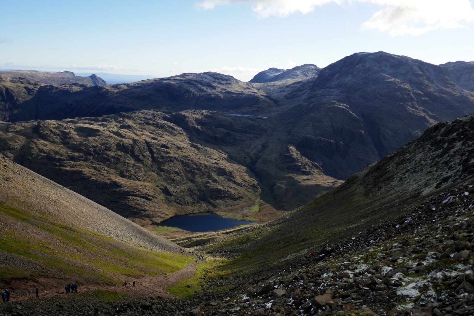
| Aaron Slack and Seathwaite Tarn |
 |
| Green Gable |
 |
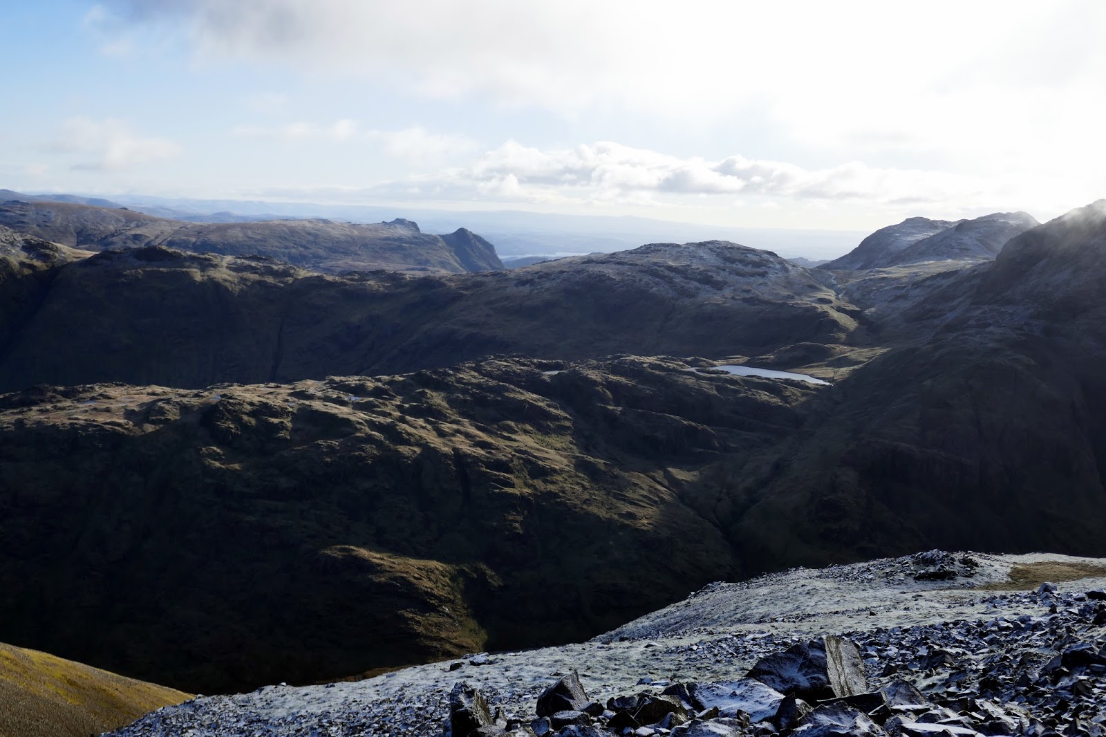
| Looking across Seathwaite Fell towards the Langdale Pikes |
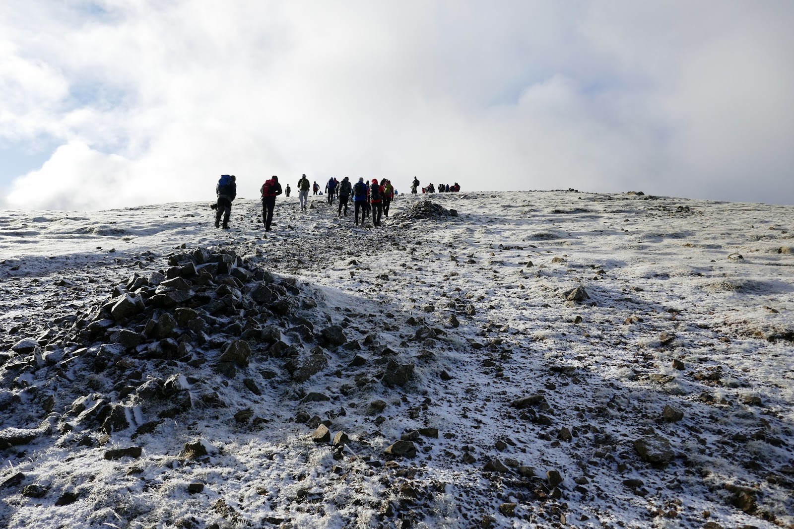
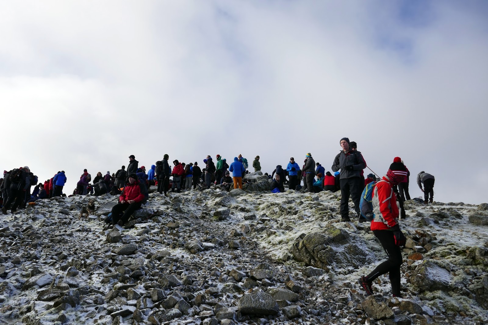
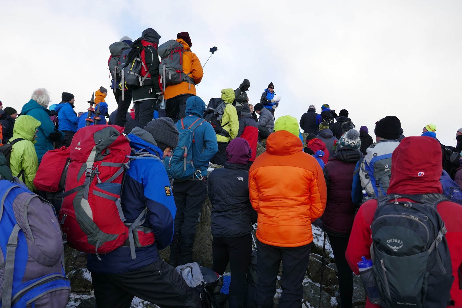
Hundreds of walkers were converging on the summit from all the main routes of ascent, arriving in time to hear a reading from the FRCC’s President and observe an impeccable 2-minute silence as several hundred people reflected on the sacrifices made by those who have fought for our country. It’s a moving tribute.
 |
| Walkers on the summit |
 |
| The reading |
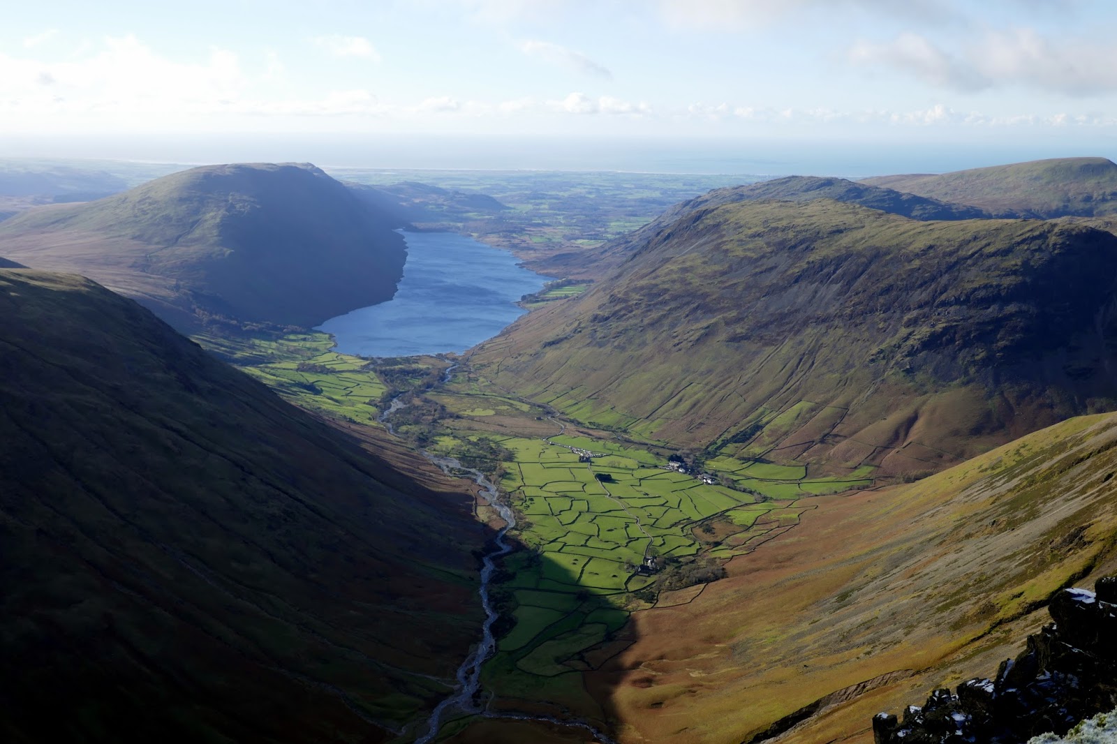
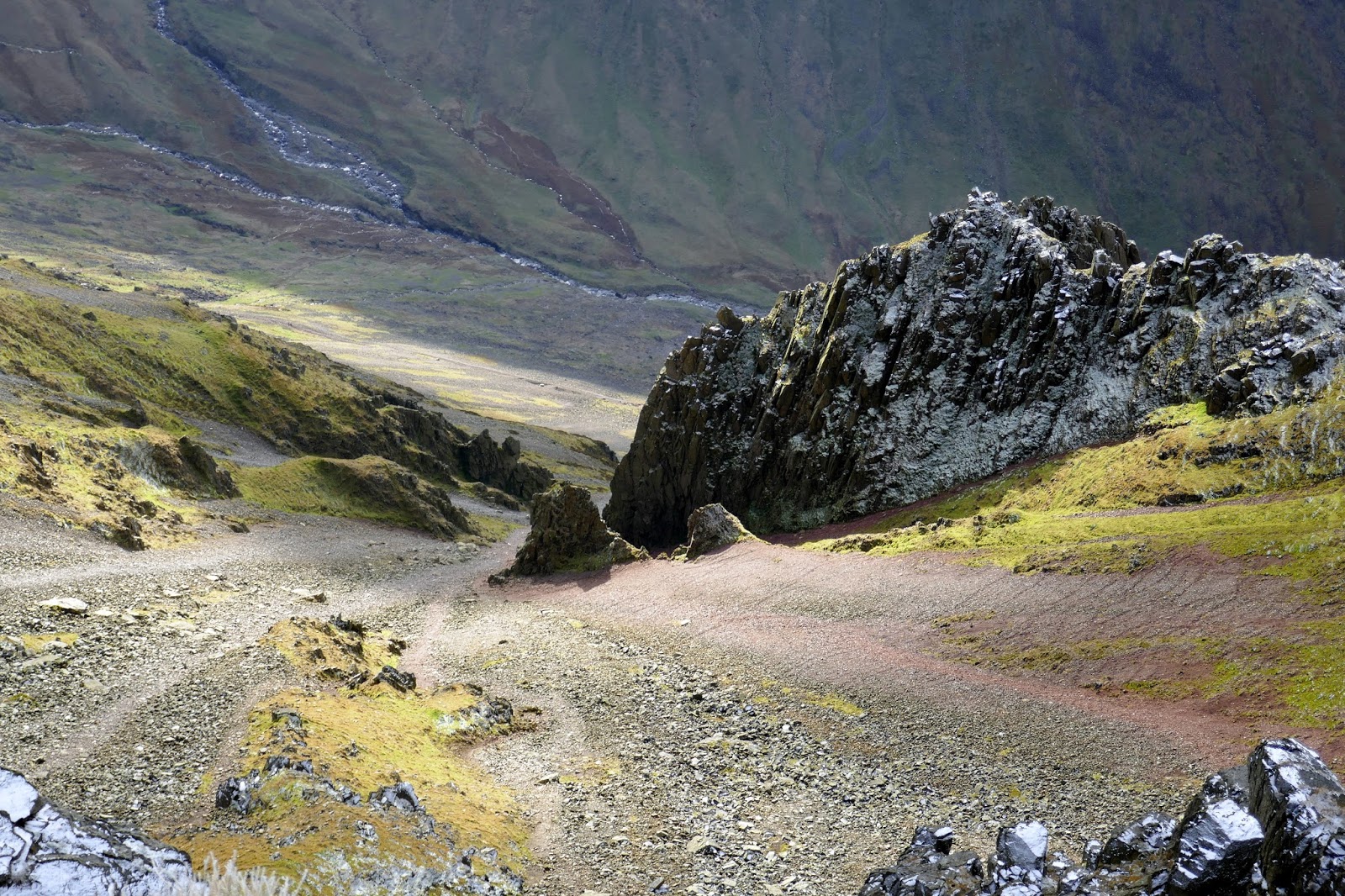
To allow the masses to depart, we wandered over to the Westmorland Cairn which can be found due south-west of the summit. It stands above a rim of crags directly over the great scree slope of the Great Hell Gate which leads down into the depths the Great Napes. The cairn was built in 1876 by two Brothers called ‘Westmorland’ to mark what they thought the finest mountain viewpoint in the area – I find it hard to disagree.
 |
| The Westmorland Cairn |
 |
| Wasdale from the Westmorland Cairn |
 |
| The Great Hell Gate |
 |
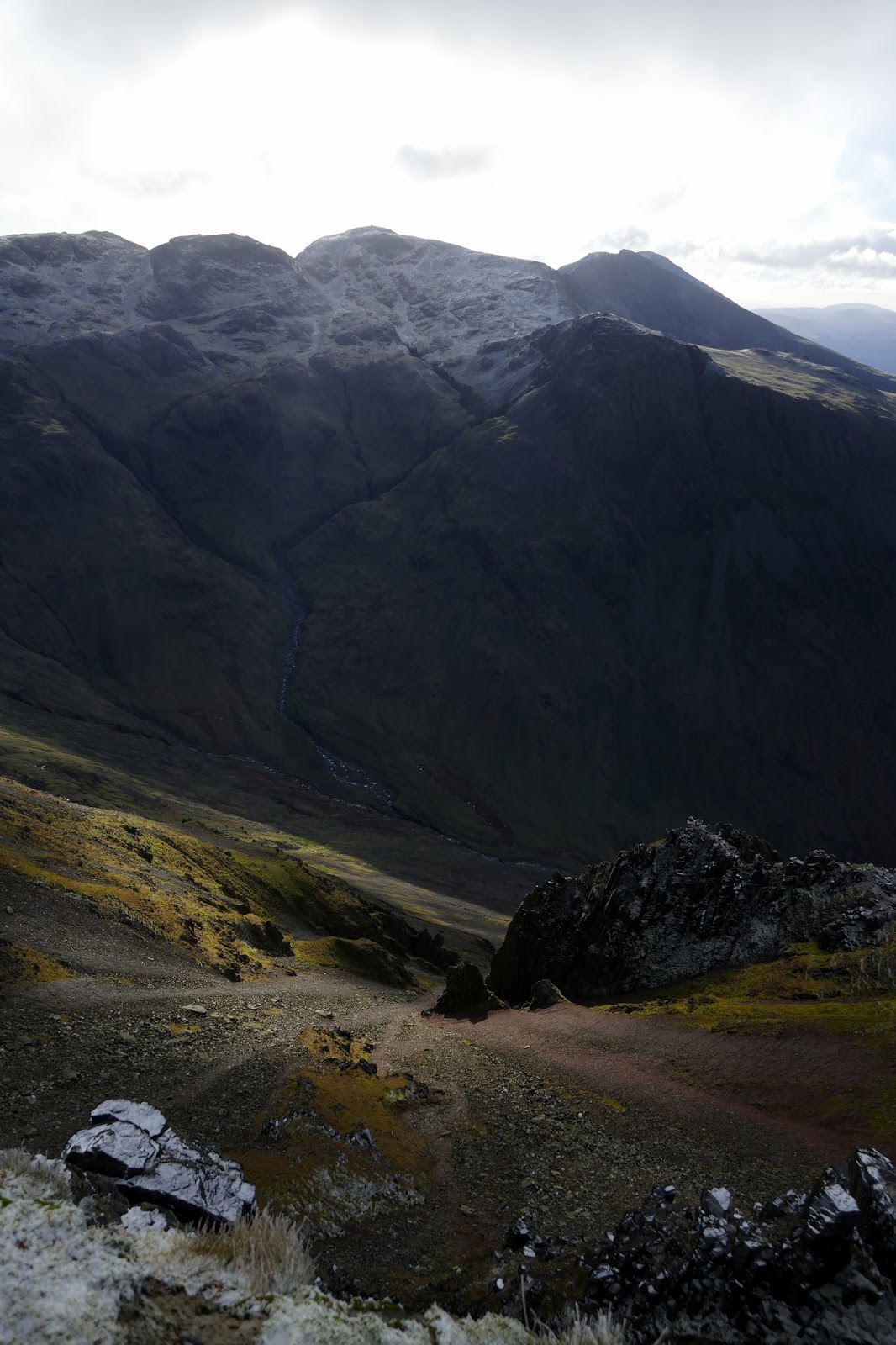
| The Hell gate and the Scafells |
 |
| Scafell Pike, Scafell and Lingmell |
After wasting a bit of time eating an early lunch, we returned across the summit, which had now largely emptied of people, and dropped back down to Windy Gap. Aaron Slack, the corrie separating the two Gables, would get us right down to Sty Head. It’s a much easier descent than the Breast Route path on Gable itself.
 |
| Great Gable’s summit |
 |
| The summit plaque |
 |
| Aaron Slack |
 |
| Heading back to Windy Gap |
 |
| Windy Gap |
 |
| Aaron Slack |
 |
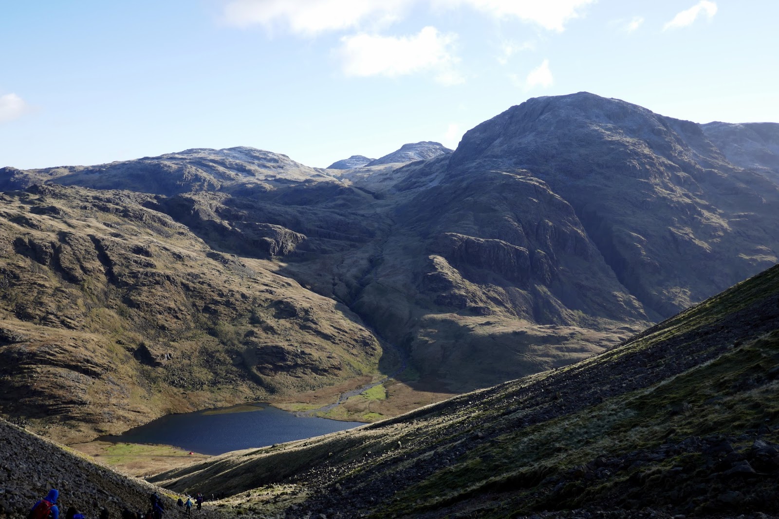
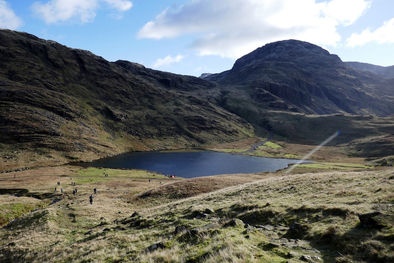
| Styhead Tarn and Great End |
 |
| Styhead Tarn |
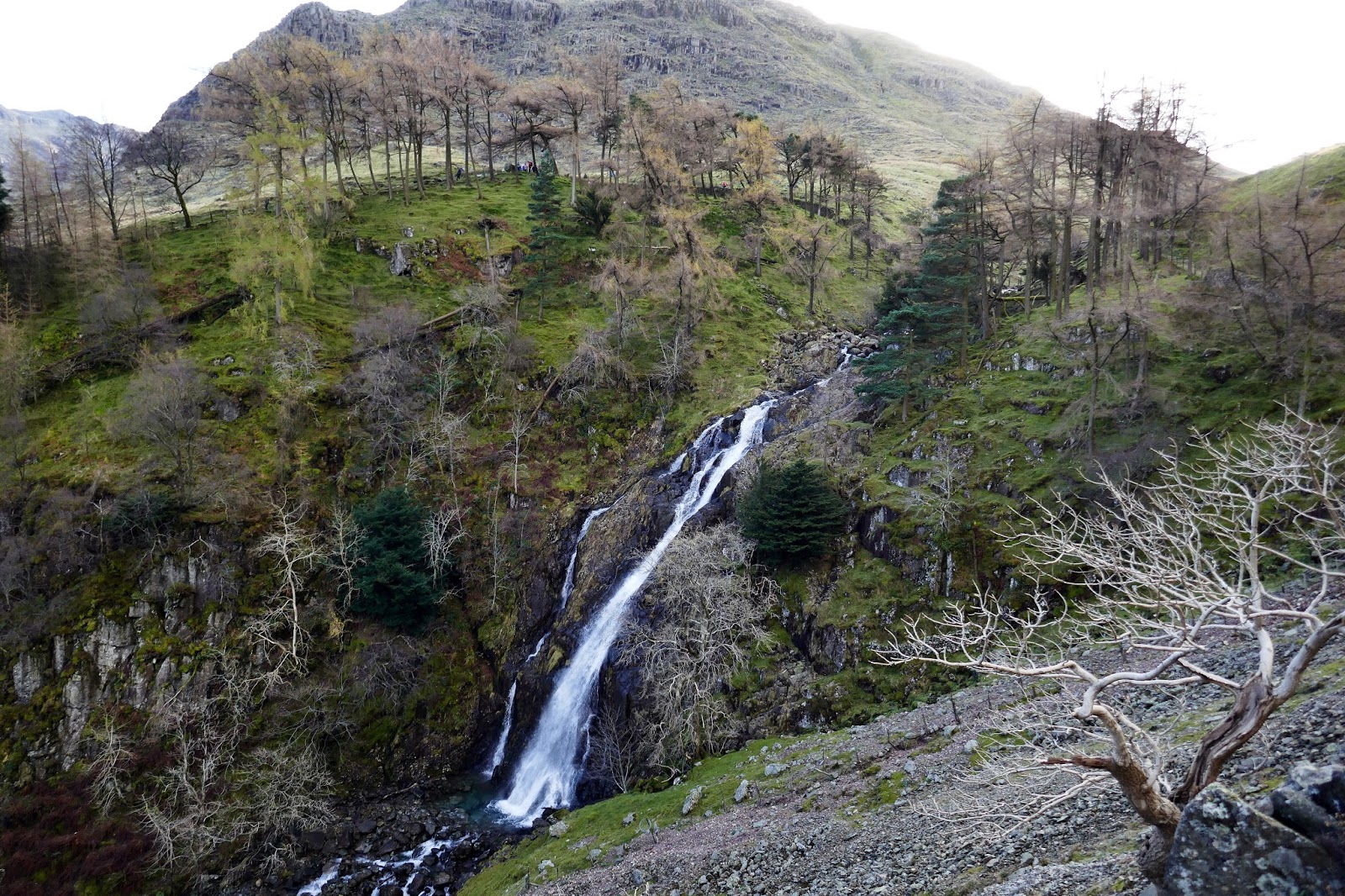
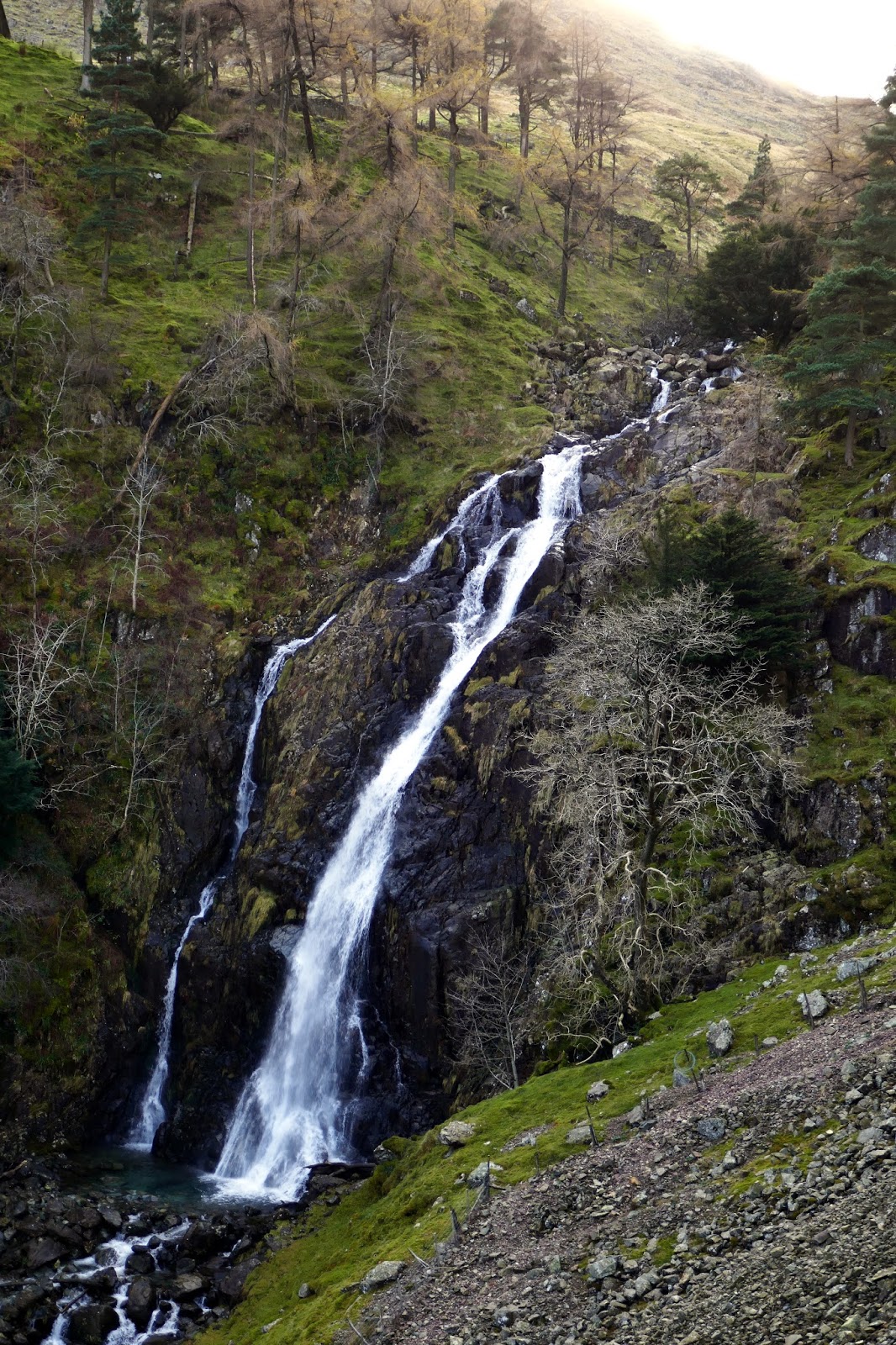
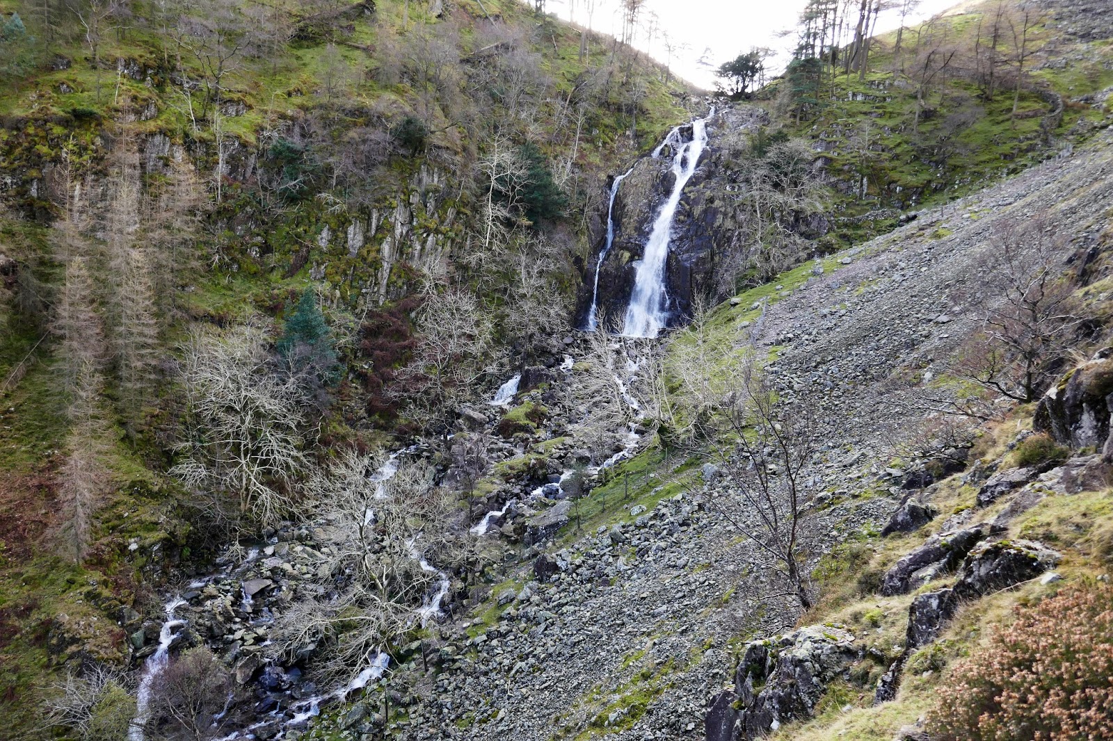
At Sty Head we considered climbing up to Sprinkling Tarn and across Seathwaite Fell but, ultimately, decided against it. Instead, we’d follow Styhead Gill (Styhead Tarn’s outlet) to Taylorgill Force, a beautiful hidden waterfall with an exciting, high-level path alongside it. Despite this being one of three main routes from Seathwaite towards Styhead and Scafell Pike – it’s by far the quietest and easily the best.
 |
| Great Gable and Green Gable |
 |
| Styhead Gill |
 |
| Crags of Base Brown |
 |
| The high level path above Taylorgill – Glaramara is opposite |
 |
| Taylorgill Force |
 |
| Taylorgill Force |
 |
| Taylorgill Force |
 |
| Glaramara |
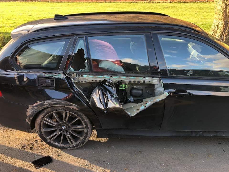
The last mile back to the car is along open fellside below Base Brown and above the river. As you can probably guess, it’s quite boggy in places but a path does run all the way to the footbridge we had crossed in the morning. Returning to the car, we were shocked to see the devastation caused by a tractor and trailer having battered its way past some of the parked cars. The debate rages on regarding who was in the wrong but I’d have been gutted had it been my wheels.
 |
| Seathwaite |
 |
| Capell Crag |
 |
| Seathwaite |
 |
| One of the damaged cars on the lane |
It’s a truly rewarding and moving experience to see so many people honouring the men and women who made the ultimate sacrifice for our country. We owe a great deal to these men and women and they deserve every recognition they receive, even if that’s just a silent few moments atop one of the great Lakeland fells.
Lest we forget.

