Open Space Web-Map builder Codehttps://openspace.ordnancesurvey.co.uk/osmapapi/openspace.js?key=3119F72552FD5C22E0530C6CA40A5A92https://openspace.ordnancesurvey.co.uk/osmapapi/script/mapbuilder/basicmap.jshttps://openspace.ordnancesurvey.co.uk/osmapapi/script/mapbuilder/searchbox.js//variables for routes var linesLayer, points, lineFeature, lineString, routeMarkersLayer, routepos, routesize, routeoffset, routeicon; var style_blue = {strokeColor: “#0000CD”, strokeOpacity: 0.5, strokeWidth: 4.5}; function initmapbuilder() { //initiate the map var options = {resolutions: [2500, 1000, 500, 200, 100, 50, 25, 10, 5, 4, 2.5, 2, 1]}; osMap = new OpenSpace.Map(‘map’, options); //configure map options (basicmap.js) setglobaloptions(); //set the center of the map and the zoom level osMap.setCenter(new OpenSpace.MapPoint(267125,369350),7); linesLayer = osMap.getVectorLayer(); // Set up layer for route markers routeMarkersLayer = new OpenLayers.Layer.Markers(“Route Markers”); //make a route points = new Array(); points.push(new OpenLayers.Geometry.Point(266205,372010)); points.push(new OpenLayers.Geometry.Point(266330,372010)); points.push(new OpenLayers.Geometry.Point(266365,371825)); points.push(new OpenLayers.Geometry.Point(266445,371710)); points.push(new OpenLayers.Geometry.Point(266415,371480)); points.push(new OpenLayers.Geometry.Point(266530,371340)); points.push(new OpenLayers.Geometry.Point(266540,371110)); points.push(new OpenLayers.Geometry.Point(266705,370735)); points.push(new OpenLayers.Geometry.Point(266725,370515)); points.push(new OpenLayers.Geometry.Point(266755,370350)); points.push(new OpenLayers.Geometry.Point(266815,370180)); points.push(new OpenLayers.Geometry.Point(266920,370415)); points.push(new OpenLayers.Geometry.Point(266920,370155)); points.push(new OpenLayers.Geometry.Point(266890,369995)); points.push(new OpenLayers.Geometry.Point(266990,369690)); points.push(new OpenLayers.Geometry.Point(267125,369550)); points.push(new OpenLayers.Geometry.Point(267180,369515)); points.push(new OpenLayers.Geometry.Point(267220,369435)); points.push(new OpenLayers.Geometry.Point(267510,369235)); points.push(new OpenLayers.Geometry.Point(267680,369290)); points.push(new OpenLayers.Geometry.Point(267845,369305)); points.push(new OpenLayers.Geometry.Point(267980,369365)); points.push(new OpenLayers.Geometry.Point(268140,369455)); points.push(new OpenLayers.Geometry.Point(268325,369535)); points.push(new OpenLayers.Geometry.Point(268525,369520)); points.push(new OpenLayers.Geometry.Point(268910,369265)); points.push(new OpenLayers.Geometry.Point(269280,368845)); points.push(new OpenLayers.Geometry.Point(269500,368695)); points.push(new OpenLayers.Geometry.Point(269675,368560)); points.push(new OpenLayers.Geometry.Point(269765,368395)); points.push(new OpenLayers.Geometry.Point(269660,368190)); points.push(new OpenLayers.Geometry.Point(269535,368035)); points.push(new OpenLayers.Geometry.Point(269455,367730)); points.push(new OpenLayers.Geometry.Point(269095,367275)); points.push(new OpenLayers.Geometry.Point(268705,366980)); points.push(new OpenLayers.Geometry.Point(268400,367110)); points.push(new OpenLayers.Geometry.Point(267965,367405)); points.push(new OpenLayers.Geometry.Point(267715,367840)); points.push(new OpenLayers.Geometry.Point(267510,368110)); points.push(new OpenLayers.Geometry.Point(267465,368285)); points.push(new OpenLayers.Geometry.Point(267400,368045)); points.push(new OpenLayers.Geometry.Point(267180,367785)); points.push(new OpenLayers.Geometry.Point(266935,367770)); points.push(new OpenLayers.Geometry.Point(266650,367895)); points.push(new OpenLayers.Geometry.Point(266380,368000)); points.push(new OpenLayers.Geometry.Point(266025,367825)); points.push(new OpenLayers.Geometry.Point(265645,367695)); points.push(new OpenLayers.Geometry.Point(265370,367550)); points.push(new OpenLayers.Geometry.Point(265505,367830)); points.push(new OpenLayers.Geometry.Point(265785,368080)); points.push(new OpenLayers.Geometry.Point(265760,368325)); points.push(new OpenLayers.Geometry.Point(265710,368585)); points.push(new OpenLayers.Geometry.Point(265450,368825)); points.push(new OpenLayers.Geometry.Point(265265,368990)); points.push(new OpenLayers.Geometry.Point(265240,369210)); points.push(new OpenLayers.Geometry.Point(265440,369465)); points.push(new OpenLayers.Geometry.Point(265710,369750)); points.push(new OpenLayers.Geometry.Point(265895,369850)); points.push(new OpenLayers.Geometry.Point(266080,370075)); points.push(new OpenLayers.Geometry.Point(266345,369980)); points.push(new OpenLayers.Geometry.Point(266595,370060)); points.push(new OpenLayers.Geometry.Point(266800,370040)); points.push(new OpenLayers.Geometry.Point(266810,370170)); points.push(new OpenLayers.Geometry.Point(266755,370385)); points.push(new OpenLayers.Geometry.Point(266710,370545)); points.push(new OpenLayers.Geometry.Point(266695,370790)); points.push(new OpenLayers.Geometry.Point(266525,371135)); points.push(new OpenLayers.Geometry.Point(266540,371330)); points.push(new OpenLayers.Geometry.Point(266415,371480)); points.push(new OpenLayers.Geometry.Point(266450,371740)); points.push(new OpenLayers.Geometry.Point(266365,371835)); points.push(new OpenLayers.Geometry.Point(266335,371975)); points.push(new OpenLayers.Geometry.Point(266300,372025)); points.push(new OpenLayers.Geometry.Point(266205,372010)); // create a polyline feature from the array of points lineString = new OpenLayers.Geometry.LineString(points); lineFeature = new OpenLayers.Feature.Vector(lineString, null, style_blue); linesLayer.addFeatures([lineFeature]); //crate a route start/end marker routepos = new OpenSpace.MapPoint(266205,372010); routesize = new OpenLayers.Size(33,45); routeoffset = new OpenLayers.Pixel(-5,-37); routeicon = new OpenSpace.Icon(‘https://openspace.ordnancesurvey.co.uk/osmapapi/img_versions/img_1.1/mapbuilder/routemarker-startend.png’, routesize, routeoffset, null, null); routeMarkersLayer.addMarker(new OpenLayers.Marker(routepos, routeicon)); osMap.addLayer(routeMarkersLayer);}
Route: Bont Newydd, Afon Rhaeadr-fawr, Aber Falls, Cwm yr Afon Goch, Llwytmor, Foel-fras, Carnedd Gwenllian, Yr Aryg, Bera Mawr, Bera Bach, Drosgl, Gyrn Wigau, Afon Gam, Rhaeadr-bach, Aber Falls, Bont Newydd
Date: 02/09/2017
From: Abergwyngregyn
Parking: Bont Newydd
Start Point: Bont Newydd
Region: Snowdonia – The Carneddau
Route length: 12.5 miles (20.1 km)
Time taken: 05:33
Average speed: 2.3 mph
Ascent: 1,136m
Descent: 1,154m
Summits: Llwytmor (849m), Foel-fras (942m), Carnedd Gwenllian (926m), Bera Mawr (794m), Bera Bach (807m), Drosgl (758m), Gyrn Wigau (643m)
Other points of interest: Aber Falls, Rhaeadr-bach
Having neglected North Wales for a while I was itching to get back to the Snowdonia hills, in particular, the area of the Carneddau that sits south of the village of Abergwyngregyn and contains my final two Welsh 3,000s – Foel-fras and Carnedd Gwenllian.
After an early start from Leeds, I arrived at the car park for Aber Falls, located about a mile south of the village of Abergwyngregyn. A small fee is payable (£2 for the day – good value in my book) but there are toilets located at the upper car park. If you’re dressed for the mountains, you’ll probably look rather out of place.
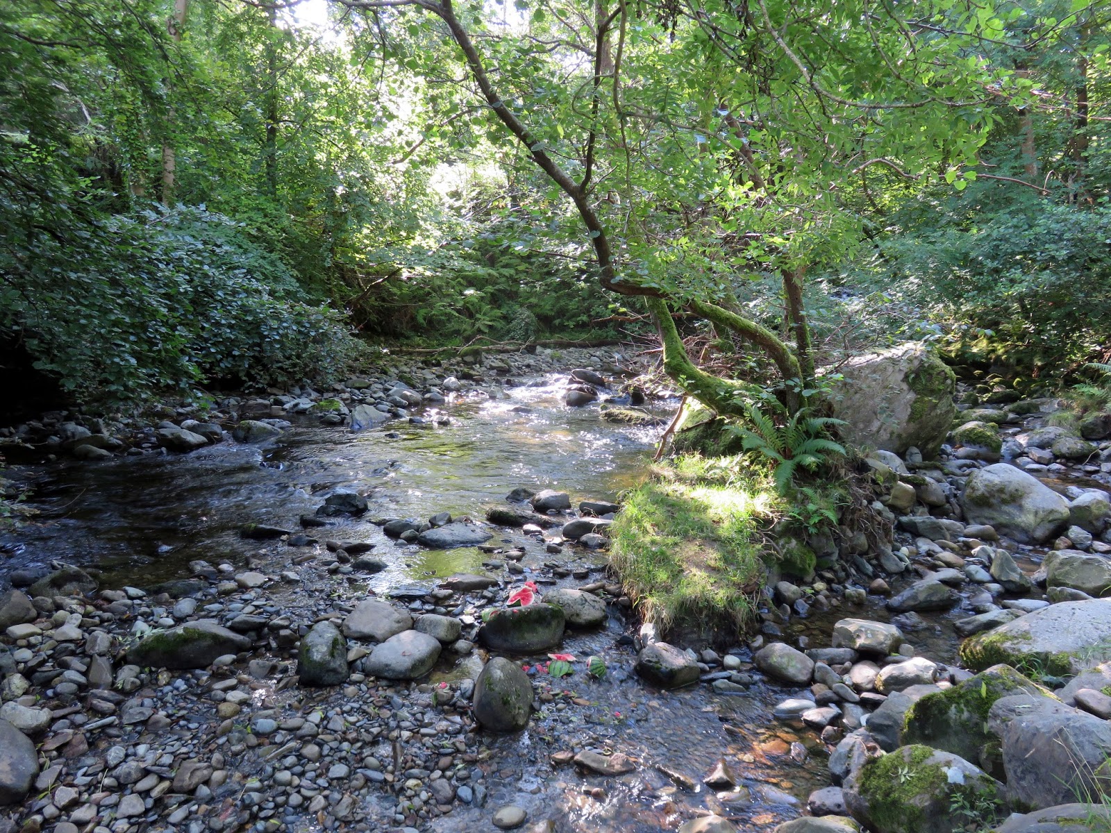
 |
| The Afon Rhaeadr-fawr |
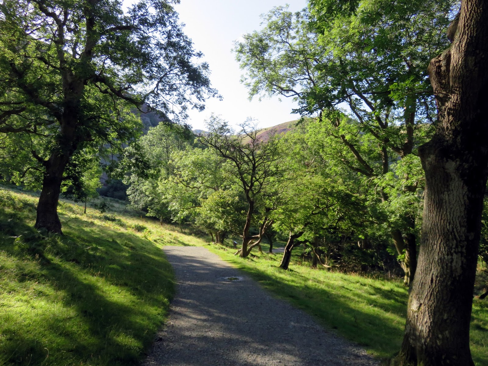
The walk from the car park to Aber Falls is around a mile, along a well-surfaced track suitable for most users. It was a very pleasant morning and, despite Aber Falls being a popular spot, there was no one around.
 |
| A surfaced track leads from the car park to Aber Falls |
 |
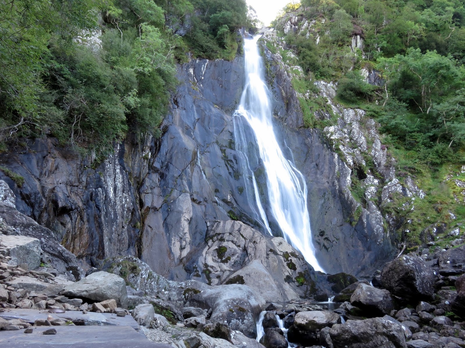
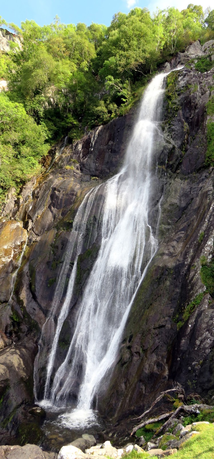
| Aber Falls |
 |
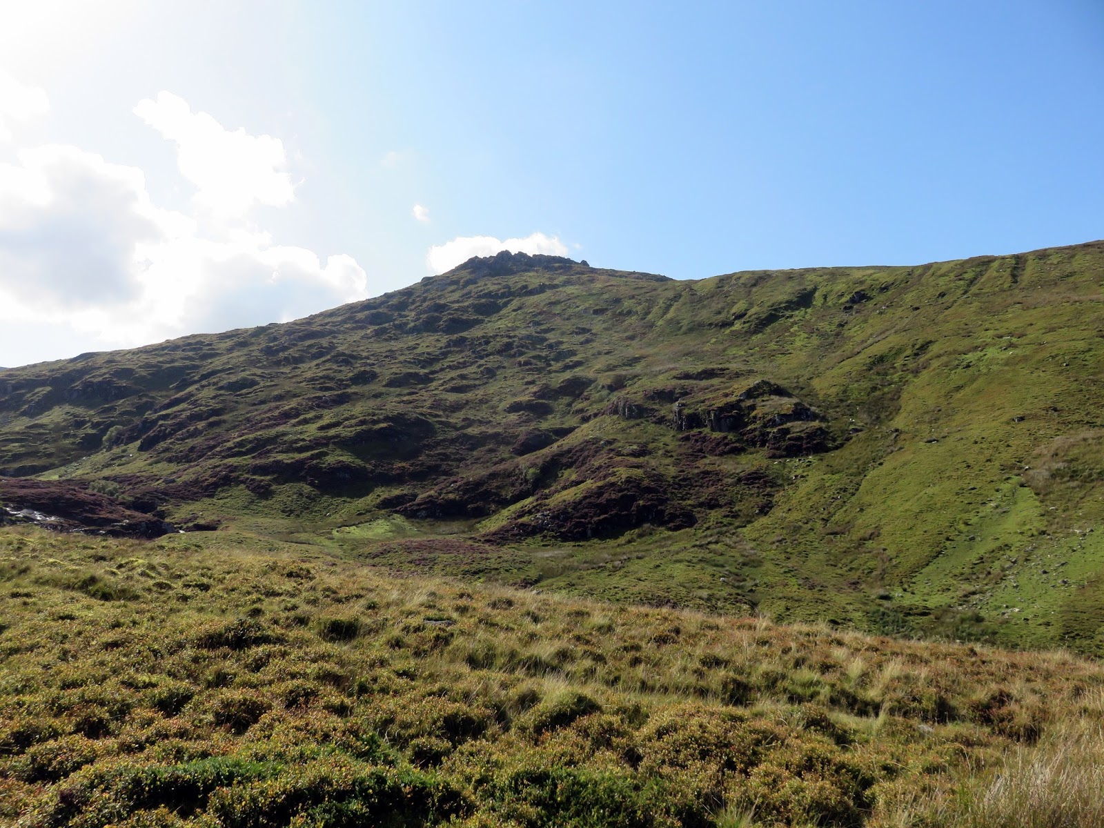
| Moel Wnion |
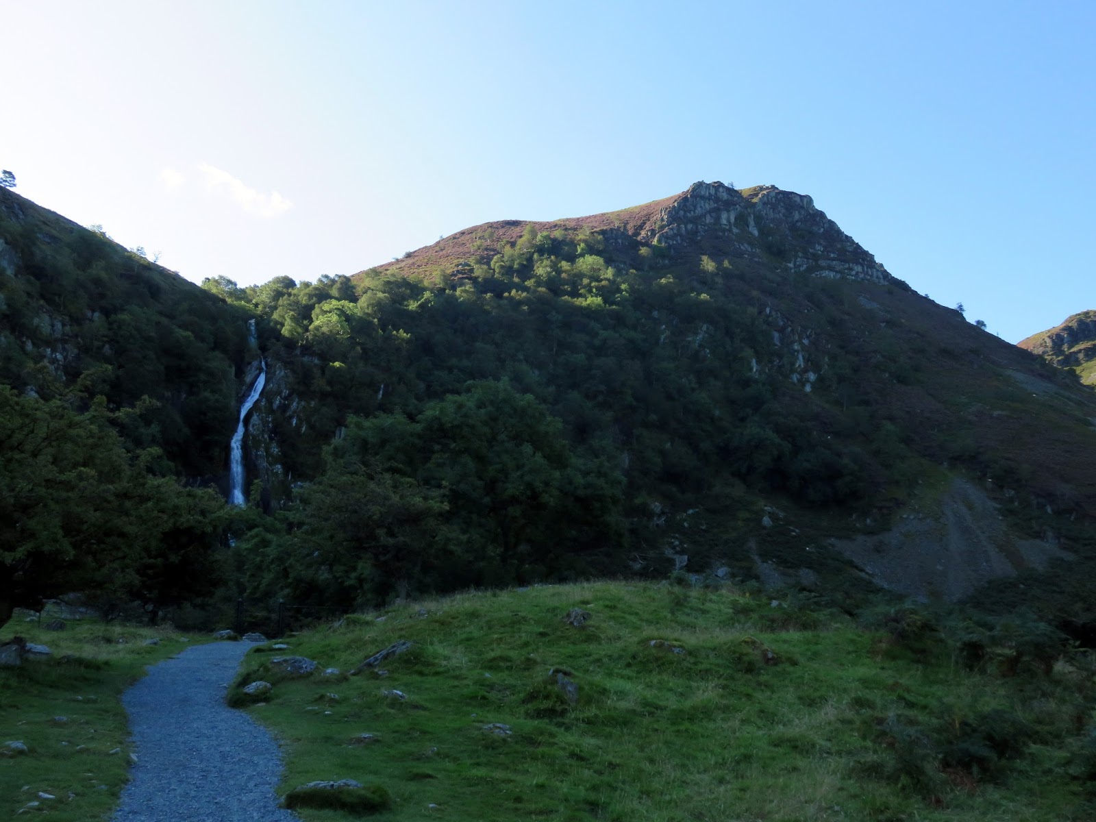
Aber Falls (also known as Rhaeadr Fawr) are among the most famous falls in Snowdonia, where the Afon Goch plunges 40m over a rock escarpment. The area attracts many, including ice climbers if the conditions are right, though there’d be no risk of that today.
 |
| Aber Falls |
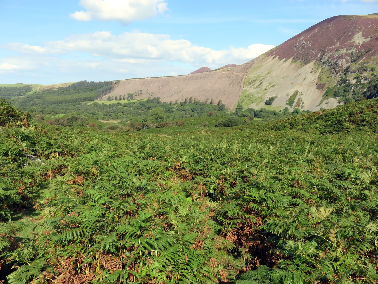
The route up to the Carneddau continues above the falls and requires a brief backtrack from the waterfall to a set of stone steps. These lead up to a stile at the edge of an old forest plantation. The eagle-eyed among you may have noticed a high path running across the scree of Marian Rhaeder-fawr, this is the route to take.
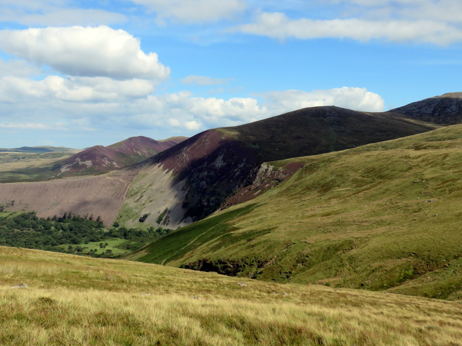
 |
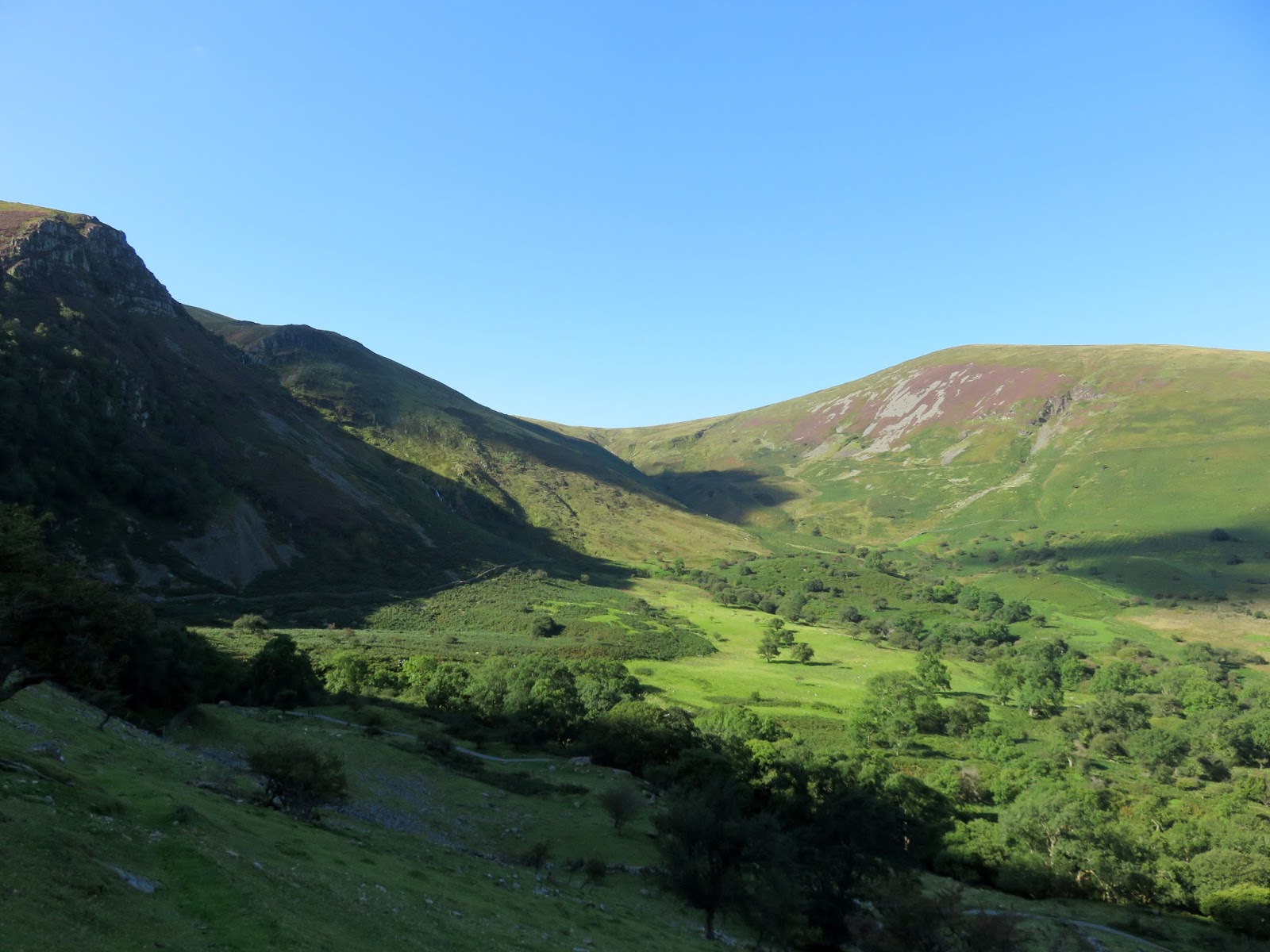
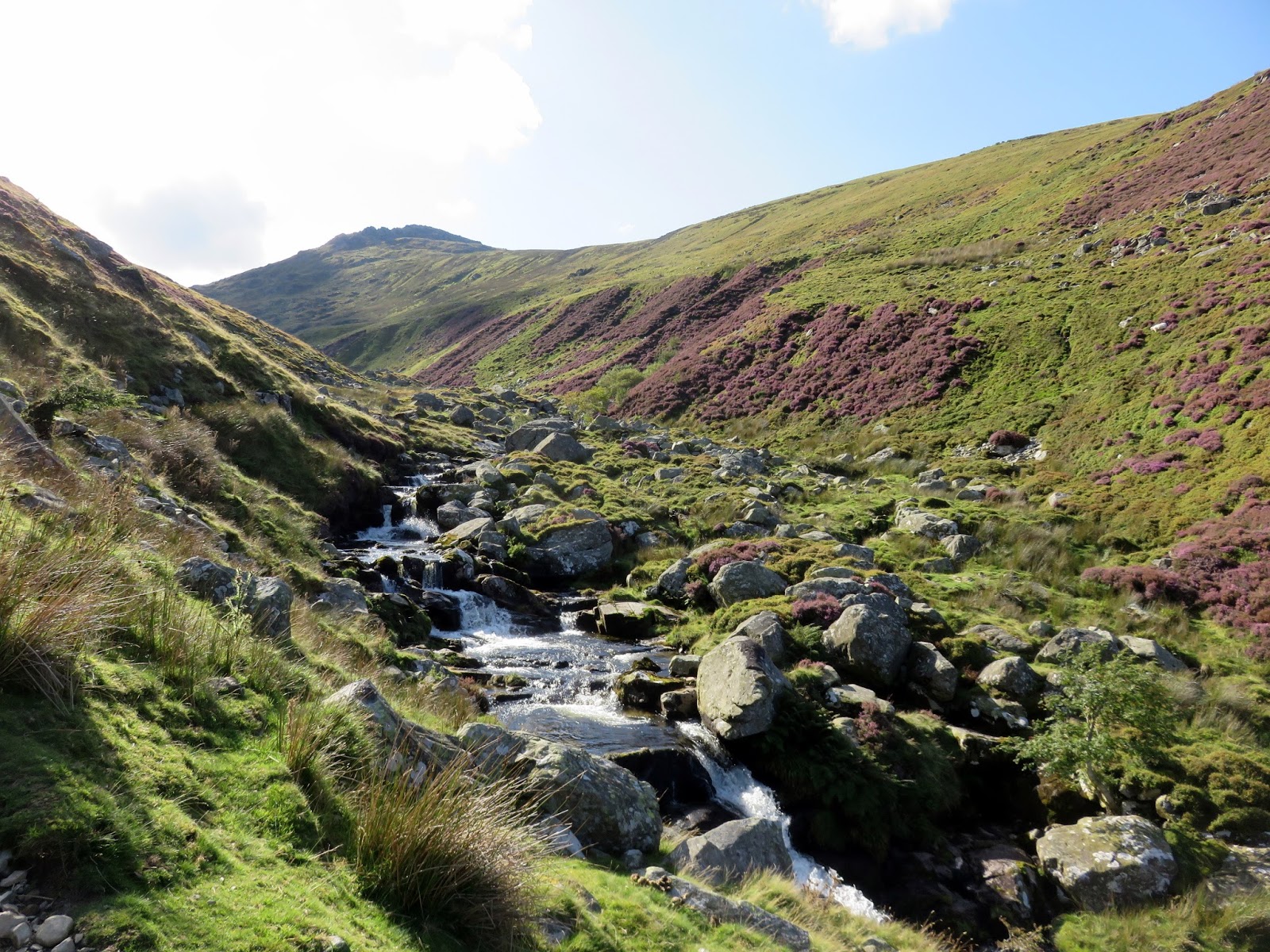
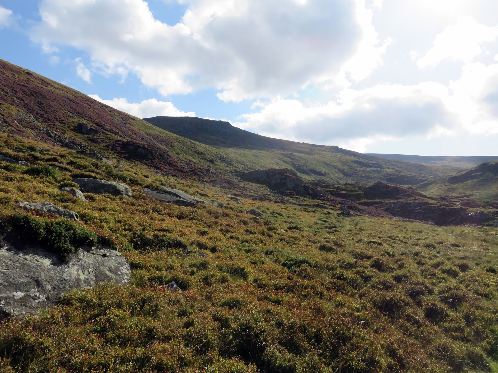
| Valley of Afon Gam |
 |
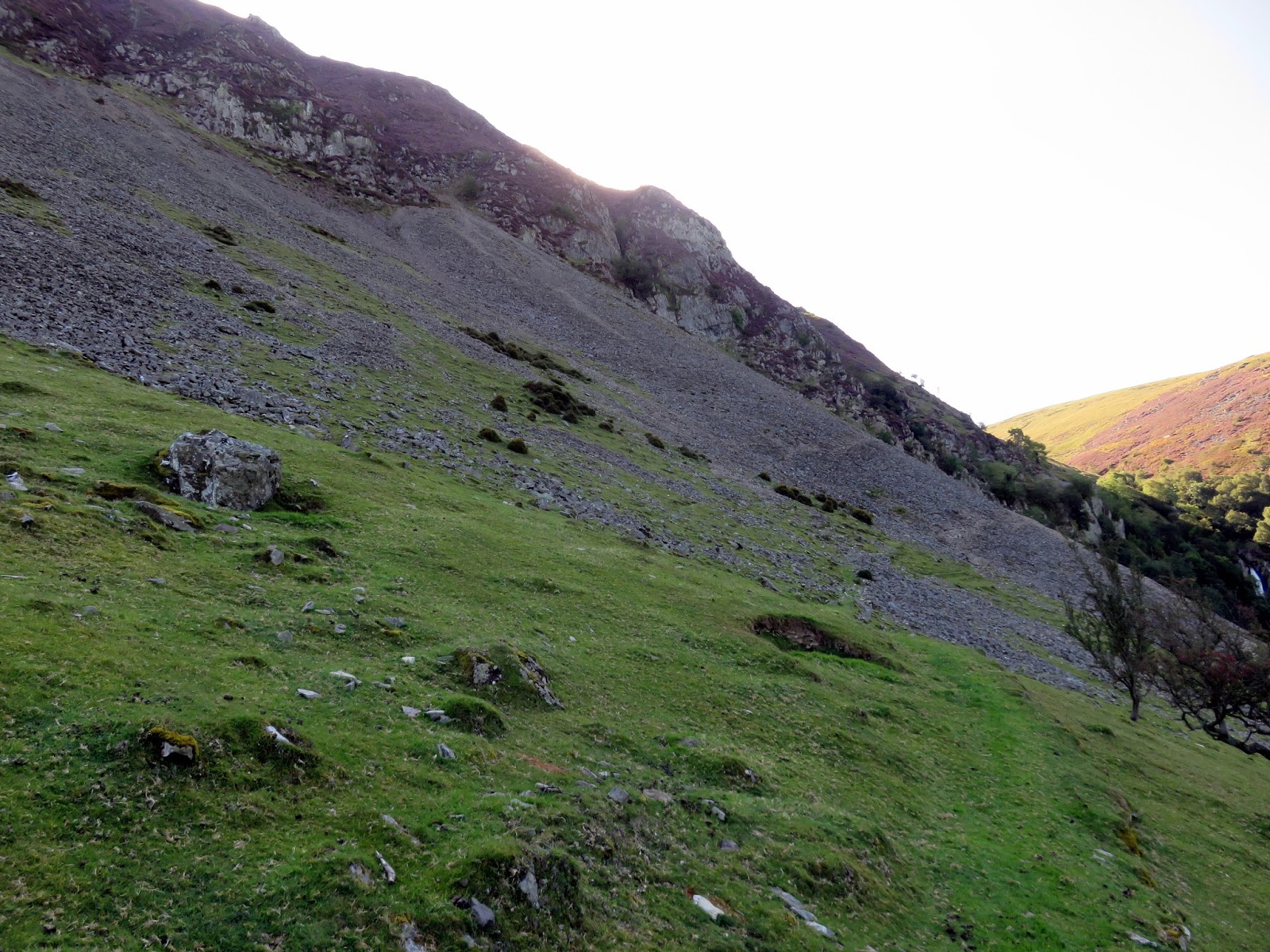
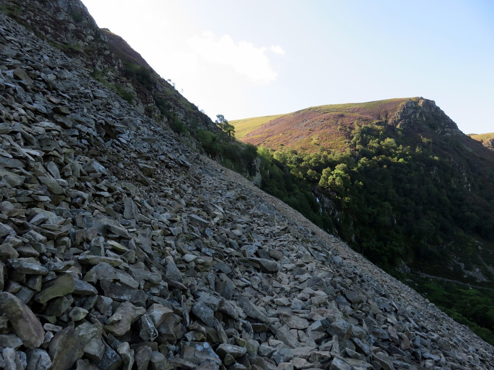
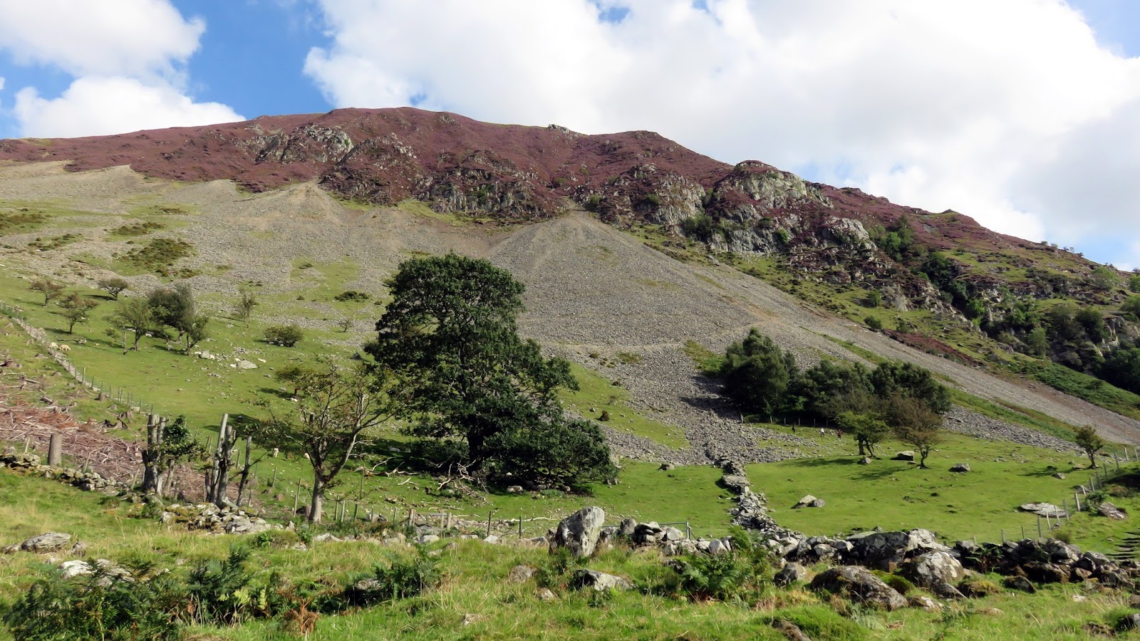
| The screes of Marian Rhaeadr-fawr |
After turning back on yourself, the path runs up across the scree, climbing high above the valley of Afon Rhaeder-fawr (the same river that plunges over Aber Falls). Crossing a small gully, a series of rock steps (alarmingly slippery when I visited) make their way up to the valley above the falls.
 |
| The path runs up across the scree |
 |
| The Afon Goch above Aber Falls |
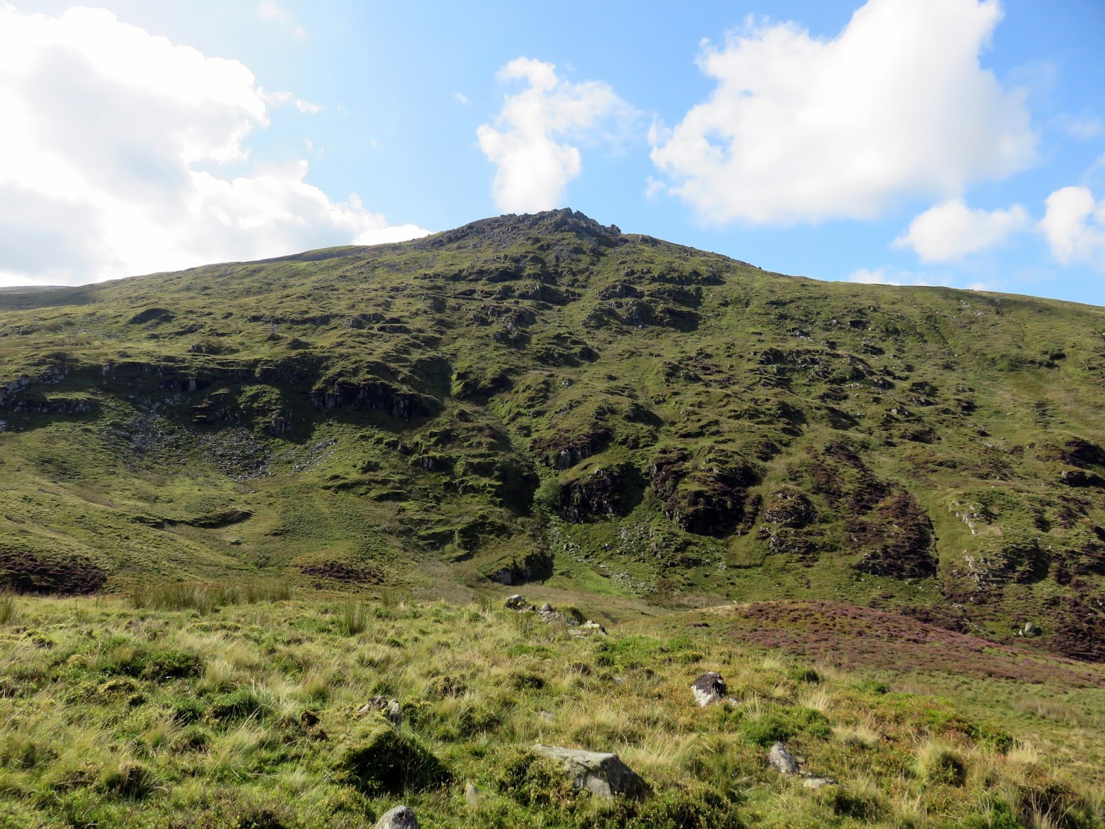
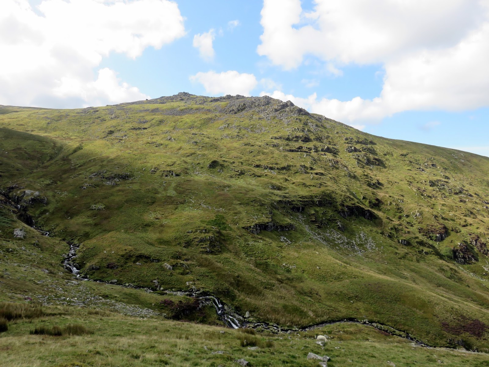
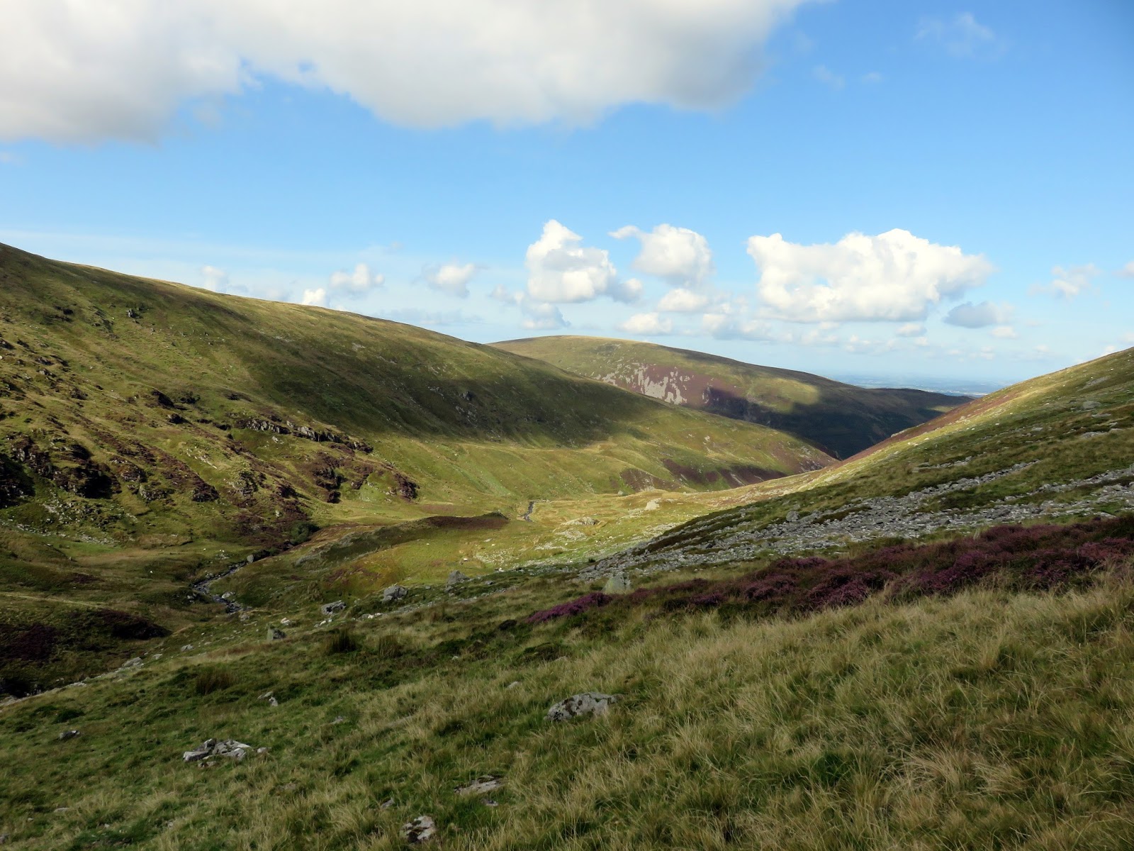
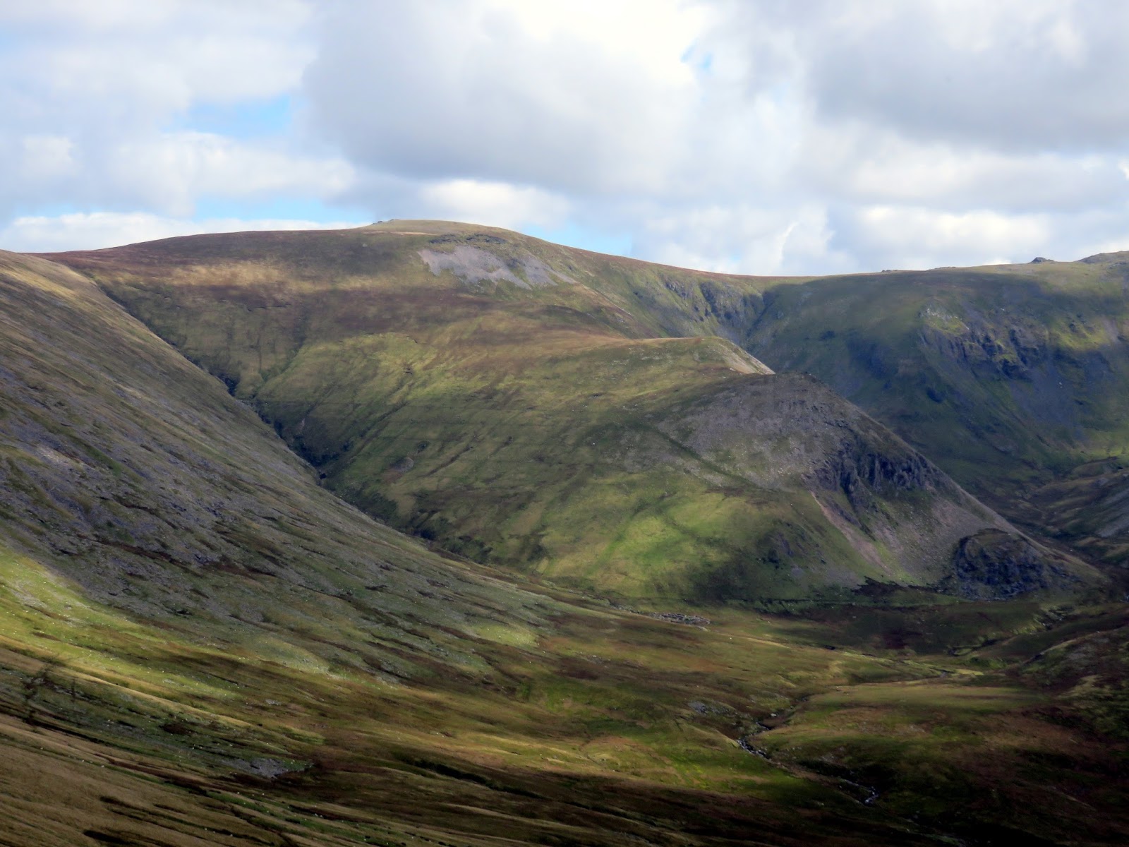
The valley is a delight, a real mountain hideaway and has a true feeling of wilderness to it, aside from the large sheepfolds around halfway along. There is a vague path of sorts but much of the route up the valley bottom is up to you. Rising ahead is the rocky north ridge of Bera Mawr which looks an interesting prospect for another day.
 |
| The Afon Goch above Aber Falls |
 |
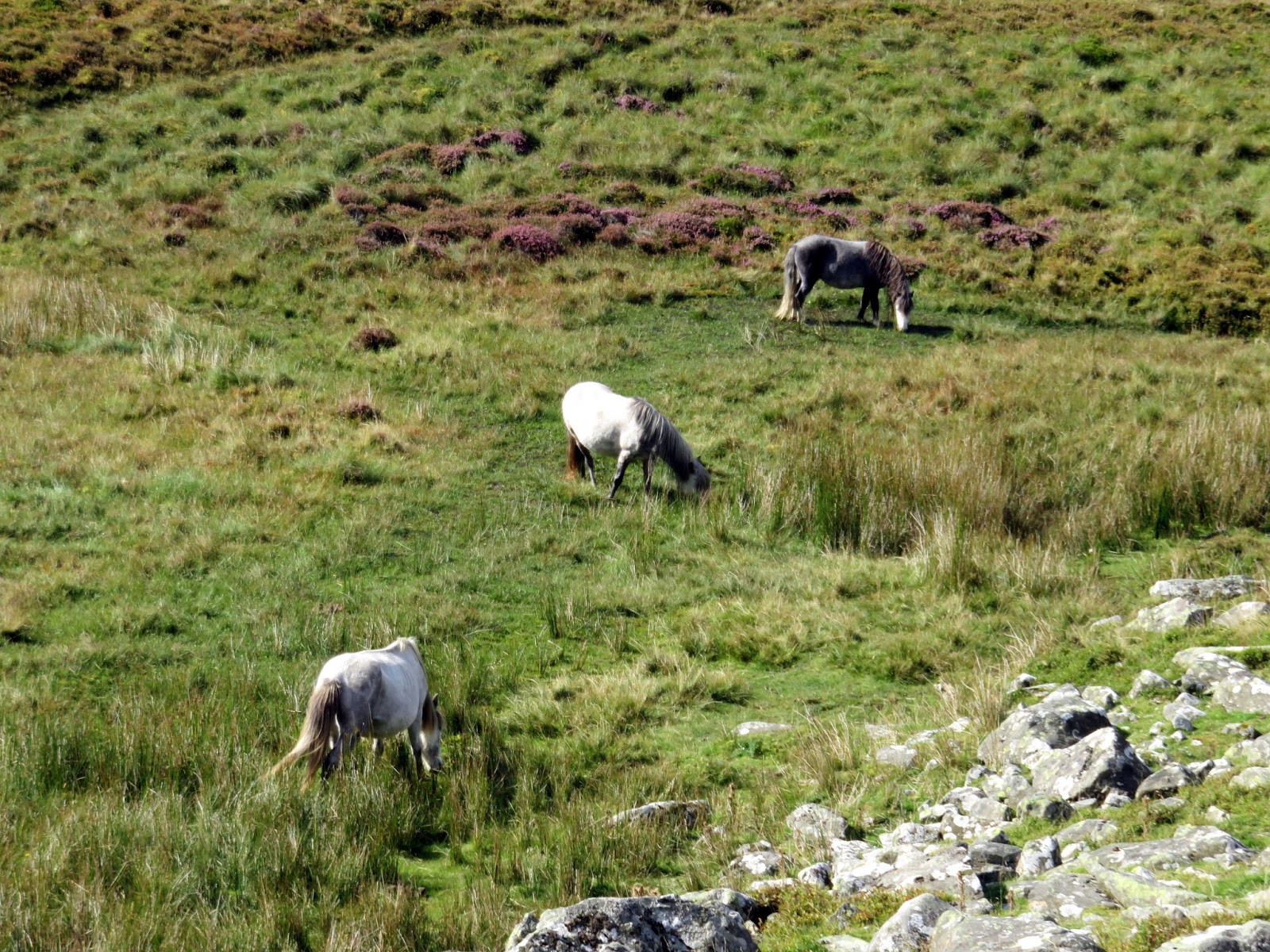
| The Carneddau ponies |
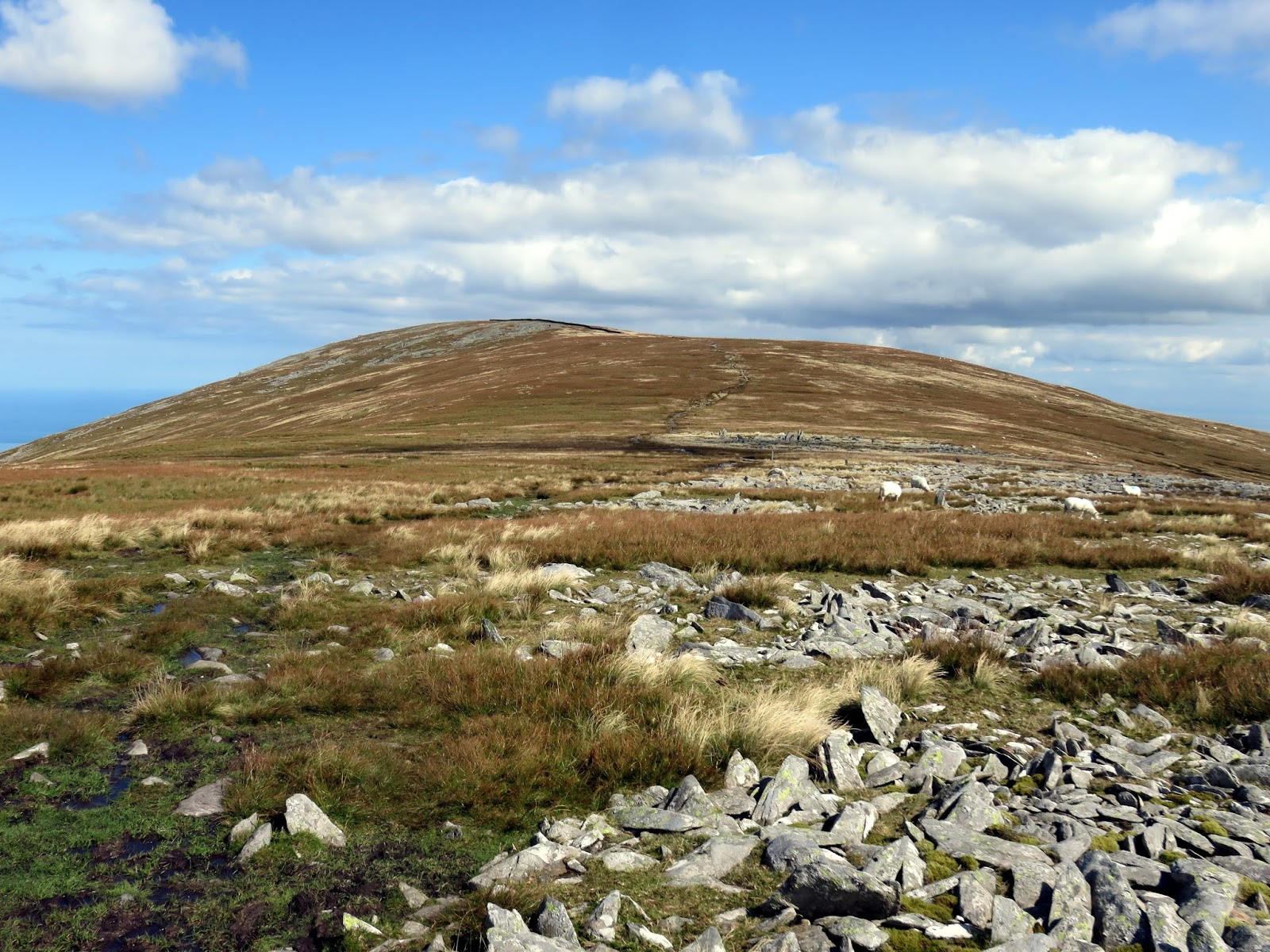
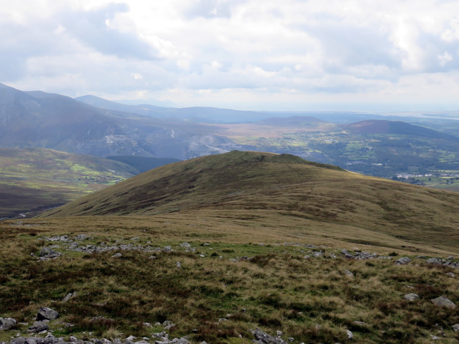
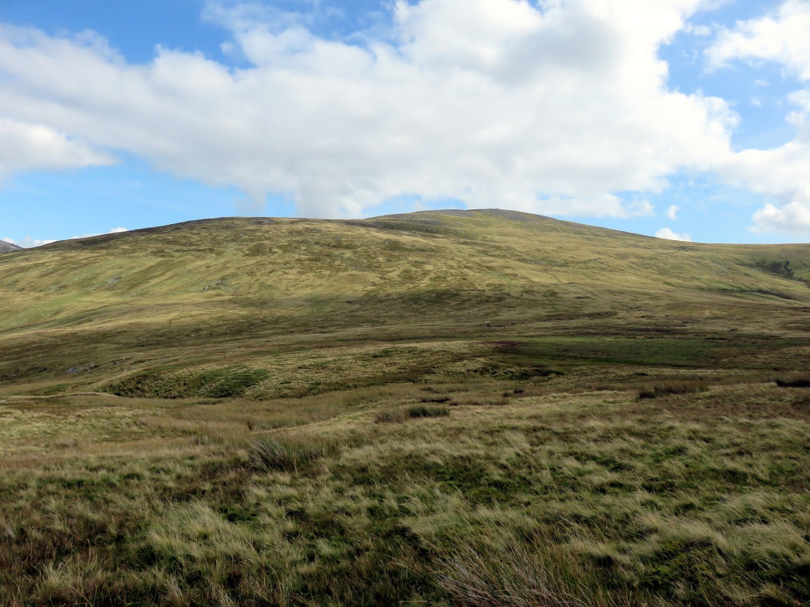
From the valley floor, one thing is clear – the route up to Llwytmor is straightforward but steep and pathless, among rocks and tussocks of grass. It’s possible there’s a route that I’m unaware of but for me, it was a case of grin and bear it. It’s a 350m slog up the rough grass with the odd marsh and a few horses thrown into the mix – classic Wales some would say. I suppose the only thing separating it from a true north Wales encounter was the fact it was sunny.
 |
| Moel Wnion |
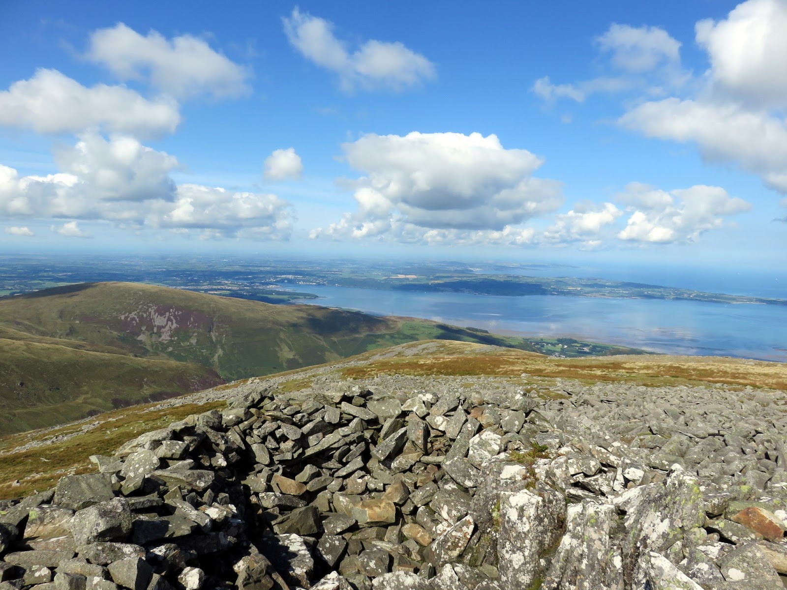
 |
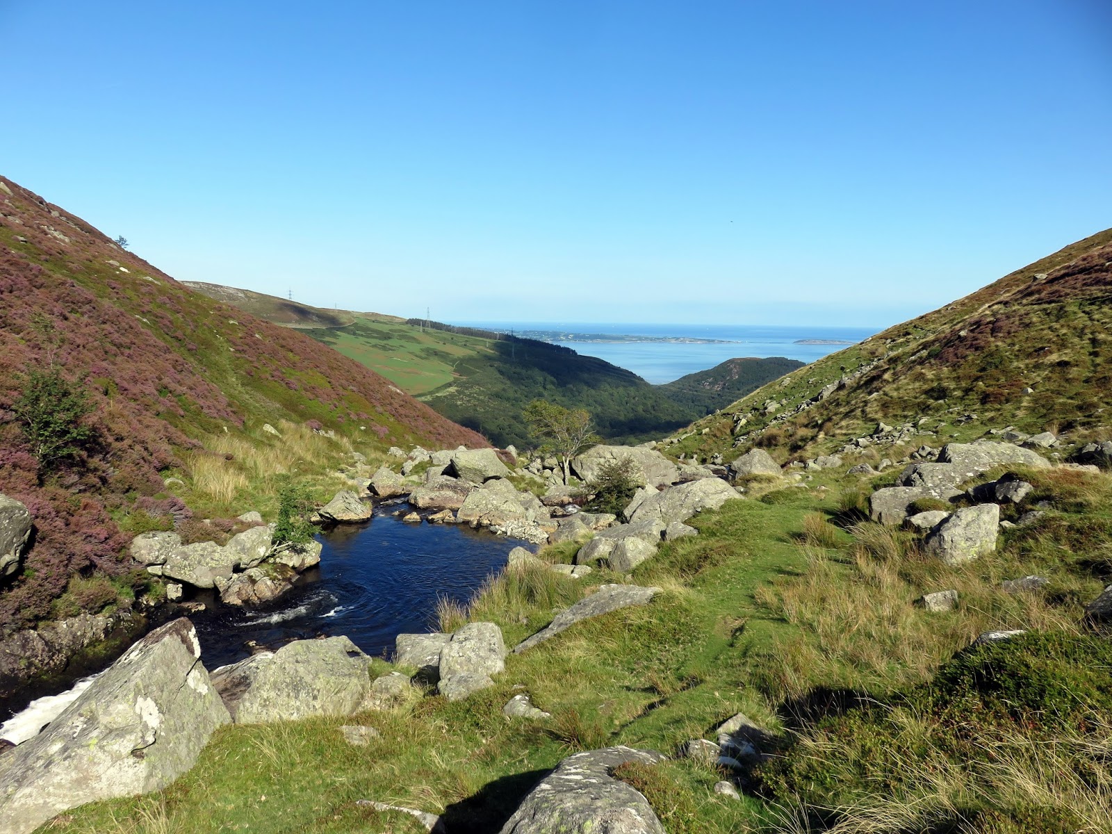
| Anglesey on the horizon |
 |
| Climbing to the summit |
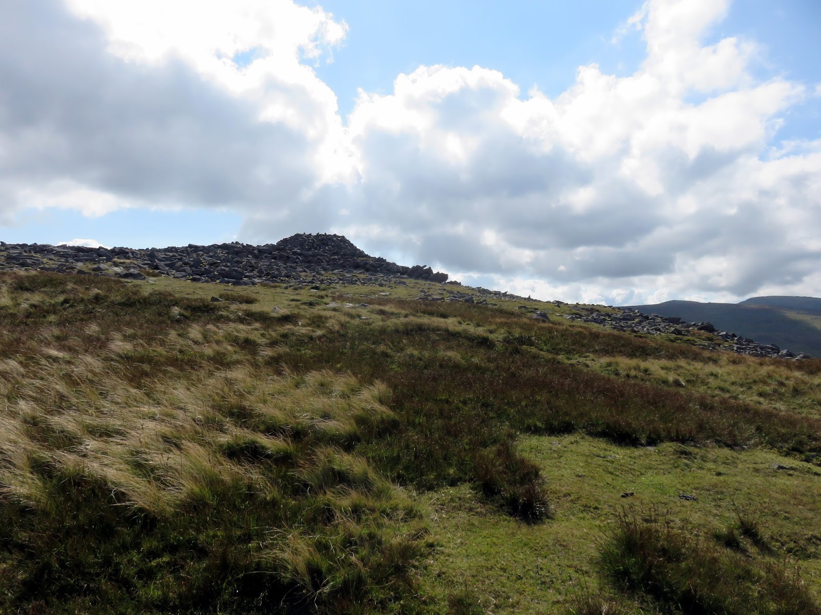
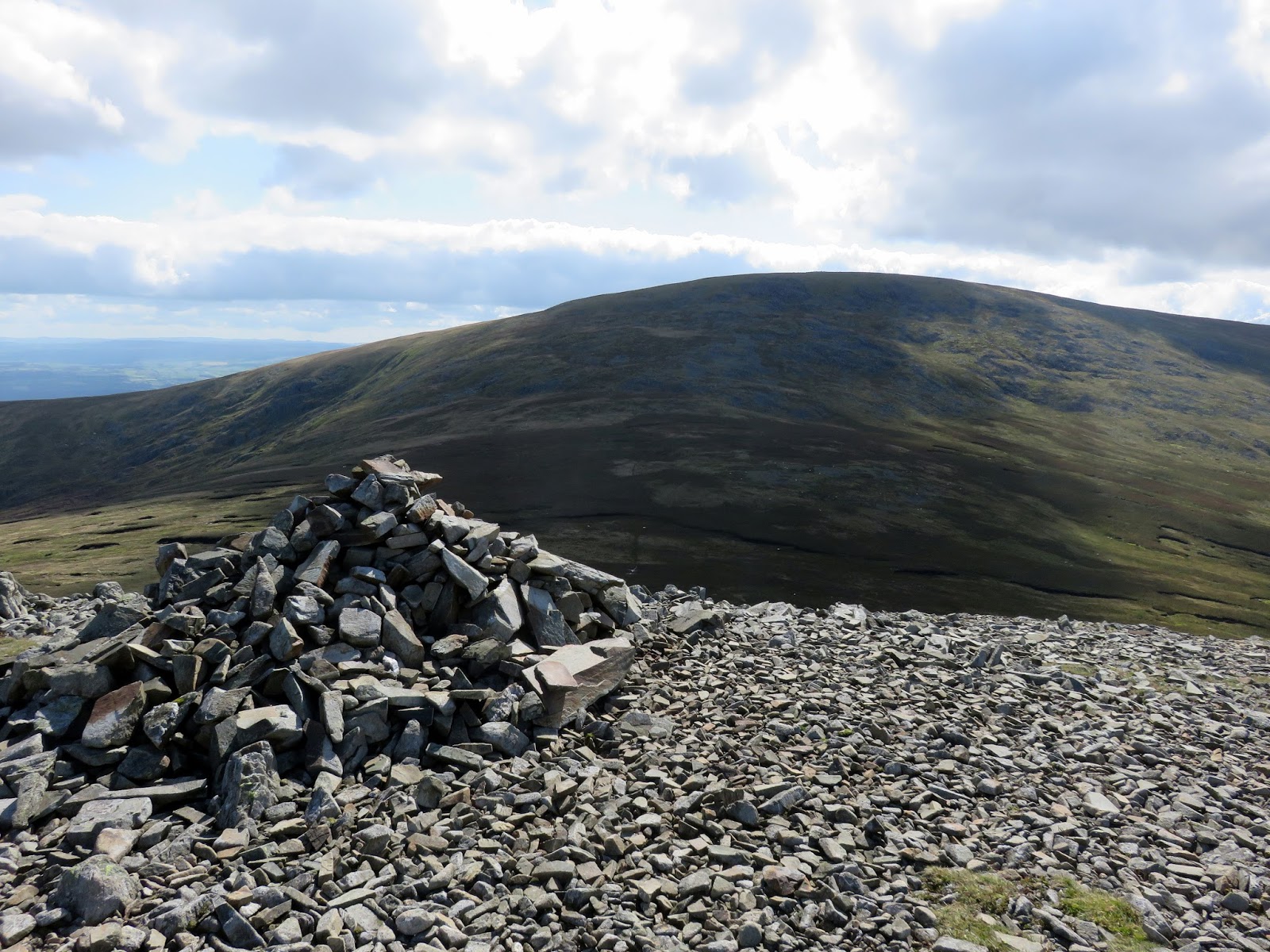
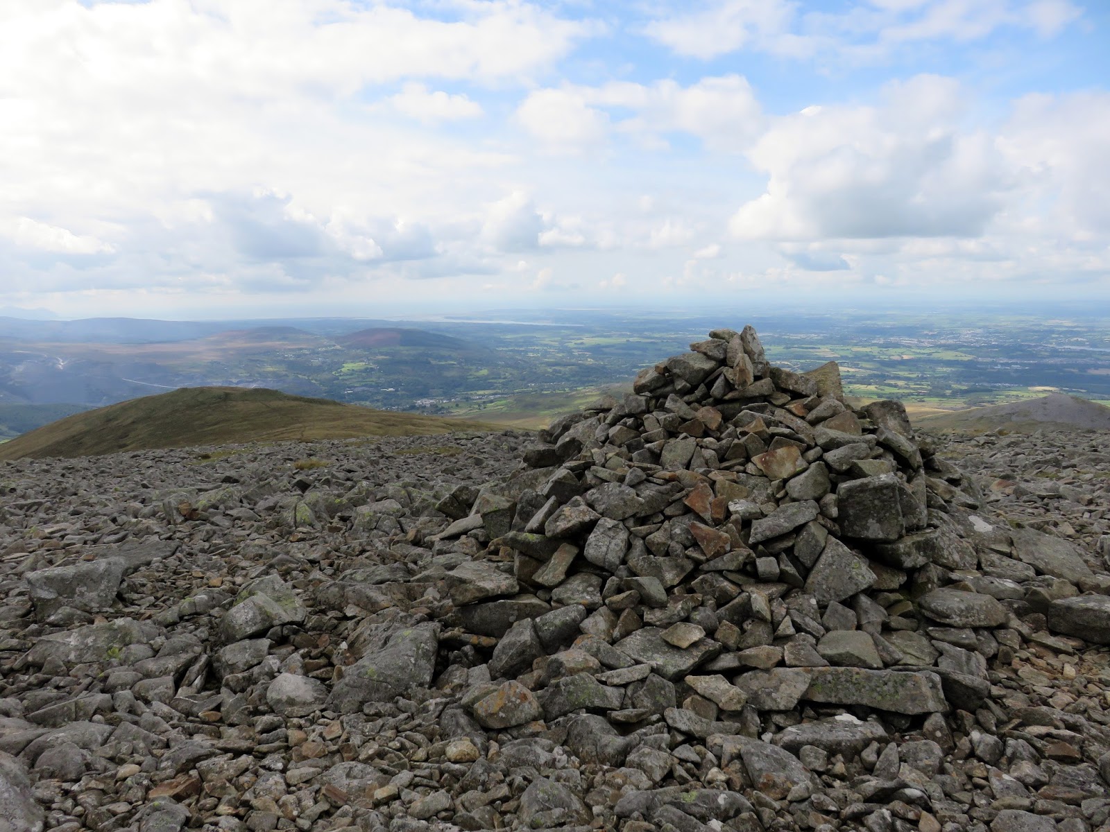
 |
| A large cairn at the northern end of the summit |
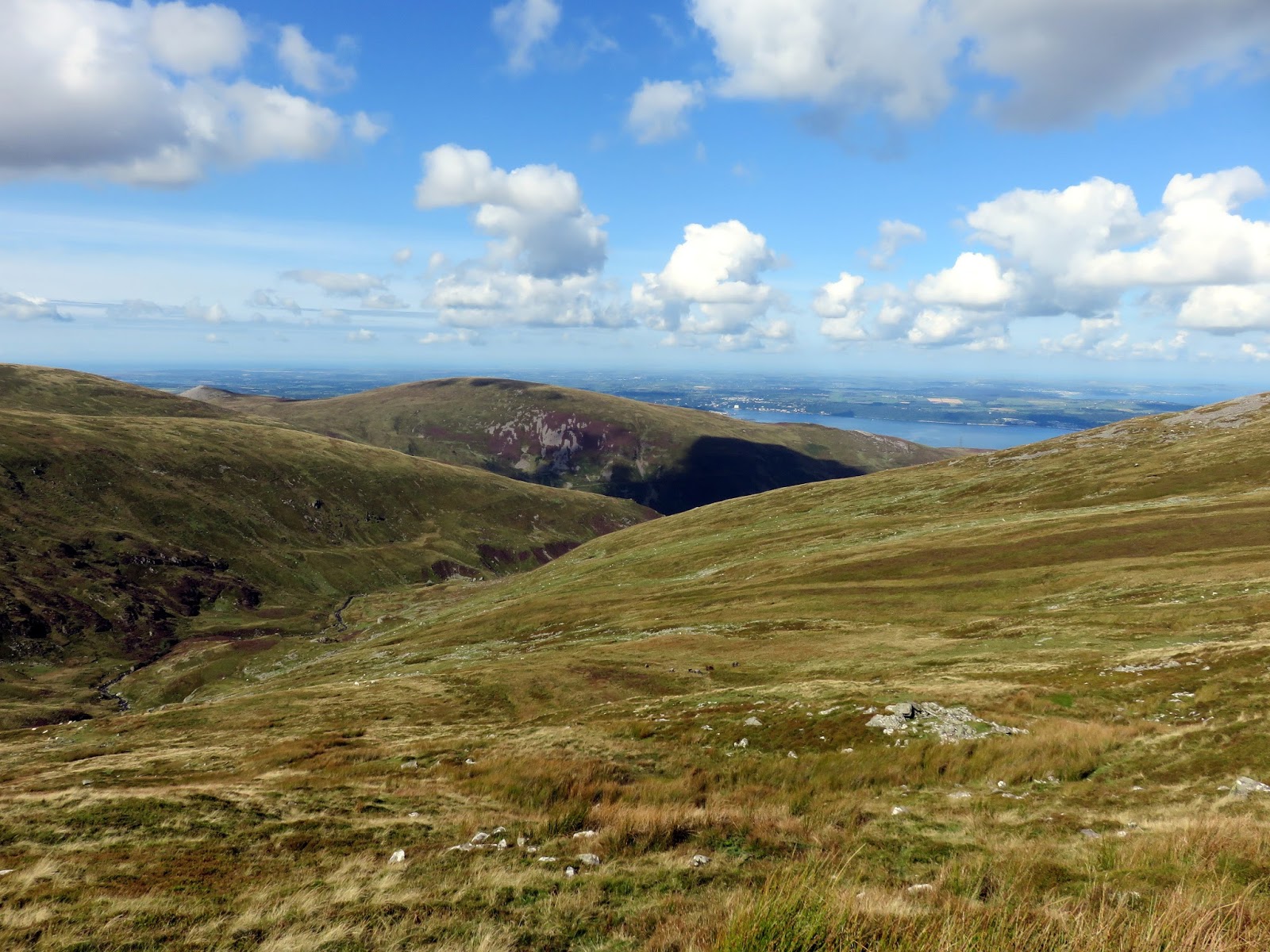
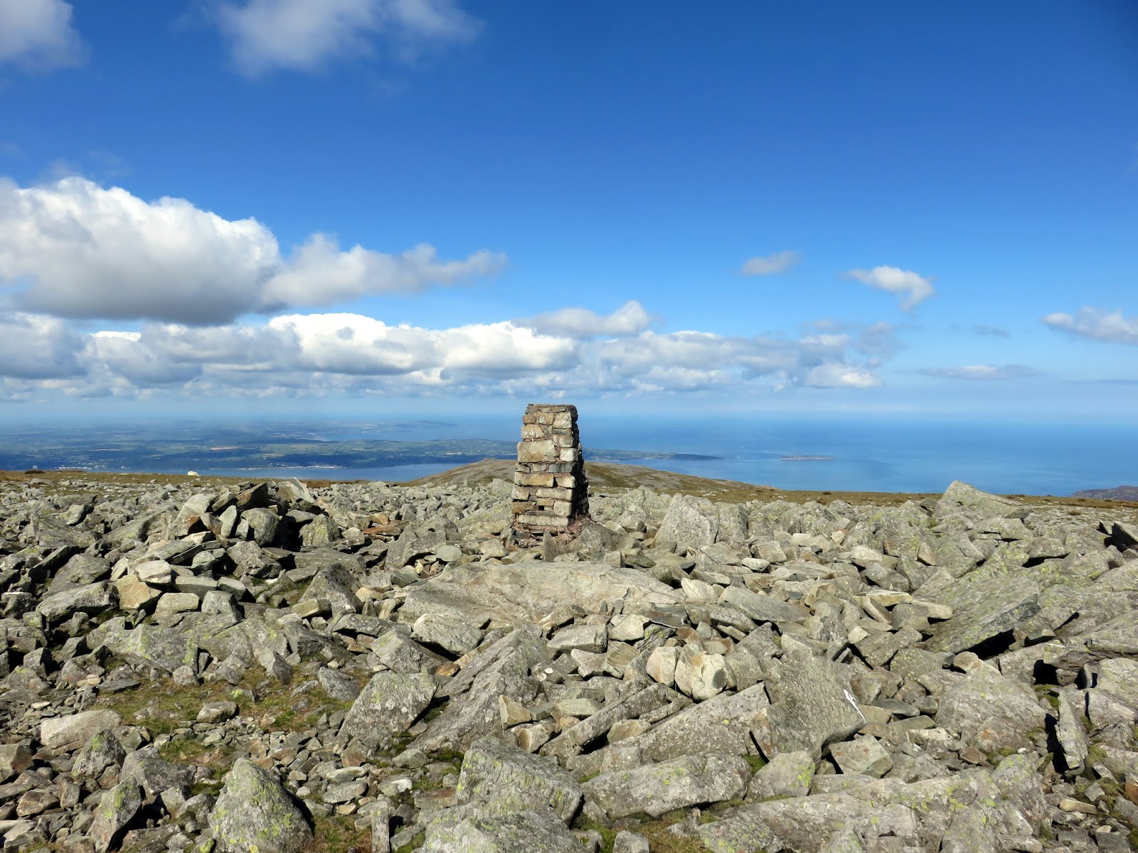
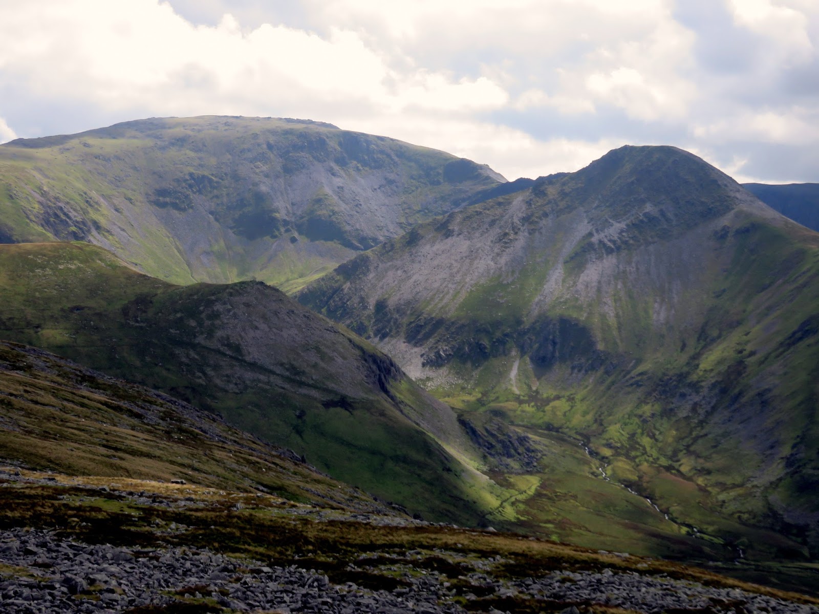
After much toil and frequent pauses, the steepness relented and the summit of Llwytmor came into view. As a satellite of the higher Foel-fras, views to the southeast are a bit restricted though, looking back in the direction I’d come from, the vista is quite impressive, particularly of the upcoming route across the Berau – more on those later.
 |
| Anglesey and the Menai Strait |
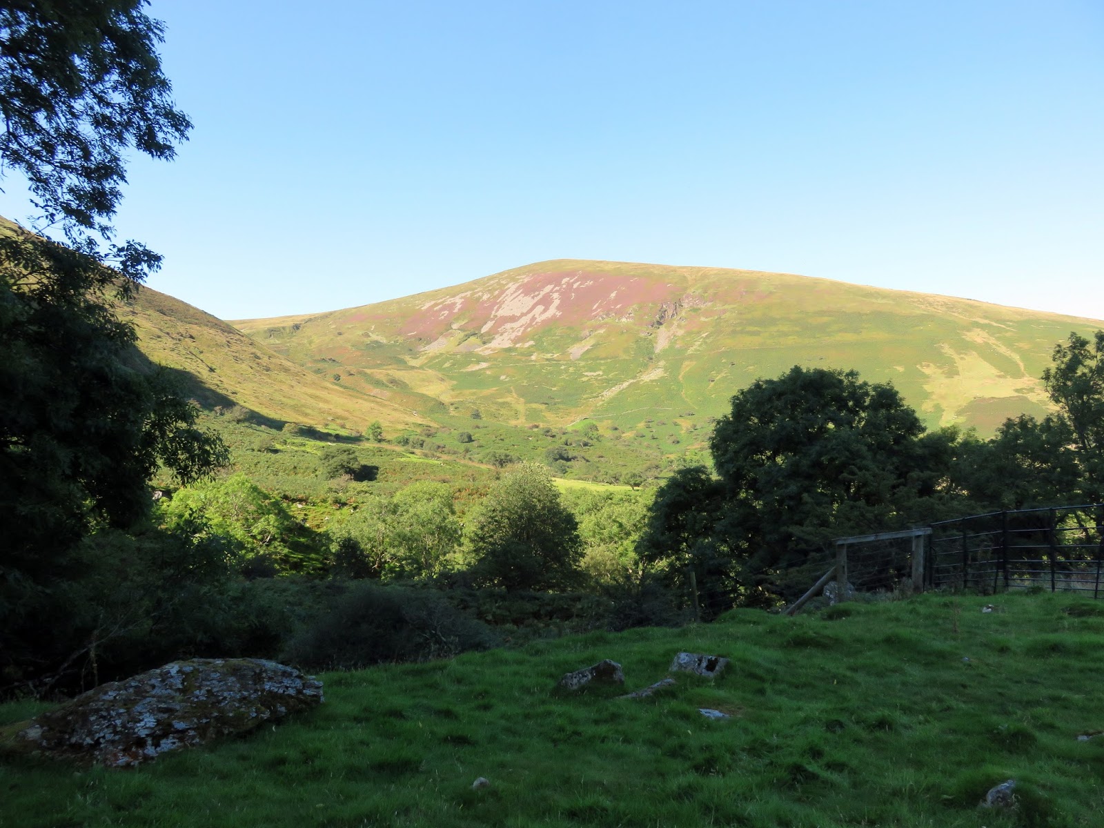
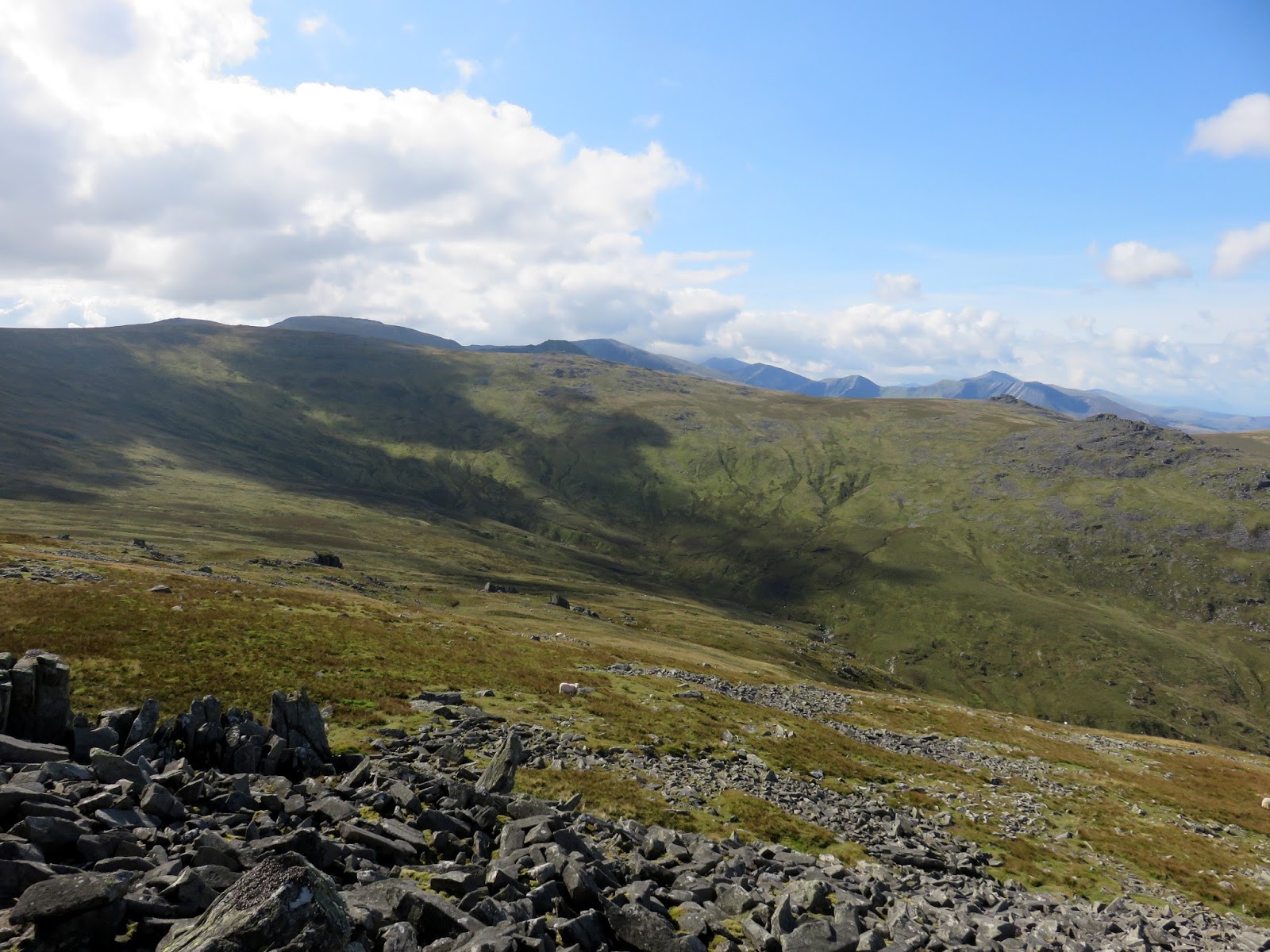
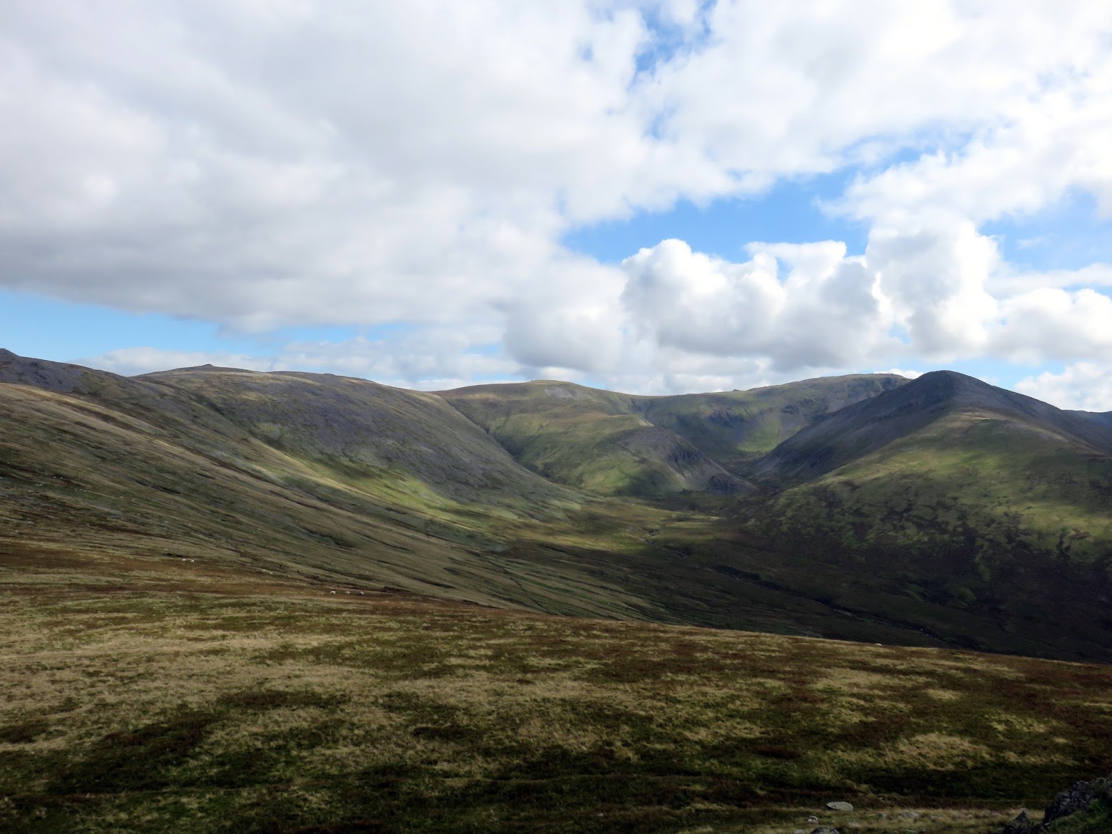
From Llwytmor, I crossed the marshy col above Pant y Mynach and made the 150m climb up to Foel-fras’ broad summit. Gone now were the tricky, pathless areas – the main ridge of the Carneddau is easy walking territory, despite its height.
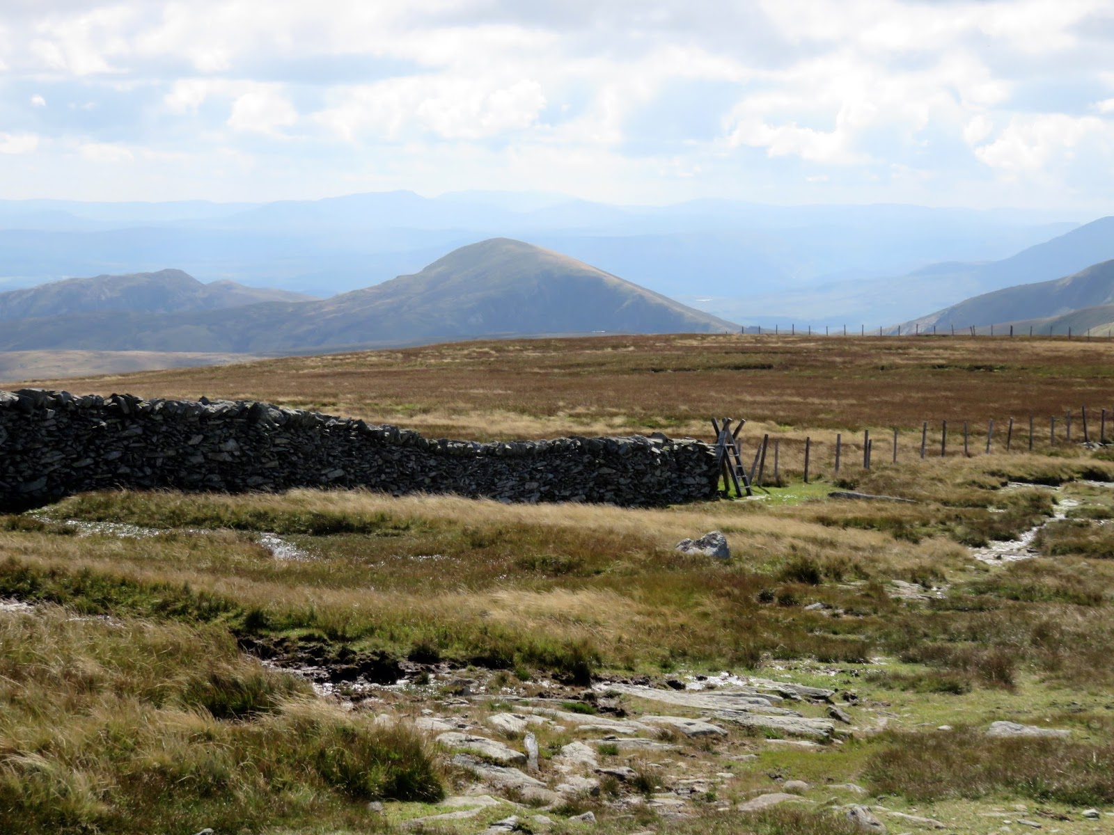
A drystone wall (or fence in places) runs much of the length of the Carneddau ridge and I followed it as far as Carnedd Gwenllian. Until recently, Carnedd Gwenllian was called Garnedd Uchaf. For some years there was a campaign by the Princess Gwenllian Society to have the name of this peak changed to Carnedd Gwenllian. Gwenllian of Wales was the only daughter of Llywelyn ap Gruffudd (who lends his name to Carnedd Llewelyn). In 2009 the summit was officially renamed Carnedd Gwenllian and the Ordnance Survey has agreed to use the dual name Carnedd Uchaf/Carnedd Gwenllian on its maps from 2010 onwards.
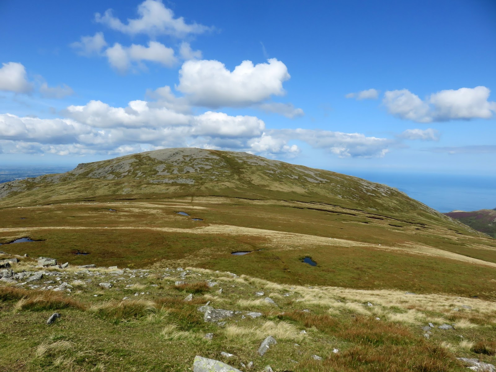
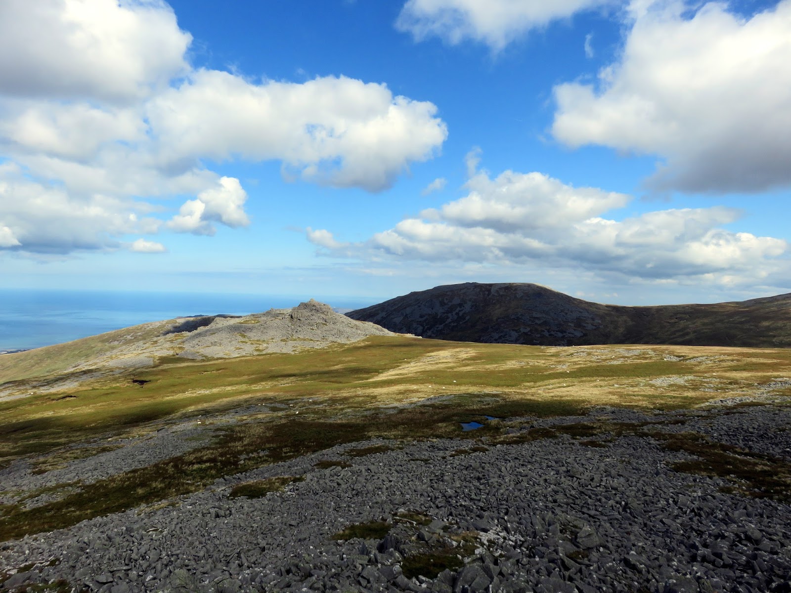
As a mountain, Carnedd Gwenllian is pretty unremarkable and is quite often not included in the list of Welsh 3,000s due to its overall lack of prominence. From Carnedd Gwenllian, the route descends slightly to the imposing outcrop of Yr Aryg (a good spot for lunch) before descending further into the realm of the Berau.
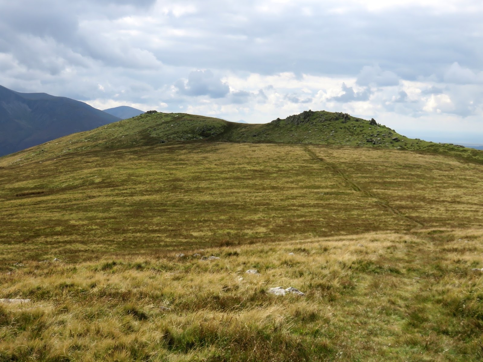
 |
| Yr Aryg |
 |
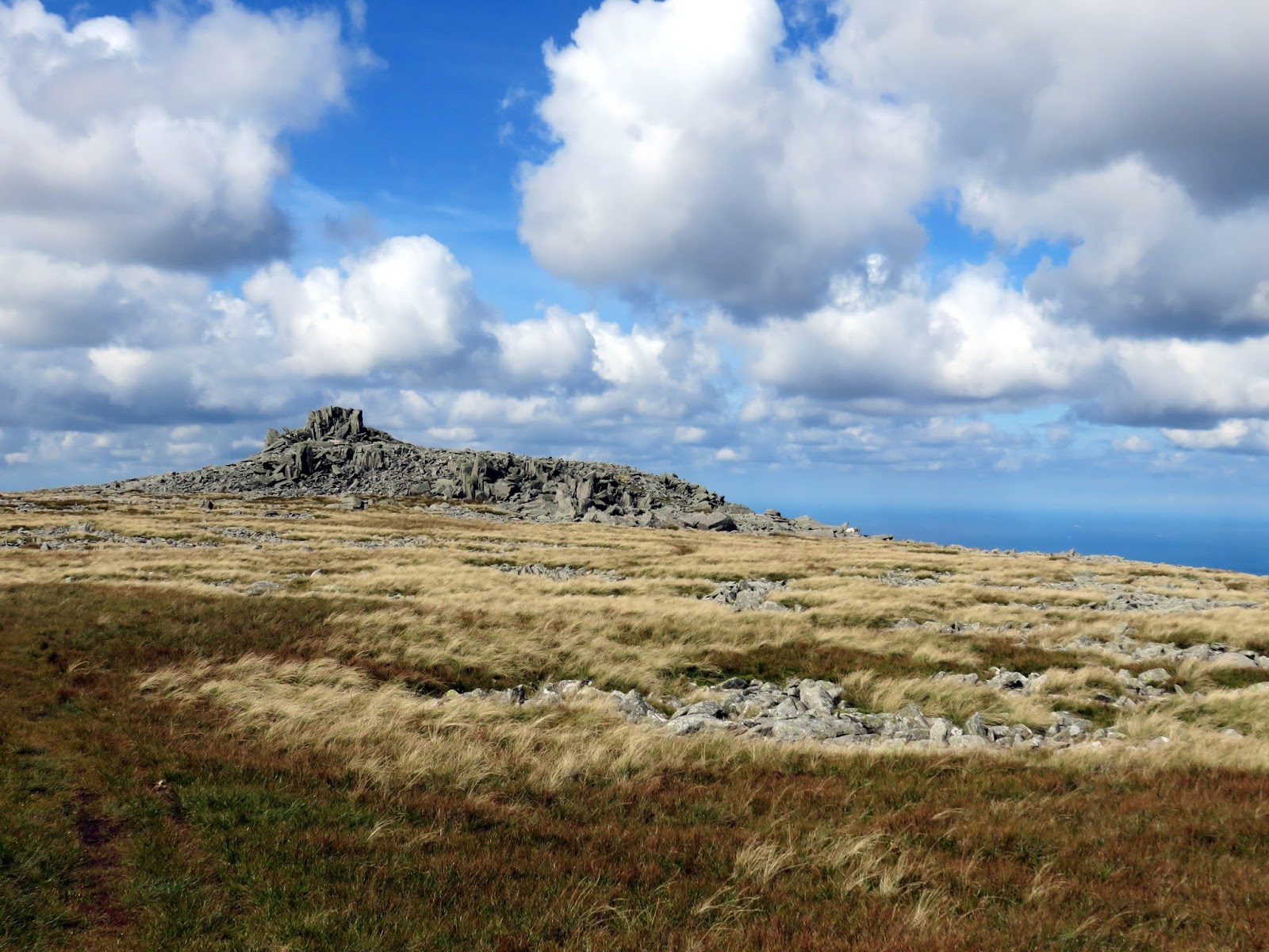
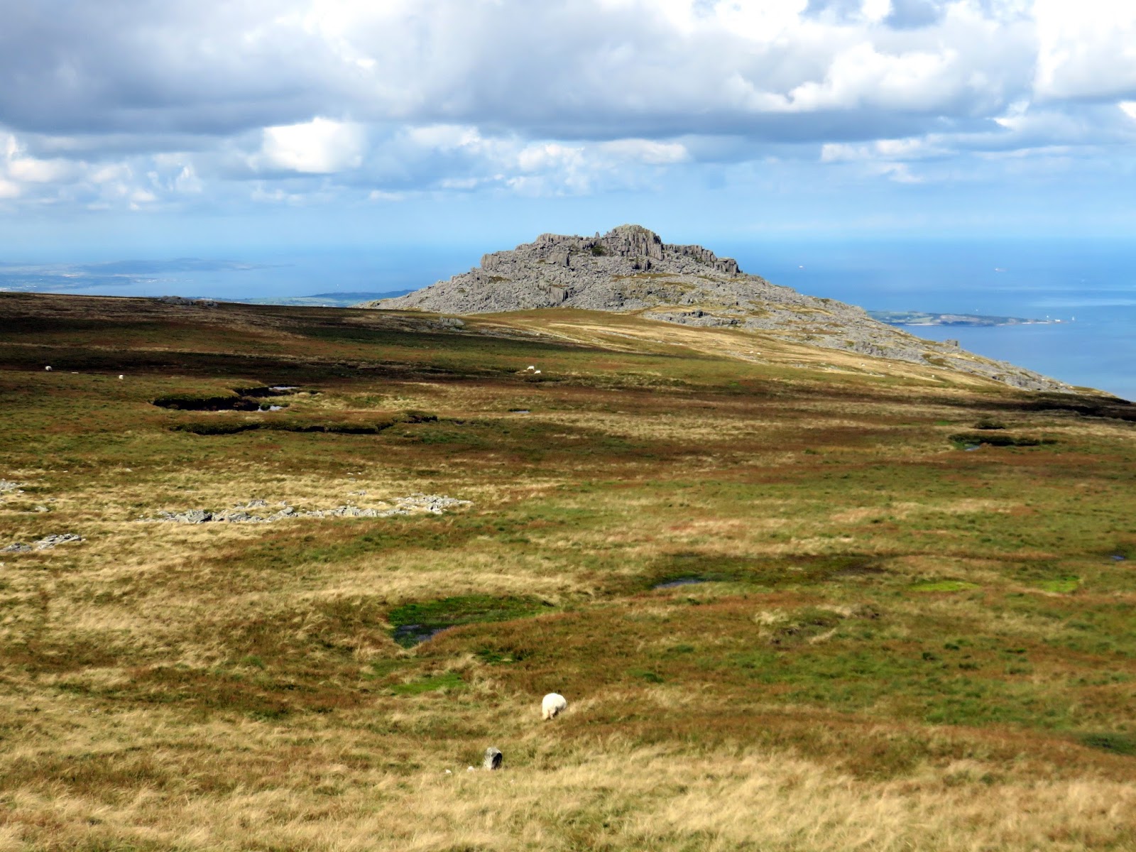
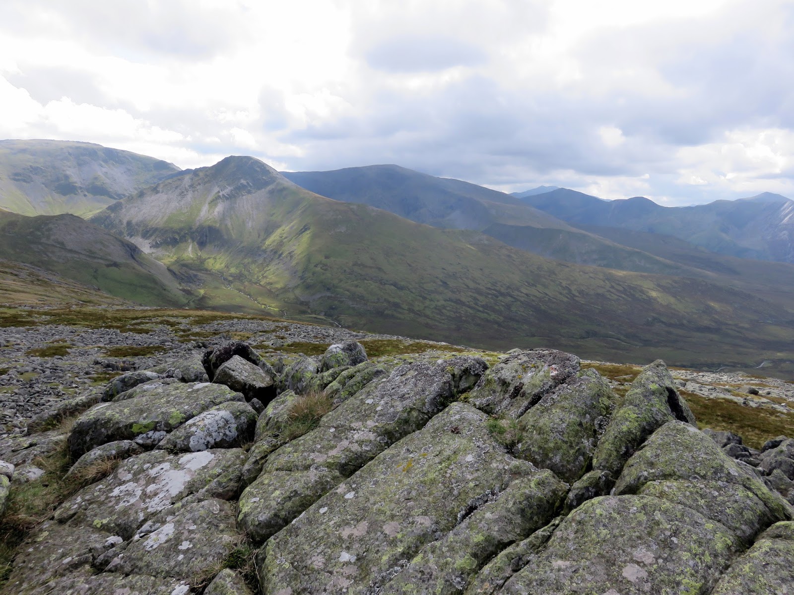
| The Berau |
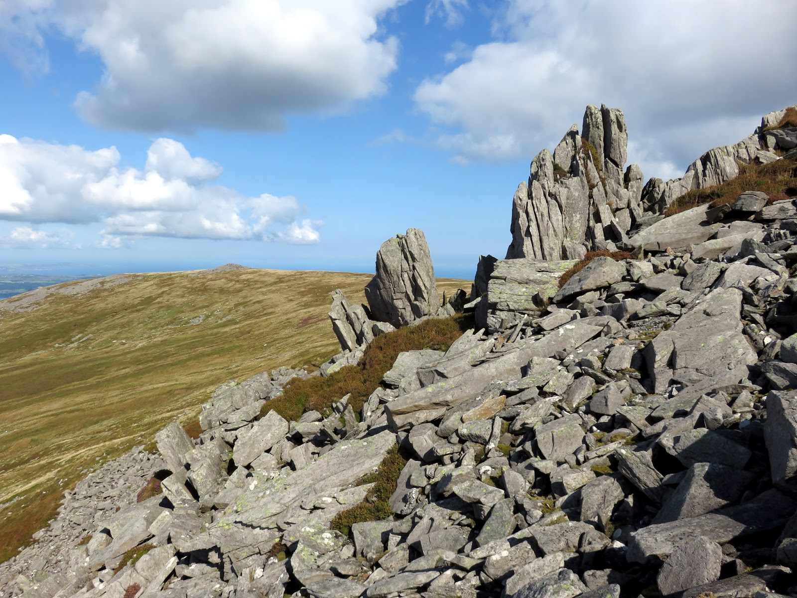
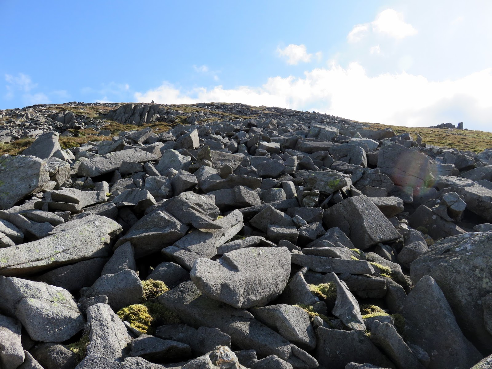
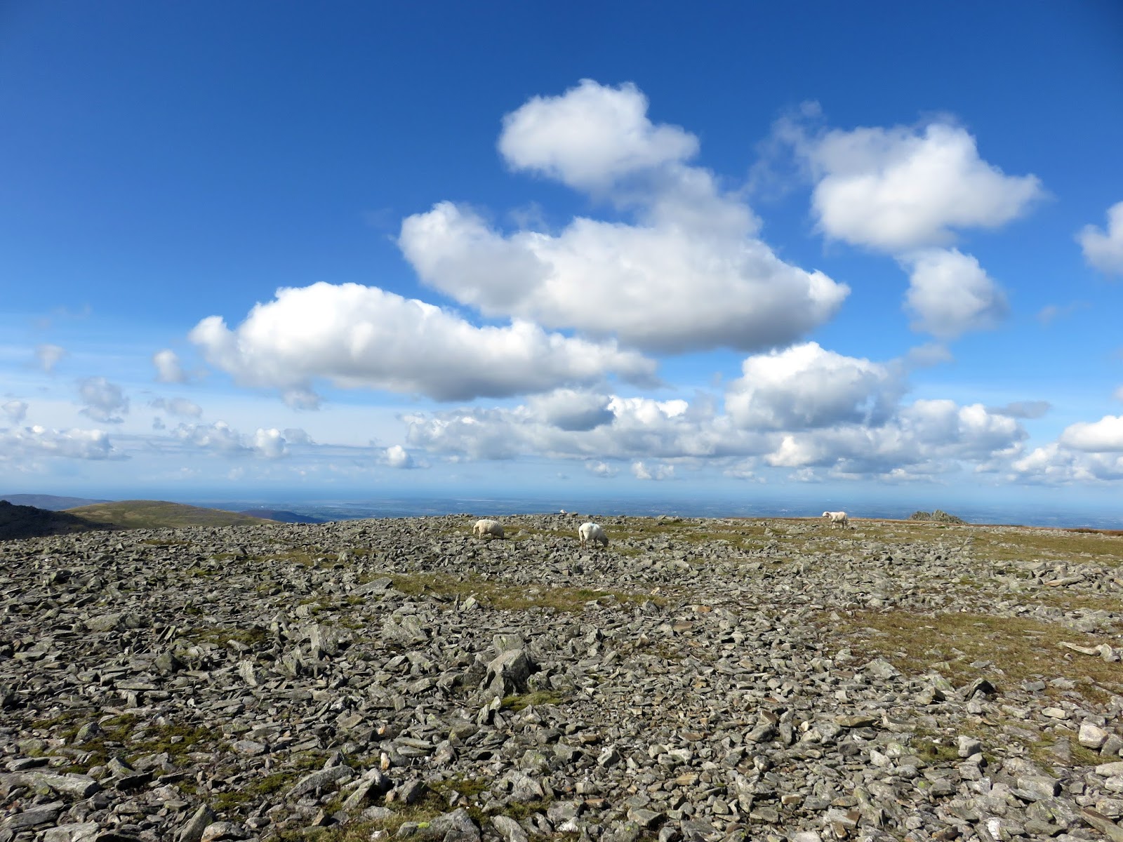
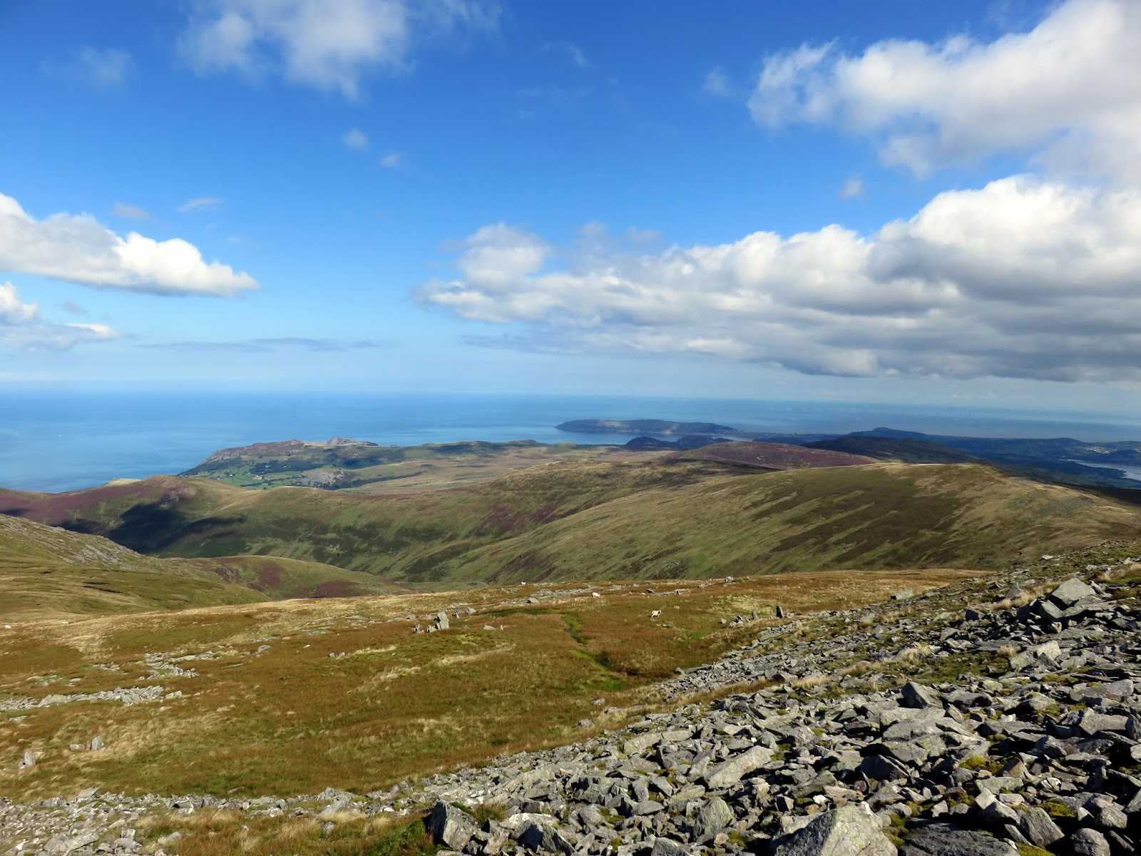
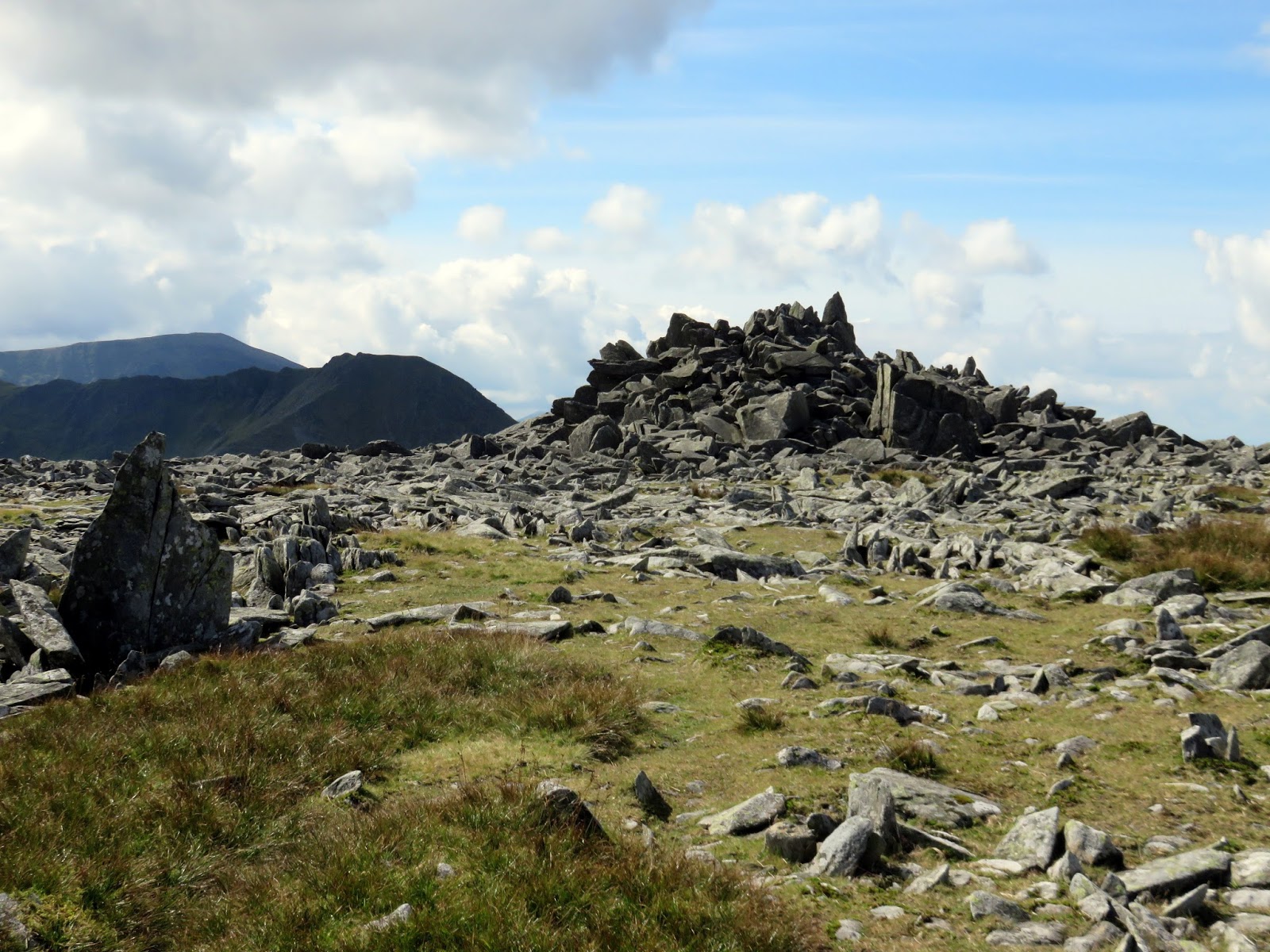
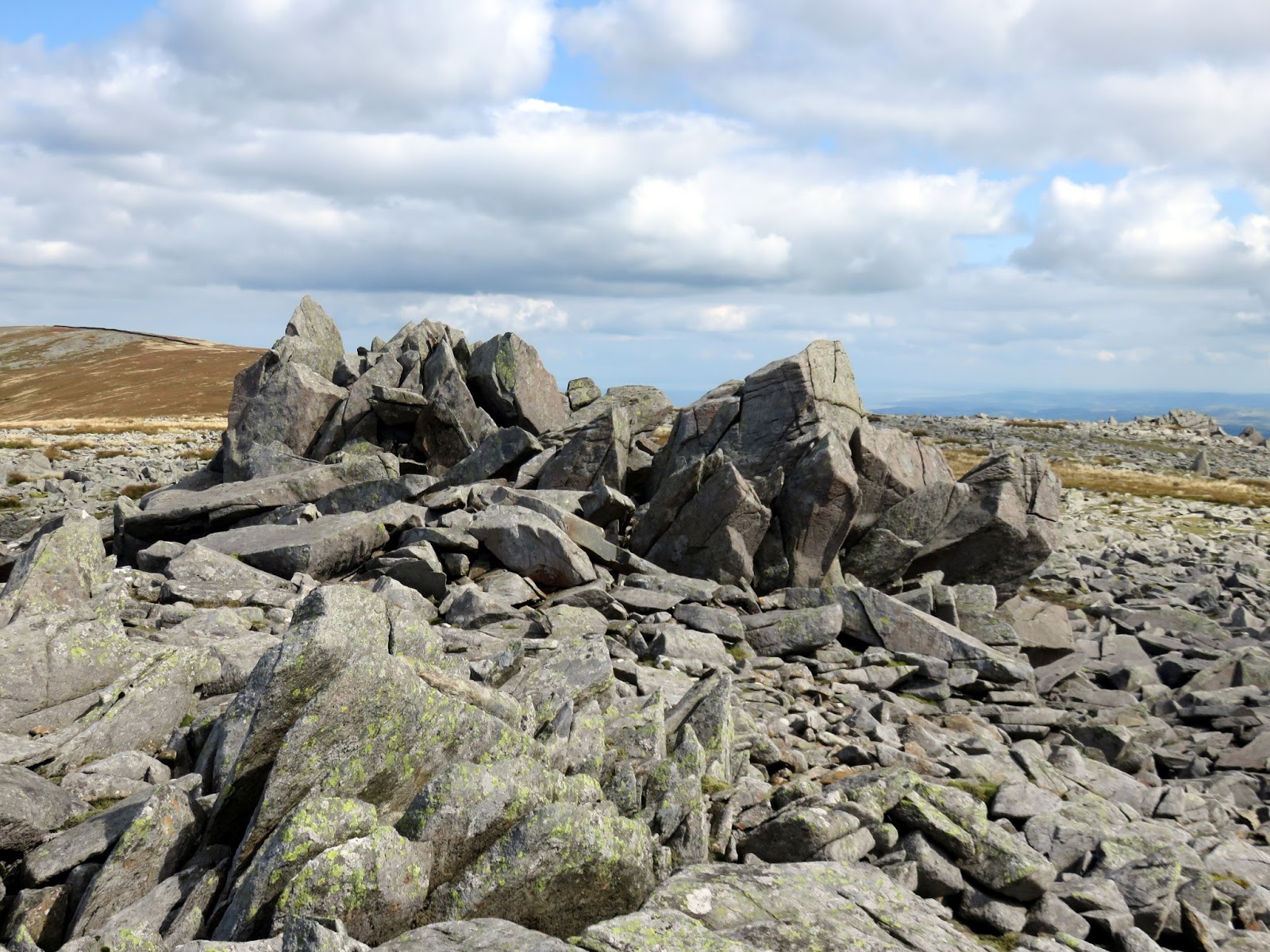
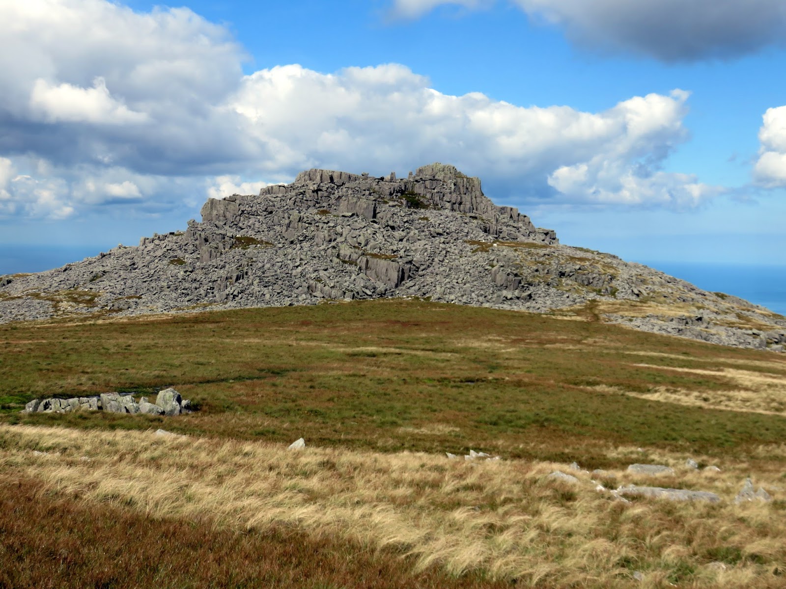
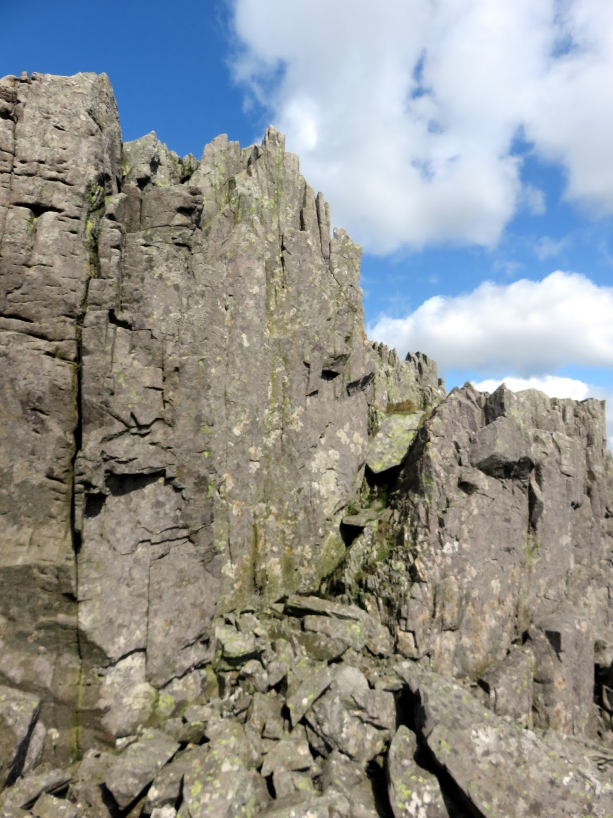
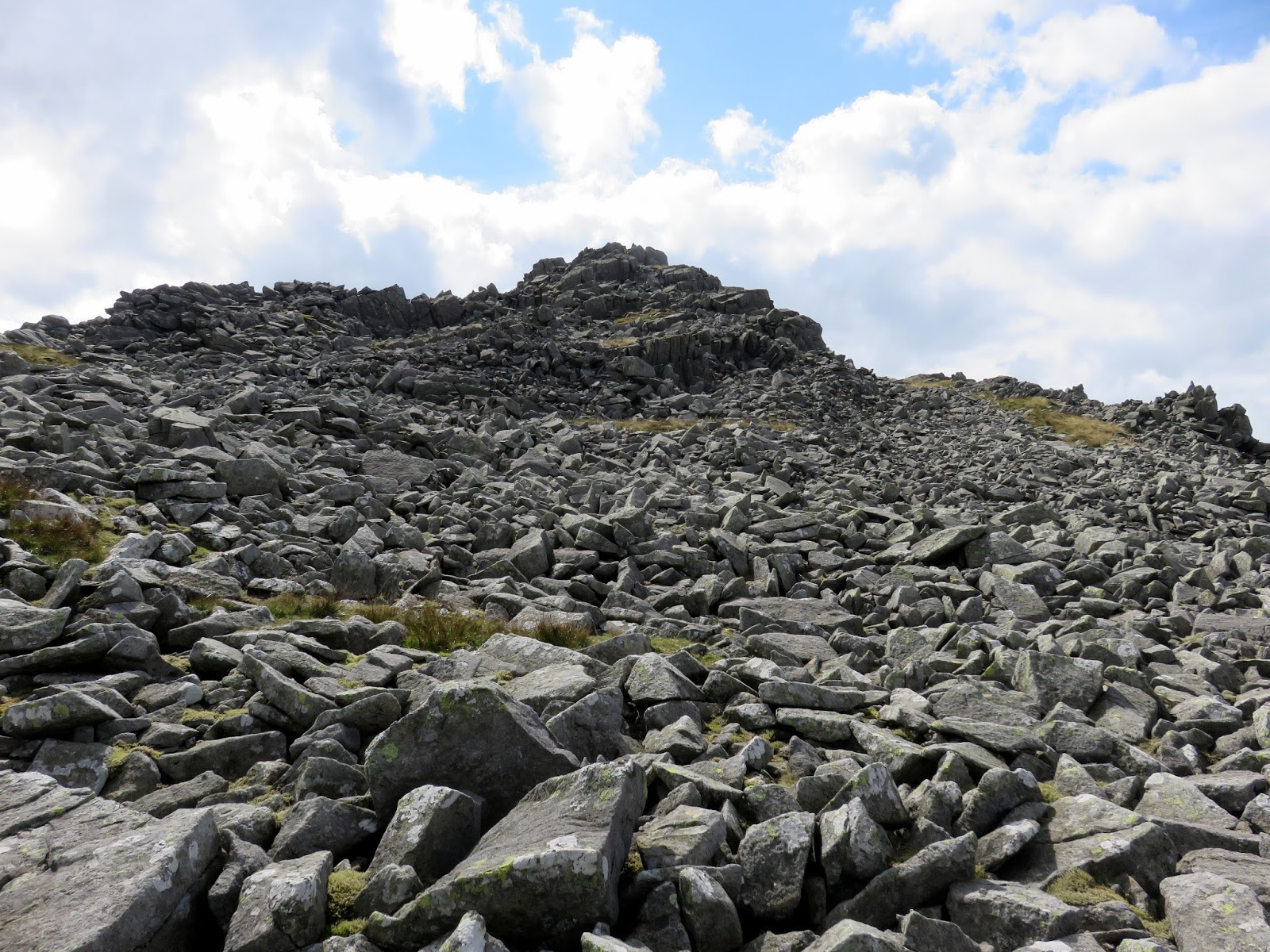
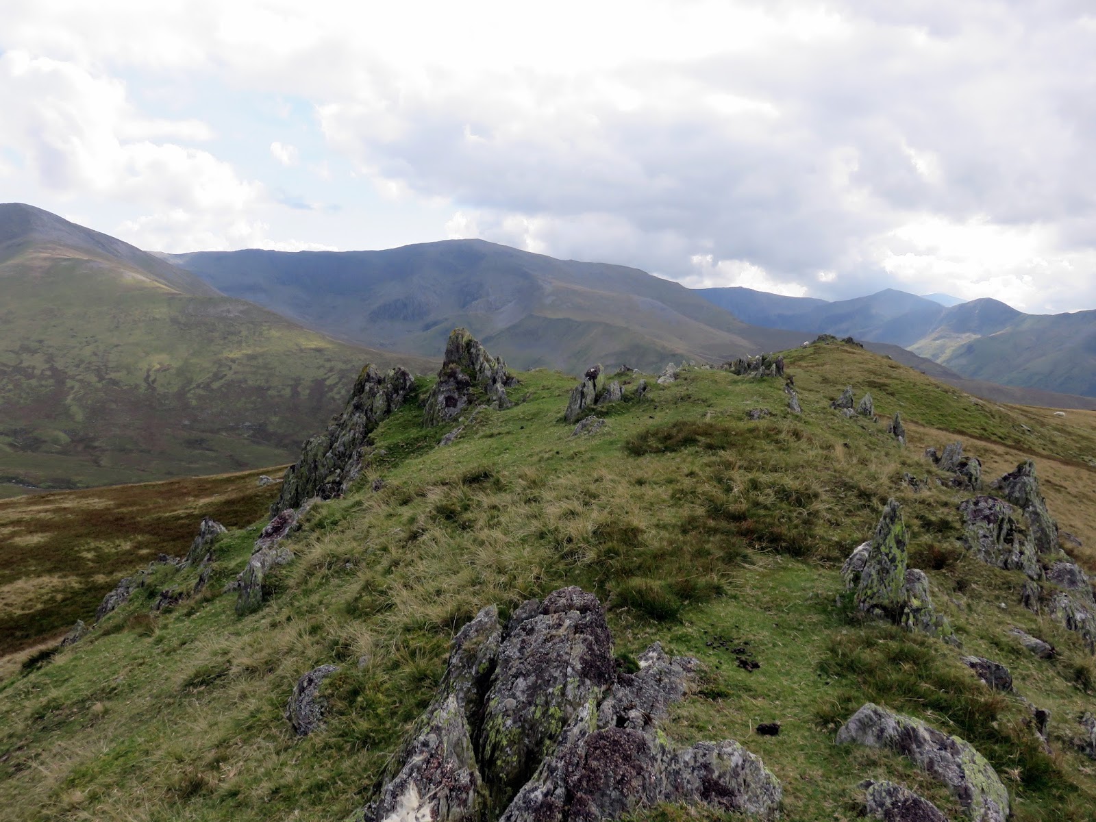
The Berau consist (mainly) of Bera Mawr and Bera Bach, two stony outcrops among otherwise boggy grass. They are both excellent examples of the area’s tors, the welsh being translated to stack. I visited Bera Mawr first, which is capped by an excellent rocky summit which requires some mild scrambling to get around, followed by Bera Bach. Despite ‘Bach’ meaning small in Welsh, Bera Back is higher than the neighbouring Bera Mawr.
 |
| Some mild scrambling is required to reach the summit |
Like Carnedd Gwenllian, there’s some more Welsh history located here. It was in a bog in the northern foothills of Bera Mawr, at a place called Nanhysglain, that Prince Dafydd ap Gruffudd and his family were betrayed and captured in June 1283 during the Conquest of Wales by Edward I. In October, Dafydd was executed at Shrewsbury on the orders of Edward I. His death marked the end of the 700-year rule of Gwynedd by the family descended from Cunedda Wledig and an independent Wales.
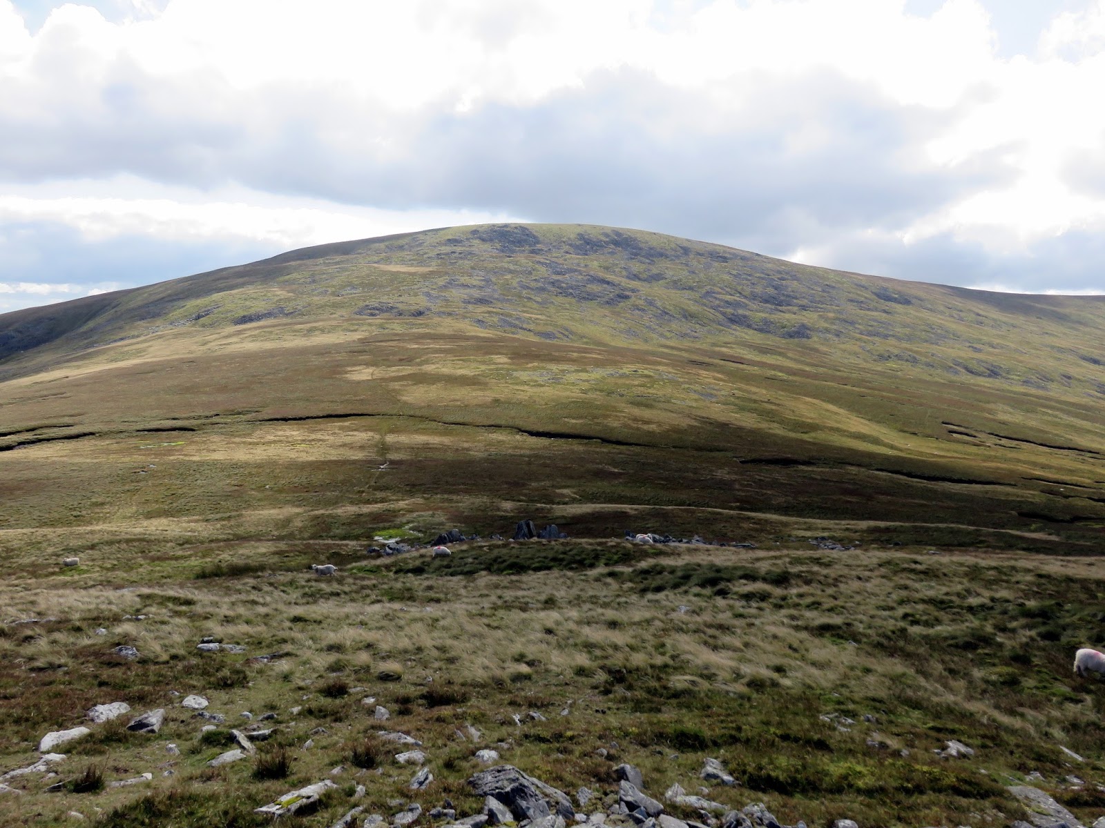
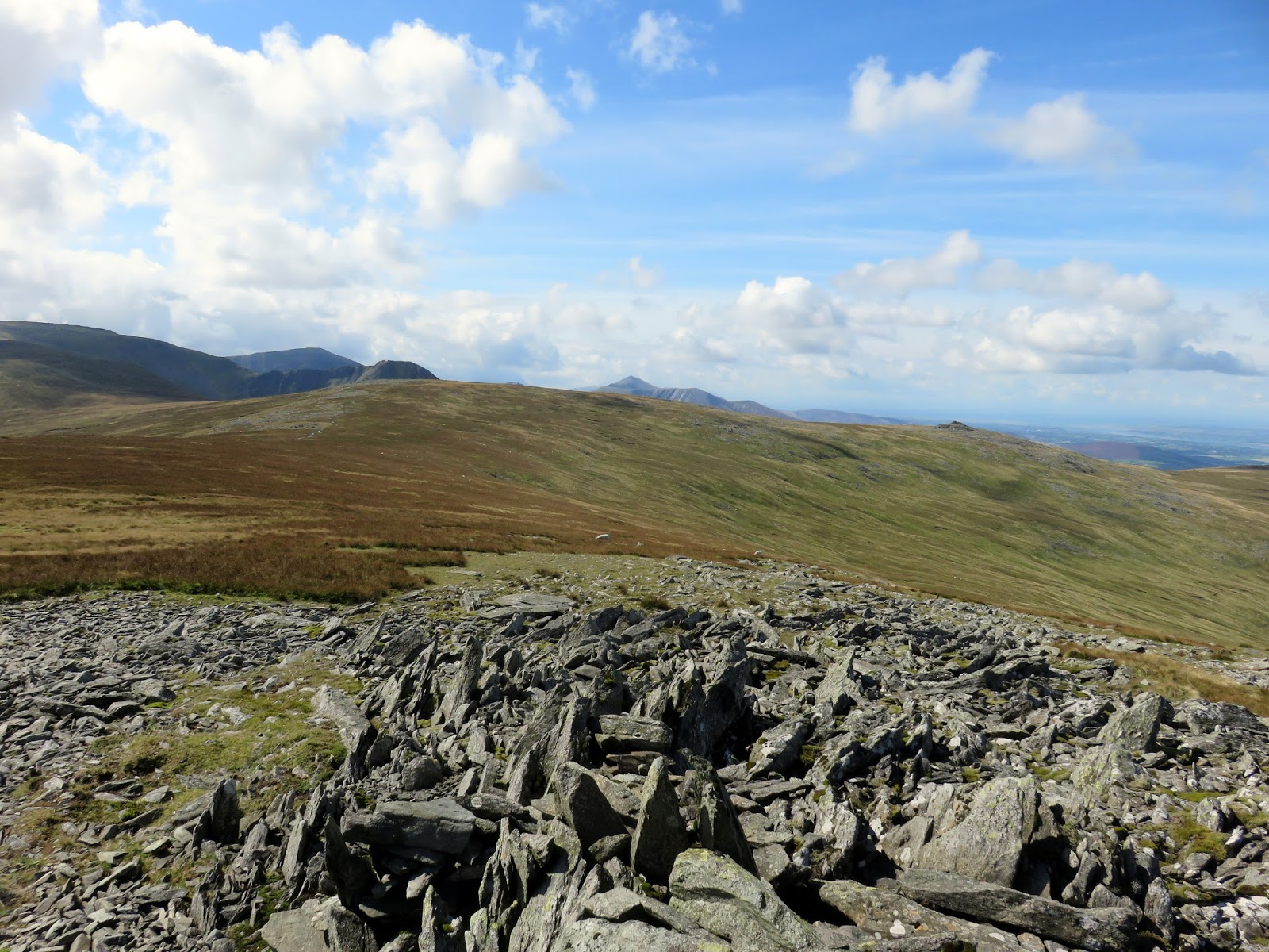
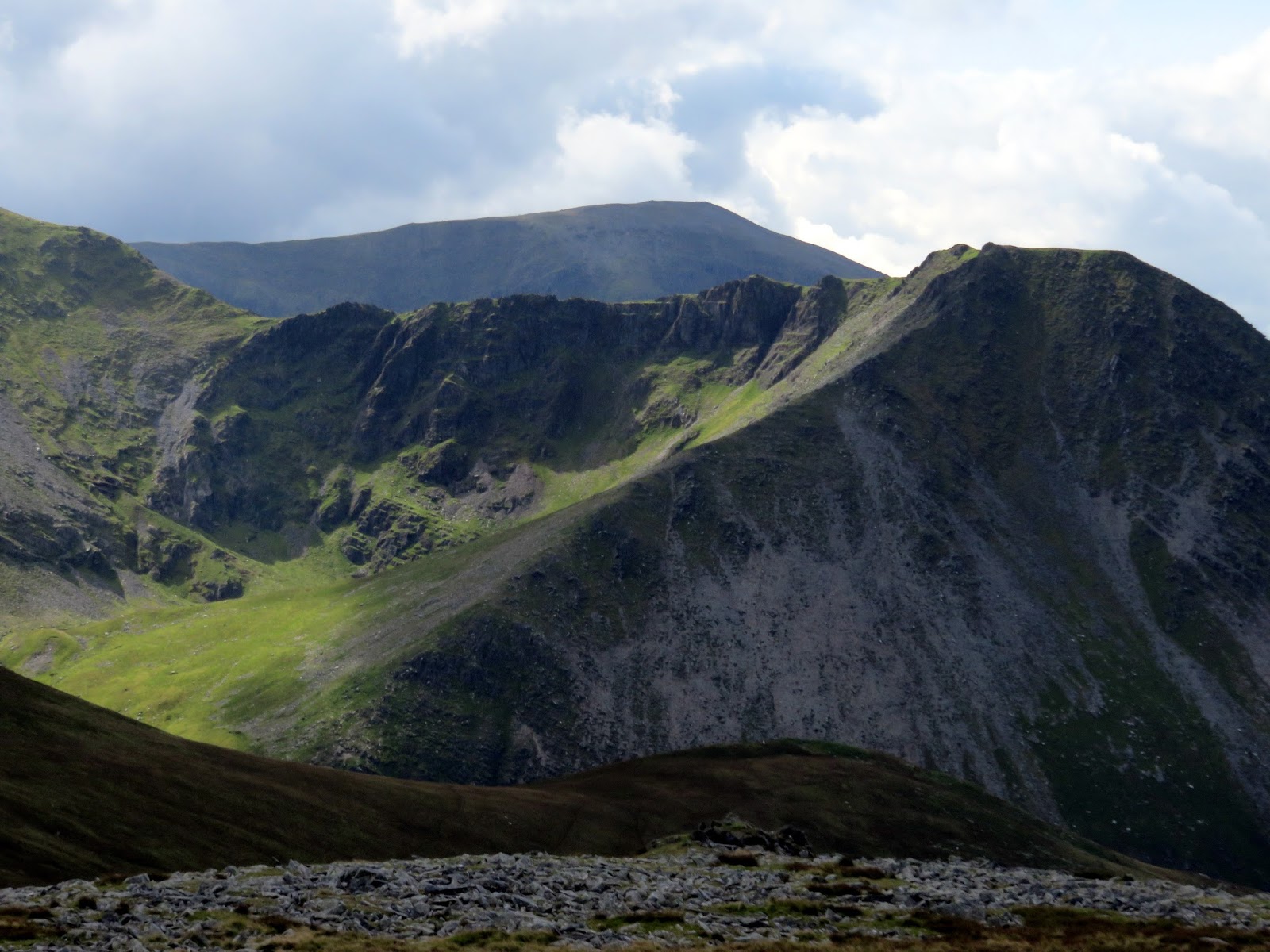
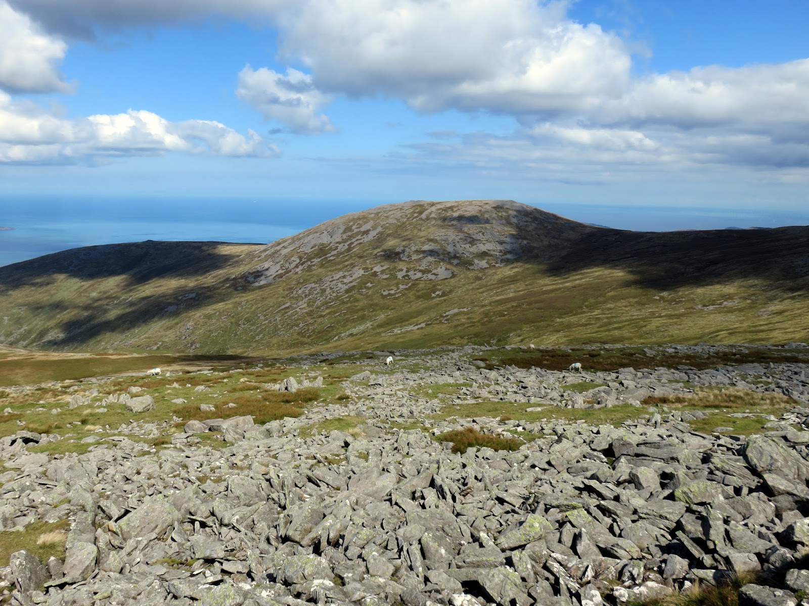
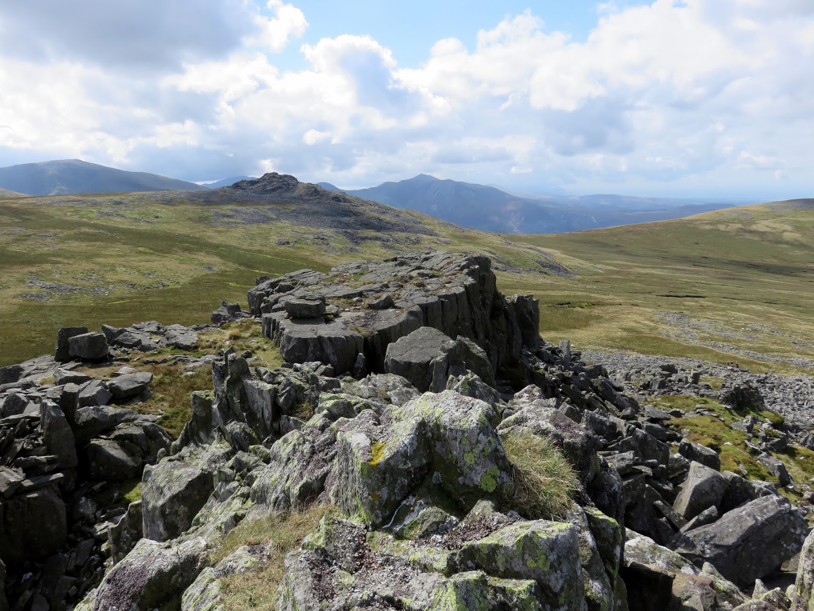
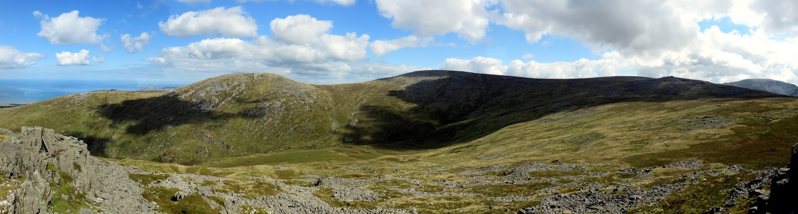
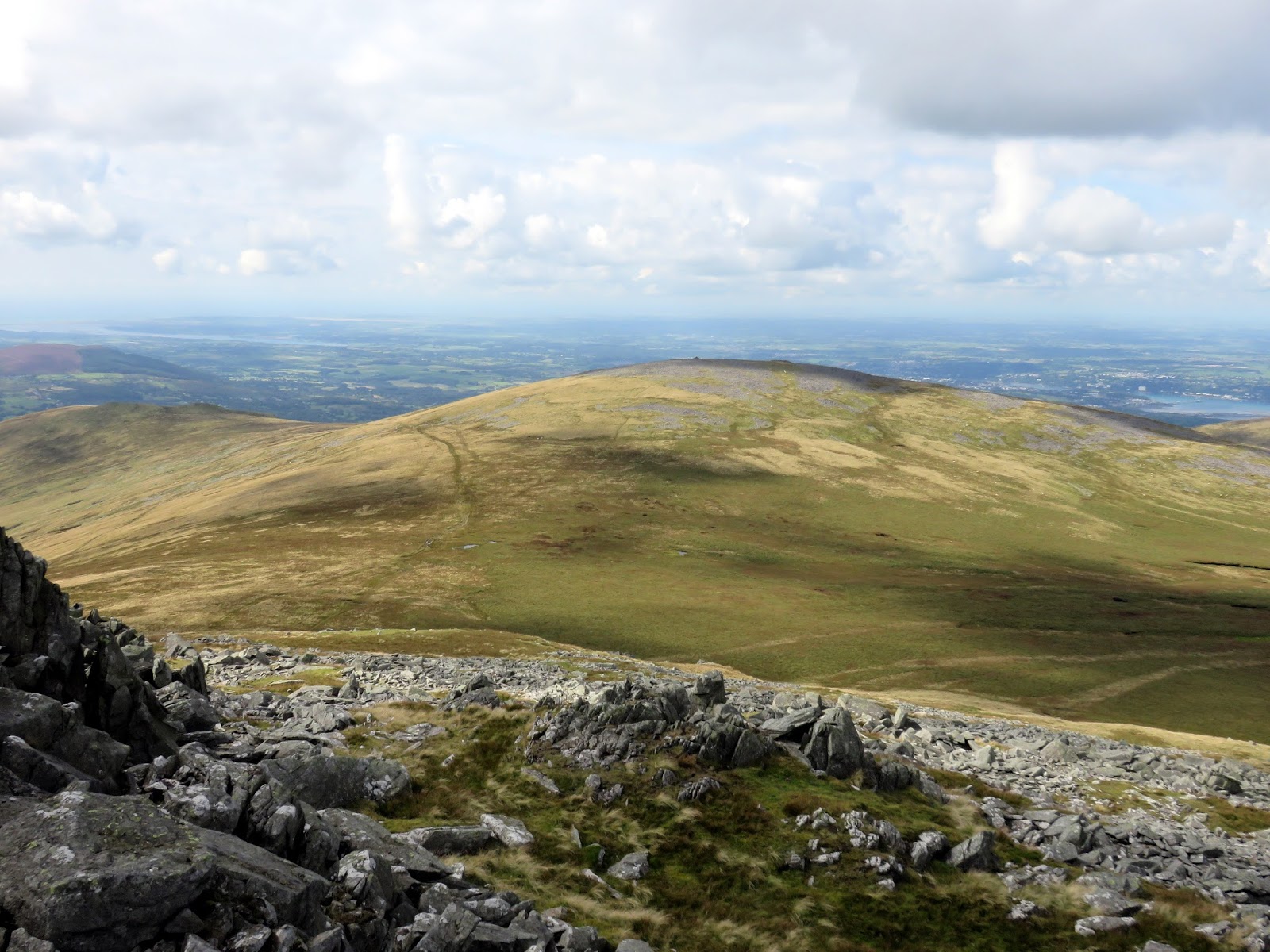
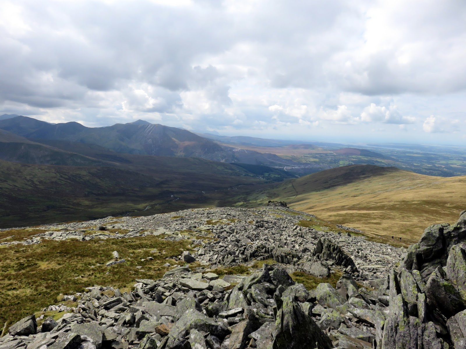
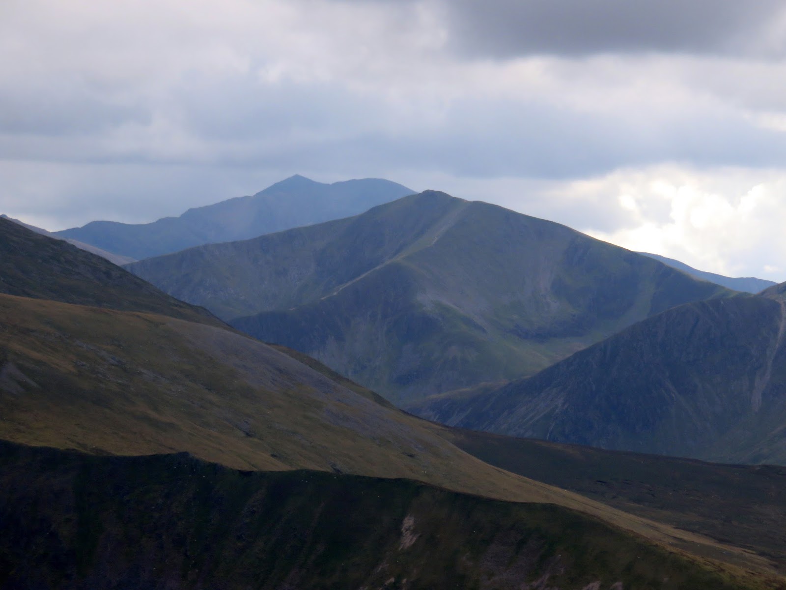
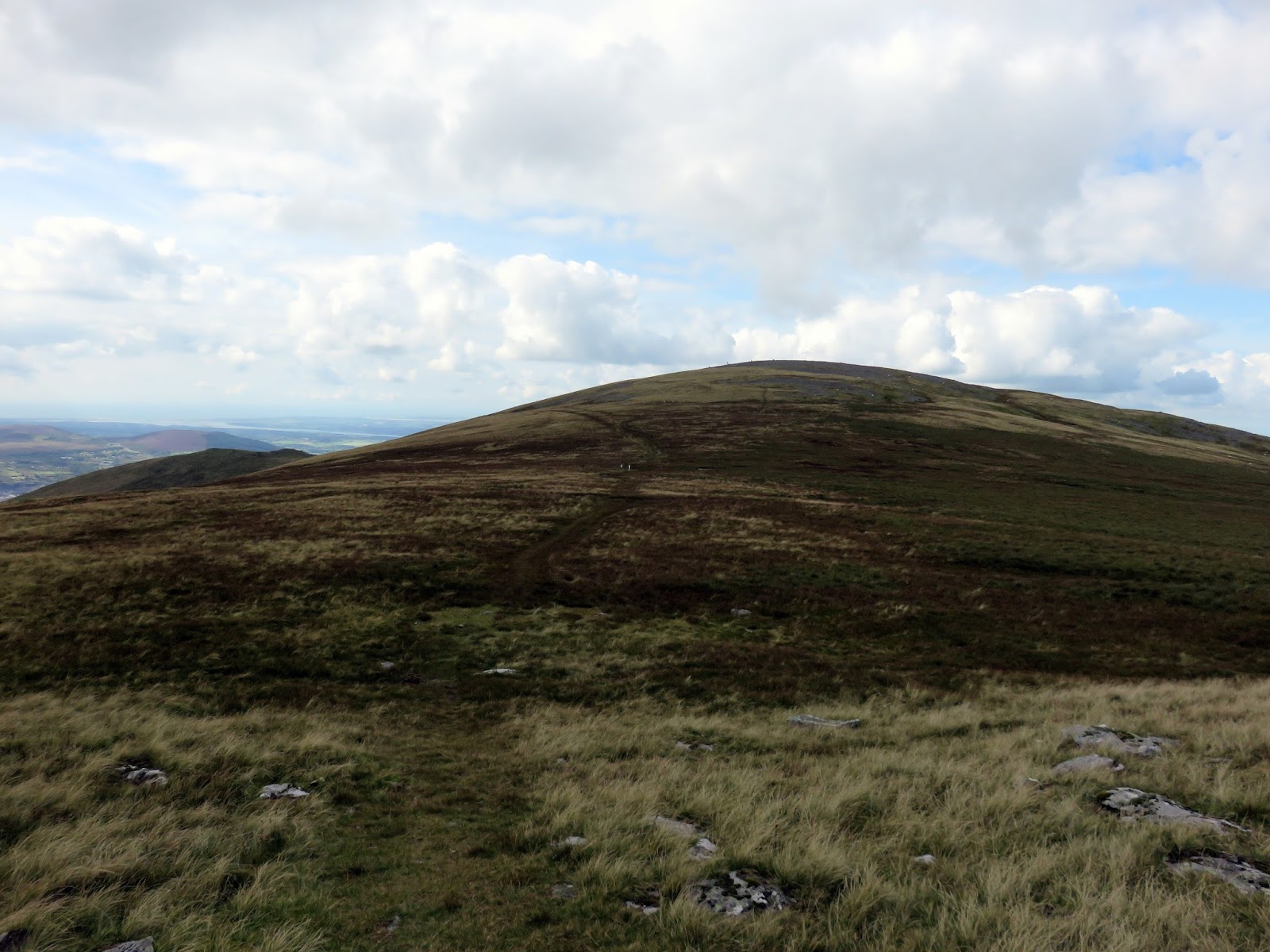
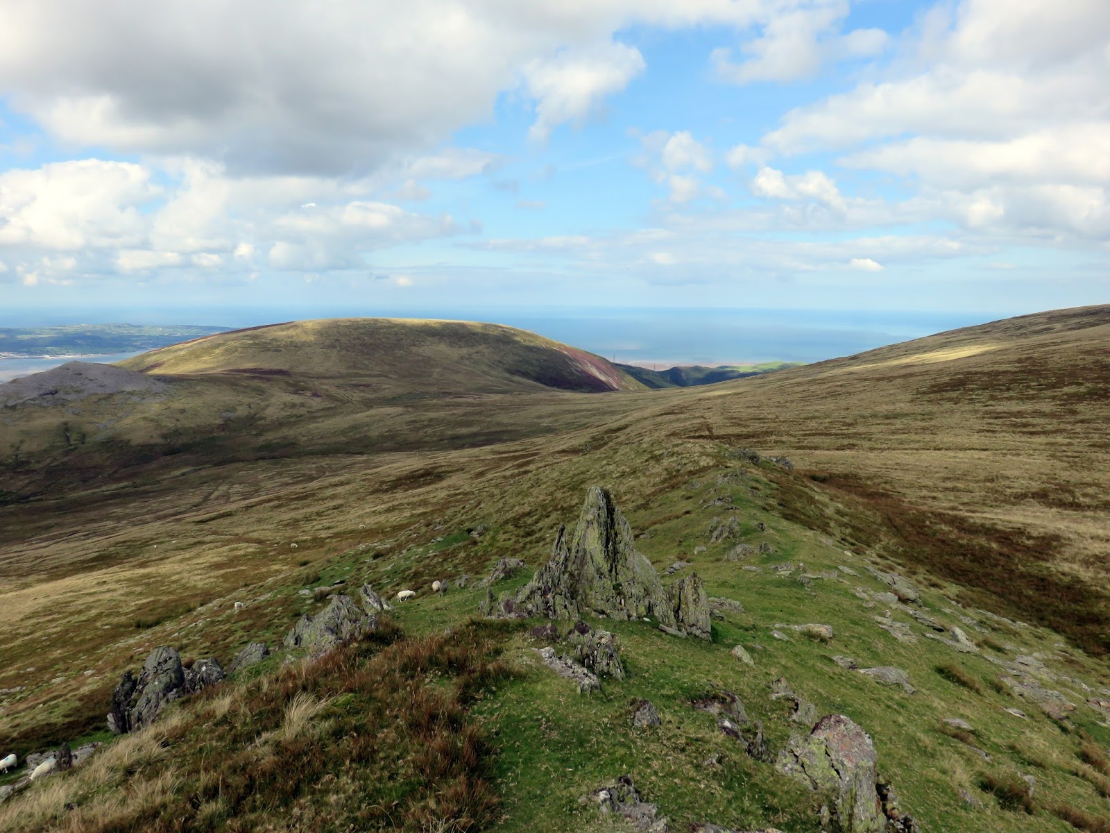
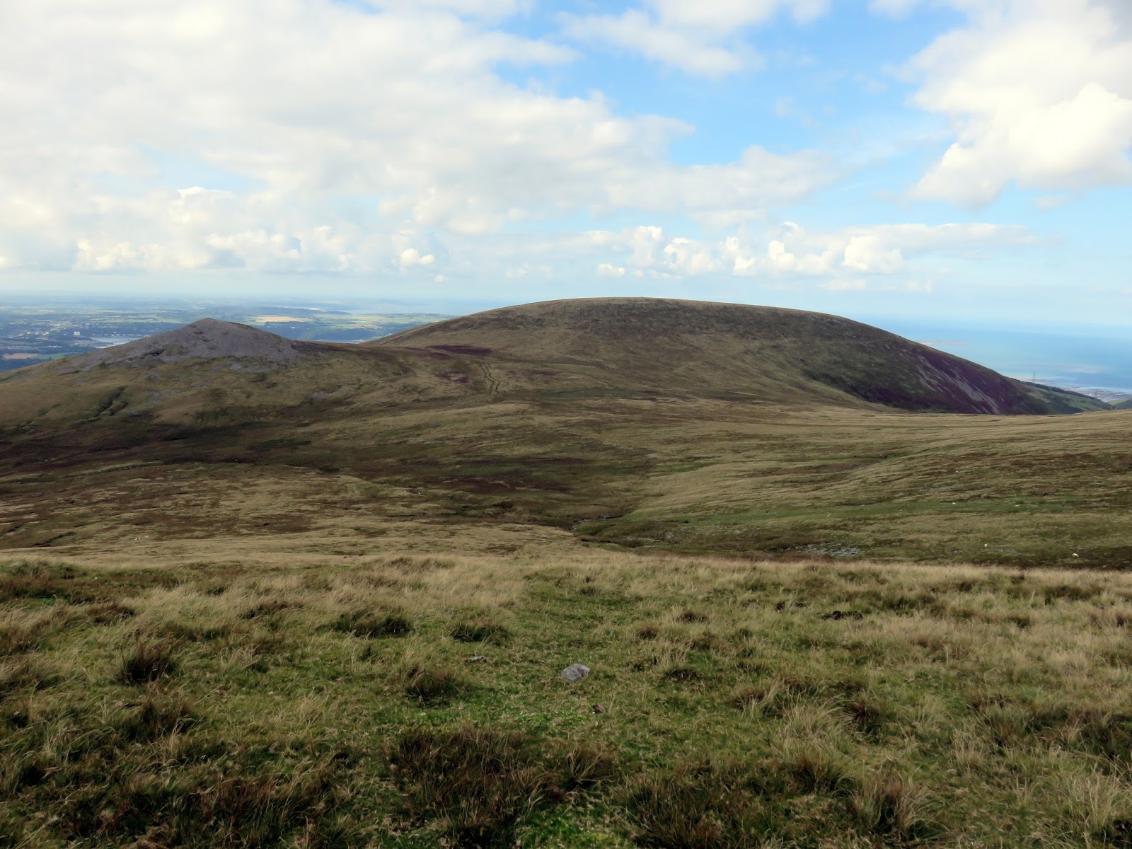
From Bera Bach, a broad path leads down to Drosgl which, like Gwenllian before, is an unmemorable place. Much more interesting is the neighbouring Gyrn Wigau, the termination of Drosgl’s south-west ridge which has a rocky crest and a superb view of Afon Caseg, Carnedd Llewelyn and Yr Elen.
 |
| Looking along the Afon Caseg towards Bethesda |
 |
| Y Garn and Snowdon |
 |
| Looking to Moel Wnion |
 |
| Gyrn and Moel Wnion |
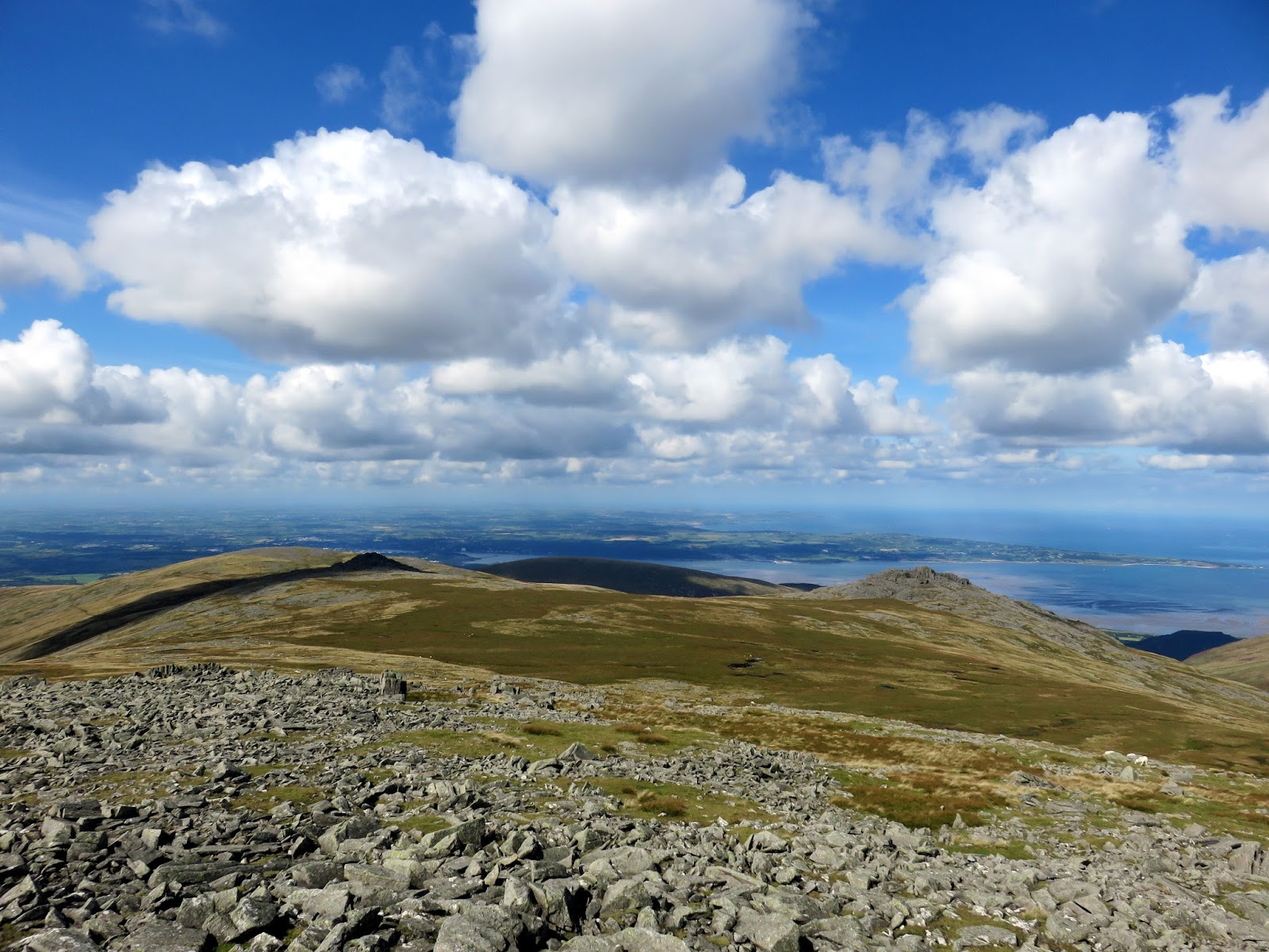
Now begins a fairly long descent back to Aber Falls. The first task is to reach the col below Moel Wnion to pick up a path on the left-hand side (looking downhill) of the Afon Gam. The path, which was indistinct for much of the way down, will eventually reach a stile which crosses from the Access Land of the Carneddau to the public bridleway that leads to Aber Falls.
 |
| Llwytmor Bach |
 |
| A path runs down through the bracken |
 |
| Marian Rhaeadr-fawr |
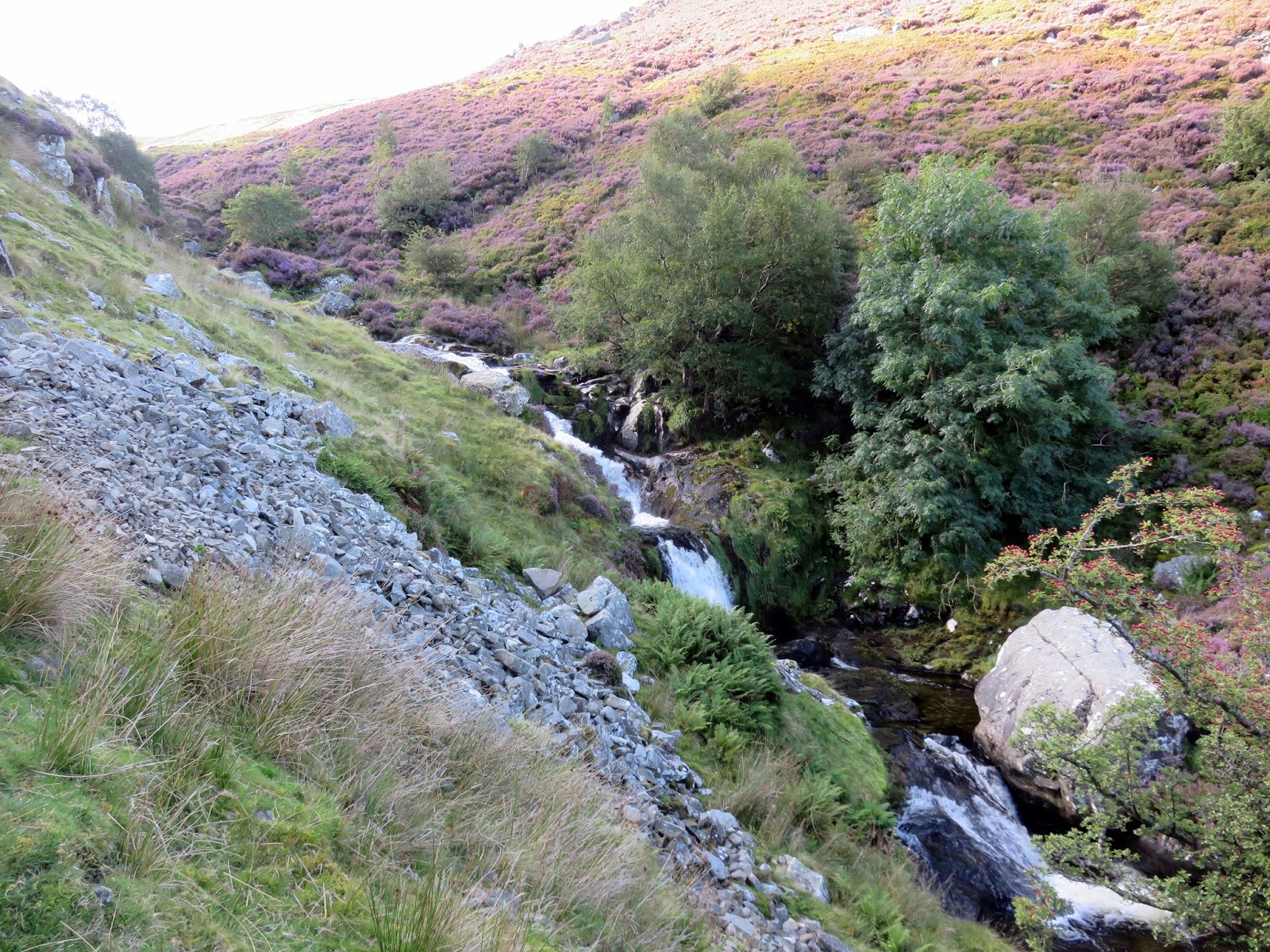
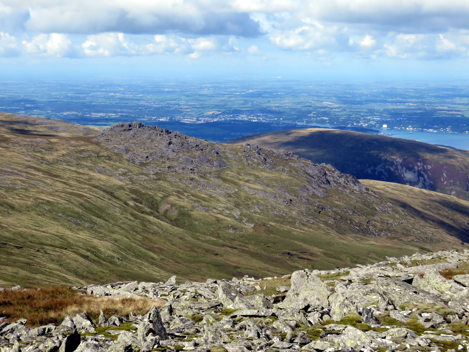
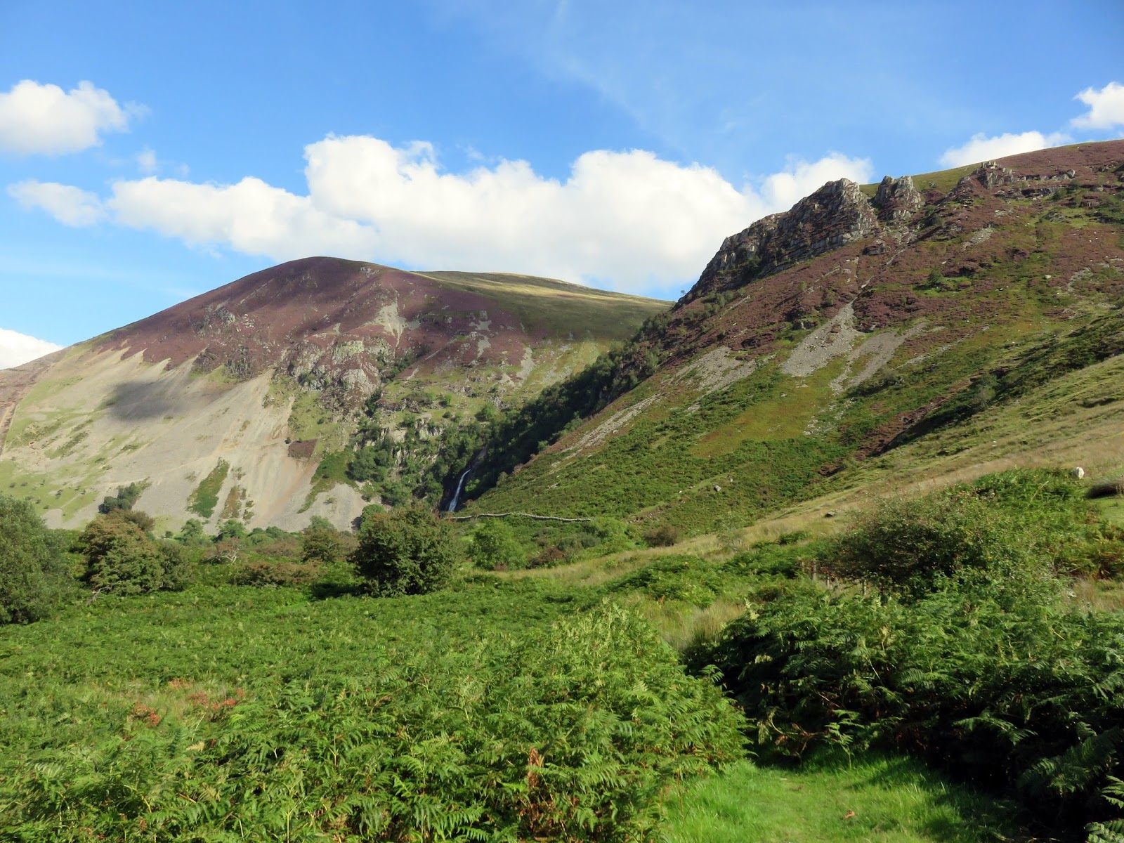
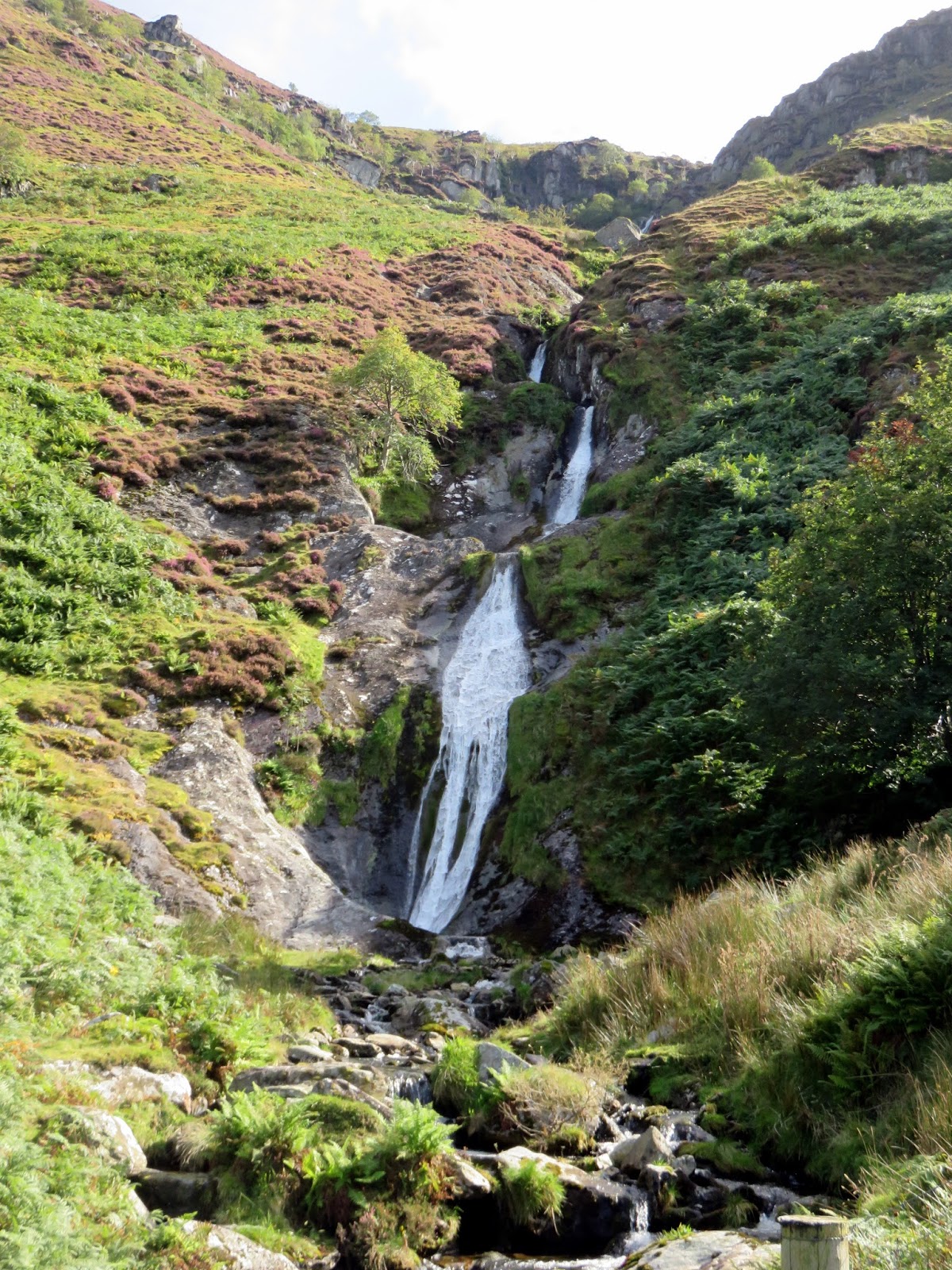
Before reaching Aber Falls, the waterfall of Rhaeadr-bach are passed. Were they not situated next to Aber Falls, they would be much more famous. The daytime crowds had appeared by the time I reached Aber Falls, this time on the opposite side of the river, where views of the falls are much better.
 |
| Rhaeadr-bach |
 |
| Aber Falls |
 |
| Marian Rhaeadr-fawr |
The return to the car is back along the paved track to the car parks (via the upper of the two which has the toilets). After a cloudy interlude after lunch, it has cleared to a stunning, late summer afternoon and it was still reasonably early which left me time for an enjoyable drive through the Ogwen Valley and a brief stop in Betws-y-Coed before the long drive back to Leeds.
