Open Space Web-Map builder Codehttps://openspace.ordnancesurvey.co.uk/osmapapi/openspace.js?key=3119F72552FD5C22E0530C6CA40A5A92https://openspace.ordnancesurvey.co.uk/osmapapi/script/mapbuilder/basicmap.jshttps://openspace.ordnancesurvey.co.uk/osmapapi/script/mapbuilder/searchbox.js//variables for routes var linesLayer, points, lineFeature, lineString, routeMarkersLayer, routepos, routesize, routeoffset, routeicon; var style_blue = {strokeColor: “#0000CD”, strokeOpacity: 0.5, strokeWidth: 4.5}; function initmapbuilder() { //initiate the map var options = {resolutions: [2500, 1000, 500, 200, 100, 50, 25, 10, 5, 4, 2.5, 2, 1]}; osMap = new OpenSpace.Map(‘map’, options); //configure map options (basicmap.js) setglobaloptions(); //set the center of the map and the zoom level osMap.setCenter(new OpenSpace.MapPoint(406225,460525),7); linesLayer = osMap.getVectorLayer(); // Set up layer for route markers routeMarkersLayer = new OpenLayers.Layer.Markers(“Route Markers”); //make a route points = new Array(); points.push(new OpenLayers.Geometry.Point(405340,460115)); points.push(new OpenLayers.Geometry.Point(405150,460120)); points.push(new OpenLayers.Geometry.Point(404955,460180)); points.push(new OpenLayers.Geometry.Point(404790,460180)); points.push(new OpenLayers.Geometry.Point(404690,460205)); points.push(new OpenLayers.Geometry.Point(404675,460030)); points.push(new OpenLayers.Geometry.Point(404800,460035)); points.push(new OpenLayers.Geometry.Point(405090,459770)); points.push(new OpenLayers.Geometry.Point(405225,459725)); points.push(new OpenLayers.Geometry.Point(405640,459650)); points.push(new OpenLayers.Geometry.Point(405785,459515)); points.push(new OpenLayers.Geometry.Point(405830,459400)); points.push(new OpenLayers.Geometry.Point(405985,459260)); points.push(new OpenLayers.Geometry.Point(406135,459260)); points.push(new OpenLayers.Geometry.Point(406355,459155)); points.push(new OpenLayers.Geometry.Point(406320,459110)); points.push(new OpenLayers.Geometry.Point(406435,459060)); points.push(new OpenLayers.Geometry.Point(406425,458950)); points.push(new OpenLayers.Geometry.Point(406570,458955)); points.push(new OpenLayers.Geometry.Point(406570,458860)); points.push(new OpenLayers.Geometry.Point(406640,458880)); points.push(new OpenLayers.Geometry.Point(406660,458830)); points.push(new OpenLayers.Geometry.Point(406885,458840)); points.push(new OpenLayers.Geometry.Point(406960,458950)); points.push(new OpenLayers.Geometry.Point(407120,459145)); points.push(new OpenLayers.Geometry.Point(407255,459280)); points.push(new OpenLayers.Geometry.Point(407445,459490)); points.push(new OpenLayers.Geometry.Point(407795,459645)); points.push(new OpenLayers.Geometry.Point(407900,459825)); points.push(new OpenLayers.Geometry.Point(407730,459770)); points.push(new OpenLayers.Geometry.Point(407770,459855)); points.push(new OpenLayers.Geometry.Point(407735,459950)); points.push(new OpenLayers.Geometry.Point(407860,460195)); points.push(new OpenLayers.Geometry.Point(407815,460230)); points.push(new OpenLayers.Geometry.Point(407840,460295)); points.push(new OpenLayers.Geometry.Point(407760,460285)); points.push(new OpenLayers.Geometry.Point(407810,460370)); points.push(new OpenLayers.Geometry.Point(407620,460345)); points.push(new OpenLayers.Geometry.Point(407460,460355)); points.push(new OpenLayers.Geometry.Point(407405,460400)); points.push(new OpenLayers.Geometry.Point(407290,460360)); points.push(new OpenLayers.Geometry.Point(407300,460610)); points.push(new OpenLayers.Geometry.Point(407220,460830)); points.push(new OpenLayers.Geometry.Point(407050,460735)); points.push(new OpenLayers.Geometry.Point(406835,460735)); points.push(new OpenLayers.Geometry.Point(406745,460865)); points.push(new OpenLayers.Geometry.Point(406830,460965)); points.push(new OpenLayers.Geometry.Point(406730,461155)); points.push(new OpenLayers.Geometry.Point(406650,461365)); points.push(new OpenLayers.Geometry.Point(406690,461550)); points.push(new OpenLayers.Geometry.Point(406760,461640)); points.push(new OpenLayers.Geometry.Point(406885,461740)); points.push(new OpenLayers.Geometry.Point(406910,461865)); points.push(new OpenLayers.Geometry.Point(406865,461975)); points.push(new OpenLayers.Geometry.Point(406910,462120)); points.push(new OpenLayers.Geometry.Point(407030,462265)); points.push(new OpenLayers.Geometry.Point(406950,462360)); points.push(new OpenLayers.Geometry.Point(406755,462275)); points.push(new OpenLayers.Geometry.Point(406490,462240)); points.push(new OpenLayers.Geometry.Point(406390,462240)); points.push(new OpenLayers.Geometry.Point(406300,462125)); points.push(new OpenLayers.Geometry.Point(406330,461975)); points.push(new OpenLayers.Geometry.Point(406180,461900)); points.push(new OpenLayers.Geometry.Point(406085,461775)); points.push(new OpenLayers.Geometry.Point(405875,461645)); points.push(new OpenLayers.Geometry.Point(405590,461345)); points.push(new OpenLayers.Geometry.Point(405535,461240)); points.push(new OpenLayers.Geometry.Point(405360,461100)); points.push(new OpenLayers.Geometry.Point(405500,460975)); points.push(new OpenLayers.Geometry.Point(405745,460900)); points.push(new OpenLayers.Geometry.Point(405770,460860)); points.push(new OpenLayers.Geometry.Point(405615,460720)); points.push(new OpenLayers.Geometry.Point(405535,460425)); points.push(new OpenLayers.Geometry.Point(405475,460270)); points.push(new OpenLayers.Geometry.Point(405485,460130)); points.push(new OpenLayers.Geometry.Point(405340,460115)); // create a polyline feature from the array of points lineString = new OpenLayers.Geometry.LineString(points); lineFeature = new OpenLayers.Feature.Vector(lineString, null, style_blue); linesLayer.addFeatures([lineFeature]); //crate a route start/end marker routepos = new OpenSpace.MapPoint(405340,460115); routesize = new OpenLayers.Size(33,45); routeoffset = new OpenLayers.Pixel(-5,-37); routeicon = new OpenSpace.Icon(‘https://openspace.ordnancesurvey.co.uk/osmapapi/img_versions/img_1.1/mapbuilder/routemarker-startend.png’, routesize, routeoffset, null, null); routeMarkersLayer.addMarker(new OpenLayers.Marker(routepos, routeicon)); osMap.addLayer(routeMarkersLayer);}
Route: Appletreewick, Dales Way, Howgill, Simon’s Seat, High Skyreholme, Ridge End, Troller’s Gill, Appletreewick Pasture
Date: 27/08/2017
From: Appletreewick
Parking: Street parking in Appltreewick
Start Point: Appletreewick
Region: Yorkshire Dales
Route length: 8.6 miles (13km)
Time taken: 03:53
Average speed: 2.2mph
Ascent: 634m
Descent: 625m
Summits: Simon’s Seat (485m)
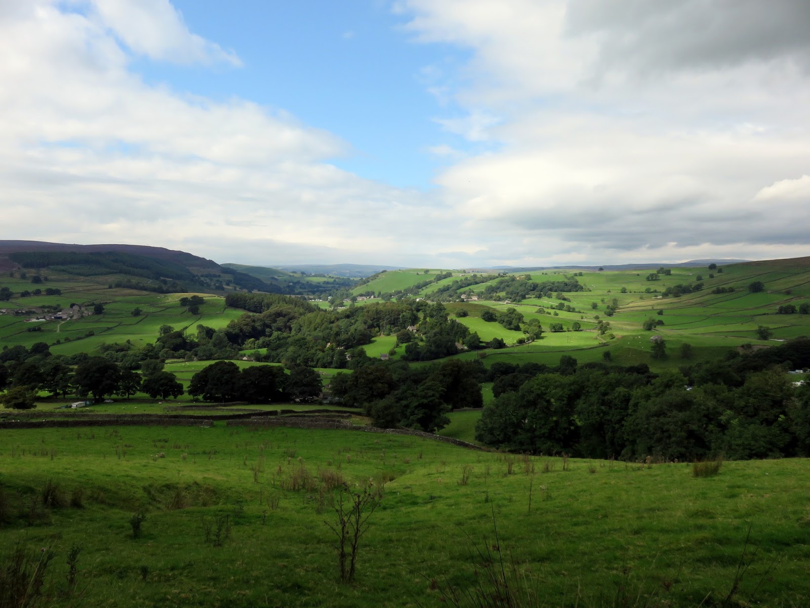
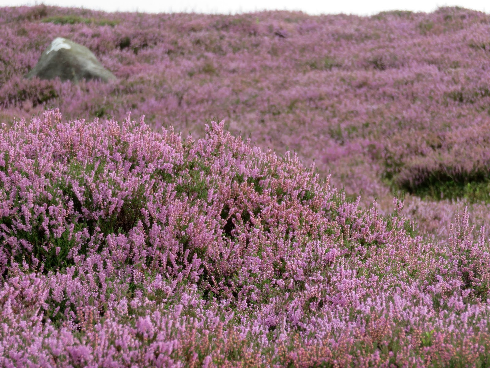
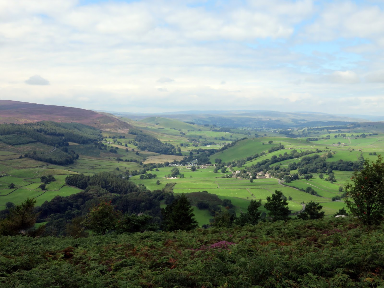
It’s the height of the school holidays and we were in the Dales, braving the masses to get a walk in while the weather was nice and the heather is blooming. Our route today was a repeat of one from a few years ago, Simon’s Seat and Troller’s Gill. This time, however, we’d have the summer sun to accompany us rather than frost and snow.
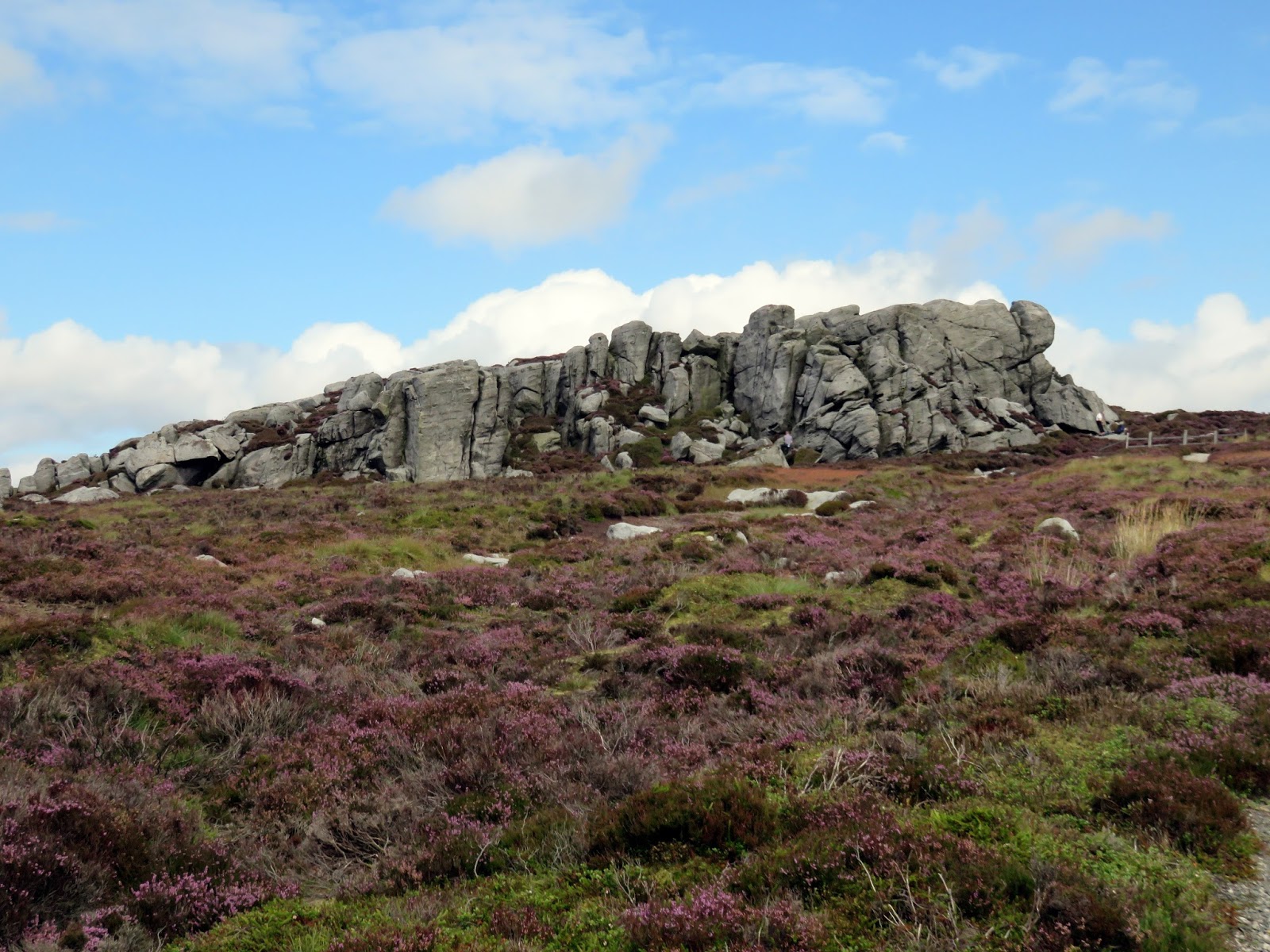
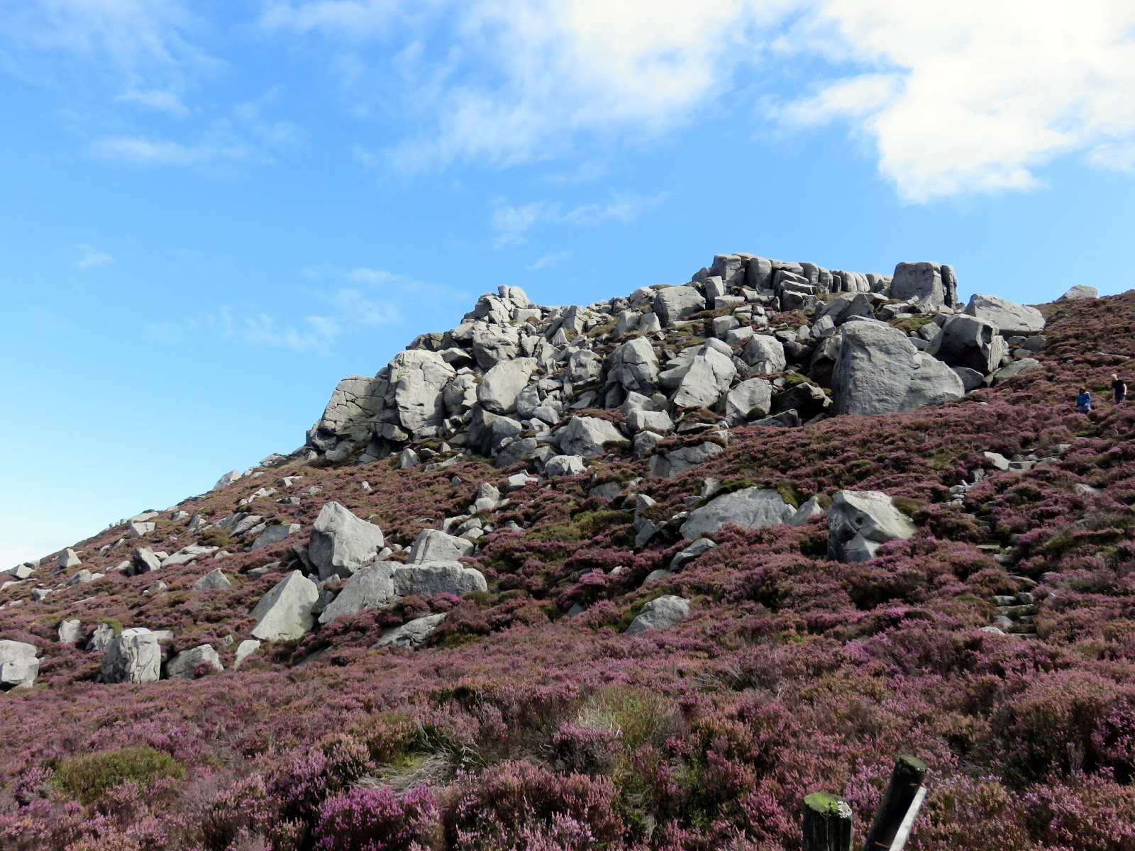
Troller’s Gill is a real gem of a place, like few others in the Yorkshire Dales, and one of those rare features that tend to be hidden away from the masses. The previous occasions we’ve been we’ve had the place to ourselves. The walk we’d planned covered an 8 mile circuit including a climb up onto the popular Barden Moor to visit Simon’s Seat, a very Peak District-esqe pile of gritstone, perched atop the moor.
 |
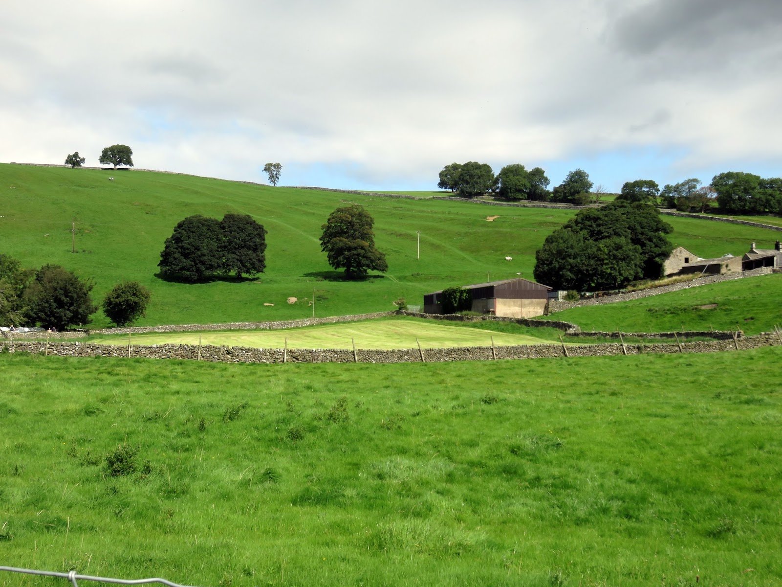
| Idyllic scenes in the Yorkshire Dales |
 |
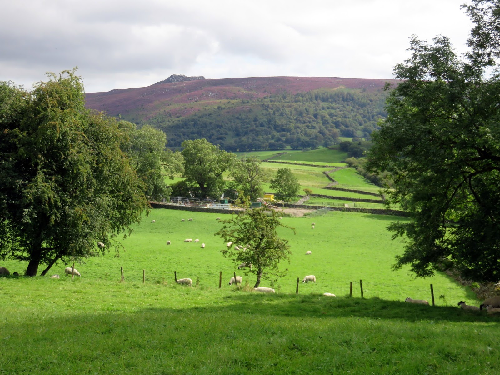
| Simon’s Seat seen up ahead |
 |
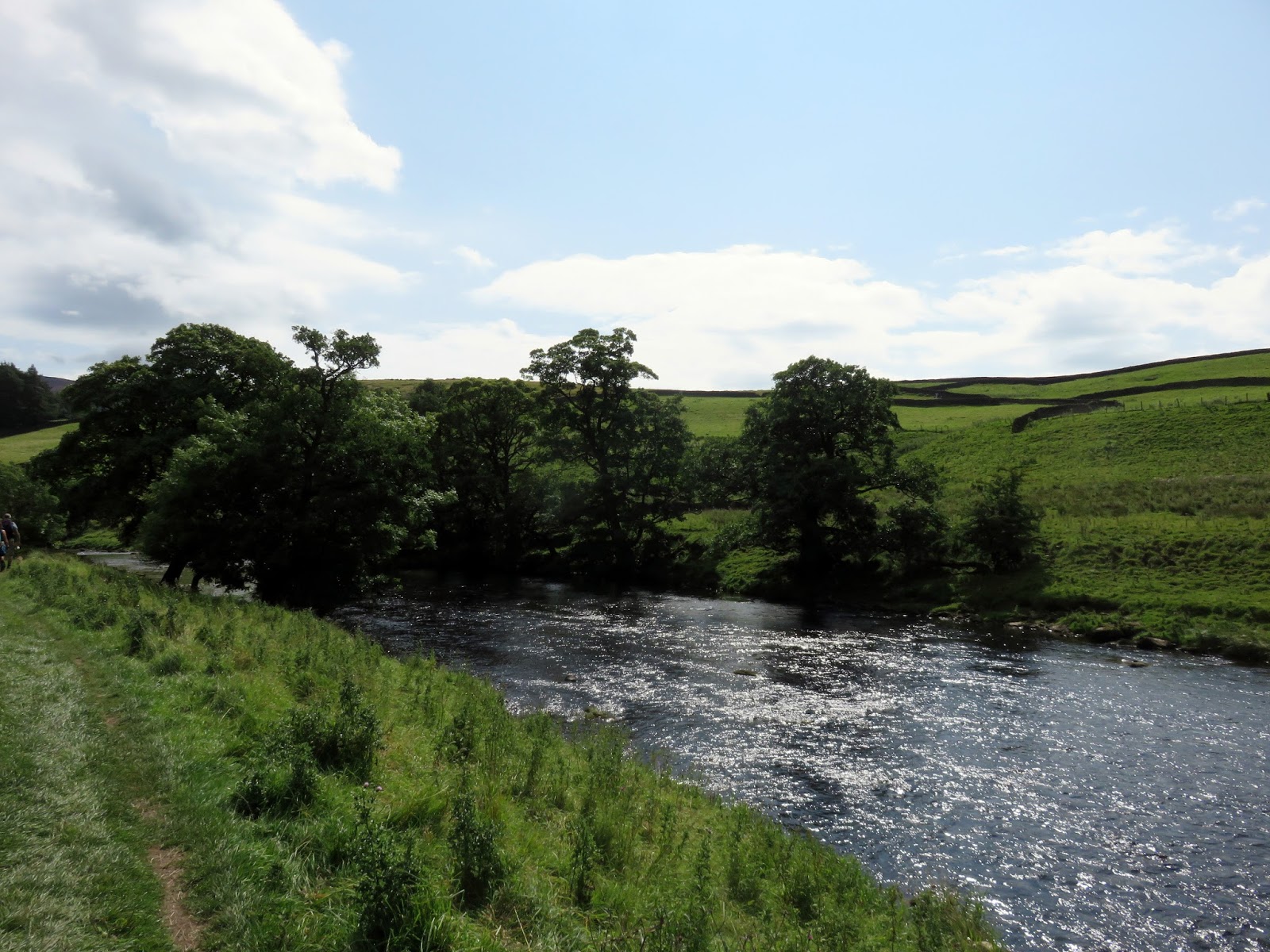
| The River Wharfe |
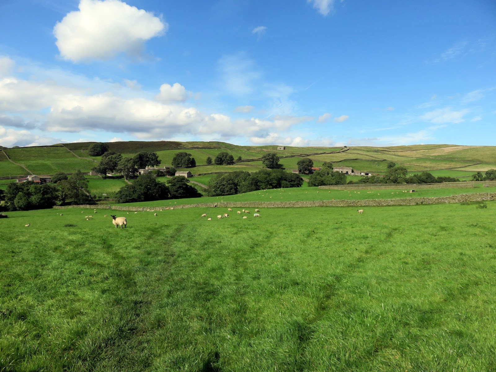
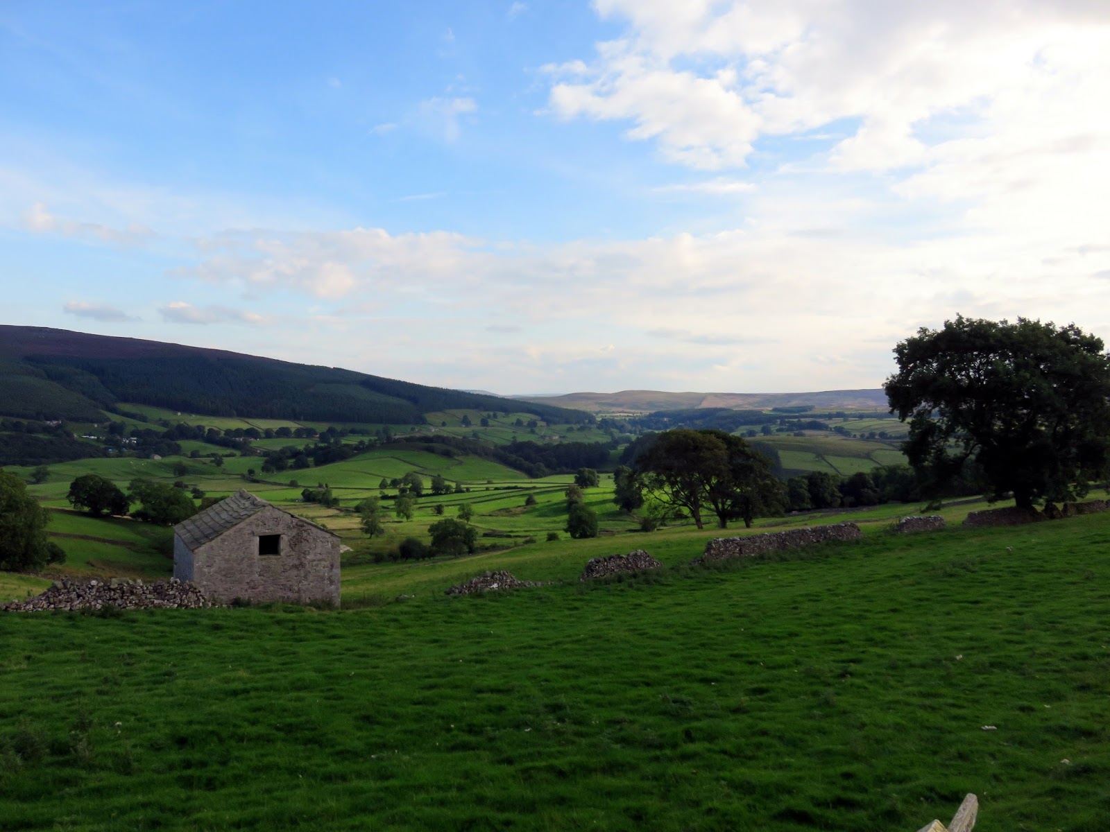
The walk starts from Appletreewick, a delightful little village perched on the banks of the River Wharfe. Apparently, a study in 2009 found Appletreewick to be ‘Britain’s Friendliest Town to Drive Through’ which is a bit spurious really as only 200 people live there.
Passing through a campsite, we joined the M1 of the path world, the Dales Way, as it follows the River Wharfe towards the hamlet of Howgill.
 |
| The Dales Way |
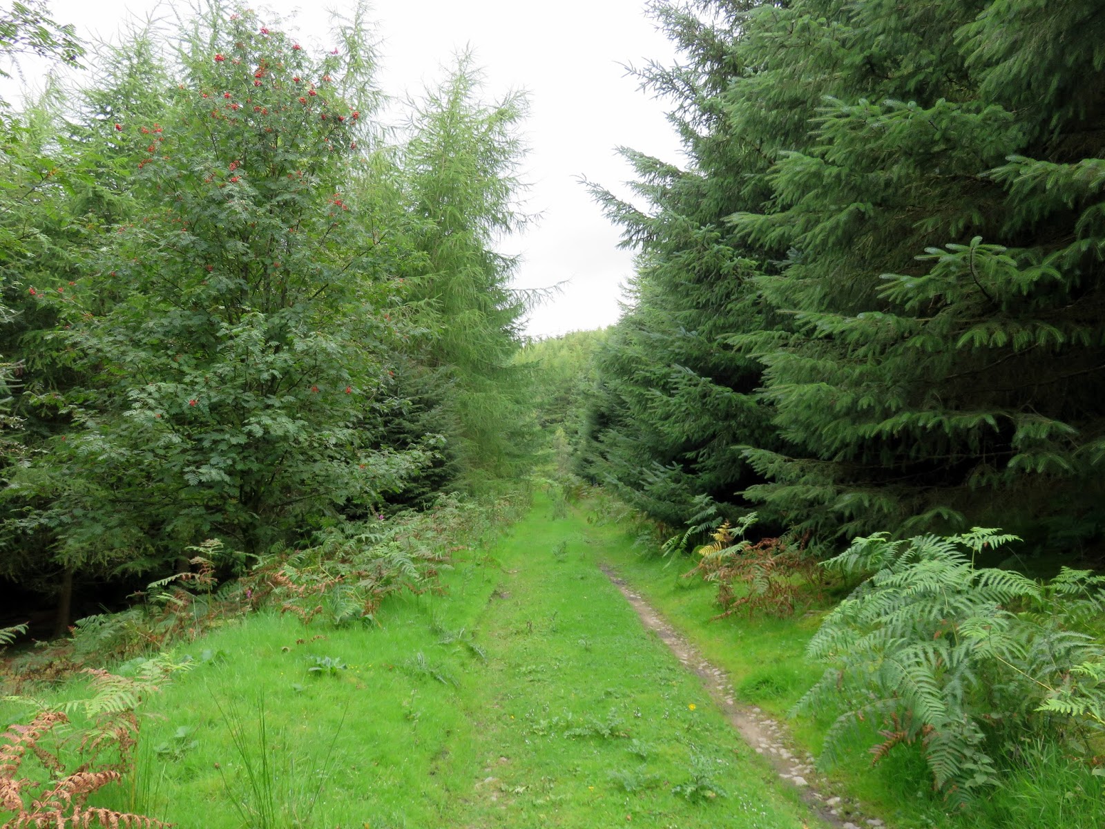
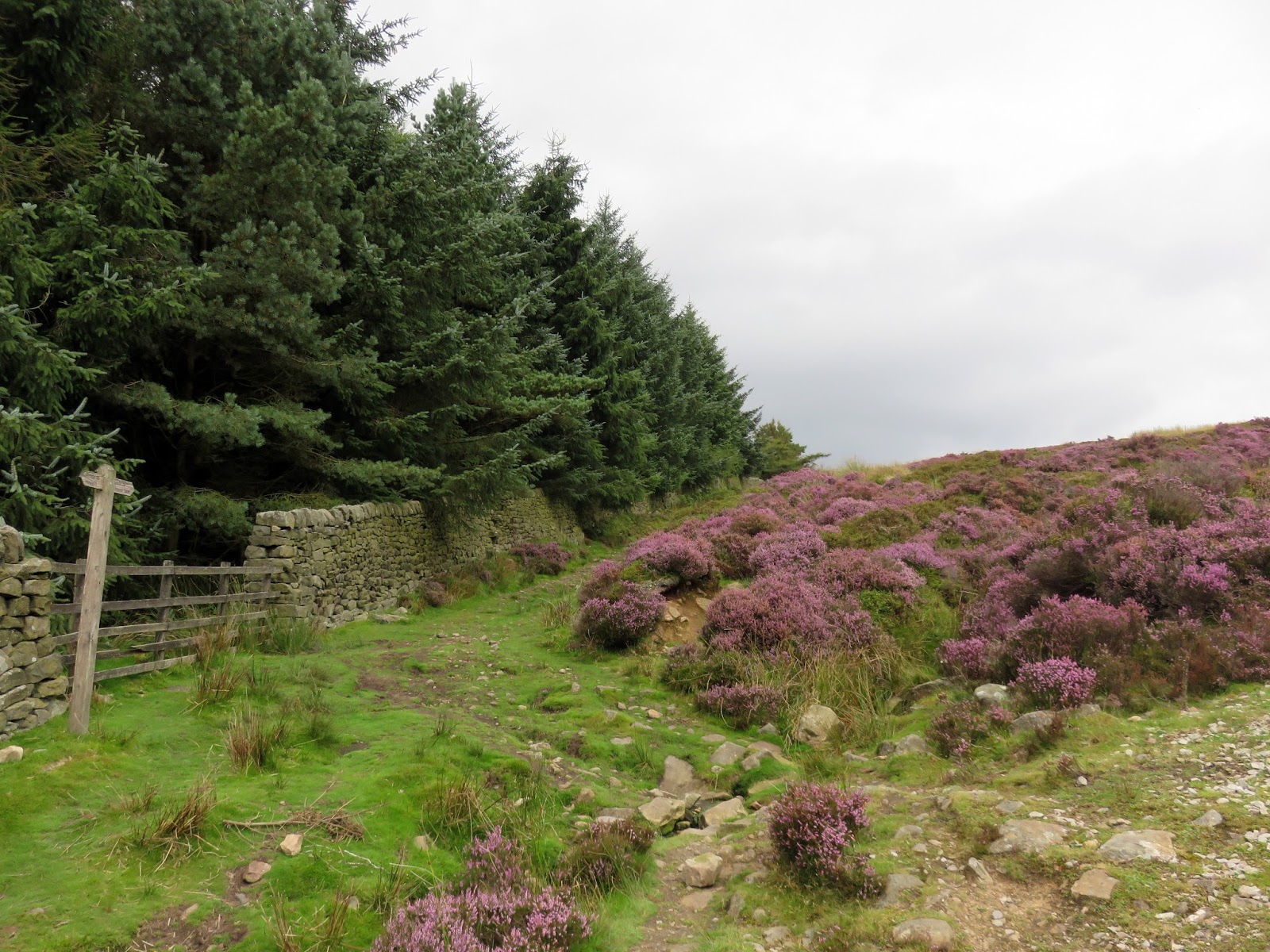
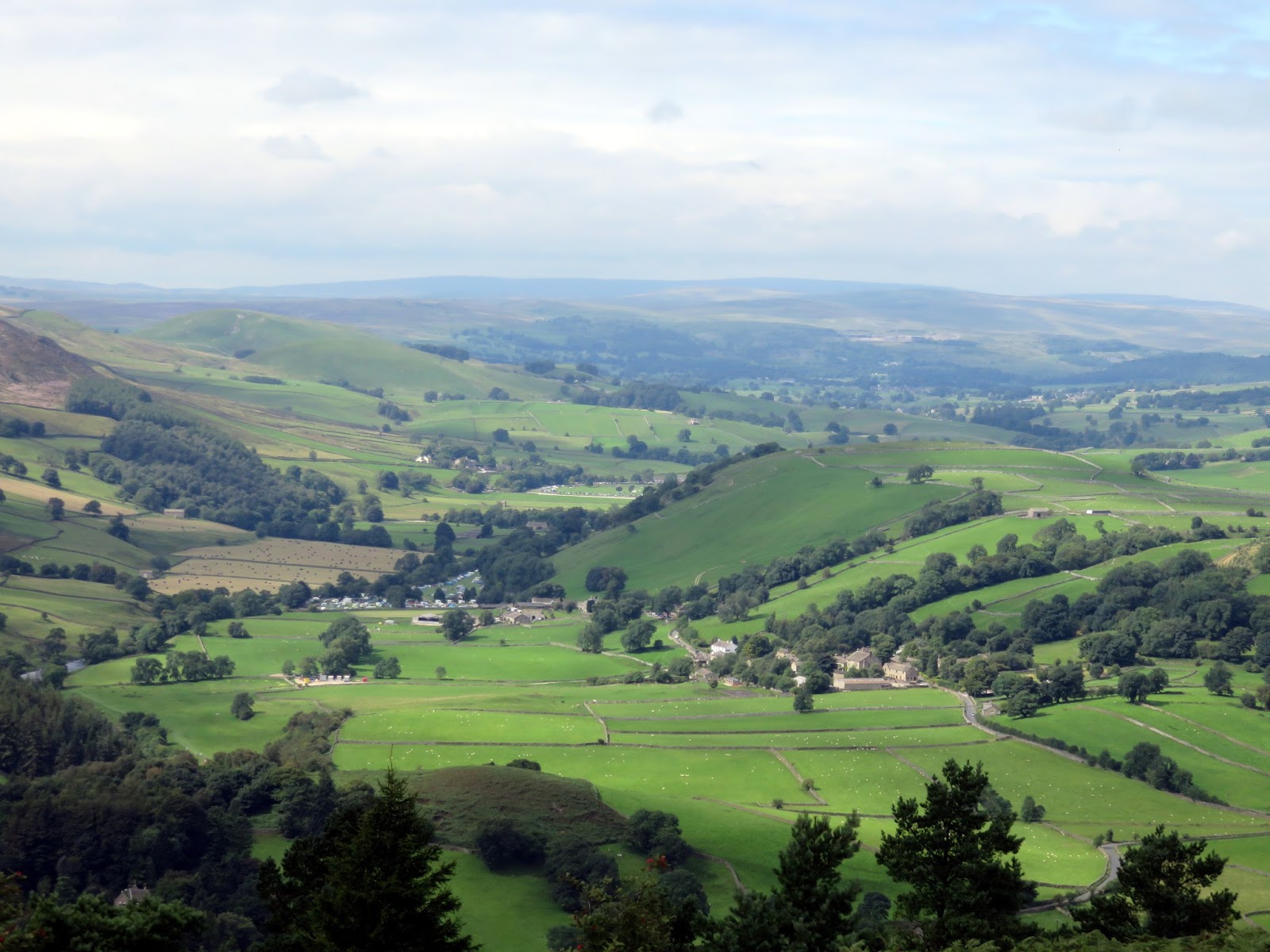
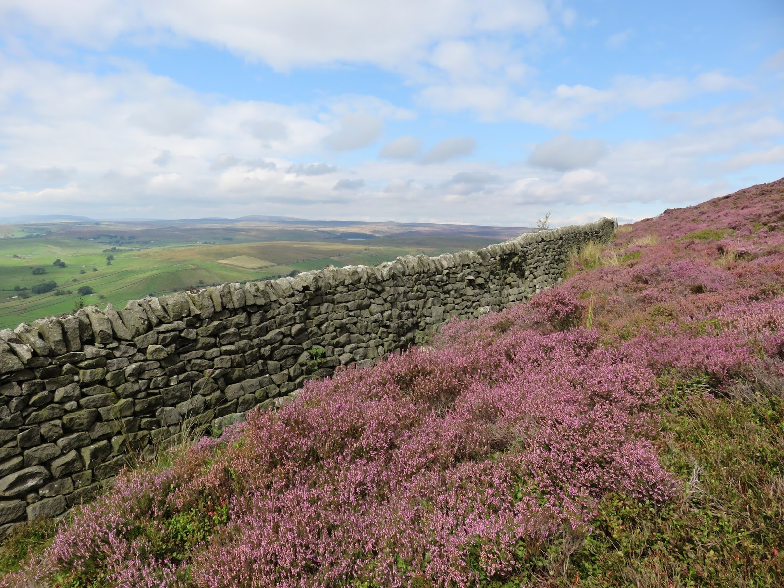
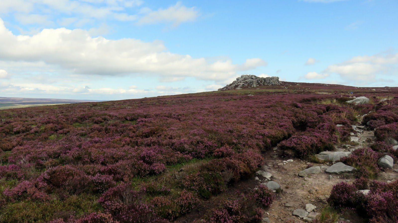
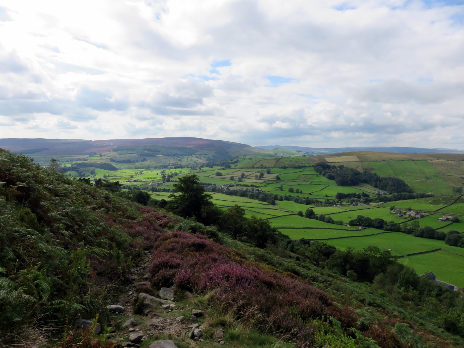
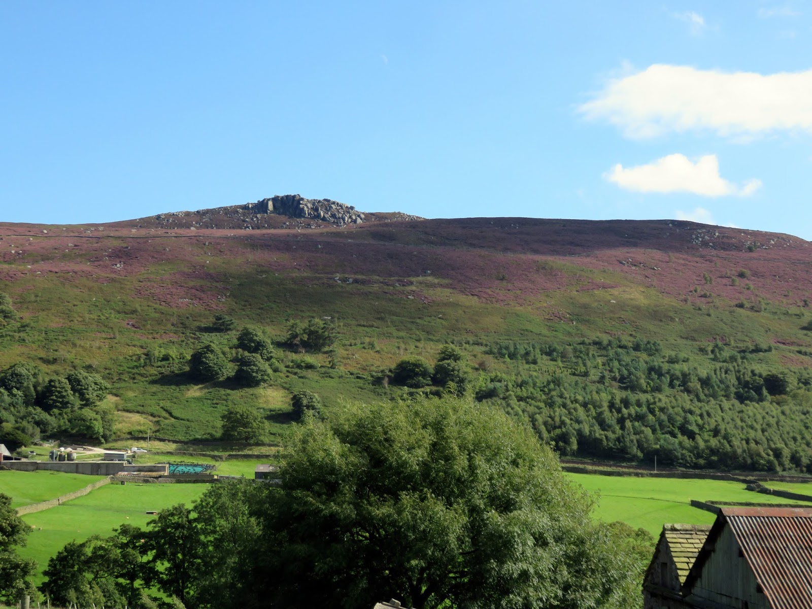
Following the Dales Way for a mile, we reached Howgill and left the main path to cross the road and start a strenuous climb up the side of Barden Fell, through the Lower Fell Plantation. Eventually, we reached the top of the winding road and savoured the stunning view into Wharfedale that appears over the drystone wall as well as the blaze of purple heather coating the moor.
 |
| Wharfedale |
 |
| Lower Fell Plantation |
 |
| Emerging onto Barden Moor |
 |
| The heather was out in force |
 |
| Wharfedale |
 |
| Appletreewick |
 |
| The path follows the drystone wall |
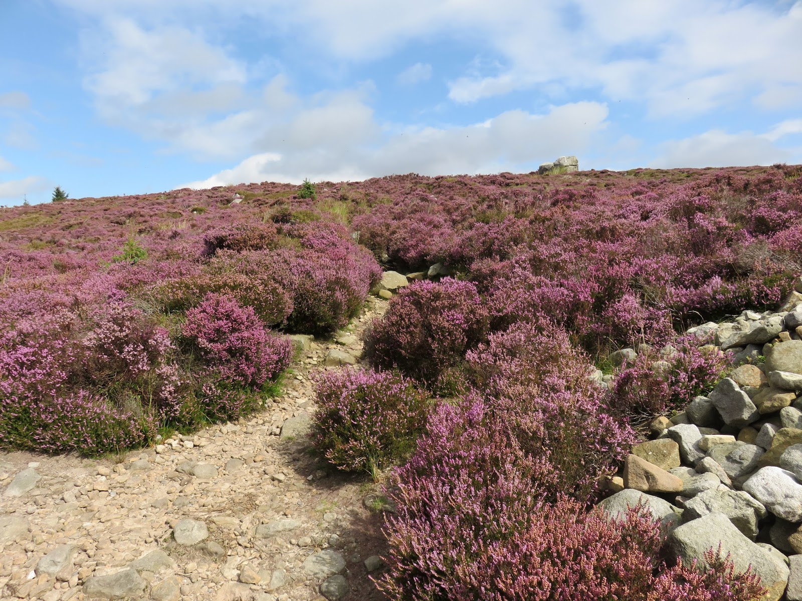
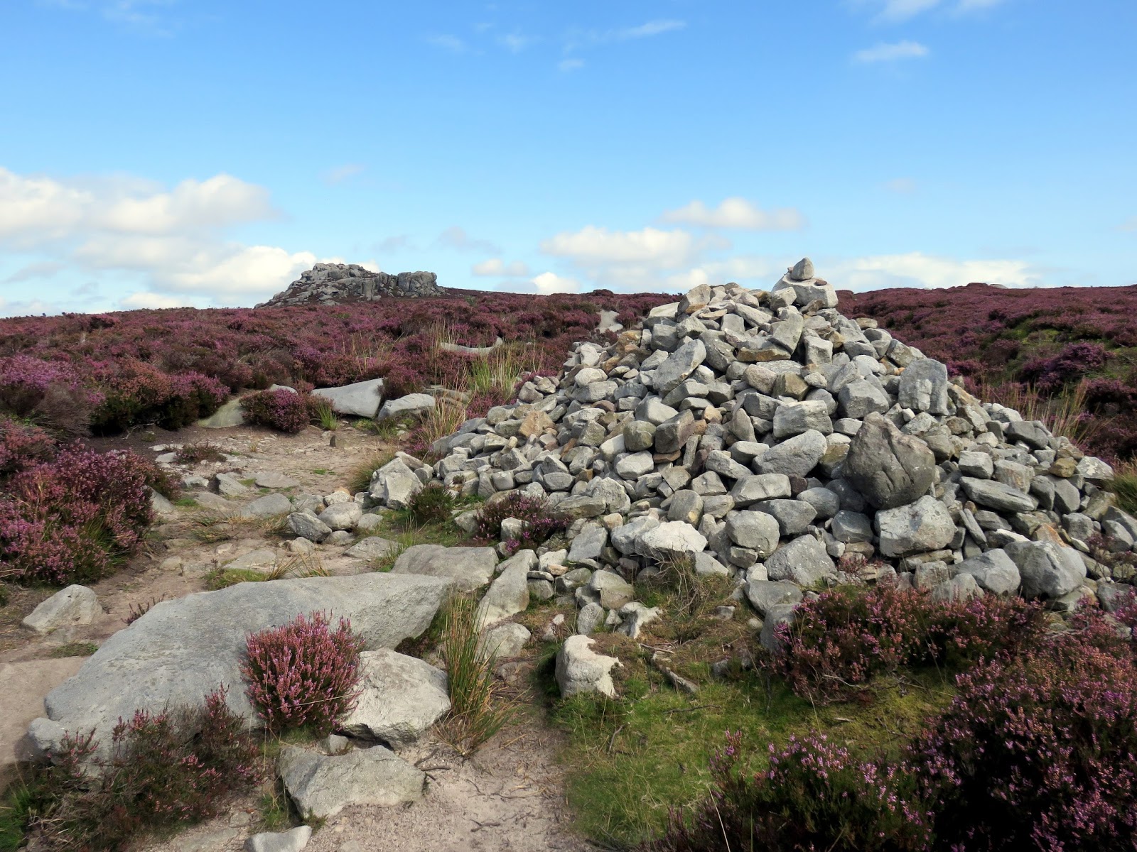
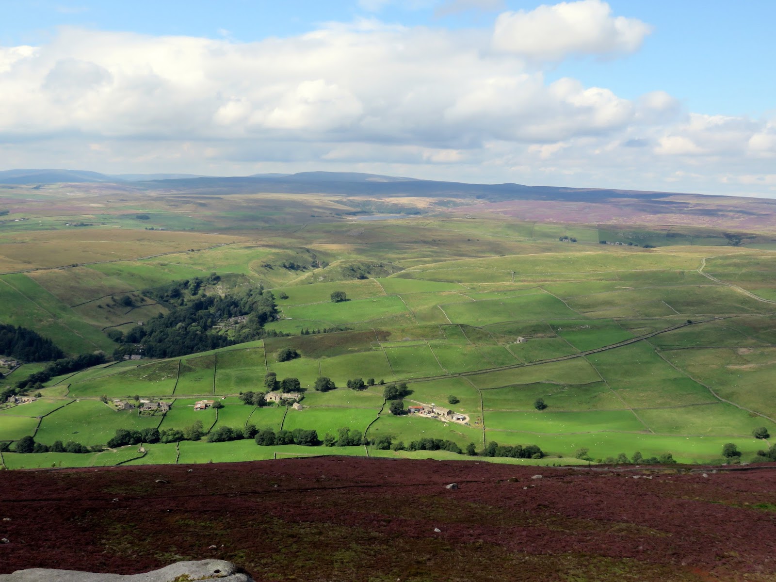
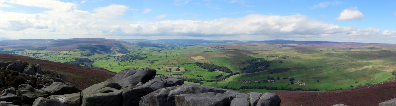
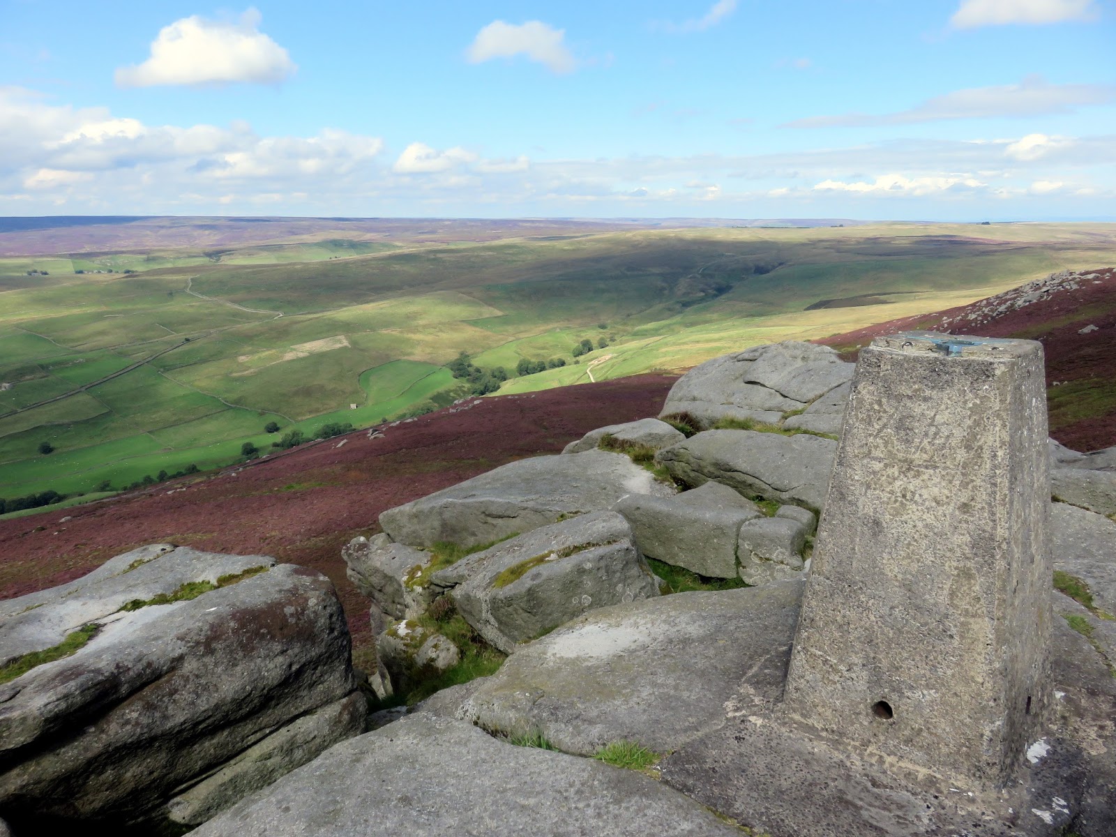
The path, now well and truly on the moor, follows the wall a short while before stone slabs lead to Simon’s Seat, the high point of Barden Fell. The rocks provide a commanding view over the Yorkshire Dales and are a very popular spot for walkers and climbers alike. After a stop for lunch, we took one last look at the views before descending the steep northern flank of Barden Fell to Dalehead Farm.
 |
| Heading up onto Barden Fell |
 |
| Simon’s Seat on the horizon |
 |
| Simon’s Seat |
 |
| Simon’s Seat |
 |
| Appletreewick Pasture |
 |
| The view from Simon’s Seat |
 |
| Simon’s Seat’s trig pillar |
 |
| Looking up to Simon’s Seat |
 |
| Wharfedale |
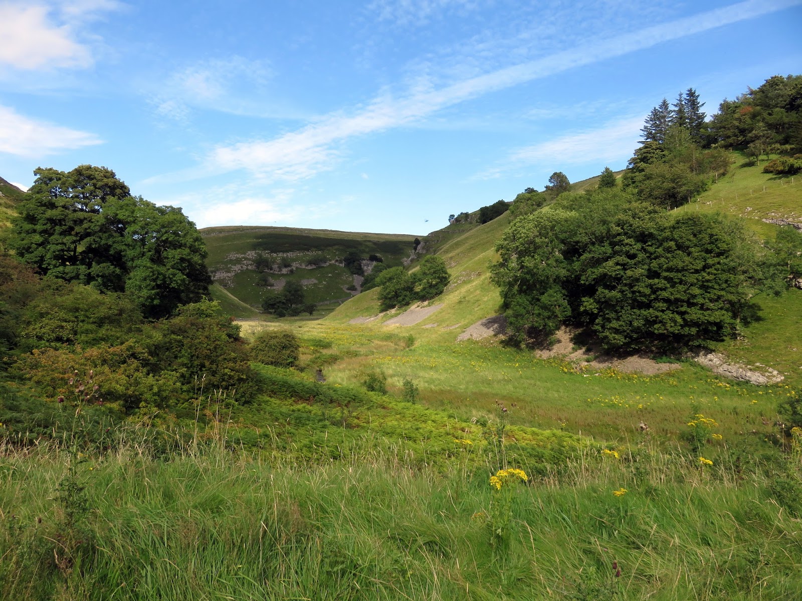
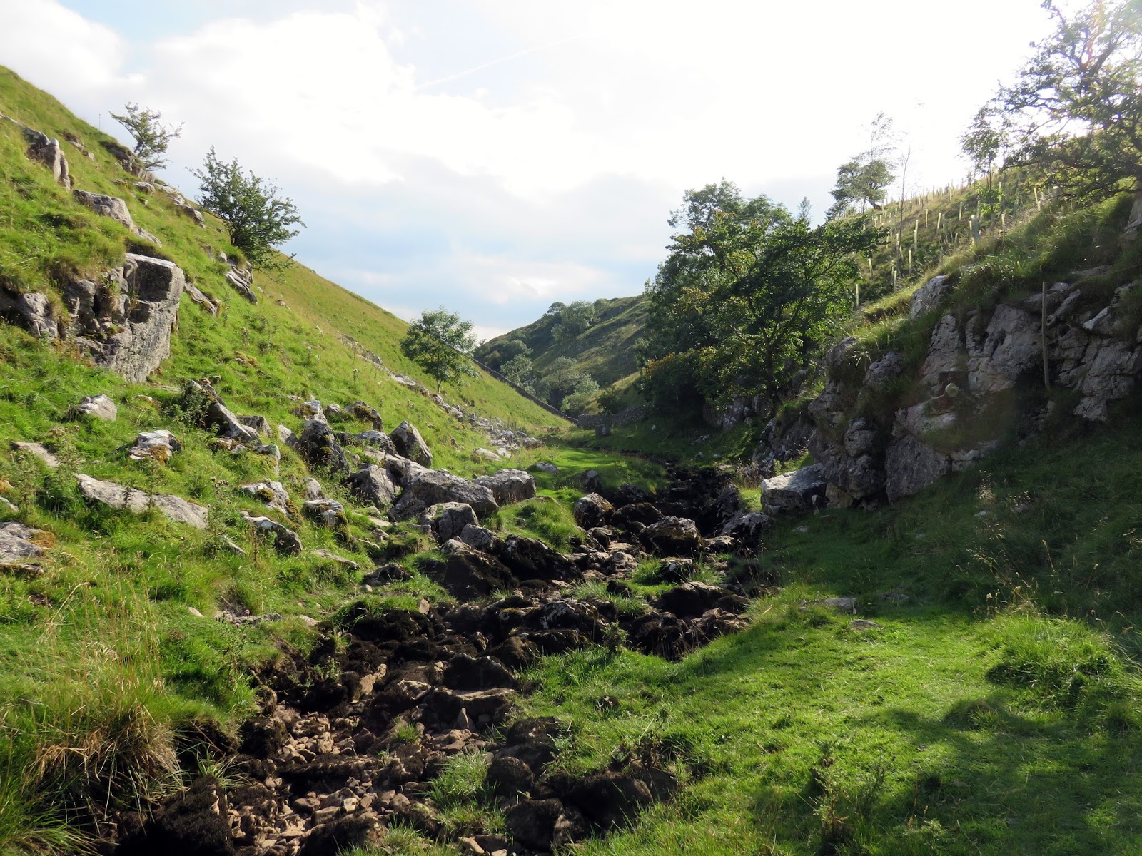
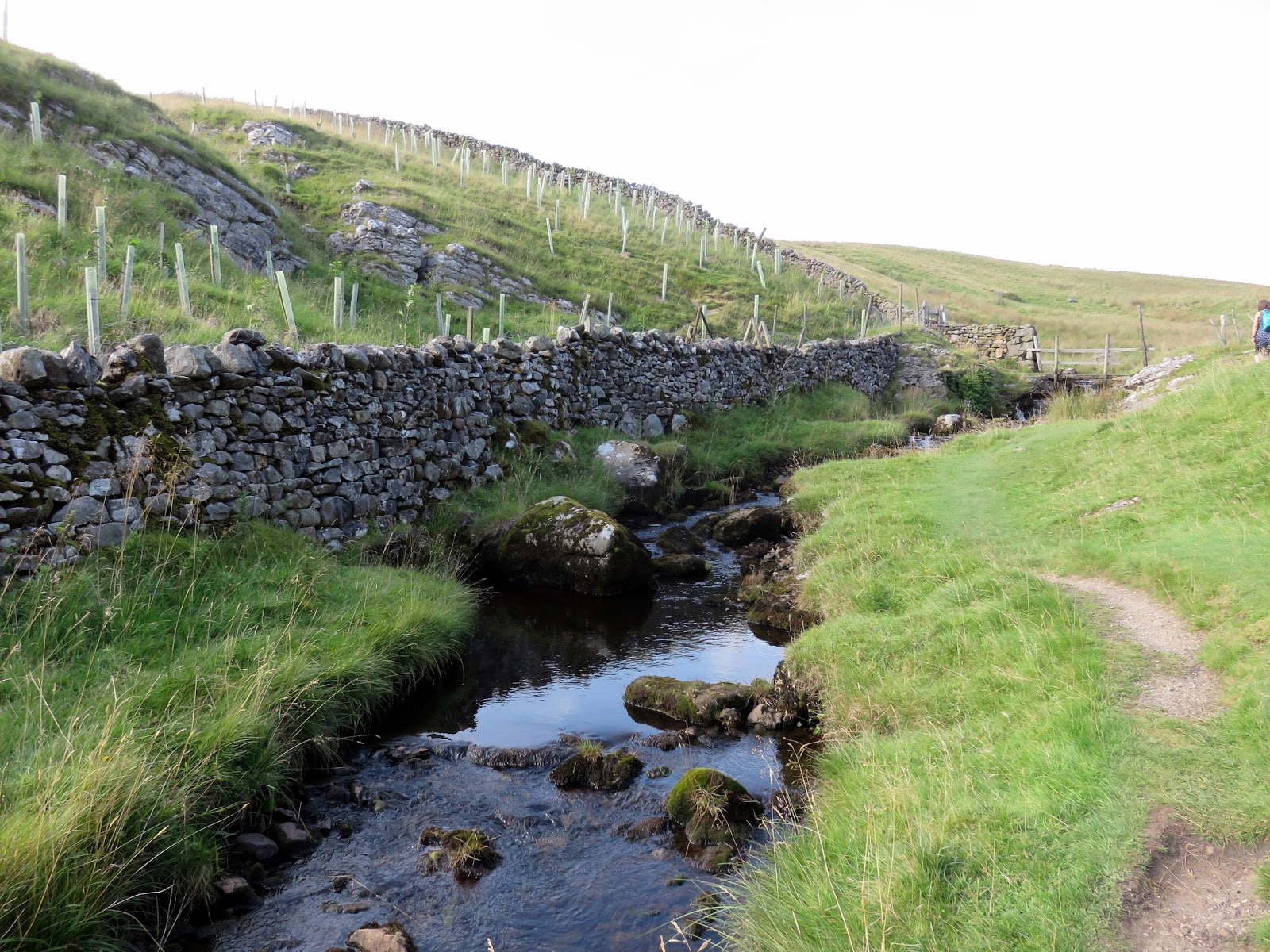
Crossing Blands Beck, we passed through High Skyreholme before making our way to Middle Skyreholme and joining the path north towards Parcevall Hall, The Bradford Diocesan Retreat. Following Skyreholme Beck, we passed over an old breached dam. It’s said the dam was built to retain the waters of Skyreholme Beck for a local mill, however, being built on limestone, the water found it’s way underneath instead. Apparently, it was deliberately breached to liberate the beck. Further upstream lies the entrance to the mysterious Troller’s Gill.
 |
| Blands Beck and High Skyreholme |
 |
| Simon’s Seat |
 |
| Skyreholme Beck |
 |
| The breached dam |
 |
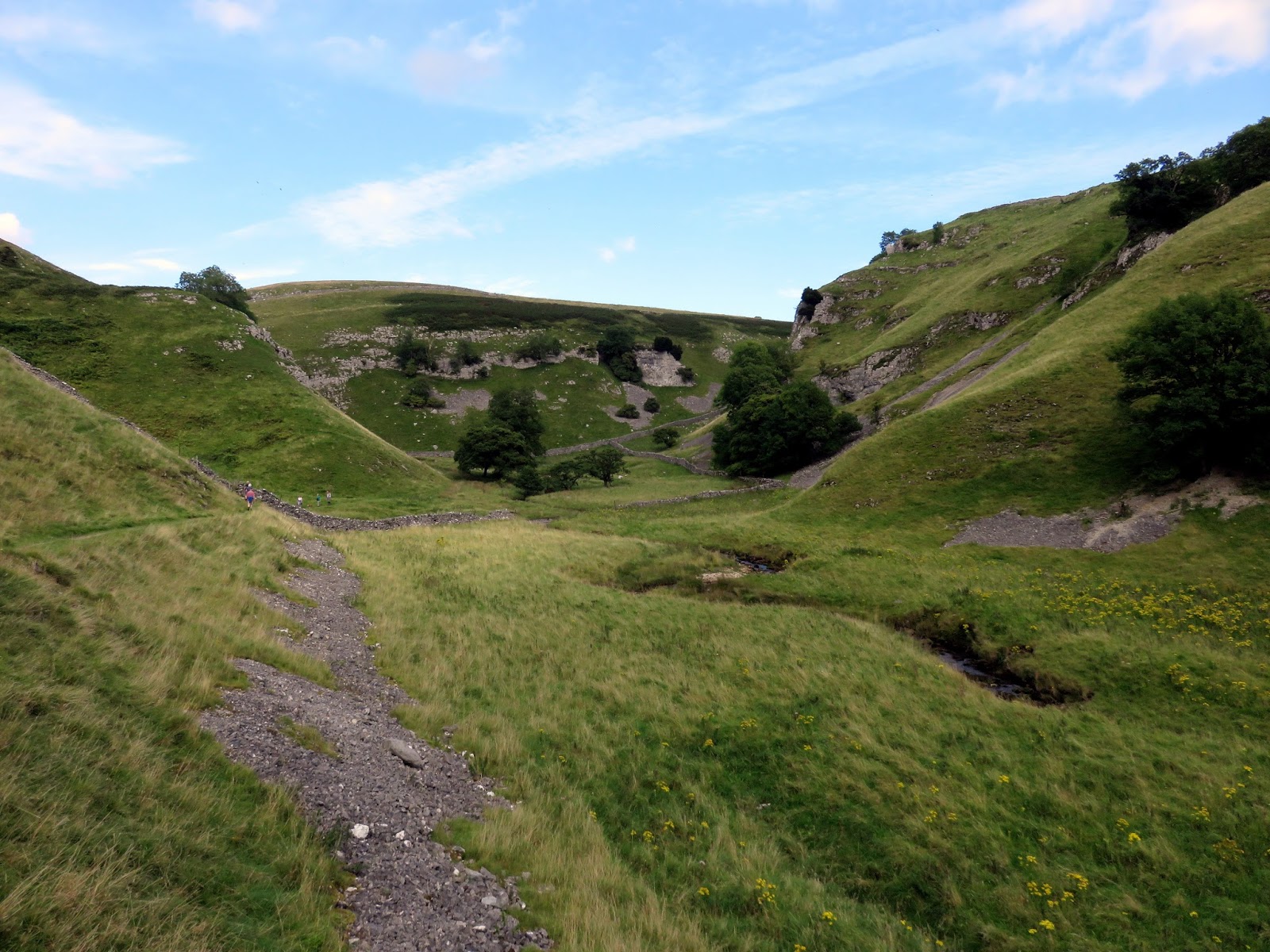
| Approaching Troller’s Gill |
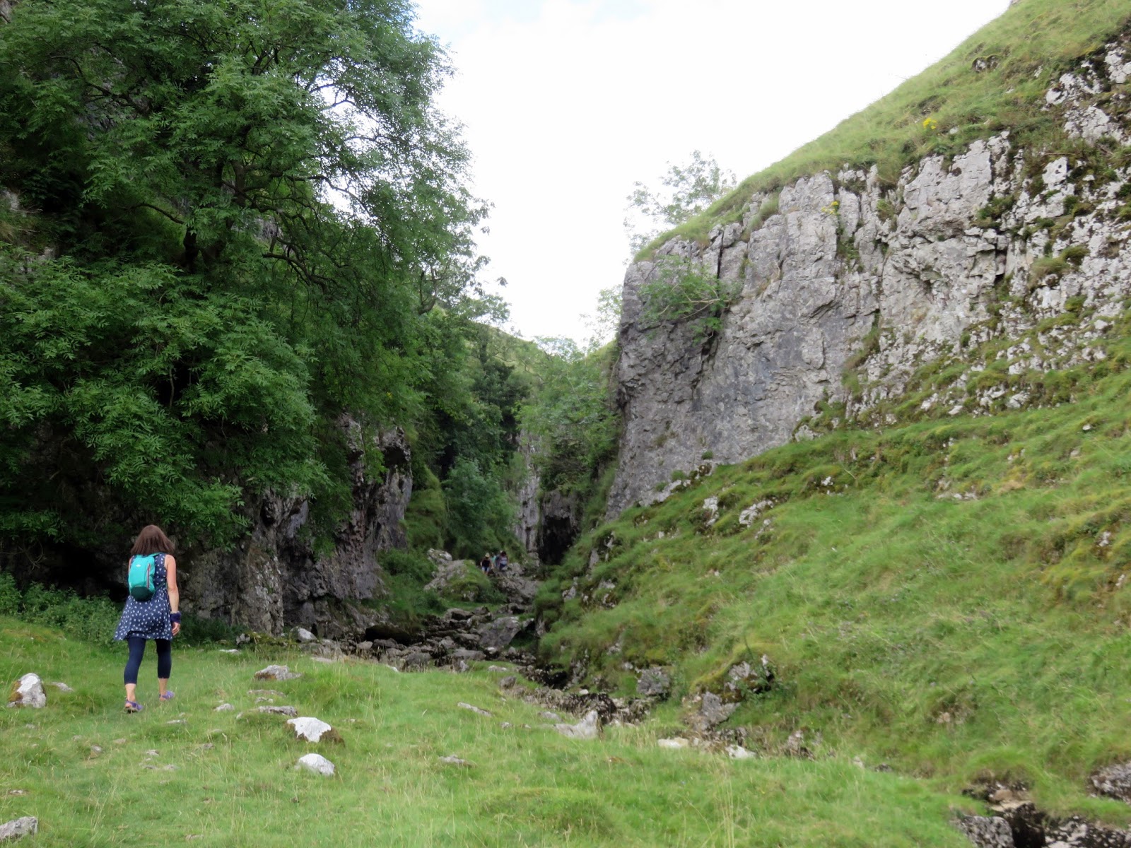
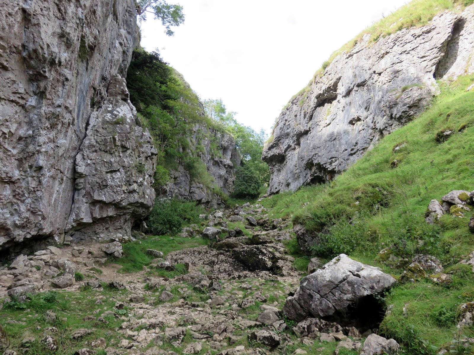
The entrance of Troller’s Gill looms ahead. Legend has it that the gorge is haunted by the Barguest, a terrifying mythical hound though to possibly have been the inspiration for the famous Hound of the Baskervilles. Being off the beaten track, Troller’s Gill is an eerie, quiet place where you can let your imagination run wild. Taking a deep breath, we wandered in.
 |
| The entrance to Troller’s Gill |
 |
| Troller’s Gill |
 |
| Troller’s Gill |
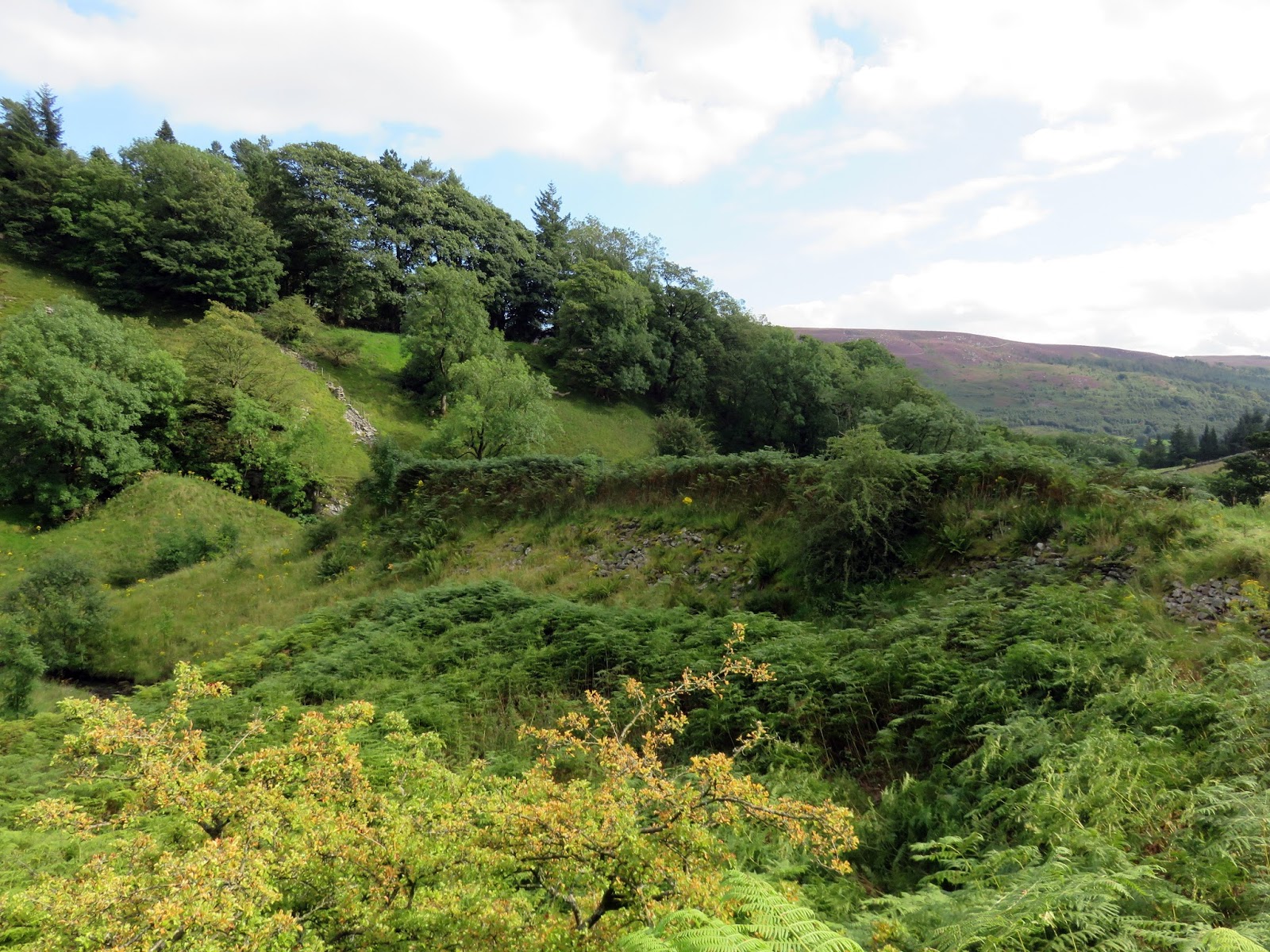
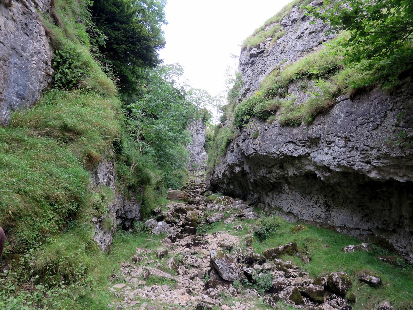
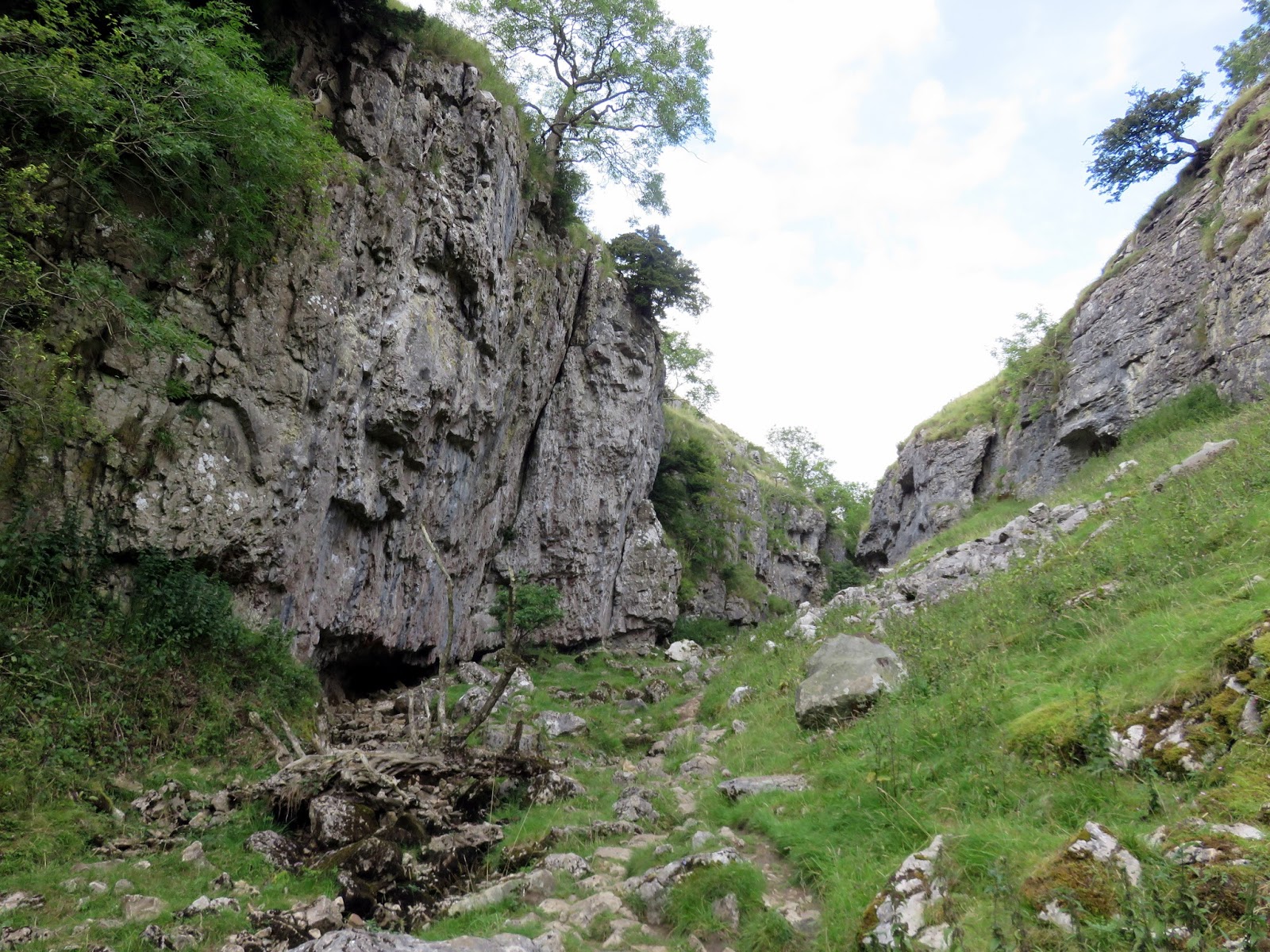
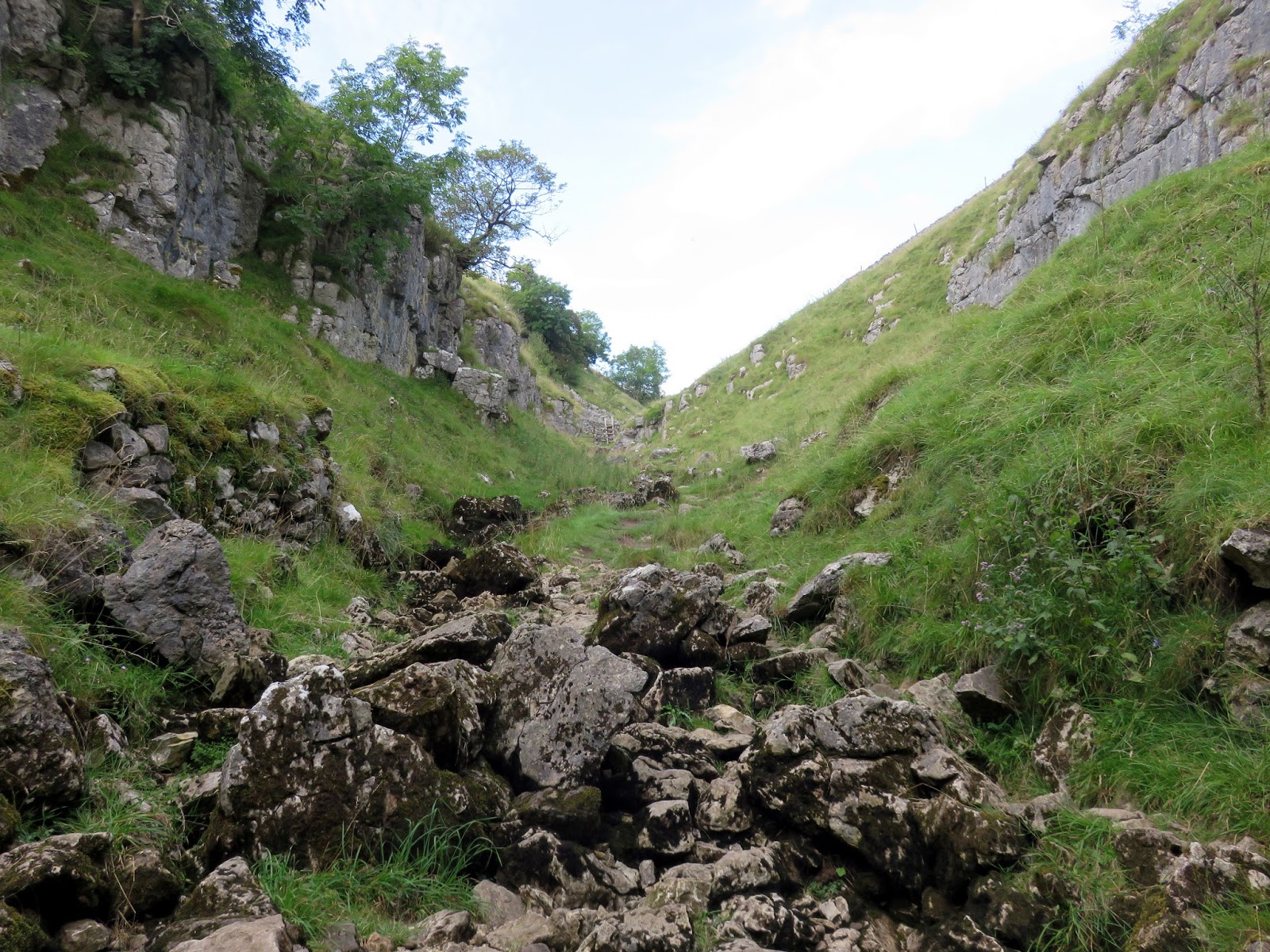
Troller’s Gill is nothing more than a limestone gorge and can be impassable if the river is in full spate. Luckily for us, it was bone dry and other than hopping over the larger boulders, the going was fairly easy. Reaching the top, the walls open out into the classic scenery of limestone country, typical of many river valleys in the Yorkshire Dales. We crossed the bridge at the top of the path and climbed out of the valley onto Appletreewick Pasture.
 |
| Troller’s Gill |
 |
| Troller’s Gill |
 |
| Looking back into Troller’s Gill |
 |
| Skryeholme Beck |
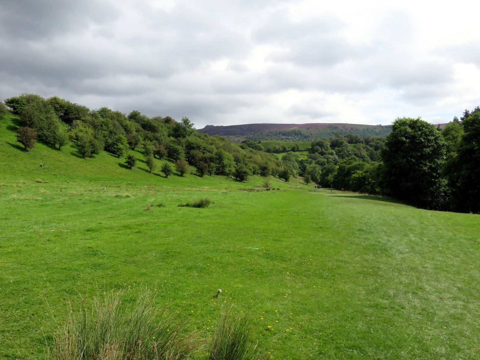
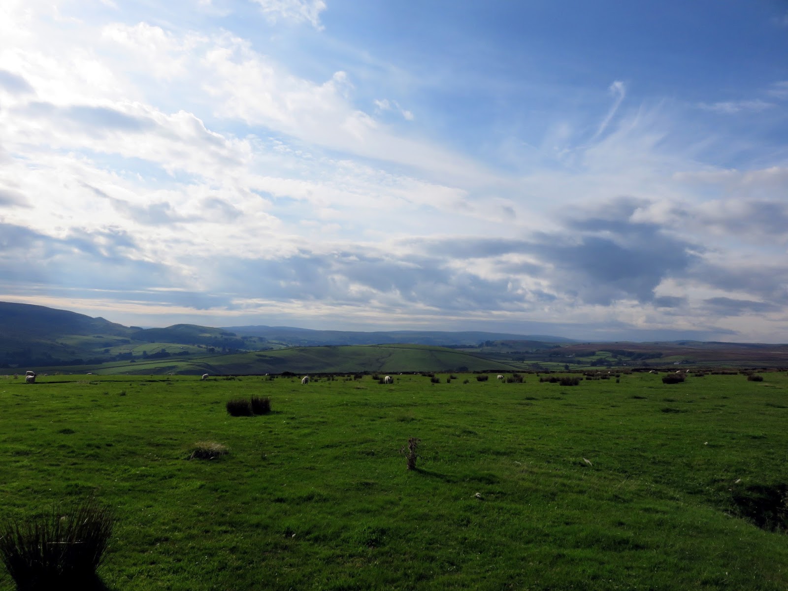
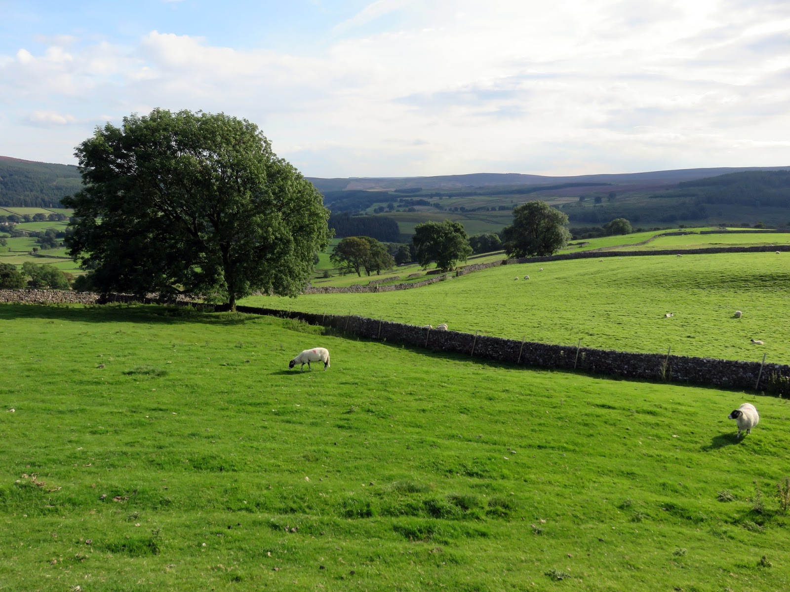
From the pasture, it’s a relatively long but easy stroll down through fields and over drystone walls until you reach the outskirts of Appletreewick once again.
 |
| Big skies above Appletreewick Pasture |
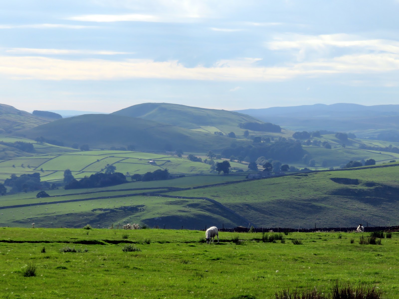
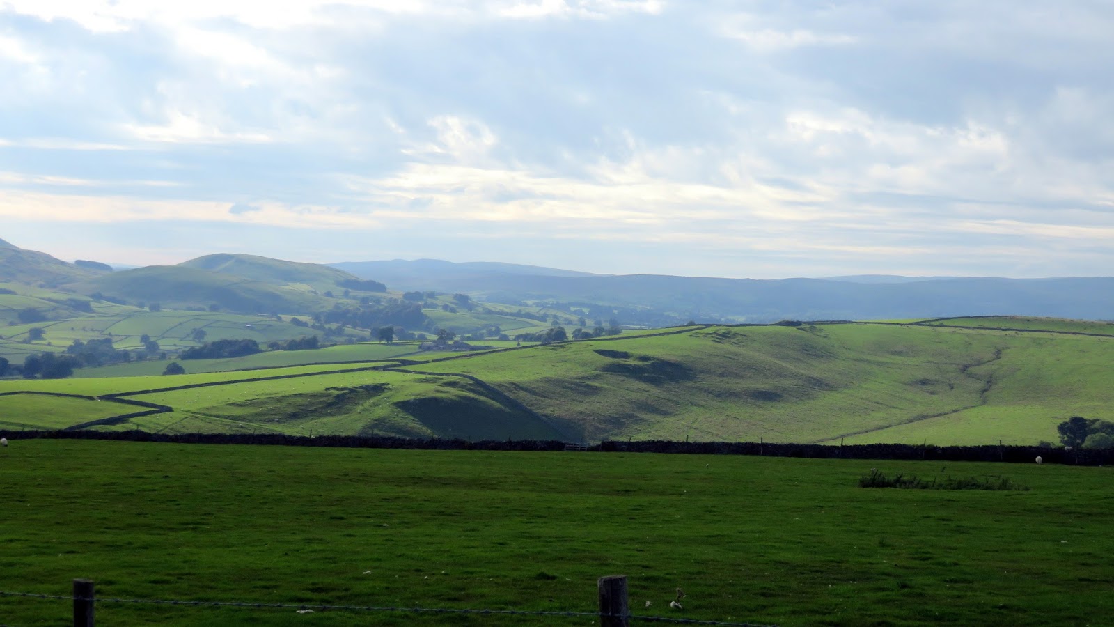
 |
| Kail Hill and Elbolton Hill |
 |
| Langerton Hill |
 |
| Appletreewick Pasture |
 |
| Appletreewick Pasture |
This is a stunning walk with a little bit of everything characteristic of the Yorkshire Dales; open moors, awe-inspiring views, creepy limestone gorges and flowing water aplenty. If you’re looking for a walk with interest around every corner then this is the one for you. Troller’s Gill is a unique place that is a ‘must visit’ location experience at least once and is a startling opposite to the wide open views and busyness of Simon’s Seat.
