Open Space Web-Map builder Codehttps://openspace.ordnancesurvey.co.uk/osmapapi/openspace.js?key=3119F72552FD5C22E0530C6CA40A5A92https://openspace.ordnancesurvey.co.uk/osmapapi/script/mapbuilder/basicmap.jshttps://openspace.ordnancesurvey.co.uk/osmapapi/script/mapbuilder/searchbox.js//variables for routes var linesLayer, points, lineFeature, lineString, routeMarkersLayer, routepos, routesize, routeoffset, routeicon; var style_blue = {strokeColor: “#0000CD”, strokeOpacity: 0.5, strokeWidth: 4.5}; function initmapbuilder() { //initiate the map var options = {resolutions: [2500, 1000, 500, 200, 100, 50, 25, 10, 5, 4, 2.5, 2, 1]}; osMap = new OpenSpace.Map(‘map’, options); //configure map options (basicmap.js) setglobaloptions(); //set the center of the map and the zoom level osMap.setCenter(new OpenSpace.MapPoint(326132,510581),7); linesLayer = osMap.getVectorLayer(); // Set up layer for route markers routeMarkersLayer = new OpenLayers.Layer.Markers(“Route Markers”); //make a route points = new Array(); points.push(new OpenLayers.Geometry.Point(326275,513770)); points.push(new OpenLayers.Geometry.Point(326410,513865)); points.push(new OpenLayers.Geometry.Point(326560,513645)); points.push(new OpenLayers.Geometry.Point(326795,513425)); points.push(new OpenLayers.Geometry.Point(327105,513270)); points.push(new OpenLayers.Geometry.Point(327330,513110)); points.push(new OpenLayers.Geometry.Point(327490,512985)); points.push(new OpenLayers.Geometry.Point(327405,512905)); points.push(new OpenLayers.Geometry.Point(327555,512755)); points.push(new OpenLayers.Geometry.Point(327665,512620)); points.push(new OpenLayers.Geometry.Point(327555,512445)); points.push(new OpenLayers.Geometry.Point(327480,512400)); points.push(new OpenLayers.Geometry.Point(327405,512275)); points.push(new OpenLayers.Geometry.Point(327395,512175)); points.push(new OpenLayers.Geometry.Point(327555,512220)); points.push(new OpenLayers.Geometry.Point(327525,512130)); points.push(new OpenLayers.Geometry.Point(327585,512105)); points.push(new OpenLayers.Geometry.Point(327610,511990)); points.push(new OpenLayers.Geometry.Point(327595,511780)); points.push(new OpenLayers.Geometry.Point(327400,511395)); points.push(new OpenLayers.Geometry.Point(327435,511070)); points.push(new OpenLayers.Geometry.Point(327550,510755)); points.push(new OpenLayers.Geometry.Point(327615,510510)); points.push(new OpenLayers.Geometry.Point(327765,510315)); points.push(new OpenLayers.Geometry.Point(327915,510200)); points.push(new OpenLayers.Geometry.Point(328260,510035)); points.push(new OpenLayers.Geometry.Point(328250,509790)); points.push(new OpenLayers.Geometry.Point(328080,509535)); points.push(new OpenLayers.Geometry.Point(328170,509310)); points.push(new OpenLayers.Geometry.Point(328620,508900)); points.push(new OpenLayers.Geometry.Point(328255,508925)); points.push(new OpenLayers.Geometry.Point(328030,508825)); points.push(new OpenLayers.Geometry.Point(327885,508570)); points.push(new OpenLayers.Geometry.Point(327915,508310)); points.push(new OpenLayers.Geometry.Point(327965,507985)); points.push(new OpenLayers.Geometry.Point(327705,507855)); points.push(new OpenLayers.Geometry.Point(327360,507905)); points.push(new OpenLayers.Geometry.Point(326980,508110)); points.push(new OpenLayers.Geometry.Point(326770,508240)); points.push(new OpenLayers.Geometry.Point(326610,508405)); points.push(new OpenLayers.Geometry.Point(326535,508680)); points.push(new OpenLayers.Geometry.Point(326505,508850)); points.push(new OpenLayers.Geometry.Point(326425,508940)); points.push(new OpenLayers.Geometry.Point(326050,508850)); points.push(new OpenLayers.Geometry.Point(325820,508715)); points.push(new OpenLayers.Geometry.Point(325740,508510)); points.push(new OpenLayers.Geometry.Point(325675,508275)); points.push(new OpenLayers.Geometry.Point(325550,508090)); points.push(new OpenLayers.Geometry.Point(325320,507975)); points.push(new OpenLayers.Geometry.Point(325110,507800)); points.push(new OpenLayers.Geometry.Point(324955,507665)); points.push(new OpenLayers.Geometry.Point(324945,507580)); points.push(new OpenLayers.Geometry.Point(324800,507600)); points.push(new OpenLayers.Geometry.Point(324680,507565)); points.push(new OpenLayers.Geometry.Point(324570,507760)); points.push(new OpenLayers.Geometry.Point(324495,507785)); points.push(new OpenLayers.Geometry.Point(324265,507925)); points.push(new OpenLayers.Geometry.Point(324010,508015)); points.push(new OpenLayers.Geometry.Point(323780,508165)); points.push(new OpenLayers.Geometry.Point(323480,508280)); points.push(new OpenLayers.Geometry.Point(323655,508510)); points.push(new OpenLayers.Geometry.Point(323815,508910)); points.push(new OpenLayers.Geometry.Point(323945,509165)); points.push(new OpenLayers.Geometry.Point(324040,509420)); points.push(new OpenLayers.Geometry.Point(324195,509650)); points.push(new OpenLayers.Geometry.Point(324330,509775)); points.push(new OpenLayers.Geometry.Point(324470,509840)); points.push(new OpenLayers.Geometry.Point(324615,510185)); points.push(new OpenLayers.Geometry.Point(324615,510470)); points.push(new OpenLayers.Geometry.Point(324715,510565)); points.push(new OpenLayers.Geometry.Point(324770,510710)); points.push(new OpenLayers.Geometry.Point(324860,510795)); points.push(new OpenLayers.Geometry.Point(325070,510815)); points.push(new OpenLayers.Geometry.Point(325300,510795)); points.push(new OpenLayers.Geometry.Point(325395,510815)); points.push(new OpenLayers.Geometry.Point(325160,511030)); points.push(new OpenLayers.Geometry.Point(325405,511100)); points.push(new OpenLayers.Geometry.Point(325535,511190)); points.push(new OpenLayers.Geometry.Point(325630,511370)); points.push(new OpenLayers.Geometry.Point(325755,511585)); points.push(new OpenLayers.Geometry.Point(325795,511785)); points.push(new OpenLayers.Geometry.Point(325825,512010)); points.push(new OpenLayers.Geometry.Point(325770,512200)); points.push(new OpenLayers.Geometry.Point(325815,512340)); points.push(new OpenLayers.Geometry.Point(325825,512480)); points.push(new OpenLayers.Geometry.Point(325785,512615)); points.push(new OpenLayers.Geometry.Point(325760,512805)); points.push(new OpenLayers.Geometry.Point(325835,512880)); points.push(new OpenLayers.Geometry.Point(326025,512875)); points.push(new OpenLayers.Geometry.Point(326145,512760)); points.push(new OpenLayers.Geometry.Point(326355,512735)); points.push(new OpenLayers.Geometry.Point(326465,512810)); points.push(new OpenLayers.Geometry.Point(326535,512900)); points.push(new OpenLayers.Geometry.Point(326495,513085)); points.push(new OpenLayers.Geometry.Point(326545,513215)); points.push(new OpenLayers.Geometry.Point(326625,513300)); points.push(new OpenLayers.Geometry.Point(326588,513378)); points.push(new OpenLayers.Geometry.Point(326503,513468)); points.push(new OpenLayers.Geometry.Point(326398,513498)); points.push(new OpenLayers.Geometry.Point(326328,513573)); points.push(new OpenLayers.Geometry.Point(326263,513603)); points.push(new OpenLayers.Geometry.Point(326296,513642)); points.push(new OpenLayers.Geometry.Point(326252,513706)); points.push(new OpenLayers.Geometry.Point(326275,513770)); // create a polyline feature from the array of points lineString = new OpenLayers.Geometry.LineString(points); lineFeature = new OpenLayers.Feature.Vector(lineString, null, style_blue); linesLayer.addFeatures([lineFeature]); //crate a route start/end marker routepos = new OpenSpace.MapPoint(326275,513770); routesize = new OpenLayers.Size(33,45); routeoffset = new OpenLayers.Pixel(-5,-37); routeicon = new OpenSpace.Icon(‘https://openspace.ordnancesurvey.co.uk/osmapapi/img_versions/img_1.1/mapbuilder/routemarker-startend.png’, routesize, routeoffset, null, null); routeMarkersLayer.addMarker(new OpenLayers.Marker(routepos, routeicon)); osMap.addLayer(routeMarkersLayer);}
Route: Stonethwaite, Stonethwaite Bridge, Smithymire Island, Bleak How, Eagle Crag, Sergeant’s Crag, Low White Stones, High Raise, Sergeant Man, Thunacar Knott, Martcrag Moor, Stake Pass, Black Crags, Rossett Pike, Angle Tarn, Esk Hause, Allen Crags, Lincomb Tarns, Glaramara, Combe Door, Great Hollow, Tarn at Leaves, Bessyboot, Big Stanger Gill, Little Stanger Gill, Stonethwaite
Date: 13/08/2017
From: Stonethwaite
Parking: Stonethwaite
Start Point: Stonethwaite
Region: Central / Southern Fells
Route length: 14.3 miles (23 km)
Time taken: 07:41
Average speed: 1.9 mph
Ascent: 1,616m
Descent: 1,629m
Wainwrights on this walk:
Eagle Crag (521m), Sergeant’s Crag (571m), High Raise (762m), Sergeant Man (736m), Thunacar Knott (723m), Rossett Pike (651m), Allen Crags (785m), Glaramara (783m), Bessyboot (550m)
Other Summits: Low White Stones (731m), Black Crags (588m), High House Tarn Top (684m), Red Beck Top (721m), Looking Steads (775m)
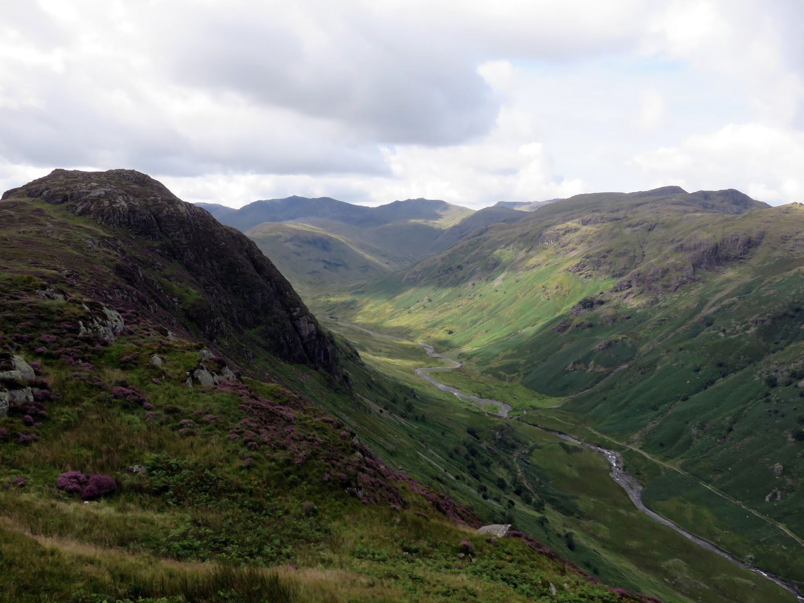
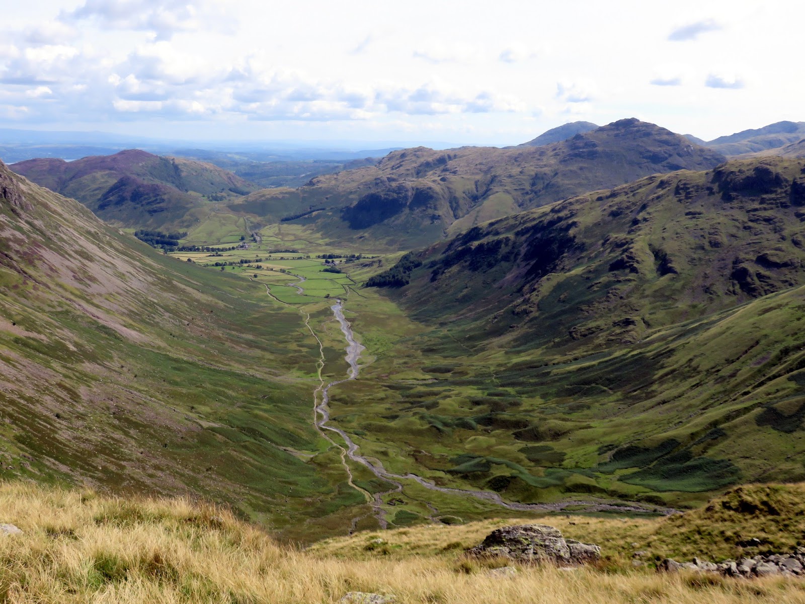
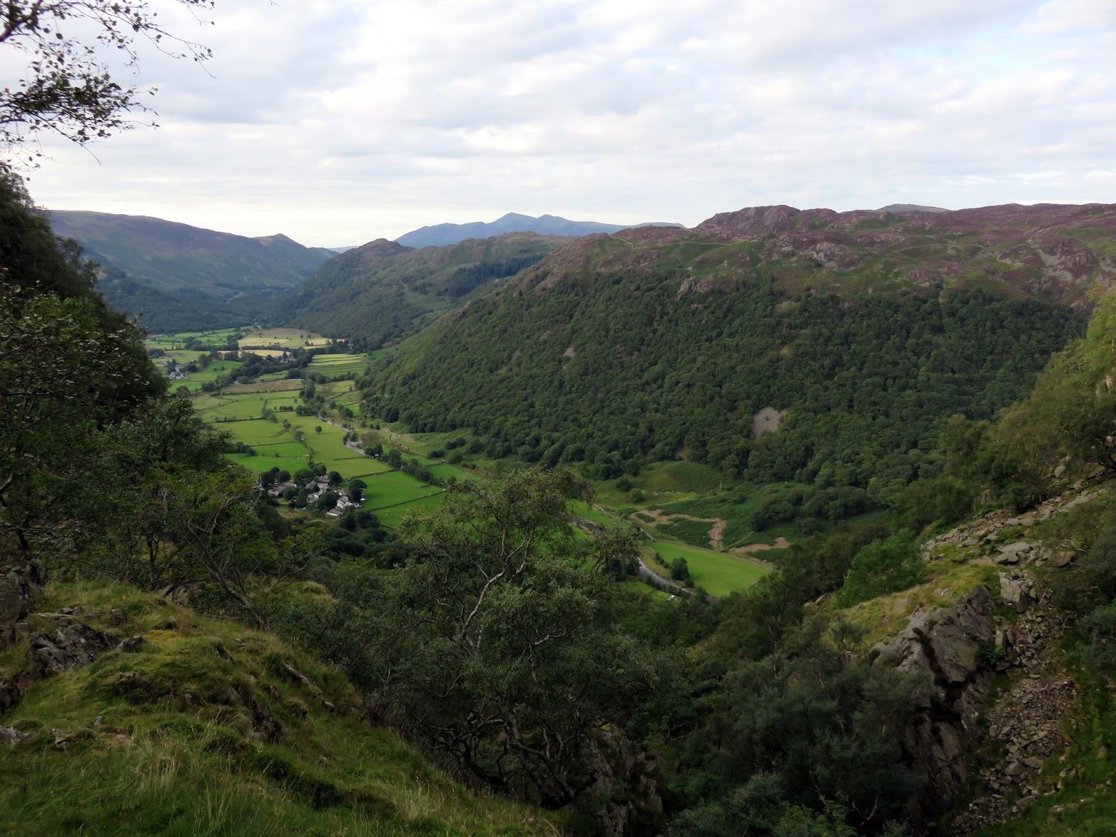
Langstrath is a major Lakeland valley, providing a direct route between Borrowdale and Great Langdale, carrying the Cumbria Way over Stake Pass. It is also a long valley, surrounded by some superb high fells, including all the outcrops and knolls that makeup Glaramara and its satellites. Long summer days mean long walks and a circuit around Langstrath promised a lot.
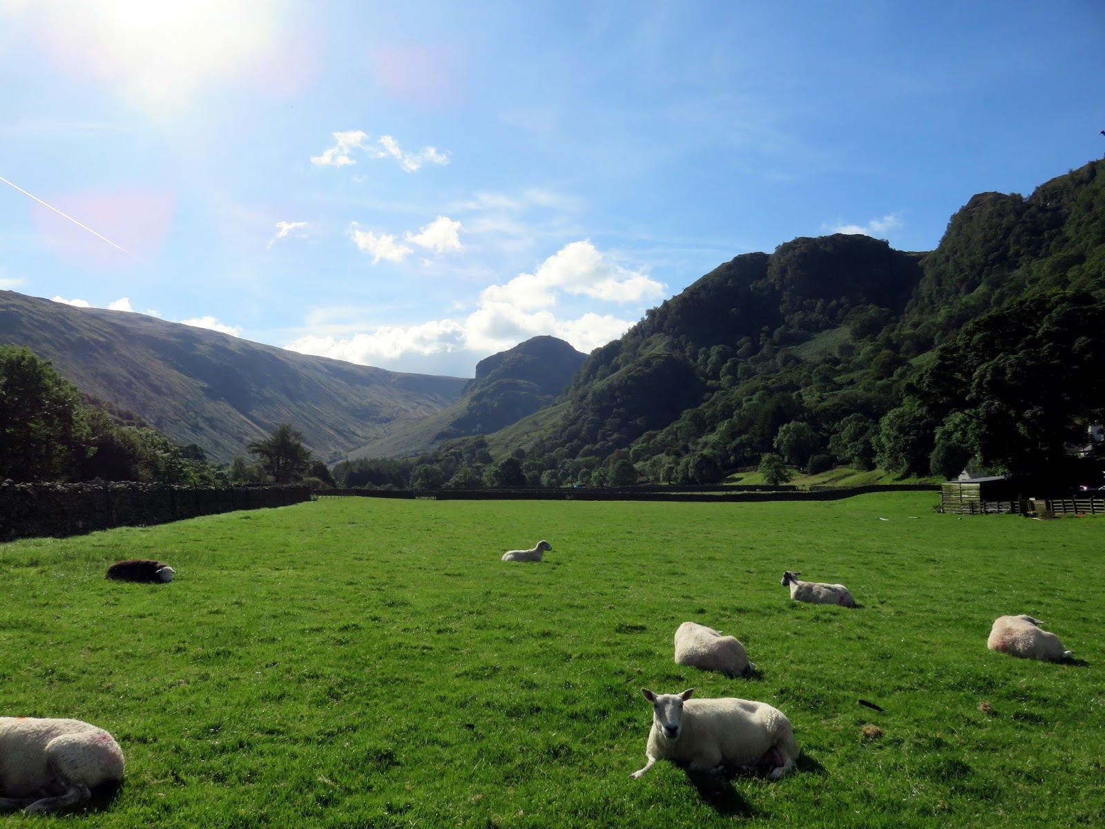
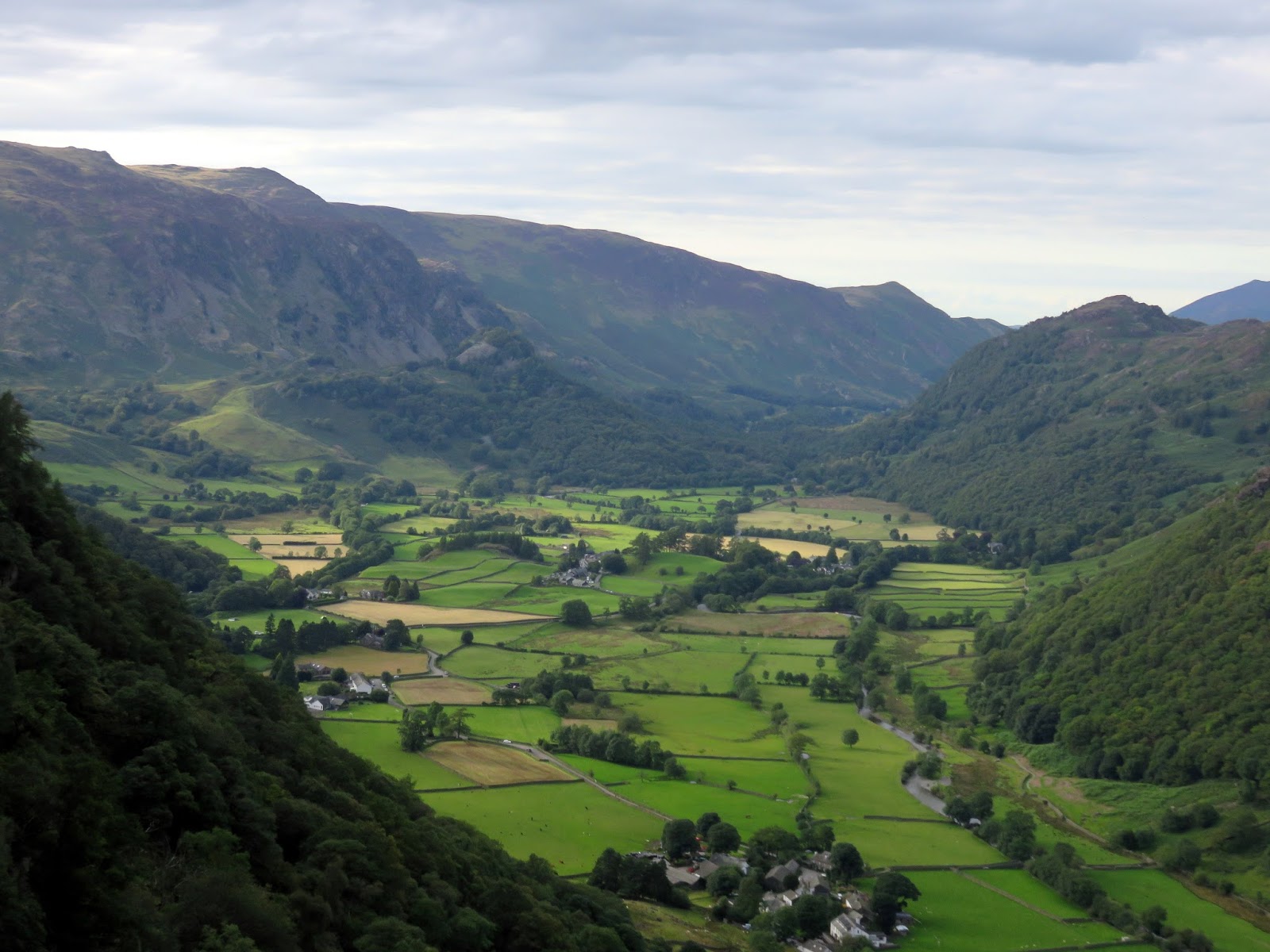
The weather, fine and dry, would be one our side for the day and cloudless skies greeted our arrival in Stonethwaite. We were lucky enough to get a space in the village though there are a number of laybys along the approach road that had yet to fill. Even in the height of the summer holidays, the central fells were looking quiet.
 |
| It was a beautiful morning in Stonethwaite |
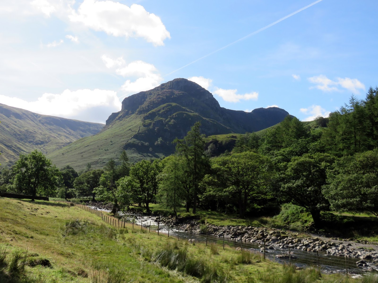
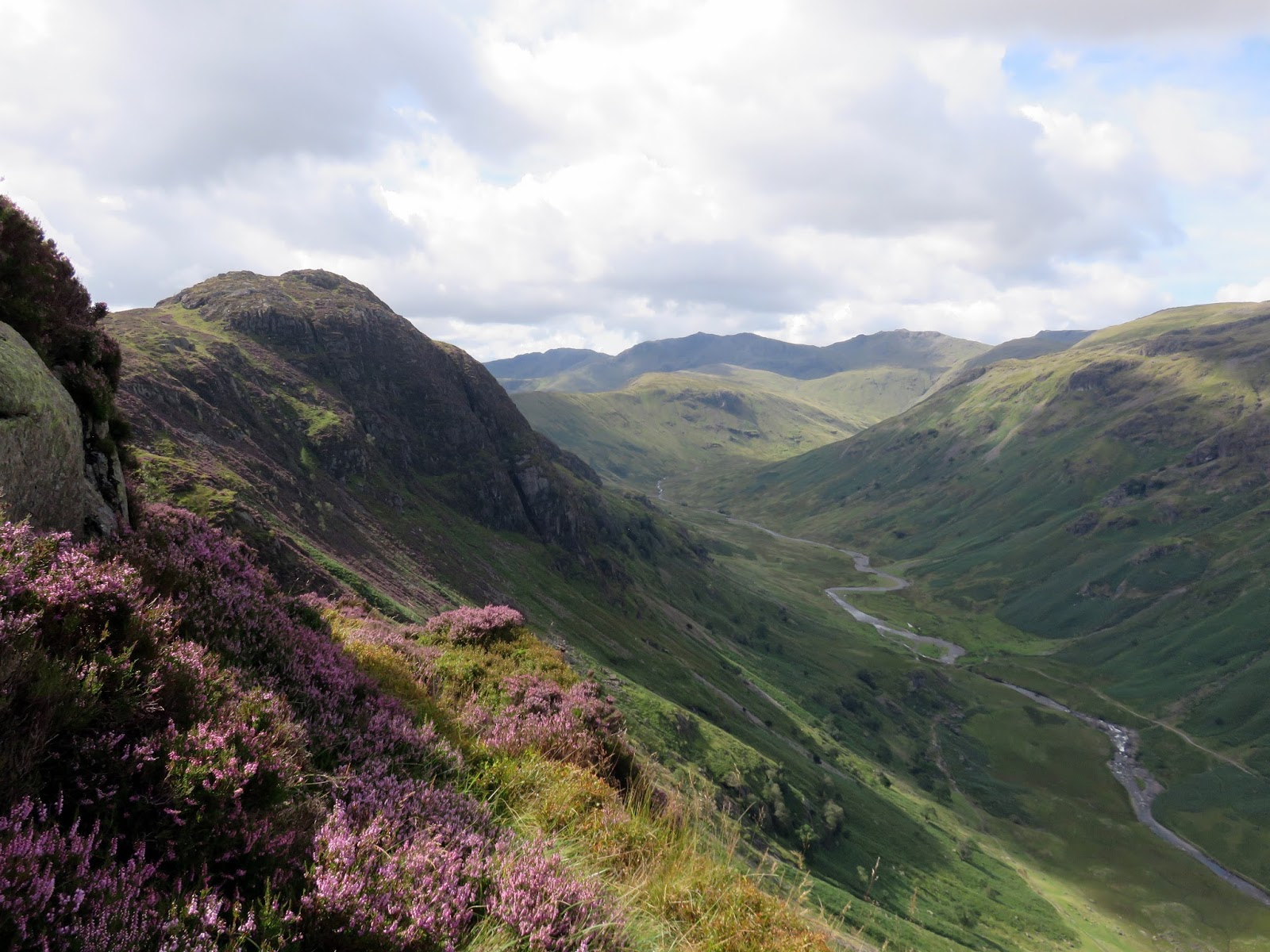
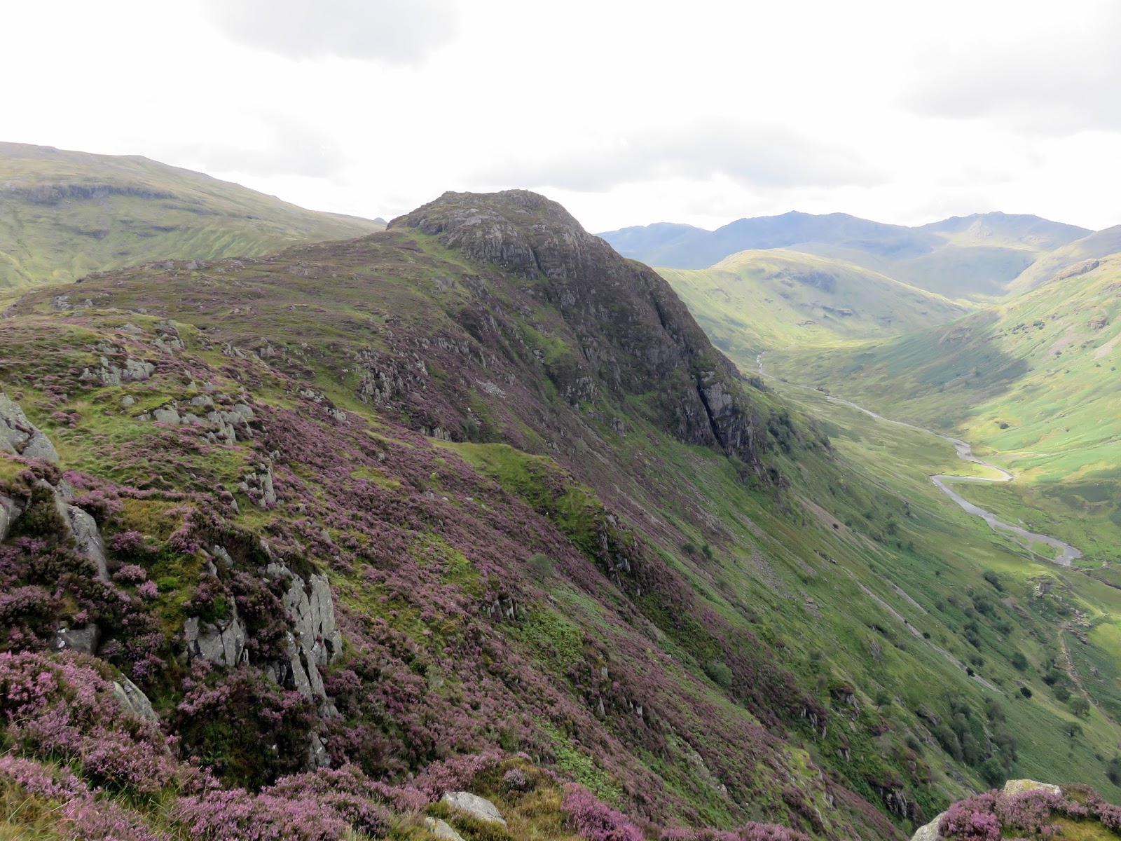
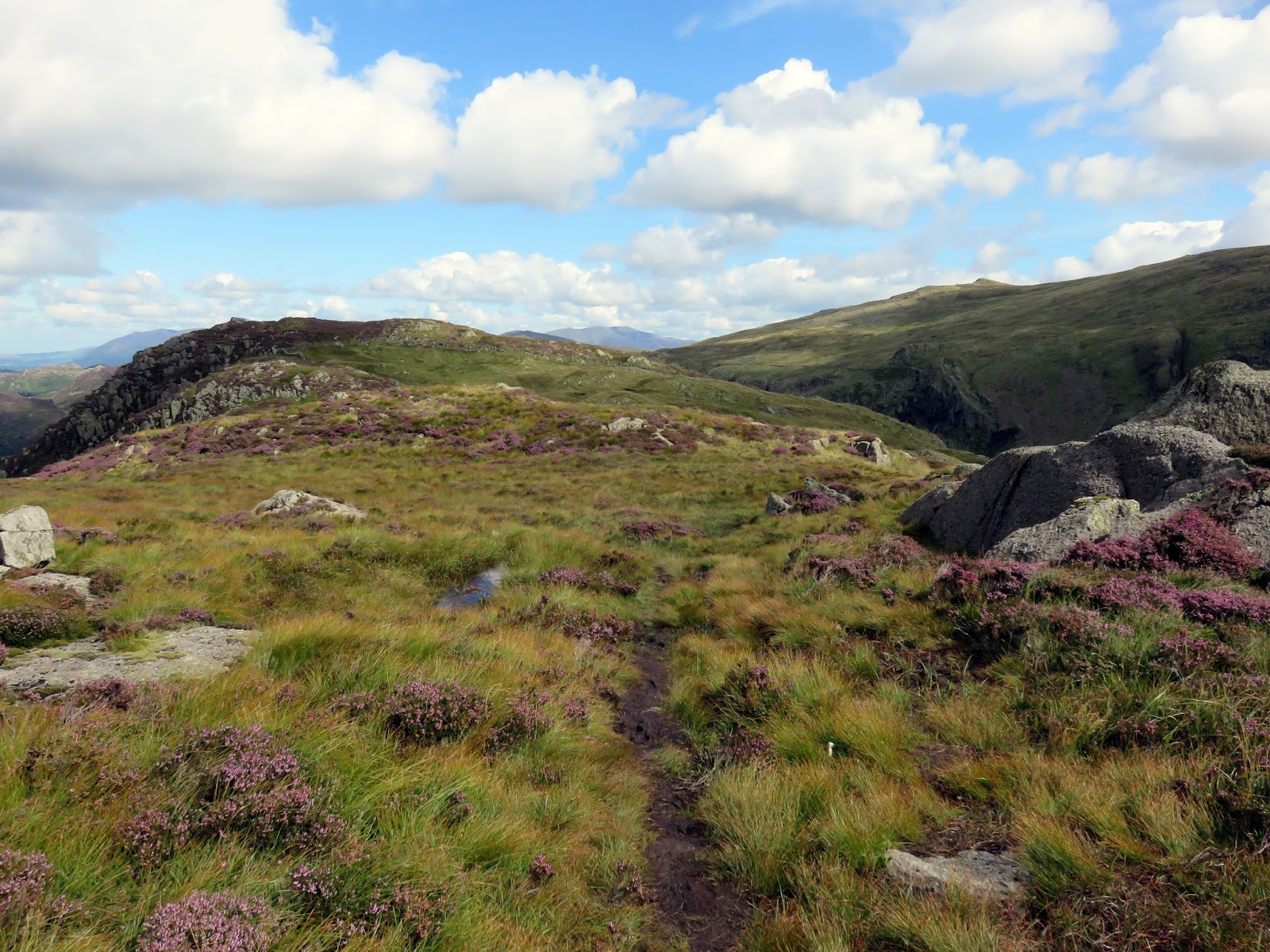
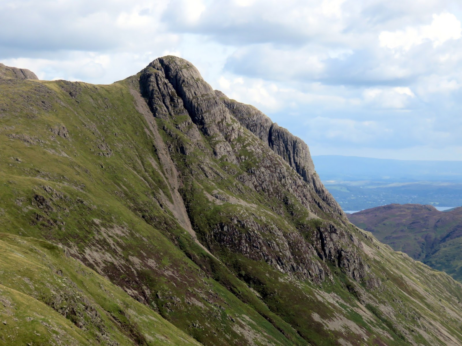
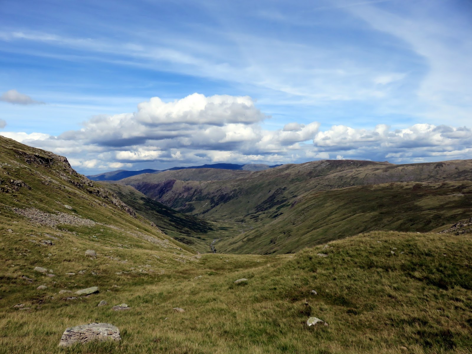
Our chosen starting point was the imposing Eagle Crag, rising towards the head of Stonethwaite. It’s well noted that, at first glance, the crags appear impassable yet a route up through them does exist, starting from the base of a broken drystone wall. A path can be found heading directly up the hillside before it swings to the left towards the foot of Eagle Crag (the crag that lends its name to the fell). A stile in the fence at Bleak How allows access to the heathery terraces beyond.
 |
| The view back along Stonethwaite at the beginning of the climb |
 |
| The crags of Long Band above Greenup Gill |
 |
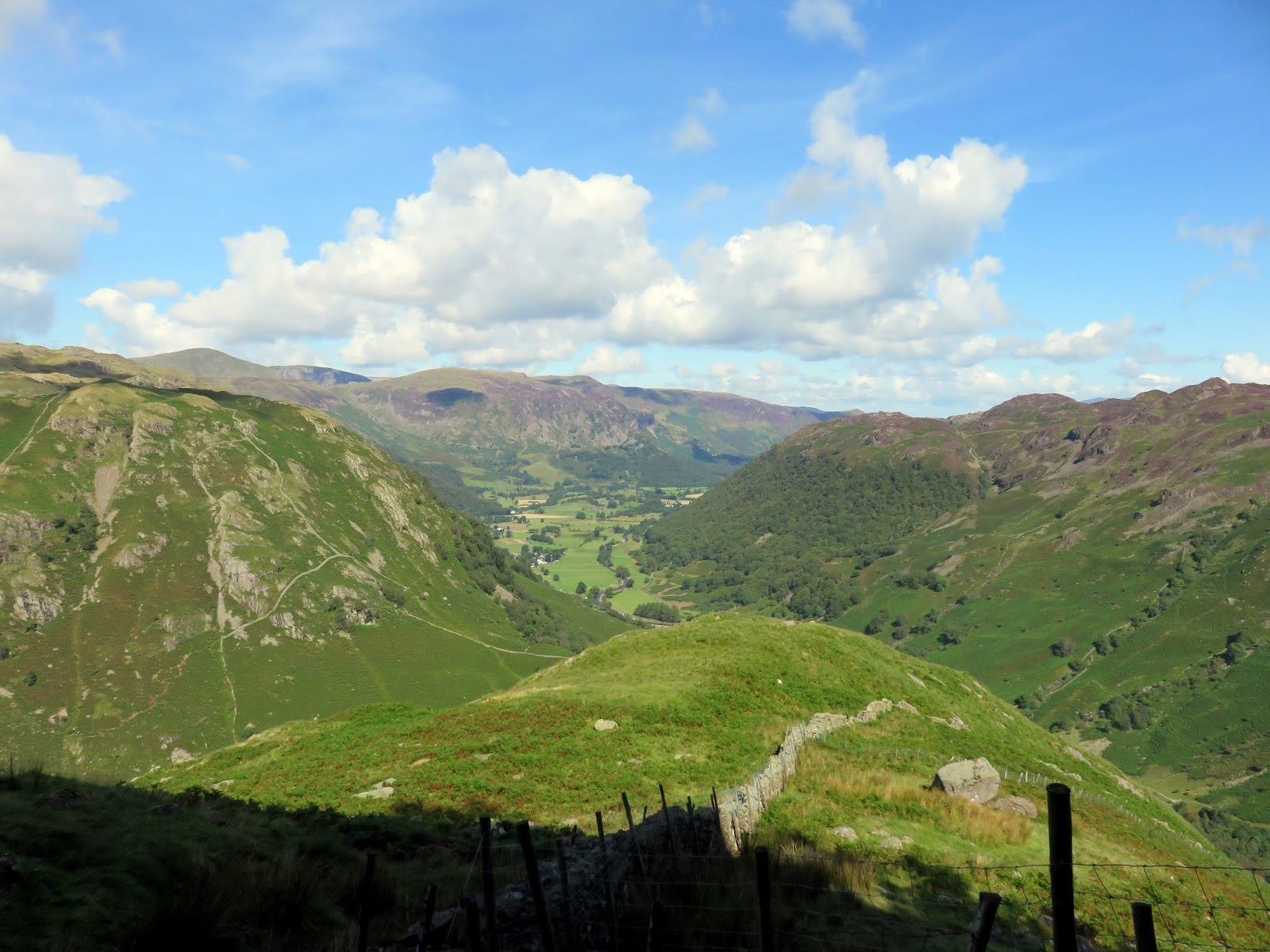
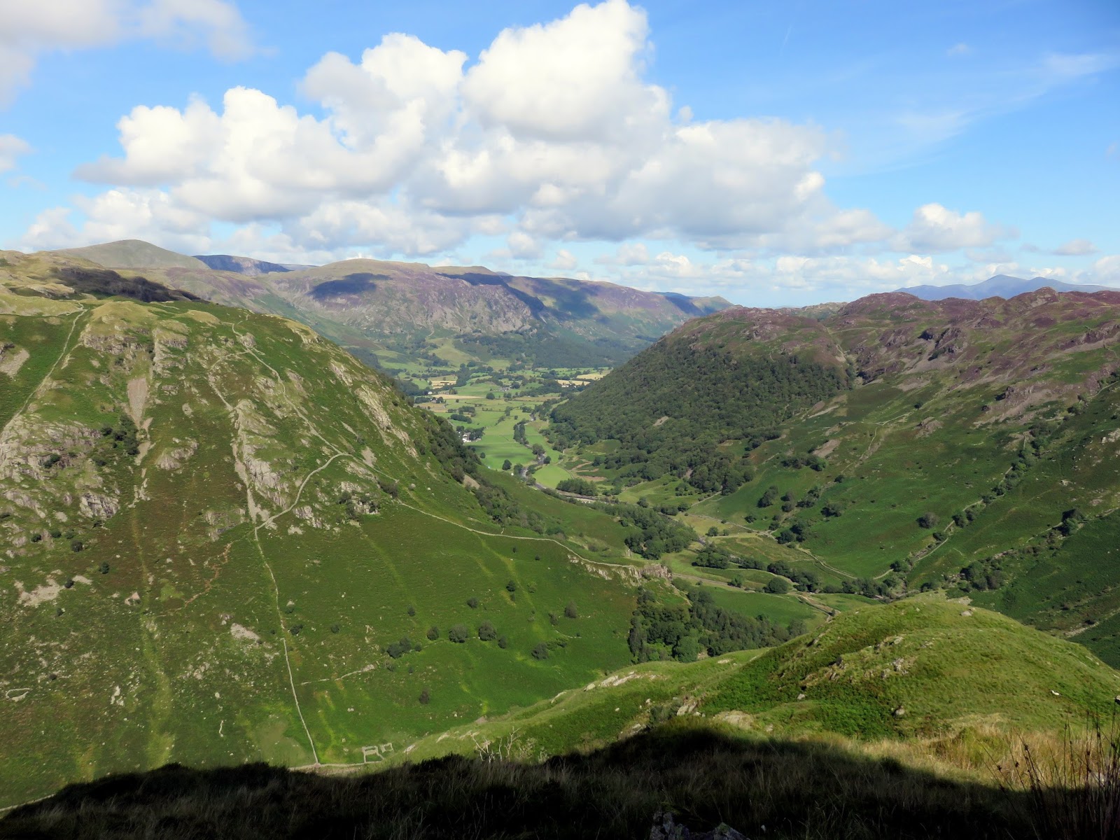
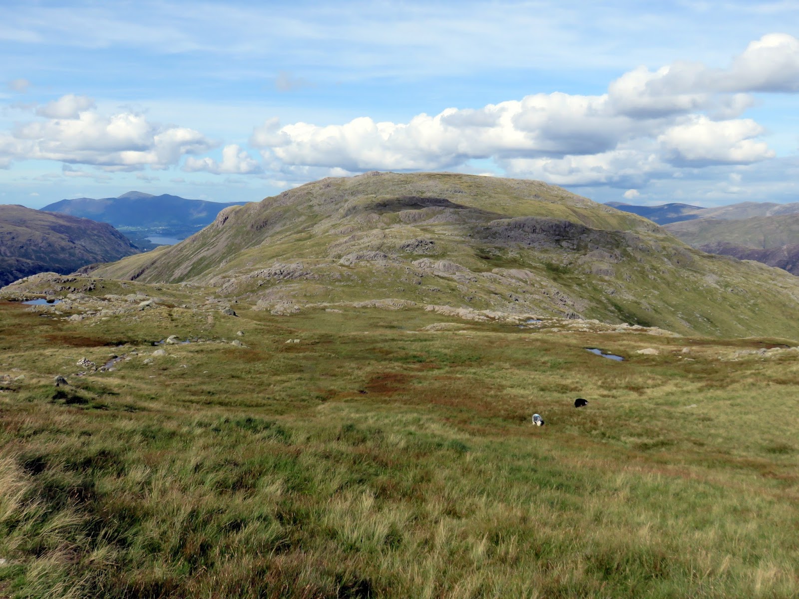
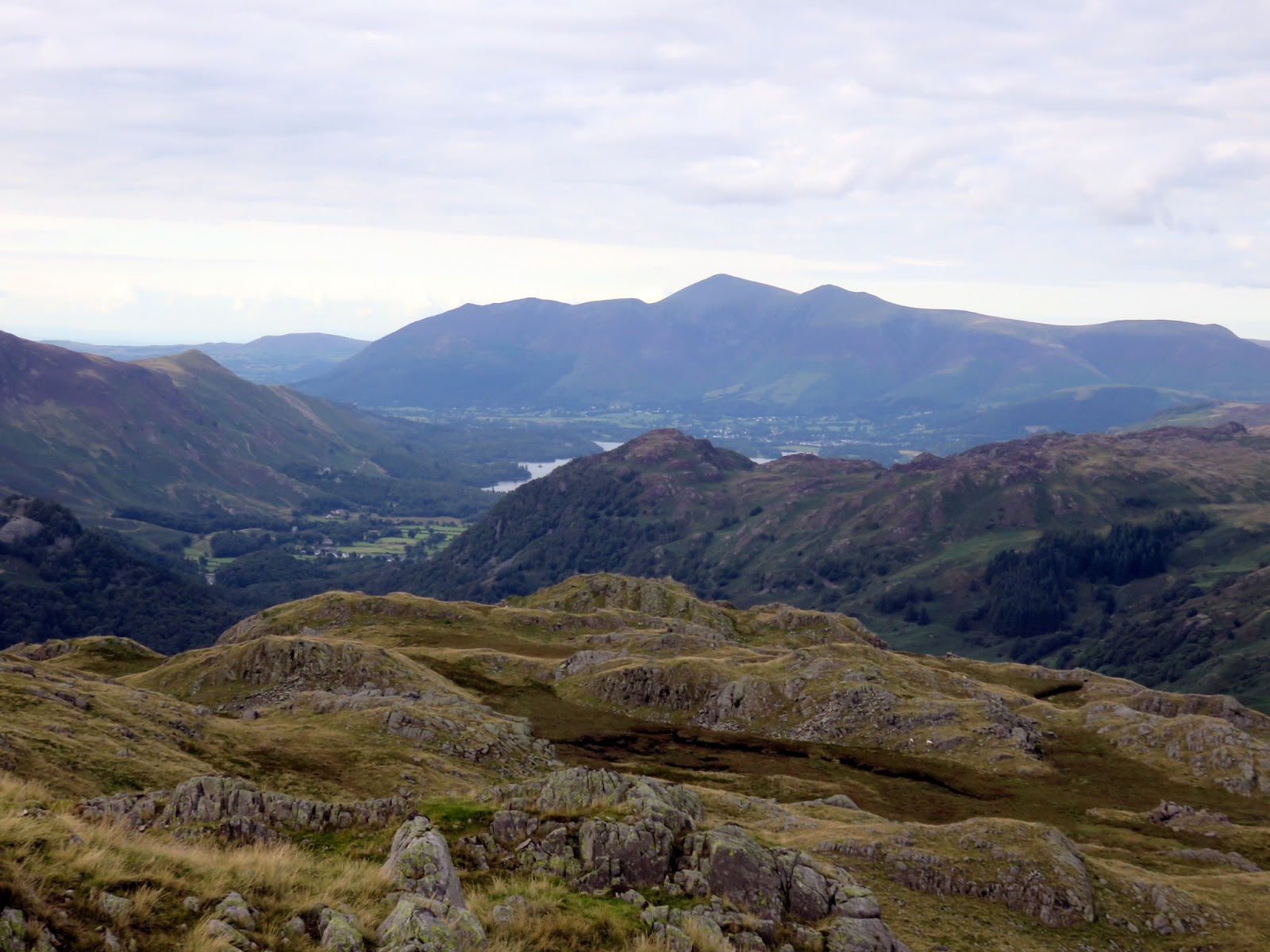
| Stonethwaite from Bleak How |
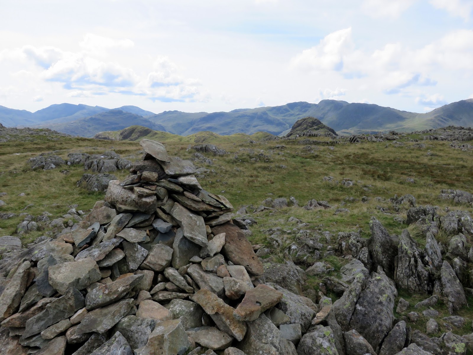
The path zig-zags around the crags, utilising a damp gully on the way until the top is reached. A small cairn marks the summit, balanced on a tilted slab of rock, with crags a few yards distant to west and north. Views into Borrowdale are understandably excellent.
 |
| Stonethwaite and Borrowdale |
 |
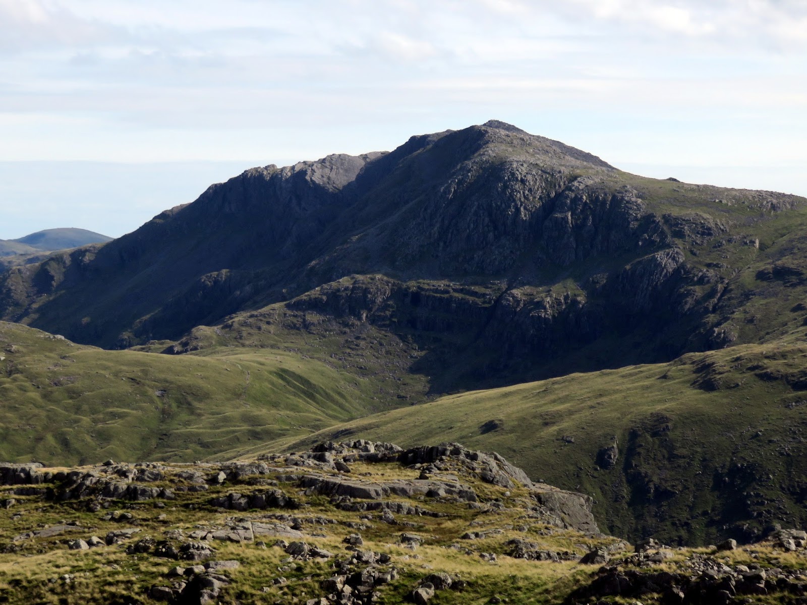
| Eagle Crag – the crag the gives its name to the fell |
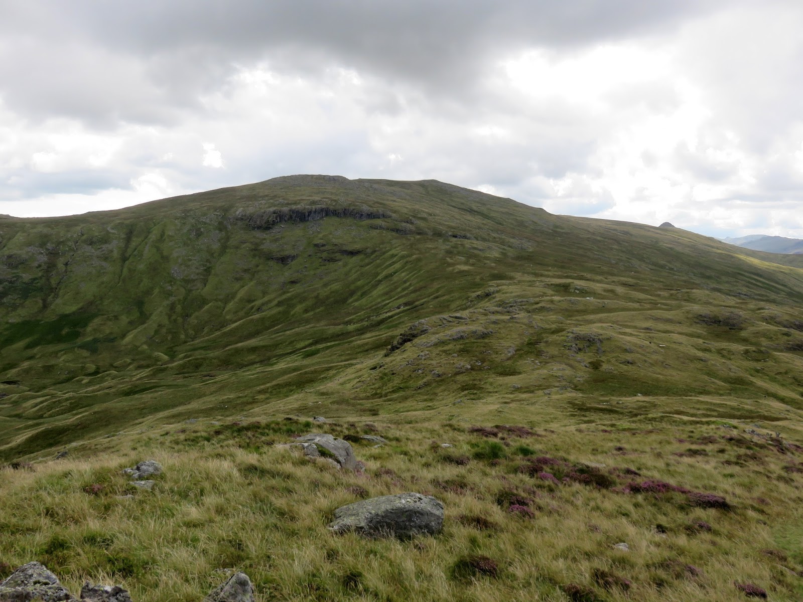
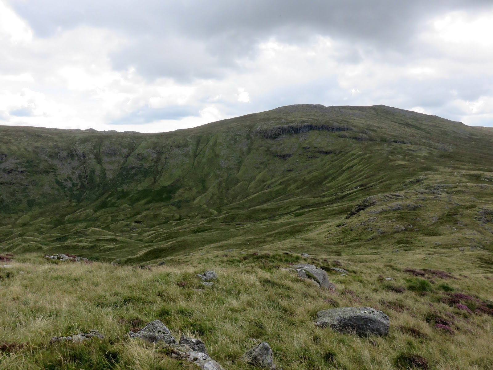
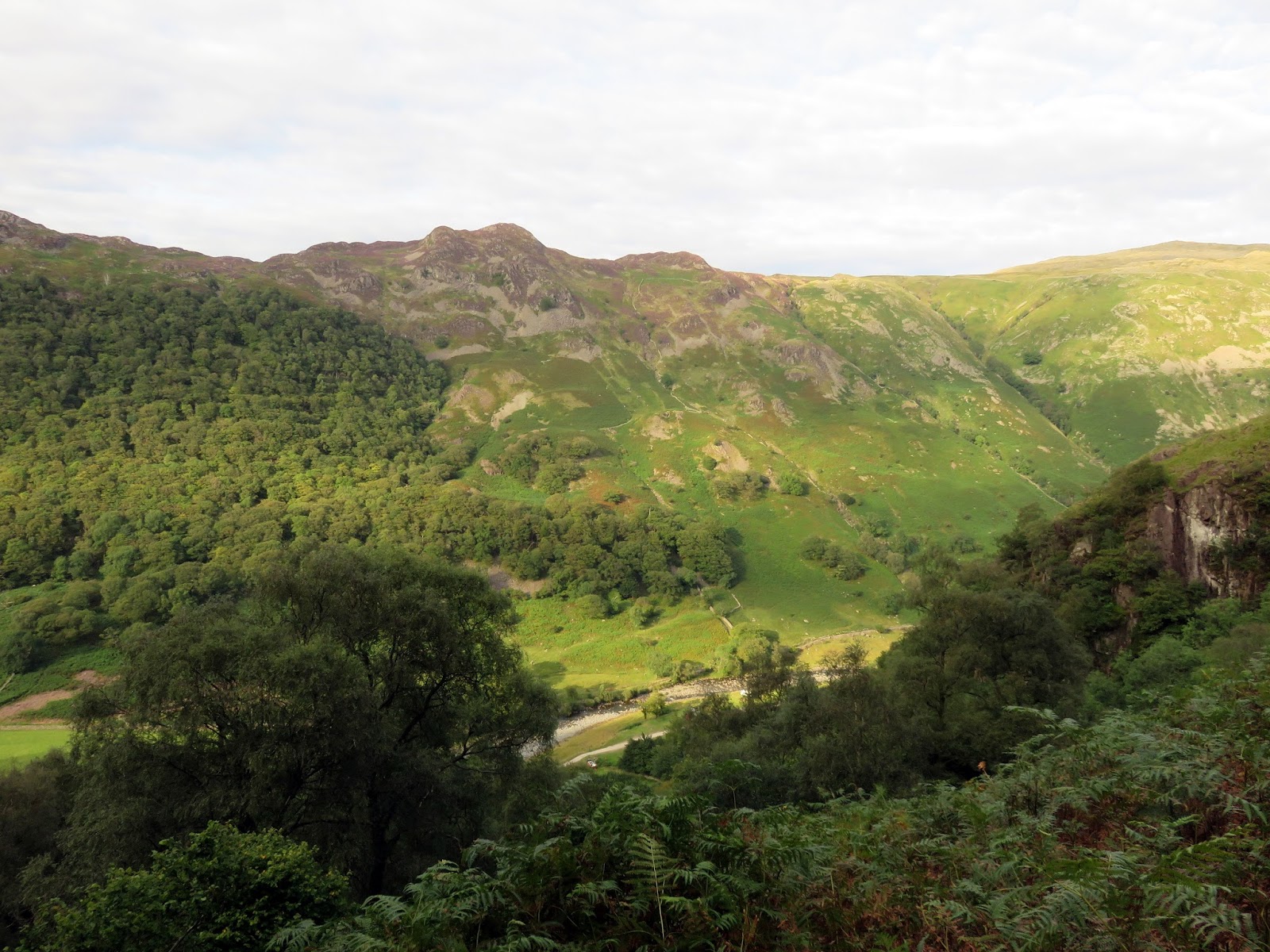
Around 1km to the south of Eagle Crag is Sergeant’s Crag, linked to Eagle Crag by a boggy ridge and drystone wall. The ridge is a termination of High Raise, the parent fell of these two craggy outposts. Despite their inferior height, these two fells easily outshine their higher neighbour.
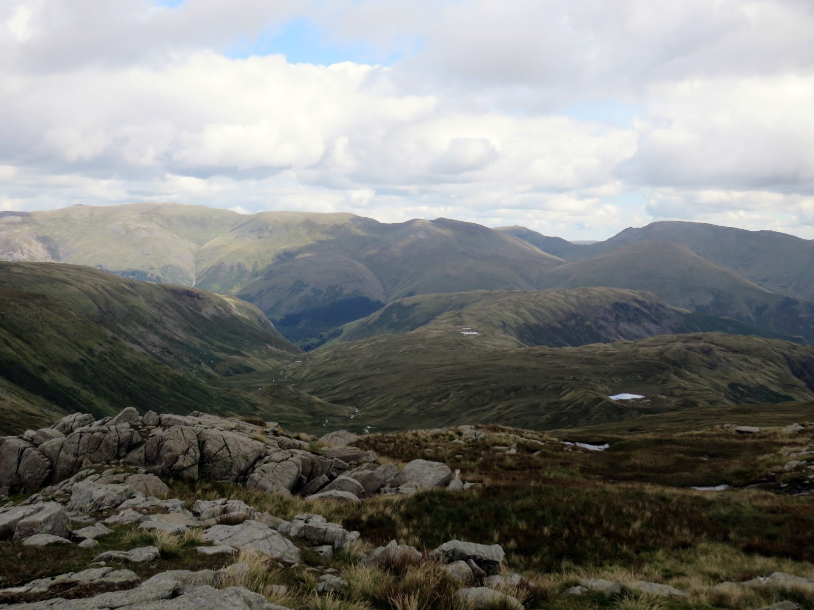
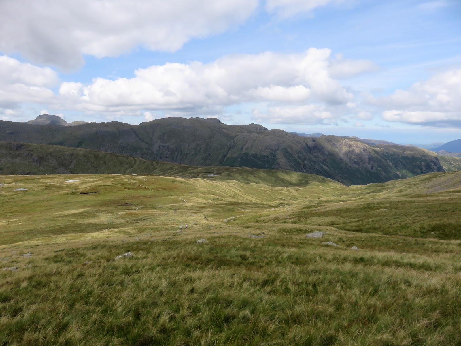
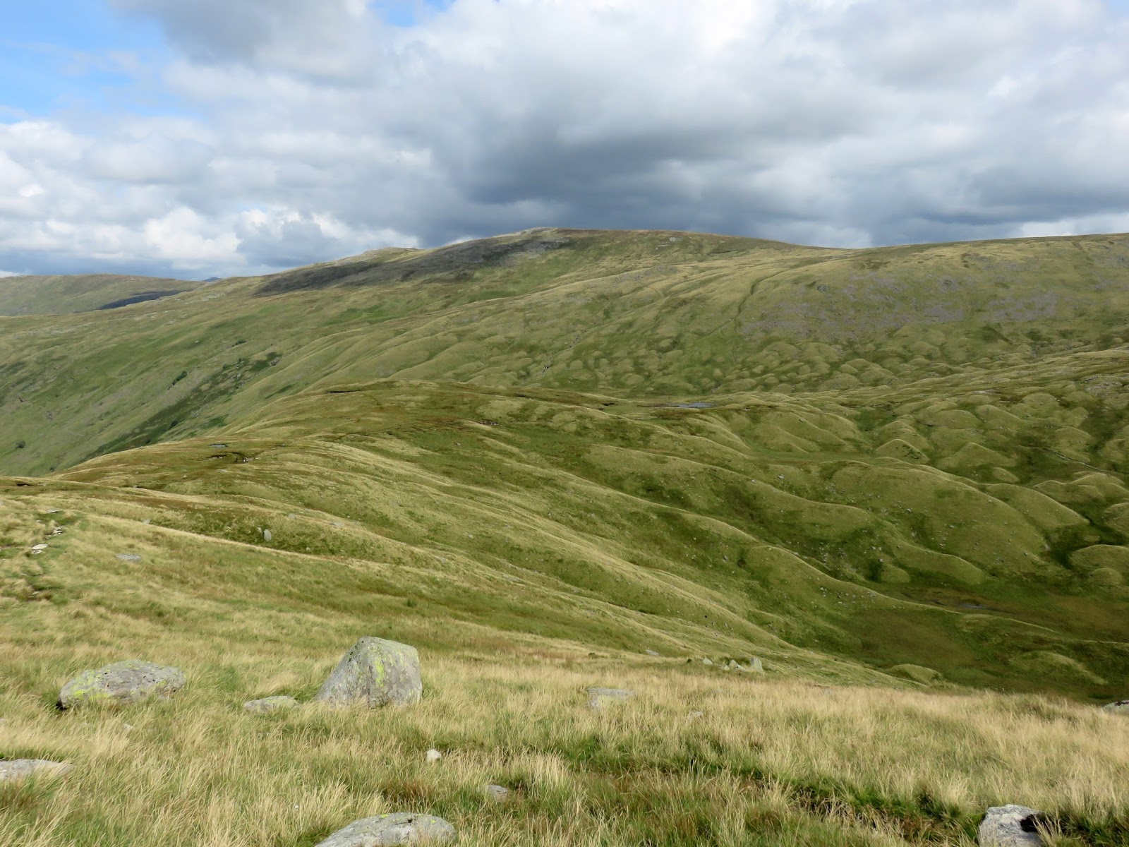
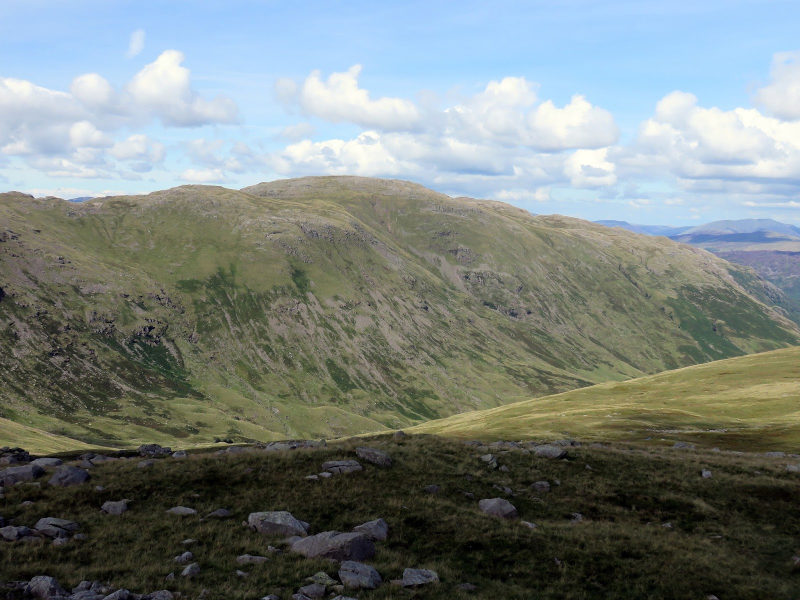
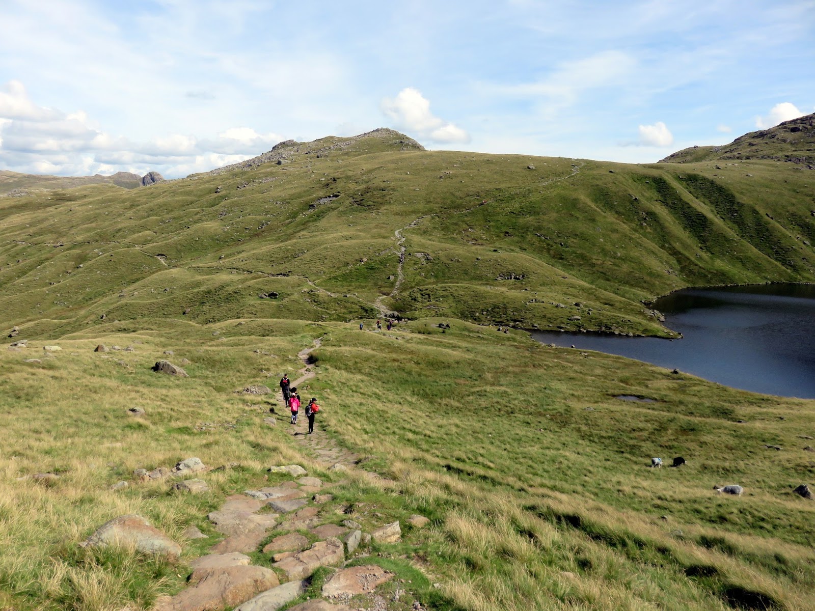
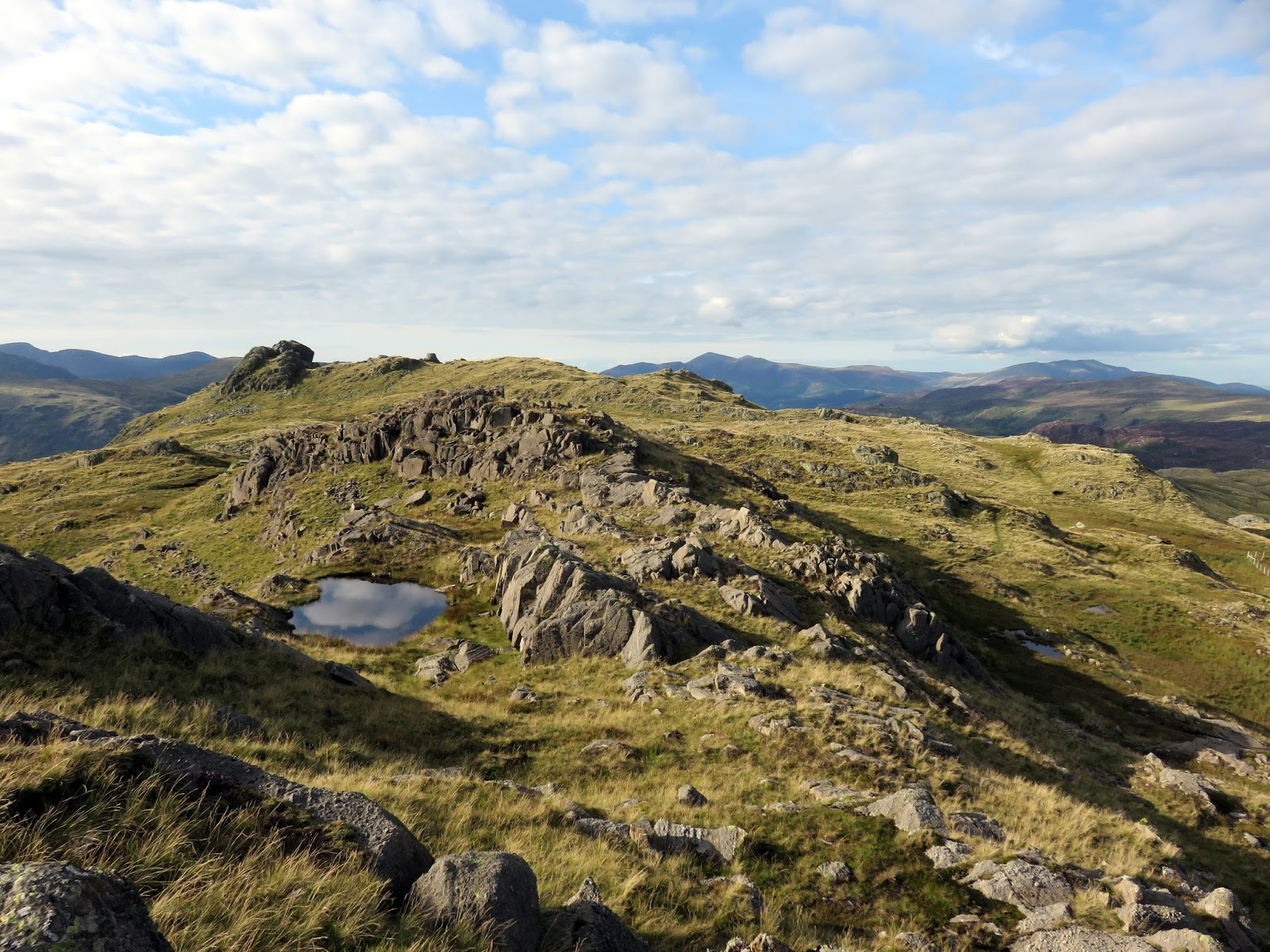
The climb up to High Raise is a pretty tedious slog up through rough grass, eventually reaching the rocky outpost of Low White Stones, the second summit of High Raise, which has sweeping views of the central fells. The bright morning sunshine had faded a bit – there was a cool breeze in the air – so we quickly made our way up to High Raise, en route to Sergeant Man.
 |
| High fells at the head of Langstrath |
 |
| A grassy climb to Low White Stones |
 |
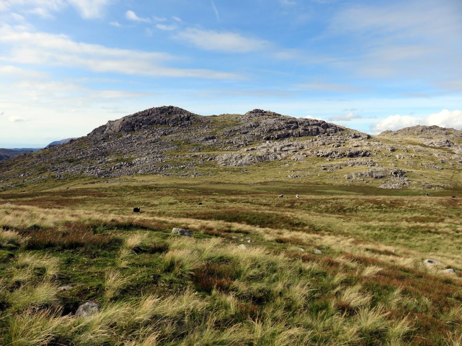
| Cairn at Low White Stones |
 |
| The striking Rosthwaite Cam catches the sun |
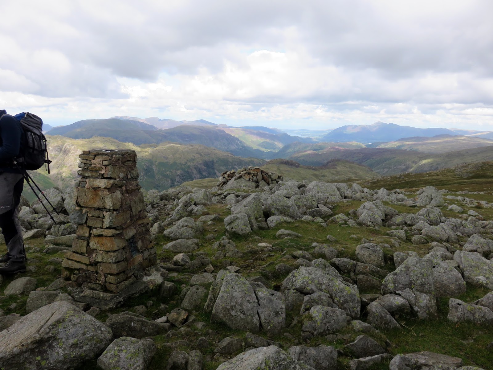
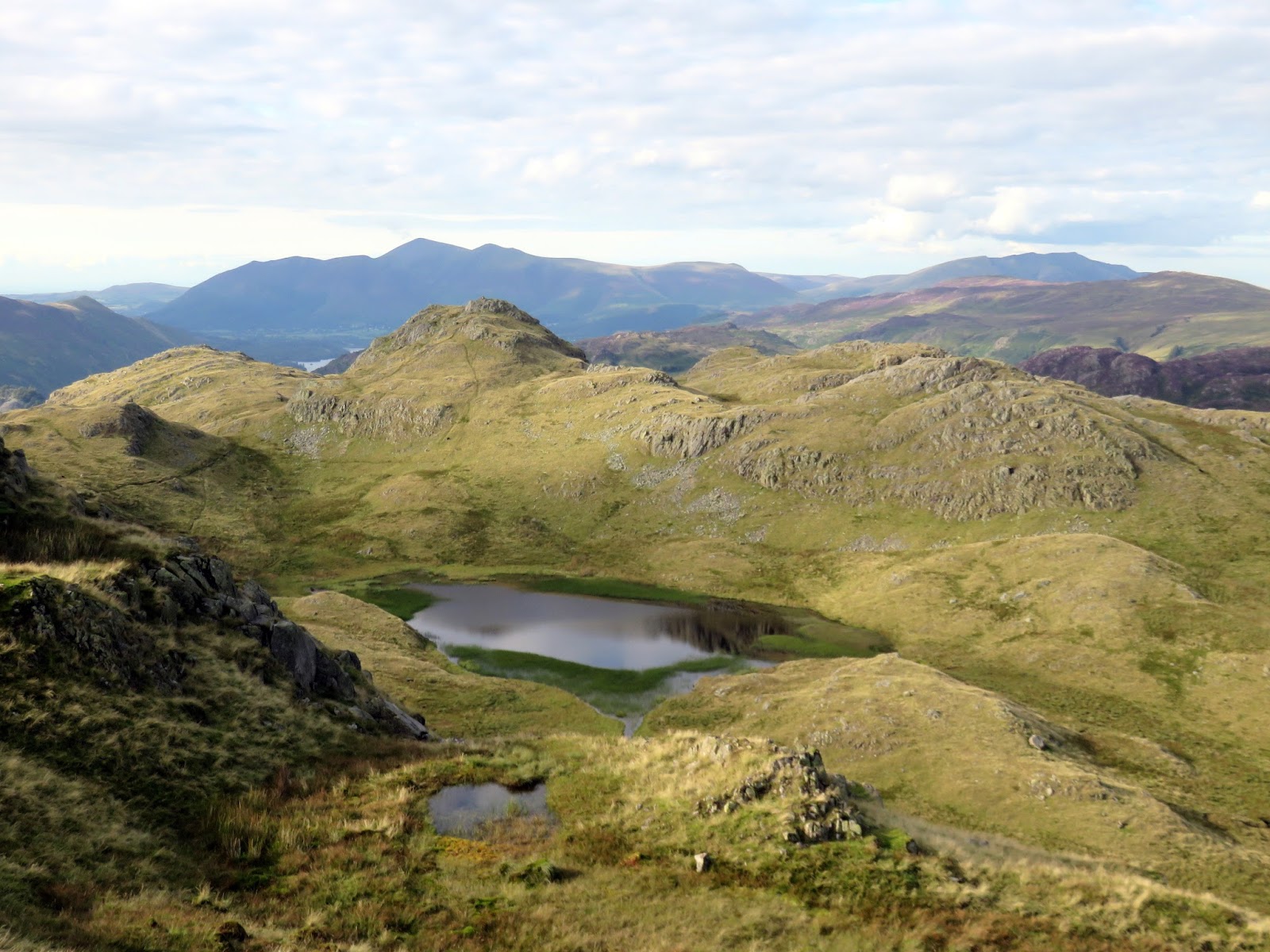
Though unspectacular, High Raise is the highest point in the central fells and it is also regarded as the most central of all fells in the Lake District. These two facts combine to give good all round views. We had intended to pause on High Raise for a break but the shelter was busy so, instead, we made the short crossing to Sergeant Man to savour the view from there instead.
 |
| Codale Head |
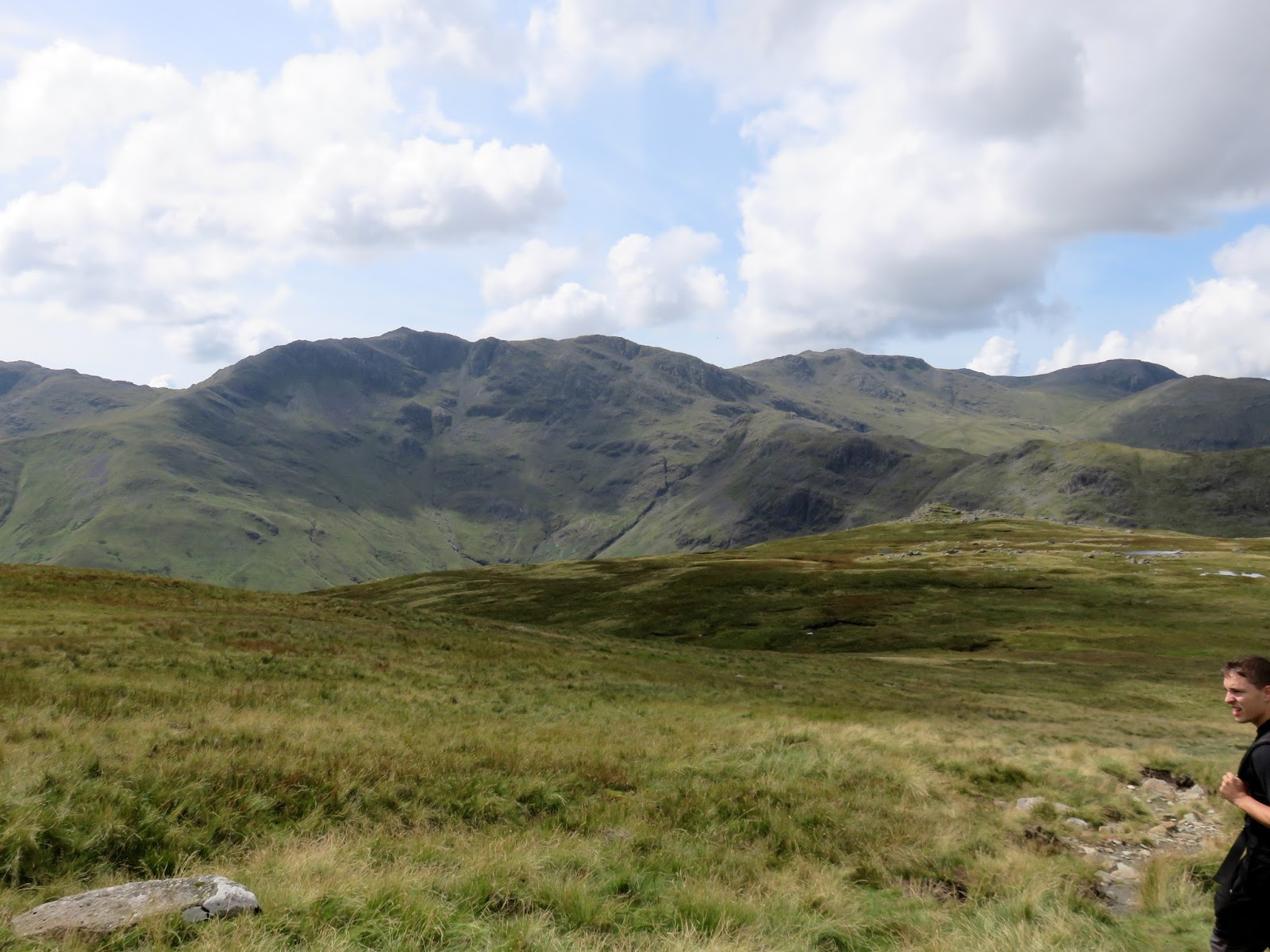
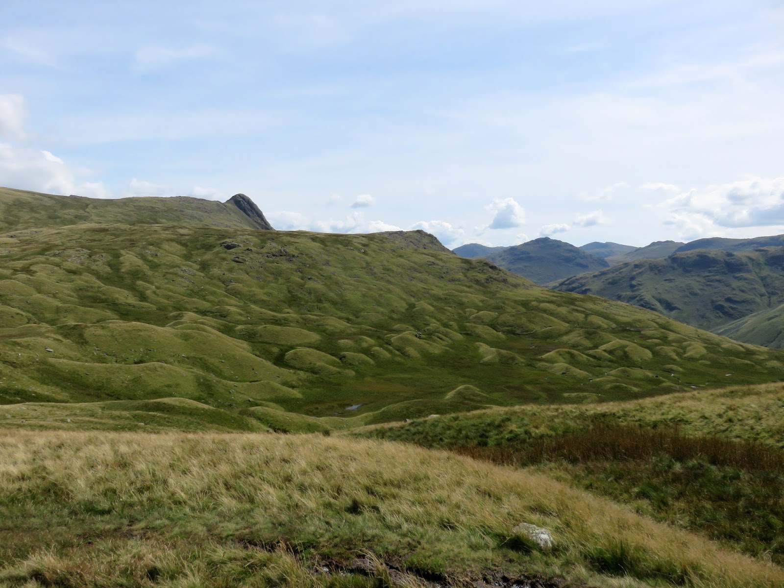
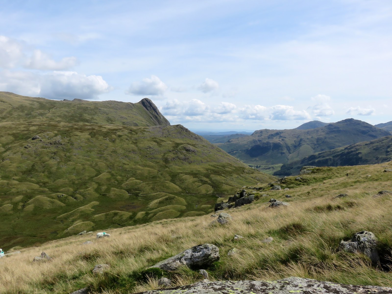
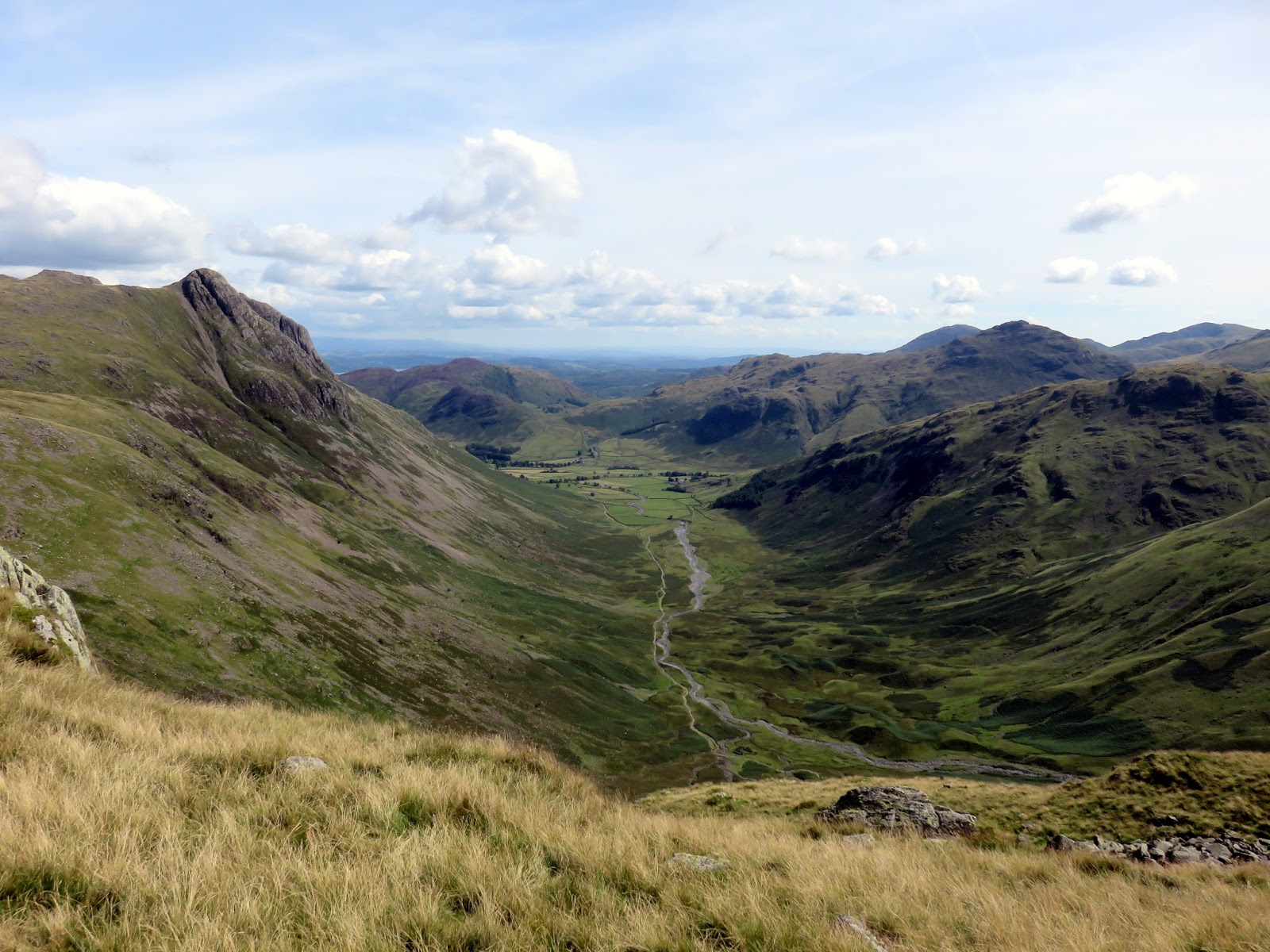
Like Eagle Crag, Sergeant Man is an outlier of High Raise, sitting atop the ridge that descends along Blea Rigg towards Grasmere and, like Eagle Crag, it also outshines its parent fell for interest and the views into Great Langdale are outstanding.
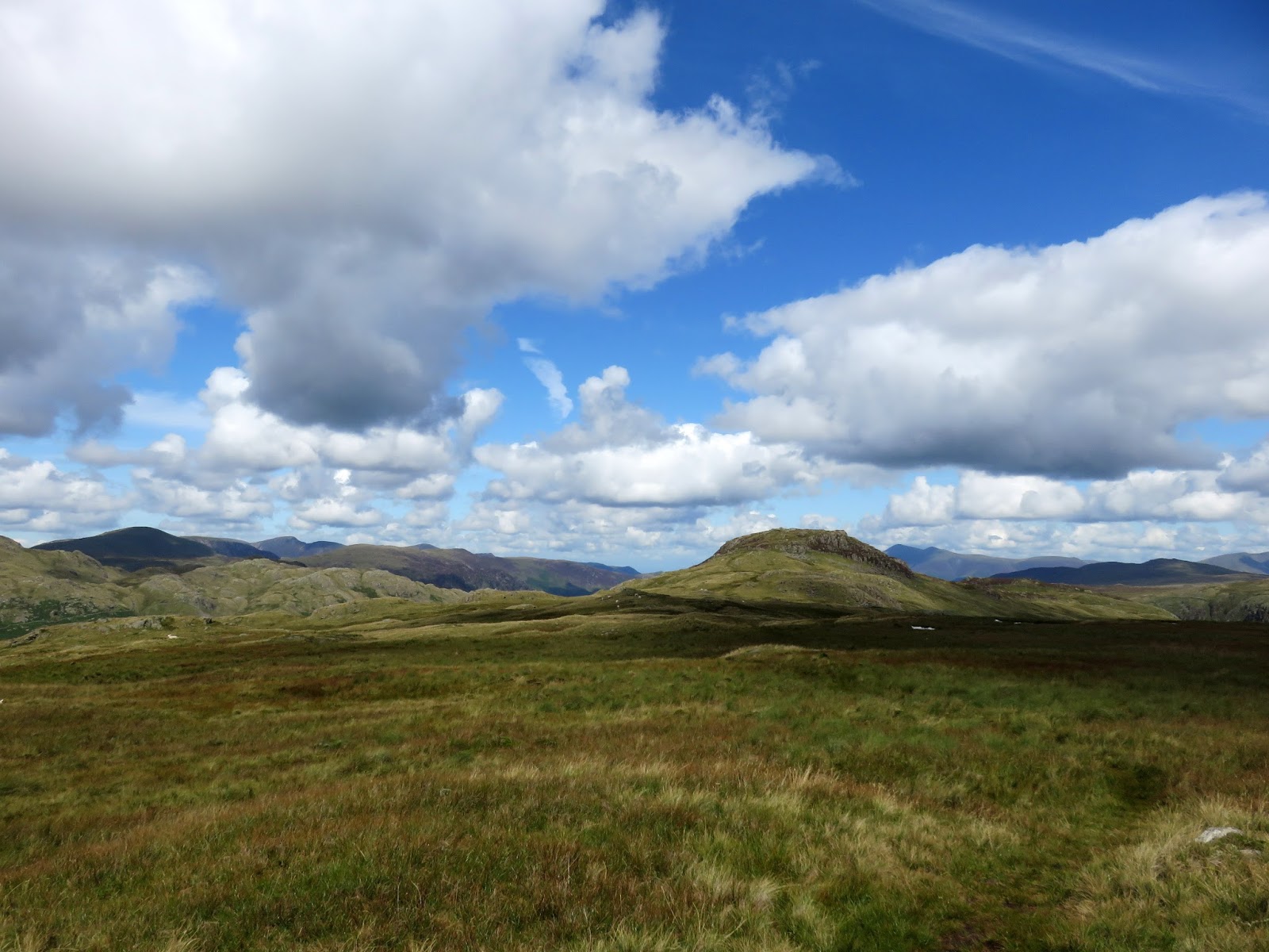
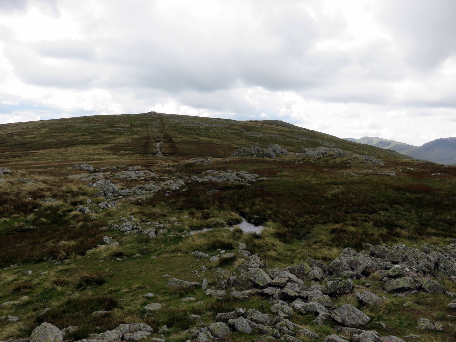
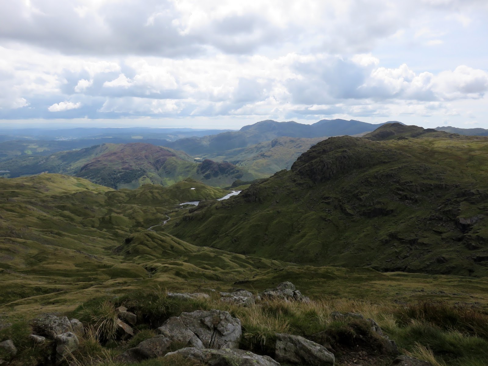
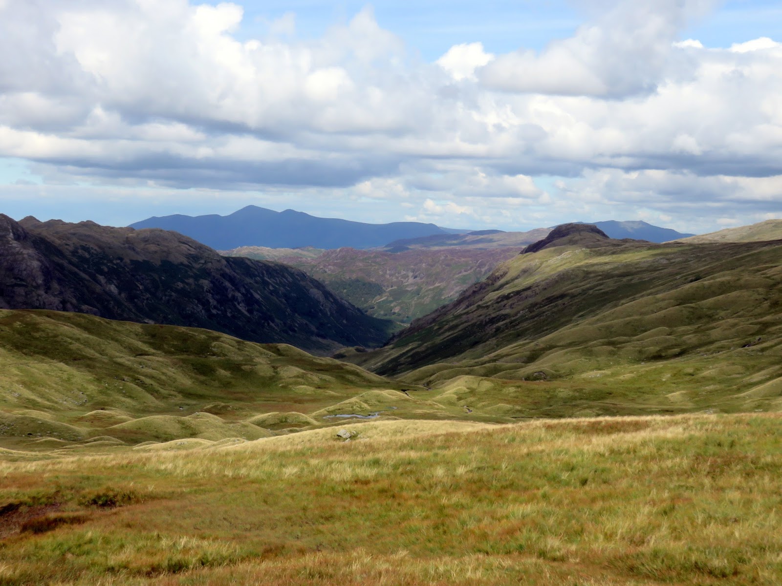
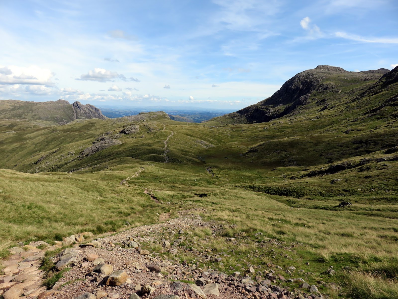
With renewed energy levels, we set off once again, this time to Thunacar Knott (not much to mention about this one) before a very long circuit around Langdale Combe to the Stake Pass. Here the Cumbria way climbs out of Great Langdale and into Langstrath though I would not consider this the head of the Langstrath valley – that’s a little further on.
 |
| Martcrag Moor leading to Stake Pass |
 |
| The Stake Pass |
 |
| Stake Pass |
 |
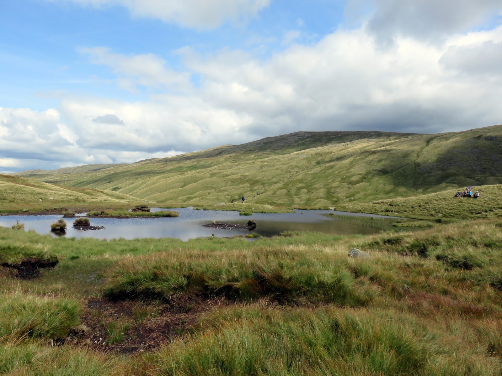
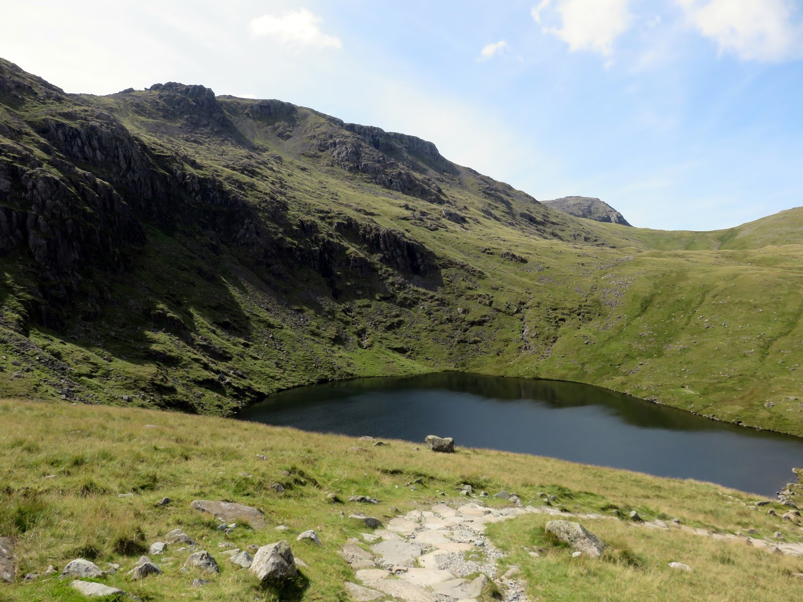
| A tarn at the head of Langdale Combe |
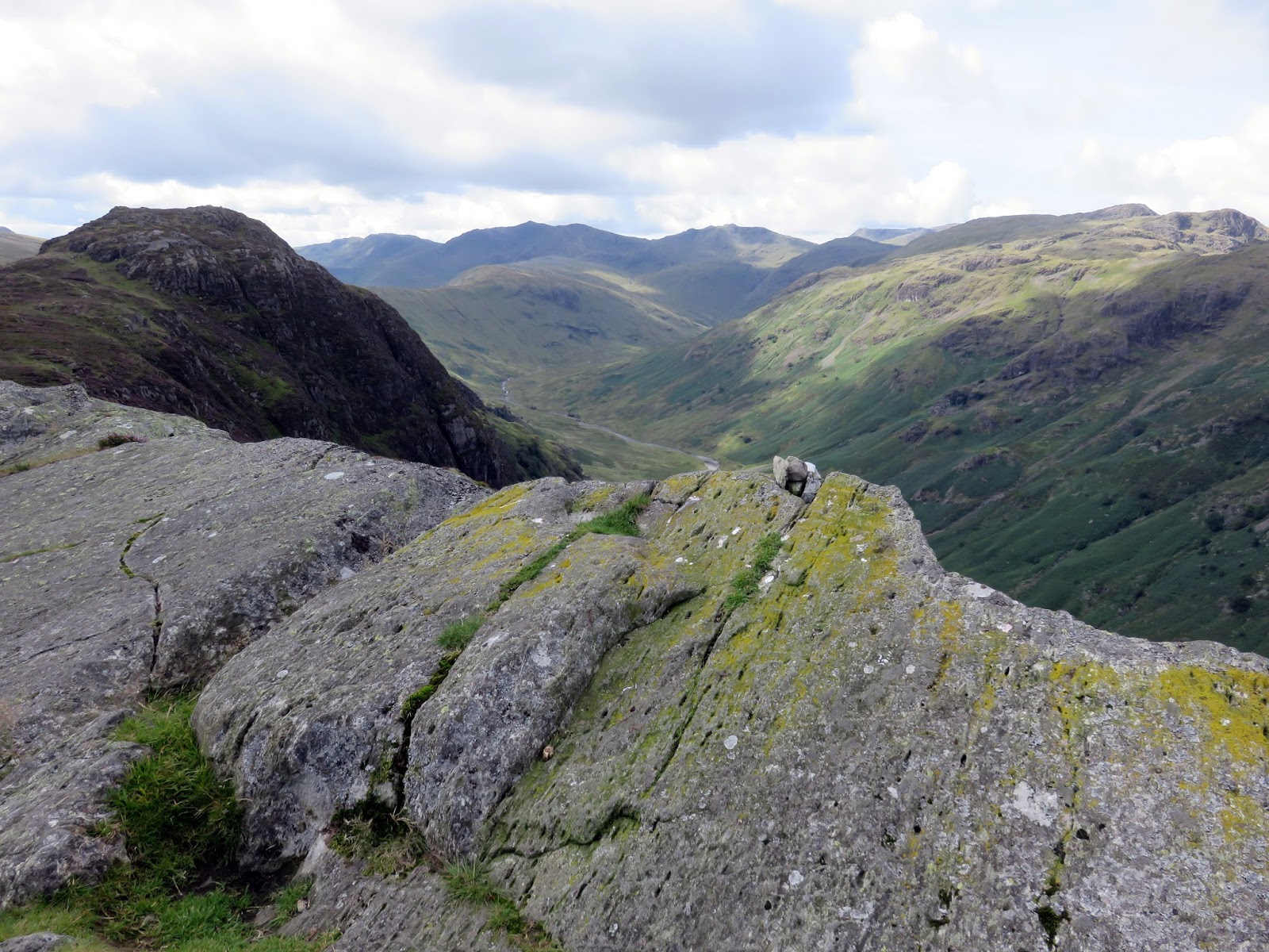
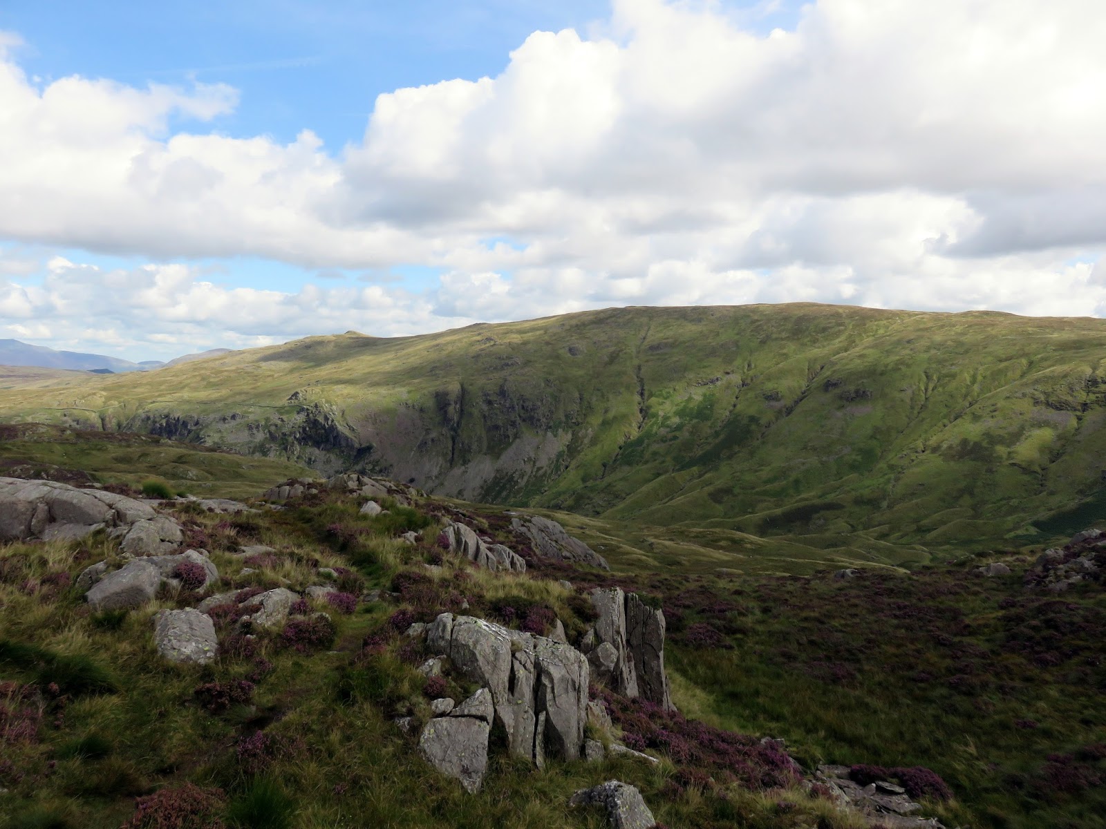
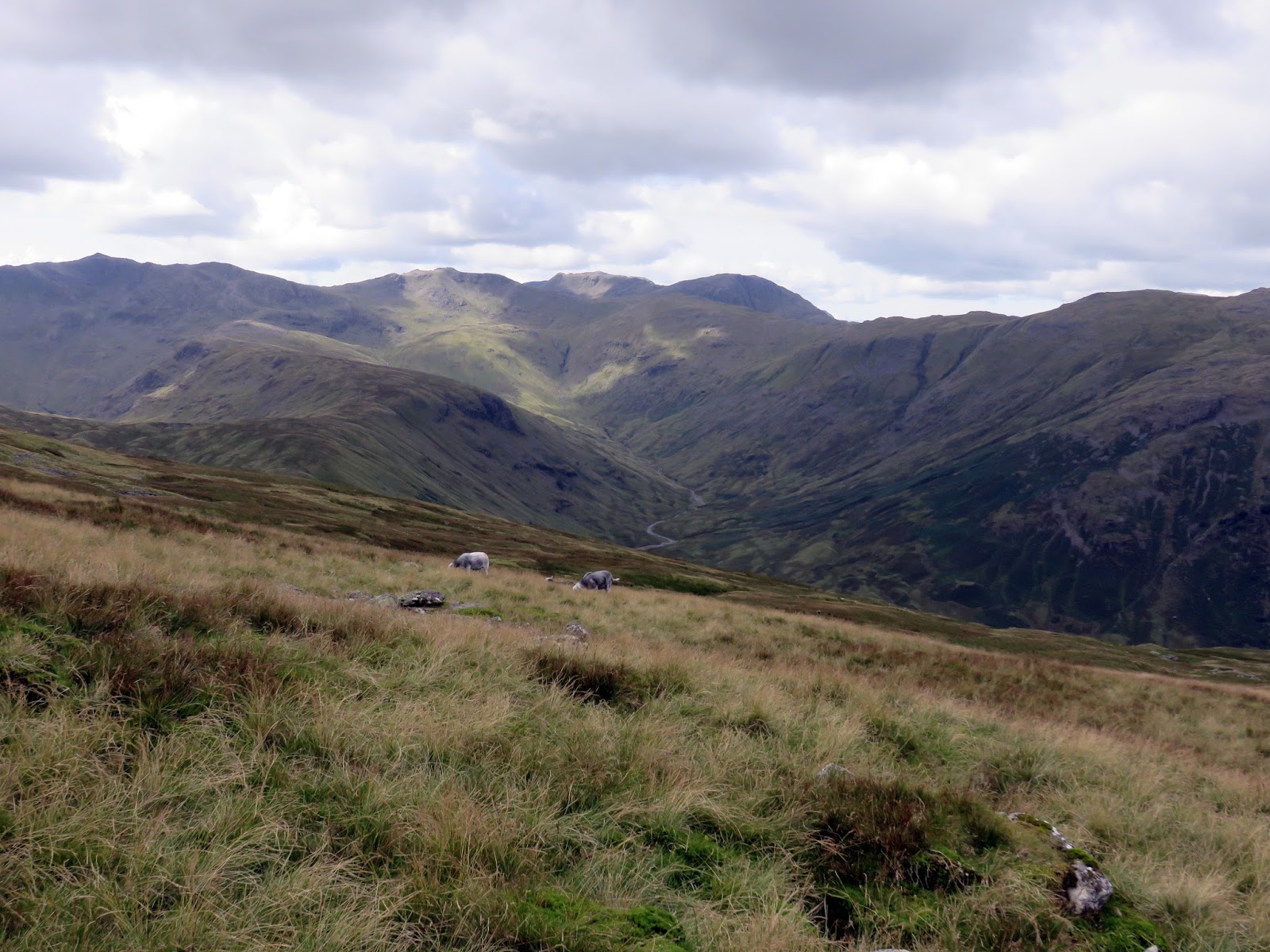
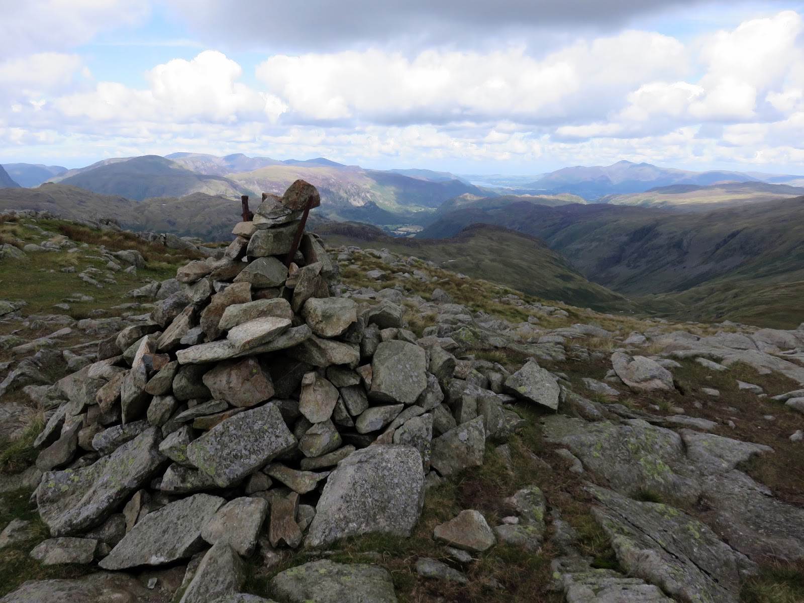
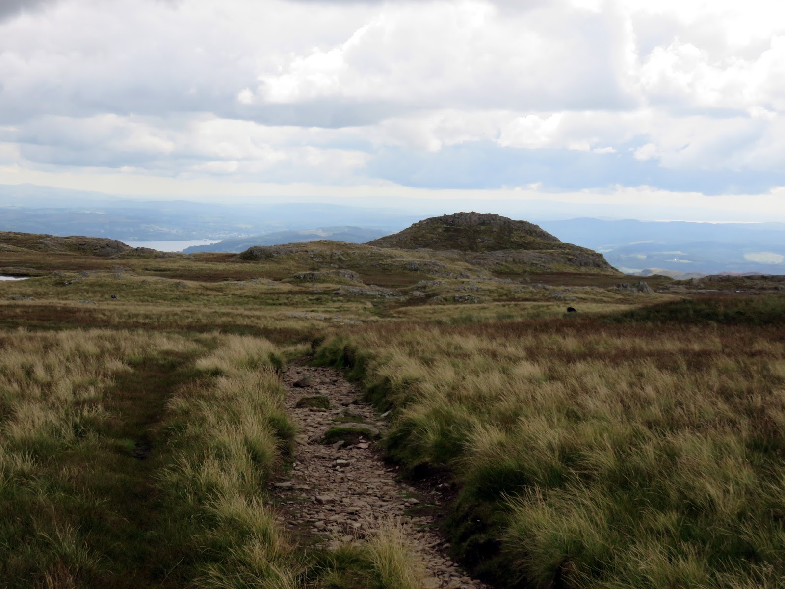
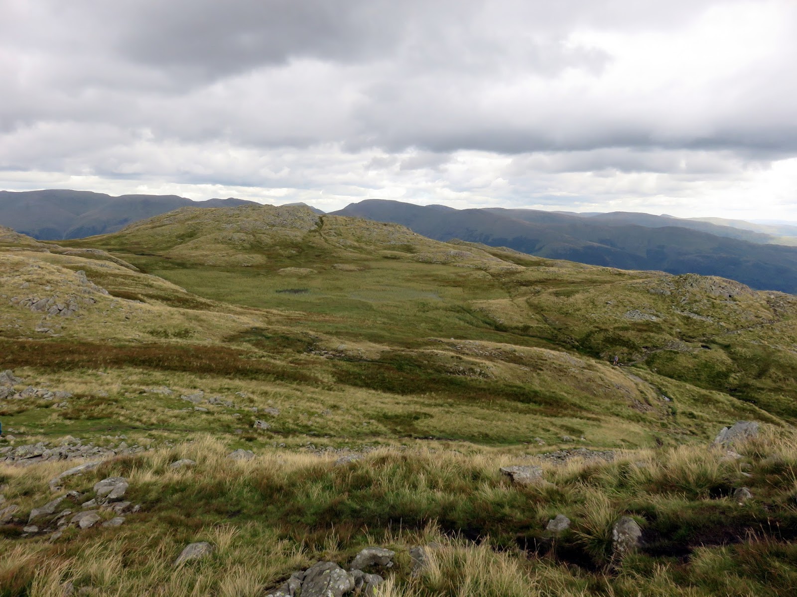
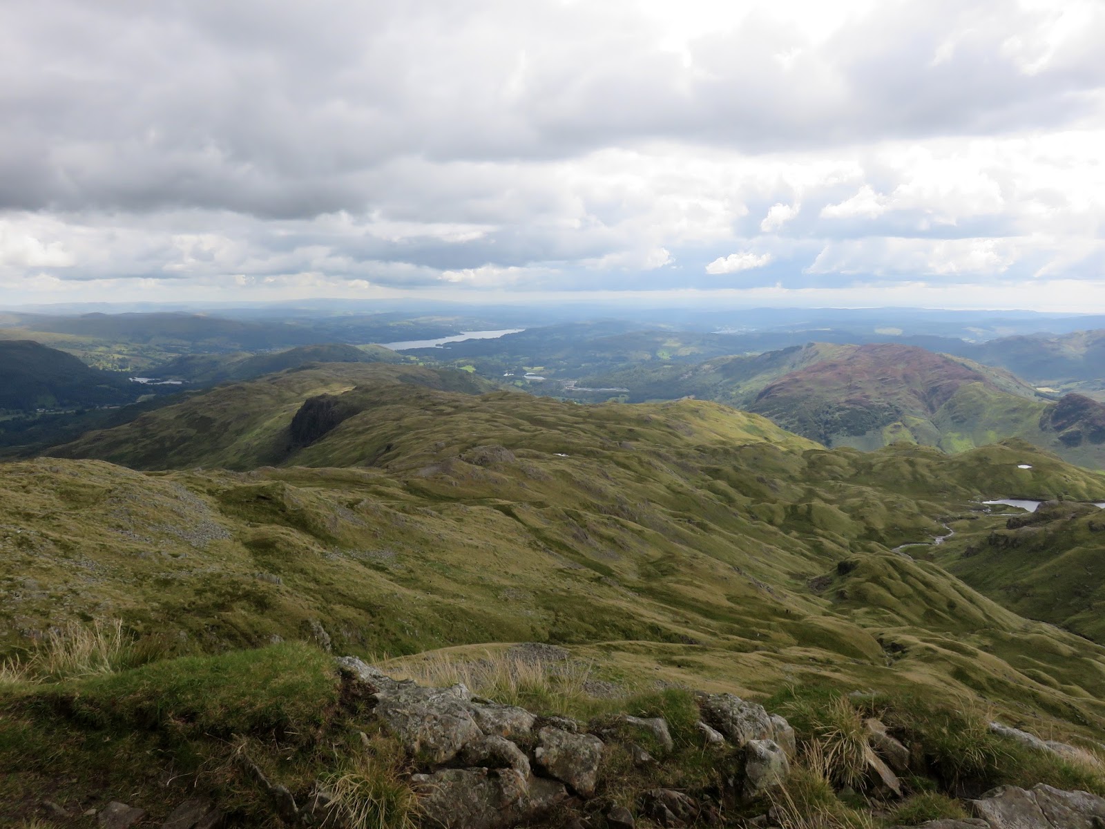
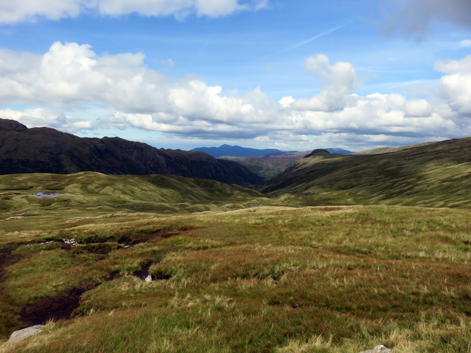
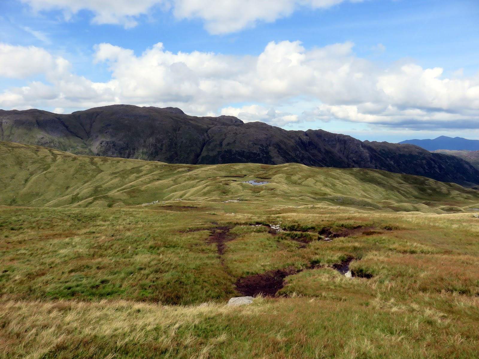
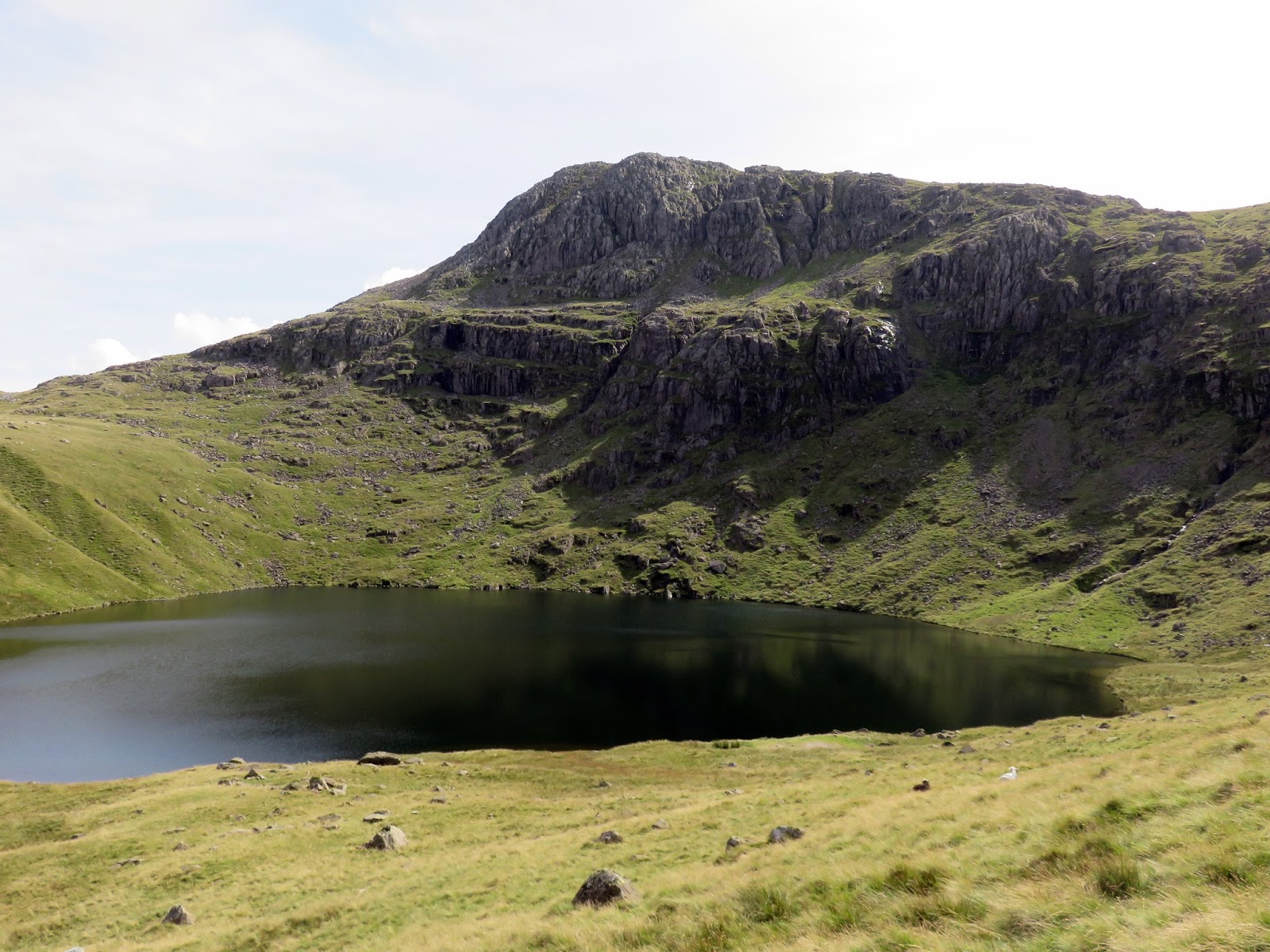
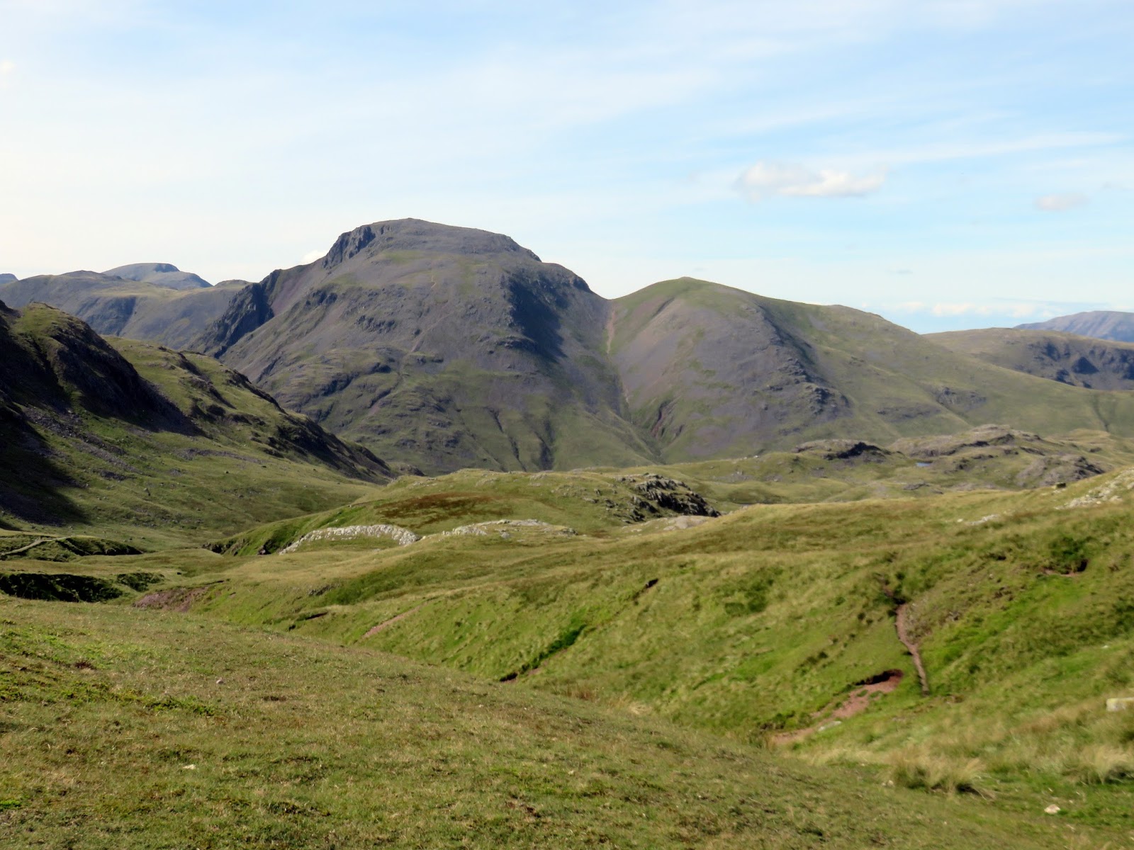
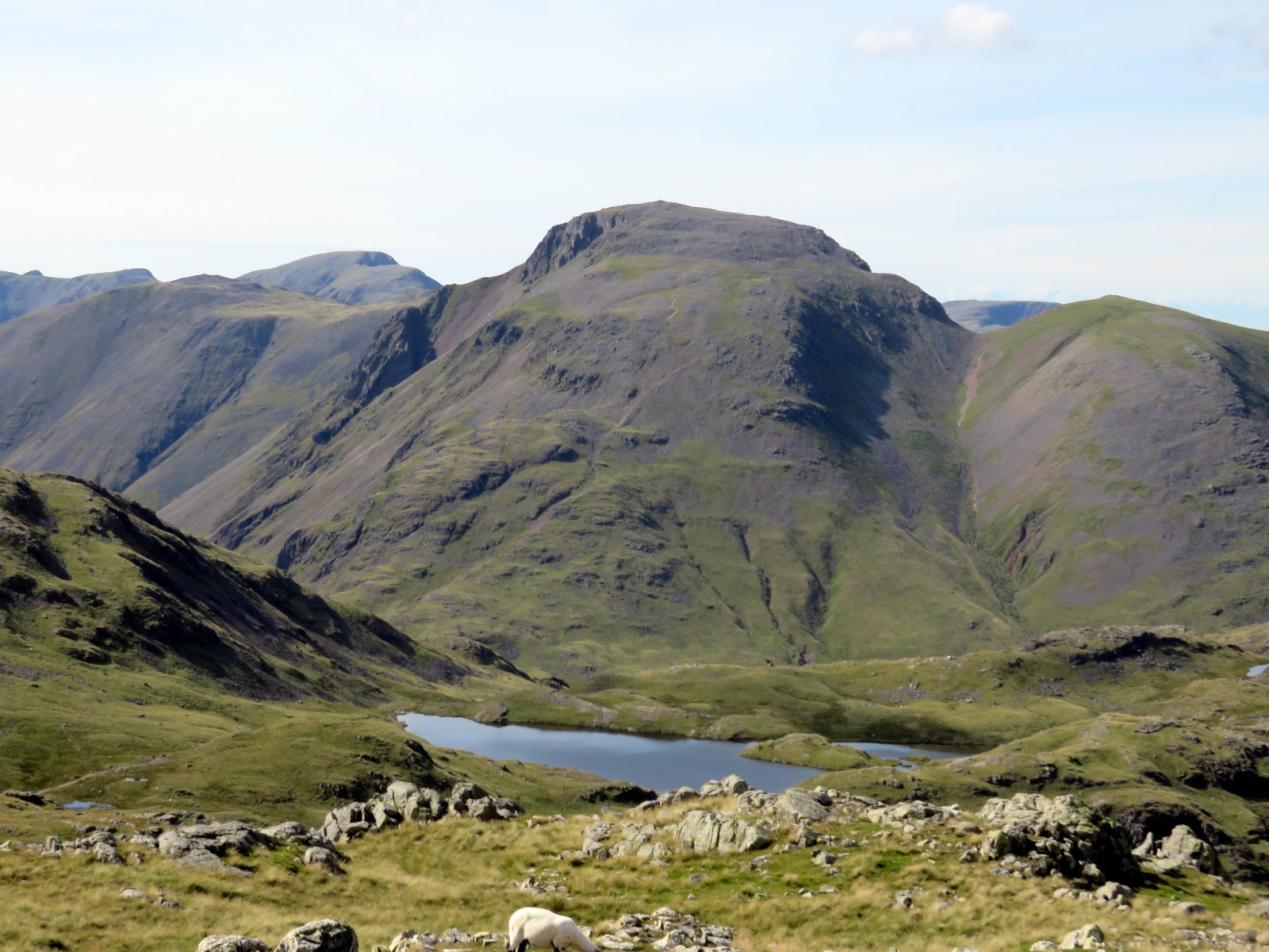
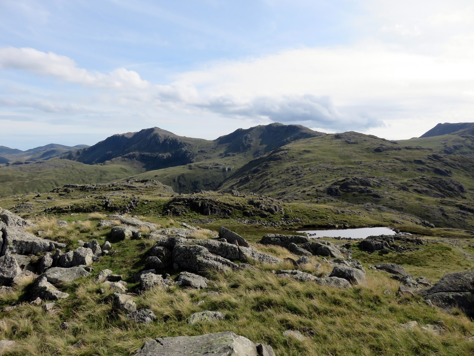
Continuing on, the path makes a long, steady climb up to Rossett Pike, crossing the minor tops of Black Crags and Buck Pike on the way. Rossett Pike (and the Rossett Gill pass) provide the link between the central and southern fells. After a cloudy interlude, the sun was back in full force and things were beginning to heat up. Knowing the undulating ridge of Glaramara was still to come, we opted against climbing Esk Pike, instead, following the path alongside Angle Tarn and up to Esk Hause. The ‘true’ Esk Hause (located slightly above our route) is the highest pass in the Lake District, located between Great End and Esk Pike.
 |
| Glacial drumlins in Langdale Combe |
 |
| Pike O’Stickle over Langdale Combe |
 |
| Mickleden |
 |
| Mickleden |
 |
| Pike O’Stickle |
 |
| The Rossett Pass |
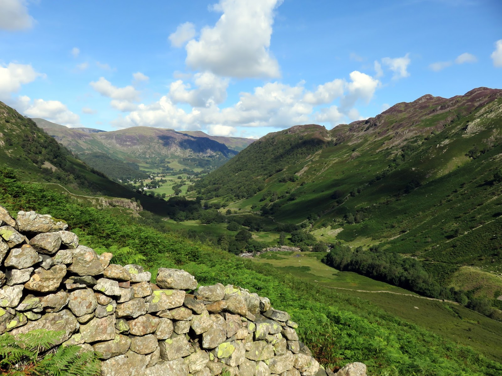
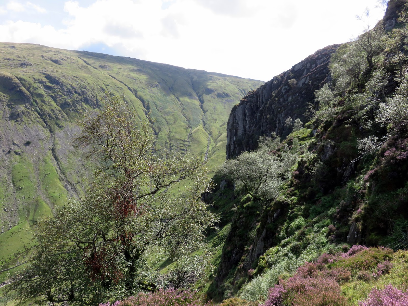
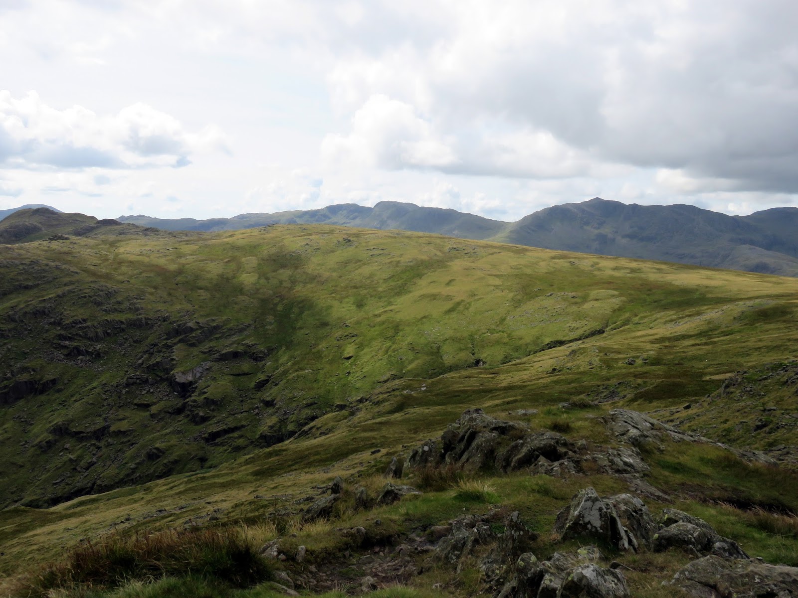
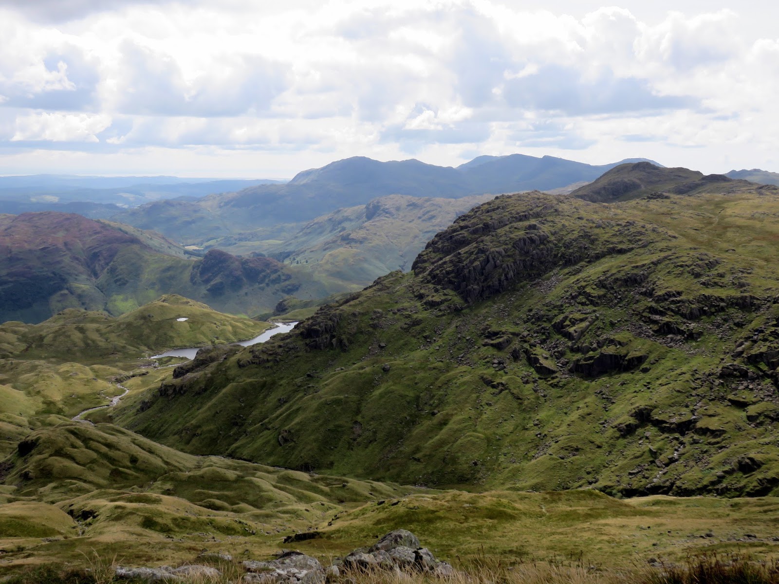
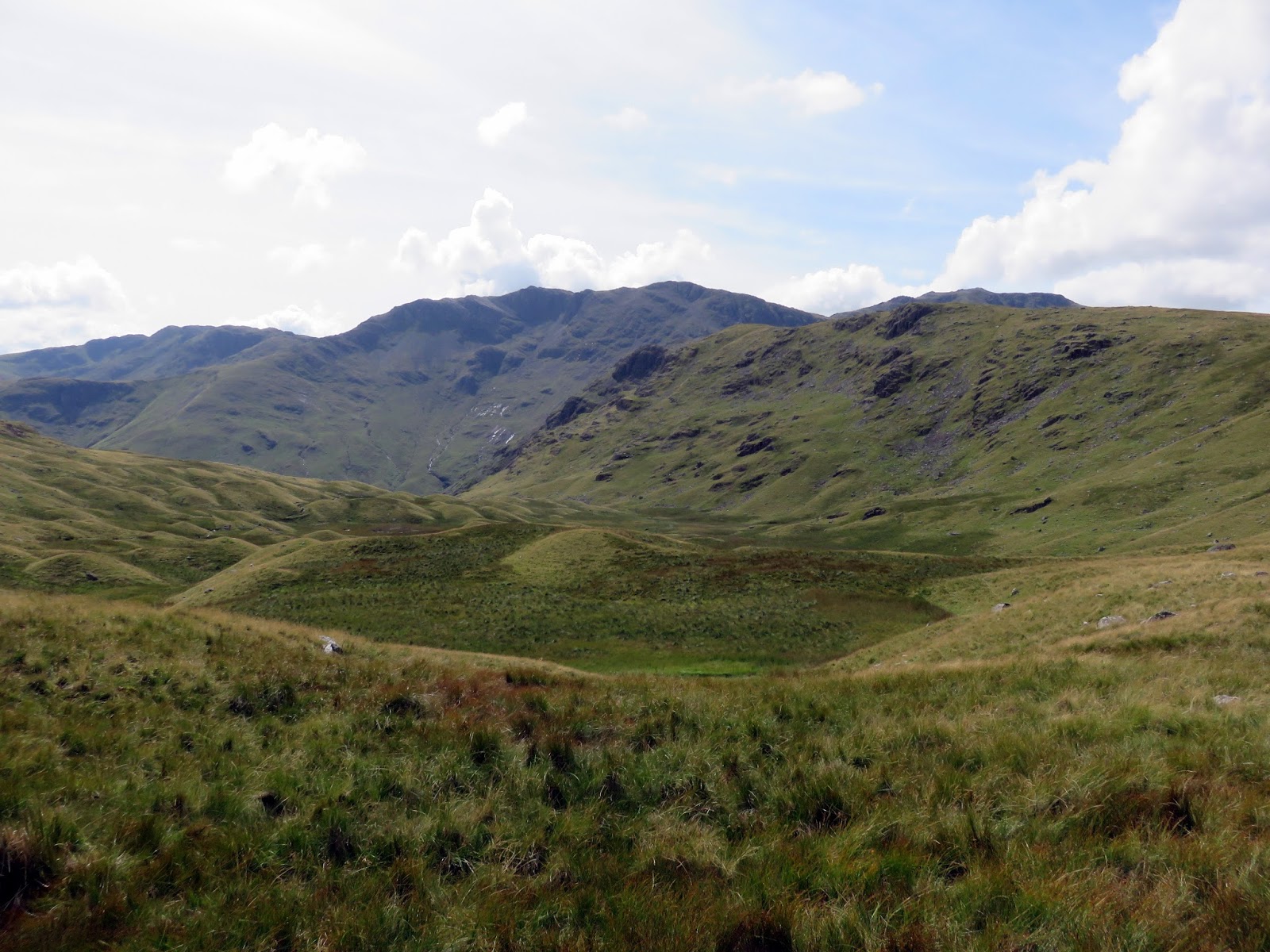
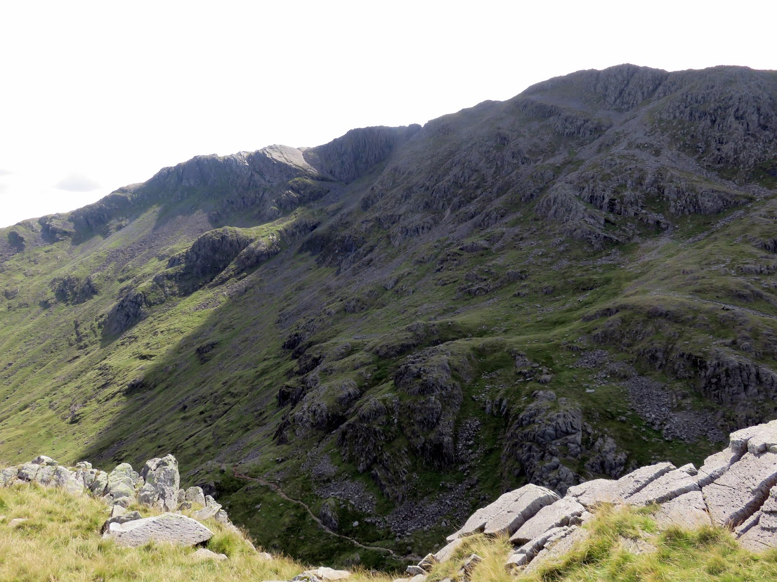
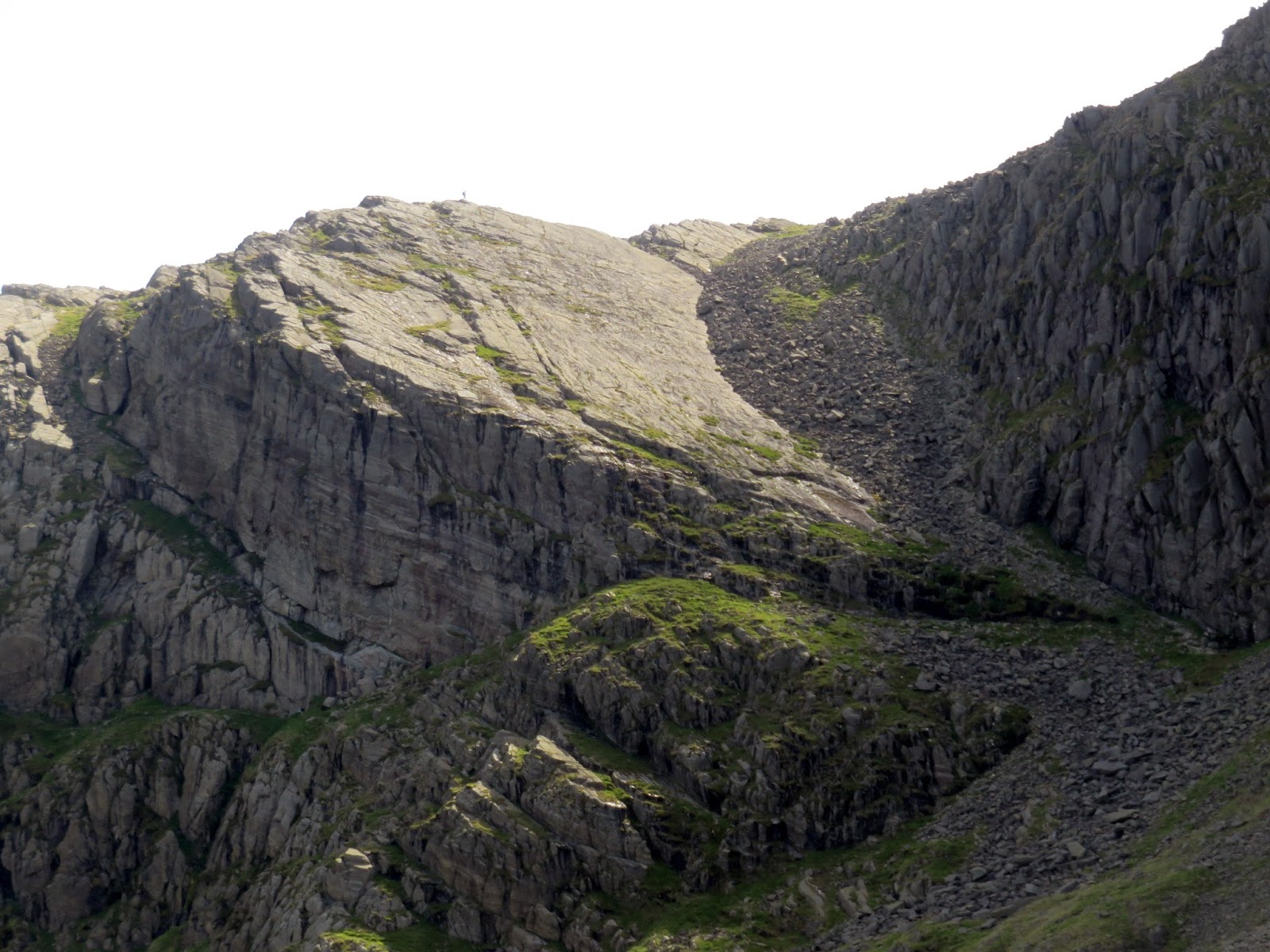
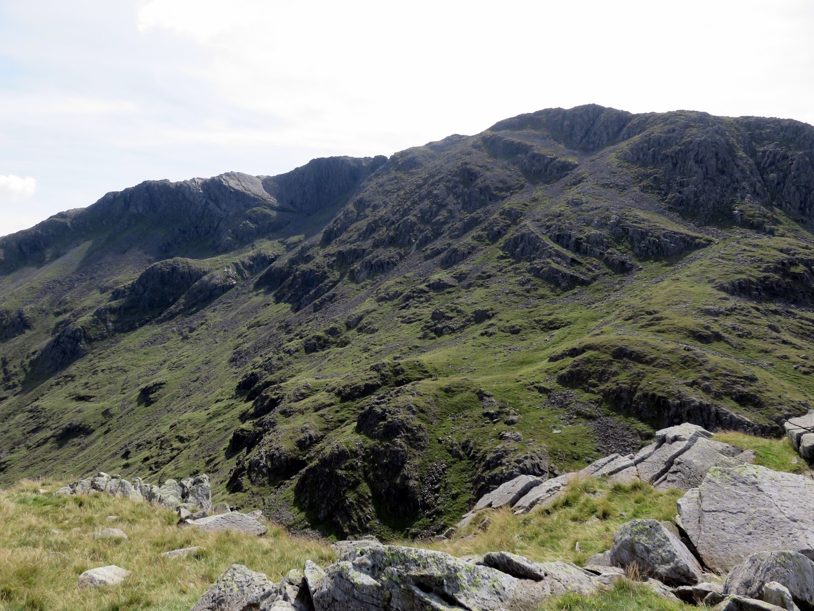
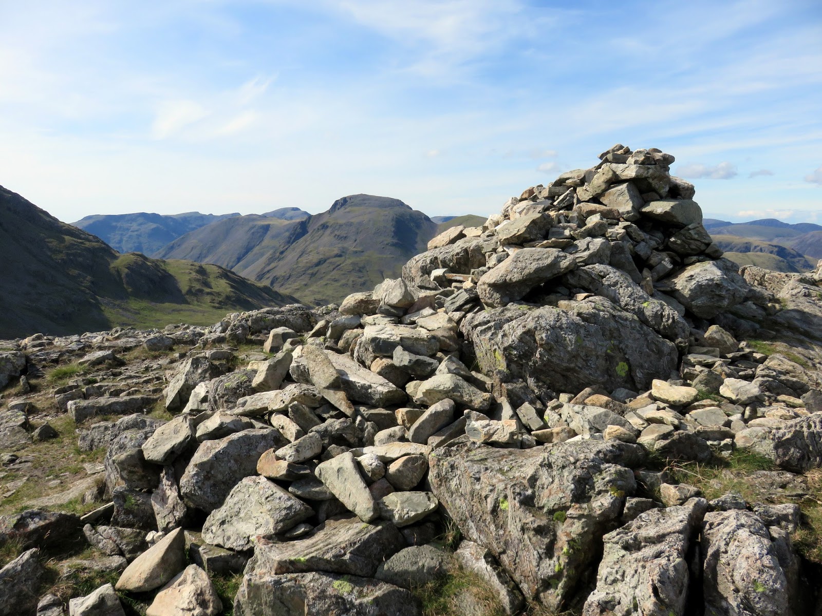
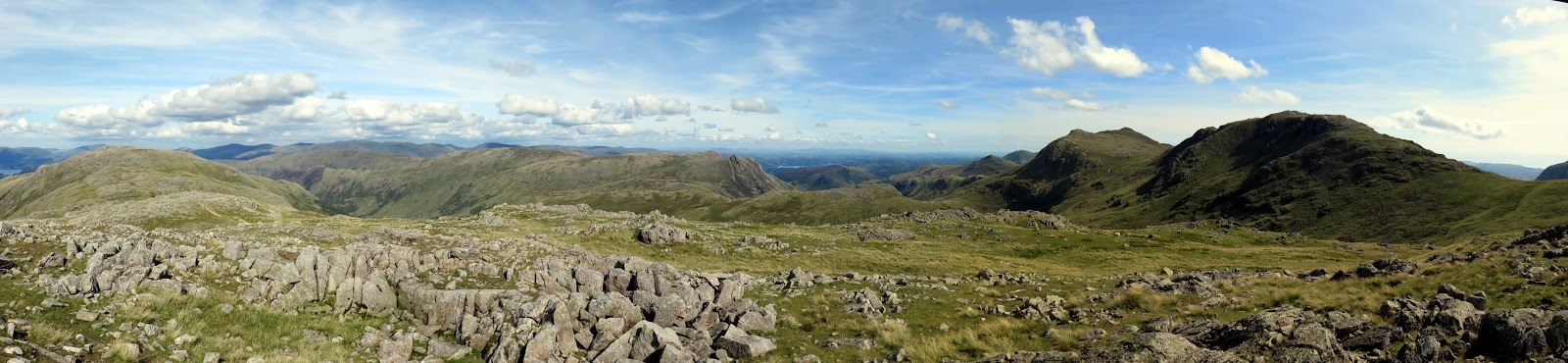
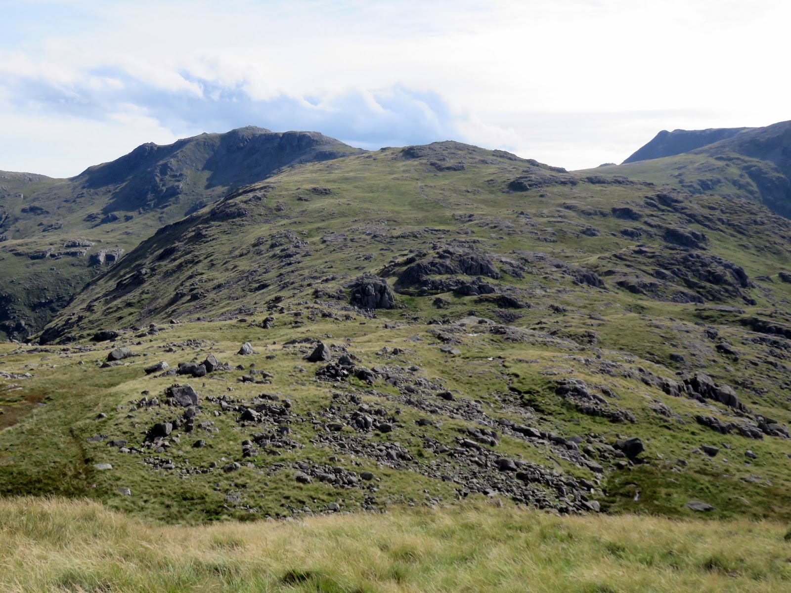
The return leg back to Stonethwaite would take us along the full length of the Glaramare ridge – one of the Lake District’s great routes. Rocky turrets line the whole route and, if I had to choose, I would suggest it’s probably one of the most navigationally tricky areas of the national park, especially if you find yourself in the mist.
 |
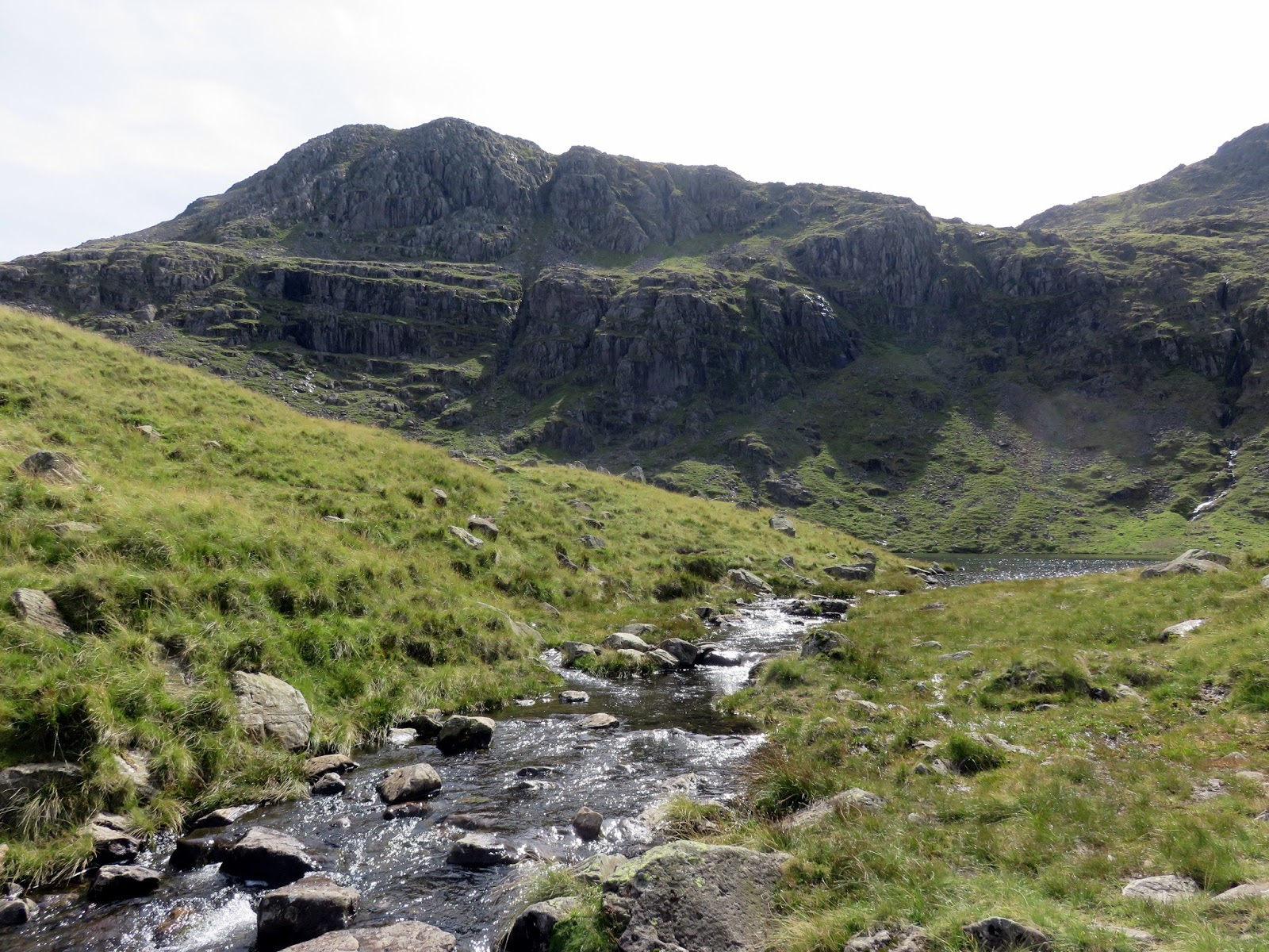
| Hanging Knotts and Angletarn Gill |
 |
| Anlge Tarn and Hanging Knotts |
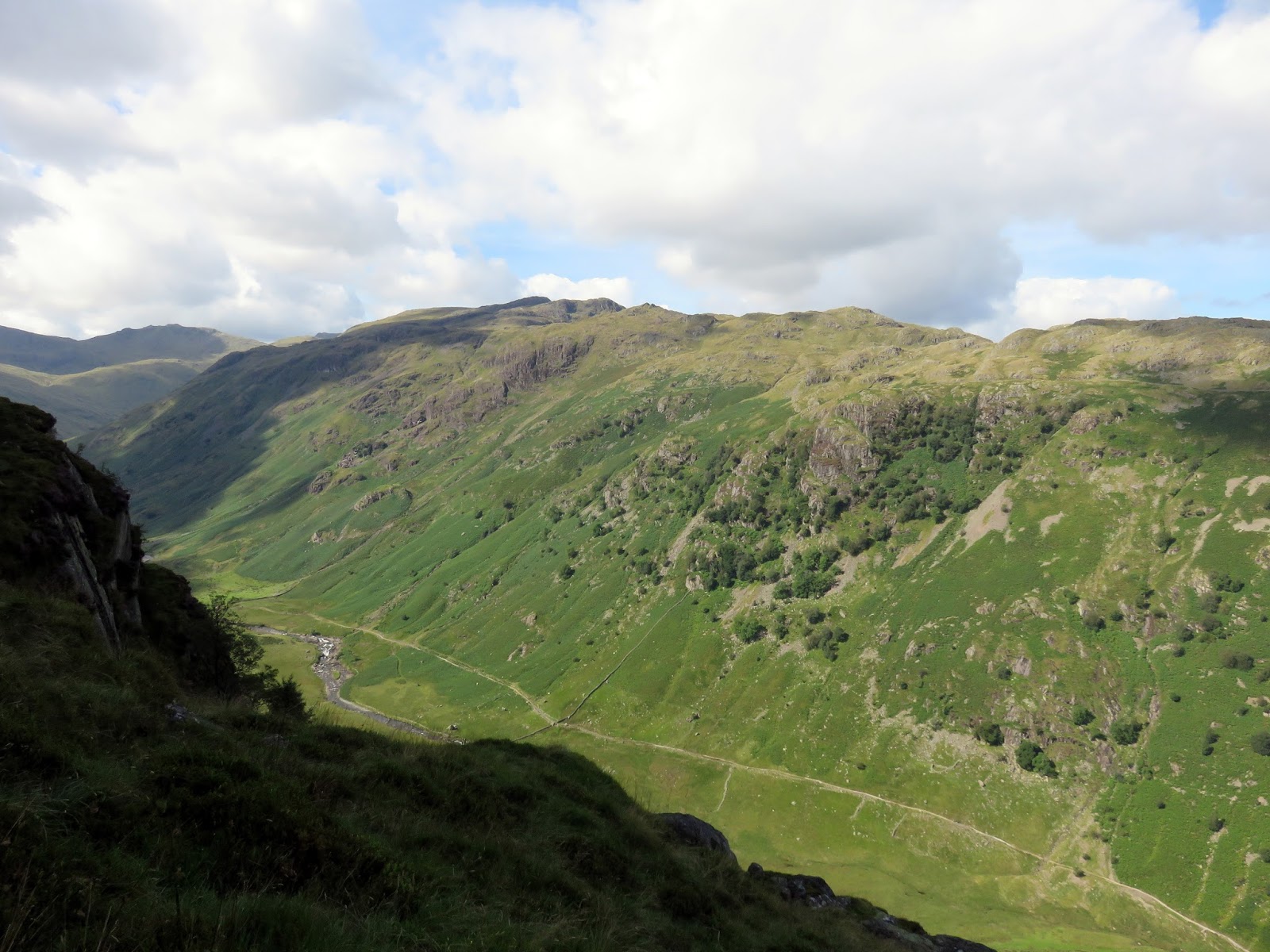
 |
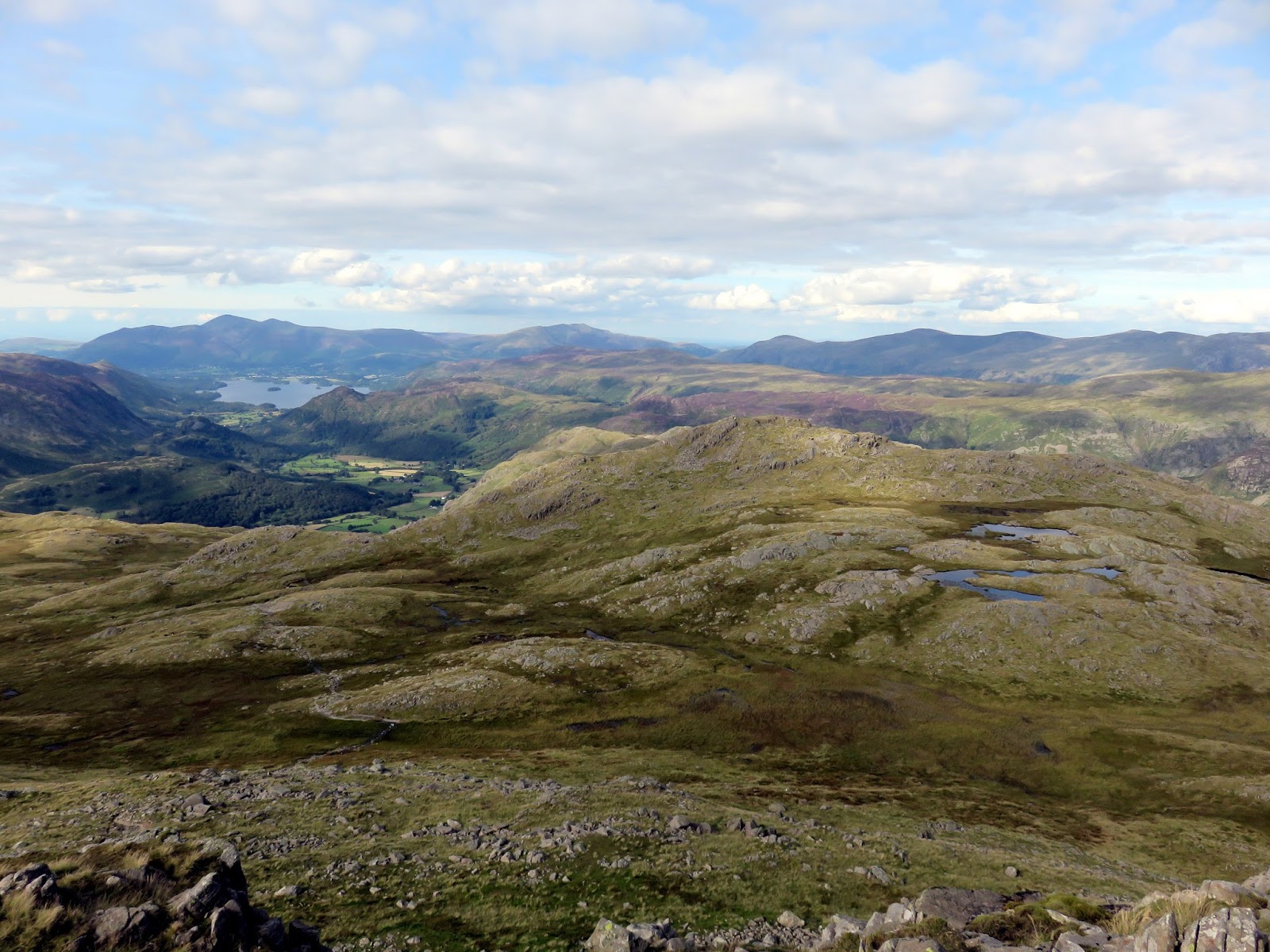
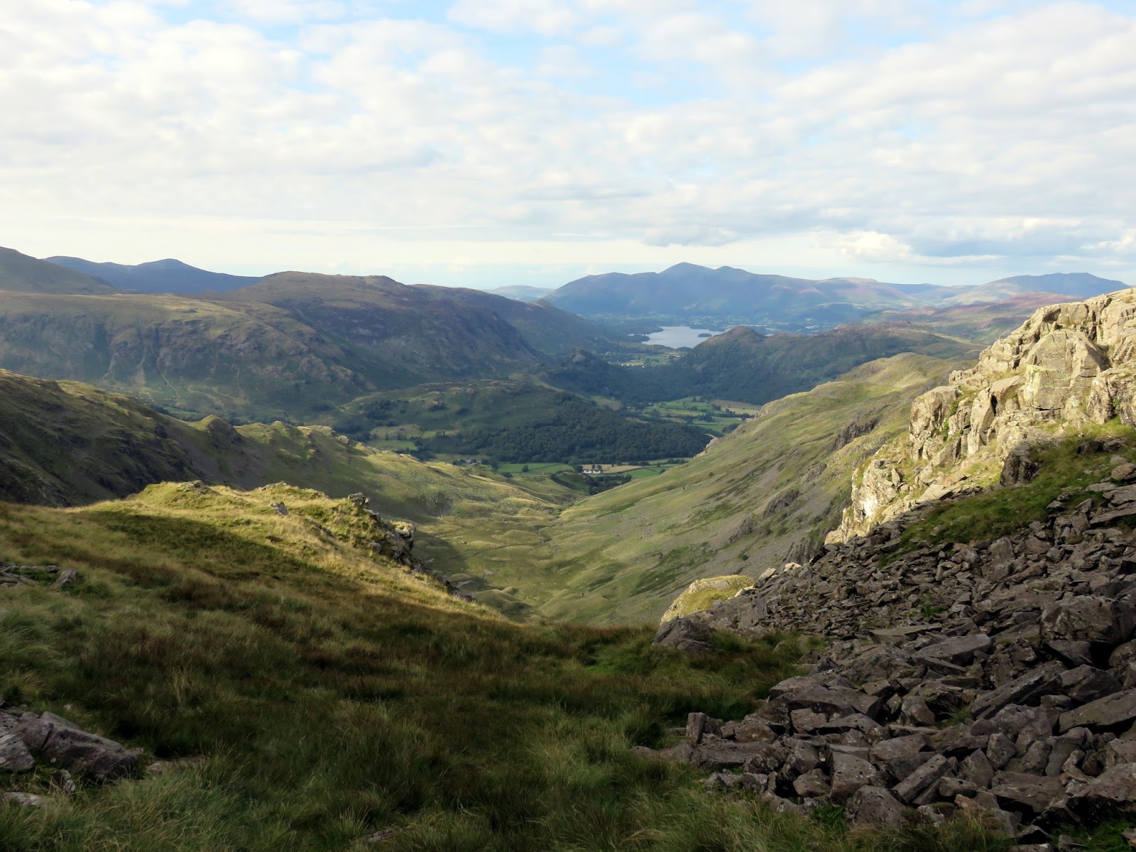
| Langstrath |
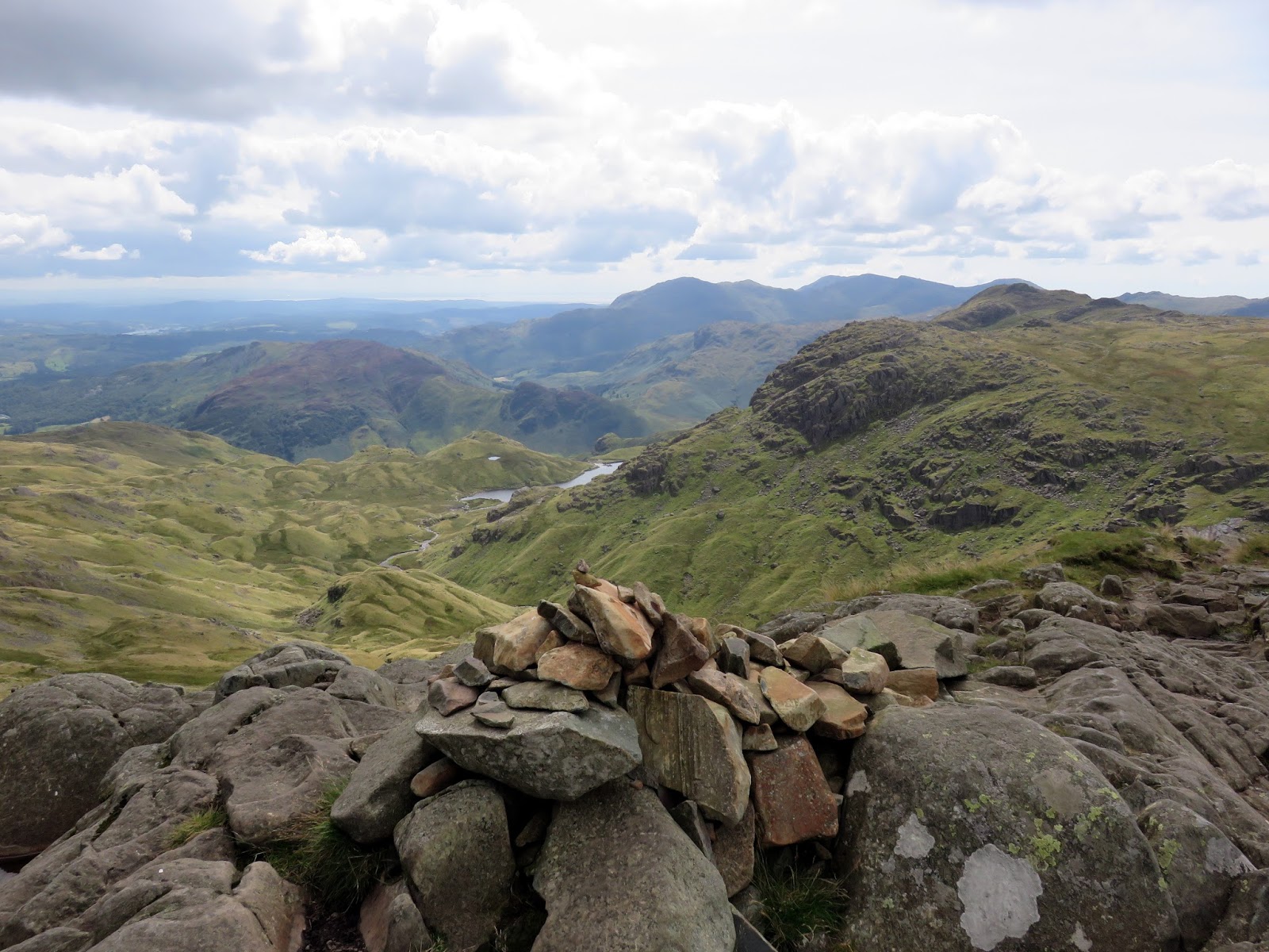
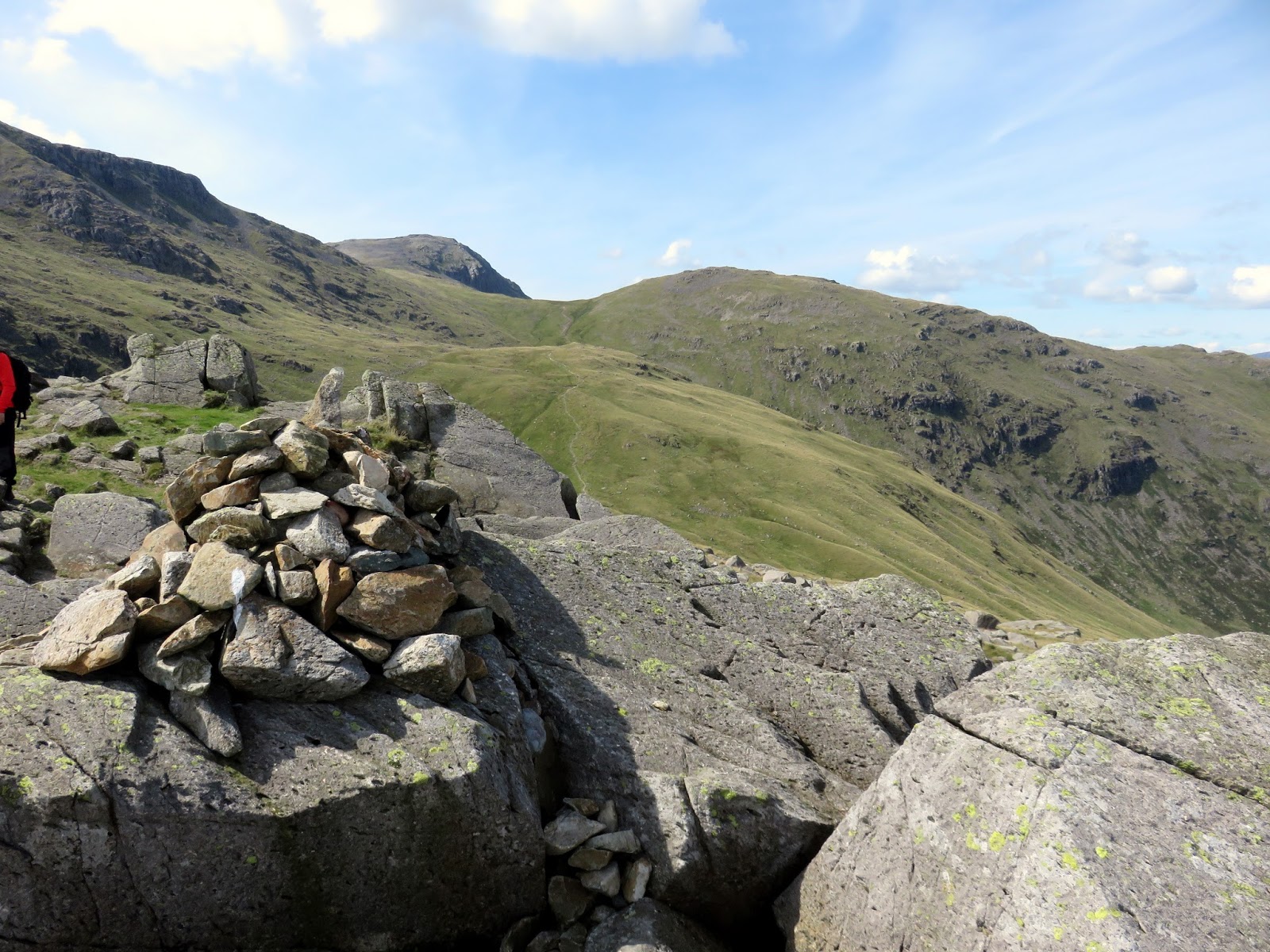
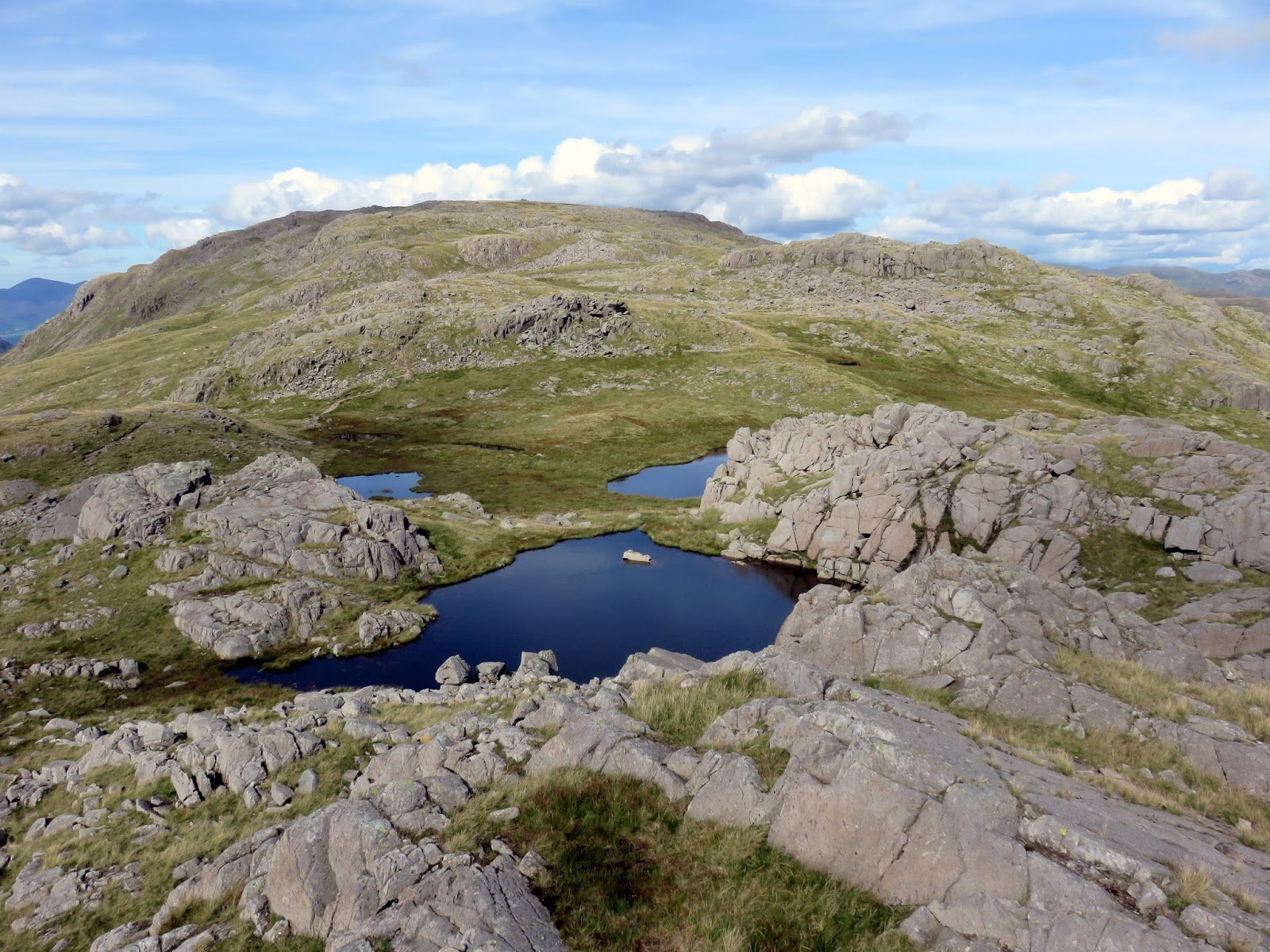
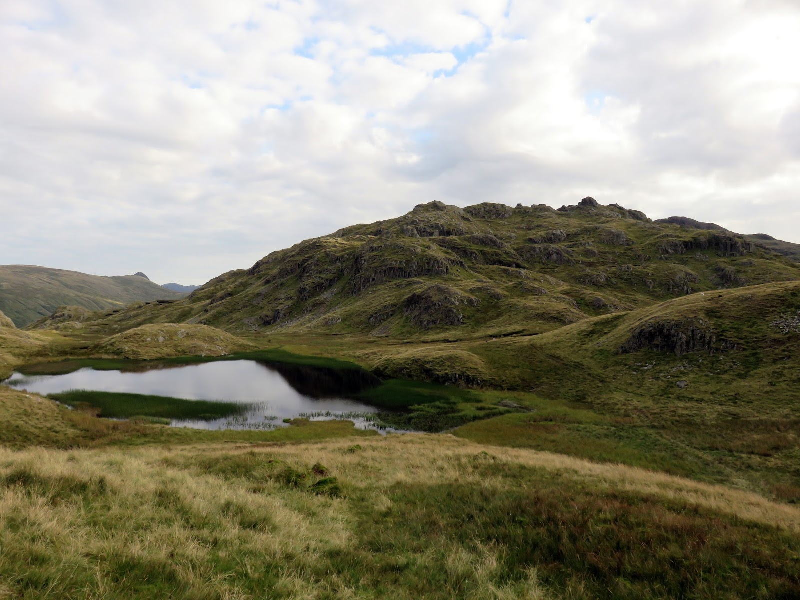
Allen Crags is first, a rocky dome a short climb from Esk Hause before the minor peaks of High House and Red Beck Top are crossed. Looking Steads, the minor peak to the south is a subsidiary of the main peak of Glaramara.
 |
| Lincomb Tarns |
The fell’s unusual and pleasant-sounding name, previously only applied to the summit rocks, has now been accepted as the name for the whole fell. Like many fells of the district, the name comes from a series of Old Norse words which in this case is translated as “Hill with the mountain hut by a chasm”.
 |
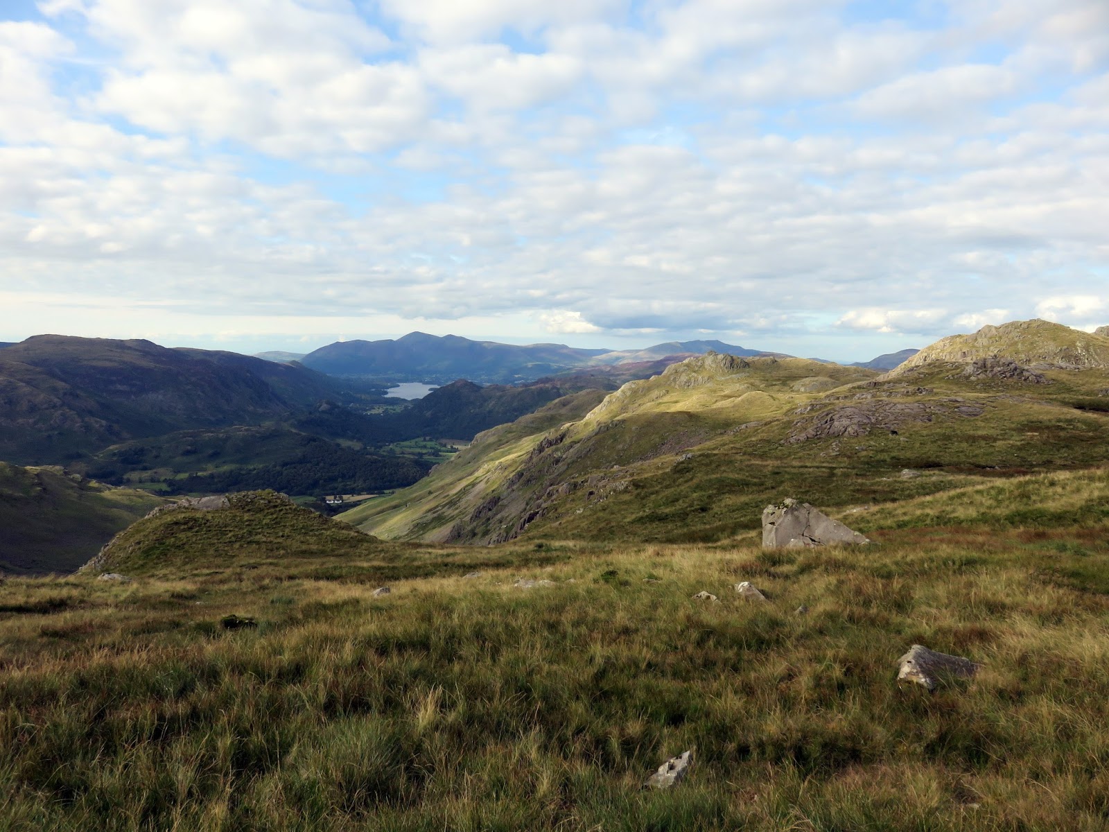
| Combe Head and Borrowdale |
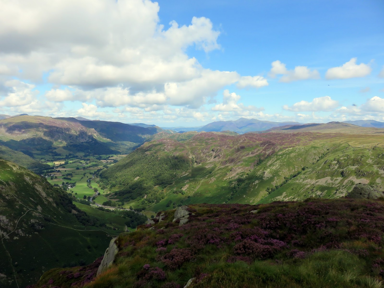
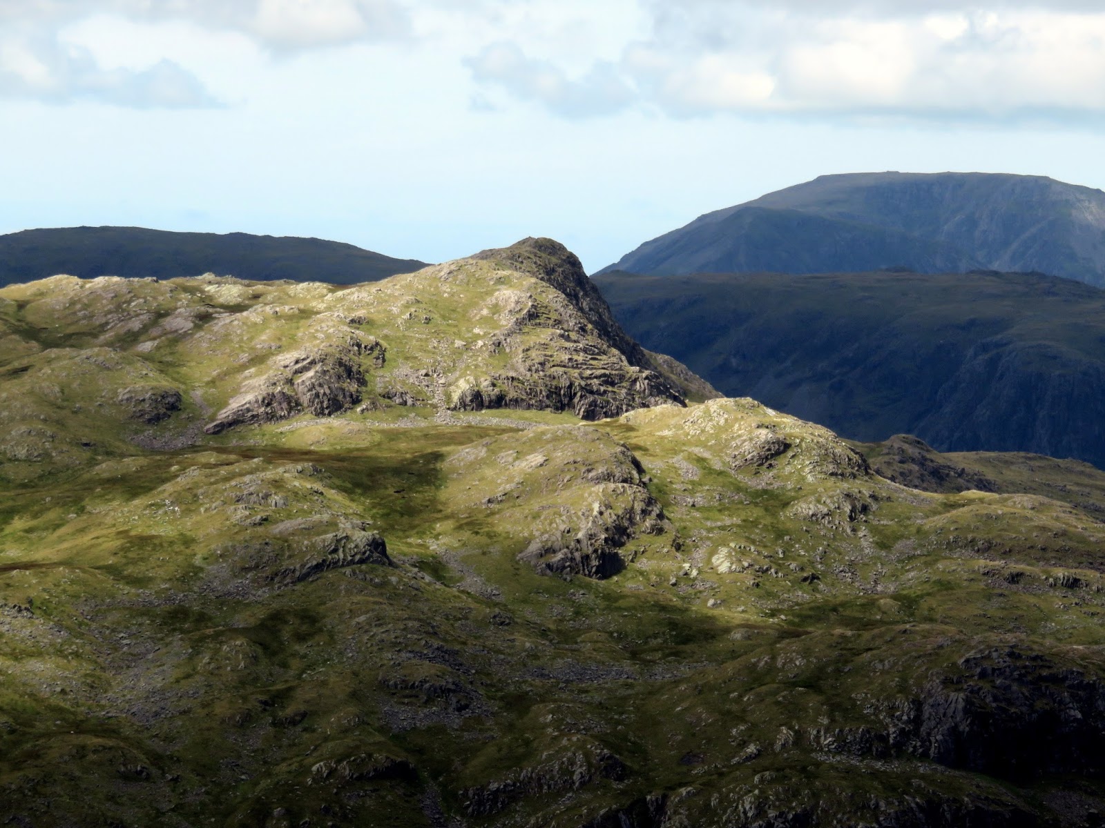
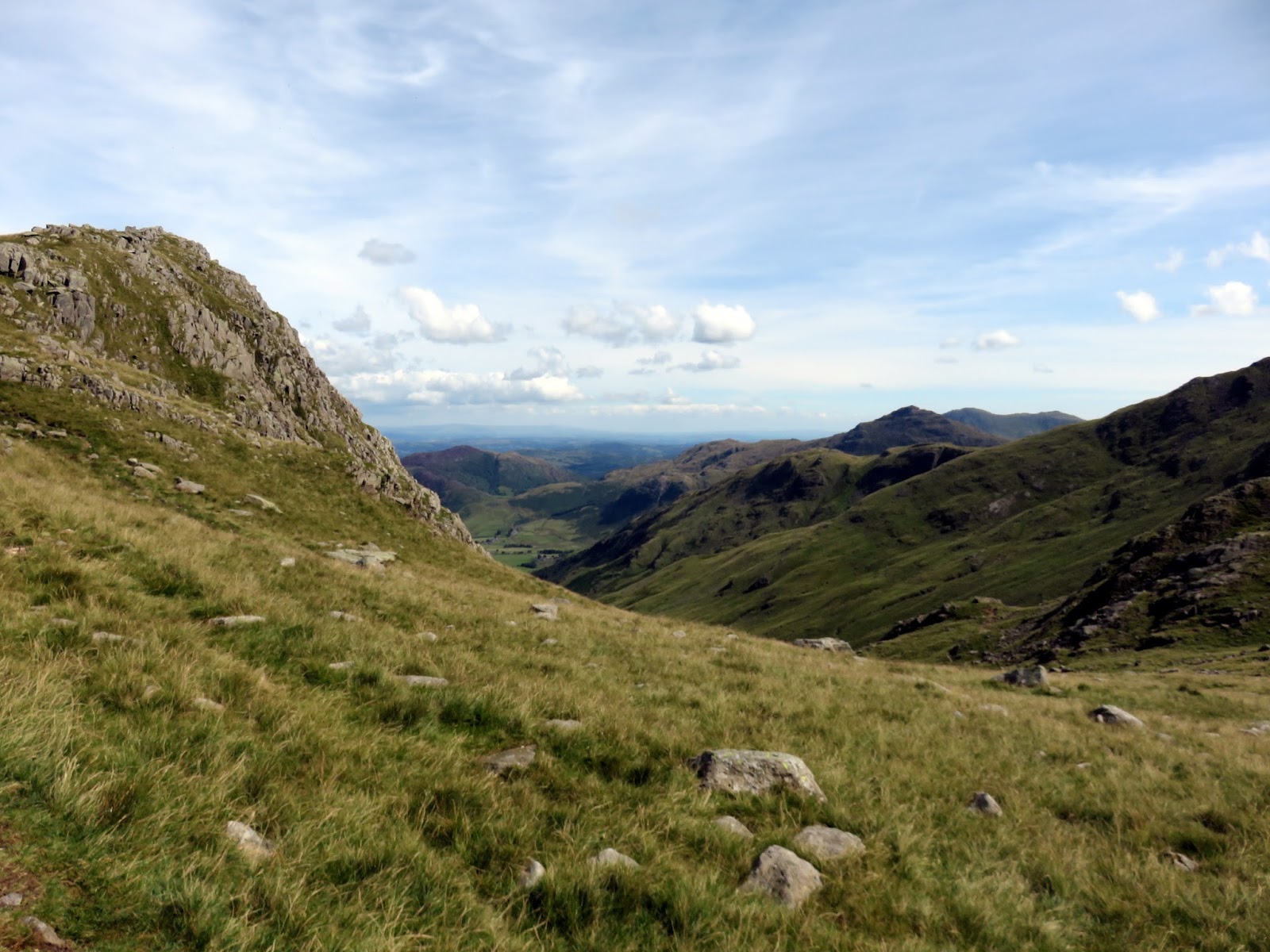
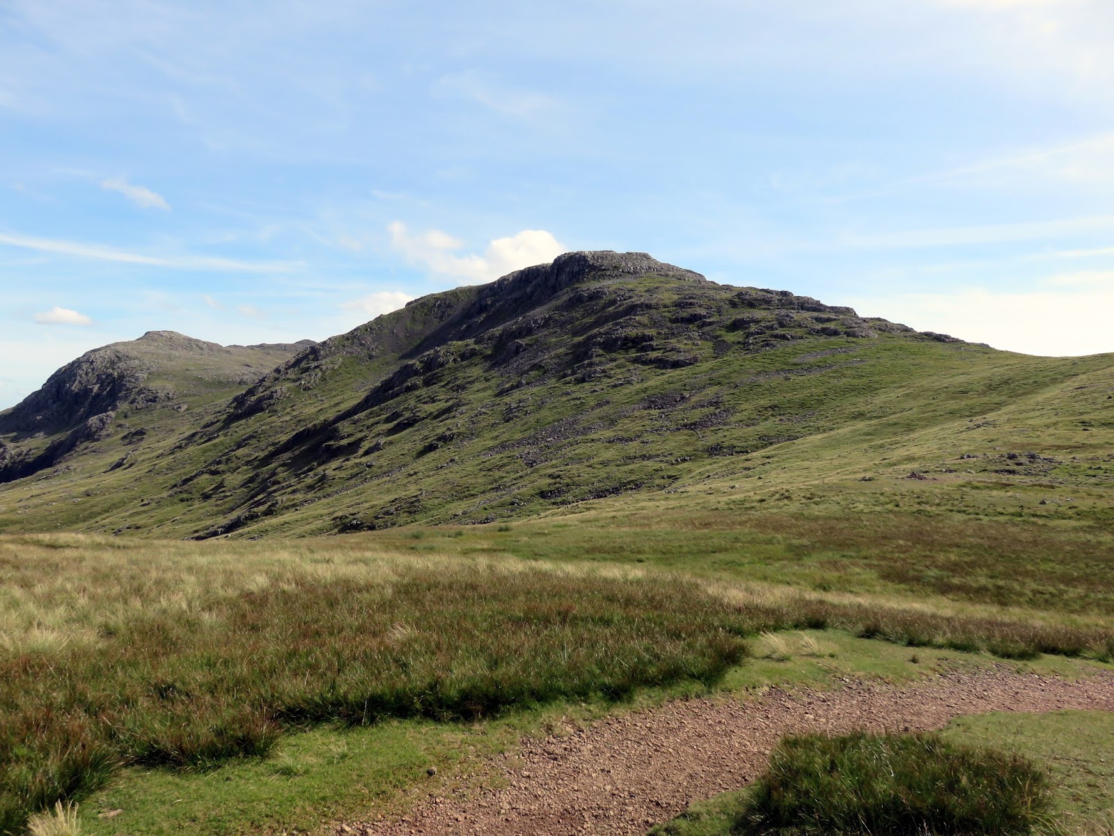
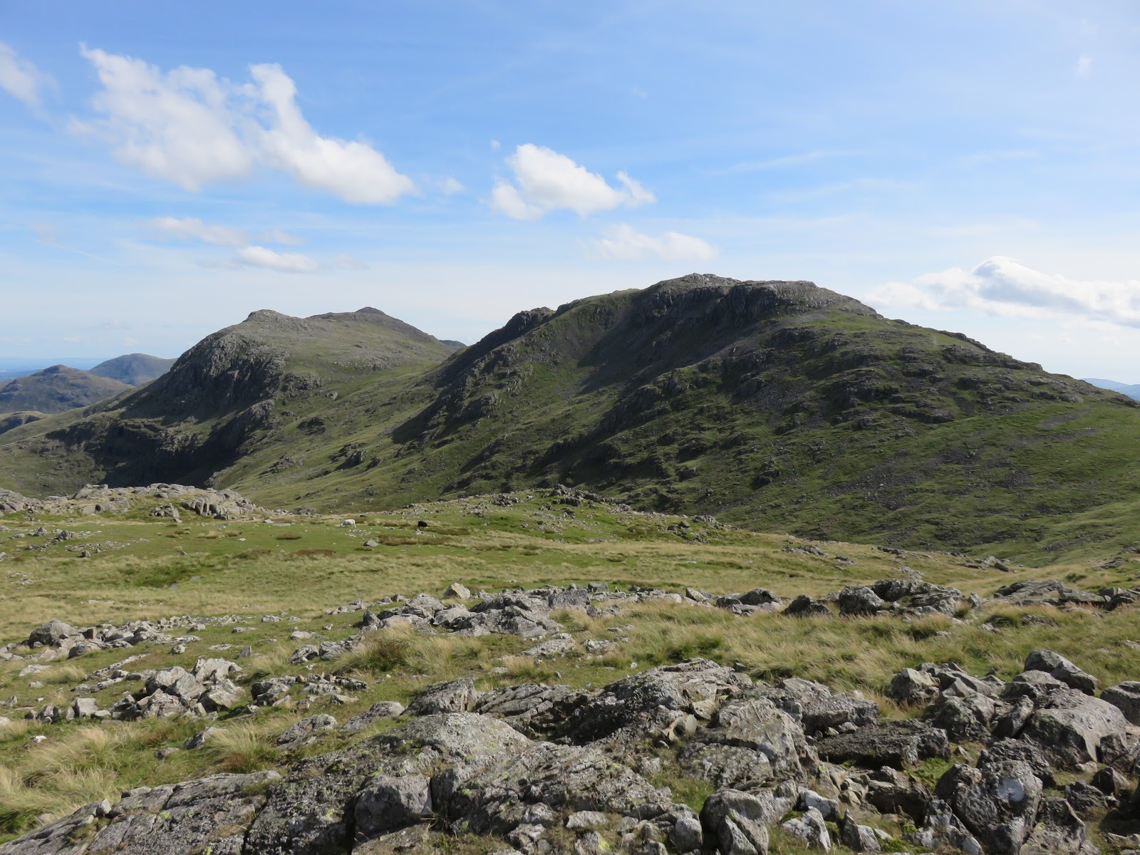
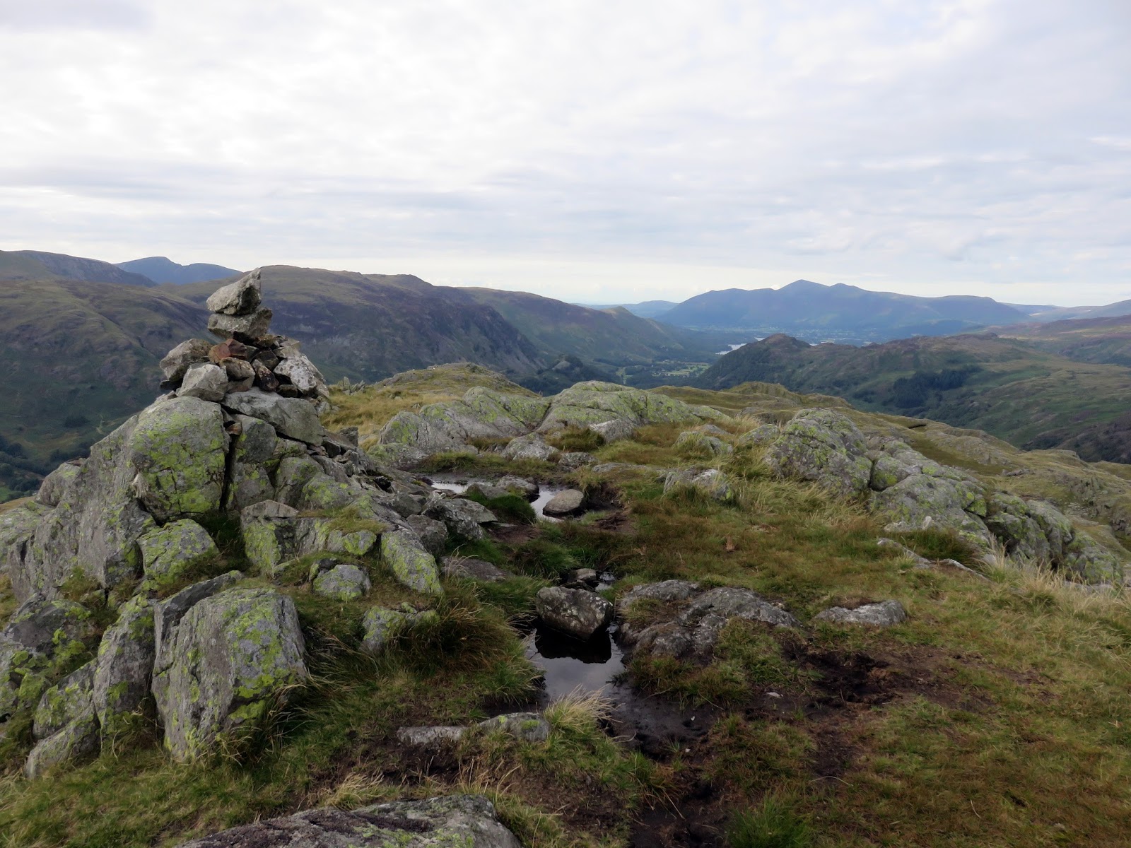
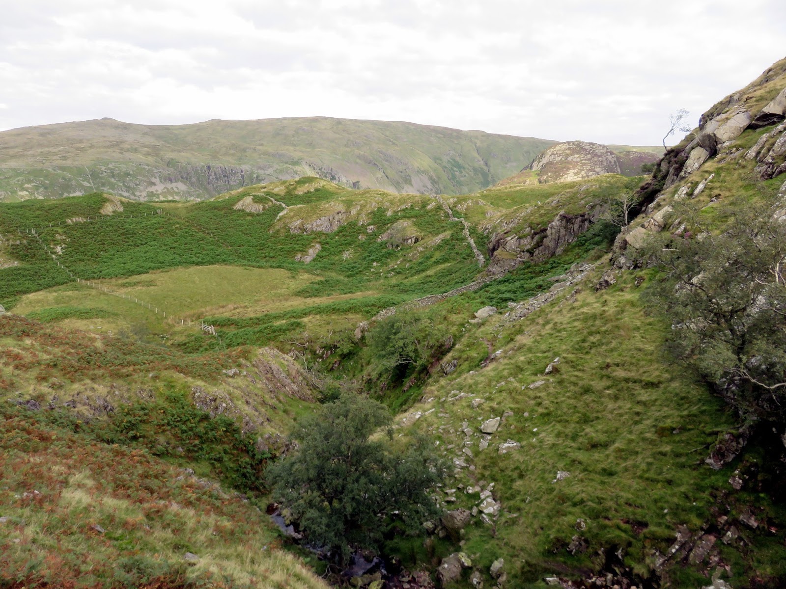
We pressed on having visited the two tops of Glaramara, descending through Combe Door – a large grassy ramp – to reach the upper slopes of Rosthwaite Fell. More rocky projections protrude from the ridge here; Dovenest Top and Rosthwaite Cam being the two most noticeable. It’s largely pathless until you reach Tarn at Leaves, a small tarn below Bessyboot, our final ‘summit’ of the day.
 |
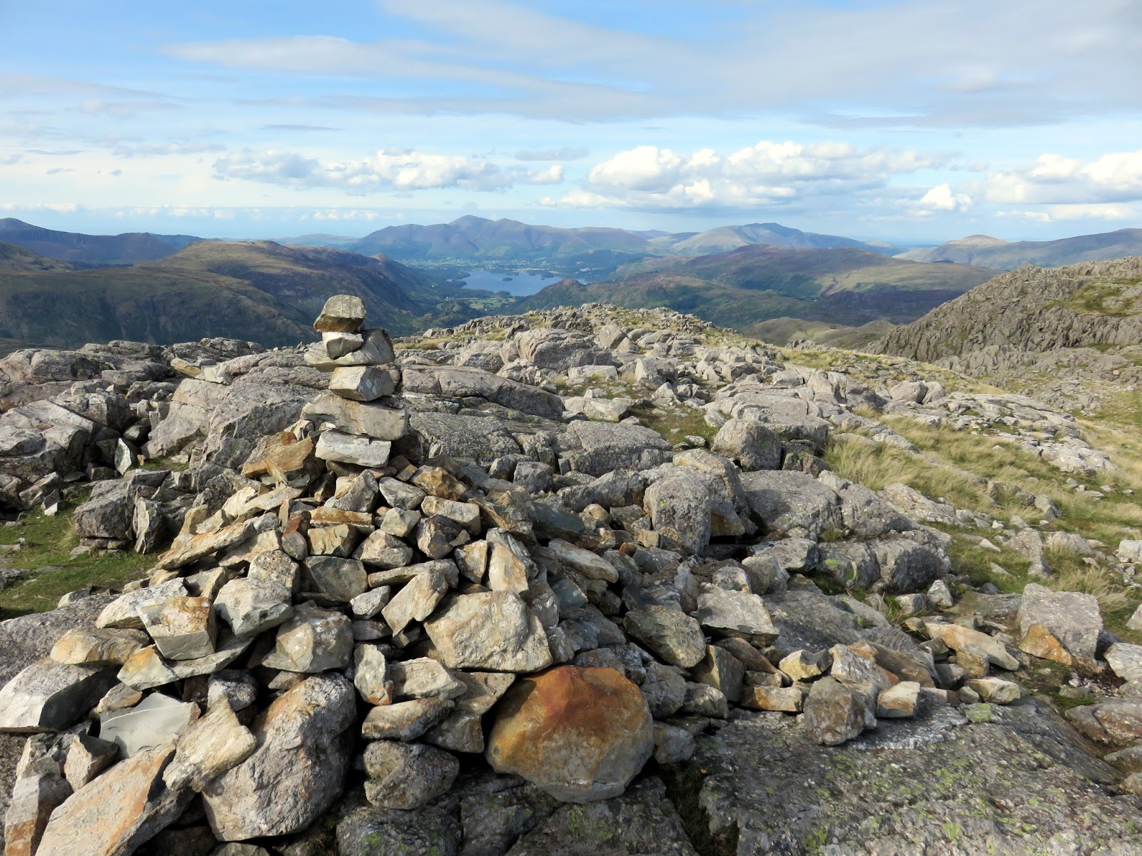
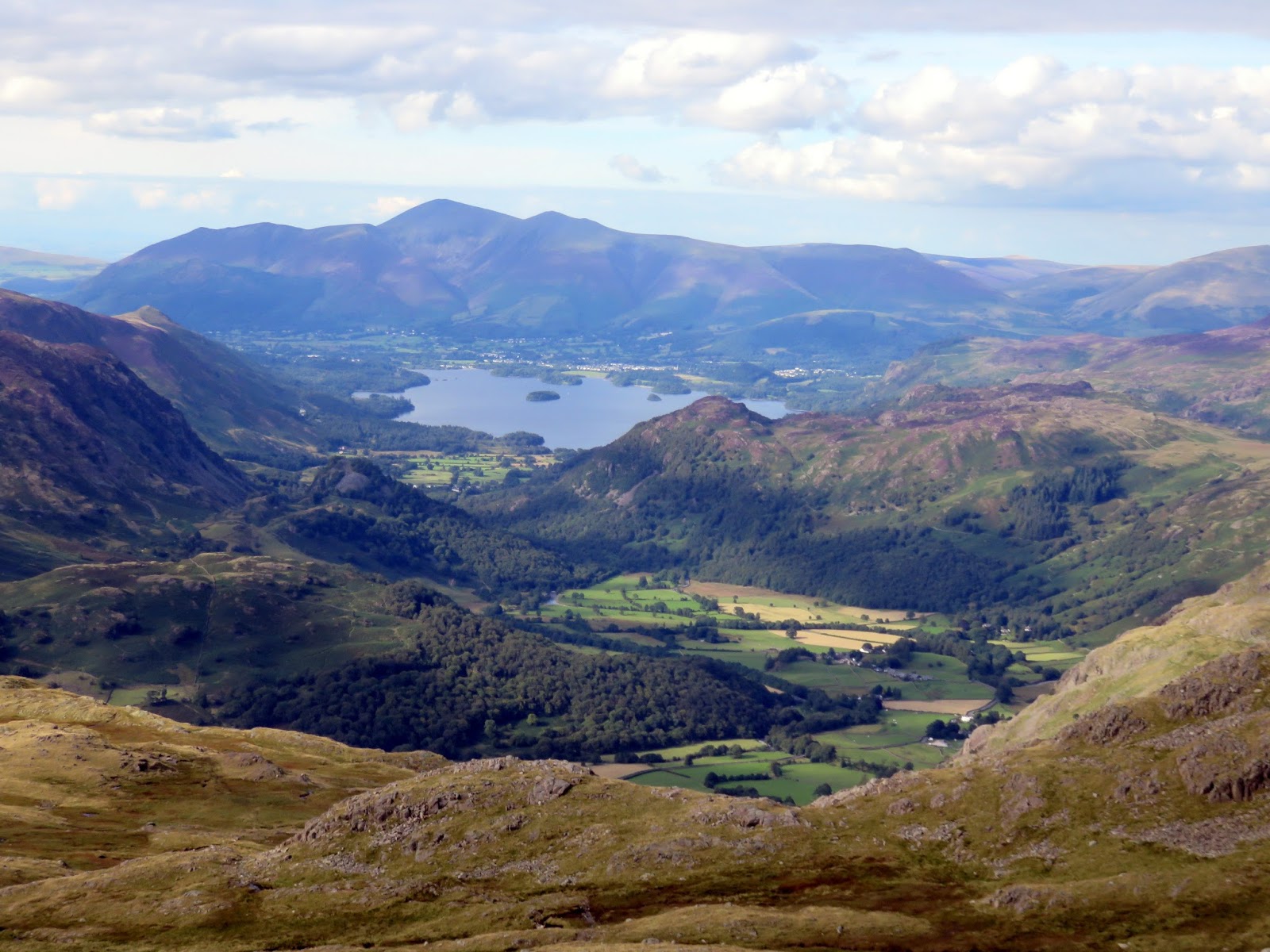
| The Jaws of Borrowdale, Derwentwater and Skiddaw |
 |
| Combe Door |
 |
| The Combe |
 |
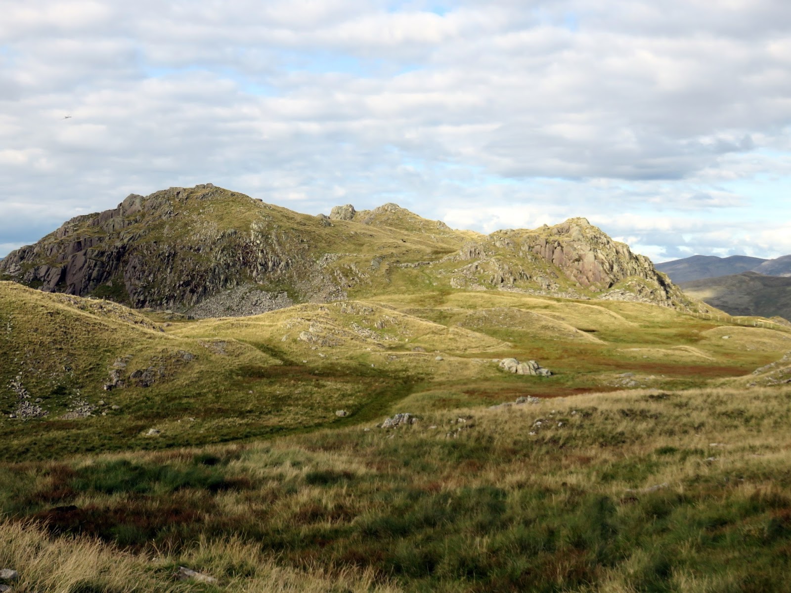
| Rosthwaite Cam |
 |
| Rosthwaite Cam |
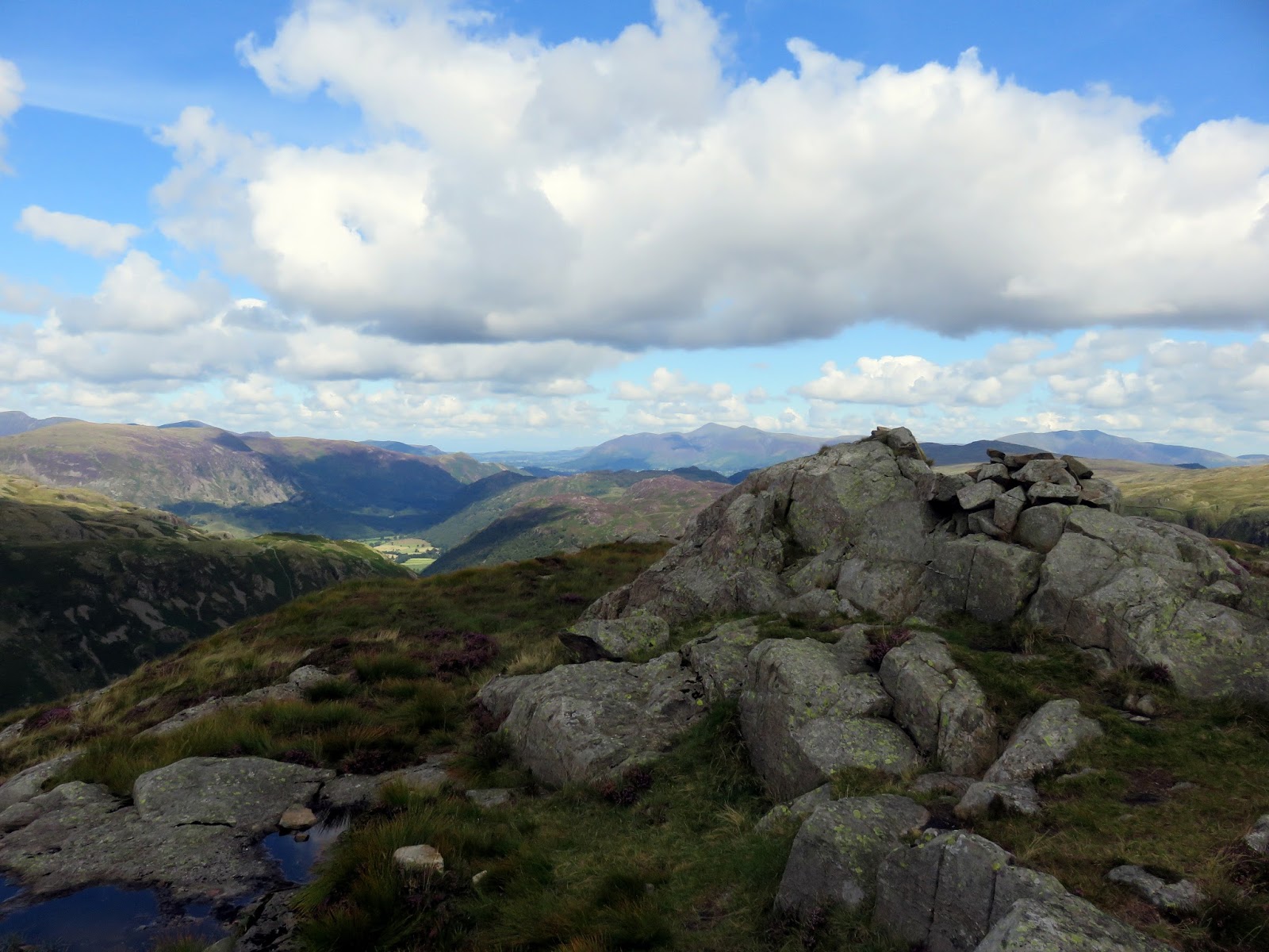
Bessyboot is just a large rocky knoll on Rosthwaite Fell, certainly not the highest point, but one that does have a superb view, especially now that the sun was lower in the sky.
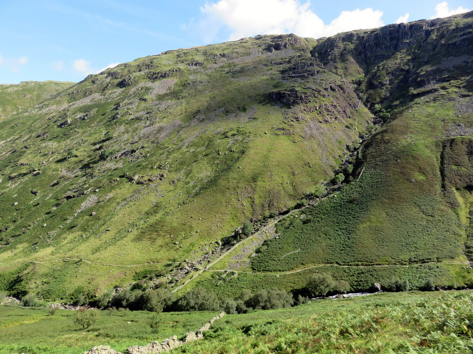
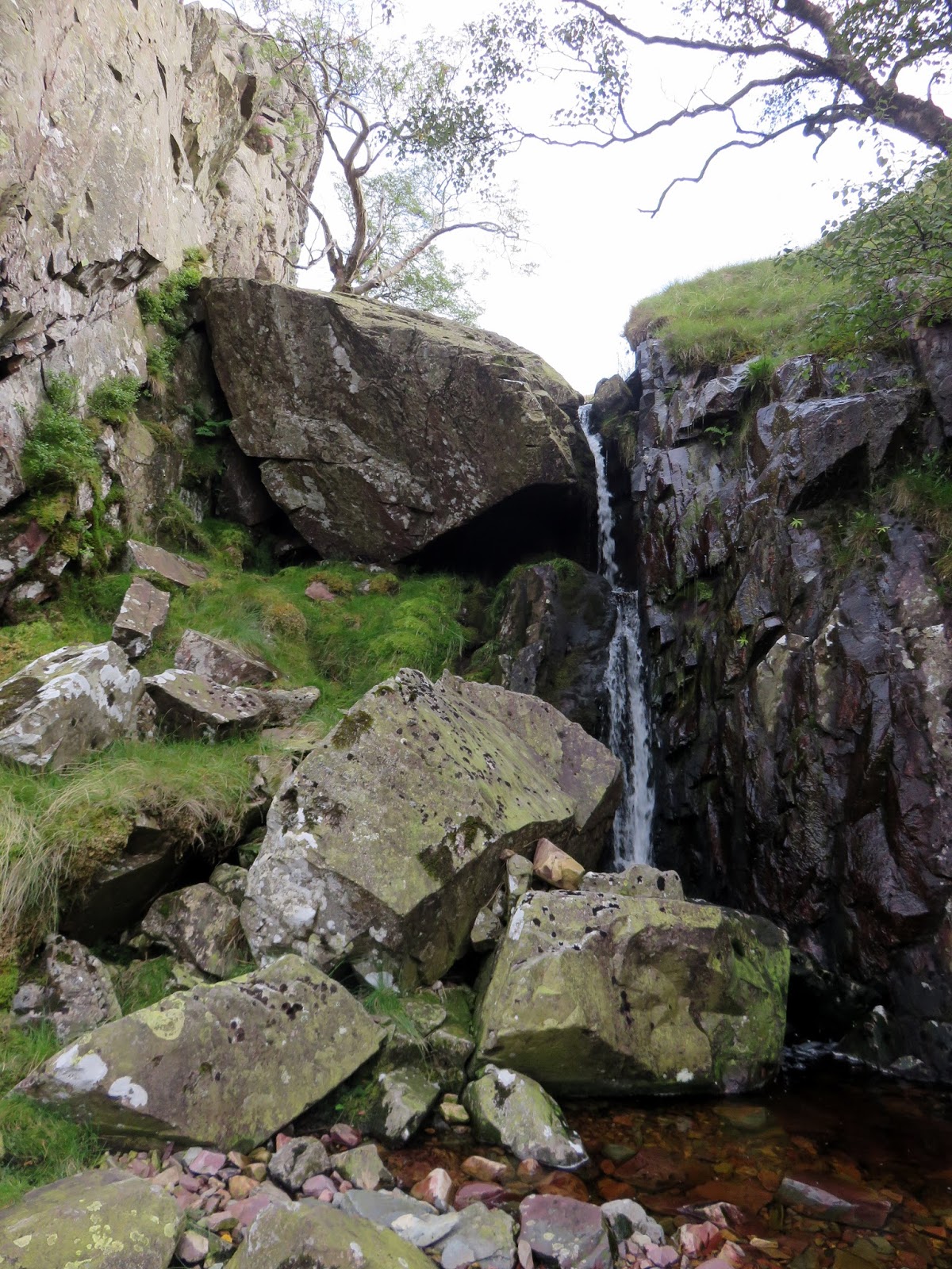
The final task of the day was to get back down to Stonethwaite. Luckily, having walked in the area before, I know of the path that runs down alongside Big Stanger Gill – surprisingly unmarked on the map. It’s a substantial path with stone steps leading down the steepest parts so it comes as a surprise that it’s omitted. We eventually reached the bottom where a short walk along the road leads back to the village, concluding a very satisfying outing.
 |
| Big Stanger Gill – the secret to getting off the fell |
 |
| Big Stanger Gill |
 |
| White Crag above Stonethwaite |

