Open Space Web-Map builder Codehttps://openspace.ordnancesurvey.co.uk/osmapapi/openspace.js?key=3119F72552FD5C22E0530C6CA40A5A92https://openspace.ordnancesurvey.co.uk/osmapapi/script/mapbuilder/basicmap.jshttps://openspace.ordnancesurvey.co.uk/osmapapi/script/mapbuilder/searchbox.js//variables for routes var linesLayer, points, lineFeature, lineString, routeMarkersLayer, routepos, routesize, routeoffset, routeicon; var style_blue = {strokeColor: “#0000CD”, strokeOpacity: 0.5, strokeWidth: 4.5}; function initmapbuilder() { //initiate the map var options = {resolutions: [2500, 1000, 500, 200, 100, 50, 25, 10, 5, 4, 2.5, 2, 1]}; osMap = new OpenSpace.Map(‘map’, options); //configure map options (basicmap.js) setglobaloptions(); //set the center of the map and the zoom level osMap.setCenter(new OpenSpace.MapPoint(340025,517510),7); linesLayer = osMap.getVectorLayer(); // Set up layer for route markers routeMarkersLayer = new OpenLayers.Layer.Markers(“Route Markers”); //make a route points = new Array(); points.push(new OpenLayers.Geometry.Point(339395,516090)); points.push(new OpenLayers.Geometry.Point(339480,516165)); points.push(new OpenLayers.Geometry.Point(339725,516145)); points.push(new OpenLayers.Geometry.Point(339800,516270)); points.push(new OpenLayers.Geometry.Point(339815,516385)); points.push(new OpenLayers.Geometry.Point(339915,516295)); points.push(new OpenLayers.Geometry.Point(340255,516060)); points.push(new OpenLayers.Geometry.Point(340600,515795)); points.push(new OpenLayers.Geometry.Point(340855,515765)); points.push(new OpenLayers.Geometry.Point(340810,516040)); points.push(new OpenLayers.Geometry.Point(340850,516250)); points.push(new OpenLayers.Geometry.Point(340720,516265)); points.push(new OpenLayers.Geometry.Point(340705,516360)); points.push(new OpenLayers.Geometry.Point(340765,516520)); points.push(new OpenLayers.Geometry.Point(340720,516625)); points.push(new OpenLayers.Geometry.Point(340580,516720)); points.push(new OpenLayers.Geometry.Point(340535,516860)); points.push(new OpenLayers.Geometry.Point(340555,516975)); points.push(new OpenLayers.Geometry.Point(340585,517080)); points.push(new OpenLayers.Geometry.Point(340820,517250)); points.push(new OpenLayers.Geometry.Point(341005,517450)); points.push(new OpenLayers.Geometry.Point(341225,517735)); points.push(new OpenLayers.Geometry.Point(341405,517895)); points.push(new OpenLayers.Geometry.Point(341390,518000)); points.push(new OpenLayers.Geometry.Point(341305,518090)); points.push(new OpenLayers.Geometry.Point(341245,518160)); points.push(new OpenLayers.Geometry.Point(341235,518330)); points.push(new OpenLayers.Geometry.Point(341245,518635)); points.push(new OpenLayers.Geometry.Point(341250,518815)); points.push(new OpenLayers.Geometry.Point(341315,518925)); points.push(new OpenLayers.Geometry.Point(341495,518965)); points.push(new OpenLayers.Geometry.Point(341630,518980)); points.push(new OpenLayers.Geometry.Point(341680,519055)); points.push(new OpenLayers.Geometry.Point(341720,519195)); points.push(new OpenLayers.Geometry.Point(341505,519170)); points.push(new OpenLayers.Geometry.Point(341425,519200)); points.push(new OpenLayers.Geometry.Point(341035,519445)); points.push(new OpenLayers.Geometry.Point(340915,519440)); points.push(new OpenLayers.Geometry.Point(340685,519260)); points.push(new OpenLayers.Geometry.Point(340320,518935)); points.push(new OpenLayers.Geometry.Point(340080,518695)); points.push(new OpenLayers.Geometry.Point(339945,518525)); points.push(new OpenLayers.Geometry.Point(339730,518300)); points.push(new OpenLayers.Geometry.Point(339645,518235)); points.push(new OpenLayers.Geometry.Point(339545,518300)); points.push(new OpenLayers.Geometry.Point(339495,518245)); points.push(new OpenLayers.Geometry.Point(339465,518170)); points.push(new OpenLayers.Geometry.Point(339495,517825)); points.push(new OpenLayers.Geometry.Point(339605,517360)); points.push(new OpenLayers.Geometry.Point(339625,517120)); points.push(new OpenLayers.Geometry.Point(339640,517025)); points.push(new OpenLayers.Geometry.Point(339600,516730)); points.push(new OpenLayers.Geometry.Point(339695,516505)); points.push(new OpenLayers.Geometry.Point(339790,516350)); points.push(new OpenLayers.Geometry.Point(339810,516305)); points.push(new OpenLayers.Geometry.Point(339760,516205)); points.push(new OpenLayers.Geometry.Point(339745,516160)); points.push(new OpenLayers.Geometry.Point(339485,516160)); points.push(new OpenLayers.Geometry.Point(339395,516090)); // create a polyline feature from the array of points lineString = new OpenLayers.Geometry.LineString(points); lineFeature = new OpenLayers.Feature.Vector(lineString, null, style_blue); linesLayer.addFeatures([lineFeature]); //crate a route start/end marker routepos = new OpenSpace.MapPoint(339395,516090); routesize = new OpenLayers.Size(33,45); routeoffset = new OpenLayers.Pixel(-5,-37); routeicon = new OpenSpace.Icon(‘https://openspace.ordnancesurvey.co.uk/osmapapi/img_versions/img_1.1/mapbuilder/routemarker-startend.png’, routesize, routeoffset, null, null); routeMarkersLayer.addMarker(new OpenLayers.Marker(routepos, routeicon)); osMap.addLayer(routeMarkersLayer);}
Route: Patterdale, Side Farm, Boredale Hause, Steel Edge, Round How, Place Fell, Hart Crag, Low Moss, High Knott, Scalehow Beck, Silver Crag, Side Farm, Patterdale
Date: 22/07/2017
From: Patterdale
Parking: Patterdale
Start Point: Patterdale
Region: Eastern Fells
Route length: 7.4 miles (11.9 km)
Time taken: 03:39
Average speed: 2.0 mph
Ascent: 726m
Descent: 738m
Wainwrights on this walk:
Place Fell (657m)
Other Summits: None
Other points of interest: Chapel in the Hause, Ullswater
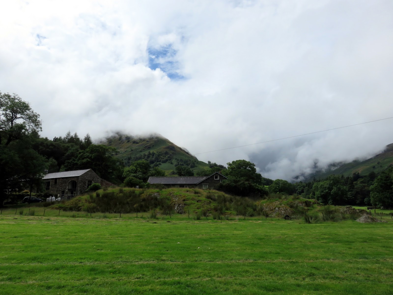
We arrived in the Lake District to a wall of water falling from the sky, true Cumbrian rain if ever it was. We had the advantage of an up-to-date weather forecast on our side however, things were due to brighten up but signs weren’t promising. We had time to peruse a couple of Glenridding’s shops and sit for a leisurely coffee before making our way to Patterdale to being our walk up Place Fell.
True to its word, almost as soon as we laced our boots, the rain stopped and the clouds very swiftly began to part. It was shaping up to be a fine afternoon.
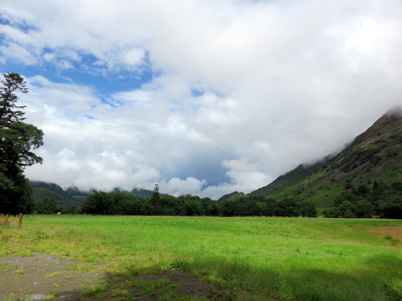
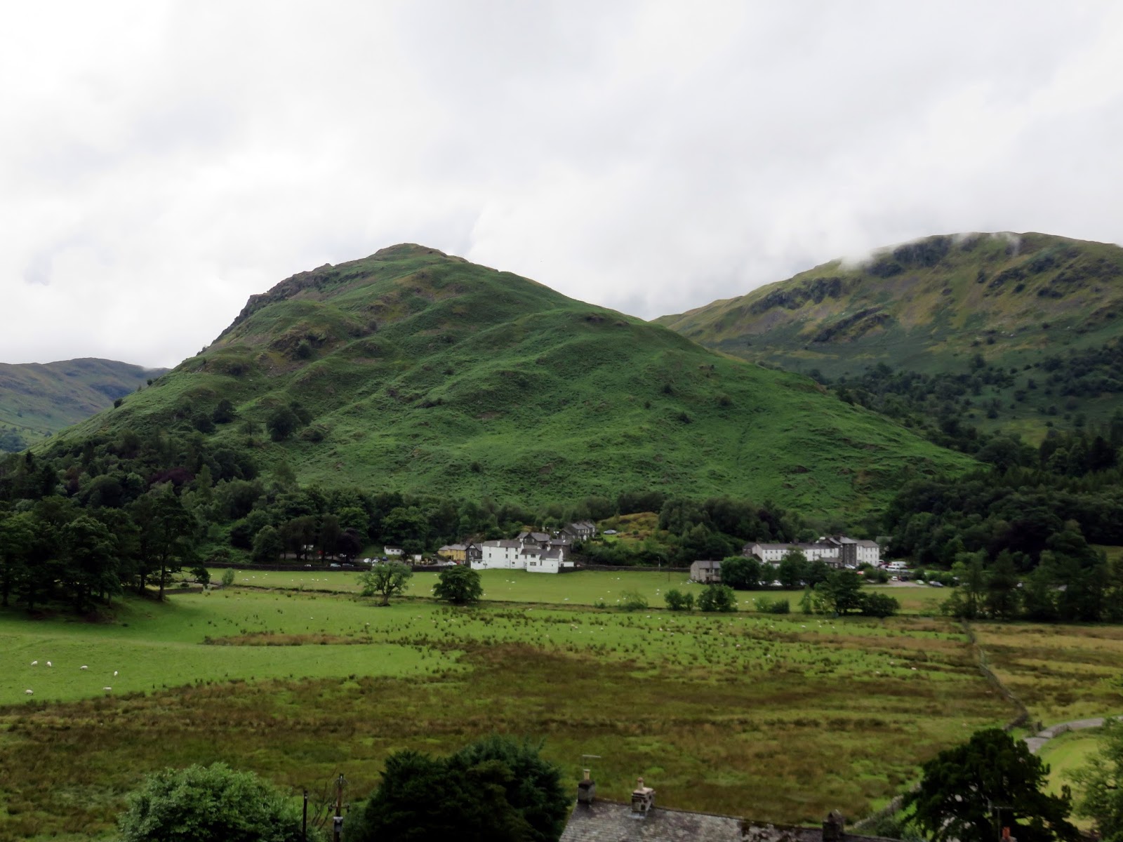
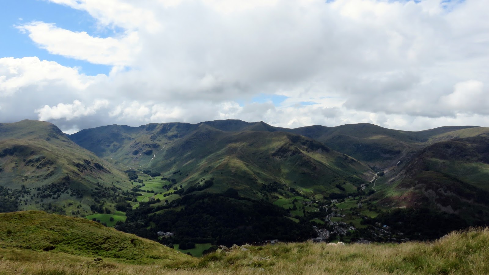
 |
| Looking north along Patterdale |
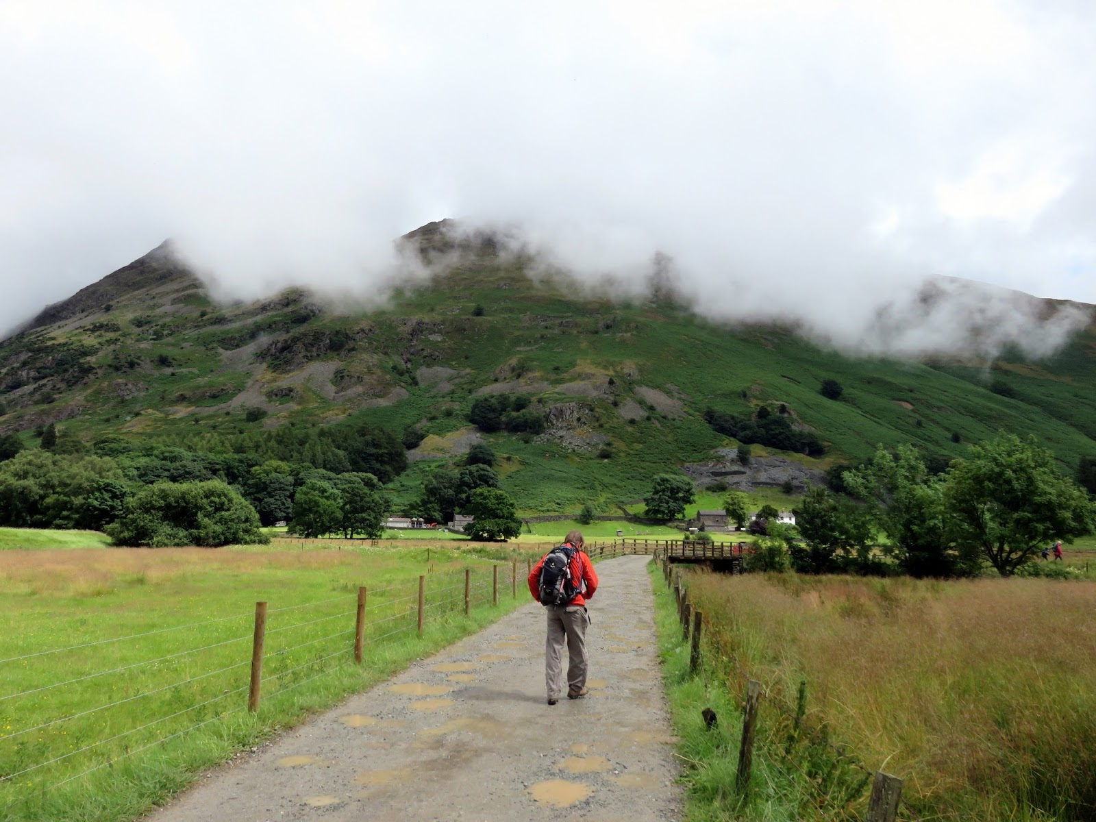
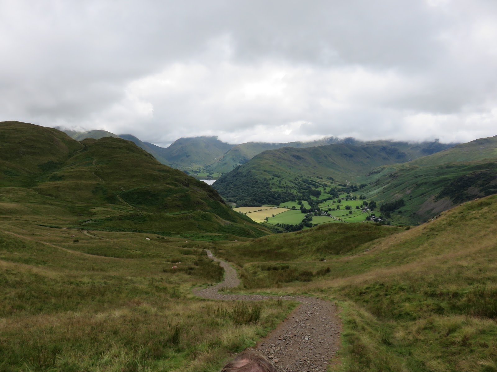
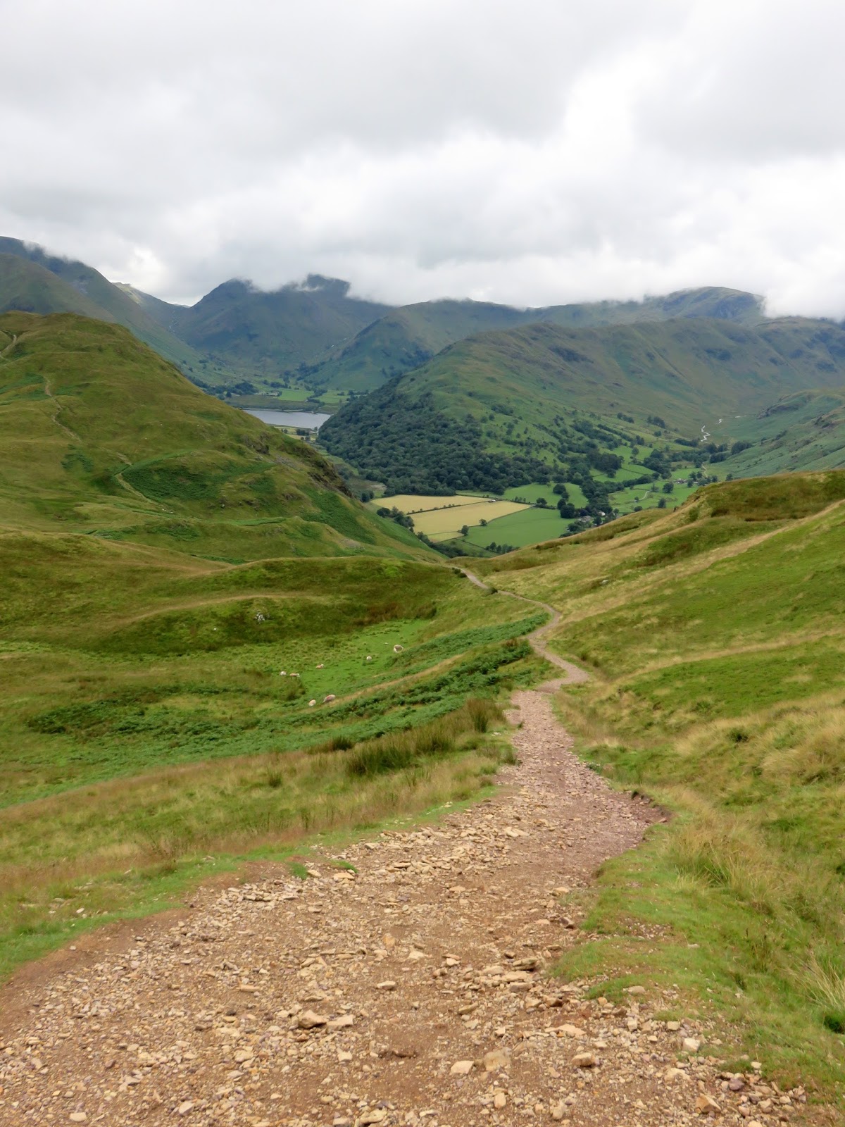
We crossed the valley of Goldrill Beck to Side Farm to find the track which slopes up the hillside to Boredale Hause, a not-too-difficult ascent of around 200m. The clouds were still painting moody scenes across parts of the eastern, the Kirkstone Pass looking particularly ominous.
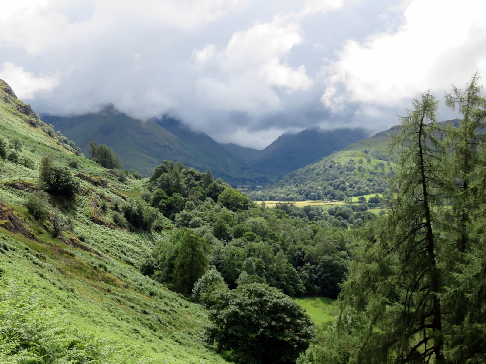
 |
| Looking towards Kirkstone from Rooking |
 |
| Clouds over the Kirkstone Pass |
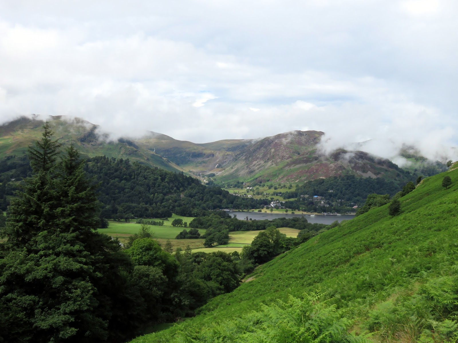
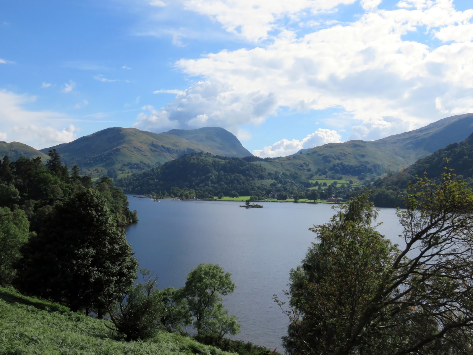
 |
| Patterdale and Ullswater |
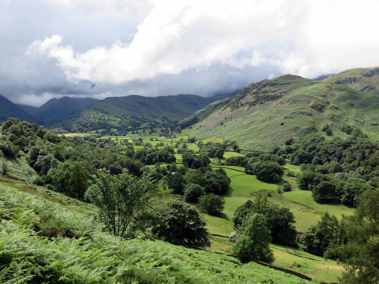
 |
| Patterdale |
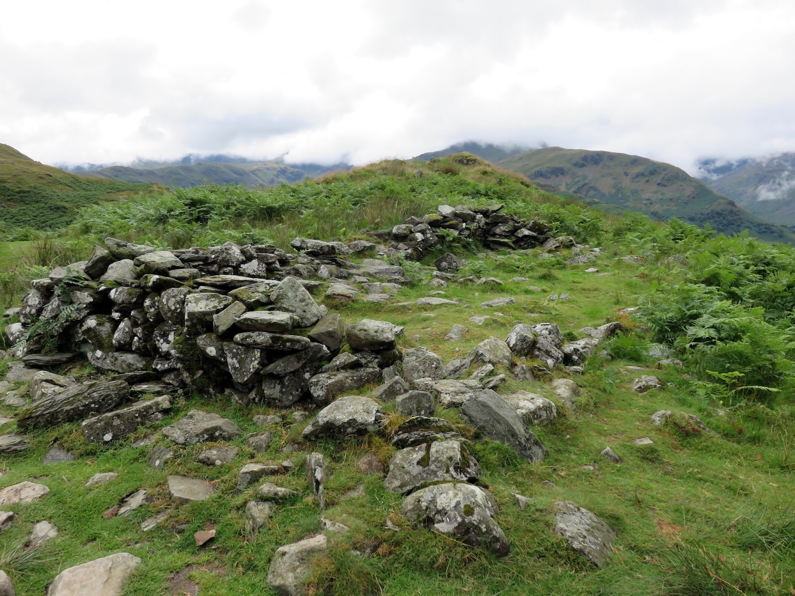
The hause, an important pass between the isolated Martindale and Patterdale, bears the remains of an ancient chapel – marked on the map as ‘Chapel in the Hause. It’s an unlikely place for a chapel, supposedly built in the 5th century.
 |
| Chapel in the Hause |
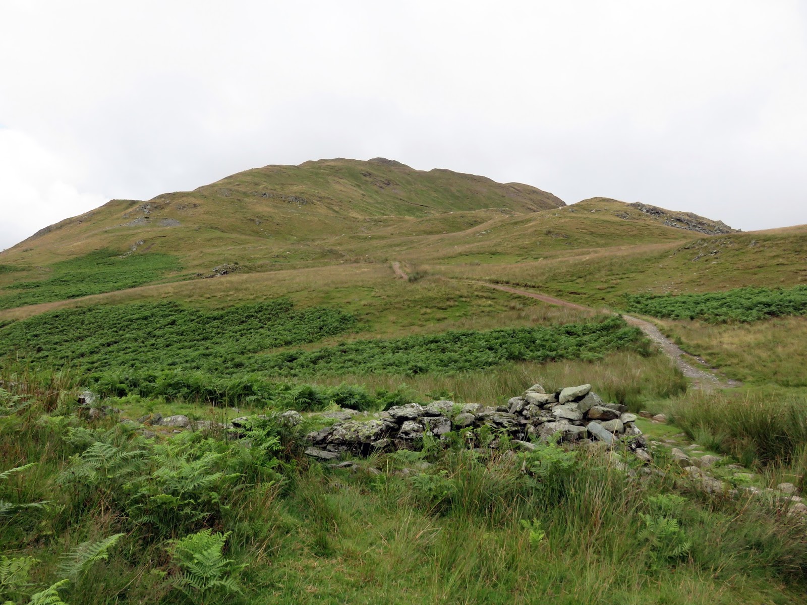
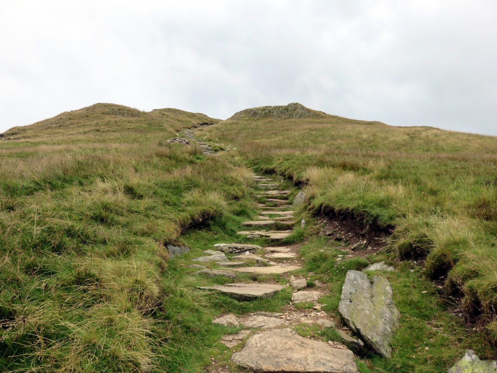
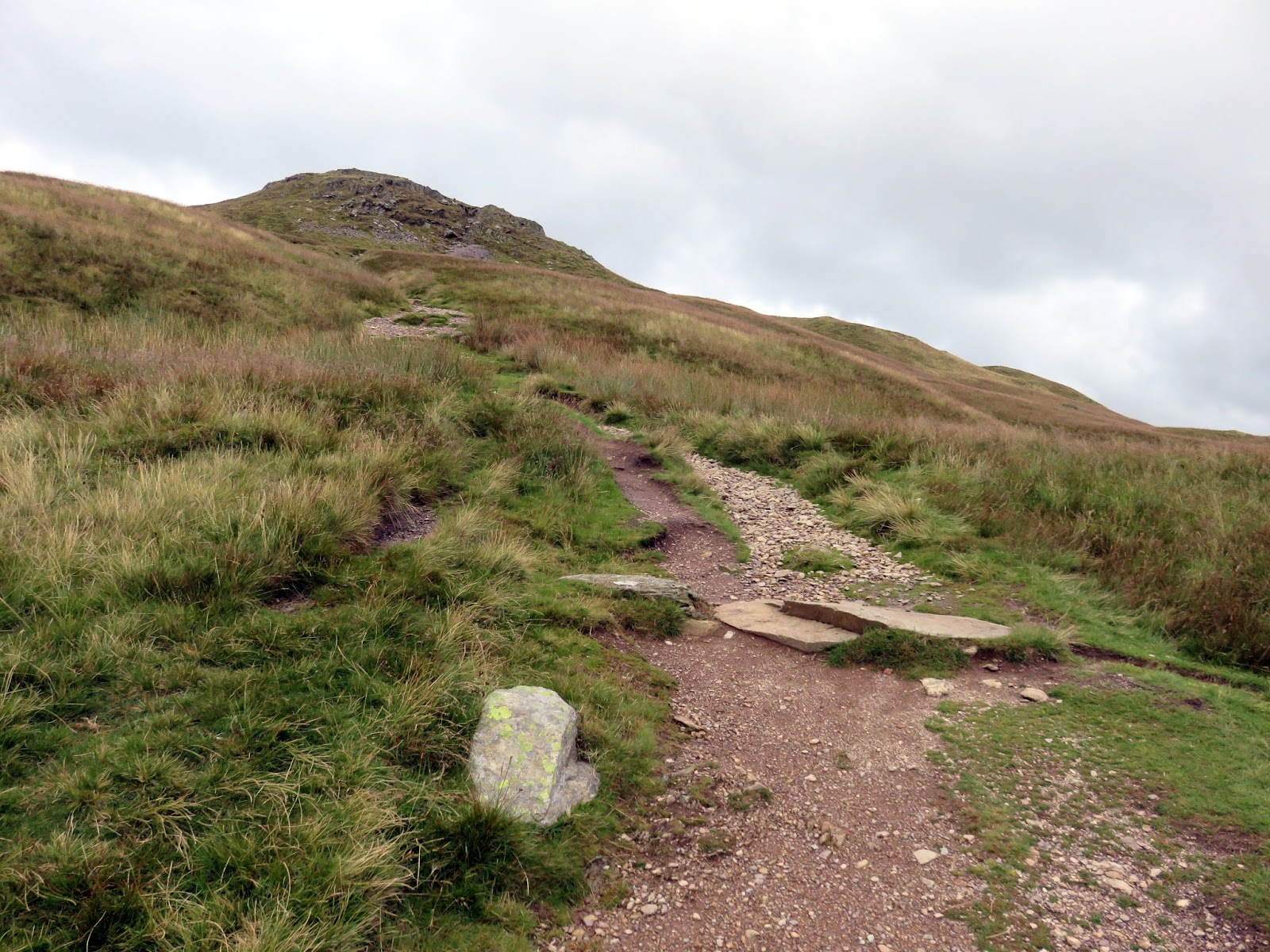
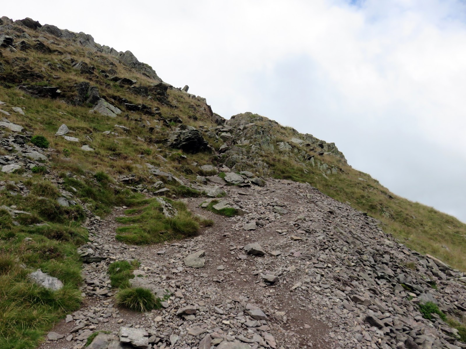
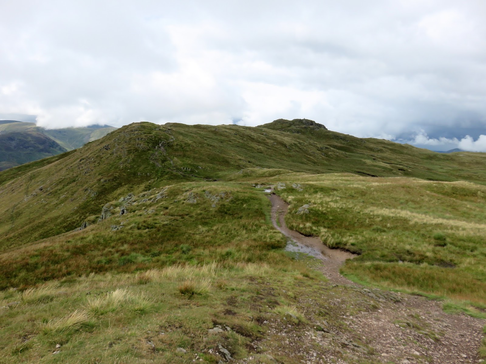
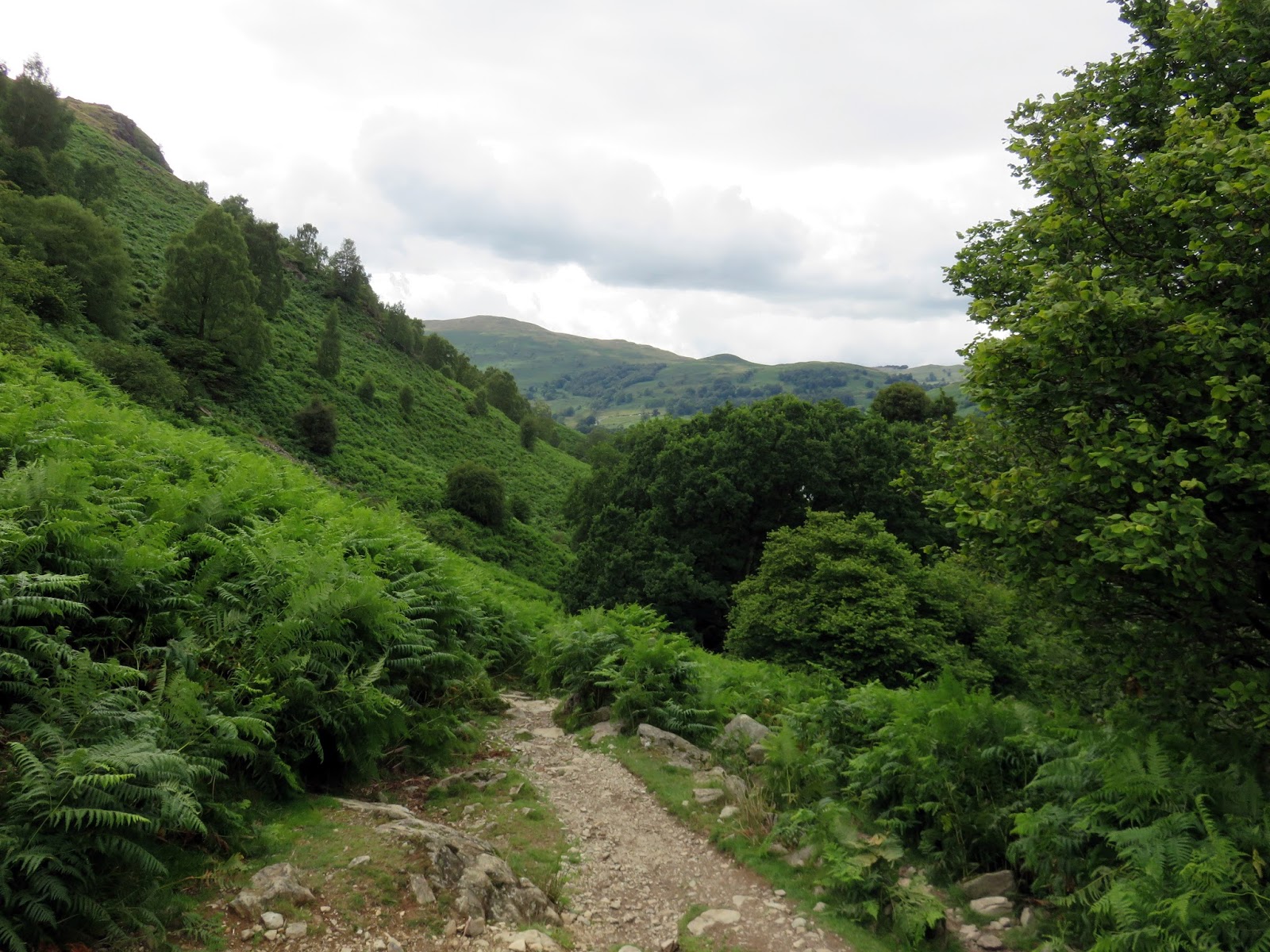
From the hause, we began the steeper climb up Place Fell. The path is wide and easy to follow and the climbing, with a couple of short stops, doesn’t take much time at all. A rocky gully at Round How provides a final flourish before you reach the main ridge towards the summit.
 |
| Boredale Hause and Patterdale |
 |
| Round How |
 |
| A short, rocky gully lies below Round How |
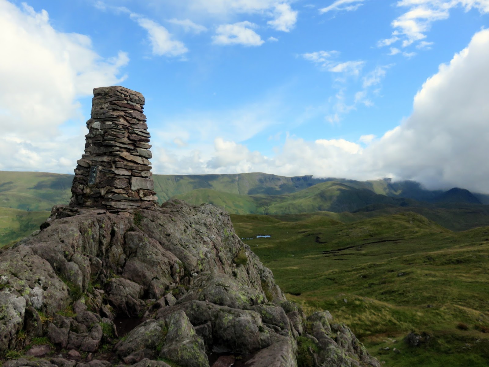
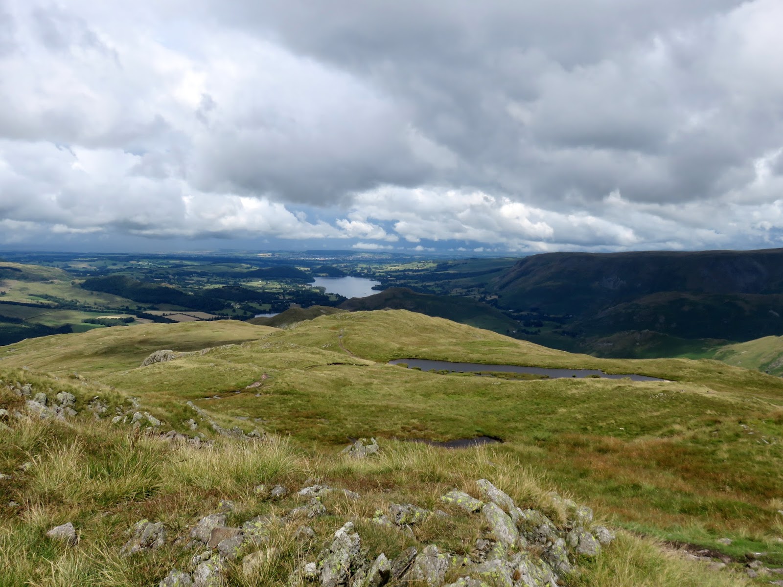
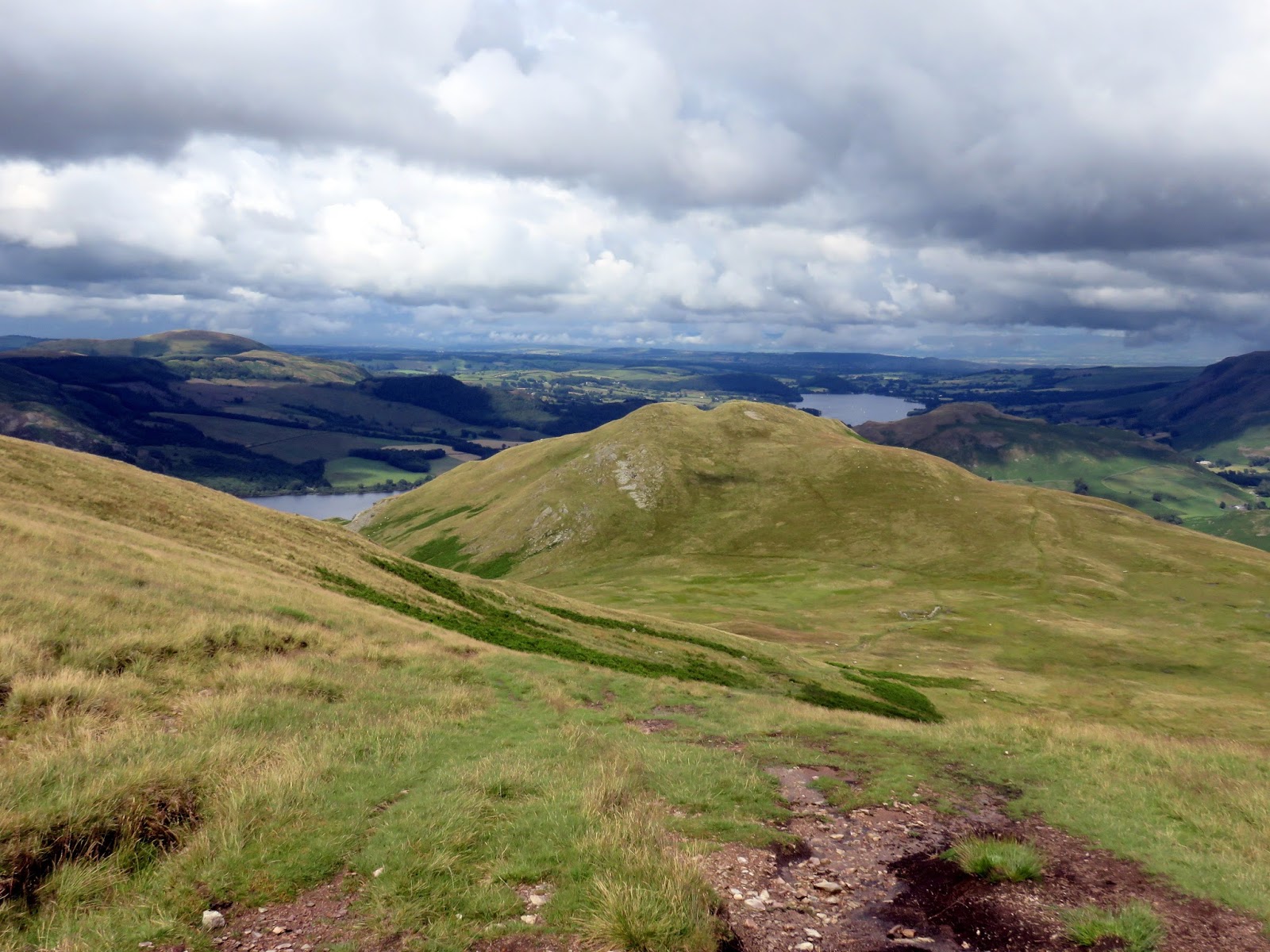
The summit ridge is an exciting arc of high ground that leads to the high point of Place Fell’s broad top. Place Fell is a complex mountain, consisting of a number of outcrops and intermediate summits, many of them considered to be separate peaks altogether. The highest point is marked by an OS pillar and provides a fine vantage point to survey to fells on the opposite side of Ullswater.
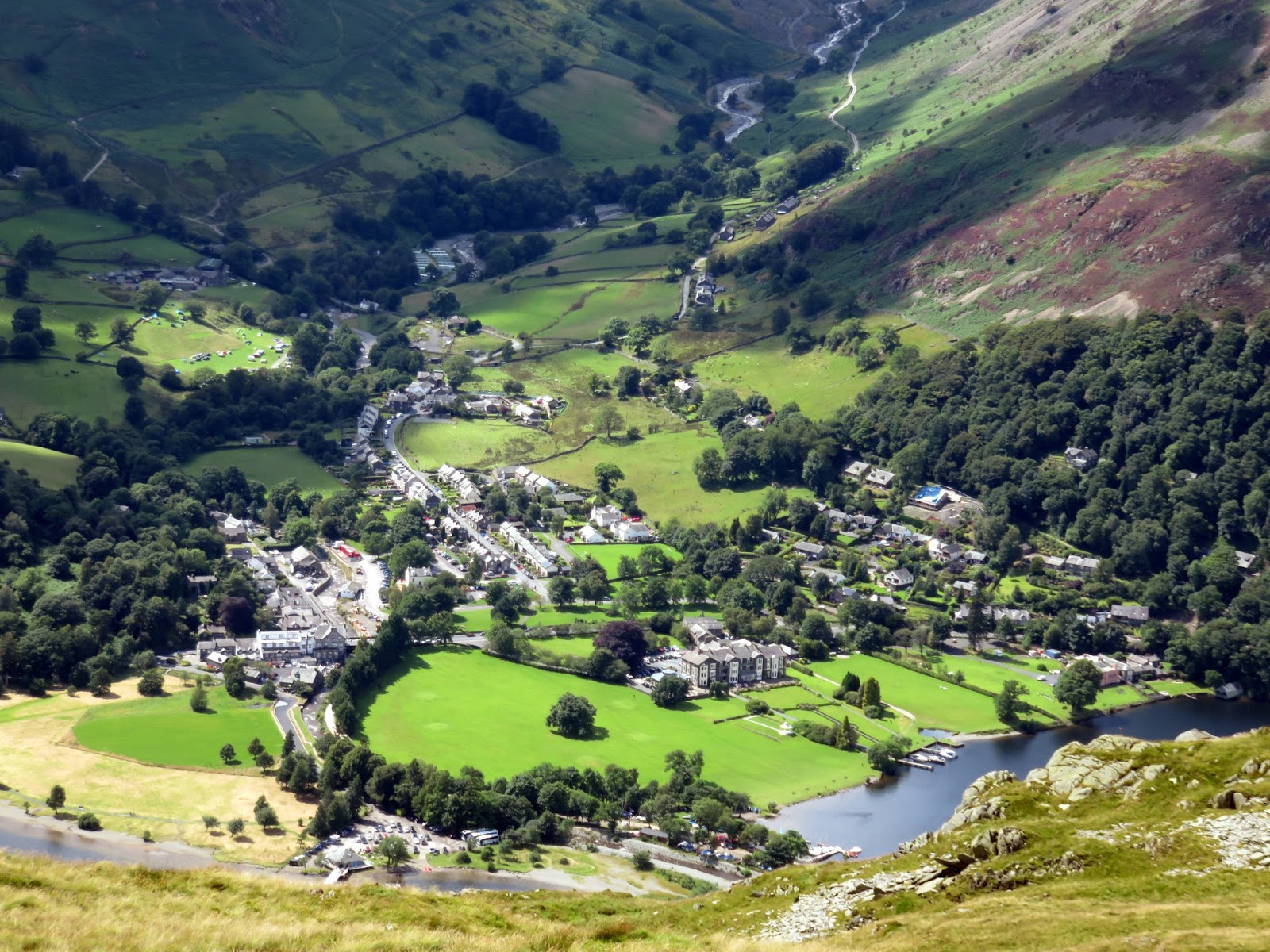
 |
| Glenridding |
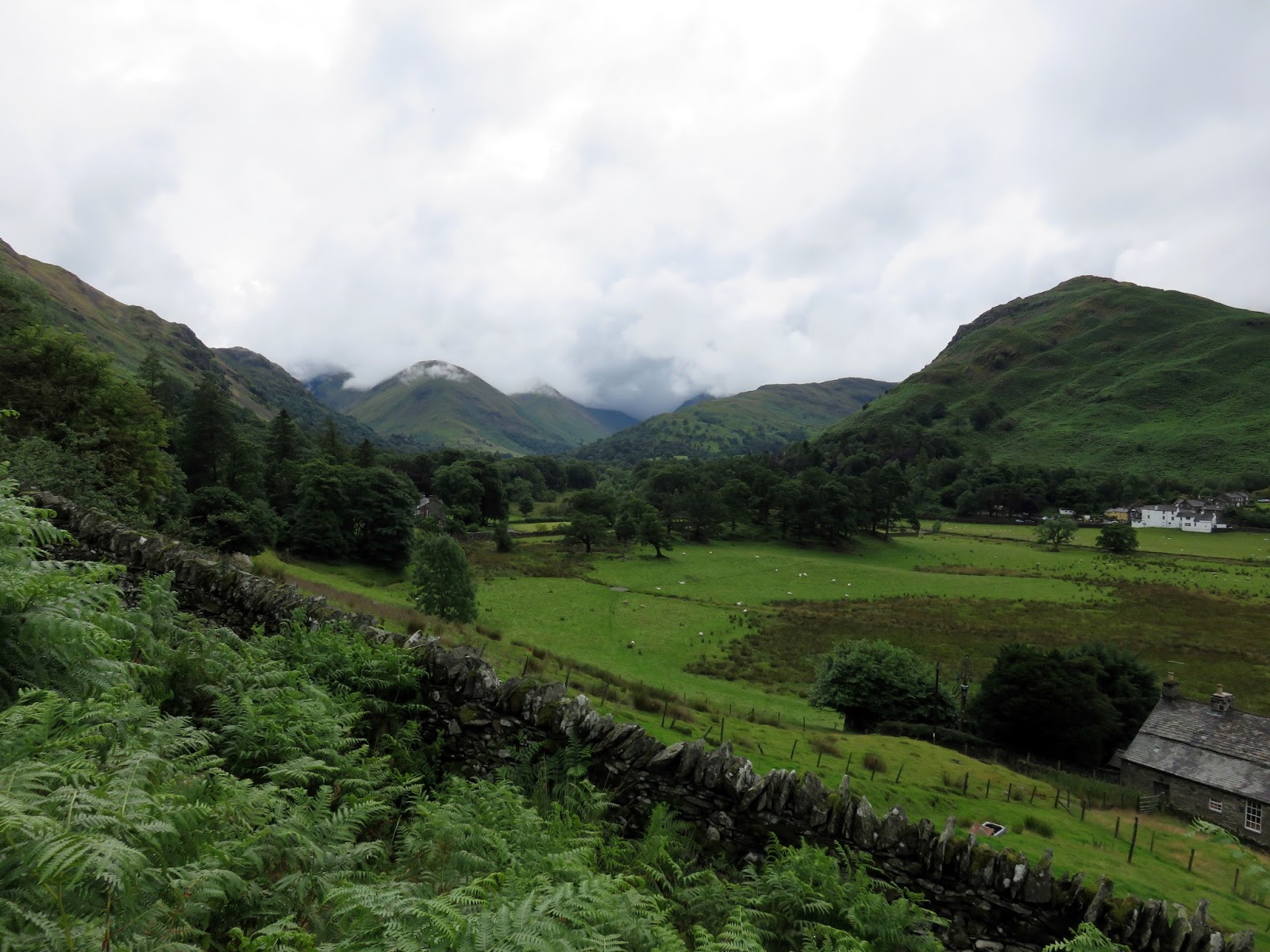
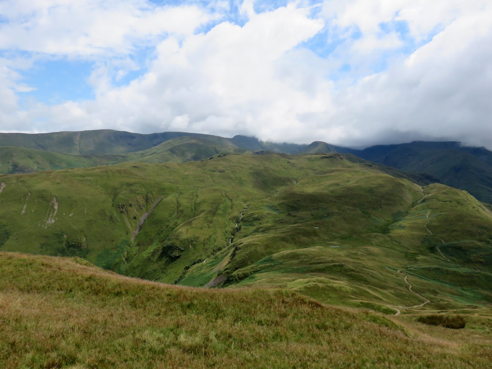
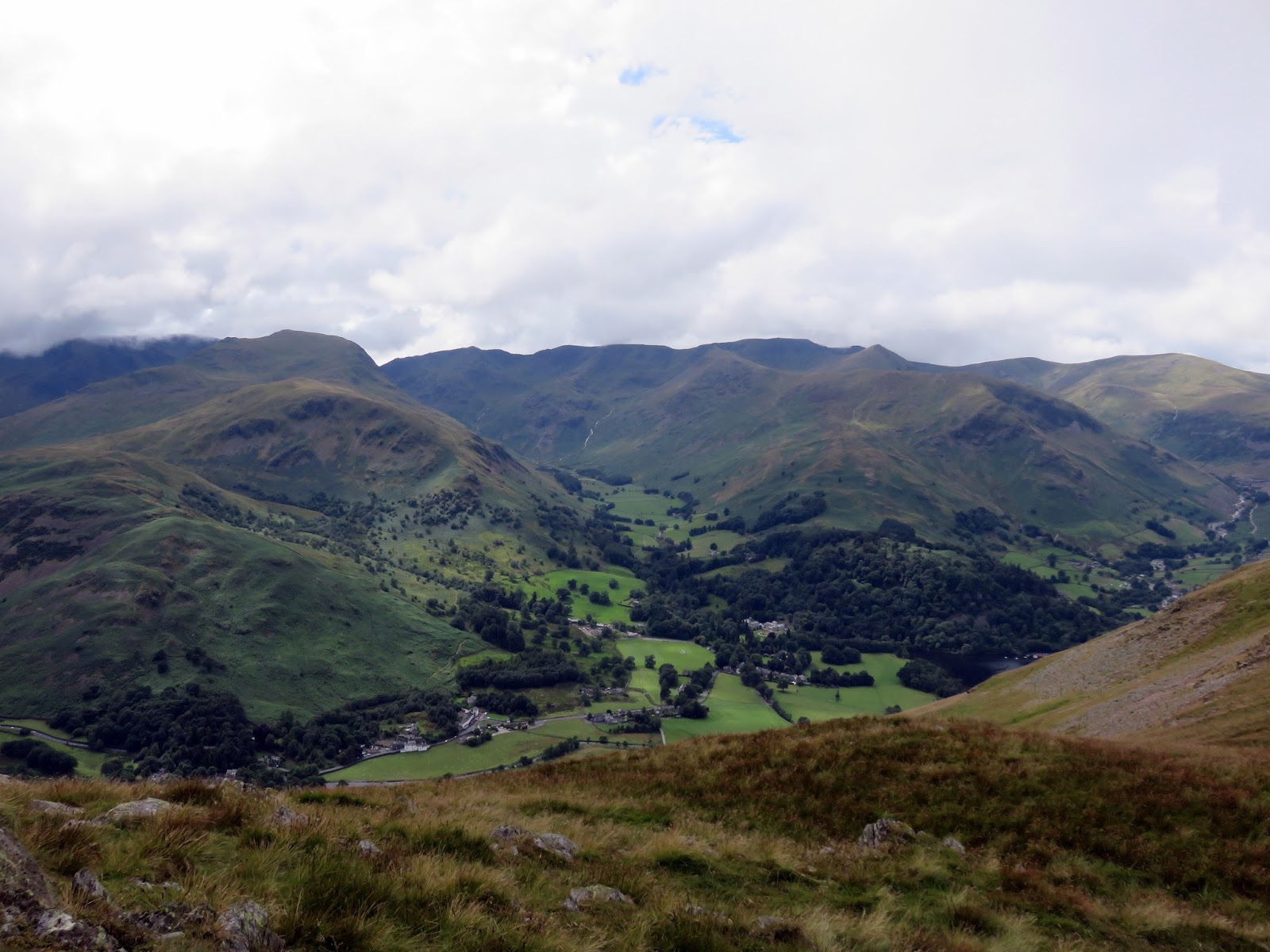
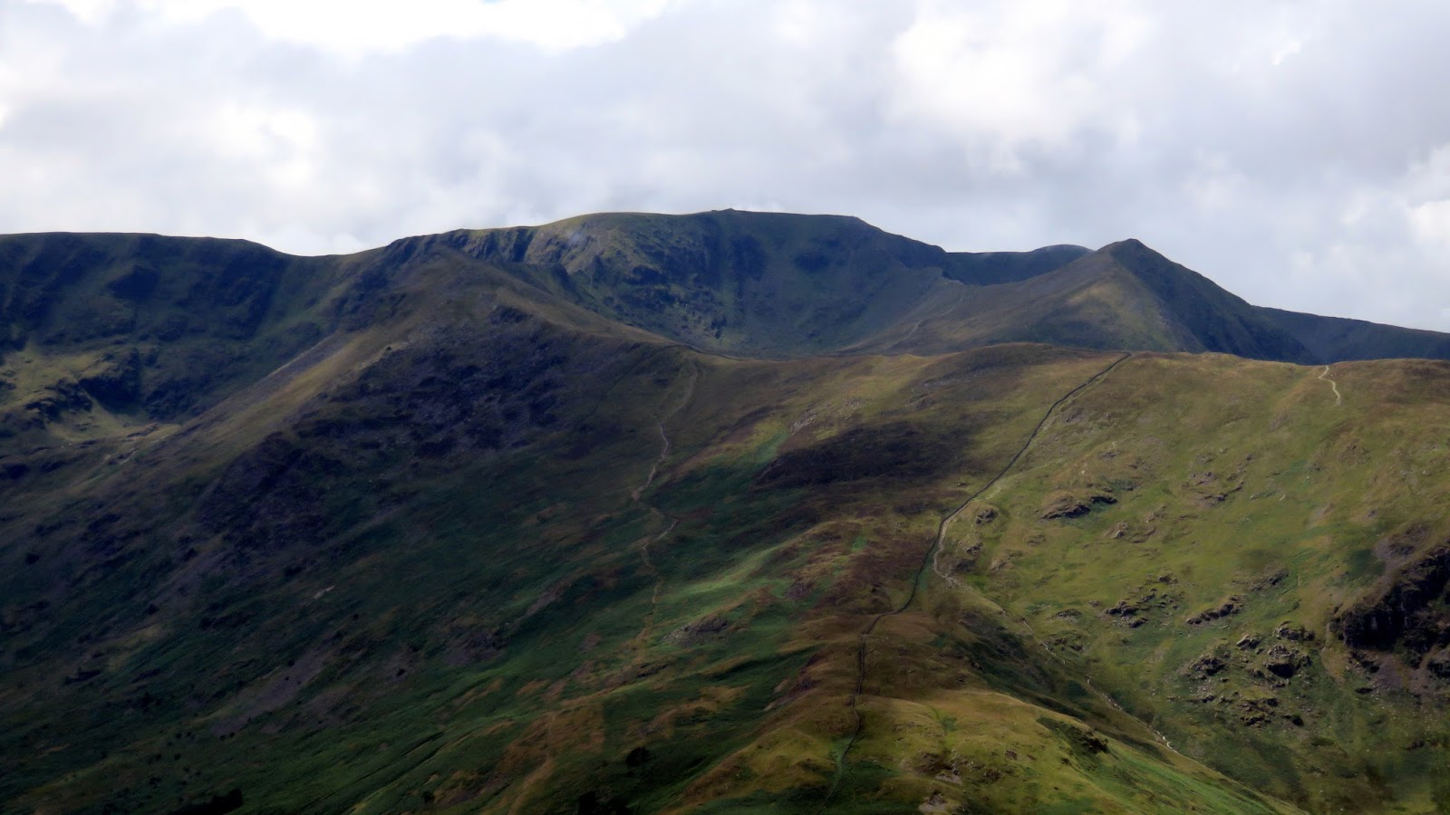
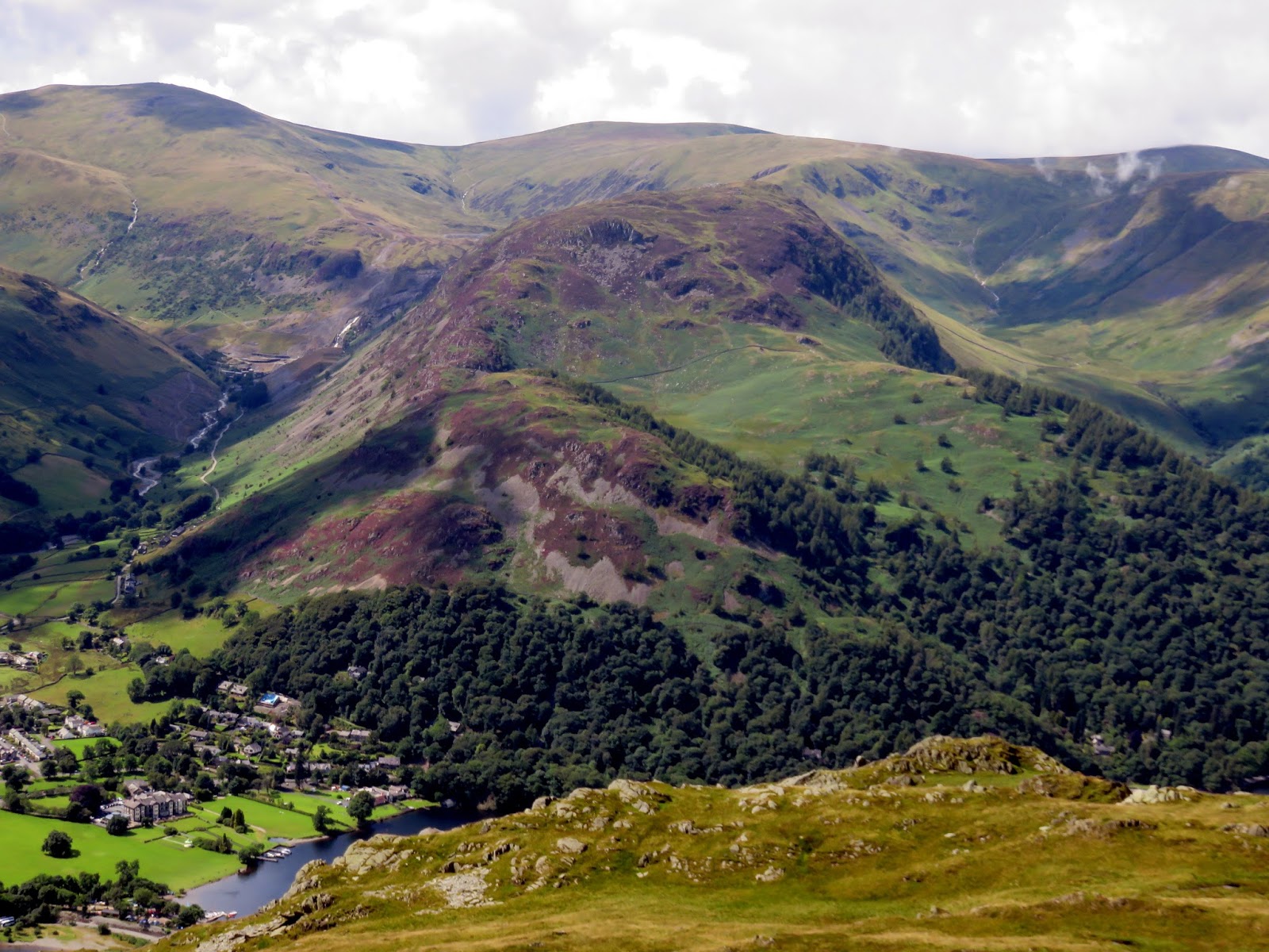
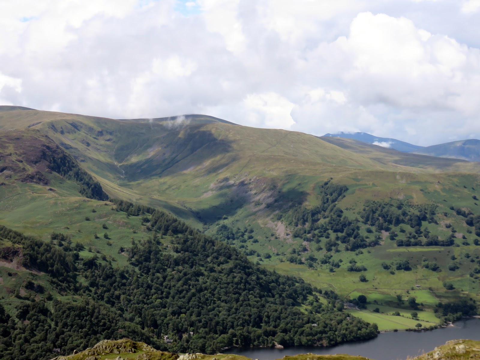
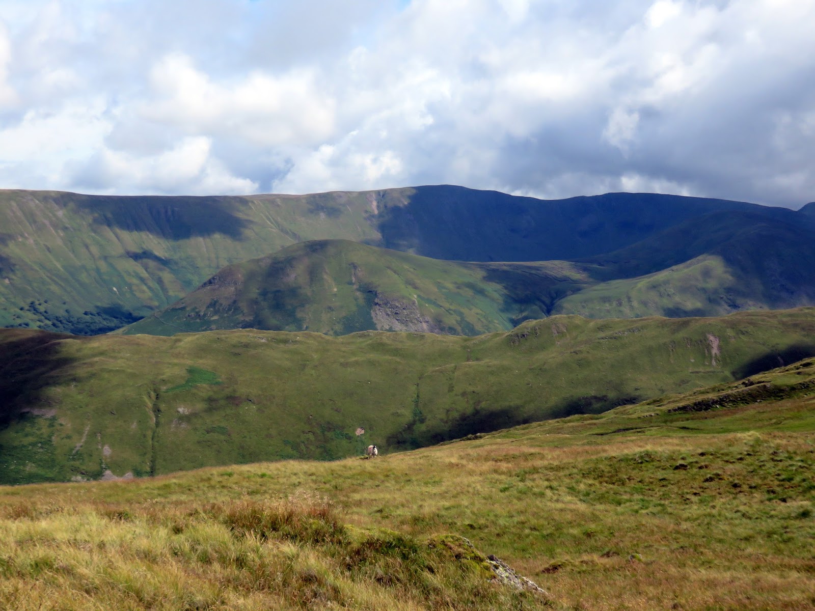
 |
| The high fells above Patterdale |
 |
| Glenridding |
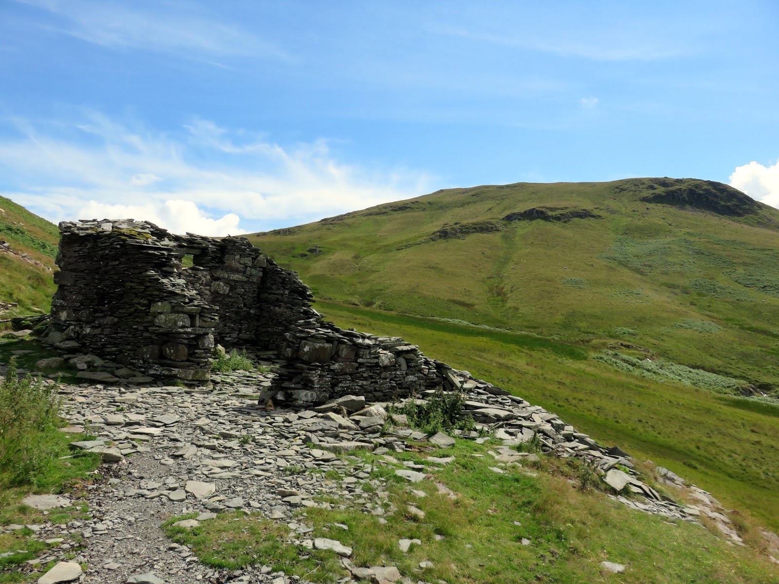
From the summit, a path cuts across the top of Hart Crag on its way towards the minor summit of High Dodd. However, we did not intend to climb this intermediate top, instead swinging below it at Low Moss and continuing downhill alongside Low Beck until we met the main path between Sandwick and Patterdale – our return leg.
 |
| Looking north to the Vale of Eden |
 |
| The path into Low Moss, below High Dodd |
 |
| Disused quarry buildings |
 |
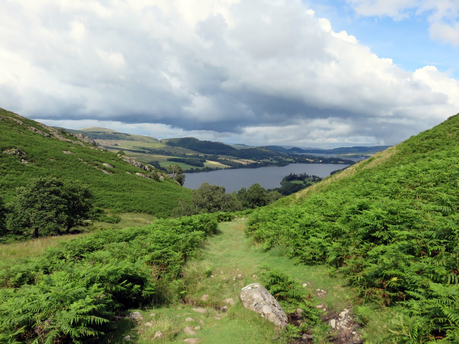
| Ullswater appears through the gap between Mortar Crag and High Dodd |
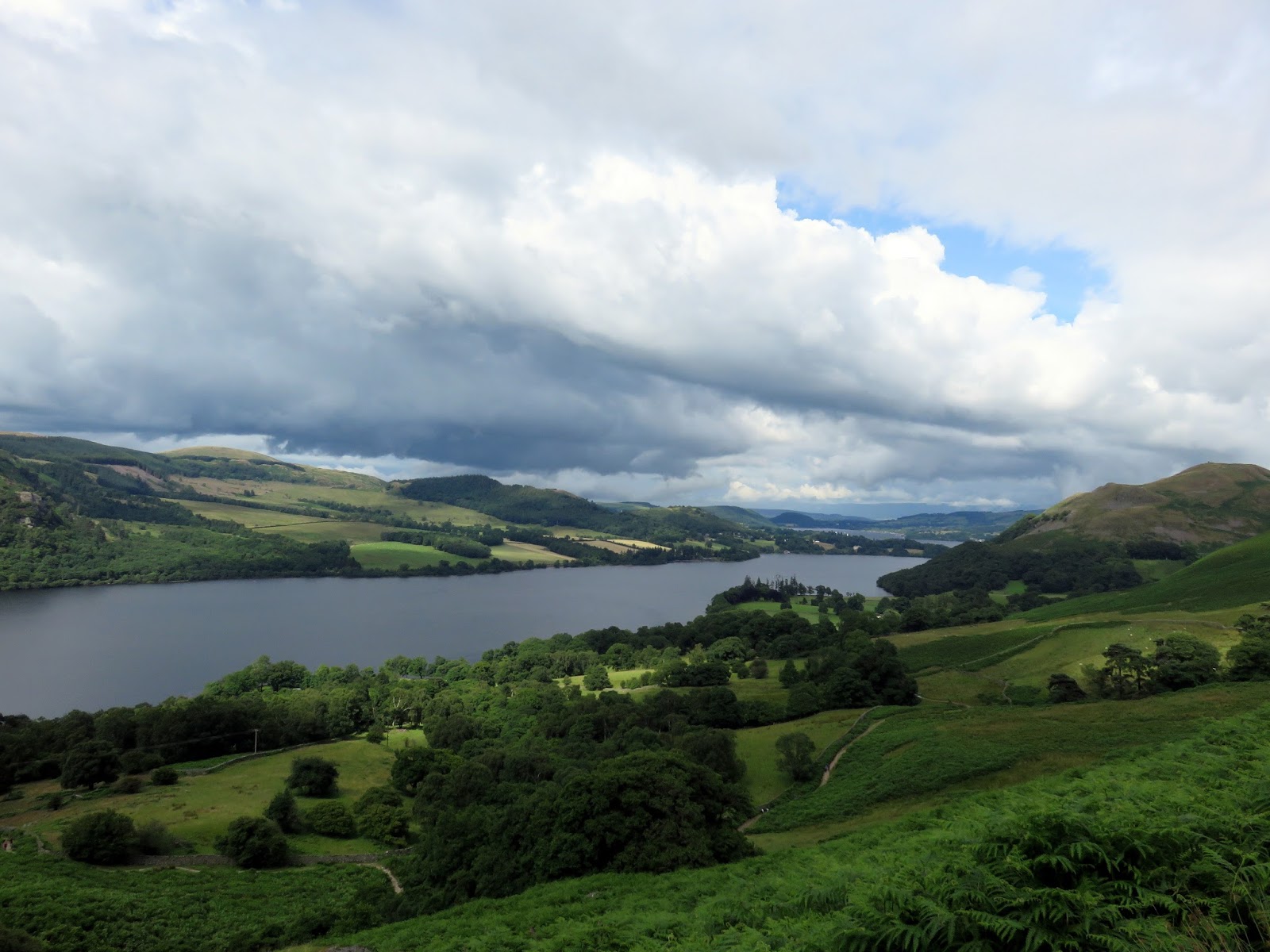
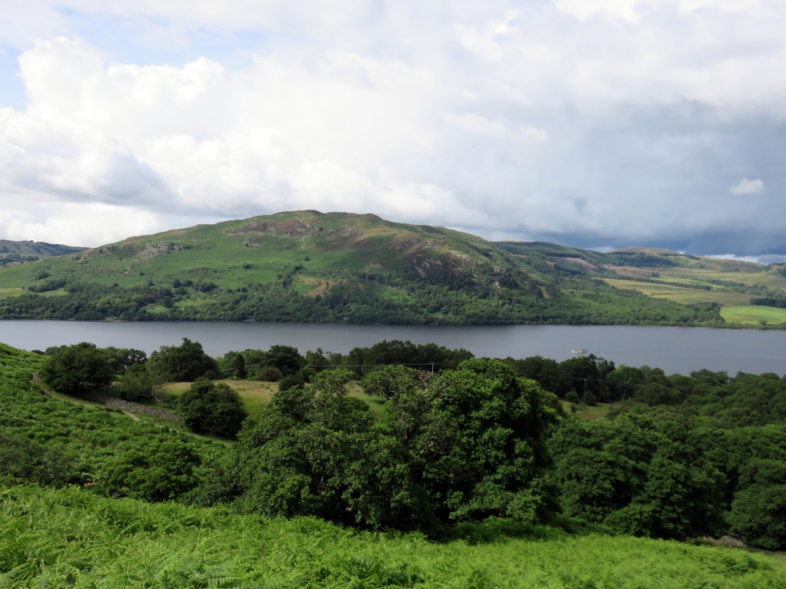
 |
| Ullswater |
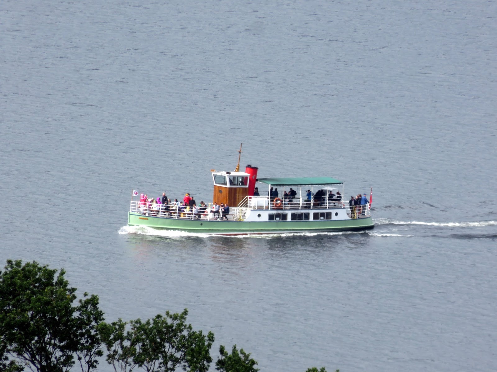
 |
| One of the Ullswater Steamers on patrol |
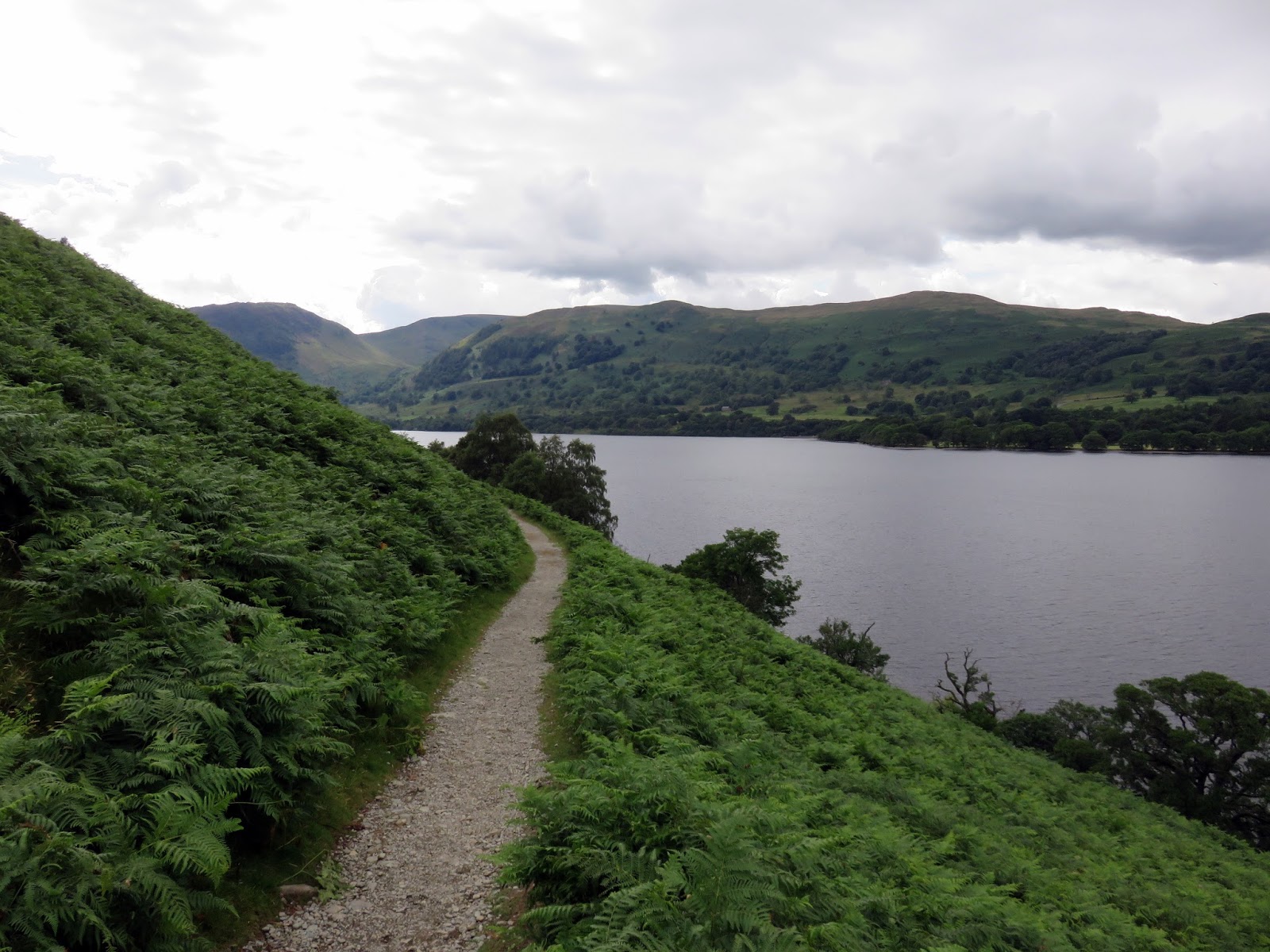
The lakeshore path from Sandwick to Patterdale was described by Wainwright as ‘the most beautiful and rewarding walk in Lakeland‘. Though the path is nice, I don’t think it’s as good as Wainwright makes out, I can think of a number of others that I would say are more beautiful and rewarding – the Corridor Route to Scafell Pike for instance.
 |
| The lakeshore path at Long Crag |
 |
| Rounding Silver Crag |
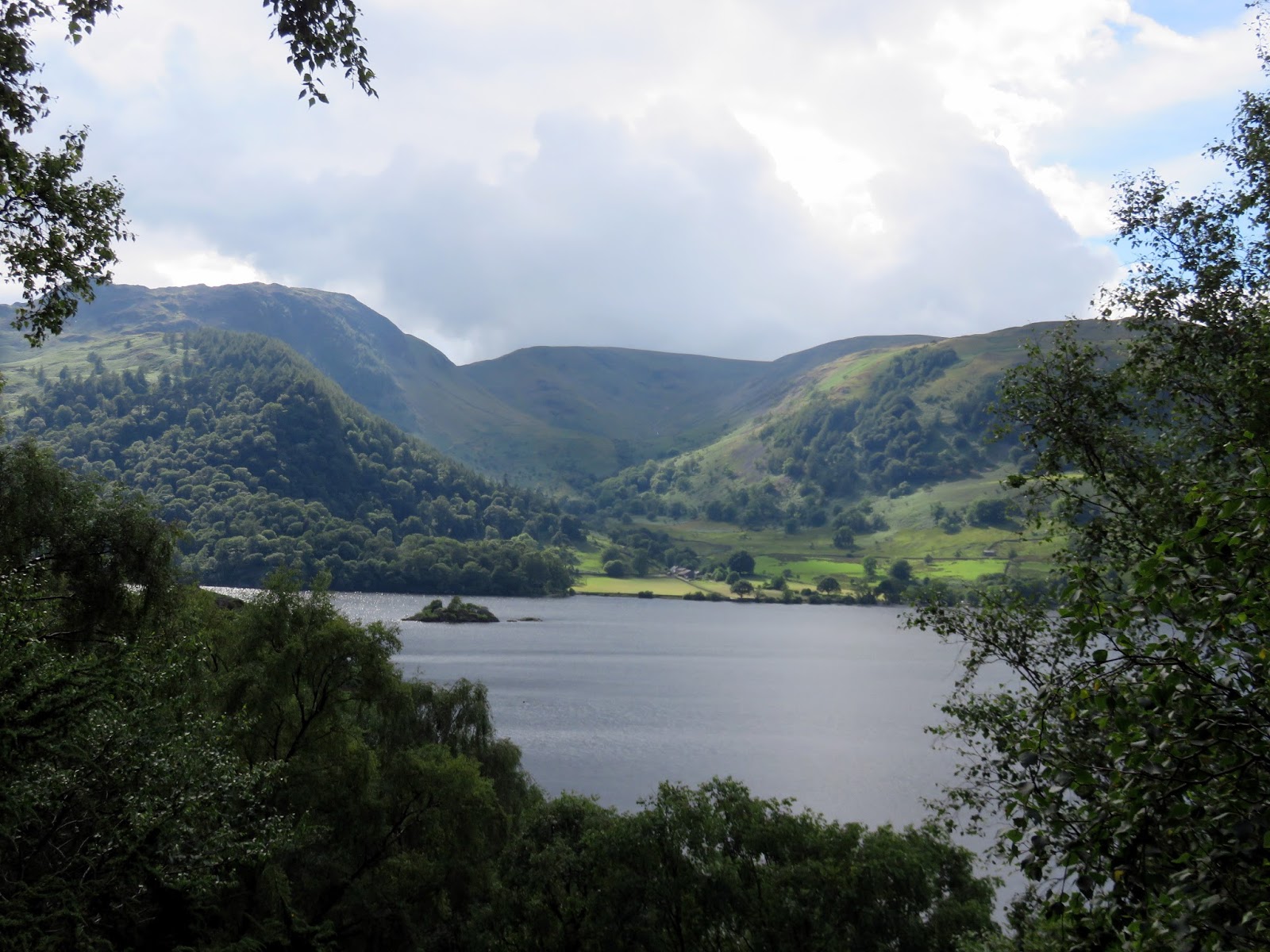
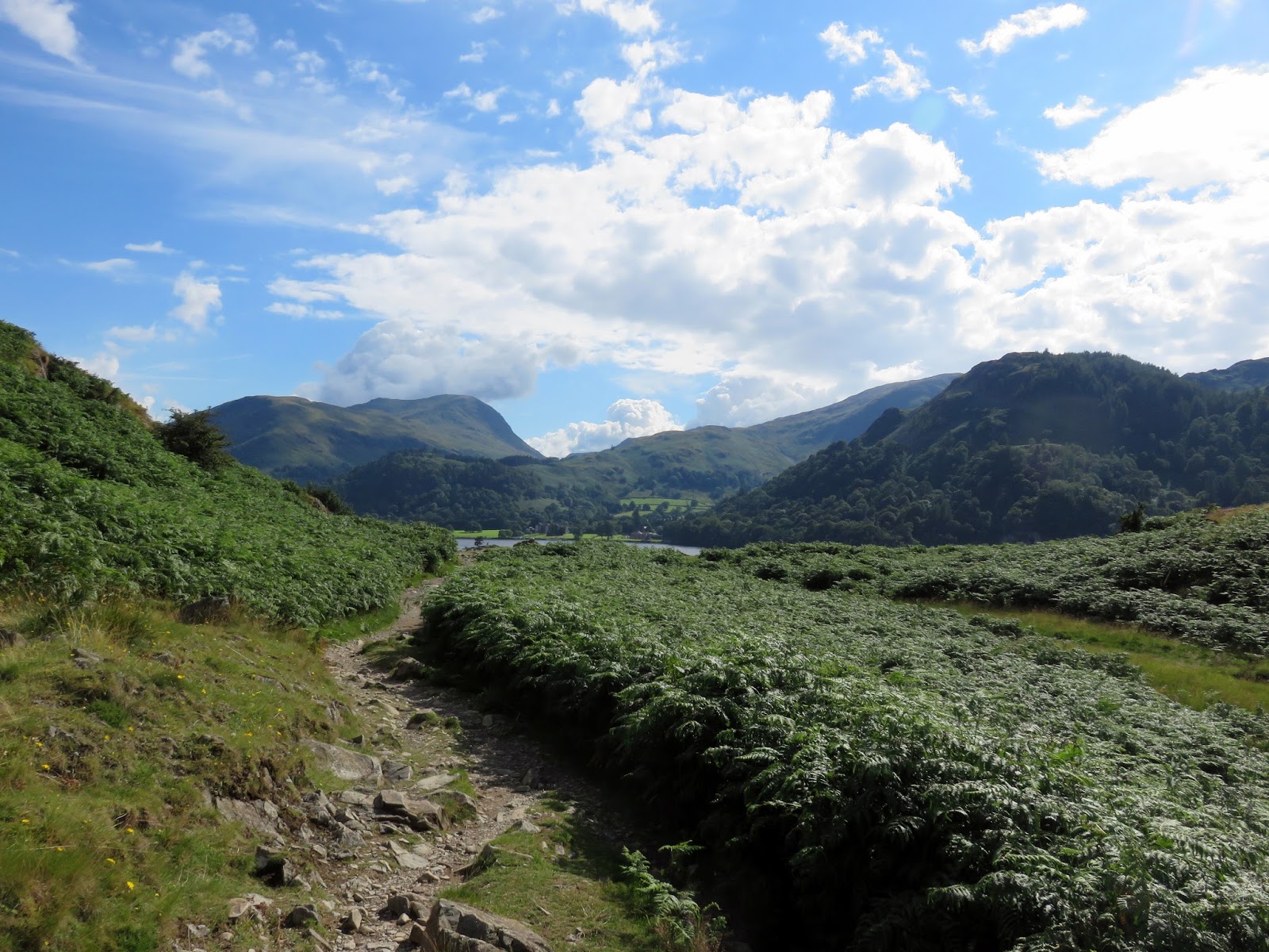
The path undulates along the lakeside and does have lovely views, though most are saved until you make your way around Silver Crag. From here, the path returns to Side Farm, past the inviting tea room and back into Patterdale, concluding what had been a very rewarding outing, despite the rain-laden beginning.
 |
| Glencoyne |
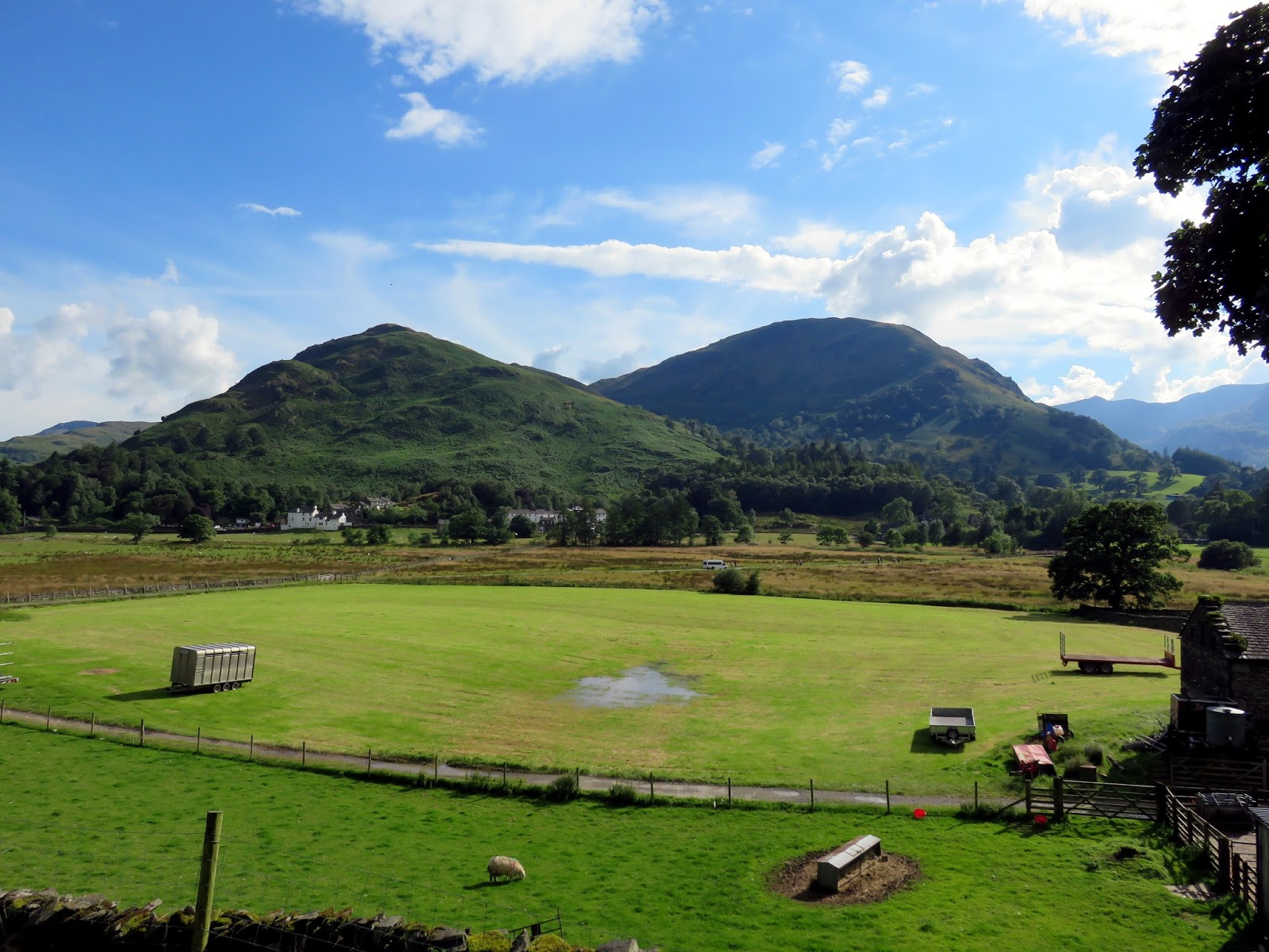
 |
| Patterdale |
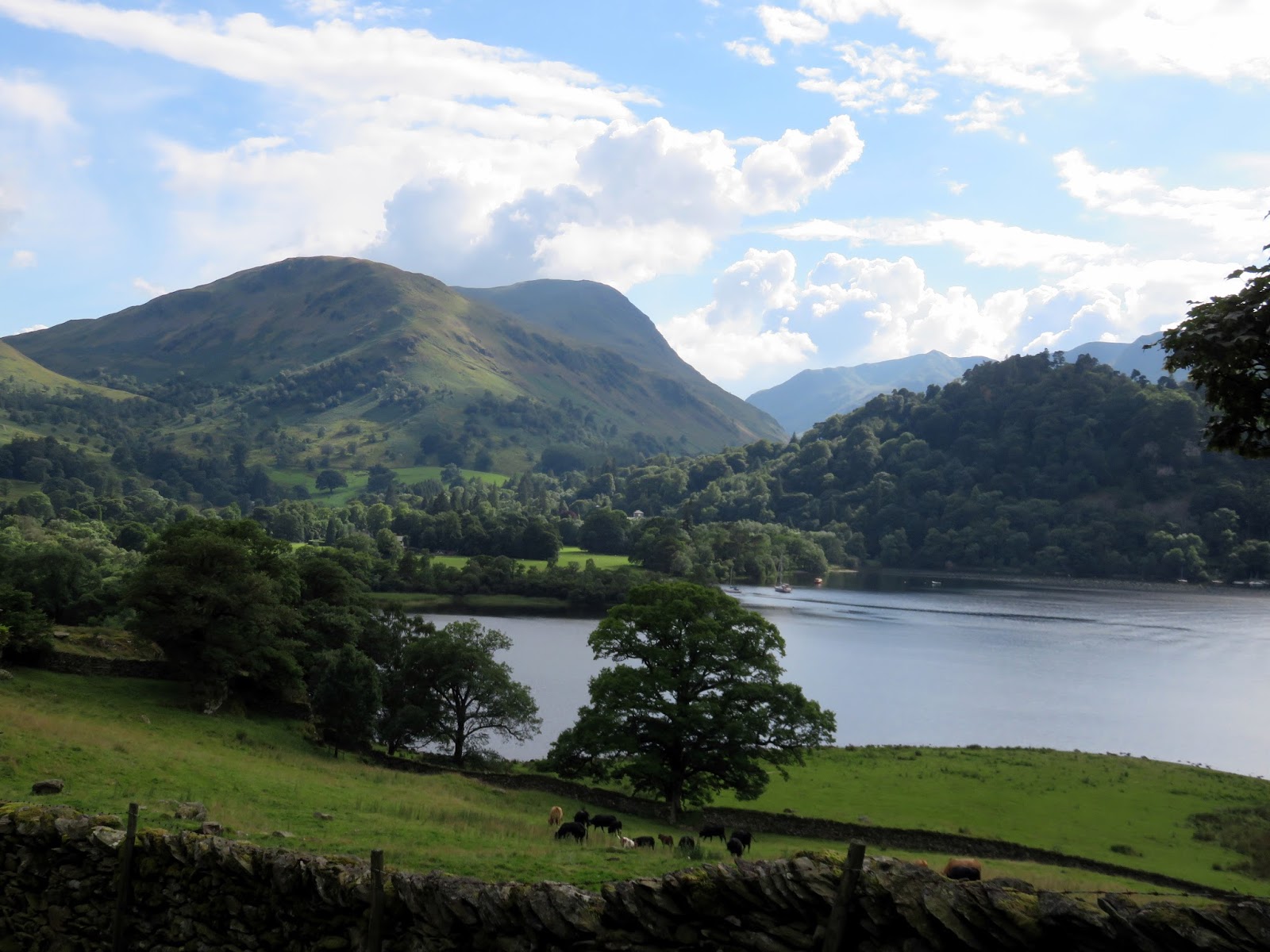
 |
| Ullswater and Patterdale |
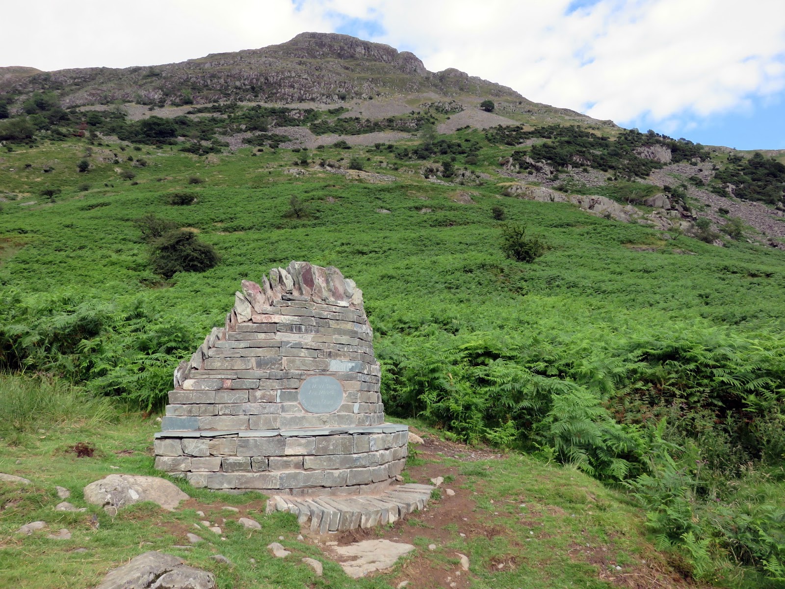
 |
| Memorial below Grey Crag |
