Open Space Web-Map builder Codehttps://openspace.ordnancesurvey.co.uk/osmapapi/openspace.js?key=3119F72552FD5C22E0530C6CA40A5A92https://openspace.ordnancesurvey.co.uk/osmapapi/script/mapbuilder/basicmap.jshttps://openspace.ordnancesurvey.co.uk/osmapapi/script/mapbuilder/searchbox.js//variables for routes var linesLayer, points, lineFeature, lineString, routeMarkersLayer, routepos, routesize, routeoffset, routeicon; var style_blue = {strokeColor: “#0000CD”, strokeOpacity: 0.5, strokeWidth: 4.5}; function initmapbuilder() { //initiate the map var options = {resolutions: [2500, 1000, 500, 200, 100, 50, 25, 10, 5, 4, 2.5, 2, 1]}; osMap = new OpenSpace.Map(‘map’, options); //configure map options (basicmap.js) setglobaloptions(); //set the center of the map and the zoom level osMap.setCenter(new OpenSpace.MapPoint(391980,474210),7); linesLayer = osMap.getVectorLayer(); // Set up layer for route markers routeMarkersLayer = new OpenLayers.Layer.Markers(“Route Markers”); //make a route points = new Array(); points.push(new OpenLayers.Geometry.Point(393220,471935)); points.push(new OpenLayers.Geometry.Point(393200,472105)); points.push(new OpenLayers.Geometry.Point(393220,472300)); points.push(new OpenLayers.Geometry.Point(393430,472290)); points.push(new OpenLayers.Geometry.Point(393440,472350)); points.push(new OpenLayers.Geometry.Point(393415,472540)); points.push(new OpenLayers.Geometry.Point(393455,472605)); points.push(new OpenLayers.Geometry.Point(393605,472660)); points.push(new OpenLayers.Geometry.Point(393720,472715)); points.push(new OpenLayers.Geometry.Point(393835,472760)); points.push(new OpenLayers.Geometry.Point(394450,472975)); points.push(new OpenLayers.Geometry.Point(394225,473235)); points.push(new OpenLayers.Geometry.Point(393675,473815)); points.push(new OpenLayers.Geometry.Point(393295,474225)); points.push(new OpenLayers.Geometry.Point(392610,474825)); points.push(new OpenLayers.Geometry.Point(392425,475135)); points.push(new OpenLayers.Geometry.Point(392480,475635)); points.push(new OpenLayers.Geometry.Point(392315,476000)); points.push(new OpenLayers.Geometry.Point(392085,476115)); points.push(new OpenLayers.Geometry.Point(391870,476390)); points.push(new OpenLayers.Geometry.Point(391575,476520)); points.push(new OpenLayers.Geometry.Point(391295,476645)); points.push(new OpenLayers.Geometry.Point(391200,476715)); points.push(new OpenLayers.Geometry.Point(390930,476620)); points.push(new OpenLayers.Geometry.Point(390745,476530)); points.push(new OpenLayers.Geometry.Point(390650,476460)); points.push(new OpenLayers.Geometry.Point(390655,475860)); points.push(new OpenLayers.Geometry.Point(390760,475660)); points.push(new OpenLayers.Geometry.Point(390840,475340)); points.push(new OpenLayers.Geometry.Point(390795,475140)); points.push(new OpenLayers.Geometry.Point(390715,475000)); points.push(new OpenLayers.Geometry.Point(390715,474900)); points.push(new OpenLayers.Geometry.Point(390780,474865)); points.push(new OpenLayers.Geometry.Point(390905,474700)); points.push(new OpenLayers.Geometry.Point(390865,474510)); points.push(new OpenLayers.Geometry.Point(390965,474360)); points.push(new OpenLayers.Geometry.Point(391130,474265)); points.push(new OpenLayers.Geometry.Point(391130,474225)); points.push(new OpenLayers.Geometry.Point(390955,474110)); points.push(new OpenLayers.Geometry.Point(390860,474055)); points.push(new OpenLayers.Geometry.Point(390735,474055)); points.push(new OpenLayers.Geometry.Point(390660,474035)); points.push(new OpenLayers.Geometry.Point(390625,473990)); points.push(new OpenLayers.Geometry.Point(390500,474055)); points.push(new OpenLayers.Geometry.Point(390555,473940)); points.push(new OpenLayers.Geometry.Point(390500,473940)); points.push(new OpenLayers.Geometry.Point(390490,473825)); points.push(new OpenLayers.Geometry.Point(390550,473805)); points.push(new OpenLayers.Geometry.Point(390700,473625)); points.push(new OpenLayers.Geometry.Point(390880,473410)); points.push(new OpenLayers.Geometry.Point(391025,473250)); points.push(new OpenLayers.Geometry.Point(391180,473080)); points.push(new OpenLayers.Geometry.Point(391465,472785)); points.push(new OpenLayers.Geometry.Point(391670,472640)); points.push(new OpenLayers.Geometry.Point(391850,472450)); points.push(new OpenLayers.Geometry.Point(391970,472330)); points.push(new OpenLayers.Geometry.Point(392340,472155)); points.push(new OpenLayers.Geometry.Point(392585,472070)); points.push(new OpenLayers.Geometry.Point(392690,472040)); points.push(new OpenLayers.Geometry.Point(392795,472035)); points.push(new OpenLayers.Geometry.Point(392940,471995)); points.push(new OpenLayers.Geometry.Point(393015,471960)); points.push(new OpenLayers.Geometry.Point(393050,471895)); points.push(new OpenLayers.Geometry.Point(393075,471950)); points.push(new OpenLayers.Geometry.Point(393220,471935)); // create a polyline feature from the array of points lineString = new OpenLayers.Geometry.LineString(points); lineFeature = new OpenLayers.Feature.Vector(lineString, null, style_blue); linesLayer.addFeatures([lineFeature]); //crate a route start/end marker routepos = new OpenSpace.MapPoint(393220,471935); routesize = new OpenLayers.Size(33,45); routeoffset = new OpenLayers.Pixel(-5,-37); routeicon = new OpenSpace.Icon(‘https://openspace.ordnancesurvey.co.uk/osmapapi/img_versions/img_1.1/mapbuilder/routemarker-startend.png’, routesize, routeoffset, null, null); routeMarkersLayer.addMarker(new OpenLayers.Marker(routepos, routeicon)); osMap.addLayer(routeMarkersLayer);}
Route: Arncliffe, Brayshaw Scar, Old Cote Moor, Old Cote Moor Top, Birks Fell, High Combe Stoop, Moss Top, Middle Moor, Litton, East Garth, Roselber Wood, Guildersbank, New Barn, Arncliffe
Date: 02/07/2017
From: Arncliffe
Parking: Arncliffe
Start Point: Arncliffe
Region: Yorkshire Dales – Southern Fells
Route length: 9.6 miles (15.4 km)
Time taken: 03:50
Average speed: 2.5 mph
Ascent: 501m
Descent: 502m
Yorkshire 2000s: Birks Fell (610m)
Other points of interest: Littondale
Continuing my recent trail of Yorkshire Nuttalls I turned my attention to an area I’ve looked at many times but never got round to doing – Birks Fell. The fell forms a long ridge with divides Littondale and Wharfedale and, if looking at a map, forms the distinctive sweep of hills in the centre of the National Park.
The fell can be climbed from numerous locations, Kettlewell often being the favoured starting point. I, however, chose Arncliffe for two reasons – the first is that parking in the village is free and secondly, I’ve walking along the Dales Way in Wharfedale many times so it was time for something new. The route would climb Birks Fell by Old Cote Moor, cross the top and descend back into Littondale via Access Land on Middle Moor before returning to Arncliffe along the valley.
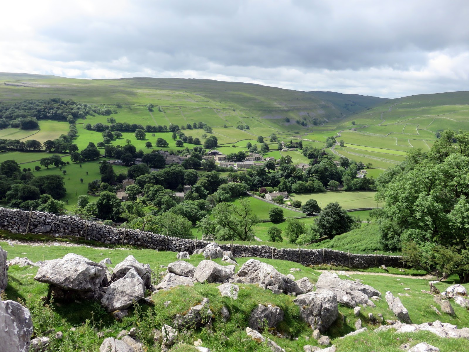
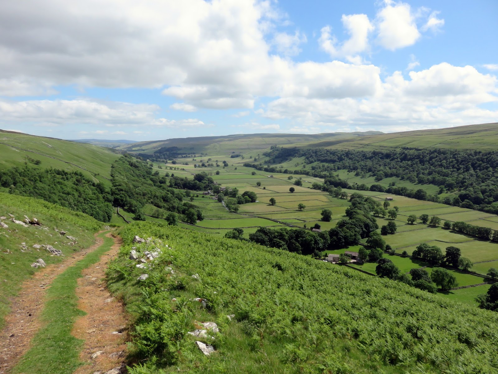
It was a warm day, though still a bit cloudy and breezy day though things were due to improve as the day wore on. The first task is the climb up to the main ridge from the valley, a vertical distance of around 300m which begins steeply but soon reaches an easier gradient after passing Grayshaw Scar.
 |
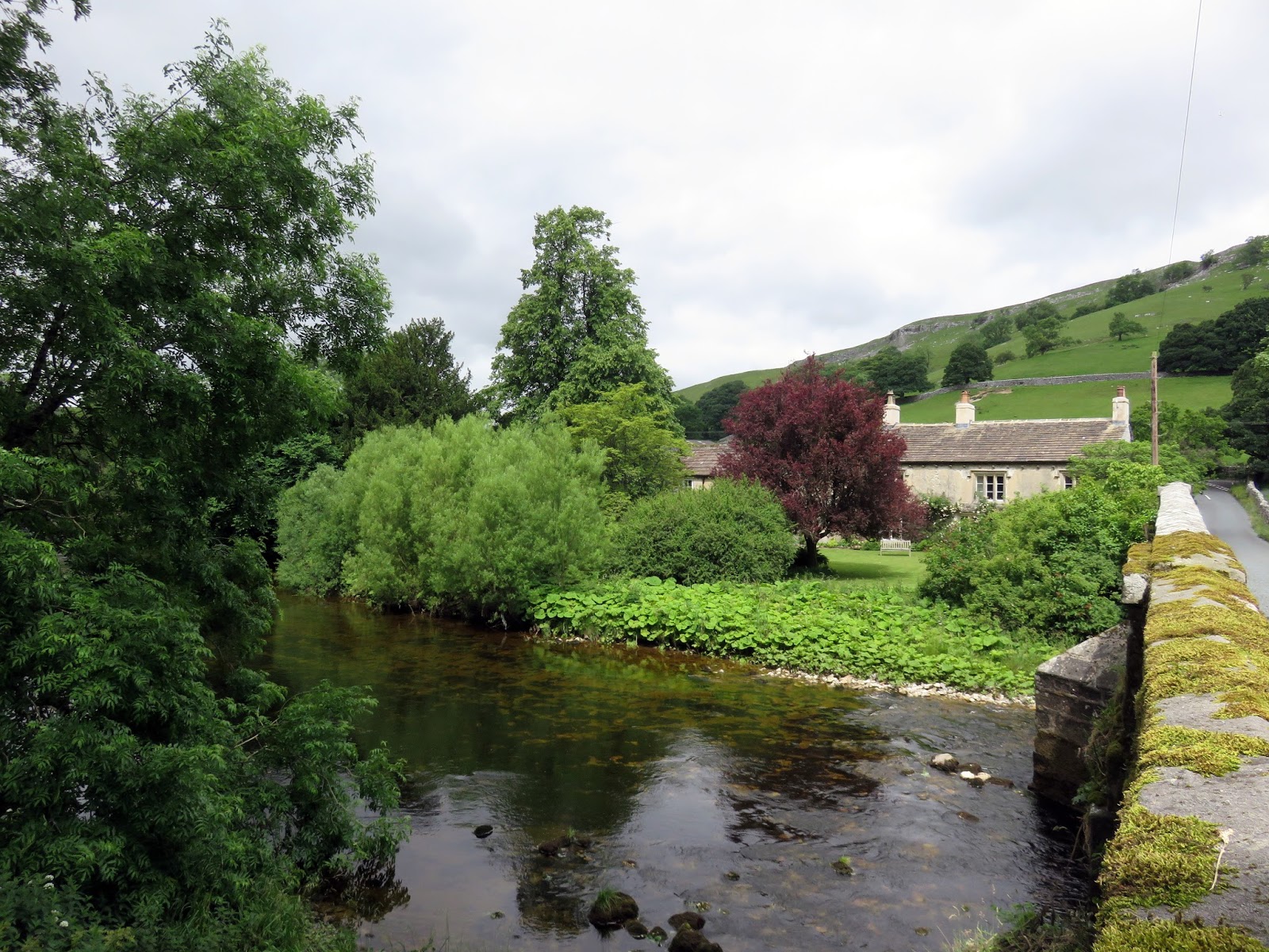
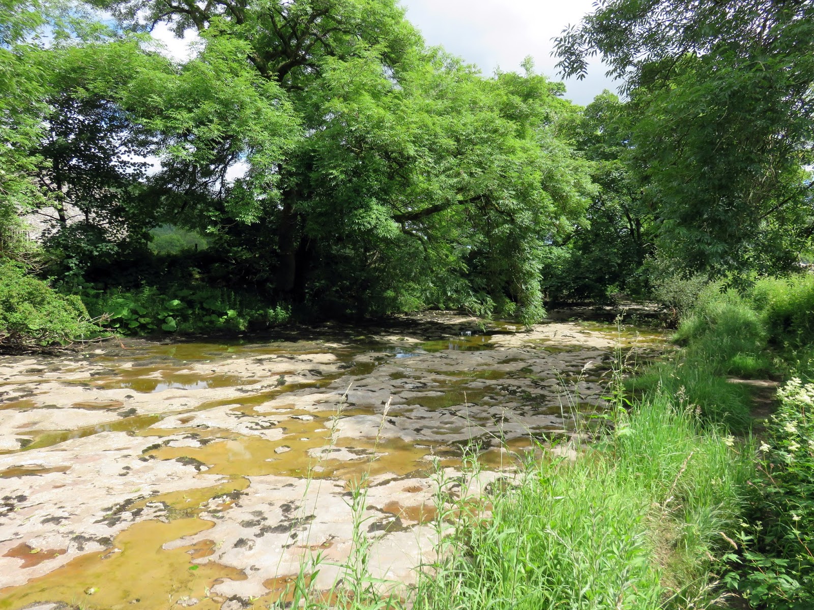
| The River Skirfare in Arncliffe |
 |
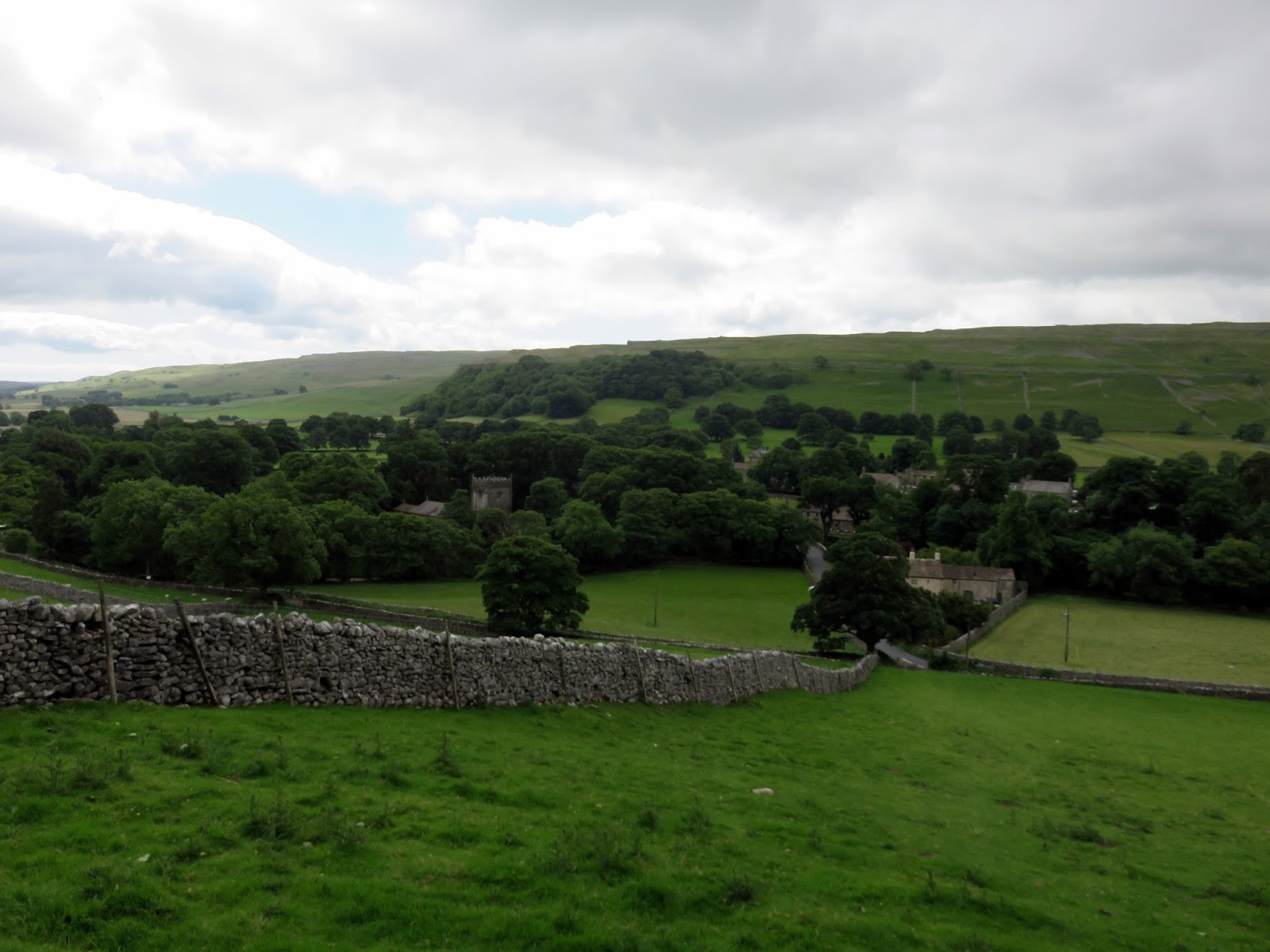
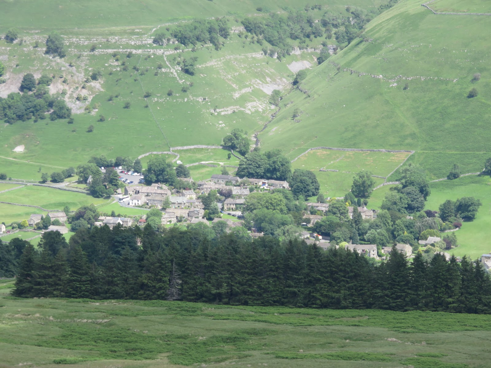
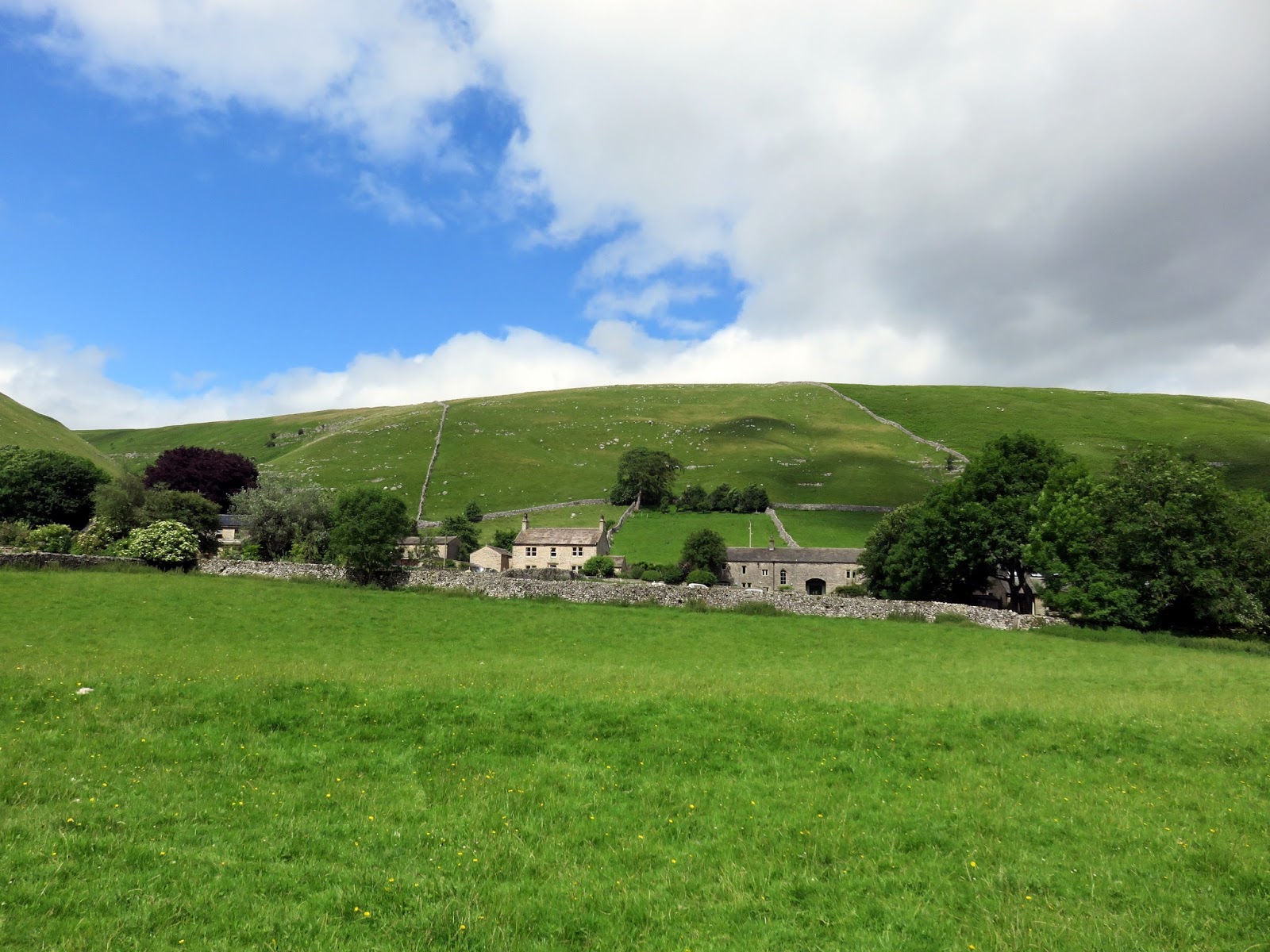
| Arncliffe with West Moor behind |
 |
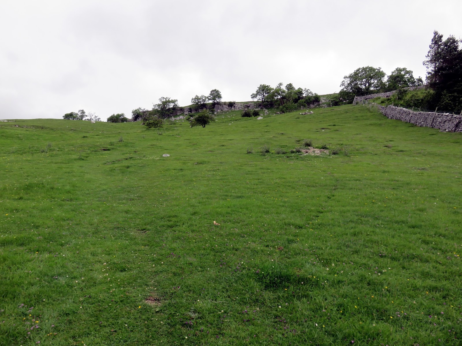
| The first steep climb out of the village |
 |
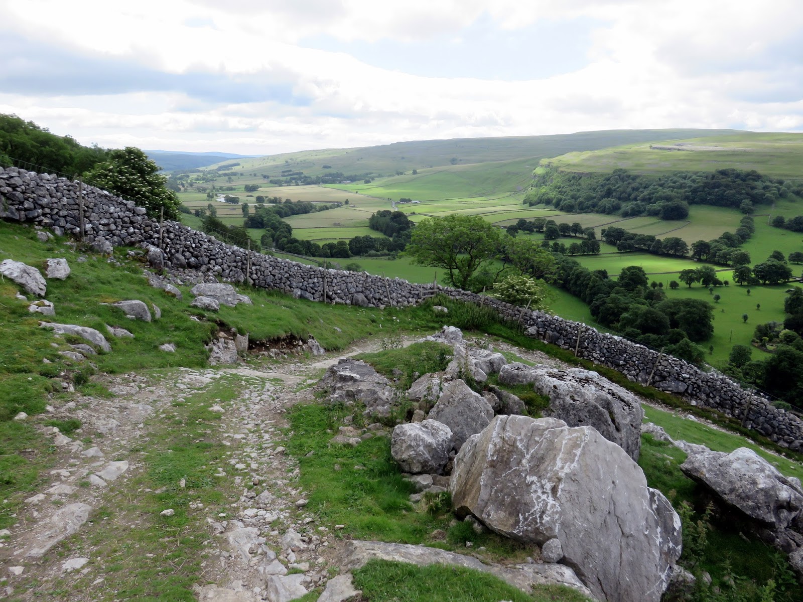
| Climbing out of Littondale |
 |
| Arncliffe |
 |
| Yew Cogar Scar |
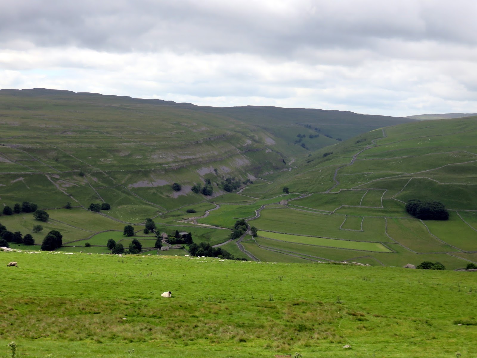
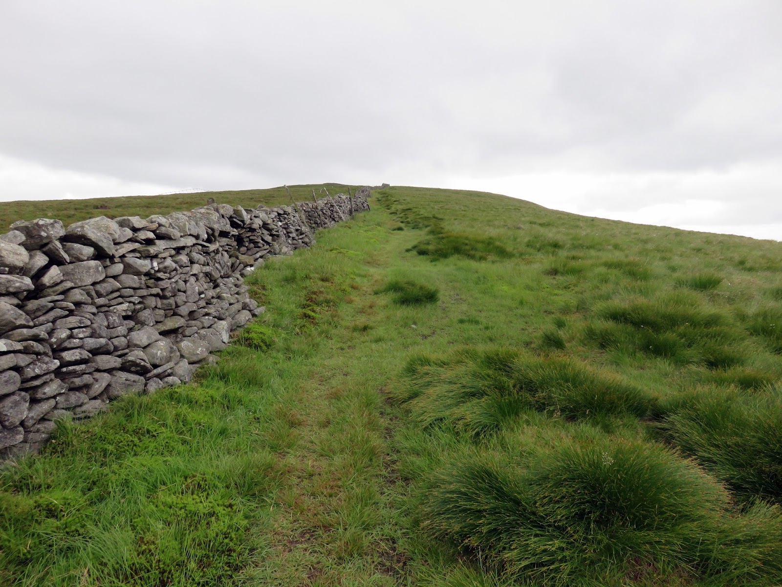
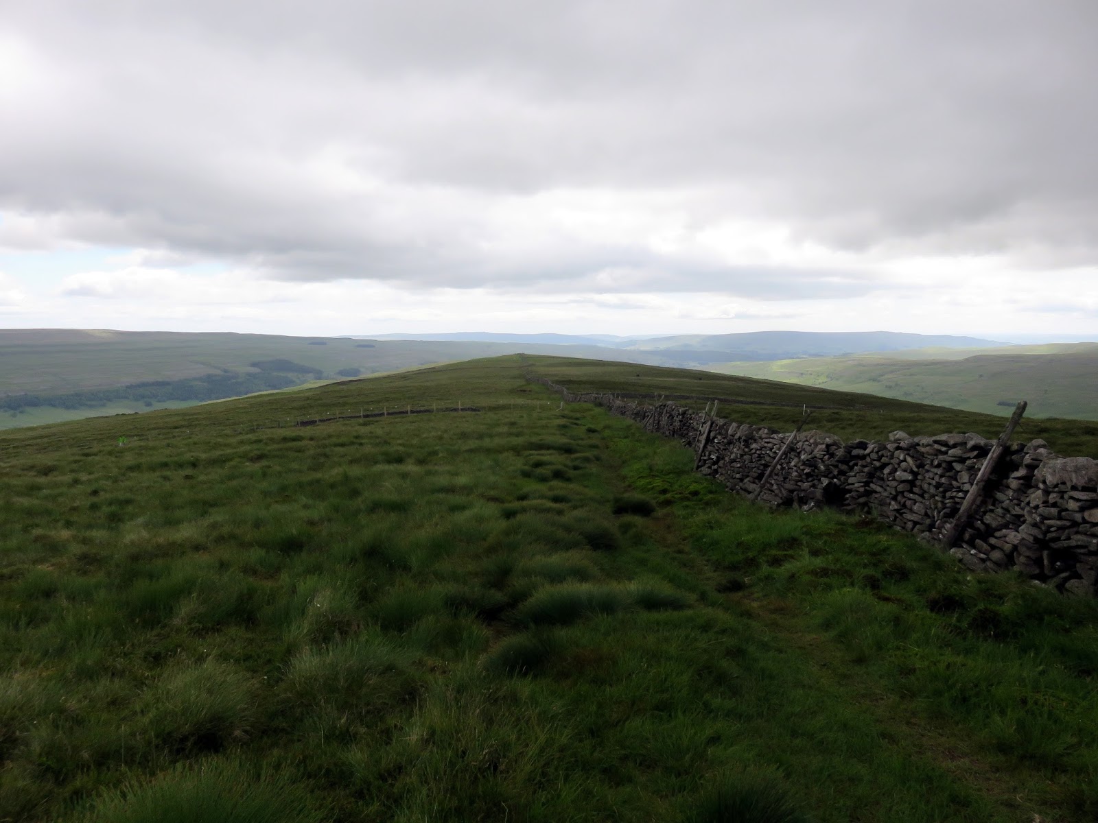
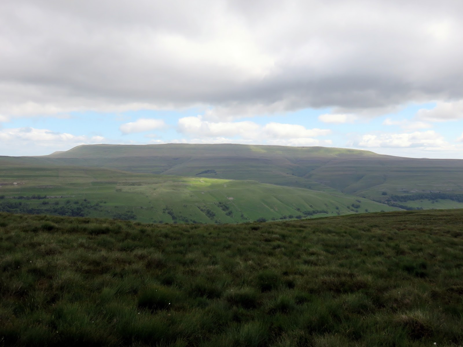
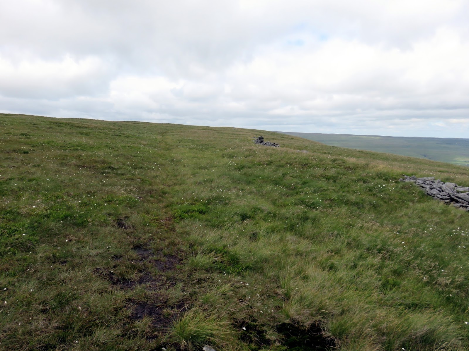
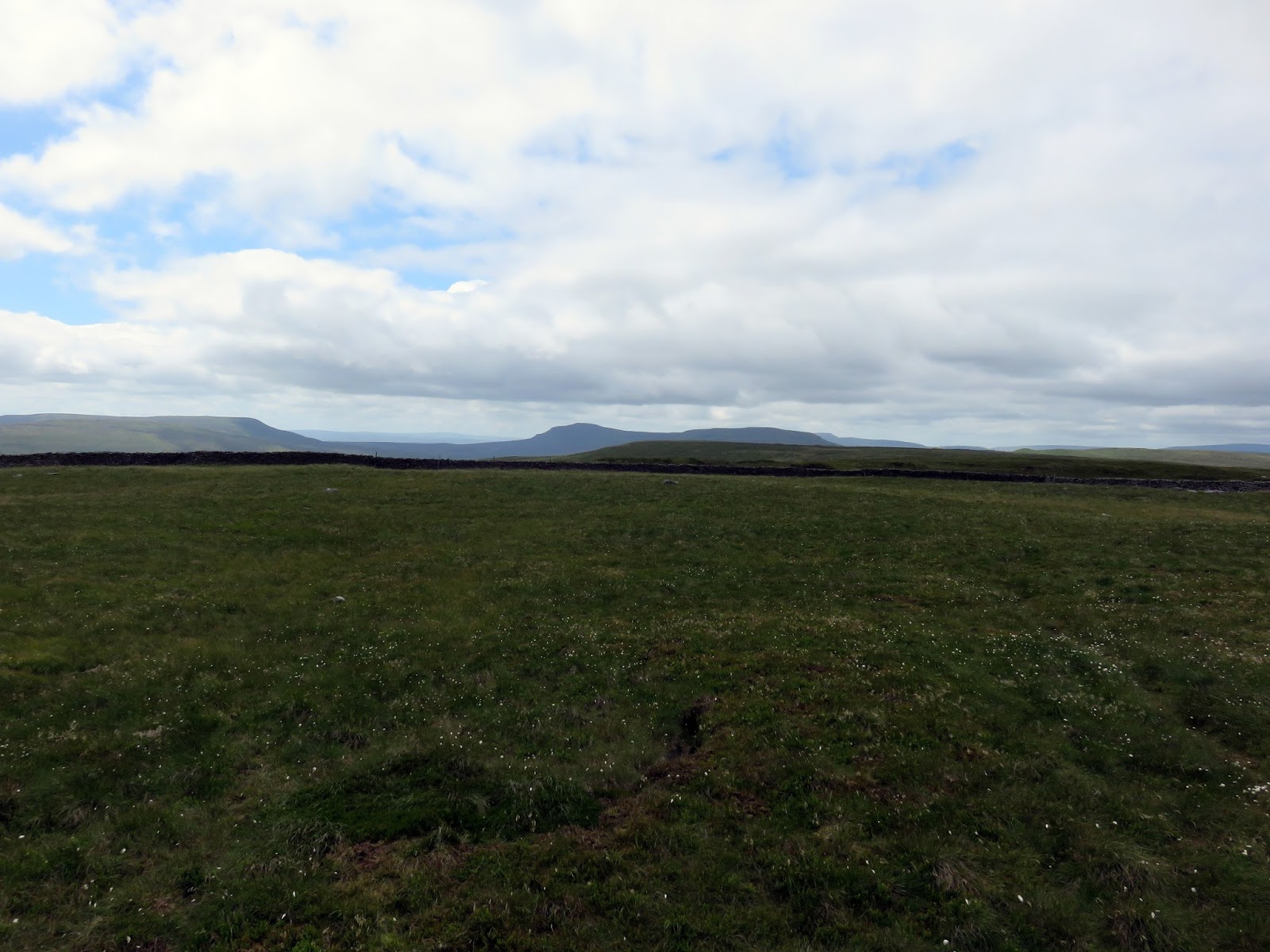
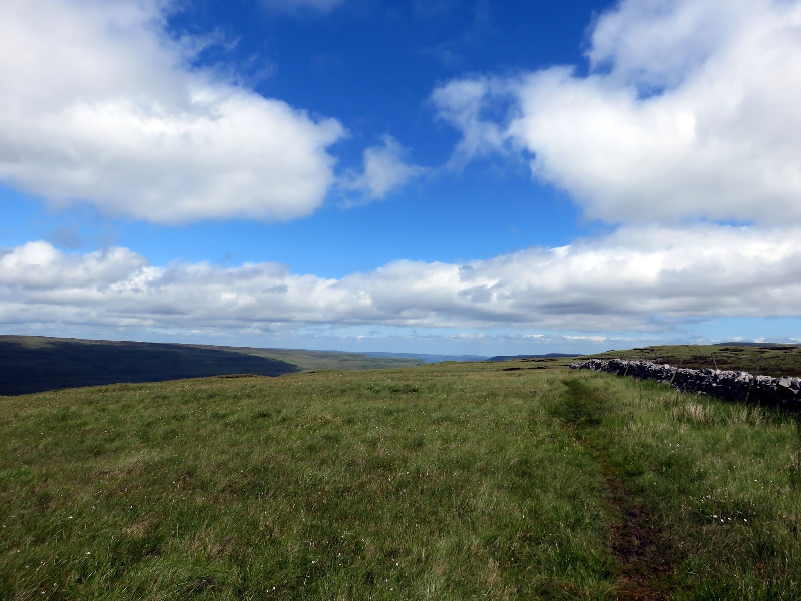
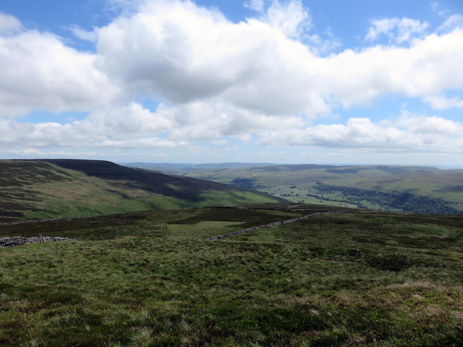
The ridge top is broad but does have a good view of the distant Great Whernside and Buckden Pike. A wall runs along the top of the ridge – the perfect navigational aid if the weather is poor. The climb towards the summit is certainly one of the easiest I’ve come across – gaining just 100m over a couple of kilometres.
 |
| A wall runs along the top of the ridge |
 |
| Looking down the ridge towards Wharfedale |
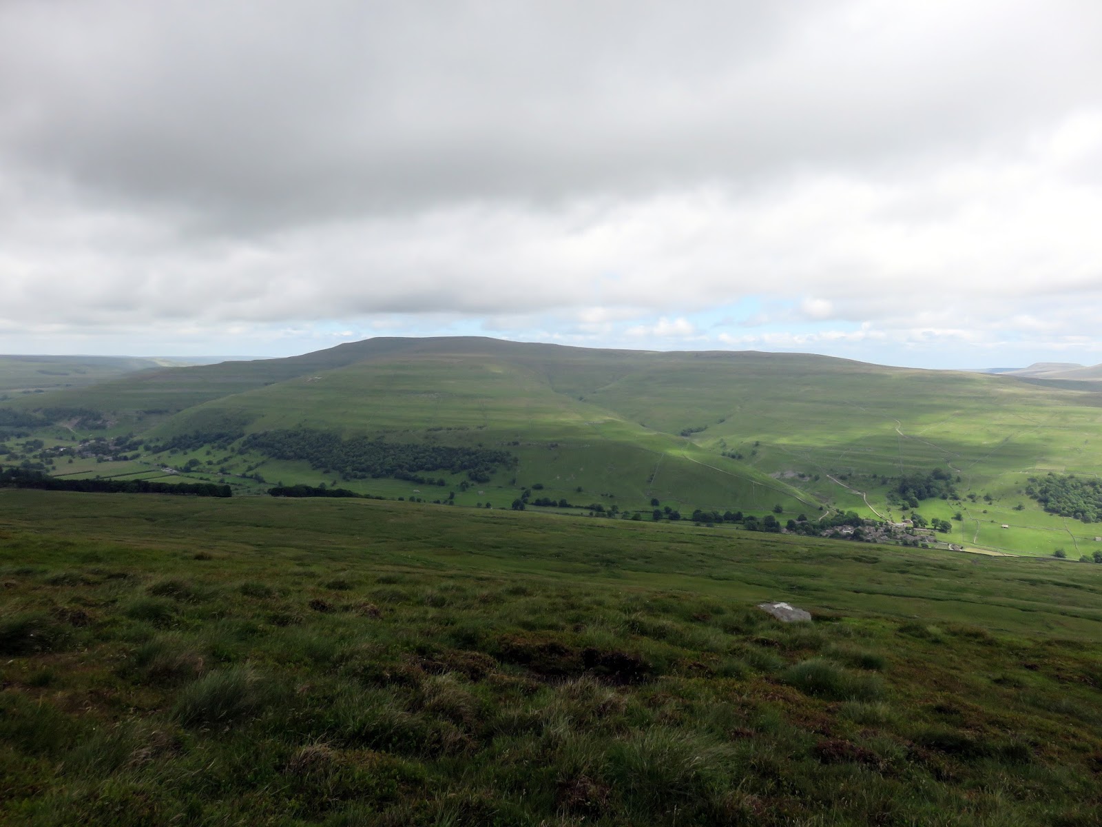
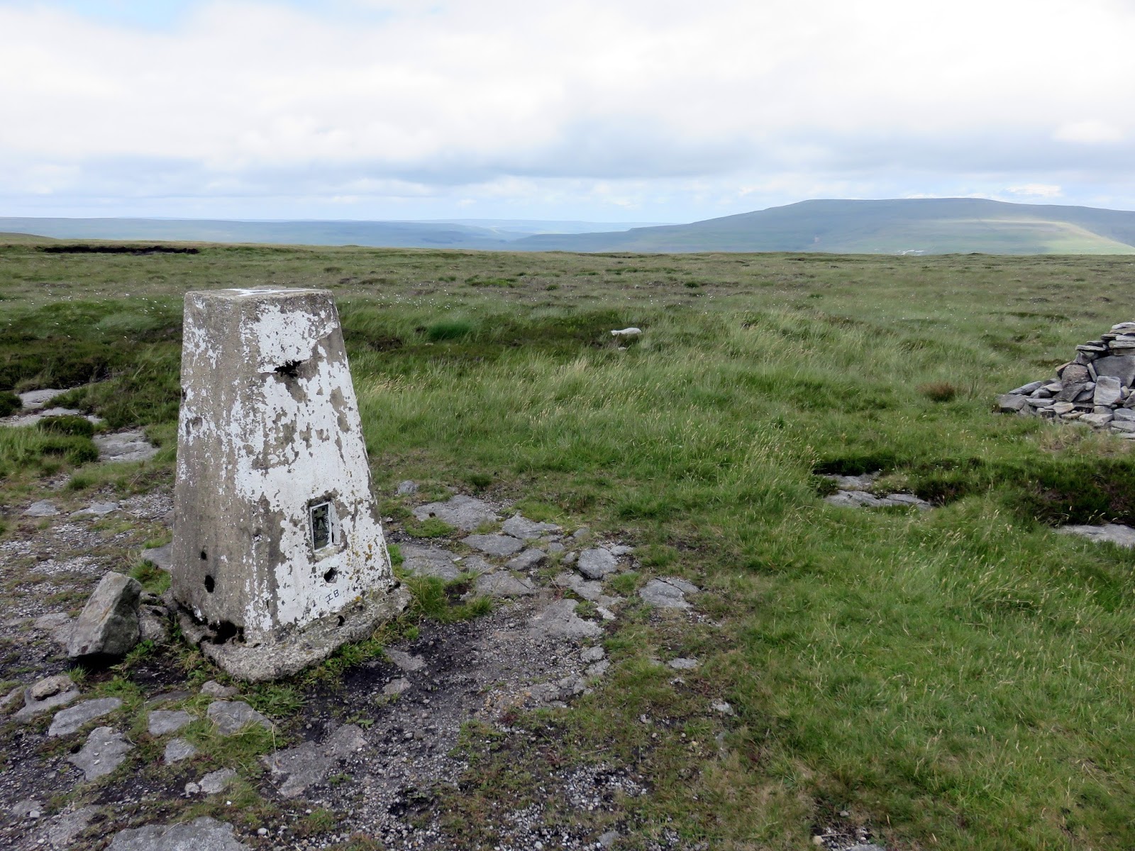
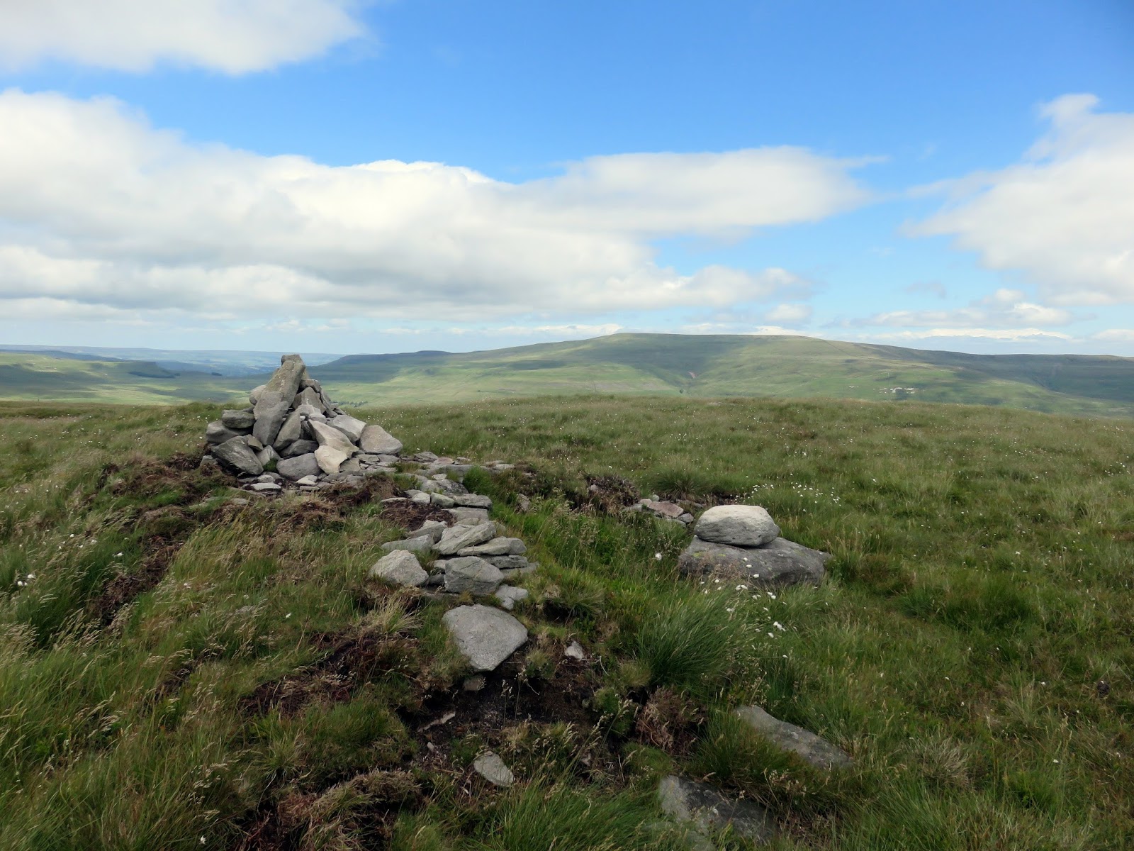
A trig pillar marks a vantage point, however, this is not the highest point of the fell – that lies a little further on. A path crosses the top here connecting Buckden to Litton and, moving towards the east a little, provides a fine view of the village of Buckden, Buckden Pike and Wharfedale.
 |
| Buckden |
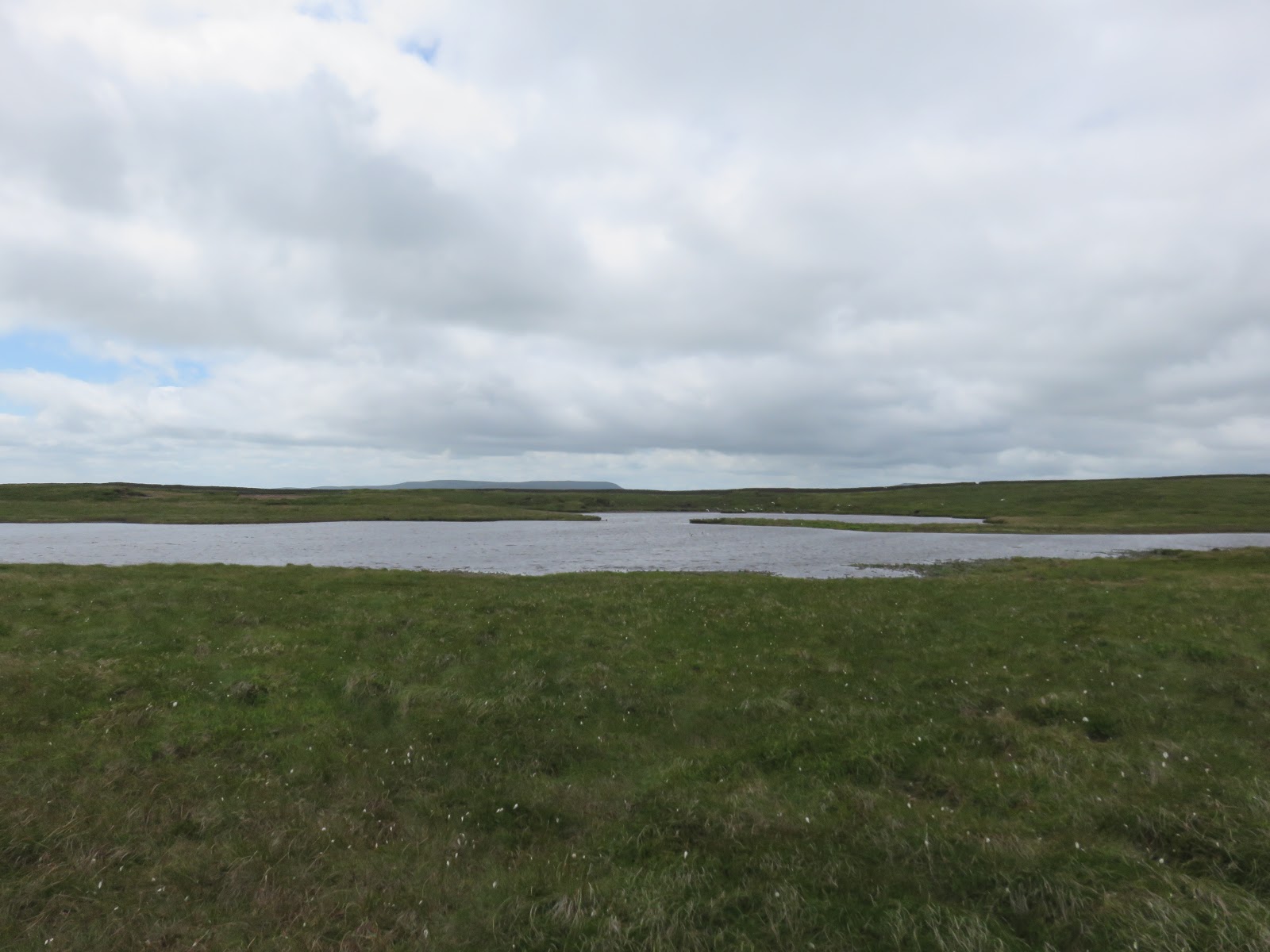
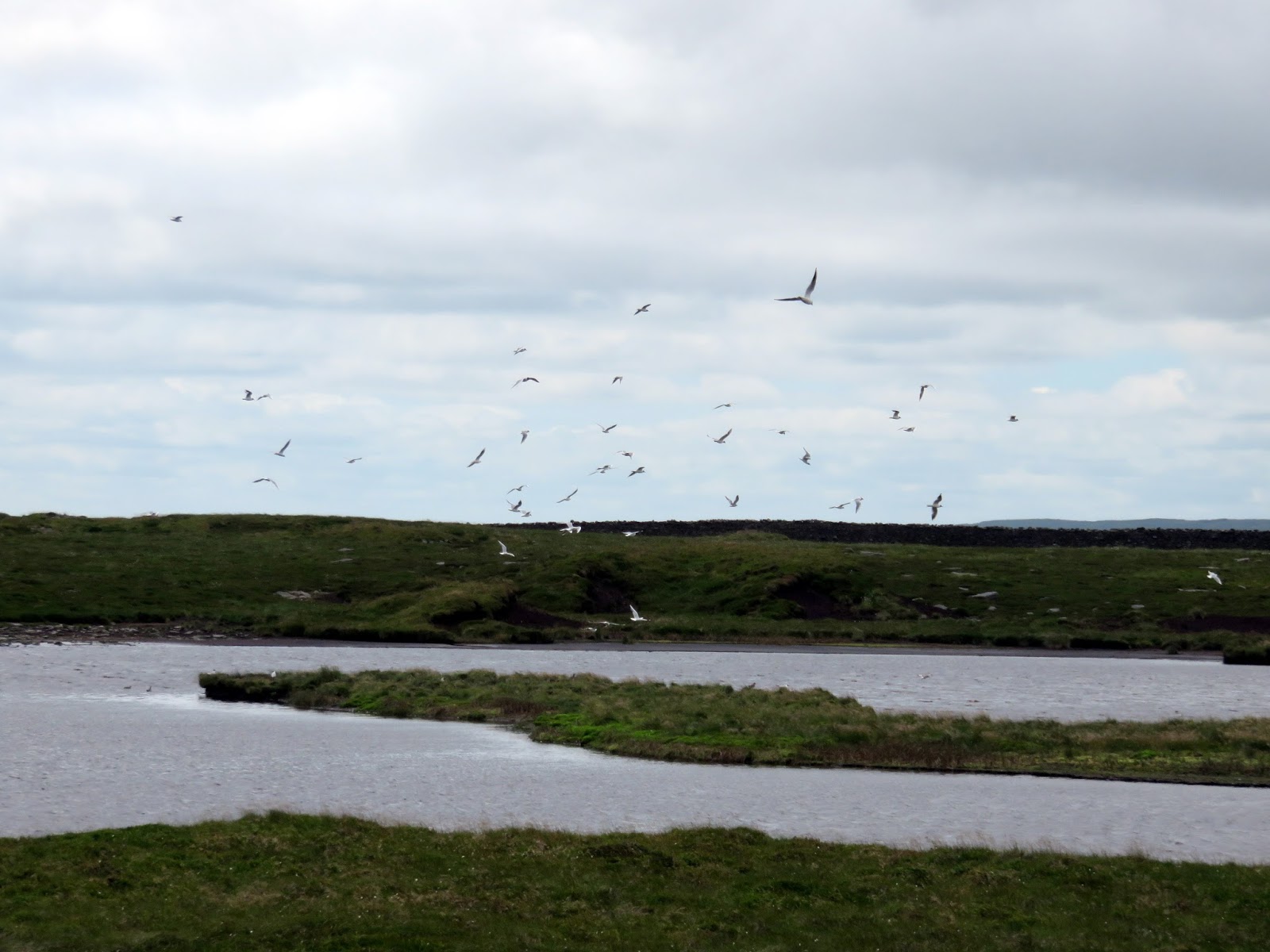
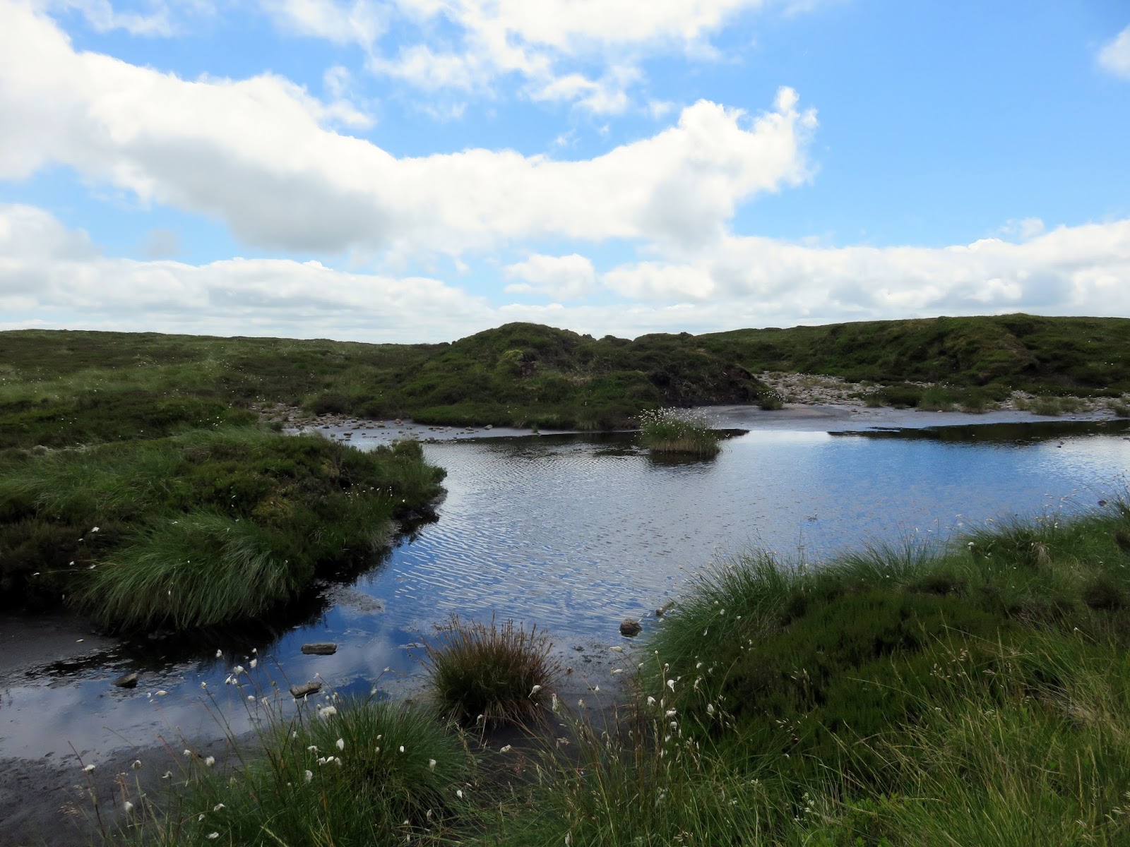
The route to the high point of the fell begins a little off-piste before a faint path begins to appear. It passes a Birks Tarn, something of a rarity in the Yorkshire Dales, which seemed to be attracting the attention of the local bird-life. The summit of the fell sits atop a grassy rise a short distance further.
 |
| Heading for the summit |
 |
| Looking towards Cray |
 |
| Yockenthwaite Moor |
 |
| Birks Tarn |
 |
| Birks Tarn |
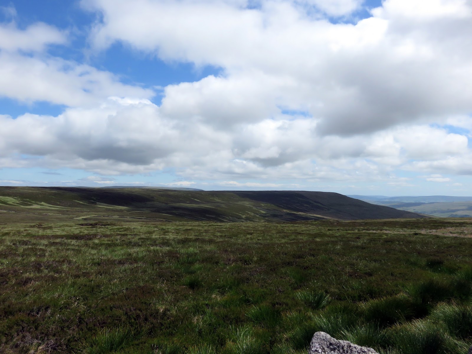
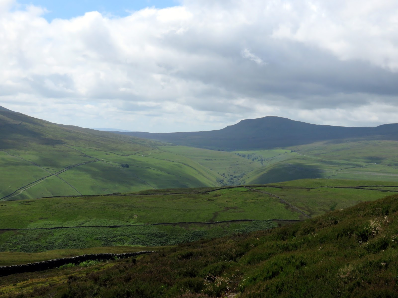
The fell continues on to Horse Head Moor, which was once thought to be higher and had the status of Marilyn, however, a recent survey of Birks Fell found it to be higher than the 608m originally thought. Measuring in at 610m meant that the fell became a Marilyn in place of Horse Head Moor and elevated it to Nuttall status also.
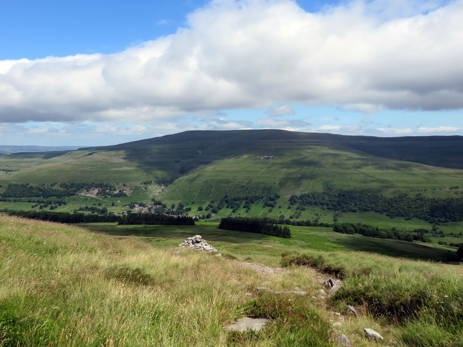
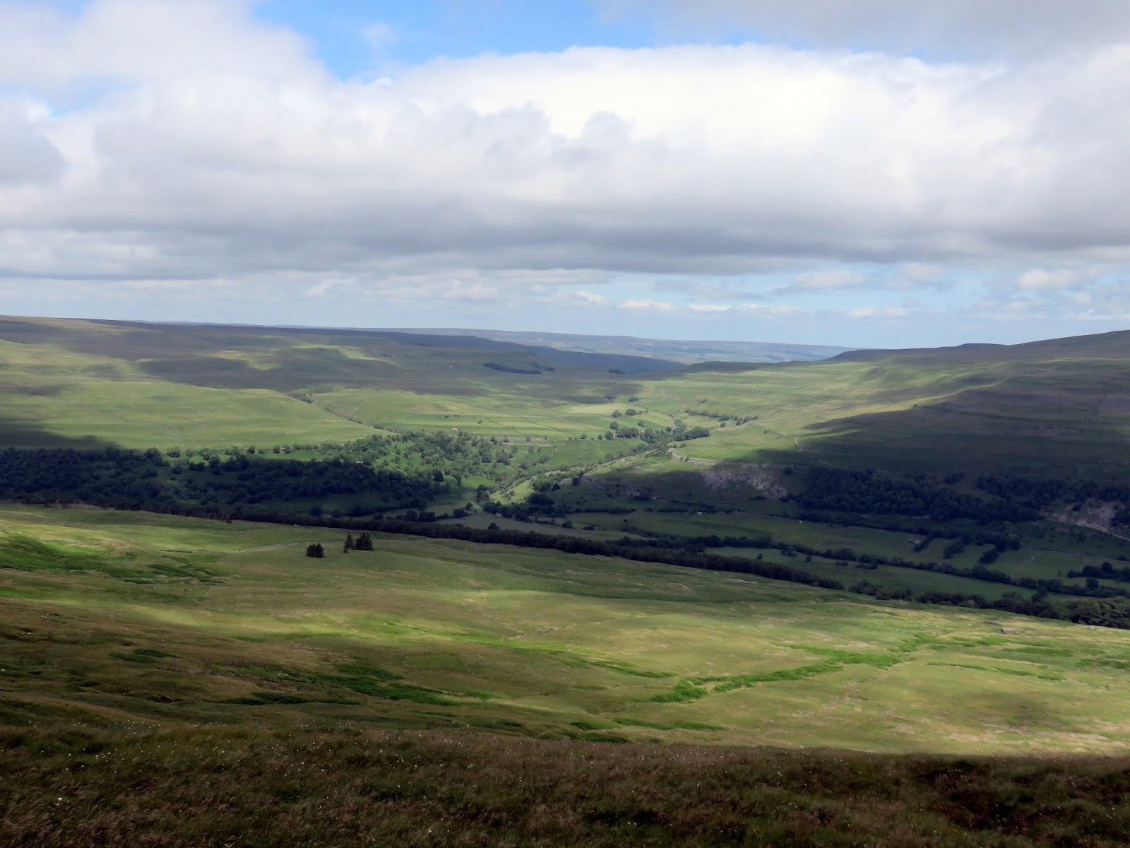
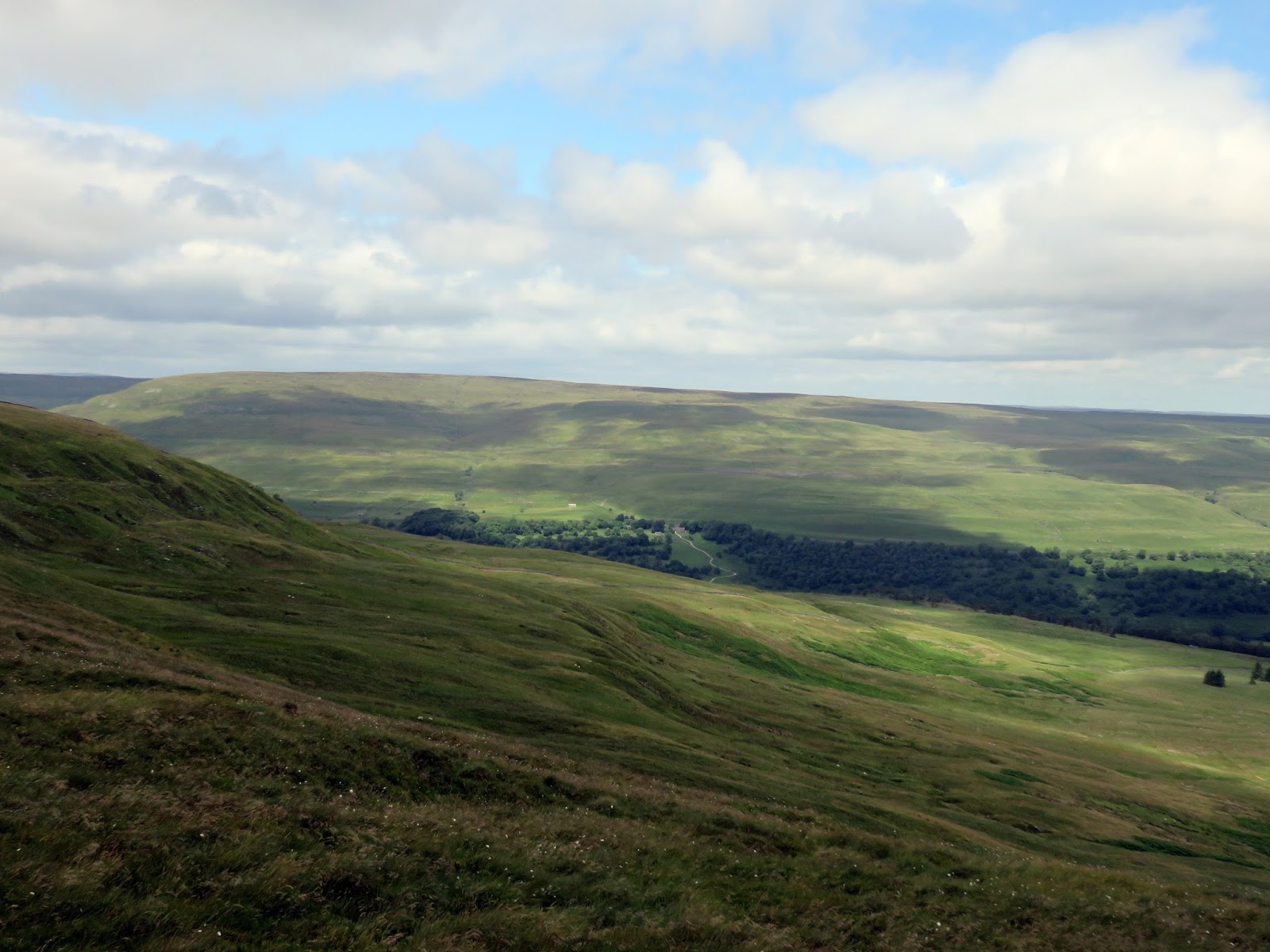
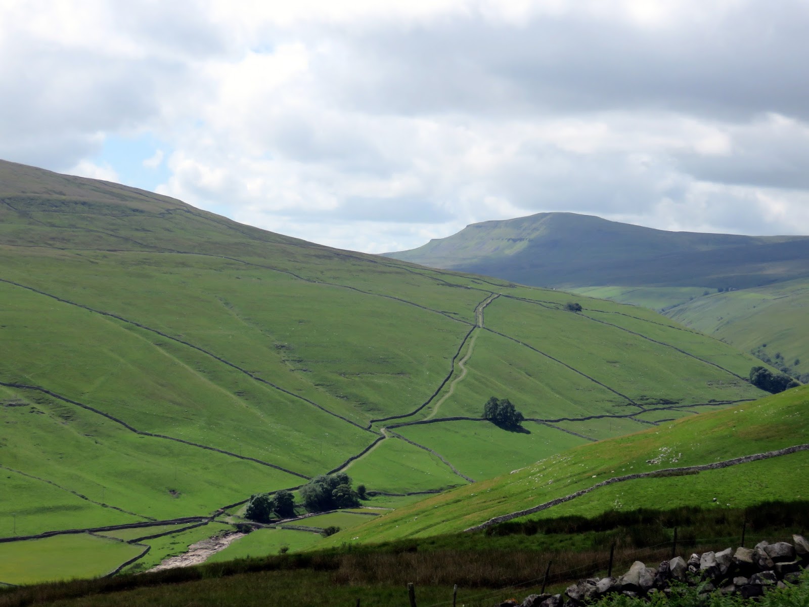
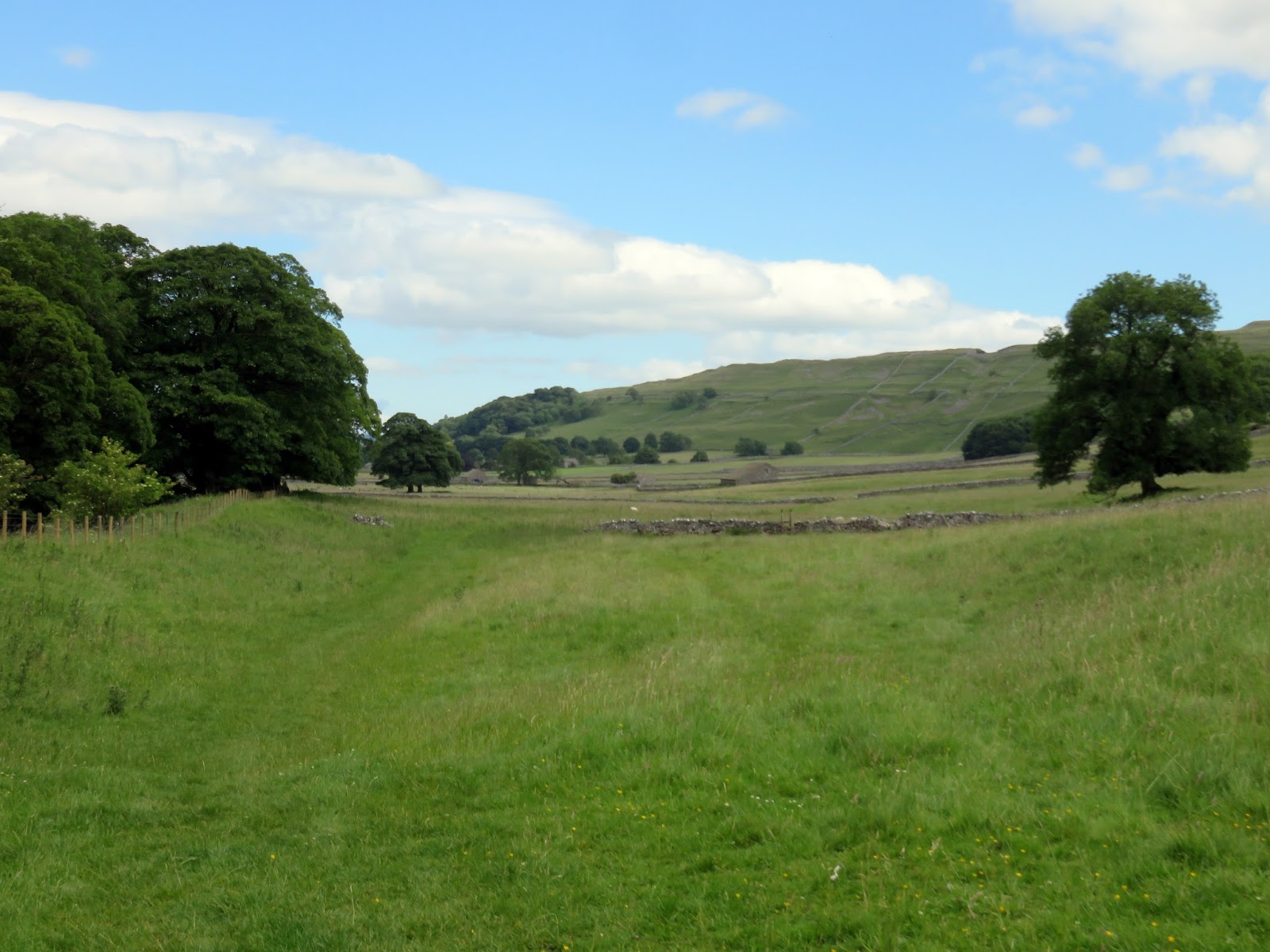
I wasn’t going to be heading as far as Horse Head Moor, instead, following the head of the valley of Crystal Beck to Moss Top and making a pathless descent through the heather to Middle Moor. Eventually, a track appears which leads down to small village of Litton. Middle Moor has a superb view of Littondale.
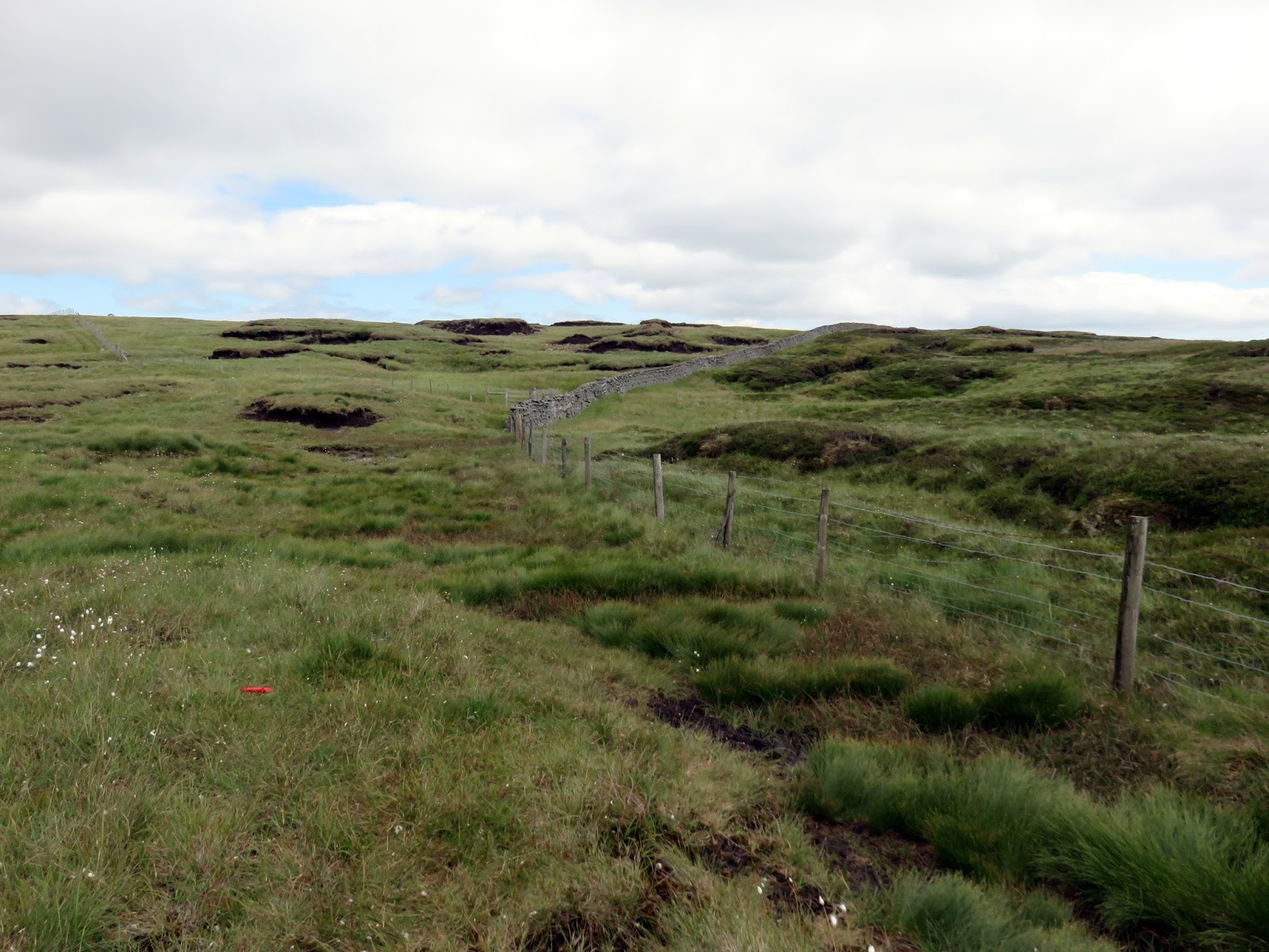
 |
| Peat hags at High Combe Stoop |
 |
| High Combe Stoop |
 |
| It was turning into an excellent afternoon |
 |
| Middle Moor and Littondale |
 |
| Littondale |
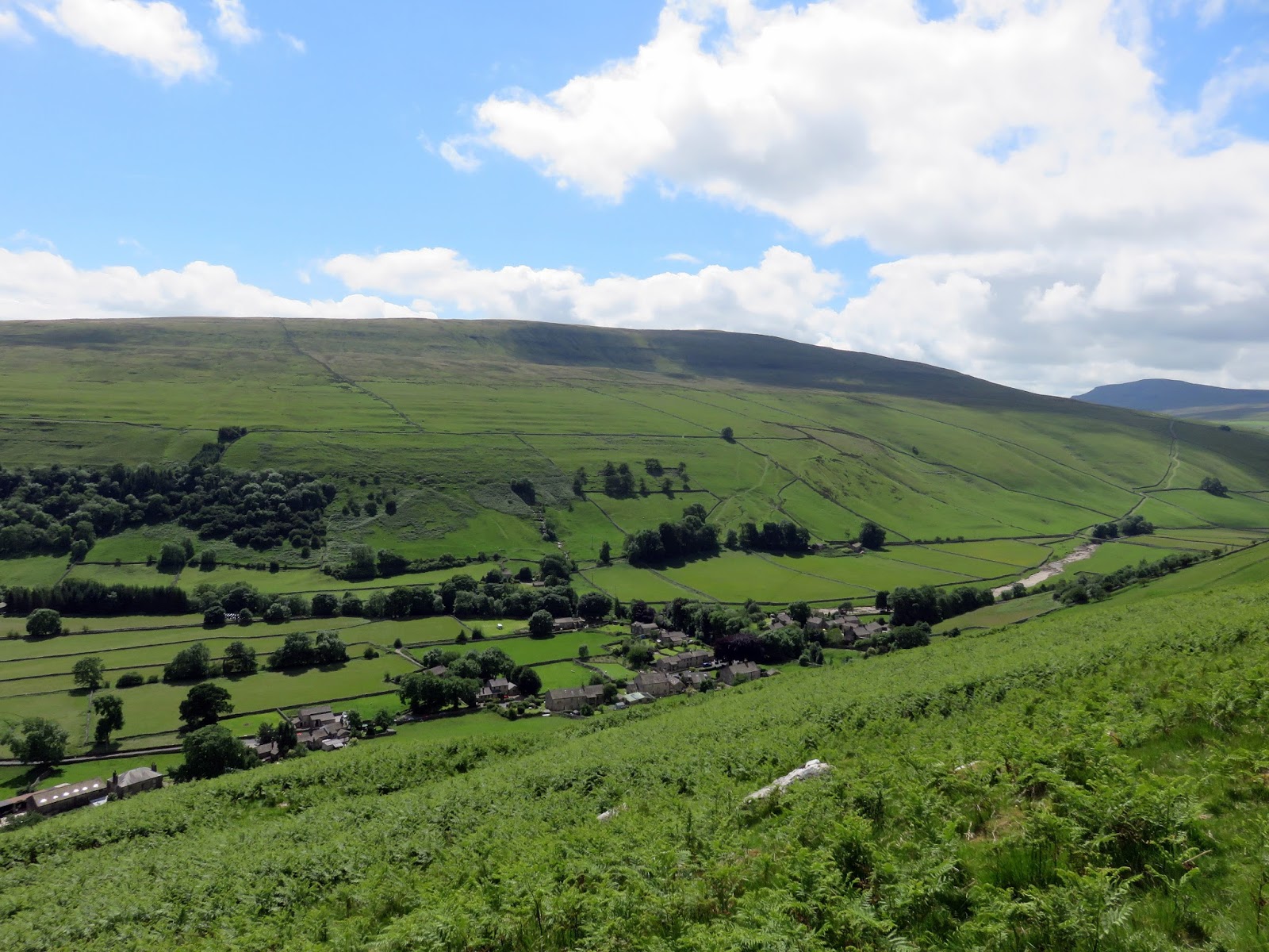
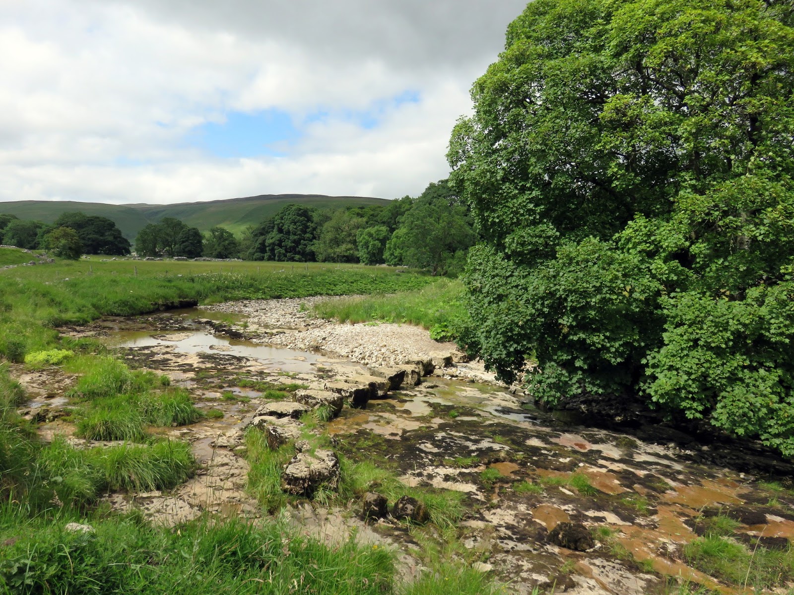
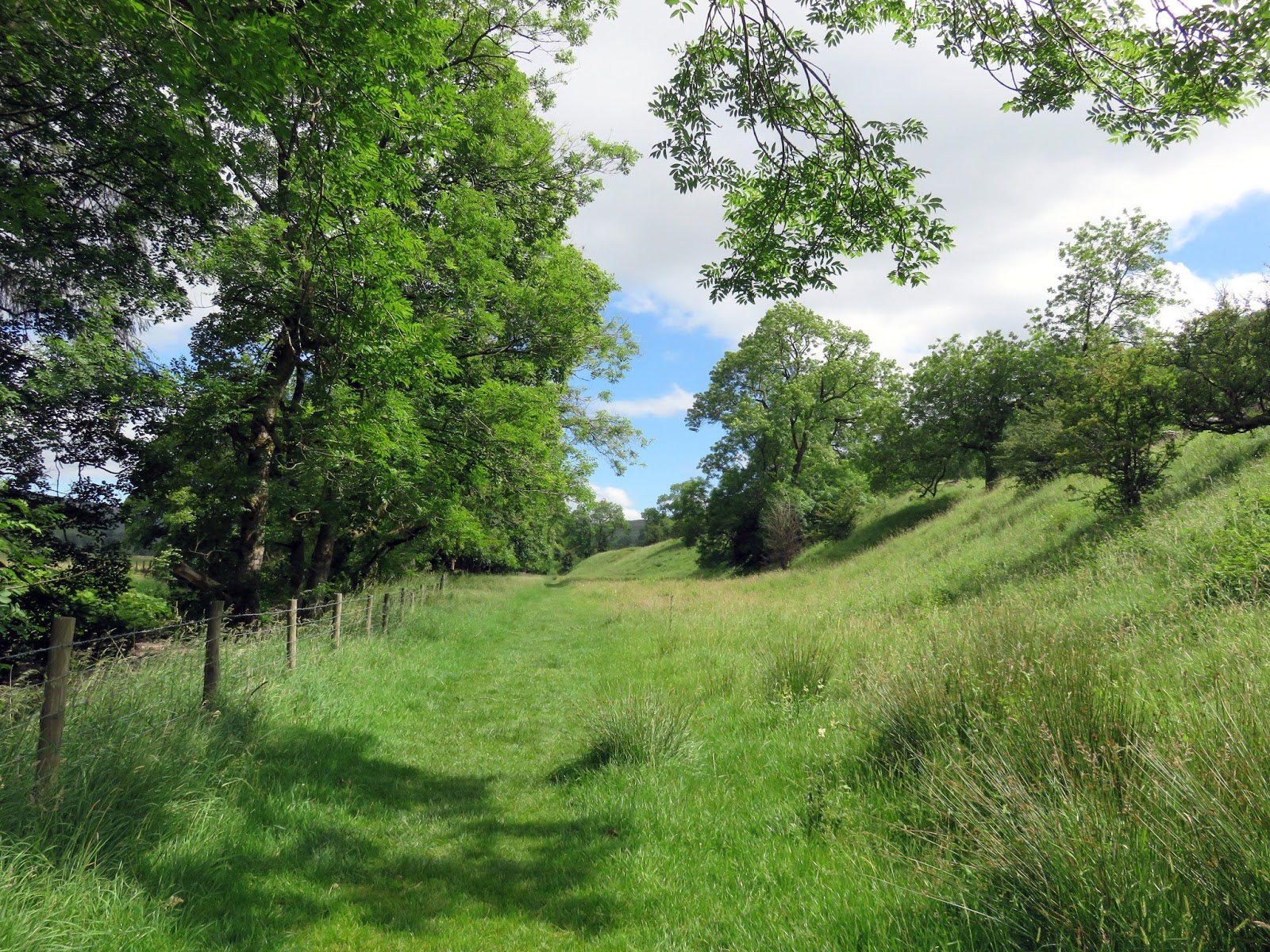
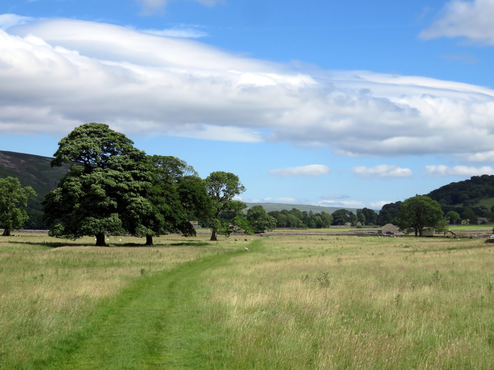
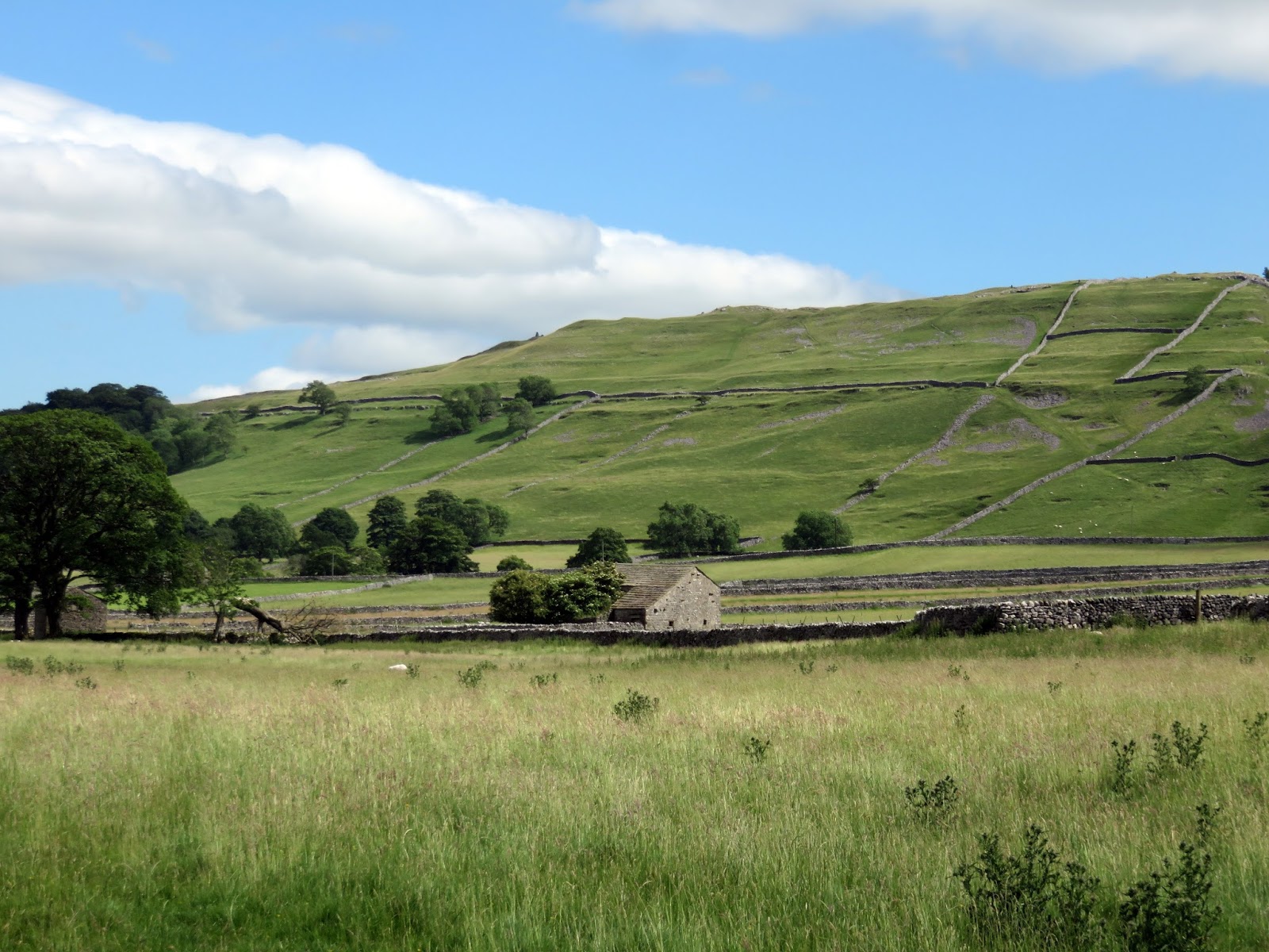
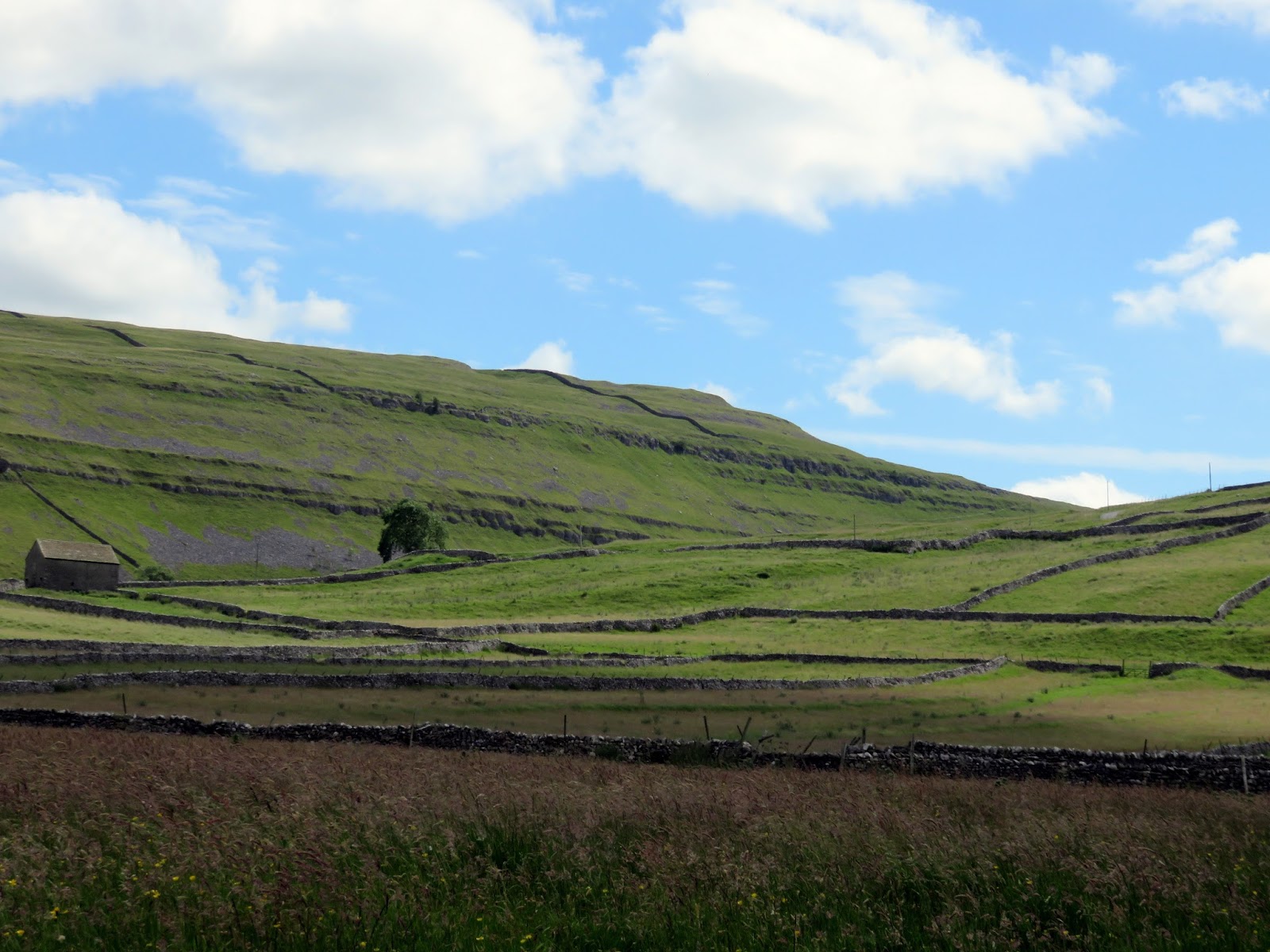
The return to Arncliffe is along the banks of the River Skirfare, a tributary of the River Wharfe. It’s an easy stroll through fields and woodland which eventually arrives at Arncliffe. It passes through Scoska Wood, a strip of ash woodland that is designated as a National Nature Reserve and the largest area of ash woodland in the Yorkshire Dales.
 |
| Litton |
 |
| The River Skirfare |
 |
| The River Skirfare |
 |
| Scoska Wood |
 |
| Guildersbank |
 |
| Littondale |
 |
| Sink Hill Barn |
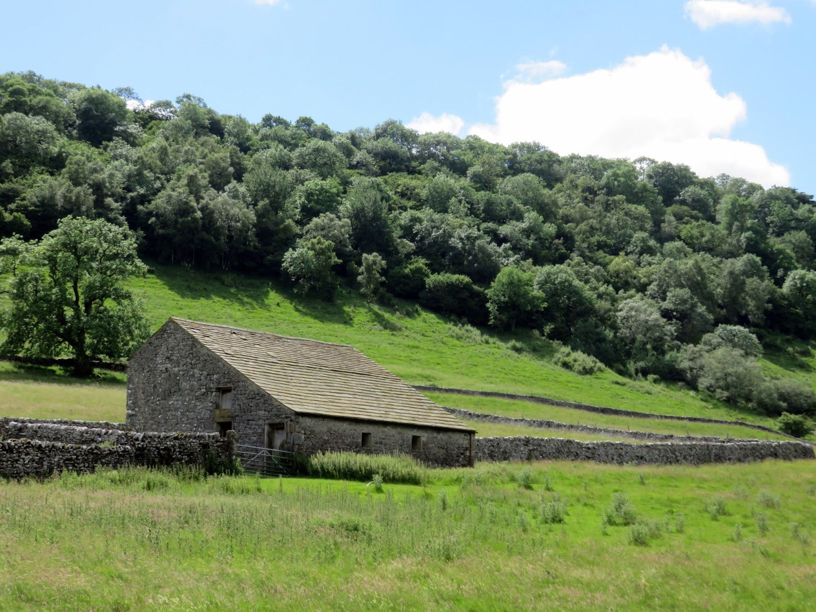
 |
| New Barn |
 |
| Yew Cogar Scar |
