Open Space Web-Map builder Codehttps://openspace.ordnancesurvey.co.uk/osmapapi/openspace.js?key=3119F72552FD5C22E0530C6CA40A5A92https://openspace.ordnancesurvey.co.uk/osmapapi/script/mapbuilder/basicmap.jshttps://openspace.ordnancesurvey.co.uk/osmapapi/script/mapbuilder/searchbox.js//variables for routes var linesLayer, points, lineFeature, lineString, routeMarkersLayer, routepos, routesize, routeoffset, routeicon; var style_blue = {strokeColor: “#0000CD”, strokeOpacity: 0.5, strokeWidth: 4.5}; function initmapbuilder() { //initiate the map var options = {resolutions: [2500, 1000, 500, 200, 100, 50, 25, 10, 5, 4, 2.5, 2, 1]}; osMap = new OpenSpace.Map(‘map’, options); //configure map options (basicmap.js) setglobaloptions(); //set the center of the map and the zoom level osMap.setCenter(new OpenSpace.MapPoint(377803,477233),6); linesLayer = osMap.getVectorLayer(); // Set up layer for route markers routeMarkersLayer = new OpenLayers.Layer.Markers(“Route Markers”); //make a route points = new Array(); points.push(new OpenLayers.Geometry.Point(376445,479135)); points.push(new OpenLayers.Geometry.Point(376275,479325)); points.push(new OpenLayers.Geometry.Point(376190,479390)); points.push(new OpenLayers.Geometry.Point(376080,479480)); points.push(new OpenLayers.Geometry.Point(376010,479475)); points.push(new OpenLayers.Geometry.Point(375885,479700)); points.push(new OpenLayers.Geometry.Point(375805,479990)); points.push(new OpenLayers.Geometry.Point(375770,480375)); points.push(new OpenLayers.Geometry.Point(375840,480565)); points.push(new OpenLayers.Geometry.Point(375965,480845)); points.push(new OpenLayers.Geometry.Point(376005,481010)); points.push(new OpenLayers.Geometry.Point(376085,481275)); points.push(new OpenLayers.Geometry.Point(376140,481540)); points.push(new OpenLayers.Geometry.Point(376145,481640)); points.push(new OpenLayers.Geometry.Point(376065,481690)); points.push(new OpenLayers.Geometry.Point(376055,481905)); points.push(new OpenLayers.Geometry.Point(375865,482125)); points.push(new OpenLayers.Geometry.Point(375715,482465)); points.push(new OpenLayers.Geometry.Point(375590,482610)); points.push(new OpenLayers.Geometry.Point(375340,482700)); points.push(new OpenLayers.Geometry.Point(375040,482650)); points.push(new OpenLayers.Geometry.Point(374810,482665)); points.push(new OpenLayers.Geometry.Point(374120,482365)); points.push(new OpenLayers.Geometry.Point(374050,482315)); points.push(new OpenLayers.Geometry.Point(373990,482020)); points.push(new OpenLayers.Geometry.Point(373940,481680)); points.push(new OpenLayers.Geometry.Point(373855,481400)); points.push(new OpenLayers.Geometry.Point(373770,481030)); points.push(new OpenLayers.Geometry.Point(373630,480630)); points.push(new OpenLayers.Geometry.Point(373585,480450)); points.push(new OpenLayers.Geometry.Point(373455,480225)); points.push(new OpenLayers.Geometry.Point(373590,479885)); points.push(new OpenLayers.Geometry.Point(373695,479675)); points.push(new OpenLayers.Geometry.Point(373760,479425)); points.push(new OpenLayers.Geometry.Point(373830,479235)); points.push(new OpenLayers.Geometry.Point(373925,479050)); points.push(new OpenLayers.Geometry.Point(373900,479035)); points.push(new OpenLayers.Geometry.Point(374100,478915)); points.push(new OpenLayers.Geometry.Point(374140,478650)); points.push(new OpenLayers.Geometry.Point(374225,478405)); points.push(new OpenLayers.Geometry.Point(374290,478220)); points.push(new OpenLayers.Geometry.Point(374355,478125)); points.push(new OpenLayers.Geometry.Point(374255,477820)); points.push(new OpenLayers.Geometry.Point(374215,477610)); points.push(new OpenLayers.Geometry.Point(374415,477705)); points.push(new OpenLayers.Geometry.Point(374515,477685)); points.push(new OpenLayers.Geometry.Point(374475,477500)); points.push(new OpenLayers.Geometry.Point(374475,477165)); points.push(new OpenLayers.Geometry.Point(374400,476990)); points.push(new OpenLayers.Geometry.Point(374365,476955)); points.push(new OpenLayers.Geometry.Point(374245,476625)); points.push(new OpenLayers.Geometry.Point(374170,476540)); points.push(new OpenLayers.Geometry.Point(374250,476470)); points.push(new OpenLayers.Geometry.Point(374285,476300)); points.push(new OpenLayers.Geometry.Point(374265,476115)); points.push(new OpenLayers.Geometry.Point(374345,475995)); points.push(new OpenLayers.Geometry.Point(374410,475835)); points.push(new OpenLayers.Geometry.Point(374475,475655)); points.push(new OpenLayers.Geometry.Point(374465,475540)); points.push(new OpenLayers.Geometry.Point(374480,475385)); points.push(new OpenLayers.Geometry.Point(374585,475185)); points.push(new OpenLayers.Geometry.Point(374690,475010)); points.push(new OpenLayers.Geometry.Point(374710,474810)); points.push(new OpenLayers.Geometry.Point(374385,474635)); points.push(new OpenLayers.Geometry.Point(374185,474575)); points.push(new OpenLayers.Geometry.Point(374110,474545)); points.push(new OpenLayers.Geometry.Point(374410,474640)); points.push(new OpenLayers.Geometry.Point(374680,474665)); points.push(new OpenLayers.Geometry.Point(375140,474605)); points.push(new OpenLayers.Geometry.Point(375445,474460)); points.push(new OpenLayers.Geometry.Point(375800,474195)); points.push(new OpenLayers.Geometry.Point(376165,474145)); points.push(new OpenLayers.Geometry.Point(376370,473980)); points.push(new OpenLayers.Geometry.Point(376535,473960)); points.push(new OpenLayers.Geometry.Point(376690,473940)); points.push(new OpenLayers.Geometry.Point(376820,473765)); points.push(new OpenLayers.Geometry.Point(376870,473670)); points.push(new OpenLayers.Geometry.Point(377285,473665)); points.push(new OpenLayers.Geometry.Point(377770,473495)); points.push(new OpenLayers.Geometry.Point(378565,473280)); points.push(new OpenLayers.Geometry.Point(378845,473200)); points.push(new OpenLayers.Geometry.Point(379020,473135)); points.push(new OpenLayers.Geometry.Point(379220,473215)); points.push(new OpenLayers.Geometry.Point(379400,473015)); points.push(new OpenLayers.Geometry.Point(379745,472975)); points.push(new OpenLayers.Geometry.Point(380075,472750)); points.push(new OpenLayers.Geometry.Point(380220,472665)); points.push(new OpenLayers.Geometry.Point(380260,472610)); points.push(new OpenLayers.Geometry.Point(380435,472580)); points.push(new OpenLayers.Geometry.Point(380564,472631)); points.push(new OpenLayers.Geometry.Point(380764,472695)); points.push(new OpenLayers.Geometry.Point(380804,472555)); points.push(new OpenLayers.Geometry.Point(380893,472415)); points.push(new OpenLayers.Geometry.Point(380977,472087)); points.push(new OpenLayers.Geometry.Point(381069,472070)); points.push(new OpenLayers.Geometry.Point(381093,472142)); points.push(new OpenLayers.Geometry.Point(381221,472314)); points.push(new OpenLayers.Geometry.Point(381537,472370)); points.push(new OpenLayers.Geometry.Point(381665,472302)); points.push(new OpenLayers.Geometry.Point(381730,472248)); points.push(new OpenLayers.Geometry.Point(382090,472533)); points.push(new OpenLayers.Geometry.Point(382850,472683)); points.push(new OpenLayers.Geometry.Point(383055,472758)); points.push(new OpenLayers.Geometry.Point(383105,472798)); points.push(new OpenLayers.Geometry.Point(383380,472808)); points.push(new OpenLayers.Geometry.Point(383405,472753)); points.push(new OpenLayers.Geometry.Point(383455,472808)); points.push(new OpenLayers.Geometry.Point(383640,472758)); points.push(new OpenLayers.Geometry.Point(383705,472938)); points.push(new OpenLayers.Geometry.Point(383710,473048)); points.push(new OpenLayers.Geometry.Point(383755,473203)); points.push(new OpenLayers.Geometry.Point(383875,473398)); points.push(new OpenLayers.Geometry.Point(383725,473653)); points.push(new OpenLayers.Geometry.Point(383800,473913)); points.push(new OpenLayers.Geometry.Point(383835,474218)); points.push(new OpenLayers.Geometry.Point(383755,474198)); points.push(new OpenLayers.Geometry.Point(383690,474238)); points.push(new OpenLayers.Geometry.Point(383600,474203)); points.push(new OpenLayers.Geometry.Point(383425,474113)); points.push(new OpenLayers.Geometry.Point(383250,474118)); points.push(new OpenLayers.Geometry.Point(383190,474058)); points.push(new OpenLayers.Geometry.Point(383045,474103)); points.push(new OpenLayers.Geometry.Point(382980,474053)); points.push(new OpenLayers.Geometry.Point(382570,474088)); points.push(new OpenLayers.Geometry.Point(382455,474158)); points.push(new OpenLayers.Geometry.Point(382300,474273)); points.push(new OpenLayers.Geometry.Point(382140,474313)); points.push(new OpenLayers.Geometry.Point(381925,474348)); points.push(new OpenLayers.Geometry.Point(381870,474468)); points.push(new OpenLayers.Geometry.Point(381735,474483)); points.push(new OpenLayers.Geometry.Point(381655,474583)); points.push(new OpenLayers.Geometry.Point(381500,474683)); points.push(new OpenLayers.Geometry.Point(381245,474918)); points.push(new OpenLayers.Geometry.Point(381020,474888)); points.push(new OpenLayers.Geometry.Point(380995,475073)); points.push(new OpenLayers.Geometry.Point(380975,475803)); points.push(new OpenLayers.Geometry.Point(381035,476123)); points.push(new OpenLayers.Geometry.Point(380855,476418)); points.push(new OpenLayers.Geometry.Point(380750,476538)); points.push(new OpenLayers.Geometry.Point(380425,476883)); points.push(new OpenLayers.Geometry.Point(380400,476968)); points.push(new OpenLayers.Geometry.Point(380320,477058)); points.push(new OpenLayers.Geometry.Point(380305,477158)); points.push(new OpenLayers.Geometry.Point(379970,477273)); points.push(new OpenLayers.Geometry.Point(379850,477553)); points.push(new OpenLayers.Geometry.Point(379715,477613)); points.push(new OpenLayers.Geometry.Point(379575,477738)); points.push(new OpenLayers.Geometry.Point(379495,477738)); points.push(new OpenLayers.Geometry.Point(379415,477748)); points.push(new OpenLayers.Geometry.Point(379350,477868)); points.push(new OpenLayers.Geometry.Point(379255,477858)); points.push(new OpenLayers.Geometry.Point(379035,477973)); points.push(new OpenLayers.Geometry.Point(378615,477943)); points.push(new OpenLayers.Geometry.Point(378520,477983)); points.push(new OpenLayers.Geometry.Point(378425,477973)); points.push(new OpenLayers.Geometry.Point(378345,478008)); points.push(new OpenLayers.Geometry.Point(378170,477943)); points.push(new OpenLayers.Geometry.Point(378155,477803)); points.push(new OpenLayers.Geometry.Point(378055,477893)); points.push(new OpenLayers.Geometry.Point(377970,478058)); points.push(new OpenLayers.Geometry.Point(377855,478103)); points.push(new OpenLayers.Geometry.Point(377735,478103)); points.push(new OpenLayers.Geometry.Point(377687,478263)); points.push(new OpenLayers.Geometry.Point(377615,478367)); points.push(new OpenLayers.Geometry.Point(377487,478523)); points.push(new OpenLayers.Geometry.Point(377307,478635)); points.push(new OpenLayers.Geometry.Point(377235,478703)); points.push(new OpenLayers.Geometry.Point(377191,478823)); points.push(new OpenLayers.Geometry.Point(377087,478859)); points.push(new OpenLayers.Geometry.Point(376995,479067)); points.push(new OpenLayers.Geometry.Point(376871,479123)); points.push(new OpenLayers.Geometry.Point(376751,479195)); points.push(new OpenLayers.Geometry.Point(376603,479219)); points.push(new OpenLayers.Geometry.Point(376523,479283)); points.push(new OpenLayers.Geometry.Point(376445,479135)); // create a polyline feature from the array of points lineString = new OpenLayers.Geometry.LineString(points); lineFeature = new OpenLayers.Feature.Vector(lineString, null, style_blue); linesLayer.addFeatures([lineFeature]); //crate a route start/end marker routepos = new OpenSpace.MapPoint(376445,479135); routesize = new OpenLayers.Size(33,45); routeoffset = new OpenLayers.Pixel(-5,-37); routeicon = new OpenSpace.Icon(‘https://openspace.ordnancesurvey.co.uk/osmapapi/img_versions/img_1.1/mapbuilder/routemarker-startend.png’, routesize, routeoffset, null, null); routeMarkersLayer.addMarker(new OpenLayers.Marker(routepos, routeicon)); osMap.addLayer(routeMarkersLayer);}
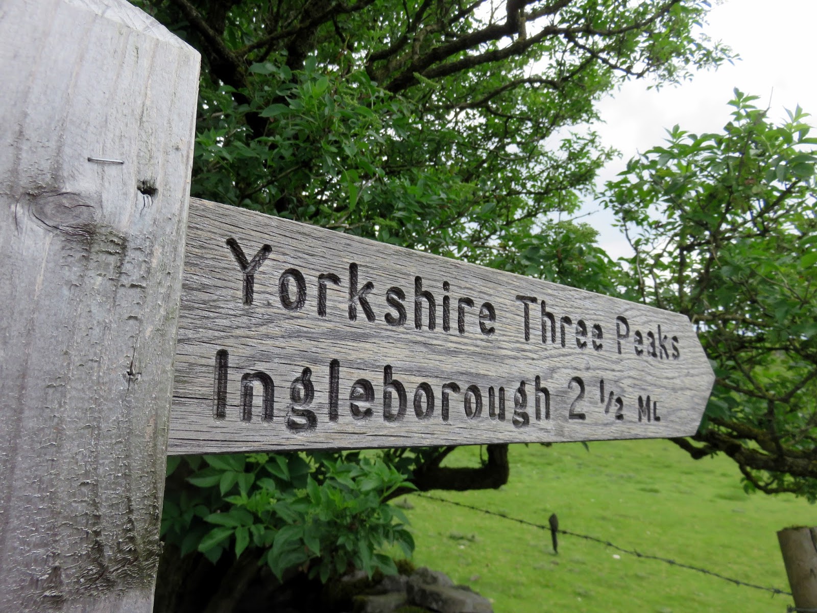
Route: Ribblehead, Bleamorr Sidings, Blue Clay Ridge, Slack Hill, Grain Head, Cable Rake Top, Whernside, Skelside, Bruntscar, Long Slack, Philpin Lane, Philpin Sleights, Low Hill, Southerscales Scars, Braithwaite Wife Hole, Humphrey Bottom, Ingleborough, Dales High Way, Fell Beck Head, Sulber Nick, Horton in Ribblesdale, Horton Bridge, Brackenbottom, Brackenbottom Scar, Pen-y-Ghent, Pennine Way, Tarn Var, Whitber Hill, Sell Gill Hill, Jackdaw Hill, Pennine Way, High Birkwith, God’s Bridge, Nether Lodge, Lodge Hall, Gauber Road, Ribblehead
Date: 27/05/2017
From: Ribblehead
Parking: Ribblehead
Start Point: Station Inn
Region: Yorkshire Dales
Route length: 24 miles (38.6 km)
Time taken: 09:20 (moving)
Average speed: 2.6 mph
Ascent: 1,652m
Descent: 1,632m
Summits: Whernside (736m), Ingleborough (723m), Pen-y-Ghent (694m)
Other points of interest: Force Gill, Southerscales Scars, Sulber
When teachers J.R. Wynne-Edwards and D.R. Smith made their first recorded circuit of the three peaks of the Yorkshire Dales, it can be assumed that they had little anticipation of what it would become. The Yorkshire Three Peaks (or just the Three Peaks) is perhaps the first mountain challenge walk in the UK and probably remains one of the most popular.
The route, at around 24 miles, crosses three of the best mountains in the Yorkshire Dales; Pen-y-Ghent, Whernside and Ingleborough with the added challenge to complete the route in under 12 hours. Weather-wise we were facing the prospect of a day of two halves – a warm, sunny morning followed by a grey, drizzly afternoon, separated by a line of energetic thunderstorms forecast to arrive just after lunchtime. If things went to plan, they would arrive in Horton in Ribblesdale at the same time as us.
In more recent years, the traditional route has started from the Pen-y-Ghent Café in Horton in Ribblesdale who operate a clocking in and out procedure as well as hosting their own ‘Three Peaks of Yorkshire Club’. Complete the challenge and you can be part of the club. We, however, were starting from a different location – in the shadow of the Ribblehead Viaduct thanks to the location of our overnight accommodation.
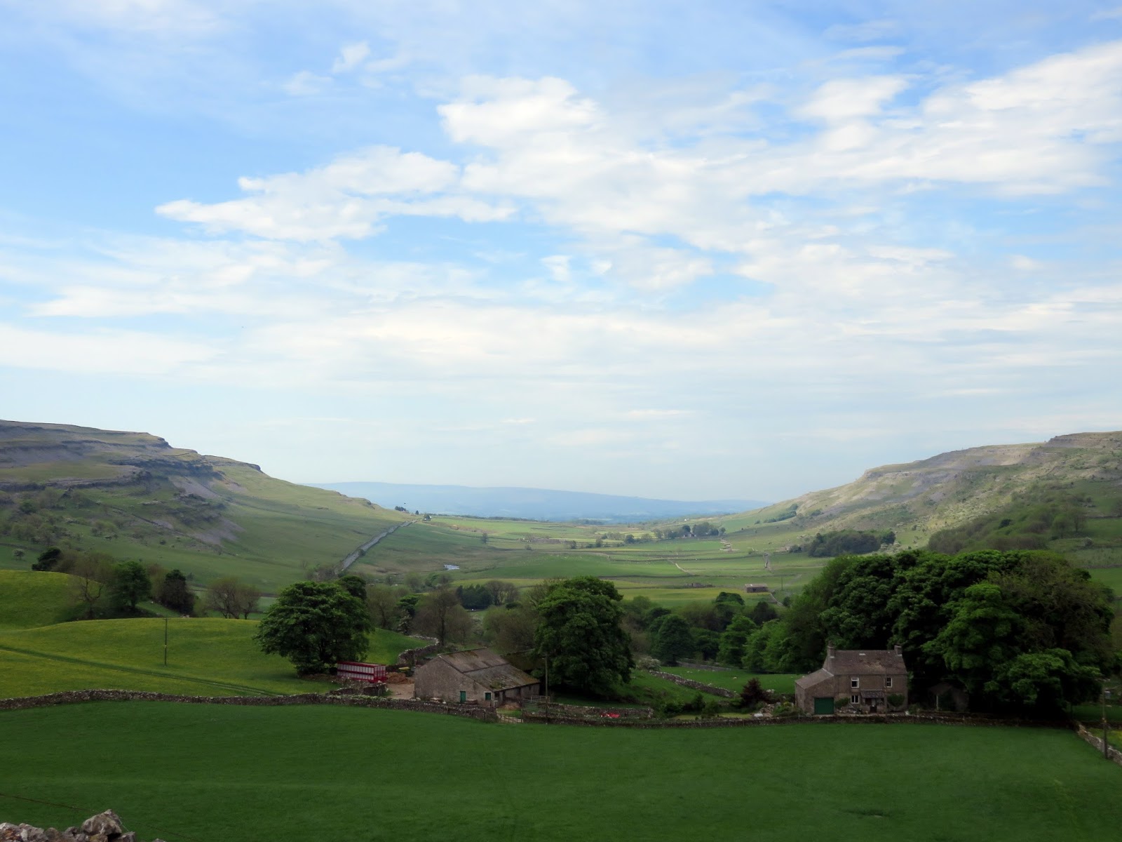
We set off bright and early on Saturday morning, heading for the slopes of Whernside.
 |
| A superb morning in the Yorkshire Dales |
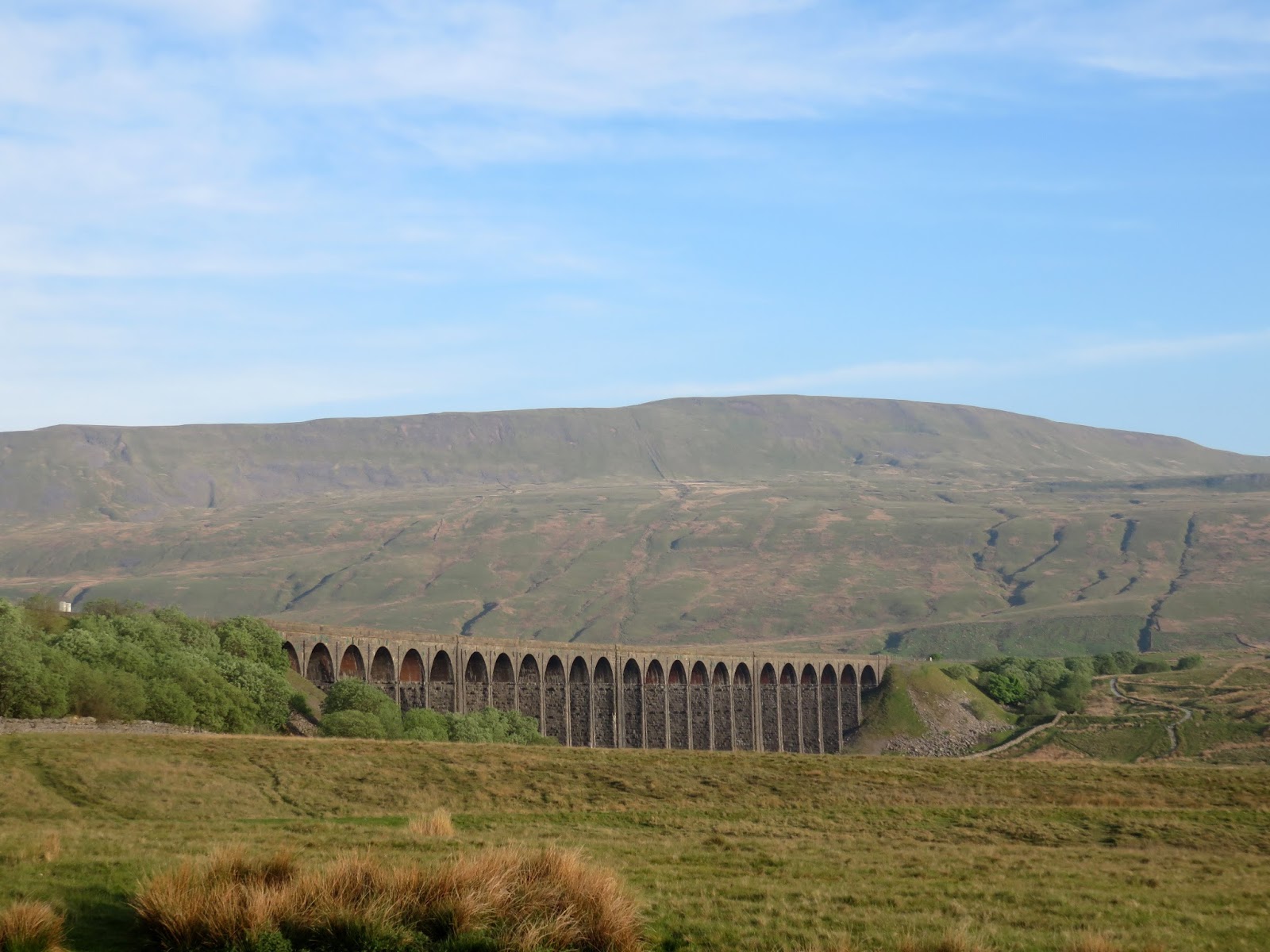
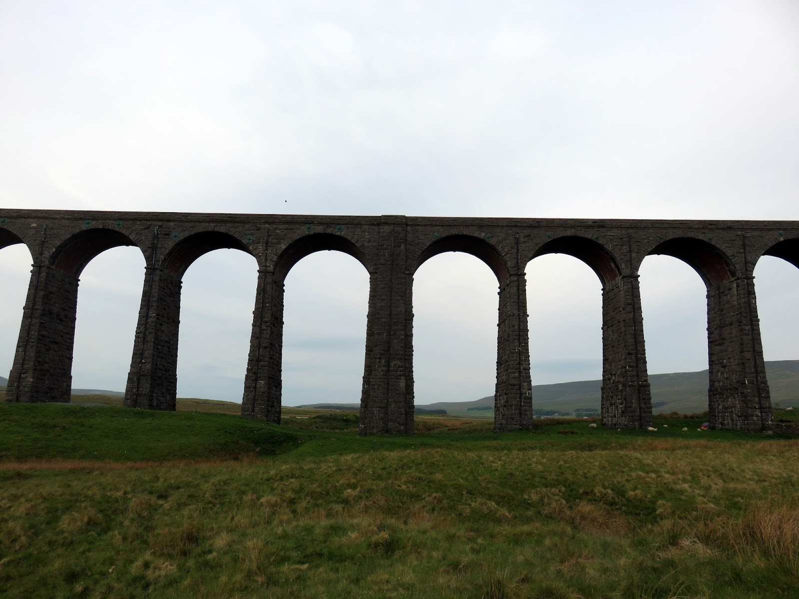
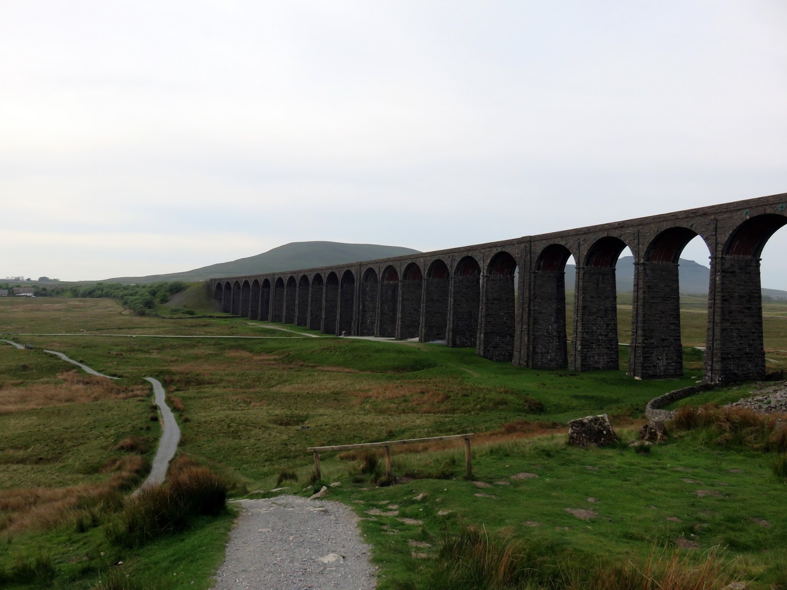
We quickly passed the iconic Ribblehead Viaduct, spanning the Ribble valley. Built between 1870 and 1874, the bridge is 400m long and 108m high and is currently a Grade II listed building and Scheduled Ancient Monument. The path runs alongside the entire length before climbing up the 100m to meet the tracks as they head towards the Blea Moor tunnel.
 |
| The Ribblehead viaduct after some clouds had rolled in |
 |
| The Ribblehead Viaduct and Simon Fell |
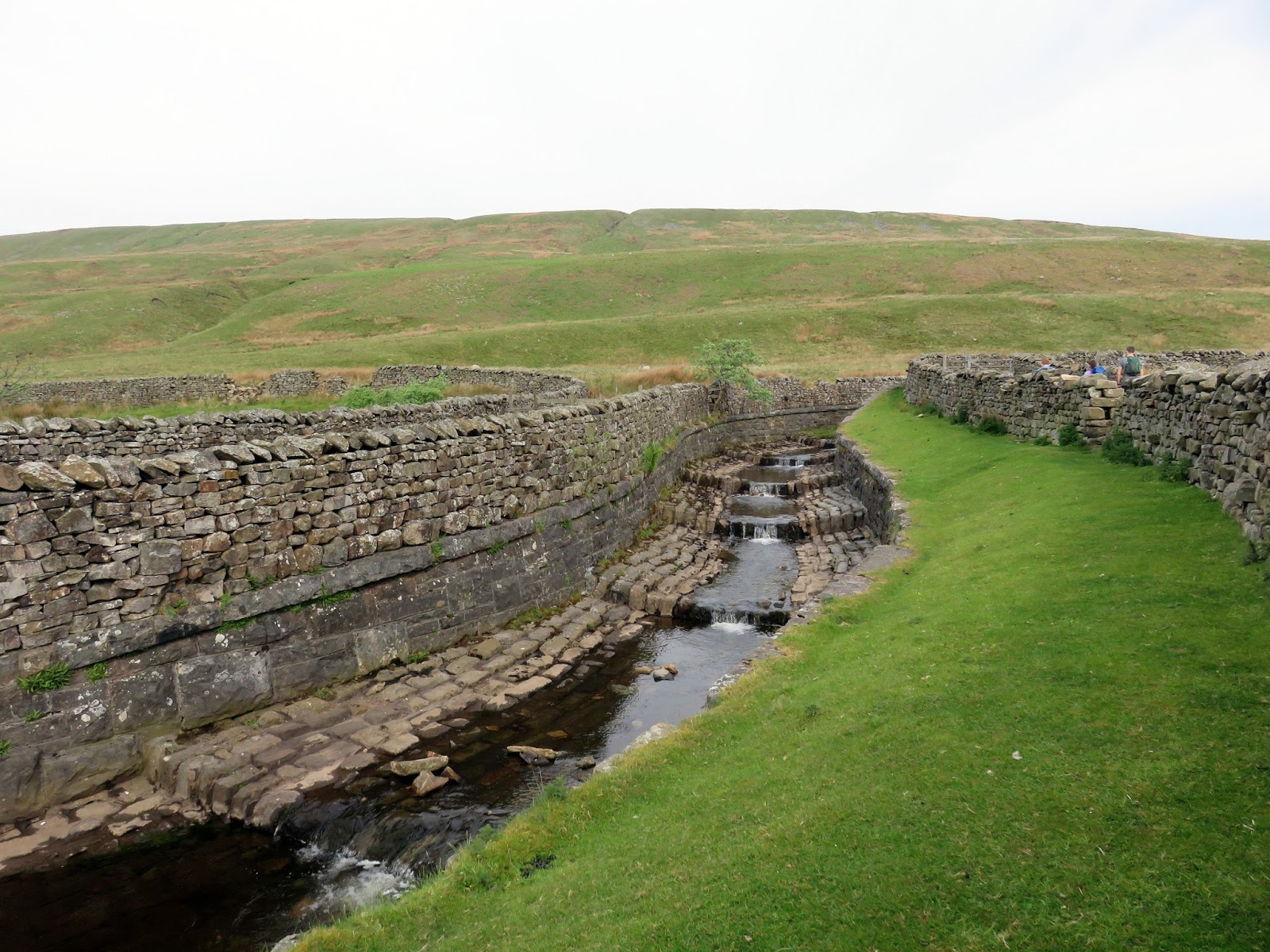
The path follows the railway line for a couple of miles before rising up and crossing a bridge to on to the lower slopes of Whernside. You can see the Victorian engineer’s ingenuity as a series of steps carries Force Gill over the railway tracks adjacent to the footbridge. From the bridge, it is also possible to see the entrance to the Blea Moor tunnel, the longest tunnel on the Settle-Carlisle railway.
 |
| Force Gill as it crosses the railway |
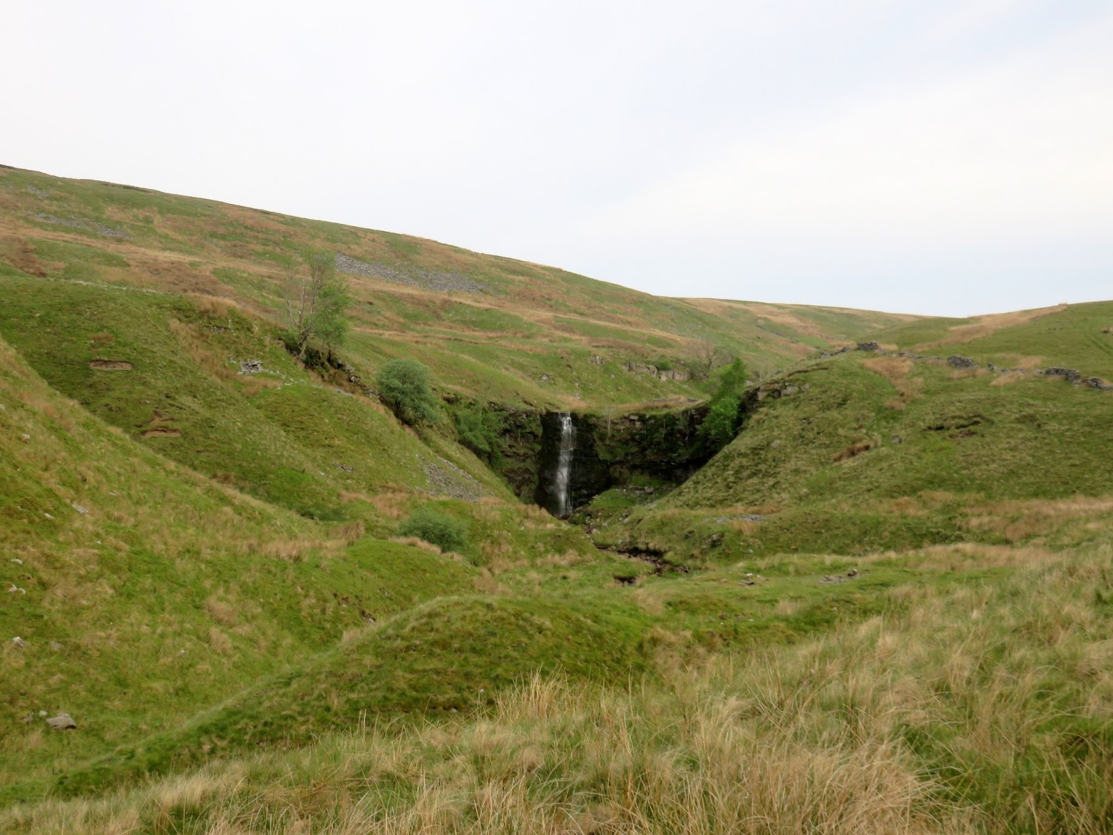
The waterfall on Force Gill is a noticeable feature in the distance, it is perhaps the most viewed waterfall in the Yorkshire Dales but one of the least visited as people rarely deviate from the path on their quest to complete the Yorkshire Three Peaks.
 |
| Force Gill |
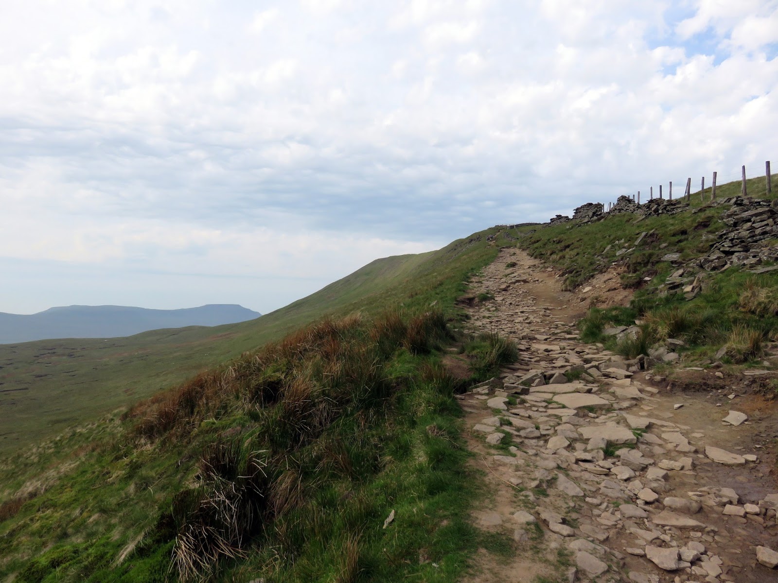
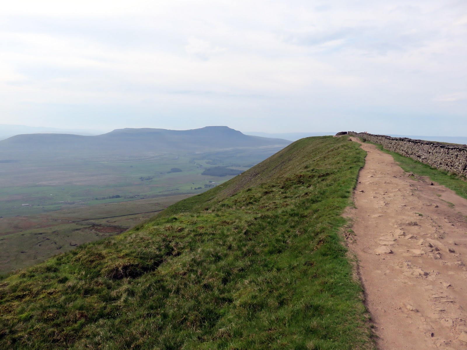
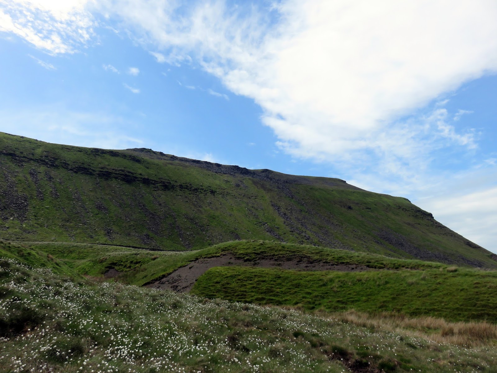
We climbed steadily past 500m, as the path follows a wall before turning and heading towards Whernside’s summit ridge. The section of ridge leading to the summit is arguably the most interesting part of Whernside as the ground sweeps away into Greensett Moss and Winterscales Pasture.
 |
| The path at Grain Head |
 |
| Reaching the ridge |
 |
| Greensett Moss |
 |
| A peek into Dentdale |
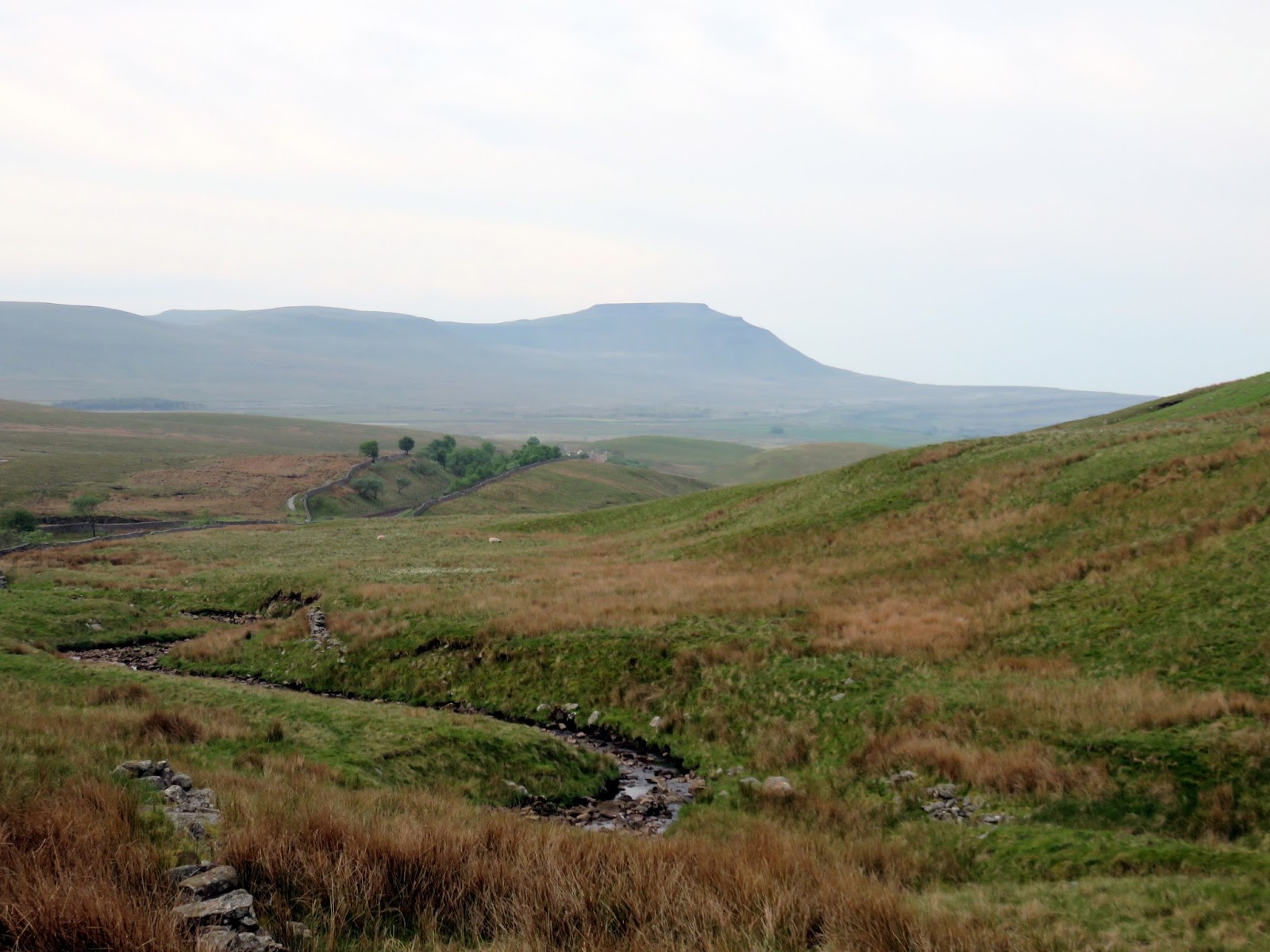
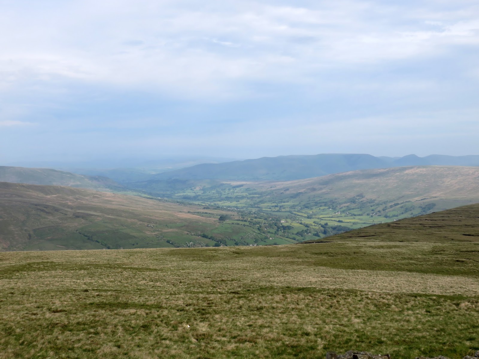
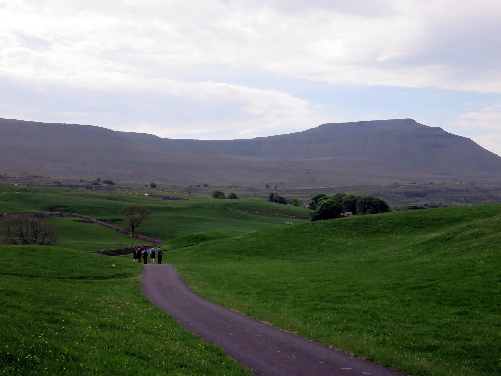
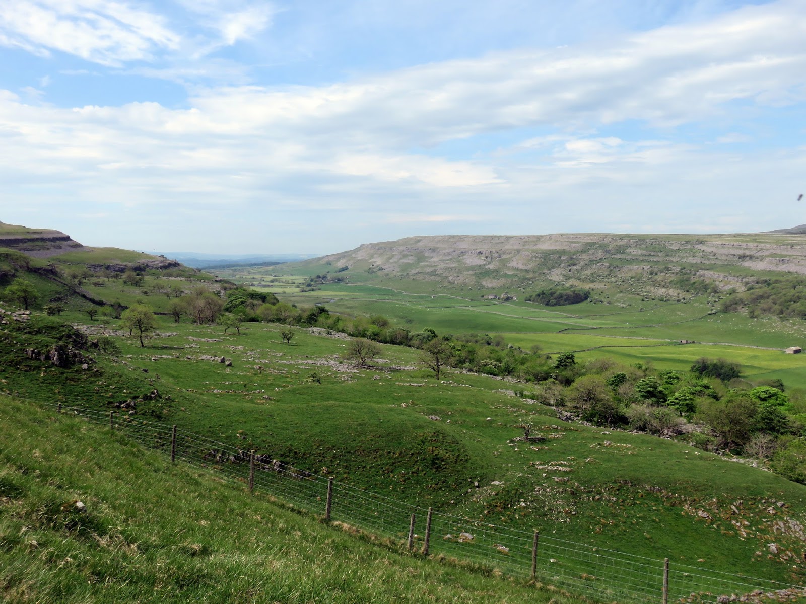
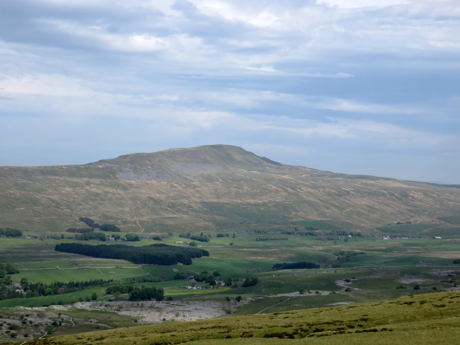
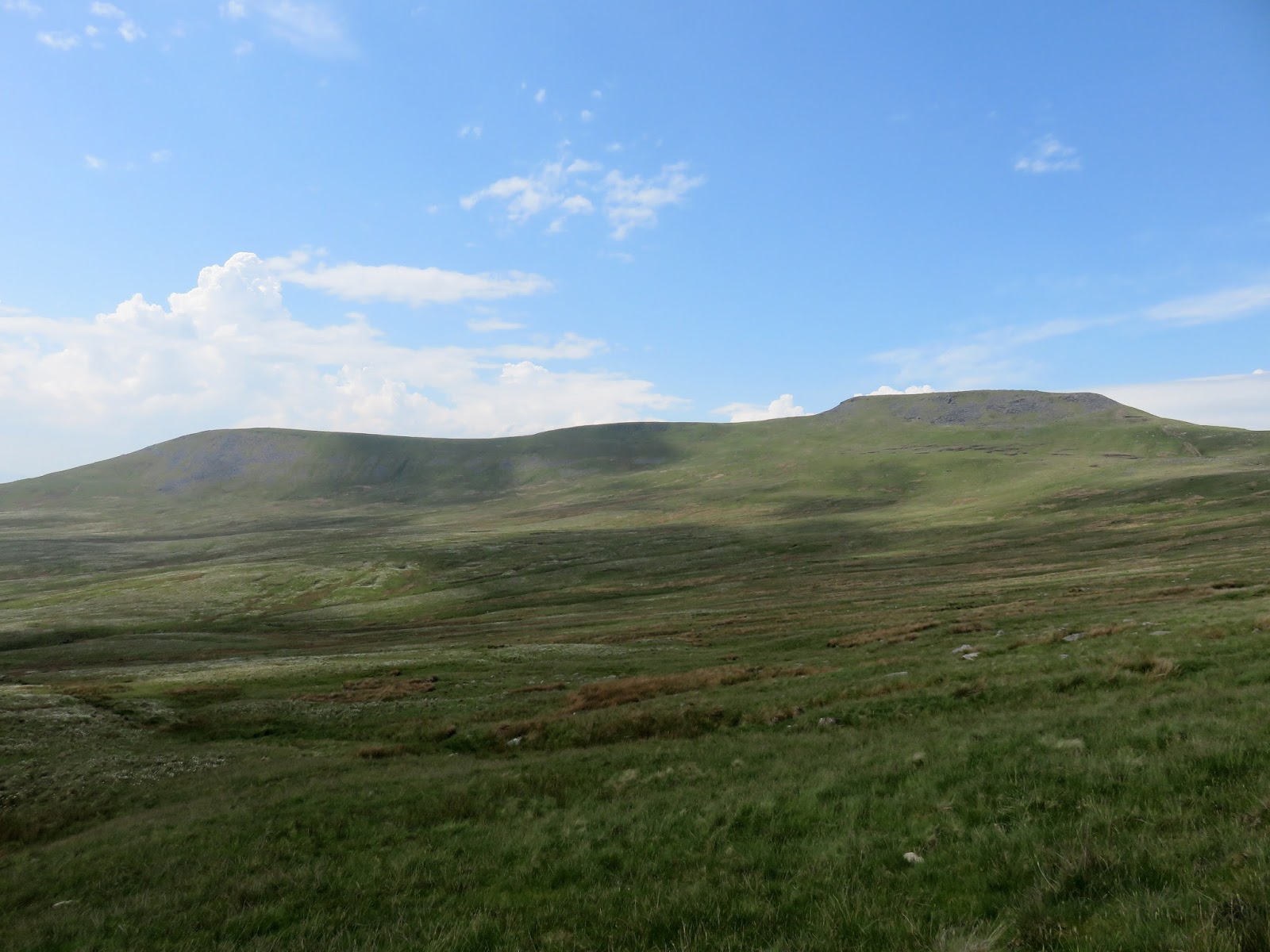
‘The roof of Yorkshire’; Whernside is the highest peak in the county at 736m, though the actual trig pillar sits across the county boundary in Cumbria. As with many hills in the Yorkshire Dales, its name is thought to derive from the old Norse words “quern” (millstone) and “saettr” (summer pasture). On a clear day (with the aid of some binoculars) it is possible to see Blackpool Tower as well as the fells of the Lake District and splendid views of Ribblehead and Ingleborough.
 |
| Ribblesdale |
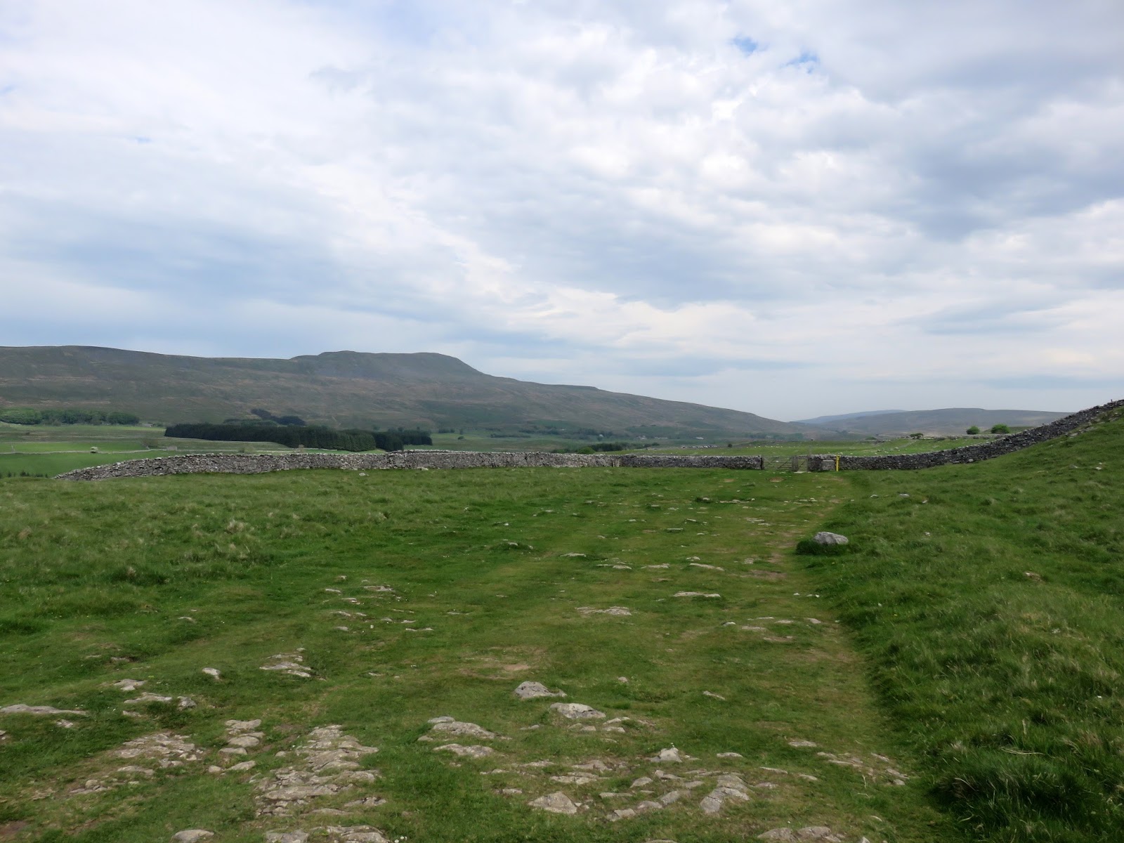
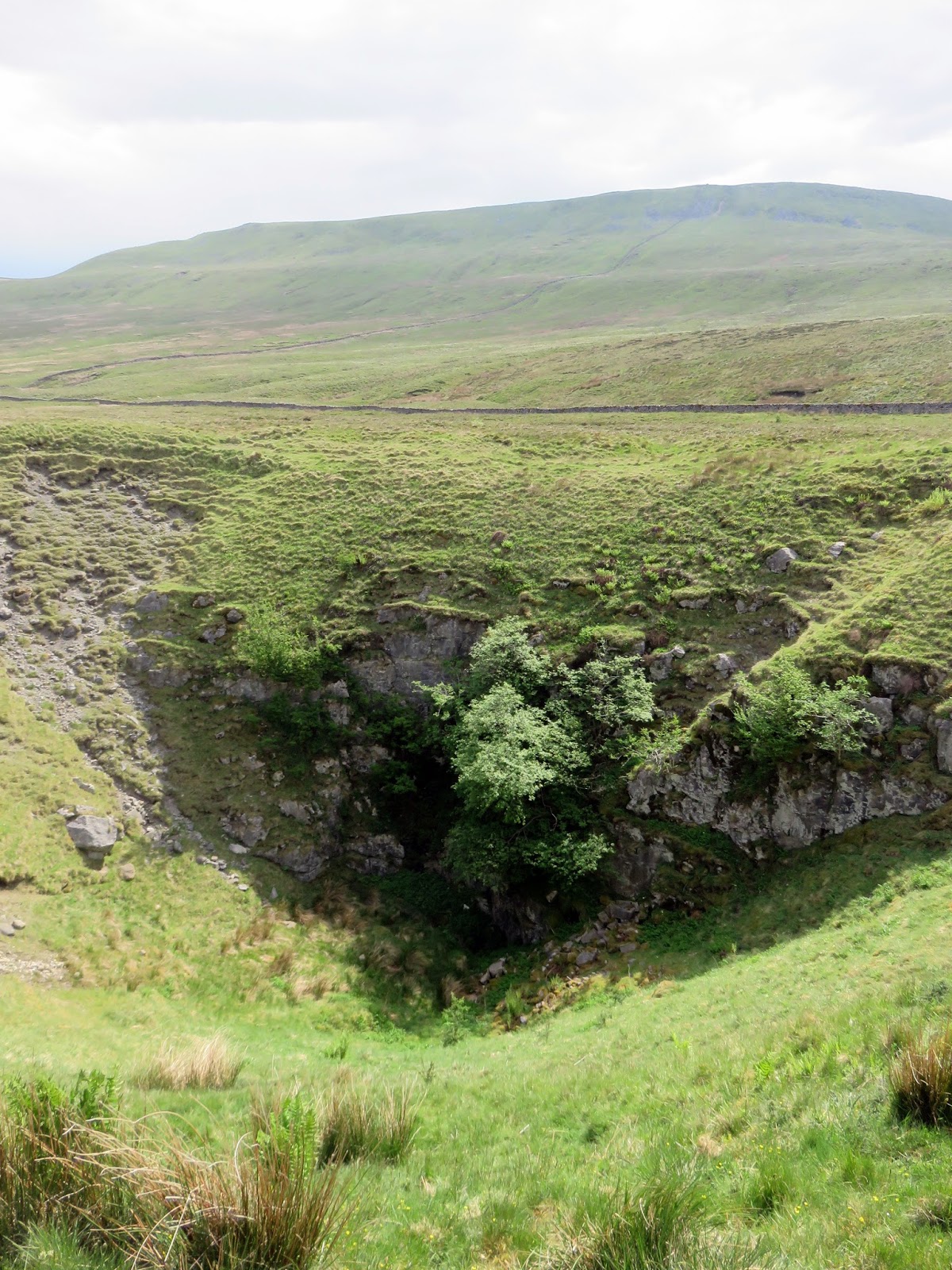
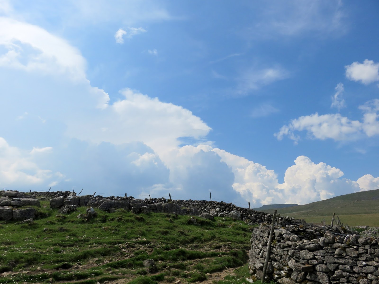
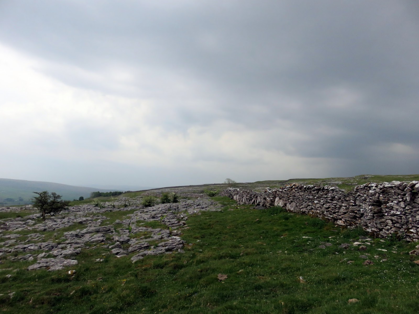
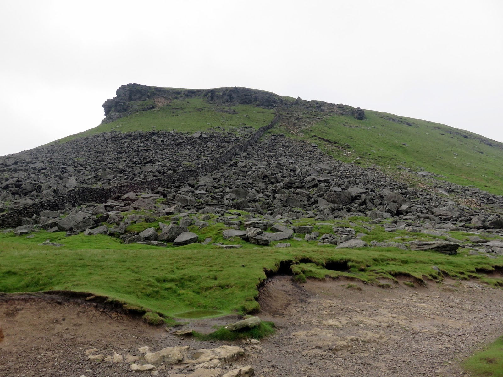
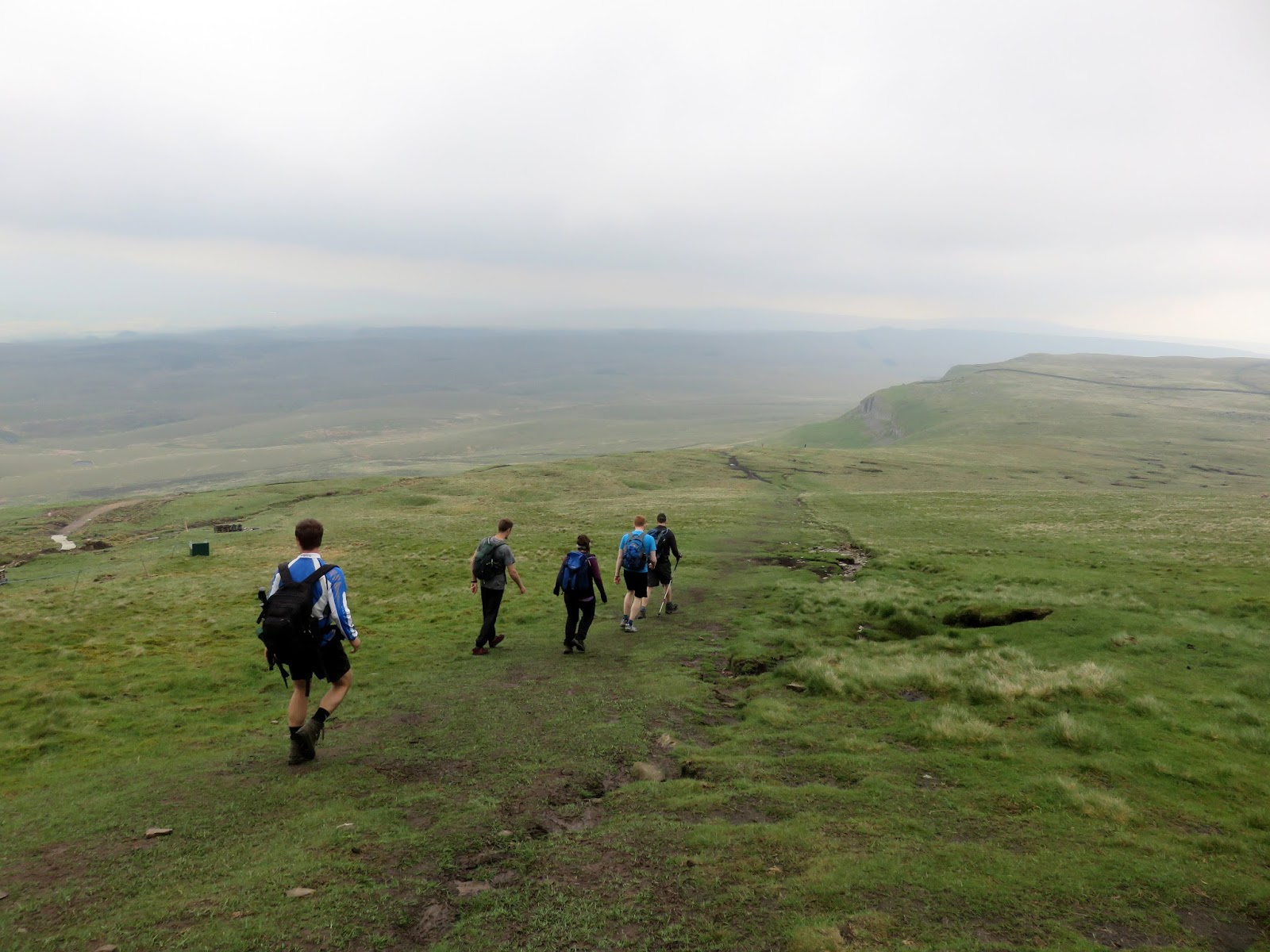
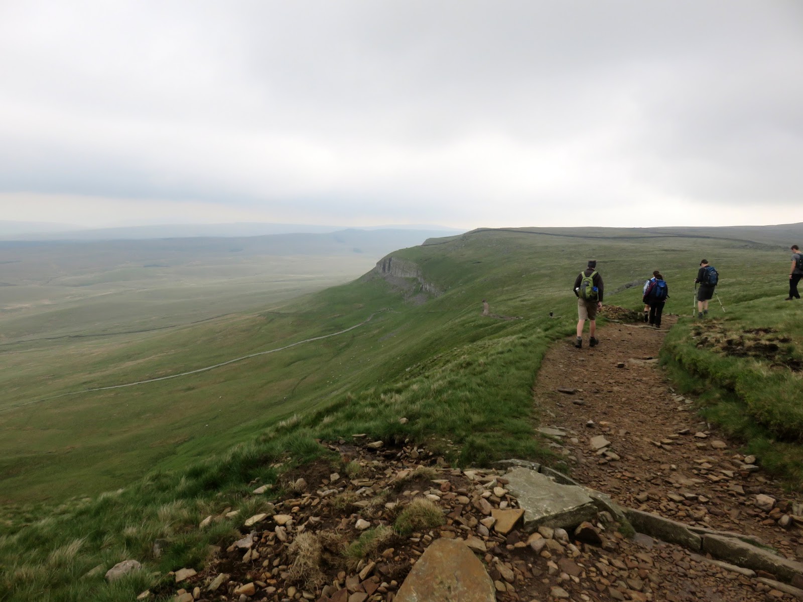
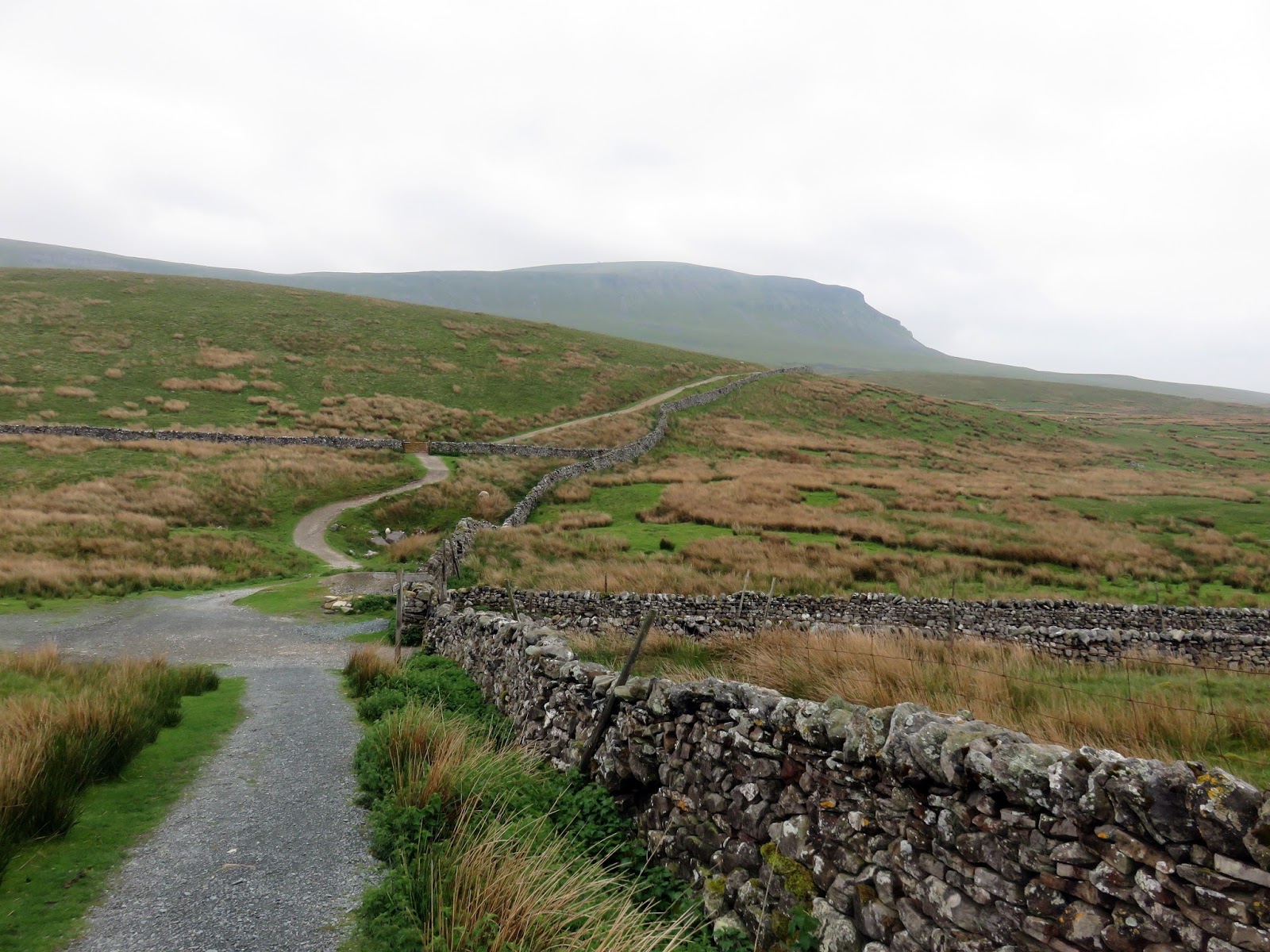
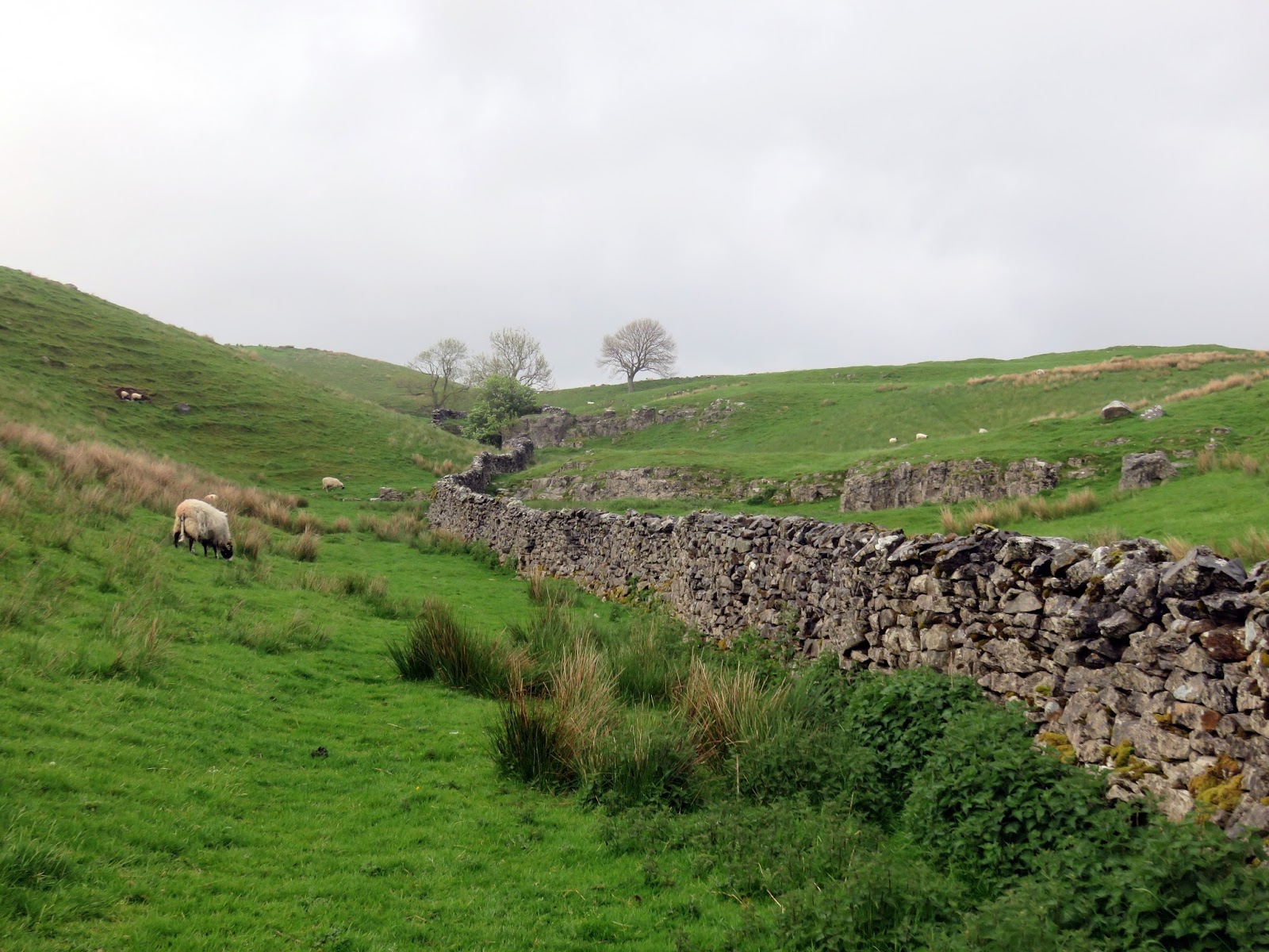
From Whernside’s summit, the path continues along the ridge dropping down a series of rocky steps to reach, I followed the farm lane out to Philpin Lane, crossed Low Sleights Road and strode out onto Southerscales Scars, a classic example of limestone pavement. Along the path you pass a large depression in the ground; Braithwaite Wife Hole. I can only speculate as to why it’s called that…..
 |
| Descending towards Chapel-le-Dale |
 |
| Ingleborugh catches a light shower |
 |
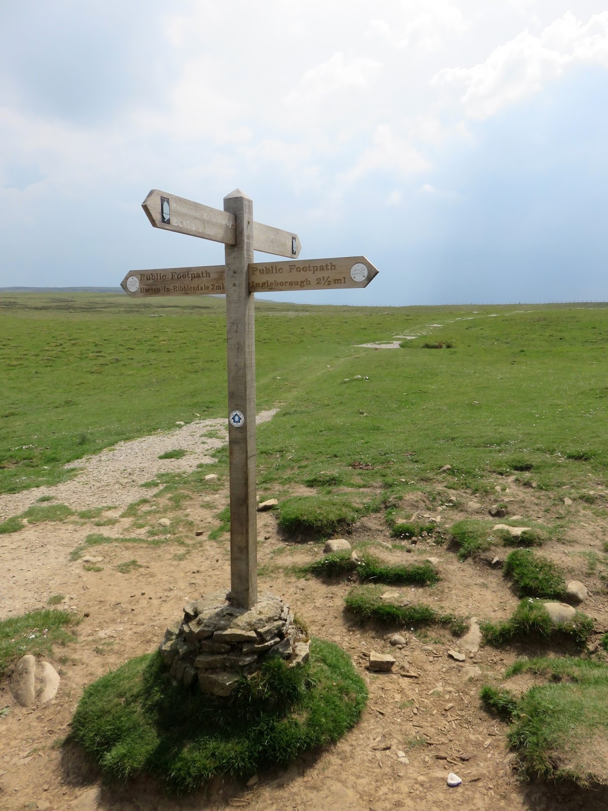
| New signs mark much of the route |
 |
| Twisleton |
 |
| The path at Low Hill |
 |
| Twisleton Scars |
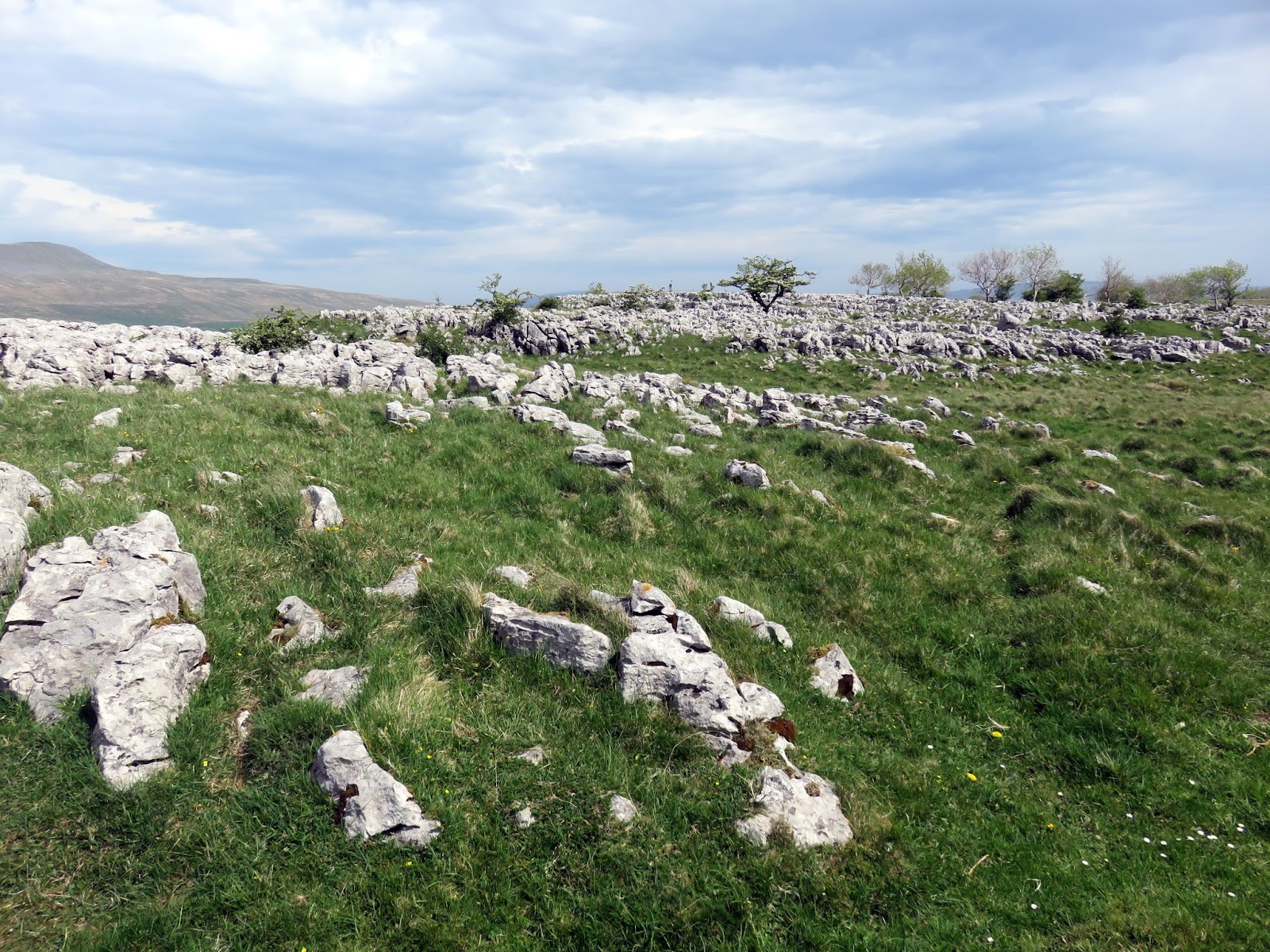
 |
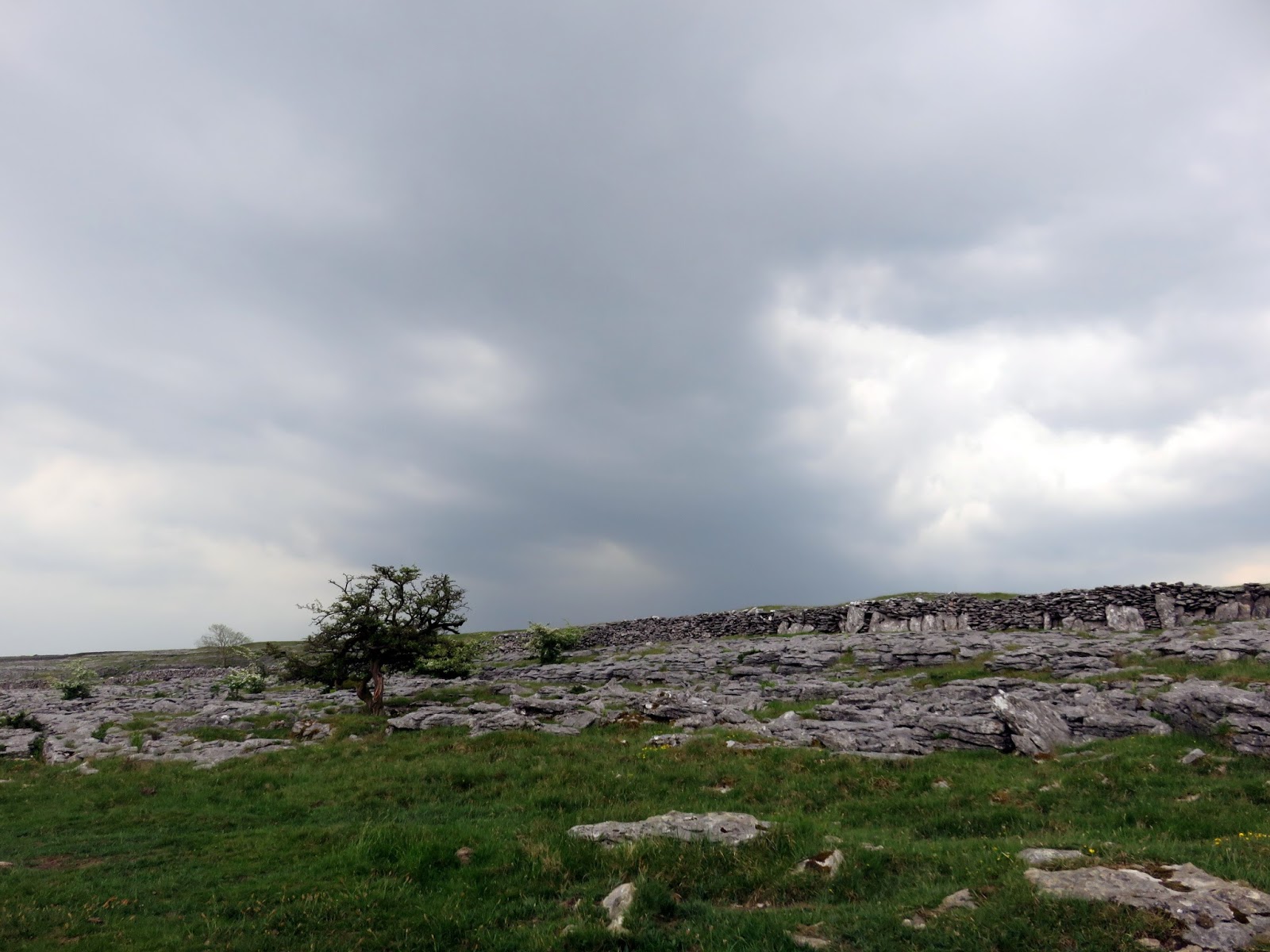
| Limestone pavement at Southerscales Scars |
 |
| Braithwaite Wife Hole |
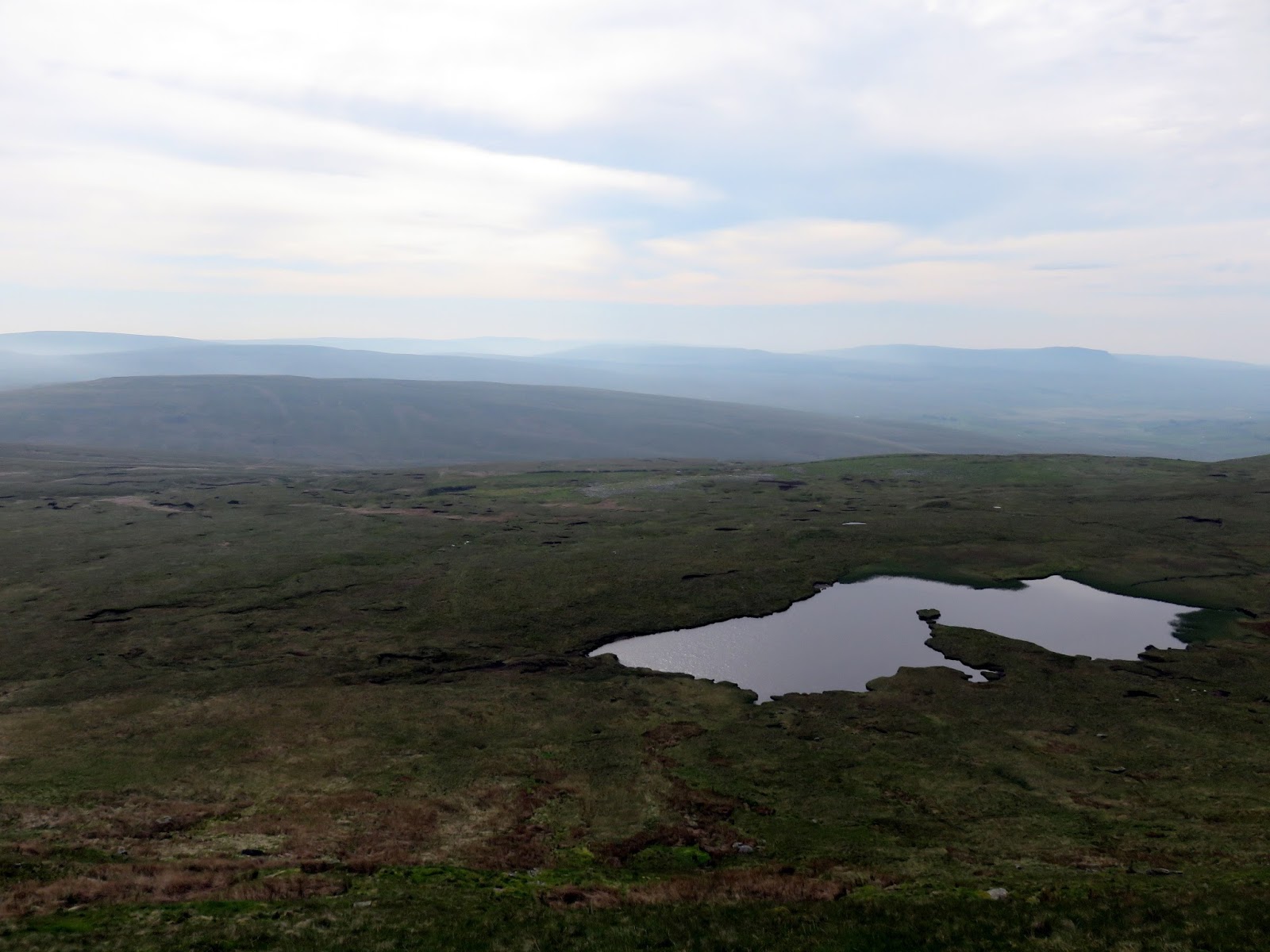
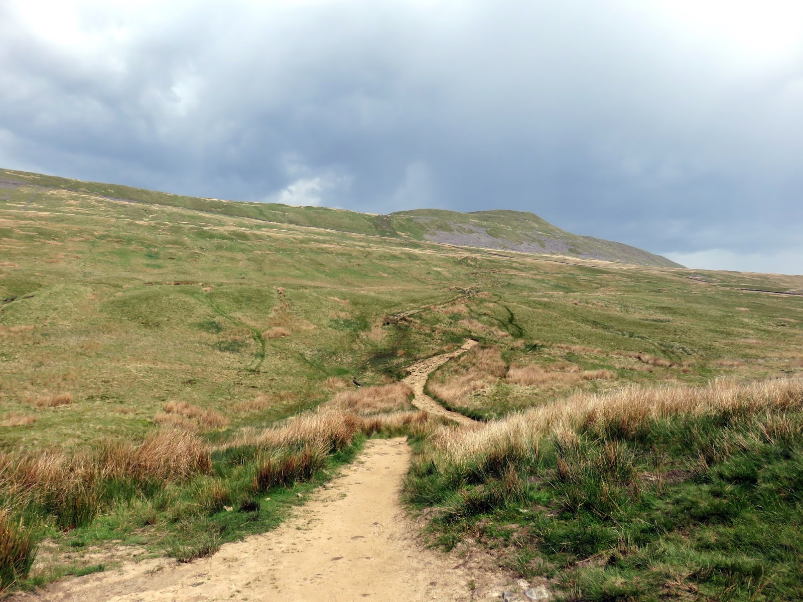
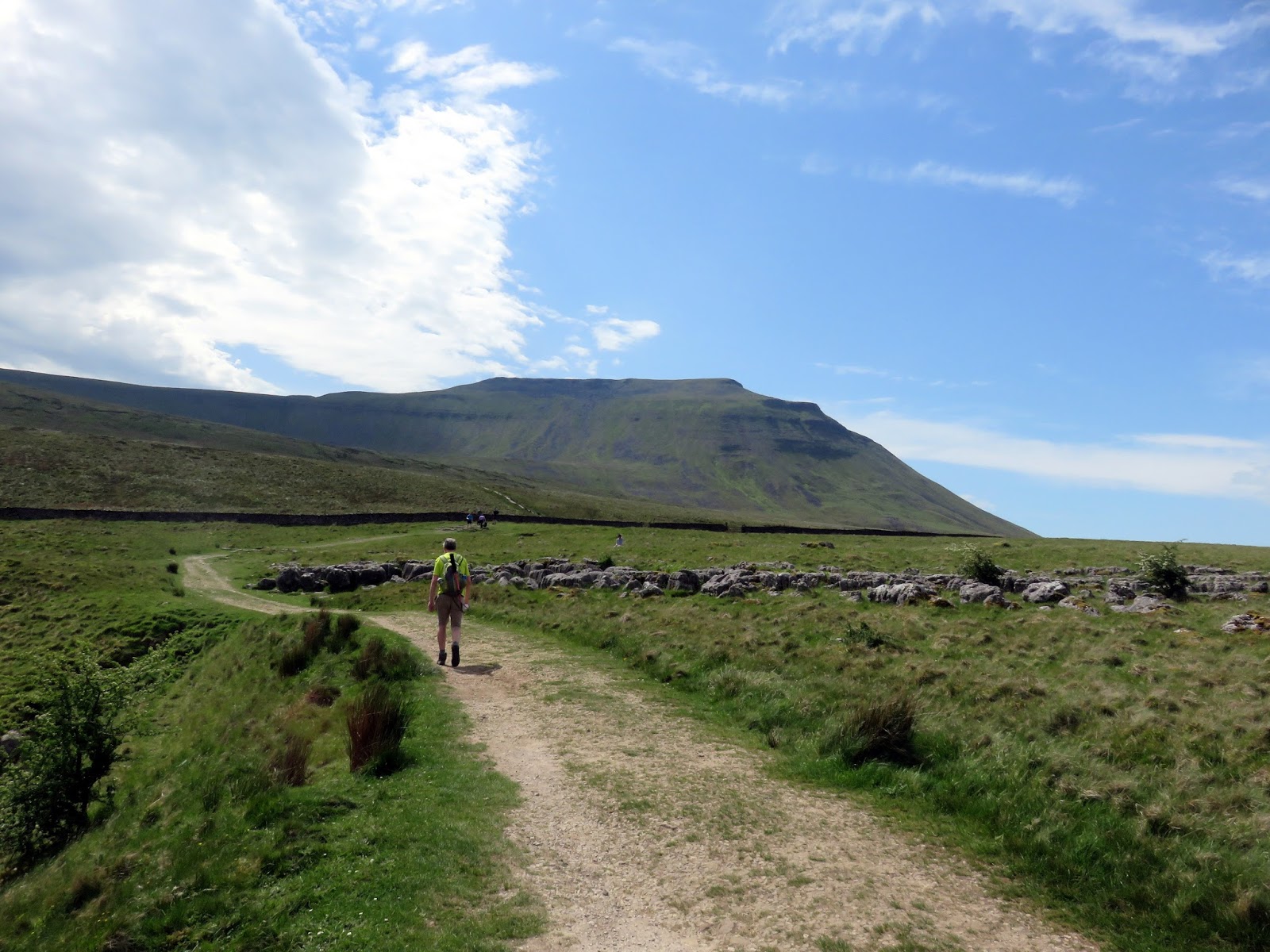
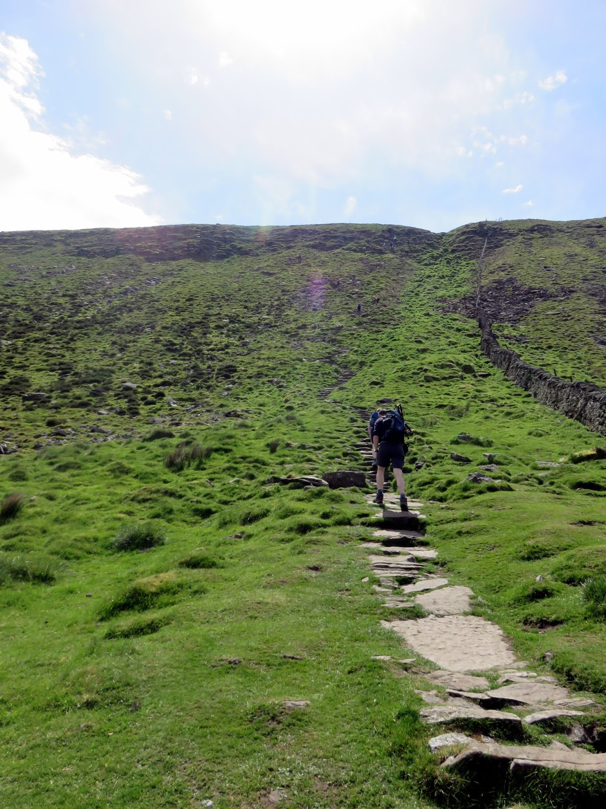
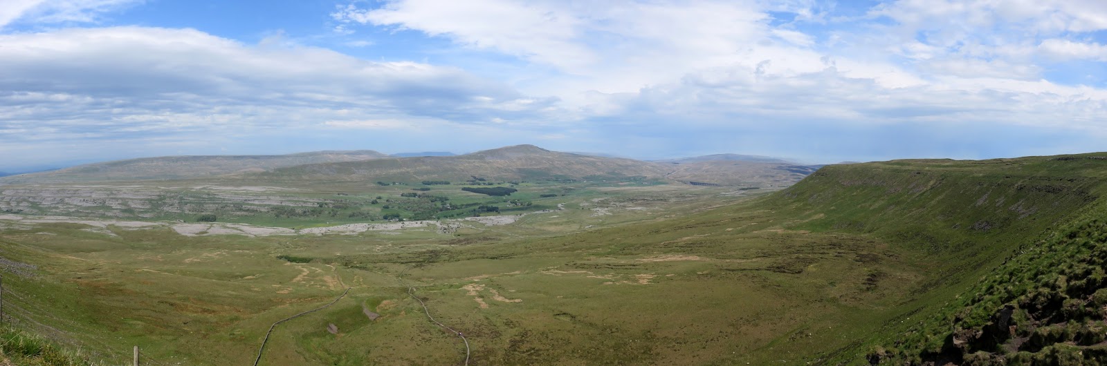
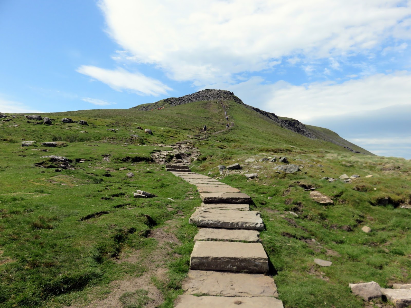
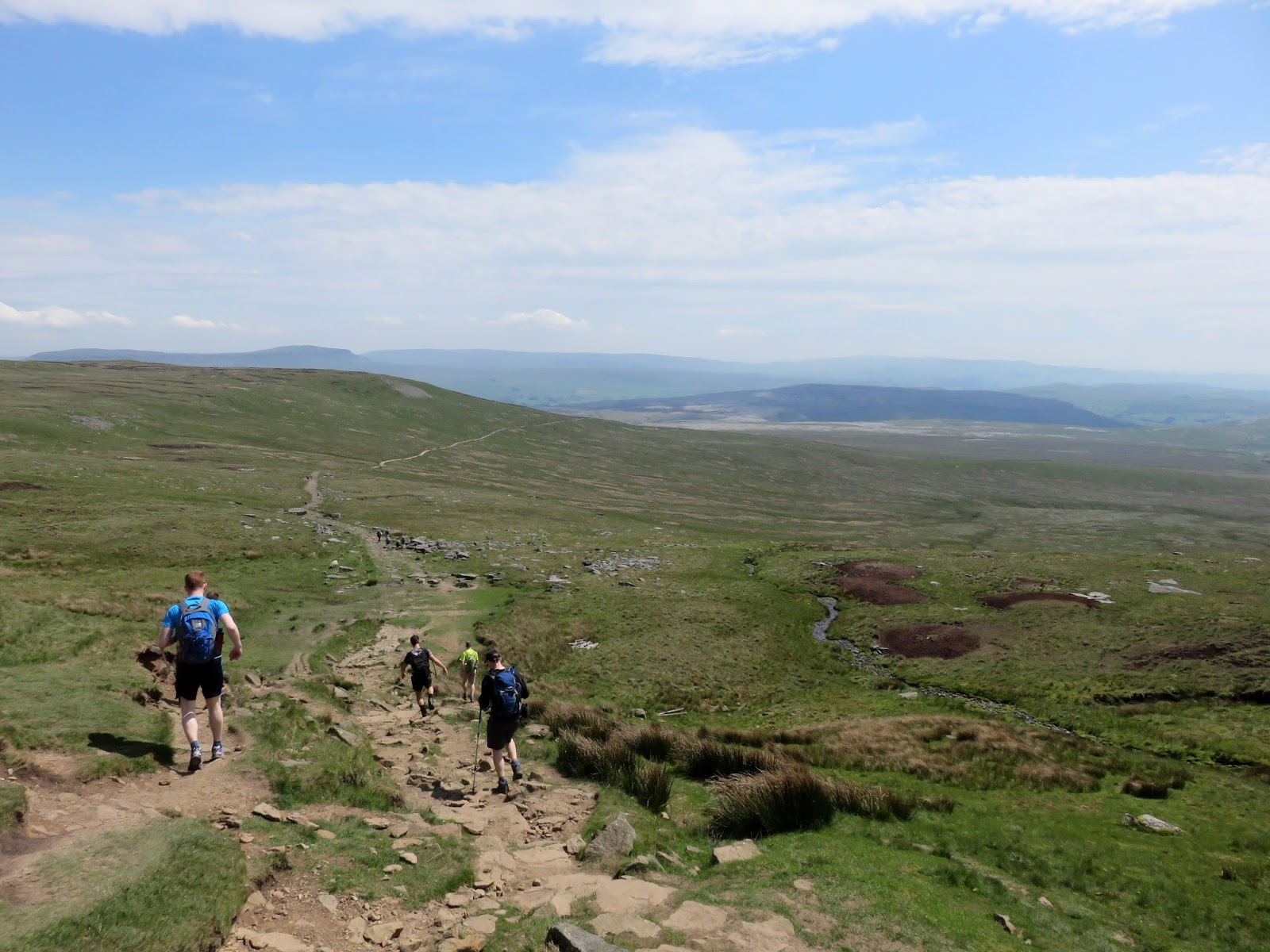
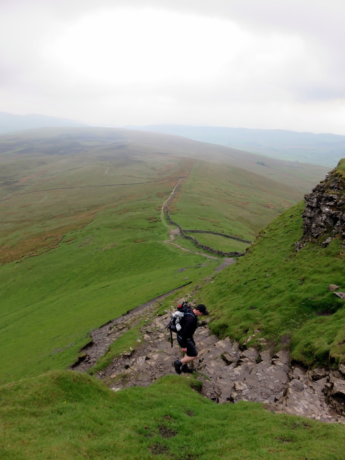
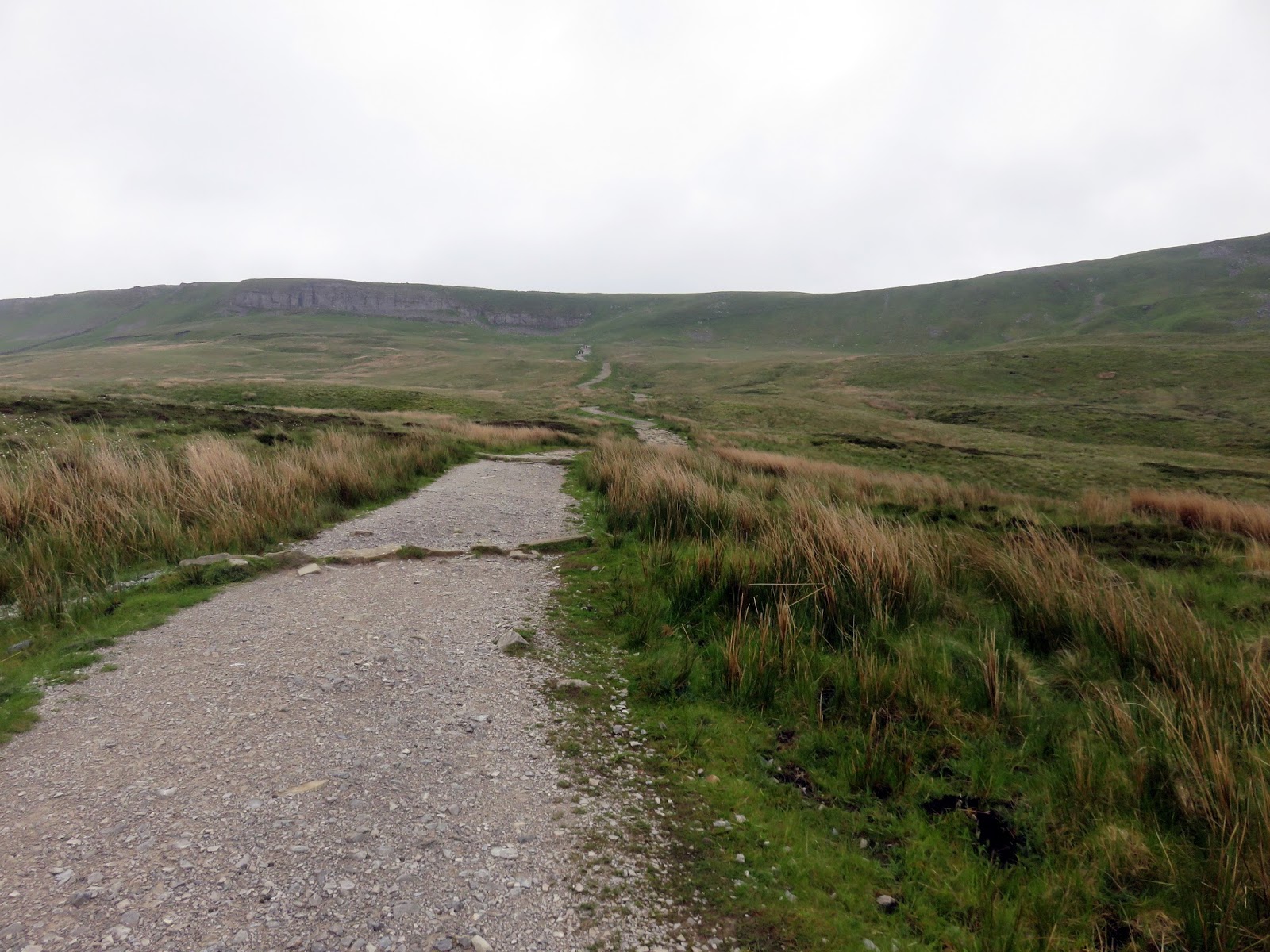
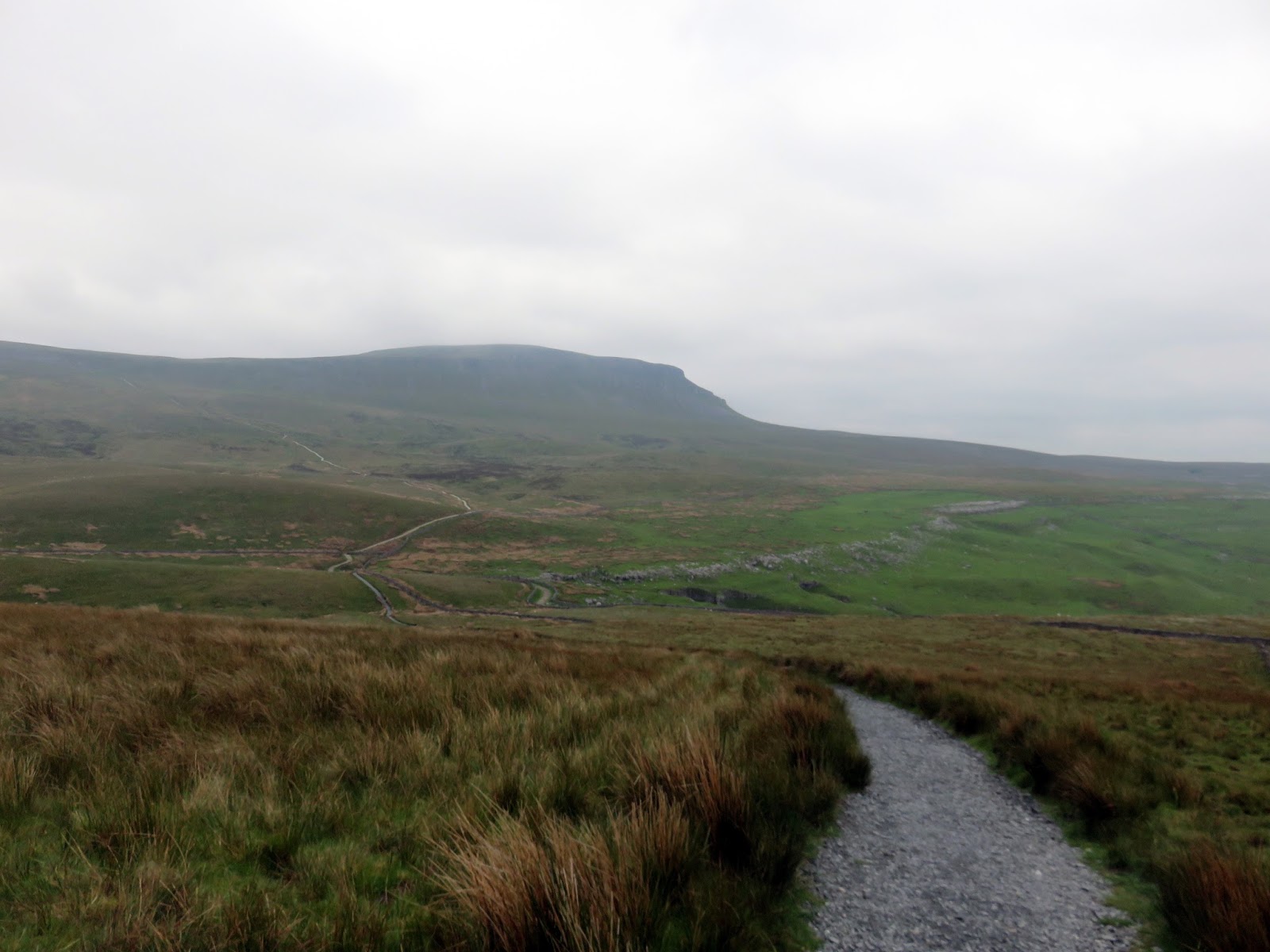
The route up Ingleborough crosses Humphrey Bottom, an immense area of marshy ground. Helpfully, as a result of the three peaks no doubt, much of the boggier sections can be crossed with the aid of wooden boards and a well-pitched stone path. The final section on to the ridge is probably my favourite part, a steep 100m climb straight up the side.
 |
| Humphrey Bottom |
 |
| Beginning the steep climb |
 |
| Panorama across Humphrey Bottom |
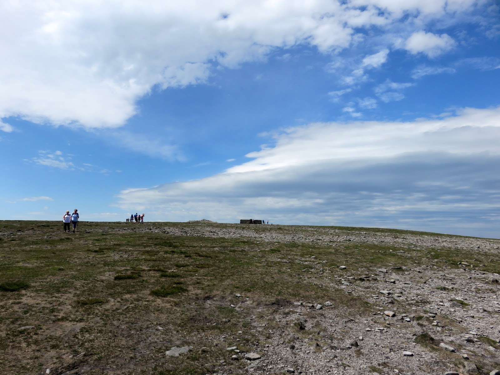
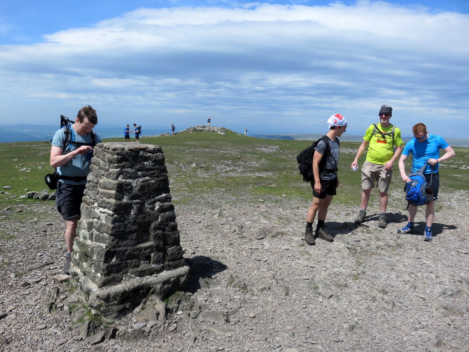
The name Ingleborough derives from the fact that there is a suspected Iron Age hill fort on the summit. The word ‘burh‘ means ‘a fortified place. The summit can be a very popular place, especially on a weekend when large numbers of visitors are drawn from miles around.
 |
| The final push to the summit |
The weather was spectacular on the summit with expansive views in all directions and we took some time out to enjoy a food stop before the long walk to Horton.
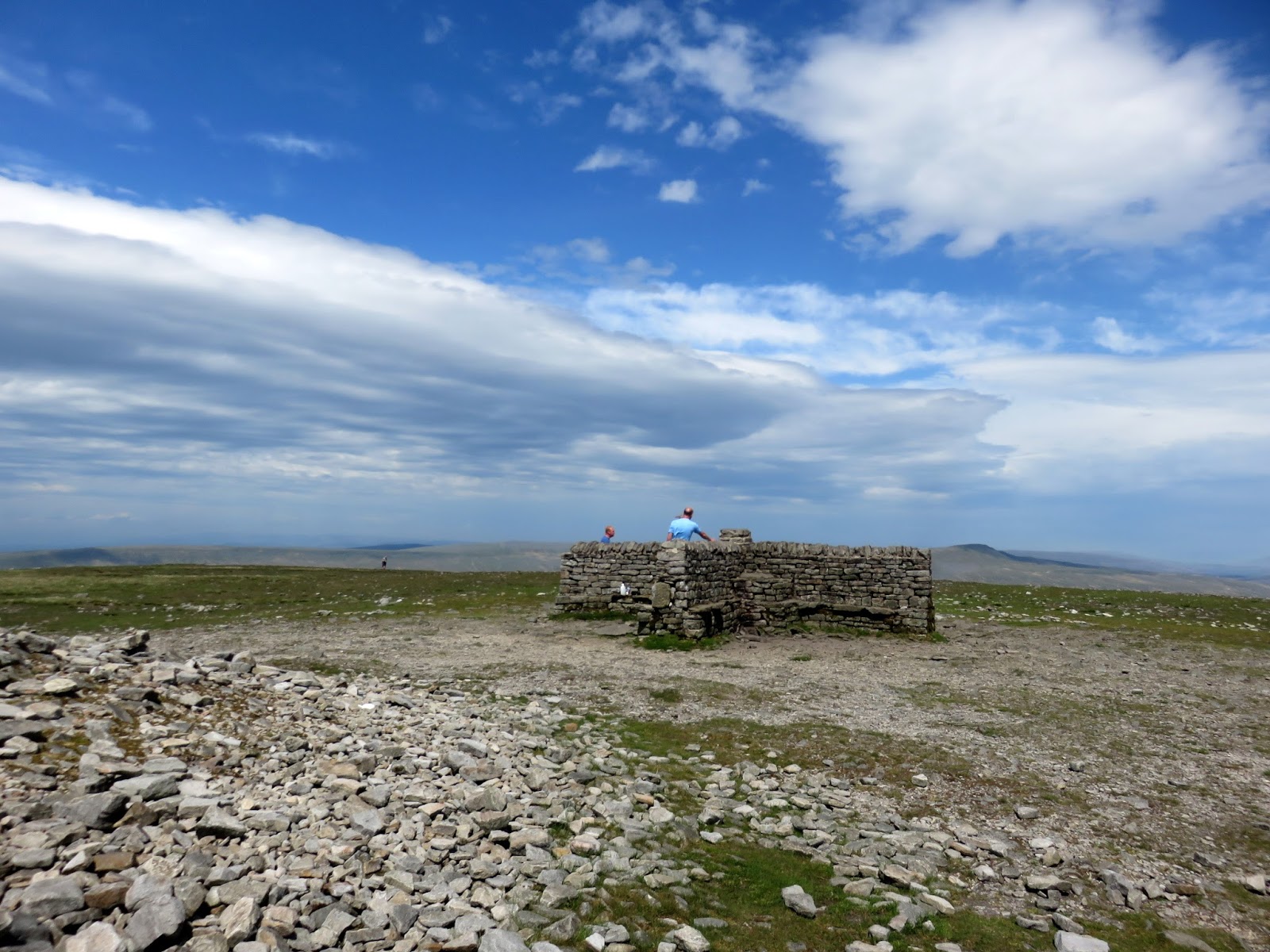
 |
| The Victorian windshelter |
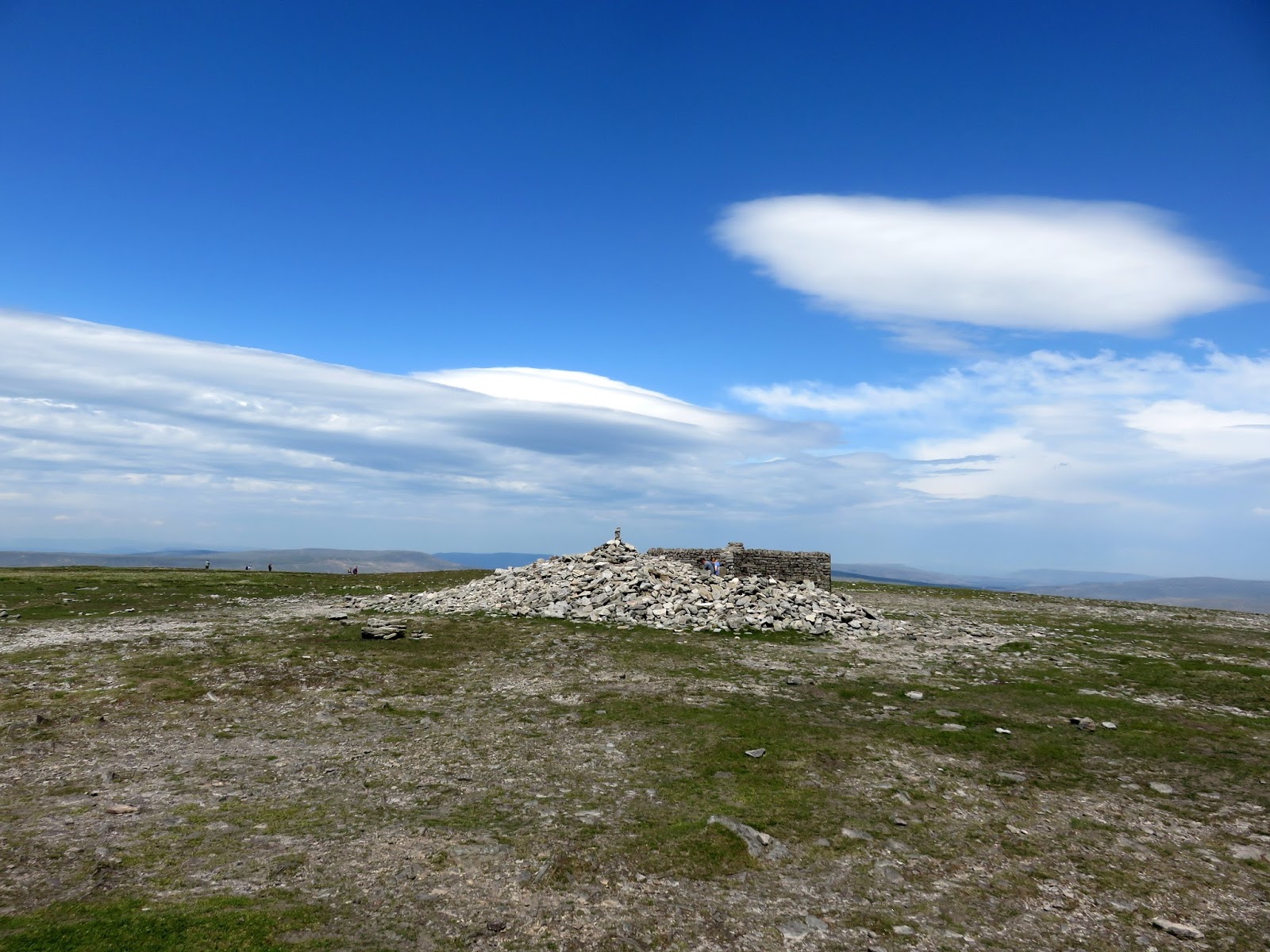
 |
| The summit cairn |
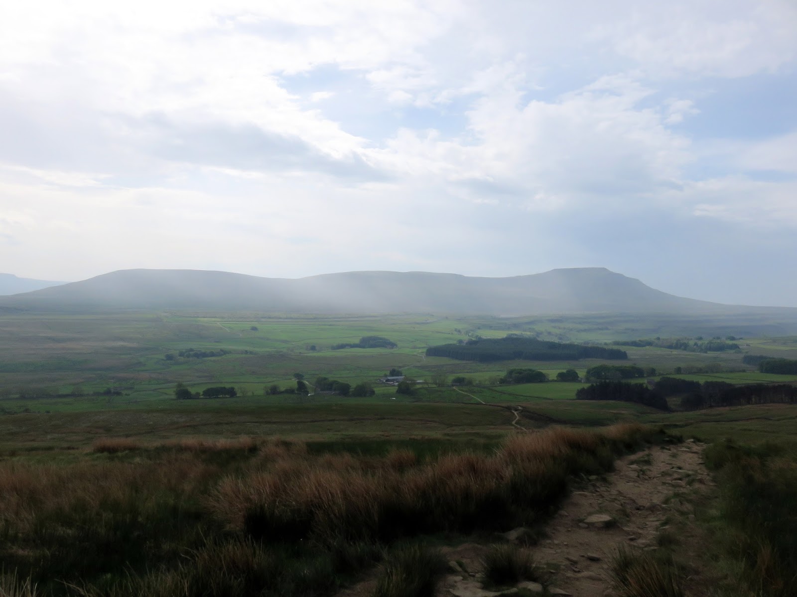
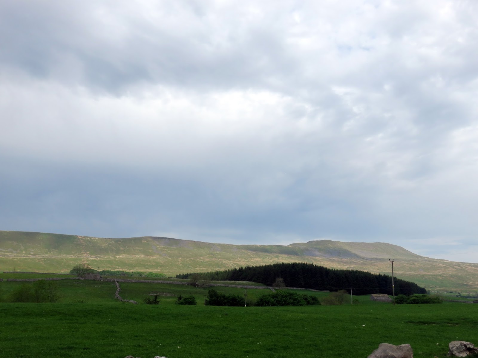
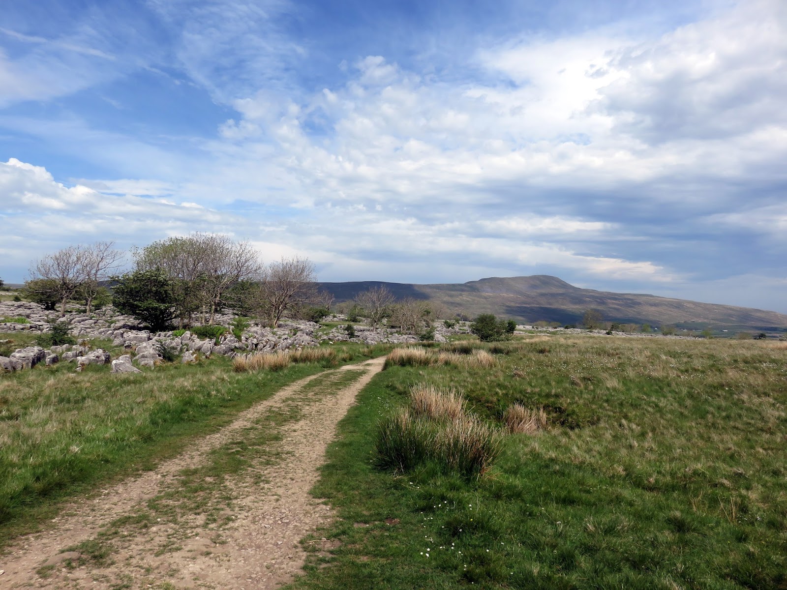
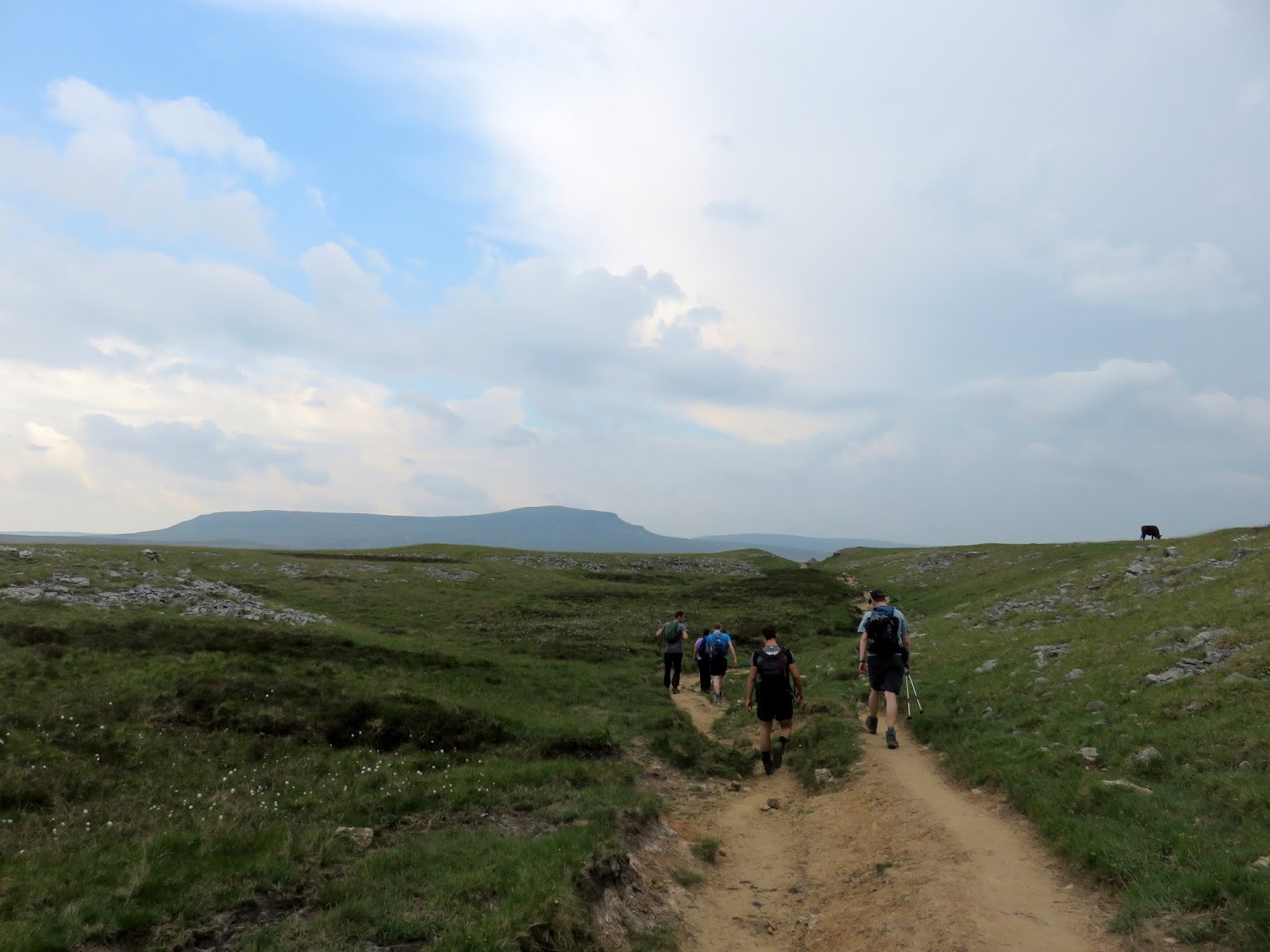
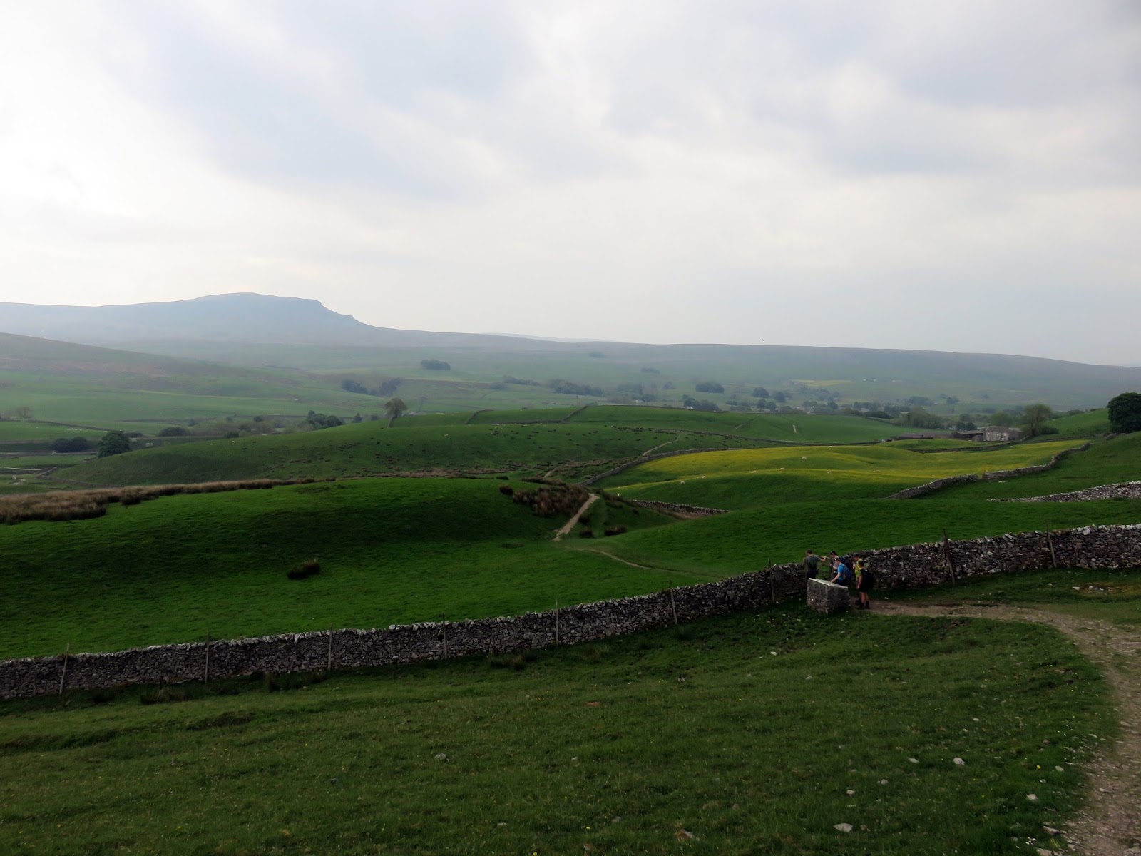
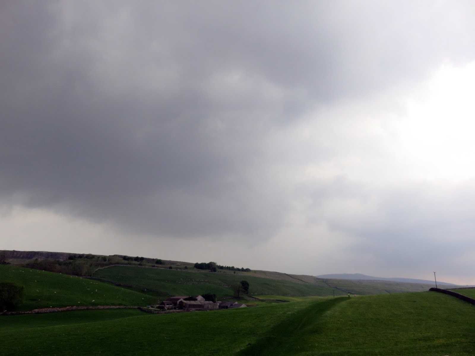
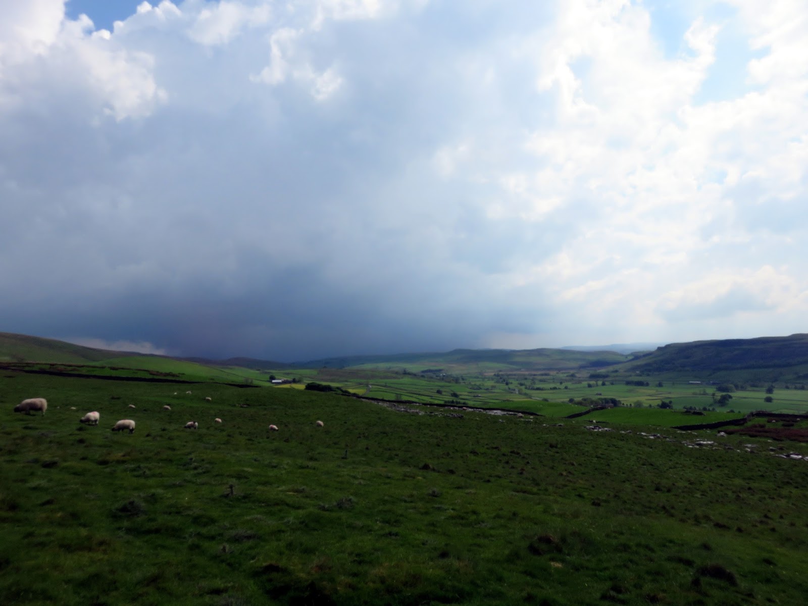
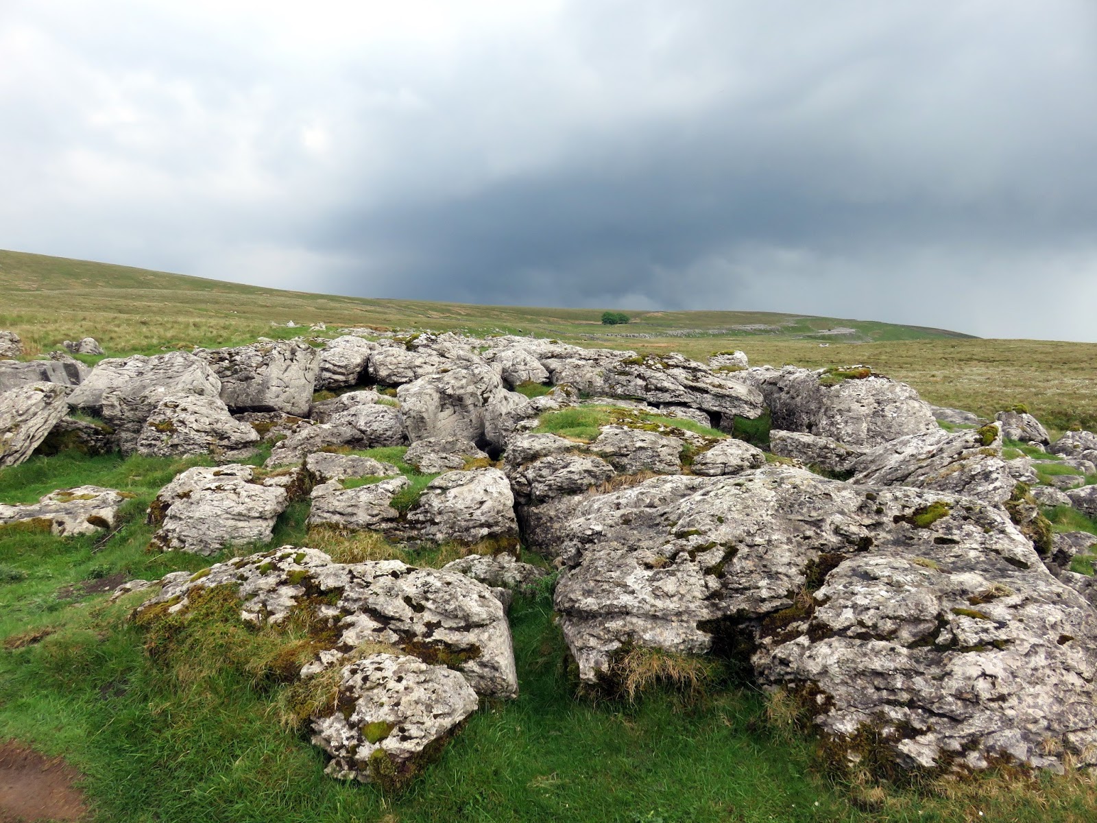
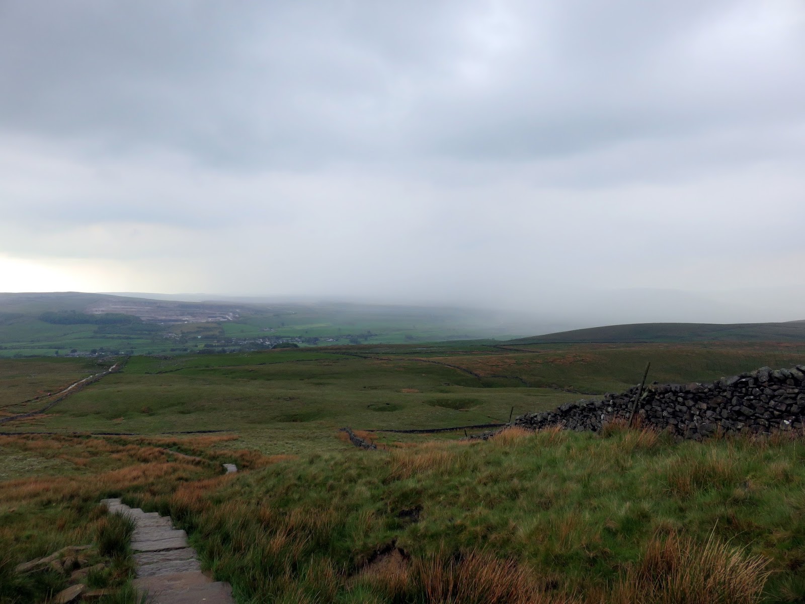
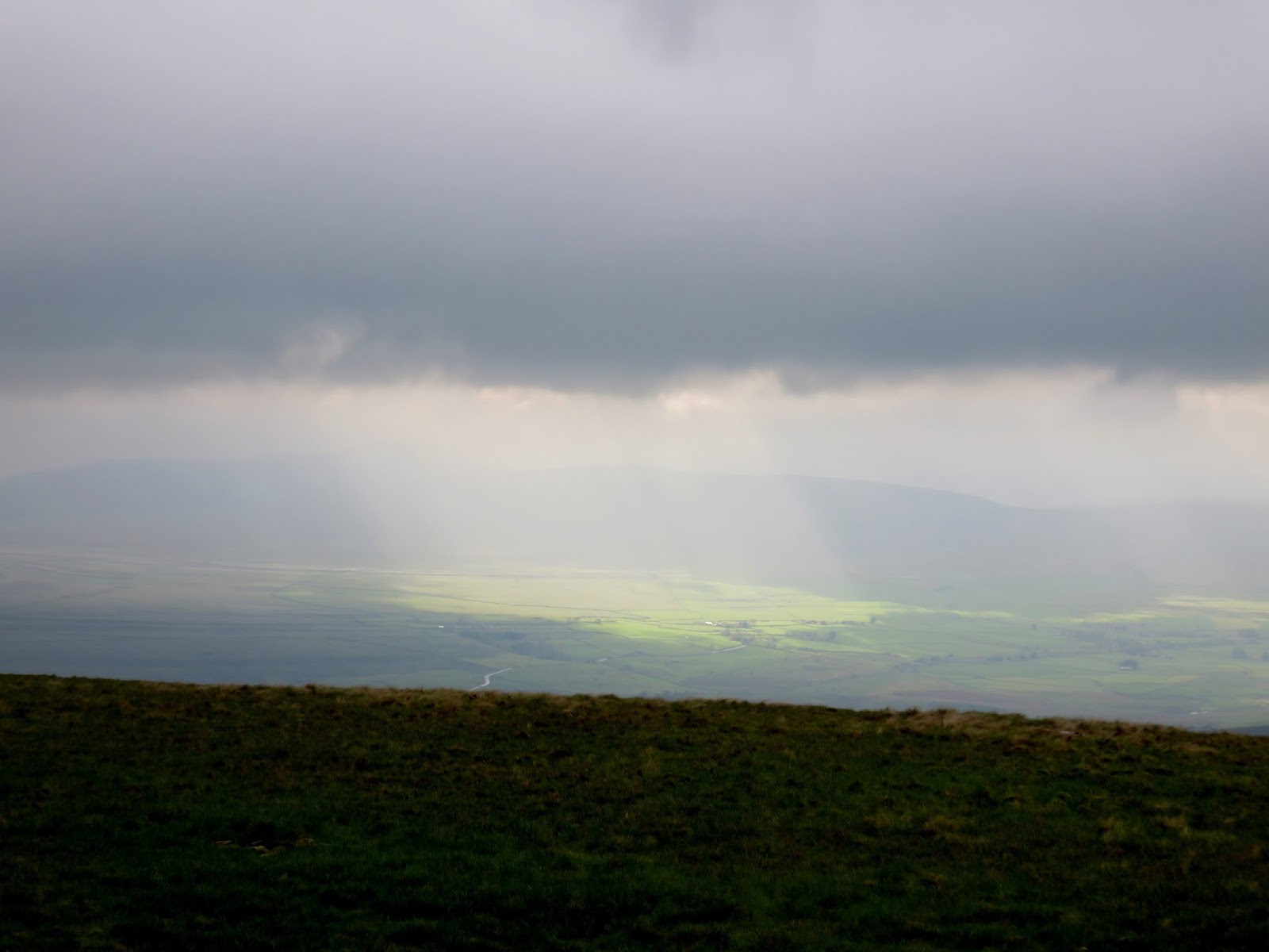
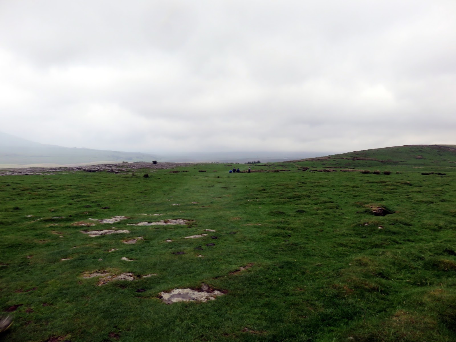
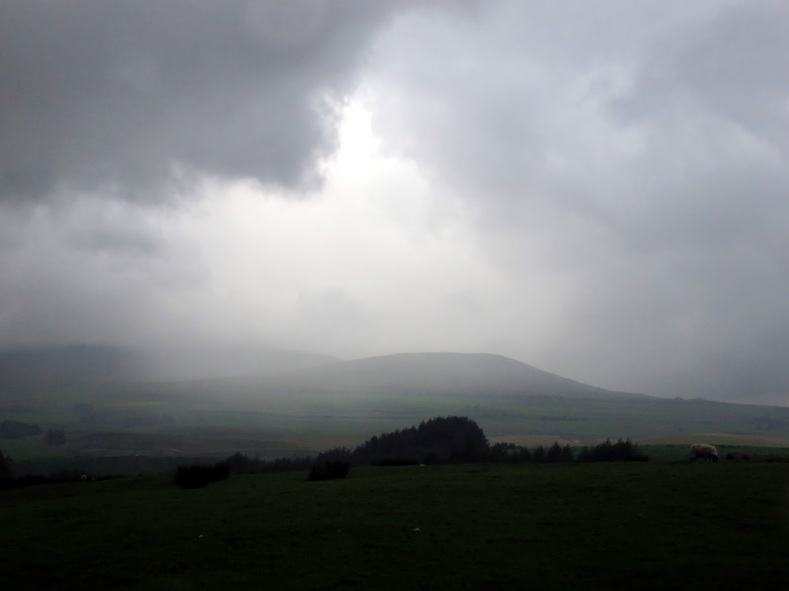
The path between Ingleborough and Horton passes through Sulber, part of an expansive area of limestone pavement that separates Horton from Austwick. It was still warm and sunny as we made our way down towards Horton but, within a few short minutes, tall clouds began to bubble up and the unmistakable rumble of thunder rang around the valleys.
 |
| The gate at Fell Beck Head |
 |
| Ominous clouds begin to boil up |
 |
| Sulber Nick |
 |
| The skies begin to darken |
 |
| Storms approaching |
 |
| Ribblesdale |
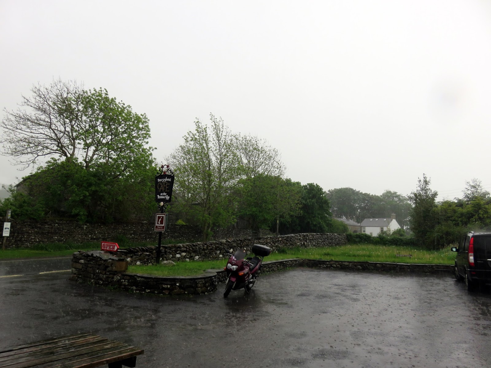
With a light drizzle falling at first, we made our way into the village, stopping off at the Pen-y-Ghent Café while the worst of the rain passed. In fact, we were about to head out for Pen-y-Ghent when another, immense shower rolled in, bringing a torrential downpour with it. Fortunately, we still had time to shelter under the café porch while the shower cleared, avoiding a drenching.
 |
| Black clouds over Beecroft Hall |
 |
| The heavens finally opened while we were in the cafe |
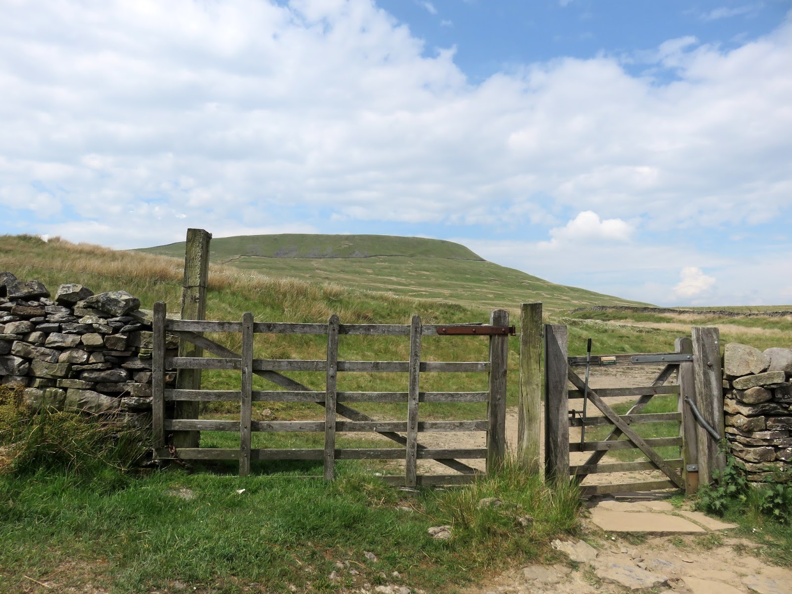
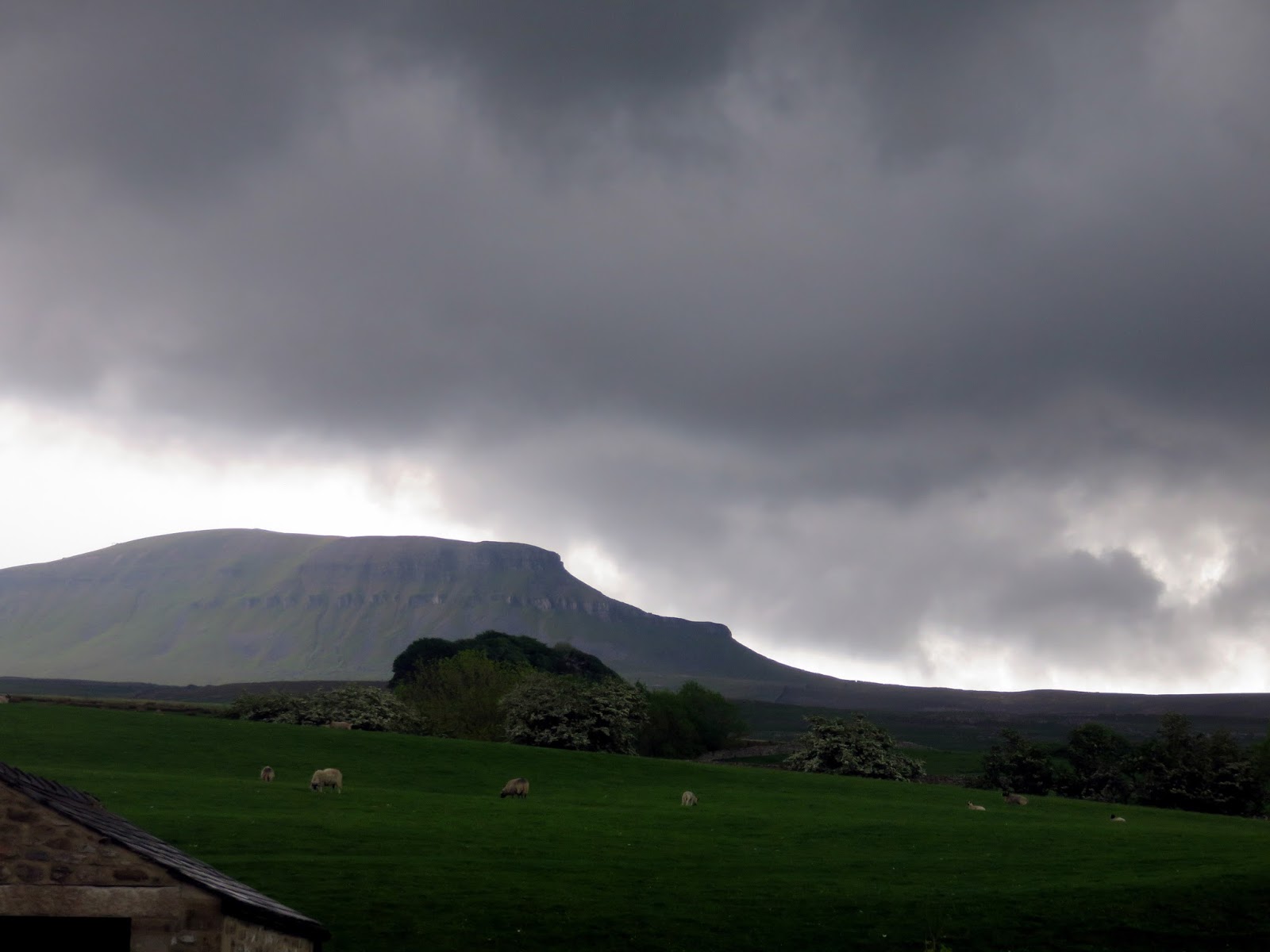
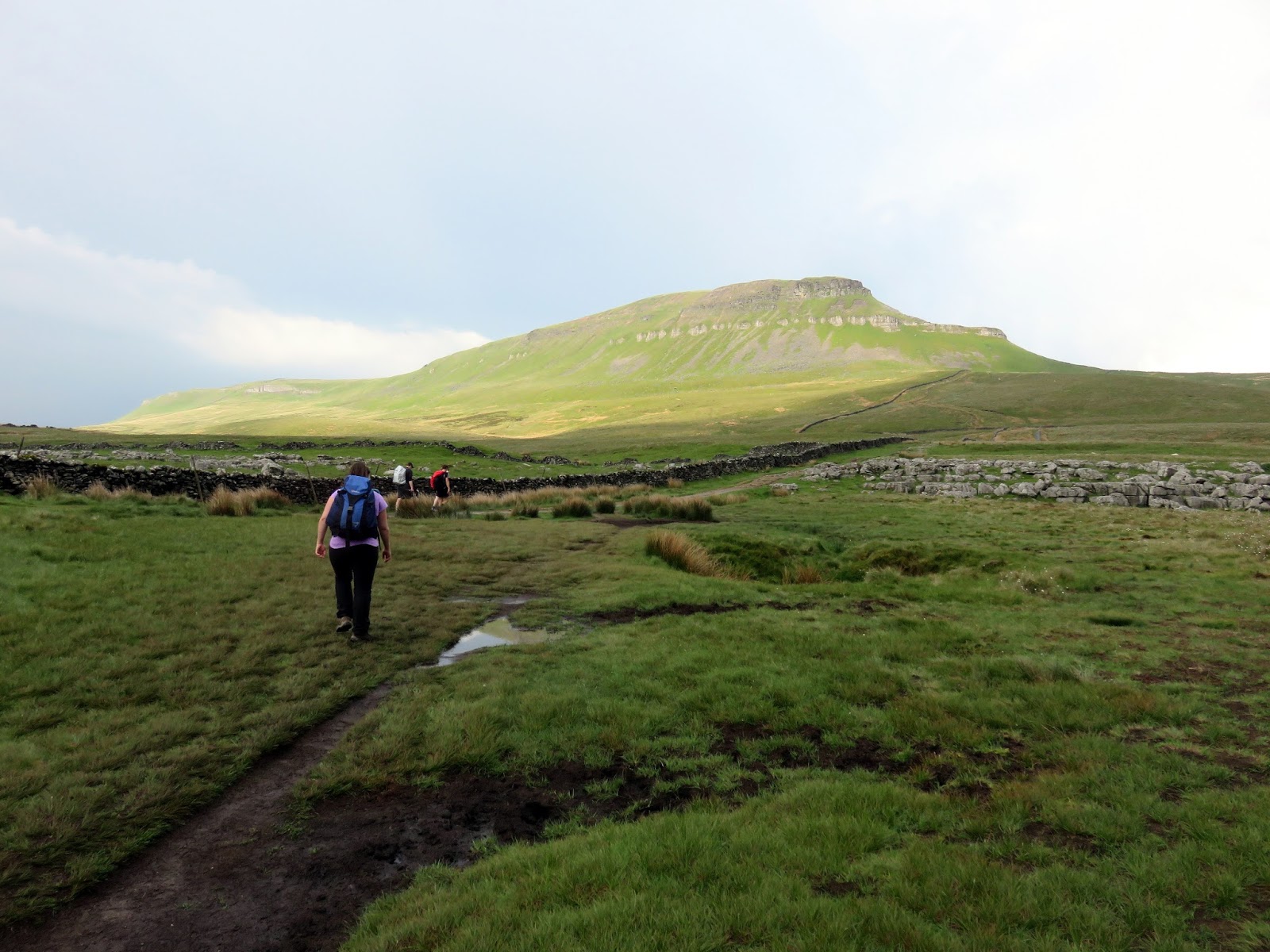
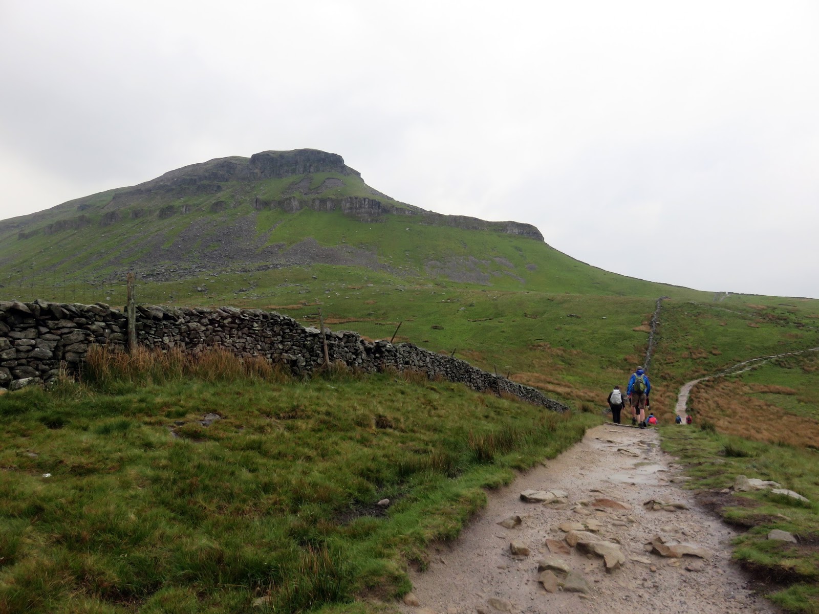
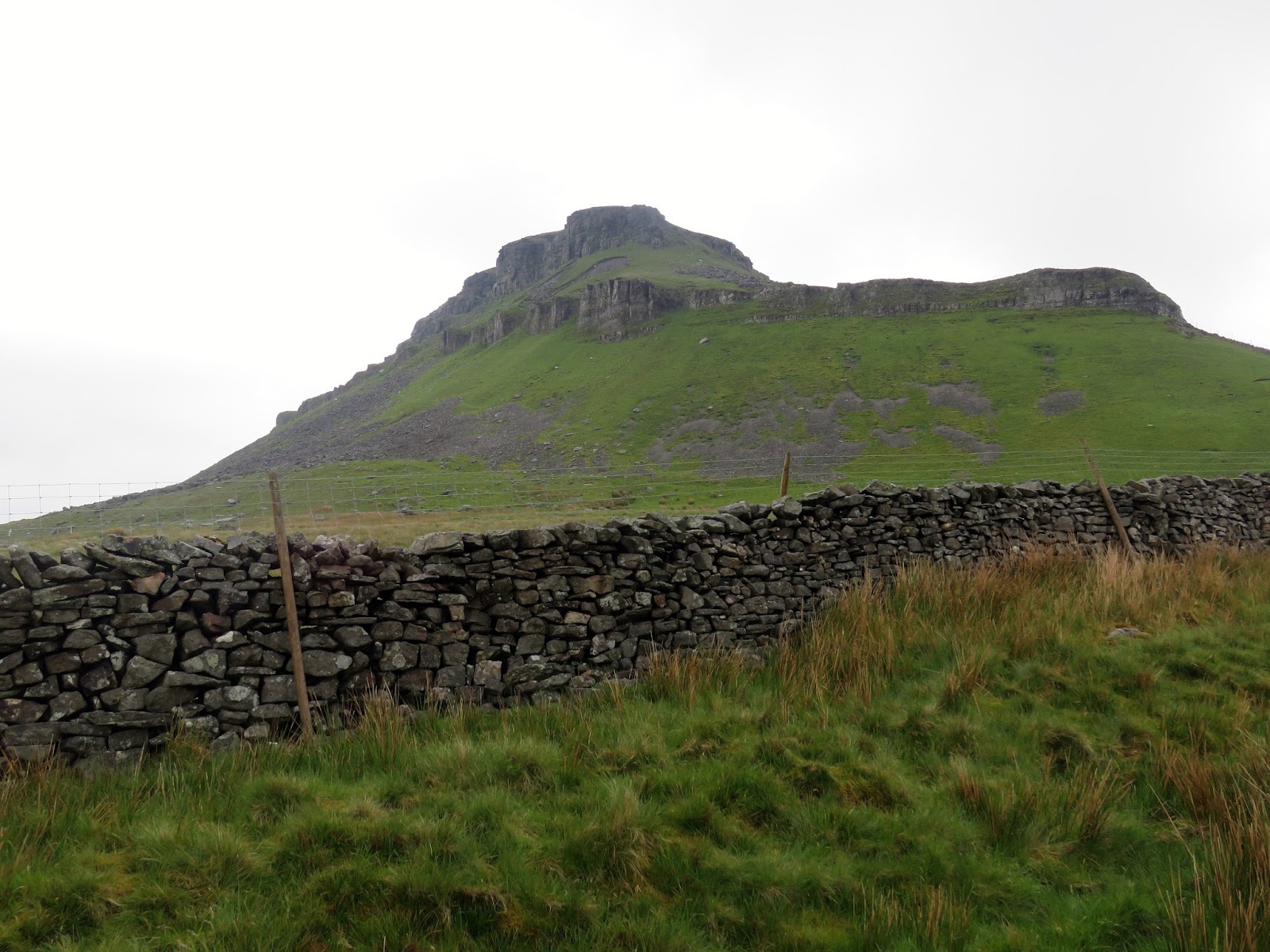
From the café, we walked a short distance through the village, crossing Horton Bridge to reach Brackenbottom and begin the steady climb up past Brackenbottom Scar towards Pen-y-Ghent. As soon as we gained some clear views of the valley, it was obvious the weather had been saving a shower just for us. Not wanting to be caught in a thunderstorm while climbing a hill, we took shelter against a modest drystone wall and waited out the rain before continuing on.
 |
| Incoming! |
 |
| Brackenbottom Scar |
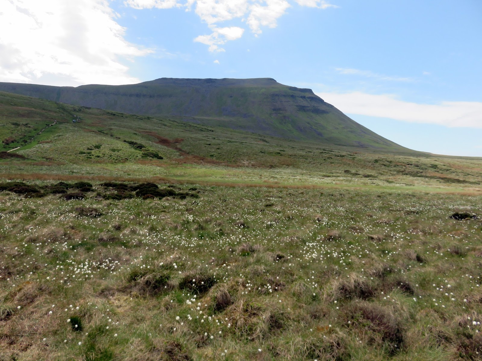
The path reaches the Pennine Way, which crosses directly over Pen-y-Ghent’s summit. In fact, the peak forms part of the watershed of the Pennine Fells – water from the western flanks drains towards the Irish Sea while water from the eastern flanks eventually finds its way into the Humber Estuary.
 |
| The shower passes |
 |
| Continuing the climb |
 |
| The Pennine Way |
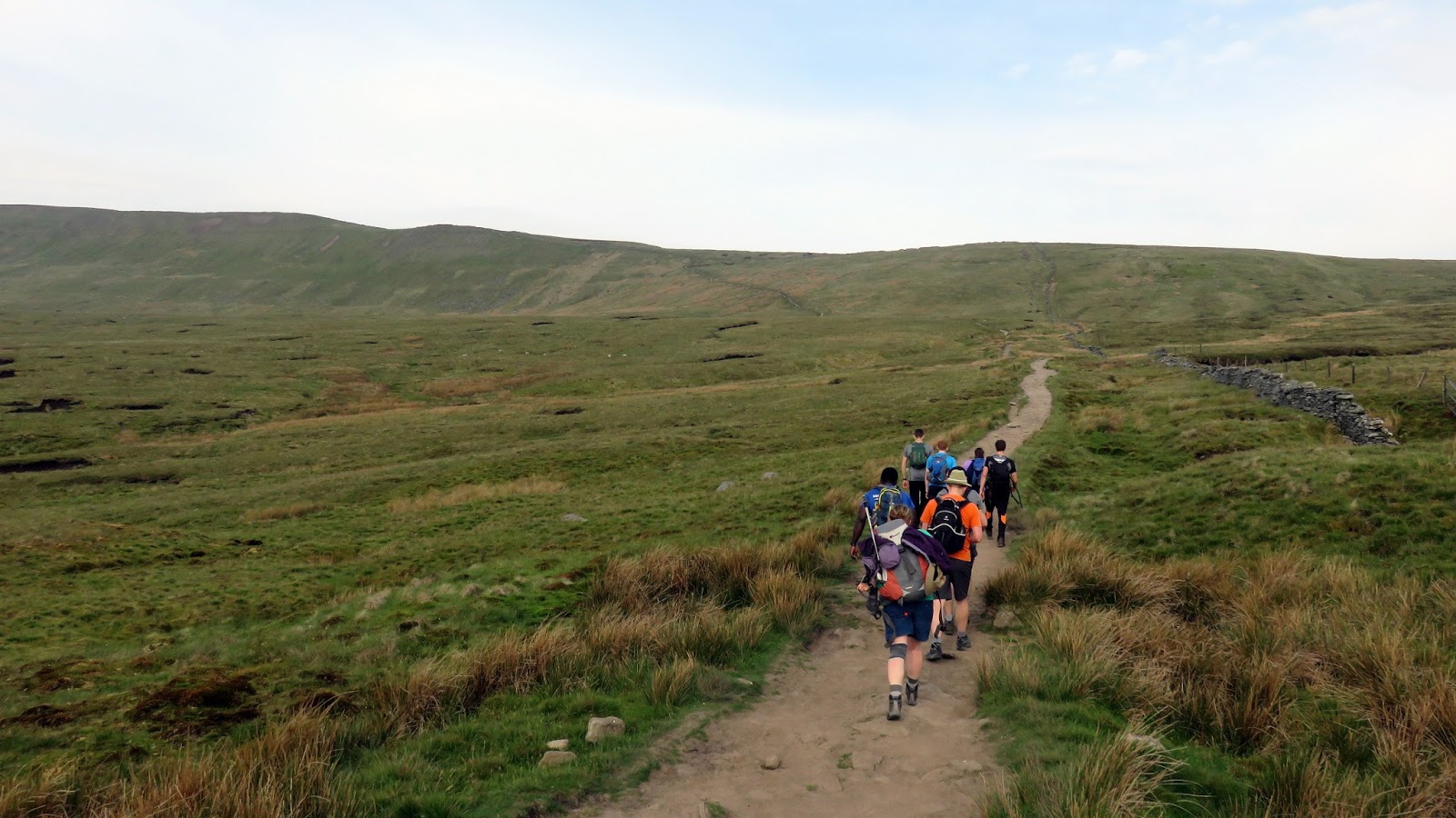
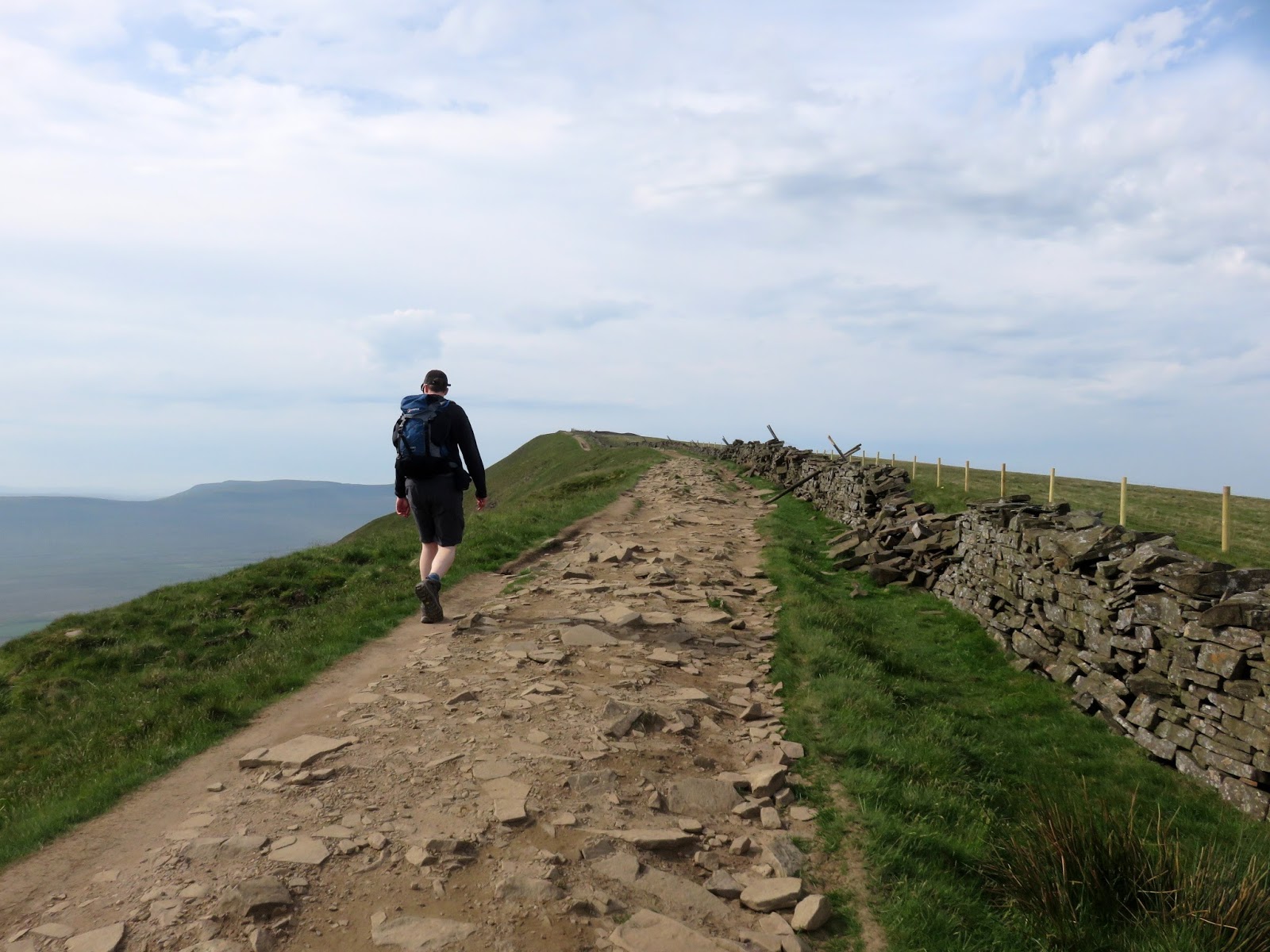
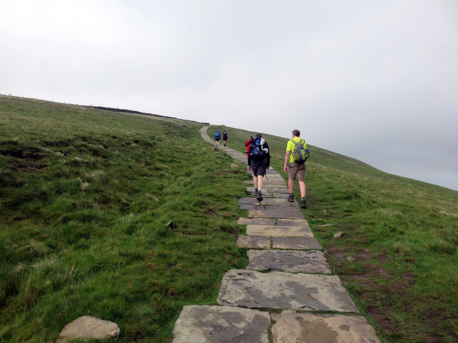
Joining the Pennine Way begins one of the more interesting parts of the walk as the path steepens, eventually ending up becoming a mini scramble to reach the summit ridge.
 |
| The interesting part of the climb |
 |
| The path below the summit |
 |
| The final climb |
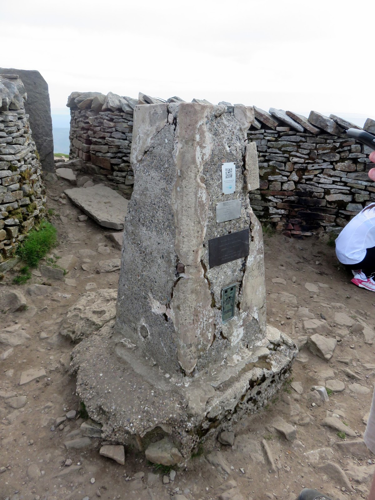
 |
| Pen-yGhent’s trig pillar |
 |
| A shaft of sun in the valley |
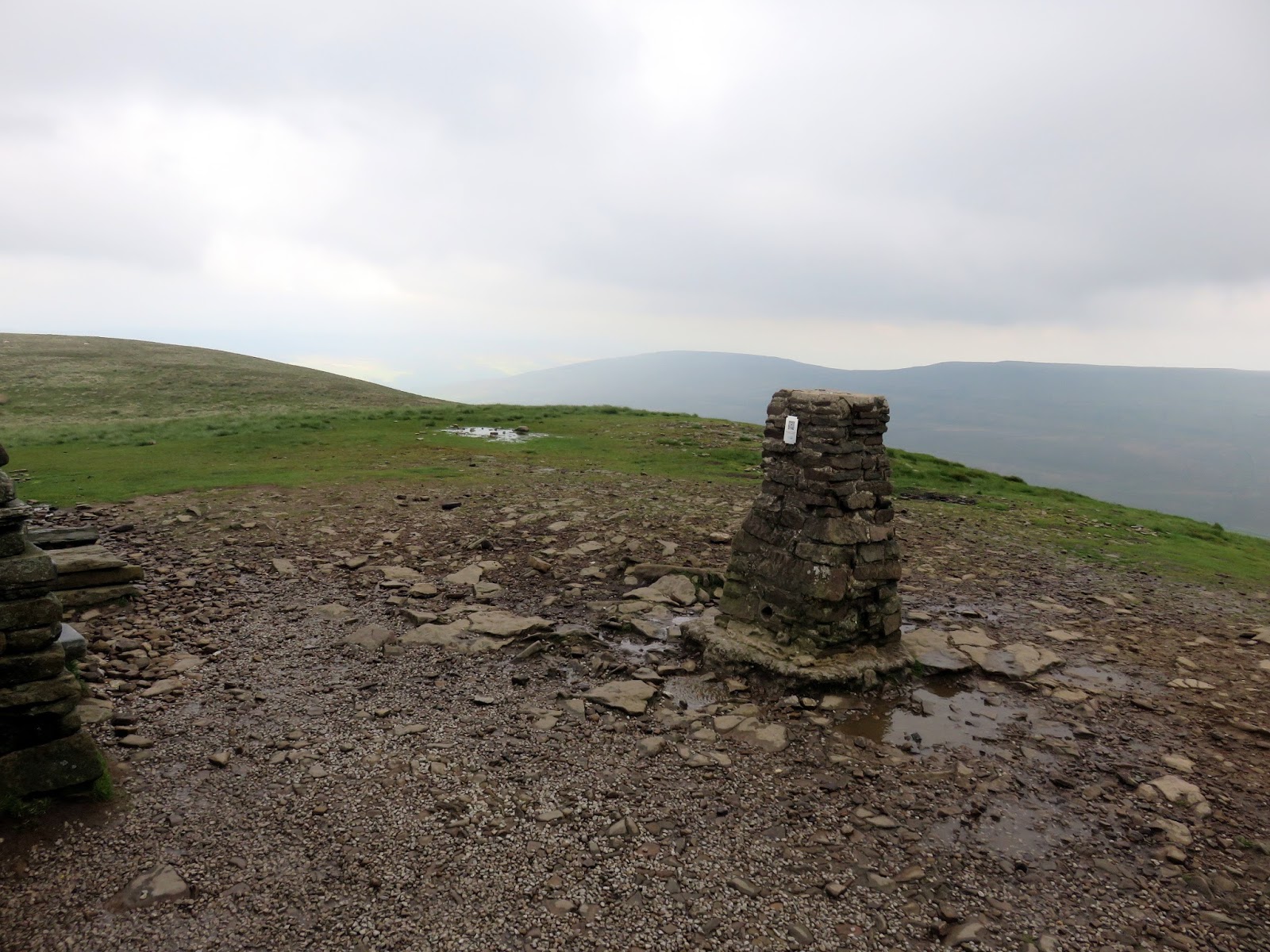
Marked by a trig point and featuring a rather enticing stone shelter, the summit was empty when we arrived, a rarity around these parts. The weather had really turned by now and it was cold, damp and quite windy so we made the most of the shelter, took our obligatory ‘third peak celebratory photo’ and began the long walk back to Ribblehead.
 |
| On the Pennine Way |
 |
| Pen-y-Ghent Side |
 |
| Looking back along the path at Tarn Bar |
 |
| Tarn Bar |
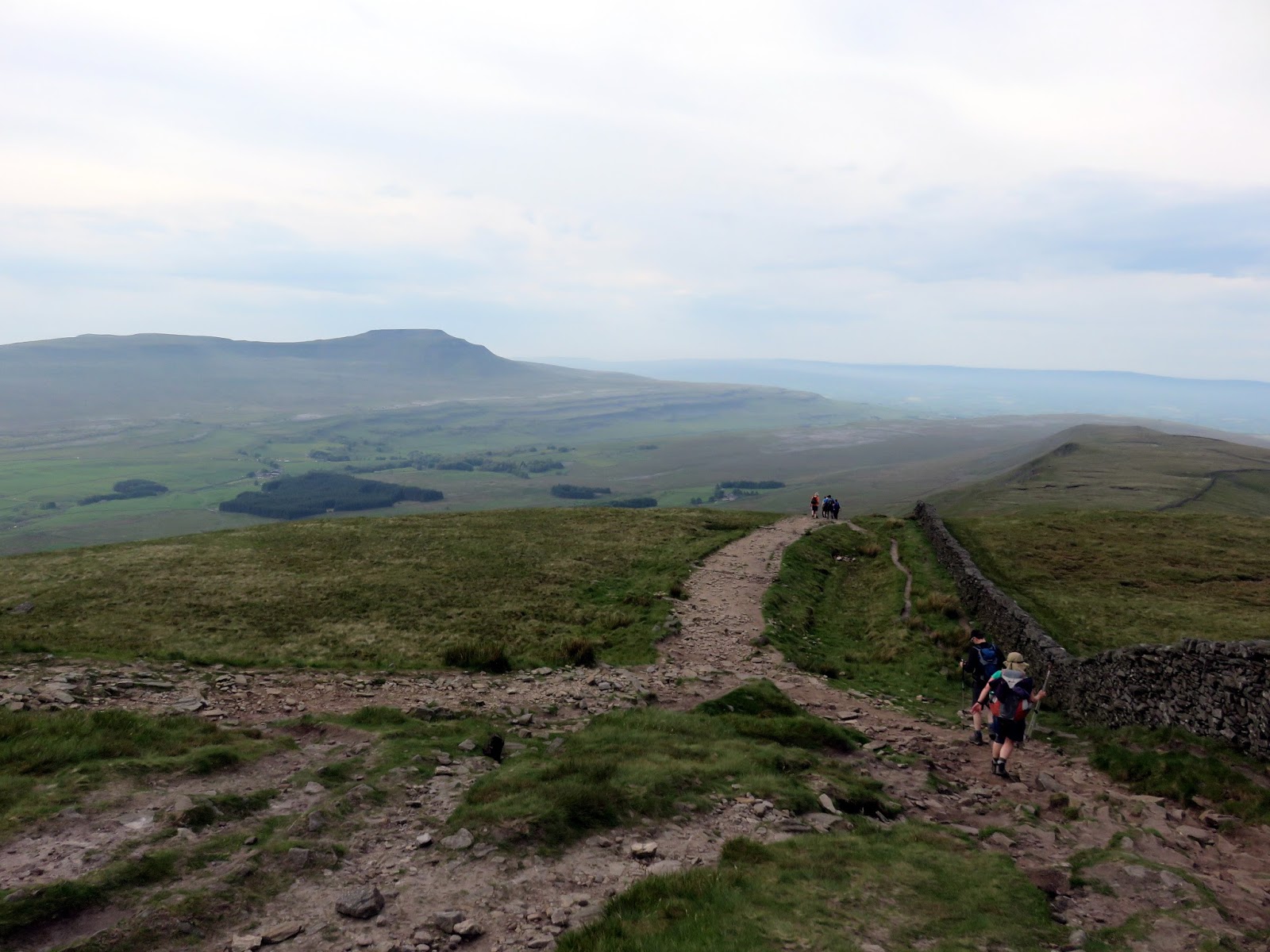
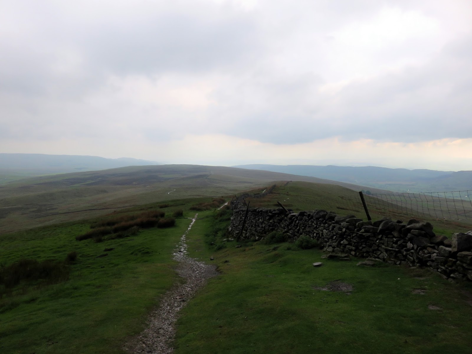
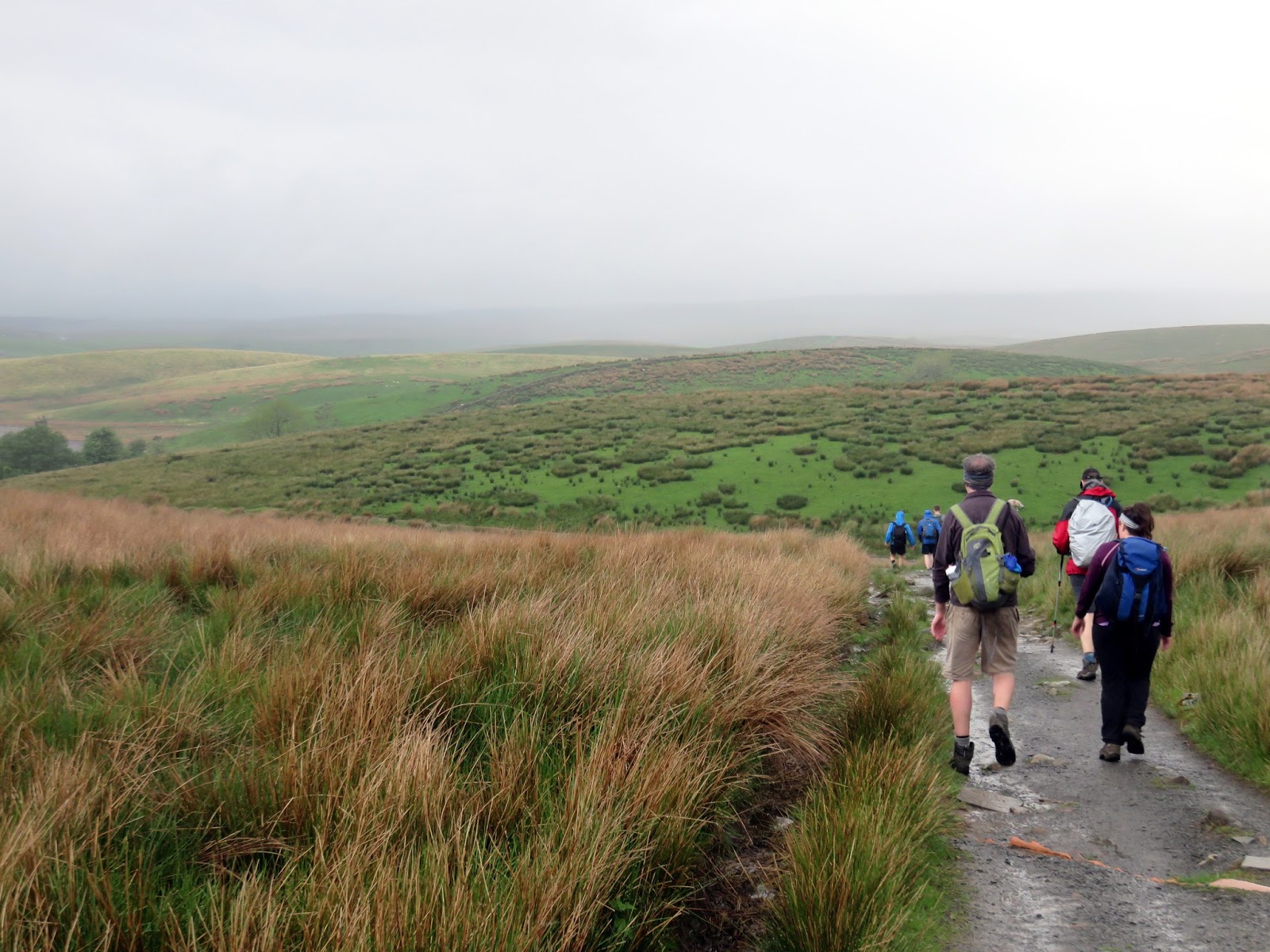
The rain was falling fairly steadily as we made our way over Whitber Hill to meet the Pennine Way once again at Jackdaw Hill. The path here has seen much improvement in recent years and many of the bogs have now been covered by matting and gravel.
 |
| High Pasture |
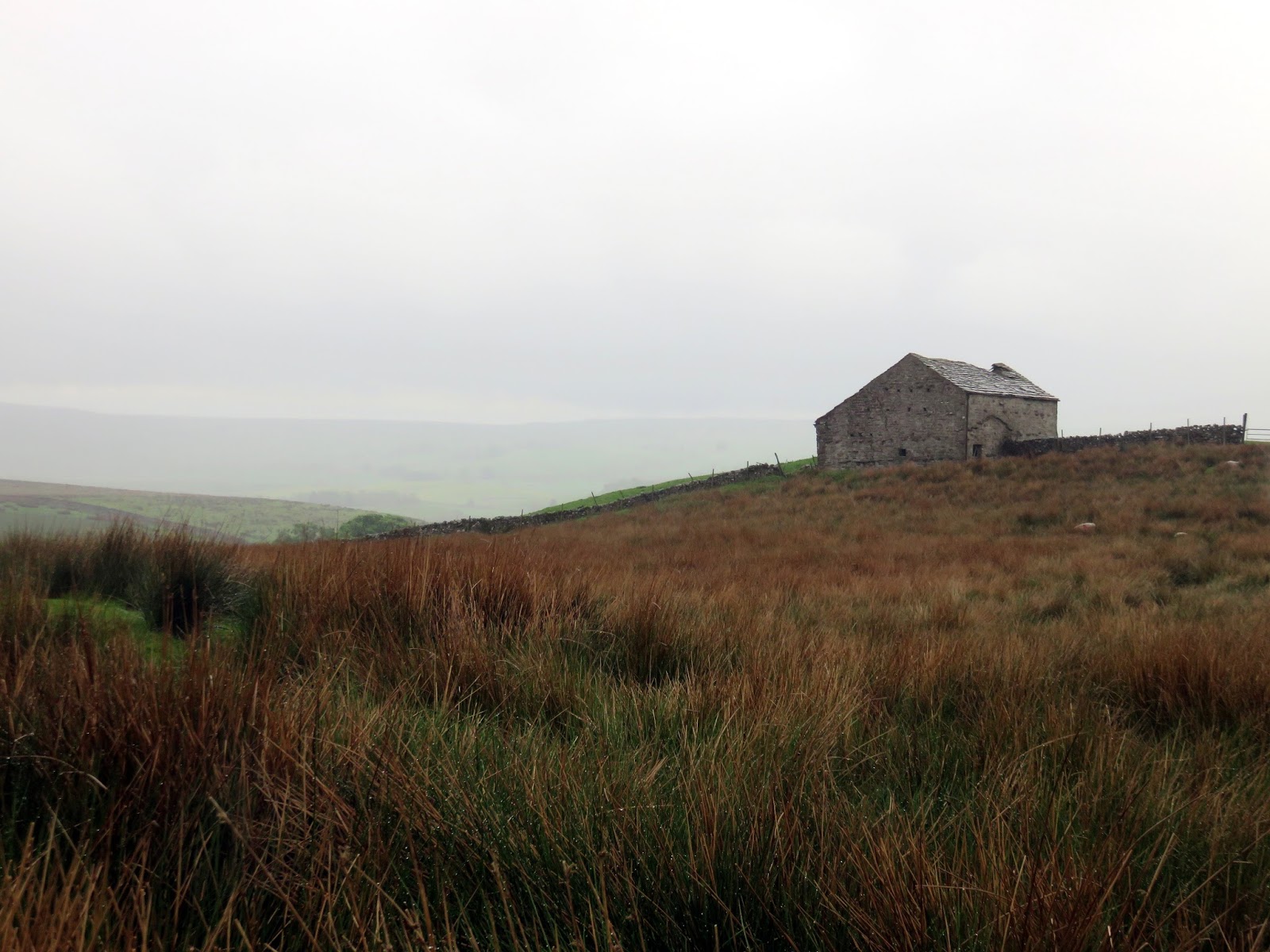
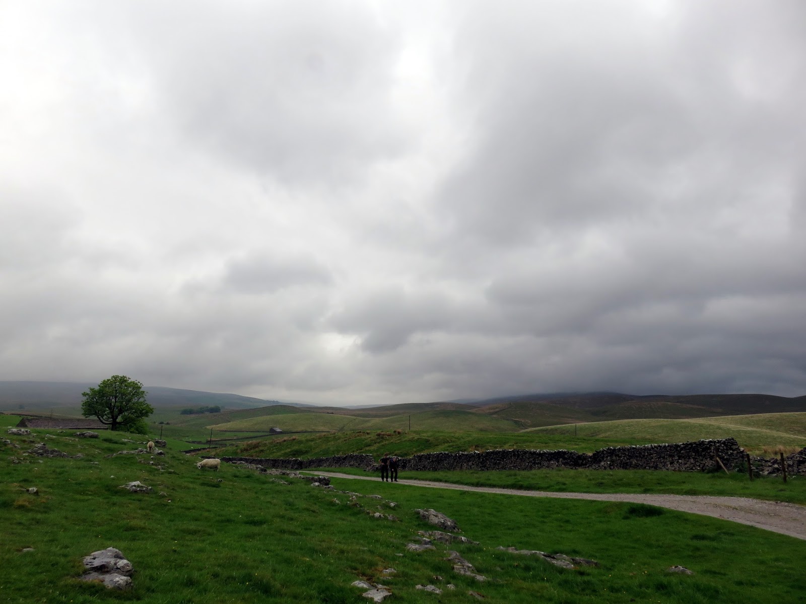
Admittedly, interest does tend to dry up a little along this section but the tedium was briefly interrupted by the Flying Scotsman barrelling along the mainline – too far for a photo but the Flying Scotsman none the less. We also saw the curious sight of a pair of US Army helicopters (one small, one large) following each other in aerial convoy. The route leaves the Pennine Way at High Pasture and drops into High Birkwith before eventually finding its way to the road at Lodge Hall over the distance around 2 miles.
 |
| Park Fell |
 |
| Brow Gill Beck |
 |
| Great Barn |
 |
| Low Rigg |
 |
| Moody skies over Ribblesdale |
The final stretch along the road passed without incident and we arrived back where we started in the car park of the Station Inn, having covered 24miles of the Yorkshire Dales finest. Out final time? 11 hours, 55 minutes – not too fast but not too slow, an optimal time if you will. According to the GPS we were actually moving for around 9.5 hours with 2.5 hours loitering around time which included lunch on Ingleborough, ducking out of storms in Horton and repairing a pair of boots en route.
The Yorkshire Three Peaks is a wonderful day out, one which I truly believe most people can achieve if they put their mind to it. Our alternative starting point also makes things a little more manageable in my opinion as the two big climbs are done earlier in the walk and the cafe in Horton is conveniently located at the half-way mark.


