Open Space Web-Map builder Codehttps://openspace.ordnancesurvey.co.uk/osmapapi/openspace.js?key=3119F72552FD5C22E0530C6CA40A5A92https://openspace.ordnancesurvey.co.uk/osmapapi/script/mapbuilder/basicmap.jshttps://openspace.ordnancesurvey.co.uk/osmapapi/script/mapbuilder/searchbox.js//variables for routes var linesLayer, points, lineFeature, lineString, routeMarkersLayer, routepos, routesize, routeoffset, routeicon; var style_blue = {strokeColor: “#0000CD”, strokeOpacity: 0.5, strokeWidth: 4.5}; function initmapbuilder() { //initiate the map var options = {resolutions: [2500, 1000, 500, 200, 100, 50, 25, 10, 5, 4, 2.5, 2, 1]}; osMap = new OpenSpace.Map(‘map’, options); //configure map options (basicmap.js) setglobaloptions(); //set the center of the map and the zoom level osMap.setCenter(new OpenSpace.MapPoint(227604.9974823,705494.00125885),7); linesLayer = osMap.getVectorLayer(); // Set up layer for route markers routeMarkersLayer = new OpenLayers.Layer.Markers(“Route Markers”); //make a route points = new Array(); points.push(new OpenLayers.Geometry.Point(229441.66412354,704946.66793823)); points.push(new OpenLayers.Geometry.Point(229366.66412354,704876.66793823)); points.push(new OpenLayers.Geometry.Point(229316.66412354,704886.66793823)); points.push(new OpenLayers.Geometry.Point(228941.66412354,705391.66793823)); points.push(new OpenLayers.Geometry.Point(228716.66412354,705596.66793823)); points.push(new OpenLayers.Geometry.Point(228691.66412354,705645.66793823)); points.push(new OpenLayers.Geometry.Point(228406.66412354,705790.66793823)); points.push(new OpenLayers.Geometry.Point(228116.66412354,705980.66793823)); points.push(new OpenLayers.Geometry.Point(227936.66412354,706090.66793823)); points.push(new OpenLayers.Geometry.Point(227621.66412354,706340.66793823)); points.push(new OpenLayers.Geometry.Point(227501.66412354,706505.66793823)); points.push(new OpenLayers.Geometry.Point(227176.66412354,706665.66793823)); points.push(new OpenLayers.Geometry.Point(227041.66412354,706740.66793823)); points.push(new OpenLayers.Geometry.Point(226841.66412354,706765.66793823)); points.push(new OpenLayers.Geometry.Point(226706.66412354,706820.66793823)); points.push(new OpenLayers.Geometry.Point(226496.66412354,706835.66793823)); points.push(new OpenLayers.Geometry.Point(226356.66412354,706795.66793823)); points.push(new OpenLayers.Geometry.Point(226241.66412354,706705.66793823)); points.push(new OpenLayers.Geometry.Point(226091.66412354,706585.66793823)); points.push(new OpenLayers.Geometry.Point(225986.66412354,706465.66793823)); points.push(new OpenLayers.Geometry.Point(225986.66412354,706370.66793823)); points.push(new OpenLayers.Geometry.Point(226031.66412354,706225.66793823)); points.push(new OpenLayers.Geometry.Point(226026.66412354,706145.66793823)); points.push(new OpenLayers.Geometry.Point(226031.66412354,706090.66793823)); points.push(new OpenLayers.Geometry.Point(226176.66412354,706035.66793823)); points.push(new OpenLayers.Geometry.Point(226056.66412354,705975.66793823)); points.push(new OpenLayers.Geometry.Point(225911.66412354,705815.66793823)); points.push(new OpenLayers.Geometry.Point(226071.66412354,706005.66793823)); points.push(new OpenLayers.Geometry.Point(226211.66412354,705970.66793823)); points.push(new OpenLayers.Geometry.Point(226631.66412354,705925.66793823)); points.push(new OpenLayers.Geometry.Point(226661.66412354,705870.66793823)); points.push(new OpenLayers.Geometry.Point(226996.66412354,705780.66793823)); points.push(new OpenLayers.Geometry.Point(227241.66412354,705690.66793823)); points.push(new OpenLayers.Geometry.Point(227391.66412354,705565.66793823)); points.push(new OpenLayers.Geometry.Point(227486.66412354,705465.66793823)); points.push(new OpenLayers.Geometry.Point(227986.66412354,705085.66793823)); points.push(new OpenLayers.Geometry.Point(228141.66412354,704825.66793823)); points.push(new OpenLayers.Geometry.Point(228261.66412354,704705.66793823)); points.push(new OpenLayers.Geometry.Point(228591.66412354,704935.66793823)); points.push(new OpenLayers.Geometry.Point(228661.66412354,704920.66793823)); points.push(new OpenLayers.Geometry.Point(228641.66412354,704830.66793823)); points.push(new OpenLayers.Geometry.Point(228691.66412354,704830.66793823)); points.push(new OpenLayers.Geometry.Point(228626.66412354,704725.66793823)); points.push(new OpenLayers.Geometry.Point(228851.66412354,704820.66793823)); points.push(new OpenLayers.Geometry.Point(228806.66412354,704645.66793823)); points.push(new OpenLayers.Geometry.Point(229081.66412354,704730.66793823)); points.push(new OpenLayers.Geometry.Point(229086.66412354,704680.66793823)); points.push(new OpenLayers.Geometry.Point(229186.66412354,704710.66793823)); points.push(new OpenLayers.Geometry.Point(229291.66412354,704790.66793823)); points.push(new OpenLayers.Geometry.Point(229441.66412354,704946.66793823)); // create a polyline feature from the array of points lineString = new OpenLayers.Geometry.LineString(points); lineFeature = new OpenLayers.Feature.Vector(lineString, null, style_blue); linesLayer.addFeatures([lineFeature]); //crate a route start/end marker routepos = new OpenSpace.MapPoint(229441.66412354,704946.66793823); routesize = new OpenLayers.Size(33,45); routeoffset = new OpenLayers.Pixel(-5,-37); routeicon = new OpenSpace.Icon(‘https://openspace.ordnancesurvey.co.uk/osmapapi/img_versions/img_1.1/mapbuilder/routemarker-startend.png’, routesize, routeoffset, null, null); routeMarkersLayer.addMarker(new OpenLayers.Marker(routepos, routeicon)); osMap.addLayer(routeMarkersLayer);}
Route: Succoth, Creag an Fhithich, Cruach nam Miseag, The Spearhead, Beinn Narnain, Bealach a’ Mhaim, North Peak, The Cobbler, Coire a’ Bhalachain, Narnain Boulders, Allt a’ Bhalachain, Monadh Liath, Succoth
Date: 17/04/2017
From: Arrochar
Parking: Succoth
Start Point: Succoth
Region: Loch Lomond & The Trossachs
Route length: 7.0 miles (11.2 km)
Time taken: 04:23
Average speed: 1.6 mph
Ascent: 1,253m
Descent: 1,276m
Munros on this walk:
Beinn Narnain (926m)
Other Summits: North Peak (870m), Ben Arthur (884m)
Other points of interest: Narnain Boulders
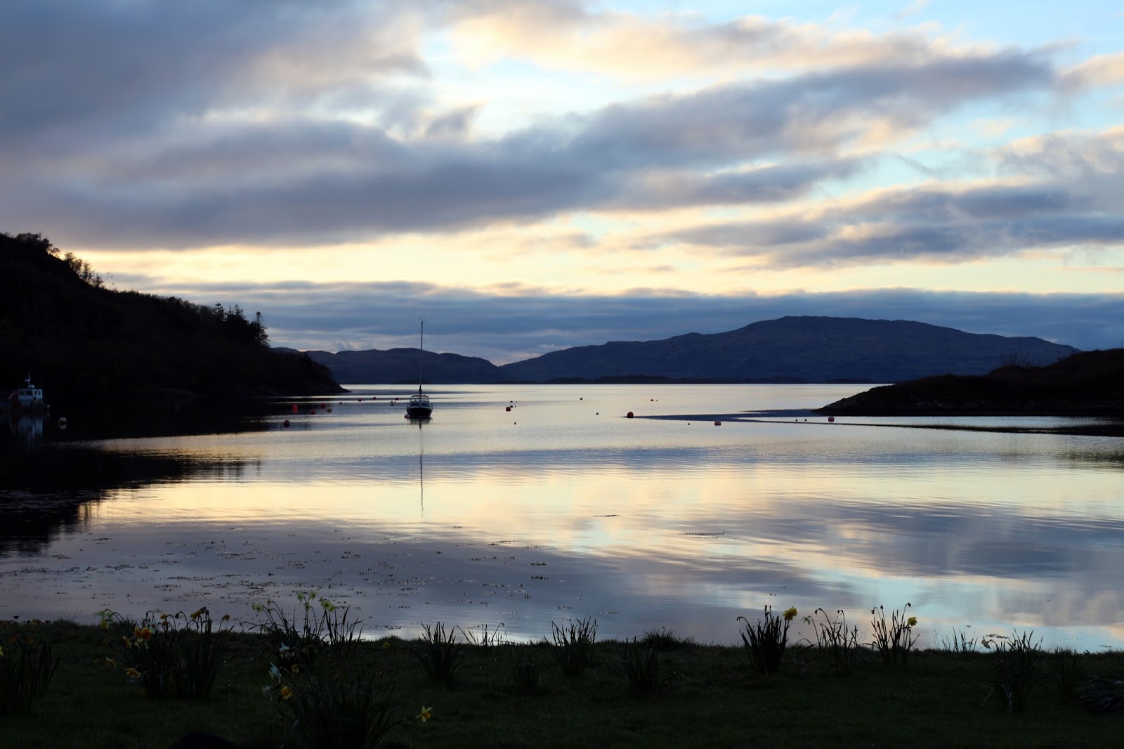
We recently spent a week up on the west coast of Scotland, a fair trek from All the Gear HQ. It’s not a place I’ve been before but I was keen to make the most of our location by having a few walks up my sleeve for those all-too-rare sunny days. Luckily for me, the first day of the holiday was shaping up to be one of the best.
 |
| The view from our front door in Crinan |
The main hill I had in mind was Ben Arthur, more commonly known as The Cobbler. It is perhaps the only mountain that outshines the higher tops around it thanks to the dramatic arrangement of the cliffs, crags and outcrops on the summit. A walk to Ben Arthur was too short an outing so I decided that I’d climb my first Munro – that of the neighbouring Beinn Narnain.
 |
| Starting the walk from the road in Succoth |
 |
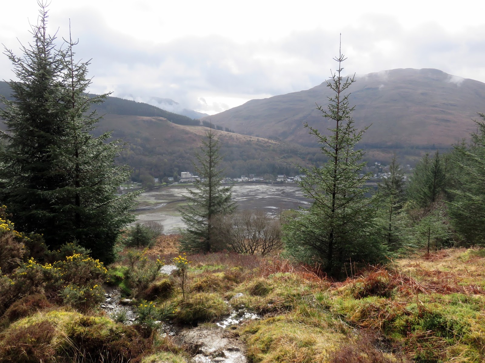
| The head of Loch Long with Ben Reoch beyond |
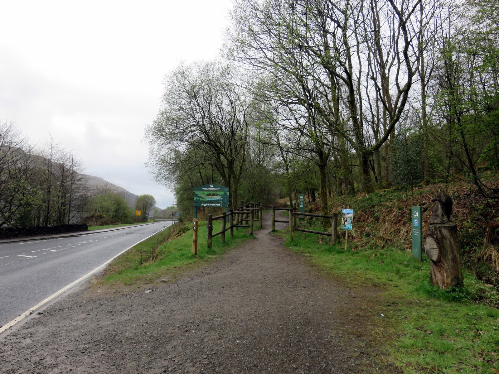
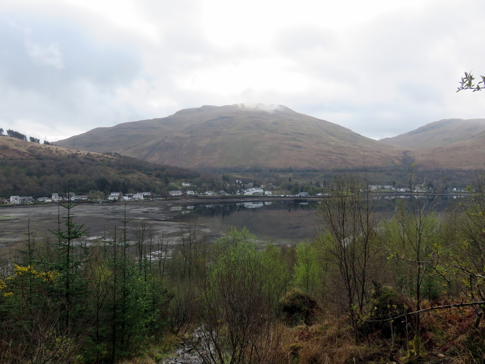
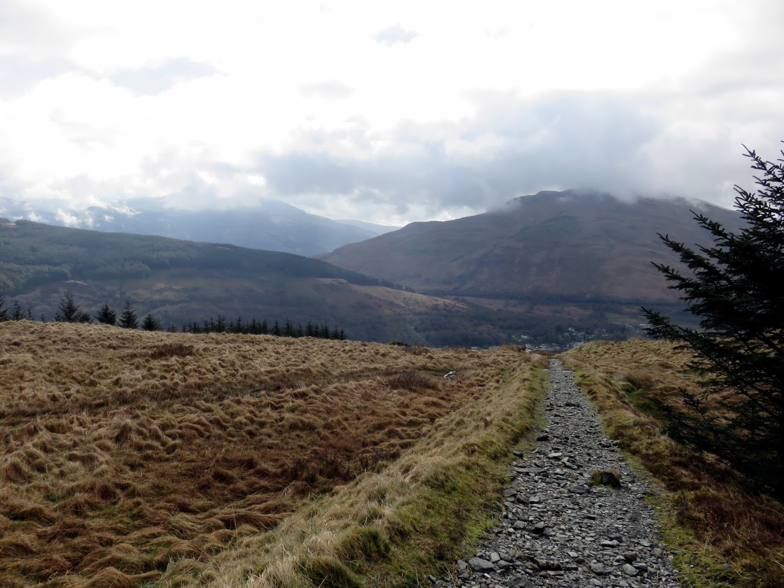
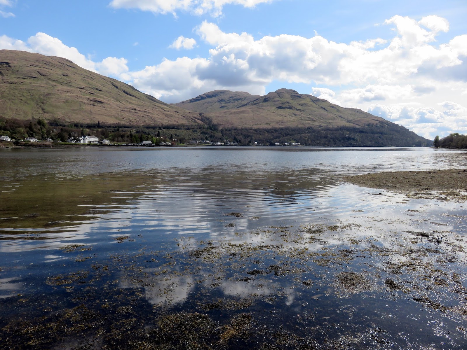
The walk starts in Arrochar, or more specifically from a large car park on the shore of Loch Long, close to Succoth. I had arrived early anticipating the car park getting busy with it being the Easter weekend and luckily I found a space. I was also pleasantly surprised to find that parking for the day cost the princely sum of £1. I liked Scotland already.
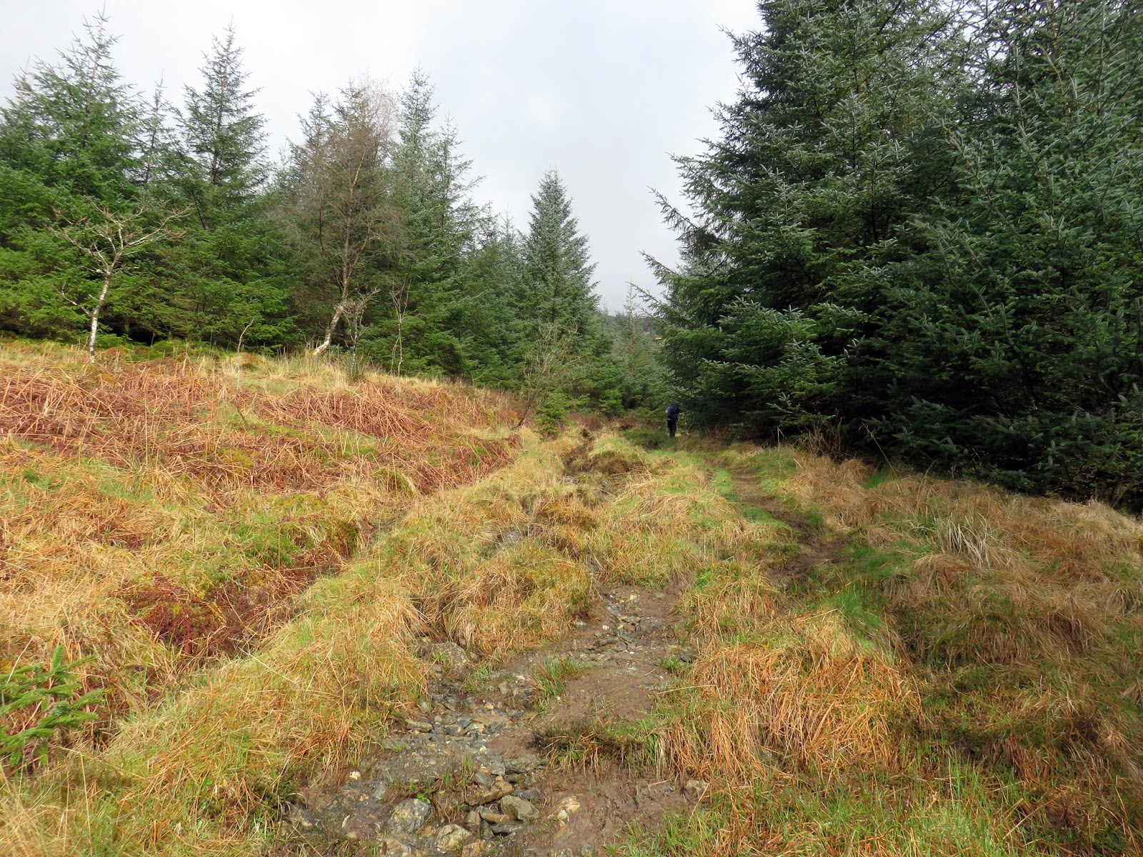
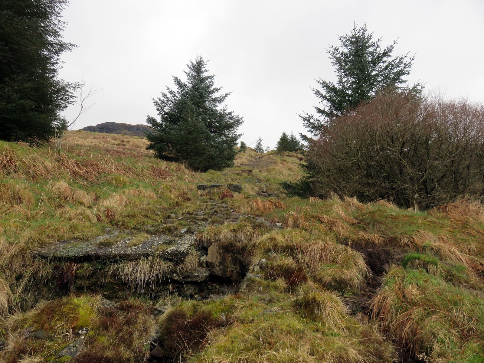
There was no hiding from the fact that the climb up Beinn Narnain is direct with little deviation. It begins by following a wide track for a short distance before a small path heads off at a right angle into the trees. This direct route follows a line of concrete blocks which once supported a cable railway which was used during the construction of a dam on Allt Sugach.
 |
| A brief burst of sun |
 |
| The direct route |
 |
| The concrete blocks that used to carry to old cable railway |
 |
| Approaching Creag an Fhithich |
 |
| Looking back to Loch Long |
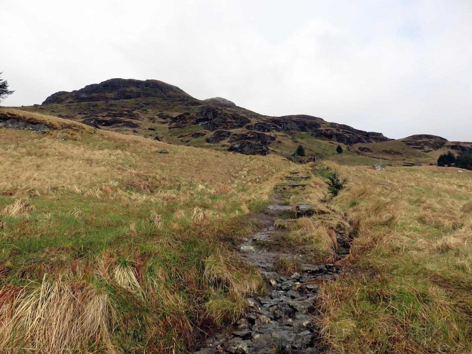
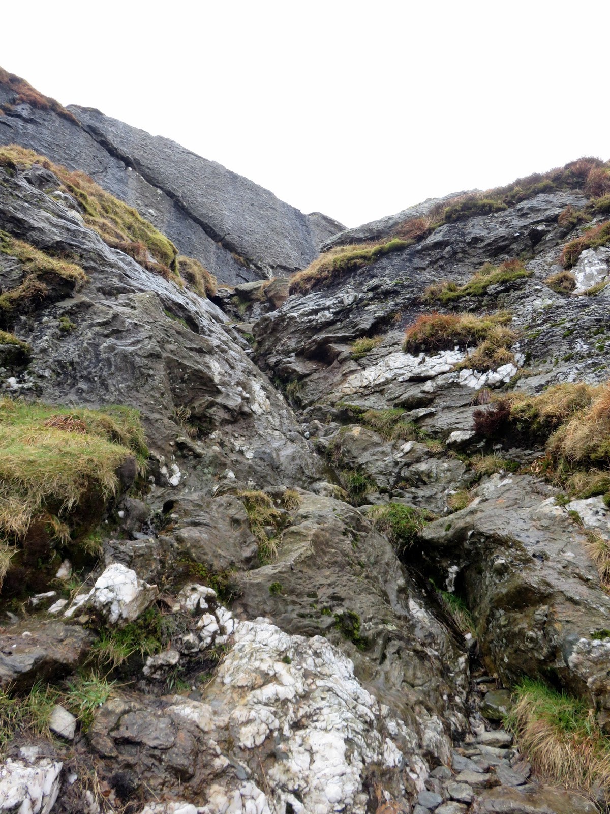
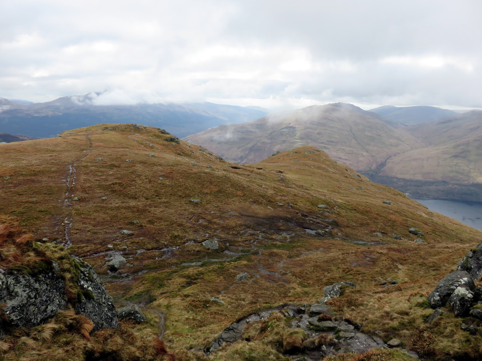
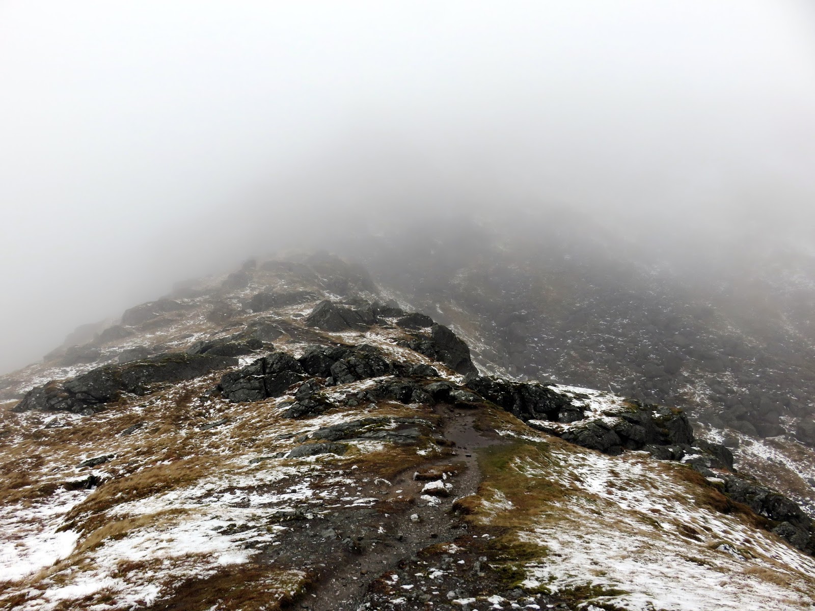
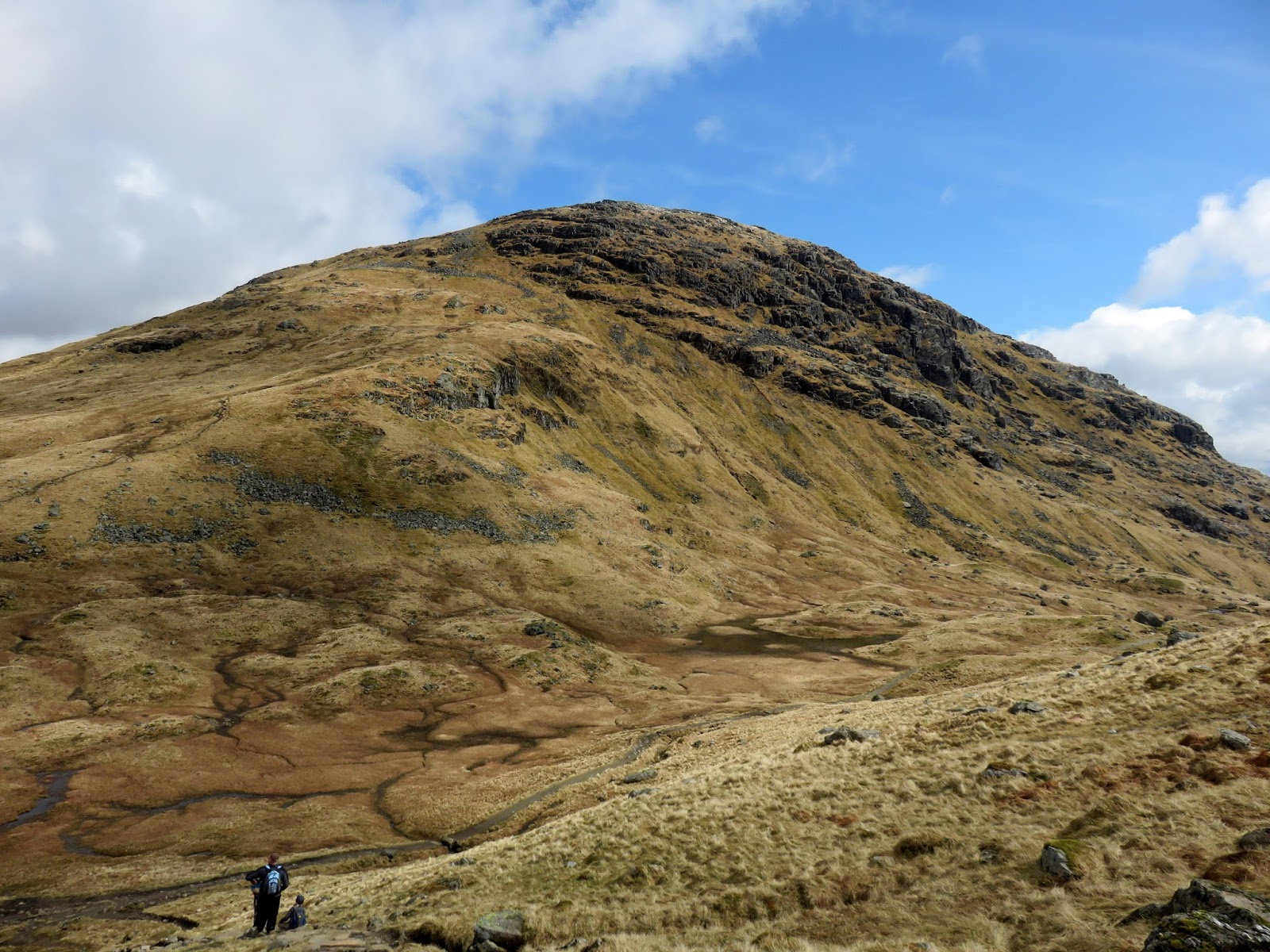
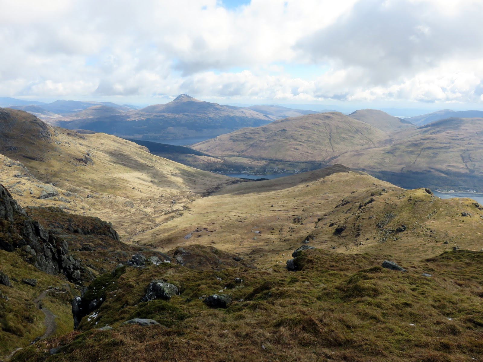
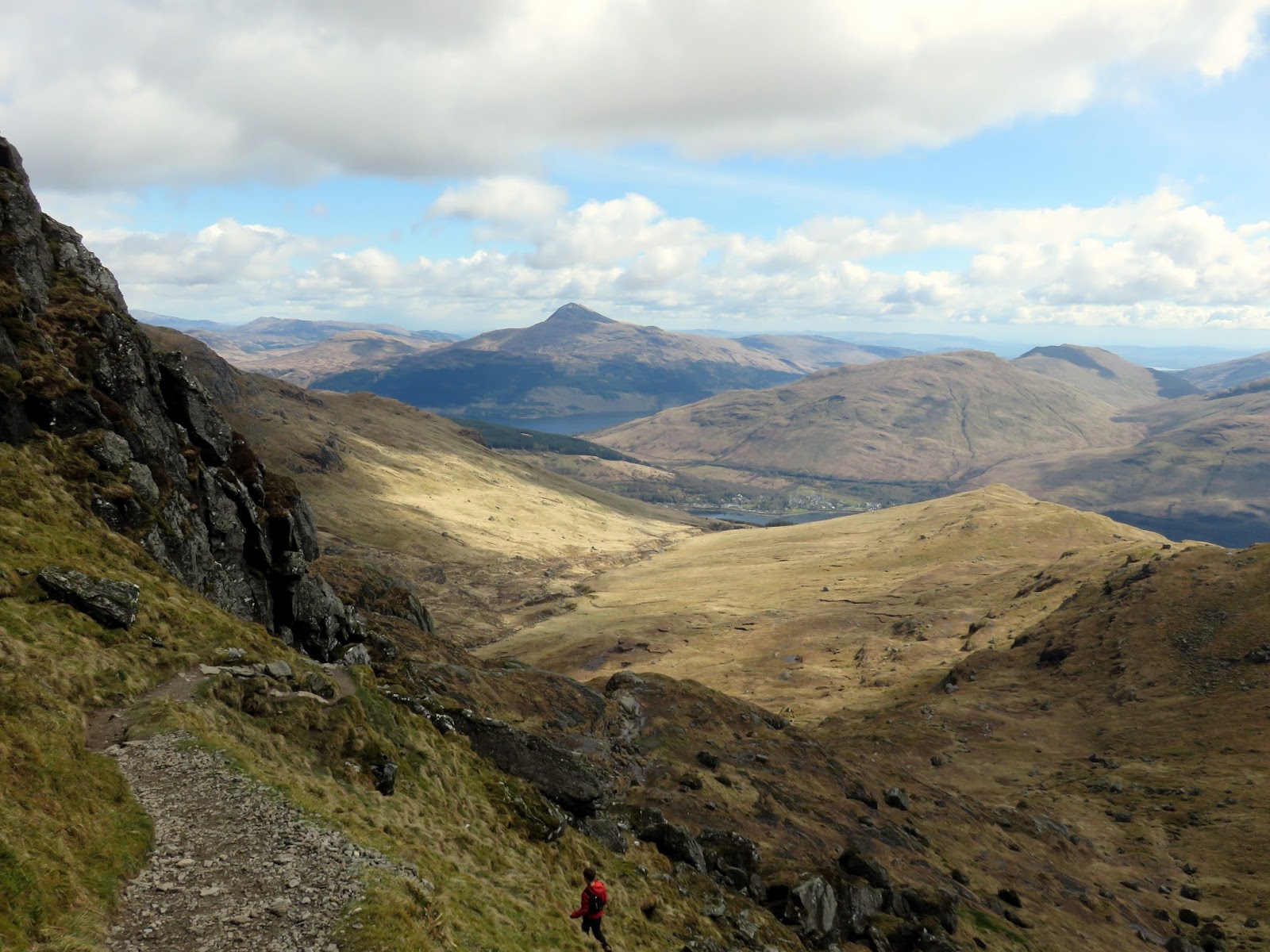
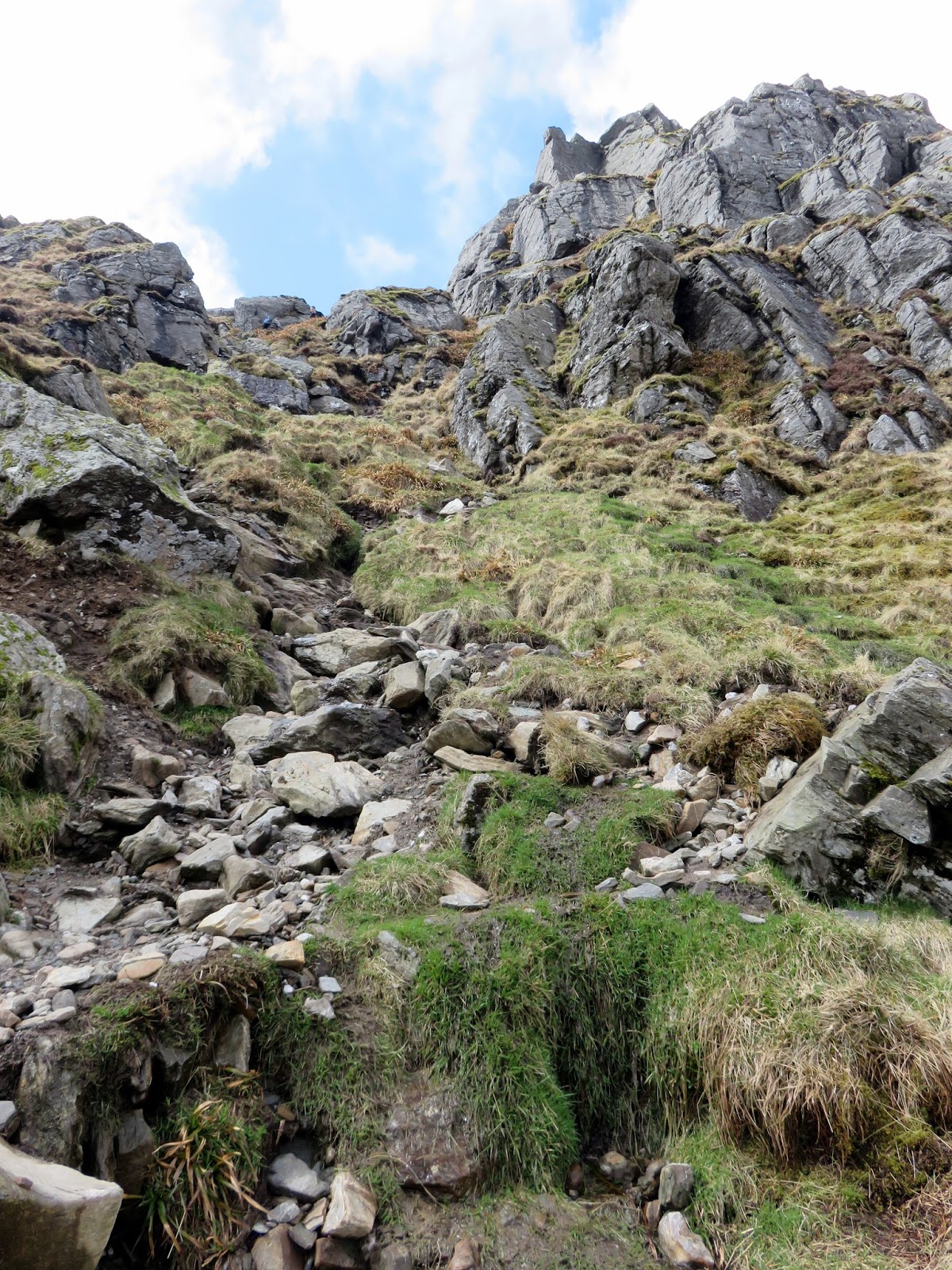
The clouds were still quite low as I climbed up the towards Creag an Fhithich and it was obvious that the previous day’s rain had fallen as snow on the higher summits. Climbing still, the route remains on its direct heading but steepens as it climbs over Creag and Fhithich and on towards the minor top of Cruach nam Miseag, which was in the cloud.
 |
| Loch Long |
 |
| Creag an Fhithich |
 |
| Some mild scrambling |
 |
| Looking down from Cruach nam Miseag |
 |
| Sugach Buttress |
 |
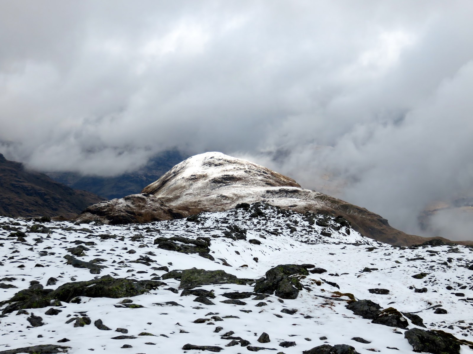
| Cruach nam Miseag |
 |
| Into the cloud |
 |
| Approaching The Spearhead |
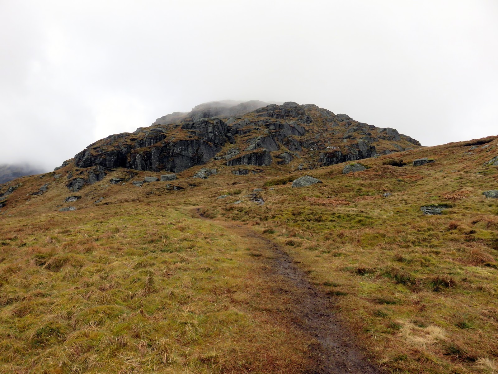
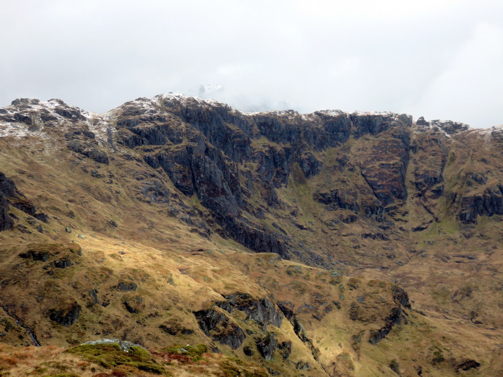
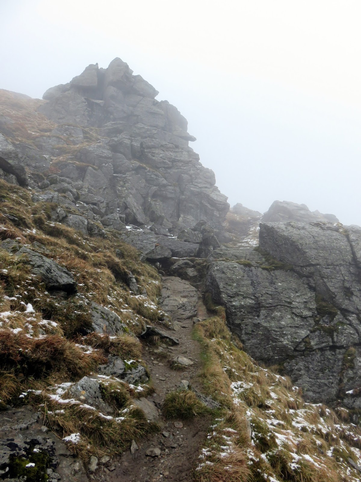
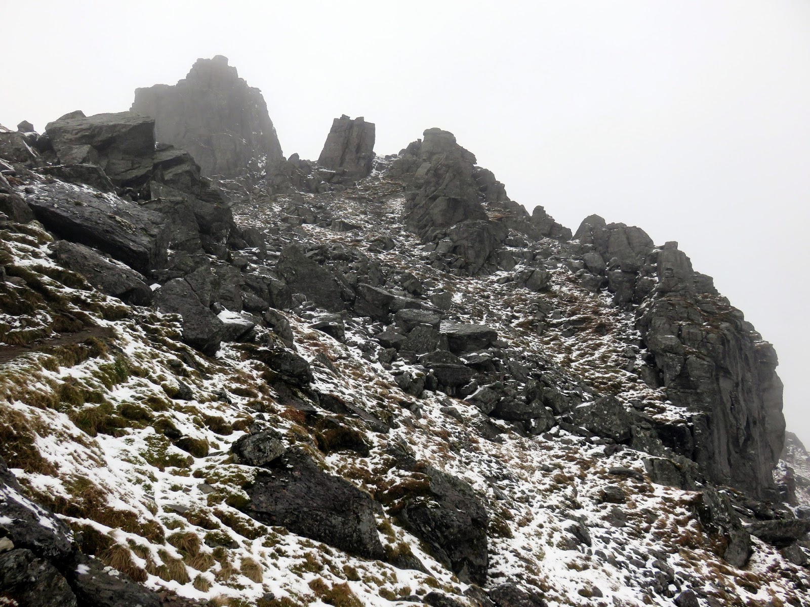
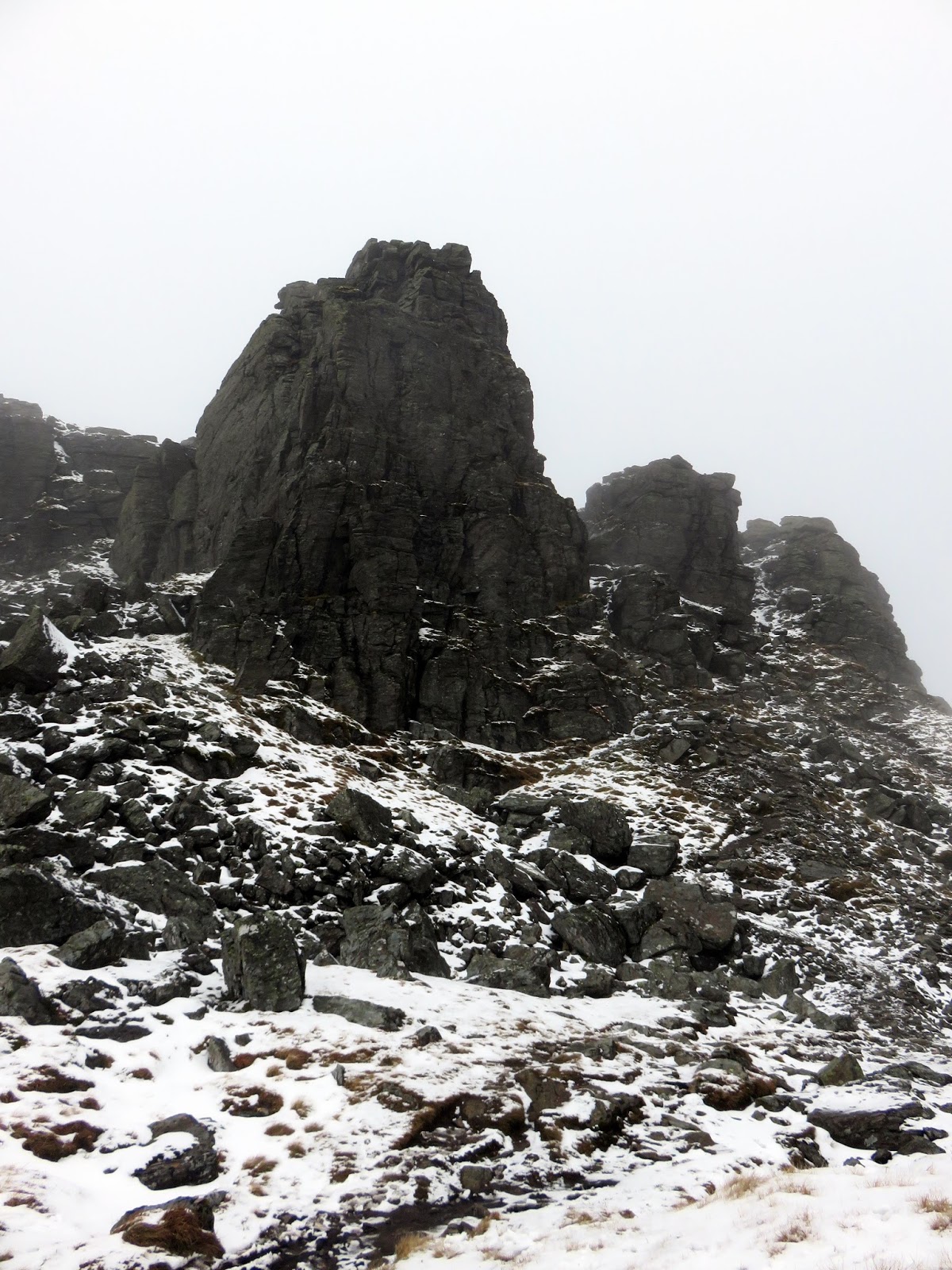
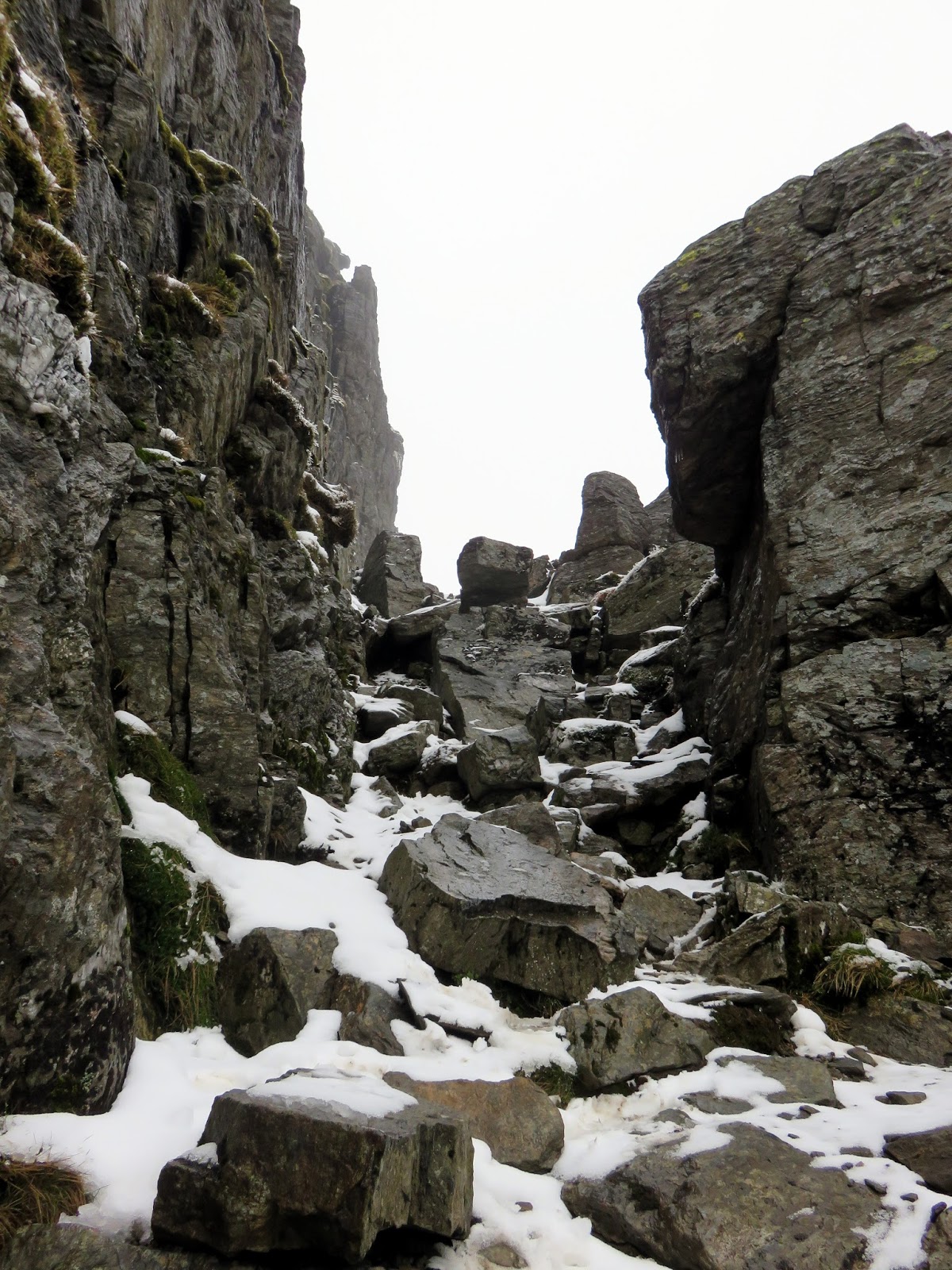
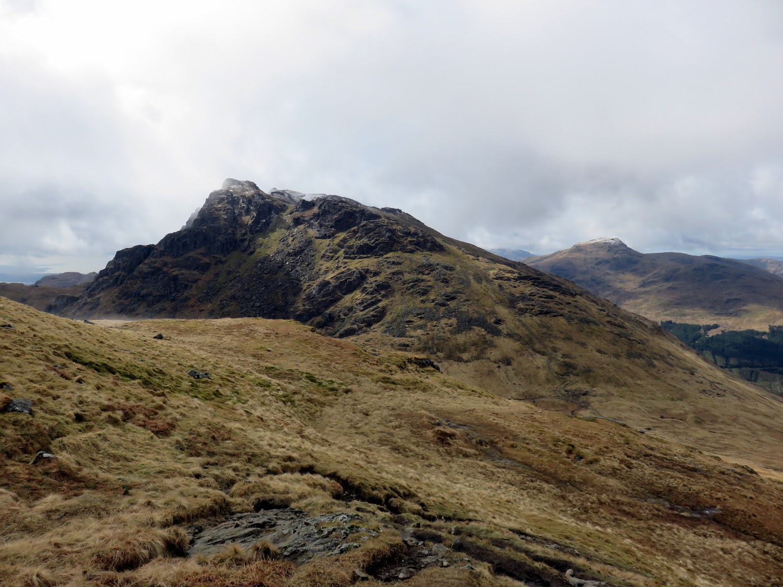
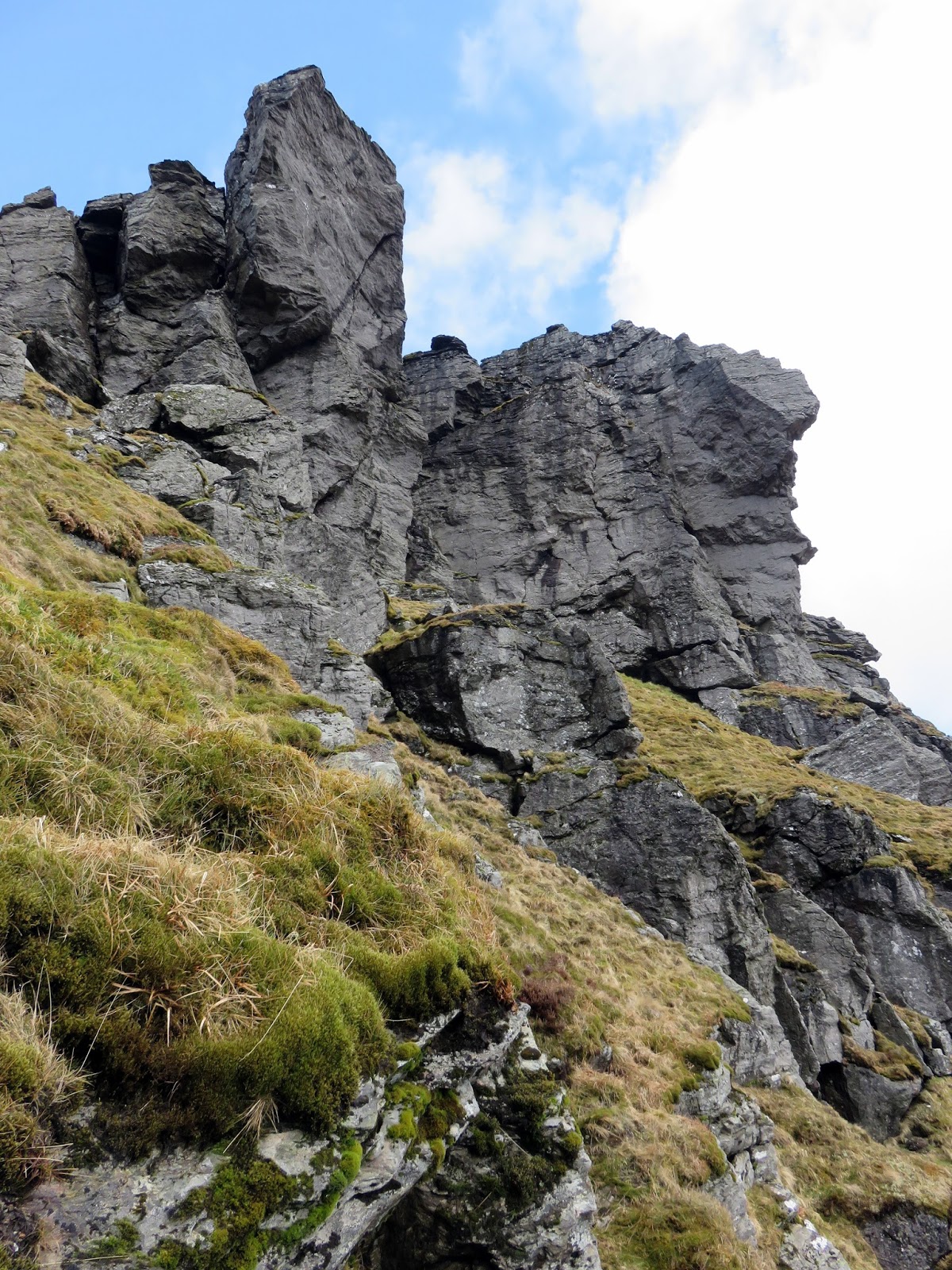
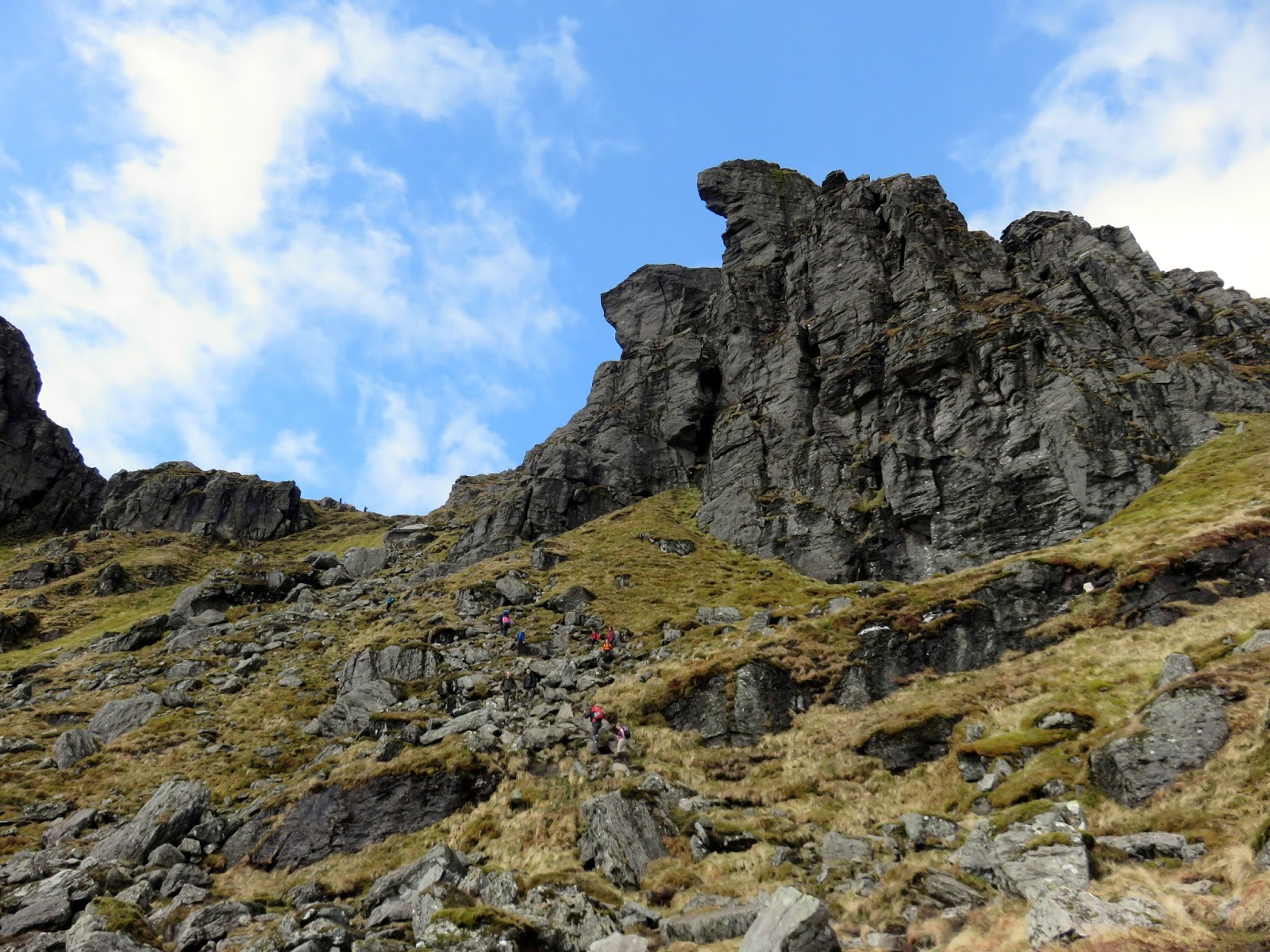
The cloud was visibly starting to break as I made my way towards The Spearhead, a rock-slope failure has left a 20m craggy buttress. Looming through the mist, it appears impassable, however, the path clearly winds between the rocks to a short gully to access the summit. Though steep, it never really enters the territory of a full scramble.
 |
| Starting the climb towards The Spearhead |
 |
| Ben Arthur makes its first appearance |
 |
| Cruach nam Miseag |
 |
| Shattered rocks below The Spearhead |
 |
| The Spearhead |
 |
| An easy gully leads up along The Spearhead |
 |
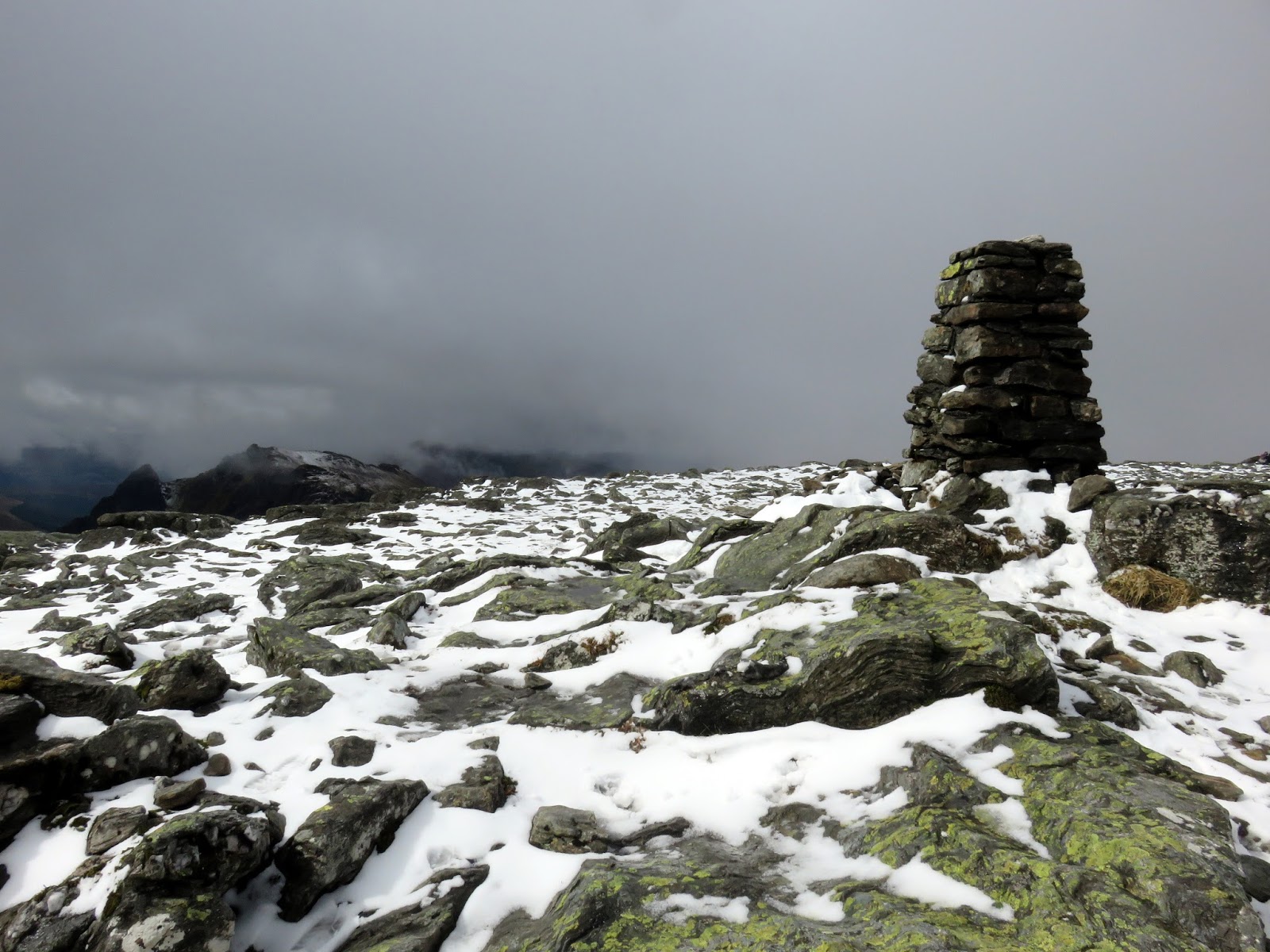
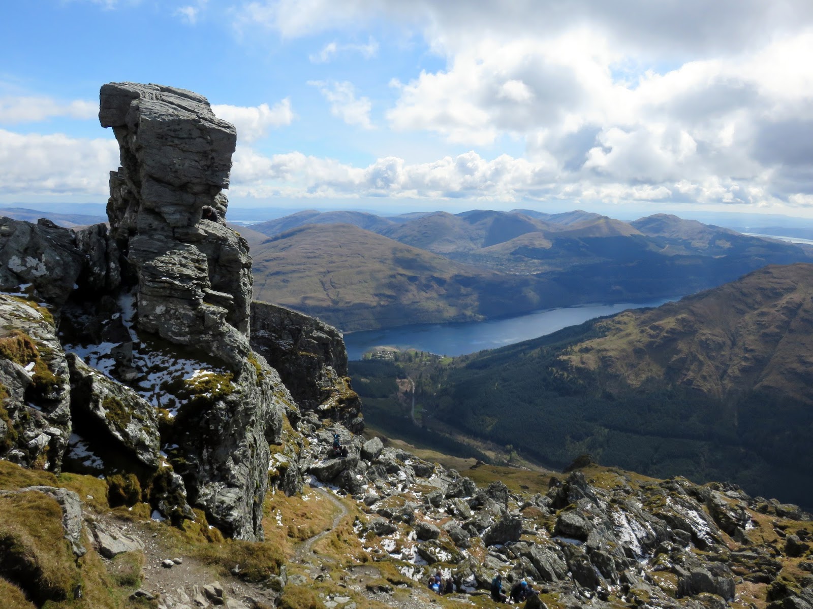
| Beinn Narnain’s summit |
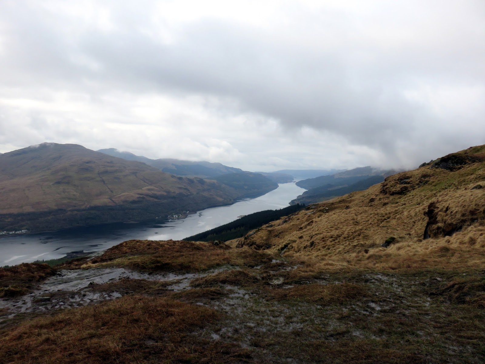
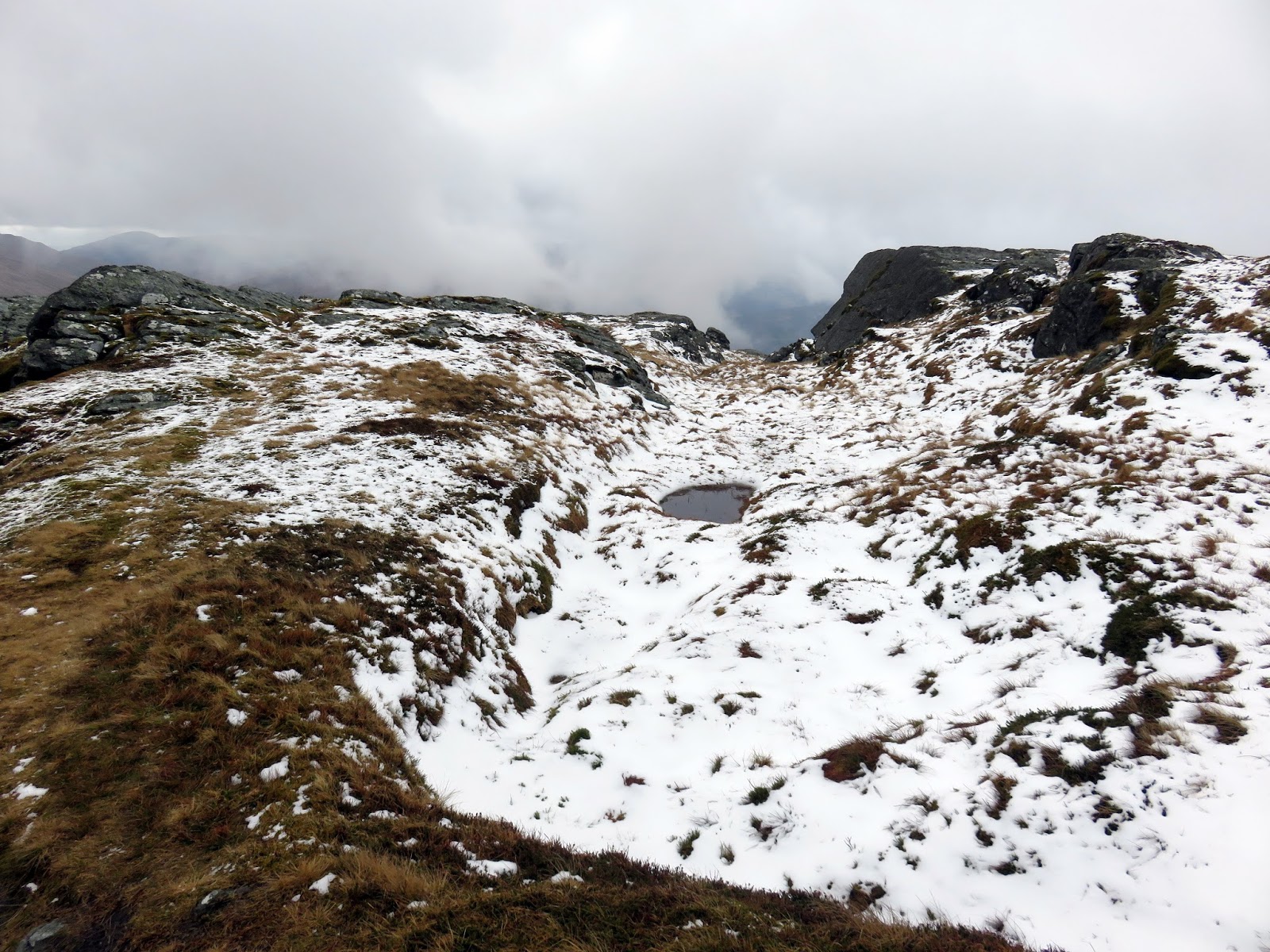
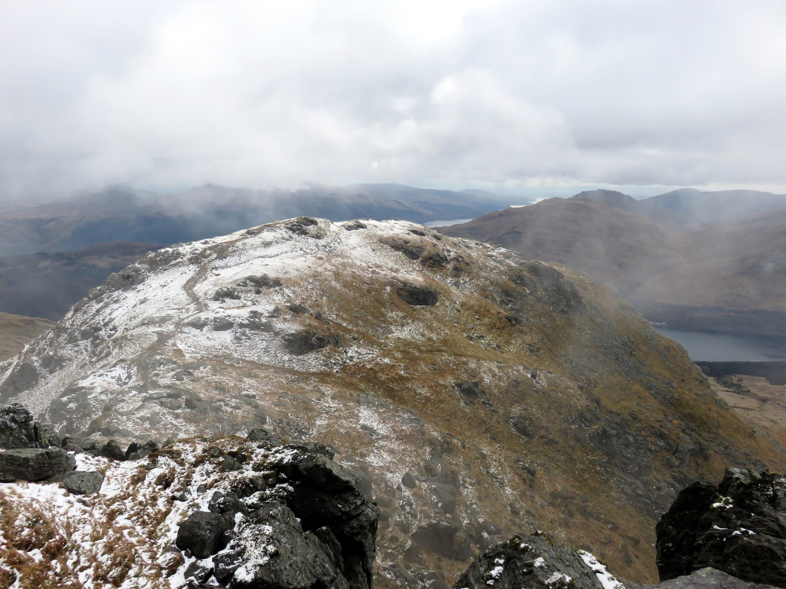
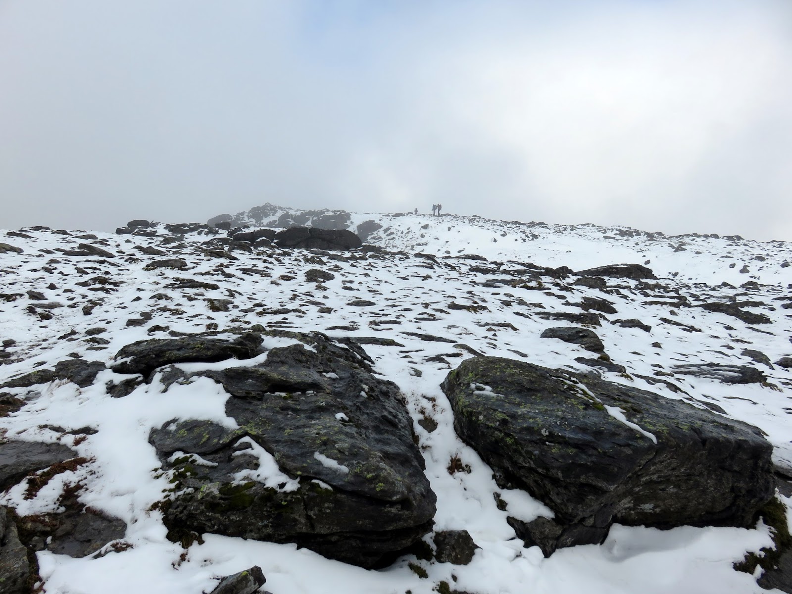
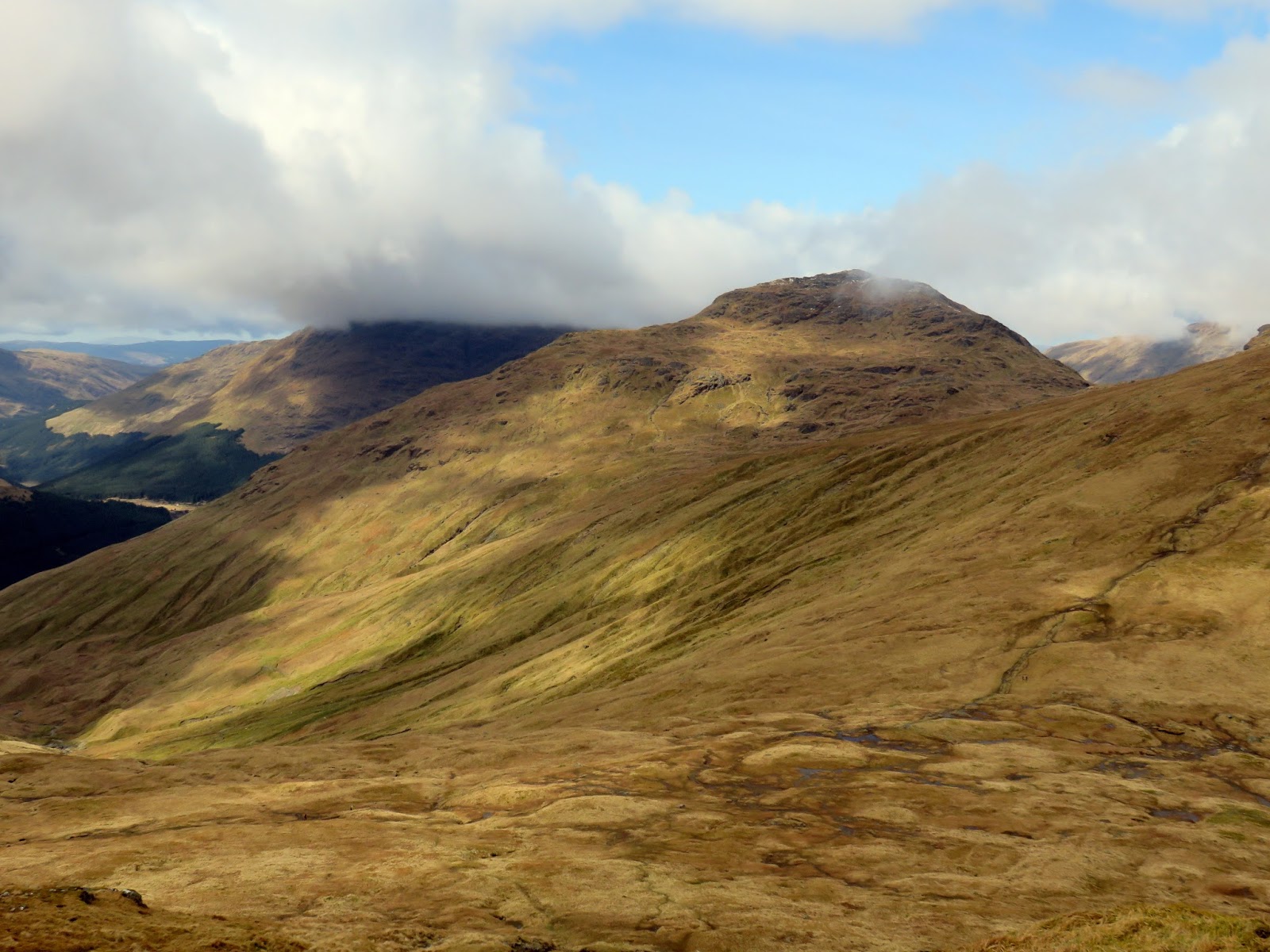
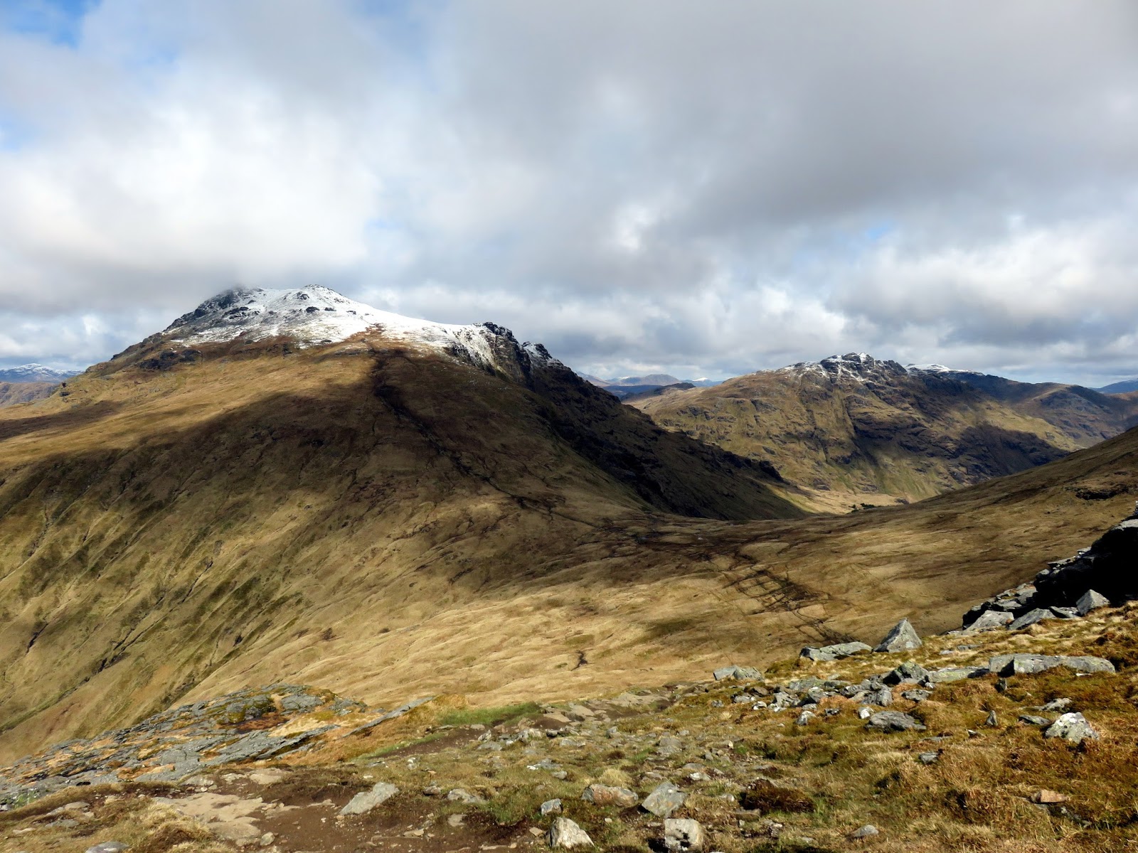
Beinn Narnain’s summit is fairly flat though littered with rocks. I wandered around for a while, keeping an eye on the clouds as the continued their retreat off the summit. Spots of sun had started to break though and I wished I hadn’t left my sunglasses in the car. The last of the low cloud was still drifting around Ben Arthur as I began my descent to the pass of Bealach a’ Mhaim some 300m below.
 |
| The neighbouring A’ Chrois |
 |
| Beinn Narnain’s summit |
 |
| Ben Arthur |
 |
| Bealach a’ Mhaim |
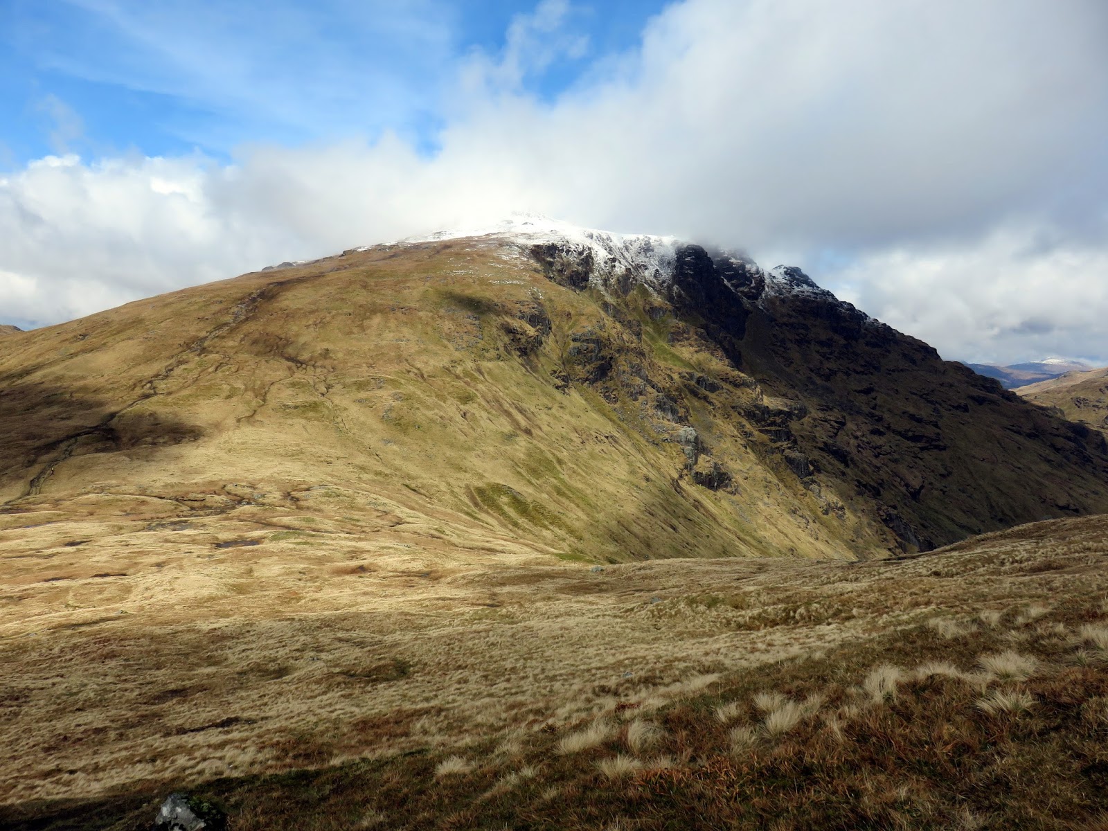
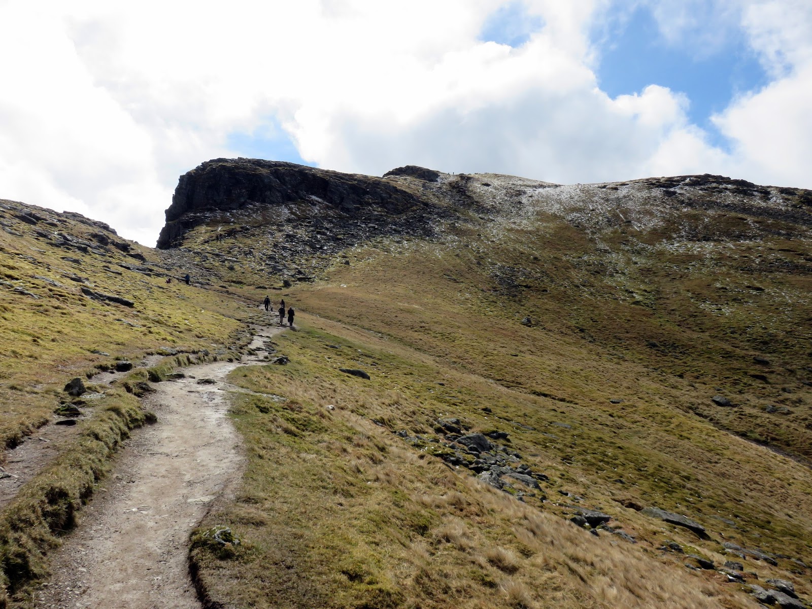
The sun was well and truly in charge by the time I reached the pass and the Arrochar Alps were certainly living up to their name. From the pass, a steep path can be seen rising up the rear of Ben Arthur. It was teeming with people which was to be expected given it was the Easter bank holiday. A series of steps climb up towards the summit.
 |
| Last of the cloud on Ben Arthur |
 |
| Ben Arthur |
 |
| Beinn Luibhean |
 |
| Beinn Ime |
 |
| Beinn Narnain |
 |
| Beinn Ime and Ben Vane from the Ben Arthur path |
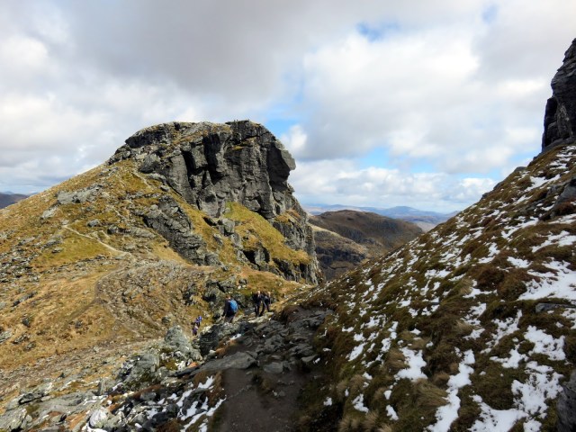
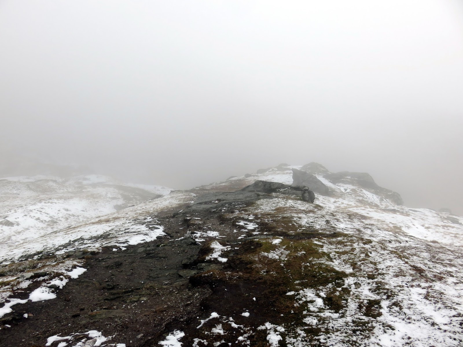
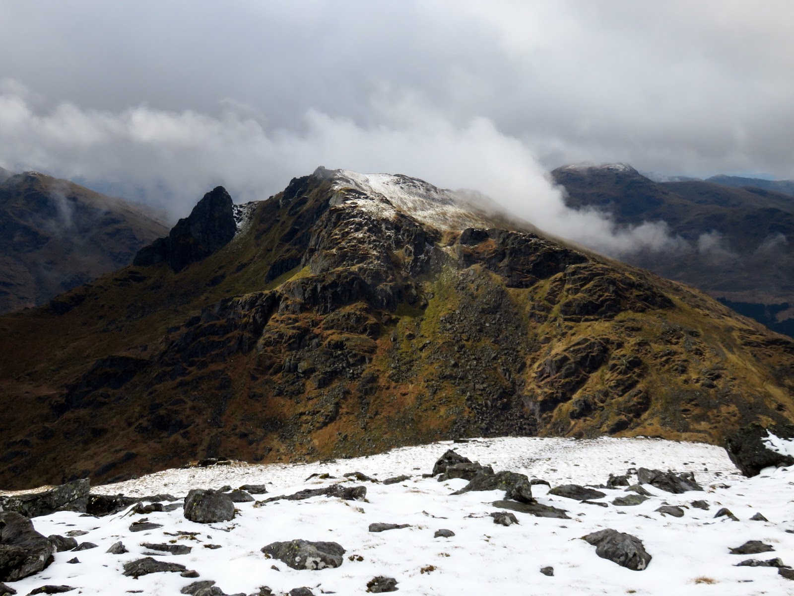
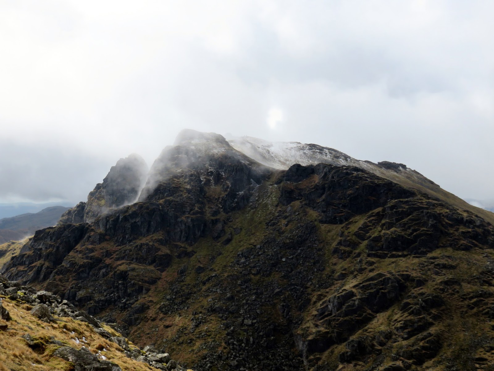
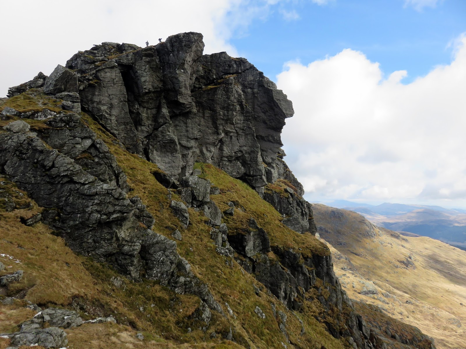
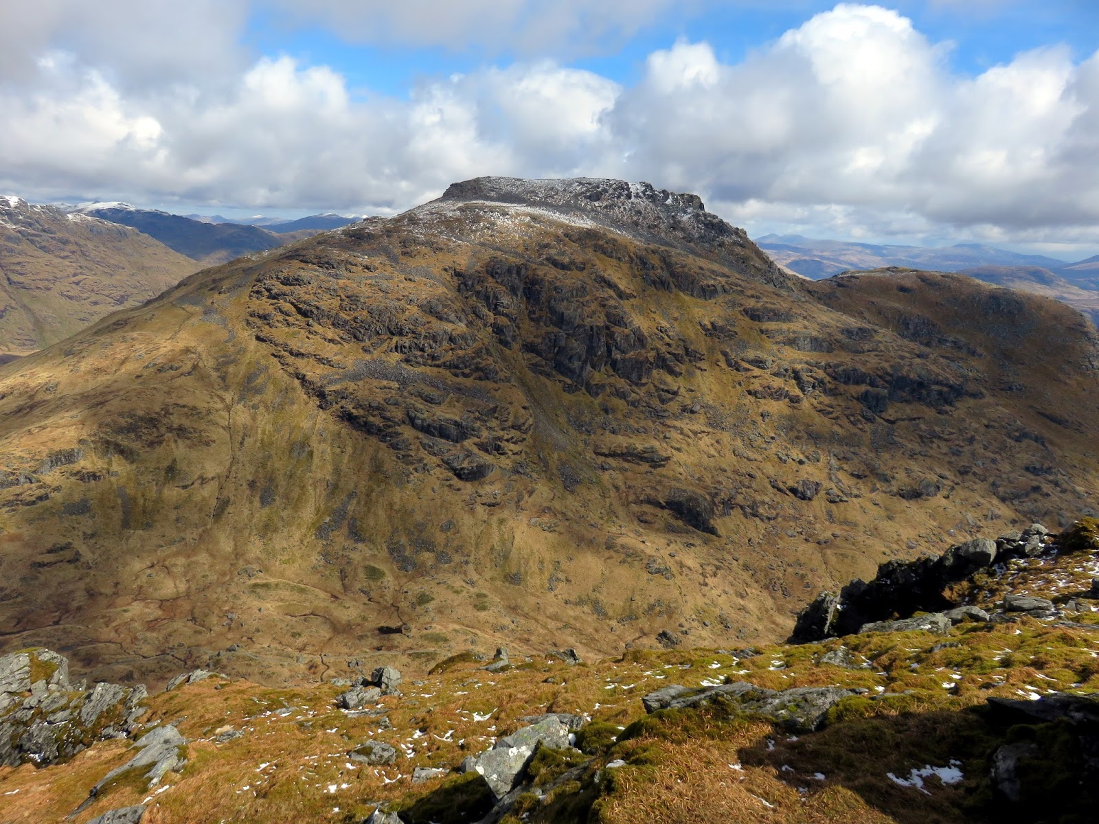
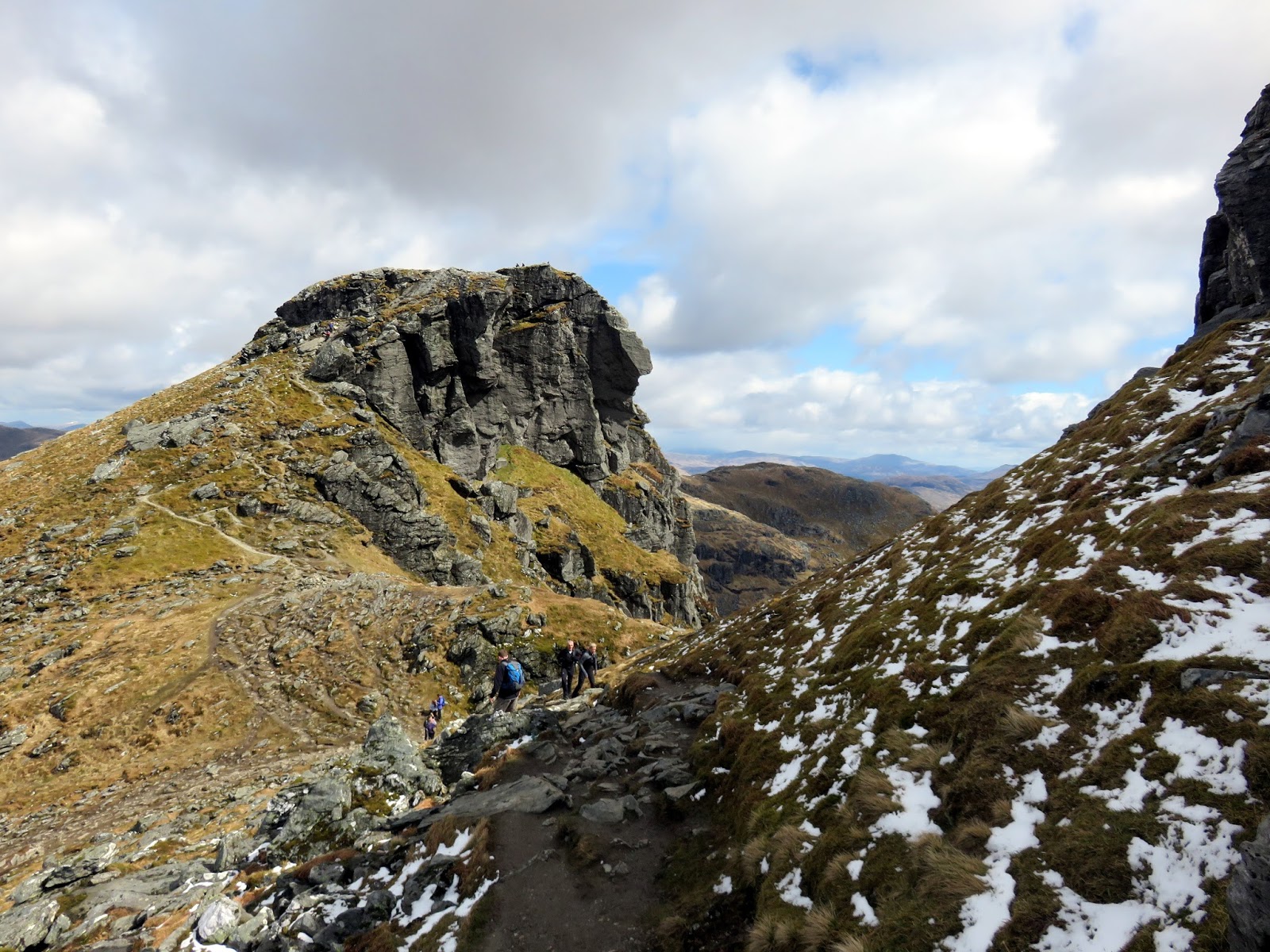
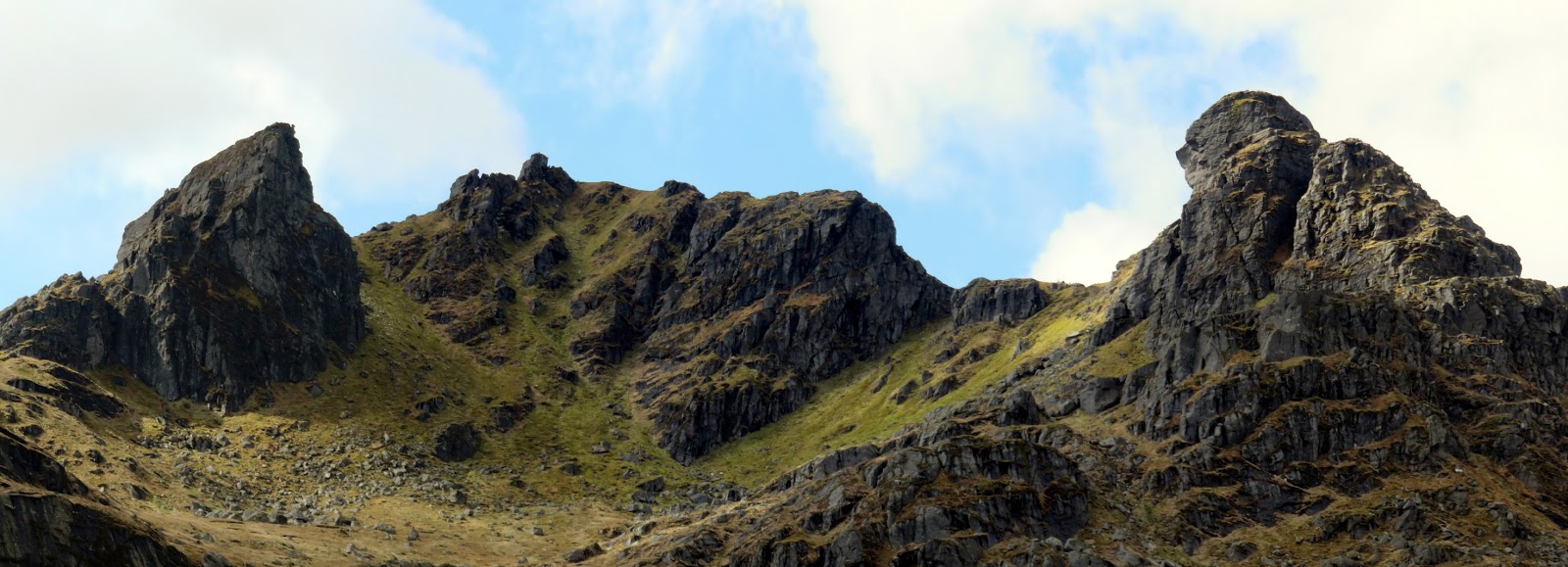
Ben Arthur has the most distinctive outline of any mountain in the Southern Highlands and makes a fantastic short day out. There are two summits to explore, the first being the great overhanging North Peak.
 |
| The summit ridge of Ben Arthur |
 |
| The North Peak |
 |
| Allt a’ Bhalachain |
 |
| Beinn Narnain |
 |
| The North Peak |
 |
| Below the North Peak |
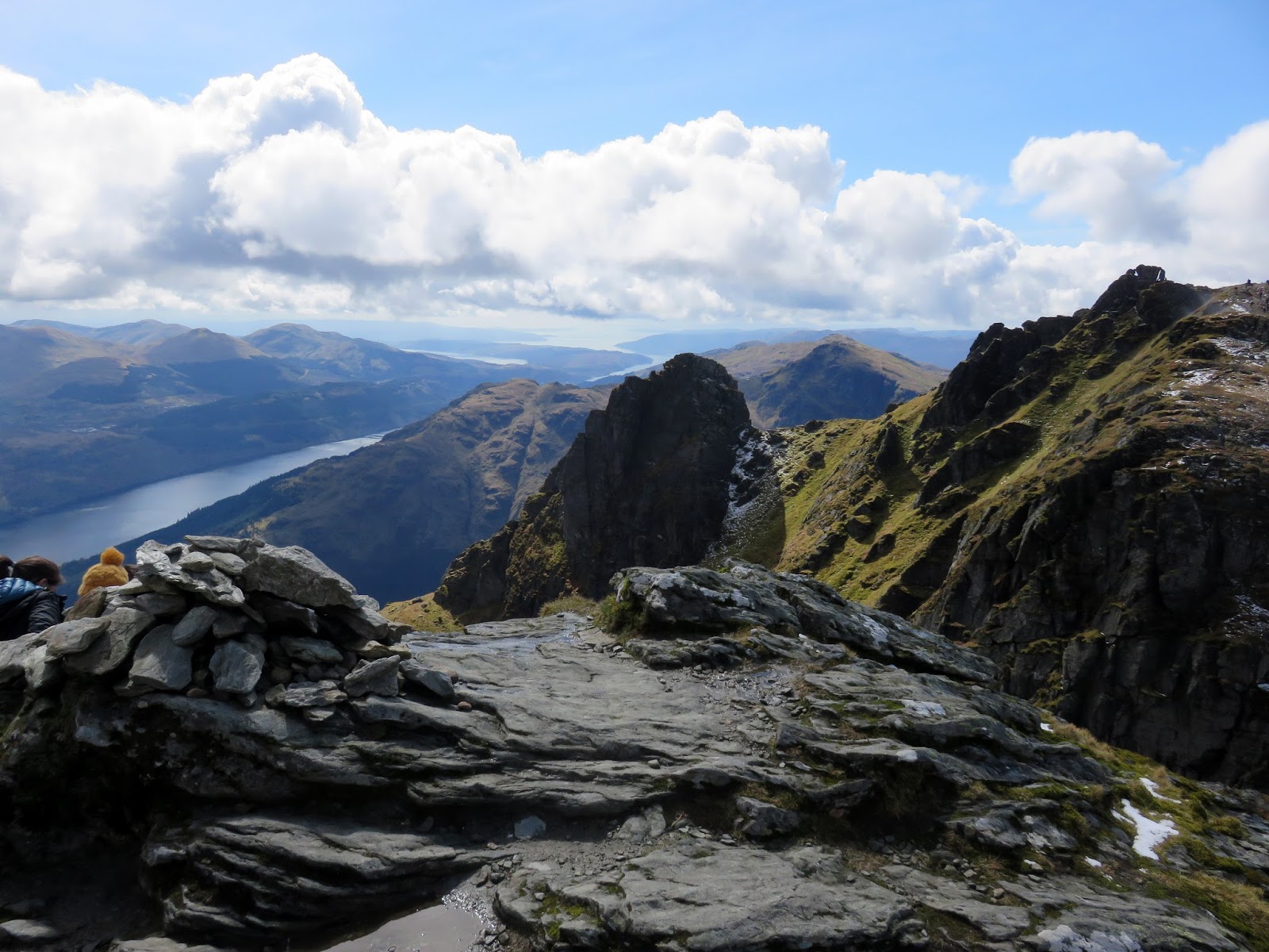
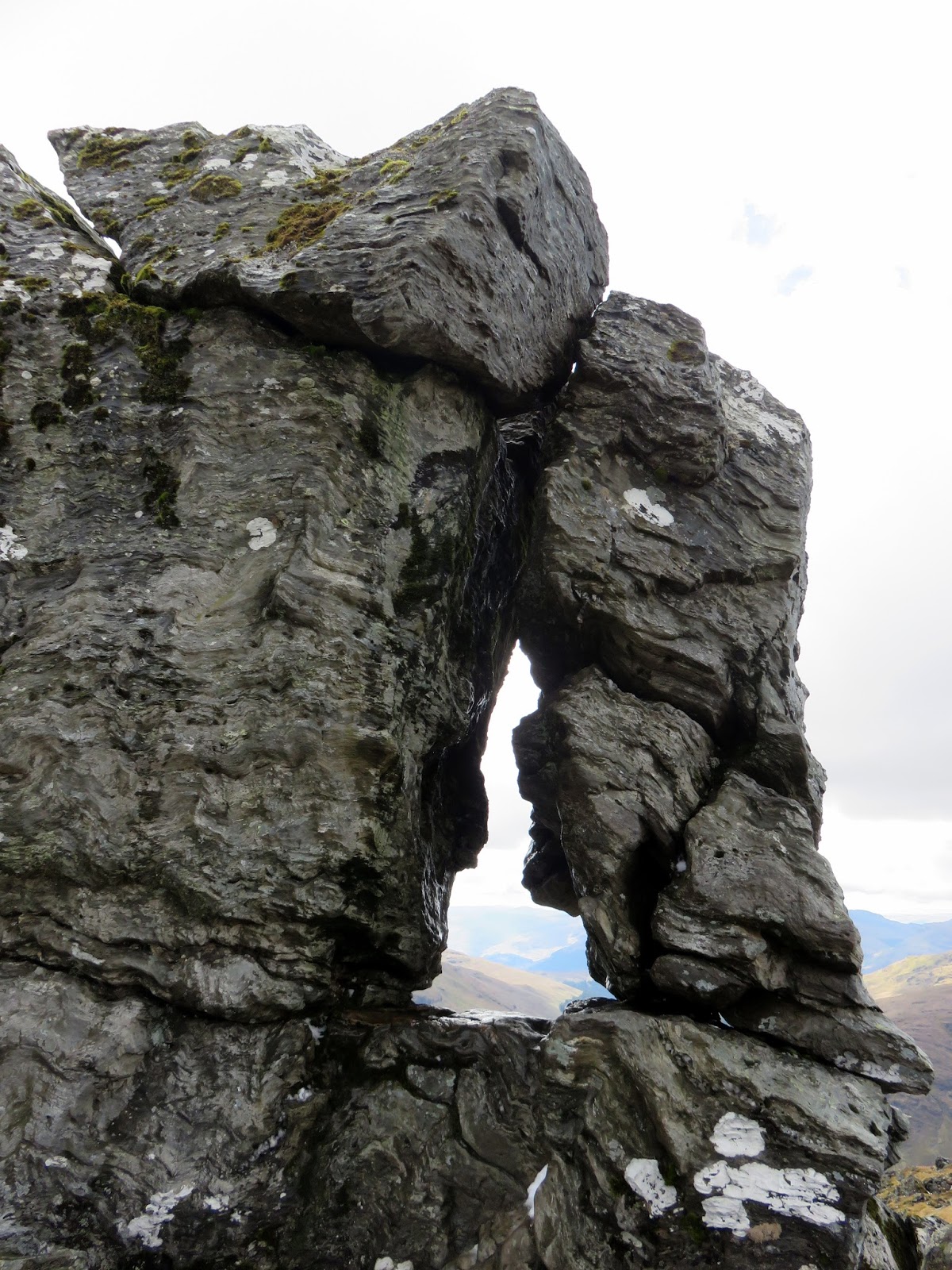
After savouring the rock scenery, I crossed over to the main summit and its interesting summit pinnacle, an isolated tower to rock that, through a remarkable piece of luck, provides just the one way to ascend to the top – threading the needle.
 |
| Ben Arthur’s summit |
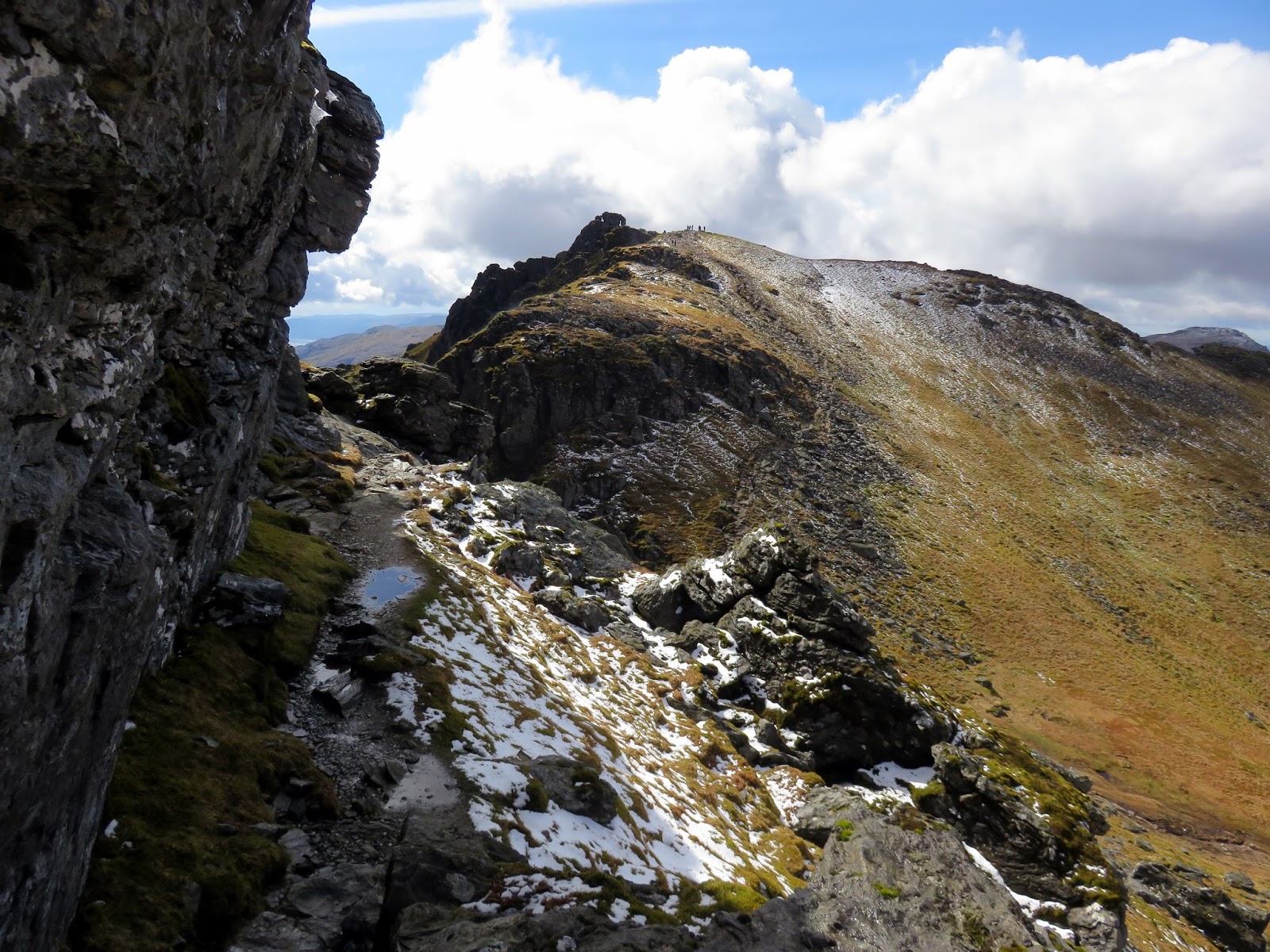
A triangular gap is located at the bottom of the tower through which it is possible to squeeze. This leads to a slanting ledge above a 30m drop where, if you have a good head for heights and some scrambling ability, will lead you around the rear of the tower and onto the top. I had a go but thought better of it given that the rock was very greasy and the summit was teeming with onlookers.
 |
| The Needle |
 |
| The tilted slab after passing through The Needle |
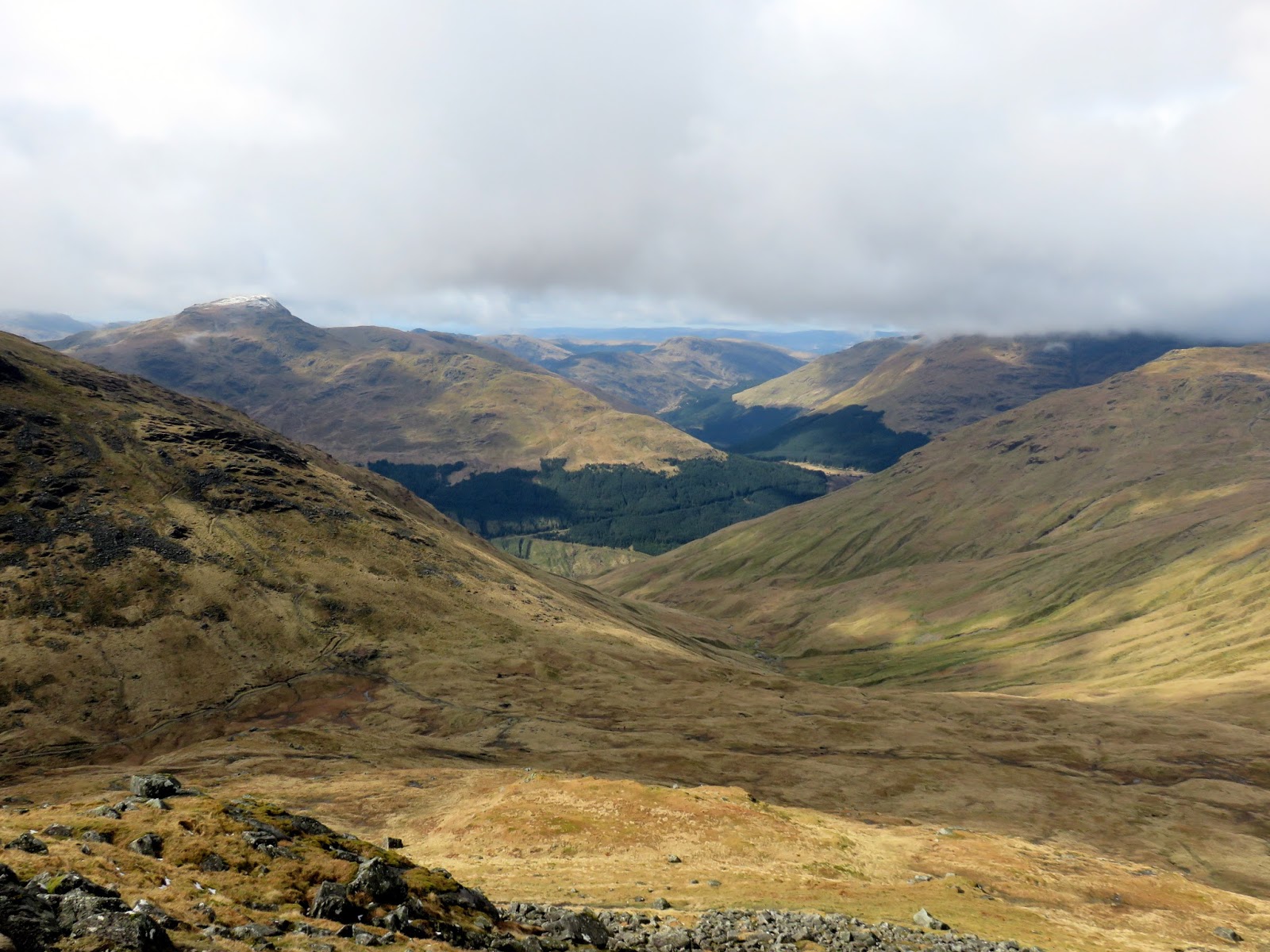
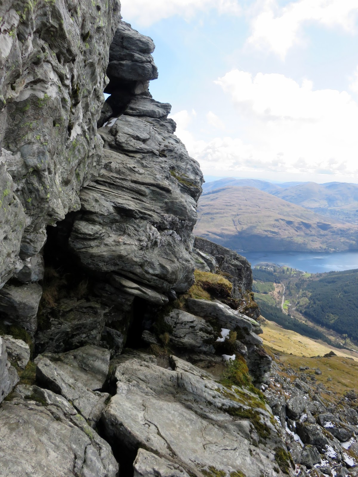
Despite having prowled the summit for a bit, I had yet to see the true Ben Arthur – the incredible view from the Allt a’ Bhalachain, the river that runs down to Loch Long below. Top reach this requires a steep climb down beneath the North Peak and its imposing overhang.
 |
| The North Peak |
 |
| Ben Lomond |
 |
| The North Peak |
 |
| The North Peak |
 |
| It was a steep route down |
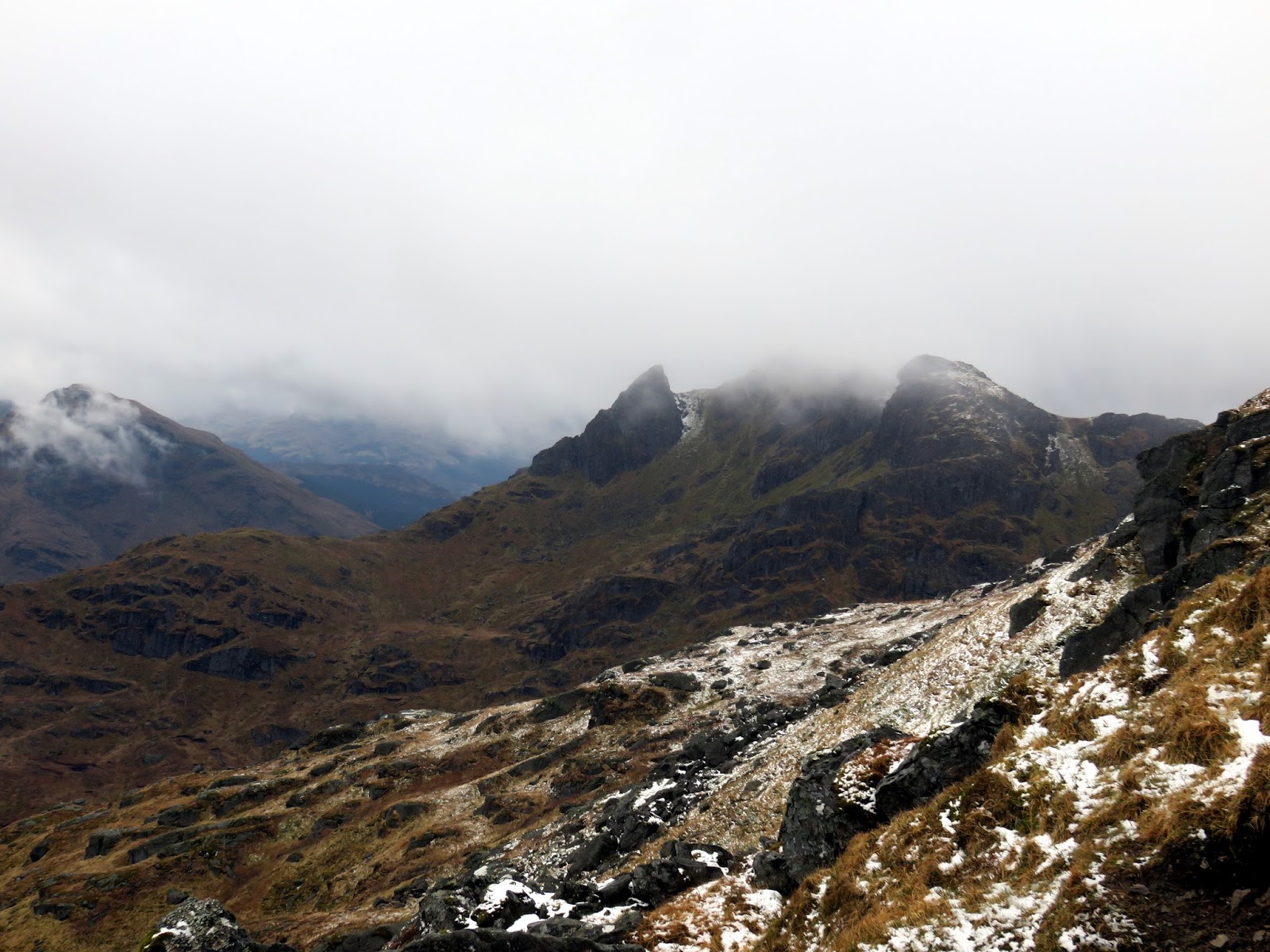
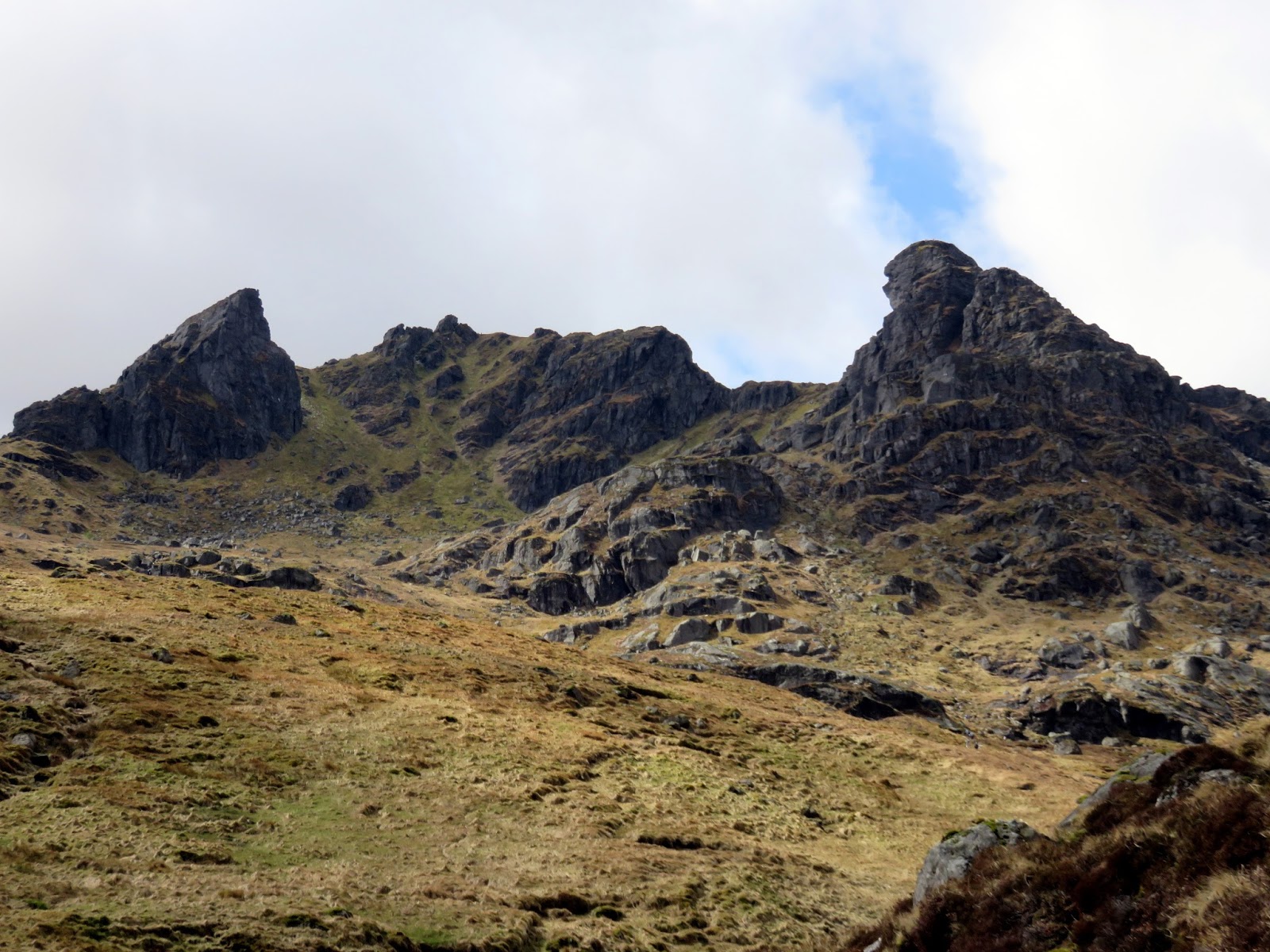
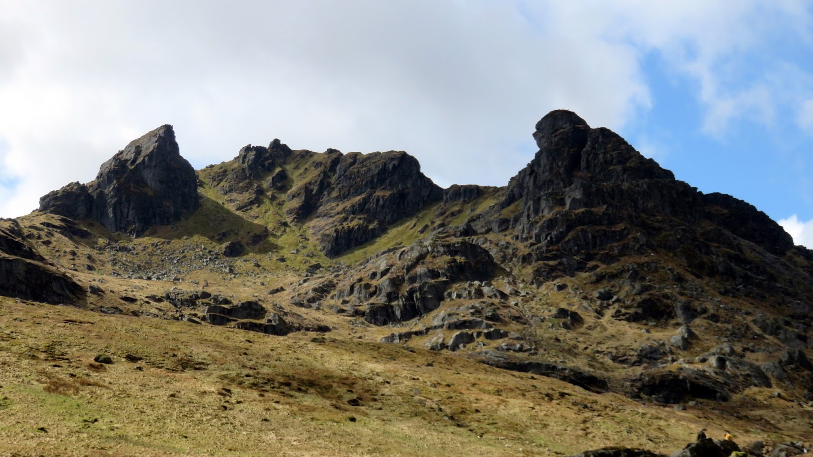
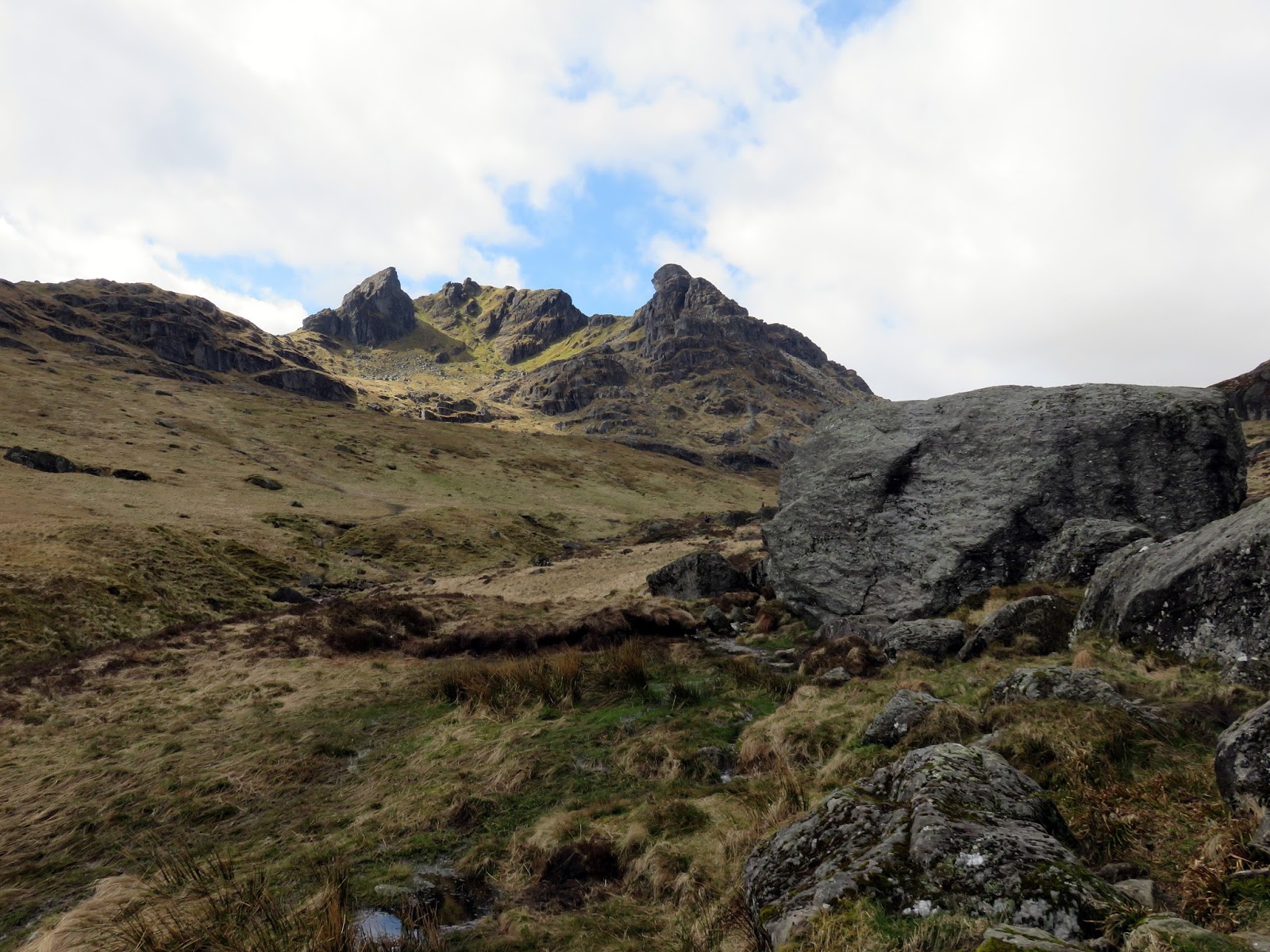
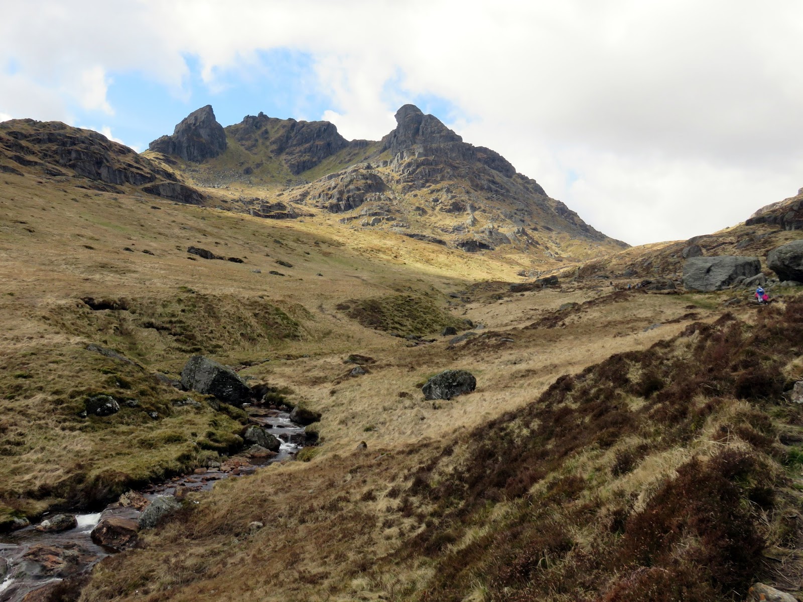
In the valley, the impressive outline of Ben Arthur becomes apparent with the two peaks framing the craggy scene. The arrangement is supposed to resemble a cobbler, hence it’s alternative and more popular name The Cobbler. The three summits are tightly grouped around a small corrie , but their spectacular form is due to large-scale landslipping, not ice erosion. The Summit and South Peak are the remnants of a ridge which has visibly slipped away into Glen Croe, making much of the west side hazardous or impassable.
 |
| Ben Arthur – The Cobbler |
 |
| Ben Arthur |
 |
| Add caption |
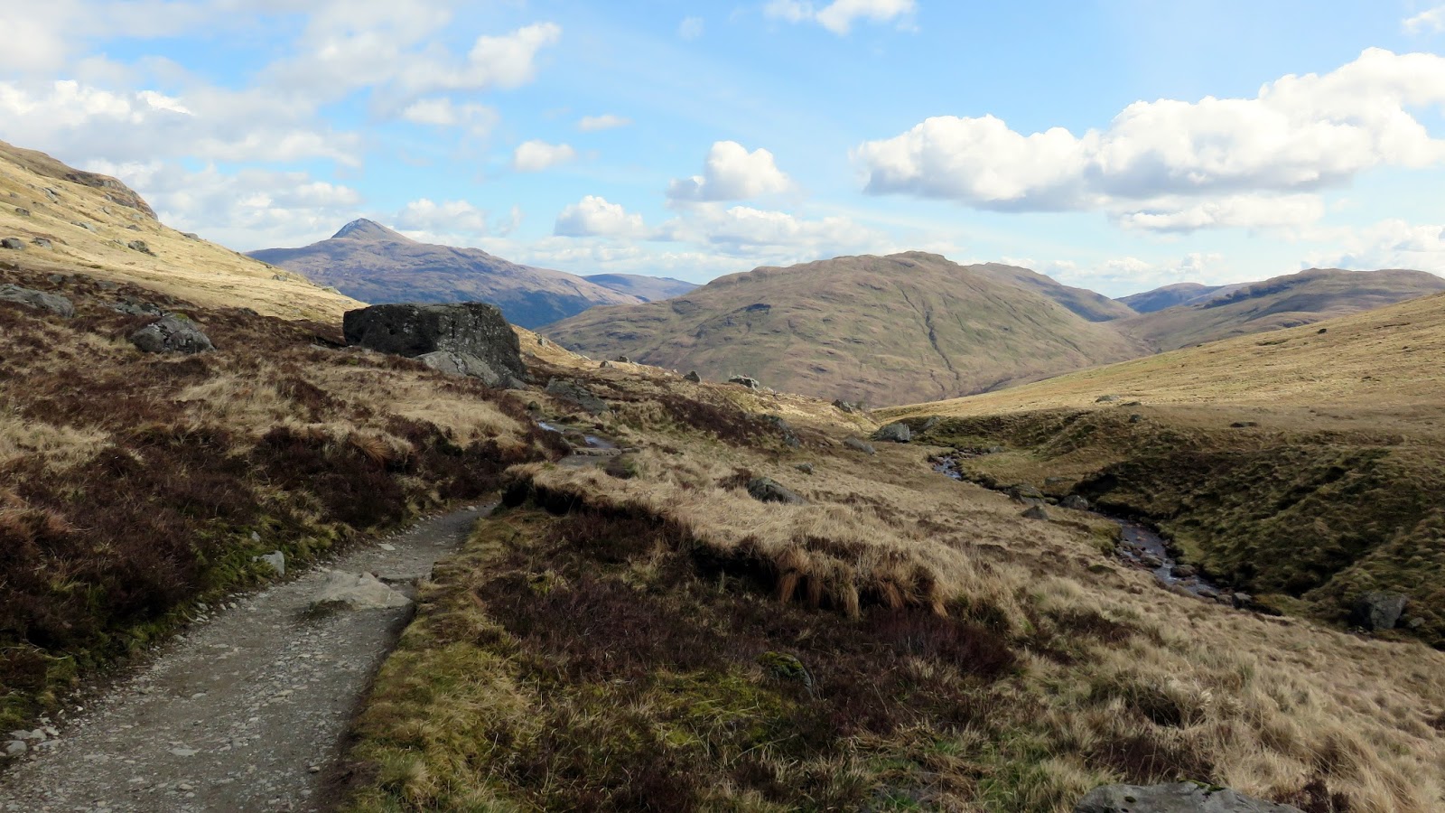
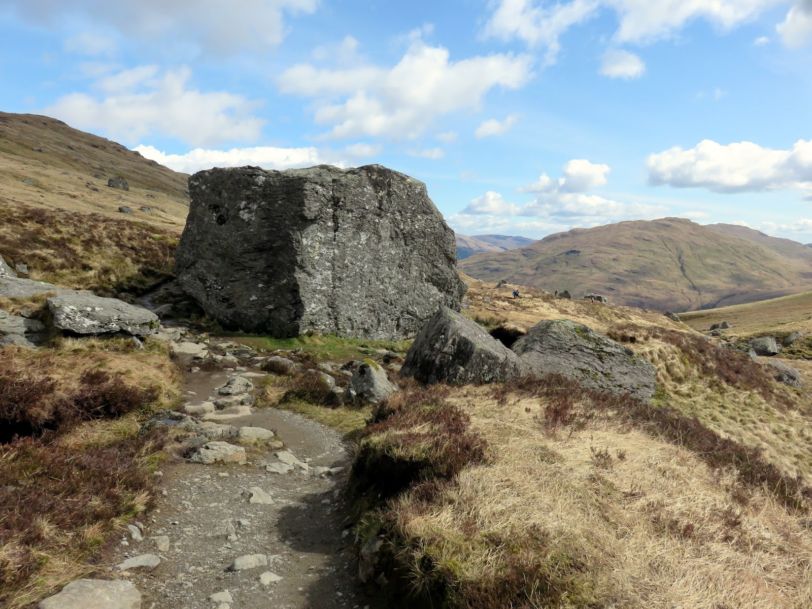
Heading down the valley it’s hard not to keep turning and looking at the incredible mountain though the Narnain Boulders provide some alternative interest. These are two huge rocks that fell from Beinn Narnain some time ago.
 |
| The Narnain Boulders |
 |
| Ben Arthur over Allt a’ Bhalachain |
 |
| The summit in detail |
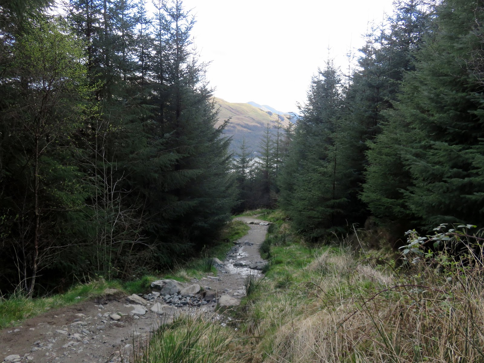
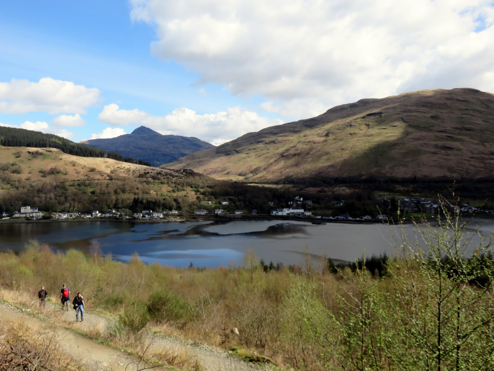
Eventually, The Cobbler fades from view and a tedious series of zig zags drops the final 300m back to sea level bringing to an end an amazing mountain day. The Cobbler is a justifiably popular mountain – I’ve never seen anything quite like it. It really does overshadow the higher Munros around it and has interest around every corner.
 |
| The zig zags through the woods |
 |
| Loch Long and Arrochar |
 |
| Loch Long |
