Open Space Web-Map builder Codehttps://openspace.ordnancesurvey.co.uk/osmapapi/openspace.js?key=3119F72552FD5C22E0530C6CA40A5A92https://openspace.ordnancesurvey.co.uk/osmapapi/script/mapbuilder/basicmap.jshttps://openspace.ordnancesurvey.co.uk/osmapapi/script/mapbuilder/searchbox.js//variables for routes var linesLayer, points, lineFeature, lineString, routeMarkersLayer, routepos, routesize, routeoffset, routeicon; var style_blue = {strokeColor: “#0000CD”, strokeOpacity: 0.5, strokeWidth: 4.5}; function initmapbuilder() { //initiate the map var options = {resolutions: [2500, 1000, 500, 200, 100, 50, 25, 10, 5, 4, 2.5, 2, 1]}; osMap = new OpenSpace.Map(‘map’, options); //configure map options (basicmap.js) setglobaloptions(); //set the center of the map and the zoom level osMap.setCenter(new OpenSpace.MapPoint(308243.99874115,512867.00125885),7); linesLayer = osMap.getVectorLayer(); // Set up layer for route markers routeMarkersLayer = new OpenLayers.Layer.Markers(“Route Markers”); //make a route points = new Array(); points.push(new OpenLayers.Geometry.Point(306636.33206177,513040.66793823)); points.push(new OpenLayers.Geometry.Point(306976.33206177,513520.66793823)); points.push(new OpenLayers.Geometry.Point(307416.33206177,513765.66793823)); points.push(new OpenLayers.Geometry.Point(307361.33206177,513845.66793823)); points.push(new OpenLayers.Geometry.Point(307561.33206177,513905.66793823)); points.push(new OpenLayers.Geometry.Point(307711.33206177,513985.66793823)); points.push(new OpenLayers.Geometry.Point(307756.33206177,514030.66793823)); points.push(new OpenLayers.Geometry.Point(307971.33206177,514080.66793823)); points.push(new OpenLayers.Geometry.Point(308206.33206177,513970.66793823)); points.push(new OpenLayers.Geometry.Point(308551.33206177,514110.66793823)); points.push(new OpenLayers.Geometry.Point(309101.33206177,514060.66793823)); points.push(new OpenLayers.Geometry.Point(309326.33206177,514010.66793823)); points.push(new OpenLayers.Geometry.Point(309616.33206177,514285.66793823)); points.push(new OpenLayers.Geometry.Point(309711.33206177,514360.66793823)); points.push(new OpenLayers.Geometry.Point(309916.33206177,514215.66793823)); points.push(new OpenLayers.Geometry.Point(310106.33206177,513975.66793823)); points.push(new OpenLayers.Geometry.Point(310236.33206177,513825.66793823)); points.push(new OpenLayers.Geometry.Point(310422.33206177,513583.66793823)); points.push(new OpenLayers.Geometry.Point(310467.33206177,513443.66793823)); points.push(new OpenLayers.Geometry.Point(310477.33206177,513338.66793823)); points.push(new OpenLayers.Geometry.Point(310342.33206177,513143.66793823)); points.push(new OpenLayers.Geometry.Point(309937.33206177,512863.66793823)); points.push(new OpenLayers.Geometry.Point(309867.33206177,512623.66793823)); points.push(new OpenLayers.Geometry.Point(309567.33206177,512348.66793823)); points.push(new OpenLayers.Geometry.Point(309167.33206177,511963.66793823)); points.push(new OpenLayers.Geometry.Point(308847.33206177,511718.66793823)); points.push(new OpenLayers.Geometry.Point(308487.33206177,511673.66793823)); points.push(new OpenLayers.Geometry.Point(308127.33206177,511698.66793823)); points.push(new OpenLayers.Geometry.Point(307847.33206177,511618.66793823)); points.push(new OpenLayers.Geometry.Point(307417.33206177,511453.66793823)); points.push(new OpenLayers.Geometry.Point(306972.33206177,511393.66793823)); points.push(new OpenLayers.Geometry.Point(306632.33206177,511418.66793823)); points.push(new OpenLayers.Geometry.Point(306242.33206177,511518.66793823)); points.push(new OpenLayers.Geometry.Point(306242.33206177,511718.66793823)); points.push(new OpenLayers.Geometry.Point(306462.33206177,512038.66793823)); points.push(new OpenLayers.Geometry.Point(306537.33206177,512338.66793823)); points.push(new OpenLayers.Geometry.Point(306942.33206177,512598.66793823)); points.push(new OpenLayers.Geometry.Point(306677.33206177,512963.66793823)); points.push(new OpenLayers.Geometry.Point(306636.33206177,513040.66793823)); // create a polyline feature from the array of points lineString = new OpenLayers.Geometry.LineString(points); lineFeature = new OpenLayers.Feature.Vector(lineString, null, style_blue); linesLayer.addFeatures([lineFeature]); //crate a route start/end marker routepos = new OpenSpace.MapPoint(306636.33206177,513040.66793823); routesize = new OpenLayers.Size(33,45); routeoffset = new OpenLayers.Pixel(-5,-37); routeicon = new OpenSpace.Icon(‘https://openspace.ordnancesurvey.co.uk/osmapapi/img_versions/img_1.1/mapbuilder/routemarker-startend.png’, routesize, routeoffset, null, null); routeMarkersLayer.addMarker(new OpenLayers.Marker(routepos, routeicon)); osMap.addLayer(routeMarkersLayer);}
Route: Whorl Gill, Blakeley Rise, Kinney How, Red Moss, Grike, Crag Fell, Black Pots, Whoap, Lank Rigg, Kinniside Common, Kinniside, Latter Barrow, River Calder, Swarth Fell, Burn Edge
Date: 24/03/2017
From: Whorl Gill
Parking: Roadside parking on the Coldfell Road
Start Point: Blackley Rise
Region: Western Fells
Route length: 7.2 miles (11.6 km)
Time taken: 03:00
Average speed: 2.4 mph
Ascent: 716m
Descent: 713m
Wainwrights on this walk:
Grike (488m), Crag Fell (523m), Lank Rigg (541m)
Other Summits: Blakeley Rise (389m), Whoap (511m), Kinniside (375m), Latter Barrow (354m), Swarth Fell (335m), Burn Edge (320m)
Other points of interest: The Treasure!
As far as Wainwright’s go, this trio tends to be among the least frequented thanks to their location at the western margin of the national park. They take a long time to get to (unless you live in Workington) and aren’t famed for being real crowd pleasers. So, why bother repeating them?
It’s two years almost to the day since I visited, that time the weather was awful, so I’ve not had the chance to really appreciate these quiet fells nor get any decent pictures of them and their surrounds. Crag Fell in particular promises much thanks to its location at the entrance to Ennerdale. In addition to this, there are also a few minor fells dotted around that required my attention.
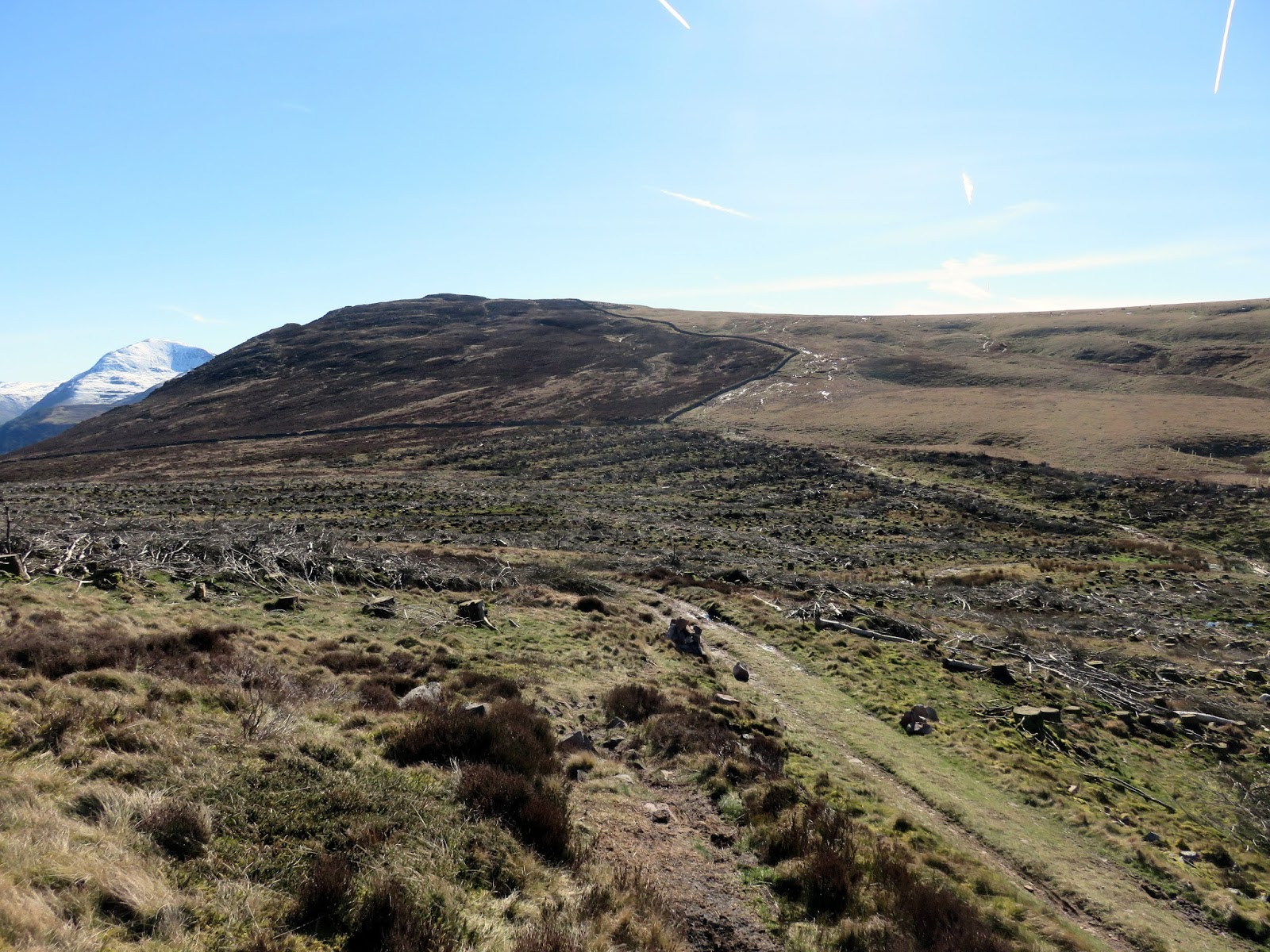
Like last time, I left the car in a small layby on the Cold Fell Road, at the foot of Blakeley Rise, the first of the day’s hills and a springboard to the higher ground beyond. There is no warm-up for this walk; the three-hour drive from All the Gear HQ is followed by a climb immediately from the car door.
 |
| It was a beautiful morning in west Cumbria |
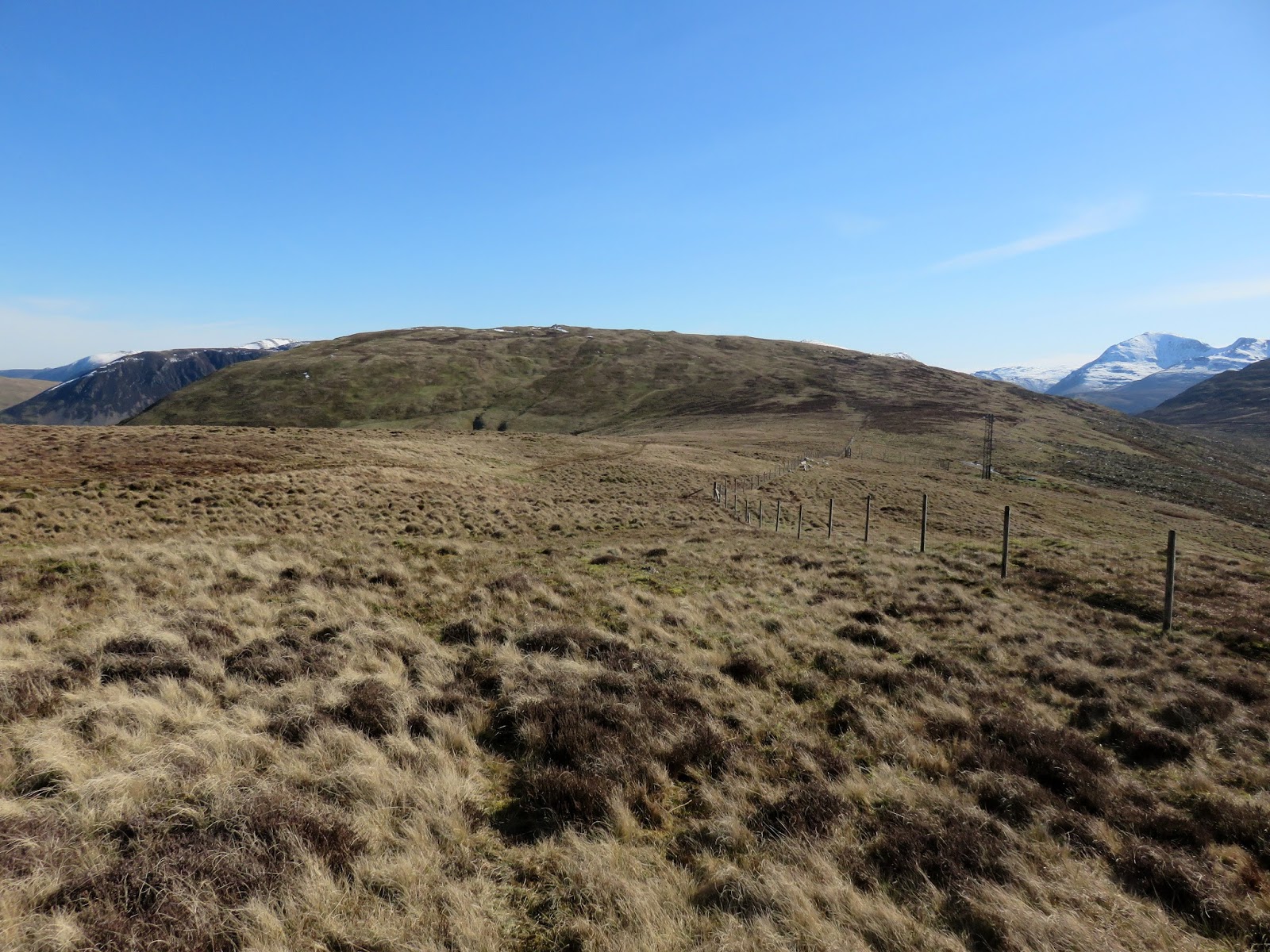
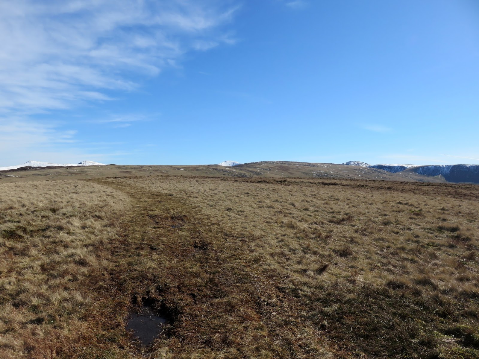
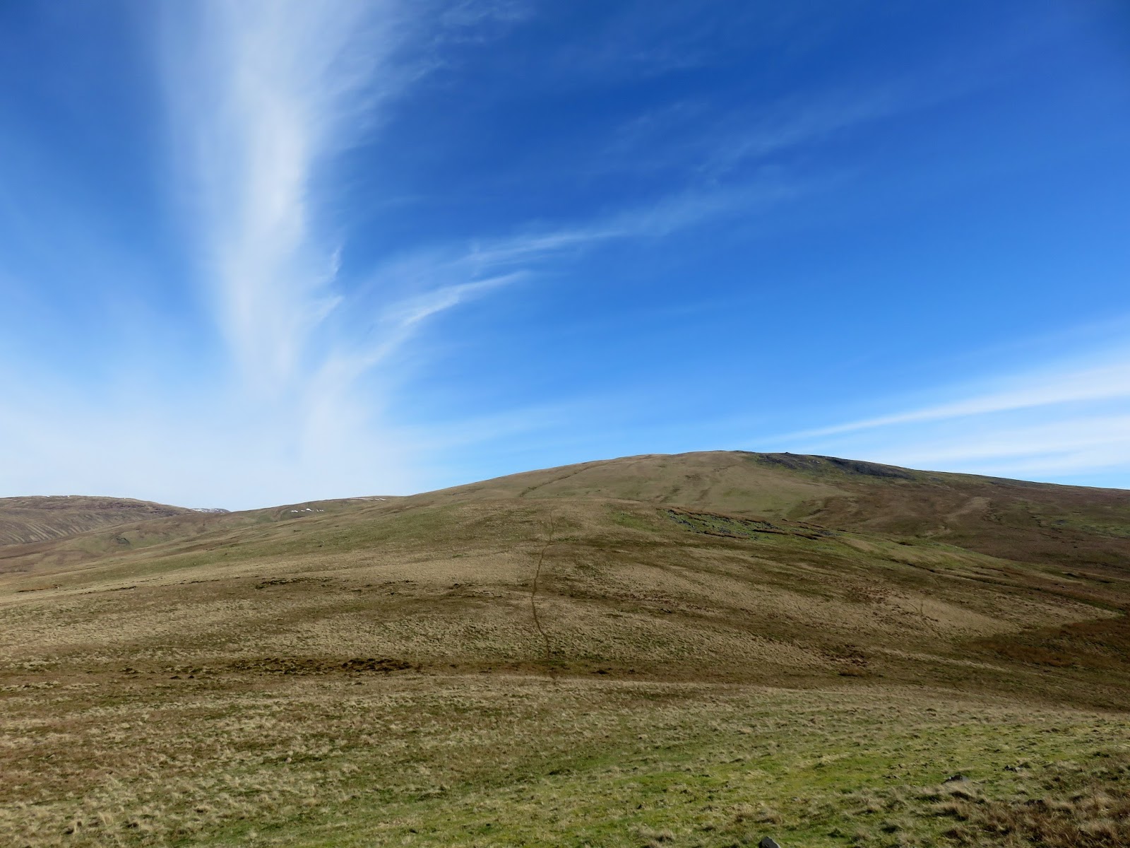
It was warm and sunny today and would be for the duration of the weekend – luck was most definitely on our side this time. Despite its immediacy, the climb up Blakely Rise is not too steep and once the summit is gained, an easy ridge leads along a fence to Kinney How and the remains of the plantation that you can no-doubt see marked on the map.
 |
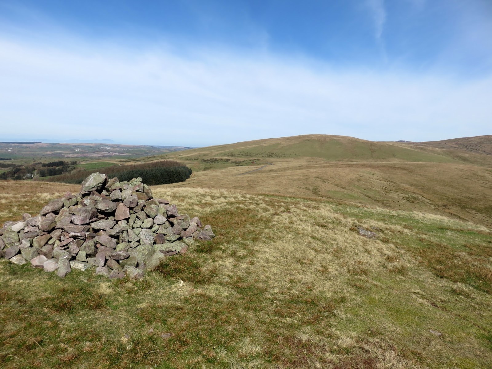
| Blakeley Rise’s summit |
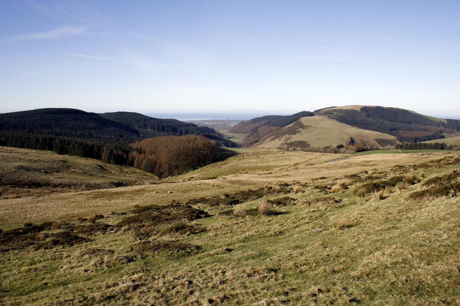
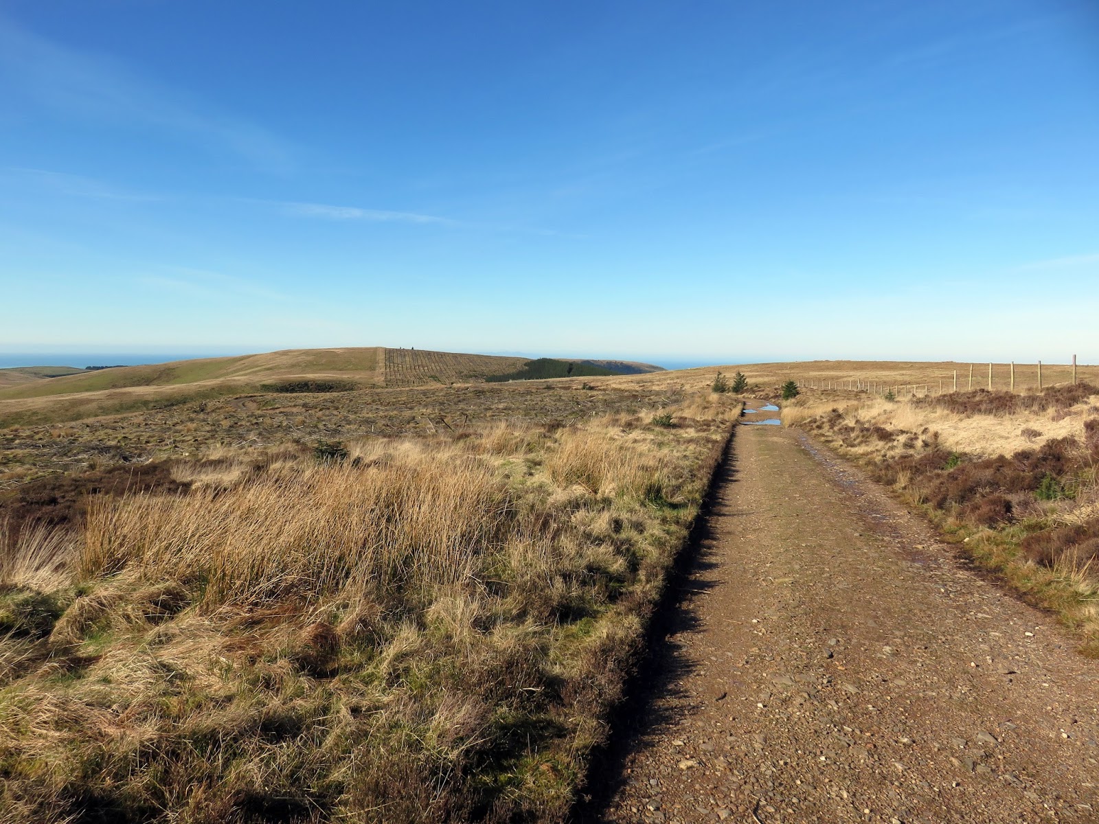
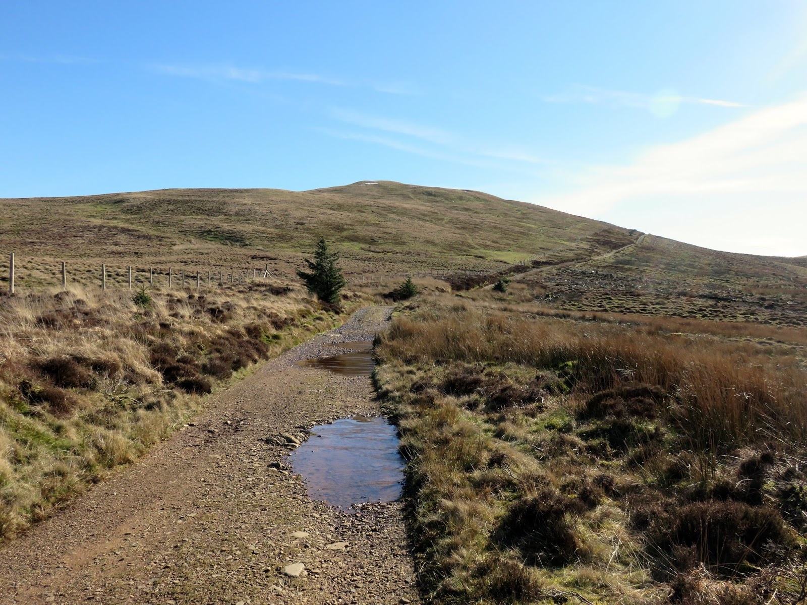
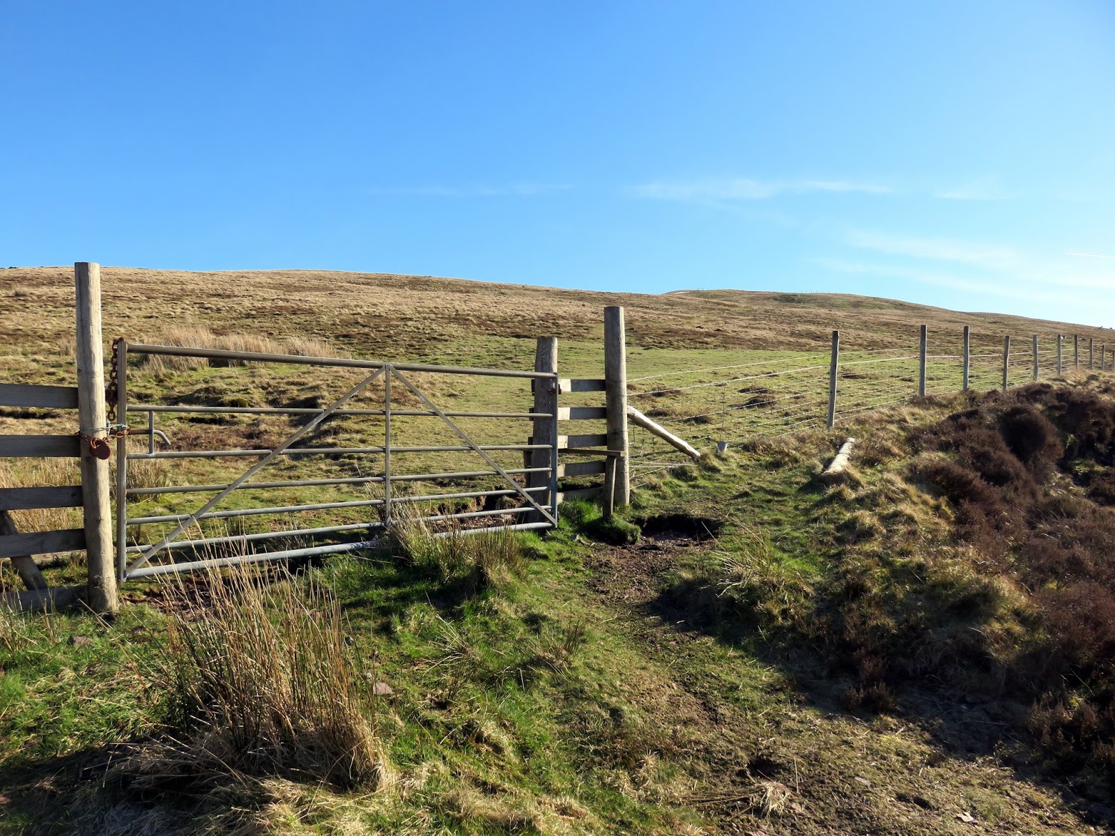
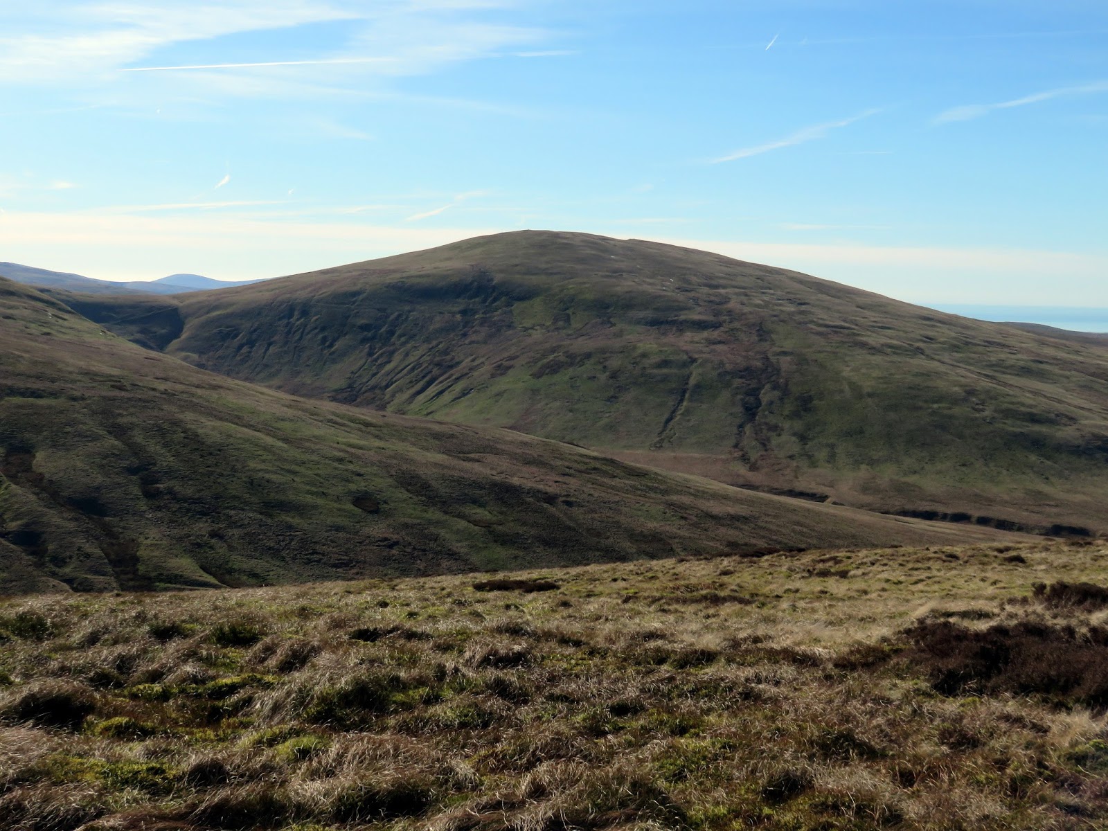
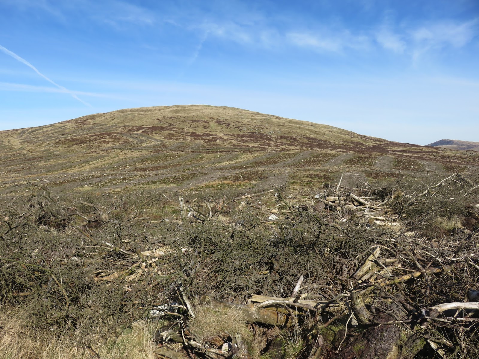
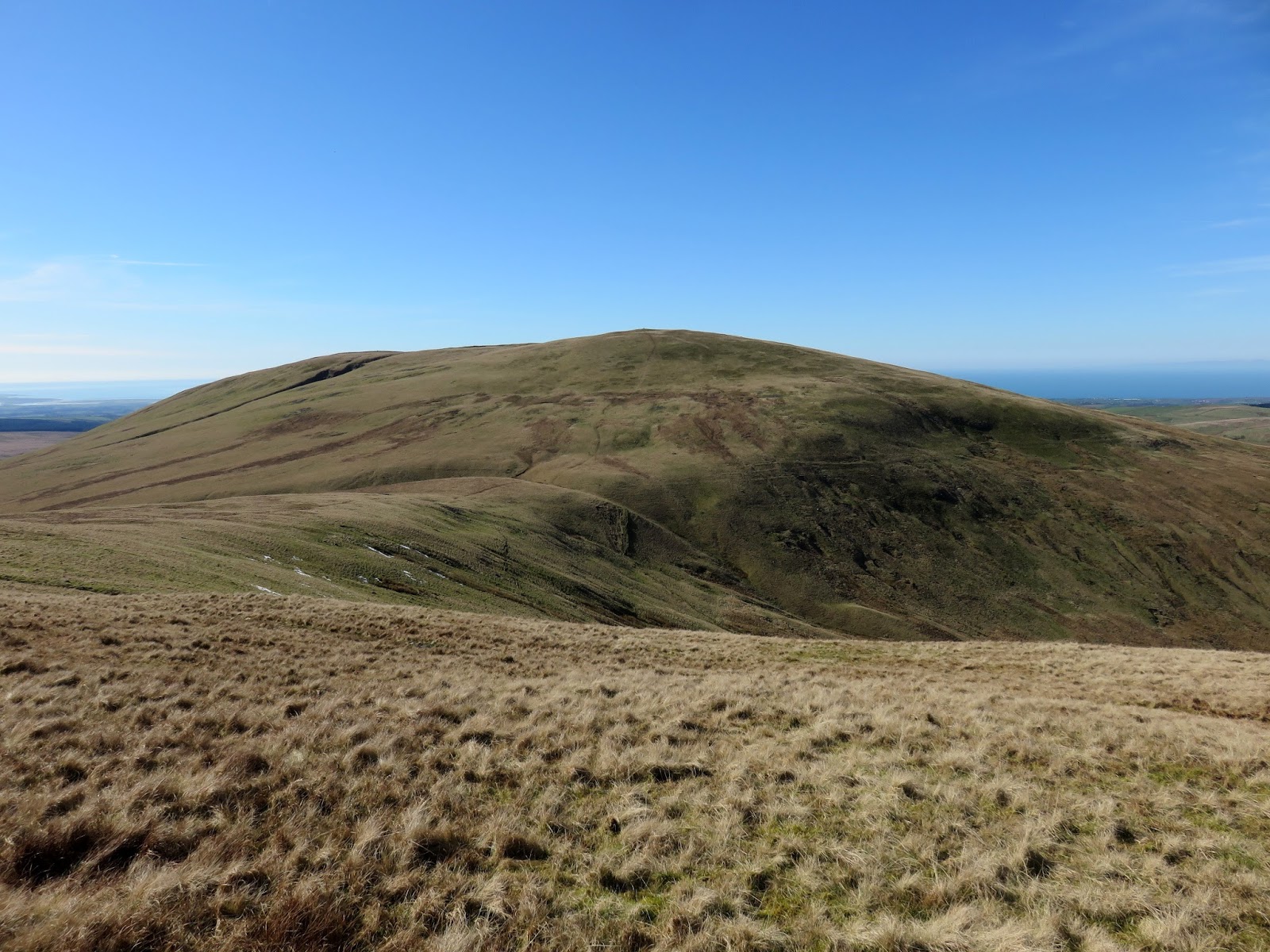
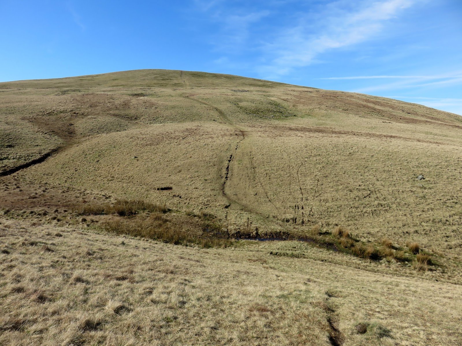
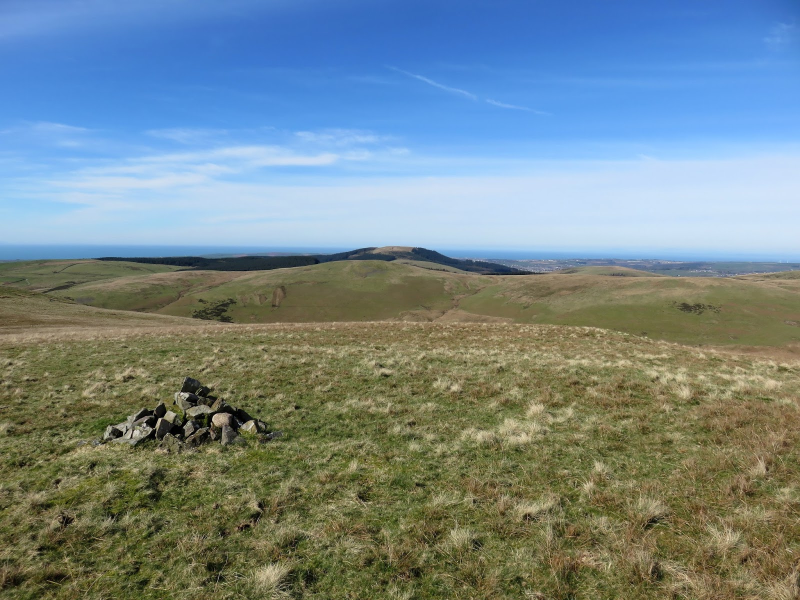
Grike stands up ahead, the route following a wide track before heading through a gate and climbing to the summit. I must admit, aside from the large shelter, there is not much interest on Grike though the views are not too bad. The real highlight would be Crag Fell, located a short distance away over a shallow depression.
 |
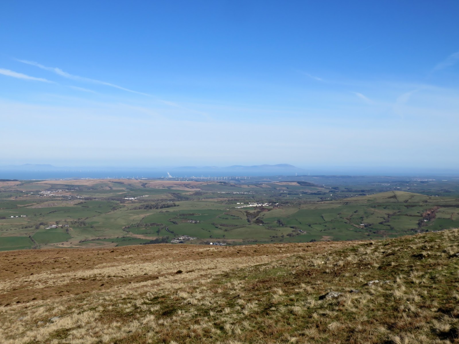
| Heckbarley and the Solway Firth |
 |
| Looking back to Blakely Rise |
 |
| The track leading toward Grike |
 |
| A gate leads to the open fellside |
 |
| The River Calder |
 |
| The Solway Firth |
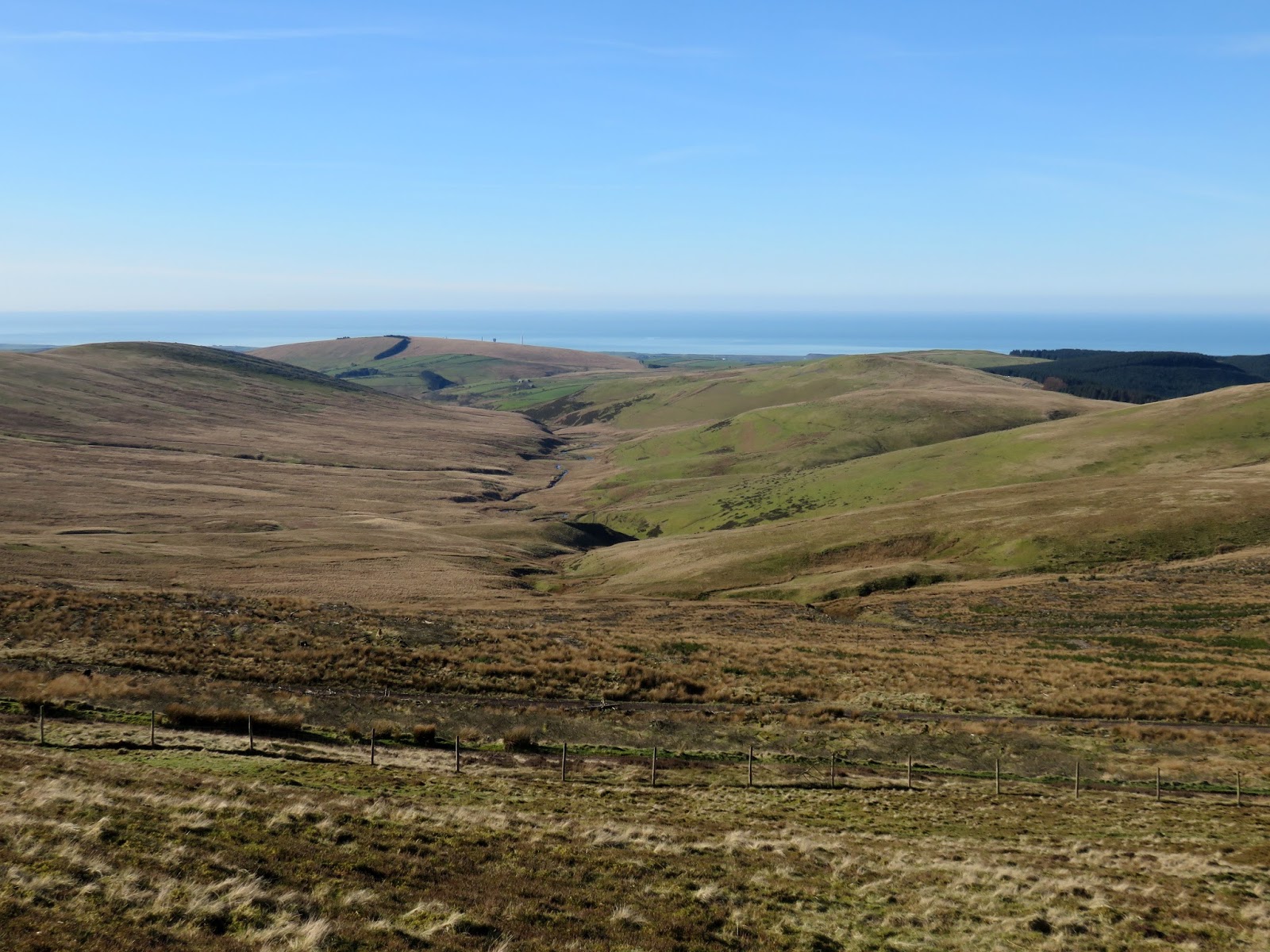
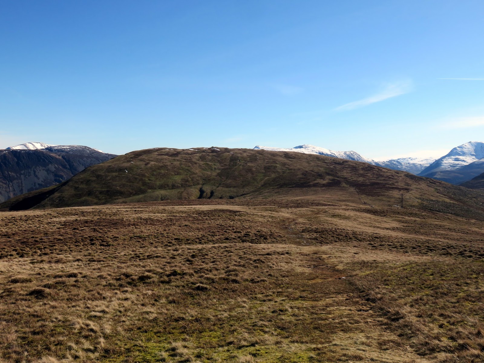
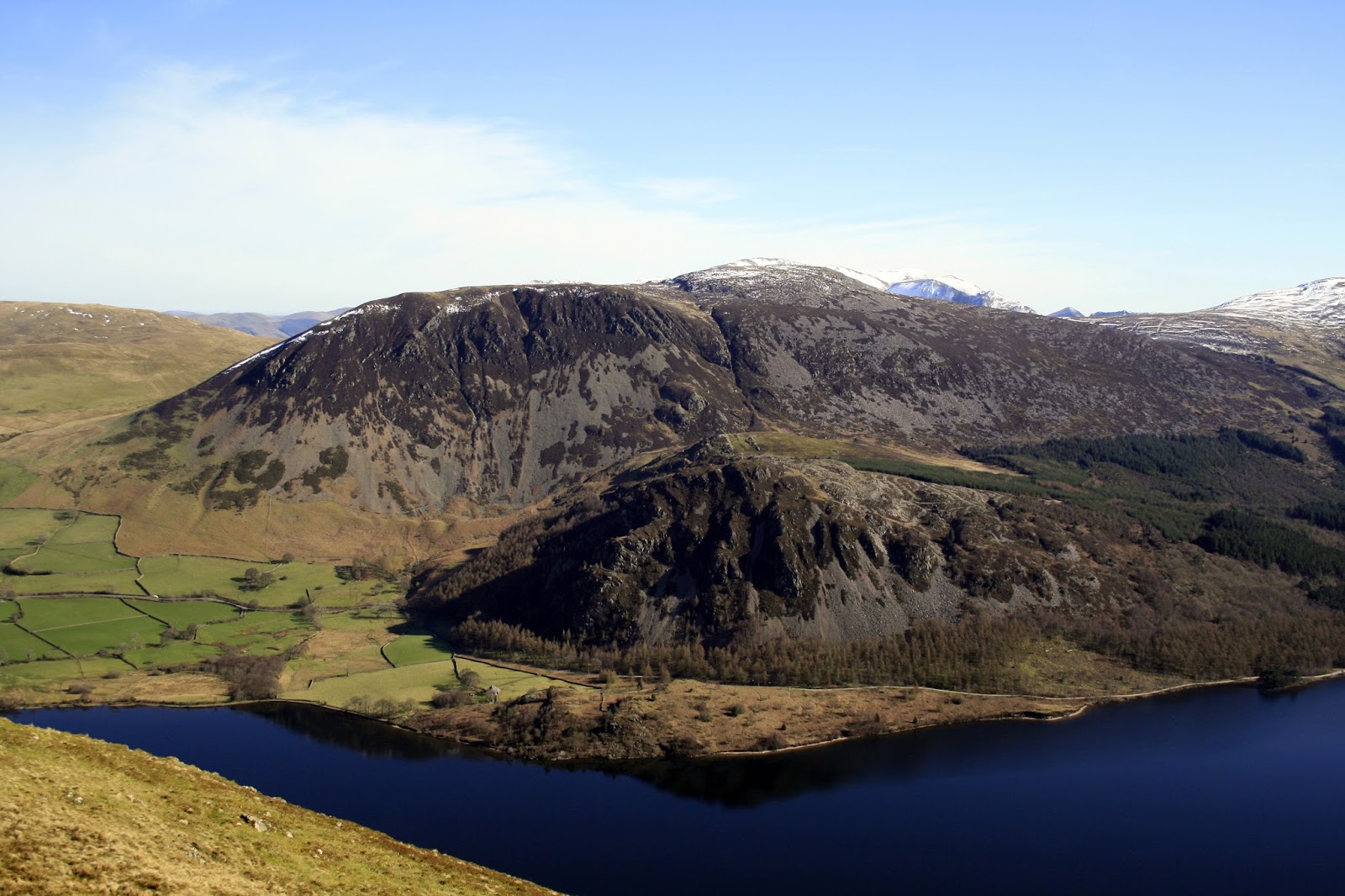
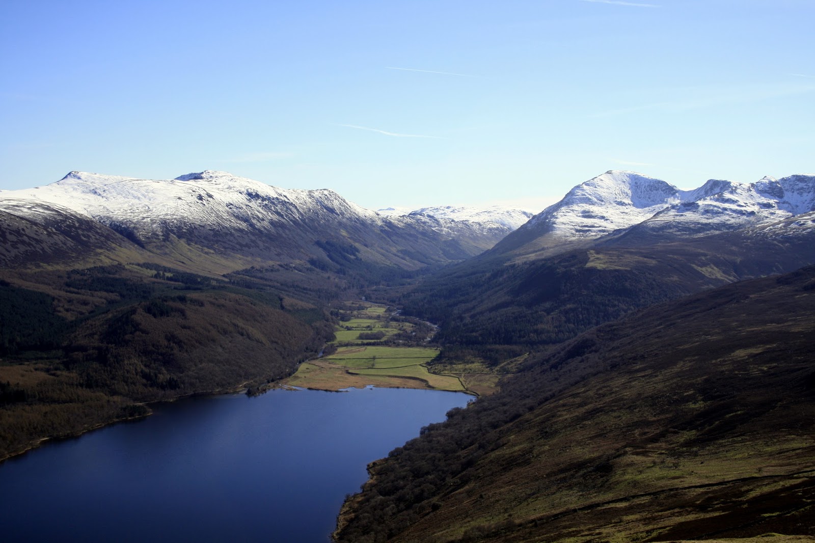
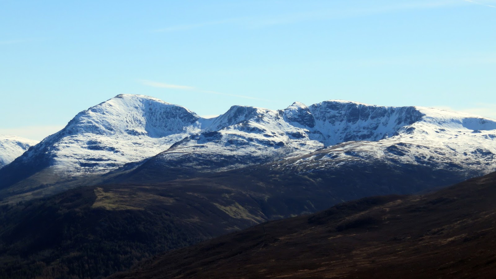
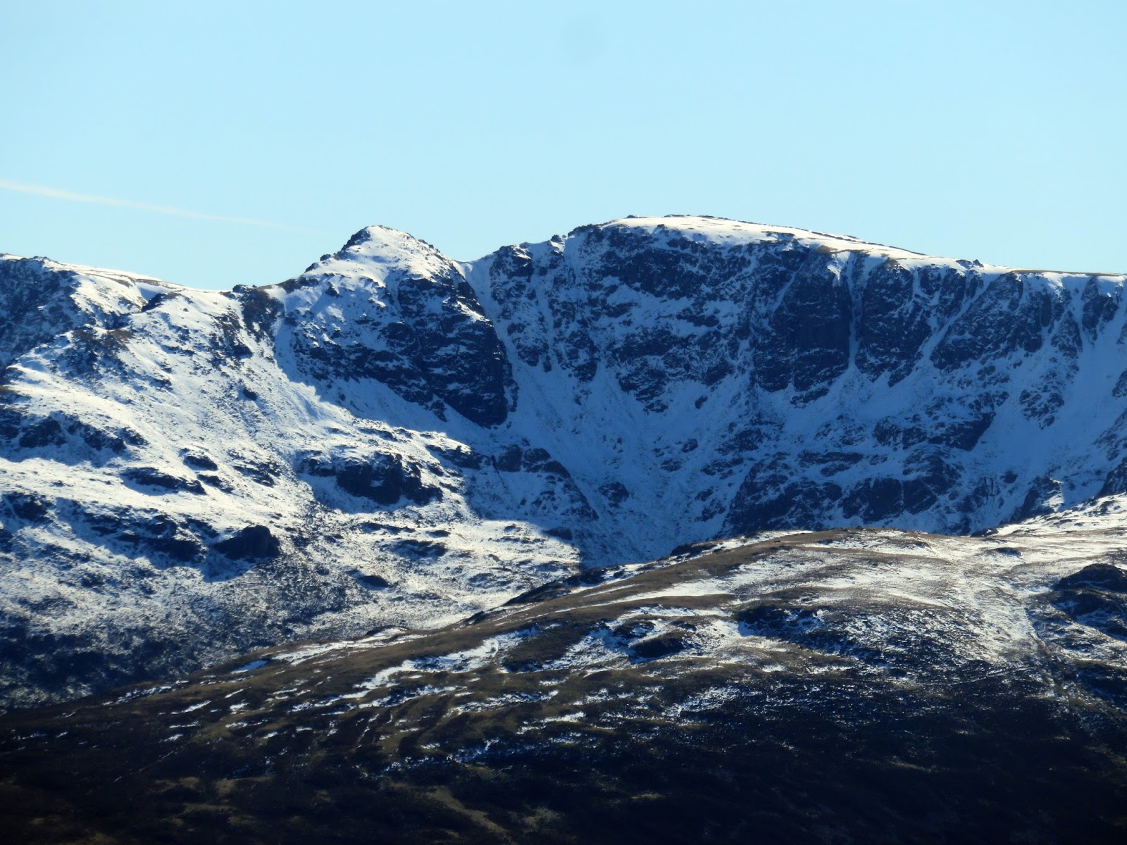
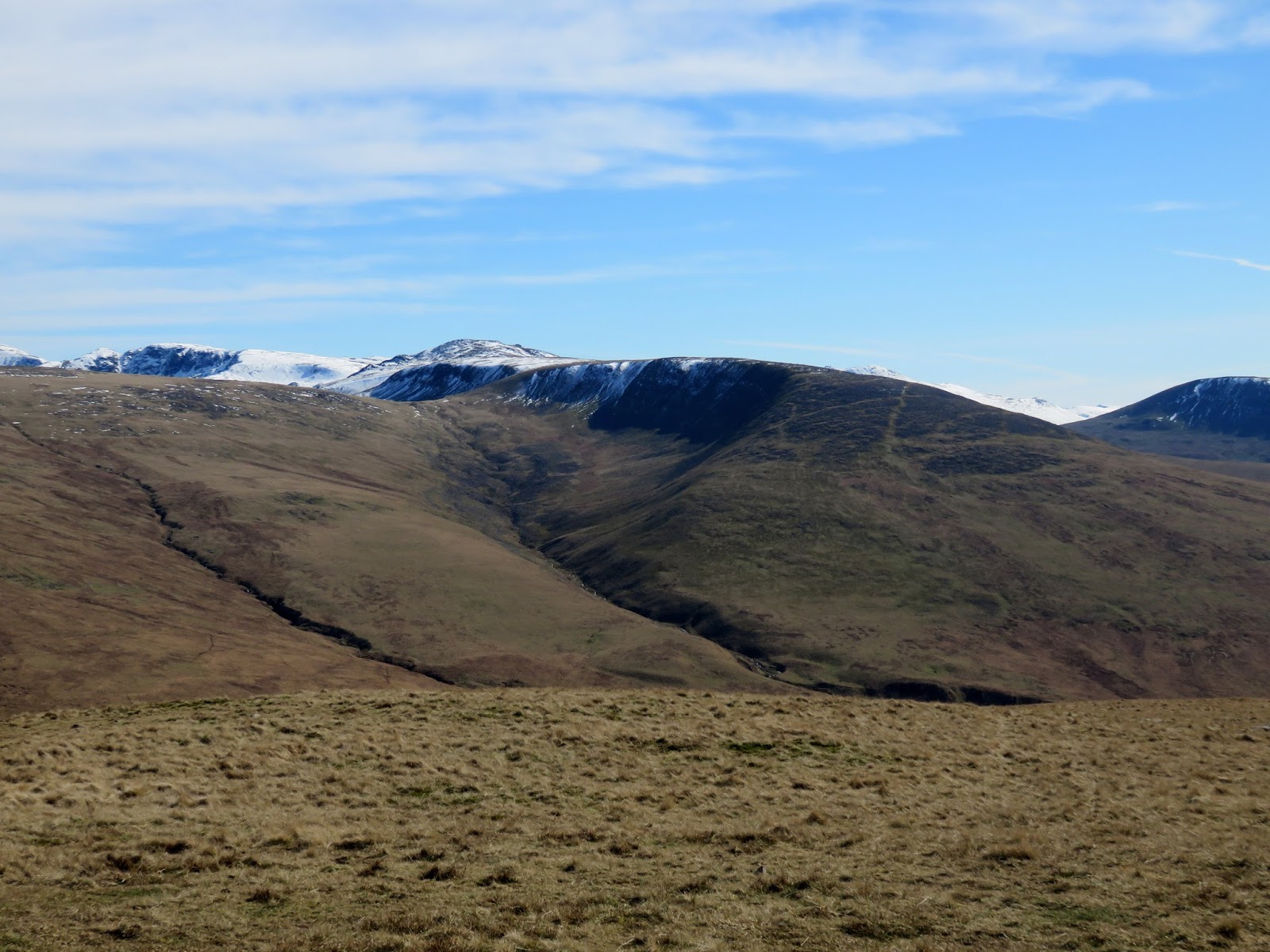
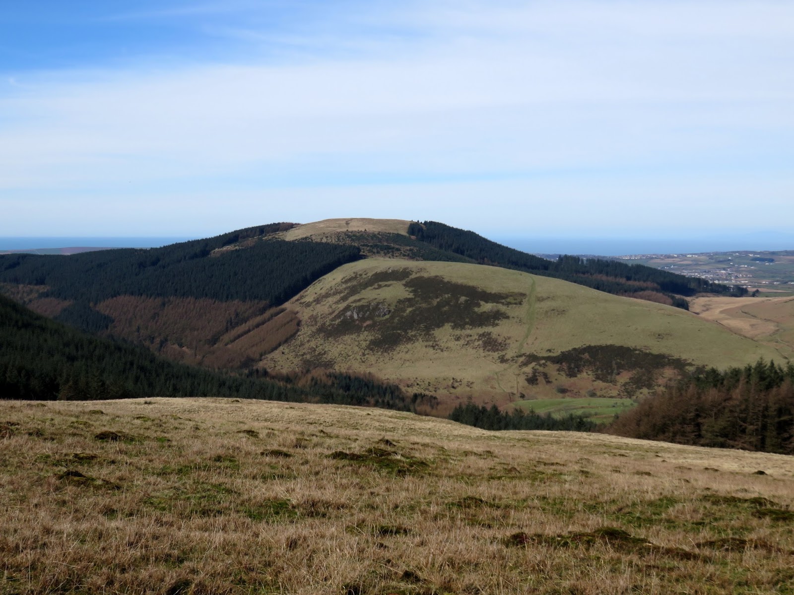
Crag Fell has a magnificent view along the length of Ennerdale – this is the reason for returning on a bright sunny day. The ring of high fells around the head of the valley were looking superb with the remnants of snow that had fallen only a few days earlier. It certainly whetted the appetite for our upcoming walk around Scoat Fell.
 |
| Ennerdale surrounded by some of the best mountains in the country |
 |
| Ennerdale |
 |
| The summit panorama |
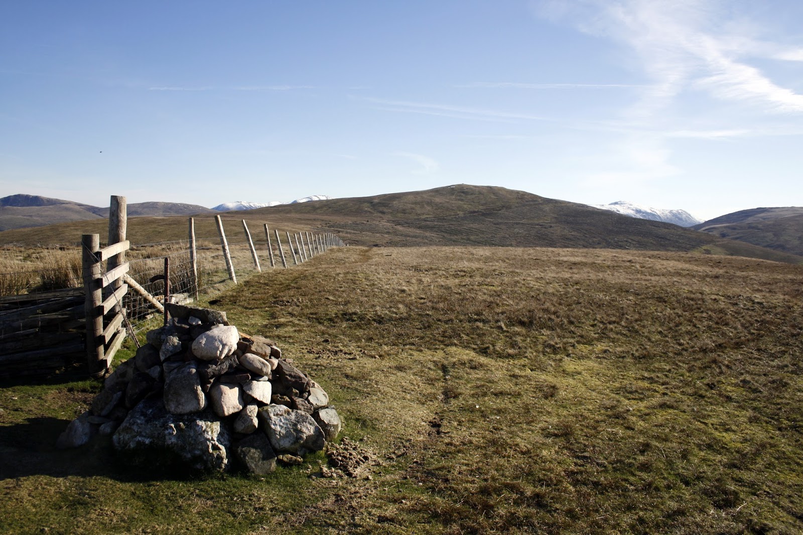
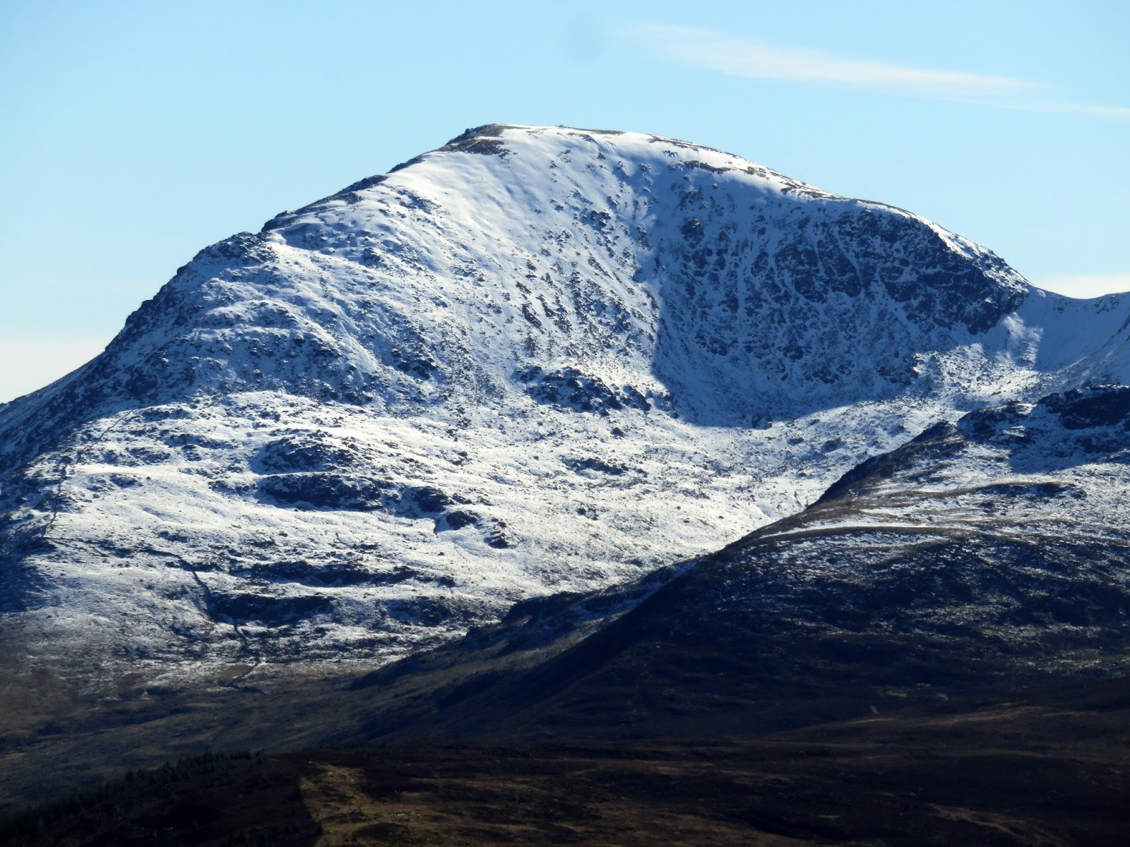
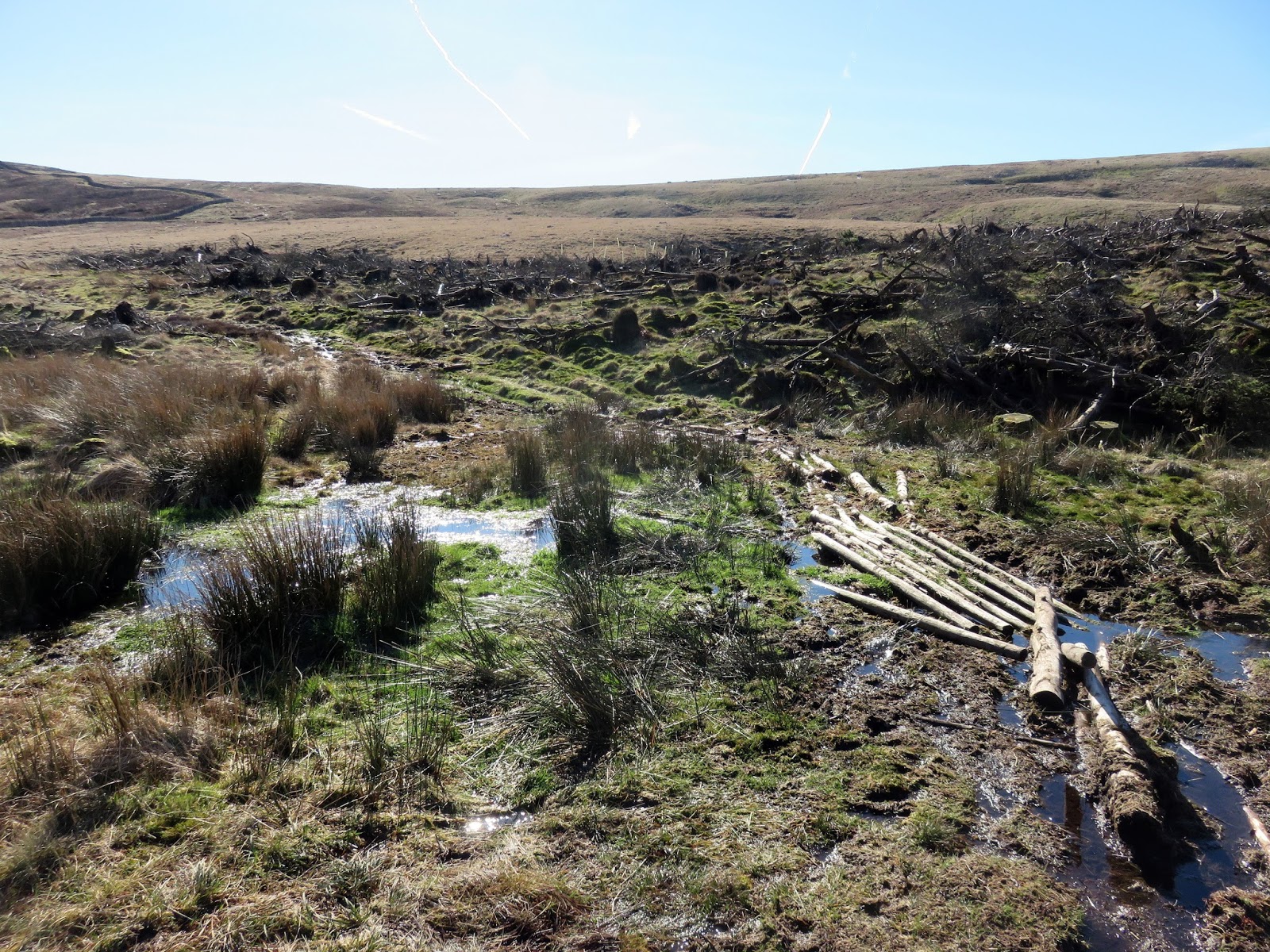
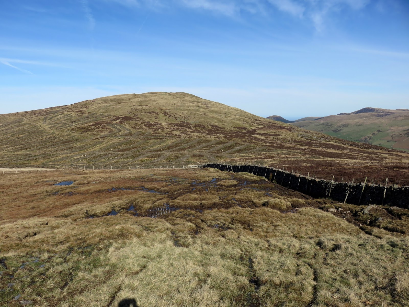
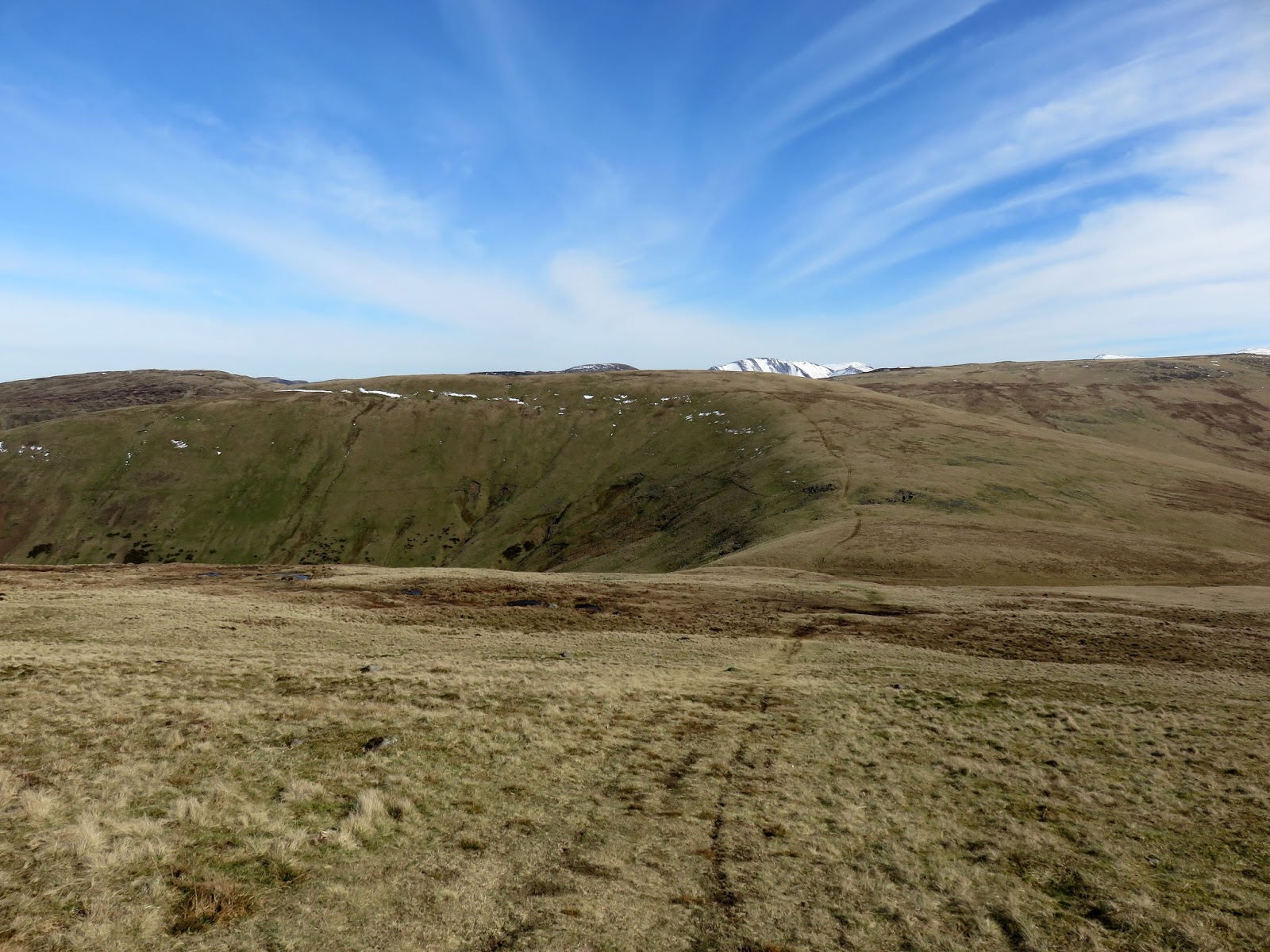
A path descends to the bogs of Black Pots, crossing some of the worst using a makeshift raft-cum-bridge arrangement. A grassy bank rises to the minor top of Whoap (great name) before dropping once again into a col with Lank Rigg up ahead.
 |
| Iron Crag over Black Pots |
 |
| Black Pots |
 |
| Whoap |
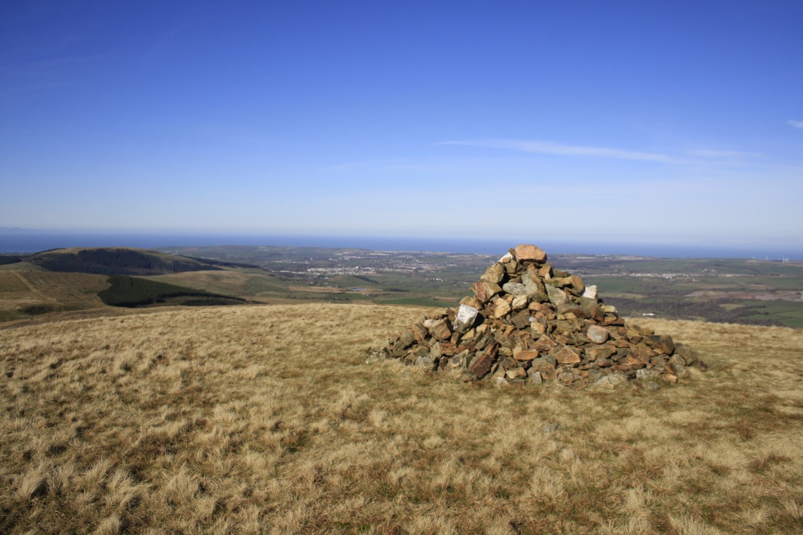
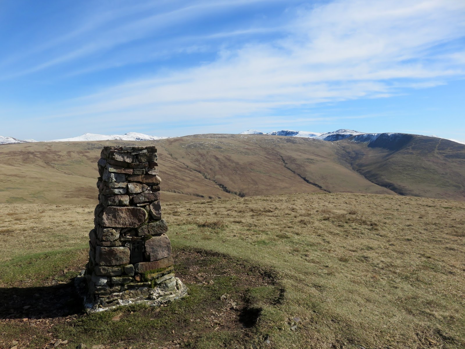
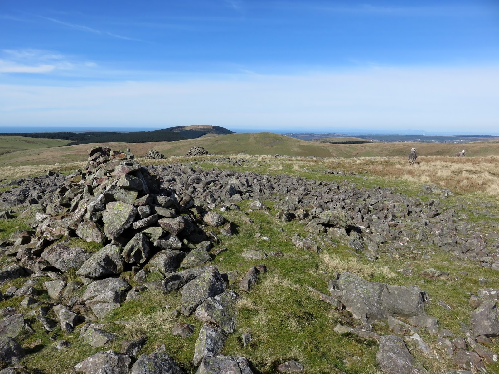
You are greeted at the summit of the familiar shape of an OS trig pillar and a cairn, under which is often a collection of coins – a nod to Wainwright’s ‘reckless thing’ where he buried a coin on the summit after completing the final instalment of his Pictorial Guides. Last time I was here the collection was fairly sizeable, now I could only find the solitary 10p.
 |
| Whoap |
 |
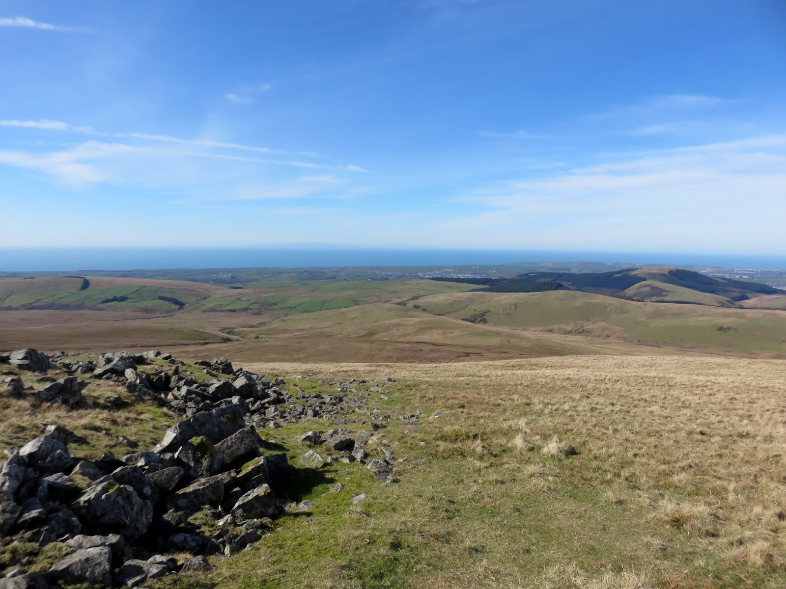
| The view towards St. Bees |
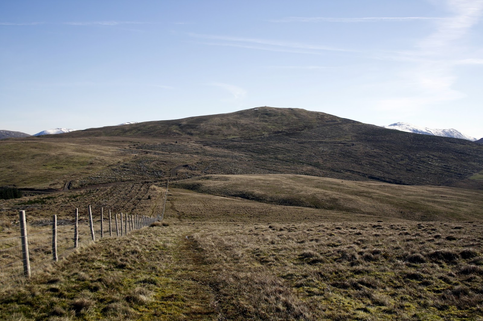
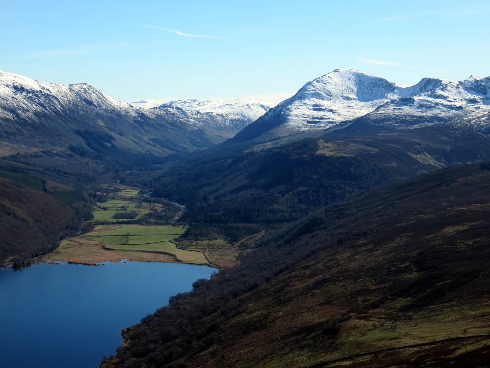
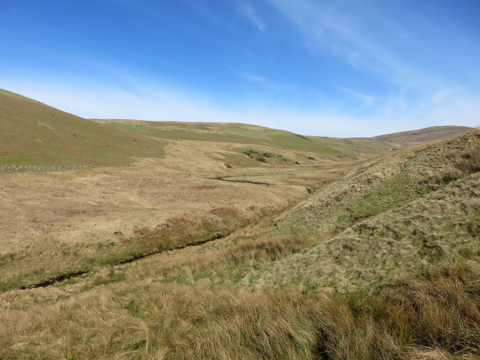
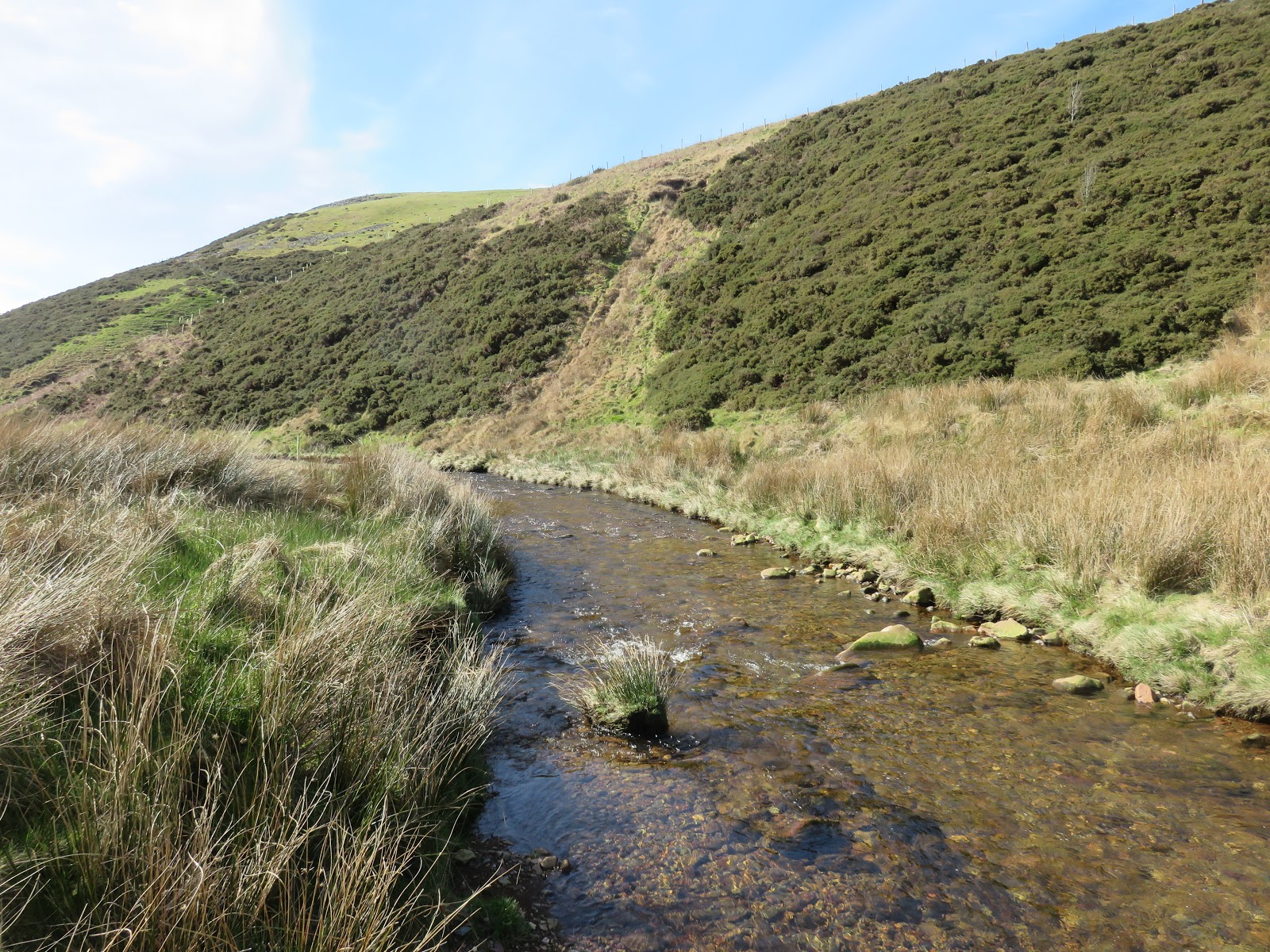
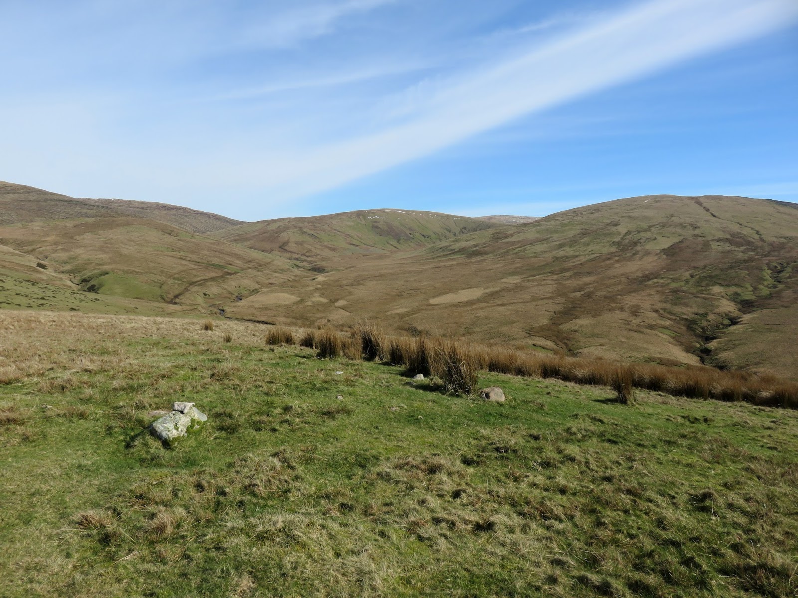
I followed Lank Rigg’s western ridge over the tops of Kinniside and Latter Barrow and down across boggy grass to the River Calder. From a distance it had looked narrow enough to cross but, upon closer inspection, required a slightly more daring approach. With the sun out and warmth in the air, I had no hesitation casting the boots aside and wading across.
 |
| Kinniside |
 |
| Latter Barrow |
 |
| The River Calder |
 |
| The River Calder |
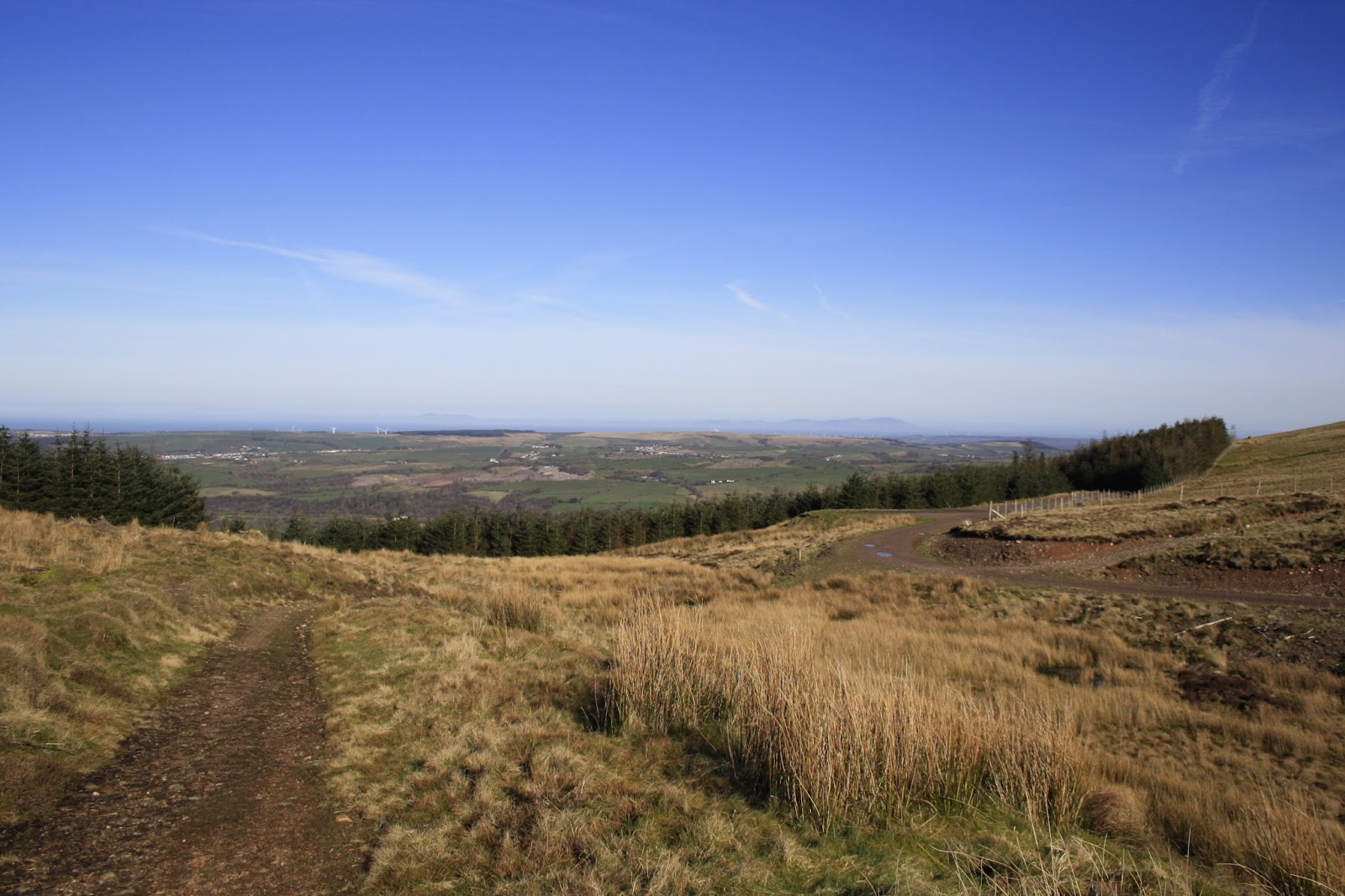
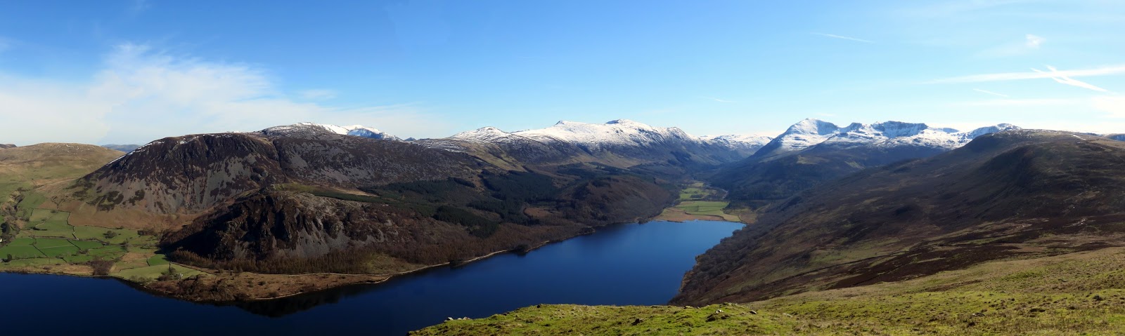
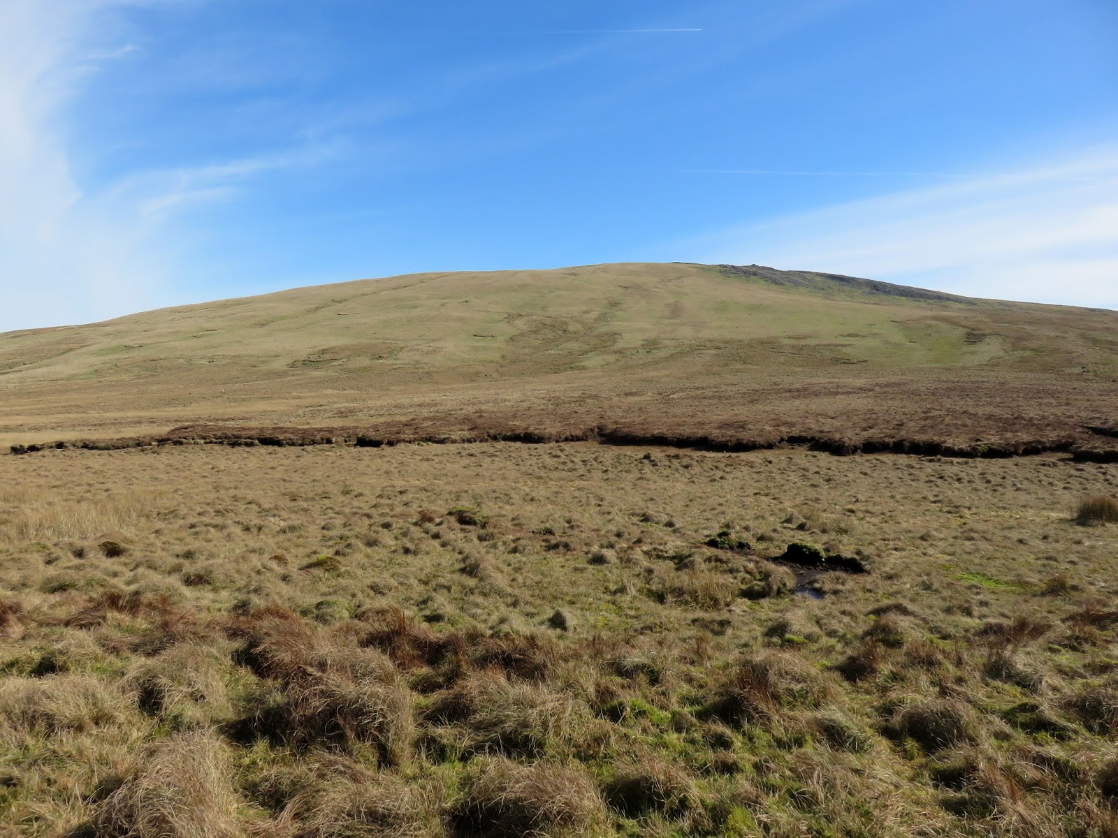
Once feet, socks and boots had been successfully reunited, I made the steep 100m climb up Swarth Fell, a small fell that carries the Cold Fell Road on its western flank. The neighbouring Burn Edge, the last fell of the day, also carries the road and provides an easy route back to the car.
 |
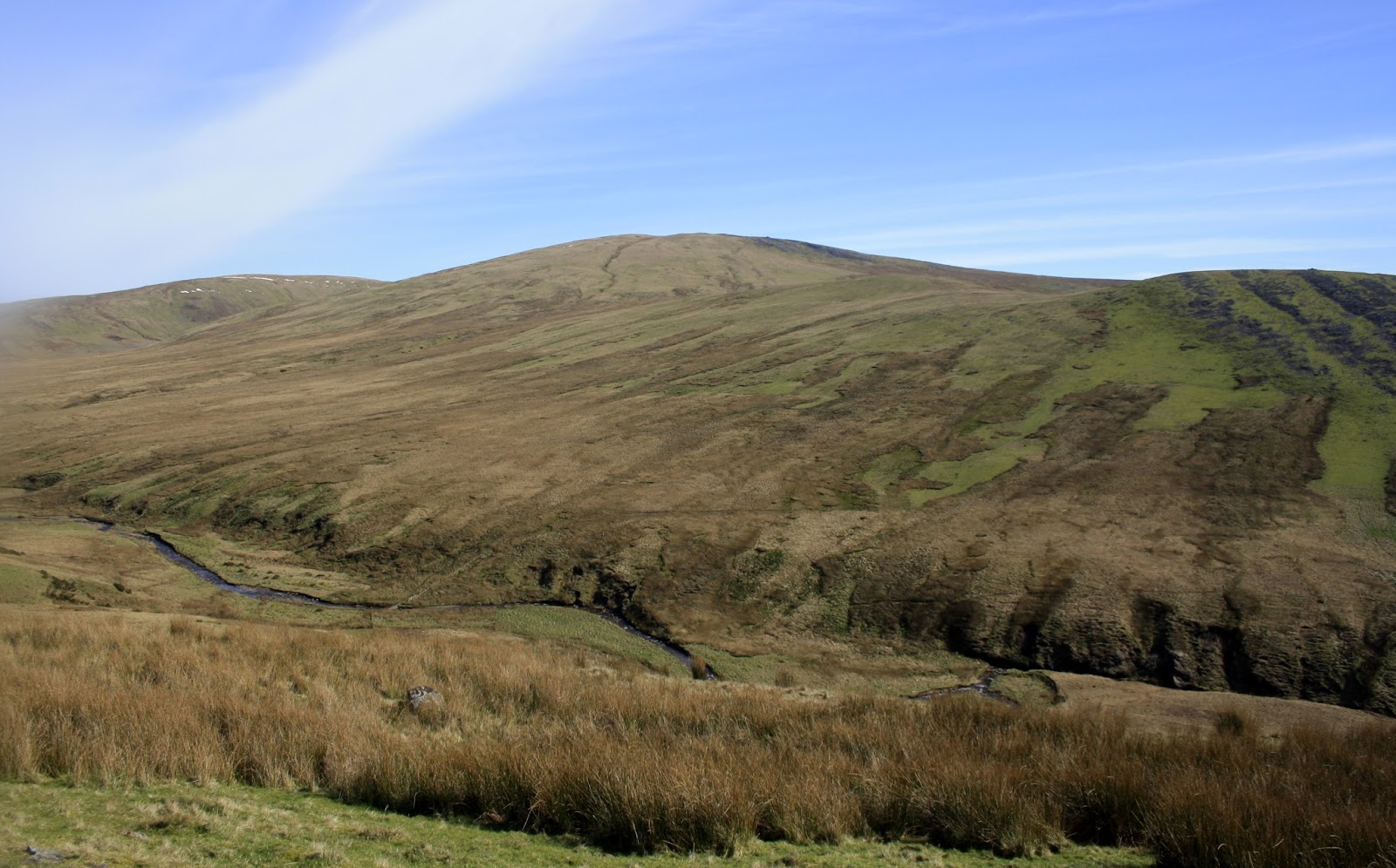
| Grike at the head of the River Calder |
 |
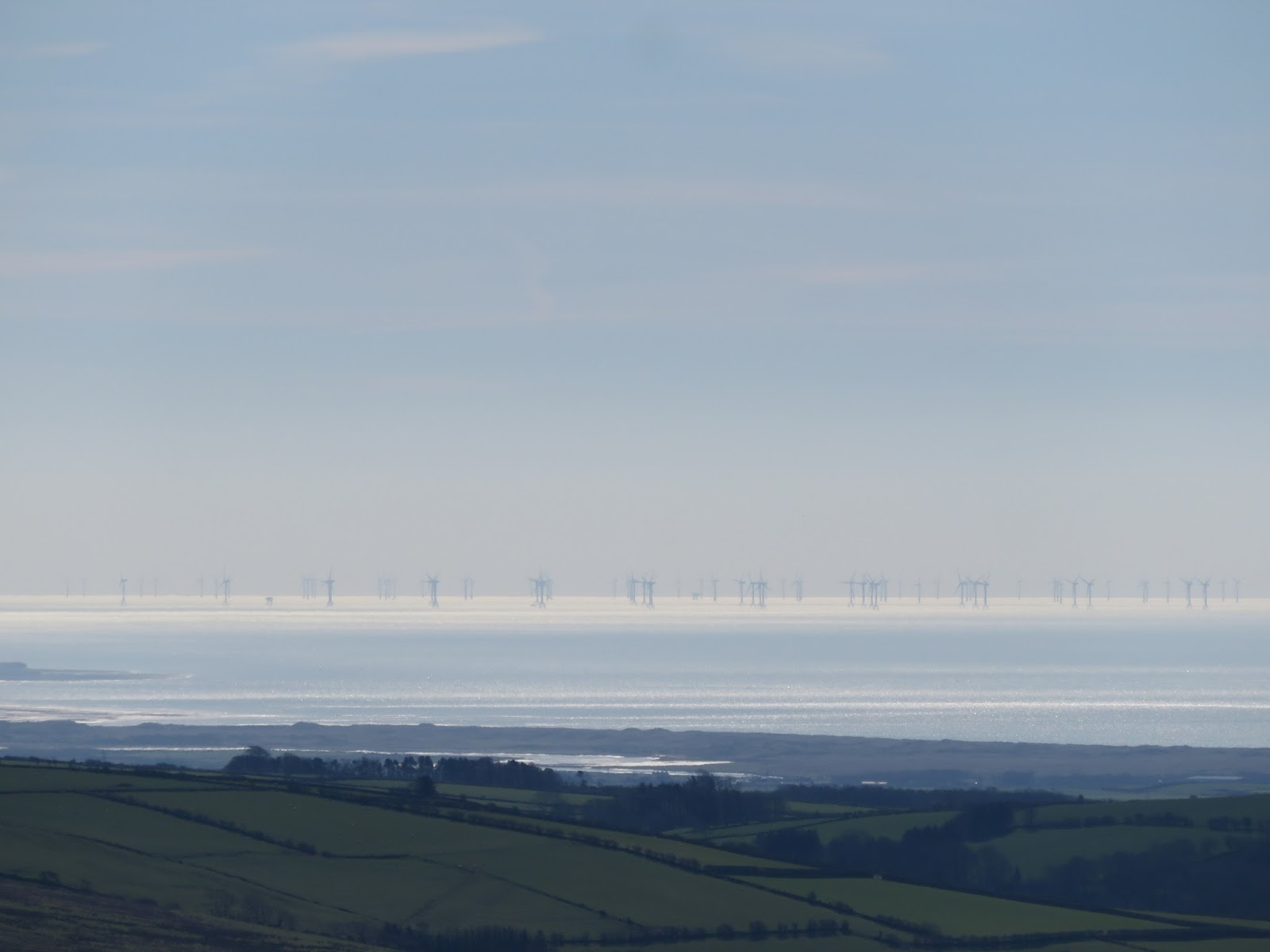
| A large windfarm off the coast |
 |
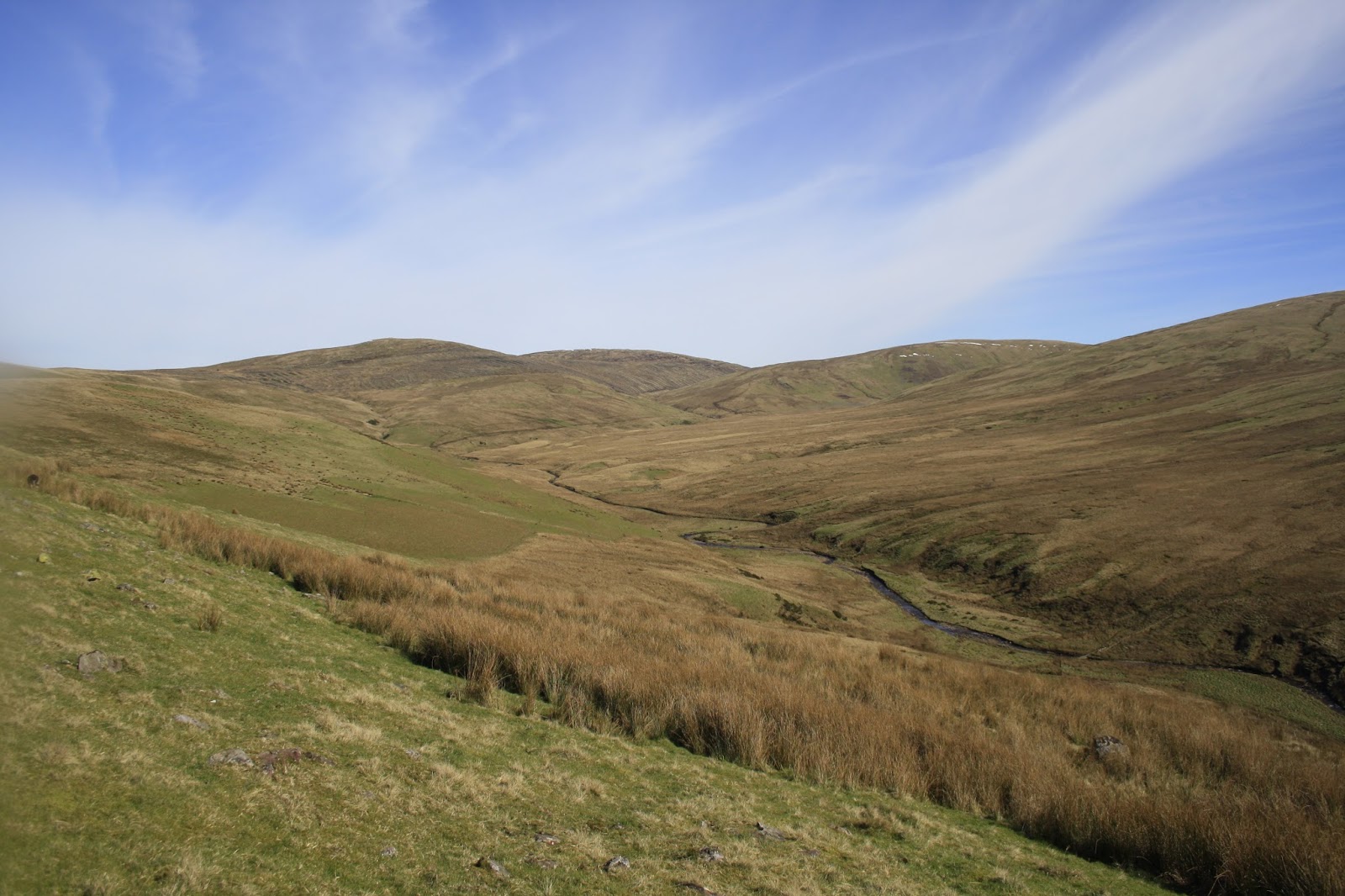
| Swarth Fell |
 |
| Dent |
 |
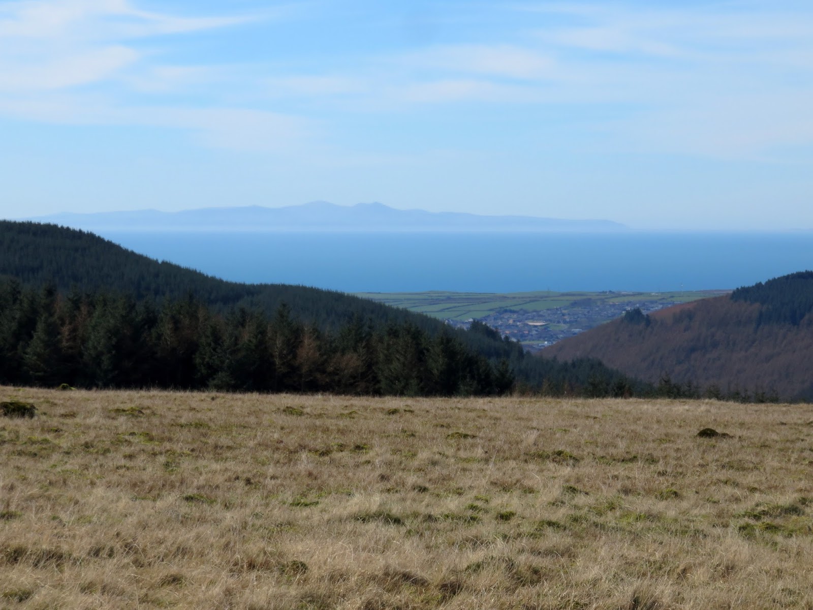
| The Isle of Man viewed through Uldale |
It was nice to see what these fells are all about; Crag Fell, in particular, makes its way onto the list of fells I’d like to climb again. There are a few other walks I’d like to repeat to actually see the fells we’ve climbed; a few around Troutbeck spring to mind. Keep an eye out for those in the future.
