Open Space Web-Map builder Codehttps://openspace.ordnancesurvey.co.uk/osmapapi/openspace.js?key=3119F72552FD5C22E0530C6CA40A5A92https://openspace.ordnancesurvey.co.uk/osmapapi/script/mapbuilder/basicmap.jshttps://openspace.ordnancesurvey.co.uk/osmapapi/script/mapbuilder/searchbox.js//variables for routes var linesLayer, points, lineFeature, lineString, routeMarkersLayer, routepos, routesize, routeoffset, routeicon; var style_blue = {strokeColor: “#0000CD”, strokeOpacity: 0.5, strokeWidth: 4.5}; function initmapbuilder() { //initiate the map var options = {resolutions: [2500, 1000, 500, 200, 100, 50, 25, 10, 5, 4, 2.5, 2, 1]}; osMap = new OpenSpace.Map(‘map’, options); //configure map options (basicmap.js) setglobaloptions(); //set the center of the map and the zoom level osMap.setCenter(new OpenSpace.MapPoint(315412.99937057,533658.00125885),7); linesLayer = osMap.getVectorLayer(); // Set up layer for route markers routeMarkersLayer = new OpenLayers.Layer.Markers(“Route Markers”); //make a route points = new Array(); points.push(new OpenLayers.Geometry.Point(316236.66603088,532866.66793823)); points.push(new OpenLayers.Geometry.Point(316071.66603088,532801.66793823)); points.push(new OpenLayers.Geometry.Point(316006.66603088,532731.66793823)); points.push(new OpenLayers.Geometry.Point(315836.66603088,532721.66793823)); points.push(new OpenLayers.Geometry.Point(314966.66603088,532166.66793823)); points.push(new OpenLayers.Geometry.Point(314851.66603088,532031.66793823)); points.push(new OpenLayers.Geometry.Point(314891.66603088,531931.66793823)); points.push(new OpenLayers.Geometry.Point(314896.66603088,531861.66793823)); points.push(new OpenLayers.Geometry.Point(315156.66603088,531921.66793823)); points.push(new OpenLayers.Geometry.Point(315531.66603088,531861.66793823)); points.push(new OpenLayers.Geometry.Point(315666.66603088,531841.66793823)); points.push(new OpenLayers.Geometry.Point(315896.66603088,531841.66793823)); points.push(new OpenLayers.Geometry.Point(316216.66603088,531926.66793823)); points.push(new OpenLayers.Geometry.Point(316156.66603088,531961.66793823)); points.push(new OpenLayers.Geometry.Point(316171.66603088,532011.66793823)); points.push(new OpenLayers.Geometry.Point(316116.66603088,532081.66793823)); points.push(new OpenLayers.Geometry.Point(315776.66603088,532246.66793823)); points.push(new OpenLayers.Geometry.Point(316256.66603088,532426.66793823)); points.push(new OpenLayers.Geometry.Point(316236.66603088,532866.66793823)); // create a polyline feature from the array of points lineString = new OpenLayers.Geometry.LineString(points); lineFeature = new OpenLayers.Feature.Vector(lineString, null, style_blue); linesLayer.addFeatures([lineFeature]); //make a route points = new Array(); points.push(new OpenLayers.Geometry.Point(315181.66603088,535161.66793823)); points.push(new OpenLayers.Geometry.Point(315411.66603088,535111.66793823)); points.push(new OpenLayers.Geometry.Point(315761.66603088,535121.66793823)); points.push(new OpenLayers.Geometry.Point(315971.66603088,535271.66793823)); points.push(new OpenLayers.Geometry.Point(316005.66603088,535279.66793823)); // create a polyline feature from the array of points lineString = new OpenLayers.Geometry.LineString(points); lineFeature = new OpenLayers.Feature.Vector(lineString, null, style_blue); linesLayer.addFeatures([lineFeature]); //crate a route start/end marker routepos = new OpenSpace.MapPoint(316236.66603088,532866.66793823); routesize = new OpenLayers.Size(33,45); routeoffset = new OpenLayers.Pixel(-5,-37); routeicon = new OpenSpace.Icon(‘https://openspace.ordnancesurvey.co.uk/osmapapi/img_versions/img_1.1/mapbuilder/routemarker-startend.png’, routesize, routeoffset, null, null); routeMarkersLayer.addMarker(new OpenLayers.Marker(routepos, routeicon)); //crate a route start/end marker routepos = new OpenSpace.MapPoint(315181.66603088,535161.66793823); routesize = new OpenLayers.Size(33,45); routeoffset = new OpenLayers.Pixel(-5,-37); routeicon = new OpenSpace.Icon(‘https://openspace.ordnancesurvey.co.uk/osmapapi/img_versions/img_1.1/mapbuilder/routemarker-start.png’, routesize, routeoffset, null, null); routeMarkersLayer.addMarker(new OpenLayers.Marker(routepos, routeicon)); //crate a route start/end marker routepos = new OpenSpace.MapPoint(316005.66603088,535279.66793823); routesize = new OpenLayers.Size(33,45); routeoffset = new OpenLayers.Pixel(-5,-37); routeicon = new OpenSpace.Icon(‘https://openspace.ordnancesurvey.co.uk/osmapapi/img_versions/img_1.1/mapbuilder/routemarker-end.png’, routesize, routeoffset, null, null); routeMarkersLayer.addMarker(new OpenLayers.Marker(routepos, routeicon)); osMap.addLayer(routeMarkersLayer);}
Route: Kirkhouse, Hill’s Wood, Watch Hill, Setmurthy Common, Setmurthy Plantation, Kirkhouse, (DRIVE), Blindcrake, Clints Crags, Blindcrake
Date: 05/03/2017
From: Isel / Blindcrake
Parking: Isel Road / Blindcrake
Start Point: Isel Road / Blindcrake
Region: North Western Fells / Northern Fells
Route length: 2.9 miles (4.6 km) / 1.2 miles (1.9 km)
Time taken : 01:02 / 00:23
Average speed: 2.8 mph /3.0 mph
Ascent: 238m / 112m
Descent: 243m / 102
Outlying Fells on this walk: Watch Hill (235m), Setmurthy Common (254m), Clints Crags (245m)
Additional summits: None
Other Points of Interest: None
Watch Hill and Clints Crags are two of the most northerly fells in the Lake District and a return to the Wainwright Outlying Fells (having climbed Orrest Head a couple of years ago. I had thought I’d make a start on the eastern fells around Shap or Bannisdale but, having completed a morning walk from Whinlatter quicker than planned, I had a free afternoon for some old-school peak bagging.
This comprises two very short walks to create one short report – in total, these two fells comprise of just three miles of walking and a couple of miles driving – you probably do both on foot if you out for the whole day.
Leaving Whinlatter, my first task was to drive to Cockermouth and beyond, into the quiet areas to the north of the main National Park. Watch Hill would by my first objective.
Watch Hill is a small hill lying on the fringe of the Lake District. The name Setmurthy Common is sometimes used (including by Alfred Wainwright in his book The Outlying Fells of Lakeland) to refer to the area including the highest point, with “Watch Hill” describing the area to the west of the summit.
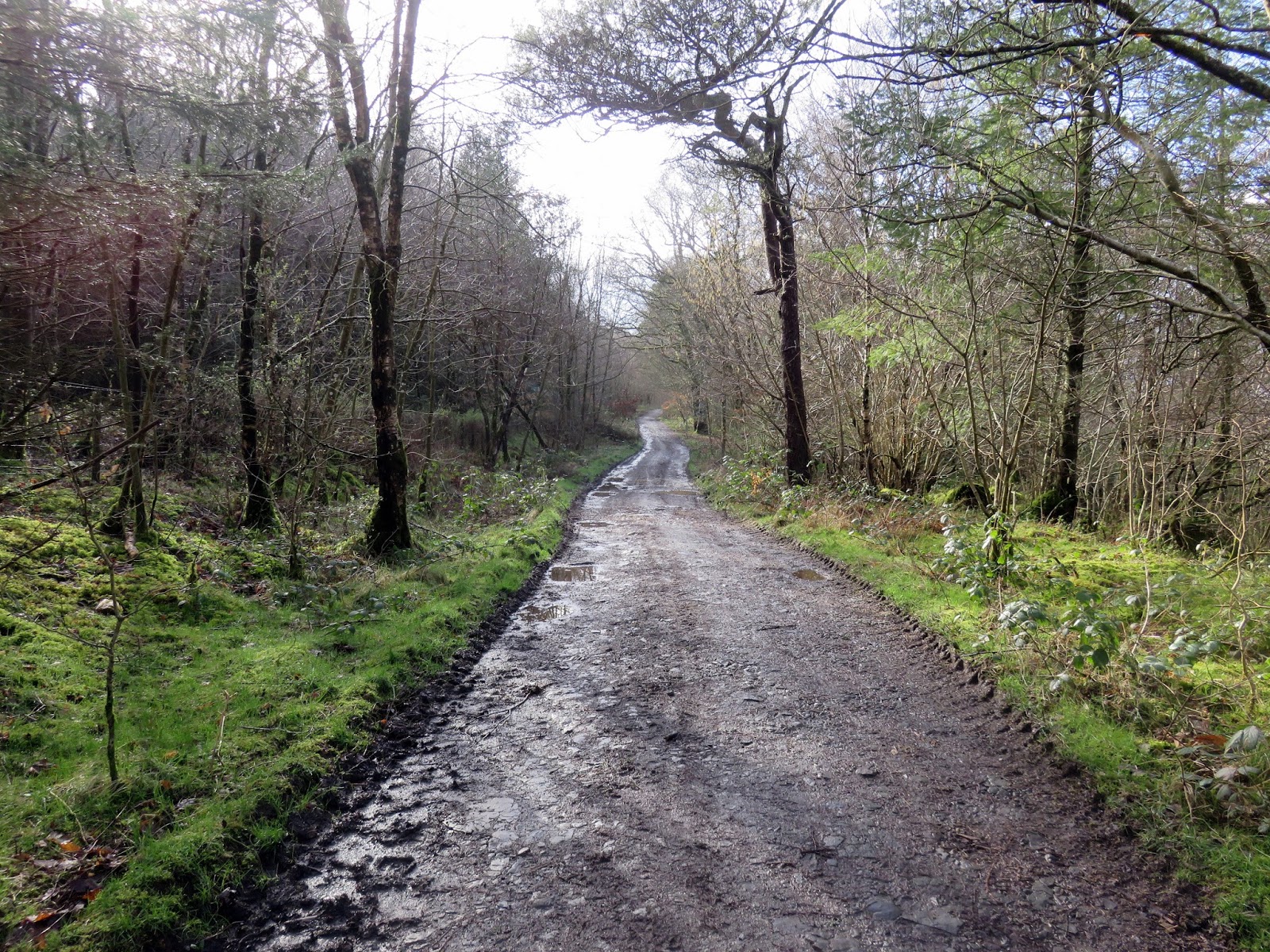
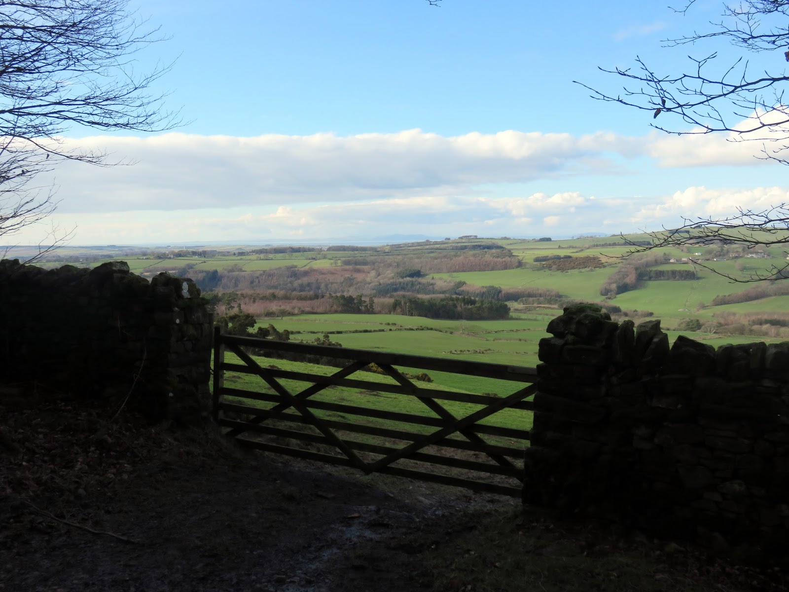
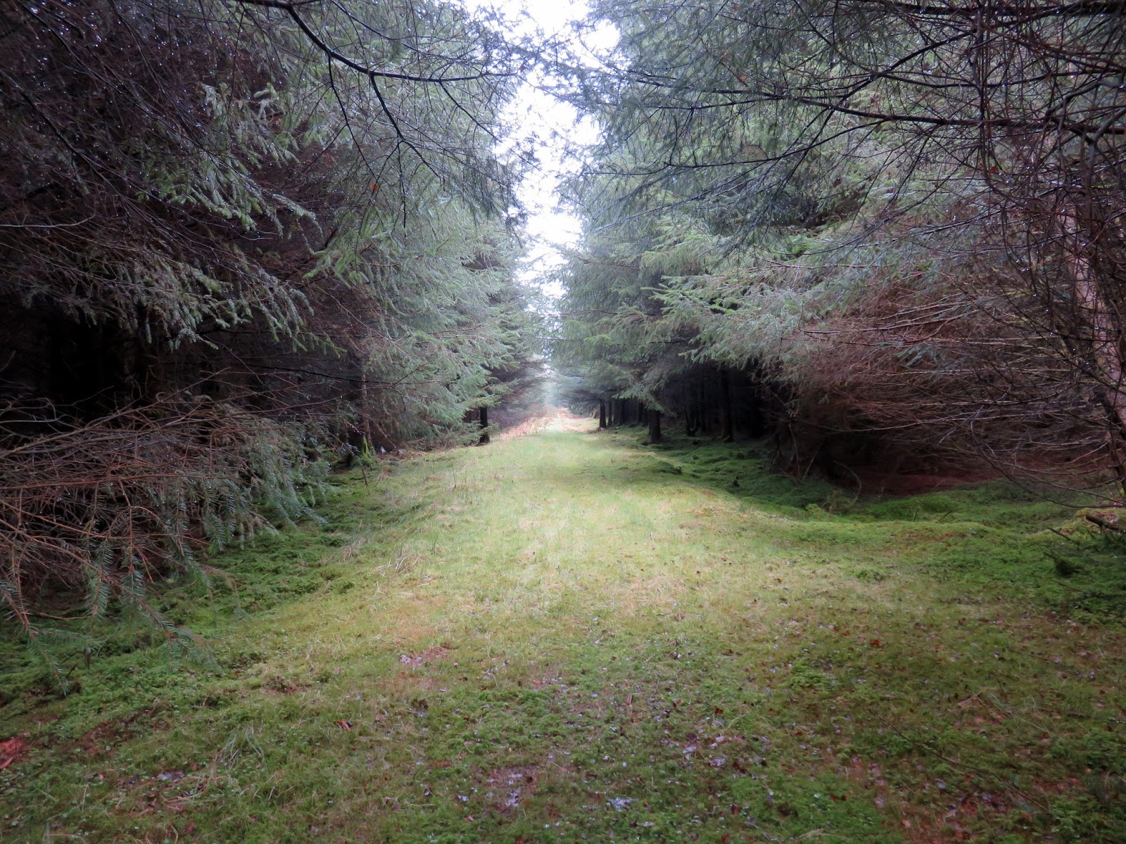
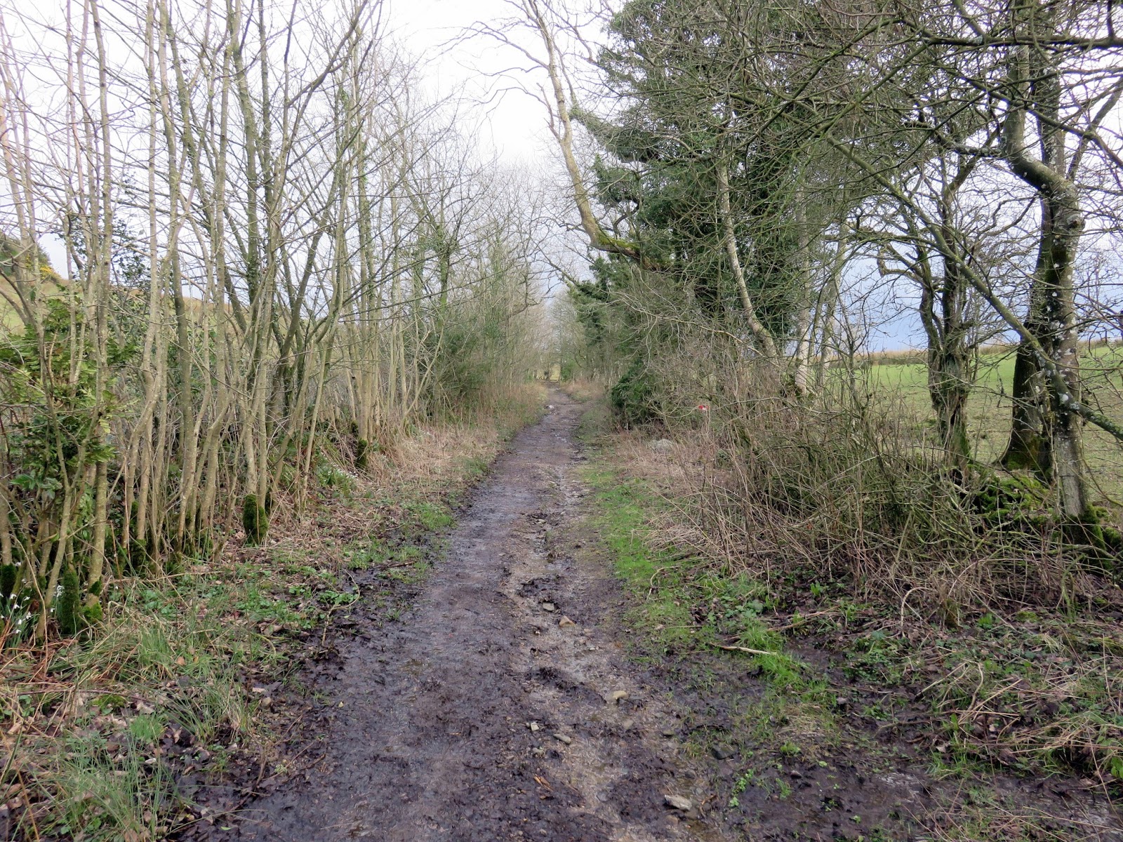
To create a short circuit (I do love a good circuit), I parked at the end of a bridleway close to Kirkhouse on the northern side of the hill. The bridleway gradually climbs the slopes, heading directly for the Watch Hill summit. It’s an easy stroll – this time in some very pleasant weather.
 |
| The bridleway at Hill’s Wood |
 |
| Hill’s Wood |
 |
| Hill’s Wood |
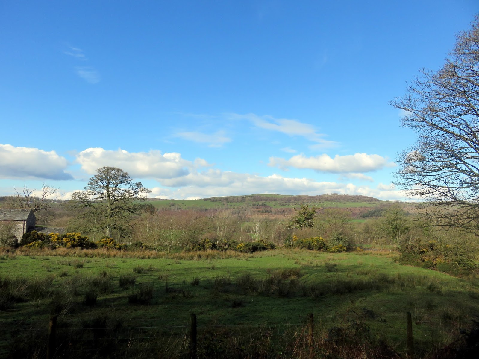
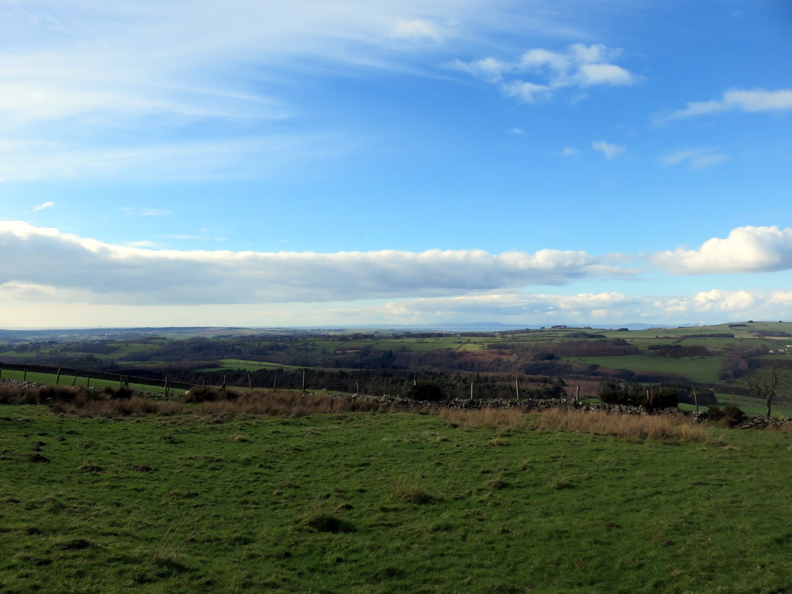
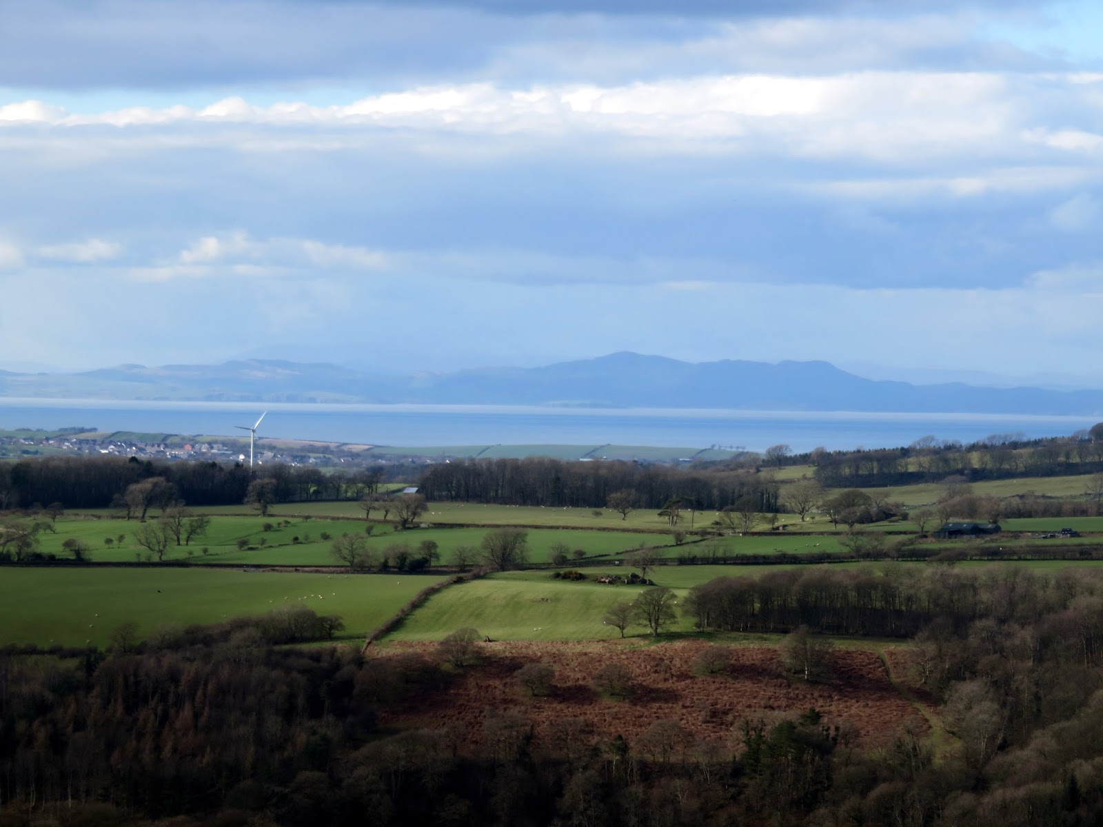
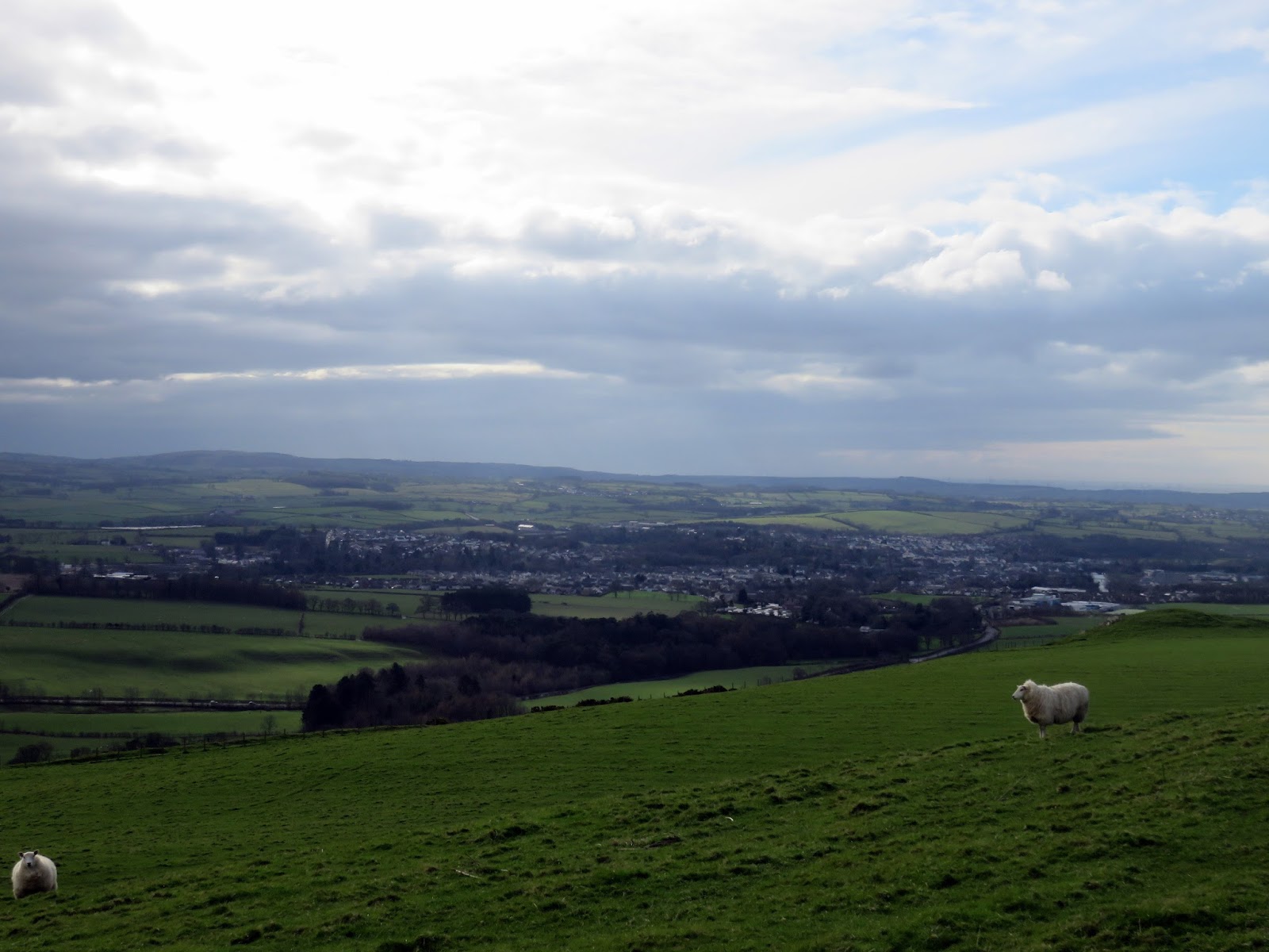
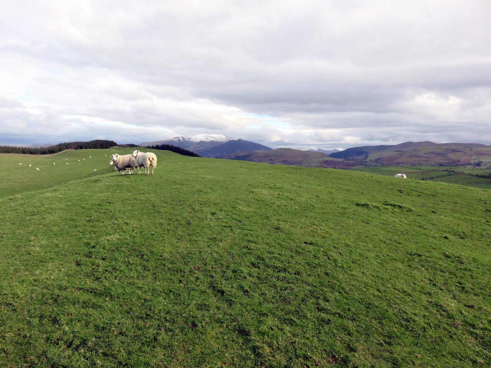
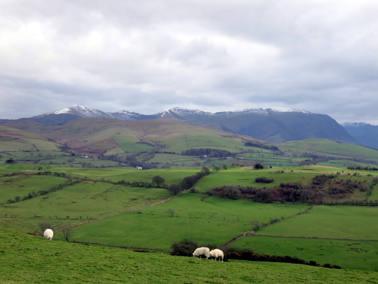
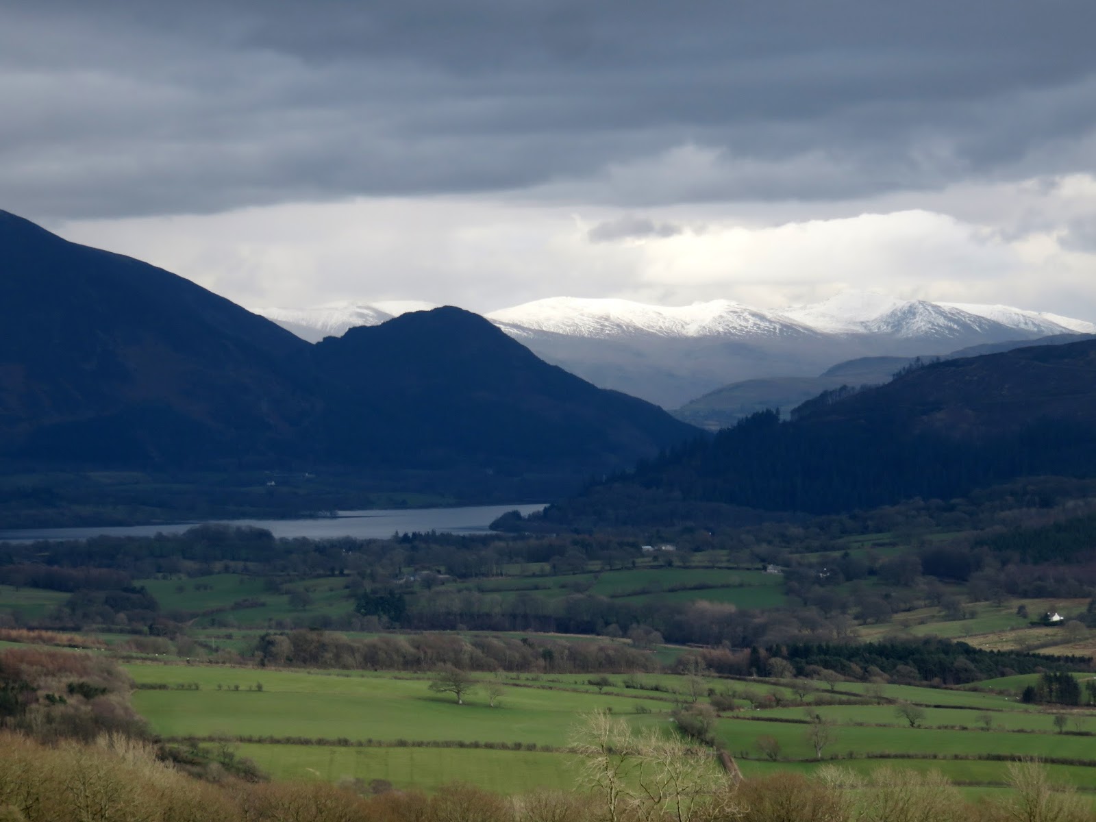
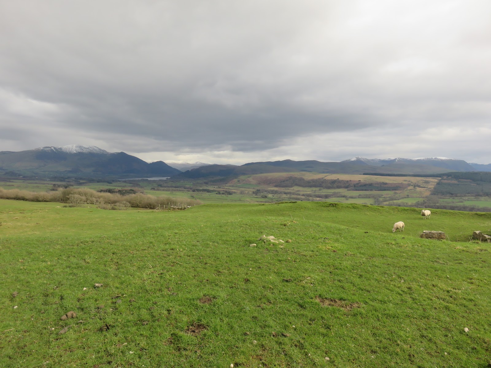
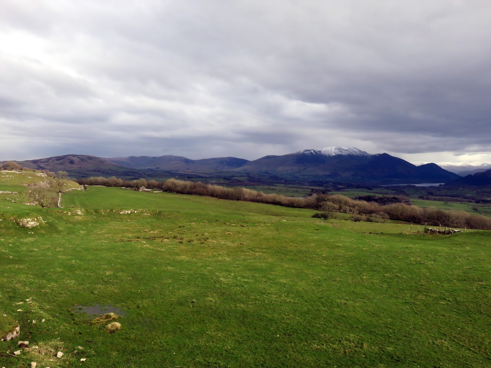
Reaching Watch Hill, the views over Cockermouth are revealed, and rather good they are too. Despite its low height, Watch Hill is a Marilyn because of the large height separation from its neighbours. This ‘detachedness’ means that it is an excellent viewpoint. Skiddaw, Blencathra, the Lord’s Seat group and Grisedale Pike are all seen.
 |
| The Derwent valley |
 |
| Looking west towards the Solway Firth |
 |
| The Solway Firth and the hills of Scotland |
 |
| Cockermouth |
 |
| Looking towards the Vale of Lorton |
 |
| The Vale of Lorton and the high Buttermere fells |
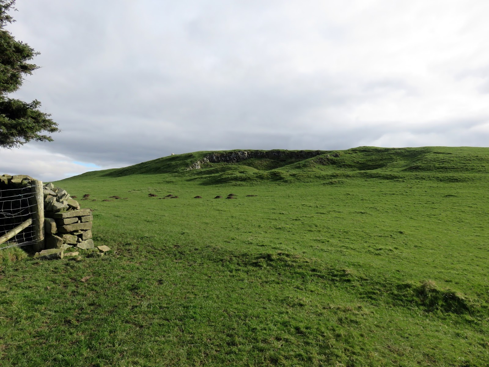
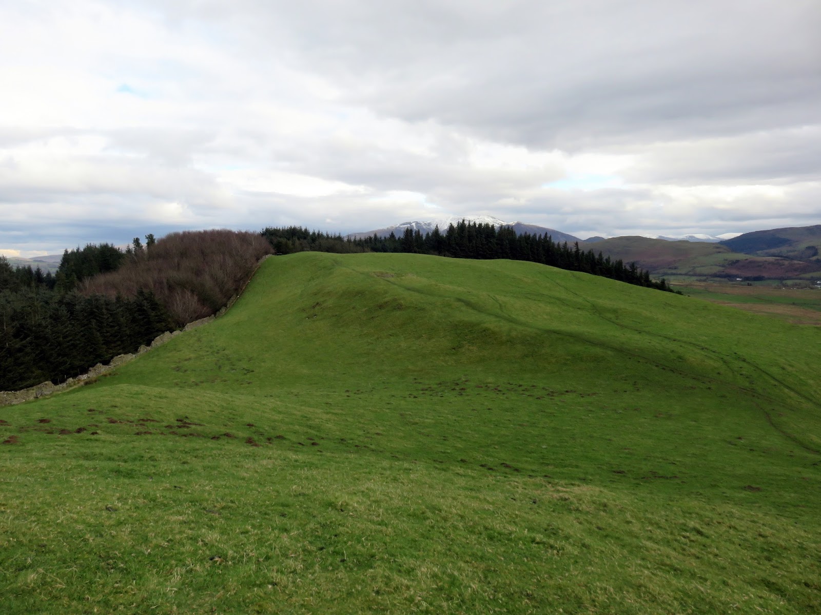
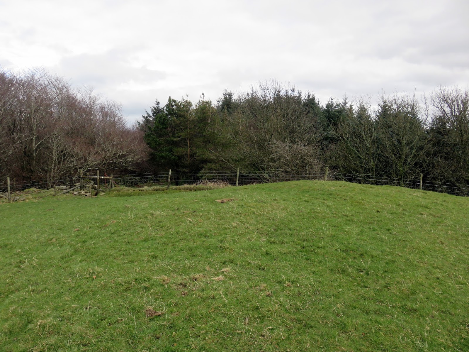
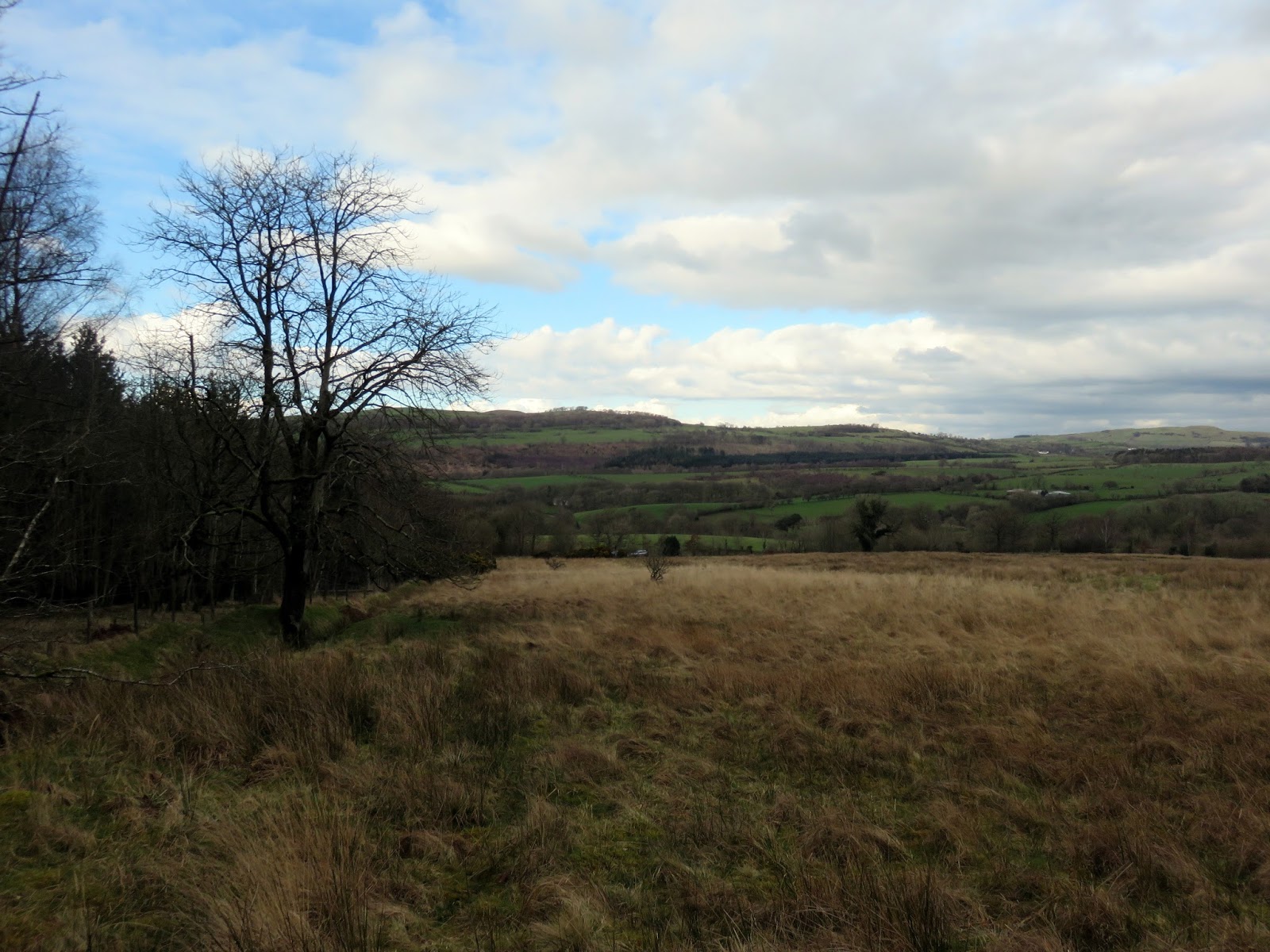
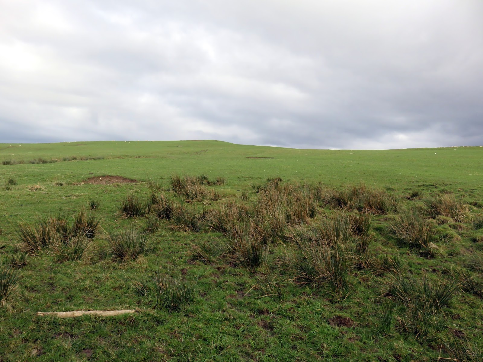
A green, undulating ridge heads east to the top of Setmurthy Common, another of Wainwright’s diminutive Outlying Fells. The top (along with modest cairn) sits at the junction of a couple of walls, prior to entering Setmurthy Woods.
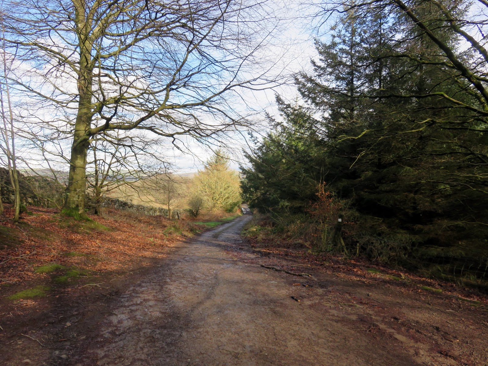
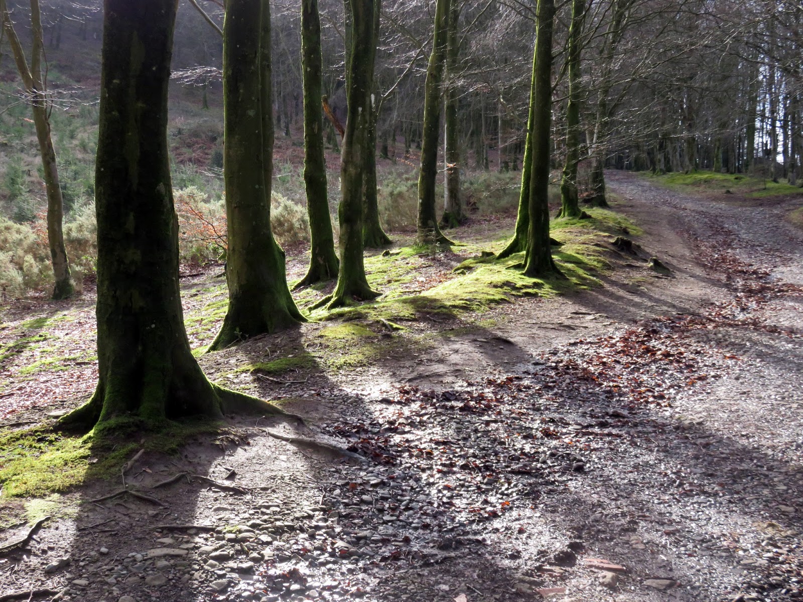
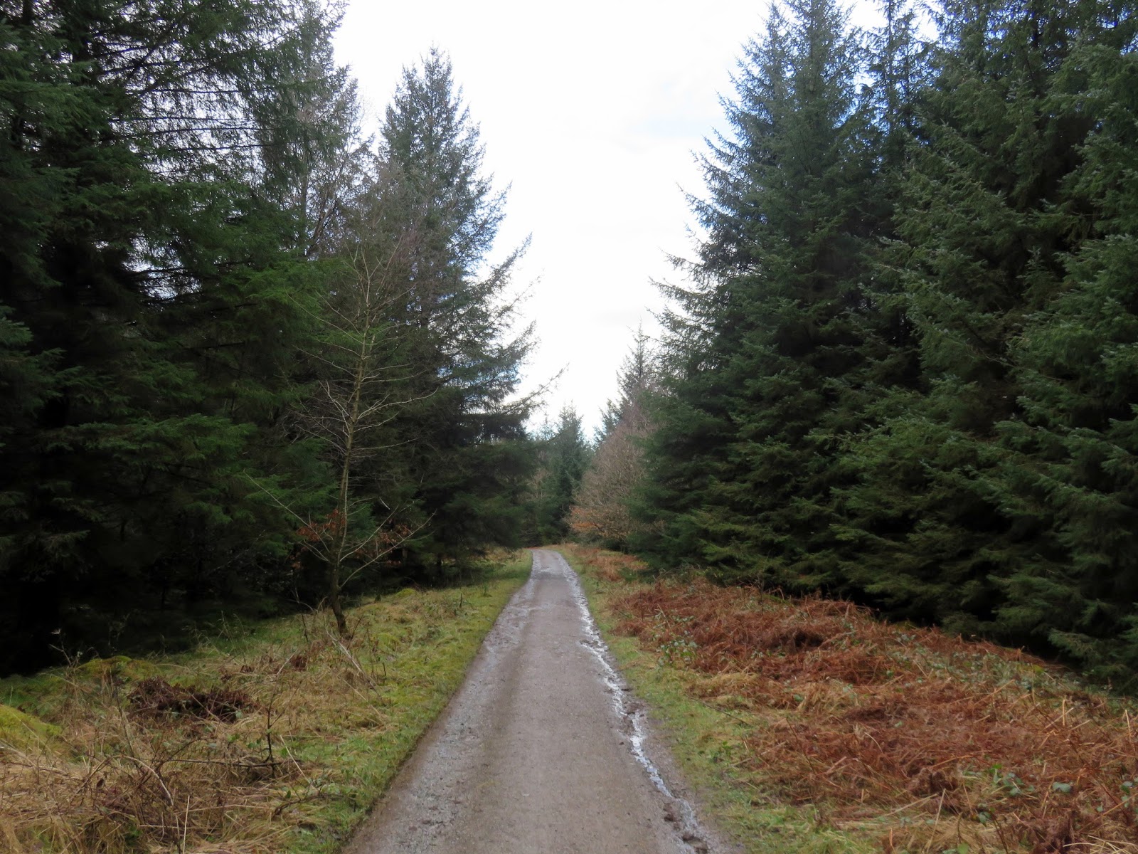
Forestry Commission tracks cut through the woodland, wending their way back towards the valley to the north. I eventually emerged on the edge of the woodland where a fence leads along a field edge directly back to the bridleway and the car. The next stop would be Clints Crags.
 |
| Setmurthy Plantation |
 |
| Setmurthy Plantation |
 |
| Heading back to the car |
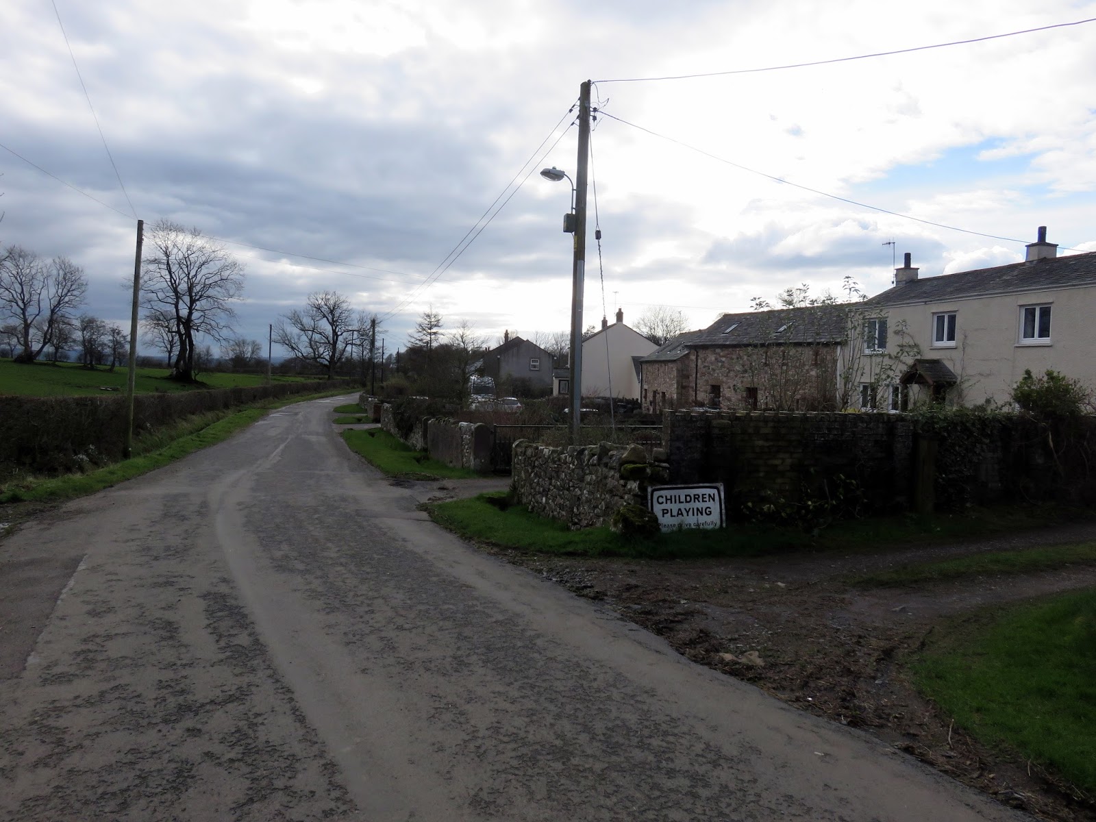
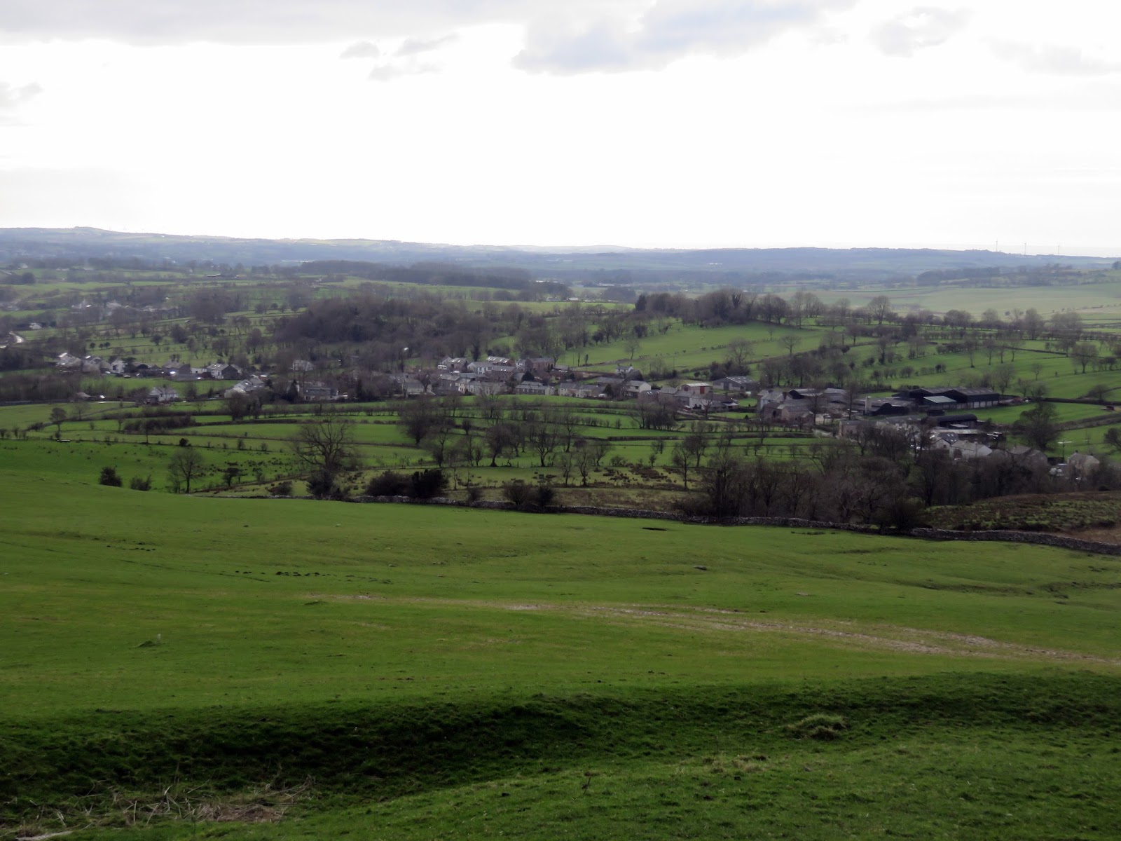
Across the Isel Valley is Blindcrake, a small village which gets its name from the nearby Clints Crags; the old Celtic name being Blaen-craig meaning summit (Blaen) of the rocky outcrop (craig).
 |
| Blindcrake |
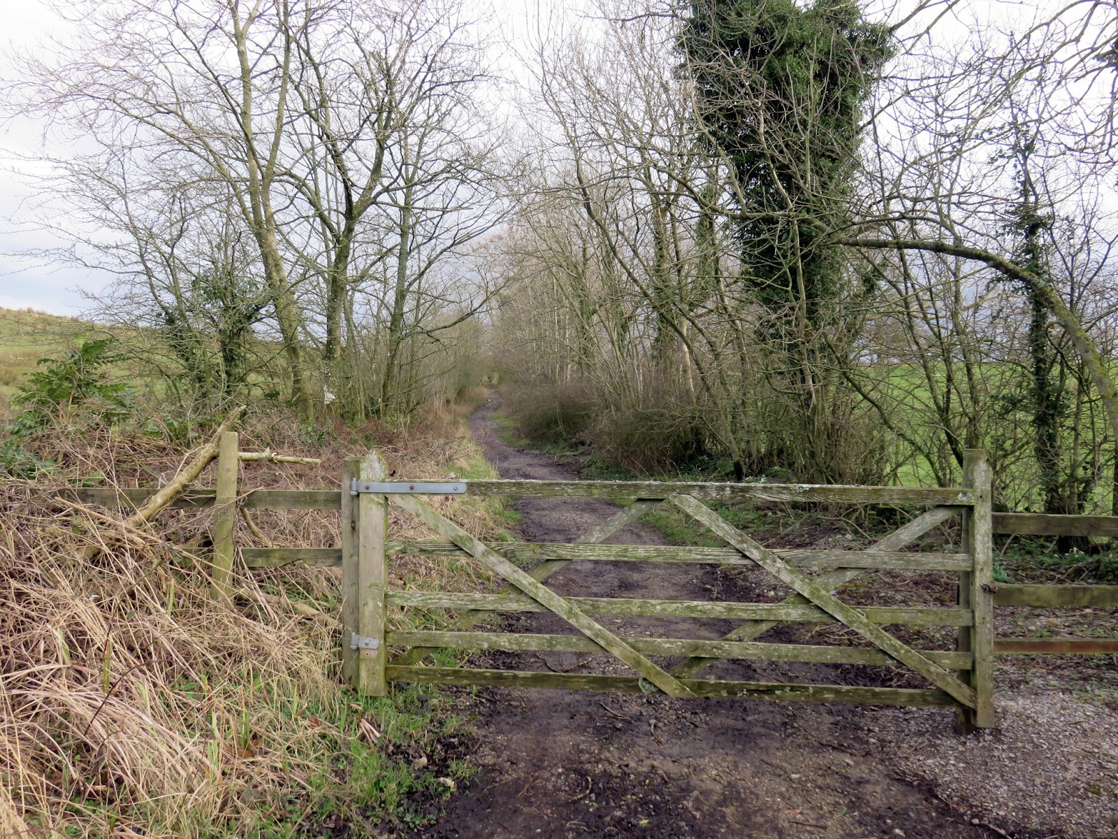
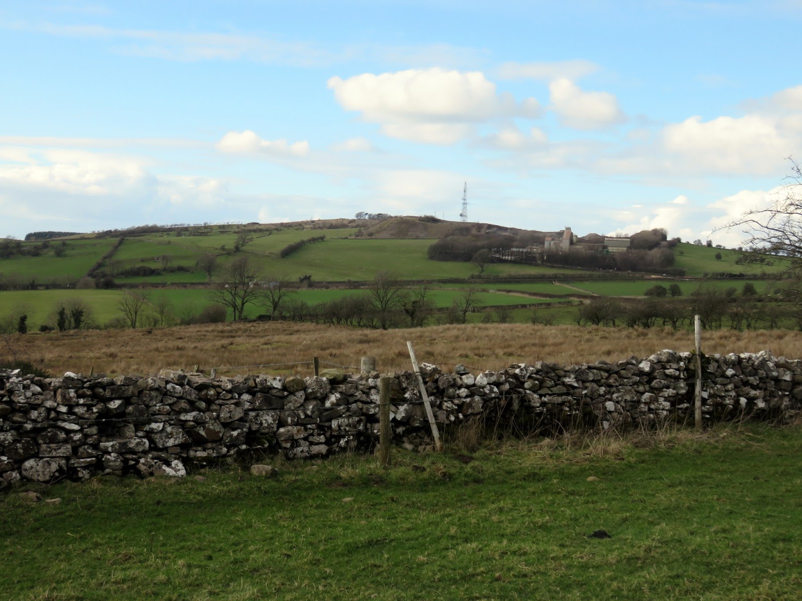
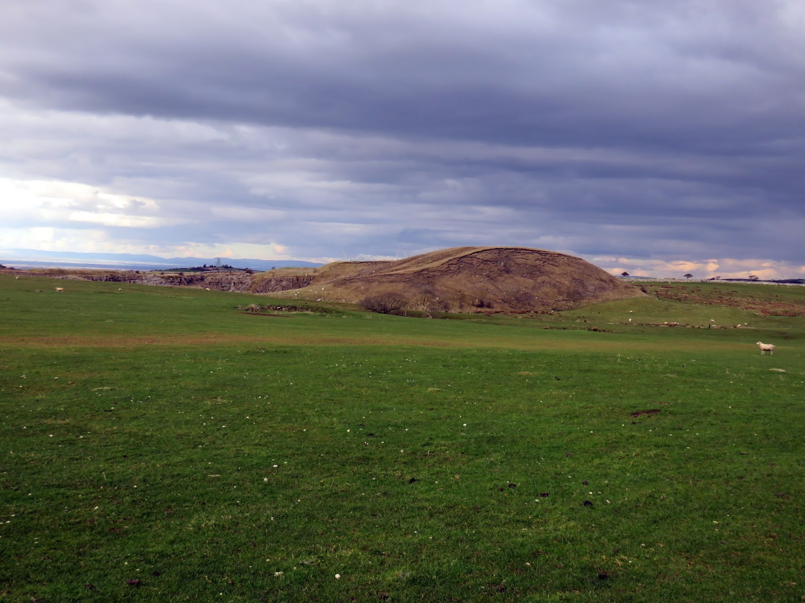
Gaining the summit of Clints Crags is as easy at it comes in the Lake District. Firstly, at a height of only 245m, is fairly small and secondly, 100m of climbing along a shallow lane is required. It was, however, very muddy underfoot.
 |
| The lane at Allison House Farm |
 |
| Heading up to Clints Park |
 |
| Clints Park |
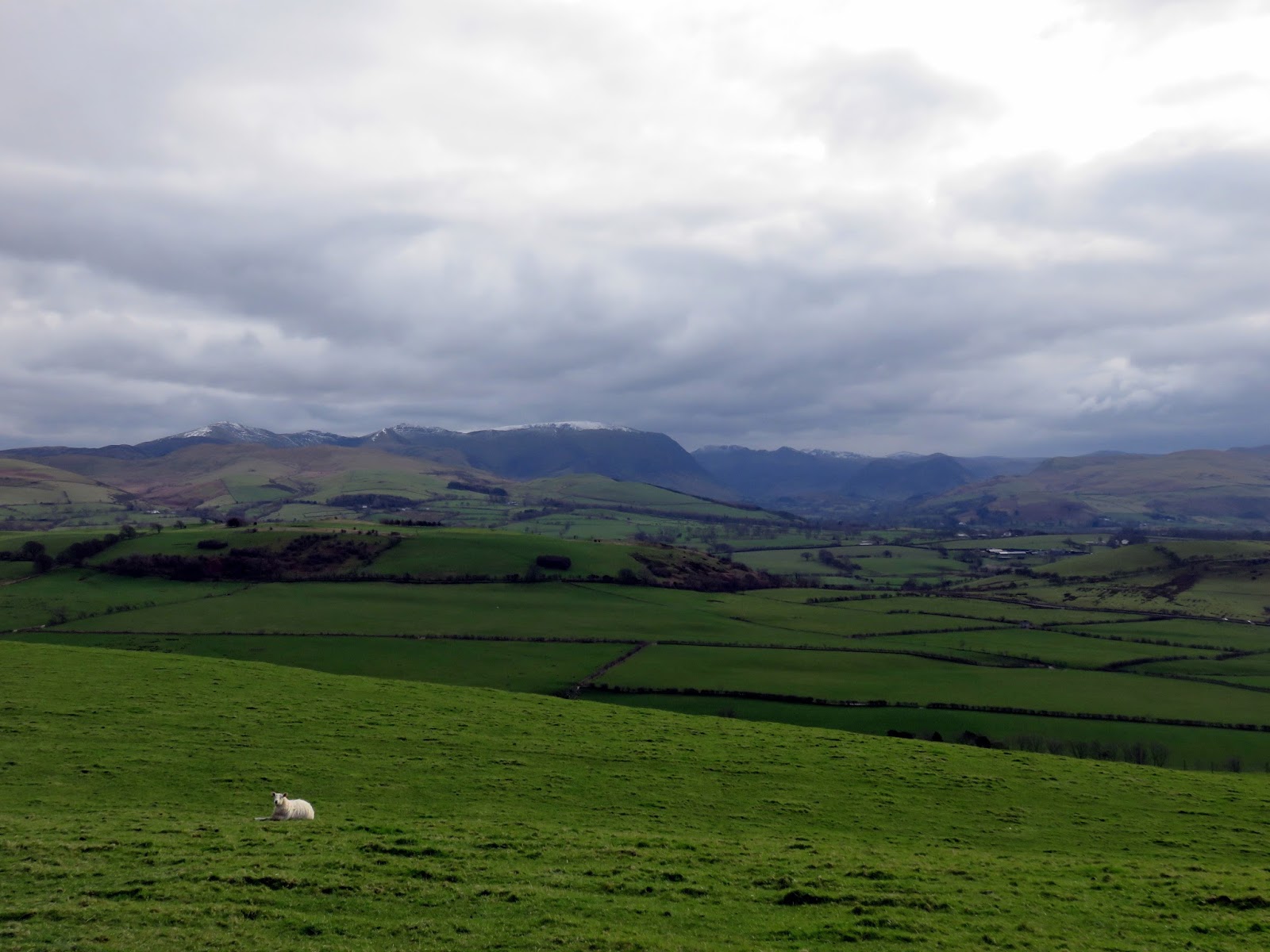
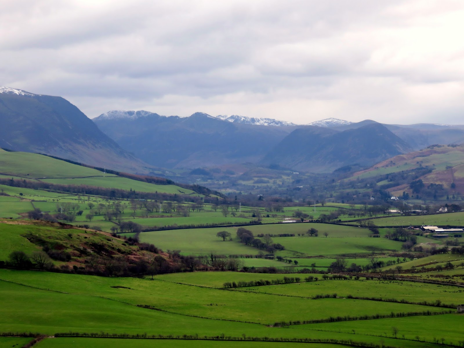
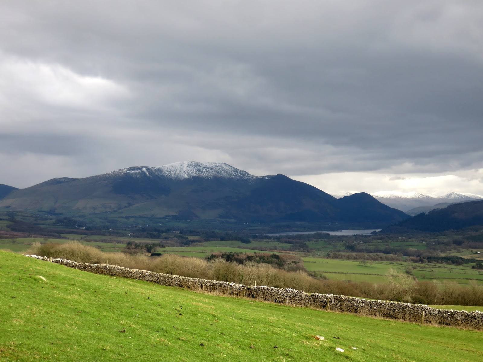
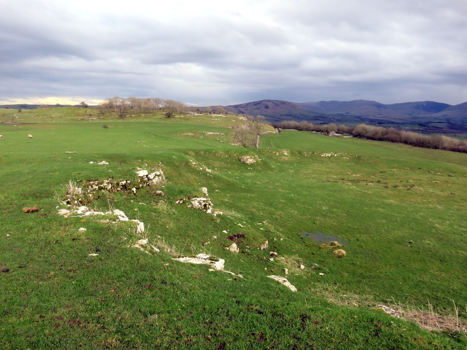
Despite its low height, Clints Crags has an excellent view of the northern Lake District, the highlight being the view along Bassenthwaite towards the Helvellyn range. There are the remains of an old limestone quarry near the summit of the hill, this is now an SSSI.
 |
| Moota Hill |
 |
| Dodd and the Helvellyn range |
 |
| The summit |
 |
| The old quarry |
 |
| The view along the summit |
 |
| Blindcrake |
Some very light rain had begun to drift in by the time I had retraced by steps back the car to conclude a very satisfying day of walking. Having completed the Wainwrights in 2016, I had felt in need for a new objective and the Outlying Fells are the perfect challenge. Not as demanding as the traditional Wainwrights but much less trodden and more removed from the main bulk of the Lake District. I’m certainly looking forward to the new areas I’ll be exploring.


