Open Space Web-Map builder Codehttps://openspace.ordnancesurvey.co.uk/osmapapi/openspace.js?key=3119F72552FD5C22E0530C6CA40A5A92https://openspace.ordnancesurvey.co.uk/osmapapi/script/mapbuilder/basicmap.jshttps://openspace.ordnancesurvey.co.uk/osmapapi/script/mapbuilder/searchbox.js//variables for routes var linesLayer, points, lineFeature, lineString, routeMarkersLayer, routepos, routesize, routeoffset, routeicon; var style_blue = {strokeColor: “#0000CD”, strokeOpacity: 0.5, strokeWidth: 4.5}; function initmapbuilder() { //initiate the map var options = {resolutions: [2500, 1000, 500, 200, 100, 50, 25, 10, 5, 4, 2.5, 2, 1]}; osMap = new OpenSpace.Map(‘map’, options); //configure map options (basicmap.js) setglobaloptions(); //set the center of the map and the zoom level osMap.setCenter(new OpenSpace.MapPoint(318909.9974823,523306.00125885),7); linesLayer = osMap.getVectorLayer(); // Set up layer for route markers routeMarkersLayer = new OpenLayers.Layer.Markers(“Route Markers”); //make a route points = new Array(); points.push(new OpenLayers.Geometry.Point(319136.66412354,524497.66793823)); points.push(new OpenLayers.Geometry.Point(319366.66412354,524427.66793823)); points.push(new OpenLayers.Geometry.Point(319541.66412354,524347.66793823)); points.push(new OpenLayers.Geometry.Point(319701.66412354,524337.66793823)); points.push(new OpenLayers.Geometry.Point(319896.66412354,524297.66793823)); points.push(new OpenLayers.Geometry.Point(320186.66412354,524287.66793823)); points.push(new OpenLayers.Geometry.Point(320281.66412354,524297.66793823)); points.push(new OpenLayers.Geometry.Point(320361.66412354,524357.66793823)); points.push(new OpenLayers.Geometry.Point(320446.66412354,524357.66793823)); points.push(new OpenLayers.Geometry.Point(320541.66412354,524287.66793823)); points.push(new OpenLayers.Geometry.Point(320386.66412354,524192.66793823)); points.push(new OpenLayers.Geometry.Point(320186.66412354,524132.66793823)); points.push(new OpenLayers.Geometry.Point(319976.66412354,524087.66793823)); points.push(new OpenLayers.Geometry.Point(319841.66412354,524017.66793823)); points.push(new OpenLayers.Geometry.Point(319586.66412354,523907.66793823)); points.push(new OpenLayers.Geometry.Point(319516.66412354,523777.66793823)); points.push(new OpenLayers.Geometry.Point(319506.66412354,523477.66793823)); points.push(new OpenLayers.Geometry.Point(319486.66412354,523307.66793823)); points.push(new OpenLayers.Geometry.Point(319626.66412354,523117.66793823)); points.push(new OpenLayers.Geometry.Point(319796.66412354,522837.66793823)); points.push(new OpenLayers.Geometry.Point(319916.66412354,522607.66793823)); points.push(new OpenLayers.Geometry.Point(319746.66412354,522457.66793823)); points.push(new OpenLayers.Geometry.Point(319576.66412354,522252.66793823)); points.push(new OpenLayers.Geometry.Point(319466.66412354,522107.66793823)); points.push(new OpenLayers.Geometry.Point(319326.66412354,522022.66793823)); points.push(new OpenLayers.Geometry.Point(319221.66412354,521977.66793823)); points.push(new OpenLayers.Geometry.Point(318931.66412354,521957.66793823)); points.push(new OpenLayers.Geometry.Point(318806.66412354,521977.66793823)); points.push(new OpenLayers.Geometry.Point(318666.66412354,522102.66793823)); points.push(new OpenLayers.Geometry.Point(318526.66412354,522202.66793823)); points.push(new OpenLayers.Geometry.Point(318601.66412354,522277.66793823)); points.push(new OpenLayers.Geometry.Point(318541.66412354,522582.66793823)); points.push(new OpenLayers.Geometry.Point(318306.66412354,523132.66793823)); points.push(new OpenLayers.Geometry.Point(318006.66412354,523367.66793823)); points.push(new OpenLayers.Geometry.Point(317826.66412354,523622.66793823)); points.push(new OpenLayers.Geometry.Point(317621.66412354,523992.66793823)); points.push(new OpenLayers.Geometry.Point(317826.66412354,524027.66793823)); points.push(new OpenLayers.Geometry.Point(318181.66412354,524232.66793823)); points.push(new OpenLayers.Geometry.Point(318171.66412354,524387.66793823)); points.push(new OpenLayers.Geometry.Point(318286.66412354,524447.66793823)); points.push(new OpenLayers.Geometry.Point(318476.66412354,524352.66793823)); points.push(new OpenLayers.Geometry.Point(318411.66412354,524462.66793823)); points.push(new OpenLayers.Geometry.Point(318406.66412354,524507.66793823)); points.push(new OpenLayers.Geometry.Point(318426.66412354,524532.66793823)); points.push(new OpenLayers.Geometry.Point(318611.66412354,524372.66793823)); points.push(new OpenLayers.Geometry.Point(318611.66412354,524302.66793823)); points.push(new OpenLayers.Geometry.Point(318721.66412354,524312.66793823)); points.push(new OpenLayers.Geometry.Point(318766.66412354,524372.66793823)); points.push(new OpenLayers.Geometry.Point(318901.66412354,524412.66793823)); points.push(new OpenLayers.Geometry.Point(318971.66412354,524507.66793823)); points.push(new OpenLayers.Geometry.Point(319136.66412354,524497.66793823)); // create a polyline feature from the array of points lineString = new OpenLayers.Geometry.LineString(points); lineFeature = new OpenLayers.Feature.Vector(lineString, null, style_blue); linesLayer.addFeatures([lineFeature]); //crate a route start/end marker routepos = new OpenSpace.MapPoint(319136.66412354,524497.66793823); routesize = new OpenLayers.Size(33,45); routeoffset = new OpenLayers.Pixel(-5,-37); routeicon = new OpenSpace.Icon(‘https://openspace.ordnancesurvey.co.uk/osmapapi/img_versions/img_1.1/mapbuilder/routemarker-startend.png’, routesize, routeoffset, null, null); routeMarkersLayer.addMarker(new OpenLayers.Marker(routepos, routeicon)); osMap.addLayer(routeMarkersLayer);}
Route: Whinlatter Pass, Hobcarton Plantation, Black Crag, Hobcarton End, Grisedale Pike, Hobcarton Crag, Hopegill Head, Ladyside Pike, Swinside, Swinside Plantation, Hobcarton Plantation
Date: 05/03/2017
From: Whinlatter Pass
Parking: Hobcarton Plantation
Start Point: Hobcarton Plantation
Region: North Western Fells
Route length: 6.2 miles (9.3 km)
Time taken : 03:01
Average speed: 2.1 mph
Ascent: 765m
Descent: 774m
Wainwrights on this walk: Grisedale Pike (791m), Hopegill Head (770m)
Additional summits: Hobcarton End (634m), Hobcarton Crag (739m), Ladyside Pike (703m), Swinside (509m)
Other Points of Interest: Hobcarton
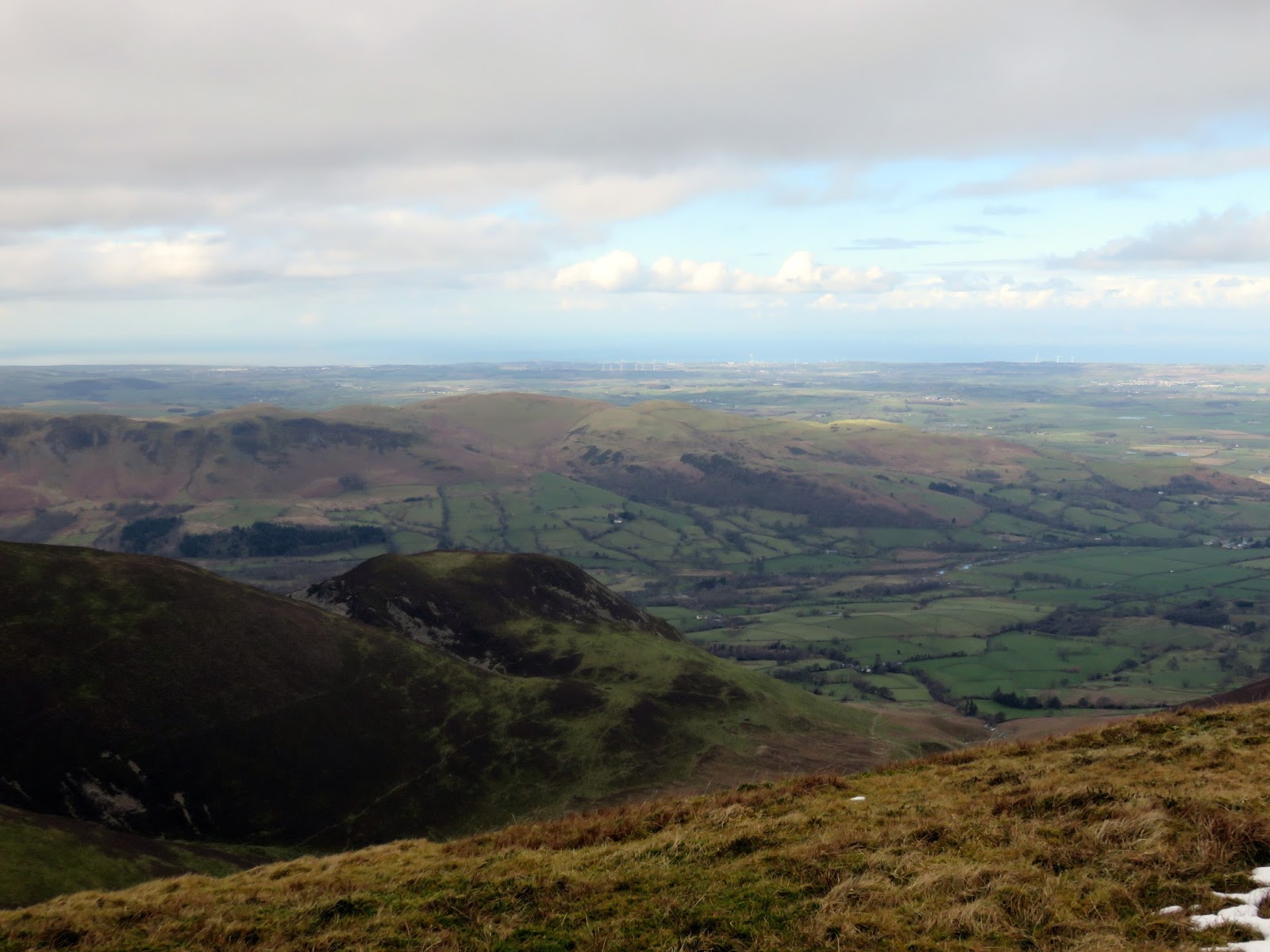
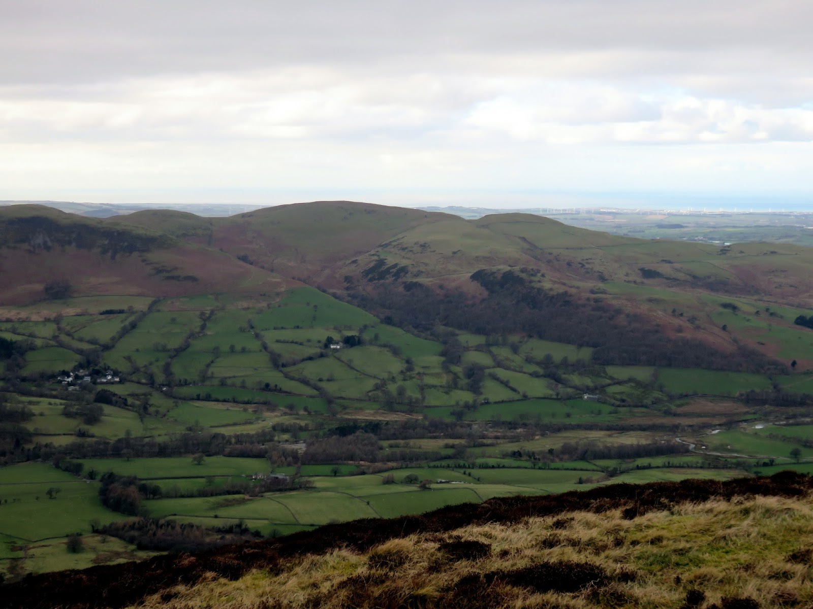
The north western fells are a magnet for hillwalkers thanks to the sheer quality of the scenery. Many opt for the Coledale Round, a real Lakeland classic and one I have done a number of times. Each time I have done it I have found myself peering towards Ladyside Pike, devising a circuit that crosses its quiet summit.
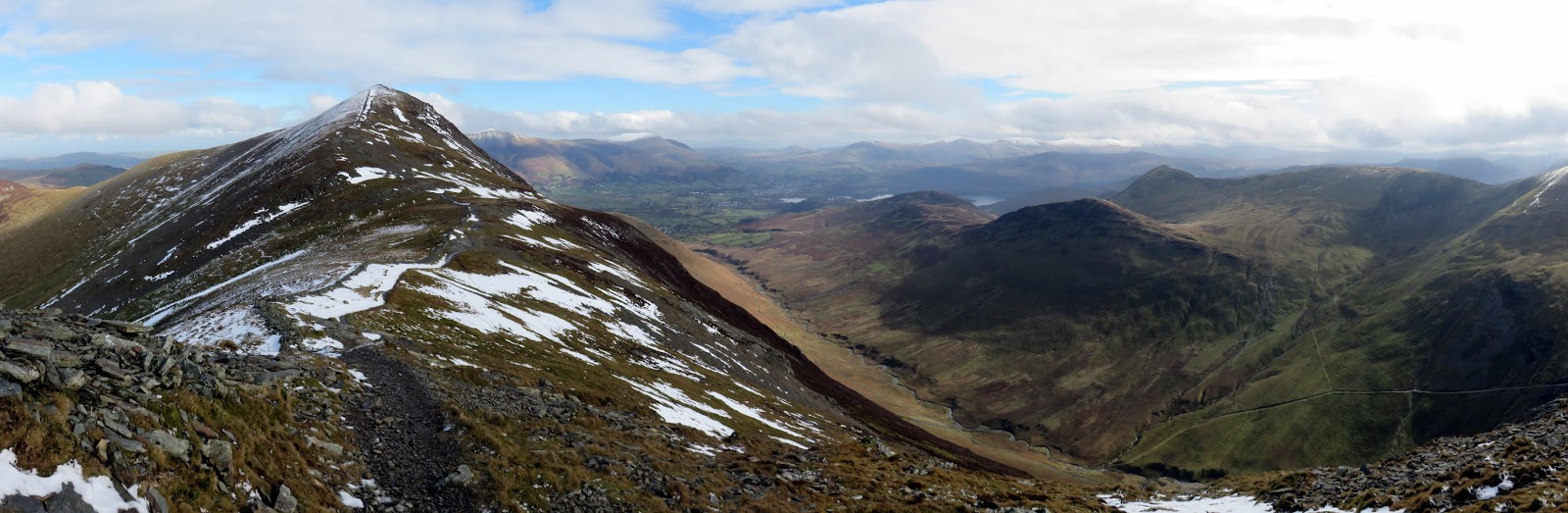
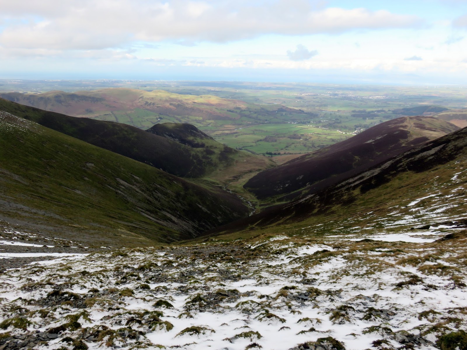
The most obvious route (and the one I ended up doing) encircles the valley of Hobcarton Gill, accessed from the Whinlatter Pass. The route for the day would cross Hobcarton End (a Nuttall), Grisedale Pike, Hopegill Head and the aforementioned Ladyside Pike (also a Nuttall).
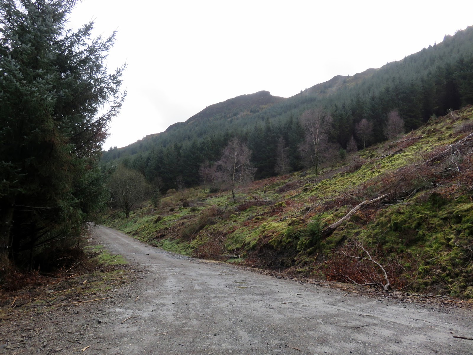
There are a number of places to park for free along the Whinlatter Pass, most of these are Forestry Commission laybys or car parks. The one I ended up using was located on the Lorton side of the summit, close to Swinside Houses.
 |
| Add caption |
I had intended to go to Wales on this day for a round of Moel Eilio but the weather forecast for Snowdonia was terrible – persistent rain all day. Fortunately, the bad weather was confined to the middle of the country leaving a largely fine day in the north. I set off east along one of the forest roads to find the footings of Hobcarton End.
 |
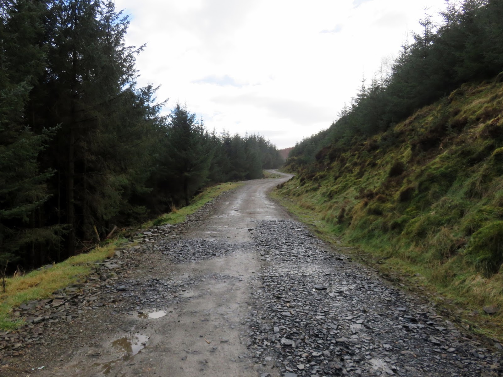
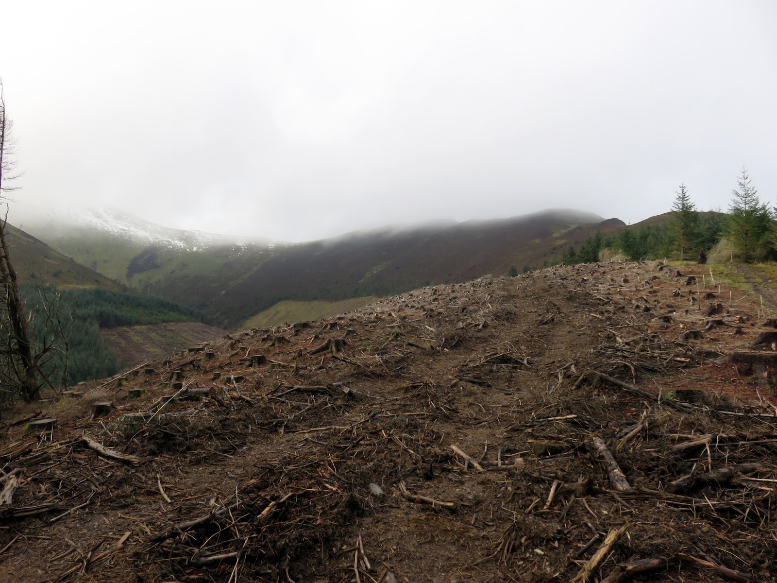
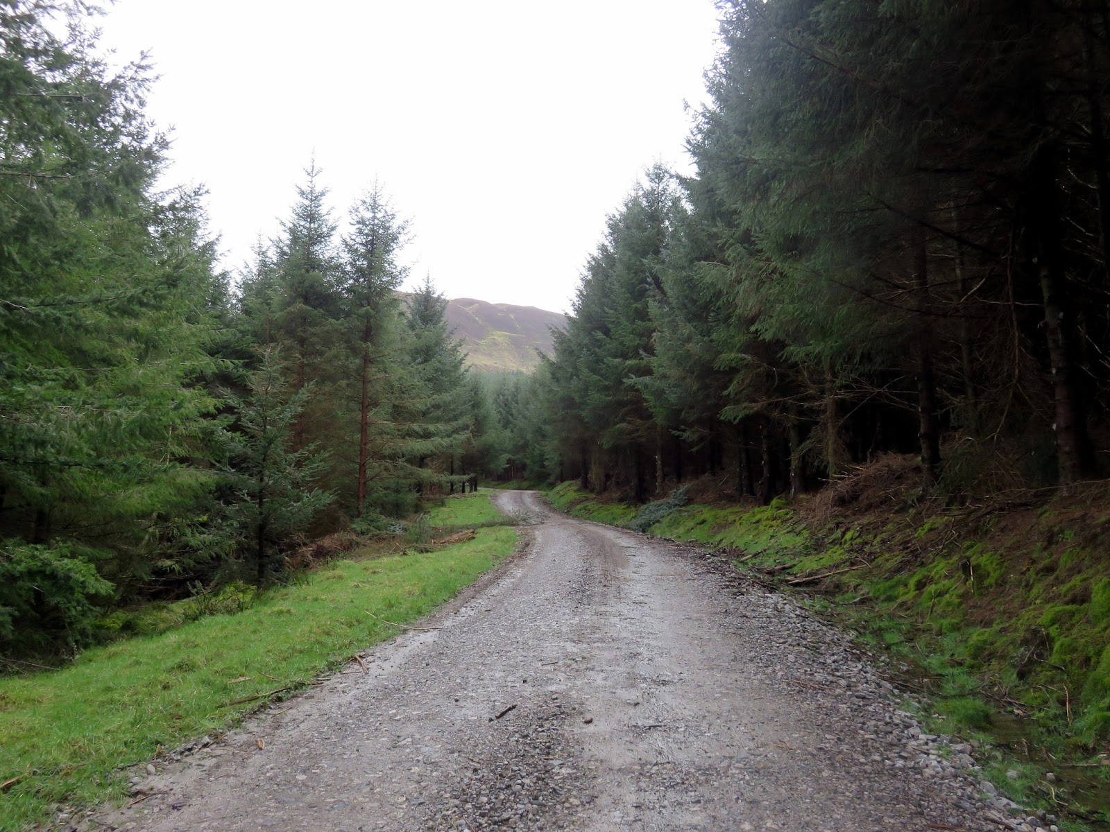
| Forest track |
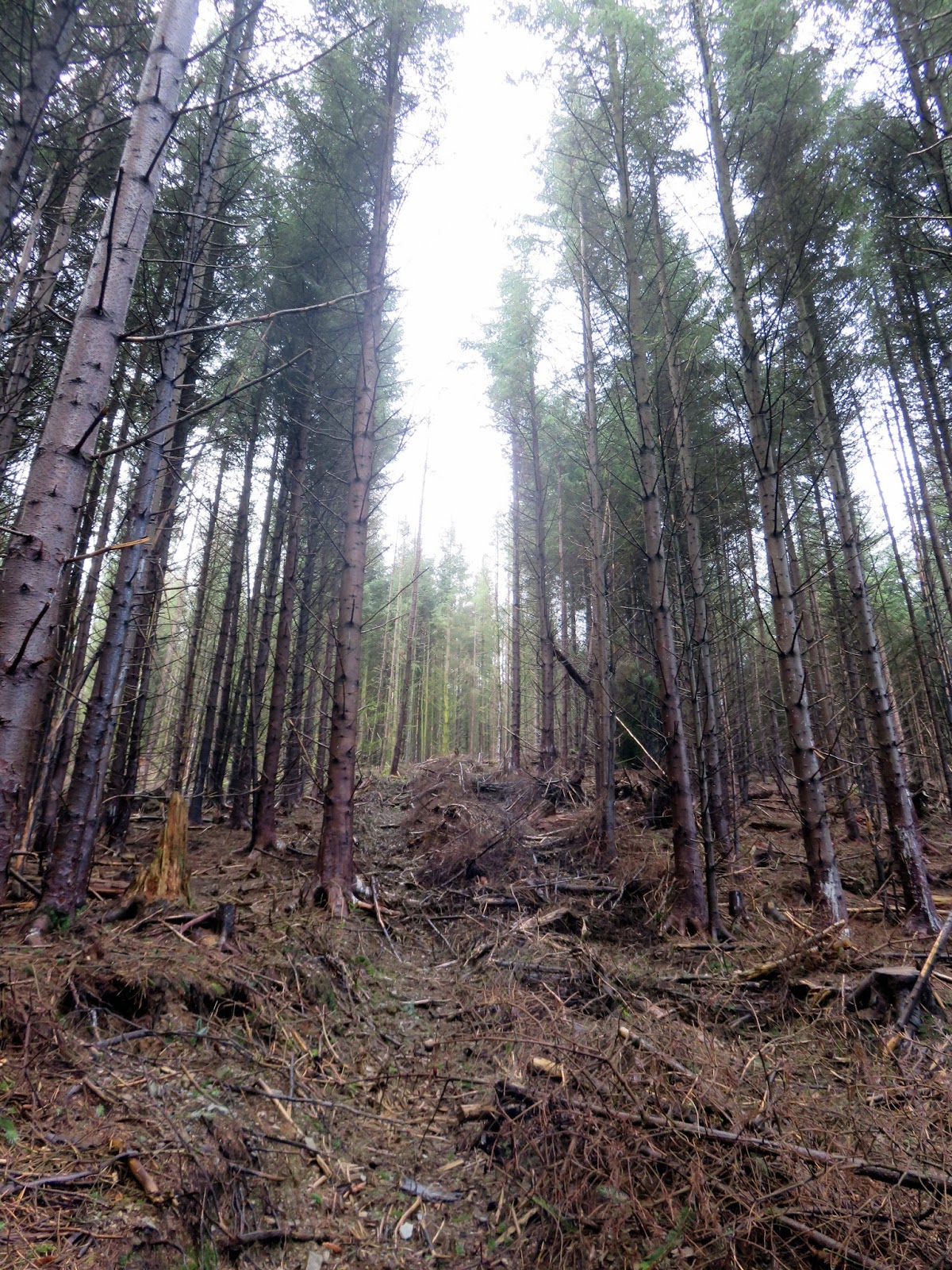
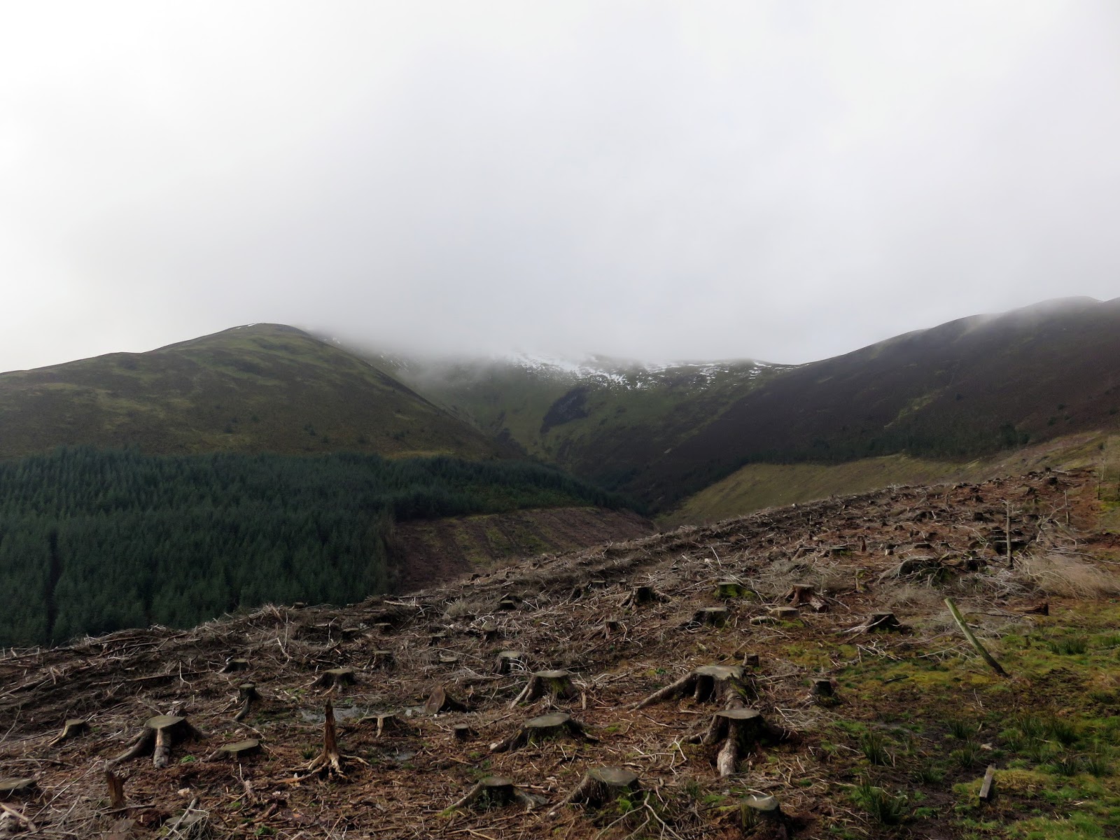
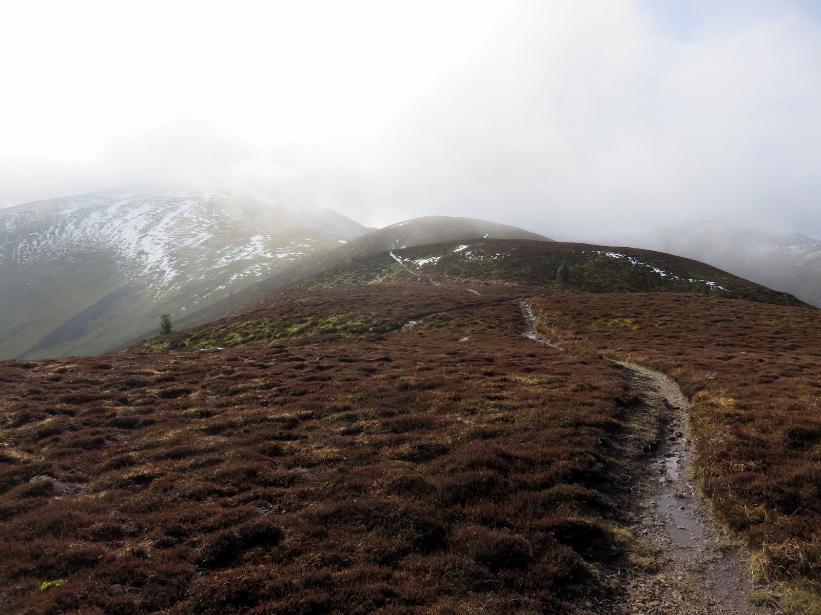
It’s neither clear from the maps or aerial images where the path emerges from the woods. I ended up using a fire break to clear the main bulk of the woodland before emerging on the open fellside. There is a path here but it’s not clear where it enters or exits the woodland. I was disappointed to find my chosen fells shrouded in cloud – bummer.
 |
| The firebreak through the woods |
 |
| Sanderson Gill |
 |
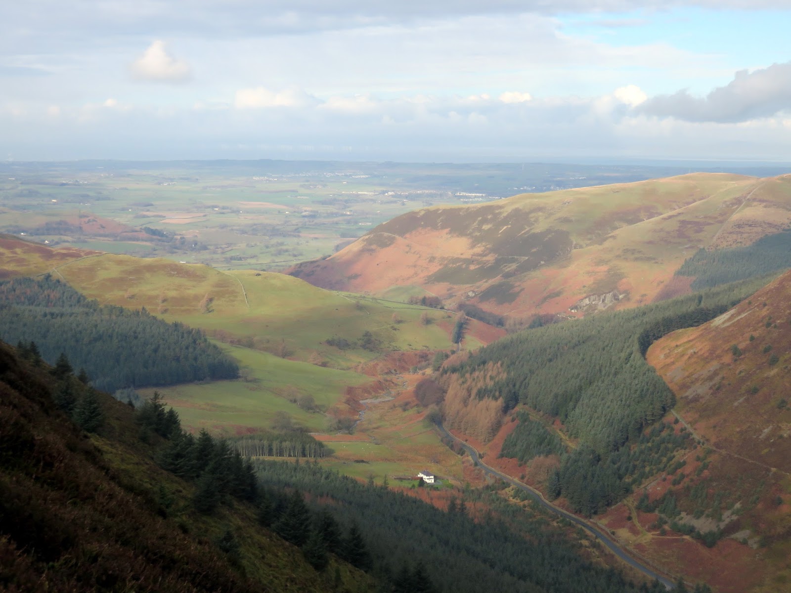
| The west side of the Whinlatter Pass |
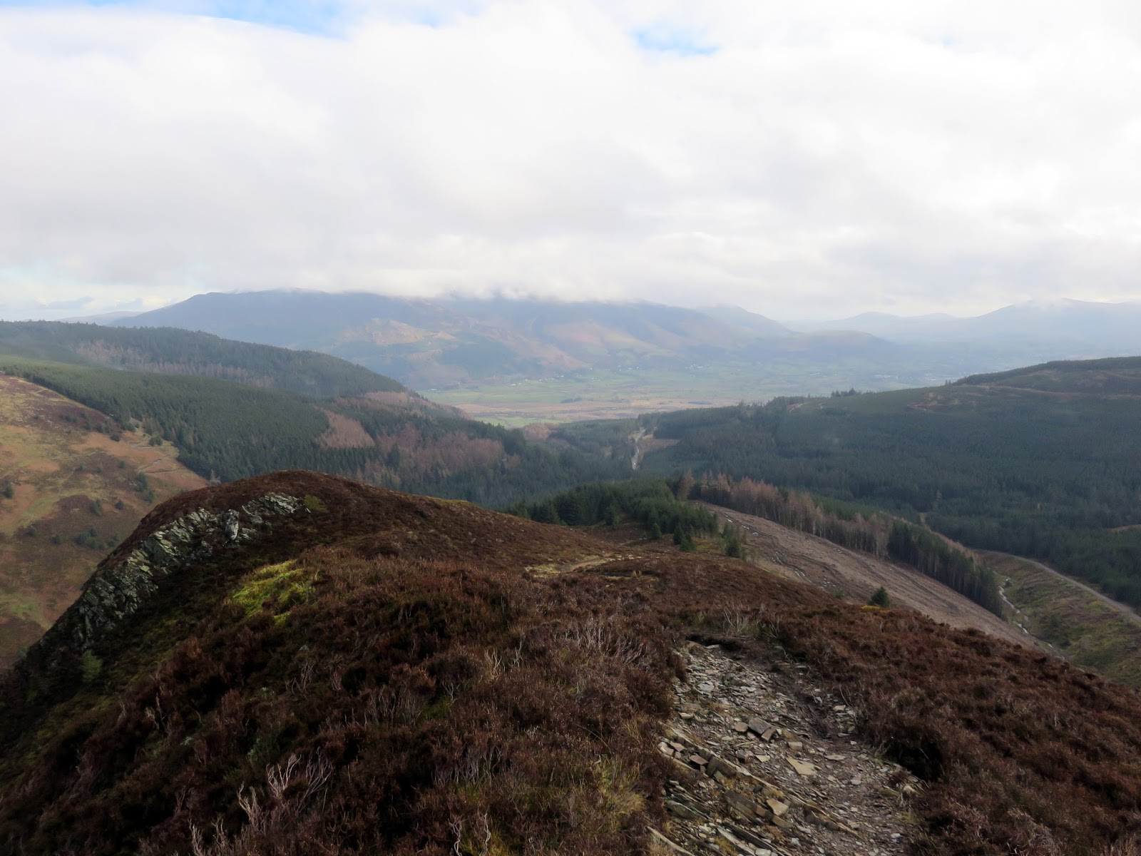
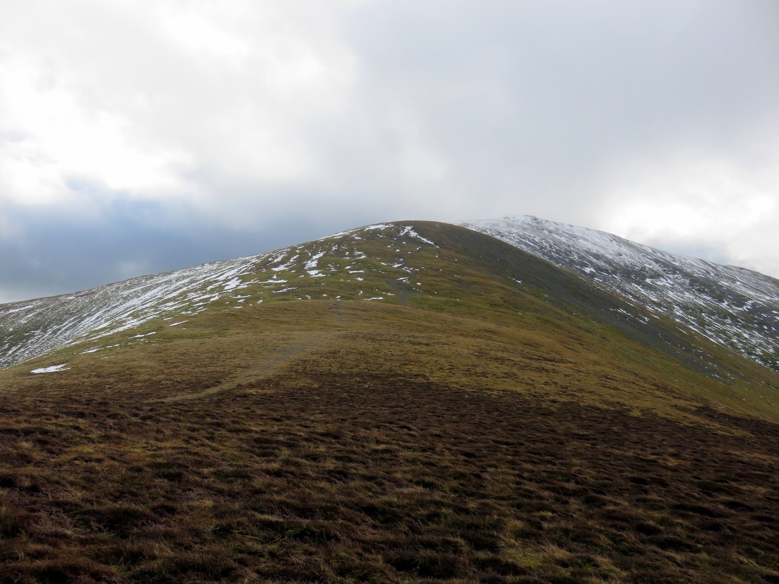
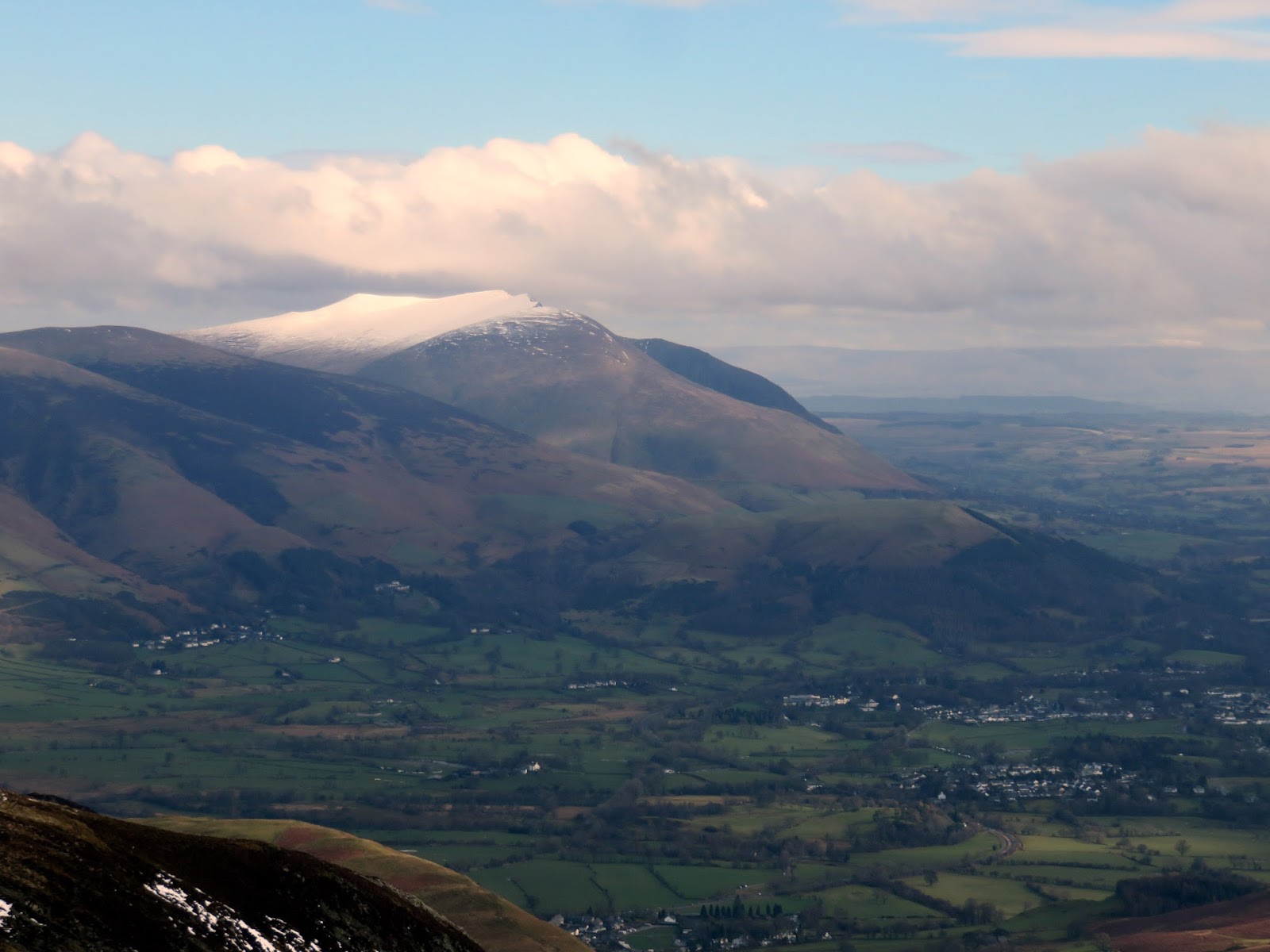
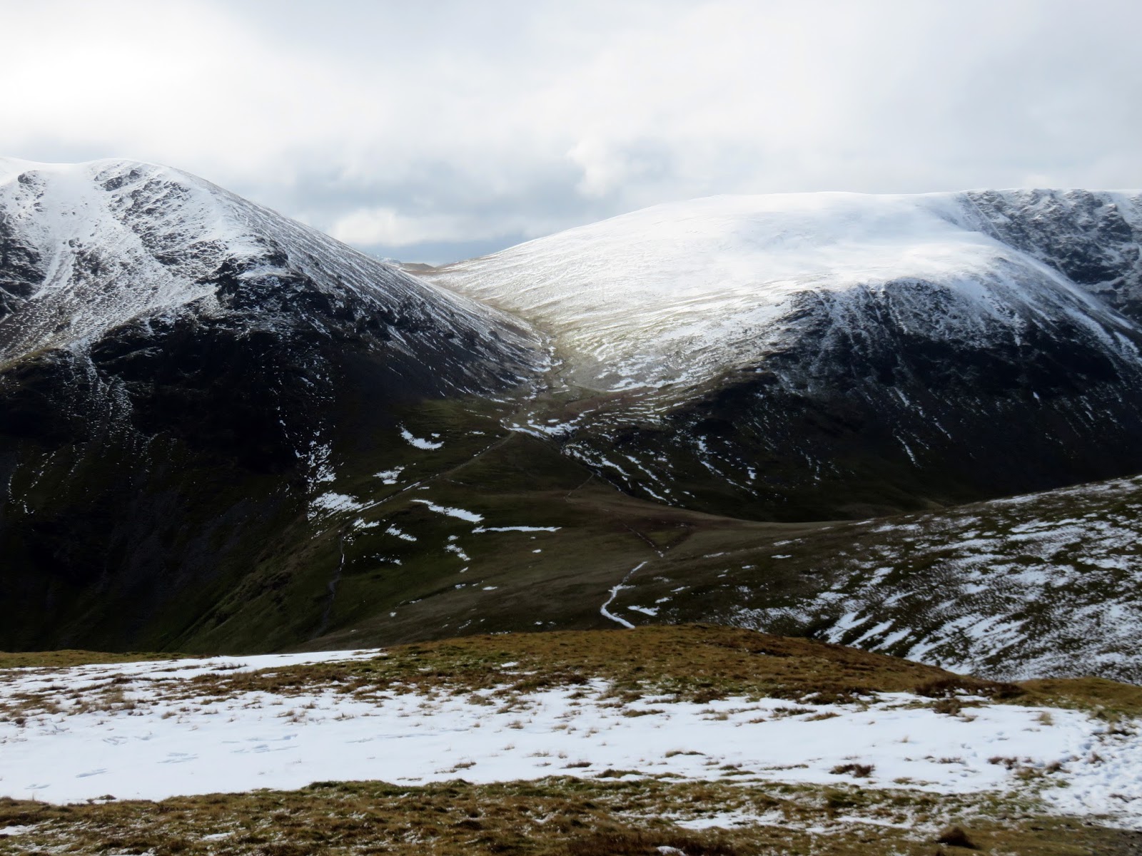
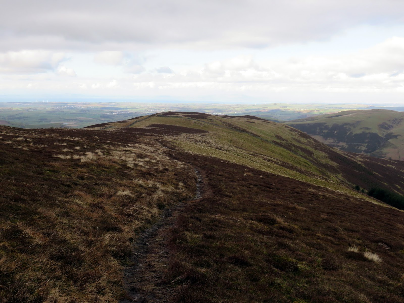
As I climbed Hobcarton End my spirits were lifted by the fact that there was plenty of sun around and the clouds appeared to be lifting – I expected them to clear Grisedale Pike by the time I reached the summit. Sure enough, as I continued on, the clouds began to slowly lift. The view of Hopegill Head and Ladyside Pike from Hobcarton End is sublime.
 |
| The Whinlatter Pass |
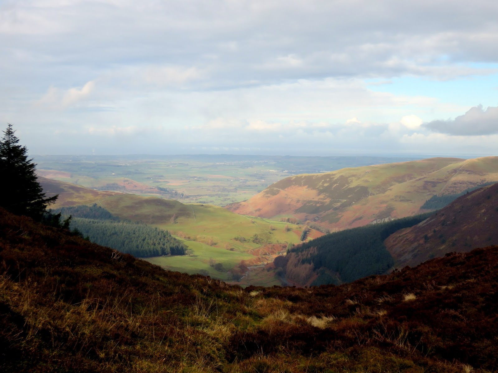
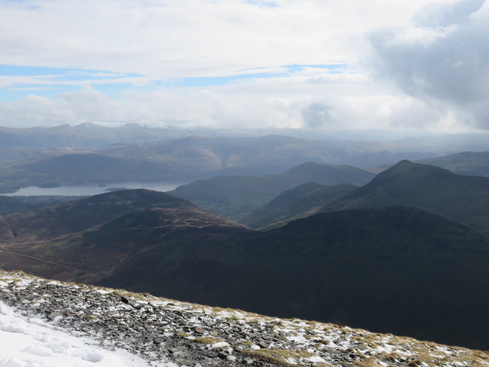
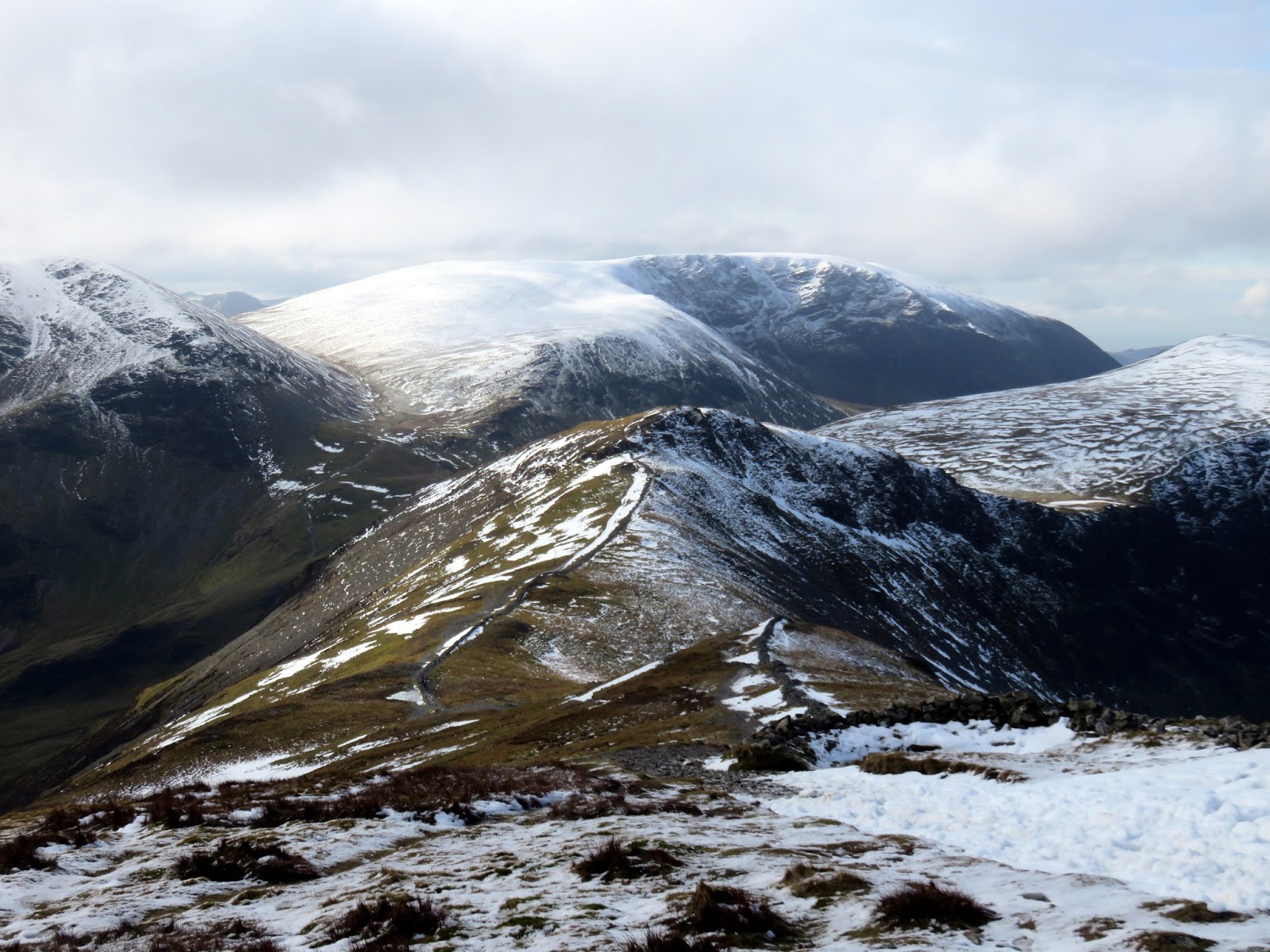
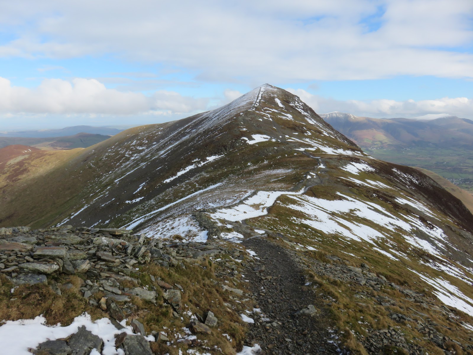
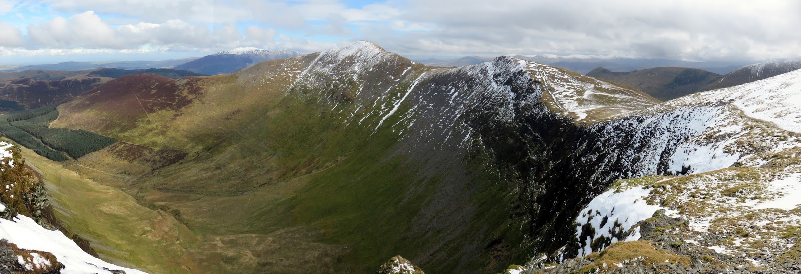
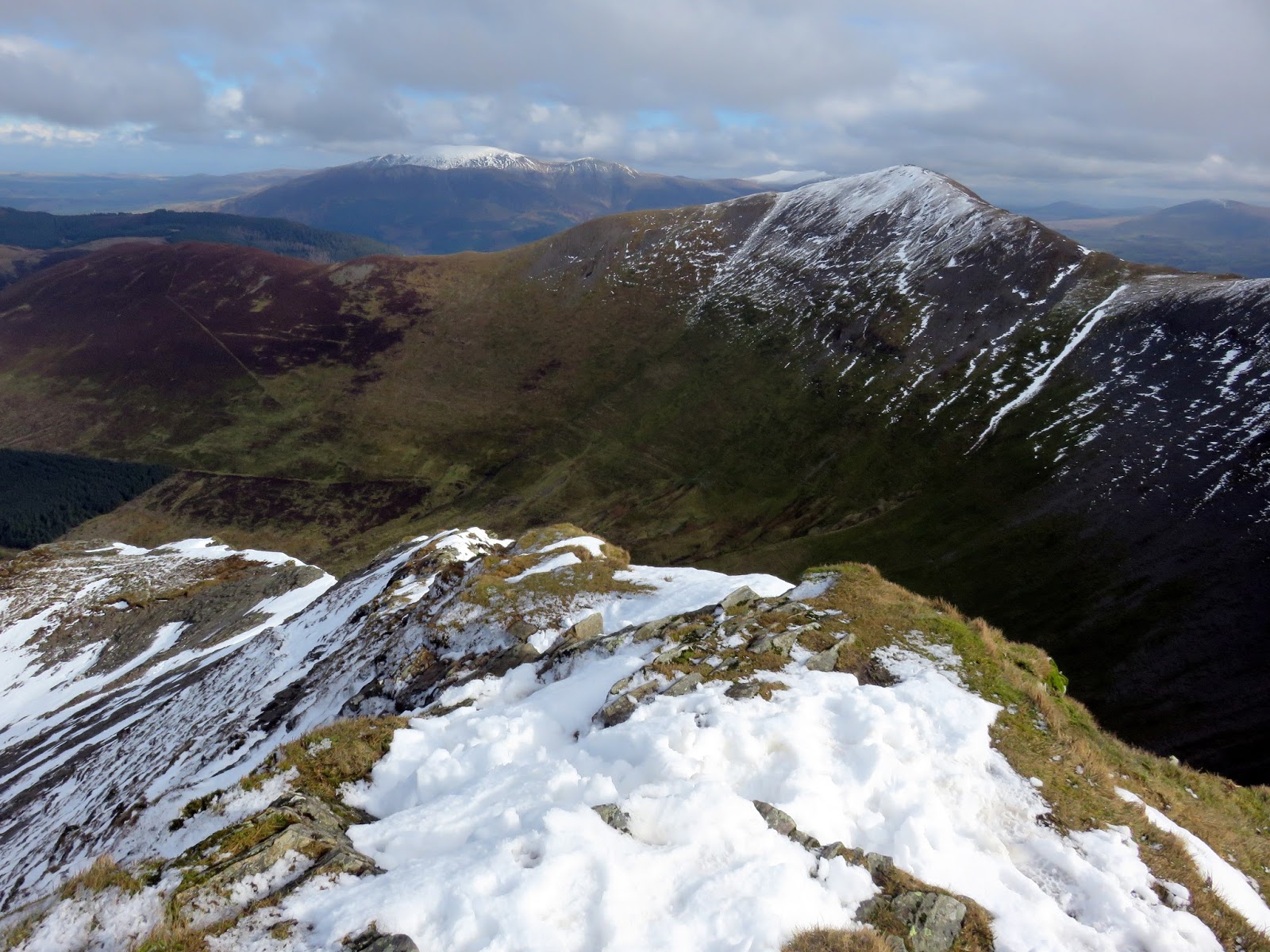
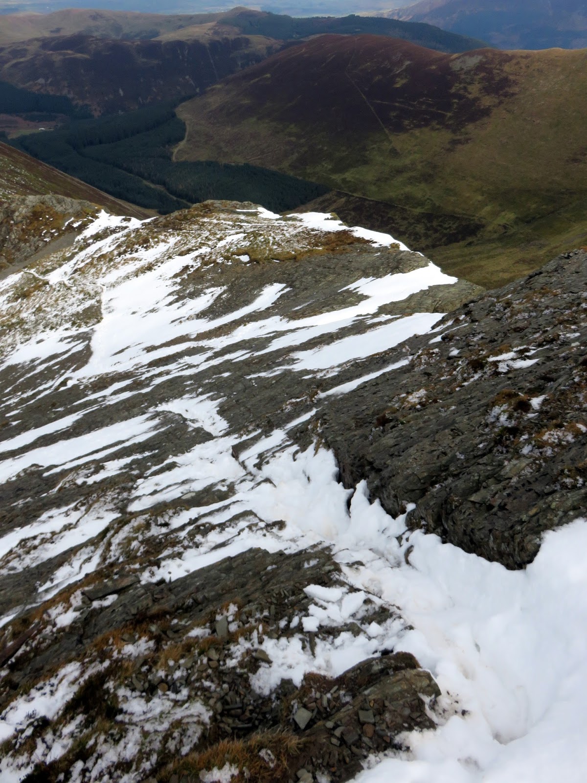
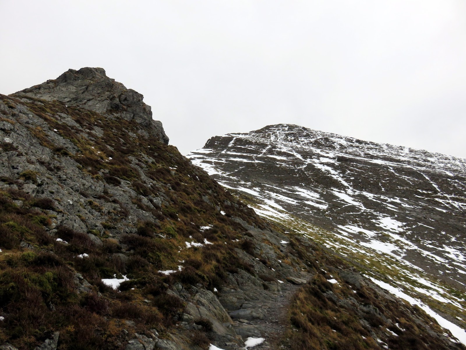
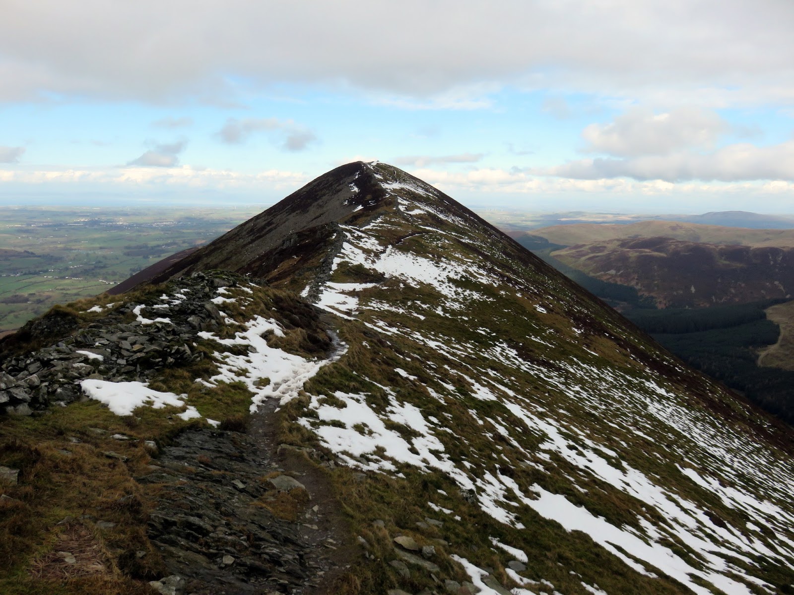
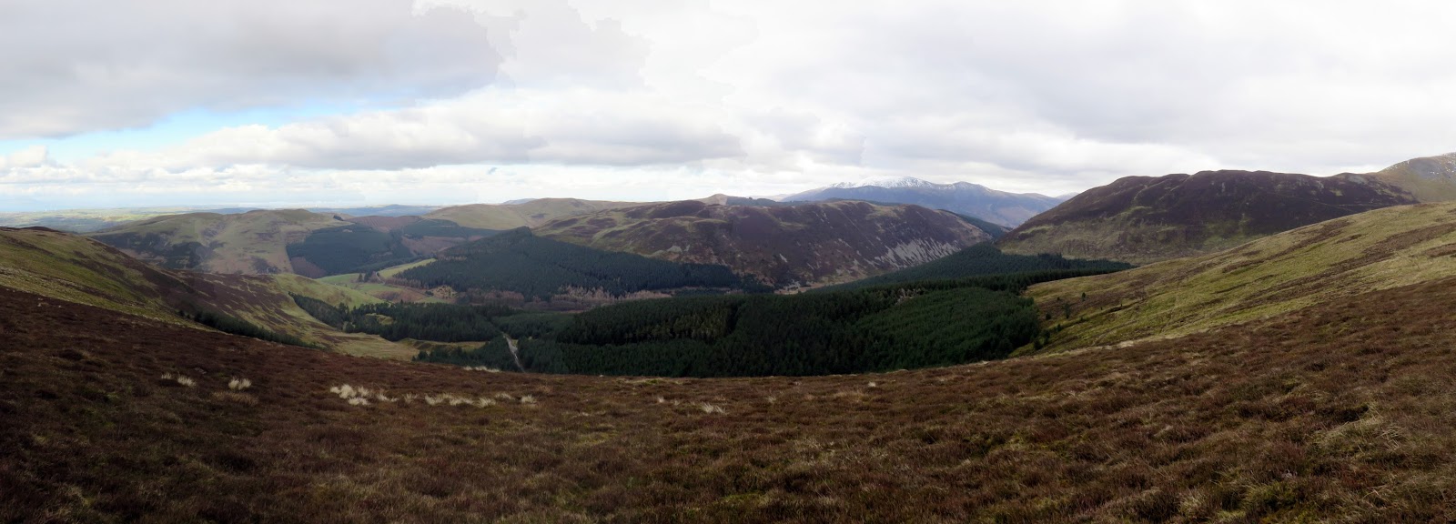
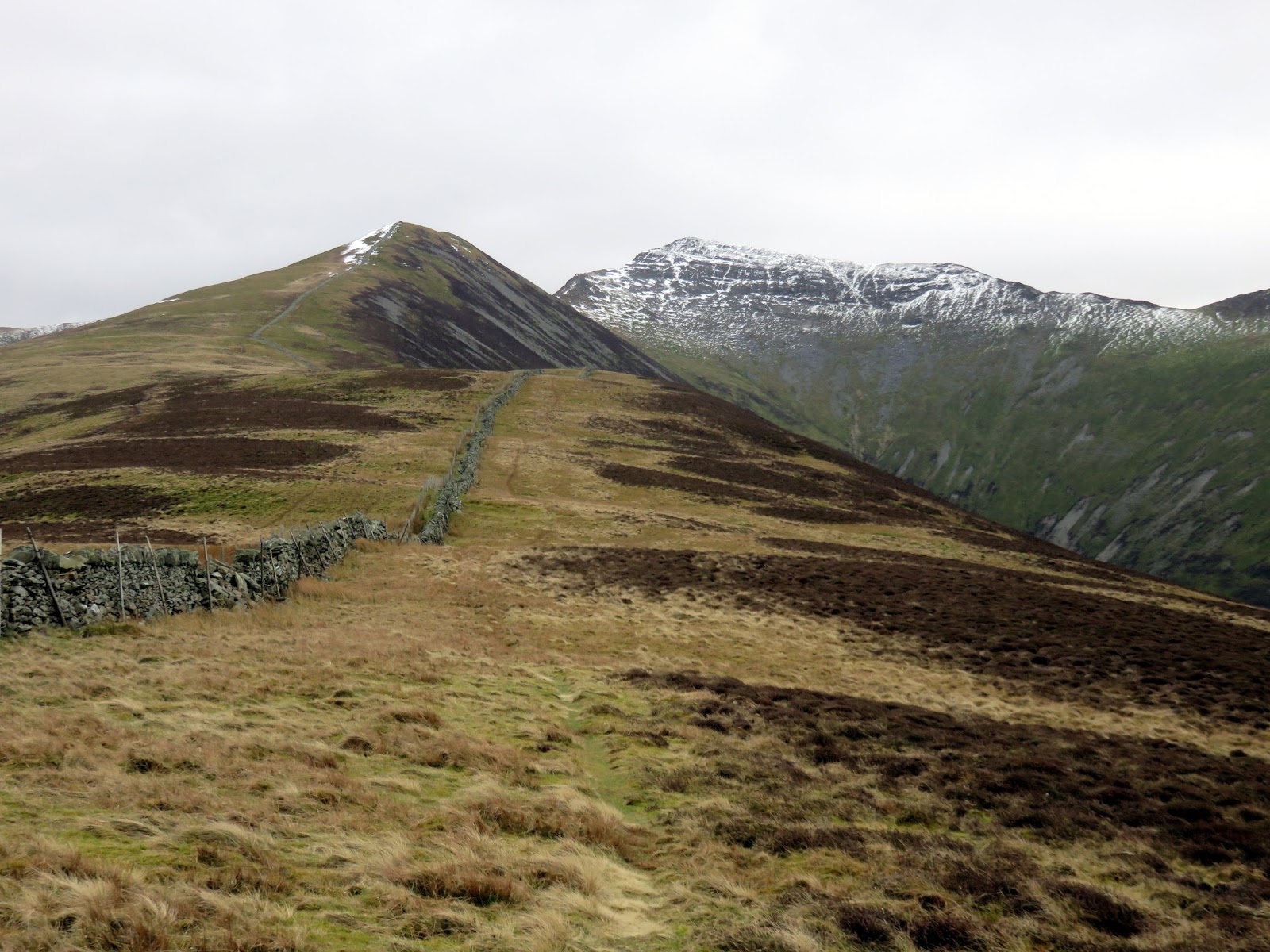
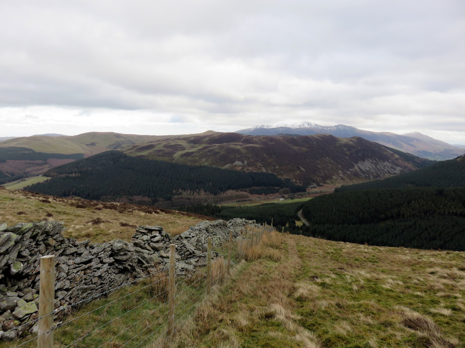
The route undulates over Hobcarton End before a steepening climb into the snow and on to Grisedale Pike. By the time I reached the summit the cloud had completely lifted, revealing one of my favourite views in the Lake District – that of the fells surrounding Coledale Hause.
 |
| A drystone wall runs down from the summit |
 |
| The final push to the summit |
 |
| The hazy Coledale Fells |
 |
| The head of Hobcarton |
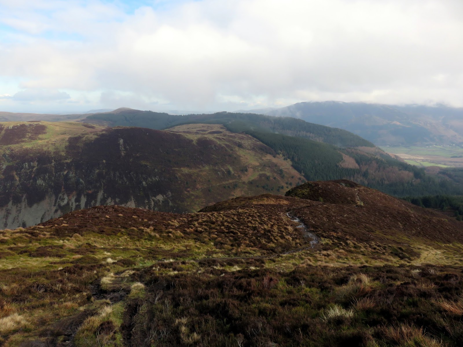
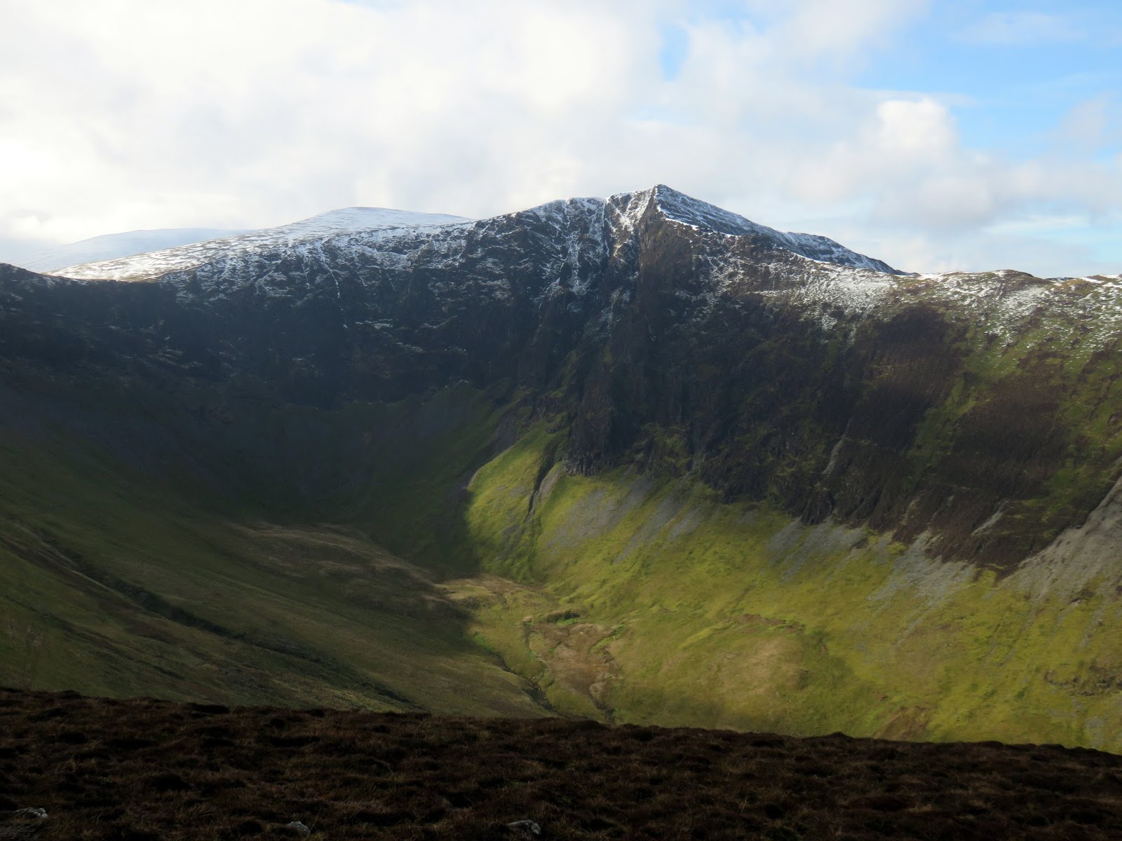
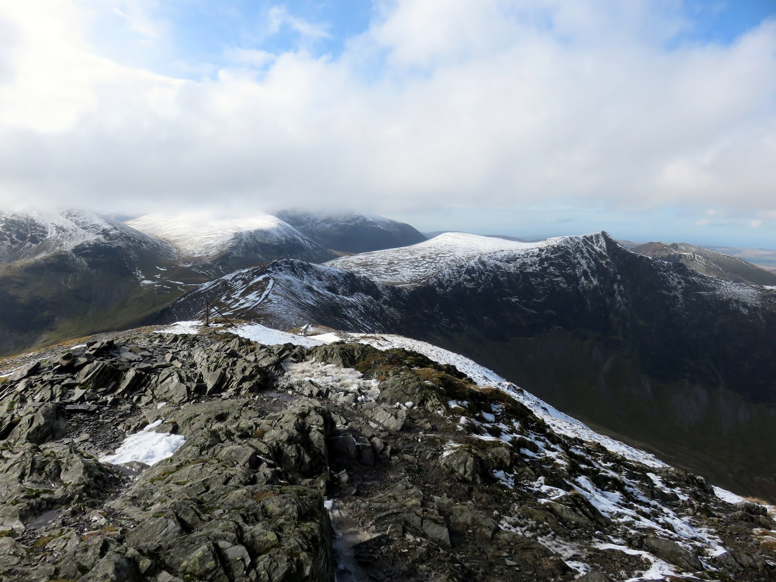
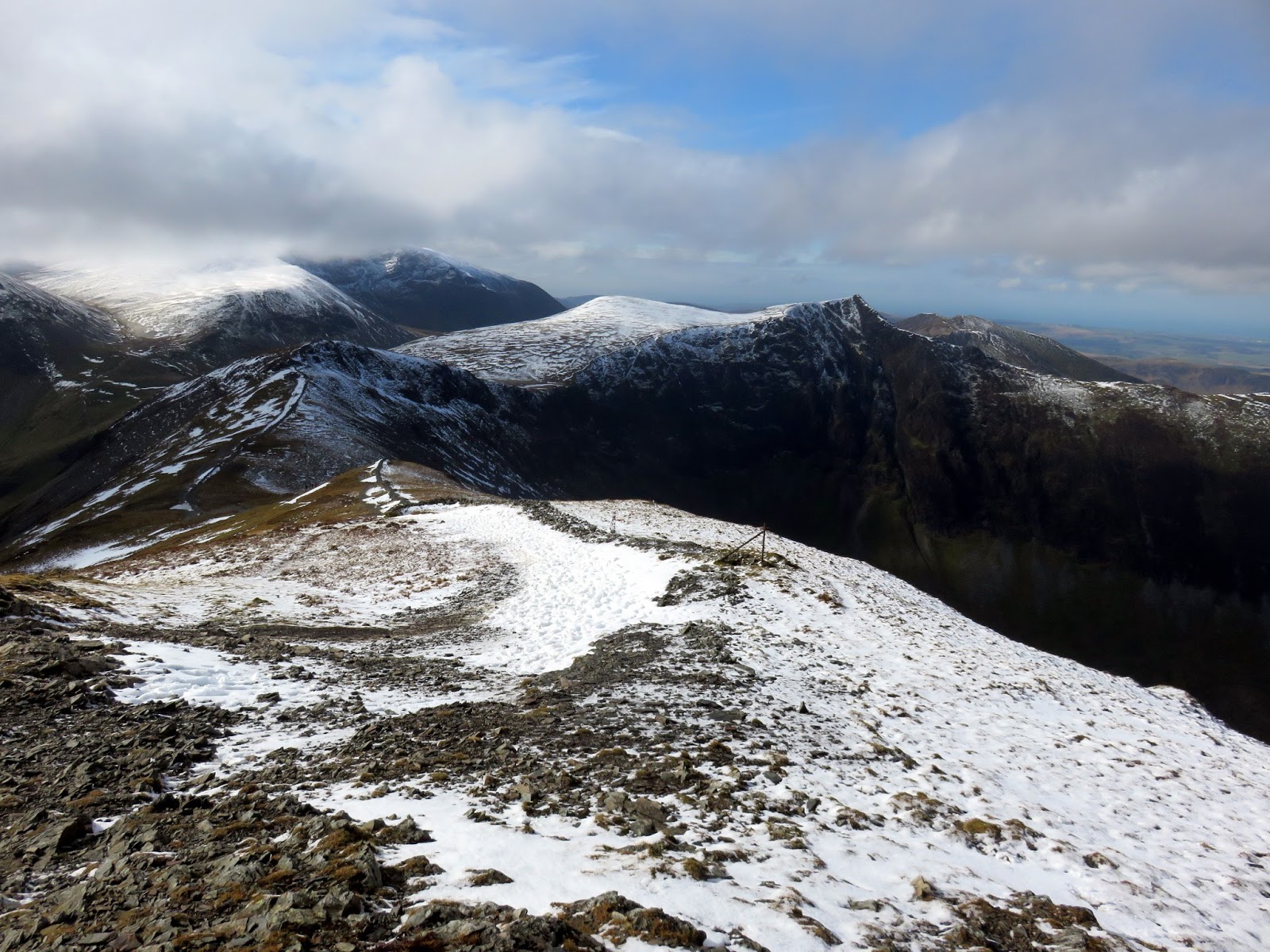
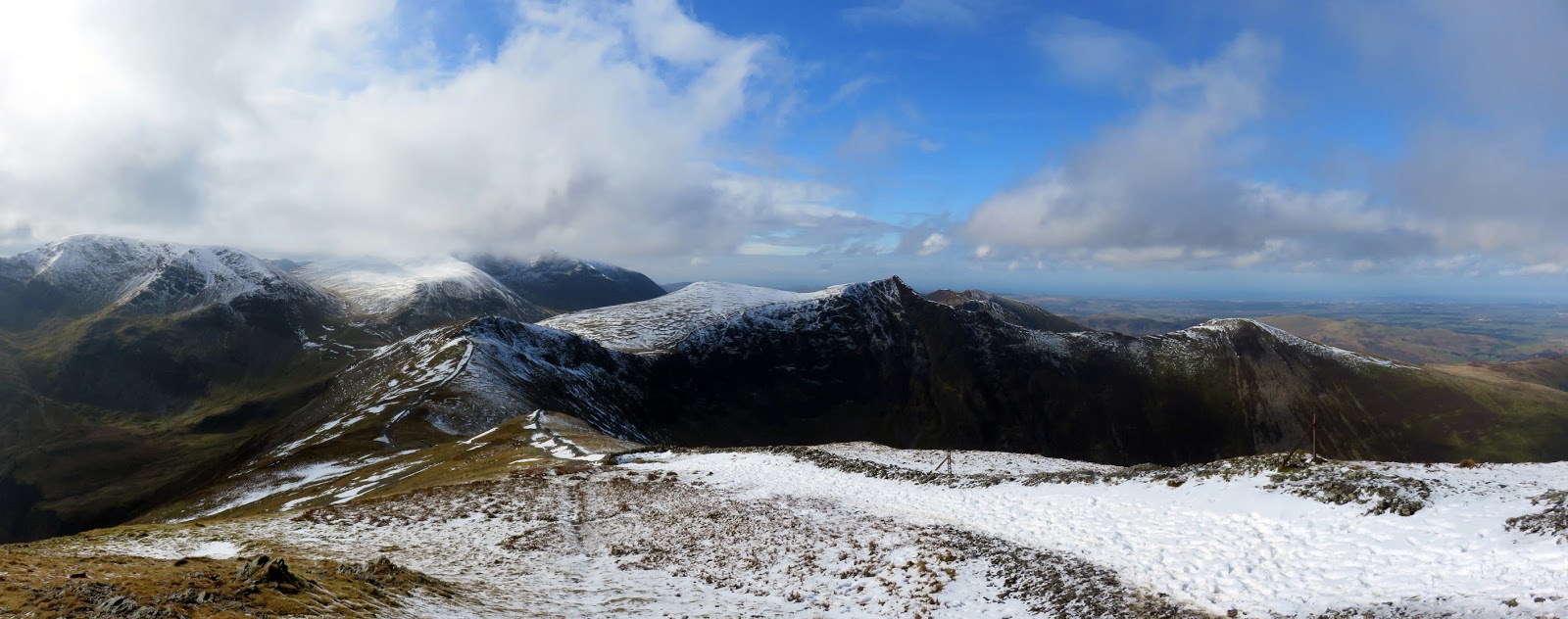
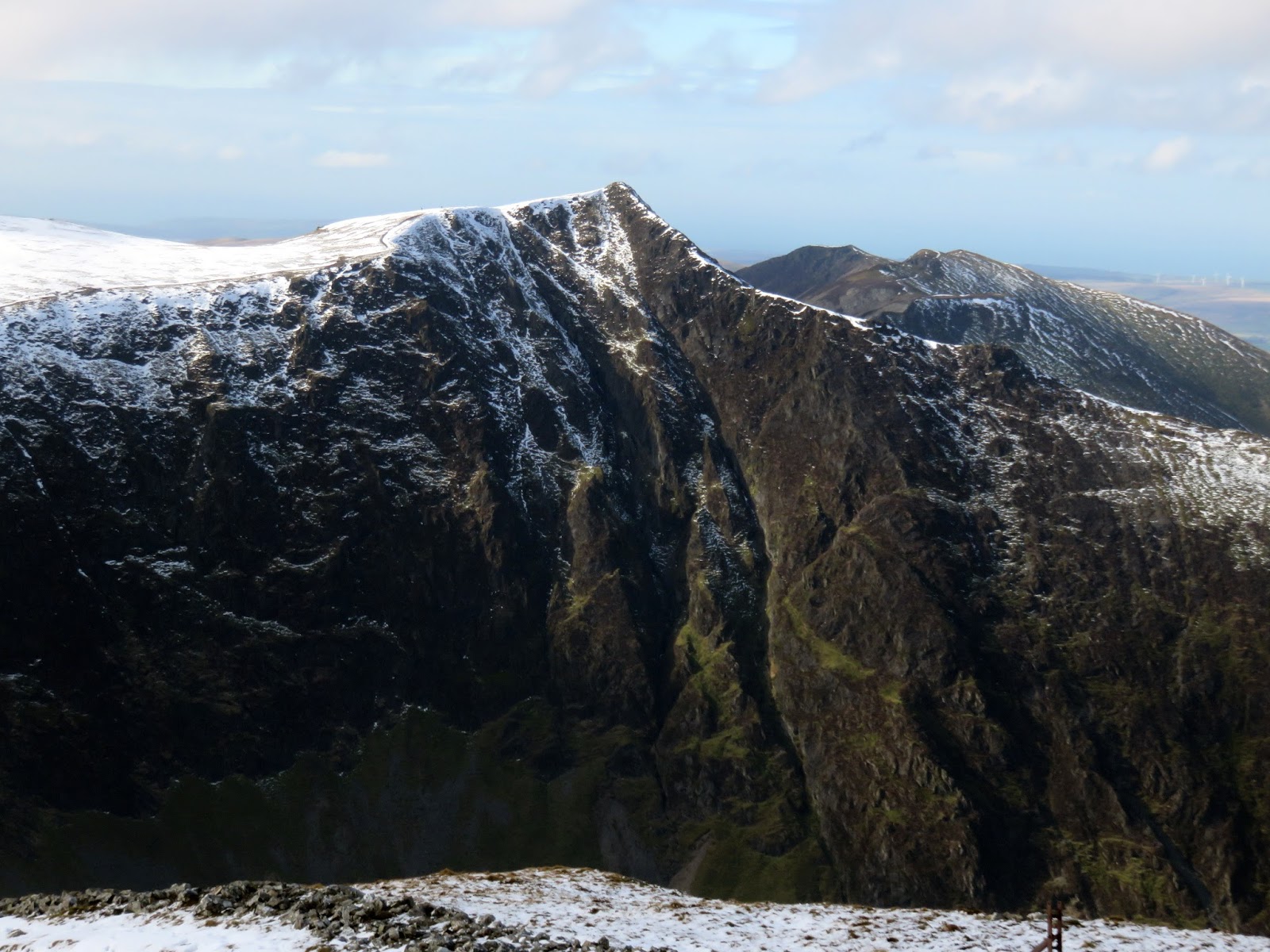
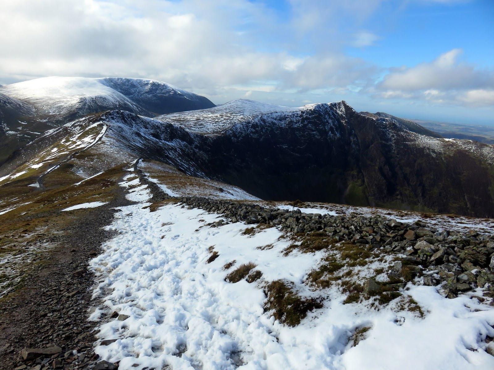
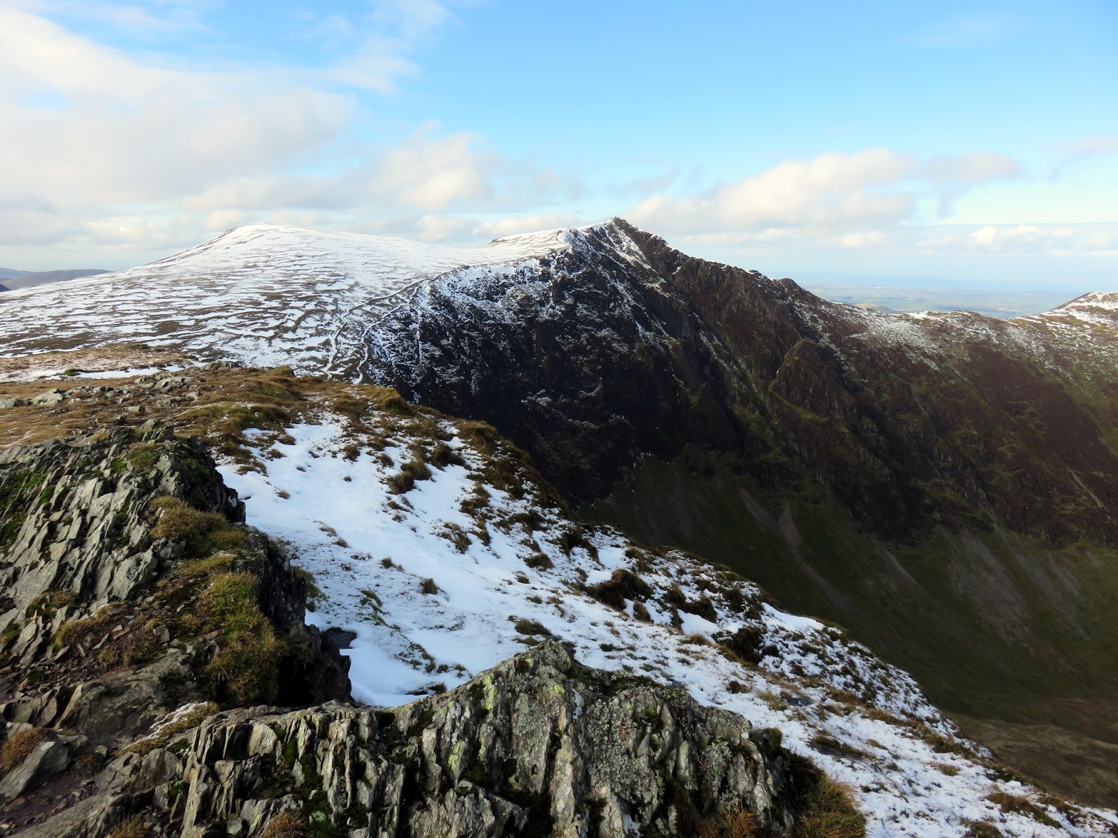
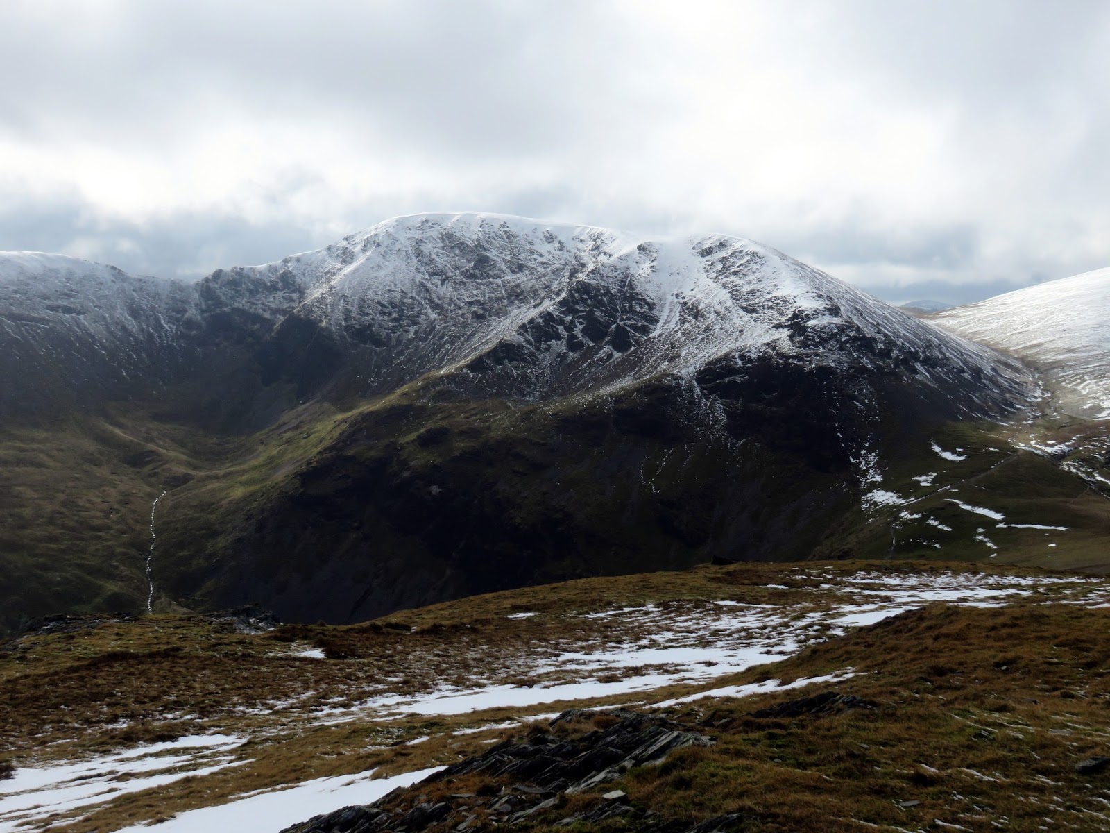
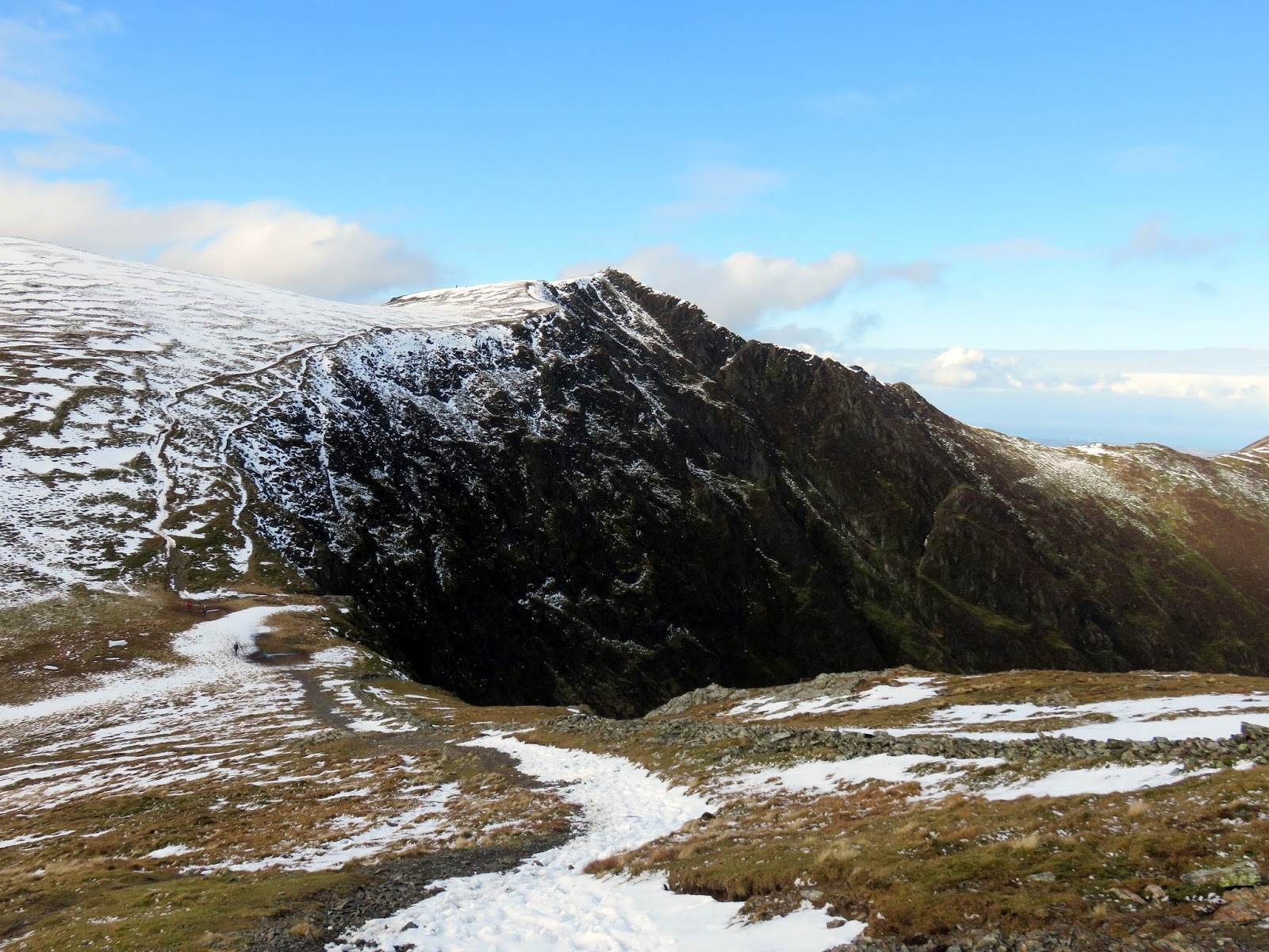
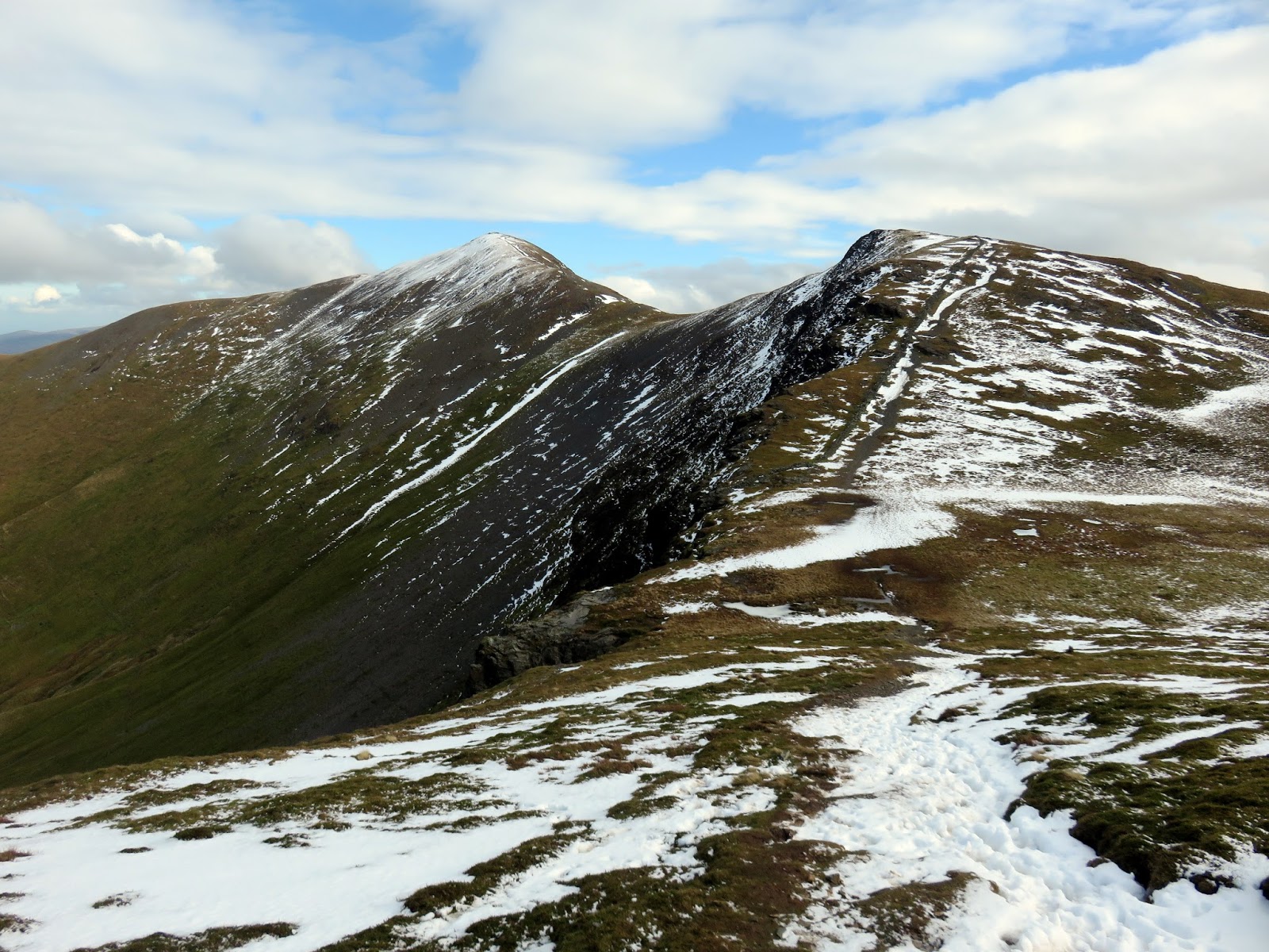
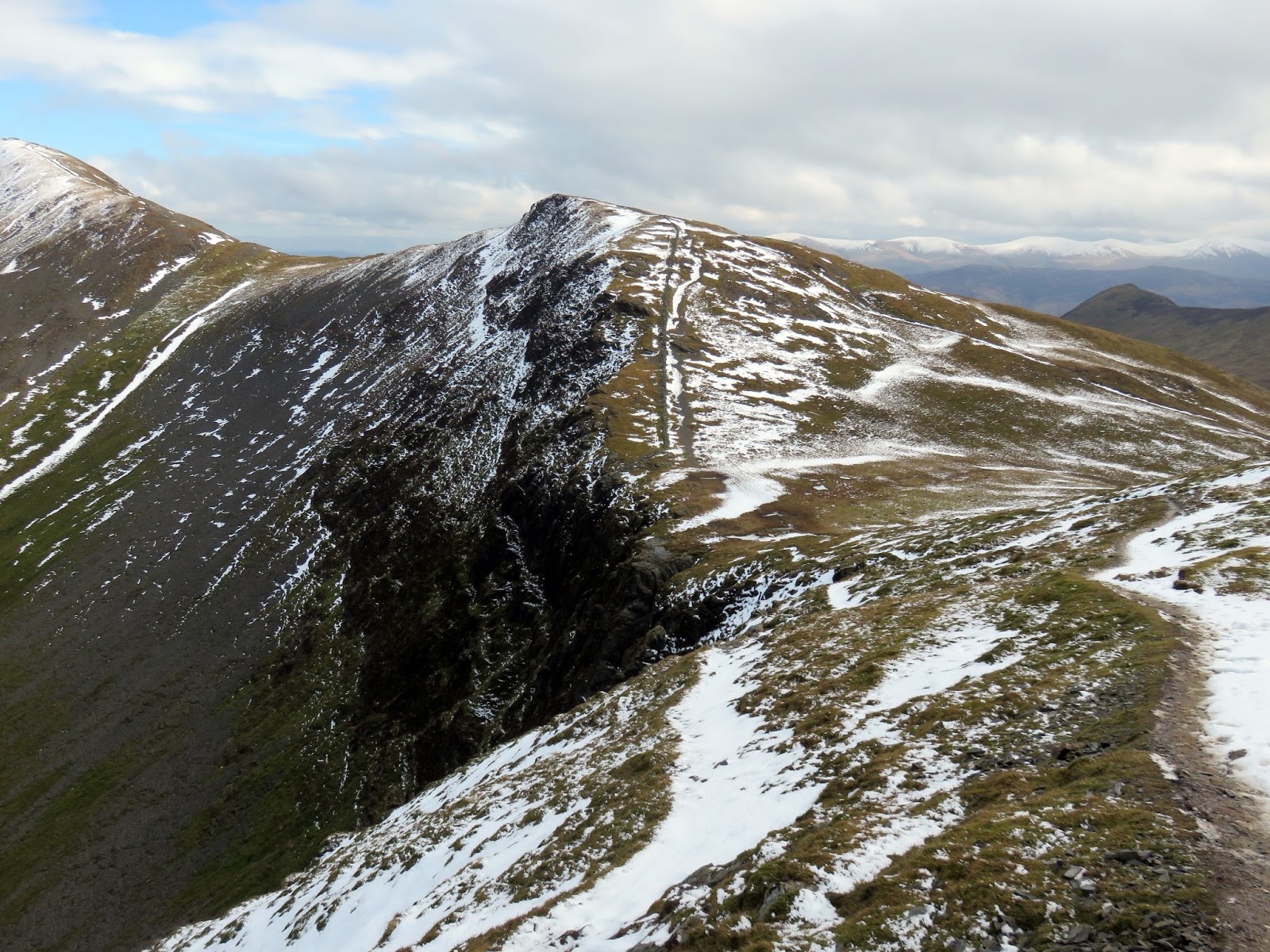
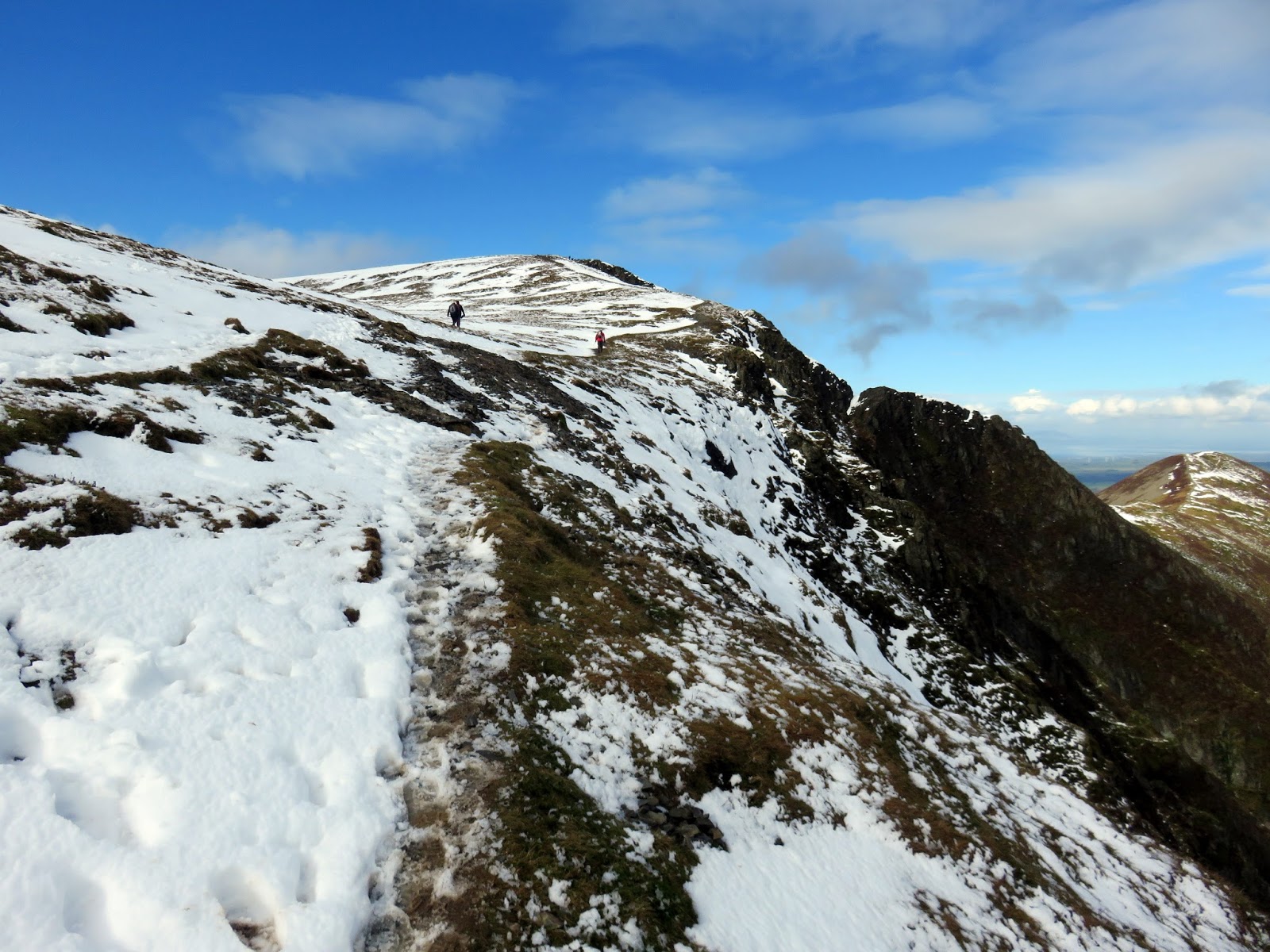
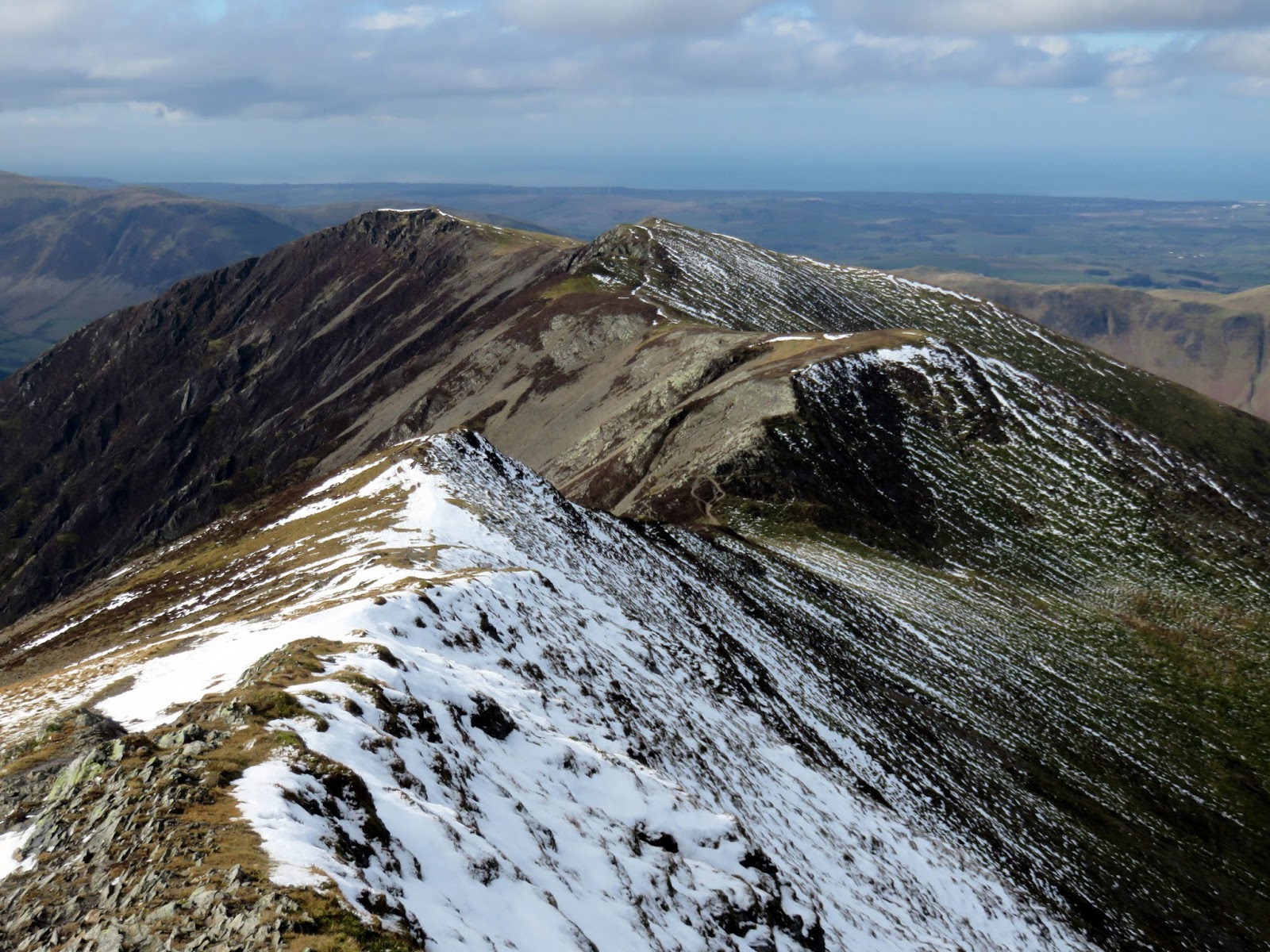
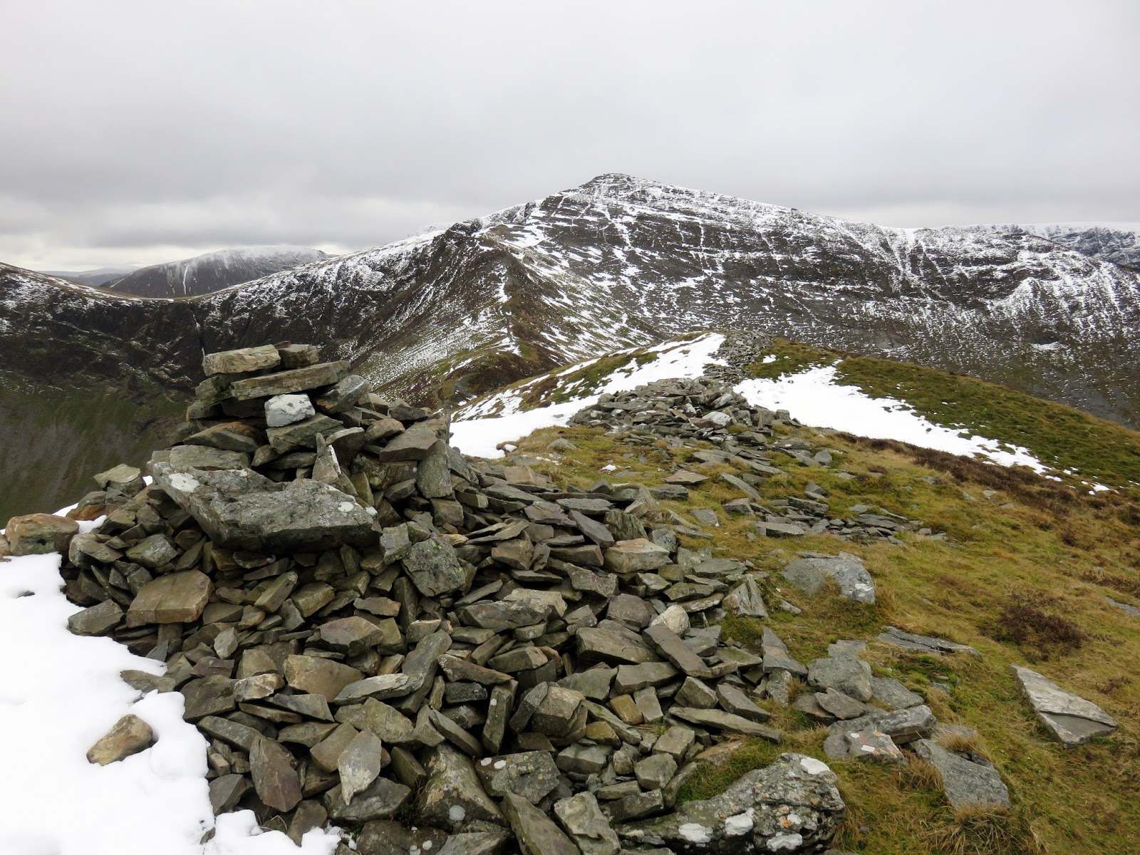
The ridge from Grisedale Pike to Hopegill Head is exciting, clinging to the rim of Hobcarton Crag as it swings round the west. Precipitous views are on offer into the Hobcarton valley, made all the more impressive by the late winter sun and snow.
 |
| A distant Blencathra |
 |
| Coledale Hause |
 |
| Hobcarton |
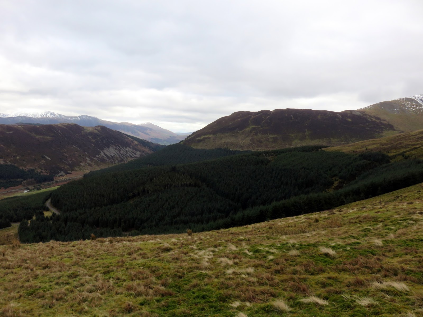
Hopegill Head itself forms the head of two valleys; that of Hobcarton (along with Hobcarton Crag) and that of Hope Beck (or Hope Gill). Both of these small mountain streams find their way to the River Cocker and out to sea at Workington.
 |
| Whiteside |
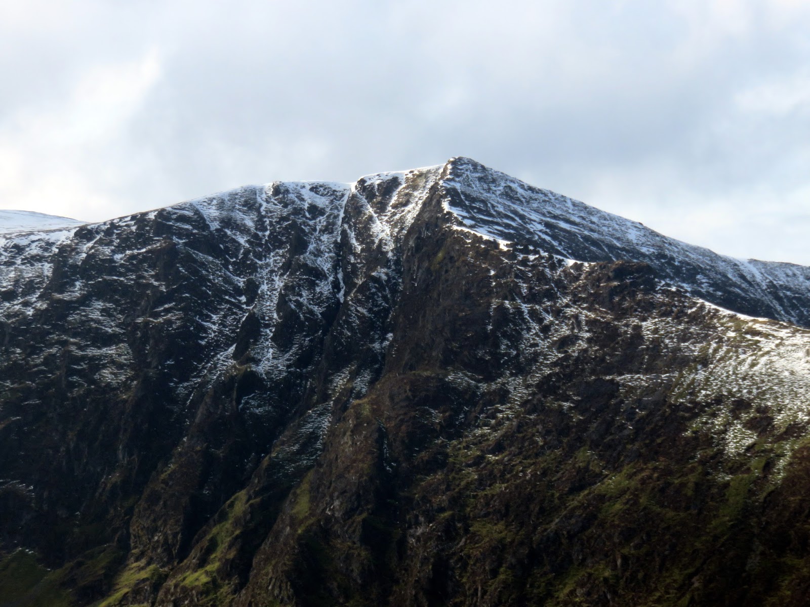
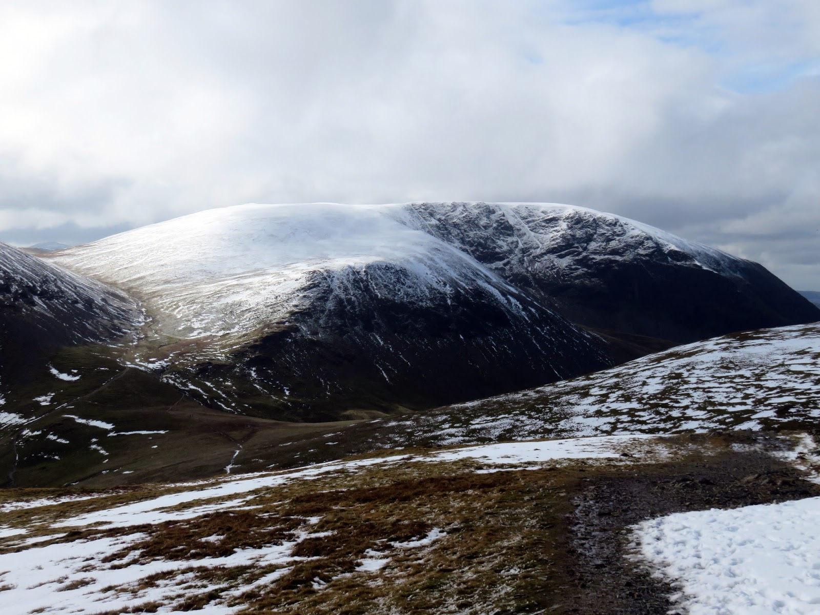
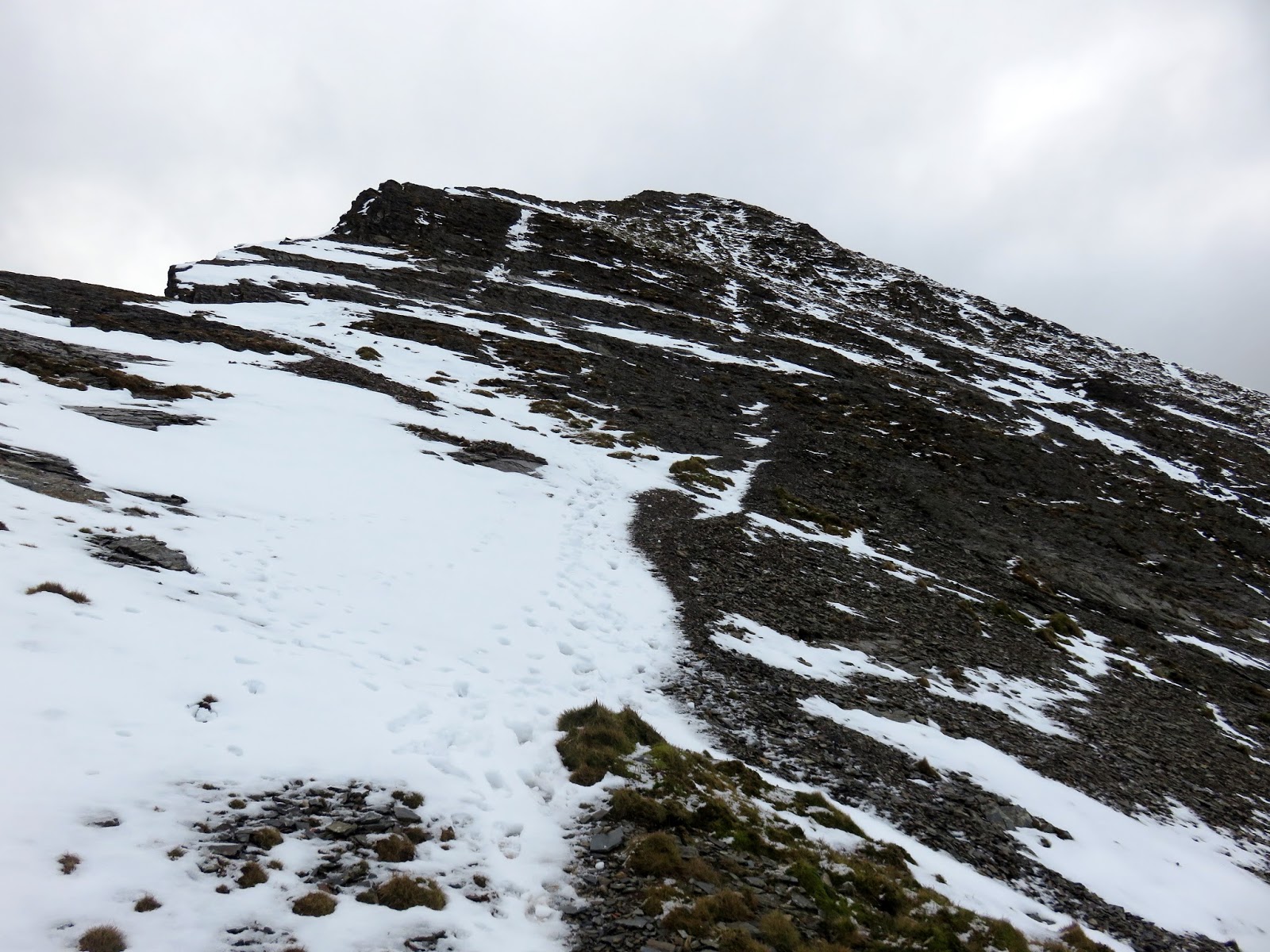
Next up was the tricky bit, descending from Hopegill Head’s summit to the north down a steep, snowy crag. Time for the ice axe. In truth, I probably made a bit of meal of the initial steepness but the tried and trusted bum slide saw me safely down onto the ridge. A crevice runs up the crag and provides a means for ascending and descending from Hopegill Head. It looks like a great little scramble for the summer.
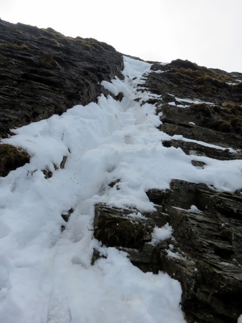 |
| The snowy crevice |
 |
| Hope Beck |
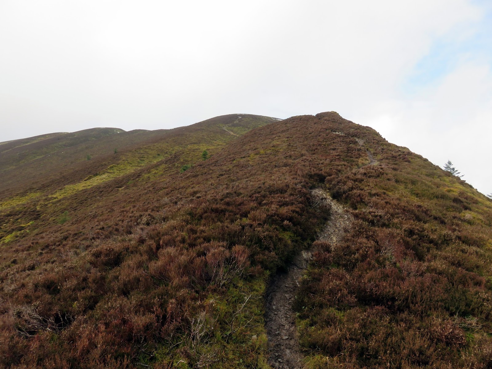
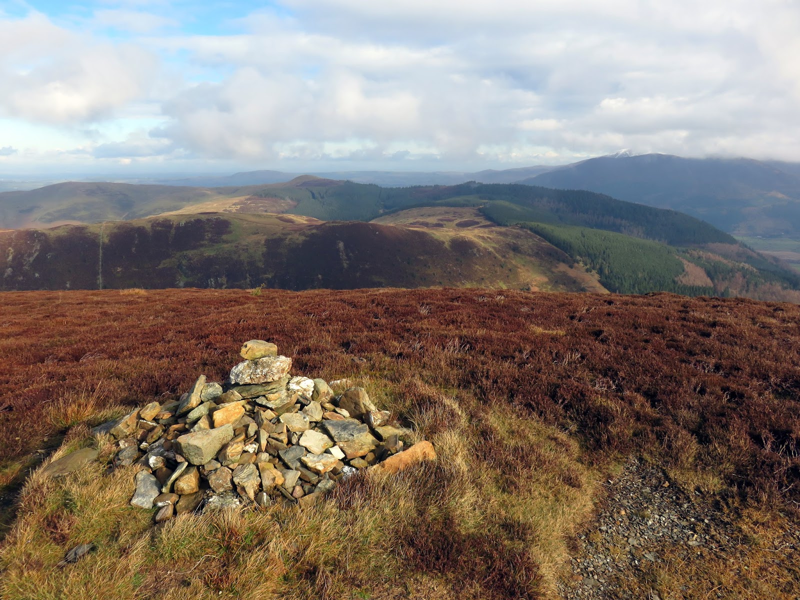
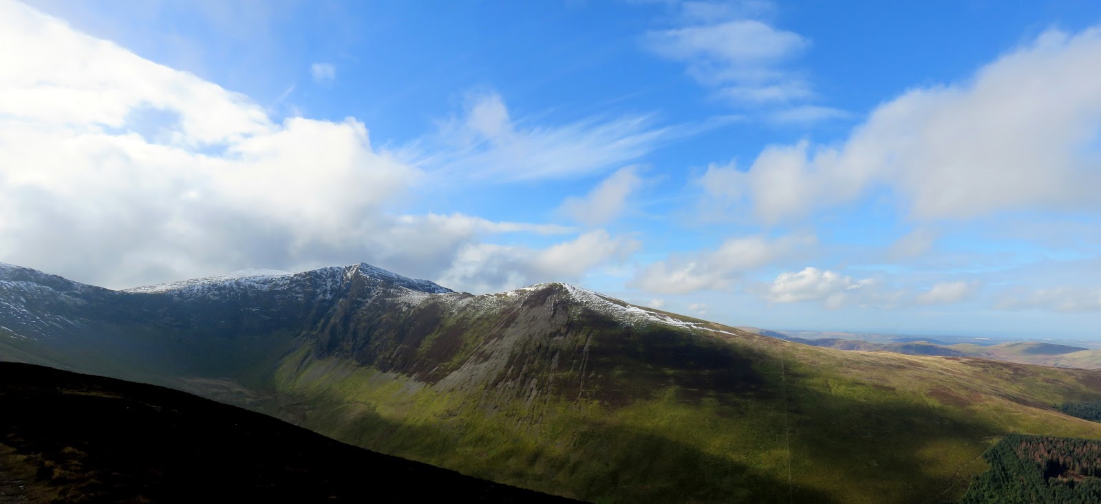
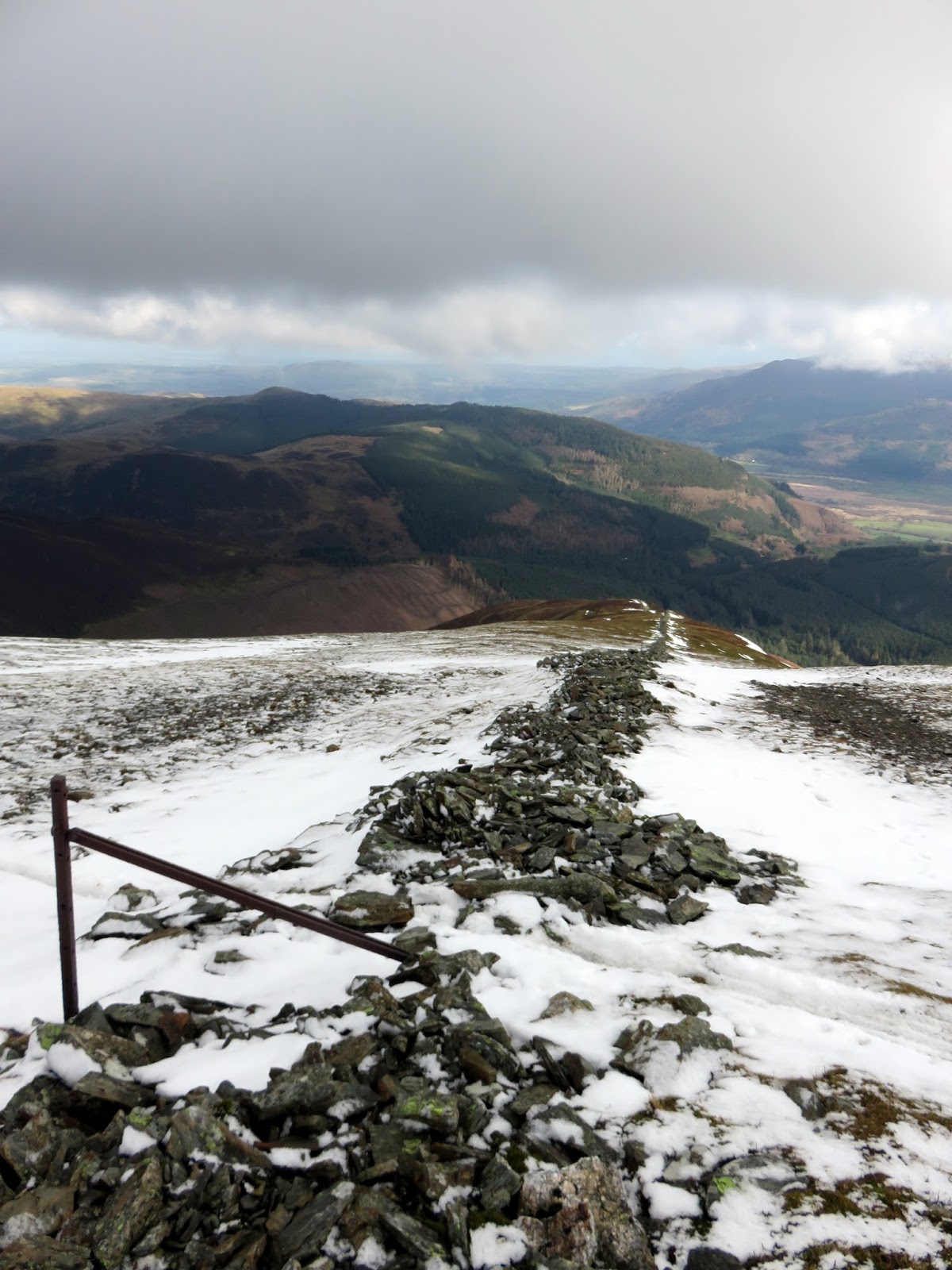
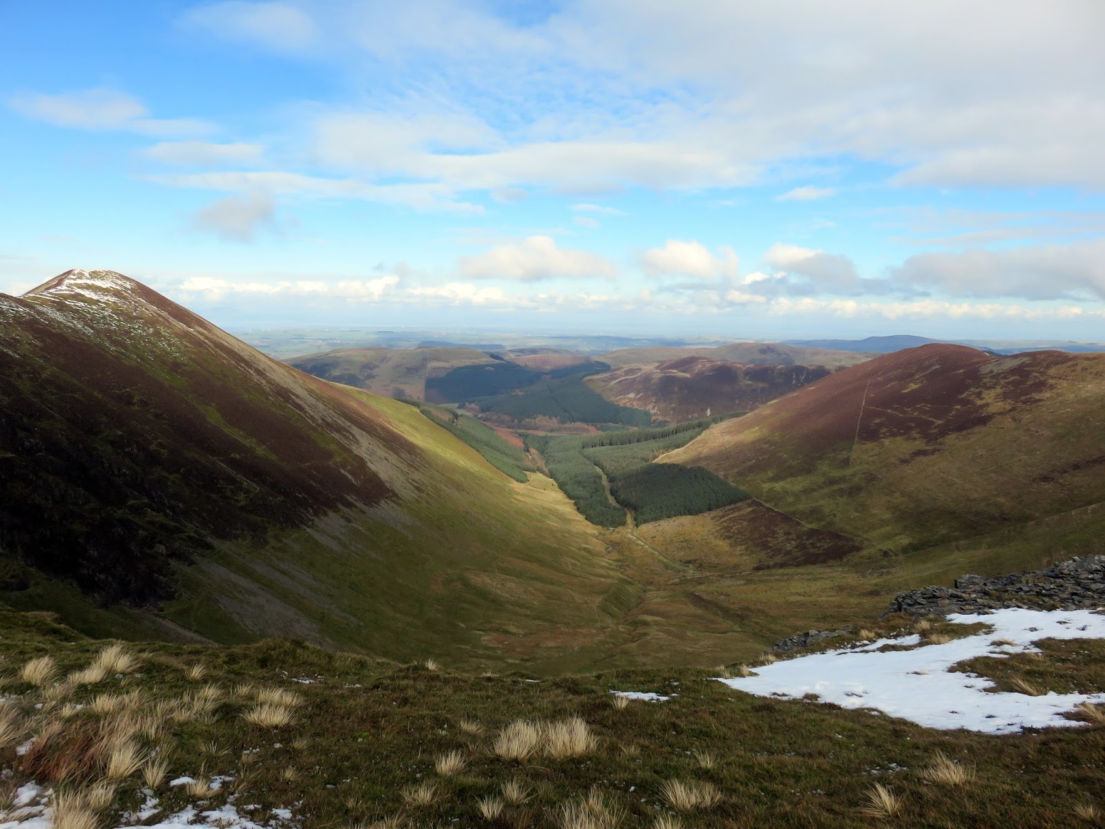
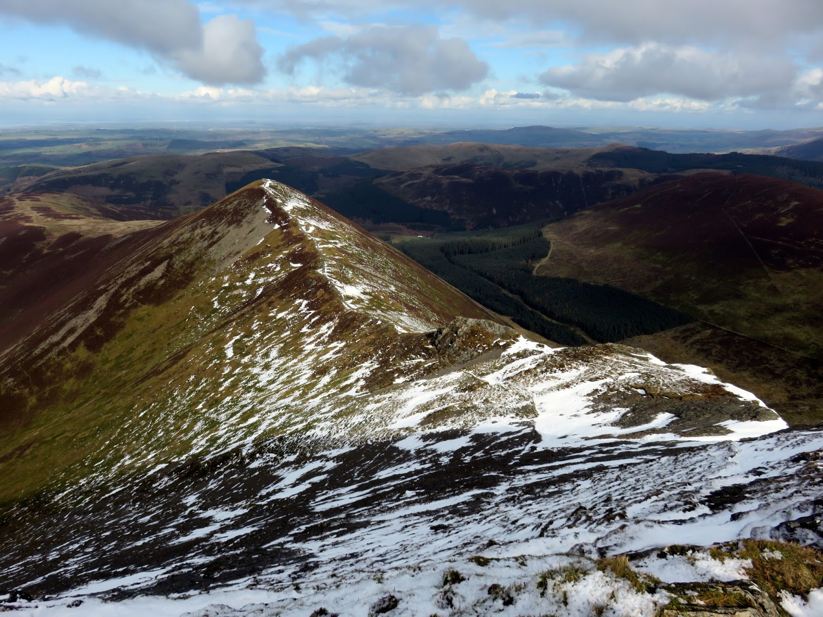
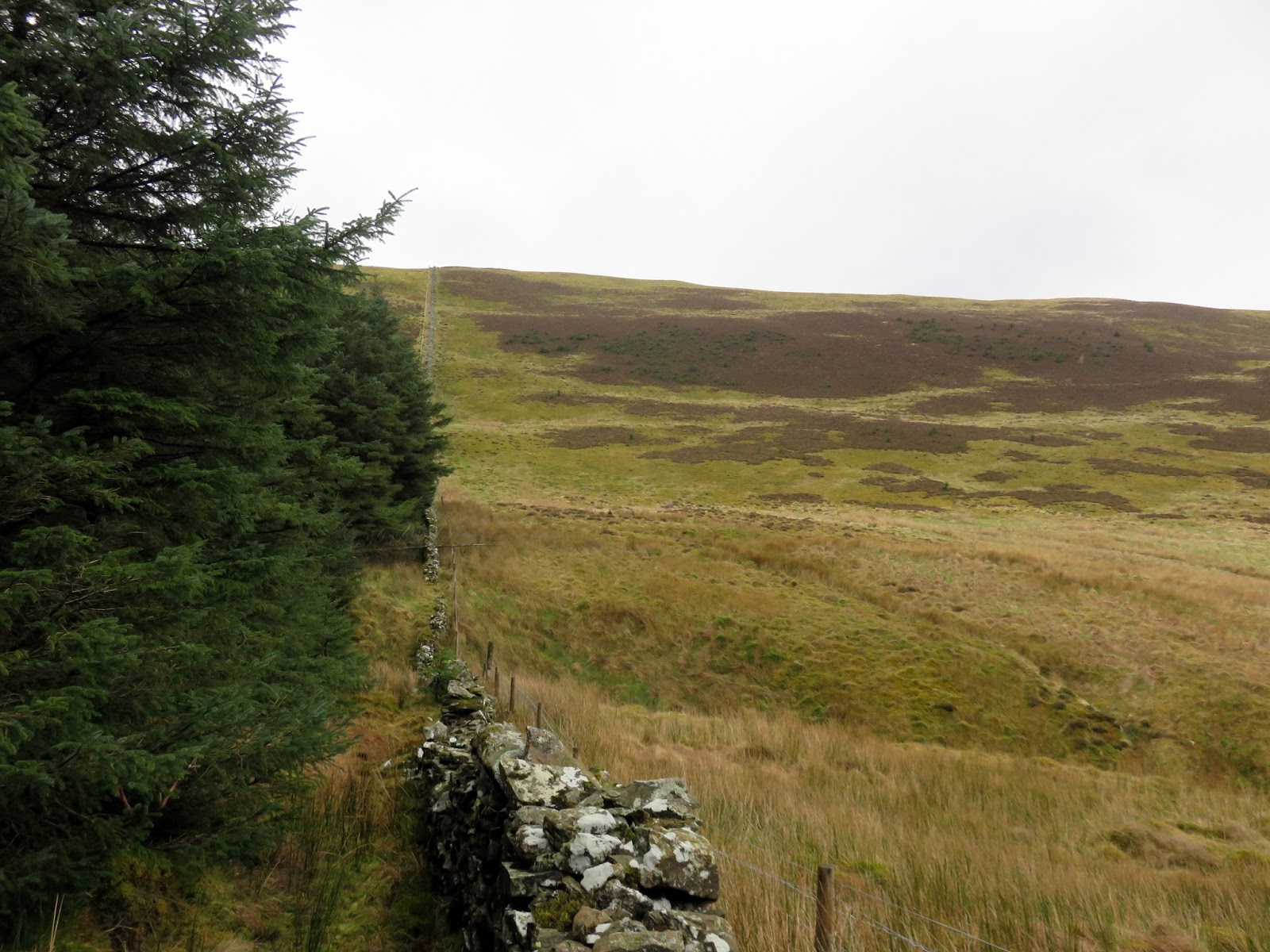
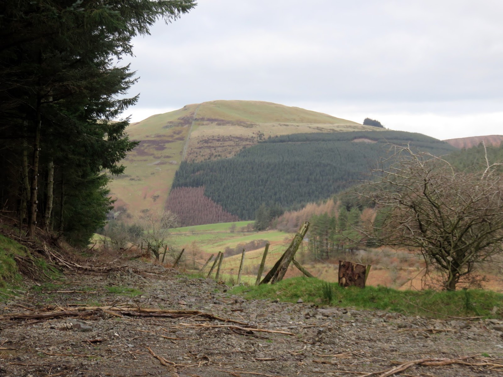
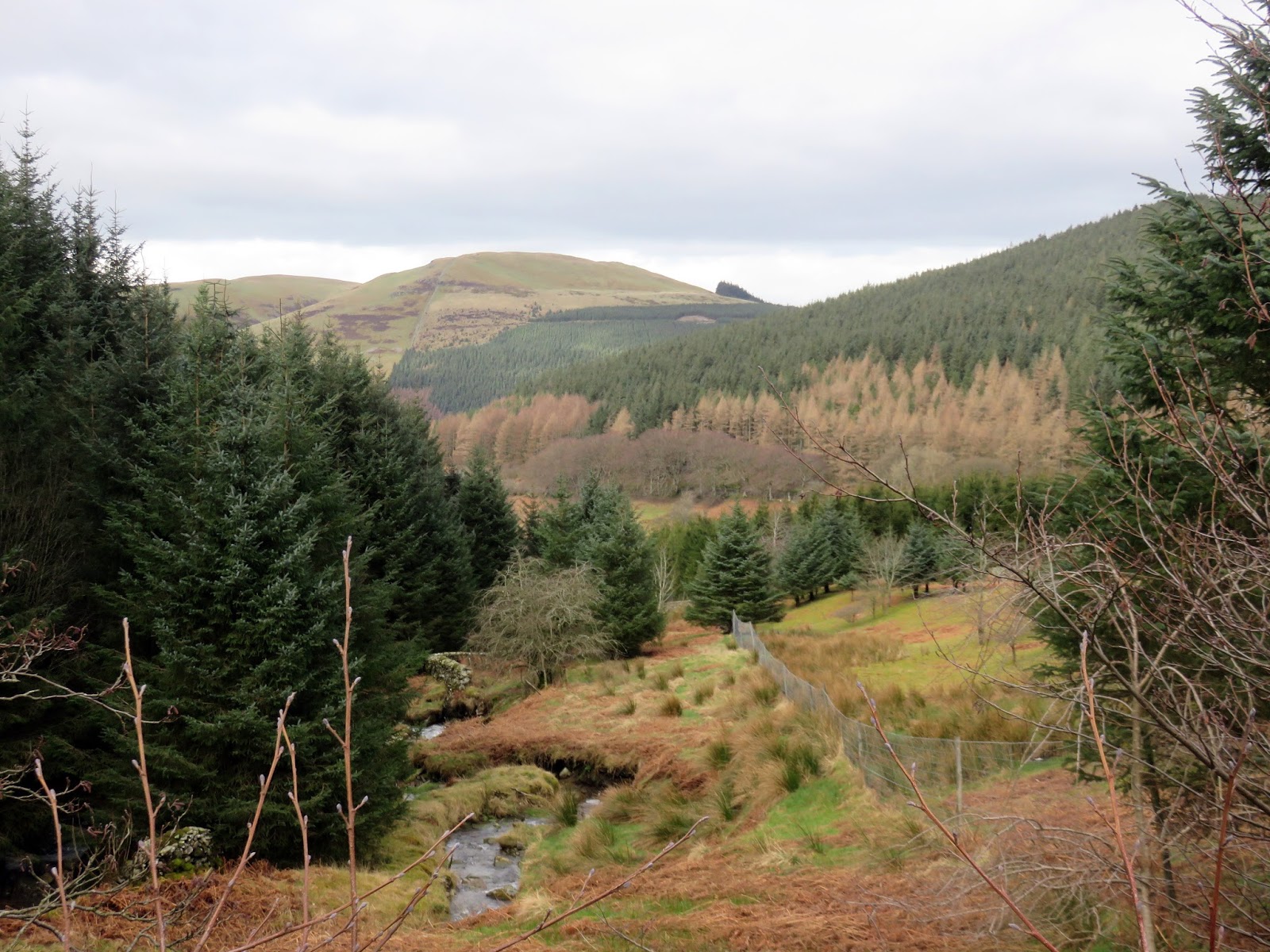
Ahead is an easy ridge leading down to the summit of Swinside. From here you can follow the ridge to Blaze Bridge or, as I did, cut across the valley of Littlethwaite Gill and back into the woods of Swinside Plantation. The roads and tracks here would take me back to the car,
 |
| Add caption |
 |
| Swindside Plantation with Whinaltter beyond |
 |
| Swinside |
 |
| Following a fence off Swinside |
 |
| Heading back to the car |
This was a very enjoyable walk, if a little short. I was done a dusted not long after lunchtime – time enough to investigate some of the Outlying Fells to the north of the Lakes. What is certain though is the ridge between Grisedale Pike and Hopegill Head is probably the best in the North Western fells and perhaps among the best in the Lake District.

