Open Space Web-Map builder Codehttps://openspace.ordnancesurvey.co.uk/osmapapi/openspace.js?key=3119F72552FD5C22E0530C6CA40A5A92https://openspace.ordnancesurvey.co.uk/osmapapi/script/mapbuilder/basicmap.jshttps://openspace.ordnancesurvey.co.uk/osmapapi/script/mapbuilder/searchbox.js//variables for routes var linesLayer, points, lineFeature, lineString, routeMarkersLayer, routepos, routesize, routeoffset, routeicon; var style_blue = {strokeColor: “#0000CD”, strokeOpacity: 0.5, strokeWidth: 4.5}; function initmapbuilder() { //initiate the map var options = {resolutions: [2500, 1000, 500, 200, 100, 50, 25, 10, 5, 4, 2.5, 2, 1]}; osMap = new OpenSpace.Map(‘map’, options); //configure map options (basicmap.js) setglobaloptions(); //set the center of the map and the zoom level osMap.setCenter(new OpenSpace.MapPoint(418505.9974823,389361.00125885),7); linesLayer = osMap.getVectorLayer(); // Set up layer for route markers routeMarkersLayer = new OpenLayers.Layer.Markers(“Route Markers”); //make a route points = new Array(); points.push(new OpenLayers.Geometry.Point(417222.66412354,389272.66793823)); points.push(new OpenLayers.Geometry.Point(417192.66412354,389467.66793823)); points.push(new OpenLayers.Geometry.Point(417267.66412354,389627.66793823)); points.push(new OpenLayers.Geometry.Point(417462.66412354,389852.66793823)); points.push(new OpenLayers.Geometry.Point(417427.66412354,390012.66793823)); points.push(new OpenLayers.Geometry.Point(417442.66412354,390092.66793823)); points.push(new OpenLayers.Geometry.Point(417357.66412354,390177.66793823)); points.push(new OpenLayers.Geometry.Point(417297.66412354,390437.66793823)); points.push(new OpenLayers.Geometry.Point(417357.66412354,390822.66793823)); points.push(new OpenLayers.Geometry.Point(417337.66412354,390962.66793823)); points.push(new OpenLayers.Geometry.Point(417127.66412354,391157.66793823)); points.push(new OpenLayers.Geometry.Point(416997.66412354,391322.66793823)); points.push(new OpenLayers.Geometry.Point(416962.66412354,391497.66793823)); points.push(new OpenLayers.Geometry.Point(417042.66412354,391897.66793823)); points.push(new OpenLayers.Geometry.Point(417122.66412354,391977.66793823)); points.push(new OpenLayers.Geometry.Point(417462.66412354,391902.66793823)); points.push(new OpenLayers.Geometry.Point(417627.66412354,391832.66793823)); points.push(new OpenLayers.Geometry.Point(417782.66412354,391482.66793823)); points.push(new OpenLayers.Geometry.Point(418062.66412354,391472.66793823)); points.push(new OpenLayers.Geometry.Point(418552.66412354,391417.66793823)); points.push(new OpenLayers.Geometry.Point(418852.66412354,391412.66793823)); points.push(new OpenLayers.Geometry.Point(419067.66412354,391382.66793823)); points.push(new OpenLayers.Geometry.Point(419372.66412354,391197.66793823)); points.push(new OpenLayers.Geometry.Point(419537.66412354,391112.66793823)); points.push(new OpenLayers.Geometry.Point(419727.66412354,390987.66793823)); points.push(new OpenLayers.Geometry.Point(419847.66412354,390852.66793823)); points.push(new OpenLayers.Geometry.Point(419792.66412354,390632.66793823)); points.push(new OpenLayers.Geometry.Point(419787.66412354,390372.66793823)); points.push(new OpenLayers.Geometry.Point(419767.66412354,390112.66793823)); points.push(new OpenLayers.Geometry.Point(419697.66412354,389912.66793823)); points.push(new OpenLayers.Geometry.Point(419667.66412354,389712.66793823)); points.push(new OpenLayers.Geometry.Point(419632.66412354,389412.66793823)); points.push(new OpenLayers.Geometry.Point(419627.66412354,389192.66793823)); points.push(new OpenLayers.Geometry.Point(419752.66412354,388912.66793823)); points.push(new OpenLayers.Geometry.Point(419977.66412354,388667.66793823)); points.push(new OpenLayers.Geometry.Point(420197.66412354,388487.66793823)); points.push(new OpenLayers.Geometry.Point(420297.66412354,388037.66793823)); points.push(new OpenLayers.Geometry.Point(420152.66412354,387792.66793823)); points.push(new OpenLayers.Geometry.Point(419897.66412354,387637.66793823)); points.push(new OpenLayers.Geometry.Point(419817.66412354,387482.66793823)); points.push(new OpenLayers.Geometry.Point(419772.66412354,387392.66793823)); points.push(new OpenLayers.Geometry.Point(419652.66412354,387477.66793823)); points.push(new OpenLayers.Geometry.Point(419632.66412354,387337.66793823)); points.push(new OpenLayers.Geometry.Point(419497.66412354,387172.66793823)); points.push(new OpenLayers.Geometry.Point(419532.66412354,386917.66793823)); points.push(new OpenLayers.Geometry.Point(419612.66412354,386702.66793823)); points.push(new OpenLayers.Geometry.Point(419792.66412354,386532.66793823)); points.push(new OpenLayers.Geometry.Point(419597.66412354,386492.66793823)); points.push(new OpenLayers.Geometry.Point(419472.66412354,386472.66793823)); points.push(new OpenLayers.Geometry.Point(419477.66412354,386422.66793823)); points.push(new OpenLayers.Geometry.Point(419117.66412354,386452.66793823)); points.push(new OpenLayers.Geometry.Point(419097.66412354,386612.66793823)); points.push(new OpenLayers.Geometry.Point(419147.66412354,386757.66793823)); points.push(new OpenLayers.Geometry.Point(419047.66412354,387137.66793823)); points.push(new OpenLayers.Geometry.Point(418832.66412354,387372.66793823)); points.push(new OpenLayers.Geometry.Point(418747.66412354,387552.66793823)); points.push(new OpenLayers.Geometry.Point(418727.66412354,387737.66793823)); points.push(new OpenLayers.Geometry.Point(418667.66412354,387877.66793823)); points.push(new OpenLayers.Geometry.Point(418542.66412354,388007.66793823)); points.push(new OpenLayers.Geometry.Point(418352.66412354,388197.66793823)); points.push(new OpenLayers.Geometry.Point(418257.66412354,388372.66793823)); points.push(new OpenLayers.Geometry.Point(418117.66412354,388487.66793823)); points.push(new OpenLayers.Geometry.Point(417832.66412354,388592.66793823)); points.push(new OpenLayers.Geometry.Point(417637.66412354,388697.66793823)); points.push(new OpenLayers.Geometry.Point(417392.66412354,388882.66793823)); points.push(new OpenLayers.Geometry.Point(417292.66412354,389042.66793823)); points.push(new OpenLayers.Geometry.Point(417222.66412354,389272.66793823)); // create a polyline feature from the array of points lineString = new OpenLayers.Geometry.LineString(points); lineFeature = new OpenLayers.Feature.Vector(lineString, null, style_blue); linesLayer.addFeatures([lineFeature]); //crate a route start/end marker routepos = new OpenSpace.MapPoint(417222.66412354,389272.66793823); routesize = new OpenLayers.Size(33,45); routeoffset = new OpenLayers.Pixel(-5,-37); routeicon = new OpenSpace.Icon(‘https://openspace.ordnancesurvey.co.uk/osmapapi/img_versions/img_1.1/mapbuilder/routemarker-startend.png’, routesize, routeoffset, null, null); routeMarkersLayer.addMarker(new OpenLayers.Marker(routepos, routeicon)); osMap.addLayer(routeMarkersLayer);}
Route: Fairholmes, Derwent Dam, Hancock Wood, Abbey Tip Plantation, Greystones Moss, Green Sitches, Lost Lad, Back Tor, Cakes of Bread, Dovestone Tor, Derwent Edge, Salt Cellar, White Tor, Wheel Stones, Hurkling Stones, Whinstone Lee Tor, Ashopton, Ladybower, Ridges Coppice, Fairholmes
Date: 19/02/2017
From: Fairholmes
Parking: Fairholmes
Start Point: Fairholmes
Region: Peak District Dark Peak
Route length: 10.5 miles (16.9 km)
Time taken: 04:10
Average speed: 2.5 mph
Ascent: 656m
Descent: 674m
Summits: Back Tor (538m)
Other points of interest: Cakes of Bread, Dovestone Tor, Derwent Edge, Salt Cellar, Wheel Stones
Derwent Edge is one of the numerous gritstone edges that form a near-unbroken line along the northeast of the Peak District. As with all the edges, it’s a popular spot for walkers, climbers and mountain bikers who all make the most of the unique countryside of the Dark Peak.
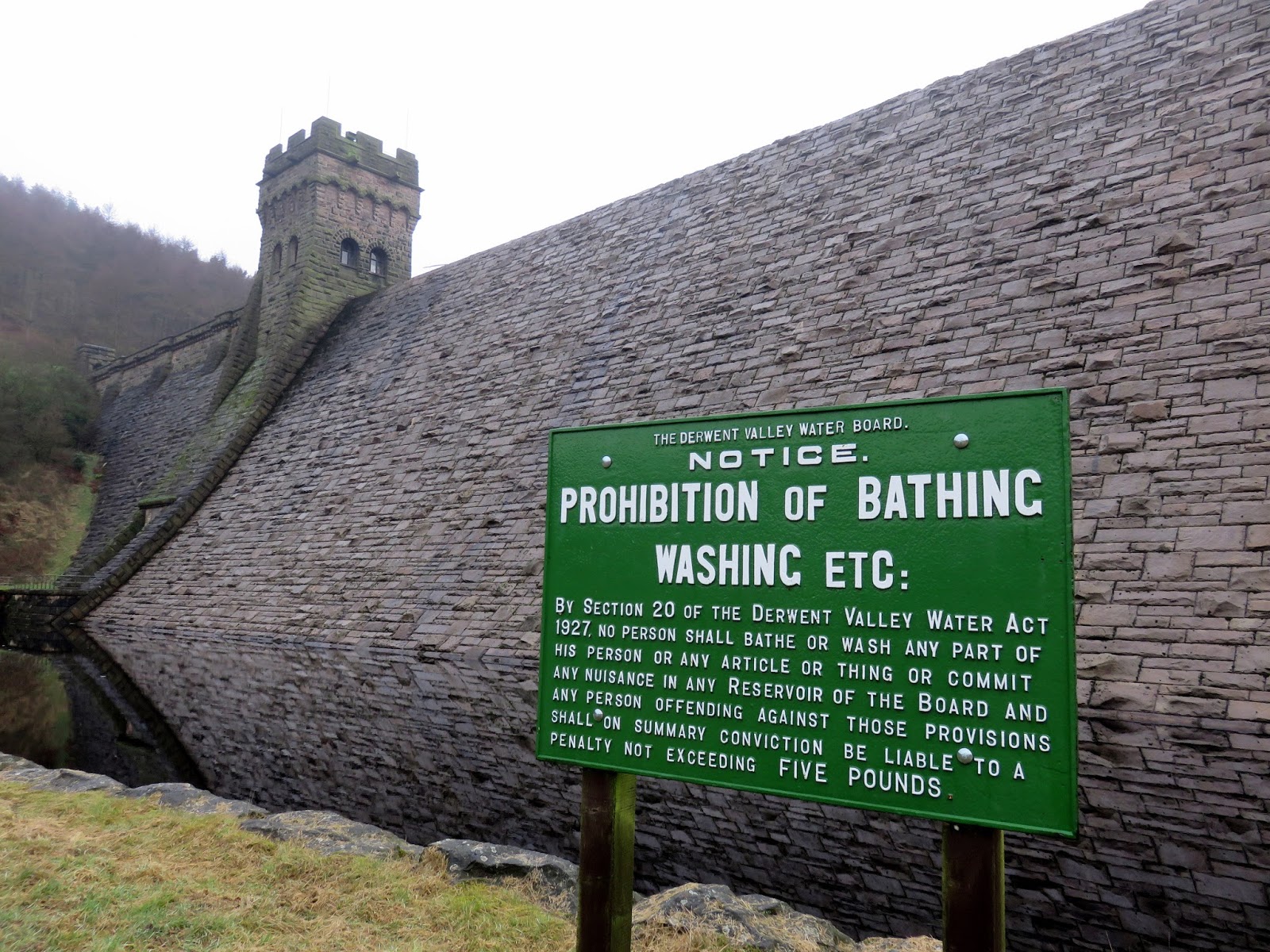
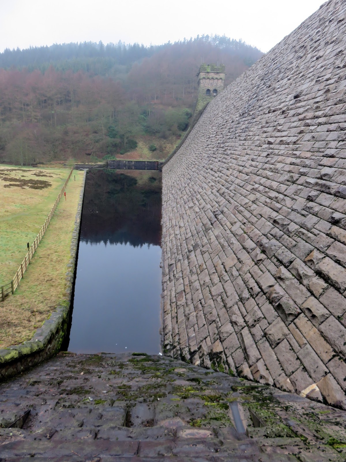
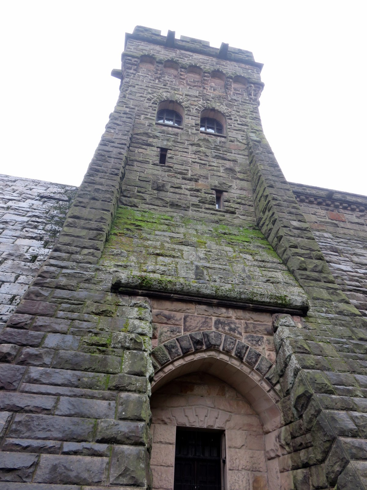
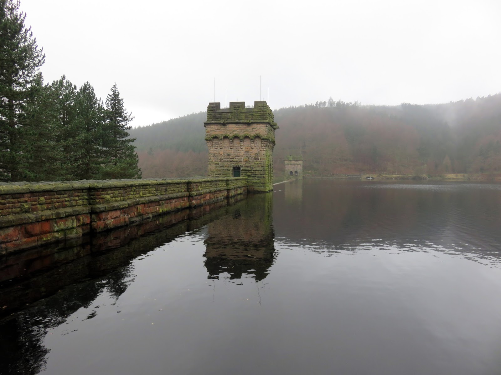
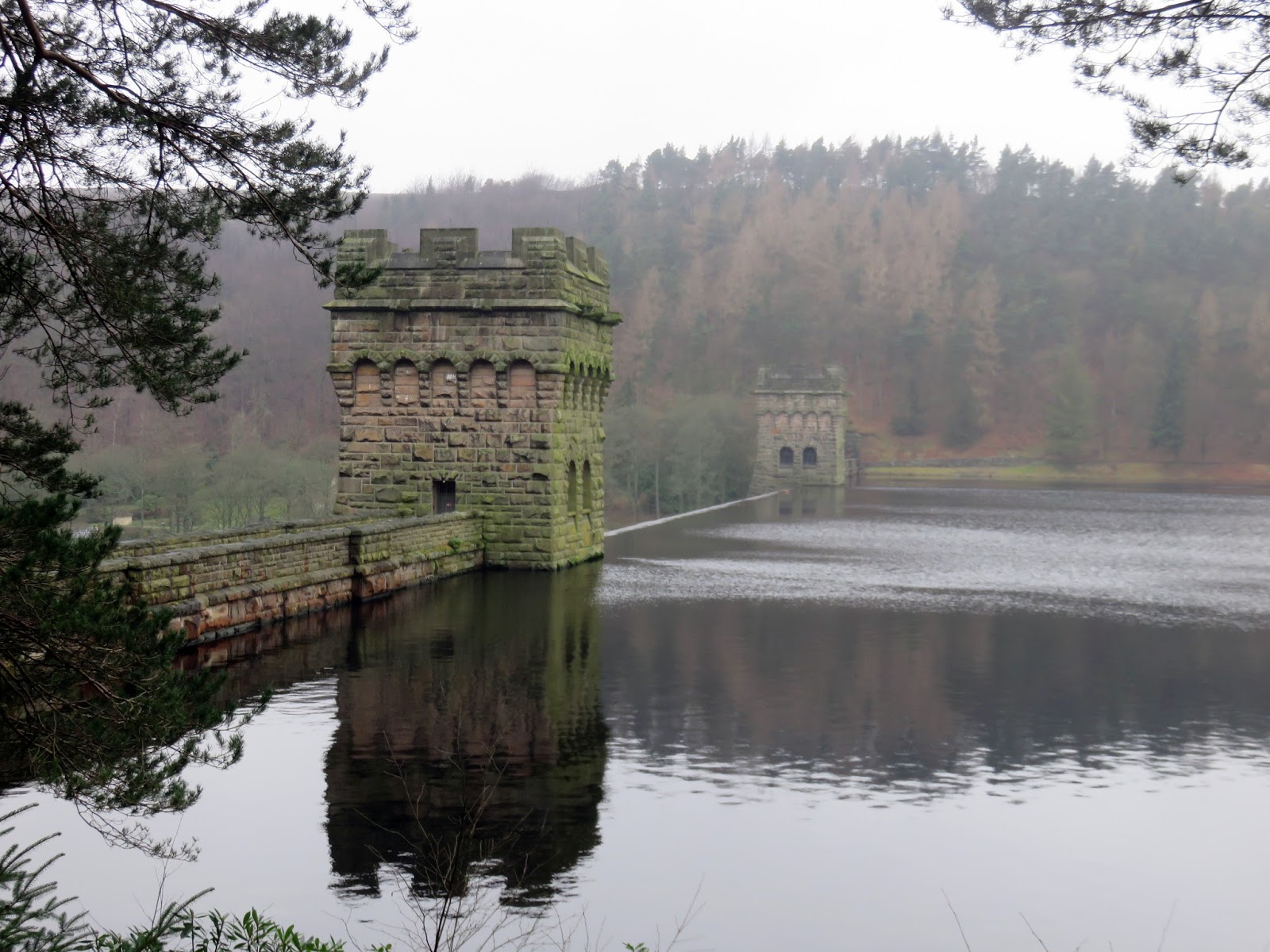
We parked in the Fairholmes car park after driving along the length of Ladybower Reservoir’s northern arm, along the route we’d be using later in the day. After getting ready, we walked the short distance to the foot of the iconic Derwent Dam, which holds back the Derwent Reservoir.
 |
| The Derwent Dam and its newly refurbished sign |
 |
| The spillway in front of the dam |
 |
| One of the two towers |
The Derwent Dam is a huge, solid masonry structure, built in the early 1900s to create the reservoir that supplies water to Sheffield and the East Midlands. It struck a resemblance to the Mohne Dam in Germany, so much so that 617 Squadron (the Dambusters) practised low-level flight over the Derwent Reservoir. In the dead of night, the pilots were expected to fly just 20m above the water, aided by a pair of strategically placed spotlights underside the aircraft.
 |
| The moment the Battle of Britain Memorial Flight Lancaster crosses the Derwent Dam in 2016 (Wikipedia) |
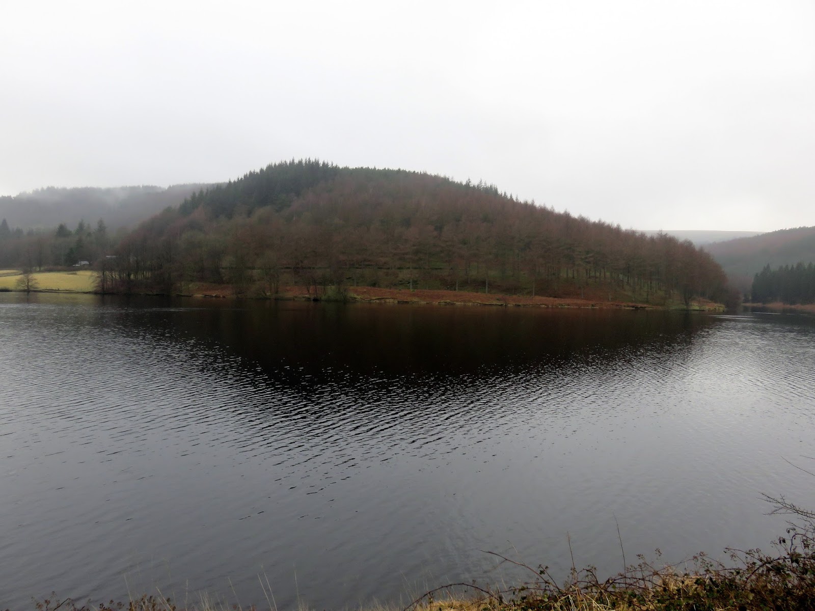
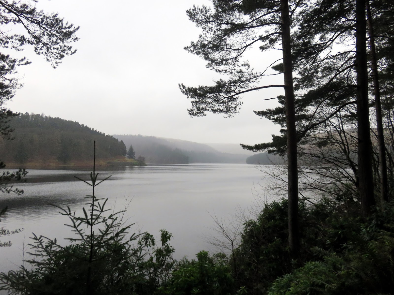
We climbed up alongside the dam to follow the access road along the reservoir’s edge. It’s easy stroll of a couple of miles which leads to Abbey Tip Plantation, close to the Howden Dam. Unlike the Derwent Dam, the Howden Dam was overflowing when we visited – it is designed in such a way to allow water to spill over and flow down the dam face.
 |
| The Derwent Dam |
 |
| The Derwent Reservoir |
 |
| Gores Heights |
 |
| Howden Reservoir |
 |
| The Howden Dam |
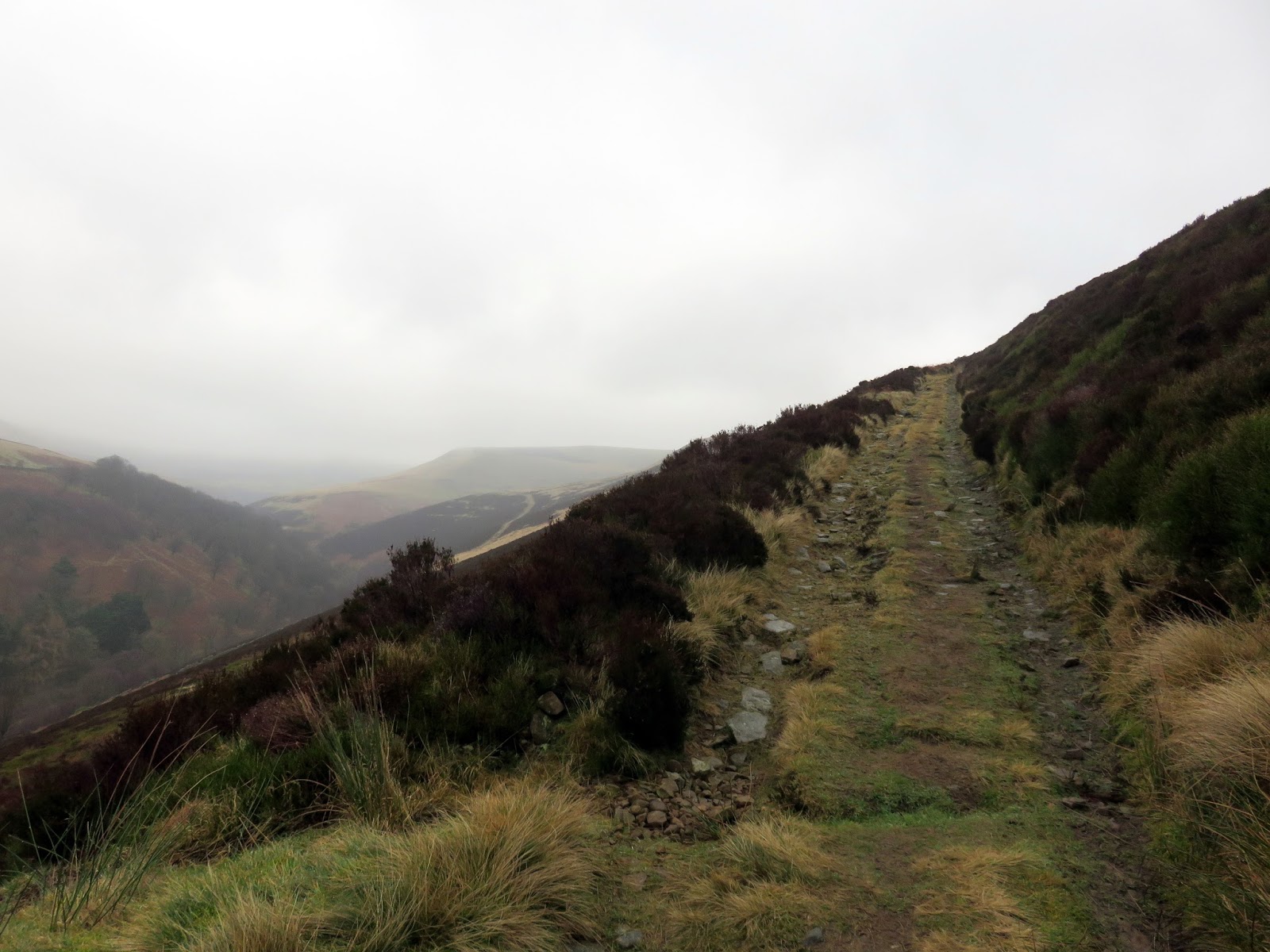
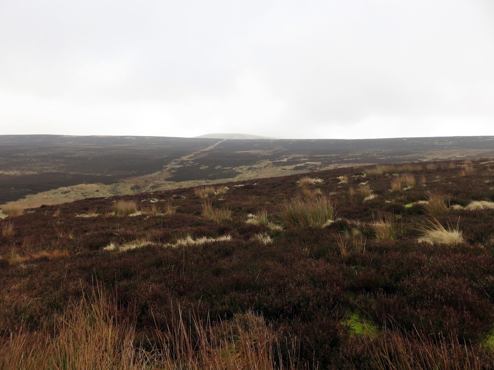
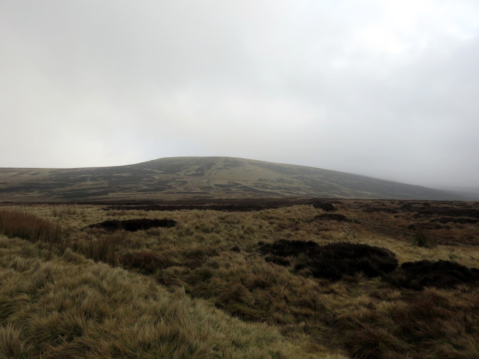
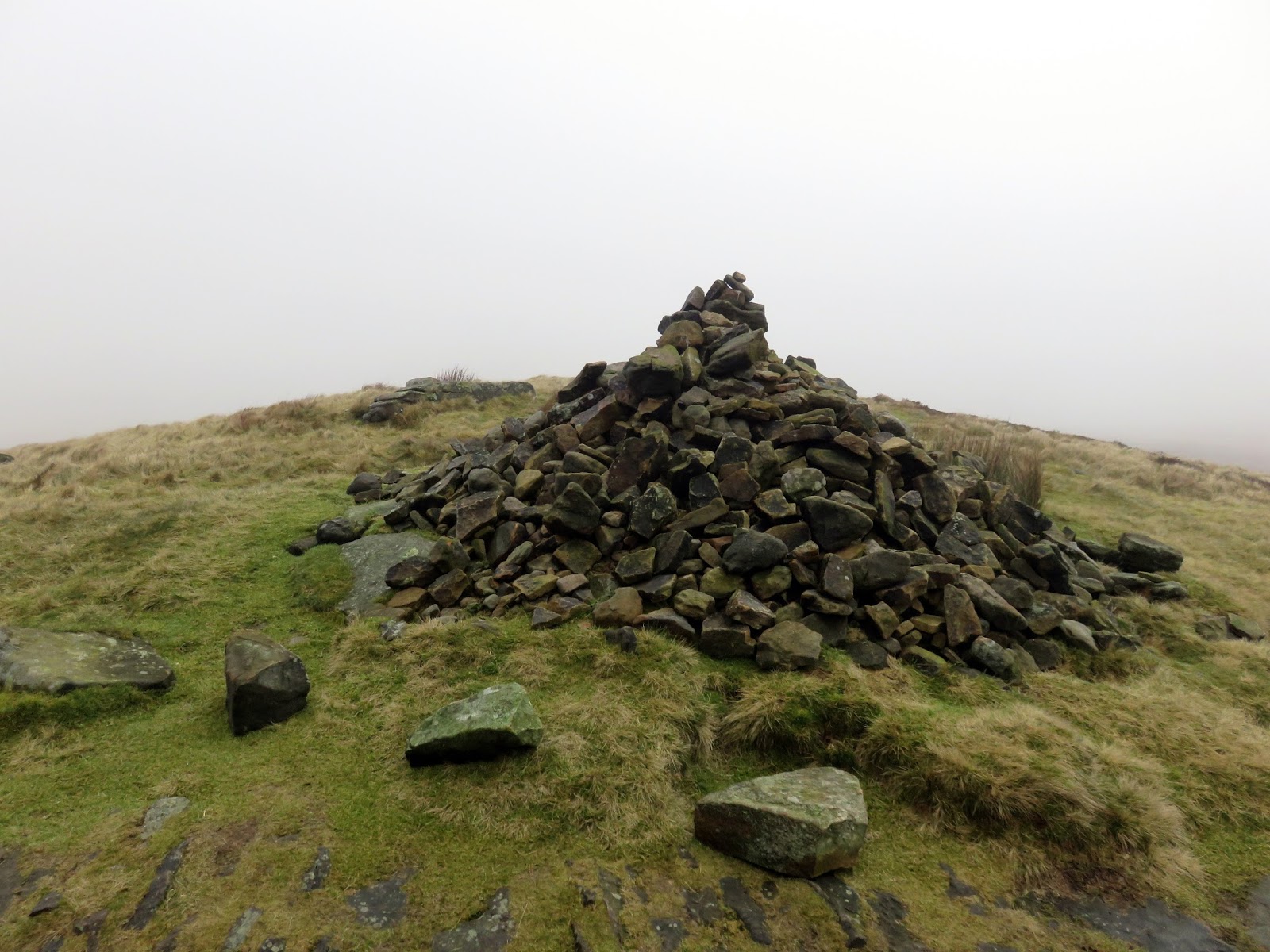
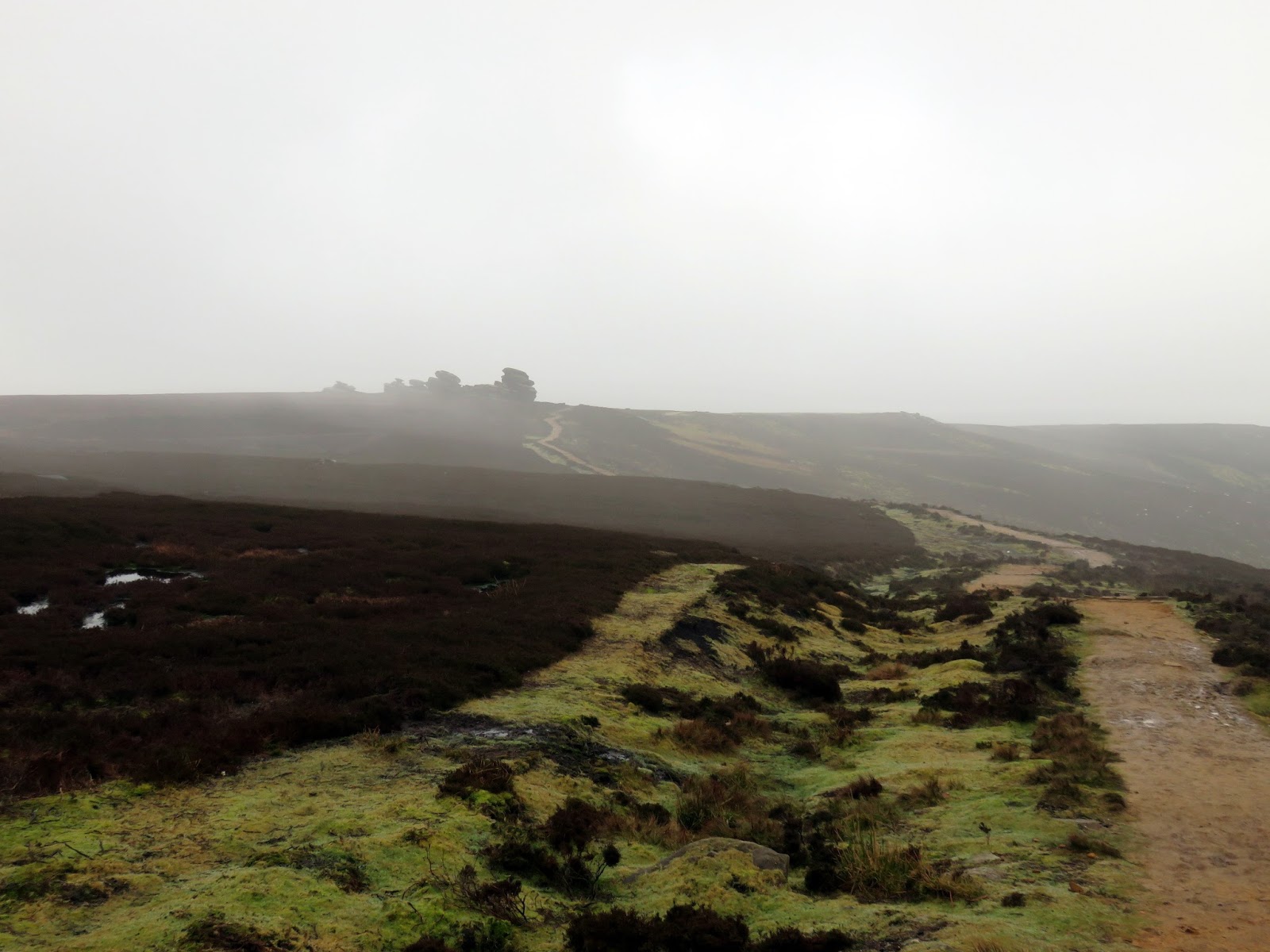
A stony track leads up the moor, crossing the head of a stream at Greystones Moss before a final, fairly steep pull up onto Lost Lad., a bare, conical hill prior to the main height of Derwent Edge. Lost Lad actually refers to the cairn that marks the summit – reference to the legend about a local shepherd boy.
 |
| The path at Abbey Tip Plantation |
 |
| Lost Land in the distancc |
 |
| Lost Lad |
 |
| Looking back to Green Sitches |
 |
| Lost Lad |
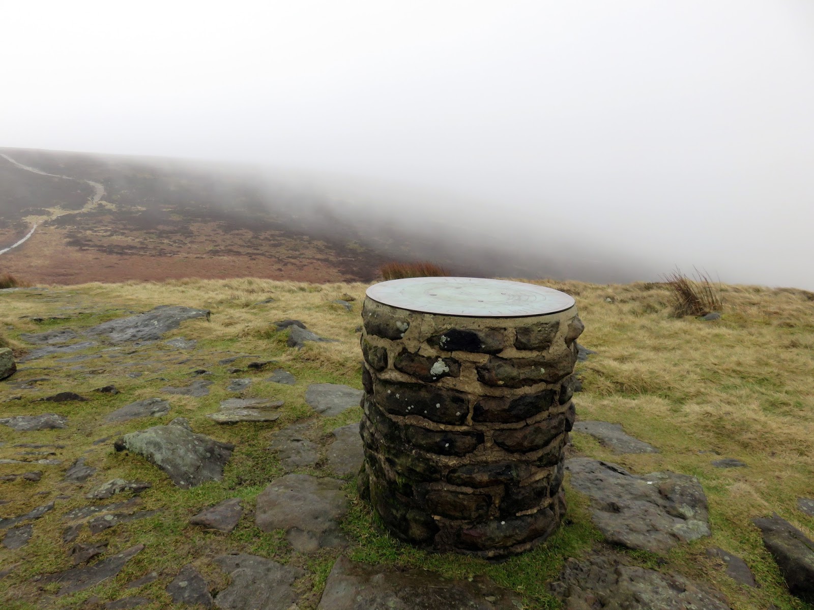
According to the legend, the boy became lost on the moors in a blizzard and died. His body was found the following spring by a passing shepherd and nearby were the words “Lost Lad” written on a rock. An accompanying toposcope describes the 360-degree view – though much our ours was shrouded by cloud.
 |
| The Lost Lad toposcope |
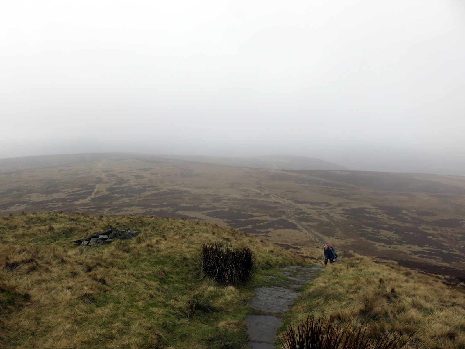
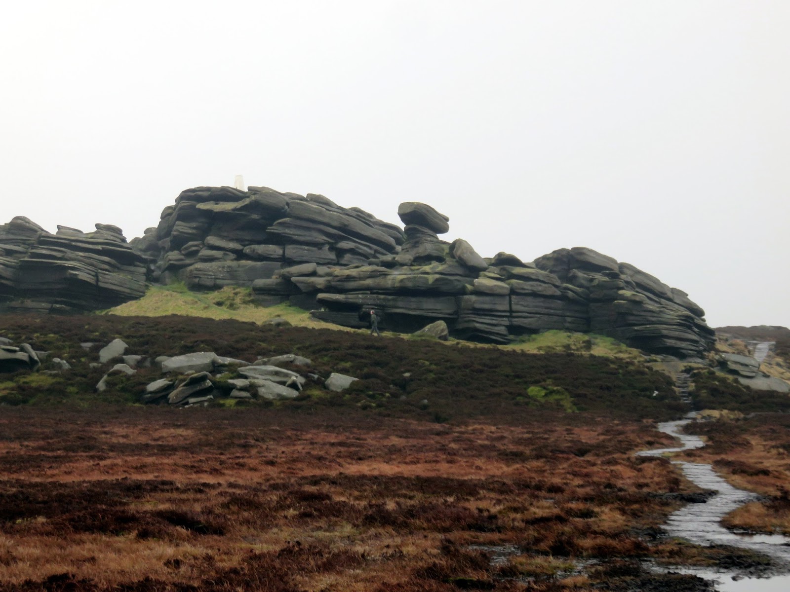
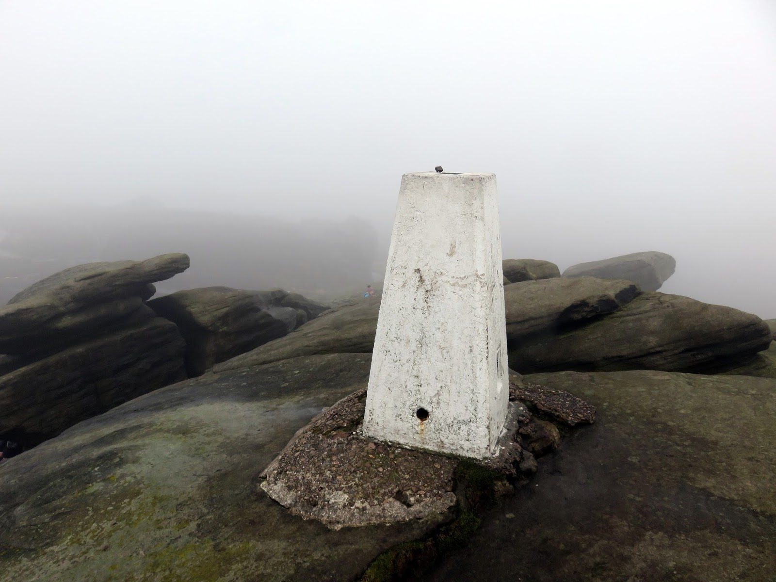
Back Tor – the starting point of our traverse of Derwent Edge – is a short distance south-east and the clouds parted long enough for us to get a good view of it. A trig pillar marks the highest point.
 |
| Back Tor |
 |
| One of the many wonderful shapes at Back Tor |
 |
| The trig pillar |
 |
| Back Tor |
 |
| Boundary stone at Bradfield Gate Head |
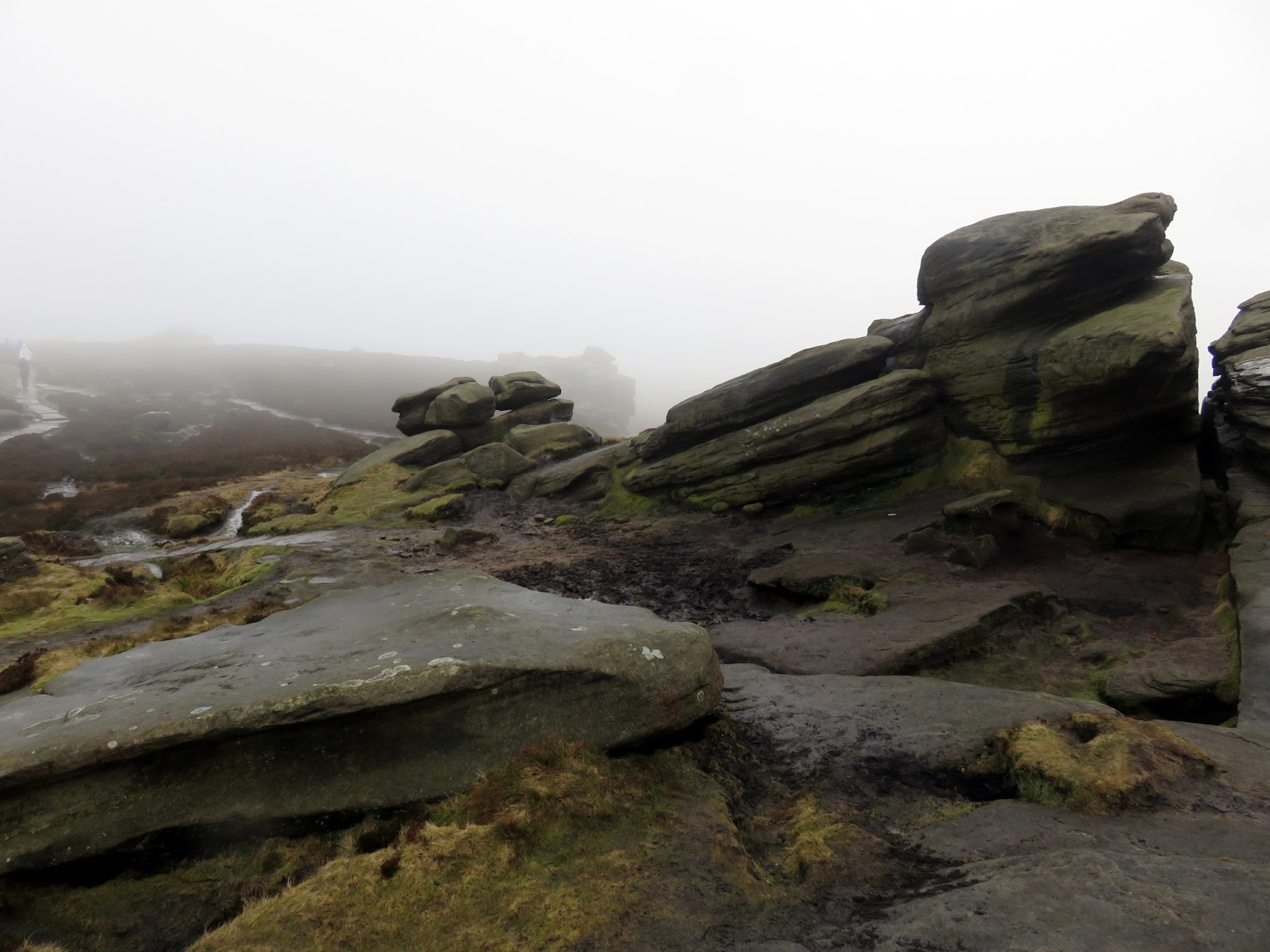
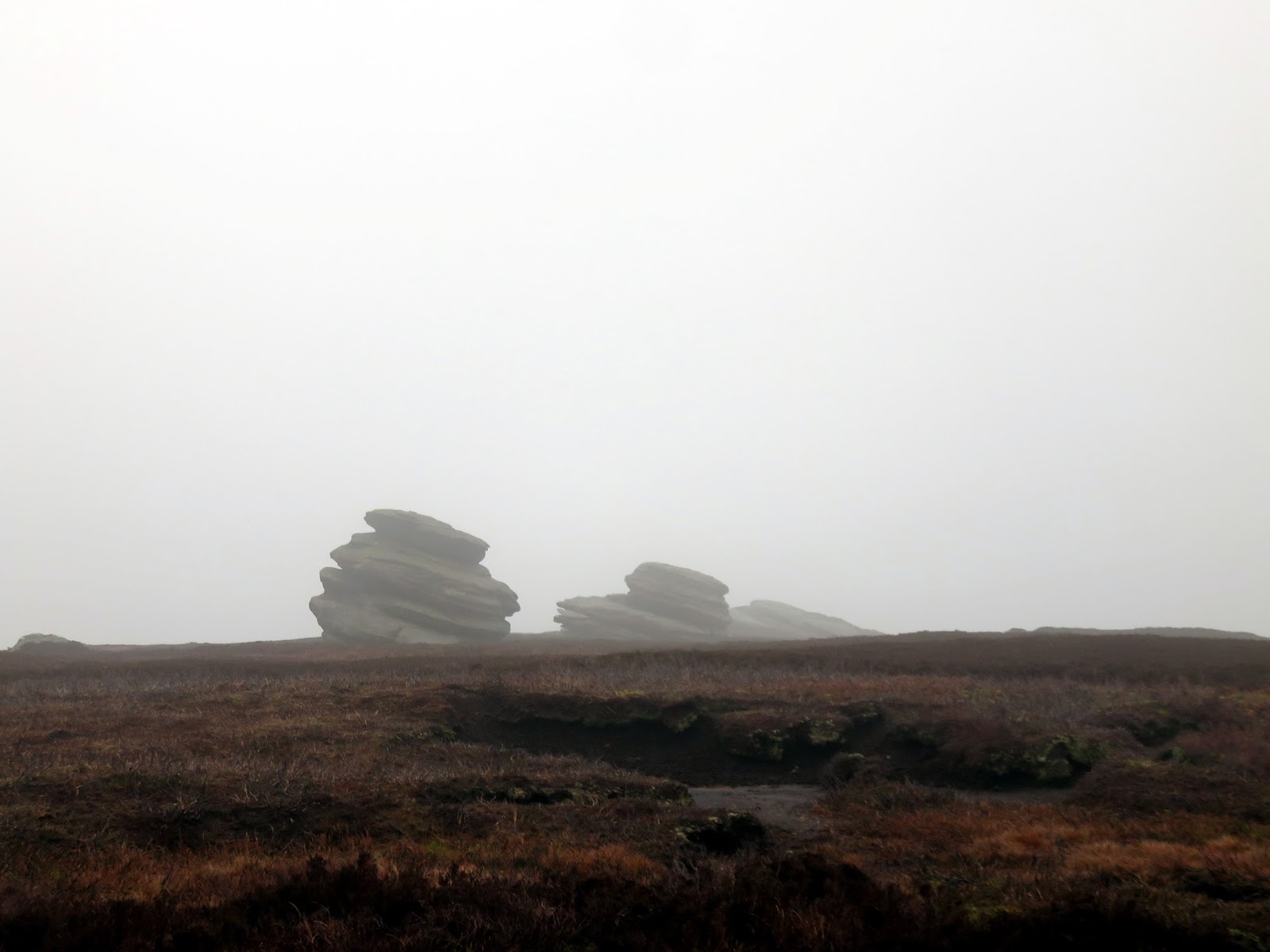
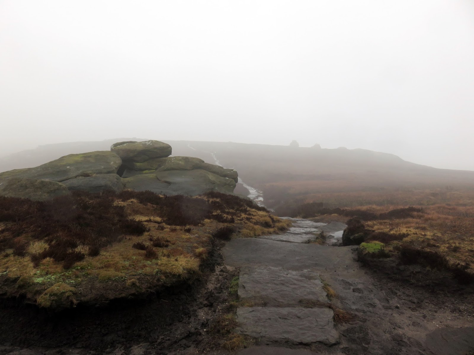
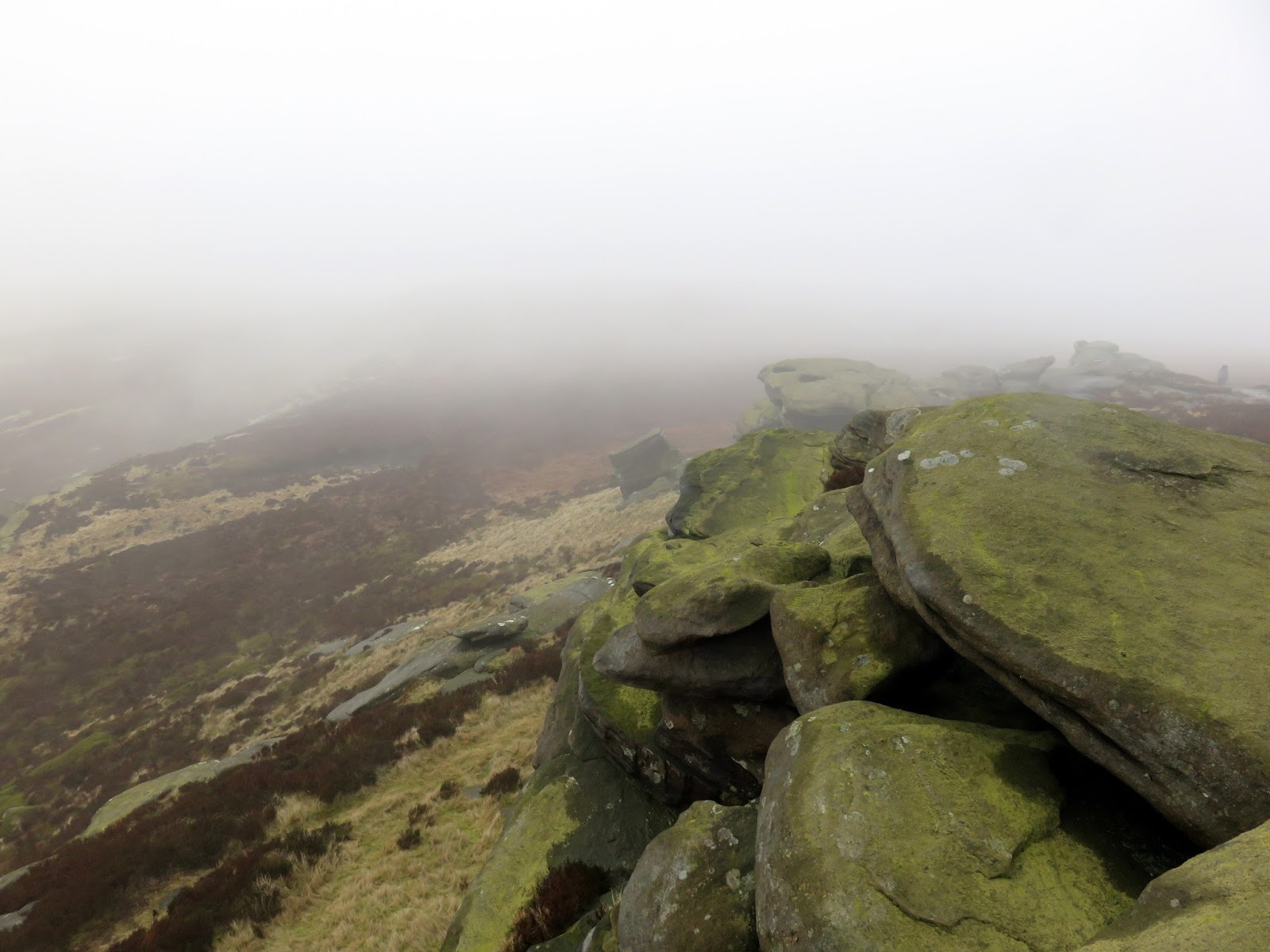
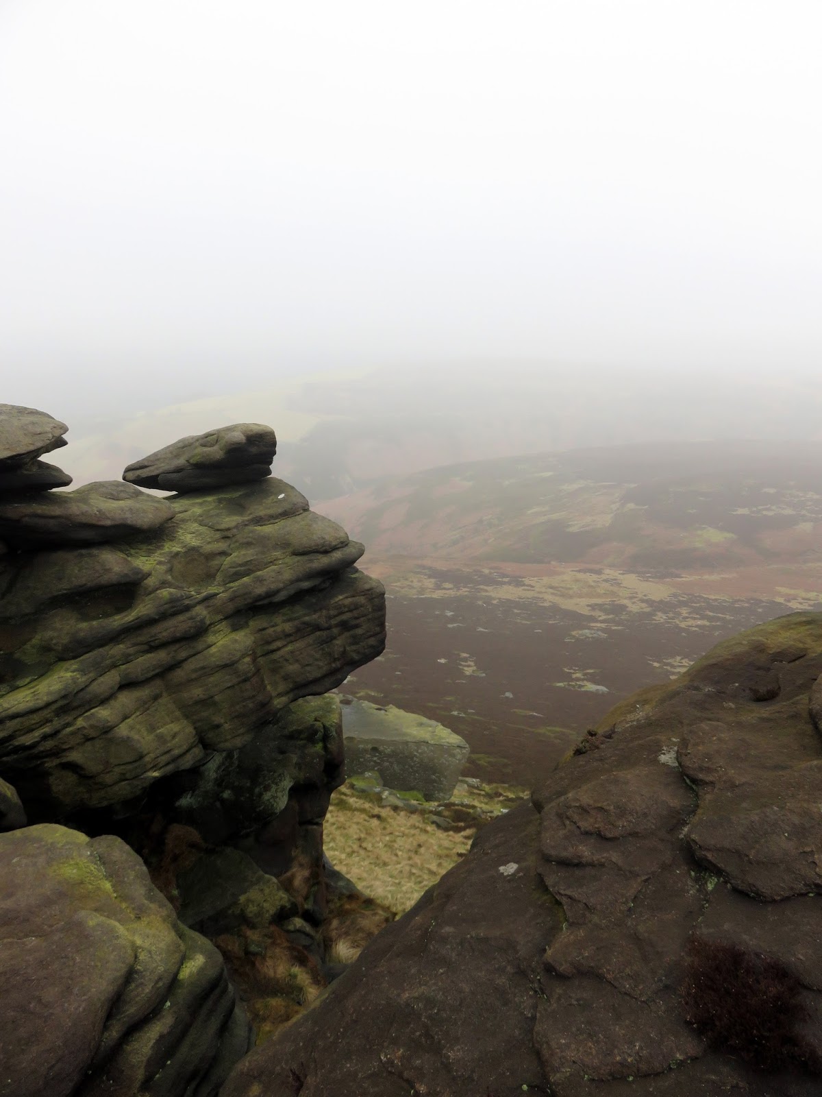
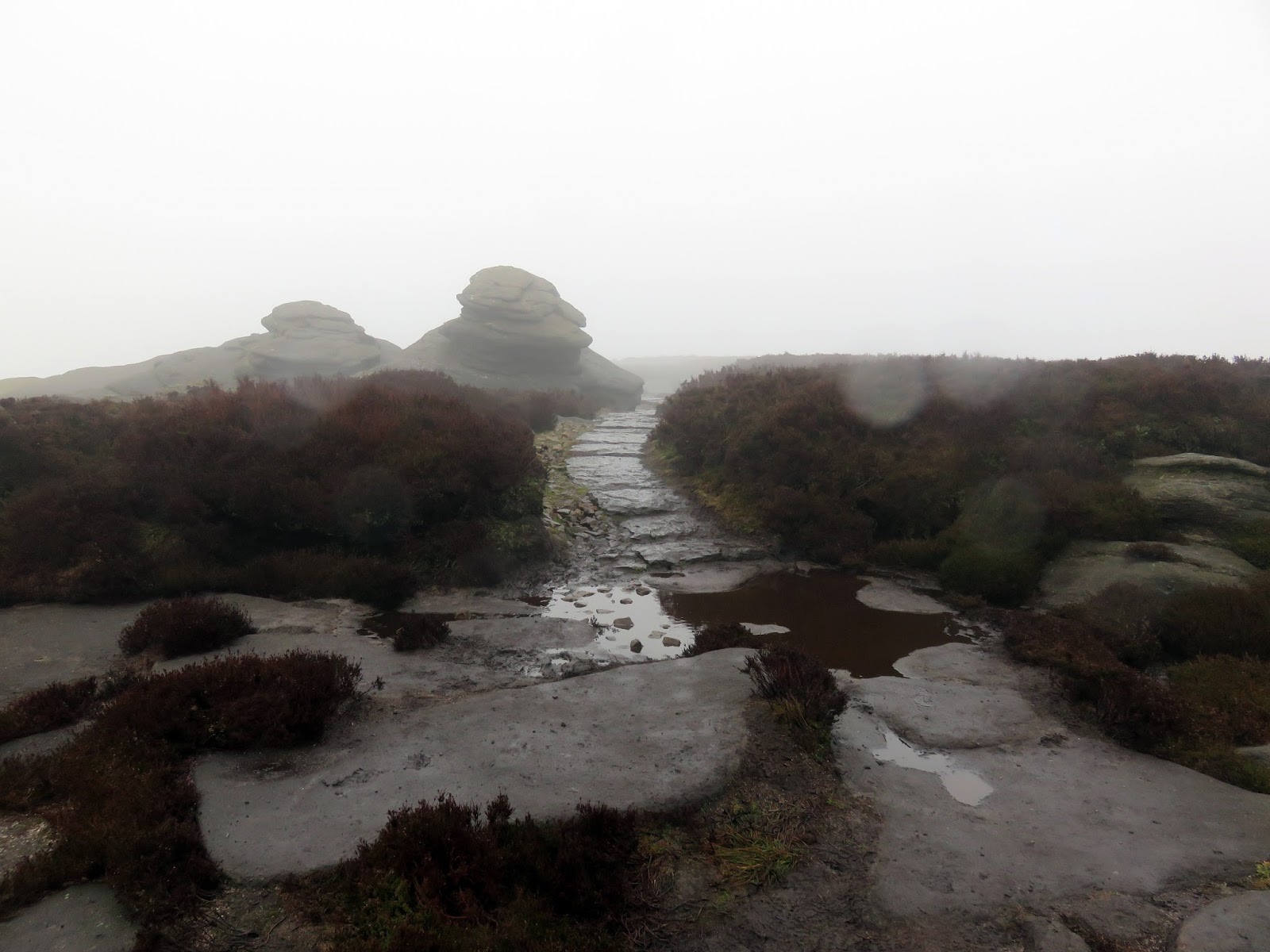
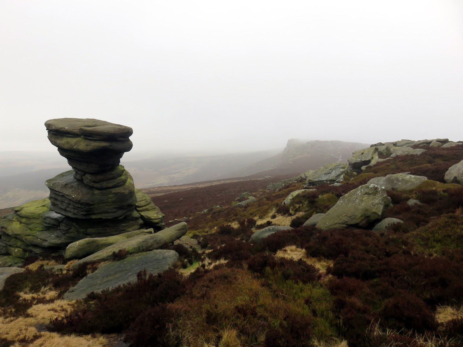
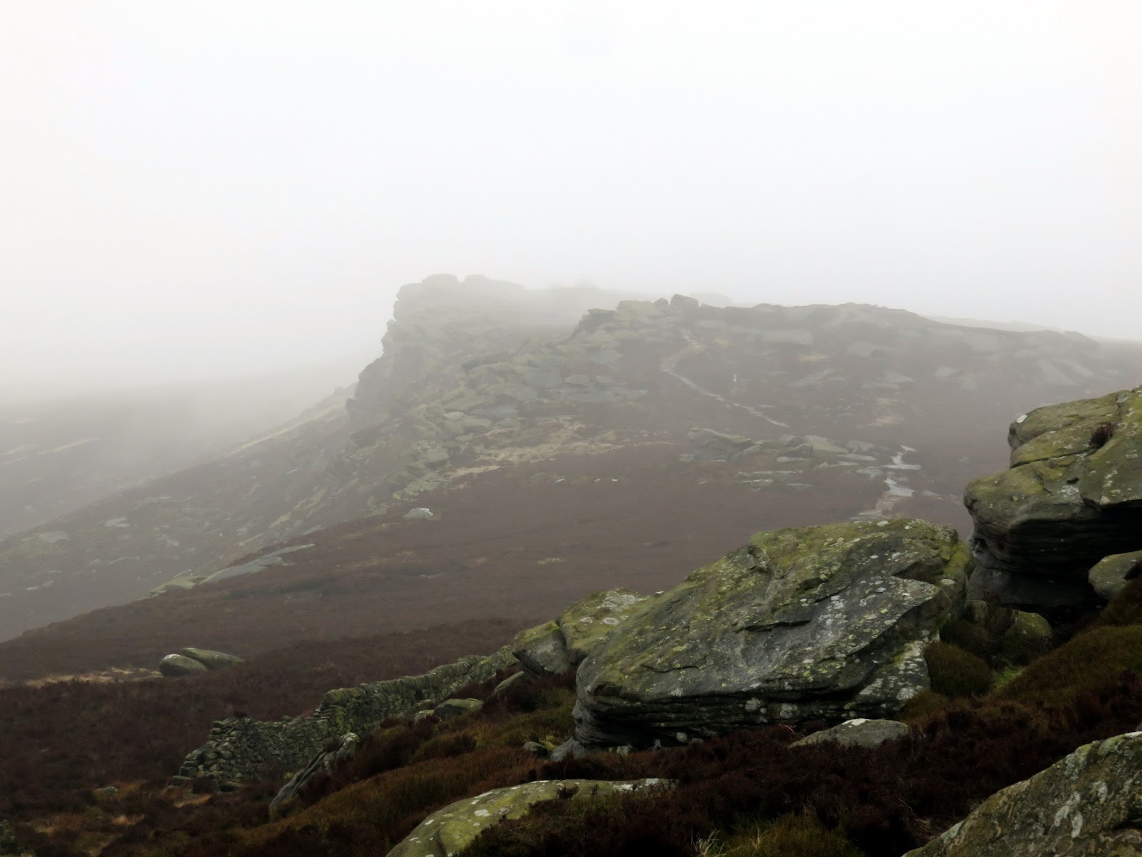
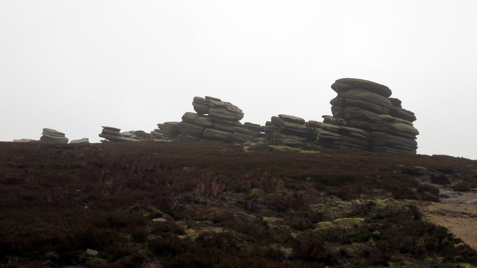
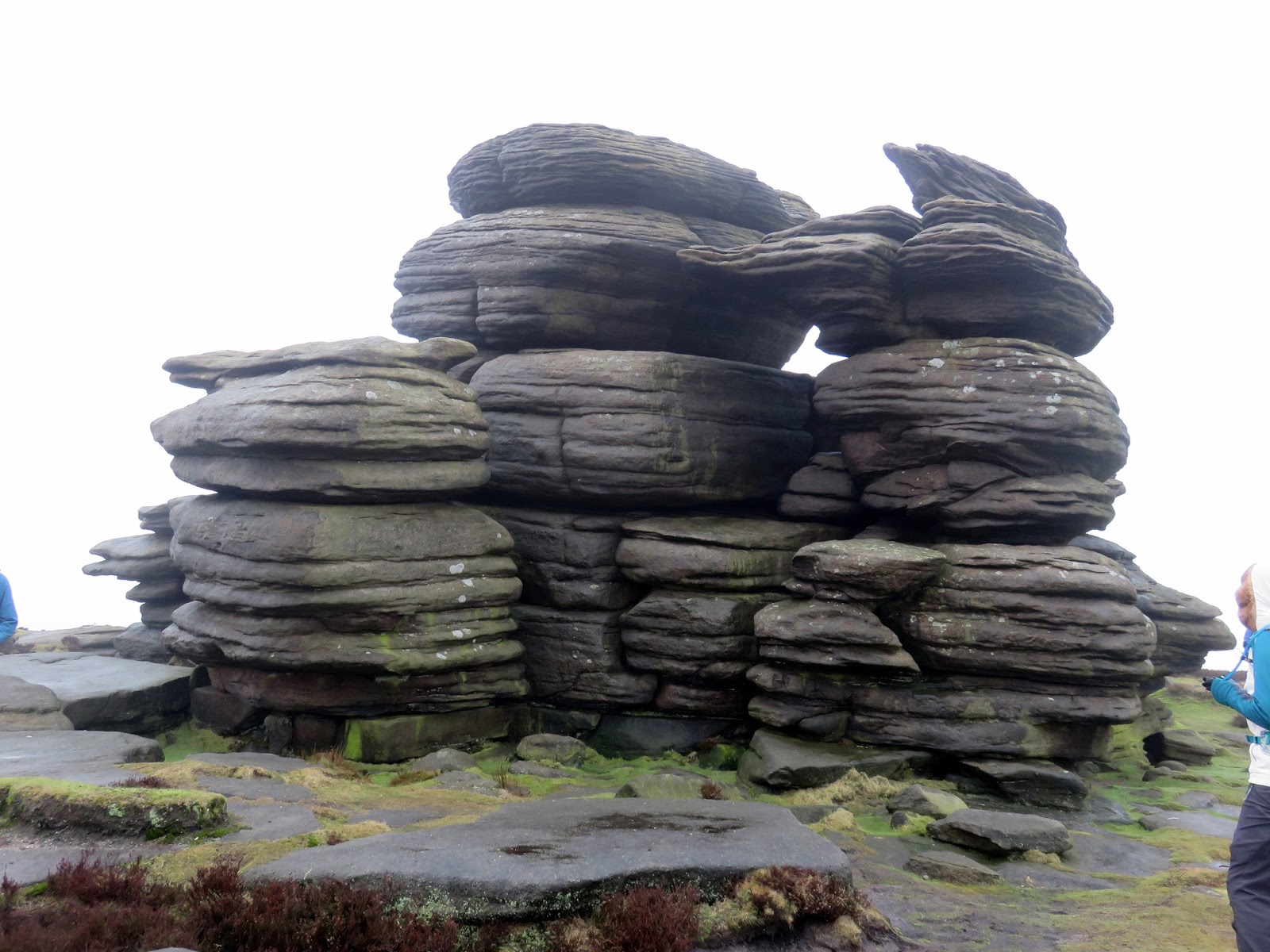
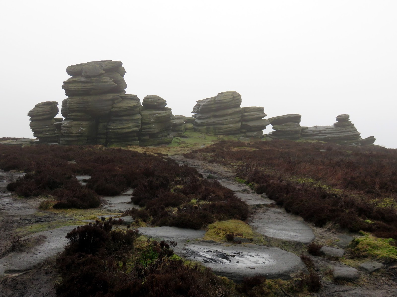
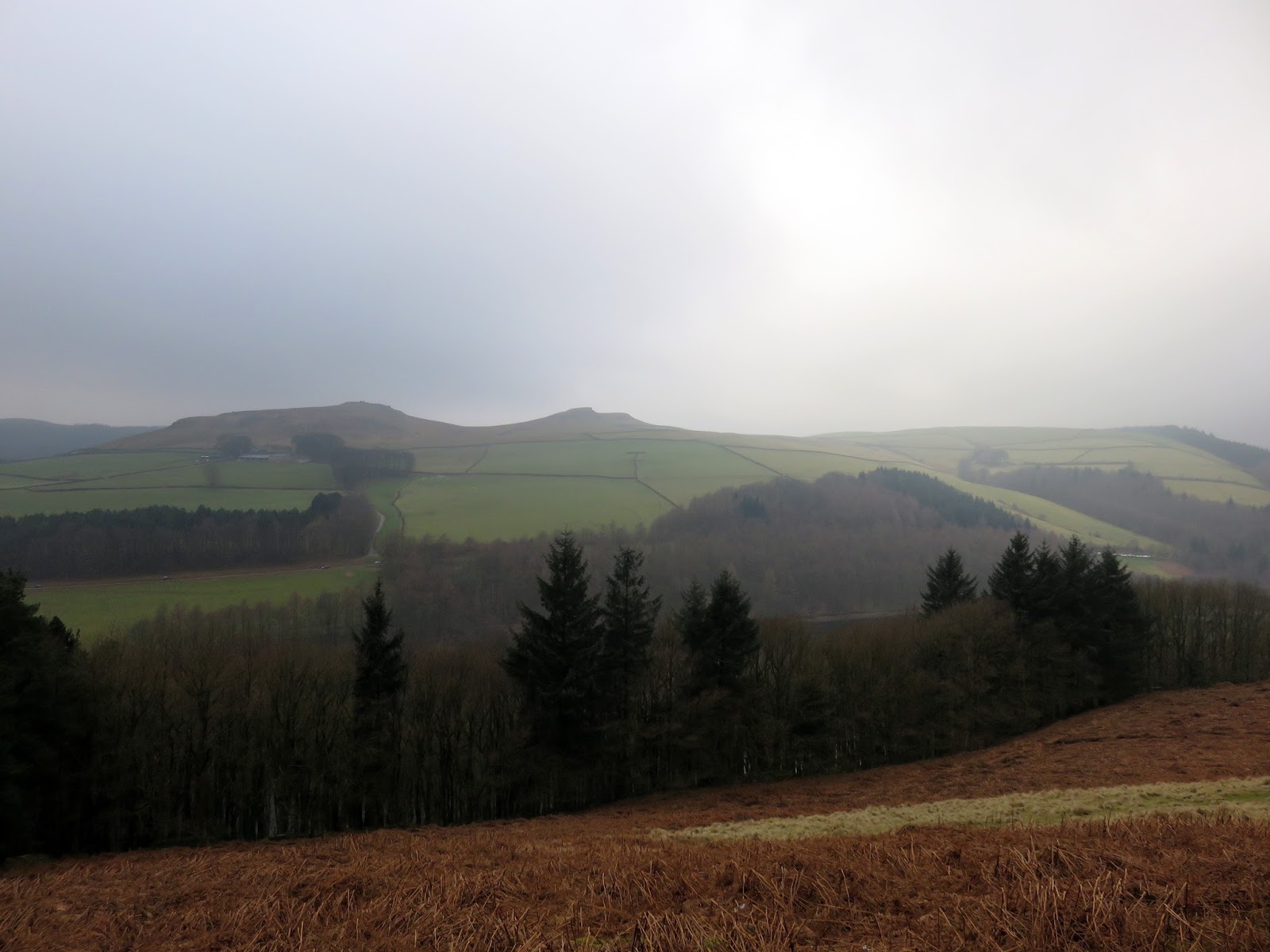
Derwent Edge is notable for the numerous gritstone tors that are evenly spread along its length, each given a name based on their unusual shapes. From north to south the following can be found; Cakes of Bread, resembling a pile of bread cakes (or bread rolls), the Salt Cellar, looking similar to like a salt grinder and the Wheel Stones (otherwise known as the Coach and Horses) which, when viewed with a little imagination, looks like a stagecoach and horses.
The real highlight of the edge is Dovestone Tor, the most significant of all the outcrops on the ridge, located around half way.
 |
| Cakes of Bread |
 |
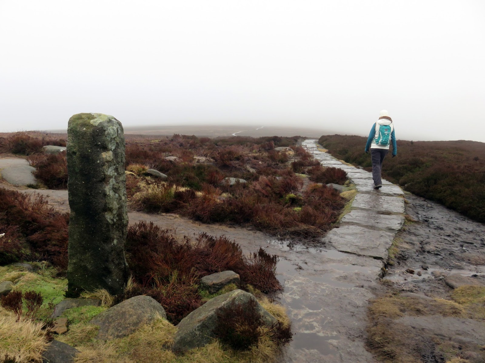
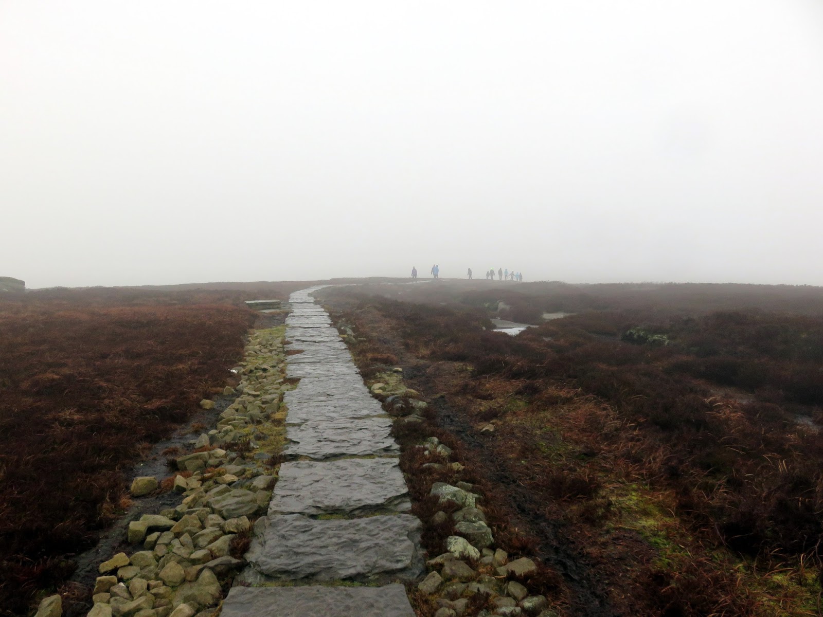
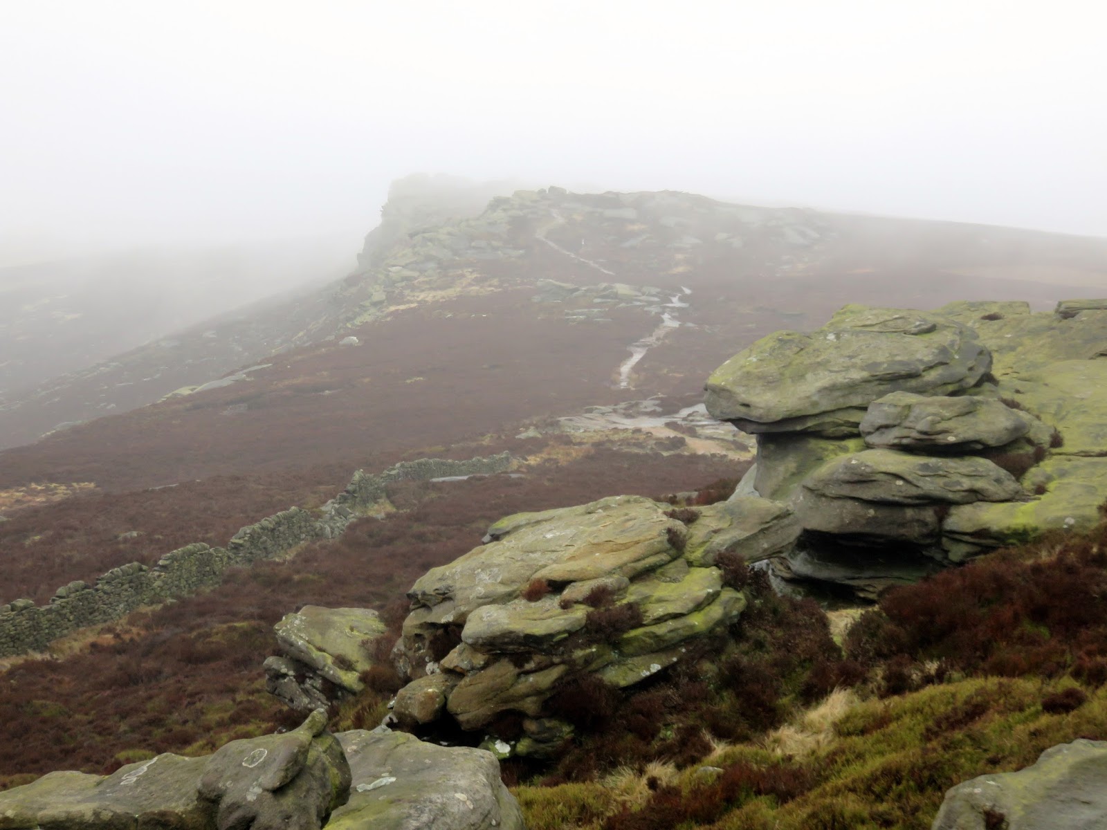
| The path atop Drwent Edge |
 |
| Derwent Edge |
 |
| Dovestone Tor |
 |
| Dovestone Tor |
 |
| Dovestone Tor |
 |
| Derwent Edge |
 |
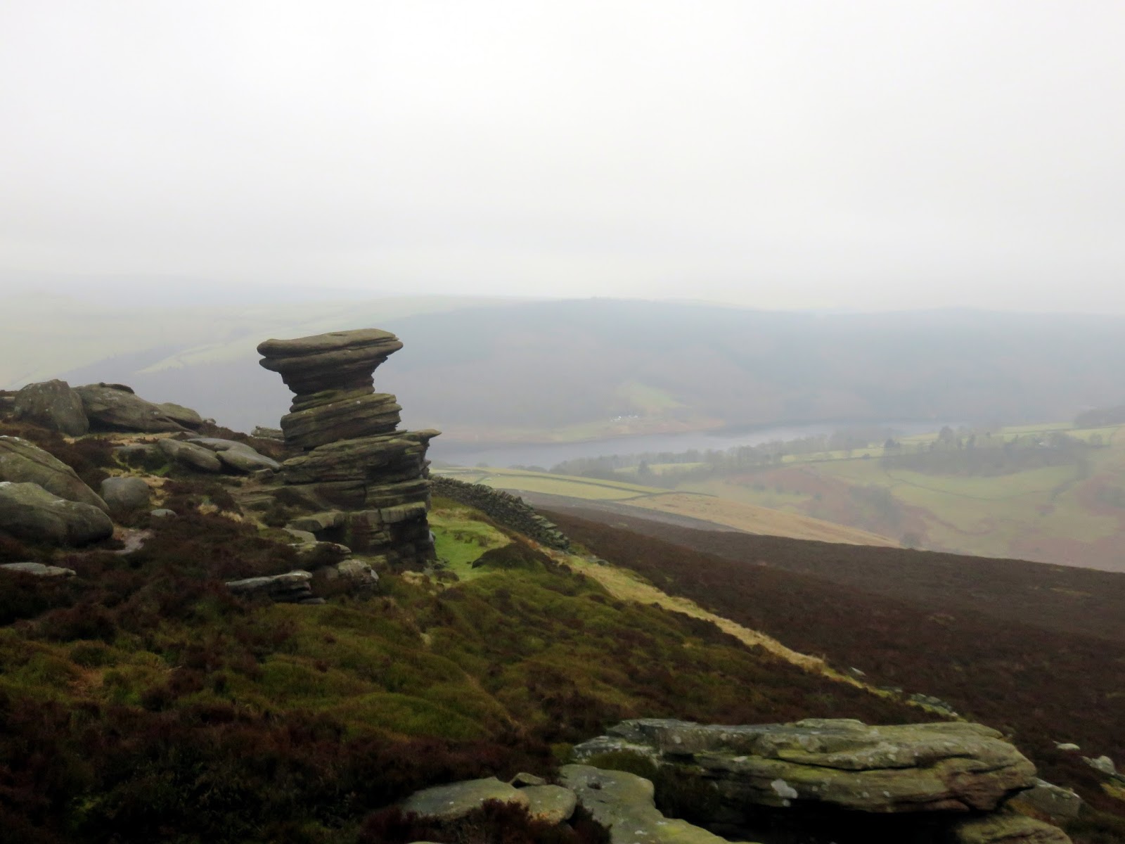
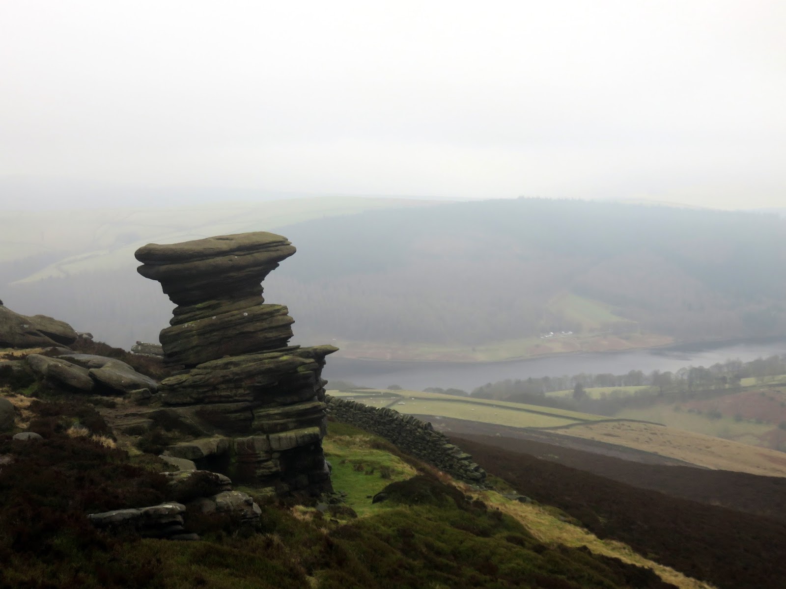
| The Salt Cellar |
 |
| Looking back to Dovestone Tor |
 |
| The Salt Cellar |
 |
| The Salt Cellar and Dovestone Tor |
 |
| Dovestone Tor |
 |
| Approaching Wheel Stones |
 |
| The Wheel Stones of Coach and Horses |
 |
| The business end of Wheel Stones |
 |
| Wheel Stones |
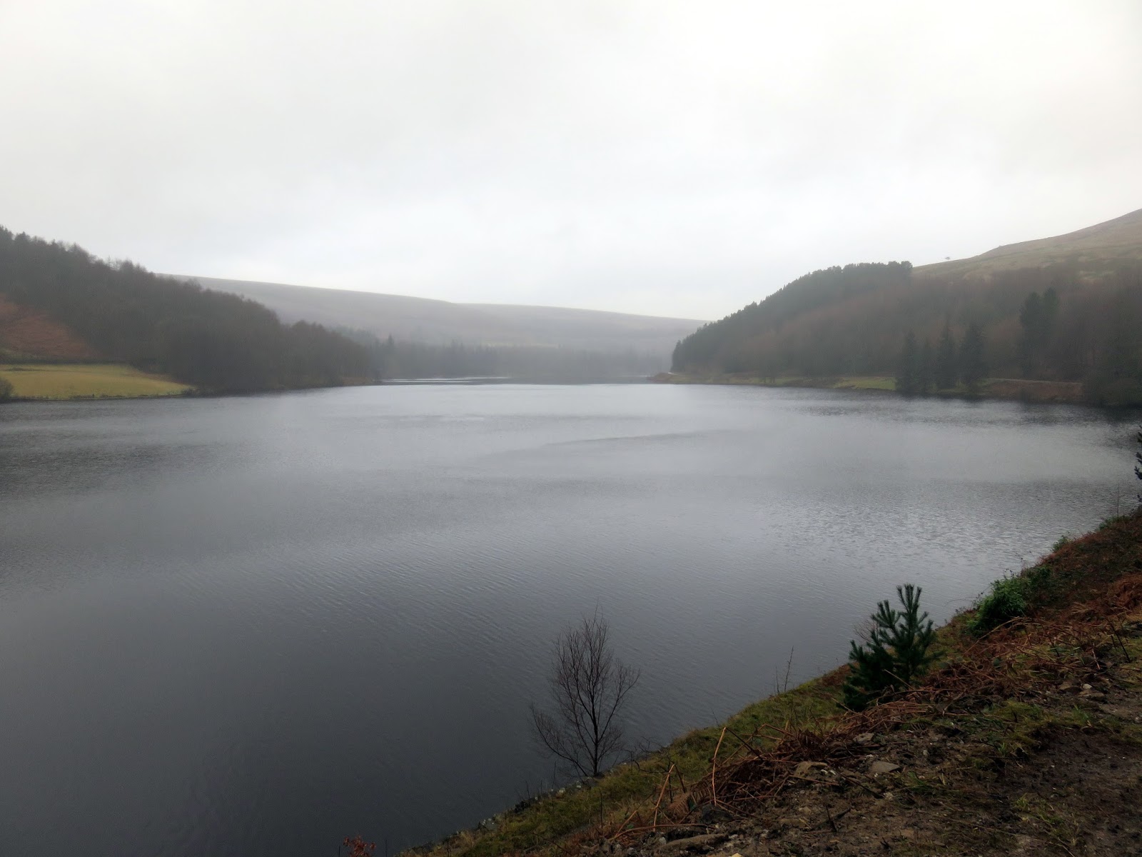
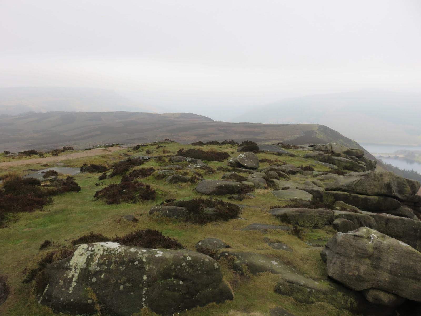
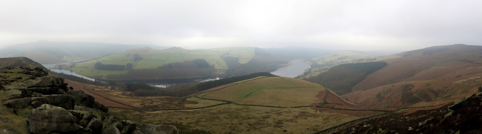
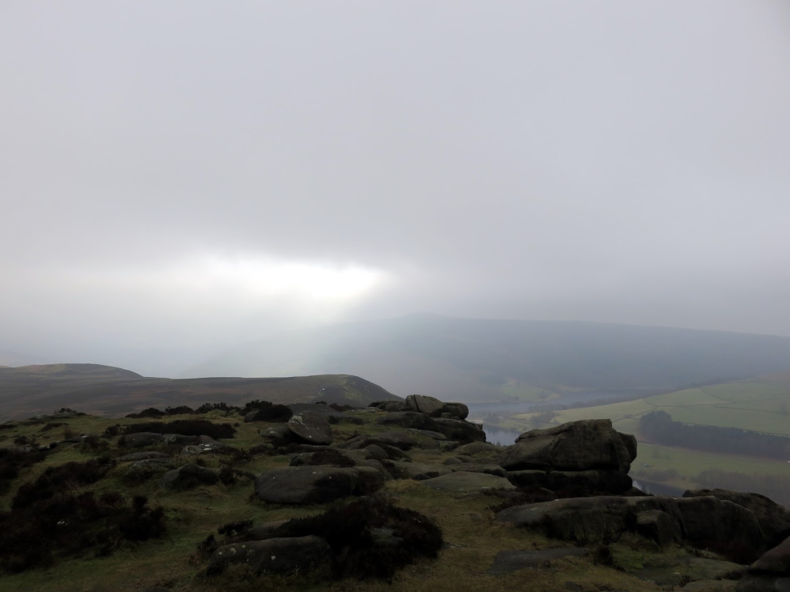
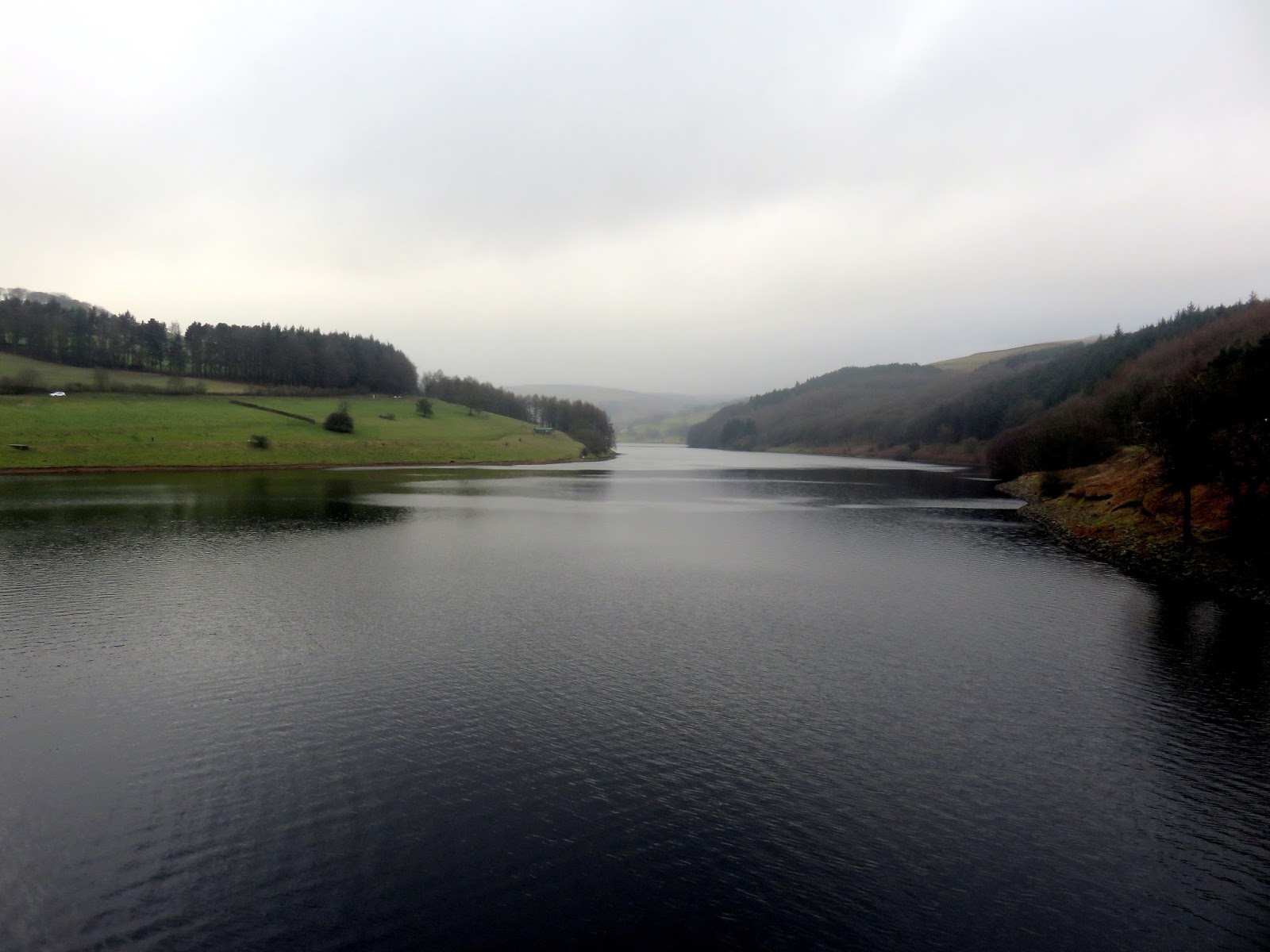
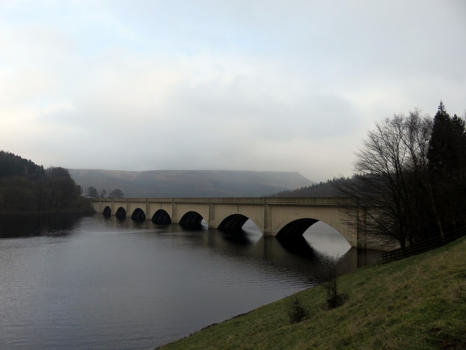
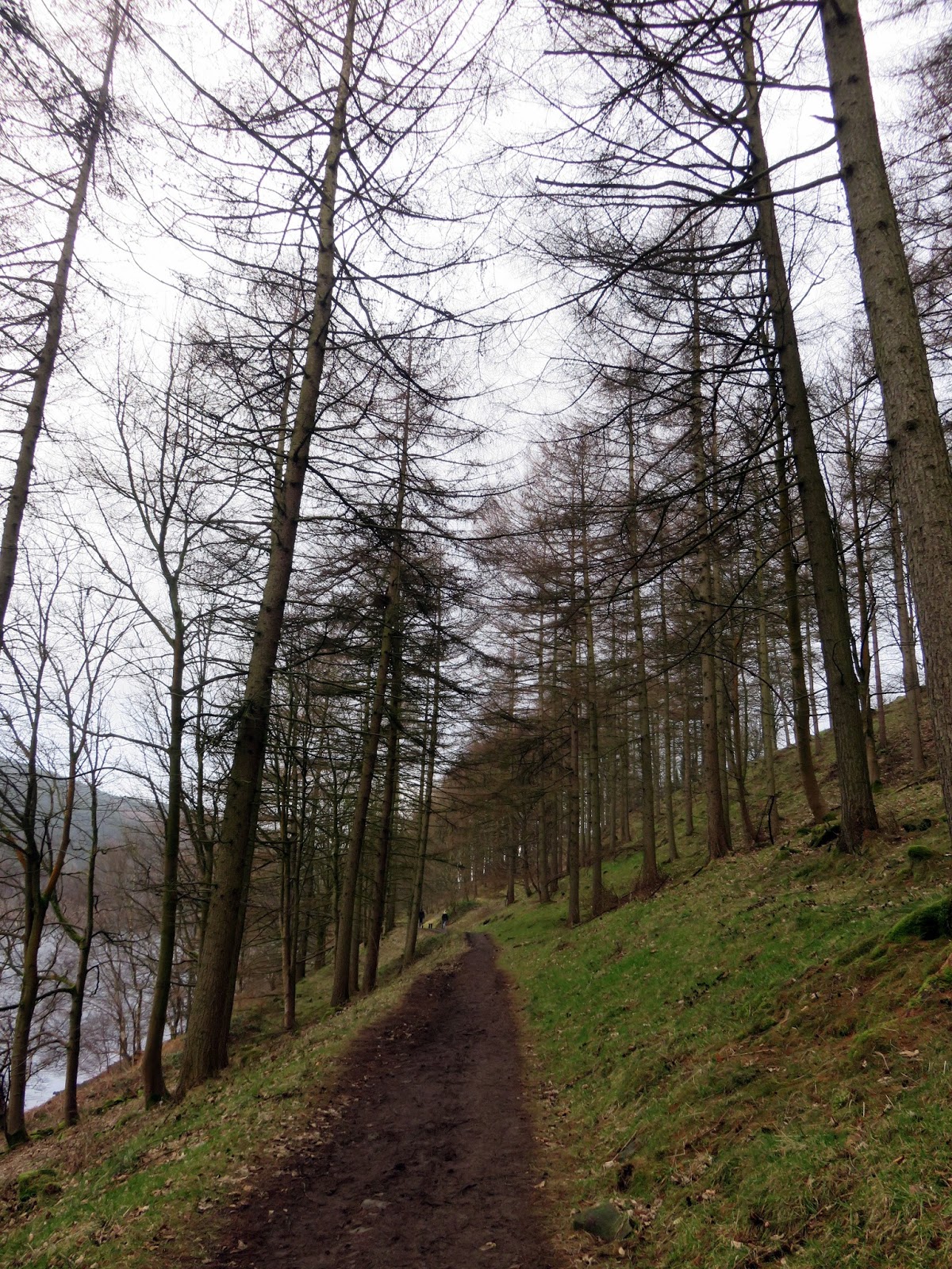
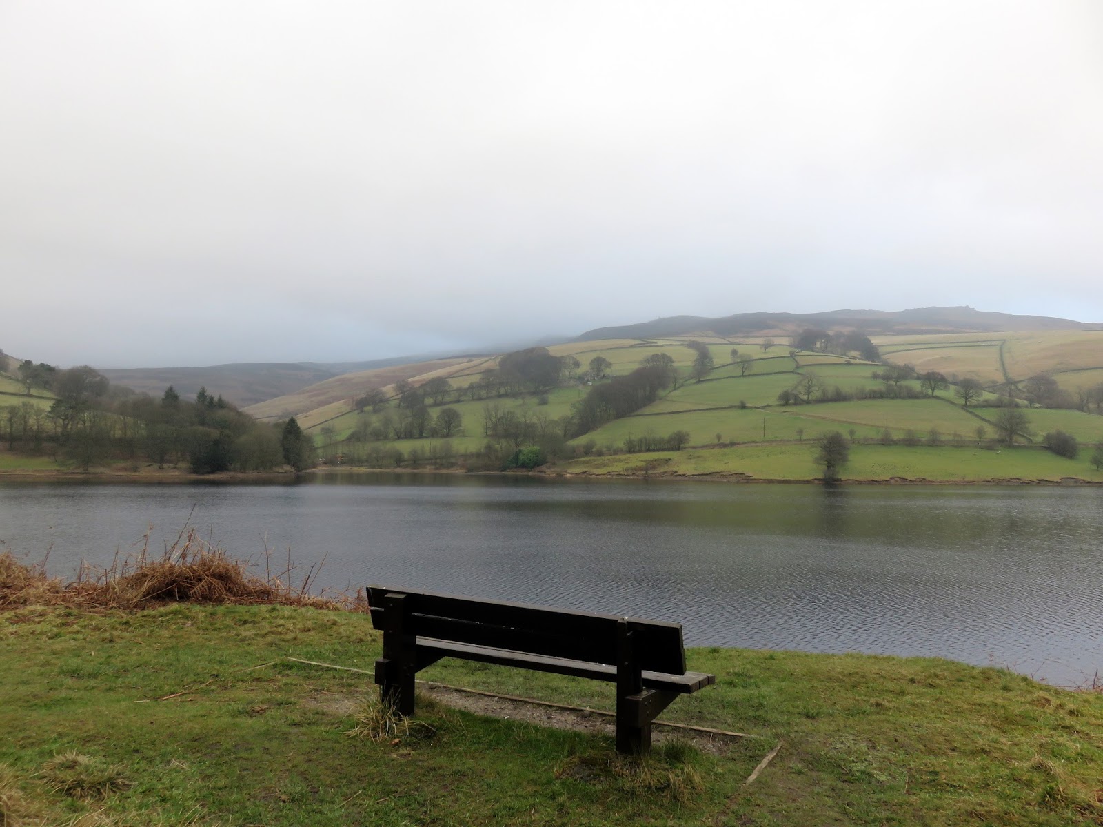
Hurkling Stones (and its commanding view of Ladybower) is the final landmark before we descended down to the A57, crossing the reservoir along the impressive arched road bridge. Ahead is a two-mile tramp along the shores of Ladybower, using the permissive footpath that leads back to Fairholmes.
 |
| Hurkling Stones |
 |
| Ladybower from Hurkling Stones |
 |
| Win Hill hides in the haze |
 |
| Crook Hill |
 |
| Ladybower Reservoir |
 |
| The A57 |
 |
| The permissive path along the shore of Ladybower |
 |
| Seat with a view |
Despite the cloud and the wind, this was a very enjoyable walk. Derwent Edge, though popular, still presents an opportunity to escape the crowds gathered on Stanage Edge or Kinder Scout and is no less interesting. The magnificent views and interesting rock tors make this one of the best walks in the Ladybower area.


