Open Space Web-Map builder Codehttps://openspace.ordnancesurvey.co.uk/osmapapi/openspace.js?key=3119F72552FD5C22E0530C6CA40A5A92https://openspace.ordnancesurvey.co.uk/osmapapi/script/mapbuilder/basicmap.jshttps://openspace.ordnancesurvey.co.uk/osmapapi/script/mapbuilder/searchbox.js//variables for routes var linesLayer, points, lineFeature, lineString, routeMarkersLayer, routepos, routesize, routeoffset, routeicon; var style_blue = {strokeColor: “#0000CD”, strokeOpacity: 0.5, strokeWidth: 4.5}; function initmapbuilder() { //initiate the map var options = {resolutions: [2500, 1000, 500, 200, 100, 50, 25, 10, 5, 4, 2.5, 2, 1]}; osMap = new OpenSpace.Map(‘map’, options); //configure map options (basicmap.js) setglobaloptions(); //set the center of the map and the zoom level osMap.setCenter(new OpenSpace.MapPoint(388754.9974823,469710.00125885),7); linesLayer = osMap.getVectorLayer(); // Set up layer for route markers routeMarkersLayer = new OpenLayers.Layer.Markers(“Route Markers”); //make a route points = new Array(); points.push(new OpenLayers.Geometry.Point(388306.66412354,467176.66793823)); points.push(new OpenLayers.Geometry.Point(388356.66412354,467371.66793823)); points.push(new OpenLayers.Geometry.Point(388556.66412354,467541.66793823)); points.push(new OpenLayers.Geometry.Point(388576.66412354,467616.66793823)); points.push(new OpenLayers.Geometry.Point(388496.66412354,467791.66793823)); points.push(new OpenLayers.Geometry.Point(388466.66412354,468021.66793823)); points.push(new OpenLayers.Geometry.Point(388416.66412354,468311.66793823)); points.push(new OpenLayers.Geometry.Point(388301.66412354,468471.66793823)); points.push(new OpenLayers.Geometry.Point(388421.66412354,468761.66793823)); points.push(new OpenLayers.Geometry.Point(388421.66412354,468916.66793823)); points.push(new OpenLayers.Geometry.Point(388426.66412354,469131.66793823)); points.push(new OpenLayers.Geometry.Point(388441.66412354,469476.66793823)); points.push(new OpenLayers.Geometry.Point(388226.66412354,469731.66793823)); points.push(new OpenLayers.Geometry.Point(388101.66412354,469701.66793823)); points.push(new OpenLayers.Geometry.Point(387896.66412354,469836.66793823)); points.push(new OpenLayers.Geometry.Point(387736.66412354,469881.66793823)); points.push(new OpenLayers.Geometry.Point(387641.66412354,469981.66793823)); points.push(new OpenLayers.Geometry.Point(387666.66412354,470121.66793823)); points.push(new OpenLayers.Geometry.Point(387761.66412354,470216.66793823)); points.push(new OpenLayers.Geometry.Point(387591.66412354,470416.66793823)); points.push(new OpenLayers.Geometry.Point(387406.66412354,470636.66793823)); points.push(new OpenLayers.Geometry.Point(386991.66412354,470756.66793823)); points.push(new OpenLayers.Geometry.Point(386871.66412354,470761.66793823)); points.push(new OpenLayers.Geometry.Point(386646.66412354,471176.66793823)); points.push(new OpenLayers.Geometry.Point(386466.66412354,471436.66793823)); points.push(new OpenLayers.Geometry.Point(386406.66412354,471551.66793823)); points.push(new OpenLayers.Geometry.Point(386531.66412354,471836.66793823)); points.push(new OpenLayers.Geometry.Point(386761.66412354,471981.66793823)); points.push(new OpenLayers.Geometry.Point(387256.66412354,472186.66793823)); points.push(new OpenLayers.Geometry.Point(387486.66412354,472366.66793823)); points.push(new OpenLayers.Geometry.Point(387651.66412354,472541.66793823)); points.push(new OpenLayers.Geometry.Point(387876.66412354,472721.66793823)); points.push(new OpenLayers.Geometry.Point(388116.66412354,472761.66793823)); points.push(new OpenLayers.Geometry.Point(388471.66412354,472806.66793823)); points.push(new OpenLayers.Geometry.Point(389106.66412354,472741.66793823)); points.push(new OpenLayers.Geometry.Point(389366.66412354,472646.66793823)); points.push(new OpenLayers.Geometry.Point(389686.66412354,472421.66793823)); points.push(new OpenLayers.Geometry.Point(390046.66412354,472076.66793823)); points.push(new OpenLayers.Geometry.Point(390356.66412354,471636.66793823)); points.push(new OpenLayers.Geometry.Point(390431.66412354,471281.66793823)); points.push(new OpenLayers.Geometry.Point(390461.66412354,471001.66793823)); points.push(new OpenLayers.Geometry.Point(390391.66412354,470411.66793823)); points.push(new OpenLayers.Geometry.Point(390111.66412354,470436.66793823)); points.push(new OpenLayers.Geometry.Point(390071.66412354,470416.66793823)); points.push(new OpenLayers.Geometry.Point(389921.66412354,470536.66793823)); points.push(new OpenLayers.Geometry.Point(389826.66412354,470476.66793823)); points.push(new OpenLayers.Geometry.Point(389866.66412354,470451.66793823)); points.push(new OpenLayers.Geometry.Point(389826.66412354,470271.66793823)); points.push(new OpenLayers.Geometry.Point(389871.66412354,470056.66793823)); points.push(new OpenLayers.Geometry.Point(390066.66412354,469971.66793823)); points.push(new OpenLayers.Geometry.Point(390021.66412354,469671.66793823)); points.push(new OpenLayers.Geometry.Point(390066.66412354,469356.66793823)); points.push(new OpenLayers.Geometry.Point(390281.66412354,469086.66793823)); points.push(new OpenLayers.Geometry.Point(390531.66412354,468756.66793823)); points.push(new OpenLayers.Geometry.Point(390586.66412354,468541.66793823)); points.push(new OpenLayers.Geometry.Point(390671.66412354,468401.66793823)); points.push(new OpenLayers.Geometry.Point(390686.66412354,468191.66793823)); points.push(new OpenLayers.Geometry.Point(390546.66412354,467921.66793823)); points.push(new OpenLayers.Geometry.Point(390691.66412354,467731.66793823)); points.push(new OpenLayers.Geometry.Point(390091.66412354,467231.66793823)); points.push(new OpenLayers.Geometry.Point(389896.66412354,467206.66793823)); points.push(new OpenLayers.Geometry.Point(389706.66412354,467121.66793823)); points.push(new OpenLayers.Geometry.Point(389556.66412354,467186.66793823)); points.push(new OpenLayers.Geometry.Point(389391.66412354,467256.66793823)); points.push(new OpenLayers.Geometry.Point(389126.66412354,467186.66793823)); points.push(new OpenLayers.Geometry.Point(388996.66412354,467206.66793823)); points.push(new OpenLayers.Geometry.Point(388846.66412354,467336.66793823)); points.push(new OpenLayers.Geometry.Point(388631.66412354,467361.66793823)); points.push(new OpenLayers.Geometry.Point(388271.66412354,467081.66793823)); points.push(new OpenLayers.Geometry.Point(388196.66412354,467081.66793823)); points.push(new OpenLayers.Geometry.Point(388146.66412354,467101.66793823)); points.push(new OpenLayers.Geometry.Point(388306.66412354,467176.66793823)); // create a polyline feature from the array of points lineString = new OpenLayers.Geometry.LineString(points); lineFeature = new OpenLayers.Feature.Vector(lineString, null, style_blue); linesLayer.addFeatures([lineFeature]); //crate a route start/end marker routepos = new OpenSpace.MapPoint(388306.66412354,467176.66793823); routesize = new OpenLayers.Size(33,45); routeoffset = new OpenLayers.Pixel(-5,-37); routeicon = new OpenSpace.Icon(‘https://openspace.ordnancesurvey.co.uk/osmapapi/img_versions/img_1.1/mapbuilder/routemarker-startend.png’, routesize, routeoffset, null, null); routeMarkersLayer.addMarker(new OpenLayers.Marker(routepos, routeicon)); osMap.addLayer(routeMarkersLayer);}
Route: Malham Tarn, New Pasture, Tennant Gill, Little Fell, Fountains Fell South Top, Fountains Fell, Pennine Way, Darnbrook, Nab End, Darnbrook House, Darnbrook Cowside, Middle House Hill, Out Pasture, Middle House, Monk’s Road, Malham Tarn House
Date: 05/02/2017
From: Malham Tarn
Parking: Malham Tarn
Start Point: Malham Tarn
Region: Yorkshire Dales
Route length: 11.7 miles (18.8 km)
Time taken : 04:54
Average speed: 2.4 mph
Ascent: 632m
Descent: 634m
2000s on this walk:
Fountains Fell South Top (662m), Fountains Fell (668m), Darnbrook Fell (624m)
Additional summits: None
Other points of interest: Malham Tarn
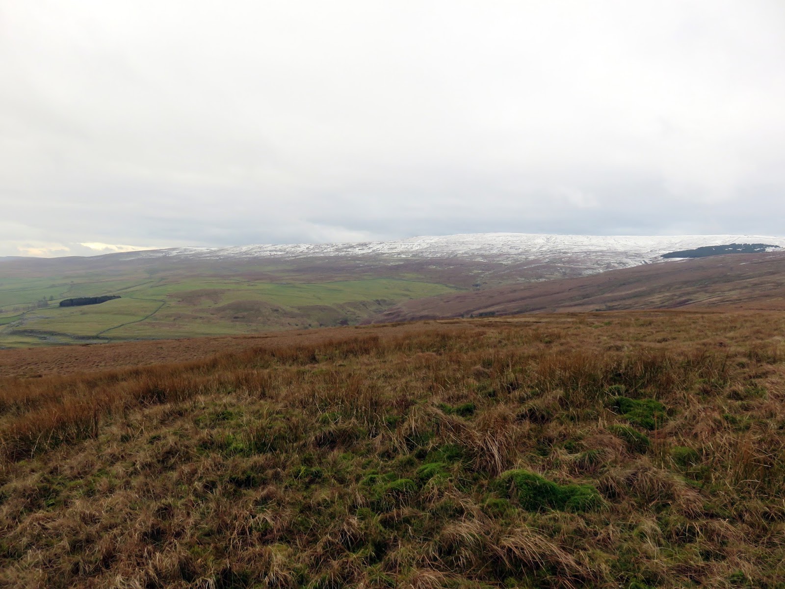
It’s been a while since I turned my attention to the Yorkshire Dales, specifically the 2,000ft peaks that formed the origins of this blog. In fact, it was probably Buckden Pike that I last added to the list, and that was a year or so ago. Some semblance of winter finally seems to be hanging around, at least on the hills and mountains of the UK, so it was time to rectify things a bit.
Of all the Nuttalls in England and Wales, Fountains Fell is the closest to All the Gear HQ, a mere 30 miles from our front door. It is a little surprising that it’s taken so long to get around to climbing it, but it has featured in many ‘where shall I go this weekend’ discussions. Usually, the Lake District wins but not today.
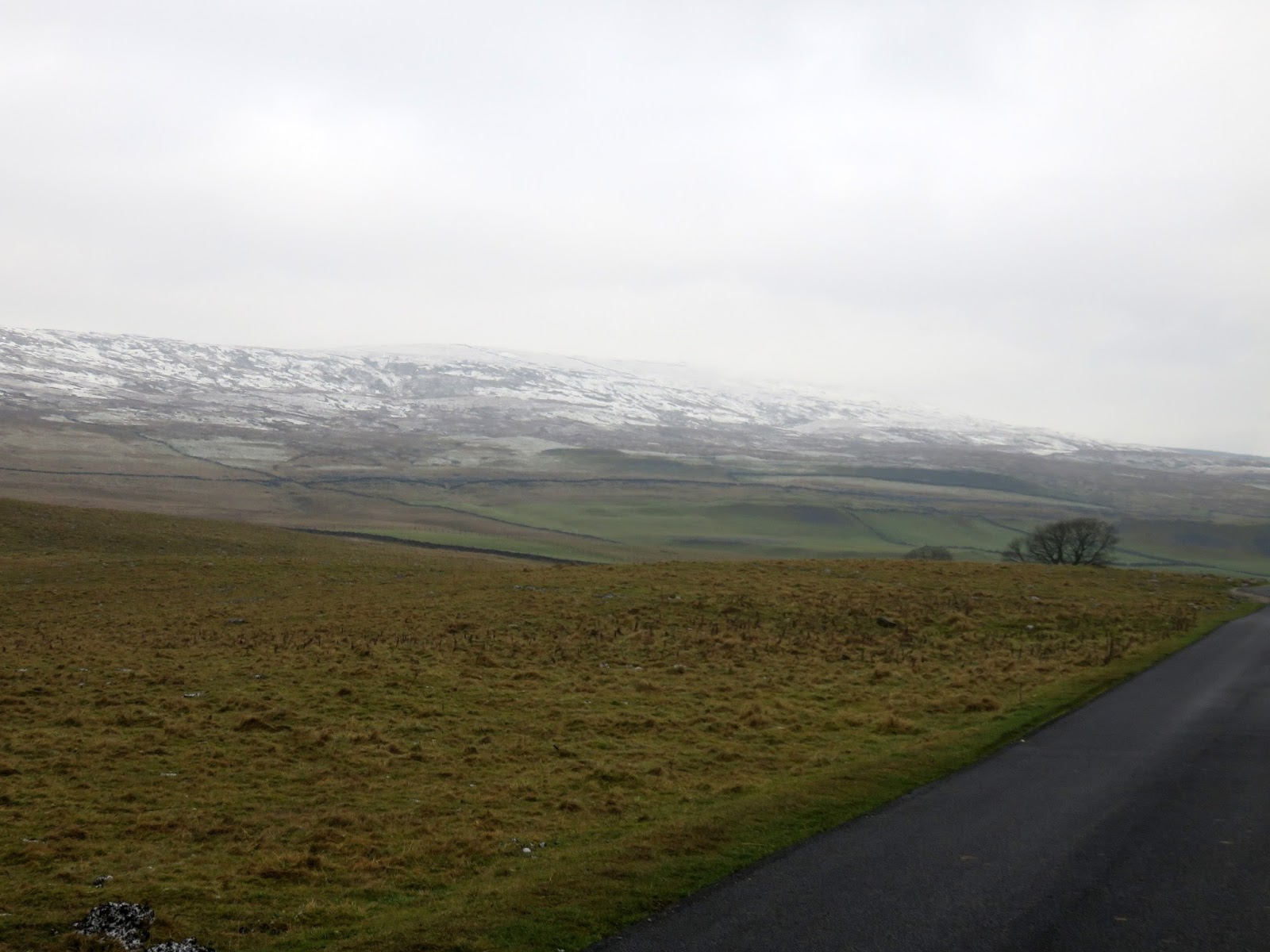
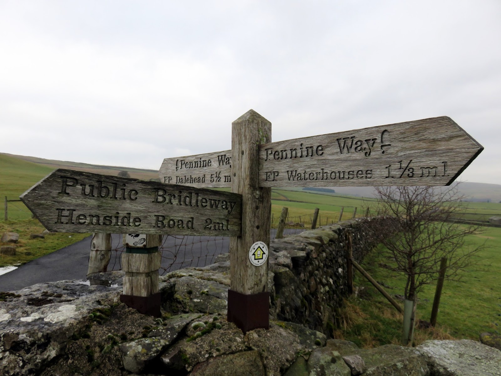
I drove the short distance to the village of Malham, parking in a disused quarry that is owned by the National Trust and set off in pursuit of the Pennine Way. The Pennine Way crosses Fountains Fell close to the summit and I’d be using it to start the climb of the fell. The fell covers a large area stretching between Airedale in the west and Littondale in the east and is the highest ground that the Pennine Way reaches after leaving Kinder Scout (if you are travelling north).
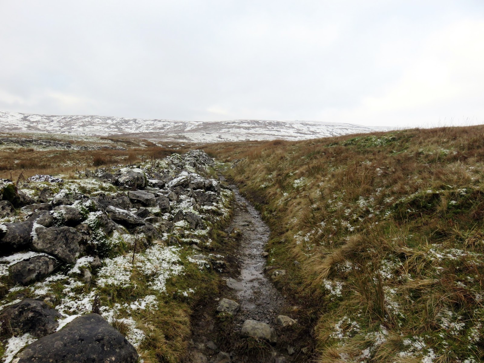
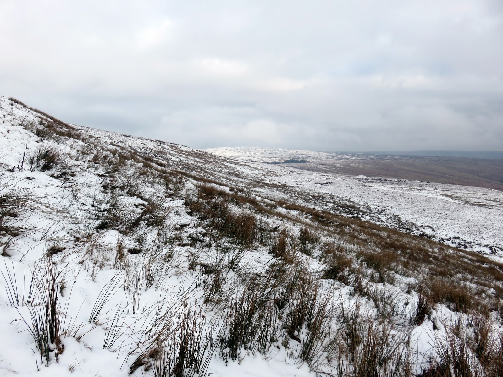
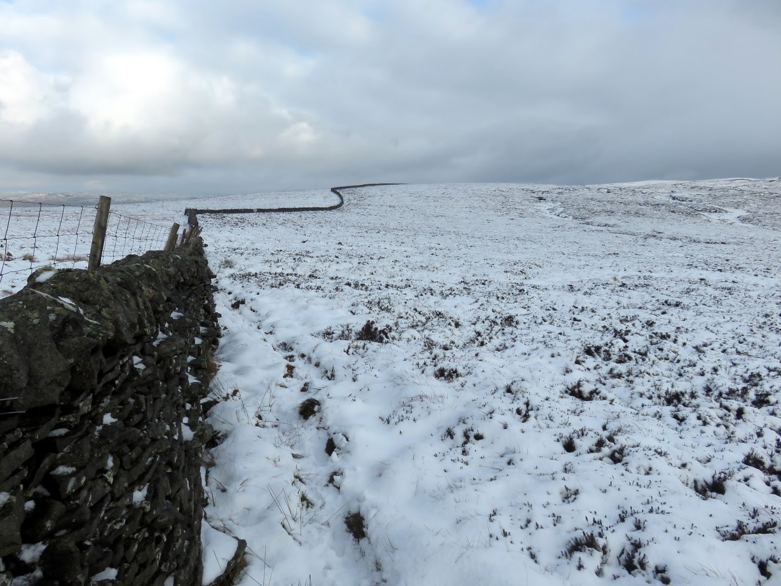
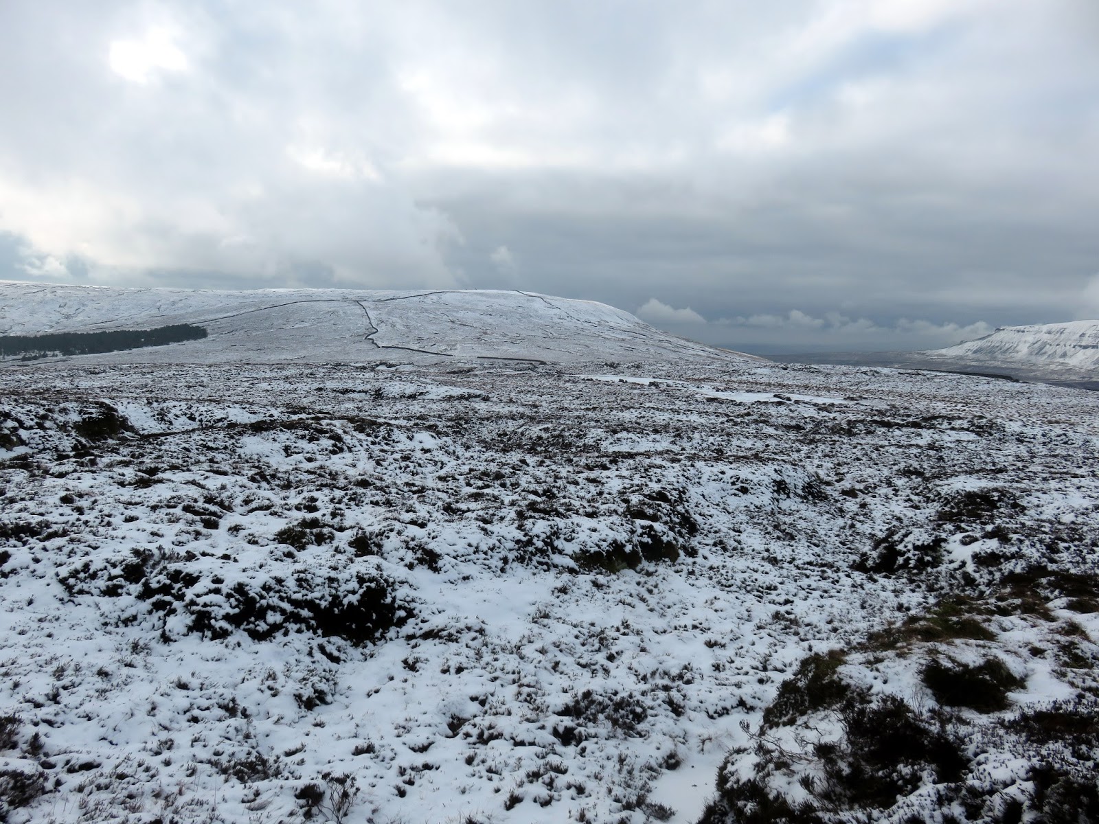
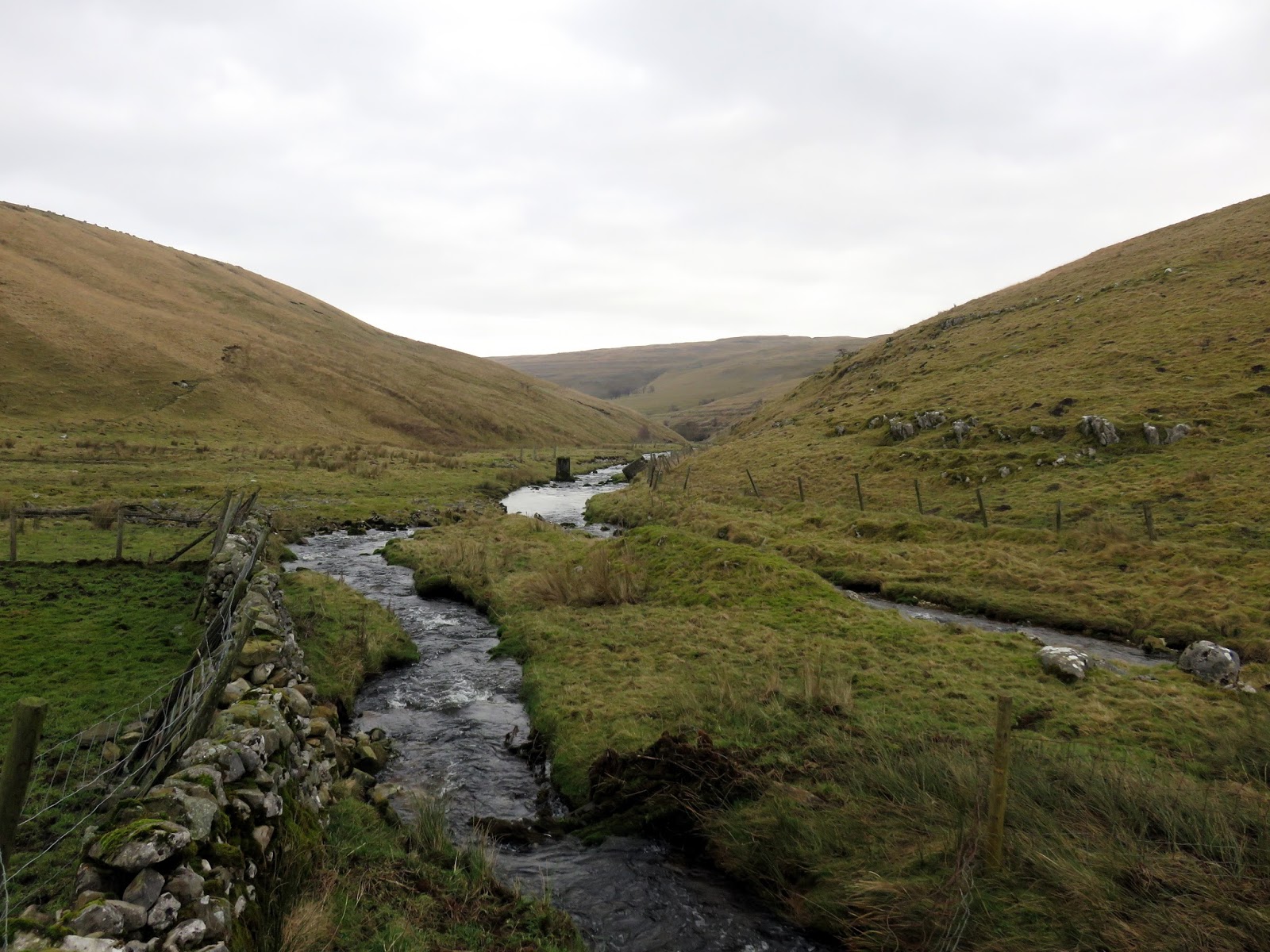
There are two main summits on Fountains Fell, the summit proper and a second, southerly top, which I’d be visiting first. The Pennine Way heads through the yard of Tennant Gill Farm before climbing the fellside, reaching the snowline after a short distance. At Tennant Gill, I diverted away from the Pennine Way to make a direct ascent of the slope following the line of a drystone wall and the gill itself. This would be the steepest climb of the day but would gain the ridge of the fell.
 |
| The Pennine Way at New Pasture |
 |
| The Pennine Way looking towards the hills of Grizedales |
 |
| The Pennine Way at Middle Fell |
 |
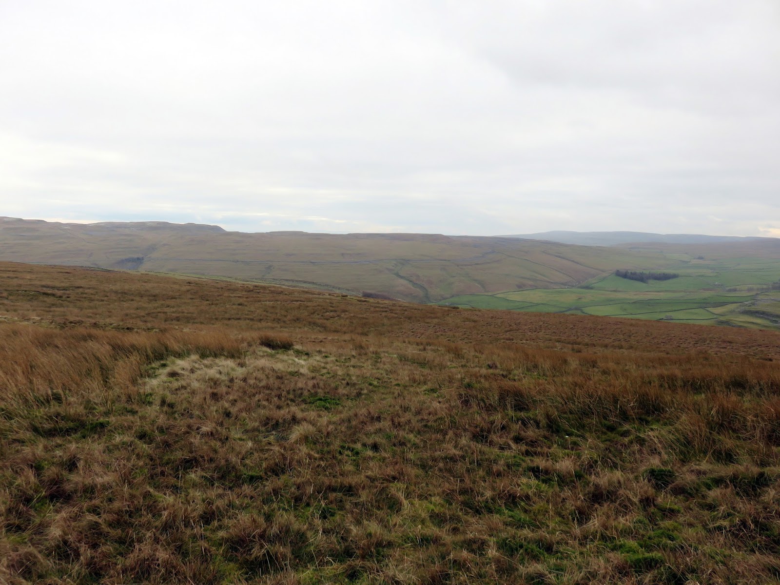
| Climbing towards Little Fell |
 |
| A bright but cloudy day |
 |
| The drystone wall leading towards the South Top |
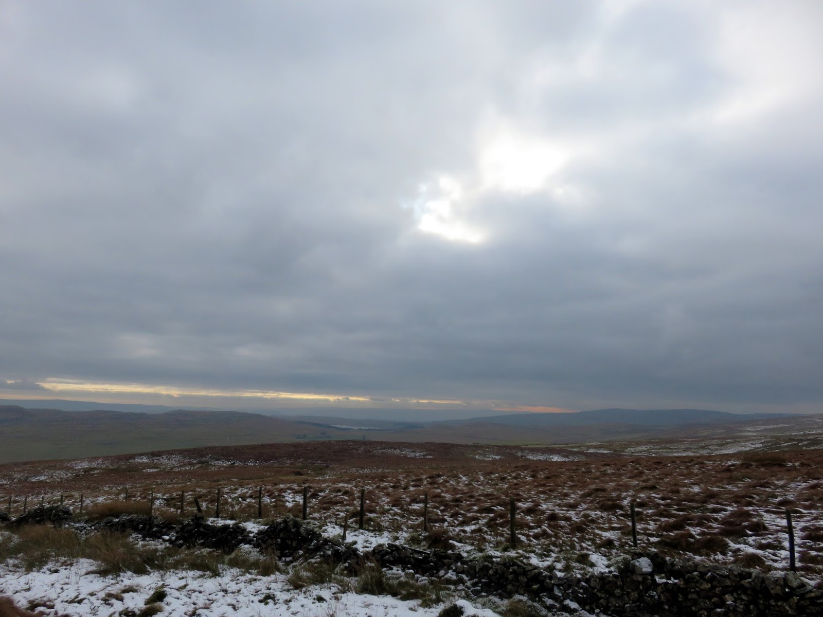
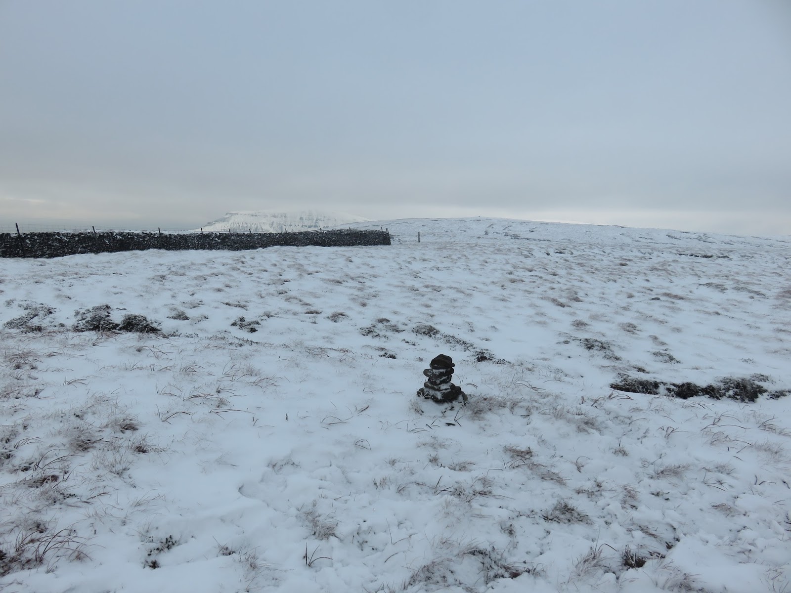
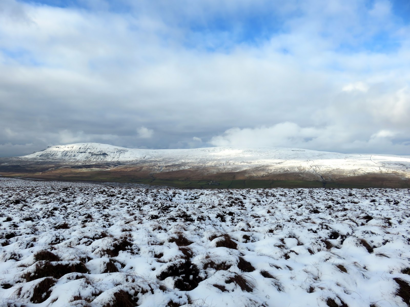
The direct route leads up onto the sprawling plateau of Fountains Fell and it wasn’t long before an impressive view of Pen y Ghent appears on the horizon. From this point, the route rises easily to Fountains Fell South Top, marked by a very small cairn.
 |
| Looking south towards Malham |
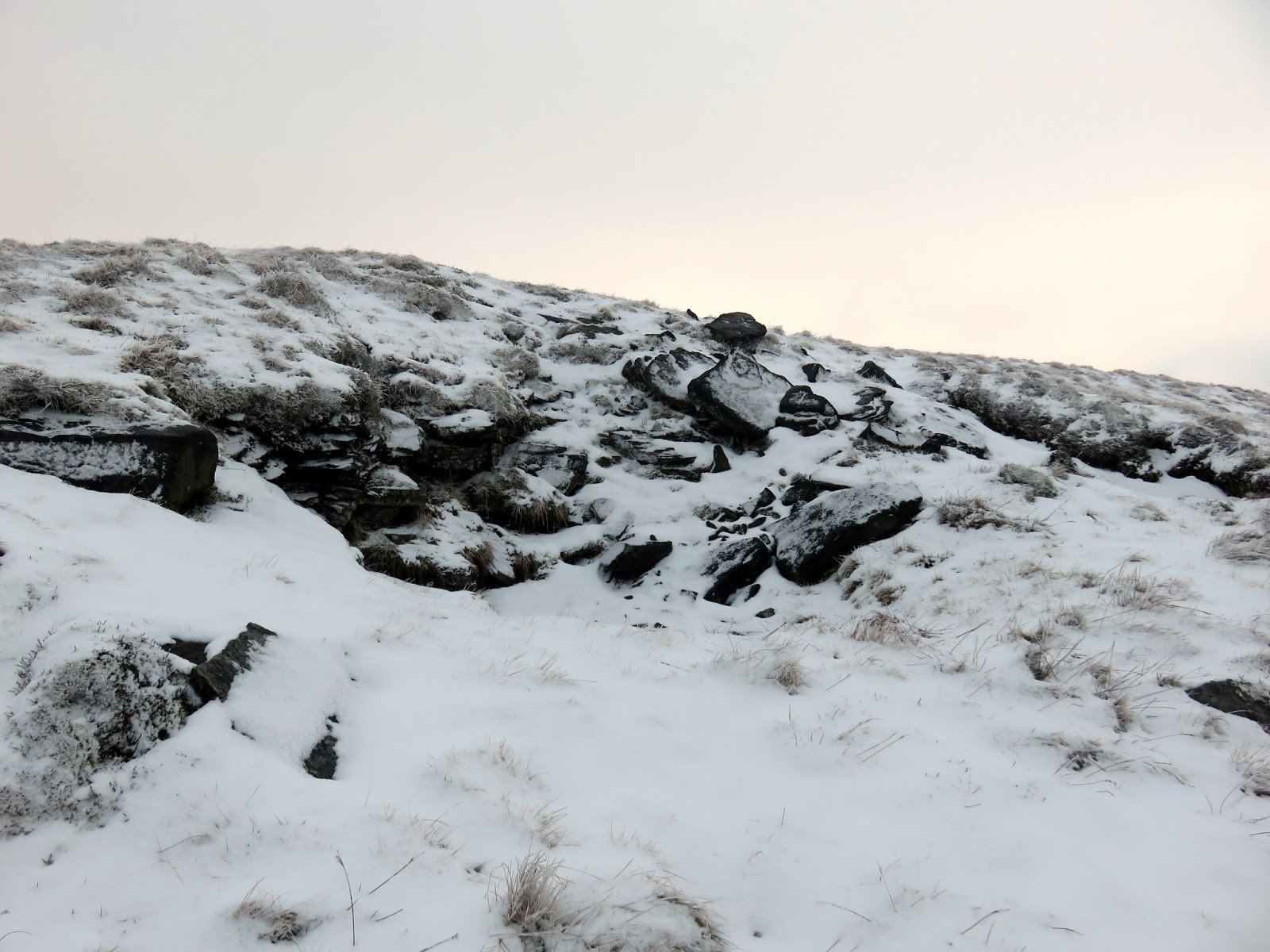
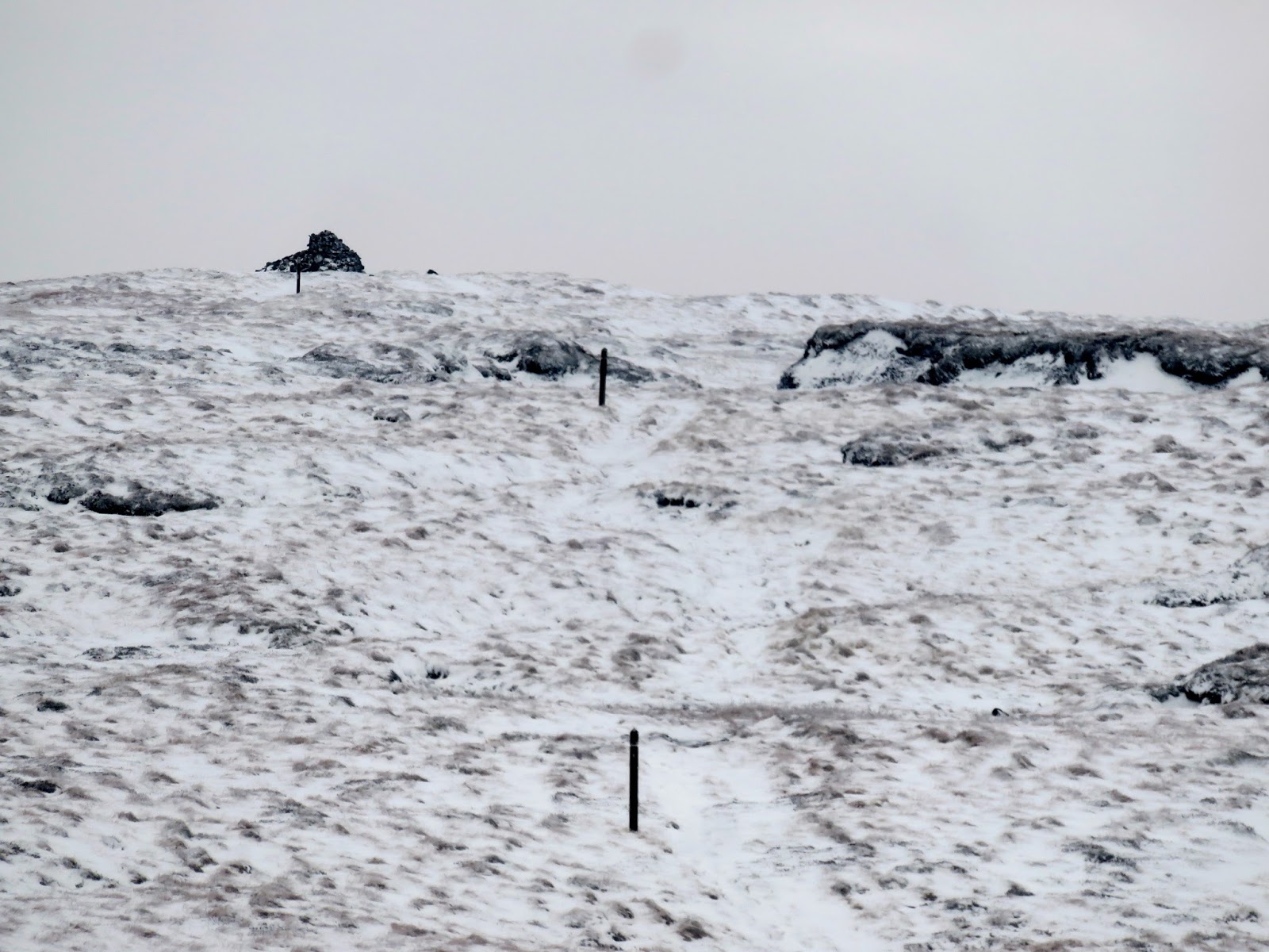
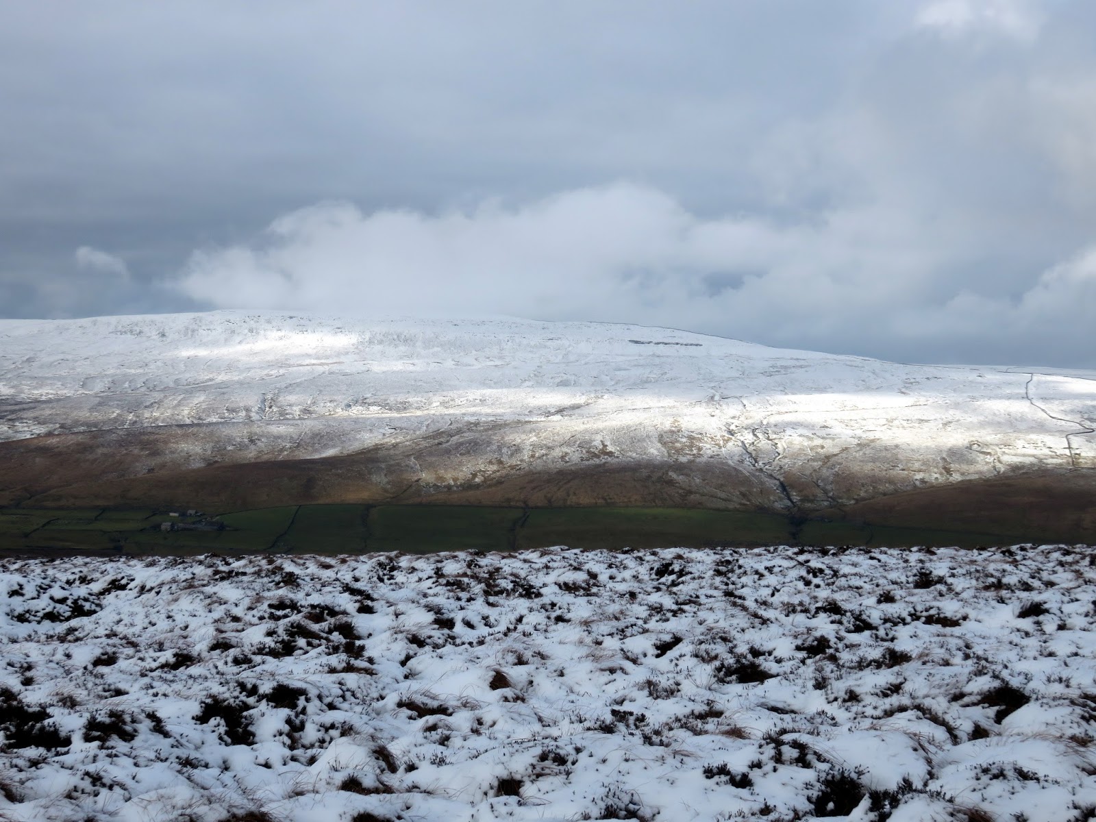
The way between the South Top and the main summit is way marked by tall, wooden poles – perhaps a relic of the mining industry that existed on the fell. Coal was mined on the summit from 1790 to 1860, and was used for lead smelting in the area – there are various pits and shafts on and near the summit, so caution is advised if heading off-piste.
 |
| Looking north towards the summit |
 |
| The posts marking the way to the summit |
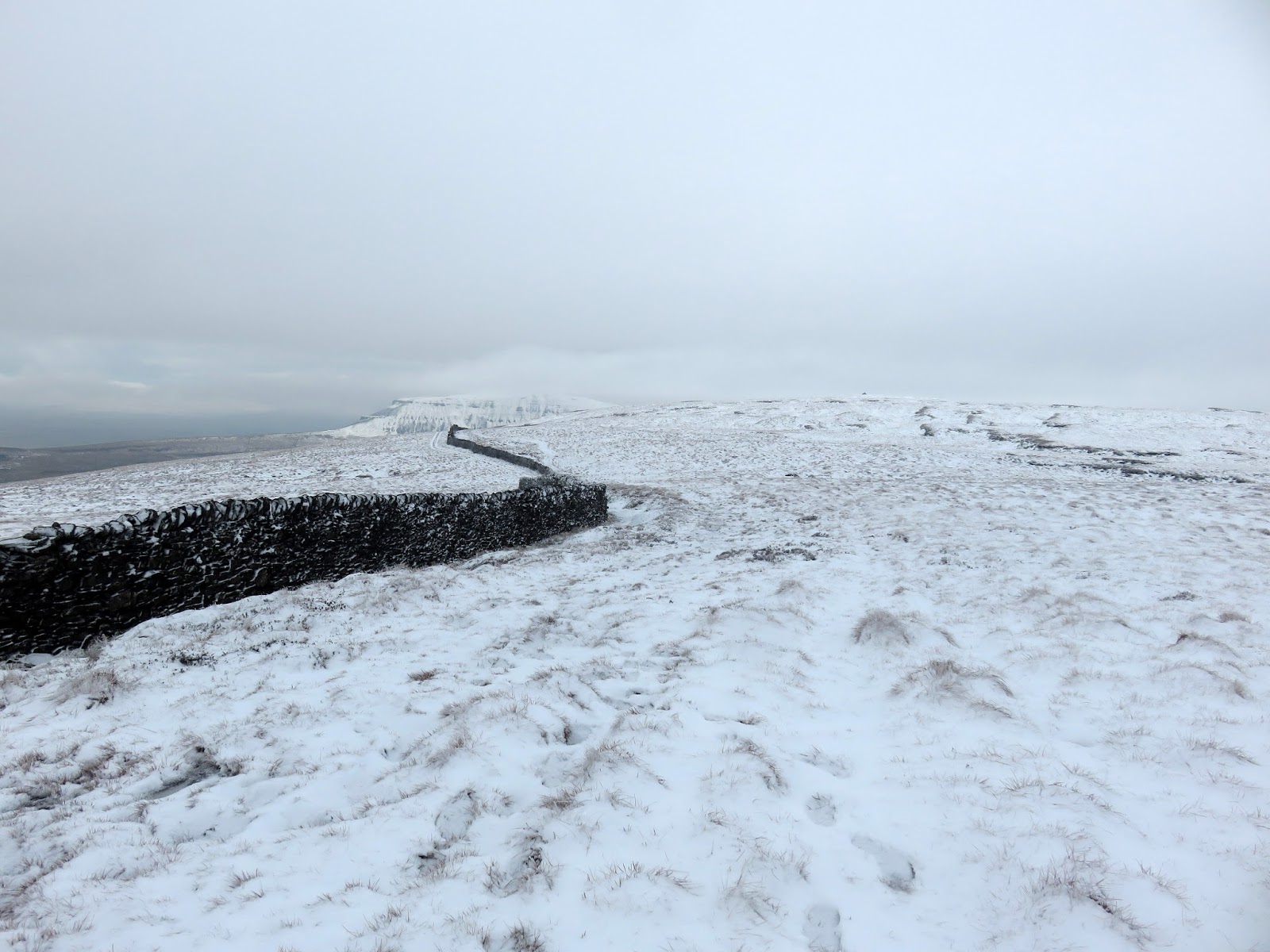
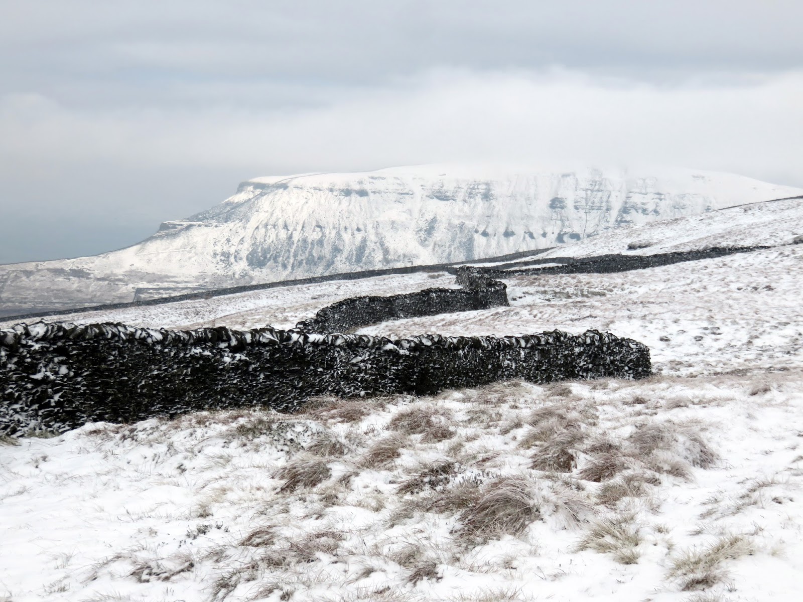
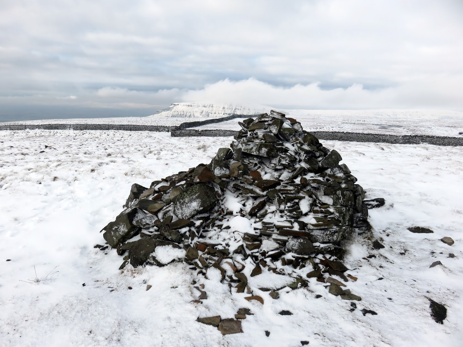
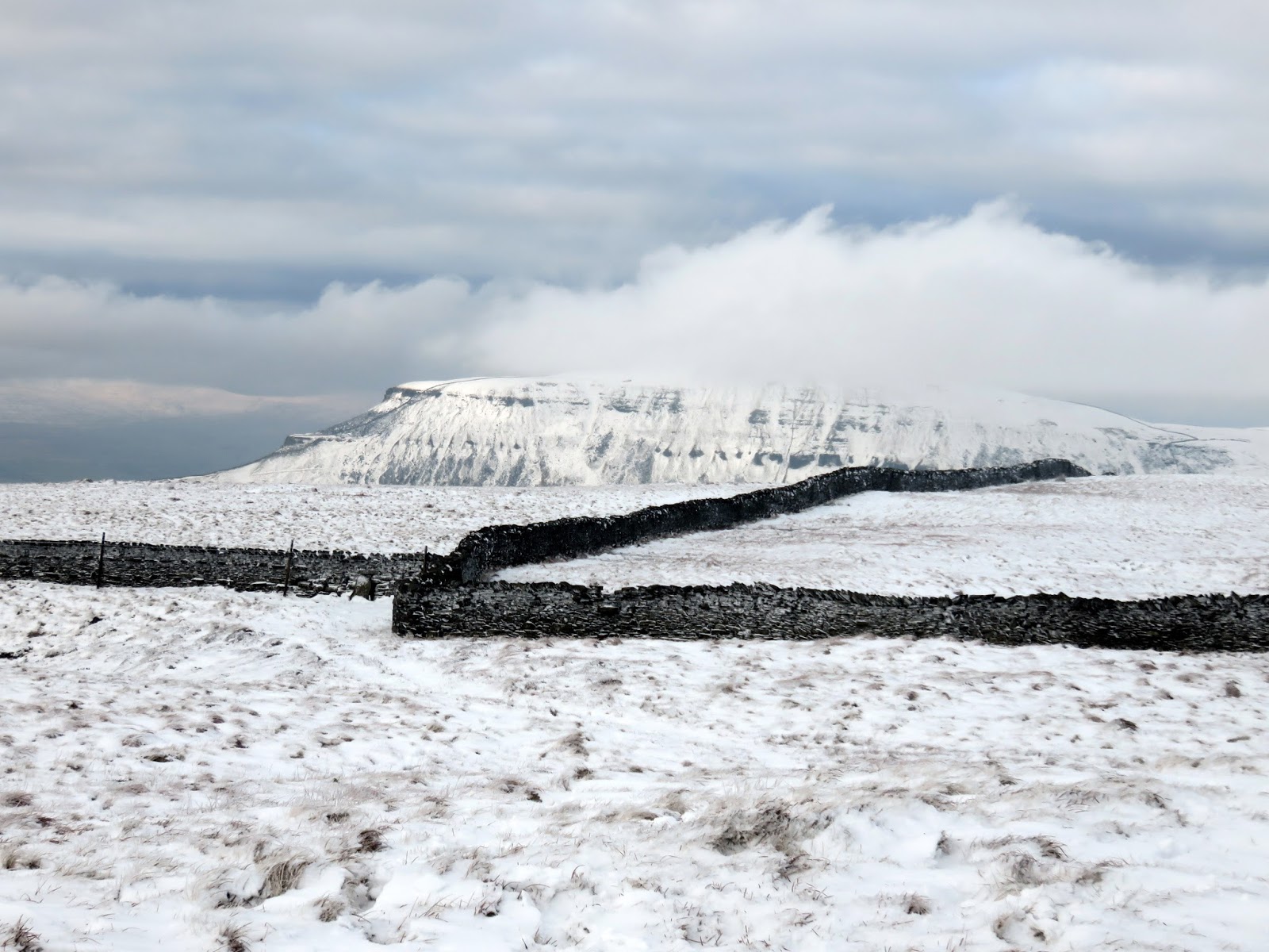
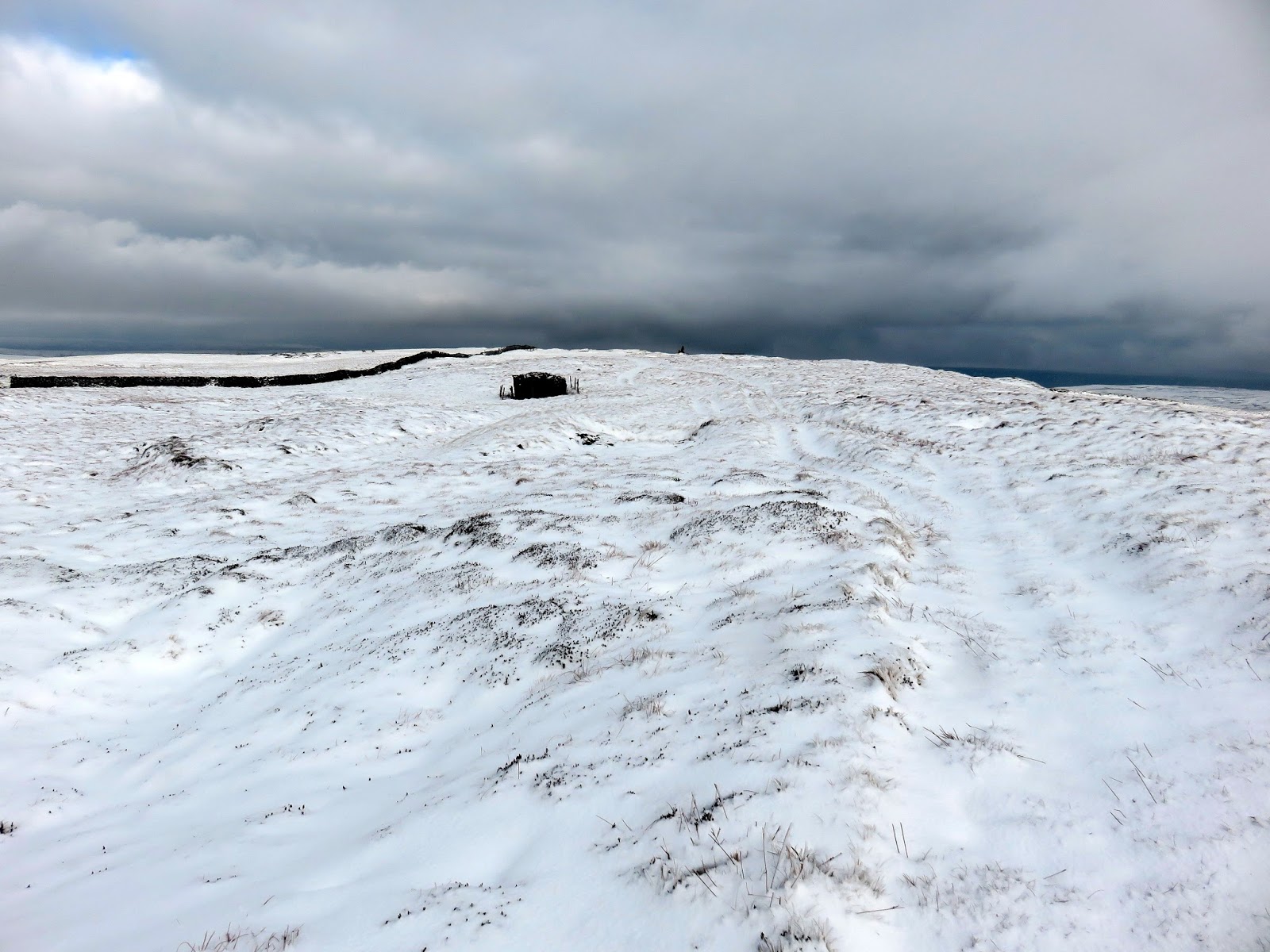
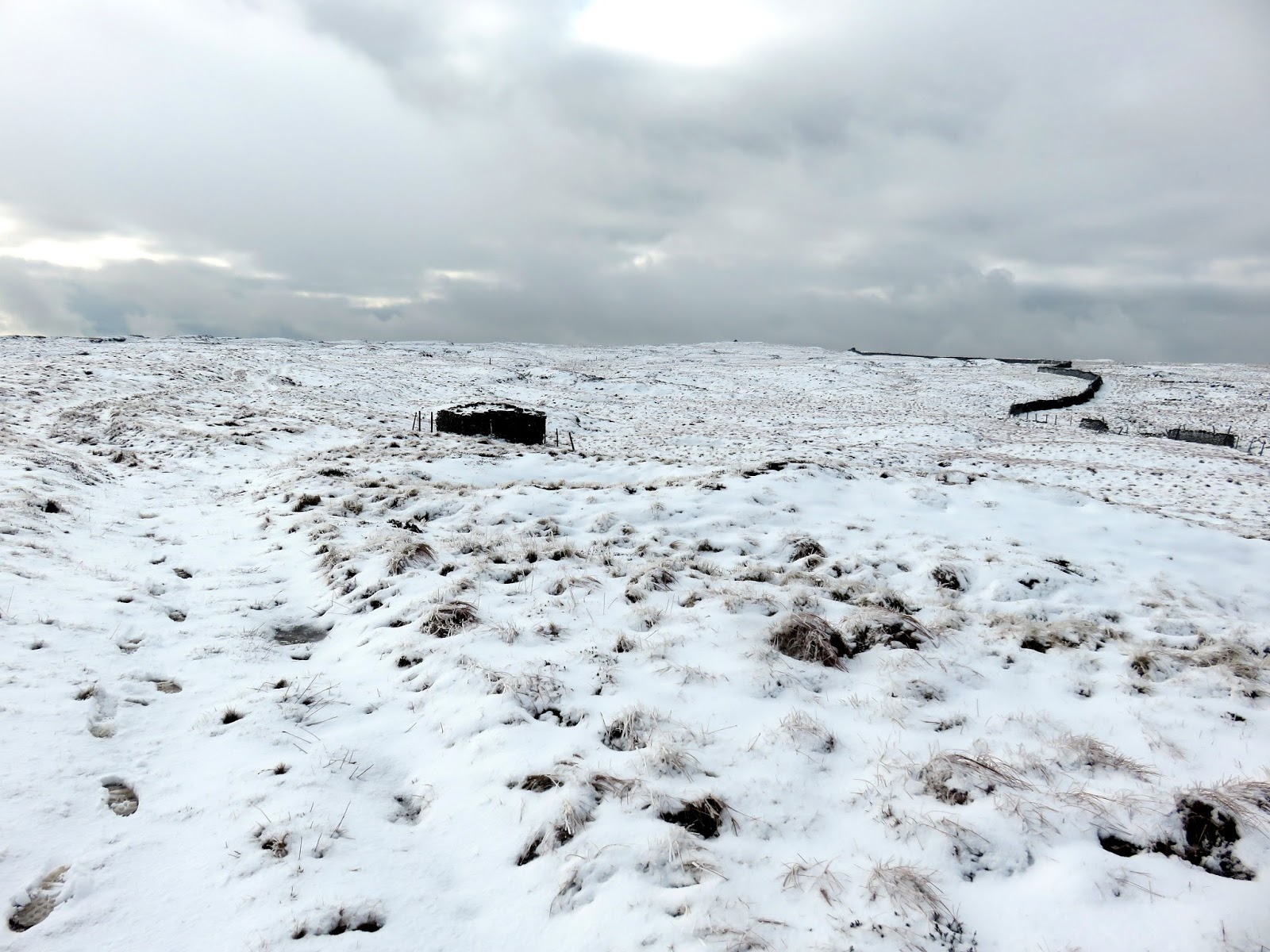
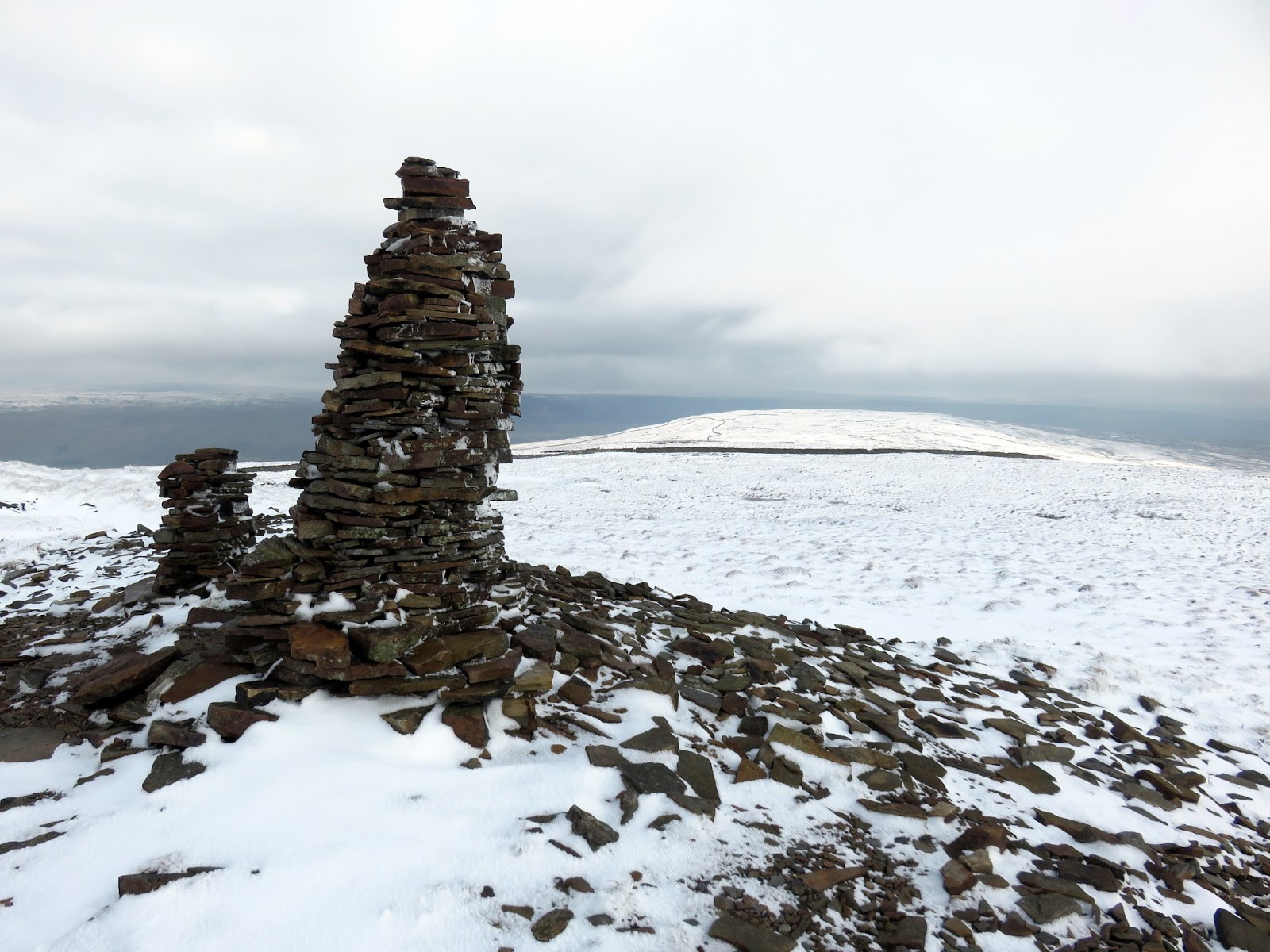
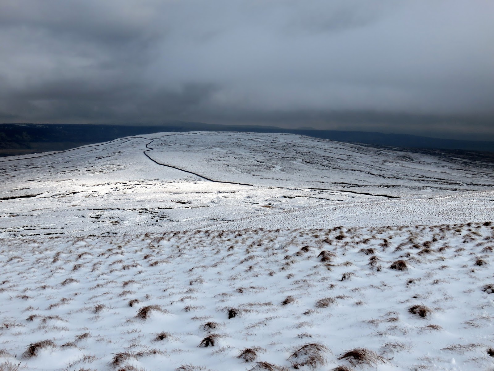
The summit is marked by a much larger cairn though views are a bit limited due to the wide plateau of the moor. The name Fountains derives from ownership of the land in the 13th century by the monks of Fountains Abbey who used it for sheep grazing and used to walk long distances to various pastures across this area of the Yorkshire Dales. Nowadays, the Pennine Way crosses the fell a short distance from the summit – the locating marked by a thin, elegant cairn. From here, the route would follow the ridge line to Darnbrook. Given the covering of snow, I have no idea if a path exists along this section but, in clear weather, the objective is obvious.
 |
| Looking back towards the summit |
 |
| The tall cairn close to the Pennie Way |
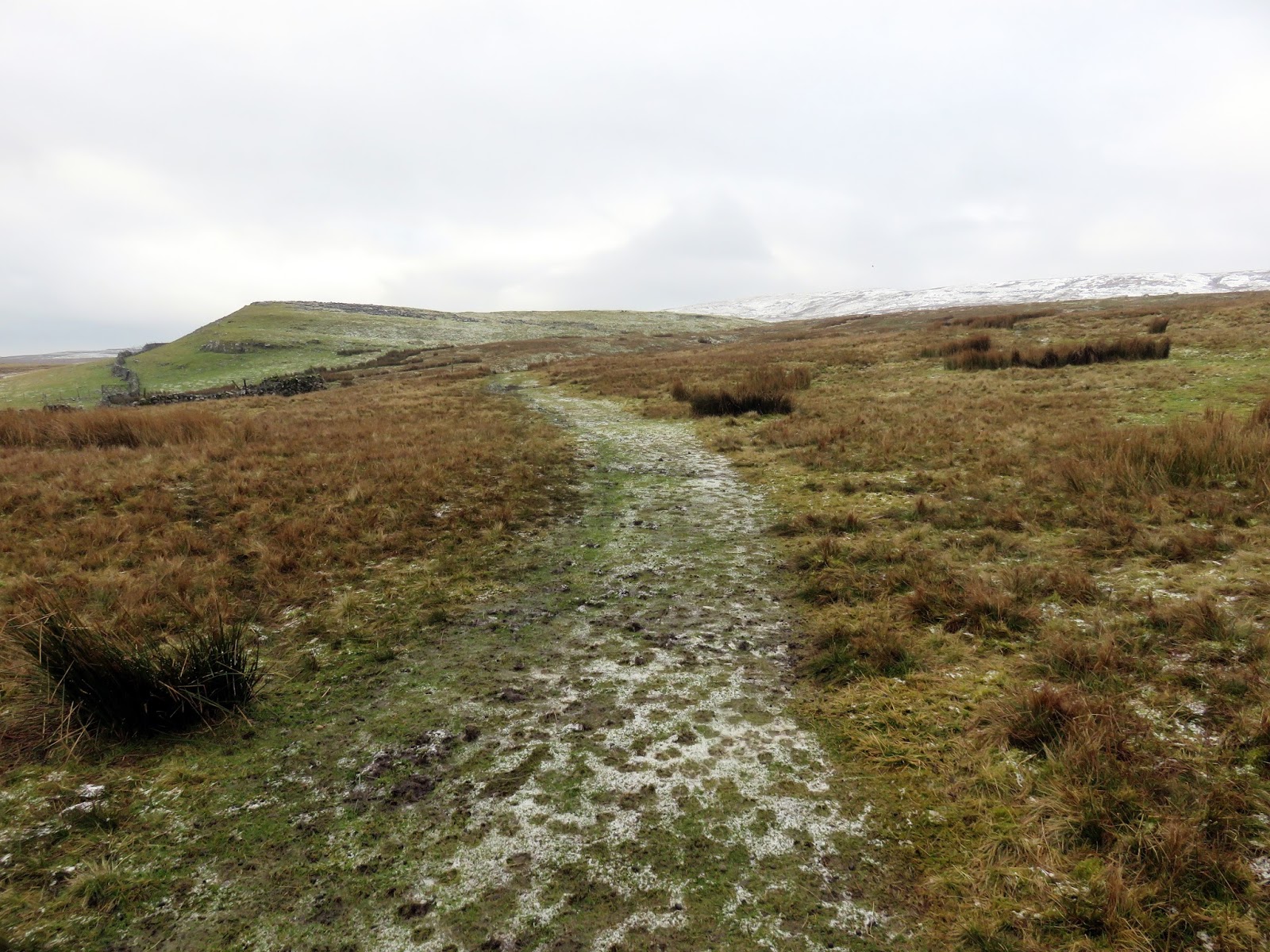
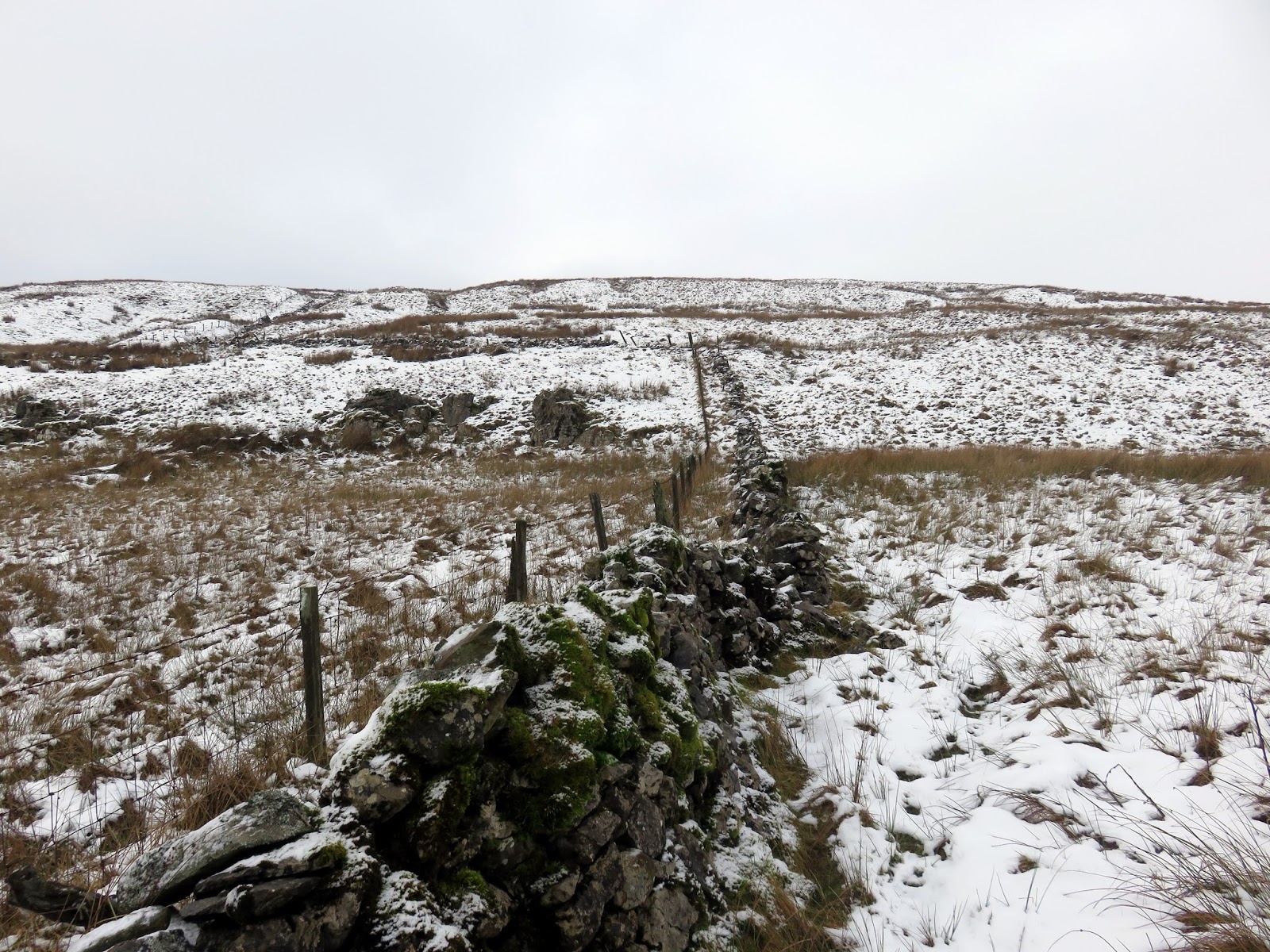
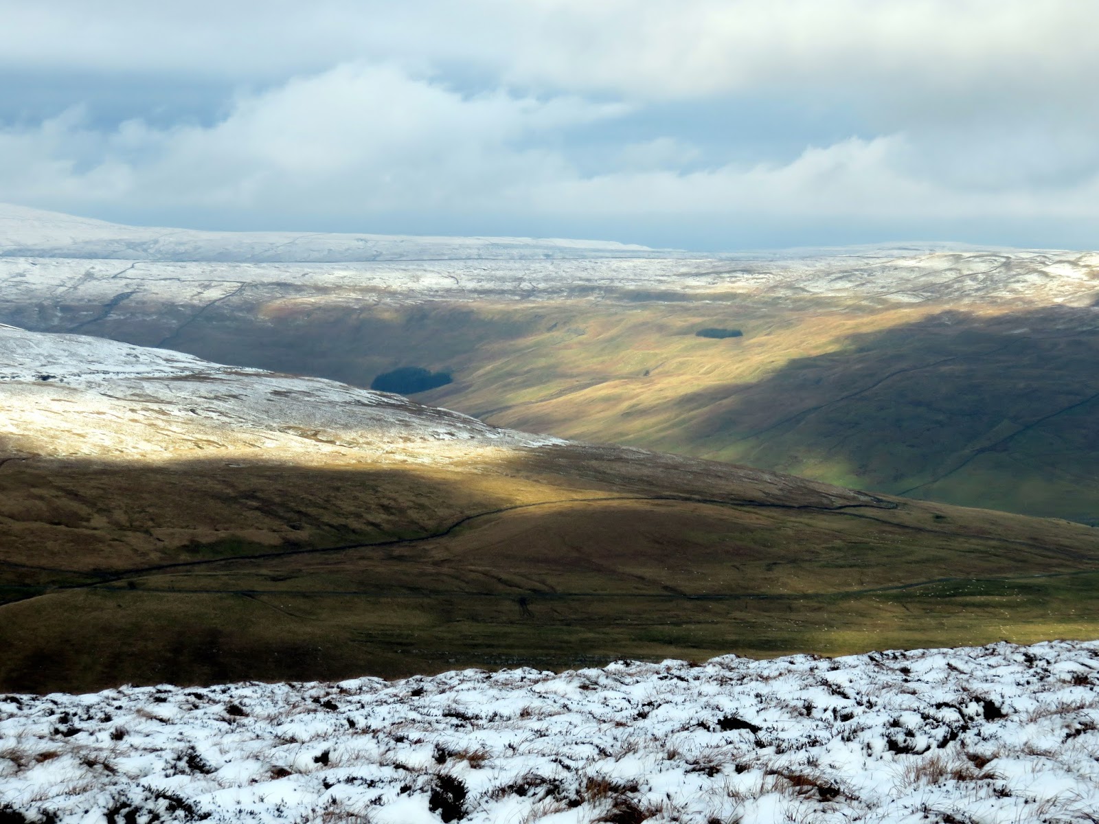
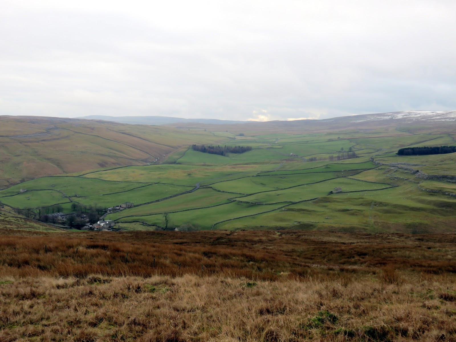
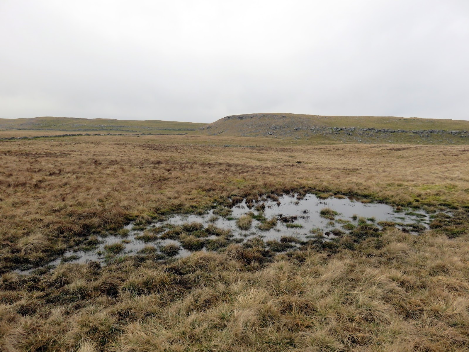
I followed a drystone wall much of the way until I decided to cut a corner and head for Darnbrook’s summit. In hindsight, following the wall would have taken me to the summit anyway but the area lies on a separate map sheet to the one I was carrying so I wasn’t sure. The kilometre or so of walking through snow covered heather was challenging, to say the least.
 |
| Littondale |
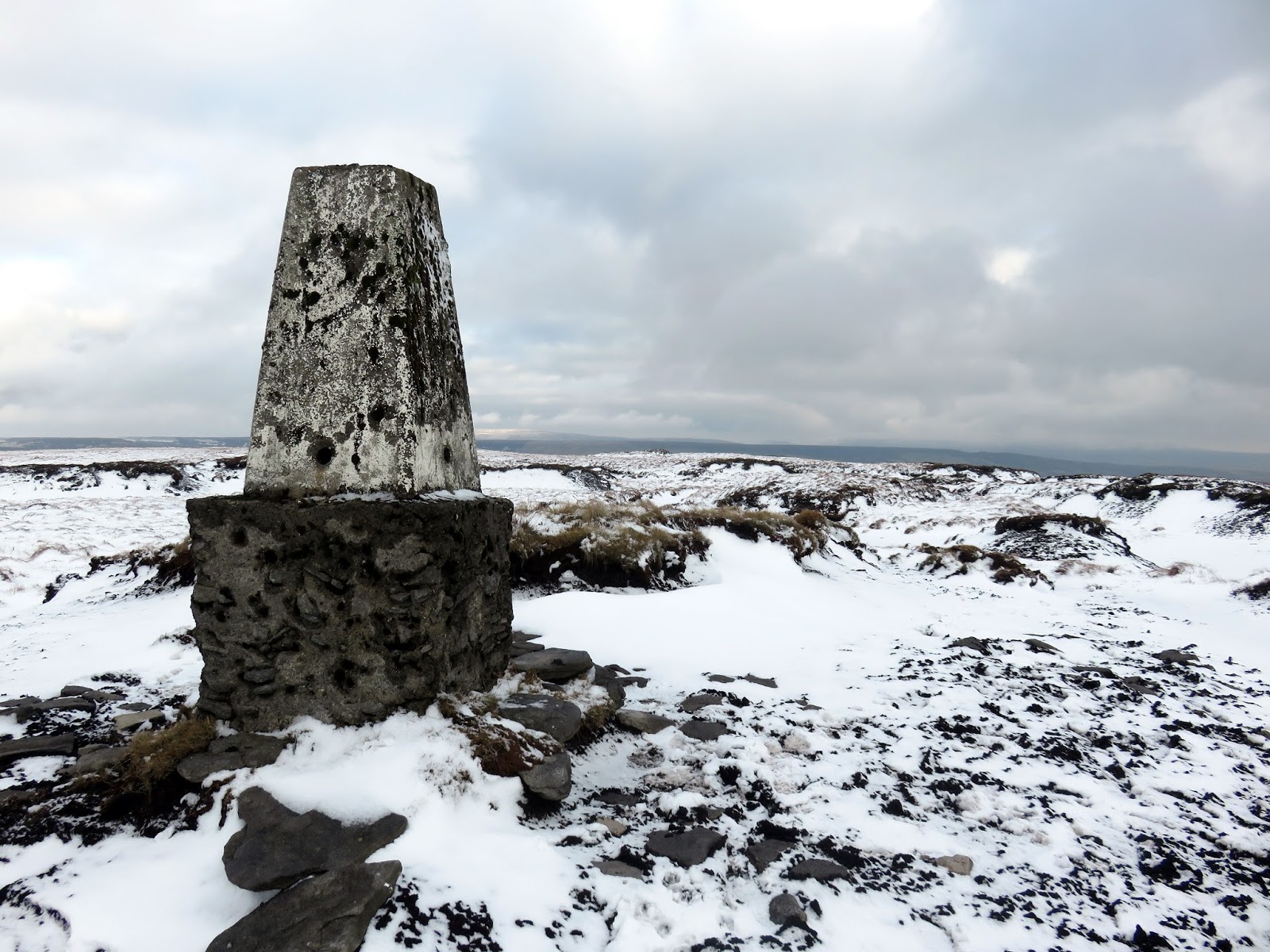
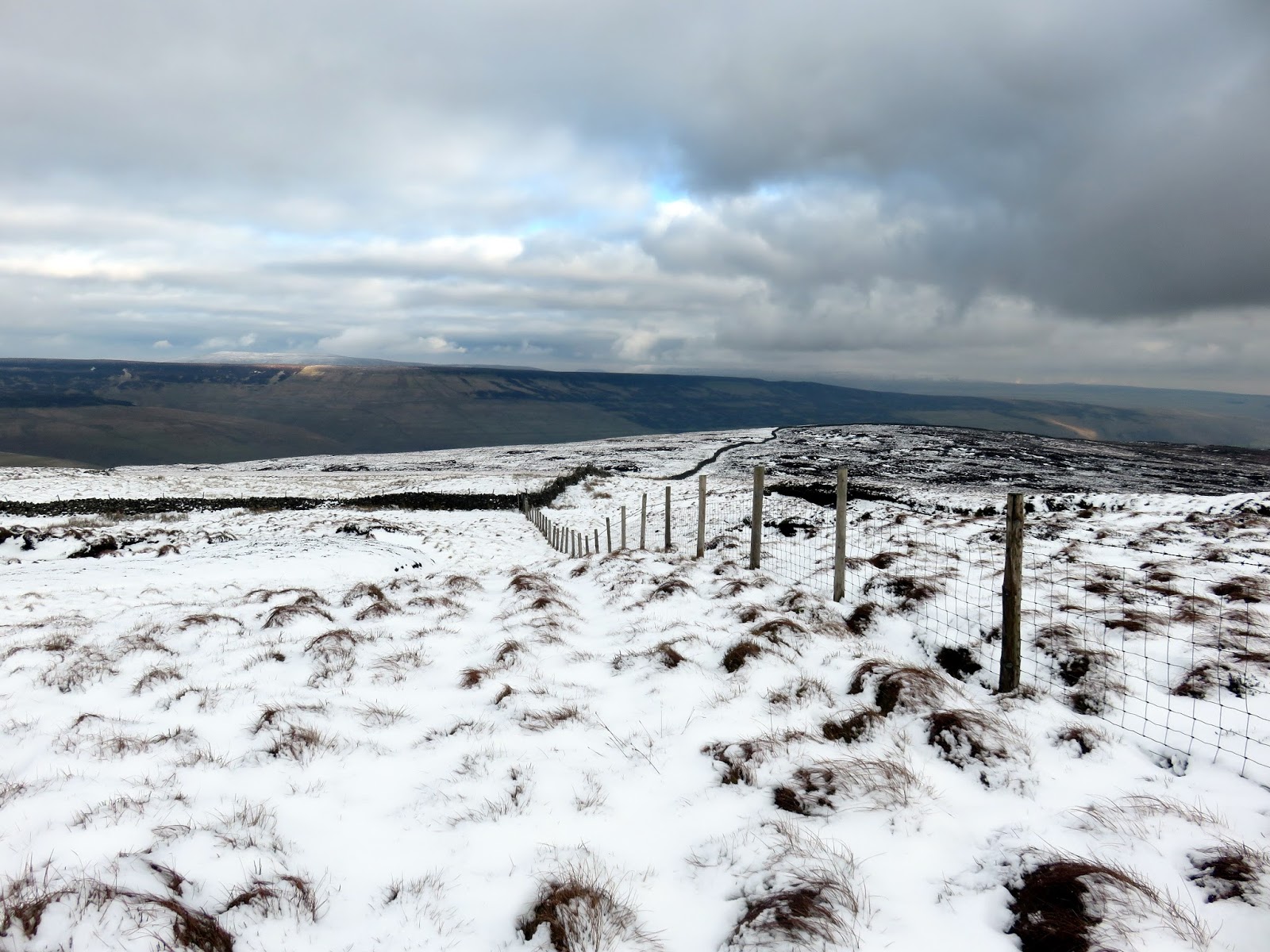
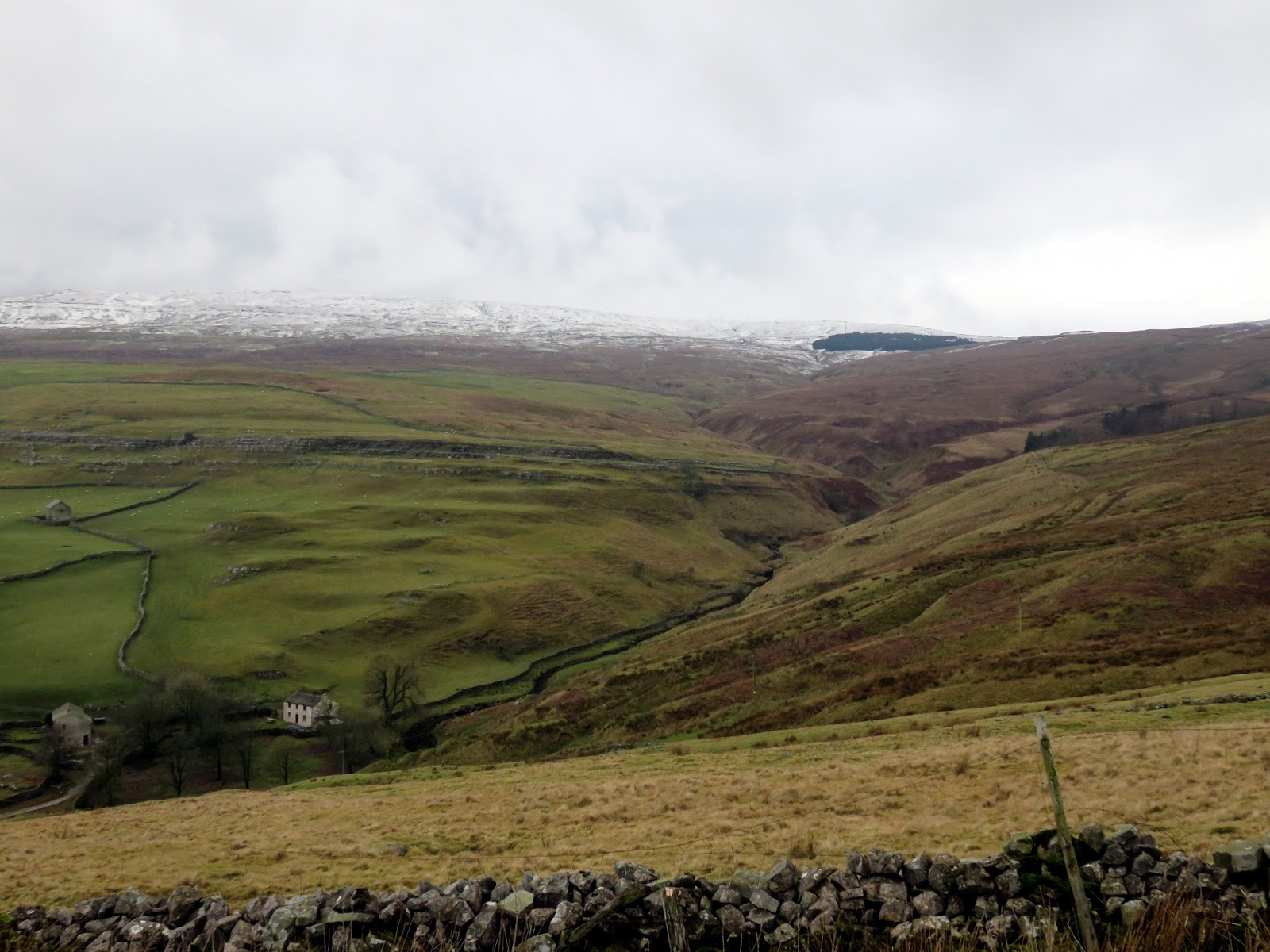
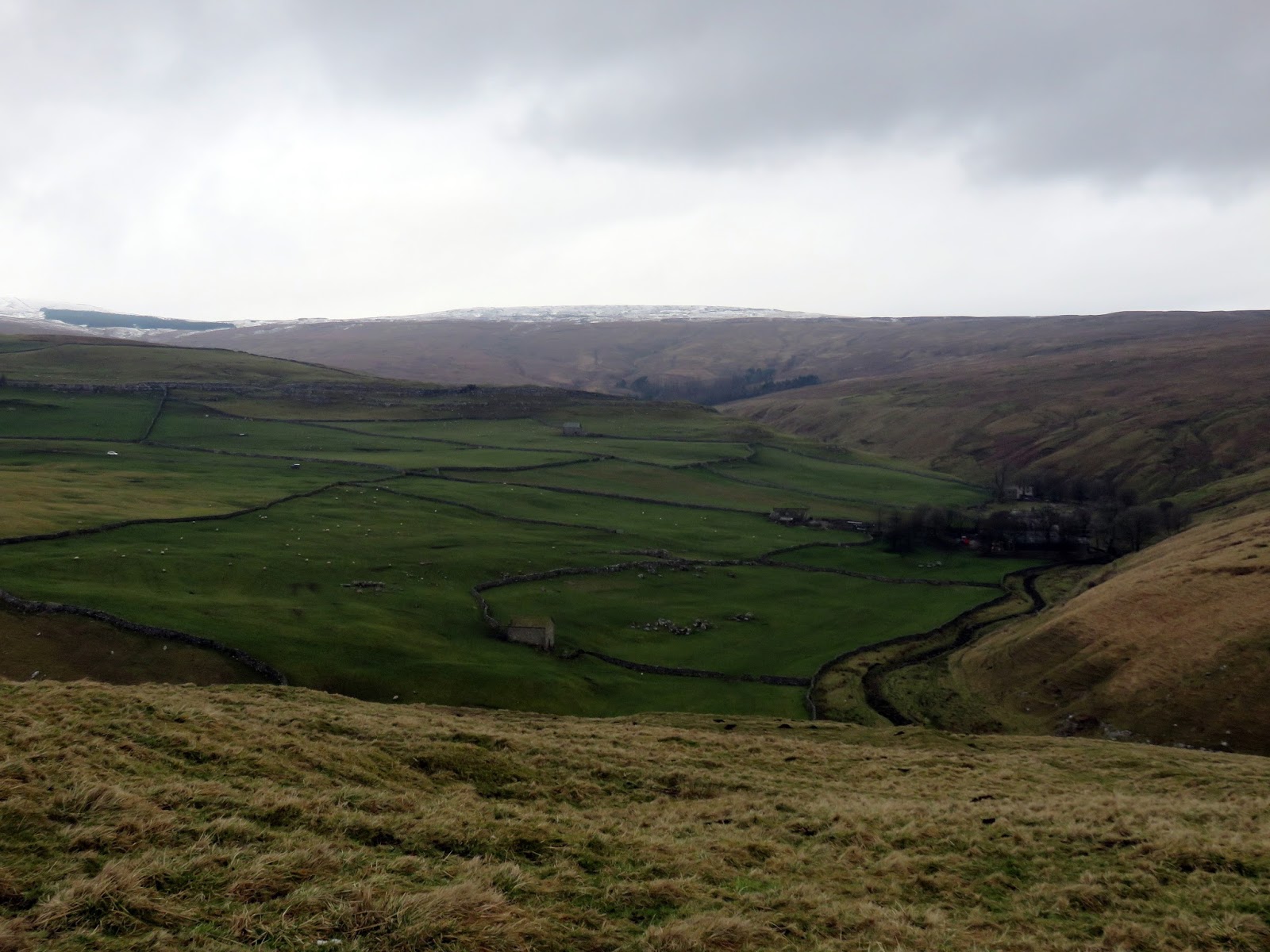
Darnbrook Fell encloses the upper reaches of Littondale, though is fairly undistinguished, part from the perched trig pillar that marks the summit. It’s clear that the peat that used to surround it has since eroded away, leaving the foundation exposed. Ahead is a couple of miles of pathless, heather-covered moor – another challenge for the stamina. Once again, I followed the drystone wall that helpfully follows the ridge line. My advice would be to walk on the right-hand side of the wall as I encountered little in the way of obstacles.
 |
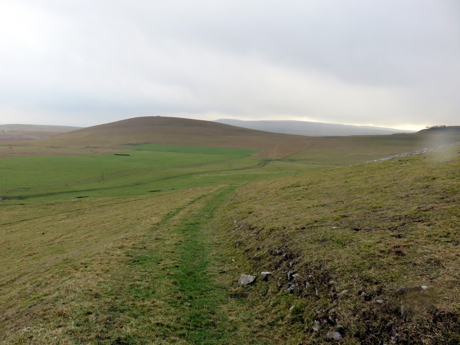
| Height and Out Pasture |
 |
| The valley at Cowside |
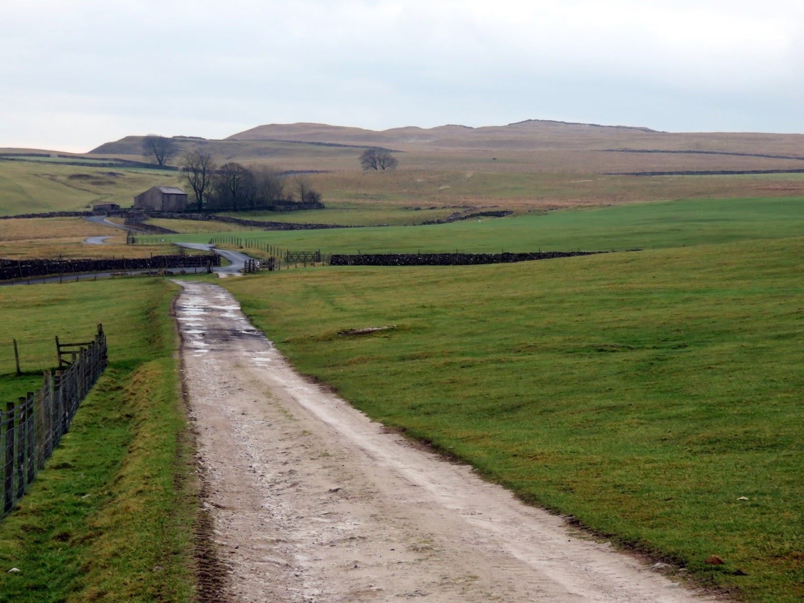
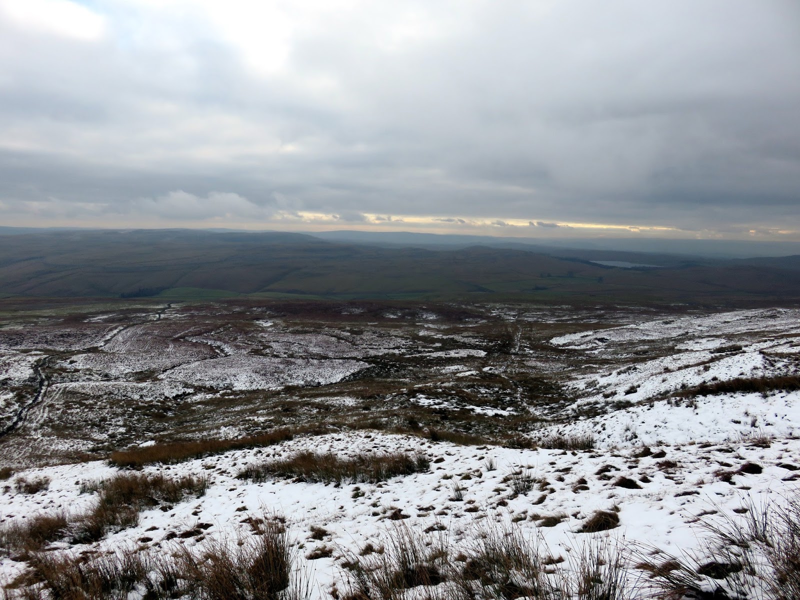
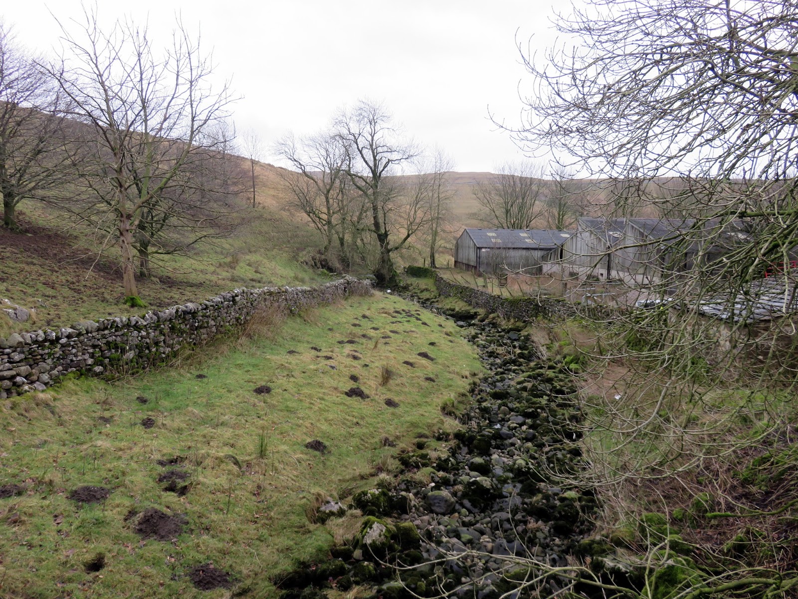
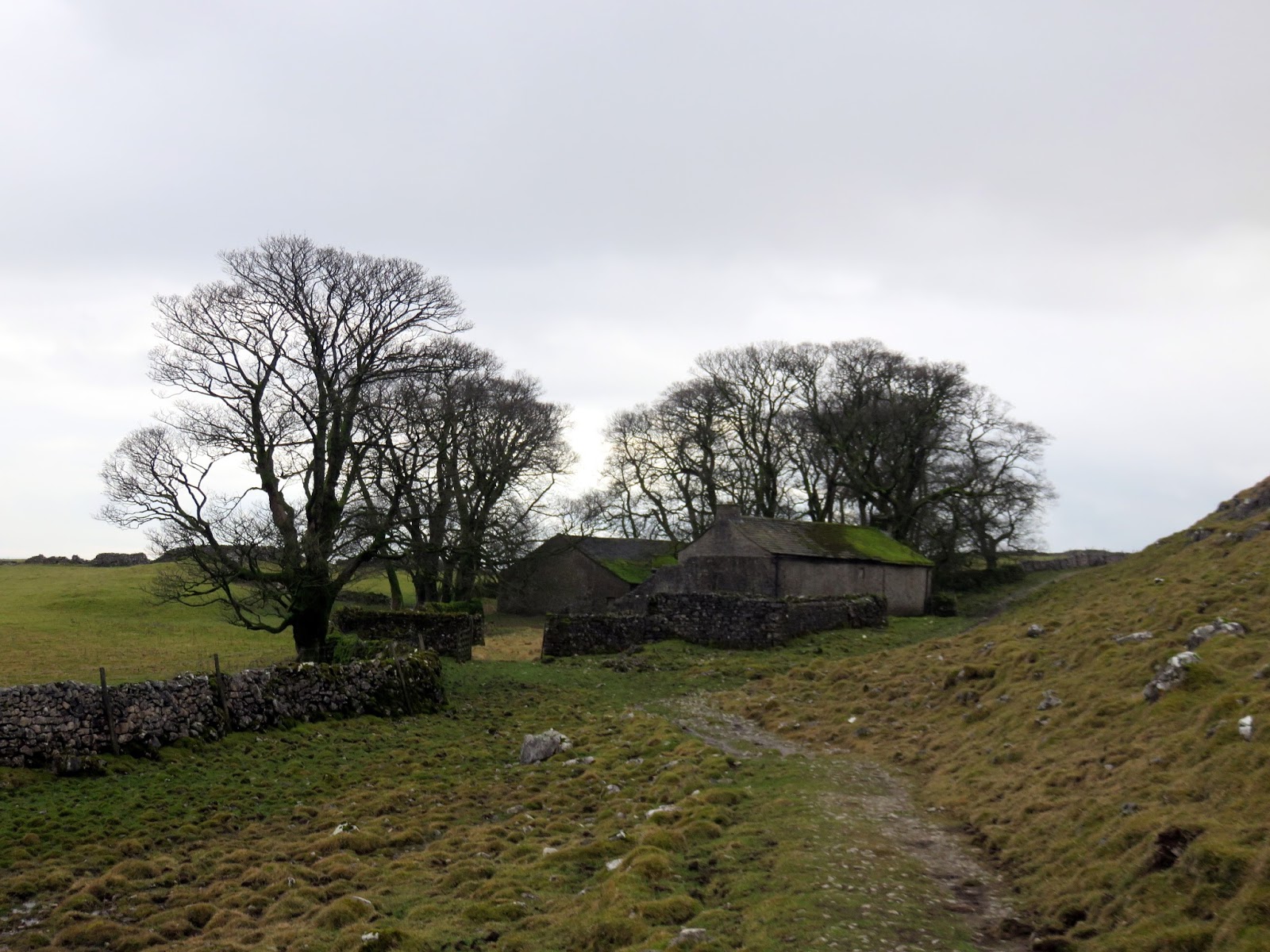
Eventually, I met the Arncliffe road as it passes around Nab End and I followed it down into the valley at Darnbrook House, a 12th Century farm house. The valley of Darnbrook Beck leads to Cowside Beck where a stone footbridge crosses the river. Ahead is one last climb up onto the interesting limestone heights of Flask and Out Pasture.
 |
| Darnbrook Beck |
 |
| Darnbrook Beck |
 |
| Cowside Beck |
The path meets the old Monk’s Road, once part of an important long distance route for Fountains Abbey. This section connected the sheep pastures on Malham Moor with the grange at Kilnsey, where the sheep would be taken for clipping. I’ve walked part of the Monk’s Road before, you can read about it here.
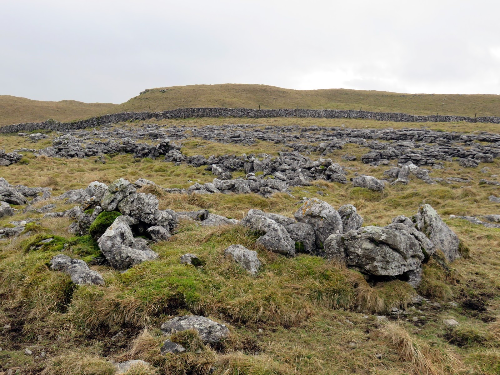
 |
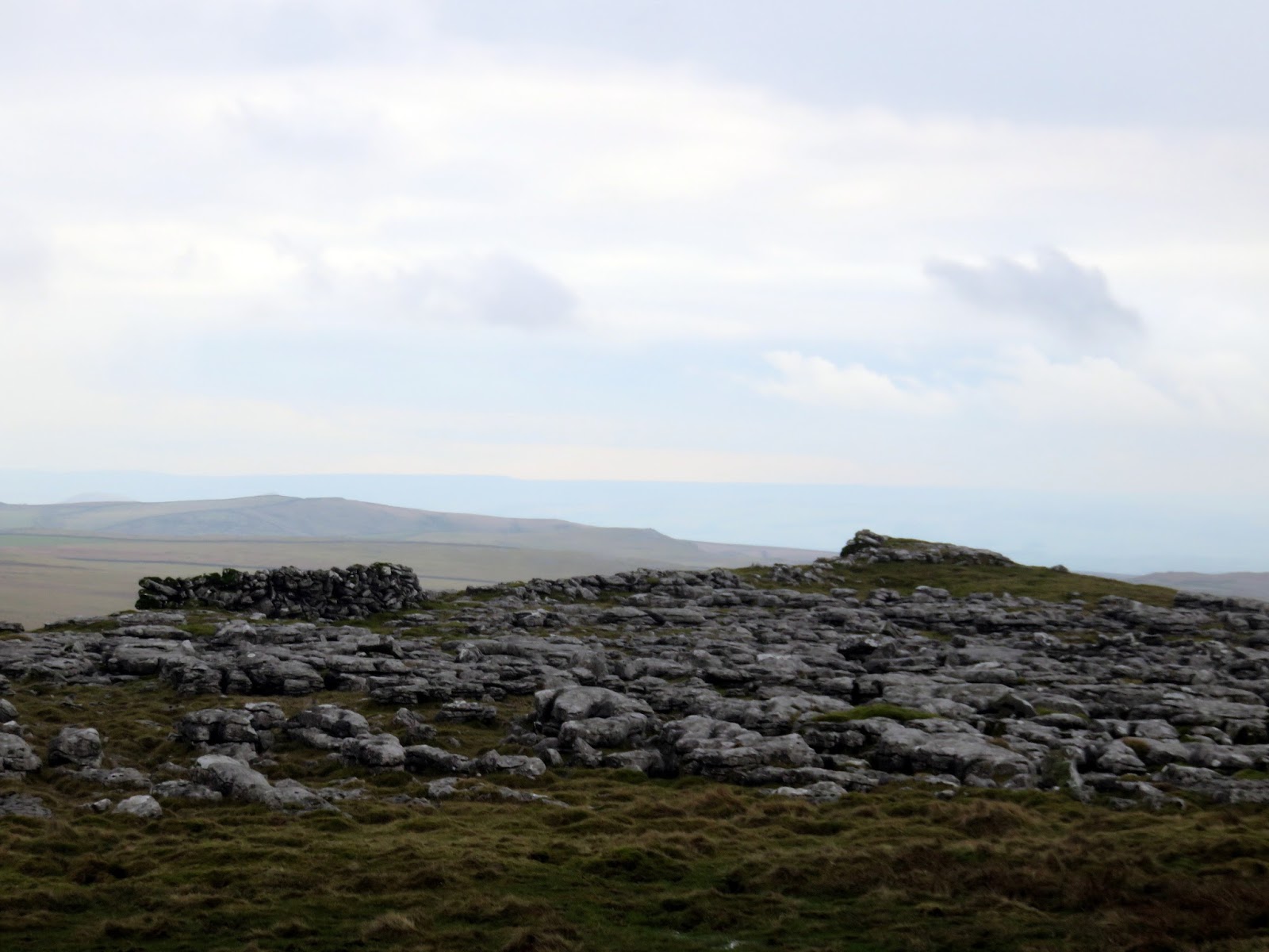
| Limestone pavement at Middle House Hill |
 |
| Height |
 |
| Out Pasture |
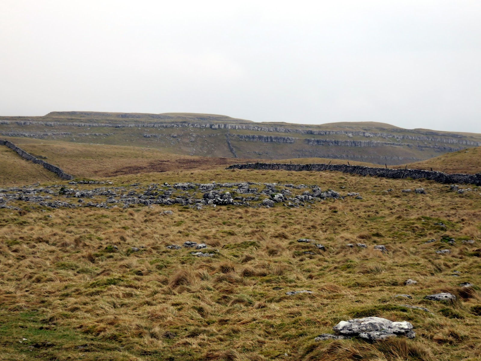
The Monk’s Road passes the derelict buildings of Middle House where it turns and heads down to Malham Tarn. I had intended to climb Great Close Hill but it had started to rain so I thought better of it. The path joins the Pennine way once again, passing by Malham Tarn House, now run by the Field Studies Council and is popular with both geography and biology students, as well as the wider public.
 |
| Middle House |
 |
| Limestone pavement |
 |
| Dropping down towards Great Close Hill |
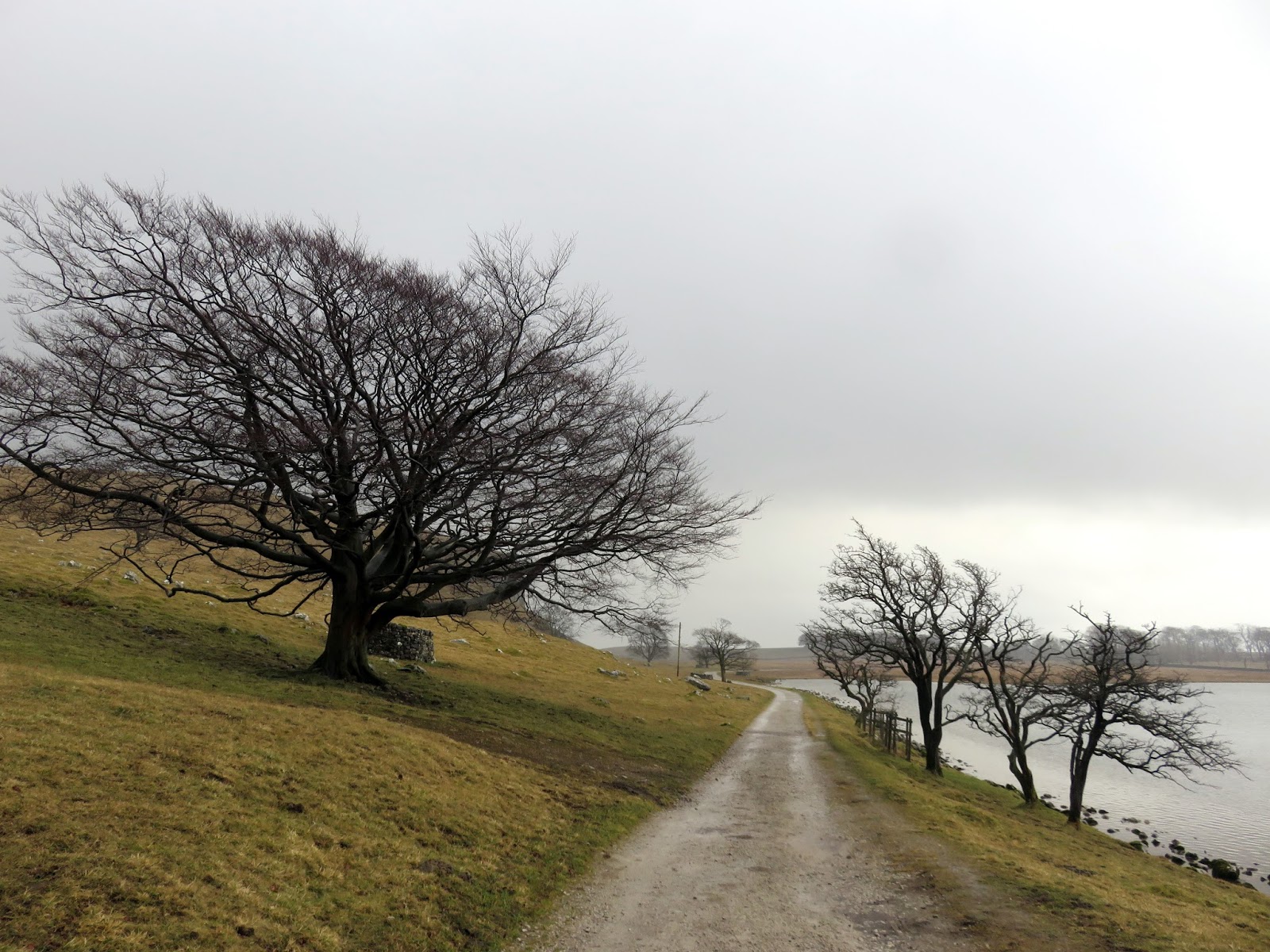
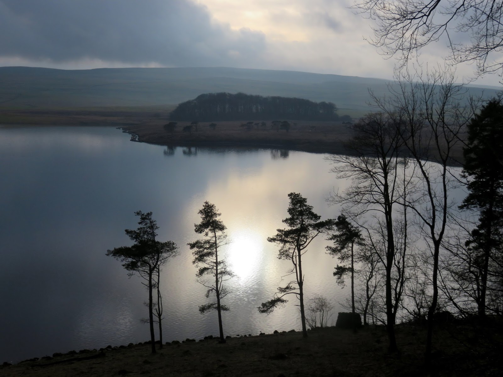
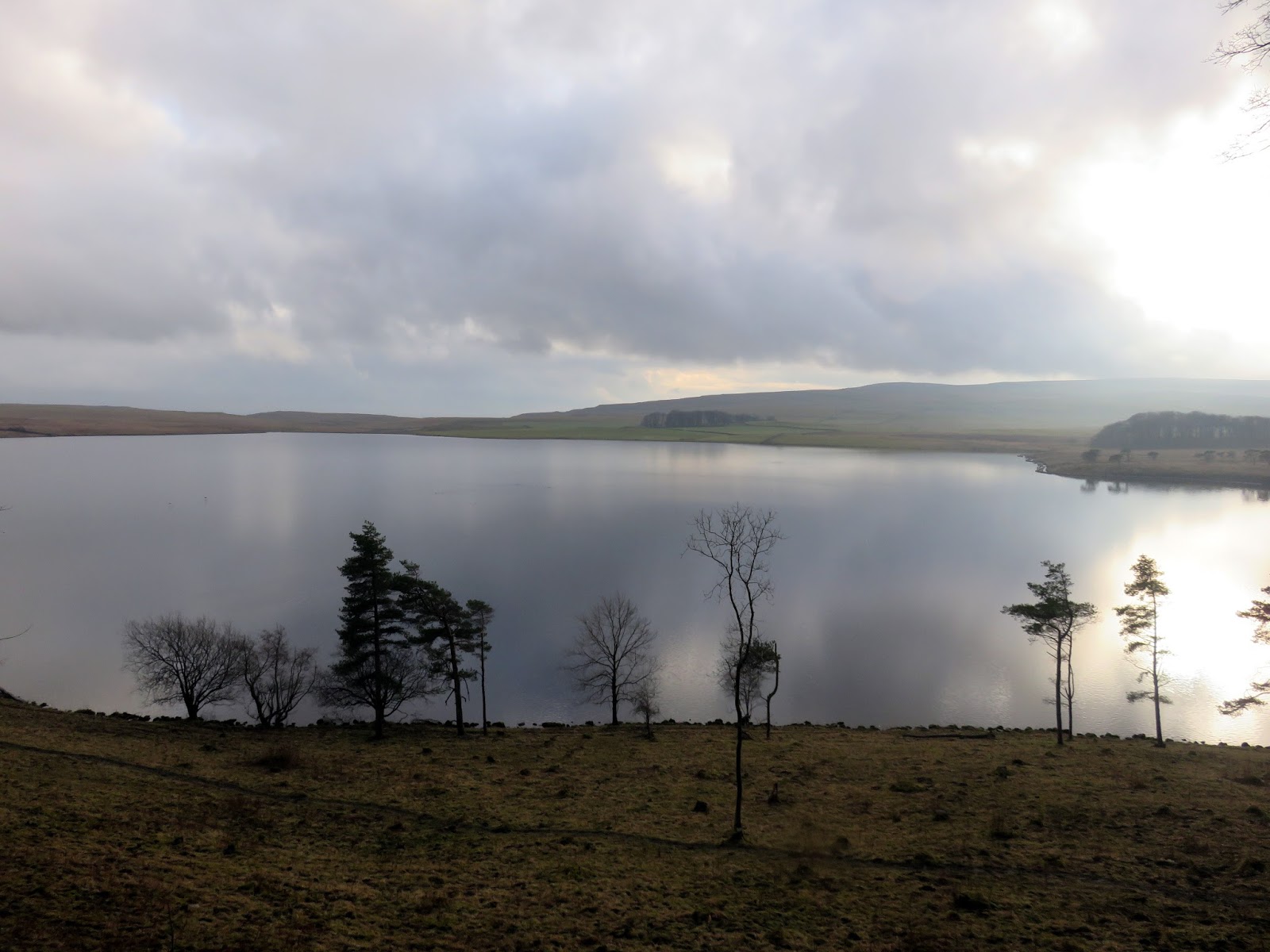
Malham Tarn itself is fairly unique – it’s one of only eight alkaline lakes in Europe. It is also the highest lake in England (depending on classification). Thanks to its biodiversity, Malham Tarn is located in the Malham and Arncliffe Site of Special Scientific Interest and was designated as a National Nature Reserve in 1992. The lake was listed as a Ramsar Convention site in 1993. The National Trust care for much of the site now and there are numerous notice boards along the access track that leads back to the road. I must return one day and walk a circuit of the tarn.
 |
| The Pennine Way once again |
 |
| Malham Tarn |
 |
| Malham Tarn |
 |
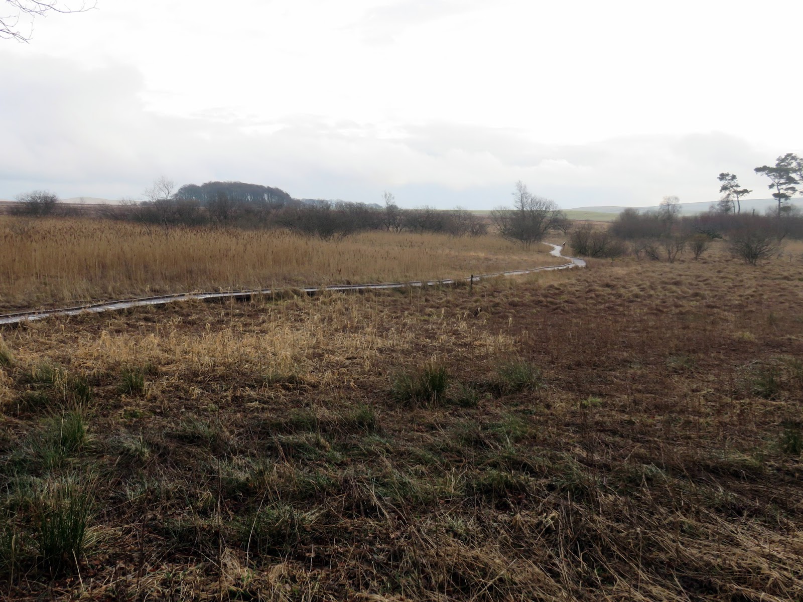
| Tarn Moss |
 |
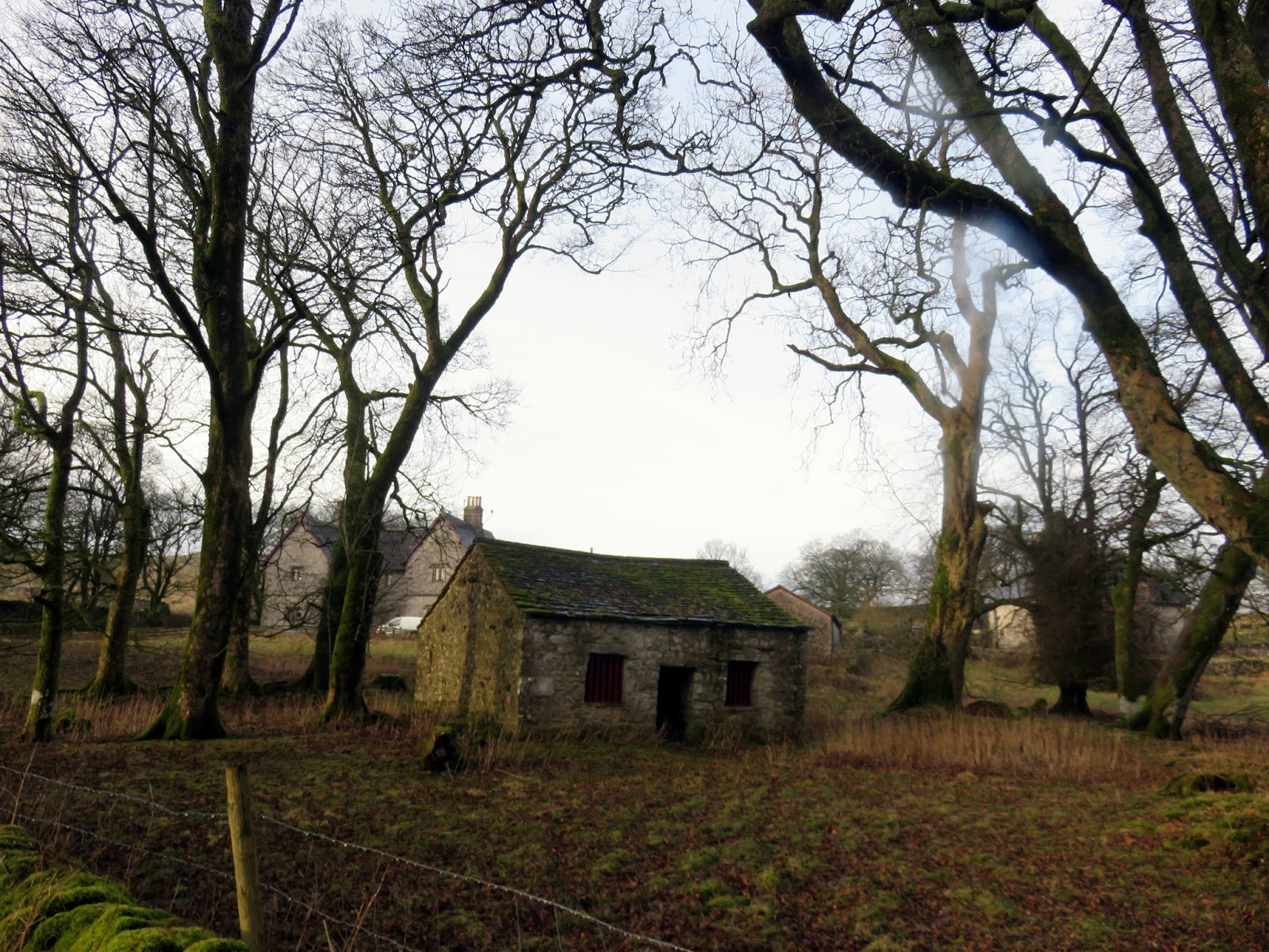
| Home Farm |
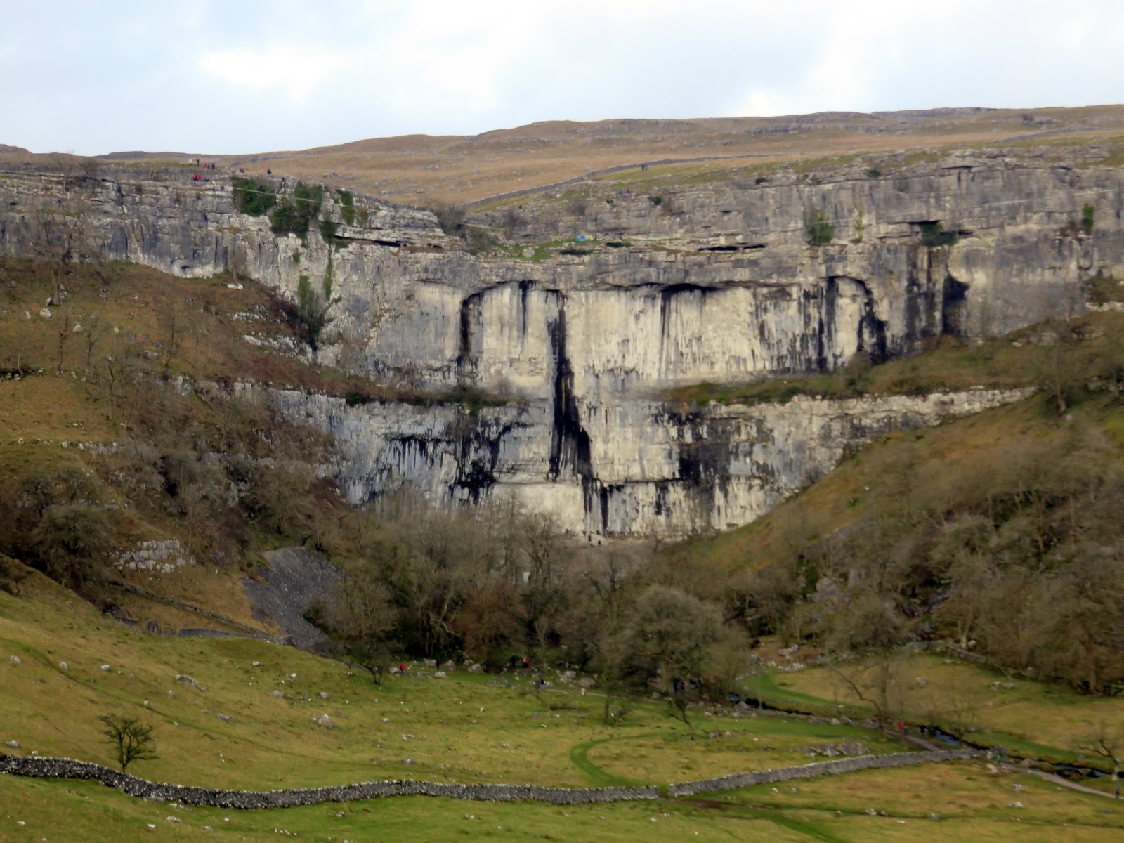
Fortunately, the car was exactly where I’d left it, despite the apparent solitude it had enjoyed all day. No trip up this way is complete without a brief stop at Malham Cove, arguably one of the great geological features of the Yorkshire Dales.
 |
| Malham Cove |
