Open Space Web-Map builder Codehttps://openspace.ordnancesurvey.co.uk/osmapapi/openspace.js?key=3119F72552FD5C22E0530C6CA40A5A92https://openspace.ordnancesurvey.co.uk/osmapapi/script/mapbuilder/basicmap.jshttps://openspace.ordnancesurvey.co.uk/osmapapi/script/mapbuilder/searchbox.js//variables for routes var linesLayer, points, lineFeature, lineString, routeMarkersLayer, routepos, routesize, routeoffset, routeicon; var style_blue = {strokeColor: “#0000CD”, strokeOpacity: 0.5, strokeWidth: 4.5}; function initmapbuilder() { //initiate the map var options = {resolutions: [2500, 1000, 500, 200, 100, 50, 25, 10, 5, 4, 2.5, 2, 1]}; osMap = new OpenSpace.Map(‘map’, options); //configure map options (basicmap.js) setglobaloptions(); //set the center of the map and the zoom level osMap.setCenter(new OpenSpace.MapPoint(259099,352917.00125885),7); linesLayer = osMap.getVectorLayer(); // Set up layer for route markers routeMarkersLayer = new OpenLayers.Layer.Markers(“Route Markers”); //make a route points = new Array(); points.push(new OpenLayers.Geometry.Point(256924,352753.66793823)); points.push(new OpenLayers.Geometry.Point(256969,352758.66793823)); points.push(new OpenLayers.Geometry.Point(257084,352673.66793823)); points.push(new OpenLayers.Geometry.Point(257239,352698.66793823)); points.push(new OpenLayers.Geometry.Point(257424,352543.66793823)); points.push(new OpenLayers.Geometry.Point(257439,352438.66793823)); points.push(new OpenLayers.Geometry.Point(257519,352398.66793823)); points.push(new OpenLayers.Geometry.Point(257744,352538.66793823)); points.push(new OpenLayers.Geometry.Point(257919,352563.66793823)); points.push(new OpenLayers.Geometry.Point(258009,352458.66793823)); points.push(new OpenLayers.Geometry.Point(258124,352503.66793823)); points.push(new OpenLayers.Geometry.Point(258464,352383.66793823)); points.push(new OpenLayers.Geometry.Point(258664,352403.66793823)); points.push(new OpenLayers.Geometry.Point(258859,352338.66793823)); points.push(new OpenLayers.Geometry.Point(259214,352353.66793823)); points.push(new OpenLayers.Geometry.Point(259449,352213.66793823)); points.push(new OpenLayers.Geometry.Point(259754,352178.66793823)); points.push(new OpenLayers.Geometry.Point(260214,352178.66793823)); points.push(new OpenLayers.Geometry.Point(260339,352178.66793823)); points.push(new OpenLayers.Geometry.Point(260499,352158.66793823)); points.push(new OpenLayers.Geometry.Point(260549,351938.66793823)); points.push(new OpenLayers.Geometry.Point(260614,351783.66793823)); points.push(new OpenLayers.Geometry.Point(260734,351663.66793823)); points.push(new OpenLayers.Geometry.Point(260444,351528.66793823)); points.push(new OpenLayers.Geometry.Point(260724,351663.66793823)); points.push(new OpenLayers.Geometry.Point(260604,351798.66793823)); points.push(new OpenLayers.Geometry.Point(260494,352158.66793823)); points.push(new OpenLayers.Geometry.Point(260469,352288.66793823)); points.push(new OpenLayers.Geometry.Point(260454,352363.66793823)); points.push(new OpenLayers.Geometry.Point(260469,352483.66793823)); points.push(new OpenLayers.Geometry.Point(260524,352643.66793823)); points.push(new OpenLayers.Geometry.Point(260489,353083.66793823)); points.push(new OpenLayers.Geometry.Point(260469,353613.66793823)); points.push(new OpenLayers.Geometry.Point(260569,353793.66793823)); points.push(new OpenLayers.Geometry.Point(260734,354038.66793823)); points.push(new OpenLayers.Geometry.Point(260829,354183.66793823)); points.push(new OpenLayers.Geometry.Point(260974,354288.66793823)); points.push(new OpenLayers.Geometry.Point(261009,354413.66793823)); points.push(new OpenLayers.Geometry.Point(260809,354163.66793823)); points.push(new OpenLayers.Geometry.Point(260619,353863.66793823)); points.push(new OpenLayers.Geometry.Point(260449,353628.66793823)); points.push(new OpenLayers.Geometry.Point(260289,353593.66793823)); points.push(new OpenLayers.Geometry.Point(260294,353563.66793823)); points.push(new OpenLayers.Geometry.Point(260034,353588.66793823)); points.push(new OpenLayers.Geometry.Point(259814,353693.66793823)); points.push(new OpenLayers.Geometry.Point(259619,353843.66793823)); points.push(new OpenLayers.Geometry.Point(259579,353808.66793823)); points.push(new OpenLayers.Geometry.Point(259494,353863.66793823)); points.push(new OpenLayers.Geometry.Point(259334,353663.66793823)); points.push(new OpenLayers.Geometry.Point(259299,353513.66793823)); points.push(new OpenLayers.Geometry.Point(259229,353438.66793823)); points.push(new OpenLayers.Geometry.Point(259274,353253.66793823)); points.push(new OpenLayers.Geometry.Point(259109,353113.66793823)); points.push(new OpenLayers.Geometry.Point(258929,352953.66793823)); points.push(new OpenLayers.Geometry.Point(258924,352868.66793823)); points.push(new OpenLayers.Geometry.Point(258819,352808.66793823)); points.push(new OpenLayers.Geometry.Point(258719,352823.66793823)); points.push(new OpenLayers.Geometry.Point(258569,352683.66793823)); points.push(new OpenLayers.Geometry.Point(258469,352683.66793823)); points.push(new OpenLayers.Geometry.Point(258324,352503.66793823)); points.push(new OpenLayers.Geometry.Point(258279,352503.66793823)); points.push(new OpenLayers.Geometry.Point(258249,352473.66793823)); points.push(new OpenLayers.Geometry.Point(258109,352493.66793823)); points.push(new OpenLayers.Geometry.Point(257969,352463.66793823)); points.push(new OpenLayers.Geometry.Point(257904,352563.66793823)); points.push(new OpenLayers.Geometry.Point(257709,352523.66793823)); points.push(new OpenLayers.Geometry.Point(257529,352393.66793823)); points.push(new OpenLayers.Geometry.Point(257424,352433.66793823)); points.push(new OpenLayers.Geometry.Point(257409,352578.66793823)); points.push(new OpenLayers.Geometry.Point(257234,352683.66793823)); points.push(new OpenLayers.Geometry.Point(257064,352683.66793823)); points.push(new OpenLayers.Geometry.Point(256924,352753.66793823)); // create a polyline feature from the array of points lineString = new OpenLayers.Geometry.LineString(points); lineFeature = new OpenLayers.Feature.Vector(lineString, null, style_blue); linesLayer.addFeatures([lineFeature]); //crate a route start/end marker routepos = new OpenSpace.MapPoint(256924,352753.66793823); routesize = new OpenLayers.Size(33,45); routeoffset = new OpenLayers.Pixel(-5,-37); routeicon = new OpenSpace.Icon(‘https://openspace.ordnancesurvey.co.uk/osmapapi/img_versions/img_1.1/mapbuilder/routemarker-startend.png’, routesize, routeoffset, null, null); routeMarkersLayer.addMarker(new OpenLayers.Marker(routepos, routeicon)); osMap.addLayer(routeMarkersLayer);}
Route: Rhyd-Ddu, Pen ar Lon, Bwlch Cwm Llan, Yr Aran, Bwlch Cwm Llan, Allt Maenderyn, Bwlch Main, Yr Wyddfa, Bwlch Main, Llechog, Rhos Boeth, Pen ar Lon, Rhyd-Ddu
Date: 11/12/2016
From: Rhyd-Ddu
Parking: Roadside parking in Rhyd-Ddu
Start Point: Rhyd-Ddu
Region: Snowdonia
Route length: 9.5 miles (15.3 km)
Time taken: 04:35
Average speed: 2.1 mph
Ascent: 1,185m
Descent: 1,182m
Summits: Yr Aran (747m), Yr Wyfdda (Snowdon) (1,085m)
Other points of interest: Cwm Tregalan, Bwlch Main
Wales’ highest mountain would be today’s walk, climbed by the oft-ignored South Ridge. The South Ridge climbs almost directly to the summit from Bwlch Cwm Llan, a low mountain pass the separates Snowdon from the outlying Yr Aran – another peak on today’s walk.
I’d be starting from Rhyd-Ddu, a small village on the western side of Snowdon and the starting point of the imaginatively titled ‘Rhyd-Ddu Path’, one of a number of well-known routes to the summit but one of only two that start on the western side of the mountain. For this reason, both are much quieter than routes that start from the east.
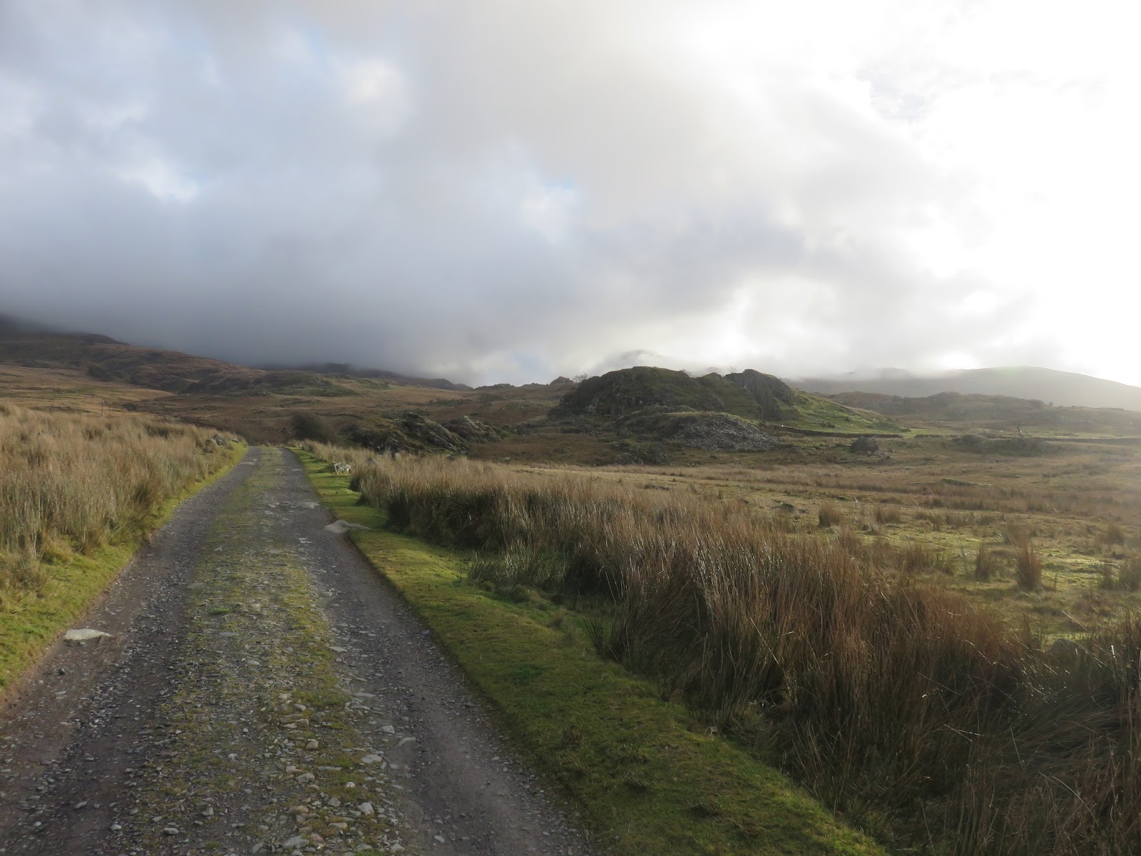
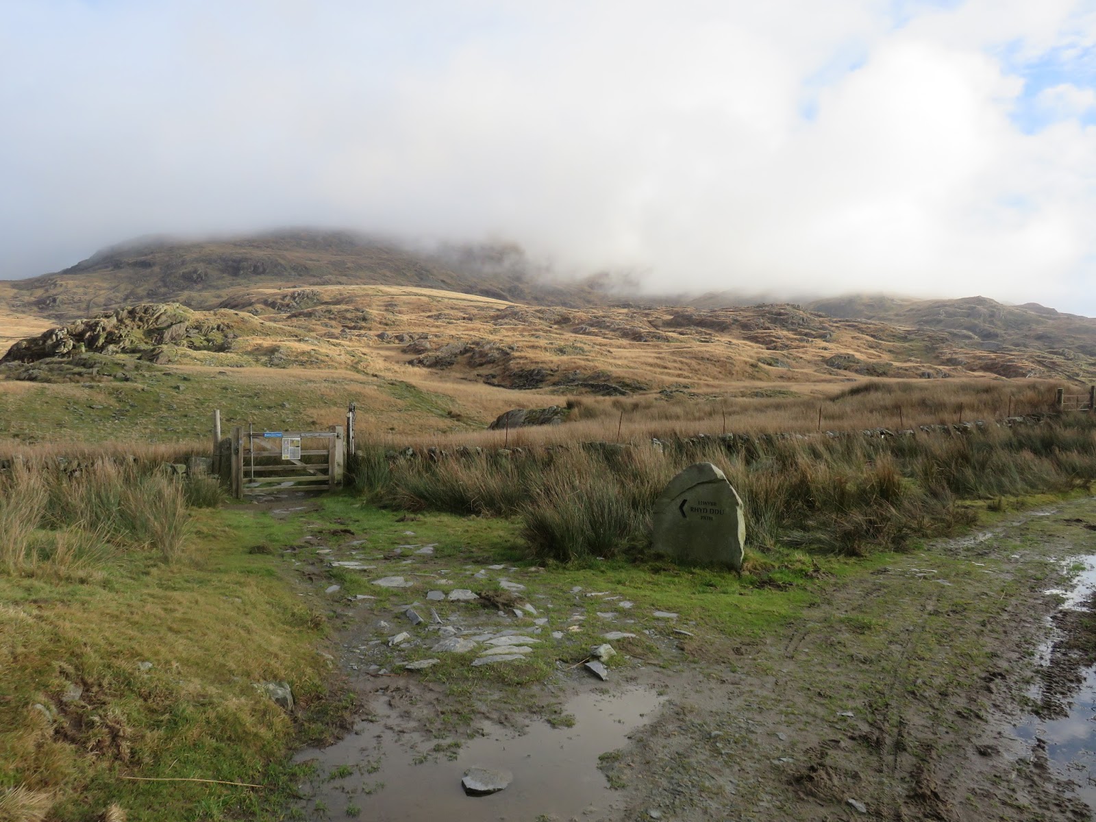
It was a fine morning with a few low clouds hanging around but a dry day was on the cards so there was little risk of getting a soaking. I left the car in Rhyd-Ddu, crossed the railway line and strode out along the Rhyd-Ddu path in the sunshine. The path rises slowly and easily to a point called Pen ar Lôn where a crossroads of paths can be found. The Rhyd-Ddu path turns left. I, however, was bound for a slightly different route.
 |
| The Rhyd-Ddu path |
 |
| Pen ar Lon where the Rhyd-Ddu path departs |
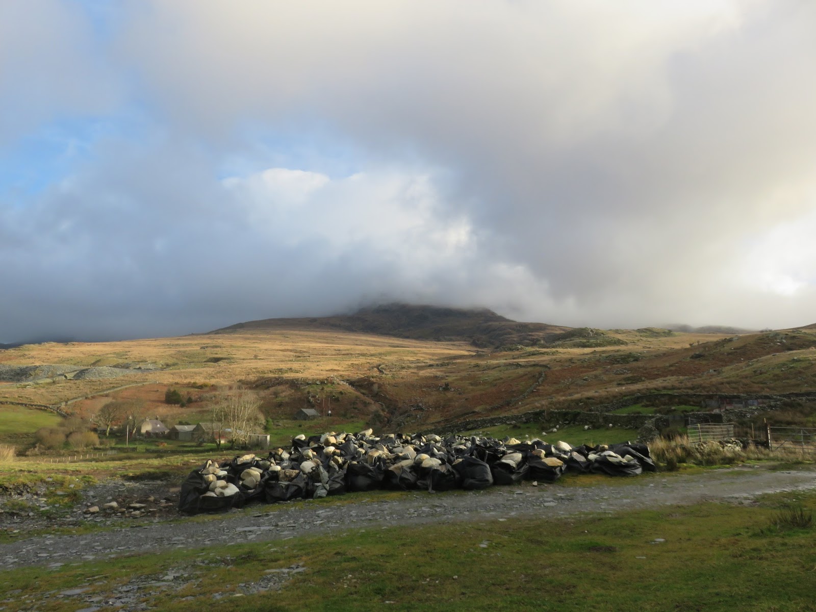
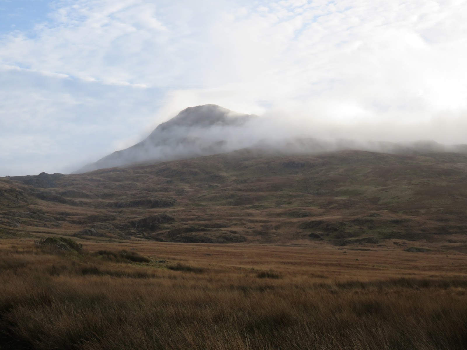
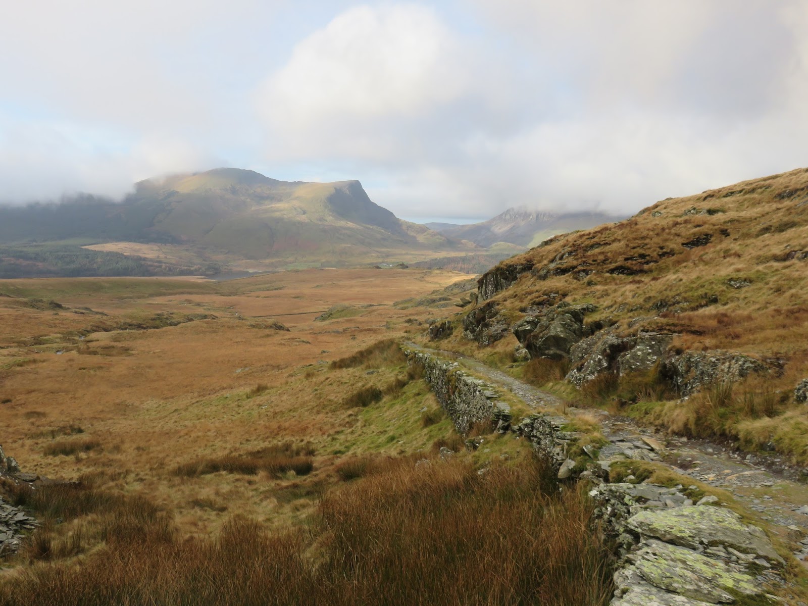
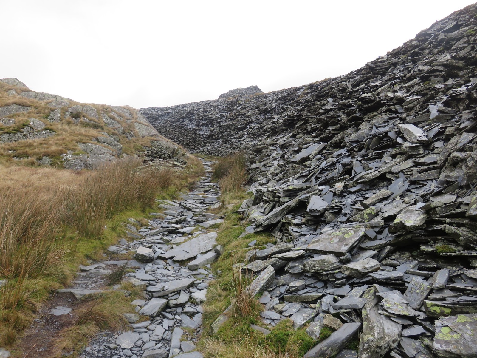
Continuing on follows the track which now climbs past a number of old slate quarries. The peak of Yr Aran draws your attention until you reach the summit of a low mountain pass – Bwlch Cwm Llan. On the other side of the pass is Cwm Llan and the Watkin Path.
 |
| The old quarry road looking back towards Rhyd-Ddu |
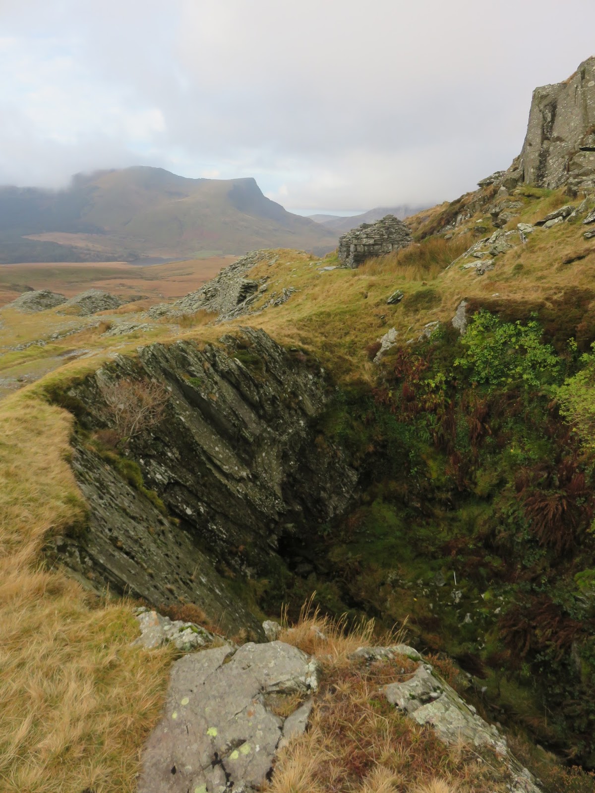
 |
| One of the old quarry’s |
 |
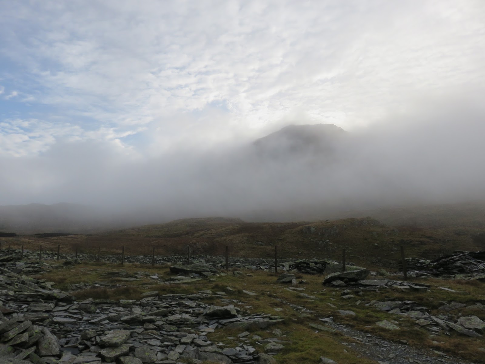
| Approaching Bwlch Cwm Llan |
 |
| Clouds blow through the pass |
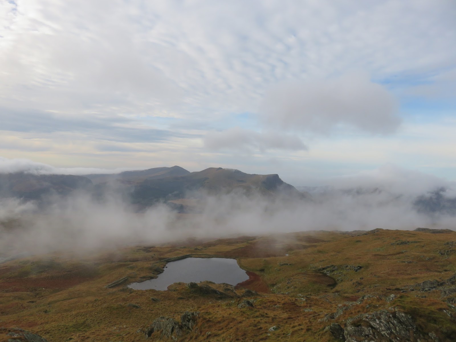
 |
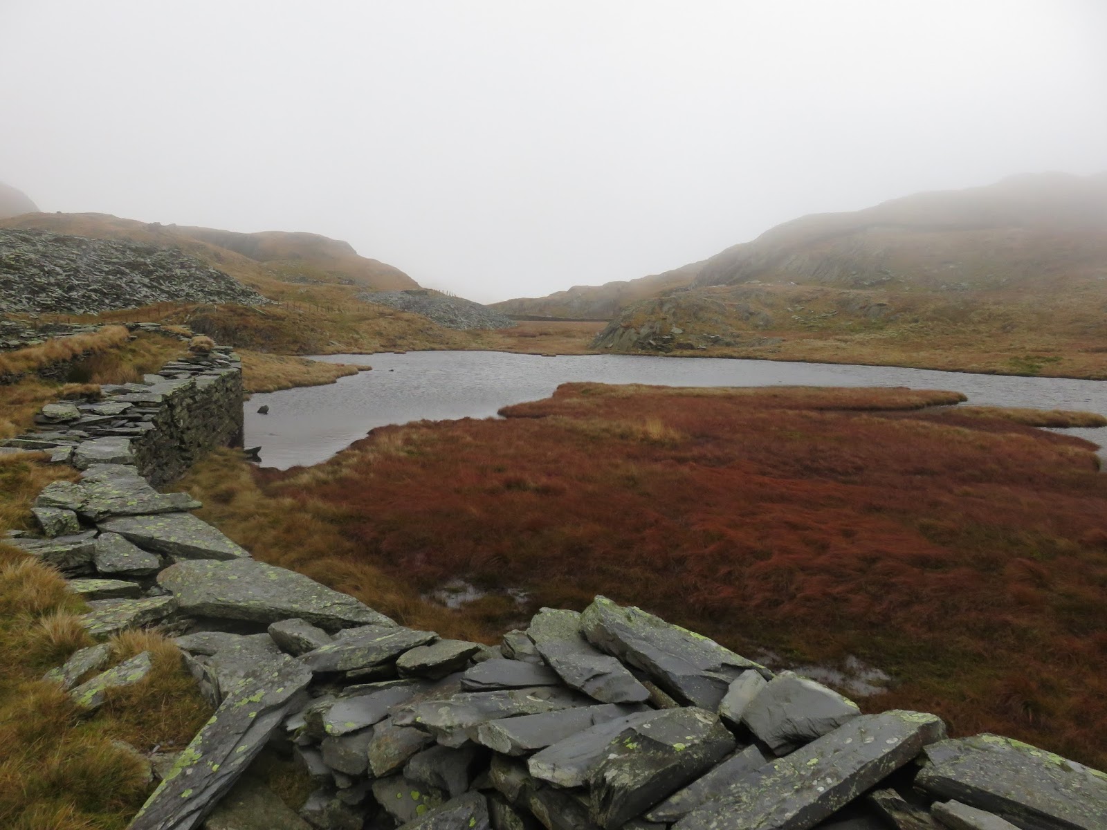
| A small lake stands at the top of the pass |
 |
| Bwlch Cwm Llan |
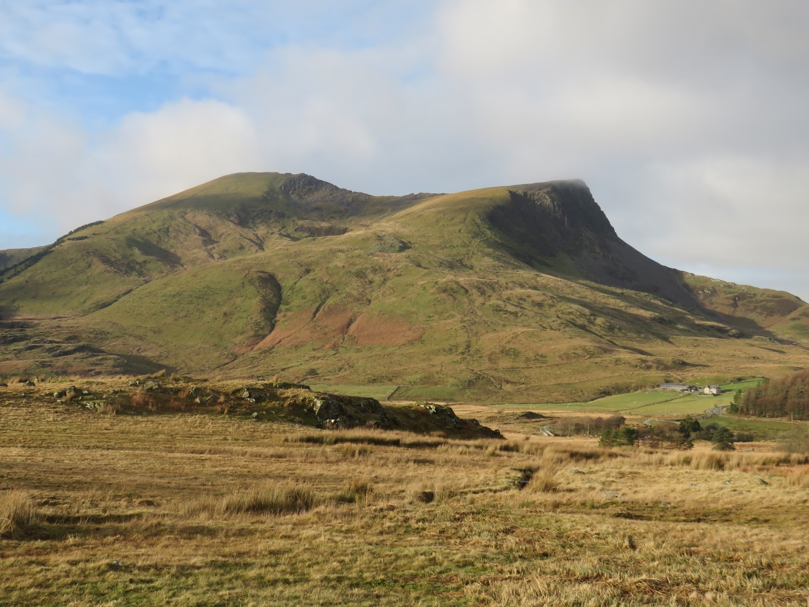
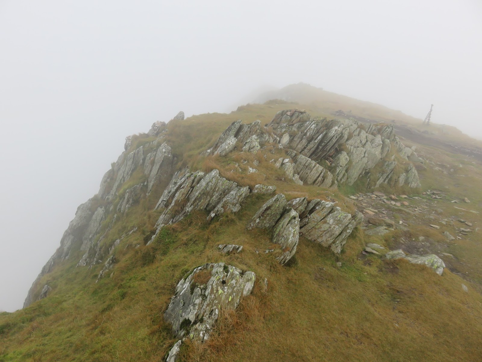
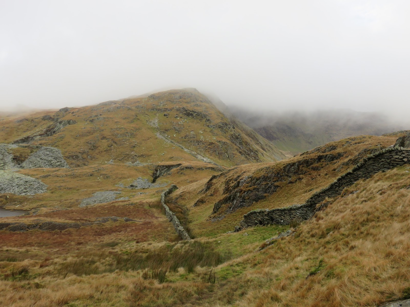
As it was early, I decided to make the climb up Yr Aran, which stands alone to the south of Snowdon. Clouds were swirling around the summit and it’s a pretty steep climb in places. The path follows a drystone wall to Yr Aran’s east ridge before turning at a right angle to gain the summit. No views today, so, it was quickly back down to the path and Bwlch Cwm Llan. All in all, the diversion to Yr Aran and back took me around an hour.
 |
| The drystone wall leading to Yr Aran’s summit |
 |
| The view to Bwlch Cwm Llan |
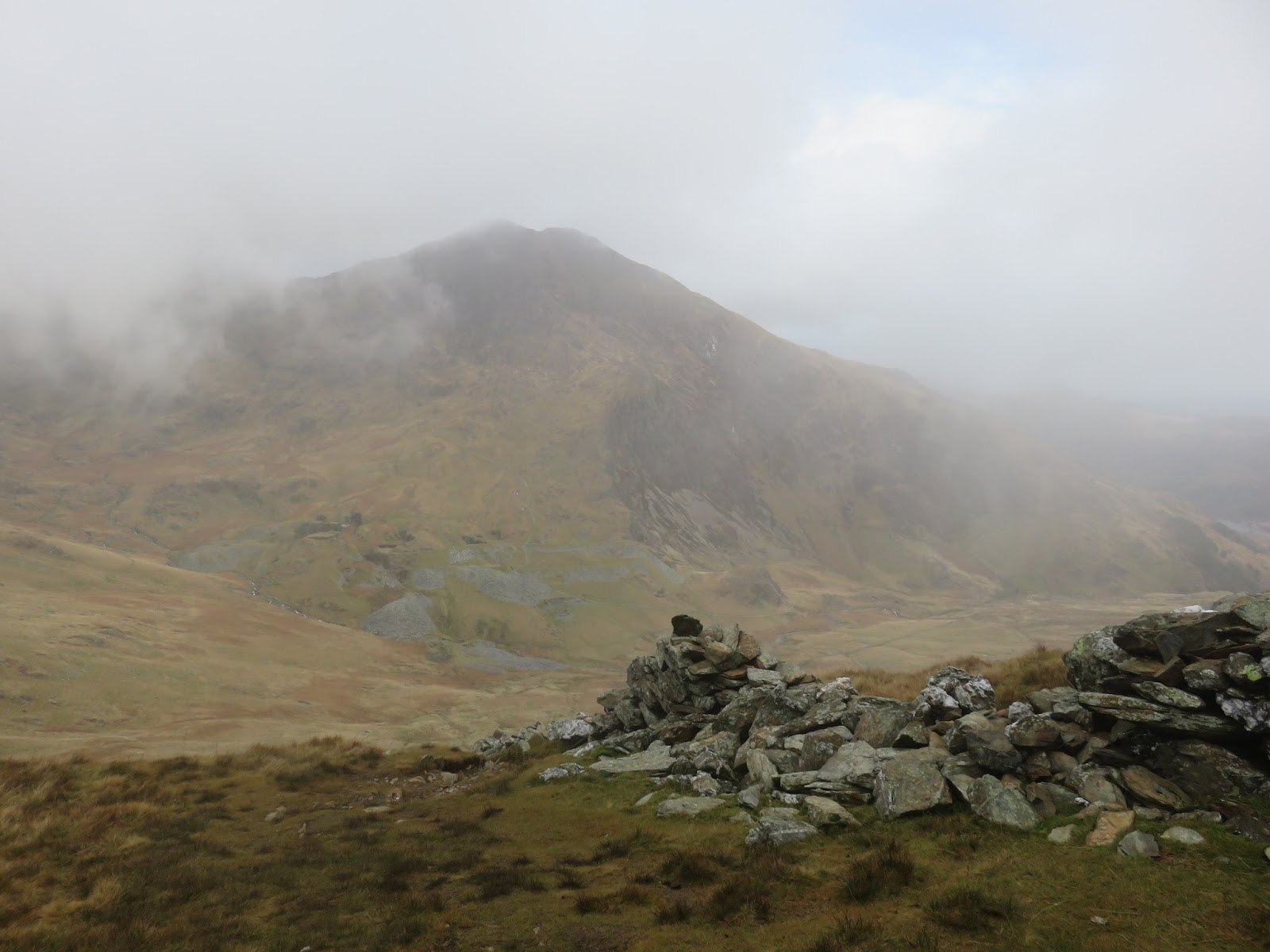
The cloud base was lifting slowly as I started up the south ridge, following it in a northerly direction to the small summit of Allt Maenderyn. It was still reasonably early in the day so I decided to pause prior to the steep climb up the south ridge, high above Clogwyn Du, hoping that the clouds might clear the summit.
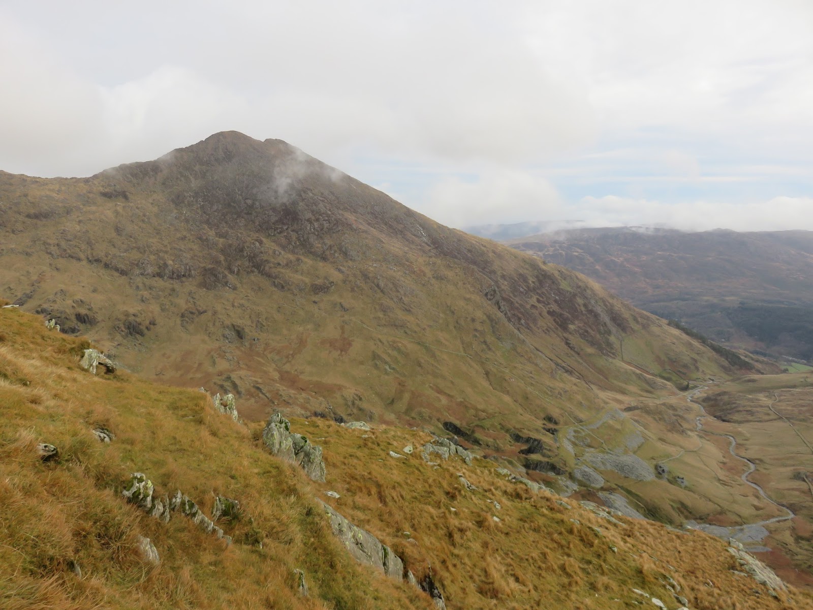
 |
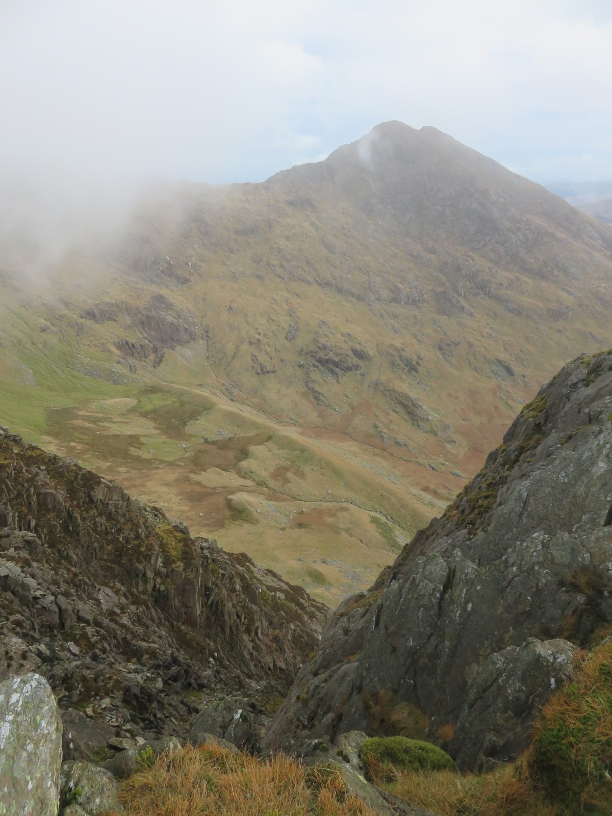
| Bwlch Cwm Llan and the south ridge |
 |
| Starting up the south ridge |
 |
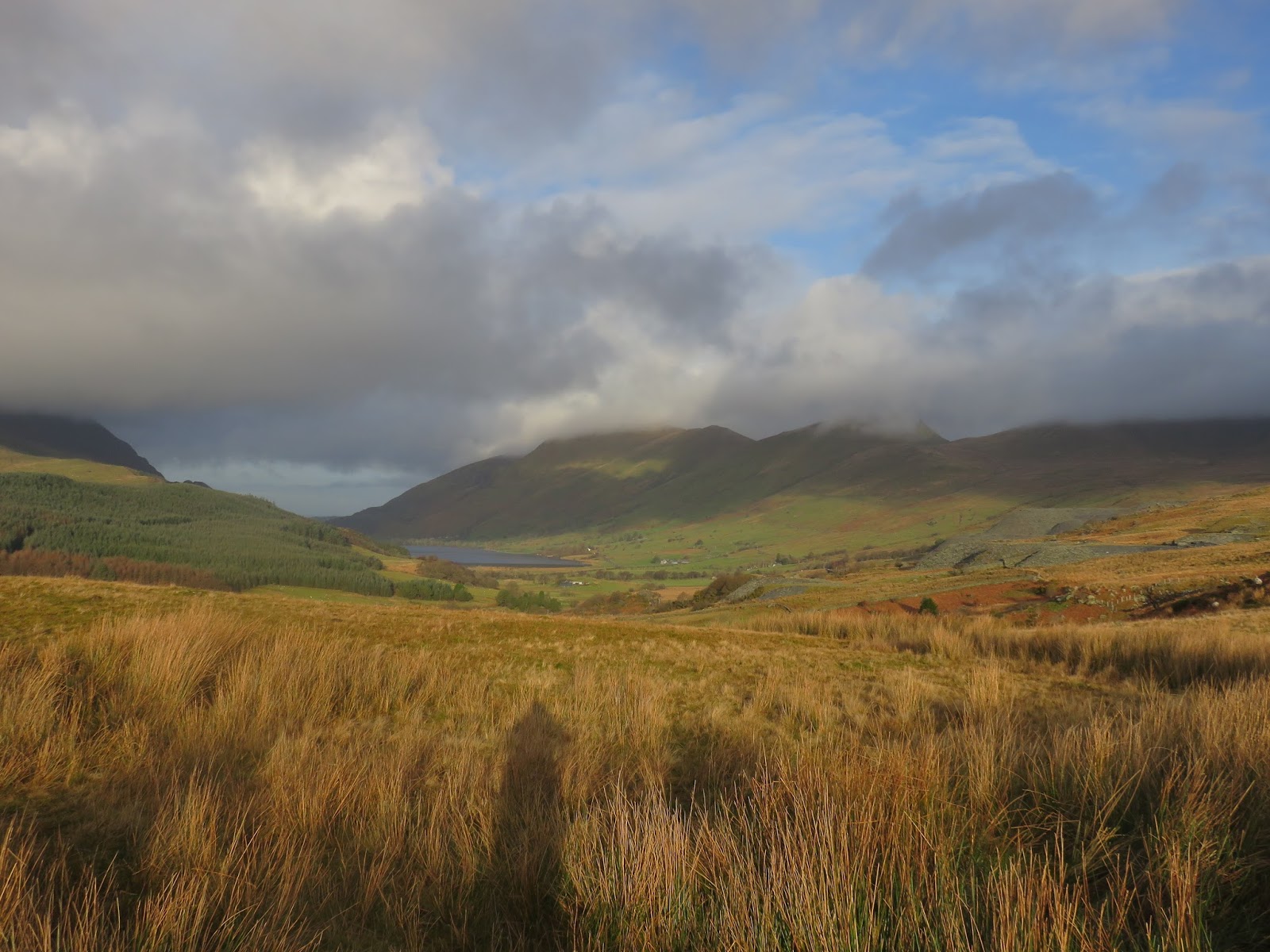
| Clouds in Nant Colwyn |
 |
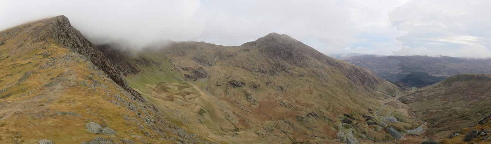
| Panorama of the south ridge, Cwm Tregalan, Y Lliwedd and Cwm Llan |
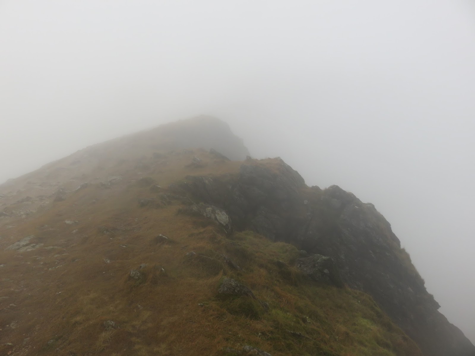
Sadly, this did not pay off and, shortly after setting off, I entered the greyness while making the steep climb. The south ridge gains around 200m in height in half a kilometre, reaching another small top at Bwlch Main where things get really interesting.
 |
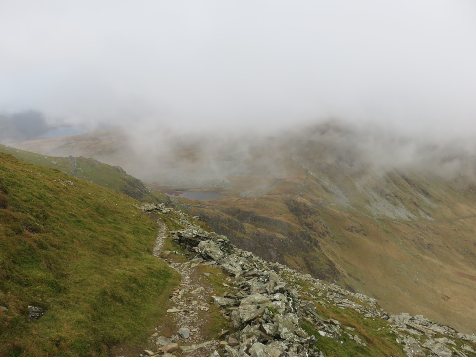
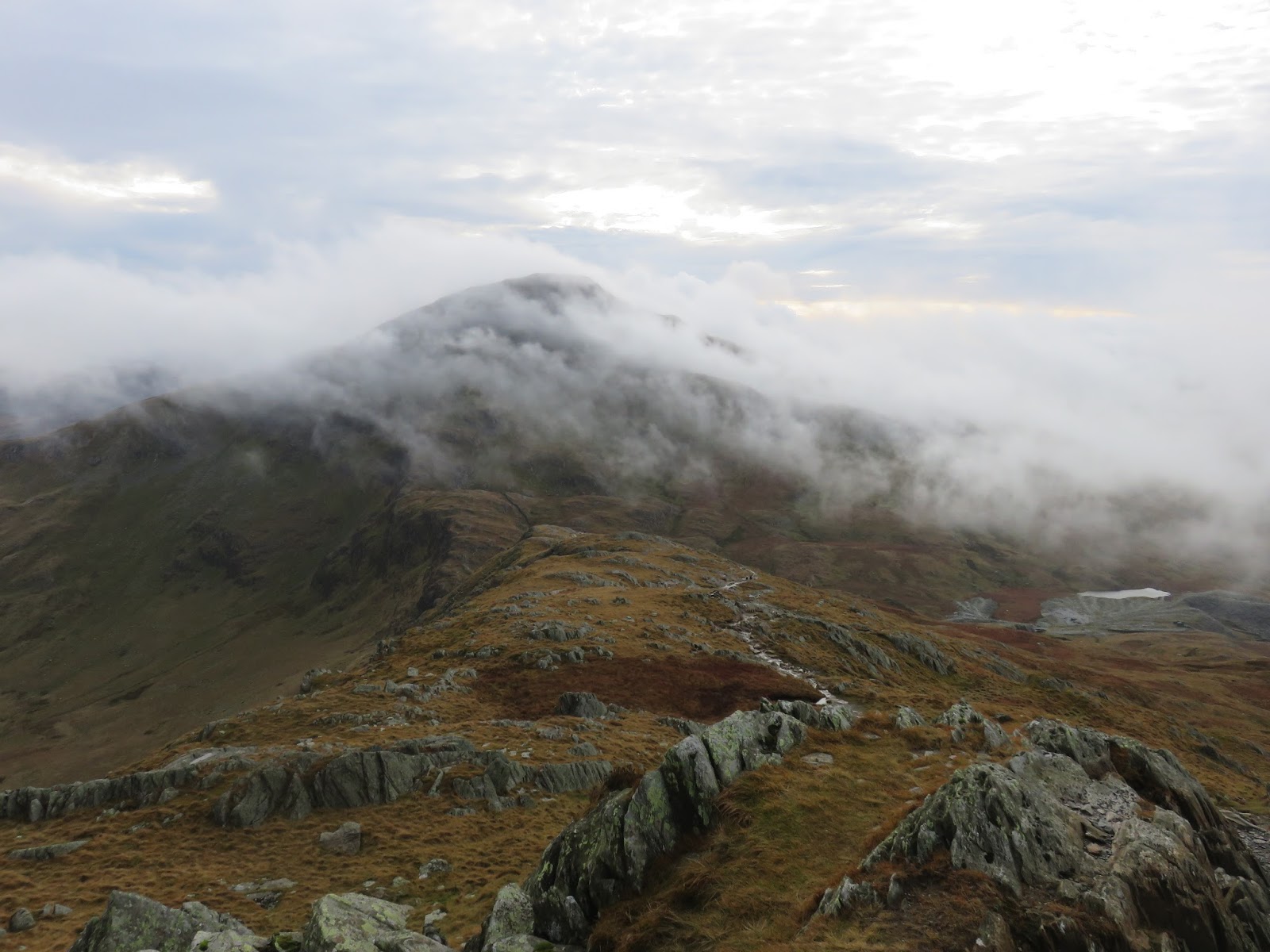
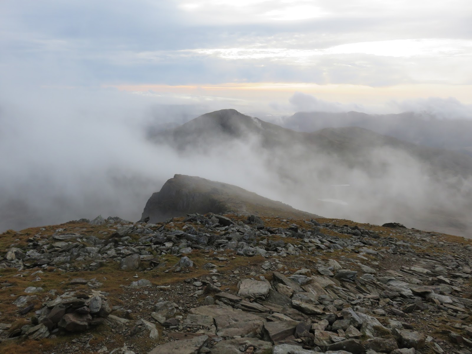
| Looking back along the south ridge to Yr Aran |
 |
| The view down Clogwyn Du into Cwm Tregalan |
 |
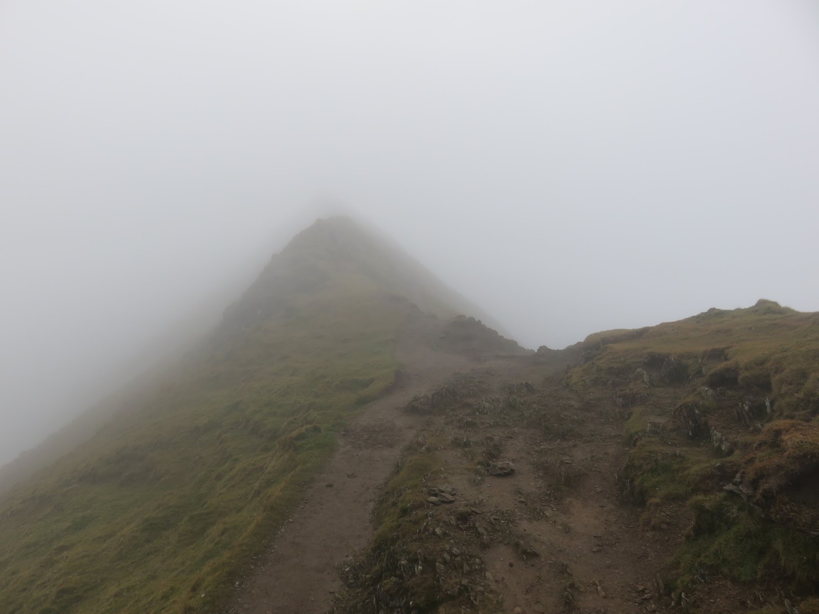
| A view back along the south ridge |
 |
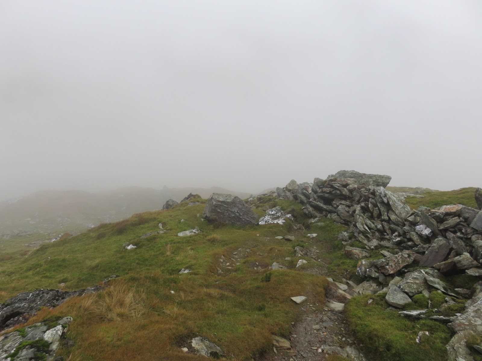
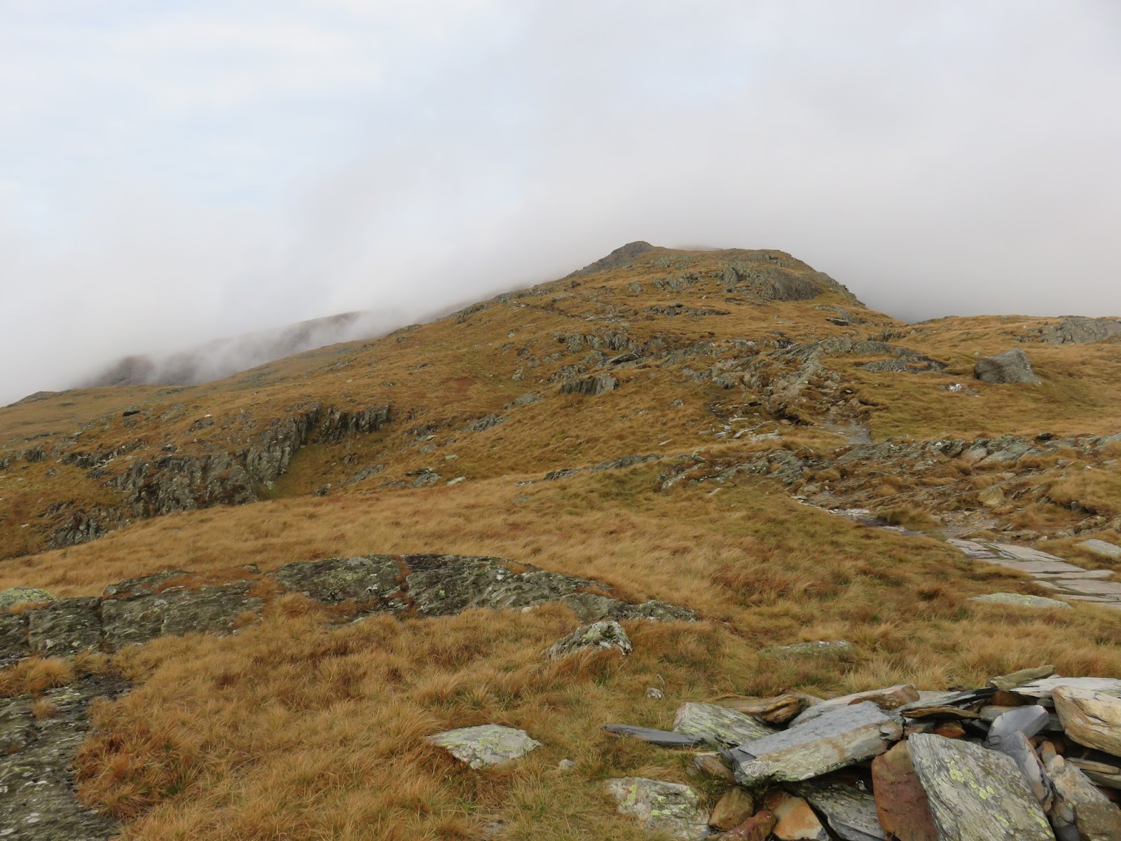
| Approaching Bwlch Main |
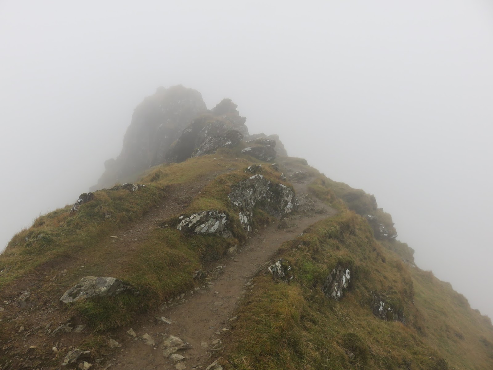
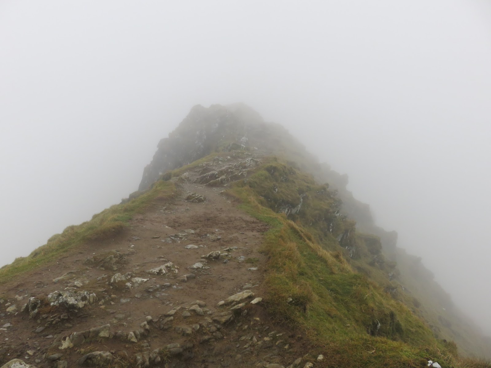
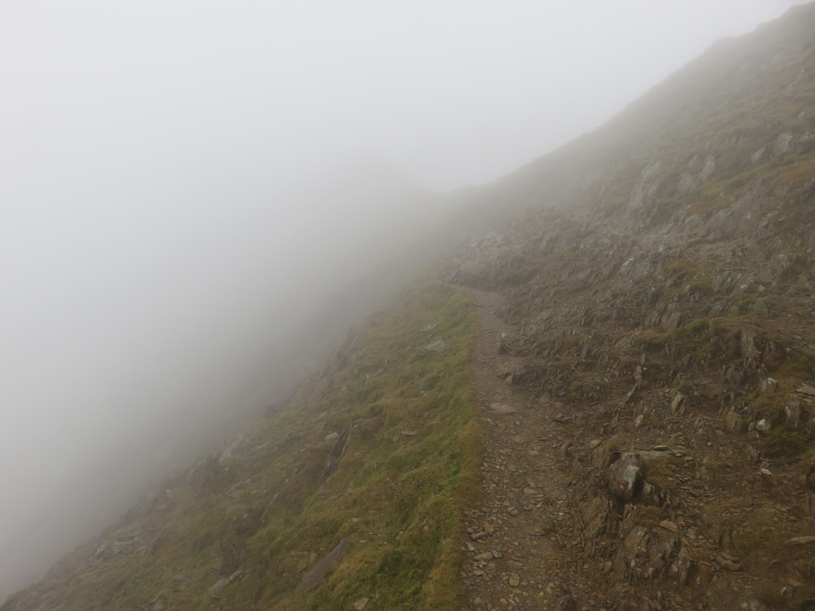
Bwlch Main (meaning narrow pass) is a fine arête that links the south ridge to the summit. By no means as narrow as Crib Goch, it is still a fine way to gain the top, even if the clouds are down. The traverse of Bwlch Main does not last long before the final 100m climb to the summit.
 |
| The narrow ridge of Bwlch Main |
 |
| Bwlch Main |
As I’m sure you’re aware, Snowdon is a pretty unique mountain thanks to the accessibility provided by the Snowdon Mountain Railway (SMR), the only public rack and pinion railway in the UK. You can often find yourself rubbing shoulders with toddlers and the elderly alike, demographics you wouldn’t usually associate with a country’s highest mountain. Today was different, however, the SMR closes over the winter, leaving the mountain accessible only those travelling by foot.
 |
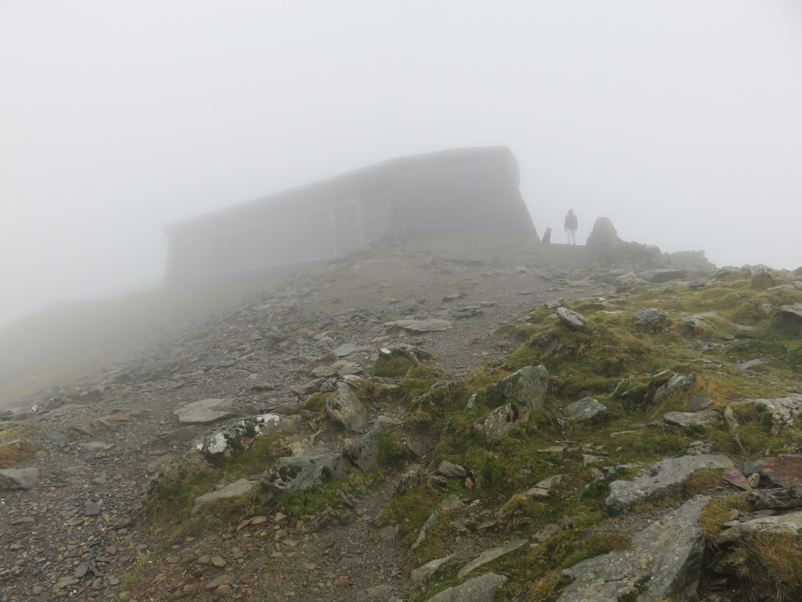
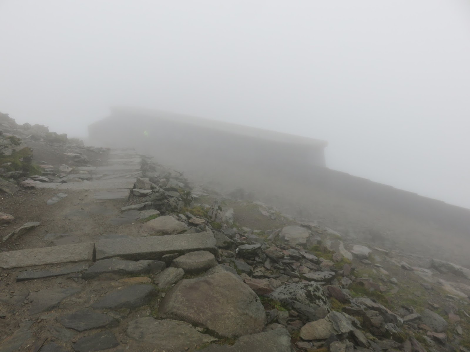
| Hafod Eryri looms out of the cloud |
 |
| Hafod Eryri |
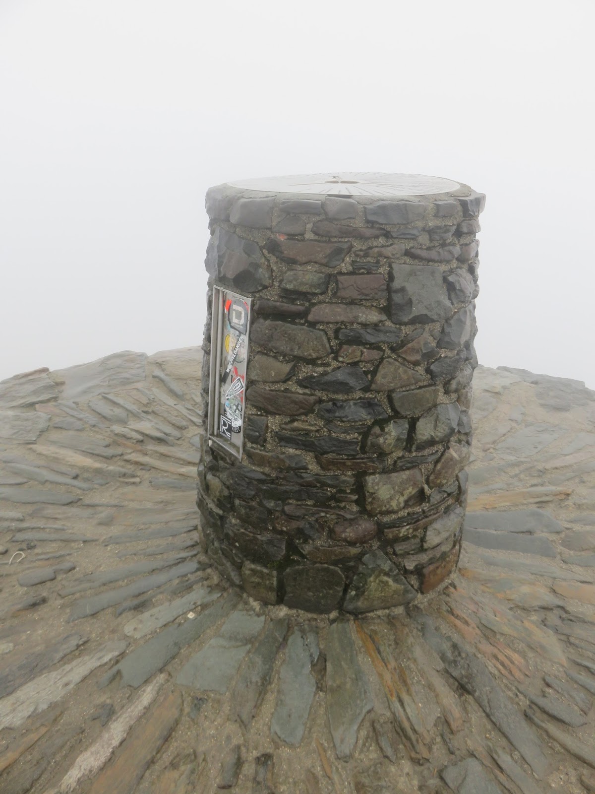
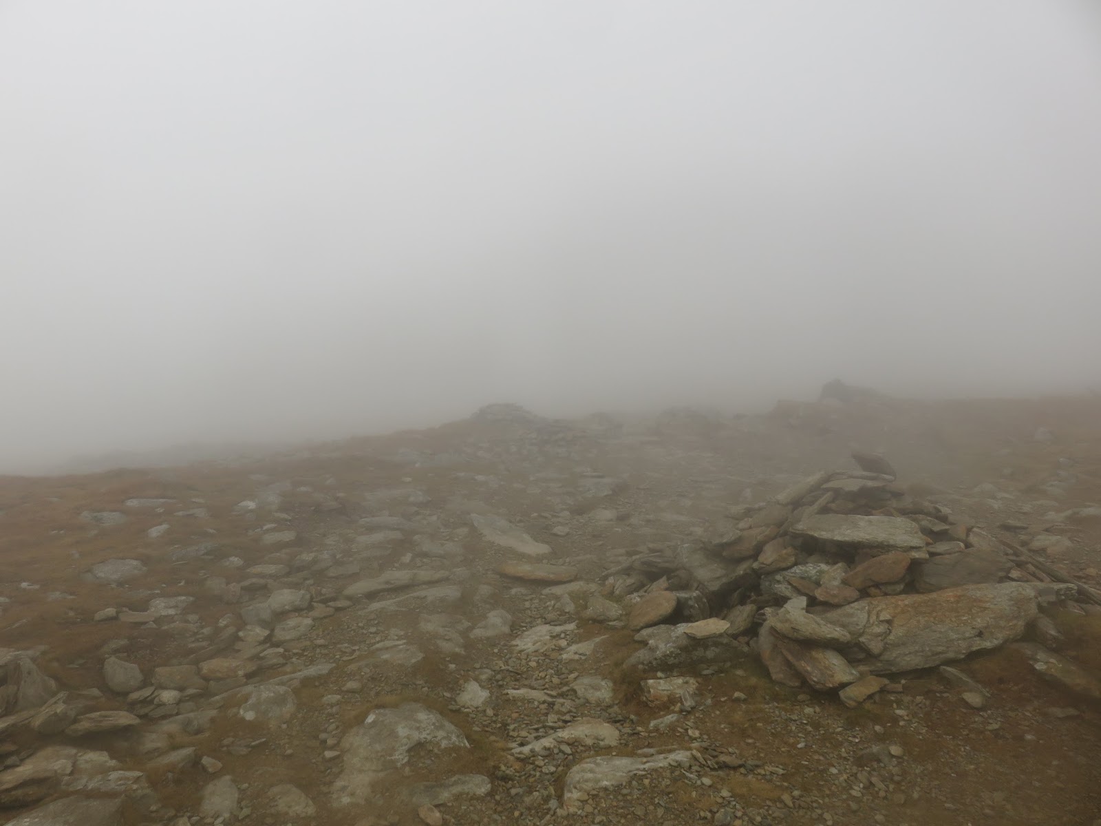
There were a smattering of people dotted around the summit, most taking shelter in the wake of Hafod Eryri, the new café / visitor centre that stands on the summit. That meant I managed to get the very summit all to myself again. That’s a 100% success rate so far.
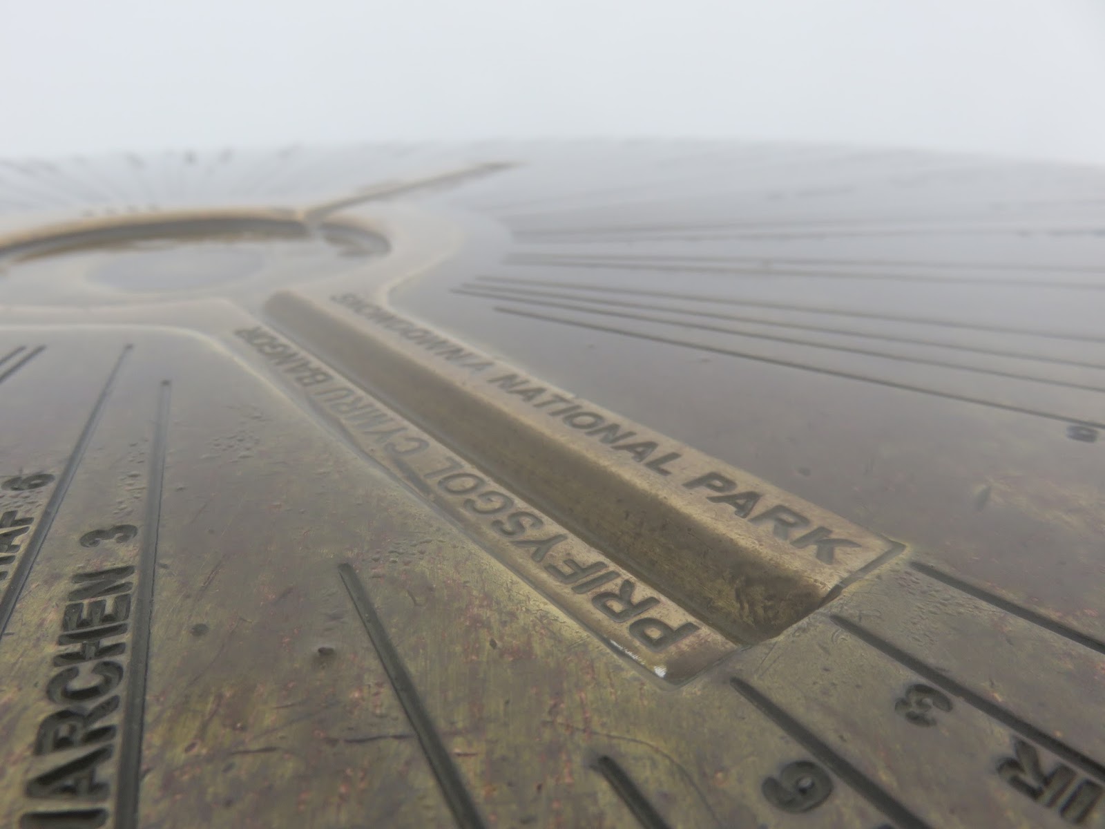
 |
| Close up of the toposcope on the top |
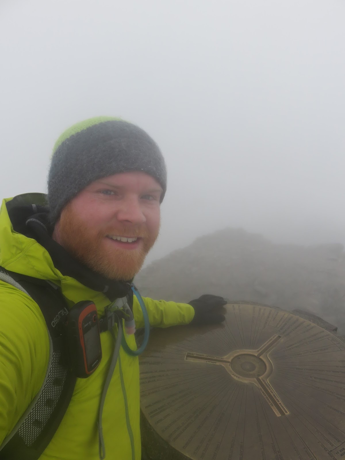
 |
| It was fairly bleak on the top |
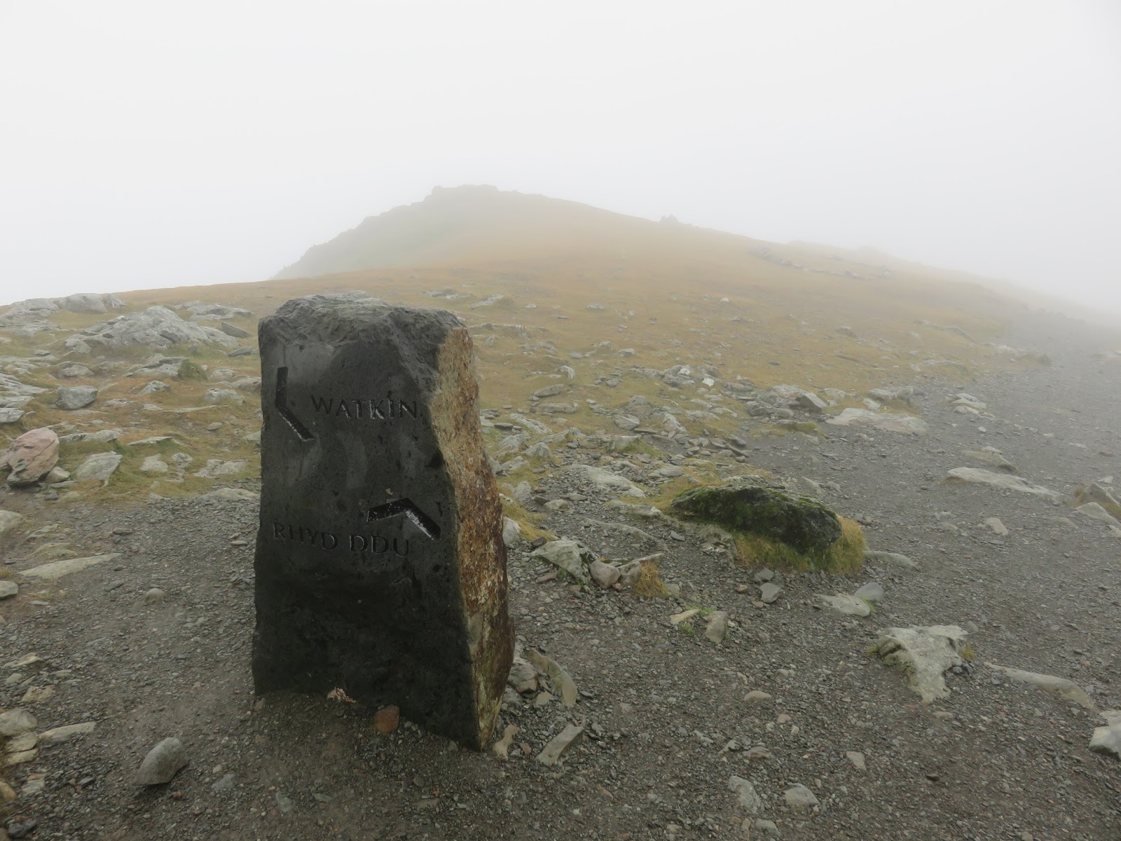
I toyed with the idea of returning along the Snowdon Ranger Path bit decided to return via the Rhyd-Ddu path thanks to a niggling ankle injury picked up the day before. I also secretly hoped that the clouds may still lift a little to reveal Bwlch Main. Sadly, this did not happen.
 |
| The divergence of the Rhyd-Ddu and Watkin paths |
 |
| The Rhyd-Ddu path |
I picked my way back along the ridge, this time taking the fork onto the Rhyd-Ddu path which heads west along the top of the cliffs of Llechog above Cwm Clogwyn, not that I could see anything of note.
 |
| The top of the Llechog cliffs |
 |
| A landscape lacking any interest |
 |
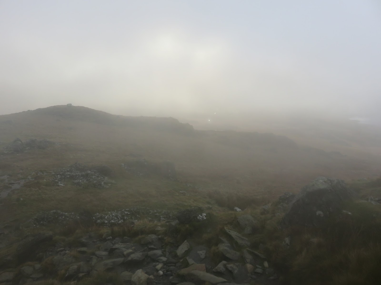
| Emerging from the clouds |
 |
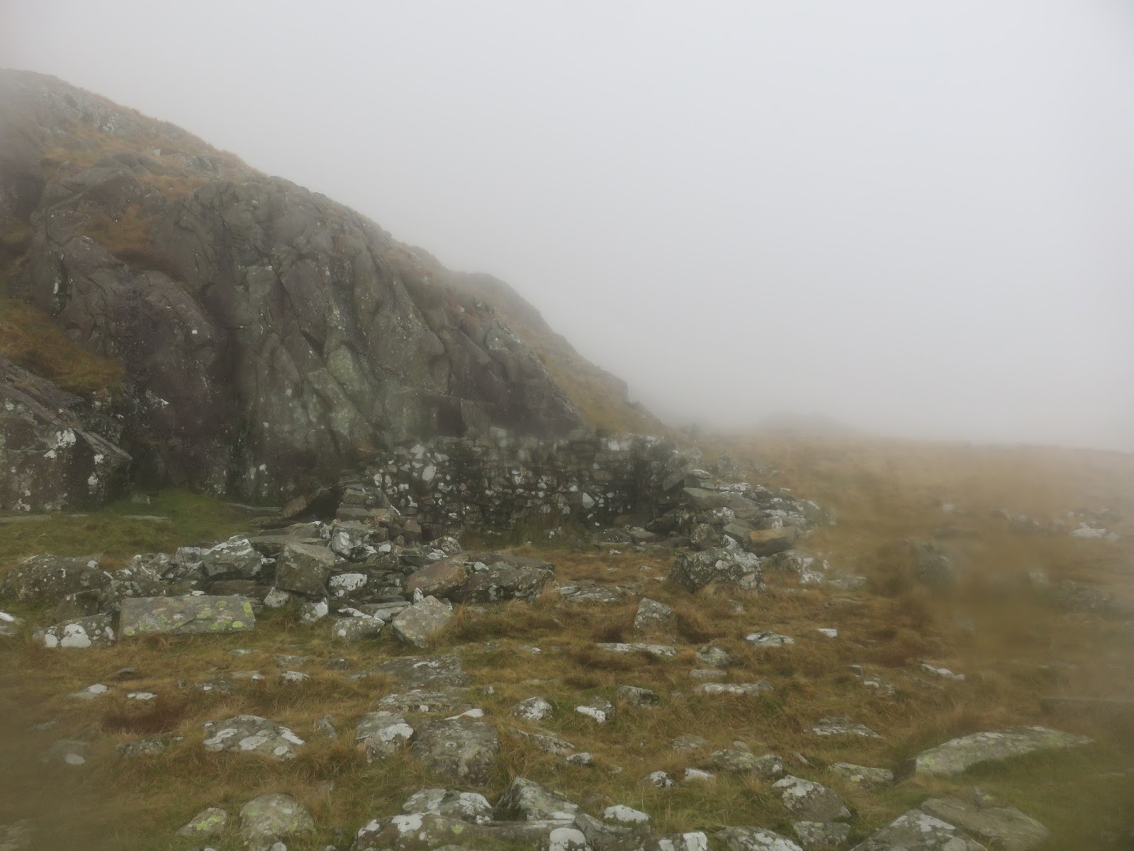
| The ruin at Rhos Boeth |
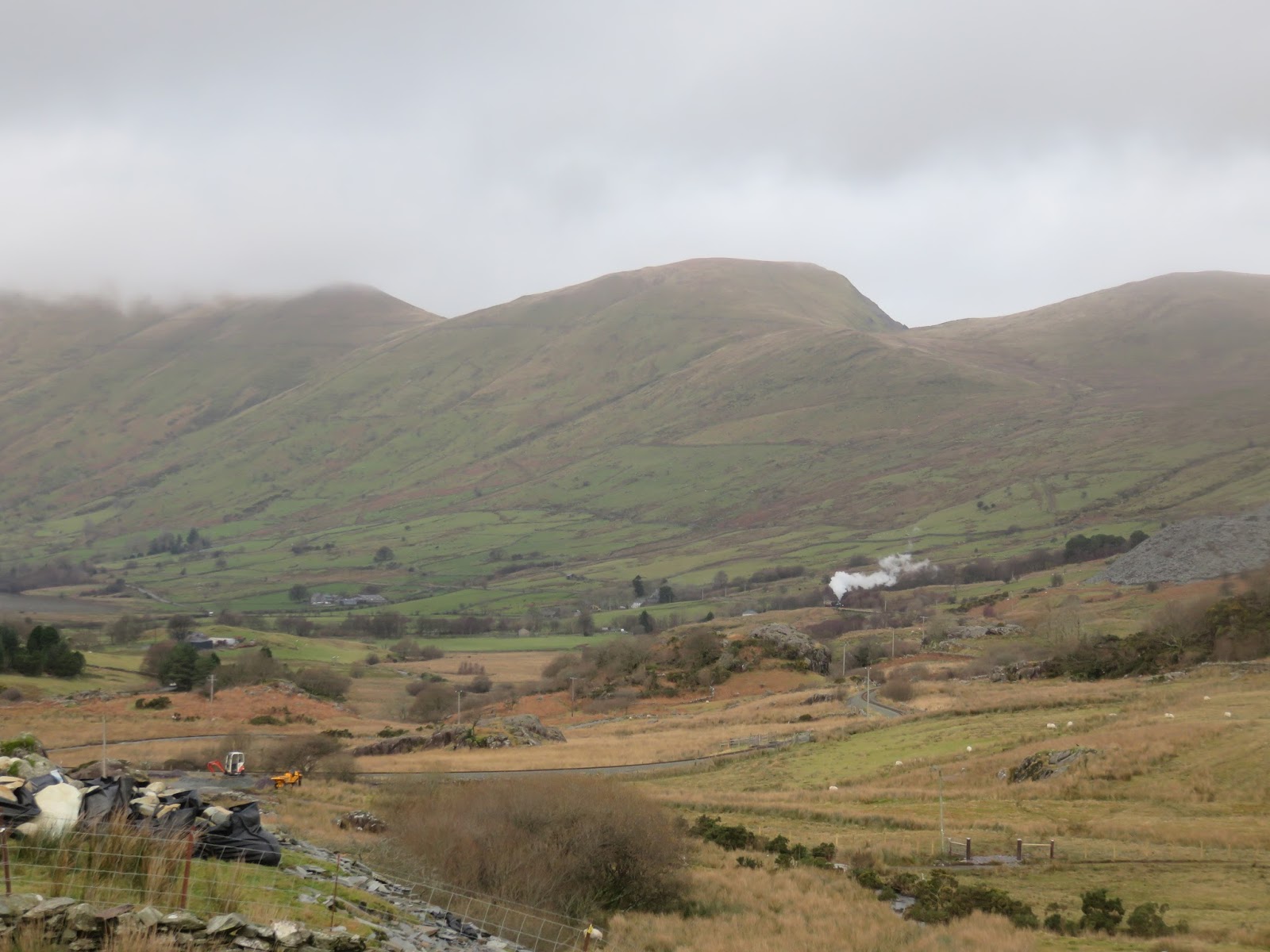
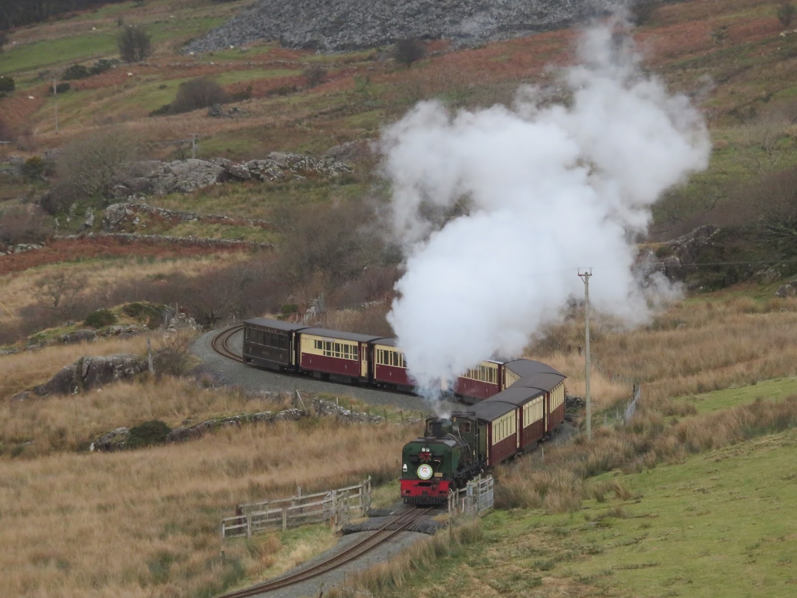
Descending still, the Rhyd-Ddu path crosses some largely monotonous terrain, especially in the cloud, however, it is easy to follow and falls at a pleasant gradient. I eventually found the bottom of the clouds, located around the small ruins at Rhos Boeth, a short distance from the crossroad of Pen ar Lôn. The return to the car was along the path I had climbed earlier in the day, leaving time to spy the Welsh Highland Railway as the train stopped at the station to turn around.
 |
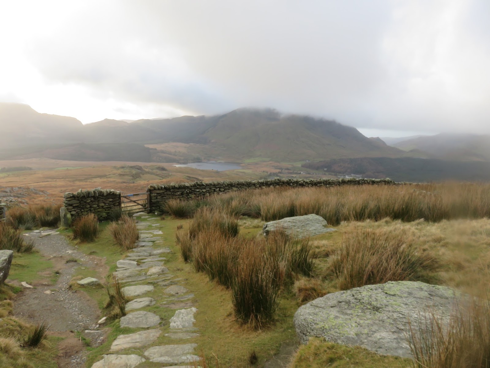
| The paved Rhyd-Ddu path at Rhos Boeth |
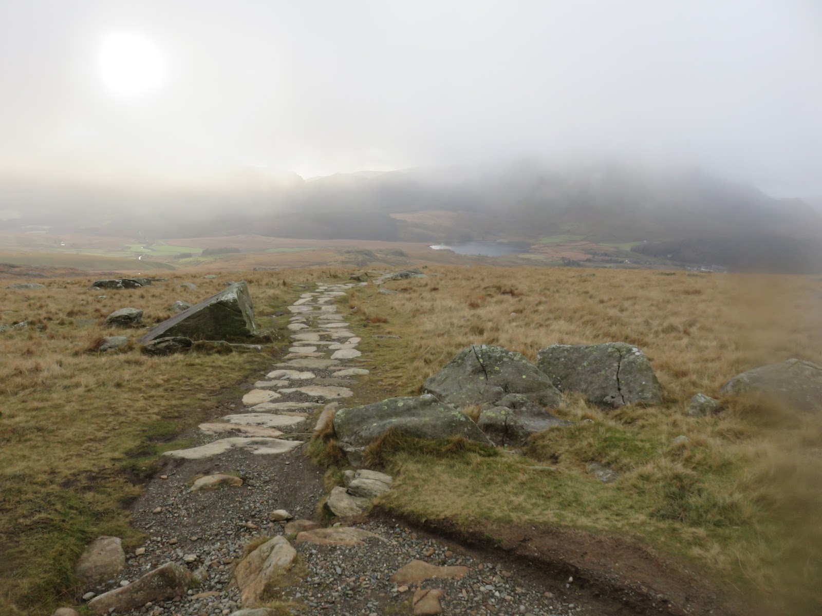
 |
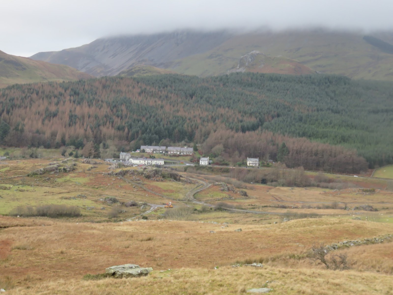
| Descending towards the village |
 |
| Rhyd-Ddu |
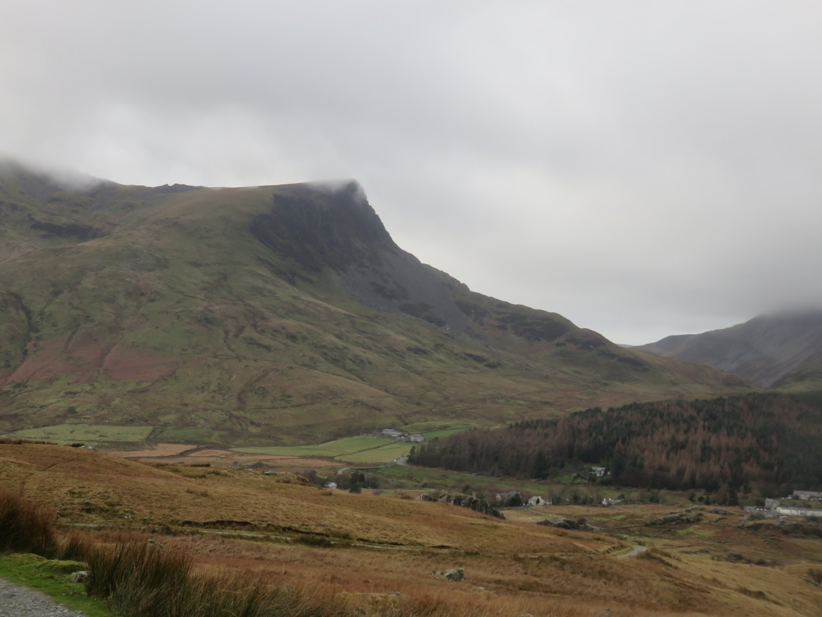
 |
| Foel Goch |
 |
| The Welsh Highland Railway |

