Open Space Web-Map builder Codehttps://openspace.ordnancesurvey.co.uk/osmapapi/openspace.js?key=3119F72552FD5C22E0530C6CA40A5A92https://openspace.ordnancesurvey.co.uk/osmapapi/script/mapbuilder/basicmap.jshttps://openspace.ordnancesurvey.co.uk/osmapapi/script/mapbuilder/searchbox.js//variables for routes var linesLayer, points, lineFeature, lineString, routeMarkersLayer, routepos, routesize, routeoffset, routeicon; var style_blue = {strokeColor: “#0000CD”, strokeOpacity: 0.5, strokeWidth: 4.5}; function initmapbuilder() { //initiate the map var options = {resolutions: [2500, 1000, 500, 200, 100, 50, 25, 10, 5, 4, 2.5, 2, 1]}; osMap = new OpenSpace.Map(‘map’, options); //configure map options (basicmap.js) setglobaloptions(); //set the center of the map and the zoom level osMap.setCenter(new OpenSpace.MapPoint(346793.34098816,510800.00125885),7); linesLayer = osMap.getVectorLayer(); // Set up layer for route markers routeMarkersLayer = new OpenLayers.Layer.Markers(“Route Markers”); //make a route points = new Array(); points.push(new OpenLayers.Geometry.Point(346890.0076294,510701.66793823)); points.push(new OpenLayers.Geometry.Point(346710.0076294,510806.66793823)); points.push(new OpenLayers.Geometry.Point(346725.0076294,510886.66793823)); points.push(new OpenLayers.Geometry.Point(347045.0076294,511186.66793823)); points.push(new OpenLayers.Geometry.Point(347255.0076294,511356.66793823)); points.push(new OpenLayers.Geometry.Point(347285.0076294,511456.66793823)); points.push(new OpenLayers.Geometry.Point(346935.0076294,511306.66793823)); points.push(new OpenLayers.Geometry.Point(346565.0076294,511266.66793823)); points.push(new OpenLayers.Geometry.Point(346015.0076294,511246.66793823)); points.push(new OpenLayers.Geometry.Point(345605.0076294,511256.66793823)); points.push(new OpenLayers.Geometry.Point(345190.0076294,511266.66793823)); points.push(new OpenLayers.Geometry.Point(344655.0076294,511316.66793823)); points.push(new OpenLayers.Geometry.Point(344235.0076294,511321.66793823)); points.push(new OpenLayers.Geometry.Point(344135.0076294,511186.66793823)); points.push(new OpenLayers.Geometry.Point(344100.0076294,511046.66793823)); points.push(new OpenLayers.Geometry.Point(344060.0076294,510761.66793823)); points.push(new OpenLayers.Geometry.Point(344150.0076294,510541.66793823)); points.push(new OpenLayers.Geometry.Point(344435.0076294,510346.66793823)); points.push(new OpenLayers.Geometry.Point(344650.0076294,510246.66793823)); points.push(new OpenLayers.Geometry.Point(344780.0076294,510116.66793823)); points.push(new OpenLayers.Geometry.Point(344950.0076294,509661.66793823)); points.push(new OpenLayers.Geometry.Point(345085.0076294,509571.66793823)); points.push(new OpenLayers.Geometry.Point(345275.0076294,509581.66793823)); points.push(new OpenLayers.Geometry.Point(345430.0076294,509561.66793823)); points.push(new OpenLayers.Geometry.Point(345585.0076294,509491.66793823)); points.push(new OpenLayers.Geometry.Point(345665.0076294,509326.66793823)); points.push(new OpenLayers.Geometry.Point(345815.0076294,509326.66793823)); points.push(new OpenLayers.Geometry.Point(345970.0076294,509336.66793823)); points.push(new OpenLayers.Geometry.Point(346365.0076294,509676.66793823)); points.push(new OpenLayers.Geometry.Point(346465.0076294,509706.66793823)); points.push(new OpenLayers.Geometry.Point(346870.0076294,509416.66793823)); points.push(new OpenLayers.Geometry.Point(347005.0076294,509266.66793823)); points.push(new OpenLayers.Geometry.Point(347110.0076294,509061.66793823)); points.push(new OpenLayers.Geometry.Point(347240.0076294,509106.66793823)); points.push(new OpenLayers.Geometry.Point(347450.0076294,509346.66793823)); points.push(new OpenLayers.Geometry.Point(347670.0076294,509701.66793823)); points.push(new OpenLayers.Geometry.Point(347790.0076294,510016.66793823)); points.push(new OpenLayers.Geometry.Point(348075.0076294,510226.66793823)); points.push(new OpenLayers.Geometry.Point(348375.0076294,510276.66793823)); points.push(new OpenLayers.Geometry.Point(348755.0076294,510326.66793823)); points.push(new OpenLayers.Geometry.Point(348950.0076294,510511.66793823)); points.push(new OpenLayers.Geometry.Point(348990.0076294,510856.66793823)); points.push(new OpenLayers.Geometry.Point(349050.0076294,511171.66793823)); points.push(new OpenLayers.Geometry.Point(349205.0076294,511381.66793823)); points.push(new OpenLayers.Geometry.Point(349395.0076294,511791.66793823)); points.push(new OpenLayers.Geometry.Point(349515.0076294,512041.66793823)); points.push(new OpenLayers.Geometry.Point(349605.0076294,512146.66793823)); points.push(new OpenLayers.Geometry.Point(349470.0076294,512281.66793823)); points.push(new OpenLayers.Geometry.Point(349055.0076294,512286.66793823)); points.push(new OpenLayers.Geometry.Point(348635.0076294,512131.66793823)); points.push(new OpenLayers.Geometry.Point(348535.0076294,511911.66793823)); points.push(new OpenLayers.Geometry.Point(348230.0076294,511961.66793823)); points.push(new OpenLayers.Geometry.Point(348255.0076294,511921.66793823)); points.push(new OpenLayers.Geometry.Point(348190.0076294,511926.66793823)); points.push(new OpenLayers.Geometry.Point(348105.0076294,511826.66793823)); points.push(new OpenLayers.Geometry.Point(348030.0076294,511851.66793823)); points.push(new OpenLayers.Geometry.Point(347955.0076294,511826.66793823)); points.push(new OpenLayers.Geometry.Point(348005.0076294,511771.66793823)); points.push(new OpenLayers.Geometry.Point(347945.0076294,511626.66793823)); points.push(new OpenLayers.Geometry.Point(347735.0076294,511326.66793823)); points.push(new OpenLayers.Geometry.Point(347515.0076294,511161.66793823)); points.push(new OpenLayers.Geometry.Point(347375.0076294,510991.66793823)); points.push(new OpenLayers.Geometry.Point(347290.0076294,510901.66793823)); points.push(new OpenLayers.Geometry.Point(346890.0076294,510701.66793823)); // create a polyline feature from the array of points lineString = new OpenLayers.Geometry.LineString(points); lineFeature = new OpenLayers.Feature.Vector(lineString, null, style_blue); linesLayer.addFeatures([lineFeature]); //crate a route start/end marker routepos = new OpenSpace.MapPoint(346890.0076294,510701.66793823); routesize = new OpenLayers.Size(33,45); routeoffset = new OpenLayers.Pixel(-5,-37); routeicon = new OpenSpace.Icon(‘https://openspace.ordnancesurvey.co.uk/osmapapi/img_versions/img_1.1/mapbuilder/routemarker-startend.png’, routesize, routeoffset, null, null); routeMarkersLayer.addMarker(new OpenLayers.Marker(routepos, routeicon)); osMap.addLayer(routeMarkersLayer);}
Route: Mardale Head, The Rigg, Swine Crag, Rough Crag, Caspel Gate, Long Stile, High Street, Mardale Ill Bell, Nan Bield Pass, Harter Fell, Little Harter Fell, Adam Seat, Gatesgarth Pass, Branstree, High Howes, Selside Pike, Selside End, Old Corpse Road, Brown Howe, High Loup, Mardale Head
Date: 12/11/2016
From: Mardale Head
Parking: Mardale Head
Start Point: Mardale Head
Region: Far Eastern Fells
Route length: 10.4 miles (16.7 km)
Time taken : 05:00
Average speed: 2.1 mph
Ascent: 1,051m
Descent: 1,076m
Wainwrights on this walk:
High Street (828m), Mardale Ill Bell (760m), Harter Fell (778m), Branstree (713m), Selside Pike (655m)
Additional summits: Rough Crag (628m), Little Harter Fell (681m), Adam Seat (666m), High Howes (673m)
This walk is another one from the growing list of ‘walks that I’d like to do‘. In fact, I had thought about doing it a couple of years ago but it never materialised but I’d final get around to doing it today.
My attention has long been drawn the mountainous surrounds of Mardale Head, specifically the ridge of Rough Crag and Long Stile that lead more-or-less directly to the summit of High Street. It’s not an area I know well and seeing some friends complete the route recently only made me want to do it more.
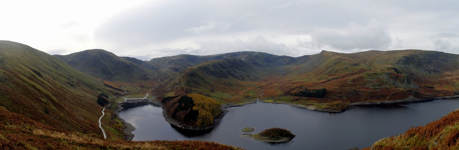
In an attempt to get some better photos of the neighbouring Branstree and Selside Pike (as well as Mardale Head itself), I plotted a route that would climb Rough Crag before circuiting the head of the valley – crossing the passes of Nan Bield and Gatesgarth en-route.
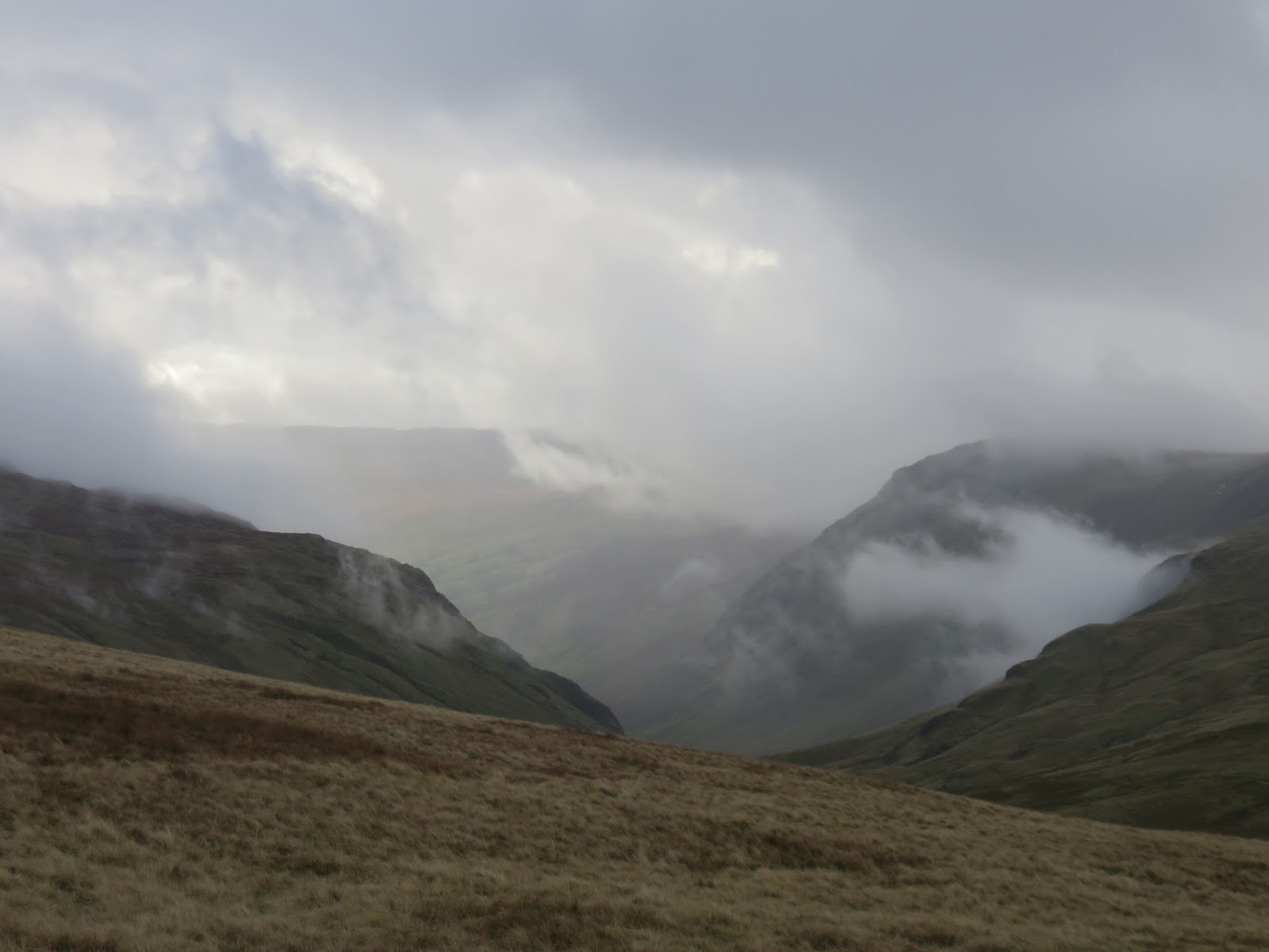
I had put absolute faith in the weather forecasters, hoping that a band of heavy rain would have passed by the time I arrived in the Lake District early on Saturday morning. The drive hadn’t been promising with rain accompanying the entire journey and numerous small floods encroaching on the road through the Yorkshire Dales. Remarkably, and somewhat surprisingly, the cloud and rain disappeared almost instantly as I passed over the Shap summit on the M6; the day was already looking up.
 |
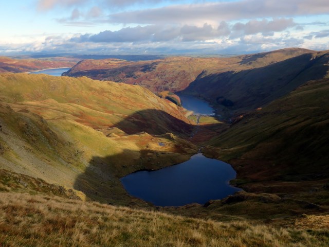
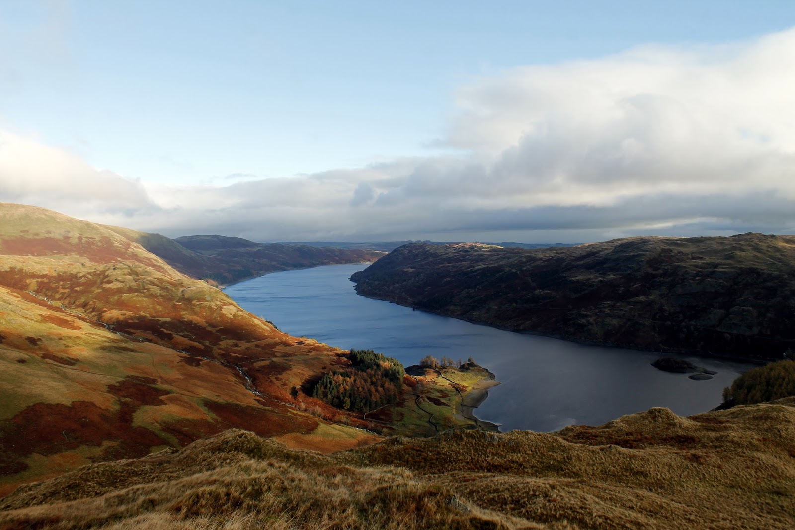
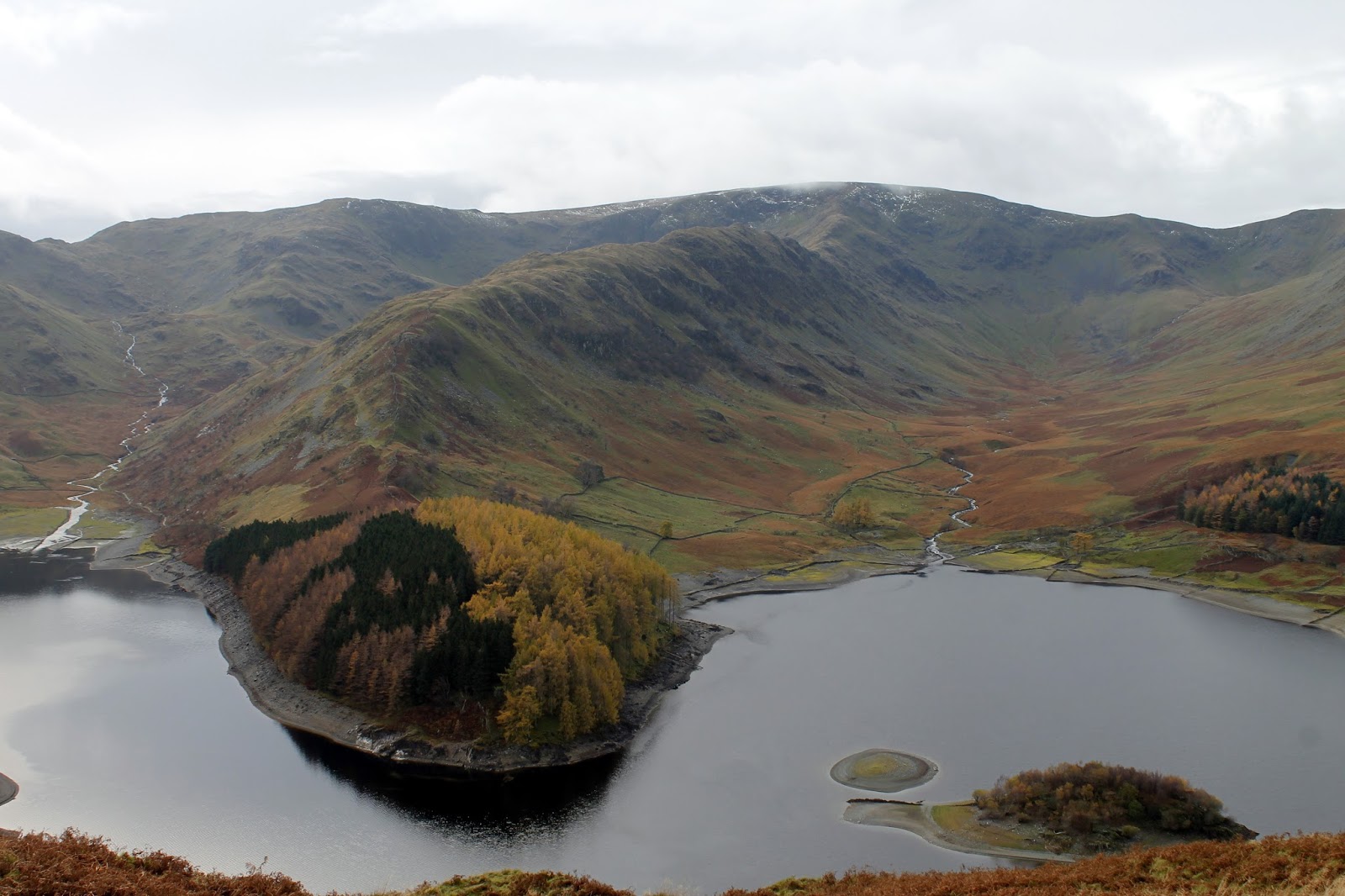
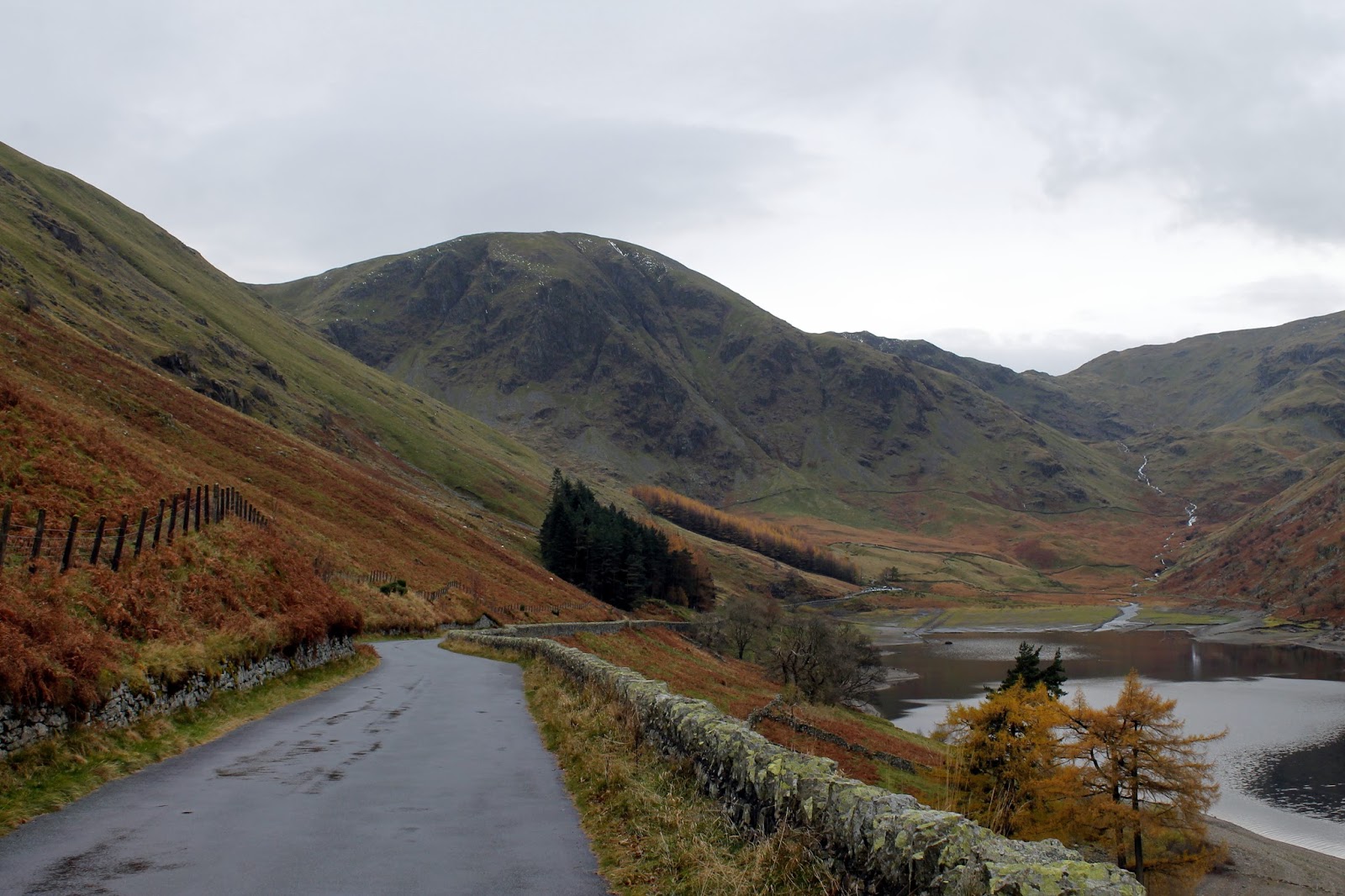
| Arriving to a clearing sky in Mardale |
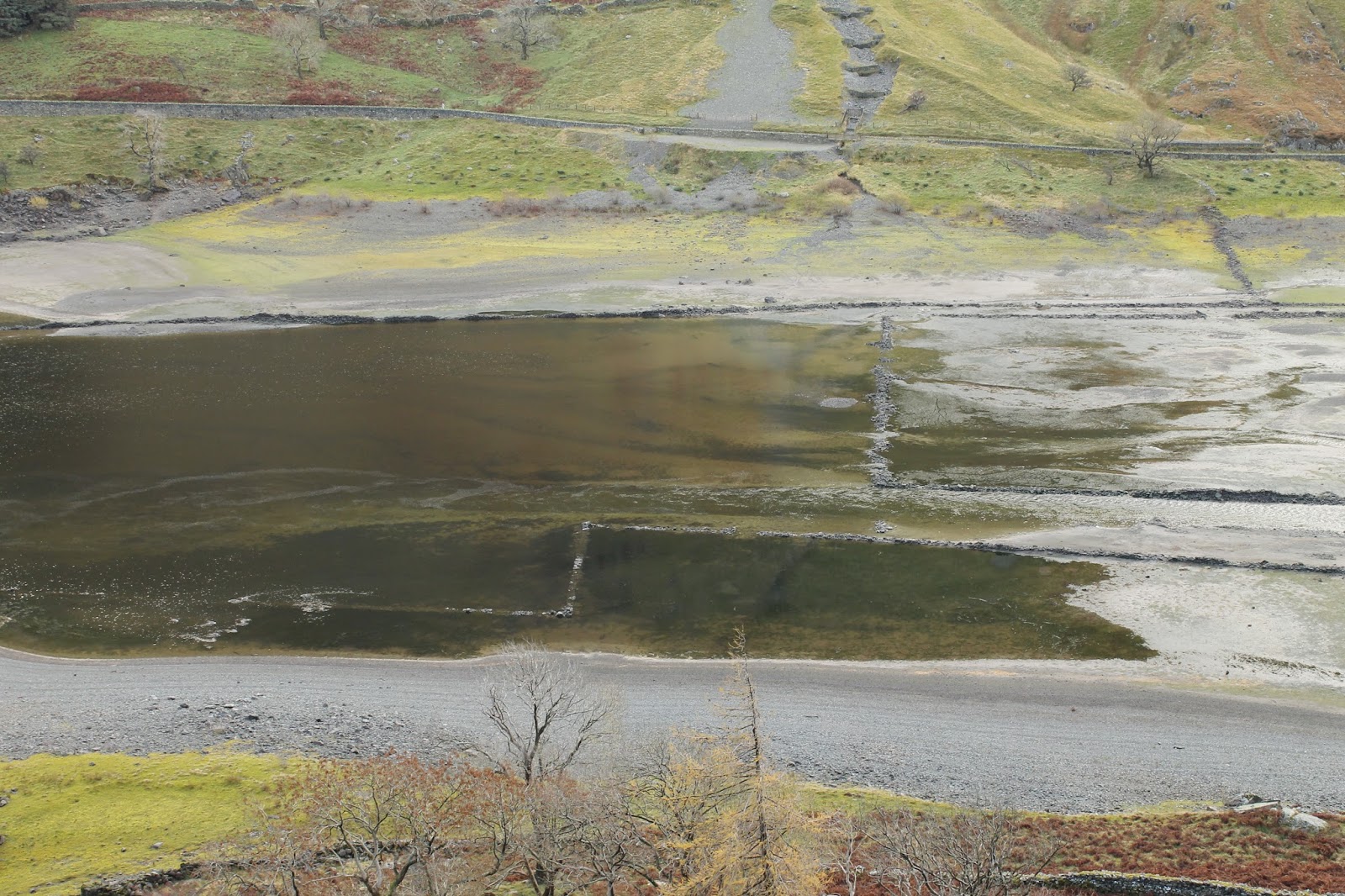
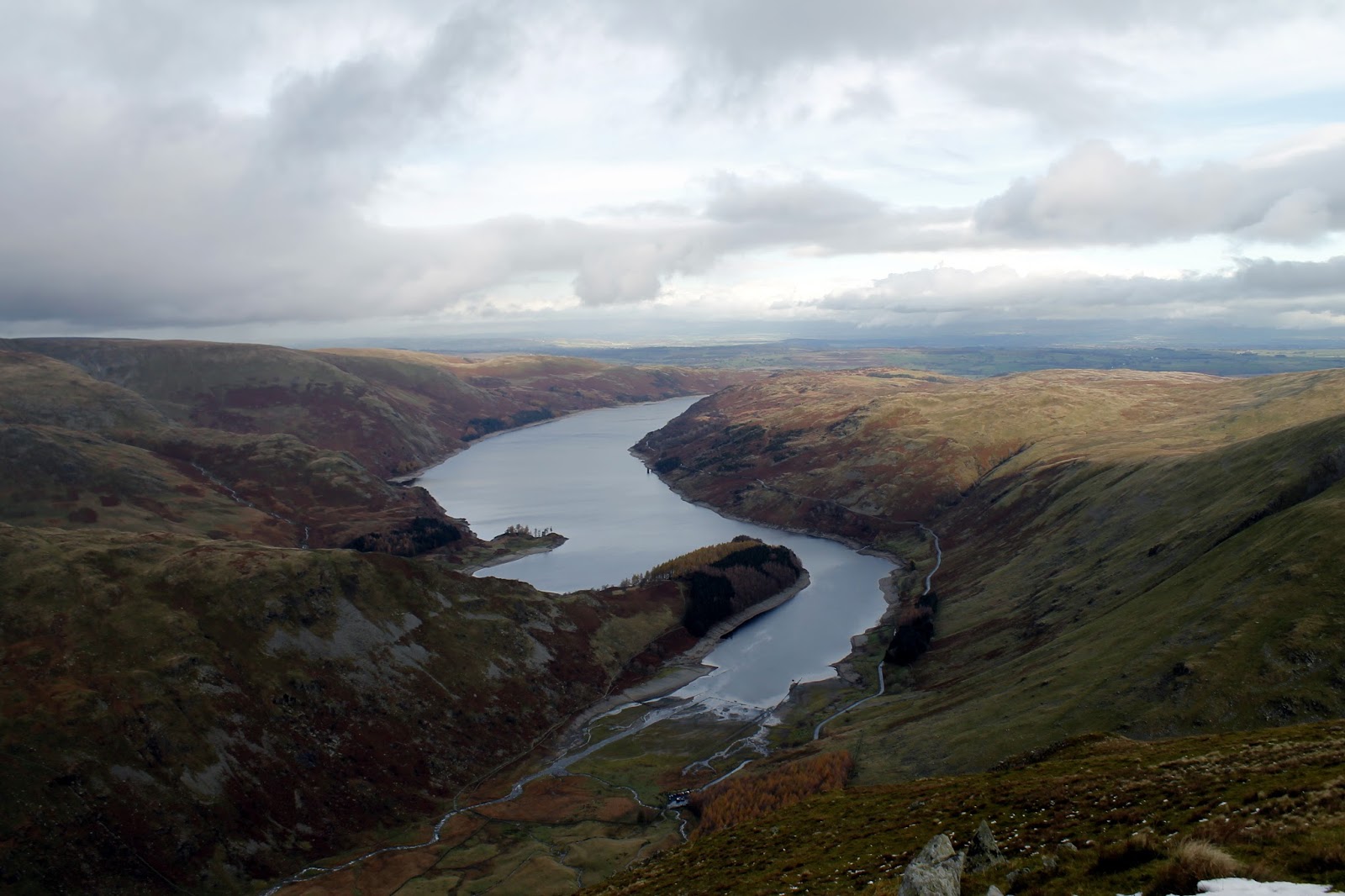
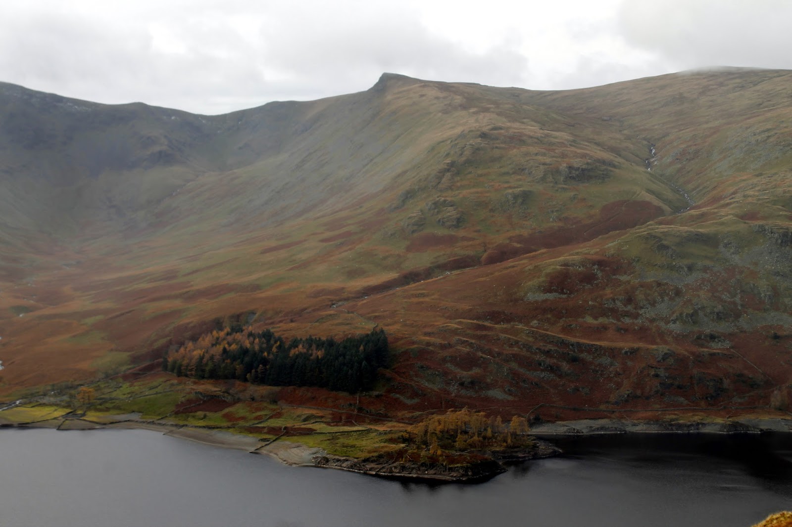
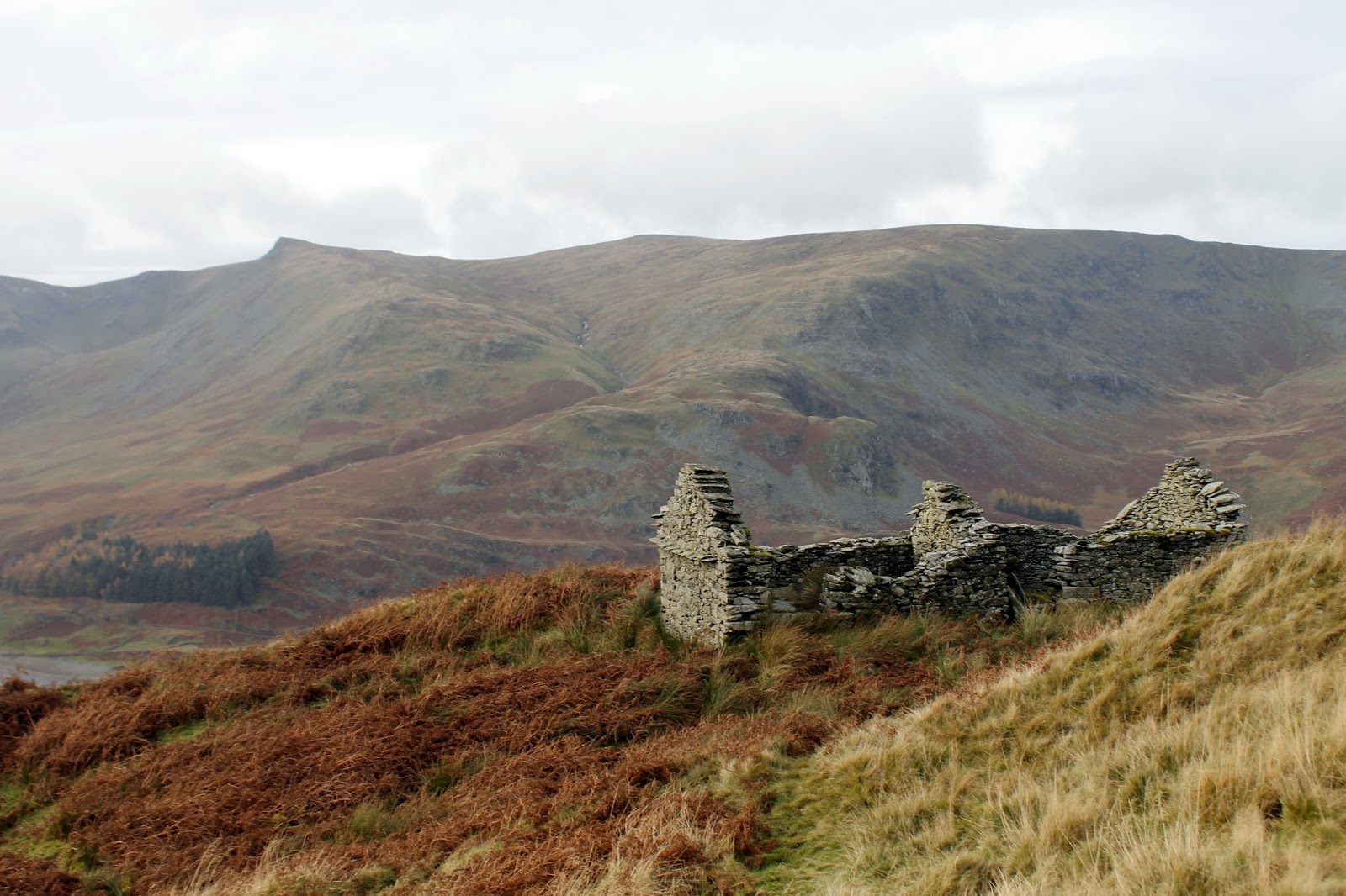
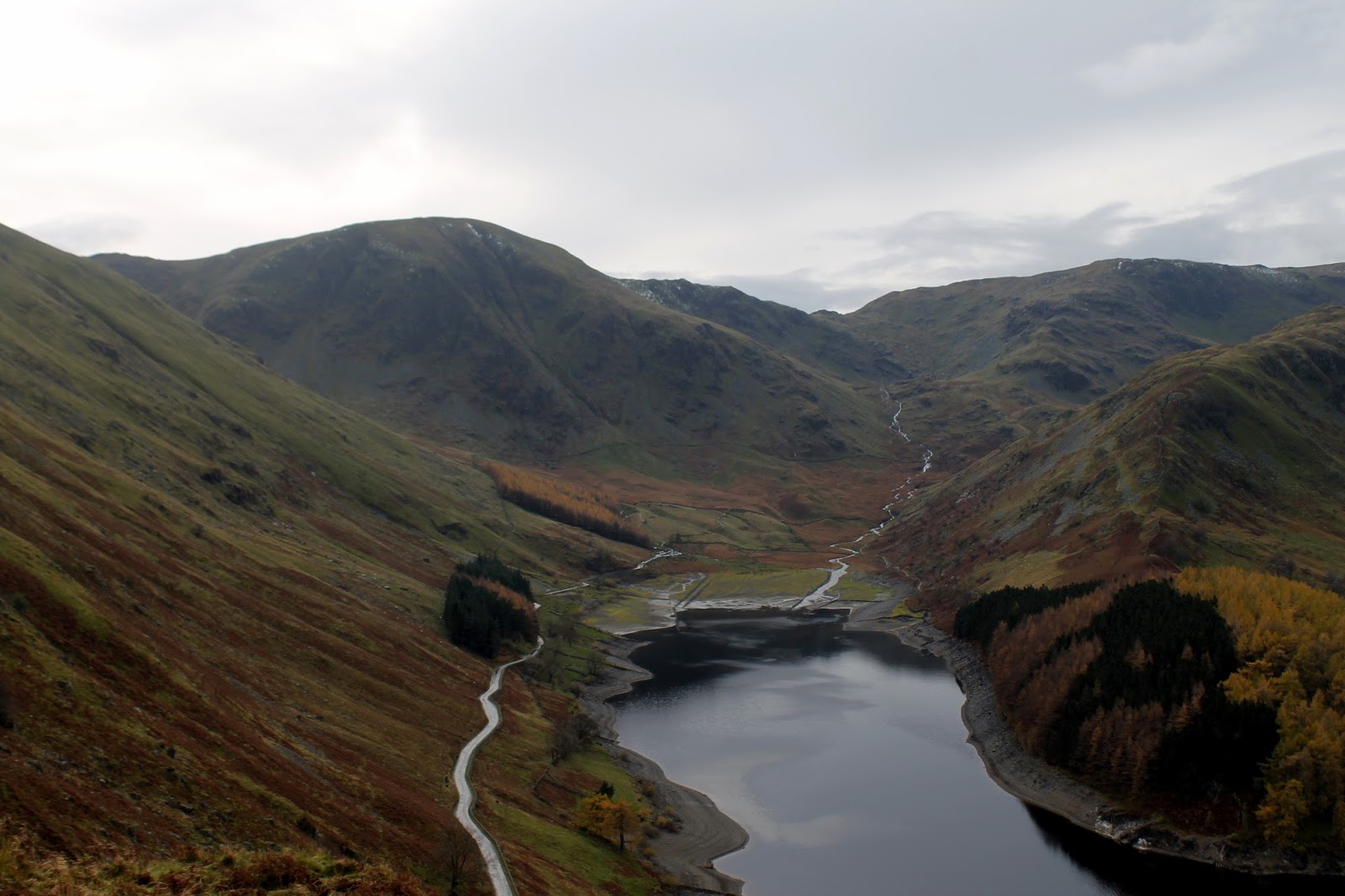
A long road leads along the shores of Haweswater to a parking area at the southern end. Up until the 1930s, this would have been the valley of Mardale which was unceremoniously flooded to provide water for Manchester. The road was provided as a compromise to reach the valley head and allow access to the surrounding fells. When the reservoir levels are low, as they were today, the stone walls of Mardale Head can still be seen.
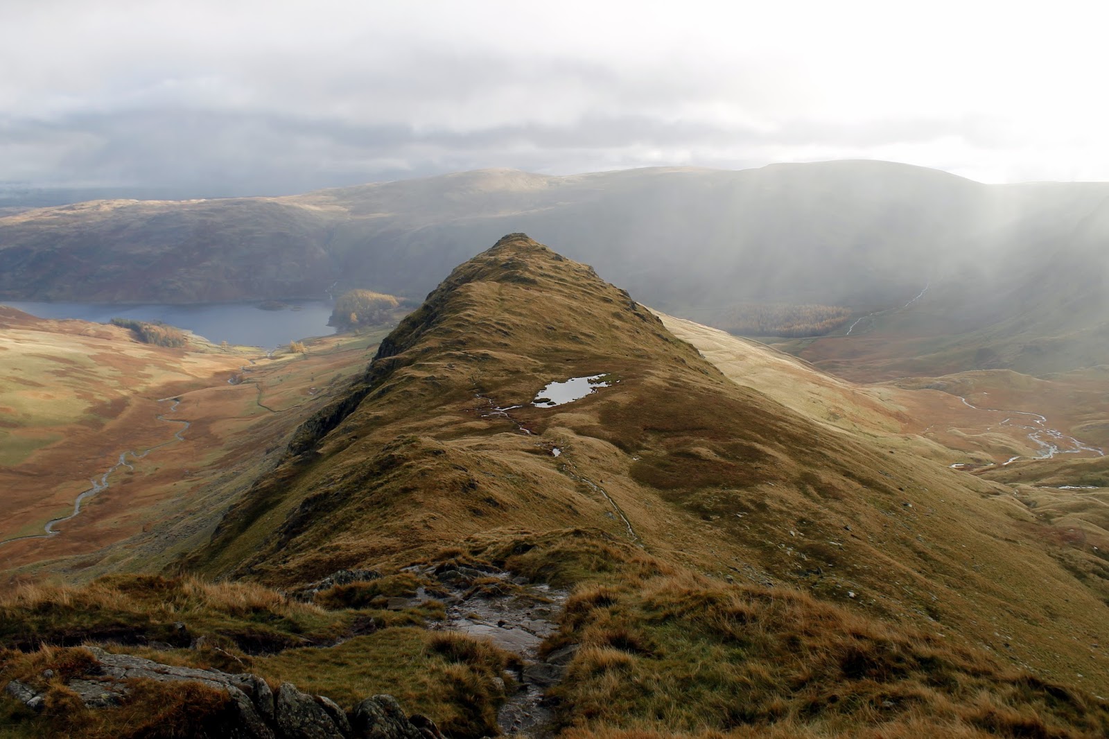
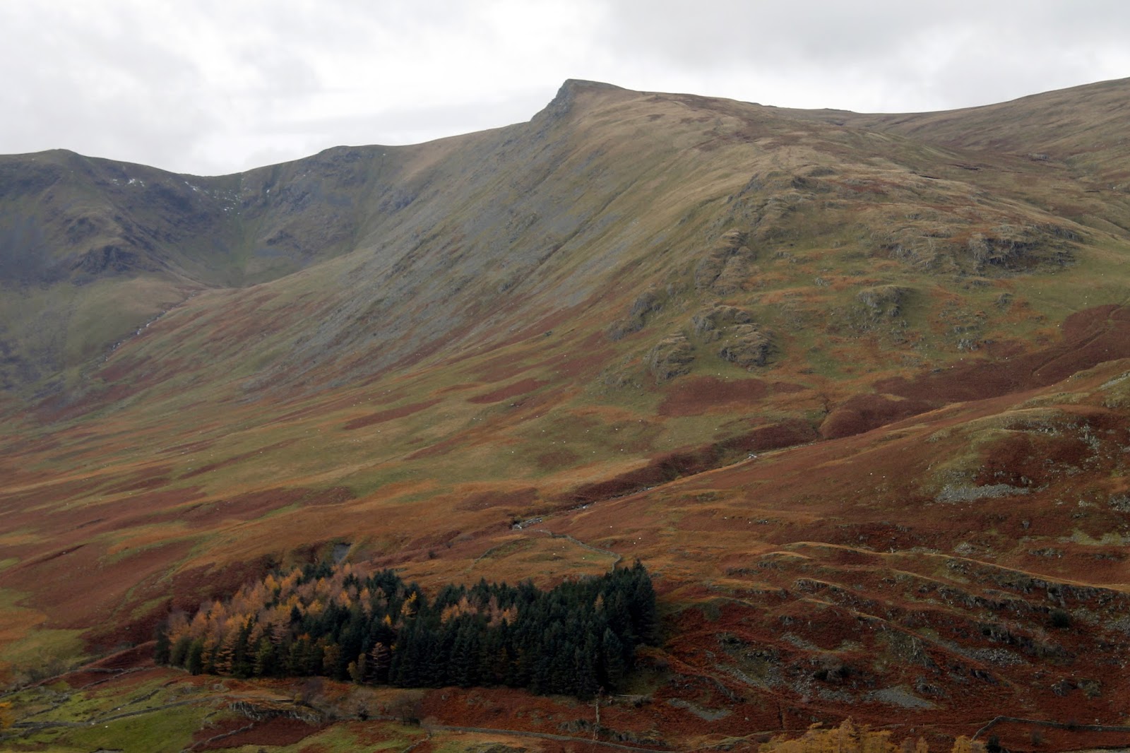
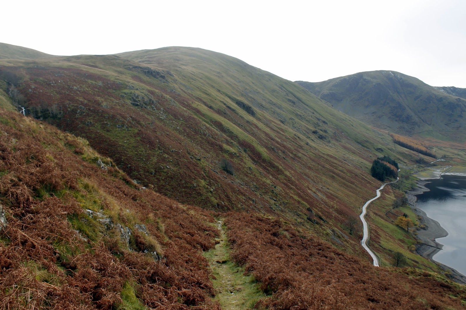
I geared up and set off across the top of the reservoir, making for The Rigg, the protruding end of Rough Crag that gives Haweswater its distinctive kink. Instead of having to reach the very tip of the ridge, a steep path cuts off a corner to reach the crest before beginning a steady climb up towards Rough Crag.
 |
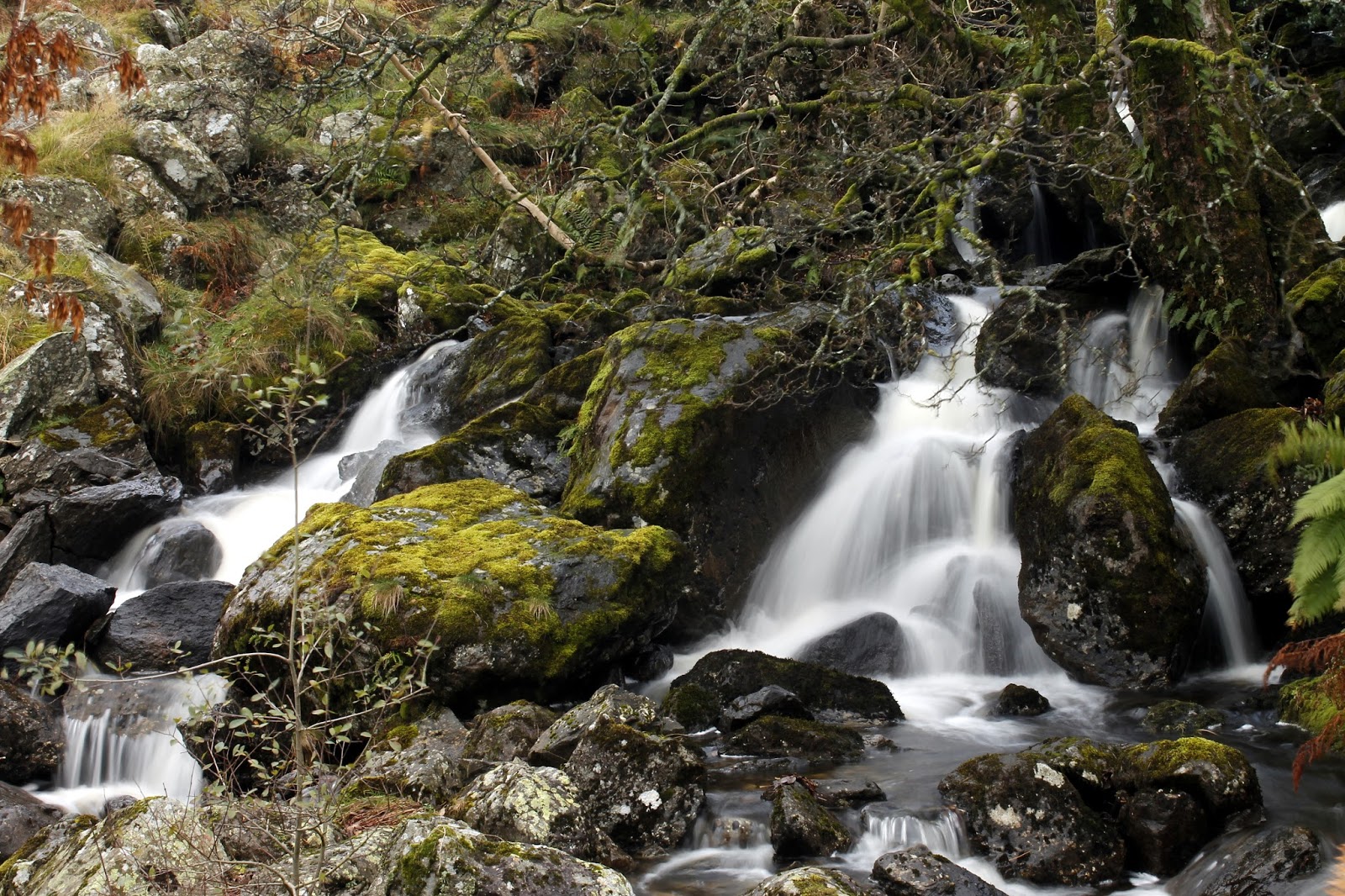
| Mardale Beck |
 |
| The old walls of Mardale |
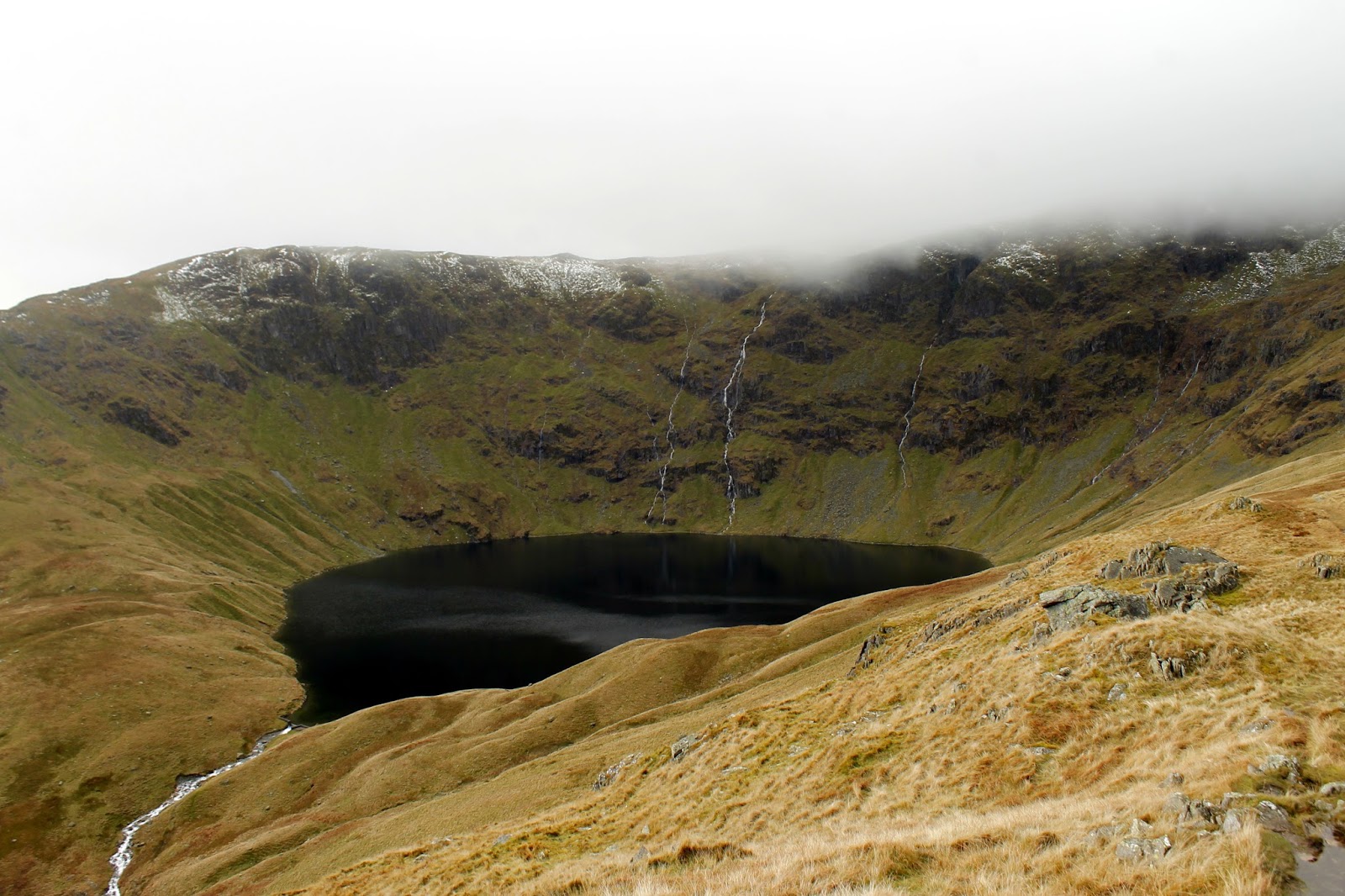
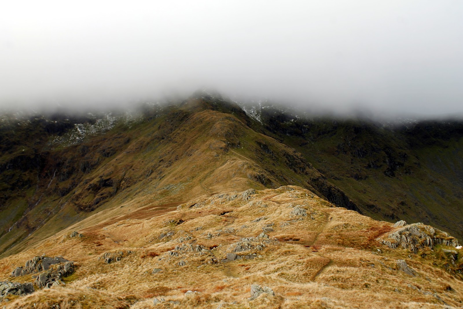
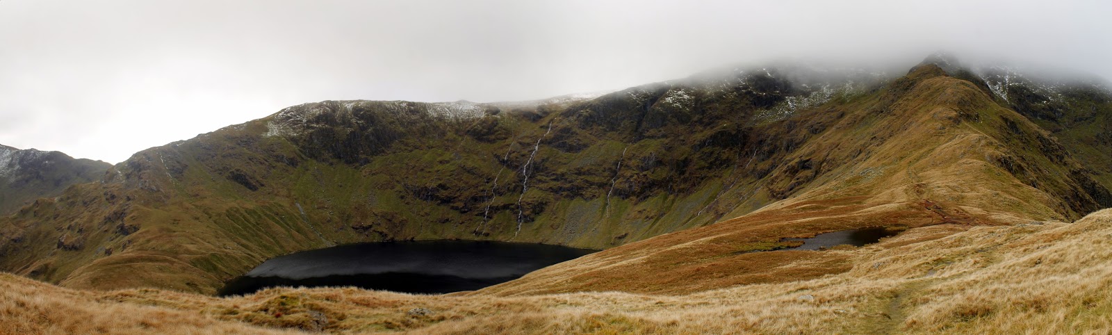
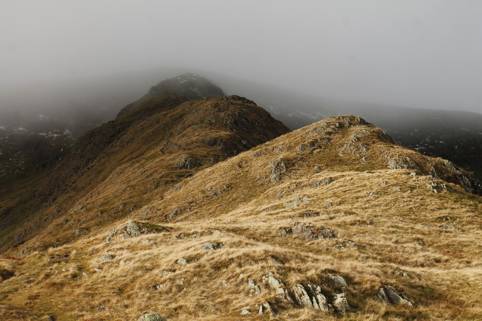
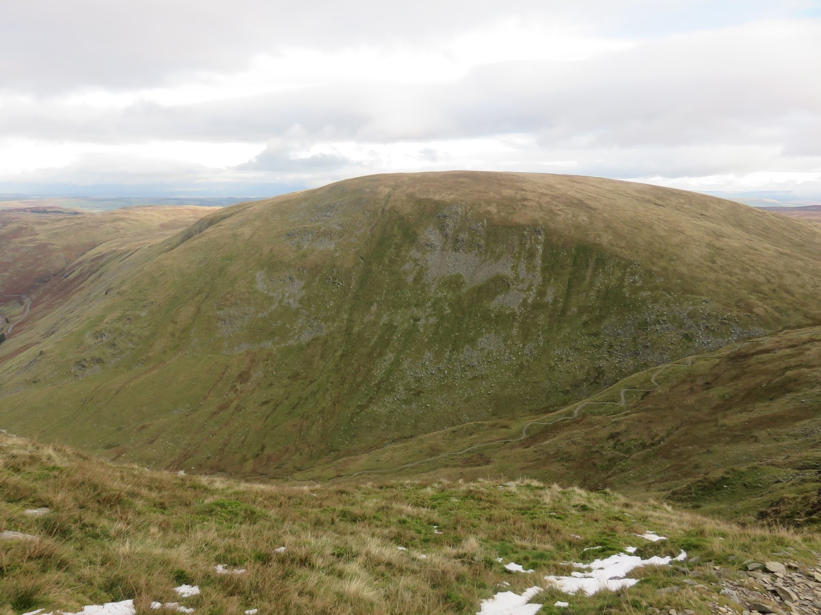
The path tends to favour the Mardale side of the ridge but occasionally it crosses to the Riggindale side, affording a superb view of Haweswater stretching out to the North. The ridge rises to the summit of Rough Crag before dropping down to Caspel Gate, a boggy depression prior to the final pull up Long Stile.
 |
| Looking down the ridge to The Rigg |
 |
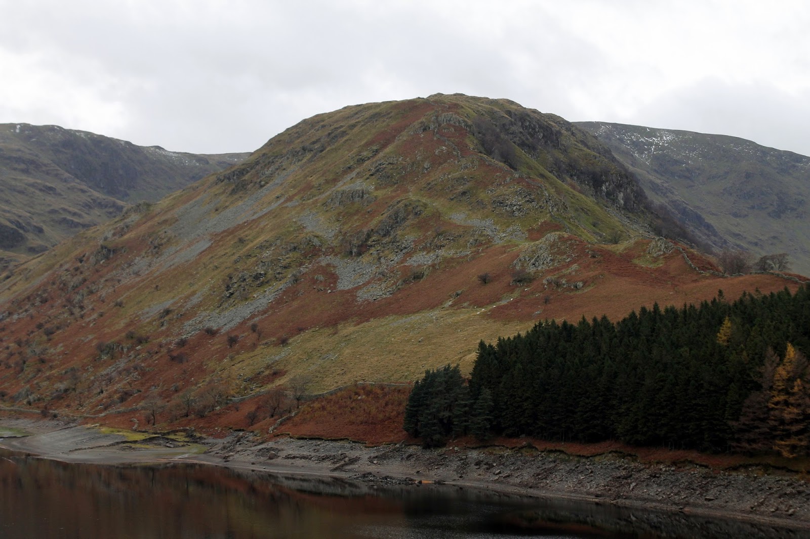
| Haweswater makes an appearance |
 |
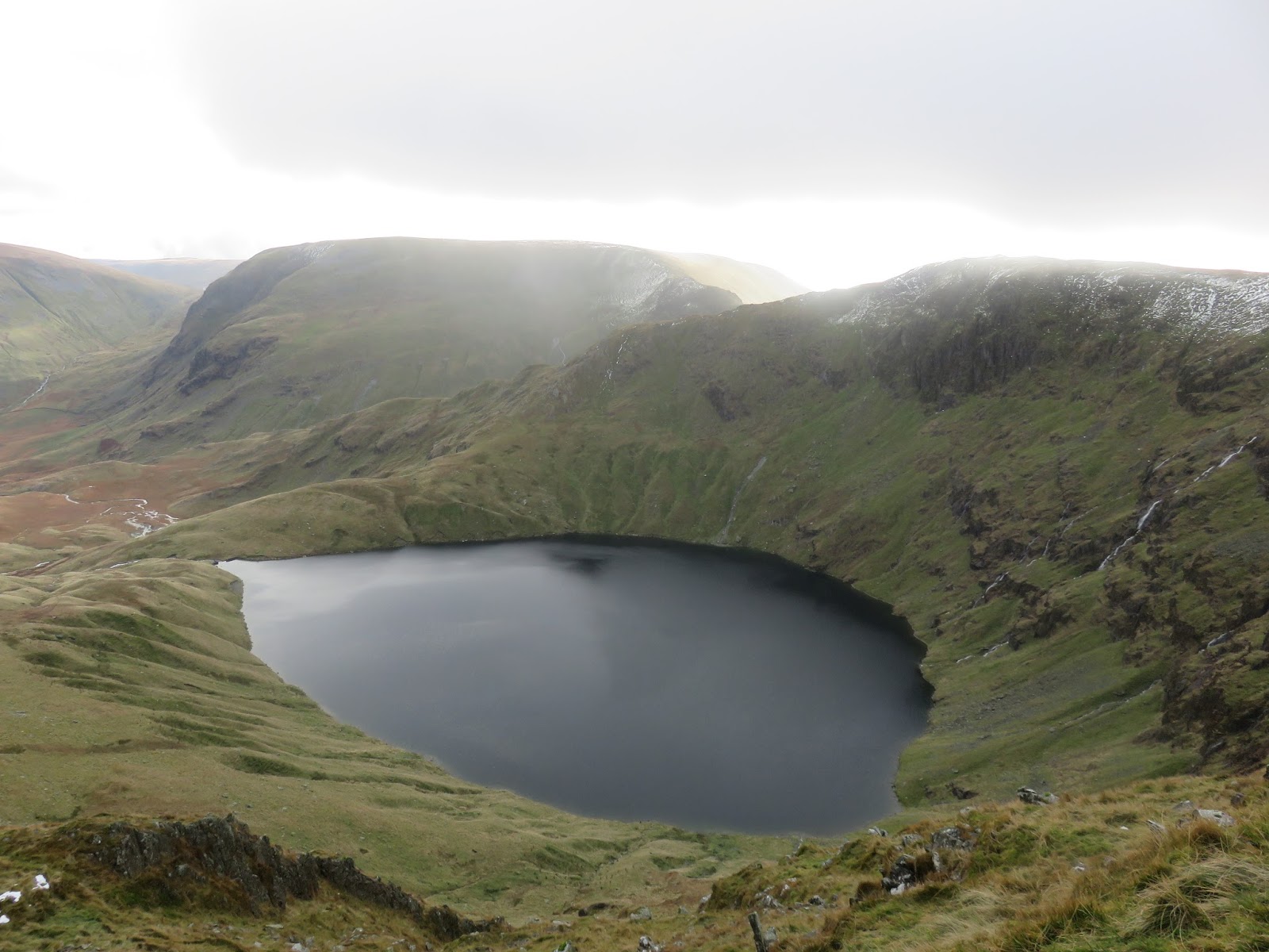
| Blea Water |
 |
| Long Stile |
A veil of cloud was capping the summit of High Street as I began the climb, only for it to break up and disappear as I made my way on to the summit. High Street gets its name from the Roman Road that crossed the summit, linking forts in Brougham and Ambleside. High Street’s summit is also called Racecourse Hill, as it was once used as a venue for summer fairs – the last of which is thought to have been in 1835.
 |
| Blea Water and Long Stile |
 |
| Long Stile |
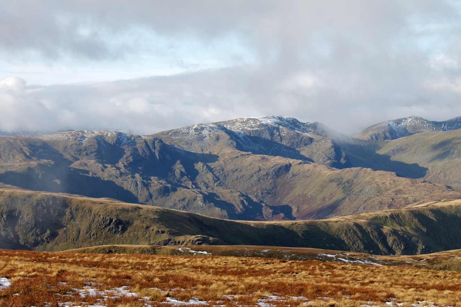
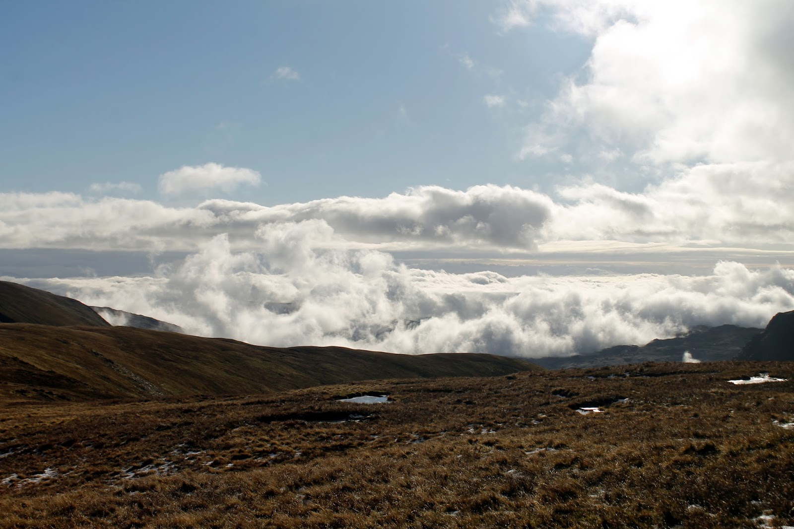
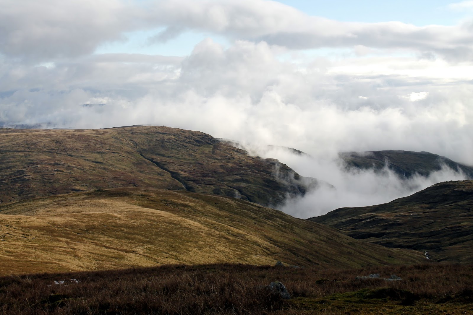
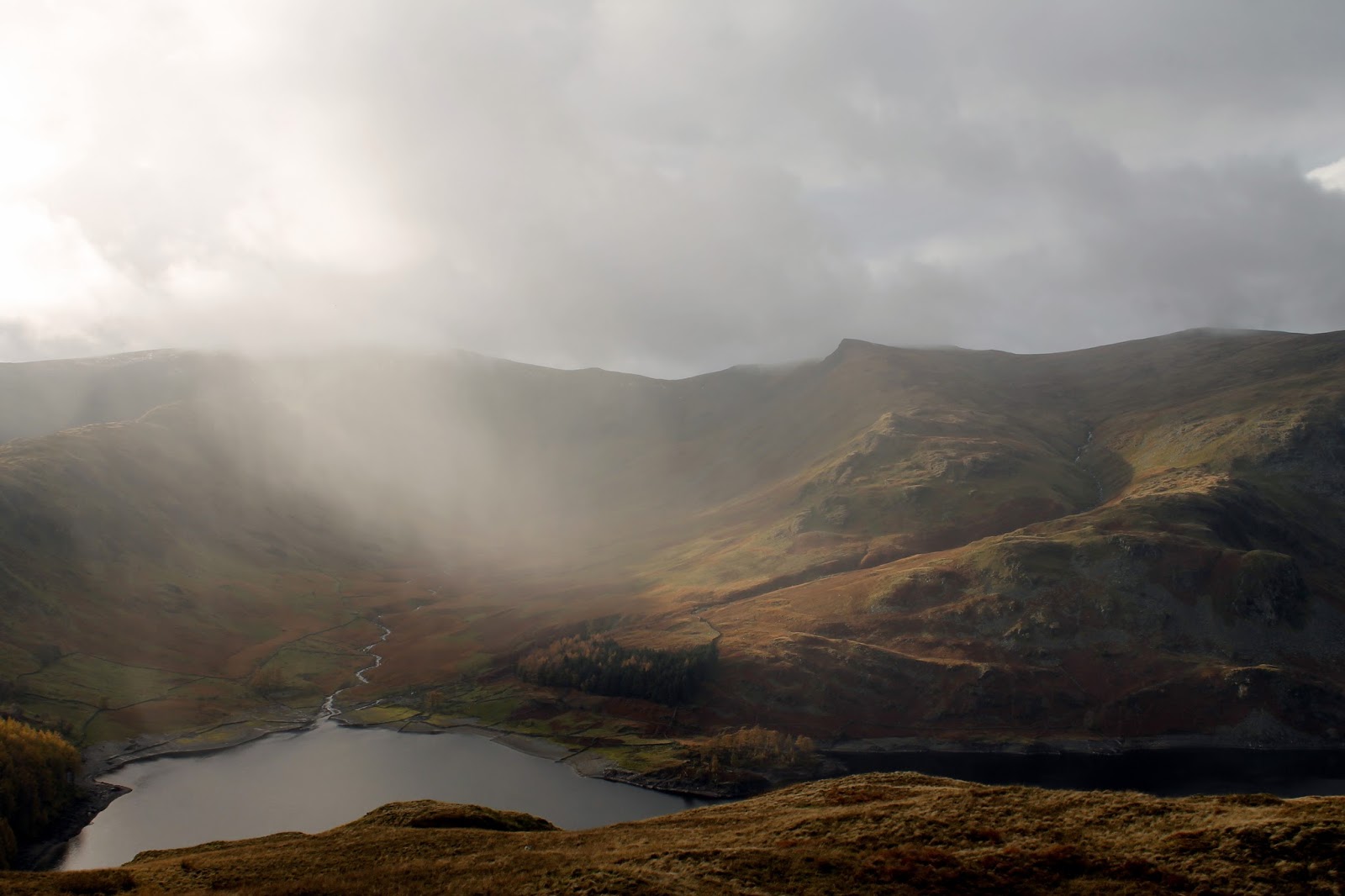
With the clouds parting and the view of the Eastern Fells revealed, I set my sights towards Mardale Ill Bell before noticing once of the great mountain spectacles – a cloud inversion. Though a bit messy and escaping around the edges, a bank of cloud was most definitely trapped in the valley of Kentmere so I quickened my pace to see if I could get a better view.
 |
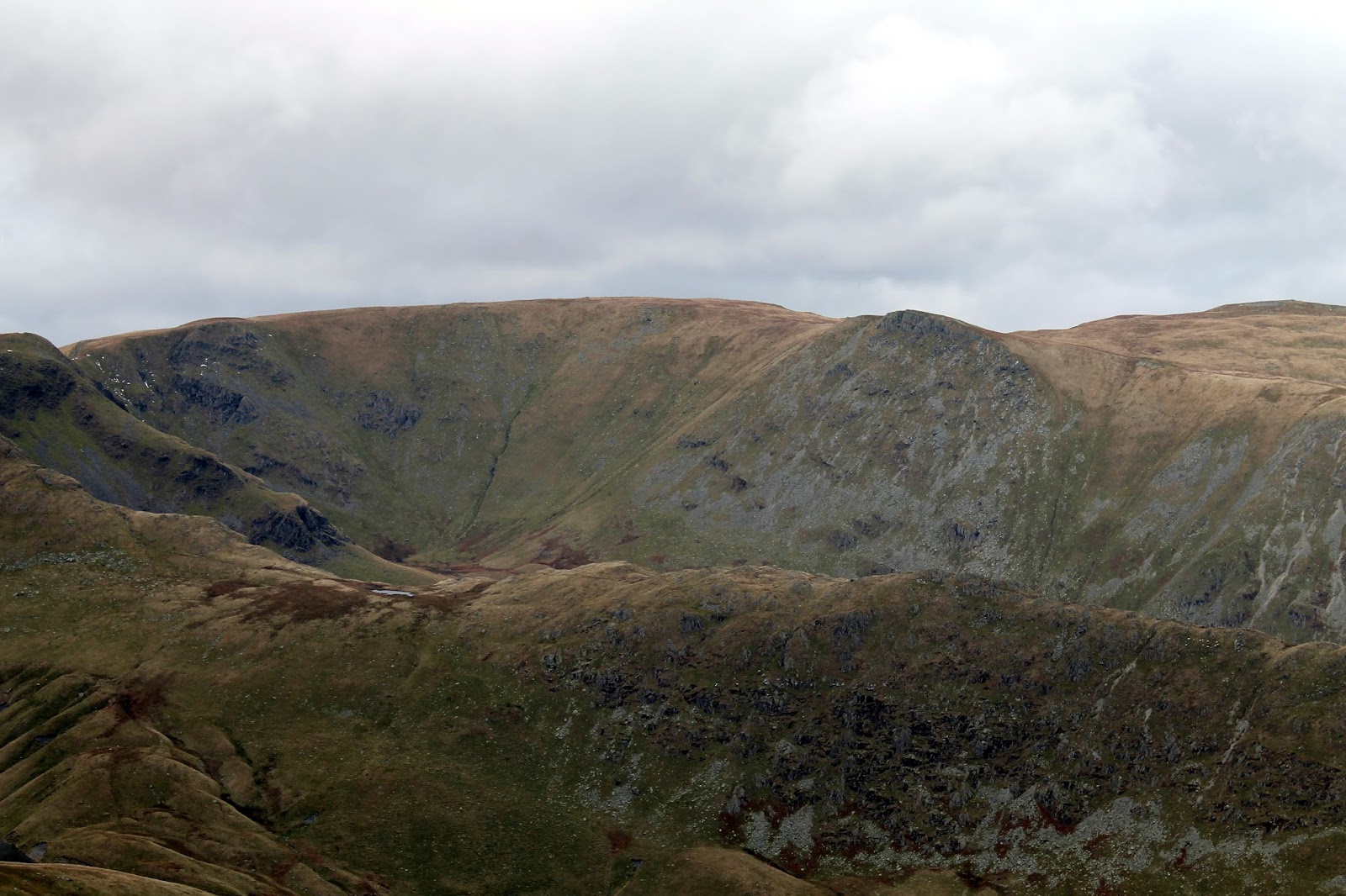
| Harter Fell, Blea Water and Blea Water Crag |
 |
| Approaching the summit…. |
 |
| …. just in time for the weather to improve |
 |
| An elusive cloud inversion |
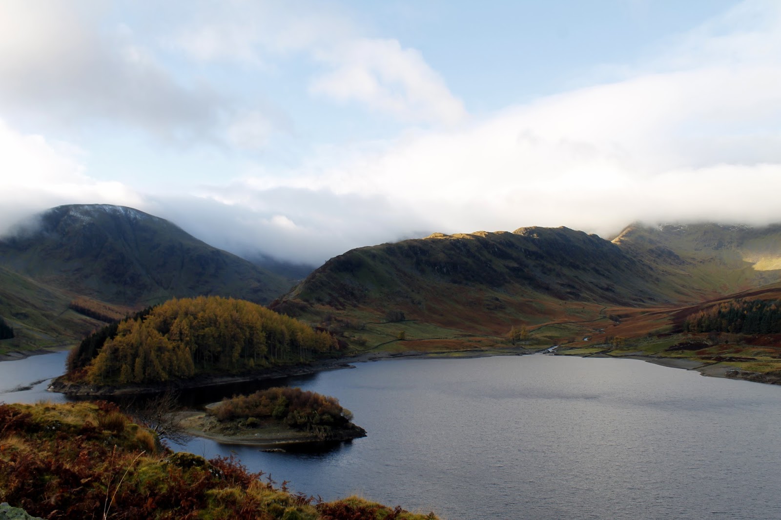
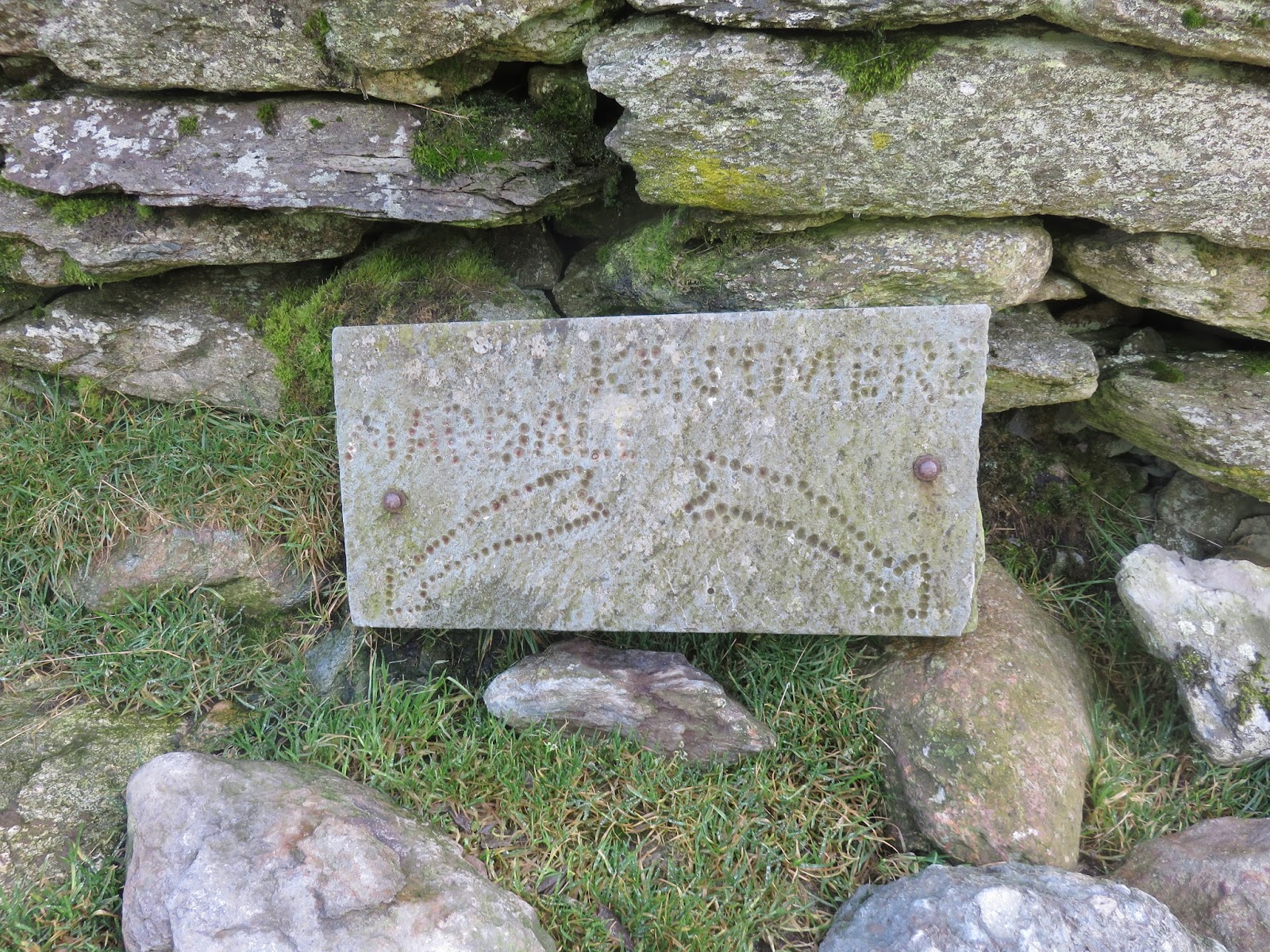
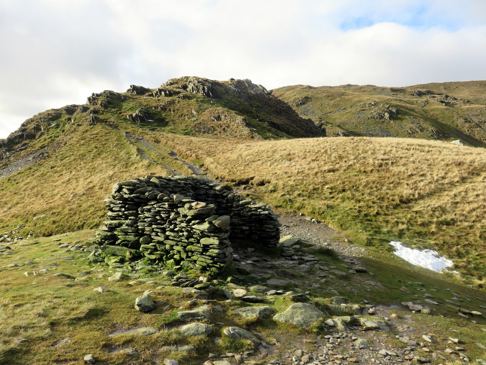
The path falls easily to over Mardale Ill Bell to Nan Bield, the pass between Kentmere and Mardale (before it was flooded of course). A large shelter sits in the pass with the two valleys etched into a stone plaque, guiding the way. There should be no excuse descending into the wrong one.
 |
| The cloud inversion in Kentmere |
 |
| Small Water and Haweswater |
 |
| The shelter in the Nan Bield Pass |
 |
| The stone sign |
 |
| The Nan Bield shelter |
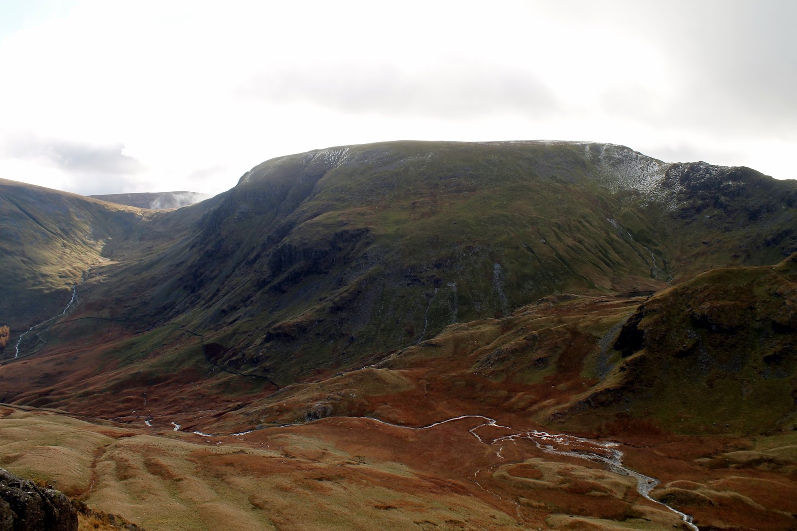
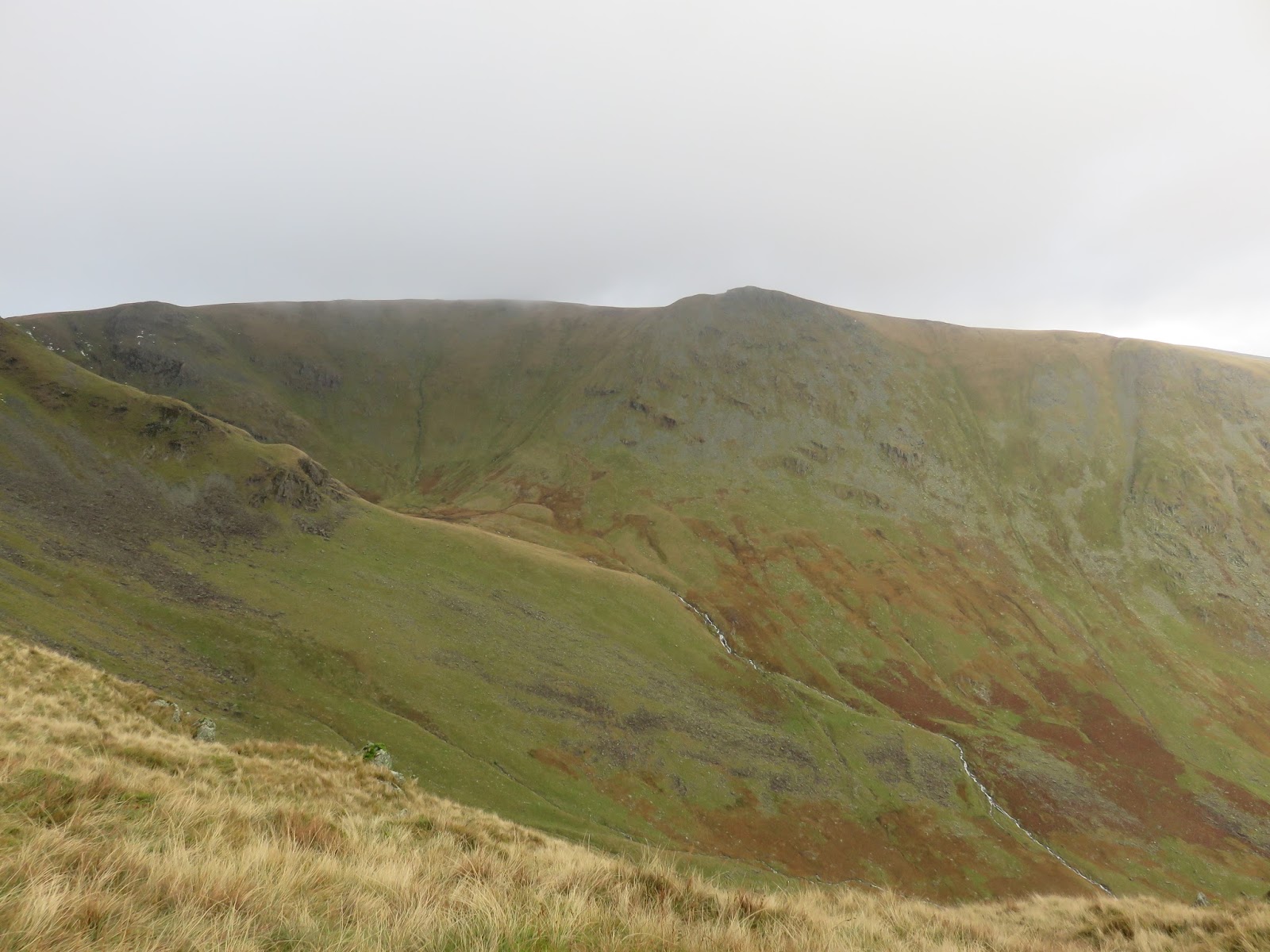
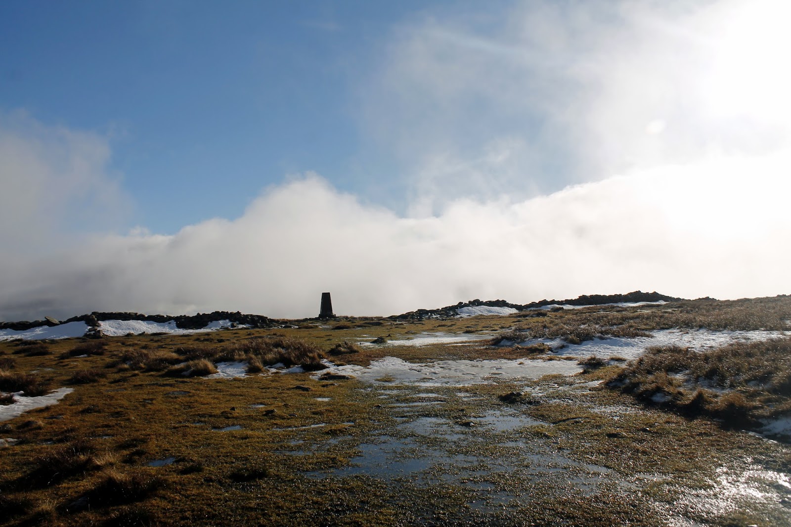
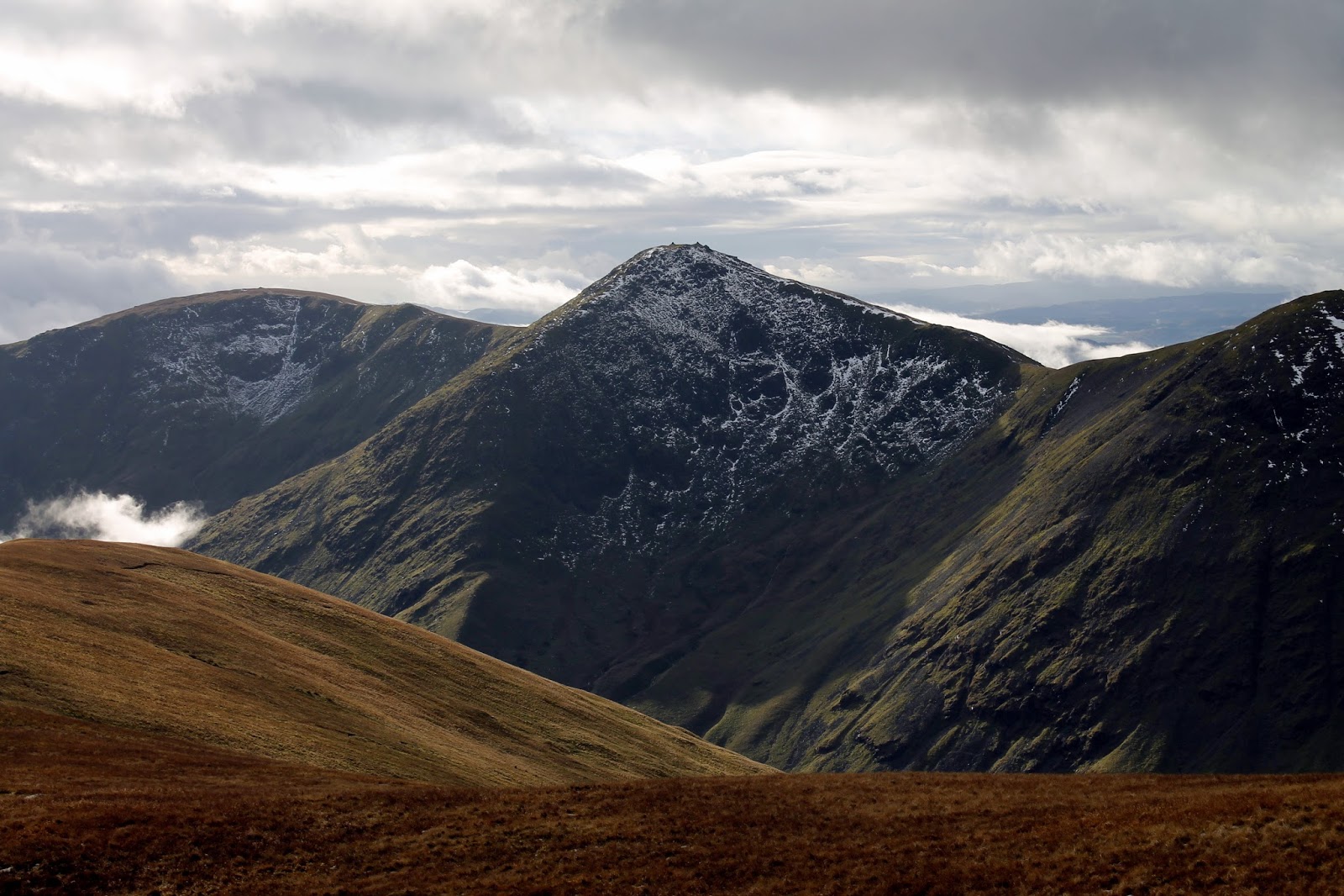
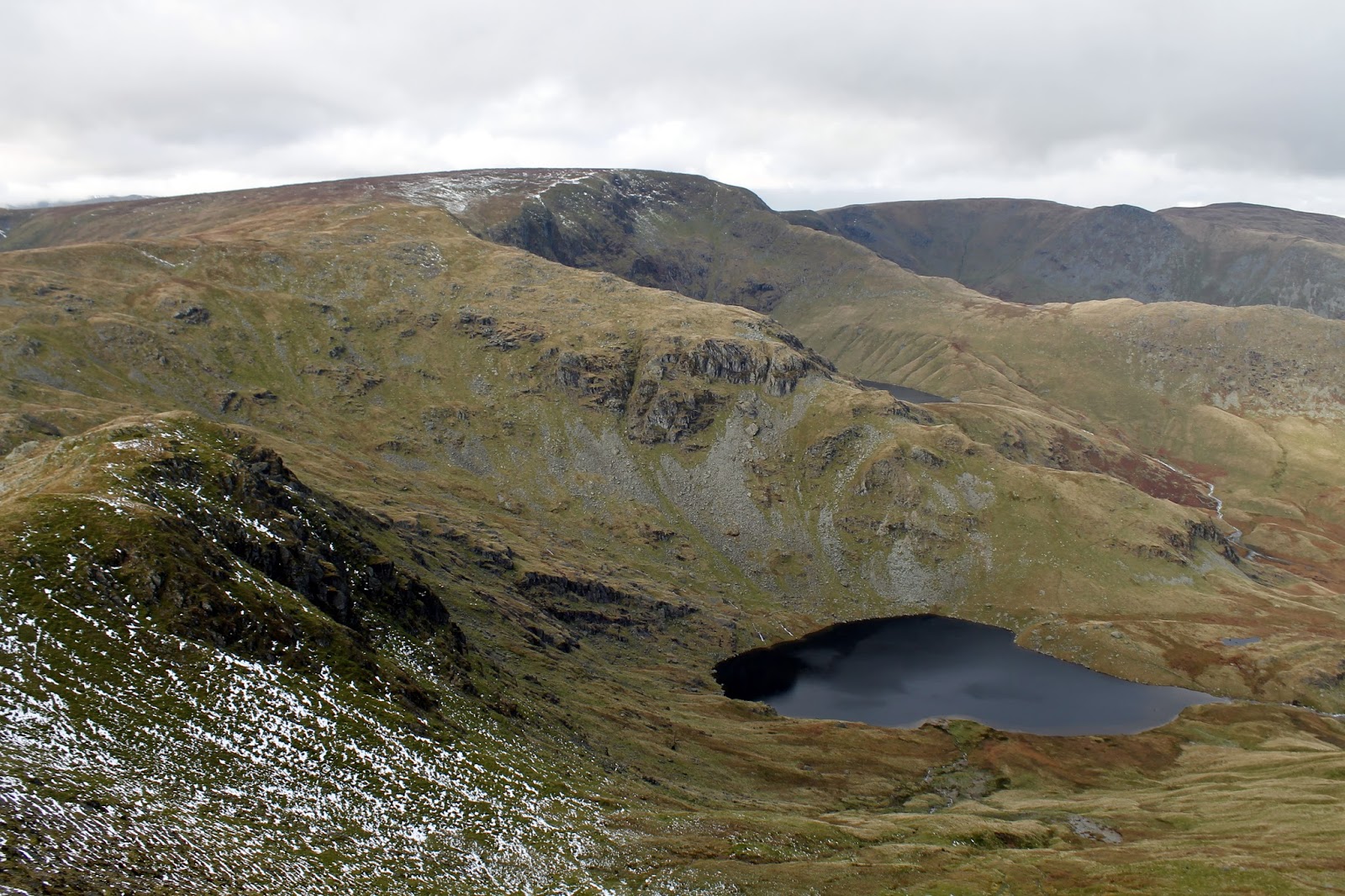
Another climb follows, this time on to Harter Fell, the path hugging the fellside above Black John Hole as it winds it way up to the summit. There are fine views of High Street and Small Water, the small tarn that nestles on the slopes of Mardale Ill Bell. Disappointingly, the sun had disappeared behind a low bank of cloud, bringing the morning’s brightness to an end.
 |
| Small Water, Piot Crag and High Street |
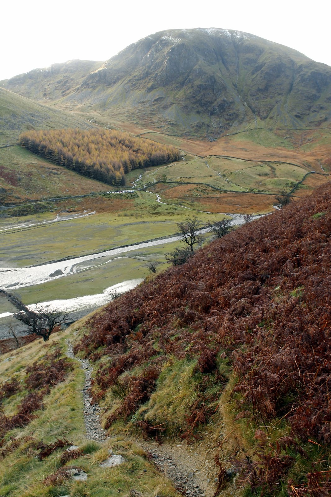
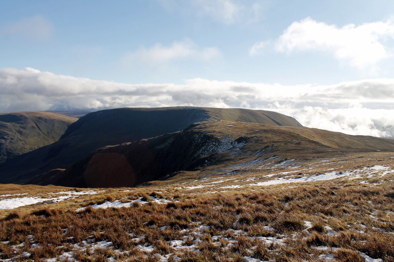
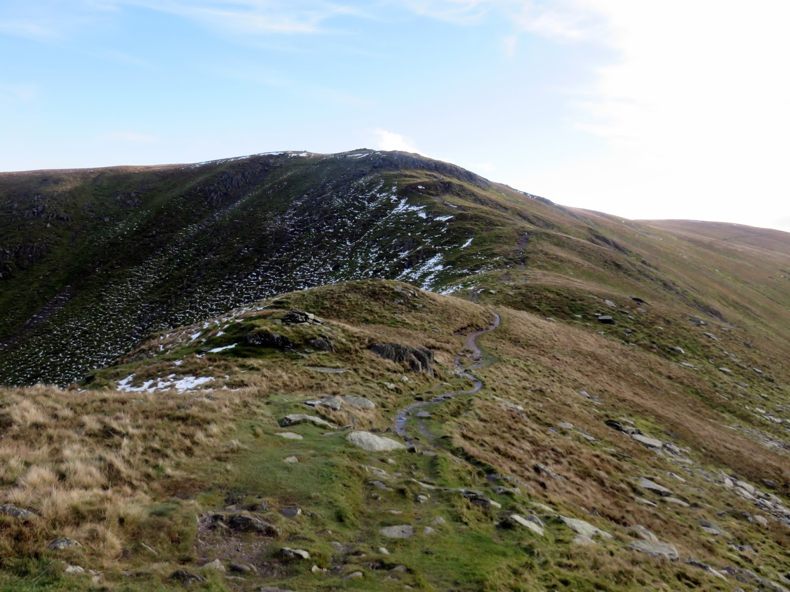
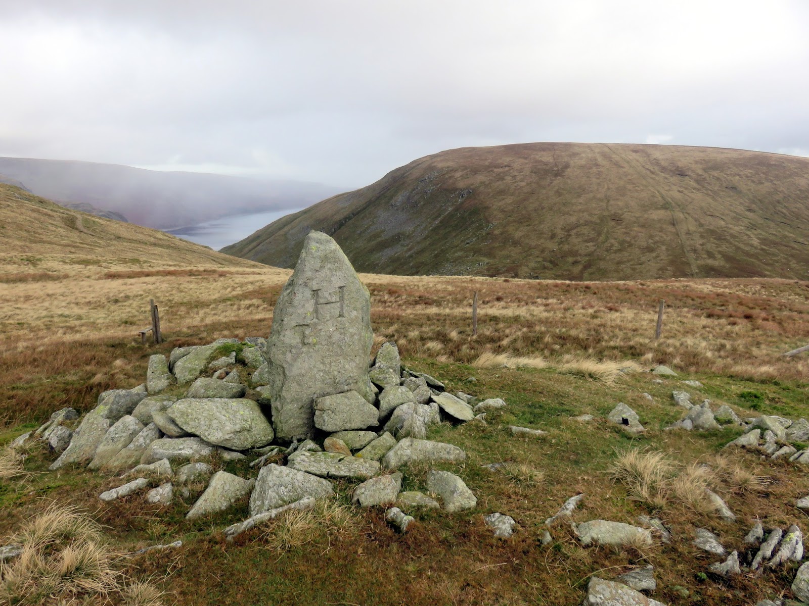
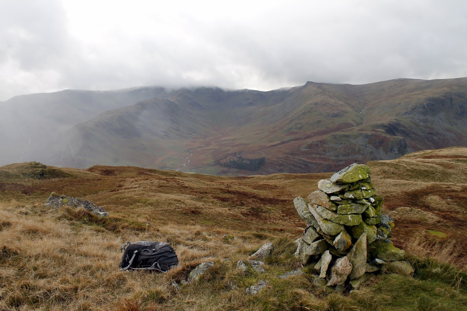
Showers were now threatening as I crossed the broad summit of Harter Fell, pausing momentarily for a bite to eat at the shelter at the north east end of the ridge. From here, the ridge falls gracefully to Adam Seat, whose summit is marked by a boundary stone. The route continues down into Gatesgarth Pass.
 |
| Haweswater |
 |
| The boundary stone on Adam Seat |
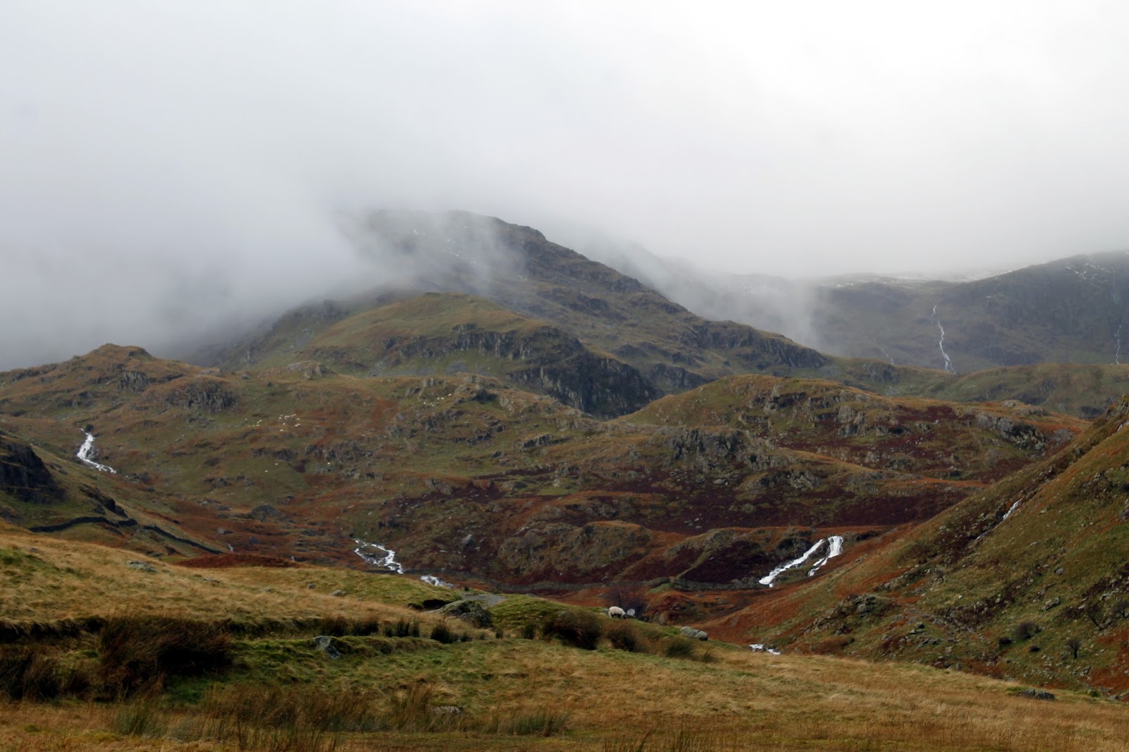
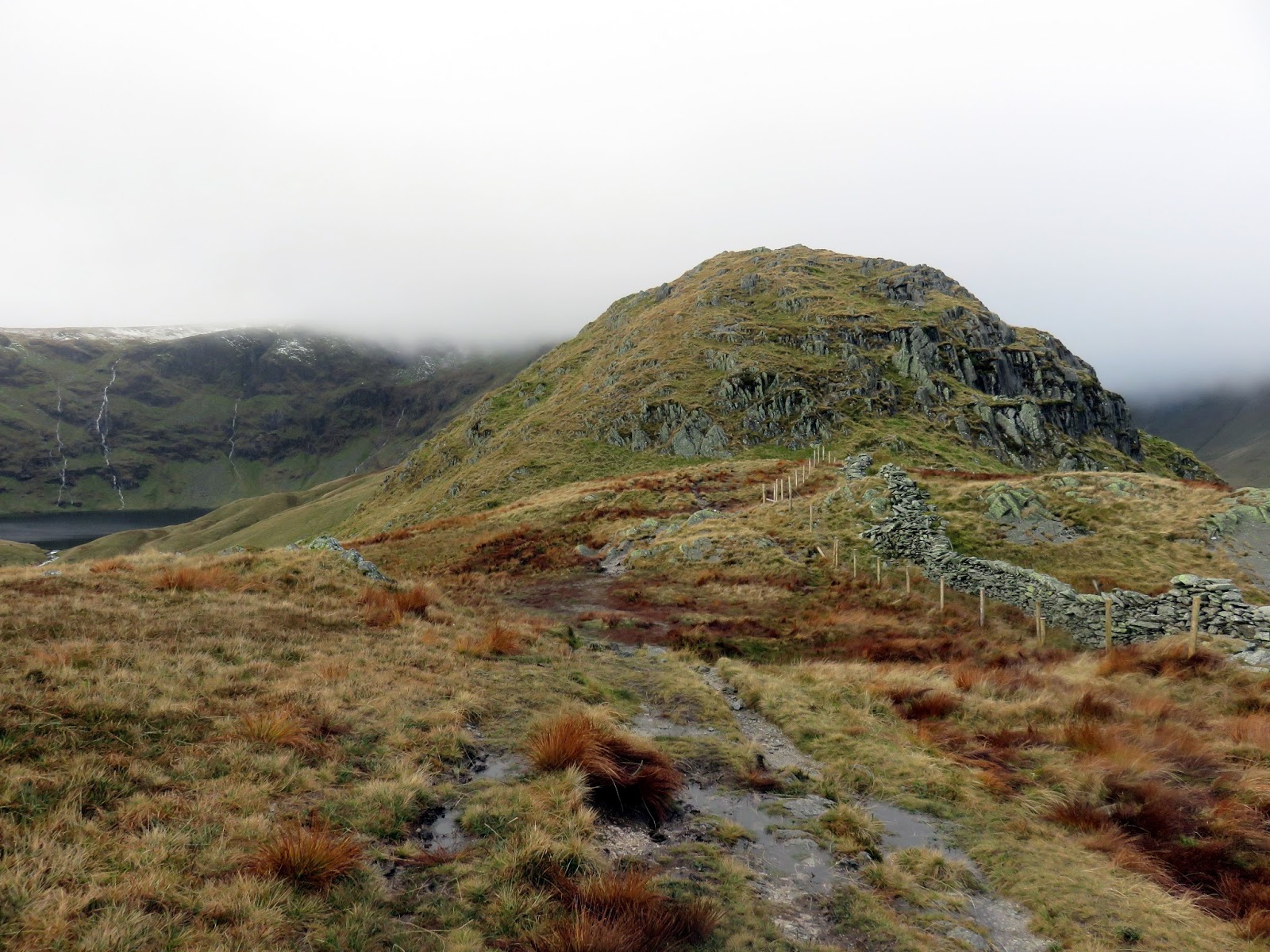
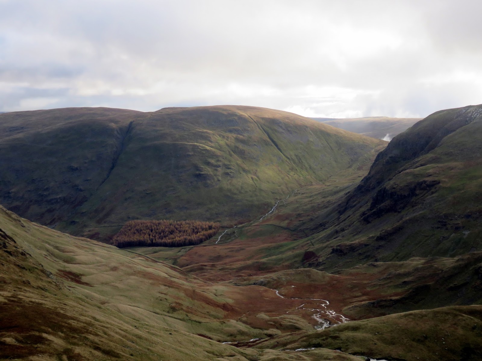
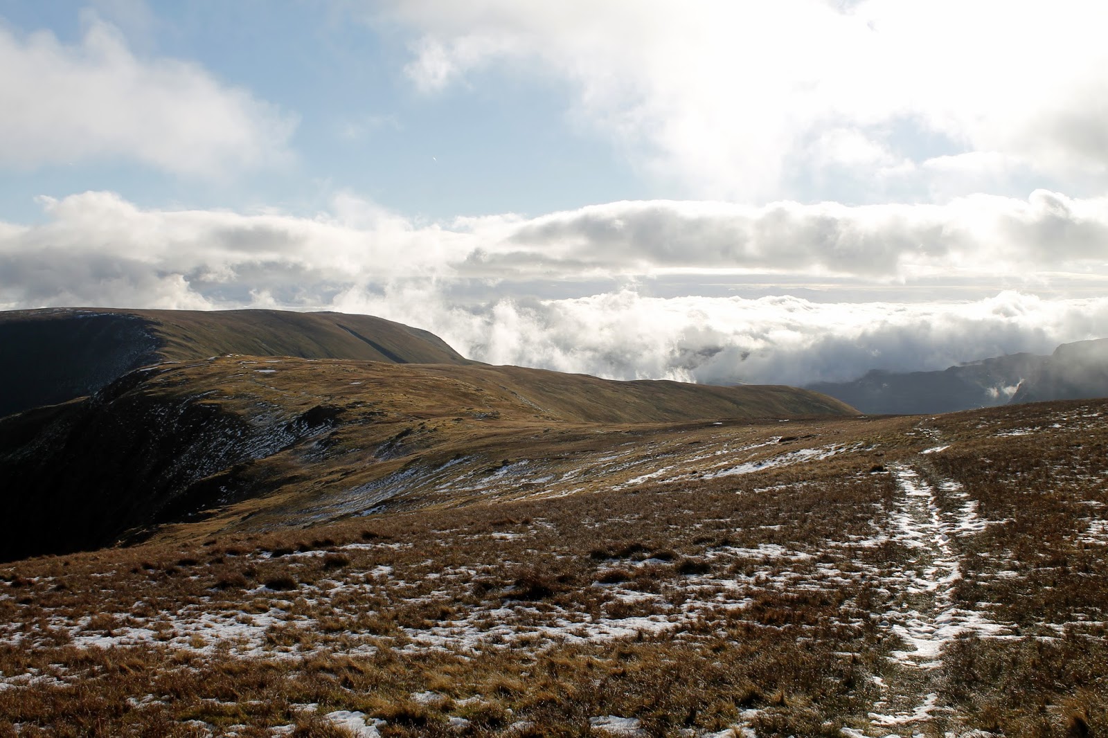
I wouldn’t blame you if you decided to end the walk here as descending the Mardale side of the pass would take you directly back to the car park. The route from here departs the rocks and crag of High Street and enters the boggy, grassy territory of the Shap Fells – very much more Pennine in character.
 |
| Looking back down towards Sleddale |
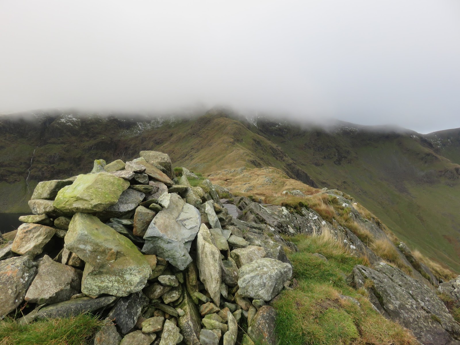
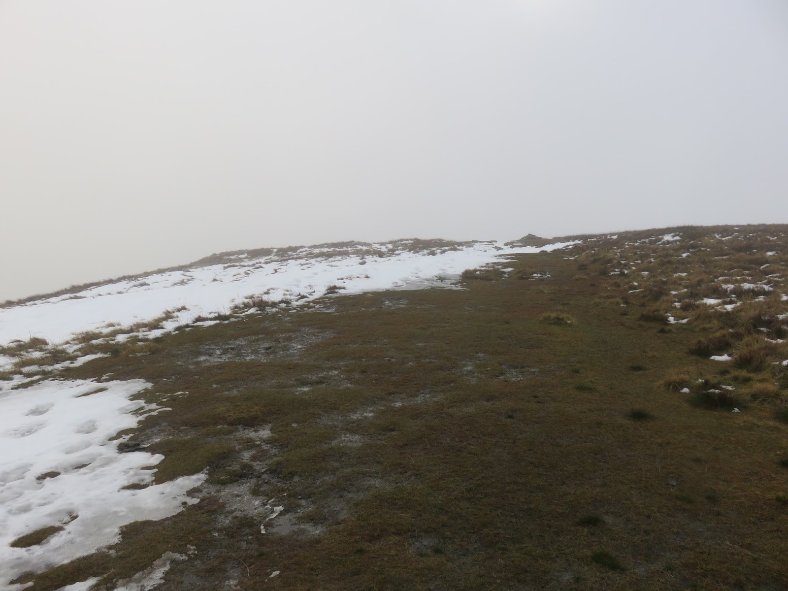
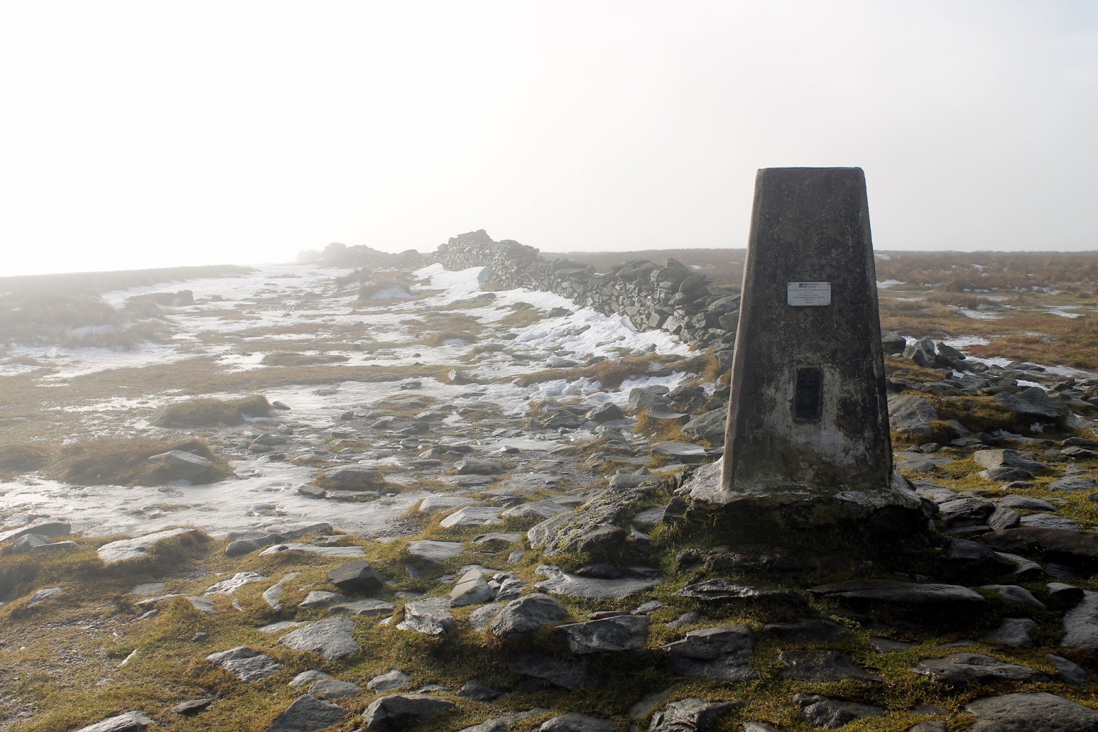
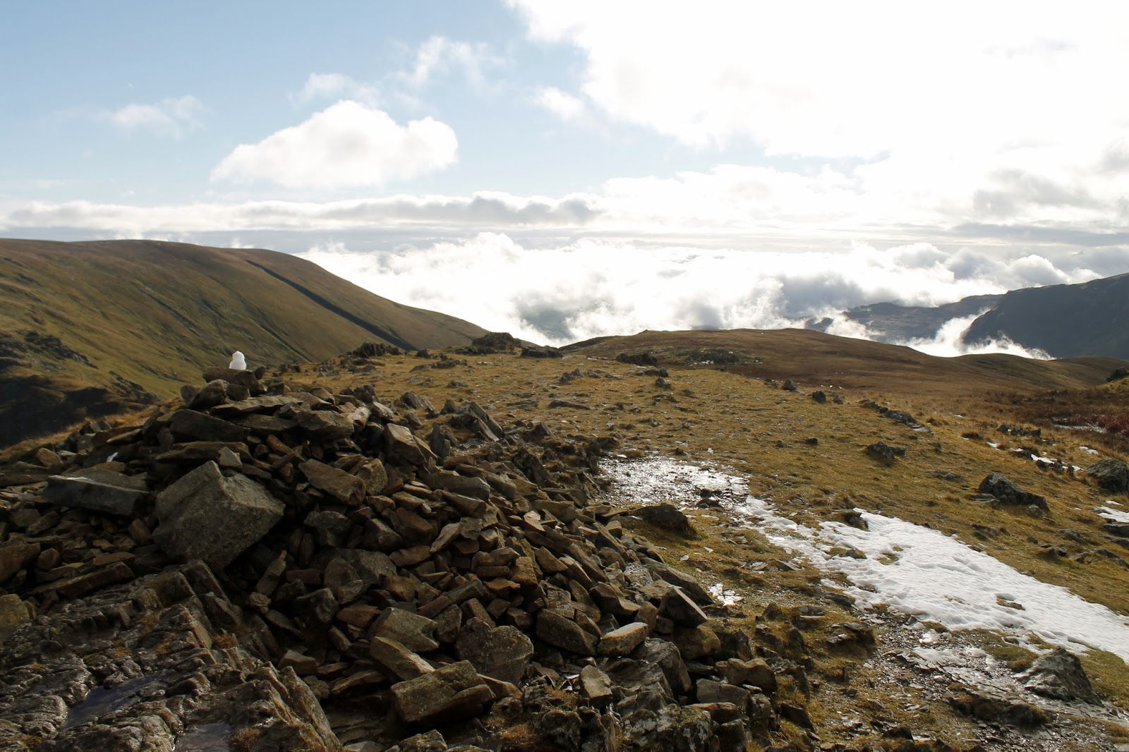
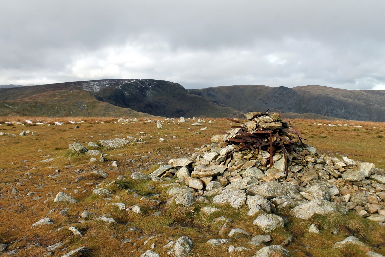
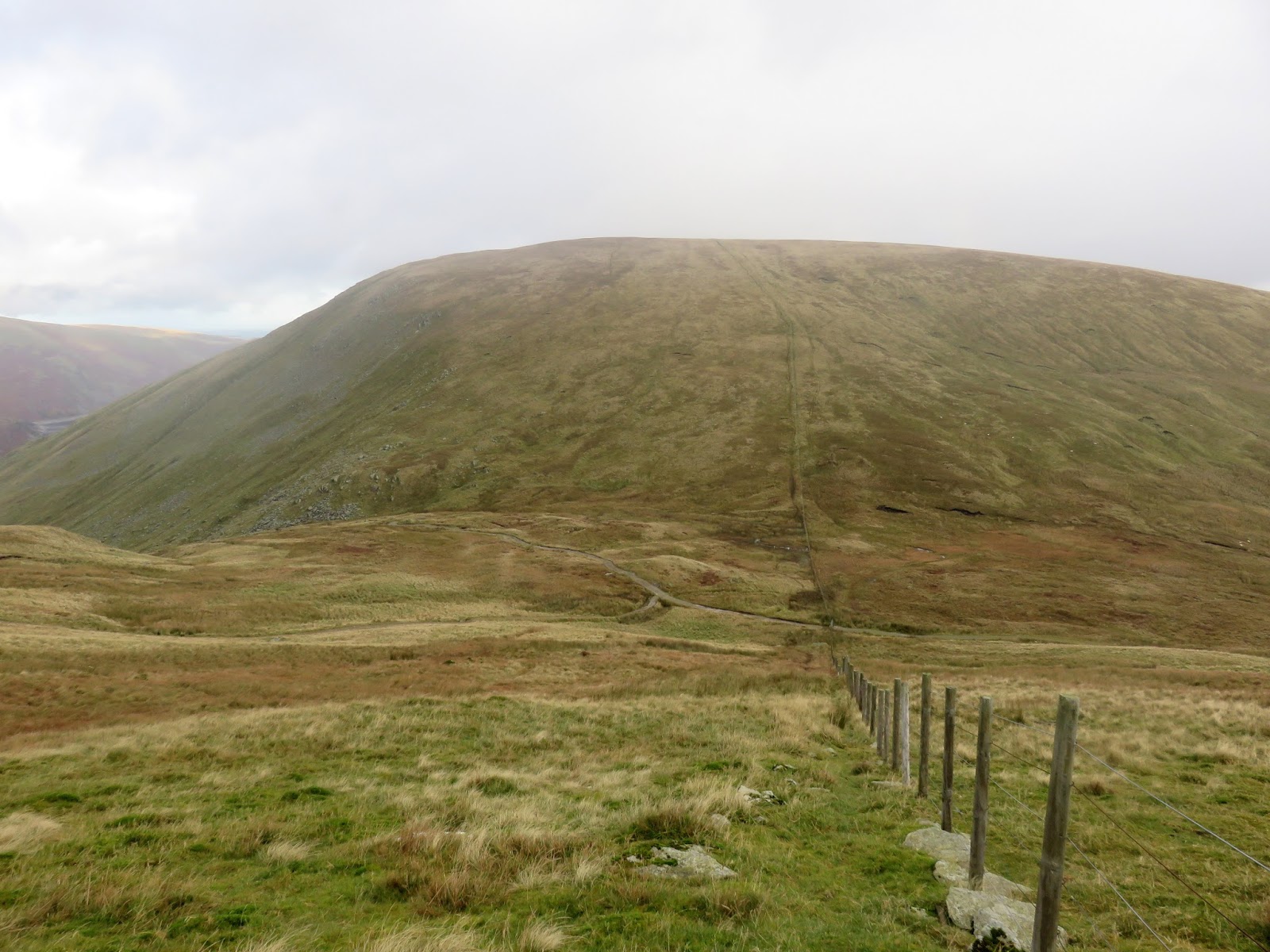
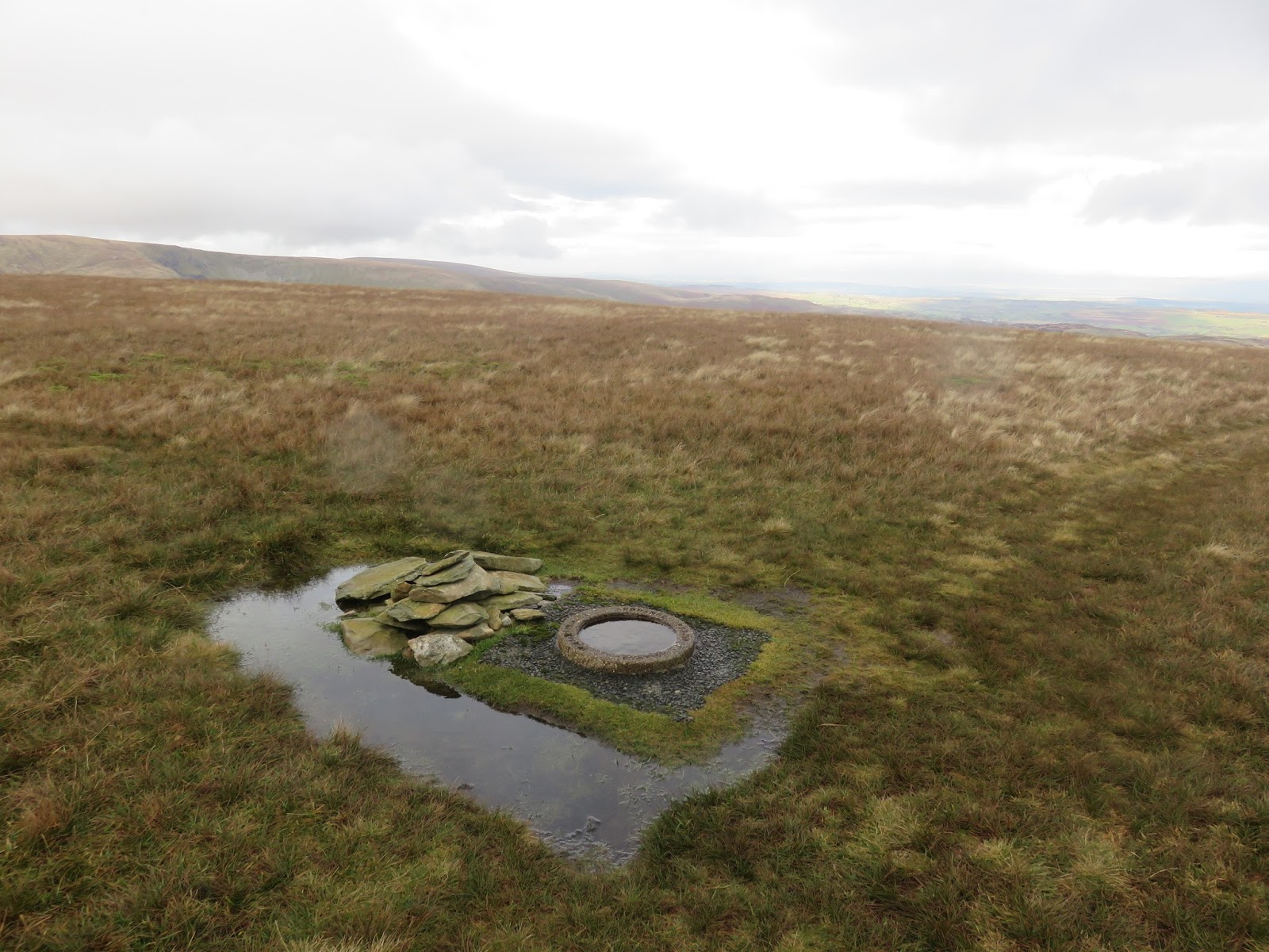
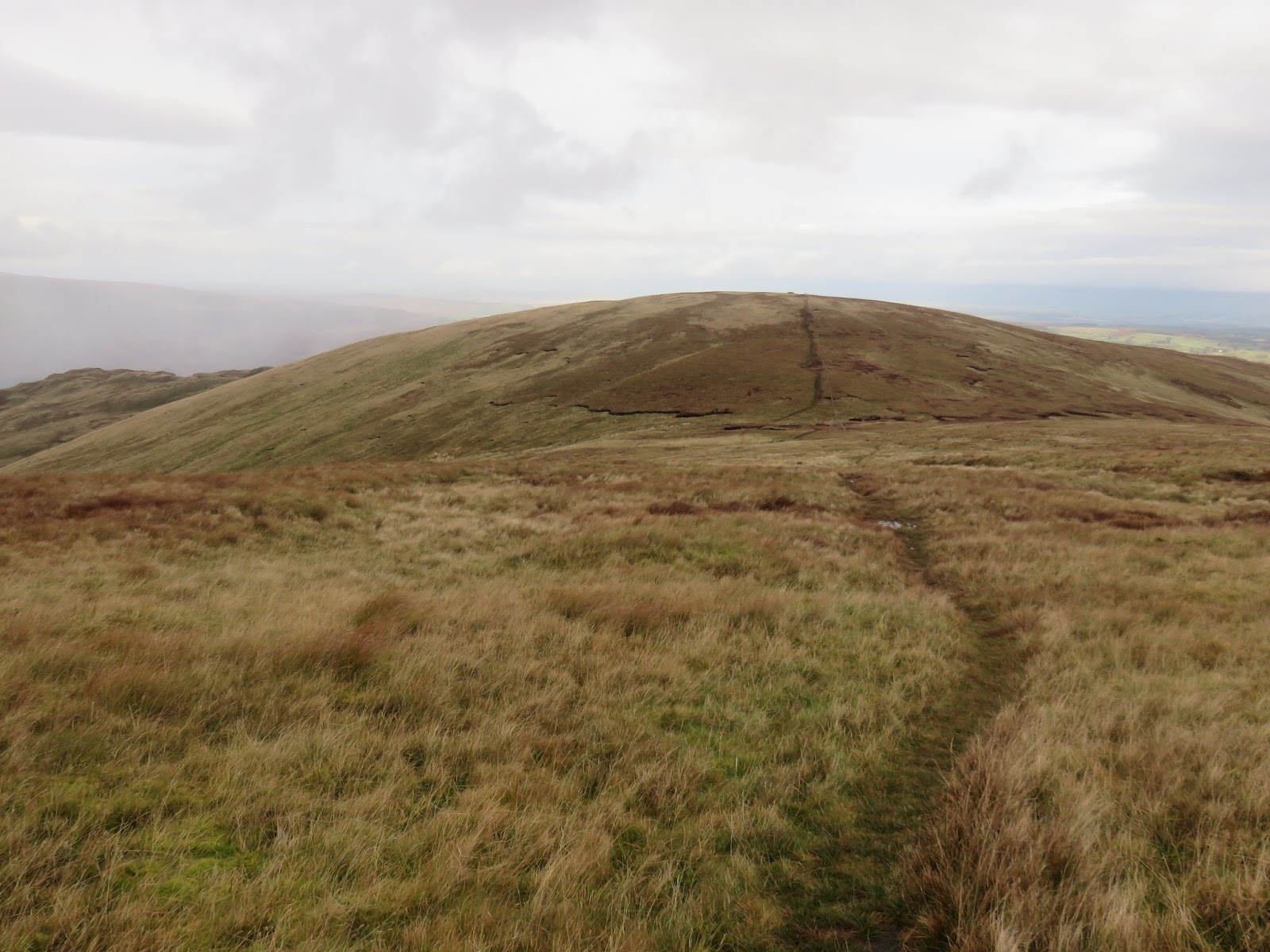
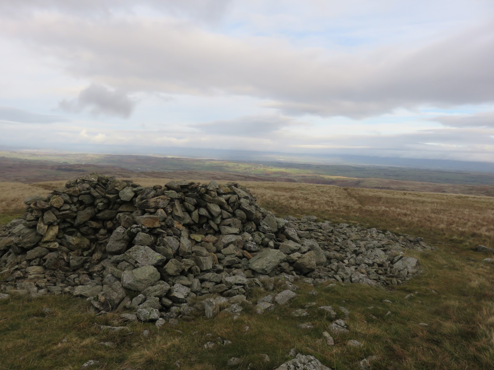
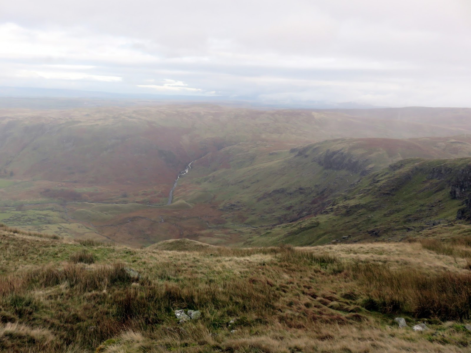
After crossing the bog below Branstree, the route follows the boundary fence on a relentless climb up the featureless slopes of Branstree, eventually reaching the modest stone ring that marks the summit.
 |
| Drama in the skies over Sleddale |
 |
| Branstree’s summit |
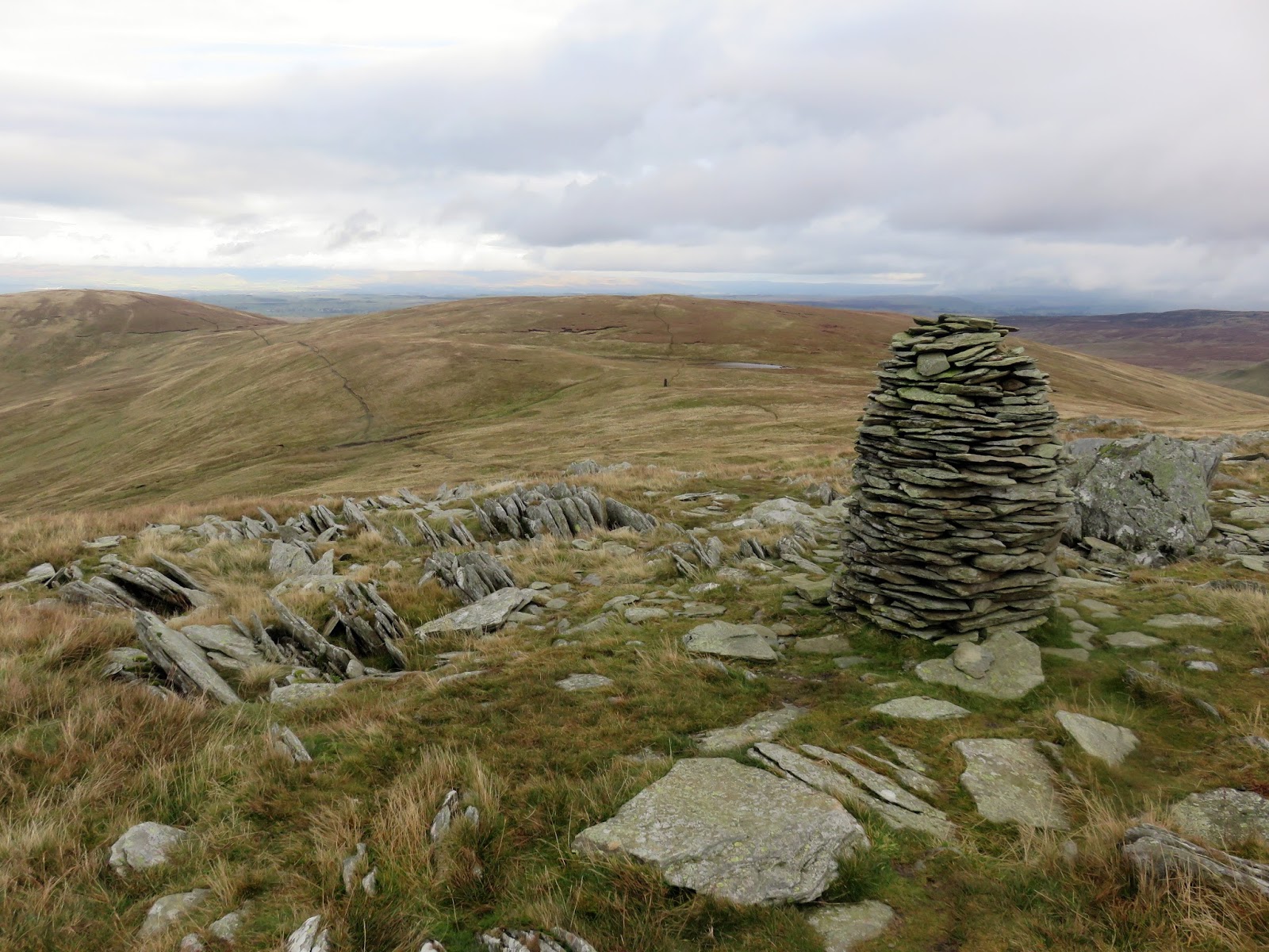
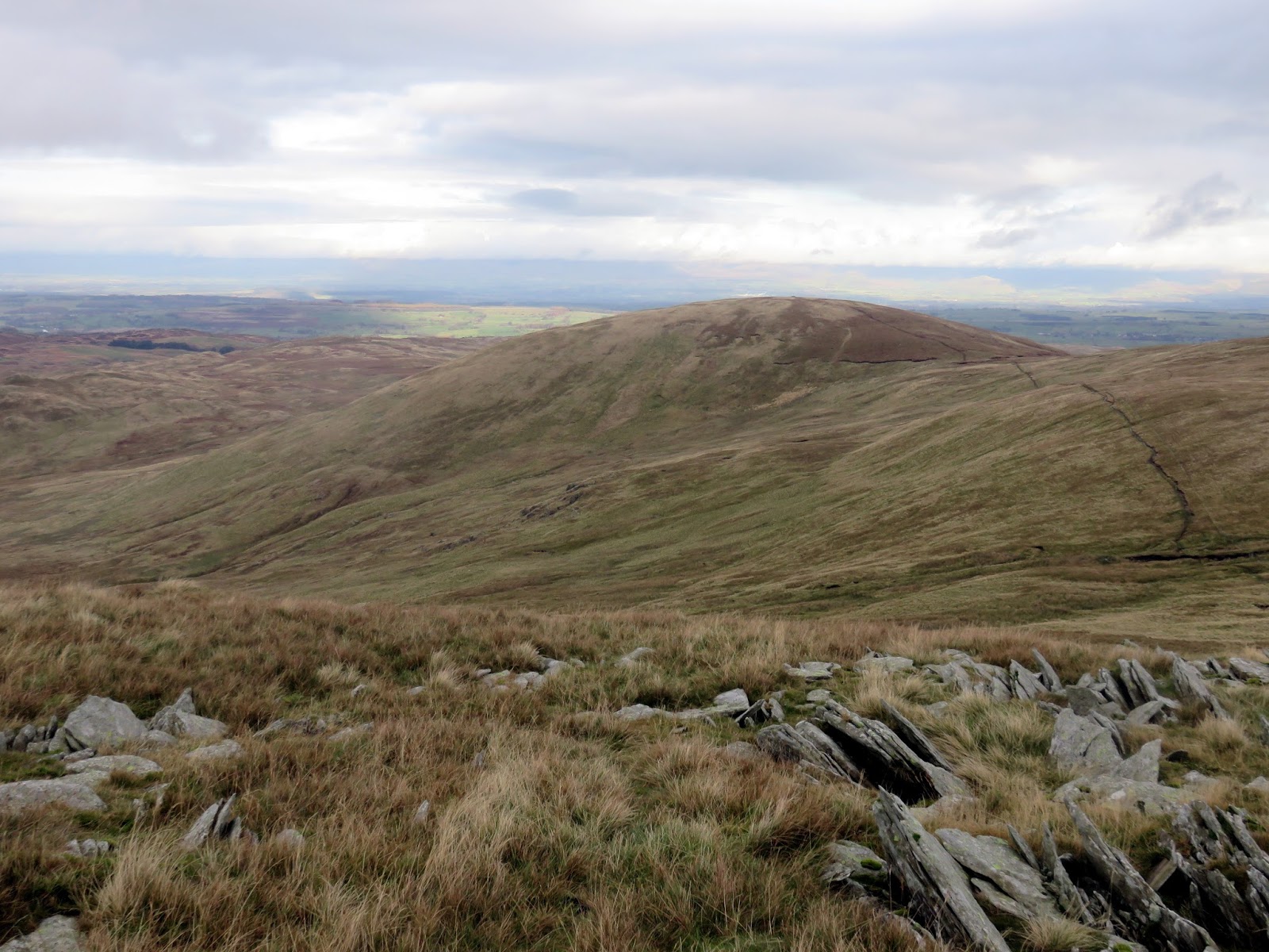
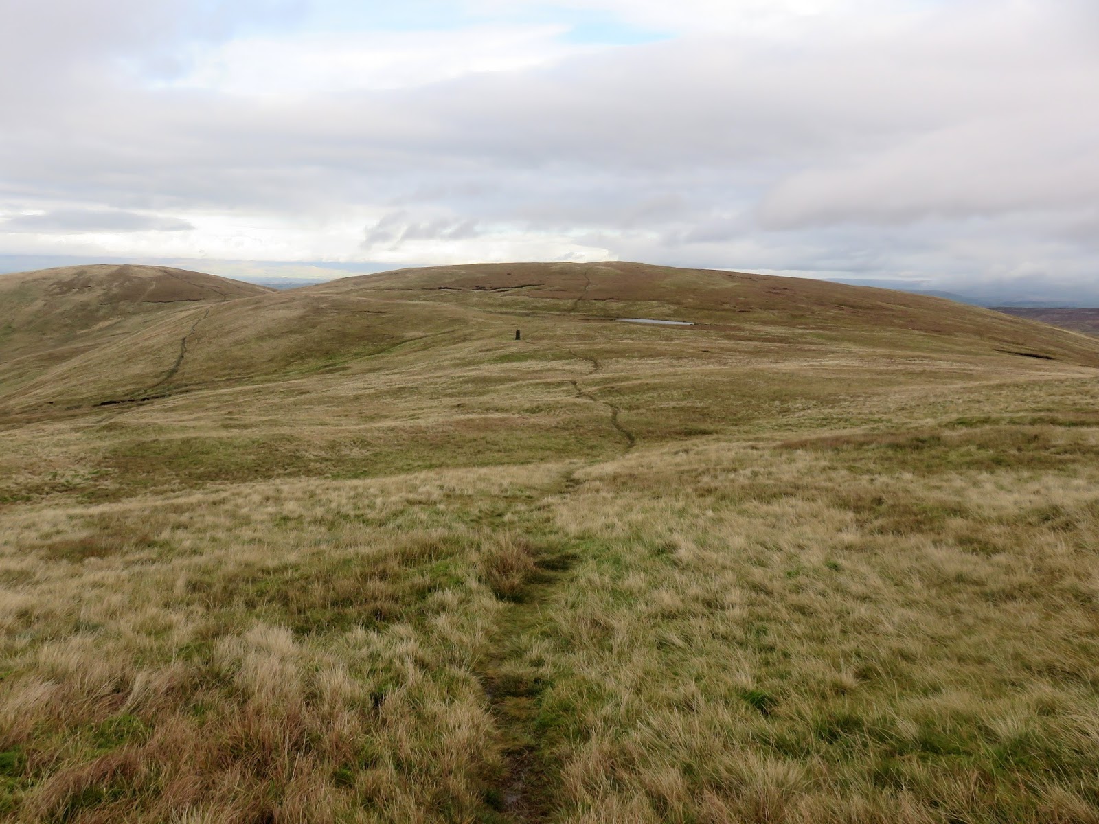
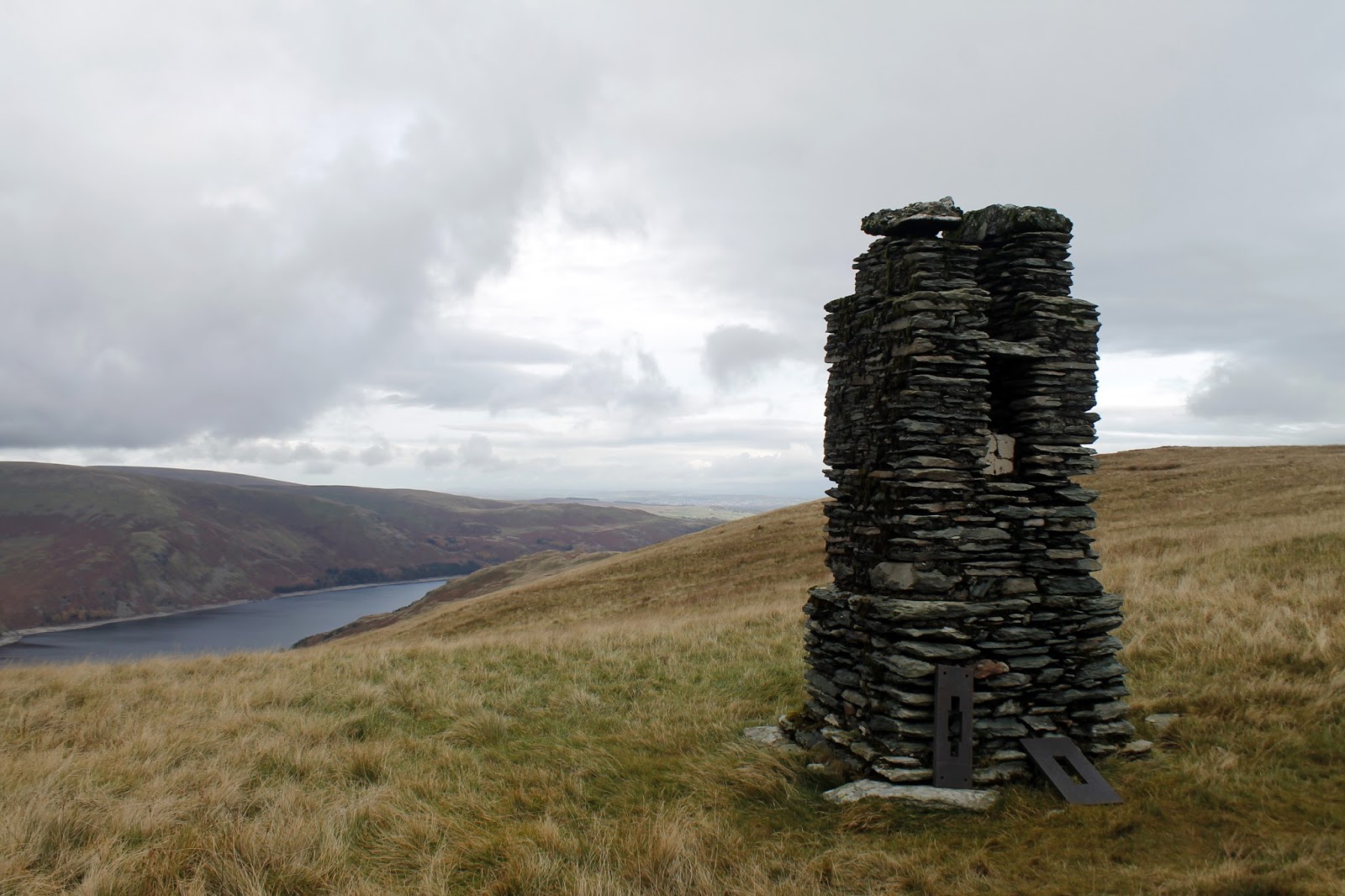
Continuing on, two tall cairns are passed before reaching a depression and the swelling of High Howes – the north east top of Branstree or the separate fell of High Howes if you’re that way inclined. In the depression, next to a small tarn, is the remains of peculiar column – a relic dating back to the construction of the Haweswater Reservoir.
 |
| Cairn on Artle Crag |
 |
| The route to High Howes |
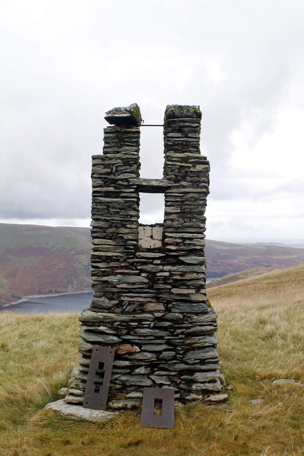
This unusual stone and concrete construction is cleft at the top to provide a sight line and was originally surrounded by a wooden frame, now decayed. This is one of four such pillars built during the construction of the Haweswater aqueduct. Below Branstree, Tarn Crag and Great Howe is the first section of the pipeline carrying water from the reservoir toward Manchester. The tunnel, some 1,300 ft below this point, required 250 tons of gelignite for blasting, and when constructed in the 1930s was the longest such pipeline in Britain. It emerges into Longsleddale below the southern end of Great Howe, where the spoil can still be seen.
 |
| The survey pillar above Haweswater |
 |
| The survey pillar |
 |
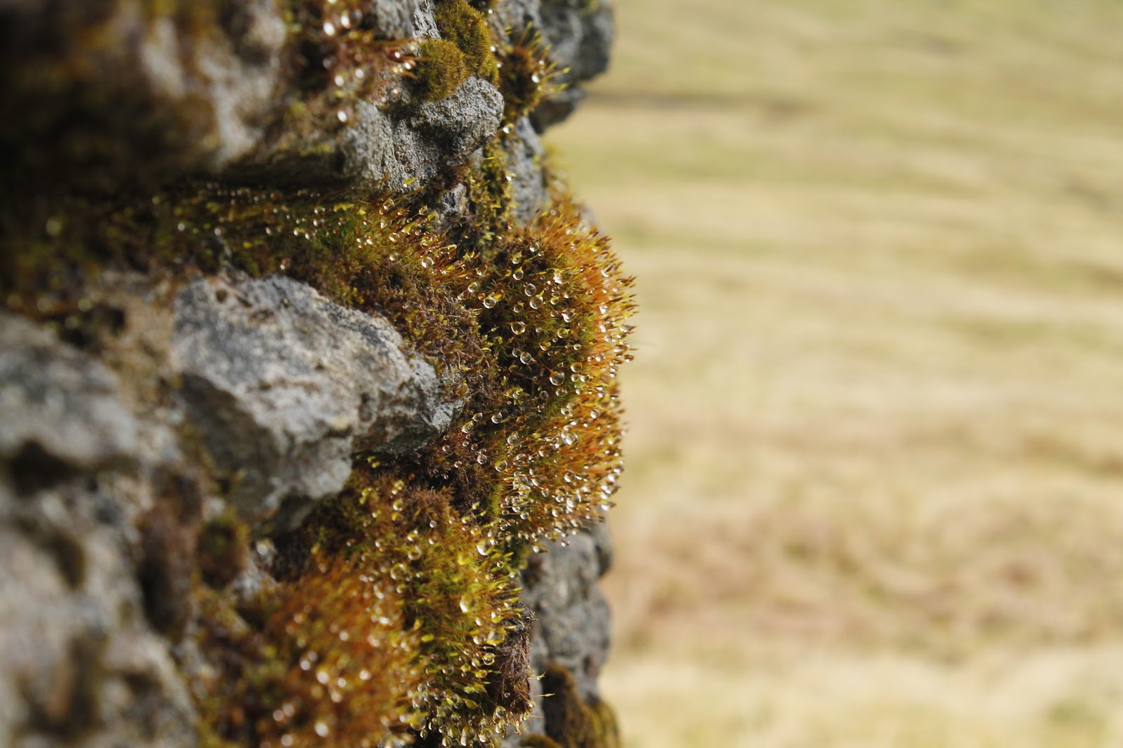
| Moss growing on the pillar |
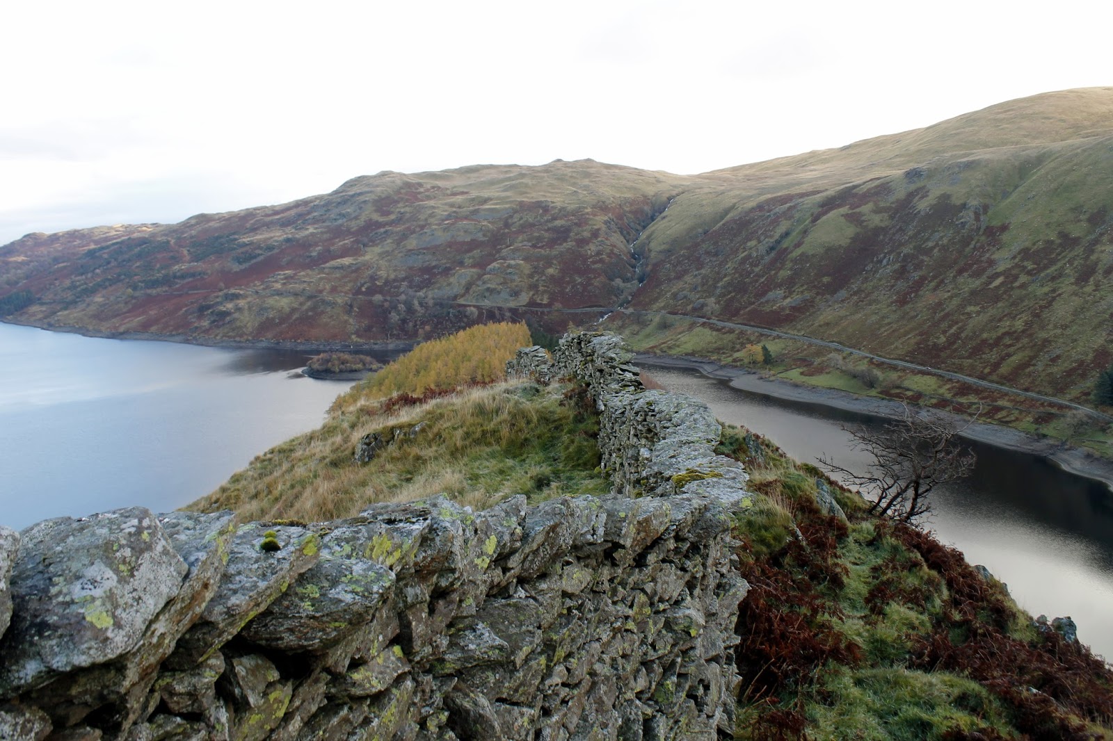
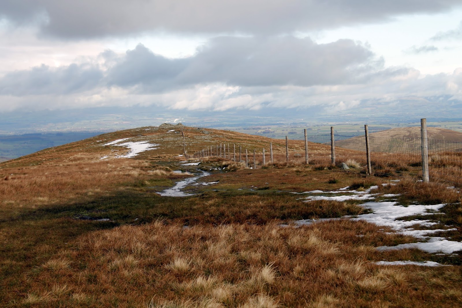
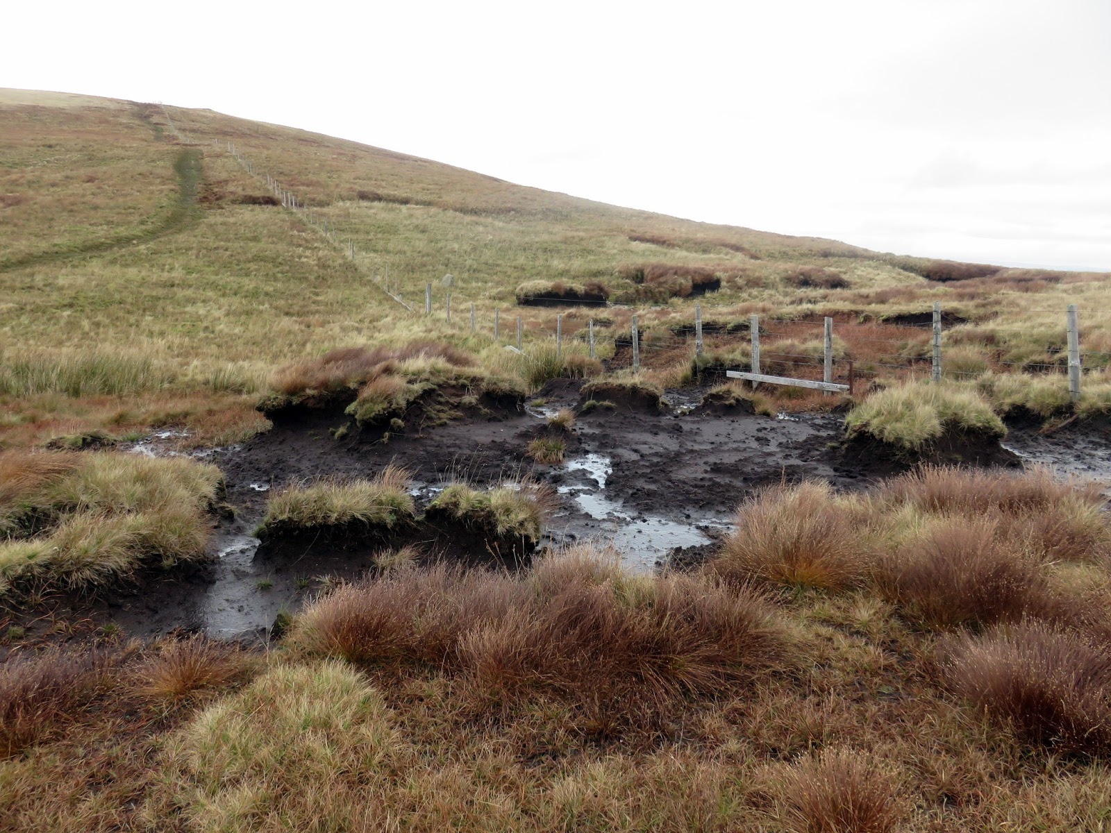
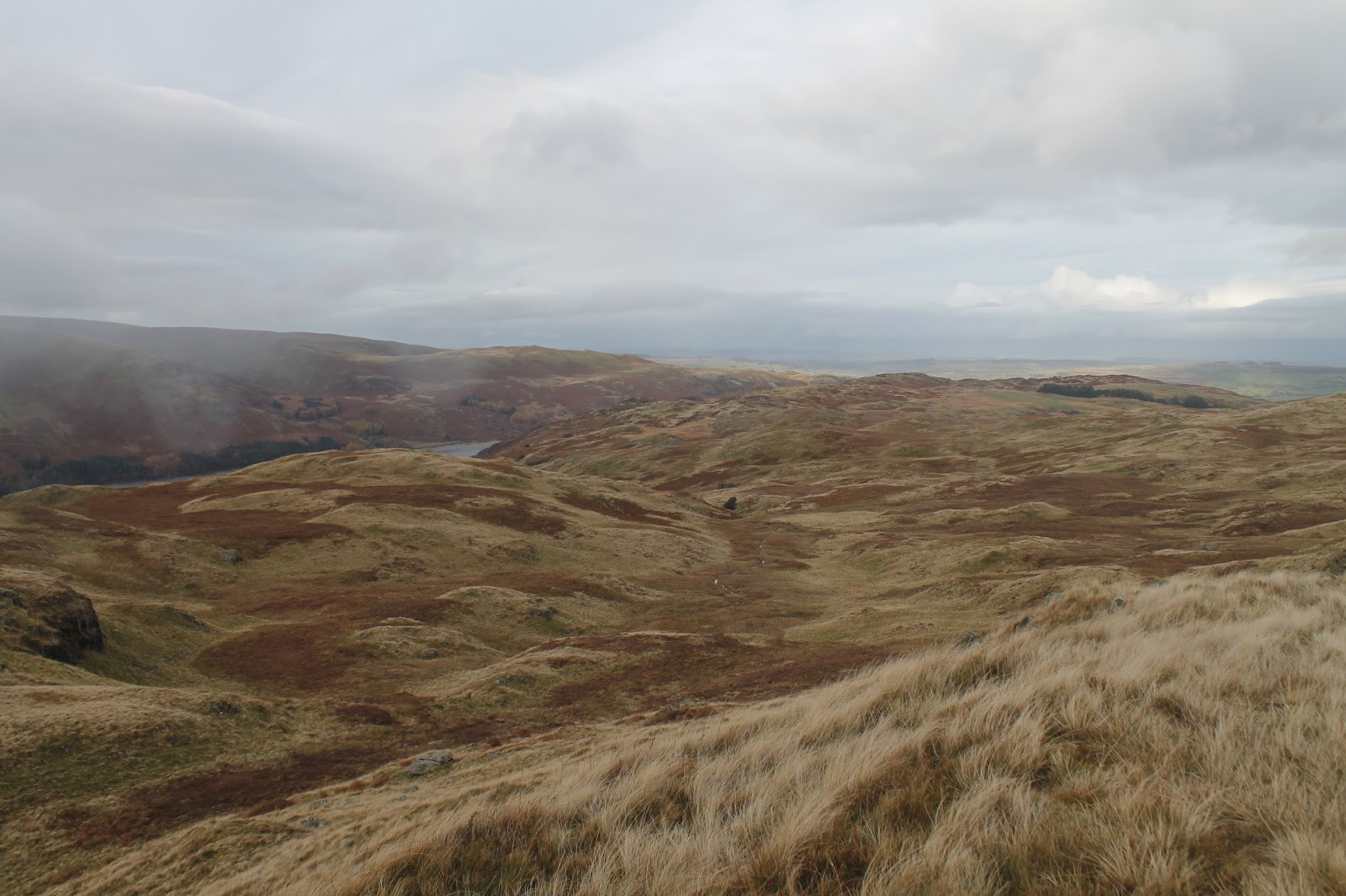
More grass follows as well as a crossing of Captain Whelter Bog. To their credit, Captain Whelter’s bog is not too bad but sticks in the mind thanks to its unusual name. Up ahead is the summit of Selside Pike, the point at which the Lake District starts to fade into the Eden Valley.
 |
| Captain Whelter Bog |
 |
| Descending Selside End |
 |
| Swindale |
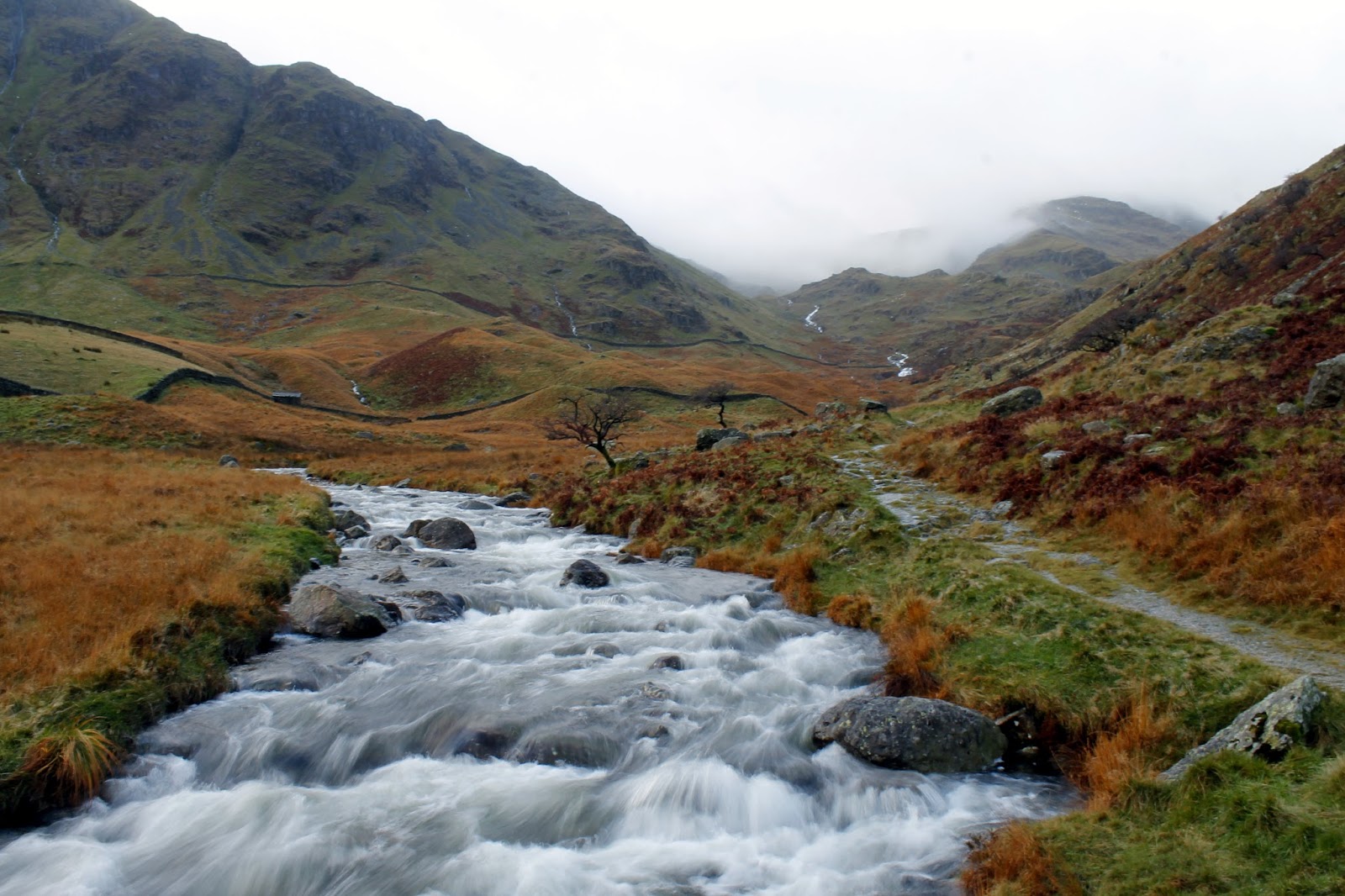
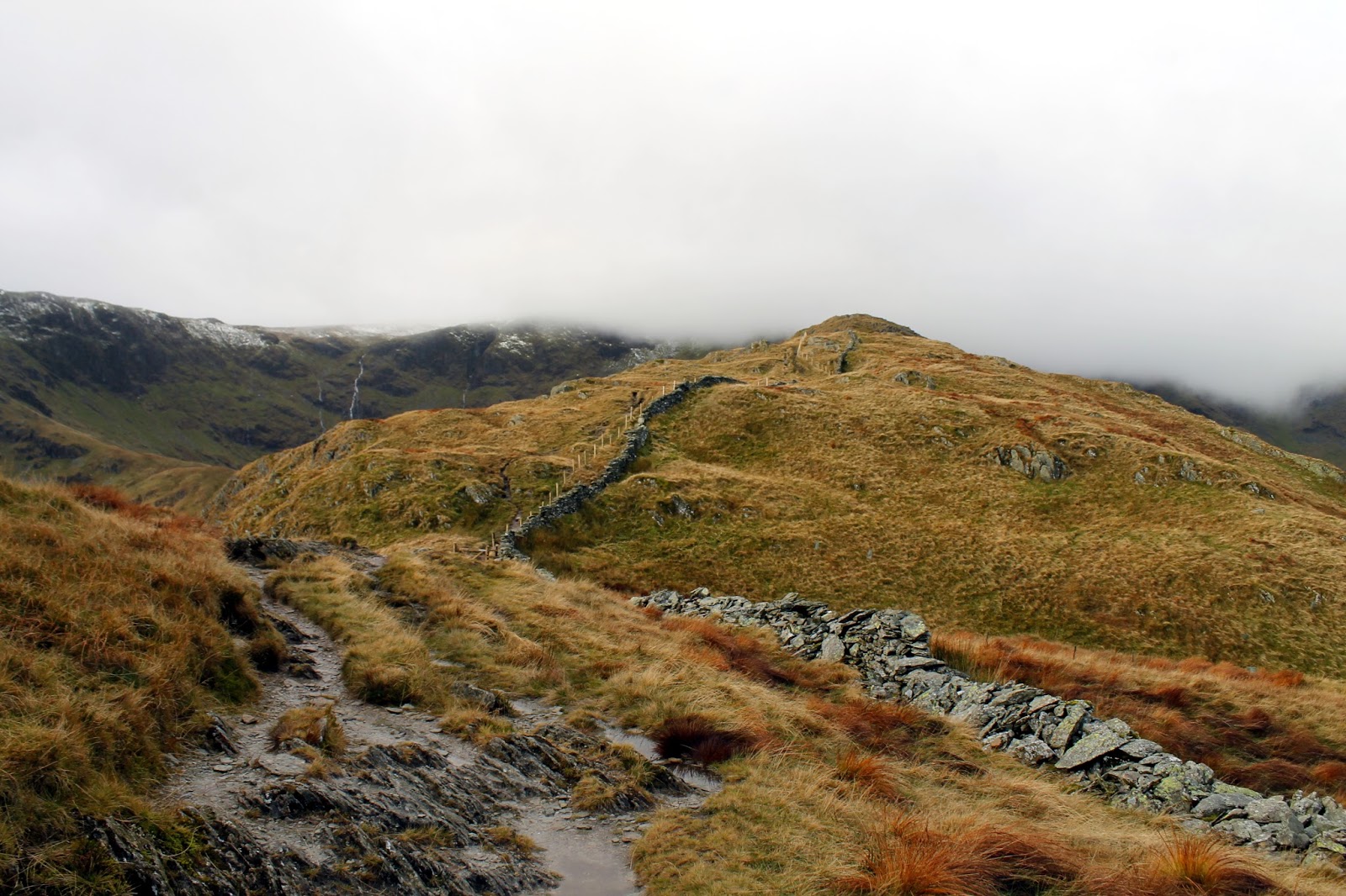
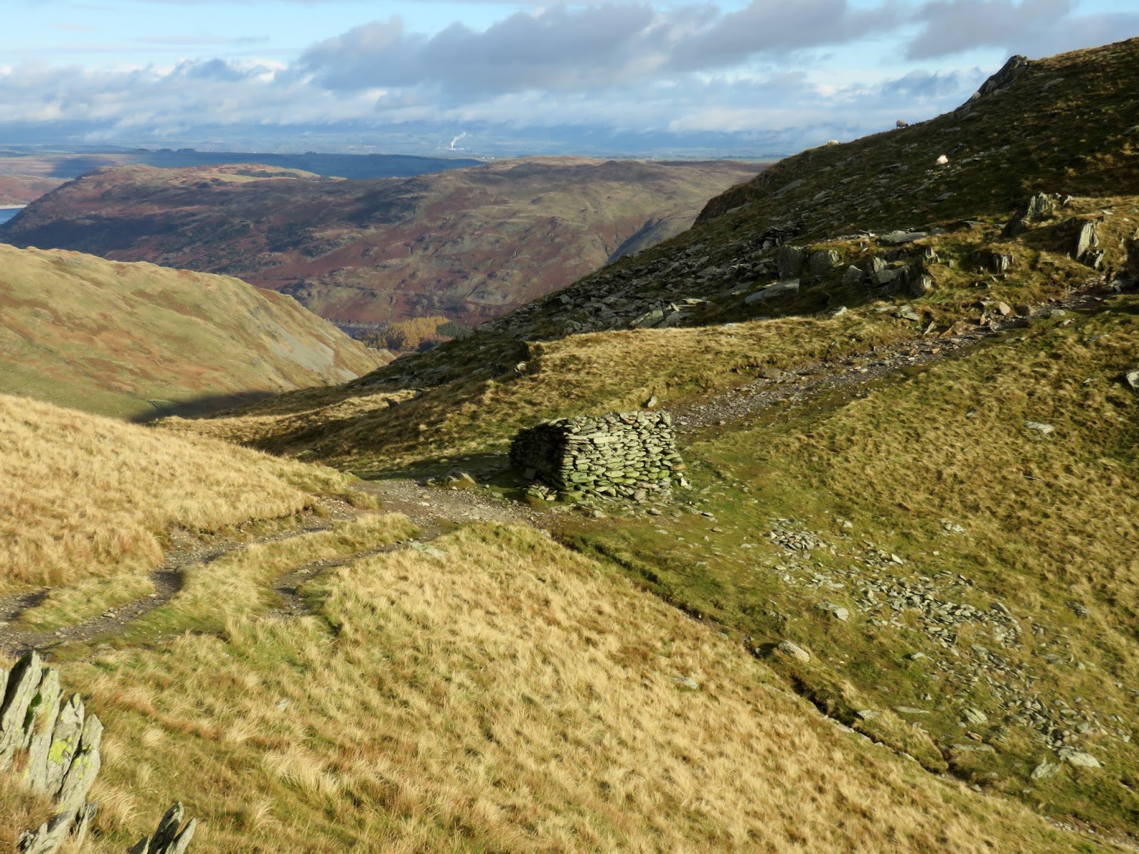
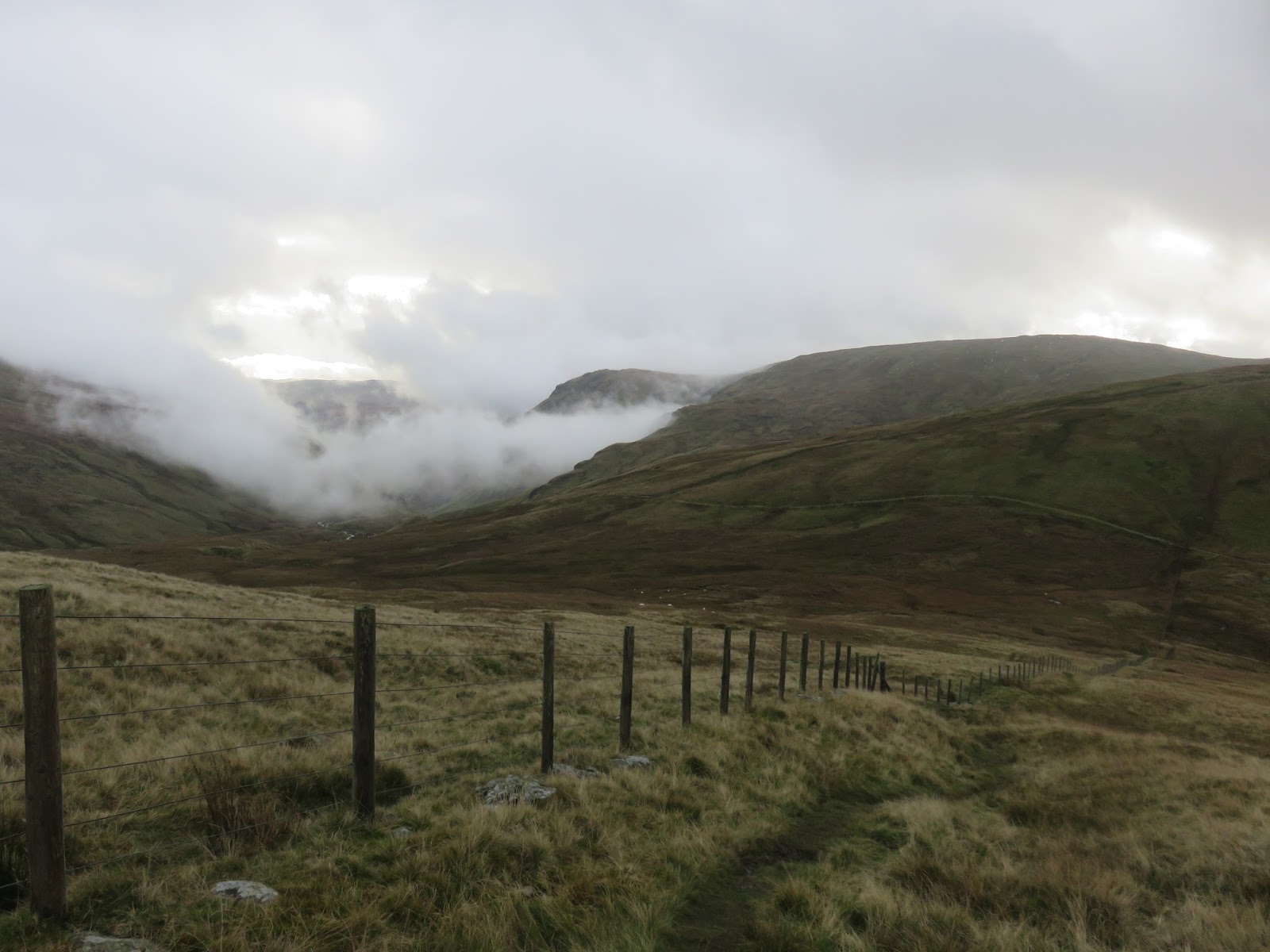
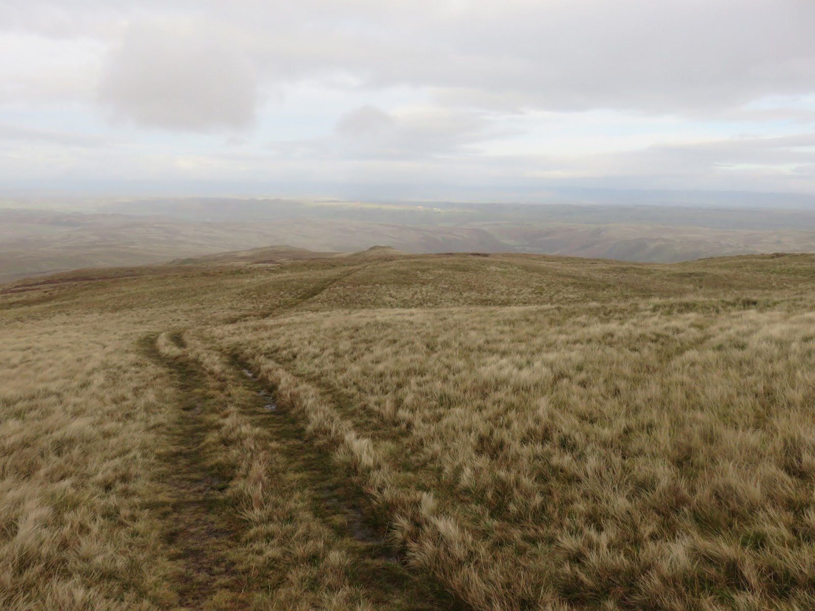
The walk ends with an easy stroll down to the old corpse road that used to join Swindale and Mardale, bodies being carried to the church in Mardale before it was flooded. You’ll be glad to know the bodies were removed prior to the creation of the reservoir. Crossing Brown Howe, the route falls steeply to the road where an easy walk leads back to the car. This leg of the walk really is a feast for the eyes as the next series of photos demonstrates.
 |
| Swindale Common |
 |
| The summit of Brown Howe |
 |
| Showers over Riggindale |
 |
| Remains at High Loup |
 |
| Mardale Head |
 |
| Descending the Old Corpse Road |
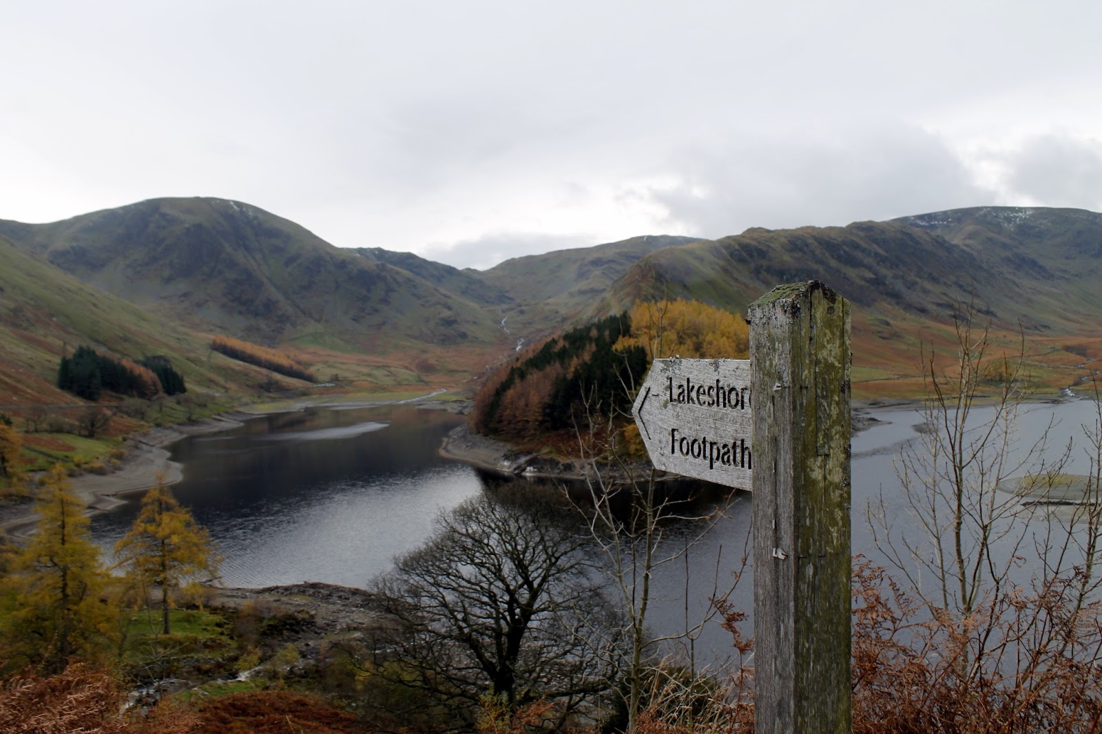
 |
| Unfortunately, the lakeshore path was closed |
 |
| Rowantreethwaite beck |
 |
| The road back to the car park |
Another superb day in the Lake District, at a time when it really looks incredible. The shades of autumn are are sight to behold and, if you can put up with the changeable weather, there are rich rewards to be found at this time of year. Make the most if it – winter is on its way….


