Open Space Web-Map builder Codehttps://openspace.ordnancesurvey.co.uk/osmapapi/openspace.js?key=3119F72552FD5C22E0530C6CA40A5A92https://openspace.ordnancesurvey.co.uk/osmapapi/script/mapbuilder/basicmap.jshttps://openspace.ordnancesurvey.co.uk/osmapapi/script/mapbuilder/searchbox.js//variables for routes var linesLayer, points, lineFeature, lineString, routeMarkersLayer, routepos, routesize, routeoffset, routeicon; var style_blue = {strokeColor: “#0000CD”, strokeOpacity: 0.5, strokeWidth: 4.5}; function initmapbuilder() { //initiate the map var options = {resolutions: [2500, 1000, 500, 200, 100, 50, 25, 10, 5, 4, 2.5, 2, 1]}; osMap = new OpenSpace.Map(‘map’, options); //configure map options (basicmap.js) setglobaloptions(); //set the center of the map and the zoom level osMap.setCenter(new OpenSpace.MapPoint(410095.9974823,386397.00125885),7); linesLayer = osMap.getVectorLayer(); // Set up layer for route markers routeMarkersLayer = new OpenLayers.Layer.Markers(“Route Markers”); //make a route points = new Array(); points.push(new OpenLayers.Geometry.Point(412321.66412354,385335.66793823)); points.push(new OpenLayers.Geometry.Point(412296.66412354,385540.66793823)); points.push(new OpenLayers.Geometry.Point(412361.66412354,385690.66793823)); points.push(new OpenLayers.Geometry.Point(412356.66412354,385850.66793823)); points.push(new OpenLayers.Geometry.Point(412301.66412354,385980.66793823)); points.push(new OpenLayers.Geometry.Point(412191.66412354,386115.66793823)); points.push(new OpenLayers.Geometry.Point(412256.66412354,386155.66793823)); points.push(new OpenLayers.Geometry.Point(412271.66412354,386250.66793823)); points.push(new OpenLayers.Geometry.Point(412241.66412354,386340.66793823)); points.push(new OpenLayers.Geometry.Point(412141.66412354,386470.66793823)); points.push(new OpenLayers.Geometry.Point(412111.66412354,386535.66793823)); points.push(new OpenLayers.Geometry.Point(412061.66412354,386685.66793823)); points.push(new OpenLayers.Geometry.Point(412016.66412354,386795.66793823)); points.push(new OpenLayers.Geometry.Point(412011.66412354,386885.66793823)); points.push(new OpenLayers.Geometry.Point(411911.66412354,387005.66793823)); points.push(new OpenLayers.Geometry.Point(411841.66412354,387065.66793823)); points.push(new OpenLayers.Geometry.Point(411736.66412354,387080.66793823)); points.push(new OpenLayers.Geometry.Point(411551.66412354,387145.66793823)); points.push(new OpenLayers.Geometry.Point(411401.66412354,387185.66793823)); points.push(new OpenLayers.Geometry.Point(411251.66412354,387235.66793823)); points.push(new OpenLayers.Geometry.Point(411056.66412354,387275.66793823)); points.push(new OpenLayers.Geometry.Point(410891.66412354,387275.66793823)); points.push(new OpenLayers.Geometry.Point(410761.66412354,387215.66793823)); points.push(new OpenLayers.Geometry.Point(410711.66412354,387210.66793823)); points.push(new OpenLayers.Geometry.Point(410711.66412354,387300.66793823)); points.push(new OpenLayers.Geometry.Point(410671.66412354,387375.66793823)); points.push(new OpenLayers.Geometry.Point(410656.66412354,387455.66793823)); points.push(new OpenLayers.Geometry.Point(410696.66412354,387490.66793823)); points.push(new OpenLayers.Geometry.Point(410651.66412354,387575.66793823)); points.push(new OpenLayers.Geometry.Point(410591.66412354,387630.66793823)); points.push(new OpenLayers.Geometry.Point(410556.66412354,387580.66793823)); points.push(new OpenLayers.Geometry.Point(410581.66412354,387515.66793823)); points.push(new OpenLayers.Geometry.Point(410571.66412354,387290.66793823)); points.push(new OpenLayers.Geometry.Point(410521.66412354,387245.66793823)); points.push(new OpenLayers.Geometry.Point(410431.66412354,387220.66793823)); points.push(new OpenLayers.Geometry.Point(410381.66412354,387180.66793823)); points.push(new OpenLayers.Geometry.Point(410336.66412354,387110.66793823)); points.push(new OpenLayers.Geometry.Point(410256.66412354,387170.66793823)); points.push(new OpenLayers.Geometry.Point(410136.66412354,387145.66793823)); points.push(new OpenLayers.Geometry.Point(410076.66412354,387150.66793823)); points.push(new OpenLayers.Geometry.Point(409981.66412354,387225.66793823)); points.push(new OpenLayers.Geometry.Point(409821.66412354,387270.66793823)); points.push(new OpenLayers.Geometry.Point(409611.66412354,387220.66793823)); points.push(new OpenLayers.Geometry.Point(409481.66412354,387320.66793823)); points.push(new OpenLayers.Geometry.Point(409411.66412354,387300.66793823)); points.push(new OpenLayers.Geometry.Point(409406.66412354,387095.66793823)); points.push(new OpenLayers.Geometry.Point(409331.66412354,387025.66793823)); points.push(new OpenLayers.Geometry.Point(409231.66412354,386955.66793823)); points.push(new OpenLayers.Geometry.Point(408976.66412354,387025.66793823)); points.push(new OpenLayers.Geometry.Point(408606.66412354,387005.66793823)); points.push(new OpenLayers.Geometry.Point(408341.66412354,387005.66793823)); points.push(new OpenLayers.Geometry.Point(408171.66412354,386875.66793823)); points.push(new OpenLayers.Geometry.Point(407981.66412354,386585.66793823)); points.push(new OpenLayers.Geometry.Point(407941.66412354,386505.66793823)); points.push(new OpenLayers.Geometry.Point(407941.66412354,386345.66793823)); points.push(new OpenLayers.Geometry.Point(408006.66412354,386215.66793823)); points.push(new OpenLayers.Geometry.Point(408051.66412354,386100.66793823)); points.push(new OpenLayers.Geometry.Point(408206.66412354,386200.66793823)); points.push(new OpenLayers.Geometry.Point(408426.66412354,386195.66793823)); points.push(new OpenLayers.Geometry.Point(408631.66412354,386220.66793823)); points.push(new OpenLayers.Geometry.Point(408666.66412354,385980.66793823)); points.push(new OpenLayers.Geometry.Point(408671.66412354,385965.66793823)); points.push(new OpenLayers.Geometry.Point(408821.66412354,386145.66793823)); points.push(new OpenLayers.Geometry.Point(408881.66412354,386075.66793823)); points.push(new OpenLayers.Geometry.Point(409021.66412354,385975.66793823)); points.push(new OpenLayers.Geometry.Point(409341.66412354,385785.66793823)); points.push(new OpenLayers.Geometry.Point(409486.66412354,385680.66793823)); points.push(new OpenLayers.Geometry.Point(409647.66412354,385503.66793823)); points.push(new OpenLayers.Geometry.Point(409897.66412354,385443.66793823)); points.push(new OpenLayers.Geometry.Point(410112.66412354,385428.66793823)); points.push(new OpenLayers.Geometry.Point(410177.66412354,385343.66793823)); points.push(new OpenLayers.Geometry.Point(410247.66412354,385308.66793823)); points.push(new OpenLayers.Geometry.Point(410292.66412354,385308.66793823)); points.push(new OpenLayers.Geometry.Point(410337.66412354,385338.66793823)); points.push(new OpenLayers.Geometry.Point(410492.66412354,385363.66793823)); points.push(new OpenLayers.Geometry.Point(410822.66412354,385523.66793823)); points.push(new OpenLayers.Geometry.Point(411162.66412354,385528.66793823)); points.push(new OpenLayers.Geometry.Point(411347.66412354,385618.66793823)); points.push(new OpenLayers.Geometry.Point(411567.66412354,385723.66793823)); points.push(new OpenLayers.Geometry.Point(411767.66412354,385823.66793823)); points.push(new OpenLayers.Geometry.Point(411887.66412354,385938.66793823)); points.push(new OpenLayers.Geometry.Point(412107.66412354,385958.66793823)); points.push(new OpenLayers.Geometry.Point(412297.66412354,385963.66793823)); points.push(new OpenLayers.Geometry.Point(412347.66412354,385868.66793823)); points.push(new OpenLayers.Geometry.Point(412367.66412354,385718.66793823)); points.push(new OpenLayers.Geometry.Point(412337.66412354,385598.66793823)); points.push(new OpenLayers.Geometry.Point(412282.66412354,385538.66793823)); points.push(new OpenLayers.Geometry.Point(412297.66412354,385498.66793823)); points.push(new OpenLayers.Geometry.Point(412321.66412354,385335.66793823)); // create a polyline feature from the array of points lineString = new OpenLayers.Geometry.LineString(points); lineFeature = new OpenLayers.Feature.Vector(lineString, null, style_blue); linesLayer.addFeatures([lineFeature]); //crate a route start/end marker routepos = new OpenSpace.MapPoint(412321.66412354,385335.66793823); routesize = new OpenLayers.Size(33,45); routeoffset = new OpenLayers.Pixel(-5,-37); routeicon = new OpenSpace.Icon(‘https://openspace.ordnancesurvey.co.uk/osmapapi/img_versions/img_1.1/mapbuilder/routemarker-startend.png’, routesize, routeoffset, null, null); routeMarkersLayer.addMarker(new OpenLayers.Marker(routepos, routeicon)); osMap.addLayer(routeMarkersLayer);}
Route: Edale, Grindsbrook Booth, Heardman’s Plantation, Grindsbrook Clough, Crowden Brook, Crowden Tower, Wool Packs, Pym Chair, Noe Stool, Edale Head, Swine’s Back, Pennine Way, Jacob’s Ladder, Lee House, Upper Booth, Broadlee-Bank Tor, Grindsbrook Booth, Edale
Date: 26/06/2016
From: Edale
Parking: Car park in Edale
Start Point: Edale
Region: Peak District Dark Peak
Route length: 8.3 miles (13.1 km)
Time taken: 03:46
Average speed: 2.2 mph
Ascent: 577m
Descent: 579m
Summits: None
Other points of interest: Grindsbrook Clough, Crowden Tower, Wool Packs, Pym Chair, Noe Stool, Jacob’s Ladder
It is estimated that 20 million people live within an hours drive of the Peak District, Sara and I are included in the figure. We’re lucky that our hour takes us to the wild and woolly Dark Peak with its famous open moors and gritstone edges. The crowning glory of this area is Kinder Scout. The huge moorland plateau rises to a height of over 2,000ft – the highest point in the Peak District but its charms lie away from this fact.
The Kinder edges are the real highlight and the southern edge is the most popular but arguably the best. I’ve walked the various edges on a number of occasions from a variety of starting points including Hayfield, Edale and Snake Pass, culminating in the classic Kinder Circuit. Today we’d be visiting the southern edge by climbing Grindsbrook Clough – a popular boulder-strewn valley that I have peered down into many times but never ventured in.
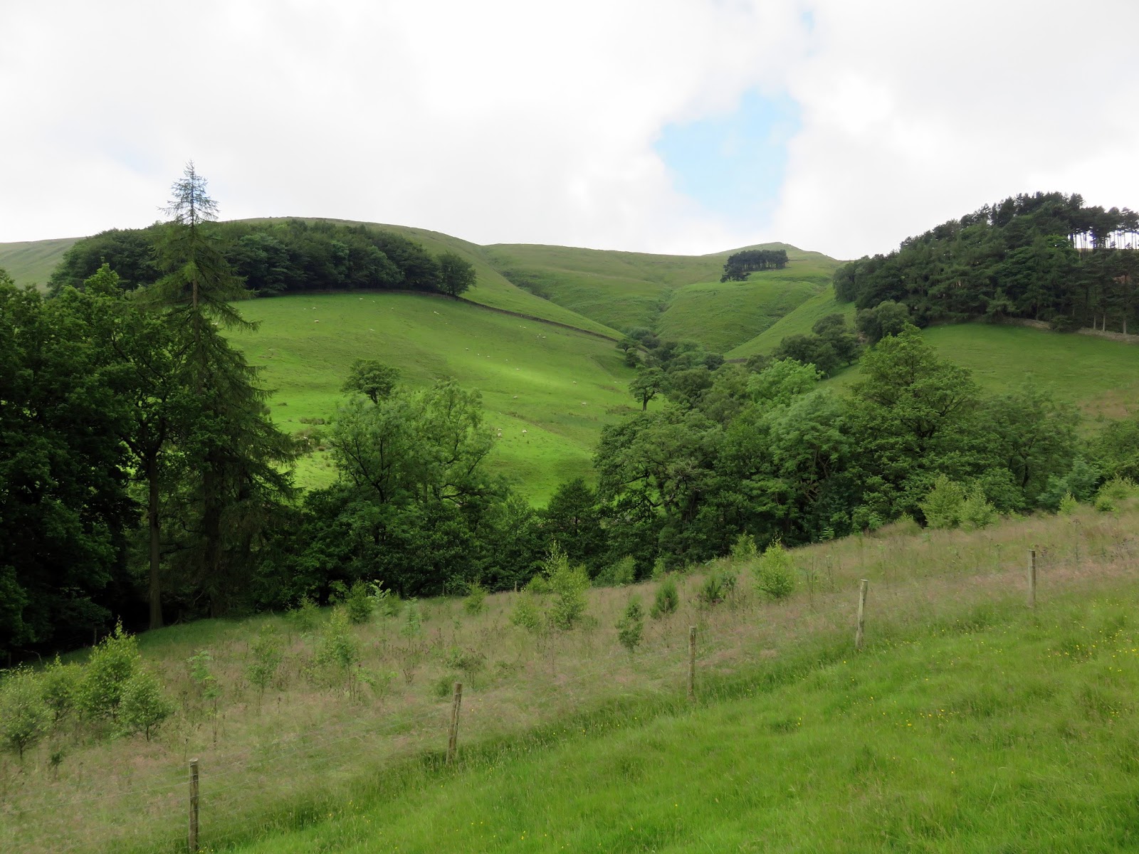
We began in Edale, as many heading for Kinder Scout invariably do, making our way past the station and along the lane leading past the church to Grindsbrook Booth, a hamlet consisting of a few cottages, a farm, a school and the all important pub. As the lane reaches the gates of Grindslow House, a shady path leaves to the right, crossing Grinds Brook and entering the open fields below The Nab.
 |
| A shaded footbridge crosses Grinds Brook as it passes Grindsbrook Booth |
 |
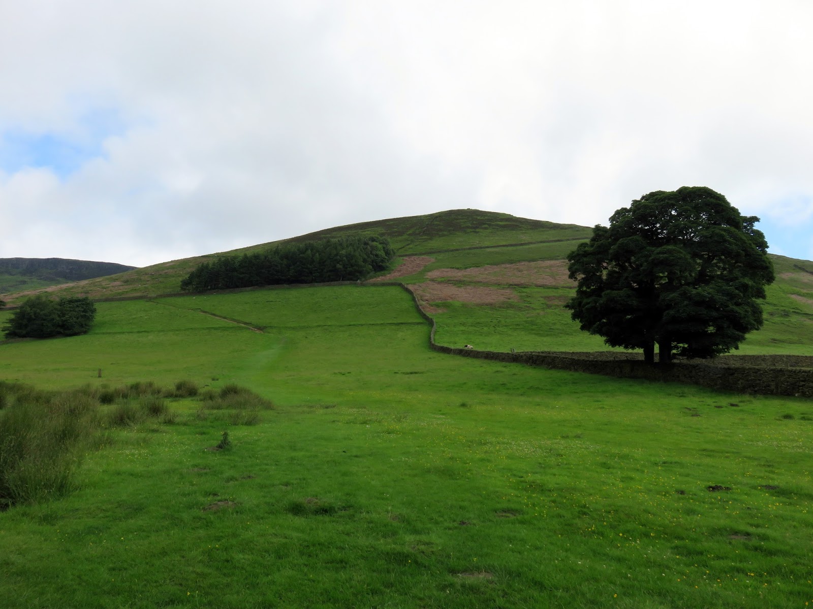
| Bright green fields below The Nab |
 |
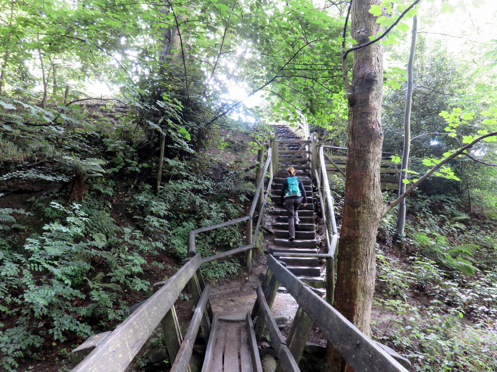
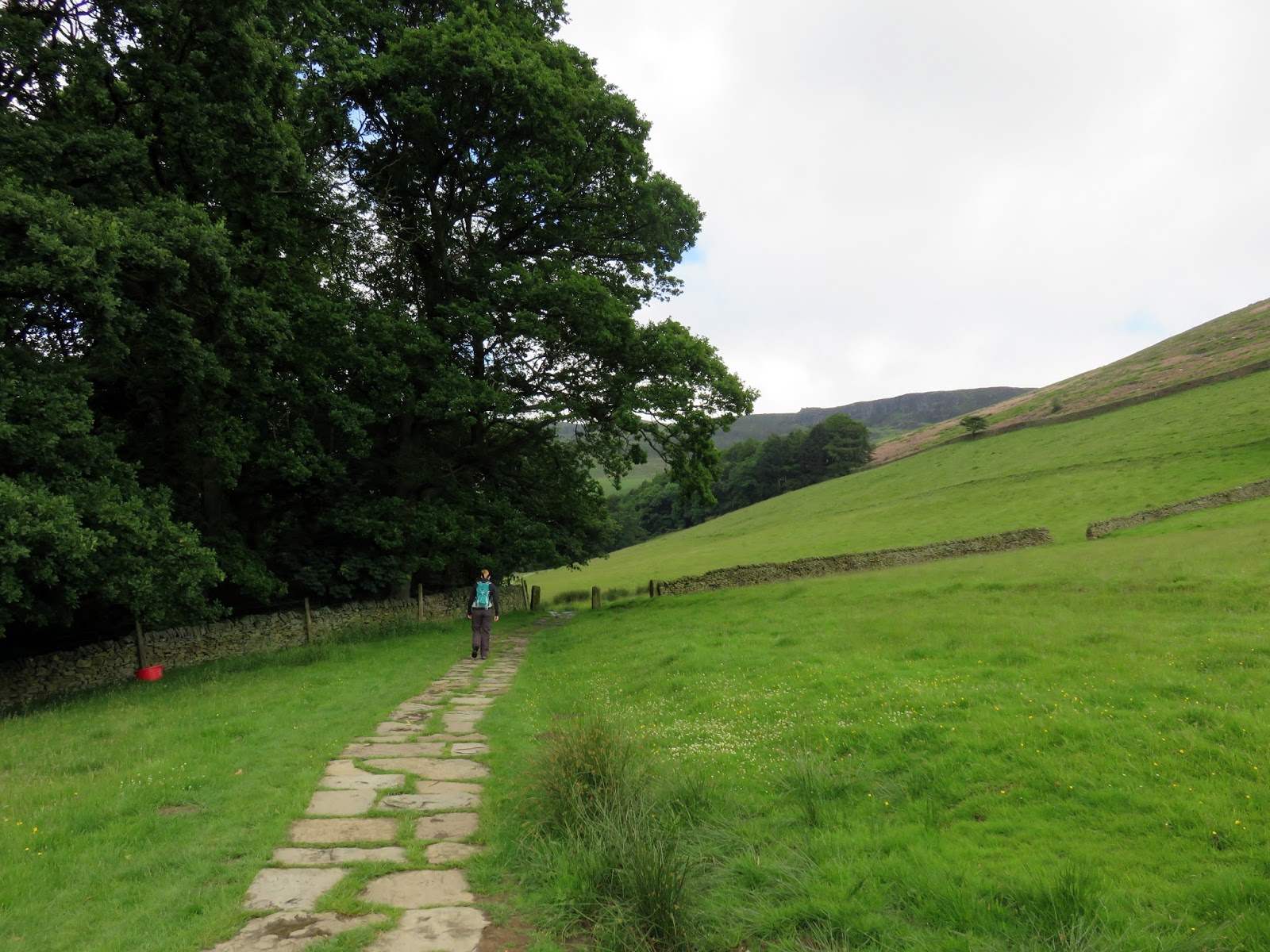
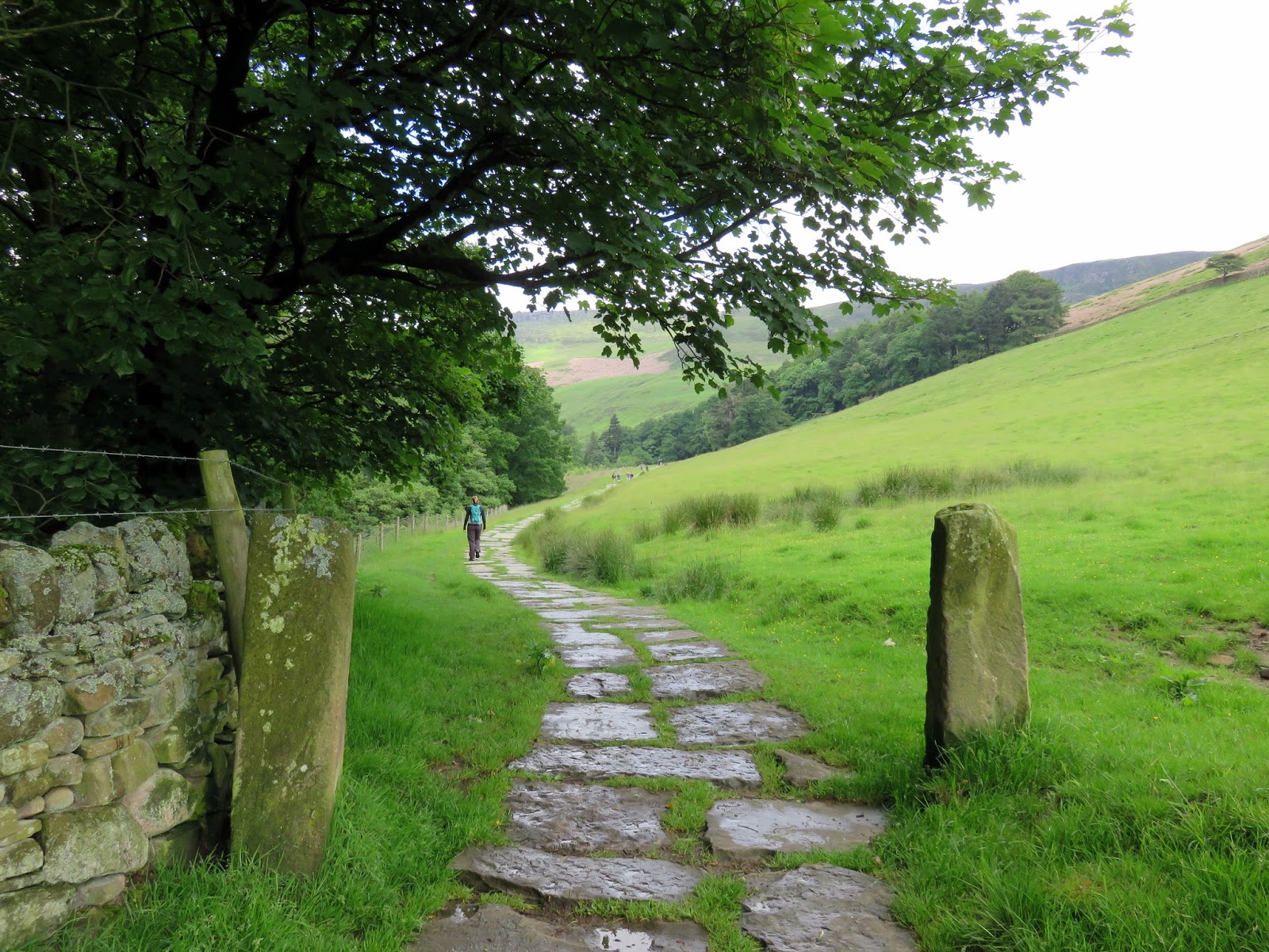
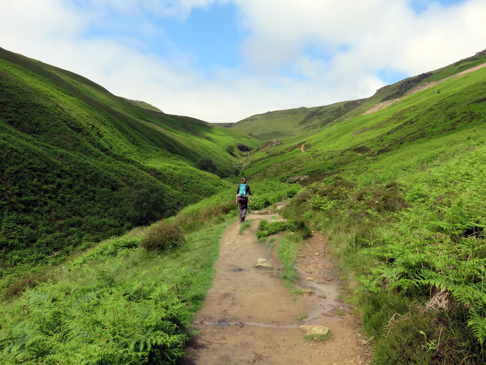
| The paved path heading for Grindsbrook Clough |
Paving slabs lead the way into Grindsbrook Clough ending to become a substantial track at Golden Clough that climbs at an easy gradient above the tumbling stream. At bend in the steam between a rock outcrop, take the opportunity to leave the track to make the rest of the climb alongside the stream itself. If it has recently be raining, you may want to consider waterproof boots for this bit.
 |
| An old gate post close to Grindslow House |
 |
| Grindslow Knoll |
 |
| Golden Clough and Ringing Roger |
 |
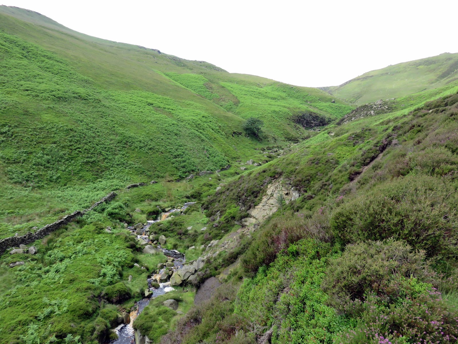
| Grindsbrook Clough |
 |
| Grindsbrook Clough |
 |
| Entering the clough |
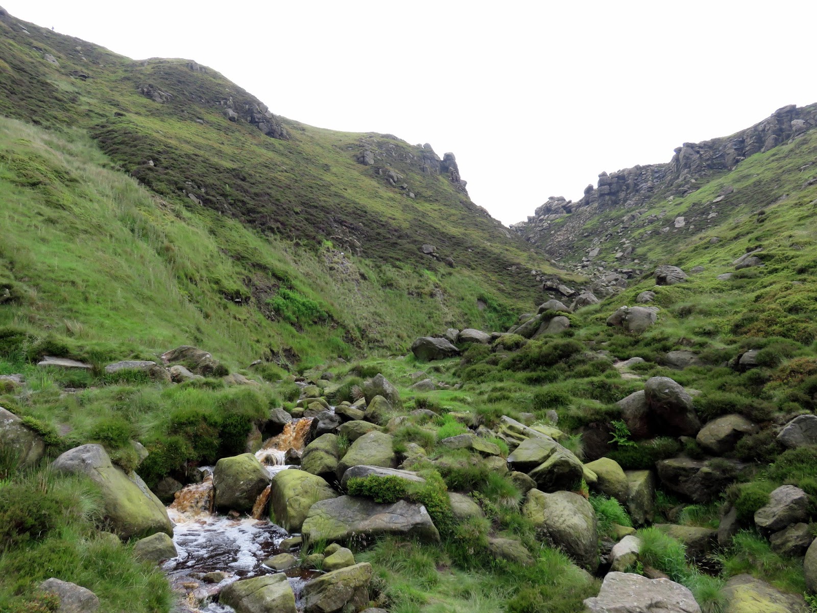
The walk up Grindsbrook Clough is rough and rocky but never difficult and is far more interesting than following the track. We crossed the stream a couple of times to find the best ways up and eventually we reached an obvious fork at the head of the valley.
 |
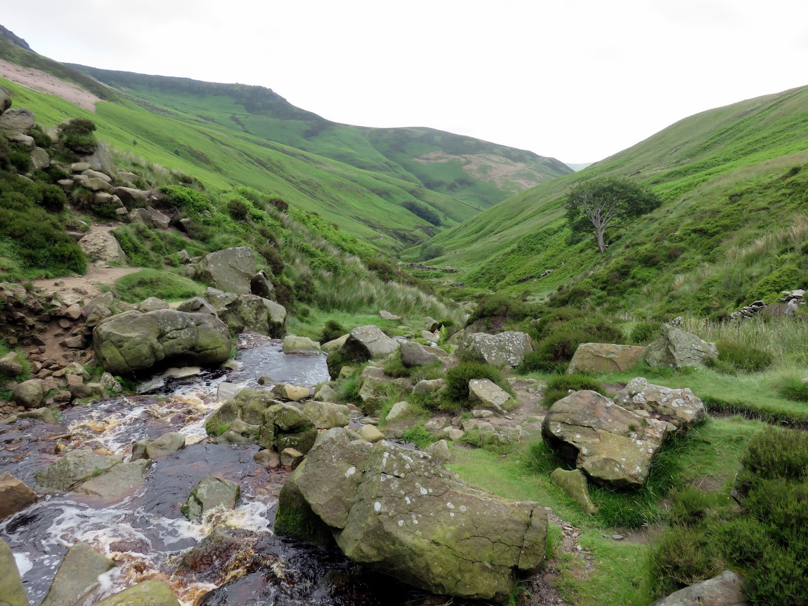
| Looking down Grindsbrook Clough |
 |
| Grindsbrook Clough |
 |
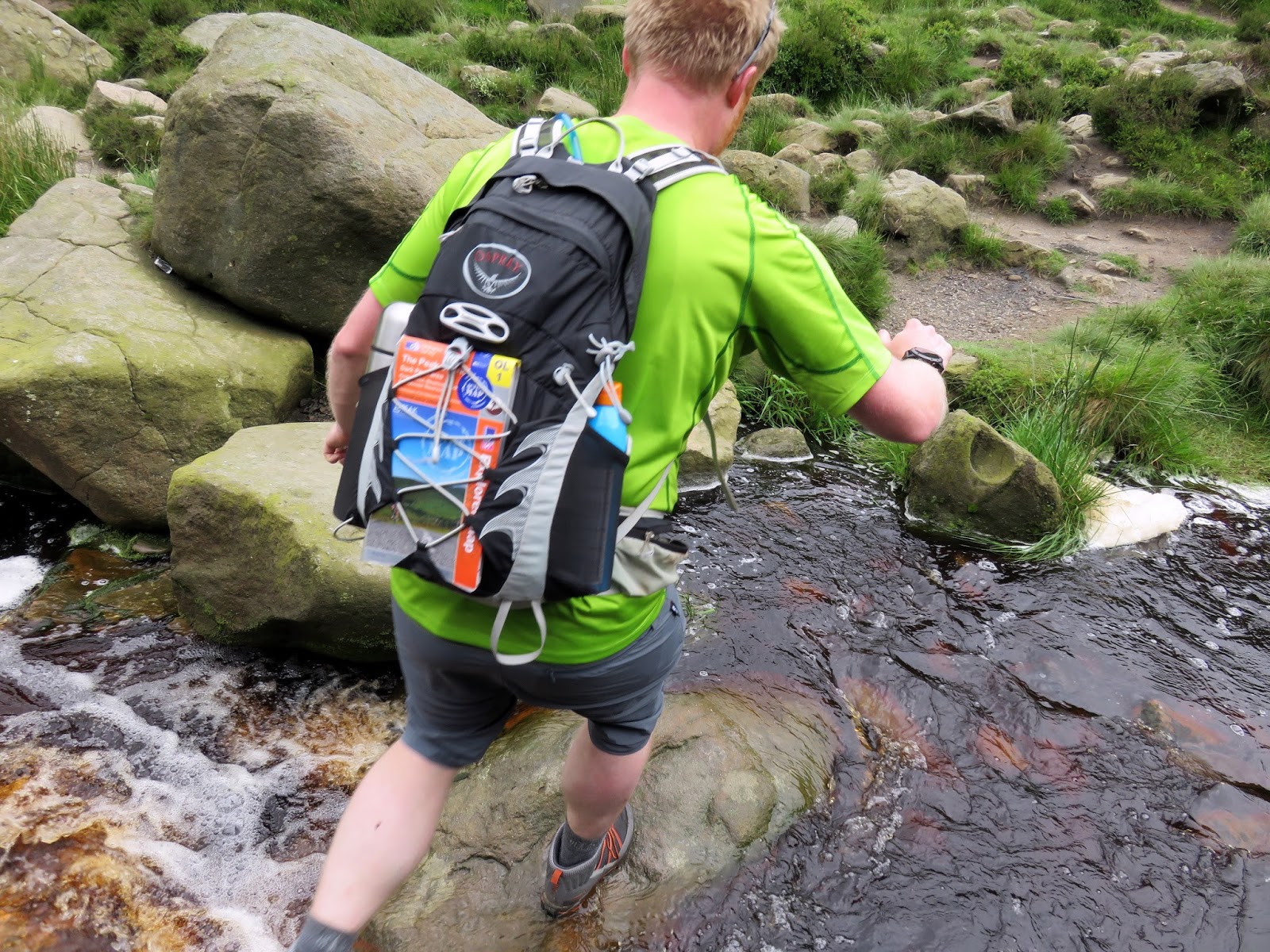
| One of a number of crossings |
 |
| Exposed brittle shale |
 |
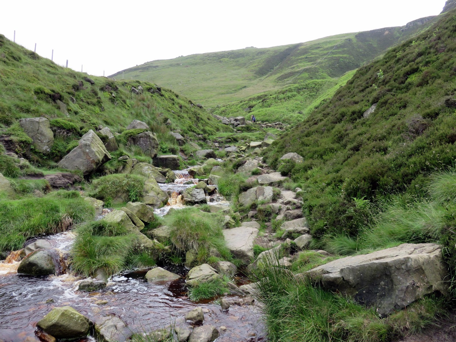
| The head of Grndbrook Clough |
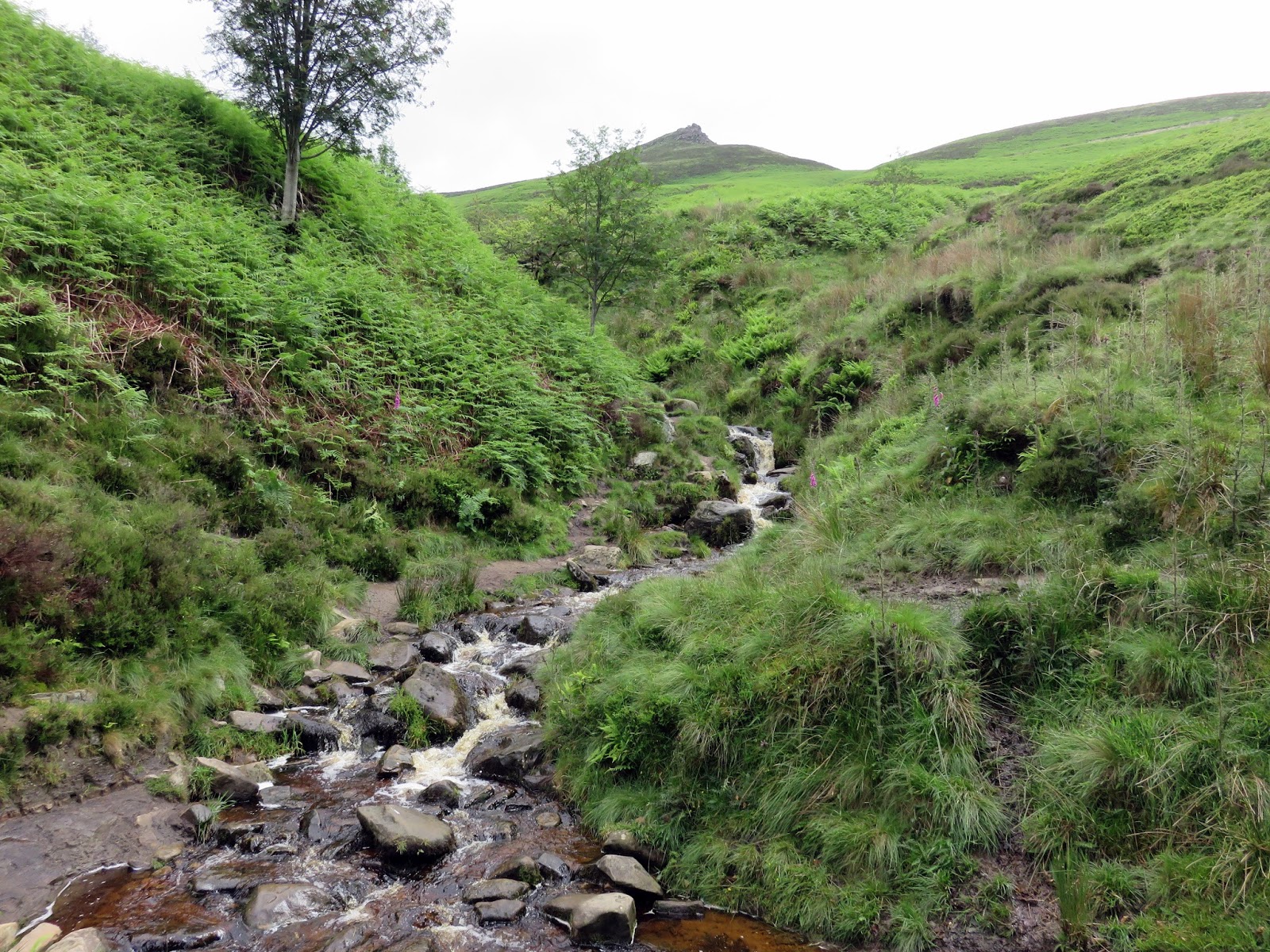
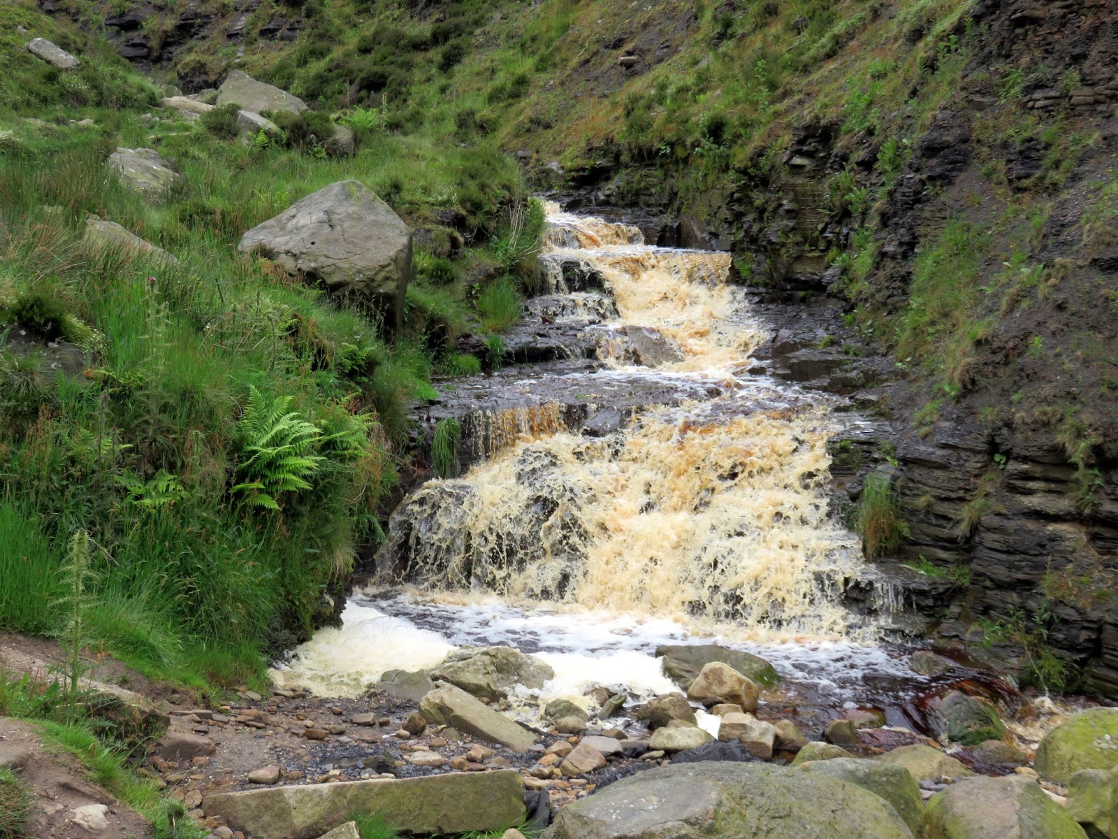
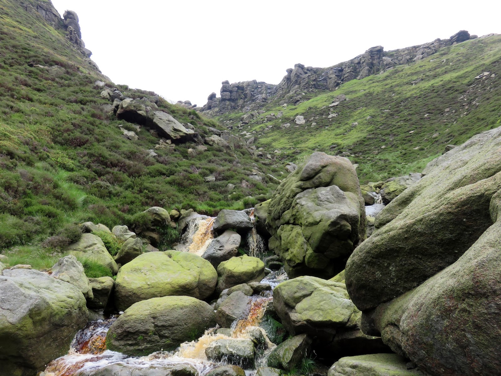
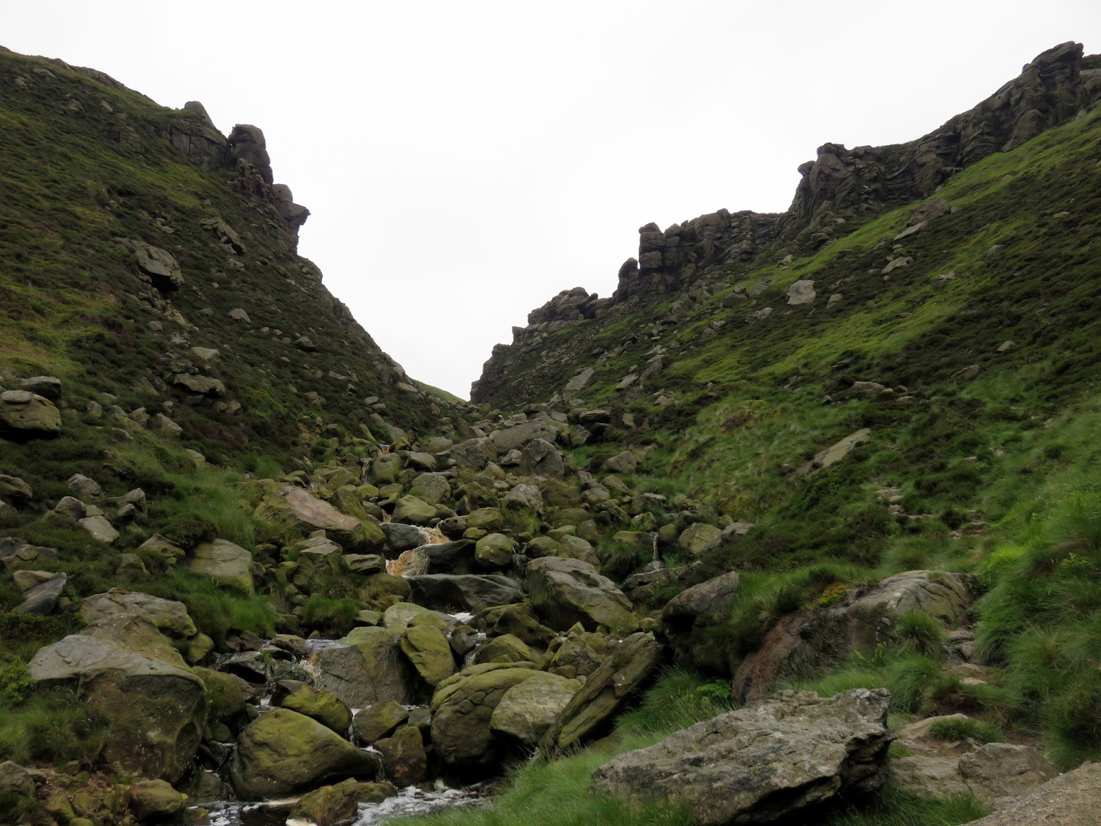
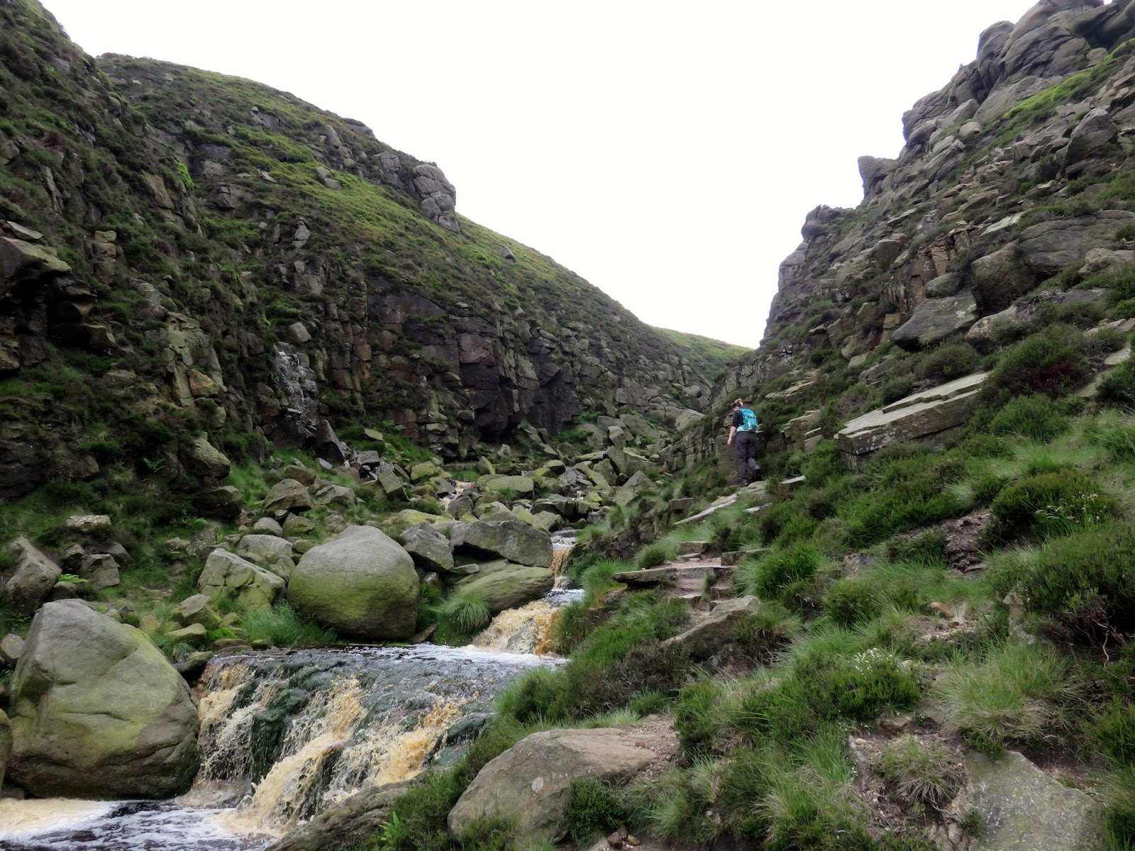
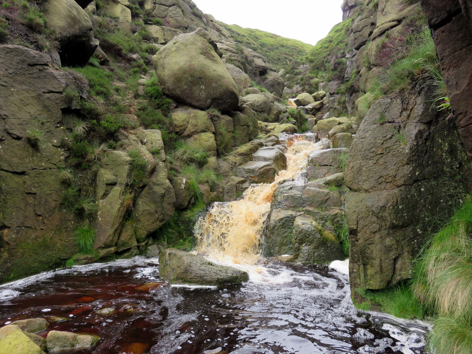
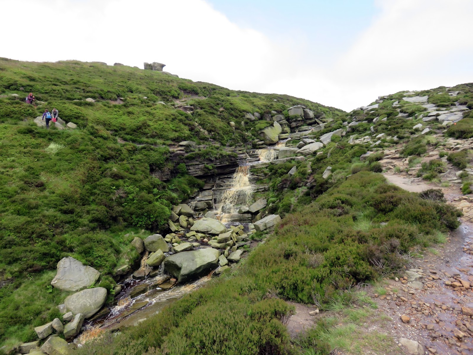
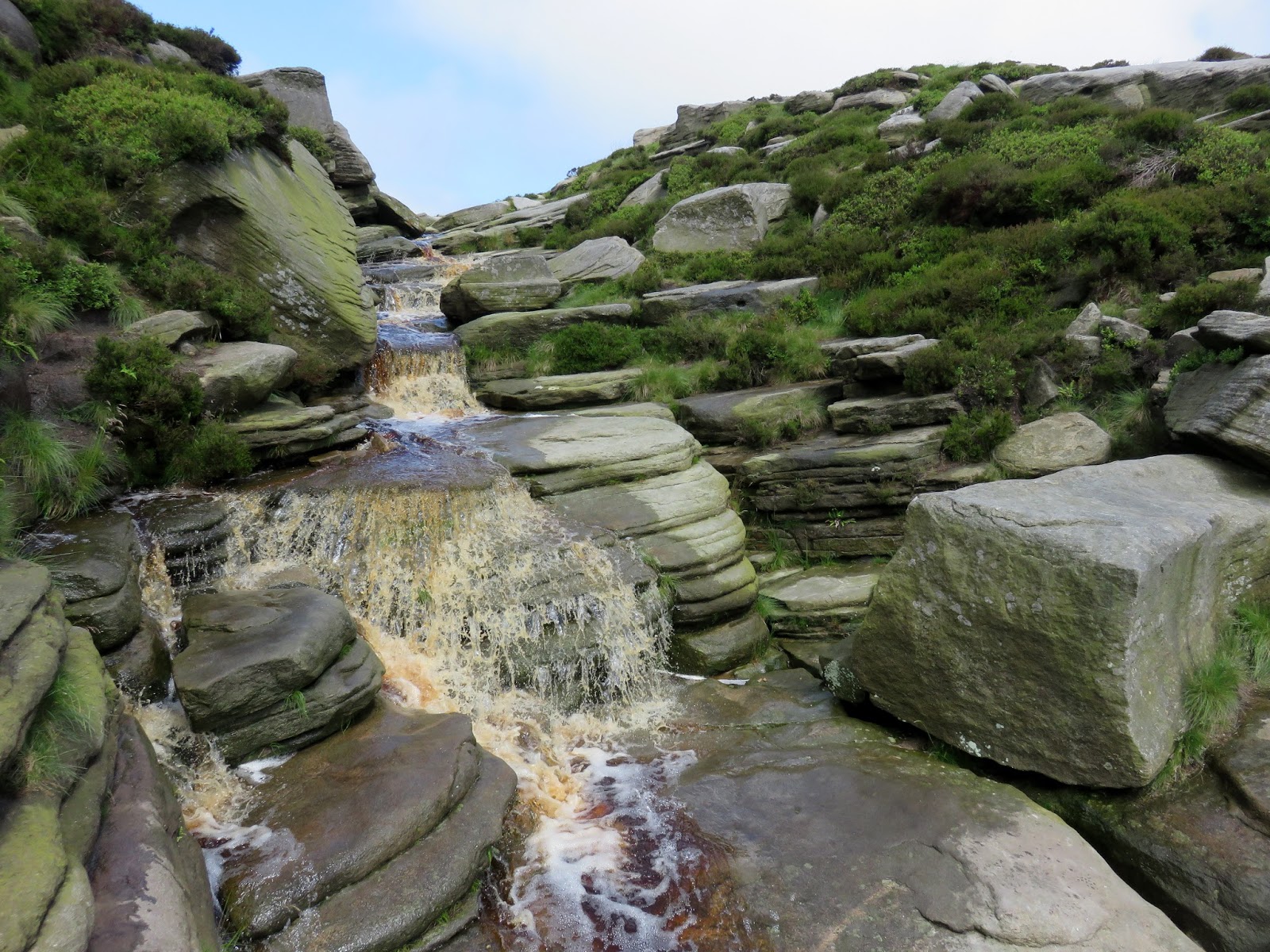
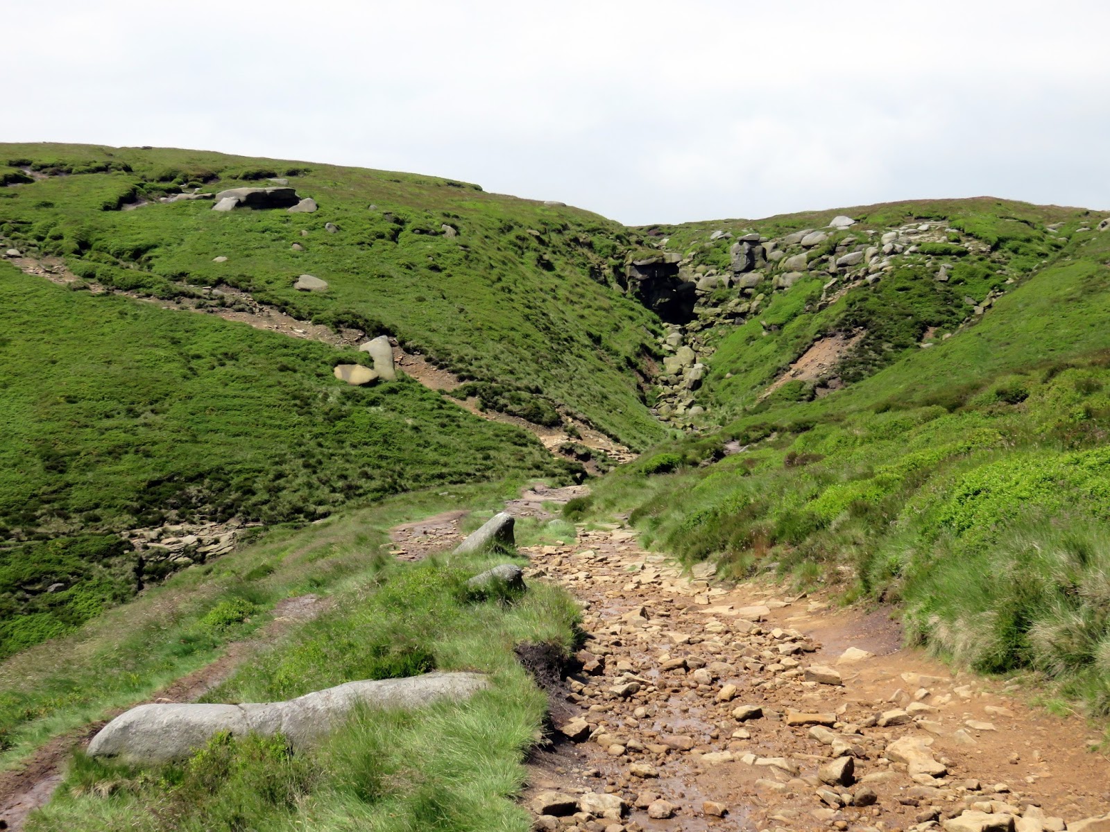
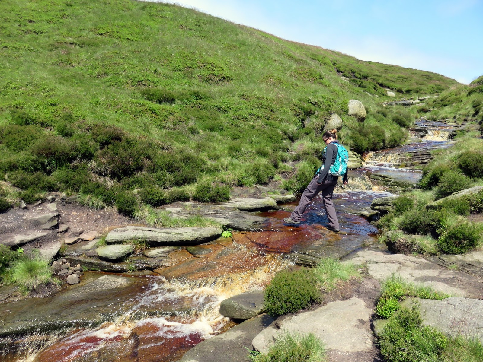
The path on the map continues directly ahead and this way looks perfectly acceptable, however, more interest can be found by turning your attention to the right hand gorge and heading that way instead. Some mild scrambling is involved climbing the stream but again, there is nothing too difficult.
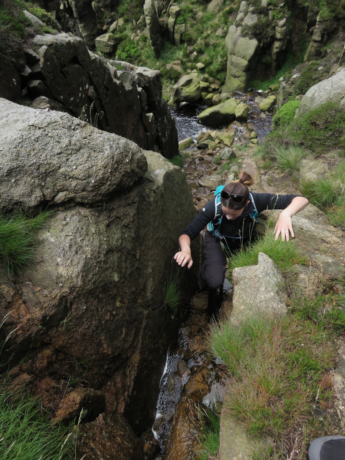
We reached a pool at the foot of a small waterfall that barred our way. In dryer weather it is easy enough to hop over and continue up though that would not be possible today thanks to some hefty showers in the preceding days. Instead, we climbed up a narrow cleft in the right hand wall which brought us up to the path which circuits the Kinder plateau.
 |
| The right hand gorge at the top of Grindsbrook Clough |
 |
| It gets rockier as you ascend |
 |
| The upper reaches of Grindsbrook Clough |
 |
| The bit looked a bit wet to get past today |
 |
| Instead we climbed up a short gully to reach the plateau |
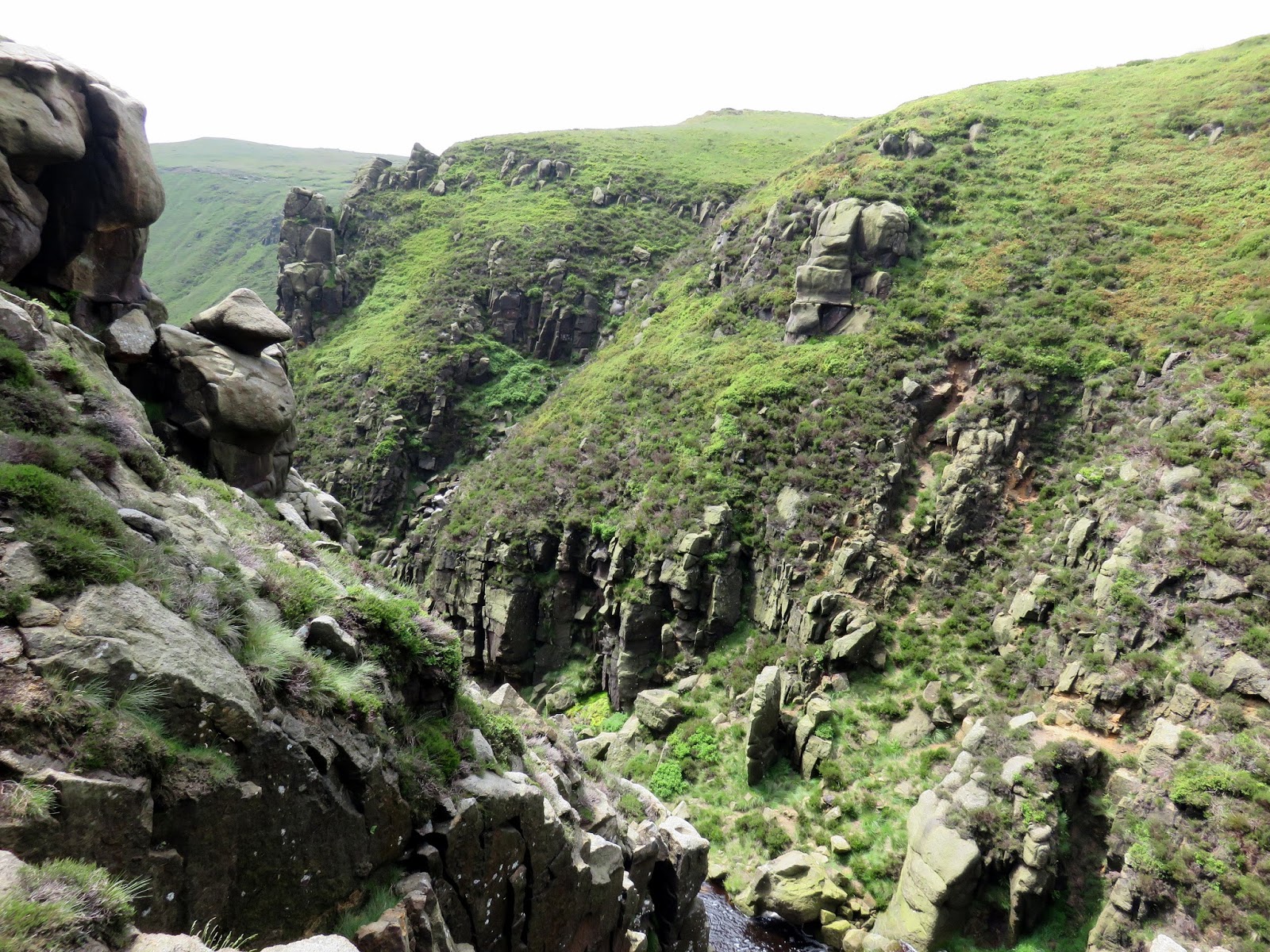
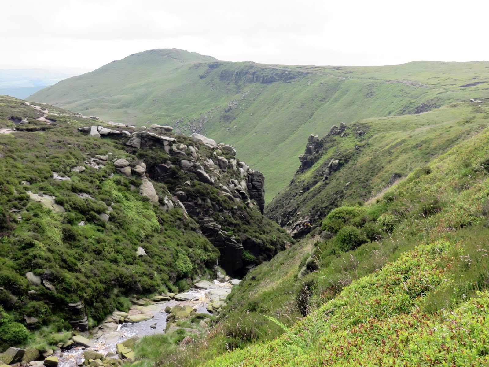
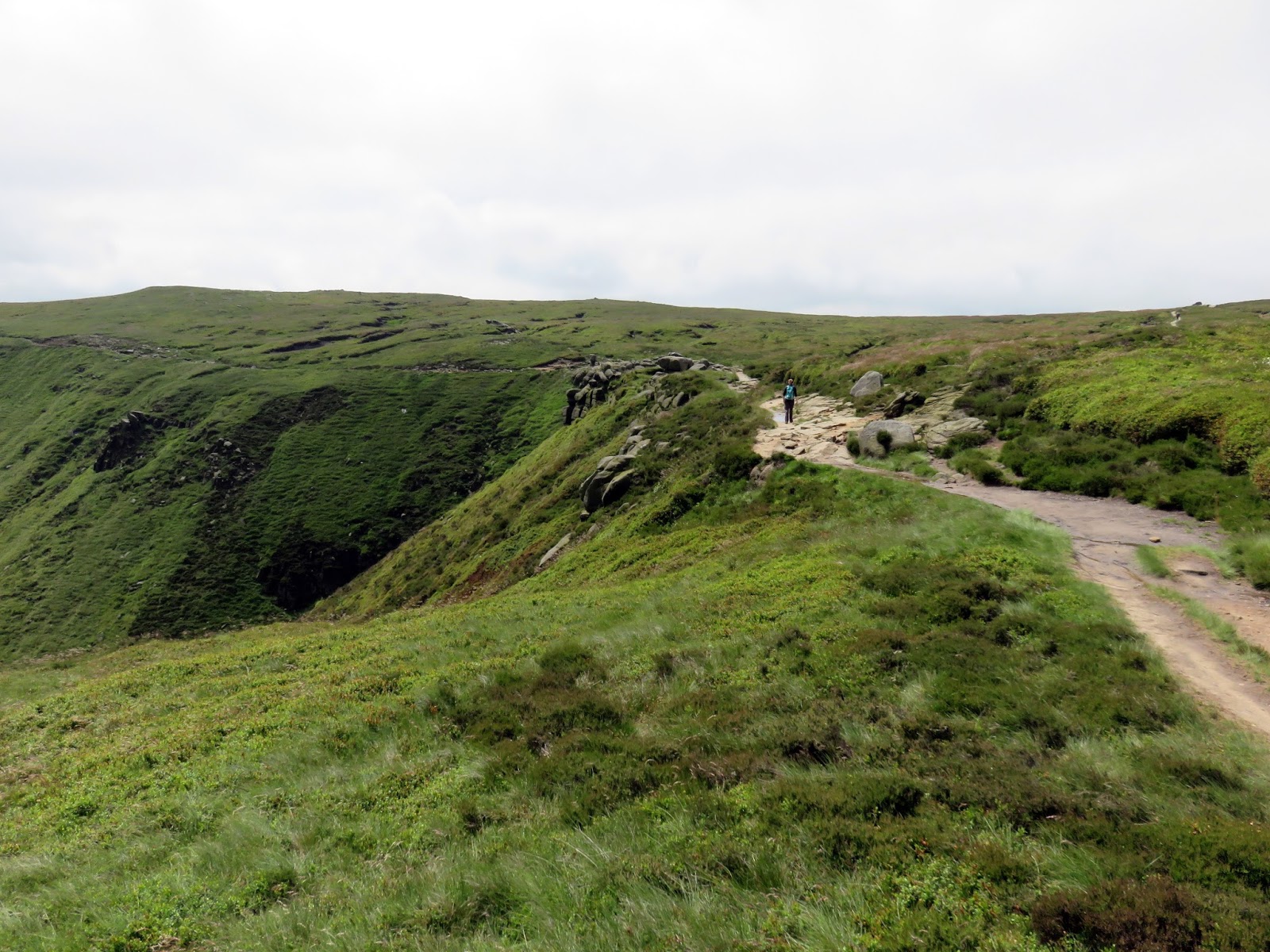
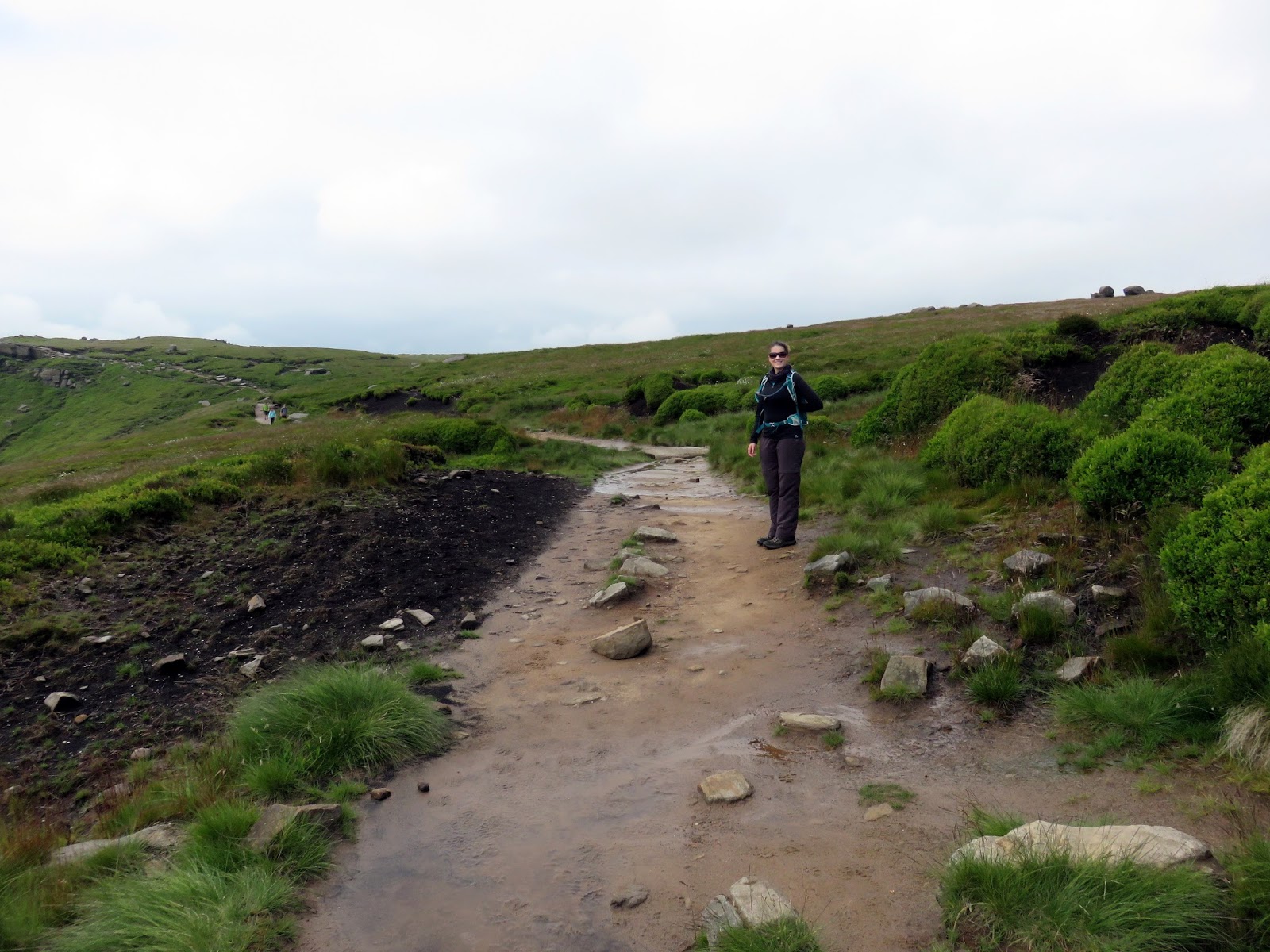
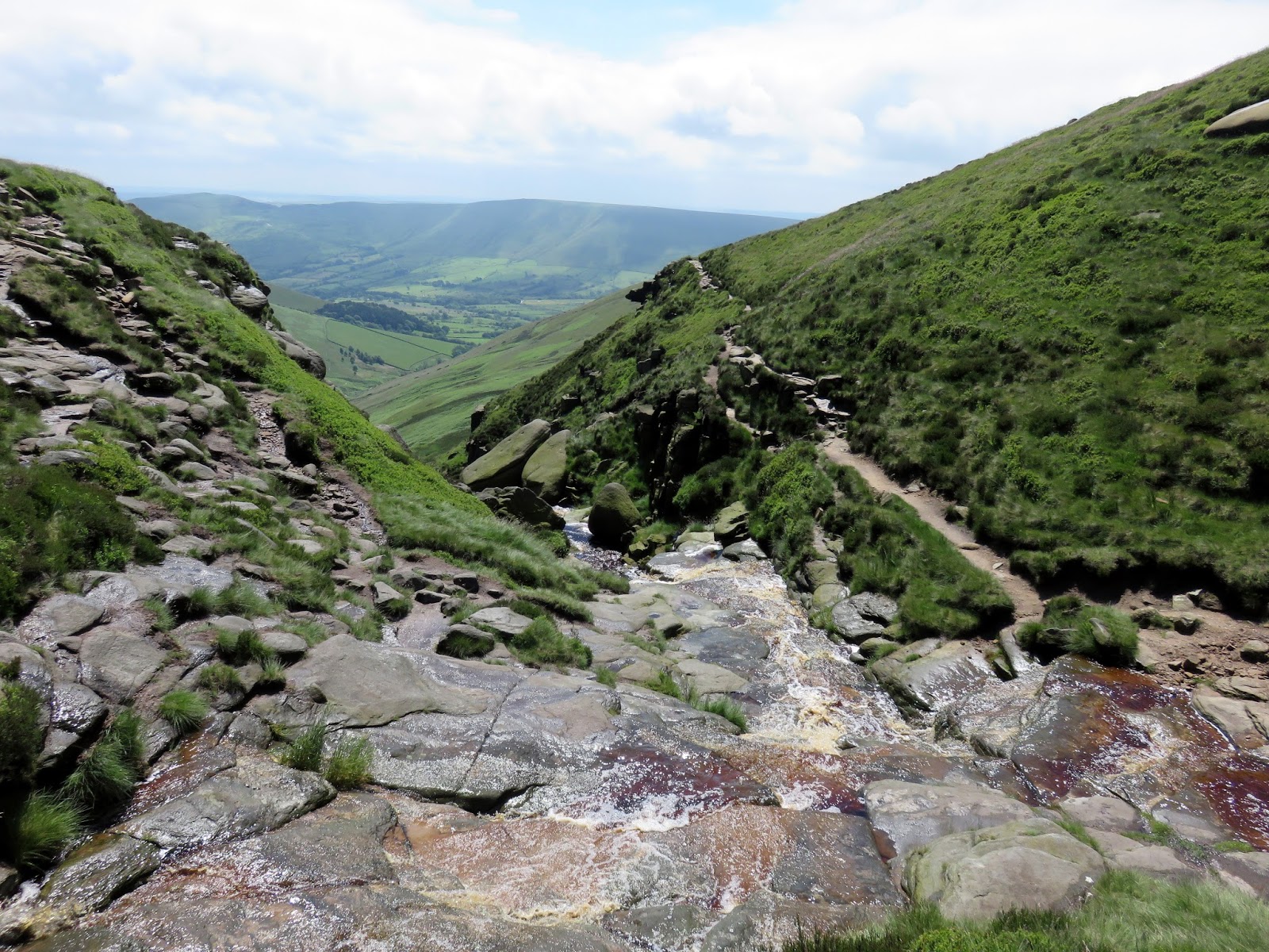
Having emerged to the east of Grinds Brook, we crossed the top of the stream to continue our route to the west. If you are able to remain in the stream (rather than exit as we did) this is where you will end up. The paved path also passes the exit point of Grindsbrook Clough if you had carried on straight rather than turning right. This is marked by a large cairn.
 |
| Looking back down into Grindsbrook Clough |
 |
| The head of Grindsbrook Clough |
 |
| Grindsbrook Clough |
 |
| Grindsbrook Clough and Grindslow Knoll |
 |
| Grindsbrook Clough |
 |
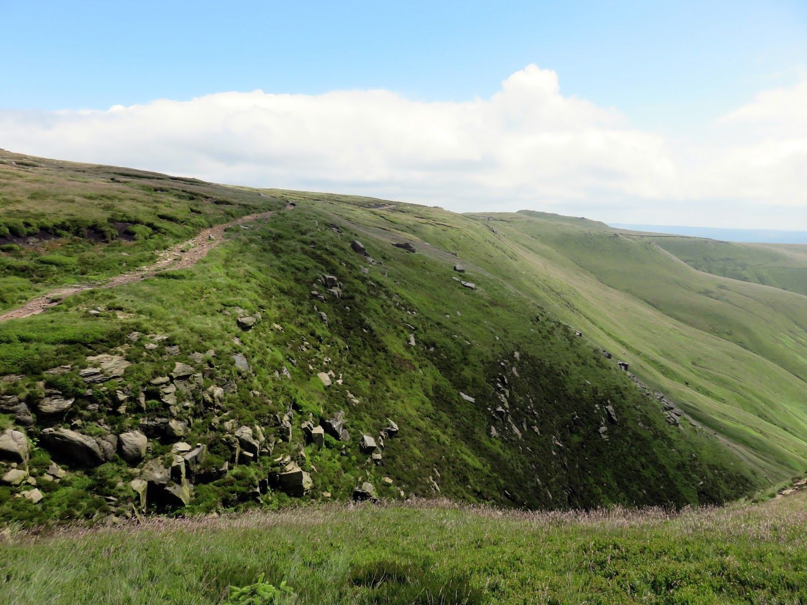
| The path along the edge |
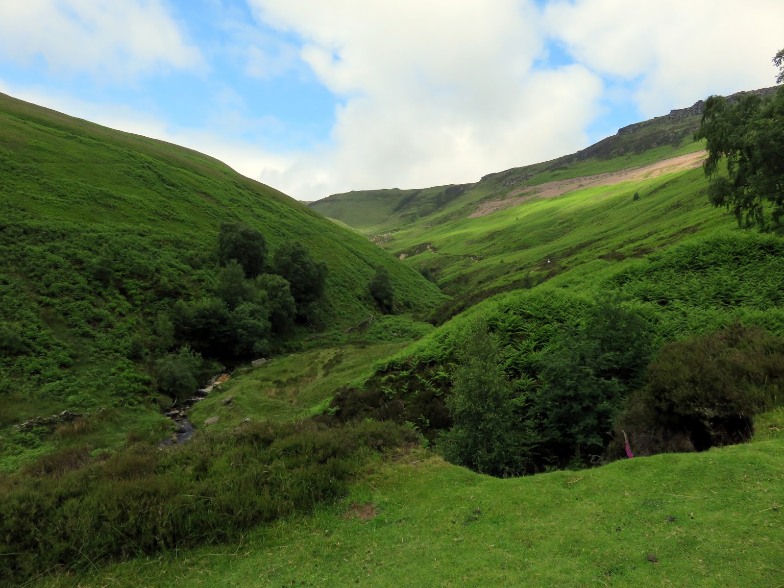
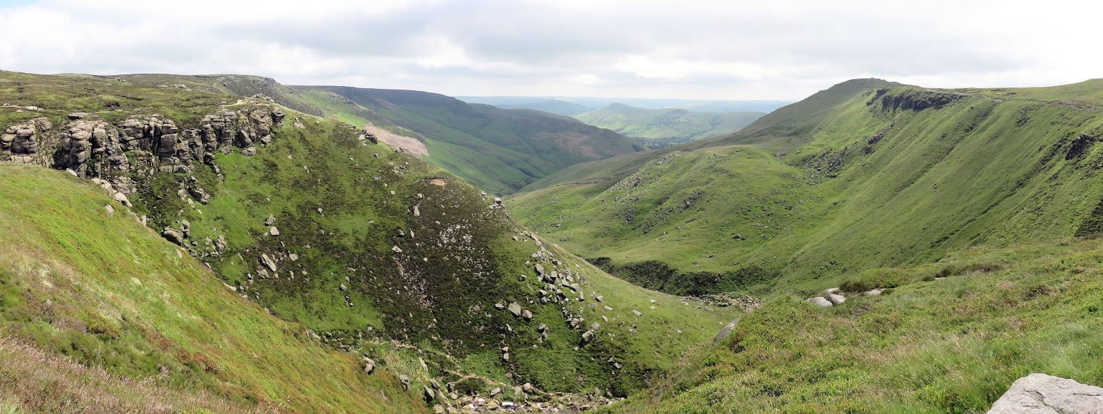
The route climbs over the very lowest slopes of Grindslow Knoll, a prominent hill that overlooks Edale which is well worth a visit. It continues on over fairly uninteresting ground until it reaches Crowden Brook, another deep valley that drains water from Kinder. This is where one of my favourite walking areas begins.
 |
| A slightly less interesting section |
 |
| The head of Crowden Brook |
 |
| Crowden Tower |
 |
| Sara crosses Crowden Brook |
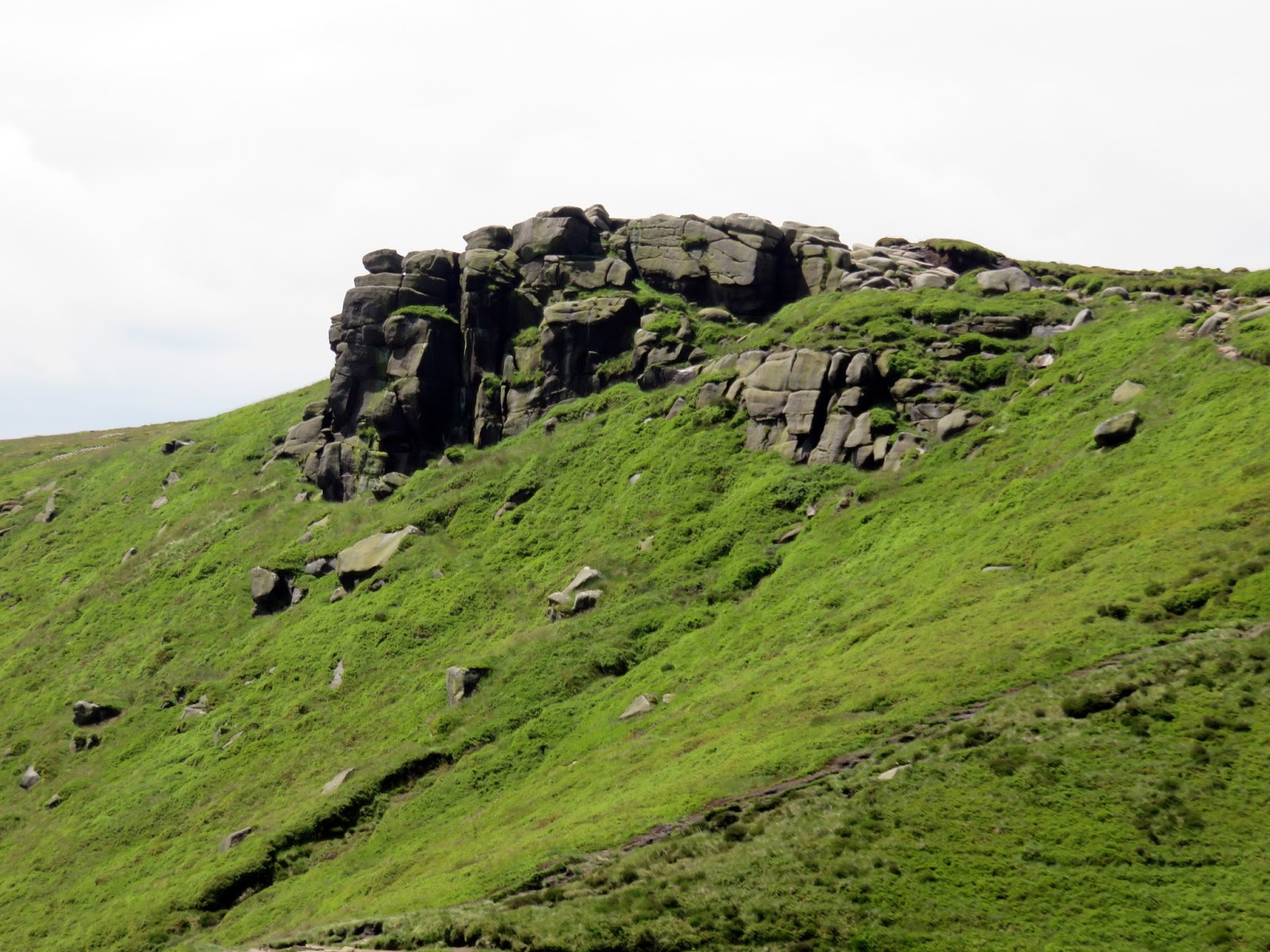
After Crowden Brook stands Crowden Tower, a large gritstone outcrop that commands views down Crowden Brook into Edale. Reaching the top appears a challenge but the sloping rocks to the rear make it easy enough.
 |
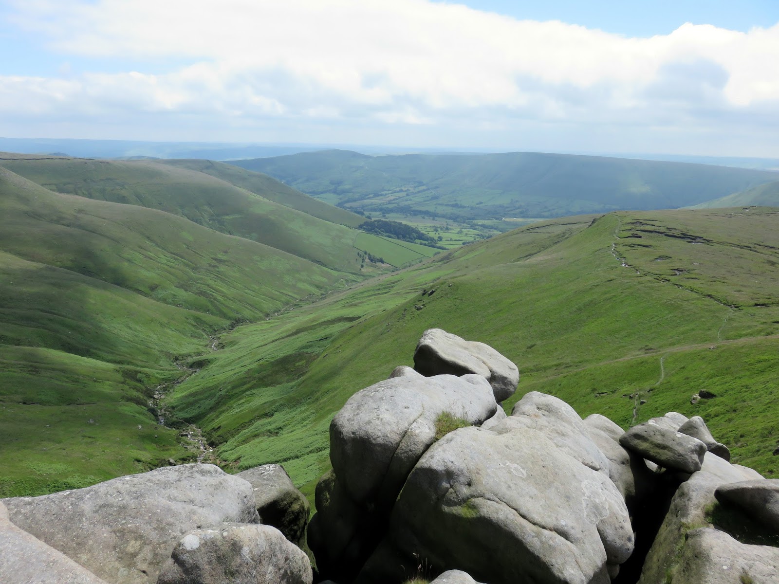
| Looking down Crowden Brook |
 |
| The view east towards Grindslow Knoll |
 |
| Crowden Clough from Crowden Tower |
 |
| Rock forms around Crowden Tower |
 |
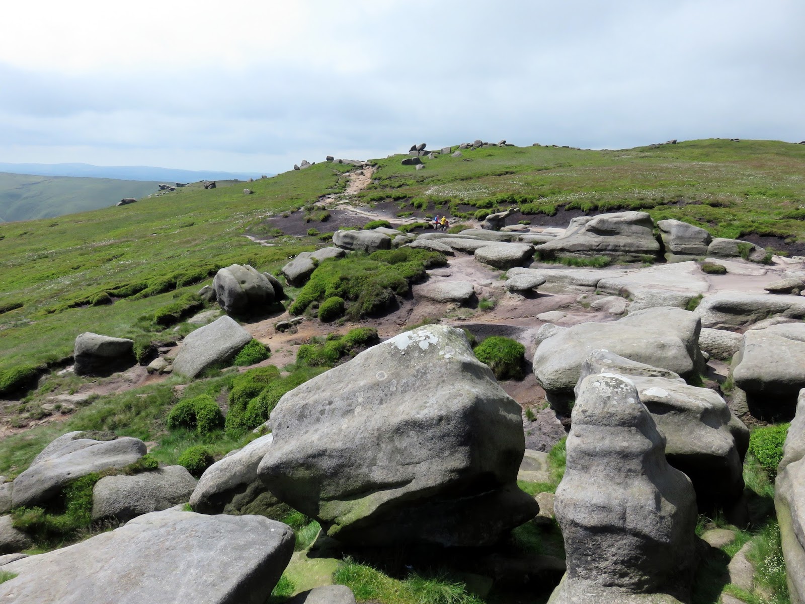
| The Wool Packs |
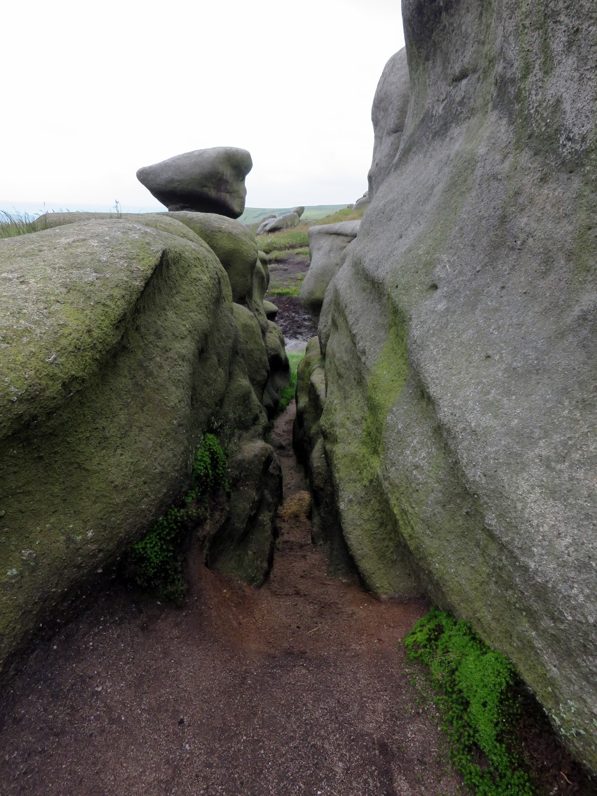
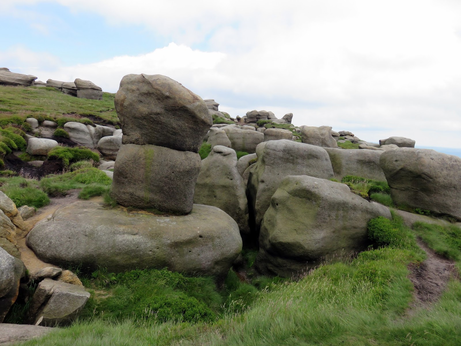
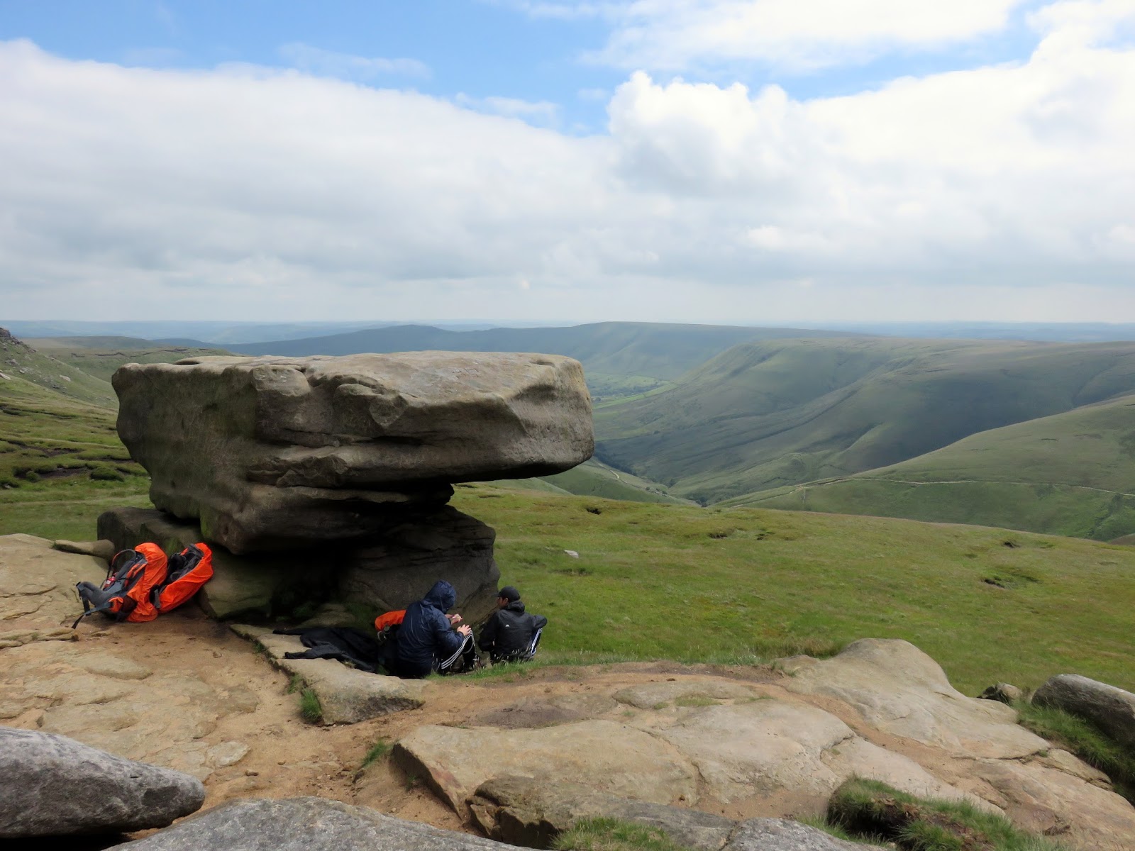
Beyond Crowden Tower are the enigmatic Wool Packs, a huge collection of jumbled and weathered rocks, so called because they have the appearance of discarded bails of wool. The weird sculptures are entirely natural, creating a maze of dark shifting shapes. It’s a magical place.
 |
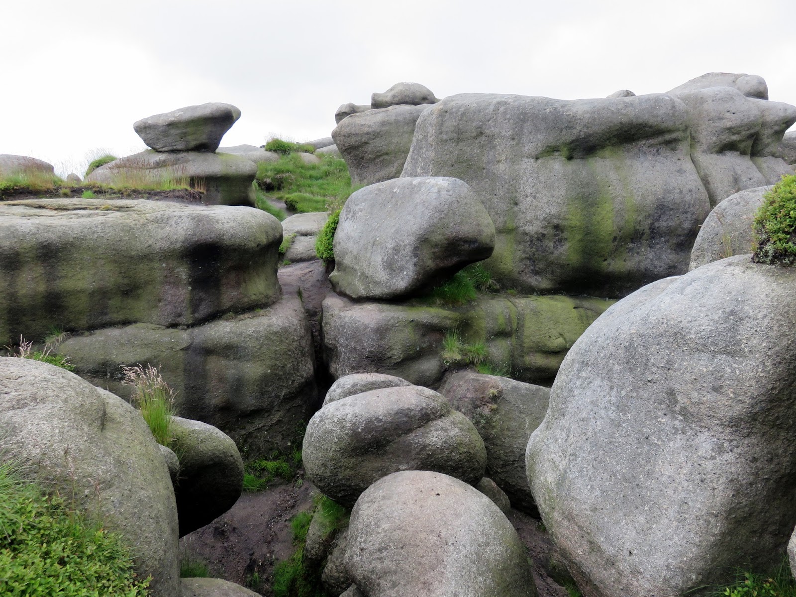
| Within the Wool Packs |
 |
| One of the many interesting shapes |
 |
| It really is like a maze in palces |
 |
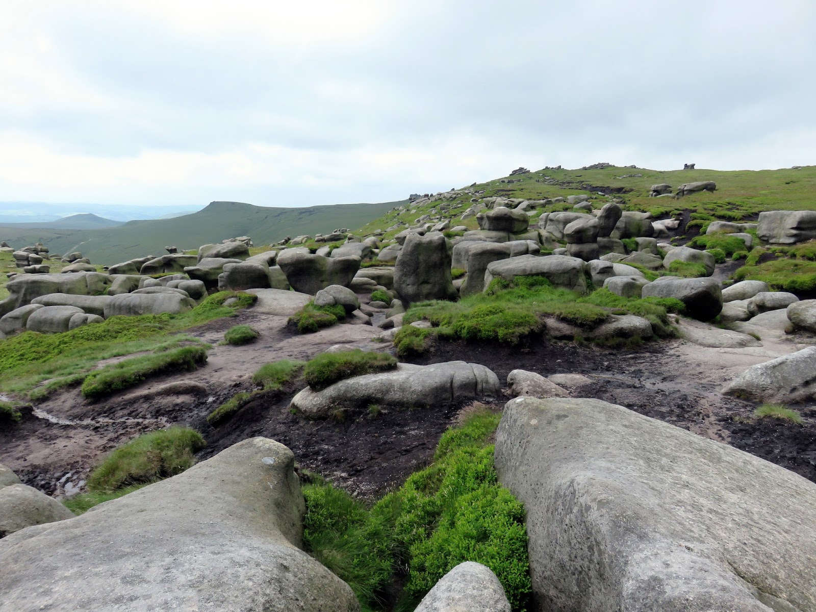
| The Wool Packs |
 |
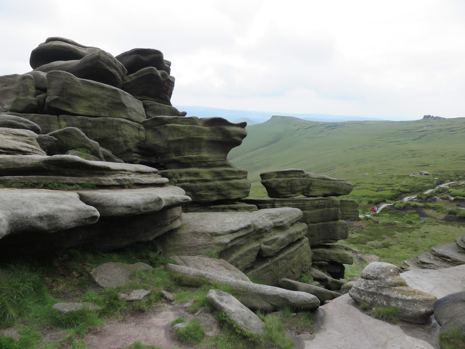
| Rocks close to Pym Chair |
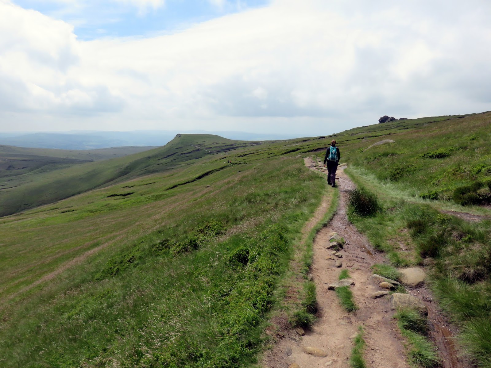
We moved through the Wool Packs emerging at Pym Chair, heading for Noe Stool – just a few of the many named rock formations that can be found all over Kinder Scout. The path skirts Edale Head as it follows an old broken wall around the rim of the valley until it reaches the Pennine Way at Swine’s Back.
 |
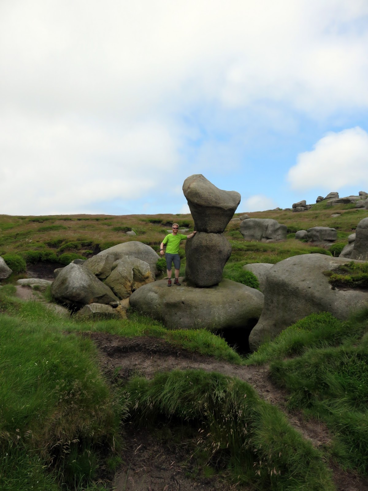
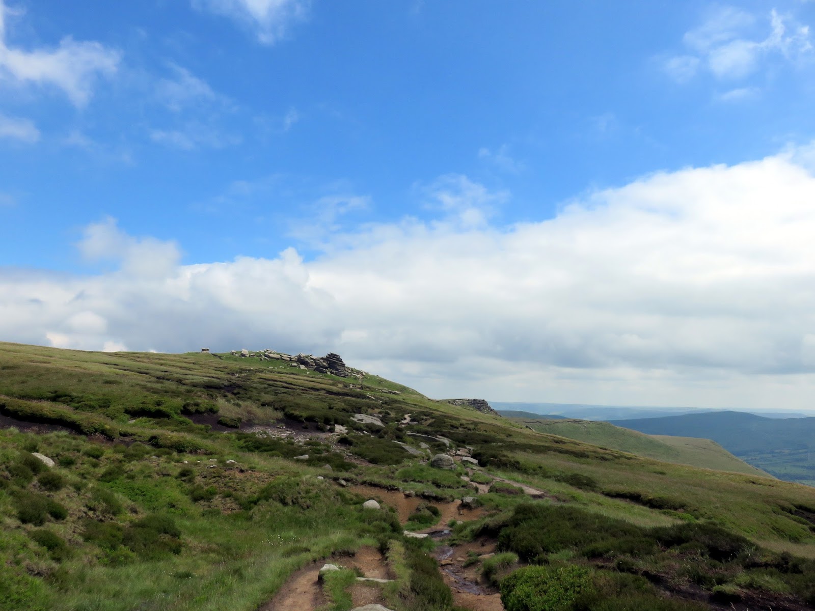
| Blue skies over Kinder Scout |
 |
| Walkers beneath Now Stool |
 |
| Looking towards Swine’s back |
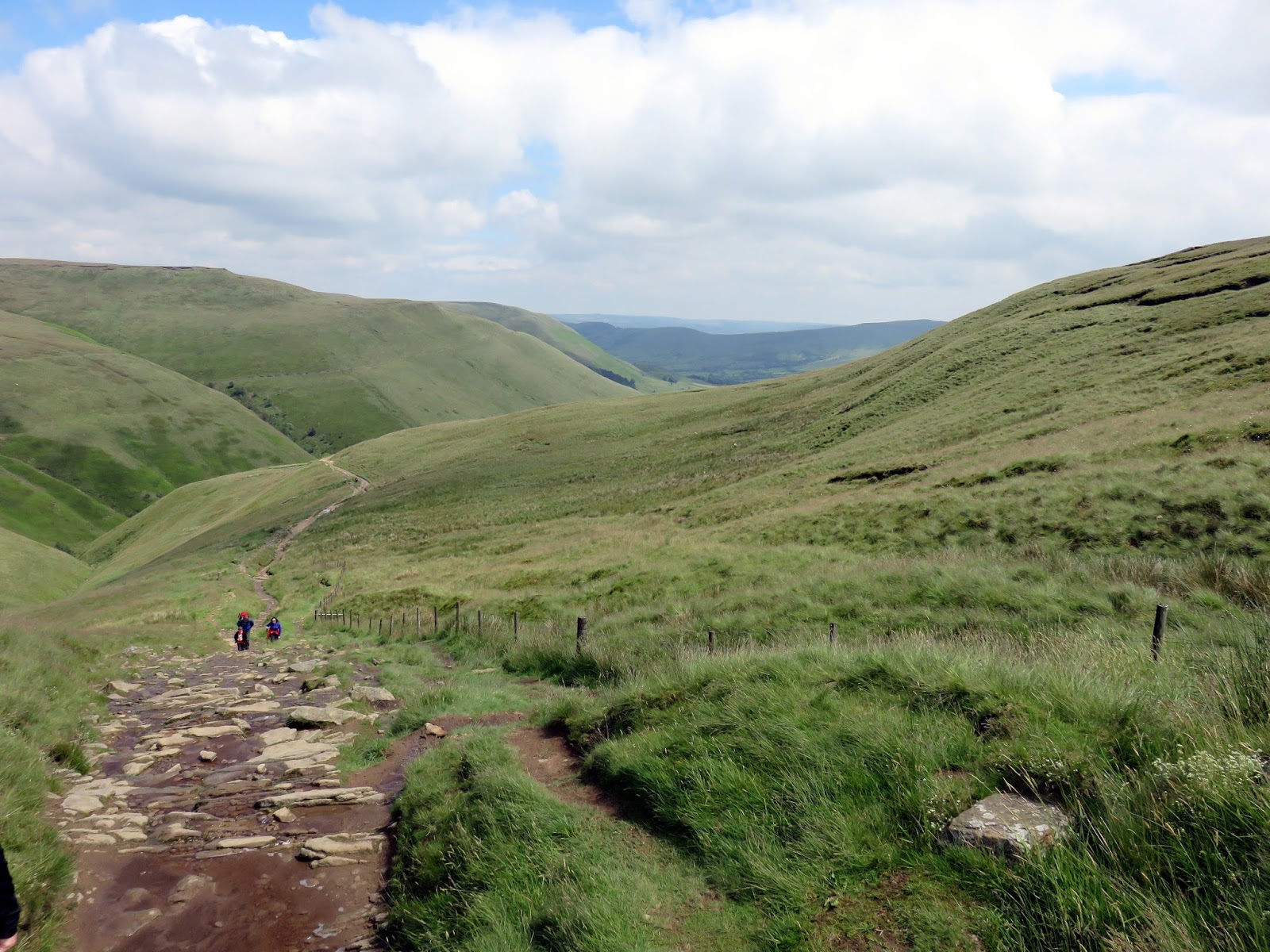
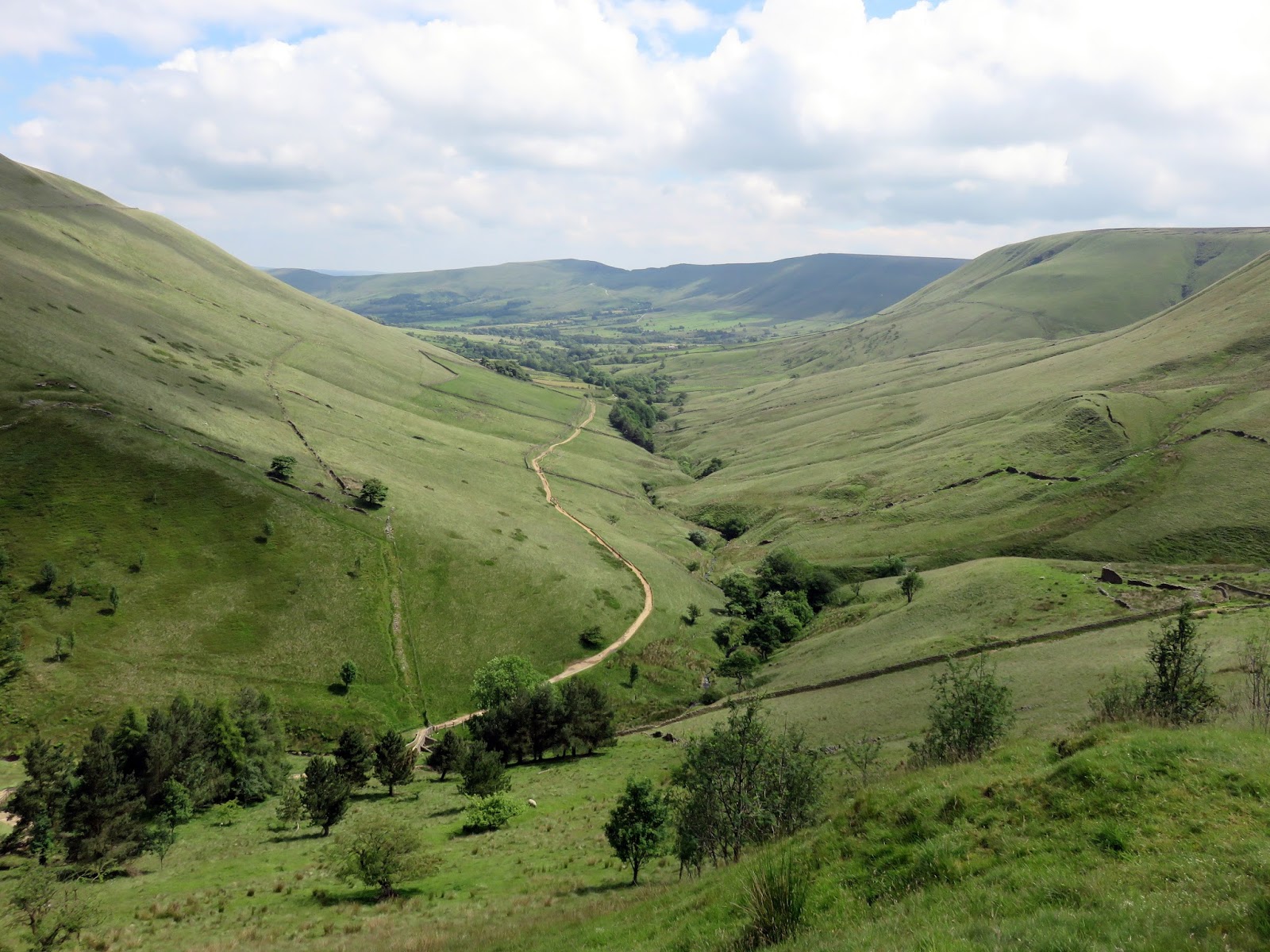
The Pennine Way – the long distance path that runs the length of the northern England – actually begins in Edale and it would lead us back to car park where we started. The Pennine Way drops down Jacob’s Ladder, an ancient packhorse route that links Edale to the neighbouring Hayfield and the subsequent riches of Manchester.
 |
| The Pennine Way at Edale Head |
 |
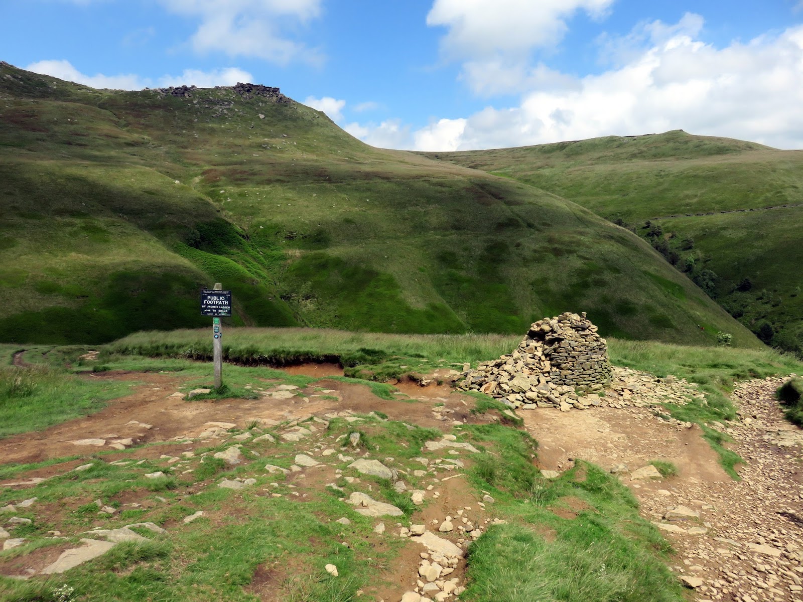
| The top of Jacob’s Ladder |
 |
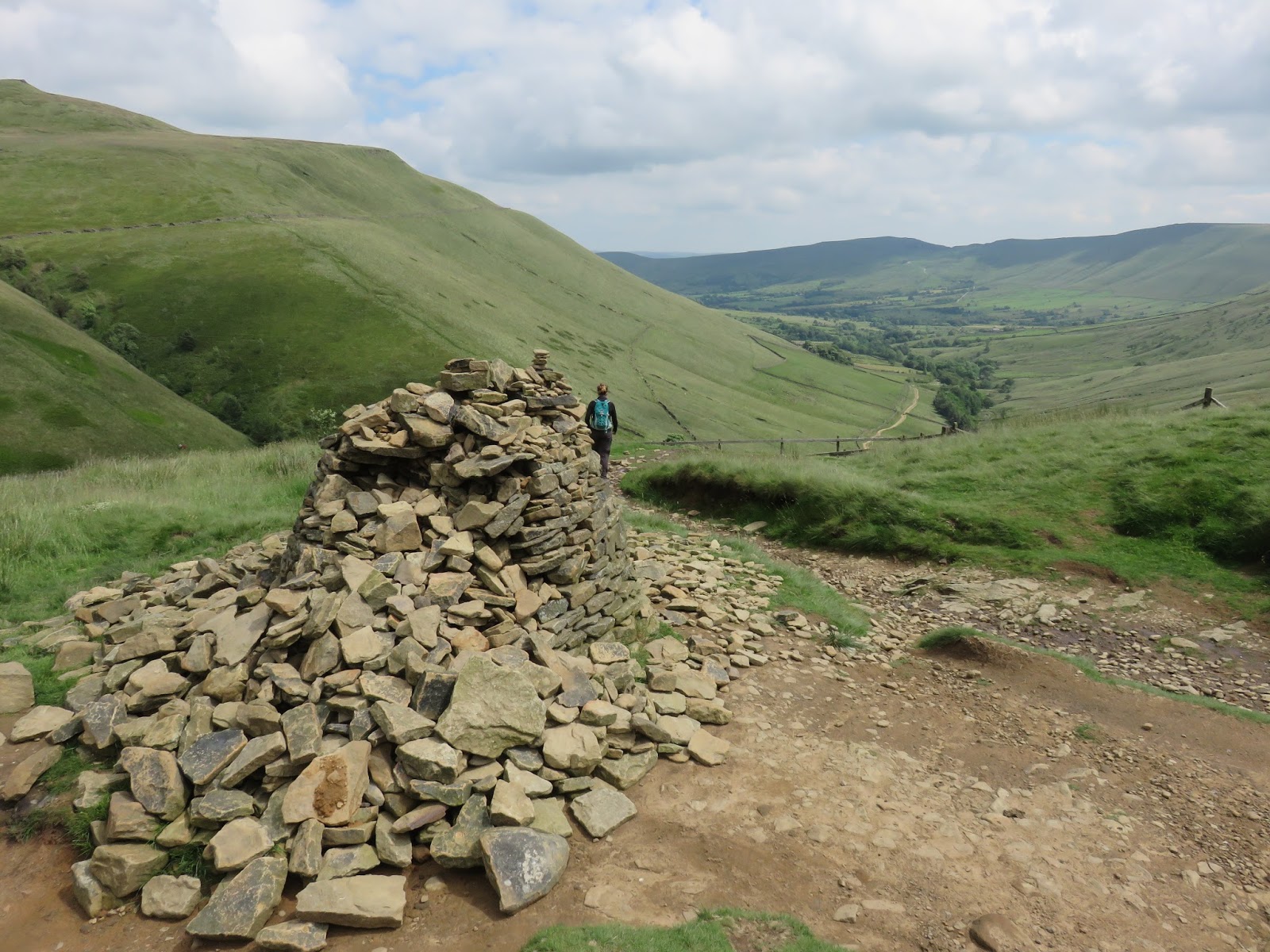
| A large cairn sits at the top of the path |
 |
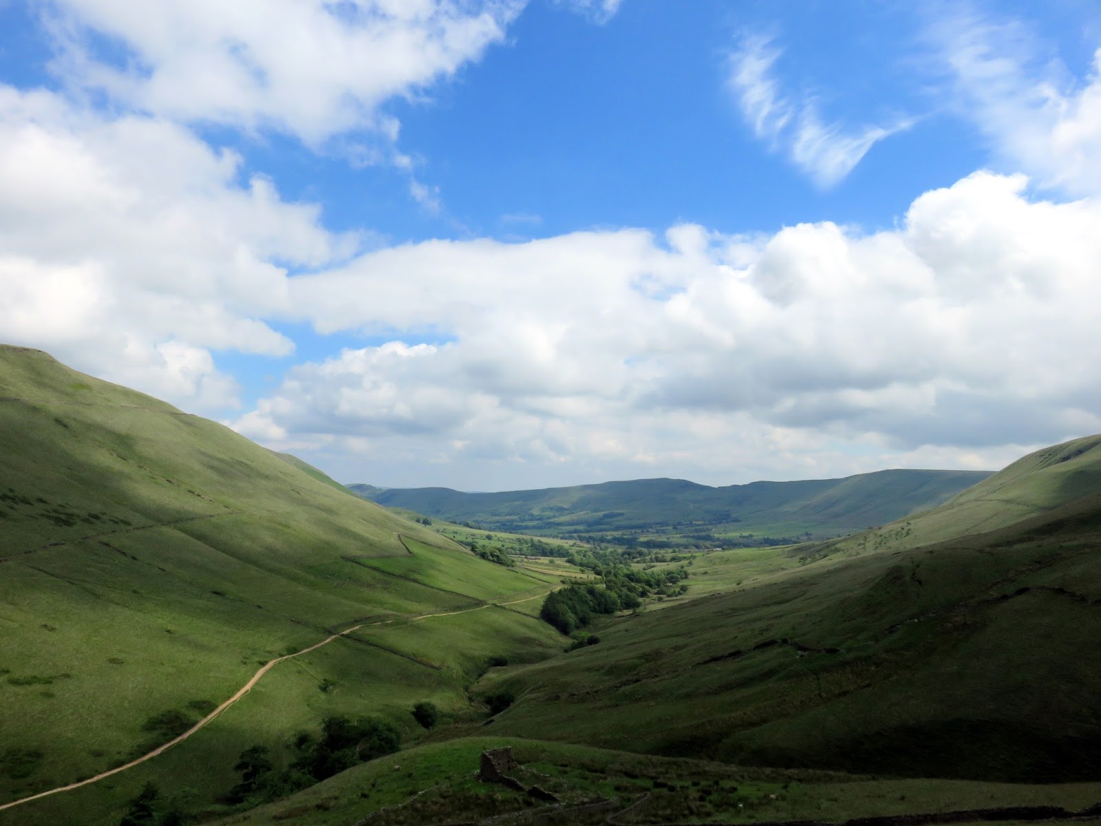
| Edale |
 |
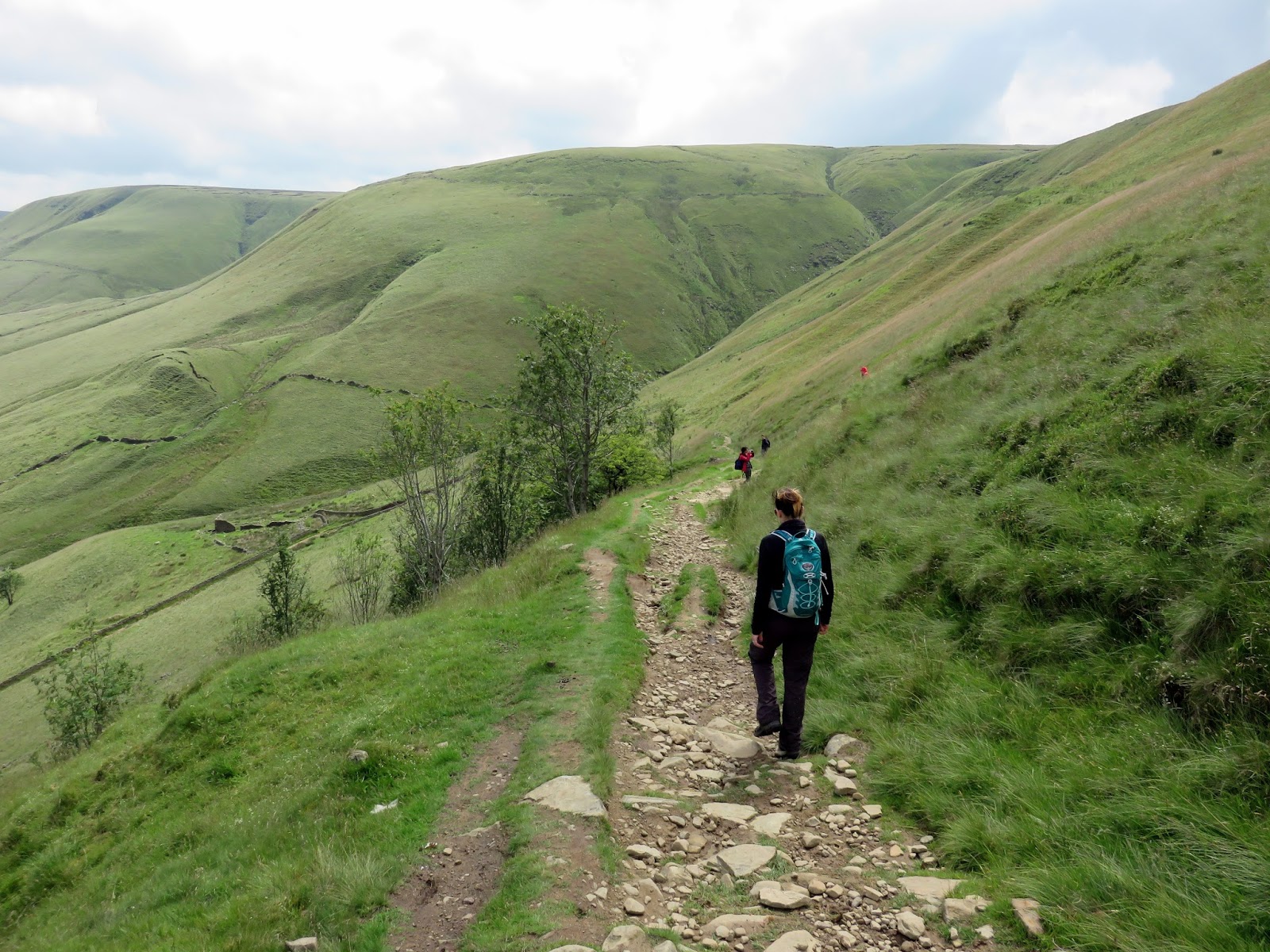
| Descending Jacob’s Ladder |
 |
| Edale |
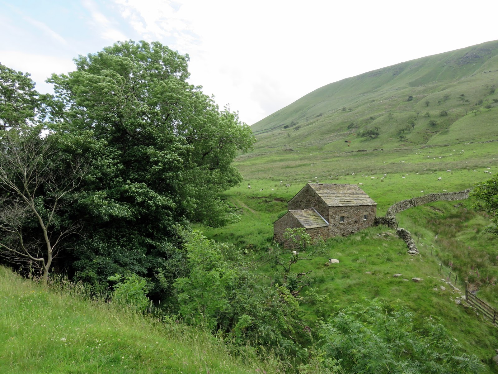
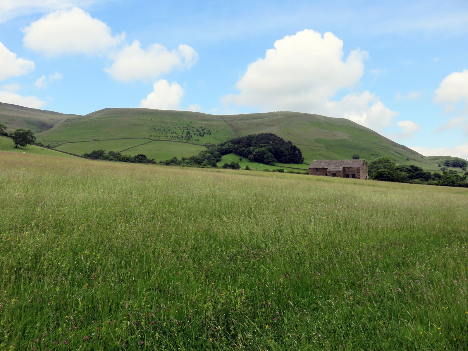
The route passes through Upper Booth before a dispiriting climb up over the lower slopes of Grindslow Knoll. Luckly its downhill all the way to Edale from here the starting point of the Pennine Way at the Rambler Inn, concluding a very agreeable walk in one of my favourite places in the country.
 |
| Barn at Upper Booth |
 |
| Grindslow Knoll |
 |
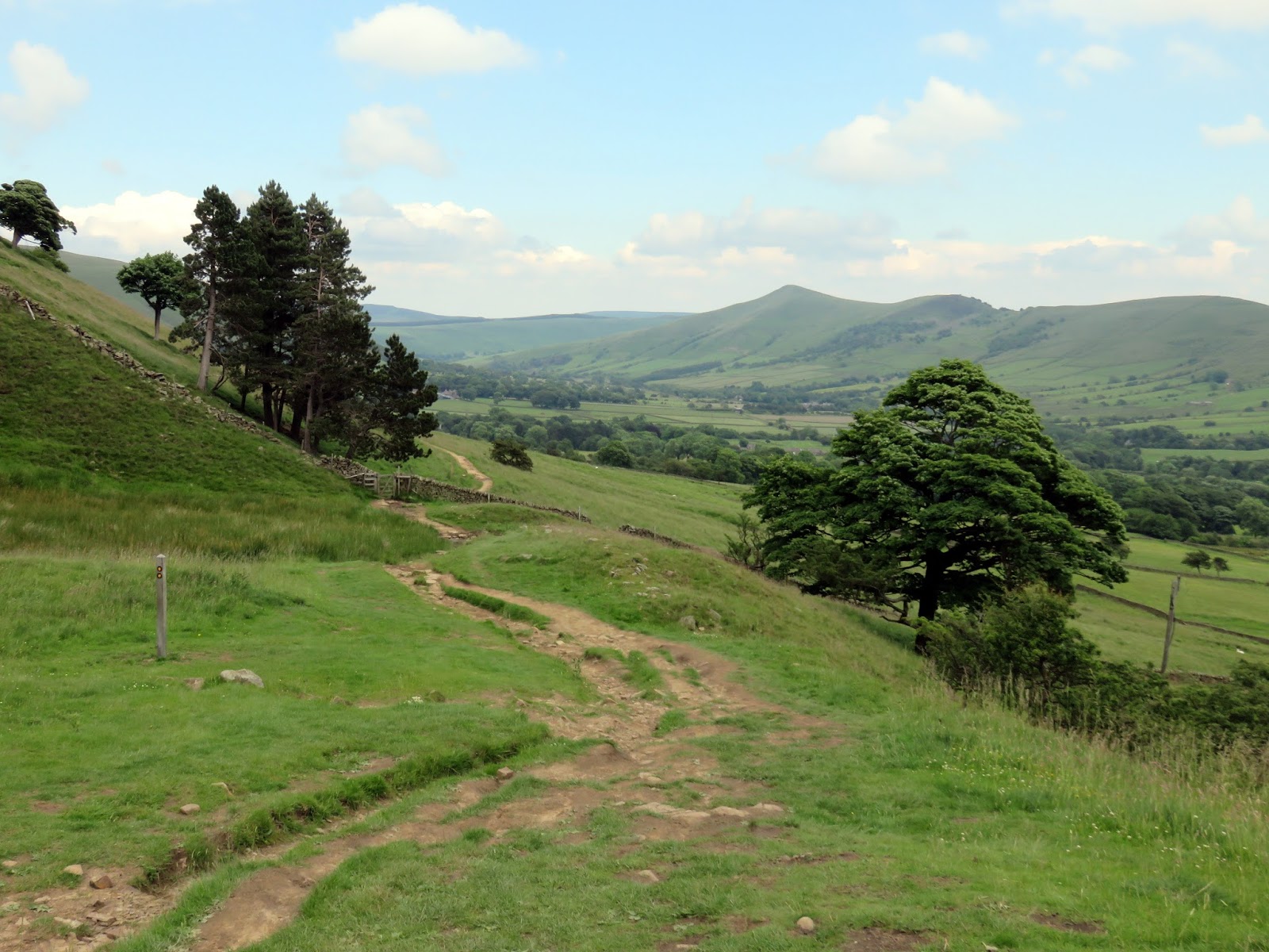
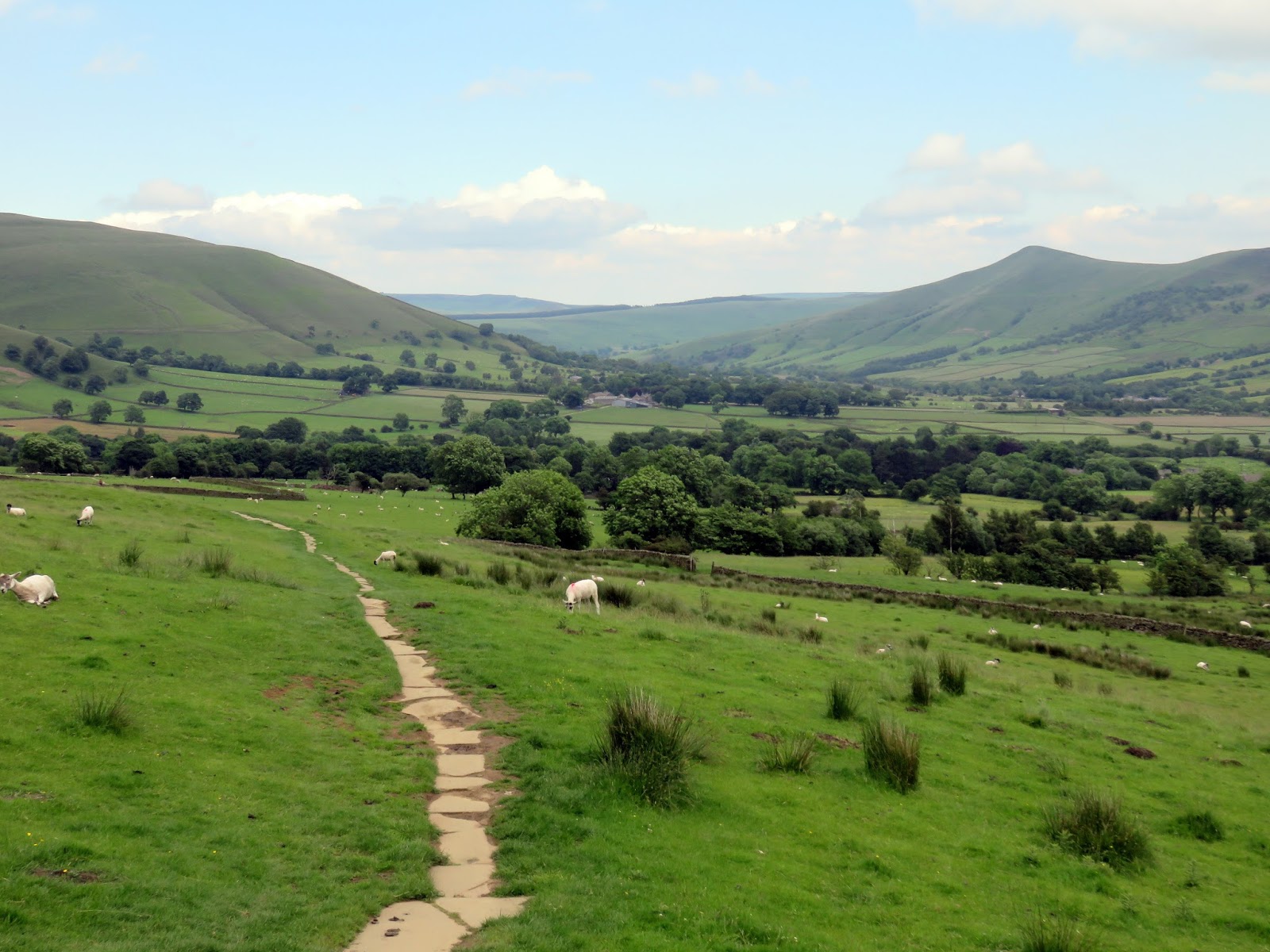
| The Pennine Way leading down to Edale |
 |
| Edale |
