Open Space Web-Map builder Codehttps://openspace.ordnancesurvey.co.uk/osmapapi/openspace.js?key=3119F72552FD5C22E0530C6CA40A5A92https://openspace.ordnancesurvey.co.uk/osmapapi/script/mapbuilder/basicmap.jshttps://openspace.ordnancesurvey.co.uk/osmapapi/script/mapbuilder/searchbox.js//variables for routes var linesLayer, points, lineFeature, lineString, routeMarkersLayer, routepos, routesize, routeoffset, routeicon; var style_blue = {strokeColor: “#0000CD”, strokeOpacity: 0.5, strokeWidth: 4.5}; function initmapbuilder() { //initiate the map var options = {resolutions: [2500, 1000, 500, 200, 100, 50, 25, 10, 5, 4, 2.5, 2, 1]}; osMap = new OpenSpace.Map(‘map’, options); //configure map options (basicmap.js) setglobaloptions(); //set the center of the map and the zoom level osMap.setCenter(new OpenSpace.MapPoint(332614.9974823,533590.00125885),7); linesLayer = osMap.getVectorLayer(); // Set up layer for route markers routeMarkersLayer = new OpenLayers.Layer.Markers(“Route Markers”); //make a route points = new Array(); points.push(new OpenLayers.Geometry.Point(335371.66412354,533776.66793823)); points.push(new OpenLayers.Geometry.Point(335266.66412354,533681.66793823)); points.push(new OpenLayers.Geometry.Point(335166.66412354,533626.66793823)); points.push(new OpenLayers.Geometry.Point(335131.66412354,533441.66793823)); points.push(new OpenLayers.Geometry.Point(335086.66412354,533321.66793823)); points.push(new OpenLayers.Geometry.Point(334896.66412354,533346.66793823)); points.push(new OpenLayers.Geometry.Point(334616.66412354,533506.66793823)); points.push(new OpenLayers.Geometry.Point(334476.66412354,533601.66793823)); points.push(new OpenLayers.Geometry.Point(334191.66412354,533641.66793823)); points.push(new OpenLayers.Geometry.Point(333951.66412354,533641.66793823)); points.push(new OpenLayers.Geometry.Point(333806.66412354,533671.66793823)); points.push(new OpenLayers.Geometry.Point(333431.66412354,533741.66793823)); points.push(new OpenLayers.Geometry.Point(333226.66412354,533996.66793823)); points.push(new OpenLayers.Geometry.Point(332951.66412354,534101.66793823)); points.push(new OpenLayers.Geometry.Point(332436.66412354,534271.66793823)); points.push(new OpenLayers.Geometry.Point(332086.66412354,534311.66793823)); points.push(new OpenLayers.Geometry.Point(331866.66412354,534411.66793823)); points.push(new OpenLayers.Geometry.Point(331796.66412354,534606.66793823)); points.push(new OpenLayers.Geometry.Point(331826.66412354,534796.66793823)); points.push(new OpenLayers.Geometry.Point(331881.66412354,535011.66793823)); points.push(new OpenLayers.Geometry.Point(331796.66412354,534711.66793823)); points.push(new OpenLayers.Geometry.Point(331726.66412354,534551.66793823)); points.push(new OpenLayers.Geometry.Point(331601.66412354,534496.66793823)); points.push(new OpenLayers.Geometry.Point(331486.66412354,534386.66793823)); points.push(new OpenLayers.Geometry.Point(331231.66412354,534126.66793823)); points.push(new OpenLayers.Geometry.Point(331031.66412354,533966.66793823)); points.push(new OpenLayers.Geometry.Point(330811.66412354,533896.66793823)); points.push(new OpenLayers.Geometry.Point(330661.66412354,533841.66793823)); points.push(new OpenLayers.Geometry.Point(330356.66412354,533896.66793823)); points.push(new OpenLayers.Geometry.Point(330146.66412354,533556.66793823)); points.push(new OpenLayers.Geometry.Point(329931.66412354,533426.66793823)); points.push(new OpenLayers.Geometry.Point(329731.66412354,533366.66793823)); points.push(new OpenLayers.Geometry.Point(329641.66412354,533231.66793823)); points.push(new OpenLayers.Geometry.Point(329526.66412354,533151.66793823)); points.push(new OpenLayers.Geometry.Point(329591.66412354,532976.66793823)); points.push(new OpenLayers.Geometry.Point(329946.66412354,532926.66793823)); points.push(new OpenLayers.Geometry.Point(330326.66412354,532956.66793823)); points.push(new OpenLayers.Geometry.Point(330611.66412354,532966.66793823)); points.push(new OpenLayers.Geometry.Point(330801.66412354,533051.66793823)); points.push(new OpenLayers.Geometry.Point(330901.66412354,533131.66793823)); points.push(new OpenLayers.Geometry.Point(331026.66412354,533251.66793823)); points.push(new OpenLayers.Geometry.Point(331261.66412354,533171.66793823)); points.push(new OpenLayers.Geometry.Point(331431.66412354,533051.66793823)); points.push(new OpenLayers.Geometry.Point(331511.66412354,533031.66793823)); points.push(new OpenLayers.Geometry.Point(331741.66412354,533096.66793823)); points.push(new OpenLayers.Geometry.Point(331851.66412354,533146.66793823)); points.push(new OpenLayers.Geometry.Point(332111.66412354,532996.66793823)); points.push(new OpenLayers.Geometry.Point(332306.66412354,532966.66793823)); points.push(new OpenLayers.Geometry.Point(332511.66412354,532896.66793823)); points.push(new OpenLayers.Geometry.Point(332721.66412354,532706.66793823)); points.push(new OpenLayers.Geometry.Point(333106.66412354,532626.66793823)); points.push(new OpenLayers.Geometry.Point(333296.66412354,532691.66793823)); points.push(new OpenLayers.Geometry.Point(333516.66412354,532601.66793823)); points.push(new OpenLayers.Geometry.Point(333776.66412354,532521.66793823)); points.push(new OpenLayers.Geometry.Point(333961.66412354,532436.66793823)); points.push(new OpenLayers.Geometry.Point(334116.66412354,532461.66793823)); points.push(new OpenLayers.Geometry.Point(334286.66412354,532421.66793823)); points.push(new OpenLayers.Geometry.Point(334821.66412354,532201.66793823)); points.push(new OpenLayers.Geometry.Point(335086.66412354,532121.66793823)); points.push(new OpenLayers.Geometry.Point(335336.66412354,532116.66793823)); points.push(new OpenLayers.Geometry.Point(335516.66412354,532161.66793823)); points.push(new OpenLayers.Geometry.Point(335706.66412354,532256.66793823)); points.push(new OpenLayers.Geometry.Point(335726.66412354,532421.66793823)); points.push(new OpenLayers.Geometry.Point(335666.66412354,532571.66793823)); points.push(new OpenLayers.Geometry.Point(335701.66412354,532796.66793823)); points.push(new OpenLayers.Geometry.Point(335556.66412354,533276.66793823)); points.push(new OpenLayers.Geometry.Point(335516.66412354,533411.66793823)); points.push(new OpenLayers.Geometry.Point(335426.66412354,533616.66793823)); points.push(new OpenLayers.Geometry.Point(335371.66412354,533776.66793823)); // create a polyline feature from the array of points lineString = new OpenLayers.Geometry.LineString(points); lineFeature = new OpenLayers.Feature.Vector(lineString, null, style_blue); linesLayer.addFeatures([lineFeature]); //crate a route start/end marker routepos = new OpenSpace.MapPoint(335371.66412354,533776.66793823); routesize = new OpenLayers.Size(33,45); routeoffset = new OpenLayers.Pixel(-5,-37); routeicon = new OpenSpace.Icon(‘https://openspace.ordnancesurvey.co.uk/osmapapi/img_versions/img_1.1/mapbuilder/routemarker-startend.png’, routesize, routeoffset, null, null); routeMarkersLayer.addMarker(new OpenLayers.Marker(routepos, routeicon)); osMap.addLayer(routeMarkersLayer);}
Route: Apronful of Stones, Scurth, The Trough, Carrock Fell, Round Knott, Miton Hill, Red Gate, Cumbria Way, High Pike, Hare Stones, Great Lingy Hill, Miller Moss, Knott, Gunner Well, Grainsgill Beck, Carrock Fell Mine, Swineside, Mosedale, Apronful of Stones
Date: 13/02/2016
From: Stone Ends
Parking: Apronful of Stones
Start Point: Apronful of Stones
Region: Northern Fells
Route length: 10.4 miles (16.7 km)
Time taken: 04:27
Average speed: 2.3 mph
Ascent: 786m
Descent: 786m
Wainwrights on this walk:
Carrock Fell (663m), High Pike (658m), Knott (710m)
Additional summits: Round Knott (603m), Miton Hill (607m), Hare Stones (627m), Great Lingy Hill (616m), Miller Moss (610m)
Other points of interest: Carrock Fell Mine
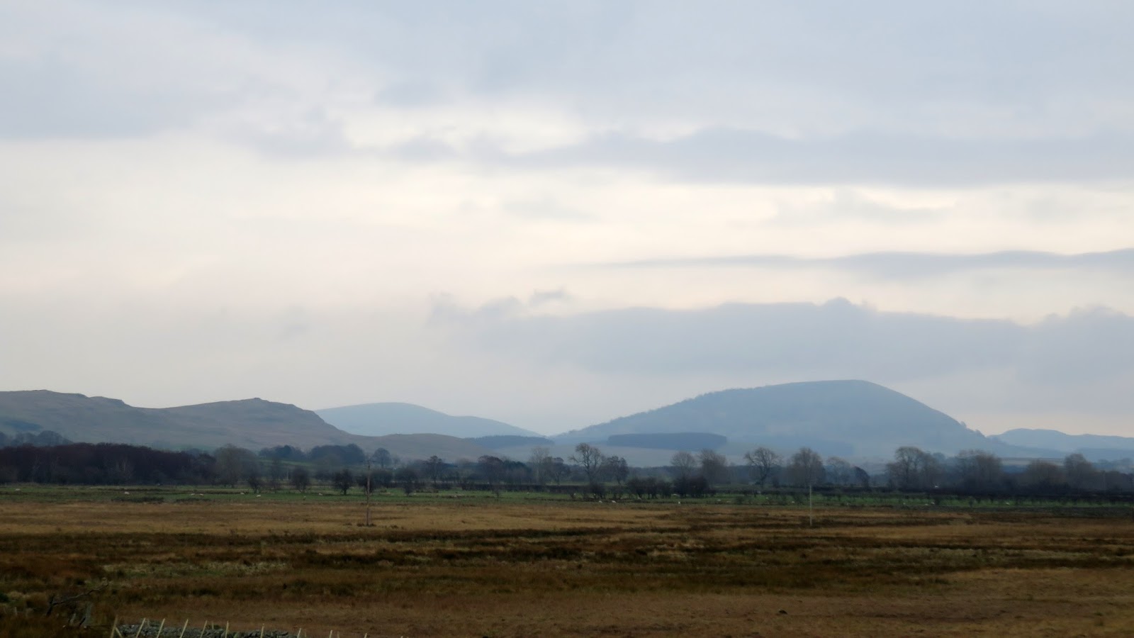
To the north of Keswick lies a vast area of unpopular fells, hidden from view by the immense façade of Skiddaw and Blencathra. This area, collectively known as either Back O’Skiddaw or Back O’Blencathra which pretty much sums up its Lakeland importance, is home to a large number of fells that share some very similar characteristics, more at home in the Peak District or the Yorkshire Dales.
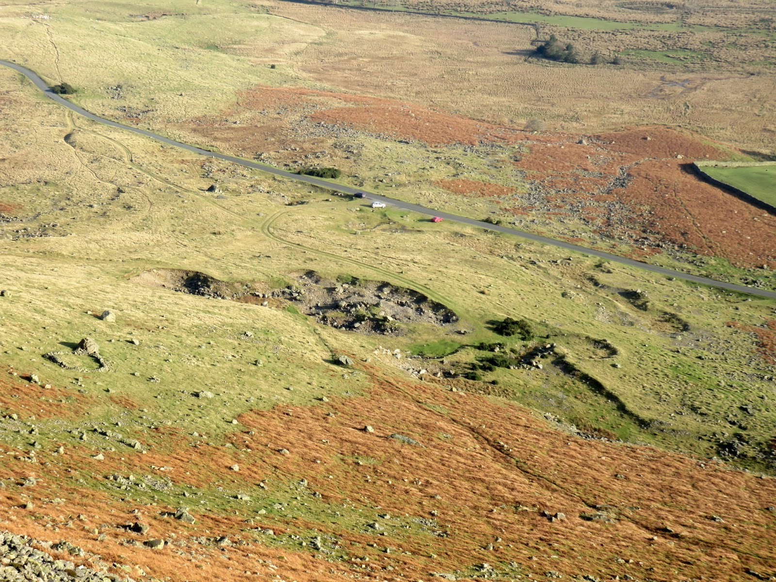
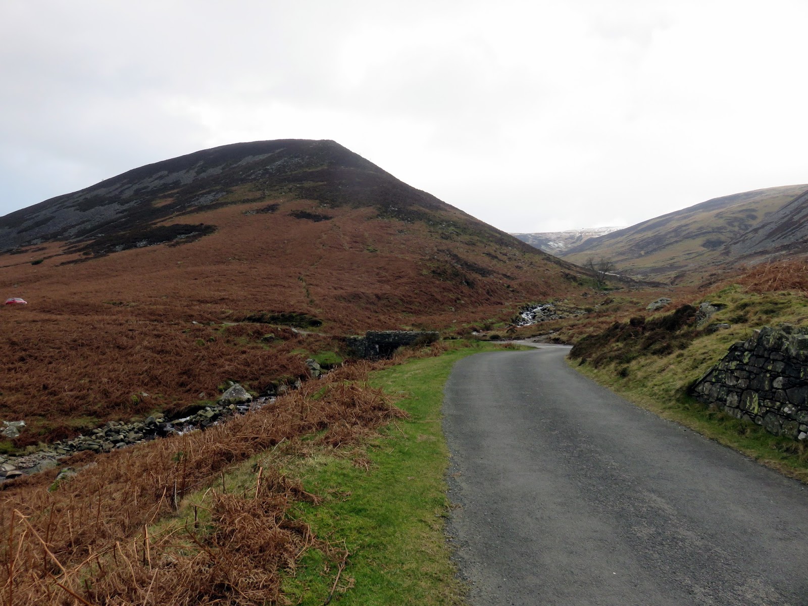
Despite some early fog on my crossing of the A66, it was bright sunshine that greeted my arrival at the foot of Carrock Fell, delayed by the use of gated country lanes and an early morning sheep herd. There are ample places to stop along the endless road between Mungrisedale and Caldbeck, I chose the area next to the Apronful of Stones, as recommended by a number of other websites. I think you’d be very unlucky not to find a space, even on the nicest of days.
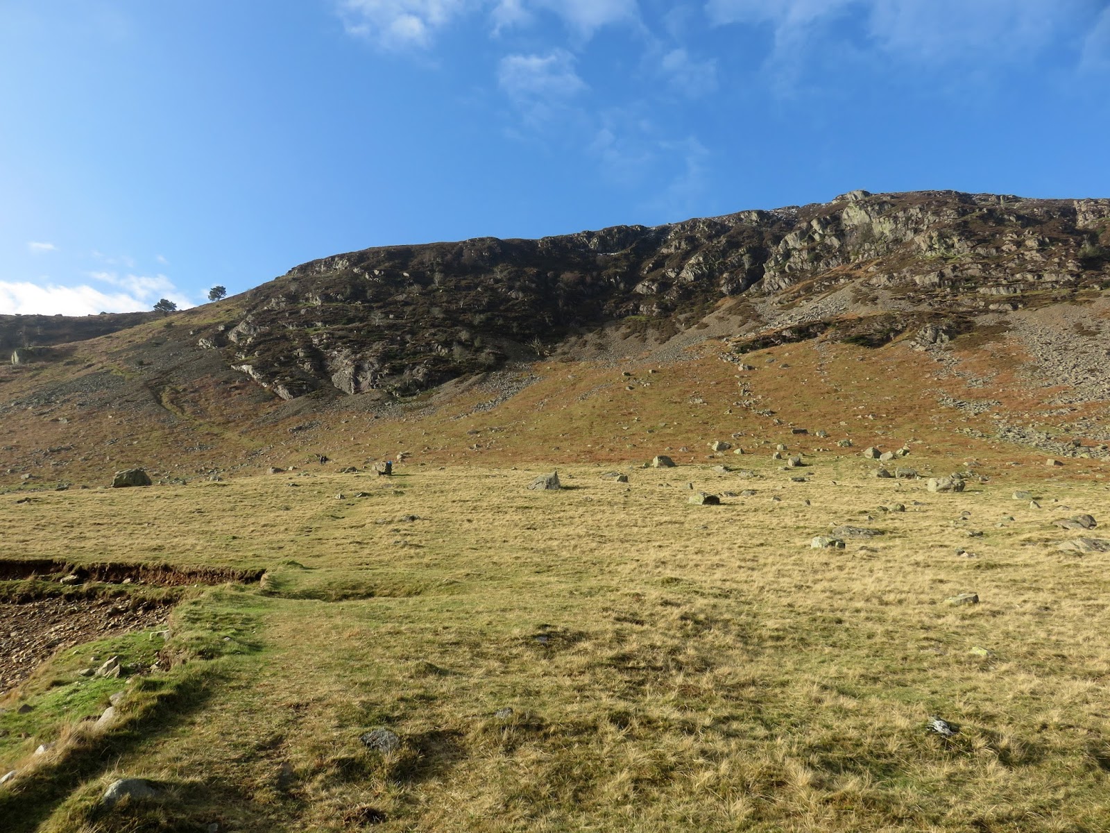
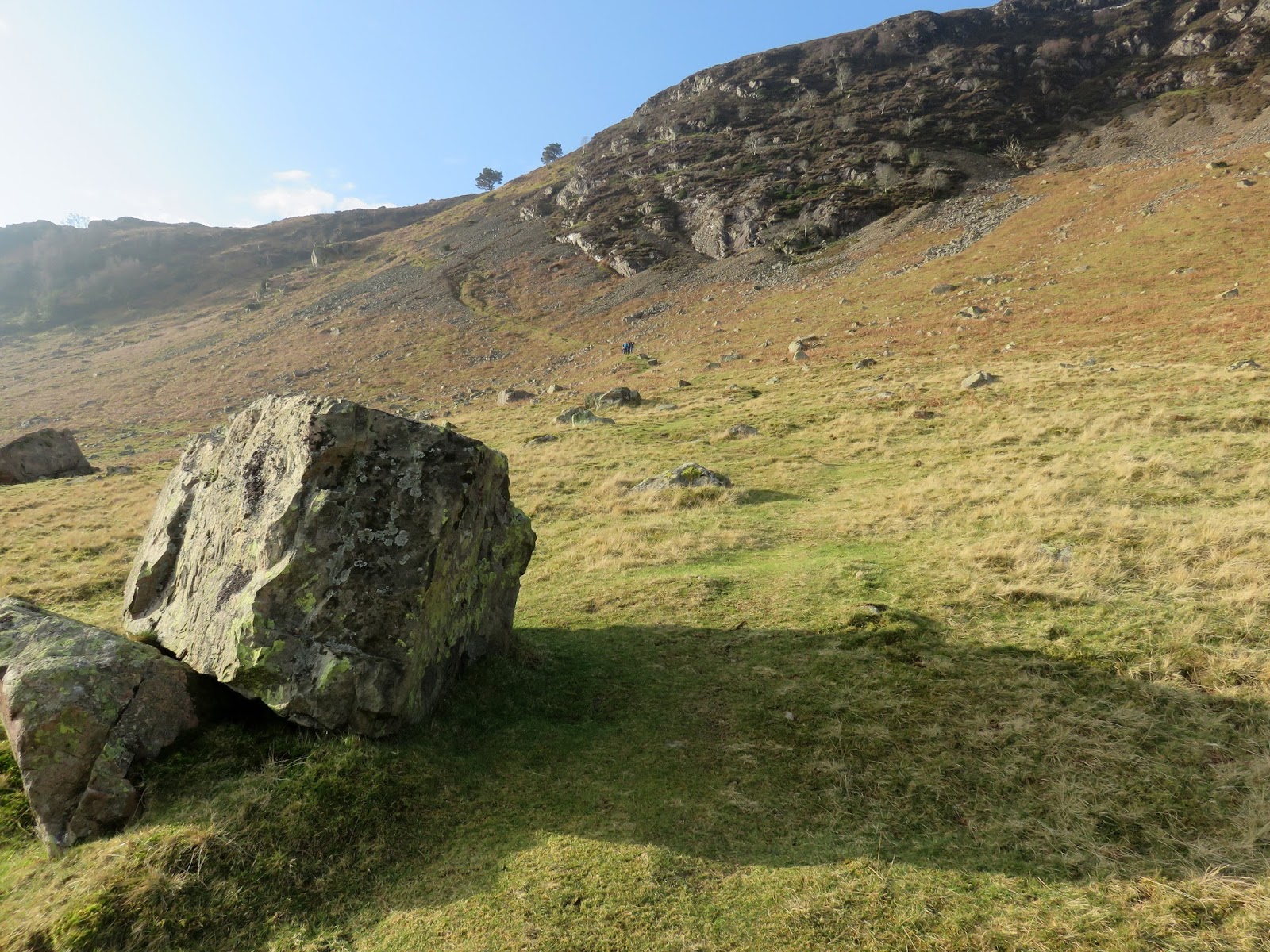
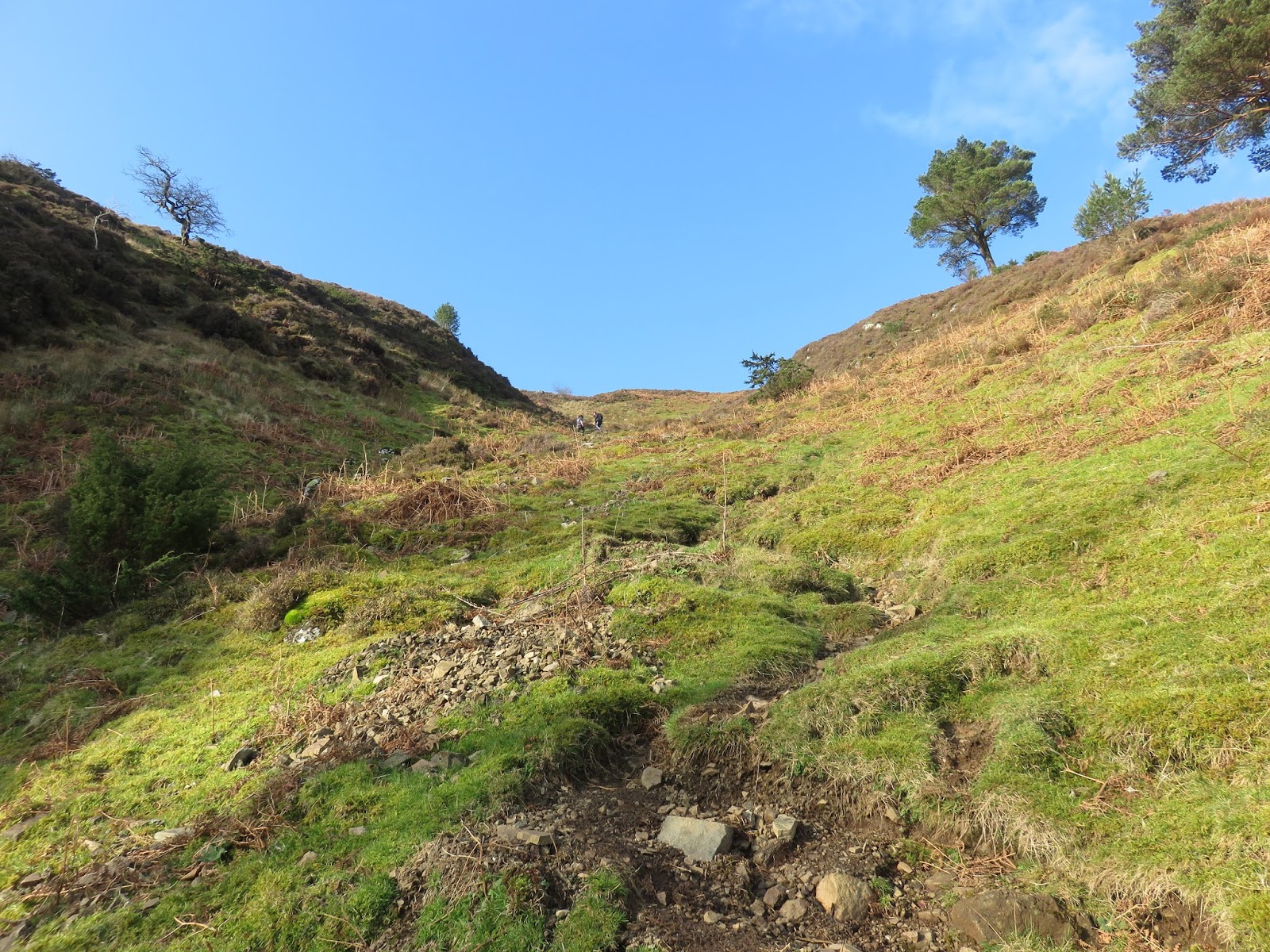
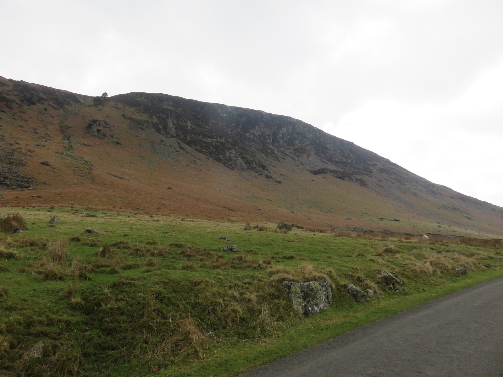
From the Apronful of Stones, a path heads towards Carrock Fell, turning south and steepening as it climbs. The seemingly impassable crags of Carrock Fell are bypassed by a steep grassy rake, running up alongside a tumbling stream. It’s a stiff start to any walk but it gets the majority of the climbing out of the way in a sweaty 40-minute burst.
 |
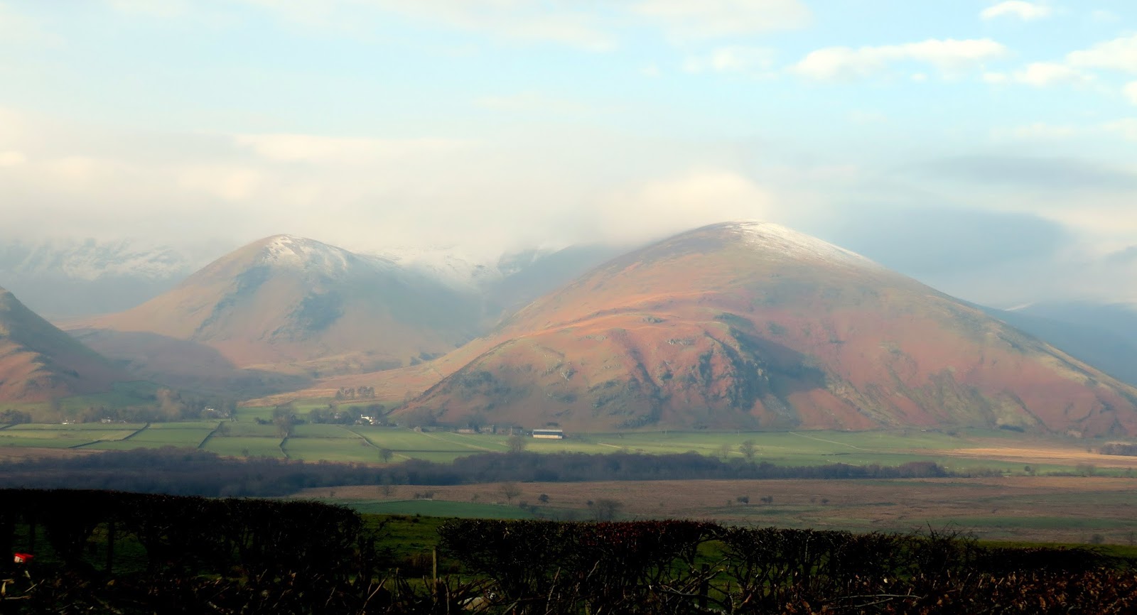
| Carrock Fell – snapped as I waited for a sheep heard to pass |
 |
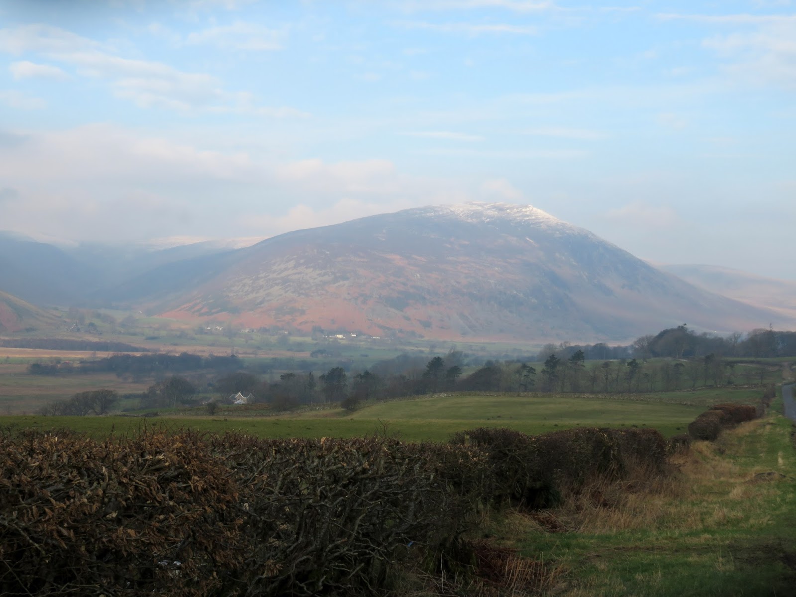
| Apronful of Stones |
 |
| A tumbled boulder marks the start of the climb |
 |
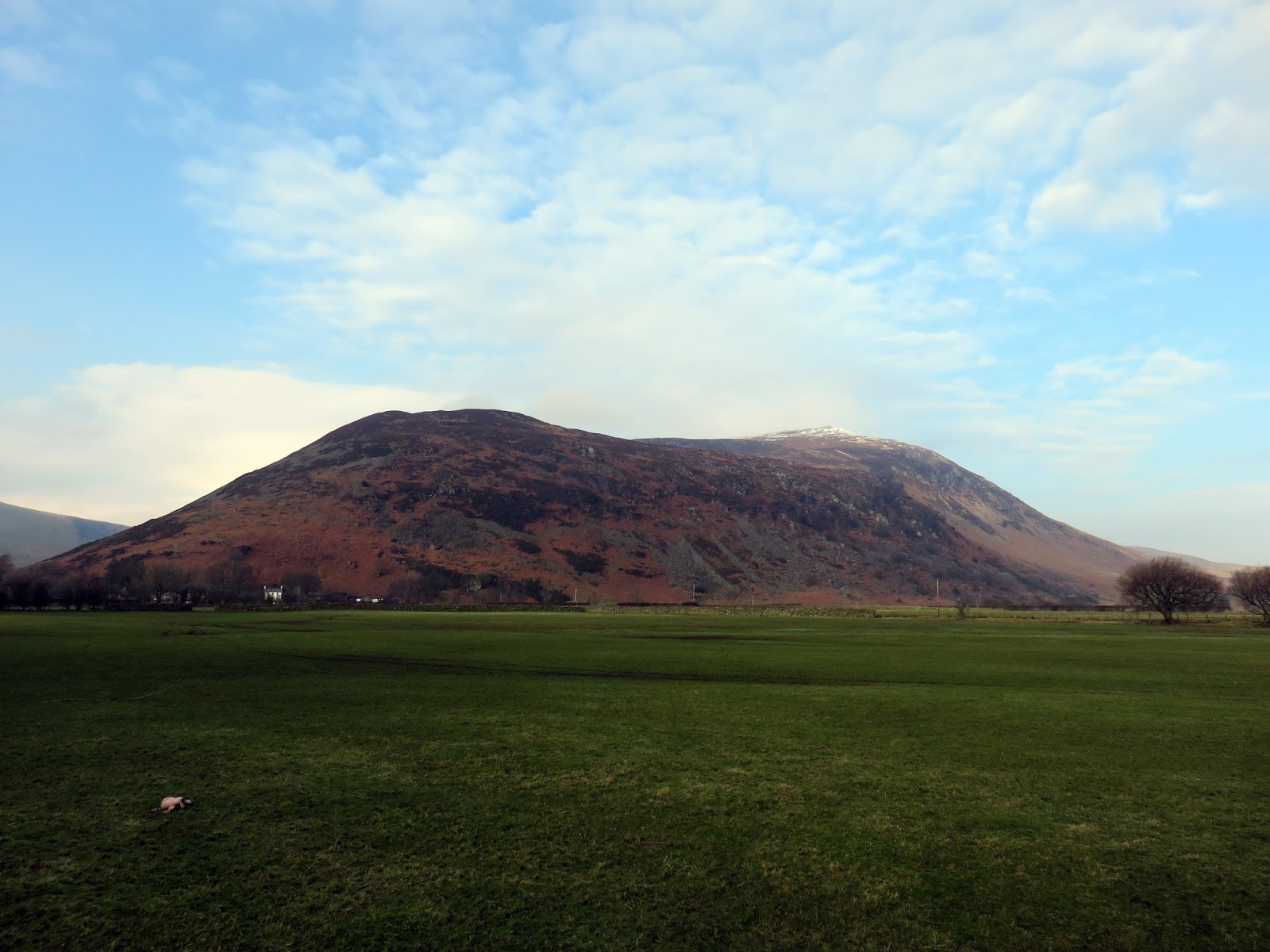
| Looking back to the cars at Apronful of Stones |
 |
| Emerging from the first steep section |
 |
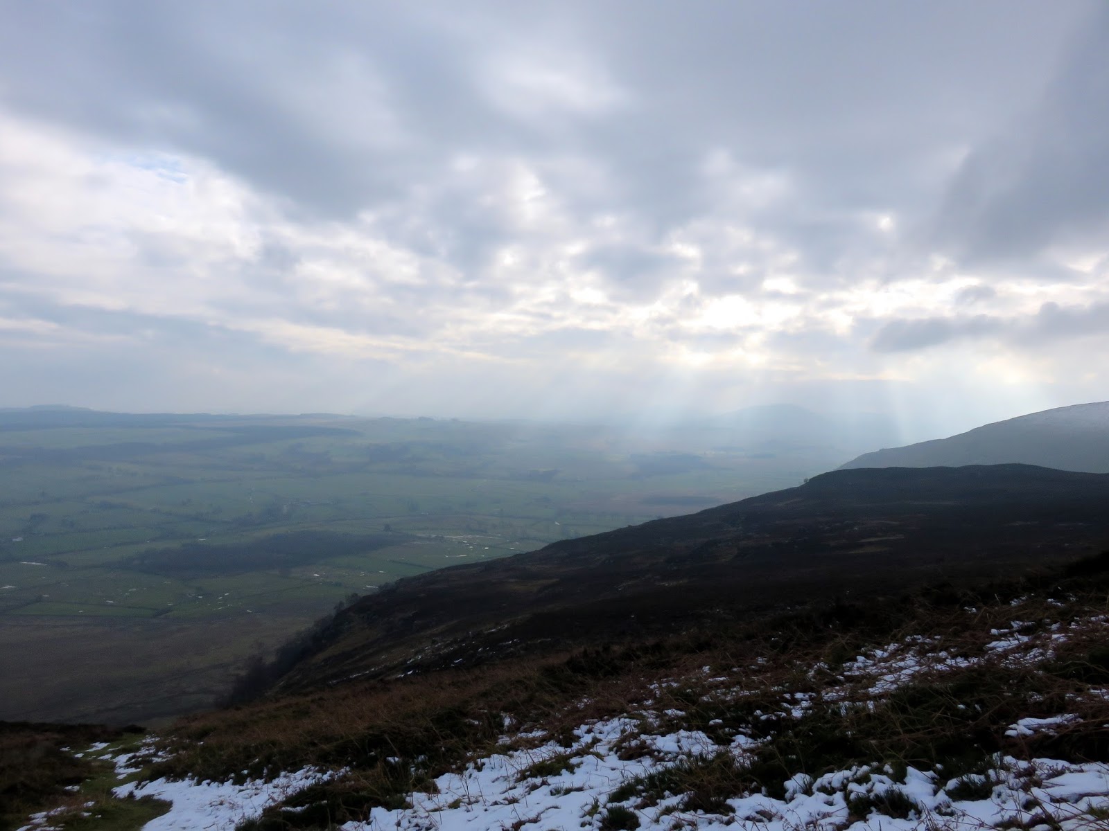
| Clouds begin to pour in |
 |
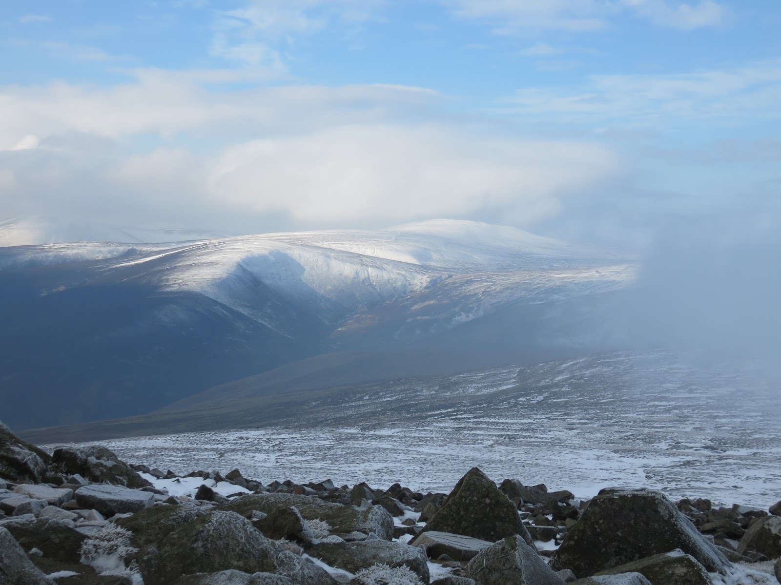
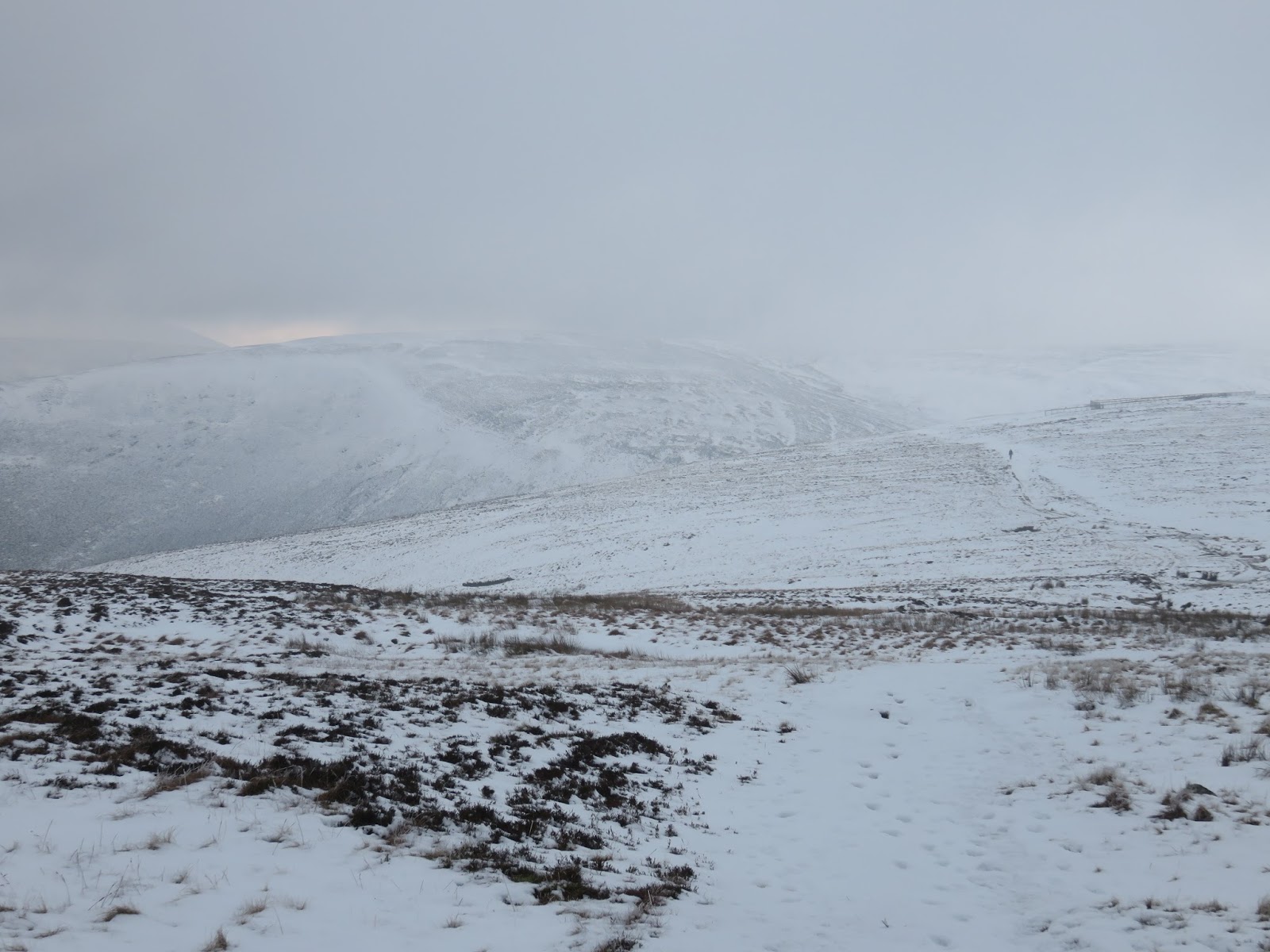
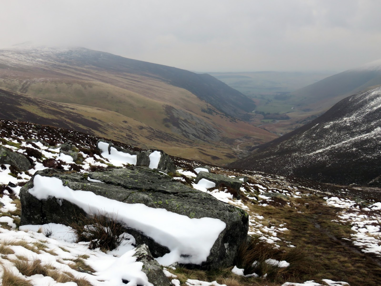
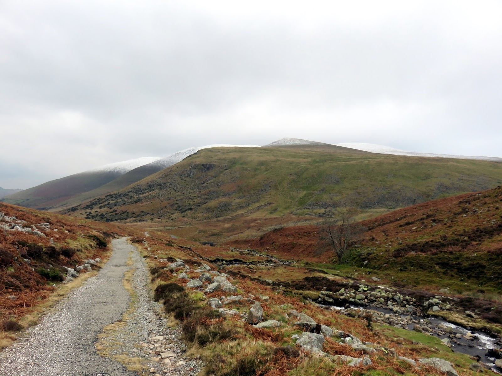
| View towards the summit |
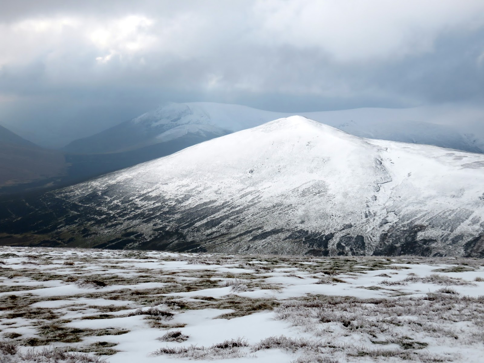
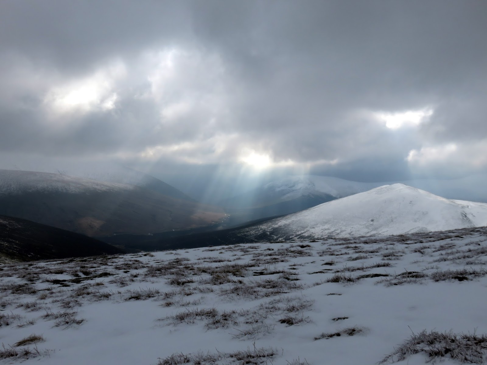
Clouds had begun to drift in as I reached the top of Carrock Fell. The summit bears the remains of an ancient hill fort, believed to have been built by the Celts and destroyed by the Romans in their conquest of northern England. It has an impressive view of the Eden Valley, at least before the clouds rolled in.
 |
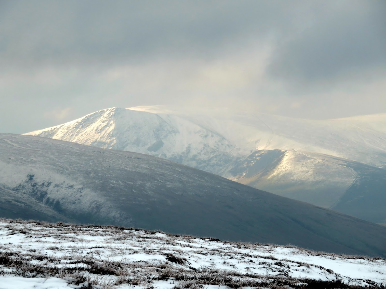
| Knott – one for later in the day |
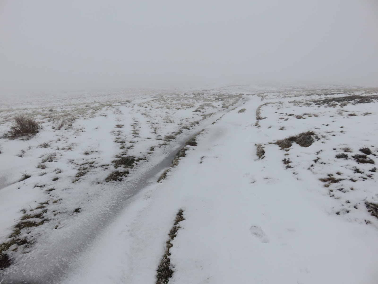
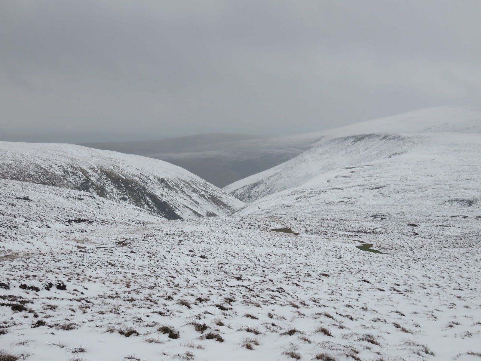
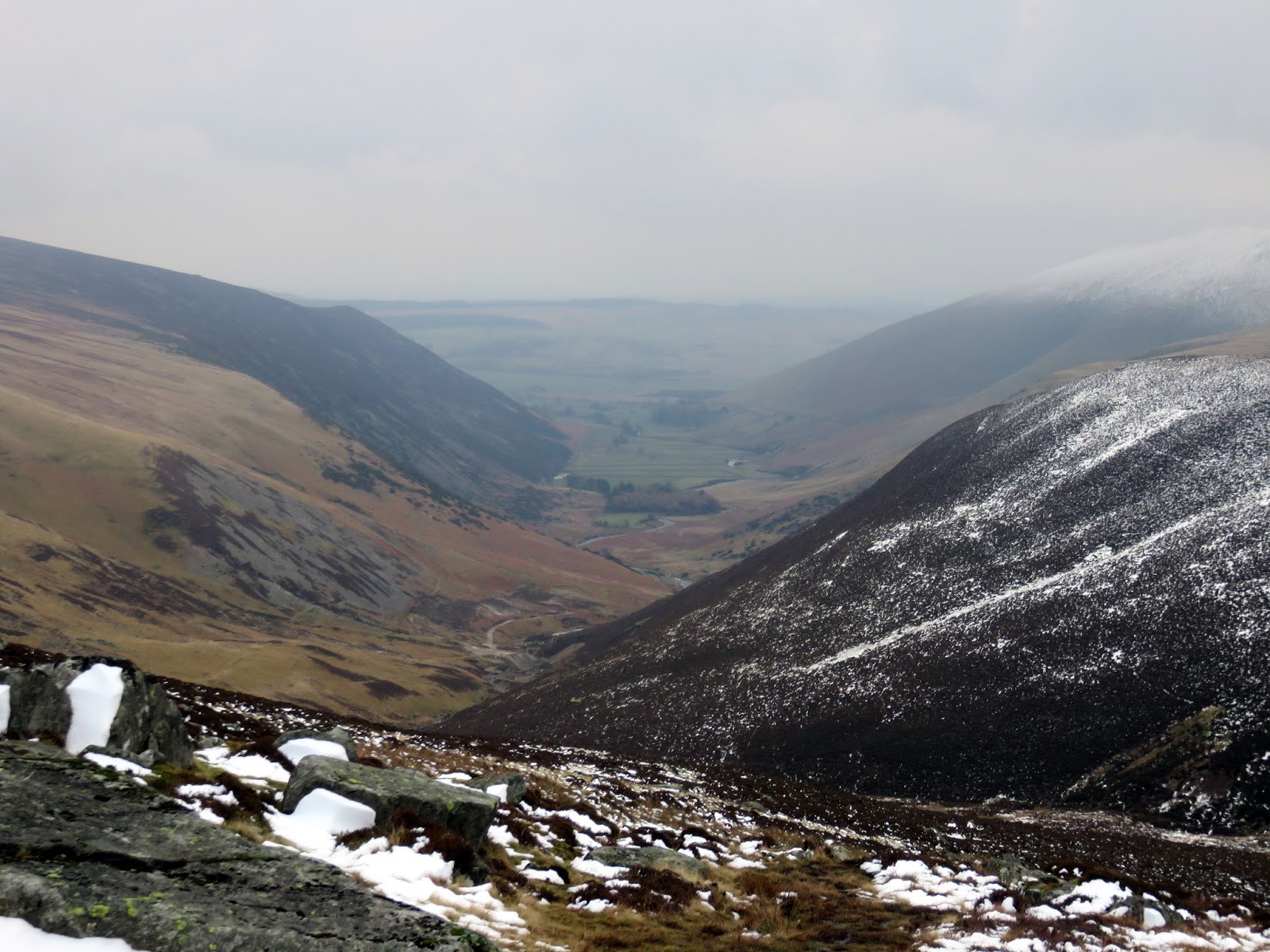
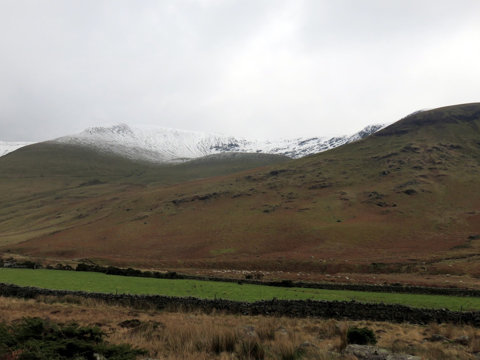
From Carrock Fell I made my way west through the mist over the undulations of Round Knott and Miton Hill on the way. Crossing Red Gate, a prominent track down into Carrock Beck, I joined the Cumbria Way as it makes it high level crossing of the northern fells en-route to Caldbeck. It provides some fine tramping, especially given the hard layer of snow that was covering it.
 |
| Miton Hill |
 |
| Drygill Beck |
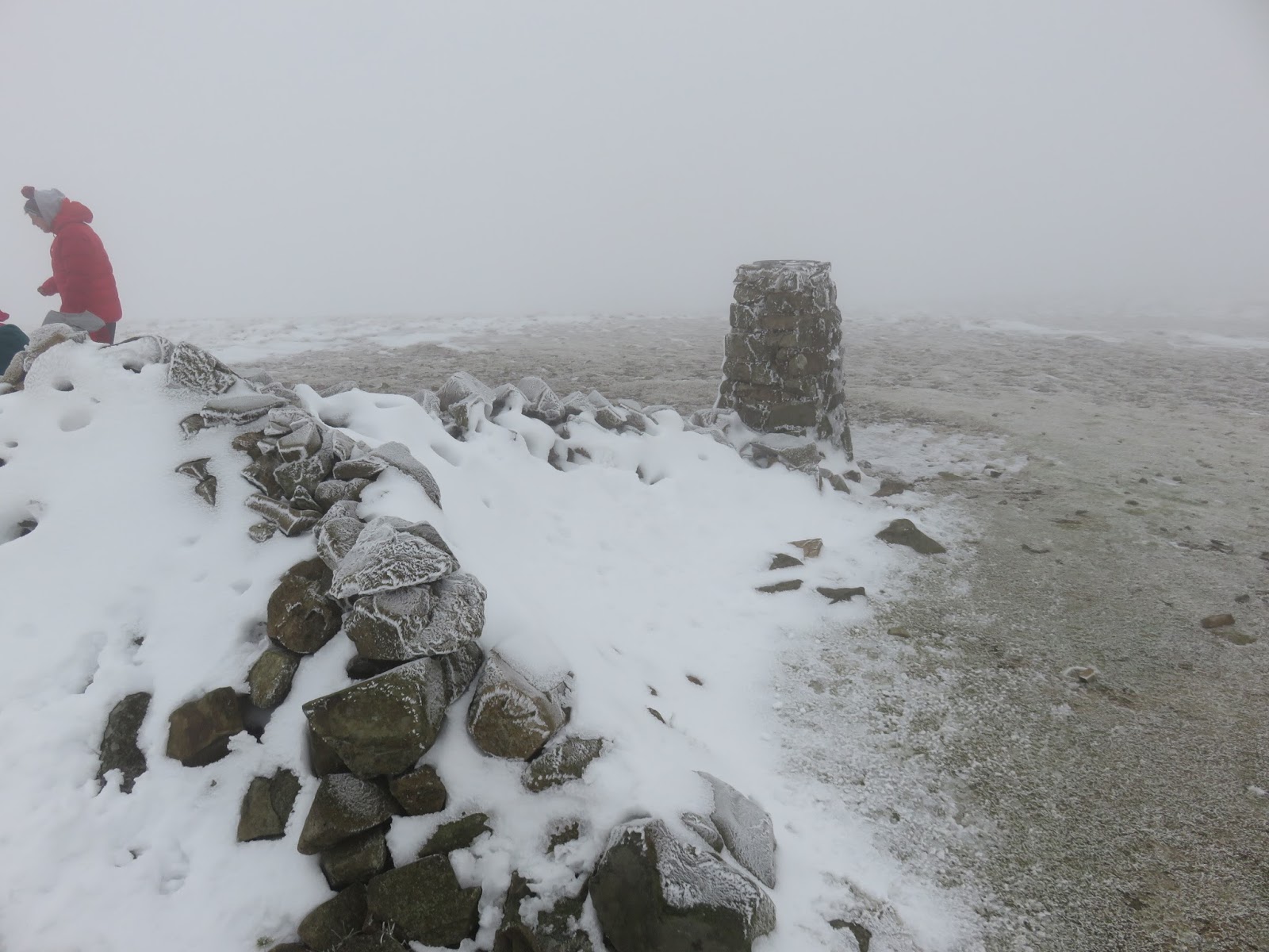
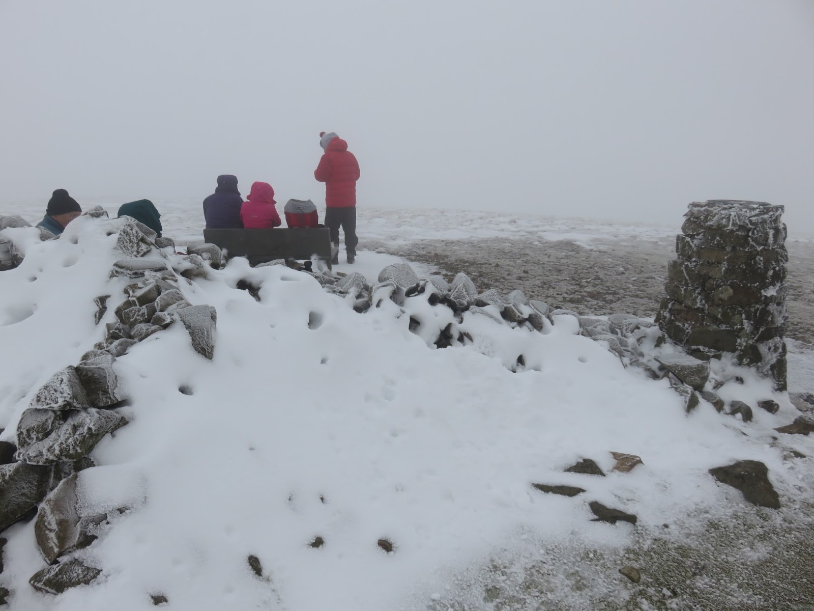
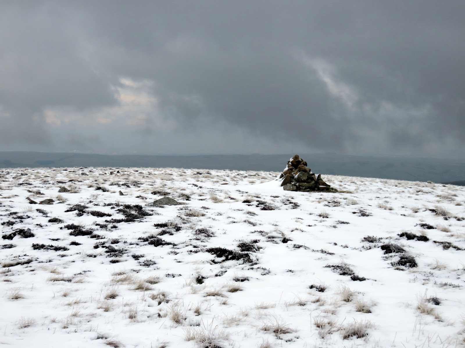
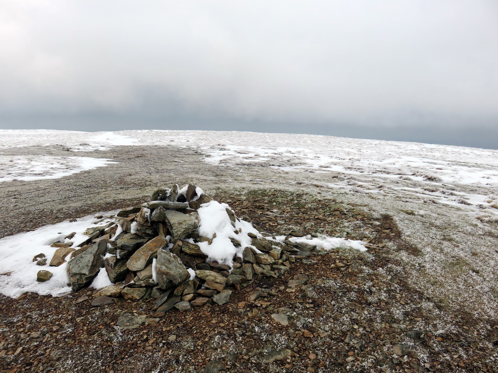
It climbs easily up to the summit of High Pike where I was surprised to find a collection of people milling around – the northern fells are notorious for being very quiet. I paid my dues to the tumbled cairn on the summit and tramped off, disappointed that High Pike’s slate bench had been occupied during my visit.
 |
| The slate bench |
 |
| Cumbria Way on the way across to Hare Stones |
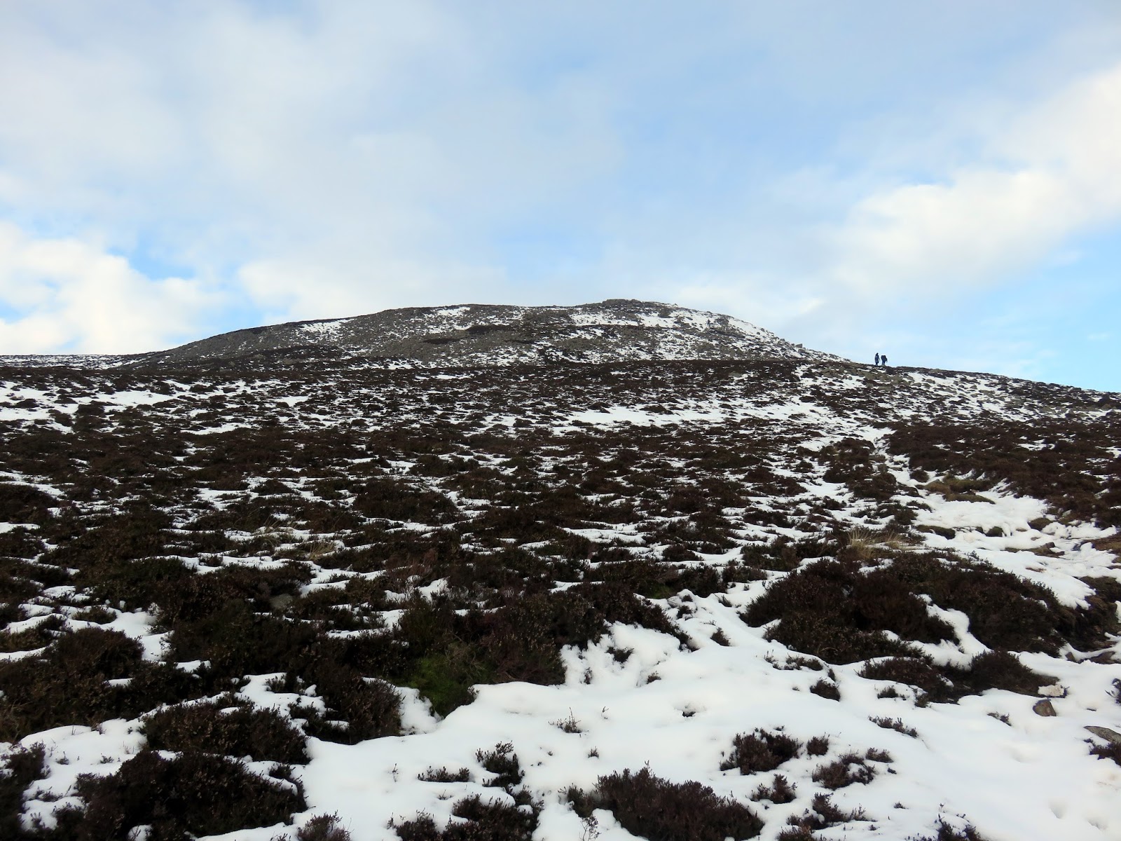
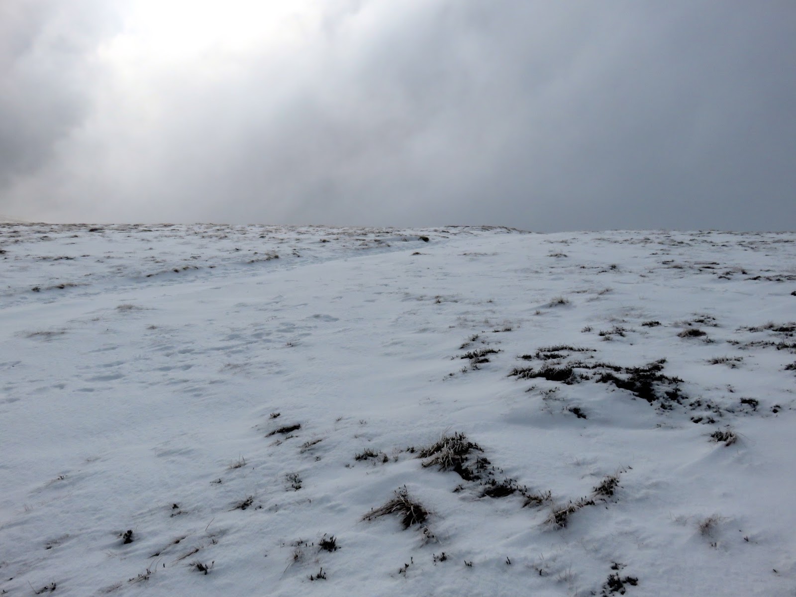
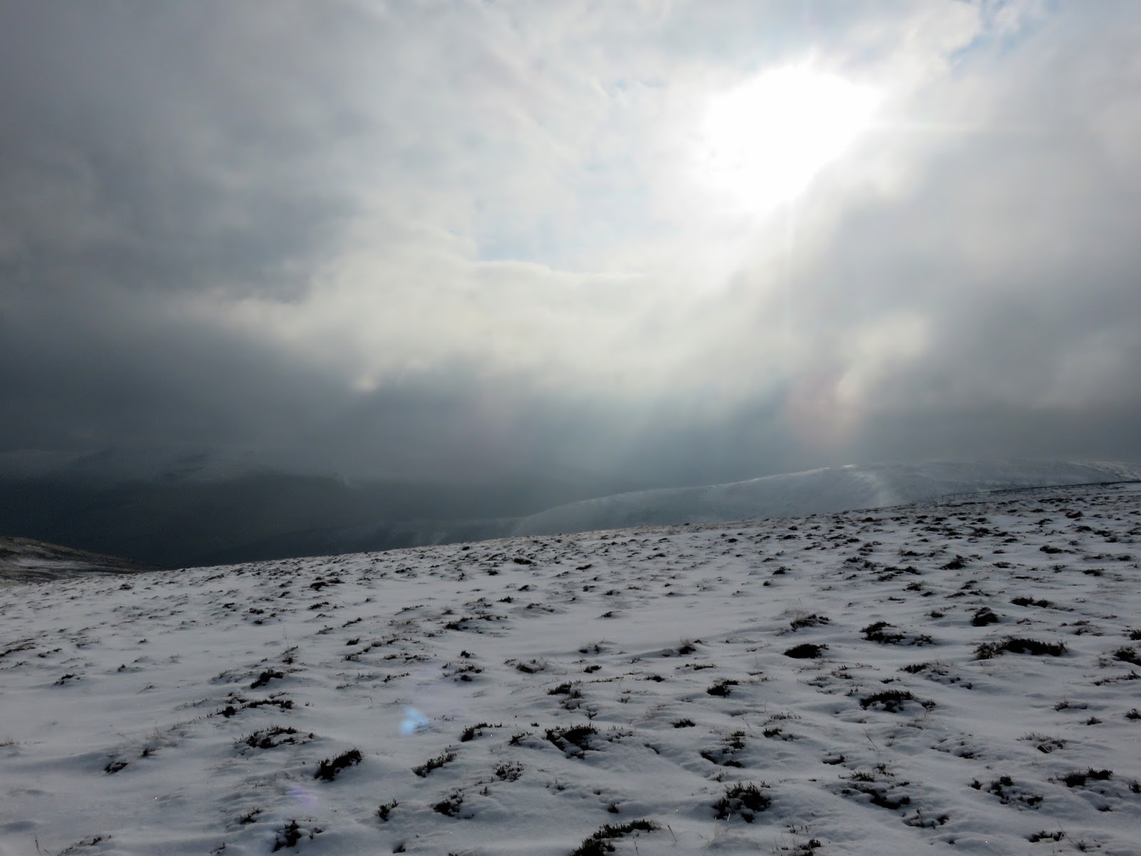
After a short repeat of the Cumbria Way, I veered off into the virgin snow to visit the tops of another series of undulating hills. The weather began to clear as I did so, revealing an isolated white world high above the dark green valleys below. The hills; Hare Stones, Great Lingy Hill and Miller Moss, are all listed on Bill Birkett’s list of Lakeland fells so it was a profitable route, if a little hard going at times.
 |
| Clouds lift on the way up Hare Stones |
 |
| Sun breaks |
 |
| Dale Beck |
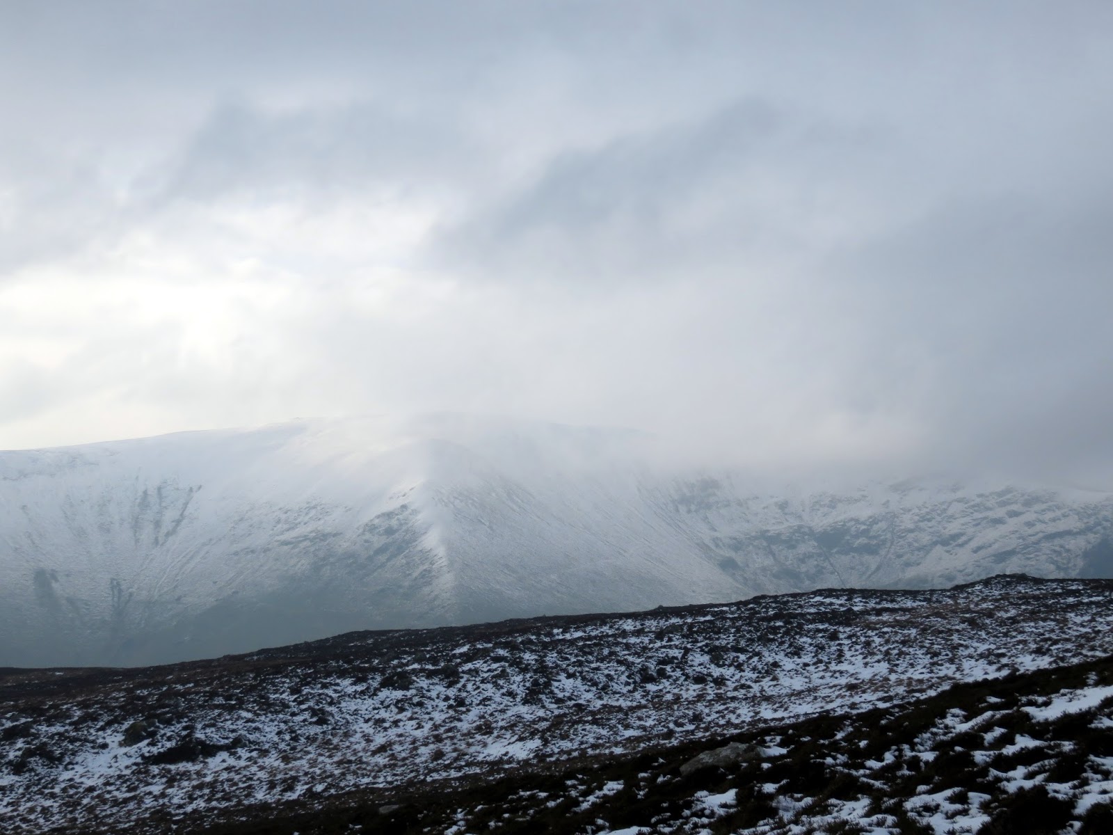
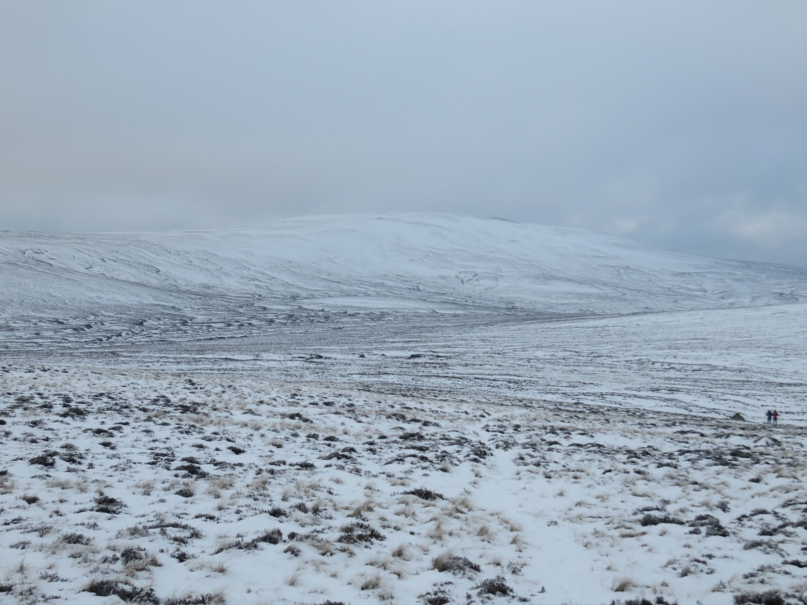
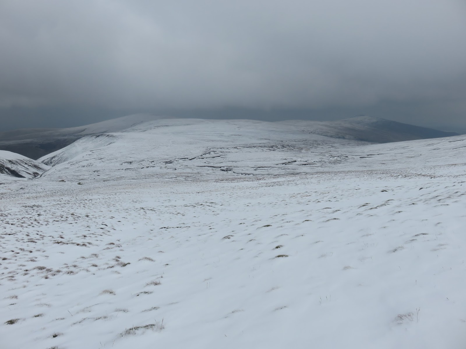
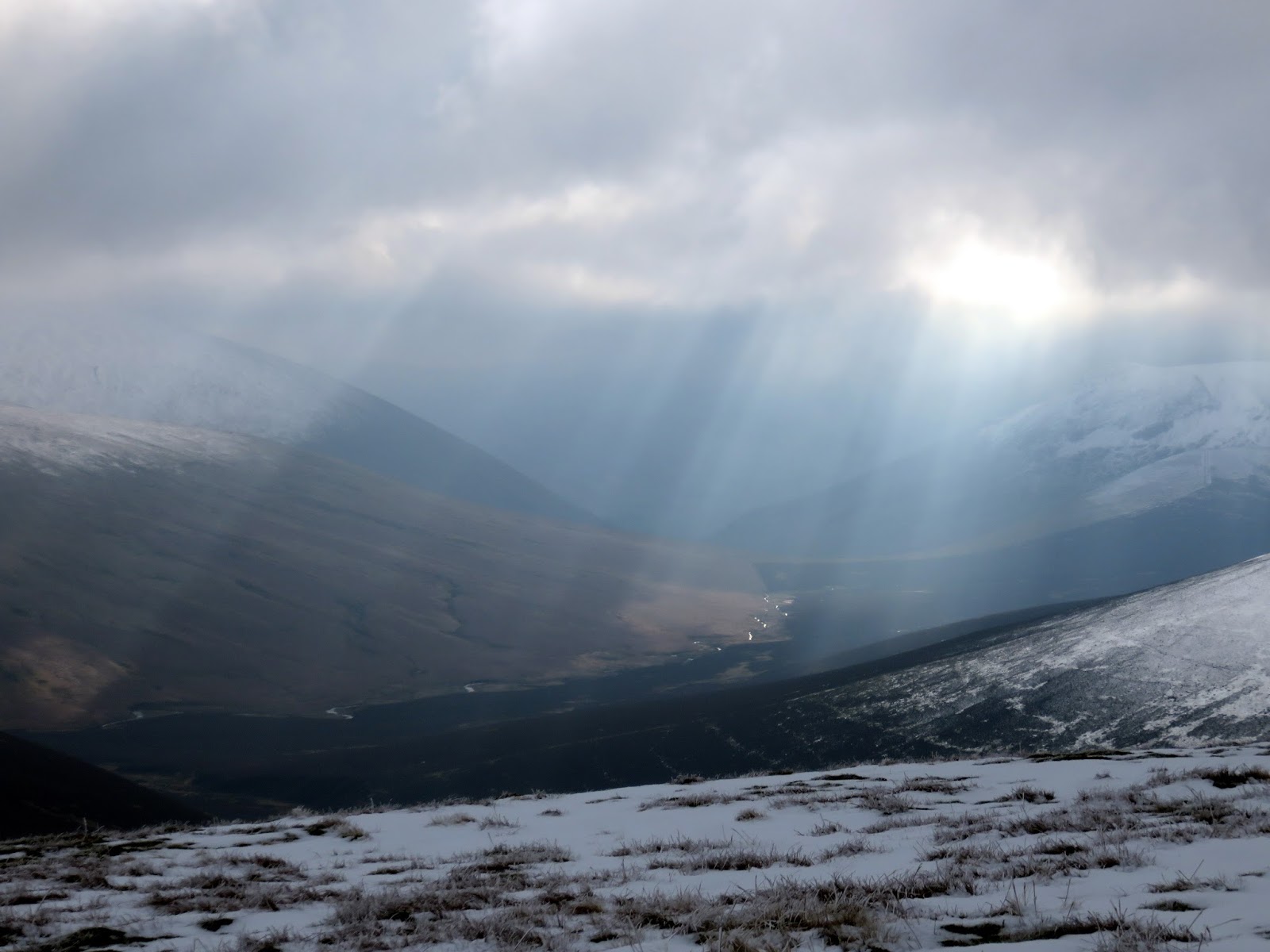
Ahead lay the great bulk of Knott, the highest of the Back O’Skiddaw fells and guarding it was Miller Moss (same name as the fell), a boggy area at the head of Grainsgill Beck. Crossing it was easier and dryer than I anticipated though the steep climb up the northeast flank of Knott was a challenge.
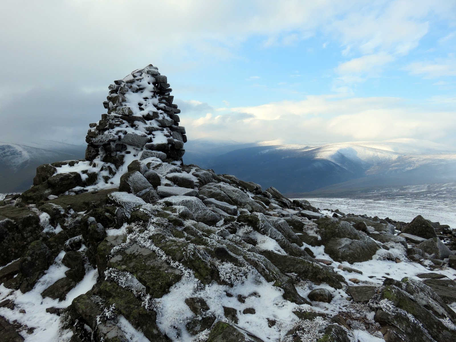
I eventually reached the top as rays of sunlight broke through the clouds in the Caldew Valley – always a magical moment. I was pleasantly surprised by Knott’s summit as I was expecting much but it has a nice view down the Glenderraterra valley and was the perfect place to stop for a quick bite to eat.
 |
| Miller Moss |
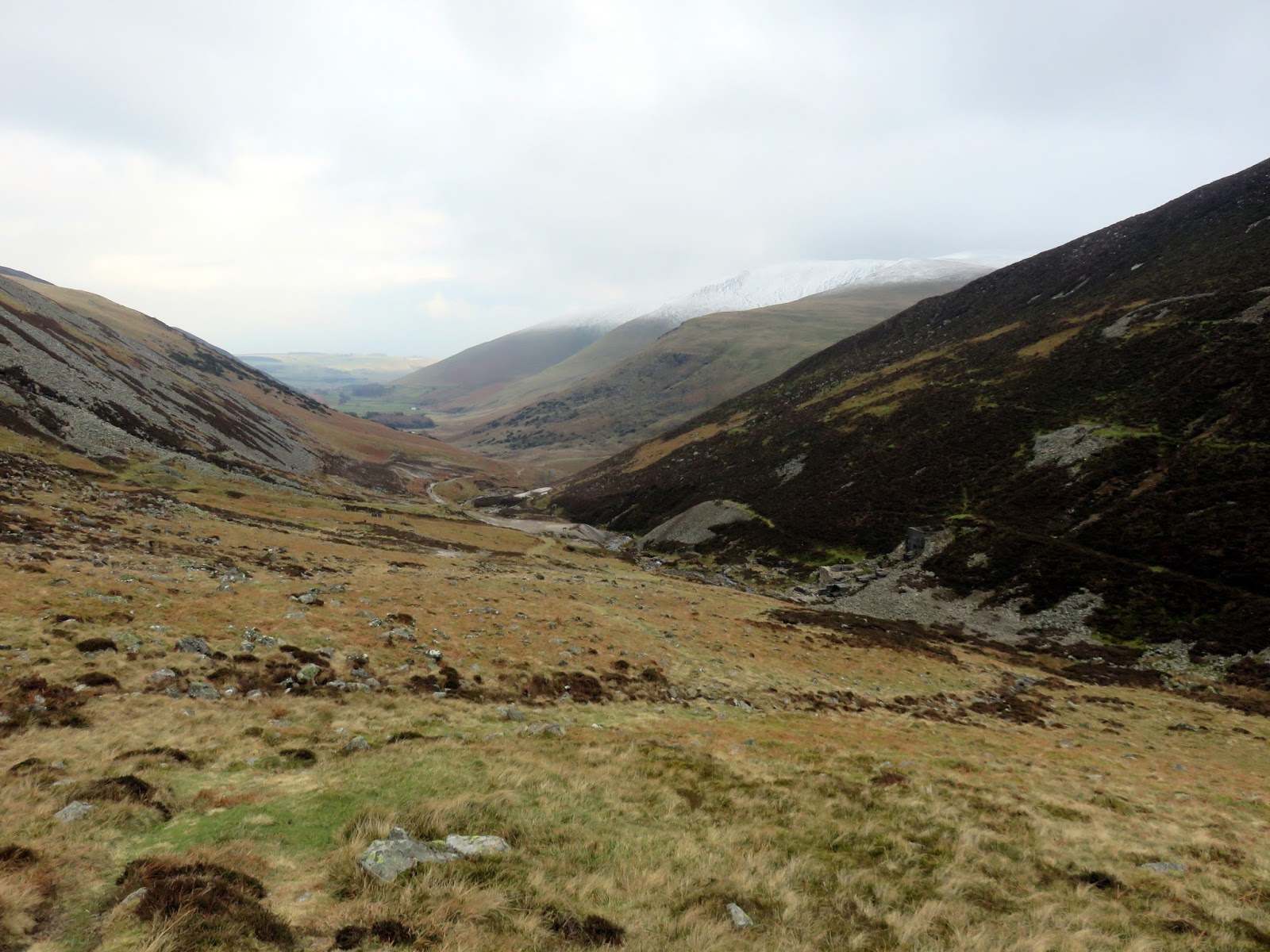
I had intended to continue this walk all the way to Great Calva but some boot troubles made me take a shorter route, directly down to the Caldew valley. A number of paths radiate eastwards from Knott, the northern-most heading into the boggy Grainsgill Beck and joining the Cumbria Way once again as it descends the valley to the Carrock Mine.
 |
| Sun over the northern fells |
 |
| The Glenderraterra valley |
 |
| Snow on the slopes of Coomb Height |
 |
| Gunner Well |
 |
| Below the stone line |
 |
| Carrock Beck |
 |
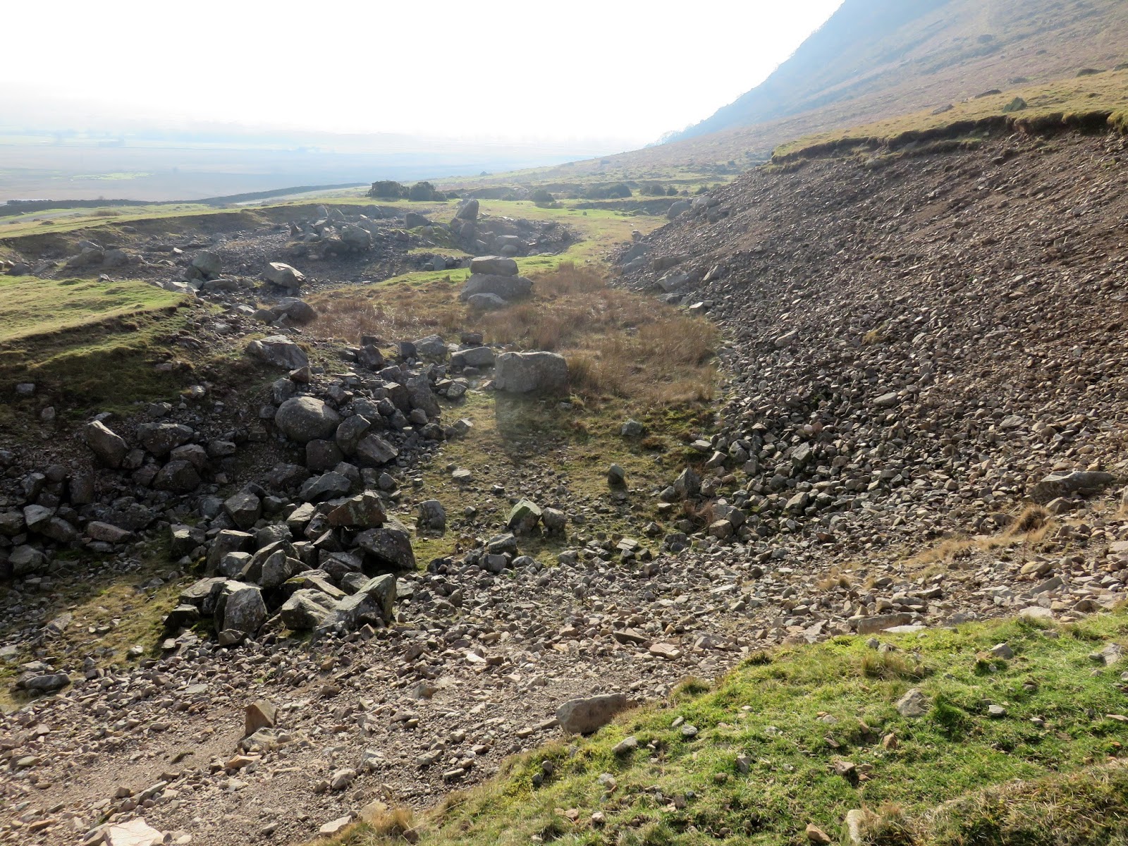
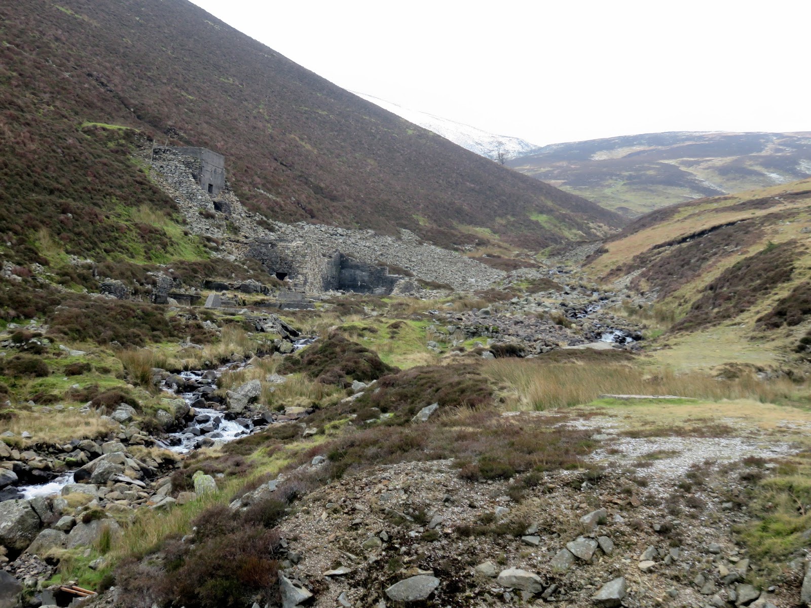
| Remain of the old Carrock Fell Mine |
Carrock Mine was the only locality outside of Cornwall and Devon to have produced wolfram, a chief ore of tungsten. The mine has worked spasmodically since 1854, but never for very long, as mining is only viable when the price of tungsten is at its peak. The last period of working finished in October 1981 after which much of the infrastructure was flattened and the valley remodelled to its pre-mine state.
 |
| Carrock Fell Mine |
 |
| Coomb Height |
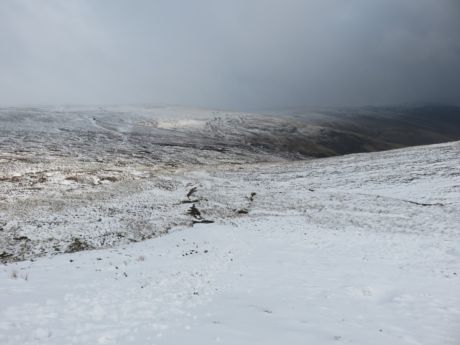
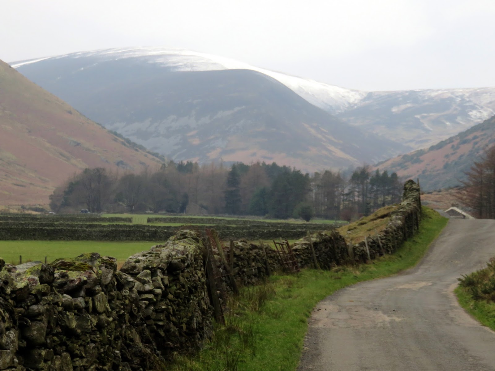
From the mine, the Cumbria Way makes a long dull trudge along the Caldew valley, the only highlight being the snow capped top of Bowscale Fell and tantalising glimpse towards Bowscale Tarn – not visible from the valley bottom. After a long walk to Mosedale (which means , the route swings north to follow the road back to Apronful of Stones.
 |
| Looking back to Coomb Height |
Overall this is a very straightforward walk with little difficulty other than the initial climb up Carrock Fell. It’s the perfect place for long walks away from the crowds given the gentle nature of many of the fells and a place that shouldn’t be overlooked.
