Open Space Web-Map builder Codehttps://openspace.ordnancesurvey.co.uk/osmapapi/openspace.js?key=3119F72552FD5C22E0530C6CA40A5A92https://openspace.ordnancesurvey.co.uk/osmapapi/script/mapbuilder/basicmap.jshttps://openspace.ordnancesurvey.co.uk/osmapapi/script/mapbuilder/searchbox.js//variables for routes var linesLayer, points, lineFeature, lineString, routeMarkersLayer, routepos, routesize, routeoffset, routeicon; var style_blue = {strokeColor: “#0000CD”, strokeOpacity: 0.5, strokeWidth: 4.5}; function initmapbuilder() { //initiate the map var options = {resolutions: [2500, 1000, 500, 200, 100, 50, 25, 10, 5, 4, 2.5, 2, 1]}; osMap = new OpenSpace.Map(‘map’, options); //configure map options (basicmap.js) setglobaloptions(); //set the center of the map and the zoom level osMap.setCenter(new OpenSpace.MapPoint(332776.9974823,510044.00125885),7); linesLayer = osMap.getVectorLayer(); // Set up layer for route markers routeMarkersLayer = new OpenLayers.Layer.Markers(“Route Markers”); //make a route points = new Array(); points.push(new OpenLayers.Geometry.Point(333741.66412354,508601.66793823)); points.push(new OpenLayers.Geometry.Point(333631.66412354,508891.66793823)); points.push(new OpenLayers.Geometry.Point(333621.66412354,508936.66793823)); points.push(new OpenLayers.Geometry.Point(333541.66412354,508951.66793823)); points.push(new OpenLayers.Geometry.Point(333421.66412354,509116.66793823)); points.push(new OpenLayers.Geometry.Point(333376.66412354,509161.66793823)); points.push(new OpenLayers.Geometry.Point(333392.16412354,509343.16793823)); points.push(new OpenLayers.Geometry.Point(333299.66412354,509400.66793823)); points.push(new OpenLayers.Geometry.Point(333239.66412354,509530.66793823)); points.push(new OpenLayers.Geometry.Point(333177.16412354,509603.16793823)); points.push(new OpenLayers.Geometry.Point(333094.66412354,509672.66793823)); points.push(new OpenLayers.Geometry.Point(332999.66412354,509812.66793823)); points.push(new OpenLayers.Geometry.Point(332959.66412354,509812.66793823)); points.push(new OpenLayers.Geometry.Point(332814.66412354,510037.66793823)); points.push(new OpenLayers.Geometry.Point(332659.66412354,510227.66793823)); points.push(new OpenLayers.Geometry.Point(332519.66412354,510412.66793823)); points.push(new OpenLayers.Geometry.Point(332404.66412354,510577.66793823)); points.push(new OpenLayers.Geometry.Point(332304.66412354,510737.66793823)); points.push(new OpenLayers.Geometry.Point(332199.66412354,510932.66793823)); points.push(new OpenLayers.Geometry.Point(332124.66412354,510967.66793823)); points.push(new OpenLayers.Geometry.Point(332104.66412354,511047.66793823)); points.push(new OpenLayers.Geometry.Point(332054.66412354,511392.66793823)); points.push(new OpenLayers.Geometry.Point(331939.66412354,511152.66793823)); points.push(new OpenLayers.Geometry.Point(332199.66412354,510942.66793823)); points.push(new OpenLayers.Geometry.Point(332289.66412354,510752.66793823)); points.push(new OpenLayers.Geometry.Point(332404.66412354,510587.66793823)); points.push(new OpenLayers.Geometry.Point(332529.66412354,510422.66793823)); points.push(new OpenLayers.Geometry.Point(332724.66412354,510147.66793823)); points.push(new OpenLayers.Geometry.Point(332884.66412354,509967.66793823)); points.push(new OpenLayers.Geometry.Point(332964.66412354,509812.66793823)); points.push(new OpenLayers.Geometry.Point(333009.66412354,509812.66793823)); points.push(new OpenLayers.Geometry.Point(333158.66412354,509596.66793823)); points.push(new OpenLayers.Geometry.Point(333246.66412354,509516.66793823)); points.push(new OpenLayers.Geometry.Point(333326.66412354,509384.66793823)); points.push(new OpenLayers.Geometry.Point(333402.66412354,509356.66793823)); points.push(new OpenLayers.Geometry.Point(333398.66412354,509180.66793823)); points.push(new OpenLayers.Geometry.Point(333410.66412354,509124.66793823)); points.push(new OpenLayers.Geometry.Point(333546.66412354,508940.66793823)); points.push(new OpenLayers.Geometry.Point(333618.66412354,508940.66793823)); points.push(new OpenLayers.Geometry.Point(333698.66412354,508764.66793823)); points.push(new OpenLayers.Geometry.Point(333741.66412354,508601.66793823)); // create a polyline feature from the array of points lineString = new OpenLayers.Geometry.LineString(points); lineFeature = new OpenLayers.Feature.Vector(lineString, null, style_blue); linesLayer.addFeatures([lineFeature]); //crate a route start/end marker routepos = new OpenSpace.MapPoint(333741.66412354,508601.66793823); routesize = new OpenLayers.Size(33,45); routeoffset = new OpenLayers.Pixel(-5,-37); routeicon = new OpenSpace.Icon(‘https://openspace.ordnancesurvey.co.uk/osmapapi/img_versions/img_1.1/mapbuilder/routemarker-startend.png’, routesize, routeoffset, null, null); routeMarkersLayer.addMarker(new OpenLayers.Marker(routepos, routeicon)); osMap.addLayer(routeMarkersLayer);}
Route: Grasmere, Travellers Rest, Low Mill Bridge, Ghyll Foot, Cotra Breast, Steel Fell (Dead Pike), Cotra Breast, Low Mill Bridge, Travellers Rest, Grasmere
Date: 25/07/2015
From: Grasmere
Parking: Roadside parking near Grasmere
Start Point: Travellers Rest PH
Region: Central Fells
Route length: 4.3 miles (7.7 km)
Time taken: 01:53
Average speed: 2.3 mph
Ascent: 494m
Descent: 492m
Wainwrights on this walk:
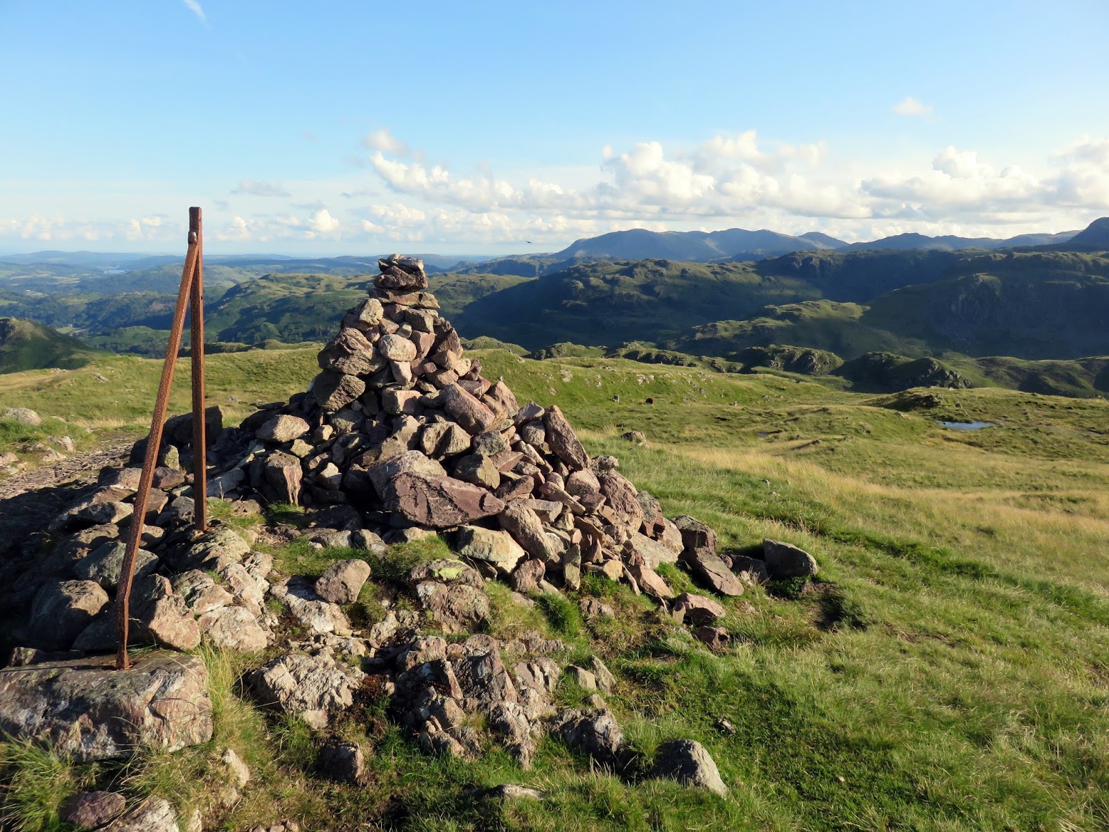
Steel Fell (553m)
Other Summits: None
Other points of interest: None
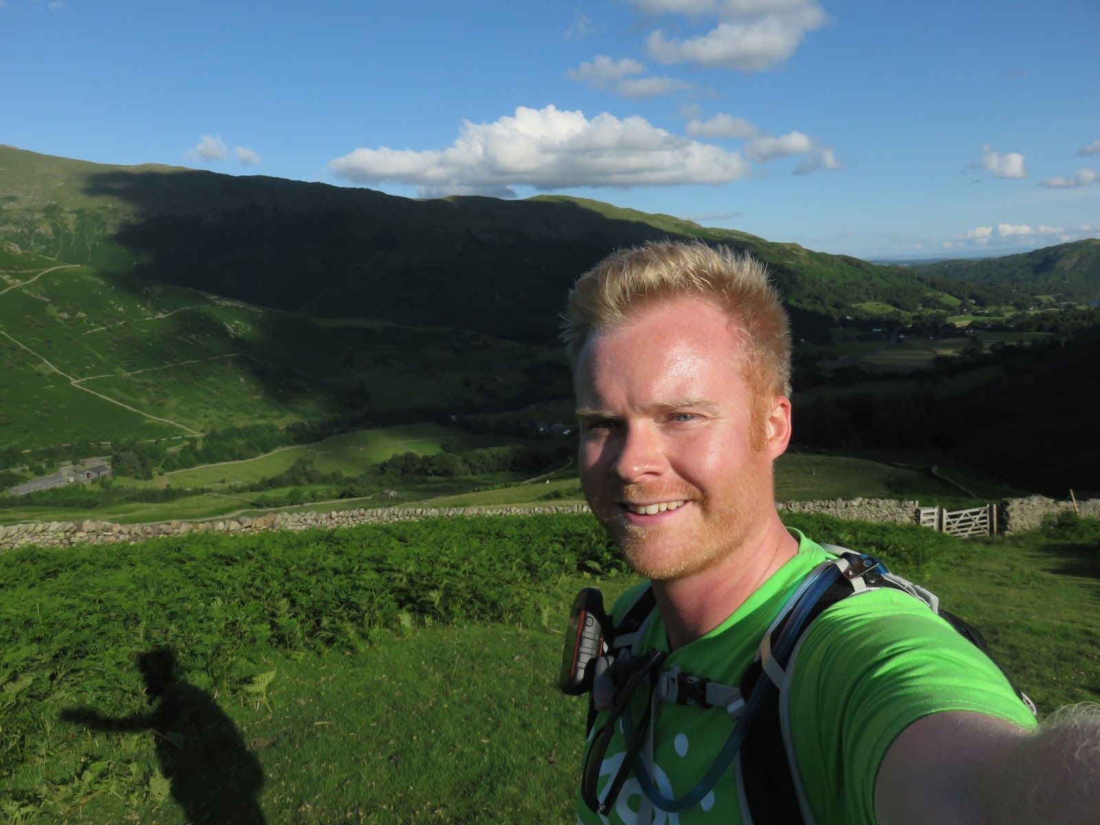
After arriving in the Lake District after an amazing walk across Morecambe Bay, we were keen not to waste the glorious early evening sunshine and plotted a route up Steel Fell which we were to pass enroute to our overnight stop in Keswick.
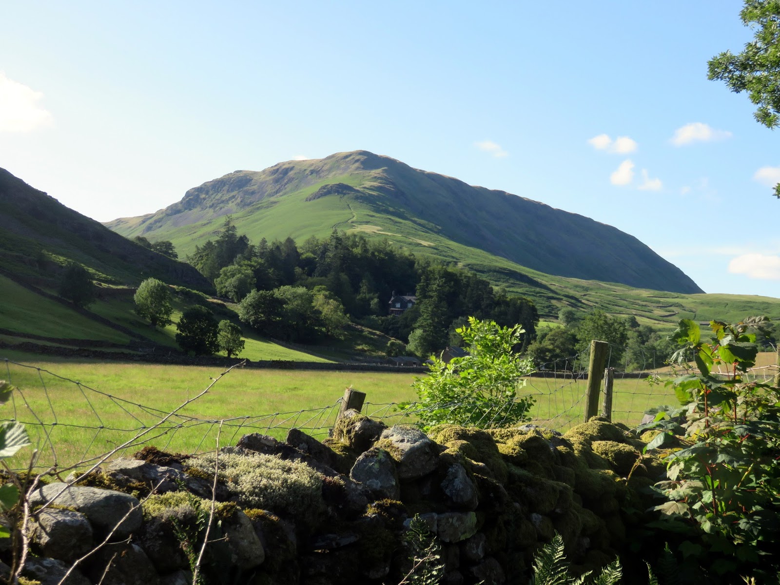
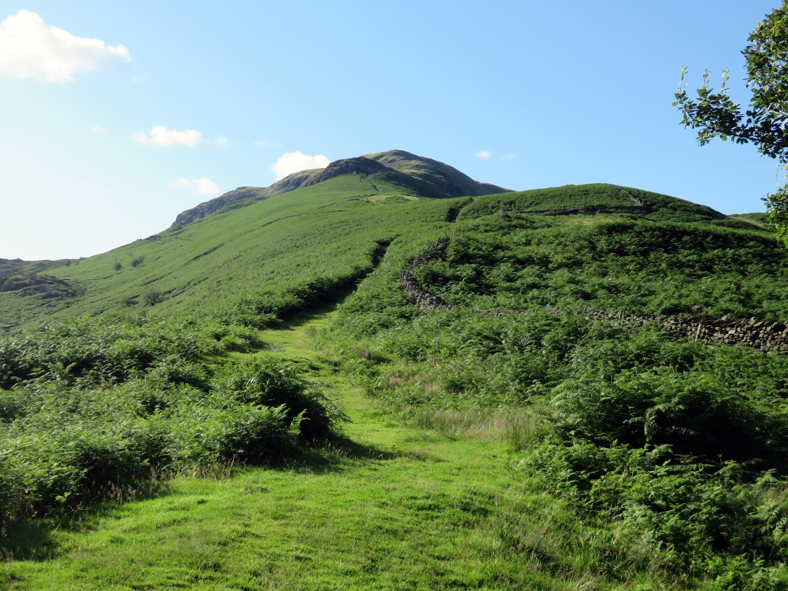
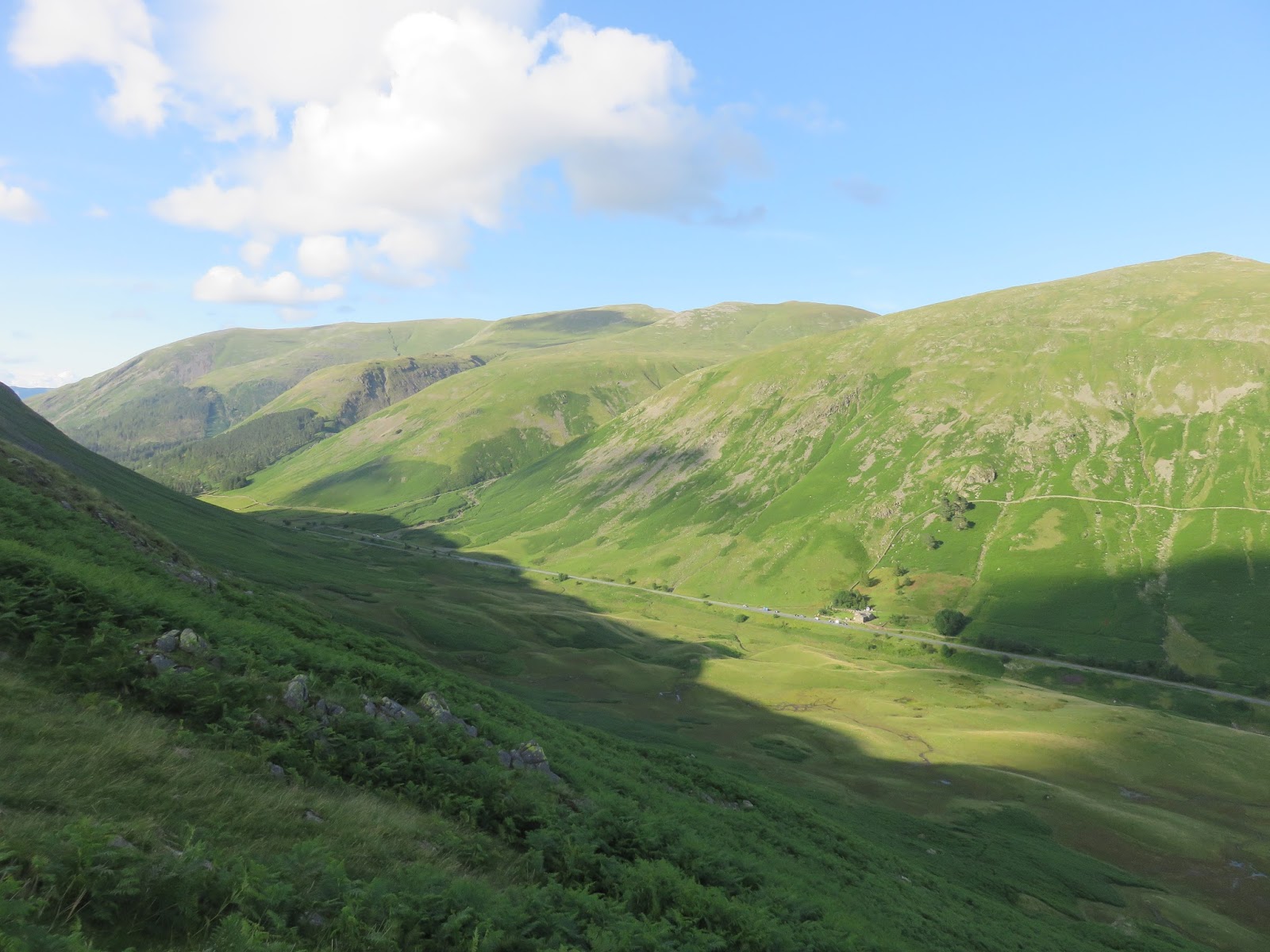
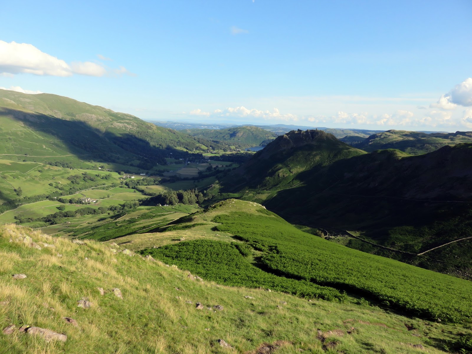
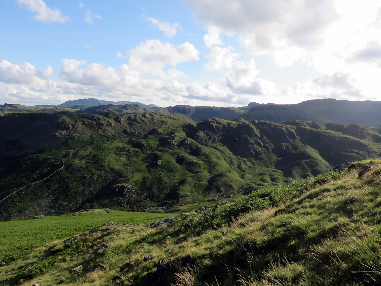
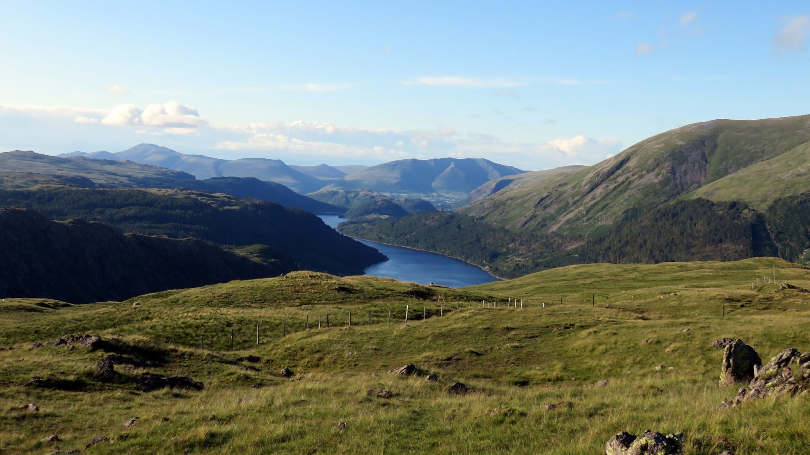
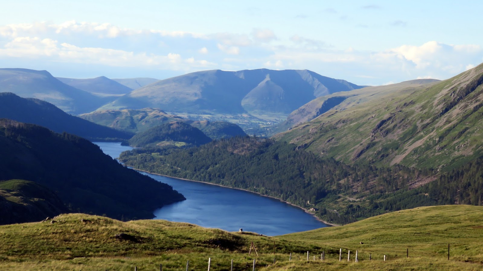
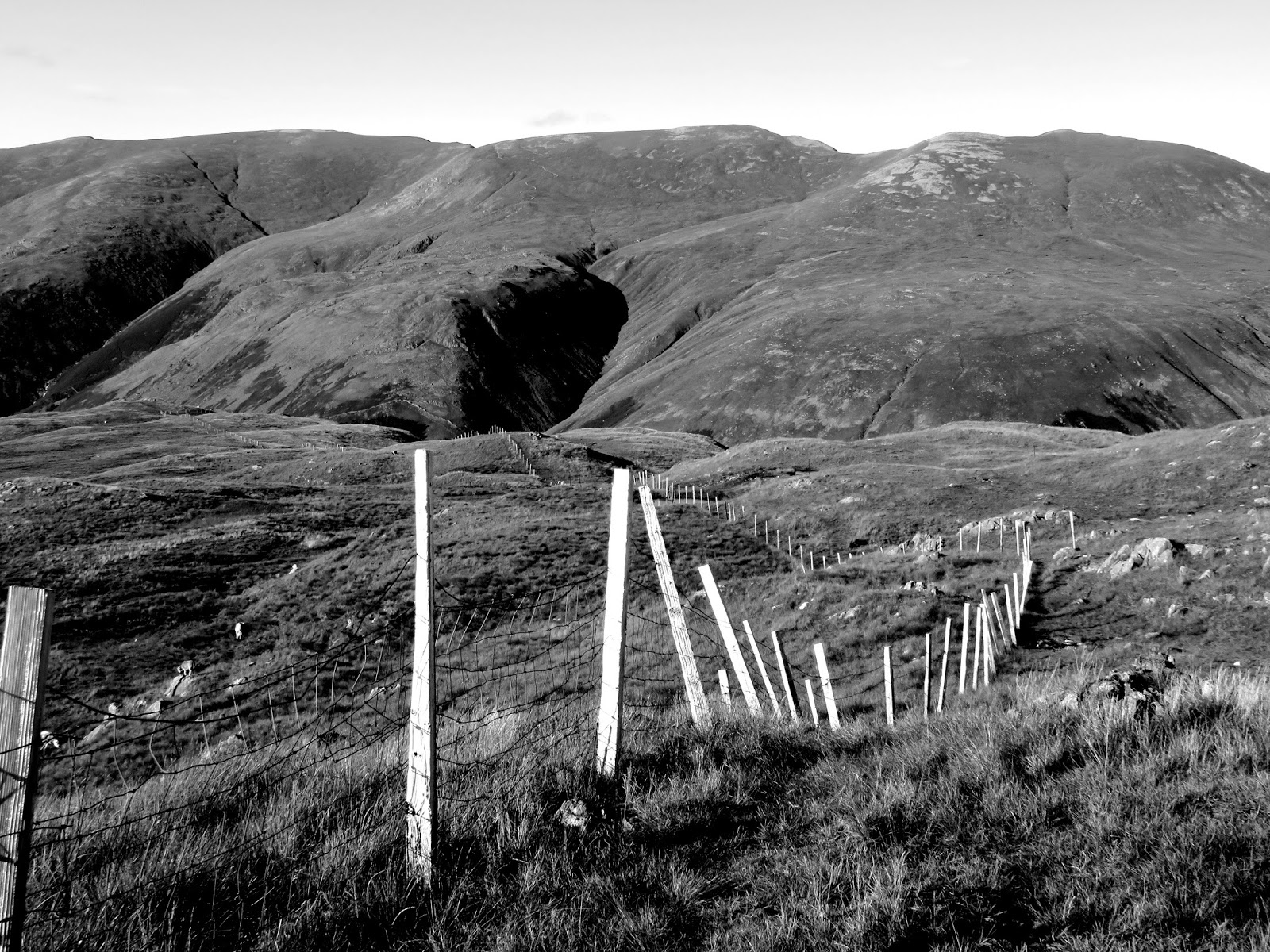
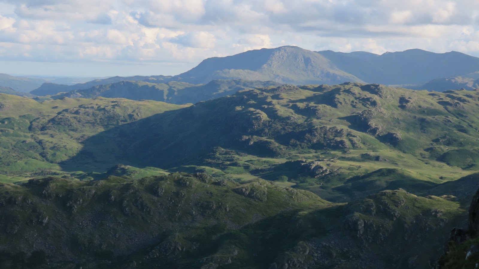
The route to the summit is more or less a straight line, right up a great spur called Cotra Breast which gives a wonderful view down into Dunmail Raise and along the valley into Grasmere. We left the car in the now deserted layby on the outskirts of the village and made our way to the back roads around Helmside and Ghyll Foot beneath the shadow of Helm Crag aiming for the obvious route up to Steel Fell.
 |
| Looking up the route along Cotra Breast – the foot of the climb |
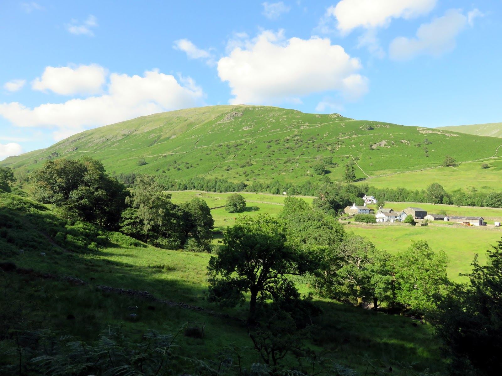
It took us just over an hour to make the climb up Cotra Breast onto Steel Fell in the glorious sunshine of a summer evening – a route best described by the photos below.
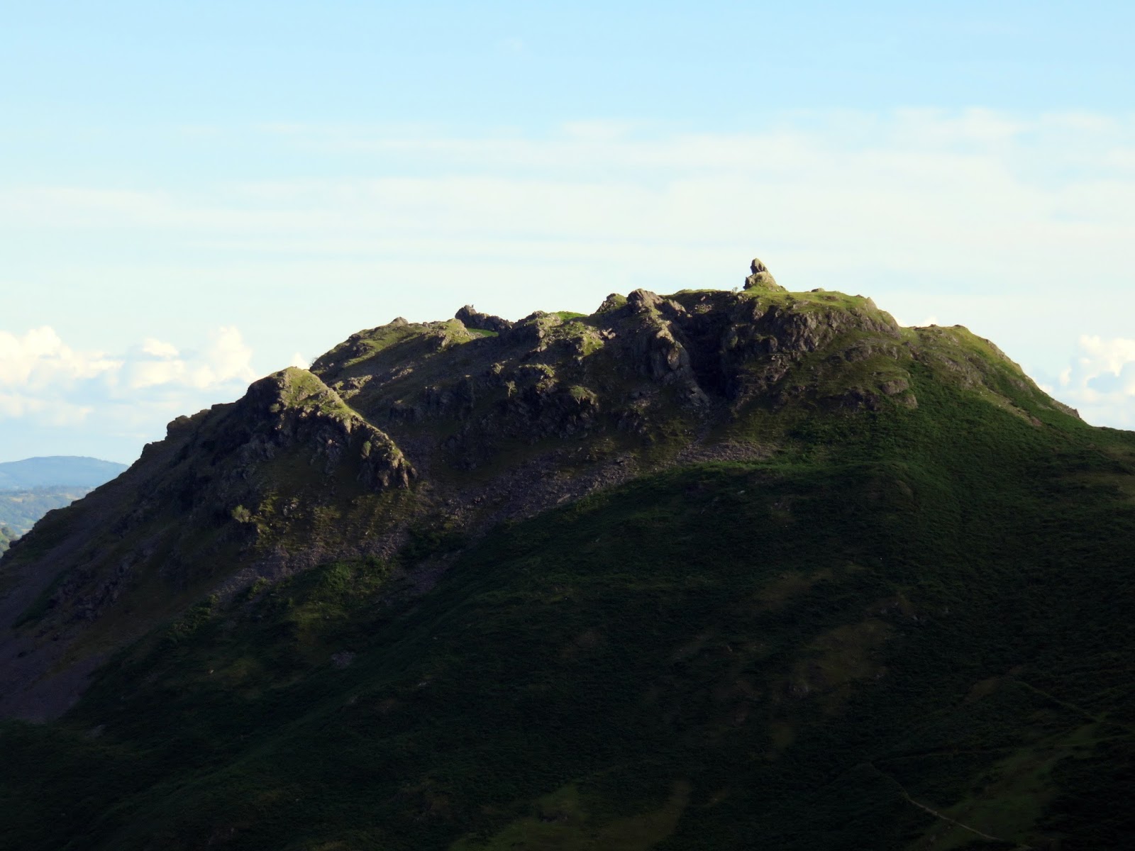
 |
| Cotra Breast |
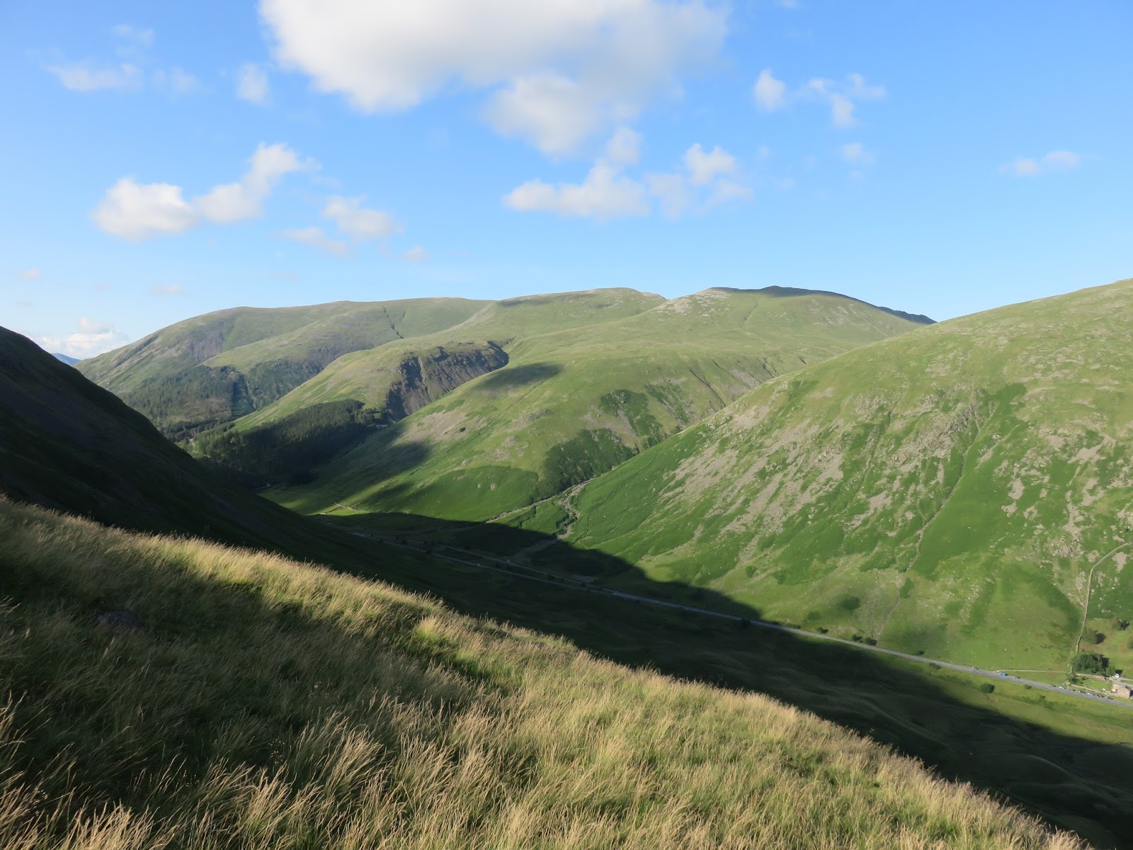
 |
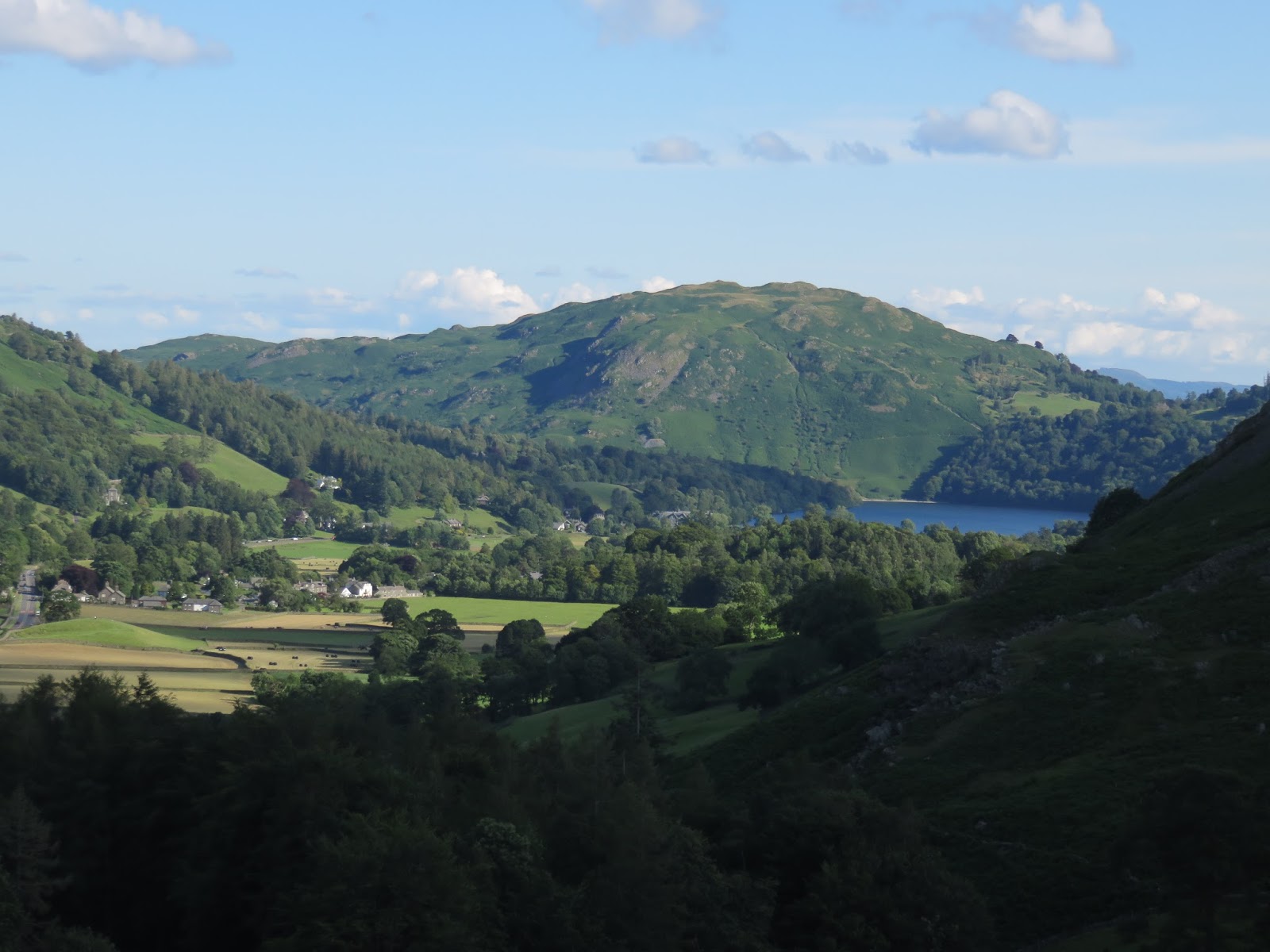
| Dunmail Raise |
 |
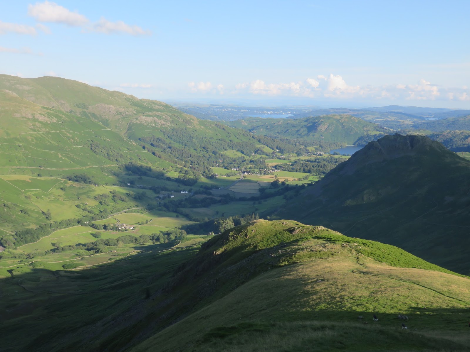
| Looking back to Grasmere |
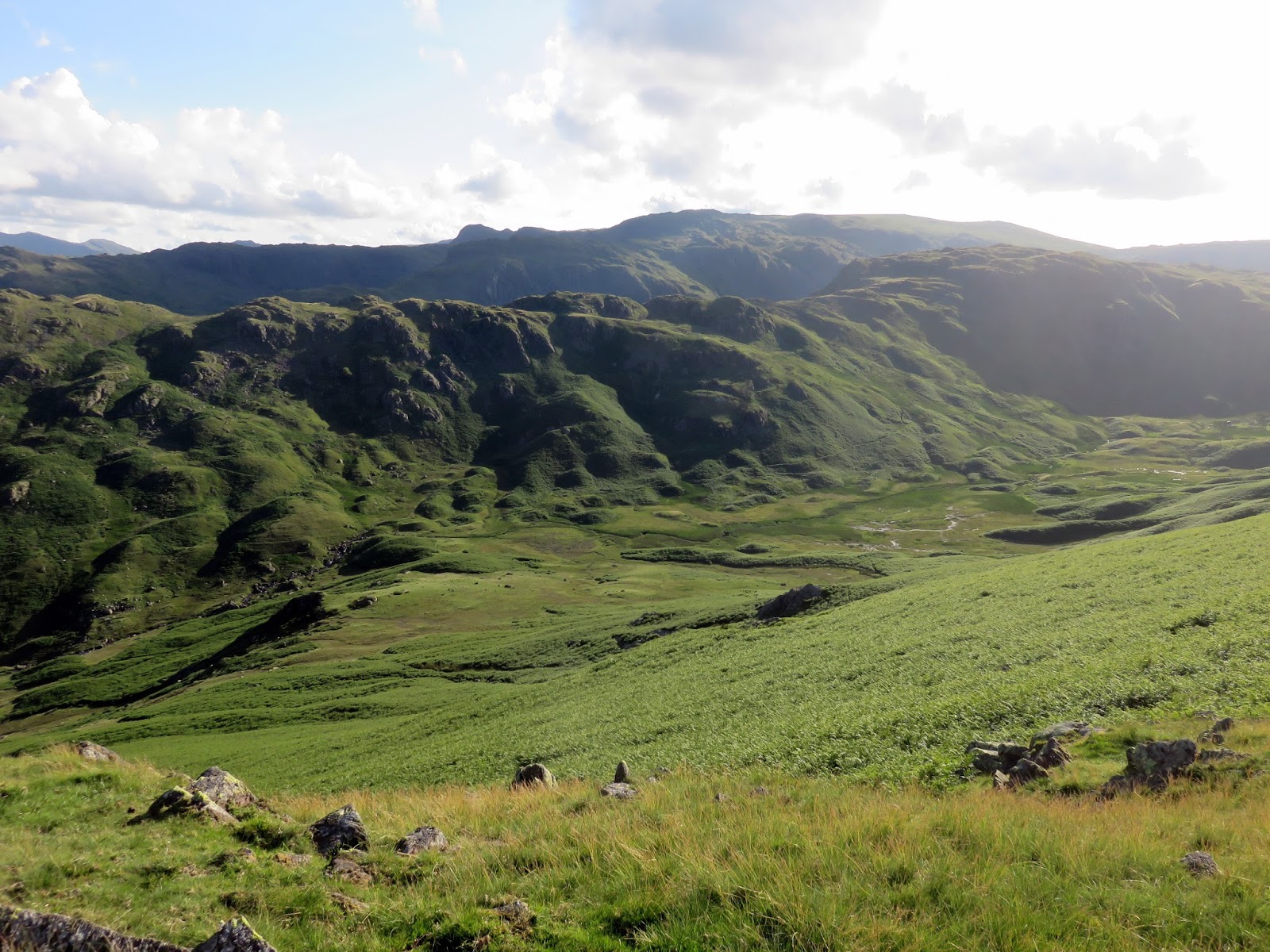
 |
| The valley of Greenburn |
A quick route around Greenburn was tempting, it looks small and inviting from the top of Steel Fell, but it was decided that getting to Keswick in time for tea was more important than so we retraced our steps back down to the car, a route much less strenuous in descent than it was to climb a few minutes earlier. It took us just over two hours to get up and down Steel Fell, a superb end to a great day (Morecambe Bay included).
 |
| Grasmere |
 |
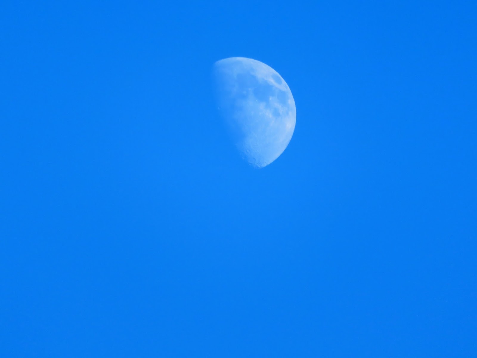
| An early Moon |

