Open Space Web-Map builder Codehttps://openspace.ordnancesurvey.co.uk/osmapapi/openspace.js?key=3119F72552FD5C22E0530C6CA40A5A92https://openspace.ordnancesurvey.co.uk/osmapapi/script/mapbuilder/basicmap.jshttps://openspace.ordnancesurvey.co.uk/osmapapi/script/mapbuilder/searchbox.js//variables for routes var linesLayer, points, lineFeature, lineString, routeMarkersLayer, routepos, routesize, routeoffset, routeicon; var style_blue = {strokeColor: “#0000CD”, strokeOpacity: 0.5, strokeWidth: 4.5}; function initmapbuilder() { //initiate the map var options = {resolutions: [2500, 1000, 500, 200, 100, 50, 25, 10, 5, 4, 2.5, 2, 1]}; osMap = new OpenSpace.Map(‘map’, options); //configure map options (basicmap.js) setglobaloptions(); //set the center of the map and the zoom level osMap.setCenter(new OpenSpace.MapPoint(333859.99937057,529480.00125885),7); linesLayer = osMap.getVectorLayer(); // Set up layer for route markers routeMarkersLayer = new OpenLayers.Layer.Markers(“Route Markers”); //make a route points = new Array(); points.push(new OpenLayers.Geometry.Point(336251.66603088,530276.66793823)); // create a polyline feature from the array of points lineString = new OpenLayers.Geometry.LineString(points); lineFeature = new OpenLayers.Feature.Vector(lineString, null, style_blue); linesLayer.addFeatures([lineFeature]); //make a route points = new Array(); points.push(new OpenLayers.Geometry.Point(336266.66603088,530296.66793823)); points.push(new OpenLayers.Geometry.Point(336371.66603088,530156.66793823)); points.push(new OpenLayers.Geometry.Point(336426.66603088,529991.66793823)); points.push(new OpenLayers.Geometry.Point(336466.66603088,529836.66793823)); points.push(new OpenLayers.Geometry.Point(336411.66603088,529756.66793823)); points.push(new OpenLayers.Geometry.Point(336291.66603088,529891.66793823)); points.push(new OpenLayers.Geometry.Point(336191.66603088,529956.66793823)); points.push(new OpenLayers.Geometry.Point(336181.66603088,530071.66793823)); points.push(new OpenLayers.Geometry.Point(336151.66603088,530091.66793823)); points.push(new OpenLayers.Geometry.Point(335981.66603088,529956.66793823)); points.push(new OpenLayers.Geometry.Point(335891.66603088,529776.66793823)); points.push(new OpenLayers.Geometry.Point(335806.66603088,529636.66793823)); points.push(new OpenLayers.Geometry.Point(335691.66603088,529491.66793823)); points.push(new OpenLayers.Geometry.Point(335551.66603088,529316.66793823)); points.push(new OpenLayers.Geometry.Point(335486.66603088,529171.66793823)); points.push(new OpenLayers.Geometry.Point(335326.66603088,528876.66793823)); points.push(new OpenLayers.Geometry.Point(335171.66603088,528656.66793823)); points.push(new OpenLayers.Geometry.Point(335091.66603088,528531.66793823)); points.push(new OpenLayers.Geometry.Point(335046.66603088,528356.66793823)); points.push(new OpenLayers.Geometry.Point(334966.66603088,528211.66793823)); points.push(new OpenLayers.Geometry.Point(334851.66603088,528061.66793823)); points.push(new OpenLayers.Geometry.Point(334706.66603088,527901.66793823)); points.push(new OpenLayers.Geometry.Point(334526.66603088,527841.66793823)); points.push(new OpenLayers.Geometry.Point(334441.66603088,527816.66793823)); points.push(new OpenLayers.Geometry.Point(334281.66603088,527786.66793823)); points.push(new OpenLayers.Geometry.Point(334136.66603088,527806.66793823)); points.push(new OpenLayers.Geometry.Point(334001.66603088,527876.66793823)); points.push(new OpenLayers.Geometry.Point(333816.66603088,528016.66793823)); points.push(new OpenLayers.Geometry.Point(333581.66603088,528141.66793823)); points.push(new OpenLayers.Geometry.Point(333361.66603088,528226.66793823)); points.push(new OpenLayers.Geometry.Point(333301.66603088,528301.66793823)); points.push(new OpenLayers.Geometry.Point(333191.66603088,528341.66793823)); points.push(new OpenLayers.Geometry.Point(333121.66603088,528401.66793823)); points.push(new OpenLayers.Geometry.Point(333016.66603088,528571.66793823)); points.push(new OpenLayers.Geometry.Point(332941.66603088,528656.66793823)); points.push(new OpenLayers.Geometry.Point(332891.66603088,528656.66793823)); points.push(new OpenLayers.Geometry.Point(332801.66603088,528856.66793823)); points.push(new OpenLayers.Geometry.Point(332796.66603088,528936.66793823)); points.push(new OpenLayers.Geometry.Point(332756.66603088,529186.66793823)); points.push(new OpenLayers.Geometry.Point(332711.66603088,529231.66793823)); points.push(new OpenLayers.Geometry.Point(332541.66603088,529171.66793823)); points.push(new OpenLayers.Geometry.Point(332286.66603088,529211.66793823)); points.push(new OpenLayers.Geometry.Point(331911.66603088,529236.66793823)); points.push(new OpenLayers.Geometry.Point(331566.66603088,529246.66793823)); points.push(new OpenLayers.Geometry.Point(331381.66603088,529226.66793823)); points.push(new OpenLayers.Geometry.Point(331171.66603088,529191.66793823)); points.push(new OpenLayers.Geometry.Point(331021.66603088,529156.66793823)); points.push(new OpenLayers.Geometry.Point(331261.66603088,529191.66793823)); points.push(new OpenLayers.Geometry.Point(331566.66603088,529231.66793823)); points.push(new OpenLayers.Geometry.Point(331846.66603088,529236.66793823)); points.push(new OpenLayers.Geometry.Point(332251.66603088,529206.66793823)); points.push(new OpenLayers.Geometry.Point(332551.66603088,529191.66793823)); points.push(new OpenLayers.Geometry.Point(332761.66603088,529206.66793823)); points.push(new OpenLayers.Geometry.Point(332881.66603088,529196.66793823)); points.push(new OpenLayers.Geometry.Point(333076.66603088,529151.66793823)); points.push(new OpenLayers.Geometry.Point(333251.66603088,529116.66793823)); points.push(new OpenLayers.Geometry.Point(333531.66603088,529031.66793823)); points.push(new OpenLayers.Geometry.Point(333571.66603088,529071.66793823)); points.push(new OpenLayers.Geometry.Point(333311.66603088,529311.66793823)); points.push(new OpenLayers.Geometry.Point(333146.66603088,529551.66793823)); points.push(new OpenLayers.Geometry.Point(333116.66603088,529746.66793823)); points.push(new OpenLayers.Geometry.Point(333176.66603088,529891.66793823)); points.push(new OpenLayers.Geometry.Point(333171.66603088,530216.66793823)); points.push(new OpenLayers.Geometry.Point(333251.66603088,530436.66793823)); points.push(new OpenLayers.Geometry.Point(333371.66603088,530591.66793823)); points.push(new OpenLayers.Geometry.Point(333466.66603088,530721.66793823)); points.push(new OpenLayers.Geometry.Point(333601.66603088,530916.66793823)); points.push(new OpenLayers.Geometry.Point(333826.66603088,530961.66793823)); points.push(new OpenLayers.Geometry.Point(334091.66603088,531066.66793823)); points.push(new OpenLayers.Geometry.Point(334231.66603088,531026.66793823)); points.push(new OpenLayers.Geometry.Point(334496.66603088,531036.66793823)); points.push(new OpenLayers.Geometry.Point(334726.66603088,531081.66793823)); points.push(new OpenLayers.Geometry.Point(334976.66603088,531081.66793823)); points.push(new OpenLayers.Geometry.Point(335371.66603088,531041.66793823)); points.push(new OpenLayers.Geometry.Point(335696.66603088,530976.66793823)); points.push(new OpenLayers.Geometry.Point(335946.66603088,530886.66793823)); points.push(new OpenLayers.Geometry.Point(336056.66603088,530706.66793823)); points.push(new OpenLayers.Geometry.Point(336281.66603088,530656.66793823)); points.push(new OpenLayers.Geometry.Point(336351.66603088,530701.66793823)); points.push(new OpenLayers.Geometry.Point(336391.66603088,530601.66793823)); points.push(new OpenLayers.Geometry.Point(336401.66603088,530546.66793823)); points.push(new OpenLayers.Geometry.Point(336376.66603088,530496.66793823)); points.push(new OpenLayers.Geometry.Point(336336.66603088,530386.66793823)); points.push(new OpenLayers.Geometry.Point(336221.66603088,530351.66793823)); points.push(new OpenLayers.Geometry.Point(336266.66603088,530296.66793823)); // create a polyline feature from the array of points lineString = new OpenLayers.Geometry.LineString(points); lineFeature = new OpenLayers.Feature.Vector(lineString, null, style_blue); linesLayer.addFeatures([lineFeature]); //crate a route start/end marker routepos = new OpenSpace.MapPoint(336266.66603088,530296.66793823); routesize = new OpenLayers.Size(33,45); routeoffset = new OpenLayers.Pixel(-5,-37); routeicon = new OpenSpace.Icon(‘https://openspace.ordnancesurvey.co.uk/osmapapi/img_versions/img_1.1/mapbuilder/routemarker-startend.png’, routesize, routeoffset, null, null); routeMarkersLayer.addMarker(new OpenLayers.Marker(routepos, routeicon)); osMap.addLayer(routeMarkersLayer);}
Route: Mungrisdale, Low Beckside, Hang Gliding Side, Souther Fell, Mousthwaite Comb, Brunt Knott, Mungrisdale Common, Bannerdale Crags, Bowscale Fell, Raven Crags, Mungrisdale
Date: 13/06/2015
From: Mungrisdale
Parking: Mungrisdale
Start Point: Mungrisdale
Region: Northern Fells
Route length: 10.5 miles (16.9 km)
Time taken: 4:14
Average speed: 2.5 mph
Ascent: 762m
Descent: 761m
Wainwrights on this walk:
Souther Fell (522m), Mungrisdale Common (633m), Bannerdale Crags (683m), Bowscale Fell (702m)
Other Summits: Tarn Crags Top (665m)
Other points of interest: Bannerdale
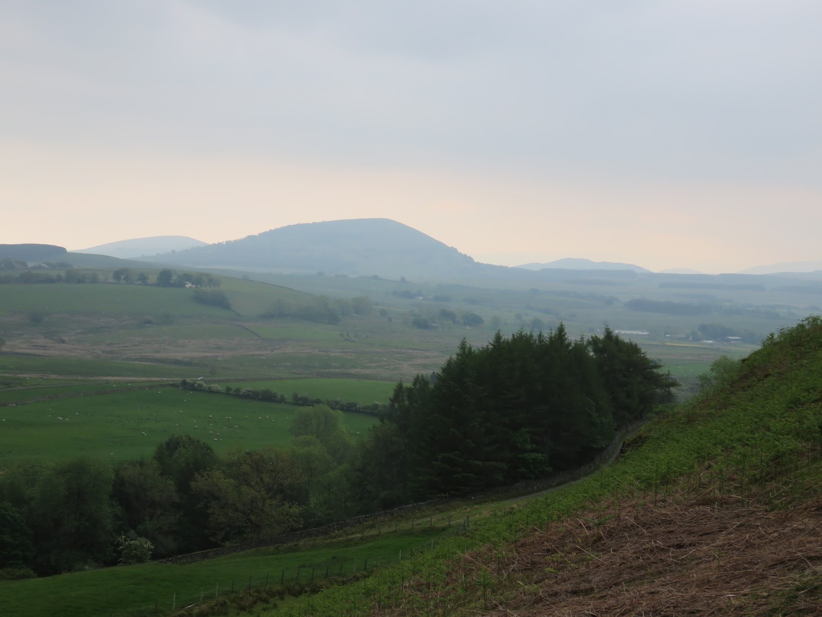
Overshadowed by the illustrious Blencathra are the delightful fells of Souther, Bannerdale Crags and Bowscale, enclosing the quiet valley of Bannerdale and forcing the River Glenderamackin on its unusual, rambling course. I’d been looking forward to investigating this part of the Lake District; Bannerdale Crags in particular looks suitably impressive from the maps.
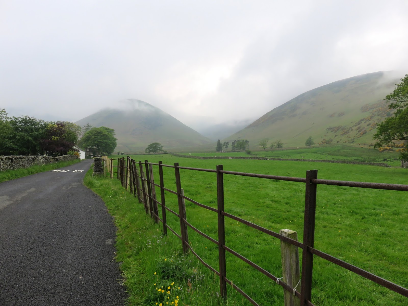
We parked in the hamlet of Mungrisdale, home to a handful of cottages, farms and the all important public house, where most walks seem to have the unerring ability to begin and end from, which was exactly the case for ours today. After a morning making the most of better than expected weather, we’d headed round to Mungrisdale in the hope that the forecast rain may hold off for a little longer. Despite the warmth in day, views were limited thanks to a thick haze that had draped itself across the park.
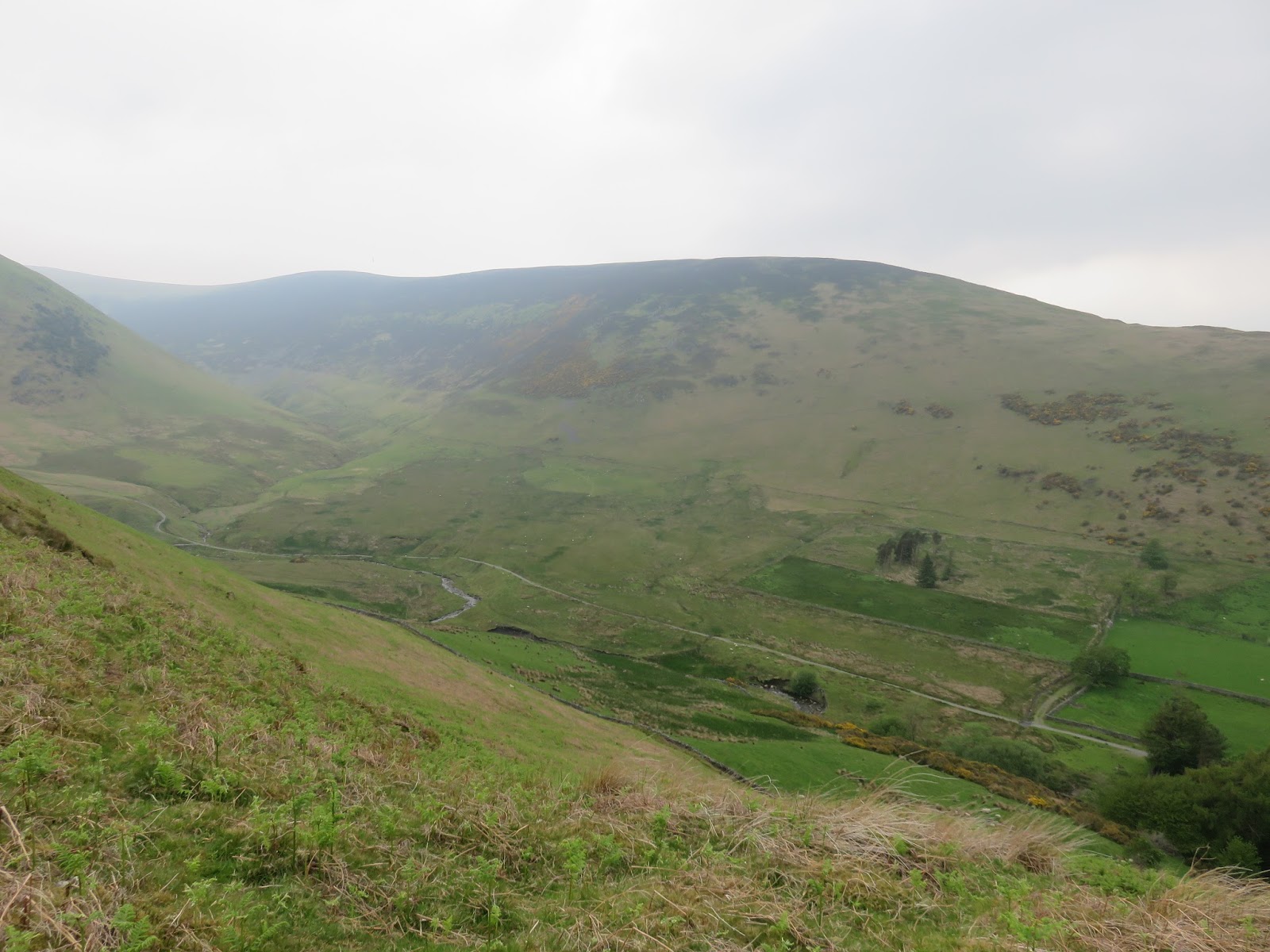
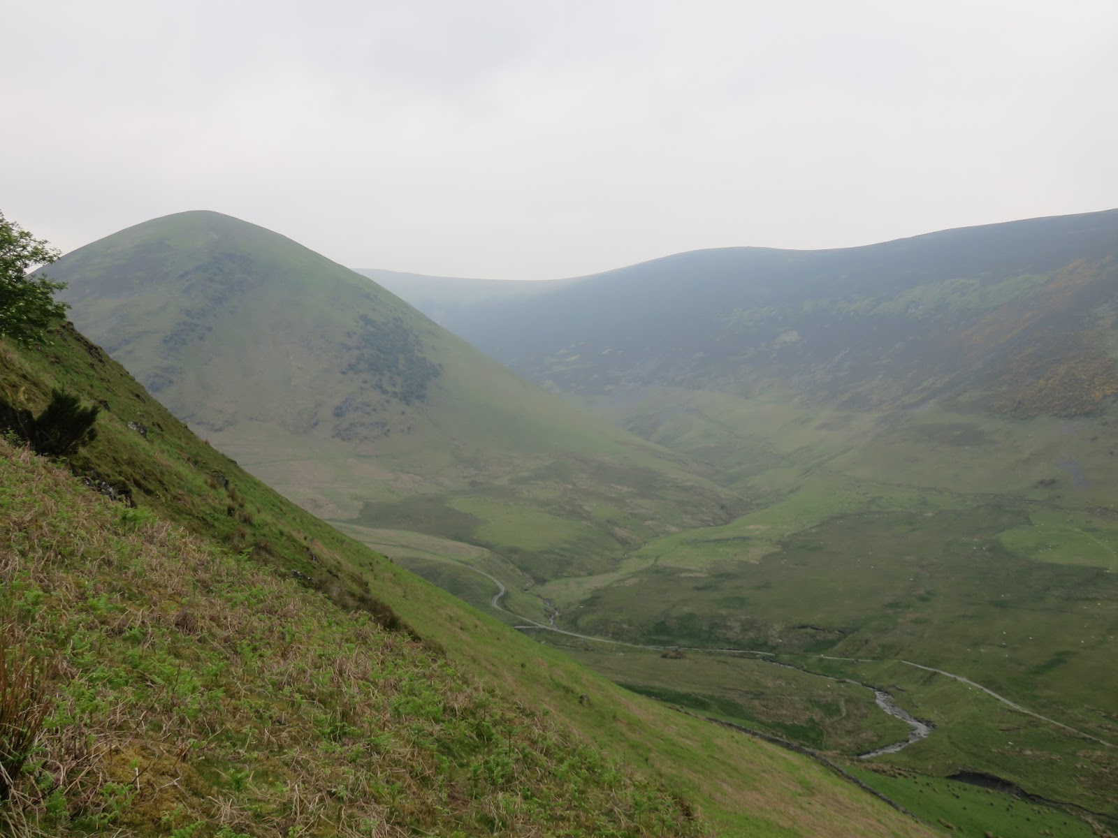
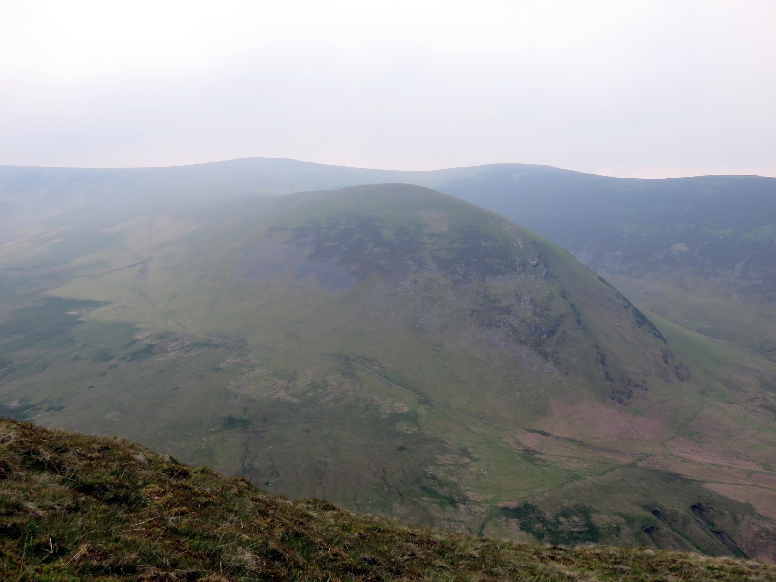
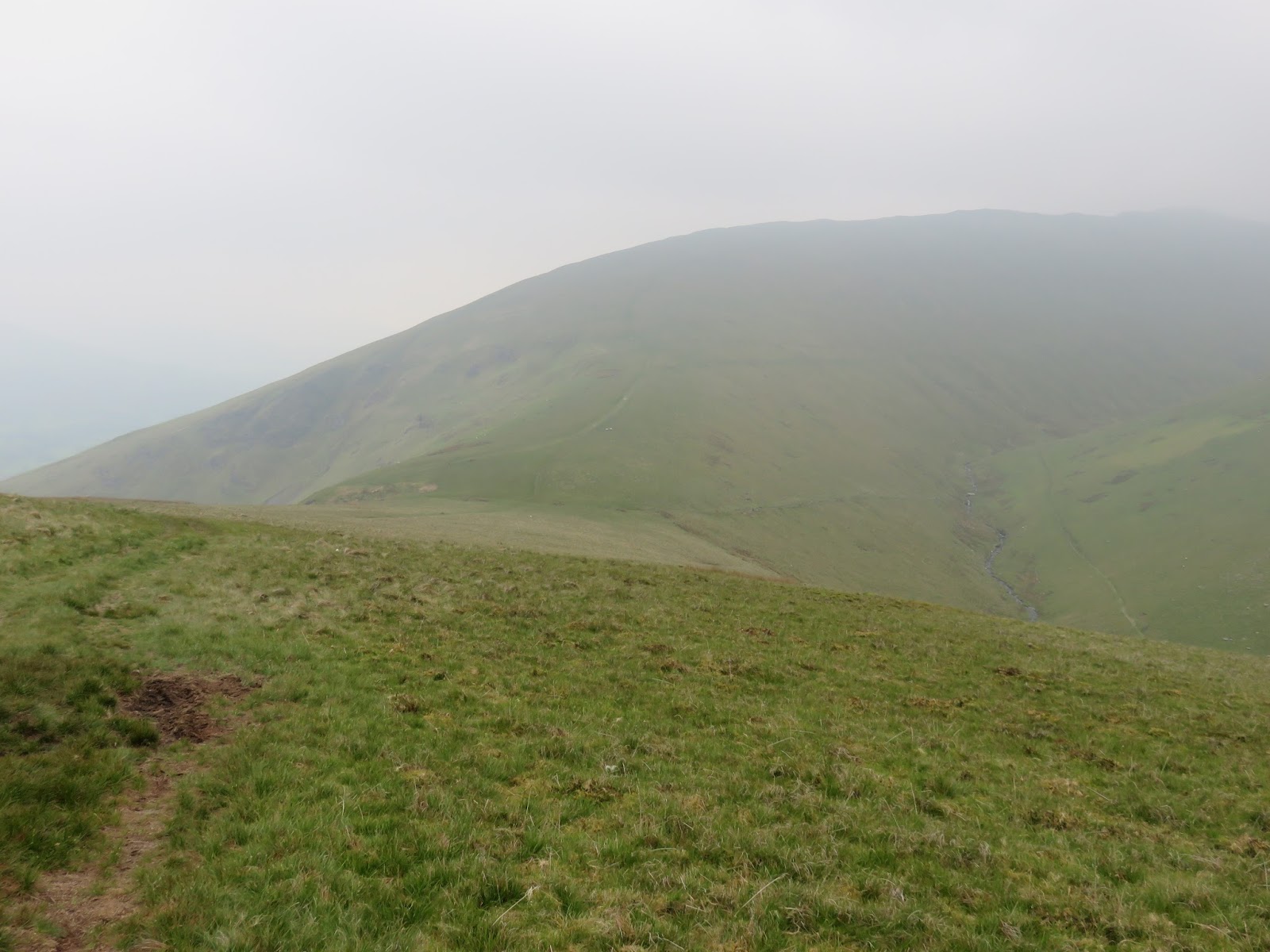
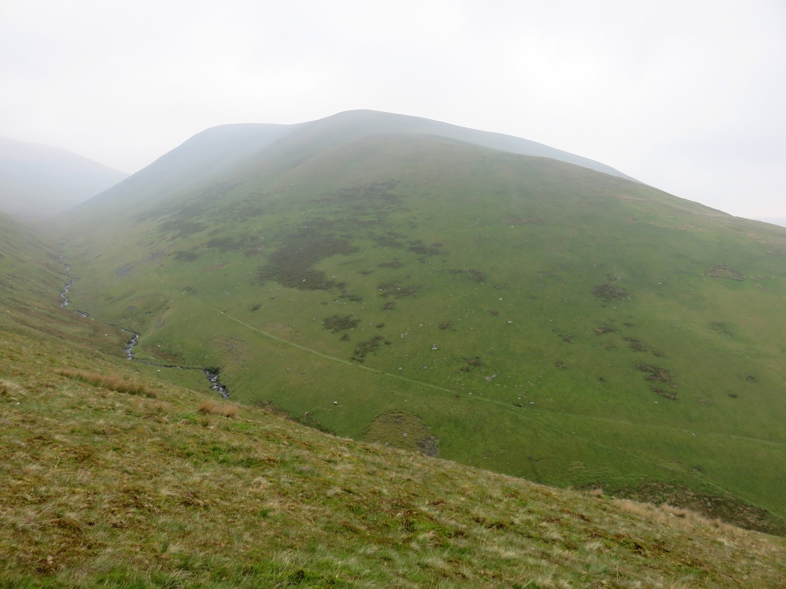
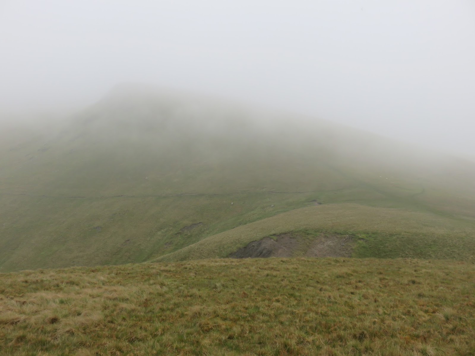
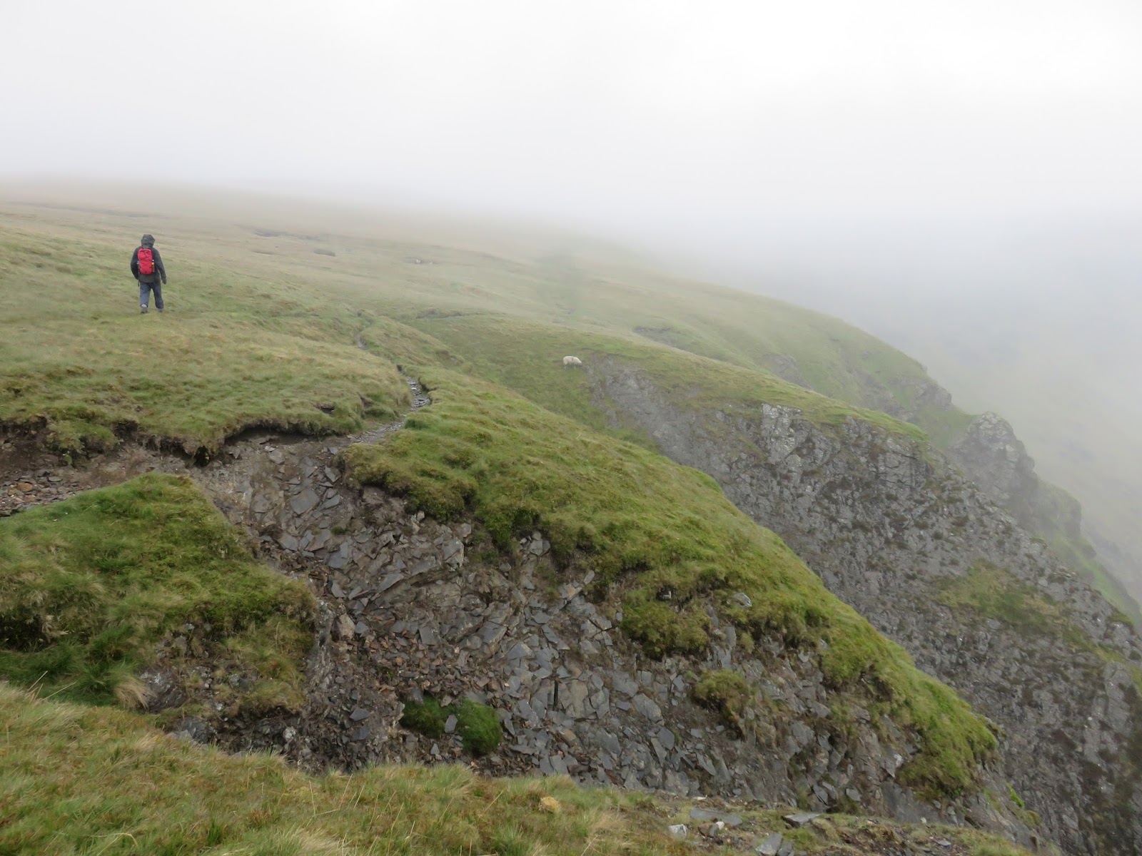
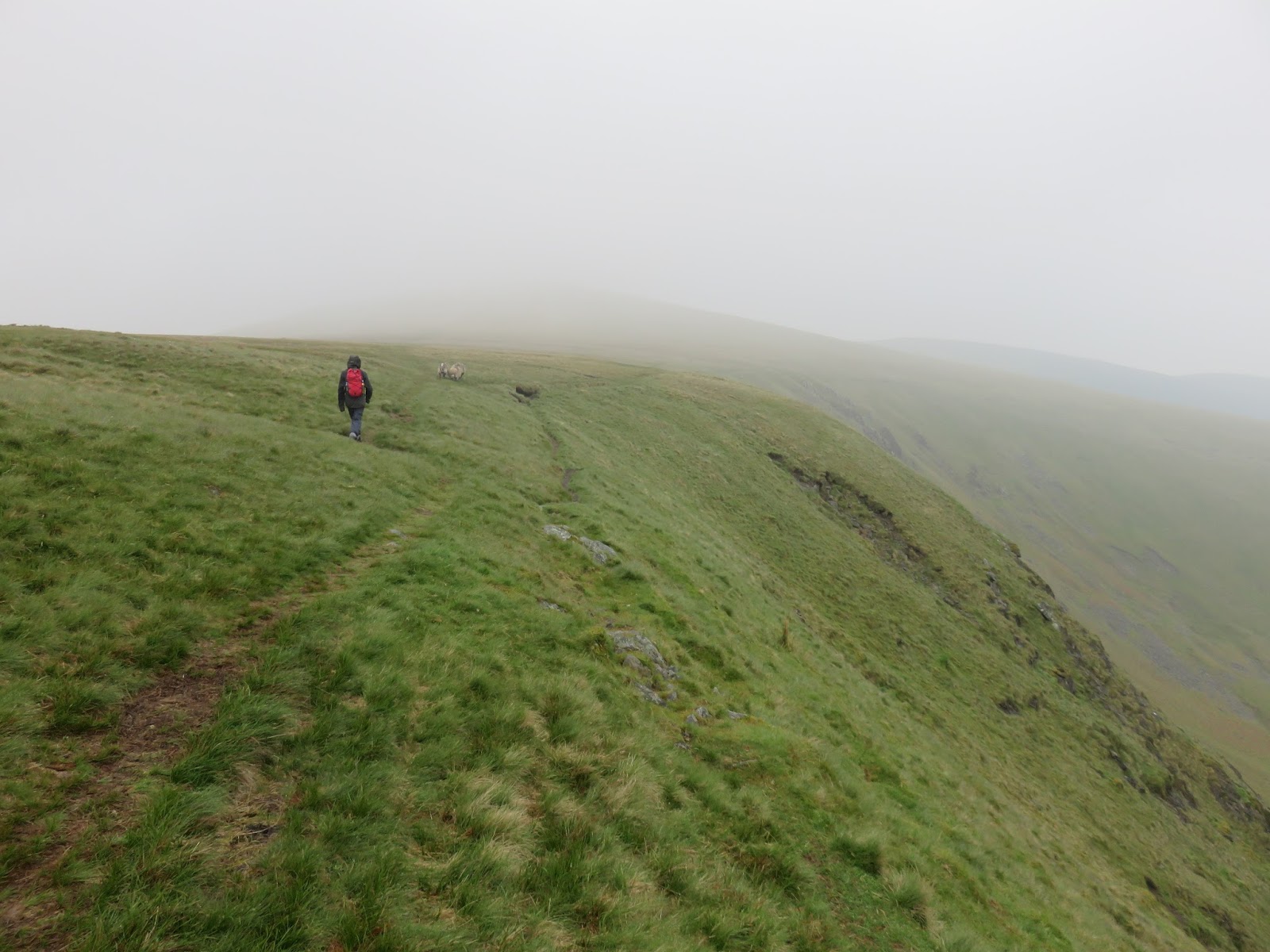
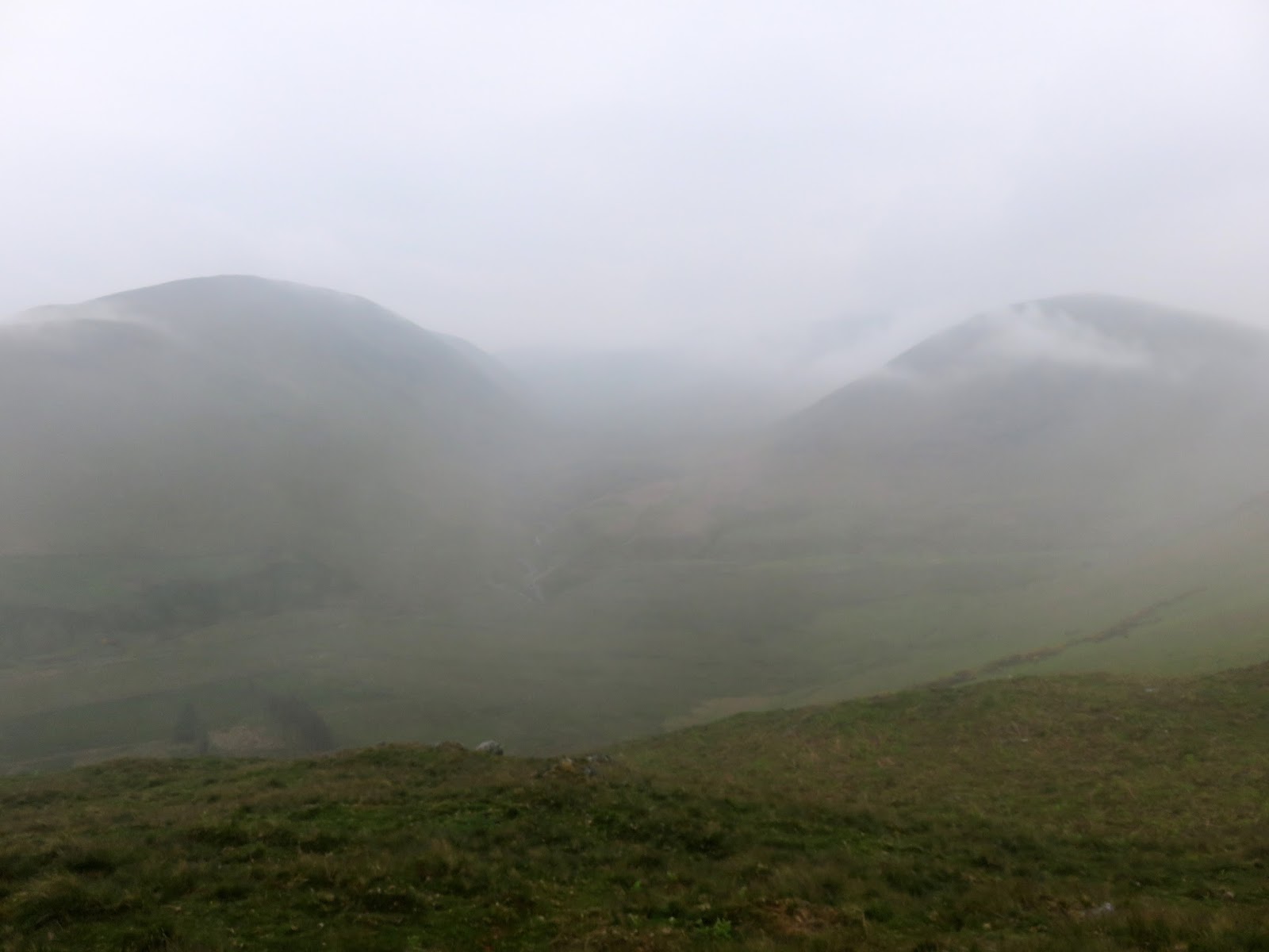
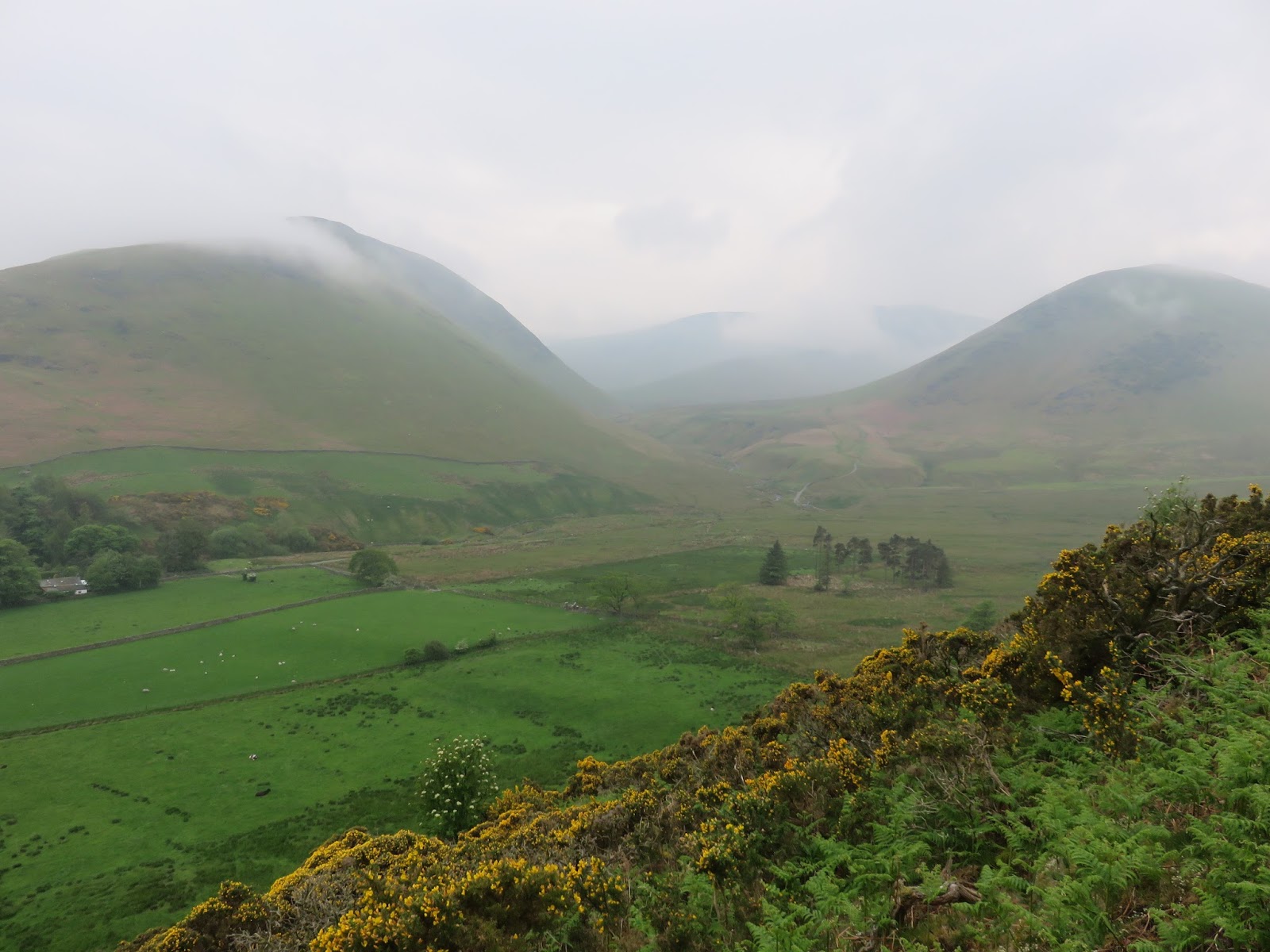
Souther Fell is a broad ridge that runs for a number of miles between Mungrisdale and Mousthwaite Comb which separates it from Blencathra. It is book-ended by steep slopes, aping Yewbarrow in a less aggressive, grassy way. It’s a steep climb up from Mungrisdale not made any easier by the muggy day. There are however, impressive views into Bannerdale dominated by The Tongue, a great ridge descending from Bowscale Fell.
 |
| Bannerdale |
 |
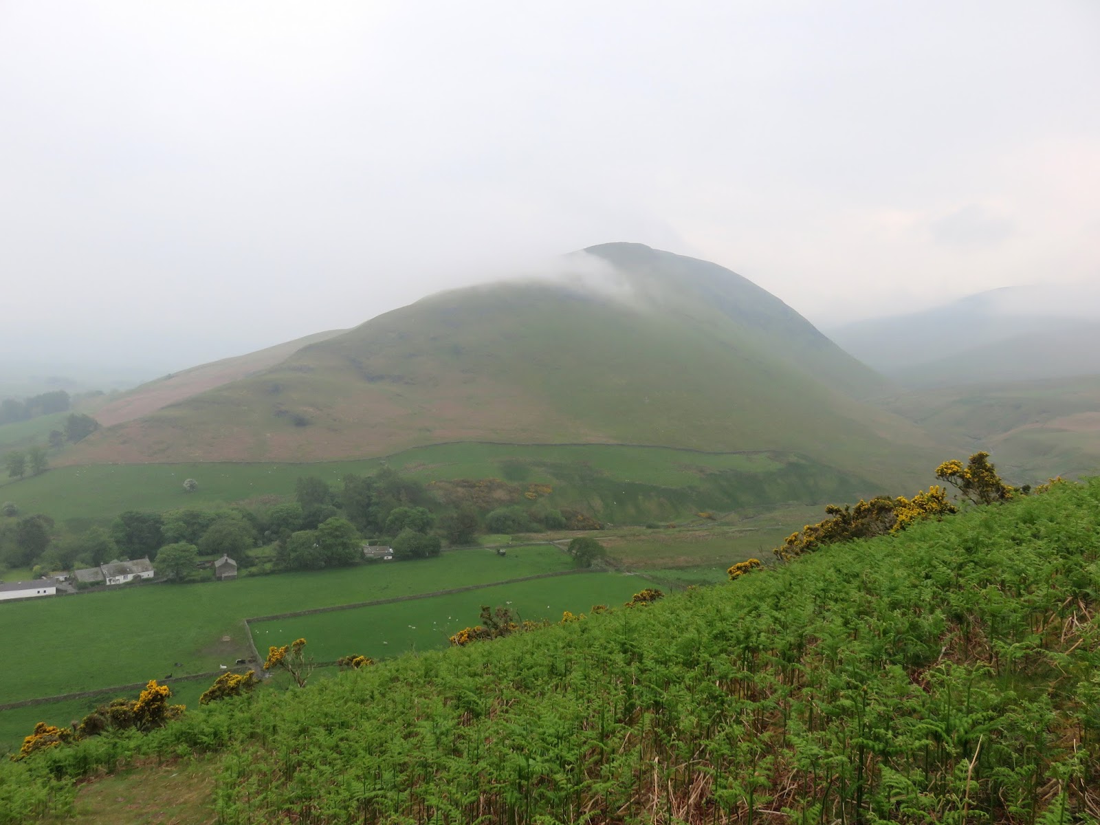
| The Tongue in Bannerdale |
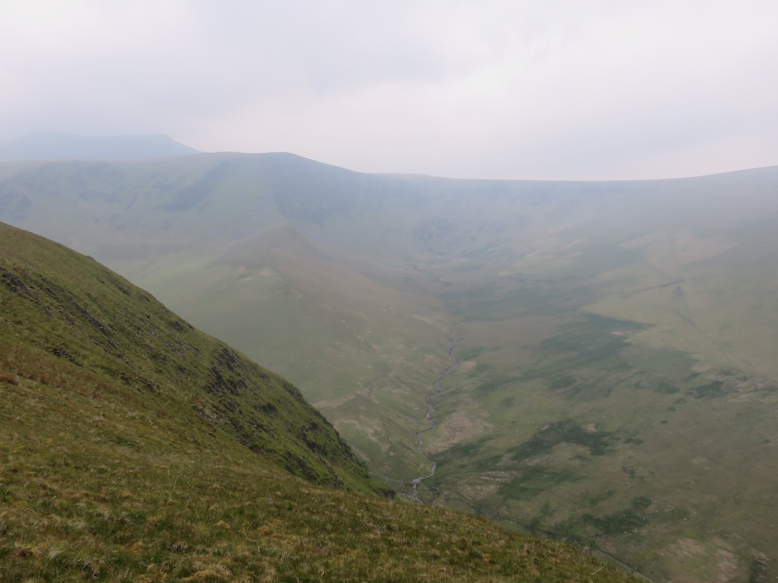
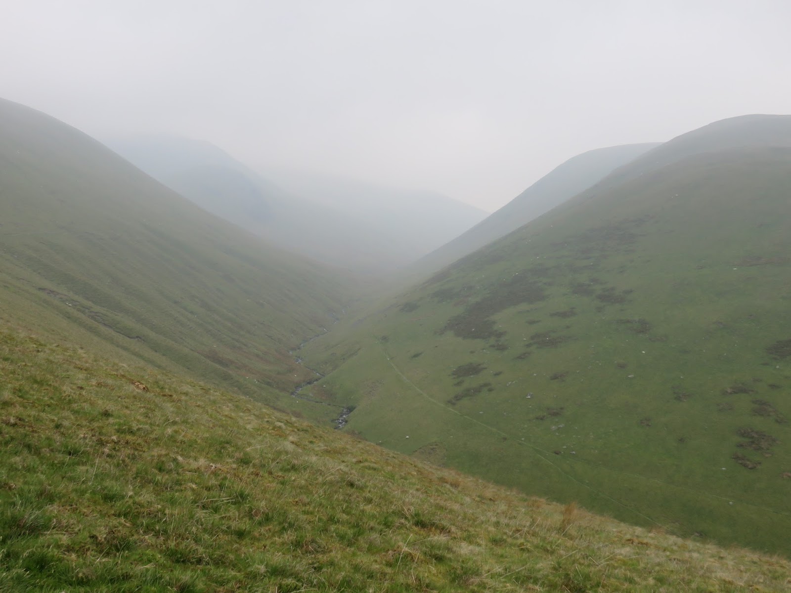
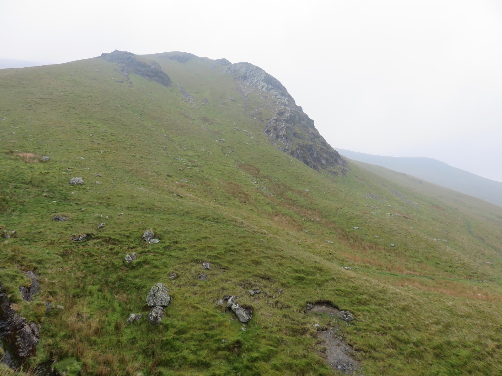
Eventually we reached the summit ridge and the summit proper, a small rocky patch devoid of any adornments to mark its claim to the highest point. Ahead was the slowly undulating ridge that forms Souther Fell, an easy stroll by anyone’s standards. The weather was starting to turn as we began to descend down to Mousthwaite Comb and begin the long, slow climb up the valley of the Glenderamackin. The comb forms the barrier to the river that sends it off in its unusual northeasterly direction and tour of the slopes of Souther Fell. The river’s name of Celtic derivation and is cognate with the Welsh glyndwfr y mochyn, meaning ‘the river valley (glyndwfr) of the pig (mochyn)’.
 |
| The Tongue |
 |
| Looking back to the summit dome |
 |
| Mousthwaite Comb and Scales Fell |
 |
| Looking over Mousthwaite Comb to Matterdale Common |
 |
| The River Glenderamackin |
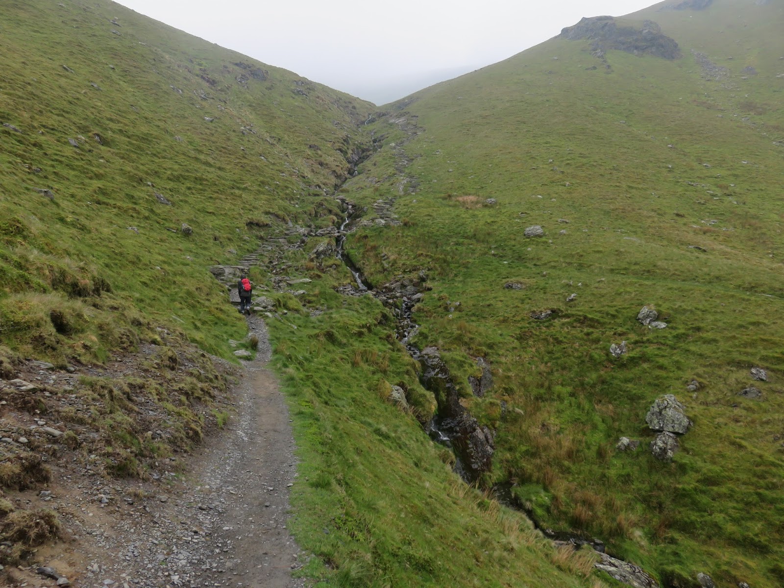
Clouds had rolled in as we strolled up alongside Scale Fell with Sharp Edge partially obscured in the gloom. It still looked menacing, despite not really being able to see it. We continued up to Scales Beck where a number of people were making for Sharp Edge despite the damp and slippery surfaces that they were undoubtedly about the encounter. A light drizzle was falling by the time we had clambered up the long traverse to the head of the valley prior to our departure from being sensible walkers to unashamed peak baggers; we were off to Mungrisdale Common.
 |
| Brunt Knott |
 |
| Scales Beck |
 |
| The Glenderamackin |
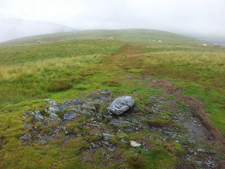
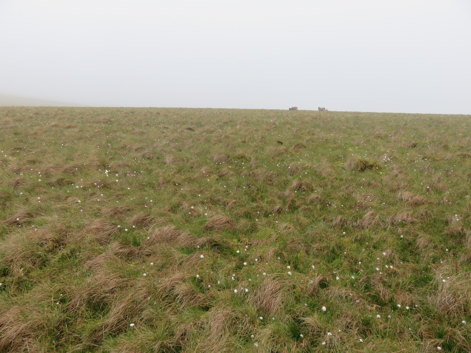
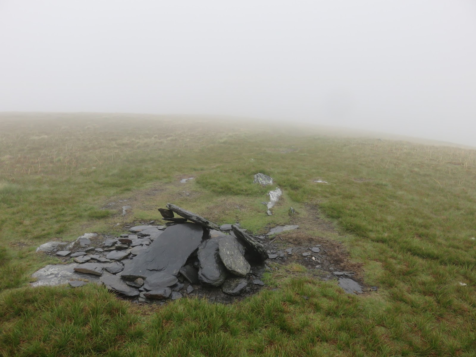
Mungrisdale Common is a real Wainwright oddity – a ‘fell’ of no real distinction or character. A flat plateau, home to a sea of grass. Heaven knows why it was included in AW’s guide – rumour has it was put in to fill space but I don’t believe that seeing as notable fells like The Tongue were missed out. Maybe it was a failed attempt to polish a turd, who knows? Either way, to complete the list is to ‘climb’ ‘the Common‘.
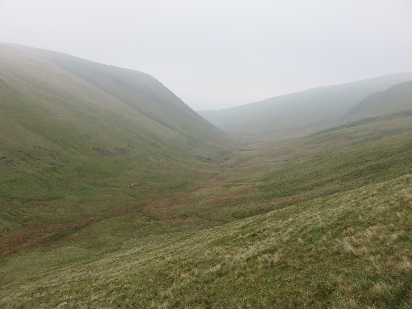
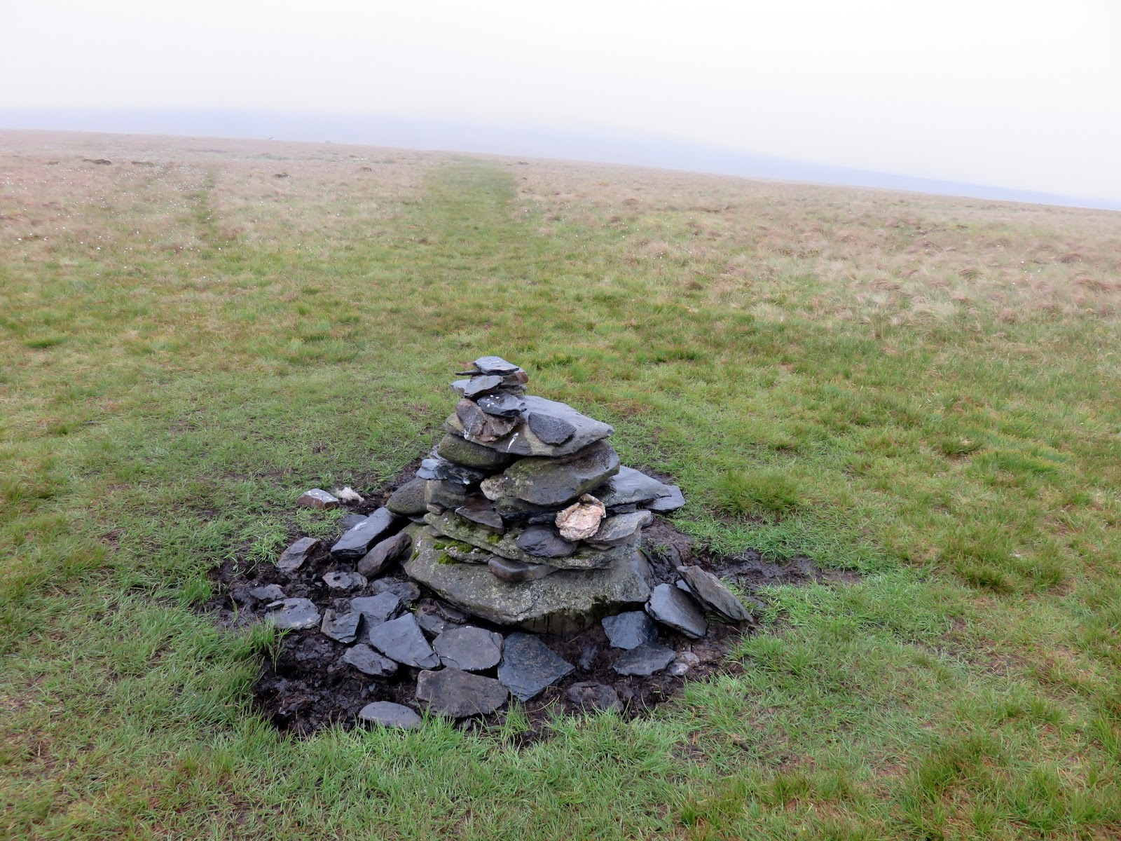
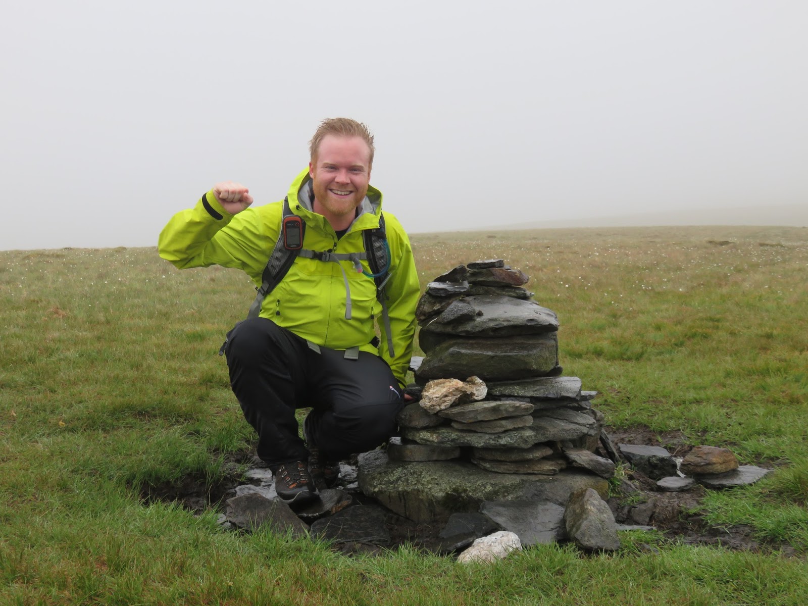
It’s a 1 mile straight line from the valley head to the cairn on the Common, a structure that has appeared since the publishing of the guides. A small cairn marks the point where you should deviate from the path down towards the depths of the northern fells and make the boggy crossing to the summit. I’m told that, despite its lack of impressive features, Mungrisdale Common actually has a remarkable view, in one direction at least, through the gap between Blencathra and Lonscale Fell, not that we could see anything today. The route is flat and featureless, a place to easily get disorientated and lost in poor weather and careful navigation is important. Despite its shortcomings, I do have soft spot for Mungrisdale Common.
 |
| The ‘summit’ |
 |
| Proof we actually made the trek |
We retraced our steps back to the Glenderamackin, rebuilding the small marker cairn in the process, making it a bit more prominent. With our detour complete, it was time to make the very short climb up to Bannerdale Crags.
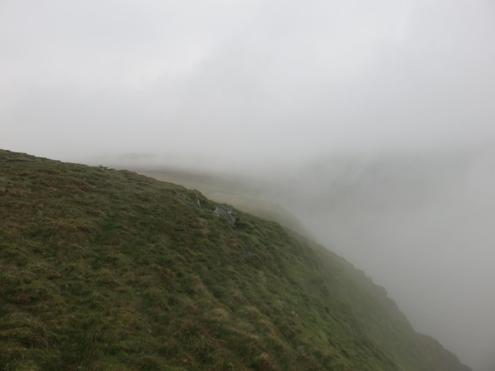
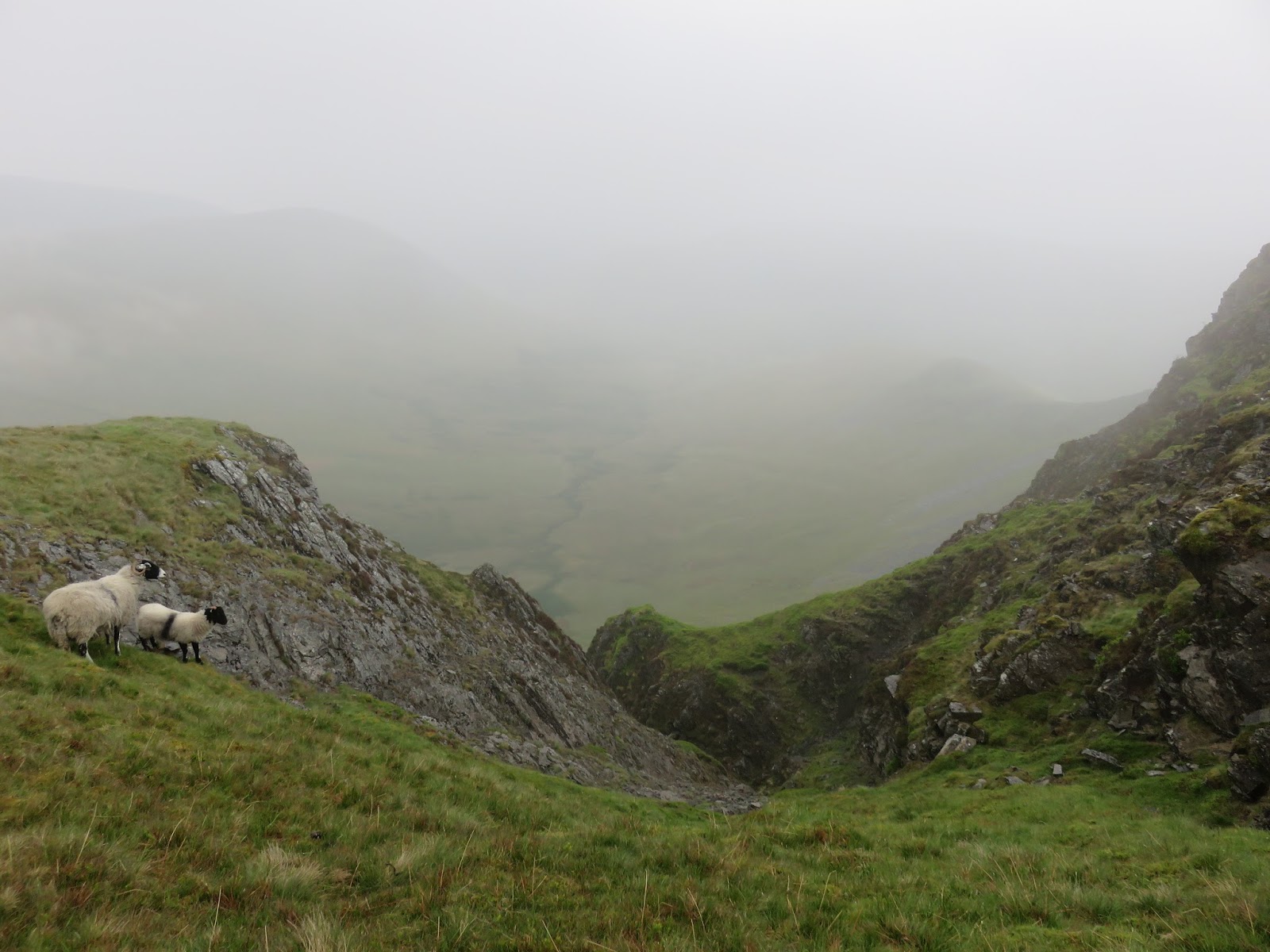
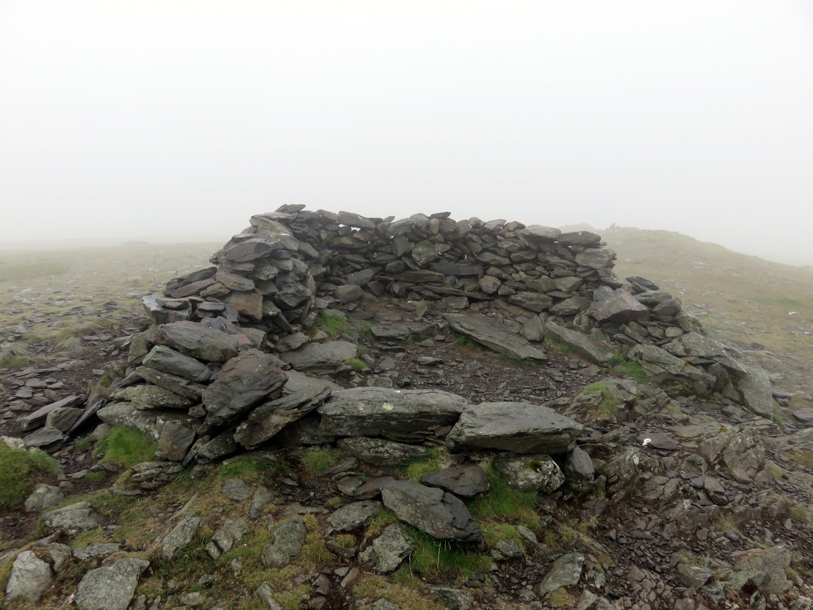
As we reached the summit, the clouds broke slightly, revealing the dramatic plunge over the crags to the valley below. Not somewhere you’d want to take a tumble, that’s for sure. Two cairns are placed on the summit, one marking the top and one hinting towards a view, which was limited.
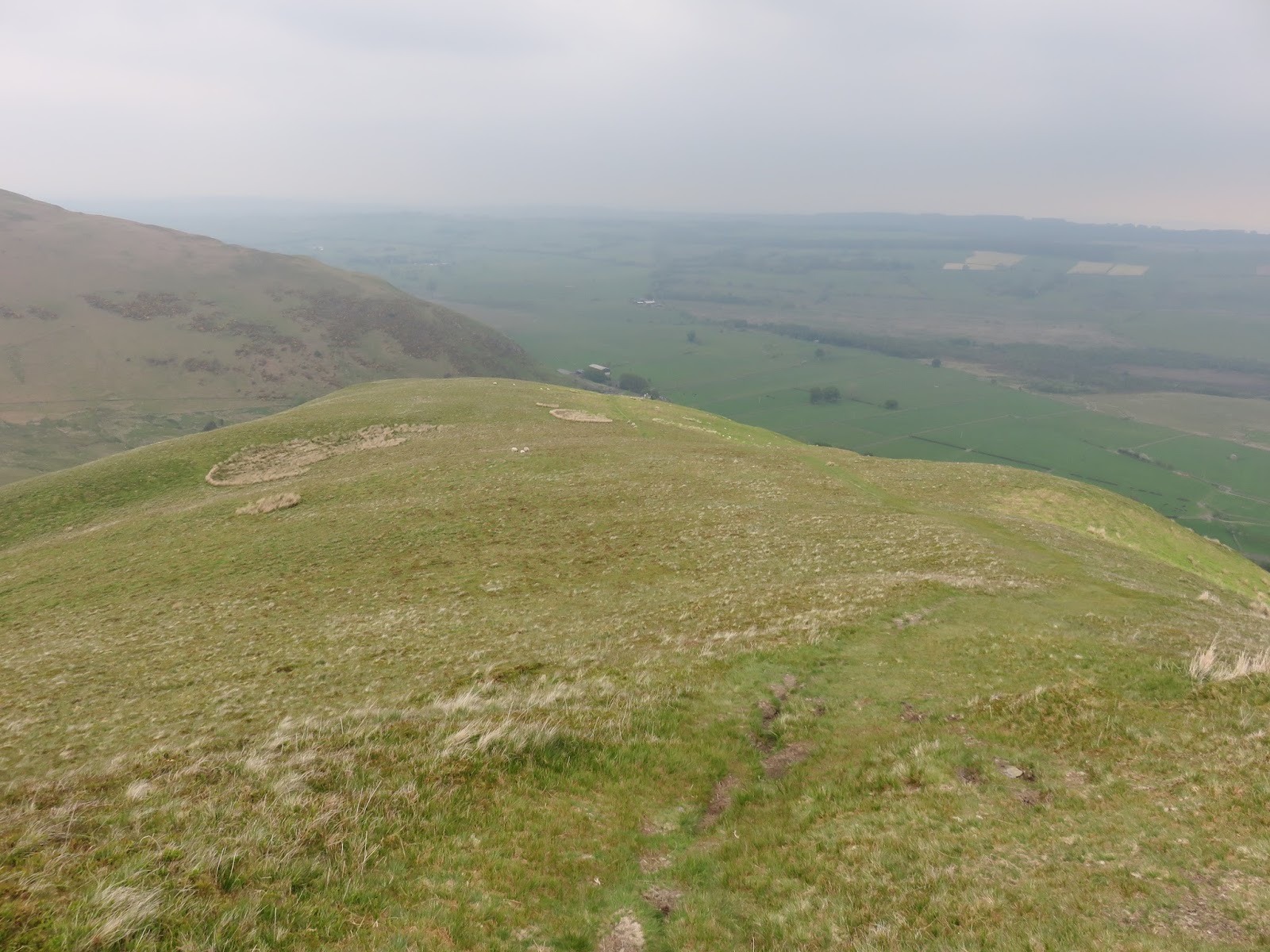
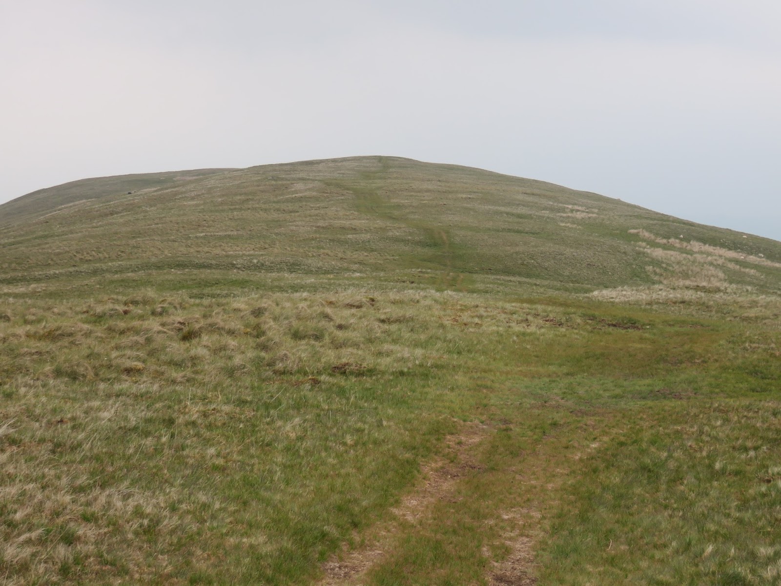
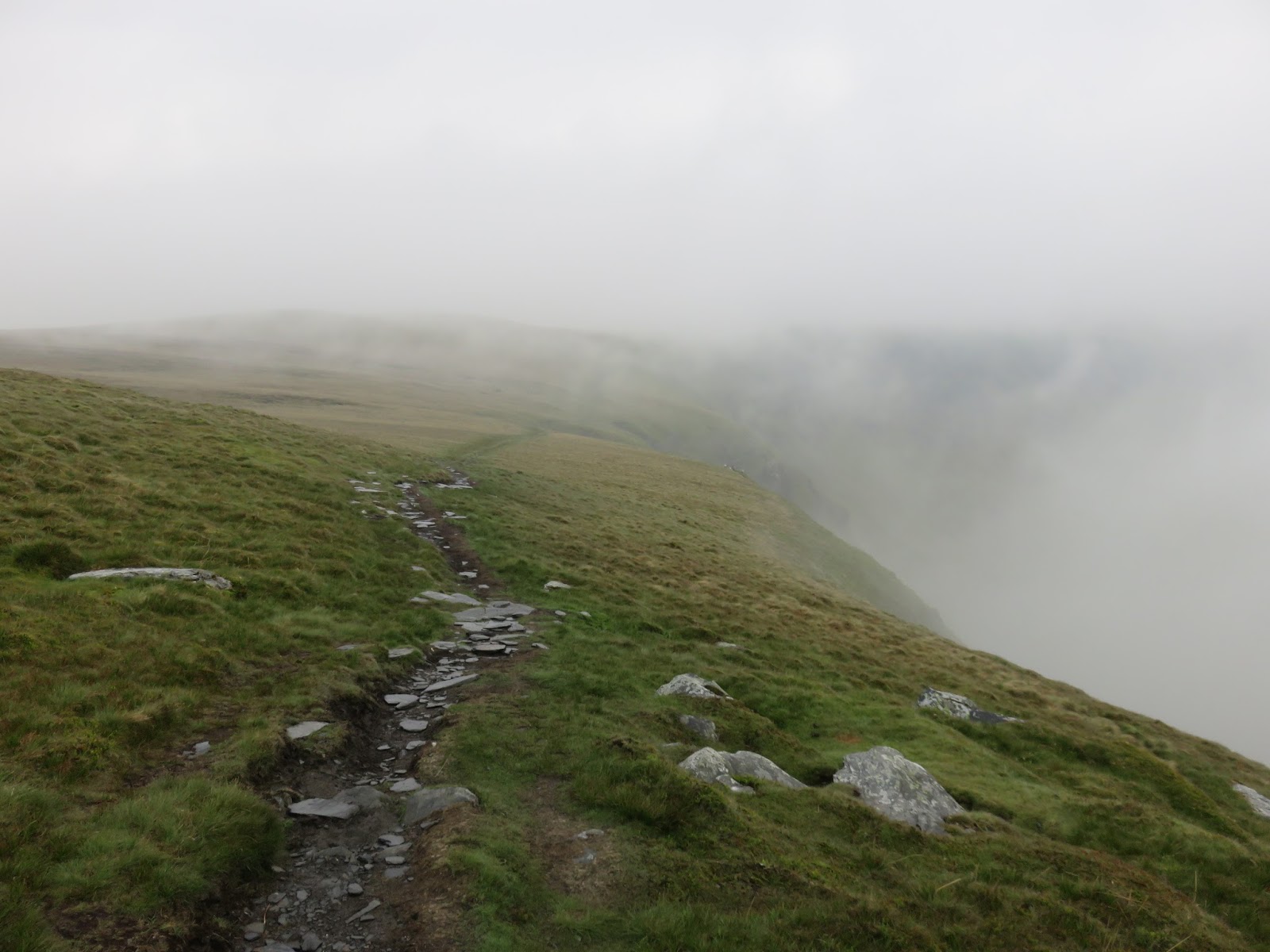
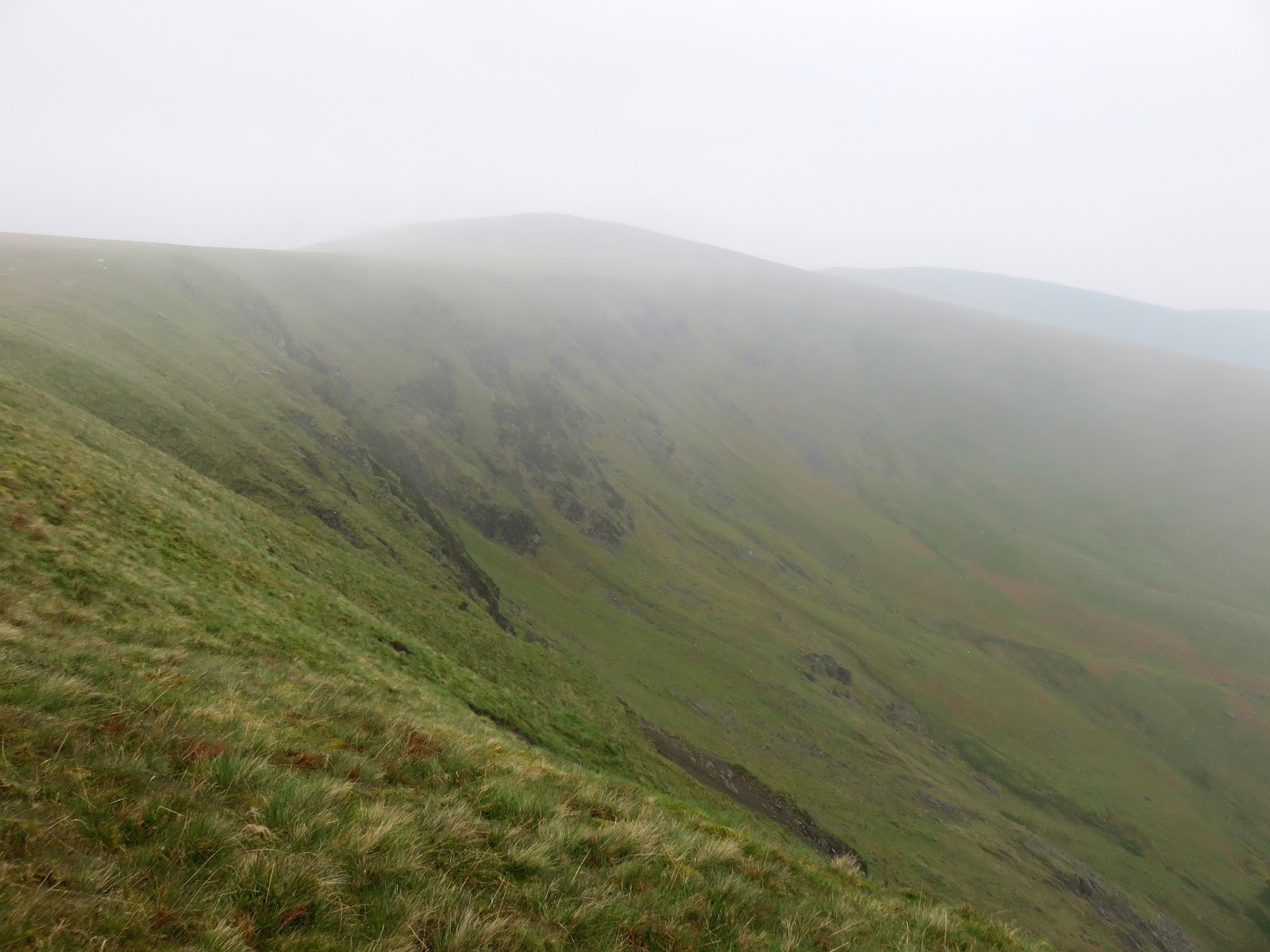
A path clings to the very brink of the crags as it makes it way along towards Bowscale Fell, the highest point of the day, with the clouds rising and falling as we made our way along. It’s a fairly easy route and has the added bonus of being largely flat until the final climb.
 |
| Cloud swirls over the edge of the crags |
 |
| Above the crags of Bannerdale |
 |
| Looking down into Bannerdale |
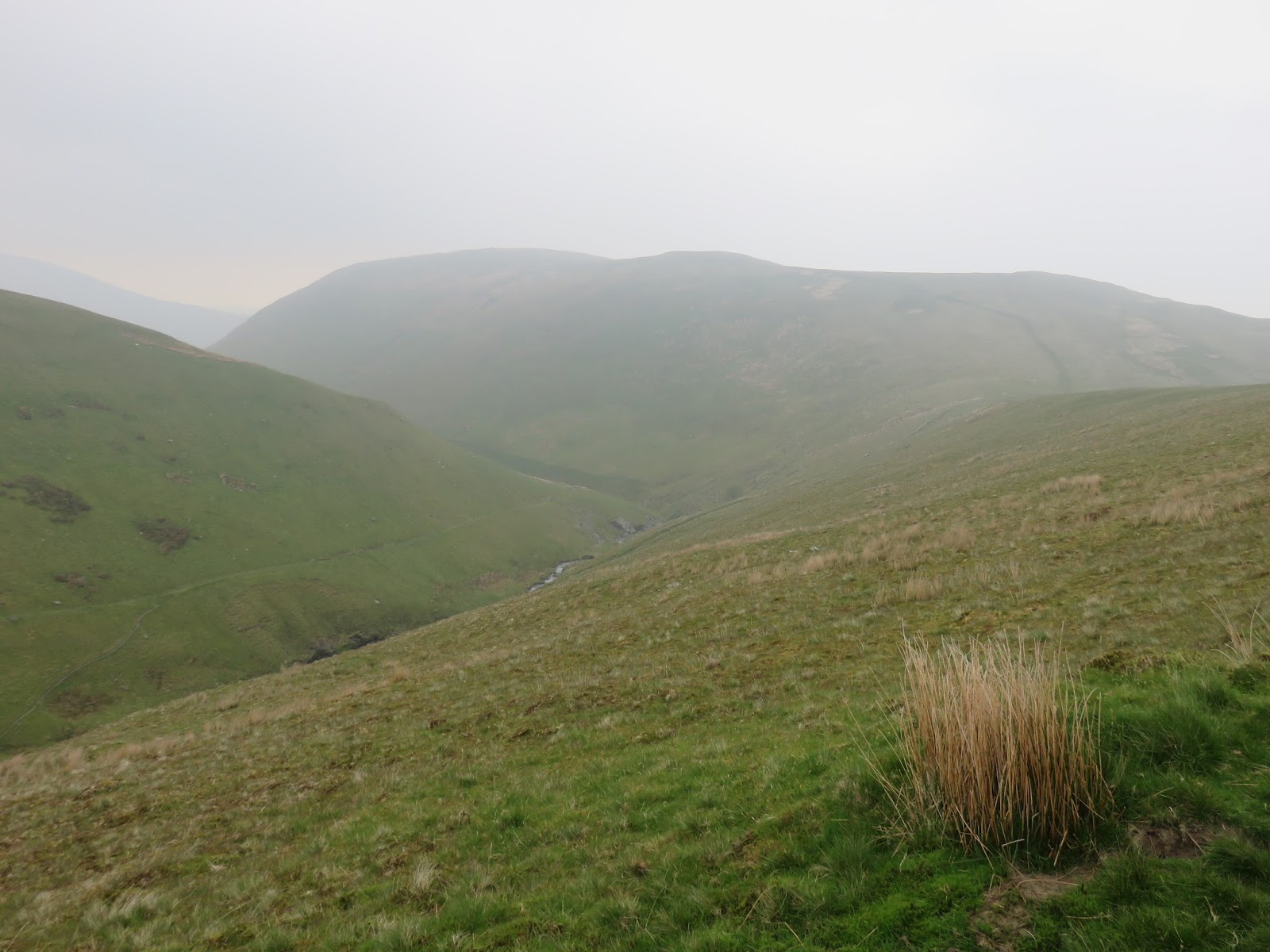
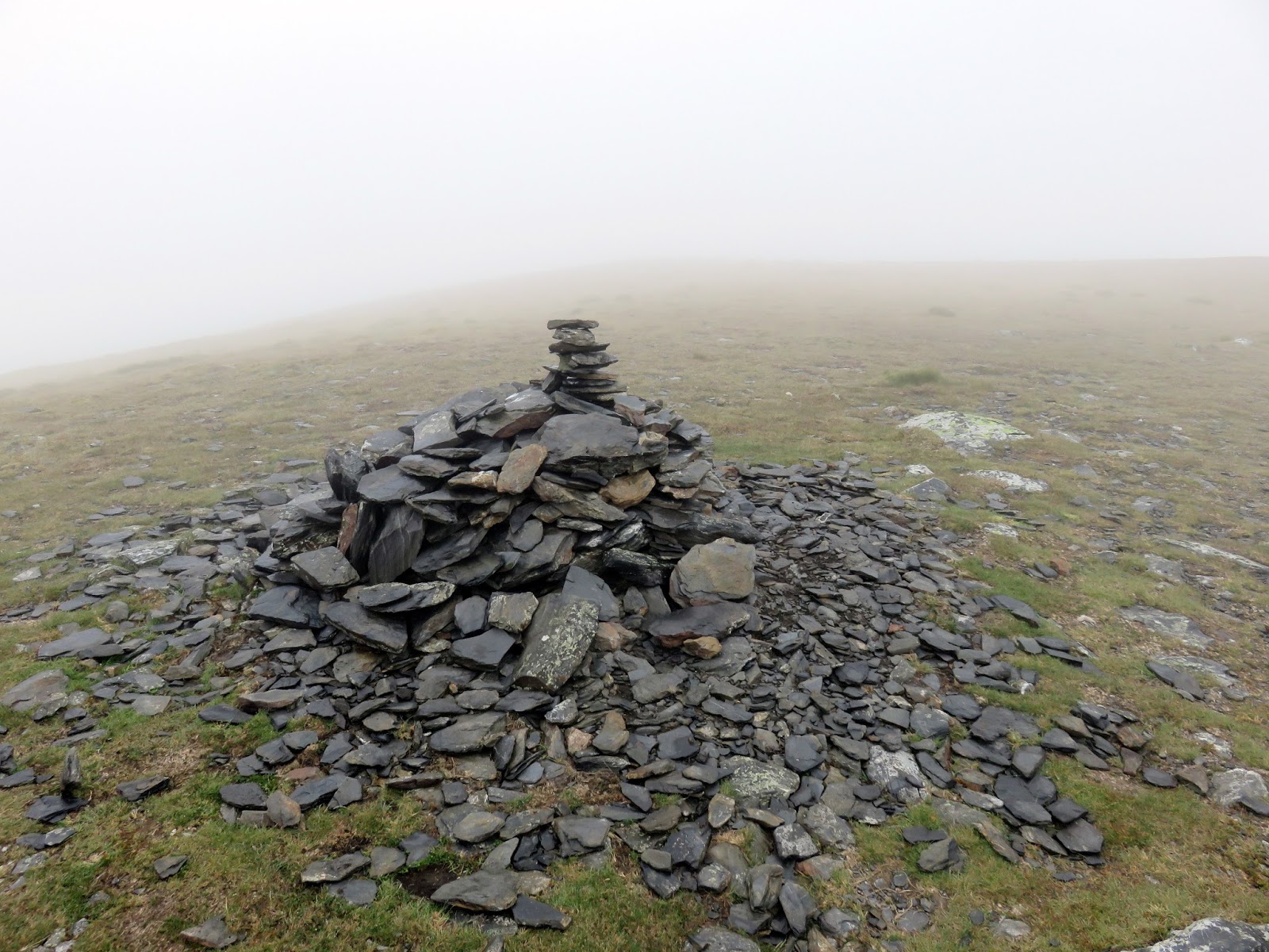
Bowscale Fell is one of those that is easily forgotten by most; other than the circular Bowscale Tarn, there is little else to set it apart the rest of the northern fells. The tarn is said to be the home to two immortal fish, though I still reserve an element of doubt about this. A domed summit and a cairn could be lifted from any of the grassy fells that surround it and we passed by with only the briefest of pauses.
 |
| Cairn on Tarn Crags Top |
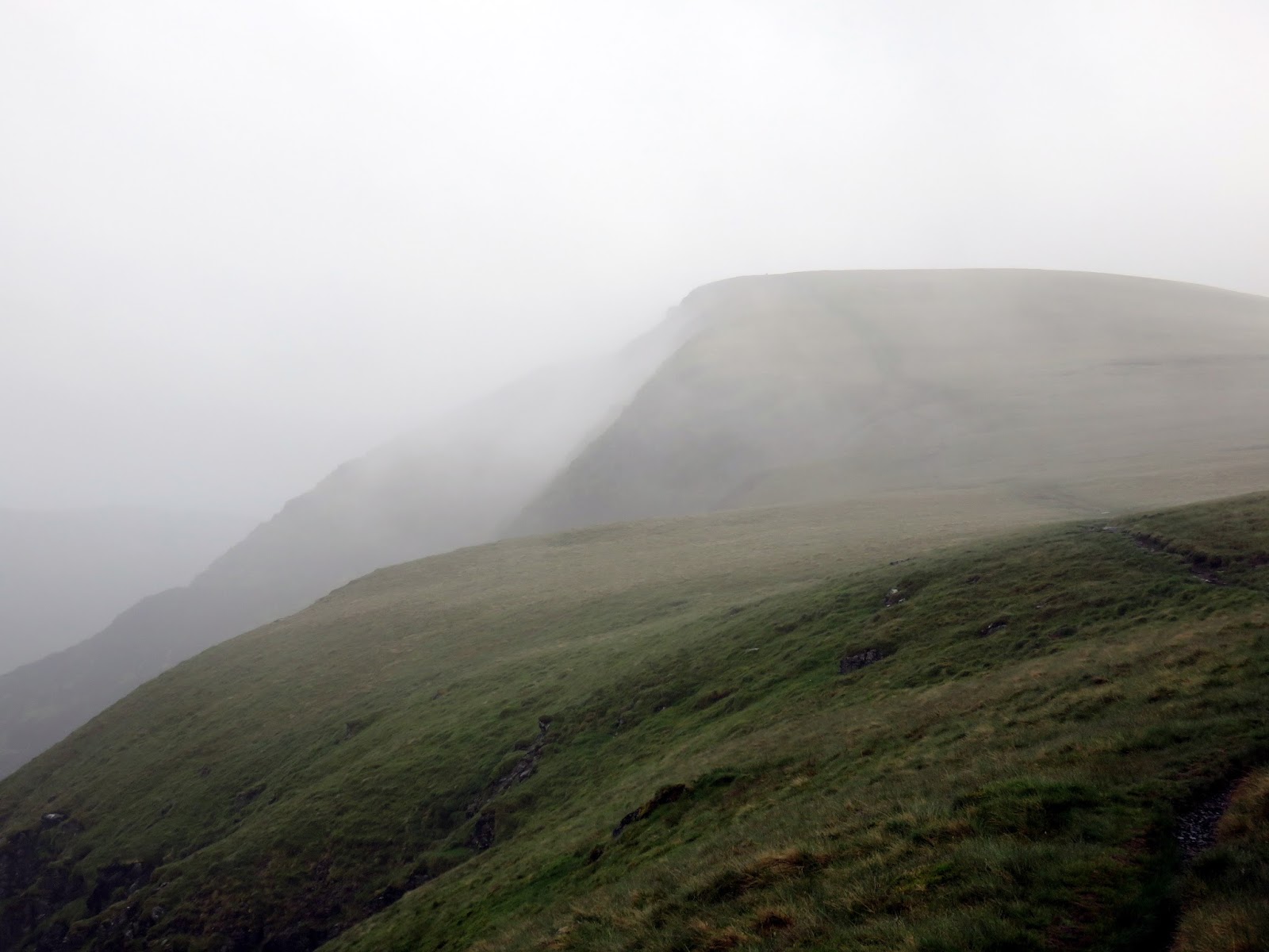
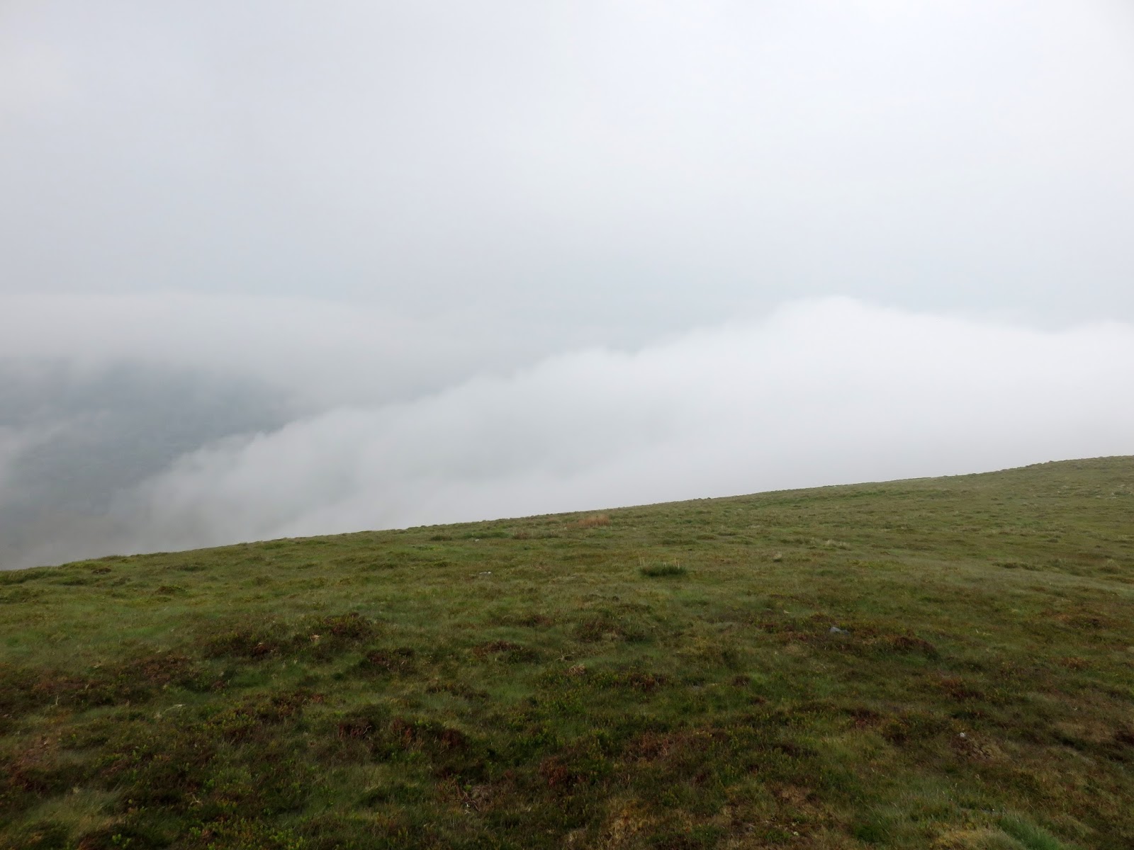
The route back to Mungrisdale from Bowscale Fell is straightforward, following the long ridge that heads directly east over a duo of minor summits before steepening over Raven Crags. The final path through the crags is torturously steep and slippery and certainly made the last few metres a bit tricky.
 |
| Cloud in the valley below |
 |
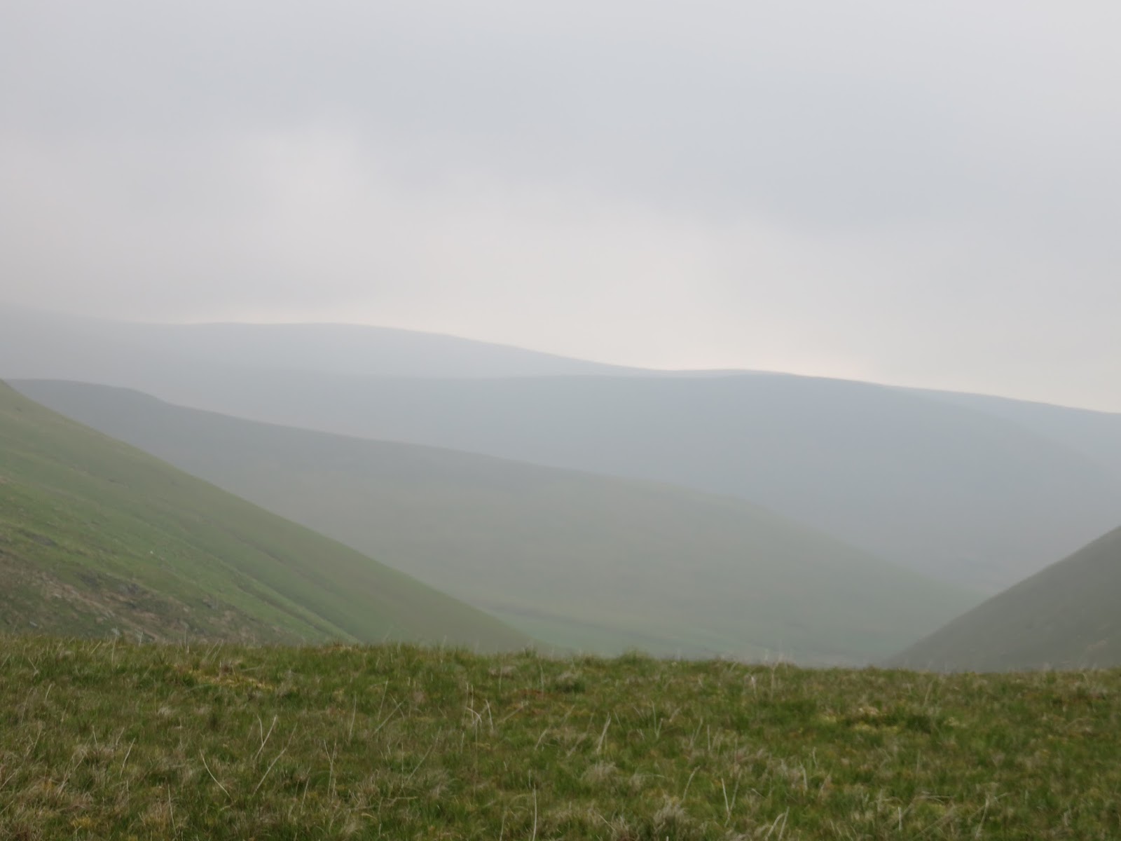
| A very hazy Bannerdale |
 |
| Bannerdale |
 |
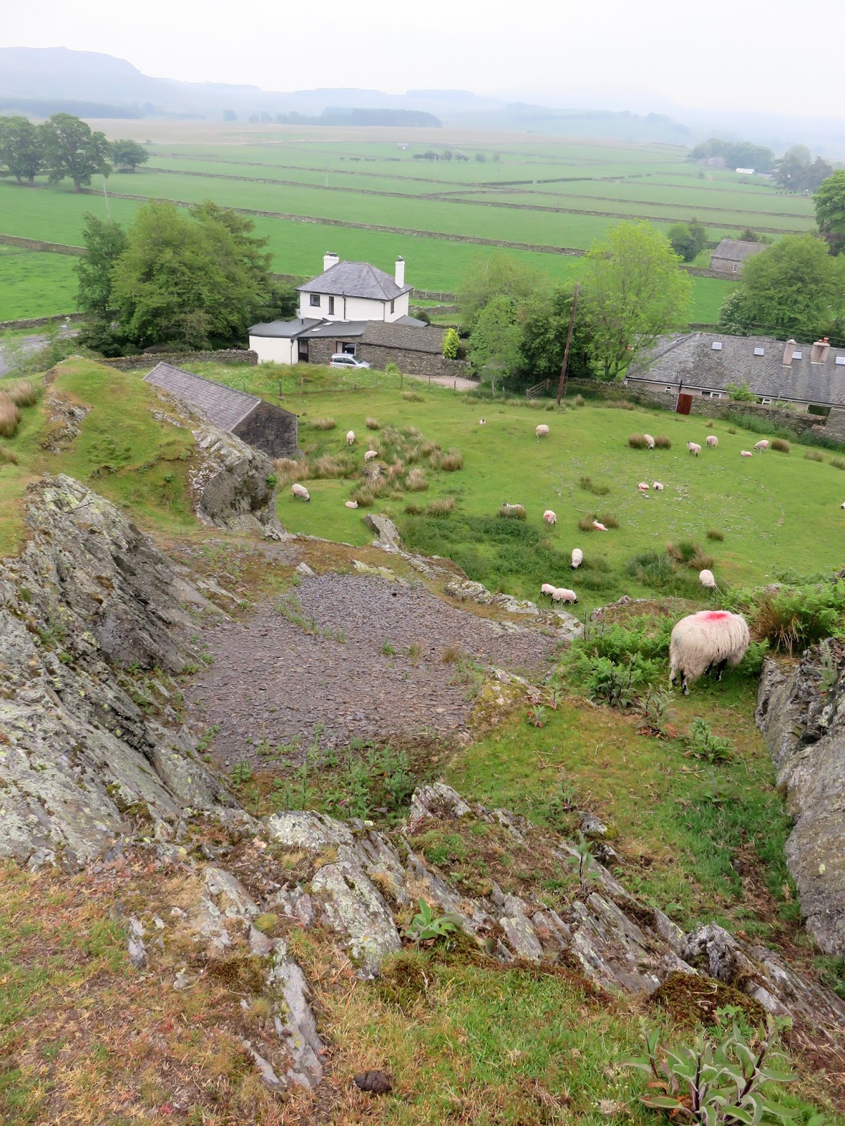
| A small abandoned quarry near Mungrisdale |
 |
| The Tongue |
This is a walk I’d like to do again, to fully appreciate some very impressive and oft-neglected scenery. It was a shame that the weather closed in as we were making our way around given the forecast was for a pleasant afternoon.Still, the morning was much better than expected so you win some, you lose some. There are some interesting routes around Bannerdale that I’ve definitely got in mind for a return trip though the main decision is whether or not to go back to the grass ocean that is Mungrisdale Common……
