In a repeat of a walk I did a couple of winters ago, I spent a morning climbing the small fells of Dodd and Binsey. Last time the weather was somewhat challenging but was much improved this time around, despite being very hazy. Both routes follow a simple out and back and take around an hour so I’ve bundled them into one report here. First up, in a reversal of order from last time, here’s Dodd.
Open Space Web-Map builder Codehttps://openspace.ordnancesurvey.co.uk/osmapapi/openspace.js?key=3119F72552FD5C22E0530C6CA40A5A92https://openspace.ordnancesurvey.co.uk/osmapapi/script/mapbuilder/basicmap.jshttps://openspace.ordnancesurvey.co.uk/osmapapi/script/mapbuilder/searchbox.js//variables for routes var linesLayer, points, lineFeature, lineString, routeMarkersLayer, routepos, routesize, routeoffset, routeicon; var style_blue = {strokeColor: “#0000CD”, strokeOpacity: 0.5, strokeWidth: 4.5}; function initmapbuilder() { //initiate the map var options = {resolutions: [2500, 1000, 500, 200, 100, 50, 25, 10, 5, 4, 2.5, 2, 1]}; osMap = new OpenSpace.Map(‘map’, options); //configure map options (basicmap.js) setglobaloptions(); //set the center of the map and the zoom level osMap.setCenter(new OpenSpace.MapPoint(322893.63452889,531259.99998092),6); linesLayer = osMap.getVectorLayer(); // Set up layer for route markers routeMarkersLayer = new OpenLayers.Layer.Markers(“Route Markers”); //make a route points = new Array(); points.push(new OpenLayers.Geometry.Point(323481.66664124,528341.66667938)); points.push(new OpenLayers.Geometry.Point(323681.66664124,528096.66667938)); points.push(new OpenLayers.Geometry.Point(324126.66664124,527886.66667938)); points.push(new OpenLayers.Geometry.Point(324496.66664124,527756.66667938)); points.push(new OpenLayers.Geometry.Point(324761.66664124,527641.66667938)); points.push(new OpenLayers.Geometry.Point(324981.66664124,527356.66667938)); points.push(new OpenLayers.Geometry.Point(325006.66664124,527296.66667938)); points.push(new OpenLayers.Geometry.Point(324856.66664124,527261.66667938)); points.push(new OpenLayers.Geometry.Point(324656.66664124,527126.66667938)); points.push(new OpenLayers.Geometry.Point(324636.66664124,527246.66667938)); points.push(new OpenLayers.Geometry.Point(324656.66664124,527346.66667938)); points.push(new OpenLayers.Geometry.Point(324416.66664124,527361.66667938)); points.push(new OpenLayers.Geometry.Point(324476.66664124,527236.66667938)); points.push(new OpenLayers.Geometry.Point(324651.66664124,527146.66667938)); points.push(new OpenLayers.Geometry.Point(324826.66664124,527251.66667938)); points.push(new OpenLayers.Geometry.Point(325006.66664124,527281.66667938)); points.push(new OpenLayers.Geometry.Point(324916.66664124,527426.66667938)); points.push(new OpenLayers.Geometry.Point(324771.66664124,527641.66667938)); points.push(new OpenLayers.Geometry.Point(324396.66664124,527786.66667938)); points.push(new OpenLayers.Geometry.Point(324151.66664124,527851.66667938)); points.push(new OpenLayers.Geometry.Point(323671.66664124,528101.66667938)); points.push(new OpenLayers.Geometry.Point(323481.66664124,528341.66667938)); // create a polyline feature from the array of points lineString = new OpenLayers.Geometry.LineString(points); lineFeature = new OpenLayers.Feature.Vector(lineString, null, style_blue); linesLayer.addFeatures([lineFeature]); //make a route points = new Array(); points.push(new OpenLayers.Geometry.Point(323526.66664124,535101.66667938)); points.push(new OpenLayers.Geometry.Point(323456.66664124,535086.66667938)); points.push(new OpenLayers.Geometry.Point(322956.66664124,535401.66667938)); points.push(new OpenLayers.Geometry.Point(322641.66664124,535461.66667938)); points.push(new OpenLayers.Geometry.Point(322506.66664124,535521.66667938)); points.push(new OpenLayers.Geometry.Point(322681.66664124,535446.66667938)); points.push(new OpenLayers.Geometry.Point(322976.66664124,535396.66667938)); points.push(new OpenLayers.Geometry.Point(323436.66664124,535086.66667938)); points.push(new OpenLayers.Geometry.Point(323526.66664124,535101.66667938)); // create a polyline feature from the array of points lineString = new OpenLayers.Geometry.LineString(points); lineFeature = new OpenLayers.Feature.Vector(lineString, null, style_blue); linesLayer.addFeatures([lineFeature]); //crate a route start/end marker routepos = new OpenSpace.MapPoint(323481.66664124,528341.66667938); routesize = new OpenLayers.Size(33,45); routeoffset = new OpenLayers.Pixel(-5,-37); routeicon = new OpenSpace.Icon(‘https://openspace.ordnancesurvey.co.uk/osmapapi/img_versions/img_1.1/mapbuilder/routemarker-startend.png’, routesize, routeoffset, null, null); routeMarkersLayer.addMarker(new OpenLayers.Marker(routepos, routeicon)); //crate a route start/end marker routepos = new OpenSpace.MapPoint(323526.66664124,535101.66667938); routesize = new OpenLayers.Size(33,45); routeoffset = new OpenLayers.Pixel(-5,-37); routeicon = new OpenSpace.Icon(‘https://openspace.ordnancesurvey.co.uk/osmapapi/img_versions/img_1.1/mapbuilder/routemarker-startend.png’, routesize, routeoffset, null, null); routeMarkersLayer.addMarker(new OpenLayers.Marker(routepos, routeicon)); osMap.addLayer(routeMarkersLayer);}
Route: Mirehouse, Dodd Wood, Long Doors, Dodd, Long Doors, Mirehouse
Date: 13/06/2015
From: Mirehouse
Parking: Layby at roadside
Start Point: Dodd Wood
Region: Northern Fells
Route length: 3.6 miles (5.8 km)
Time taken: 01:22
Average speed: 2.6 mph
Ascent: 427m
Descent: 427m
Wainwrights on this walk:
Dodd (491m)
Other Summits: None
Other points of interest: None
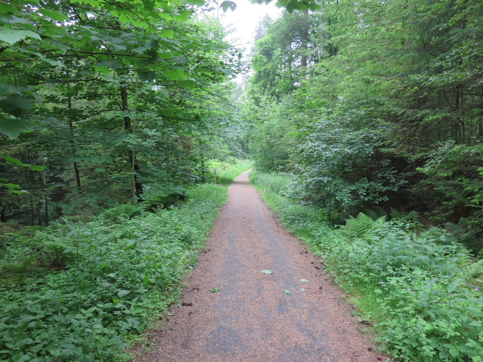
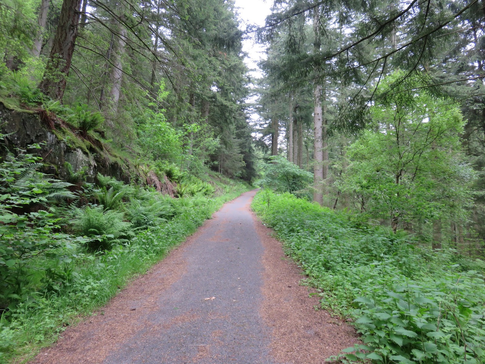
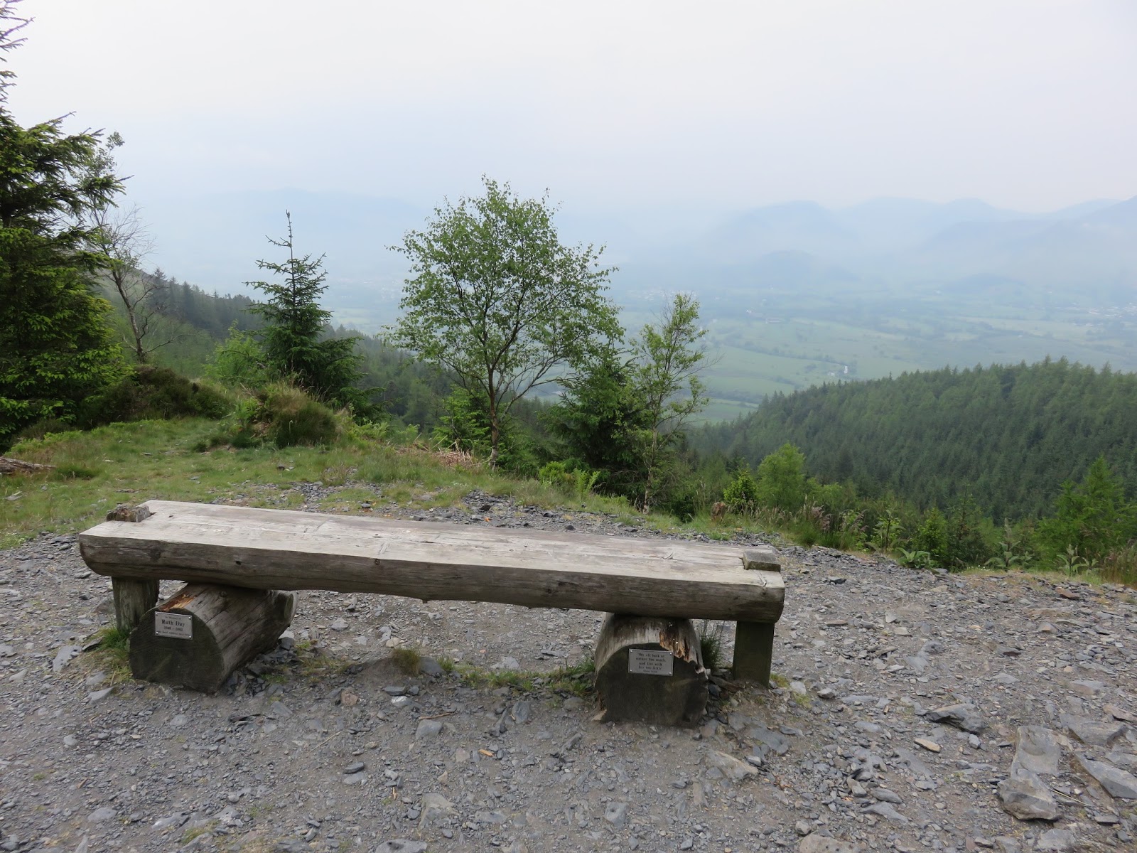
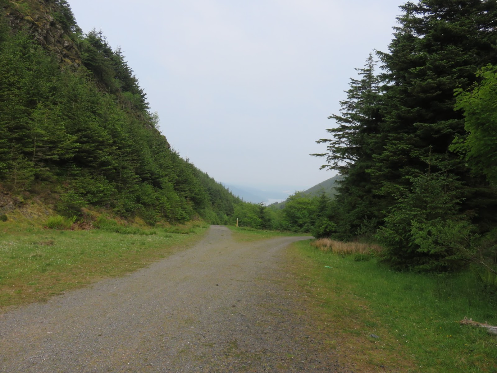
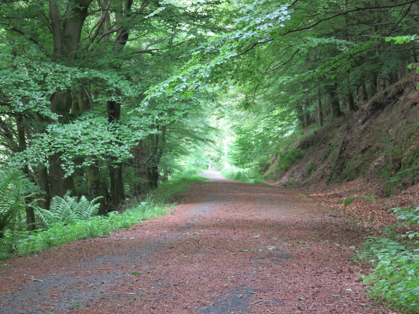
A simple walk straight to the summit of Dodd and back follows a wide Forestry Commission track much of the way until it reaches a large lorry turning area. Here, a much narrower but still signposted path winds up to the summit of the fell. Out return was by the same route in reverse. Here’s some photos from a hazy morning.
 |
| The track through the woods |
 |
| The track continues…. |
 |
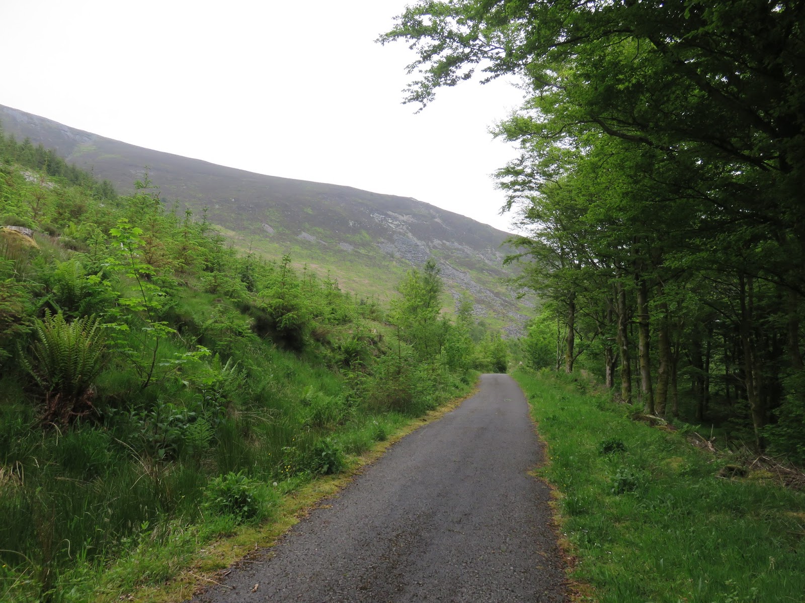
| Emerging from the woods |
 |
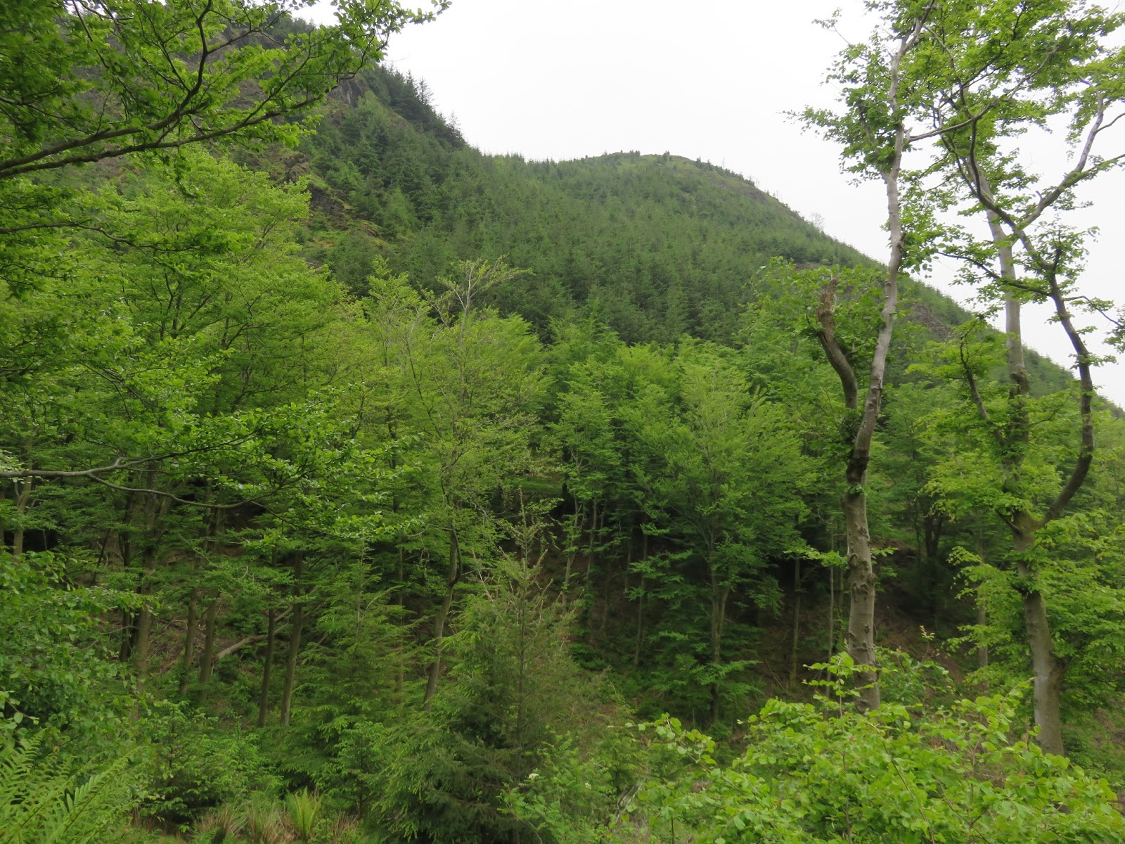
| Dodd’s summit pokes through the trees |
 |
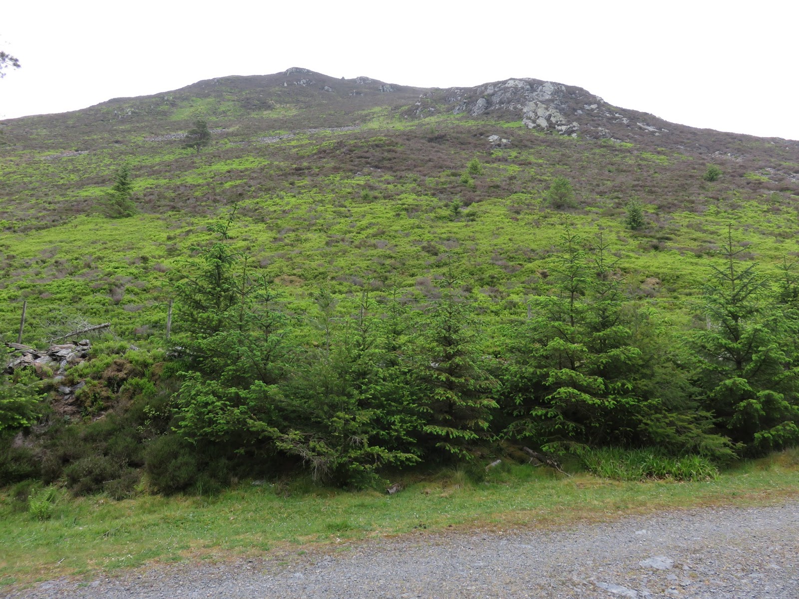
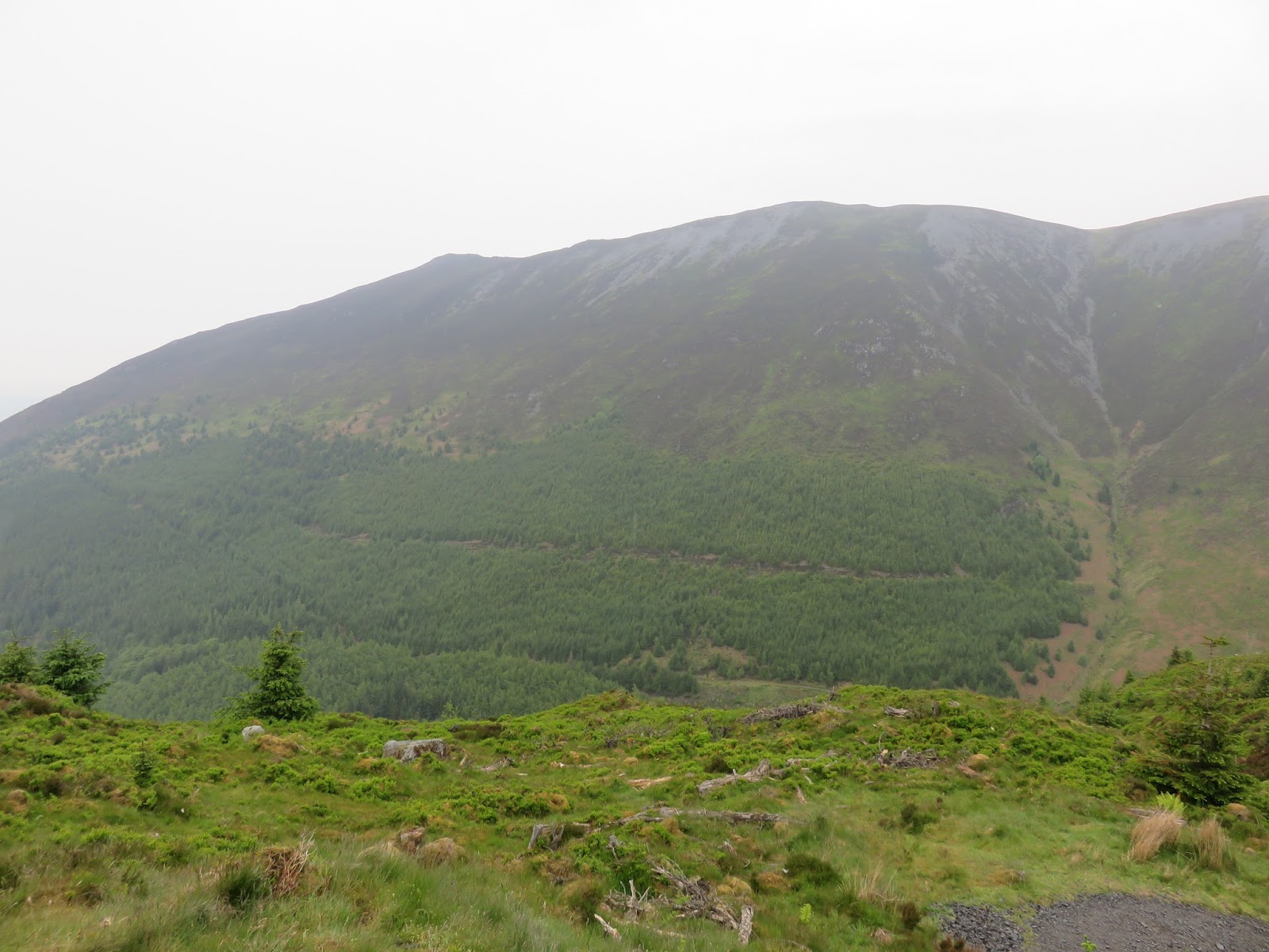
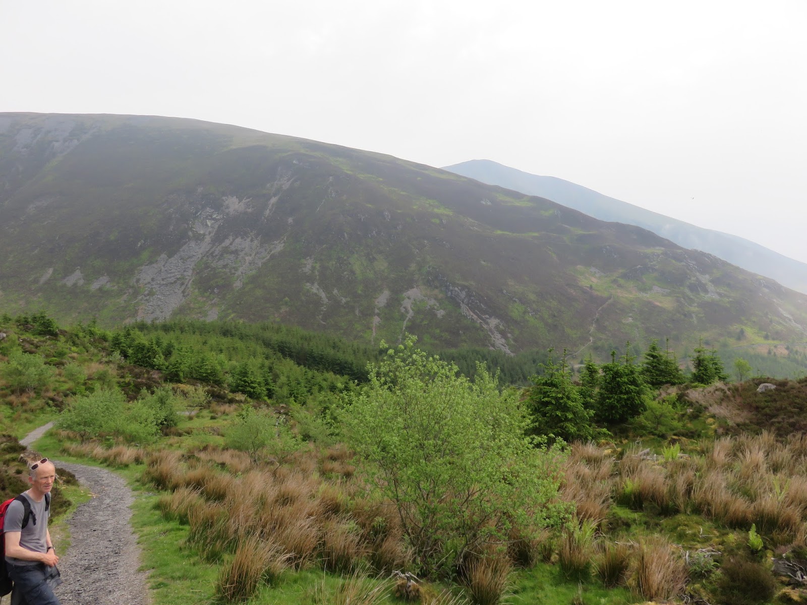
| The slopes rising to Long Side |
 |
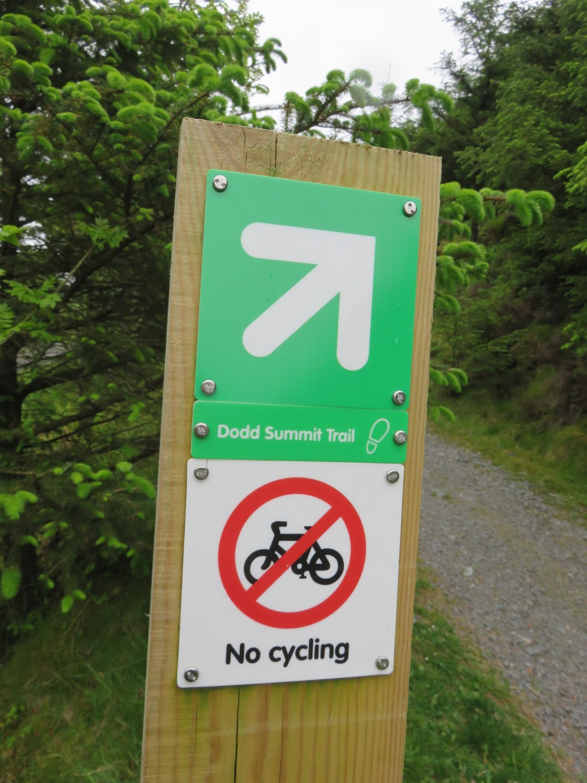
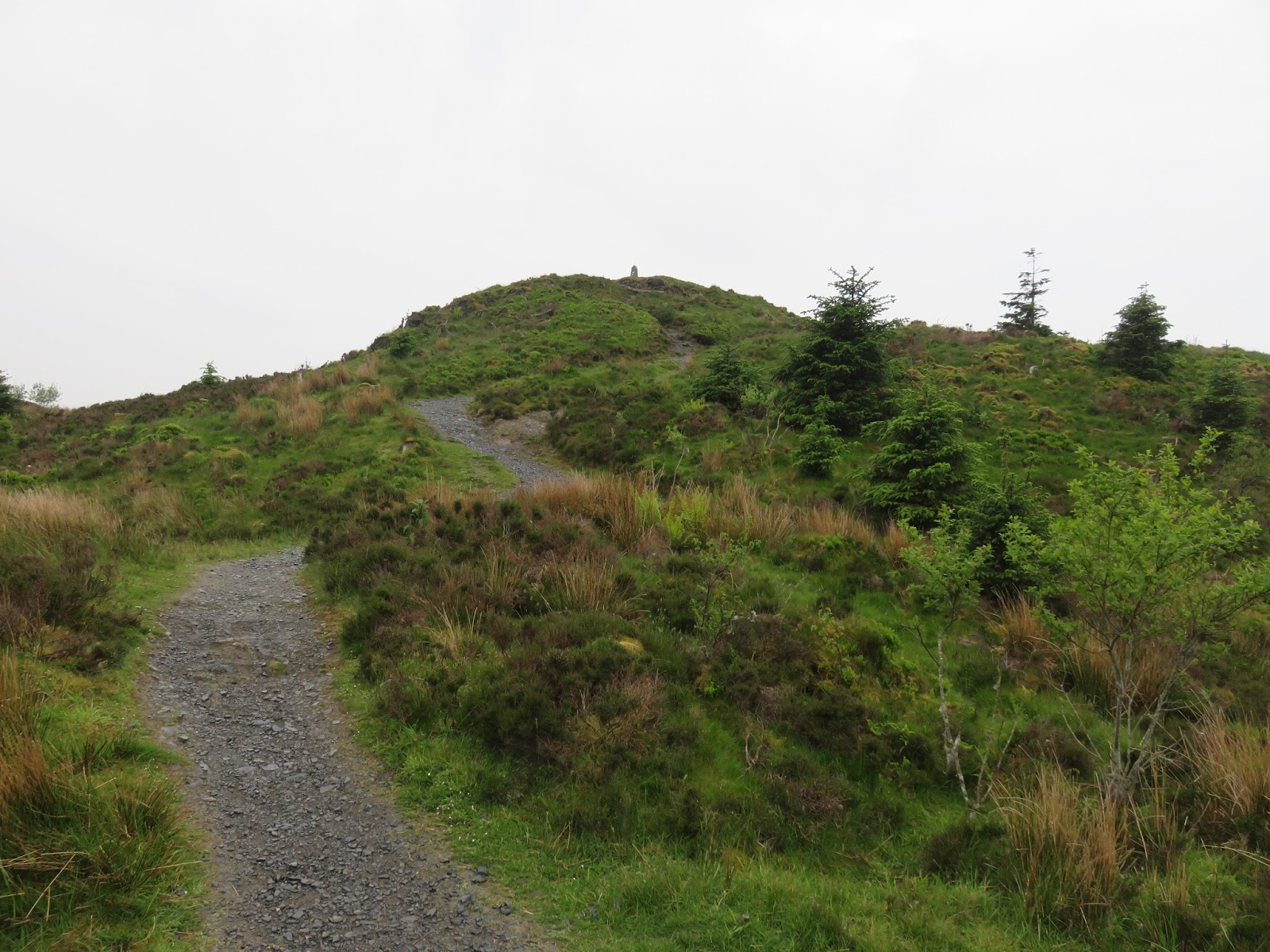
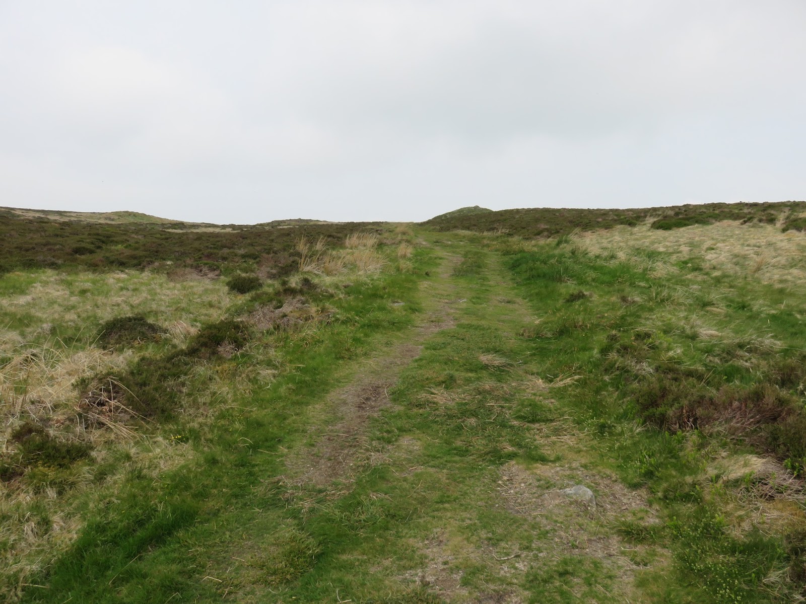
| Follow the signs to the summit |
 |
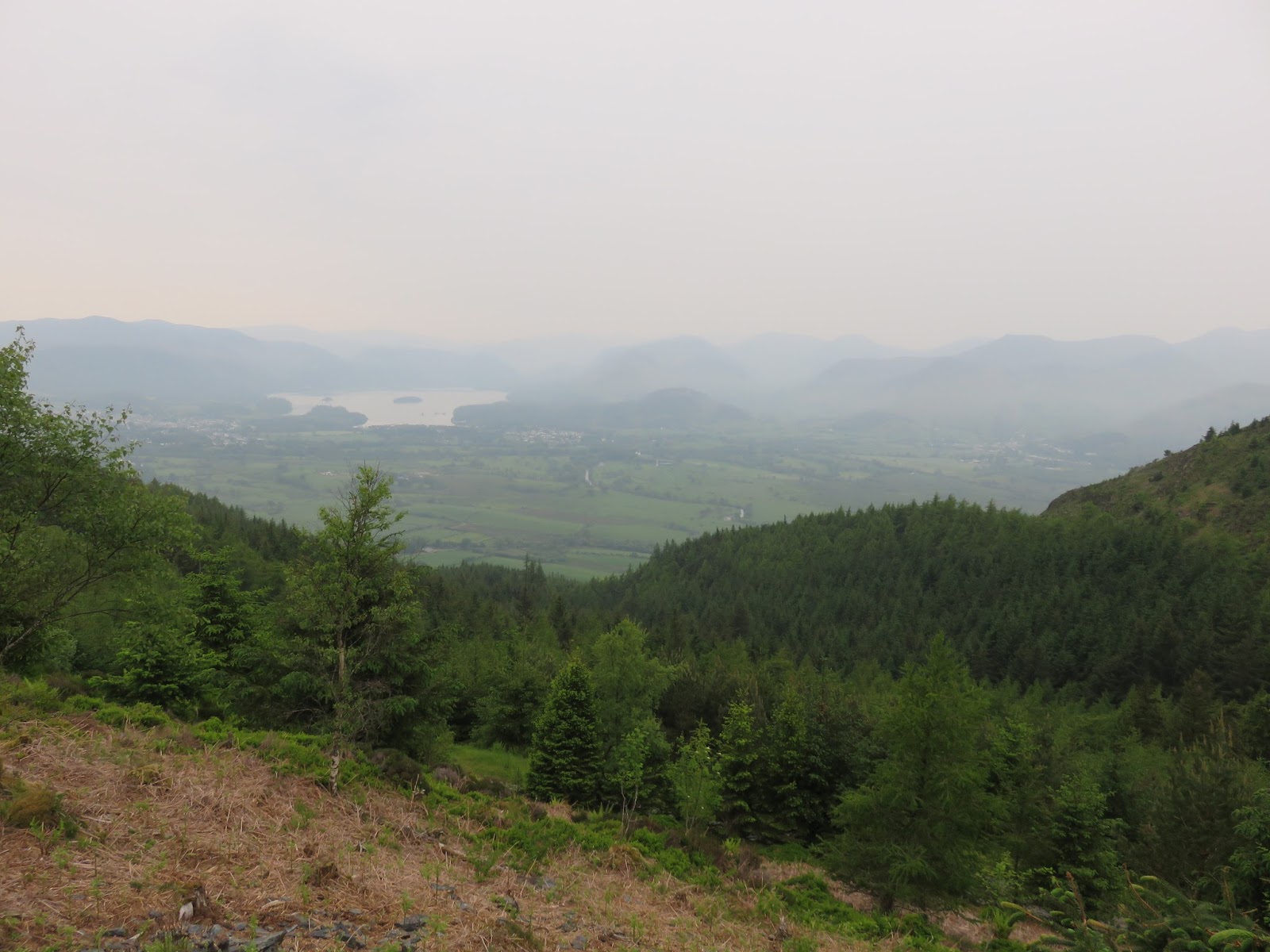
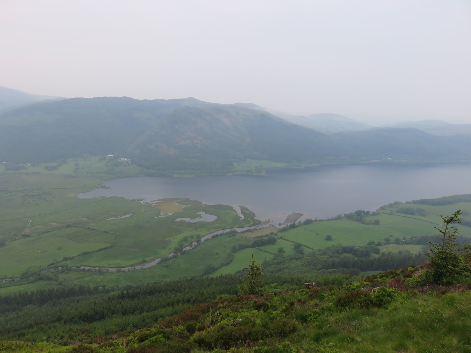
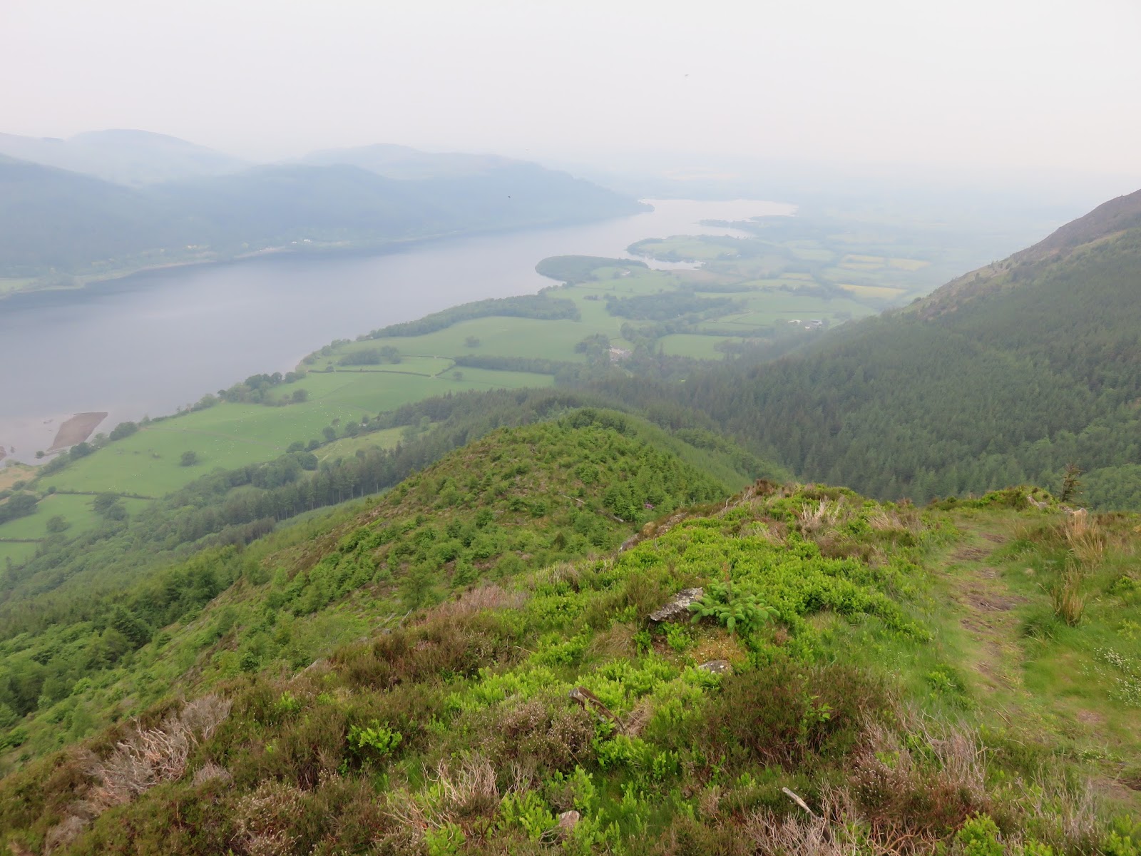
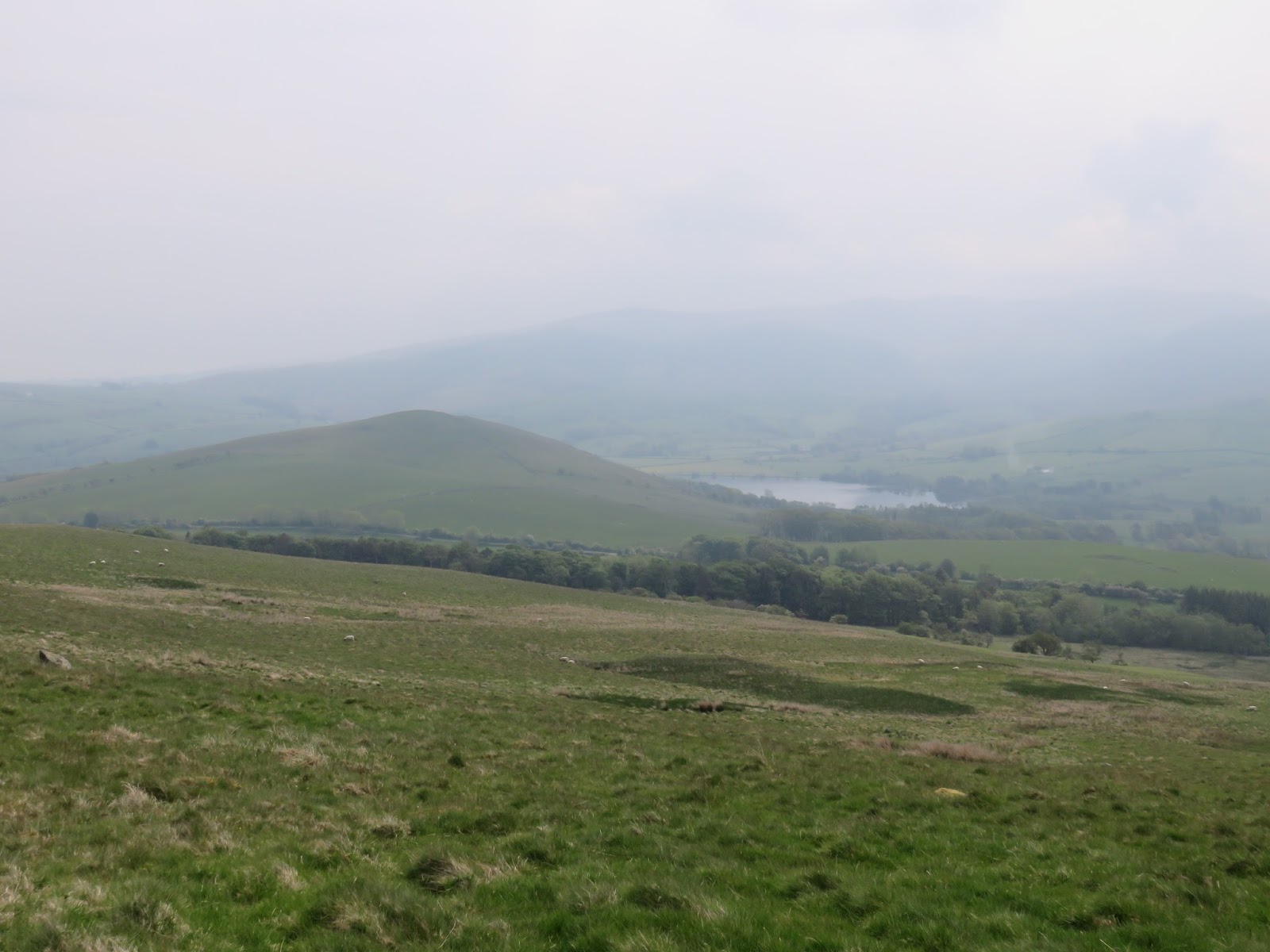
| The Vale of Keswick |
 |
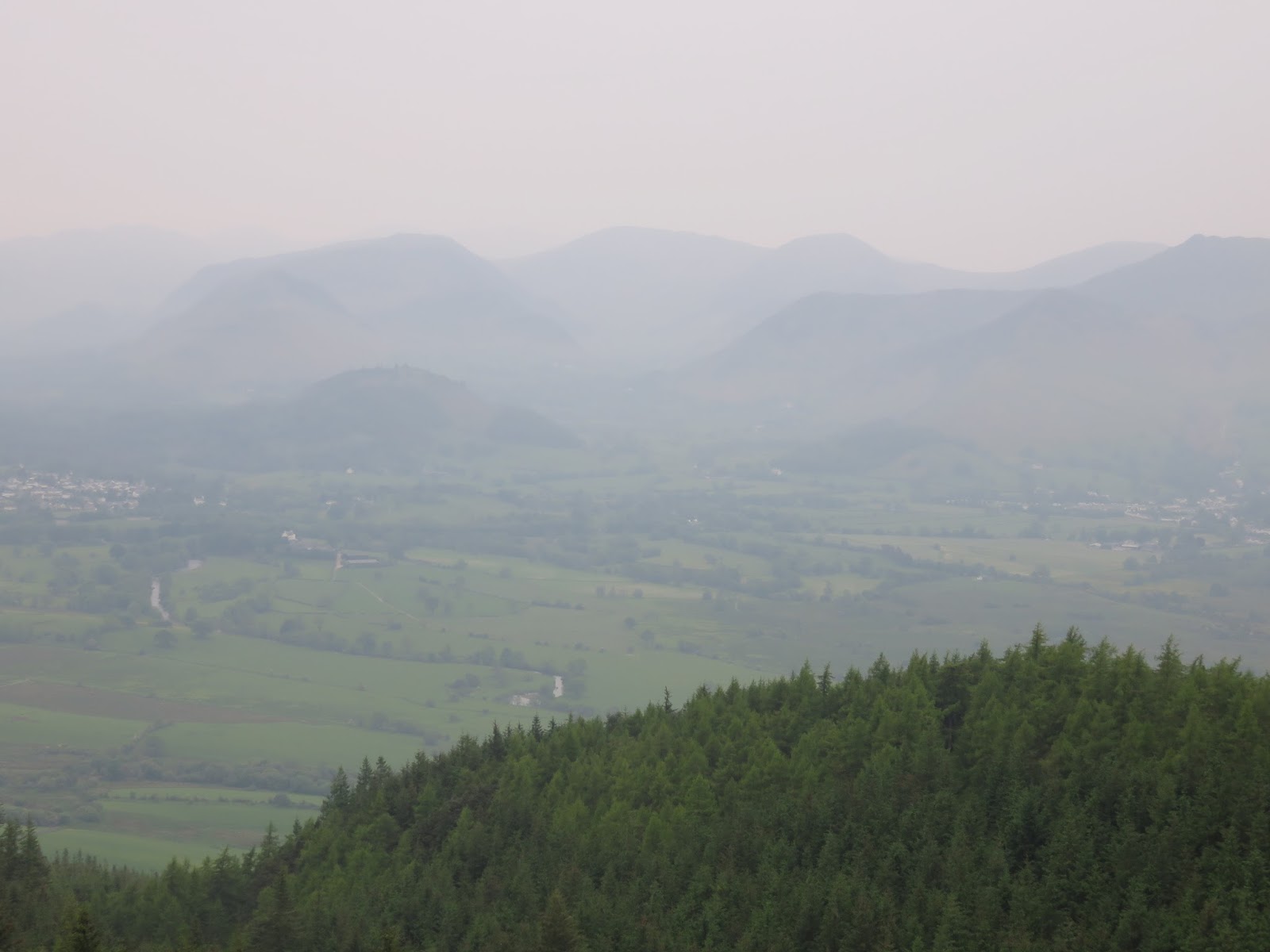
| Hazy North Western Fells |
 |
| Approaching the summit |
 |
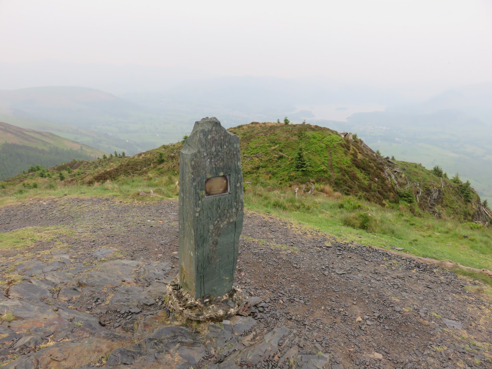
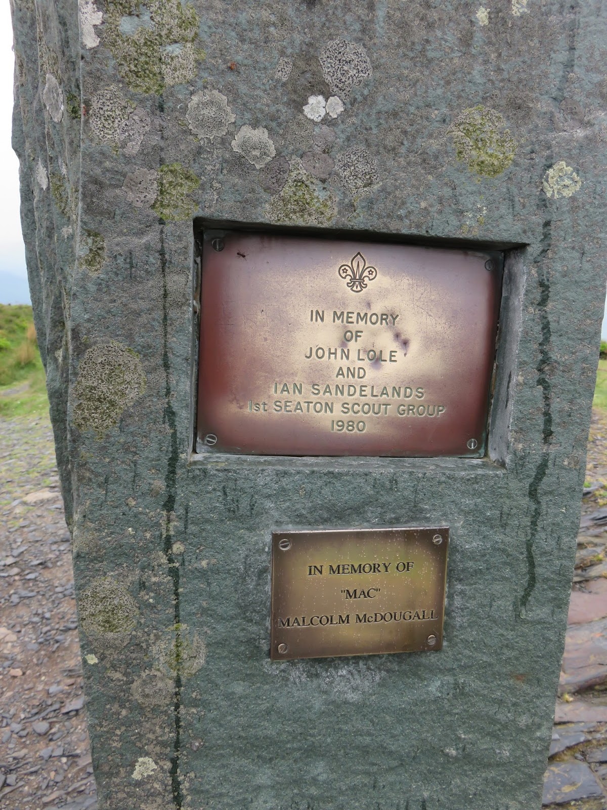
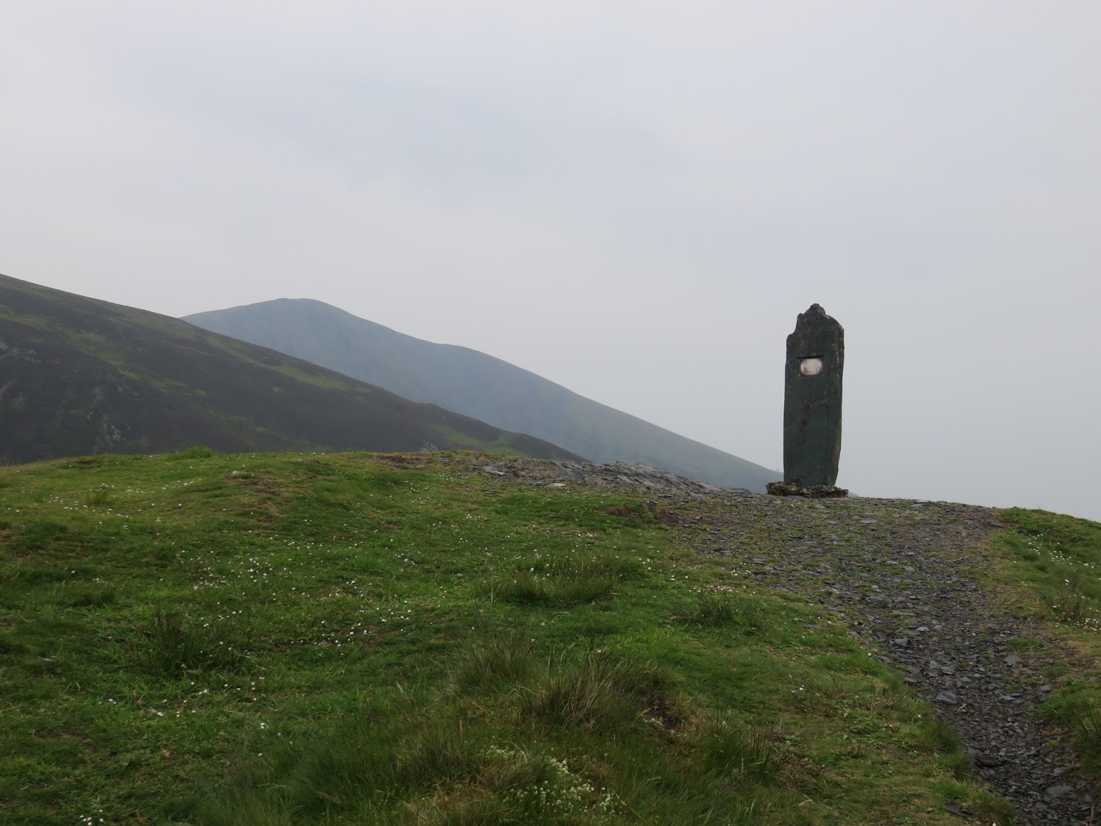
| The summit bears a slate memorial |
 |
| Summit memorial |
 |
| The proud slate memorial |
 |
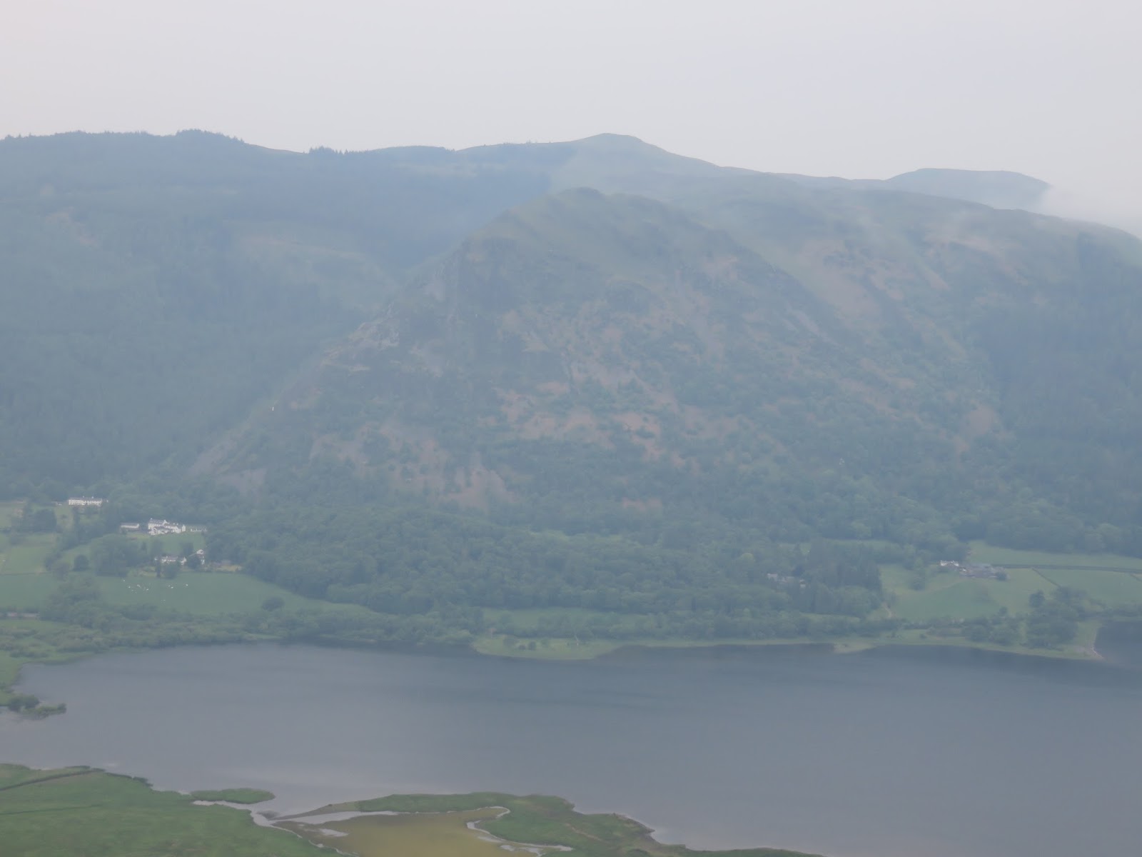
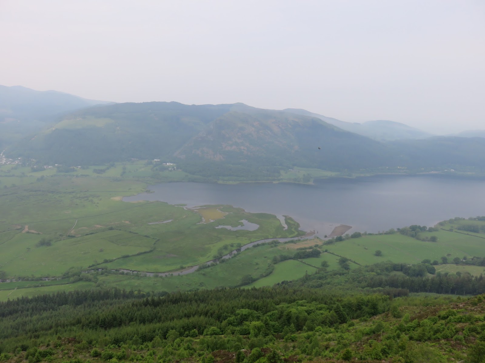
| Bassenthwaite |
 |
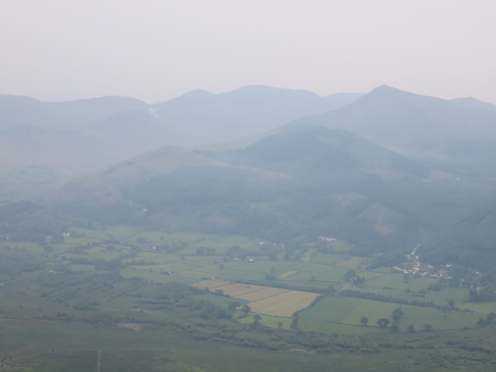
| The fells of Coledale |
 |
| Barf |
 |
| Whinlatter and Barf |
 |
| The slopes of Carl Side |
 |
| A fine place for a perch |
 |
| Careful to pick the correct track back to the car |
 |
| A walk in the woods |
After completing a quick trip up and down Dodd, we drove the short distance to Binsey Cottage for a stroll up Binsey – a fell we had entirely to ourselves.
From: Binsey Cottage
Route: Binsey Cottage, Binsey, Binsey Cottage
Parking: Layby at roadside
Start Point: Binsey Cottage
Region: Northern Fells
Route length: 1.6 miles (2.6 km)
Time taken: 00:38
Average speed: 2.5 mph
Ascent: 187m
Descent: 196m
Wainwrights on this walk:
Binsey (447m)
Other Summits: None
Other points of interest: None
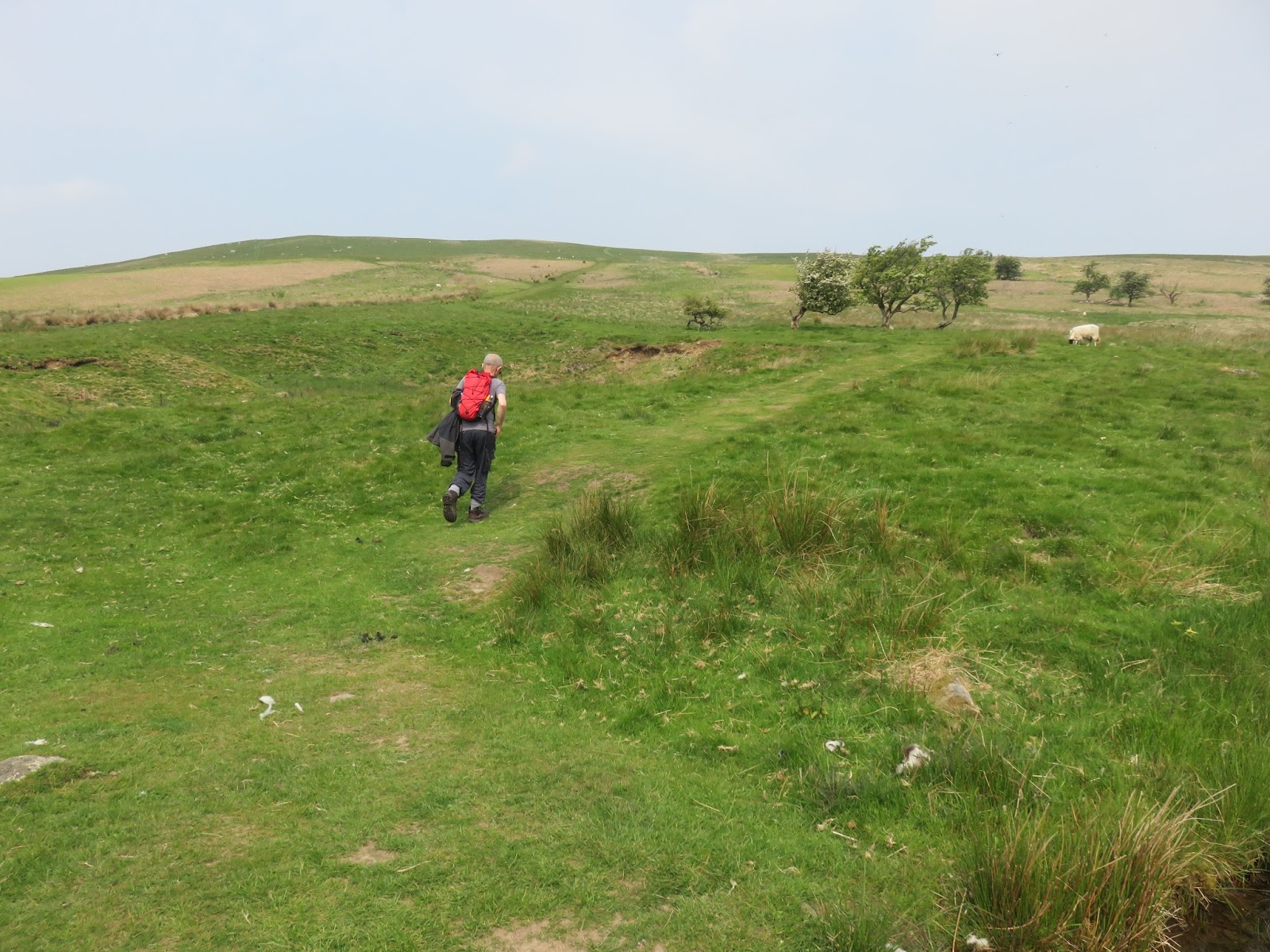
The walk to Binsey is even more straightforward than that on Dodd, there are no forks or deviations to watch out for and the summit is rather nice. A layby next to Binsey Cottage has space for 3 or 4 cars – just ours today – and a gate leads to the open hillside. A fairly rough track makes directly for the summit which you should reach inside half an hour.
 |
| Leaving the road onto the slopes of Binsey |
 |
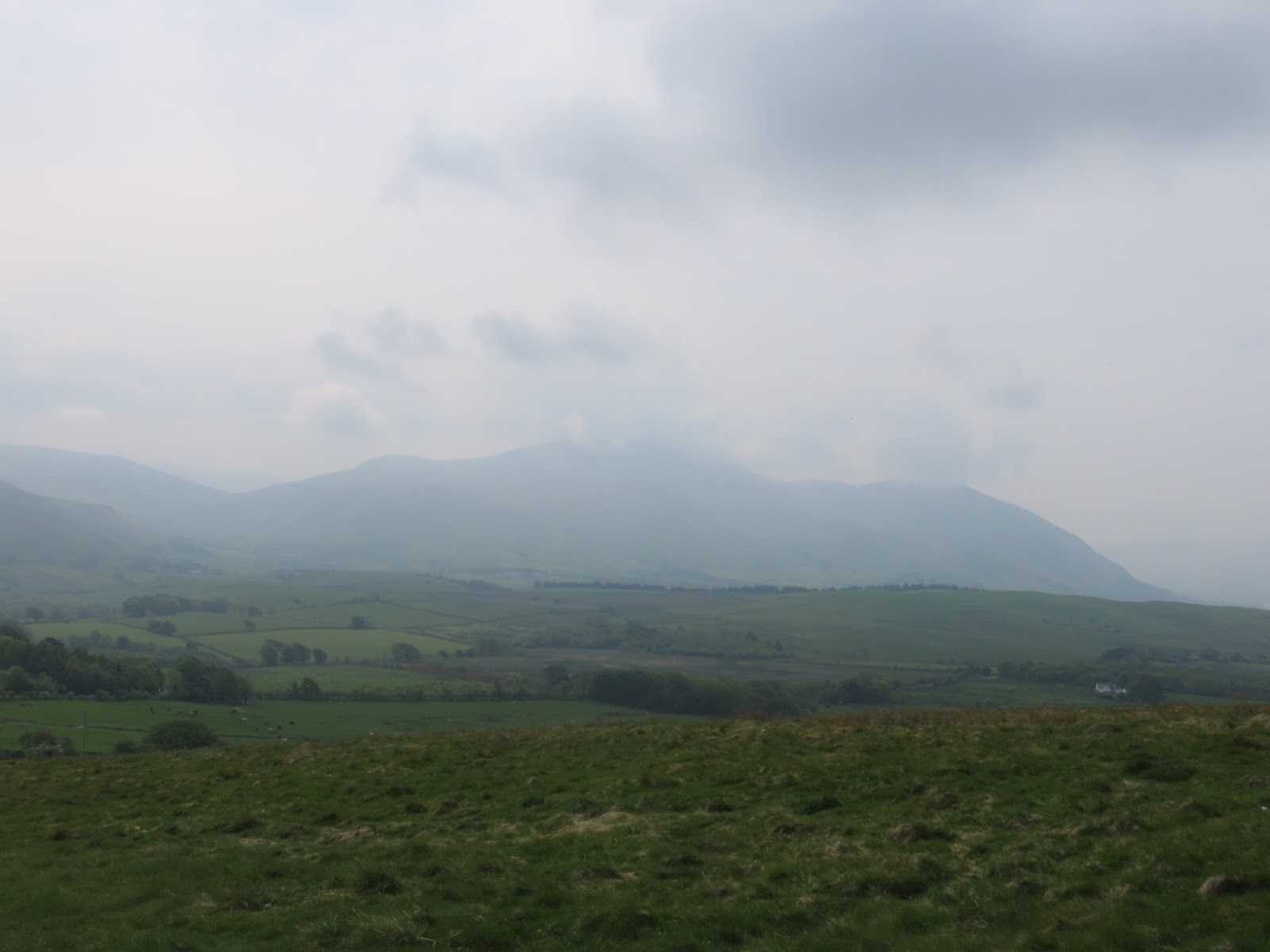
| Skiddaw shrouded in cloud and haze |
 |
| Latrigg with Over Water in the distance |
 |
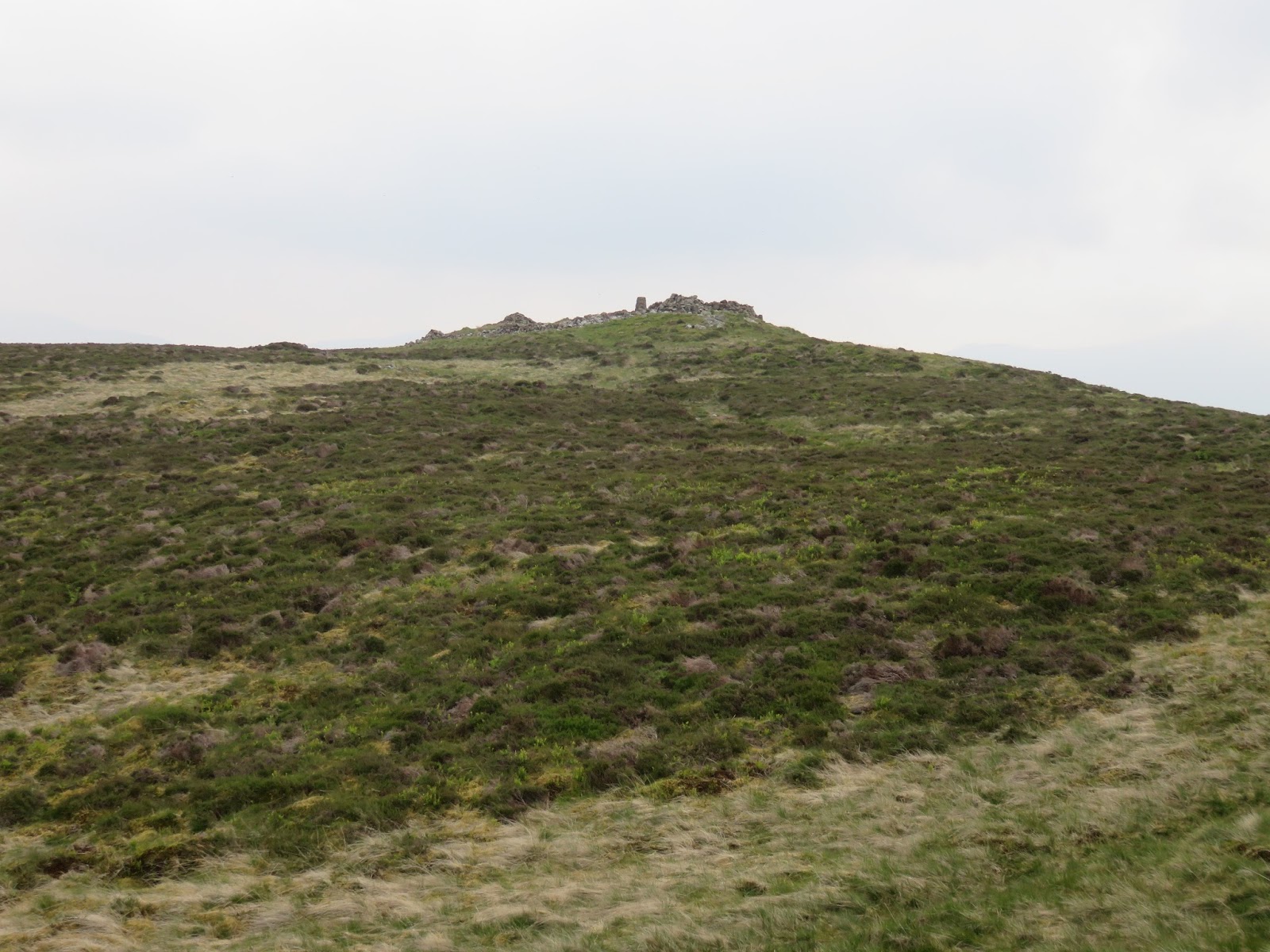
| Approaching the summit |
 |
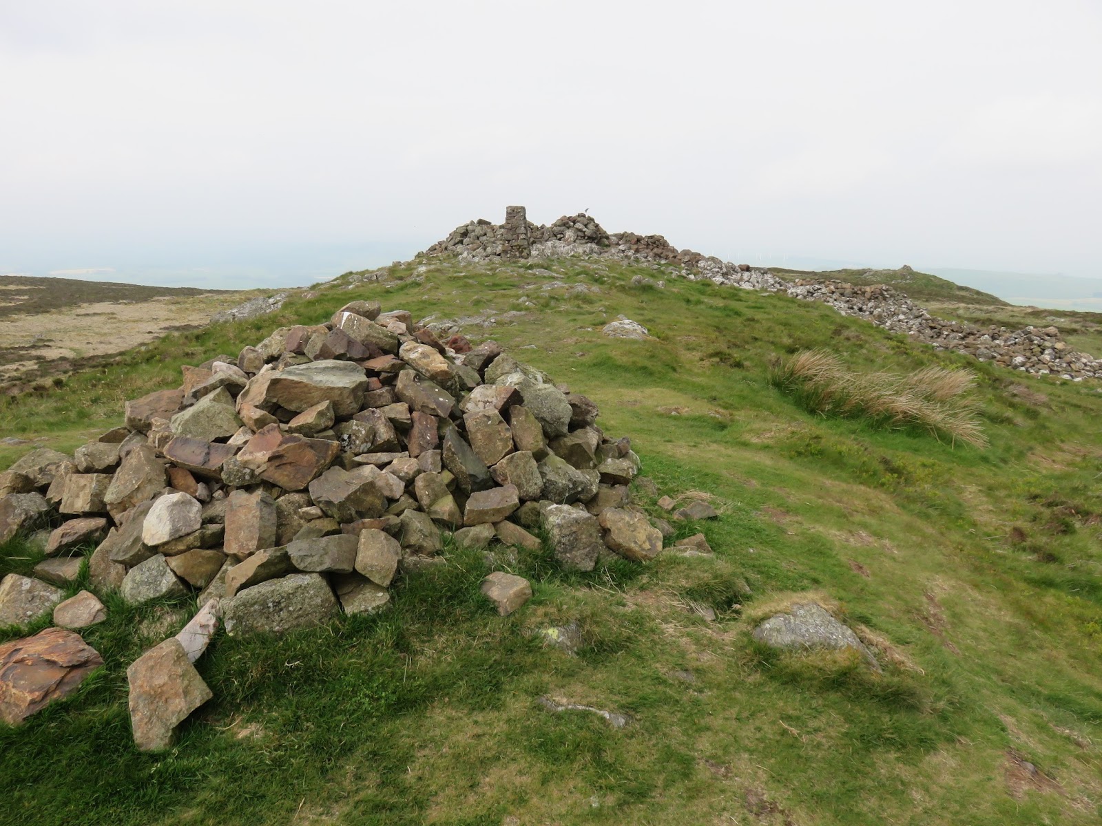
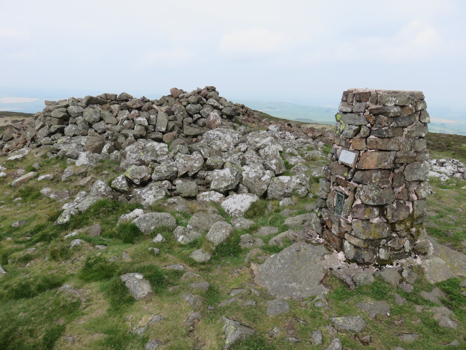
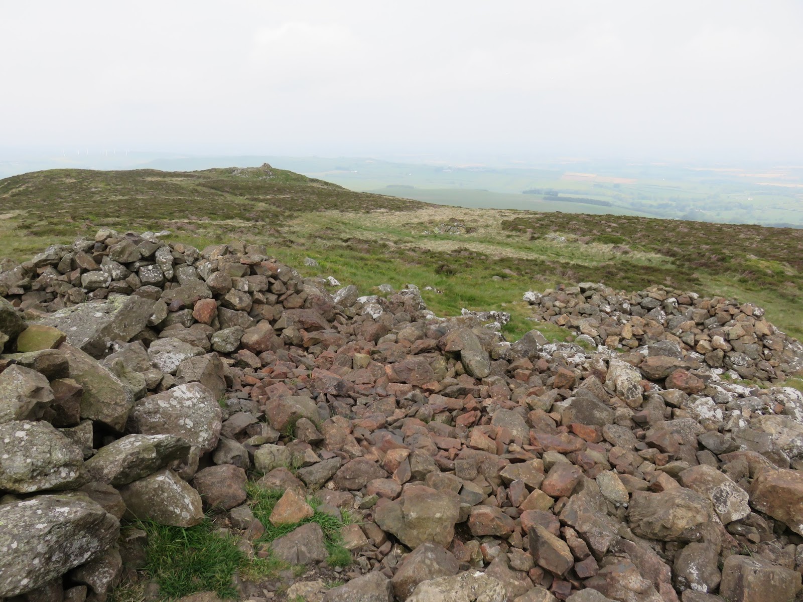
| Trig pillar and shelter cairn |
 |
| Looking north |
 |
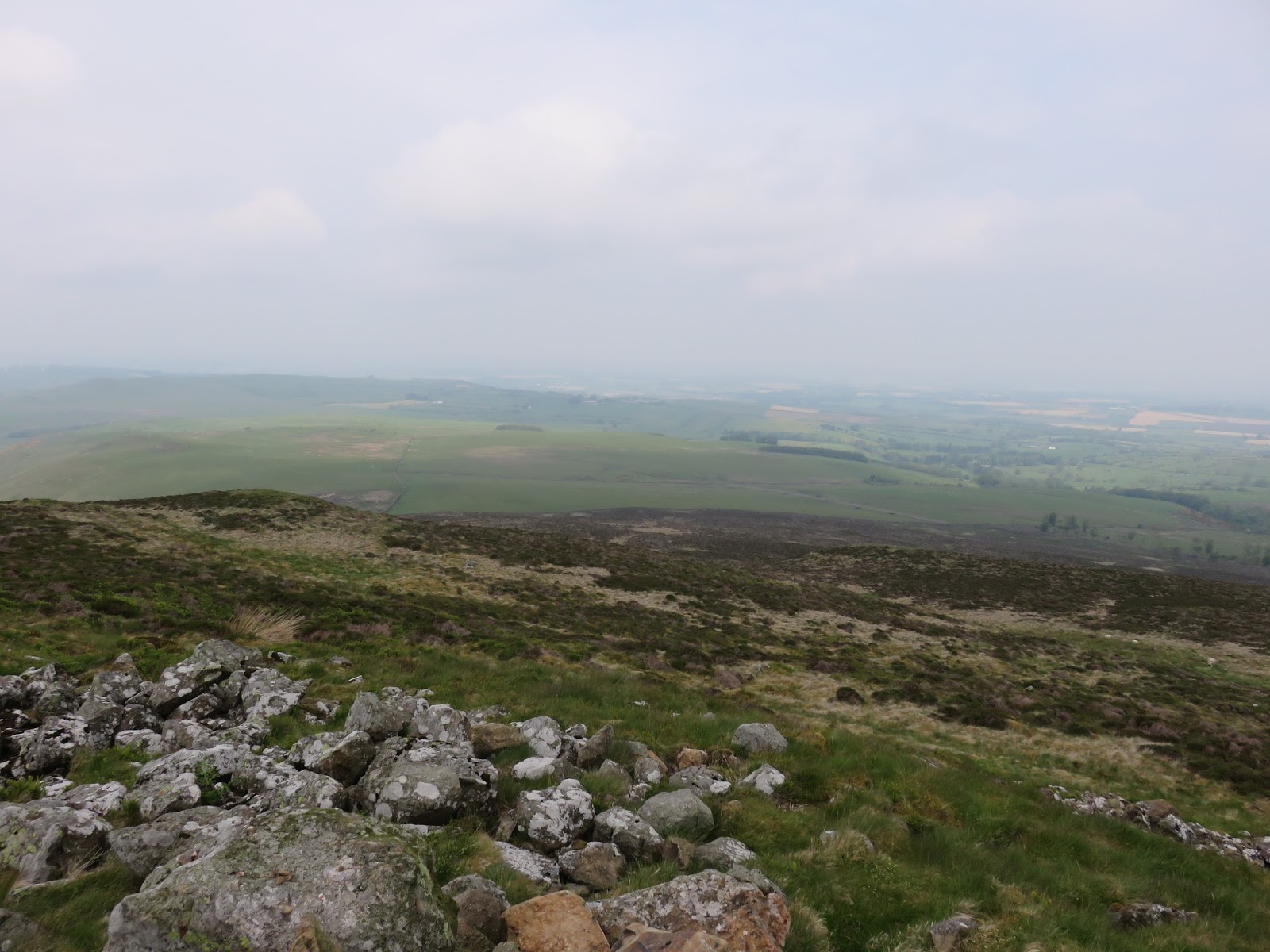
| The ‘view’ north over the Ellen valley |
 |
| Looking back to the summit |
 |
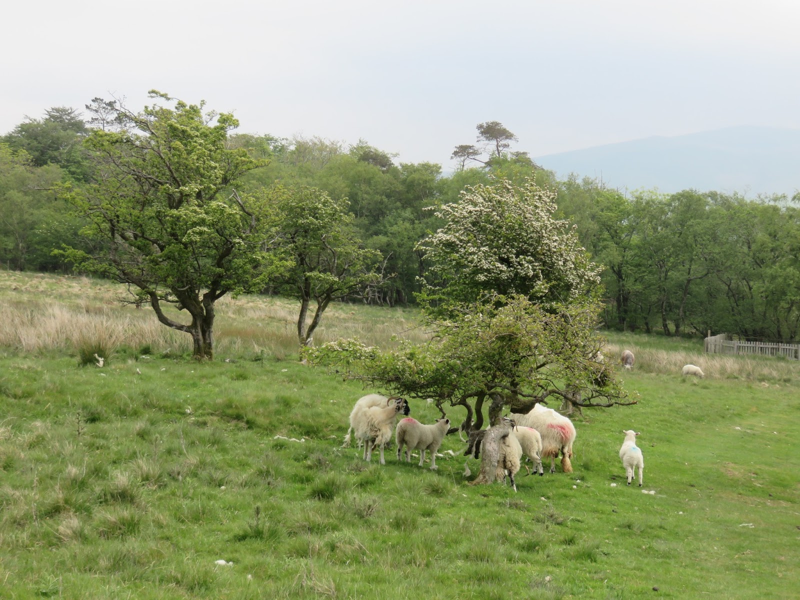
| On the return to the car |
