Open Space Web-Map builder Codehttps://openspace.ordnancesurvey.co.uk/osmapapi/openspace.js?key=3119F72552FD5C22E0530C6CA40A5A92https://openspace.ordnancesurvey.co.uk/osmapapi/script/mapbuilder/basicmap.jshttps://openspace.ordnancesurvey.co.uk/osmapapi/script/mapbuilder/searchbox.js//variables for routes var linesLayer, points, lineFeature, lineString, routeMarkersLayer, routepos, routesize, routeoffset, routeicon; var style_blue = {strokeColor: “#0000CD”, strokeOpacity: 0.5, strokeWidth: 4.5}; function initmapbuilder() { //initiate the map var options = {resolutions: [2500, 1000, 500, 200, 100, 50, 25, 10, 5, 4, 2.5, 2, 1]}; osMap = new OpenSpace.Map(‘map’, options); //configure map options (basicmap.js) setglobaloptions(); //set the center of the map and the zoom level osMap.setCenter(new OpenSpace.MapPoint(327958.33080292,521753.33459854),8); linesLayer = osMap.getVectorLayer(); // Set up layer for route markers routeMarkersLayer = new OpenLayers.Layer.Markers(“Route Markers”); //make a route points = new Array(); points.push(new OpenLayers.Geometry.Point(328291.66412354,522321.66793823)); points.push(new OpenLayers.Geometry.Point(328351.66412354,522191.66793823)); points.push(new OpenLayers.Geometry.Point(328361.66412354,522121.66793823)); points.push(new OpenLayers.Geometry.Point(328286.66412354,521906.66793823)); points.push(new OpenLayers.Geometry.Point(328266.66412354,521761.66793823)); points.push(new OpenLayers.Geometry.Point(328101.66412354,521681.66793823)); points.push(new OpenLayers.Geometry.Point(327961.66412354,521586.66793823)); points.push(new OpenLayers.Geometry.Point(327791.66412354,521366.66793823)); points.push(new OpenLayers.Geometry.Point(327651.66412354,521286.66793823)); // create a polyline feature from the array of points lineString = new OpenLayers.Geometry.LineString(points); lineFeature = new OpenLayers.Feature.Vector(lineString, null, style_blue); linesLayer.addFeatures([lineFeature]); //crate a route start/end marker routepos = new OpenSpace.MapPoint(328291.66412354,522321.66793823); routesize = new OpenLayers.Size(33,45); routeoffset = new OpenLayers.Pixel(-5,-37); routeicon = new OpenSpace.Icon(‘https://openspace.ordnancesurvey.co.uk/osmapapi/img_versions/img_1.1/mapbuilder/routemarker-start.png’, routesize, routeoffset, null, null); routeMarkersLayer.addMarker(new OpenLayers.Marker(routepos, routeicon)); //crate a route start/end marker routepos = new OpenSpace.MapPoint(327651.66412354,521286.66793823); routesize = new OpenLayers.Size(33,45); routeoffset = new OpenLayers.Pixel(-5,-37); routeicon = new OpenSpace.Icon(‘https://openspace.ordnancesurvey.co.uk/osmapapi/img_versions/img_1.1/mapbuilder/routemarker-end.png’, routesize, routeoffset, null, null); routeMarkersLayer.addMarker(new OpenLayers.Marker(routepos, routeicon)); osMap.addLayer(routeMarkersLayer);}
Route: Castlerigg, Rakefoot, Brockle Beck, Walla Crag, Brockle Beck, Castlerigg
Date: 26/05/2015
From: Castlerigg
Parking: Castlerigg Campsite
Start Point: Castlerigg Campsite
Region: Central Fells
Route length: 2.2 miles (3.5 km)
Time taken: 00:56
Average speed: 2.4 mph
Ascent: 191m
Descent: 202m
Wainwrights on this walk:
Walla Crag (379m)
Other Summits: None
Other points of interest: None
From the Castlerigg campsite, Walla Crag is a mere half hours walk, straight from the tent following the road to Rakefoot and along the drystone wall to the summit. It’s a small outcrop with fine views; here are a few photos from an evening sojourn.
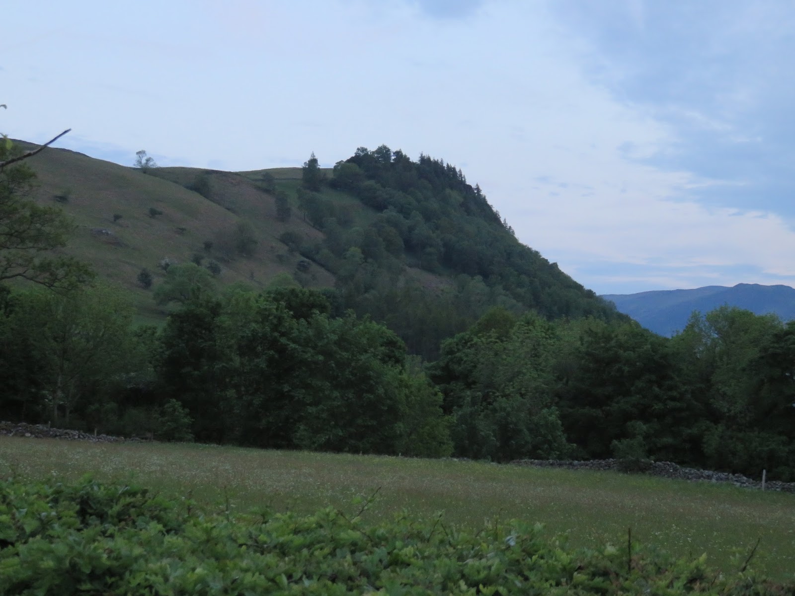 |
| Walla Crag in the early evening |
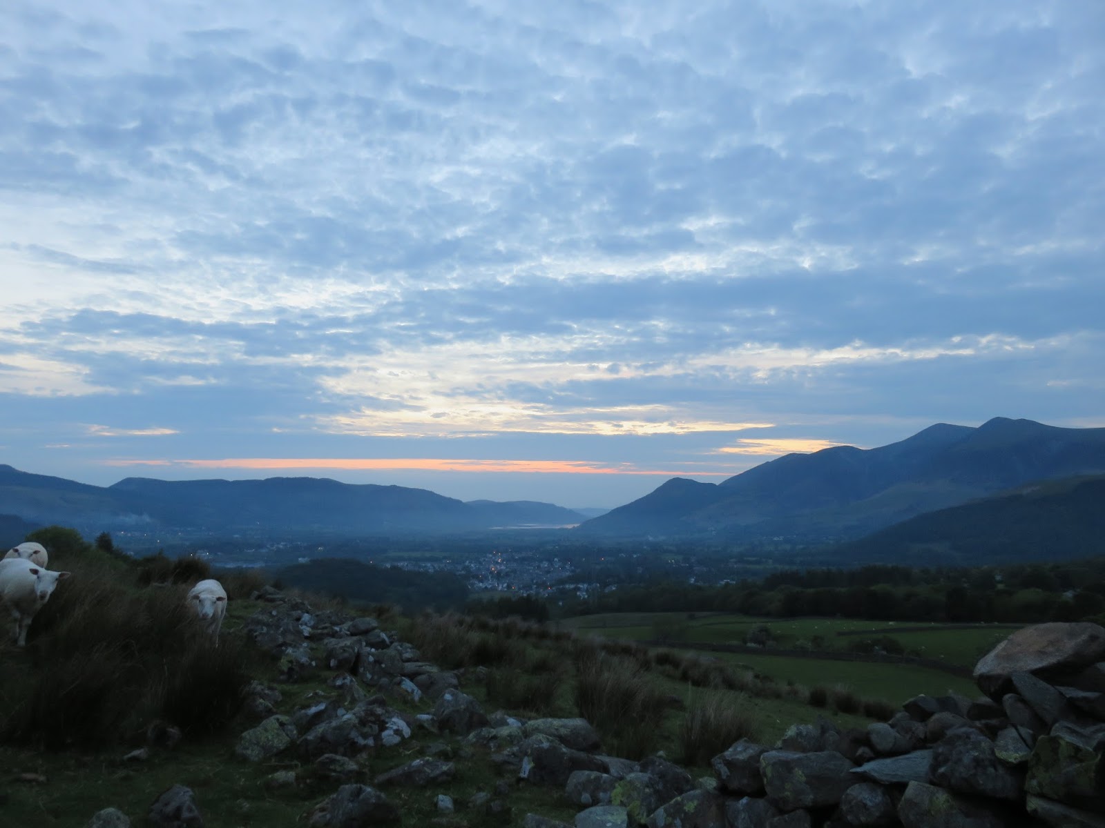 |
| Clouds over the Northern Fells |
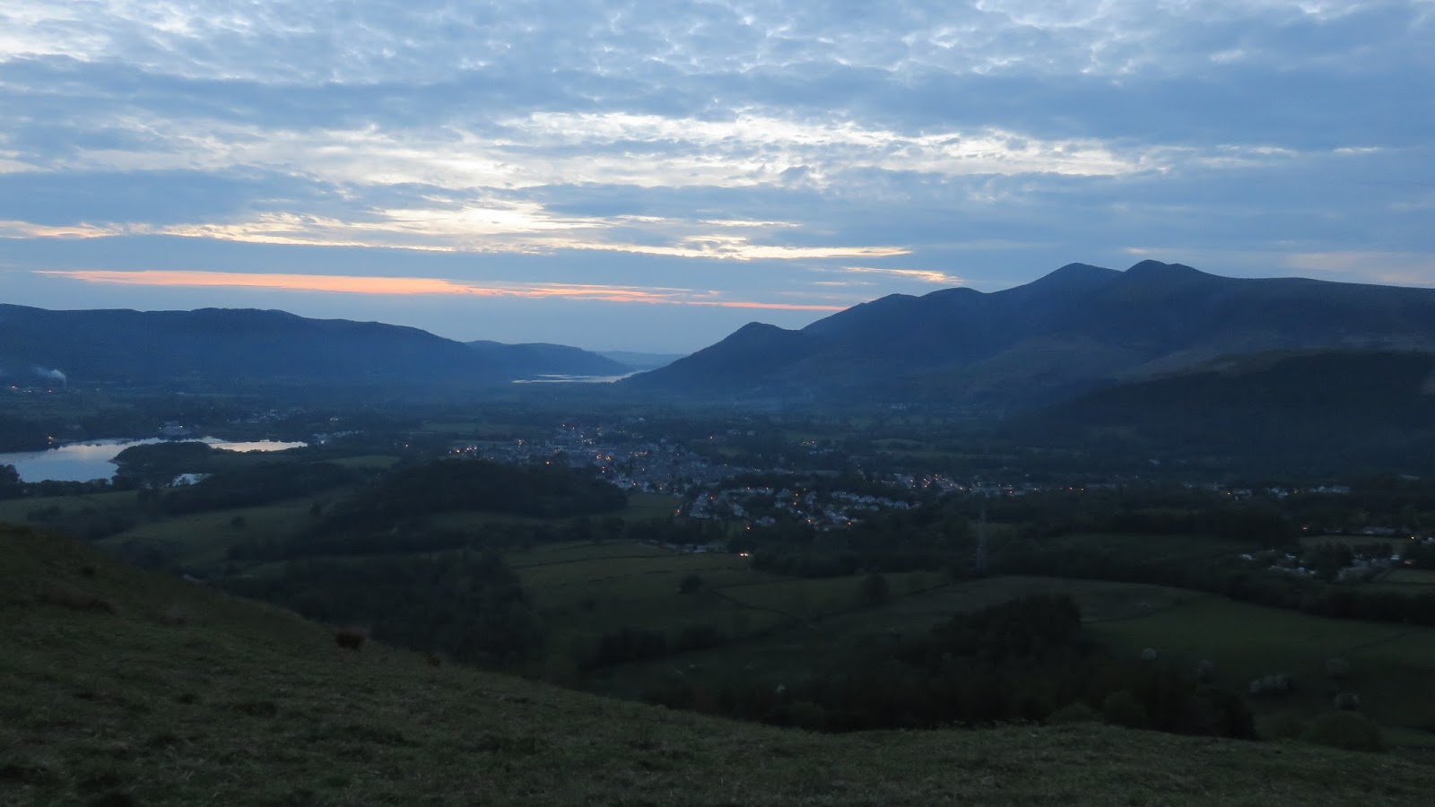 |
| Keswick and Skiddaw |
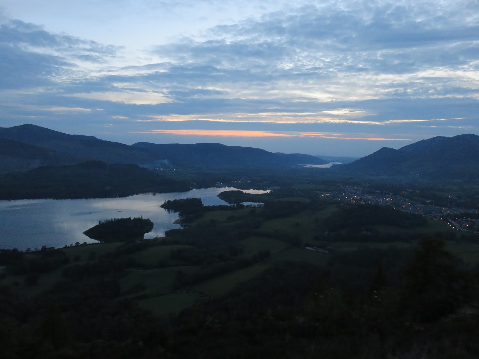 |
| The Vale of Keswick |
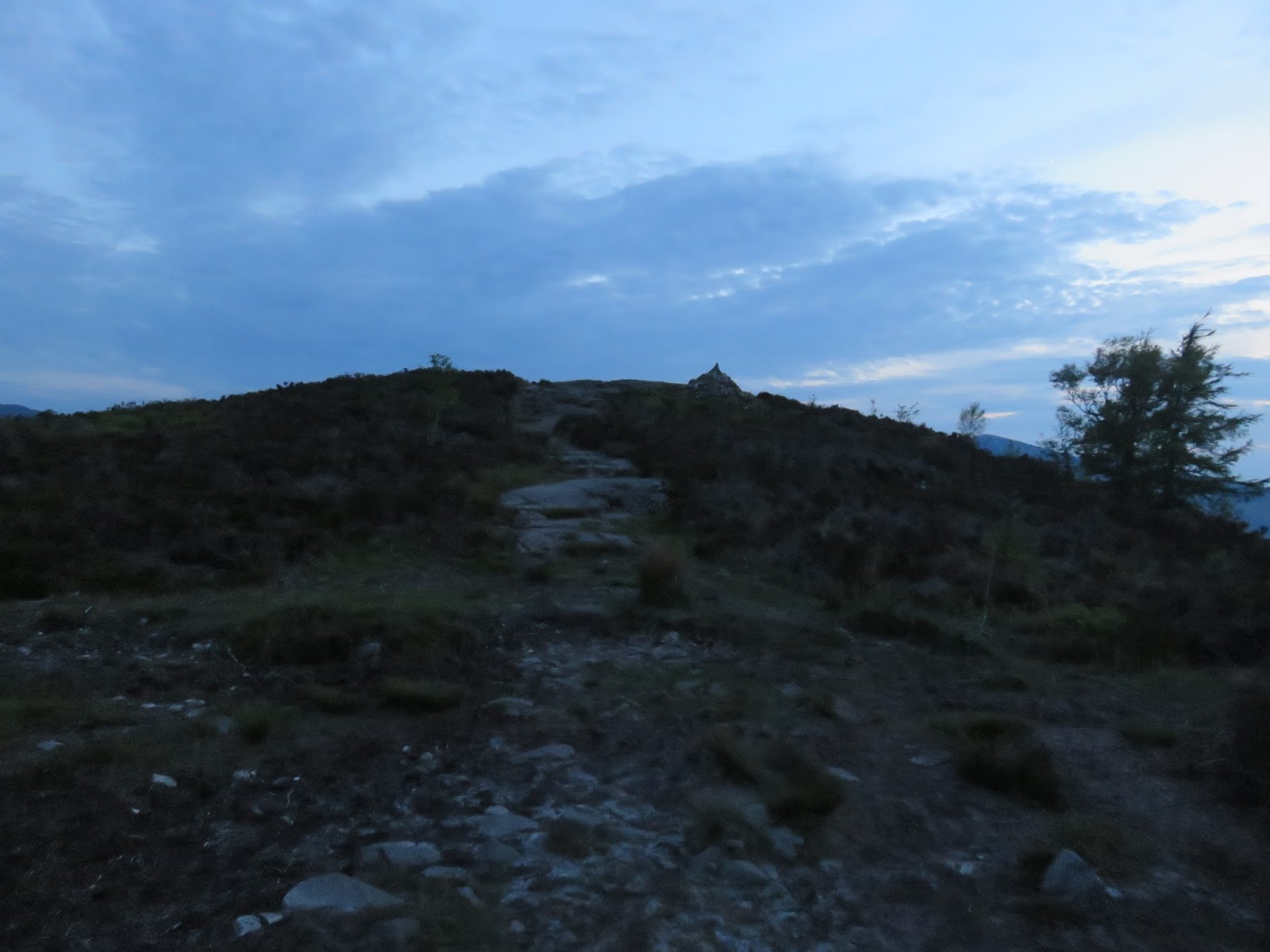 |
| Path leading to the summit |
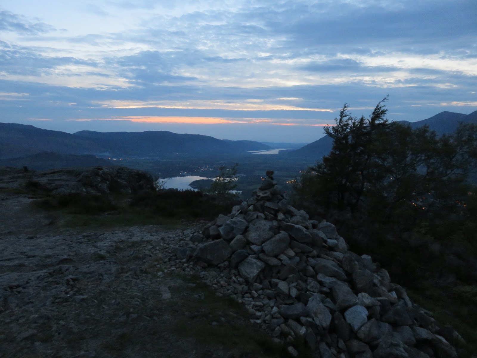 |
| Walla Crag’s summit cairn |
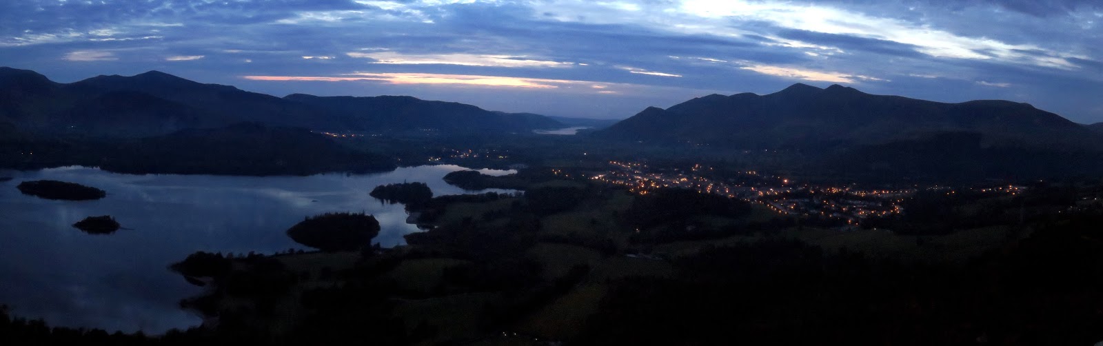 |
| Panorama from Walla Crag |
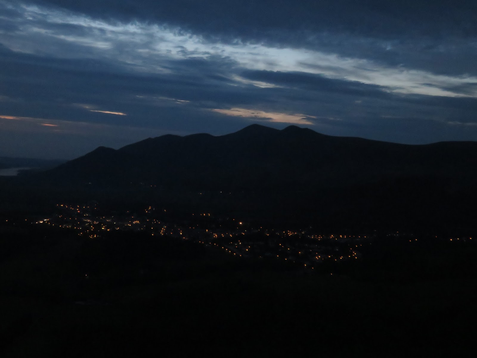 |
| Keswick by night |
