Open Space Web-Map builder Codehttps://openspace.ordnancesurvey.co.uk/osmapapi/openspace.js?key=3119F72552FD5C22E0530C6CA40A5A92https://openspace.ordnancesurvey.co.uk/osmapapi/script/mapbuilder/basicmap.jshttps://openspace.ordnancesurvey.co.uk/osmapapi/script/mapbuilder/searchbox.js//variables for routes var linesLayer, points, lineFeature, lineString, routeMarkersLayer, routepos, routesize, routeoffset, routeicon; var style_blue = {strokeColor: “#0000CD”, strokeOpacity: 0.5, strokeWidth: 4.5}; function initmapbuilder() { //initiate the map var options = {resolutions: [2500, 1000, 500, 200, 100, 50, 25, 10, 5, 4, 2.5, 2, 1]}; osMap = new OpenSpace.Map(‘map’, options); //configure map options (basicmap.js) setglobaloptions(); //set the center of the map and the zoom level osMap.setCenter(new OpenSpace.MapPoint(317744.9974823,509515.00125885),7); linesLayer = osMap.getVectorLayer(); // Set up layer for route markers routeMarkersLayer = new OpenLayers.Layer.Markers(“Route Markers”); //make a route points = new Array(); points.push(new OpenLayers.Geometry.Point(318326.66412354,507426.66793823)); points.push(new OpenLayers.Geometry.Point(318566.66412354,507776.66793823)); points.push(new OpenLayers.Geometry.Point(318651.66412354,507961.66793823)); points.push(new OpenLayers.Geometry.Point(318671.66412354,508326.66793823)); points.push(new OpenLayers.Geometry.Point(318661.66412354,508526.66793823)); points.push(new OpenLayers.Geometry.Point(318741.66412354,508886.66793823)); points.push(new OpenLayers.Geometry.Point(318741.66412354,508996.66793823)); points.push(new OpenLayers.Geometry.Point(318801.66412354,509181.66793823)); points.push(new OpenLayers.Geometry.Point(319021.66412354,509706.66793823)); points.push(new OpenLayers.Geometry.Point(319251.66412354,510256.66793823)); points.push(new OpenLayers.Geometry.Point(319481.66412354,510511.66793823)); points.push(new OpenLayers.Geometry.Point(319341.66412354,510746.66793823)); points.push(new OpenLayers.Geometry.Point(319226.66412354,511171.66793823)); points.push(new OpenLayers.Geometry.Point(319161.66412354,511436.66793823)); points.push(new OpenLayers.Geometry.Point(319031.66412354,511611.66793823)); points.push(new OpenLayers.Geometry.Point(318781.66412354,511741.66793823)); points.push(new OpenLayers.Geometry.Point(318606.66412354,511801.66793823)); points.push(new OpenLayers.Geometry.Point(318451.66412354,511701.66793823)); points.push(new OpenLayers.Geometry.Point(318291.66412354,511641.66793823)); points.push(new OpenLayers.Geometry.Point(318076.66412354,511686.66793823)); points.push(new OpenLayers.Geometry.Point(317946.66412354,511831.66793823)); points.push(new OpenLayers.Geometry.Point(317846.66412354,511946.66793823)); points.push(new OpenLayers.Geometry.Point(317631.66412354,511981.66793823)); points.push(new OpenLayers.Geometry.Point(317381.66412354,511991.66793823)); points.push(new OpenLayers.Geometry.Point(317096.66412354,512071.66793823)); points.push(new OpenLayers.Geometry.Point(316836.66412354,511771.66793823)); points.push(new OpenLayers.Geometry.Point(316521.66412354,511601.66793823)); points.push(new OpenLayers.Geometry.Point(316276.66412354,511546.66793823)); points.push(new OpenLayers.Geometry.Point(316101.66412354,511441.66793823)); points.push(new OpenLayers.Geometry.Point(315976.66412354,511366.66793823)); points.push(new OpenLayers.Geometry.Point(316041.66412354,511221.66793823)); points.push(new OpenLayers.Geometry.Point(316286.66412354,510986.66793823)); points.push(new OpenLayers.Geometry.Point(316296.66412354,510871.66793823)); points.push(new OpenLayers.Geometry.Point(316376.66412354,510786.66793823)); points.push(new OpenLayers.Geometry.Point(316501.66412354,510681.66793823)); points.push(new OpenLayers.Geometry.Point(316521.66412354,510546.66793823)); points.push(new OpenLayers.Geometry.Point(316521.66412354,510216.66793823)); points.push(new OpenLayers.Geometry.Point(316586.66412354,510056.66793823)); points.push(new OpenLayers.Geometry.Point(316981.66412354,509736.66793823)); points.push(new OpenLayers.Geometry.Point(317336.66412354,509651.66793823)); points.push(new OpenLayers.Geometry.Point(317501.66412354,509516.66793823)); points.push(new OpenLayers.Geometry.Point(317601.66412354,509411.66793823)); points.push(new OpenLayers.Geometry.Point(317621.66412354,509261.66793823)); points.push(new OpenLayers.Geometry.Point(317496.66412354,508796.66793823)); points.push(new OpenLayers.Geometry.Point(317346.66412354,508466.66793823)); points.push(new OpenLayers.Geometry.Point(317116.66412354,507876.66793823)); points.push(new OpenLayers.Geometry.Point(316861.66412354,507561.66793823)); points.push(new OpenLayers.Geometry.Point(316826.66412354,507376.66793823)); points.push(new OpenLayers.Geometry.Point(316621.66412354,507021.66793823)); points.push(new OpenLayers.Geometry.Point(316996.66412354,507031.66793823)); points.push(new OpenLayers.Geometry.Point(317226.66412354,507141.66793823)); points.push(new OpenLayers.Geometry.Point(317636.66412354,507356.66793823)); points.push(new OpenLayers.Geometry.Point(317871.66412354,507471.66793823)); points.push(new OpenLayers.Geometry.Point(318061.66412354,507621.66793823)); points.push(new OpenLayers.Geometry.Point(318131.66412354,507616.66793823)); points.push(new OpenLayers.Geometry.Point(318166.66412354,507491.66793823)); points.push(new OpenLayers.Geometry.Point(318326.66412354,507426.66793823)); // create a polyline feature from the array of points lineString = new OpenLayers.Geometry.LineString(points); lineFeature = new OpenLayers.Feature.Vector(lineString, null, style_blue); linesLayer.addFeatures([lineFeature]); //crate a route start/end marker routepos = new OpenSpace.MapPoint(318326.66412354,507426.66793823); routesize = new OpenLayers.Size(33,45); routeoffset = new OpenLayers.Pixel(-5,-37); routeicon = new OpenSpace.Icon(‘https://openspace.ordnancesurvey.co.uk/osmapapi/img_versions/img_1.1/mapbuilder/routemarker-startend.png’, routesize, routeoffset, null, null); routeMarkersLayer.addMarker(new OpenLayers.Marker(routepos, routeicon)); osMap.addLayer(routeMarkersLayer);}
Route: Down in the Dale, Wasdale Head, Highnose Head, Kirk Fell, Kirkfell Crags, Black Sail Pass, Cloven Stone, Pillar, Wind Gap, Scoat Fell, Red Pike, Foster Beds, Dore Head, Stirrup Crag, Yewbarrow North Top, Yewbarrow, Great Door, Dropping Crag, Overbeck, Down in the Dale
Date: 24/05/2015
From: Wasdale Head
Parking: Wasdale Head
Start Point: Down in the Dale
Region: Western Fells
Route length: 11.3 miles (7.8 km)
Time taken: 05:44
Average speed: 2 mph
Ascent: 1,566m
Descent: 1,562m
Wainwrights on this walk:
Kirk Fell (802m), Pillar (892m), Scoat Fell (841m), Red Pike (826m), Yewbarrow (627m)
Other Summits: Looking Stead (627m), Black Crag (828m), Yewbarrow North Top (616m)
Other points of interest: Black Sail, Dore Head, Great Door, Bell Rib
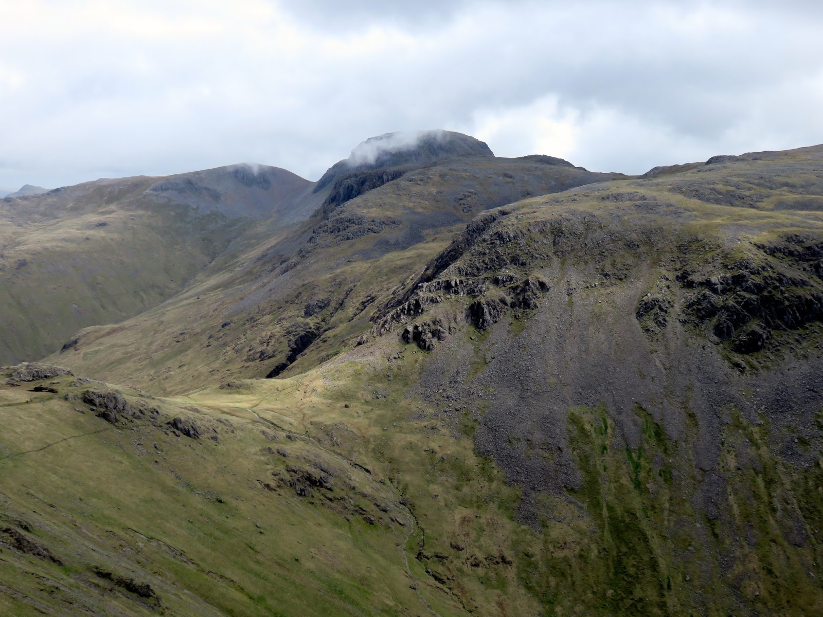
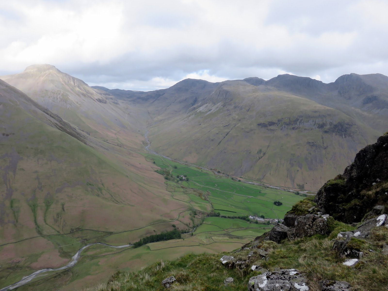
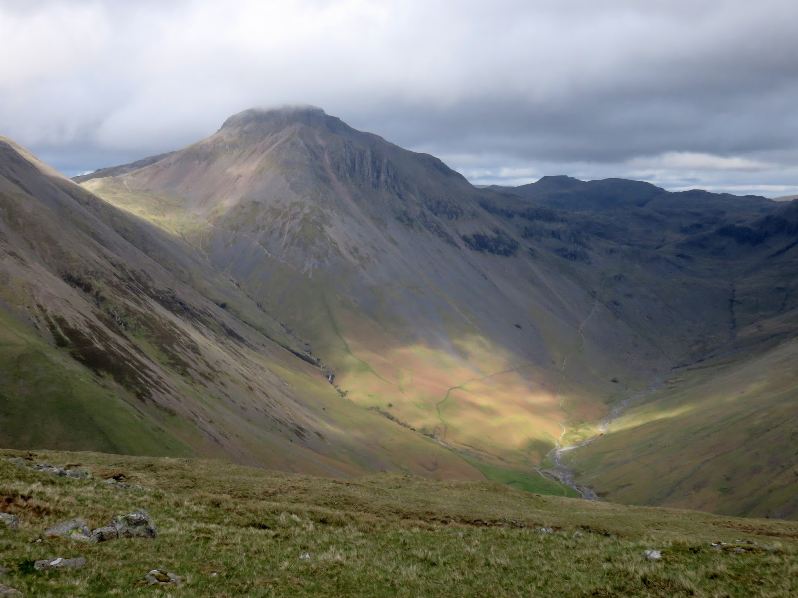
The Mosedale Horseshoe is a classic Lake District valley round which takes in the lofty peaks of Pillar, Scoat Fell and the dramatic Red Pike (Steeple can also be included and I recommend you do). It’s generally quieter than more accessible areas such as Fairfield or Kentmere and you get the added bonus of the famous view of Great Gable over Wast Water as you make your way into Wasdale. It’s a route I’ve done before but never committed to writing as the weather wasn’t great and I didn’t take many photos. This time would be different.
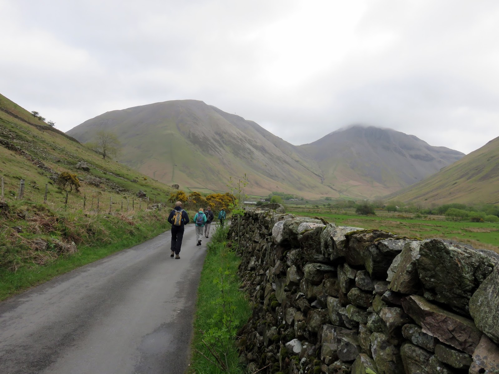
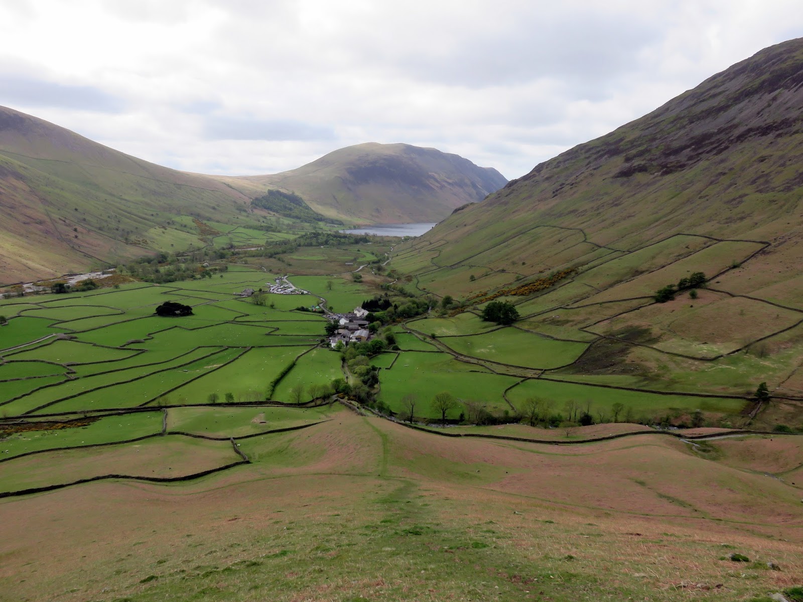
While not the best forecast for the day, it was due to remain largely dry which always equates to ‘good weather’ in the Lake District. We were camping at the Wasdale National Trust campsite which meant a walk of a mile or so to reach the Wasdale Head Inn, the famous hotel hidden in the depths of Wasdale. From here, the mistake people often make is to cross the bridge, which somehow seems the right thing to do. The correct route towards Black Sail actually stays on the right bank of the river heading for the slopes of Kirk Fell.
 |
| Heading towards Wasdale Head |
 |
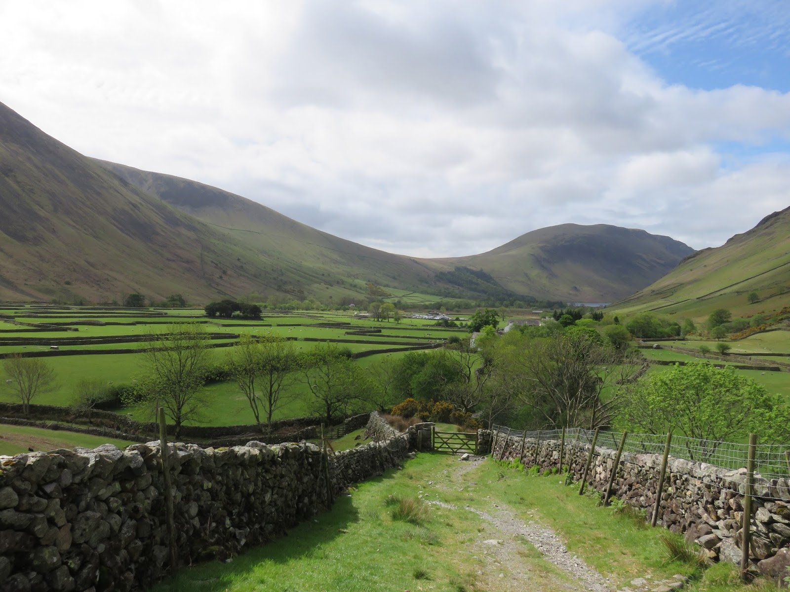
| Looking back over Wasdale Head |
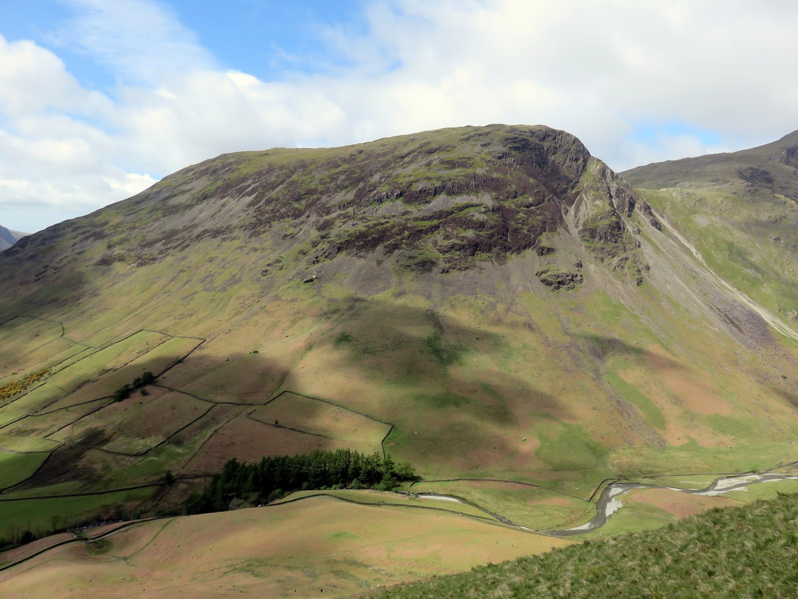
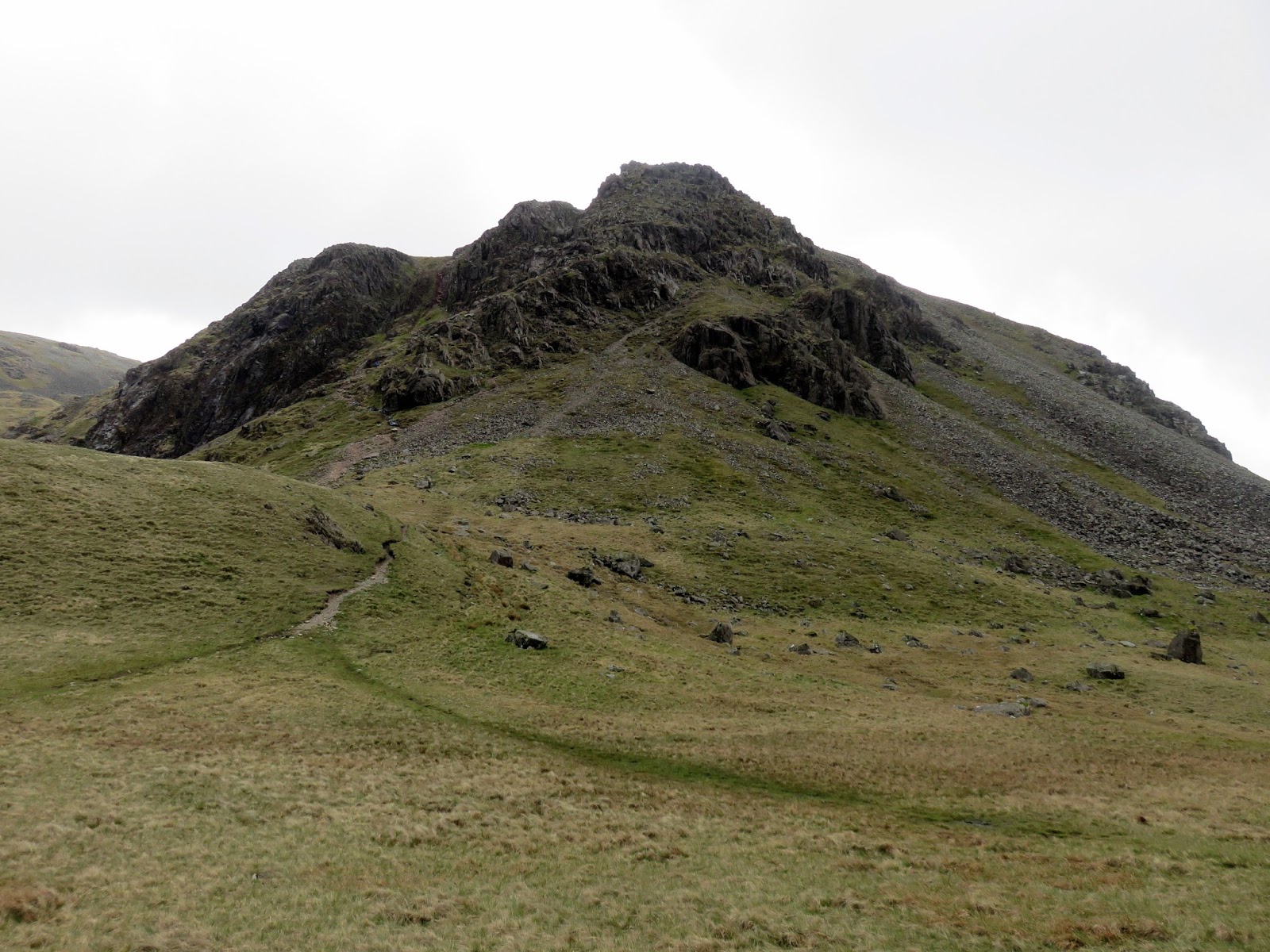
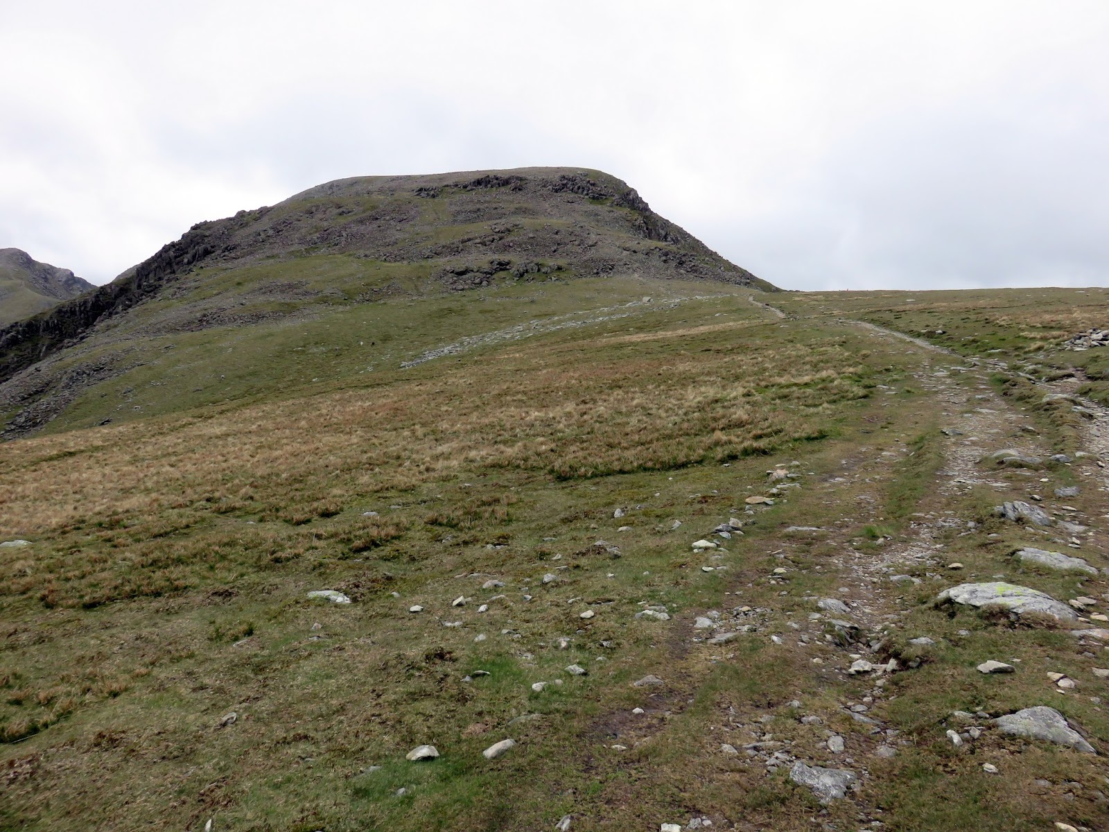
Regular readers may notice that Kirk Fell has long been on my list of fells to climb which was something I would be putting right today. Regulars to the Lake District will know of the direct path from the valley floor to summit, straight up the steep southern face of the fell. A route so bad that popular outside website OutdoorsMagic listed in its top five soul-destroying climbs. This would be my route to the summit. I did what I imagine most people do at this point; stand at the bottom, weigh up your enemy and think ‘that doesn’t look so bad’. It is notorious for being difficult and tedious which, in my opinion, makes it a little more compelling. Leaving the sensible members of the group to head to the Black Sail pass, I began the climb up Kirk Fell.
In short, it’s a hateful route, summed up perfectly by Wainwright:
“…..a relentless and unremitting treadmill, a turf-clutching crawl, not a walk”.
You have been warned.
 |
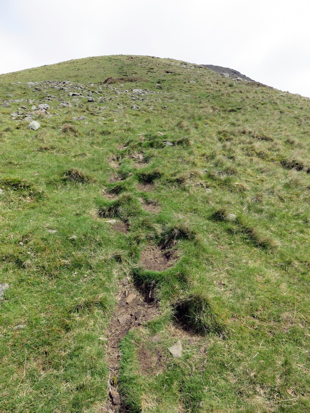
| More of the same, straight to the top |
 |
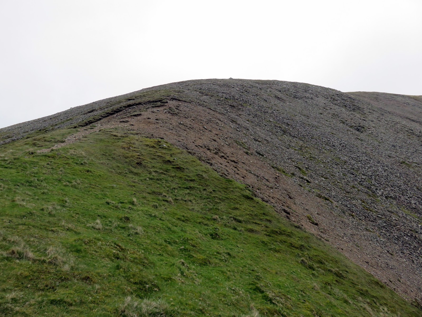
| The slope finally abates |
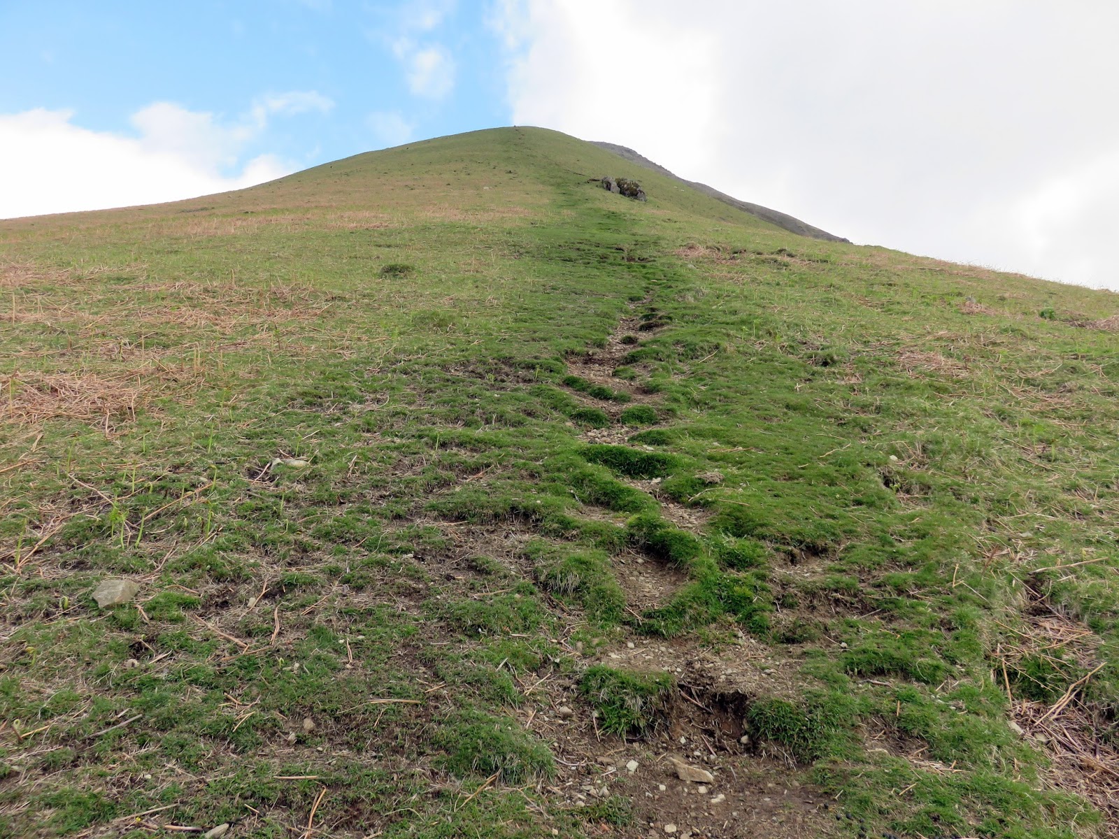
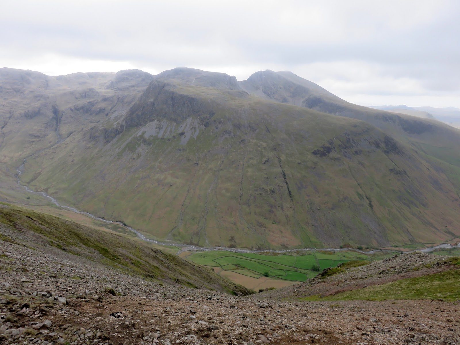
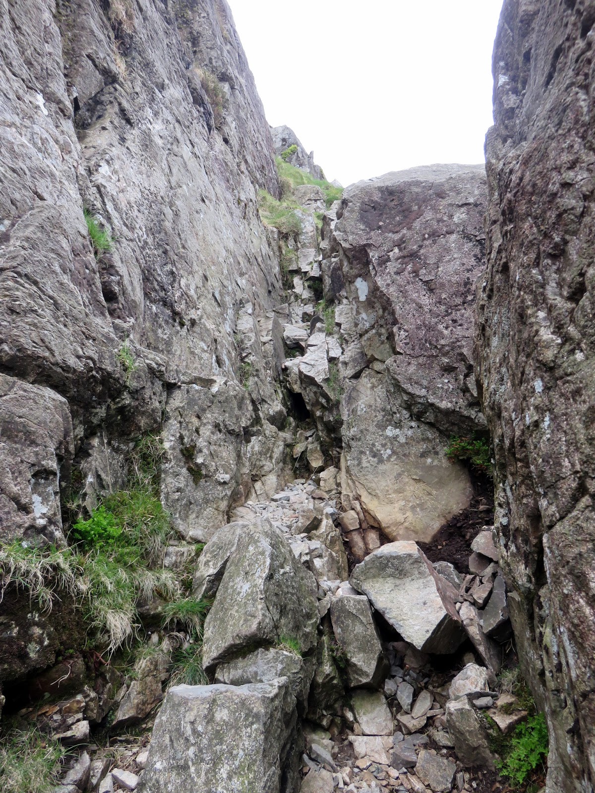
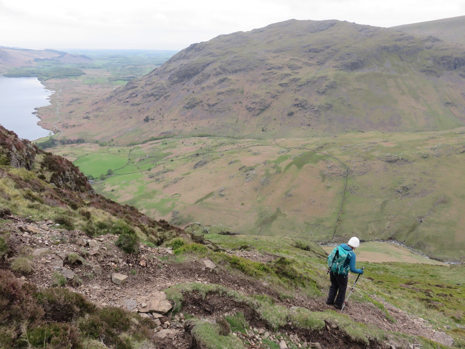
It took me an hour to slog up the hillside, a 700m climb in around 1km distance, the trickiest bit being around two-thirds of the way up where the path clambers up and around a lot of loose scree. Such is its steepness that when I emerged onto a marginally less steep bit near to the top, it was bliss and progress suddenly seemed much easier. The hour spent climbing had allowed the sun to scuttle away behind some clouds and a light shower greeted me at the summit. No reason to hang around then, I also had the others to meet at Black Sail Pass.
 |
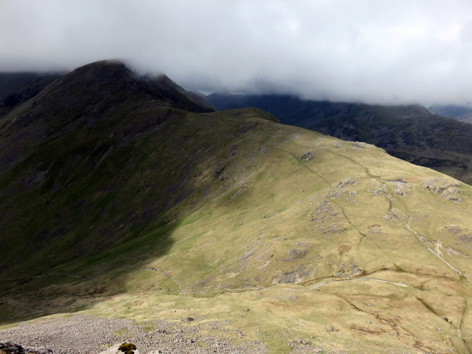
| Looking down the route up from Wasdale Head |
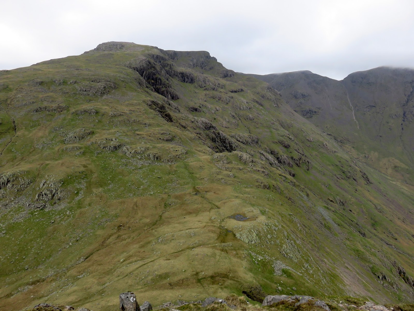
Following a fence west, the path slopes easily downwards until it falls over Kirkfell Crags, an awkward and steep descent down to Black Sail with a few spots that ought really to be avoided, as I had been warned by a walker coming the other way. Best tip is to stick to the obvious paths unless you’re intent on straying off for some exploration. I spotted the others reaching Black Sail just as I began down the crags and was shortly reunited with them at the bottom. Not bad for timing.
 |
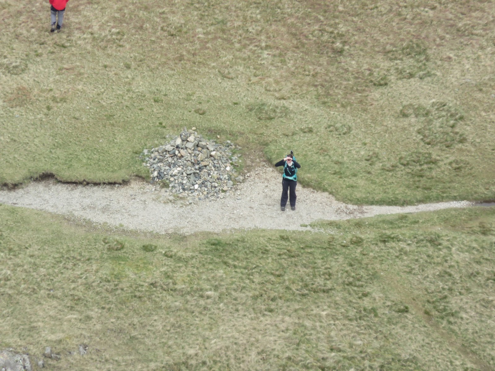
| Black Sail Pass and Looking Stead – Sara is the small dot on the path |
 |
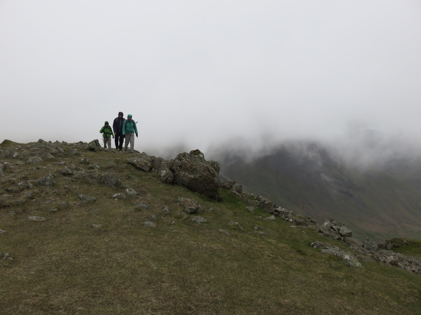
| Keeping an eye out |
 |
| Haystacks |
 |
| A fair reflection of the weather for the day |
 |
| Kirkfell Crags |
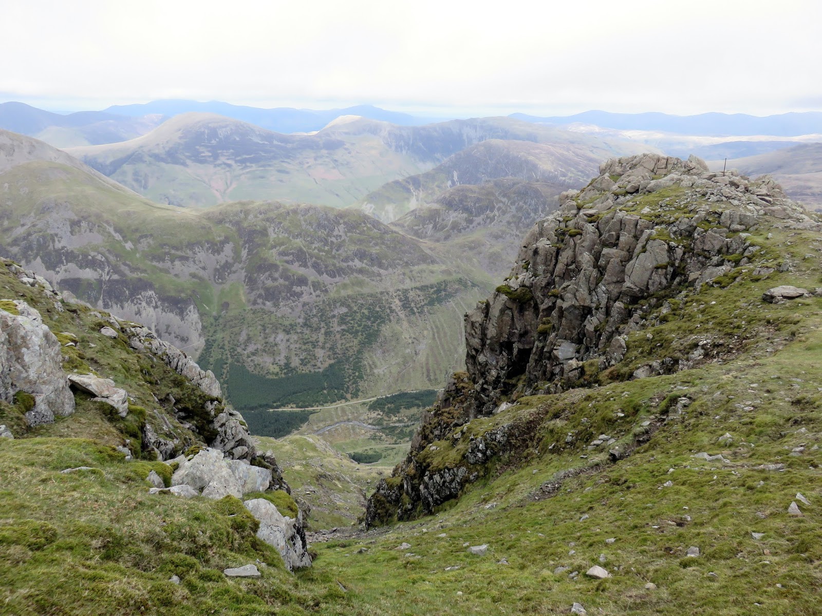
We’d had a late start so we decided to break for lunch just after passing Looking Stead, preparing for the long climb up onto Pillar. There is the option to take the High Level Route and visit Pillar Rock – something I had done a few weeks earlier but we passed up the option this time, instead, following the long ridge that makes its way up onto the mighty Pillar.
 |
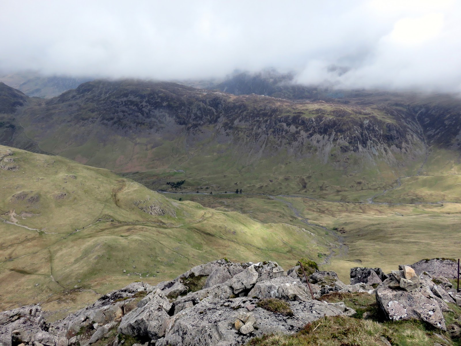
| Looking down to Ennerdale from the top of Hind Cove |
 |
| Looking down to Hind Cove |
 |
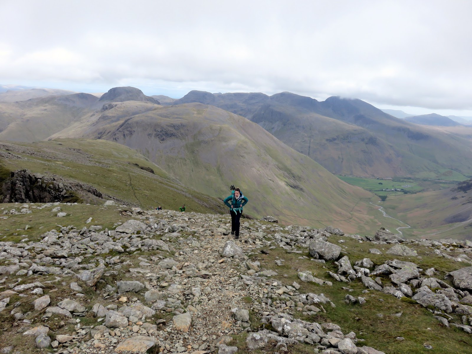
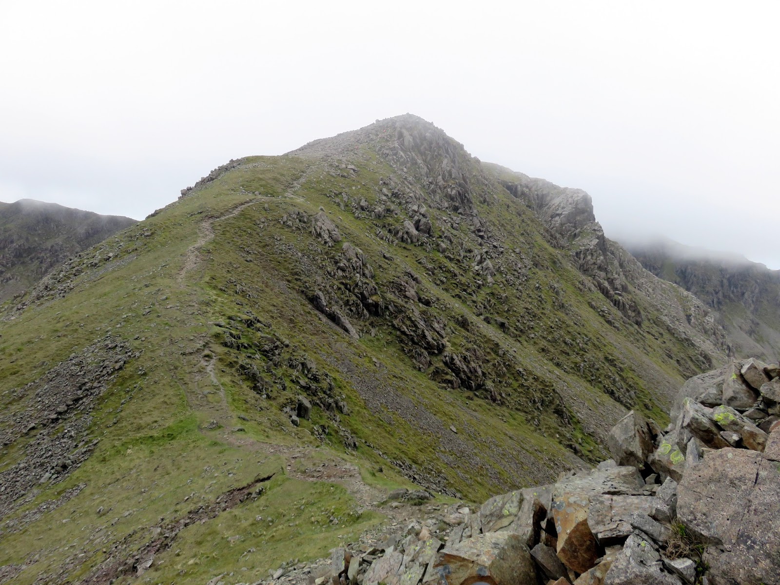
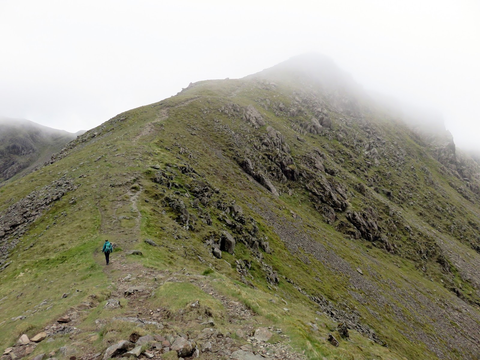
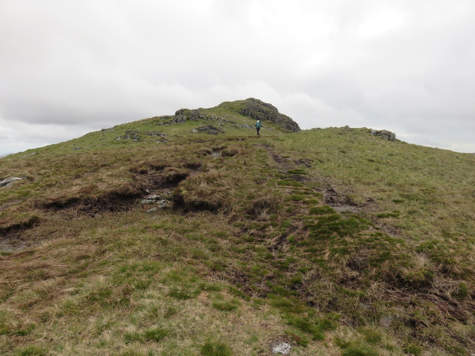
| Sara makes the final climb to the top |
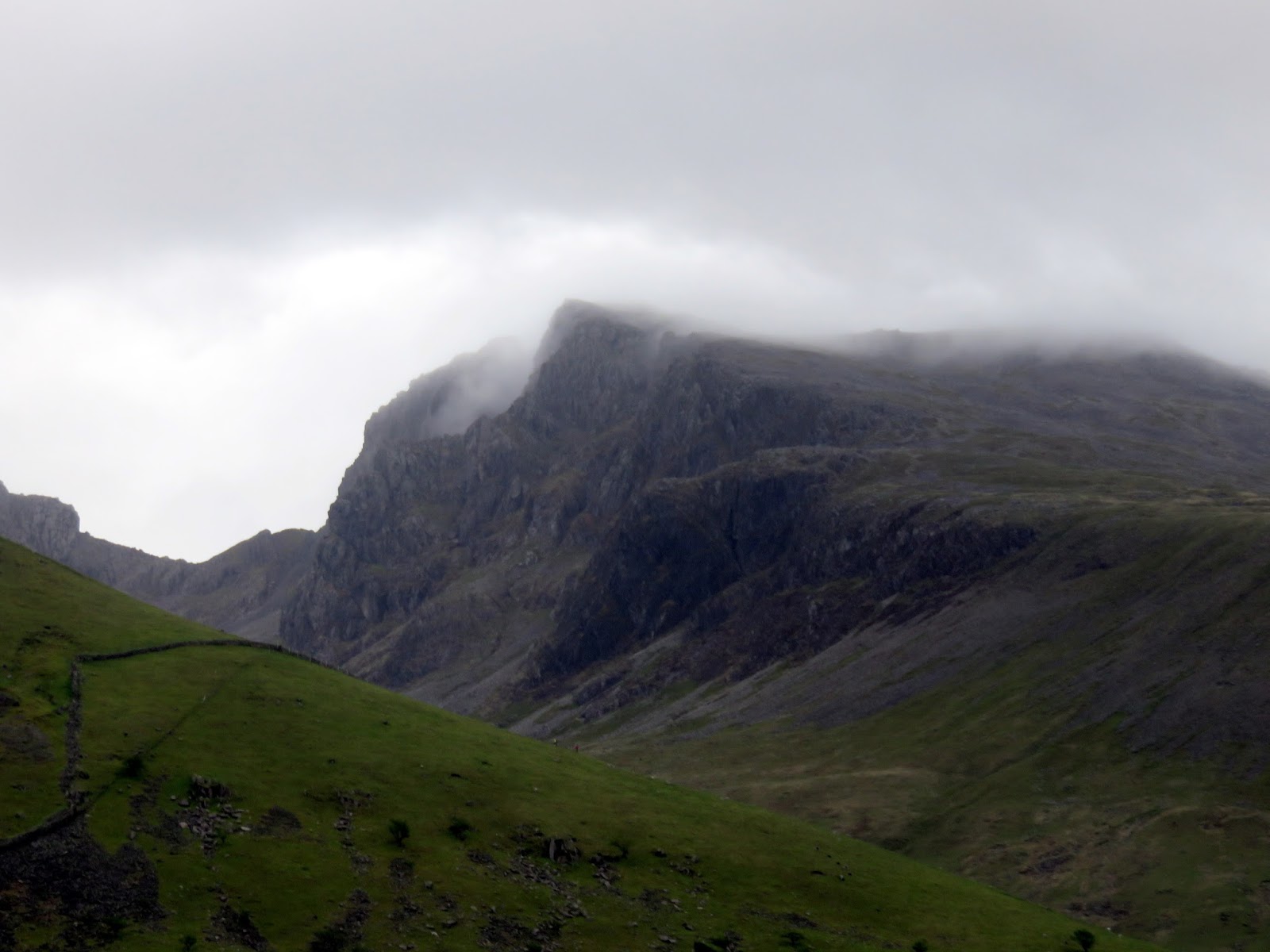
After a few false summits and a few ‘are we there yet’ moments, we reached the wide, blustery summit of Pillar, taking a moment to have a look down on Pillar Rock before having a poke around on the flat, almost lawn-like mountain top. It’s a lovely summit, one ideally suited to a calm summer day (as most invariably are).
 |
| The top of Pillar Rock |
 |
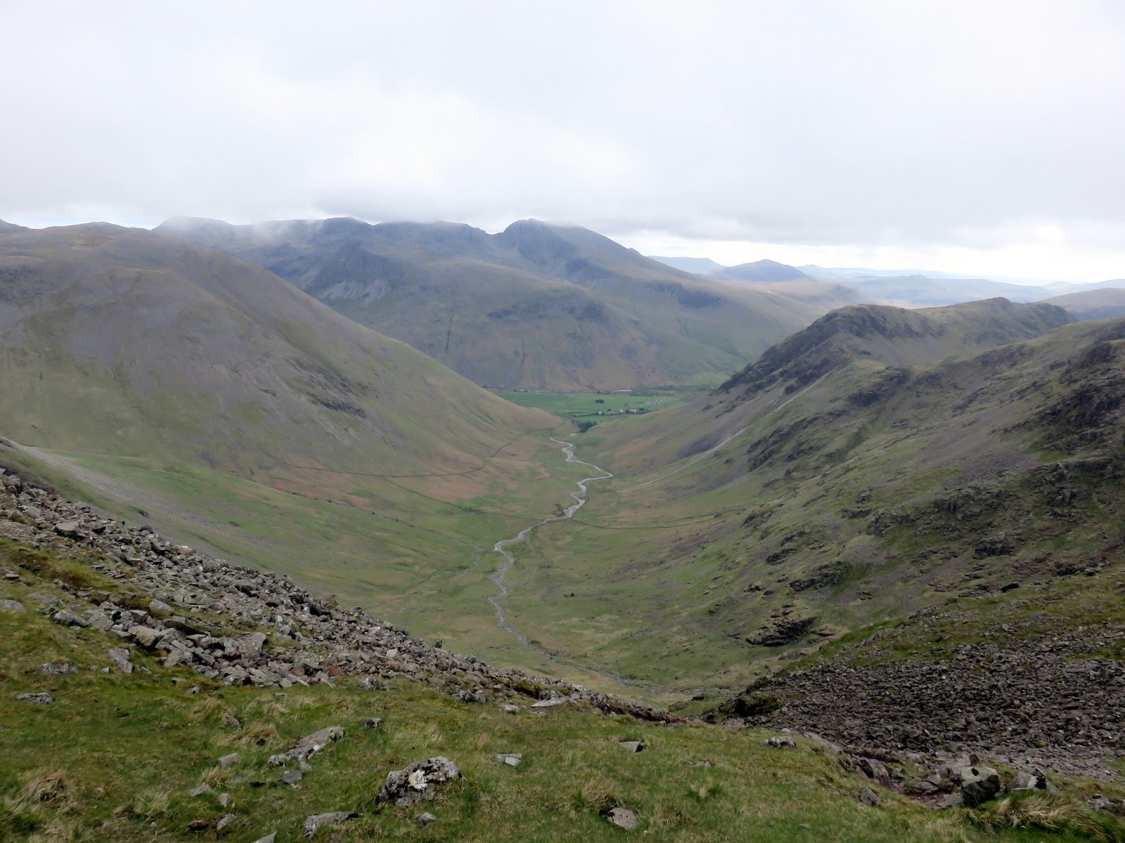
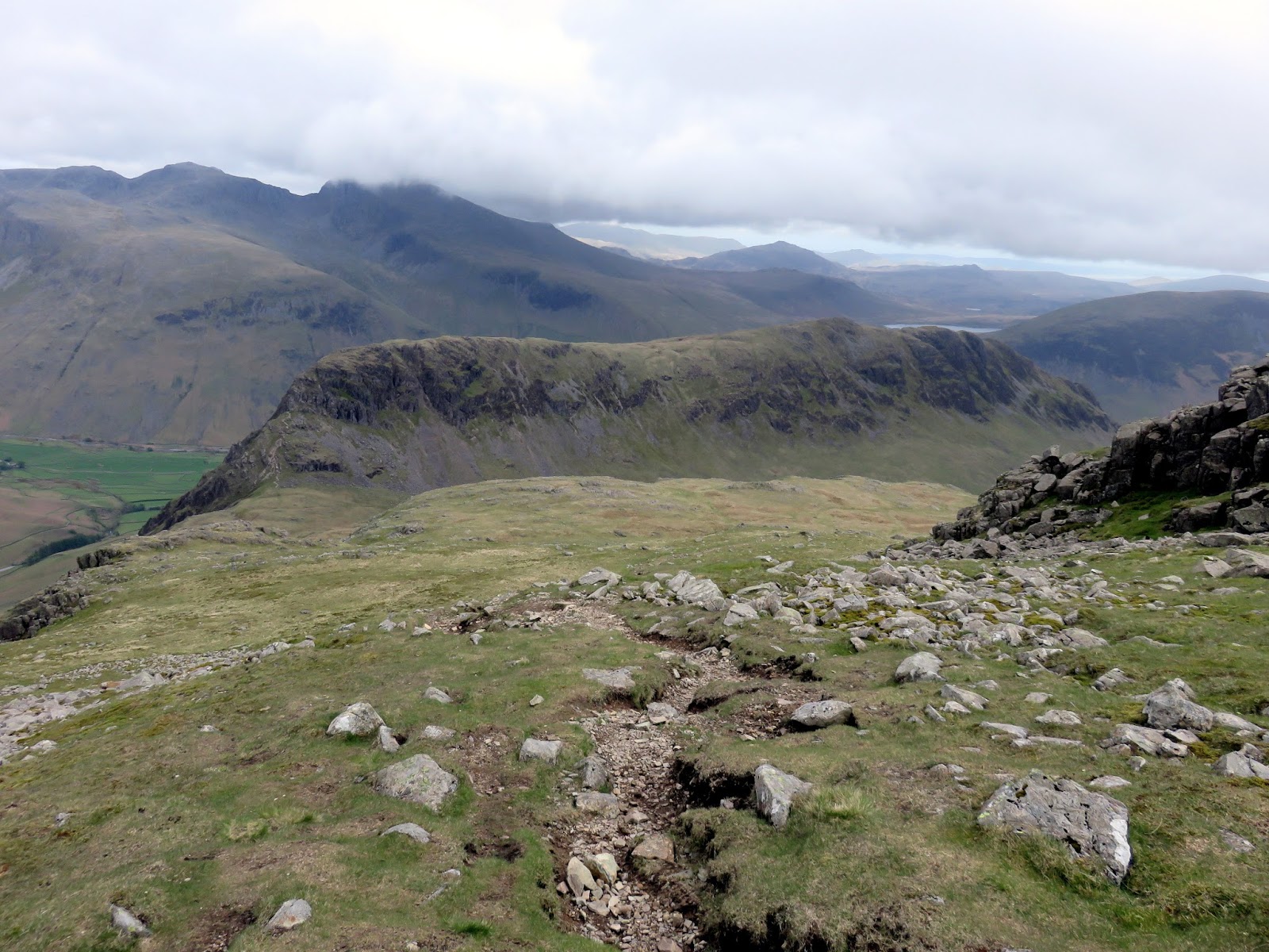
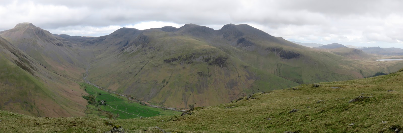
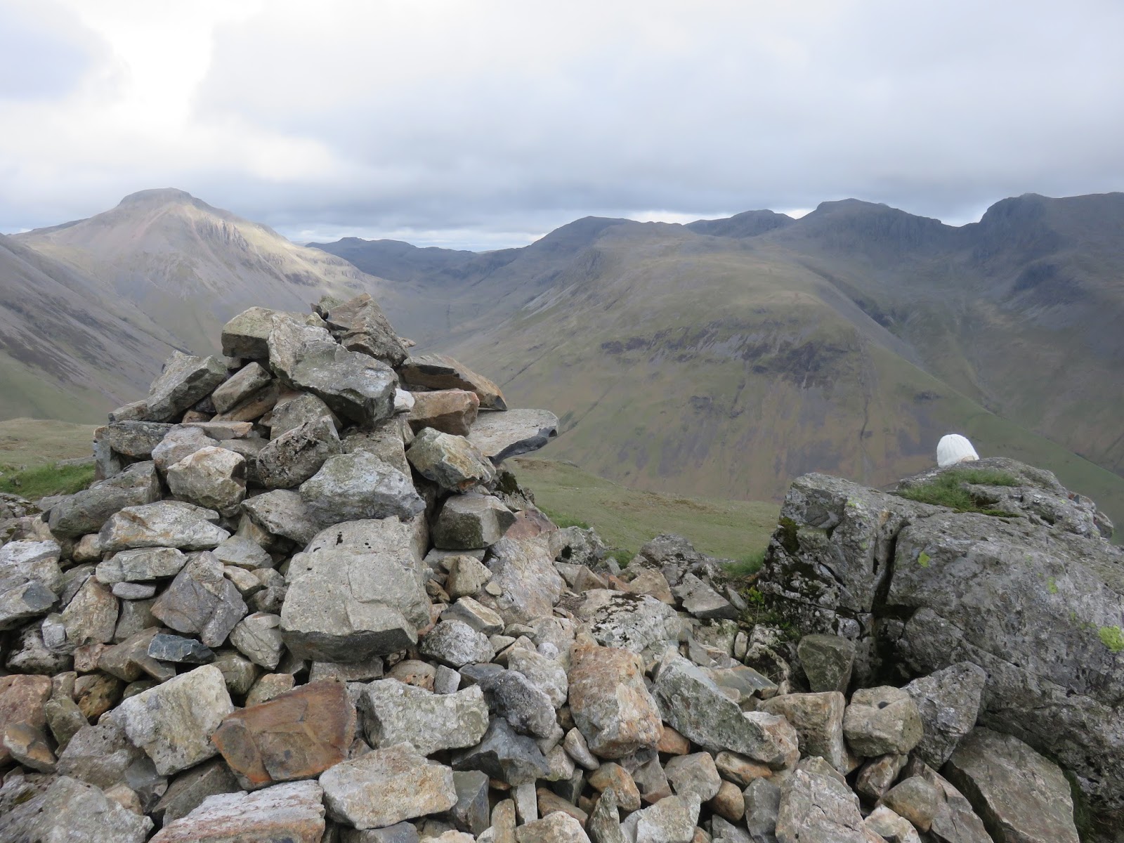
| Pillar’s summit looking towards the Scafells |
 |
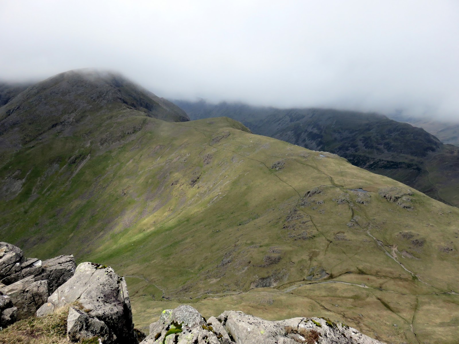
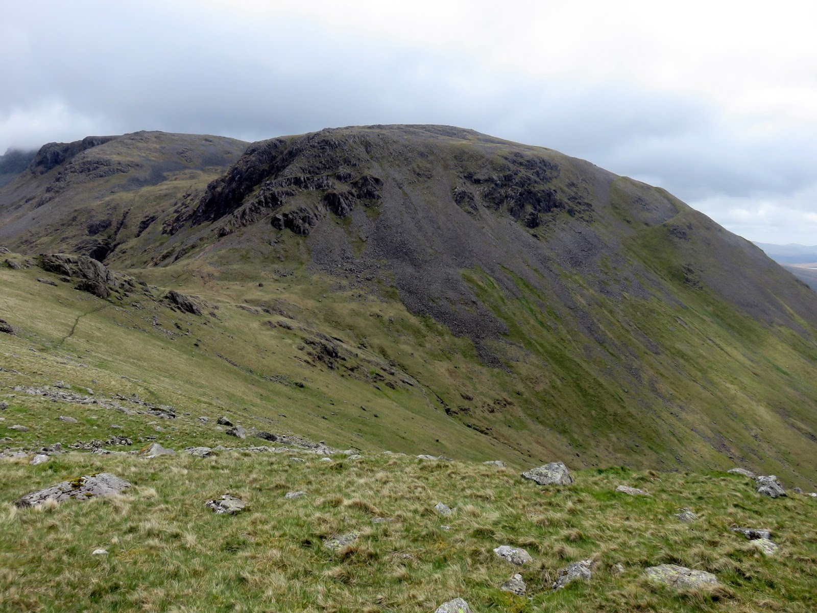
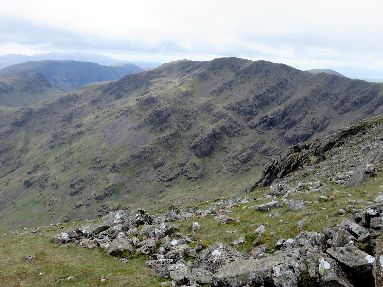
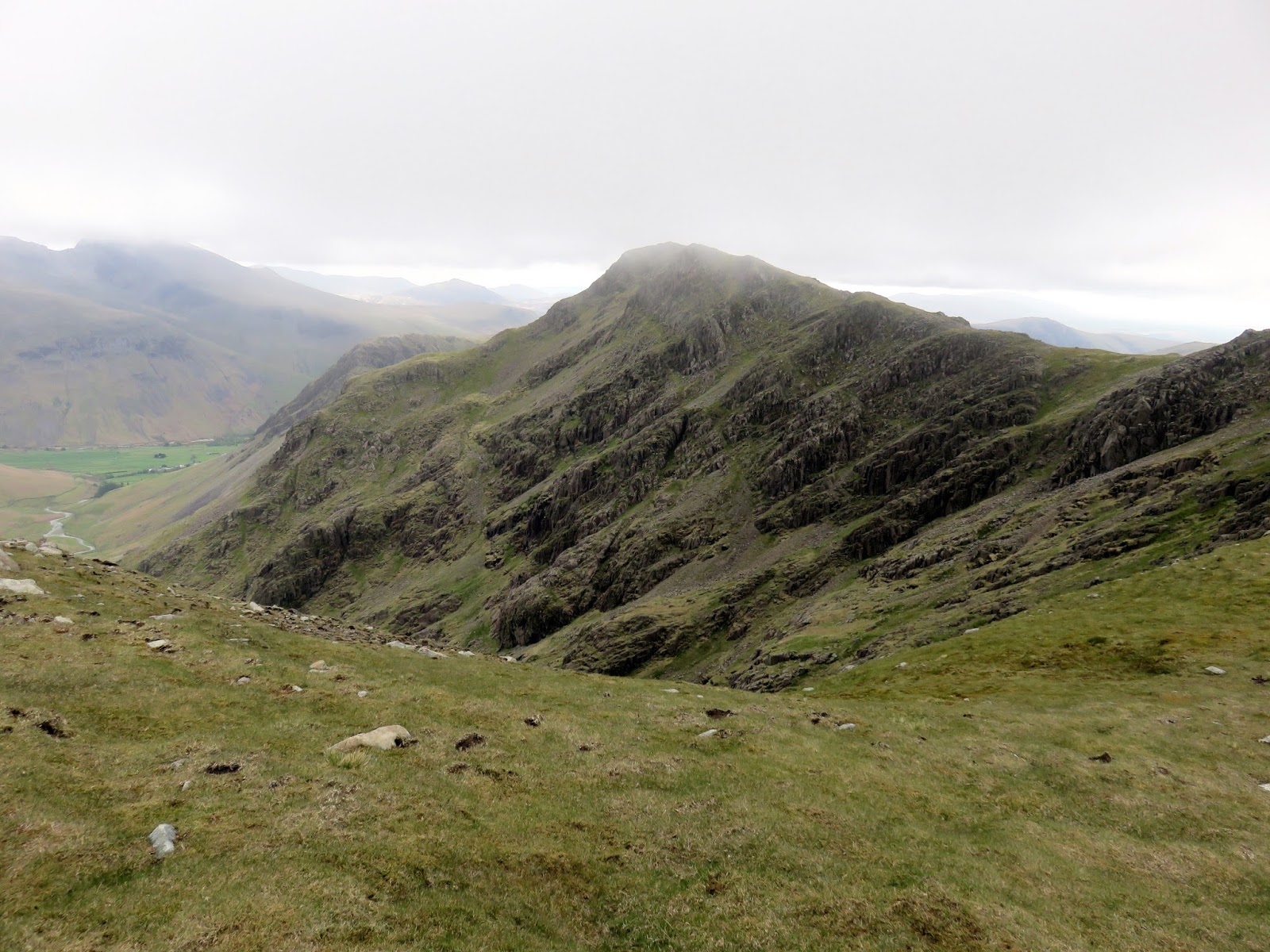
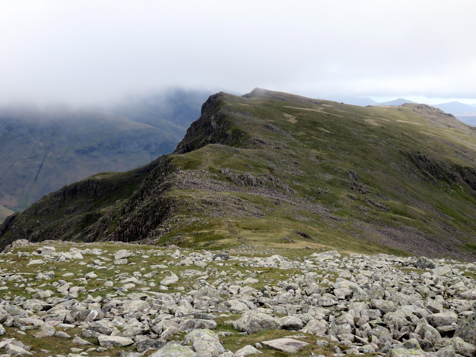
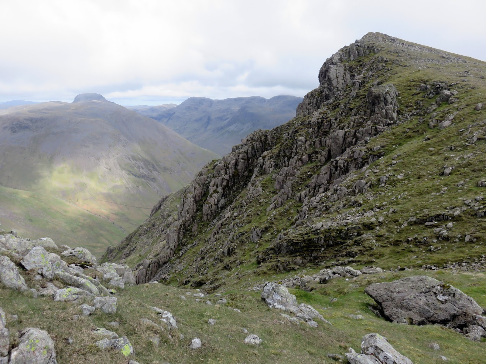
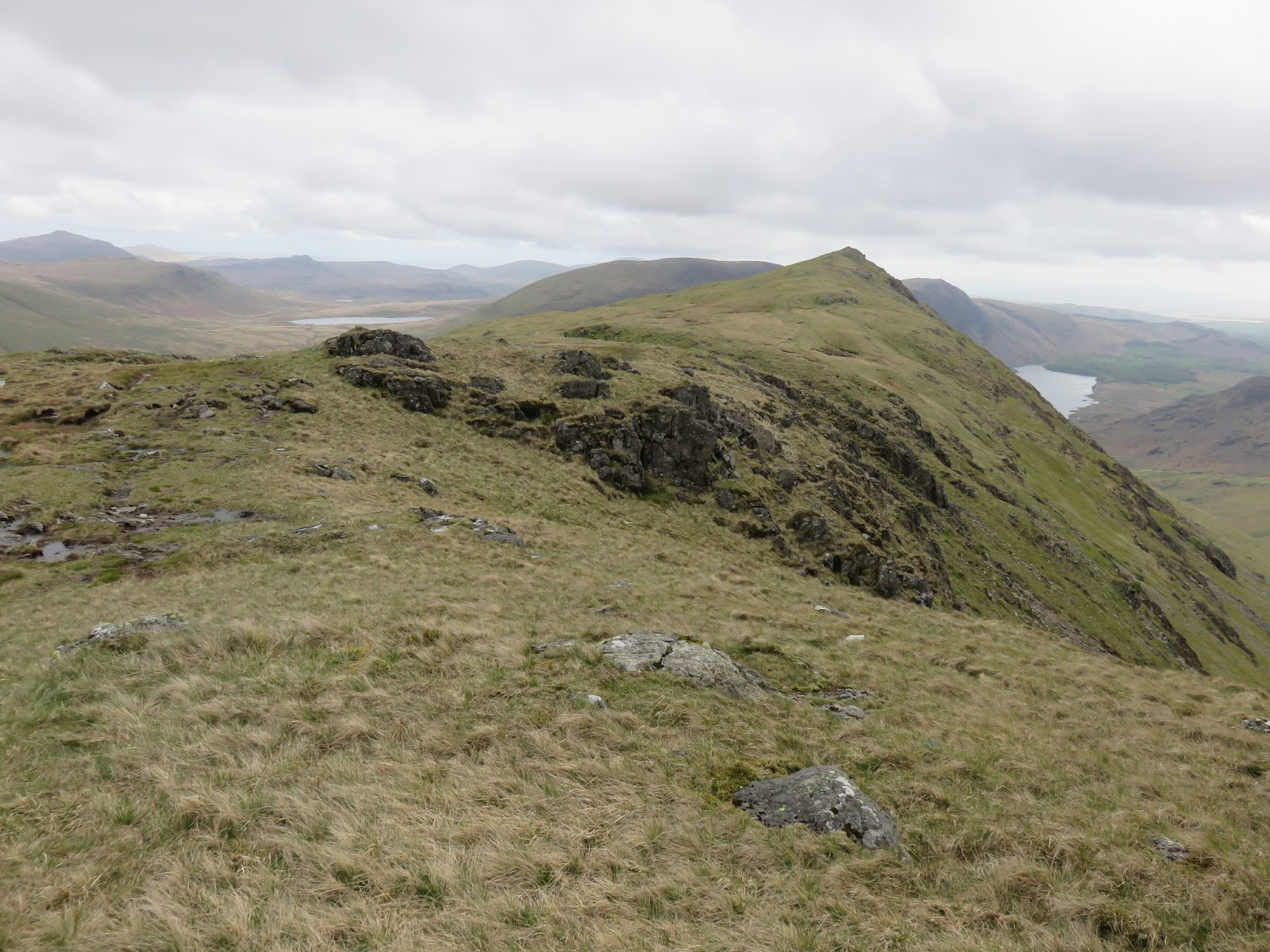
| Wind Gap and Black Crag |
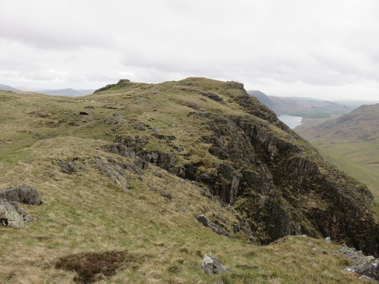
Ahead of us was the sharp drop down into Wind Gap, another steep and tricky climb down before another short climb back up towards Black Crag, the northern summit of Scoat Fell. From below it’s quite deceiving, looking like the only way up the fell but it marks the beginning of a wide ridge that rises to Scoat Fell. The wind was being whipped across the ridge bringing the cloud along with it, creating an interesting spectacle as at swirled out over Black Comb.
 |
| Sara crossing Wind Gap |
 |
| Mosedale |
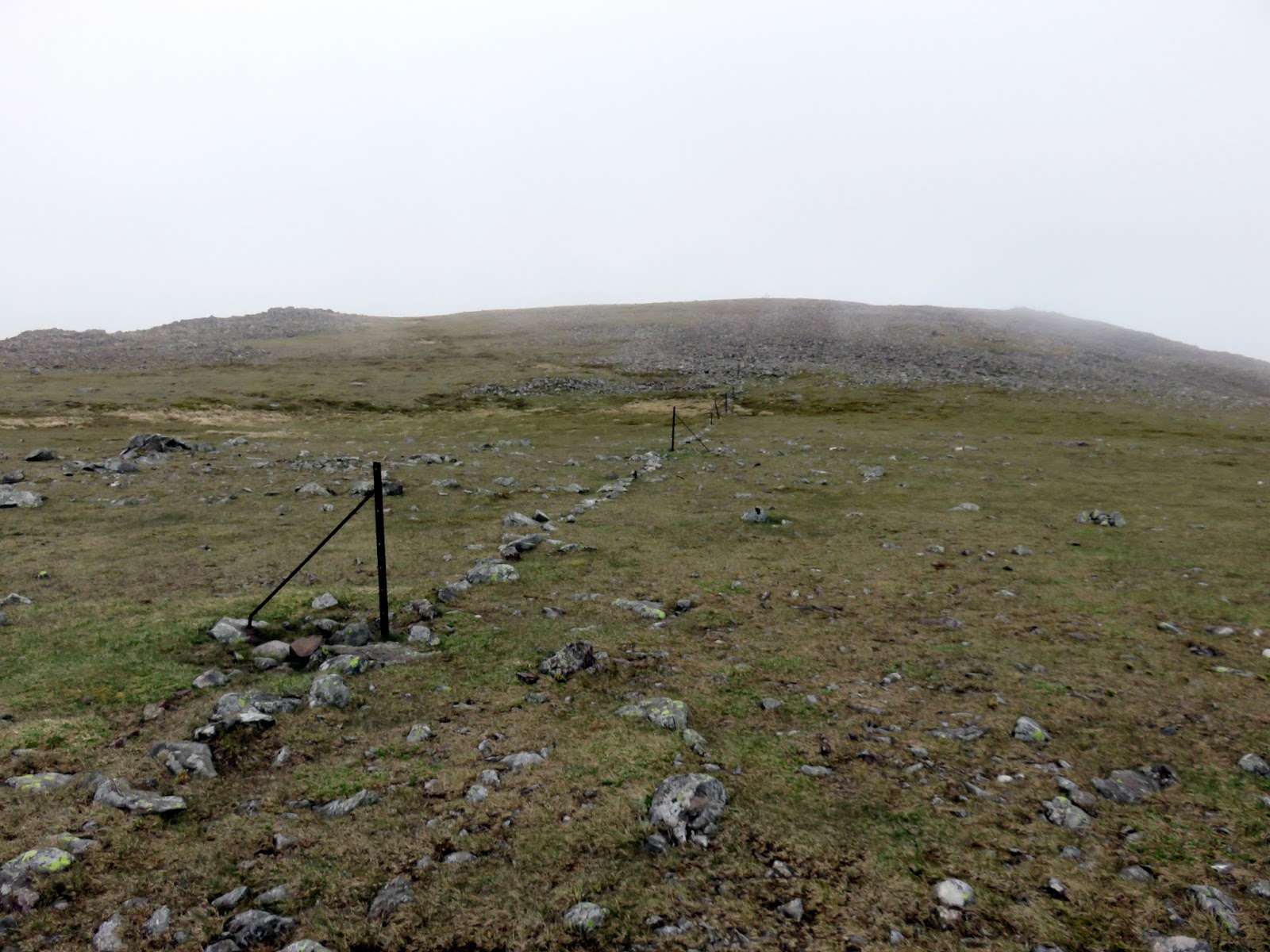
 |
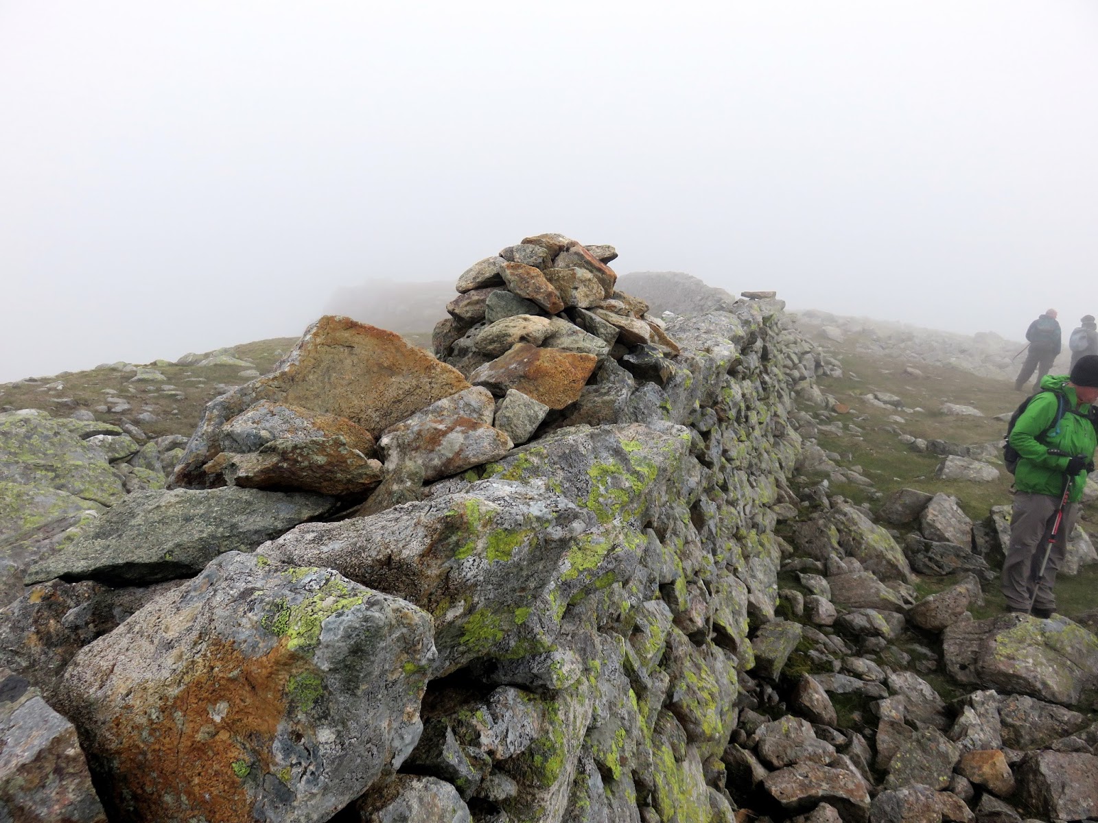
| Crossing Little Scoat Fell |
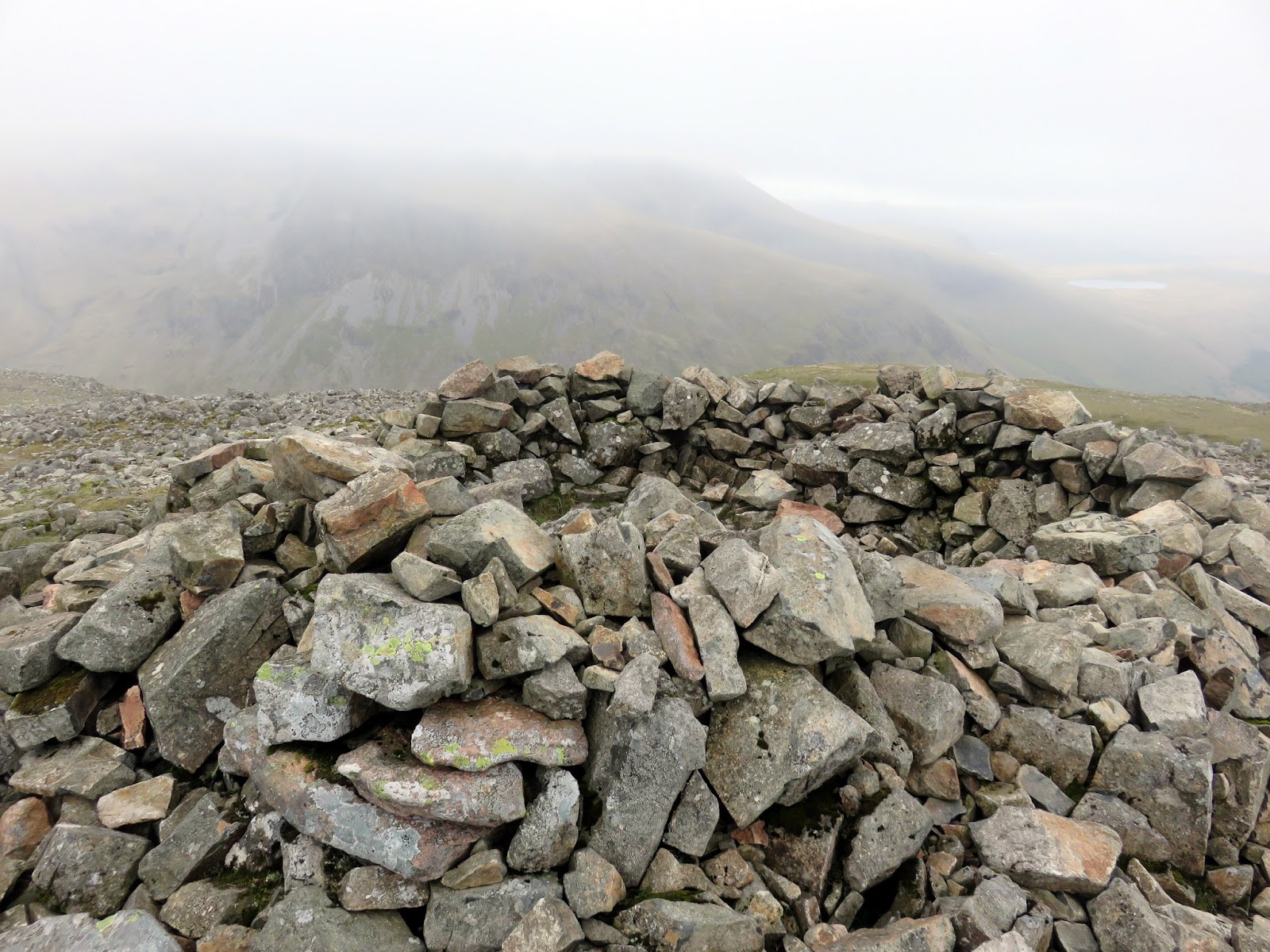
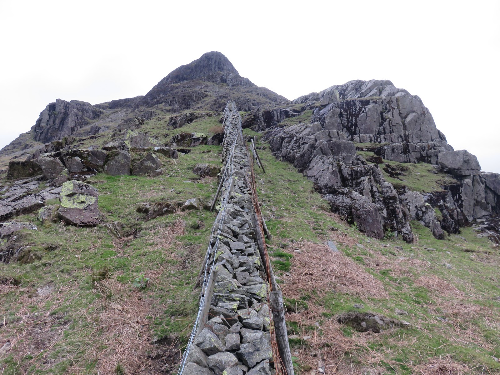
We were in the mist as we briefly detoured up the slopes of Scoat Fell to visit the cairn sat atop the drystone wall that marks the summit. The wall is the continuation of the Ennerdale Fence, a now defunct boundary that ran right around the valley. It provides a wonderful navigation aid for any walks along the Buttermere ridge or around the western Lank Rigg group of fells. We dropped back out of the cloud to the col between Scoat Fell and Red Pike, ready for the next short climb of the day.
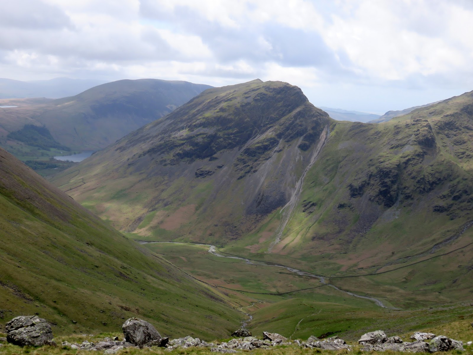
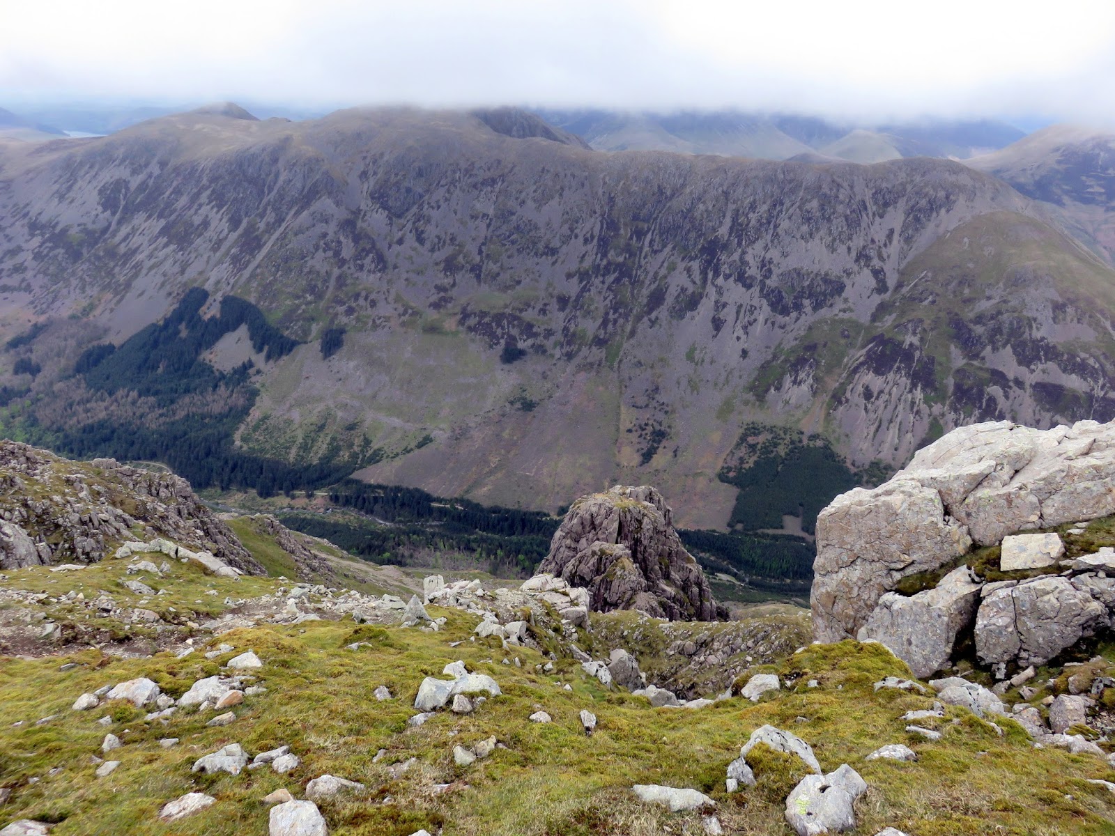
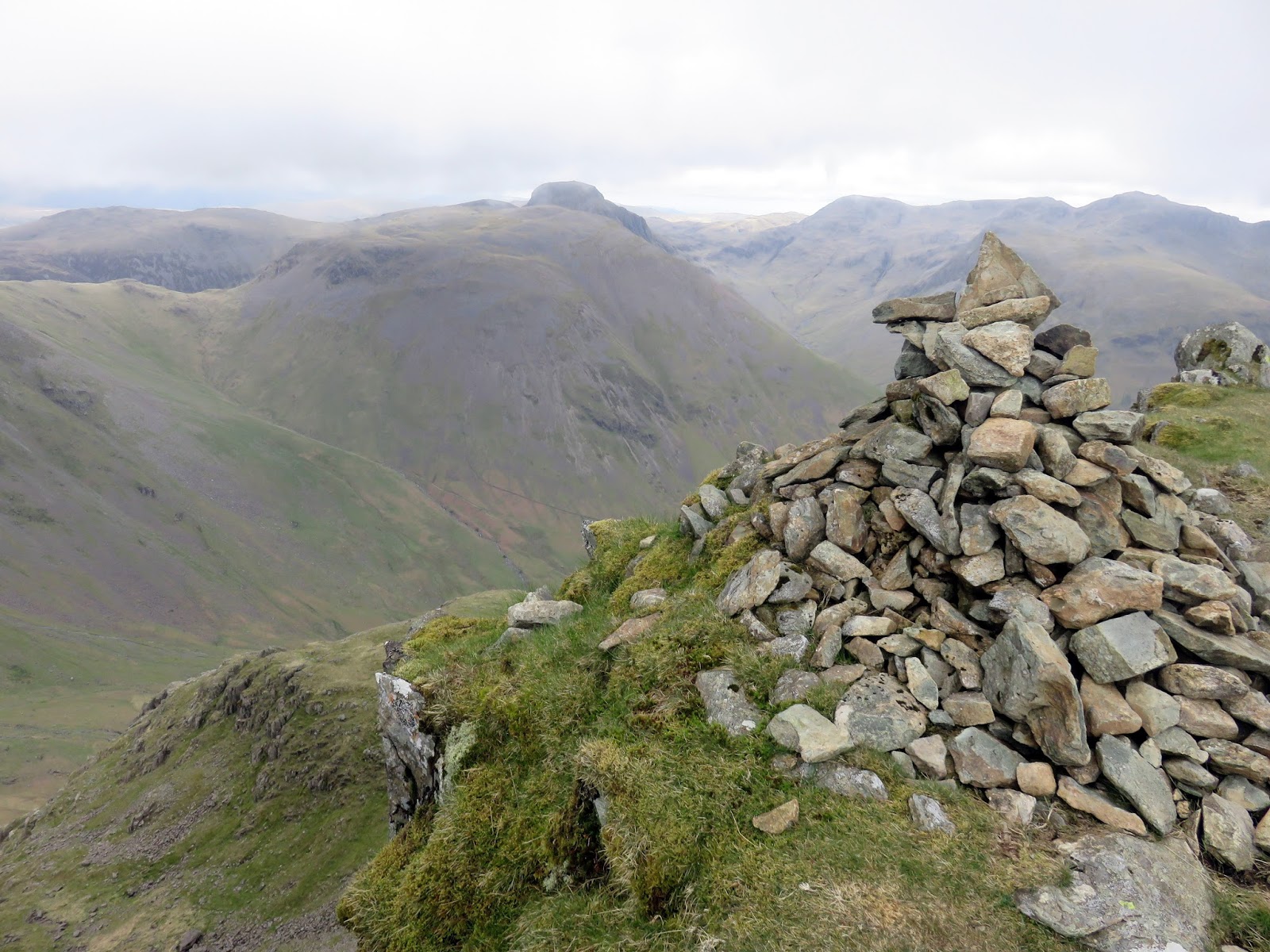
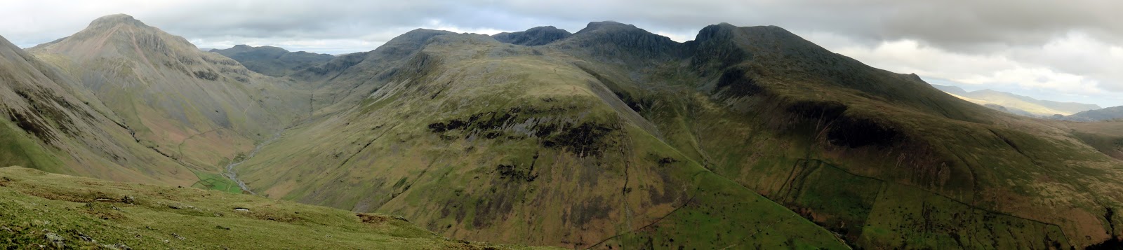
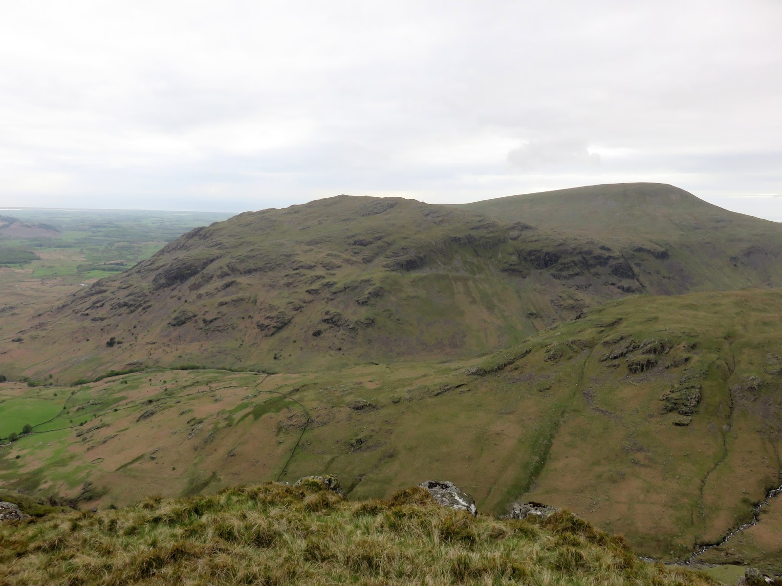
Red Pike isn’t a fell I remember too well but it has a magnificent profile, smooth and grassy on one side, dark and craggy on the other. The summit cairn is perched right above the precipitous crags and has a grandstand view of Mosedale with Kirk Fell resembling every bit the great lump that it is. There was also the reminder of that path…….
 |
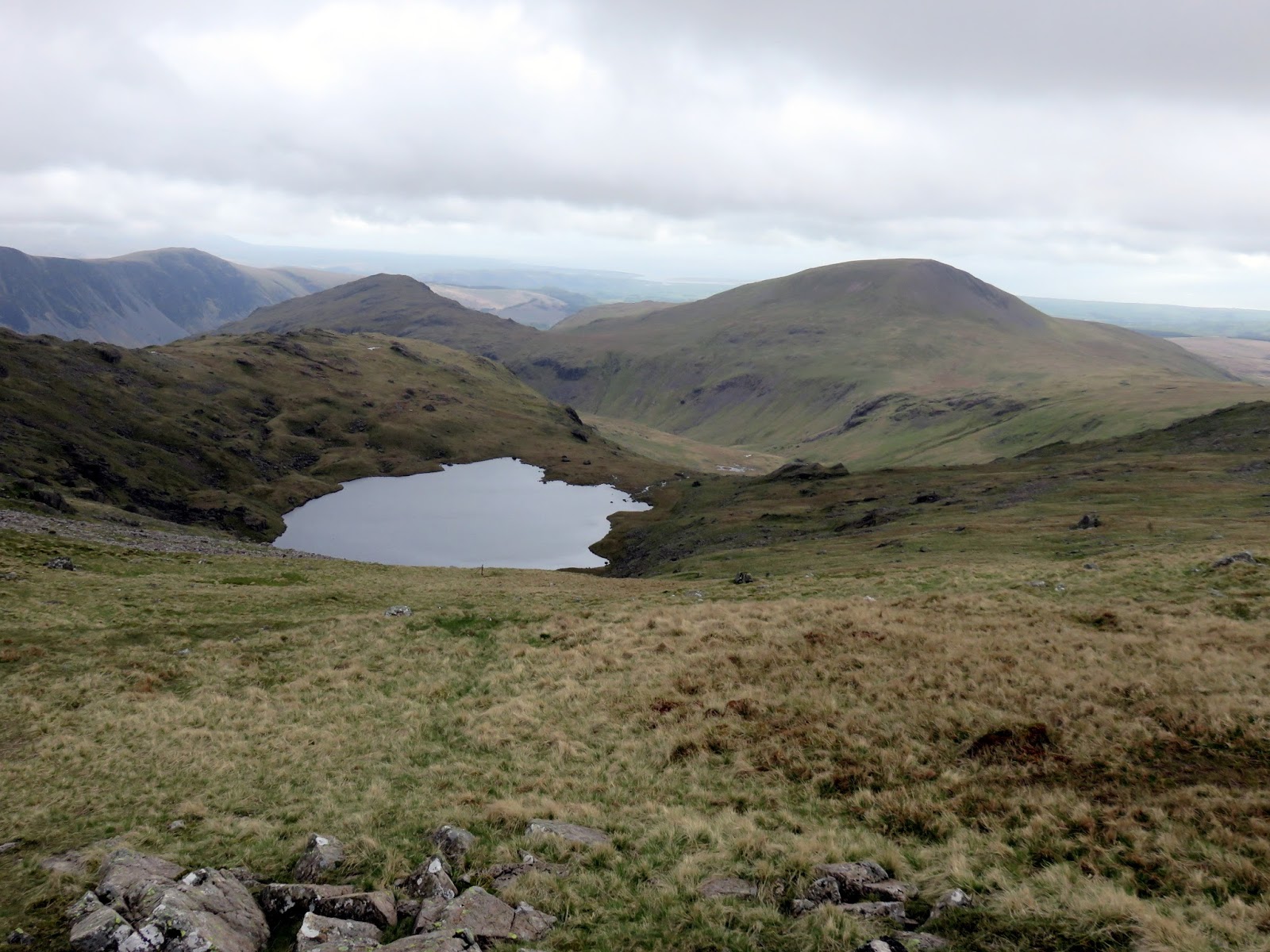
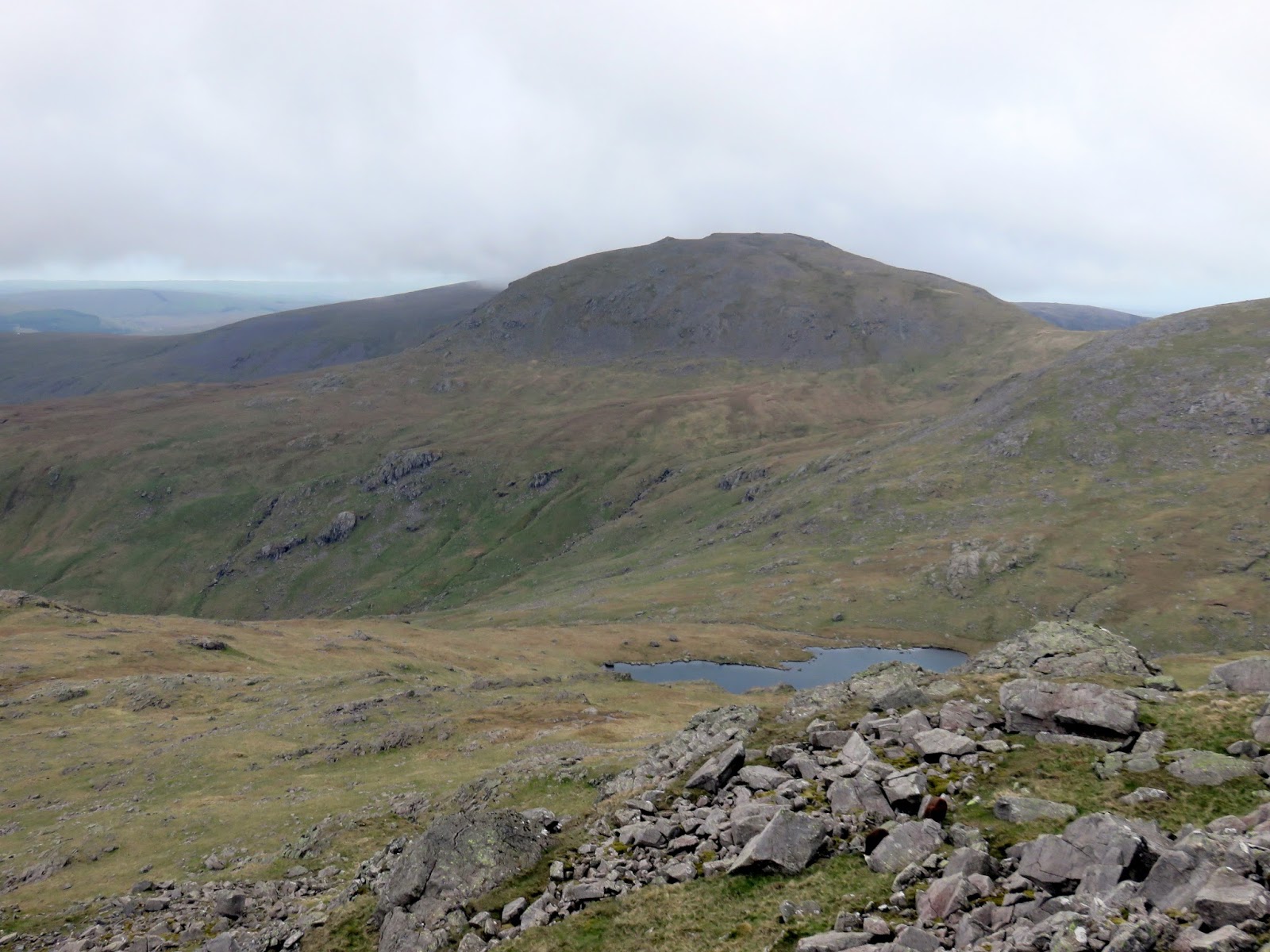
| Scoat Tarn with Middle Fell and Seatallan in the distance |
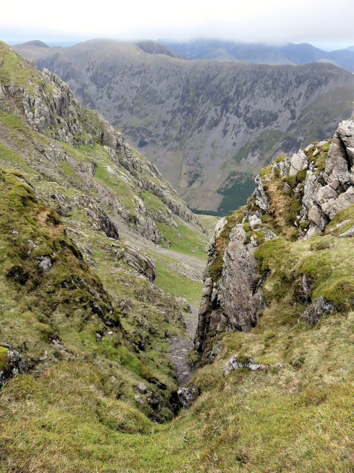
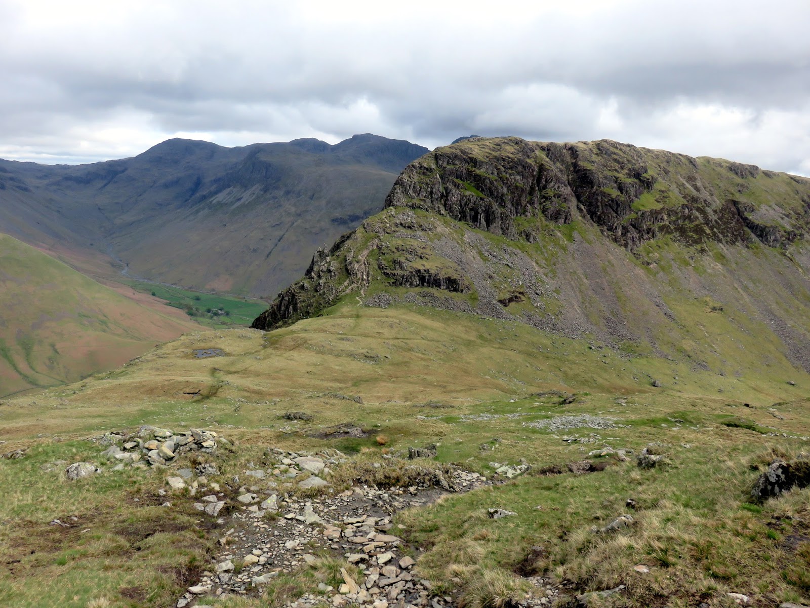
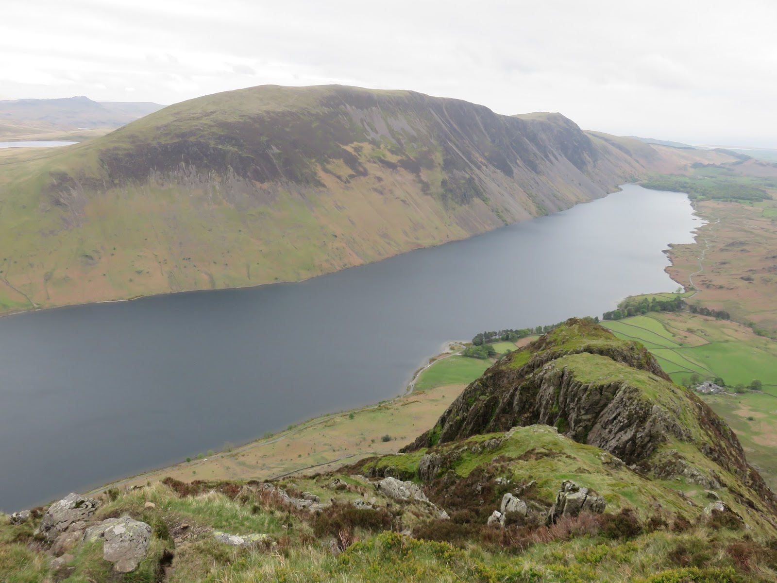
A long and often steep ridge descends from Red Pike to Dore Head, dropping down rocks and grass to the depression between Red Pike and Yewbarrow, home to the famous Dore Head screes. You can reach the valley floor in mere minutes using this route, assuming you are brave enough to embrace the loose rubble and bound down with reckless abandon. For us (me in particular) it was on towards Yewbarrow, the fantastic fell that frames Great Gable in the famous view of Wasdale.
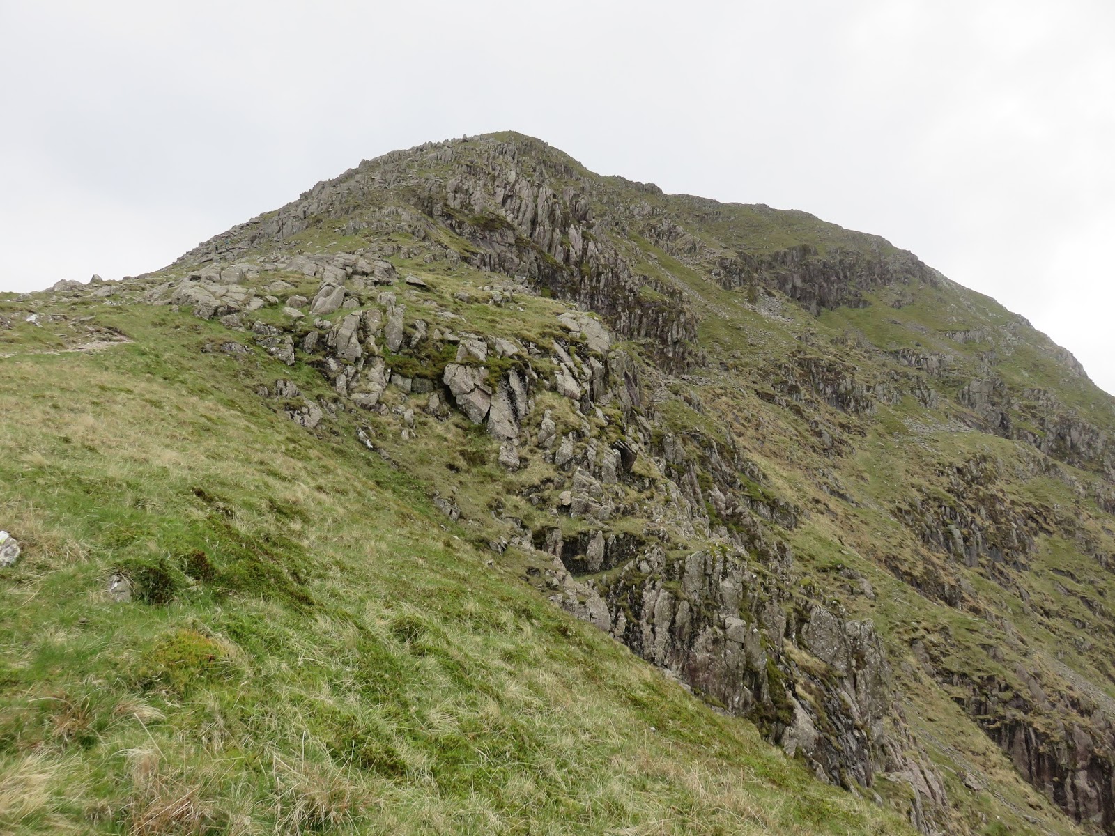
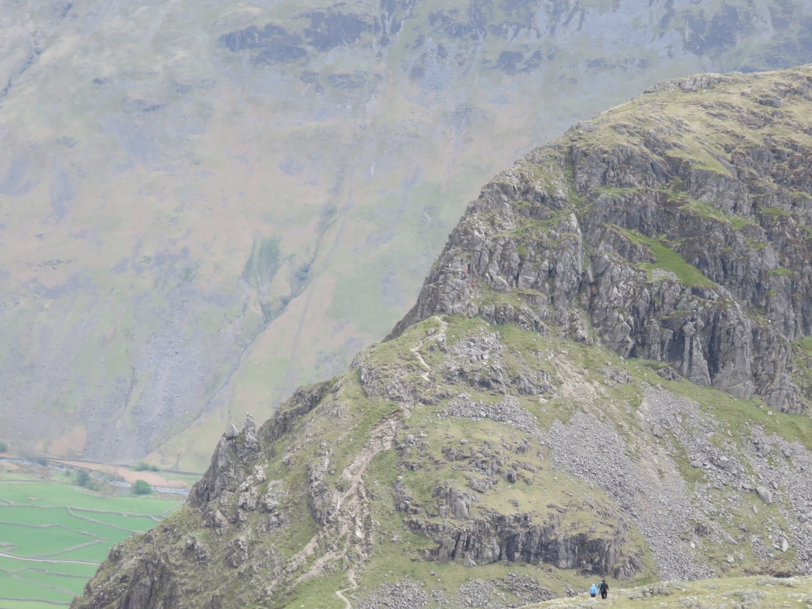
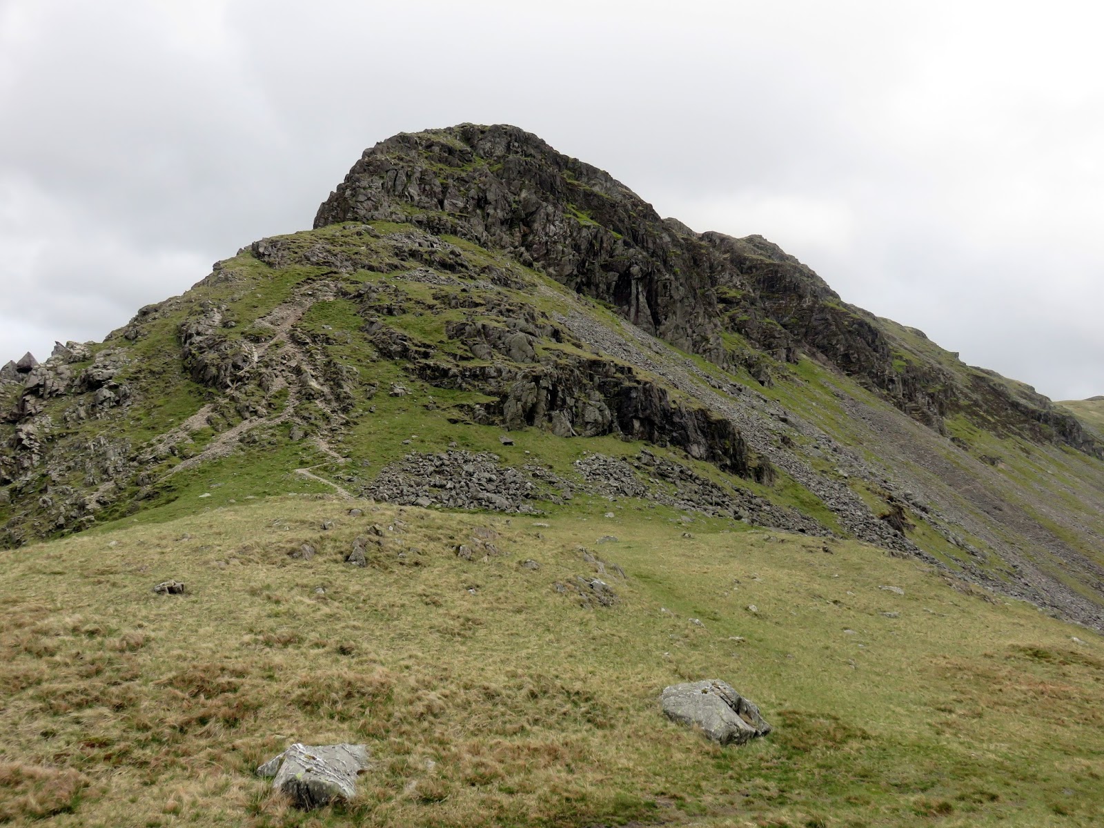
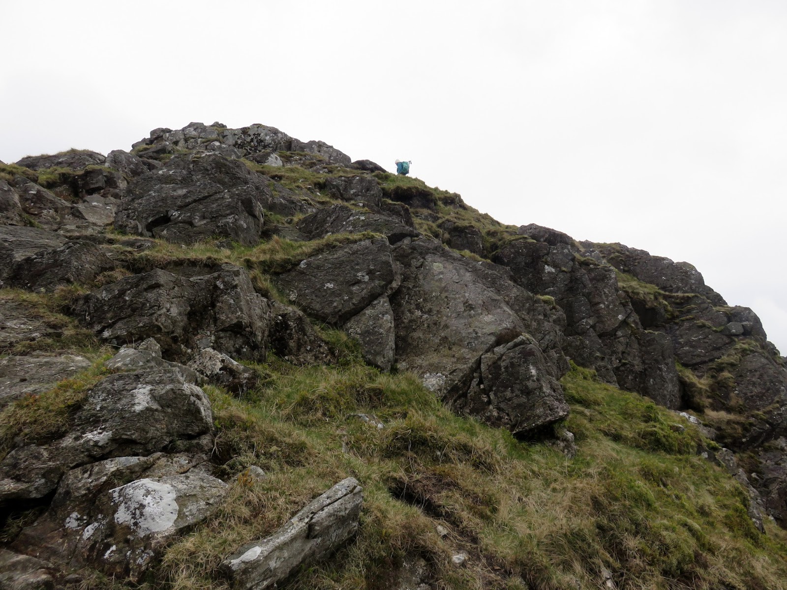
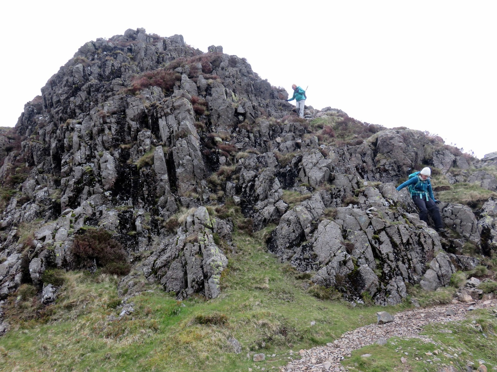
Resembling an upturned boat (or barrow – hence its name), Yewbarrow stretches as a high ridge for around a mile and is a real highlight of this walk. Firstly, to get on to it requires an entertaining and occasionally tricky scramble up Stirrup Crag, the northern tip of the fell. It appears un-scalable from the flanks of Red Pike but that is a trick of perspective and a series of grooves and chimneys, largely hidden until your reach the base of them, climb up onto the ridge without any real difficulty.
 |
| Sara leads the way |
 |
| Yewbarrow North Top |
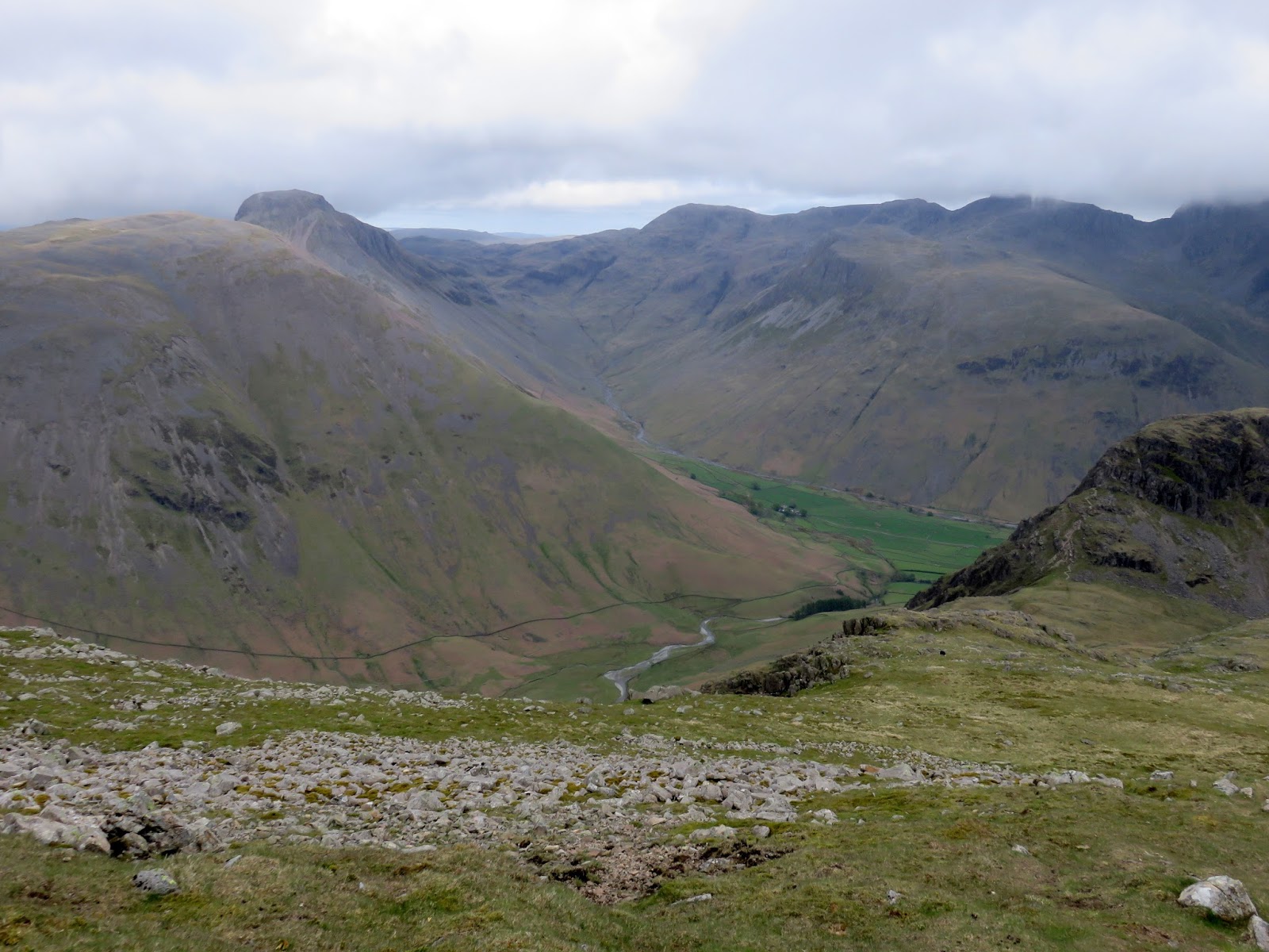
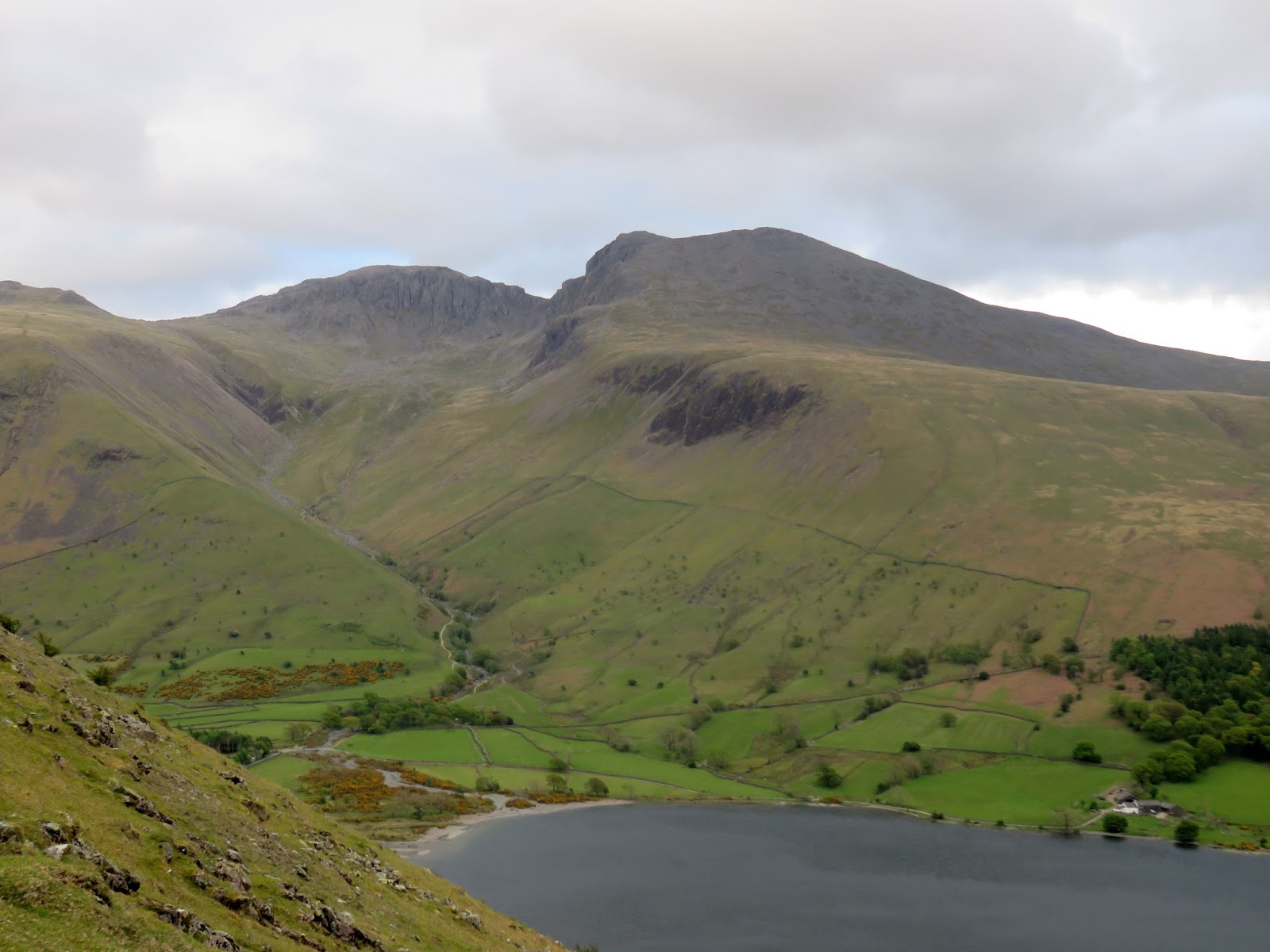
Once this obstacle is achieved you can enjoy the mile long ridge top as it slowly climbs to the high point of the fell, approximately halfway along. Thanks to its location and orientation, the fell has a majestic view of Wasdale and an uninterrupted view of the Scafells and Great Gable. It was just a shame that it was a bit of a dull day weather wise.
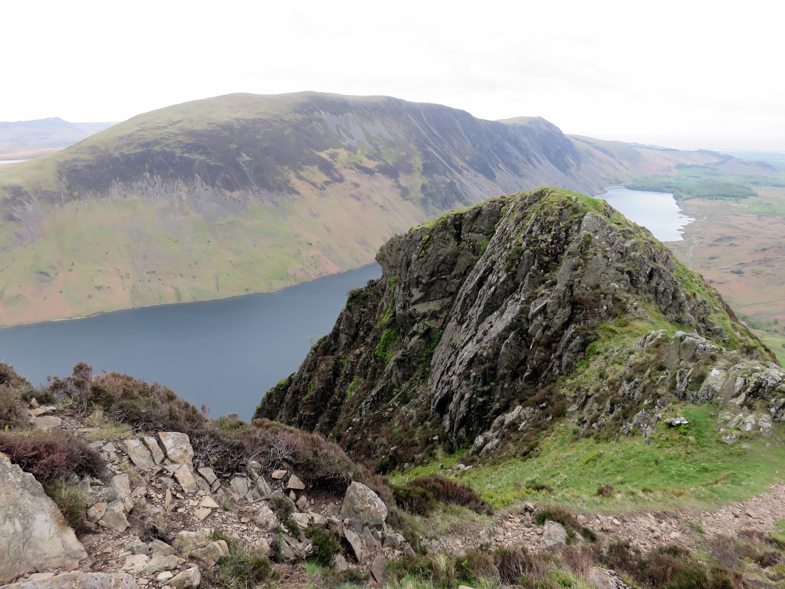
Yewbarrow begins to fall away to the south where it reaches Great Door, an immense gully that separates the crags of Bell Rib from the rest of the fell. It’s possible to cross the narrow rocky causeway to have a glance down into its depths and reach the top of Bell Rib. From here, the route descends sharply over loose and broken rocks down a series of large gullies that separate Bell Rib and Dropping Crag on the western side of the fell. It’s a tricky route for both ascent and descent but you do get the feeling that you’ve actually achieved something. A grassy tongue completes the descent reaching the car park at Overbeck and providing a dramatic view of Bell Rib high above. The downside of finishing here and camping at the National Trust site is a mile long roadside walk required to reach base. Still, it is amongst some magnificent scenery.
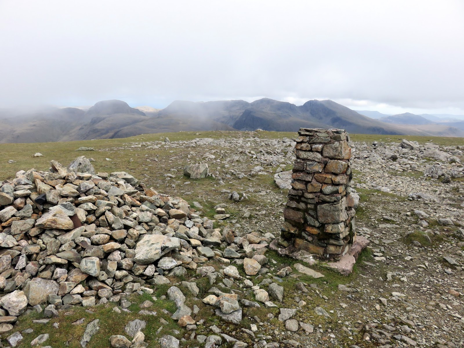
 |
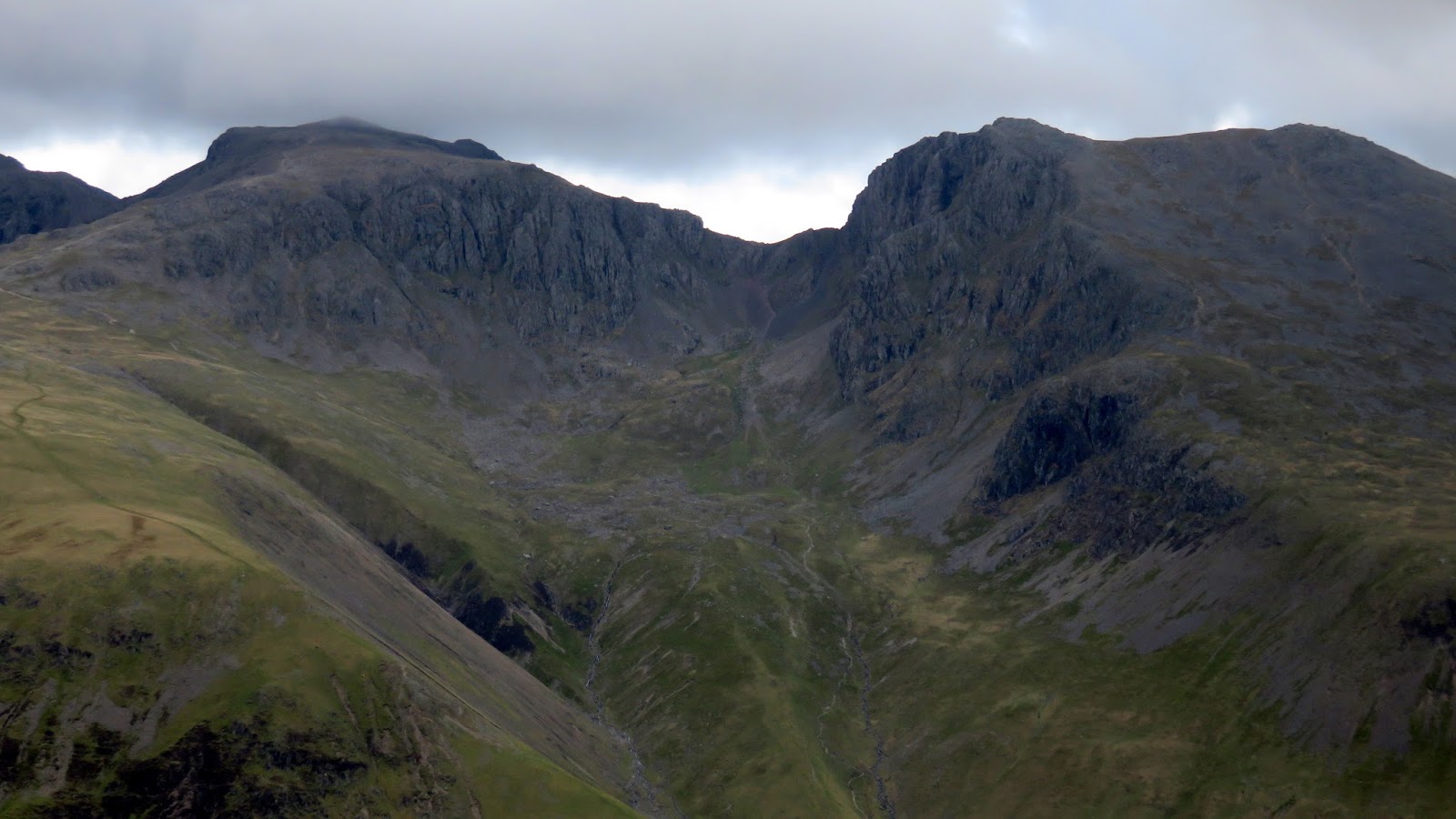
| The uninterrupted view of the highest land in the country |
 |
| Middle Fell |
 |
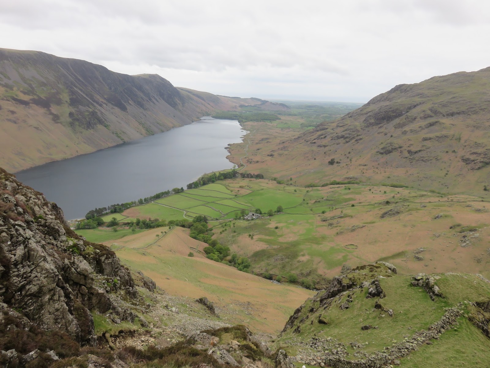
| Illgill Head and Wast Water over Great Door |
 |
| Bell Rib |
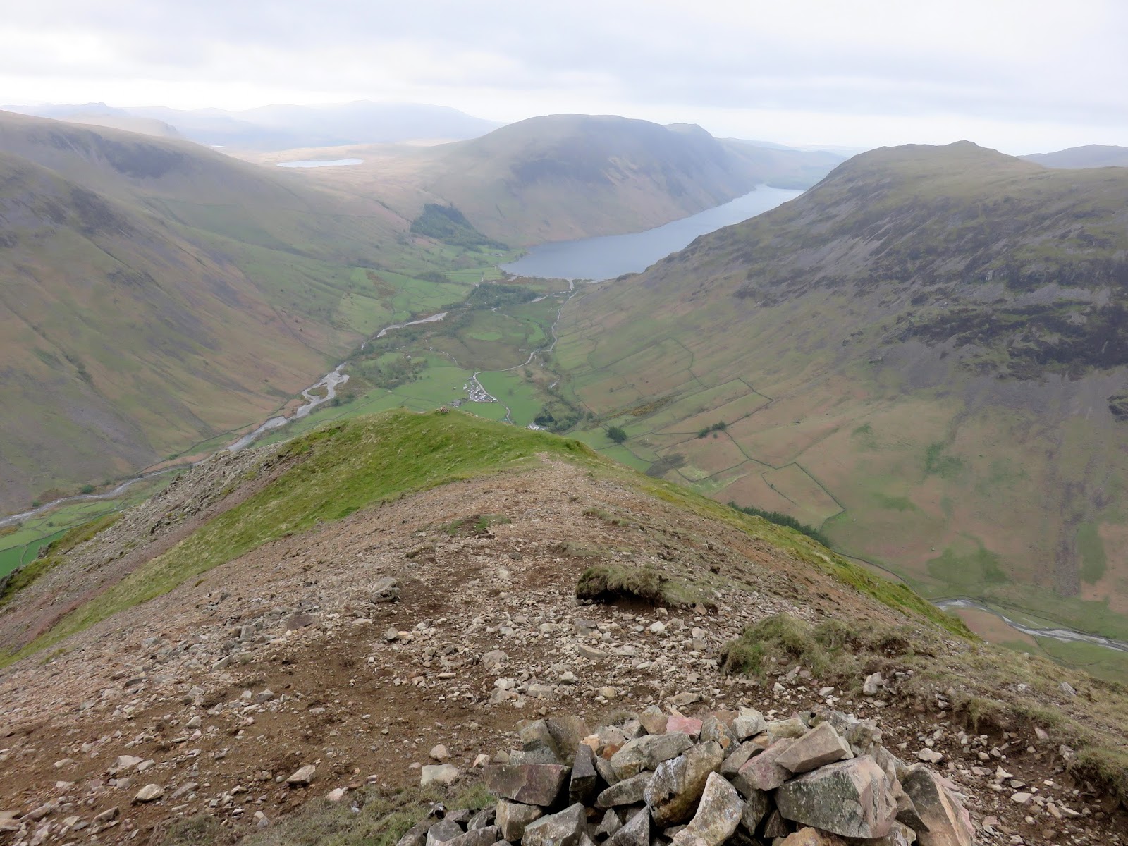
 |
| Looking down to Wast Water |
 |
| The dominant Bell Rib |
 |
| Bell Rib |
As I mentioned at the beginning, the Mosedale Horseshoe is a real favourite among many walkers in the Lake District and visits one of the highest mountains in the country, the vast Pillar and ends with the entertaining scramble over Yewbarrow. It’s a long drive round to Wasdale but one that is definitely worth it. It feels remote and enclosed by the high fells that surround it – the perfect base for some immense Lake District walking.
