Open Space Web-Map builder Codehttps://openspace.ordnancesurvey.co.uk/osmapapi/openspace.js?key=3119F72552FD5C22E0530C6CA40A5A92https://openspace.ordnancesurvey.co.uk/osmapapi/script/mapbuilder/basicmap.jshttps://openspace.ordnancesurvey.co.uk/osmapapi/script/mapbuilder/searchbox.js//variables for routes var linesLayer, points, lineFeature, lineString, routeMarkersLayer, routepos, routesize, routeoffset, routeicon; var style_blue = {strokeColor: “#0000CD”, strokeOpacity: 0.5, strokeWidth: 4.5}; function initmapbuilder() { //initiate the map var options = {resolutions: [2500, 1000, 500, 200, 100, 50, 25, 10, 5, 4, 2.5, 2, 1]}; osMap = new OpenSpace.Map(‘map’, options); //configure map options (basicmap.js) setglobaloptions(); //set the center of the map and the zoom level osMap.setCenter(new OpenSpace.MapPoint(339113,504945),7); linesLayer = osMap.getVectorLayer(); // Set up layer for route markers routeMarkersLayer = new OpenLayers.Layer.Markers(“Route Markers”); //make a route points = new Array(); points.push(new OpenLayers.Geometry.Point(338303,504451.66667938)); points.push(new OpenLayers.Geometry.Point(338478,504466.66667938)); points.push(new OpenLayers.Geometry.Point(338538,504541.66667938)); points.push(new OpenLayers.Geometry.Point(338623,504541.66667938)); points.push(new OpenLayers.Geometry.Point(338758,504426.66667938)); points.push(new OpenLayers.Geometry.Point(338838,504241.66667938)); points.push(new OpenLayers.Geometry.Point(338983,504171.66667938)); points.push(new OpenLayers.Geometry.Point(339283,504161.66667938)); points.push(new OpenLayers.Geometry.Point(339408,504171.66667938)); points.push(new OpenLayers.Geometry.Point(339758,504326.66667938)); points.push(new OpenLayers.Geometry.Point(339968,504481.66667938)); points.push(new OpenLayers.Geometry.Point(340053,504711.66667938)); points.push(new OpenLayers.Geometry.Point(340353,505271.66667938)); points.push(new OpenLayers.Geometry.Point(340368,505501.66667938)); points.push(new OpenLayers.Geometry.Point(340278,505711.66667938)); points.push(new OpenLayers.Geometry.Point(340053,505646.66667938)); points.push(new OpenLayers.Geometry.Point(339748,505411.66667938)); points.push(new OpenLayers.Geometry.Point(339428,505331.66667938)); points.push(new OpenLayers.Geometry.Point(339218,505366.66667938)); points.push(new OpenLayers.Geometry.Point(339098,505276.66667938)); points.push(new OpenLayers.Geometry.Point(339058,505206.66667938)); points.push(new OpenLayers.Geometry.Point(339008,504996.66667938)); points.push(new OpenLayers.Geometry.Point(338688,504726.66667938)); points.push(new OpenLayers.Geometry.Point(338543,504621.66667938)); points.push(new OpenLayers.Geometry.Point(338523,504546.66667938)); points.push(new OpenLayers.Geometry.Point(338493,504486.66667938)); points.push(new OpenLayers.Geometry.Point(338303,504451.66667938)); // create a polyline feature from the array of points lineString = new OpenLayers.Geometry.LineString(points); lineFeature = new OpenLayers.Feature.Vector(lineString, null, style_blue); linesLayer.addFeatures([lineFeature]); //crate a route start/end marker routepos = new OpenSpace.MapPoint(338303,504451.66667938); routesize = new OpenLayers.Size(33,45); routeoffset = new OpenLayers.Pixel(-5,-37); routeicon = new OpenSpace.Icon(‘https://openspace.ordnancesurvey.co.uk/osmapapi/img_versions/img_1.1/mapbuilder/routemarker-startend.png’, routesize, routeoffset, null, null); routeMarkersLayer.addMarker(new OpenLayers.Marker(routepos, routeicon)); osMap.addLayer(routeMarkersLayer);}
Route: Stockghyll Force, Wansfell Pike, Baystones, Work How, Low Grove, Stockghyll Force
Date: 27/01/2015
From: Ambleside
Parking: Roadside parking at Stockghyll Force
Start Point: Stockghyll Force
Region: Far Eastern Fells
Route length: 3.6 miles (5.8 km)
Time taken: 01:51
Average speed: 1.9 mph
Ascent: 453m
Descent: 491m
Wainwrights on this walk:
Wansfell (Baystones) (487m)
Additional summits: Wansfell Pike (482m)
Other points of interest: Stockghyll Force
After a soggy morning around Sale Fell and Ling Fell, we decided to head back to Ambleside (which is largely on the route home) and stop off for a quick climb of Wansfell. We’d thought about it a couple of days previous but decided against it on account of time and weather. Now, we had plenty of time but still some pretty poor weather. You can’t win them all. In fact, the weather had been pretty bad for our whole trip though we still managed to add a few new peaks to the list of climbed Wainwrights.
Wansfell overlooks Ambleside, dominating the scene to the east, separating Ambleside from the valley of Troutbeck. Bill Birkett suggested that “Wansfell is to Ambleside what St. Paul’s is to London”. Many people climb Wansfell and believe they reach the summit at Wansfell Pike but looks are deceiving for the true summit hides some distance along the ridge to the north east. A quick circuit of the fell would make for an ideal afternoon out.
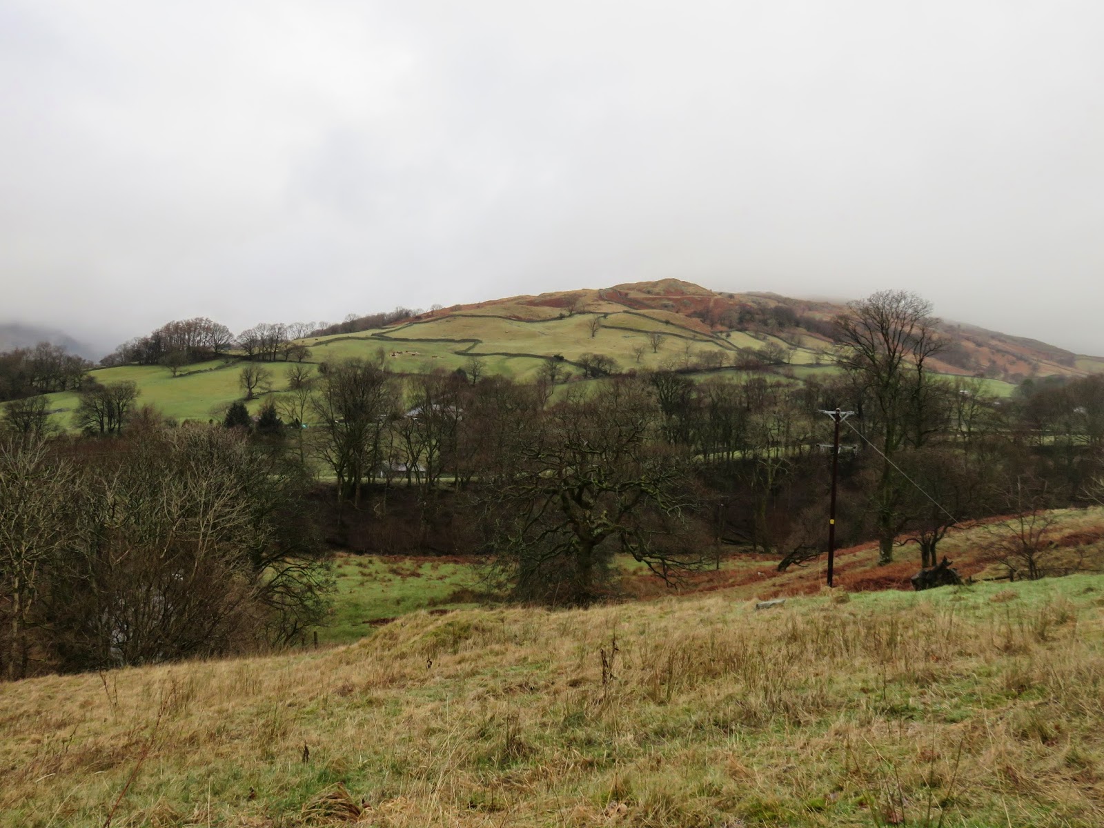
We left the cars close to Stockghyll Force, using the old entrance to the old college as a makeshift layby. From here, a short distance along the road, an elaborate stile crosses the fence and a well-engineered path starts climbing up the fellside. The advantage of starting where we did was that we completed part of the climb using the car.
 |
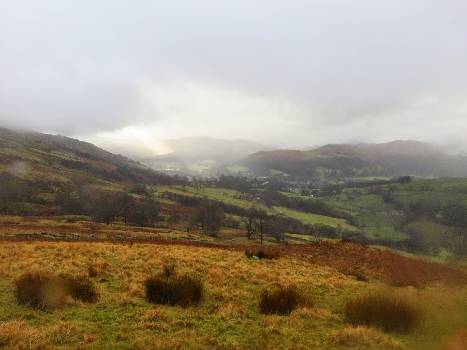
| Wansfell Pike seen from the road |
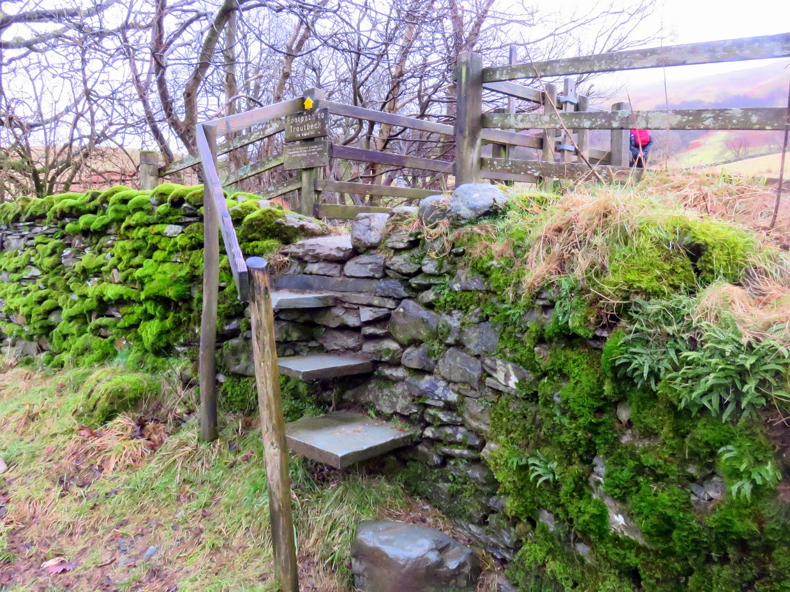
 |
| The step stile crossing onto the fellside |
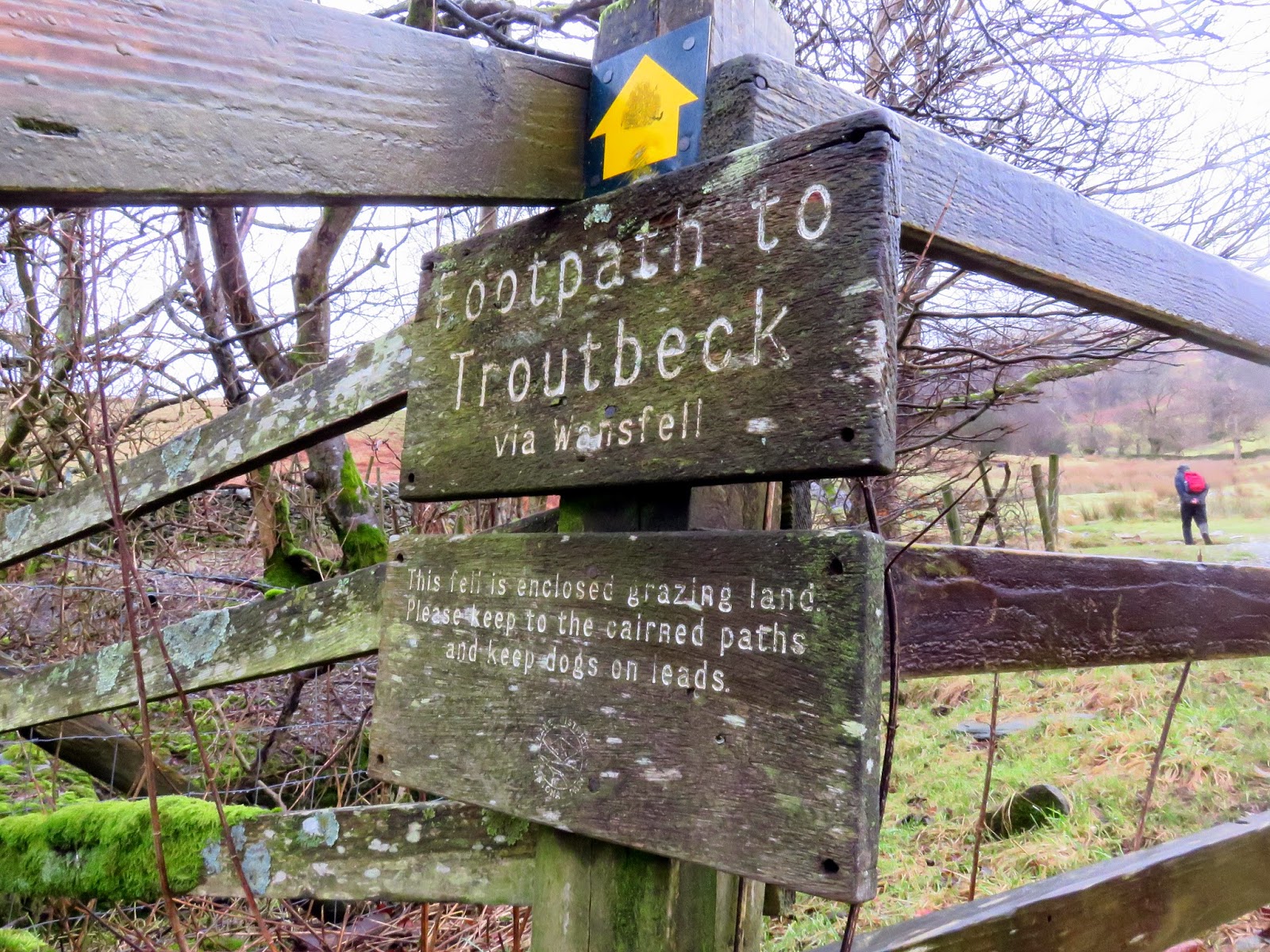
 |
| To Troutbeck |
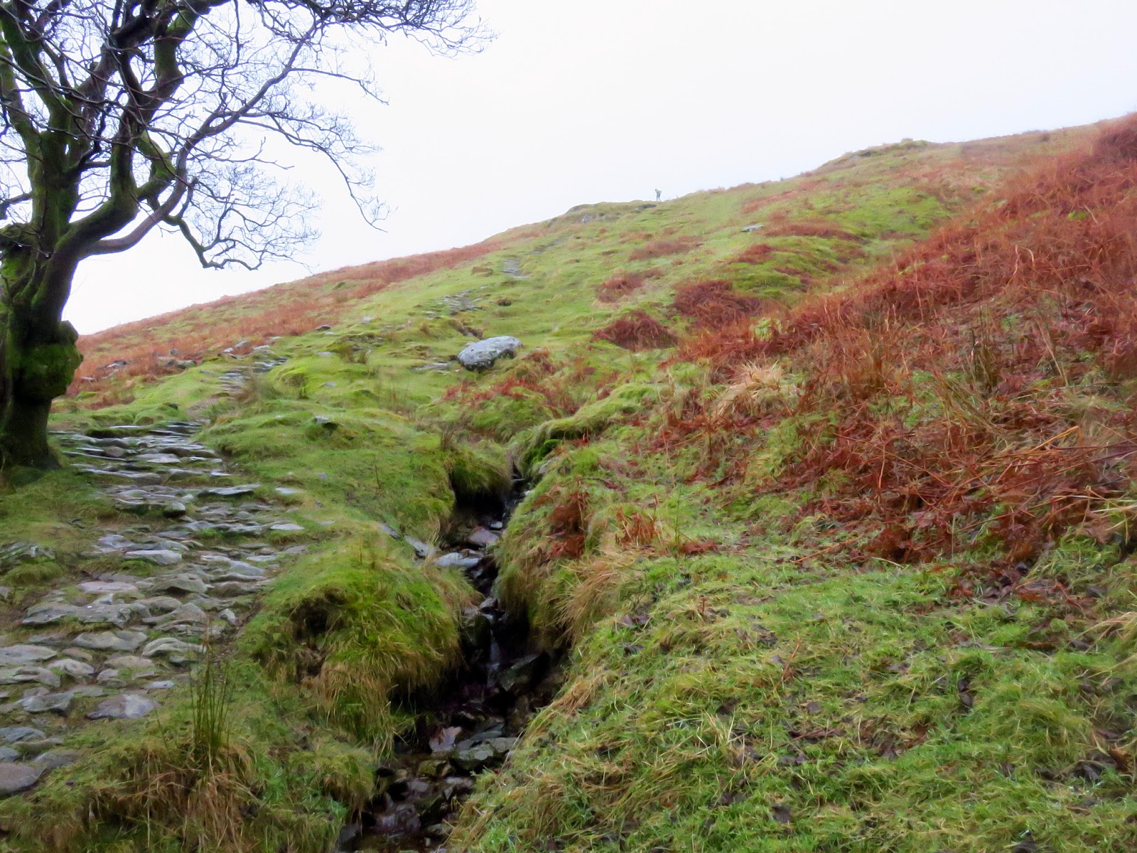
The path, rebuilt in the 1990s after severe erosion, is easy to follow and isn’t too tiring. It ultimately makes directly for the peak of Wansfell Pike with the odd deviation along the way. As anticipated, it wasn’t long before we were back in the clouds again and the familiar rattle of rain against our hoods accompanied most of the climb.
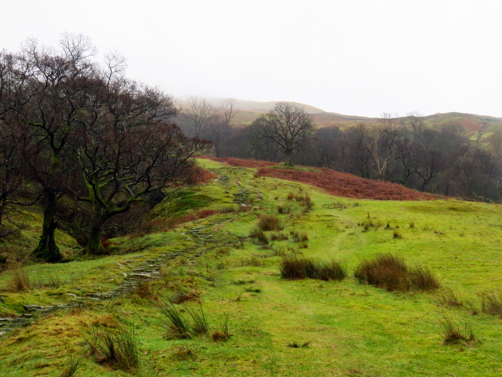
 |
| The stepped path climbing Wansfell Pike |
 |
| The path continues on |
 |
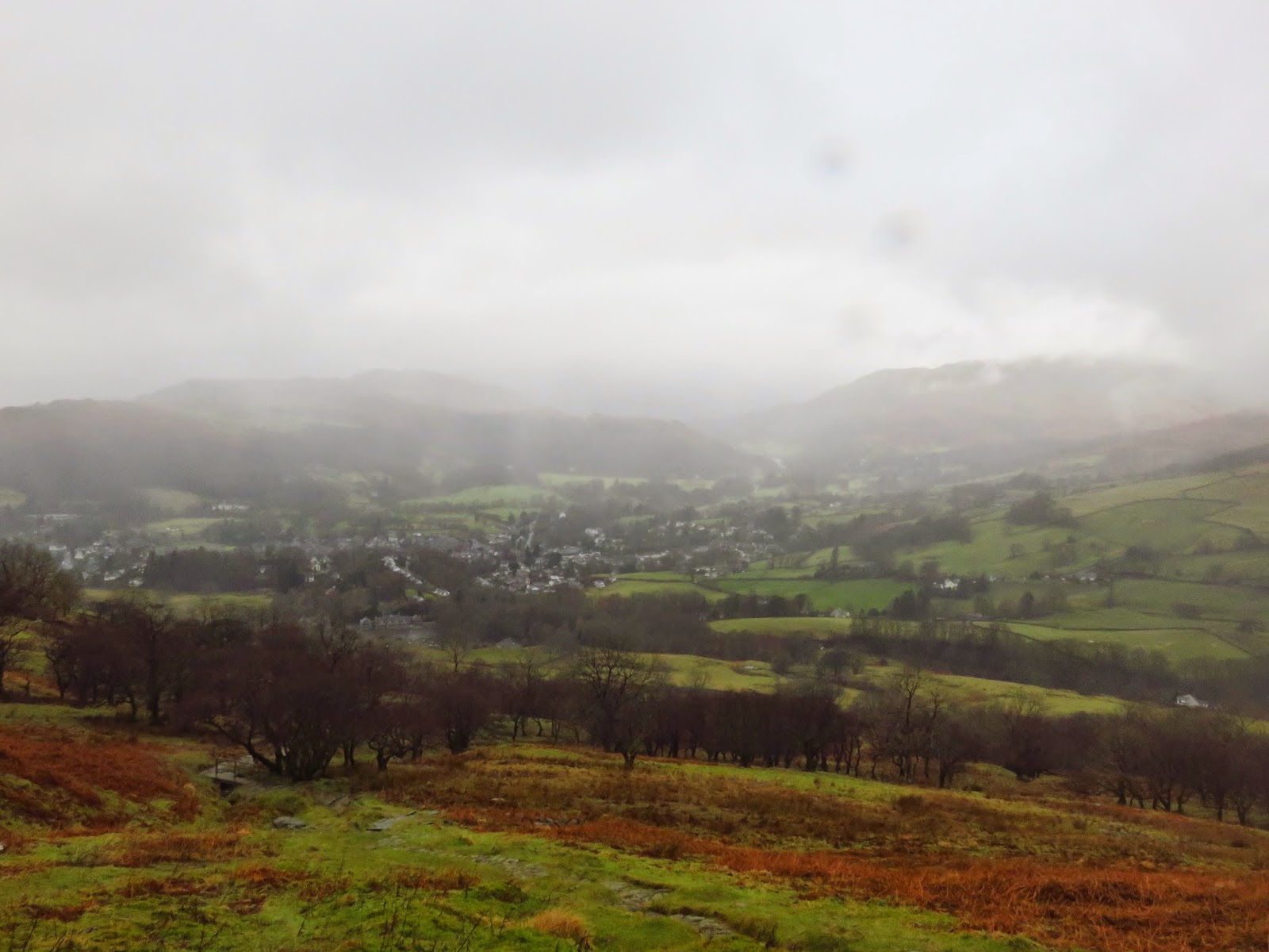
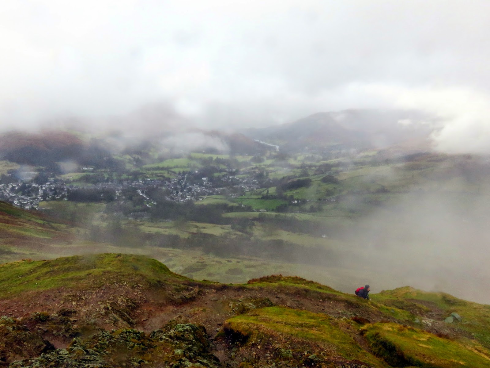
| A cloudy and rainy Ambleside |
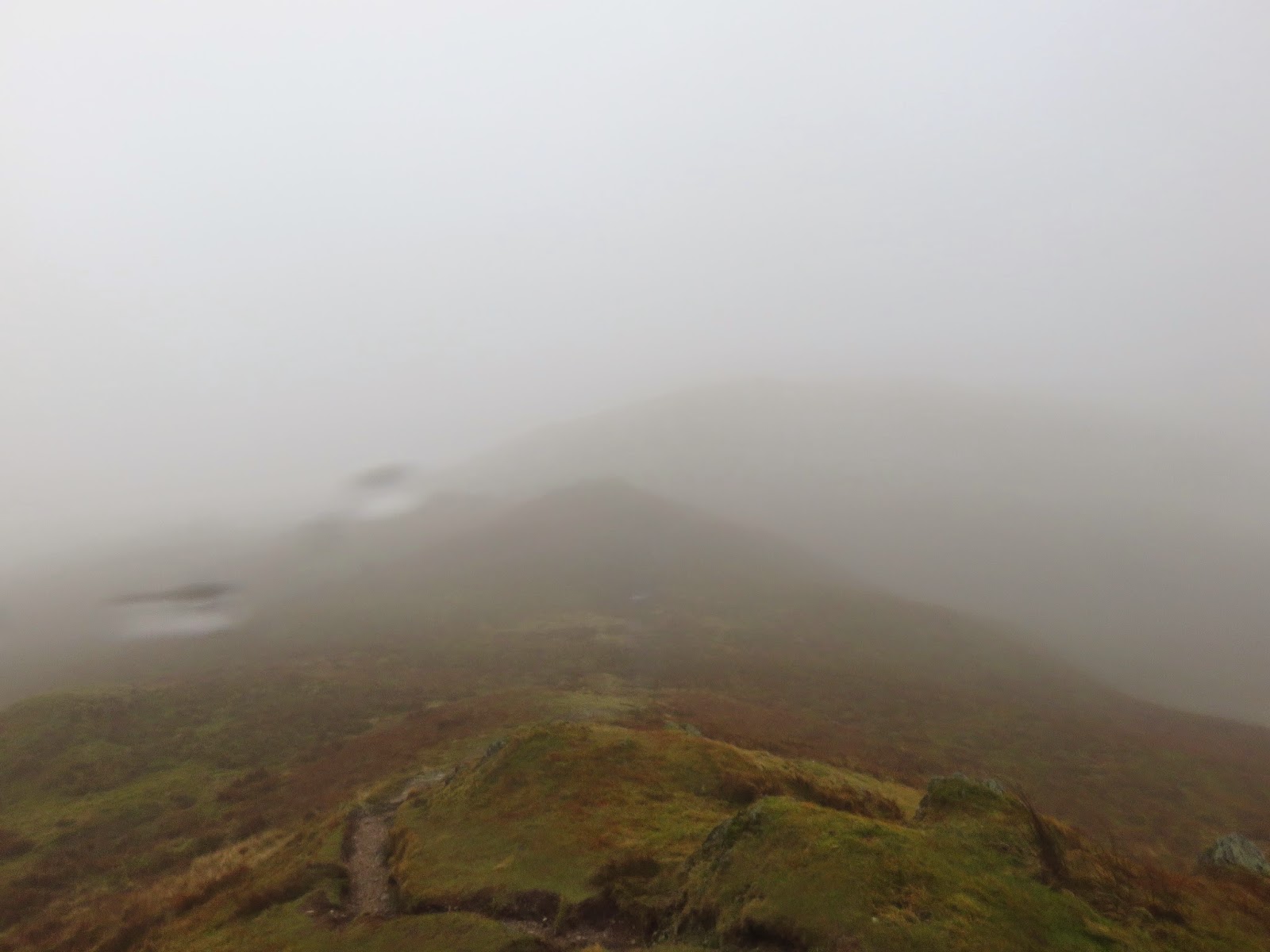
 |
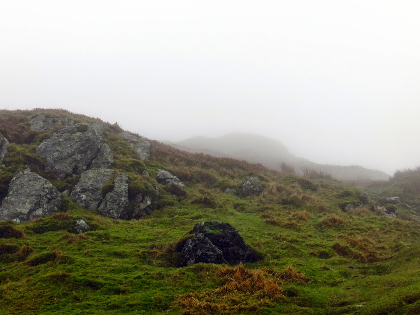
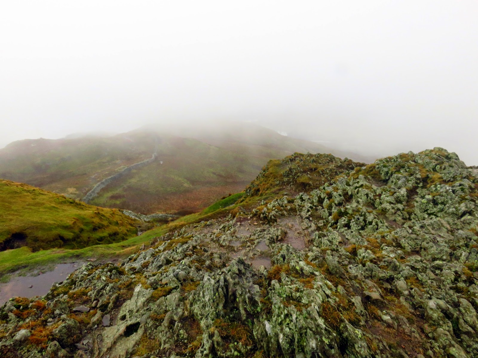
| Climbing into the murk |
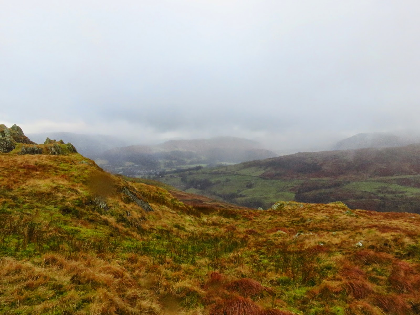
 |
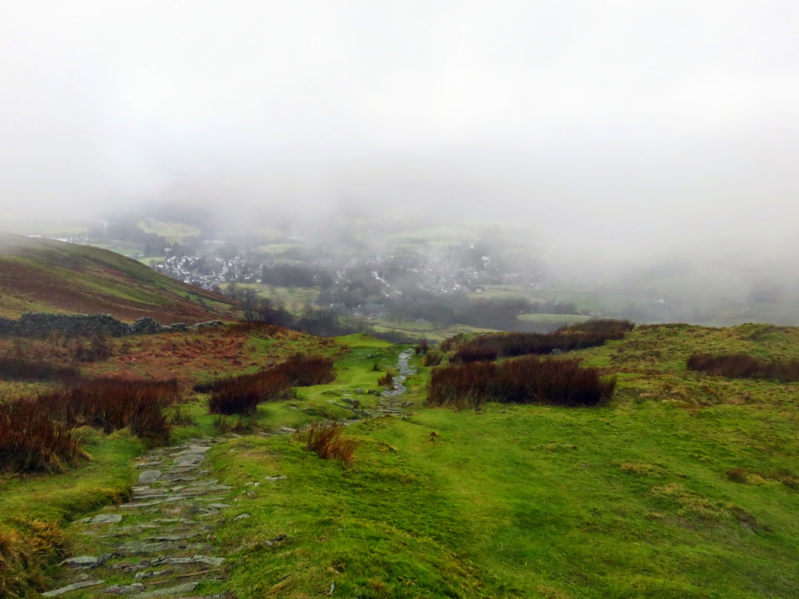
| A glimpse of Ambleside below the cloud |
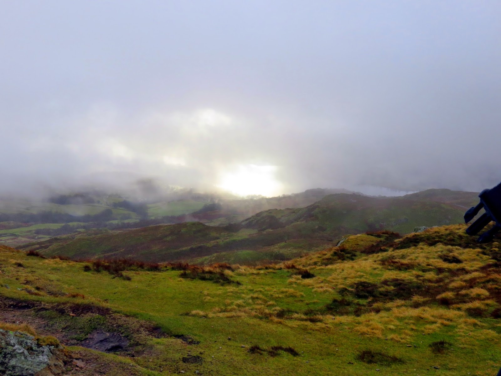
We eventually reached Wansfell Pike as the weather eased slightly. There was even a hint of sunshine glistening on Windermere though this was quickly snuffed out. Wansfell Pike is a fine little summit, no doubt with a commanding view over the lake below, not that we could see any of it.
 |
| The clouds lift slightly as we reach the summit |
 |
| The summit of Wansfell Pike |
 |
| A hint of sunshine on Windermere |
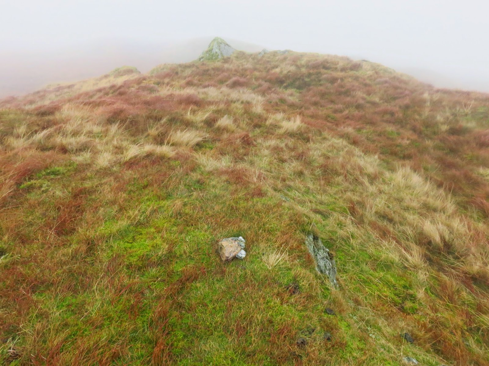
 |
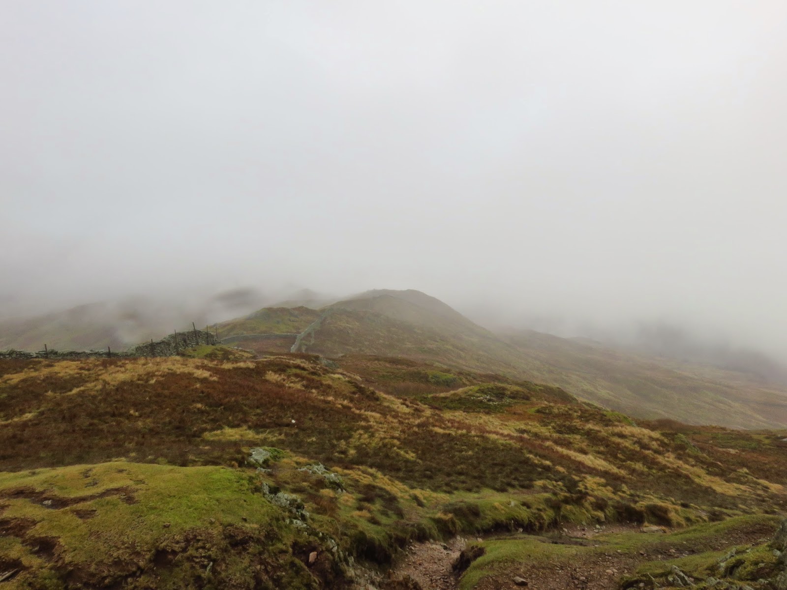
| The ridge beyond Wansfell Pike |
We pressed on along the ridge, crossing numerous undulations and a number of deep bogs on the way. With cloud all around there was no prospect of a view but the route along the ridge and the detours we had to take were interesting enough. After what seemed like a long time, we reached Baystones, the summit of the fell.
 |
| A view synonymous with most of the day |
Confusingly, there is a cairn located at the end of the path though the OS map marks the summit spot height as being a short distance further, though, after a thorough investigation, it is not marked by anything. A comprehensive survey of the fell (details of which are on Hill Bagging) highlights an unnamed rocky knoll as the summit; neither of the ones mentioned above. Mind you, we spent enough time wandering around to confidently say that we made it to the top.
 |
| The cairn at the end of the path |
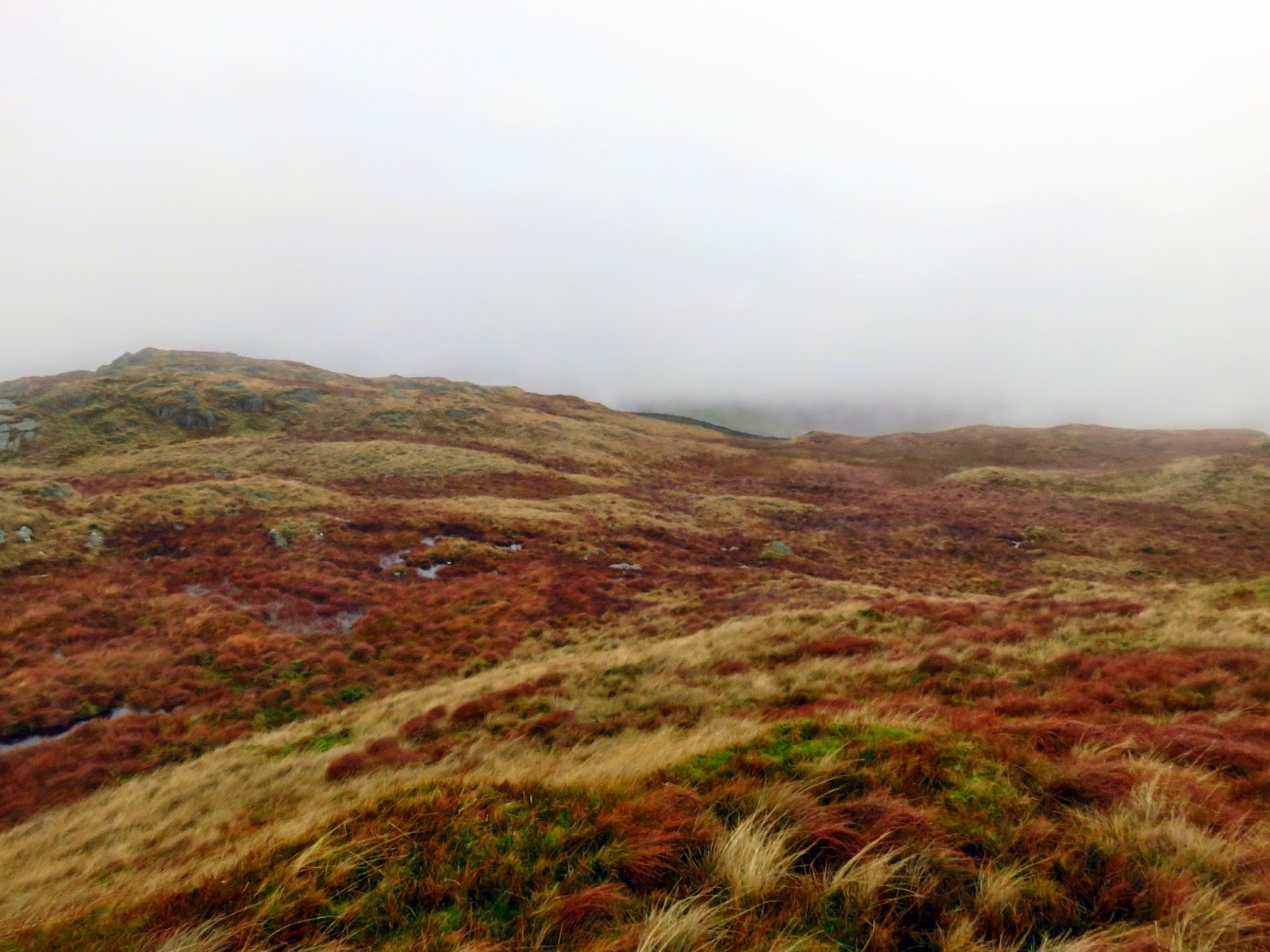
 |
| The fellside beyond |
The next part was the tricky one – finding a route back to Ambleside without retracing our steps along the summit. We decided that walking all the way to Baystone Col was a bit too far so, at the stile just after the summit, we climbed over the drystone wall and began a descent towards Low Grove, a small farm in the Stock Ghyll valley.
 |
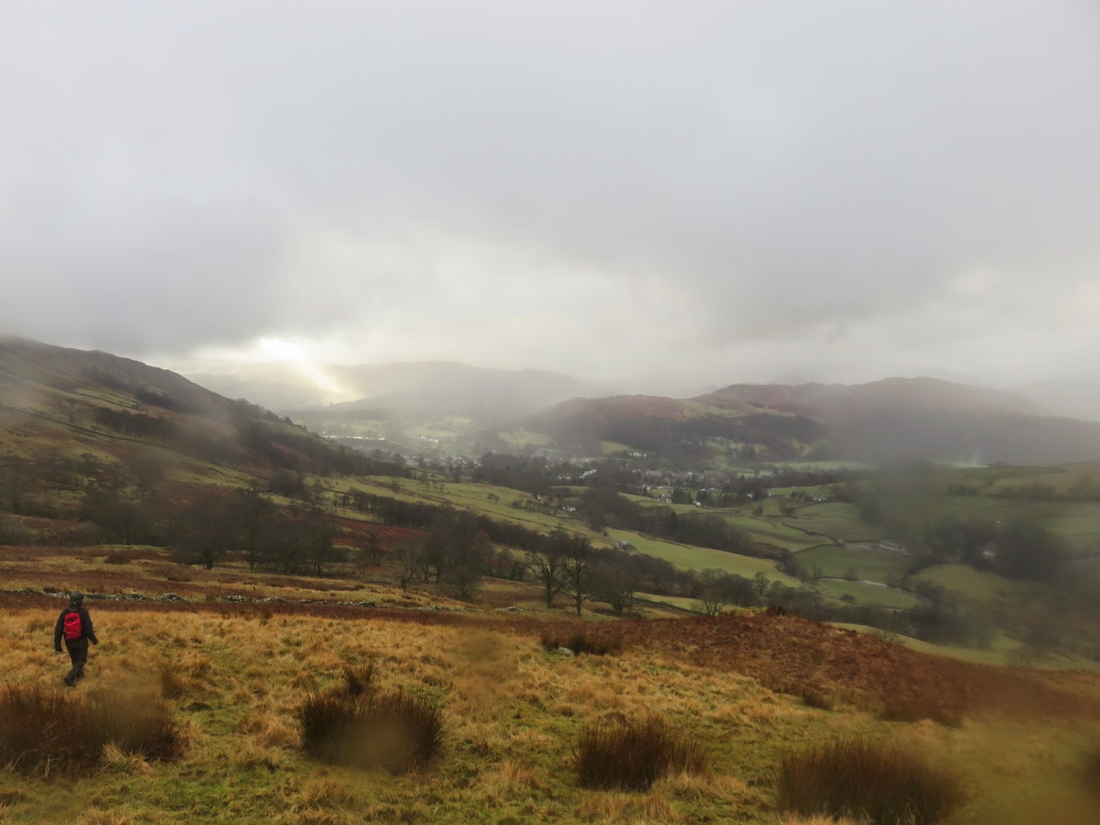
| Crossing open fellside at Work How |
 |
| Ambleside in the distance |
 |
| Descending towards Low Grove |
 |
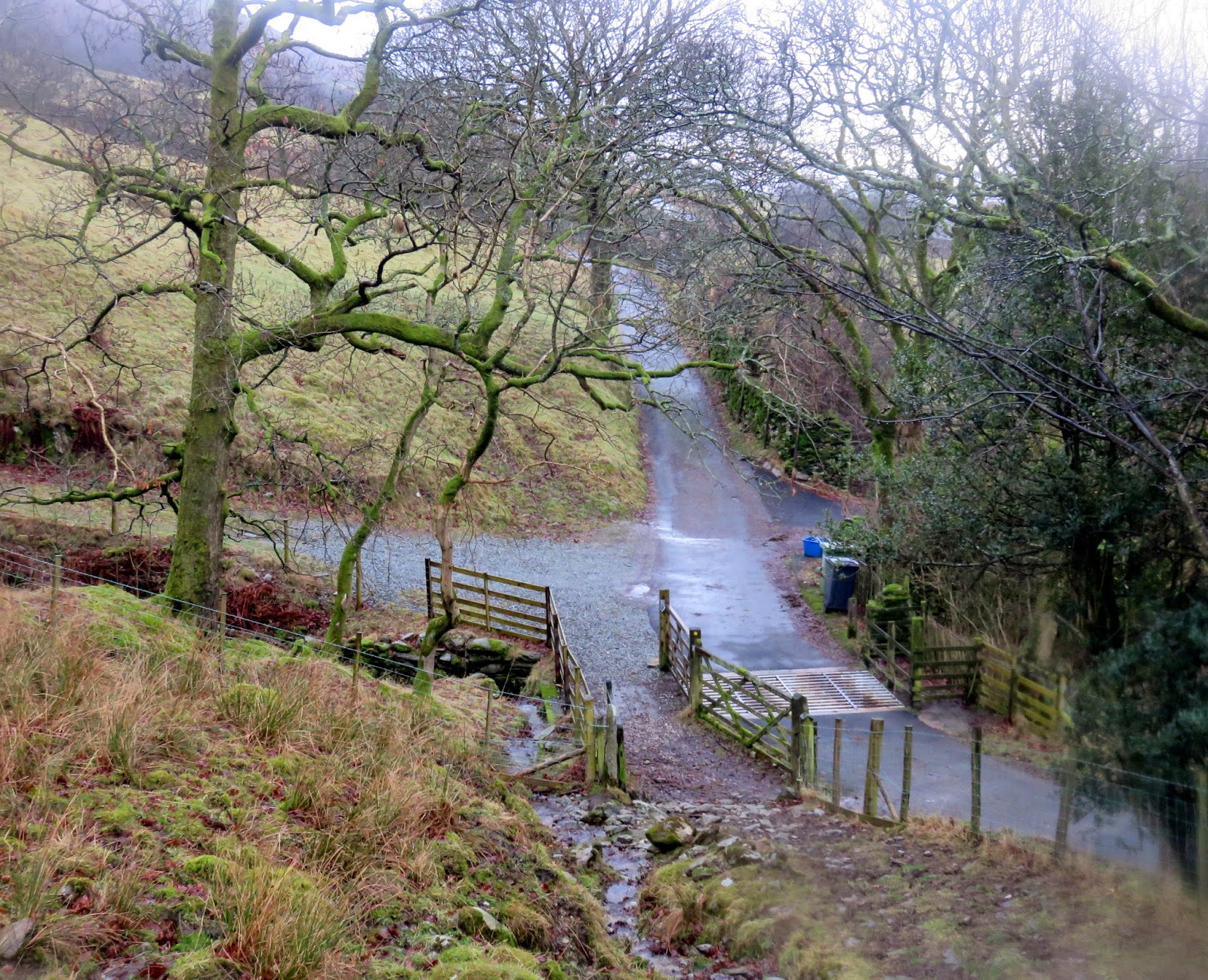
| Joining the lane at Low Grove |
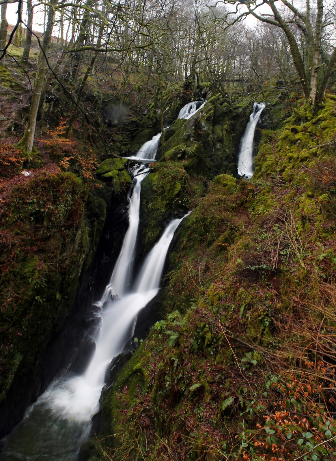
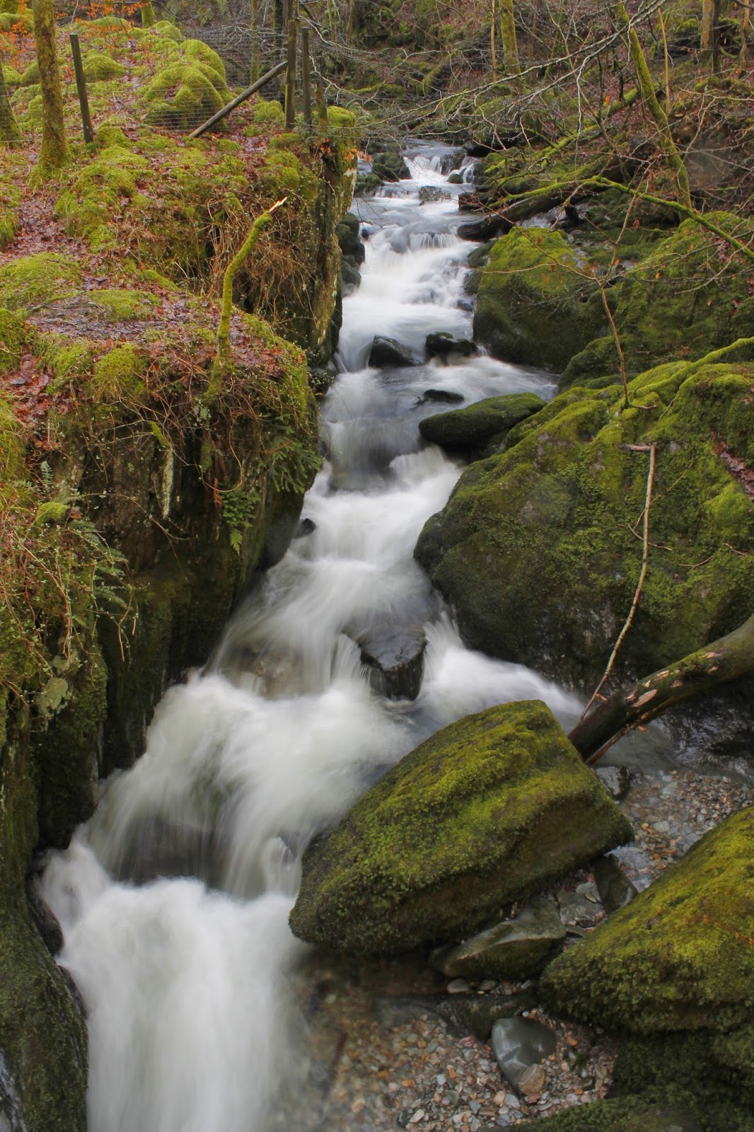
Through luck rather than judgement, there were no obstacles to our route down the hillside and we eventually reached a gate in wall that leads out onto the lane back to Ambleside. After a short stroll passing some renovated barns and pleasant looking holiday cottages, we reached the parked cars and set about removing our wet clothing. There was still plenty of time for a nose around the impressive Stockghyll Force.
 |
| Stockghyll Force |
 |
| Stock Ghyll |
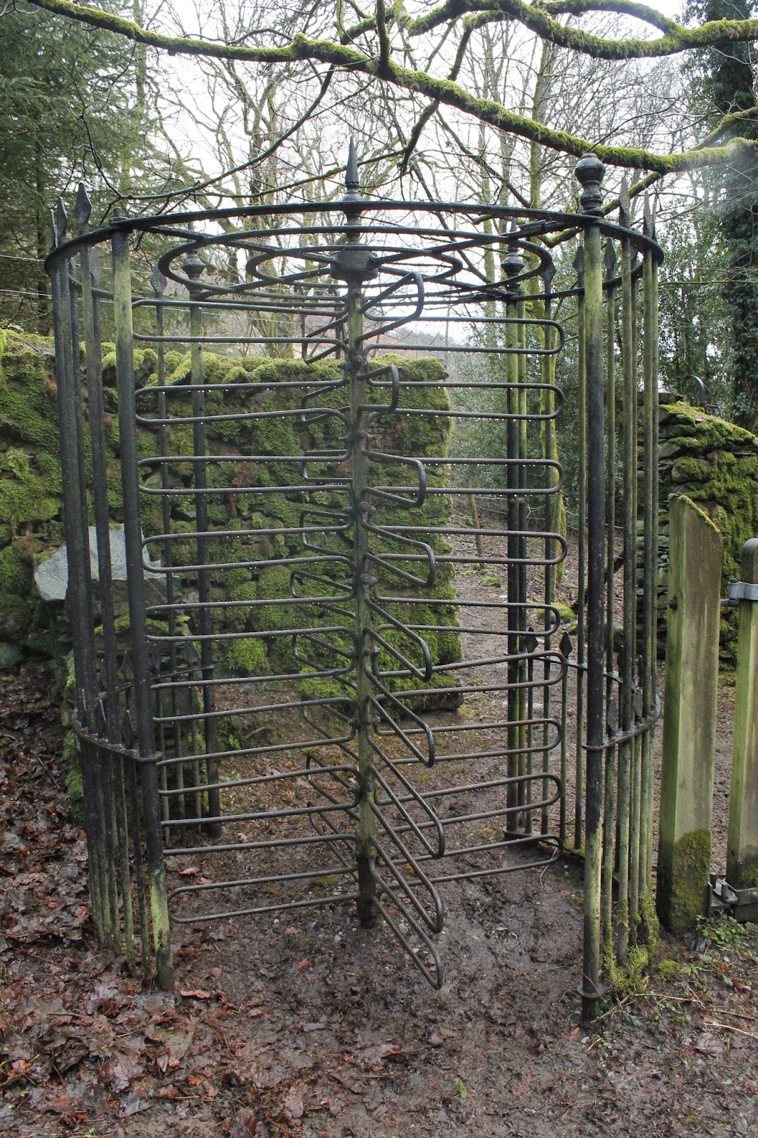
 |
| The old turnstile |
Ultimately a successful day out and completing what we’d set out to do a few days earlier. Photos of Wansfell on a nice day look impressive so I do harbour plans to return when it’s not so bleak – as I do for many of the smaller fells. To date they have nearly all been climbed when the weather is crap so I’m not doing them justice. Rannerdale Knotts and Castle Crag are prime examples of just how good the small hills can be so I’ll be back to do them justice in the future.

