Open Space Web-Map builder Codehttps://openspace.ordnancesurvey.co.uk/osmapapi/openspace.js?key=3119F72552FD5C22E0530C6CA40A5A92https://openspace.ordnancesurvey.co.uk/osmapapi/script/mapbuilder/basicmap.jshttps://openspace.ordnancesurvey.co.uk/osmapapi/script/mapbuilder/searchbox.js//variables for routes var linesLayer, points, lineFeature, lineString, routeMarkersLayer, routepos, routesize, routeoffset, routeicon; var style_blue = {strokeColor: “#0000CD”, strokeOpacity: 0.5, strokeWidth: 4.5}; function initmapbuilder() { //initiate the map var options = {resolutions: [2500, 1000, 500, 200, 100, 50, 25, 10, 5, 4, 2.5, 2, 1]}; osMap = new OpenSpace.Map(‘map’, options); //configure map options (basicmap.js) setglobaloptions(); //set the center of the map and the zoom level osMap.setCenter(new OpenSpace.MapPoint(318507,529129),7); linesLayer = osMap.getVectorLayer(); // Set up layer for route markers routeMarkersLayer = new OpenLayers.Layer.Markers(“Route Markers”); //make a route points = new Array(); points.push(new OpenLayers.Geometry.Point(318465.33335876,529065.66667938)); points.push(new OpenLayers.Geometry.Point(318330.33335876,529065.66667938)); points.push(new OpenLayers.Geometry.Point(318145.33335876,529060.66667938)); points.push(new OpenLayers.Geometry.Point(318035.33335876,529040.66667938)); points.push(new OpenLayers.Geometry.Point(317975.33335876,528965.66667938)); points.push(new OpenLayers.Geometry.Point(317910.33335876,528855.66667938)); points.push(new OpenLayers.Geometry.Point(317930.33335876,528745.66667938)); points.push(new OpenLayers.Geometry.Point(317950.33335876,528660.66667938)); points.push(new OpenLayers.Geometry.Point(317975.33335876,528585.66667938)); points.push(new OpenLayers.Geometry.Point(318085.33335876,528545.66667938)); points.push(new OpenLayers.Geometry.Point(318235.33335876,528600.66667938)); points.push(new OpenLayers.Geometry.Point(318370.33335876,528635.66667938)); points.push(new OpenLayers.Geometry.Point(318375.33335876,528805.66667938)); points.push(new OpenLayers.Geometry.Point(318335.33335876,528960.66667938)); points.push(new OpenLayers.Geometry.Point(318295.33335876,529005.66667938)); points.push(new OpenLayers.Geometry.Point(318275.33335876,529045.66667938)); points.push(new OpenLayers.Geometry.Point(318525.33335876,529055.66667938)); points.push(new OpenLayers.Geometry.Point(318465.33335876,529305.66667938)); points.push(new OpenLayers.Geometry.Point(318615.33335876,529270.66667938)); points.push(new OpenLayers.Geometry.Point(318915.33335876,529205.66667938)); points.push(new OpenLayers.Geometry.Point(318970.33335876,529245.66667938)); points.push(new OpenLayers.Geometry.Point(318730.33335876,529370.66667938)); points.push(new OpenLayers.Geometry.Point(318615.33335876,529460.66667938)); points.push(new OpenLayers.Geometry.Point(318880.33335876,529545.66667938)); points.push(new OpenLayers.Geometry.Point(319140.33335876,529565.66667938)); points.push(new OpenLayers.Geometry.Point(319340.33335876,529685.66667938)); points.push(new OpenLayers.Geometry.Point(319475.33335876,529650.66667938)); points.push(new OpenLayers.Geometry.Point(319715.33335876,529500.66667938)); points.push(new OpenLayers.Geometry.Point(319830.33335876,529490.66667938)); points.push(new OpenLayers.Geometry.Point(320220.33335876,529600.66667938)); points.push(new OpenLayers.Geometry.Point(320310.33335876,529670.66667938)); points.push(new OpenLayers.Geometry.Point(320230.33335876,529520.66667938)); points.push(new OpenLayers.Geometry.Point(320210.33335876,529345.66667938)); points.push(new OpenLayers.Geometry.Point(320005.33335876,529200.66667938)); points.push(new OpenLayers.Geometry.Point(319750.33335876,529100.66667938)); points.push(new OpenLayers.Geometry.Point(319610.33335876,529030.66667938)); points.push(new OpenLayers.Geometry.Point(319405.33335876,529040.66667938)); points.push(new OpenLayers.Geometry.Point(319270.33335876,529110.66667938)); points.push(new OpenLayers.Geometry.Point(319185.33335876,529150.66667938)); points.push(new OpenLayers.Geometry.Point(319120.33335876,529265.66667938)); points.push(new OpenLayers.Geometry.Point(318960.33335876,529250.66667938)); points.push(new OpenLayers.Geometry.Point(318885.33335876,529205.66667938)); points.push(new OpenLayers.Geometry.Point(318605.33335876,529265.66667938)); // create a polyline feature from the array of points lineString = new OpenLayers.Geometry.LineString(points); lineFeature = new OpenLayers.Feature.Vector(lineString, null, style_blue); linesLayer.addFeatures([lineFeature]); //crate a route start/end marker routepos = new OpenSpace.MapPoint(318465.33335876,529065.66667938); routesize = new OpenLayers.Size(33,45); routeoffset = new OpenLayers.Pixel(-5,-37); routeicon = new OpenSpace.Icon(‘https://openspace.ordnancesurvey.co.uk/osmapapi/img_versions/img_1.1/mapbuilder/routemarker-start.png’, routesize, routeoffset, null, null); routeMarkersLayer.addMarker(new OpenLayers.Marker(routepos, routeicon)); //crate a route start/end marker routepos = new OpenSpace.MapPoint(318605.33335876,529265.66667938); routesize = new OpenLayers.Size(33,45); routeoffset = new OpenLayers.Pixel(-5,-37); routeicon = new OpenSpace.Icon(‘https://openspace.ordnancesurvey.co.uk/osmapapi/img_versions/img_1.1/mapbuilder/routemarker-end.png’, routesize, routeoffset, null, null); routeMarkersLayer.addMarker(new OpenLayers.Marker(routepos, routeicon)); osMap.addLayer(routeMarkersLayer);}
Route: Brumston Bridge, Eskin, Ling Fell, Burthwaite, Eskin, Brumston Bridge, Dodd Crag, Sale Fell, Rivings, Lothwaite, Chapel Wood, Kelswick, Brumston Bridge
Date: 27/01/2015
From: Brumston Bridge
Parking: Layby near Brumston Bridge
Start Point: Brumston Bridge
Region: North Western Fells
Route length: 5.2 miles (8.3 km)
Time taken: 02:09
Average speed: 2.4 mph
Ascent: 514m
Descent: 511m
Wainwrights on this walk: Ling Fell (373m), Sale Fell (359m)
Additional summits: Rivings (335m), Lothwaite (345m)
Other points of interest: None
After a grey day around Troutbeck and a grey day on Rosthwaite Fell it was only fitting that we wrapped up a long winter weekend in the Lakes with a suitably grey day on some of the lesser climbed Lakeland Fells.
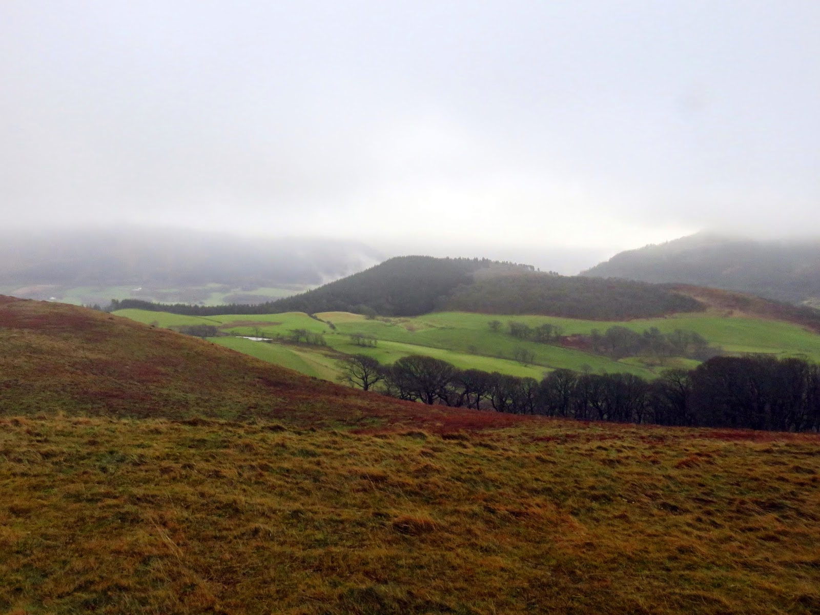
Ling Fell and Sale Fell stand to the west of Bassenthwaite Lake, outliers of the Lord’s Seat group of fells around Whinlatter and the last bastion of the National Park before it peters out to the industrialised west coast. Sadly, for these fells, we climbed them on account of poor weather which is a shame as the smaller fells can be just as rewarding as the towering giants in the south.
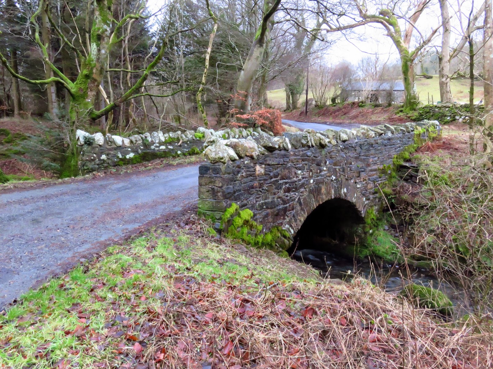
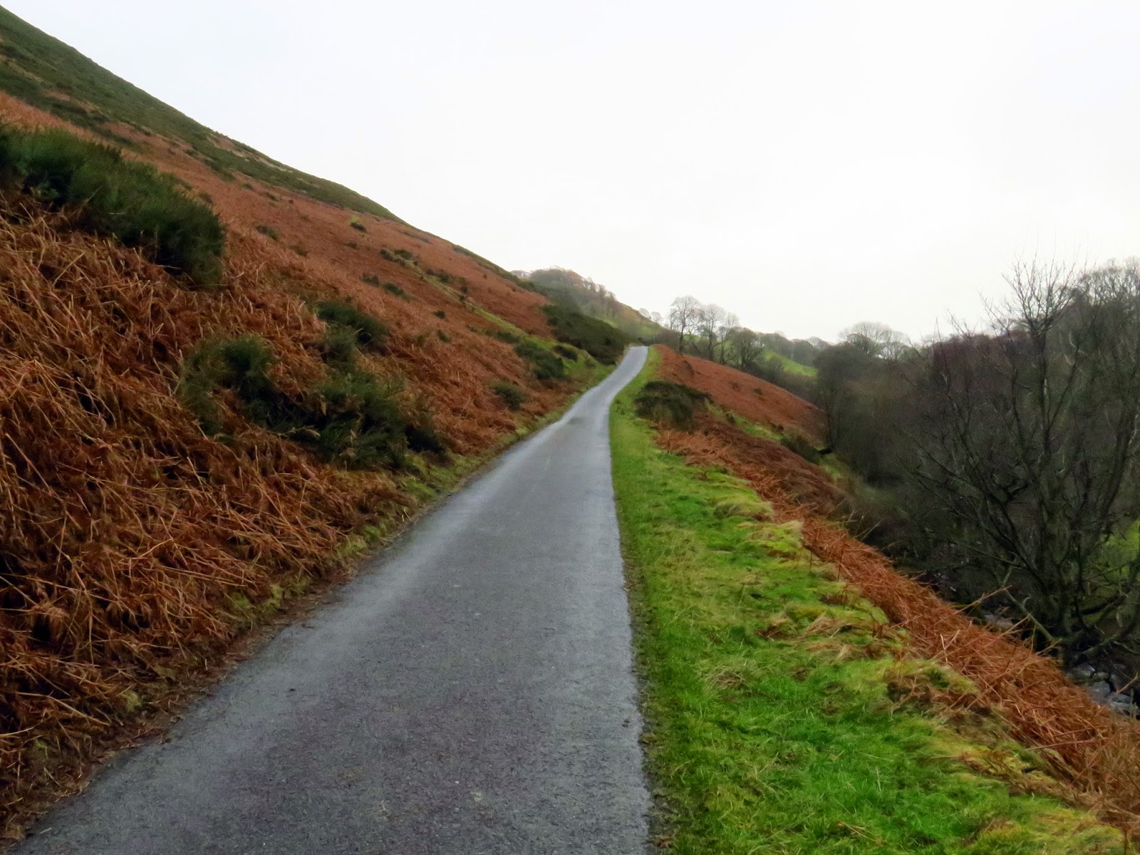
We parked at Brumston Bridge, hidden along a narrow road, far from the crowds that you come to expect in the National Park. There’s ample parking for a number of cars, not that it would be necessary today. Low clouds would again shroud most interesting things and, to top it off, I mucked up the camera settings so even they’re not particularly good. Does give a good excuse to come back though.
 |
| Brumston Bridge |
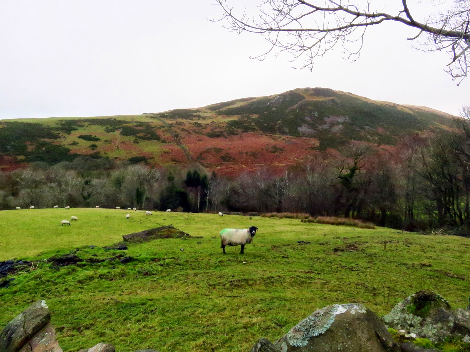
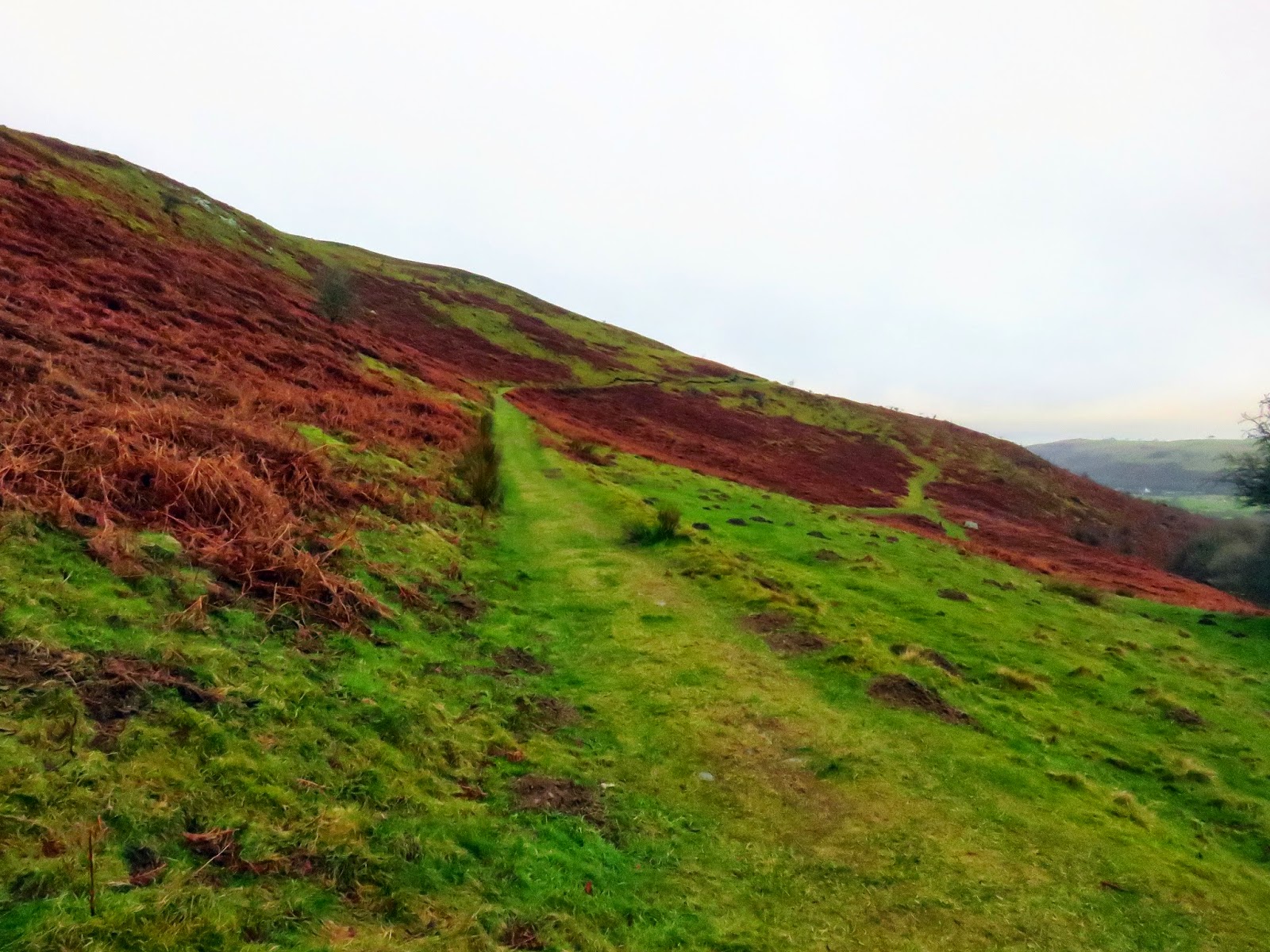
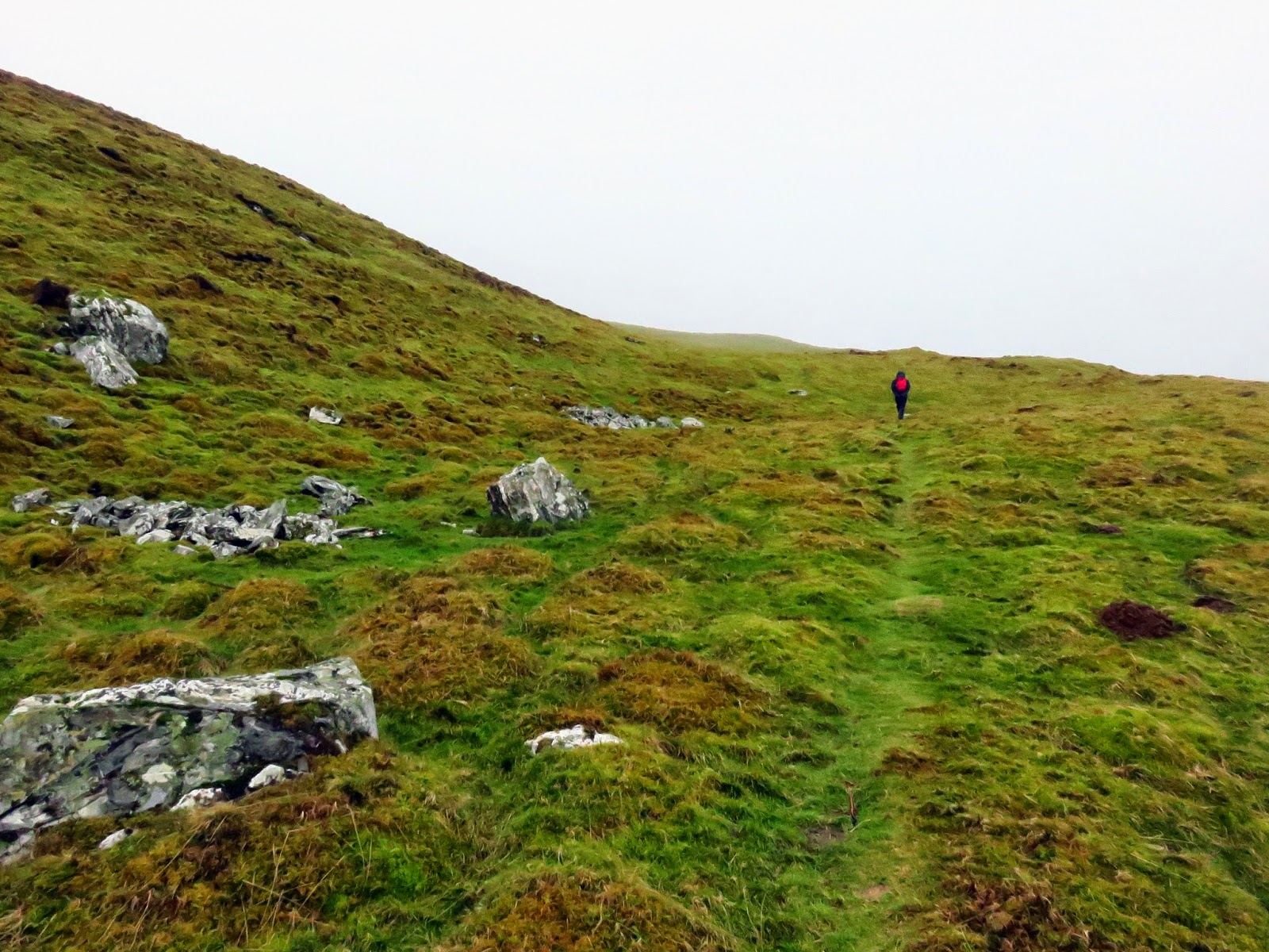
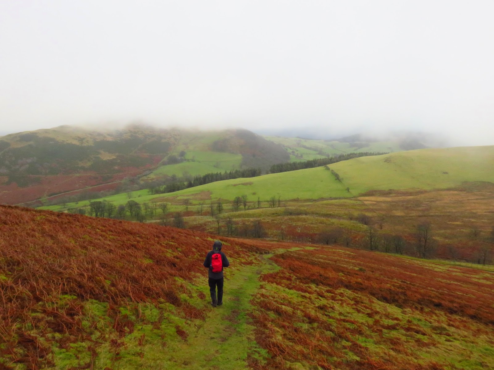
Ling Fell would be first, reached after passing through the hamlet of Eskin and out onto an old Corpse Road that must have linked the surrounding hamlets to the nearby old chapel (more on that later). While Ling Fell is ultimately a large, grassy hill accessible on all sides, there are a couple of routes that can be taken to the top. The first, a more leisurely wend along the corpse road before it swings back on itself up towards the summit or, secondly, the straight line route directly to the top. It may not surprise you to read that we chose the latter.
 |
| The old corpse road |
 |
| The route straight up the hillside |
 |
| I think this is a bield or a grouse butt |
 |
| The trig pillar emerges |
A mere half hour after leaving the car we were stood in the cloud on the top. Ling Fell does have a trig pillar to focus your attention but no views today.Its name derives from the fact that it is largely covered in heather, also known as “ling”.
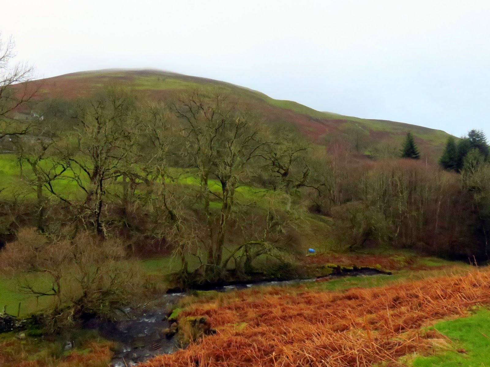
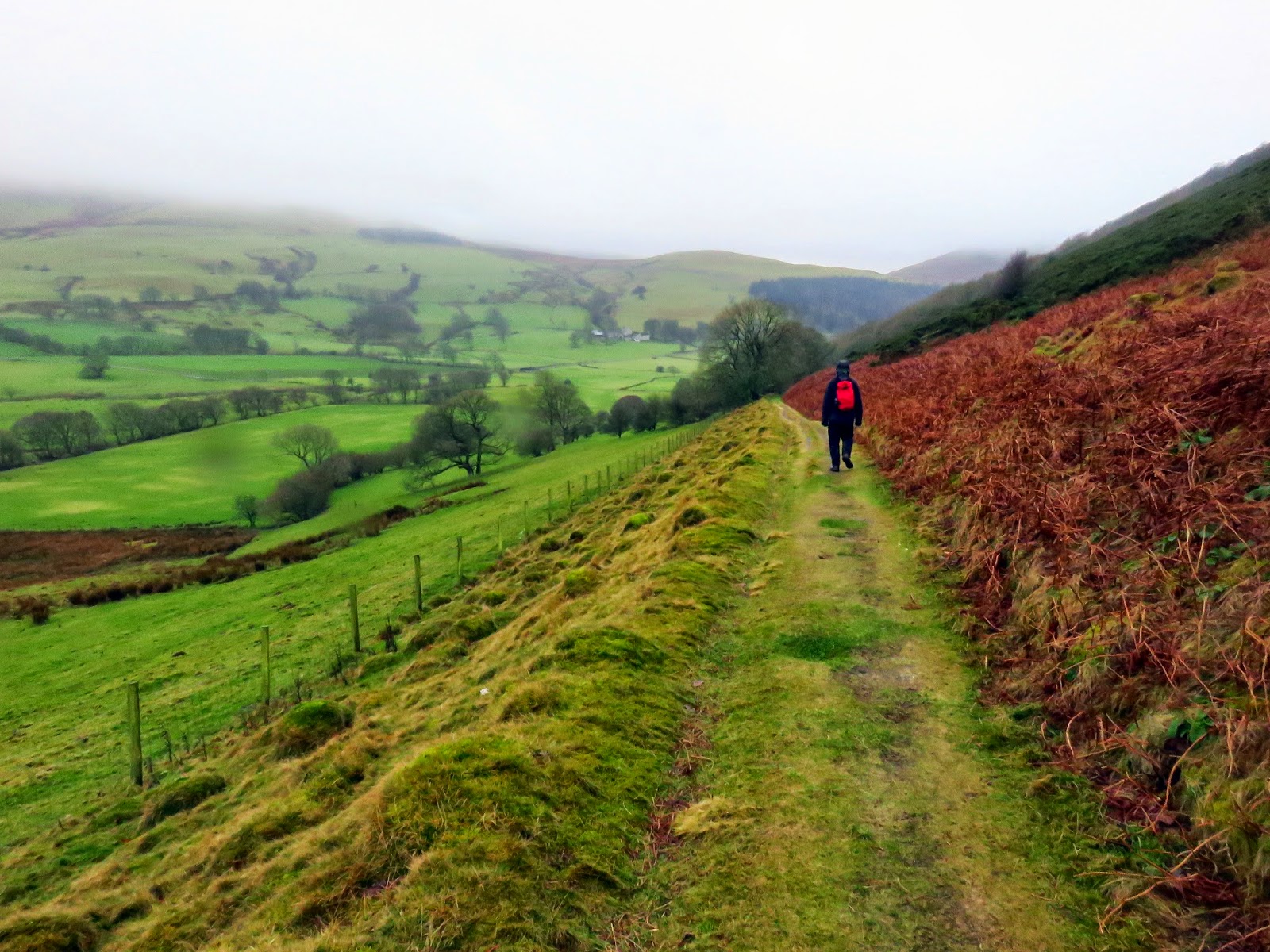
Instead of retracing our steps, we left the summit heading east, directly down the hillside until we reached the field boundary at the foot of the slope. Passing Burthwaite we returned through Eskin and back to the car at Brumston Bridge. It took less than an hour to scale Ling Fell, such is its modest height. The larger Sale Fell would hold our attention for longer.
 |
| Heading back towards Burthwaite |
 |
| The lane leading to Kelswick Farm |
 |
| Looking across towards Embleton |
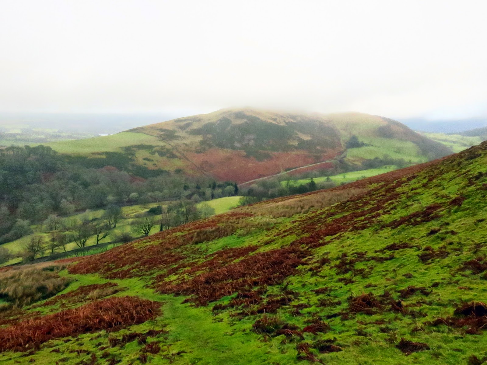
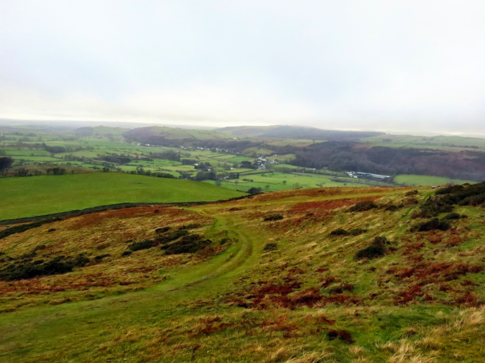
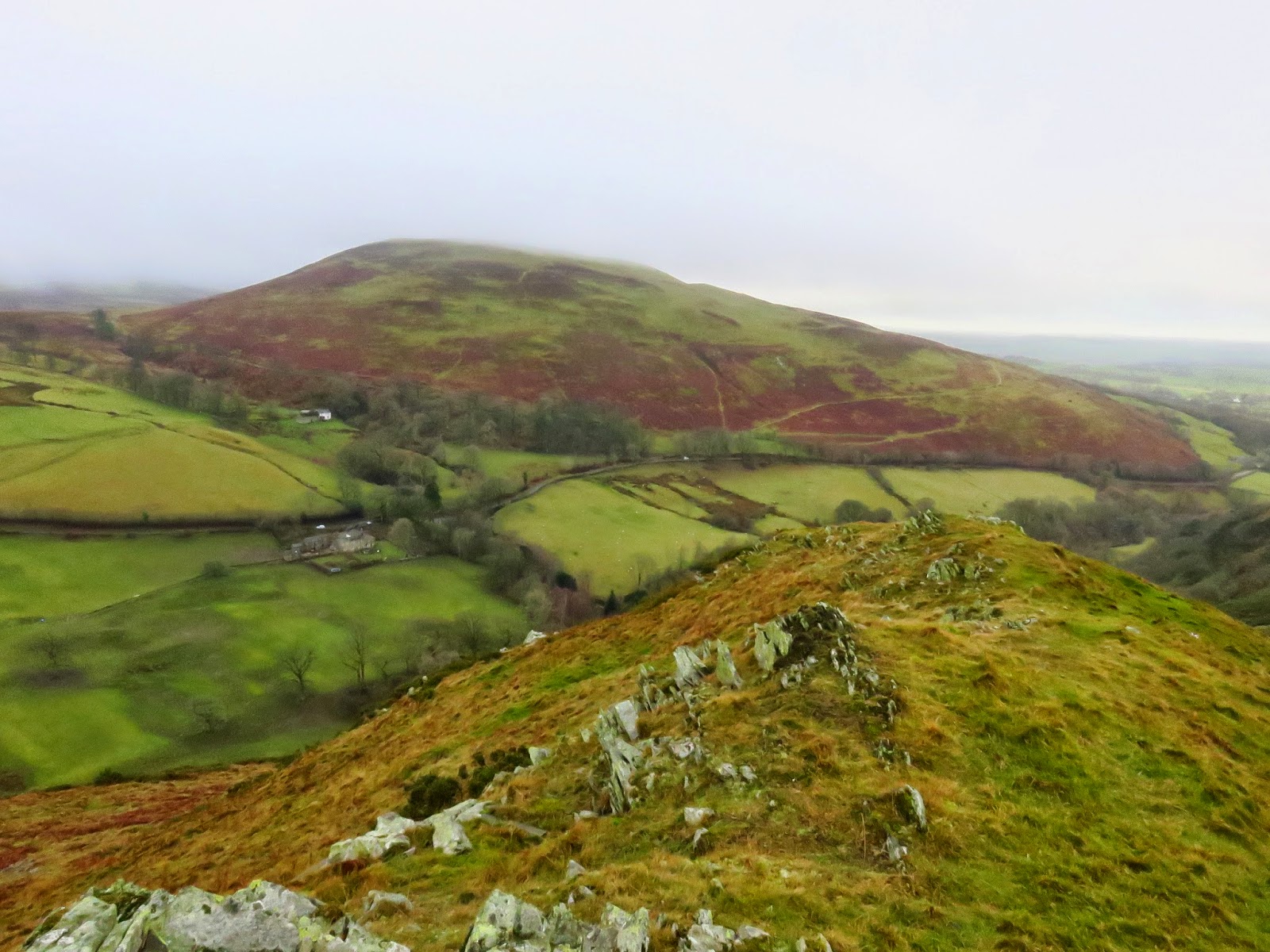
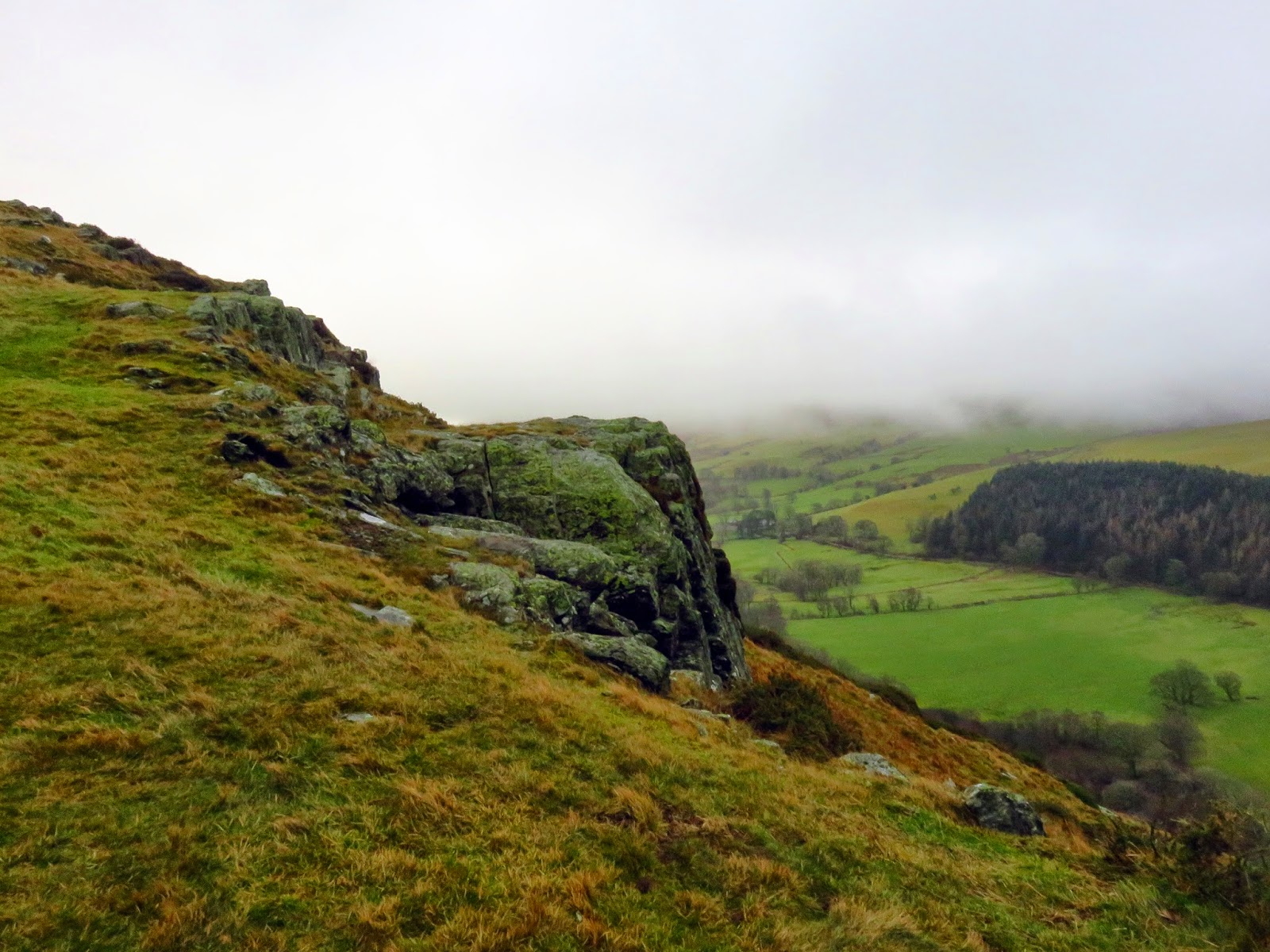
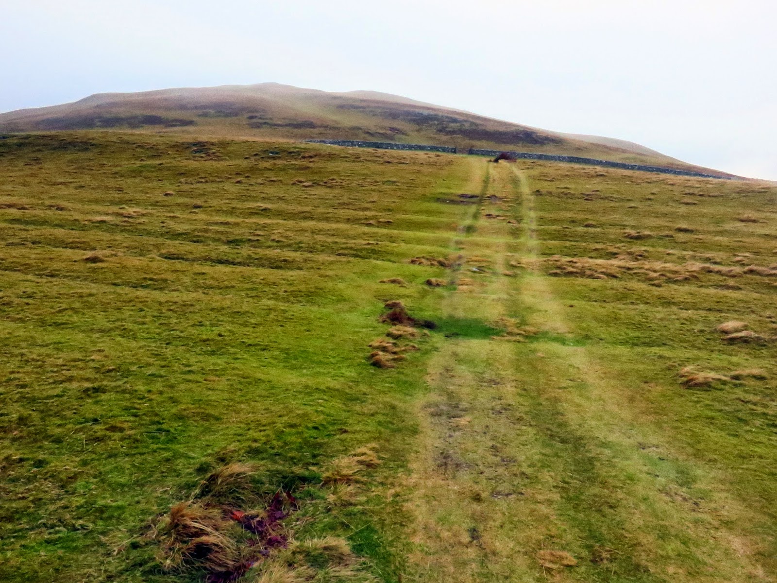
The lane leading towards the farm of Kelswick joins a well engineered track that doubles back and slopes its way up to the western arm of Sale Fell. Like Ling Fell you can head directly up the hillside but Sale Fell is worthy of a walk right along its ridge. There’s even a crag to look at; Dodd Crag.
 |
| The view towards Cockermouth |
 |
| Dodd Crag |
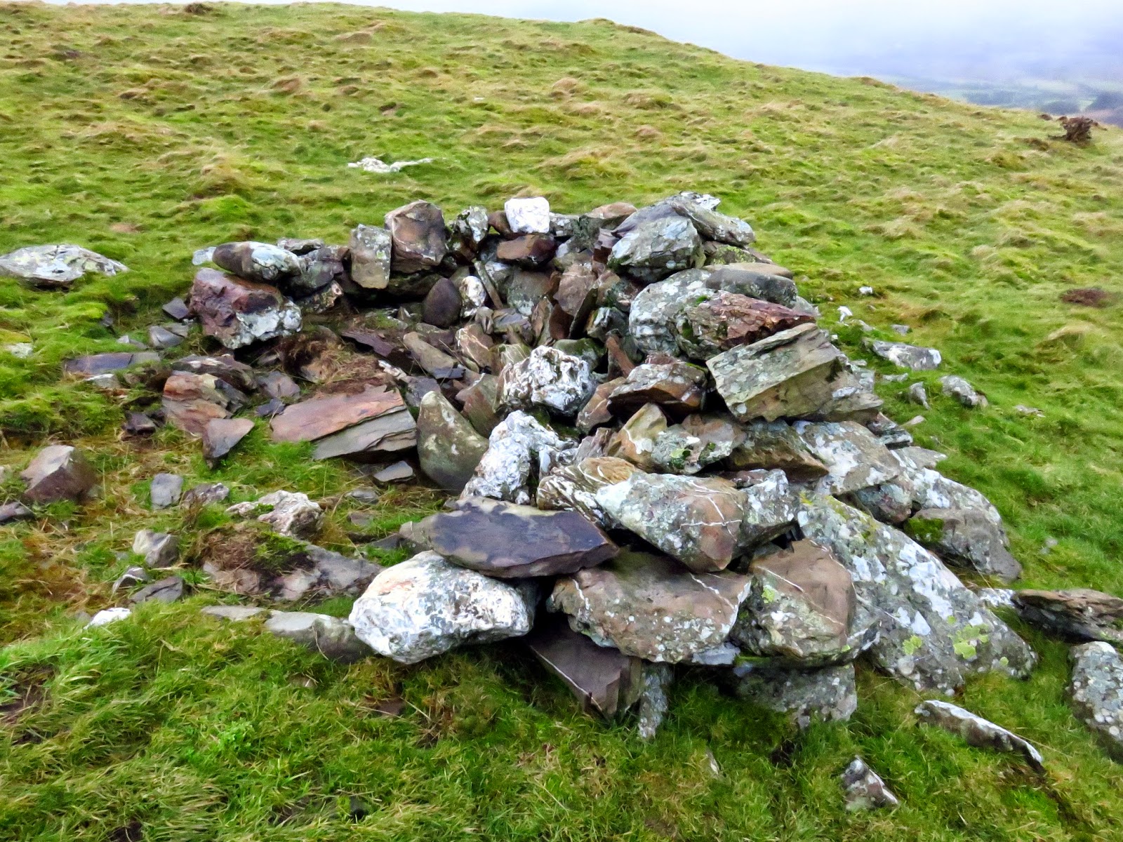
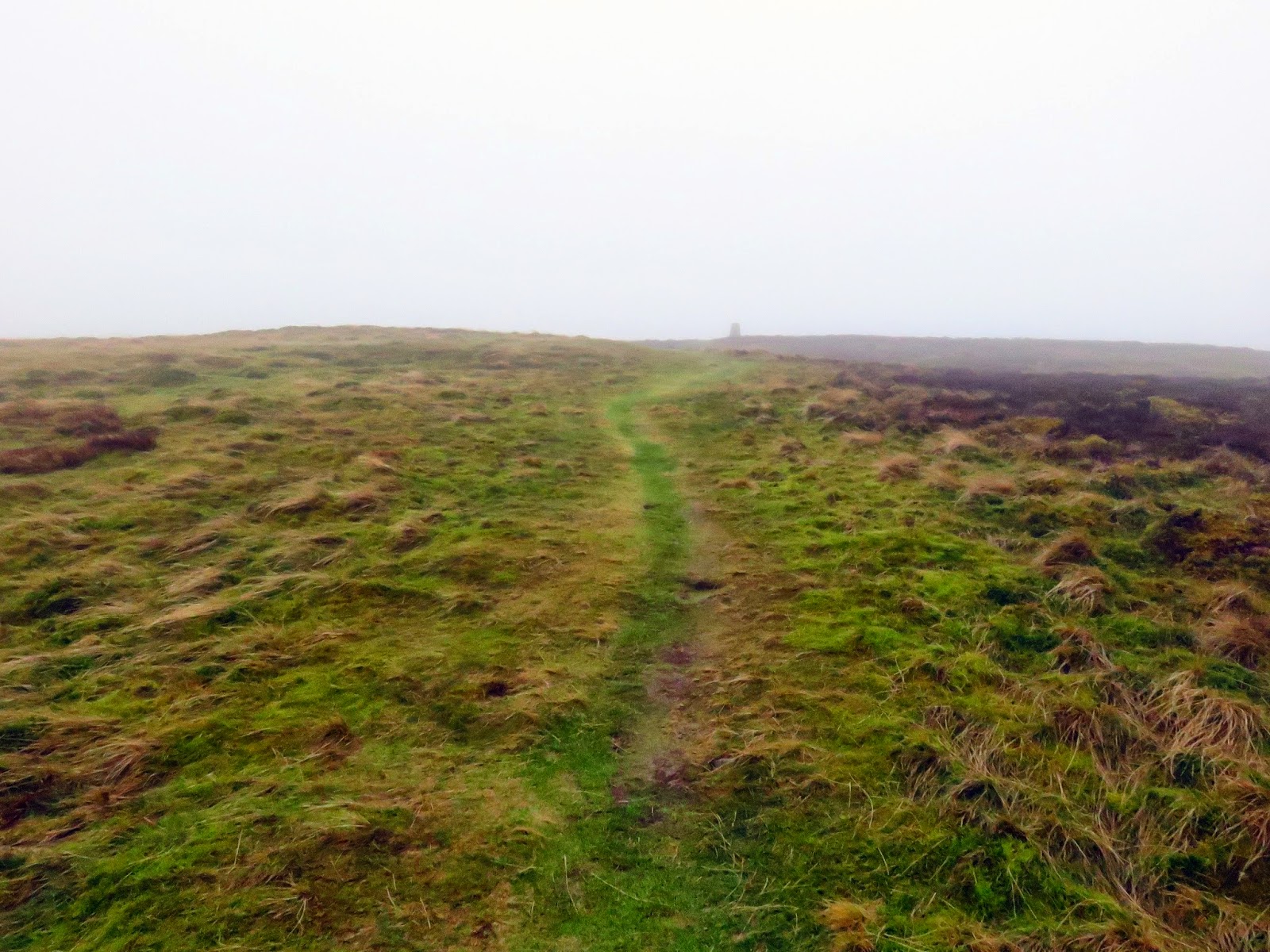
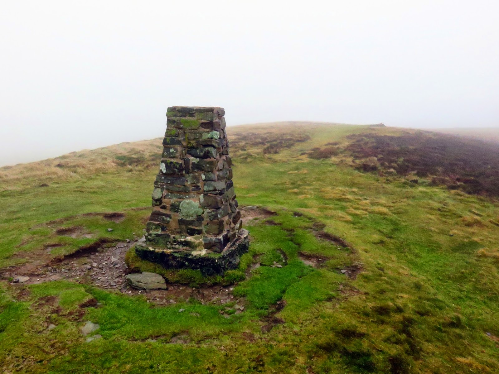
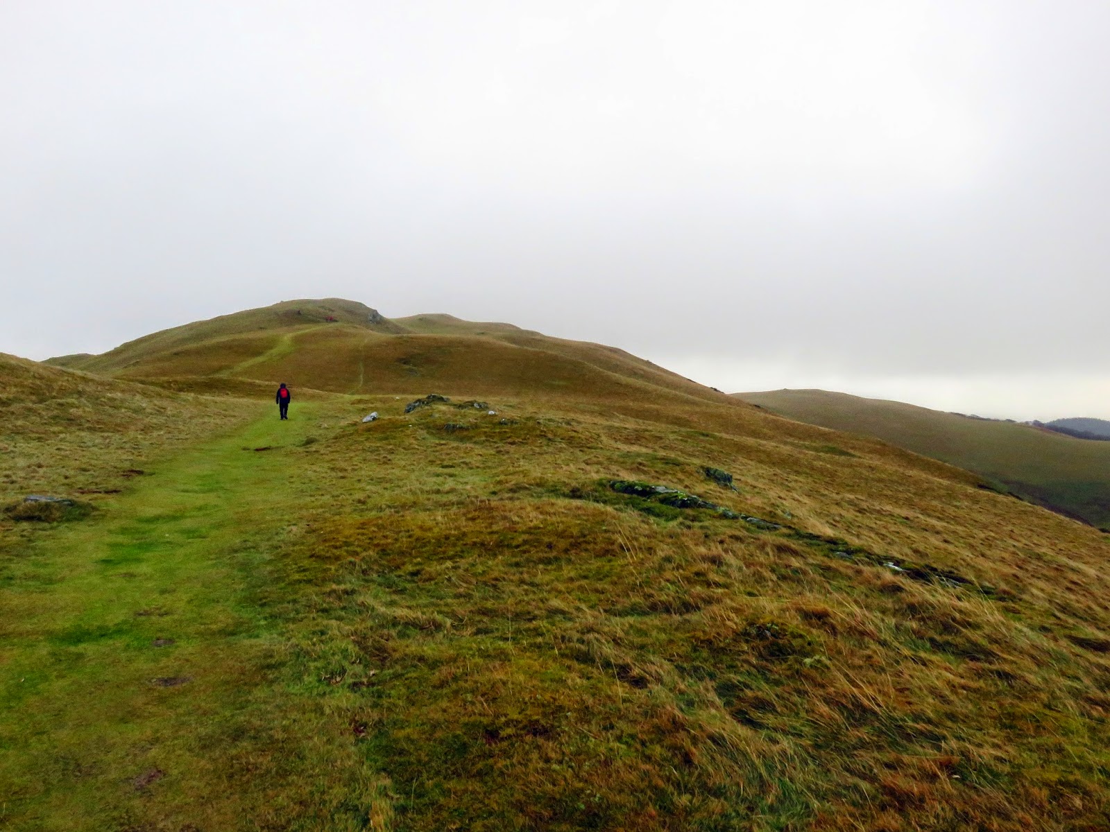
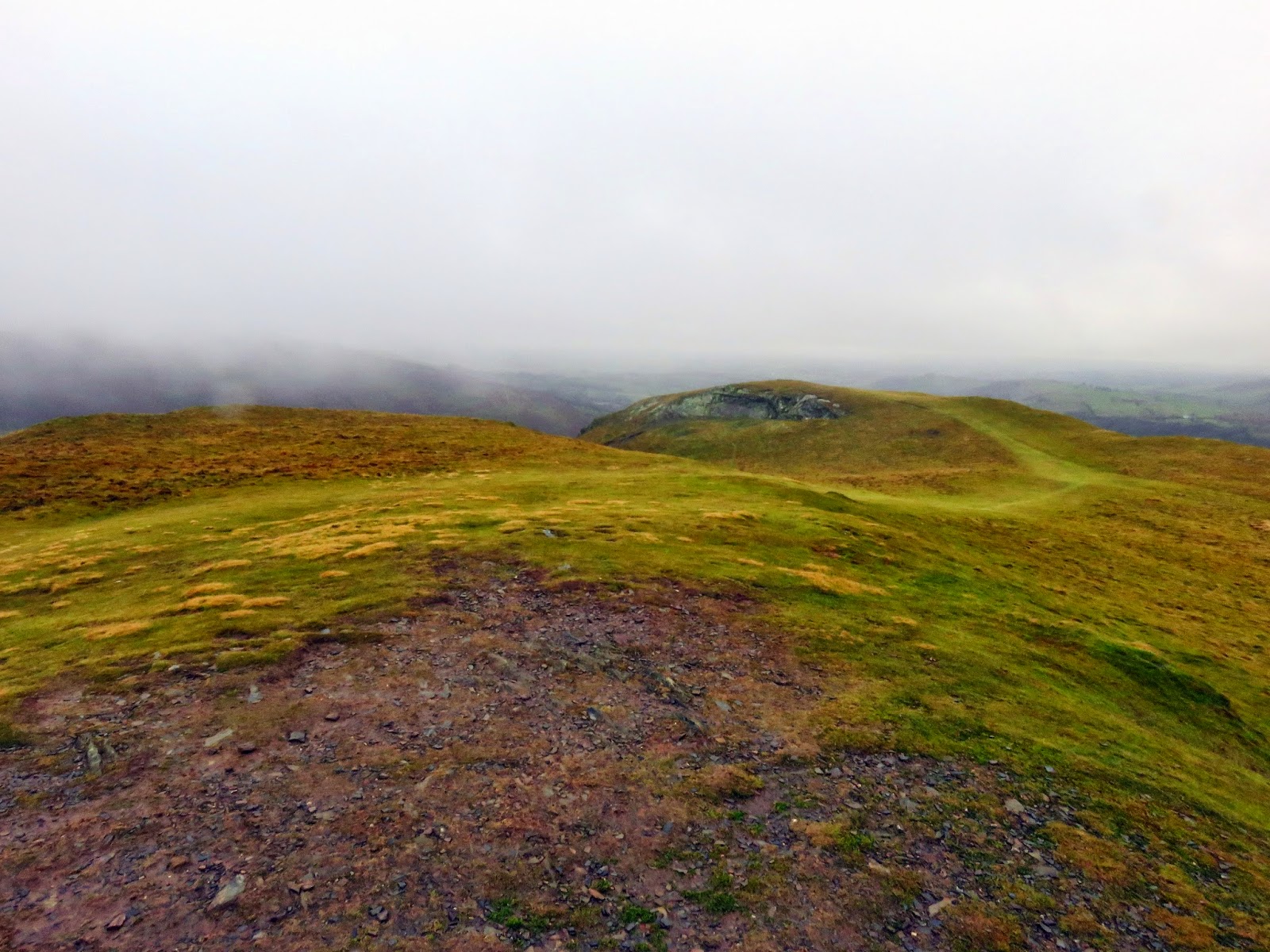
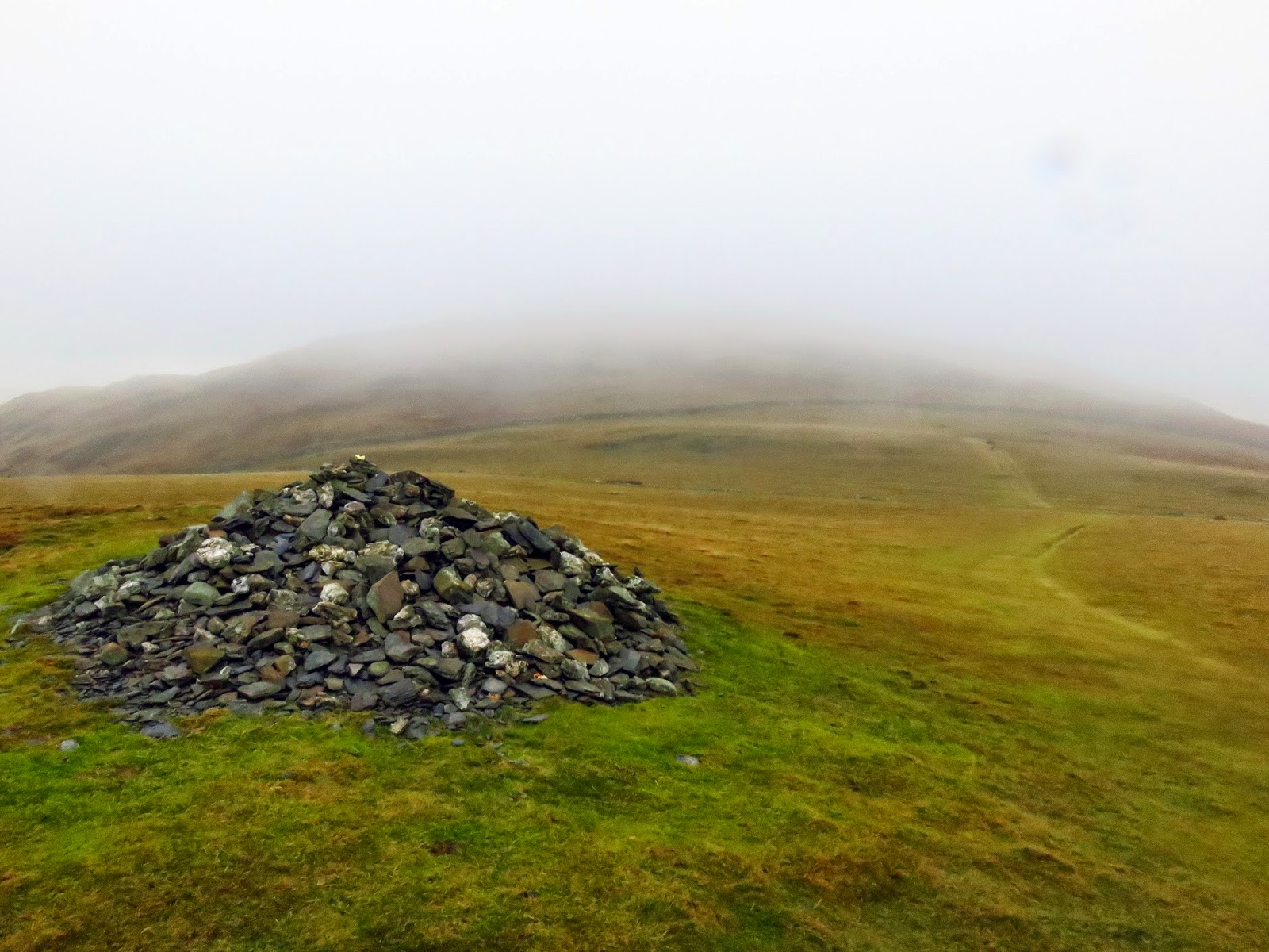
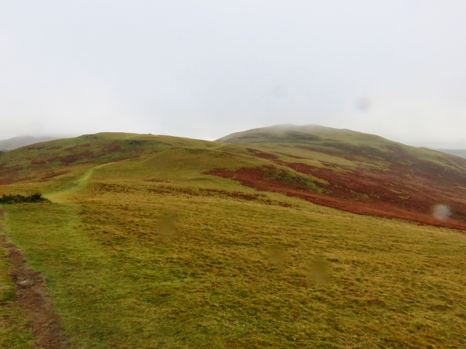
A broad grassy path takes you straight to the summit which was bare when we visited. Unlike Ling Fell, Sale Fell has a pair of subsidiary tops, both of which are worthy of being classed as Birkett fells. The first, Rivings, sits on the other side of a small depression that was full of odd furrows of unknown origin. Rivings actually has a fine cairn but little else of note. A short distance further is the top of Lothwaite.
 |
| The western ridge leading to the summit |
 |
| The bare top of Sale Fell looking towards Lothwaite |
 |
| The furrowed depression between Sale Fell and Rivings |
 |
| Rivings |
 |
| Ladies Table |
 |
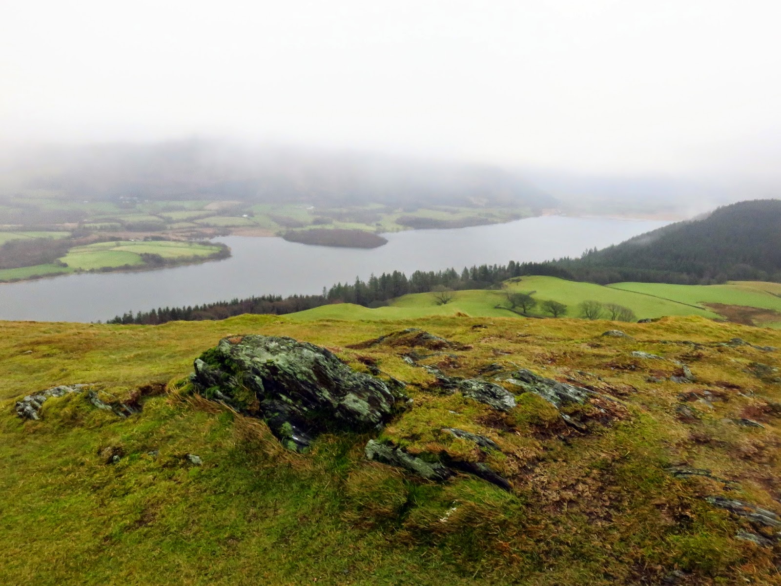
| Lothwaite with Bassenthwaite beyond |
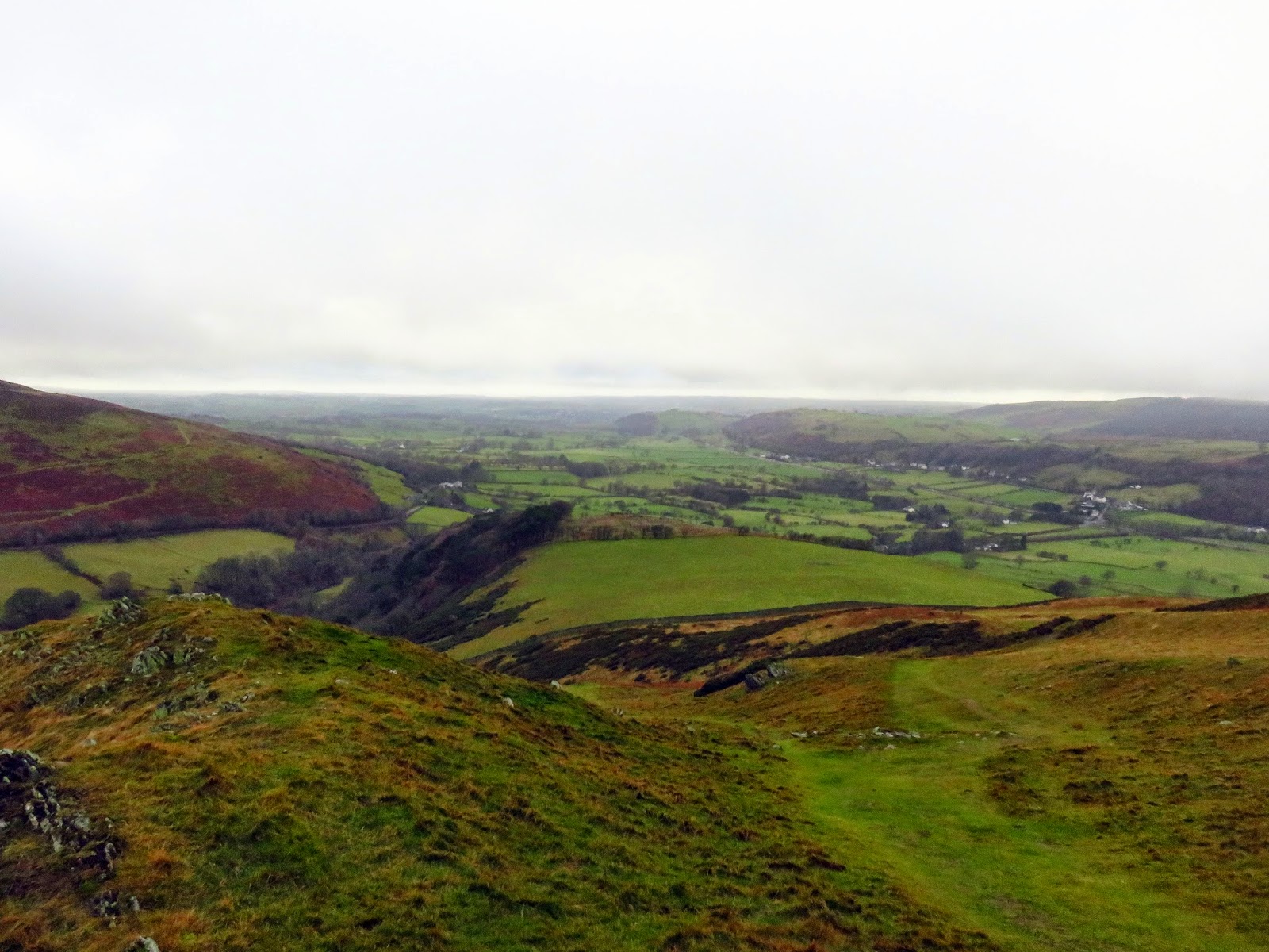
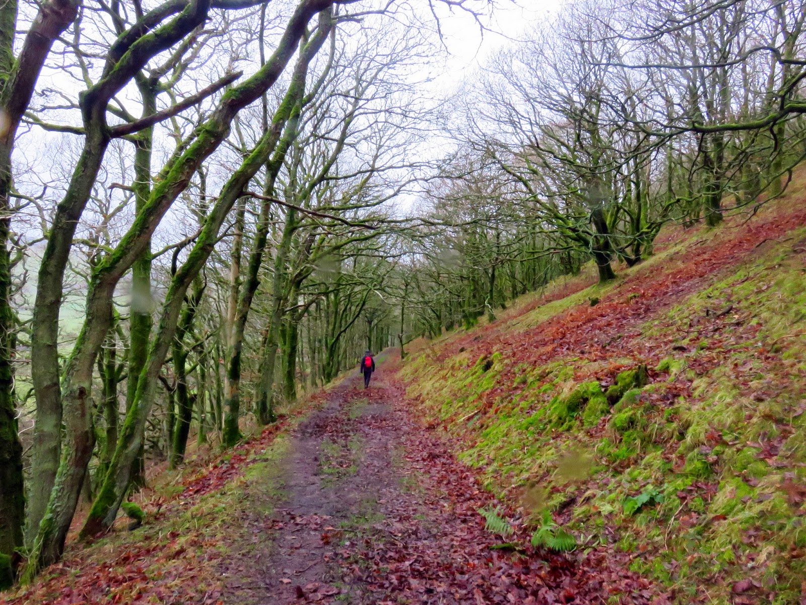
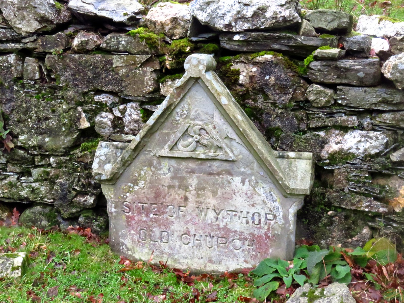
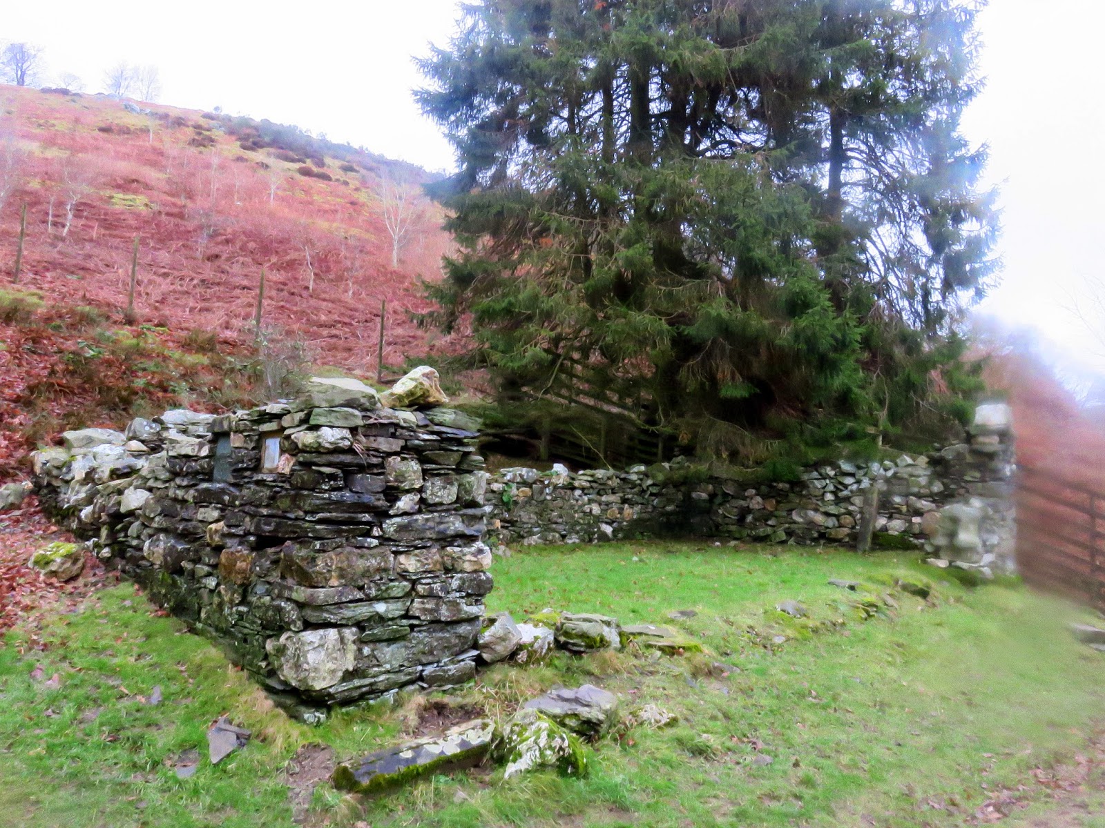
Retracing our route slightly, we dropped down the hillside a wide track that actually circumnavigates the entire fell. The track enters Chapel Wood, woodland that I can only assume belonged to the ruined Wythrop Chapel. The remains are next to the track, impossible to miss. It is thought that the chapel originally dated from the 14th Century before it was demolished in 1865 to be replaced by a new church on the northern side of Sale Fell.
 |
| The delightful Chapel Wood |
 |
| A marker for the old church |
 |
| The remains of the old church |
 |
| Kelswick Farm |
 |
| Until next time |
We passed Kelswick Farm and back to the car. In total it took only 2 hours to walk both these fells; hardly an epic. That did leave plenty of time to visit a nearby cafe and contemplate our next move. It was too early to start the long drive home and a little bit of rain wasn’t to stop us now.

