Open Space Web-Map builder Codehttps://openspace.ordnancesurvey.co.uk/osmapapi/openspace.js?key=3119F72552FD5C22E0530C6CA40A5A92https://openspace.ordnancesurvey.co.uk/osmapapi/script/mapbuilder/basicmap.jshttps://openspace.ordnancesurvey.co.uk/osmapapi/script/mapbuilder/searchbox.js//variables for routes var linesLayer, points, lineFeature, lineString, routeMarkersLayer, routepos, routesize, routeoffset, routeicon; var style_blue = {strokeColor: “#0000CD”, strokeOpacity: 0.5, strokeWidth: 4.5}; function initmapbuilder() { //initiate the map var options = {resolutions: [2500, 1000, 500, 200, 100, 50, 25, 10, 5, 4, 2.5, 2, 1]}; osMap = new OpenSpace.Map(‘map’, options); //configure map options (basicmap.js) setglobaloptions(); //set the center of the map and the zoom level osMap.setCenter(new OpenSpace.MapPoint(325050.99937057,512119.00125885),7); linesLayer = osMap.getVectorLayer(); // Set up layer for route markers routeMarkersLayer = new OpenLayers.Layer.Markers(“Route Markers”); //make a route points = new Array(); points.push(new OpenLayers.Geometry.Point(326262.66603088,513780.66793823)); points.push(new OpenLayers.Geometry.Point(326247.66603088,513700.66793823)); points.push(new OpenLayers.Geometry.Point(326297.66603088,513665.66793823)); points.push(new OpenLayers.Geometry.Point(326277.66603088,513600.66793823)); points.push(new OpenLayers.Geometry.Point(326322.66603088,513590.66793823)); points.push(new OpenLayers.Geometry.Point(326382.66603088,513505.66793823)); points.push(new OpenLayers.Geometry.Point(326457.66603088,513490.66793823)); points.push(new OpenLayers.Geometry.Point(326582.66603088,513385.66793823)); points.push(new OpenLayers.Geometry.Point(326607.66603088,513320.66793823)); points.push(new OpenLayers.Geometry.Point(326542.66603088,513220.66793823)); points.push(new OpenLayers.Geometry.Point(326482.66603088,513180.66793823)); points.push(new OpenLayers.Geometry.Point(326542.66603088,513050.66793823)); points.push(new OpenLayers.Geometry.Point(326522.66603088,512980.66793823)); points.push(new OpenLayers.Geometry.Point(326522.66603088,512745.66793823)); points.push(new OpenLayers.Geometry.Point(326347.66603088,512725.66793823)); points.push(new OpenLayers.Geometry.Point(326182.66603088,512690.66793823)); points.push(new OpenLayers.Geometry.Point(326102.66603088,512705.66793823)); points.push(new OpenLayers.Geometry.Point(326037.66603088,512725.66793823)); points.push(new OpenLayers.Geometry.Point(325937.66603088,512680.66793823)); points.push(new OpenLayers.Geometry.Point(325887.66603088,512610.66793823)); points.push(new OpenLayers.Geometry.Point(325817.66603088,512505.66793823)); points.push(new OpenLayers.Geometry.Point(325777.66603088,512405.66793823)); points.push(new OpenLayers.Geometry.Point(325702.66603088,512305.66793823)); points.push(new OpenLayers.Geometry.Point(325702.66603088,512170.66793823)); points.push(new OpenLayers.Geometry.Point(325807.66603088,511865.66793823)); points.push(new OpenLayers.Geometry.Point(325697.66603088,511765.66793823)); points.push(new OpenLayers.Geometry.Point(325602.66603088,511820.66793823)); points.push(new OpenLayers.Geometry.Point(325697.66603088,511640.66793823)); points.push(new OpenLayers.Geometry.Point(325767.66603088,511550.66793823)); points.push(new OpenLayers.Geometry.Point(325767.66603088,511390.66793823)); points.push(new OpenLayers.Geometry.Point(325592.66603088,511240.66793823)); points.push(new OpenLayers.Geometry.Point(325512.66603088,511010.66793823)); points.push(new OpenLayers.Geometry.Point(325512.66603088,510870.66793823)); points.push(new OpenLayers.Geometry.Point(325402.66603088,510800.66793823)); points.push(new OpenLayers.Geometry.Point(325262.66603088,510775.66793823)); points.push(new OpenLayers.Geometry.Point(325087.66603088,510760.66793823)); points.push(new OpenLayers.Geometry.Point(324832.66603088,510715.66793823)); points.push(new OpenLayers.Geometry.Point(324772.66603088,510640.66793823)); points.push(new OpenLayers.Geometry.Point(324722.66603088,510530.66793823)); points.push(new OpenLayers.Geometry.Point(324672.66603088,510510.66793823)); points.push(new OpenLayers.Geometry.Point(324592.66603088,510475.66793823)); points.push(new OpenLayers.Geometry.Point(324727.66603088,510610.66793823)); points.push(new OpenLayers.Geometry.Point(324692.66603088,510735.66793823)); points.push(new OpenLayers.Geometry.Point(324667.66603088,510880.66793823)); points.push(new OpenLayers.Geometry.Point(324532.66603088,510955.66793823)); points.push(new OpenLayers.Geometry.Point(324412.66603088,511045.66793823)); points.push(new OpenLayers.Geometry.Point(324267.66603088,511145.66793823)); points.push(new OpenLayers.Geometry.Point(324092.66603088,511365.66793823)); points.push(new OpenLayers.Geometry.Point(323937.66603088,511545.66793823)); points.push(new OpenLayers.Geometry.Point(323832.66603088,511590.66793823)); points.push(new OpenLayers.Geometry.Point(323712.66603088,511605.66793823)); points.push(new OpenLayers.Geometry.Point(323547.66603088,511625.66793823)); points.push(new OpenLayers.Geometry.Point(323487.66603088,511790.66793823)); points.push(new OpenLayers.Geometry.Point(323437.66603088,511895.66793823)); points.push(new OpenLayers.Geometry.Point(323477.66603088,512045.66793823)); points.push(new OpenLayers.Geometry.Point(323517.66603088,512125.66793823)); points.push(new OpenLayers.Geometry.Point(323517.66603088,512185.66793823)); // create a polyline feature from the array of points lineString = new OpenLayers.Geometry.LineString(points); lineFeature = new OpenLayers.Feature.Vector(lineString, null, style_blue); linesLayer.addFeatures([lineFeature]); //crate a route start/end marker routepos = new OpenSpace.MapPoint(326262.66603088,513780.66793823); routesize = new OpenLayers.Size(33,45); routeoffset = new OpenLayers.Pixel(-5,-37); routeicon = new OpenSpace.Icon(‘https://openspace.ordnancesurvey.co.uk/osmapapi/img_versions/img_1.1/mapbuilder/routemarker-start.png’, routesize, routeoffset, null, null); routeMarkersLayer.addMarker(new OpenLayers.Marker(routepos, routeicon)); //crate a route start/end marker routepos = new OpenSpace.MapPoint(323517.66603088,512185.66793823); routesize = new OpenLayers.Size(33,45); routeoffset = new OpenLayers.Pixel(-5,-37); routeicon = new OpenSpace.Icon(‘https://openspace.ordnancesurvey.co.uk/osmapapi/img_versions/img_1.1/mapbuilder/routemarker-end.png’, routesize, routeoffset, null, null); routeMarkersLayer.addMarker(new OpenLayers.Marker(routepos, routeicon)); osMap.addLayer(routeMarkersLayer);}
Route: Stonethwaite, Little Stanger Gill, Bull Crag, Big Stanger Gill, Bessyboot, Rosthwaite Cam, Dovenest Top, Combe Door, Glaramara, Hind Gill, Hind Crag, Seathwaite
Date: 26/01/2015
From: Stonethwaite
Parking: Small car park in Stonethwaite
Start Point: Stonethwaite
Region: Southern Fells
Route length: 5.7 miles (9.2 km)
Time taken: 03:39
Average speed: 1.5 mph
Ascent: 836m
Descent: 817m
Wainwrights on this walk:
Rosthwaite Fell (Bessyboot) (551m), Glaramara (783m)
Additional summits: Rosthwaite Cam (612m)
Other points of interest: The Combe
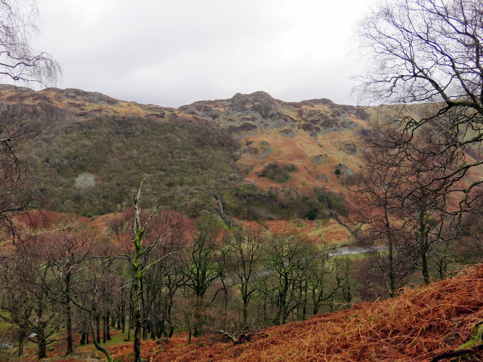
The ridge walk along Glaramara is very highly regarded as a fine route up a fine fell with interest to be found along the route. It’s one that I’ve been looking forward to doing for a while though we’d have to put up with some changeable conditions during the day.
The plan was to hike up to Bessyboot from Stonethwaite before crossing the ridge to Esk Hause and return by Seathwaite Fell though, in this case, the plan didn’t quite come to fruition as you will see later on.
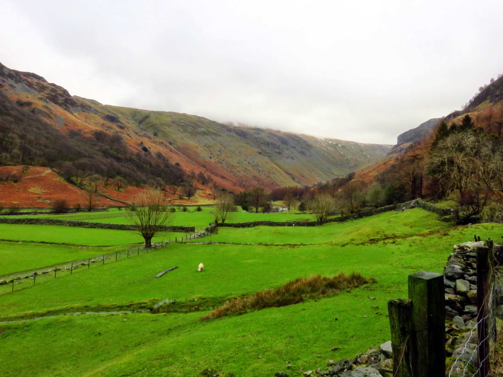
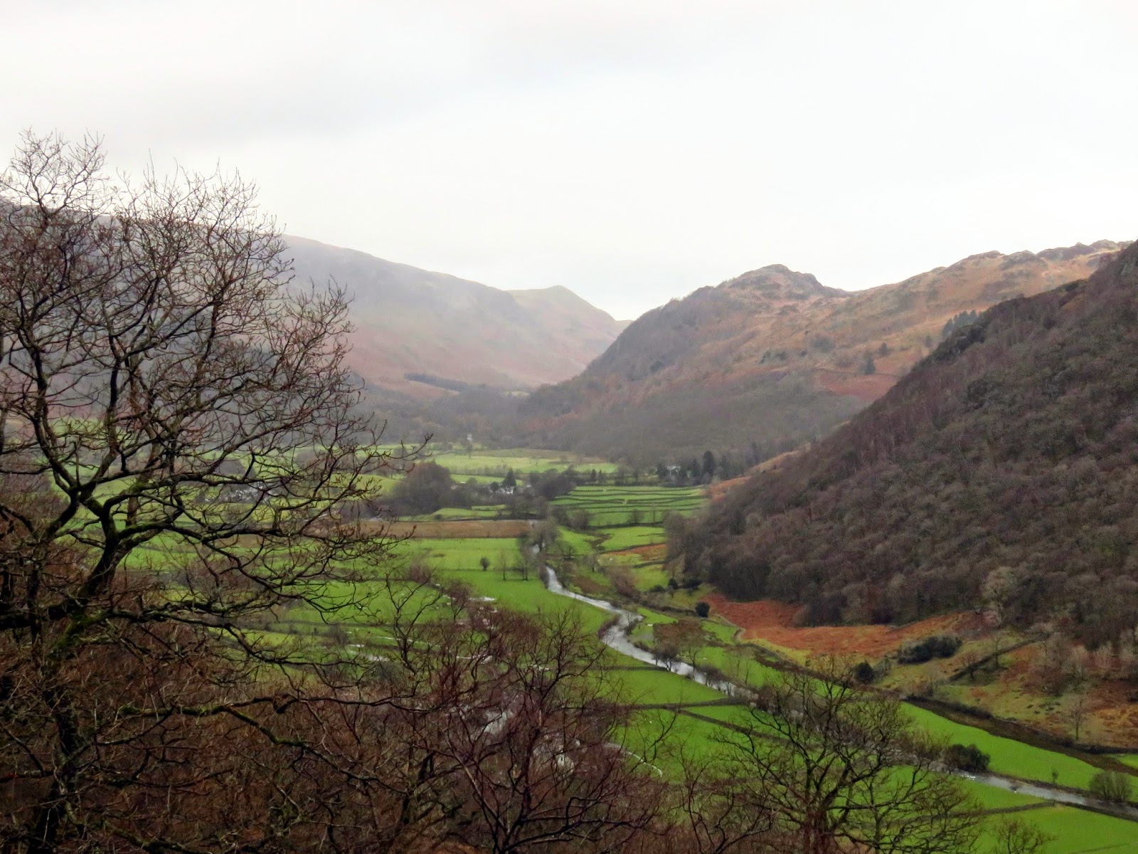
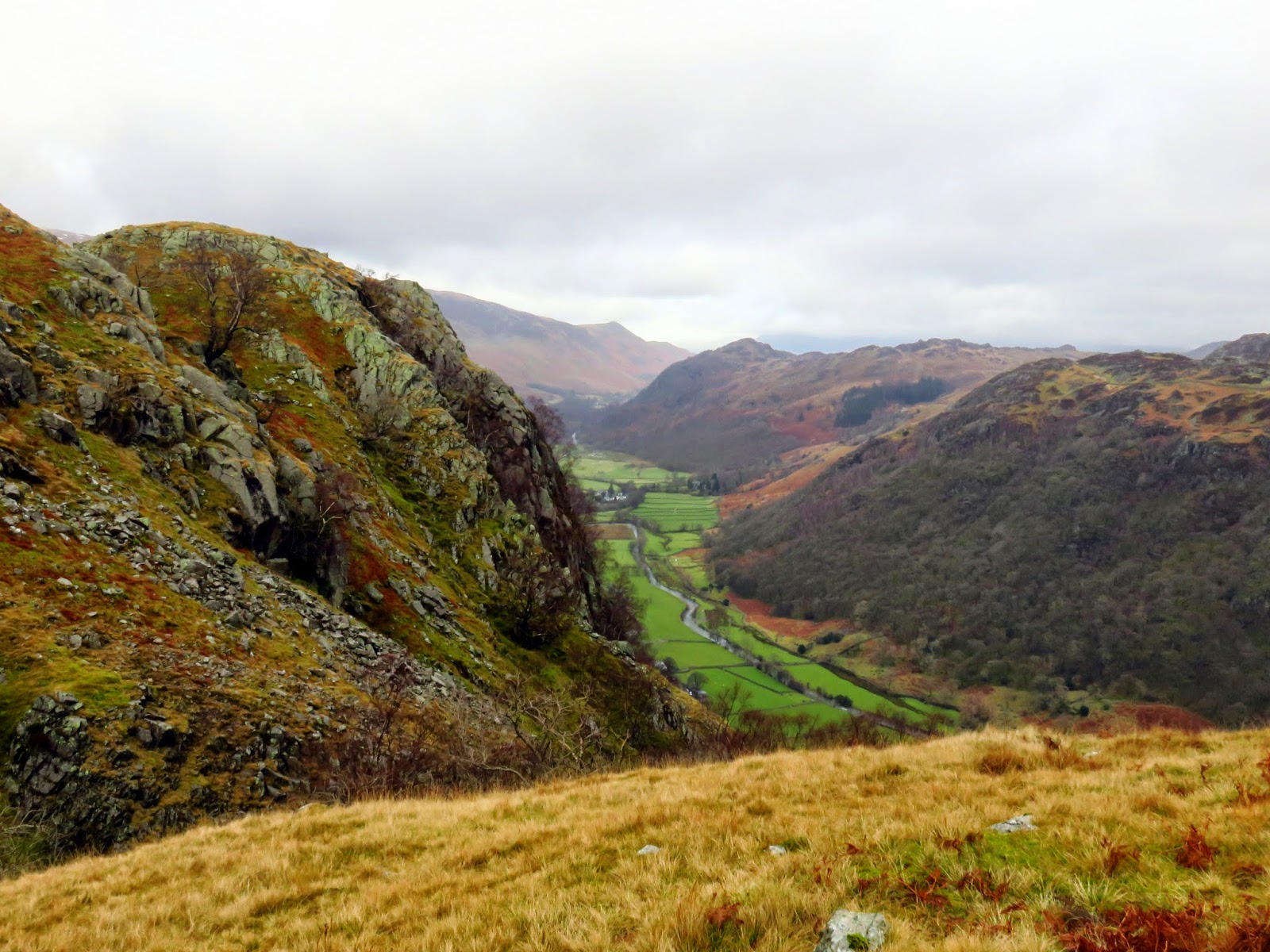
As is quite common with a lot of my walks, we had access to two cars so we left on near to Seathwaite Farm to save us a few miles of road walking at the end of the day. The other we drove around to Stonethwaite, leaving it in a small collection of spaces next to the telephone box, a perk of being out on a weekday during the winter. The forecast had promised intermittent showers but a torrent of rain accompanied our short walk towards Stonethwaite Campsite.
 |
| A cloudy morning in Stonethwaite |
 |
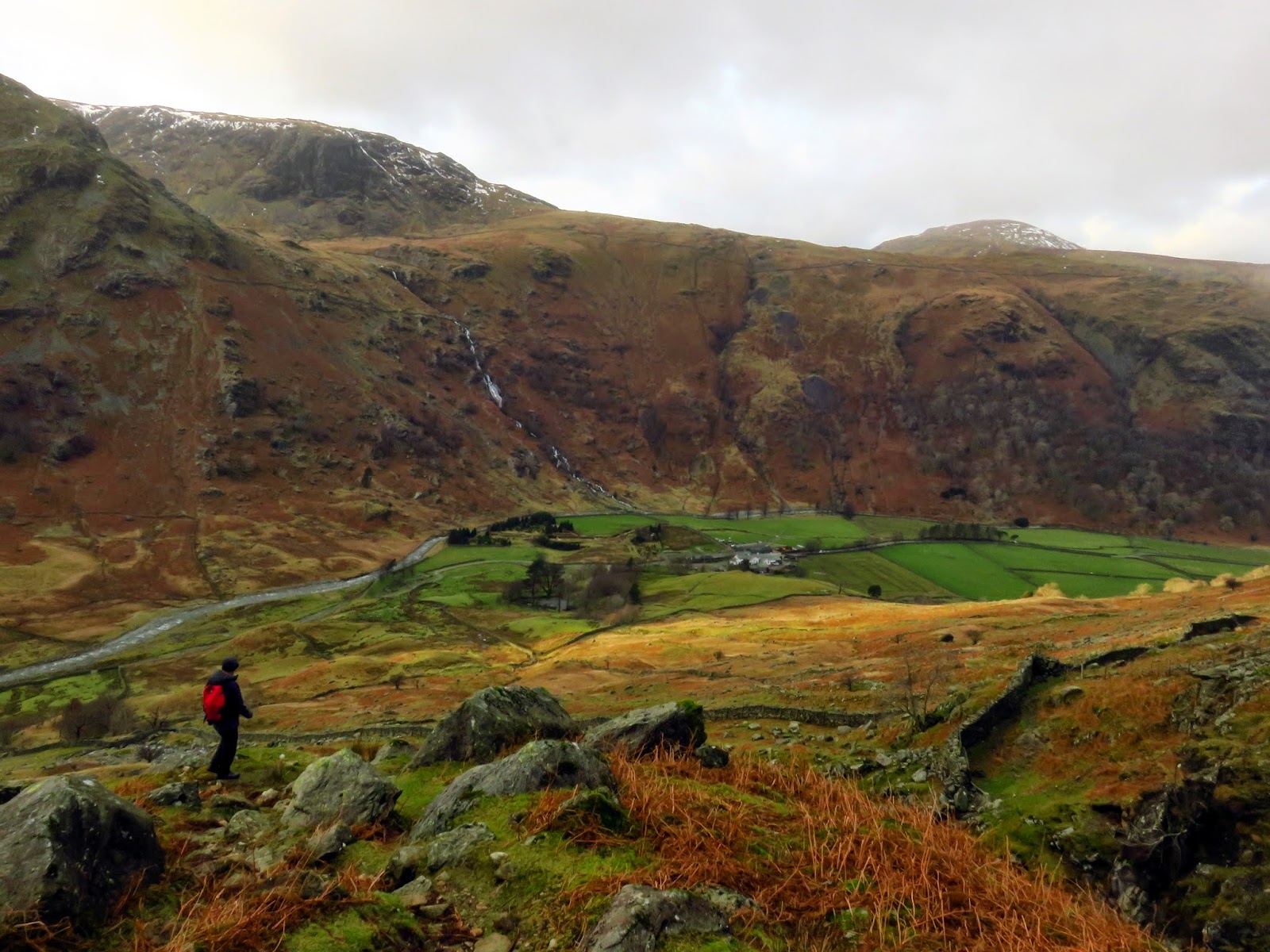
| Hanging Haystack and Allisongrass Crag |
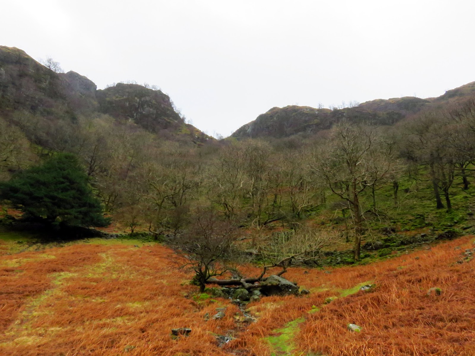
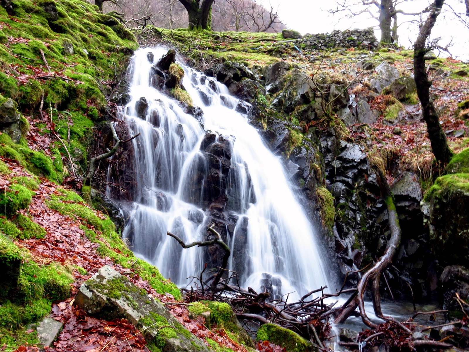
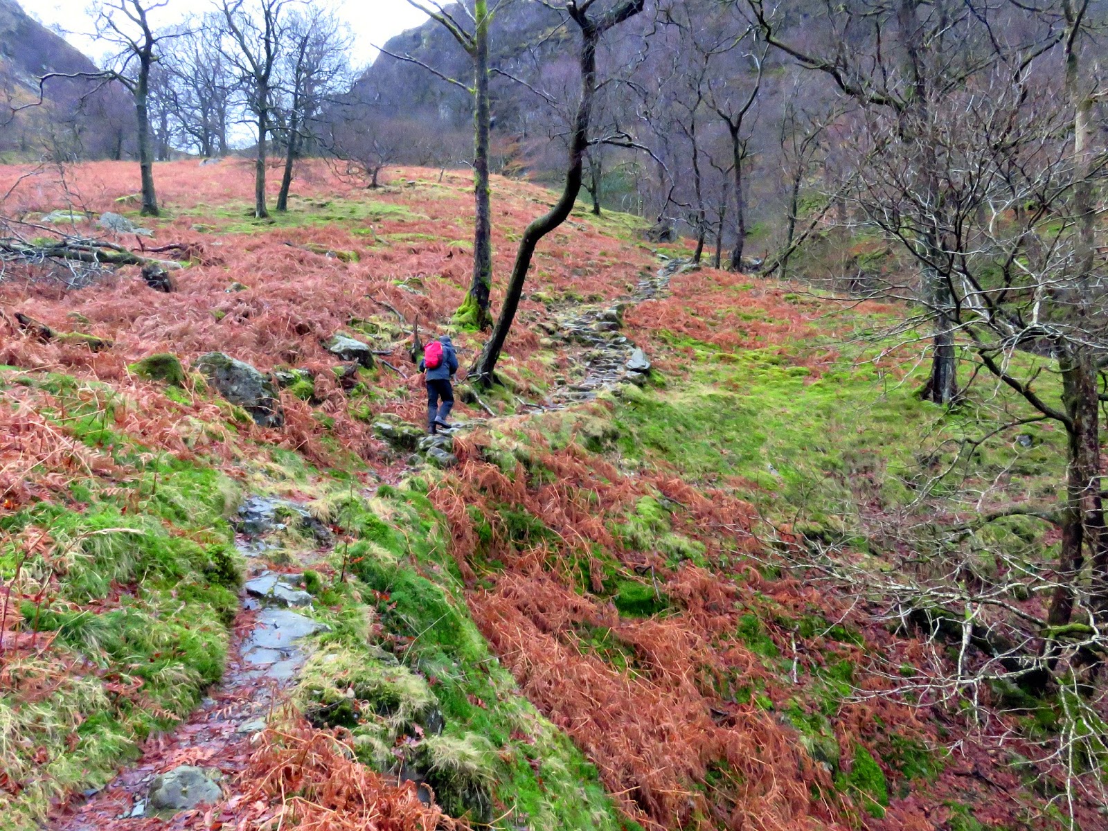
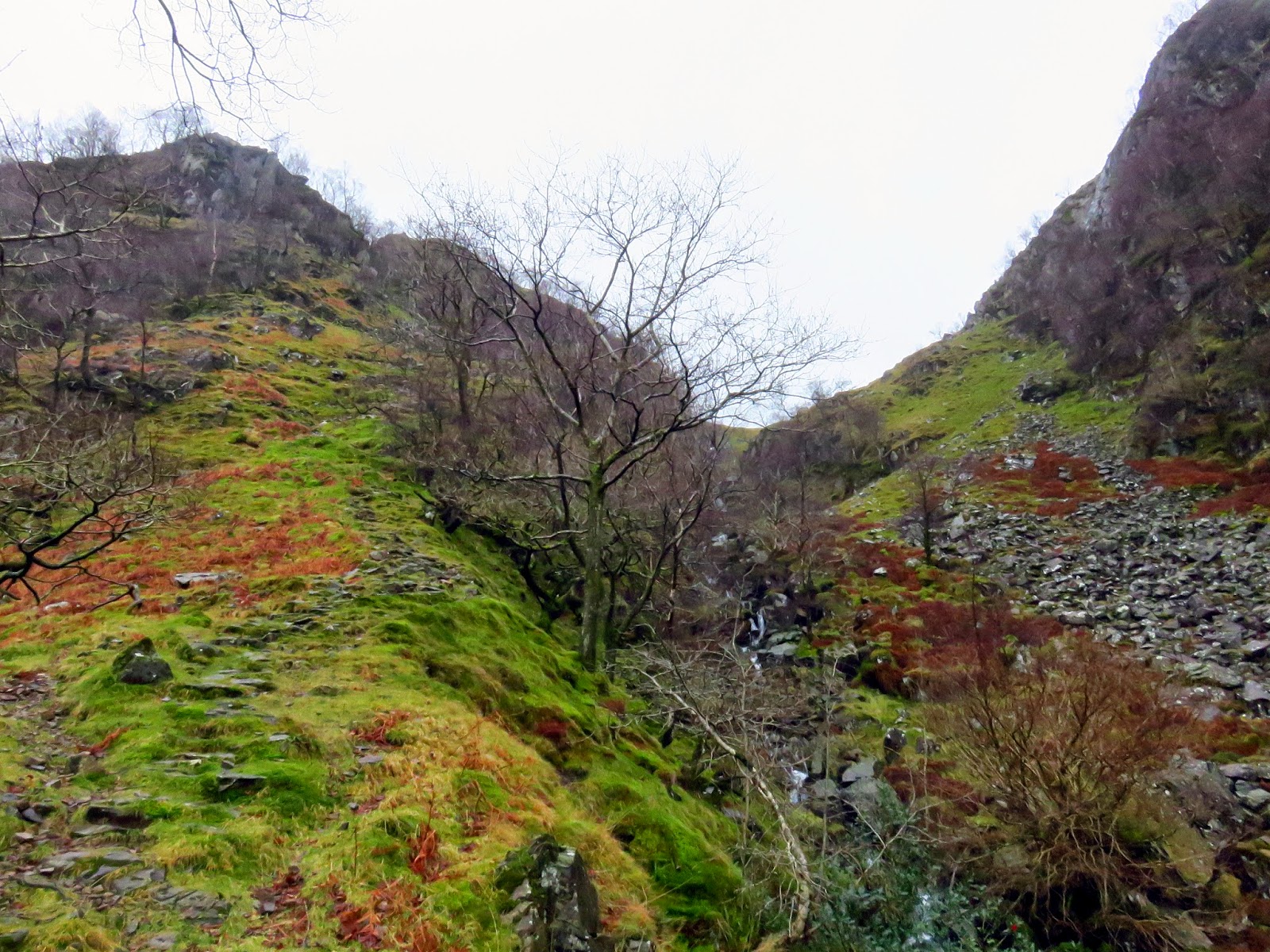
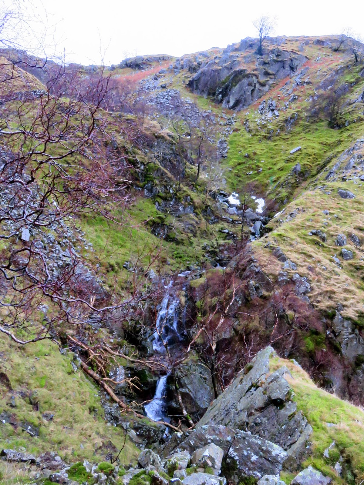
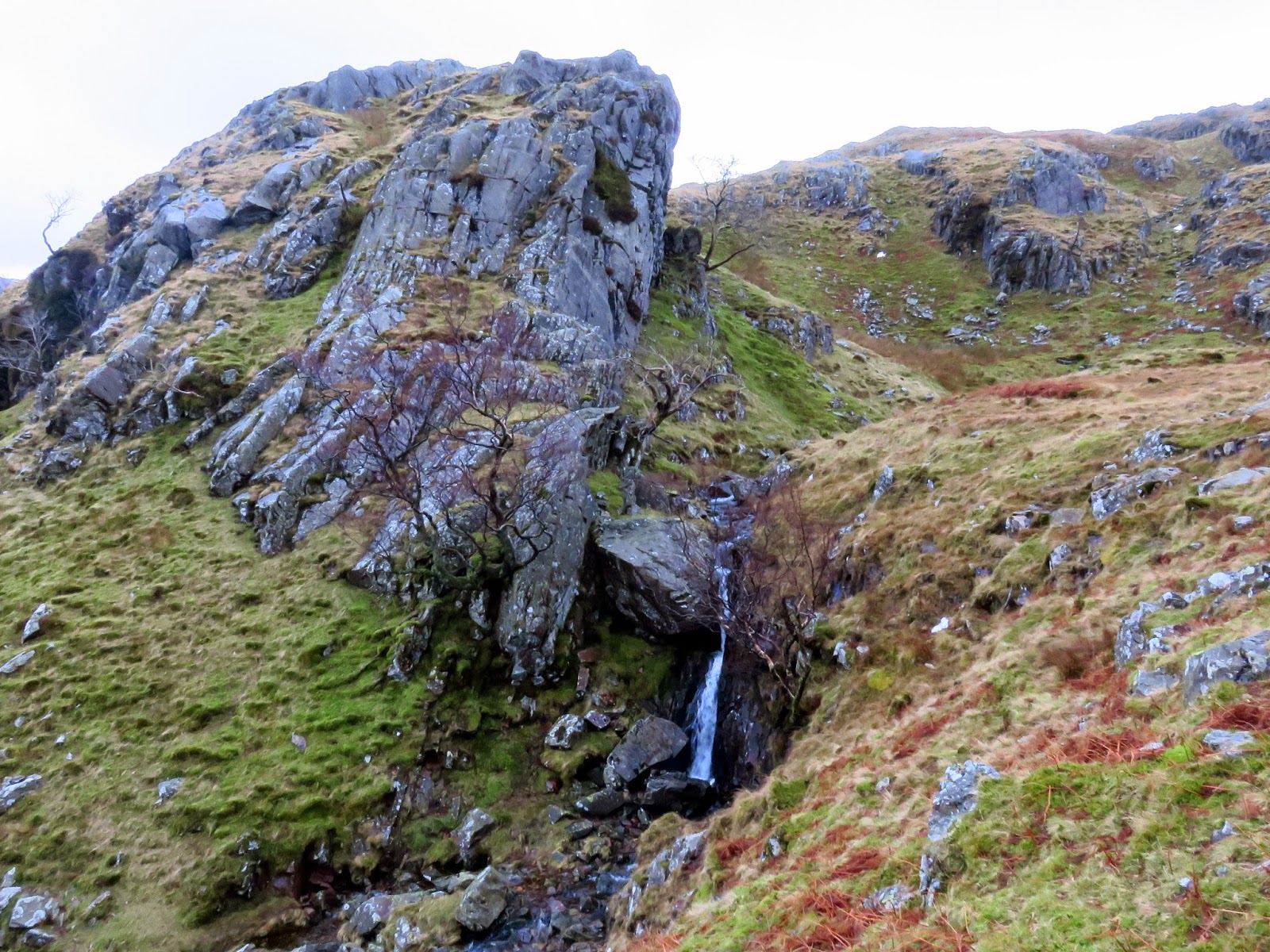
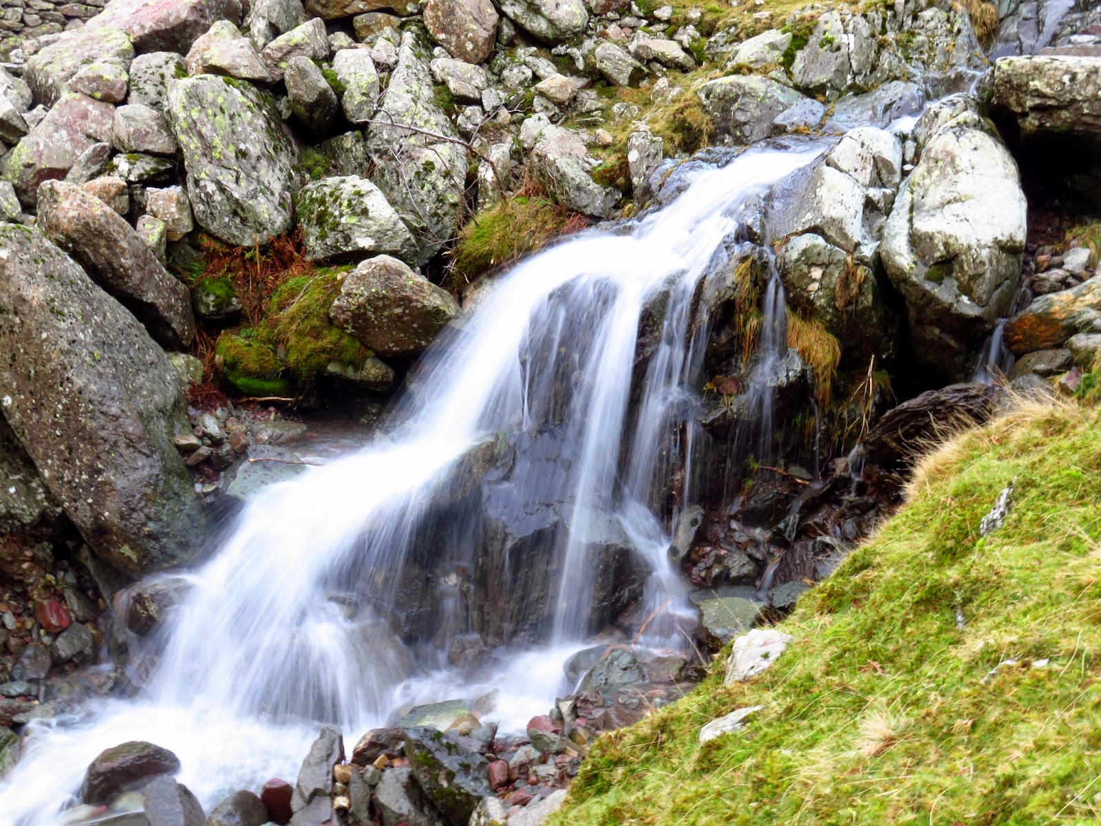
Shortly before reaching the site, a gate provides access through the fence onto a path that climbs parallel to Big Stanger Gill. It’s not marked on the map (at least the version I own); we found it after a bit of web-investigation the previous night. Despite this, it’s a substantial path with a number of stone steps that take the sting out of the steepness of the fellside.
 |
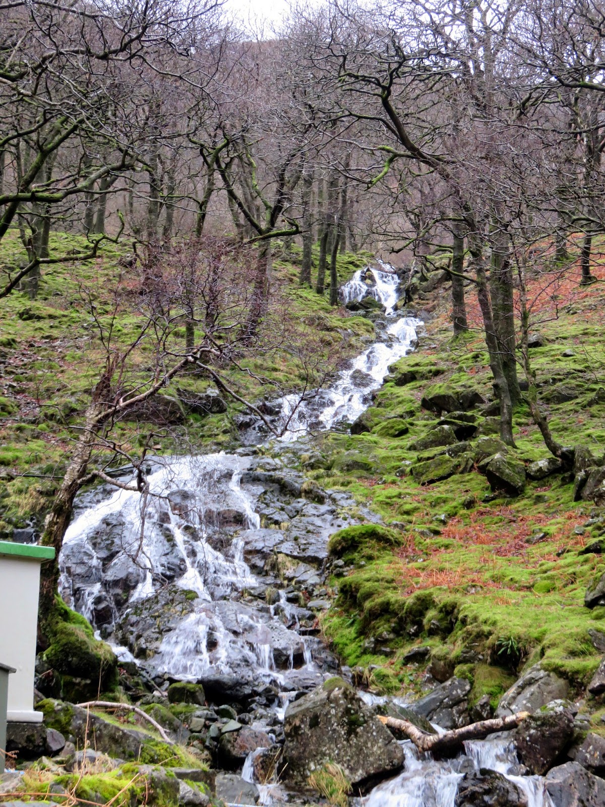
| The lower falls of Big Stanger Gill |
 |
| A deserted campsite |
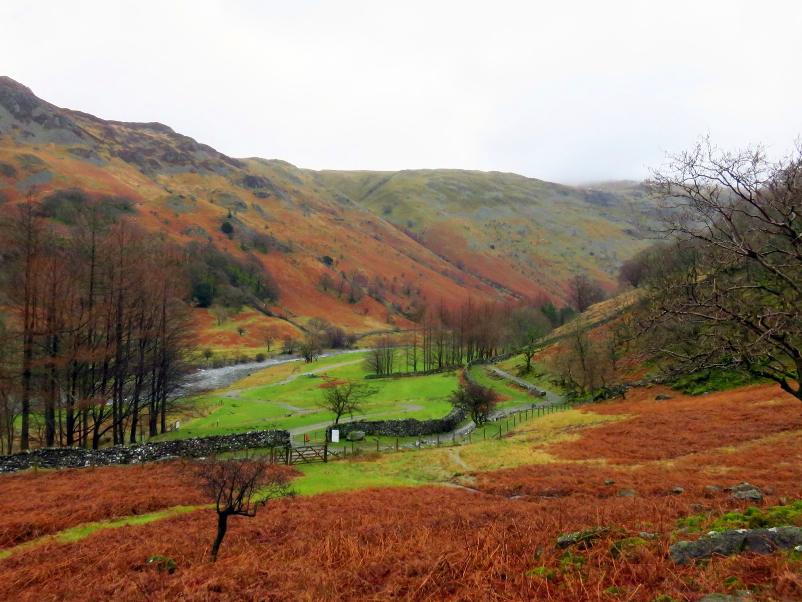
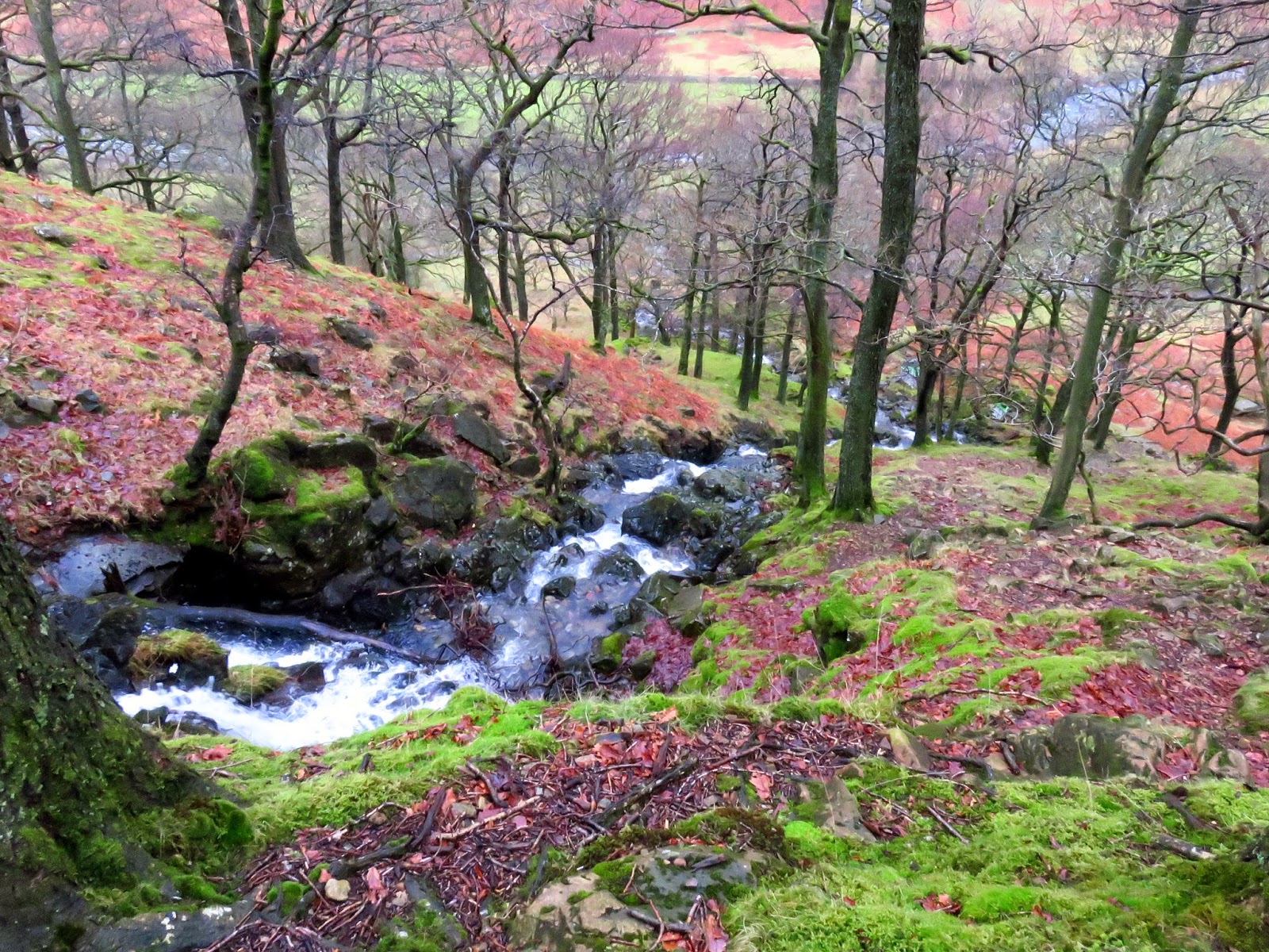
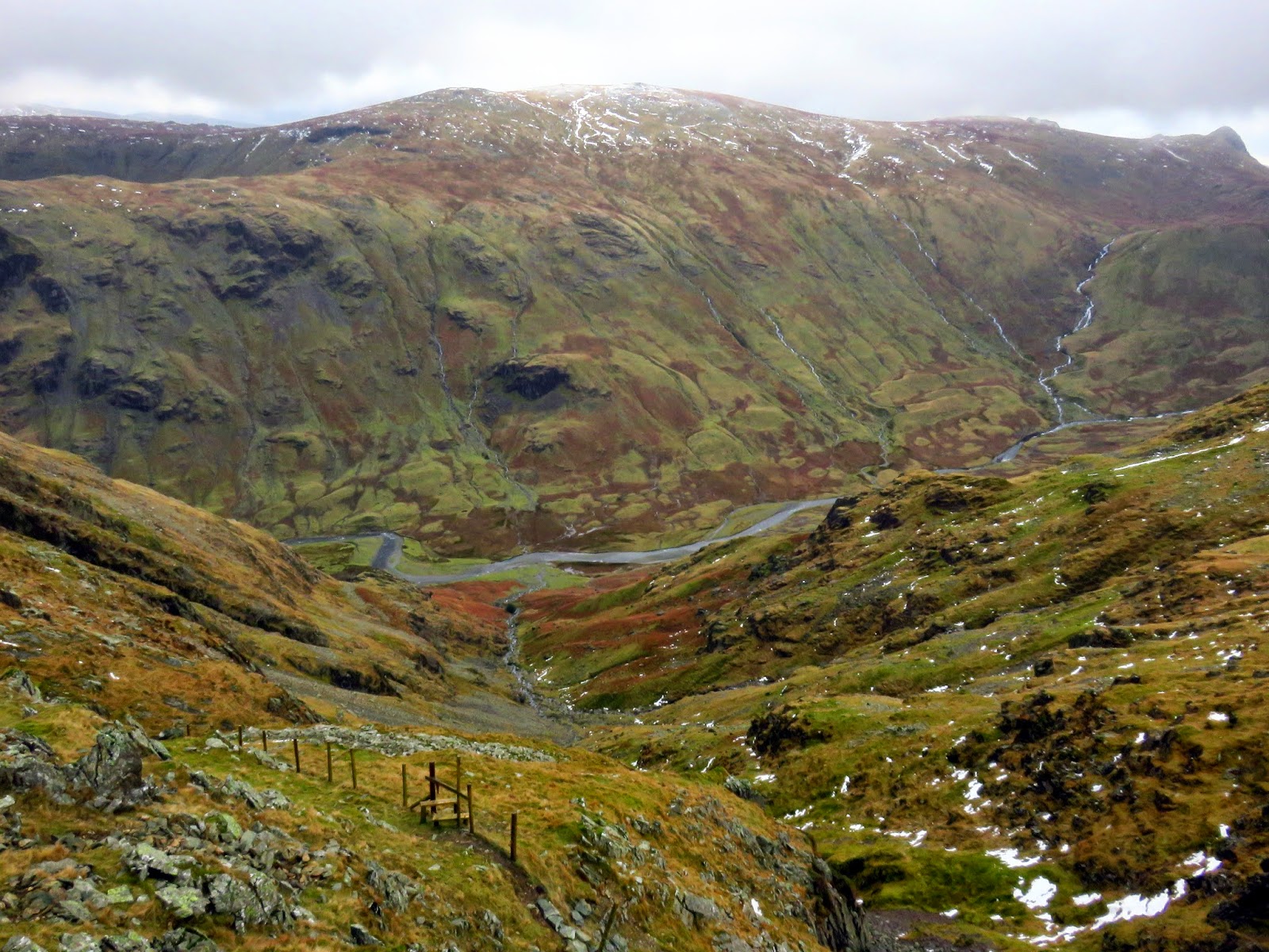
The path climbs through the wood beneath Bull Crag and, as we climbed higher, the rain began to ease and we were finally treated to some views of Borrowdale stretching out beneath us. Big Stanger Gill isn’t bad to look at either. The path passes between Alisongrass Crag and Hanging Haystack, now high above Stanger Gill, before it swings west and the gradient eases.
 |
| Big Stanger Gill |
 |
| Looking down on Big Stanger Gill |
 |
| The path climbs towards Hanging Haystack |
 |
| High Crag through a clearing in the trees |
 |
| Borrowdale |
 |
| Big Stanger Gill between Alisongrass Crag and Hanging Haystack |
 |
| Big Stanger Gill |
 |
| Emerging from the steep valley path |
 |
| A huge rock outcrop is typical of this area |
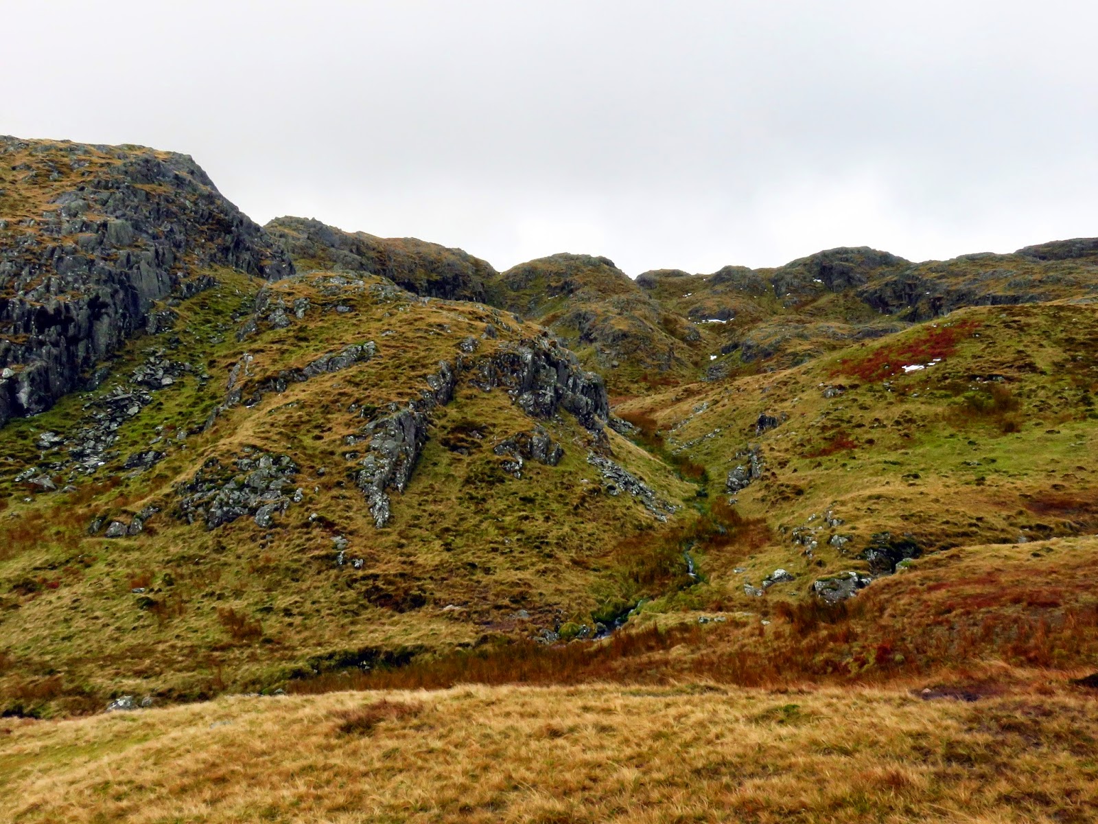
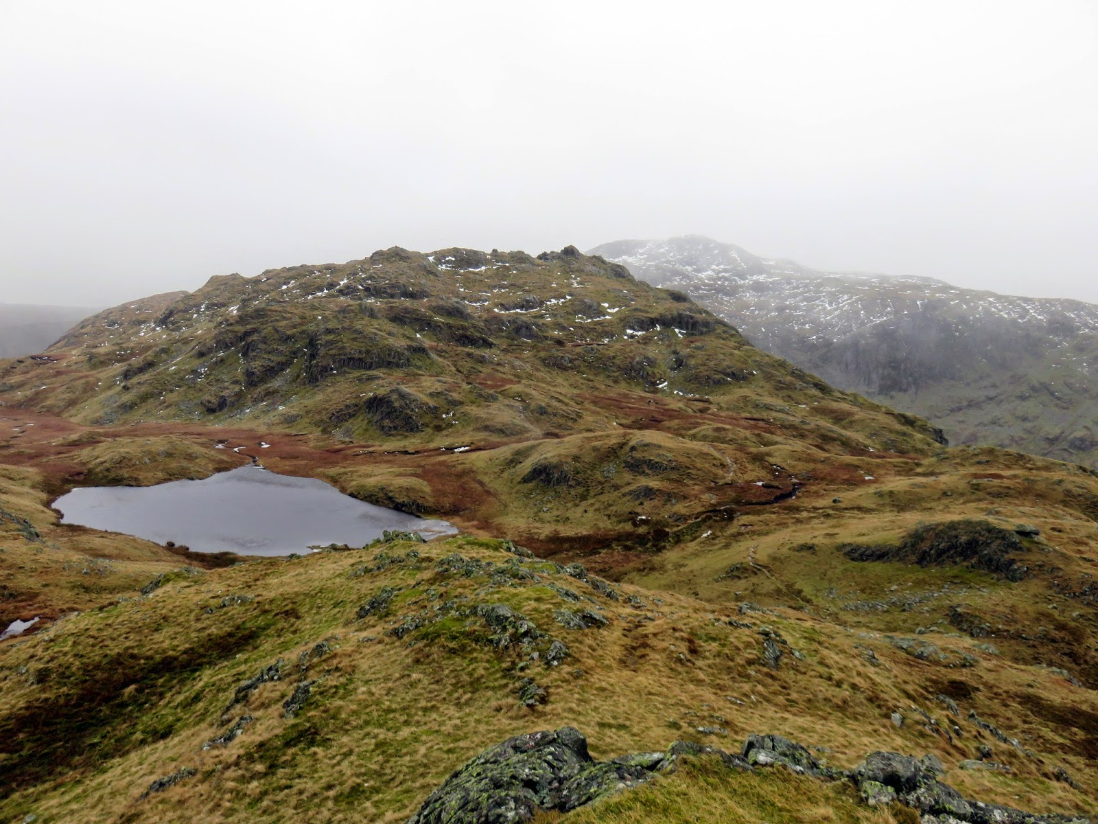
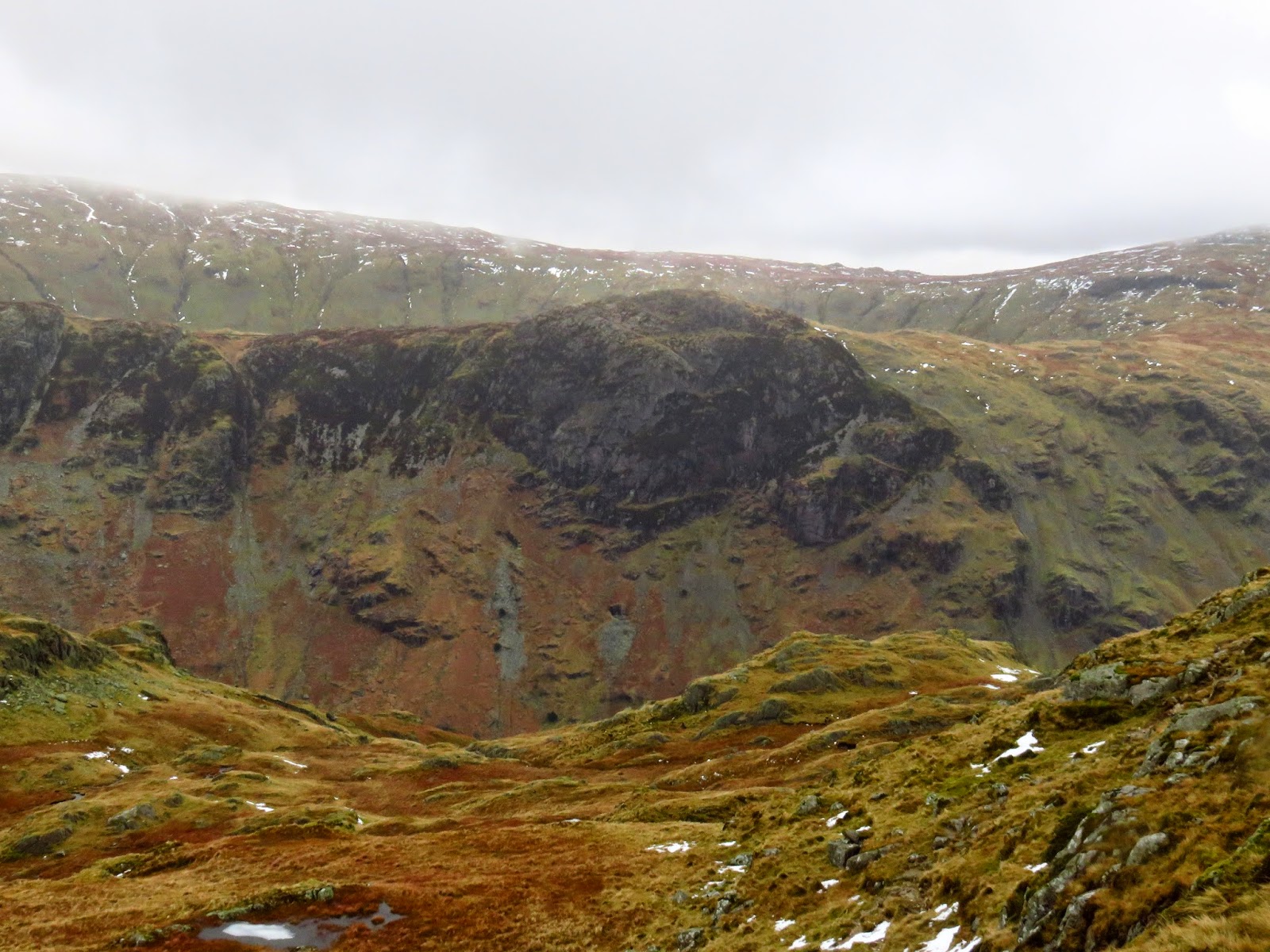
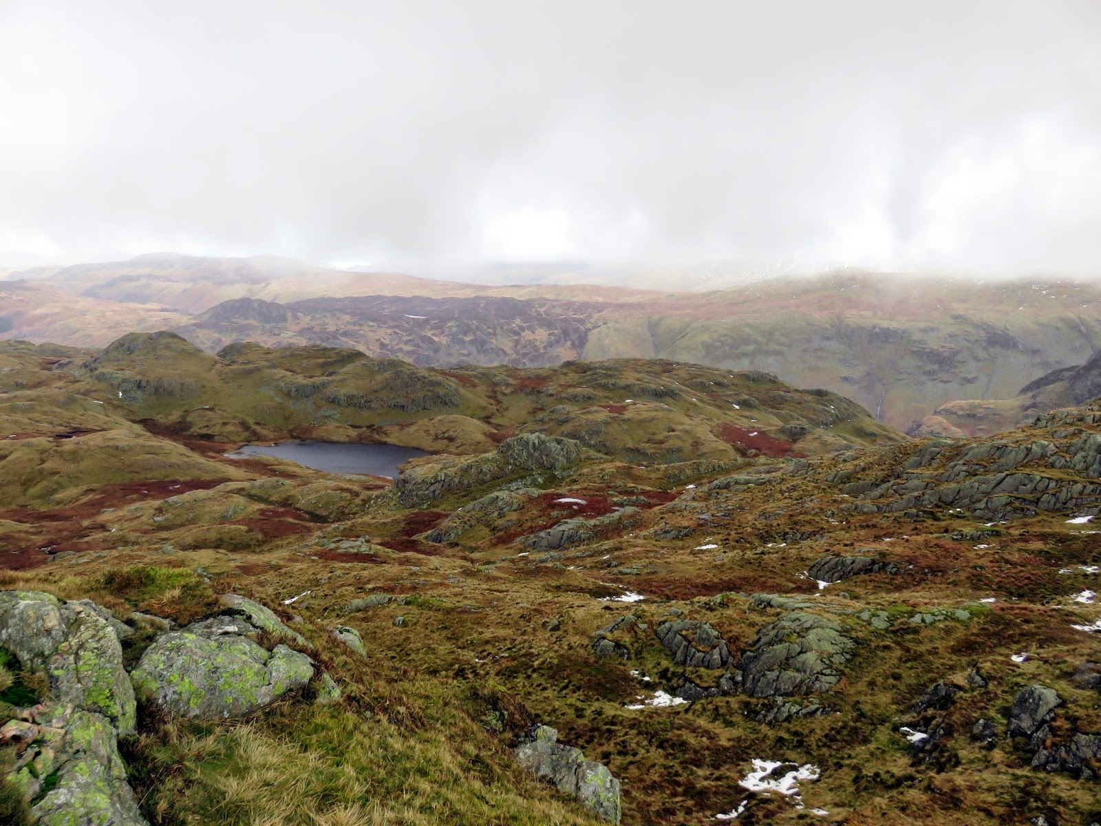
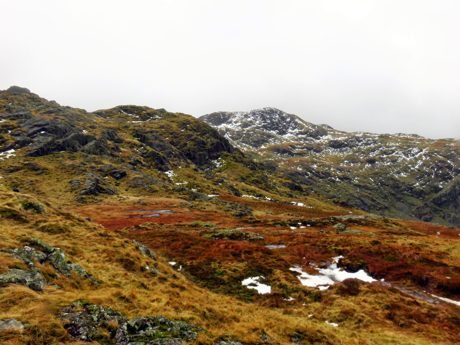
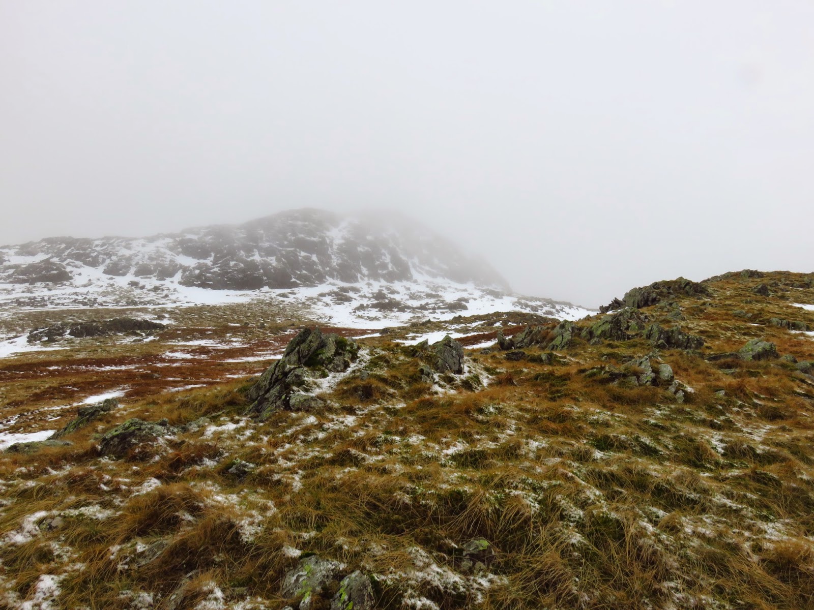
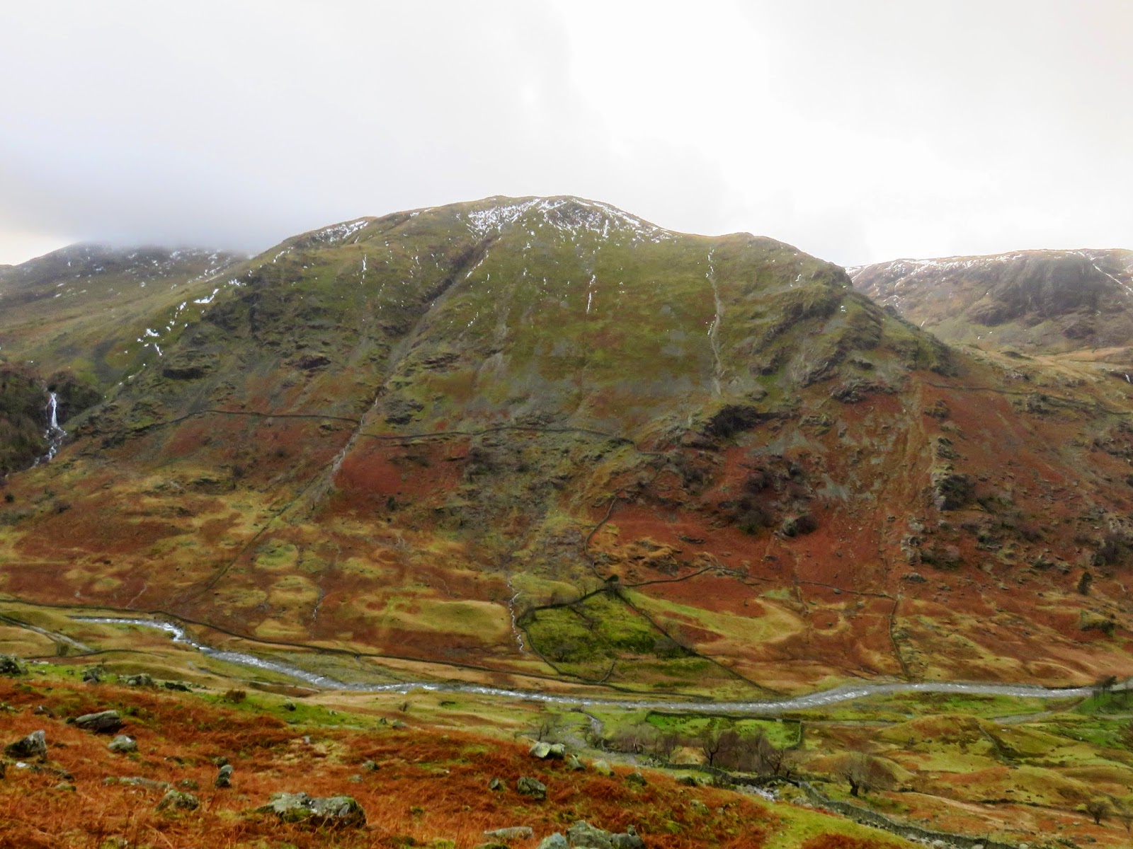
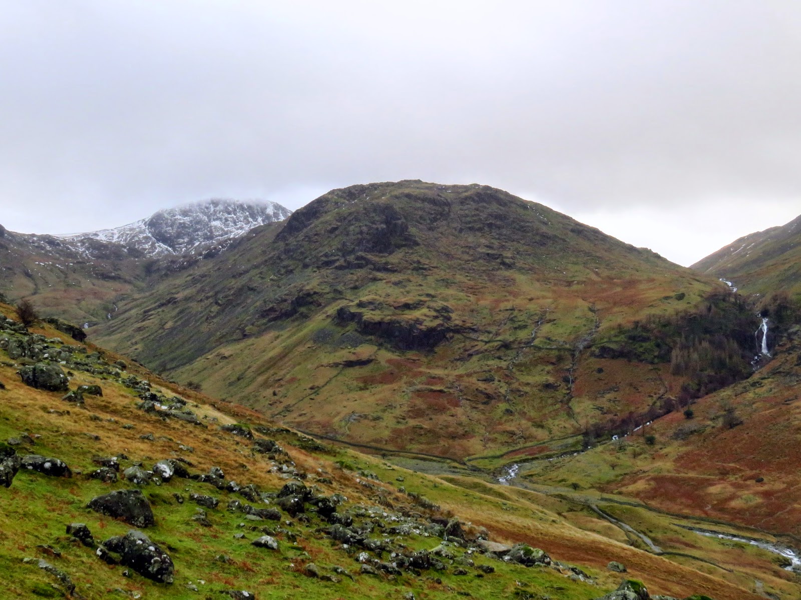
The plateau above Stonethwaite is an interesting and equally confusing place with a number of rocky outcrops drawing the attention. There is a difficulty in determining exactly which one is Bessyboot though this becomes clearer as you continue on. I had read that Bessyboot was easier to tackle from the south, or the rear as we approached it, and it certainly looked quite formidable from where we were standing. We followed the base of the slopes around towards Tarn at Leaves where the rocky defences ease slightly and a quick climb reaches the summit.
Bessyboot is an odd choice for a fell of note – a prime example of Wainwright’s lack of classifications. It is by no means the highest part of what is known as Rosthwaite Fell – that belongs to the impressive Rosthwaite Cam. However, Wainwright considered Rosthwaite Cam too far from the village of Rosthwaite to truly be counted as Rosthwaite Fell and thus, chose Bessyboot as the summit. Despite this, Bessyboot does have a fine view towards Fleetwith Pike and across Tarn at Leaves to the craggy Rosthwaite Cam; our next destination for the sake of completeness.
 |
| Tarn at Leaves and Rosthwaite Cam from Bessyboot |
 |
| Tarn at Leaves and Rosthwaite Cam once again |
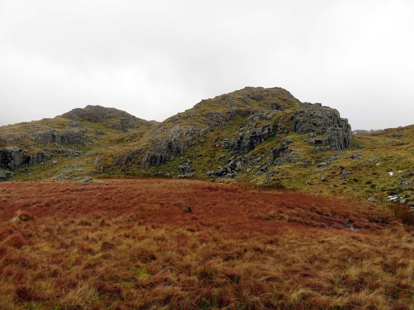
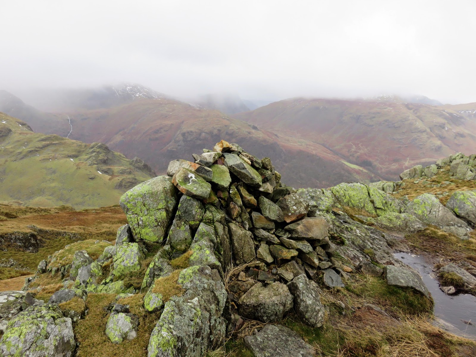
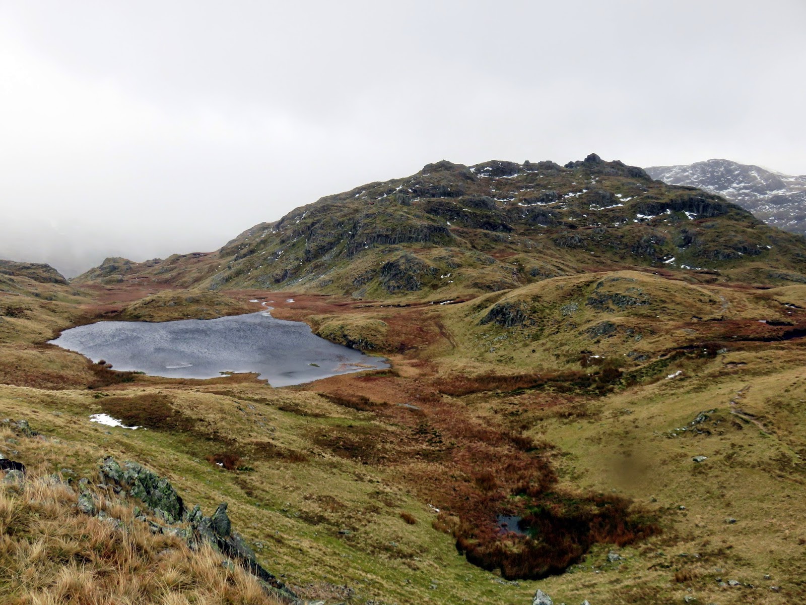
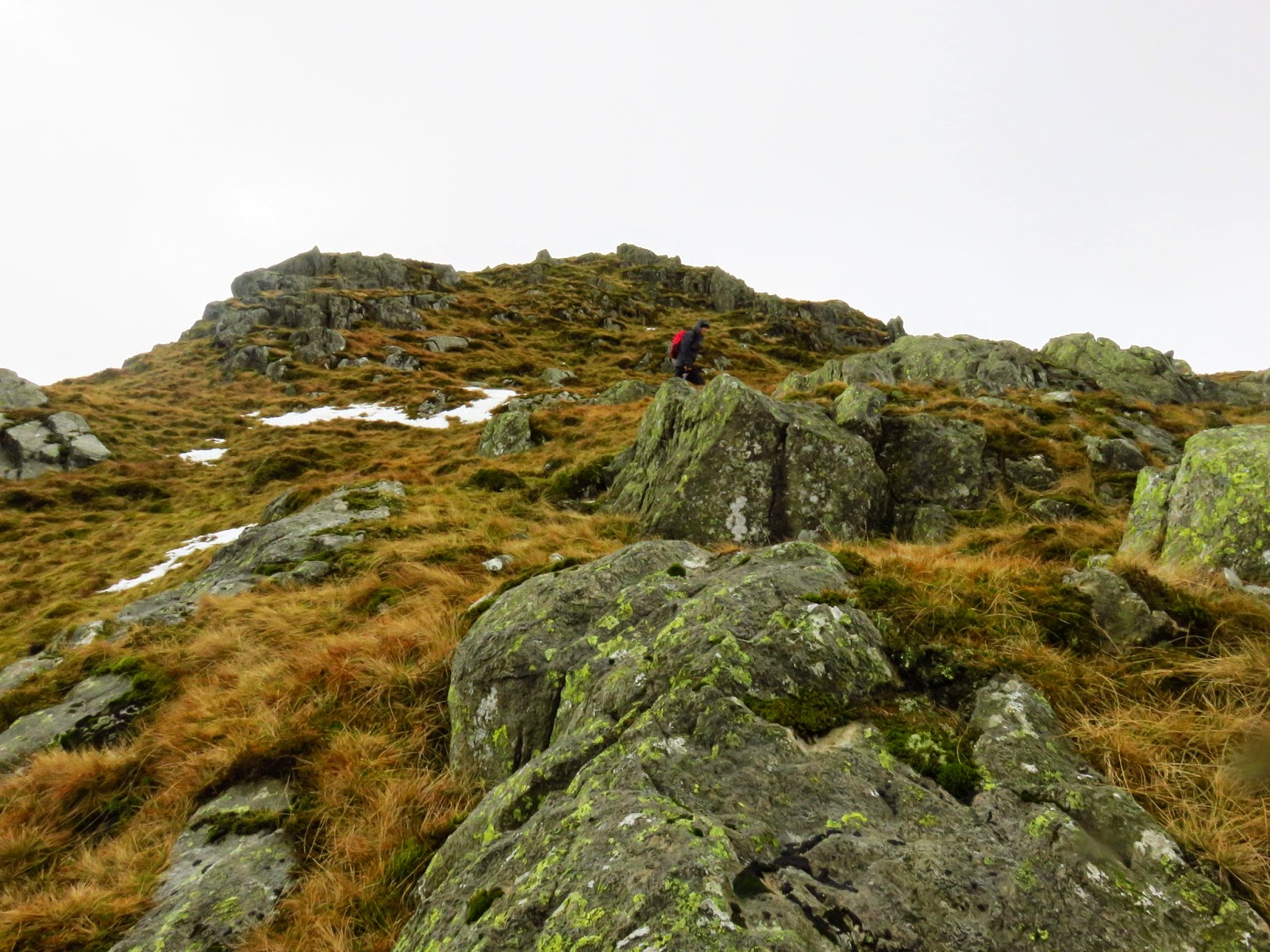
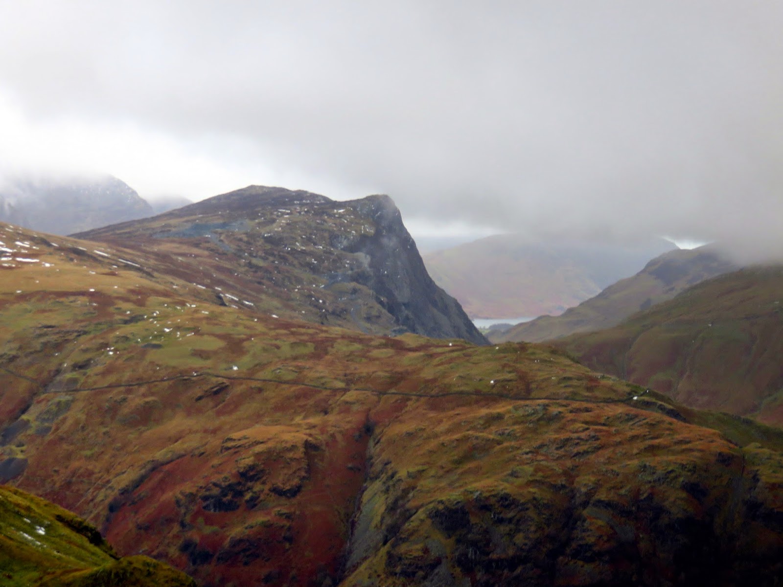
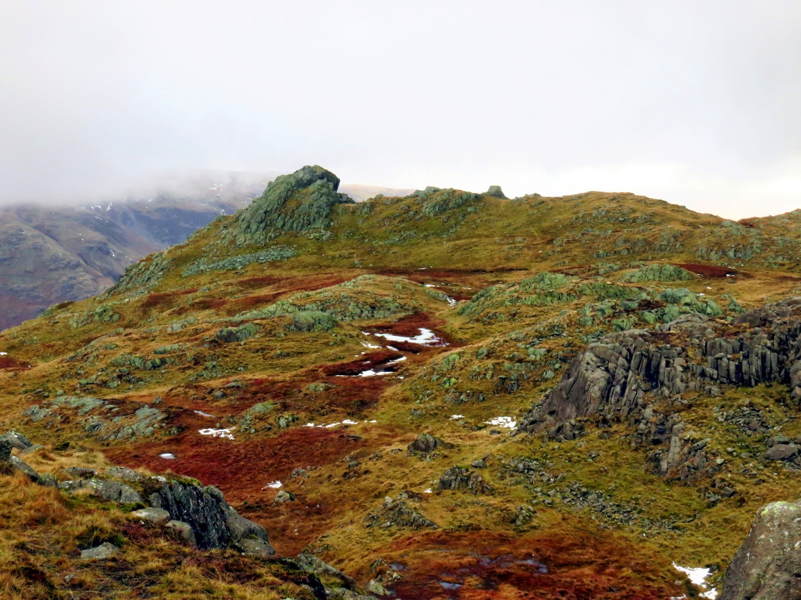
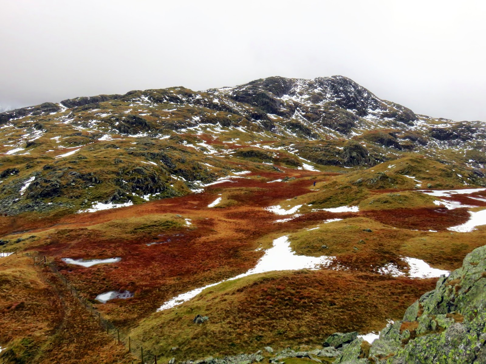
We made our way to Rosthwaite Cam, rounding Tarn at Leaves in the process. Tarn at Leaves is a delight, nestled amongst the confusion of rocks that litter Rosthwaite Fell. Despite the unusual name, its meaning or origin seem to be lost. It’s a fair climb to Rosthwaite Cam and the going was slow as a result of some awkward patches of snow that were beginning to become more and more frequent though we made it to the cairn which can be found astride a tall rock.
 |
| Climbing through the obstacles towards Rosthwaite Cam |
 |
| Bessyboot and Tarn at Leaves from Rosthwaite Cam |
 |
| A look back down the ridge from Rosthwaite Cam |
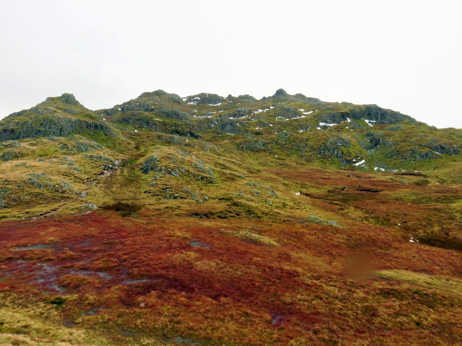
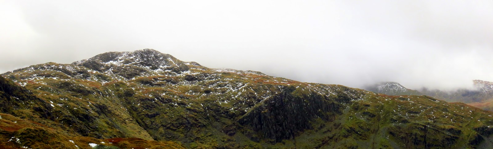
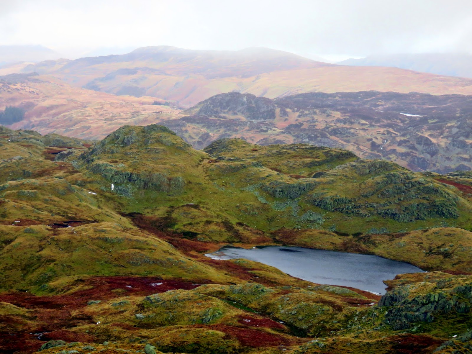
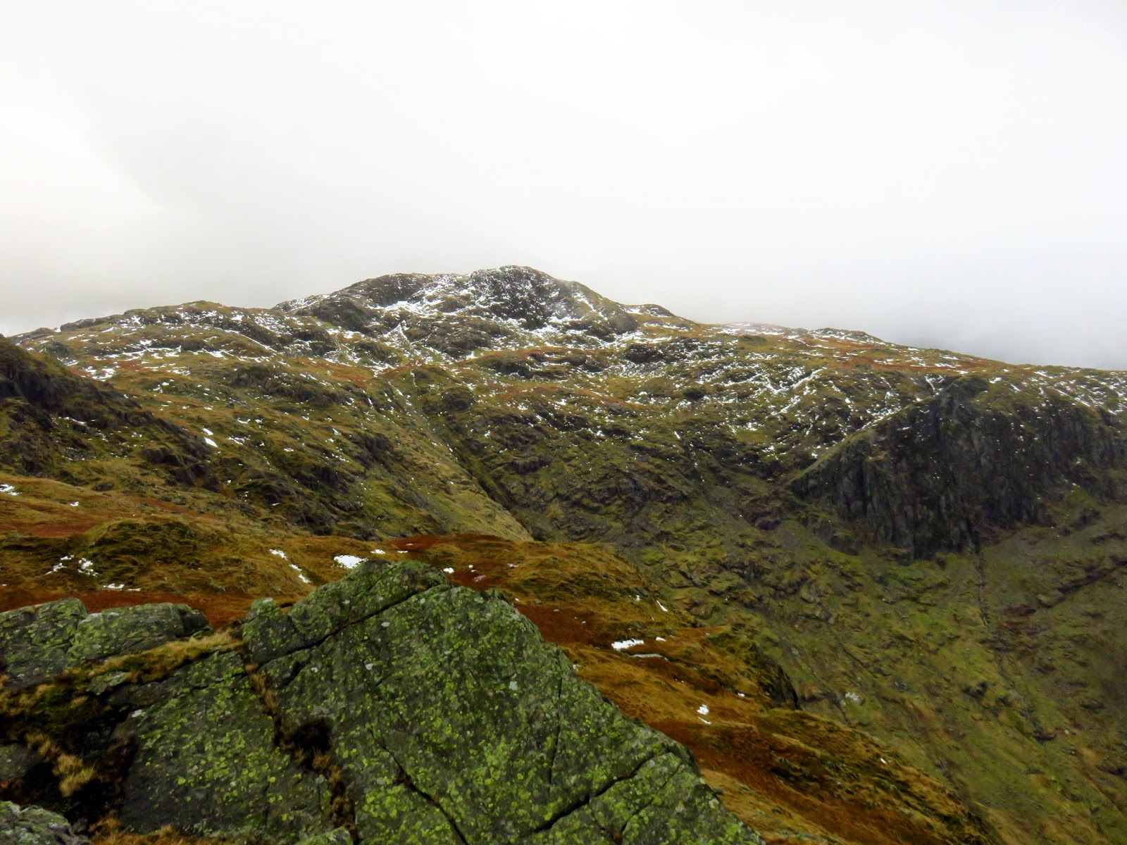
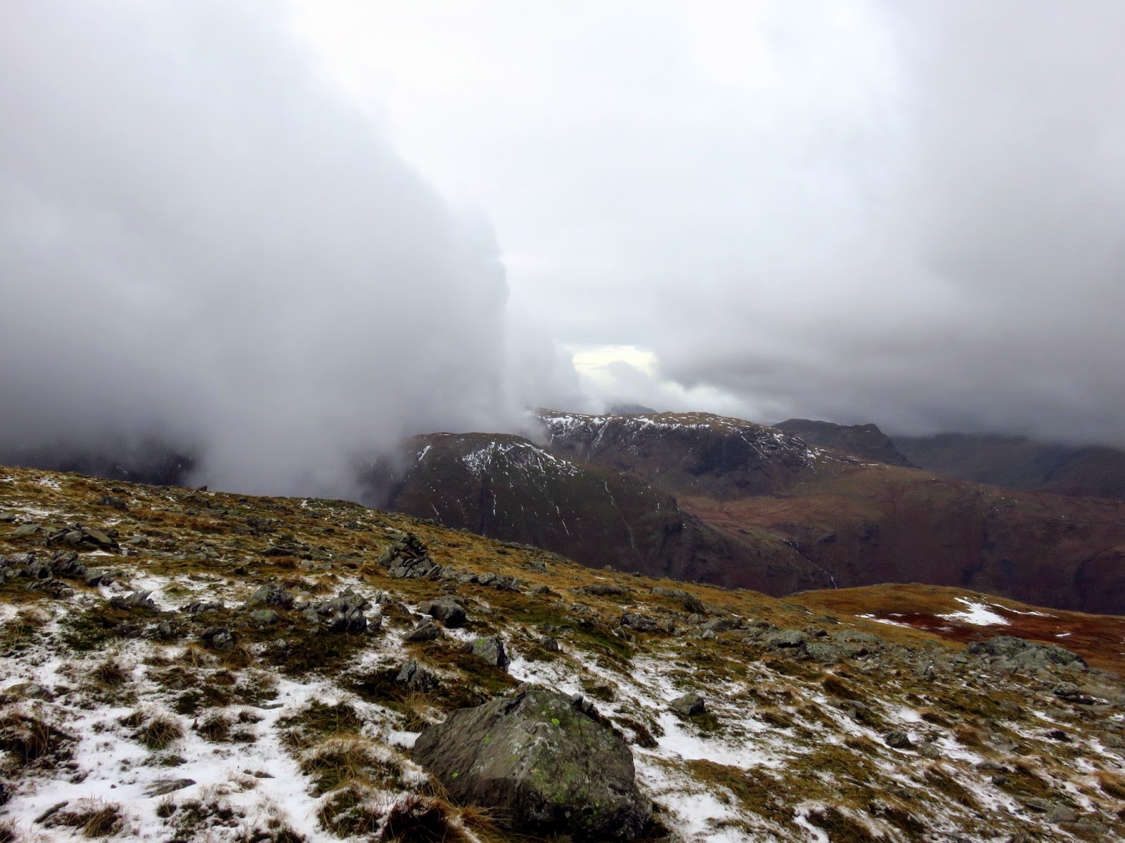
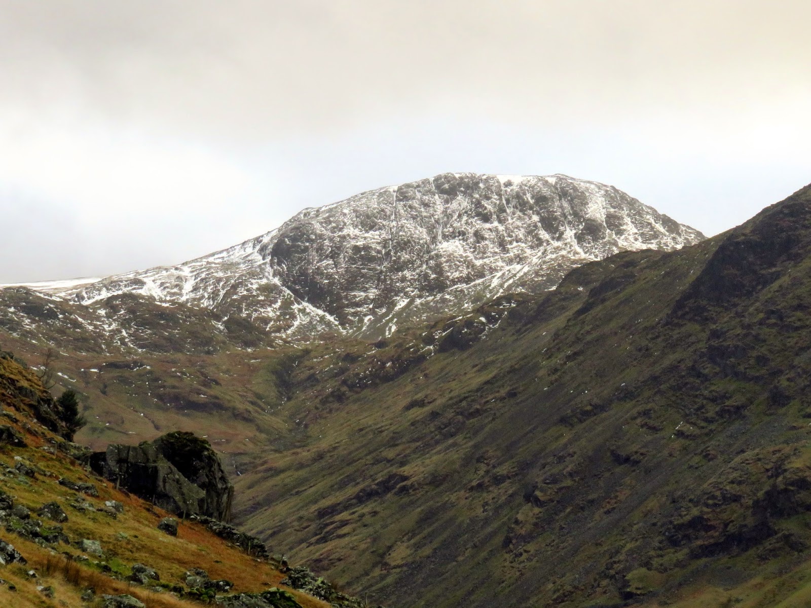
Thanks to a swirling cloud, it wasn’t clear exactly what lay between us and Glaramara and the map is deceptive in its appearance. What appears as a fairly level ridge between Rosthwaite Cam and Combe Door, is in fact riven with obstacles and outcrops that made for slow progress. In fact, a number of these are sufficiently isolated to be classed as Birkett Fells, namely Dovenest Crag and Combe Door. Neither is it clear if there are any paths so we were left to find our own way to Glaramara.
 |
| Rosthwaite Cam is the obvious rock turret |
 |
| Langstrath |
 |
| Looking over Wool Gill |
 |
| Wool Gill falls steeply into Langstrath |
 |
| Things start to get decidedly more wintery |
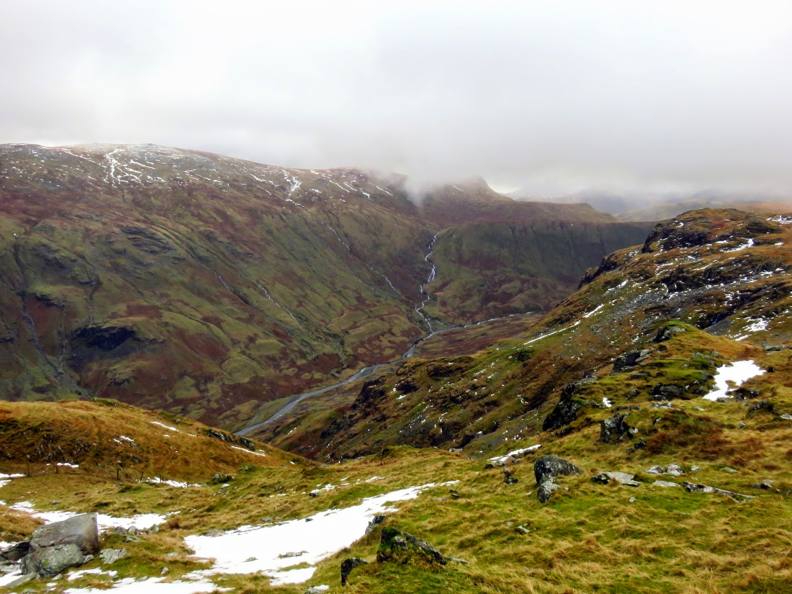
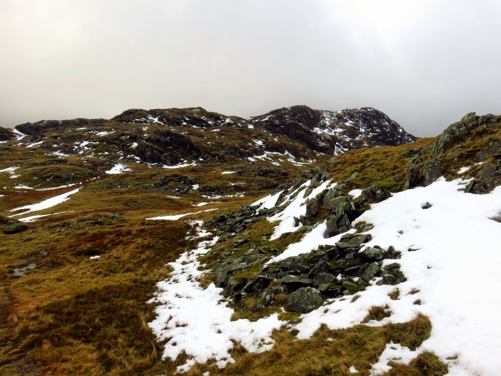
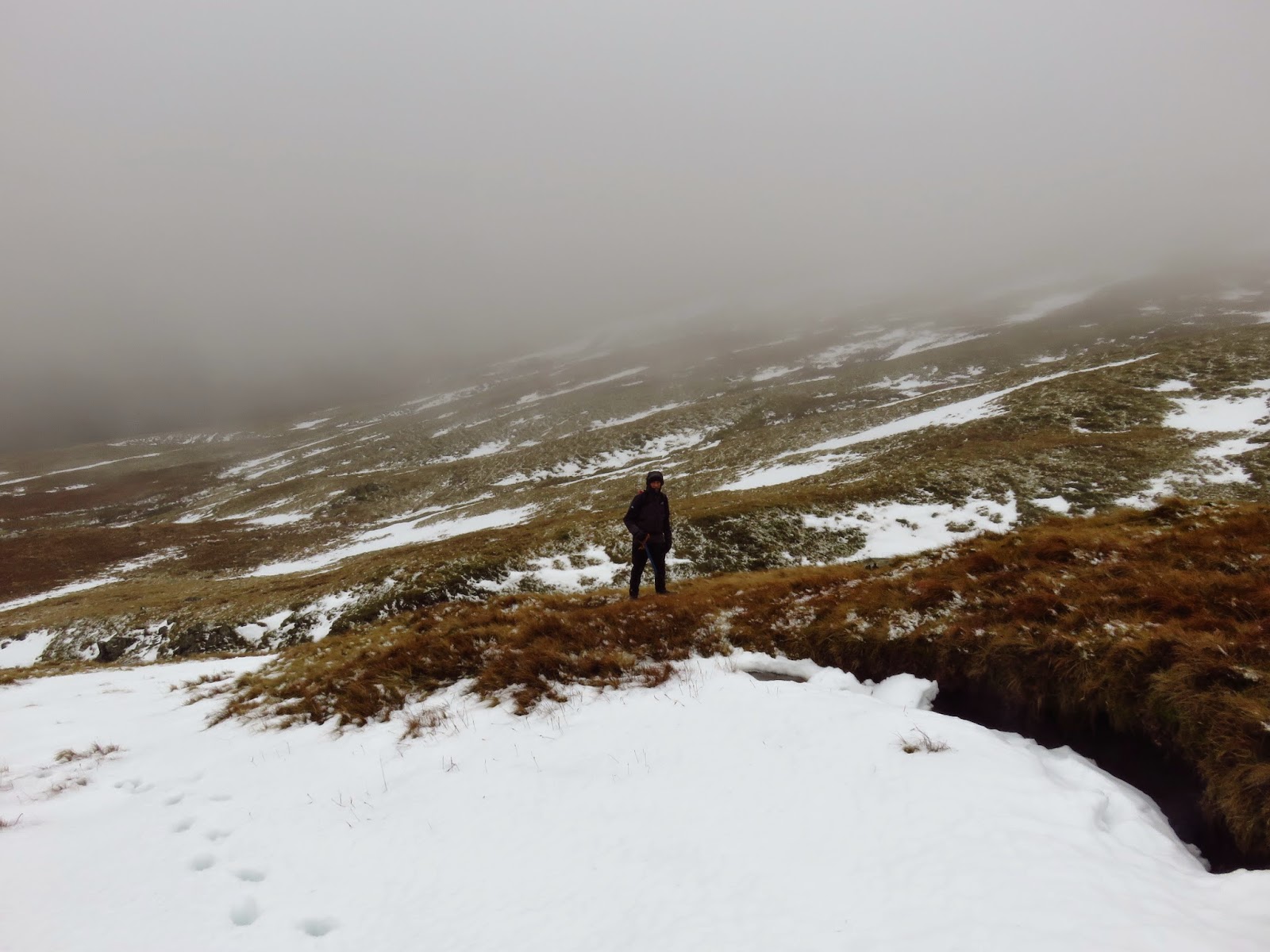
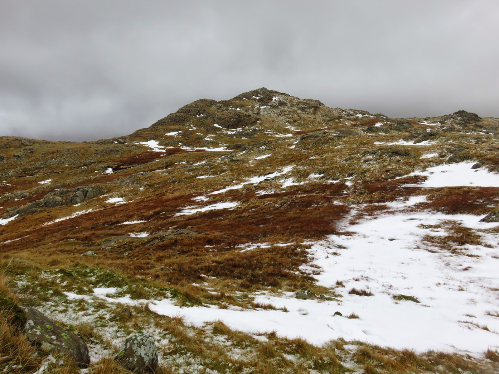
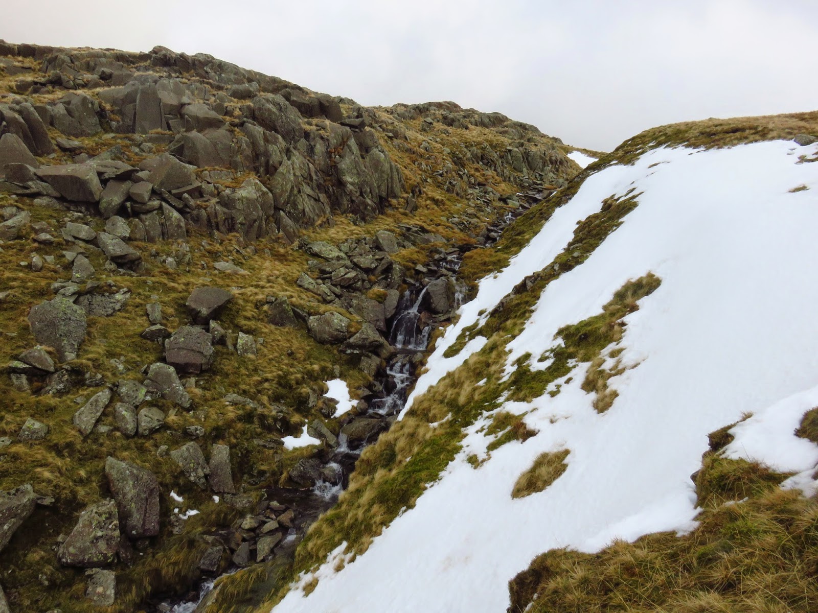
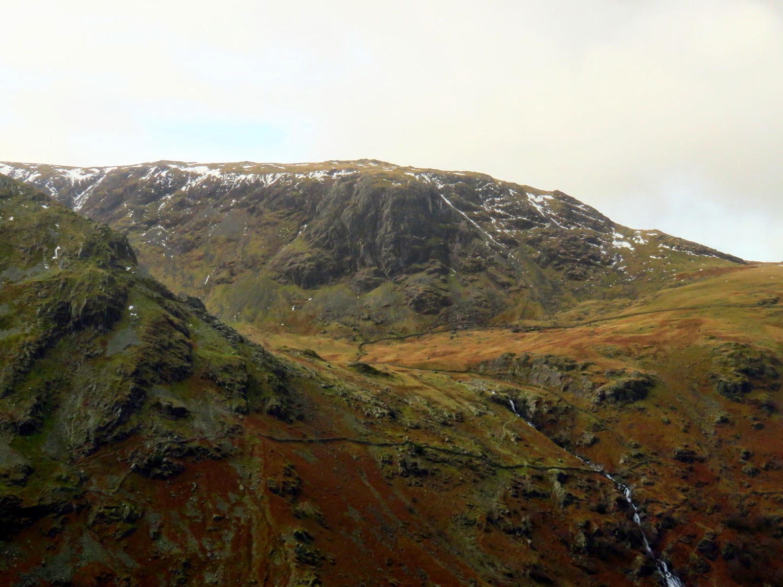
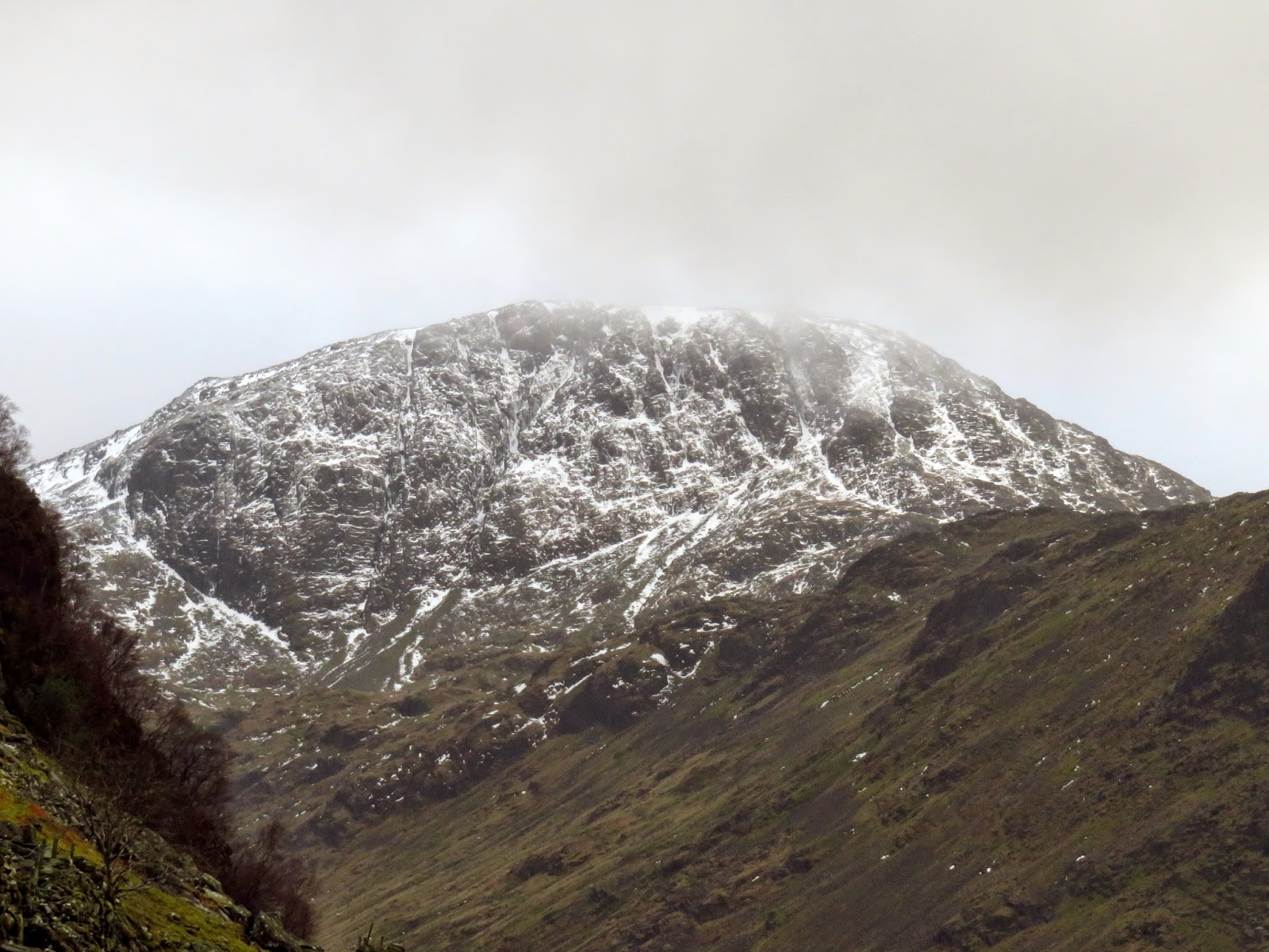
We crossed the top of Wool Gill which falls into Langstrath at an alarming rate before making our way south west, picking out a route that took us around Combe Door and to the rear of Combe Head. Glaramara (or what we could see of it) was in sight and still looked a long way away. Our route up to Combe Head had taken us into the realms of winter with a significant covering of snow impeding progress. Add a low cloud and a strengthening wind and it became a slightly more daunting prospect.
 |
| A fairly featureless landscape |
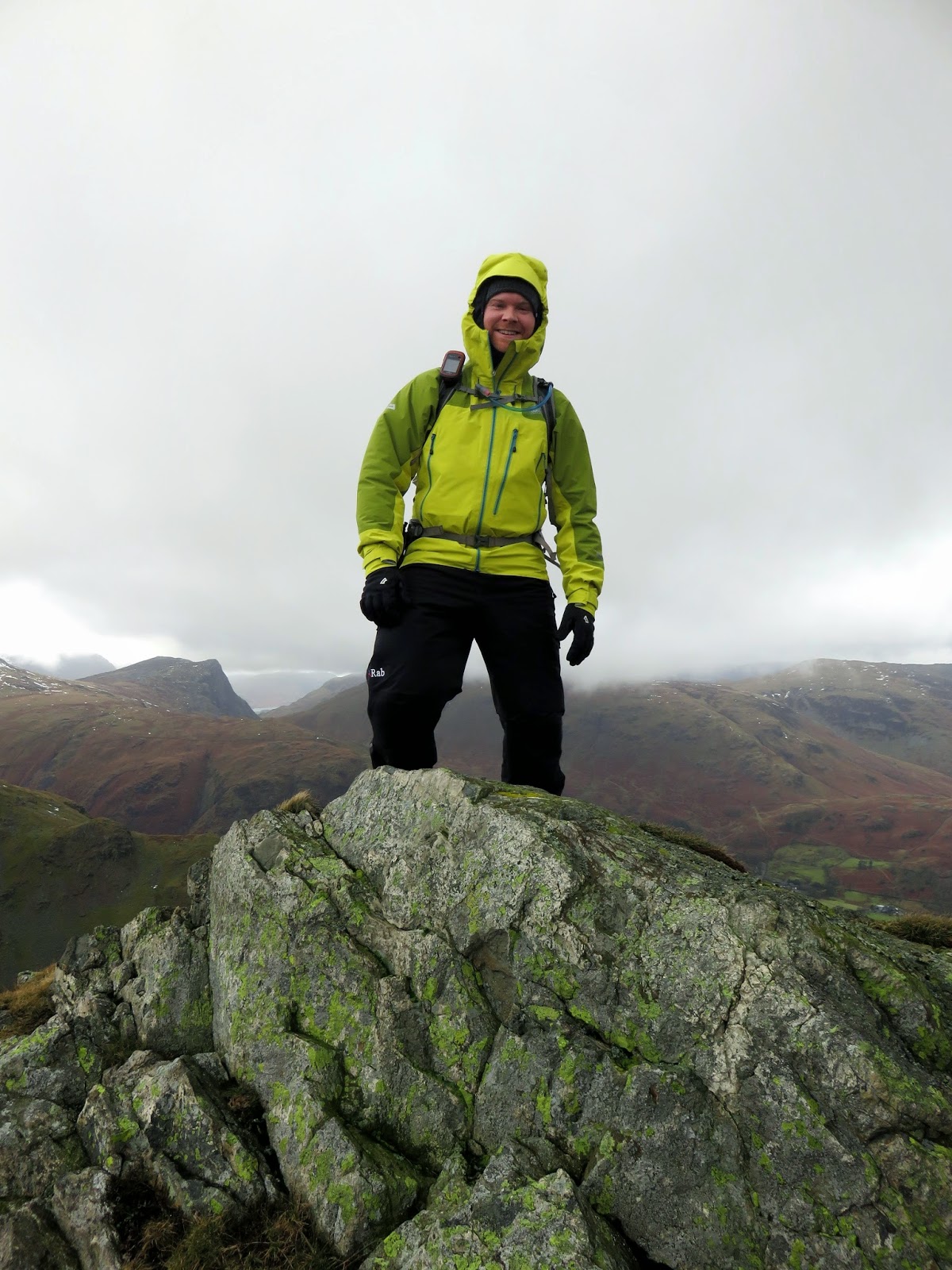
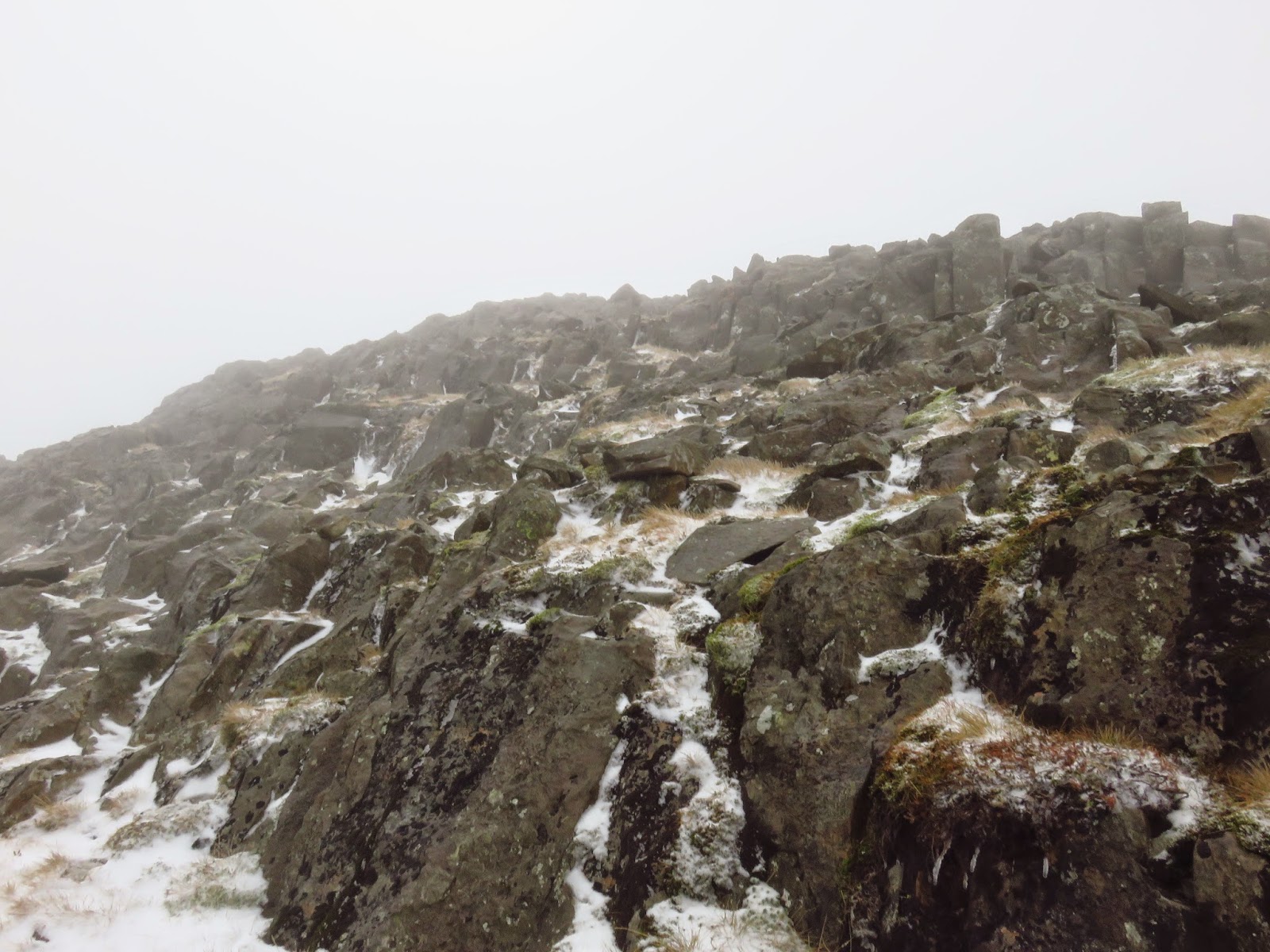
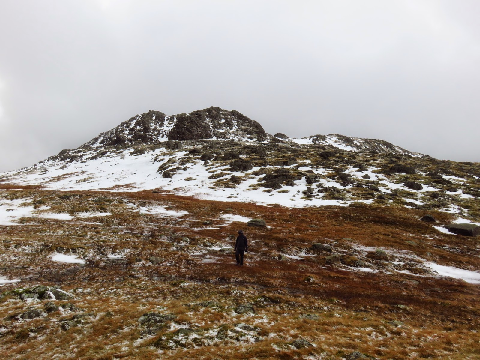
Glaramara loomed out of the clouds ahead, a seemingly difficult craggy face separating us from the summit. Carefully, we edged our way up. Thankfully we reached the top unscathed but the wind was blowing furiously making any moving around a challenge in itself. We quickly dived into the shelter which had been erected around the cairn before taking stock of our situation.
 |
| A steep, icy scramble towards the summit |
 |
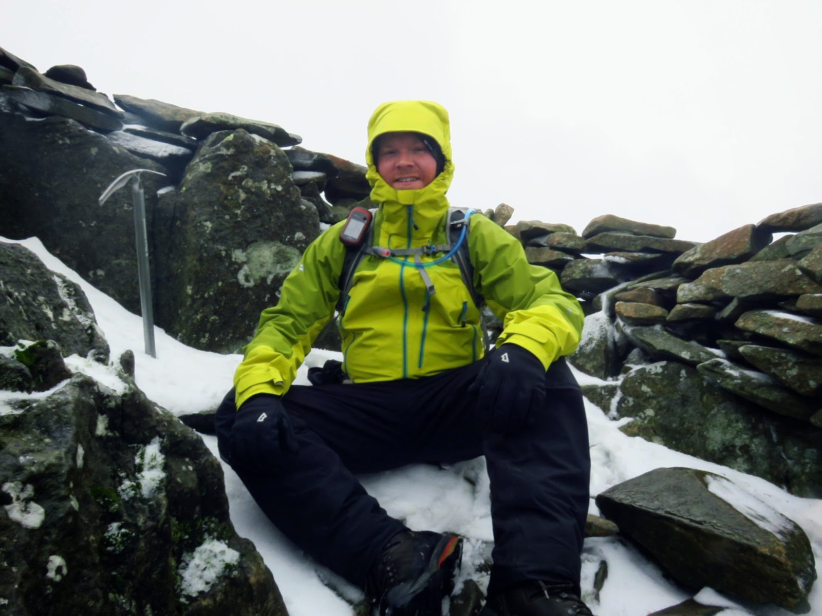
| Glaramara’s second summit – the photo obviously doesn’t show how windy it was |
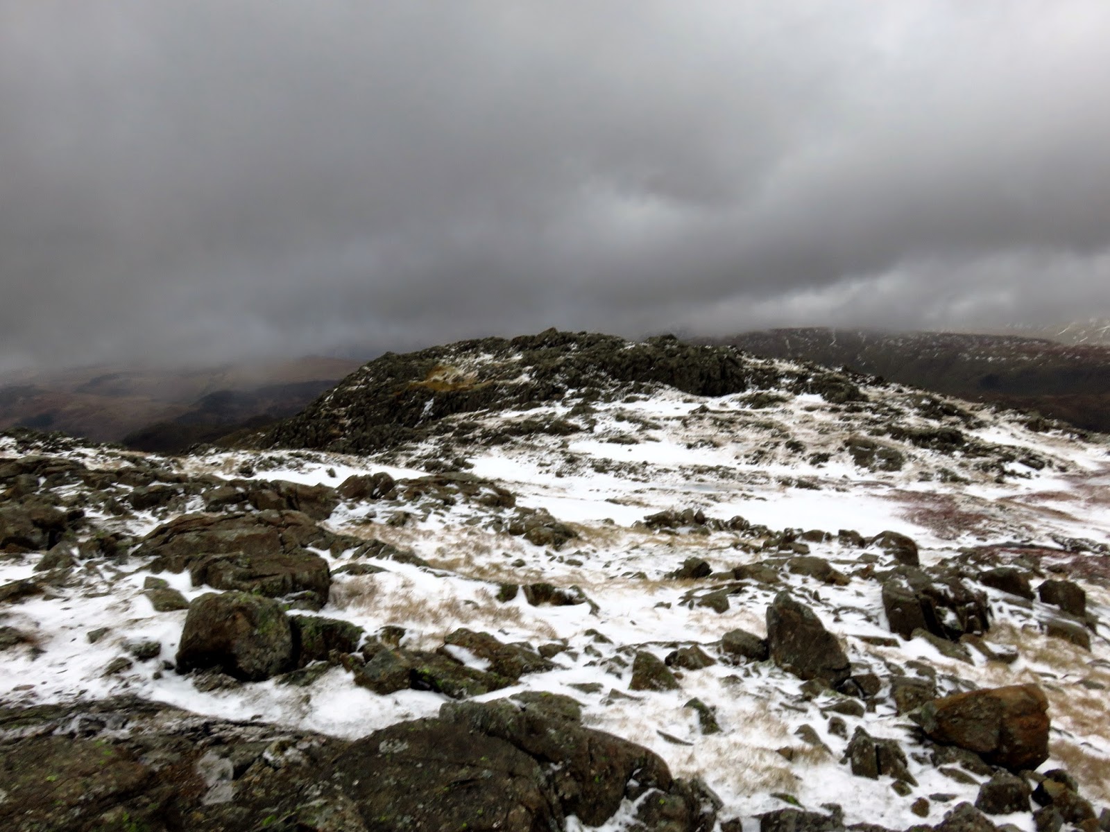
It had taken much longer to reach this point than we anticipated and the walk along the full ridge to Allen Crags and Esk Hause was looking unlikely. It was starting to drift towards the late afternoon so we took the decision to cut the walk short and make our way back down the valley below.
 |
| Clouds form over the Western Fells |
 |
| Retreating off Glarmara’s summit |
 |
| Comb Head |
 |
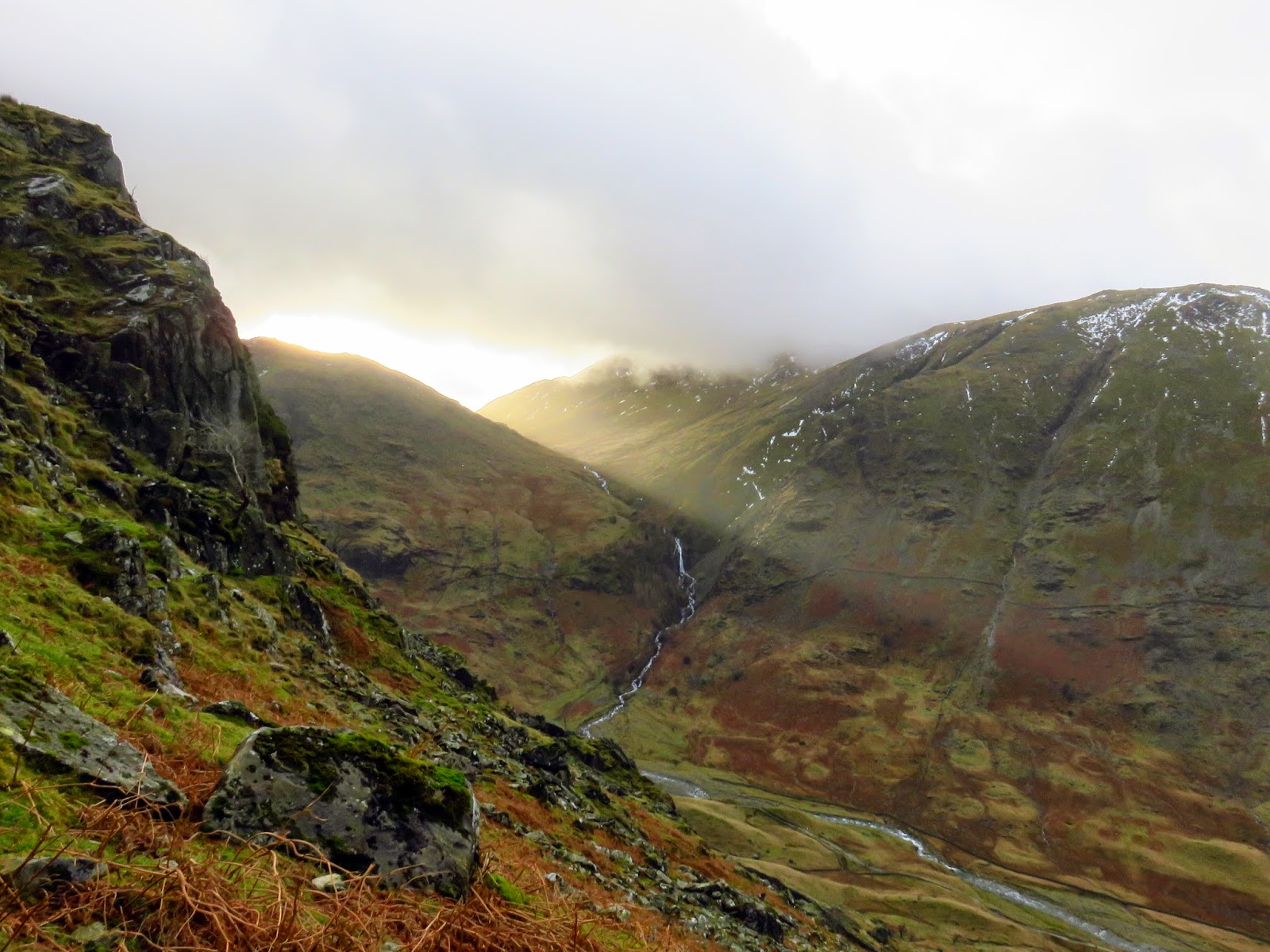
| The top of Hind Gill |
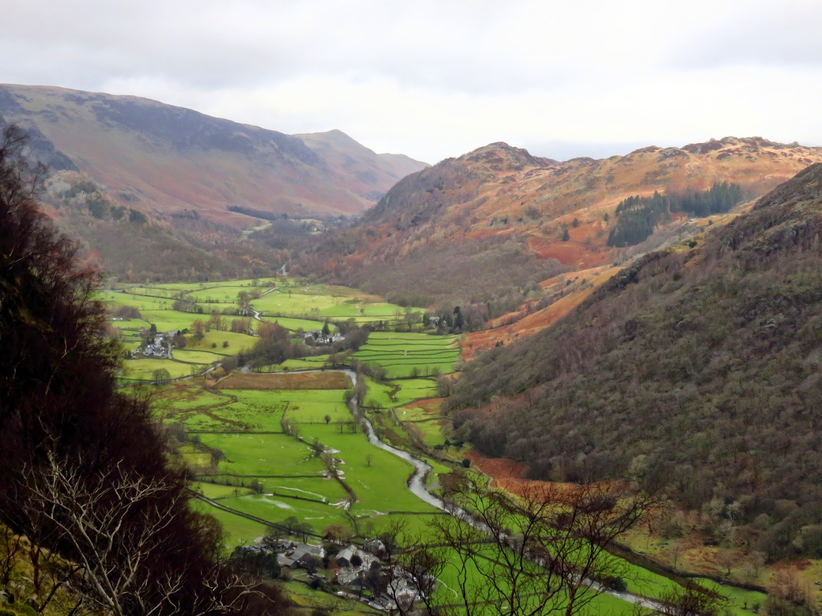
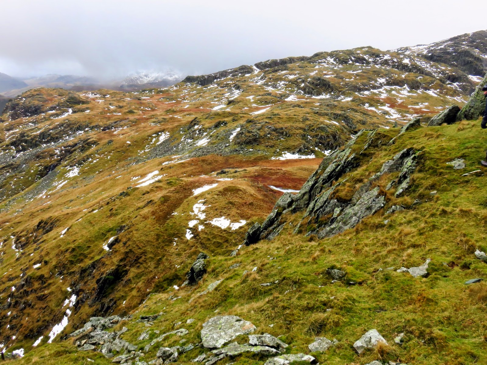
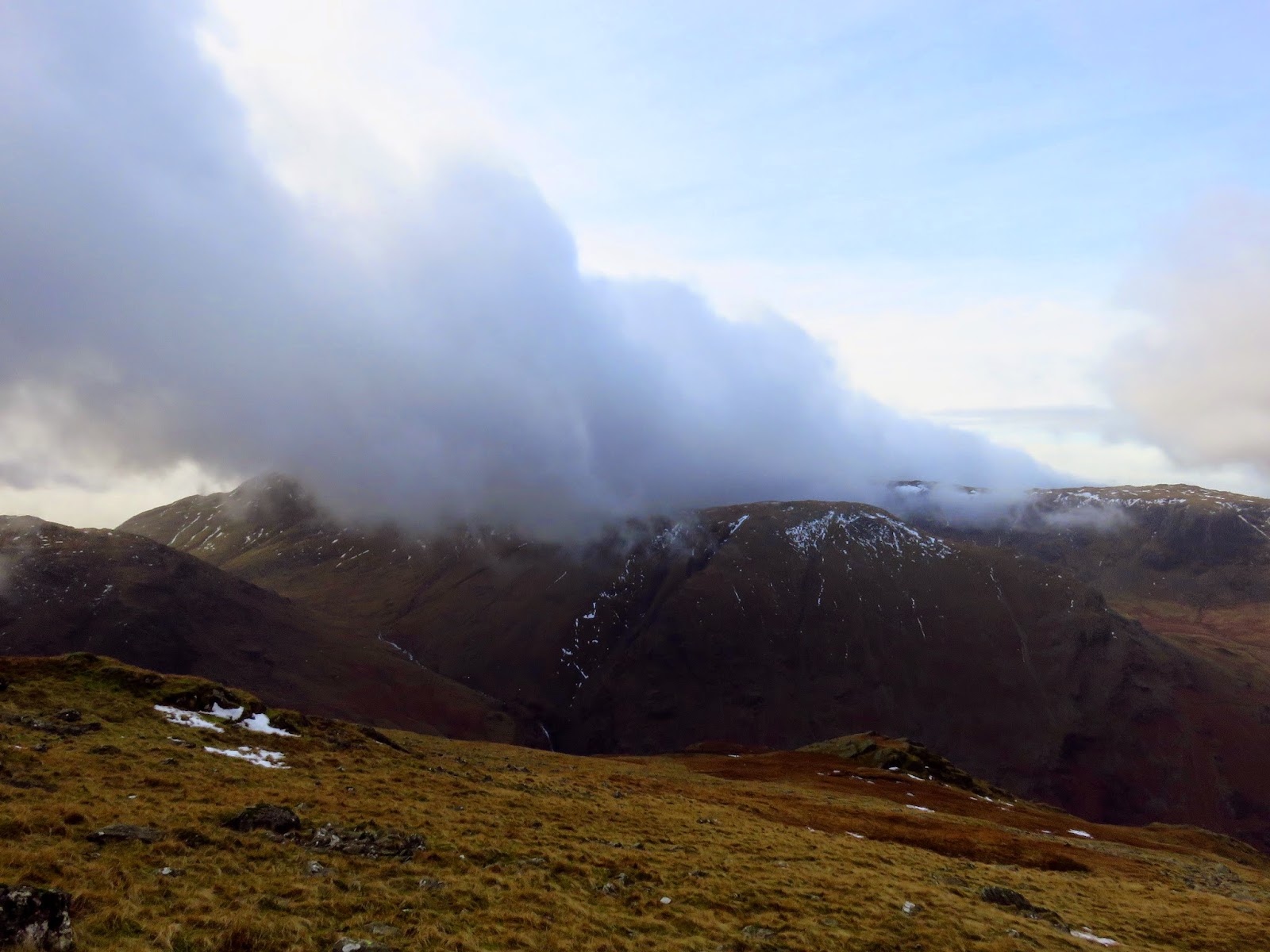
The quickest and most direct route back to the car in Seathwaite was down the path adjacent to Hind Gill which falls with a startling urgency. As soon as we’d made it a few contours lower, the wind began to ease and the clouds broke up slightly. It seemed that the direction of the wind combined with the temperature was conspiring to form a narrow band of cloud from the top of Pillar, completely smothering Glaramara. It was quite an odd sight.
 |
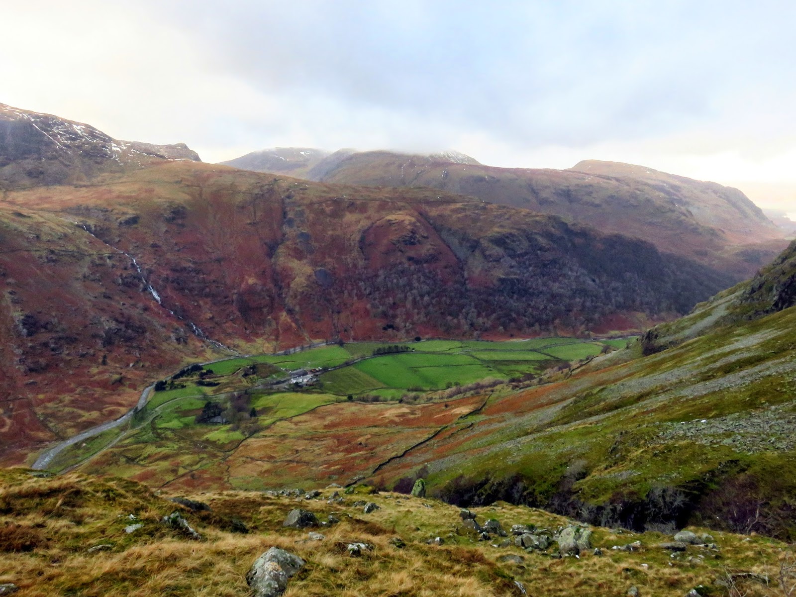
| Seathwaite backed by Dale Head and Seatoller Fell |
 |
| Seathwaite |
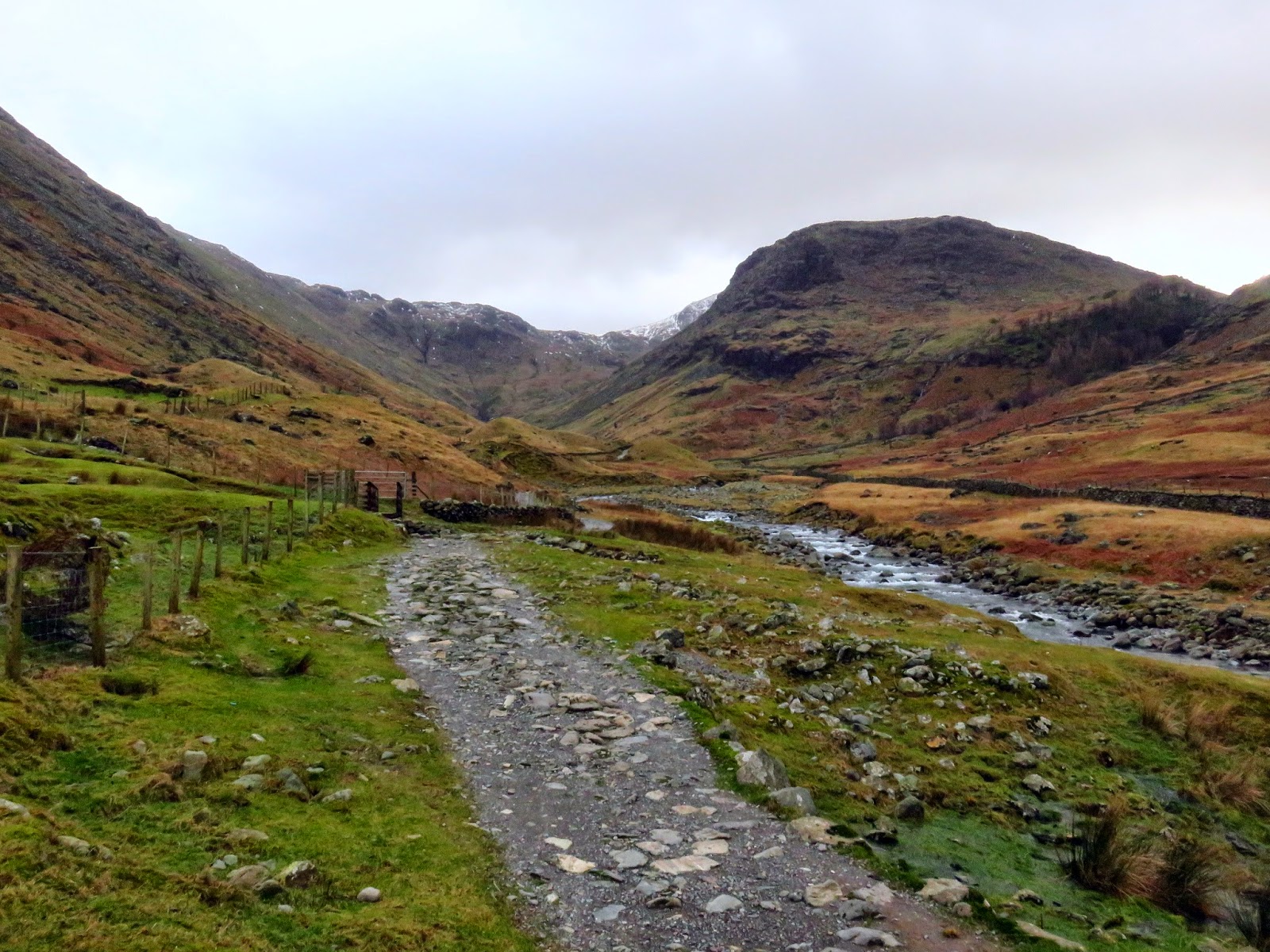
The path steepens as Hind Gill enters a deep ravine and we had to be careful not to take a slip on the wet rocks, the result of which would have been a nasty fall. Down the route continues until it reaches the intake wall of the valley and the steepness begins to abate. Ultimately the path joins the popular Grains route to and from Scafell Pike. Here, it’s a flat walk back along the valley to the farm where our second car was waiting.
 |
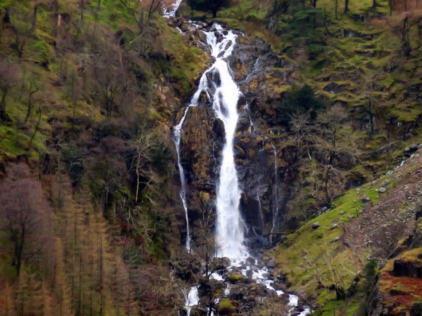
| Taylorgill Force through the zoom lense |
 |
| Hind Gill |
 |
| Looking up Grains from Seathwaite |
So, a semi-successful trip, despite having to abandon it halfway. At least we managed to get a few new fells and the weather (aside from the wind) wasn’t actually that bad. Though I was annoyed we decided to turn, it was the right choice in hindsight. It goes without saying I’ll be returning for a re-run of this one to walk the whole ridge.
