Open Space Web-Map builder Codehttps://openspace.ordnancesurvey.co.uk/osmapapi/openspace.js?key=3119F72552FD5C22E0530C6CA40A5A92https://openspace.ordnancesurvey.co.uk/osmapapi/script/mapbuilder/basicmap.jshttps://openspace.ordnancesurvey.co.uk/osmapapi/script/mapbuilder/searchbox.js//variables for routes var linesLayer, points, lineFeature, lineString, routeMarkersLayer, routepos, routesize, routeoffset, routeicon; var style_blue = {strokeColor: “#0000CD”, strokeOpacity: 0.5, strokeWidth: 4.5}; function initmapbuilder() { //initiate the map var options = {resolutions: [2500, 1000, 500, 200, 100, 50, 25, 10, 5, 4, 2.5, 2, 1]}; osMap = new OpenSpace.Map(‘map’, options); //configure map options (basicmap.js) setglobaloptions(); //set the center of the map and the zoom level osMap.setCenter(new OpenSpace.MapPoint(423308.3381176,384200.00123977),6); linesLayer = osMap.getVectorLayer(); // Set up layer for route markers routeMarkersLayer = new OpenLayers.Layer.Markers(“Route Markers”); //make a route points = new Array(); points.push(new OpenLayers.Geometry.Point(421710.00476837,387411.66793823)); points.push(new OpenLayers.Geometry.Point(422025.00476837,387546.66793823)); points.push(new OpenLayers.Geometry.Point(422135.00476837,387591.66793823)); points.push(new OpenLayers.Geometry.Point(422325.00476837,387586.66793823)); points.push(new OpenLayers.Geometry.Point(422570.00476837,387686.66793823)); points.push(new OpenLayers.Geometry.Point(423015.00476837,387836.66793823)); points.push(new OpenLayers.Geometry.Point(423075.00476837,387851.66793823)); points.push(new OpenLayers.Geometry.Point(423040.00476837,387596.66793823)); points.push(new OpenLayers.Geometry.Point(423000.00476837,387391.66793823)); points.push(new OpenLayers.Geometry.Point(422780.00476837,387091.66793823)); points.push(new OpenLayers.Geometry.Point(422615.00476837,386736.66793823)); points.push(new OpenLayers.Geometry.Point(422450.00476837,386361.66793823)); points.push(new OpenLayers.Geometry.Point(422410.00476837,385971.66793823)); points.push(new OpenLayers.Geometry.Point(422390.00476837,385721.66793823)); points.push(new OpenLayers.Geometry.Point(422560.00476837,385466.66793823)); points.push(new OpenLayers.Geometry.Point(422815.00476837,385331.66793823)); points.push(new OpenLayers.Geometry.Point(423195.00476837,385131.66793823)); points.push(new OpenLayers.Geometry.Point(423660.00476837,384796.66793823)); points.push(new OpenLayers.Geometry.Point(423875.00476837,384561.66793823)); points.push(new OpenLayers.Geometry.Point(424030.00476837,384361.66793823)); points.push(new OpenLayers.Geometry.Point(424325.00476837,383816.66793823)); points.push(new OpenLayers.Geometry.Point(424545.00476837,383396.66793823)); points.push(new OpenLayers.Geometry.Point(424815.00476837,383151.66793823)); points.push(new OpenLayers.Geometry.Point(425050.00476837,383011.66793823)); points.push(new OpenLayers.Geometry.Point(425295.00476837,383071.66793823)); points.push(new OpenLayers.Geometry.Point(425520.00476837,382986.66793823)); points.push(new OpenLayers.Geometry.Point(425700.00476837,382956.66793823)); points.push(new OpenLayers.Geometry.Point(425890.00476837,383016.66793823)); points.push(new OpenLayers.Geometry.Point(426020.00476837,383006.66793823)); points.push(new OpenLayers.Geometry.Point(426185.00476837,382966.66793823)); points.push(new OpenLayers.Geometry.Point(426215.00476837,382881.66793823)); points.push(new OpenLayers.Geometry.Point(426545.00476837,382566.66793823)); points.push(new OpenLayers.Geometry.Point(426820.00476837,382256.66793823)); points.push(new OpenLayers.Geometry.Point(426890.00476837,382126.66793823)); points.push(new OpenLayers.Geometry.Point(426885.00476837,381866.66793823)); points.push(new OpenLayers.Geometry.Point(426885.00476837,381726.66793823)); points.push(new OpenLayers.Geometry.Point(427080.00476837,381536.66793823)); points.push(new OpenLayers.Geometry.Point(427085.00476837,381446.66793823)); points.push(new OpenLayers.Geometry.Point(427035.00476837,381356.66793823)); points.push(new OpenLayers.Geometry.Point(426780.00476837,381141.66793823)); points.push(new OpenLayers.Geometry.Point(426655.00476837,381001.66793823)); points.push(new OpenLayers.Geometry.Point(426465.00476837,380801.66793823)); points.push(new OpenLayers.Geometry.Point(426280.00476837,380561.66793823)); points.push(new OpenLayers.Geometry.Point(426085.00476837,380726.66793823)); points.push(new OpenLayers.Geometry.Point(426035.00476837,380516.66793823)); points.push(new OpenLayers.Geometry.Point(425785.00476837,380251.66793823)); points.push(new OpenLayers.Geometry.Point(425765.00476837,380096.66793823)); points.push(new OpenLayers.Geometry.Point(425370.00476837,380116.66793823)); points.push(new OpenLayers.Geometry.Point(425310.00476837,380151.66793823)); points.push(new OpenLayers.Geometry.Point(425155.00476837,380476.66793823)); points.push(new OpenLayers.Geometry.Point(424990.00476837,380676.66793823)); points.push(new OpenLayers.Geometry.Point(424795.00476837,380766.66793823)); points.push(new OpenLayers.Geometry.Point(424445.00476837,380931.66793823)); points.push(new OpenLayers.Geometry.Point(424350.00476837,380986.66793823)); points.push(new OpenLayers.Geometry.Point(424255.00476837,381091.66793823)); points.push(new OpenLayers.Geometry.Point(424265.00476837,381271.66793823)); points.push(new OpenLayers.Geometry.Point(424125.00476837,381176.66793823)); points.push(new OpenLayers.Geometry.Point(423925.00476837,381141.66793823)); points.push(new OpenLayers.Geometry.Point(423785.00476837,381171.66793823)); points.push(new OpenLayers.Geometry.Point(423725.00476837,381121.66793823)); points.push(new OpenLayers.Geometry.Point(423575.00476837,381176.66793823)); points.push(new OpenLayers.Geometry.Point(423410.00476837,381281.66793823)); points.push(new OpenLayers.Geometry.Point(423345.00476837,381436.66793823)); // create a polyline feature from the array of points lineString = new OpenLayers.Geometry.LineString(points); lineFeature = new OpenLayers.Feature.Vector(lineString, null, style_blue); linesLayer.addFeatures([lineFeature]); //crate a route start/end marker routepos = new OpenSpace.MapPoint(421710.00476837,387411.66793823); routesize = new OpenLayers.Size(33,45); routeoffset = new OpenLayers.Pixel(-5,-37); routeicon = new OpenSpace.Icon(‘https://openspace.ordnancesurvey.co.uk/osmapapi/img_versions/img_1.1/mapbuilder/routemarker-start.png’, routesize, routeoffset, null, null); routeMarkersLayer.addMarker(new OpenLayers.Marker(routepos, routeicon)); //crate a route start/end marker routepos = new OpenSpace.MapPoint(423345.00476837,381436.66793823); routesize = new OpenLayers.Size(33,45); routeoffset = new OpenLayers.Pixel(-5,-37); routeicon = new OpenSpace.Icon(‘https://openspace.ordnancesurvey.co.uk/osmapapi/img_versions/img_1.1/mapbuilder/routemarker-end.png’, routesize, routeoffset, null, null); routeMarkersLayer.addMarker(new OpenLayers.Marker(routepos, routeicon)); osMap.addLayer(routeMarkersLayer);}
Route: Moscar Lodge, Sheffield Country Walk, Stanage End, Crow Chin, High Neb, Stanage Edge, Long Causeway, Robin Hood’s Cave, Hook’s Car, Cowper Stone, Upper Burbage Bridge, Burbage Rocks, Burbage Bridge, Owler Tor, Mother Cap, Over Owler Tor, High Lees, Hathersage
Date: 13/12/2014
From: Cutthroat Bridge
Parking: Layby on A57
Start Point: Moscar Lodge
Region: Peak District Dark Peak
Route length: 10.4 miles (16.7 km)
Time taken: 04:31
Average speed: 2.3 mph
Ascent: 443m
Descent: 576m
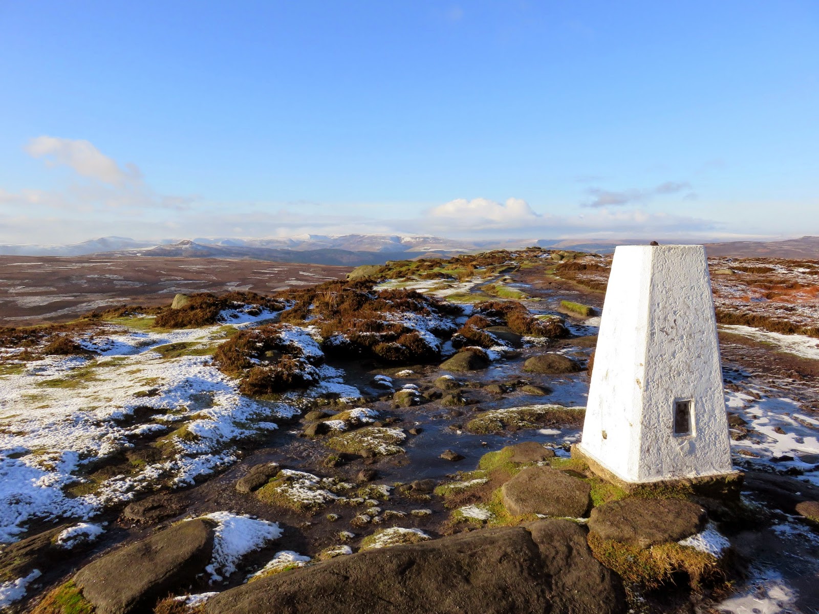
Summits on this walk: High Neb (458m)
Other points of interest: Long Causeway, Robin Hood’s Cave, Cowper Stone, Mother Cap, Over Owler Tor
I’ve walked along Stanage Edge a number of times and I’m sure that doesn’t come as a surprise to anyone reading this. That said, however, I have yet to complete two tasks associated with the gritstone escarpment; the first being to walk the entire length of it and the second to visit its highest point, High Neb. Having access to two cars certainly helped in this matter as we were able to plan a one-way winter walk that achieved both of those previous omissions.
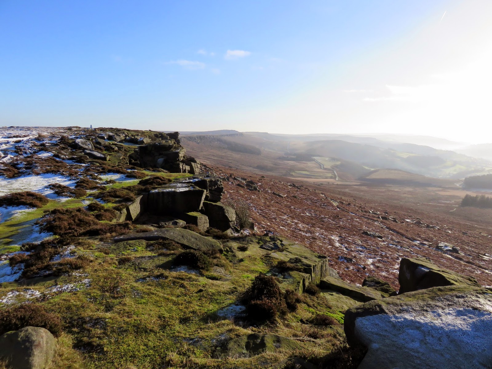
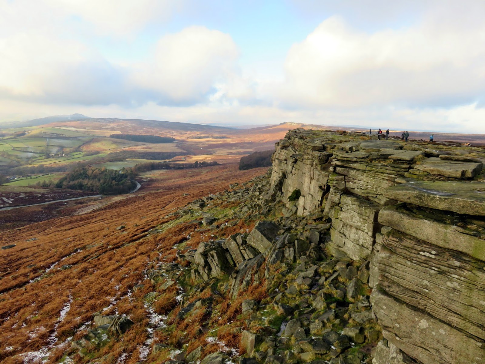
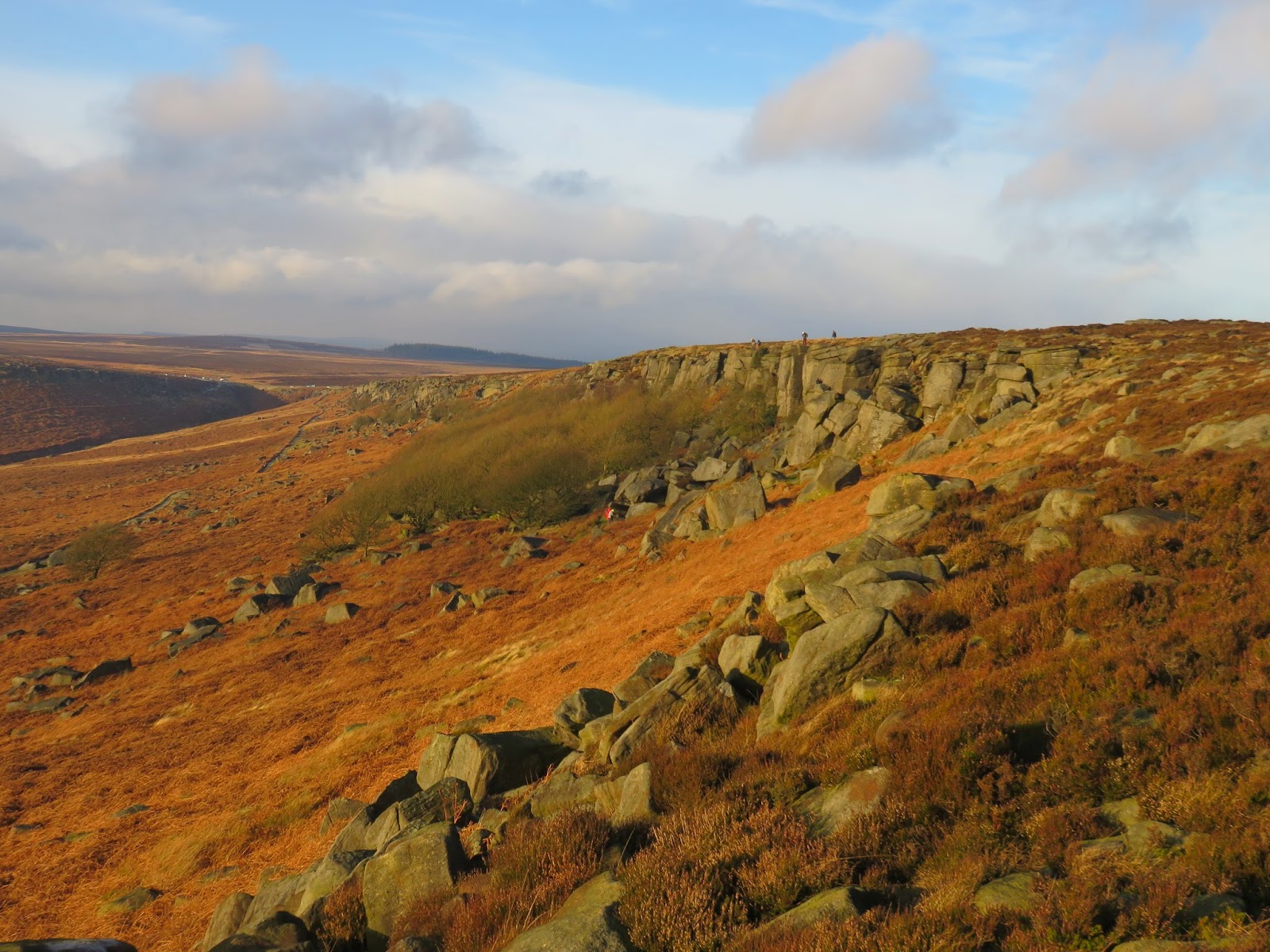
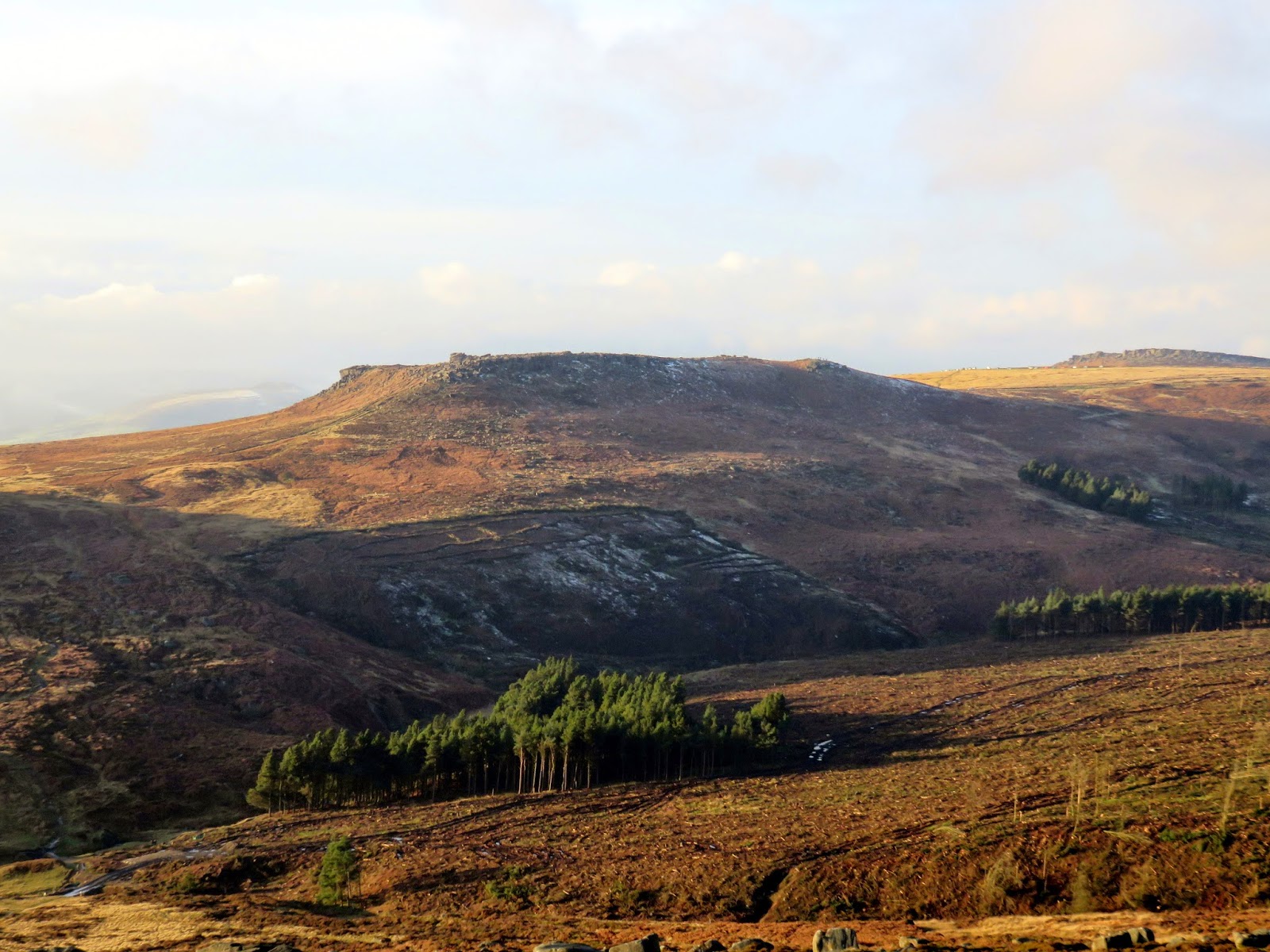
For those of you who might not be aware of what or where Stanage Edge is, it sits just west of Sheffield near the village of Hathersage. It’s fairly safe to say that it could be one of the most popular locations to visit within any of the National Parks in the UK. Stanage (from the old words for “stone edge”) runs four miles north from the prominent Cowper Stone to Stanage End. It is the northernmost of an almost continuous line of cliffs that includes Burbage Rocks, Froggatt Edge, Curbar Edge, Baslow Edge and Birchen Edge. It is a magnet for walkers, runners and perhaps most importantly, climbers.
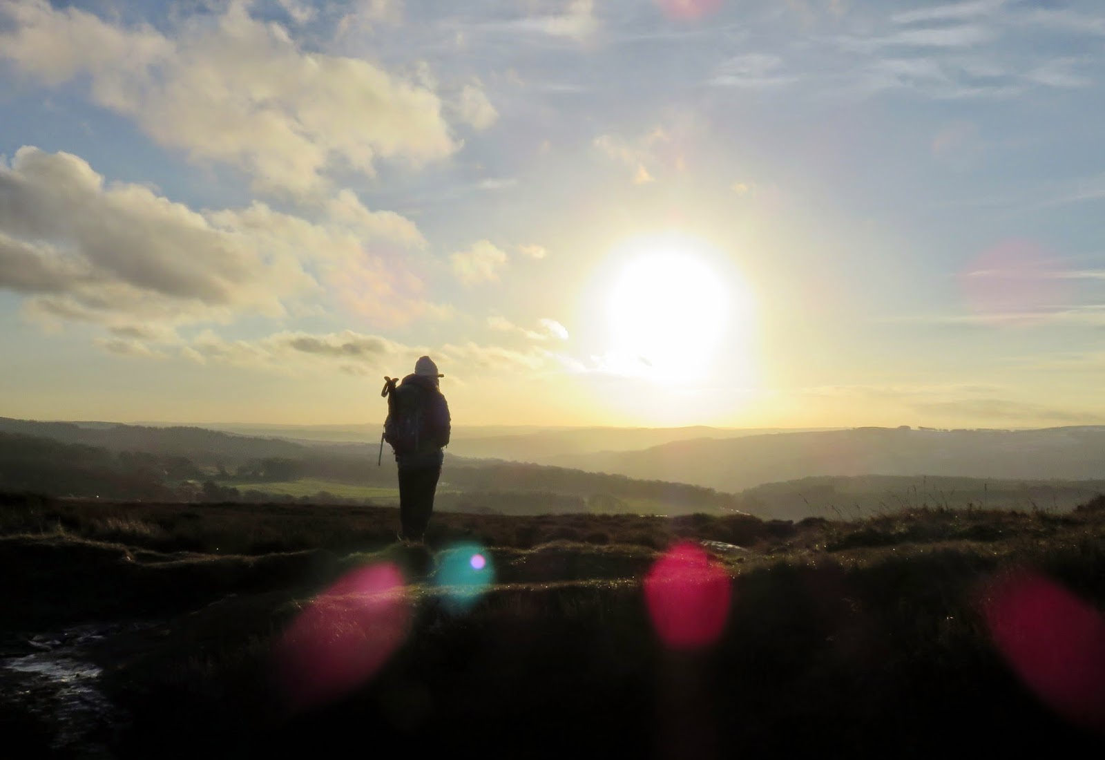
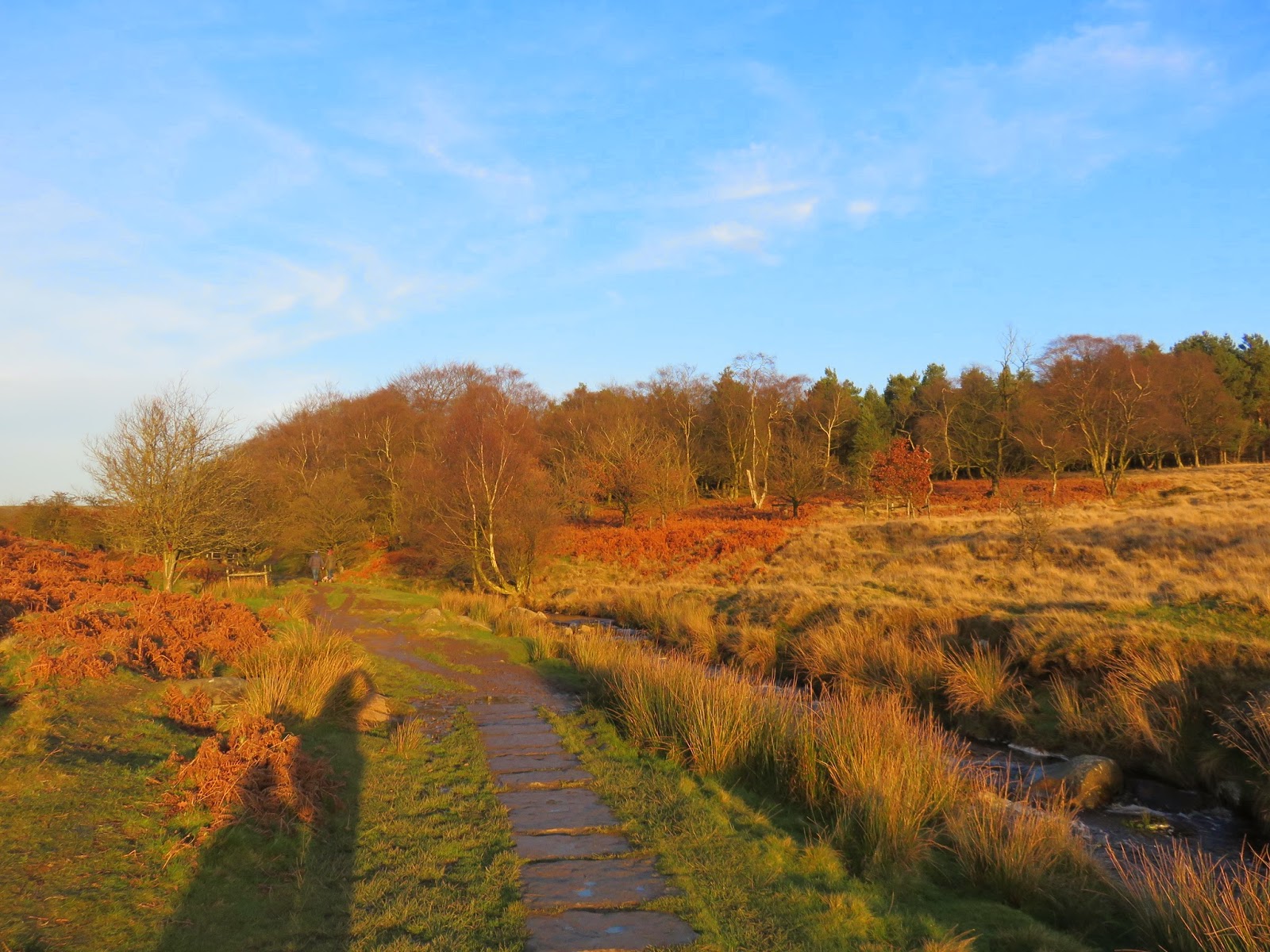
The planned route for the day would start at a large layby on the A57, a loop of the old road before it was widened and straightened close to the alarmingly named Cutthroat Bridge. At the time of planning, this seemed the most appropriate place to park, given its size, however it means an abhorrent mile long tramp along the A57 while dodging the speeding traffic. It appears now, with all the benefits of hindsight, that it is possible to park almost directly next to the bridleway of the Sheffield Country Walk, where we were finally allowed to leave the confines of the road and strike out onto open moorland.
 |
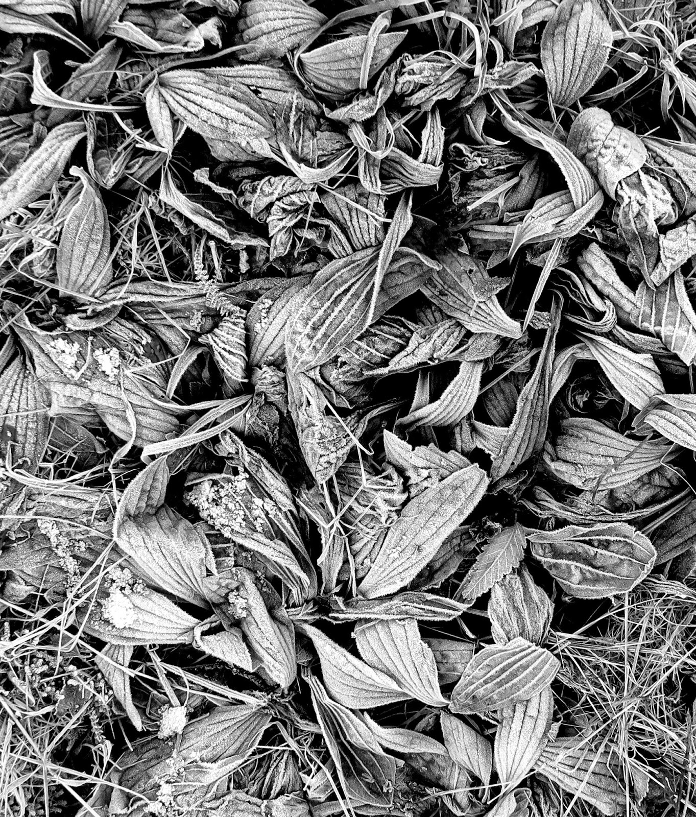
| The only entertainment along the roadside – some frozen leaves |
 |
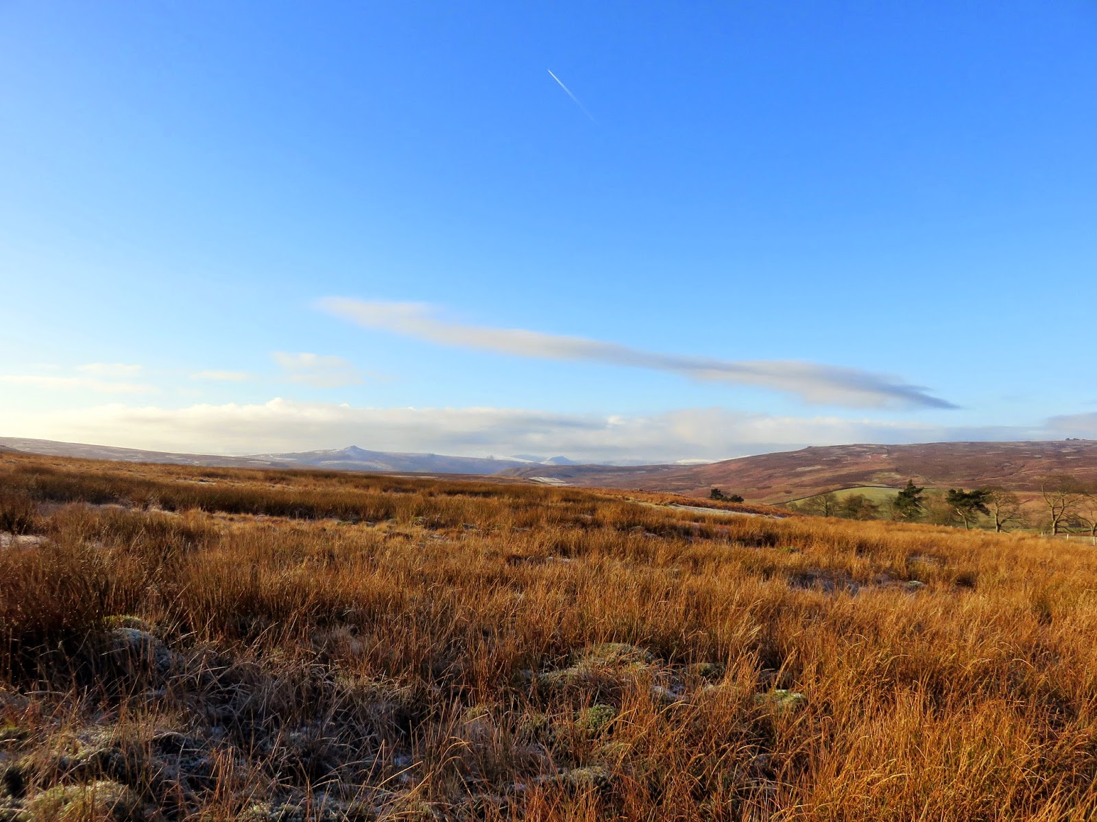
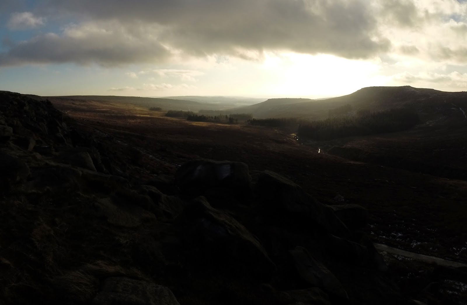
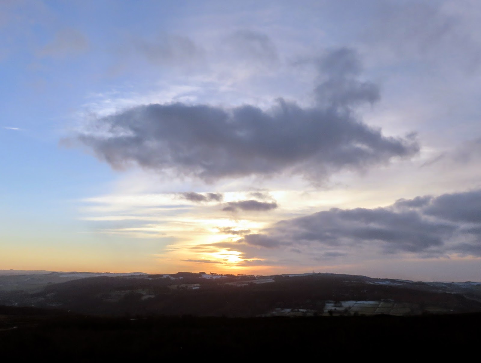
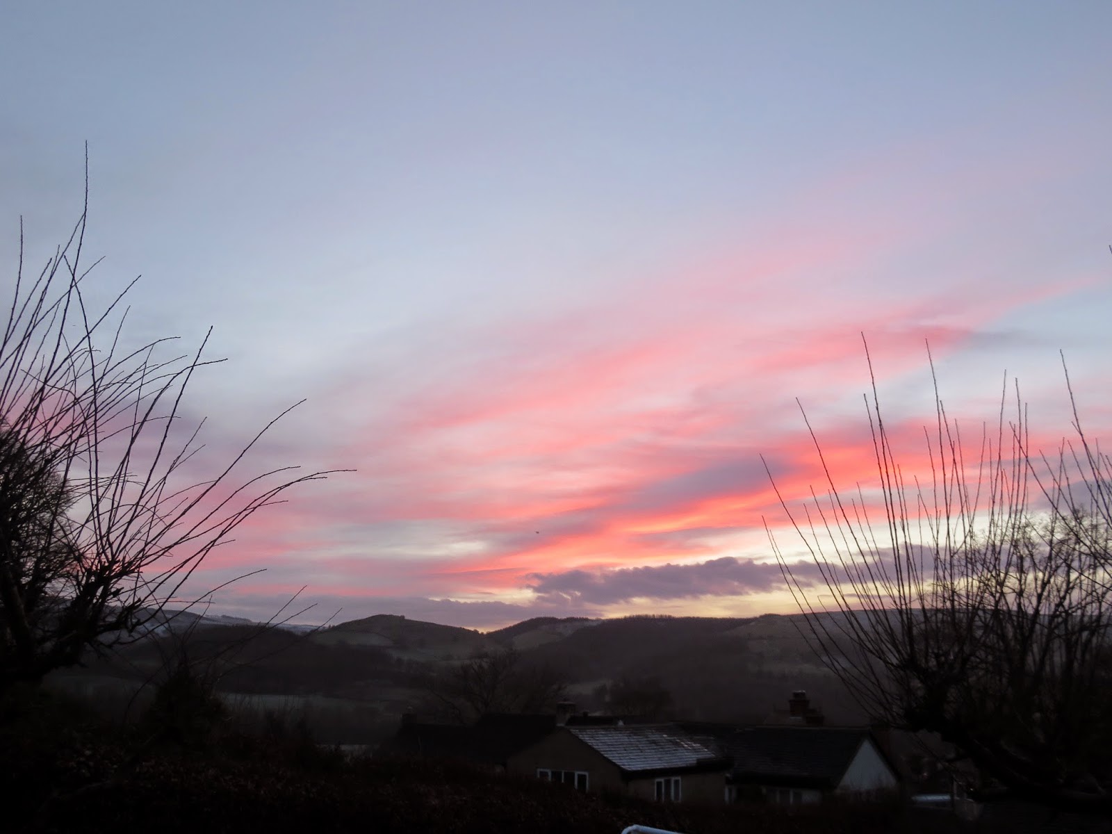
| A bright winter morning over Derwent Moors |
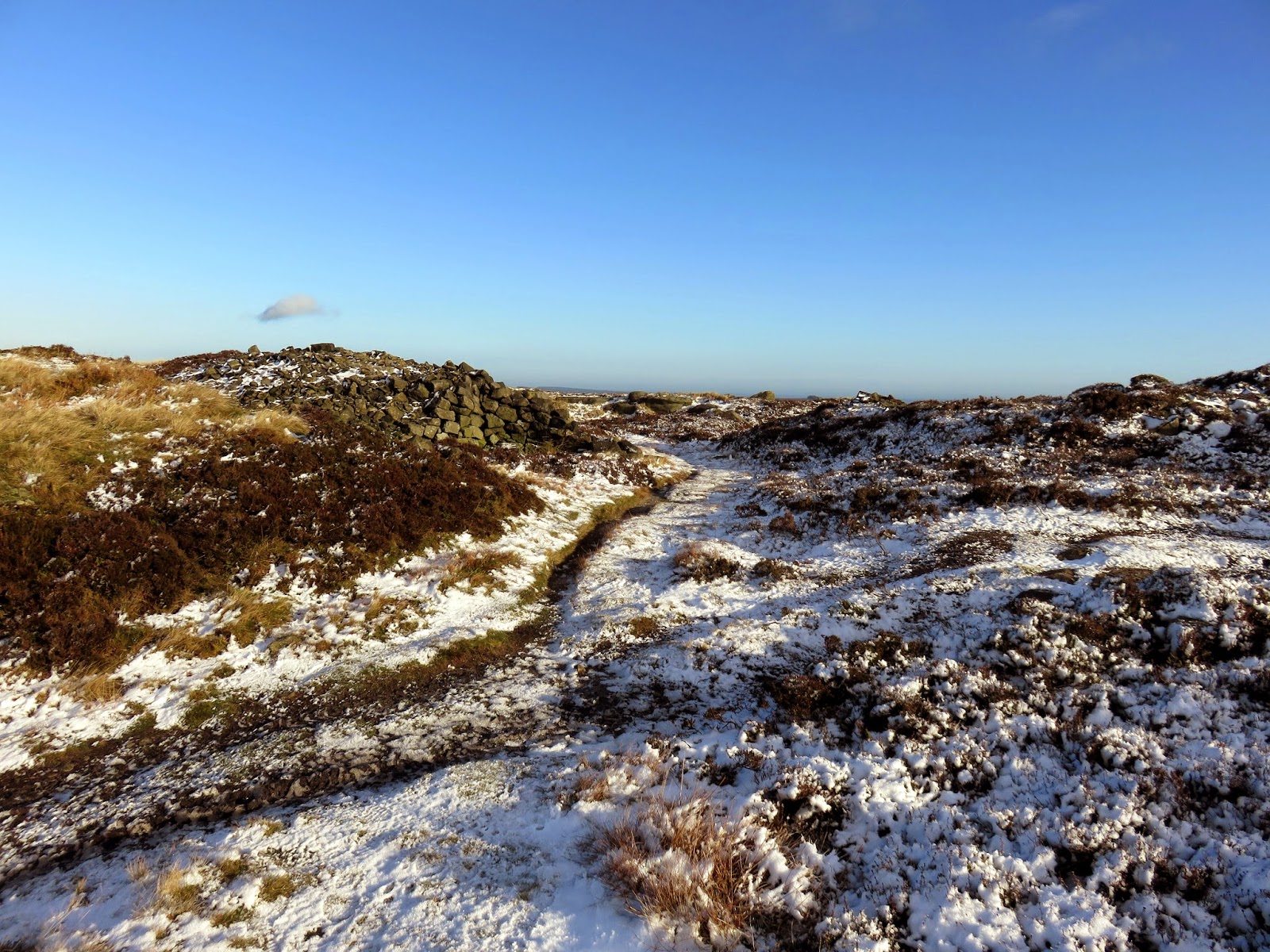
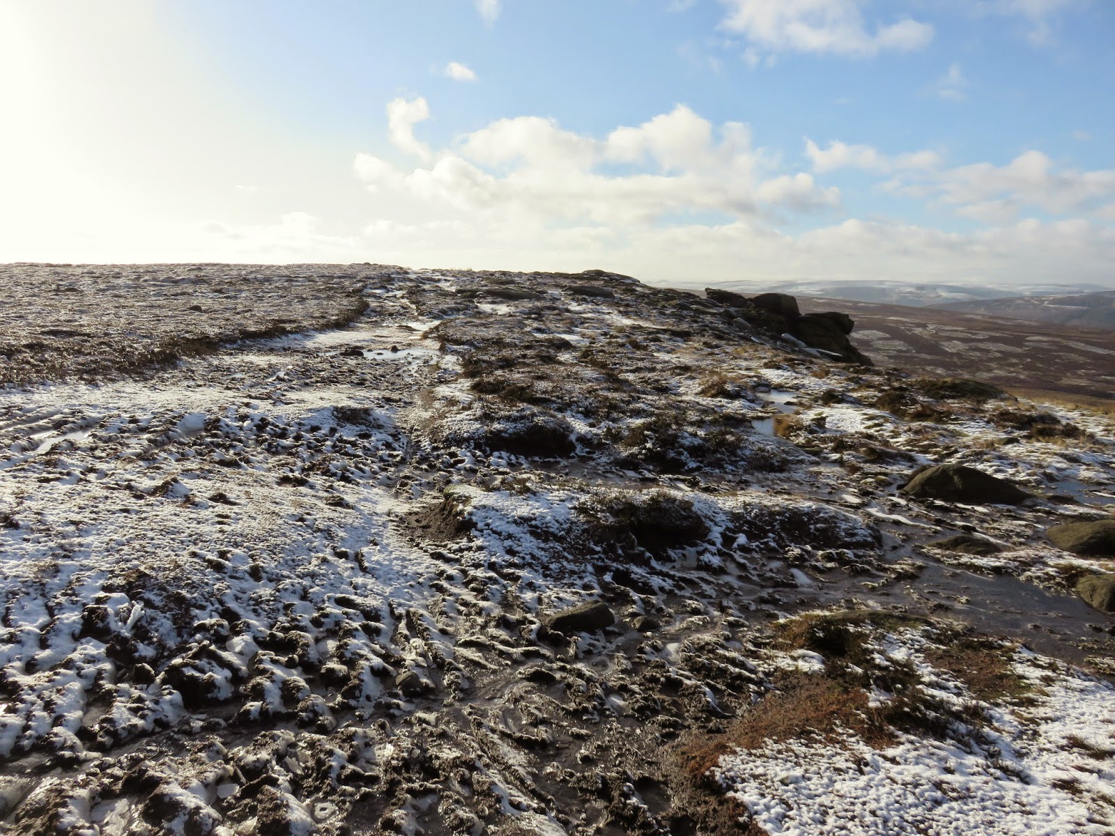
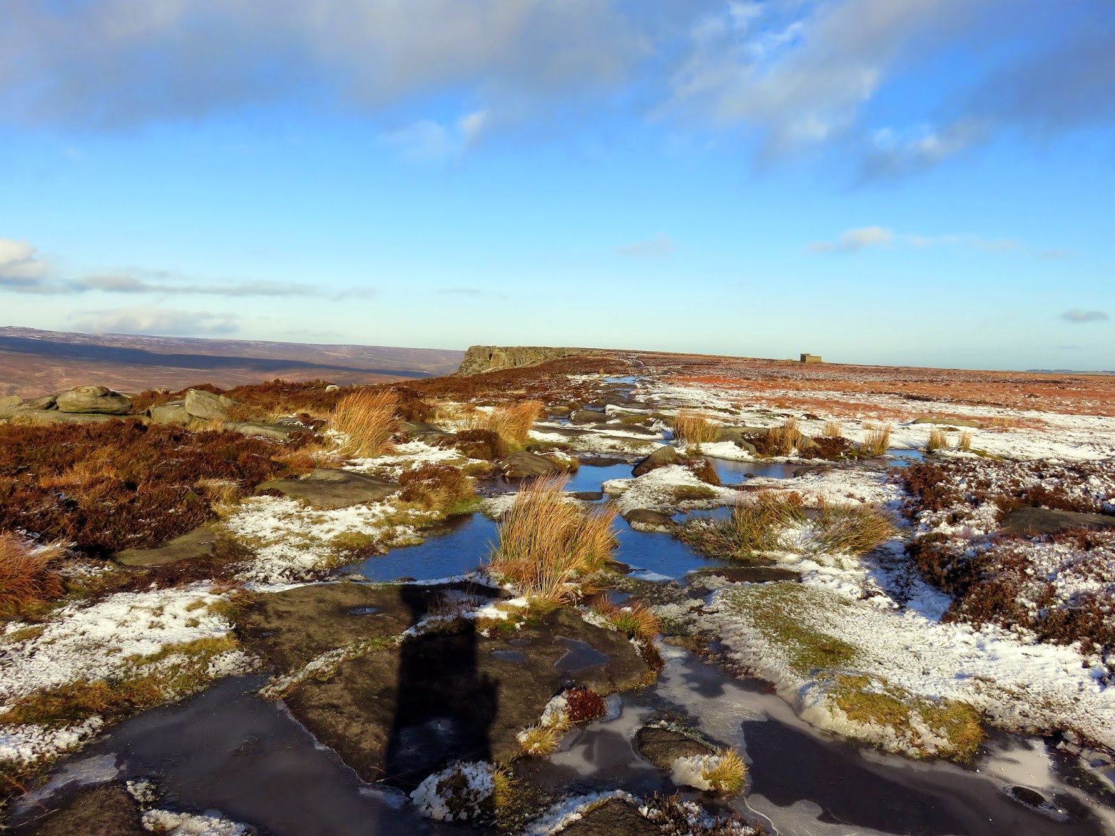
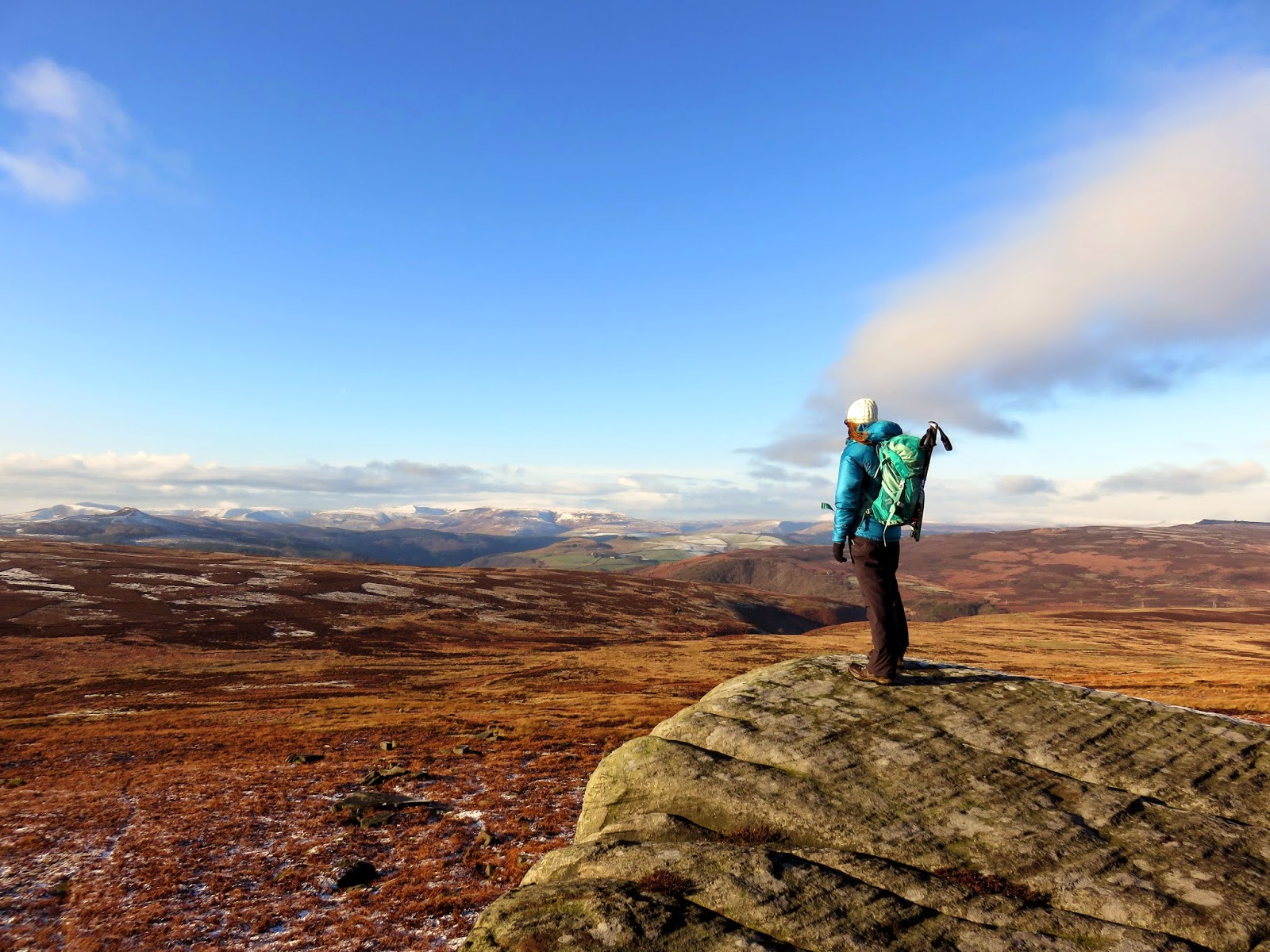
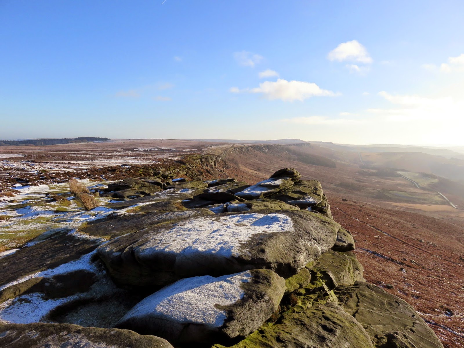
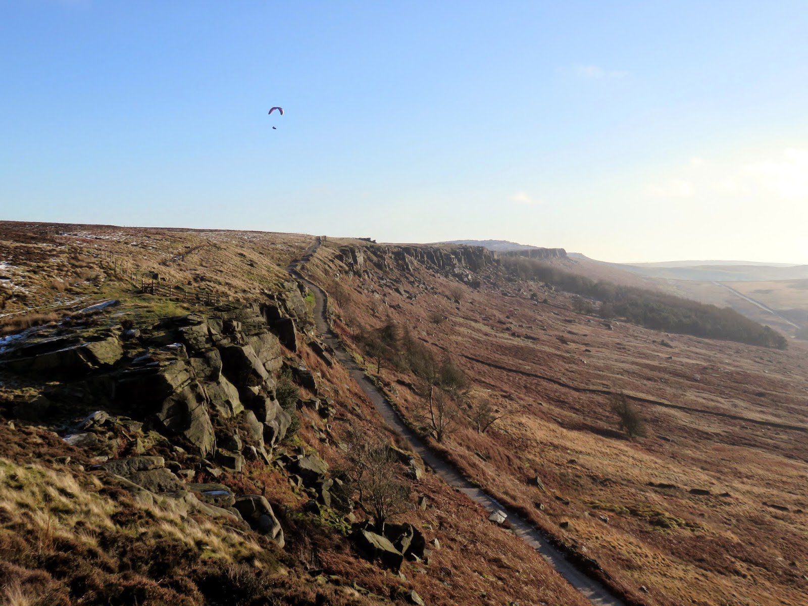
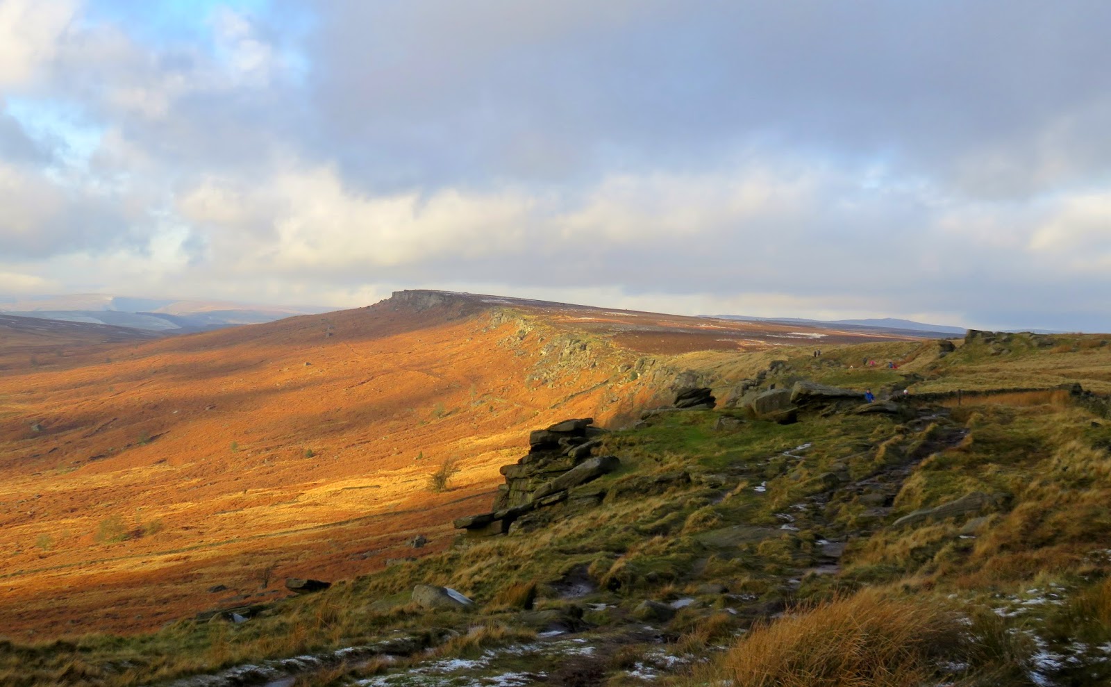
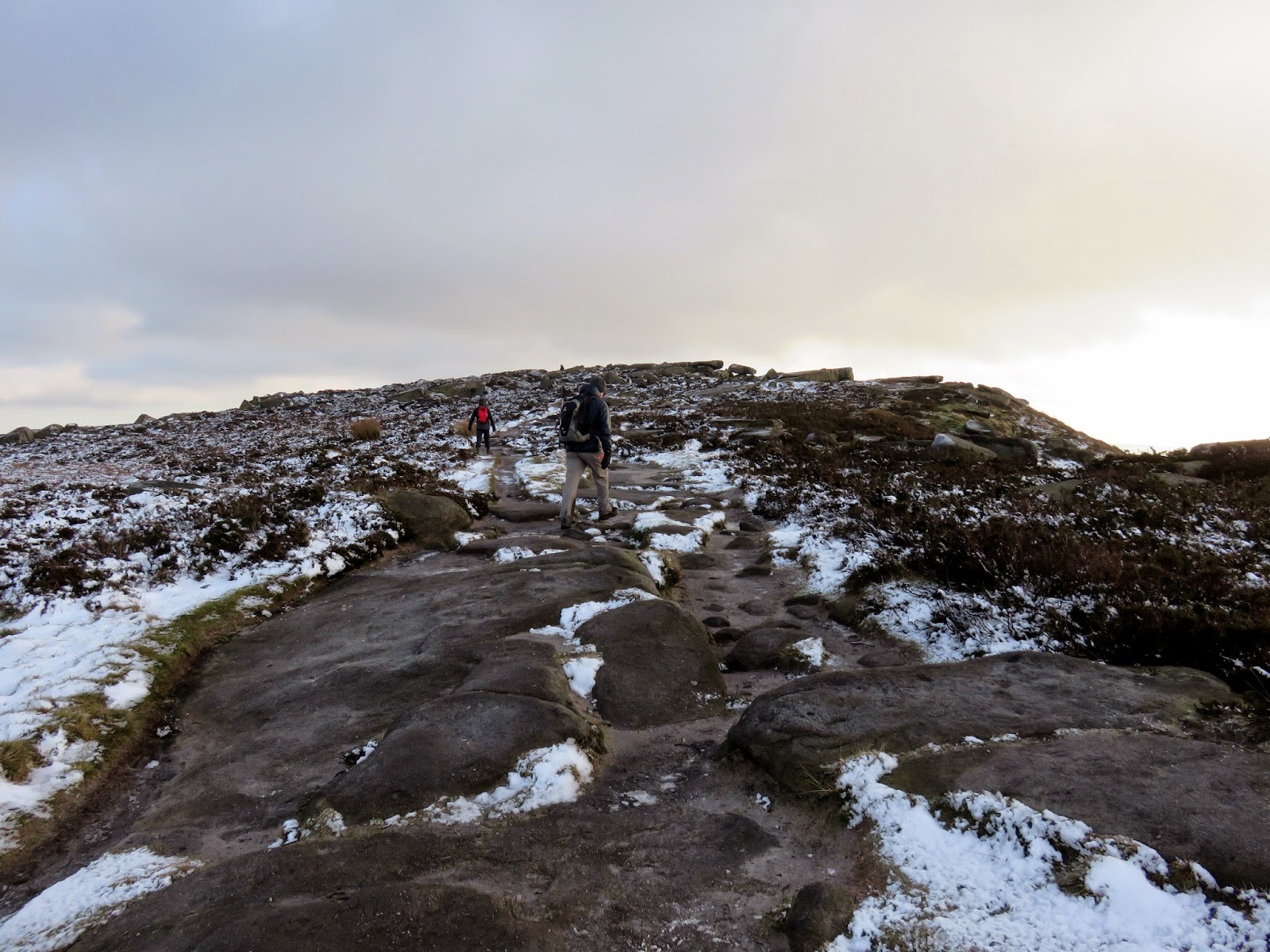
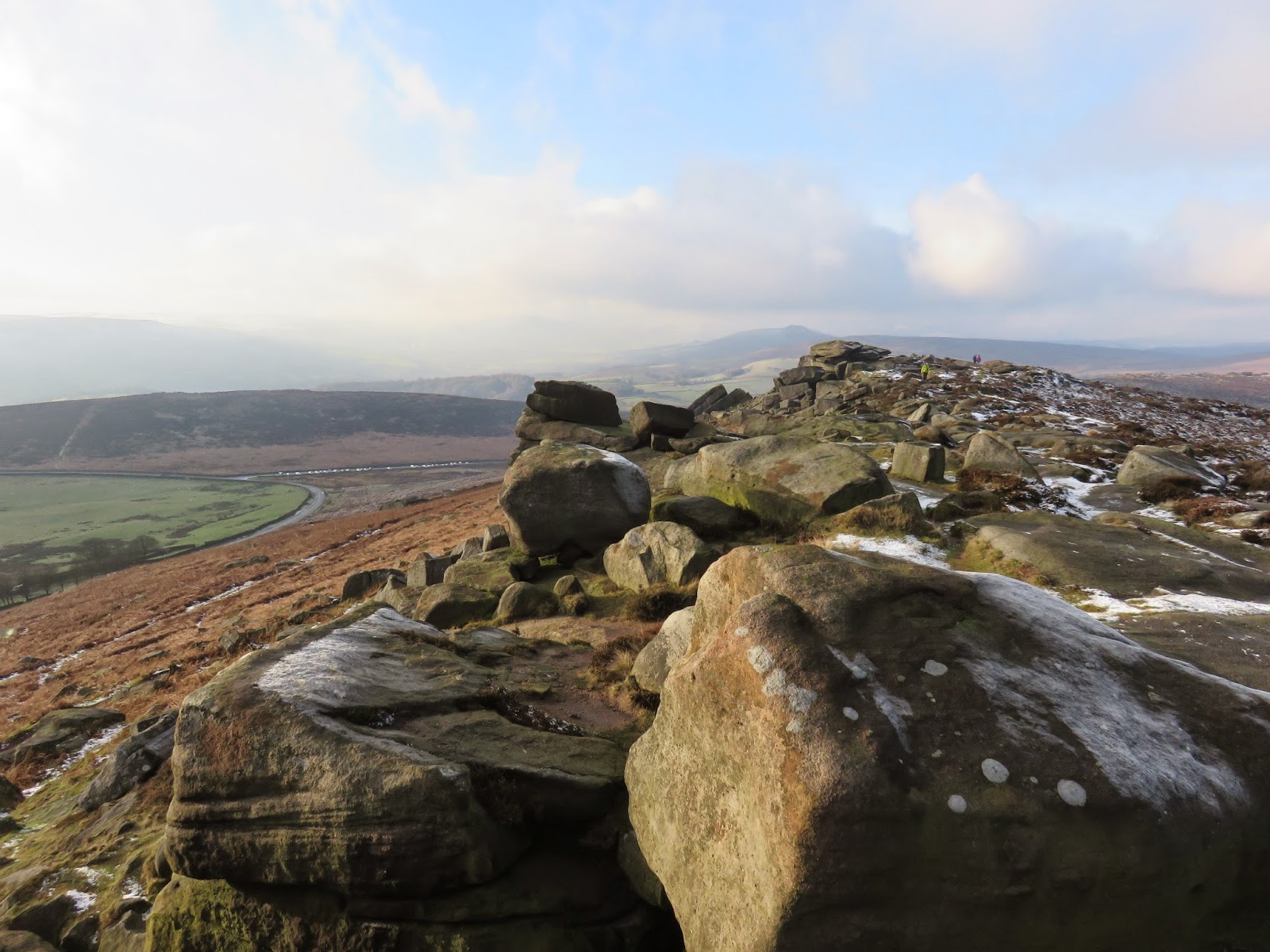
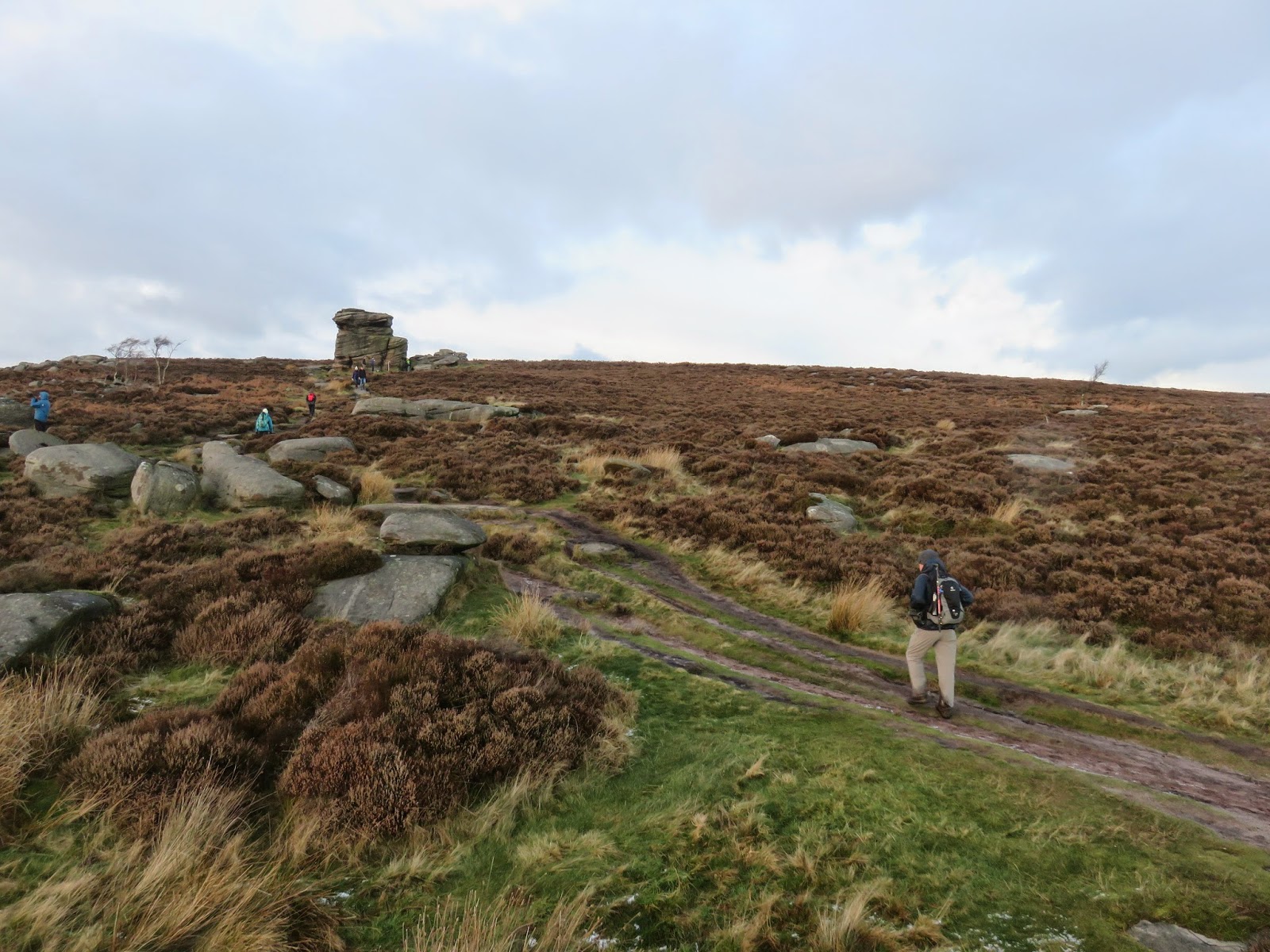
The path rises steadily upwards, directly into the low morning sun where it reaches Stanage End, officially the northern tip of Stanage Edge. Almost instantly, as you begin the traverse along the top of the ridge, the ground to the west begins to fall away and the impressive gritstone edge features begin to appear. Once you’ve completed the initial climb along the bridleway to Stanage End much of the walk is generally level.
 |
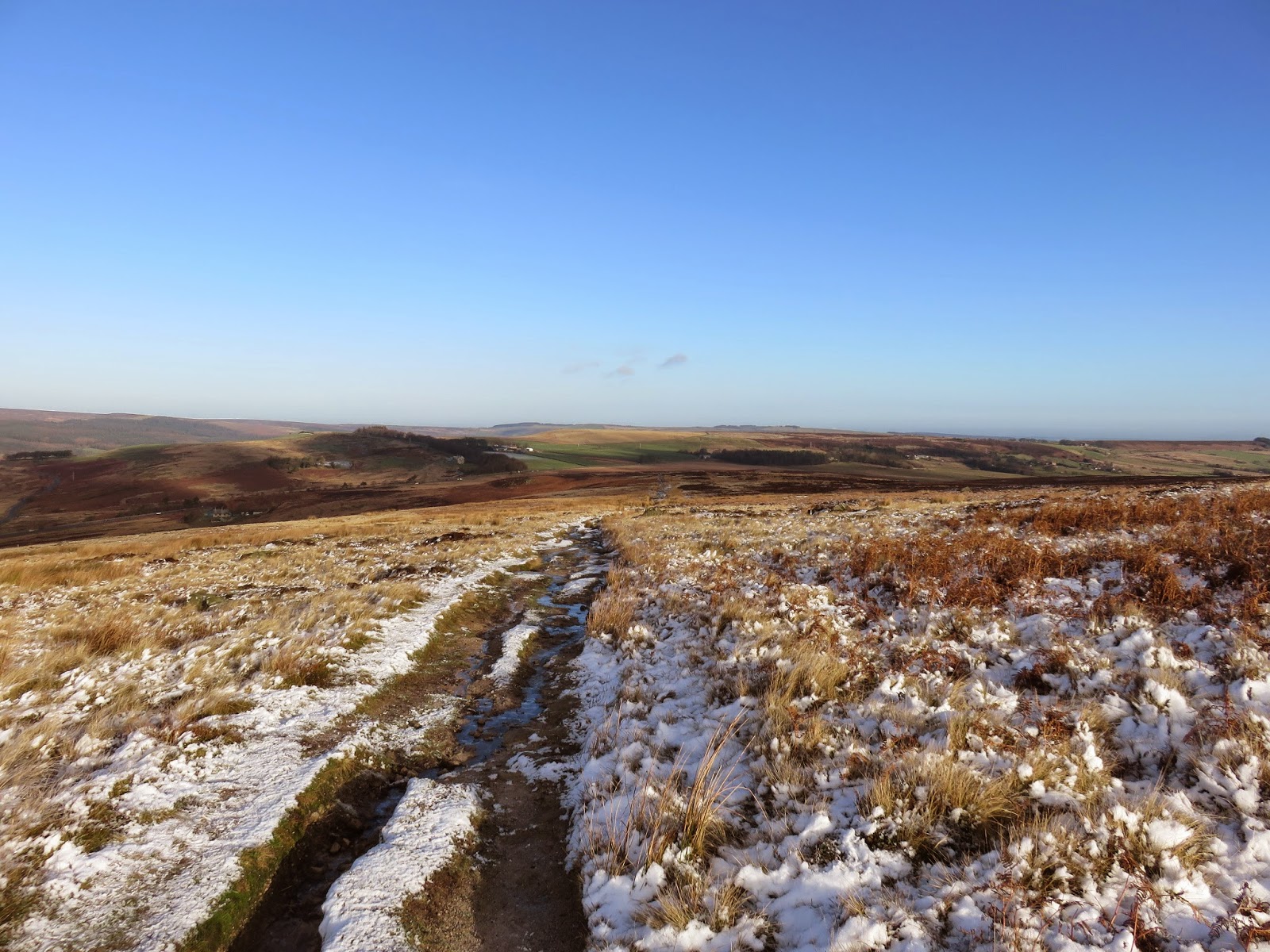
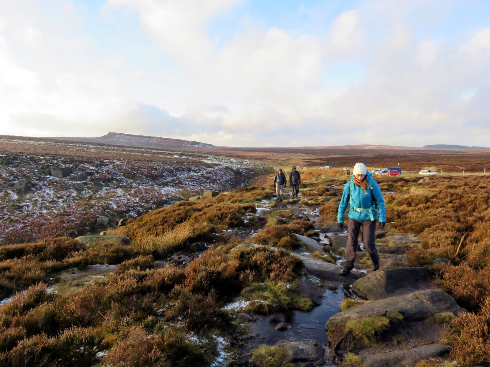
| The bridleway (Sheffield Country Walk) leading up from the A57 |
 |
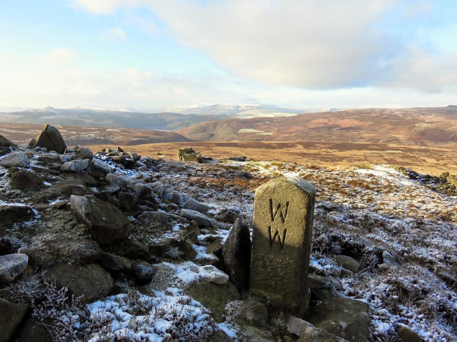
| WW represents William Wilson who owned Hallam Moor |
 |
| Parts of the disused quarries at Stanage End |
 |
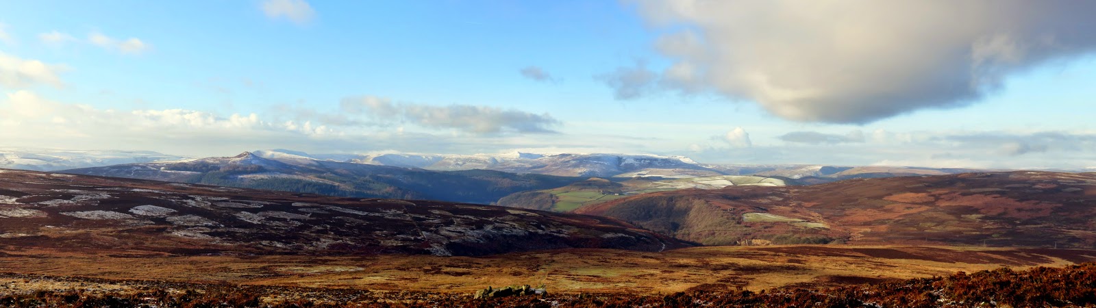
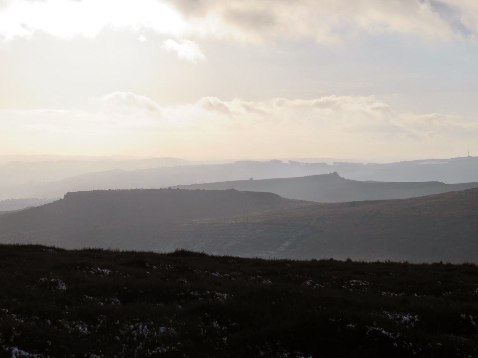
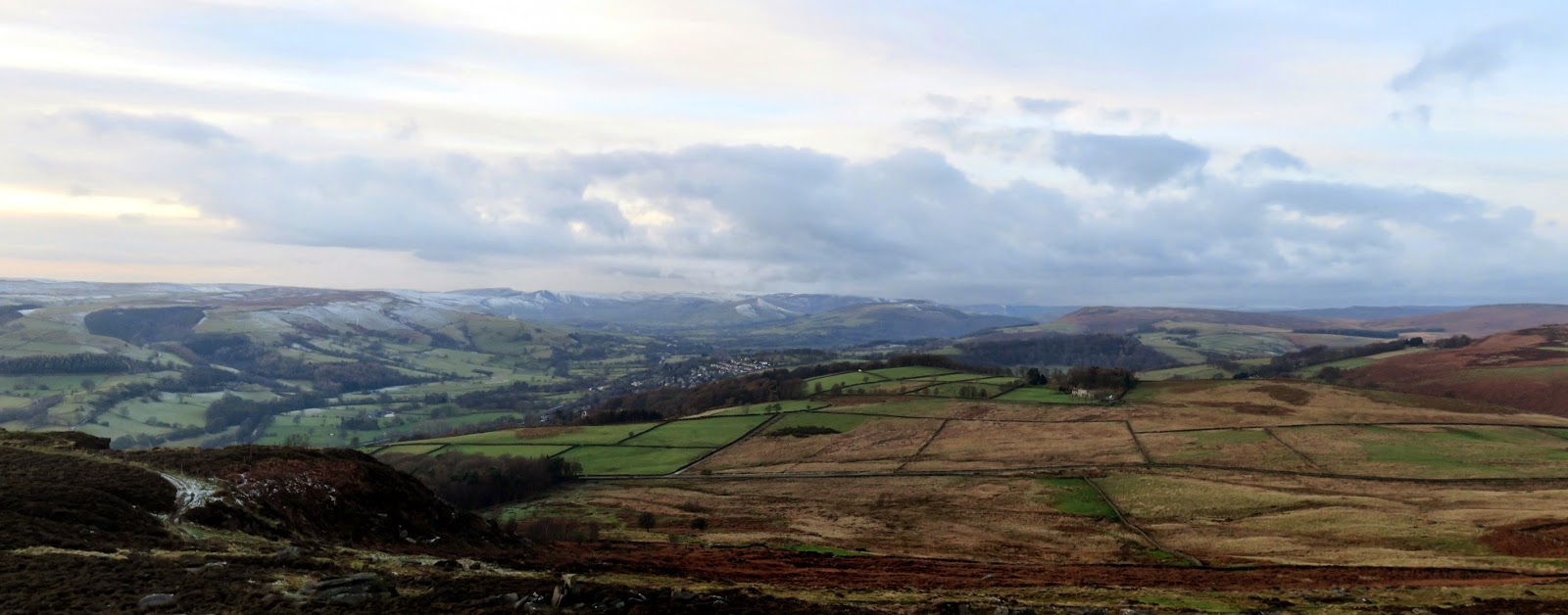
| A panorama over the Derwent Moors towards Kinder Scout and the Hope Valley |
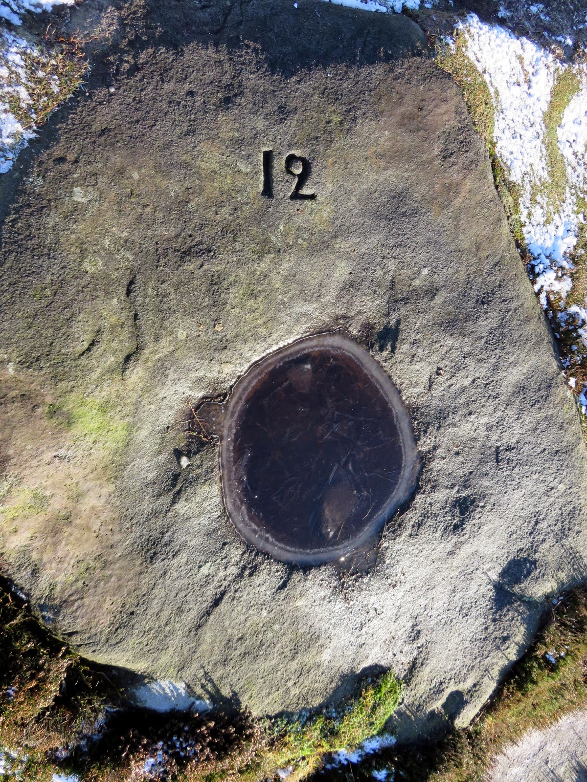
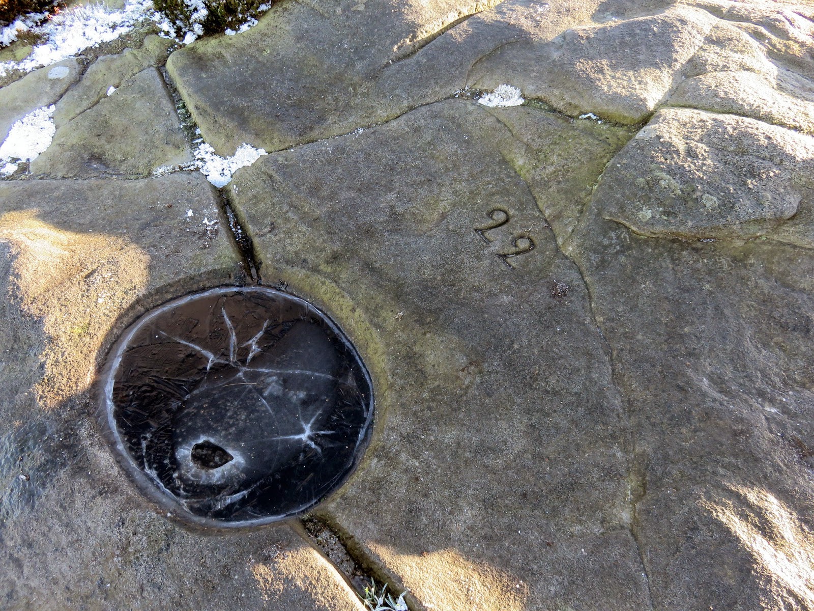
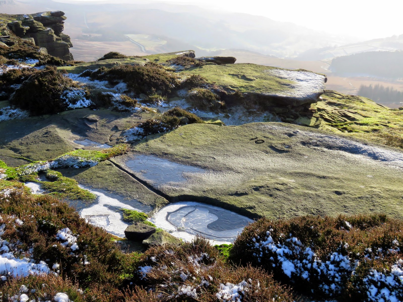
On the route up towards High Neb, we encountered a number of odd bowls that are obviously man-made, carved into the bare rock. The bowls, each of them numbered, has a series of channels that looked to funnel water into them for collection. It is only upon doing a little research for this post that I found out what they are.
 |
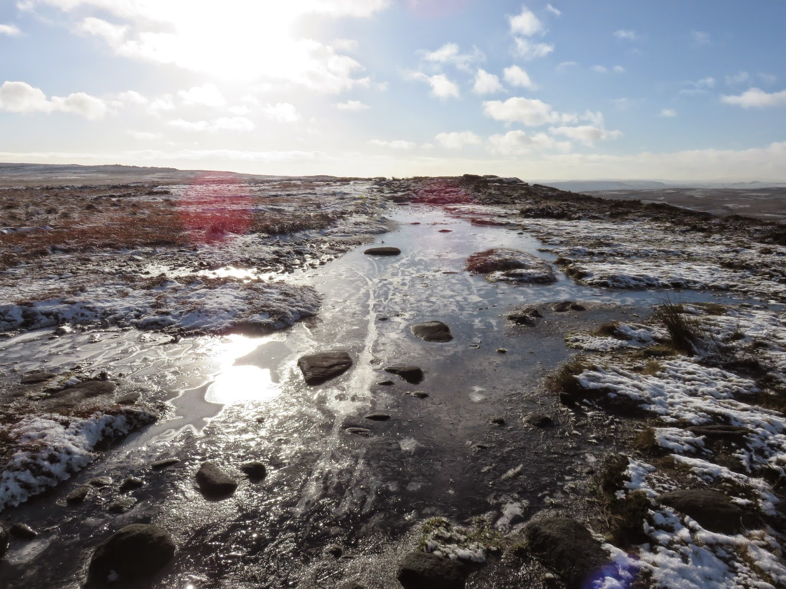
| Large parts of the path were frozen solid |
 |
| Sara overlooking Moscar Moor and Bamford Moor |
 |
| Grouse watering hole number 12 |
These were carved about 100 years ago to catch rainwater to form grouse drinking basins. They date from the time Stanage Edge was a privately owned grouse moor, around the early 20th century. Most are beautifully carved with strategically designed feeder grooves to channel rainwater into the basin. Any grouse up here today would have a hard time drinking from them as they were all frozen solid (mostly).
 |
| Grouse hole number 22 after our attempts to vandalise it |
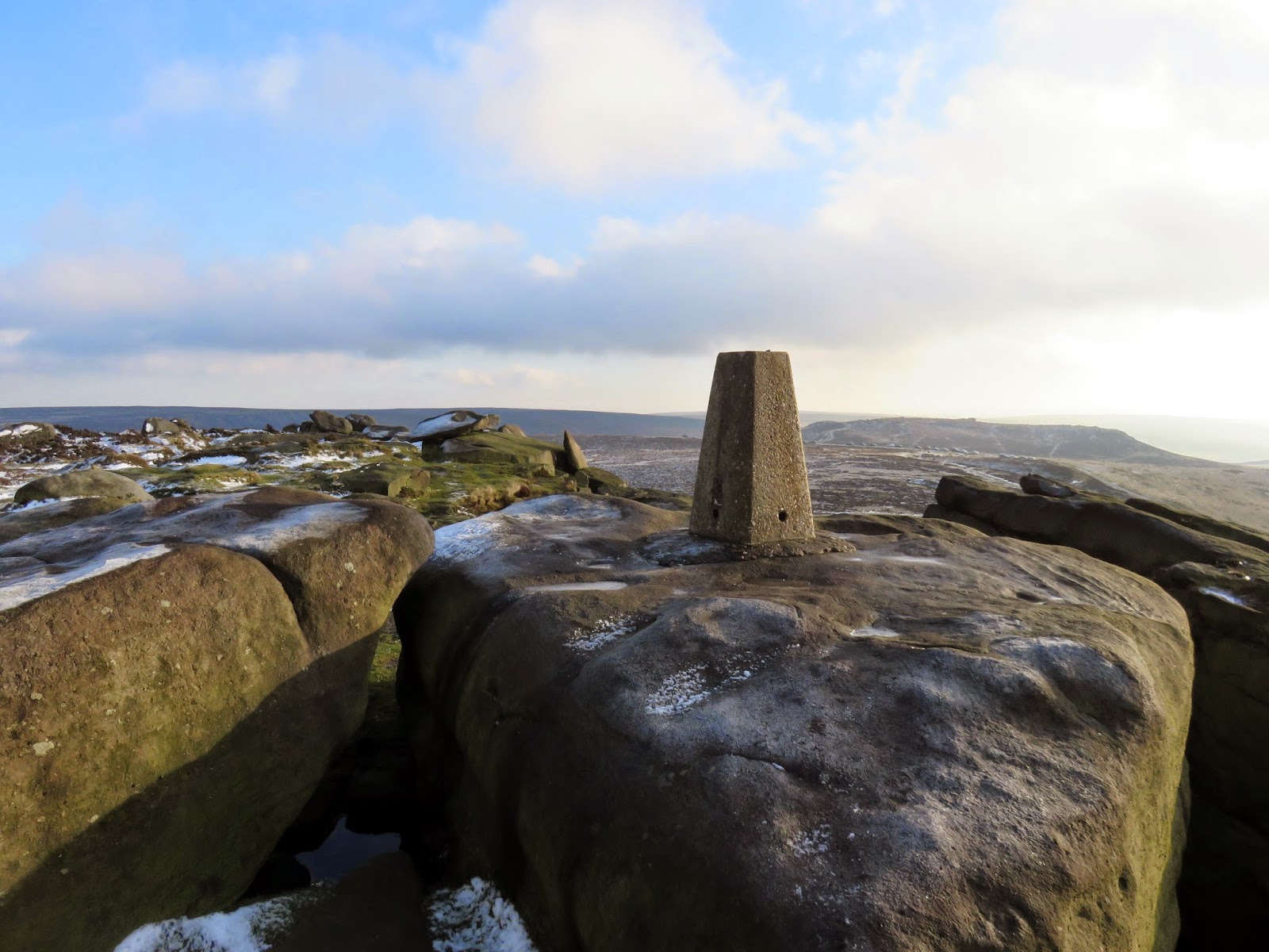
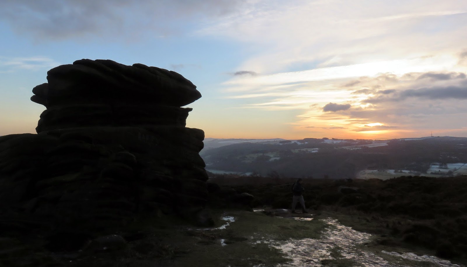
Once you notice one of them you can make out several more as you make your way up to High Neb, each numbered consecutively from the last one. There are 108 in total, number one being located near to Stanedge Pole. High Neb, the high point of Stanage Edge, is marked by a trig pillar which commands an excellent view across the Peak District.
 |
| Another one of the curious watering holes, number 10 this time |
 |
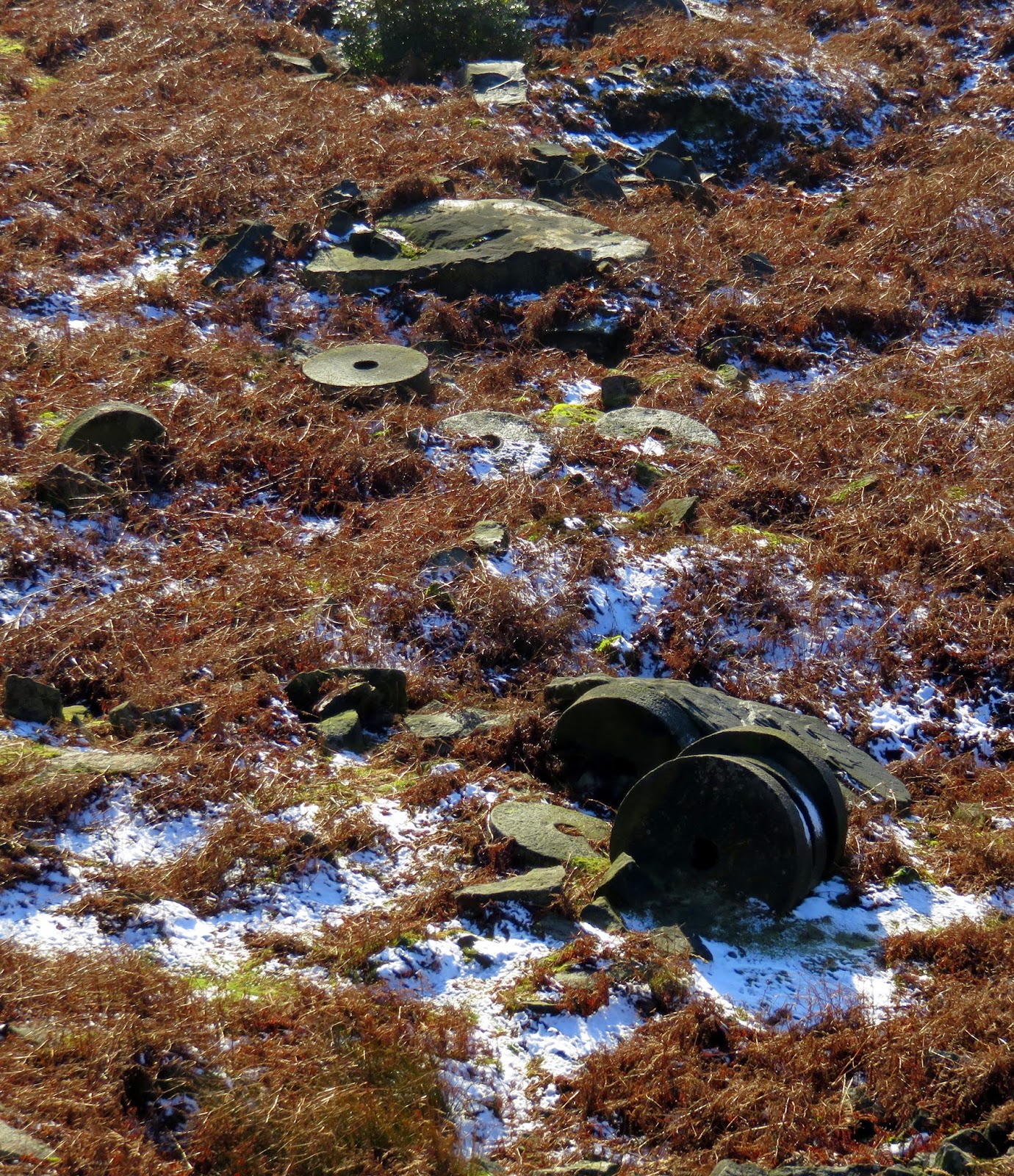
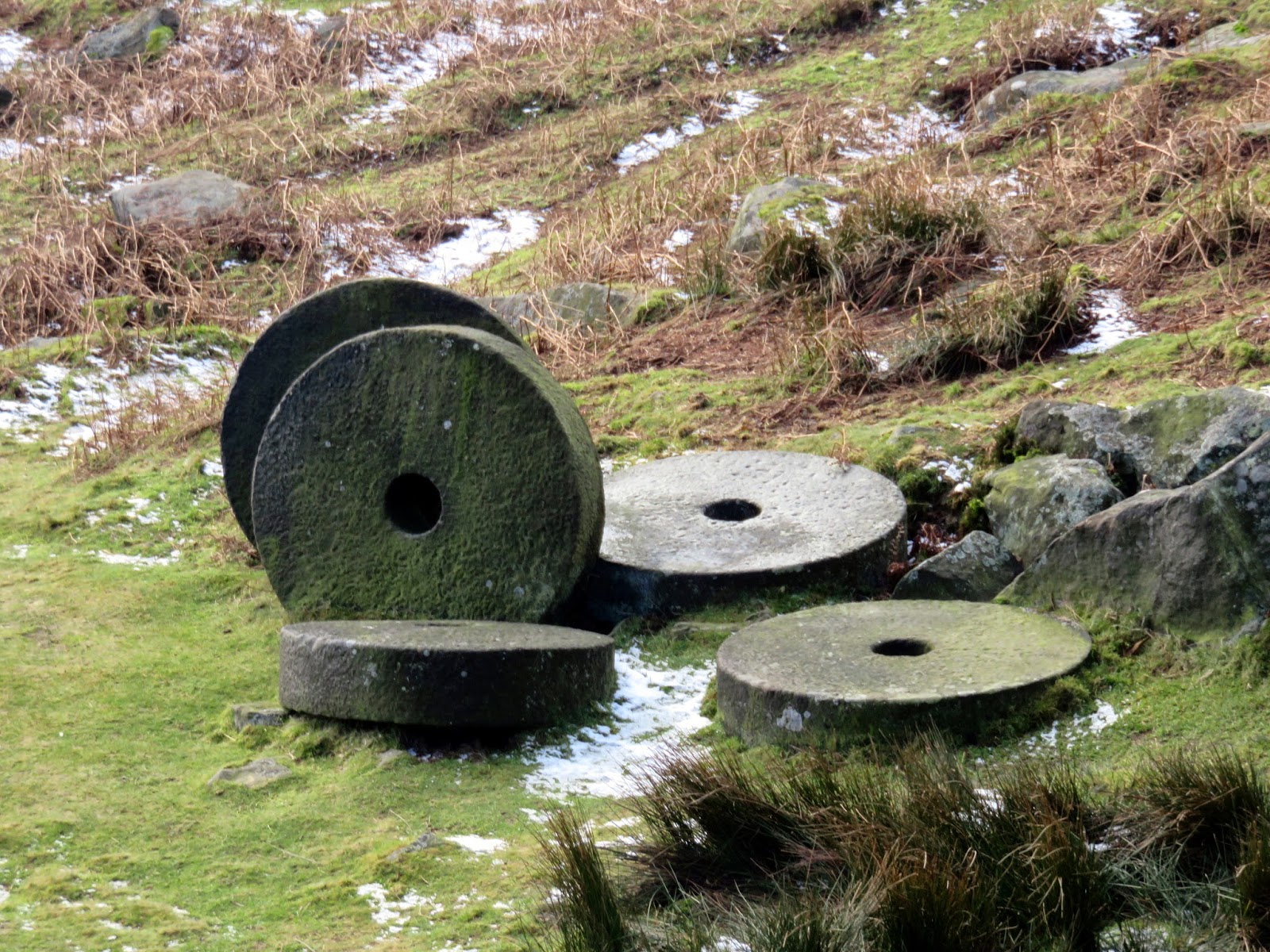
| Abandoned millstones litter the moorland below |
 |
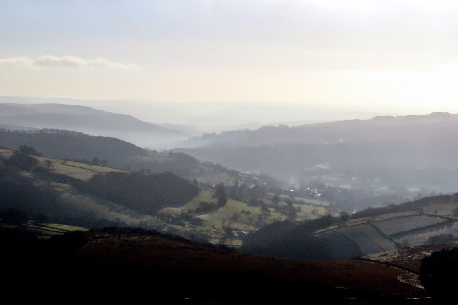
| A hazy Derwent Valley |
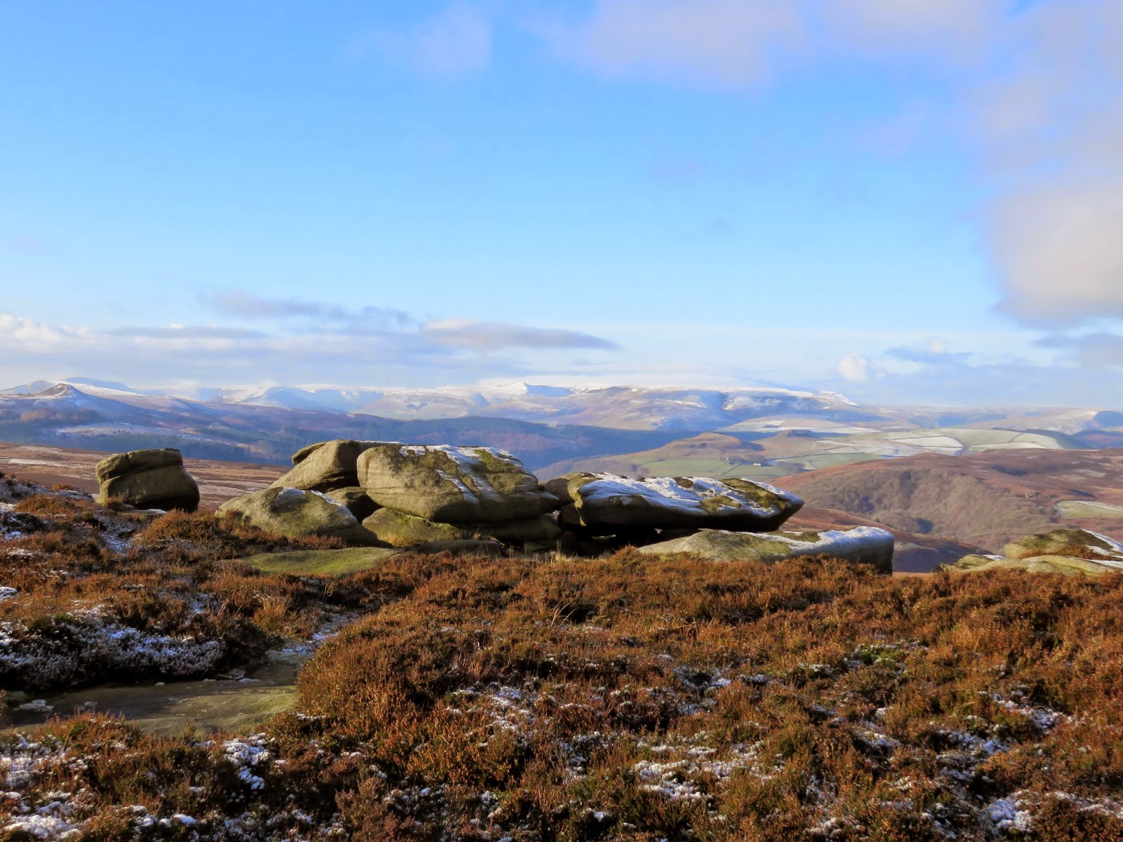
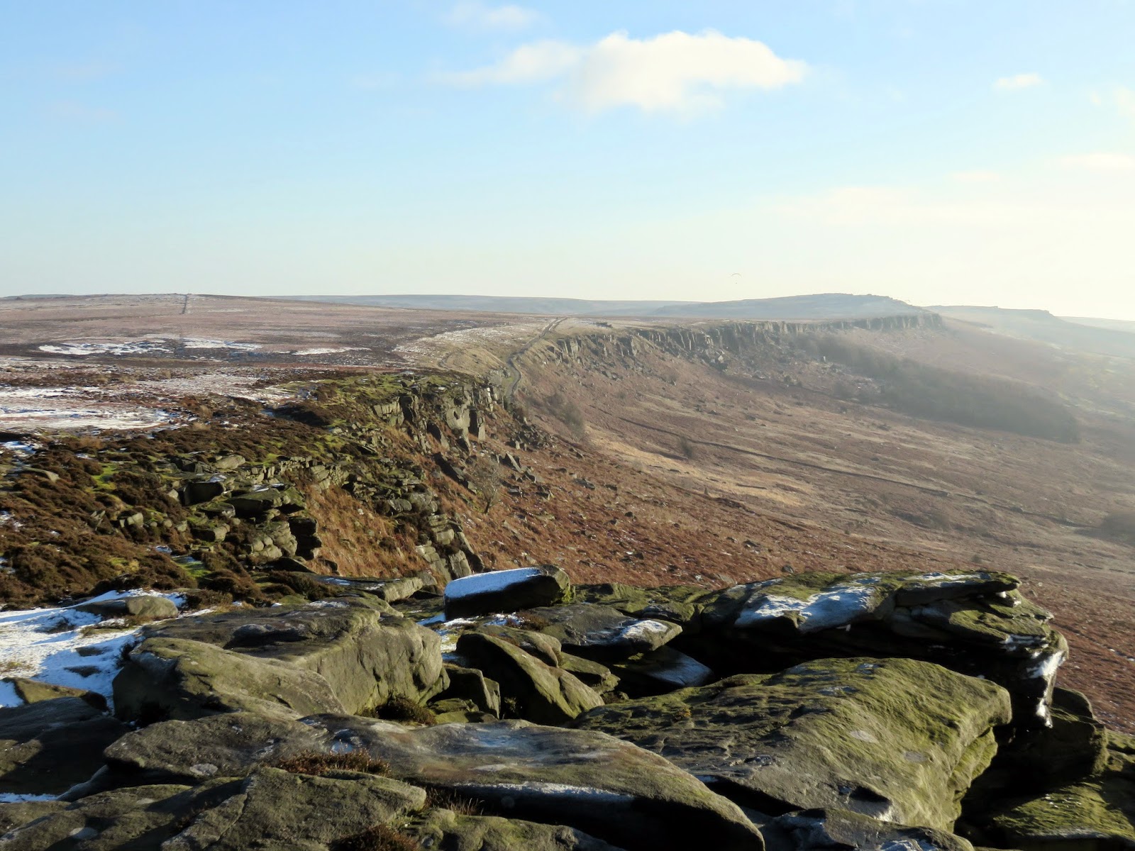
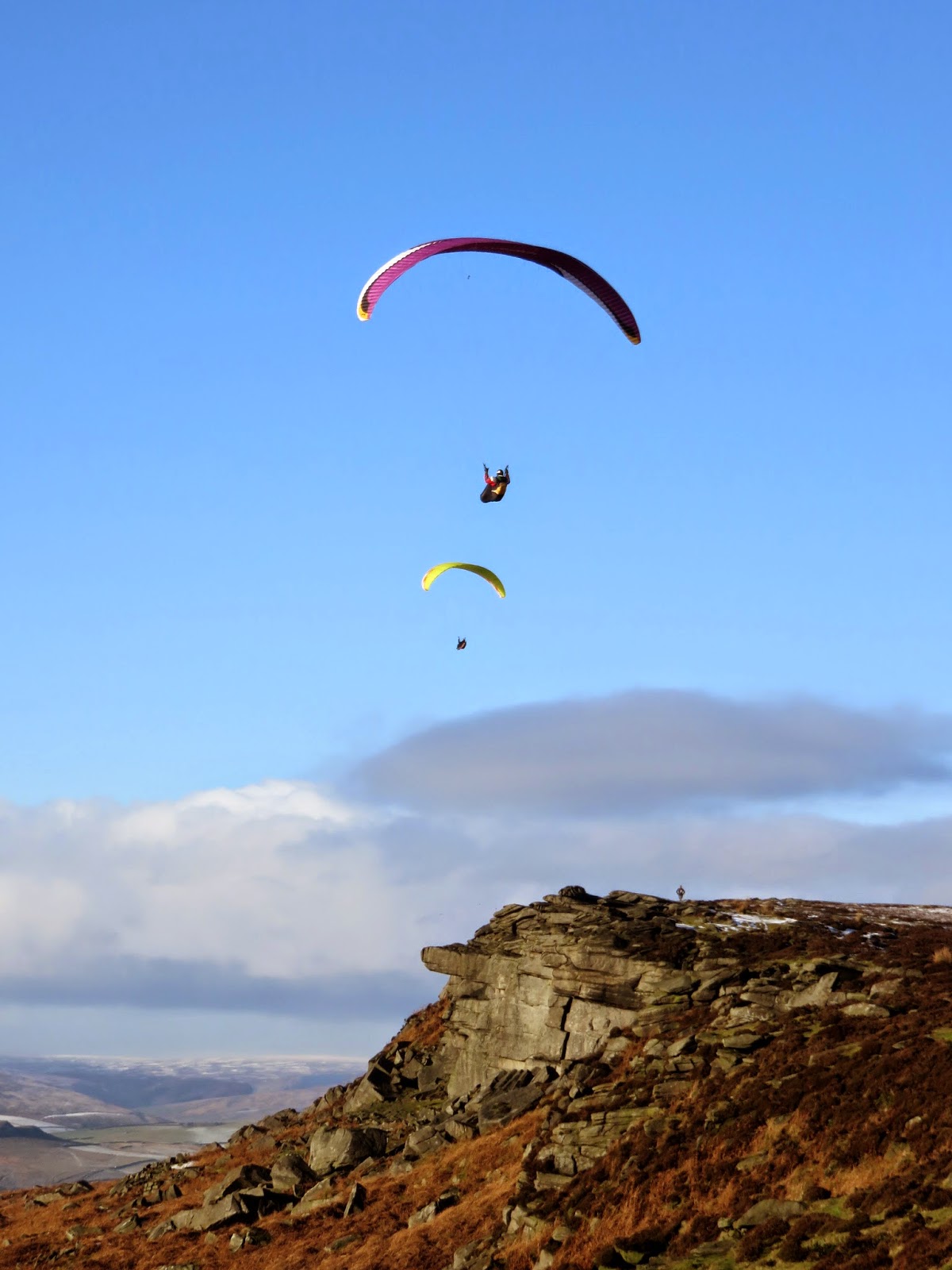
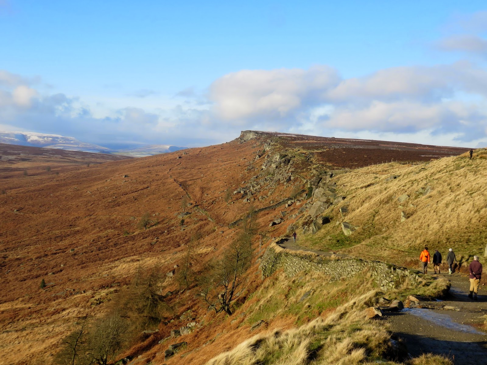
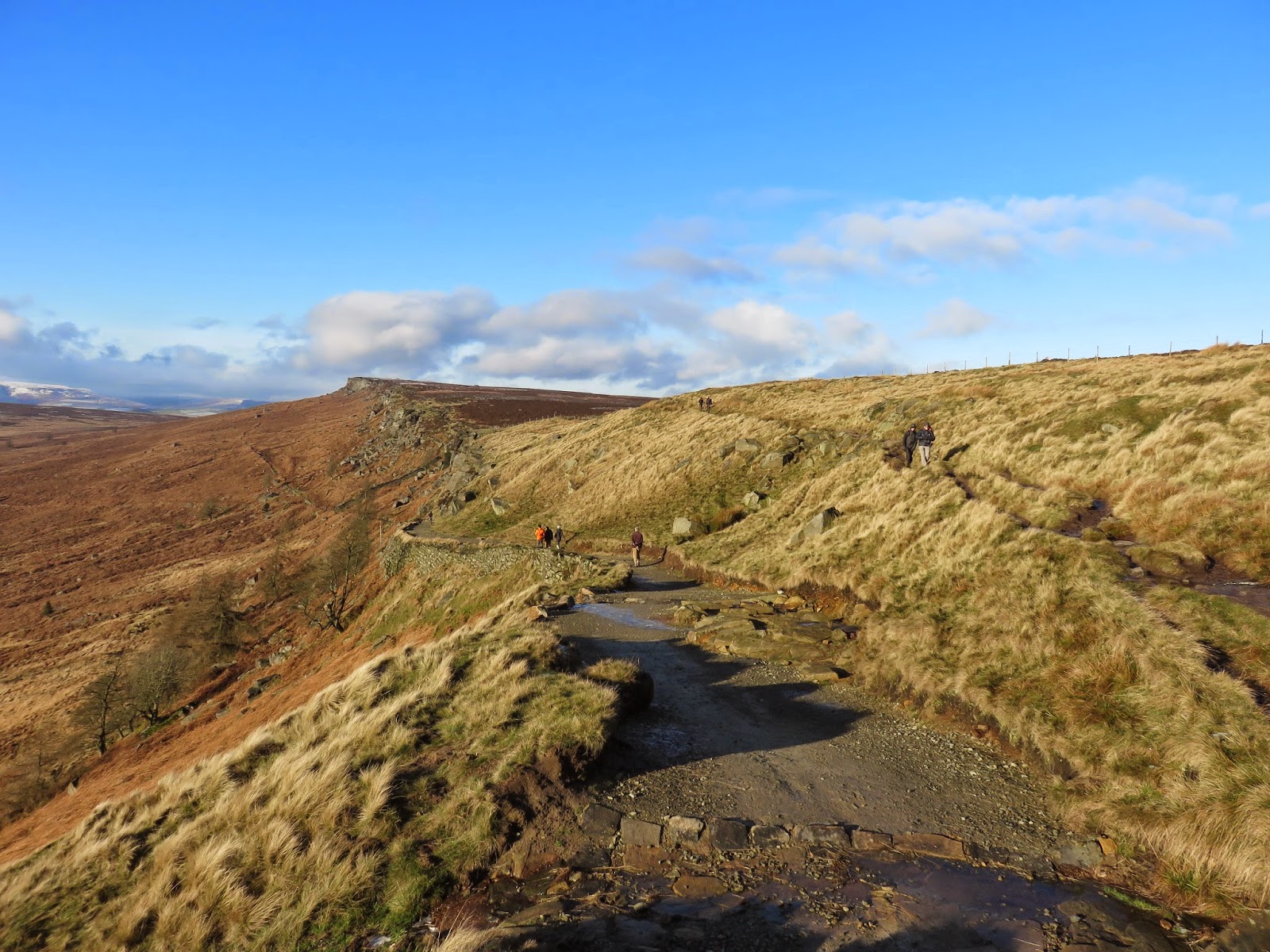
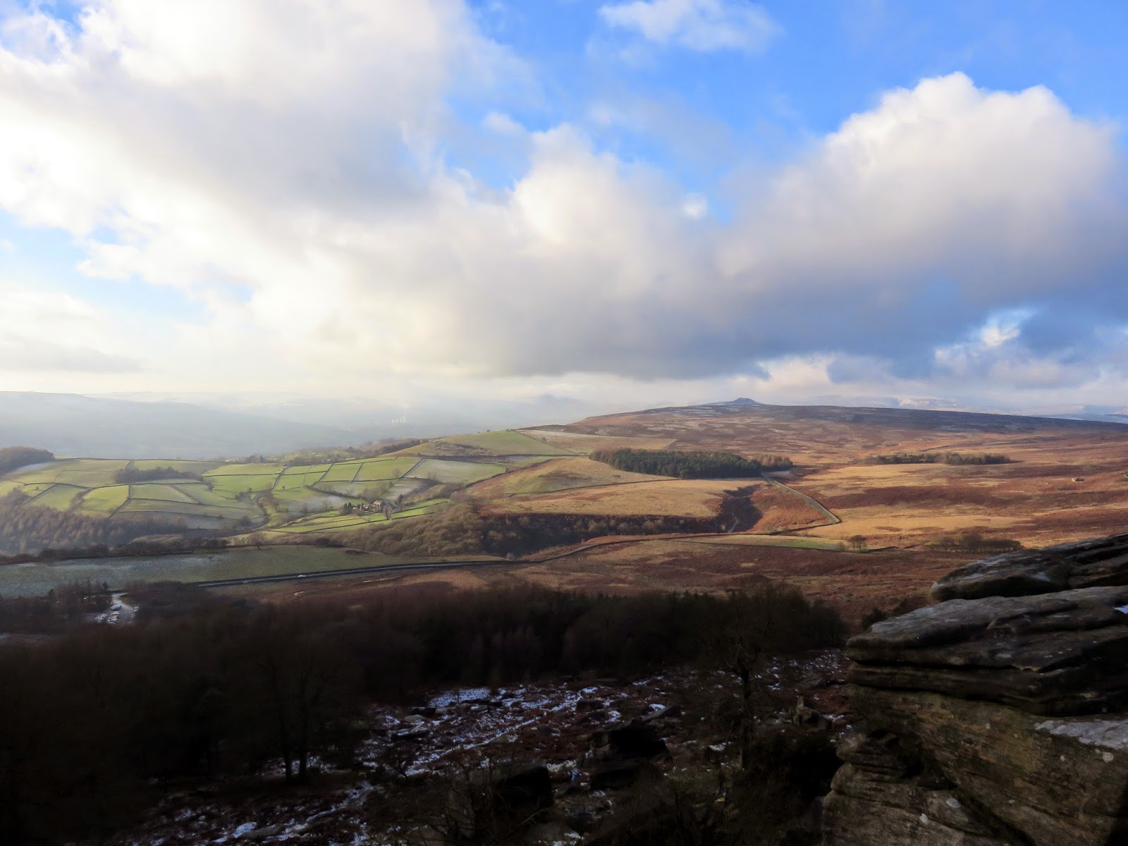
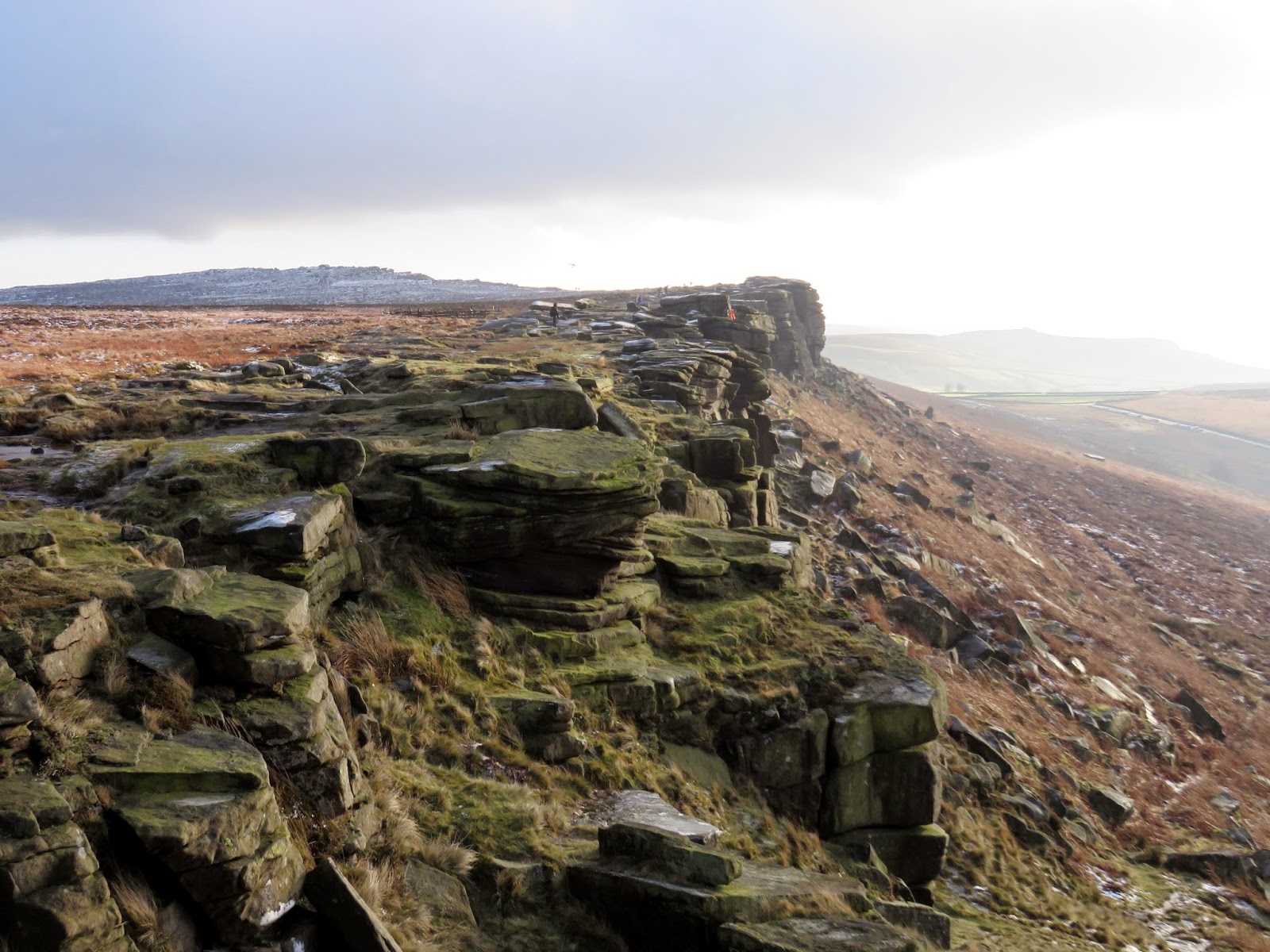
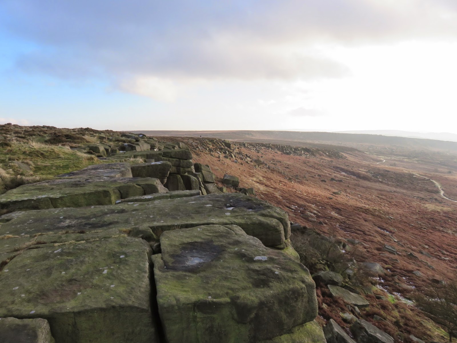
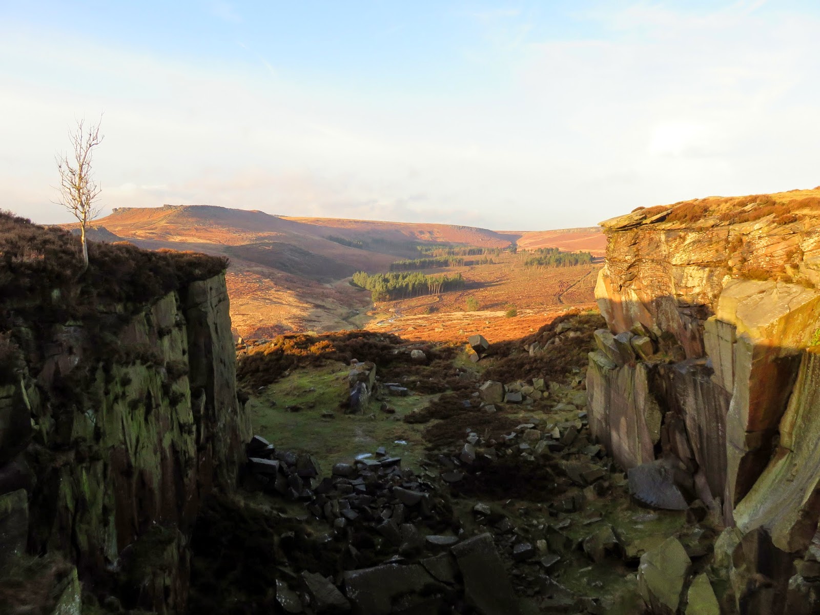
The path loses some elevation here, dropping down to the Long Causeway, a Medieval packhorse route which ran between Sheffield and Hathersage. Shortly beyond stands Stanage Plantation and perhaps the most popular area of Stanage Edge. It is here that ridge is more sharply defined and marks the start of a popular circuit for walkers. It was along here that we noticed a huge increase in the number of people we passed who were also on the ridge for a day out as well as the appearance of a number of climbers and paragliders.
 |
| Paragliders making the most of the weather |
 |
| The Long Causeway is approximately half way along the ridge |
 |
| The view north from The Long Causeway |
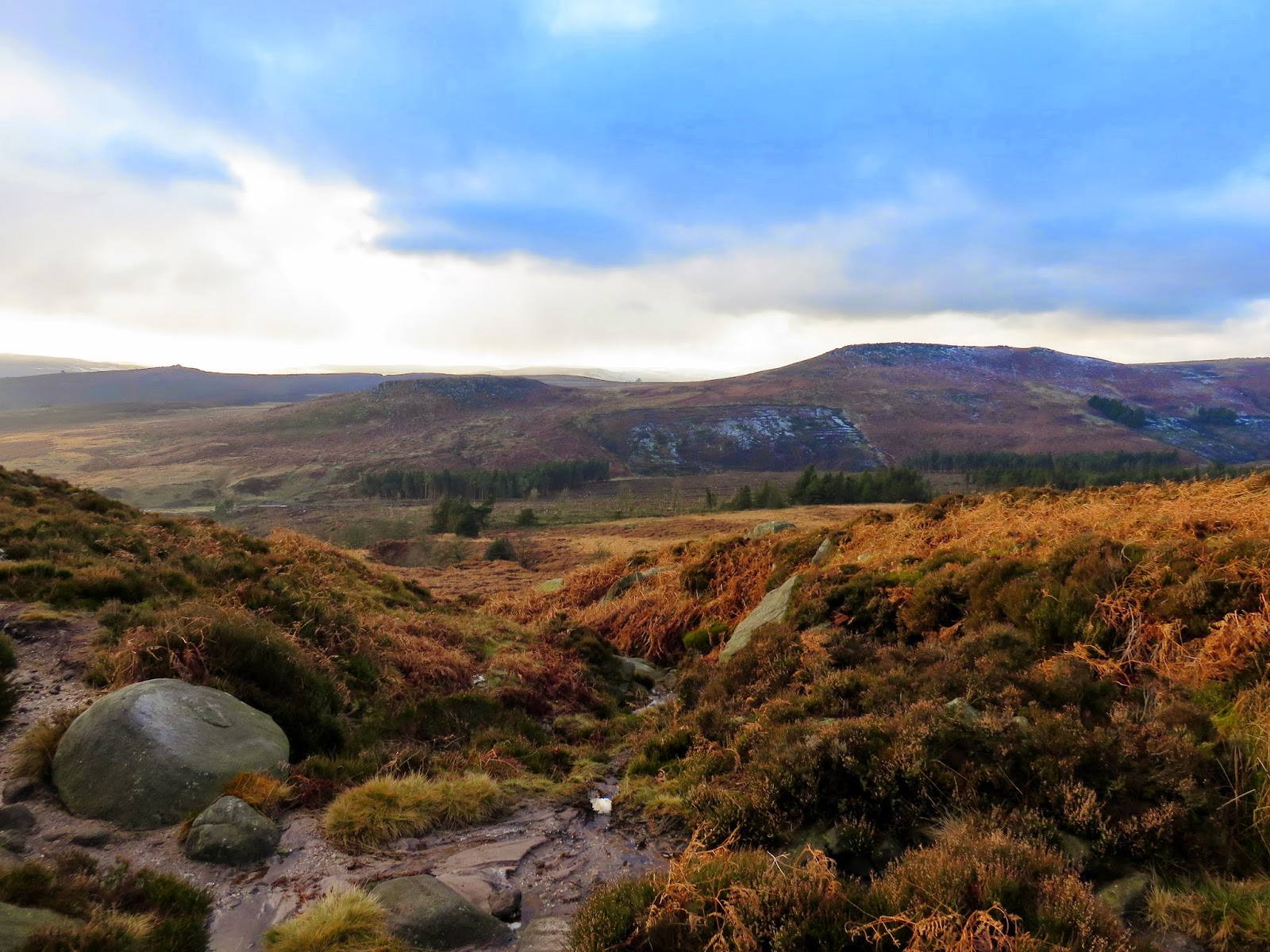
There are a few notable features along the section of ridge between the Long Causeway and the second high point near White Path Moss, in addition to the already impressive scenery. The first of these is Robin Hood’s Cave.
 |
| The Long Causeway |
 |
| The view across Bamford Moor towards Win Hill |
 |
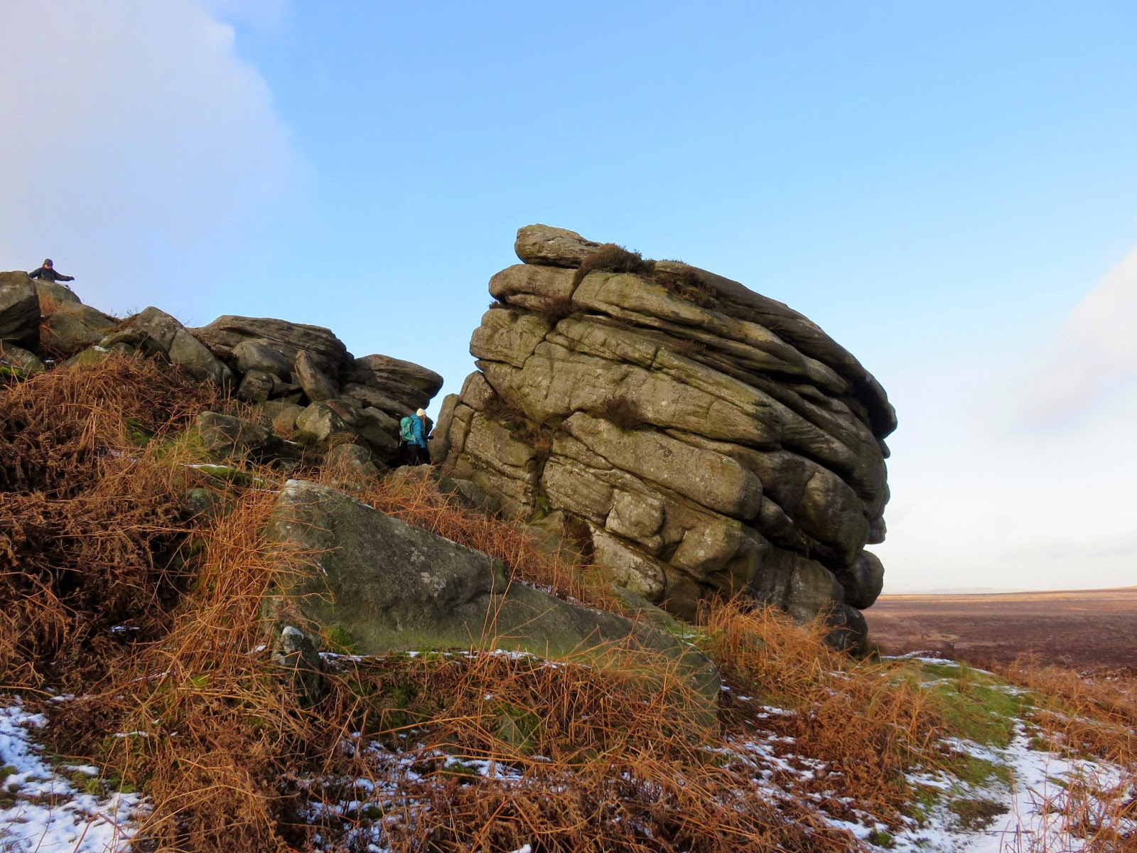
| Some more impressive rockiness |
The cave is hidden beneath a large overhang of rock and is said to have been used as a hideaway by the man himself. This area has very strong connections with the legend of Robin Hood, with his reputed birthplace of Loxley only eight miles to the north, just to the west of Sheffield. As caves go, Robin Hood’s Cave could be considered as a 3 or 4 star affair for bivvying, it even has its own balcony overlooking the Hope Valley. Decadent.
 |
| The entrance to Robin Hood’s Cave is beneath the large, lintel-like slab of rock |
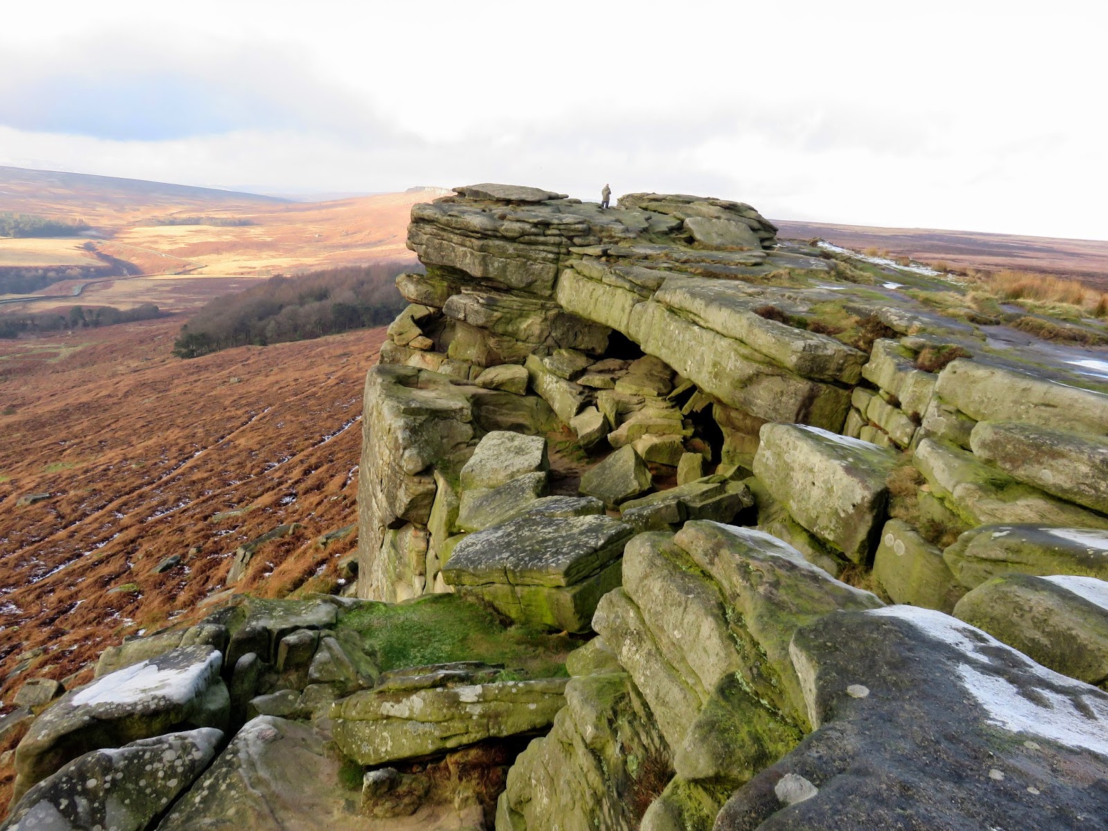
Beyond Robin Hood’s cave is another high point along the Stanage Edge, an unnamed summit topped by another trig pillar. It is just 1m lower than High Neb, narrowly missing out on the accolade of the high point, however, it receives many more visitors thanks to its location in between a series of large car parks.
 |
| Climbing towards the trig pillar at the southern end |
 |
| The OS pillar |
 |
| The view north from the second trig pillar |
 |
| More abandoned mill stones |
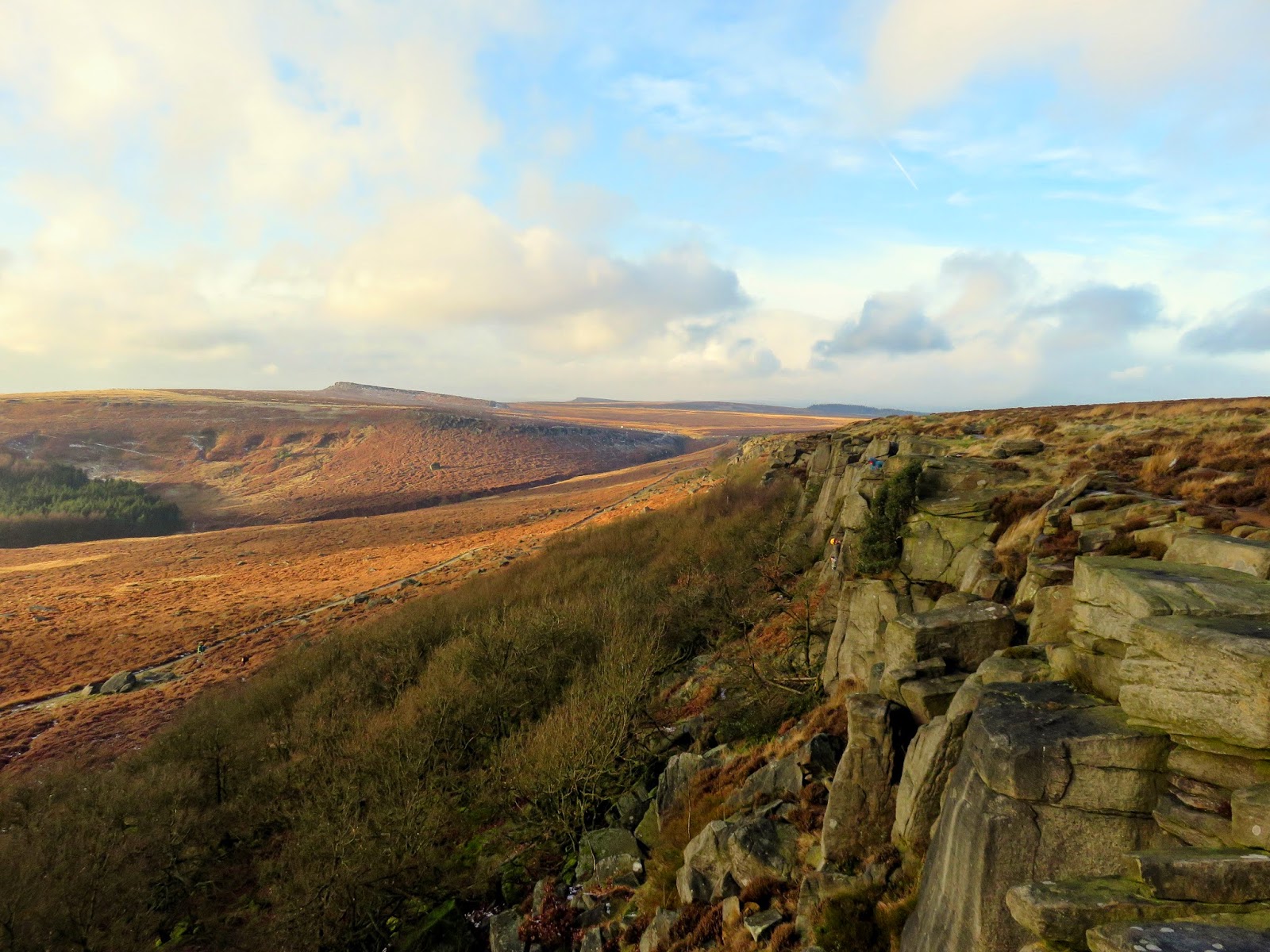
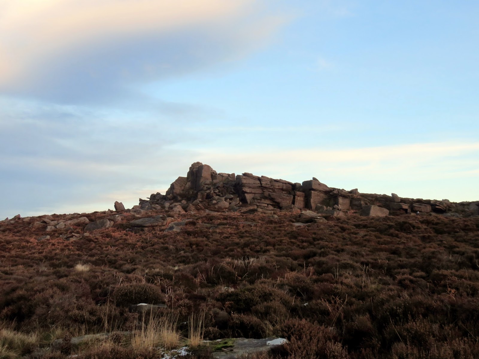
To the east of the trig pillar, the ground slopes away into a broad moorland, bridging Stanage Edge and Burbage Rocks. Sitting on the end of the ridge is Cowper Stone, a large boulder that marks Stanage’s final outpost.
 |
| The Cowper Stone |
 |
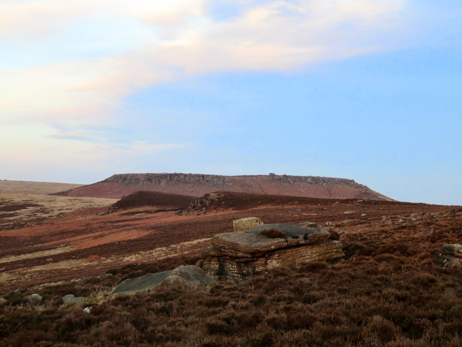
| Heading out onto Burbage Rocks – Stanage Edge can be seen on the horizon |
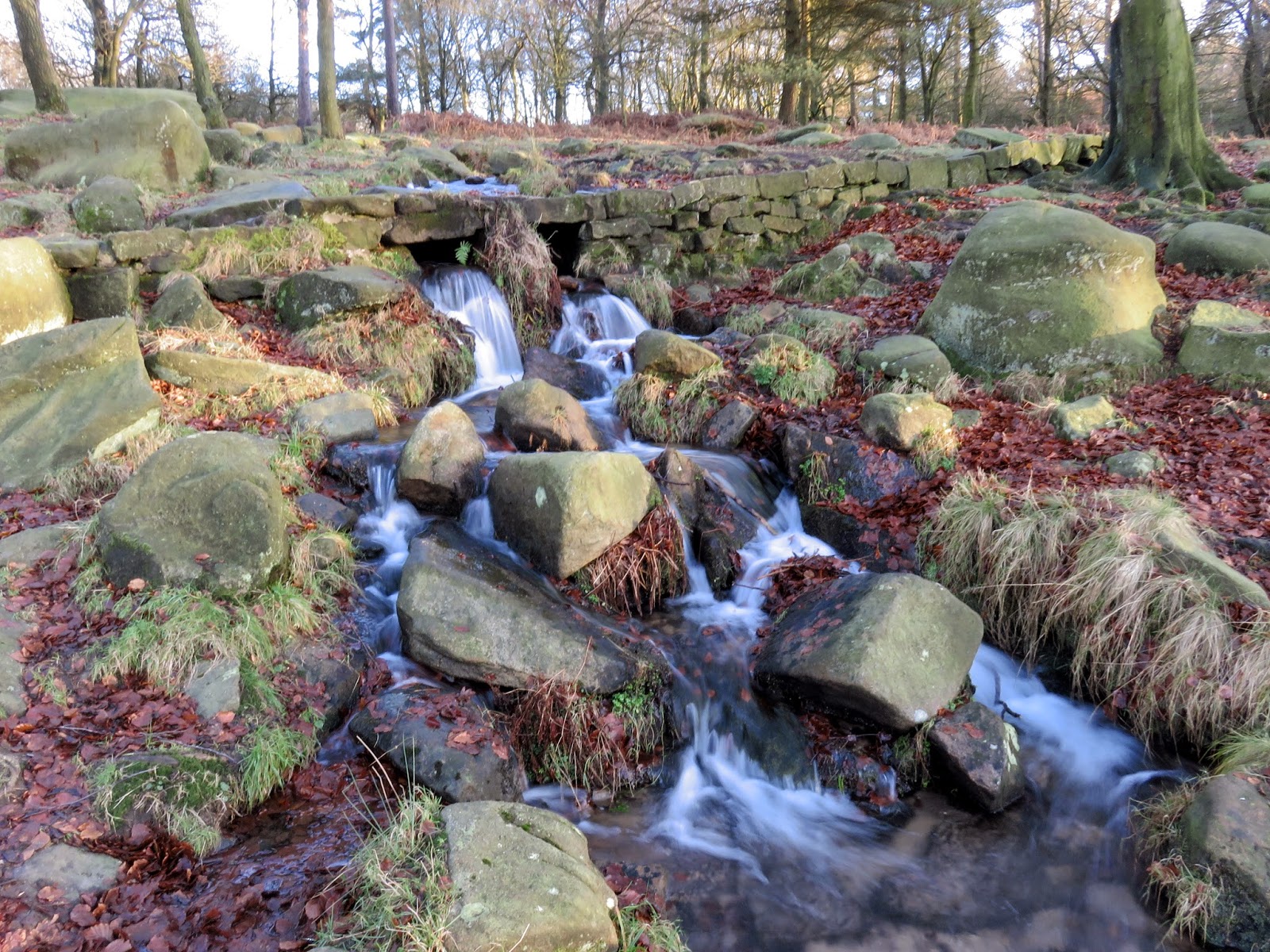
We crossed Upper Burbage Bridge which carries the road over the fledgeling Burbage Brook, careful to avoid to lethally placed black ice. We’d already passed someone in the morning who had had a spin and it seemed only a matter of time before someone had a slide on this patch. There are two routes available to walk the length of Burbage Rocks, the lower bridleway and smaller path that runs along the top of the escarpment, much like Stanage. We took the latter.
 |
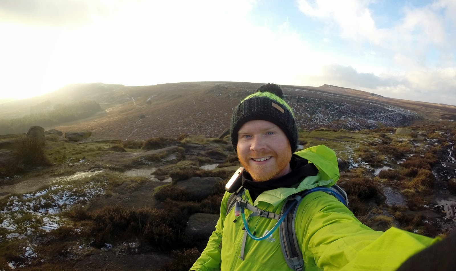
| Self-portrait – or ‘selfie’ – from Burbage Rocks |
 |
| The sun had disappeared behind a bank of clouds |
 |
| Carl Wark and Over Owler Tor |
 |
| Burbage Rocks |
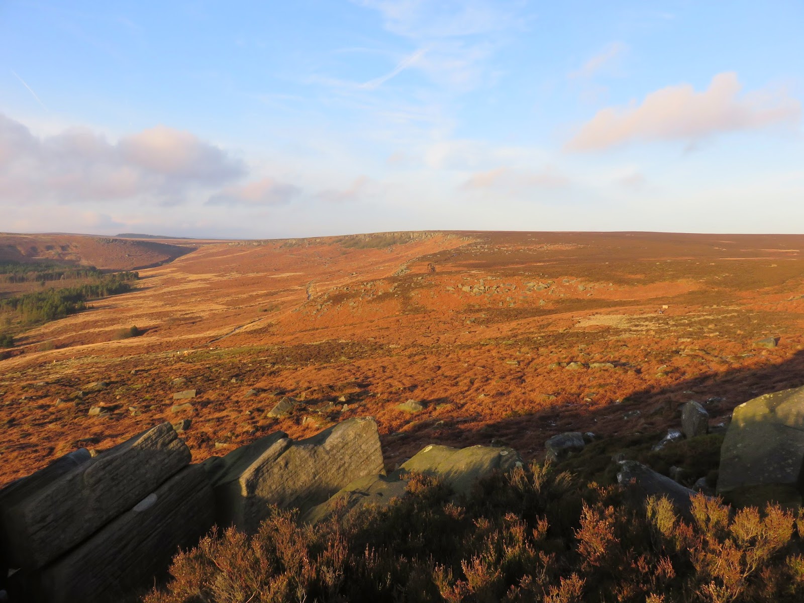
Burbage Rocks enclose the east side of the Burbage Valley, a basin that sits in the shadows of a number of scarps and edges; Burbage Rocks to the east and Carl Wark and Higger Tor to the west. Burbage Rocks, though quieter than Stanage, is still a popular spot for climbers and consists of a two mile long gritstone edge that lacks some of the drama of its larger neighbour. Once again, the paths are easy to follow and relatively flat, apart from a depression around half way to cross a small stream that drains Burbage Moor.
 |
| Burbage Rocks |
 |
| Burbage Rocks once again, once the sun had come out again |
 |
| The valley of Burbage Brook below Higger Tor |
 |
| Burbage Rocks from afar |
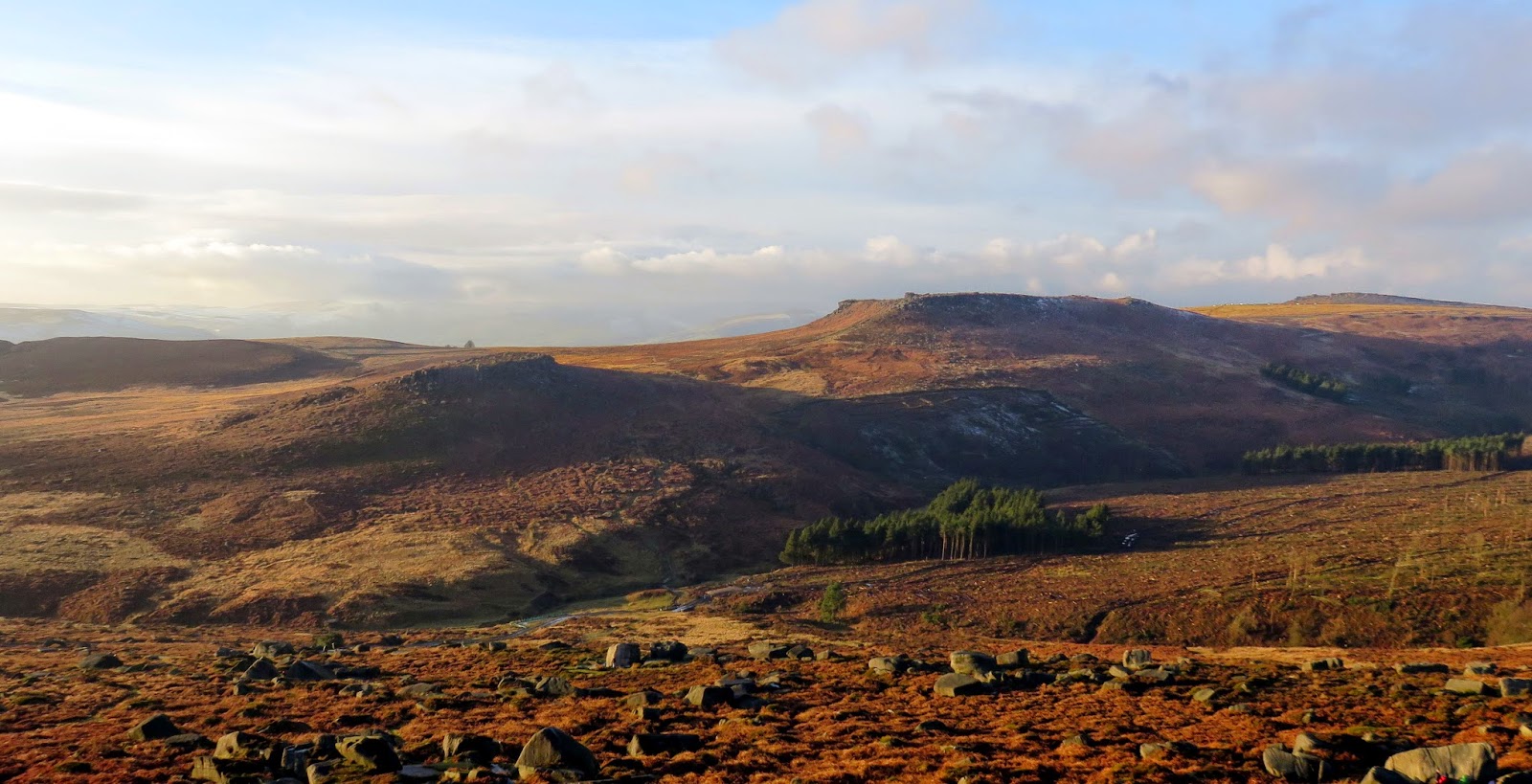
The sun was now in its golden early afternoon phase, casting the orange light the really brings the rocks and moorland to life with Carl Wark and Higger Tor looking particularly photogenic. Carl Wark is a Scheduled Ancient Monument, a defended hilltop fort that is thought to date from the Bronze or Iron Age. It is most likely to have been used as a refuge rather than a permanent settlement and the earthen rampart and stone wall can still be seen on the western side.
 |
| Carl Wark and Higger Tor |
 |
| Higger Tor |
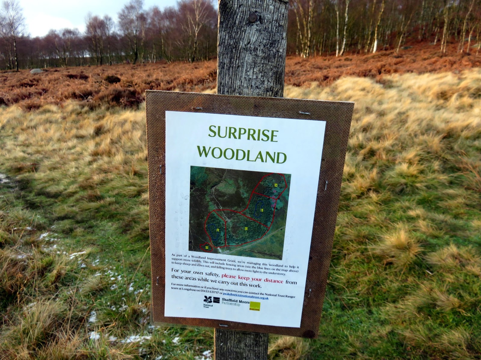
After passing a prominent quarry site, a short descent leads down to the A6187 which requires crossing to continue into the small wood opposite. A paved path guides you through the wood before it climbs up a dry valley to the car park at Surprise View. It was here that we entered Surprise Wood having been forewarned about it by a somewhat amusing sign.
 |
| The disused quarry near the main road |
 |
| Sara contemplating the setting sun |
 |
| The unnamed woodland at Burbage Bridge |
 |
| Burbage Brook |
 |
| Burbage Brook once more |
 |
| We were grateful for the warning |
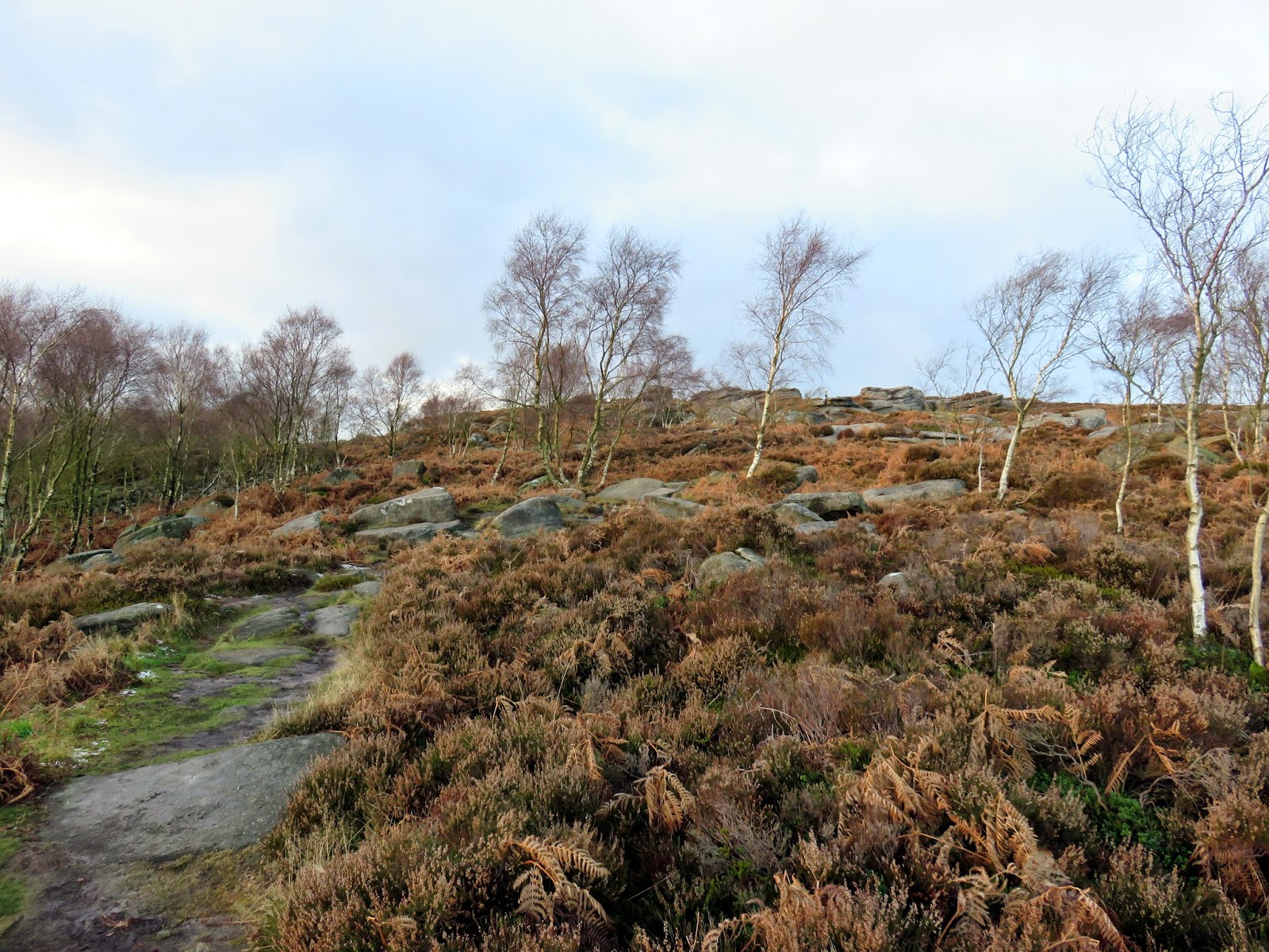
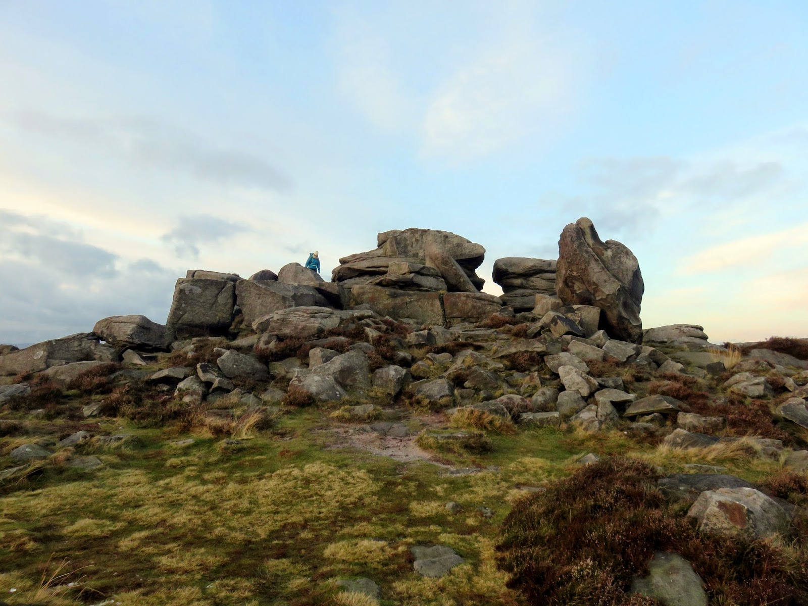
The climb through the rocks leads to Mother Cap, one of the Peak District’s most prominent rock outcrops. It can be seen for miles around, from Froggatt Edge and White Edge to the south and Stanage Edge to the north. Theories suggest that much of the prehistoric inhabitants in the surrounding hills may have used Mother Cap as a marker and, for this purpose, it could possibly have been illuminated by fire at night.
 |
| The route up to Over Owler Tor |
 |
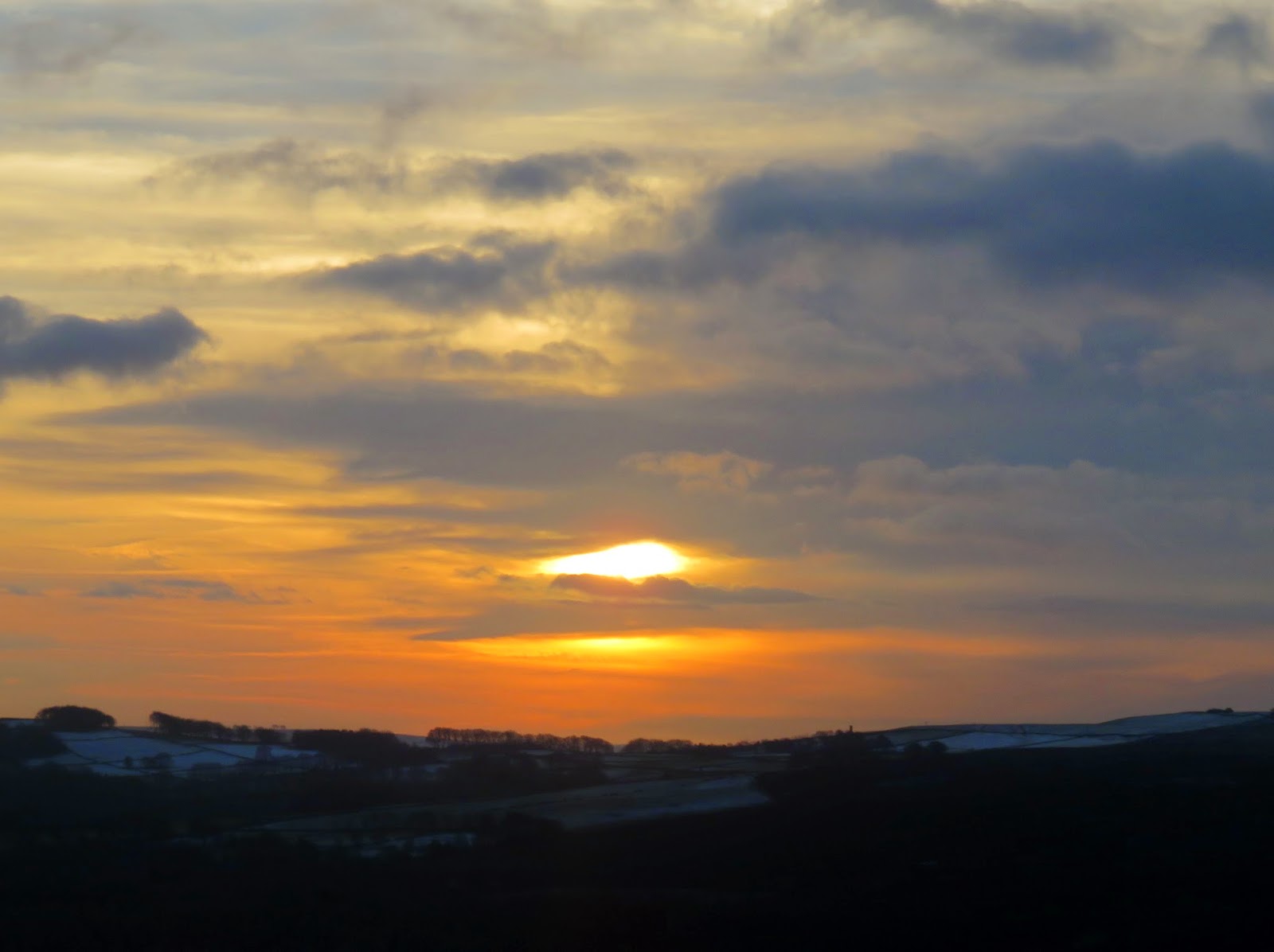
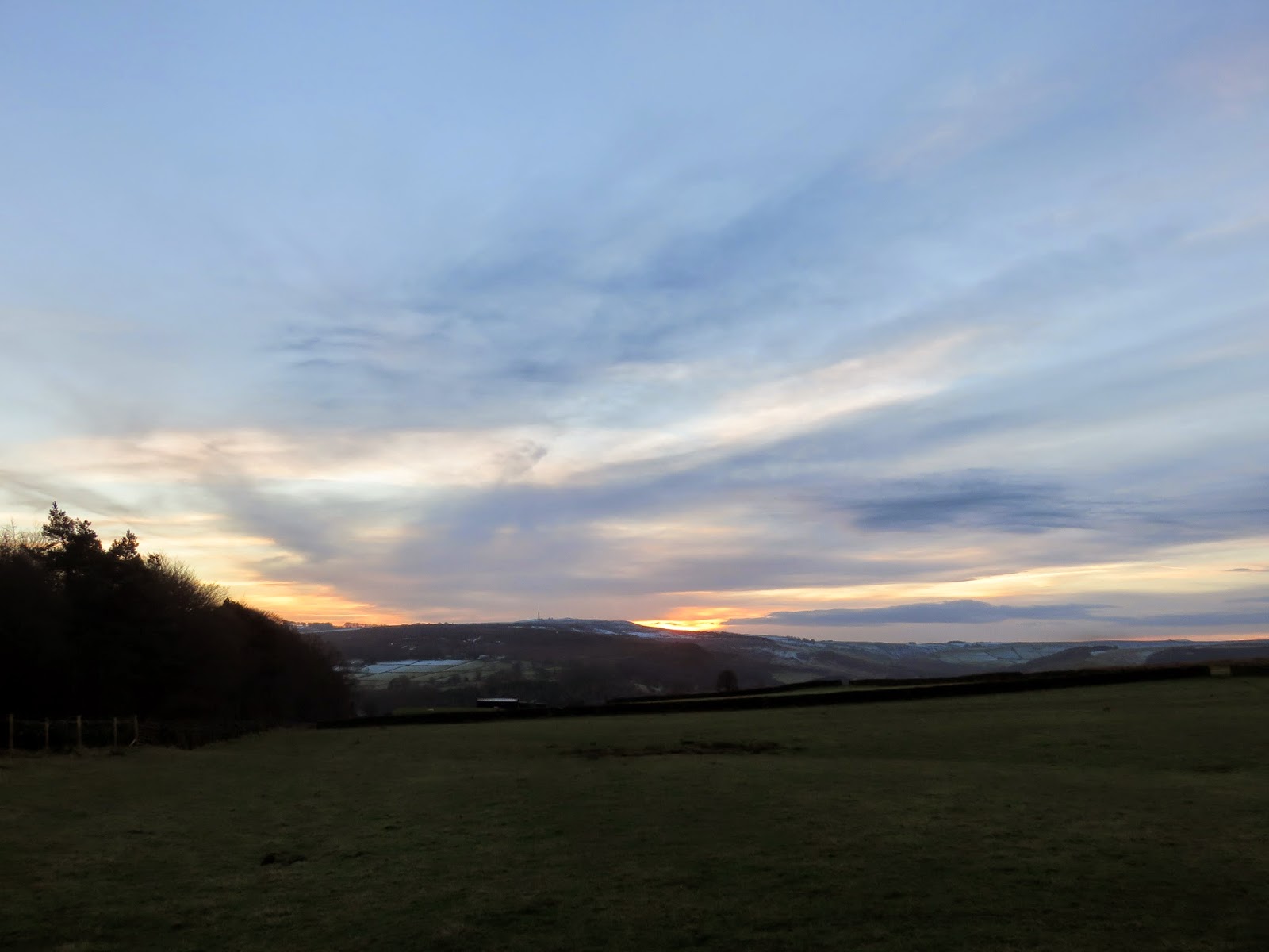
| Sun setting over Eyam Moor |
 |
| The path up to Mother Cap |
 |
| Mother Cap silhouetted |
Mother Cap sits adjacent to Over Owler Tor, an outcrop that overlooks the Derwent Valley and forms the upper crown of Millstone Edge. From here we made our way down the hill and through the fields close the Whim Plantation before heading along a lane that doubles as a driveway for Scraperlow, a series of Grade II listed farmhouse buildings.
 |
| Sun set over Eyam Moor |
 |
| Sara inspects Over Owler Tor |
 |
| The view into the Derwent Valley from Over Owler Tor |
 |
| The rocks of Over Owler Tor |
 |
| Higger Tor viewed from the south |
 |
| More sunset action |
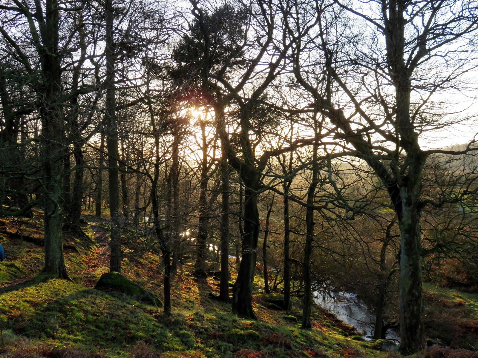
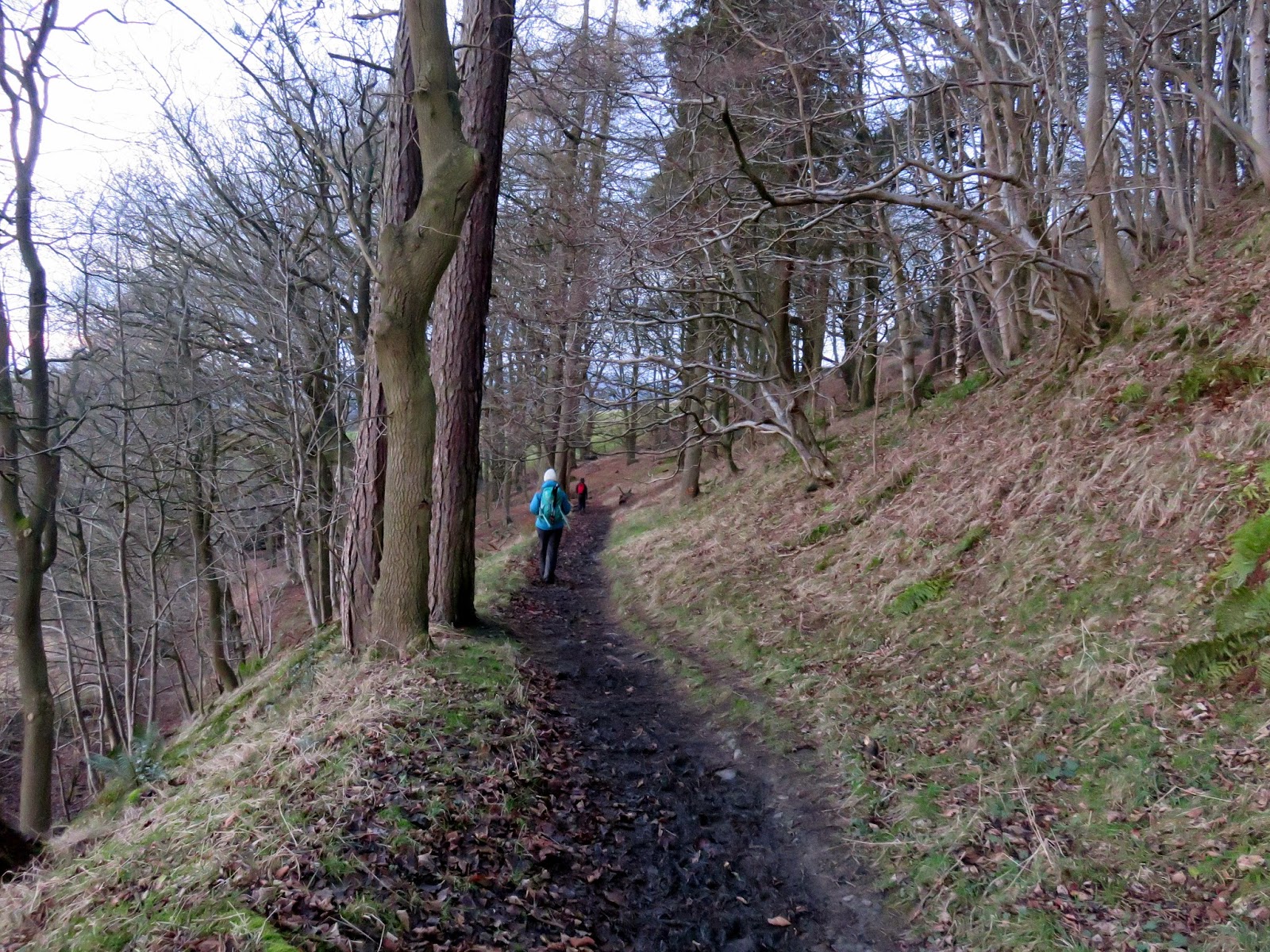
We were on the home straight now, which was handy as it was starting to get dark. We headed down through the woodland at High Lees which brings you out just to the east of Hathersage itself. We’d made it down in time to stop off for cake at the excellent cafe at Outside, as well allowing some time to have a good perv at some gear, as you do. The perfect end to a very good day.
 |
| Heading through the woods back to Hathersage |
 |
| The final throes of daylight |
