Open Space Web-Map builder Codehttps://openspace.ordnancesurvey.co.uk/osmapapi/openspace.js?key=3119F72552FD5C22E0530C6CA40A5A92https://openspace.ordnancesurvey.co.uk/osmapapi/script/mapbuilder/basicmap.jshttps://openspace.ordnancesurvey.co.uk/osmapapi/script/mapbuilder/searchbox.js//variables for routes var linesLayer, points, lineFeature, lineString, routeMarkersLayer, routepos, routesize, routeoffset, routeicon; var style_blue = {strokeColor: “#0000CD”, strokeOpacity: 0.5, strokeWidth: 4.5}; function initmapbuilder() { //initiate the map var options = {resolutions: [2500, 1000, 500, 200, 100, 50, 25, 10, 5, 4, 2.5, 2, 1]}; osMap = new OpenSpace.Map(‘map’, options); //configure map options (basicmap.js) setglobaloptions(); //set the center of the map and the zoom level osMap.setCenter(new OpenSpace.MapPoint(319544.99937057,525940.00125885),7); linesLayer = osMap.getVectorLayer(); // Set up layer for route markers routeMarkersLayer = new OpenLayers.Layer.Markers(“Route Markers”); //make a route points = new Array(); points.push(new OpenLayers.Geometry.Point(318281.66603088,525091.66793823)); points.push(new OpenLayers.Geometry.Point(318226.66603088,525271.66793823)); points.push(new OpenLayers.Geometry.Point(318146.66603088,525486.66793823)); points.push(new OpenLayers.Geometry.Point(318086.66603088,525576.66793823)); points.push(new OpenLayers.Geometry.Point(318151.66603088,525686.66793823)); points.push(new OpenLayers.Geometry.Point(318001.66603088,525726.66793823)); points.push(new OpenLayers.Geometry.Point(317961.66603088,525866.66793823)); points.push(new OpenLayers.Geometry.Point(318111.66603088,526081.66793823)); points.push(new OpenLayers.Geometry.Point(317781.66603088,525906.66793823)); points.push(new OpenLayers.Geometry.Point(317741.66603088,526151.66793823)); points.push(new OpenLayers.Geometry.Point(317741.66603088,526416.66793823)); points.push(new OpenLayers.Geometry.Point(317791.66603088,526641.66793823)); points.push(new OpenLayers.Geometry.Point(317946.66603088,526866.66793823)); points.push(new OpenLayers.Geometry.Point(318441.66603088,527001.66793823)); points.push(new OpenLayers.Geometry.Point(318666.66603088,527041.66793823)); points.push(new OpenLayers.Geometry.Point(318866.66603088,527111.66793823)); points.push(new OpenLayers.Geometry.Point(318971.66603088,527206.66793823)); points.push(new OpenLayers.Geometry.Point(319131.66603088,527261.66793823)); points.push(new OpenLayers.Geometry.Point(319286.66603088,527241.66793823)); points.push(new OpenLayers.Geometry.Point(319541.66603088,527101.66793823)); points.push(new OpenLayers.Geometry.Point(319696.66603088,527151.66793823)); points.push(new OpenLayers.Geometry.Point(319961.66603088,527041.66793823)); points.push(new OpenLayers.Geometry.Point(320106.66603088,526911.66793823)); points.push(new OpenLayers.Geometry.Point(320301.66603088,526731.66793823)); points.push(new OpenLayers.Geometry.Point(320446.66603088,526526.66793823)); points.push(new OpenLayers.Geometry.Point(320621.66603088,526626.66793823)); points.push(new OpenLayers.Geometry.Point(320896.66603088,526761.66793823)); points.push(new OpenLayers.Geometry.Point(321036.66603088,526851.66793823)); points.push(new OpenLayers.Geometry.Point(321216.66603088,526861.66793823)); points.push(new OpenLayers.Geometry.Point(321376.66603088,526831.66793823)); points.push(new OpenLayers.Geometry.Point(321446.66603088,526721.66793823)); points.push(new OpenLayers.Geometry.Point(321386.66603088,526836.66793823)); points.push(new OpenLayers.Geometry.Point(321051.66603088,526861.66793823)); points.push(new OpenLayers.Geometry.Point(320851.66603088,526721.66793823)); points.push(new OpenLayers.Geometry.Point(320756.66603088,526596.66793823)); points.push(new OpenLayers.Geometry.Point(320711.66603088,526411.66793823)); points.push(new OpenLayers.Geometry.Point(320756.66603088,526311.66793823)); points.push(new OpenLayers.Geometry.Point(320756.66603088,526101.66793823)); points.push(new OpenLayers.Geometry.Point(320651.66603088,526001.66793823)); points.push(new OpenLayers.Geometry.Point(320651.66603088,525831.66793823)); points.push(new OpenLayers.Geometry.Point(320786.66603088,525696.66793823)); points.push(new OpenLayers.Geometry.Point(320926.66603088,525676.66793823)); points.push(new OpenLayers.Geometry.Point(320926.66603088,525601.66793823)); points.push(new OpenLayers.Geometry.Point(320866.66603088,525521.66793823)); points.push(new OpenLayers.Geometry.Point(320801.66603088,525576.66793823)); points.push(new OpenLayers.Geometry.Point(320646.66603088,525461.66793823)); points.push(new OpenLayers.Geometry.Point(320761.66603088,525401.66793823)); points.push(new OpenLayers.Geometry.Point(320791.66603088,525296.66793823)); points.push(new OpenLayers.Geometry.Point(320731.66603088,525076.66793823)); points.push(new OpenLayers.Geometry.Point(320726.66603088,524946.66793823)); points.push(new OpenLayers.Geometry.Point(320841.66603088,524826.66793823)); points.push(new OpenLayers.Geometry.Point(320801.66603088,524766.66793823)); points.push(new OpenLayers.Geometry.Point(320661.66603088,524726.66793823)); points.push(new OpenLayers.Geometry.Point(320511.66603088,524721.66793823)); points.push(new OpenLayers.Geometry.Point(320386.66603088,524706.66793823)); points.push(new OpenLayers.Geometry.Point(320341.66603088,524841.66793823)); points.push(new OpenLayers.Geometry.Point(320031.66603088,524836.66793823)); points.push(new OpenLayers.Geometry.Point(319671.66603088,524906.66793823)); points.push(new OpenLayers.Geometry.Point(319216.66603088,525016.66793823)); points.push(new OpenLayers.Geometry.Point(319091.66603088,525161.66793823)); points.push(new OpenLayers.Geometry.Point(318996.66603088,525411.66793823)); points.push(new OpenLayers.Geometry.Point(318961.66603088,525616.66793823)); points.push(new OpenLayers.Geometry.Point(319056.66603088,525721.66793823)); points.push(new OpenLayers.Geometry.Point(319301.66603088,525801.66793823)); points.push(new OpenLayers.Geometry.Point(319231.66603088,526011.66793823)); points.push(new OpenLayers.Geometry.Point(319181.66603088,526076.66793823)); points.push(new OpenLayers.Geometry.Point(318996.66603088,526186.66793823)); points.push(new OpenLayers.Geometry.Point(318721.66603088,526136.66793823)); points.push(new OpenLayers.Geometry.Point(318516.66603088,525991.66793823)); points.push(new OpenLayers.Geometry.Point(318151.66603088,525676.66793823)); points.push(new OpenLayers.Geometry.Point(318181.66603088,525551.66793823)); points.push(new OpenLayers.Geometry.Point(318176.66603088,525436.66793823)); points.push(new OpenLayers.Geometry.Point(318231.66603088,525266.66793823)); points.push(new OpenLayers.Geometry.Point(318281.66603088,525091.66793823)); // create a polyline feature from the array of points lineString = new OpenLayers.Geometry.LineString(points); lineFeature = new OpenLayers.Feature.Vector(lineString, null, style_blue); linesLayer.addFeatures([lineFeature]); //crate a route start/end marker routepos = new OpenSpace.MapPoint(318281.66603088,525091.66793823); routesize = new OpenLayers.Size(33,45); routeoffset = new OpenLayers.Pixel(-5,-37); routeicon = new OpenSpace.Icon(‘https://openspace.ordnancesurvey.co.uk/osmapapi/img_versions/img_1.1/mapbuilder/routemarker-startend.png’, routesize, routeoffset, null, null); routeMarkersLayer.addMarker(new OpenLayers.Marker(routepos, routeicon)); osMap.addLayer(routeMarkersLayer);}
Route: Scawgill Bridge, Spout Force, Darling How, Graystones, Widow Hause, Broom Fell, Todd Fell, Lord’s Seat, Barf, Ullister Hill, Knotts, Tarbarrel Moss, Thornthwaite Forest, Comb Plantation, Whinlatter Top, Brown How, Aiken Plantation, Darling How
Date: 04/10/2014
From: Scawgill Bridge
Parking: Spout Force Car Park
Start Point: Scawgill Bridge
Region: North Western Fells
Route length: 9.0 miles (14.5 km)
Time taken: 04:02
Average speed: 2.2 mph
Ascent: 908m
Descent: 912m
Wainwrights on this walk:
Graystones (456m), Broom Fell (511m), Lord’s Seat (552m), Barf (468m), Whinlatter Top (525m)
Additional summits: Brown How (Whinlatter) (517m)
Other points of interest: Spout Force, Whinlatter Forest
You may recall me abandoning a walk around Whinlatter on account of some fairly ferocious weather so I was back to make a second attempt. With hindsight, while climbing Barf direct is great fun, it makes for a tiring round as you lose all your height between Graystones and Whinlatter. With this in mind, we positioned ourselves to the west instead, parking in a free Forestry Commission car park signposted for Spout Force.
We’d do the sensible thing and keep as much height as possible by starting the climb on Graystones before making our way round to Whinlatter via the fells of Broom Fell, Lord’s Seat and the delightfully named (and previously mentioned) Barf.
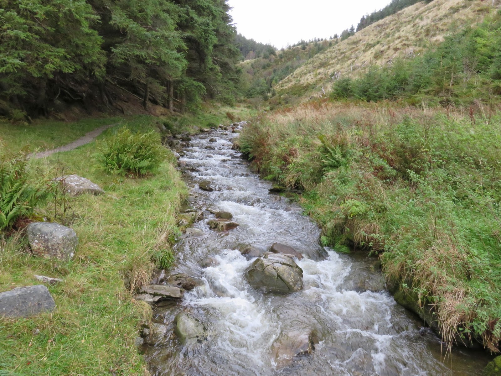
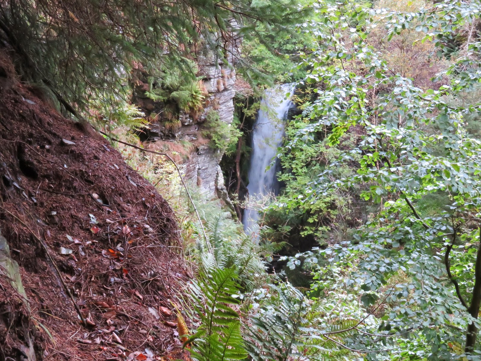
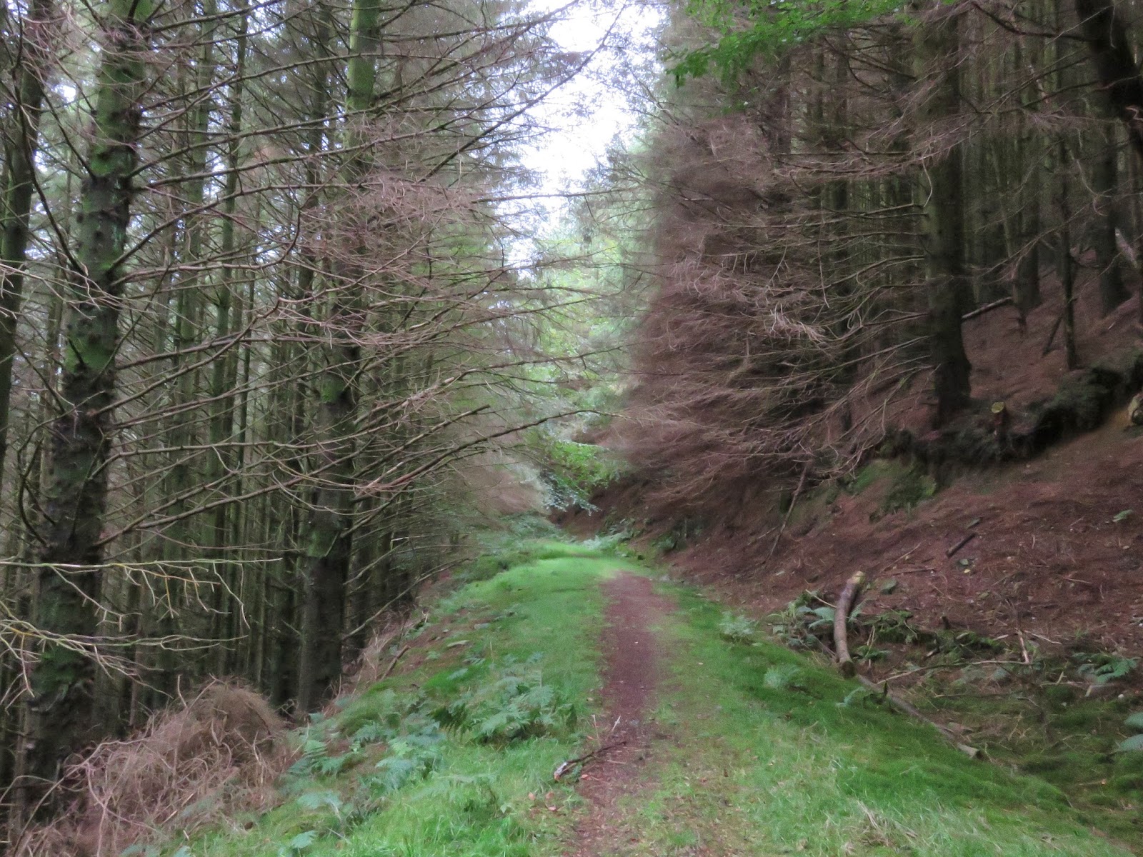
Annoyingly, the first order of the day was to drop down into the valley of Aiken Beck, in order to reach the footings of Graystones. We followed a route leading to Spout Force, a tall waterfall hidden among the trees, generally viewed from a sturdy viewing platform. We debated our next moves, the option of a much longer, shallower route through the woods or aiming for the steep path straight up the side of the plantation. We chose the latter, confidently climbing the hillside before following the overgrown forestry track to the west.
 |
| Aiken Beck |
 |
| The path heading towards Spout Force |
 |
| Spout Force through the trees |
 |
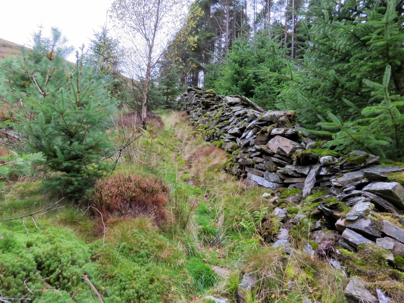
| The old forest road |
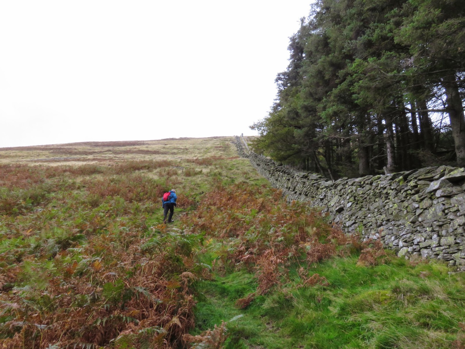
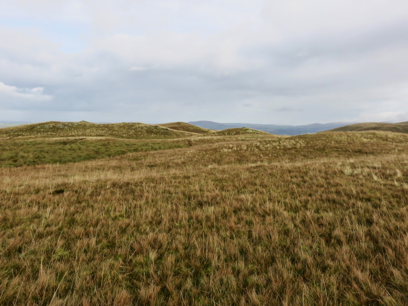
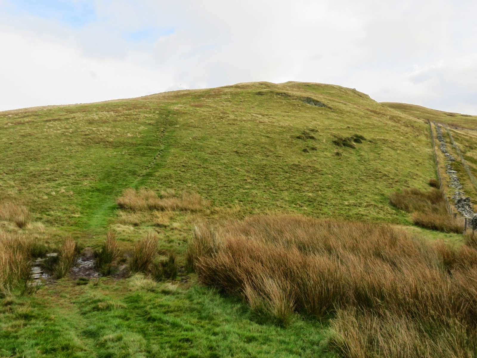
The track ends at a broken wall where a path heads directly to the summit, albeit steeply. We made the climb in just over half an hour, before having another debate on which of the humps on the summit was the actual top. The highest, as marked on the map, bears no obvious markers whereas a slightly lower hump has a small cairn built on it. In the spirit of completeness, it was only right to stand on each bit to make sure.
 |
| The path straight to the top |
 |
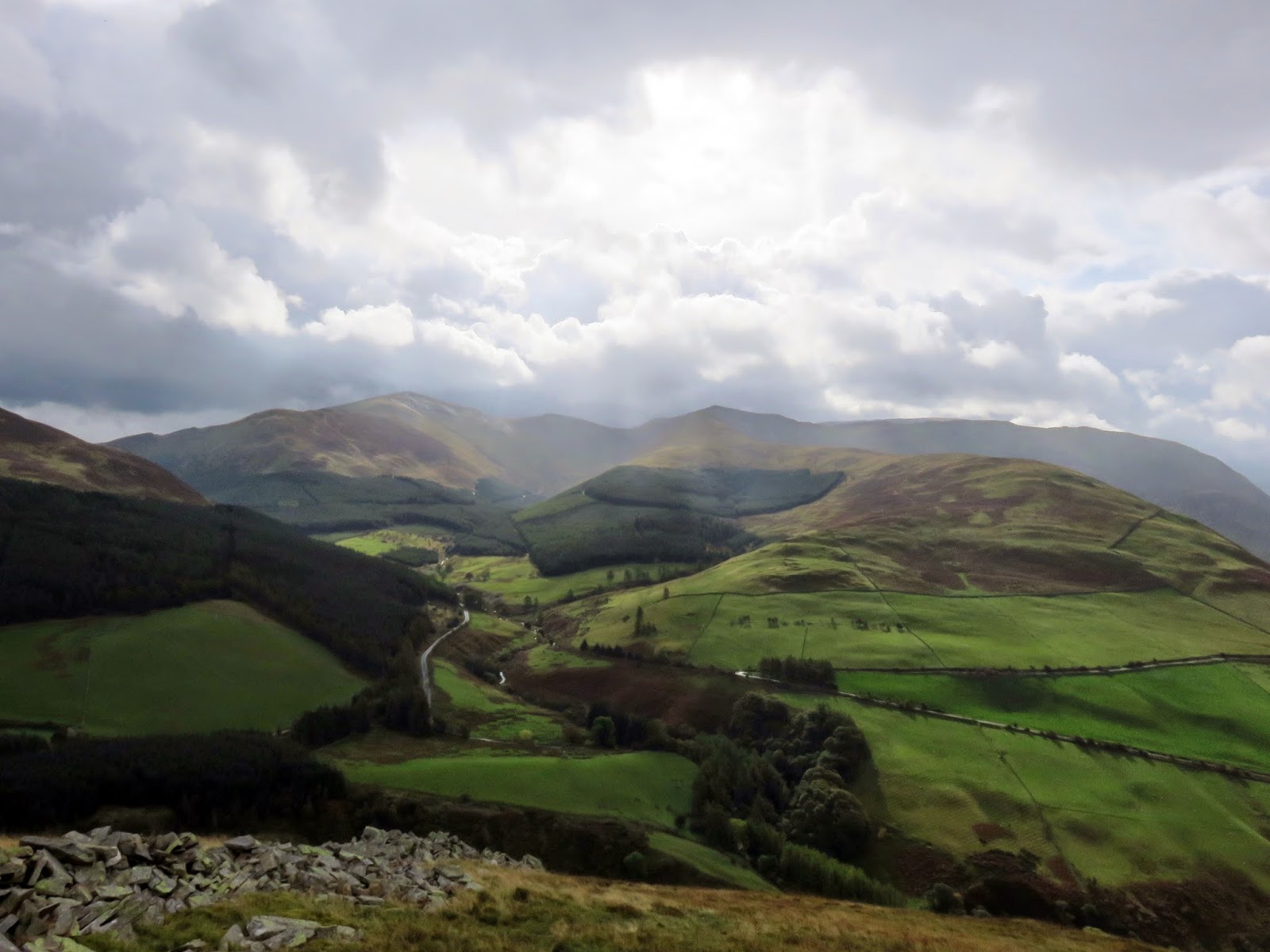
| A passing shower, a feature of the day |
Graystones has two summits marked, the one we were stood on and a lower one, Kirk Fell, to the west. It marks the starting point of the horseshoe of fells that encircle Aiken Beck, the fells we’d be crossing through the day.
 |
| The most obvious summit, possibly not the highest |
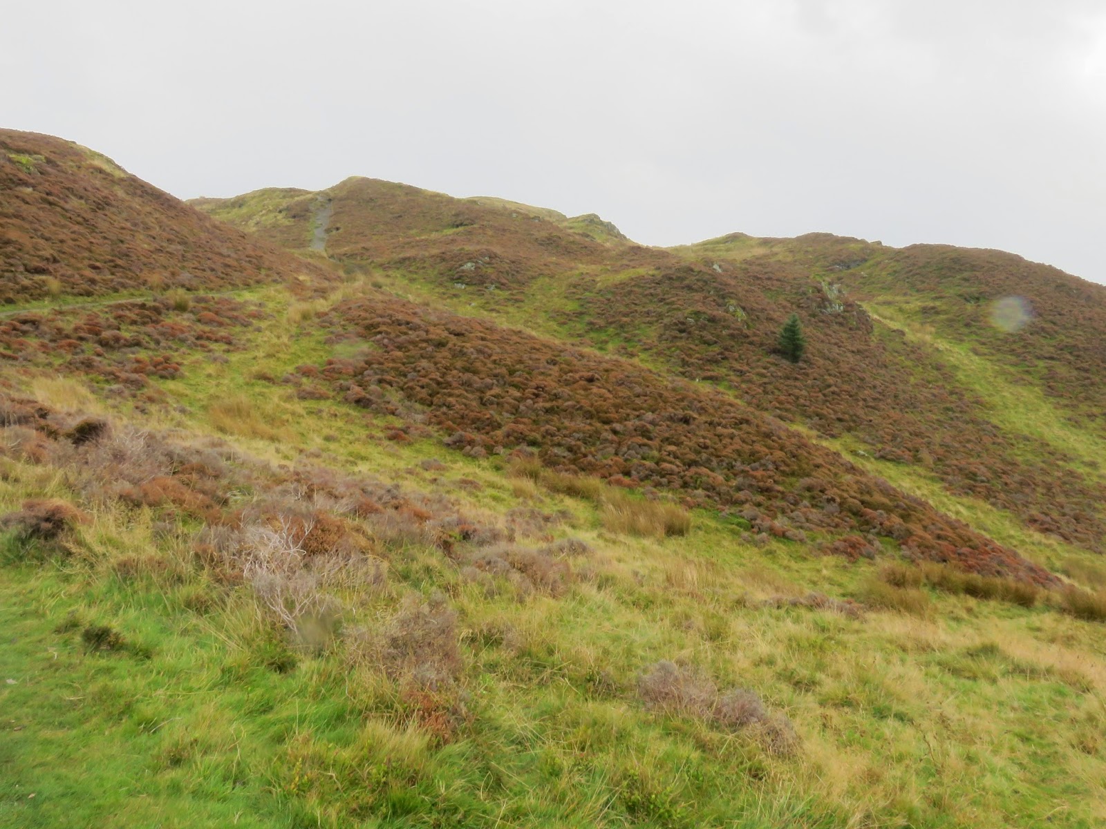
A fairly steep drop leads down to Widow Hause, a depression that separates Graystones from Broom Fell. The hause actually has a marked summit, a small rise to a height of 404m before it drops down again. A steep climb up the flanks of Broom Fell follow.
 |
| Widow Hause |
 |
| Crossing Widow Hause |
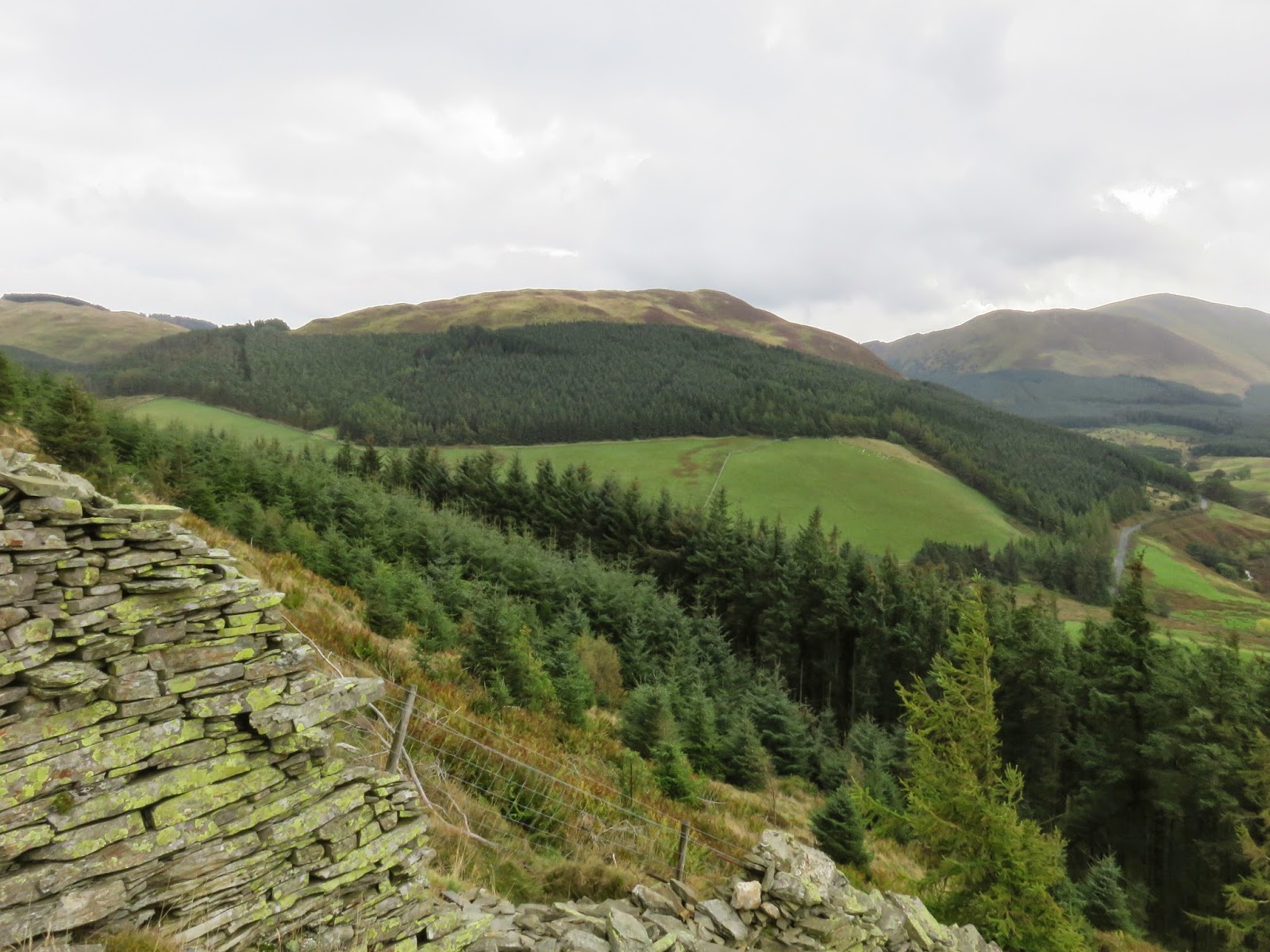
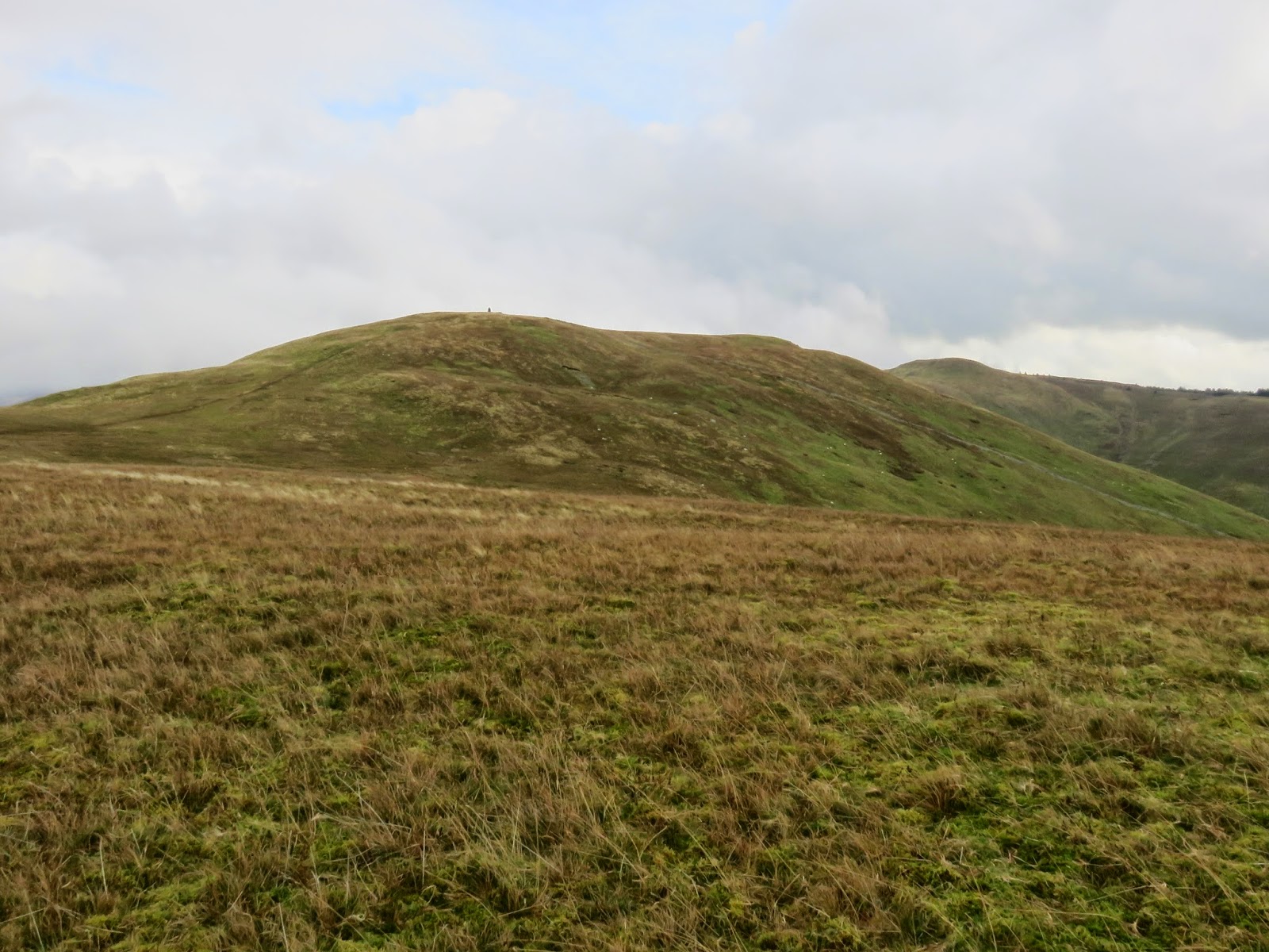
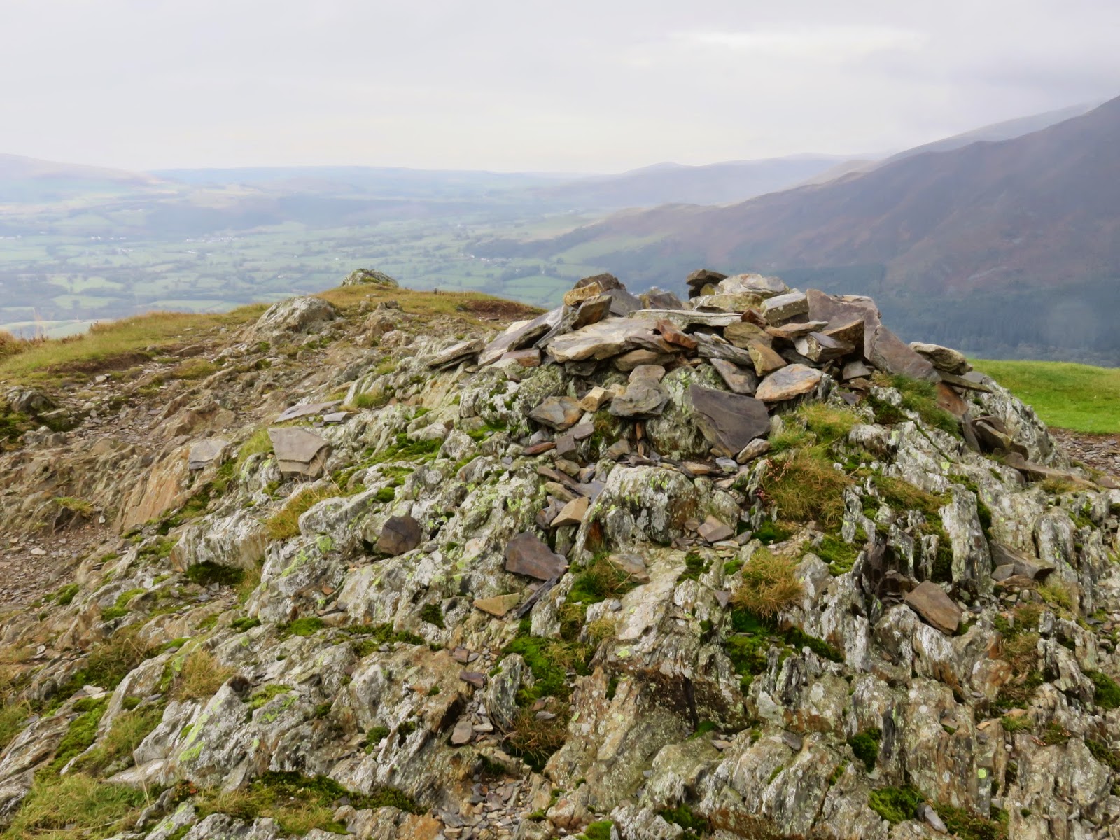
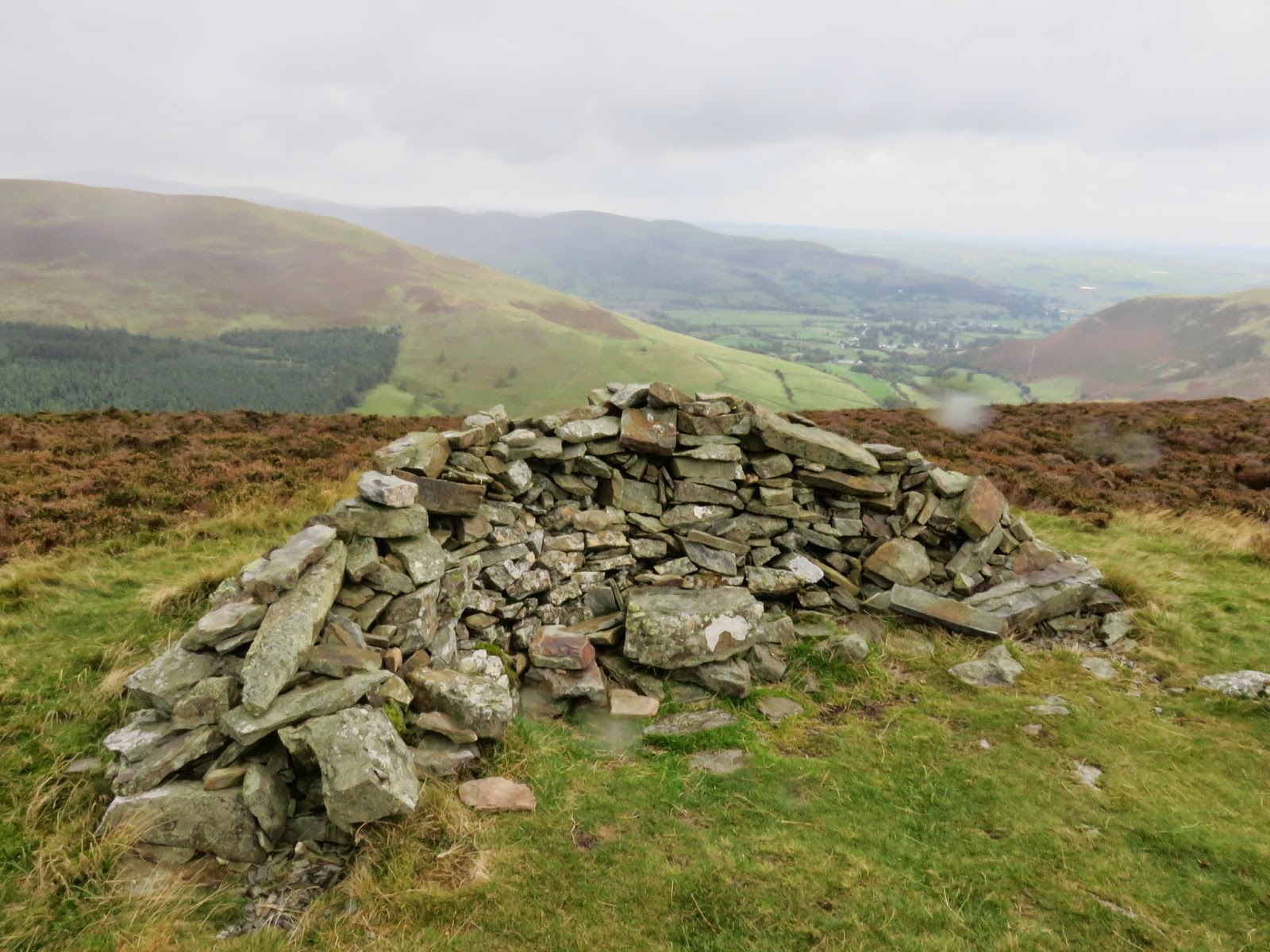
After some toil, we reached the large cairn that stands on Broom Fell, though not on the actual summit itself. The cairn is built from the remains of a curious wall which leads to the high point but travels no further, it’s purpose seems entirely unknown.
 |
| A fairly steep climb is required, to begin with |
 |
| The cairn can be seen on the horizon |
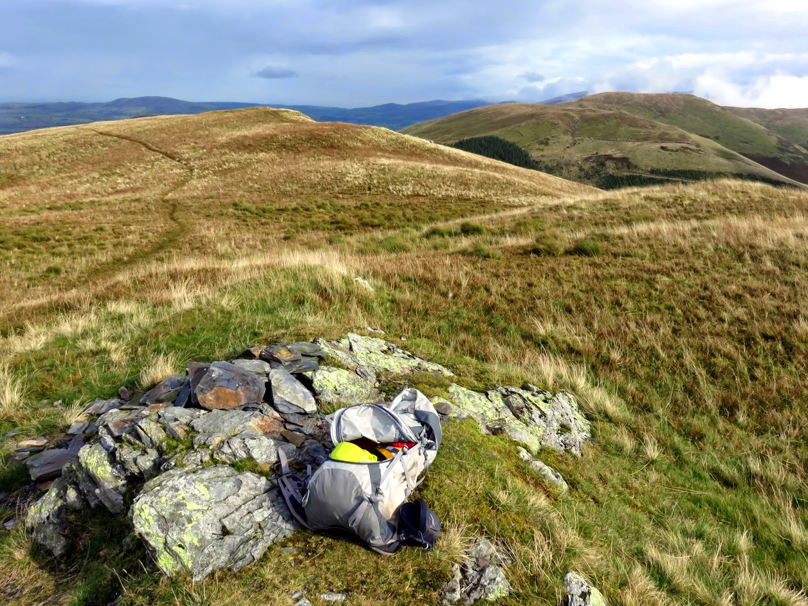
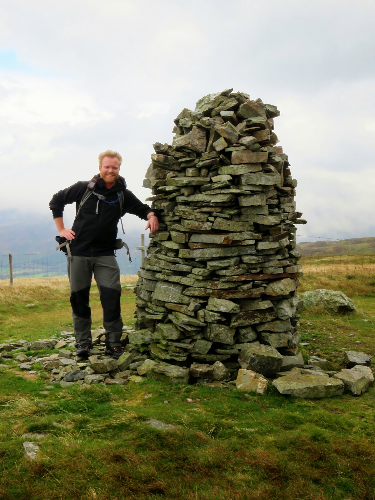
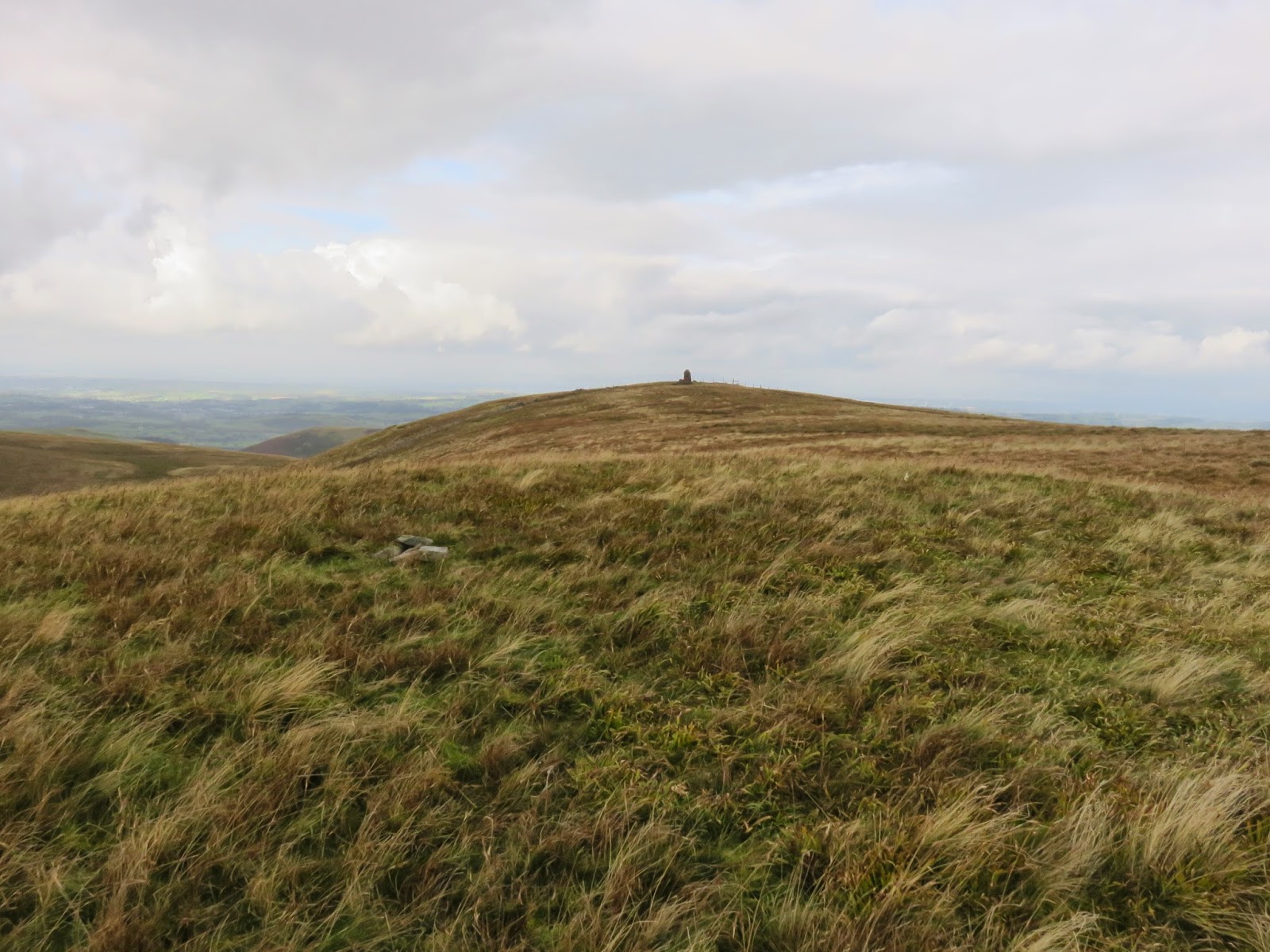
A short distance to the north-east is the summit proper, a small rise with the tiniest of cairns, totally dwarfed by the once stood on the path. Last time I was here the wind was too strong to even get to this point so it was nice to actually make it this time.
 |
| The true summit of Broom Fell with the cairn in the distance |
A long, broad and marshy ridge connects Broom Fell to the highest of the group, Lord’s Seat which forms the central hub of the fells around Whinlatter. The walking along here is very easy, the only real challenge is avoiding the very wettest parts. By this point, the weather had started to deteriorate with clouds and a swirling drizzle dampening the mood slightly. Still, it was a damn sight better than the last time I was here. After tramping along the soggy ridge, a short climb leads to Lord’s Seat’s summit.
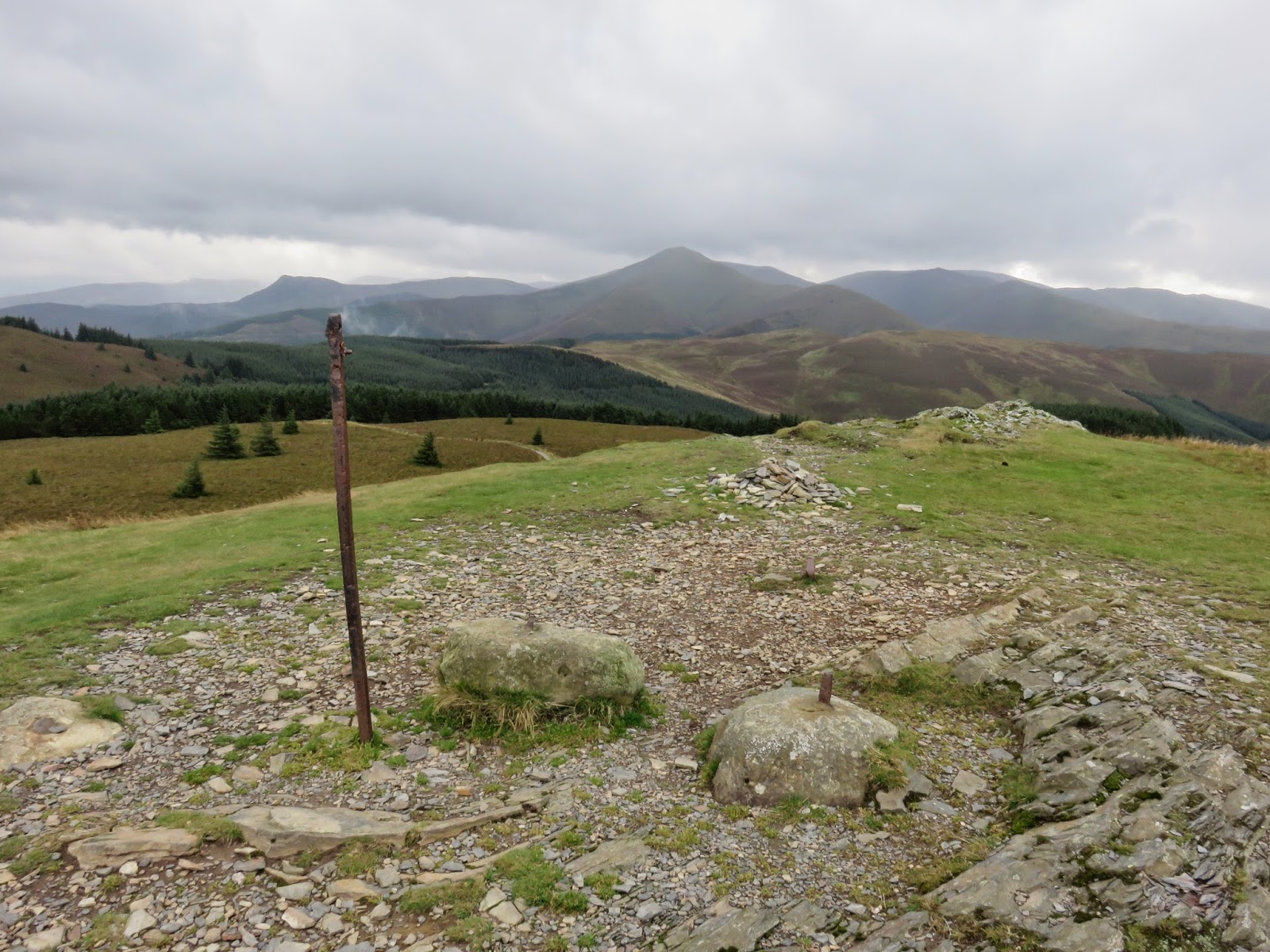
A lonely post, probably that of an old boundary fence, stands on the summit, at least now surrounded by some more friendly rocks. On a good day, Lord’s Seat can boast uninterrupted views all the way to Scotland though, alas, today was not a good day as the fine, on and off drizzle shrouded much of the distant views.
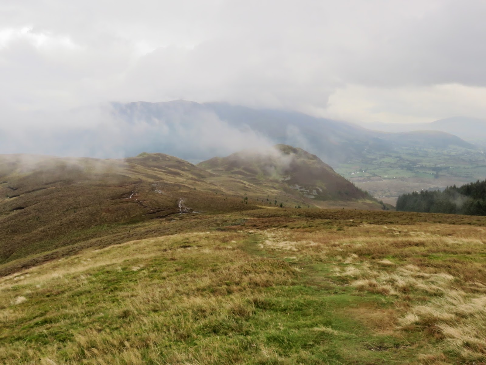
From Lord’s Seat, there is the optional excursion to visit Barf, which we duly completed and I’d highly recommend as it’s a tremendous little mountain. A marshy depression separates it from Lord’s Seat where is stands, perched on the edge of the group overlooking Bassenthwaite. It has a great view of the lake and the Skiddaw range opposite, as well as an unobscured view across the Vale of Keswick. We duly took this moment to pause for a break before retracing our steps back towards Lord’s Seat and the labyrinth of the Whinlatter Forest.
 |
| Barf behind the clouds being created by the Whinlatter Forest |
 |
| The undulating route up Barf |
 |
| Barf’s summit – much more agreeable this time |
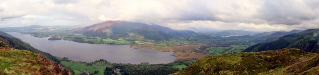 |
| Bassenthwaite and the Skiddaw massif seen from Barf |
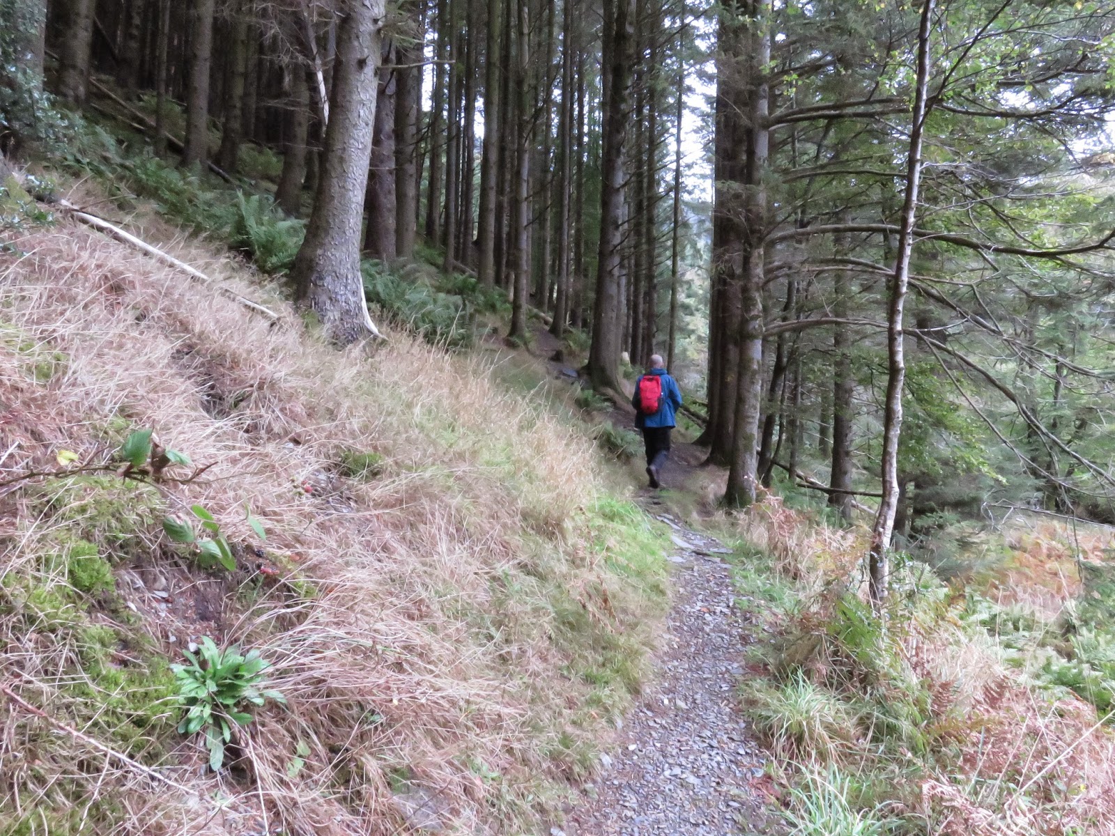
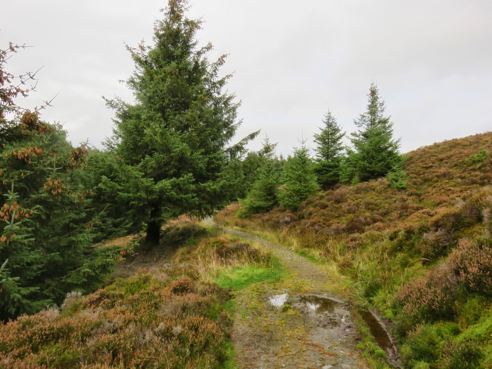
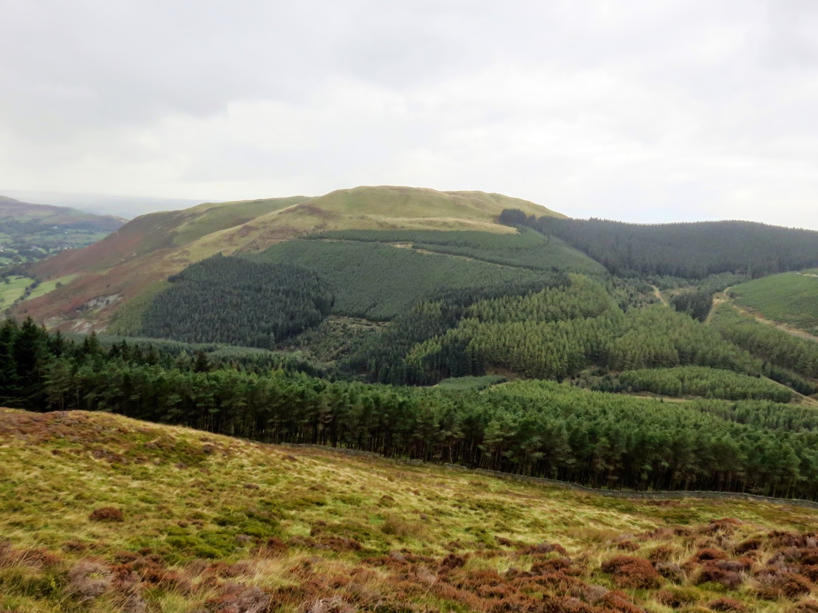
Making our way from Lord’s Seat to Whinlatter had always seemed the most challenging part as it’s not clear which is the best way through the forest. Based on a number of previous routes I’d read through, I believe most of them favour this route.
 |
| Heading into the Whinlatter Forest |
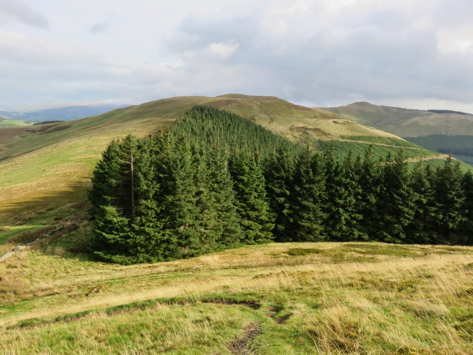
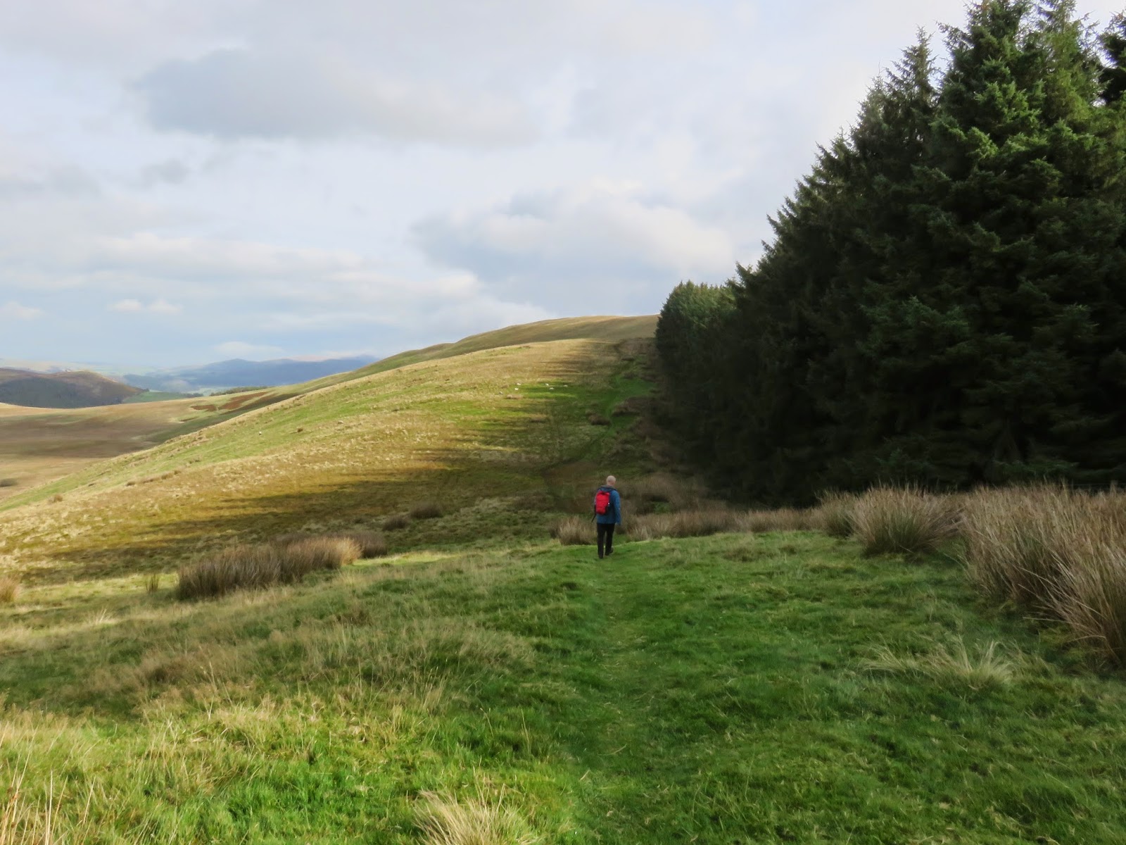
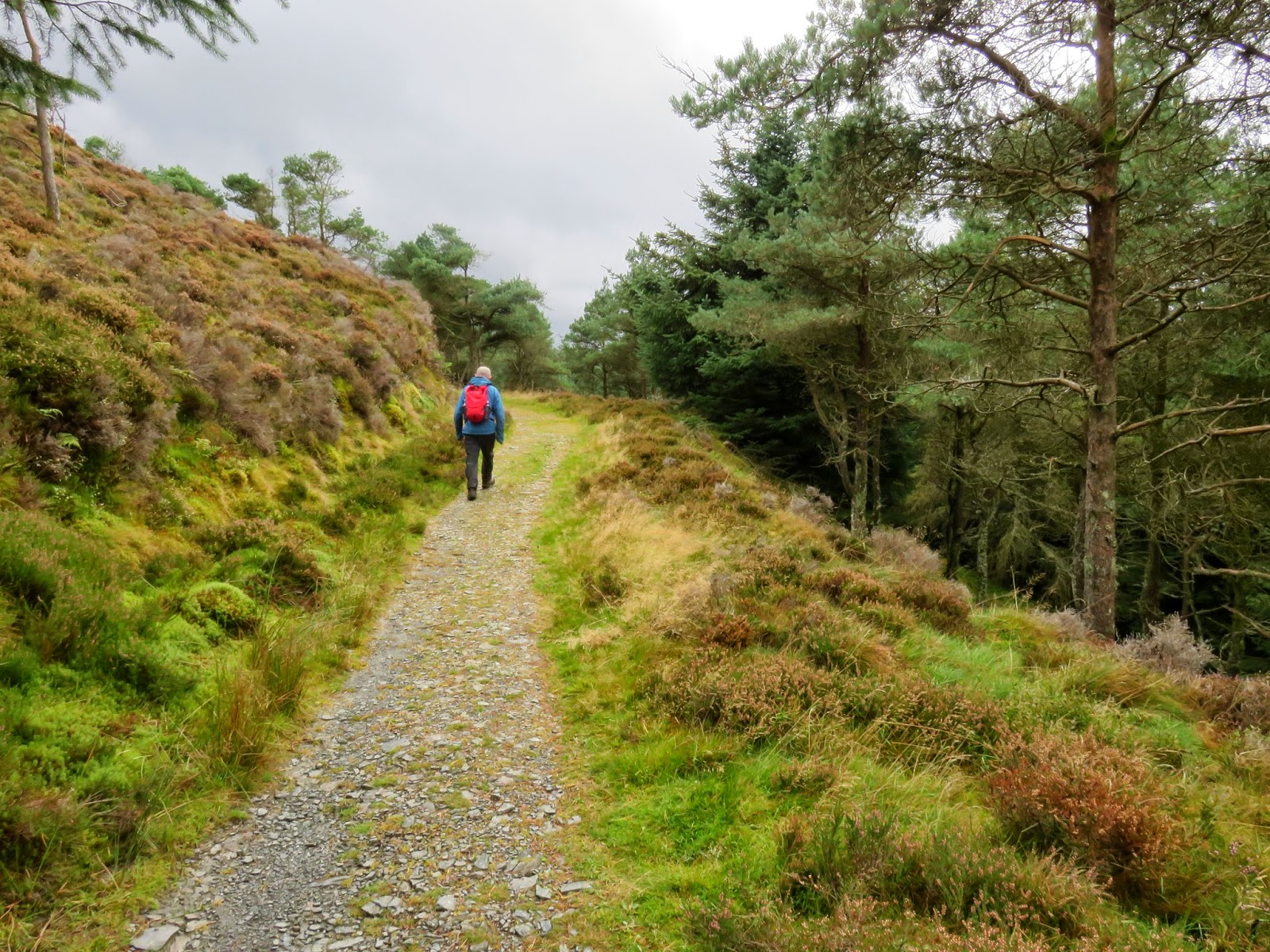
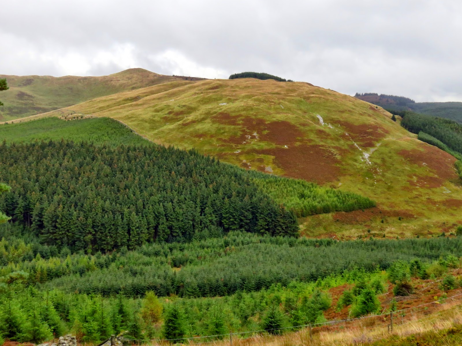
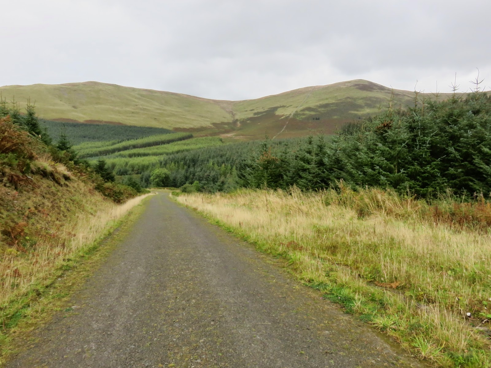
To save a climb up Lord’s Seat, we cut across an extremely wet ‘path’ on the eastern slopes, making our way to a meeting point of a number of paths, including a nice, solid one which leads into the forest. The route we followed travels down the western side of Ullister Hill to Knotts before heading south-west to Tarbarrel Moss, losing height all the while. At the large junction at Tarbarrel Moss, we turned left to follow the road downhill for a few hundred metres where it meets another junction. Here, bearing right, we began a steady climb back up one of the lesser used tracks until it meets the edge of the plantation.
 |
| The path to the east of Ullister Hill |
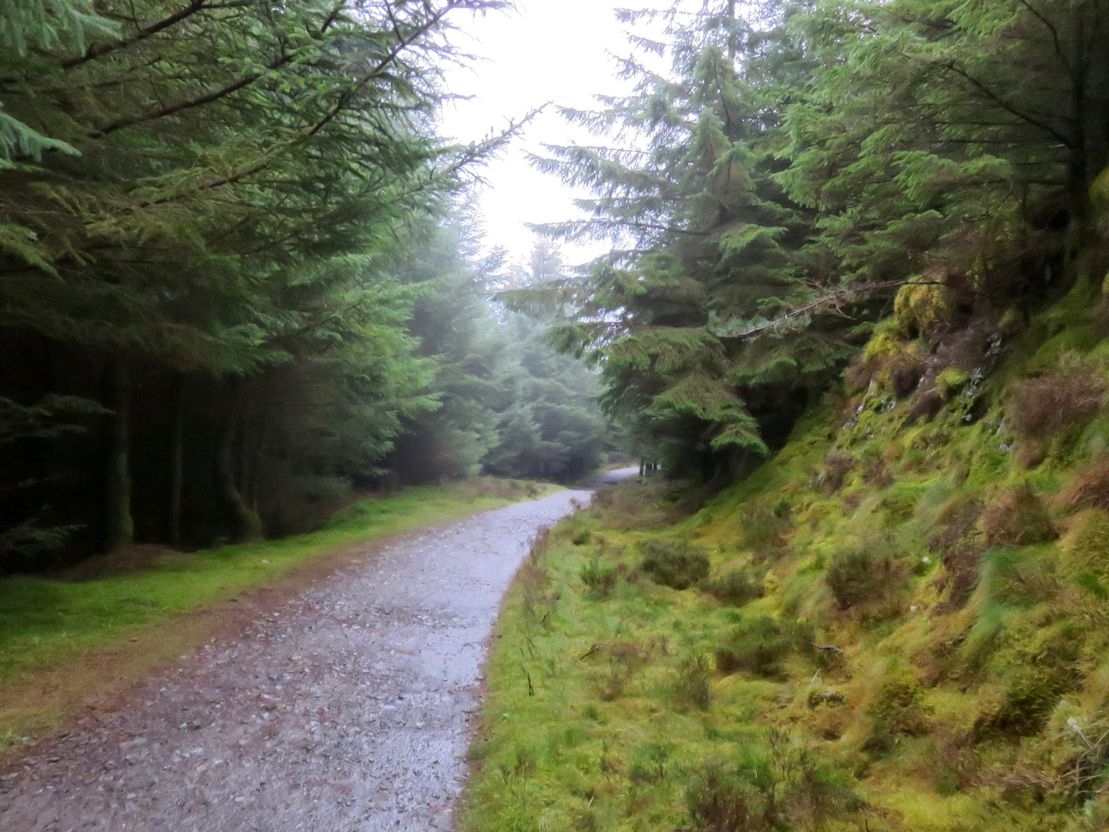
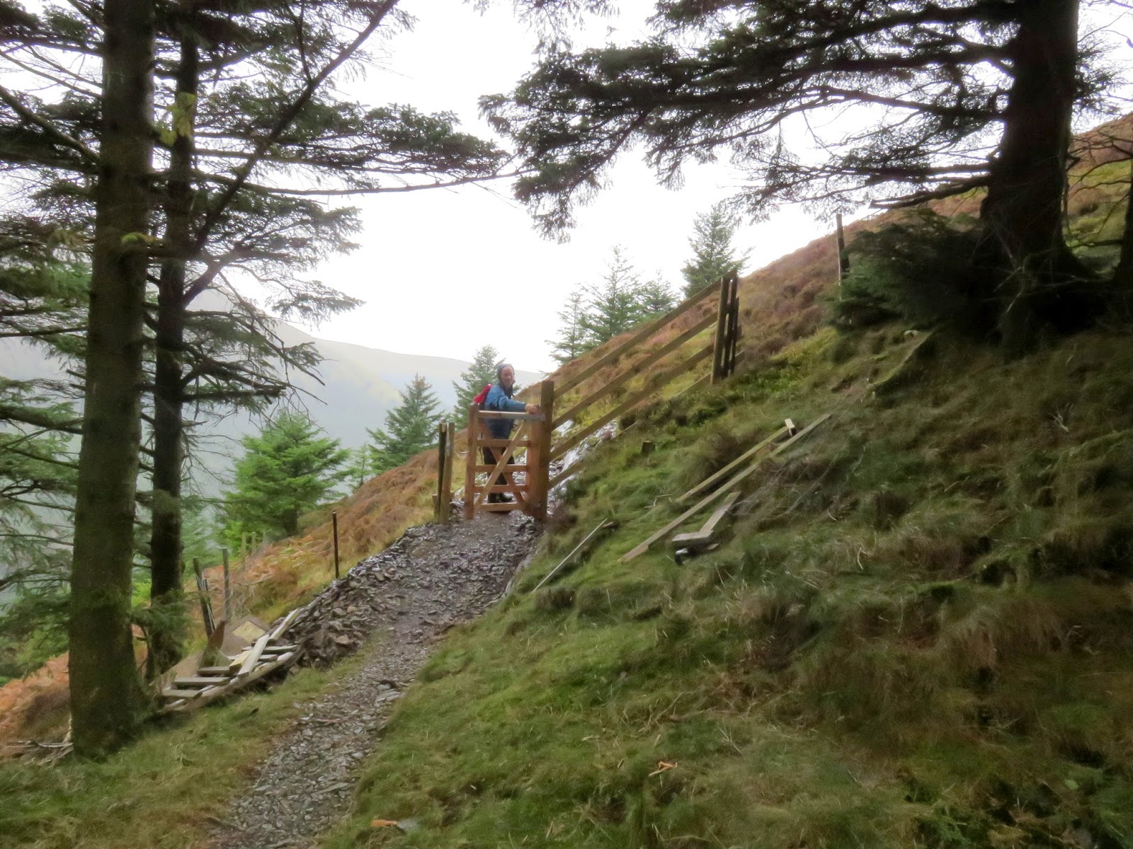
What’s never clear on the maps is whether you can access the fellside from a point such as this or if the way is blocked by a wall or a fence. Fortunately, a newly installed gate does offer easy access to the hillside where a steep path cuts up onto the ridge and back out into the open.
 |
| The depths of the forest in the worst of the weather |
 |
| The new gate leading to open fellside |
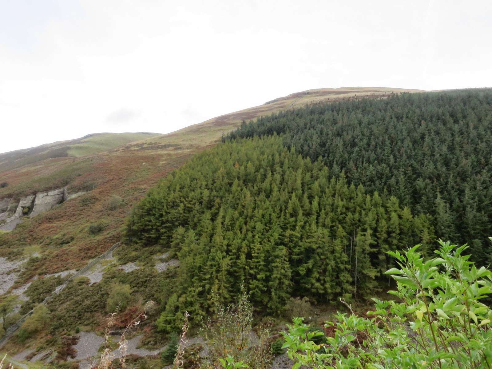
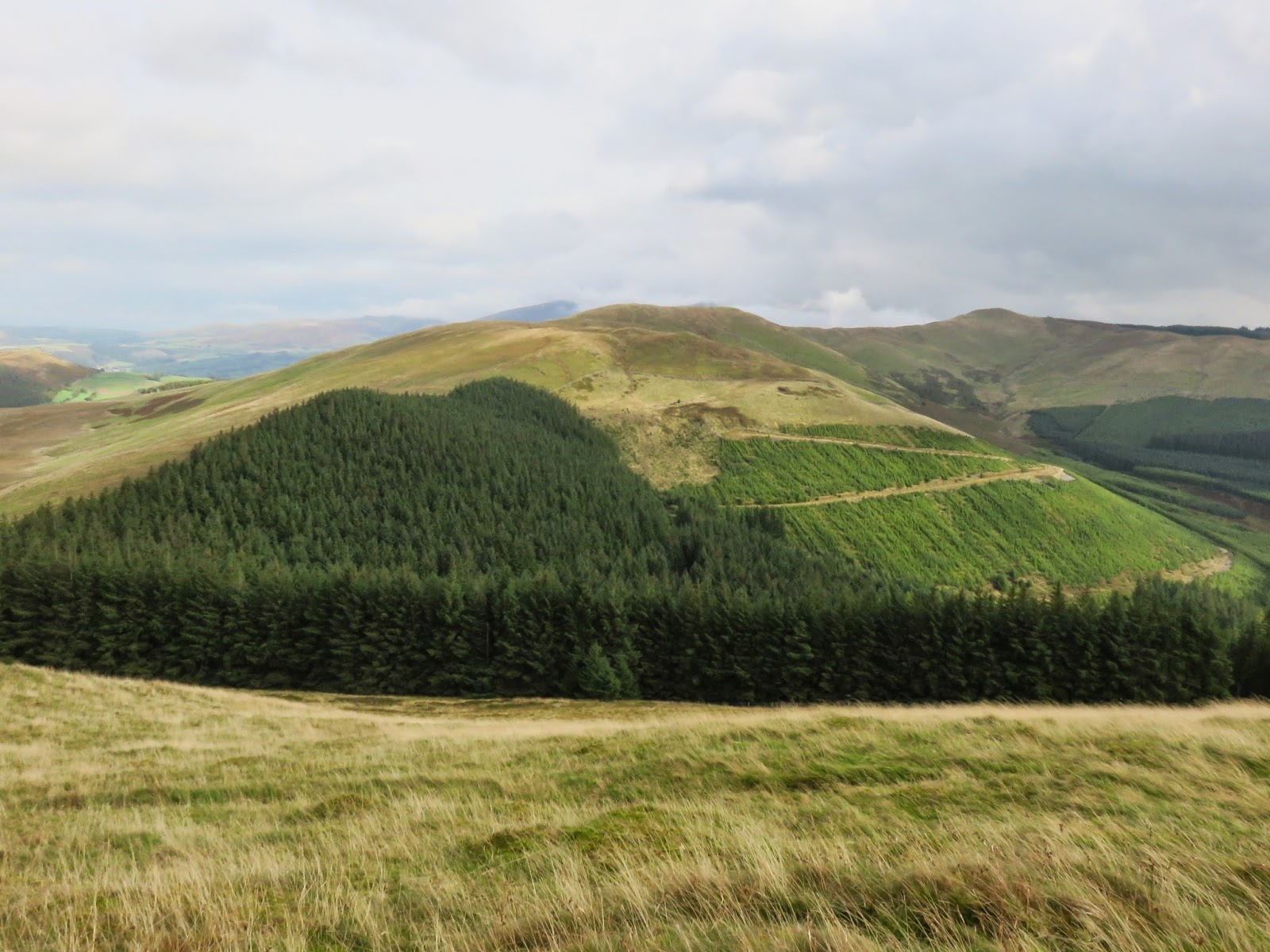
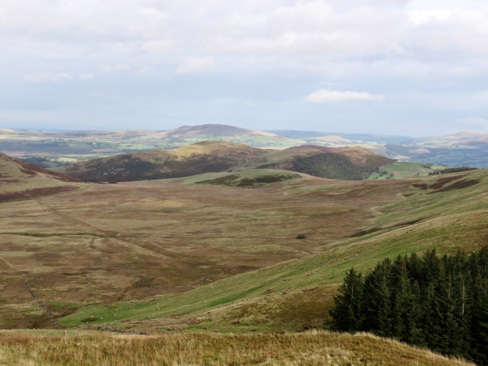
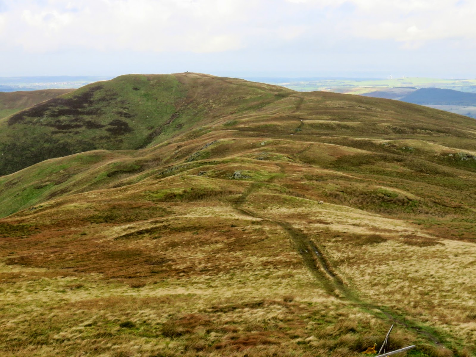
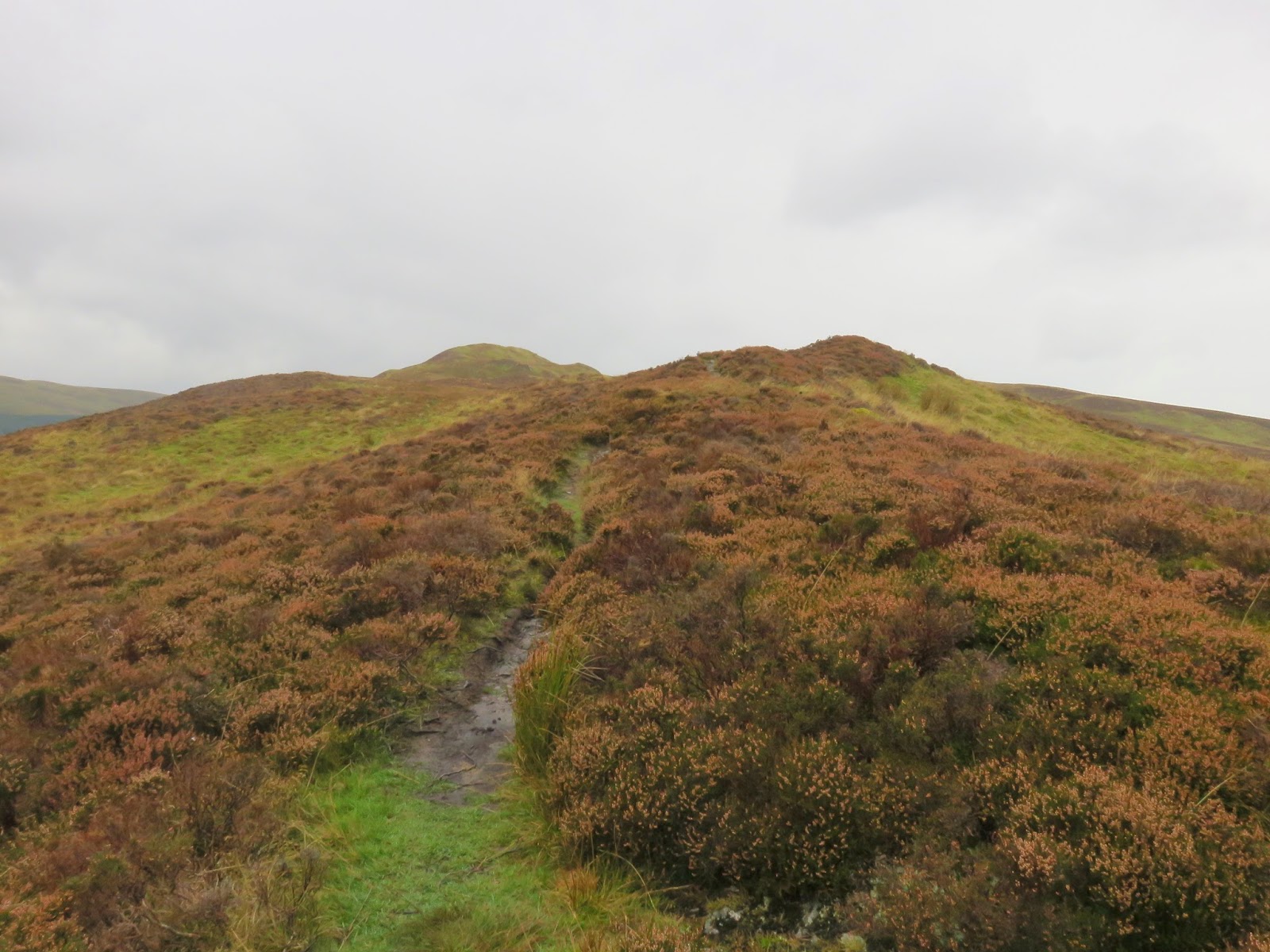
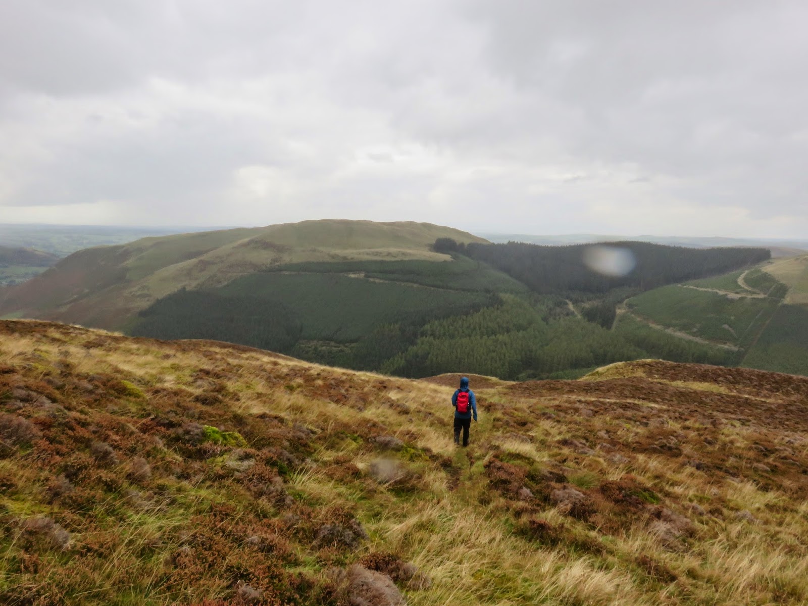
The ridge undulates along very nicely, reaching the highest of the two peaks first; Whinlatter Top. The view from the top wouldn’t rank amongst the Lakeland greats, however, the vista of Grisedale Pike and Hopegill Head is rather good. Unlike Whinlatter Top, the secondary summit (Brown How) has a substantial cairn built on it, probably a result of it being erroneously identified as the highest point in the past. Despite this, the views remain relatively unchanged.
 |
| Brown How – the sub-summit |
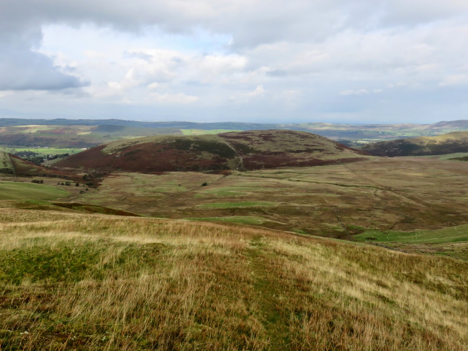
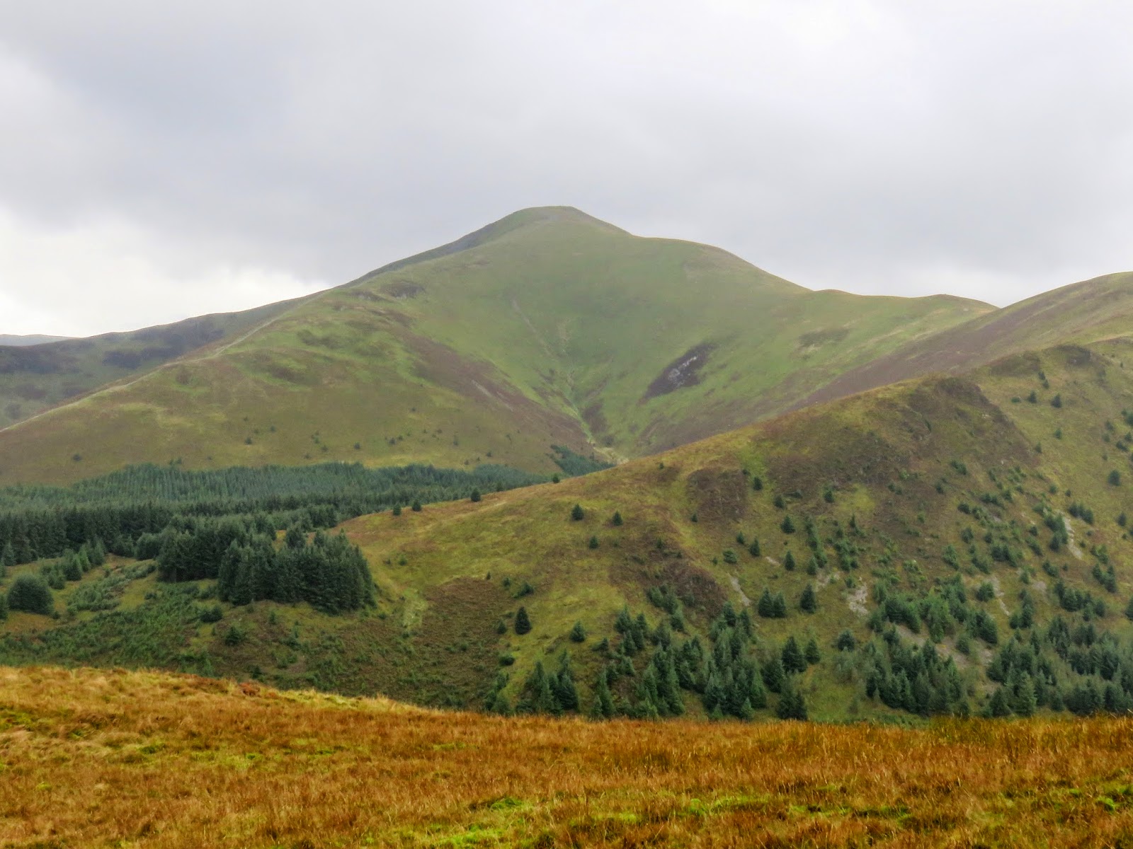
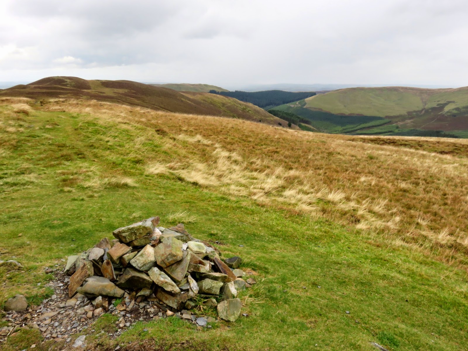
The singular path along the ridge begins its descent down into the valley after Brown How, providing the best views of Graystones and Lord’s Seat. It’s easy to follow for a time until it meets a pair of fences bounding the Aiken Plantation. There was no obvious crossing point so we did as many seem to have done before us and climbed over. A very faint route winds its way steeply through the plantation, which has largely been felled until it reaches another forest road at the bottom. A loose collection of stones marks the point the path emerges so we dutifully rebuilt it into something resembling a cairn. Whether it will stay that way remains to be seen.
 |
| The loose path down the fellside |
 |
| The forestry road |
 |
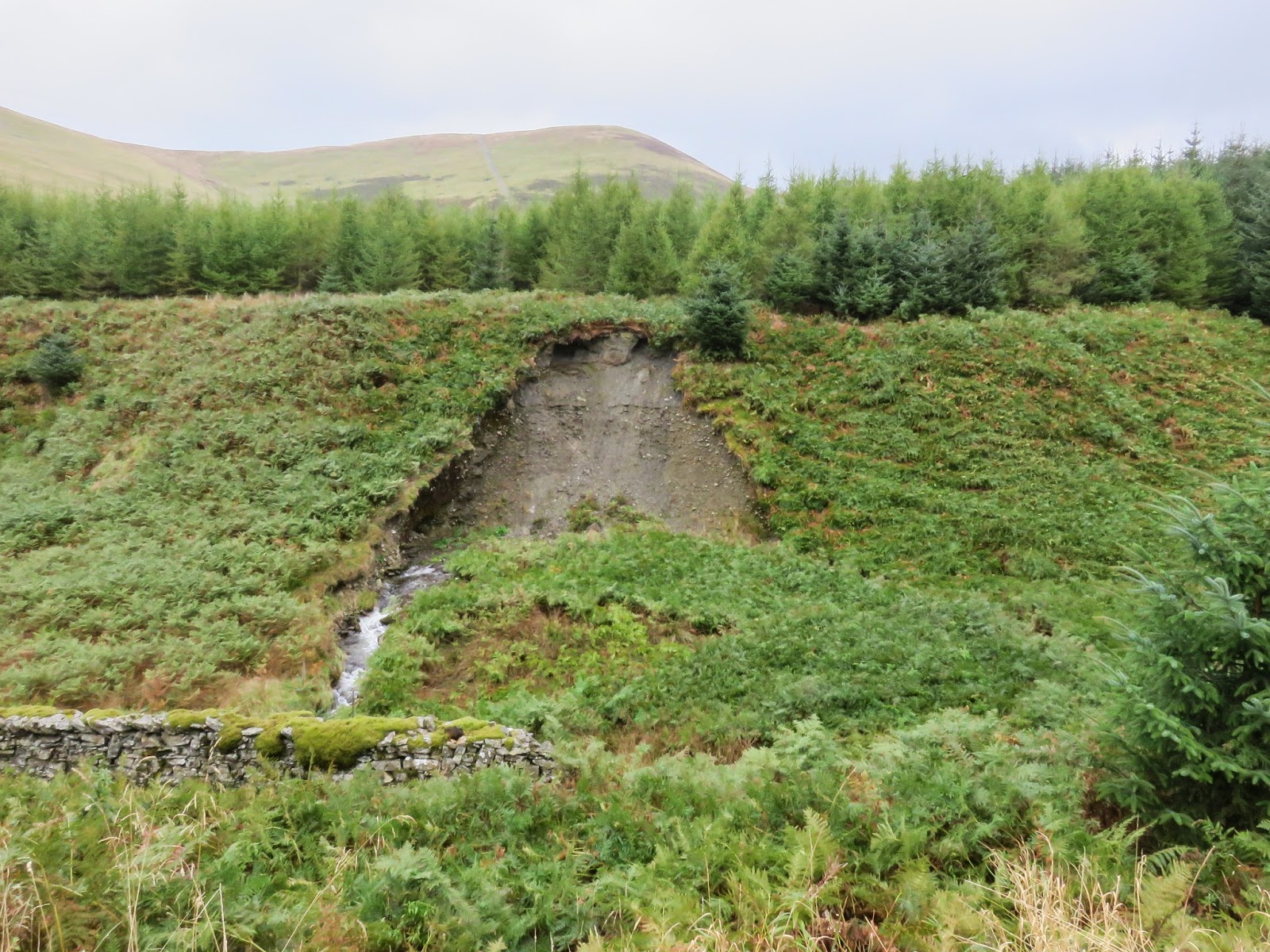
| Landslip adjacent to Aiken Beck |
A final stroll along the road by Aiken Beck led us back to the waiting car, finally completing a circuit I first started nearly a year ago. I’ll admit, Barf aside, these are not the most interesting of fells nor to they hold spectacular views or moments of memorable excitement. The walk through the forest is interesting enough but you’re never quite sure where you are (or have been for that matter) given the height and density of the trees. It’s very easy to lose your bearings without any visual aids. Still, I’ll have to come back if I decide to climb the Birkett fells, there’s a good few of them hidden in the woods. I’ll also have to check if that cairn is still there.


