Open Space Web-Map builder Codehttps://openspace.ordnancesurvey.co.uk/osmapapi/openspace.js?key=3119F72552FD5C22E0530C6CA40A5A92https://openspace.ordnancesurvey.co.uk/osmapapi/script/mapbuilder/basicmap.jshttps://openspace.ordnancesurvey.co.uk/osmapapi/script/mapbuilder/searchbox.js//variables for routes var linesLayer, points, lineFeature, lineString, routeMarkersLayer, routepos, routesize, routeoffset, routeicon; var style_blue = {strokeColor: “#0000CD”, strokeOpacity: 0.5, strokeWidth: 4.5}; function initmapbuilder() { //initiate the map var options = {resolutions: [2500, 1000, 500, 200, 100, 50, 25, 10, 5, 4, 2.5, 2, 1]}; osMap = new OpenSpace.Map(‘map’, options); //configure map options (basicmap.js) setglobaloptions(); //set the center of the map and the zoom level osMap.setCenter(new OpenSpace.MapPoint(330566,521534.5),8); linesLayer = osMap.getVectorLayer(); // Set up layer for route markers routeMarkersLayer = new OpenLayers.Layer.Markers(“Route Markers”); //make a route points = new Array(); points.push(new OpenLayers.Geometry.Point(330171,521674.5)); points.push(new OpenLayers.Geometry.Point(330206,521809.5)); points.push(new OpenLayers.Geometry.Point(330366,521814.5)); points.push(new OpenLayers.Geometry.Point(330516,521879.5)); points.push(new OpenLayers.Geometry.Point(330836,522024.5)); points.push(new OpenLayers.Geometry.Point(330891,522024.5)); points.push(new OpenLayers.Geometry.Point(330926,521904.5)); points.push(new OpenLayers.Geometry.Point(330706,521489.5)); points.push(new OpenLayers.Geometry.Point(330601,521409.5)); points.push(new OpenLayers.Geometry.Point(330211,521234.5)); points.push(new OpenLayers.Geometry.Point(330191,521394.5)); points.push(new OpenLayers.Geometry.Point(330141,521579.5)); points.push(new OpenLayers.Geometry.Point(330171,521674.5)); // create a polyline feature from the array of points lineString = new OpenLayers.Geometry.LineString(points); lineFeature = new OpenLayers.Feature.Vector(lineString, null, style_blue); linesLayer.addFeatures([lineFeature]); //crate a route start/end marker routepos = new OpenSpace.MapPoint(330171,521674.5); routesize = new OpenLayers.Size(33,45); routeoffset = new OpenLayers.Pixel(-5,-37); routeicon = new OpenSpace.Icon(‘https://openspace.ordnancesurvey.co.uk/osmapapi/img_versions/img_1.1/mapbuilder/routemarker-startend.png’, routesize, routeoffset, null, null); routeMarkersLayer.addMarker(new OpenLayers.Marker(routepos, routeicon)); osMap.addLayer(routeMarkersLayer);}
Route: William’s Beck, High Rigg, Memorial Stone
Date: 06/09/2014
From: Dale Bottom
Parking: Dale Bottom
Start Point: William’s Beck
Region: Southern Fells
Route length: 1.6 miles (2.5km)
Time taken: 00:45
Average speed: 2.09 mph
Ascent: 196m
Descent: 197m
Wainwrights on this walk:
High Rigg (357m)
Additional summits: None
Other points of interest: William’s Beck
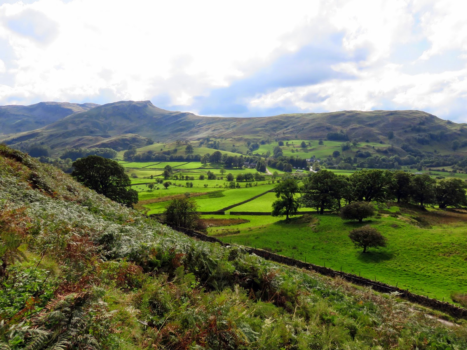
I’m not going to hide from the stark facts – this was a shameless summit ticking exercise. There are some fells that just don’t fit into a nice circuit or ridge walk but stand isolated and alone, not difficult to climb but challenging to actually figure out when to climb them. A trio of these form some of the smaller heights of the Central Fells; High Rigg and Raven Crag on the Thirlmere side and Castle Crag (the smallest of all the Wainwrights) on the Derwentwater side. What better way to spend an afternoon than climbing all three of them? I’d spent the morning tramping around Martindale in the clouds, what a difference a day makes.
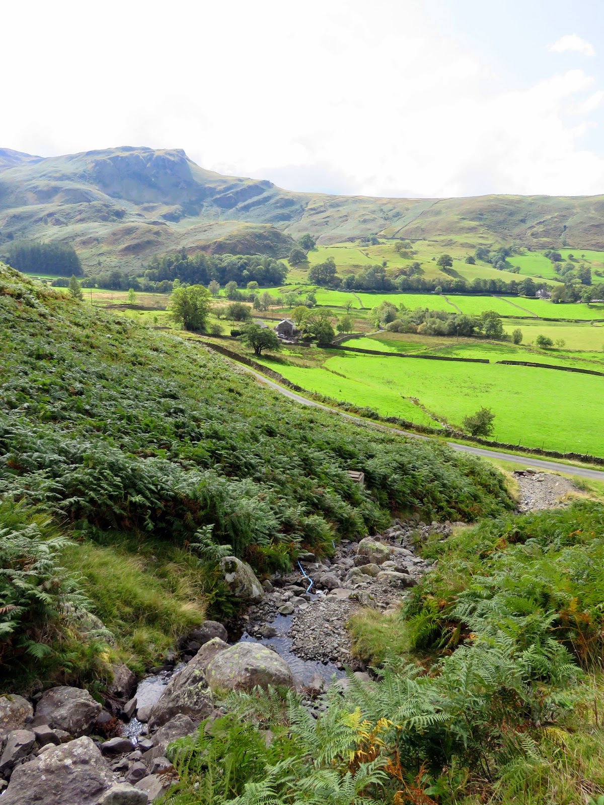
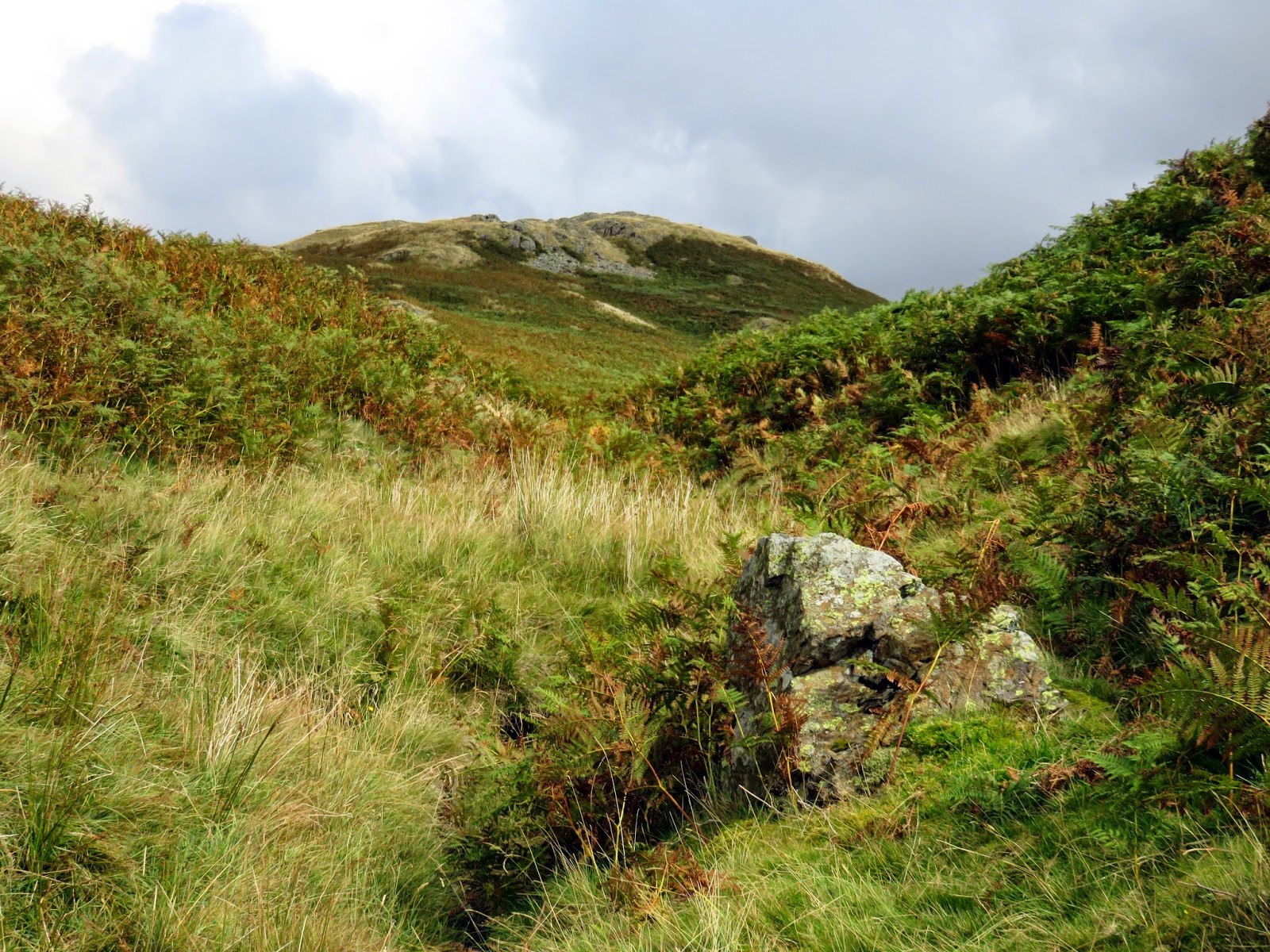
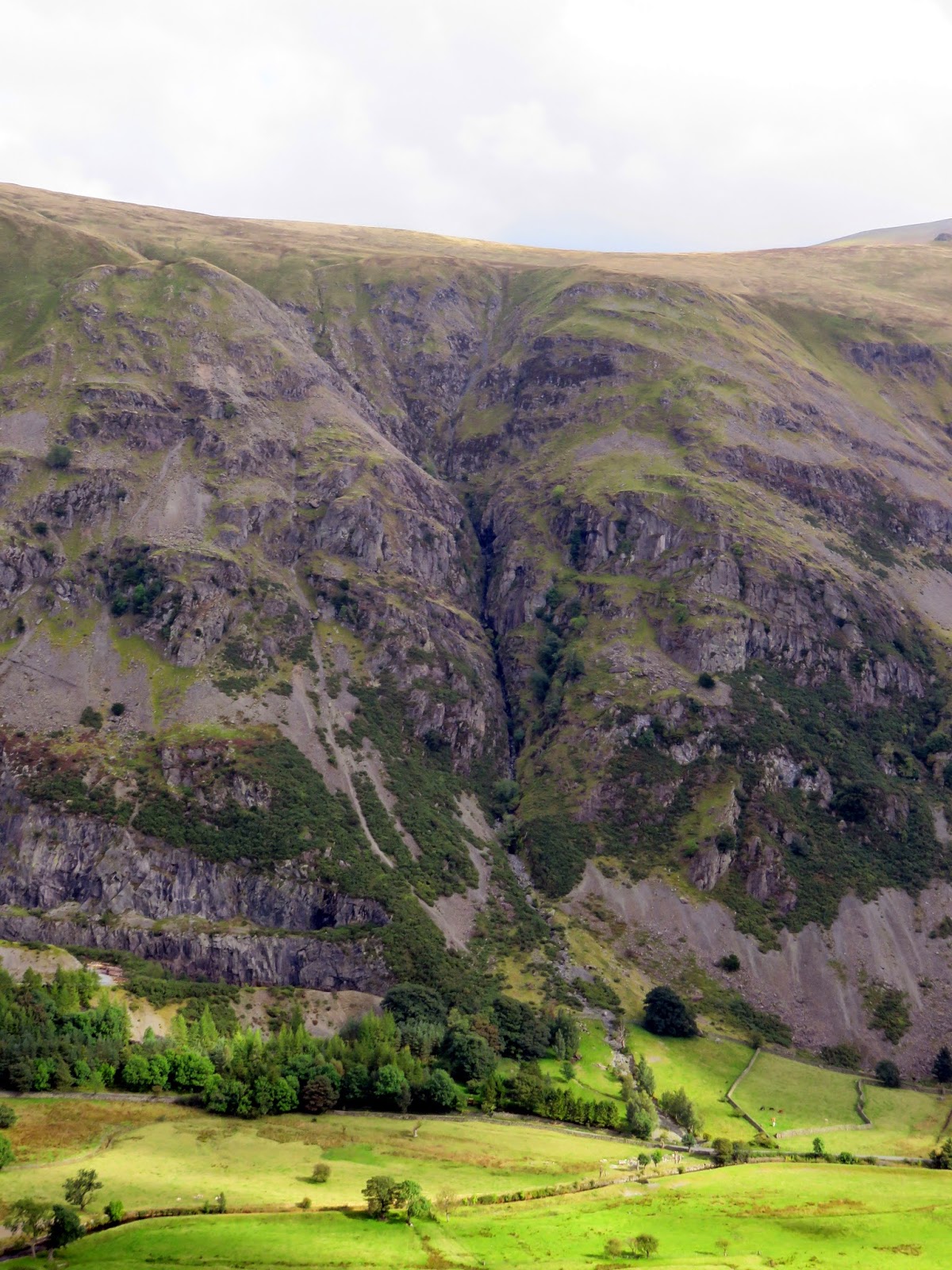
First up was High Rigg, located between the ridges descending from High Raise and Helvellyn. It’s a pleasant little fell, climbing to a height of 357m. We parked the car just off the road at the foot of William’s Beck, a small stream which flows off the hillside. It forms a very neat and tidy ravine which draws the attention, so much so that we began to climb it with little hesitation.
 |
| William’s Beck as it emerges from the slopes of High Rigg |
 |
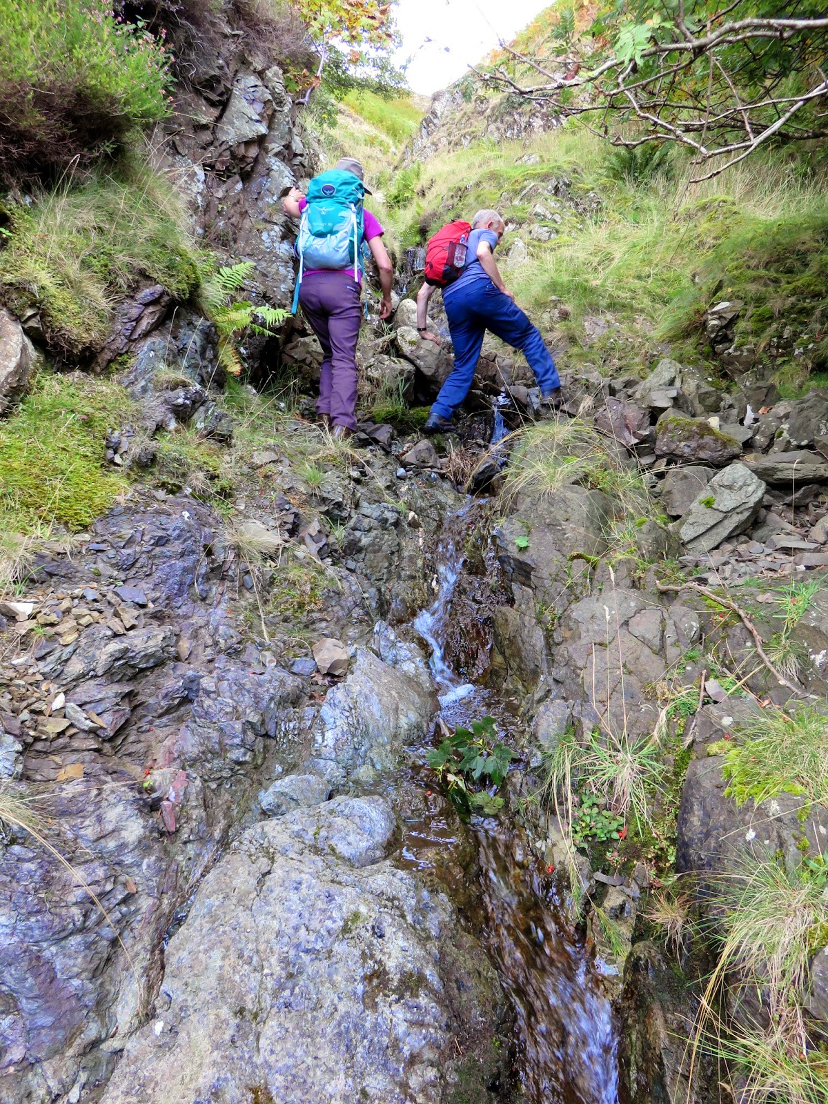
| Negotiating some of the slightly trickier sections |
 |
| William’s Beck |
 |
| William’s Beck |
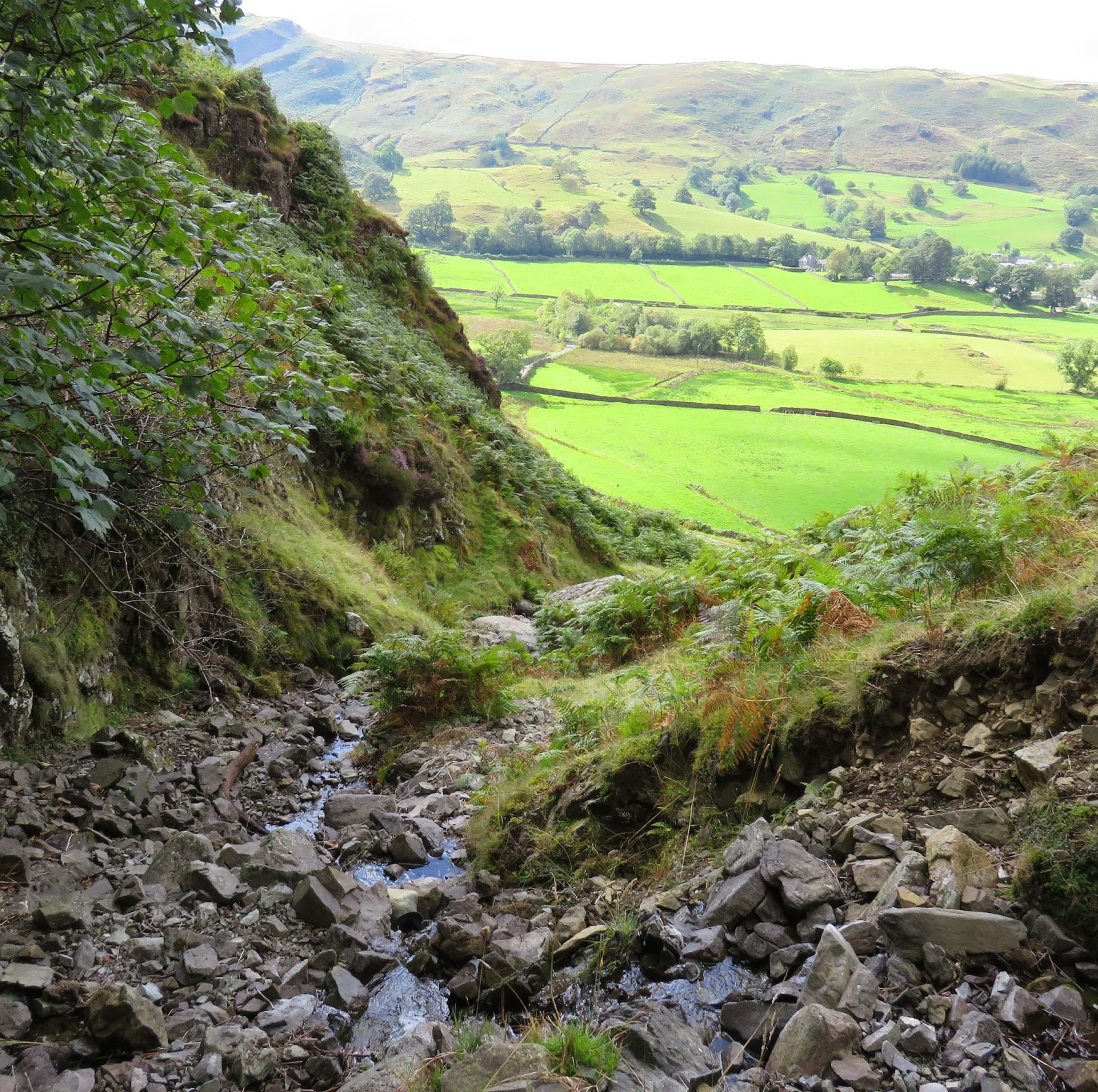
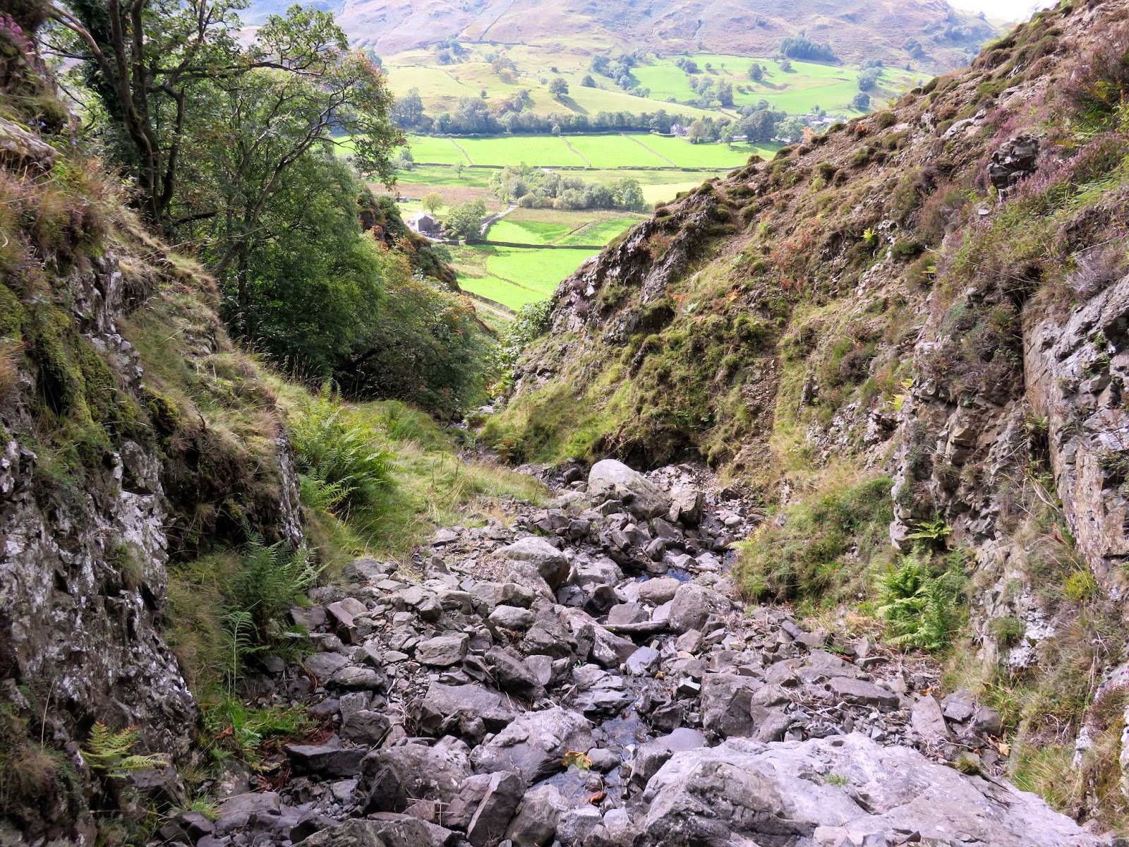
The beck is wholly formed by water that is captured on High Rigg, we emerged right into the coombe where it is collected. Though a bit damp underfoot we didn’t come across any real problems in terms of deep pools or bogs so strode on, the summit already in sight.
 |
| The summit appears at the top of the stream |
 |
| The moss that sources William’s Beck |
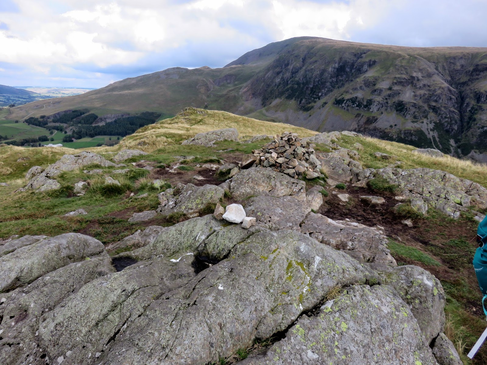
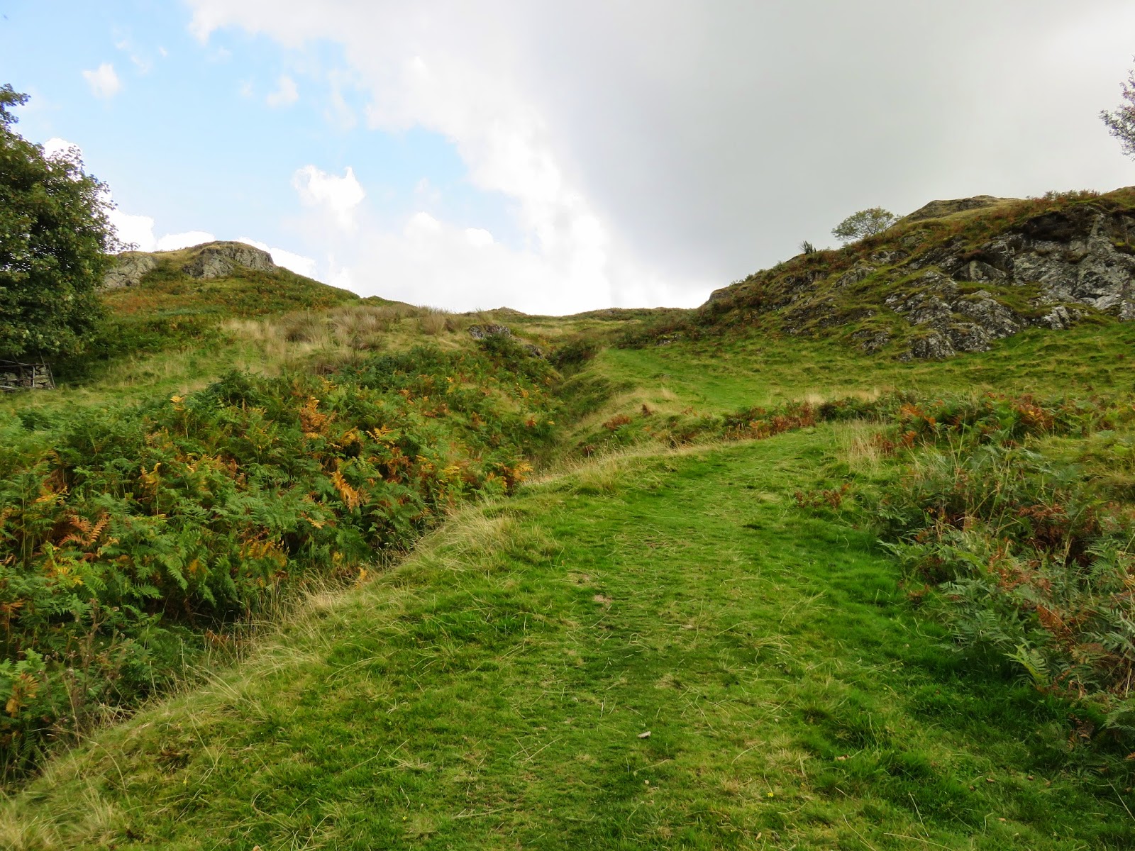
The rock outcrop marking the highest point lies almost directly east of the top of William’s Beck (straight on in our case) and we made short work of bashing through the bracken to reach it. There are no paths on this side of the fell though and, as we reached the summit, it’s obvious that there is one that rises up from a nearby Youth Centre.
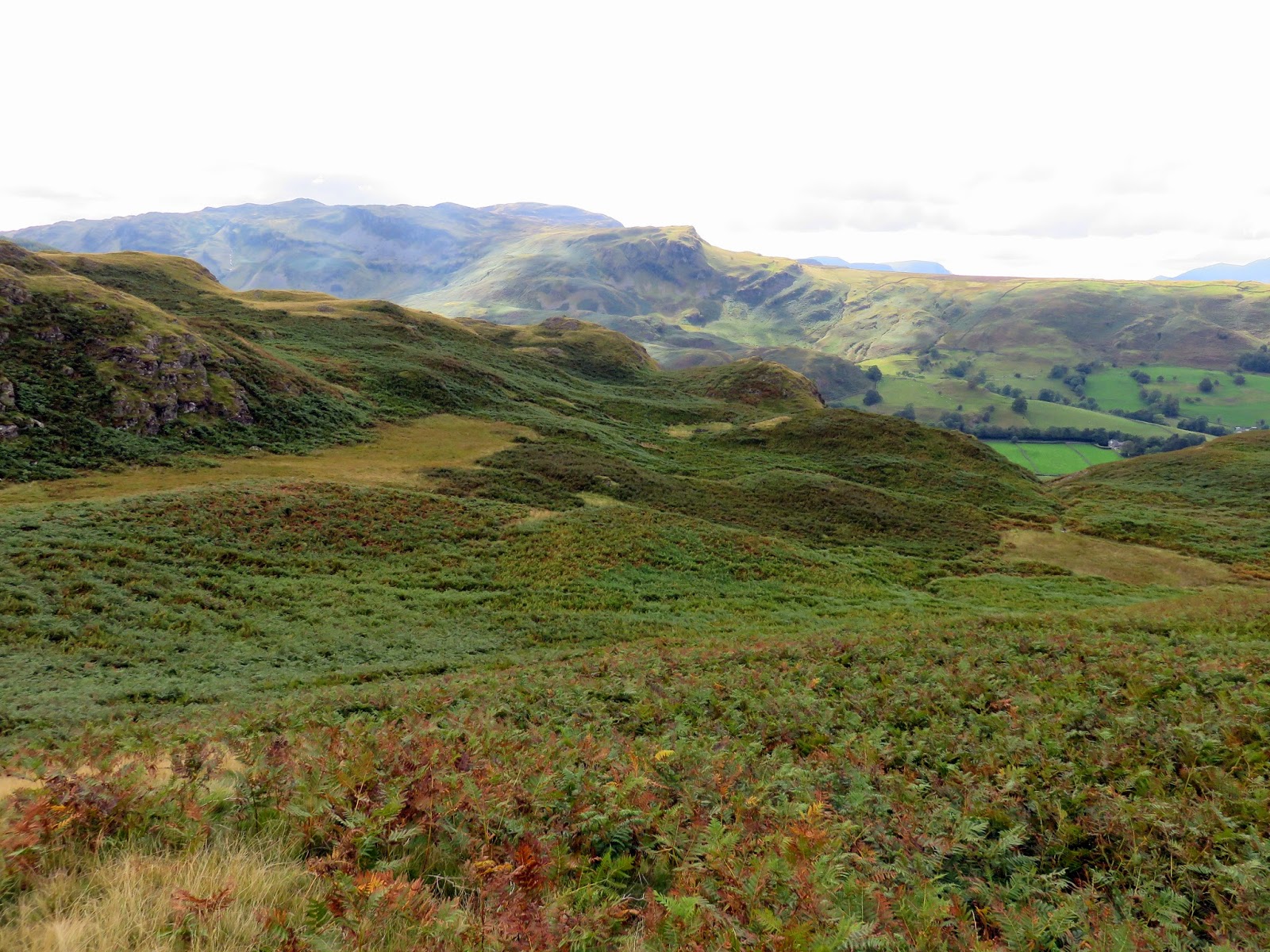
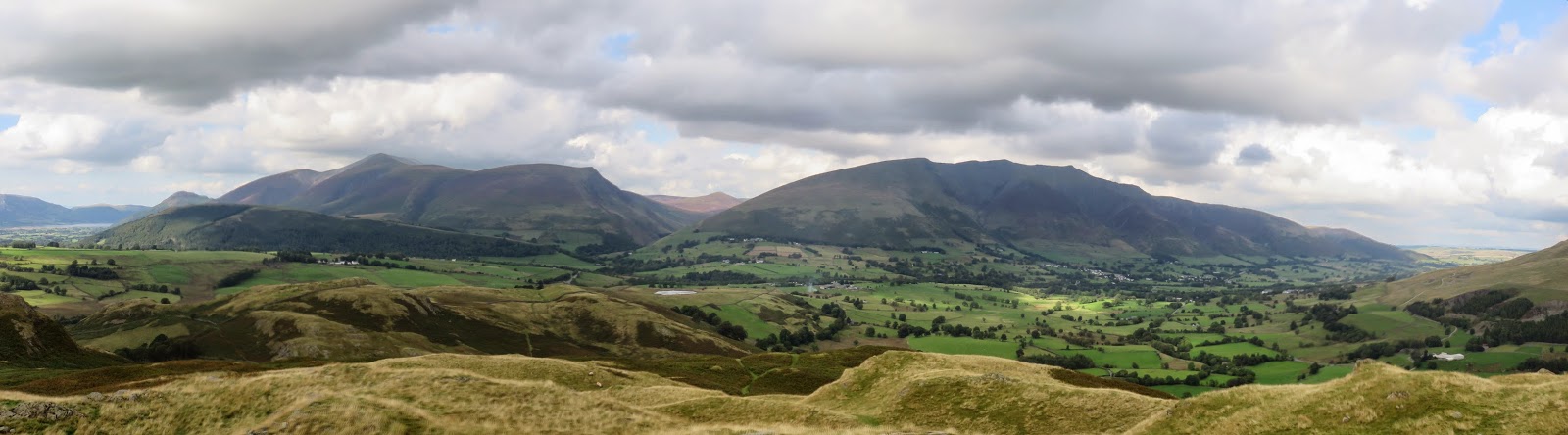
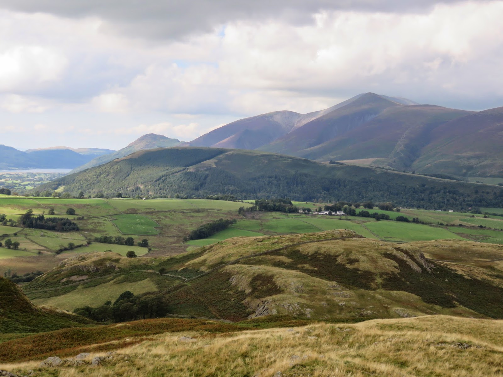
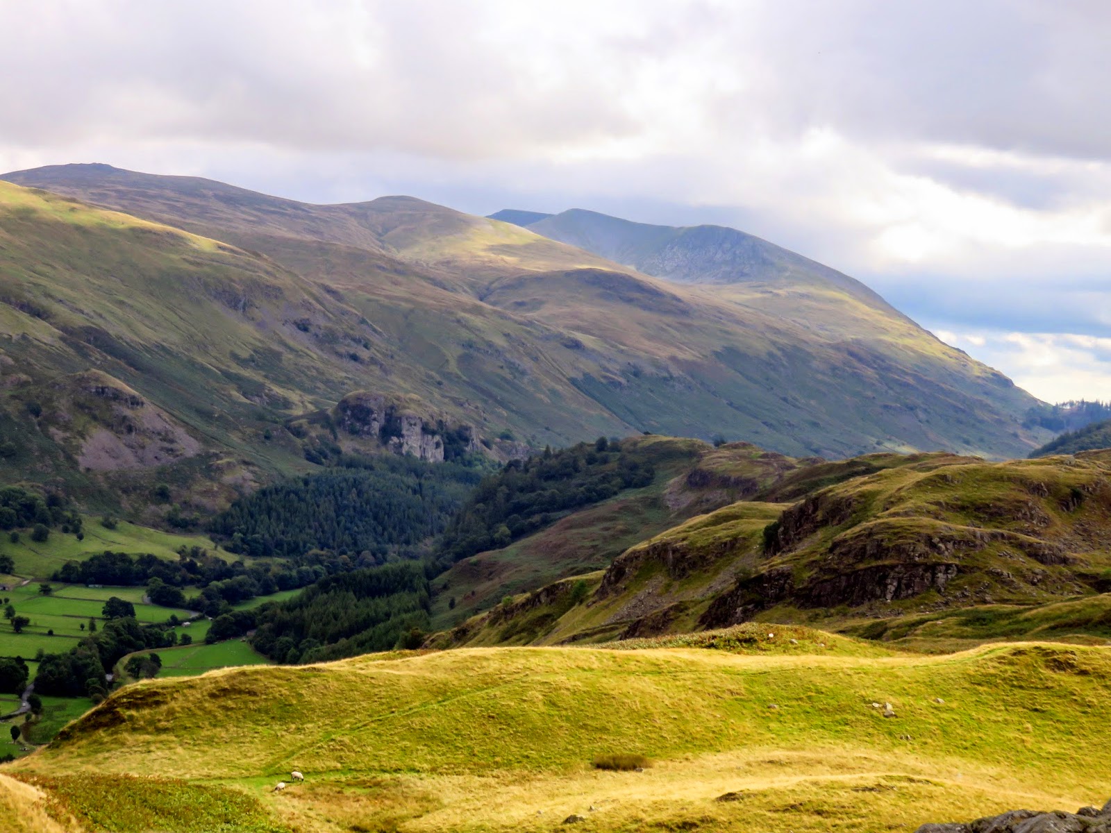
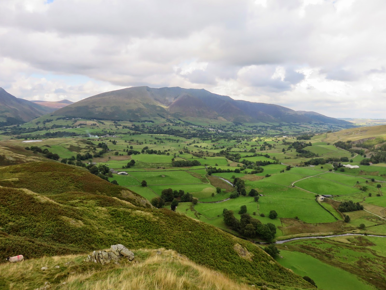
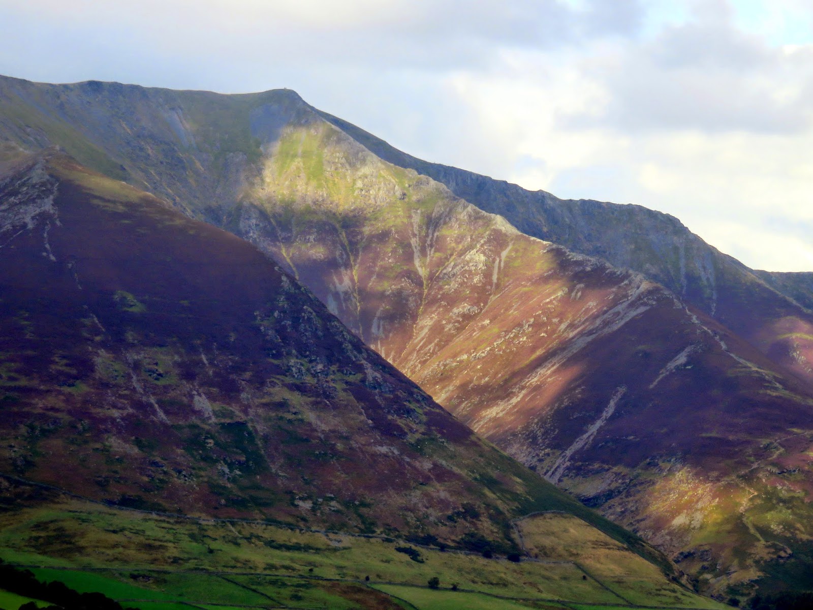
As is the theme of these small fells, High Rigg has a very good view, especially of Skiddaw, Blencathra and the Vale of Keswick. High Rigg resembles a model of the Lakeland Fells in miniature, complete with crags, intermediate tops, tarns and even a ‘pass’ crossing the ridge halfway along, complete with church. Better views of Clough Head and St. John’s in the Vale can be achieved by moving to a small outcrop east of the summit.
 |
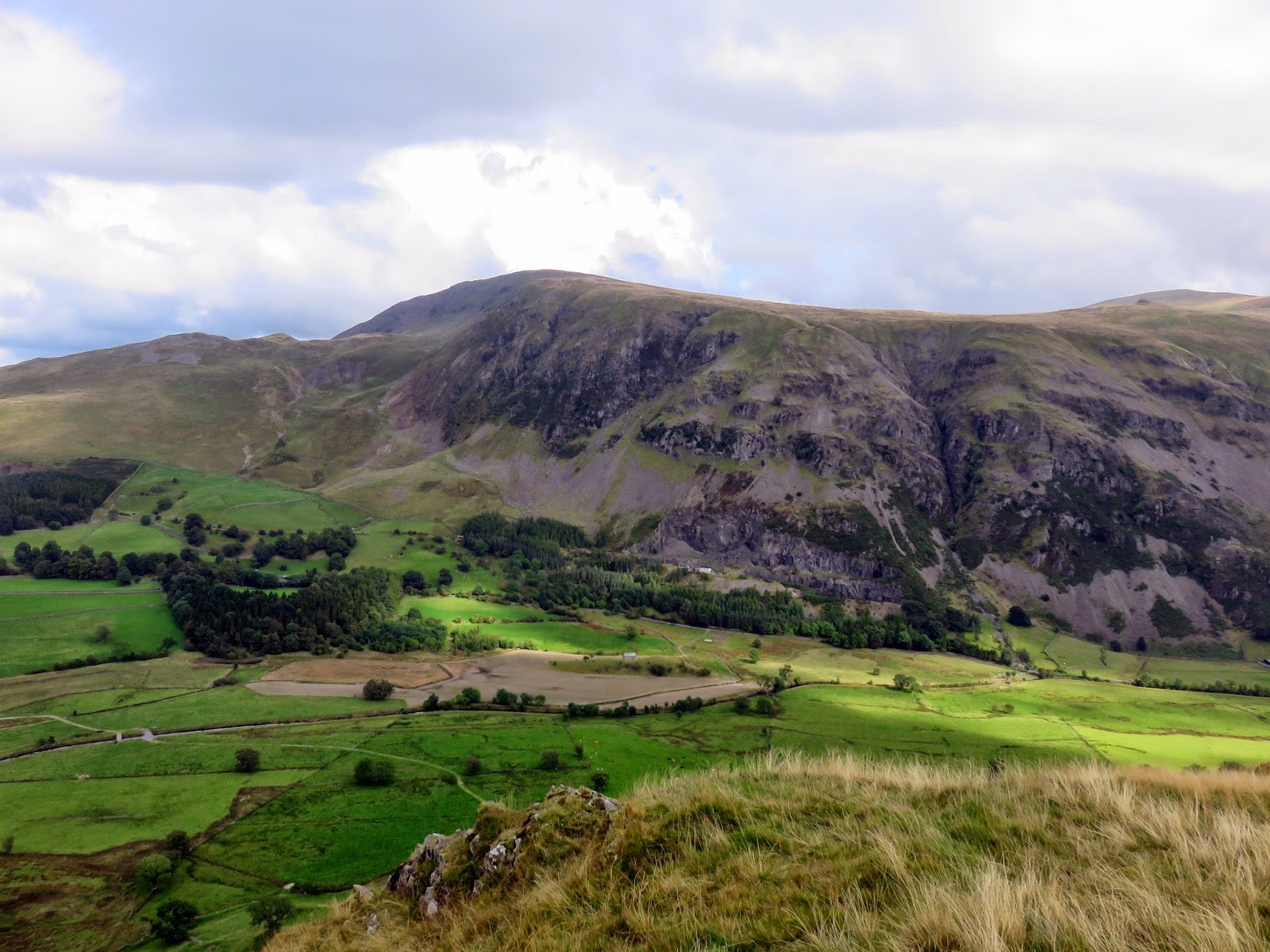
| Beckthorns Gill |
 |
| Hall’s Fell Ridge is picked out in the sunlight |
We left the top, along the path I mentioned a moment ago, heading north down to the church. It’s easy going, the perfect short walk for a sunny afternoon Once we’d reached the road, it was a short stroll in the sun back to the car. One down, two to go. It was off to Raven Crag.
 |
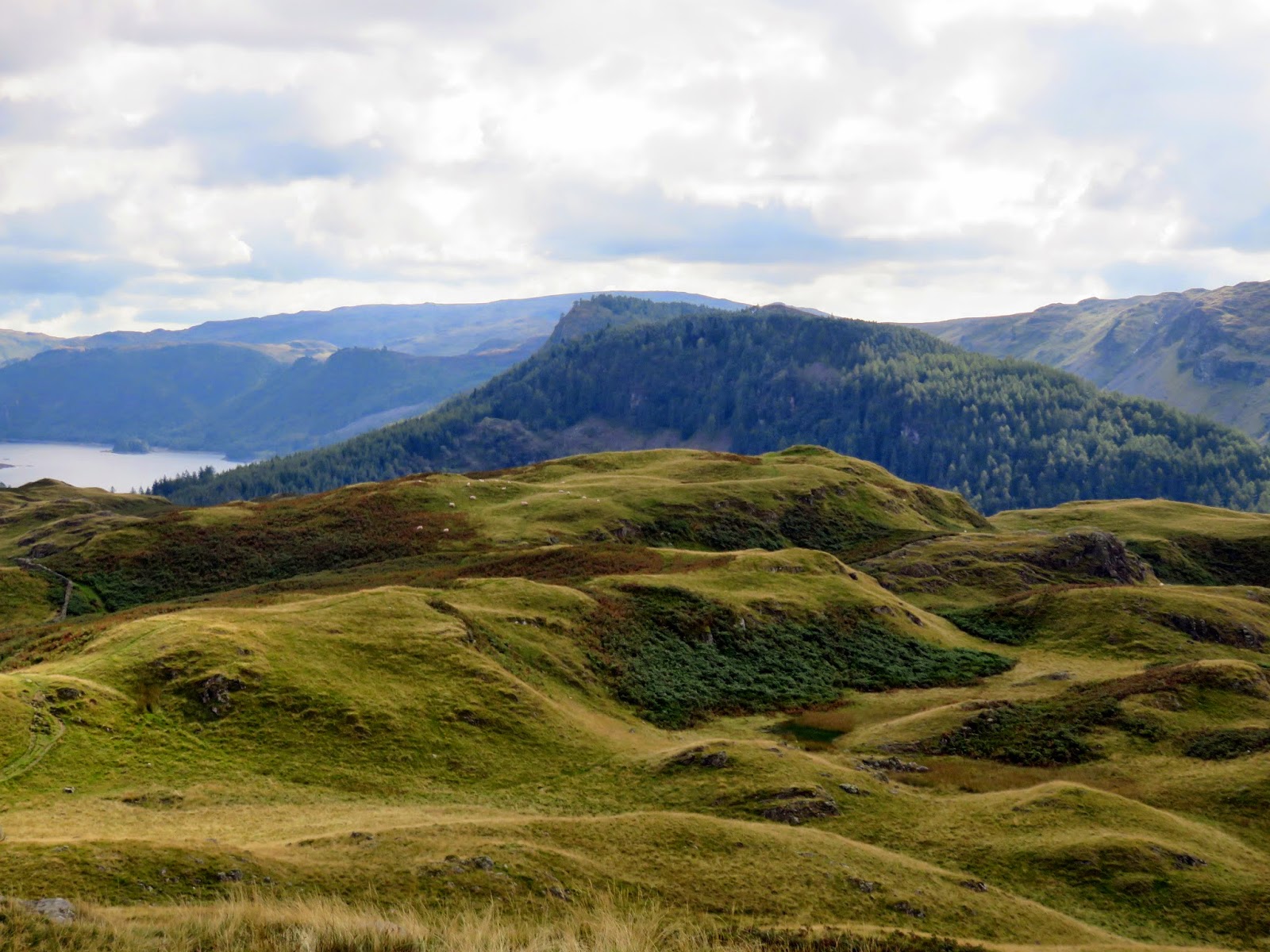
| The wide path leading off the summit |
 |
| Dodd Crag and Castlerigg Fell |
